
California 1 South - Santa Cruz County
| California 1 south | |
|---|---|
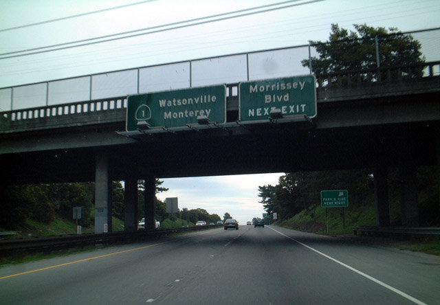 |
Southbound California 1 approaching Exit 421, Morrisey Boulevard. The control cities for southbound is Watsonville and Monterey. Watsonville is located at the junction between California 1, California 152, and California 129, and it is the gateway to one of the most productive fruit-growing regions in California. Monterey is the largest city on the Monterey Peninsula, and the peninsula is home to famous California tourist attractions such as the Monterey Aquarium, the Seventeen Mile Drive, Pebble Beach Golf Course, and the dog hotel in Carmel. Photo taken 12/27/01. |
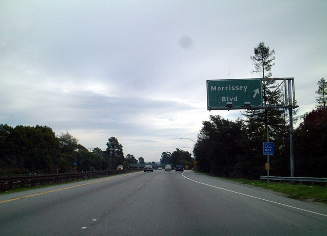 |
Southbound California 1 at Exit 421, Morrisey Avenue. The clouds were producing a light drizzle this day, making some photos a bit darker than normal. Photo taken 12/27/01. |
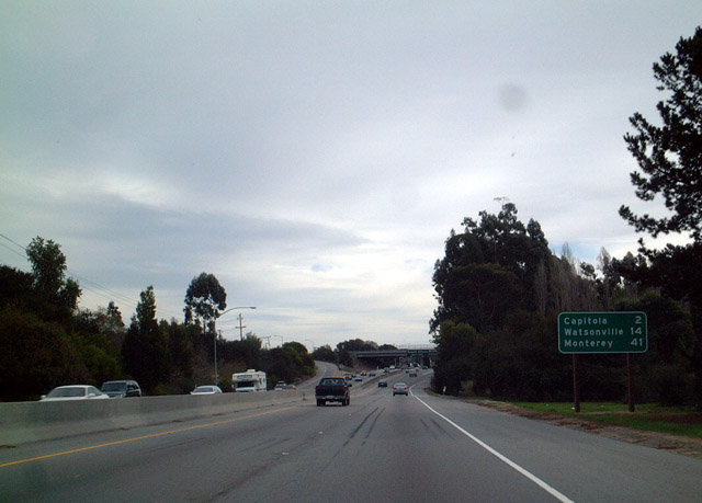 |
Southbound California 1 mileage sign just south of Exit 421. The next three destinations of significance are Capitola, Watsonville, and Monterey. Photo taken 12/27/01. |
 |
Southbound California 1 approaching Exit 420, Soquel Avenue in Soquel. The next exit is for 41st Avenue (Exit 419). Photo taken 12/27/01. |
 |
Southbound California 1 approaching Exit 419, 41st Avenue, in the vicinity of Soquel and Santa Cruz. The next exit is for Bay Avenue and Porter Street (Exit 418). Photo taken 12/27/01. |
 |
Southbound California 1 at Exit 414, Nashua Road/Molera Road. Photo taken 08/18/03. |
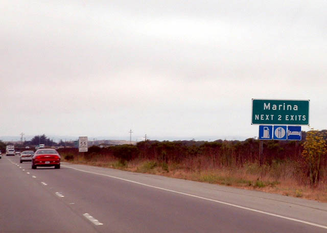 |
The next two exits along southbound California 1 serve the City of Marina. Photo taken 08/18/03. |
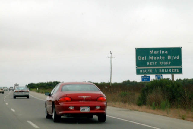 |
Southbound California 1 approaching Exit 412, Junction South California 1 Business/Del Monte Boulevard, next right. Photo taken 08/18/03. |
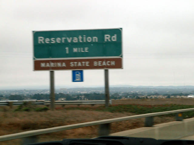 |
Southbound California 1 approaching Exit 410, Reservation Road, one mile. The name of this road dates back to the days of the former military Fort Ord. Photo taken 08/18/03. |

Page Updated June 29, 2009.
|
About Contact Glossary |
In The News Interstate Guide |
Social Media:
 |
|
© 2000-25 AARoads.com | All Rights Reserved | Privacy Policy / Terms of Use
|
||