
California 12 East
| California 12 east | |
|---|---|
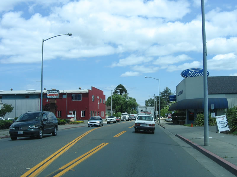 |
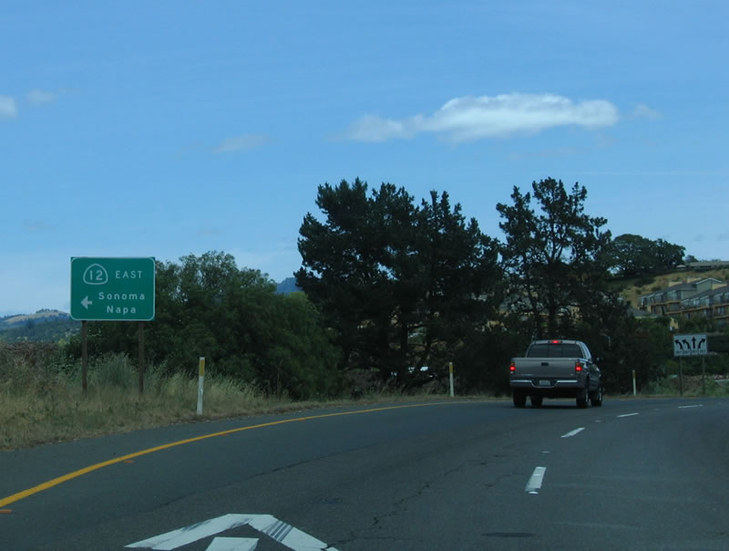
This view is afforded on eastbound California 12 after the main intersection with California 116 in the city of Sebastopol. Currently California 116 serves as the western terminus of California 12, although long-range plans call for a state highway to extend west to Bodega Bay. Photo taken 05/25/06. |
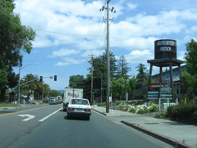 |
Sebastopol was founded as a town in the 1850s and incorporated as a city in 1902. Home to 7,774 as of the 2000 Census, it seems to have a lost just a few people as of the 2005 Estimate (7,598 people). Photo taken 05/25/06. |
 |
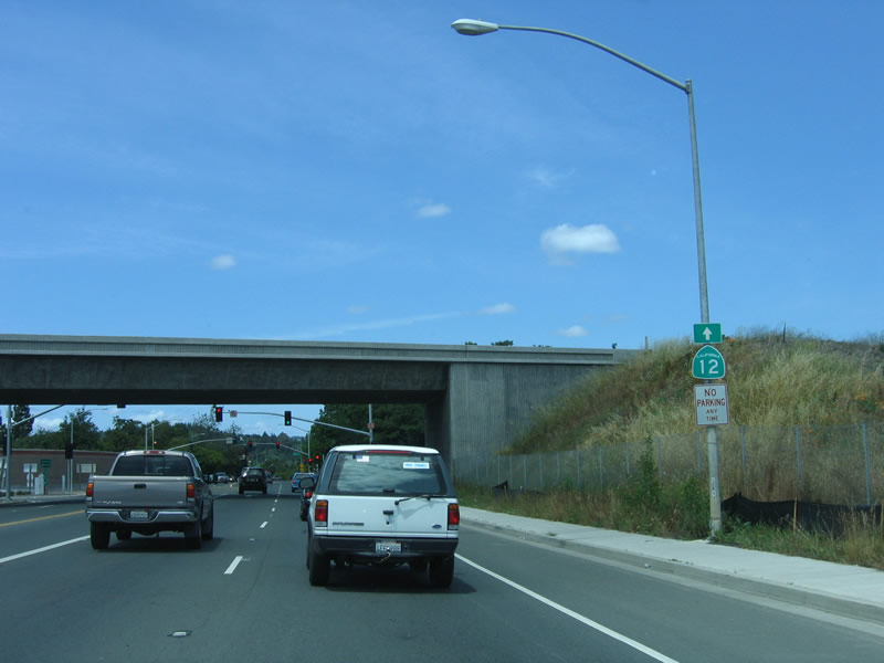
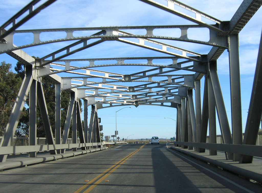
The Laguna de Santa Rosa bridge, which carries California 12 east out of Sebastopol, was built in 1921 and expanded in 1949. It is still a very narrow ride over a long bridge. Original railing was replaced with a jersey barrier. Photo taken 05/25/06. |
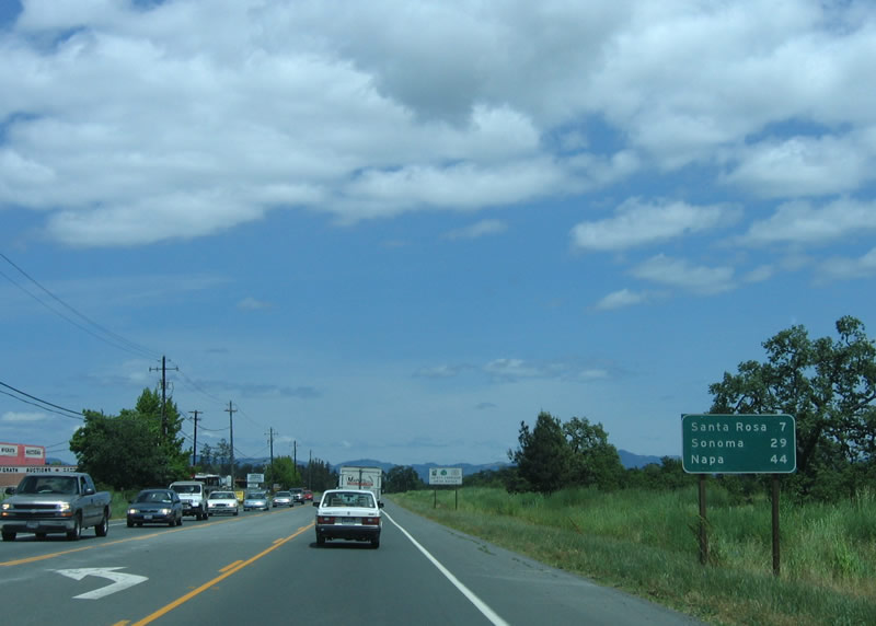 |
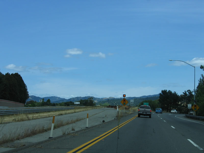
This mileage sign provides the distance to Santa Rosa (7 miles), Sonoma (29 miles), and Napa (44 miles). Photo taken 05/25/06. |
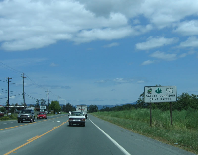 |
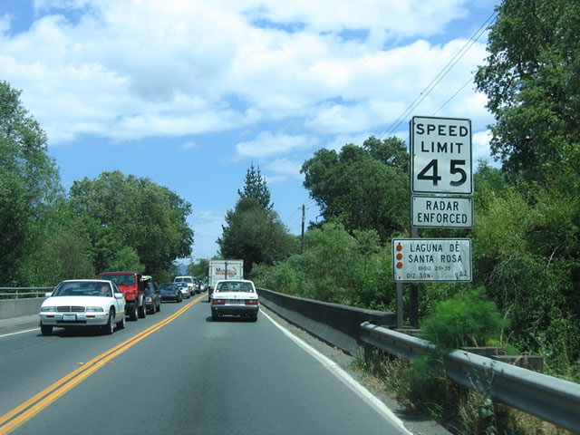
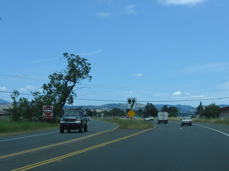
Due to the narrow highway and high traffic counts, both California 12 and U.S. 101 in Sonoma County are considered to be safety corridors. Photo taken 05/25/06. |
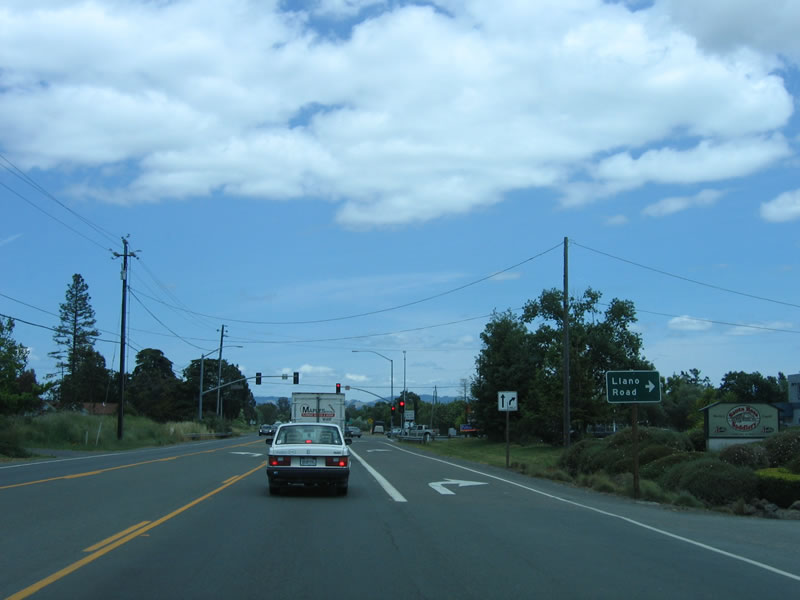 |
Eastbound California 12 approaches Llano Road at this traffic signal. Photo taken 05/25/06. |
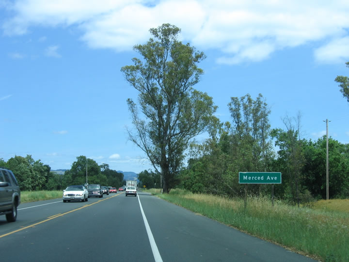 |
Shortly thereafter, California 12 east approaches Merced Avenue. Photo taken 05/25/06. |
 |
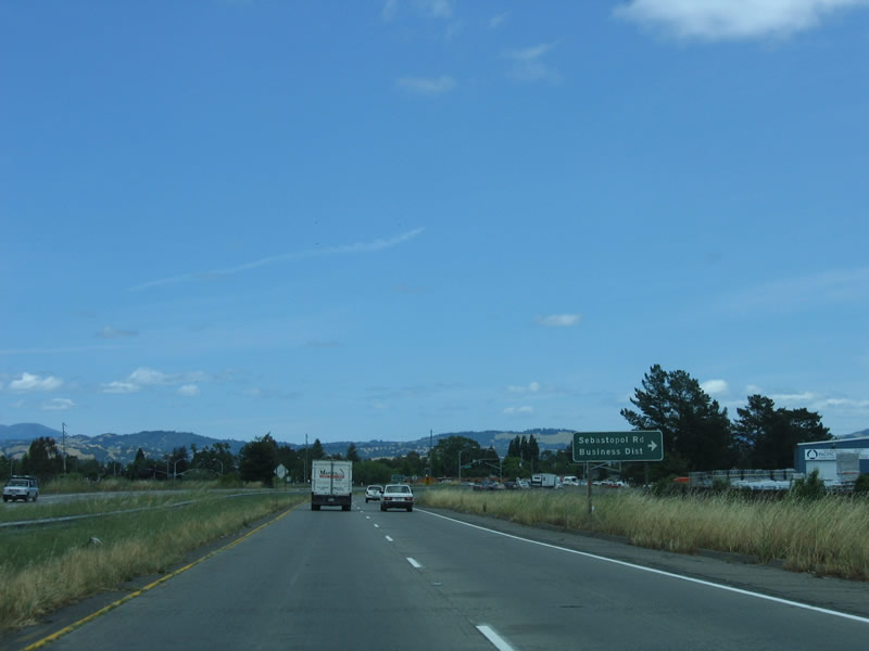
After Merced Avenue, California 12 (Luther Burbank Highway) east widens into a four-lane, expressway configuration. Looking straight ahead is the connection to Sebastopol Road, the old alignment, but access is allowed only via Wright Road southbound. Photo taken 05/25/06. |
 |
The next intersection is for Wright Road south and Fulton Road north. Use Wright Road south to California 12 Business/Sebastopol Road east to downtown Santa Rosa. The business route is not signed at all, but it is the original route of California 12 through downtown. Photo taken 05/25/06. |
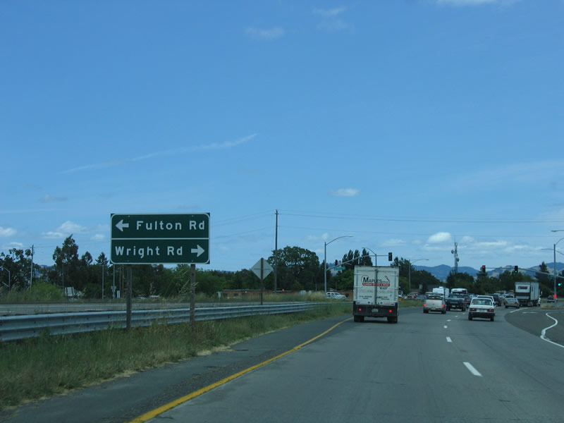 |
Fulton Road is an excellent alternative to often-congested U.S. 101. It connects to West Third Street, College Avenue, Guerneville Road, Piner Road, River Road, and U.S. 101 north. Photo taken 05/25/06. |
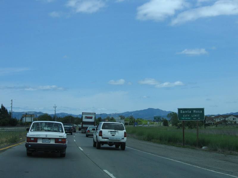 |
The city of Santa Rosa is the seat of Sonoma County. Incorporated in 1868, Santa Rosa was home to Luther Burbank, a world-renowned horticulturist. Burbank introduced hundreds of plants in the region during his 50-year stay in Santa Rosa, until his death in 1926. Luther Burbank's home and gardens are preserved near downtown Santa Rosa, and are a national historic landmark. California 12 is named for Luther Burbank. Photo taken 05/25/06. |
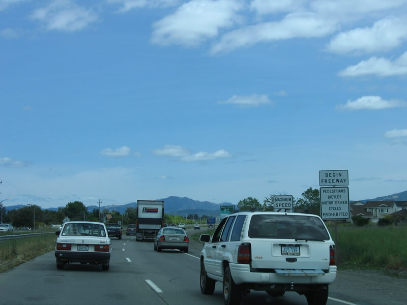 |
A begin freeway sign is posted as California 12 shifts from an expressway to freeway configuration. California 12 was built in 1993 between here and Stony Point Road; the section between Stony Point Road and South E Street (Exit 7B) was built in 1964 along with U.S. 101; and the ramps at the east end were added in 1990. Photo taken 05/25/06. |
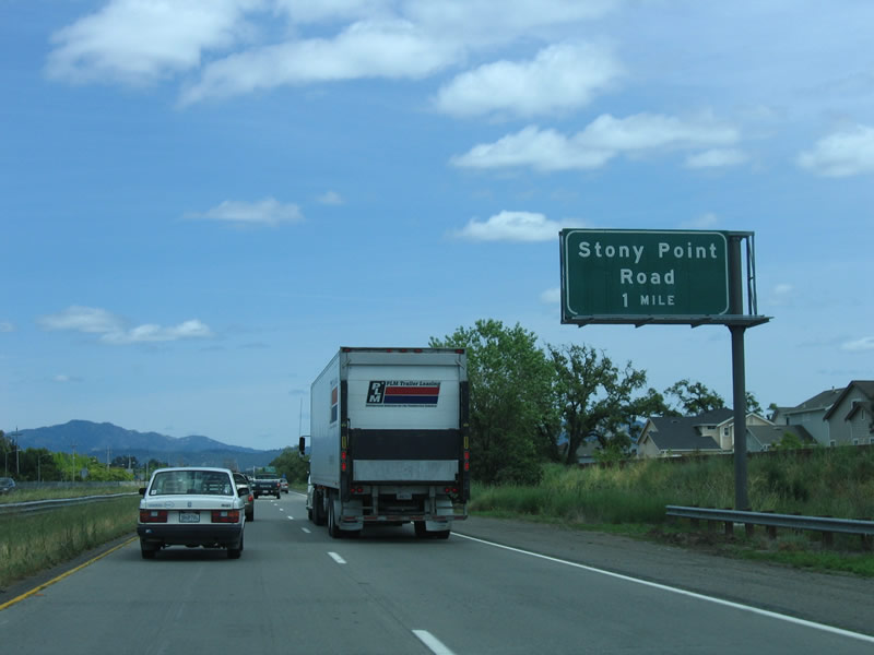 |
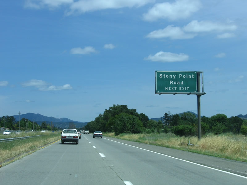
The next exit along eastbound California 12 (Luther Burbank Highway) is Exit 5, Stony Point Road. Photo taken 05/25/06. |
 |
Like Fulton Road, Stony Point Road also offers an alternative to U.S. 101 north, but it is a bit more congested as it passes through more developed areas than Fulton Road. Photo taken 05/25/06. |
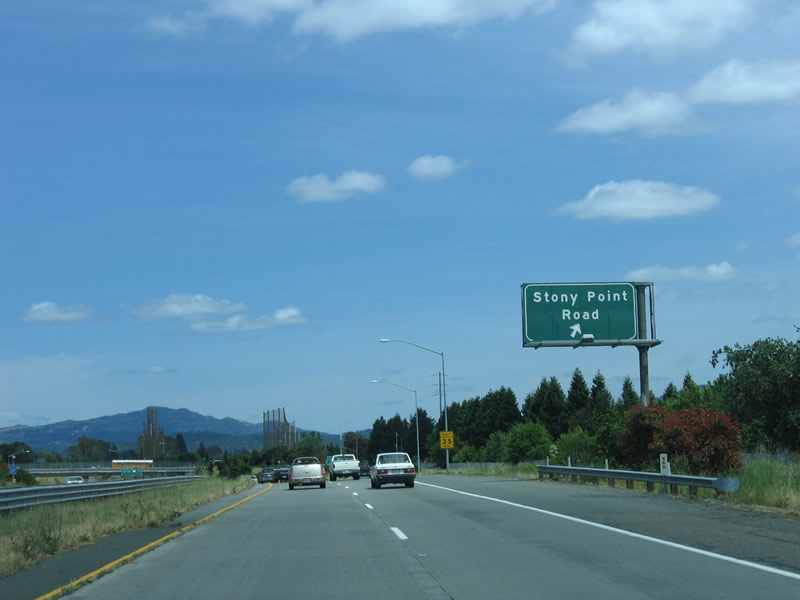 |
Eastbound California 12 (Luther Burbank Highway) reaches Exit 5, Stony Point Road. Photo taken 05/25/06. |
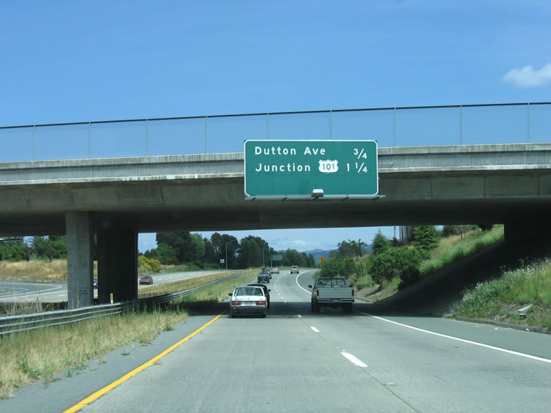 |
This mileage sign provides the distance to Exit 6, Dutton Avenue and Exit 7A, U.S. 101 (Redwood Highway). Photo taken 05/25/06. |
 |
For Dutton Avenue, use Exit 6. Dutton Avenue north connects to the business route into downtown Santa Rosa via West Third Street, while southbound Dutton Avenue leads into the neighborhood of Roseland. Photo taken 05/25/06. |
 |
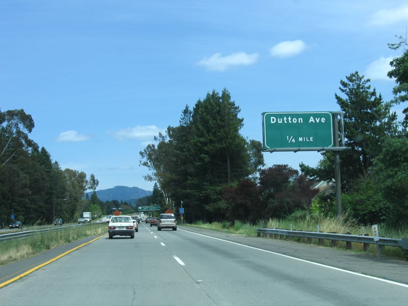
Porcelain signs directed off SR 12 to Exit 6 for Dutton Avenue. The next exit is Exit 7A, U.S. 101. Photo taken 05/25/06. |
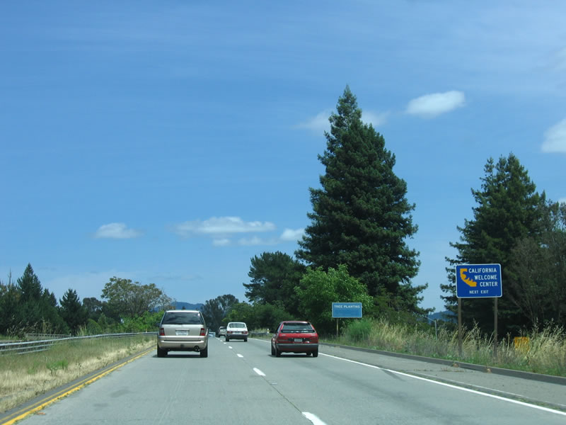 |
Use U.S. 101 south to Rohnert Park for a welcome and visitors information center. Photo taken 05/25/06. |
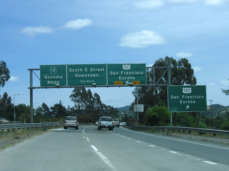 |
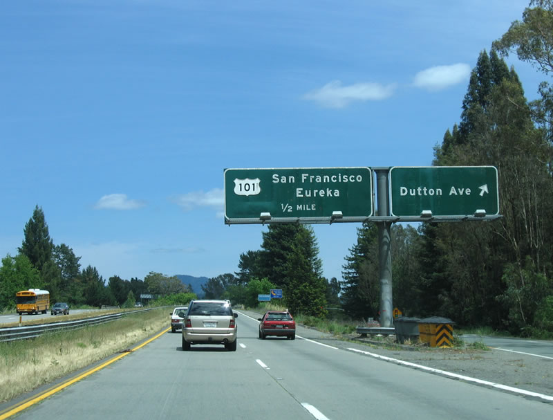
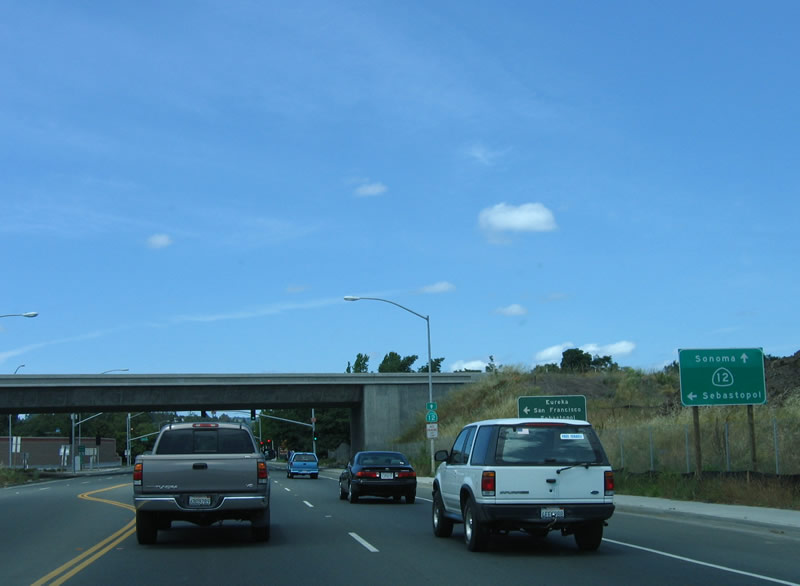
Eastbound California 12 (Luther Burbank Highway) reaches Exit 7A, U.S. 101 south to San Rafael and San Francisco and north to Ukiah and Eureka. Photo taken 05/25/06. |
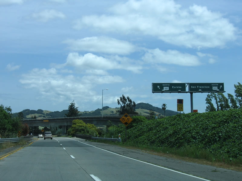 |
The flyover transition ramp from eastbound California 12 splits between north and south U.S. 101. Photo taken 05/25/06. |
 |
Passing under the flyover transition ramp to northbound U.S. 101, eastbound California 12 continues through downtown Santa Rosa. Photo taken 05/25/06. |
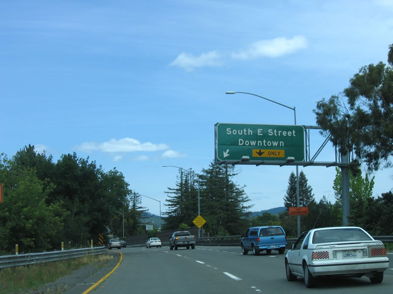 |
The next exit is Exit 7B, South E Street to downtown Santa Rosa. The right two lanes prepare to exit, with the right lane becoming exit only. Photo taken 05/25/06. |
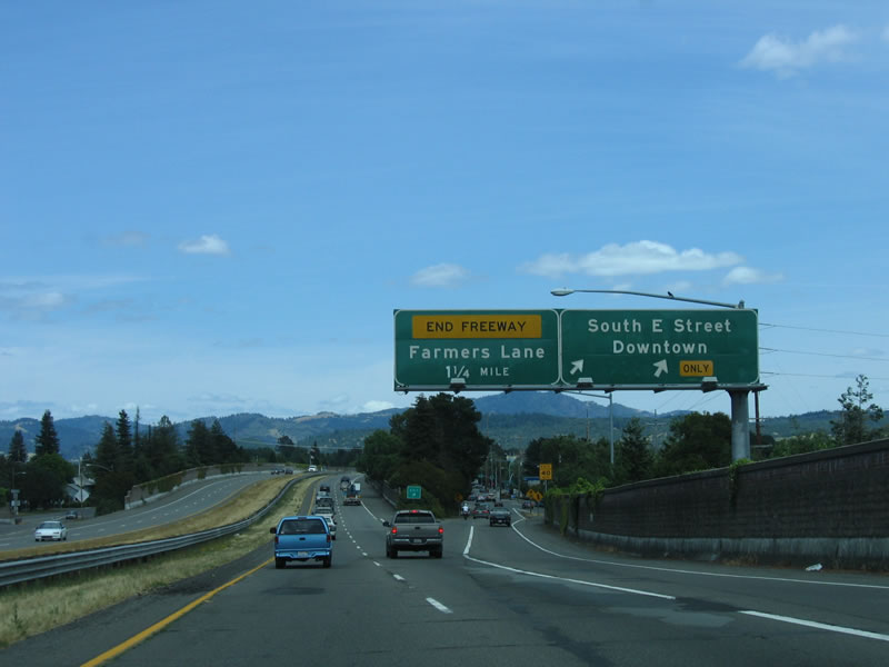 |
Eastbound California 12 reaches Exit 7B, South E Street. The next exit is Exit 8, Farmers Lane. Photo taken 05/25/06. |
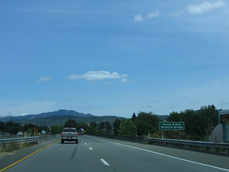 |
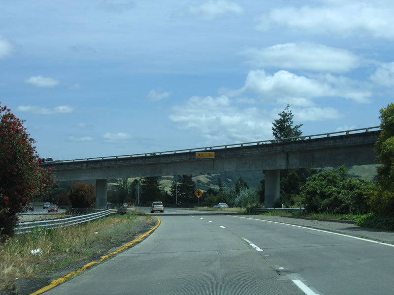
The Parker B. Rice Memorial Bridge carries California 12 over downtown Santa Rosa. This viaduct was built in 1990 as an extension of the 1964 freeway. It now connects California 12 directly with Farmers Lane with the intent of a possible further extension east. Photo taken 05/25/06. |
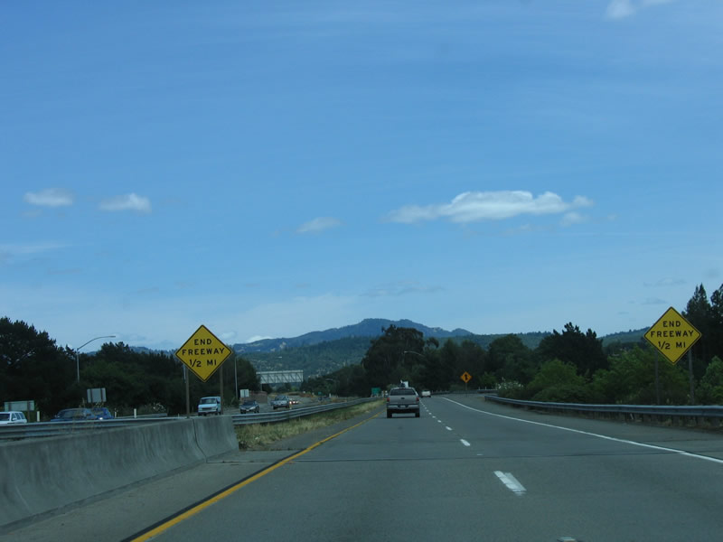 |
End freeway signs herald the coming end of the California 12 freeway. Photo taken 05/25/06. |
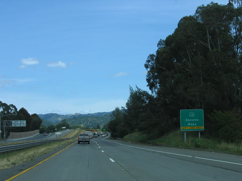 |
To continue east on California 12 to Sonoma and Napa, use the left lane. Photo taken 05/25/06. |
 |
A stub ramp remains for the eventual continuation of California 12 east, but for now, all traffic must exit onto Farmers Lane. Photo taken 05/25/06. |
 |
Use the left lane to continue east on California 12. A right turn connects to Farmers Lane south. Photo taken 05/25/06. |
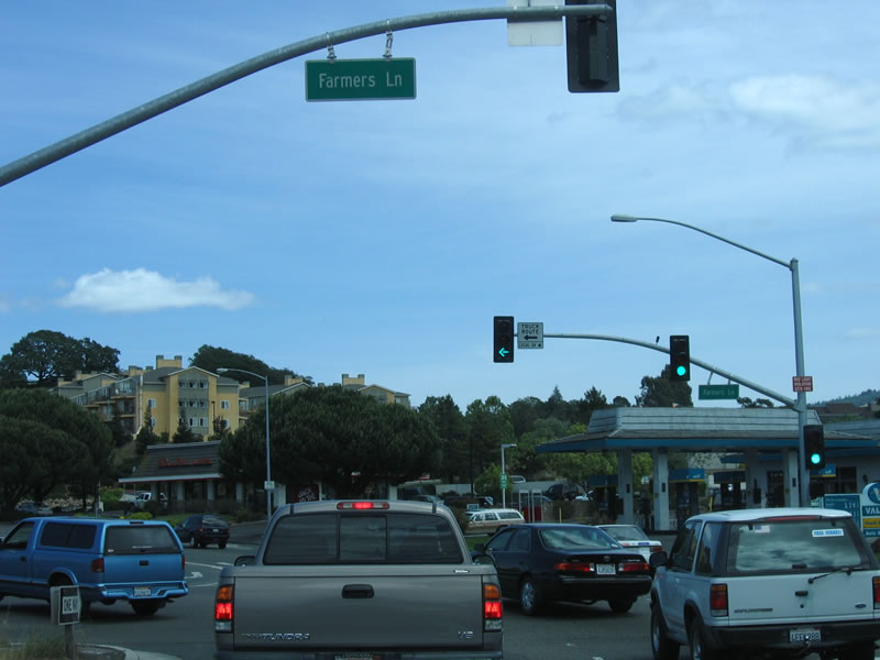 |
Plenty of traffic stops on eastbound California 12 at the traffic signal with Farmers Lane south. Photo taken 05/25/06. |
 |
After turning left (north) on Farmers Lane, motorists on eastbound California 12 can opt to turn onto California 12 west or continue straight ahead to Sonoma Highway, which is the continuation of California 12 east. Photo taken 05/25/06. |
 |
A trailblazer for California 12 is posted on northbound Farmers Lane. Photo taken 05/25/06. |
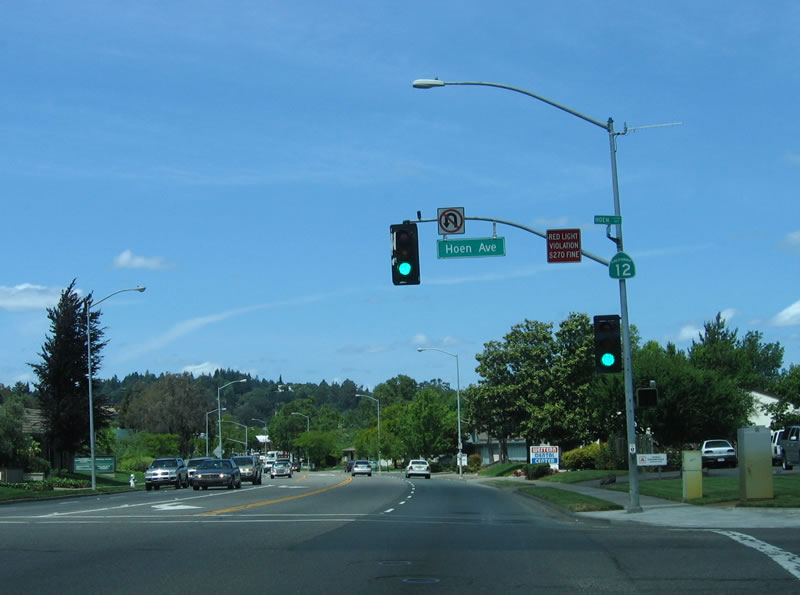 |
Northbound California 12 (Farmers Lane) meets Hoen Avenue at this traffic signal. Hoen Avenue follows the alignment of the hotly contested proposed extension of California 12 east freeway. From here, California 12 travels north to Sonoma Highway, then turns east on Sonoma Highway toward the Valley of the Moon and Sonoma. Photo taken 05/25/06. |
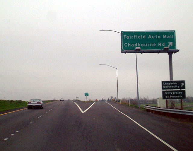 |
After passing through Santa Rosa, the Valley of the Moon, Sonoma, and Napa, California 12 briefly merges with Interstate 80 before splitting to serve southern Fairfield and Suisun City. Here, eastbound California 12 meets Chadbourne Road/Fairfield Auto Mall at this interchange. Photo taken 01/18/03. |
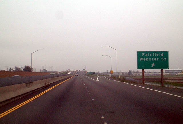 |
The next exit along eastbound California 12 is Webster Street. Photo taken 01/18/03. |
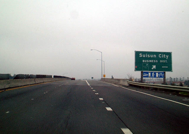 |
Continuing east, the next exit is for Suisun City, located just outside of Fairfield. The interchange for Suisun City is labeled as the "business district" exit. Photo taken 01/18/03. |
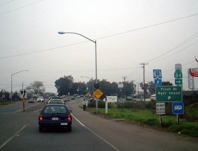 |
Passing through the California Delta, California 12 passes over a variety of bridges en route to the Central Valley. The Delta is formed by the confluence of the Sacramento and San Joaquin Rivers as they travel toward San Francisco Bay. This photo shows eastbound California 12 approaching one such bridge near Rio Vista, where California 12 meets the Northern California 84. This section of California 84 does not connect to the Western California 84 in the Bay Area. The traffic here was due to the lift bridge being used to allow several large boats through the river channel. Photo taken 01/18/03. |
 |
 |
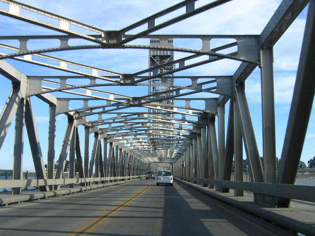 |
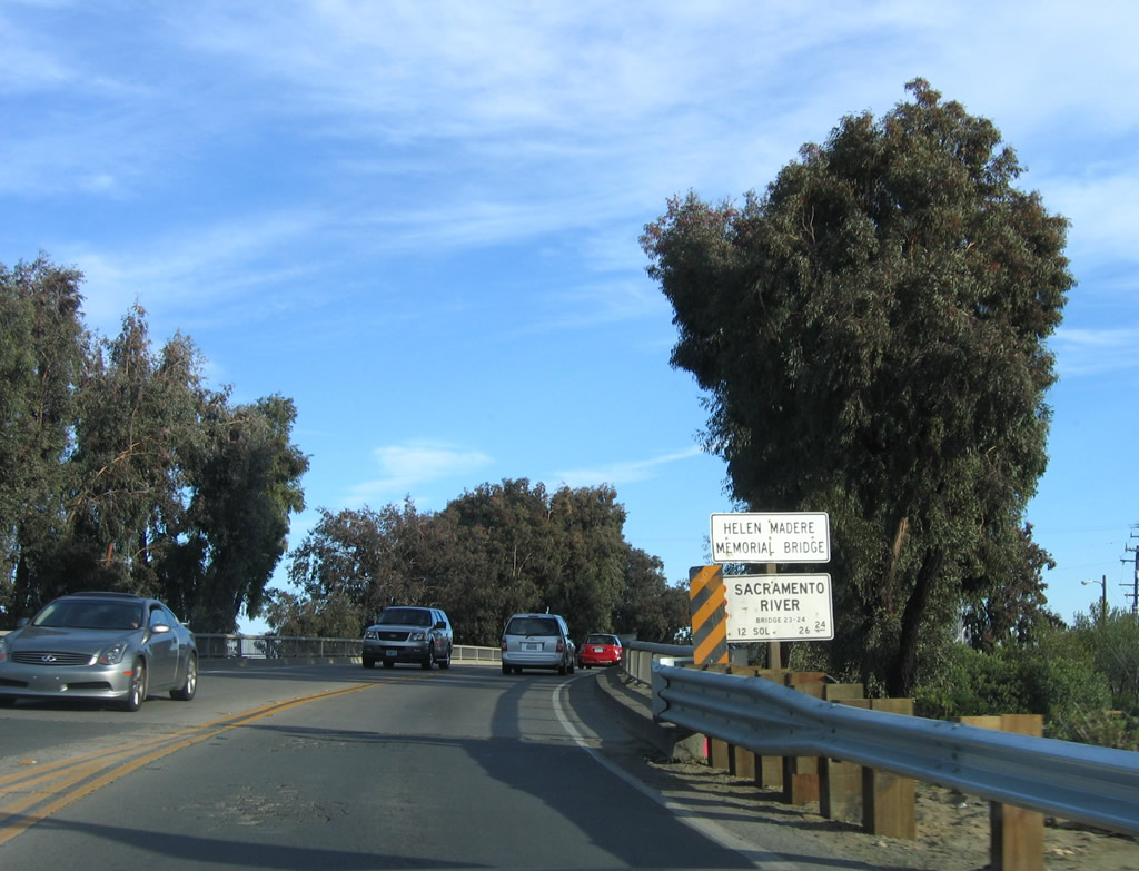
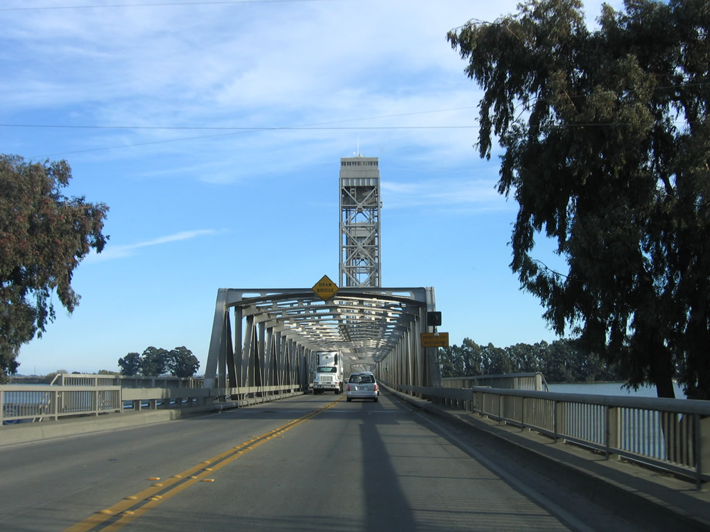
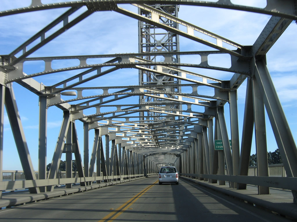
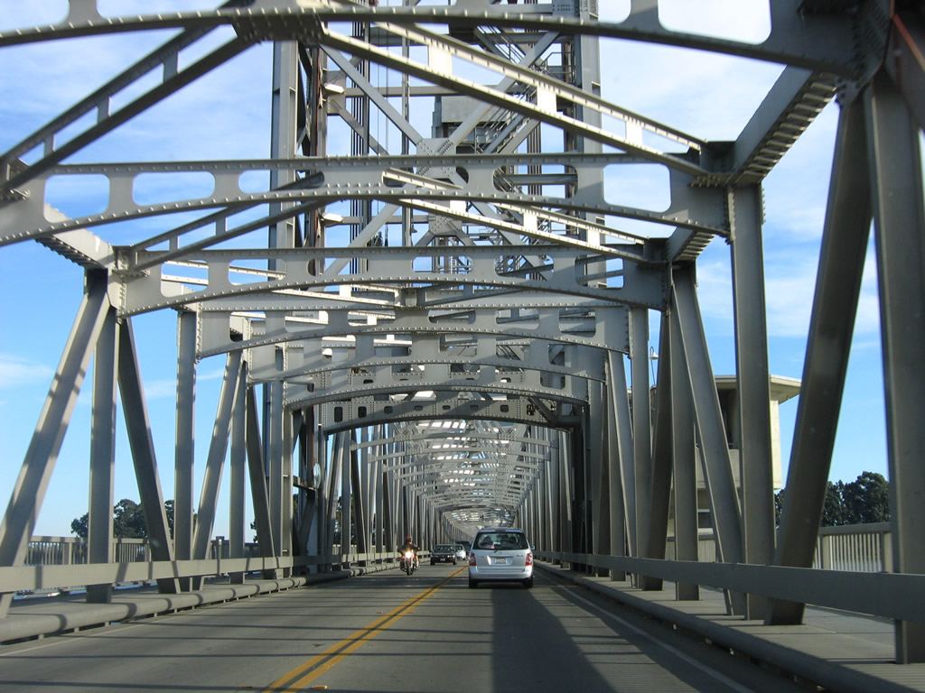
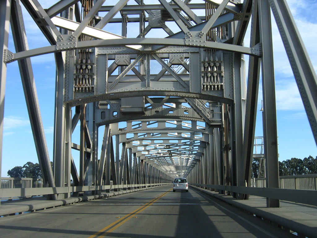
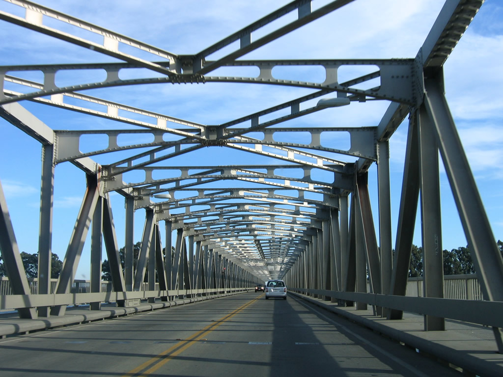
After the interchange with California 84, westbound California 12 leaves Rio Vista and approaches Brannan Island. California 12 crosses the Sacramento River via the Helen Madere Memorial Bridge (built in 1944). This long bridge is a lift bridge that allows large boats and ships to pass underneath it while in operation. When the lift bridge is in operation, the delays to use the bridge can be extensive. California 12 leaves Solano County and enters Sacramento County. Photos taken 11/23/06. |
 |
 |
 |
|
 |
 |
 |
 |
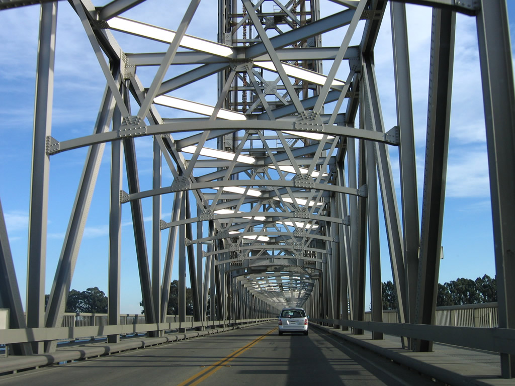
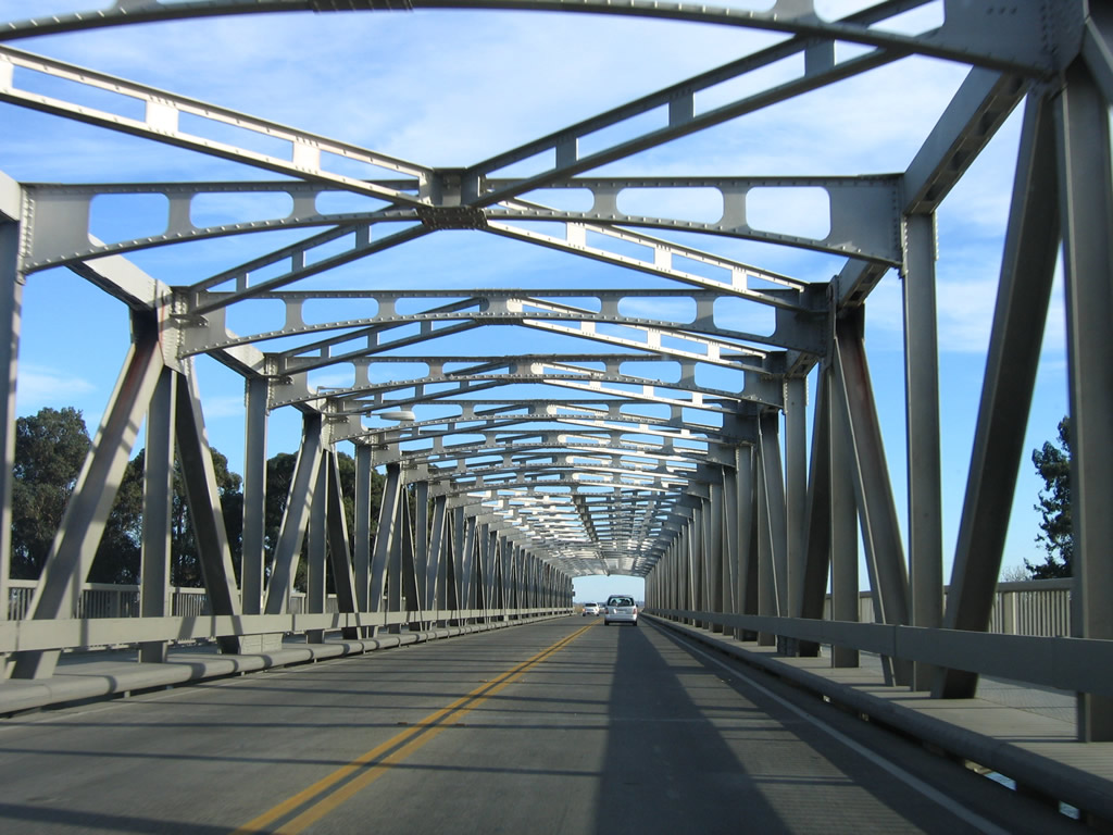
California 12 finally reaches the end of the tunnel-like superstructure of the Madere Bridge. Photo taken 11/23/06. |
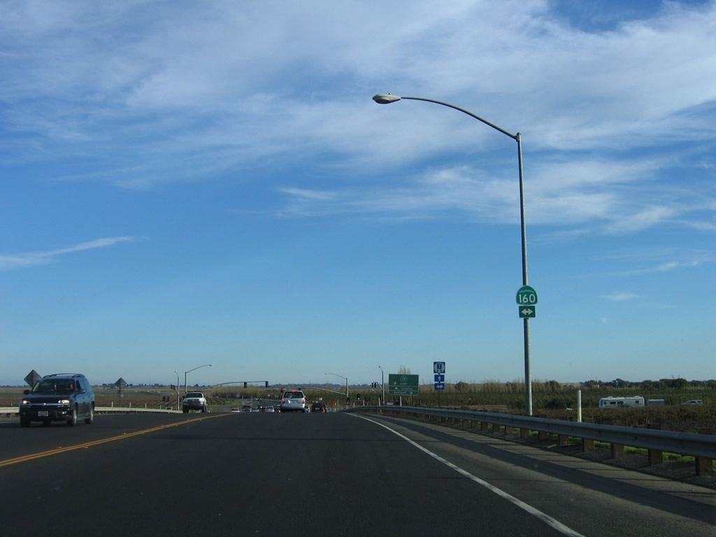 |
Immediately upon reaching Brannan Island, eastbound California 12 approaches California 160 (River Road). Photo taken 11/23/06. |
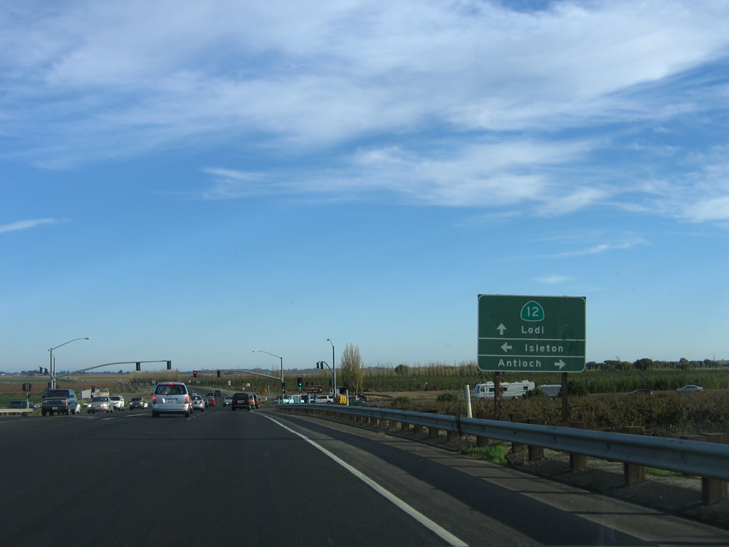 |
Turn left to follow California 160 north to Isleton or right to follow California 160 south to Antioch. Eastbound California 12 continues east toward Lodi and San Andreas. Photo taken 11/23/06. |
 |
Eastbound California 12 meets California 160 (River Road). Photo taken 11/23/06. |
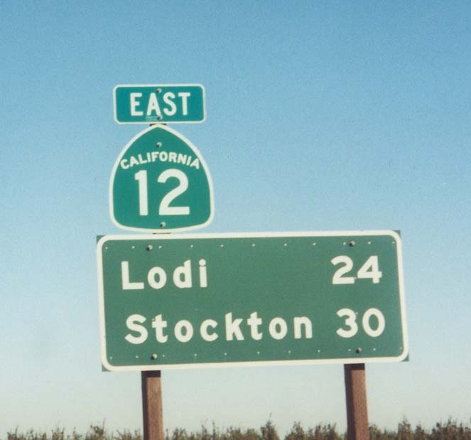 |
This mileage sign along California 12 east provides the distance to Lodi and Stockton via Interstate 5 south. Photo taken by Joel Windmiller (03/29/01). |
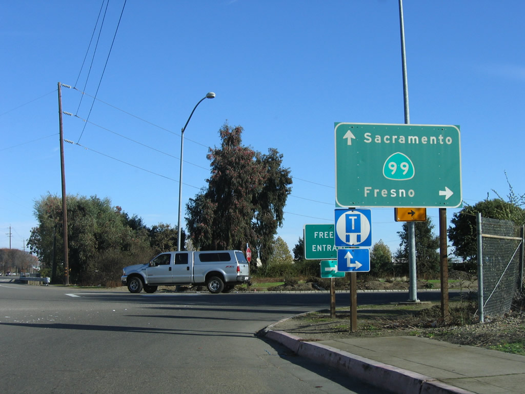 |
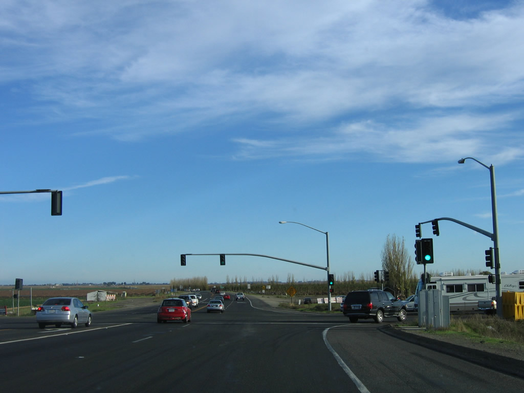
Eastbound Victor Road approaches California 99 in the city of Lodi. Turn right here to follow California 99 south and California 12 west to Stockton and Rio Vista; continue straight ahead to California 12 east to Lockeford and San Andreas or California 99 north to Sacramento via a loop ramp. Photo taken 11/23/06. |

Page Updated November 16, 2009.
|
About Contact Glossary |
In The News Interstate Guide |
Social Media:
 |
|
© 2000-25 AARoads.com | All Rights Reserved | Privacy Policy / Terms of Use
|
||