

California 14 North - California City to U.S. 395
| California 14 north and California 178 east | |
|---|---|
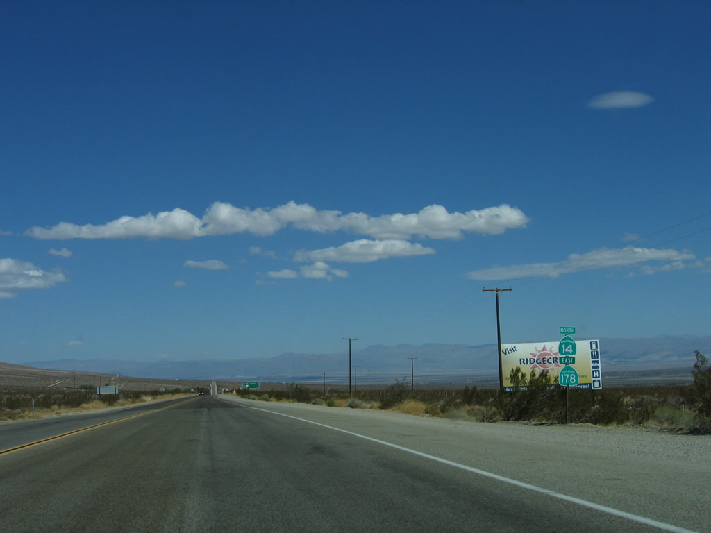 |
This reassurance shield for California 14 north and California 178 east is posted shortly after the California 178 west intersection. The two routes will share alignment for the next three miles. Photo taken 10/08/06. |
 |
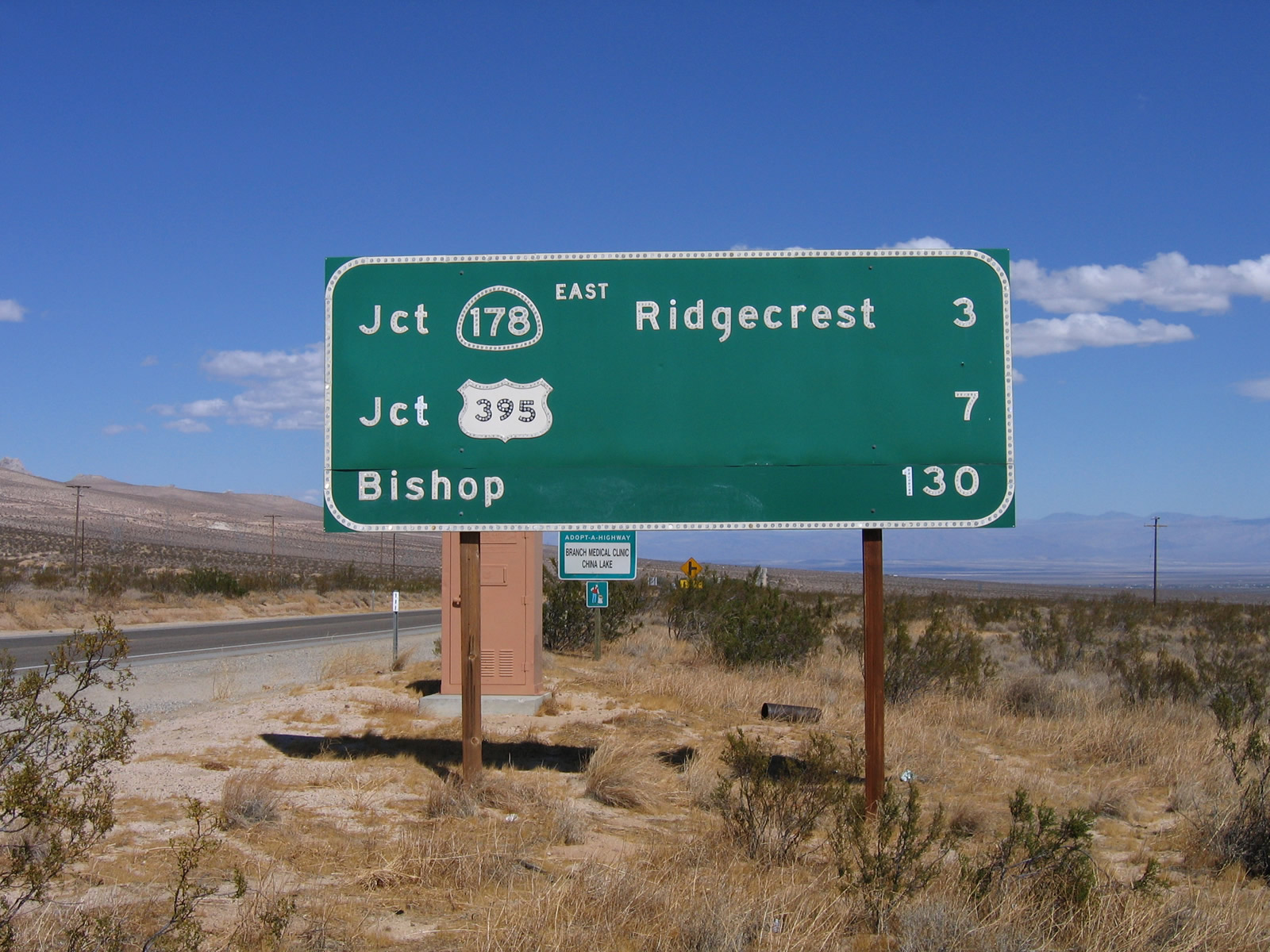 |
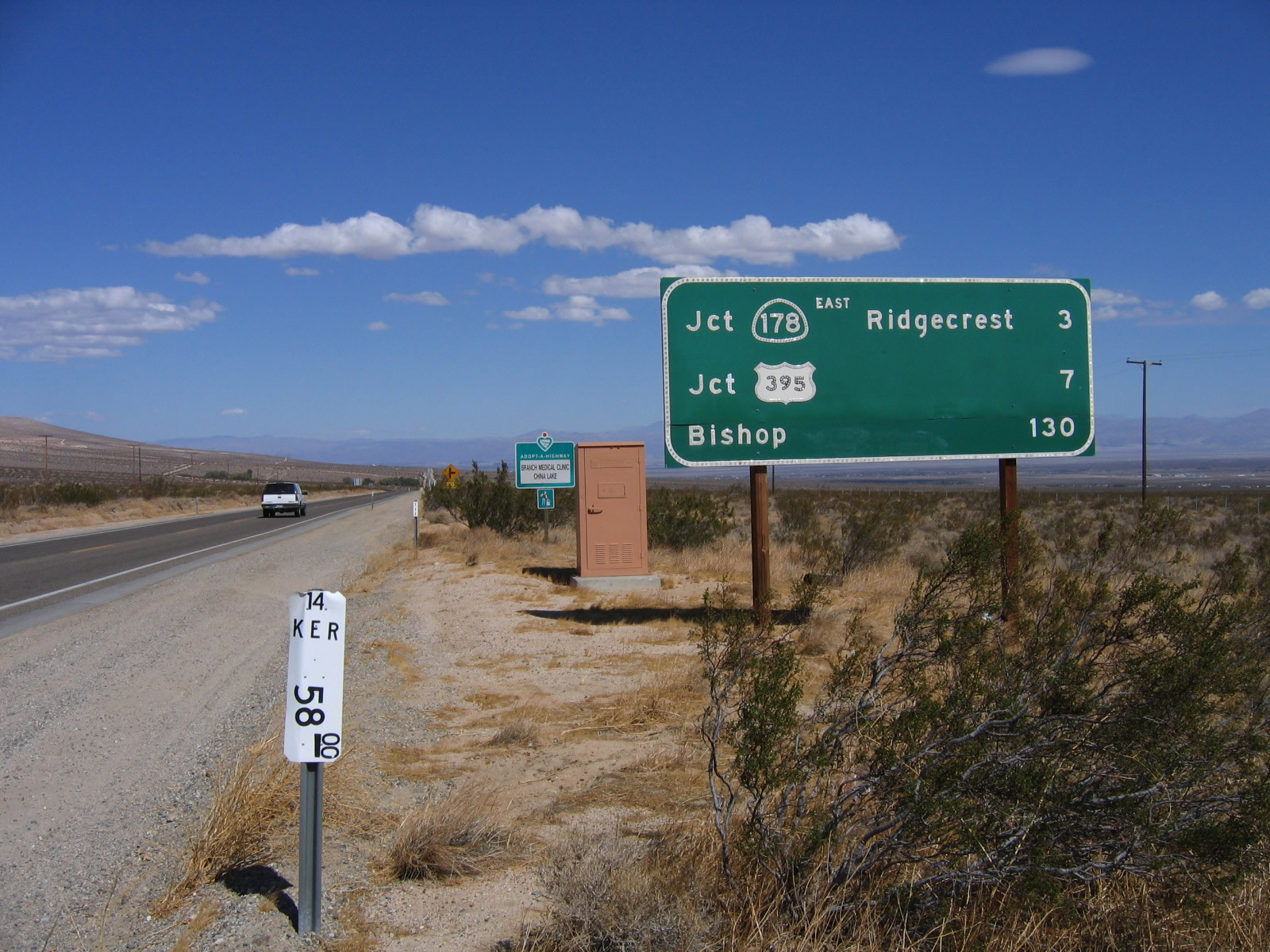
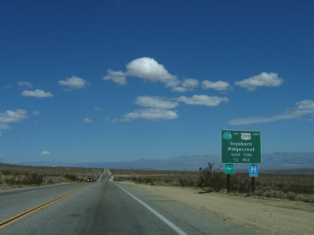
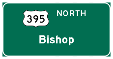
A mileage sign for California 178 east to Inyokern (three miles), U.S. 395 (seven miles), and the control city of Bishop (130 miles) is posted shortly thereafter. Photos taken 10/08/06. |
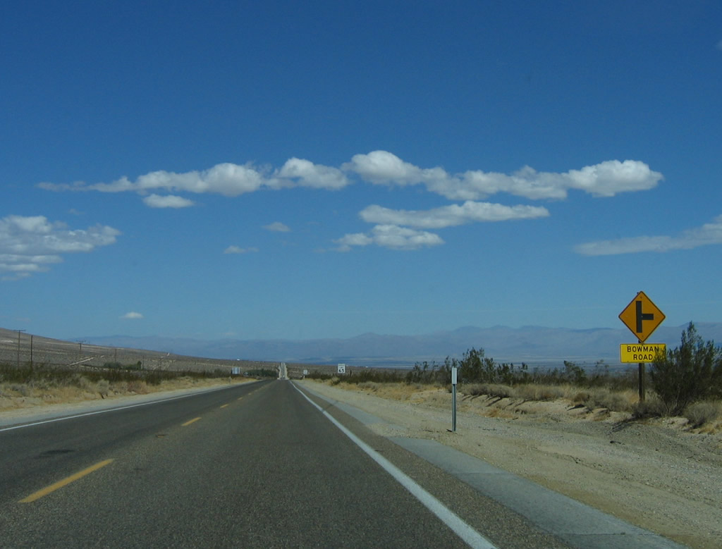 |
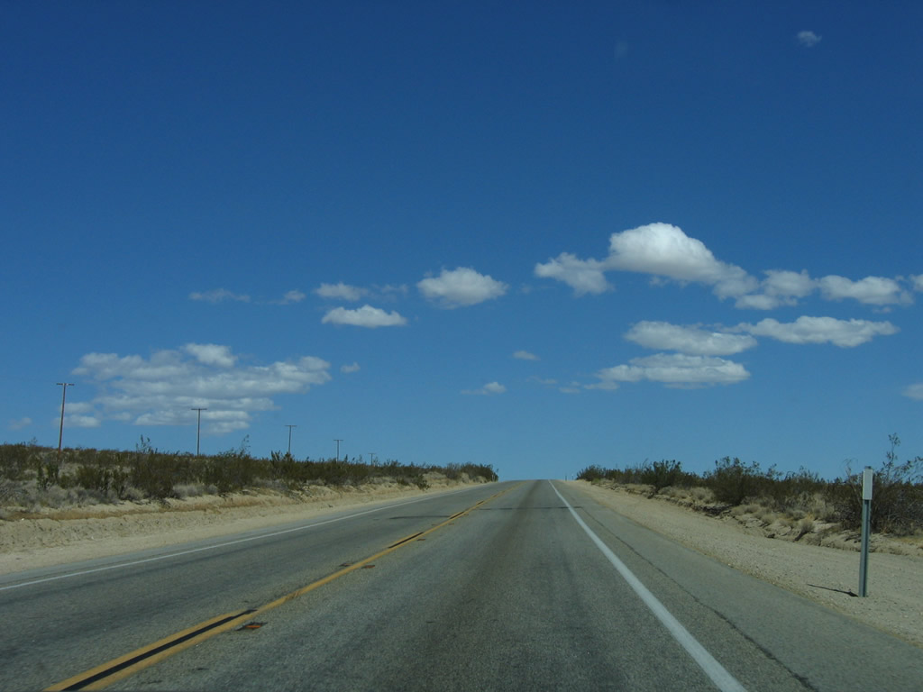
Northbound California 14 and eastbound California 178 approaches the right turn to Bowman Road. Photo taken 10/08/06. |
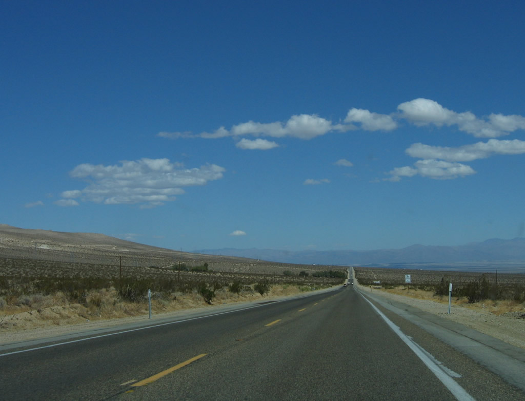 |
Although California 14 has only two lanes through here, plans call for eventual expansion to four lanes. The endless sky and desert plains/hills continue toward the north. Photo taken 10/08/06. |
 |
Passing is restricted on this uphill grade. Photo taken 10/08/06. |
 |
Northbound California 14 and eastbound California 178 prepare to split ahead. Use California 178 east to Inyokern, Ridgecrest, and Trona. Since there is only a partial interchange with U.S. 395, any traffic for U.S. 395 south should exit here to make that connection. Photo taken 10/08/06. |
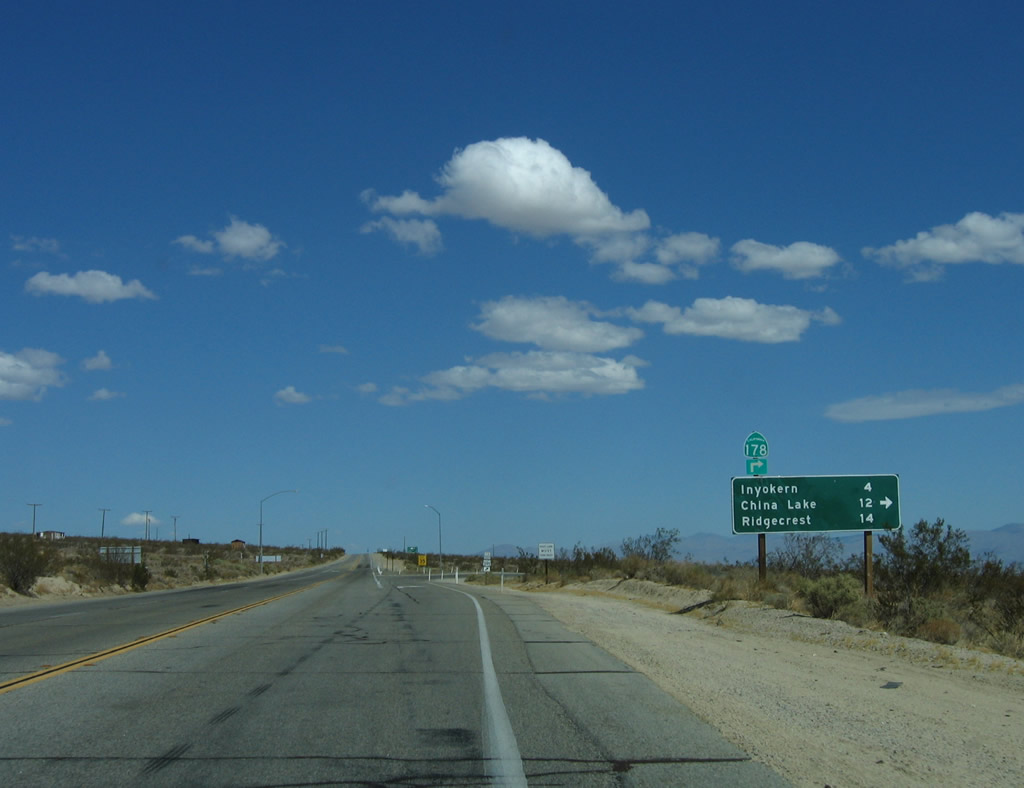 |
A mileage sign provides the distance to Inyokern (four miles), China Lake (12 miles), and Ridgecrest (14 miles) via California 178 east. California 14 continues north to U.S. 395 north en route to Olancha, Lone Pine, Independence, Big Pine, and Bishop. Photo taken 10/08/06. |
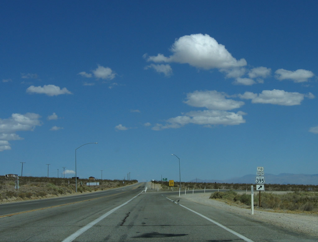 |
A second U.S. 395 south trailblazer is posted prior to the California 178 east turn-off. Photo taken 10/08/06. |
| California 14 north | |
|---|---|

Page Updated September 16, 2009.
|
About Contact Glossary |
In The News Interstate Guide |
Social Media:
 |
|
© 2000-25 AARoads.com | All Rights Reserved | Privacy Policy / Terms of Use
|
||