| California 14 south and U.S. 6 (Grand Army of the Republic Highway) west |
|
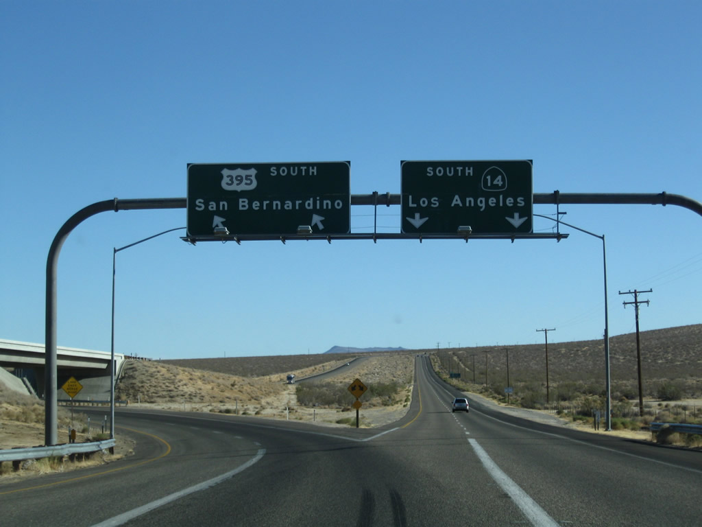
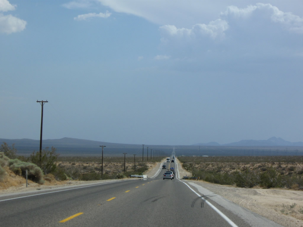
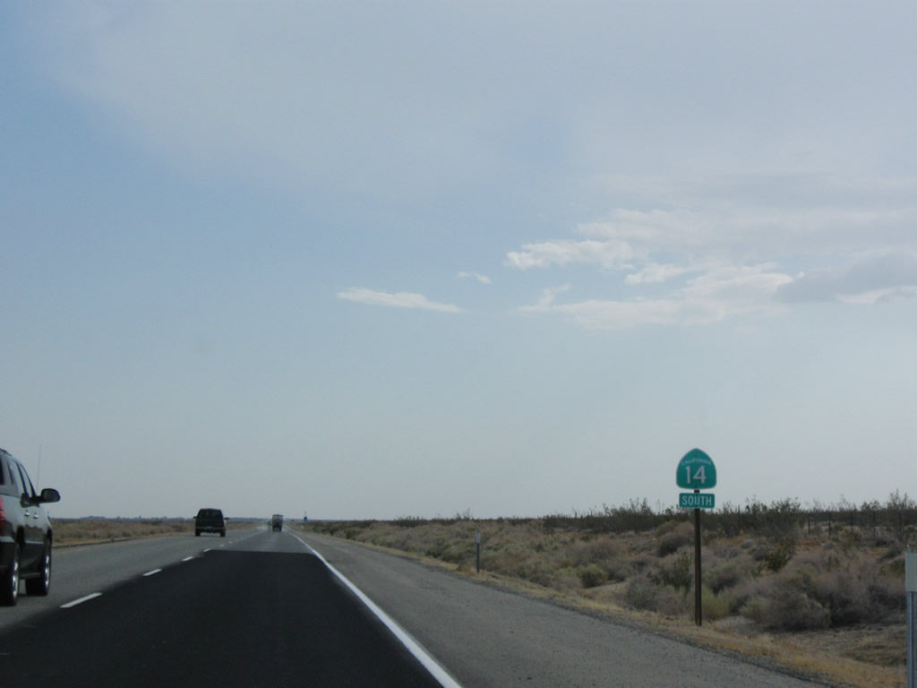
U.S. 395 and California 14 (Historic U.S. 6) split at this point; the right two lanes follow California 14 south to Mojave, Lancaster-Palmdale, Santa Clarita, and Los Angeles. The left two lanes continue south on U.S. 395 to Ridgecrest, San Bernardino, and San Diego. Photo taken 09/07/09. |
|
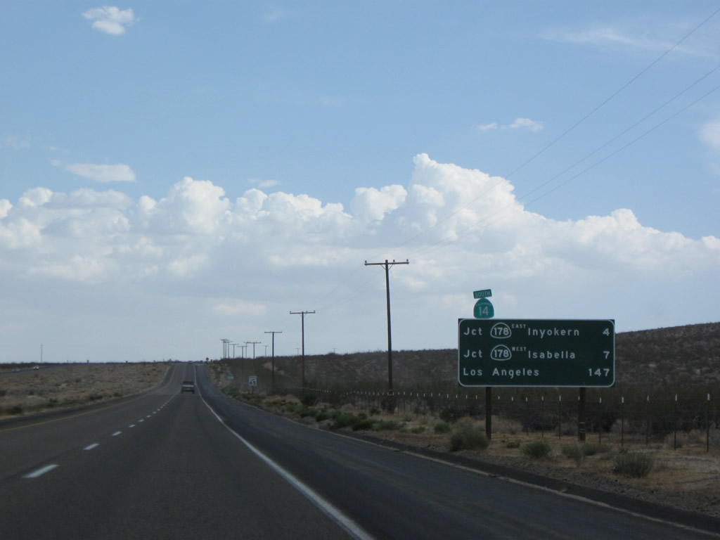
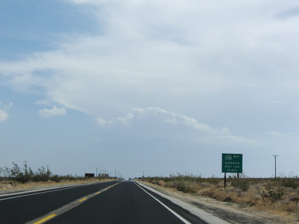
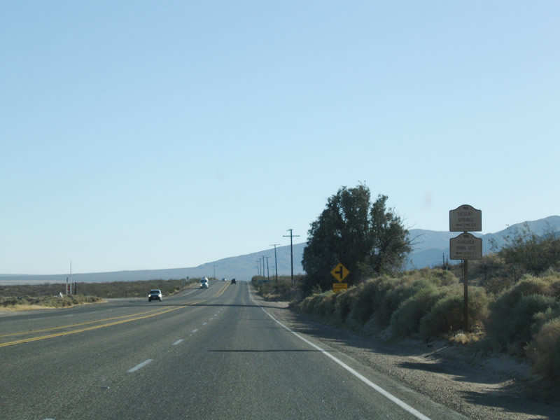
This mileage sign along California 14 (Historic U.S. 6) south provides the distance to California 178 east to Inyokern (four miles), California 178 west to Lake Isabella (seven miles), and Los Angeles (147 miles). For the distance between the U.S. 395 split and Mojave, California 14 will generally remain a rural, two-lane highway with some four-lane expressway segments. A short freeway section is located just north of Mojave; south of Mojave, California 14 is almost entirely freeway. Photo taken 07/19/09. |
|
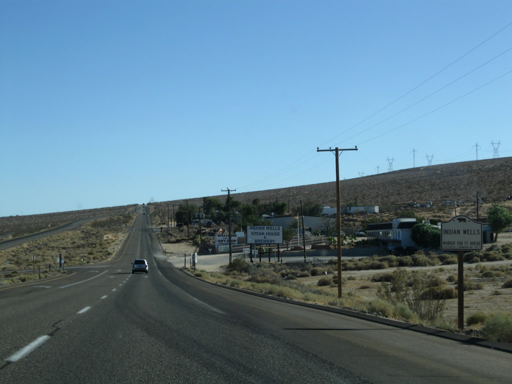
Southbound California 14 enters the small unincorporated community of Indian Wells. Formerly known as Homestead, this community is not to be confused with the better known city of Indian Wells near Palm Springs in Riverside County. This Indian Wells sits at an elevation of 2,759 feet. Photo taken 09/07/09. |
|
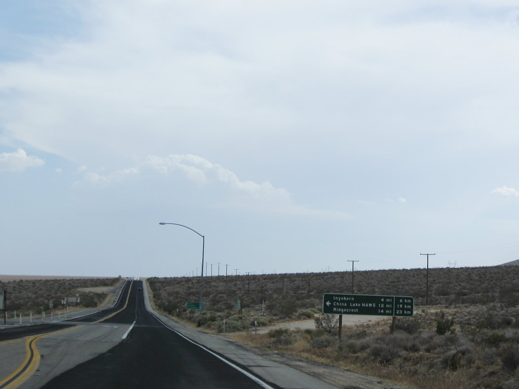
Rising to the top of the hill leaving Indian Wells, California 14 reduces to two lanes. The next intersection along this two-lane expressway is with California 178. This east-west state route travels east from this intersection to Inyokern, Ridgecrest, China Lake, Trona, and Death Valley. The state route has a gap through Death Valley National Park, but a paved connecting route may be achieved through the park via Panamint Valley, California 190, and Badwater Road. Photo taken 07/19/09. |
|
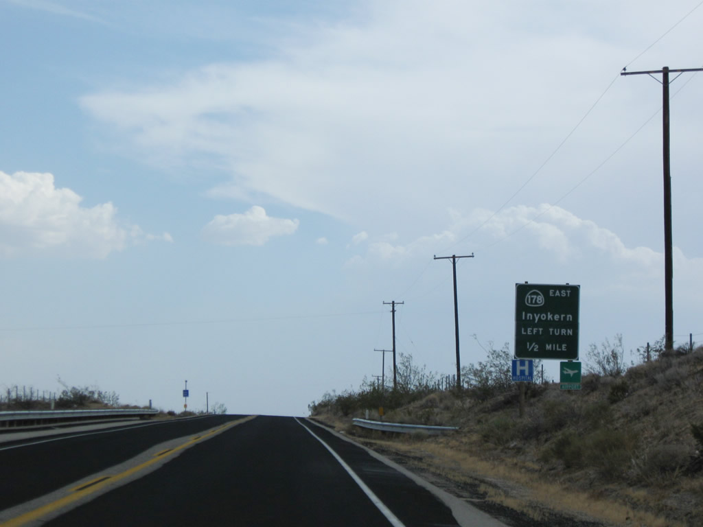
A mileage sign pointing the way to Inyokern, Ridgecrest, and China Lake is posted at the intersection with California 178. Motorist services are available in Inyokern and Ridgecrest via California 178 east. The next significant stop for services along California 14 is in Mojave. California 178 west will share alignment with California 14 south for three miles, until the routes divide at Freeman Junction. Photo taken 07/19/09. |
| California 14 south & 178 west |
|
Leaving the Inyokern junction, California 14 south and California 178 west are jointly signed along southbound Grand Army of the Republic Highway (also known as Midland Trail and Sierra Highway). A mileage sign, partially obscured by brush, provides the distance to Mojave (46 miles), Lancaster (70 miles), and Los Angeles (143 miles) -- all destinations of California 14, not California 178. Photo taken 07/19/09. |
|
Two-lane California 14 and California 178 continue their lonely journey through the Mojave Desert. Photo taken 07/19/09. |
|
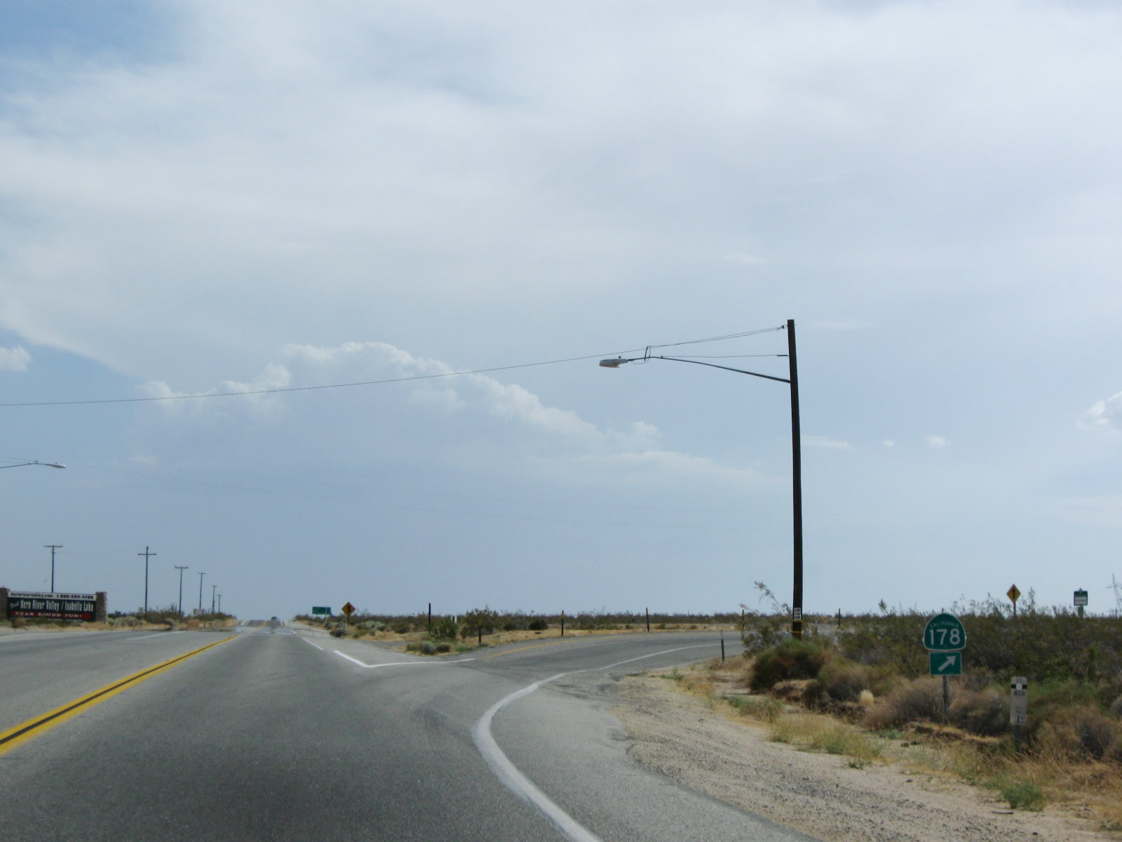
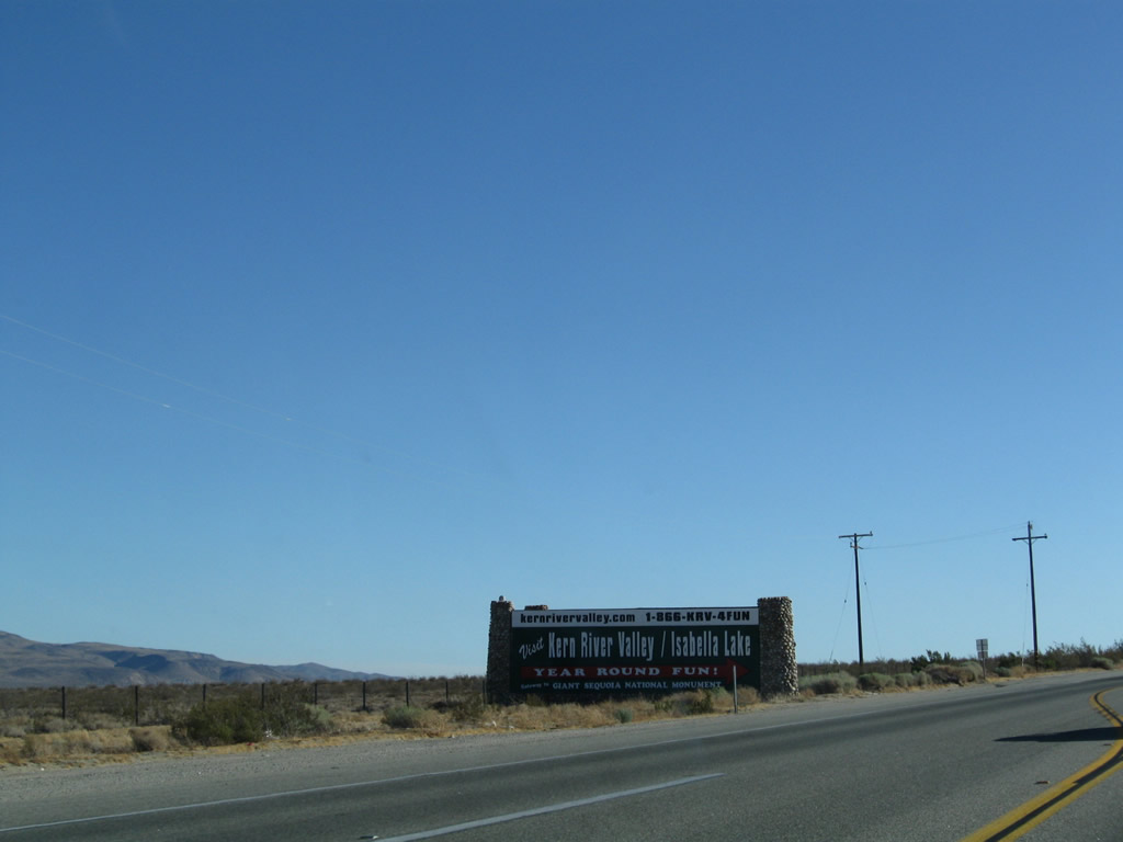
California 14 south and California 178 west prepare to split at Freeman Junction. California 178 travels west over Walker Pass (el. 5,250 feet), an all-weather pass that remains open in winter. The highway extends west into Lake Isabella, with a connection to Kernville via Kernville Road. From there, California 178 aims through the Kern River Canyon en route to Bakersfield, the seat of Kern County in the southern Central Valley. Photo taken 07/19/09. |
|
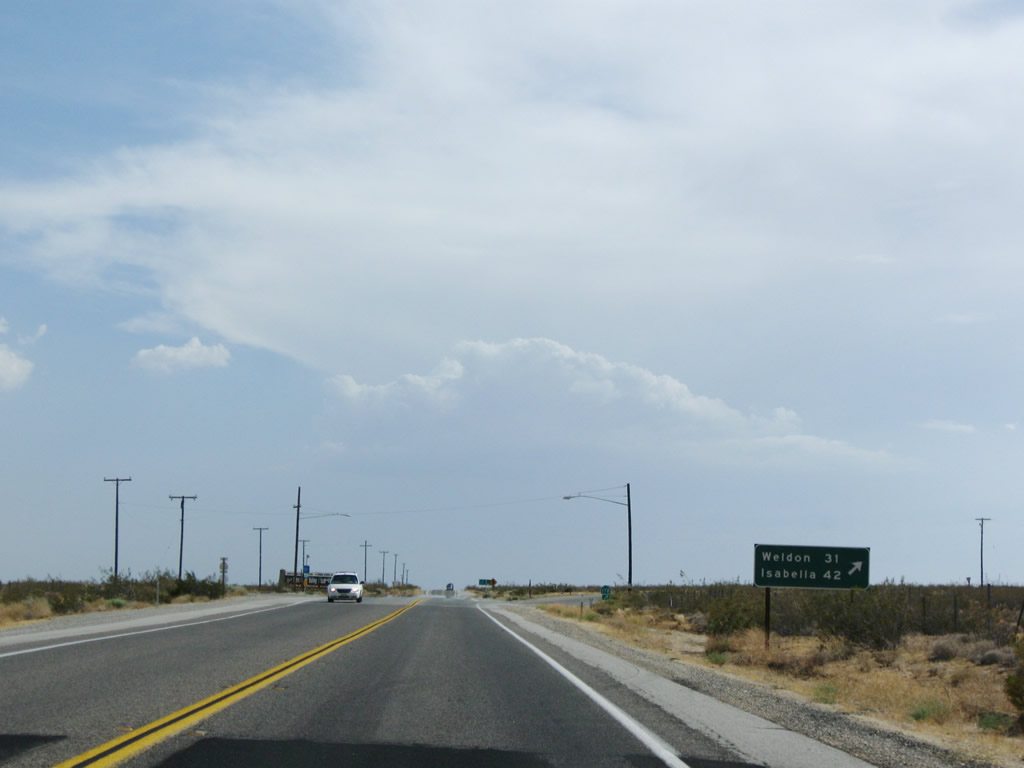
A mileage sign provides the distance to Weldon (31 miles) and Lake Isabella (42 miles) via California 178 east. Meanwhile, California 14 continues almost due south toward Mojave, Lancaster, Palmdale, and Santa Clarita. Photo taken 07/19/09. |
|
|
A solitary California 178 west trailblazer is posted along southbound at the point where the two routes divide. Most traffic passing through this intersection will continue south on California 14 toward Los Angeles. A large guide sign on the east side of this intersection points visitors toward the attractions in Lake Isabella and Kern River Canyon. Somehow we suspect the original sign that was here was neater than the modern replacement. Photos taken 07/19/09 and 09/07/09. |
| California 14 south |
|
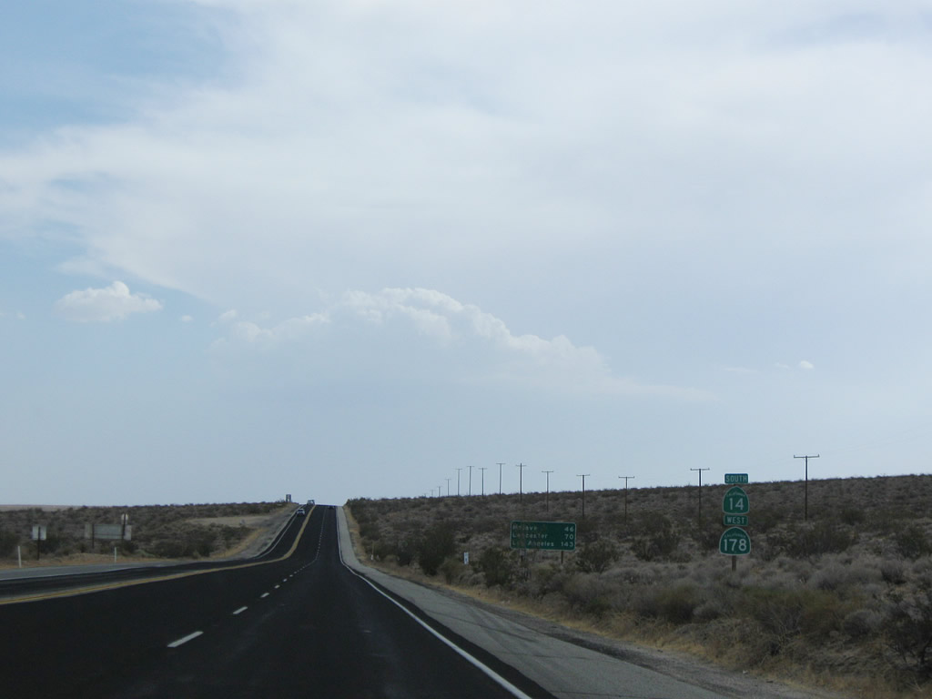
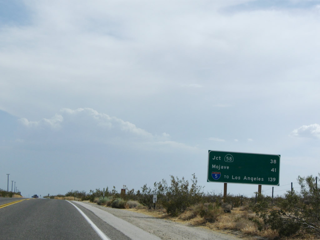
A mileage sign provides the distance to California 58 freeway (38 miles), California 58 Business in Mojave (41 miles), and Interstate 5 in Santa Clarita (139 miles). Oddly, the distance to control city Los Angeles is not provided, but Interstate 5 is noted as the connecting route into Los Angeles. Photo taken 07/19/09. |
|
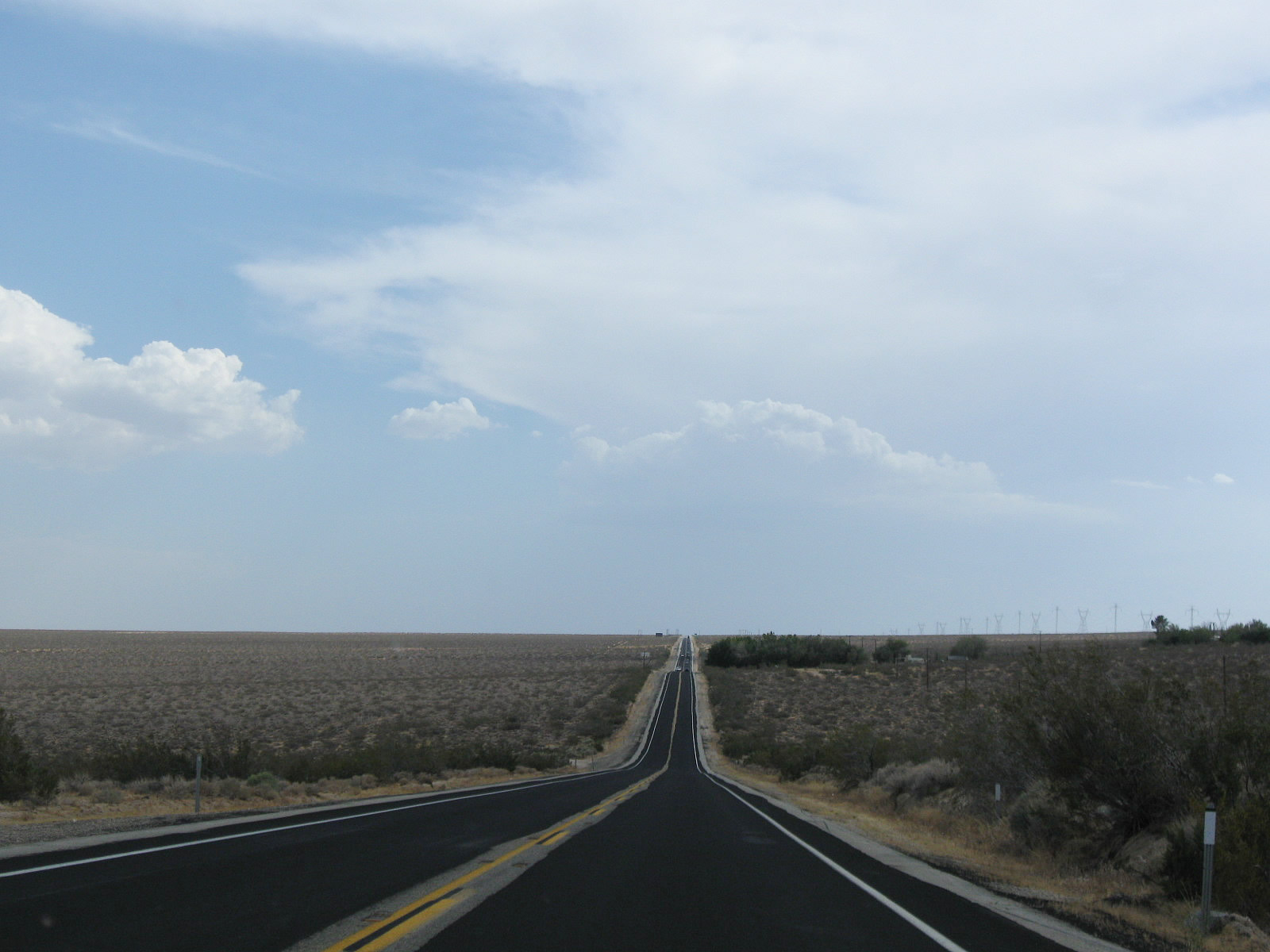
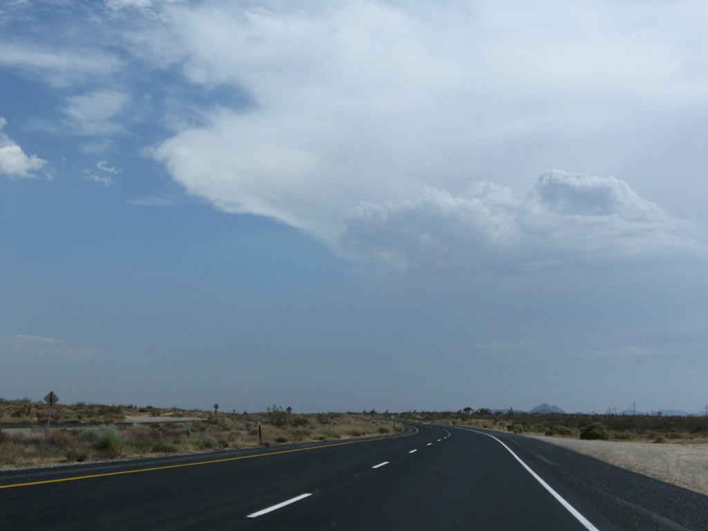
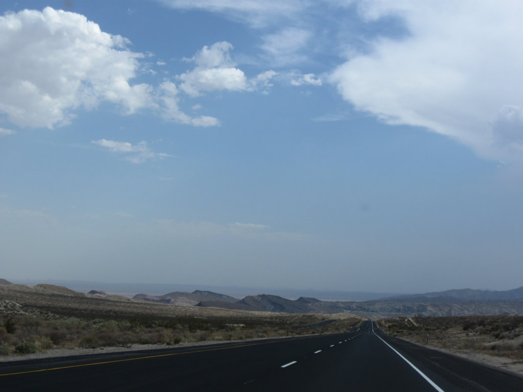
As a summer monsoon thunderstorm grows in intensity in the distance, California 14 continues its southbound journey through the massive Mojave Desert. Photo taken 07/19/09. |
|
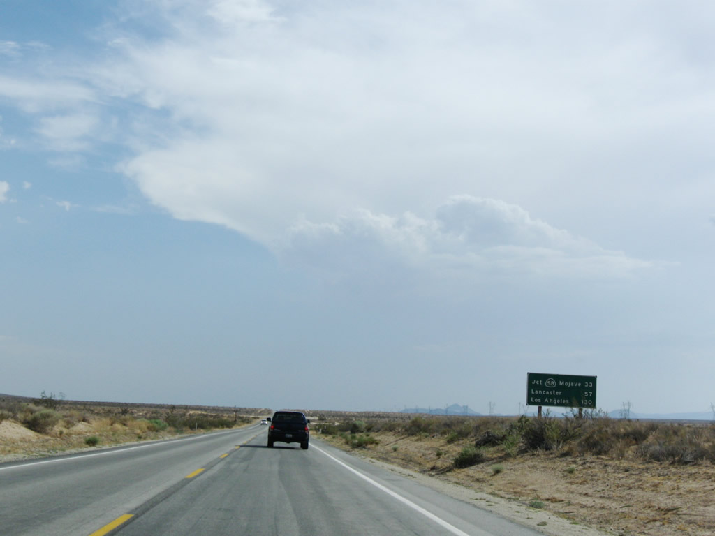
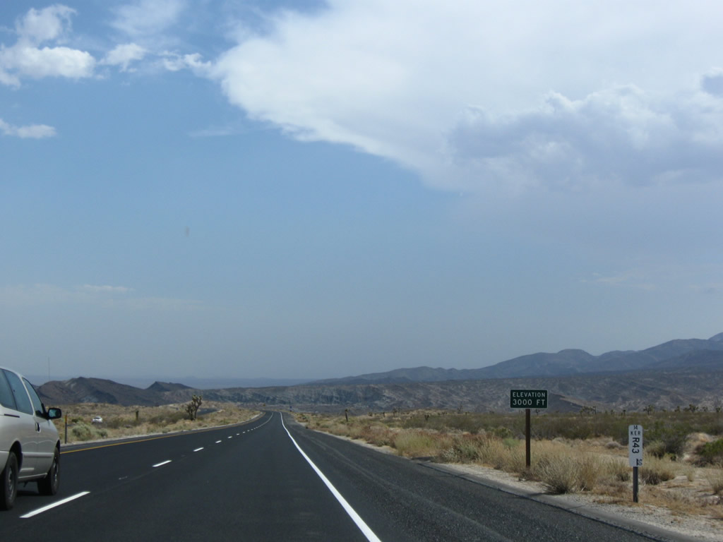
An older mileage sign provides the distance to California 58 in Mojave (33 miles - this is probably the distance to the business route, not the newer freeway alignment), Lancaster (55 miles), and Los Angeles (133 miles). Photo taken 07/19/09. |
|
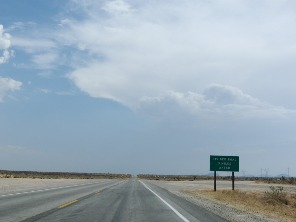
An advisory sign heralds the approaching divided highway, which implies passing lanes for those stuck behind slow moving traffic. This stretch can be notoriously slow after holiday weekends (both winter and summer due to vacationing traffic, including returning skiiers from Mammoth Mountain), and it can be deadly due to high speed collisions. Photo taken 07/19/09. |
|
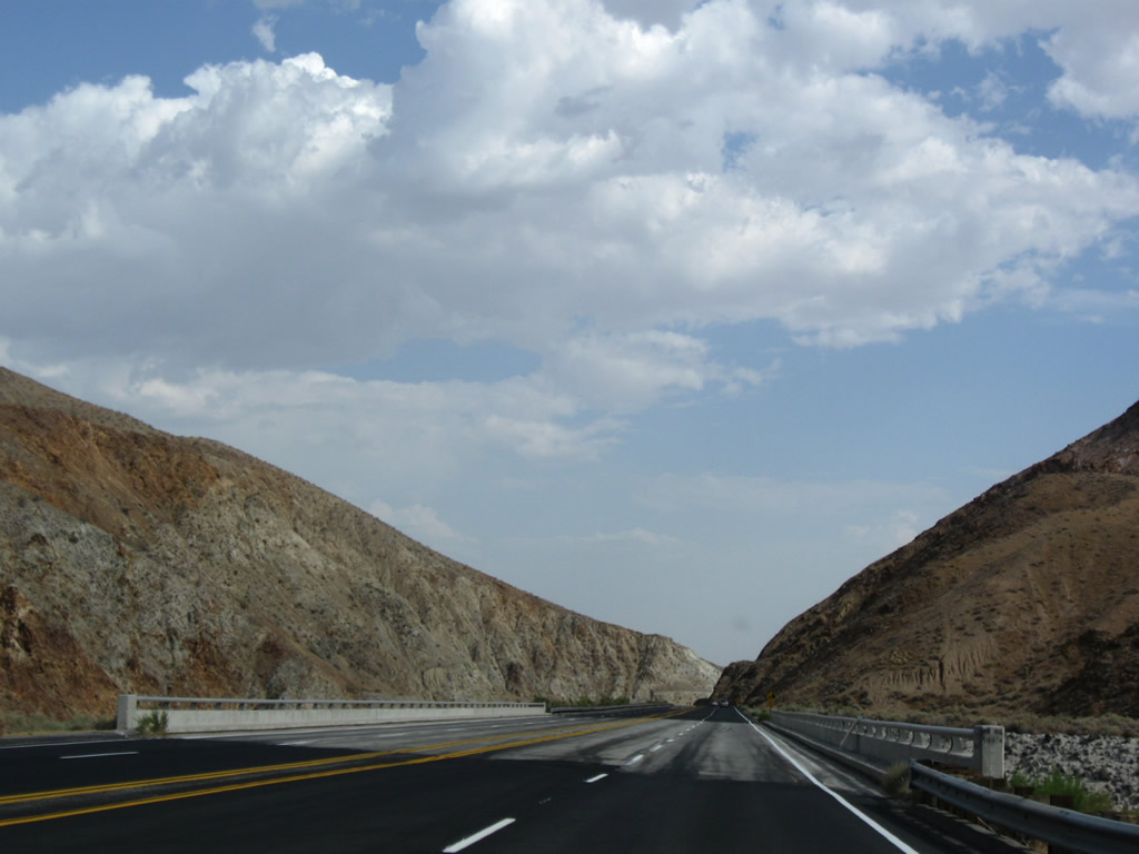
Major power line corridors criss-cross the Mojave Desert, and California 14 continues to parallel Path 65 (which had followed U.S. 395 from points north). Looking toward the west, we again see the Path 65 high voltage direct current power line along with its companion 230kV, single-circuit power line. Both lines are owned by the Los Angeles Department of Water and Power; the city of Los Angeles is one of the major property owners in Owens Valley and Mojave Desert due to its power and water lines running through Eastern California. Native Joshua trees are dwarfed by the massive man-made pylon structures. Photo taken 07/19/09. |
|
|
|
|
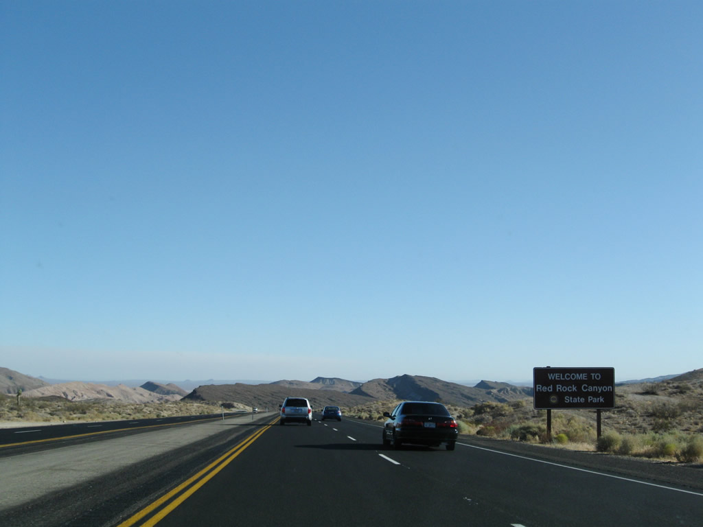
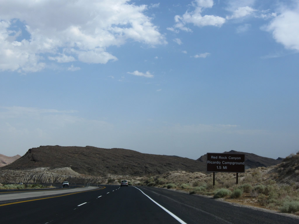
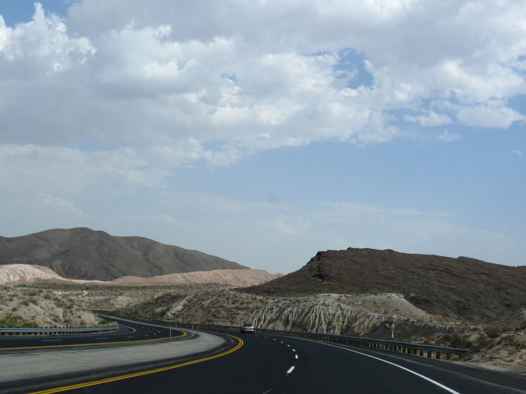
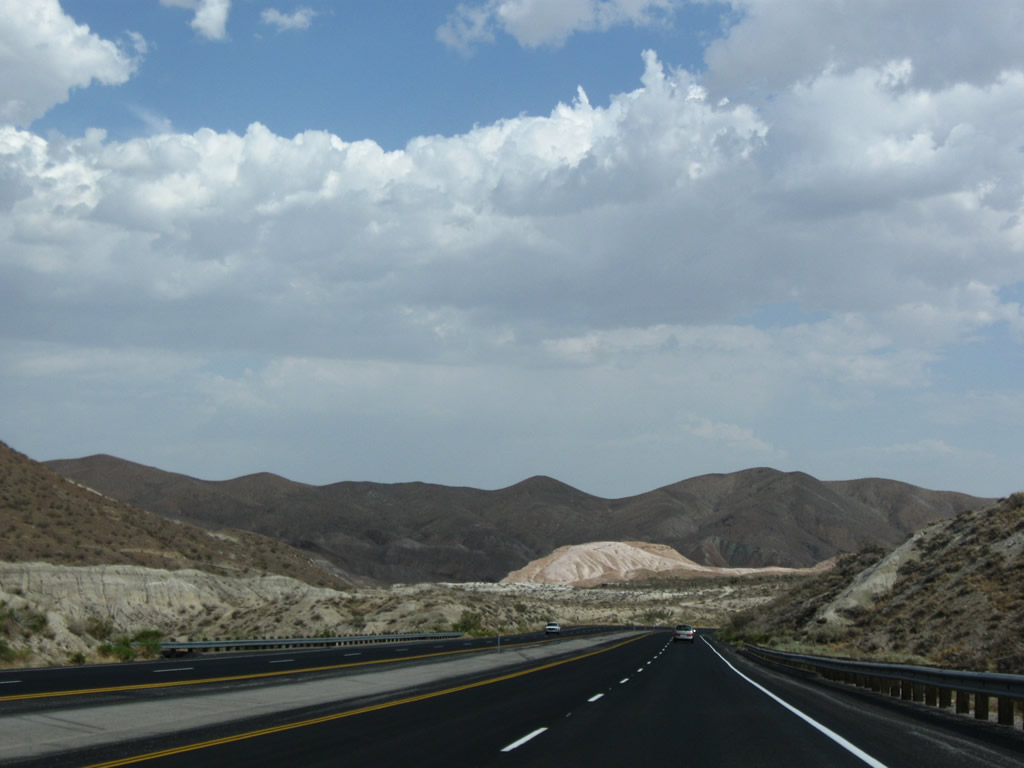
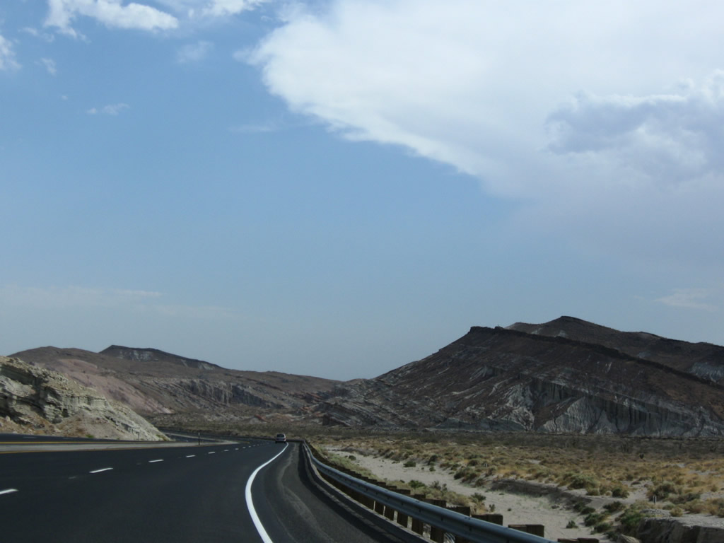
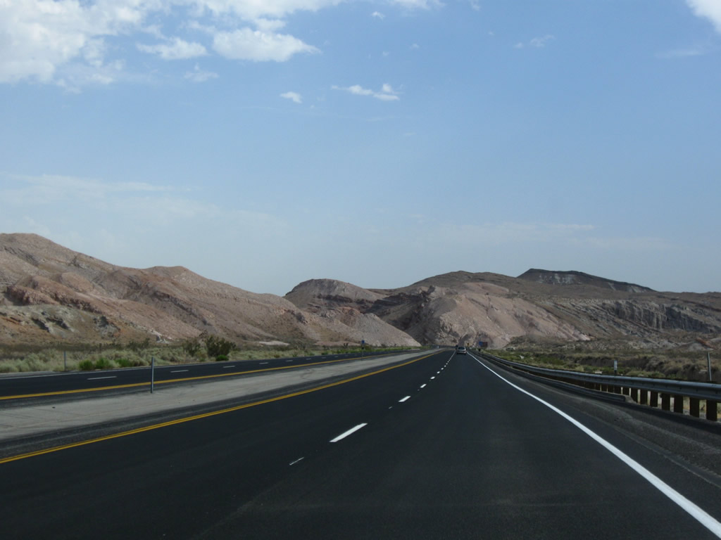
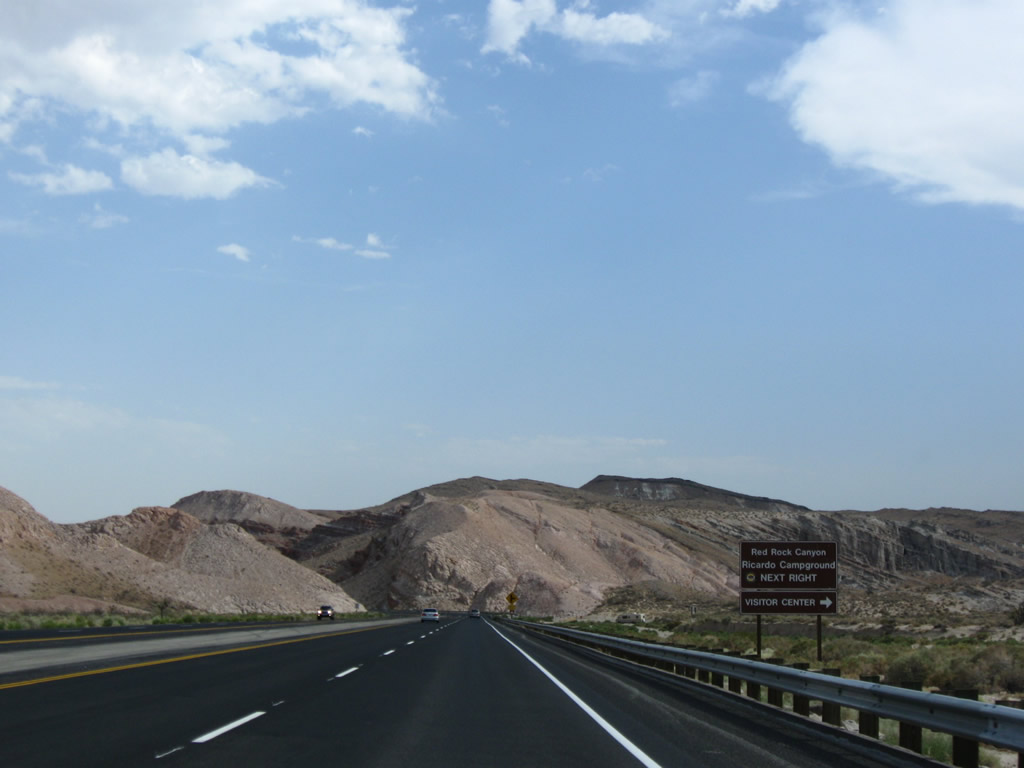
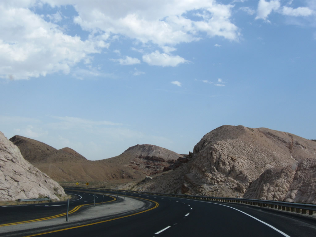
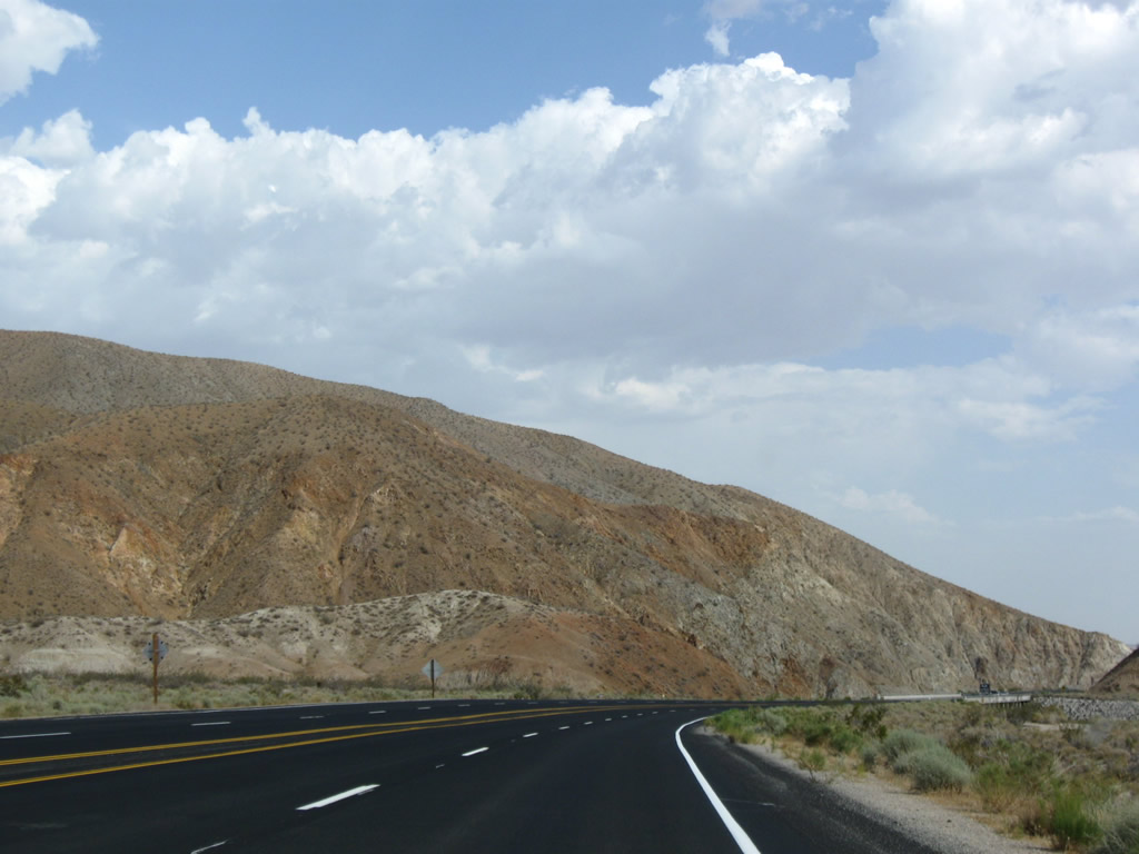
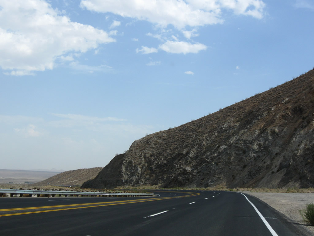
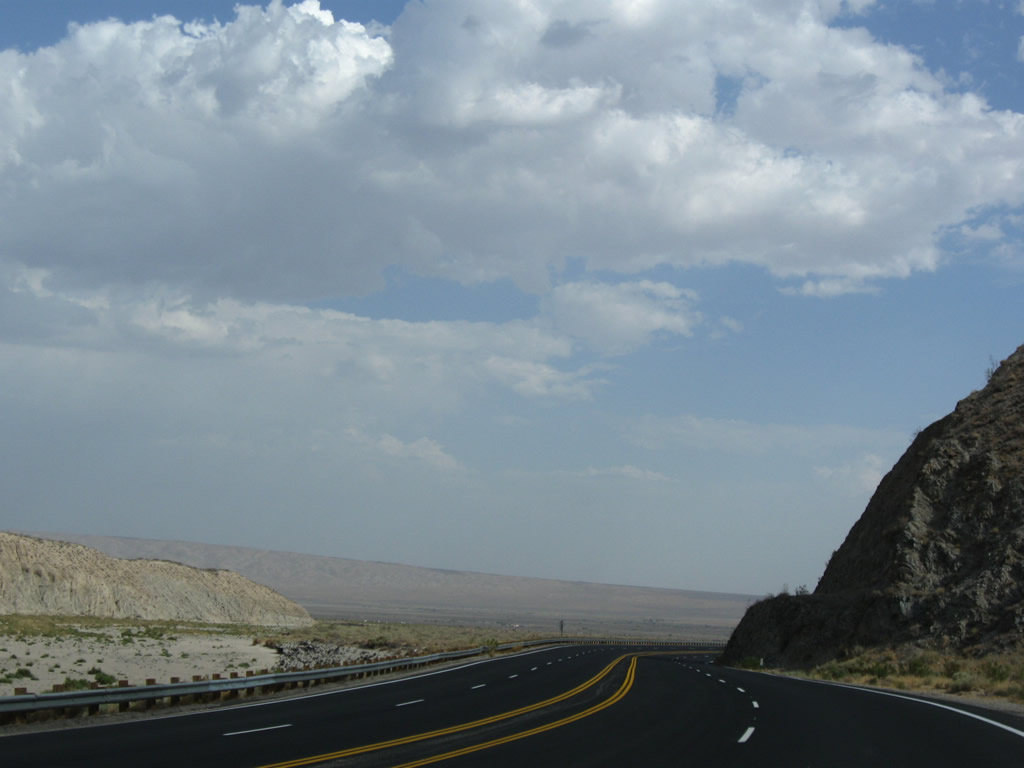
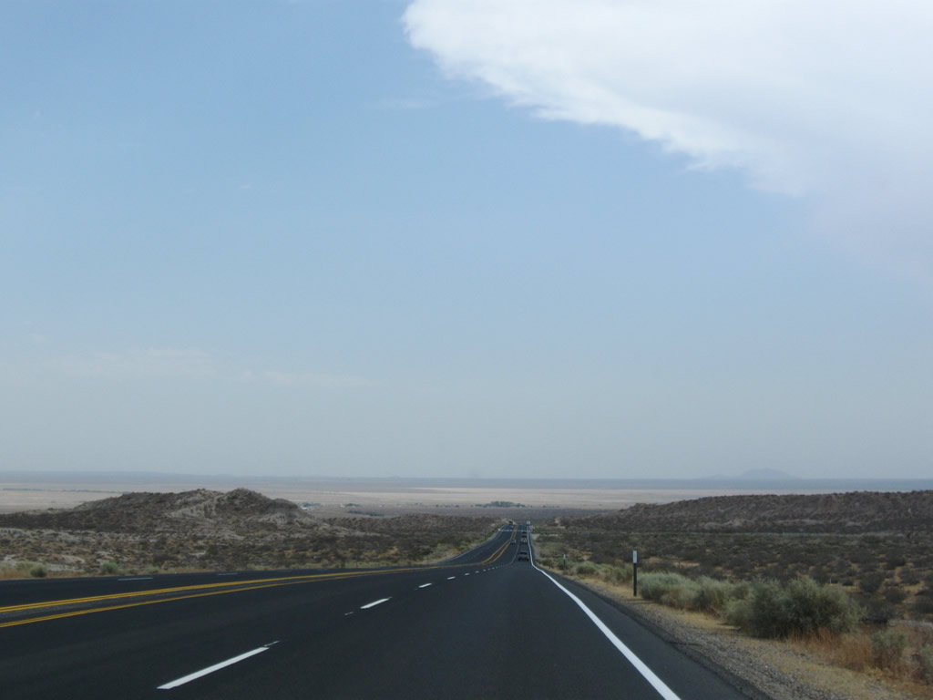
Finally, the divided highway begins along California 14. This stretch of highway will extend into Red Rock Canyon State Park. Red Rock Canyon is considered to located where the southernmost point of the Sierra Nevada meets the El Paso Range. This series of pictures shows the flow of California 14 as it approaches and enters the scenic area. At Ricardo Campground (via Abbott Drive) is a visitors center for details on hiking and camping within the state park. Photos taken 07/19/09 and 09/07/09. |
|
|
|
|
|
|
|
|
|
|
|
|
|
|
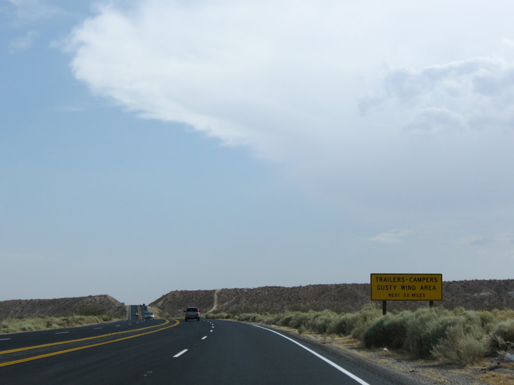
Leaving Red Rock Canyon State Park, California 14 retains four lanes and enters a high wind advisory area. From here south to Mojave, and onward to Lancaster and Palmdale, California 14 may see high wind gusts during certain weather conditions. Photos taken 07/19/09. |
|
|
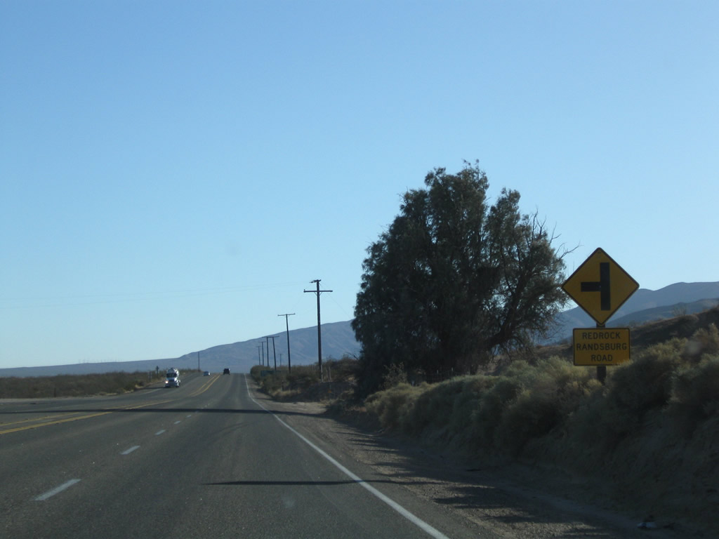
Southbound California 14 approaches Red Rock-Randsburg Road. Turn left here to Garlock and U.S. 395 near the Randsburg Historic Mining District. California 14 continues south with two through lanes in each direction (four total). Photos taken 09/07/09. |
|
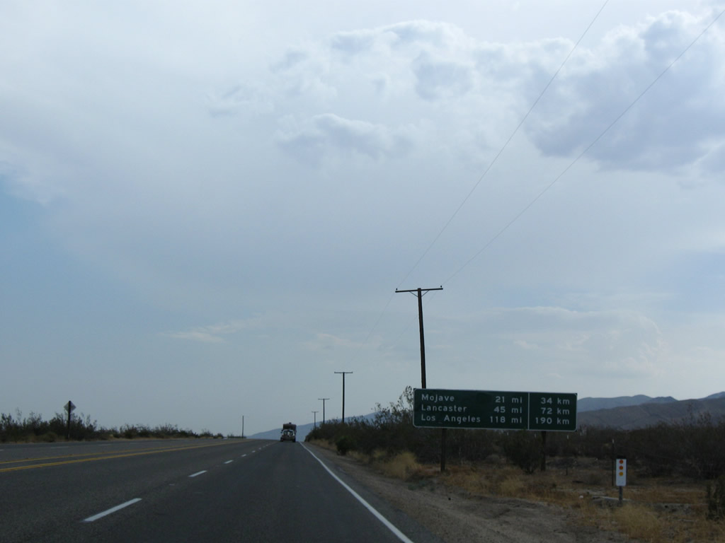
Shortly thereafter, this mileage sign provides the distance to Mojave (21 miles), Lancaster (45 miles), and Los Angeles (118 miles). This early-1970s era sign also provides the distance to these locations in kilometers. Photo taken 07/19/09. |
|
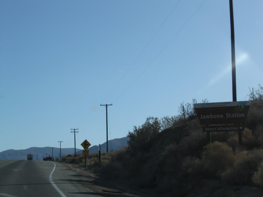
Southbound California 14 approaches the turnoff to Jawbone Station, which features a visitors center and is a popular hiking and offroad area. A gas station is located off California 14 near the Jawbone Canyon turnoff. Photo taken 07/19/09. |
|
|
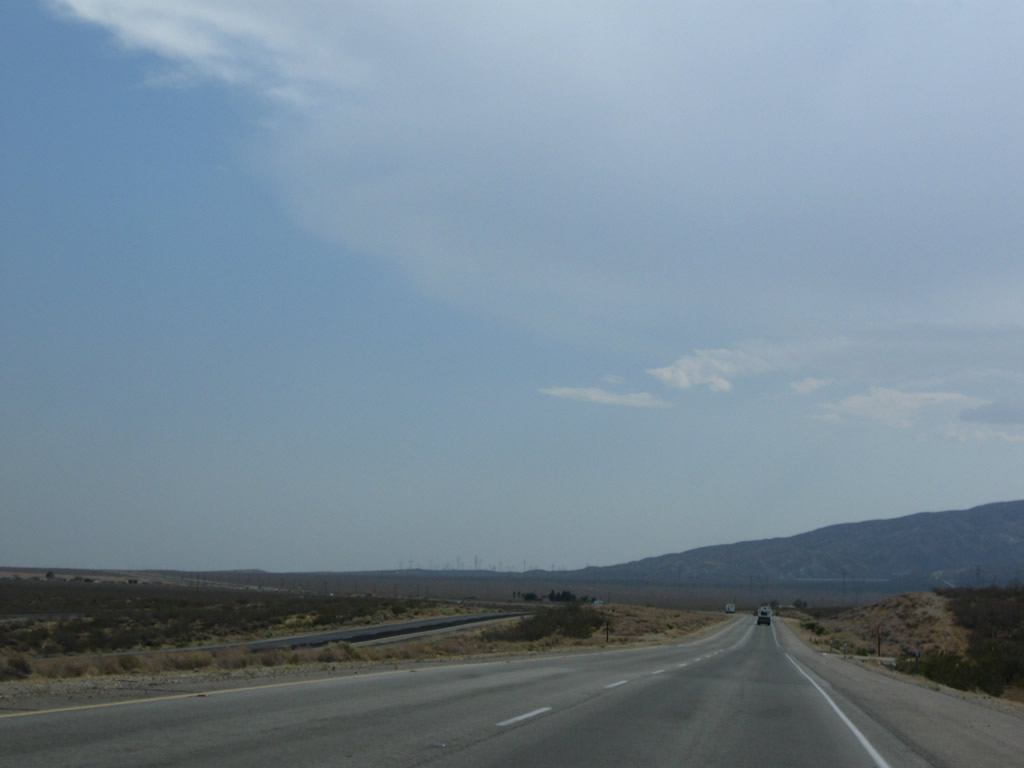
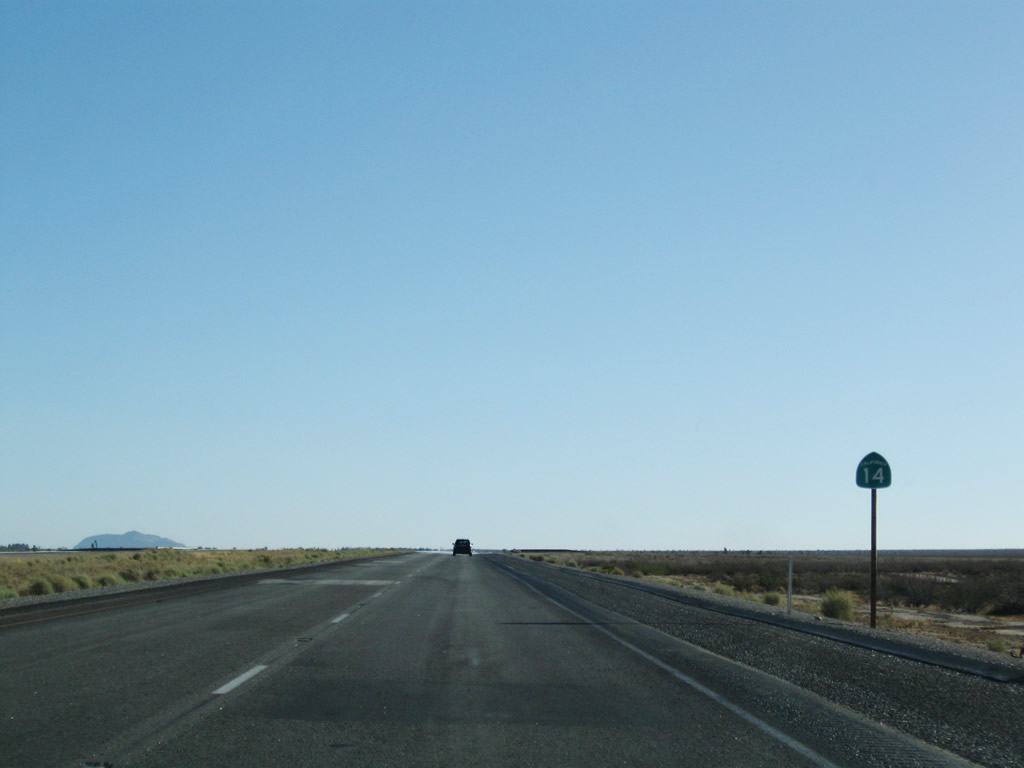
Leaving Jawbone Station, California 14 again widens out to divided highway (expressway) standards. Photos taken 07/19/09. |
|
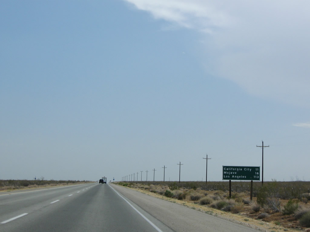
This mileage sign provides the distance to California City (11 miles), Mojave (16 miles), and Los Angeles (113 miles). Photo taken 07/19/09. |
|
|
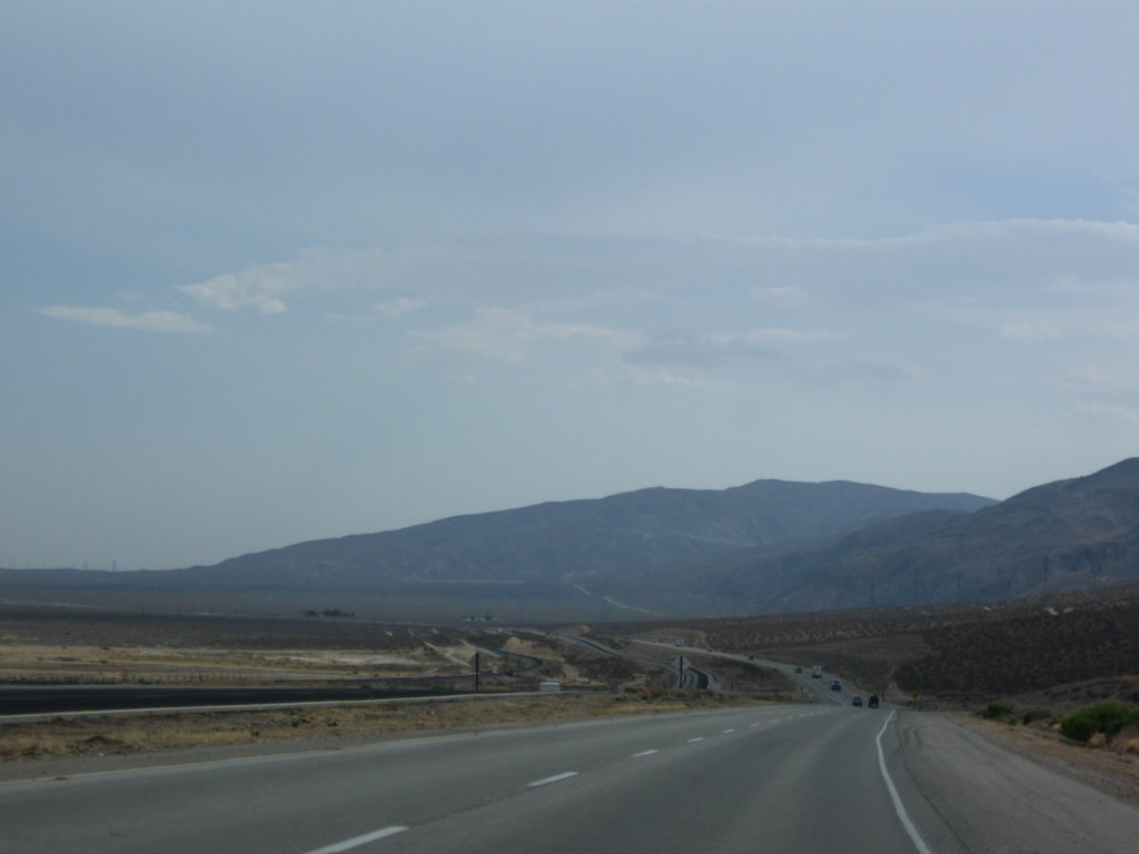
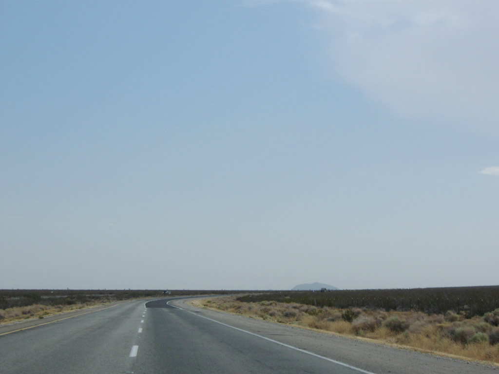
Unlike the dynamic, changing scenery of Red Rock Canyon, the last dozen or so miles before the California 58 interchange are mostly flat. A solitary California 14 south reassurance shield is posted just prior to entering the city limits of California City. Photos taken 07/19/09. |
|
|
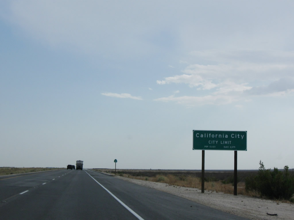
California 14 enters California City, the first incorporated city along its nearly 120-mile long route. This sprawling city is among the largest in land area in the entire state of California. Incorporated in 1965, developers envision an ultimate city with ample land for suburban development. This is evidenced by a large street grid, and some of these streets pass through areas far from residential development. California City sits at an elevation of 2,405 feet and had a population of 8,385 as of the 2000 Census. Photos taken 07/19/09 and 09/07/09. |
Page Updated July 7, 2010.