
California 20 East - Colusa County
| California 20 east | |
|---|---|
 |
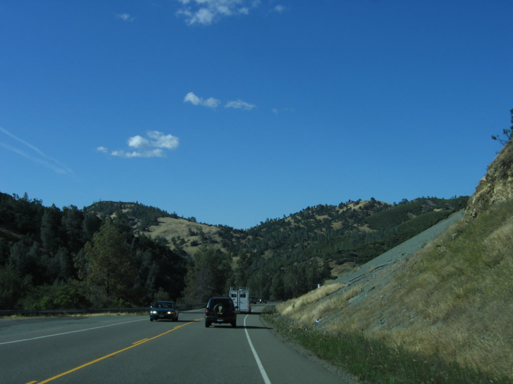
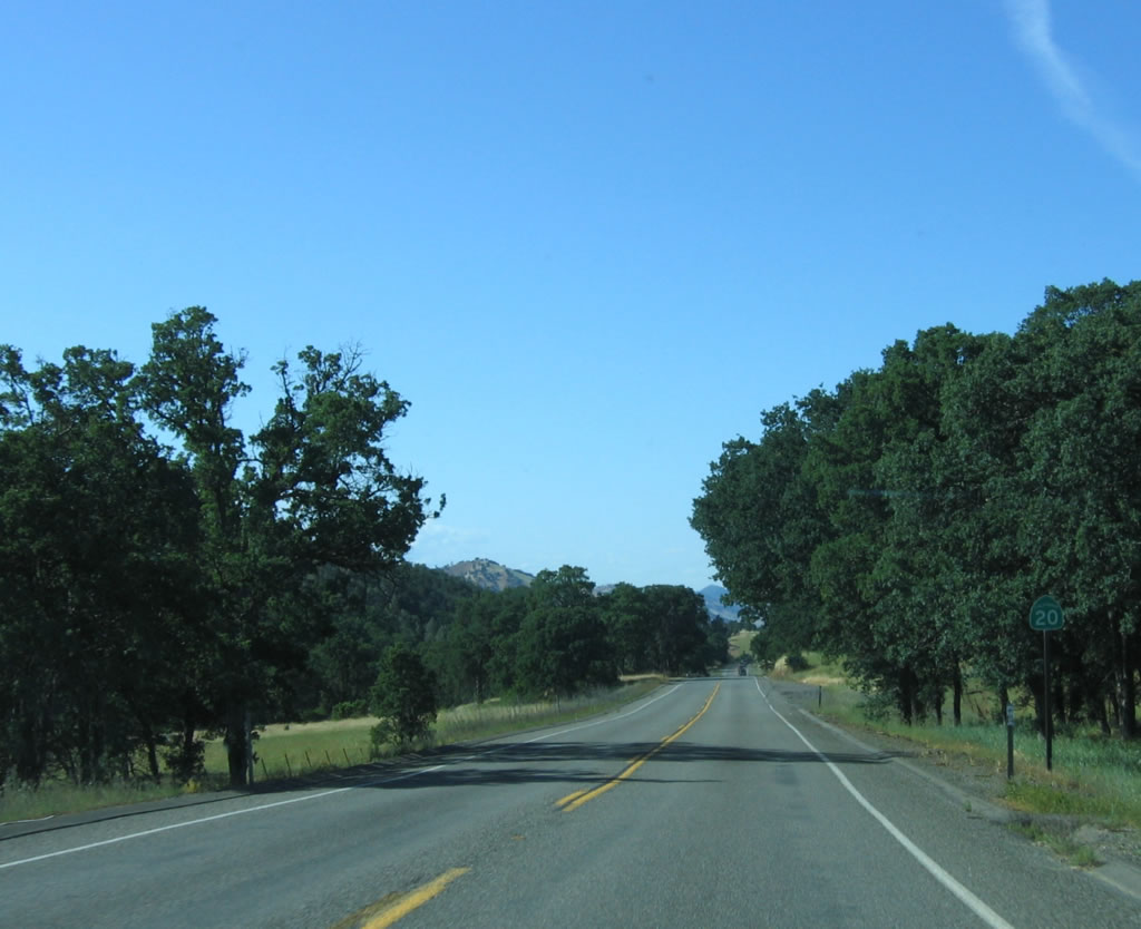
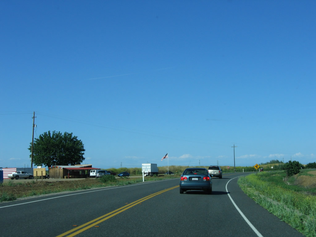
The first shield for California 20 in Colusa County is posted shortly after the Lake County line. At this point, California 20 leaves Caltrans District 1 and enters Caltrans District 3. Although California 20 does not seem to have gained much elevation, this section of highway is subject to occasional winter snowfall, so a sideways snow tires/chain law sign is posted alongside the highway. Photo taken 05/29/06. |
 |
 |
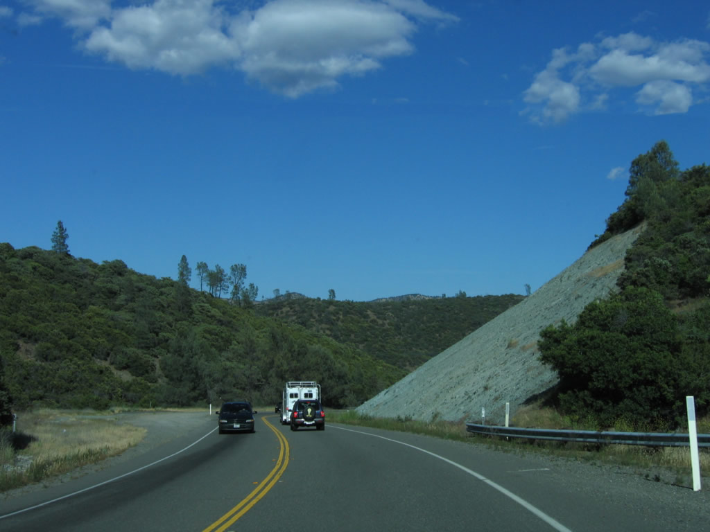
Crossing the Cache Valley Ridge, evidence of prior landslides is common along California 20. The highway now begins a long descent toward Bear Creek Valley. The second photo shows a cut from a landslide that was not directly adjacent to the highway but nevertheless affected the highway's performance during the winter rainy season. A massive project to alleviate the landslide potential was completed in the early to mid-1990s. Photos taken 05/29/06. |
 |
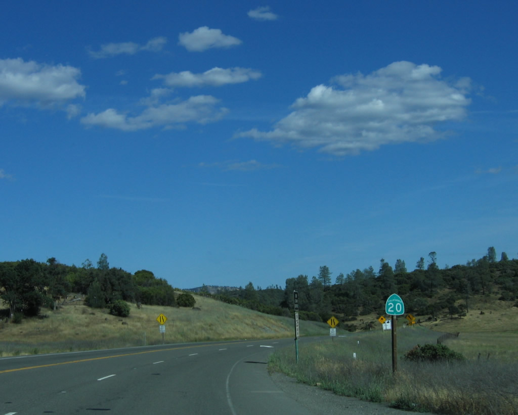
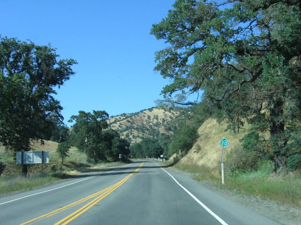
The highway briefly turns north, and the largest cut along California 20 is seen on a particularly steep section of highway, with a large gravel slope on the east side of the highway. This area was under construction in the early to mid-1990s. Photo taken 05/29/06. |
 |
Turning east again, California 20 approaches a view area on the north side of the highway. Bear Creek and the valley below the highway can be seen from this scenic vista. Photo taken 05/29/06. |
 |
Eastbound California 20 reaches the Bear Creek Valley scenic vista area. There are no facilities and no restrooms. Photo taken 05/29/06. |
 |
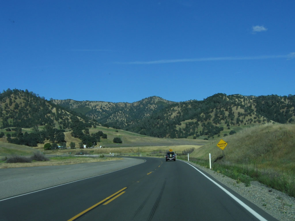
After the vista point, California 20 continues its descent east into the Bear Creek Valley. At the base of this hill is the junction with California 16. Note that California 20 has a passing lane for westbound traffic from this point west to the Lake County line. Photo taken 05/29/06. |
 |
Again a two-lane highway, California 20 approaches a narrow bridge over Bear Creek. Photo taken 05/29/06. |
 |
The Bear Creek bridge was constructed in 1930 and still features original white wooden bridge railing. It is a concrete tee beam bridge. Photo taken 05/29/06. |
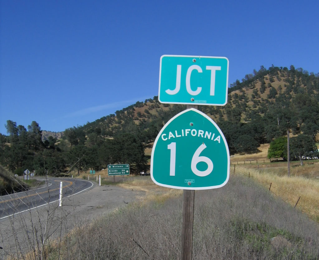 |
After the Bear Creek bridge, eastbound California 20 approaches California 16. From here, California 16 travels southeast along the Cache Creek corridor through the gap between the Cortina Ridge and Blue Ridge, then follows Cache Creek toward Woodland in the Central Valley northwest of Sacramento. The state route has a gap between Woodland and Sacramento; the route resumes east of Sacramento and follows Jackson Road from U.S. 50 southeast to California 49 near Jackson. Photo taken 05/29/06. |
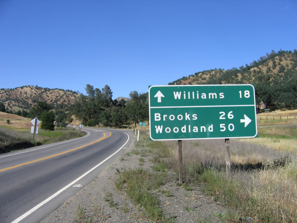 |
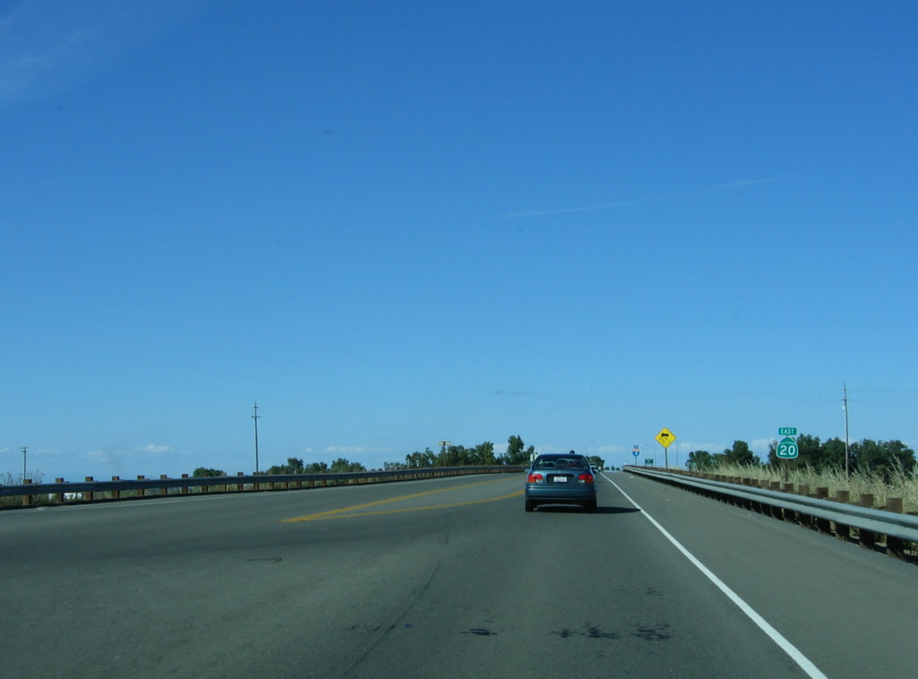
California 16 serves a variety of towns along Cache Creek, including Rumsey, Guinda, Brooks, Capay, Esparto, and Madison before intersecting Interstate 505 and then continuing east to Woodland. Only two of these towns are listed on this mileage sign on eastbound California 20. Interestingly, the control city for California 16 west from the Interstate 5 interchange (Exit 541) is Esparto, which is omitted on this mileage sign. Photo taken 05/29/06. |
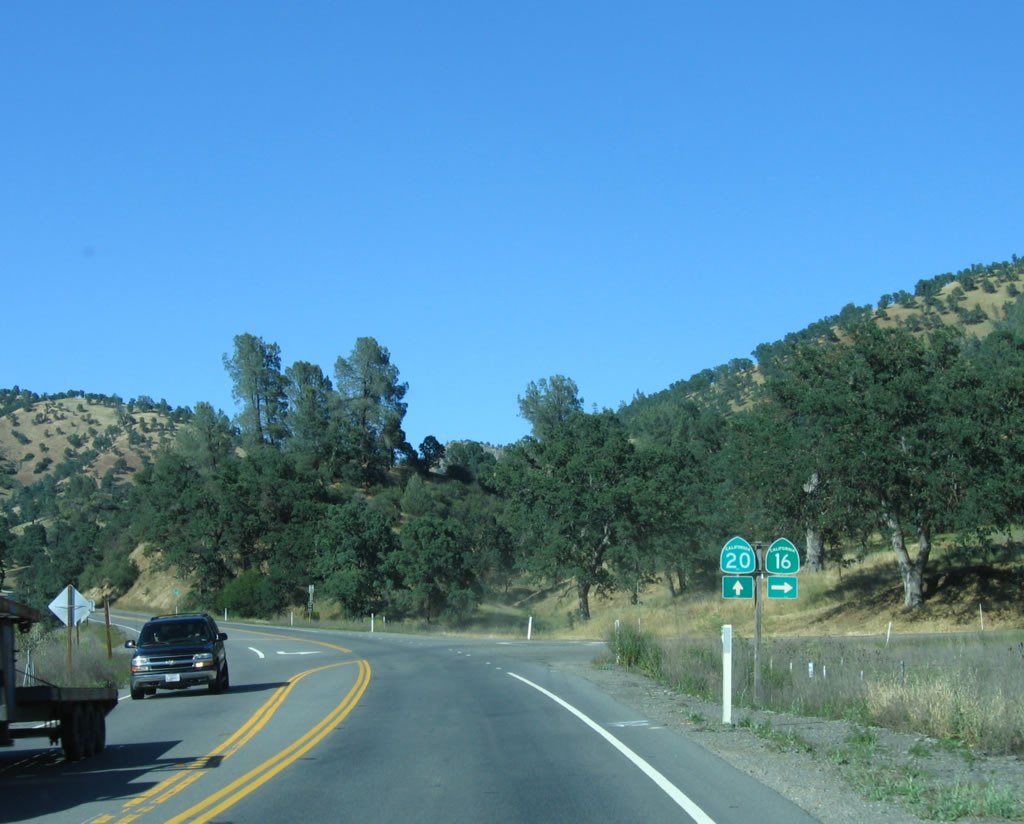 |
California 20 and 16 trailblazers stand at the intersection between California 20 east and California 16 east. From here, California 20 continues east toward Williams and Yuba City / Marysville. Photo taken 05/29/06. |
 |
Shortly after the California 16 interchange, a California 20 reassurance shield is posted among several old live oak trees. Photo taken 05/29/06. |
 |
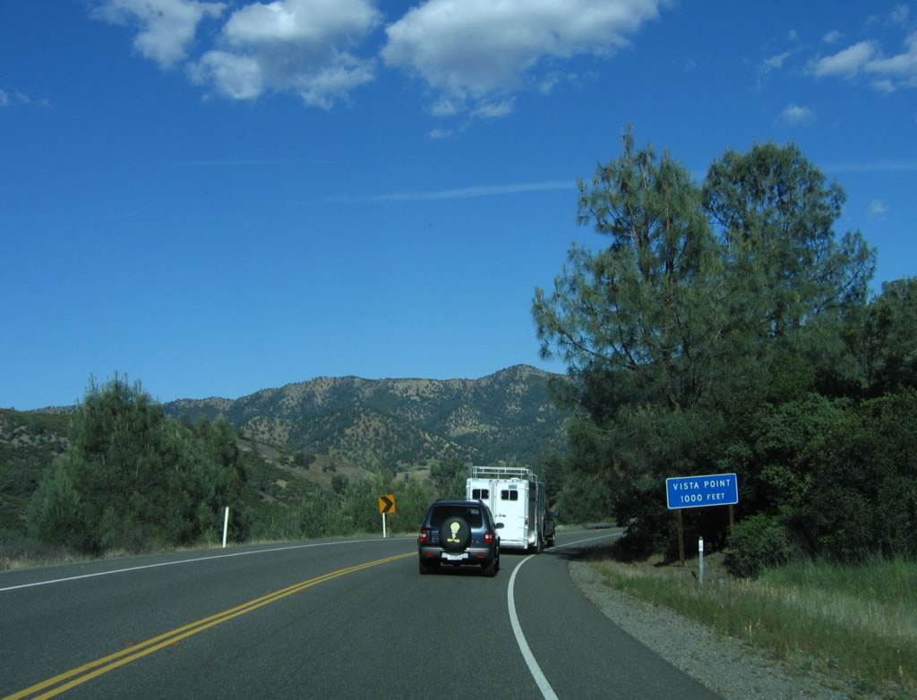
A turnout allows slower moving traffic to briefly exit the highway and allow faster vehicles to pass. Photo taken 05/29/06. |
 |
Another turnout is found shortly thereafter for westbound traffic. Photo taken 05/29/06. |
 |
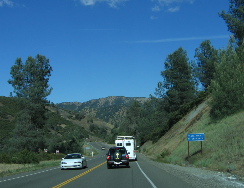
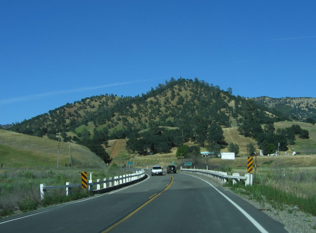
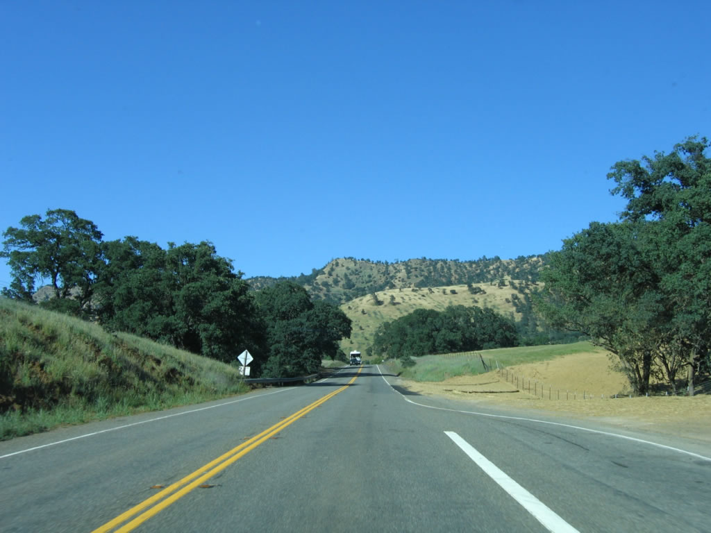
After the California 16 intersection, California 20 turns due north to parallel the Cortina Ridge, and then will turn east again near the Three Sisters peaks. Photo taken 05/29/06. |
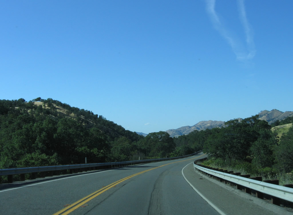 |
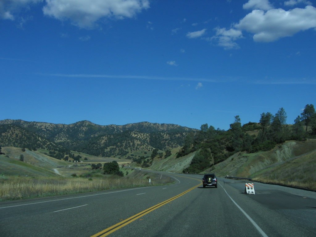
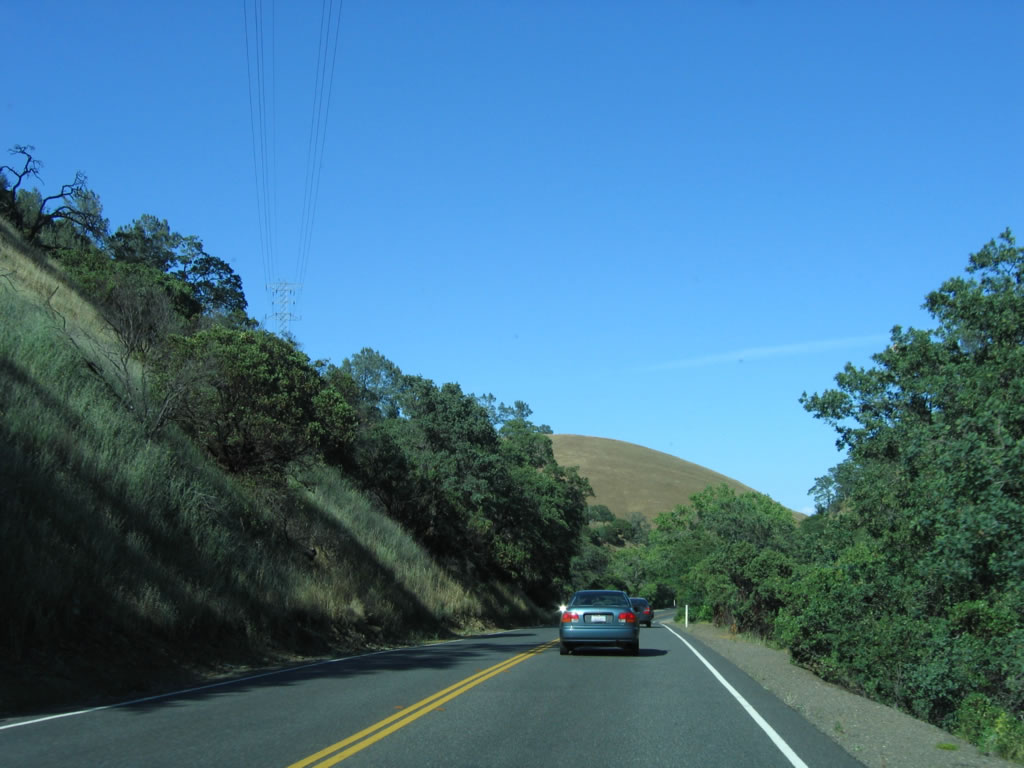
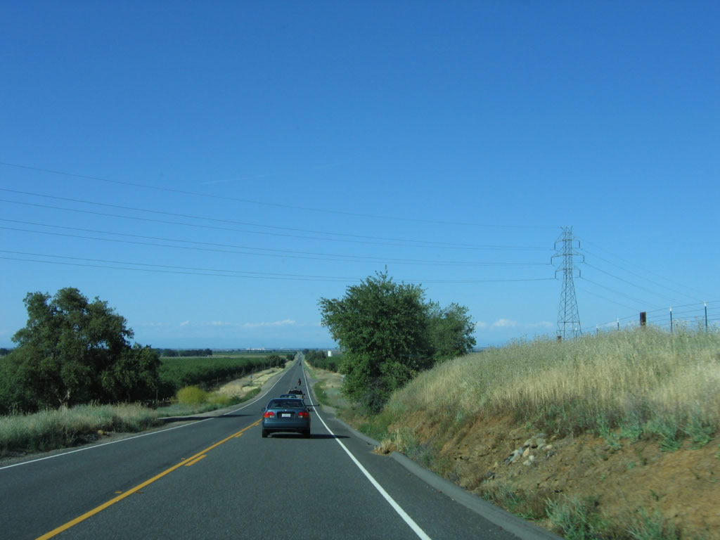
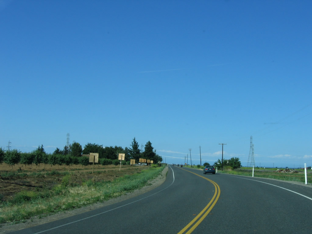
This is a typical scene along this section of California 20, which is the straightest section of highway seen since leaving the vicinity of Clear Lake. Photo taken 05/29/06. |
 |
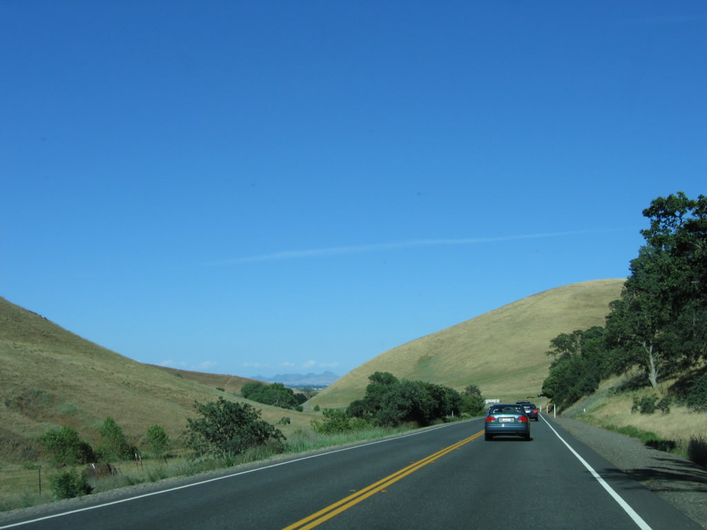
Eastbound California 20 widens into two lanes with a new passing lane. Photo taken 05/29/06. |
 |
Briefly, California 20 features four lanes with both directions having a passing lane. Photo taken 05/29/06. |
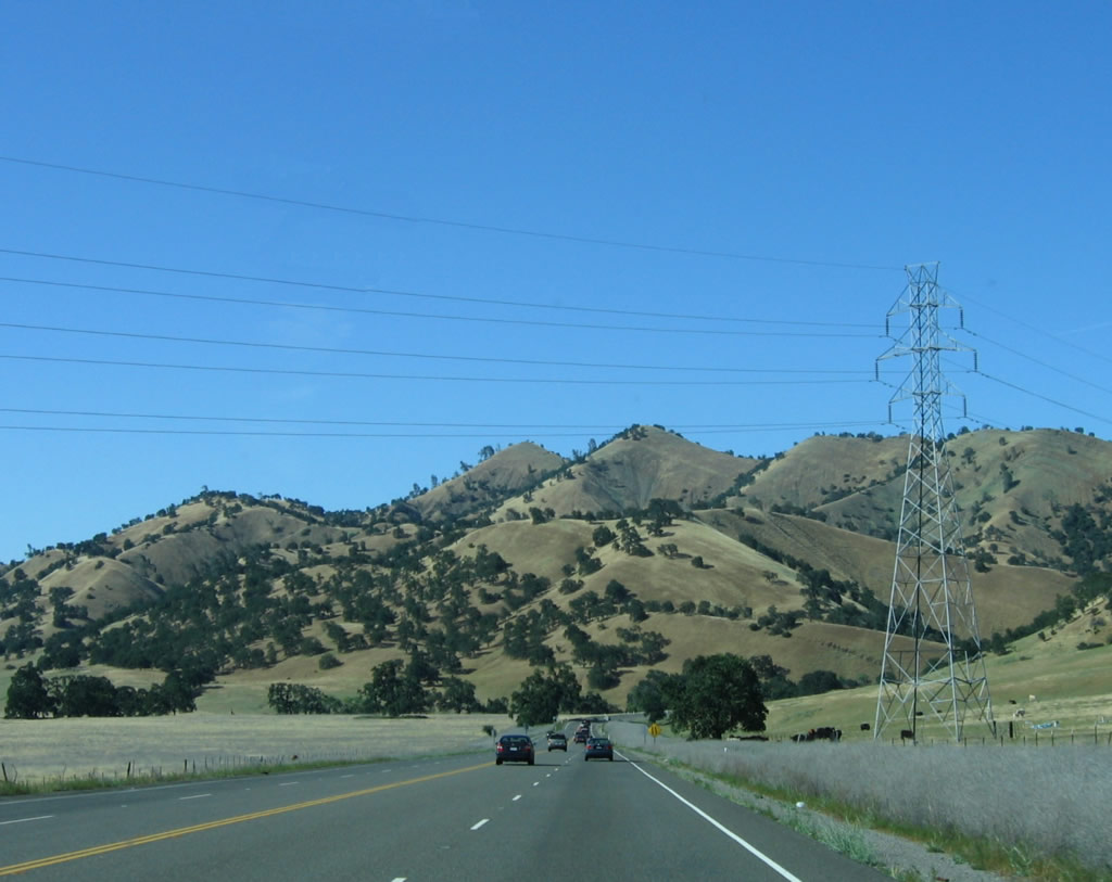 |
As the passing lane for eastbound California 20 comes to an end, the state highway passes under the Pacific Gas and Electric electric transmission line that connects Mendocino County with the Central Valley. Photo taken 05/29/06. |
 |
Passing by the Three Sisters, California 20 cuts through one final set of hills before entering the Central Valley. Photo taken 05/29/06. |
 |
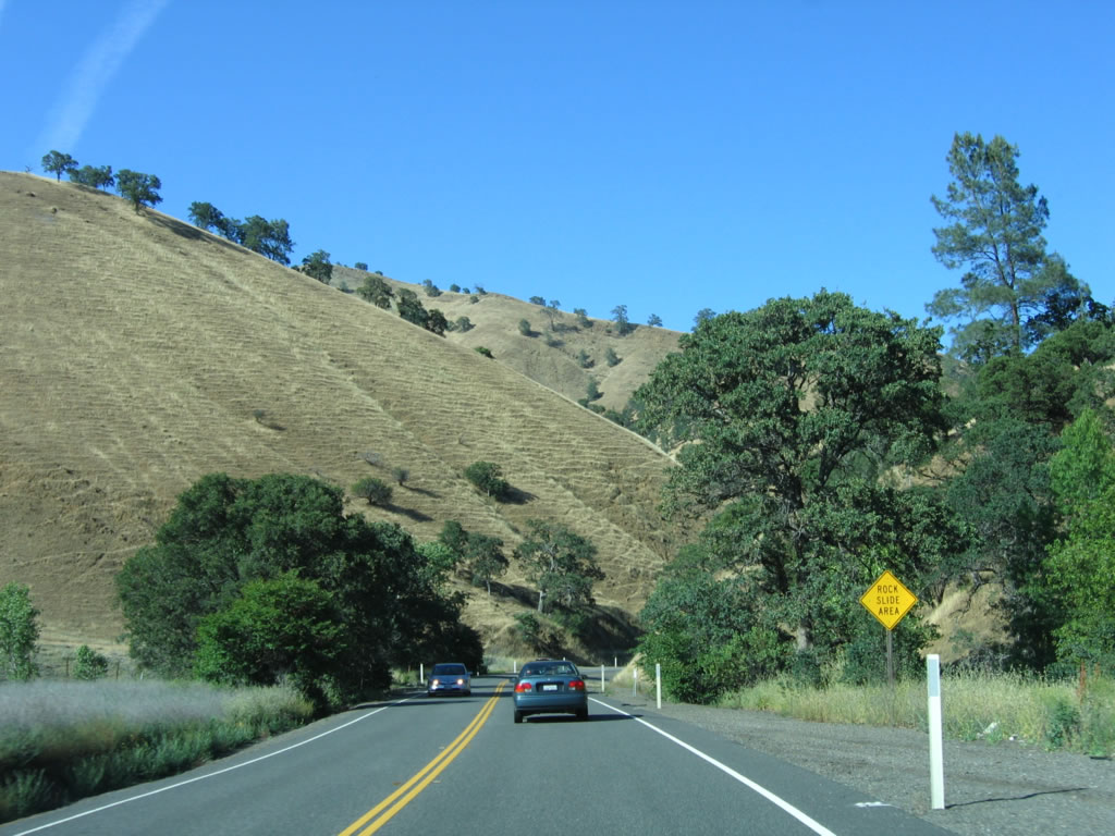
Rockslides and landslides can occur during the rainy season along this section of California 20. Photo taken 05/29/06. |
 |
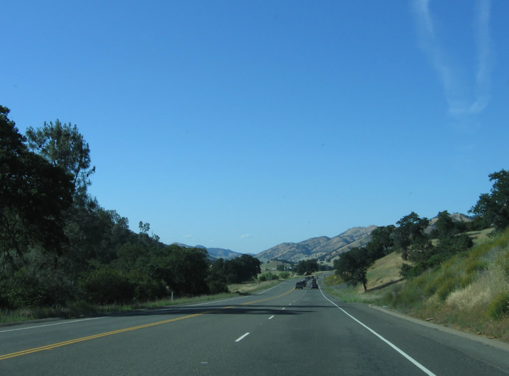
The Central Valley comes into view for the first time as California 20 winds its way through the final curves. Sutter Buttes can be seen in the distance. Photo taken 05/29/06. |
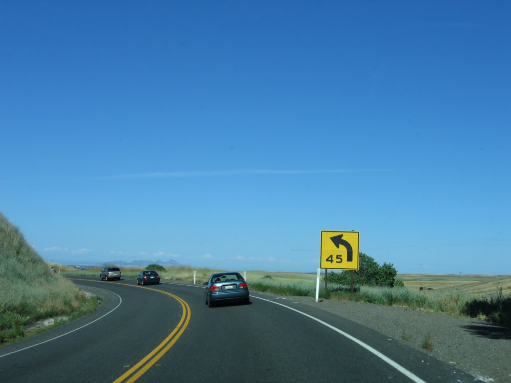 |
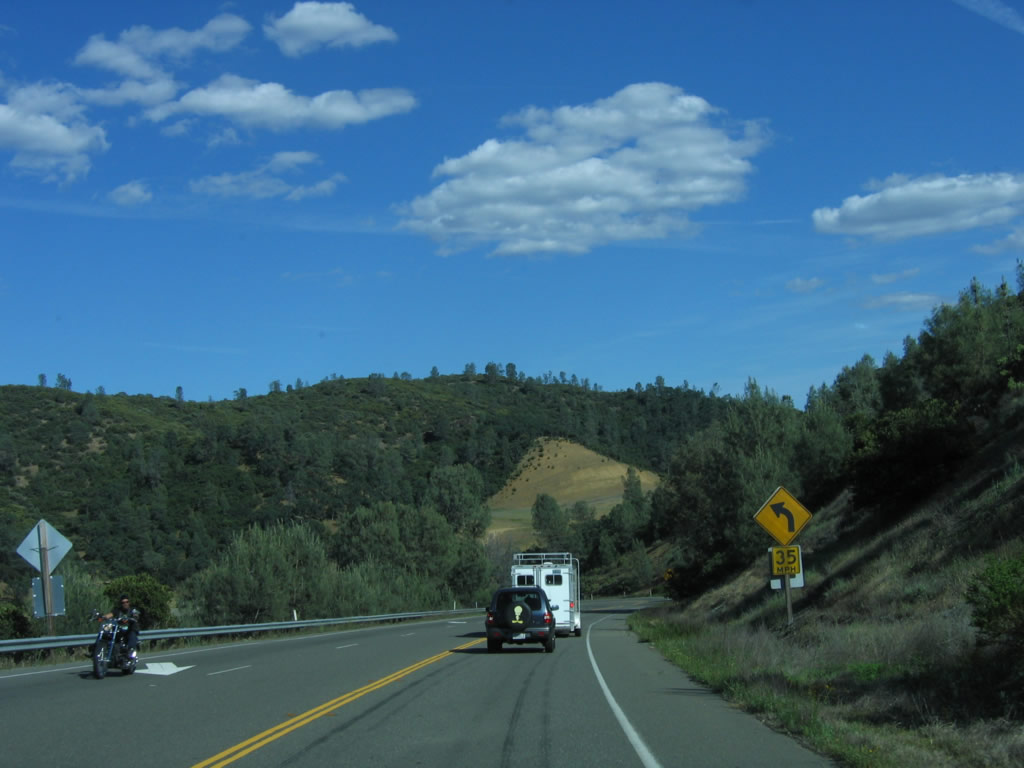
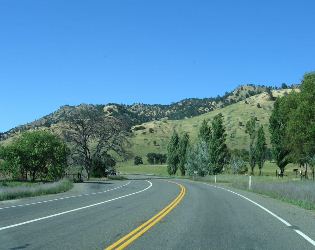
The final curve before California 20 straightens out is this 45 miles per hour curve. Photo taken 05/29/06. |
 |
The massive Central Valley spreads in front of California 20. Orchards, farms, and ranches line the state highway as we enter one of the most fertile regions in the country. Photo taken 05/29/06. |
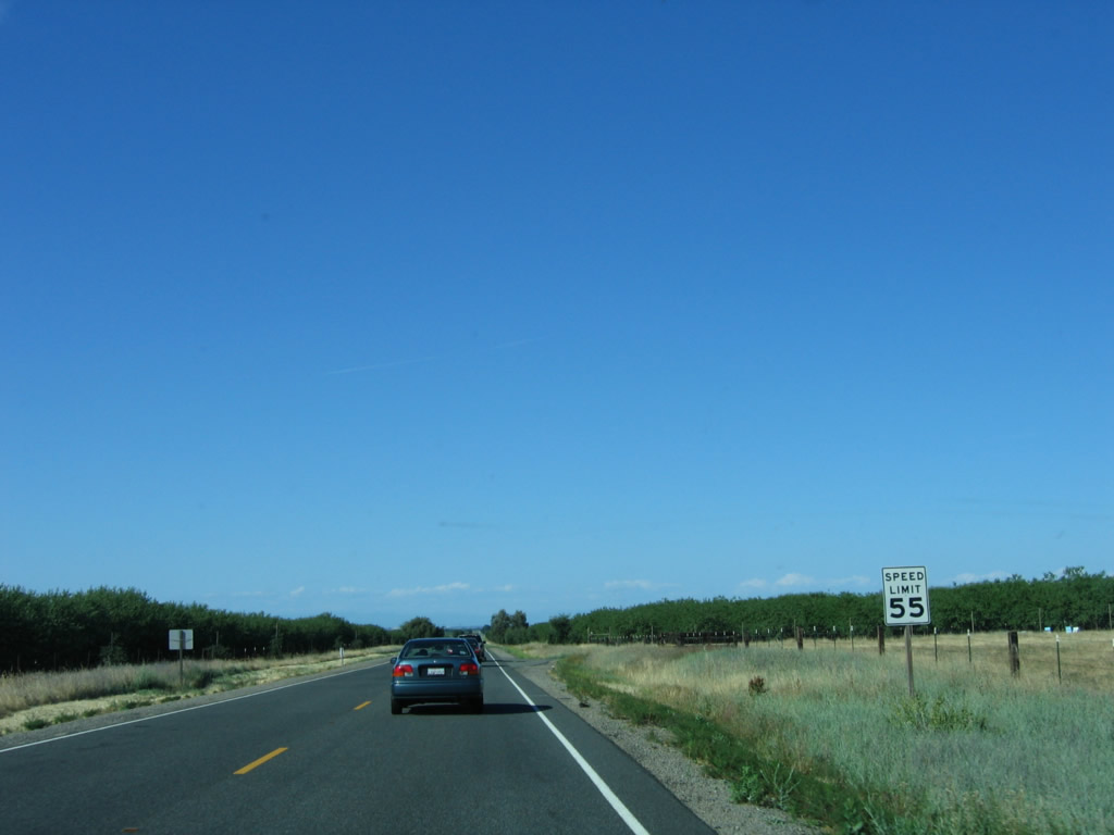 |
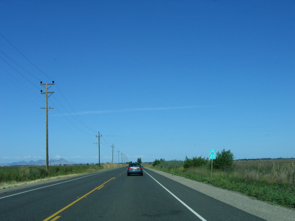
The speed limit increases to 55 miles per hour; the state highway is basically a straight shot from here to Williams. Photo taken 05/29/06. |
 |
A California 20 reassurance shield is posted shortly thereafter. Photo taken 05/29/06. |
 |
California 20 crosses the Tehama Colusa Canal, which travels north-south along the western edge of the Central Valley. Swimming is not allowed in the irrigation canal due to the swift currents, hence the tall fences. Photo taken 05/29/06. |
 |
Near King Road, California 20 turns from northeast to due east. A small fruit stand is located on the north side of the state route. Photo taken 05/29/06. |
 |
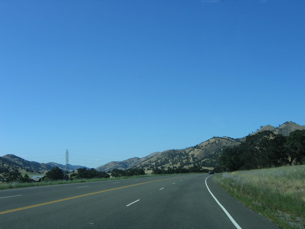
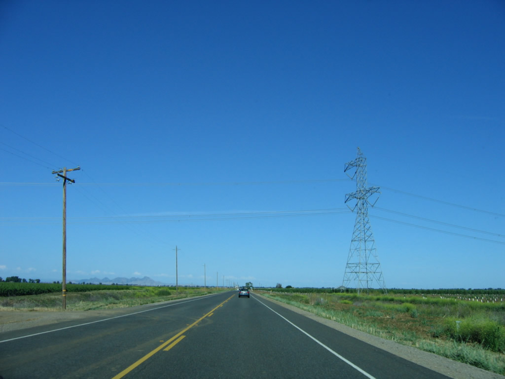
California 20 straightens out again. A set of Pacific Gas and Electric 230kV power lines come into view next, as well as the Western Area Power Administration (WAPA) Path 66 power line (500kV, see next photobox). Photo taken 05/29/06. |
 |
Eastbound California 20 passes under the 500kV Western Area Power Administration (WAPA) Path 66 power line. This line travels north toward Redding and south toward Tracy, forming part of the electricity backbone of the state of California (along with the Pacific Gas and Electric Path 15 power lines, which California 20 will pass east of Interstate 5). Photo taken 05/29/06. |
 |
The Sutter Buttes again come into view as California 20 continues east toward Williams. The buttes are considered to be the shortest mountain range in the country, with three distinct peaks (north, south, and west buttes). California 20 passes south of the Sutter Buttes near the town of Sutter east of Colusa and west of Yuba City. Photo taken 05/29/06. |
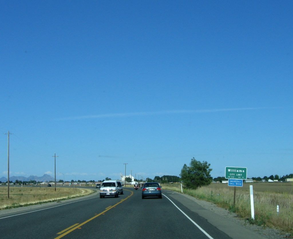 |
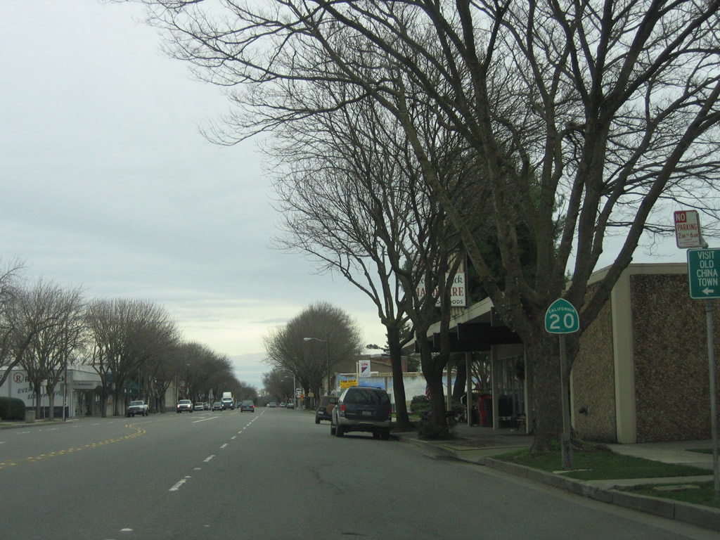
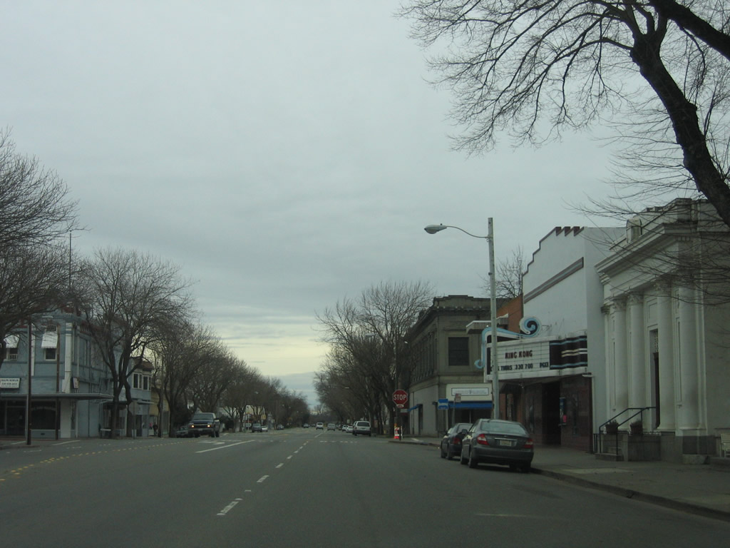
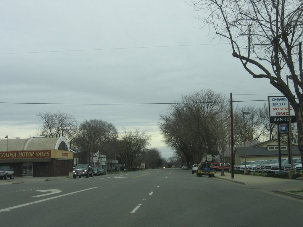
California 20 enters the city of Williams, home to 3,670 people as of the 2000 Census and consisting of 5.4 square miles. The city has all motorist services (motels, gas stations, restaurants, and more). The downtown area is served by Business Loop I-5 (Old U.S. 99W), and a historic arch is located there. Photo taken 05/29/06. |
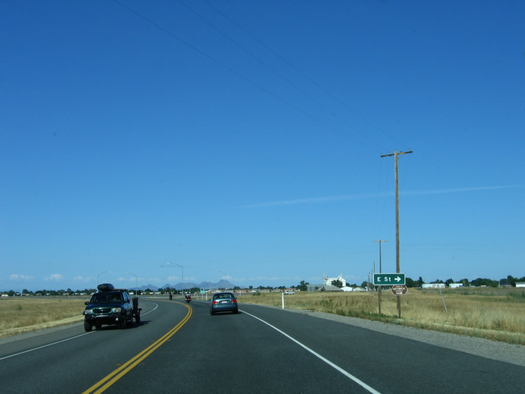 |
The next intersection is California 20 Business, which follows E Street east into downtown Williams. California 20 continues east along a bypass route to the north of downtown Williams and offers a direct route to Interstate 5. Photo taken 05/29/06. |
 |
A pair of shields for California 20 east and California 20 Business east is posted at the E Street intersection. Photo taken 05/29/06. |
 |
This California 20 east reassurance shield is posted after the California 20 Business (E Street) intersection. The residential area of Williams can be seen south of the bypass route, but thus far, development has not reached the California 20 bypass (except for one gas station at the Freshwater Lateral intersection). Photo taken 05/29/06. |
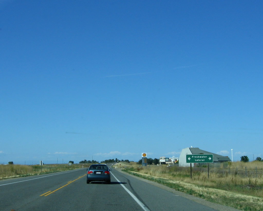 |
The next intersection along eastbound California 20 is with the Freshwater Lateral. Turn south on the Freshwater Lateral into residential Williams. Photo taken 05/29/06. |
 |
Soon thereafter, eastbound California 20 meets Business Loop I-5 (Old Highway 99W) at this left turn. The left turn is a connecting ramp to the business route, which travels south into downtown Williams and north to Maxwell. On the bridge ahead, California 20 passes over Business Loop I-5 and the railroad. Photo taken 05/29/06. |
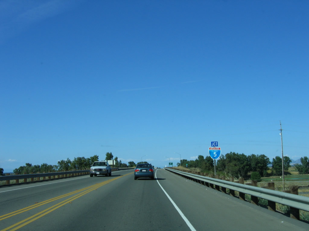 |
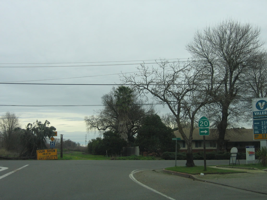
Eastbound California 20 approaches Interstate 5 northeast of downtown Williams. This major interchange offers a connection to Interstate 5 south first, followed by a left turn to Interstate 5 north. Photo taken 05/29/06. |
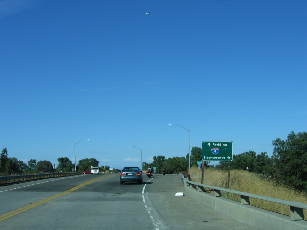 |
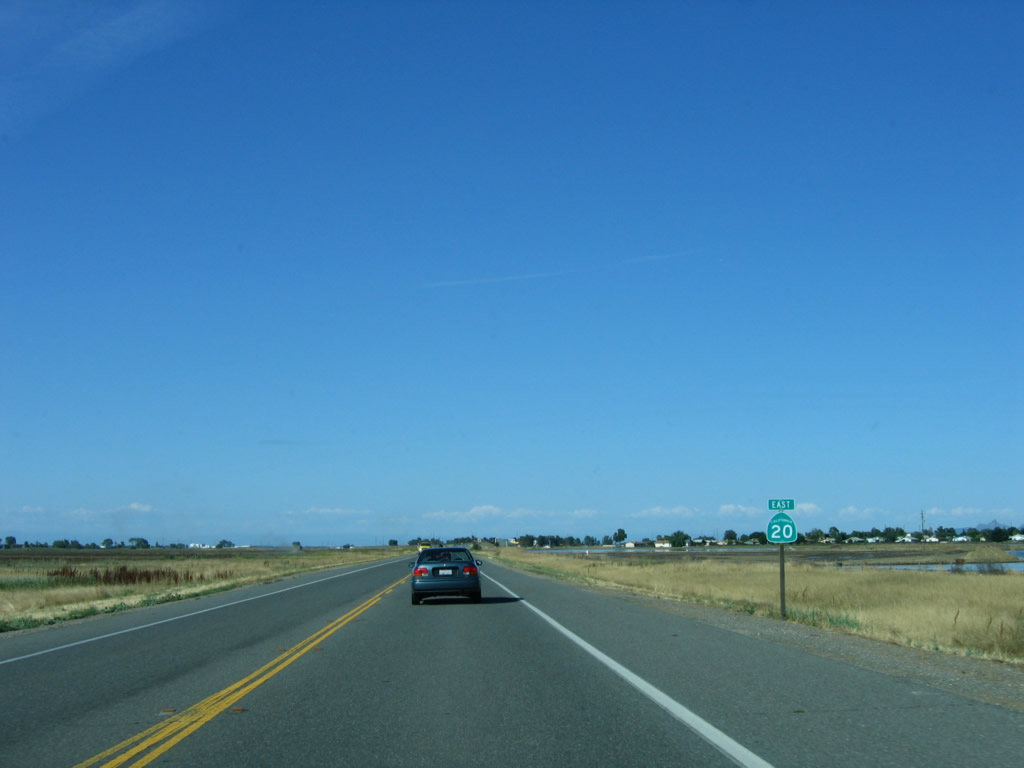
Interstate 5 travels south to Woodland in Yolo County and Sacramento in Sacramento County. To the north, Interstate 5 travels to Red Bluff, Redding, and Yreka before entering the state of Oregon. California 20 continues east to Colusa and Yuba City. Photo taken 05/29/06. |
| California 20 east & 45 south | |
|---|---|
 |
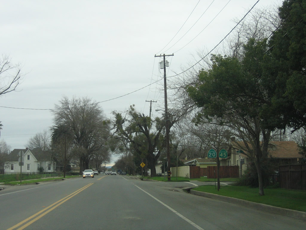
California 20 & 45 expand into a four-lane arterial through to Downtown Colusa. Photo taken 01/15/06. |
 |
A California 20 reassurance shield is posted between 8th Street and 7th Street in downtown Colusa. California 45 is not posted here. Photo taken 01/15/06. |
 |
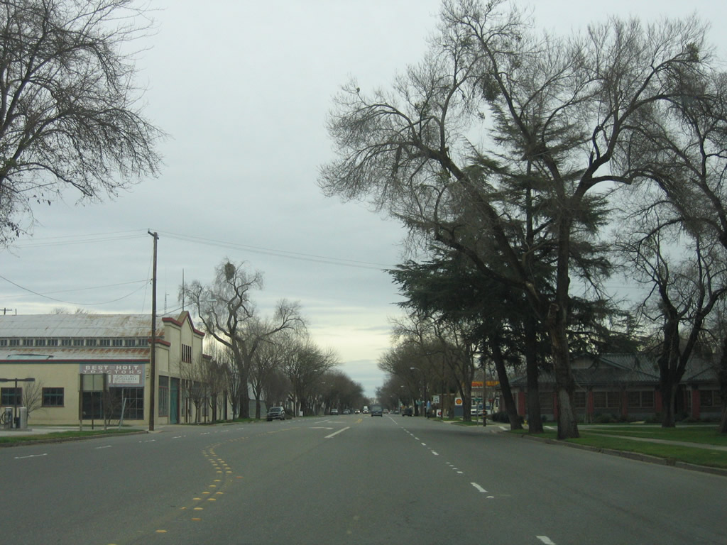
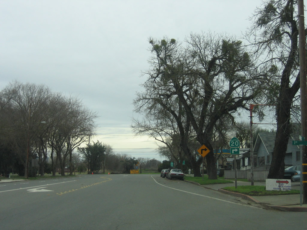
In downtown Colusa, California 20 and California 45 (Market Street) meet 5th Street. The historic Colusa County Court House is located on the south side of Market Street. Photo taken 01/15/06. |
 |
California 20 and California 45 continue along Market Street in Colusa. Photo taken 01/15/06. |
 |
At Bridge Street, California 20 east and California 45 south will turn off Market Street and proceed south out of Colusa. Photo taken 01/15/06. |
 |
Note that only California 20 is signed through this turn, although California 45 will follow California 20 through this turn from Market Street onto Bridge Street. Photo taken 01/15/06. |
 |
California 20 and California 45 are cosigned here along Bridge Street. Photo taken 01/15/06. |
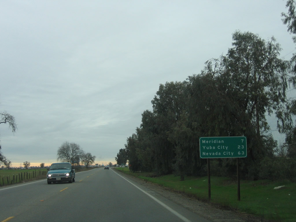 |
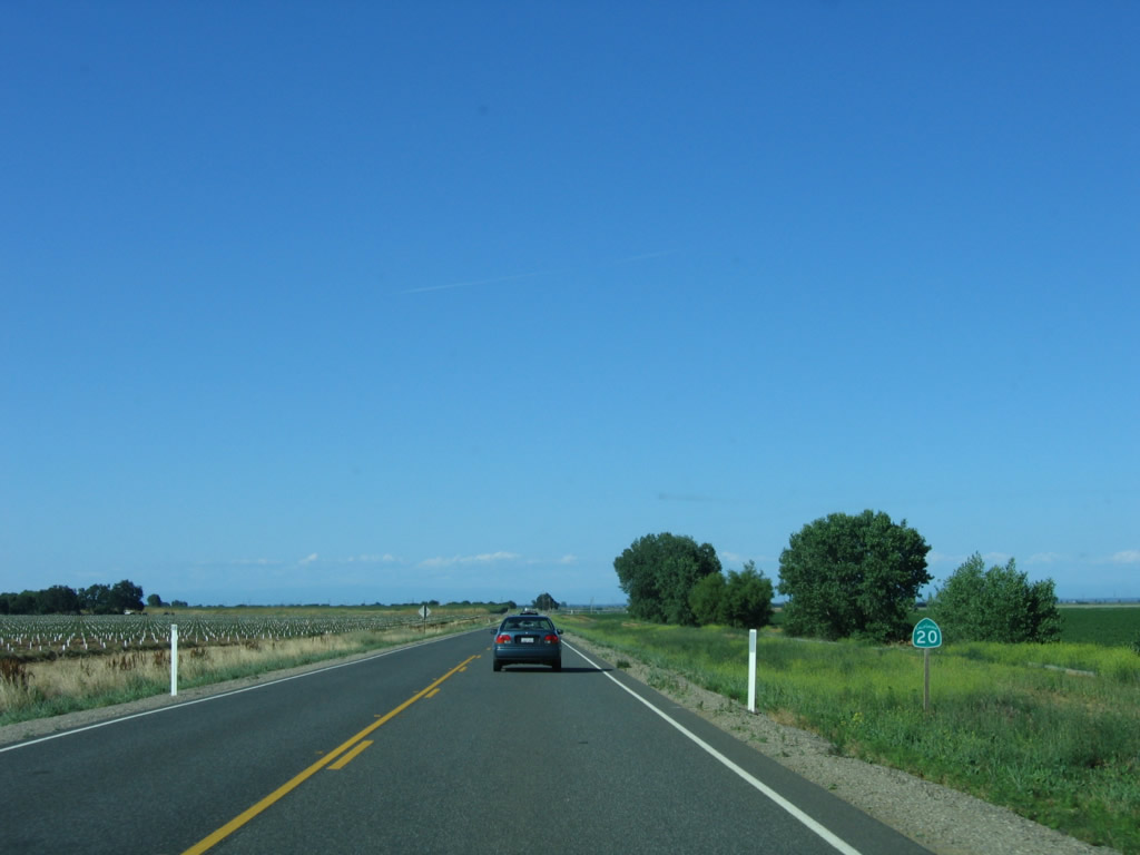
This mileage sign along California 20 east and California 45 south provides the distance to three destinations all along California 20 east: Meridian (seven miles), Yuba City (23 miles), and Nevada City (63 miles). Photo taken 01/15/06. |
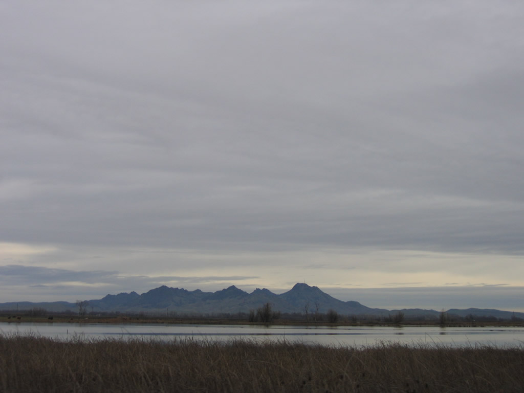 |
South of Colusa, this view looks east toward Sutter Buttes. Photo taken 01/15/06. |
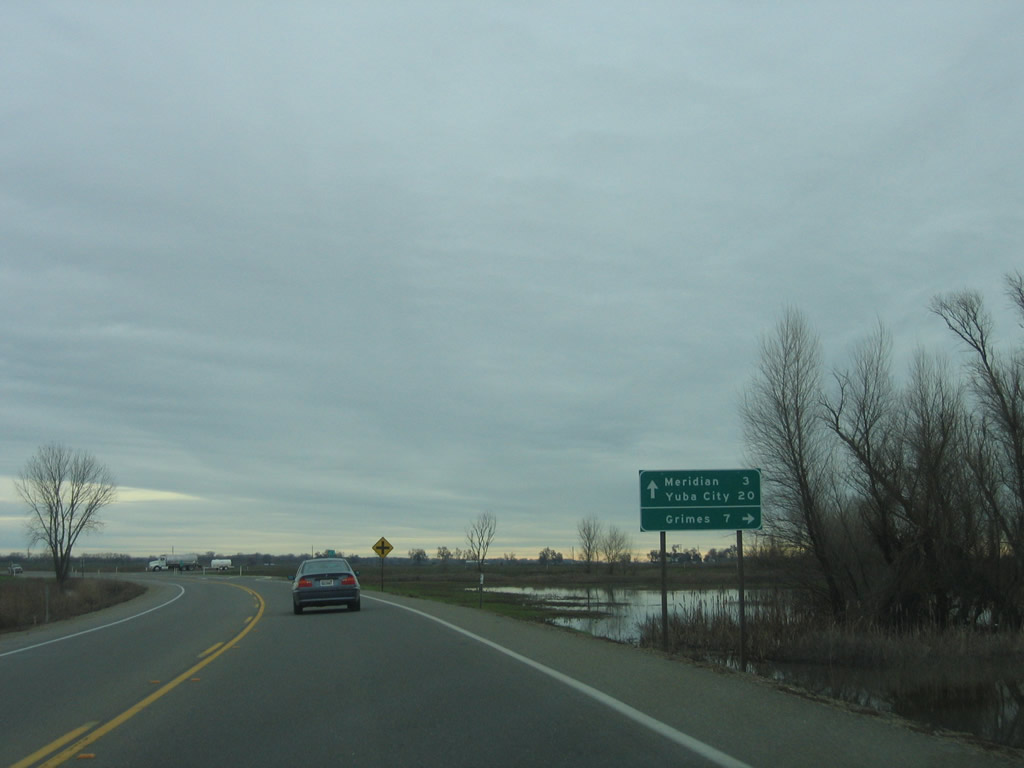 |
The two state routes divide about six miles south of Colusa. Bear left for California 20 east to Meridian, Yuba City-Marysville, and Nevada City-Grass Valley, or turn right ahead for the continuation of California 45 south to Grimes and Knights Landing. Photo taken 01/15/06. |
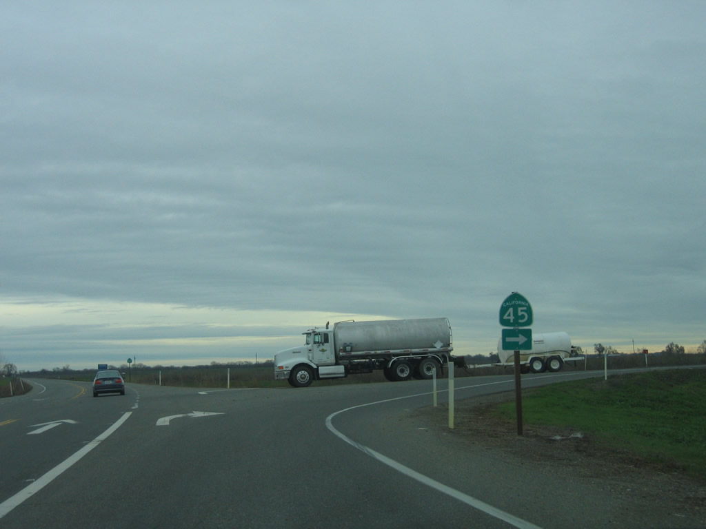 |
California 20 and California 45 split at this point. California 20 will cross the Sacramento River and proceed east to meet California 99 in Yuba City. California 45 will continue to parallel the Sacramento River on the west bank. Photo taken 01/15/06. |

Page Updated January 21, 2012.
|
About Contact Glossary |
In The News Interstate Guide |
Social Media:
 |
|
© 2000-25 AARoads.com | All Rights Reserved | Privacy Policy / Terms of Use
|
||