
California 20 West - Yuba County
| California 20 west | |
|---|---|
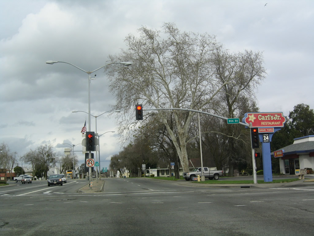 |
California 70 south and California 20 west split at the intersection of E Street and Ninth Street. This view looks north on California 70 in downtown Marysville. California 20 will take E Street north one block, then turn west again on Tenth Street. Between the California 70 and California 99 intersections, California 20 was designated as part of U.S. 99E until 1964, and it was also part of U.S. 40 Alternate between 1954 and 1964. Photo taken 01/01/05. |
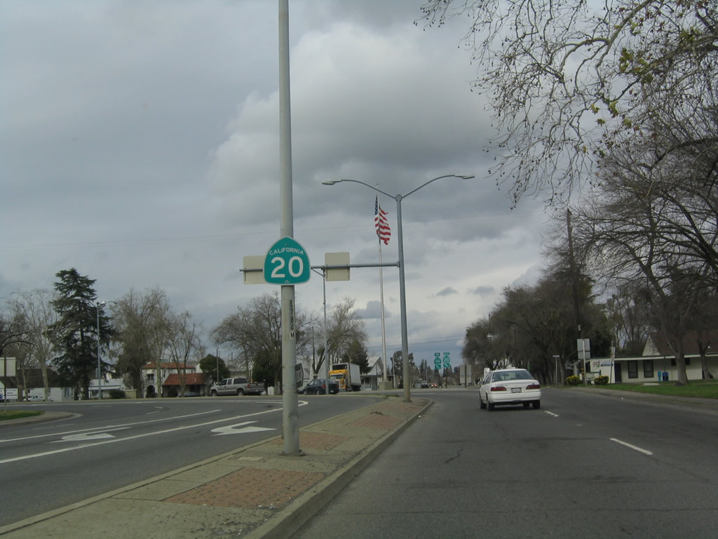 |
A single California 20 confirming marker is posted in the center median along northbound E Street. The four-lane roadway will soon curve west onto Tenth Street. Photo taken 01/01/05. |
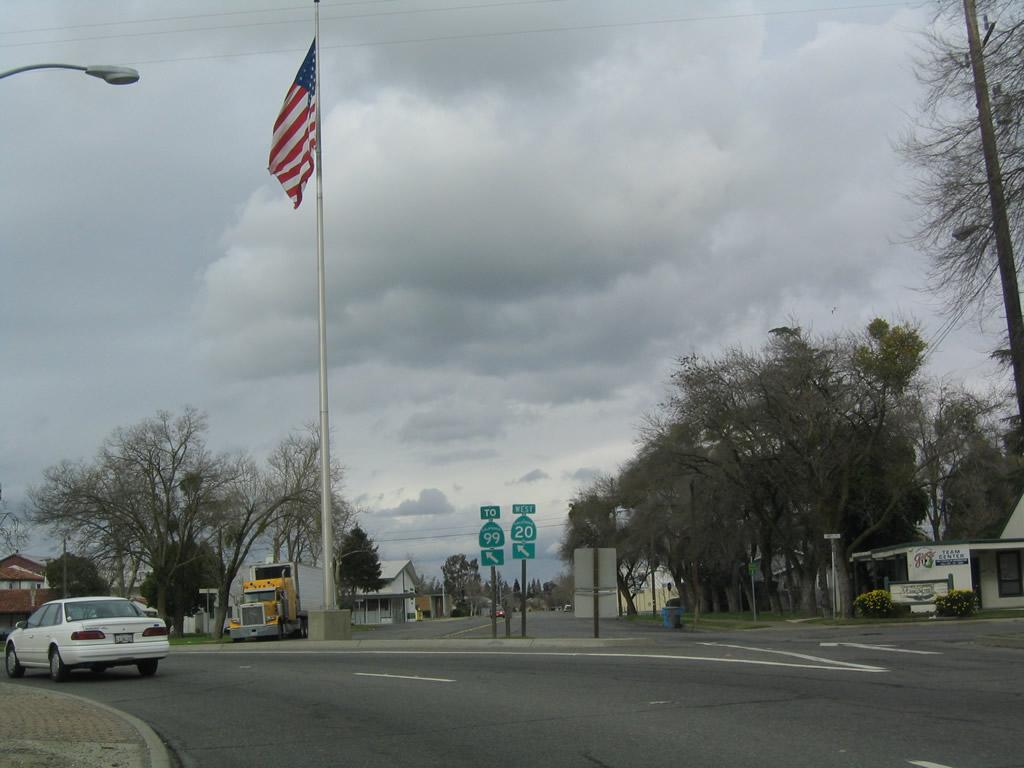 |
Westbound California 20 curves from northbound E Street to westbound Tenth Street. Follow California 20 west to California 99 north to Chico. An American flag is posted in the median that separates mainline California 20 from the continuation of E Street north. The right lane will connect to E Street north; the left two lanes connect to Tenth Street west. Photo taken 01/01/05. |
 |
Another California 20 confirming marker is posted in the center median along westbound Tenth Street between E Street and F Street. Photo taken 01/01/05. |
 |
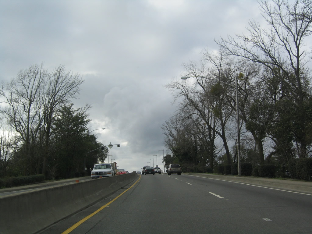
Westbound California 20 approaches H Street. After this signalized intersection, California 20 will ascend a bridge to cross over the Feather River. Photo taken 01/01/05. |
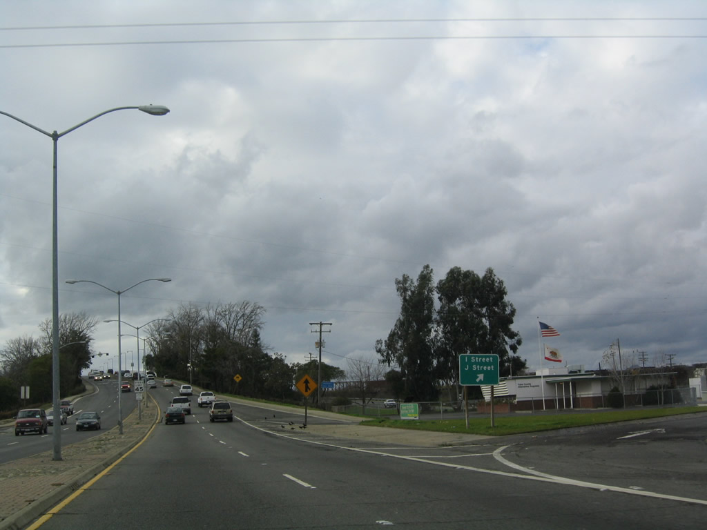 |
Prior to crossing the Feather River, a short off-ramp connects California 20 (Tenth Street) with I Street, J Street, and Featherside Way. Photo taken 01/01/05. |
 |
 |
 |
 |
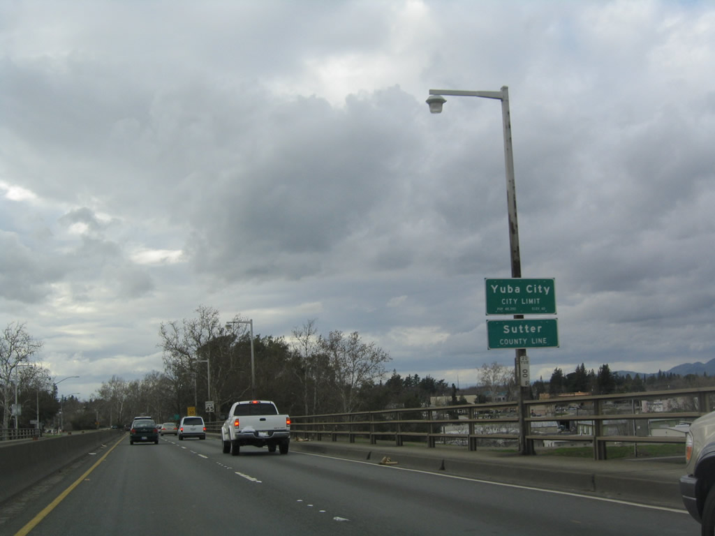 |
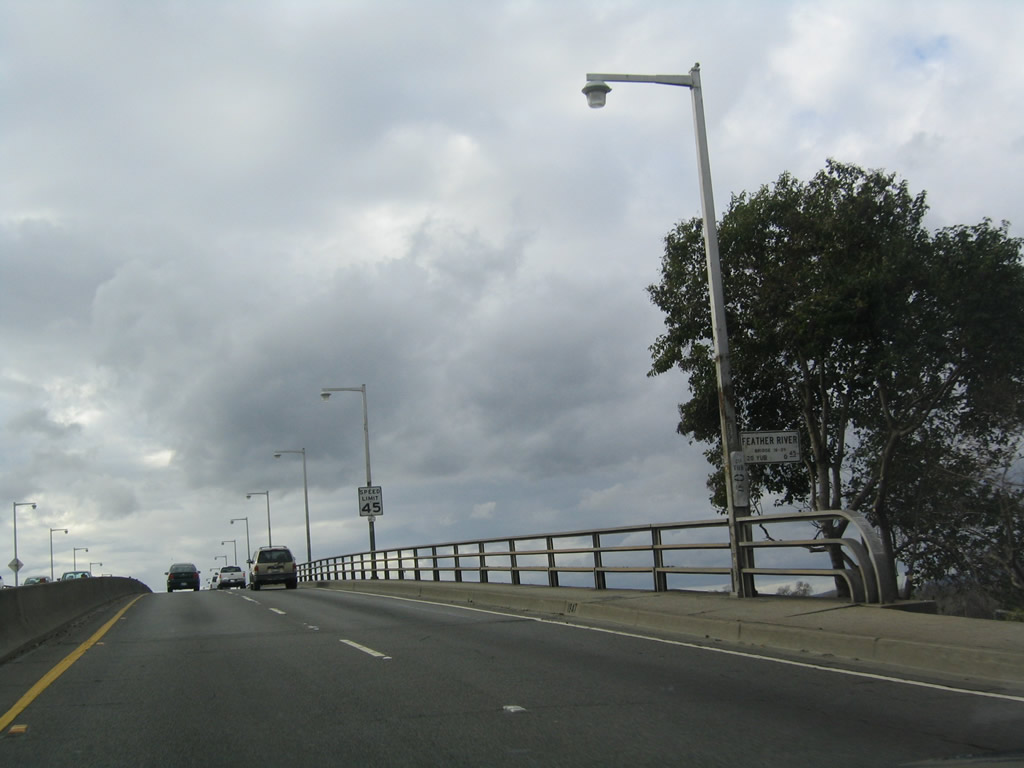
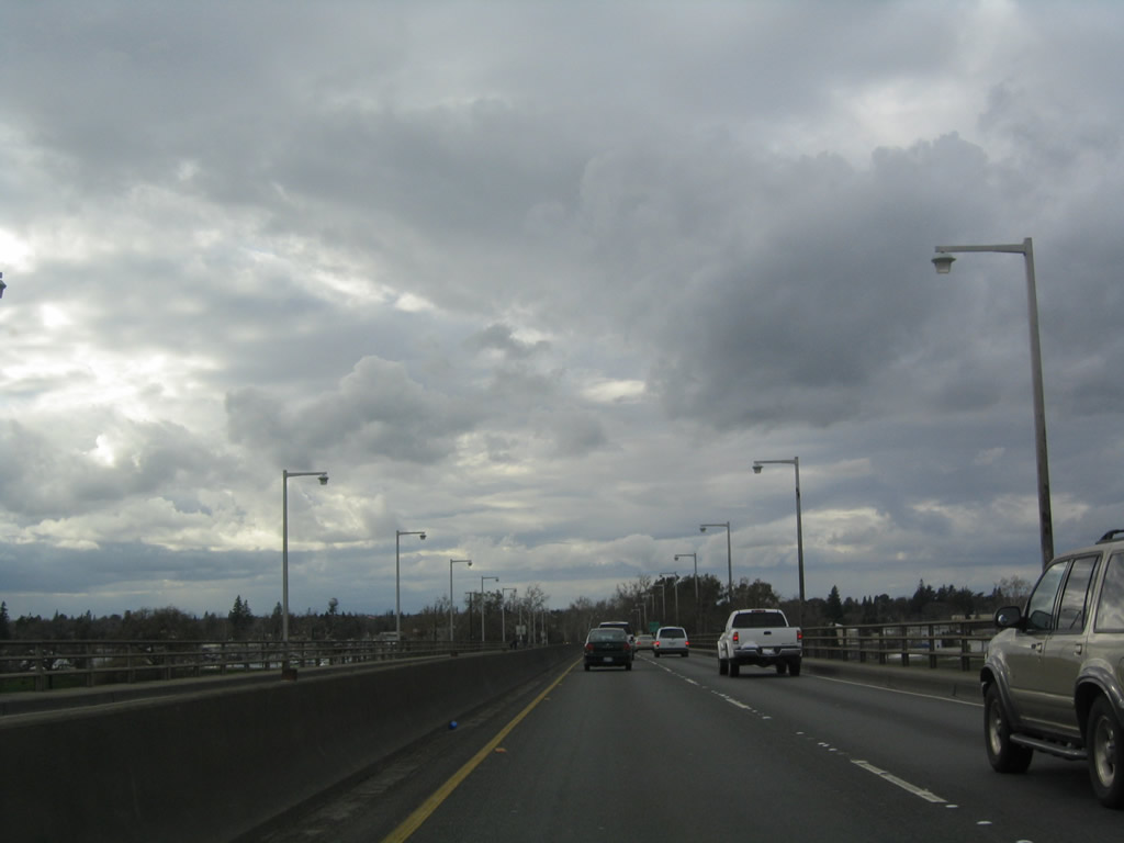
| The Tenth Street Bridge carries California 20 over the Feather River; it is a long, four-lane bridge that was built in 1947. At the point where California 20 crosses over the Feather River itself, California 20 will leave the city of Marysville and Yuba County; it then enters the city of Yuba City and Sutter County. Yuba City was incorporated on January 23, 1908, and had a population of 64,925 as of the 2010 Census. Ahead, California 20 is known as Colusa Avenue. Photos taken 01/01/05. | ||||
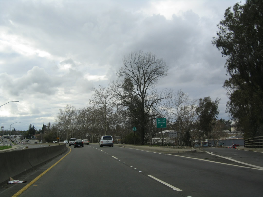 |
At the western end of the bridge, westbound California 20 meets the off-ramp to Sutter Street, which travels south on the west bank of the Feather River to Second Street and Garden Highway. To the north, Sutter Street connects to Market Street. Photo taken 01/01/05. |
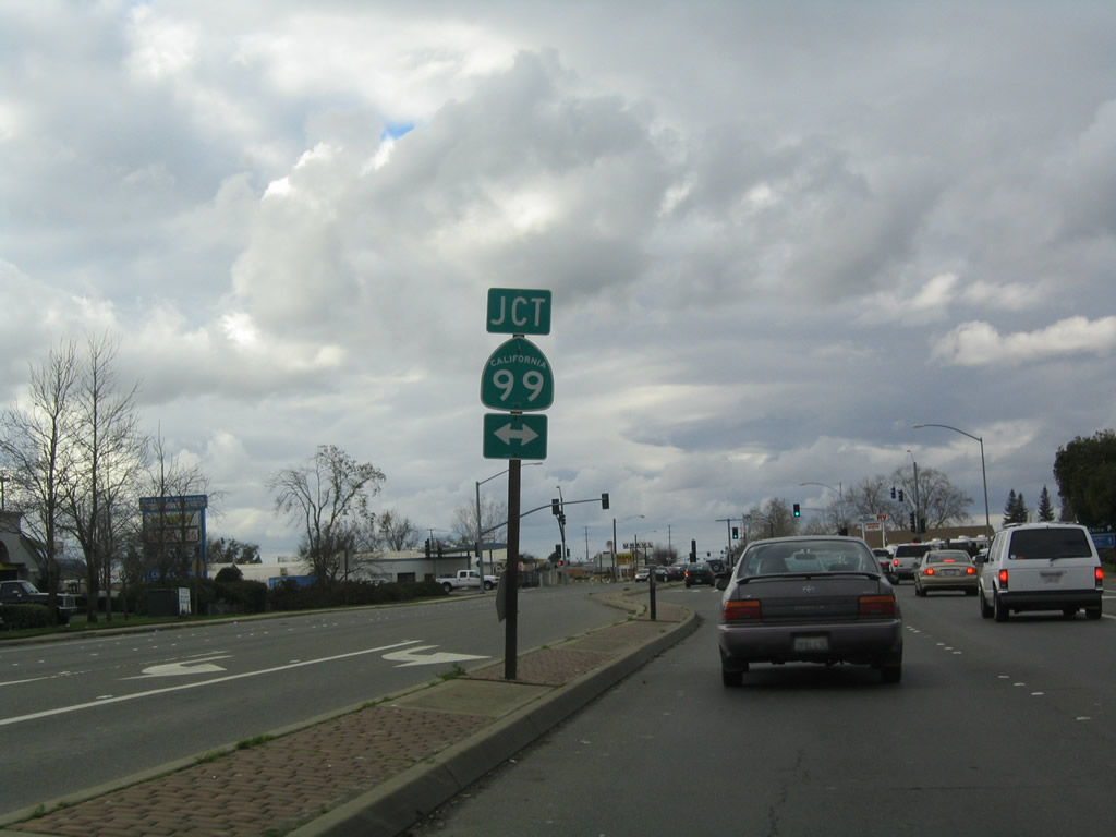 |
Westbound California 20 approaches California 99. A traffic signal governs the flow of traffic at this intersection. North of here, California 99 begins a freeway alignment. Photo taken 01/01/05. |
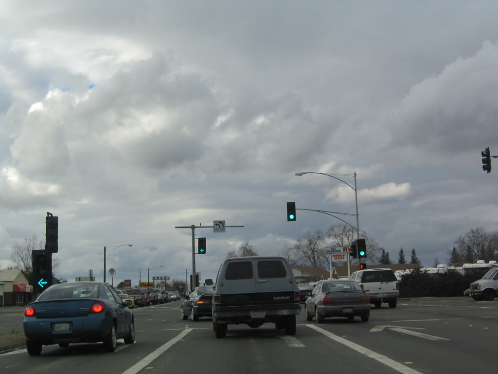 |
The intersection between California 20 and California 99 was widened and improved by 2010, so the configuration shown here in 2005 has since changed. There had been plans to construct an interchange here in the past.1 Historically, U.S. 40 Alternate turned south onto California 99, and U.S. 99E turned north onto California 99. Photo taken 01/01/05. |
Sources:
- Sutter County General Plan - Transportation Element - Section 4.10
http://ceres.ca.gov/planning/genplan/sutter/transportation6.html- From "Bogue Road to State Route 20, the State Routes 70 and 99 Corridor Study, (July 1990) recommended this segment (of State Route 99) to be ultimately upgraded to a six lane expressway with an urban interchange at State Route 20."

Page Updated January 20, 2012.
|
About Contact Glossary |
In The News Interstate Guide |
Social Media:
 |
|
© 2000-25 AARoads.com | All Rights Reserved | Privacy Policy / Terms of Use
|
||