| California 70 east |
|
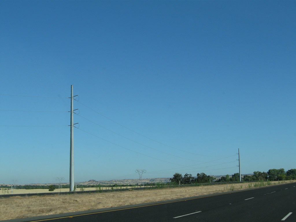
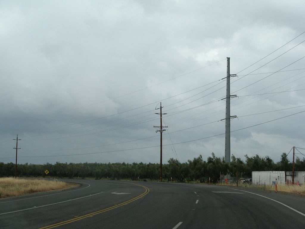
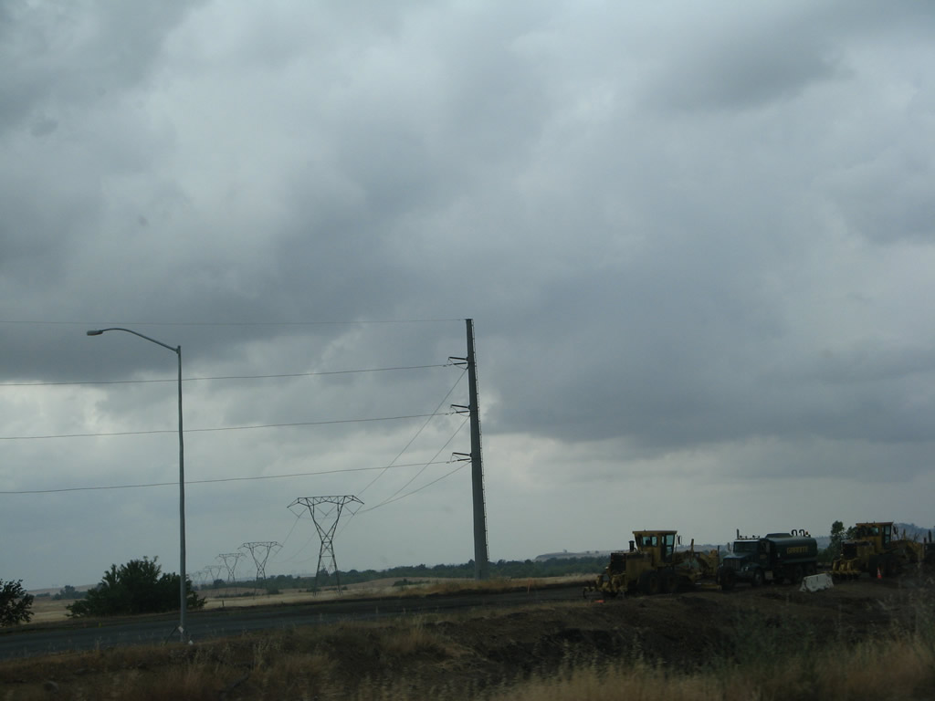
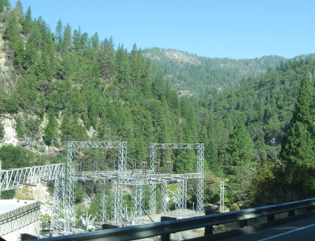
Leaving the Wicks Corner Interchange, California 70 briefly remains as a freeway until the signalized intersection with California 191 (Clark Road) north and Table Mountain Boulevard (old U.S. 40 Alternate / California 24 south). These power lines were realigned from the older steel lattice structures onto monopoles to avoid conflict with the new Wicks Corner Interchange. Photo taken 09/04/10. |
|
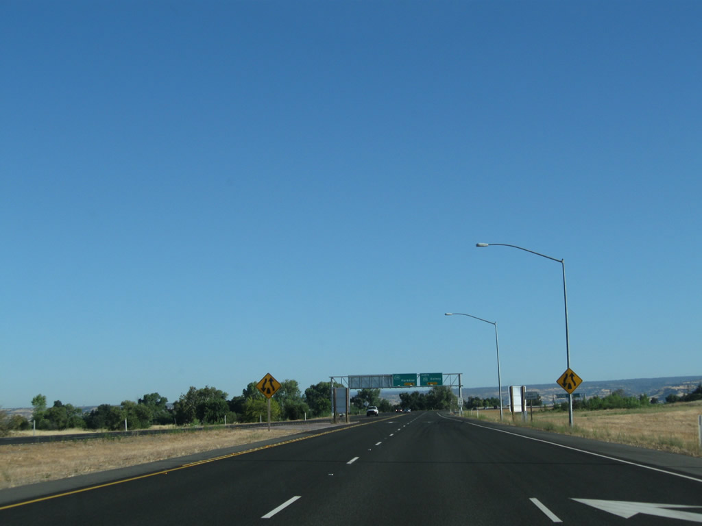
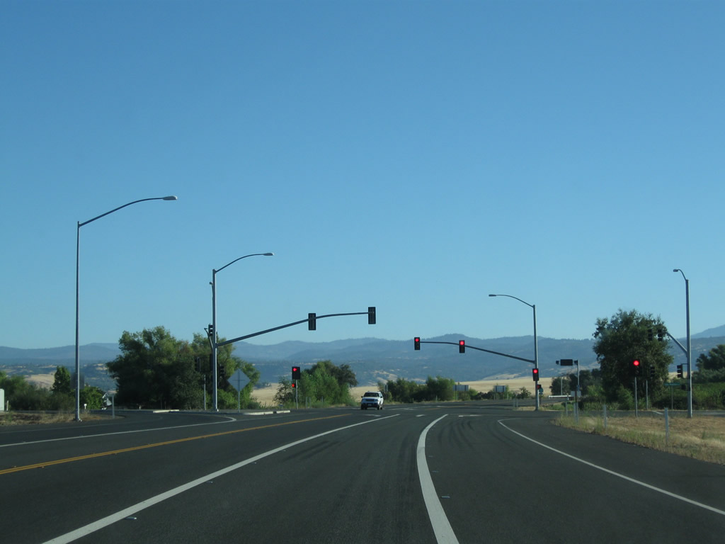
The freeway narrows from three northbound lanes to two. Slow down for the pending traffic signal with California 191. Photo taken 09/04/10. |
|
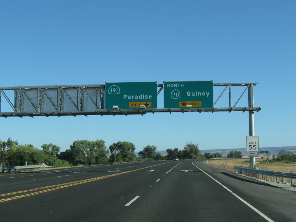
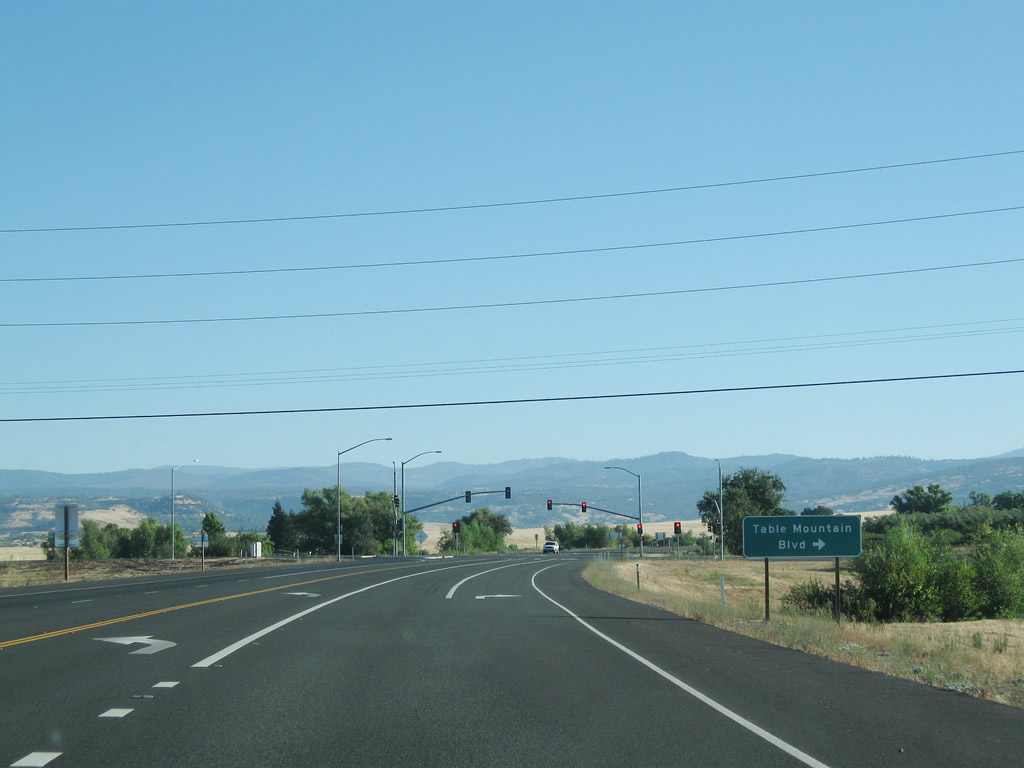
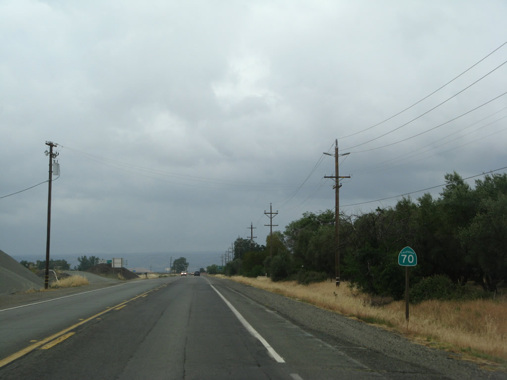
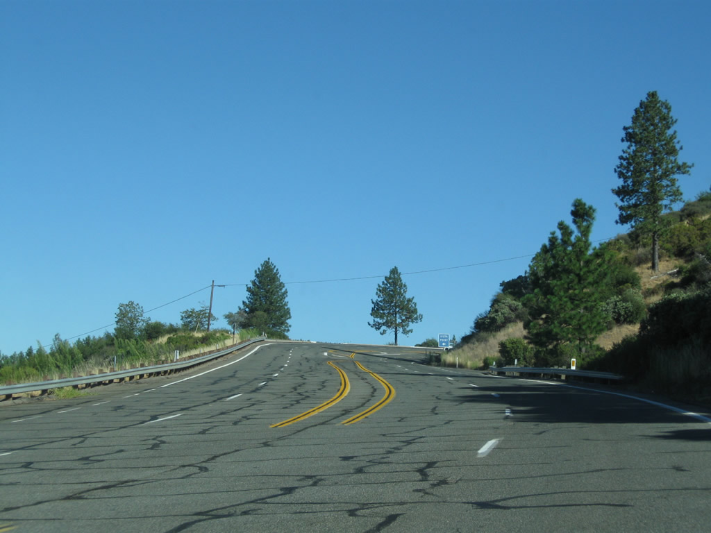
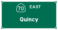
The left lane of California 70 north becomes exit only for California 191 (Clark Road) north to Paradise. The right lane continues east on California 70 into the Feather River Canyon en route to Quincy. Stay right to connect to Table Mountain Boulevard south. Photo taken 09/04/10. |
|
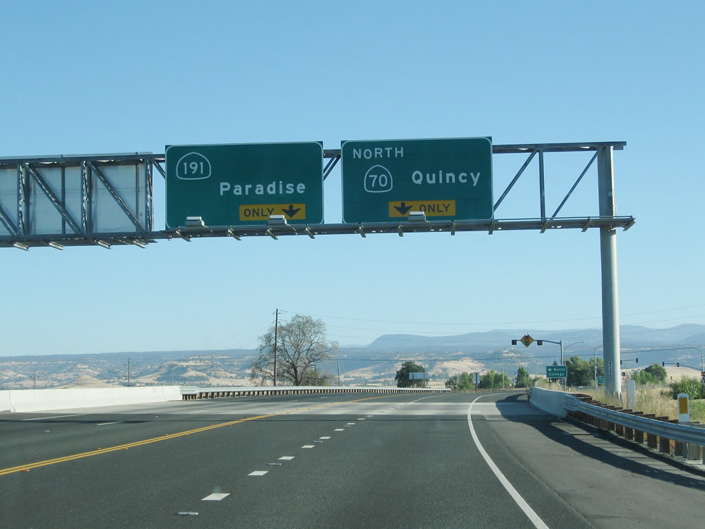
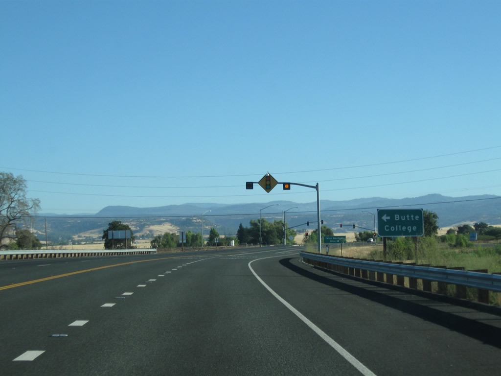
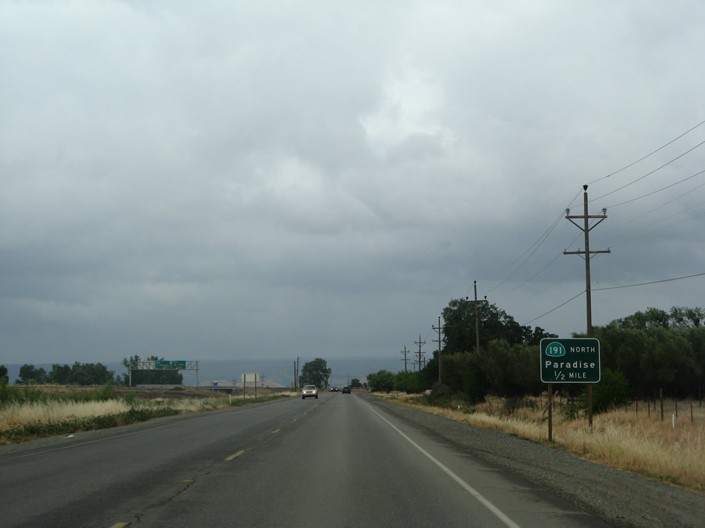
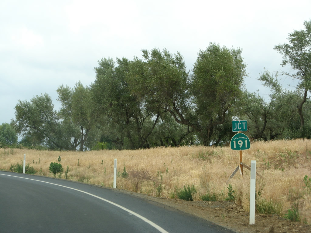
Another overhead sign supplies the same information as the previous one. California 191 follows Clark Road north to Paradise. A short state route, California 191 does not connect to a state highway at its north end (the state route ends at Pearson Road in Paradise). Photo taken 09/04/10. |
|
For Butte College, follow California 191 north. Photo taken 09/04/10. |
|
Turn right at the traffic signal for Table Mountain Boulevard south, which serves as California 70's frontage road south of here and eventually leads into downtown Oroville. Photo taken 09/04/10. |
|
|
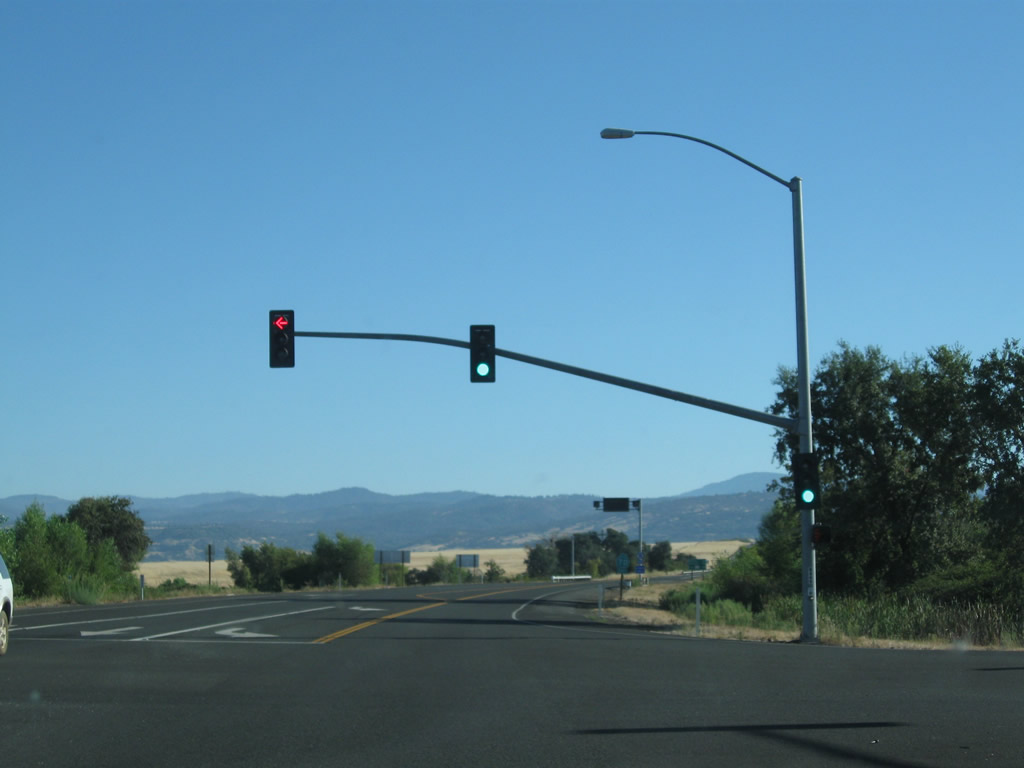
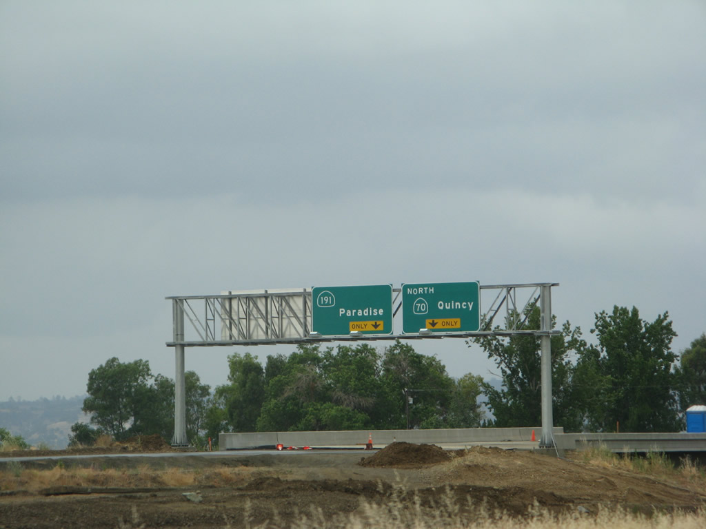
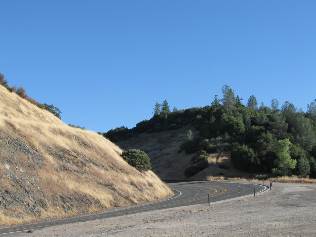
The freeway alignment comes to an end as California 70 approaches its first traffic signal since south of Oroville. Turn left for California 191 north to Paradise or right for Table Mountain Boulevard south back to Oroville. Photos taken 09/04/10. |
|
|
|
|
|
| This series of pictures shows the old alignment of California 70 (now Table Mountain Boulevard) between the old California 149 intersection and the approach to the California 191 junction. Some of the signs shown from these 2008 pictures (such as the California 70 reassurance shield and the daytime headlight zone) have since been removed since this road is no longer part of the state highway system. A few of these pictures show the relocation of adjacent utility lines and the then-incomplete California 70 expressway between the Wicks Corner Interchange and California 191 intersection. Photos taken 05/24/08. |
|
|
|
|
|
|
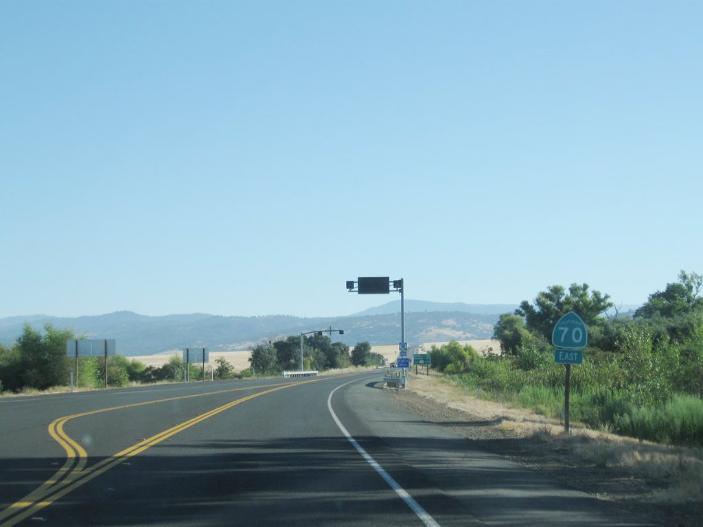
California 70 confirming marker posted after California 191. It is the first route marker to indicate that California 70 is now an east-west route, despite the overhead signs indicating "California 70 north" through the Wicks Corner Interchange. Photo taken 09/04/10. |
|
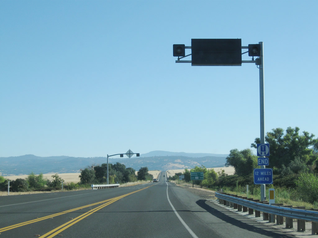
A small variable message sign is posted overhead to advise of inclement weather or traffic issues in the Feather River Canyon. The California 70 truck route ends in 12 miles. Photo taken 09/04/10. |
|
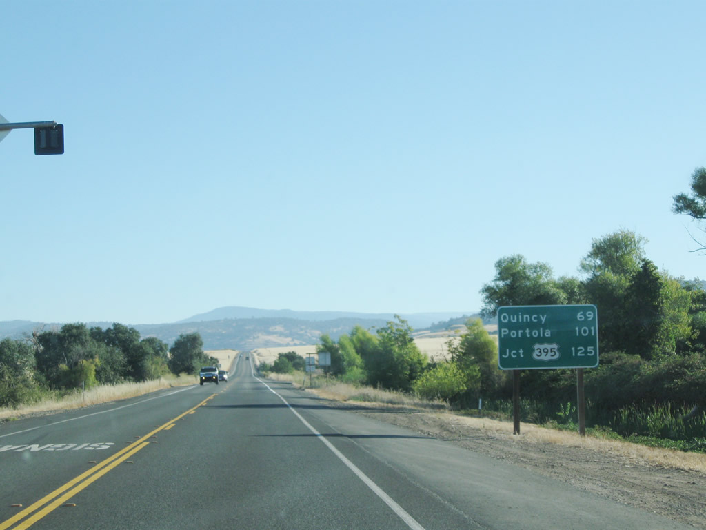
This mileage sign along California 70 north provides the distance to Quincy (69 miles), Portola (101 miles), and U.S. 395 (125 miles). Photo taken 09/04/10. |
|
|
|
|
|
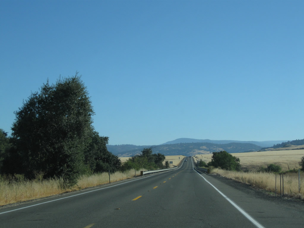
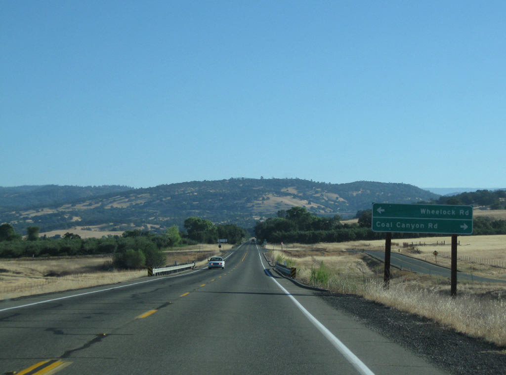
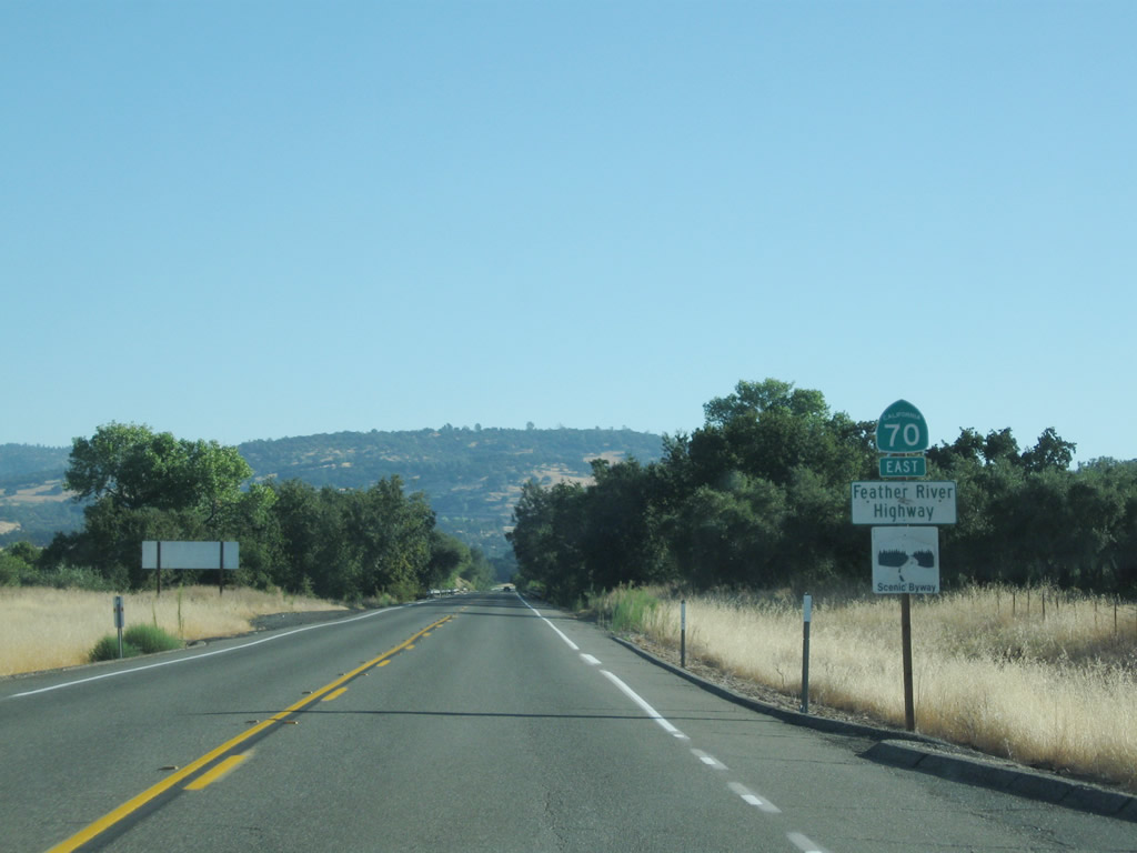
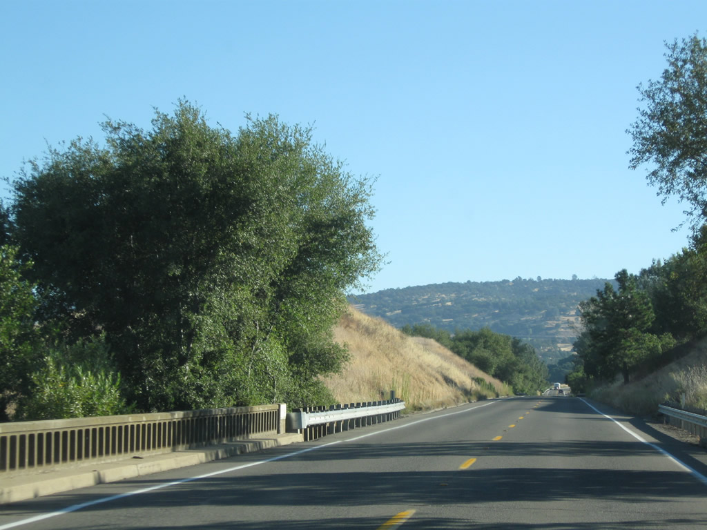
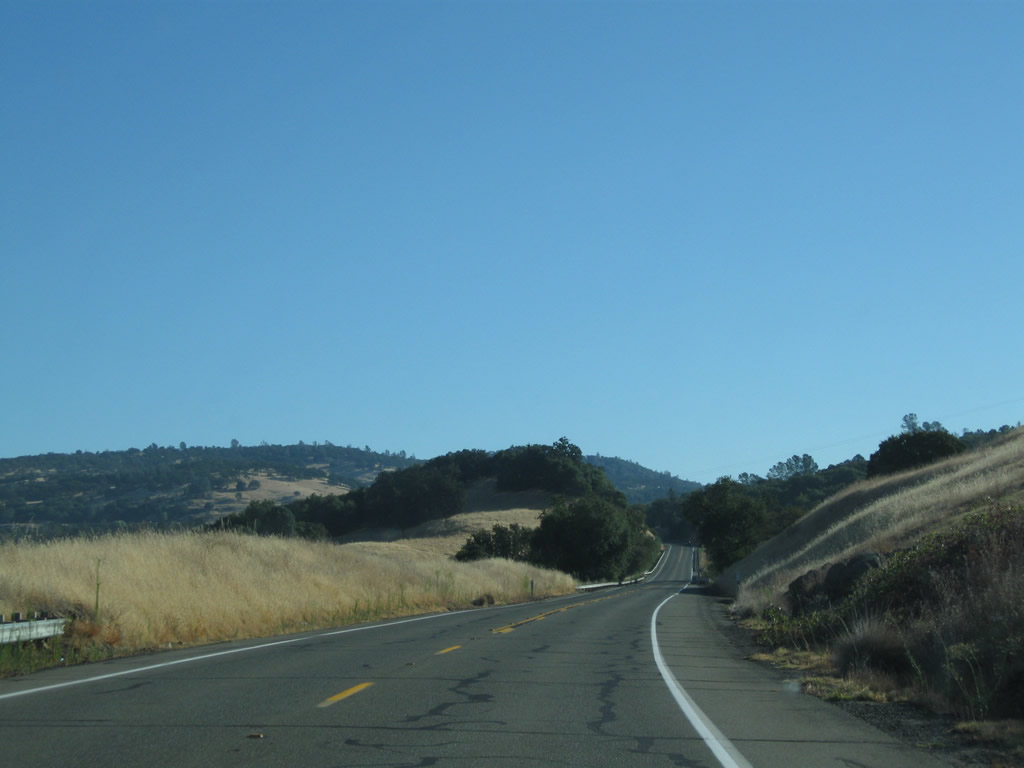
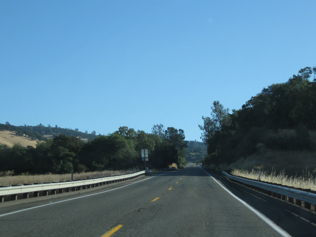
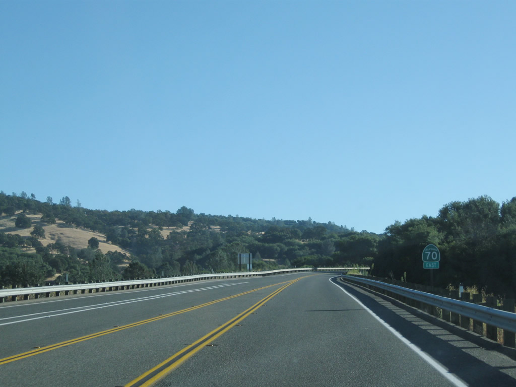
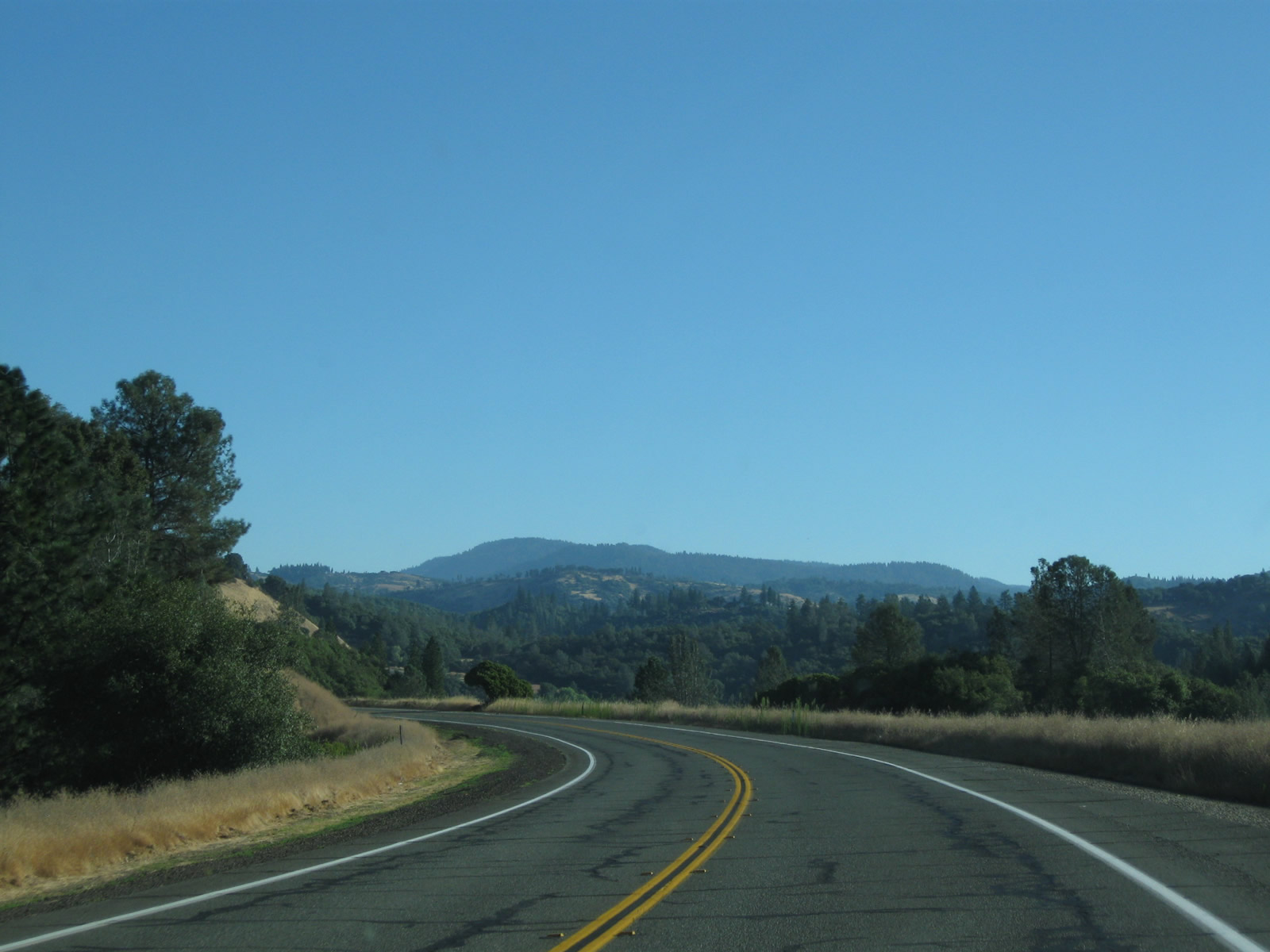
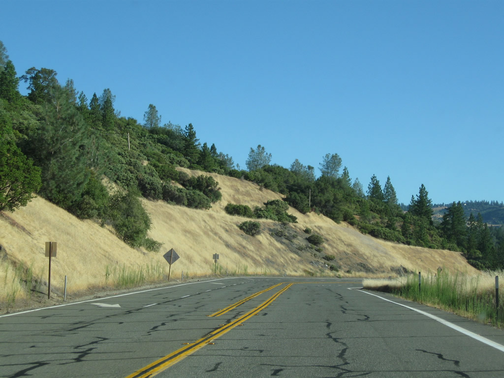
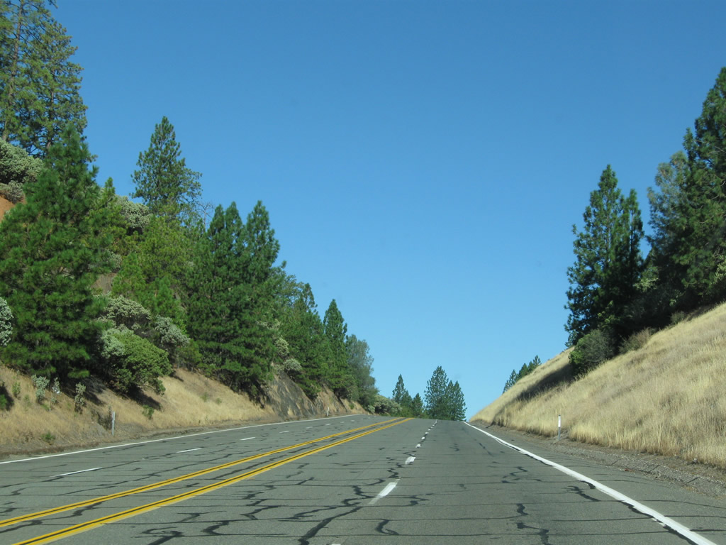
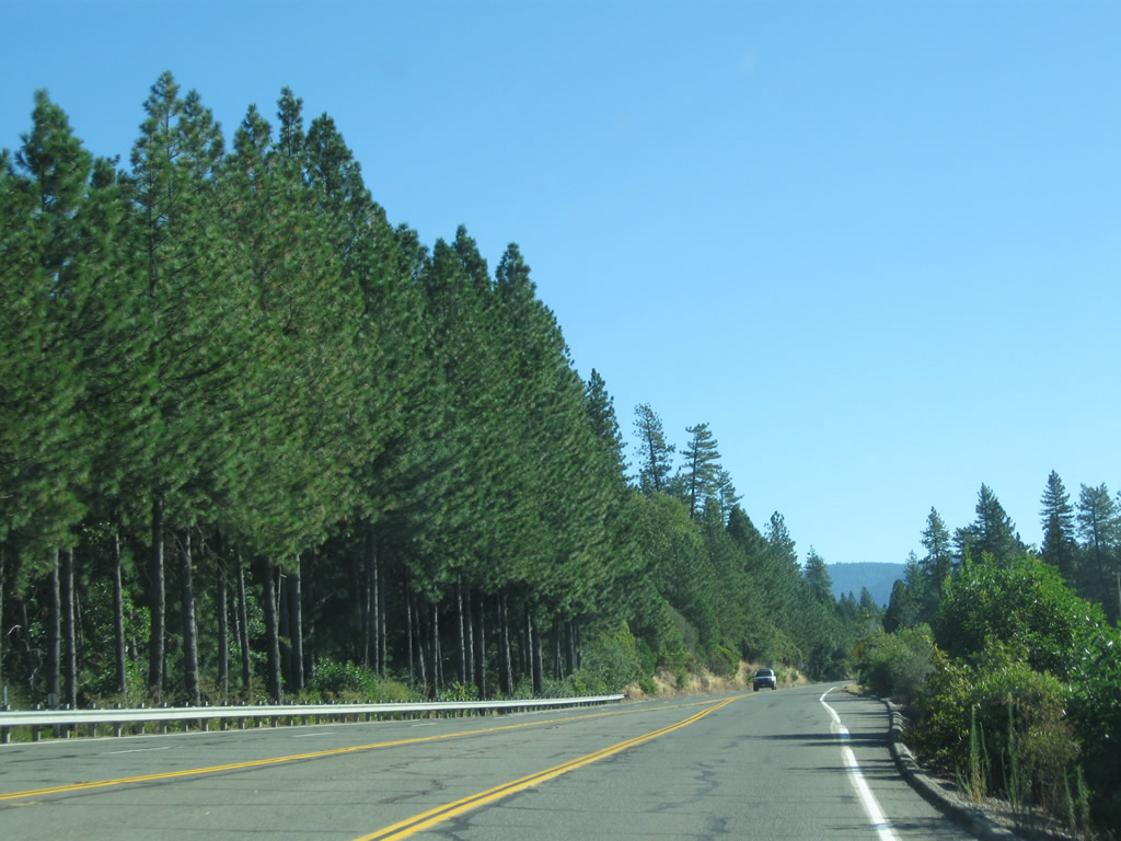
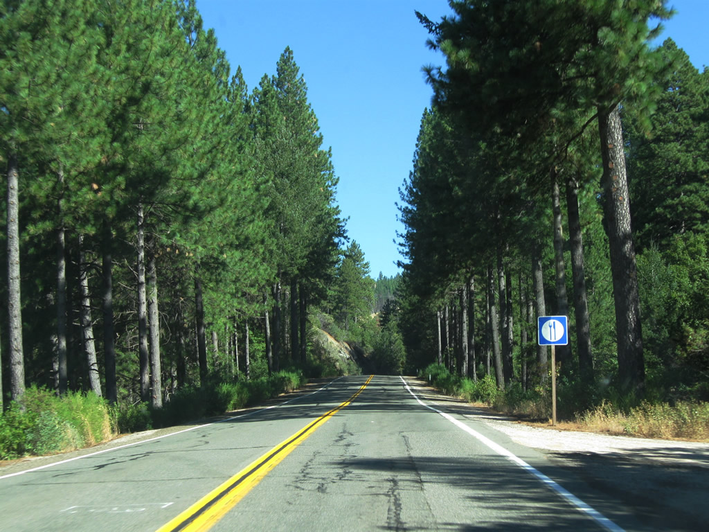
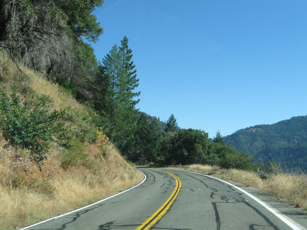
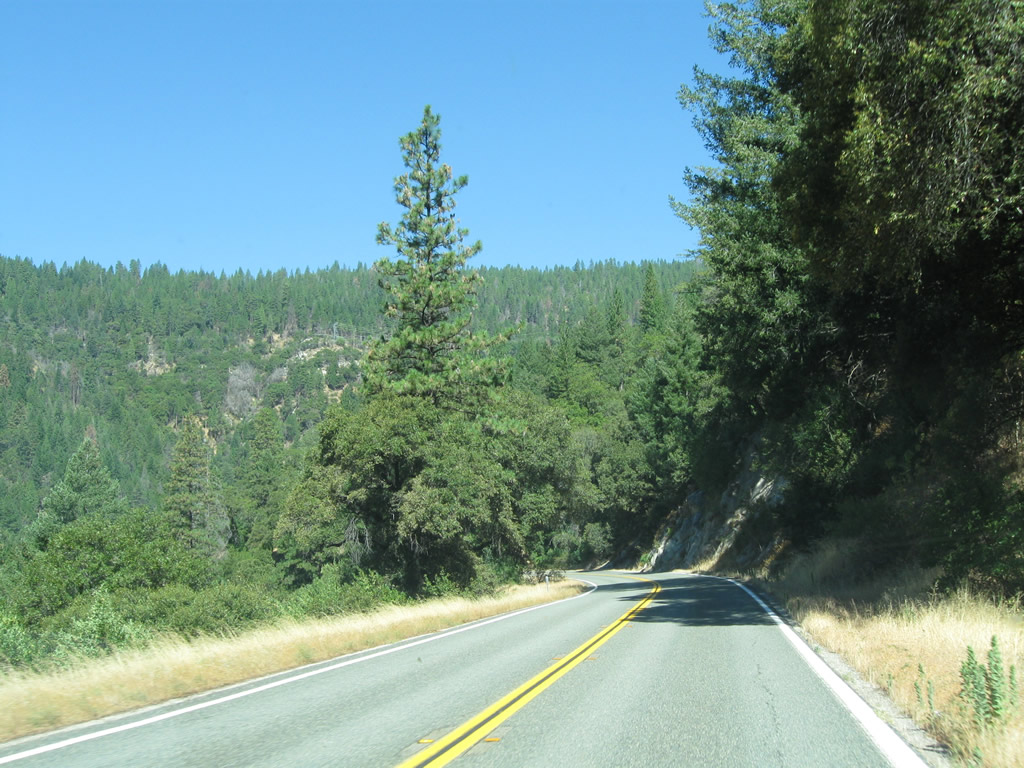
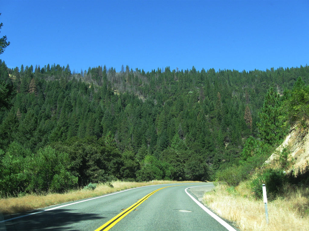
| California 70 (former U.S. 40 Alternate) follows the Feather River Highway between here and Quincy. This two-lane highway, notable for its low elevation, begins innocuously enough as it passes through rolling foothills with the yellowing grass of late summer. Along the journey ahead, California 70 (U.S. 40 Alternate) will see plenty of historical bridges and even a few old tunnels. At the end of this series of pictures, California 70 east approaches Wheelock Road and Coal Canyon Road. Note that this alignment is actually the second generation of the Feather River Highway; the original alignment (via Butte County B-2 and Dark Canyon Road) was severed due to the flooding of Lake Oroville. Photos taken 09/04/10. |
|
|
|
|
|
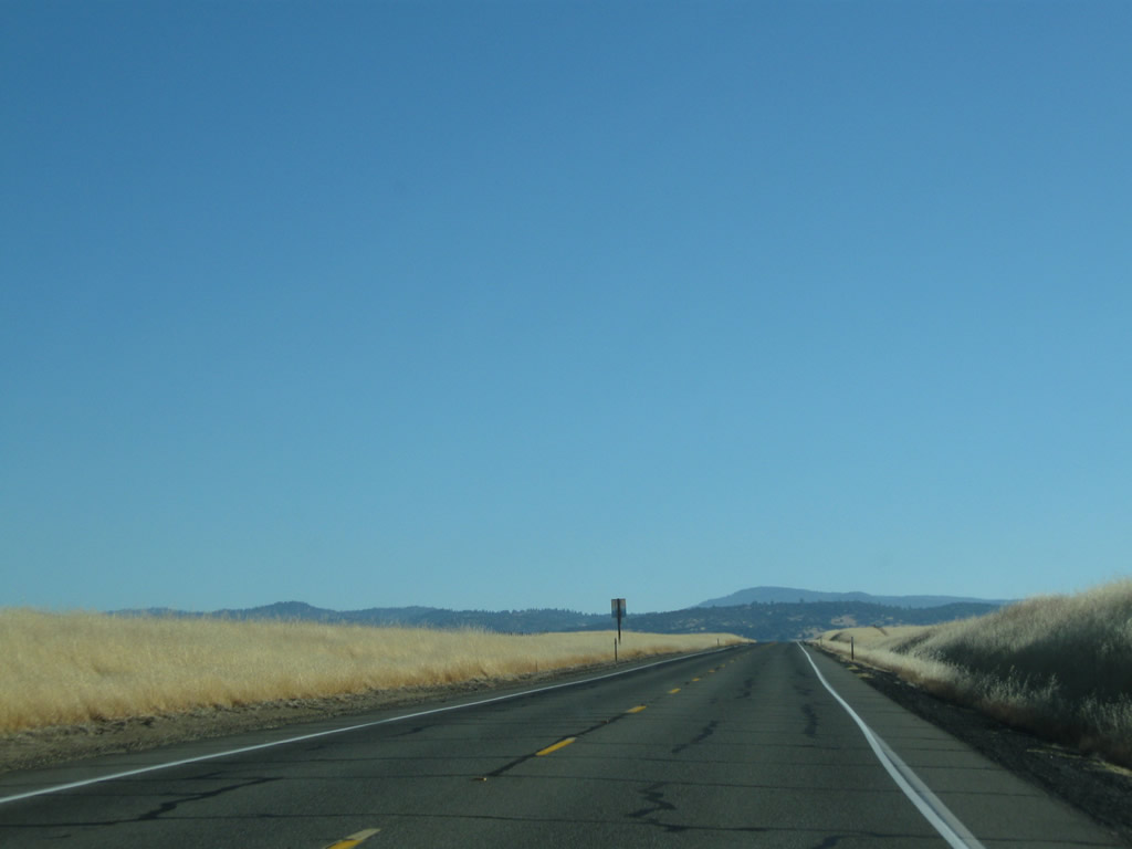
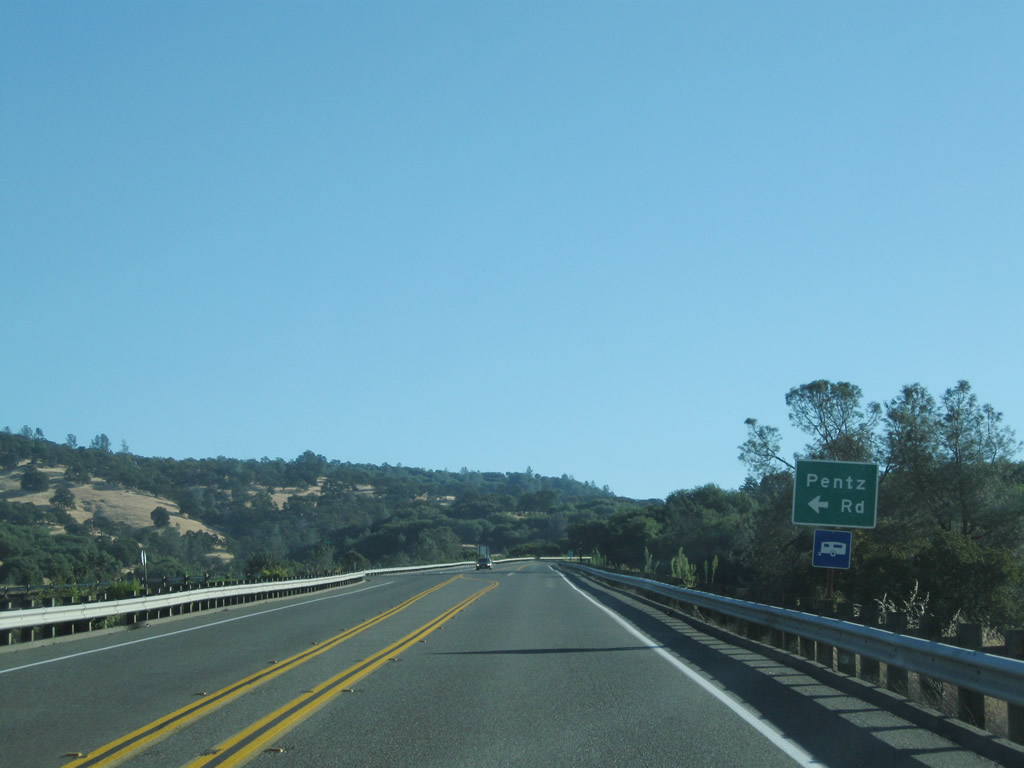
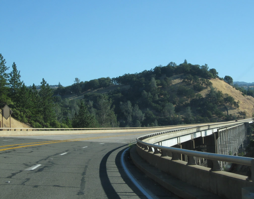
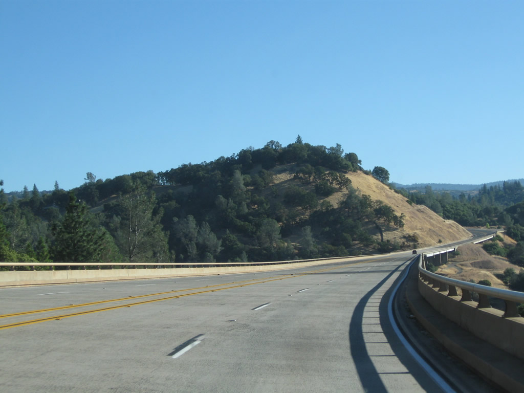
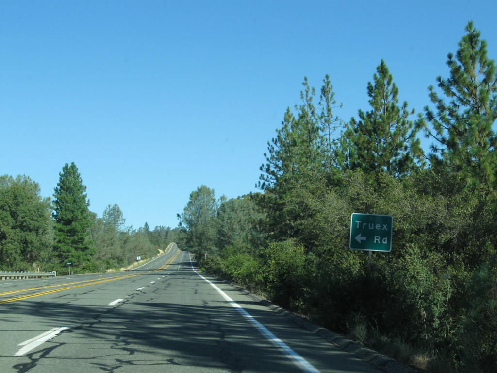
| Continuing east, the next major intersection along California 70 east is Pentz Road, which travels north to Lake Oroville Lime Saddle State Recreation Area. Photos taken 09/04/10. |
|
|
|
|
|
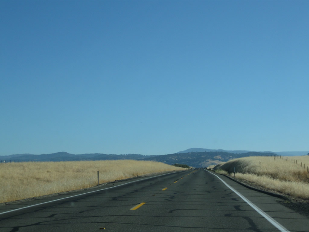
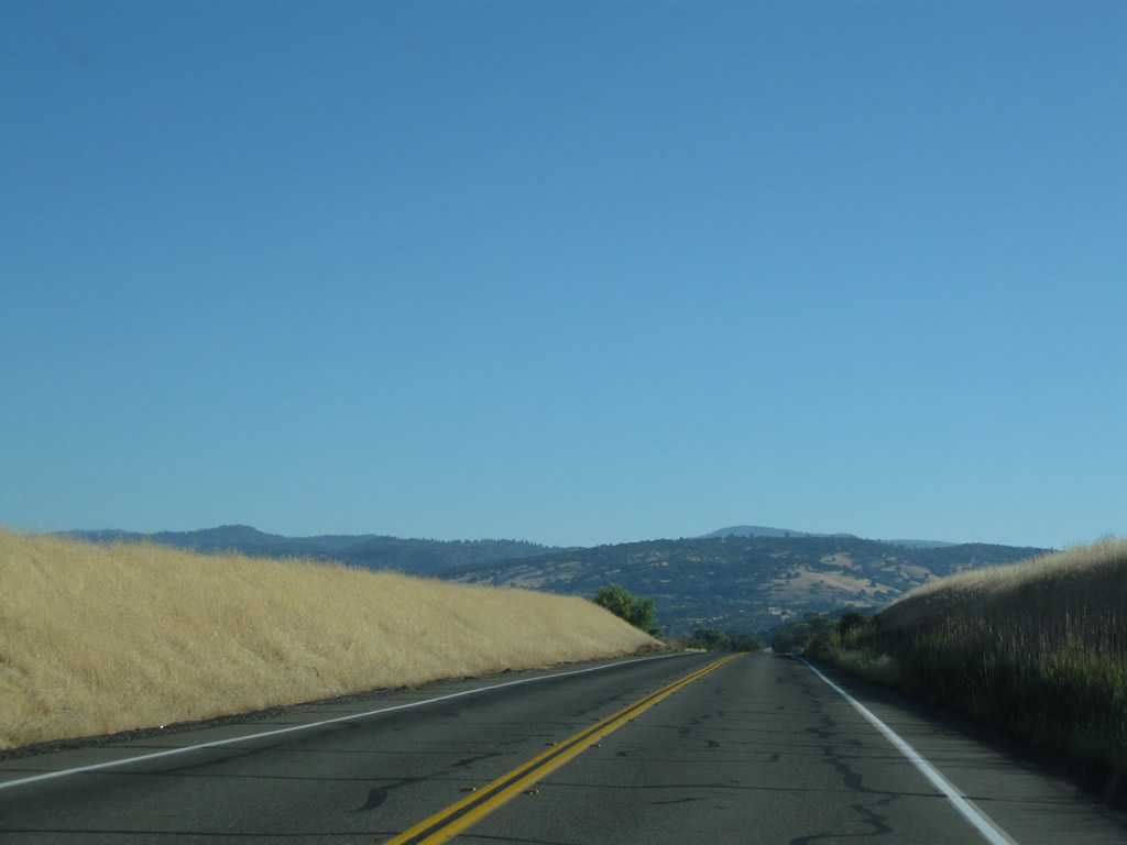
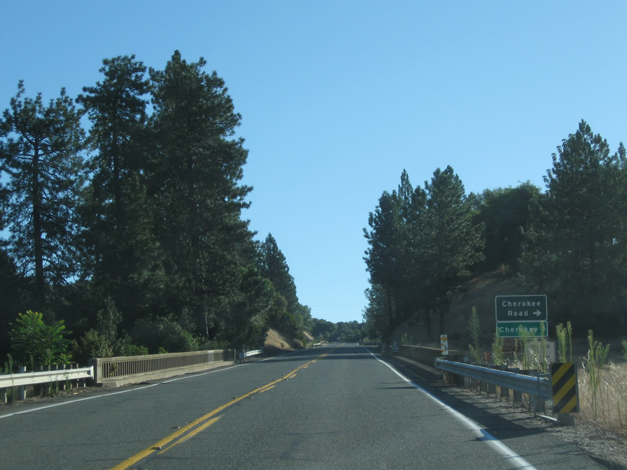
| California 70 approaches Cherokee Road, which travels south Cherokee and historic Oregon City. Travel a few miles south on Cherokee Road and Oregon Gulch Road to a covered bridge along Oregon Gulch Road and a nearby historical marker for Oregon City. Continuing northeast, California 70 sees a gorgeous view and approaches a western branch of sprawling Lake Oroville along the Feather River. Photos taken 09/04/10. |
|
|
|
|
|
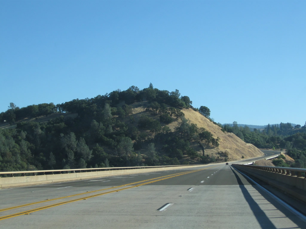
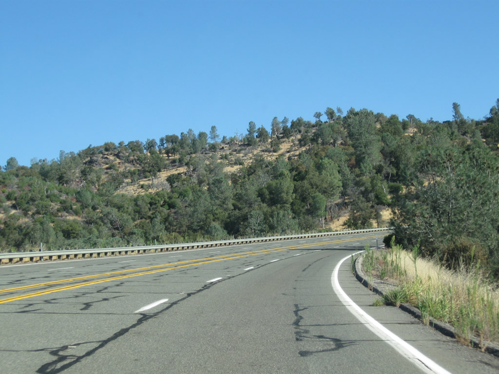
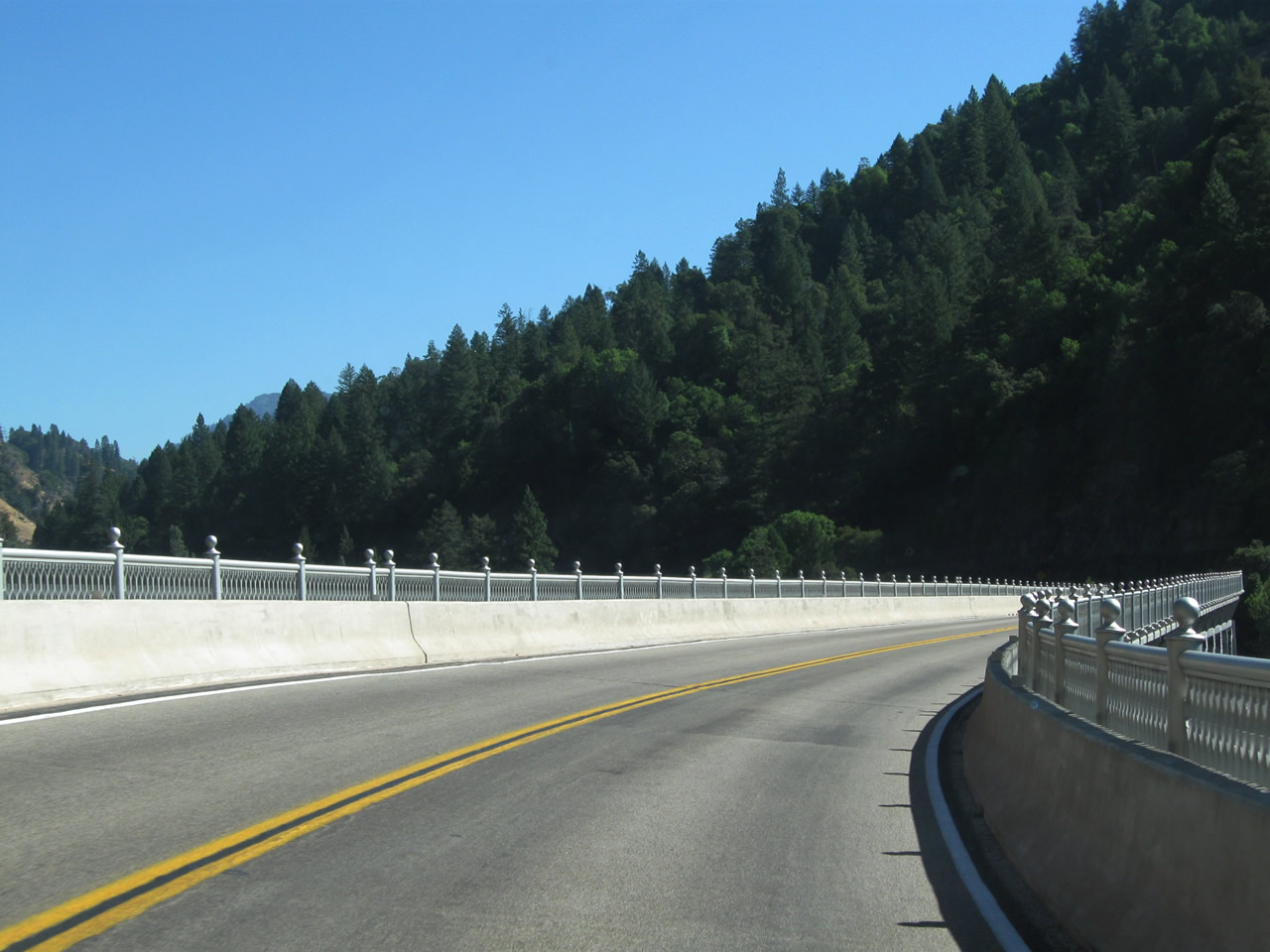
| Eastbound California 70 uses the West Branch Bridge to cross over Lake Oroville and the West Branch of the Feather River, which was built at a cost of $8.6 million. The bridge carries California 70 on the top deck and the Union Pacific railroad on the bottom deck. This is the first of several interesting and unique bridges along California 70 in the Feather River Canyon. Opened in August 1962, this deck truss bridge was built as part of a realignment of California 70 (known as U.S. 40 Alternate until 1964) around the new Lake Oroville. The reservoir, part of the California State Water Project, is located at the confluence of the North Fork of the Feather River with the Feather River. Oroville Dam, one of the tallest earth-fill dams, impounds approximately 3.5 million acre feet of water. At the northeastern end of the bridge, California 70 approaches Yankee Hill.1,2 Photos taken 09/04/10. |
|
|
|
|
|
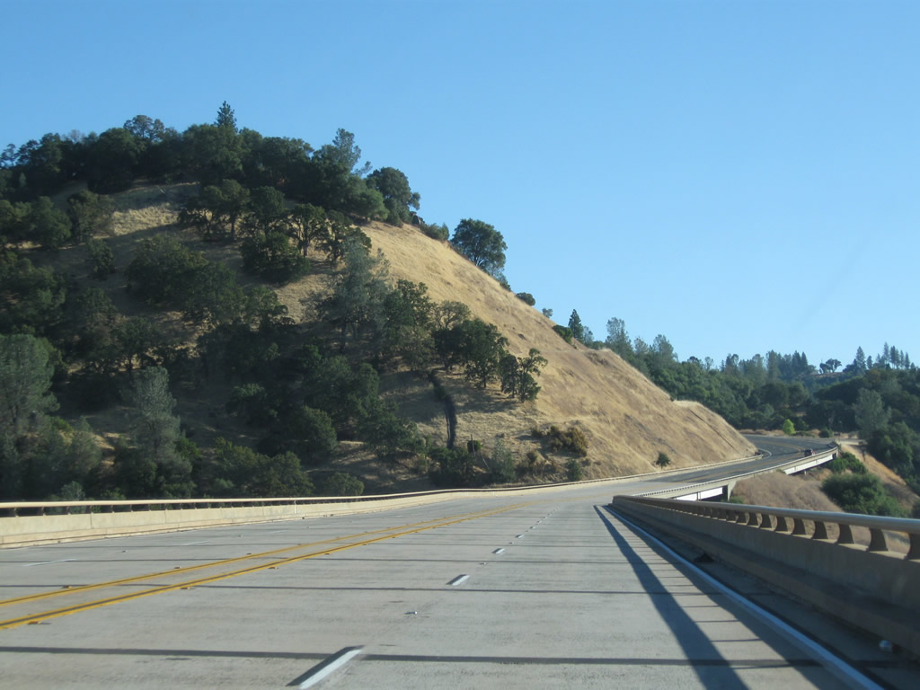
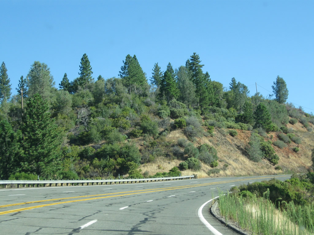
| California 70 enters the unincorporated community of Yankee Hill at the northeastern end of the West Branch Bridge. The highway continues with two lanes in each direction as it ascends Yankee Hill. Photos taken 09/04/10. |
|
|
|
|
|
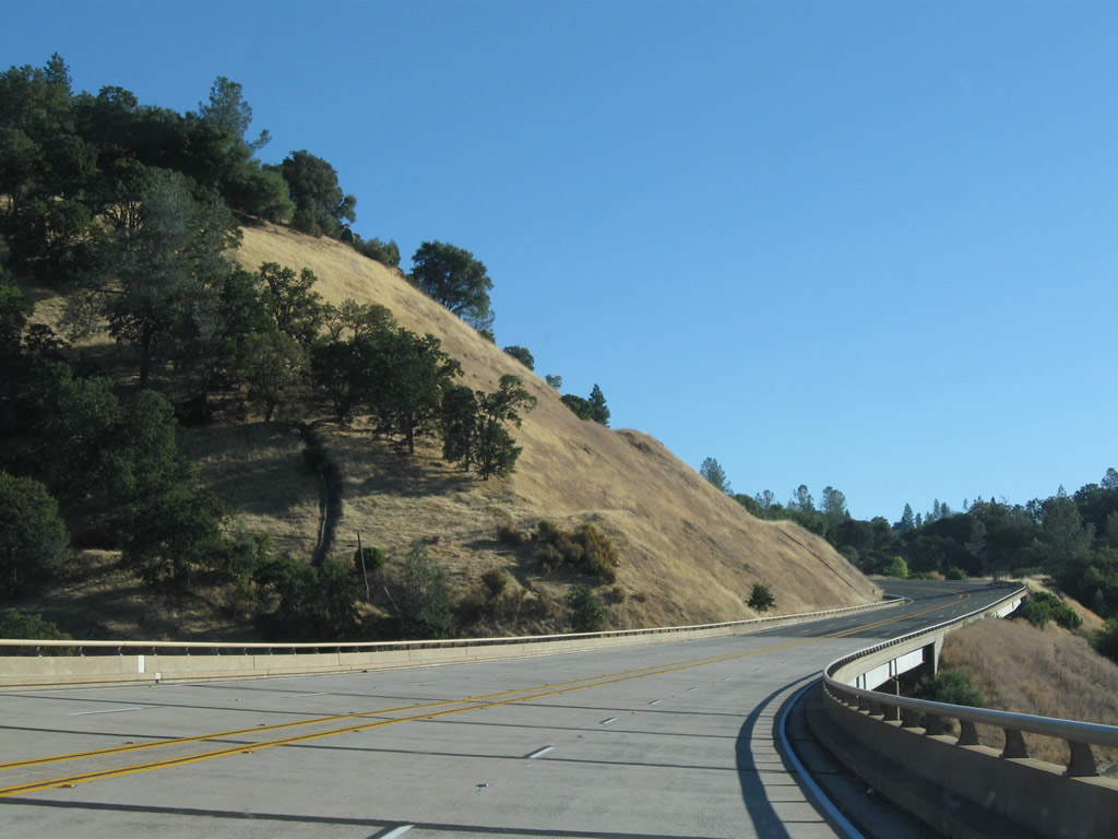
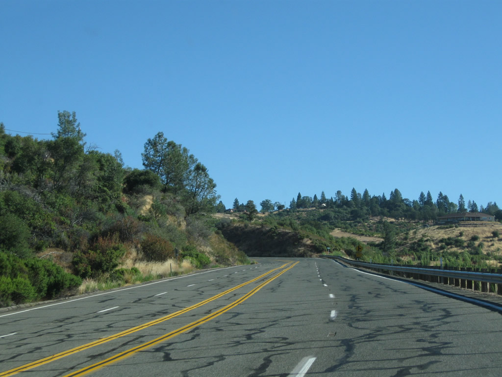
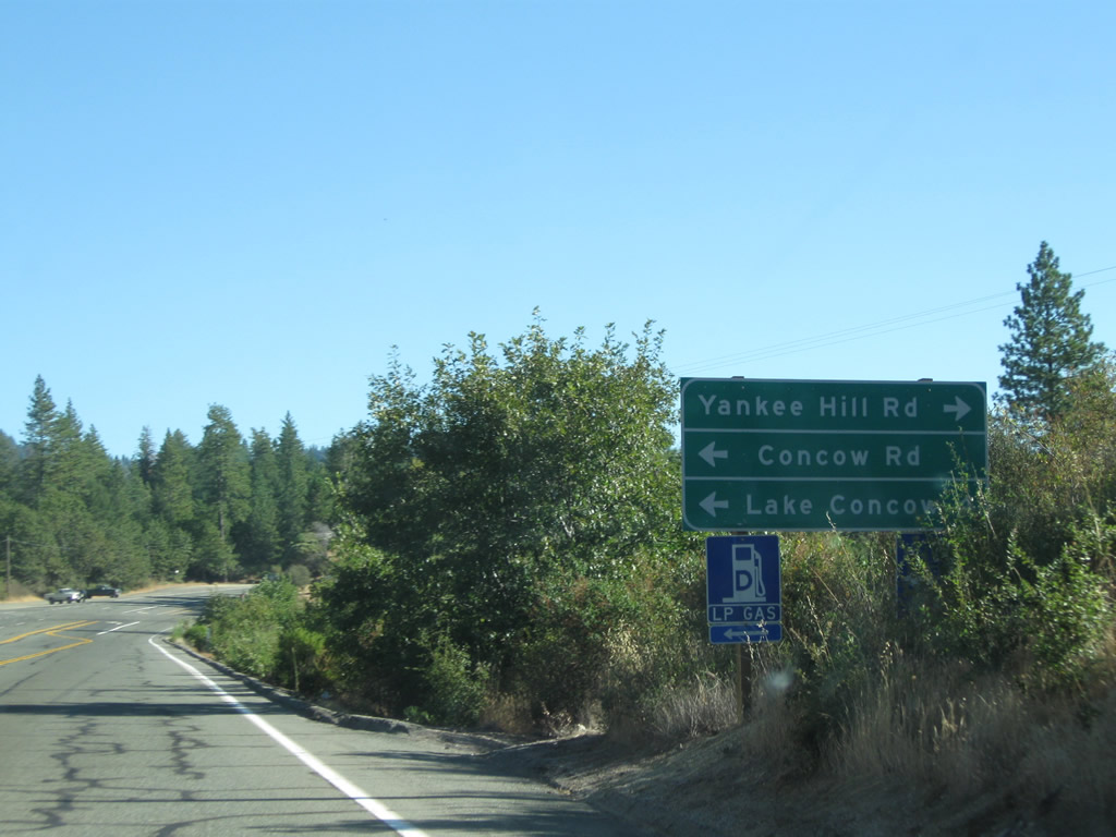
| Continuing to gain elevation on the Yankee Hill grade, California 70 proceeds northeast with two lanes in each direction. Nearing the top of the grade the state route approaches Yankee Hill Road. Photos taken 09/04/10. |
|
|
|
|
|
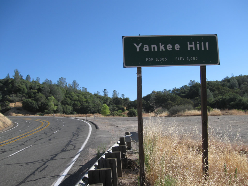
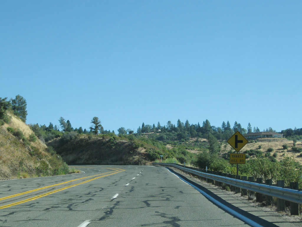
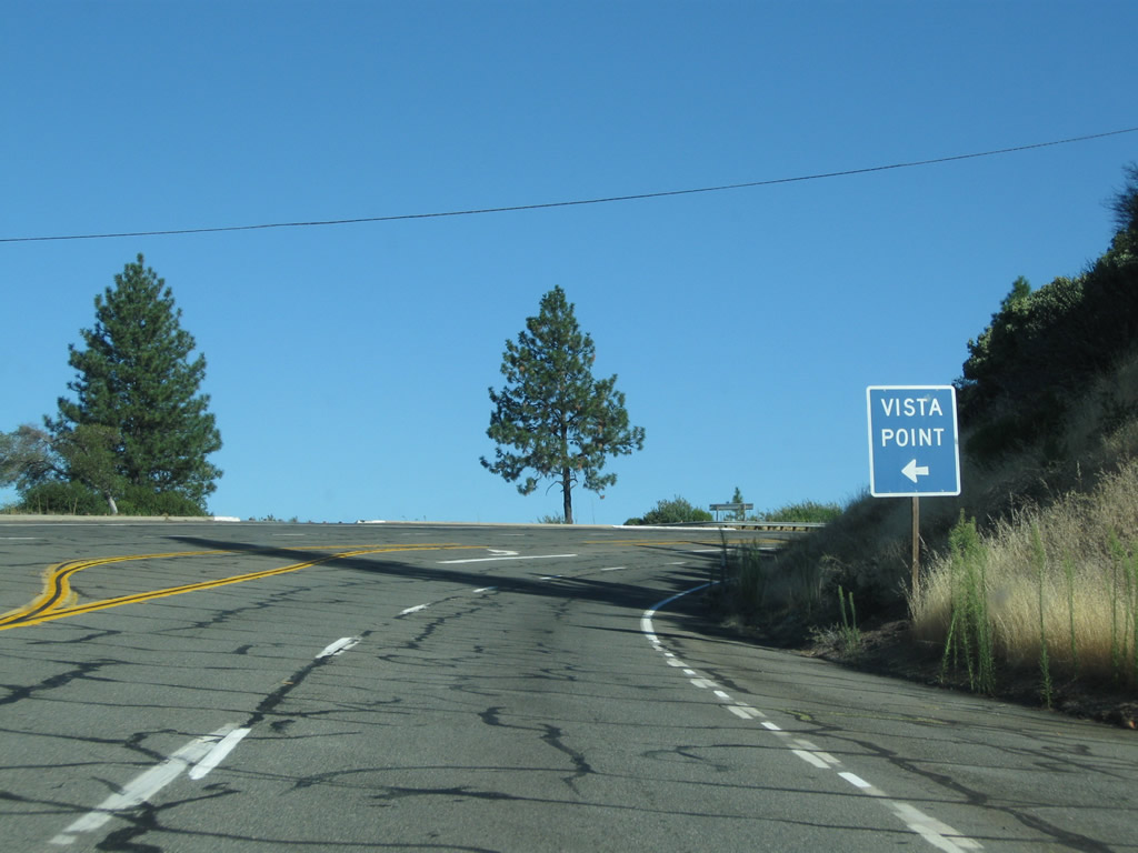
| Coming to the top of the grade, the state route sees a vista point/parking area and an intersection with Yankee Hill Road, Concow Road, and Skycrest Drive. After this intersection, California 70 again narrows to one lane in each direction. Photos taken 09/04/10. |
|
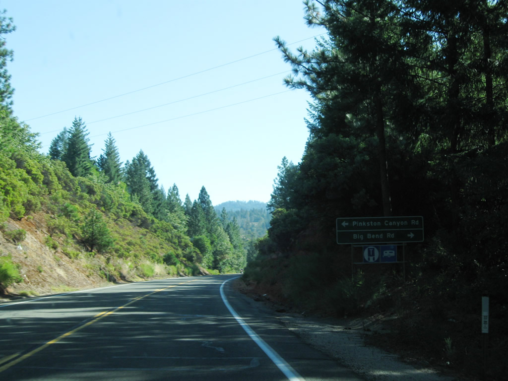
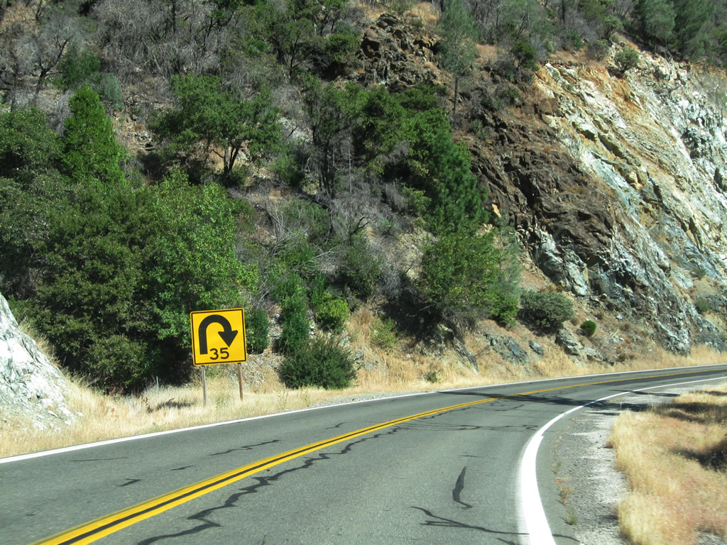
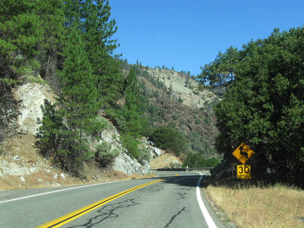
Eastbound California 70 approaches Pinkston Canyon Road and Big Bend Road. Use Big Bend Road southeast to Dark Canyon Road, which is the original alignment of California 24 (opened between Oroville and Hallelujah Junction on August 14, 1937).3 California 24 was renumbered as U.S. 40 Alternate in 1954, and U.S. 40 Alternate was eliminated during the large-scale elimination of multiple U.S. routes in California on July 1, 1964. On that day, California 70 was commissioned to replace U.S. 40 Alternate to include the Feather River Highway, and the segment between Oroville and a point about a quarter-mile east of here was relocated in August 1962 to allow the through highway to stay above Lake Oroville. Photo taken 09/04/10. |
|
|
|
|
|
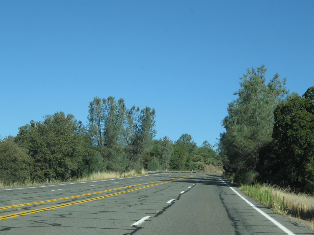
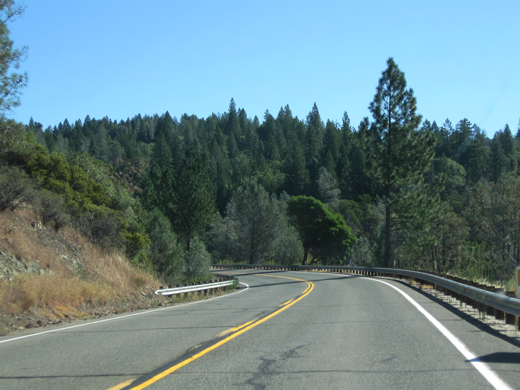
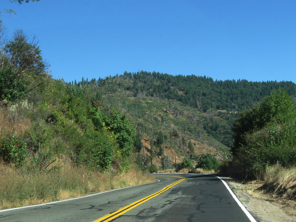
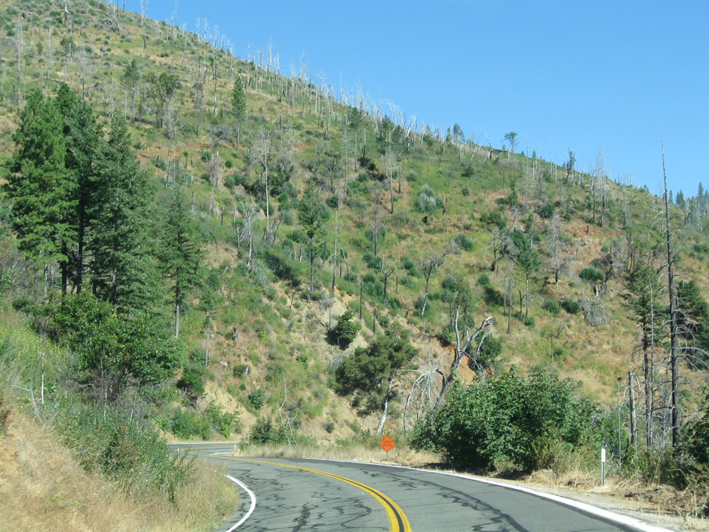
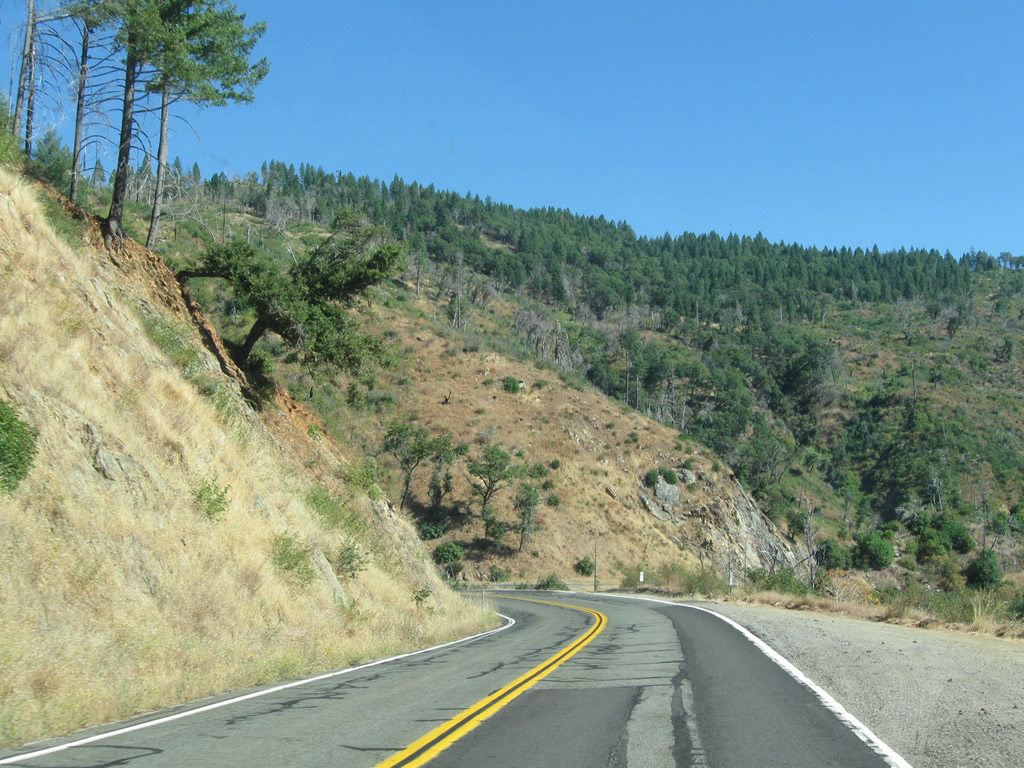
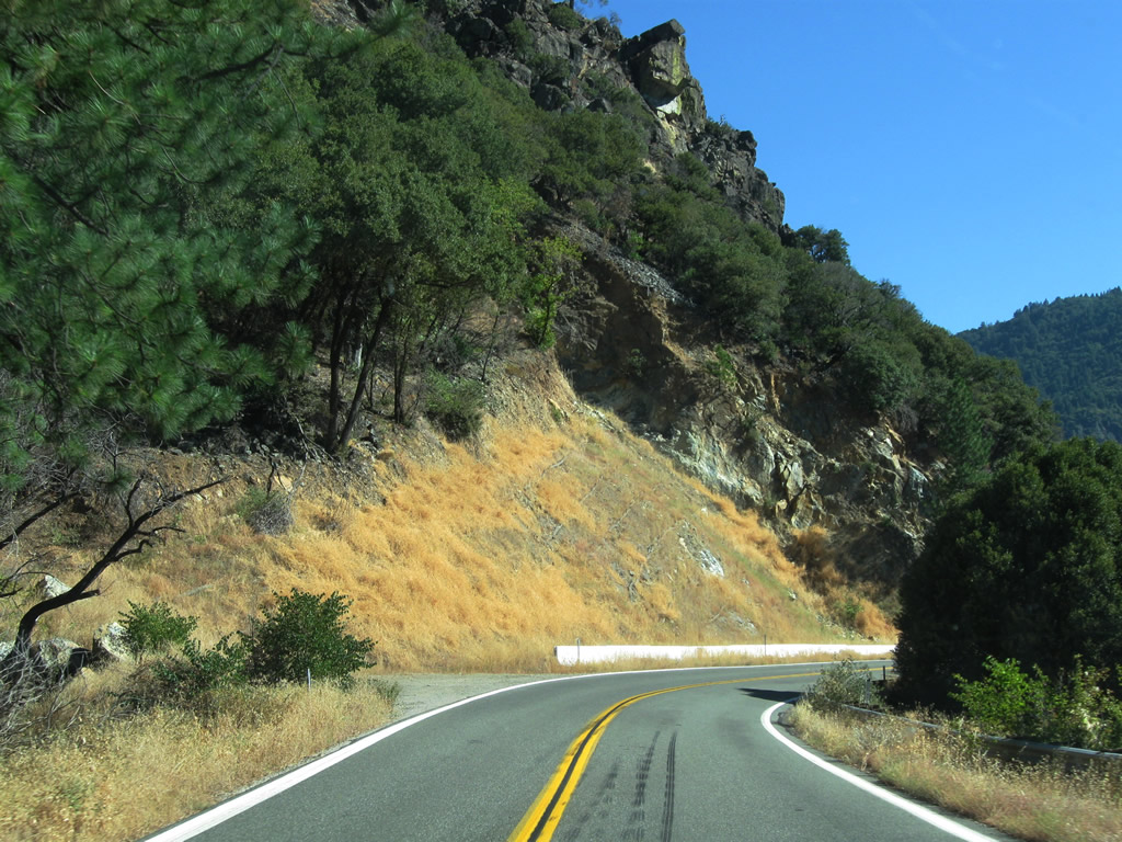
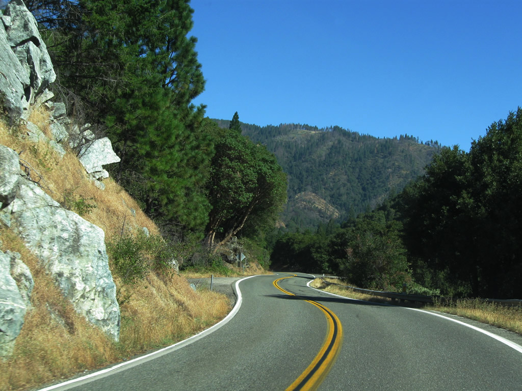
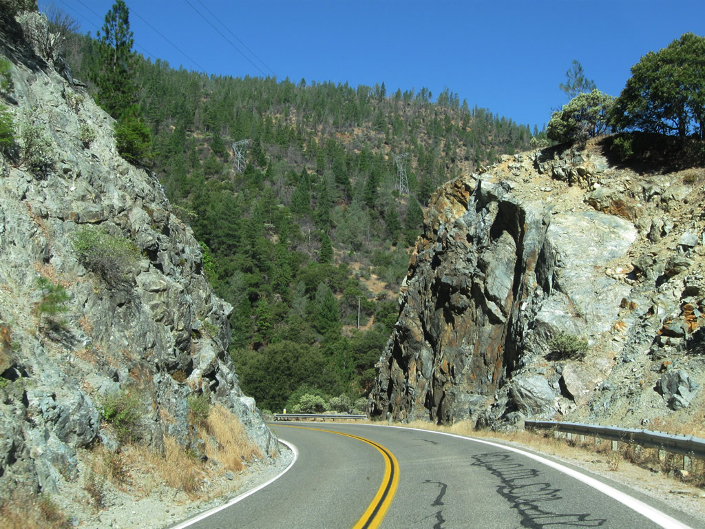
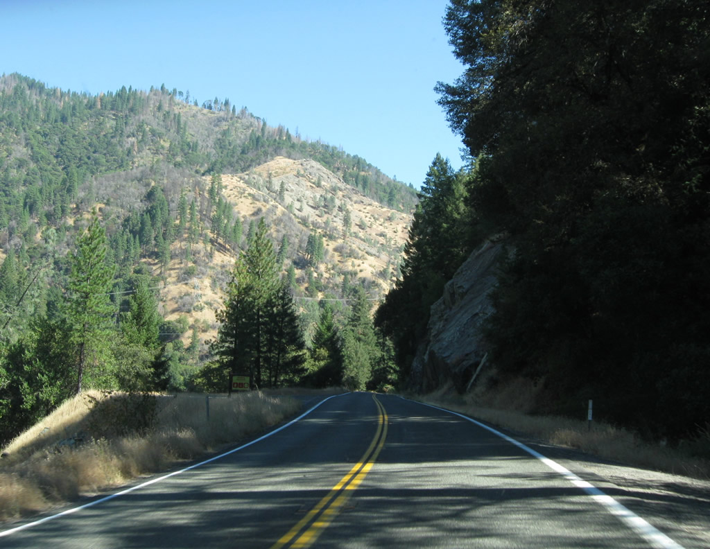
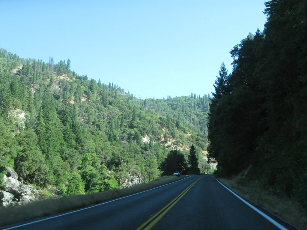
| Eastbound California 70 (Feather River Highway) now (more or less) follows the original California 24 / U.S. 40 Alternate alignment and cuts through the scenic Sierra Nevada foothills as it parallels the North Fork of the Feather River. Photos taken 09/04/10. |
|
|
|
|
|
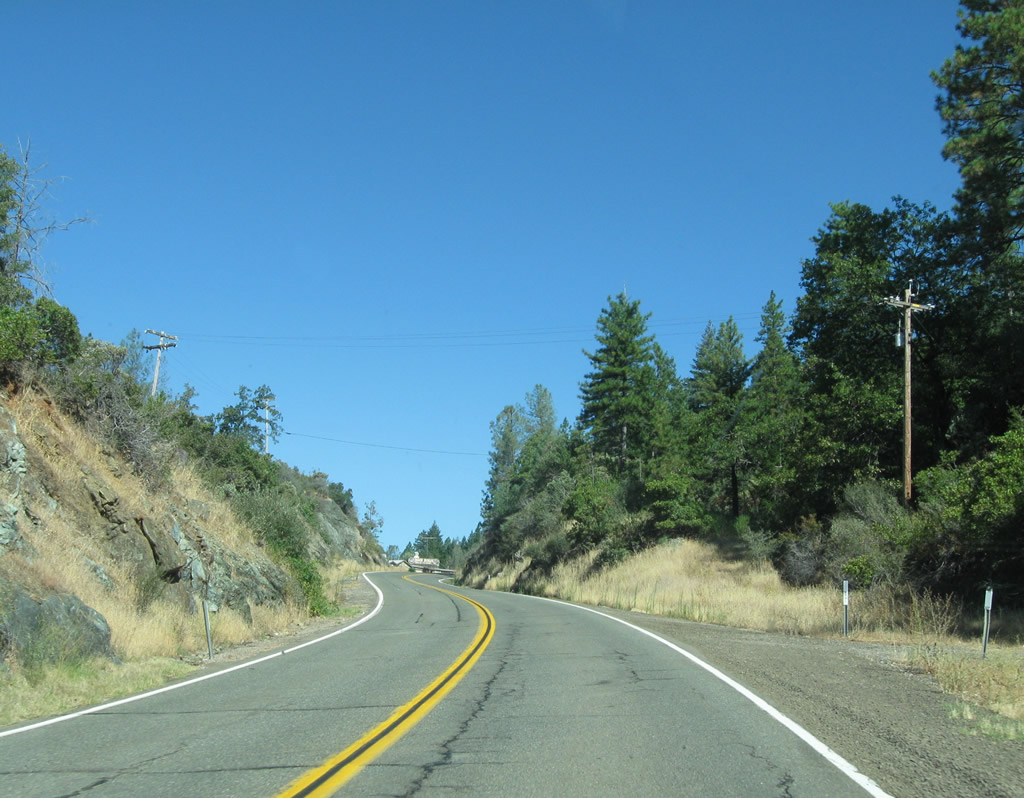
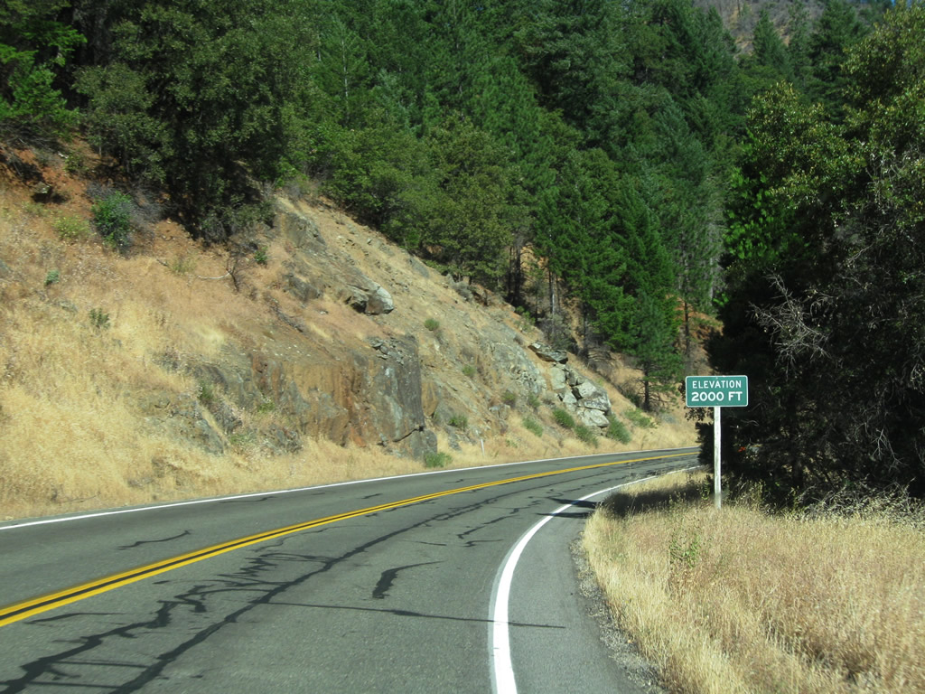
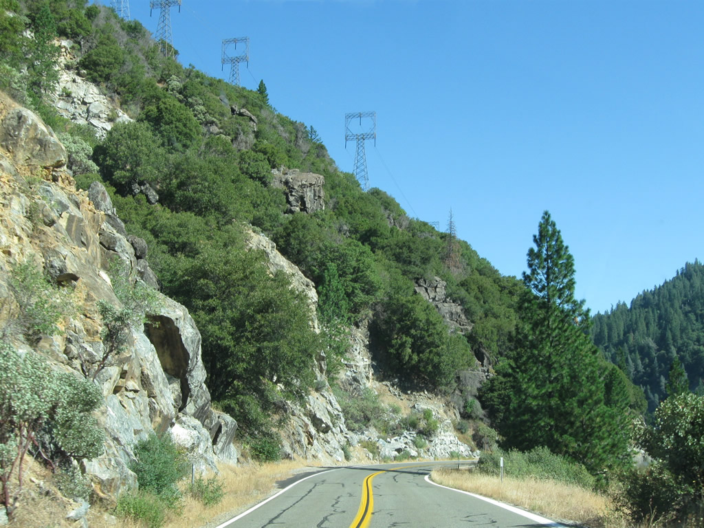
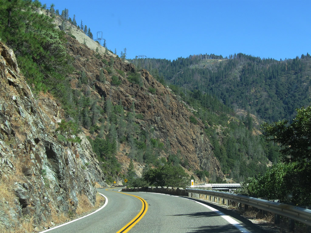
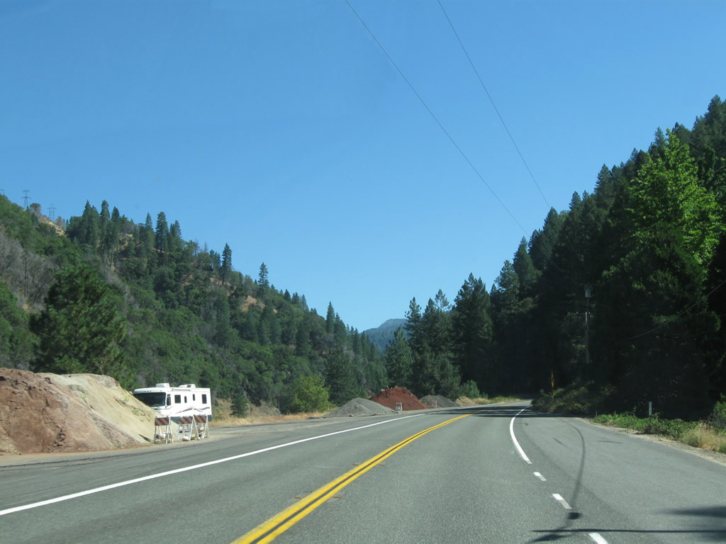
| California 70 (Feather River Highway) enters Plumas National Forest. A set of power lines that carry electricity generated by hydroelectric facilities passes alongside the highway. The state route reaches 2,000 feet above sea level on this stretch. However, this route is known for its low elevation for a trans-Sierra Nevada route. Photos taken 09/04/10. |
|
|
|
|
|
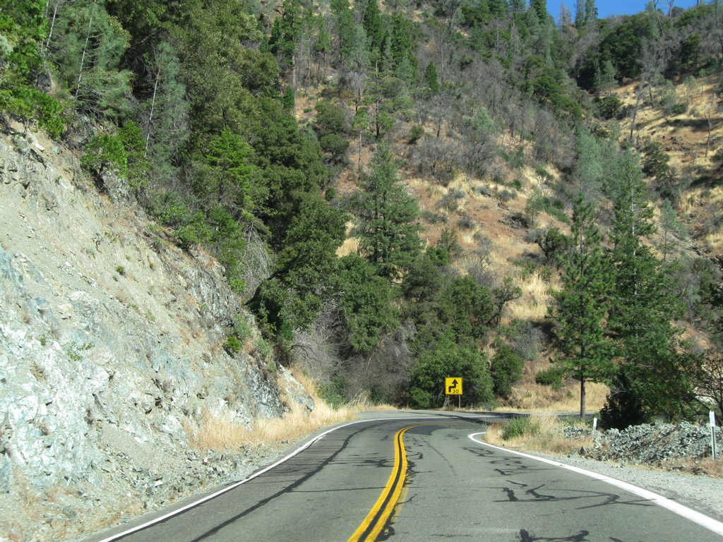
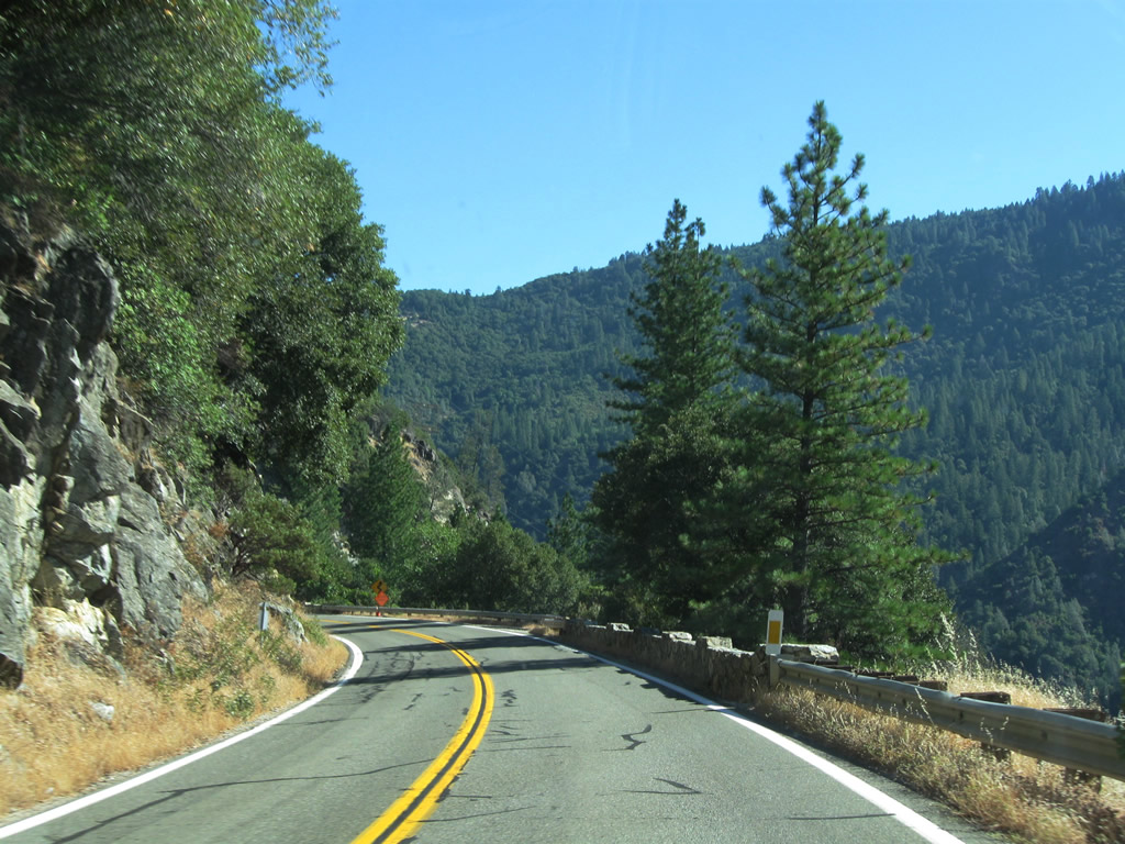
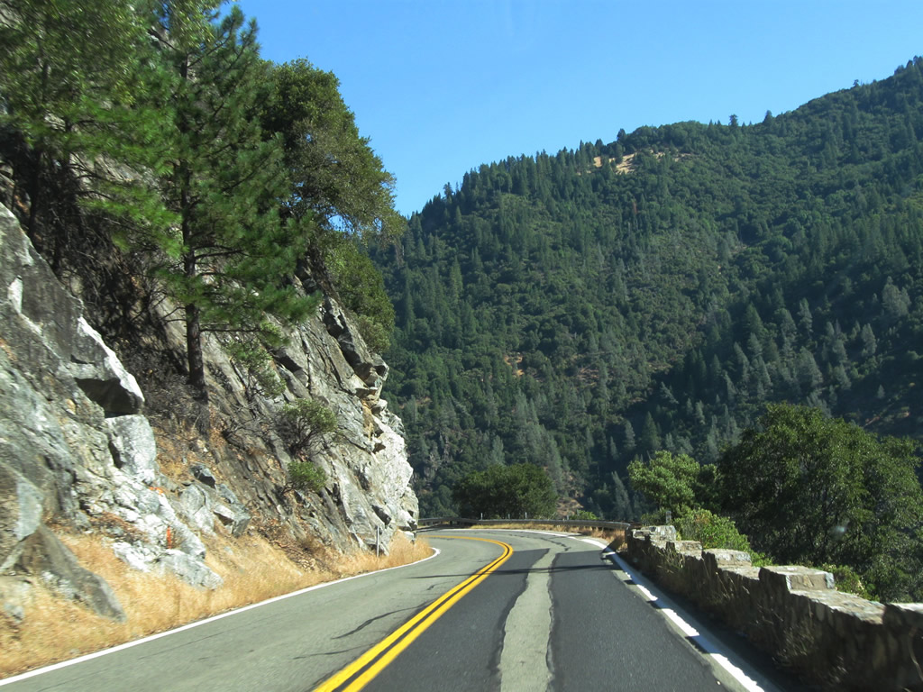
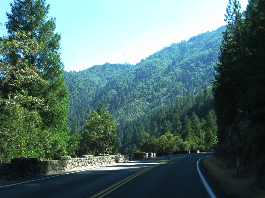
| Staying well above the North Fork of the Feather River, California 70 (Feather River Highway) offers views of the Sierra Nevada foothills as it proceeds east toward Quincy. Photos taken 09/04/10. |
|
|
|
|
|
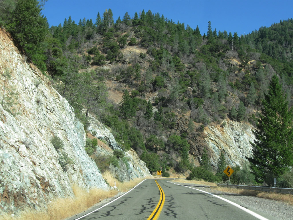
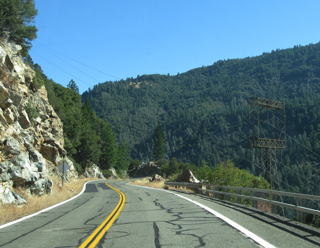
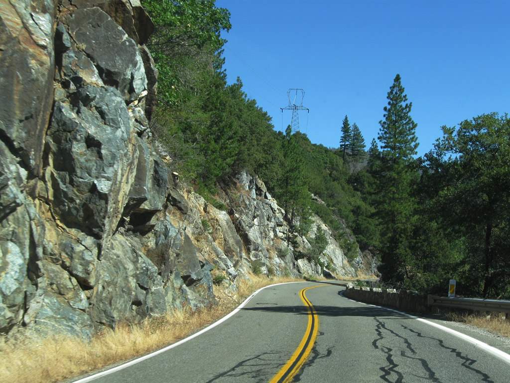
| California 70 (Feather River Highway) continues east and then north high above the river. Power lines parallel both the highway and river on the ridge above the state route. Photos taken 09/04/10. |
|
|
|
|
|
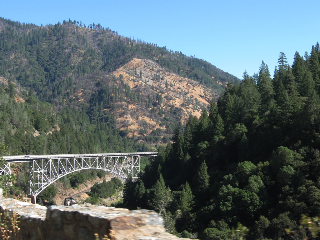
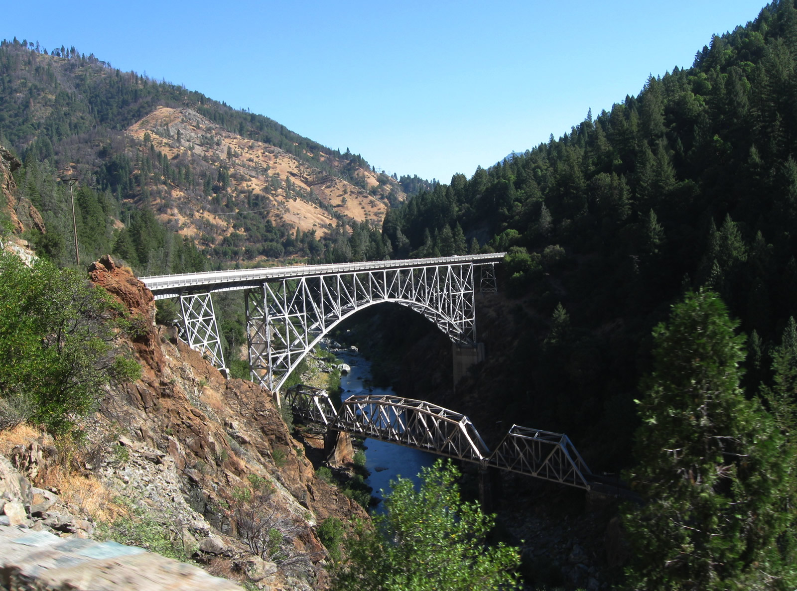
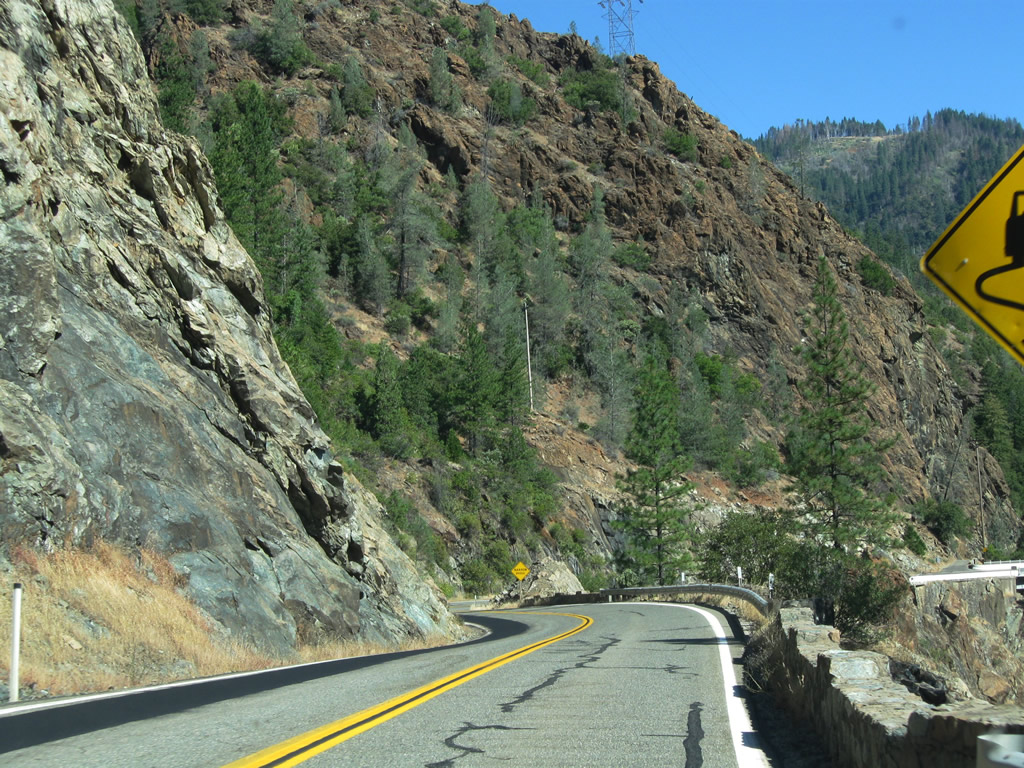
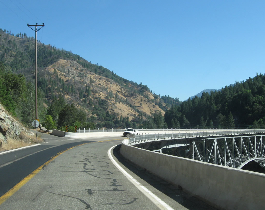
| California 70 (Feather River Highway) passes through a tall rock cut, then approaches the Pulga Bridge, which was built in 1932 to span the North Fork of the Feather River and the railroad, which remains much closer to the river's edge well below the state route. The Pulga Bridge is deck steel arch bridge, while the railroad bridge below is a steel through truss bridge. Photos taken 09/04/10. |
|
|
|
|
|
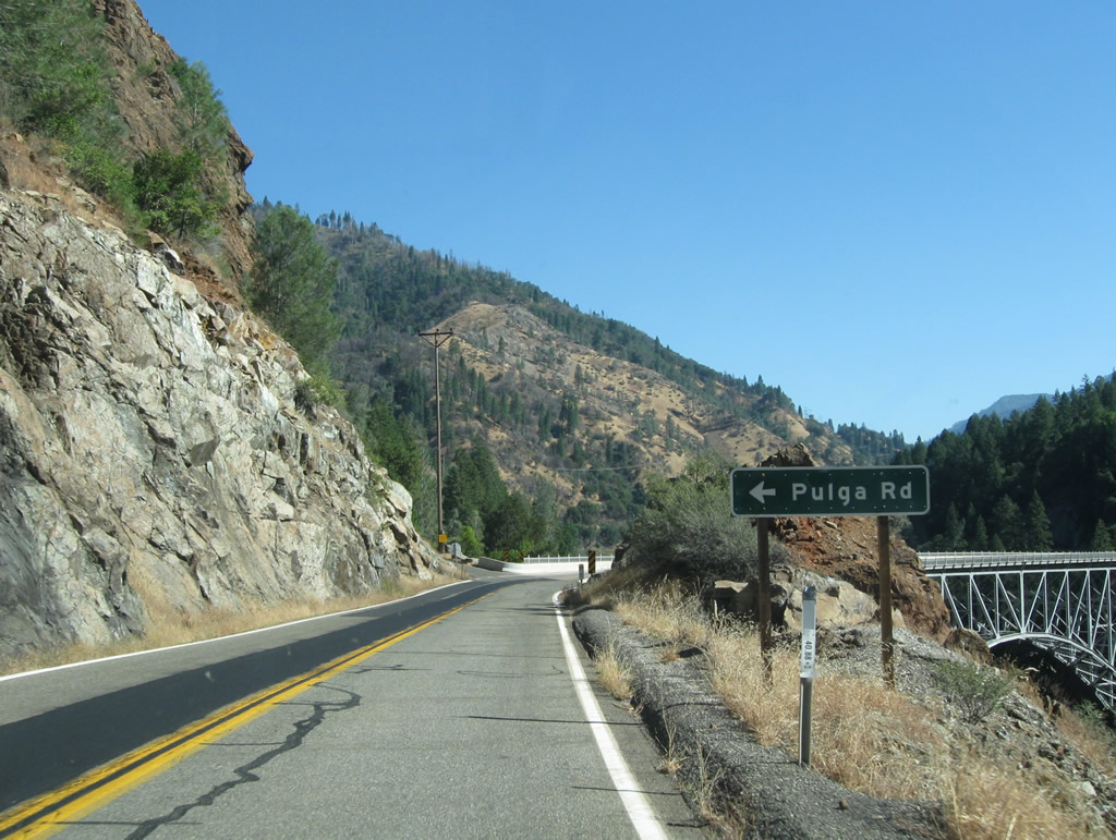
| The highway, which had generally been traveling north, makes a turn east to cross over the North Fork of the Feather River. Prior to the bridge crossing, a left turn connects to Pulga Road north to serve the west bank of the river. The bridge crossing is unique in that the towering deck arch bridge crosses over a railroad through truss bridge, which in turn passes over the river. Photos taken 09/04/10. |
|
|
|
|
|
| Coming to the level of the railroad and North Fork of the Feather River on the east/south bank, California 70 approaches several tunnels that enable the highway to pass through rugged segments of the Feather River Canyon. Watch for hydroelectric facilities alongside the river. Photos taken 09/04/10. |
|
|
|
|
|
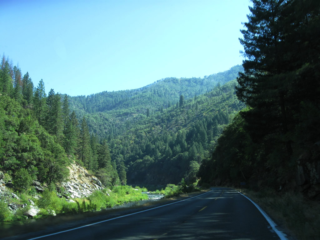
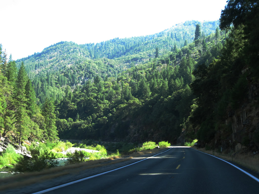
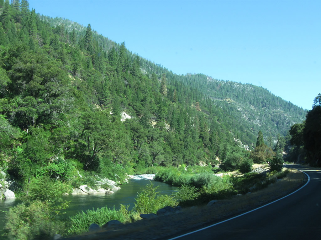
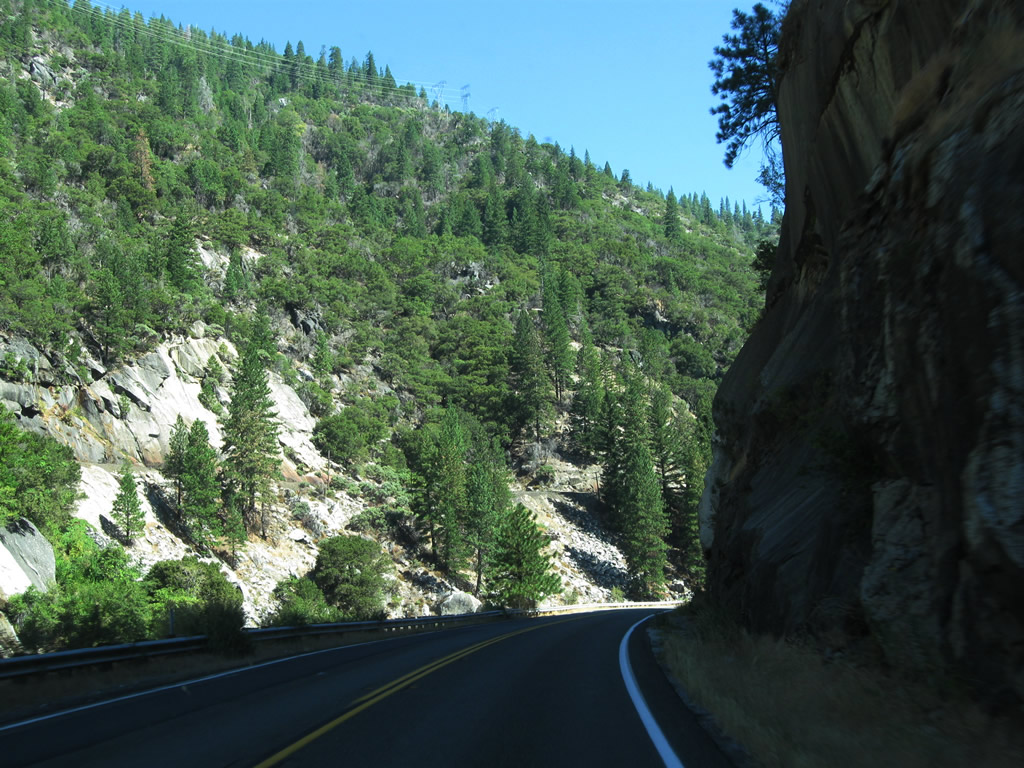
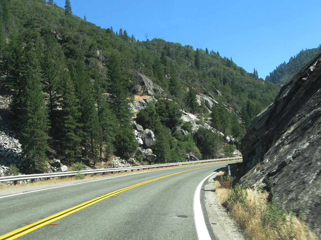
| California 70 closely follows the south/east bank of the North Fork of the Feather River as it proceeds through the canyon. Photos taken 09/04/10. |
|
|
|
|
|
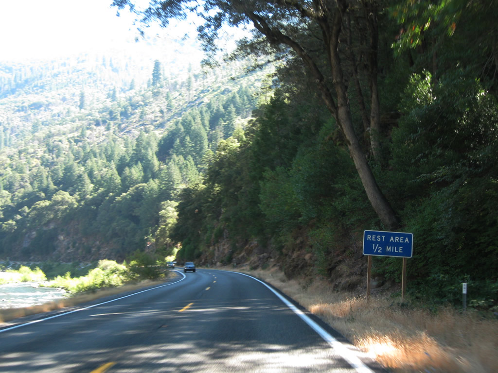
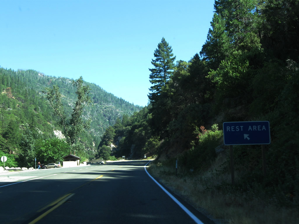
| Westbound California 70 approaches a rest area (Shady Rest Day Use Area) within the canyon, just before the tunnels. The bathroom is an outhouse, along with picnic tables that line the rivers edge. Photos taken 09/04/10. |
|
|
|
|
|
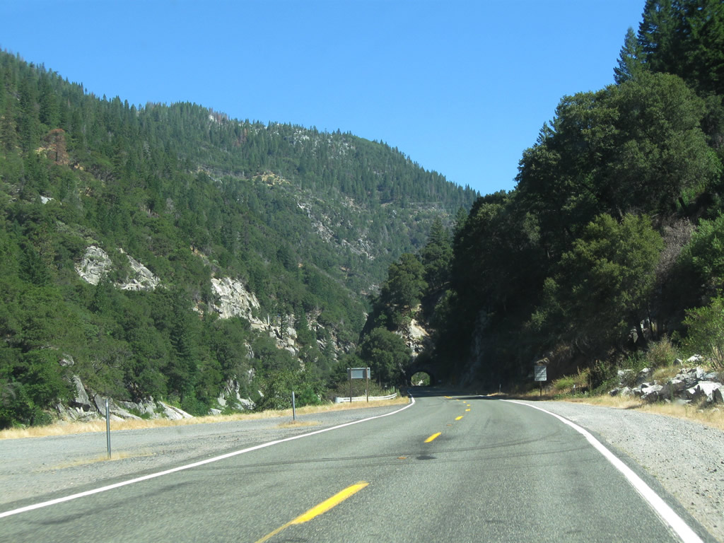
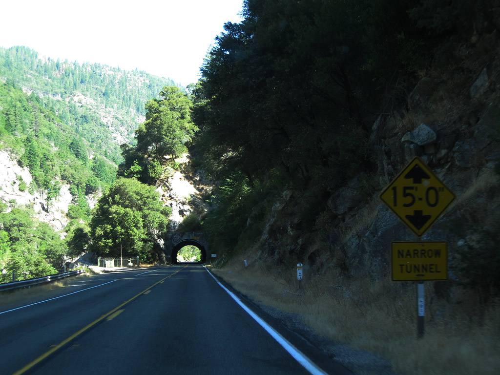
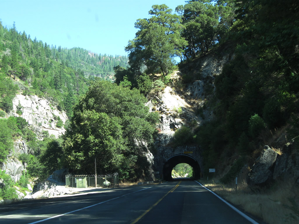
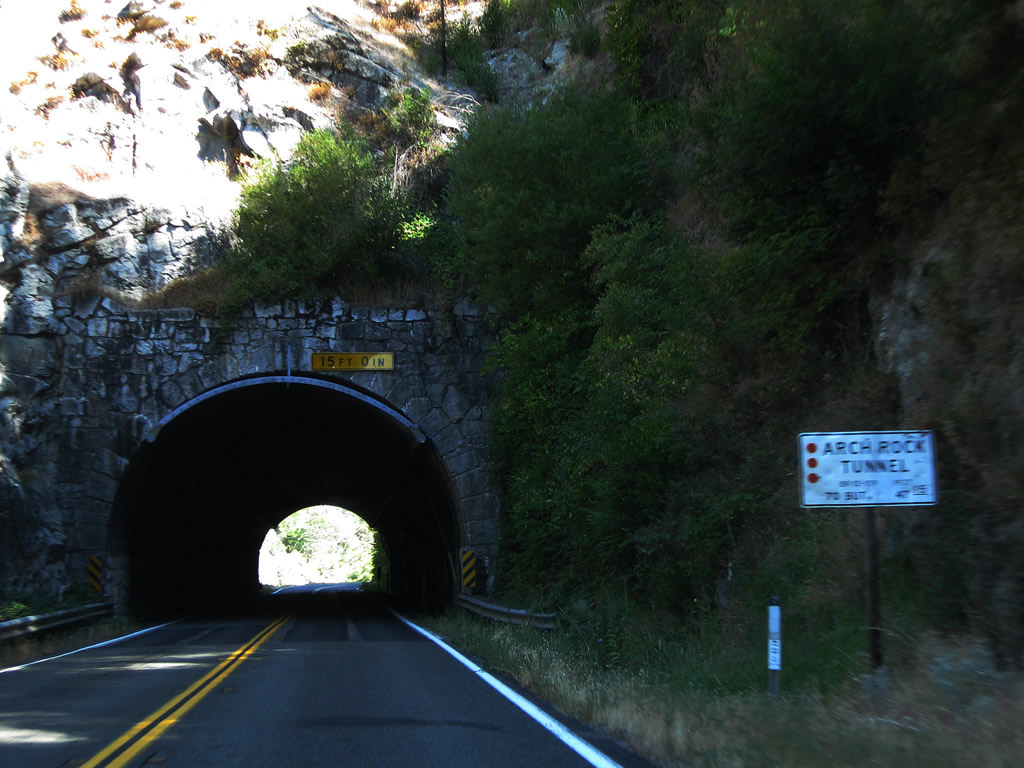
| Leaving the rest area, California 70 immediately approaches a series of three tunnels that allow the highway to pass through the canyon. In sequence, we will pass through Arch Rock Tunnel, Grizzly Dome Tunnel, and Elephant Butte Tunnel. This series of pictures shows the first tunnel encountered when traveling eastbound on California 70: Arch Rock Tunnel. This tunnel was constructed in 1937 as part of the larger project to complete the entire alignment of the original State Sign Route 24 - Feather River Highway that same year. Arch Rock Tunnel is about 33 miles northeast of Oroville and is 265 feet in length. Original plans called for three tunnels, and while three tunnels were built, they were not located in the place they were originally planned to be constructed. Arch Rock Tunnel was built as planned.4,5 Photos taken 09/04/10. |
|
|
|
|
|
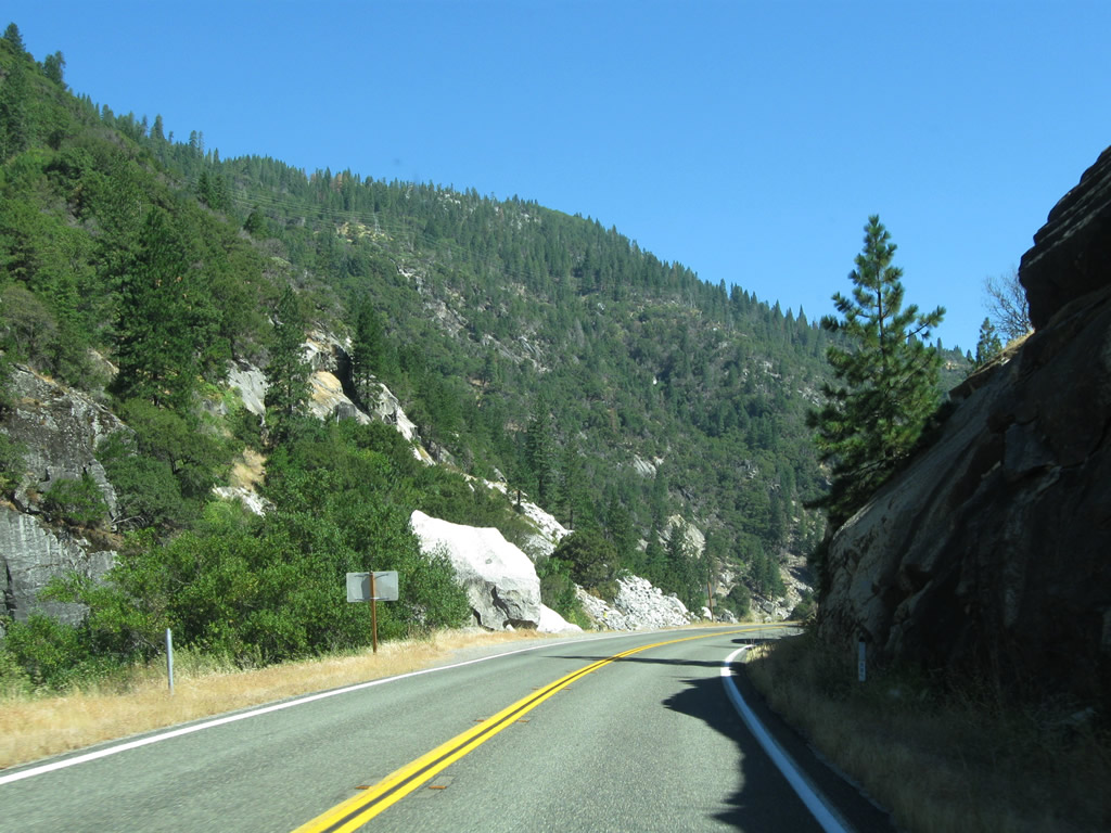
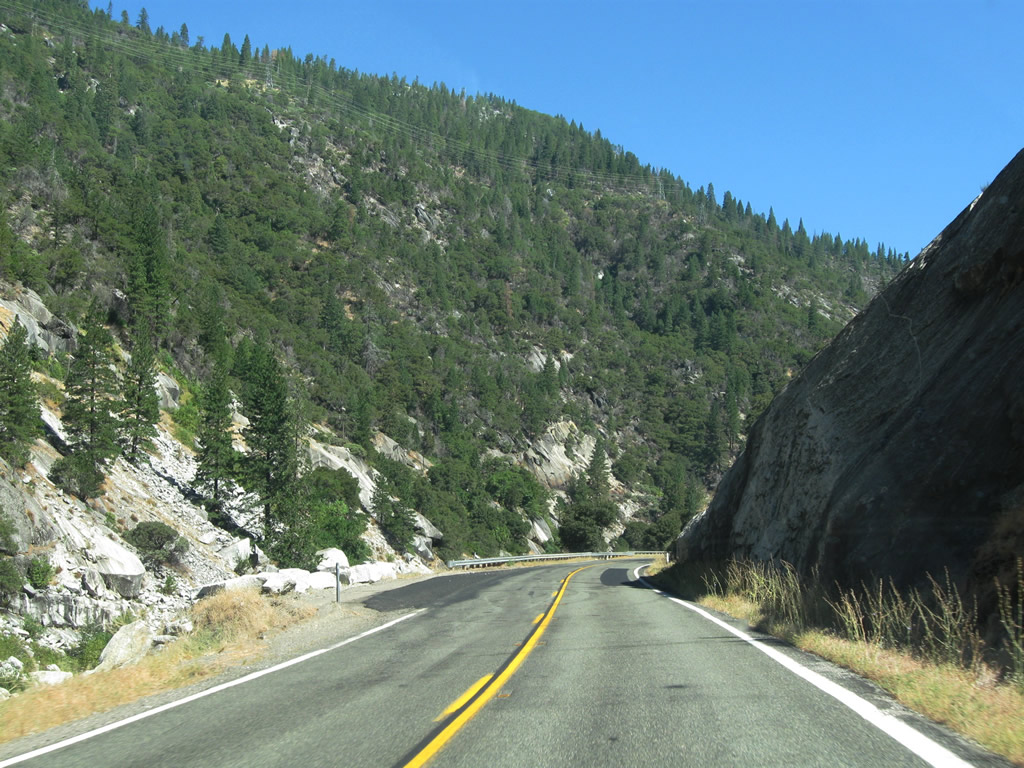
| After leaving Arch Rock Tunnel, California 70 proceeds east through the Feather River Canyon. Granite cliffs and formations line the south bank of the river. Prior to reaching Grizzly Dome Tunnel, California 70 will approach the county line. Photos taken 09/04/10. |
|
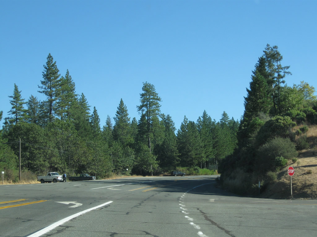
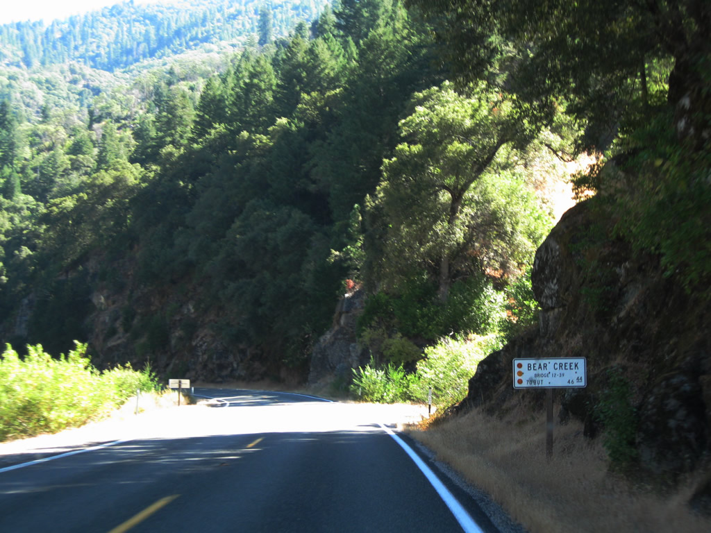
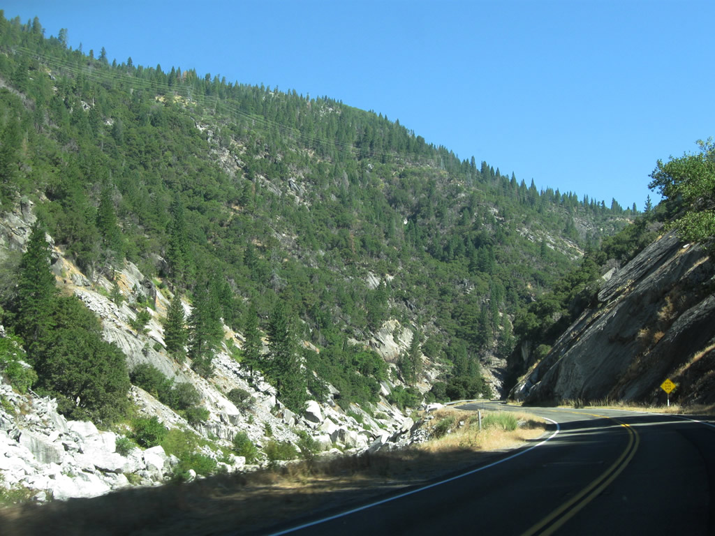
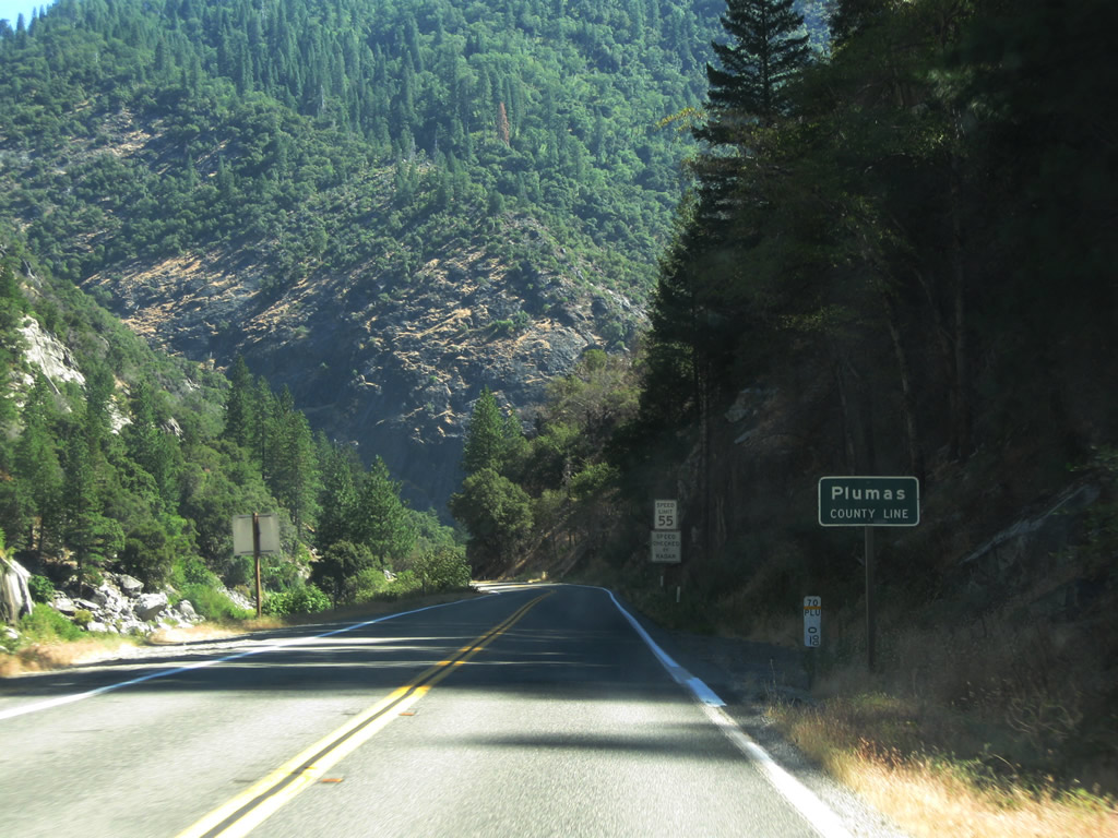
Between Arch Rock Tunnel and Grizzly Dome Tunnel, California 70 leaves Butte County and enters Plumas County, which had a population of 20,007 as of the 2010 Census. The seat of Plumas County is Quincy, which is located further northeast of here along California 70 and California 89. Photo taken 09/04/10. |
Page Updated March 25, 2012.