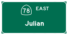
| California 78 east |
|
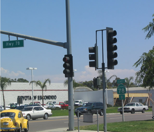
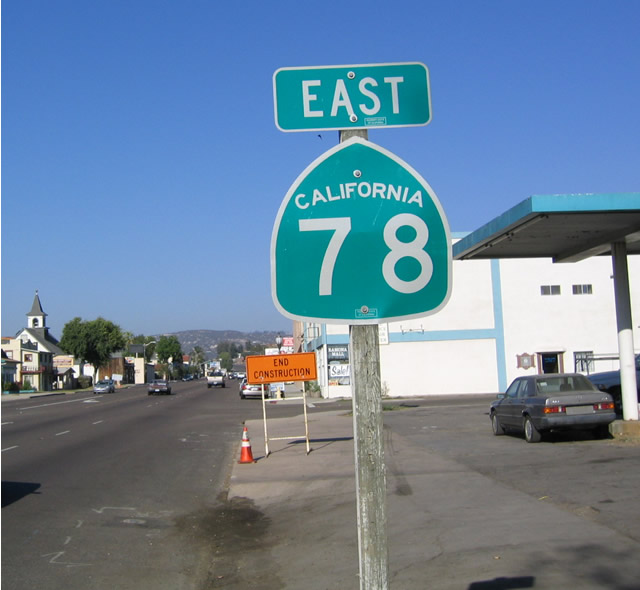
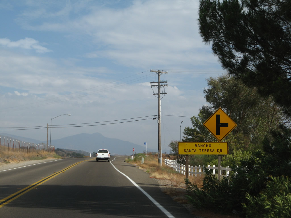
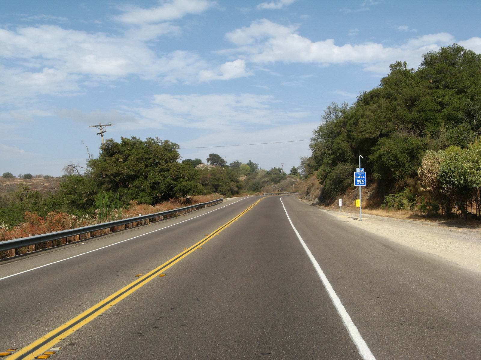
This is the first reassurance shield for California 78 east along southbound Broadway after the traffic signal with the California 78 freeway in Escondido. Photo taken 08/18/04. |
|
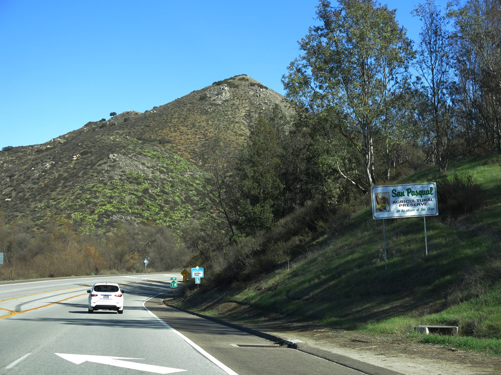
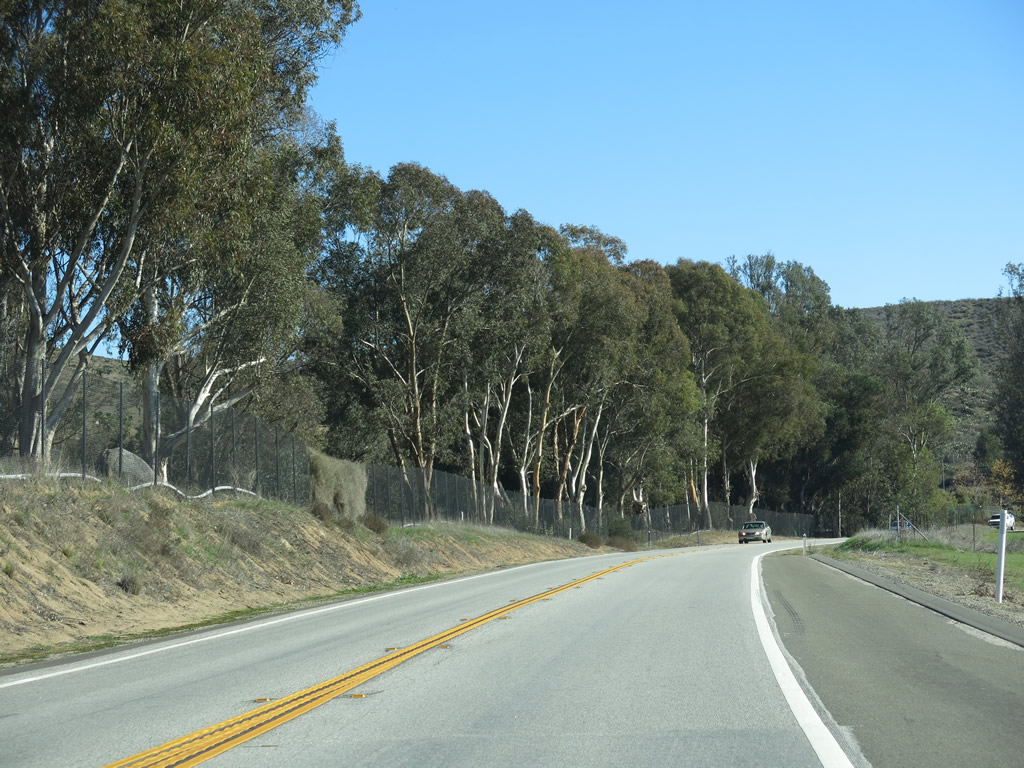
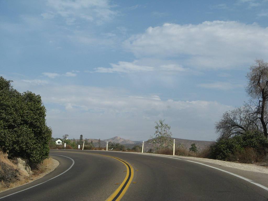
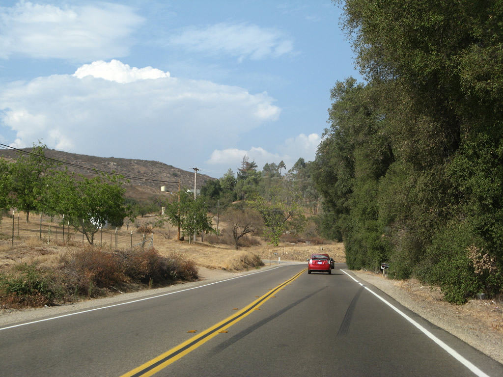
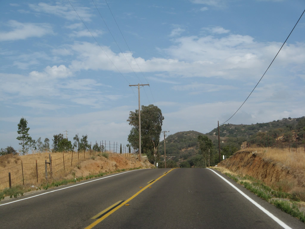
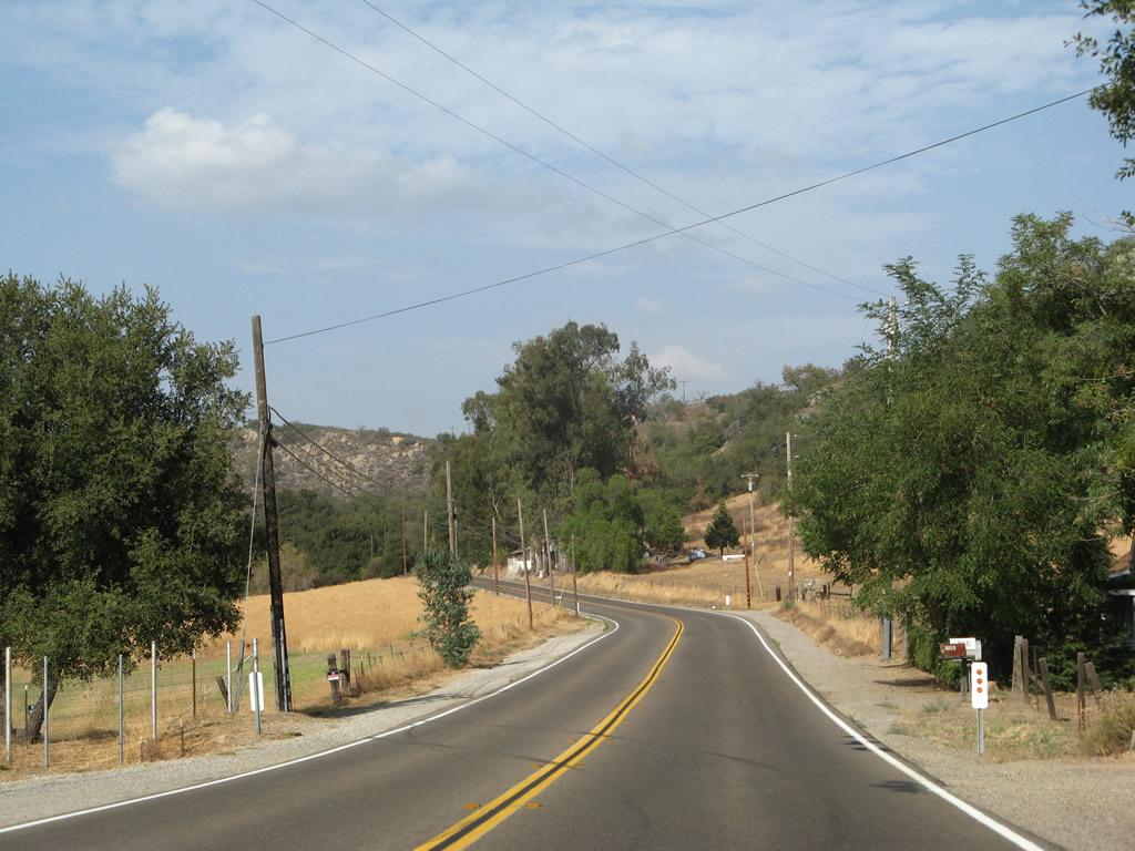
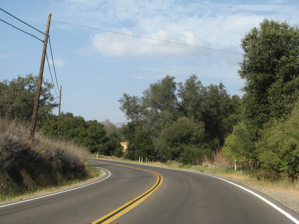
After the intersection with San Pasqual Road, eastbound California 78 enters the San Pasqual Valley Agricultural Preserve, which is largely within the corporate limits of the city of San Diego. This is the only time where California 78 passes through San Diego, which is the second largest city in California, had a population of 1,307,402 as of the 2010 Census, and was incorporated on March 27, 1850. Most of the populated areas of the city of San Diego are south of Lake Hodges along the Interstate 15 corridor, with downtown located at the convergence of Interstate 5, California 163, and California 94. Photo taken 01/05/13. |
|
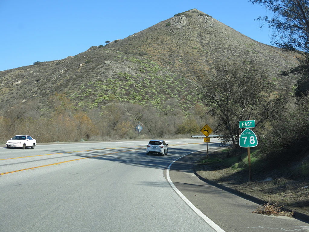
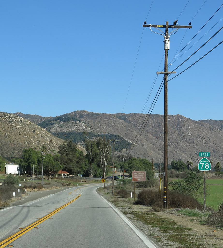
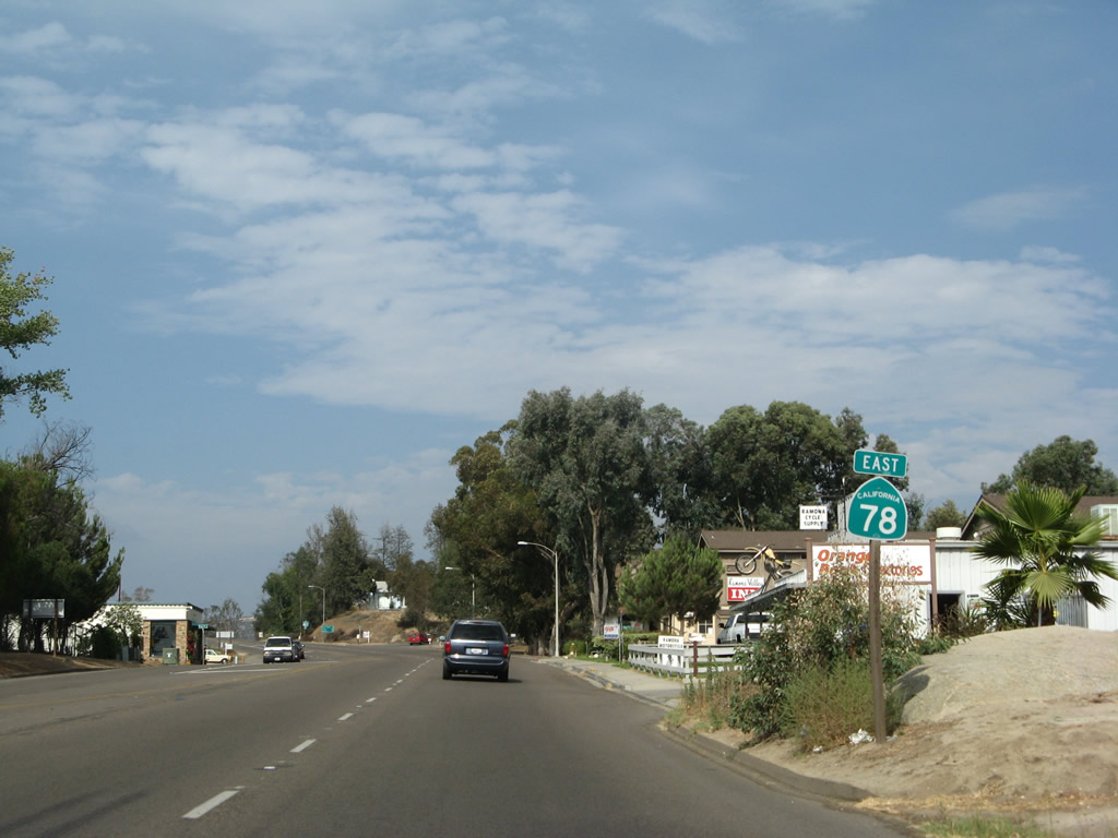
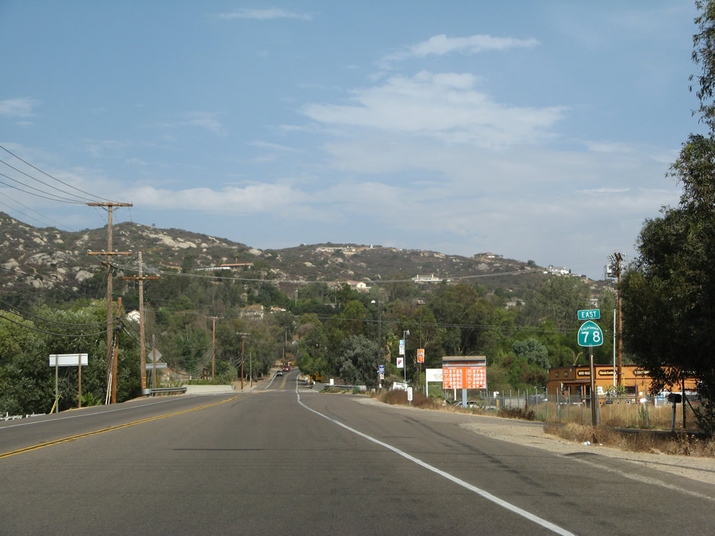
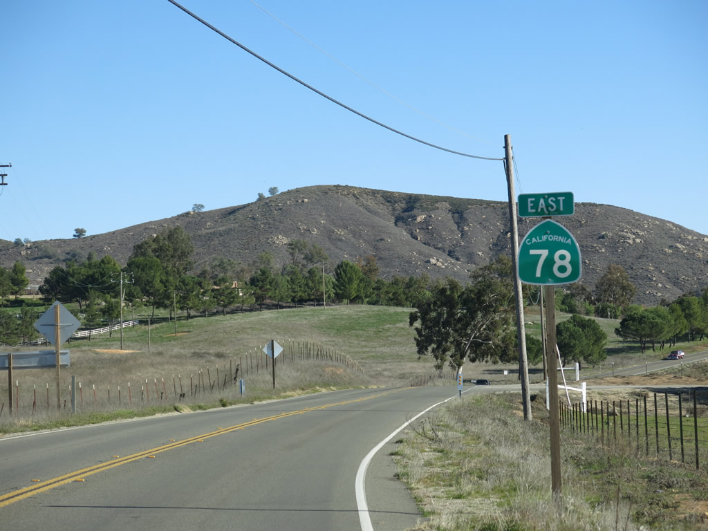
A California 78 east reassurance shield is posted shortly thereafter. The next major population center east of here along California 78 will be at Ramona, where it will meet California 67. Photo taken 01/05/13. |
|
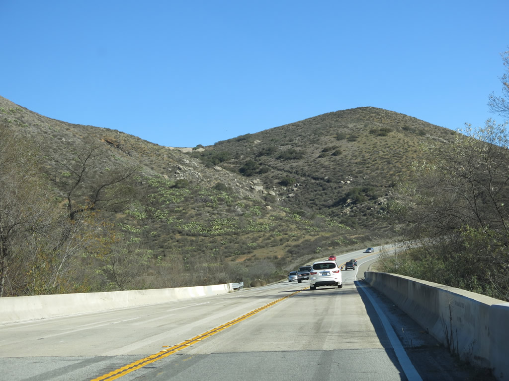
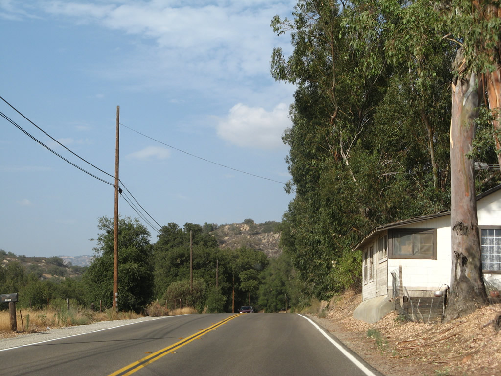
California 78 passes over San Pasqual Valley Creek on this 1984 bridge. Photo taken 01/05/13. |
|
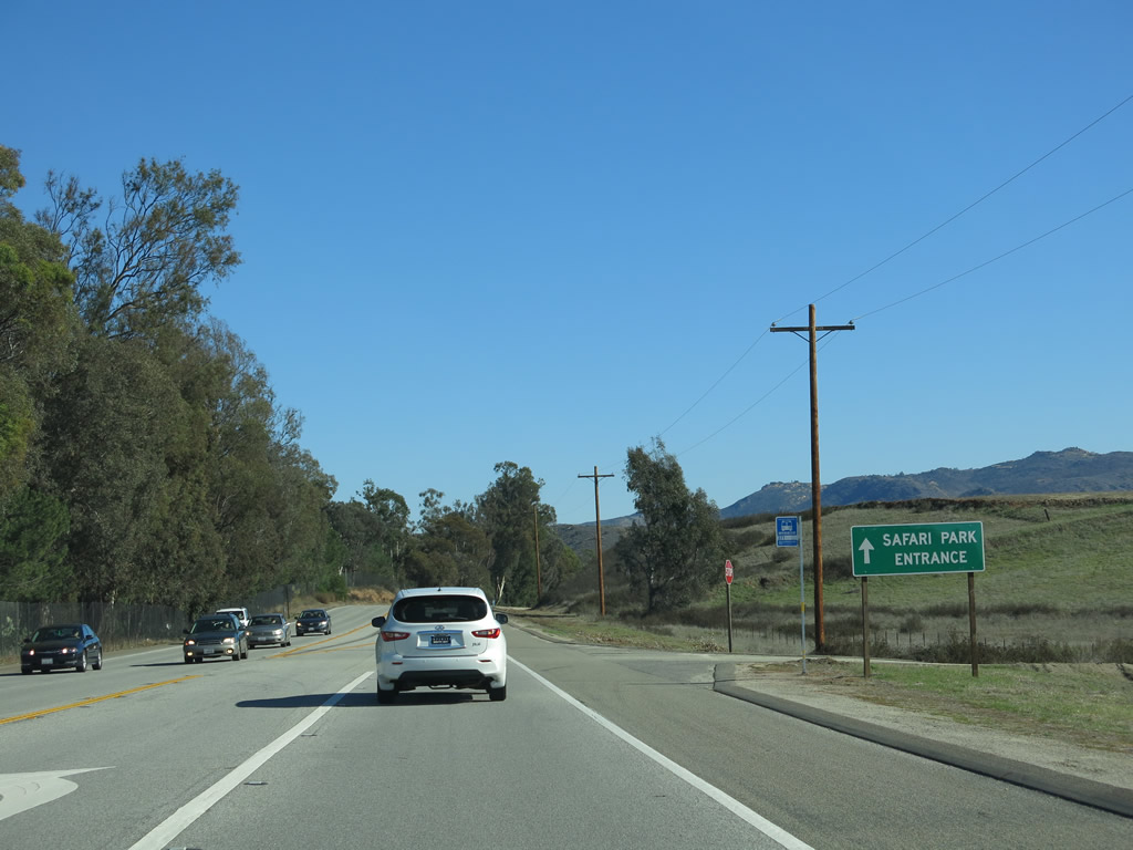
Eastbound California 78 approaches the San Diego Zoo Safari Park (formerly the Wild Animal Park), which is located within the San Pasqual Valley Agricultural Preserve and is part of San Diego. Look for a left turn into the park. Photo taken 01/05/13. |
|
Soon thereafter, eastbound California 78 meets the left turn into the San Diego Zoo Safari Park. It is common for a fair amount of traffic to turn off California 78 at this point. Photo taken 01/05/13. |
|
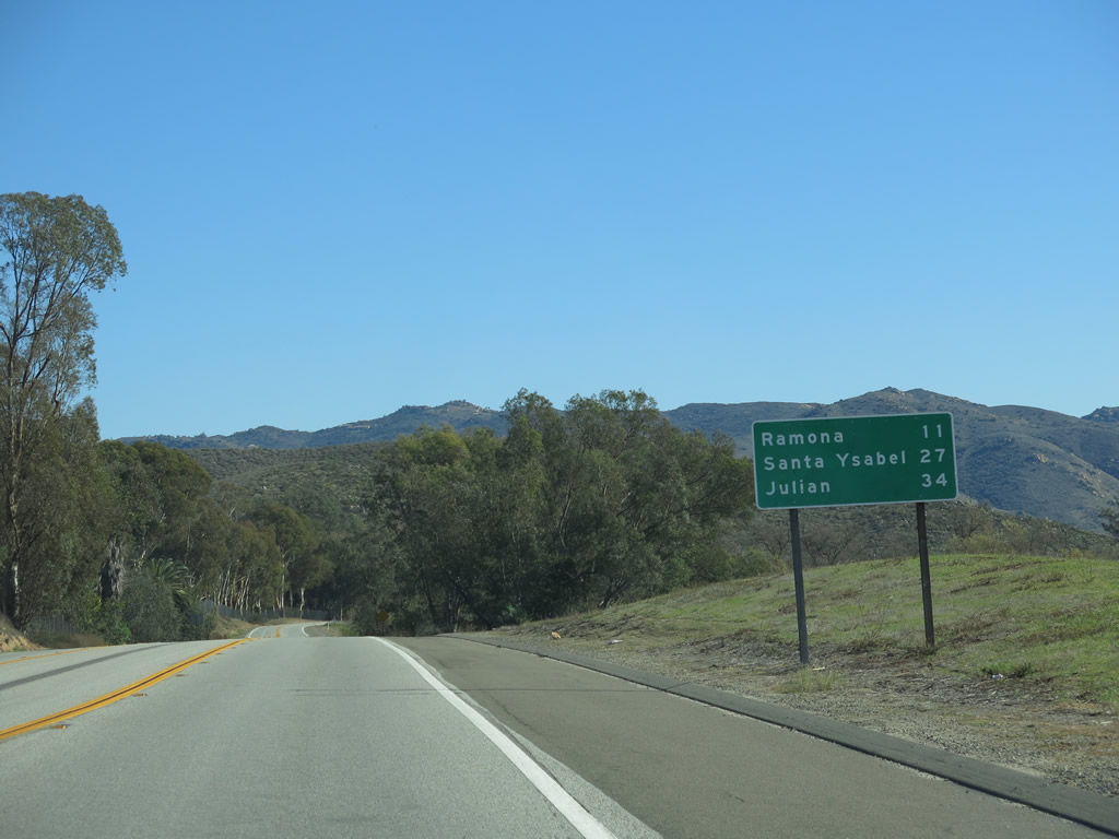
This mileage sign along eastbound California 78 provides the distance to Ramona (11 miles), Santa Ysabel (27 miles), and Julian (34 miles). Photo taken 01/05/13. |
|
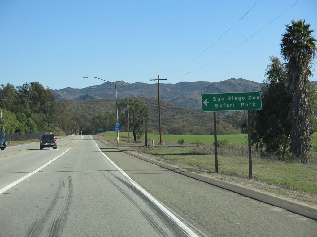
California 78 skirts the southern edge of the San Diego Zoo Safari Park. Photo taken 01/05/13. |
|
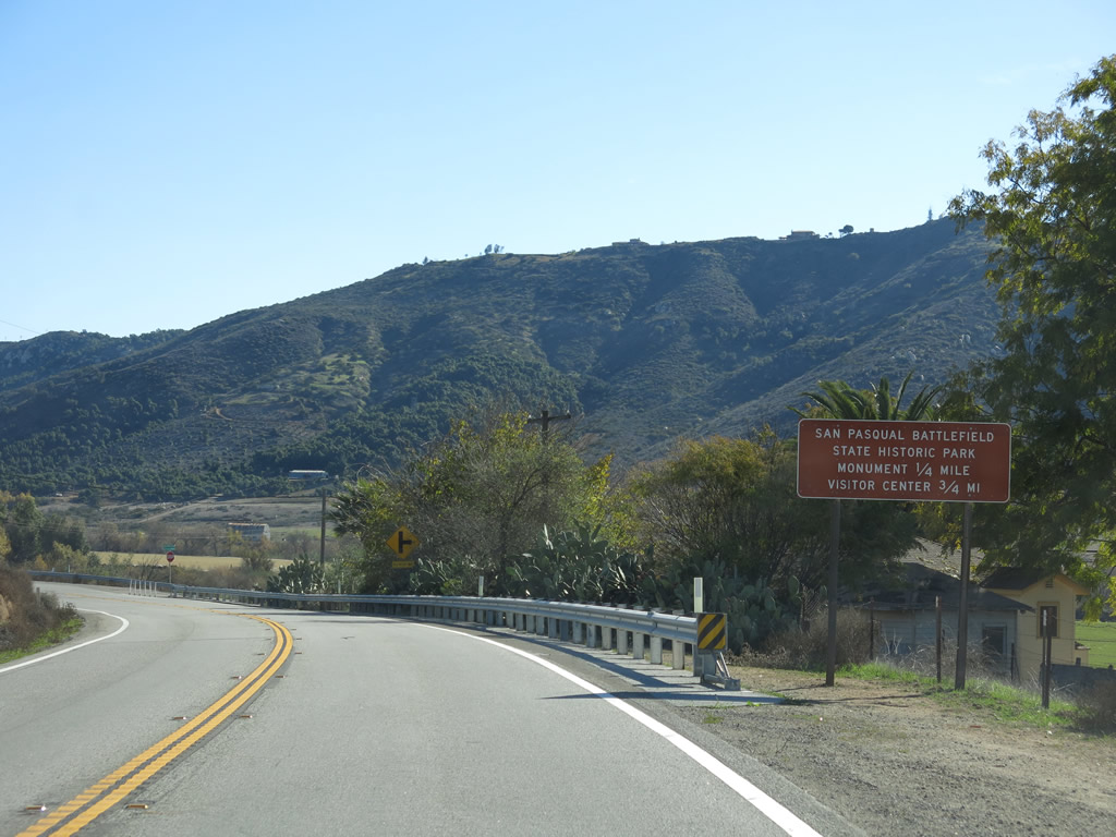
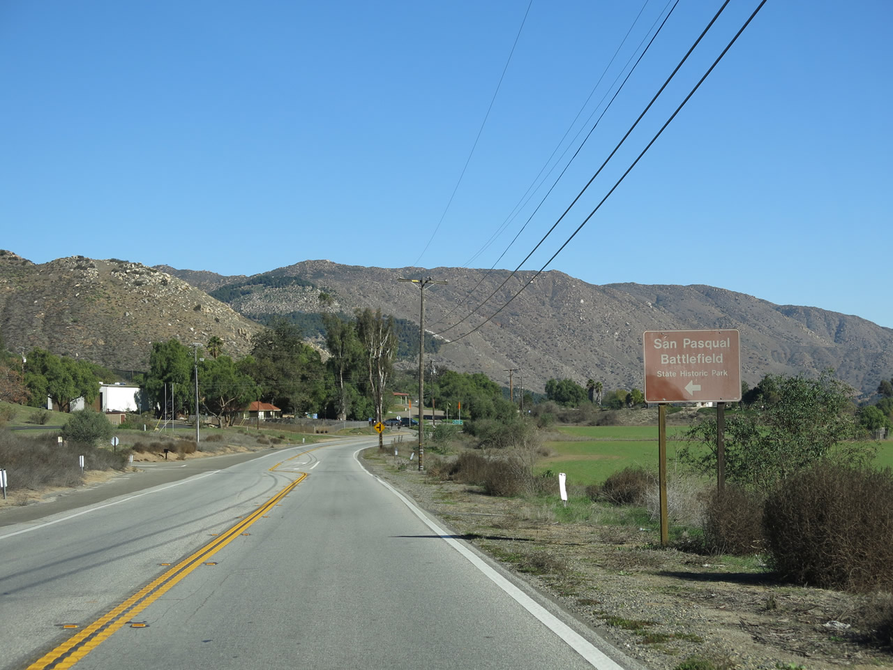
Eastbound California 78 approaches the San Pasqual Battlefield State Historic Park at the next right turn. Photo taken 01/05/13. |
|
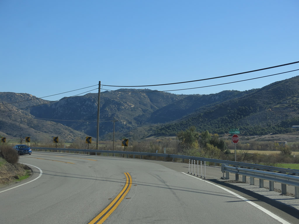
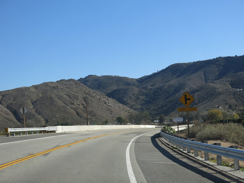
California 78 meets Old Milky Way at this intersection. Old Milky Way travels west toward San Pasqual Road. The second right turn connects to Ysabel Creek Road. Photo taken 01/05/13. |
|
|
|
|
|
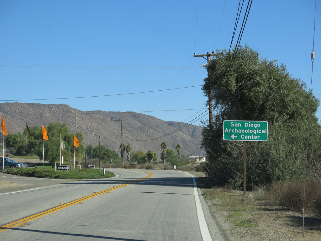
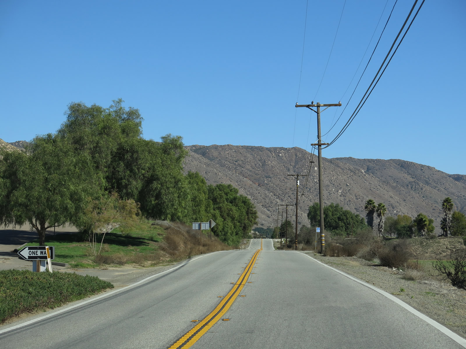
| Eastbound California 78 (San Pasqual Valley Road) proceeds through the San Pasqual Valley. A left turn connects California 78 to the San Pasqual Battlefield State Historic Park and a second left turn leads to the San Diego Archaeological Center. Photos taken 01/05/13. |
|
|
|
|
|
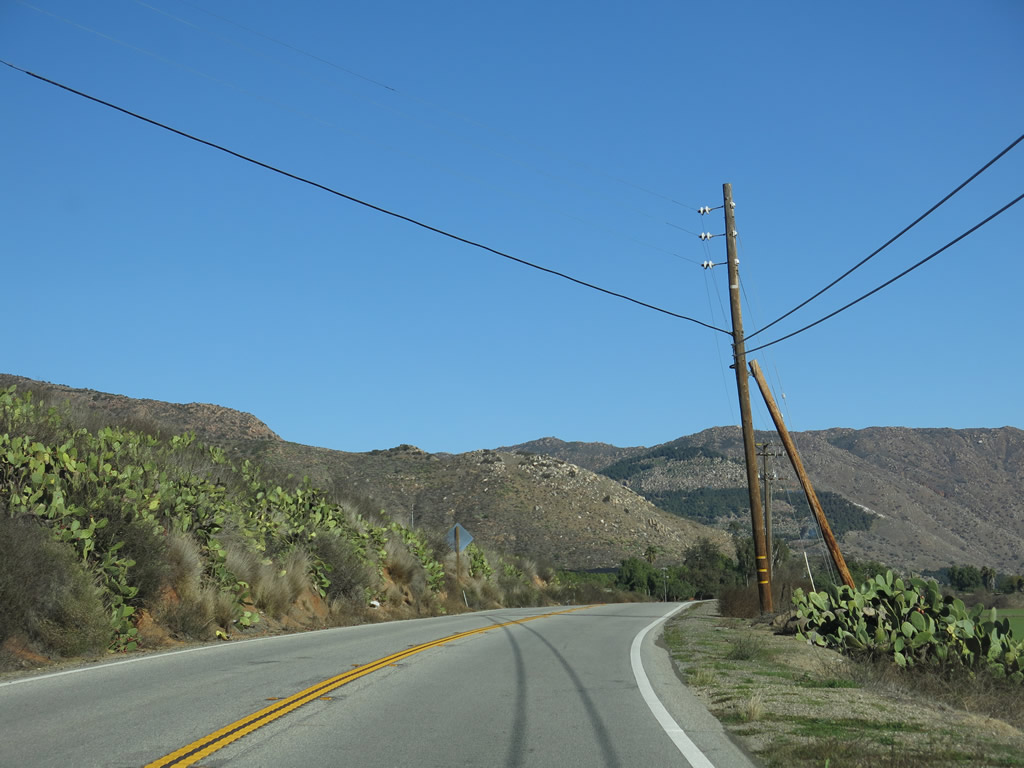
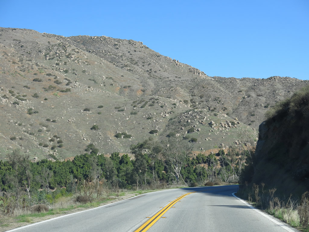
| California 78 proceeds east through the San Pasqual Valley. Avocado orchards hug the steep hillsides of the valley while citrus and other crops dominate the valley floor. At the end of this series, California 78 crosses Guejito Creek on a 1979 bridge. Photos taken 01/05/13. |
|
|
|
|
|
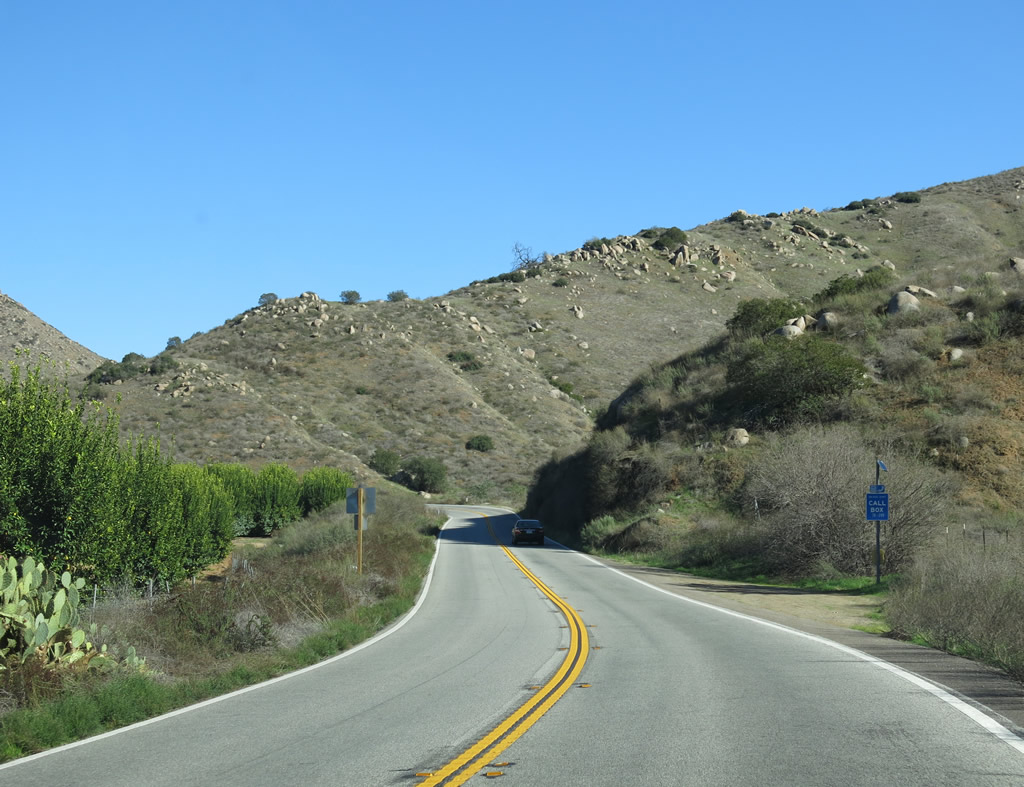
| Continuing east through the San Pasqual Valley, California 78 crosses Santa Ysabel Creek on a 1992 bridge. Then after passing more orchards and farms, the valley narrows to a point where California 78 will need to ascend uphill alongside the creek. Photos taken 01/05/13. |
|
|
|
|
|
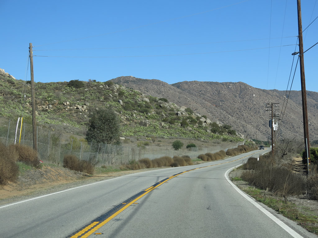
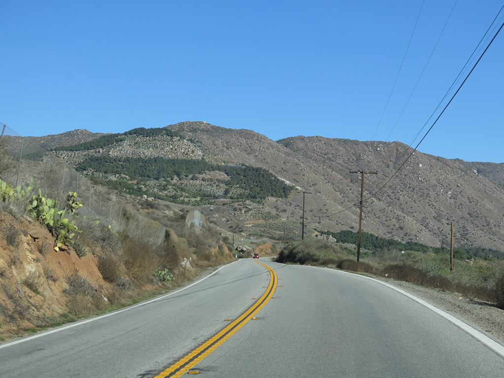
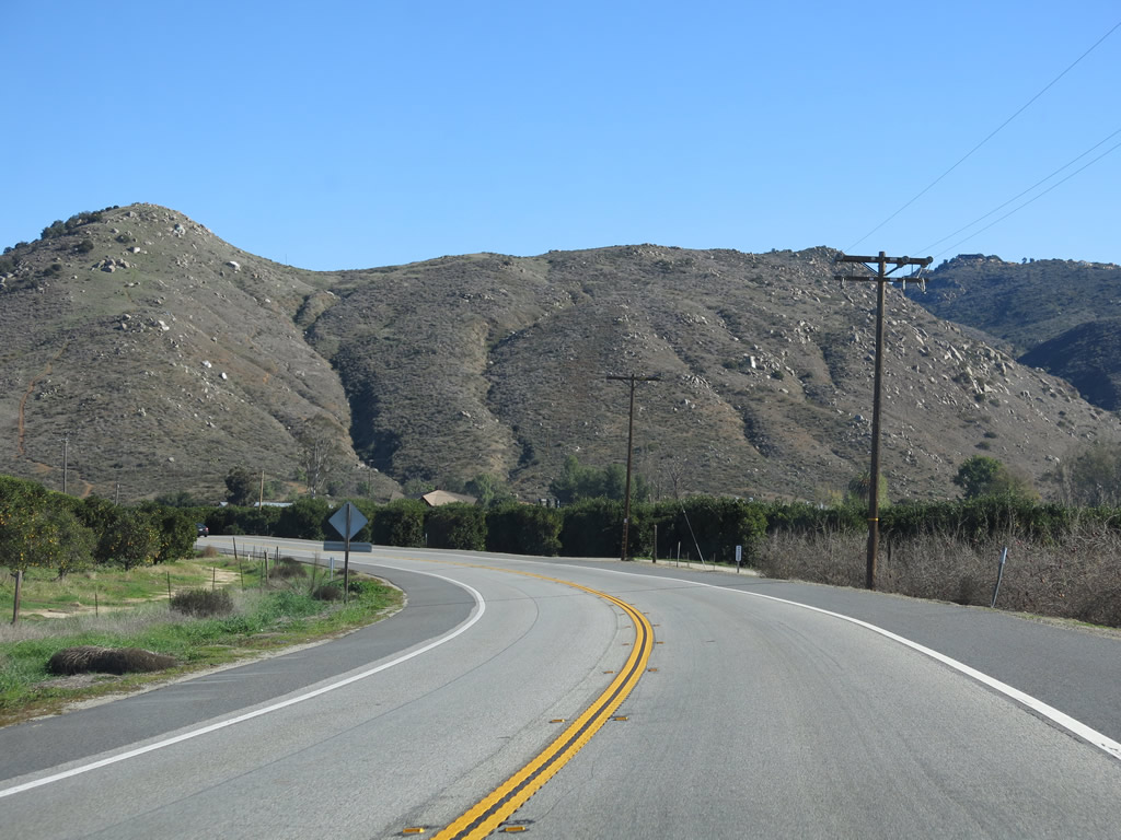
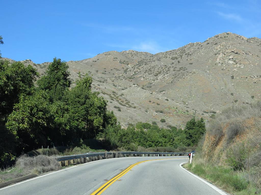
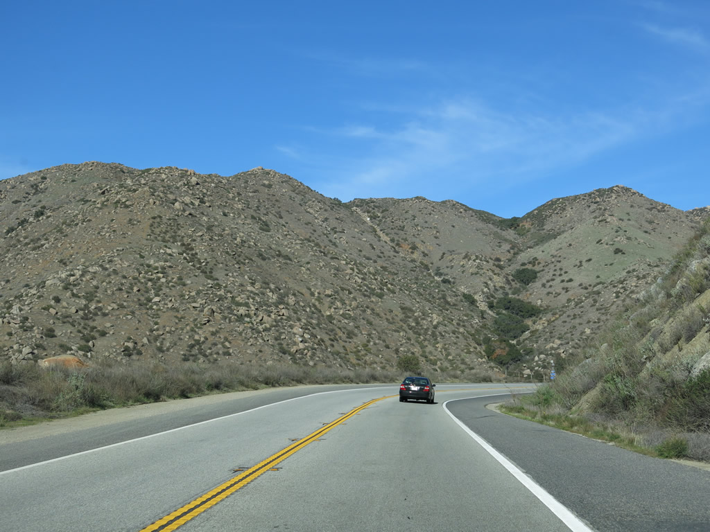
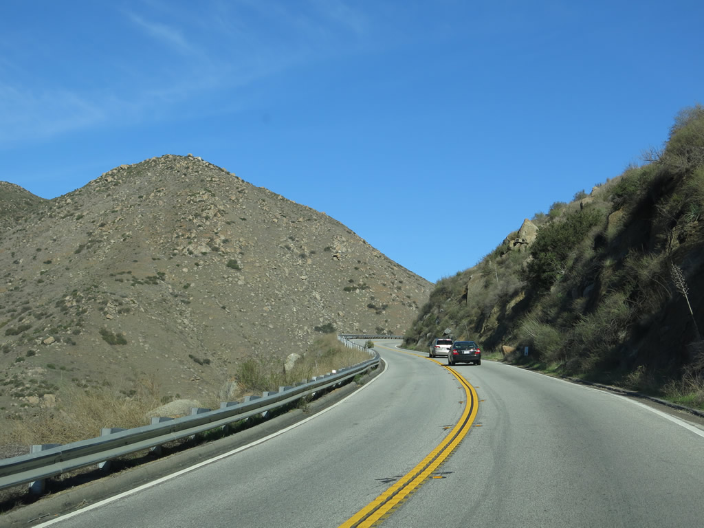
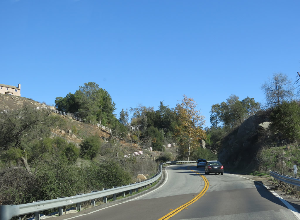
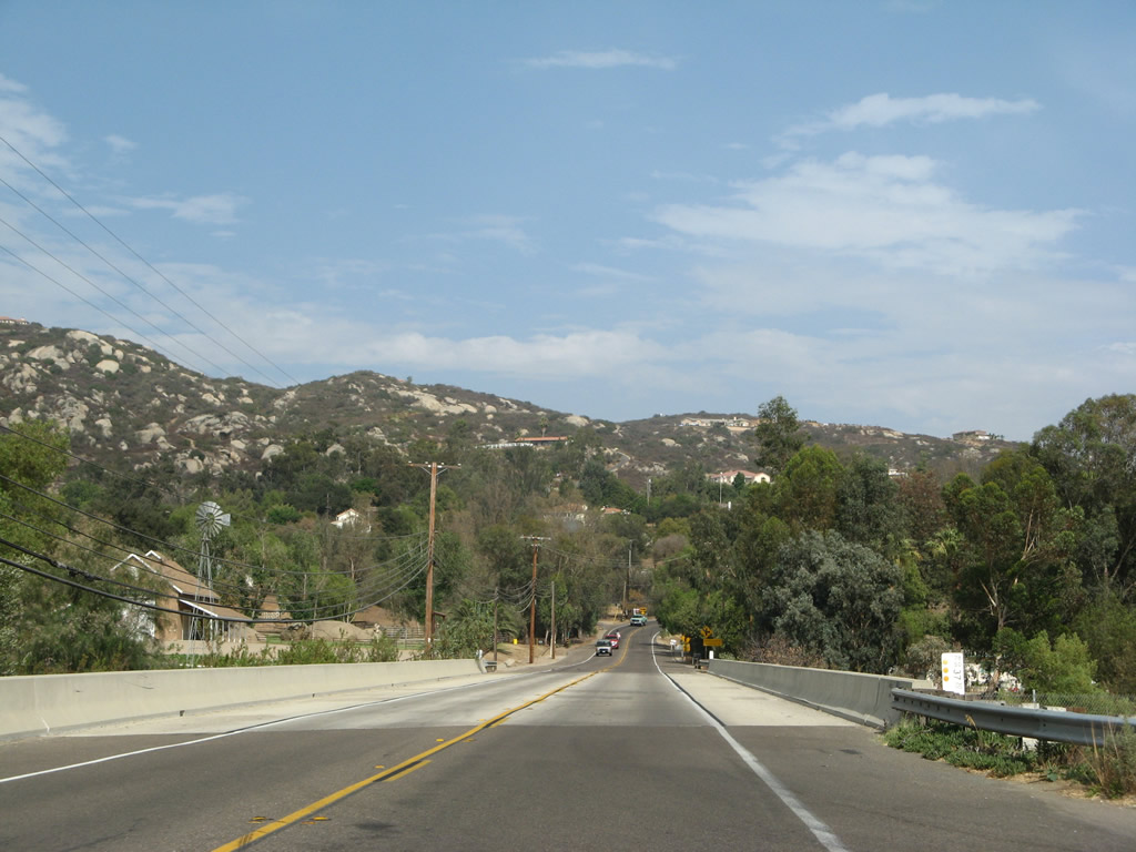
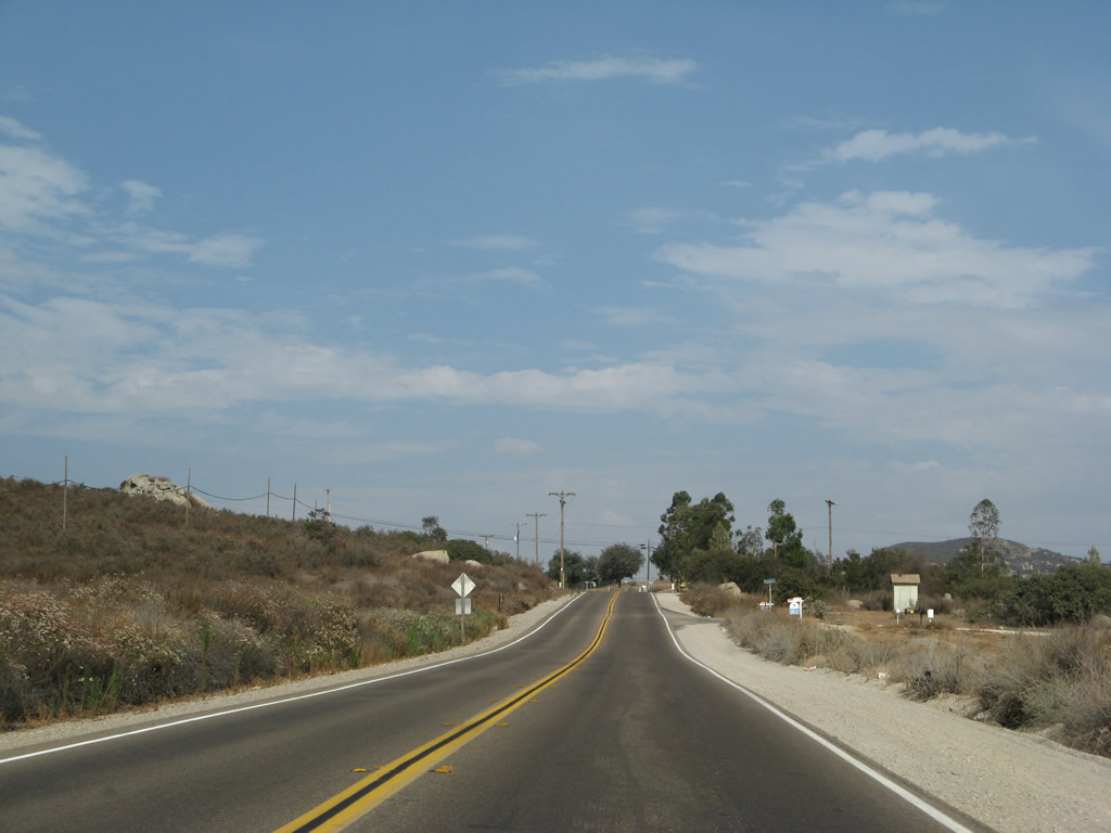
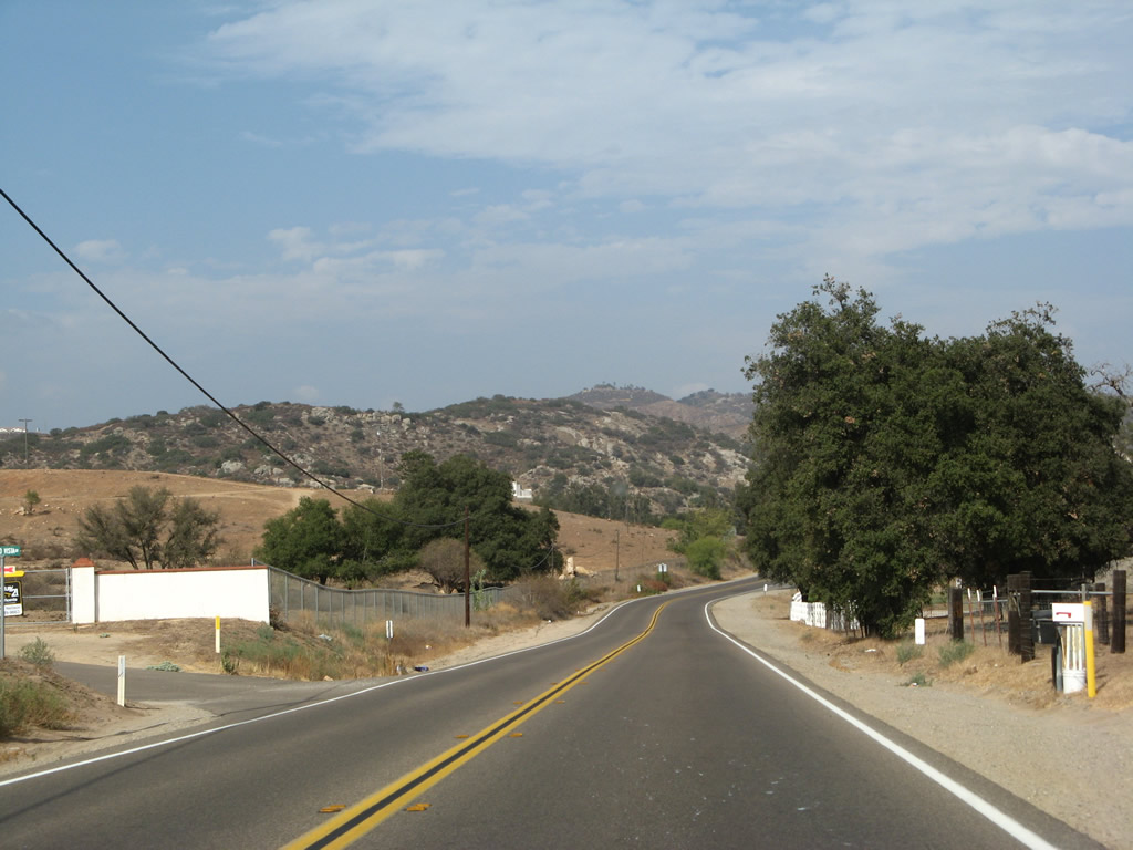
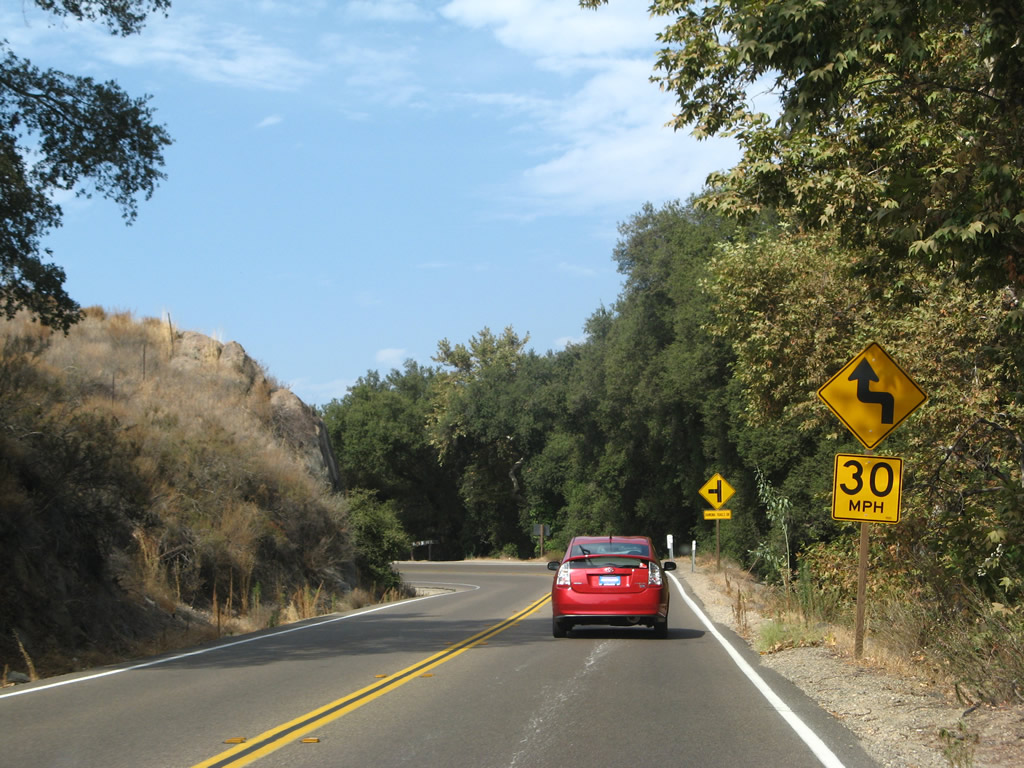
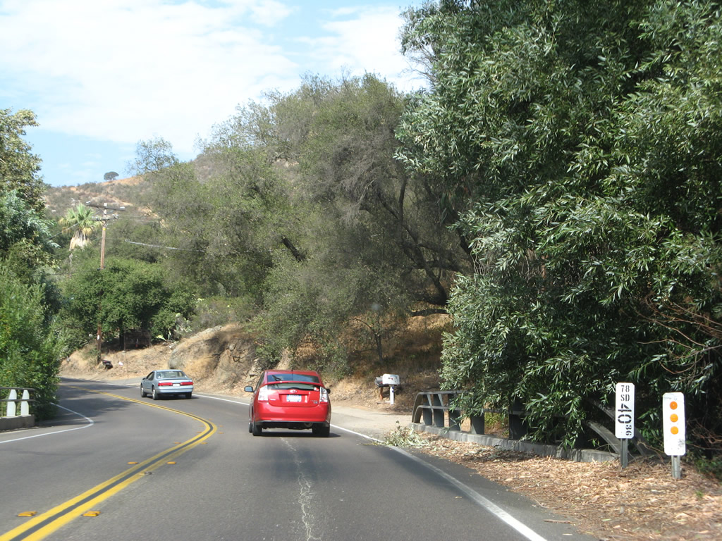
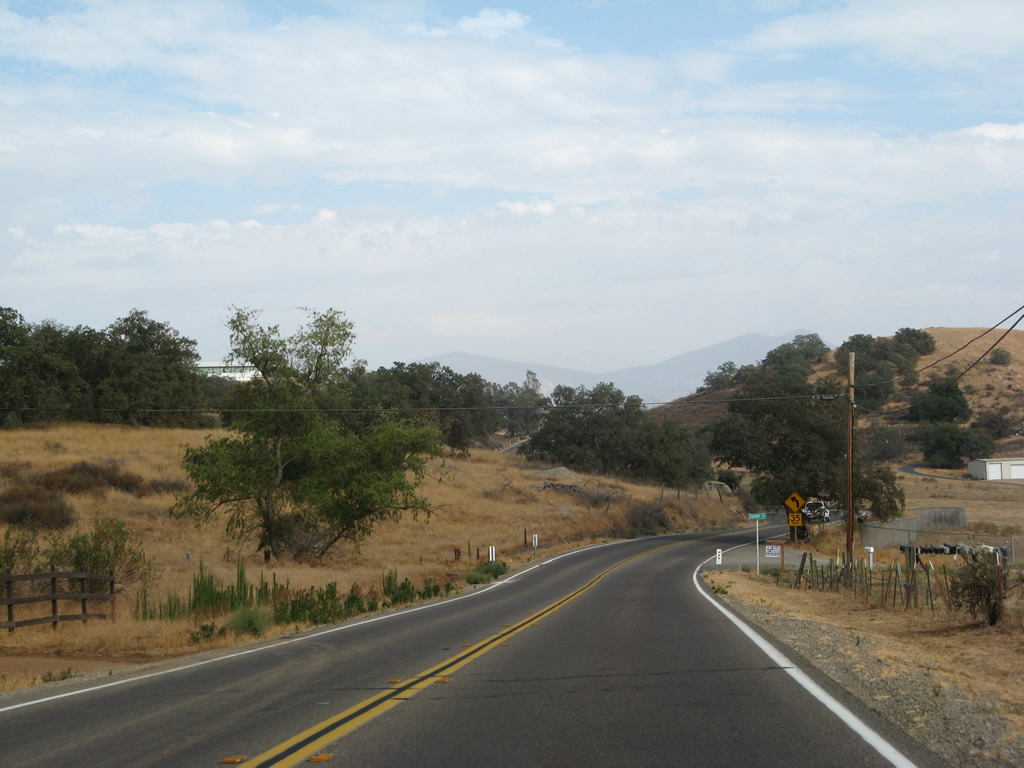
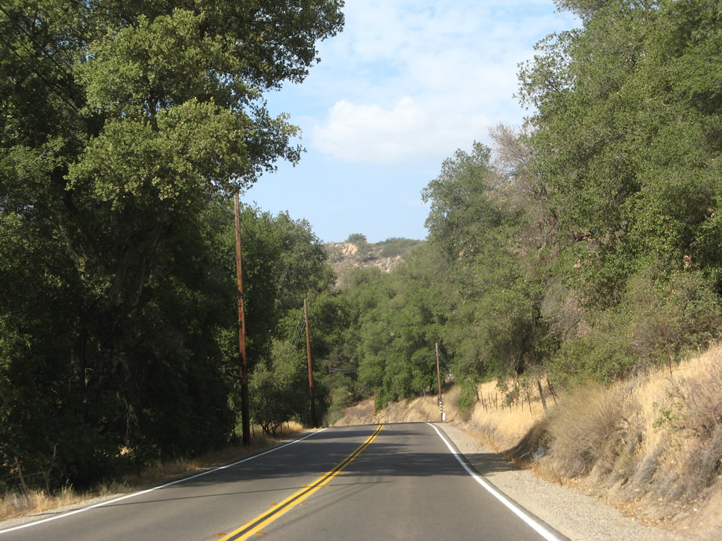
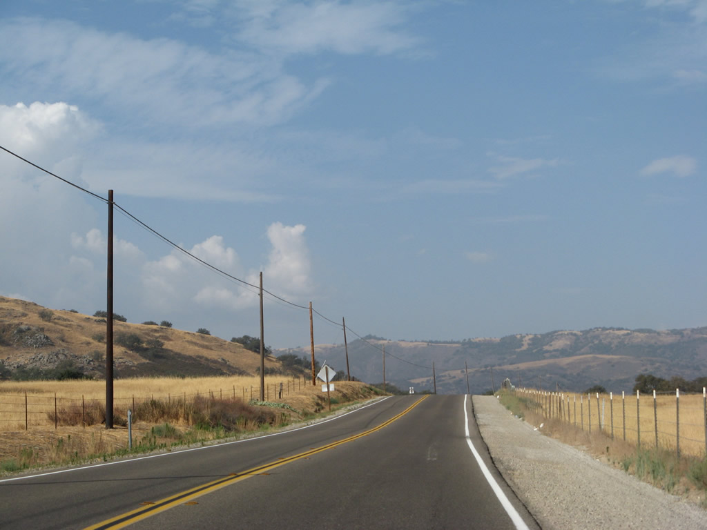
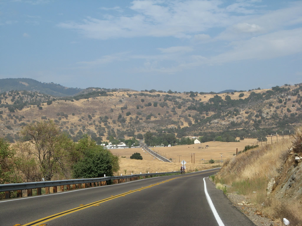
| California 78 ascends out of the San Pasqual Valley and into unincorporated San Diego County. As the highway gains elevation, the state highway sees more twists and turns, requiring slower speeds for motorists. At certain points, the highway is very narrow as it rides along a hillside. The views of the valley below are quite impressive. Photos taken 01/05/13. |
|
|
|
|
|
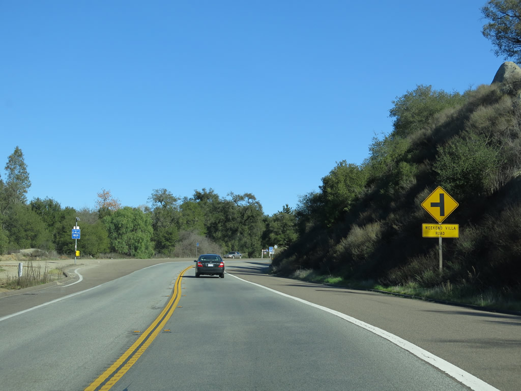
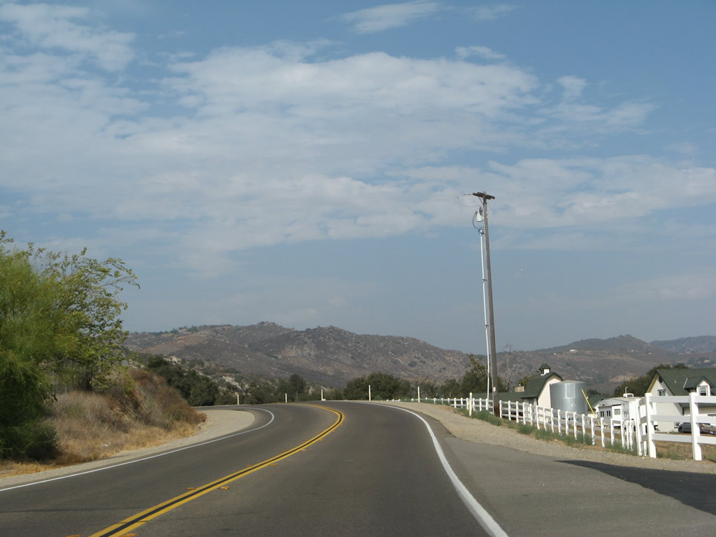
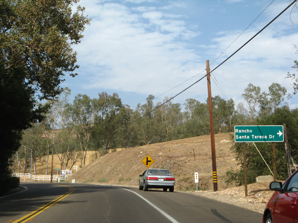
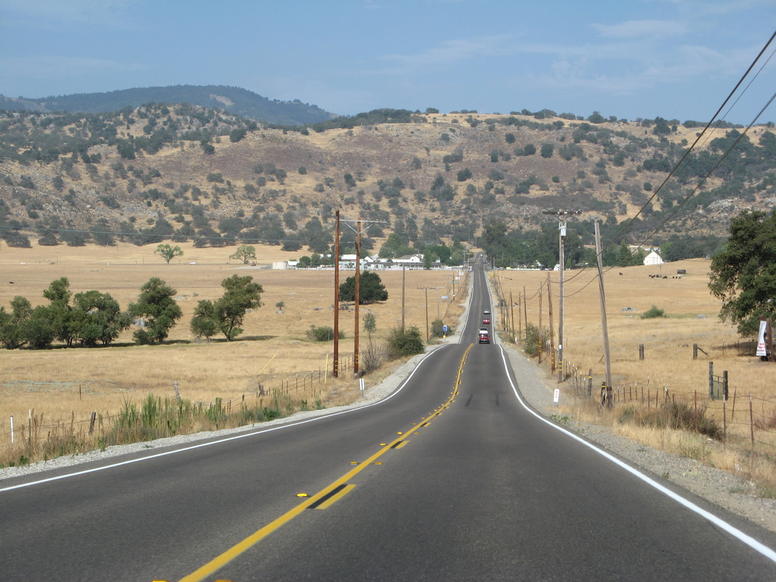
| At the top of the hill, eastbound California 78 approaches Weekend Villa Road, Crosswinds Road, West Haverford Road, and Haverford Road. Somewhere between Weekend Villa Road and Crosswinds Road, the state highway changes names from San Pasqual Valley Road to West Haverford Road. Increasing residential and ranch development is visible on either side of the state route. Photos taken 01/05/13. |
|
An California 78 east trailblazer sign confirms that the state route turns south from West Haverford Road to Pine Street. Photo taken 01/05/13. |
|
Now traveling almost due south on Pine Street, eastbound California 78 enters the unincorporated community of Ramona. California 78 will intersect with Ash Street, Cedar Street, Poplar Street, and Olive Street (which is governed by a traffic signal). Photo taken 01/05/13. |
|
California 78 crosses over Santa Maria Creek on this 1988 bridge. Photo taken 01/05/13. |
|
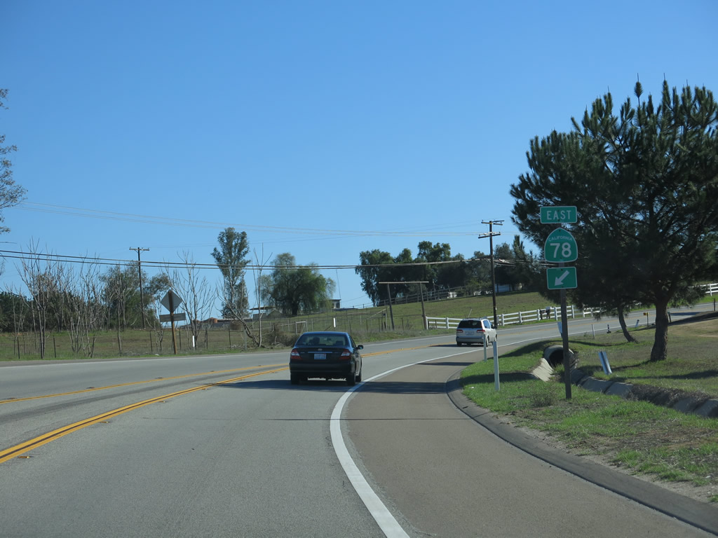
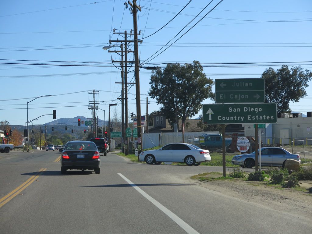
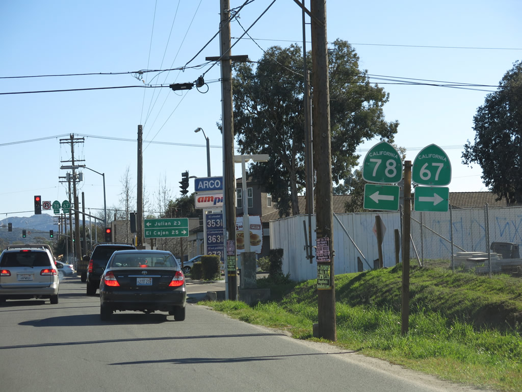
SR 78 east at B Street, just ahead of the traffic light with SR 67. Beyond SR 67, SR 78 continues east to Santa Ysabel, Julian, Borrego Springs and Brawley. Photo taken 01/05/13. |
|
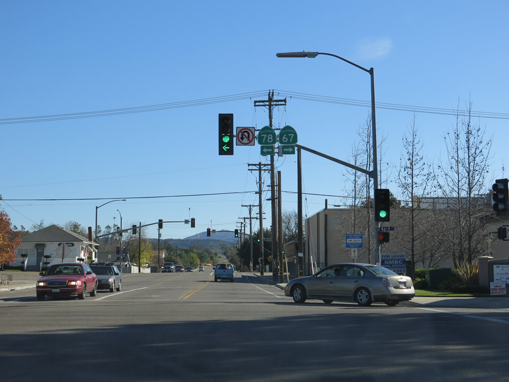
California 67 travels south to Poway, Lakeside, Santee, and El Cajon. Photo taken 01/05/13. |
|
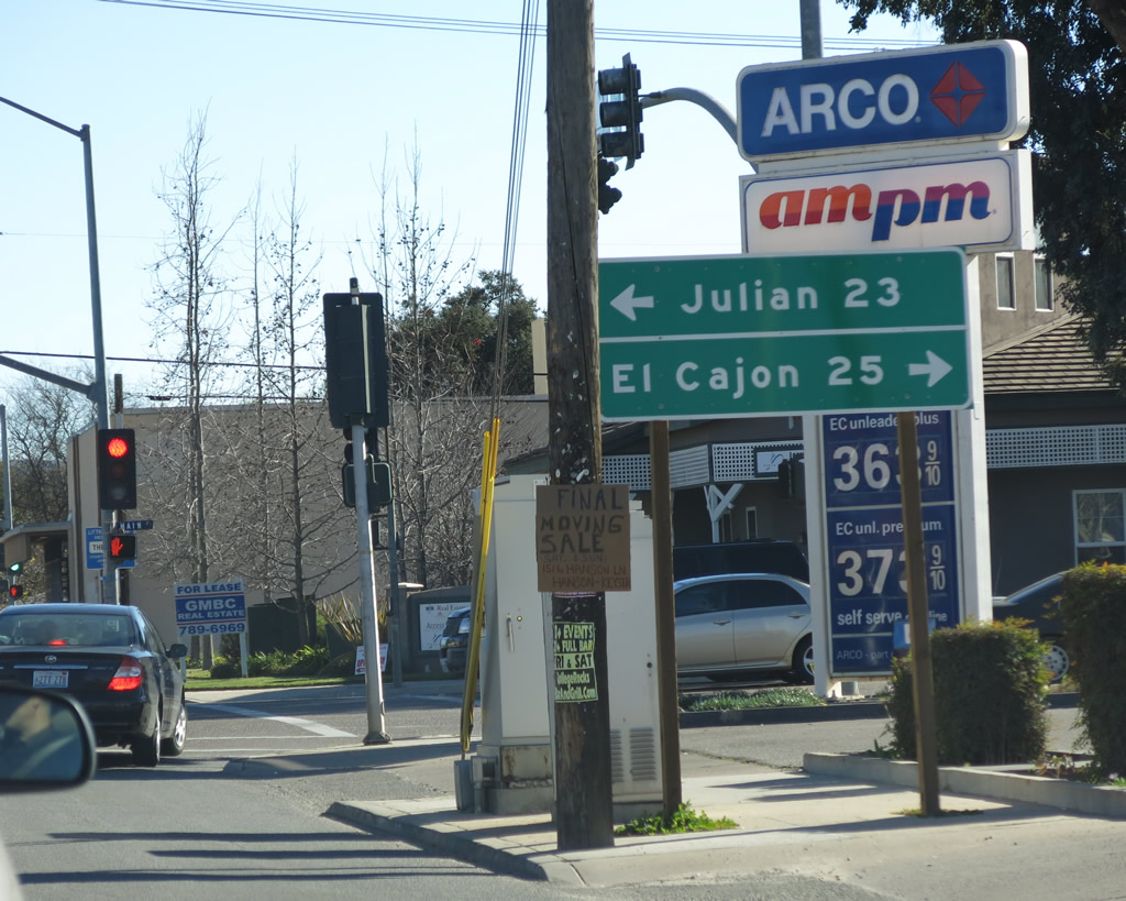
SR 78 east continues 23 miles to Julian while SR 67 leads motorists 25 miles to El Cajon. Photo taken 01/05/13. |
|
Another set of California 67 and California 78 shields is posted on the mast arm for the traffic signal. Photo taken 01/05/13. |
|
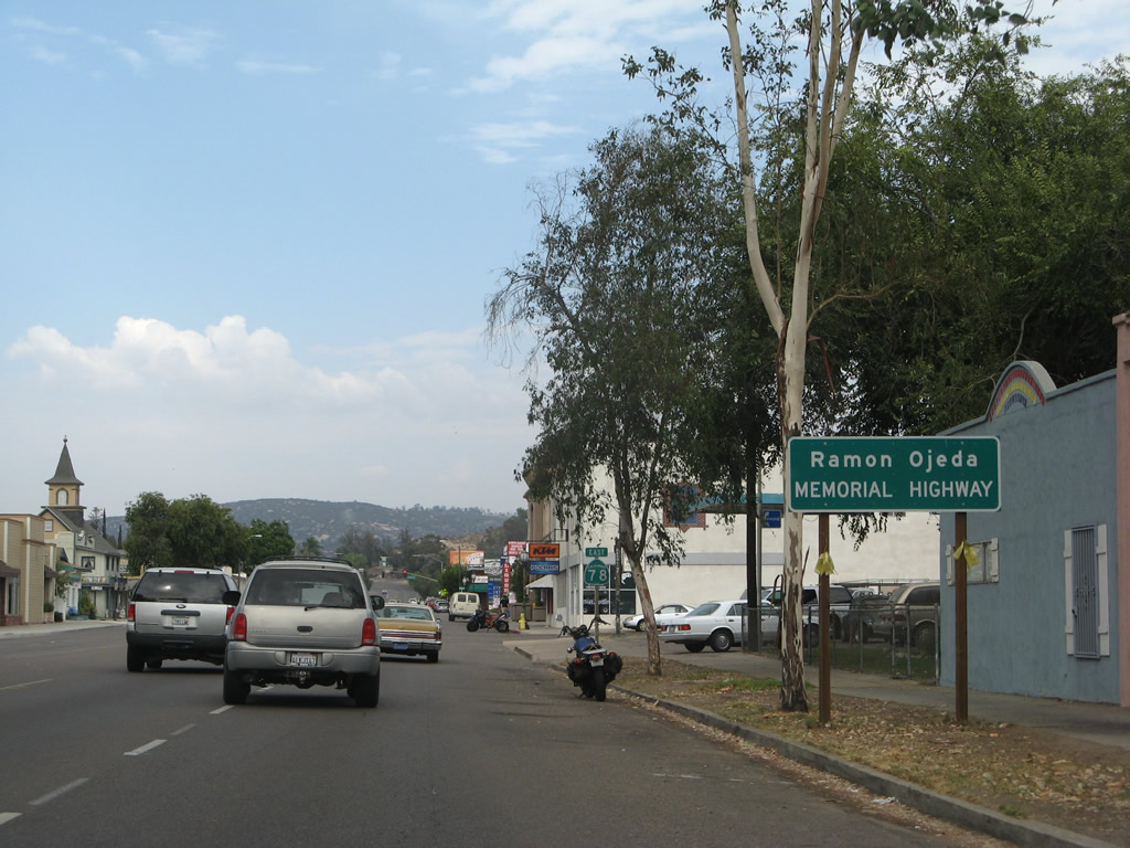
After the intersection with California 67 in downtown Ramona, California 78 proceeds northeast along Main Street through the central business district. California 78 is also known as the Ramon Ojeda Memorial Highway. Photo taken 08/25/07. |
|
|
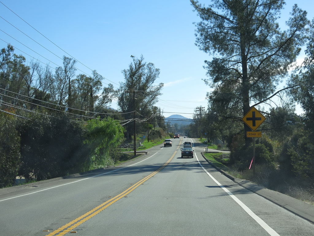
This California 78 east shield is posted in downtown Ramona along northbound Main Street. Between the California 67 intersection and Second Street, California 78 proceeds northeast through the central business district of unincorporated Ramona. Some of the services found along the main street segment include a theater, antique stores, gas stations, and restaurants. Photos taken 08/25/07 and 10/12/03. |
|
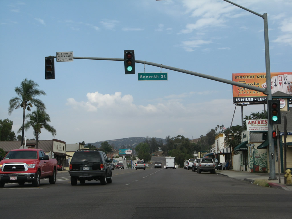
Eastbound California 78 (Main Street) meets Seventh Street in the central business district of Ramona. Turn right here for Collier Park. Photo taken 08/25/07. |
|
Another California 78 east reassurance shield is posted along Main Street as we leave the central business district of Ramona. Photo taken 08/25/07. |
|
This mileage sign along California 78 (Main Street) east provides the distance to Santa Ysabel (15 miles), Julian (22 miles), and Brawley (95 miles in the Imperial Valley). Photo taken 08/25/07. |
|
California 78 narrows to two lanes as we leave Ramona. Photo taken 08/25/07. |
|
The hills rise behind California 78. Upon leaving Ramona, California 78's designation changes from Main Street to Julian Road. Photo taken 08/25/07. |
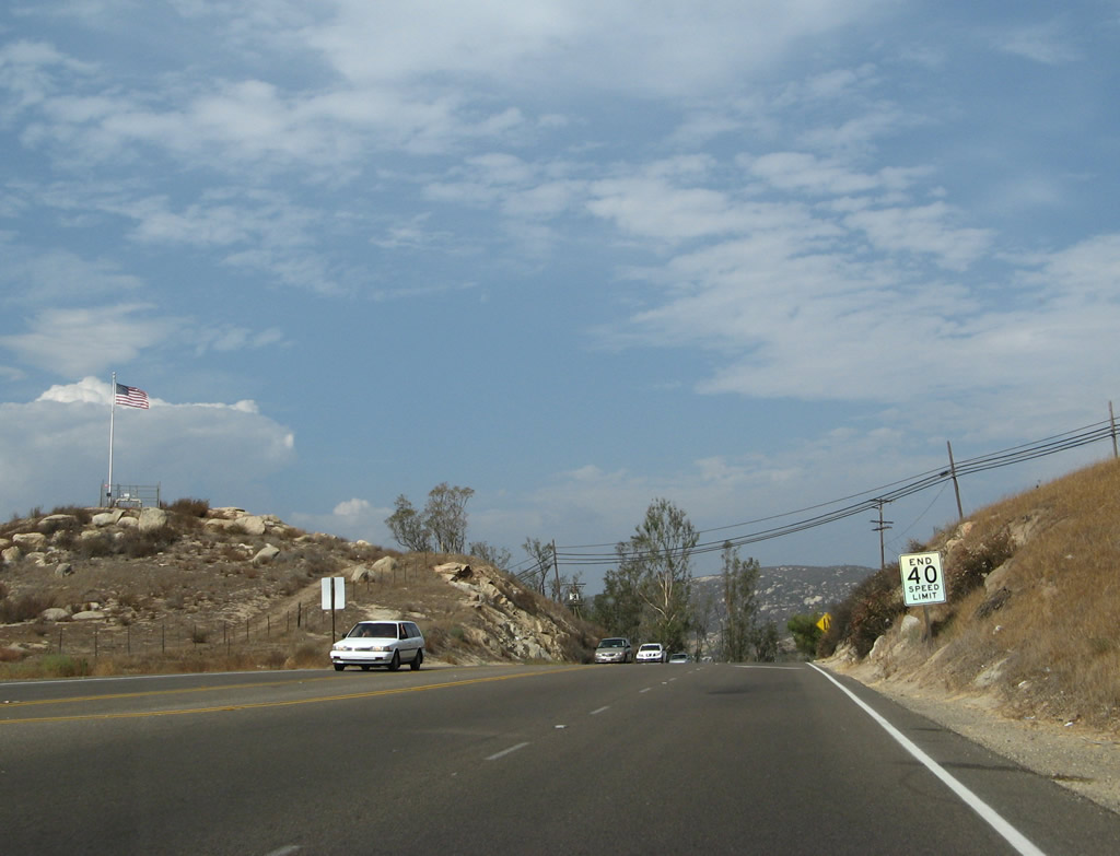
|
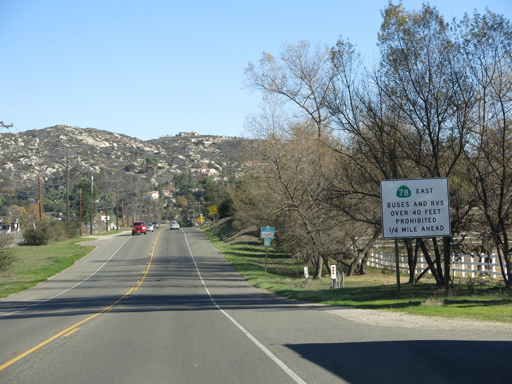
Buses and RVs are restricted ahead. Photo taken 01/05/13. |
|
|
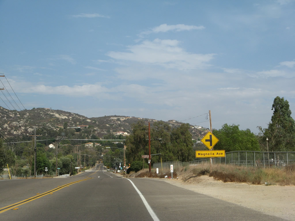
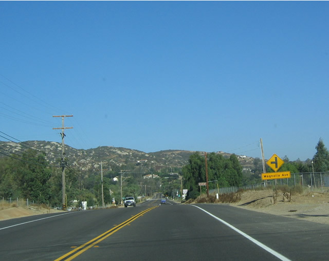
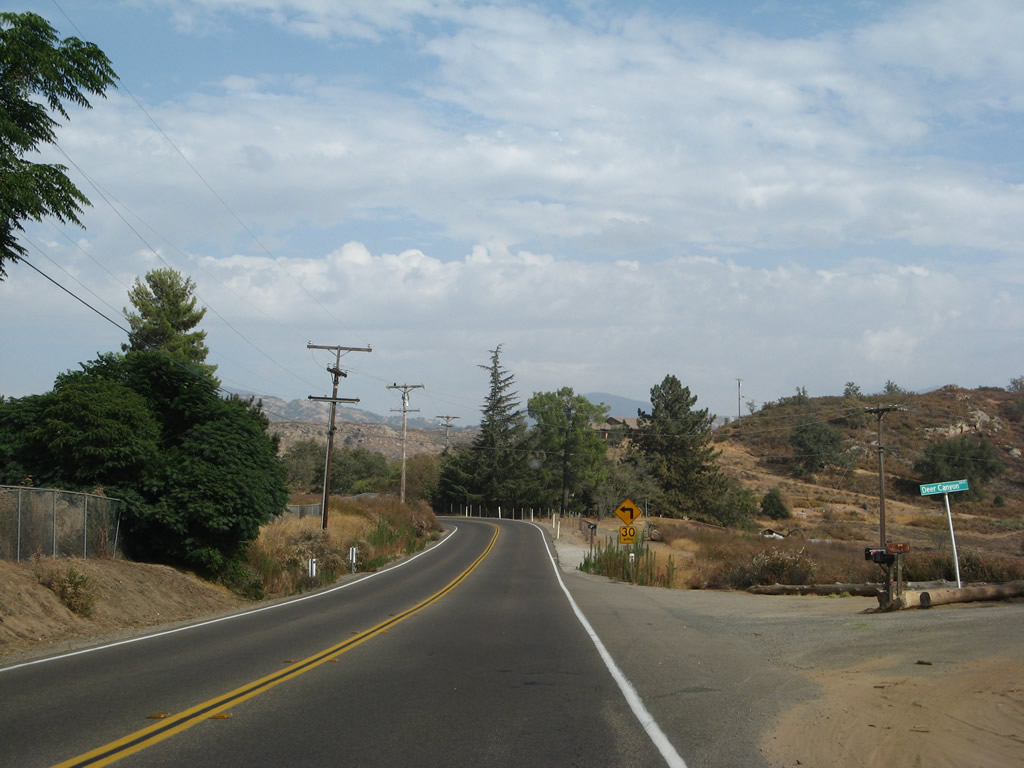
Eastbound California 78 approaches Magnolia Avenue. This arcing county road travels north from California 78, then curves northeast to become Black Canyon Road. Portions of this highway pass through areas burned in the wildfires of November 2007. Black Canyon Road travels east to connect with Sutherland Dam Road; portions of Black Canyon Road are unpaved. A historic 1913 concrete arch bridge is located near the intersection of Black Canyon Road and Sutherland Dam Road. From there, Sutherland Dam Road proceeds southeast to rejoin California 78, while Black Canyon Road continues north into national forest areas. Photos taken 08/25/07 and 10/12/03. |
|
This California 78 east shield is posted after the intersection with Magnolia Avenue. Photo taken 08/25/07. |
|
California 78 crosses Hatfield Creek on this 1992 bridge. Photo taken 08/25/07. |
|
|
|
|
|
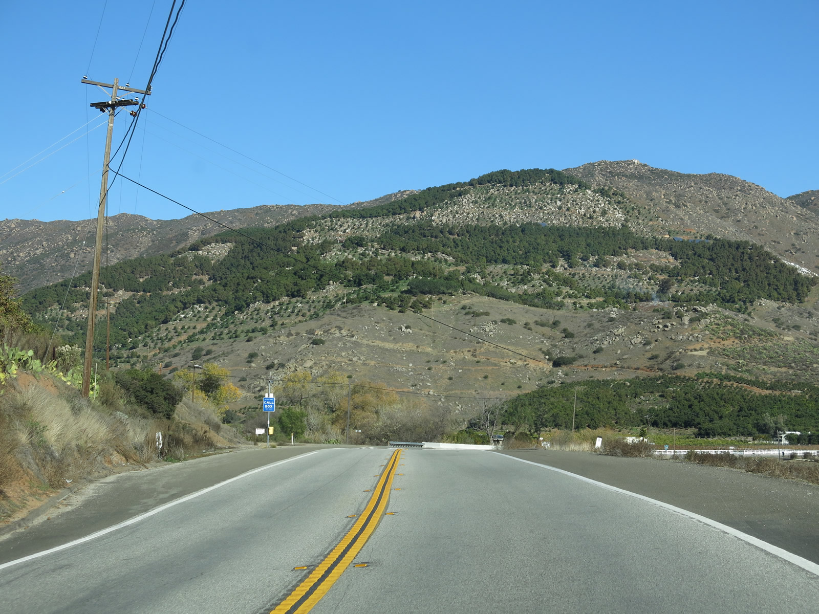
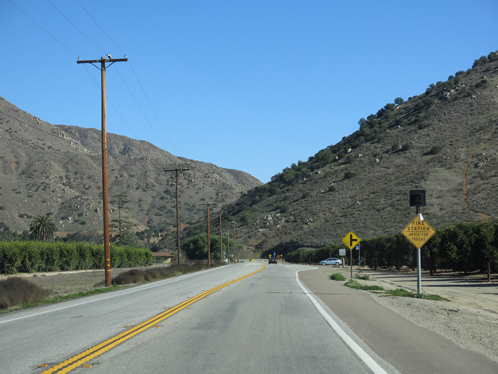
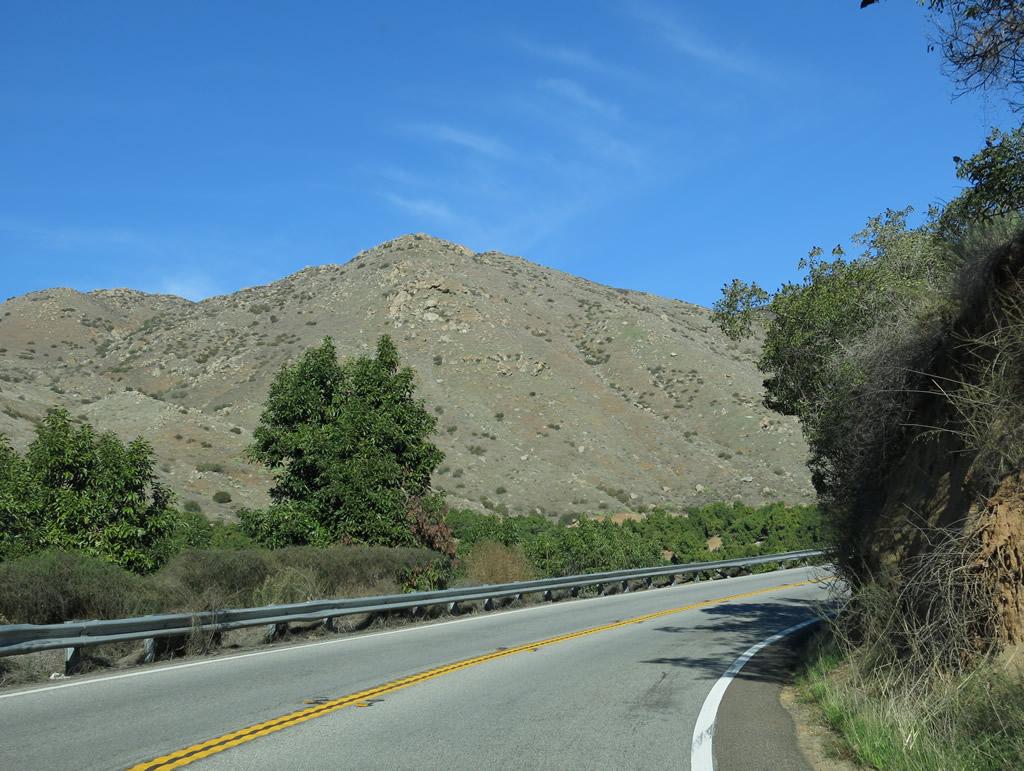
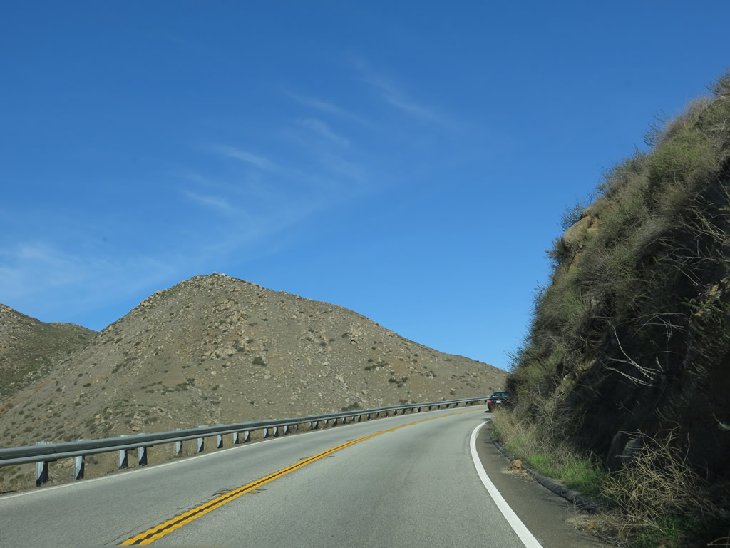
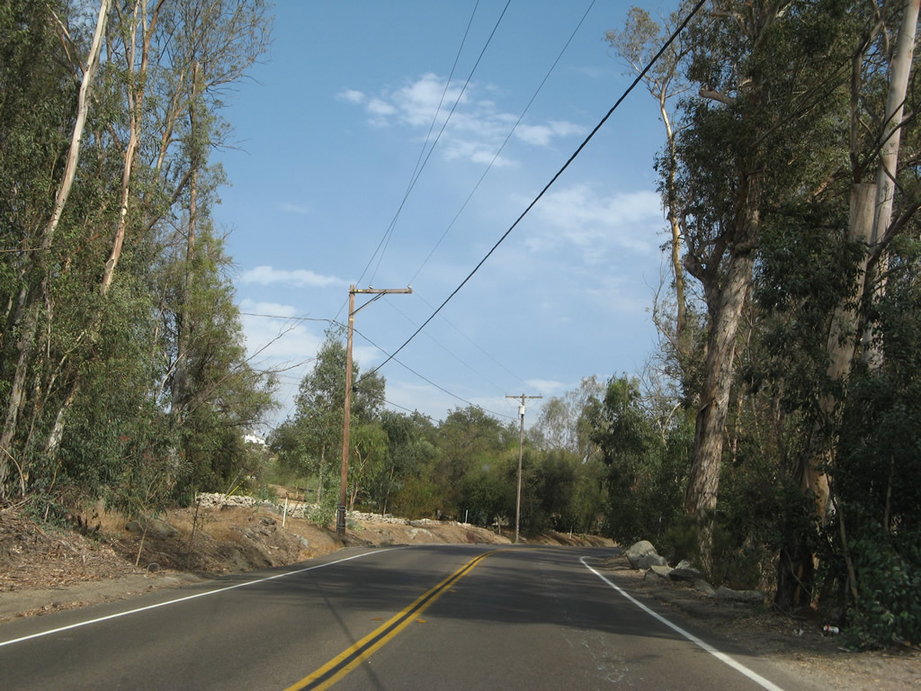
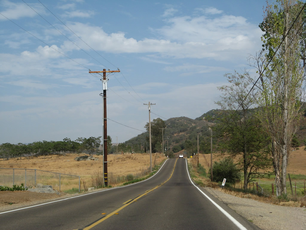
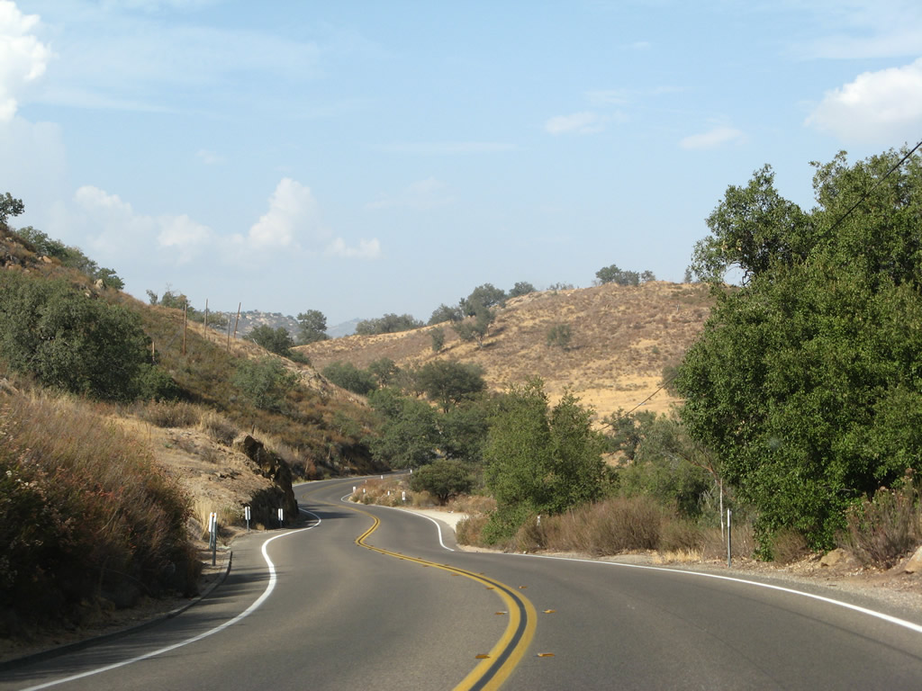
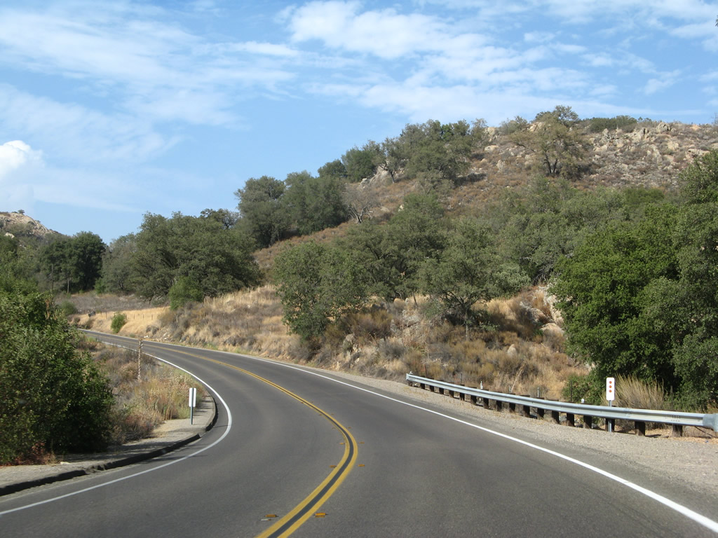
| California 78 proceeds east through a series of curves between Ramona and Santa Ysabel. High speeds are not possible on this section of state route. Late-summer monsoonal clouds gathered for some afternoon thunderstorms that would come to fruition later in the day. Photos taken 08/25/07 and 01/05/13. |
|
|
|
|
|
|
|
|
|
|
|
|
|
|
|
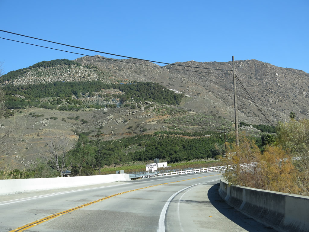
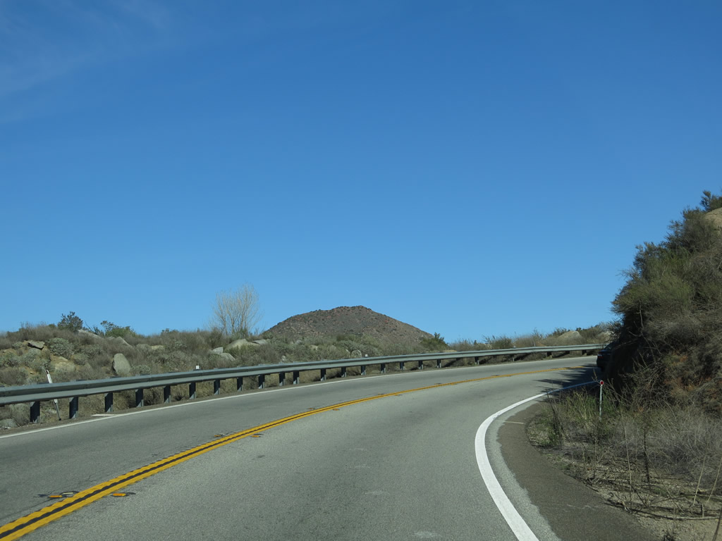
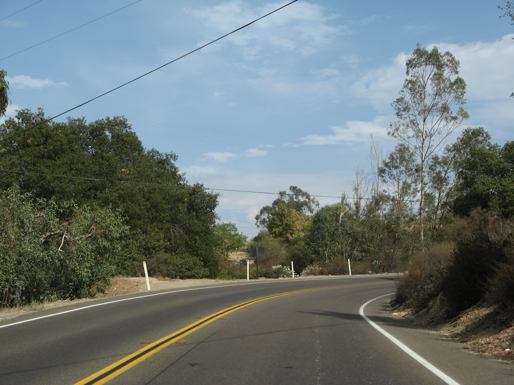
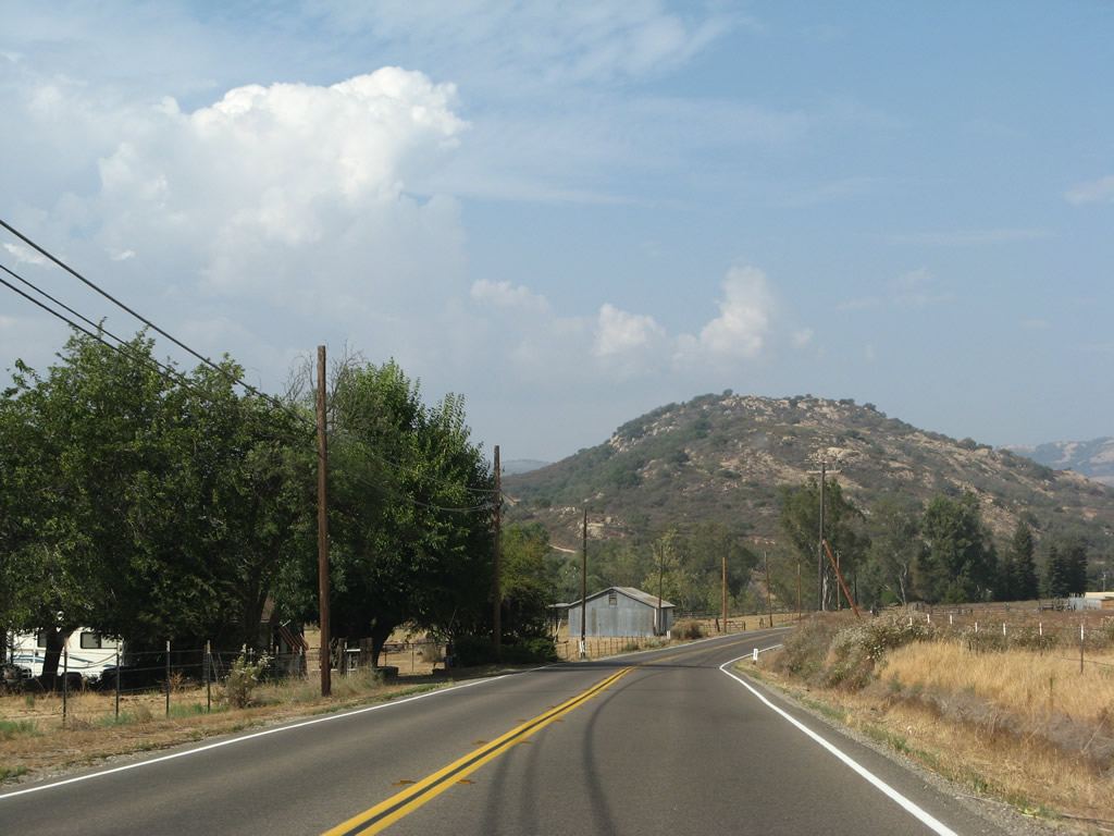
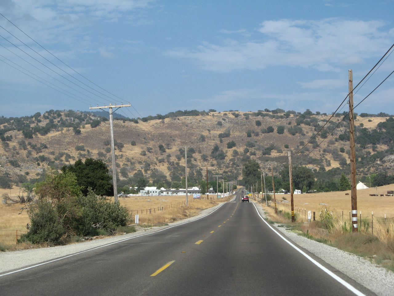
| Two-lane California 78 continues through the foothills between Ramona and Santa Ysabel. The highway sees more twists and turns on its way to Santa Ysabel. Occasional ranches and homes dot the landscape along this rural road. The last few pictures follow the descent of California 78 into the final straight segment before entering Santa Ysabel. Photos taken 08/25/07. |
|
|
|
|
|
|
|
|
|
|
|
|
|
|
|
|
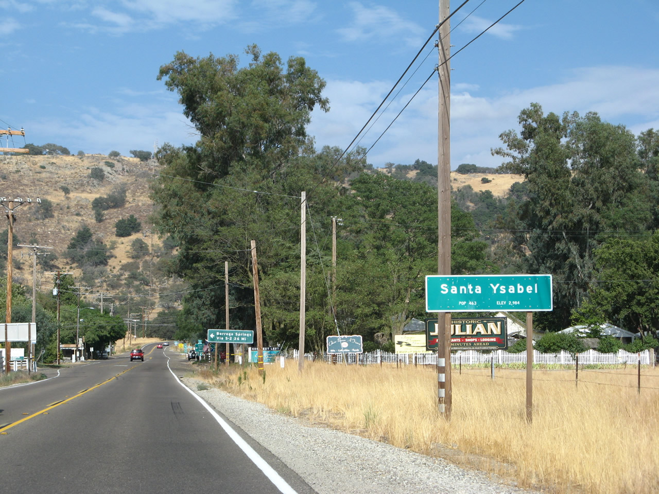
Eastbound California 78 (Julian Road) approaches Santa Ysabel, a small unincorporated community located about seven miles east of Julian. Photo taken 08/25/07. |
|
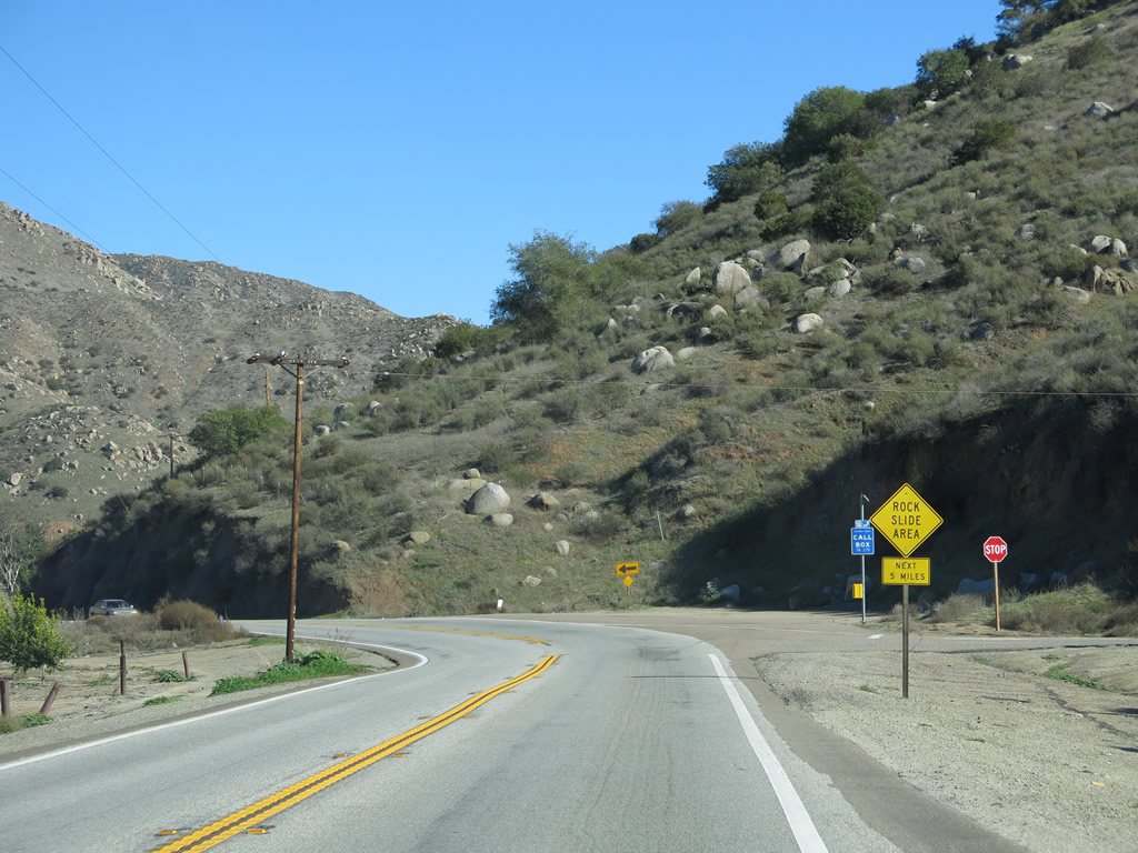
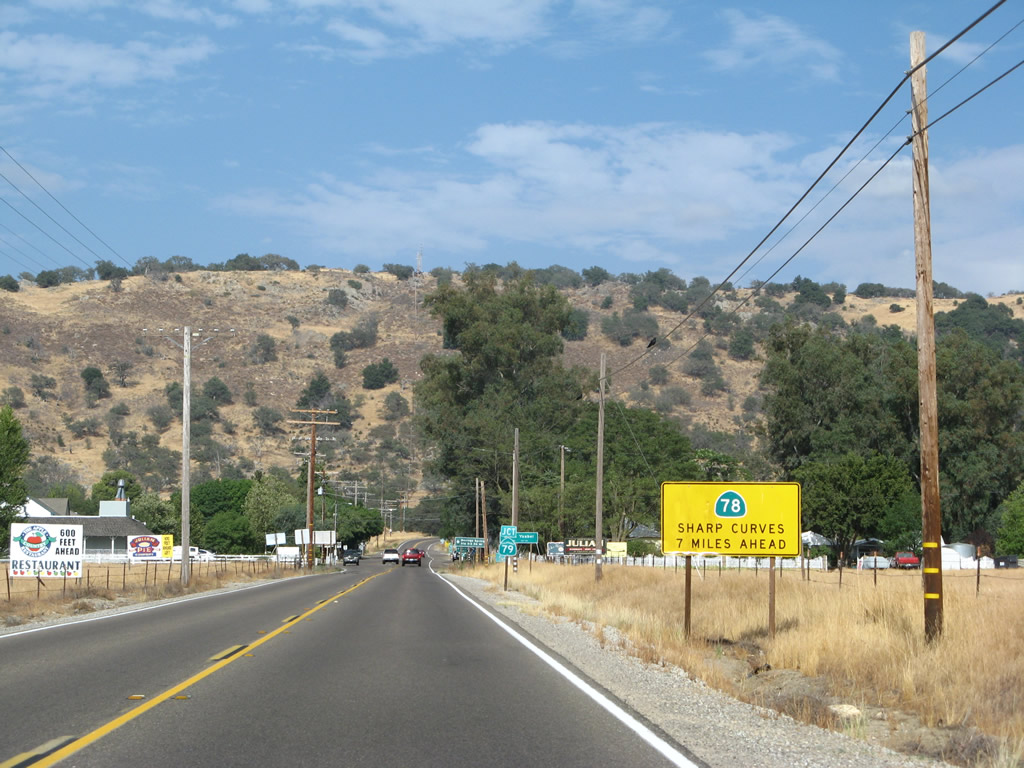
A yellow caution sign advises that the segment of California 78 east of Julian to Scissors Crossing is a slow, winding road with sharp curves and limited sight distances. The winding segment of California 78 is about seven miles east of here. Photo taken 08/25/07. |
|
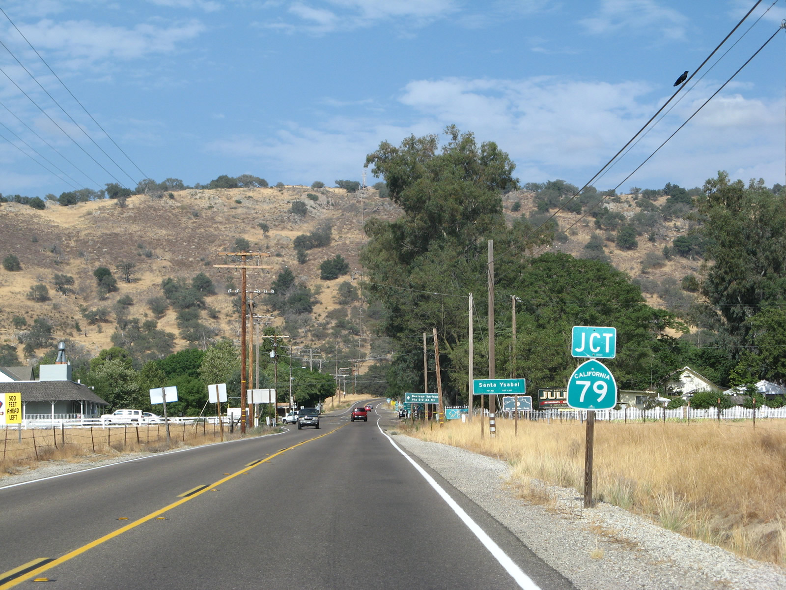
At the center of Santa Ysabel, eastbound California 78 (Julian Road) will meet California 79. This north-south highway travels north to Lake Henshaw, Borrego Springs (via San Diego County S-2), Warner Springs, Sunshine Summit, Indio (via California 371 east), and Temecula. Ahead, California 79 south will merge with California 78 east for seven miles en route to Julian. Photo taken 08/25/07. |
|
The community of Santa Ysabel has a small commercial area on the north side of the state route, including Dudley's Bakery and restaurants. Turn north on California 79 to Santa Ysabel Asistencia, a California mission. Photo taken 08/25/07. |
|
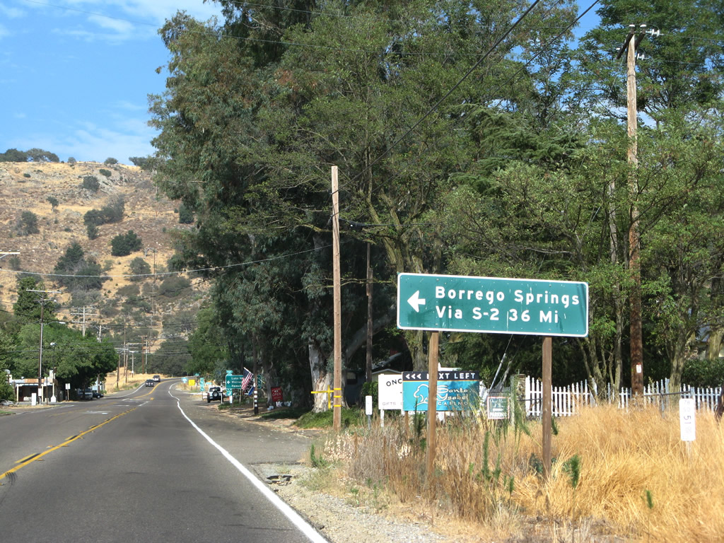
Use California 79 north to San Diego County S-2, a very long county highway (over 65 miles) that travels southeast toward Ocotillo in Imperial County. CR S-2 also connects to CR S-22, an east-west county highway that connects to Borrego Springs and ultimately California 86 northwest of Westmorland in Imperial County. Photo taken 08/25/07. |
|
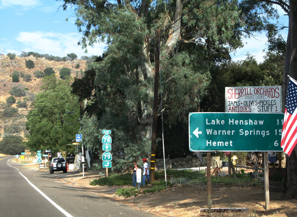
Use California 79 north to Lake Henshaw, Warner Springs, and Hemet. Photo taken 08/25/07. |
|
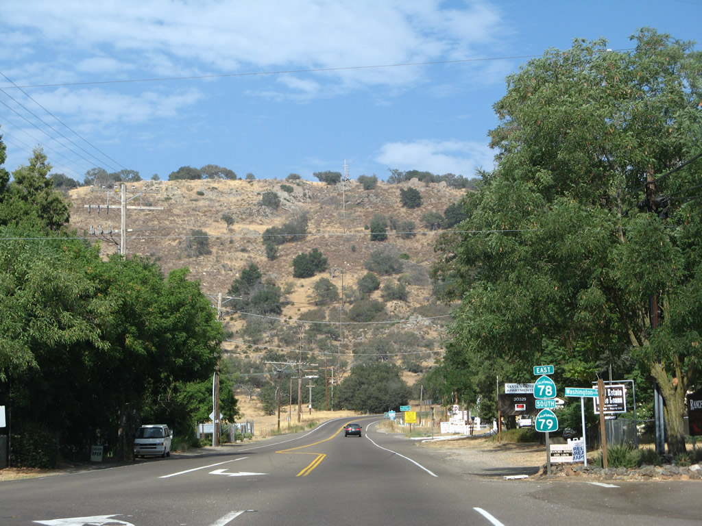
Trailblazer signs point the way for California 79 north to Temecula and straight ahead for California 78 east and California 79 south to Julian. Photo taken 06/16/06. |
|
Through traffic on California 78 east does not stop at the California 79 intersection. A set of reassurance shields for California 78 and California 79 is posted immediately after the intersection. Photo taken 08/25/07. |
Page Updated March 10, 2013.