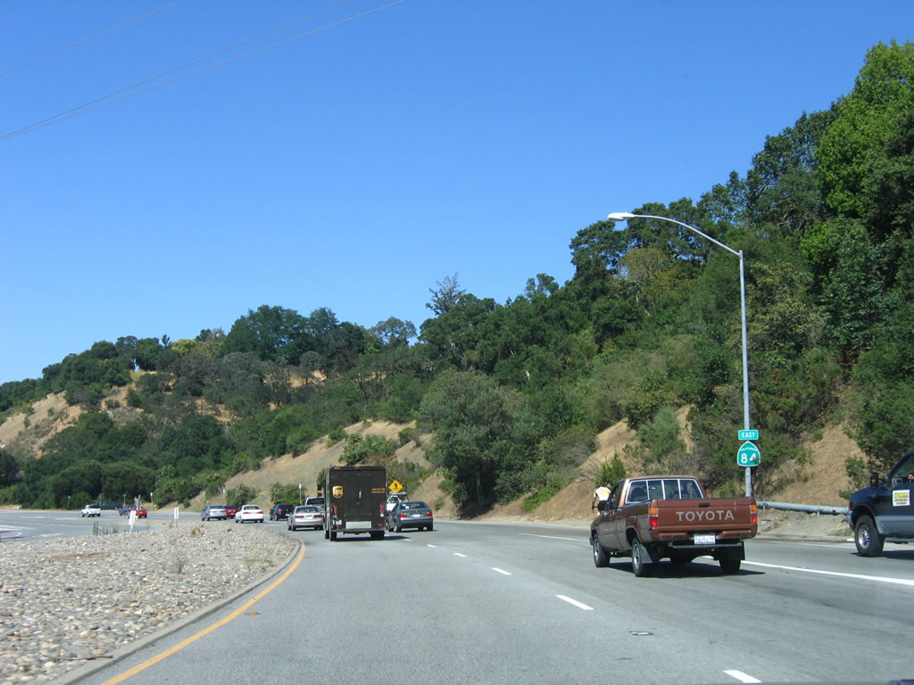
| California 84 east |
|
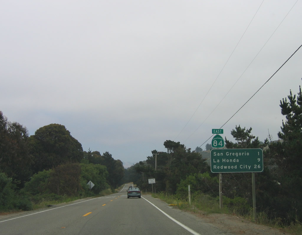
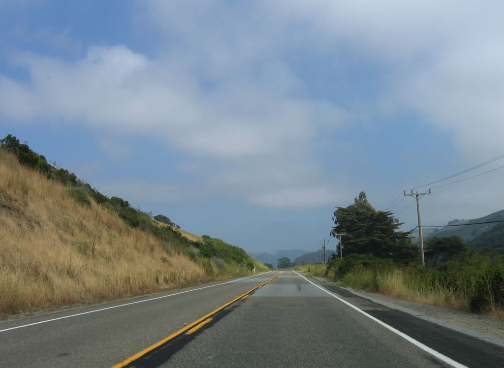
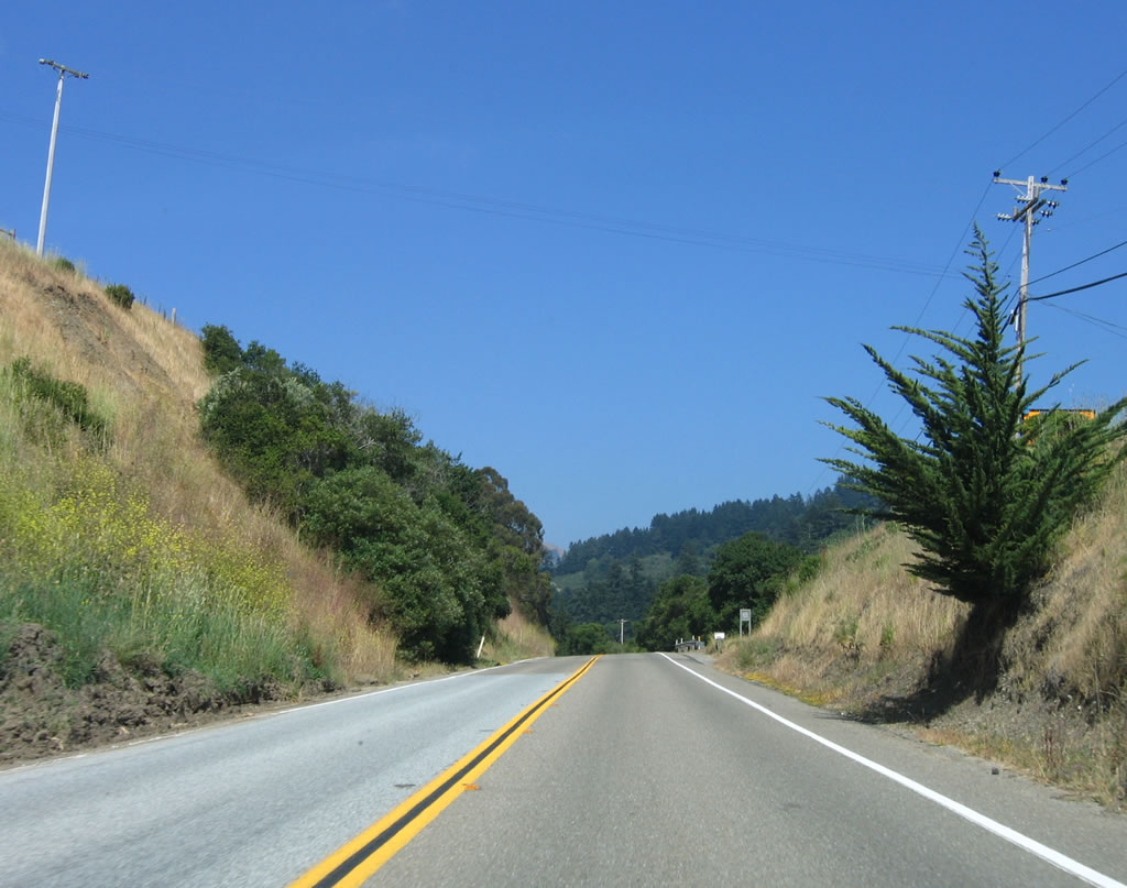
After leaving the intersection with California 1 near San Gregorio State Beach, California 84 begins its easterly journey with this initial reassurance shield and mileage sign. The town of San Gregorio is one mile ahead, followed by La Honda (nine miles) and Redwood City (26 miles). California 84 follows La Honda Road and San Gregorio Creek on its way to La Honda and Sky Londa. Photo taken 07/05/06. |
|
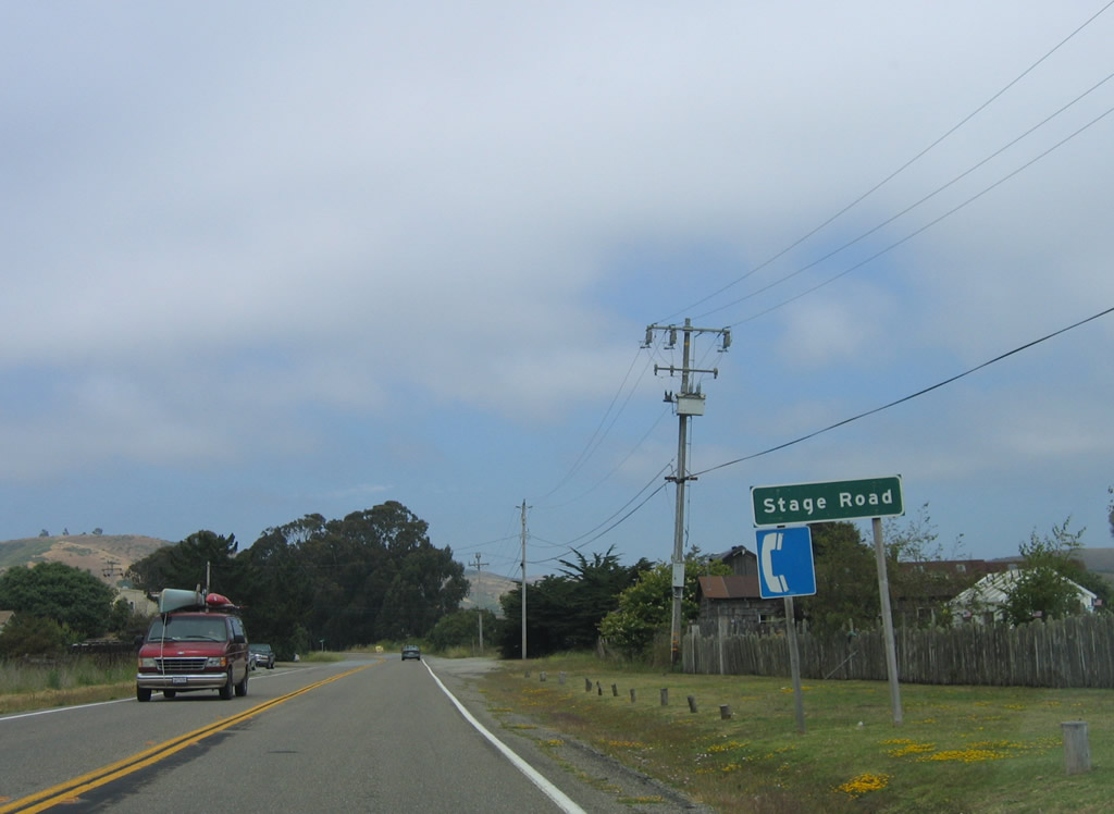
Approaching San Gregorio, eastbound California 84 intersects Stage Road. Use Stage Road south to the town of Pescadero and Pescadero Creek Road. Photo taken 07/05/06. |
|
|
|
|
|
|
|
|
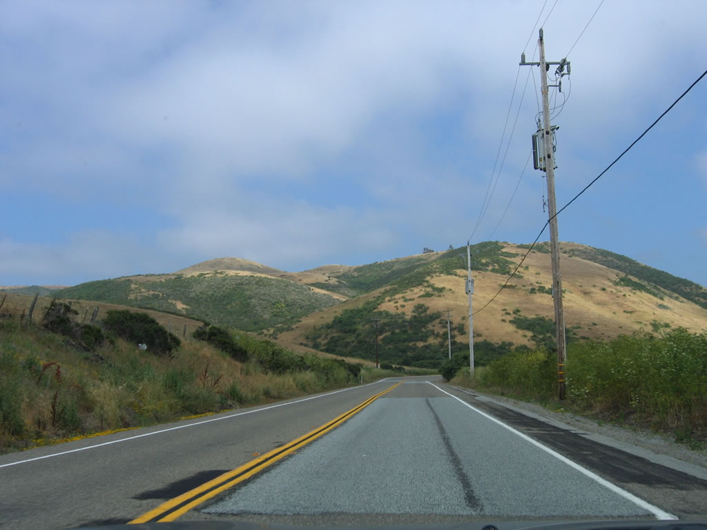
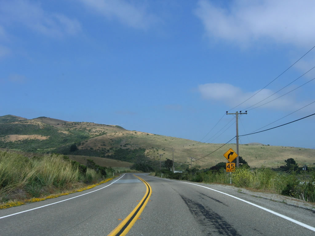
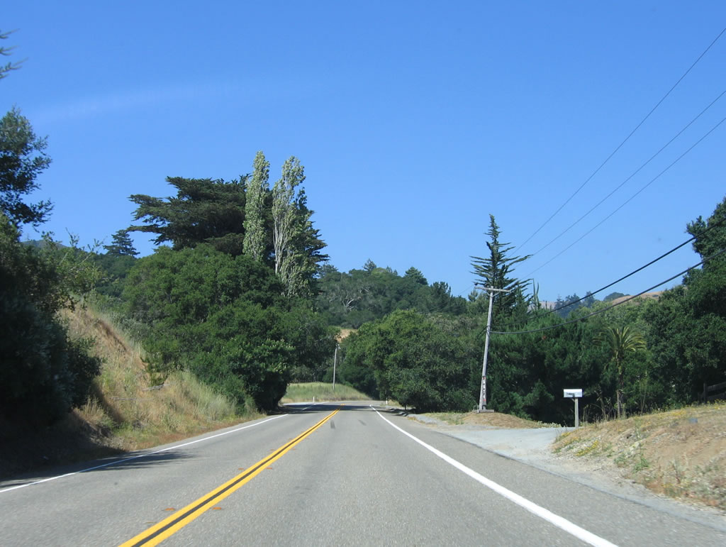
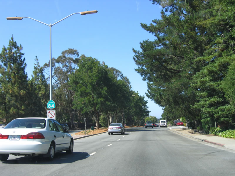
| Ascending from the coast into the foothills of the Santa Cruz Mountains, California 84 gradually leaves the omnipresent fog and low clouds of the coast. Photos taken 07/05/06. |
|
As California 84 climbs the Santa Cruz Mountains, this intersection southwest of La Honda connects to Alpine Road east to Sam MacDonald County Park, Heritage Grove, Portola Redwoods State Park (via State Park Road south), and Skyline Ridge Preserve, where Alpine Road meets California 35 (Skyline Boulevard). Photo taken 07/05/06. |
|
|
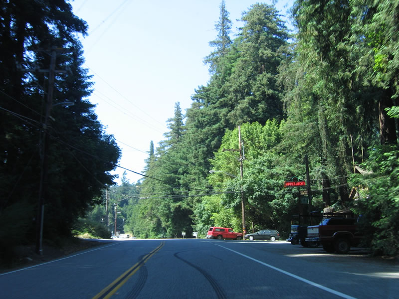
California 84 enters the town of La Honda, which has some residences and services. Photos taken 07/05/06. |
|
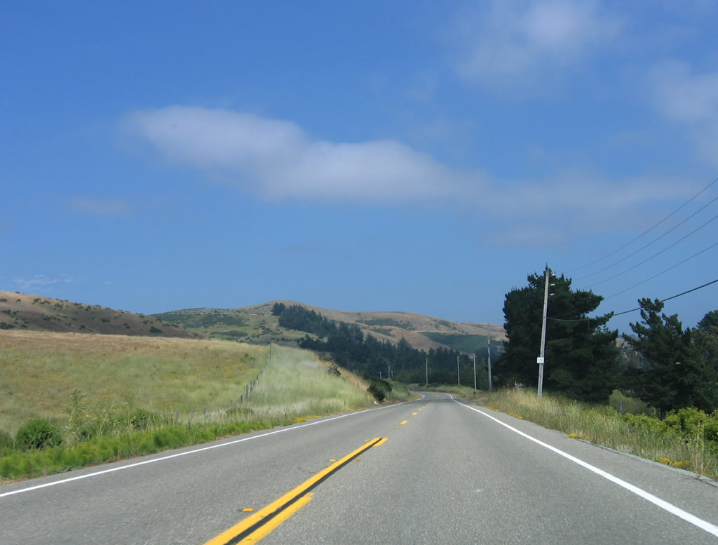
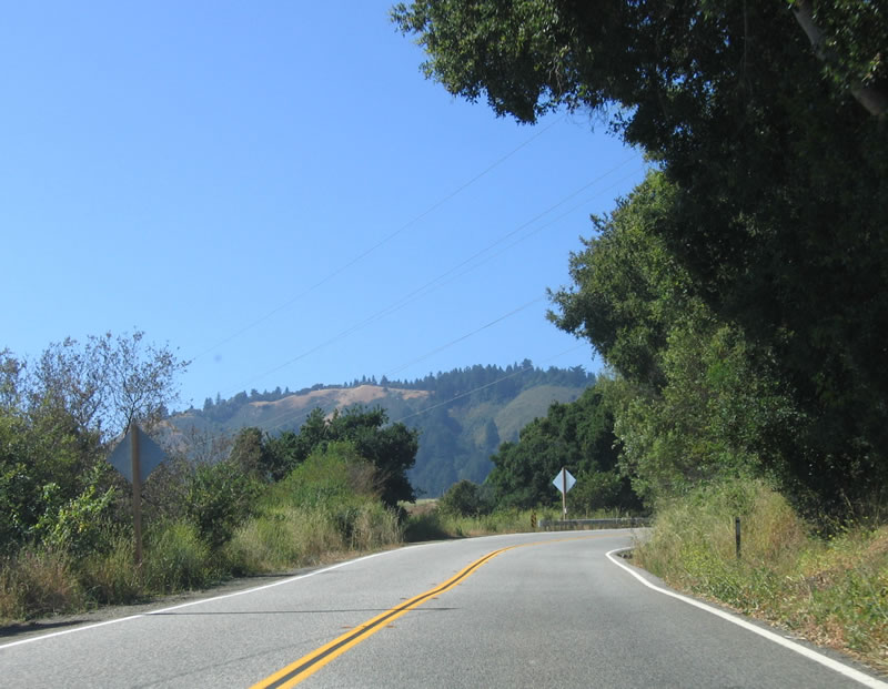
Leaving La Honda, California 84 passes through groves of tall trees and redwoods, then emerges to open areas such as this one. Photo taken 07/05/06. |
|
|
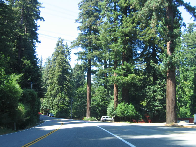
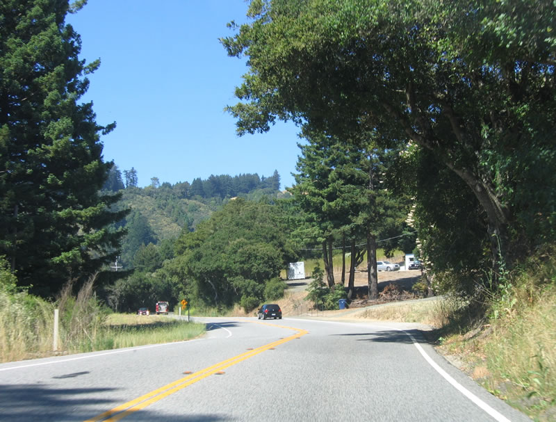
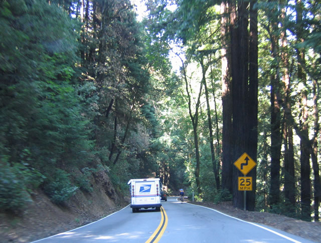
Other areas, such as these, have more trees causing limited sight distances. Drive with caution, especially during inclement weather that can make this into a slippery drive. Photos taken 07/05/06. |
|
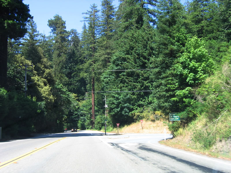
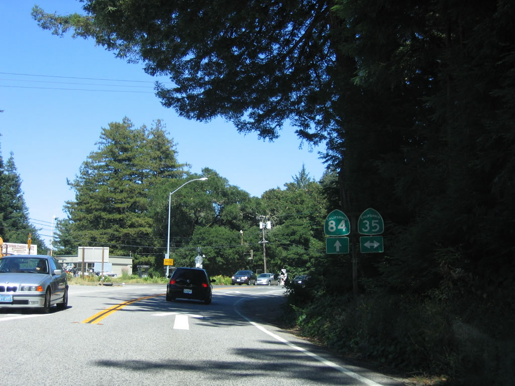
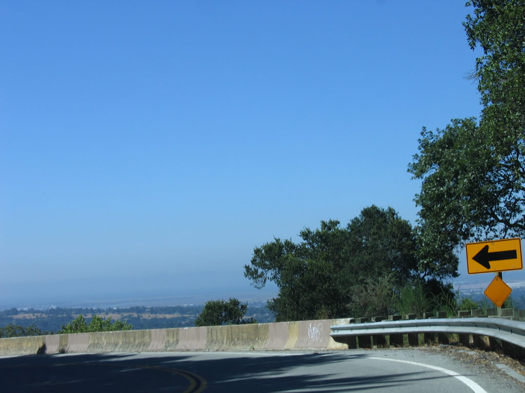
At the top of the grade, California 84 meets California 35 (Skyline Boulevard). Turn left to follow California 35 north to El Corte de Madera Preserve, Kings Mountain, and San Francisco State Fish and Game Refuge (California 92). Turn right to follow California 35 south to Skyline Ridge Preserve, Saratoga Gap (California 9), and Patchen Pass (California 17). The community of Sky Londa is located at this intersection. Photo taken 07/05/06. |
|
California 84 descends into the San Francisco Bay watershed upon leaving California 35 (Skyline Boulevard). From here, California 84 enters the town of Woodside. Home to 5,352 people as of the 2000 Census, Woodside was incorporated as a town on November 16, 1956. The town encompasses the California 84 corridor from California 35 northeast to Interstate 280 and Alameda de las Pulgas. Photo taken 07/05/06. |
|
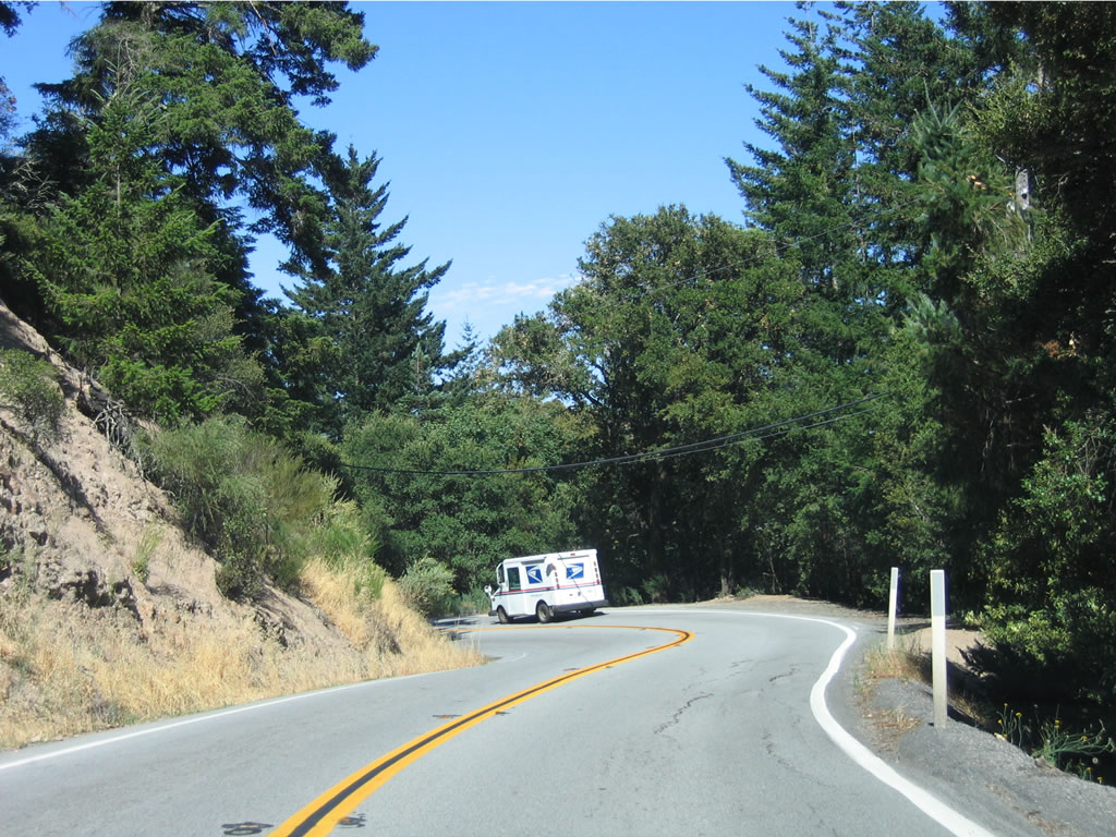
San Francisco Bay and the suburbs that line the U.S. 101 (Bayshore Freeway) corridor come into view as California 84 descends from the Santa Cruz Mountains. The two-lane highway is very winding, and care should be taken when dealing with passing bicyclists. Photo taken 07/05/06. |
|
From California 35 to Interstate 280, California 84 generally follows a north-south alignment. Eastbound California 84 generally travels north. As the state route continues to descend, retaining walls such as this one help hold the roadway in place. Photo taken 07/05/06. |
|
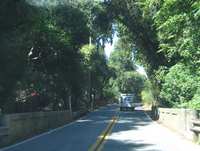
Tall trees line portions of California 84 on this side of the mountains. A lone bicyclist ahead means that traffic must use the opposing lane due to the lack of shoulders. Photo taken 07/05/06. |
|
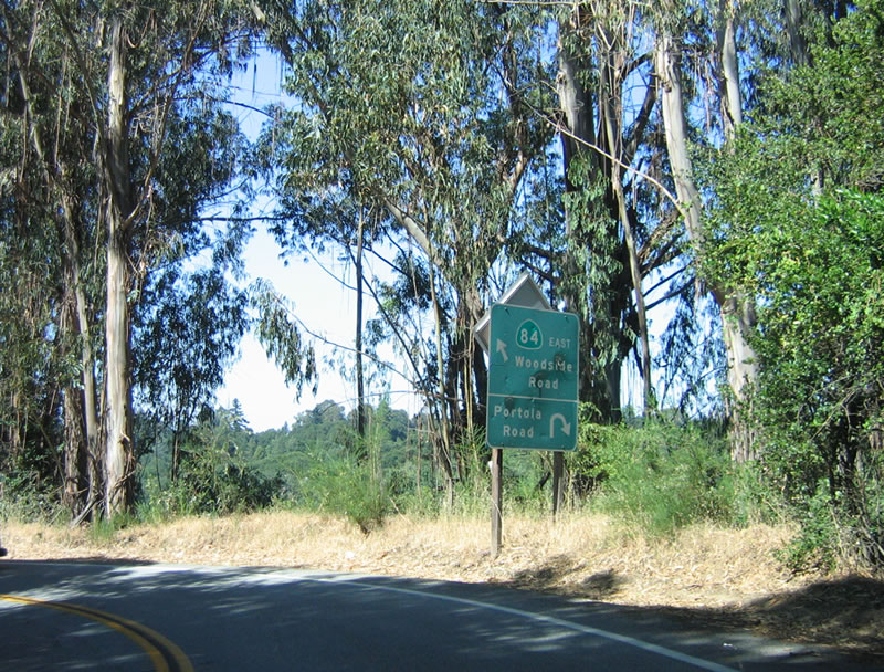
At the bottom of the hill, eastbound California 84 (La Honda Road) approaches Portola Road. At this intersection, La Honda Road ends, and California 84 continues east along Woodside Road. Photo taken 07/05/06. |
|
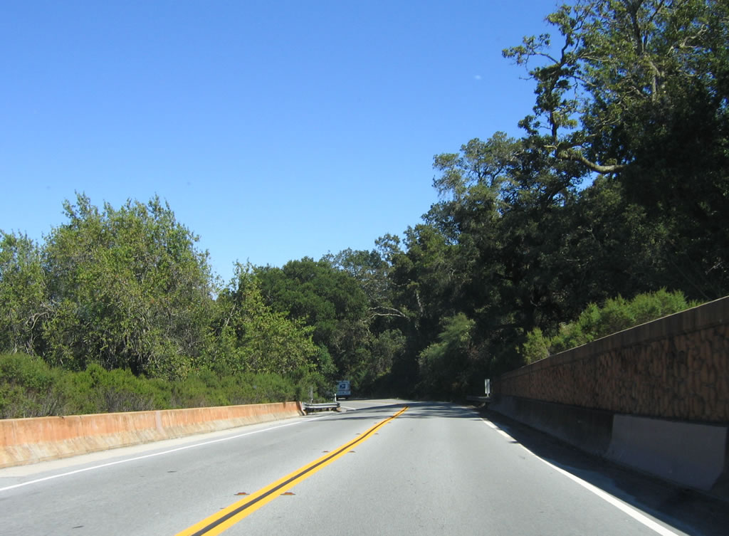
A few bridges line California 84 (Woodside Road), including Bear Gulch Creek, Bear Creek, and Dry Creek. This older bridge features old-style bridge railing. Photo taken 07/05/06. |
|
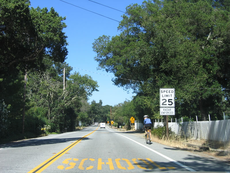
The town of Woodside features rural living, and houses line the road as California 84 (Woodside Road) continues east back into suburbia. California 84 is wider now, which makes it easier to accommodate bicyclists. Photo taken 07/05/06. |
|
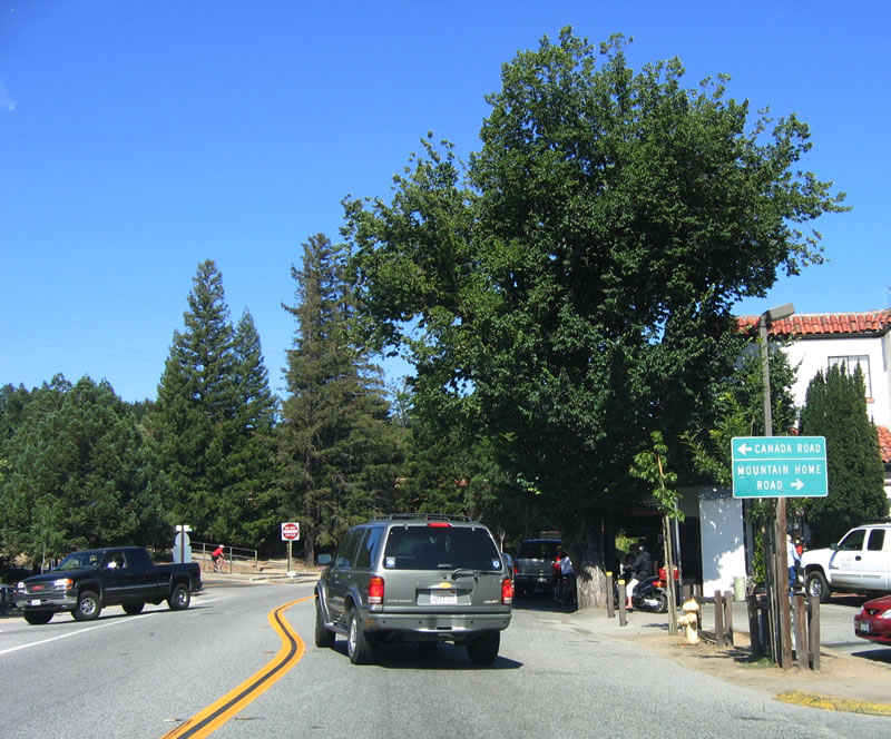
Eastbound California 84 (Woodside Road) approaches Canada Road north to Interstate 280 north and Mountain Home Road south to various subdivisions and Portola Road. Photo taken 07/05/06. |
|
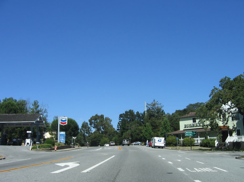
The next major intersection along California 84 (Woodside Road) east is Whiskey Hill Road south to Sandhill Road and Portola Road en route to Portola Valley. Photo taken 07/05/06. |
|
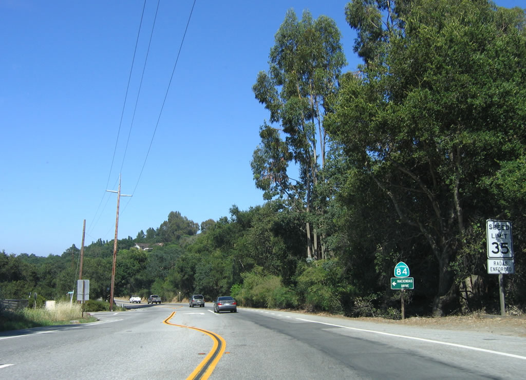
A reassurance shield for California 84 east is posted after the Whiskey Hill Road/Woodside Road intersection. The next left turn is for Haciendas Road (no through traffic). Photo taken 07/05/06. |
|
California 84 (Woodside Road) will soon widen into a four-lane expressway ... after intersecting Interstate 280 (Father Junipero Serra Freeway). Photo taken 07/05/06. |
|
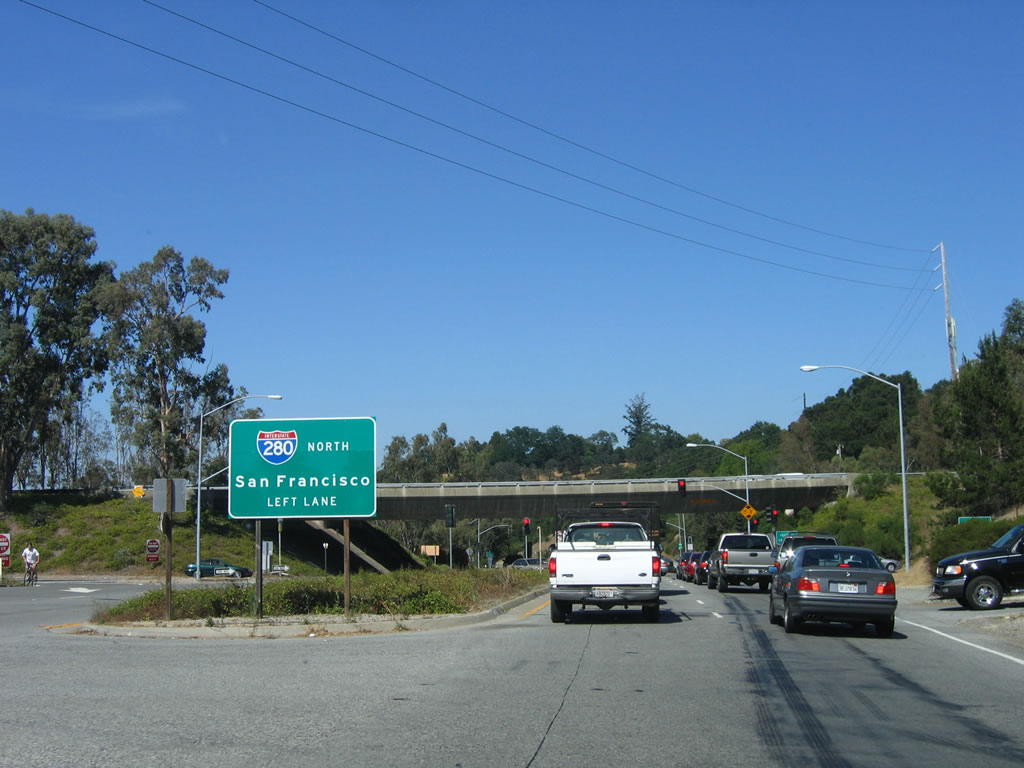
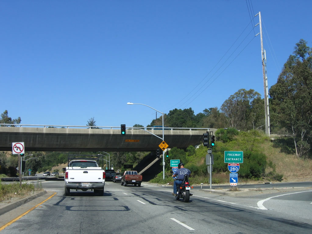
Eastbound California 84 approaches Interstate 280 (Father Junipero Serra Freeway). For the most direct and fastest route to San Francisco, use Interstate 280 north; to San Jose and points south, use Interstate 280 south. Between San Jose and San Francisco, Interstate 280 mostly avoids the cities of San Mateo County and chooses to follow the ridges and open space areas west of those cities. As a result, it functions well as a bypass and high-speed route between the two large cities. Photo taken 07/05/06. |
|
The first right turn connects eastbound California 84 (Woodside Road) with Interstate 280 south to San Jose. A left turn connects to Interstate 280 north to San Francisco. Photo taken 07/05/06. |
|
California 84 (Woodside Road) continues east of Interstate 280 as an expressway. Photo taken 07/05/06. |
|
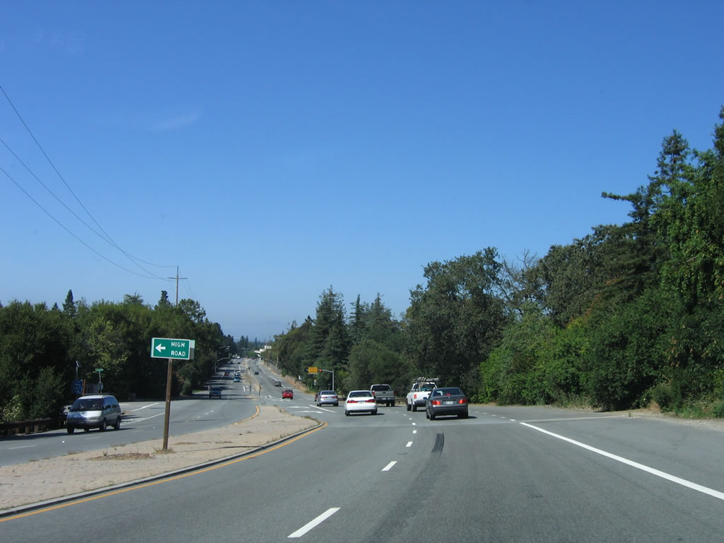
The next left turn from Woodside Road is for High Road north into the Woodside Hills community. Photo taken 07/05/06. |
|
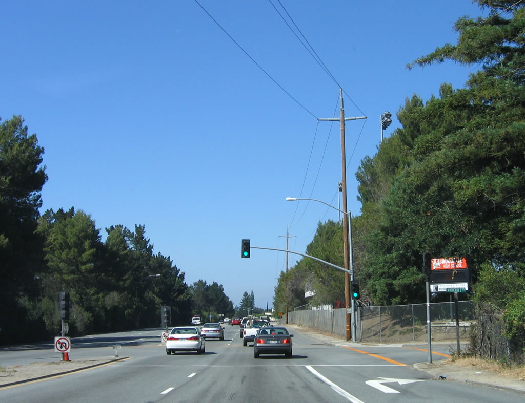
This traffic signal connects eastbound California 84 (Woodside Road) with Woodside High School. Photo taken 07/05/06. |
|
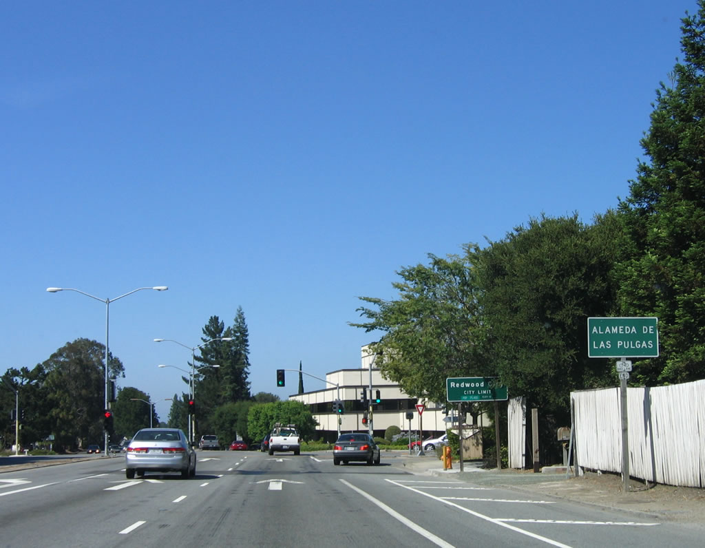
Shortly thereafter, eastbound California 84 (Woodside Road) meets Alameda de las Pulgas. California 94 leaves the town of Woodside and enters the city of Redwood City. Redwood City incorporated in 1867, and voters adopted the Redwood City charter on April 9, 1929. As of the 2000 Census, Redwood City had a population of 75,400 and encompassed approximately 19 square miles. The city is also the seat of San Mateo County. Photo taken 07/05/06. |
|
A reassurance shield for California 84 (Woodside Road) east is posted in the median on a street light pole. Photo taken 07/05/06. |
|
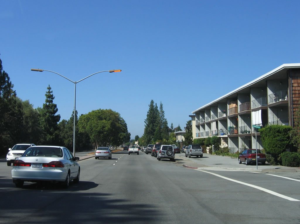
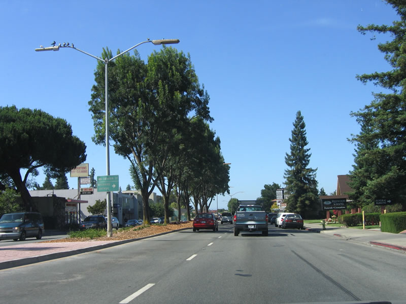
California 84 loses its access control as homes, apartments, and condominiums appear alongside Woodside Road. Photo taken 07/05/06. |
|
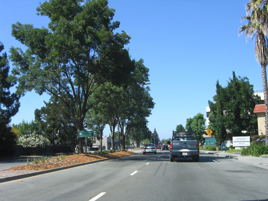
California 84 (Woodside Road) approaches Kentucky Street near Woodside Plaza. Photo taken 07/05/06. |
|
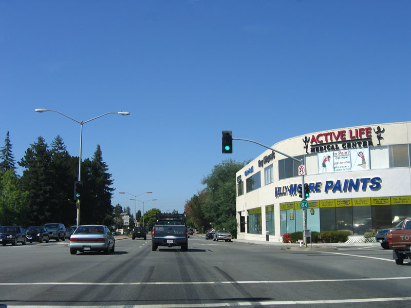
Eastbound California 84 (Woodside Road) meets Valota Road north and Nimitz Avenue south at this traffic signal in Redwood City. Photo taken 07/05/06. |
|
Continuing east, California 84 (Woodside Road) approaches Gordon Street west and Orchard Avenue south. Photo taken 07/05/06. |
|
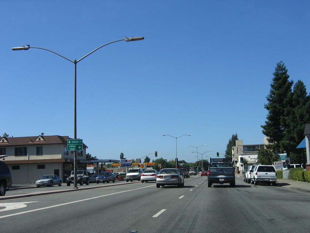
The next traffic signal along eastbound California 84 (Woodside Road) is with Hudson Street west and Central Avenue south. Photo taken 07/05/06. |
| California 84 - Woodside Expressway east |
|
Woodside Road changes into Woodside Expressway as eastbound California 84 approaches California 82 (El Camino Real) in Redwood City. Photo taken 07/05/06. |
|
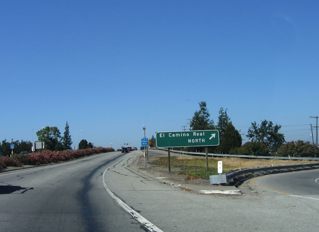
The first connection from California 84 (Woodside Expressway) is to California 82 (El Camino Real) south via Hazel Avenue. California 82 travels south to Menlo College, Palo Alto, and Stanford University. Photo taken 07/05/06. |
|
A California 84 east reassurance shield is posted on the bridge that carries California 84 over California 82 (El Camino Real). California 82 (El Camino Real) was formerly designated as U.S. 101 until the Bayshore Freeway was redesignated as U.S. 101 (it was originally signed as Bypass U.S. 101). Photo taken 07/05/06. |
|
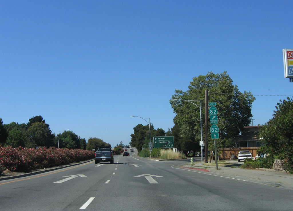
The next connection from California 84 (Woodside Expressway) is to California 82 (El Camino Real) north via a direct loop ramp. California 82 travels north to downtown Redwood City, San Carlos, and Belmont. Photo taken 07/05/06. |
|
An El Camino Real south sign is posted at the gore point from California 84 east to California 82 south. Photo taken 07/05/06. |
|
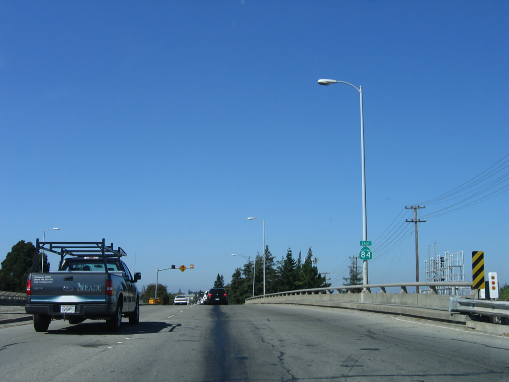
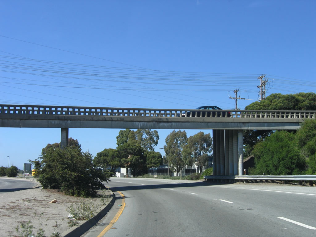
Crossing the railroad tracks, another California 84 reassurance shield is posted on the Woodside Expressway. Photo taken 07/05/06. |
|
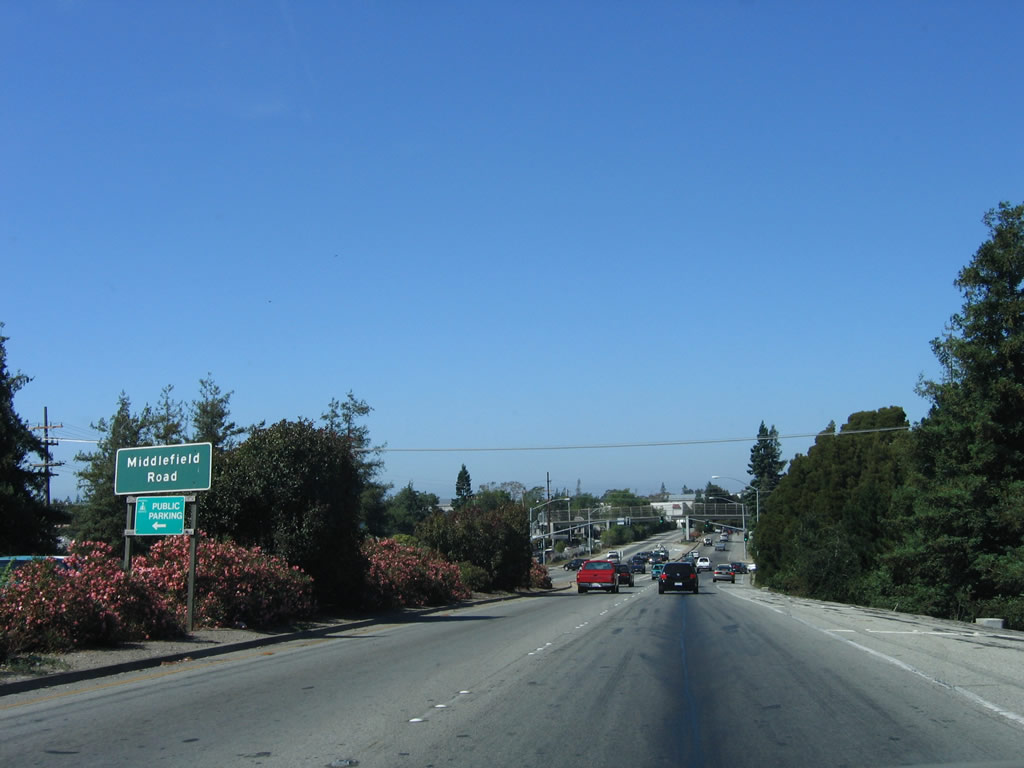
The next traffic signal on eastbound California 84 (Woodside Expressway) is with Middlefield Road, which also travels north into downtown Redwood City. Photo taken 07/05/06. |
|
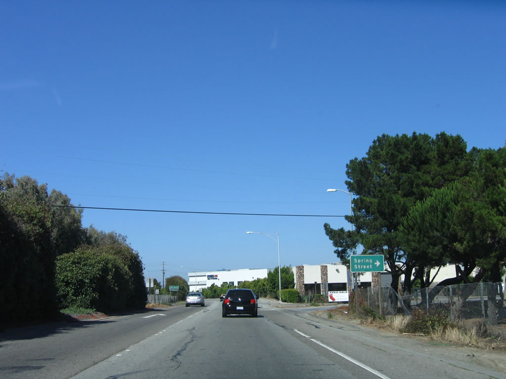
Eastbound California 84 (Woodside Expressway) reaches Spring Street southeast to North Fair Oaks, an unincorporated area of San Mateo County. Photo taken 07/05/06. |
|
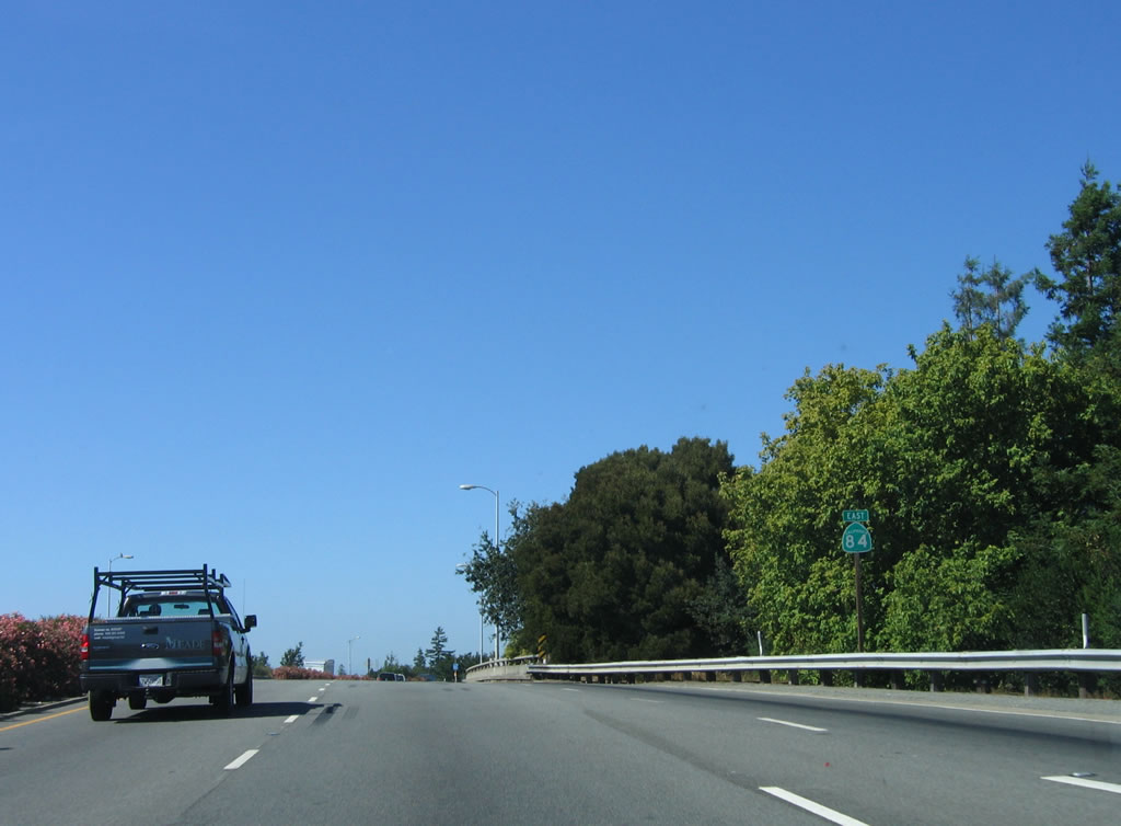
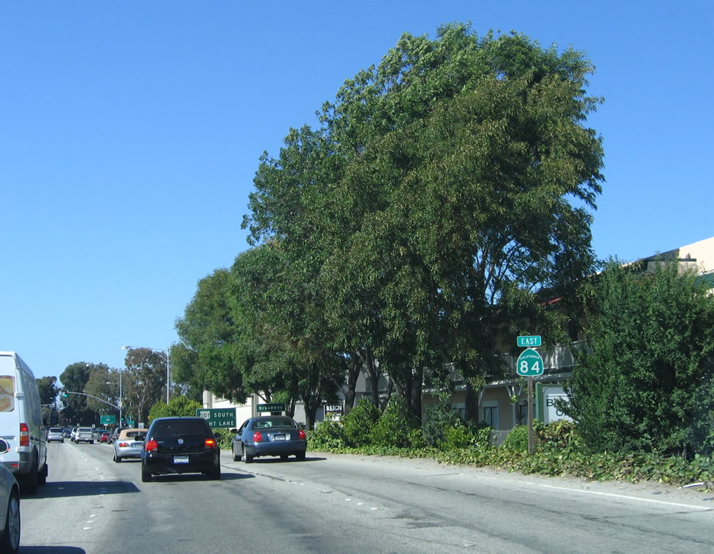
The next California 84 east reassurance shield is posted shortly thereafter but prior to the U.S. 101 interchange. Photo taken 07/05/06. |
|
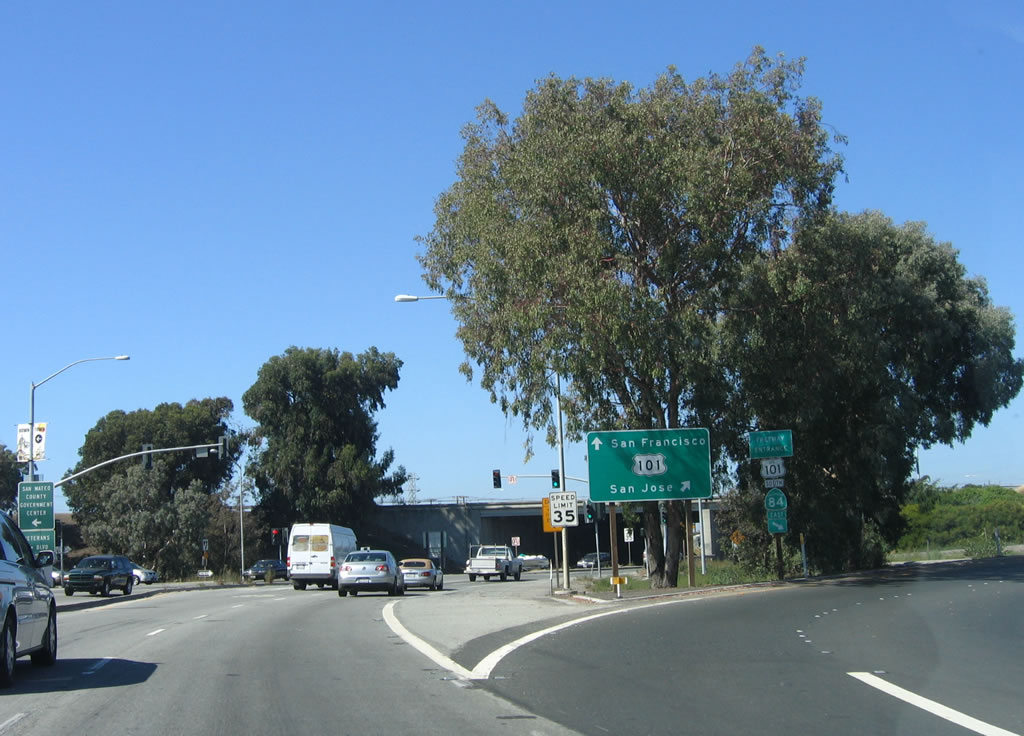
Eastbound California 84 (Woodside Expressway) approaches Exit 408 with U.S. 101 (Bayshore Freeway). The first ramp carries U.S. 101 south and California 84 east to Menlo Park. At Exit 406, California 84 (Bayfront Expressway) and U.S. 101 split. Photo taken 07/05/06. |
|
California 84 east and U.S. 101 south depart at this transition ramp. The left two lanes continue east to U.S. 101 north and Seaport Boulevard north. Photo taken 07/05/06. |
| Woodside Expressway east |
|
The next ramp connects to U.S. 101 (Bayshore Freeway) north to San Mateo, Burlingame, Millbrae, South San Francisco, and San Francisco. The left two lanes connect to Seaport Boulevard. Photo taken 07/05/06. |
| Seaport Boulevard east |
|
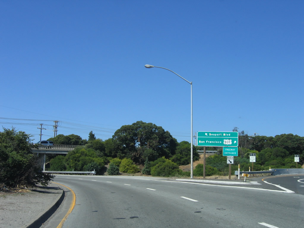
This overpass is a ramp that carries California 84 west from U.S. 101 north to Woodside Expressway west. Seaport Boulevard continues north from here. Photo taken 07/05/06. |
Page Updated September 23, 2007.