| California 94 east |
|
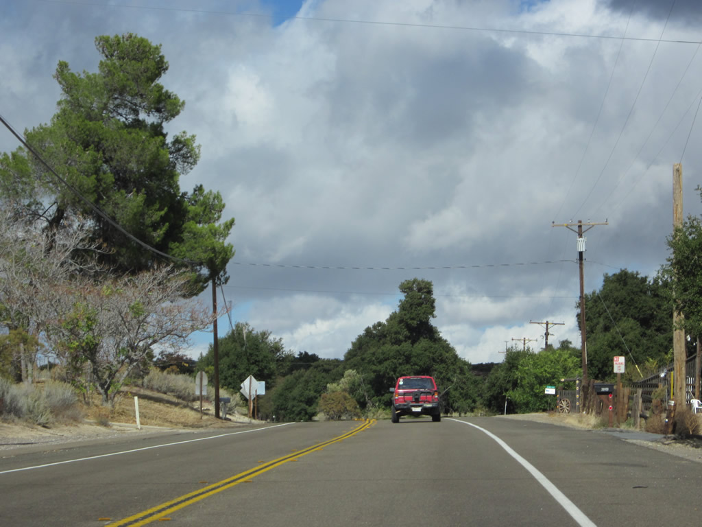
After the intersection with California 188, eastbound California 94 continues through the mountains and passes through the unincorporated community of Potrero. Photo taken 08/22/04. |
|
The San Diego and Imperial Valley Railroad crosses over California 94. Built in 1915, this grade separation is still in use today as the "Bingville" railroad subway. Photo taken 08/22/04. |
|
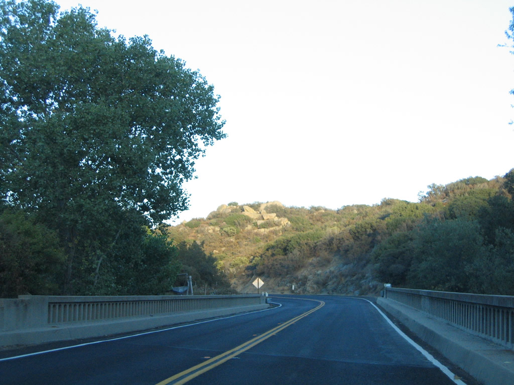
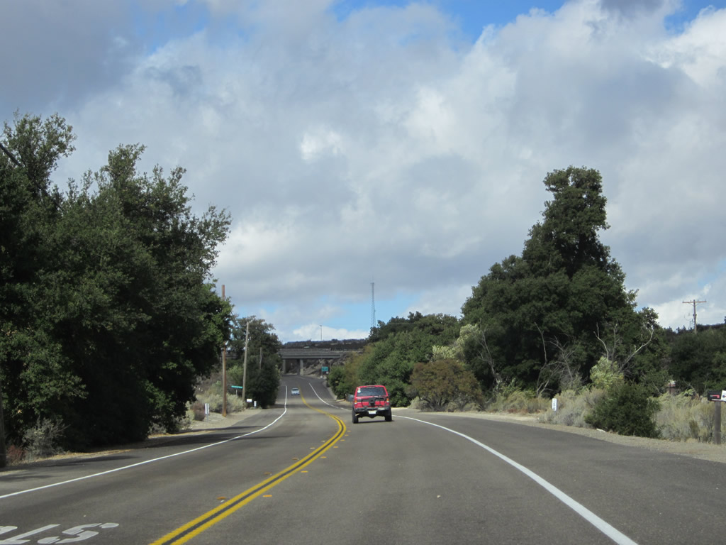
Soon thereafter, California 94 crosses Campo Creek on this 1942 bridge. Photo taken 08/22/04. |
|
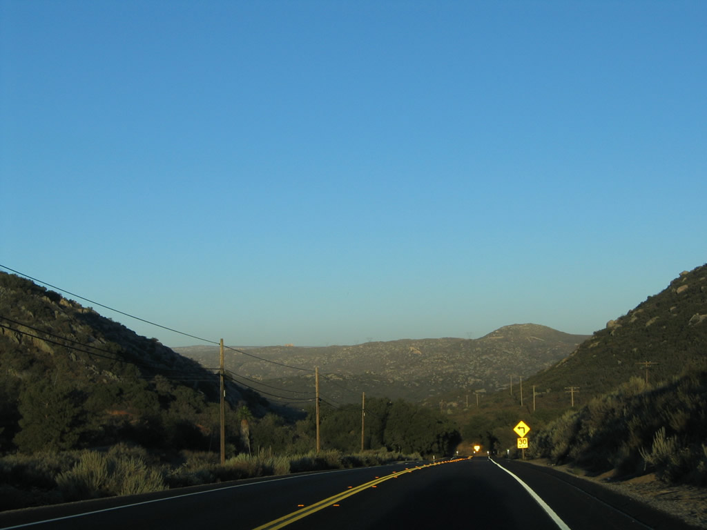
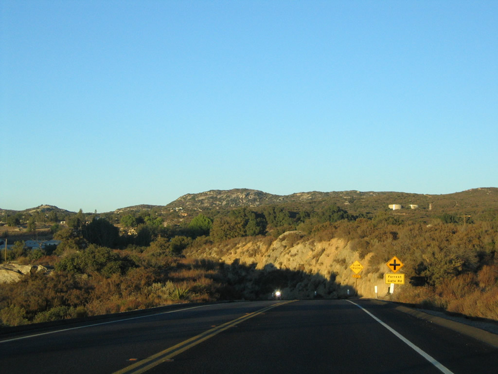
Eastbound California 94 approaches Forrest Gate Road in Campo. Located at the southern terminus of the Pacific Crest Trail near the international boundary with Mexico, Campo is an unincorporated community with a population of 3,251 as of the 2000 Census. The Pacific Southwest Railway Museum is located at the intersection of California 94 and Forrest Gate Road in Campo. Photo taken 08/22/04. |
|
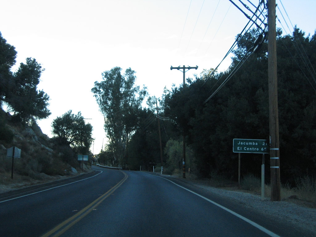
Leaving Campo, this mileage sign provides the distance to Jacumba and El Centro, both of which are located east of California 94. Use Old U.S. 80 east to Jacumba and Interstate 8 east to El Centro. Photo taken 08/22/04. |
|
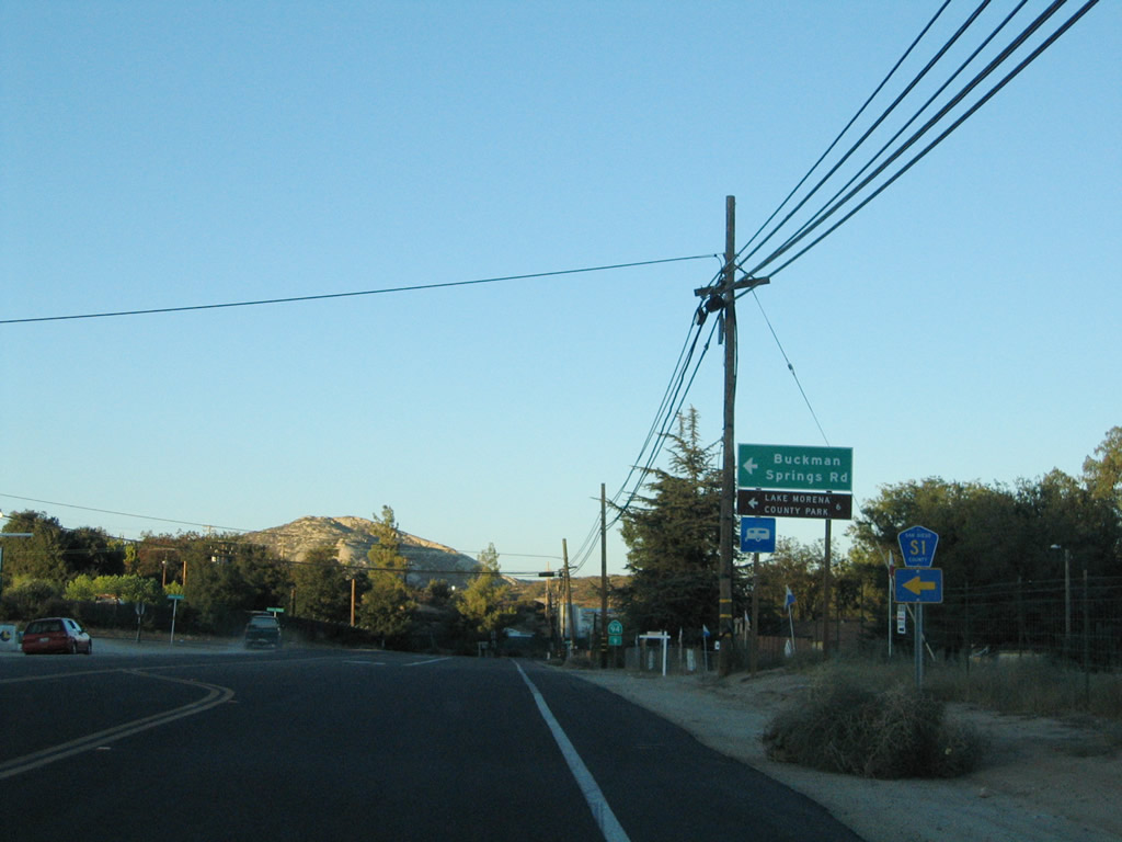
Eastbound California 94 approaches San Diego County S-1 (Buckman Springs Road) north to Lake Morena, Pine Valley, and Mount Laguna. Continue straight ahead on California 94 to Boulevard and Manzanita along U.S. 80. Photo taken 08/22/04. |
|
A California 94 trailblazer is posted at the San Diego County S-1 intersection. The county route travels north from here, passing through some of the most scenic mountain scenery in the county before ending at California 79 near Lake Cuyamaca southeast of Julian. Photo taken 08/22/04. |
|
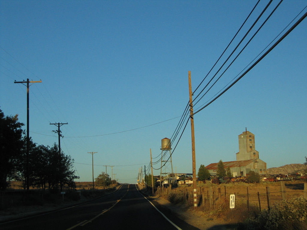
An unusual structure and a large automobile farm is located on the south side of the highway east of Cameron Corners. Photo taken 08/22/04. |
|
|
|
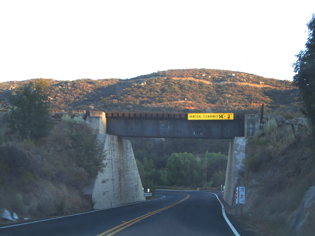
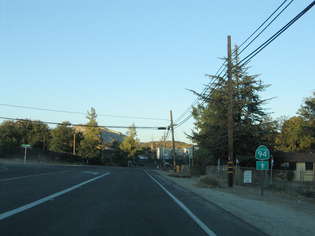
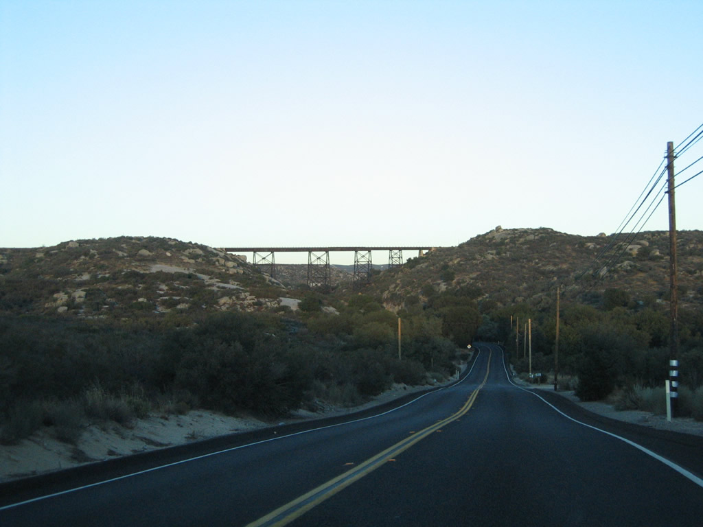
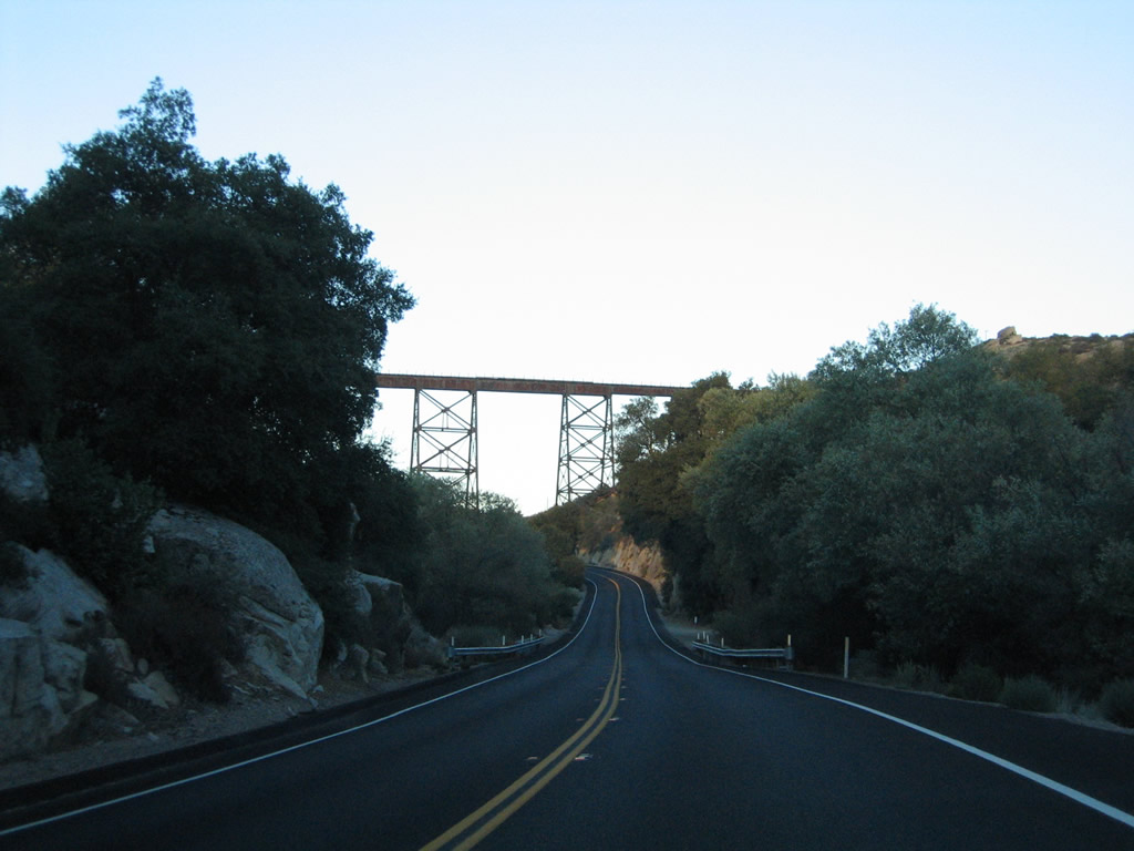
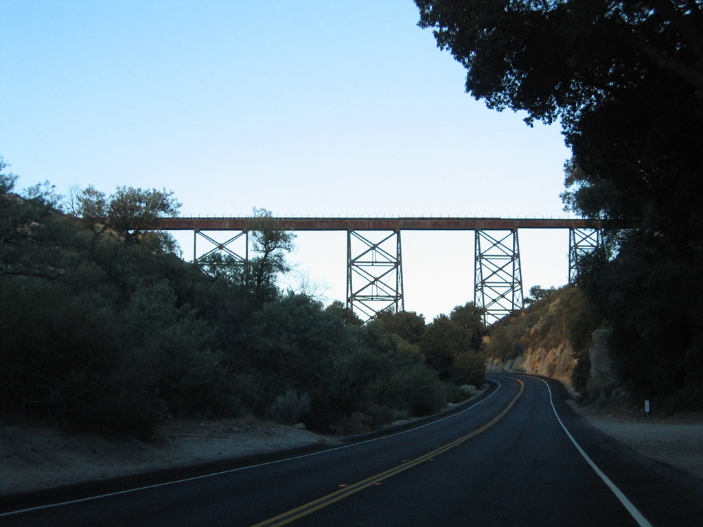
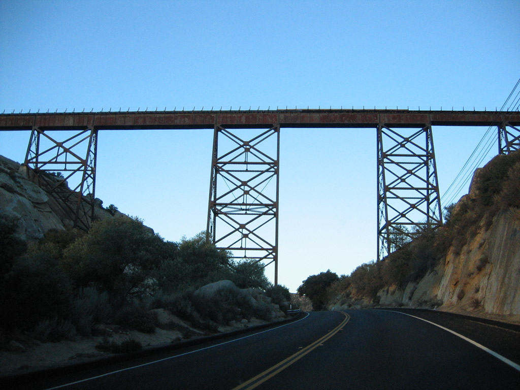
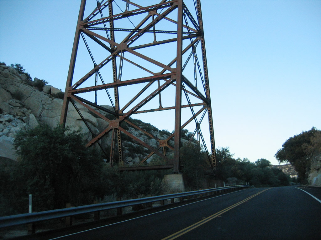
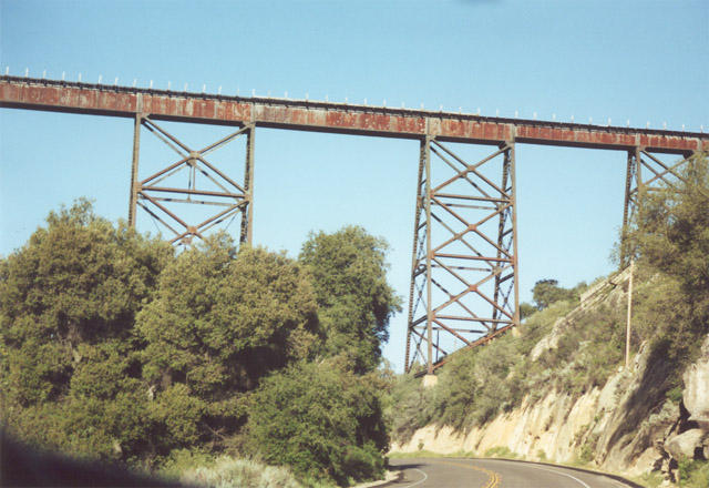
California 94 soon passes under the San Diego and Imperial Valley Railroad bridge. This railroad provides railroad access from the Imperial Valley to the San Diego metropolitan area via the Laguna Mountains. The most controversial part of the railroad passes through Mexico, and some local politicians preferred that the railroad be closed rather than have trains pass through foreign territory. Known as the "Indian Agency" viaduct by Caltrans, this bridge was built in 1917. Photos taken 08/22/04 and 06/06/99. |
|
|
|
|
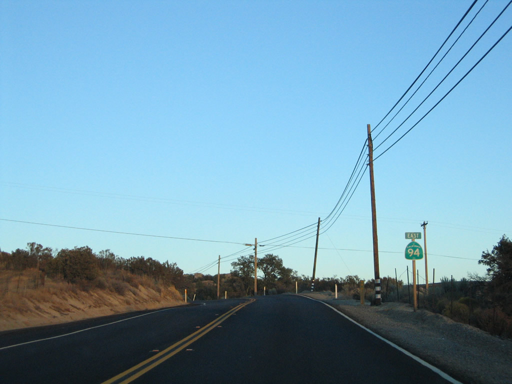
A California 94 reassurance shield is posted after passing under the towering railroad bridge. Photo taken 08/22/04. |
|
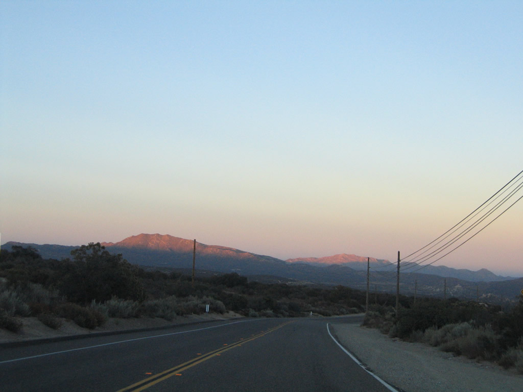
Reddish and pinkish hues dominate the sky as the sun sets on California 94 in the late-summer evening scene. Photo taken 08/22/04. |
| California 94 (Historic U.S. 80) east |
|---|
|
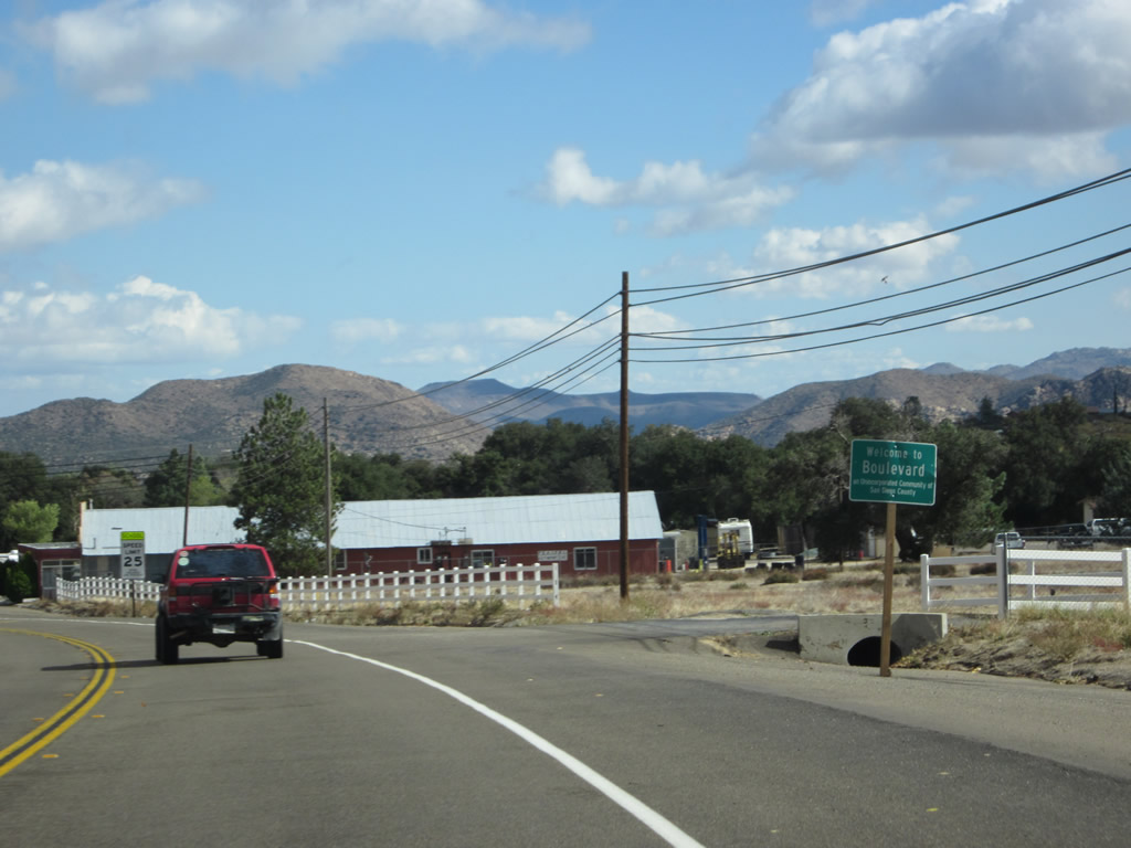
U.S. 80 and California 94 merge together and share alignment on their way into the unincorporated community of Boulevard, which was home to 315 people as of the 2010 Census and sits at an elevation of 3,638 feet. For its decennial population count, the U.S. Census Bureau incorporated Boulevard, Live Oak Springs, and Tierra Del Sol into the combined population statistics for a total of 315 people. Photo taken 11/10/12. |
|
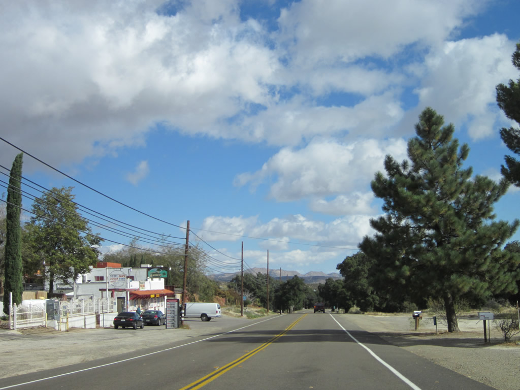
Eastbound California 94 and historic U.S. 80 proceed in tandem through rural Boulevard. Photo taken 11/10/12. |
|
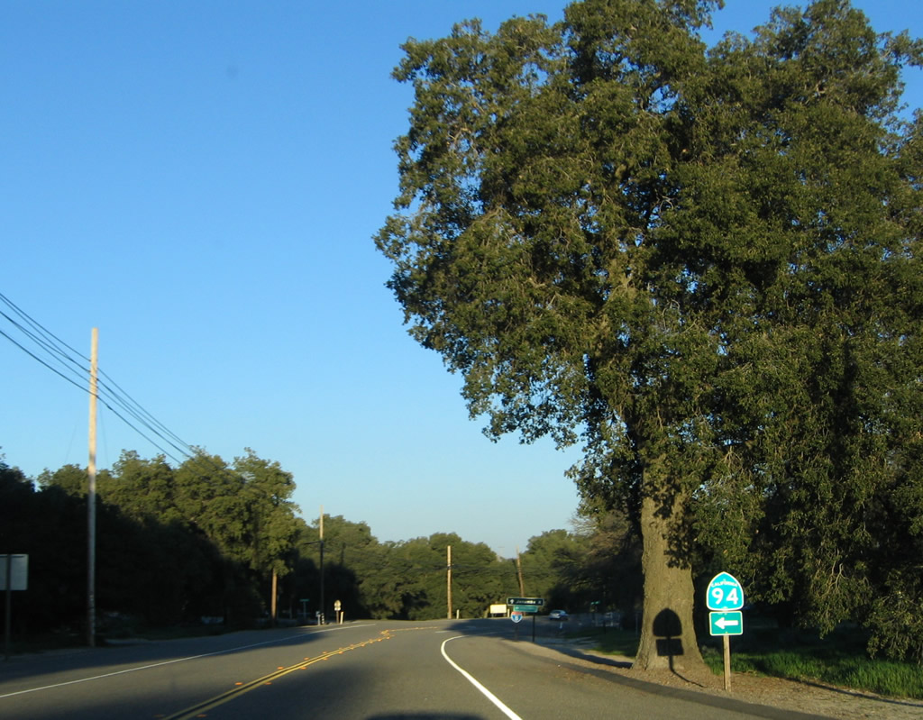
Nearing Ribbonwood Road in Boulevard, U.S. 80 and California 94 prepare to separate. A California 94 trailblazer indicates the continuation of the state route by turning north on Ribbonwood Road. Old Highway 80 will continue straight ahead toward Jacumba. Photo taken 03/12/05. |
|
To Interstate 8, follow California 94/Ribbonwood Road north. To Jacumba, proceed east along Old Highway 80. A right turn connects to Jewel Valley Road south for local and ranch access. Photo taken 11/10/12. |
| California 94 east |
|
The final half-mile of California 94 travels along Ribbonwood Road from Old Highway 80 in Boulevard north to Interstate 8 (Kumeyaay Highway) Exit 65. This interchange will mark the eastern terminus of California 94. Photo taken 11/10/12. |
|
Only a half mile separates Old Highway 80 and Interstate 8. At the freeway interchange, California 94 will end at a diamond interchange just north of Boulevard. Photo taken 11/10/12. |
|
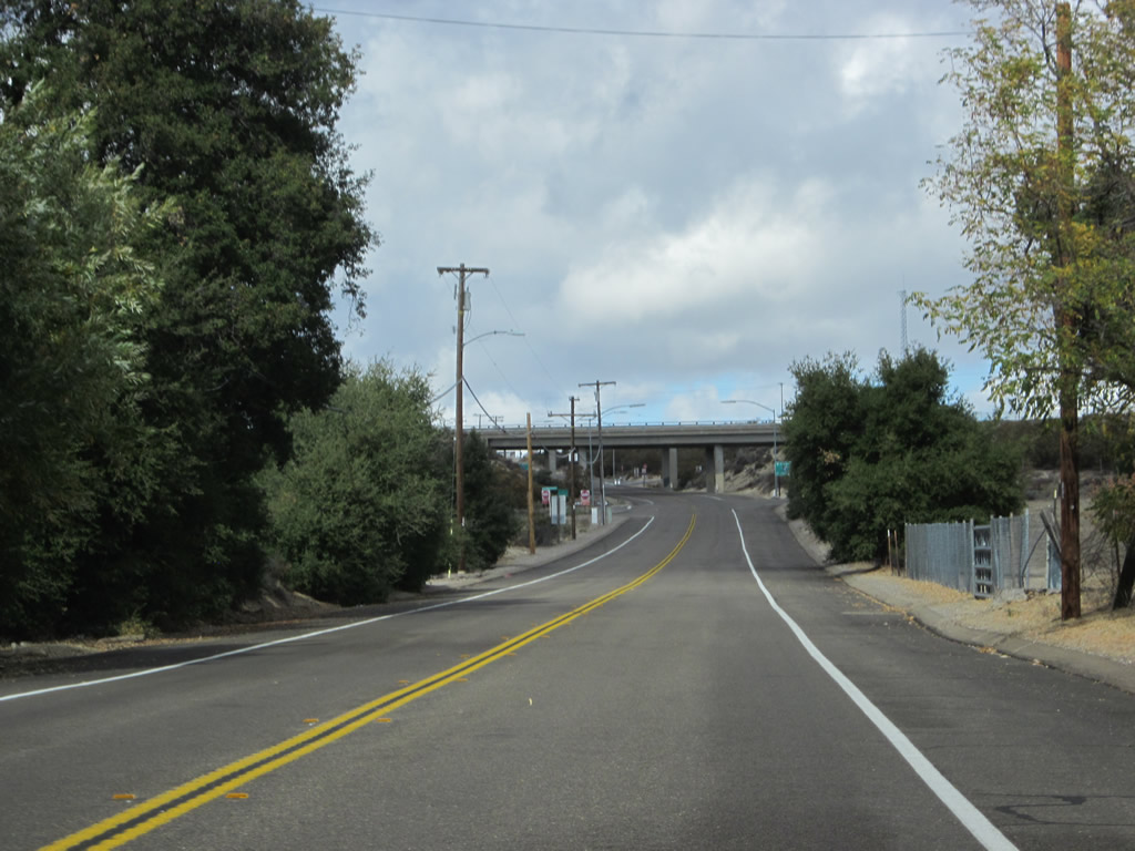
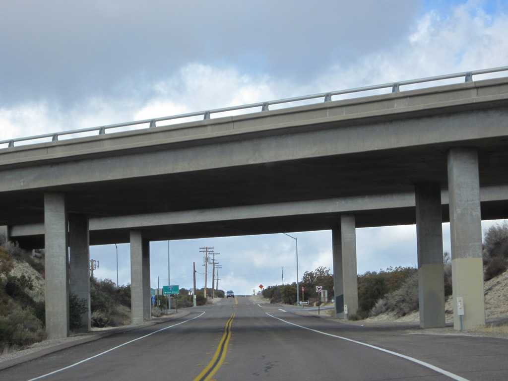
Originally, California 94 ended west of Boulevard where it met U.S. 80. When U.S. 80 was removed from the state highway system and replaced by Interstate 8, California 94 was extended along Old Highway 80 and Ribbonwood Road to connect with the freeway. Here we see the diamond interchange with Interstate 8 coming into view. Photo taken 11/10/12. |
|
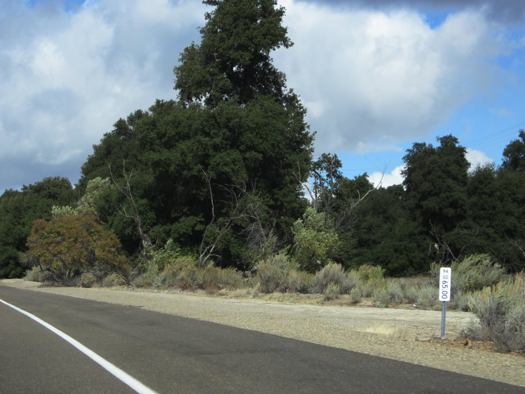
Postmile 65.00 is found just before the Interstate 8 interchange. This means we are about 65 miles east of San Diego via California 94. Photo taken 11/10/12. |
|
California 94 proceeds north toward the Interstate 8 interchange. Photo taken 11/10/12. |
|
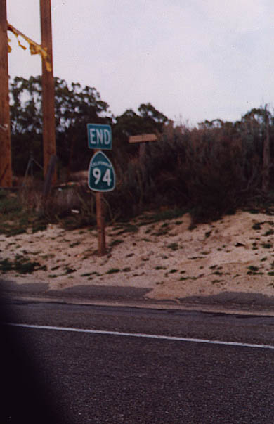
An end California 94 shield used to be posted at the Boulevard interchange with Interstate 8. By 2004, this end shield was removed (along with its companion begin shield in the other direction of California 94). Photo taken 08/99. |
|
|
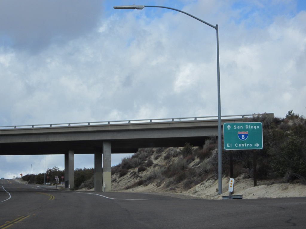
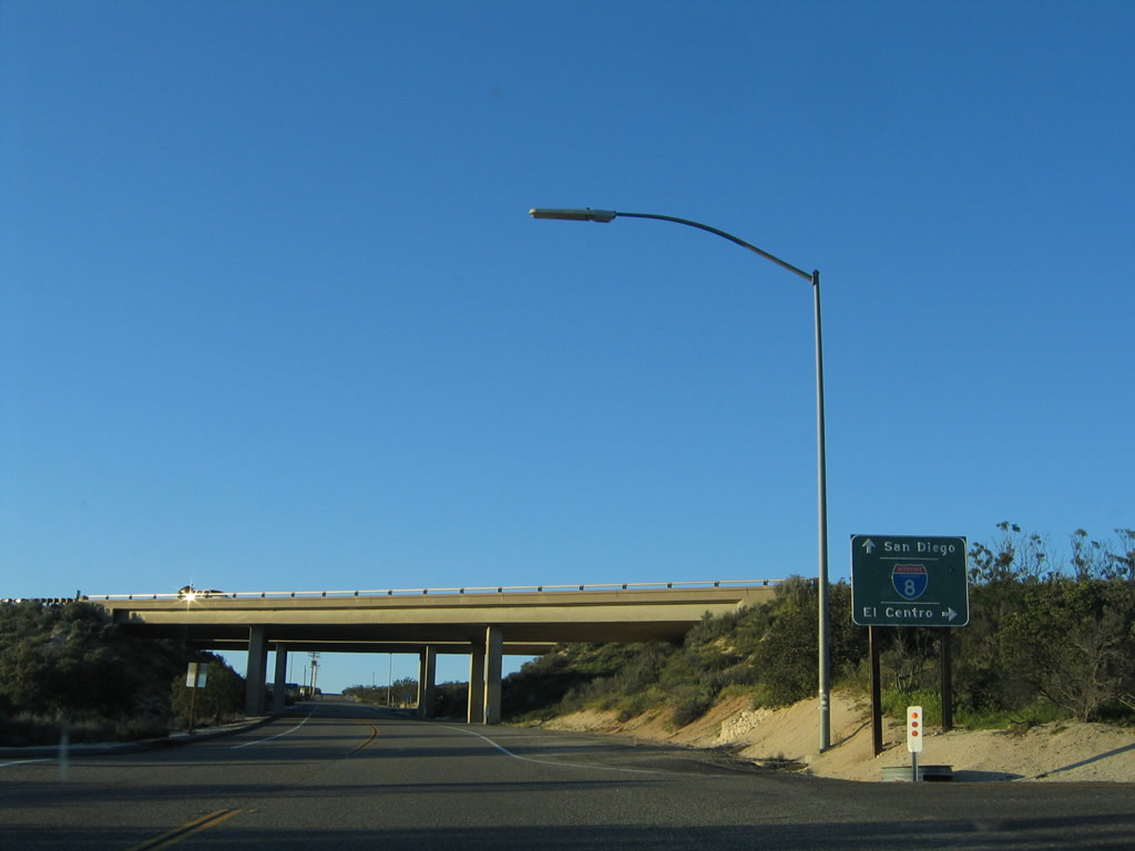
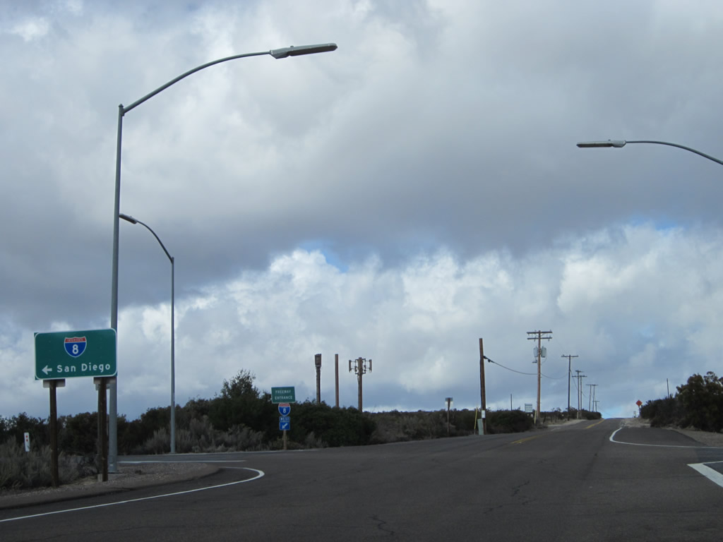
Eastbound California 94 and northbound Ribbonwood Road meet Interstate 8 at this diamond interchange. The first right connects to Interstate 8 east to El Centro; the first left after passing under the freeway connects to Interstate 8 west to San Diego. Photos taken 11/10/12 and 03/12/05. |
|
Northbound Ribbonwood Road proceeds through the Interstate 8 interchange. The next left connects to Interstate 8 west to Pine Valley, Alpine, El Cajon, La Mesa, and San Diego. All motorist services are available via Interstate 8 west. Photo taken 11/10/12. |
|
Northbound Ribbonwood Road meets the on-ramp to Interstate 8 west. California 94 ends here. Ribbonwood Road continues north as a county maintained road to provide local and ranch access. Photo taken 11/10/12. |
Page Updated February 10, 2013.