
California 178 East - Walker Pass
| California 178 east | ||
|---|---|---|
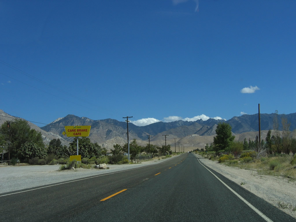 |
The Cane Brake Cafe, which is located on the north side of California 178/Isabella-Walker Pass Road, serves highway travelers east of Onyx in the unincorporated community of Canebrake. There is not much else here. Photo taken 10/08/06. | |
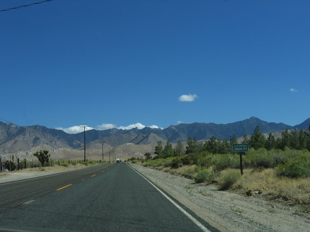 |
The elevation of California 178 finally reaches 3000 feet. Photo taken 10/08/06. | |
 |
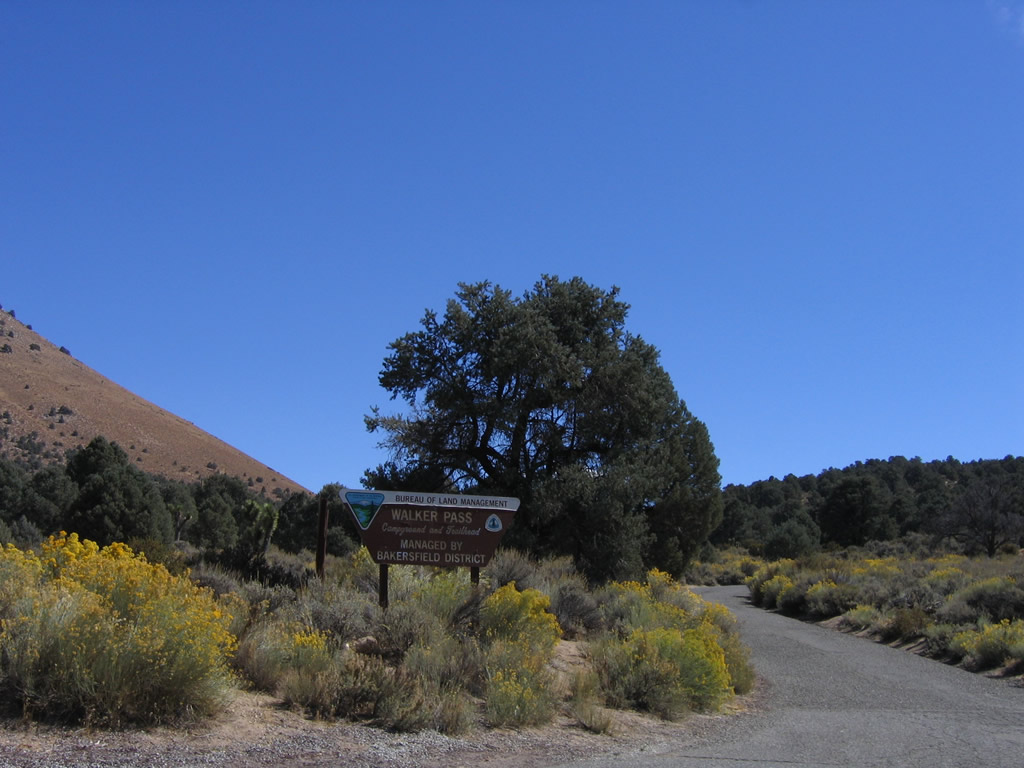
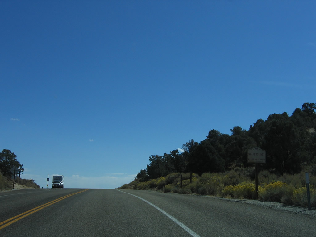
Walker Pass is what separates Canebrake from the Mojave Desert and Inyokern. Photo taken 10/08/06. | |
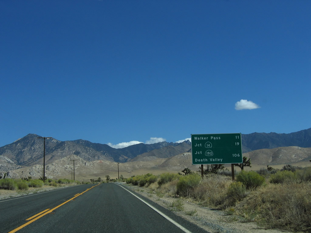 |
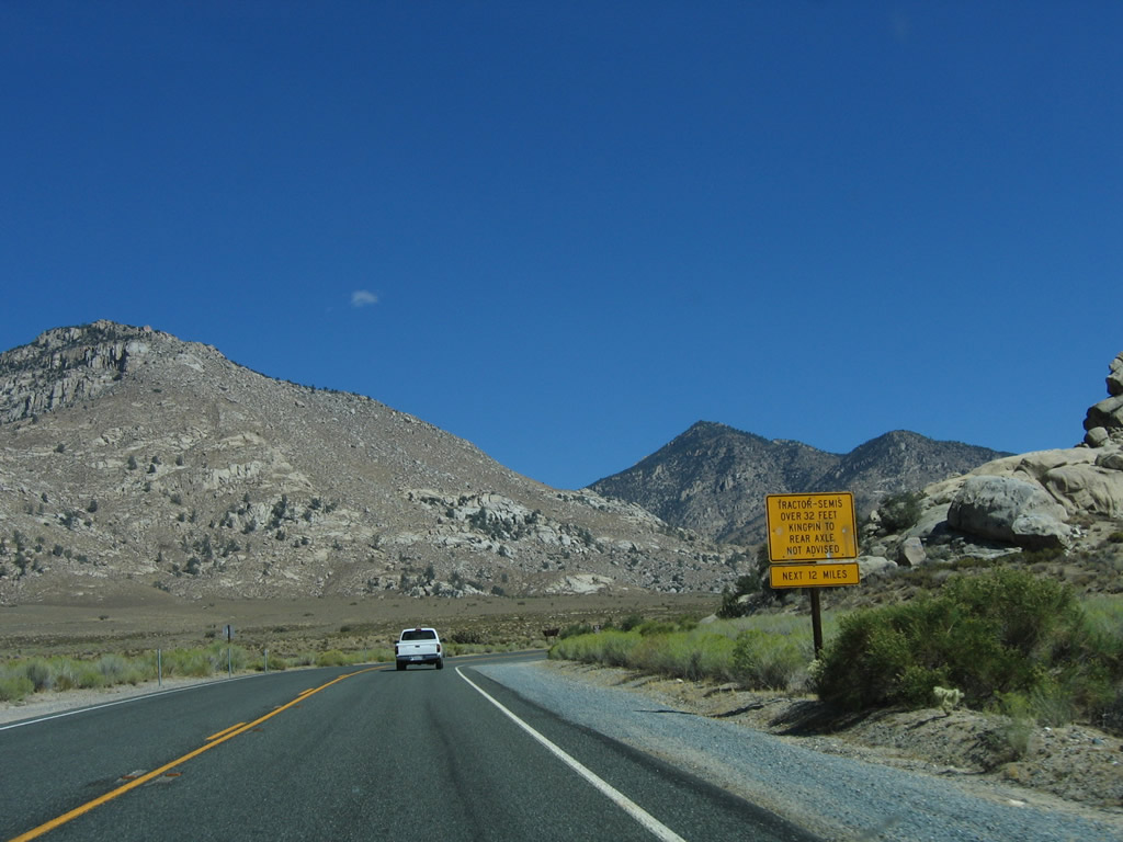
This mileage sign along eastbound California 178 provides the distance to Walker Pass (11 miles), California 14 at Freeman Junction (19 miles), and California 190 in Death Valley National Park (106 miles). Notably Inyokern, China Lake, and Ridgecrest are omitted from this sign. Photo taken 10/08/06. | |
 |
 |
 |
 |
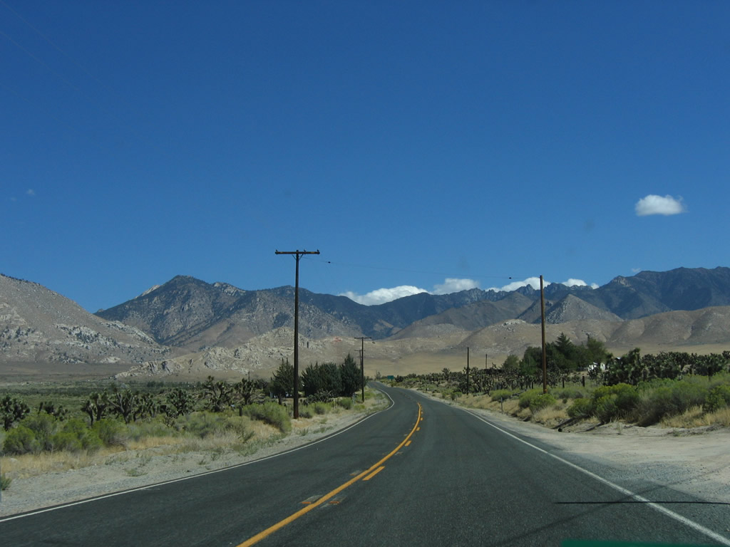
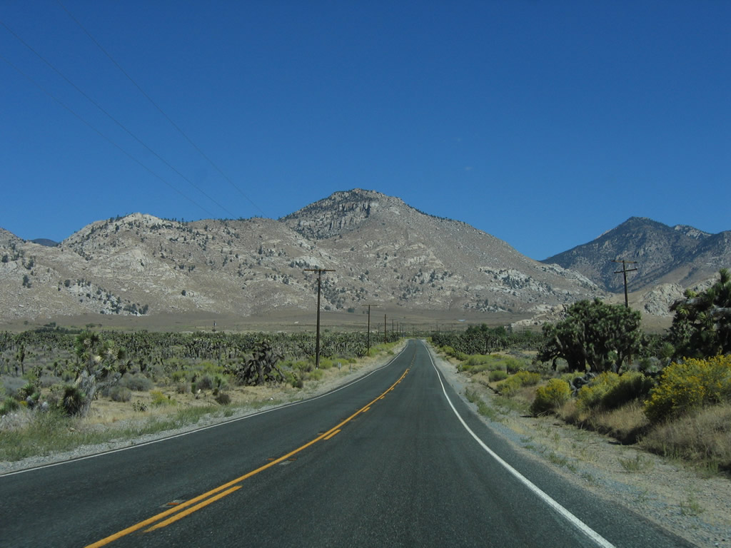
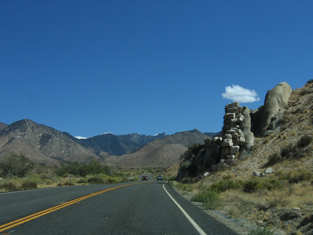
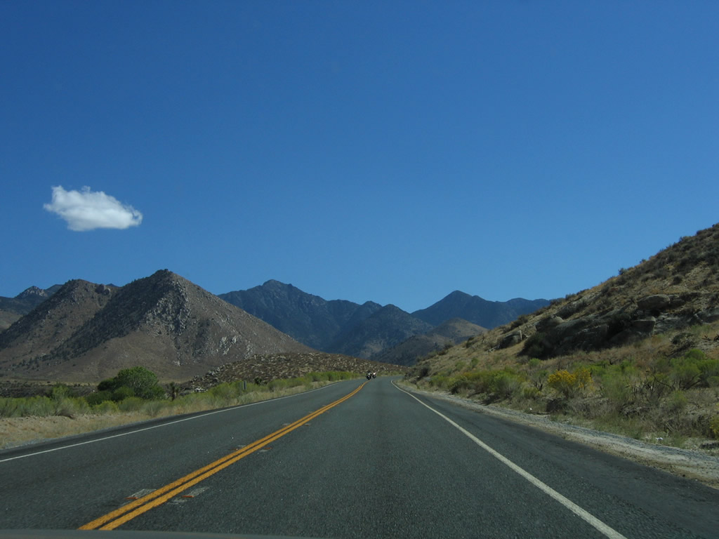
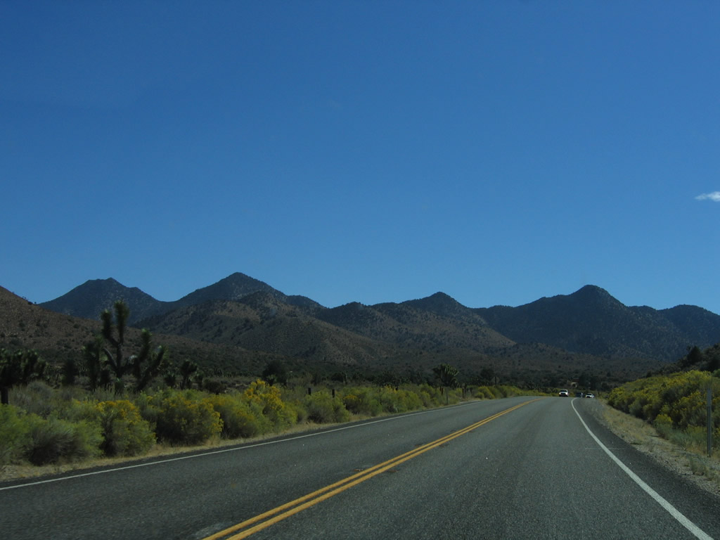
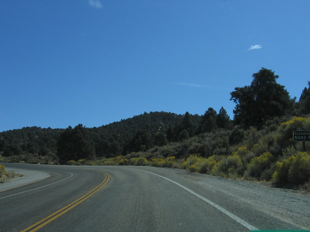
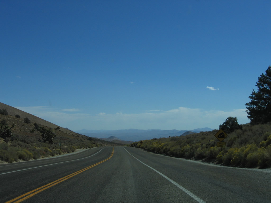
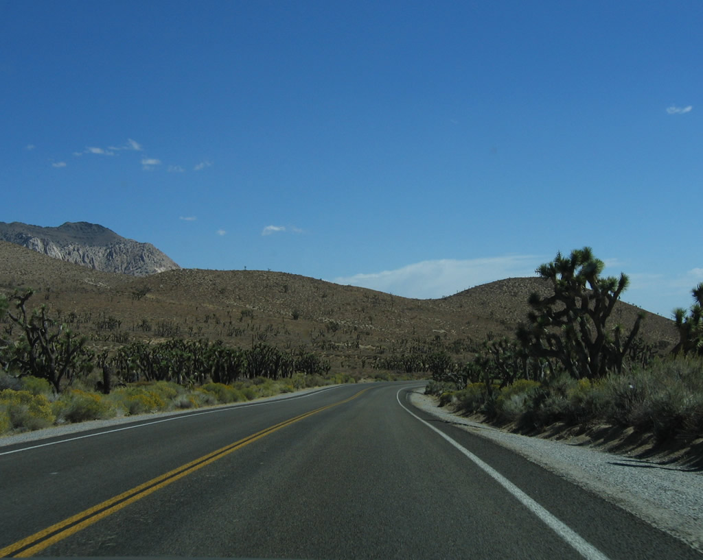
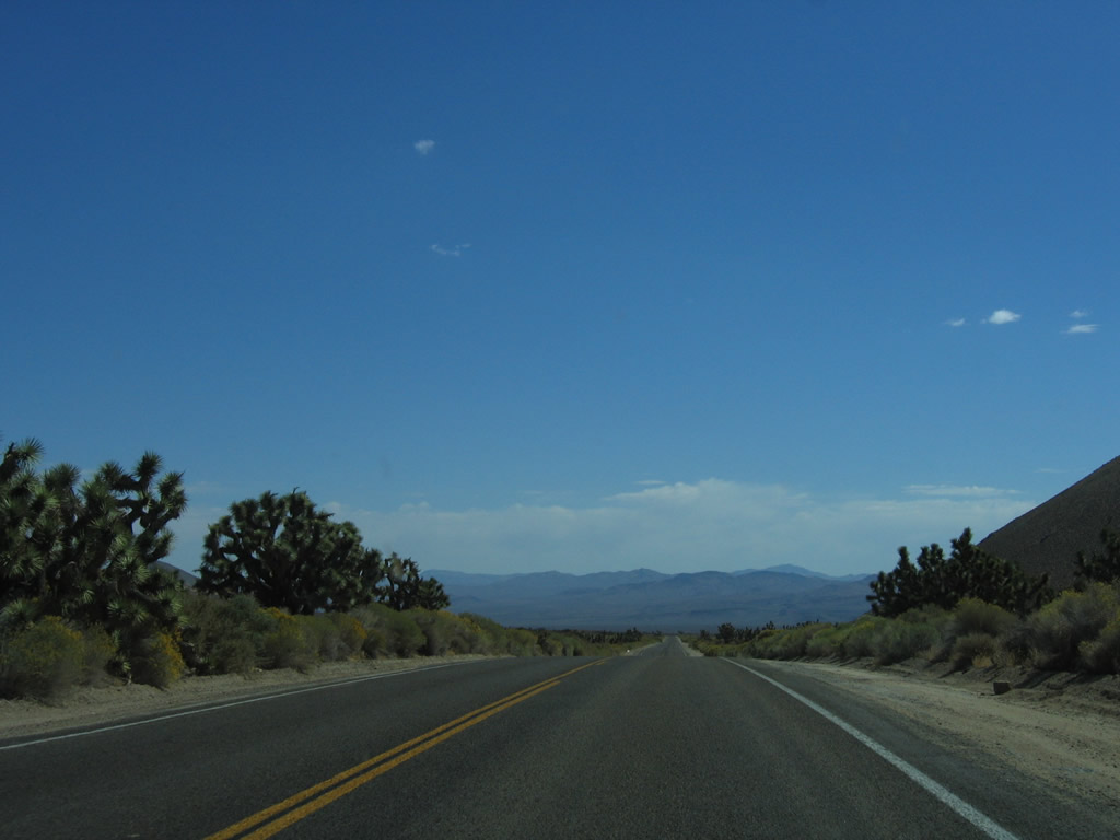
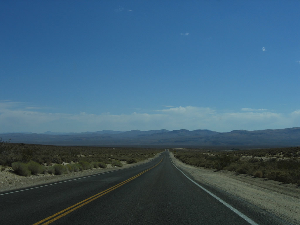
This series of photos follows California 178 as it ascends the Sierra Nevada to cross Walker Pass. The state route follows Canebrake Creek up to the pass, then descends through Freeman Canyon. Walker Pass sits at an elevation of 5,280 feet, or exactly one mile above sea level. Photos taken 10/08/06. |
 |
 |
 |
 |
|
 |
 |
 |
 |
|
 |
 |
 |
 |
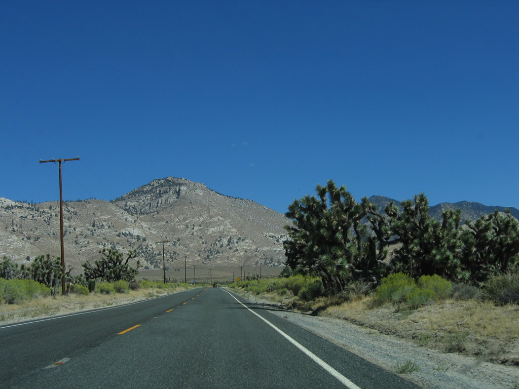
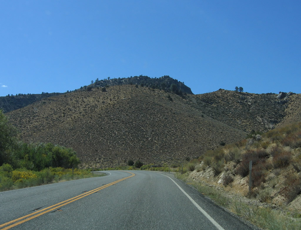
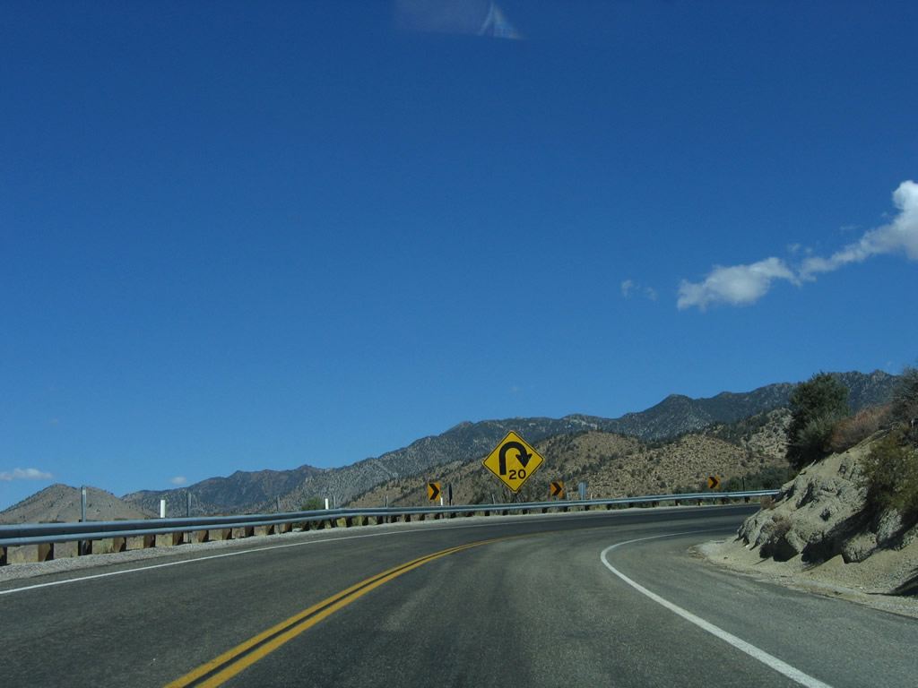
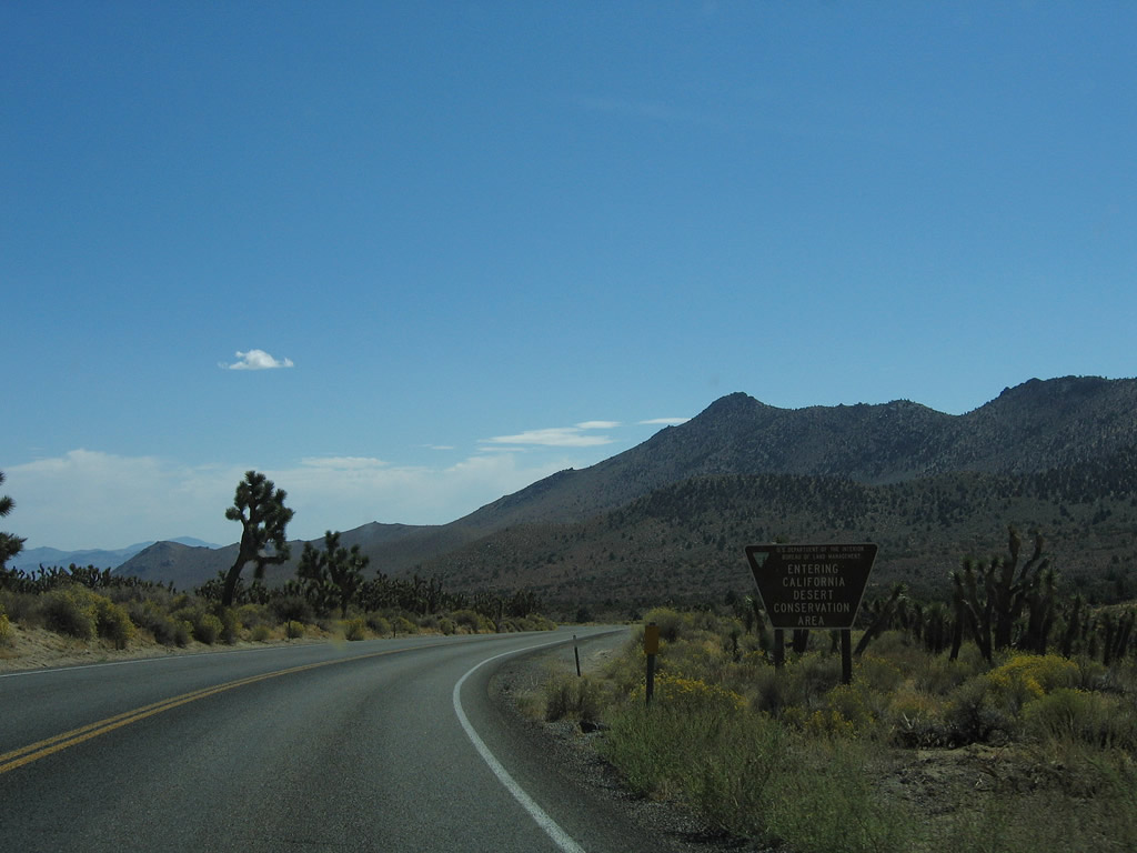
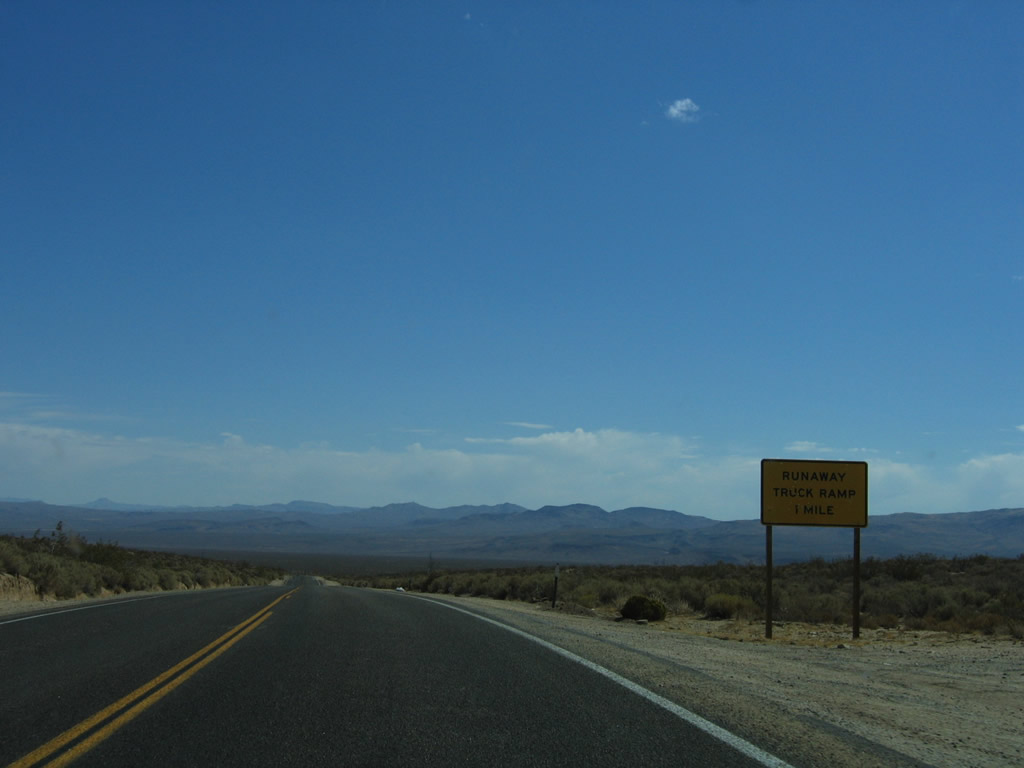
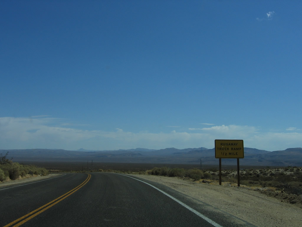
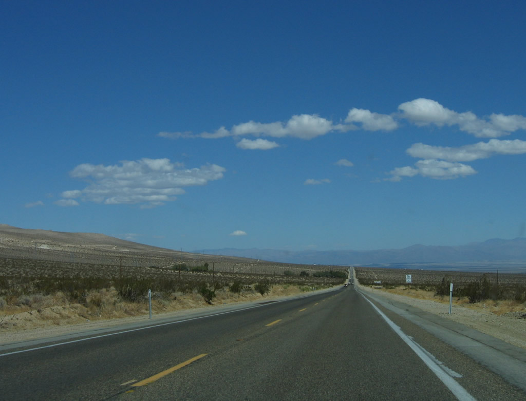
Eastbound California 178 descends from Walker Pass through Freeman Canyon to Freeman Junction. Photos taken 10/08/06. |
 |
 |
 |
 |
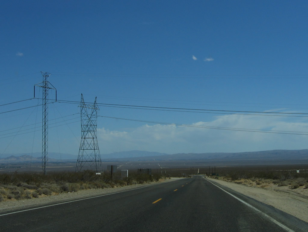 |
Descending from Walker Pass, eastbound California 178 passes under the Pacific Intertie, a major north-south +/-500kV direct current power transmission line (Path 65) that leads from near The Dalles, Oregon, south to Sylmar in Los Angeles, California. The other power line, owned by the Los Angeles Department of Water and Power, carries power generated in the Owens Valley south to Los Angeles along a path parallel to the Owens River Valley aqueduct. Photo taken 10/08/06. |
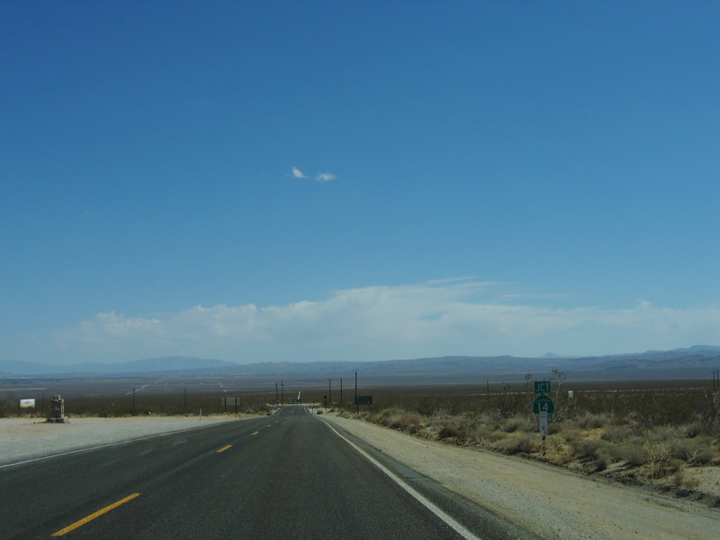 |
Now in the Mojave Desert, eastbound California 178 approaches California 14 (Sierra Highway). Photo taken 10/08/06. |
 |
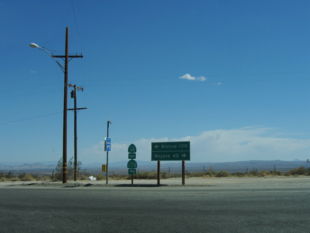
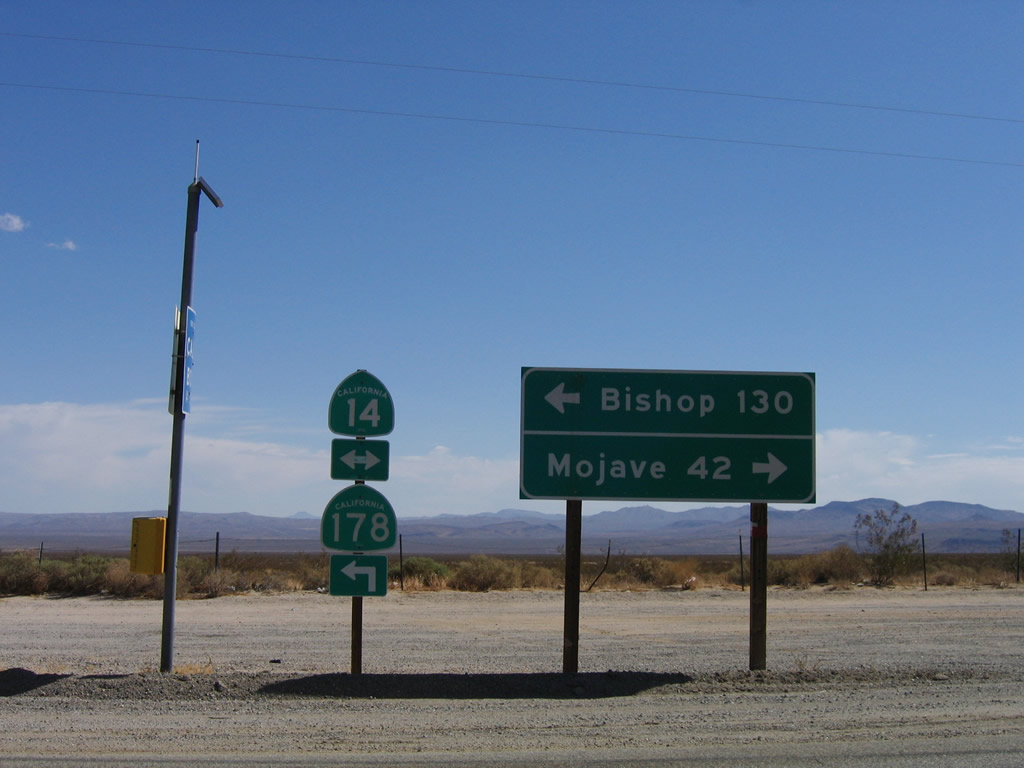
California 14, which follows Historic U.S. 6, travels north to Bishop (via U.S. 395) and south to Mojave, Lancaster, Palmdale, Santa Clarita, and Los Angeles. On the left (north) side of the highway is a monument for Freeman Junction. Photo taken 10/08/06. |
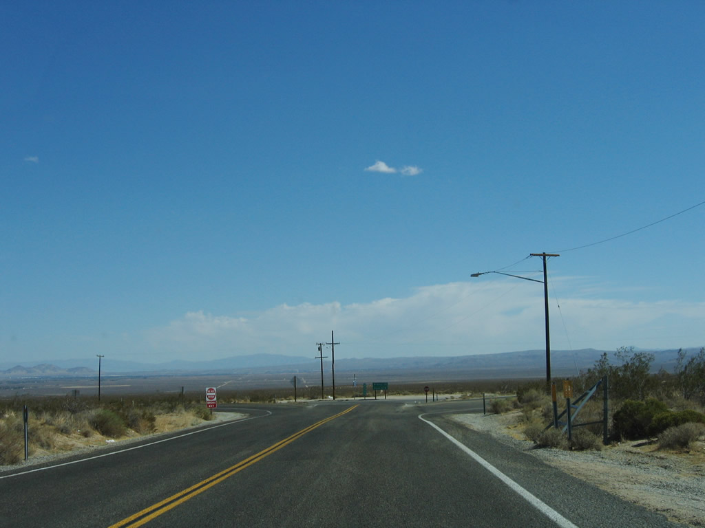 |
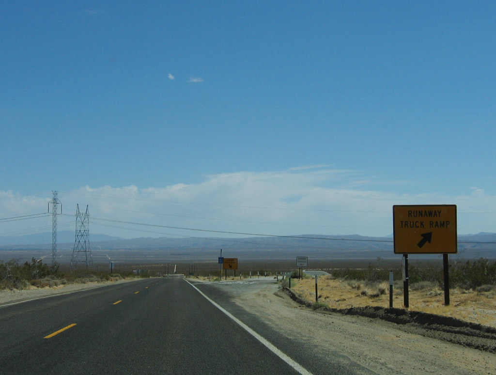
Despite high traffic volumes on California 14, the intersection between California 178 and California 14 is an at-grade intersection, not an interchange. Photo taken 10/08/06. |
 |
 |
Walker Pass Road ends at the intersection between California 14 and California 178. At this point, eastbound California 178 turns north onto California 14 (Sierra Highway) for a brief overlap; the two routes divide a few miles north of here, just west of Inyokern. Photos taken 10/08/06. |
| California 14 north & 178 east | ||
|---|---|---|
 |
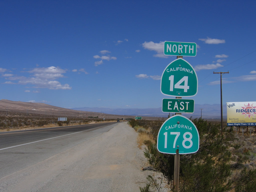 |
This reassurance shield for California 14 north and California 178 east is posted shortly after the California 178 west intersection in Freeman Junction. The two routes will share alignment for the next three miles. Photos taken 10/08/06. |
 |
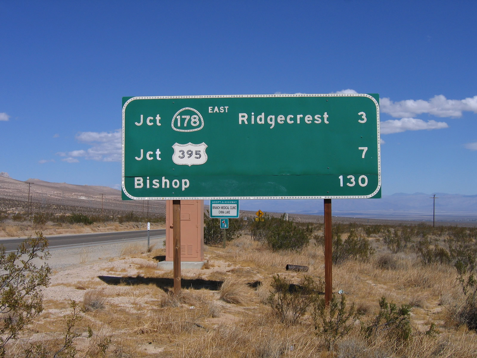 |
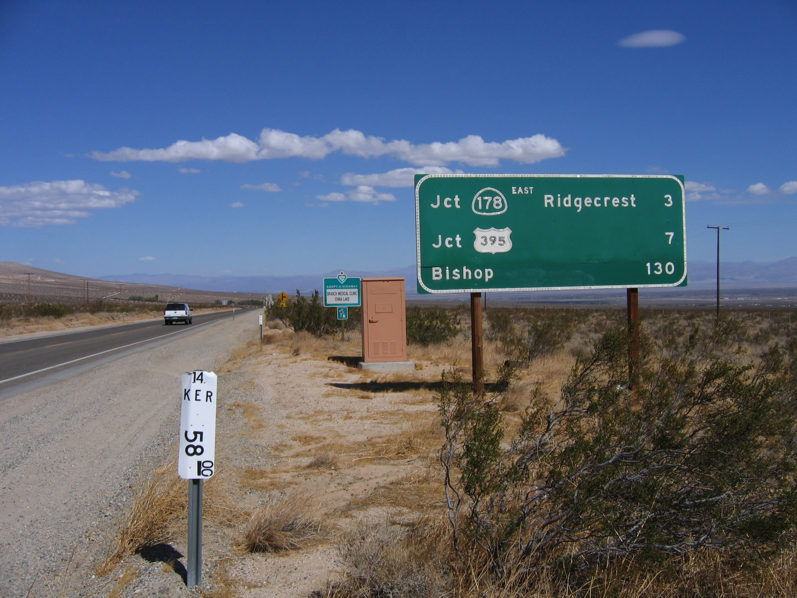
A mileage sign for California 178 east to Inyokern (three miles), U.S. 395 (seven miles), and the control city of Bishop (130 miles) is posted shortly thereafter. Photos taken 10/08/06. |
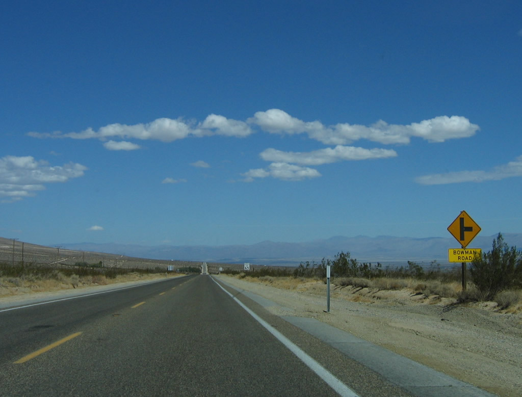 |
Northbound California 14 and eastbound California 178 approaches the right turn to Bowman Road. Photo taken 10/08/06. |
 |
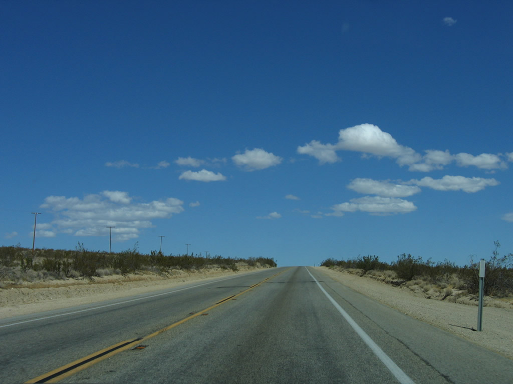
Although California 14 has only two lanes through here, plans call for eventual four-laning. The endless sky and desert plains/hills continue toward the north. Photo taken 10/08/06. |
 |
Passing is restricted on this uphill grade. Photo taken 10/08/06. |
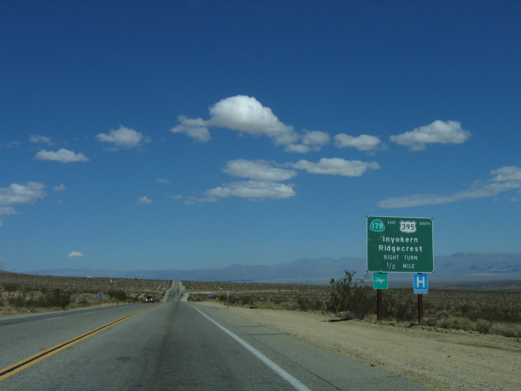 |
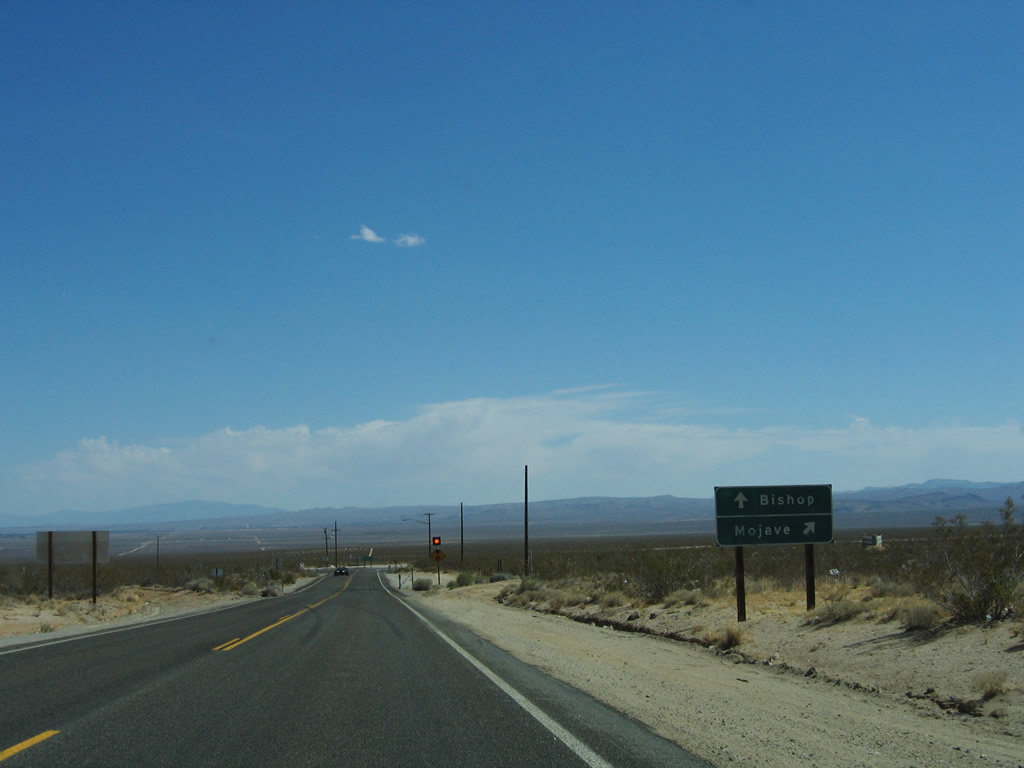
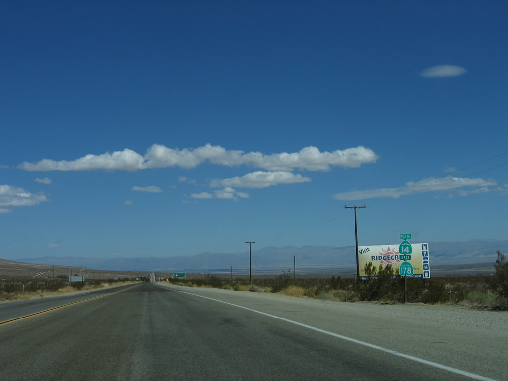
Northbound California 14 and eastbound California 178 prepare to split ahead. Use California 178 east to Inyokern, Ridgecrest, and Trona. Since there is only a partial interchange with U.S. 395, any traffic for U.S. 395 south should exit here to make that connection. Photo taken 10/08/06. |
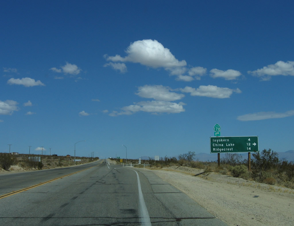 |
A mileage sign provides the distance to Inyokern (four miles), China Lake (12 miles), and Ridgecrest (14 miles) via California 178 east. California 14 continues north to U.S. 395 north en route to Olancha, Lone Pine, Independence, Big Pine, and Bishop. Photo taken 10/08/06. |
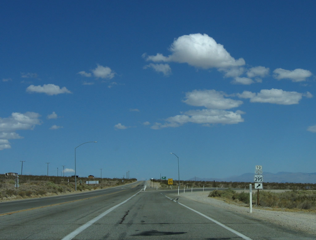 |
A second U.S. 395 south trailblazer is posted prior to the California 178 east turn-off. Photo taken 10/08/06. |

Page Updated October 23, 2009.
|
About Contact Glossary |
In The News Interstate Guide |
Social Media:
 |
|
© 2000-25 AARoads.com | All Rights Reserved | Privacy Policy / Terms of Use
|
||