
California 178 West - Ridgecrest and Inyokern
| California 178 west & U.S. 395 Business north | |
|---|---|
 |
Westbound California 178 and northbound U.S. 395 Business approaches U.S. 395 (Three Flags Highway) north to Bishop and Reno and south to San Bernardino and San Diego. The impressive Sierra Nevada rise in the distance ahead. Photo taken 10/08/06. |
 |
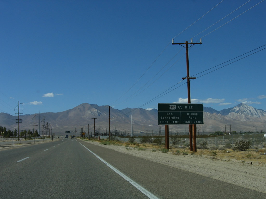
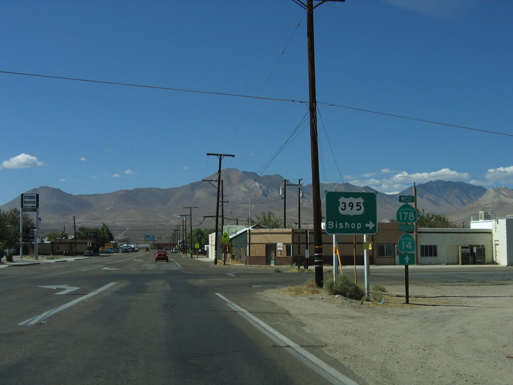
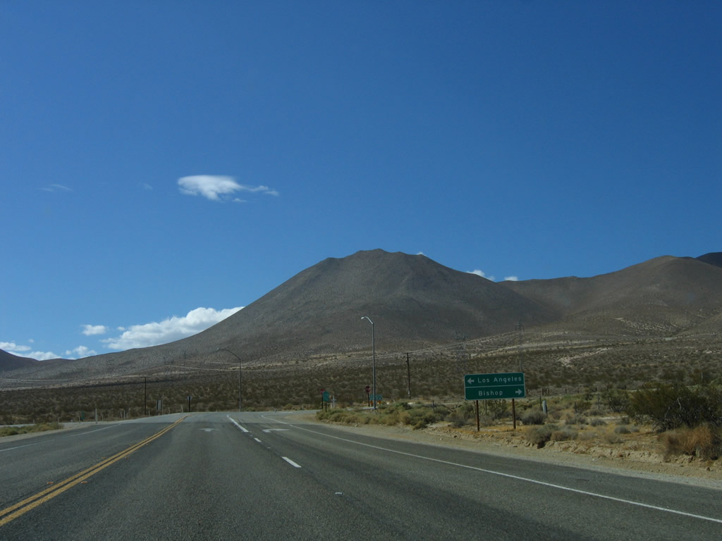
The right lane of California 178 west and U.S. 395 Business north becomes exit only for U.S. 395 (Three Flags Highway) north to Bishop and Reno. Use the left lane for U.S. 395 south to San Bernardino and San Diego and California 178 west to Inyokern, Lake Isabella, and Bakersfield. A power substation is located on the north side of the highway. Photo taken 10/08/06. |
 |
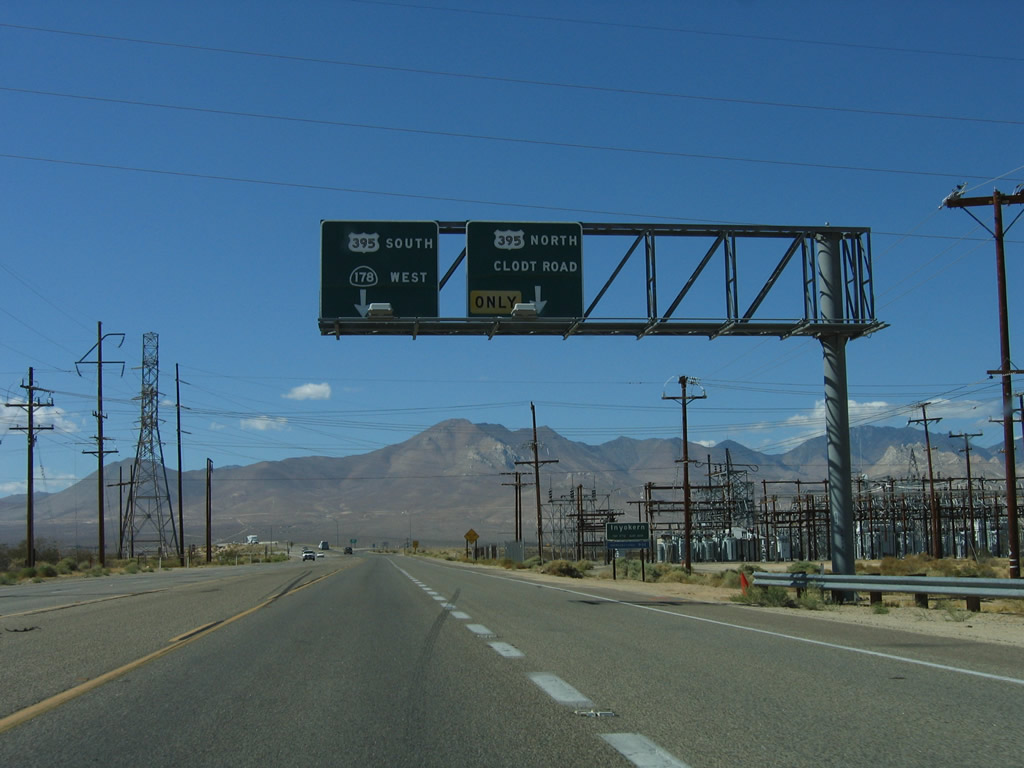
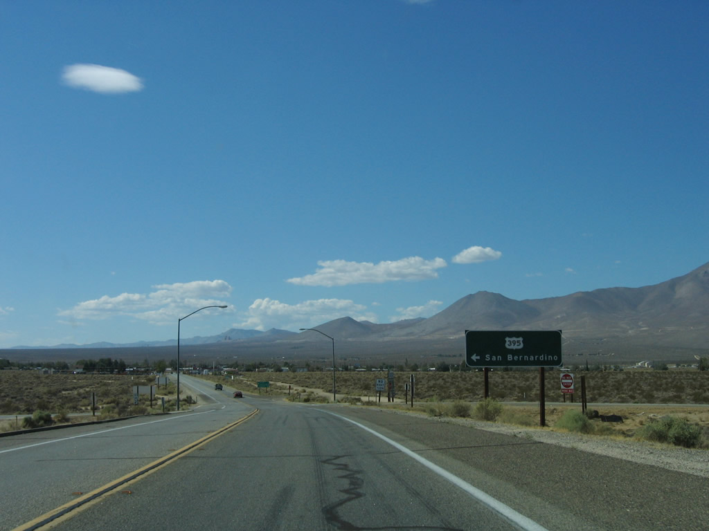
U.S. 395 Business comes to an end at this point. Turn right to follow U.S. 395 (Three Flags Highway) north to Bishop and Reno. Continue straight ahead for U.S. 395 south to San Bernardino and San Diego and California 178 west to Inyokern, Lake Isabella, and Bakersfield. Photo taken 10/08/06. |
| California 178 west | |
 |
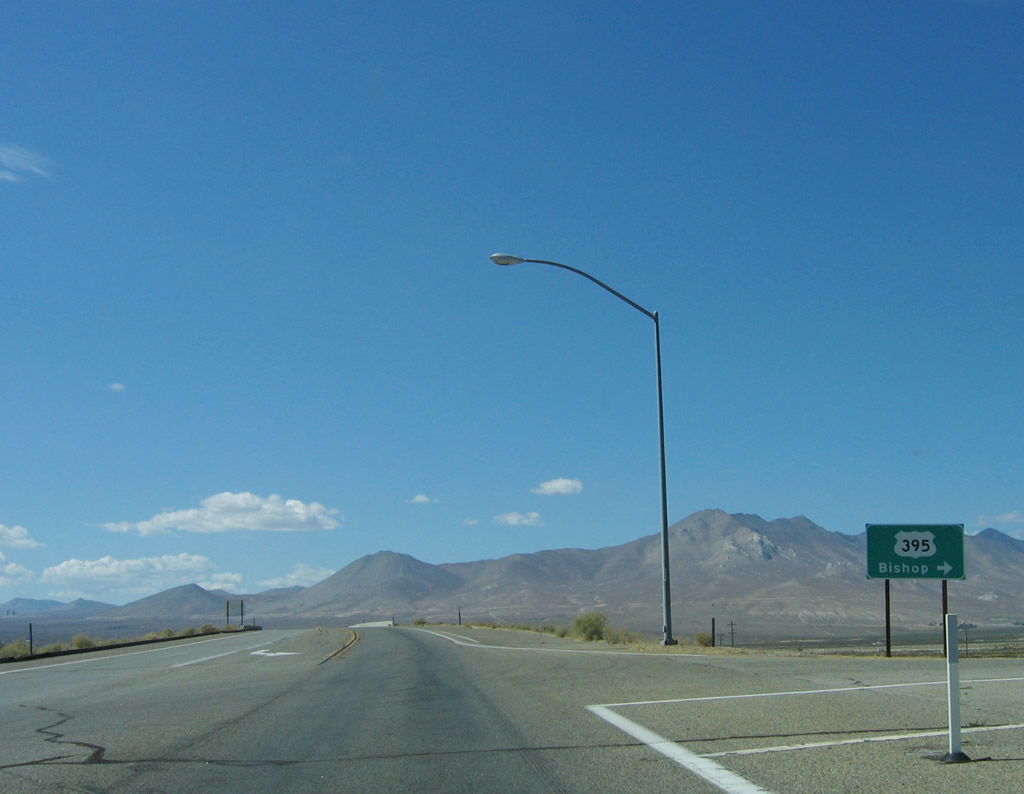
Westbound California 178 meets the ramp to U.S. 395 (Three Flags Highway) south to San Bernardino and San Diego. Photo taken 10/08/06. |
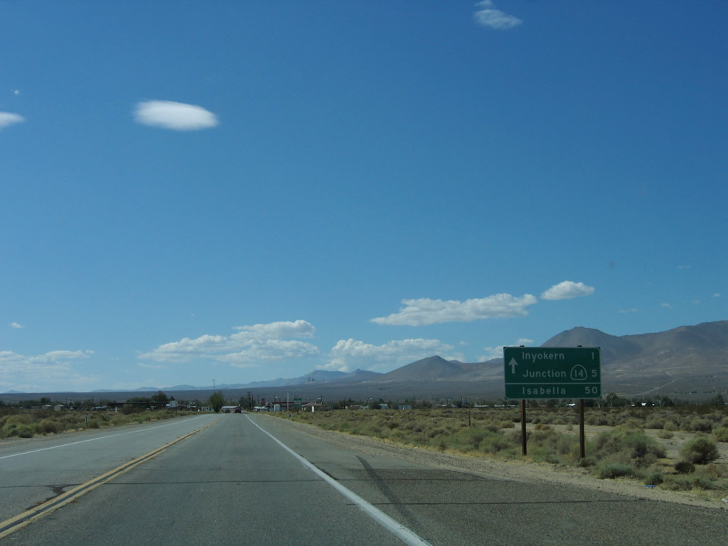 |
After the U.S. 395 interchange, this mileage sign along California 178 west provides the distance to Inyokern (one mile), California 14 (Sierra Highway) north (six miles), and Lake Isabella (50 miles). Photo taken 10/08/06. |
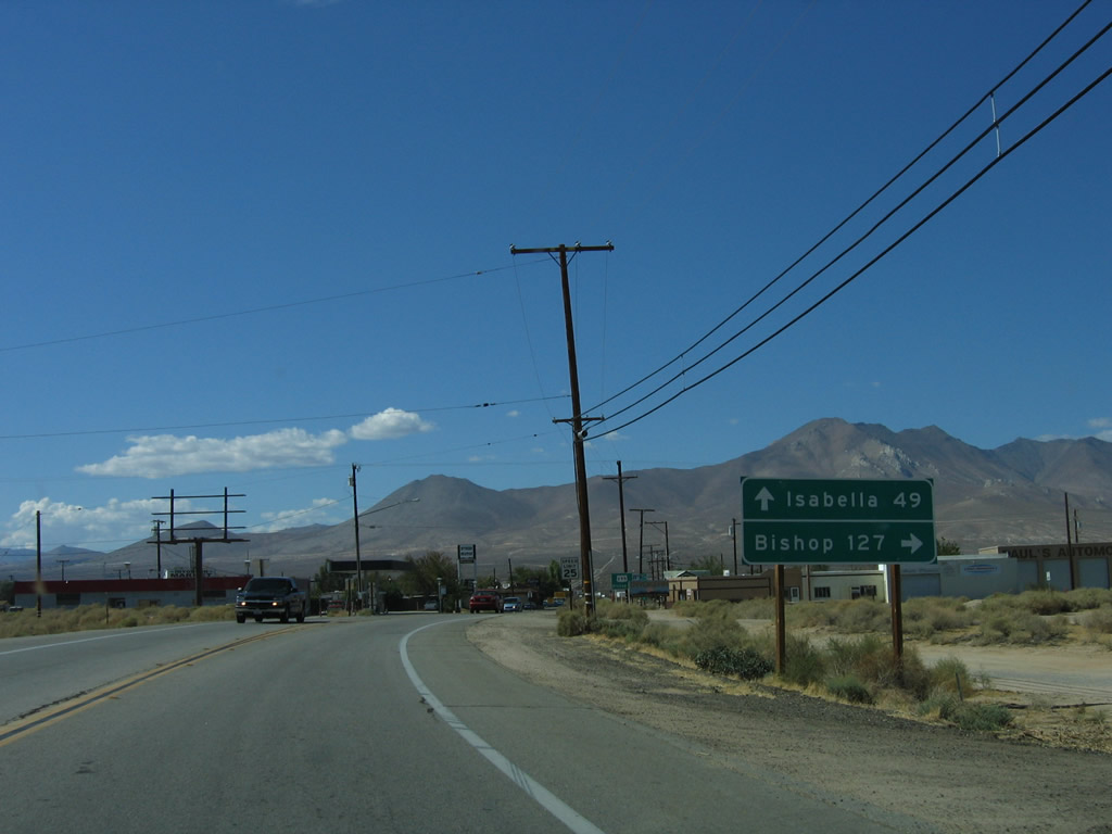 |
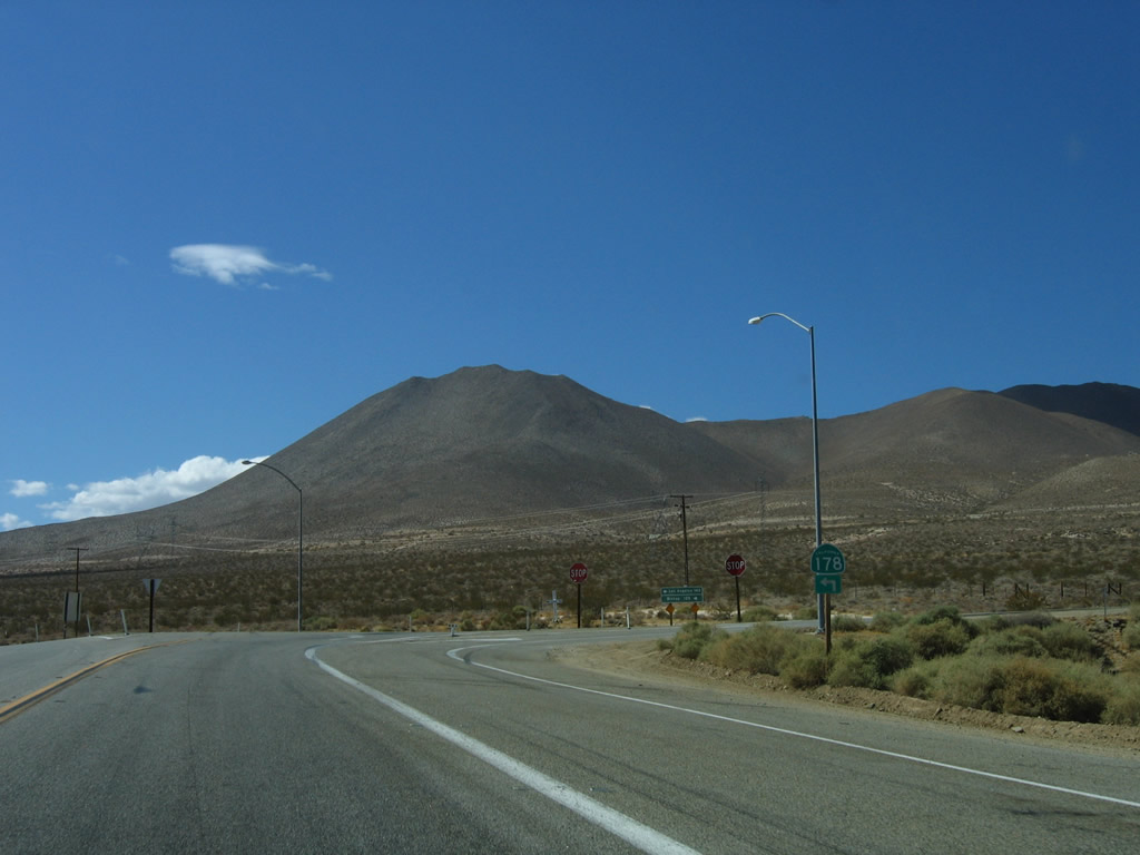
Westbound California 178 approaches Brown Road (Old U.S. 395). A mileage sign indicates the distance to Bishop (127 miles) via U.S. 395 north or to Lake Isabella (49 miles) via California 178 west. U.S. 395 was relocated onto its freeway alignment (Inyokern Bypass) in 1974. The business route through Ridgecrest is not an old alignment of U.S. 395. Photo taken 10/08/06. |
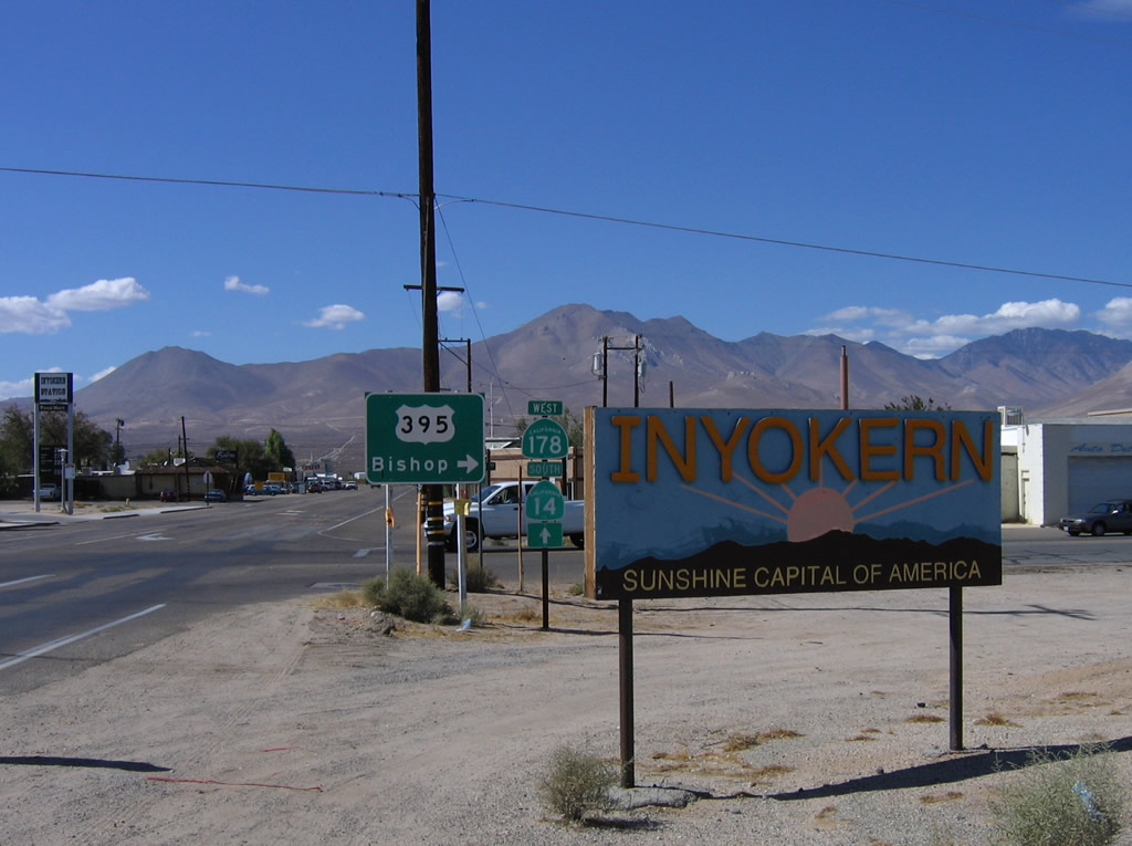 |
Westbound California 178 enters Inyokern, the "Sunshine Capital of America." This unincorporated community had a population of 984 in the 2000 Census. Photo taken 10/08/06. |
 |
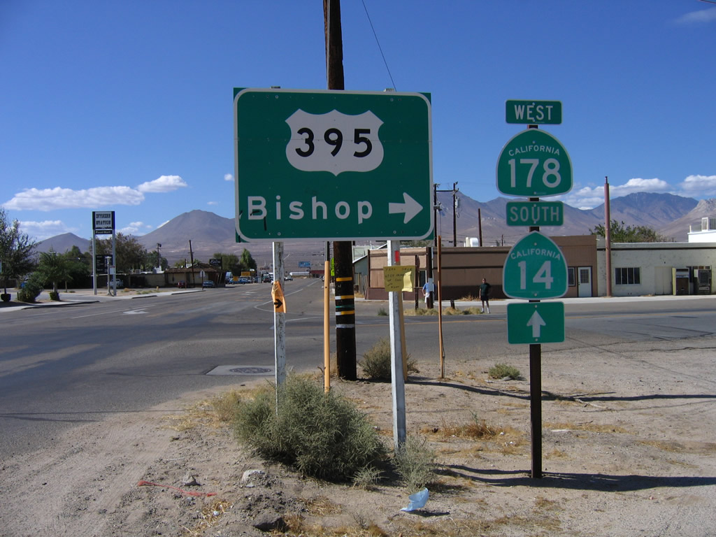 |
A set of shields for U.S. 395, California 178, and California 14 are posted at the intersection between California 178 and Brown Road. Brown Road travels south, merging with U.S. 395 near the southern U.S. 395 Business intersection. To the north, Brown Road travels under U.S. 395, then passes through ranch and farmland before reconnecting with U.S. 395 near the unincorporated community of Brown. Photos taken 10/08/06. |
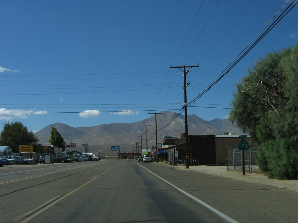 |
A California 178 west reassurance shield is posted in downtown Inyokern. Photo taken 10/08/06. |
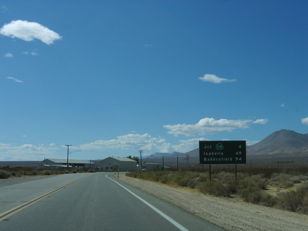 |
This mileage sign along California 178 west provides the distance to California 14 (Sierra Highway), four miles; Lake Isabella, 49 miles; and the control city of Bakersfield, 94 miles. Photo taken 10/08/06. |
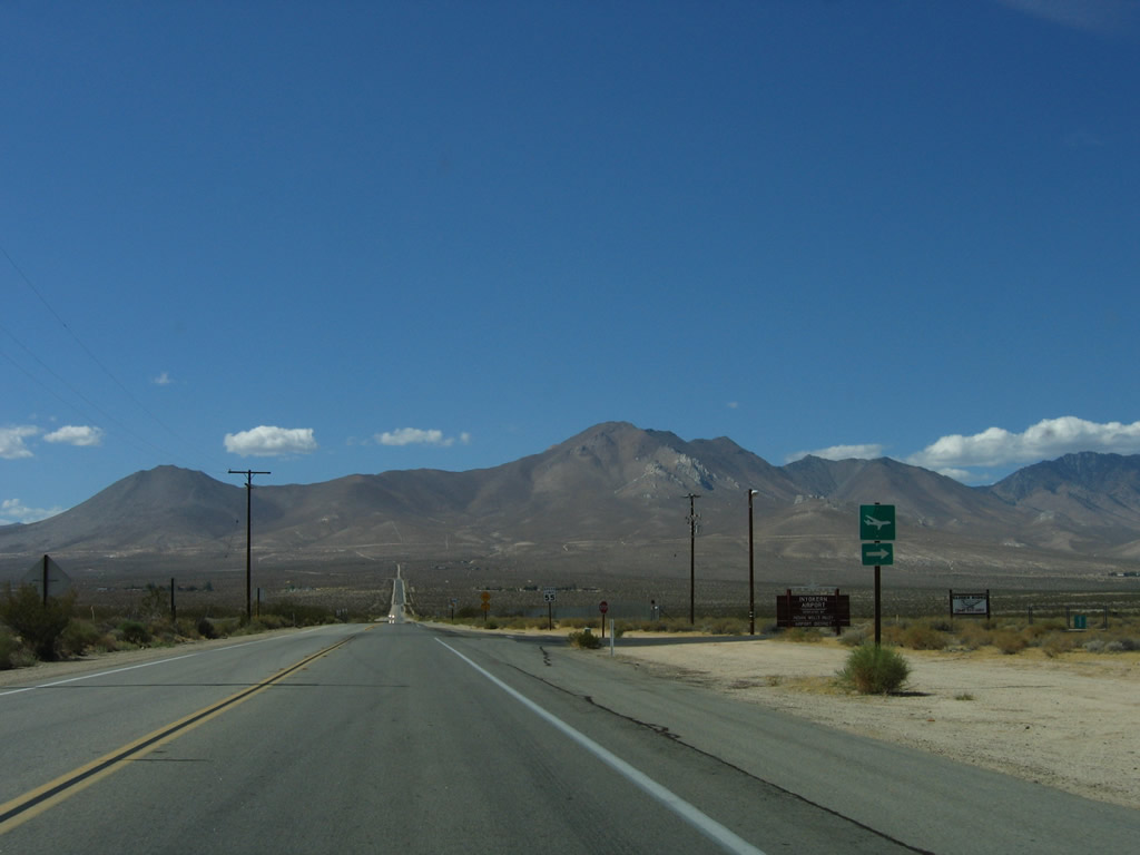 |
Westbound California 178 approaches the turnoff to the Inyokern Airport. Photo taken 10/08/06. |
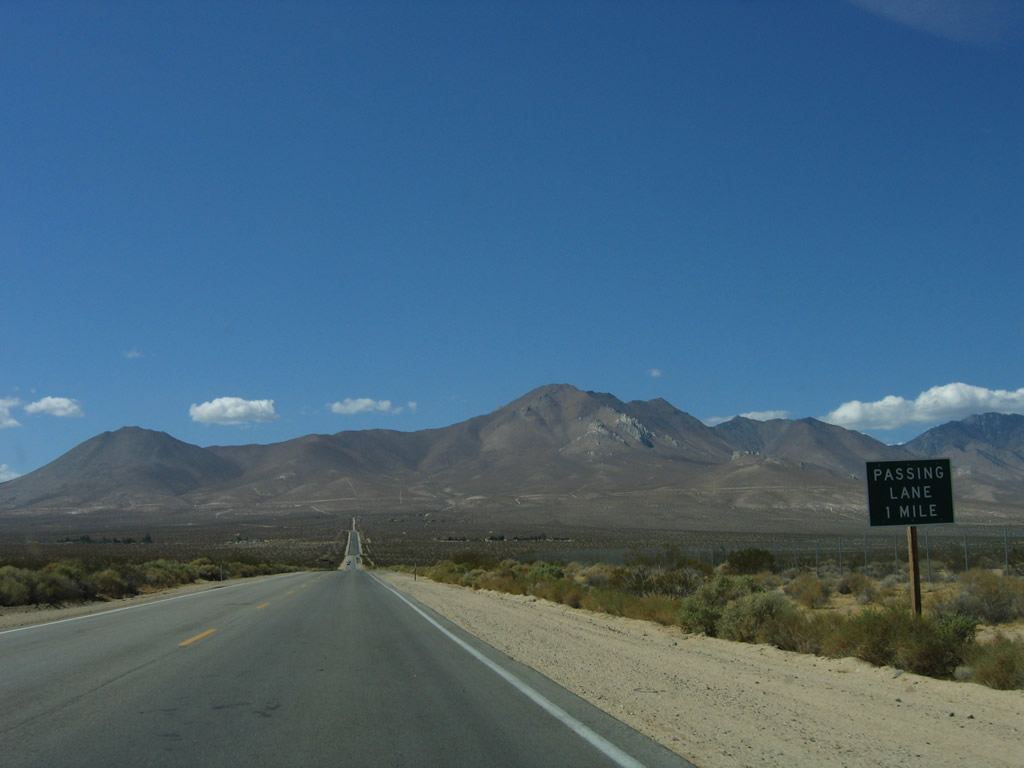 |
A passing lane begins in one mile for the hill up to California 14 west of Inyokern. Photo taken 10/08/06. |
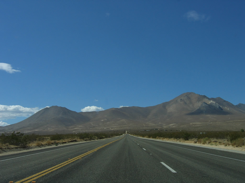 |
California 178 has three lanes for the remainder of the journey up to California 14 (Sierra Highway). Photo taken 10/08/06. |
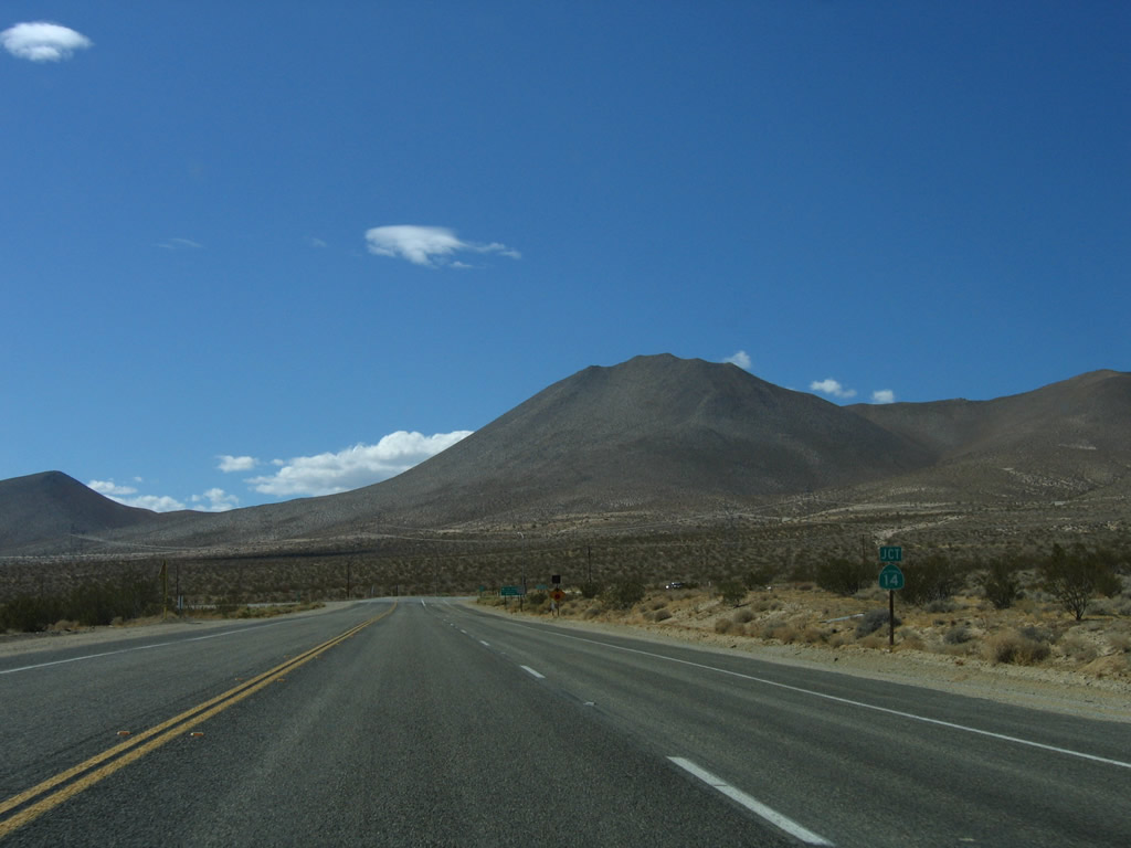 |
Westbound California 178 approaches California 14 (Sierra Highway) north to Bishop and south to Lancaster and Los Angeles. Photo taken 10/08/06. |
 |
California 14 is a major north-south corridor that links U.S. 395 near Inyokern with Interstate 5 in Santa Clarita. Most of the route is high speed freeway or expressway, aside from the segment through downtown Mojave. Photo taken 10/08/06. |
 |
California 178 west turns south onto California 14 (Sierra Highway) south. Photo taken 10/08/06. |
 |
Westbound California 178 meets California 14 (Sierra Highway) (Historic U.S. 6) at this intersection. Photo taken 10/08/06. |
| California 14 south & 178 west | |
|---|---|
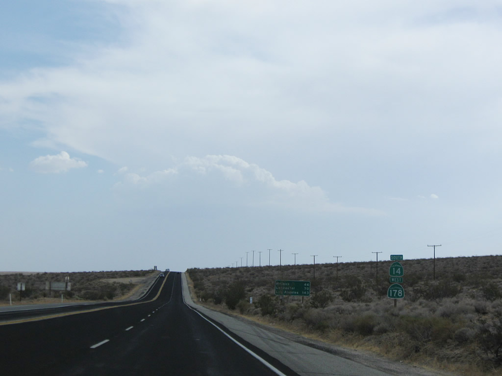 |
Leaving the Inyokern junction, California 14 south and California 178 west are jointly signed along southbound Grand Army of the Republic Highway (also known as Midland Trail and Sierra Highway). A mileage sign, partially obscured by brush, provides the distance to Mojave (46 miles), Lancaster (70 miles), and Los Angeles (143 miles) -- all destinations of California 14, not California 178. Photo taken 07/19/09. |
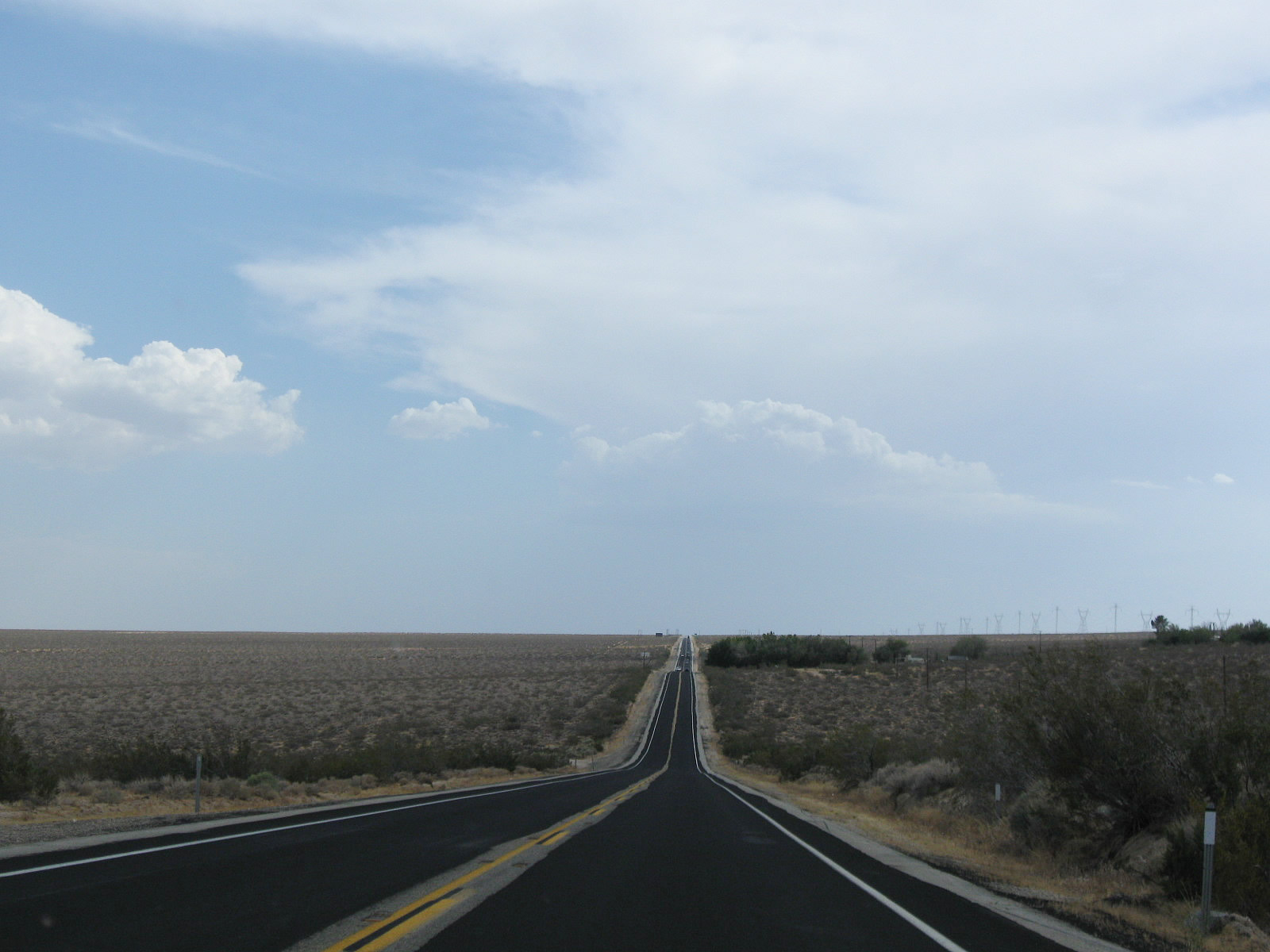 |
Two-lane California 14 and California 178 continue their lonely journey through the Mojave Desert. Photo taken 07/19/09. |
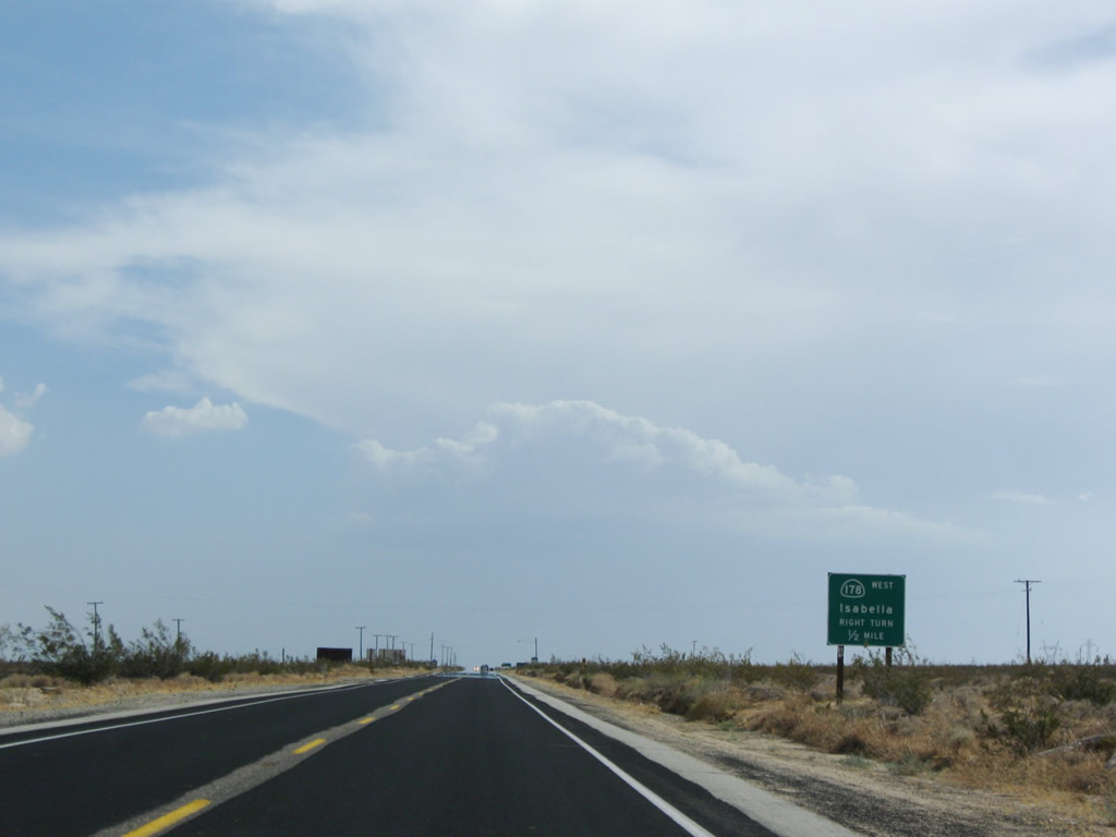 |
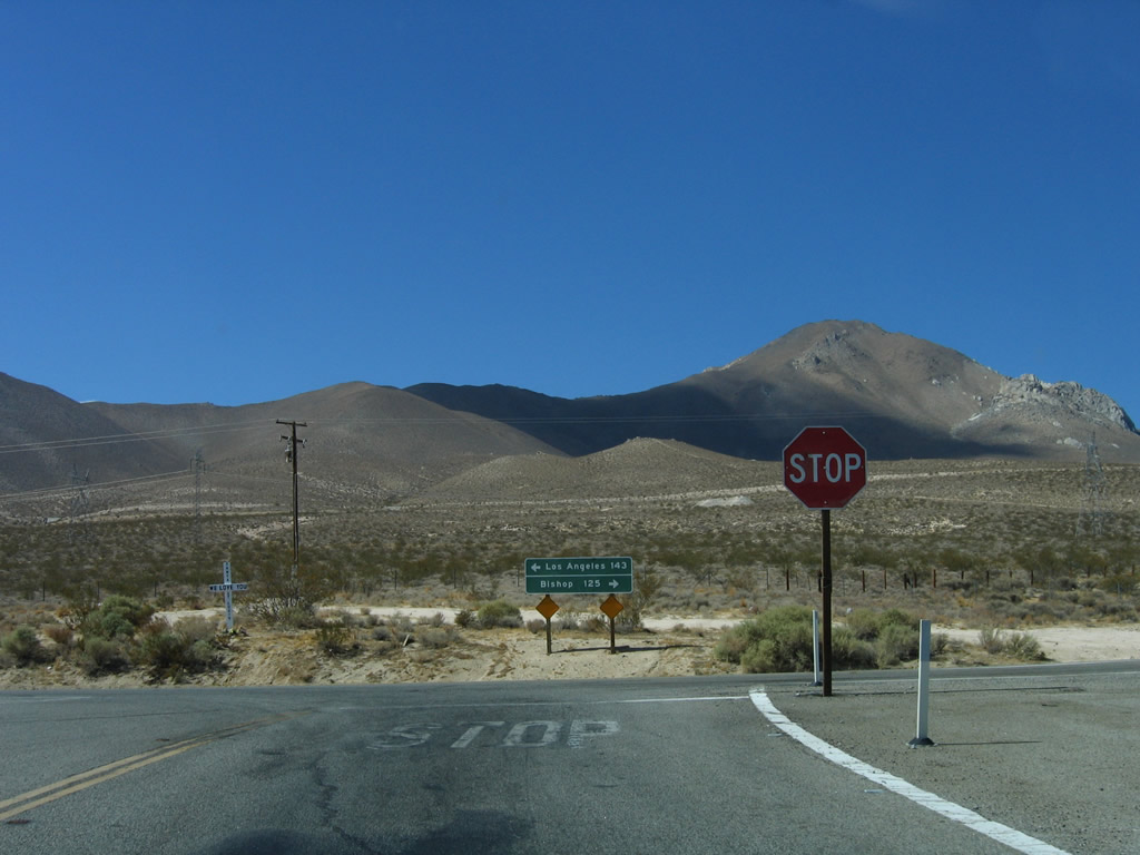
California 14 south and California 178 west prepare to split at Freeman Junction. California 178 travels west over Walker Pass (el. 5,250 feet), an all-weather pass that remains open in winter. The highway extends west into Lake Isabella, with a connection to Kernville via Kernville Road. From there, California 178 aims through the Kern River Canyon en route to Bakersfield, the seat of Kern County in the southern Central Valley. Photo taken 07/19/09. |
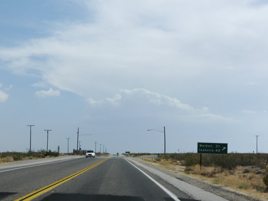 |
A mileage sign provides the distance to Weldon (31 miles) and Lake Isabella (42 miles) via California 178 east. Meanwhile, California 14 continues almost due south toward Mojave, Lancaster, Palmdale, and Santa Clarita. Photo taken 07/19/09. |
 |
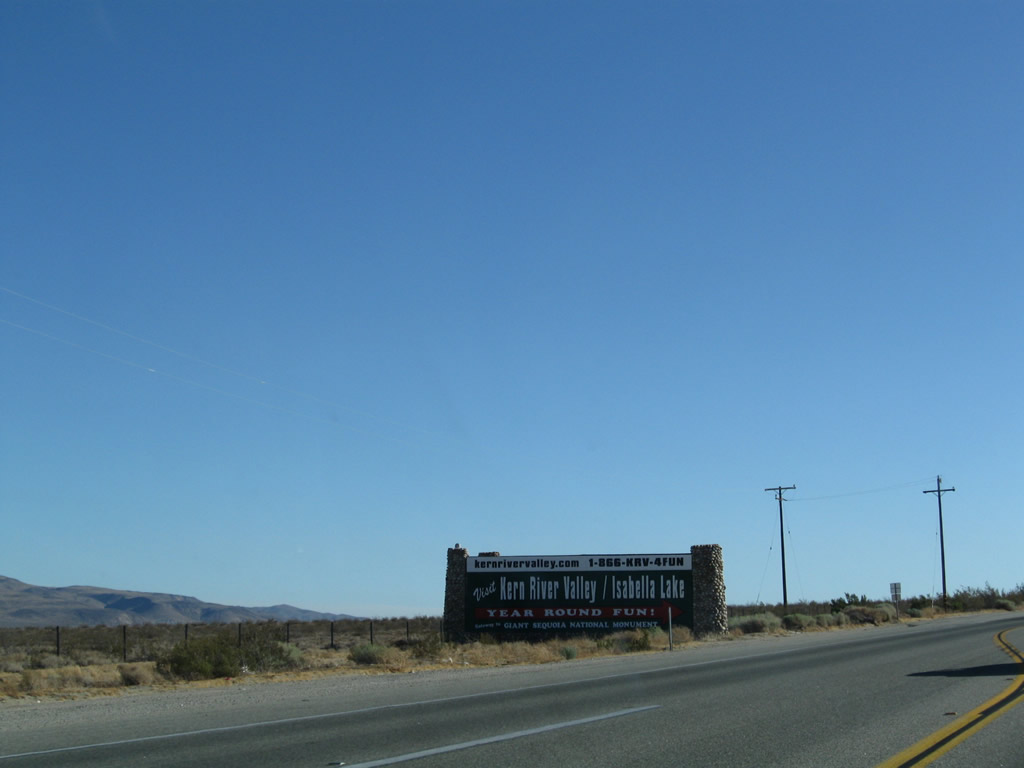 |
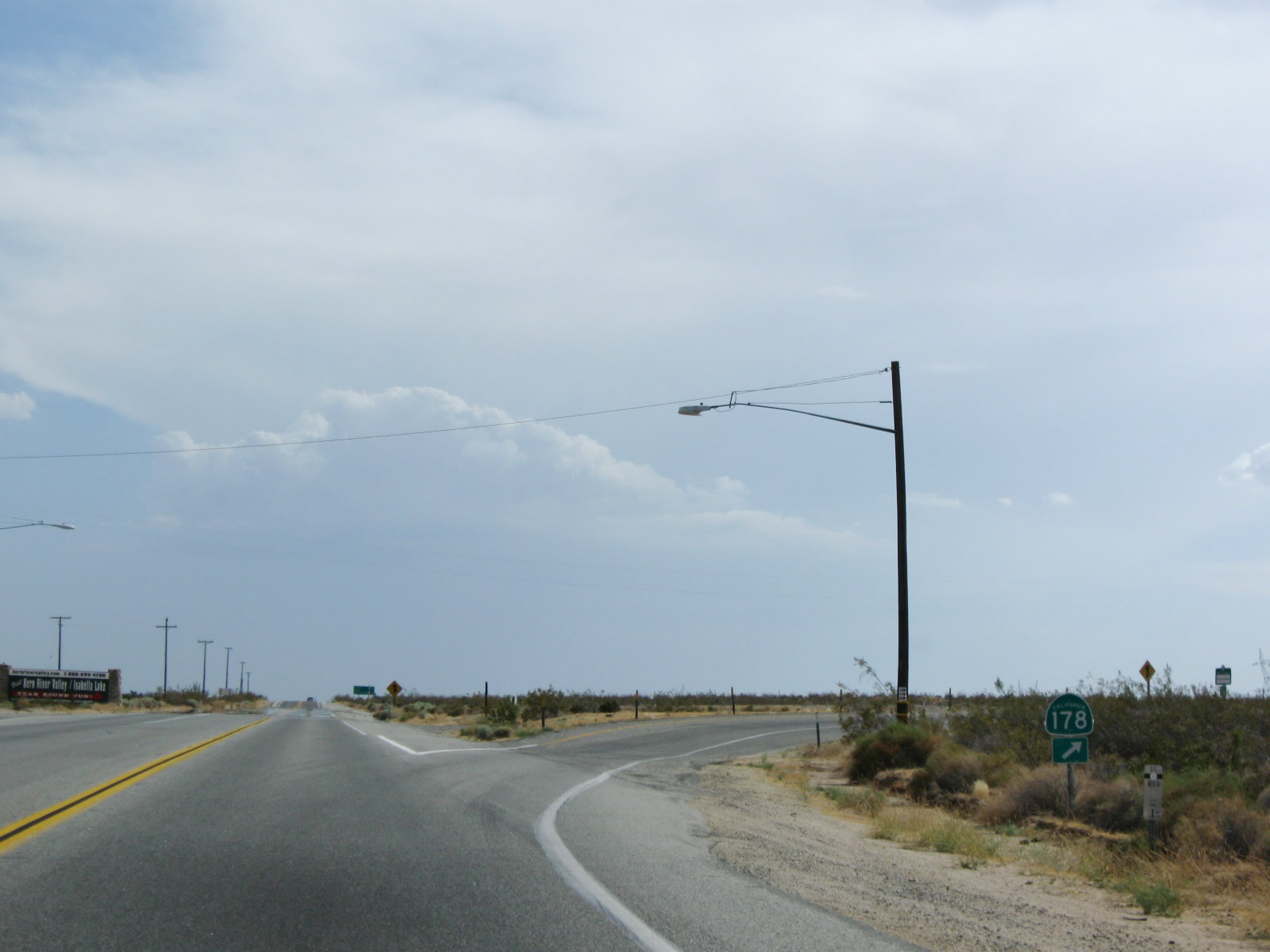
A solitary California 178 west trailblazer is posted along southbound at the point where the two routes divide. Most traffic passing through this intersection will continue south on California 14 toward Los Angeles. A large guide sign on the east side of this intersection points visitors toward the attractions in Lake Isabella and Kern River Canyon. Photos taken 07/19/09 and 09/07/09. |

Page Updated July 7, 2010.
|
About Contact Glossary |
In The News Interstate Guide |
Social Media:
 |
|
© 2000-25 AARoads.com | All Rights Reserved | Privacy Policy / Terms of Use
|
||