
California 243
The first shield for California 243 (Banning-Idyllwild Panoramic Highway) is located just north of its junction with California 74 near Mountain Center. Travel ahead for California 243 north to Idyllwild and Banning. Photo taken 06/07/08.
California 243 is a north-south state route that connects California 74 (Pines to Palms Highway) near Mountain Center with Interstate 10 in Banning via Idyllwild. Most of the route lies within the San Bernardino National Forest, following a National Scenic Byway through the forest. Elevations rise from 2,400 feet at Banning to 6,165 feet at Pine Cove and 5,400 at Idyllwild. Much of the route is a winding mountain road, with plenty of scenic vistas, hiking trails, and other recreational opportunities.
California 243 was established as a state highway in 1970, replacing former Riverside County R-1.1
| California 243 north | |
|---|---|
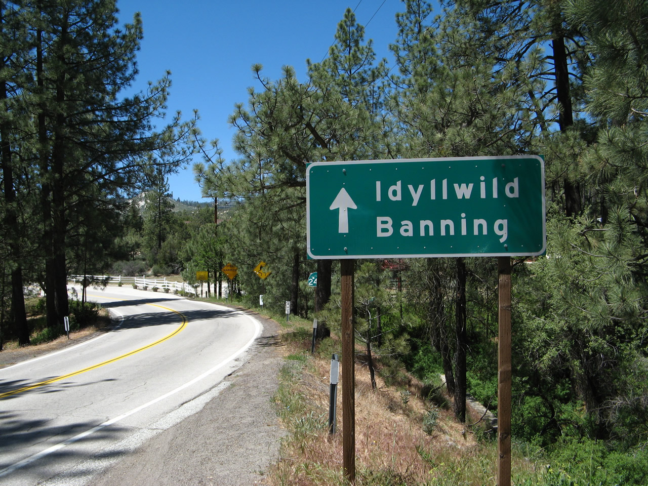 |
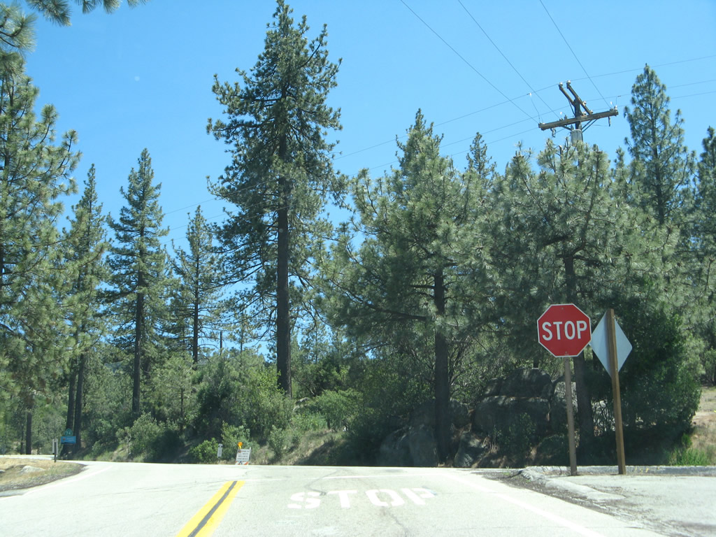
California 243 travels north from the intersection with California 74. A small guide sign advises that this is the road north to Idyllwild and Banning. Photo taken 06/07/08. |
|
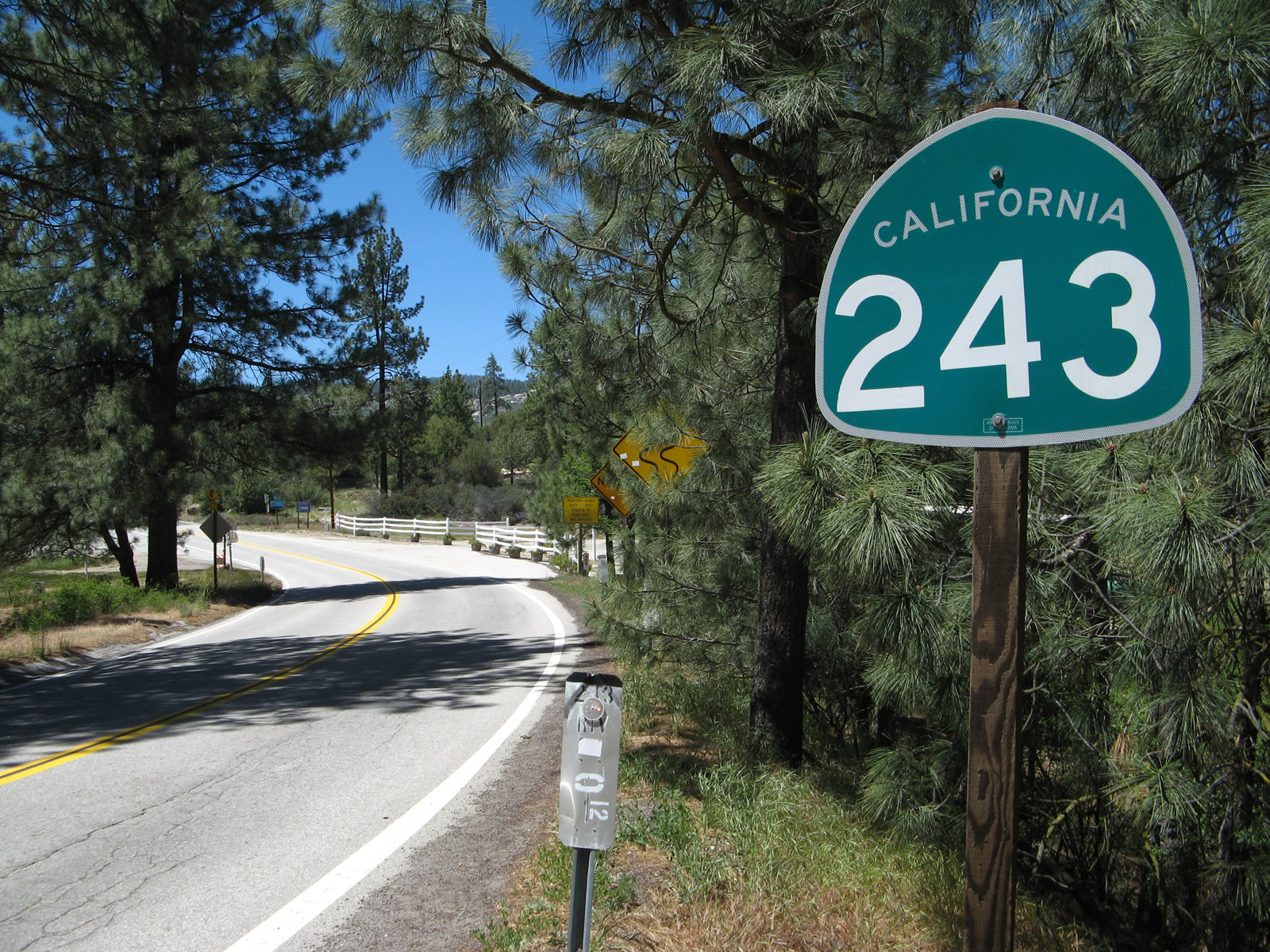
The first reassurance shield shield is posted soon thereafter. California 243 proceeds north to Idyllwild. Photo taken 06/07/08. |
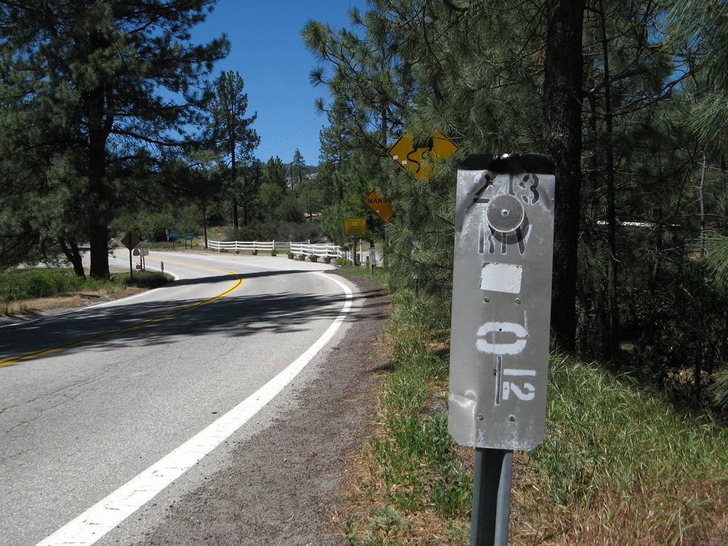 |
A California 243 postmile marker is located next to the route marker. Photo taken 06/07/08. |
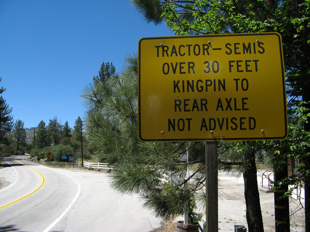 |
The highway has ample twists and turns as well as a steep descent from Idyllwild down to Banning. The two-lane highway has restrictions for larger vehicles due to the limited sight distance and mountain curves. Photo taken 06/07/08. |
 |
A second California 243 reassurance shield is posted shortly thereafter. Photo taken 06/07/08. |
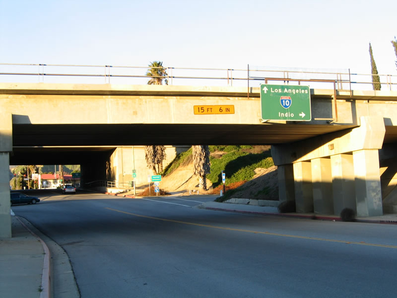 |
Skipping ahead to Banning at the bottom of the grade, northbound California 243 passes under the Union Pacific Railroad viaduct, then approaches its northern terminus at the Interstate 10 freeway. Photo taken 01/17/05. |
 |
The first ramp connects northbound California 243 to eastbound Interstate 10 en route to Palm Springs and the Coachella Valley. The second ramp is a left turn onto westbound Interstate 10 toward San Bernardino. Photo taken 01/17/05. |
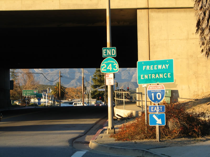 |
This picture shows the same intersection, with a view underneath the Interstate 10 bridge. Photo taken 01/17/05. |
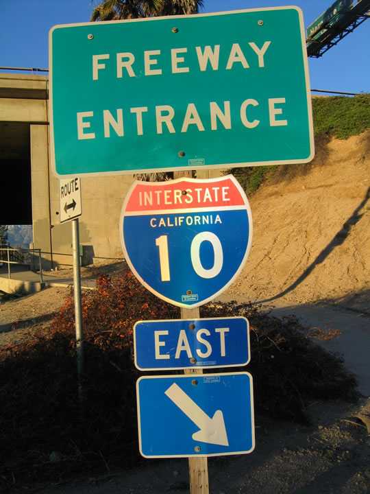 |
This freeway entrance shield assembly is posted on the connection from northbound California 243 to eastbound Interstate 10. Photo taken 01/17/05. |
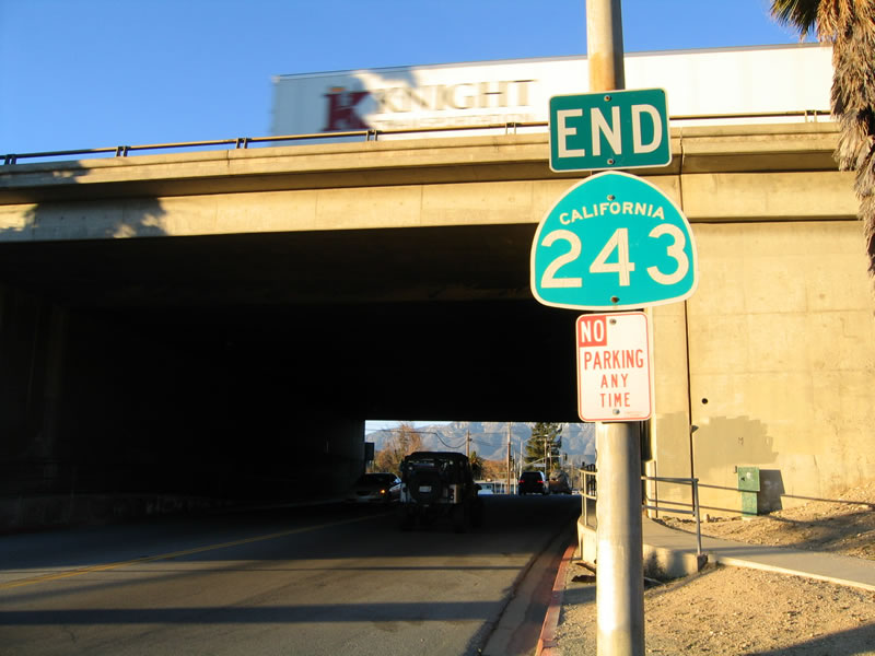 |
Like the southern terminus of California 243, the north end is signed with an end shield. Photo taken 01/17/05. |
| California 243 south | ||
|---|---|---|
 |
 |
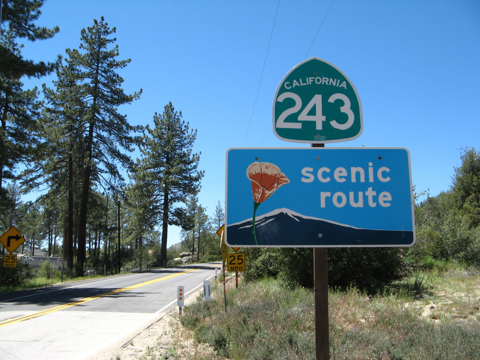
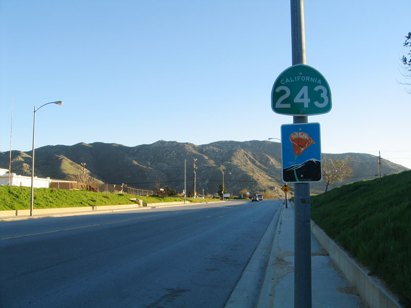
California 243 begins at Exit 100 in Banning. The state route initially follows Eighth Street south under the Union Pacific Railroad tracks and passes by this reassurance shield. All of California 243 is designated as a state scenic route. Photo taken 01/17/05. |
 |
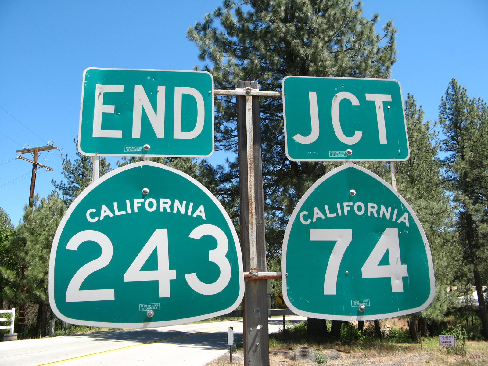 |
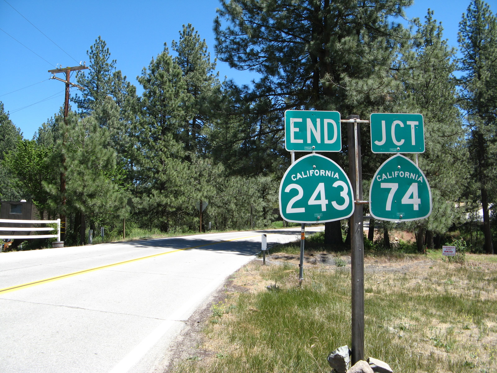
California 243 is a scenic route connecting California 74 (Pines to Palms Highway) with Interstate 10 near Banning via Idyllwild. Generally, much of its journey from south to north is from higher to lower elevations. This picture shows California 243 as it ends at California 74 just south of Idyllwild. The community of Idyllwild is locally famous for rock climbing and stellar mountain scenery. Photos taken 06/07/08. |
 |
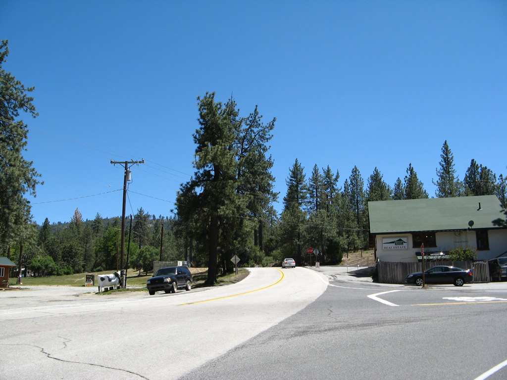 |
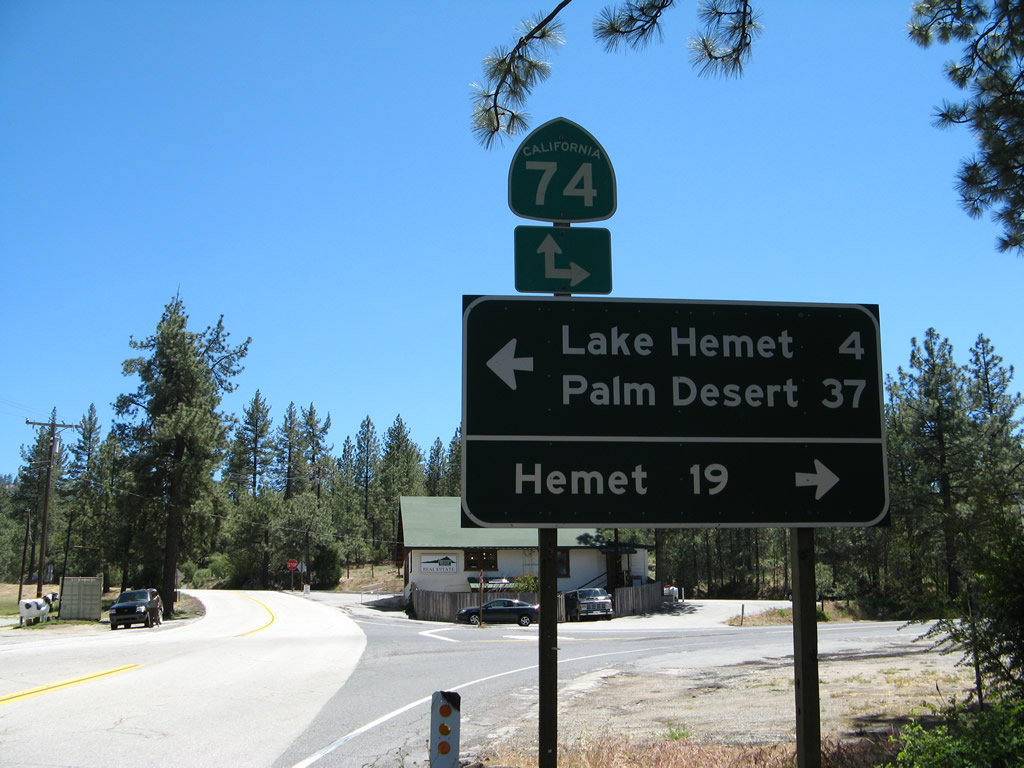
At the junction between the wye connector between California 74 and California 243, curve to the left for California 74 east to Palm Desert and Indio or turn right here for California 74 west to Hemet and Perris. The stop sign in the distance is the actual intersection with California 74. Photos taken 06/07/08. |
 |
After the wye intersection, southbound California 243 meets California 74 at this stop sign. Turn left here for California 74 east to Palm Desert, Indio, and Coachella. Photos taken 06/07/08. | |
Sources:
- R-1 has been positively identified on Automobile Club of Southern California (ACSC) maps of the state of California dating between 1965 and 1970, which was when R-1 was added to the state highway system as California 243. It is not clear if R-1 existed prior to 1965.

Page Updated May 13, 2012.
|
About Contact Glossary |
In The News Interstate Guide |
Social Media:
 |
|
© 2000-25 AARoads.com | All Rights Reserved | Privacy Policy / Terms of Use
|
||