
U.S. 50 West - South Lake Tahoe to Meyers
| U.S. 50 west | ||
|---|---|---|
 |
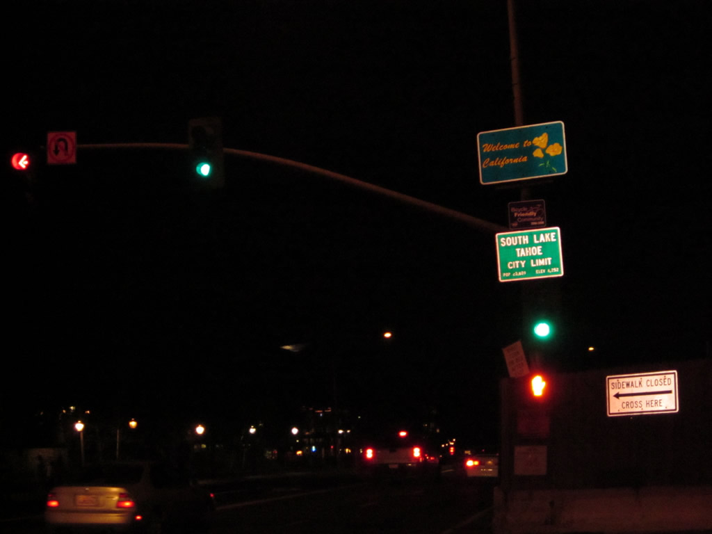 |
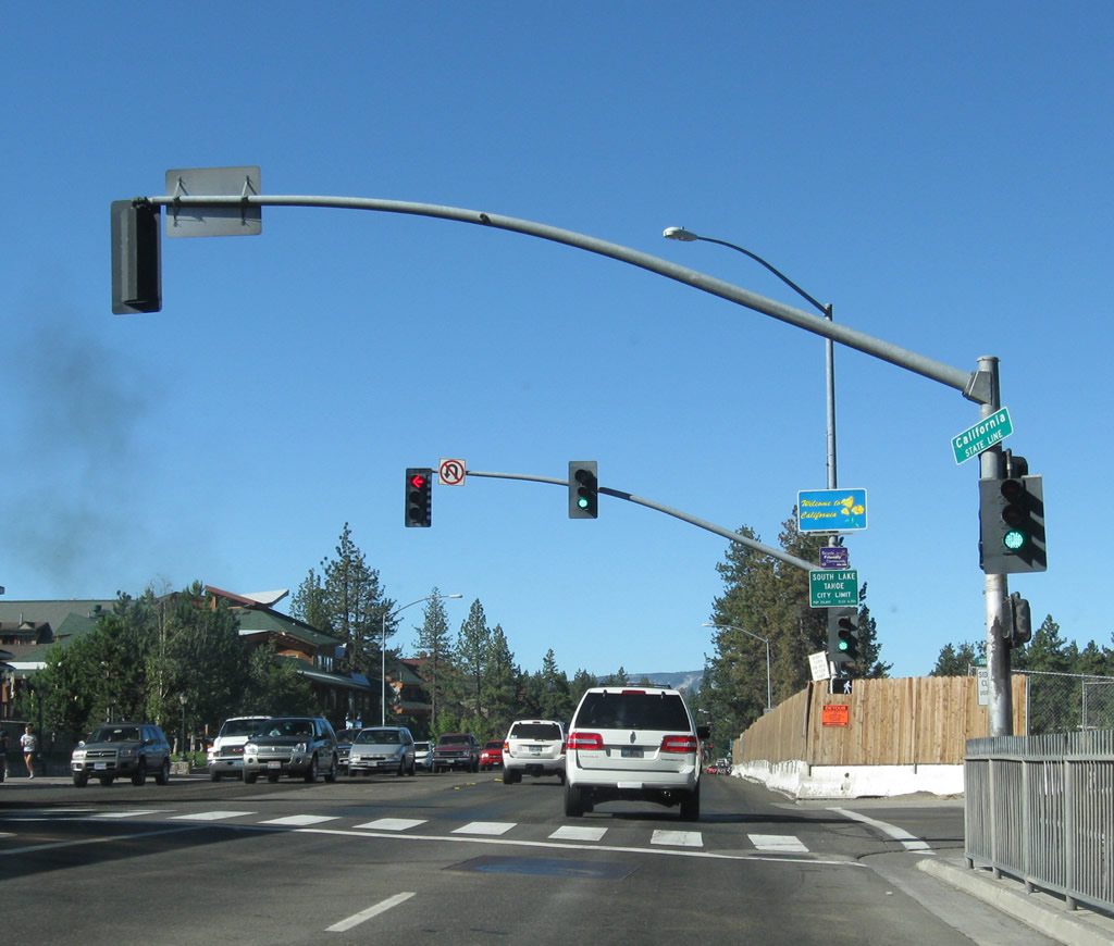
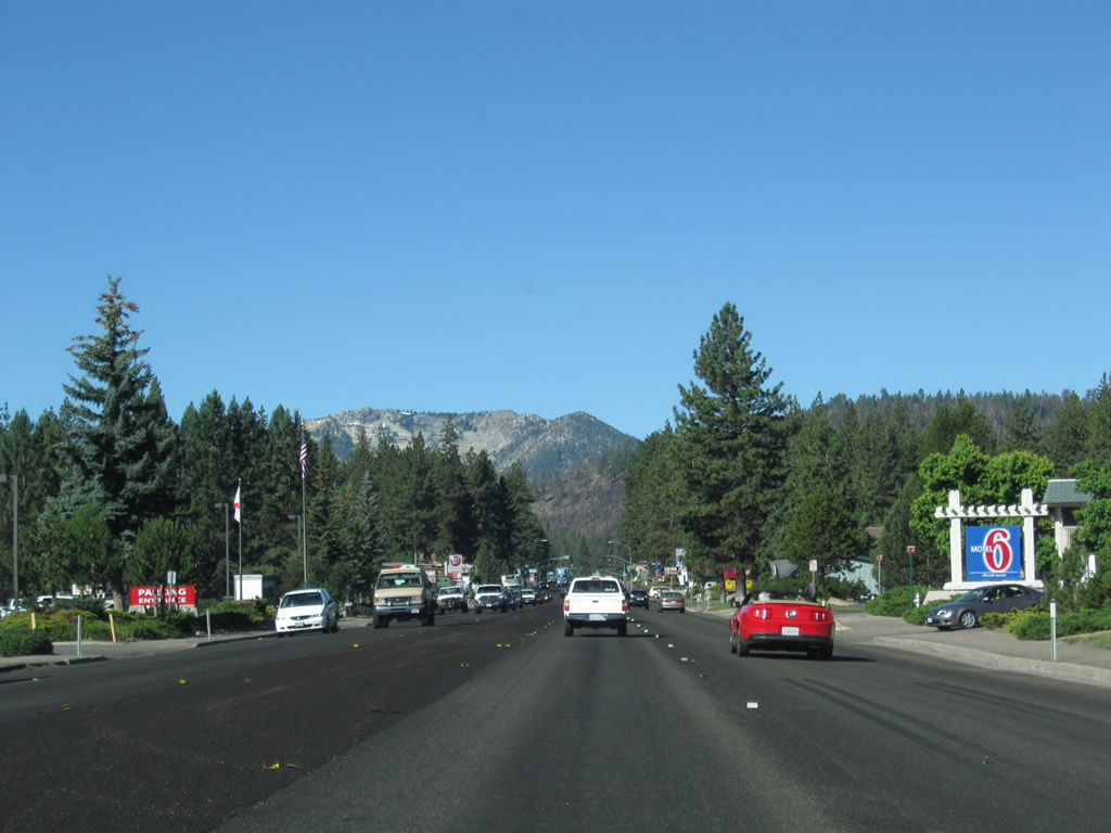
Leaving the Silver State of Nevada, U.S. 50 enters the Golden State of California (El Dorado County). The state line is conveniently located at the western edge of the massive casino-hotel towers, and Stateline Avenue (next traffic signal) serves as the actual state line. After passing by the state line, look on the north side of U.S. 50 (Lake Tahoe Boulevard) for the tramway up to Heavenly resort and associated shops. Between the state line and the Pioneer Trail intersection, U.S. 50 generally travels southwest; it will turn more westerly after Pioneer Trail. Due to anticipated improvements in traffic through between Stateline, Nevada, and South Lake Tahoe, California, plans call for realigning U.S. 50 onto Lake Parkway. This realignment would move U.S. 50 south of its current route and would allow the route to bypass the casinos and Heavenly Village to the south.1 Photos taken 07/21/09 and 07/28/12. |
 |
 |
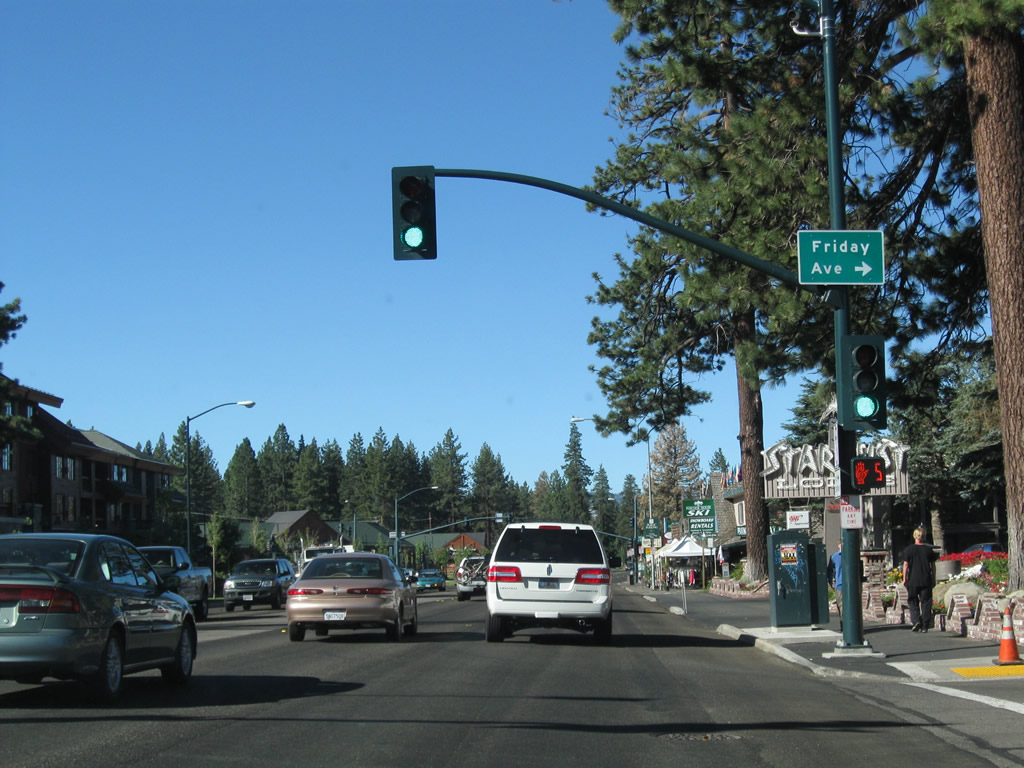
Continuing west, U.S. 50 passes through the city of South Lake Tahoe and approaches Friday Avenue. Sitting at an elevation of 6,260 feet at the south shore of Lake Tahoe, the city of South Lake Tahoe was incorporated on November 30, 1965. The population of the city was 23,609 as of the 2000 Census. Rapid growth and redevelopment have fueled massive changes to South Lake Tahoe through the years. With new hotels and resorts recently built and constructed near the Nevada casinos, downtown South Lake Tahoe has become quite cosmopolitan. The city plans more changes in the future, with a large convention center and realignment of U.S. 50 out of downtown in the coming years. Photos taken 07/21/09 and 07/29/12. |
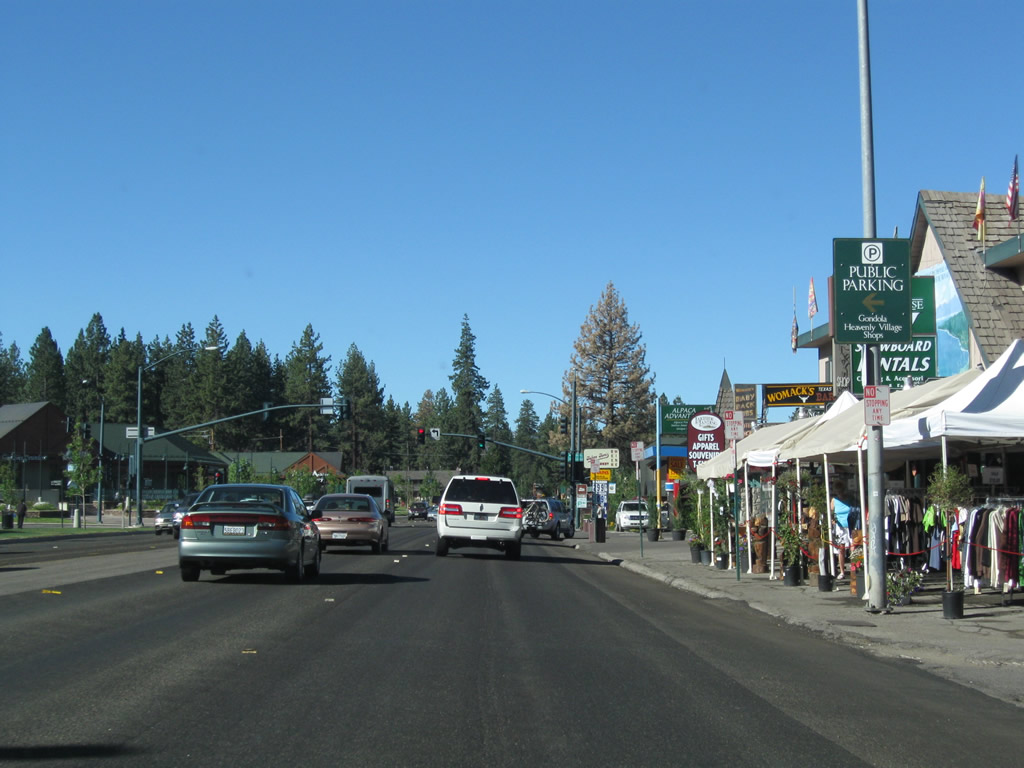 |
Long-term parking around the Heavenly Village and downtown South Lake Tahoe on the California side generally is paid parking. However, free parking is available to casino and hotel guests on the Nevada side of the border. Photo taken 07/21/09. |
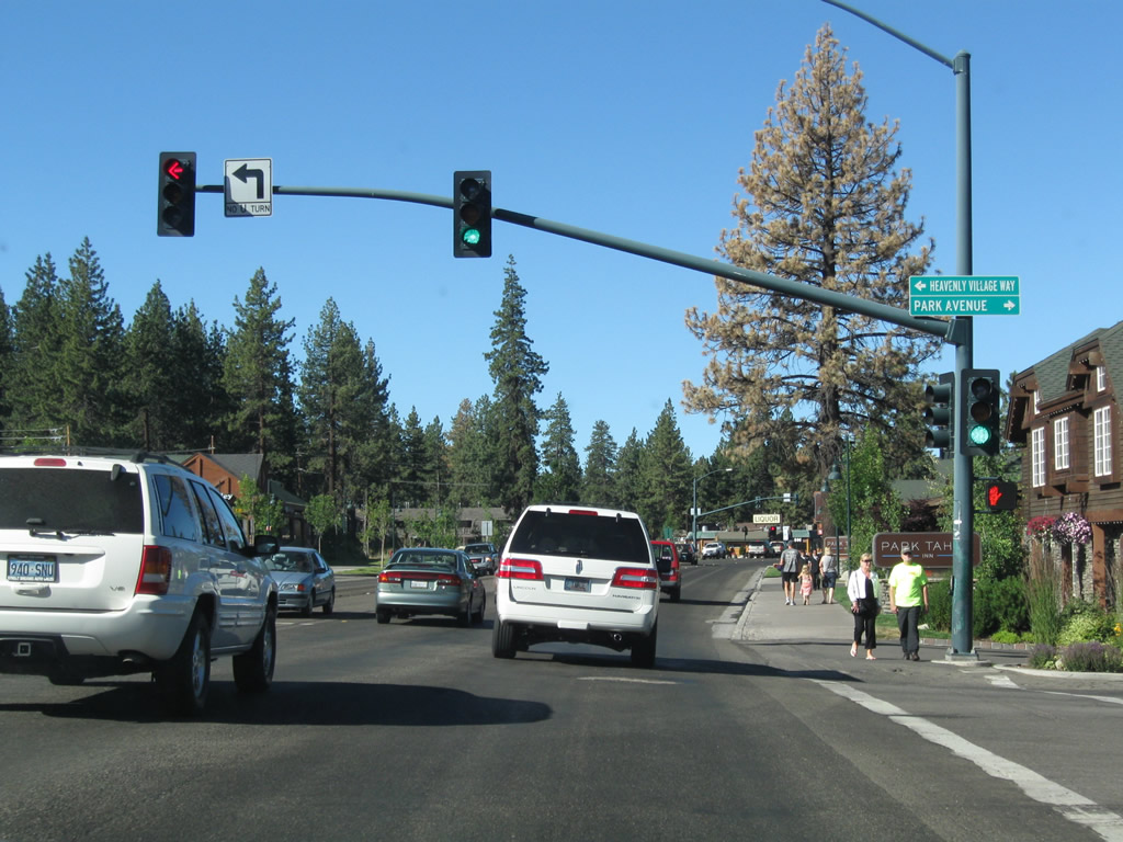 |
Westbound U.S. 50 (Lake Tahoe Boulevard) meets Heavenly Village Drive and Park Avenue at this traffic signal. Photo taken 07/21/09. |
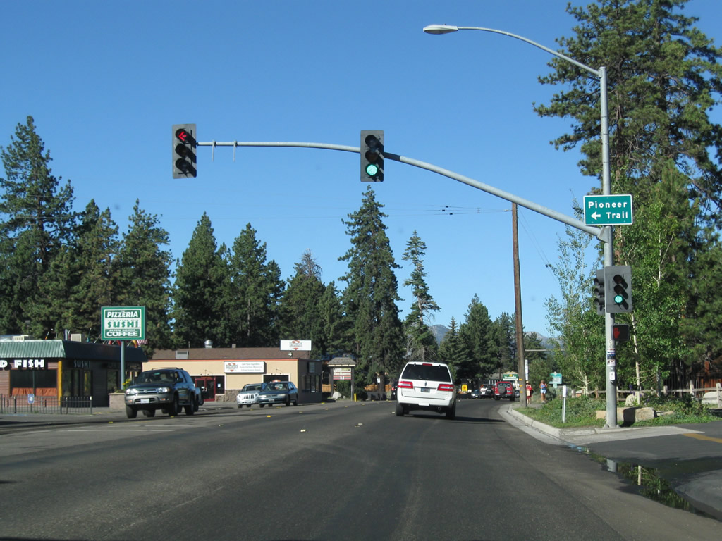 |
Shortly thereafter, westbound U.S. 50 (Lake Tahoe Boulevard) meets Pioneer Trail at this traffic signal. For through traffic to Meyers and points west, Pioneer Trail can offer an alternative to U.S. 50 by avoiding the South Lake Tahoe lakeshore between here and California 89. If U.S. 50 is busy, the Pioneer Trail can be a reasonable alternate. Pioneer Trail rejoins U.S. 50 near Meyers. Photo taken 07/21/09. |
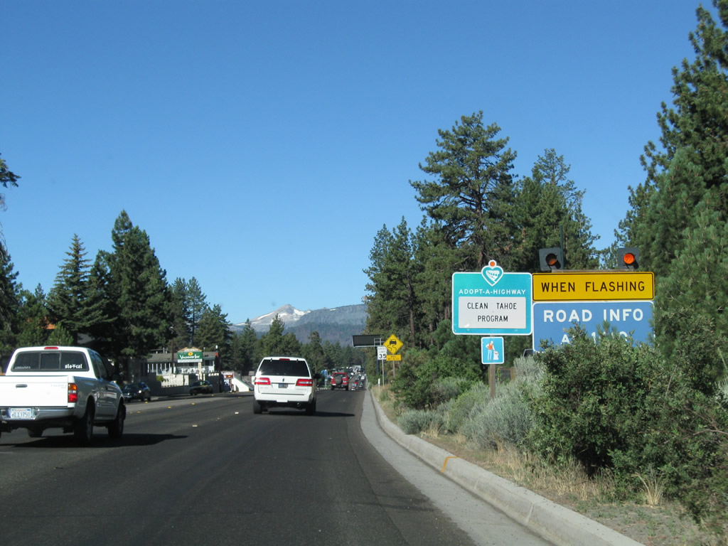 |
During times of heavy traffic congestion or inclement weather conditions affecting traffic safety, tune into AM1610 for a traffic report and update. Photo taken 07/21/09. |
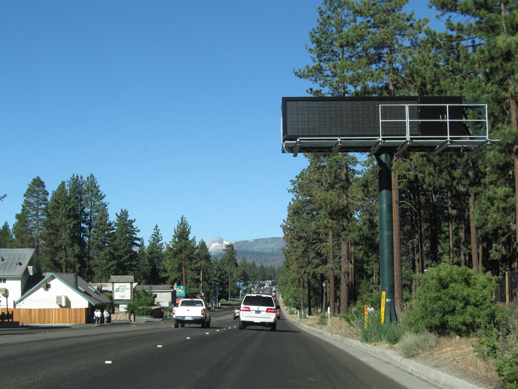 |
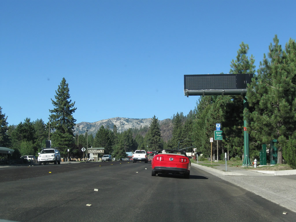
A dynamic message sign is posted shortly thereafter with additional information or instructions on traffic or weather conditions. Photo taken 07/21/09. |
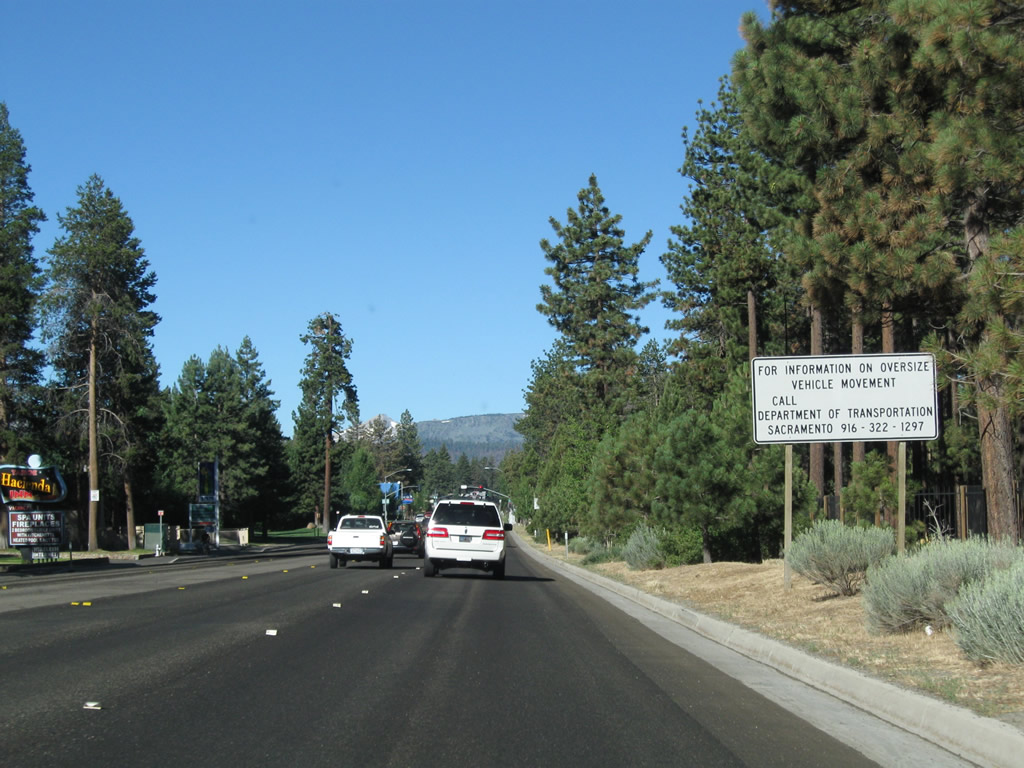 |
The California-Nevada border is very congested in South Lake Tahoe, so the weigh station and agricultural inspection station typically found near the state line are located west of South Lake Tahoe. A regulatory sign advising of truck restrictions is posted here after leaving the downtown area. The city of South Lake Tahoe continues west in a strip from here all the way to the California 89 intersection (locally called the wye). Photo taken 07/21/09. |
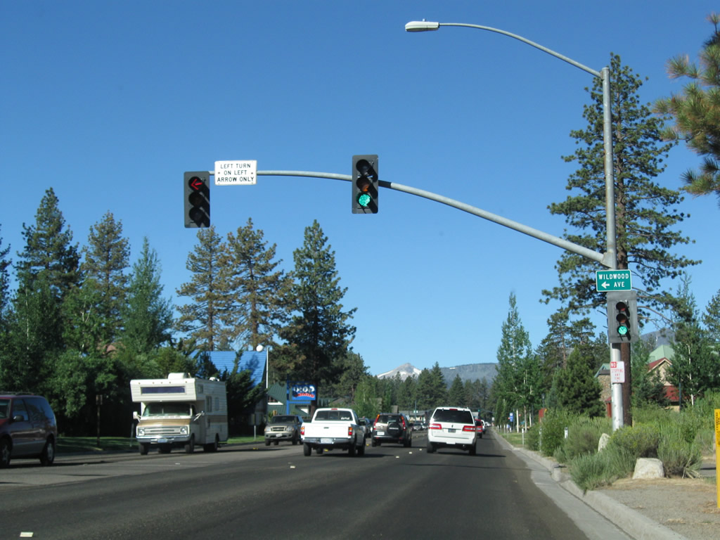 |
Westbound U.S. 50 approaches Wildwood Avenue at this traffic signal. Photo taken 07/21/09. |
 |
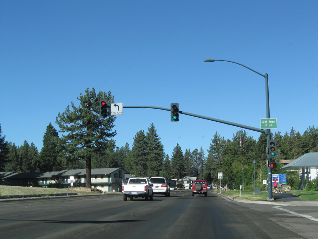
Soon thereafter, U.S. 50 approaches Ski Run Boulevard at the next traffic signal. This intersection is significant for two reasons: a left turn leads to the Heavenly Ski Area, and a right turn connects to the Ski Run Marina. Some of the Lake Tahoe cruise ships depart from this marina, including trips from South Lake Tahoe to Emerald Bay and back again several times a day during summer. Photo taken 07/21/09. |
 |
Merchants along Ski Run Boulevard created a business improvement district to beautify the boulevard, including decorative lighting and landscaping improvements. Here, U.S. 50 meets Ski Run Boulevard. Photo taken 07/21/09. |
 |
Westbound U.S. 50 intersects Fairway Avenue at this traffic signal. Use Fairway Avenue south to the Bijou Municipal Golf Course. Photo taken 07/21/09. |
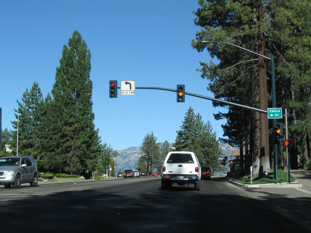 |
The next signalized intersection along busy U.S. 50 is with Johnson Boulevard, followed by Takela Drive. Photo taken 07/21/09. |
 |
U.S. 50 briefly skirts the southern edge of Lake Tahoe at the South Lake Tahoe Recreation Area. The U.S. highway stays close to the waters edge, then retreats inland in about a quarter mile. Photo taken 07/21/09. |
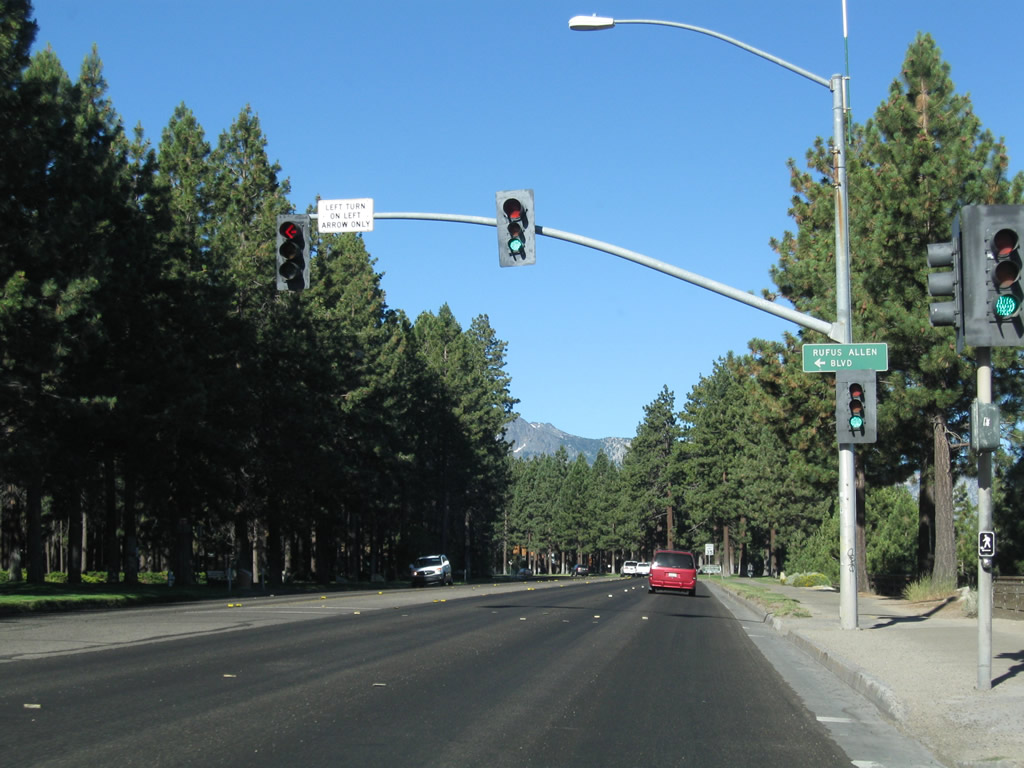 |
Within South Lake Tahoe Recreation Area, westbound U.S. 50 meets Rufus Allen Boulevard at this traffic signal. Photo taken 07/21/09. |
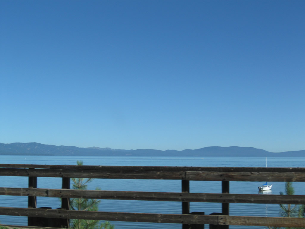 |
A wooden fence separates U.S. 50 from the views of Lake Tahoe looking north from the recreation area. Photo taken 07/21/09. |
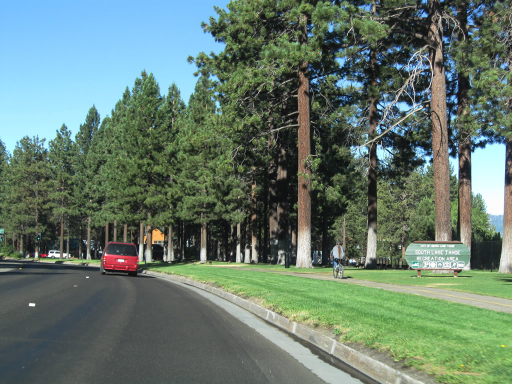 |
A small wooden sign welcomes visitors to the South Lake Tahoe Recreation Area, which is operated by the city of South Lake Tahoe. Ahead, U.S. 50 makes an abrupt shift by turning almost due south away from the lakeshore. Photo taken 07/21/09. |
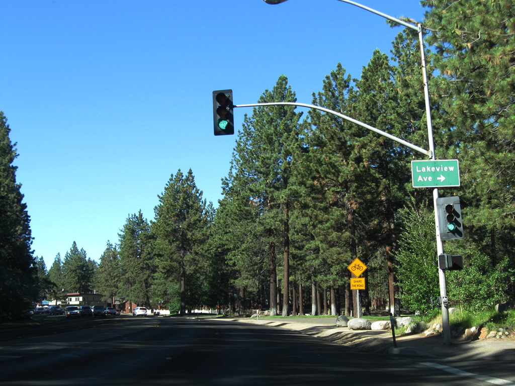 |
The next traffic signal along westbound U.S. 50 connects with Lakeview Avenue west to a residential enclave situated on the south shore of the lake adjacent to the recreation area. U.S. 50 itself turns south. Photo taken 07/21/09. |
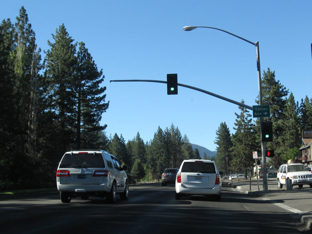 |
Westbound U.S. 50 (now traveling south) approaches westbound Tallac Avenue, which also leads into the same residential neighborhood as Lakeview Avenue. Photo taken 07/21/09. |
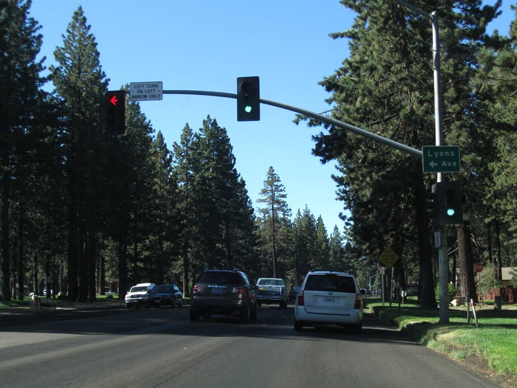 |
Up next is eastbound Lyons Avenue, which serves a nearby school and connects to the south end of Rufus Allen Boulevard. Photo taken 07/21/09. |
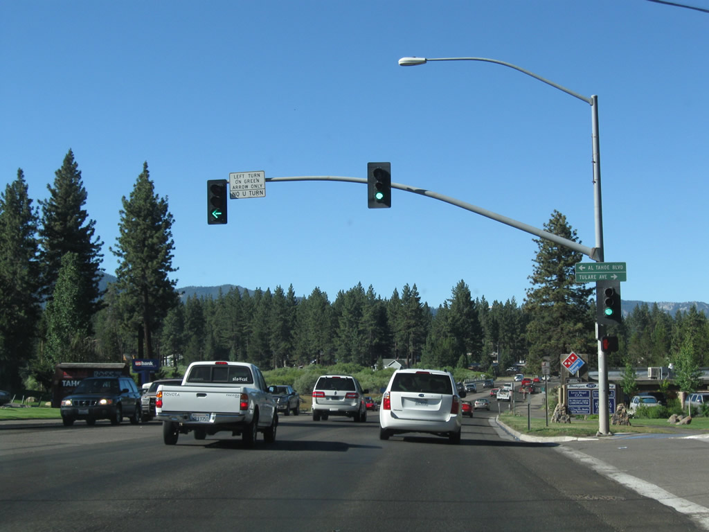 |
Still traveling southward, the next intersection along westbound U.S. 50 is with Tulare Avenue west and Al Tahoe Boulevard southeast to Pioneer Trail. Photo taken 07/21/09. |
 |
U.S. 50 passes over Trout Creek. Most rivers and streams in the Tahoe Basin are perenially wet due to ample snow melt that occurs well into the summer. Photo taken 07/21/09. |
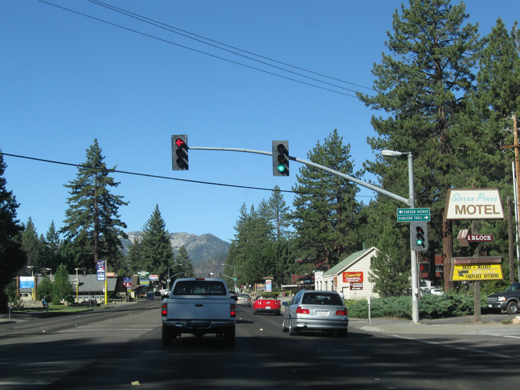 |
The next signalized intersection along westbound U.S. 50 (now traveling southwest) is with Rubicon Trail north and Carson Avenue south. Photo taken 07/21/09. |
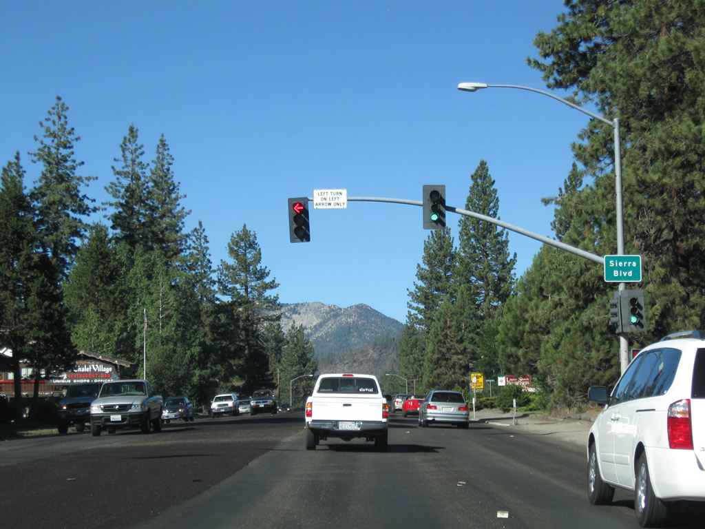 |
Soon thereafter, westbound U.S. 50 meets Sierra Boulevard at this traffic signal. Photo taken 07/21/09. |
 |
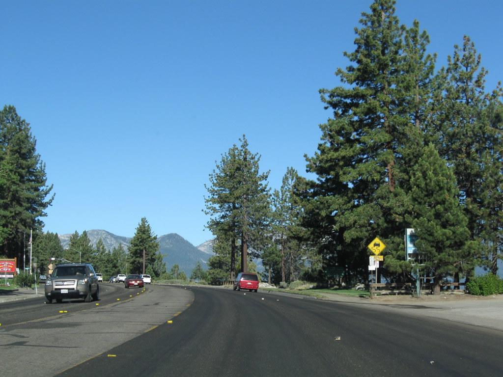
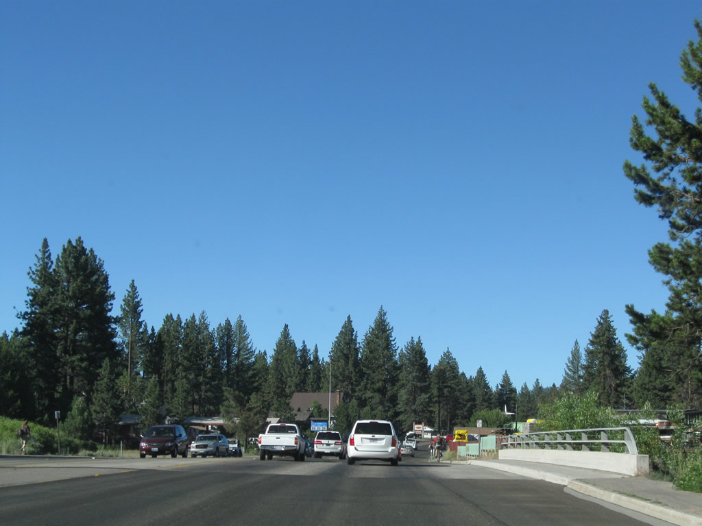
With Echo Peak (el. 8,895 feet) visible in the distance, U.S. 50 continues southwest with four through lanes and a center turn lane. U.S. 50 crosses over the Upper Truckee River, which drains south into Lake Tahoe. This is not to be confused with the Truckee River, which leaves Lake Tahoe in Tahoe City and proceeds north toward the city of Truckee and eventually passes through Reno en route to Pyramid Lake in northwestern Nevada. Photo taken 07/21/09. |
 |
Another residential area on the north side of U.S. 50 is the Tahoe Keys, which was planned in the 1950s and constructed in phases in the late 1950s and 1960s. The waterfront development features water access to homes via canals that were dug to provide boat access from backyard docks. The construction of the canals proved to be very controversial, as some enjoyed the private access to the lake while others bemoaned the environmental damage caused by dredging the area to create the canals near the mouth of the Upper Truckee River. Tahoe Keys consists of 740 acres and was heavily advertised for vacation properties in the 1960s and 1970s throughout California.2 Photo taken 07/21/09. |
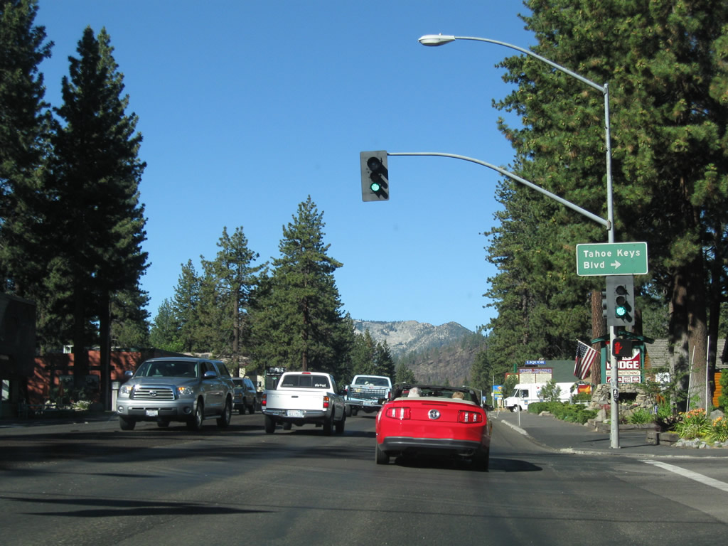 |
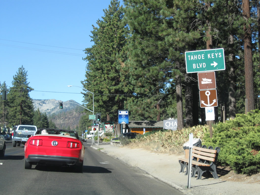
The primary route into the Tahoe Keys development is via Tahoe Keys Boulevard. Turn right (north) onto Tahoe Keys Boulevard into the unique neighborhood, the kind that will probably not be built again in the Lake Tahoe area. Photo taken 07/21/09. |
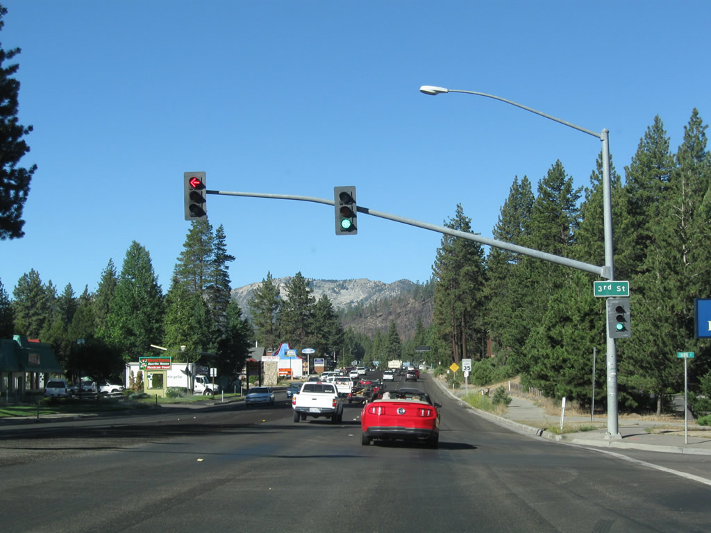 |
Westbound U.S. 50 (Lake Tahoe Boulevard) approaches Third Street at this traffic signal. Photo taken 07/21/09. |
 |
Another dynamic message sign is posted along westbound U.S. 50 (Lake Tahoe Boulevard) prior to the wye intersection with California 89 (Emerald Bay Road). Photo taken 07/21/09. |
 |
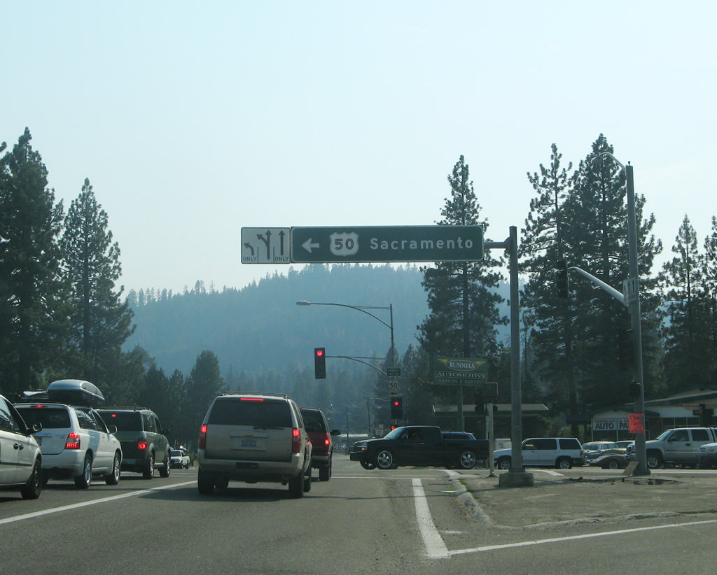
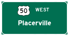
Through traffic on westbound U.S. 50 (Lake Tahoe Boulevard) to Echo Summit, Placerville, and Sacramento should merge left. Turn right to follow California 89 (Emerald Bay Road) north to Camp Richardson, Emerald Bay, Tahoe City, and Truckee. Photo taken 07/21/09. |
 |
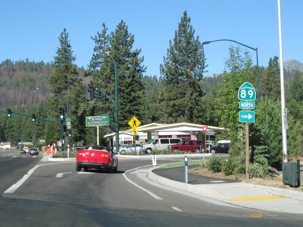
A U.S. 50 west trailblazer indicates the U.S. highway turns left at the traffic signal ahead. To California 89 north, turn right onto Emerald Bay Road. To California 89 south, follow U.S. 50 west to Meyers. Photo taken 07/21/09. |
 |
The wye intersection between U.S. 50 (Lake Tahoe Boulevard) and California 89 (Emerald Bay Road) was reconstructed in recent years, including beautification and other improvements. Behind the intersection in the hills are burned trees, which is evidence of the June 2007.3 This fire burned 3,100 acres and destroyed 254 homes in the forest behind the wye. Photo taken 07/21/09. |
 |
A single trailblazer for California 89 north is posted prior to the right turn onto Emerald Bay Road at the wye intersection. All traffic for U.S. 50 west should turn left at this traffic signal. Continue straight ahead to follow Lake Tahoe Boulevard into residential areas behind the shopping center. Westbound Lake Tahoe Boulevard eventually connects with North Upper Truckee Road, which travels south to reunite with U.S. 50. Photo taken 07/21/09. |
 |
This overhead sign for westbound U.S. 50 to Sacramento was in place in 2007, but it was gone by 2009. Photo taken 07/08/07. |
Sources:
- U.S. Highway 50/Stateline Area Transportation Study (Tahoe Regional Planning Agency) - May 2004
- Tahoe Keys a center for recreation - and controversy, Tahoe Daily Tribune, by Adam Jensen, Thursday, October 2, 2008
- Angora Fire General Information. Cal Fire (California government web site).

Page Updated October 6, 2009.
|
About Contact Glossary |
In The News Interstate Guide |
Social Media:
 |
|
© 2000-25 AARoads.com | All Rights Reserved | Privacy Policy / Terms of Use
|
||