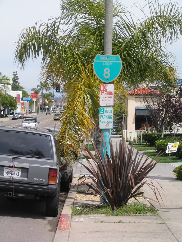
This page showcases Business Loop I-8 along Washington Street and Normal Street. It also documents Historic U.S. 80 along El Cajon Boulevard in San Diego and La Mesa. Historic U.S. 395 also shares pavement with Historic U.S. 80 along El Cajon Boulevard between Park Boulevard and Fairmount Avenue.
| Business Loop I-8 & Historic U.S. 80 (1947-1953) east |
|
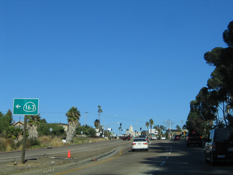
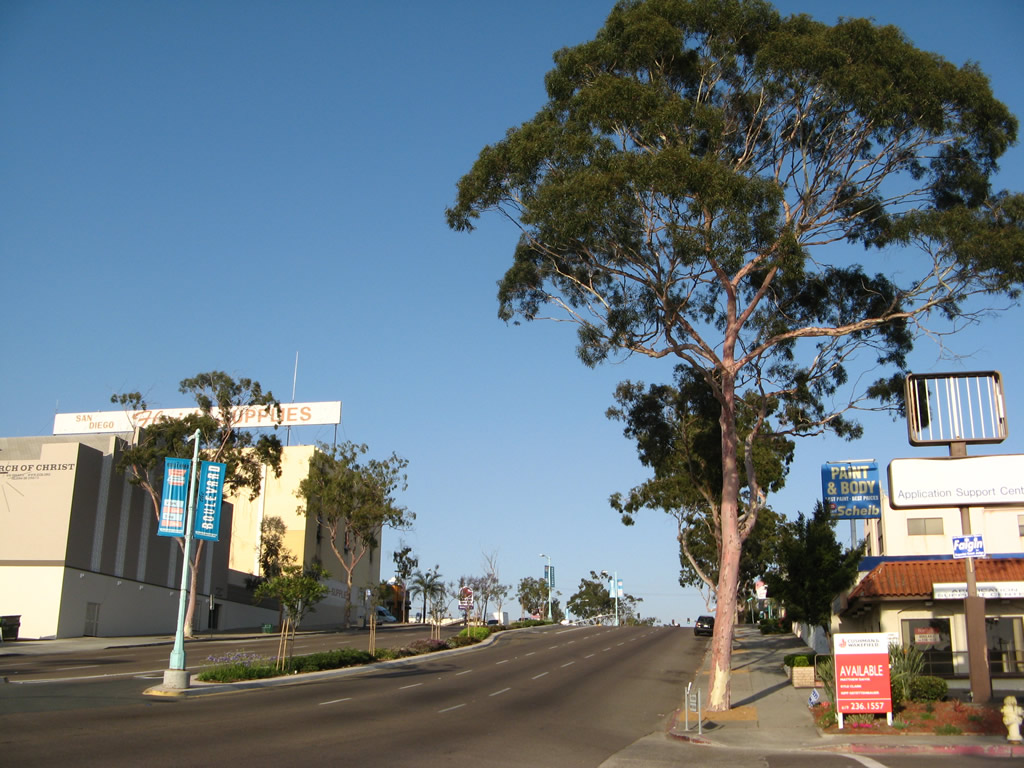
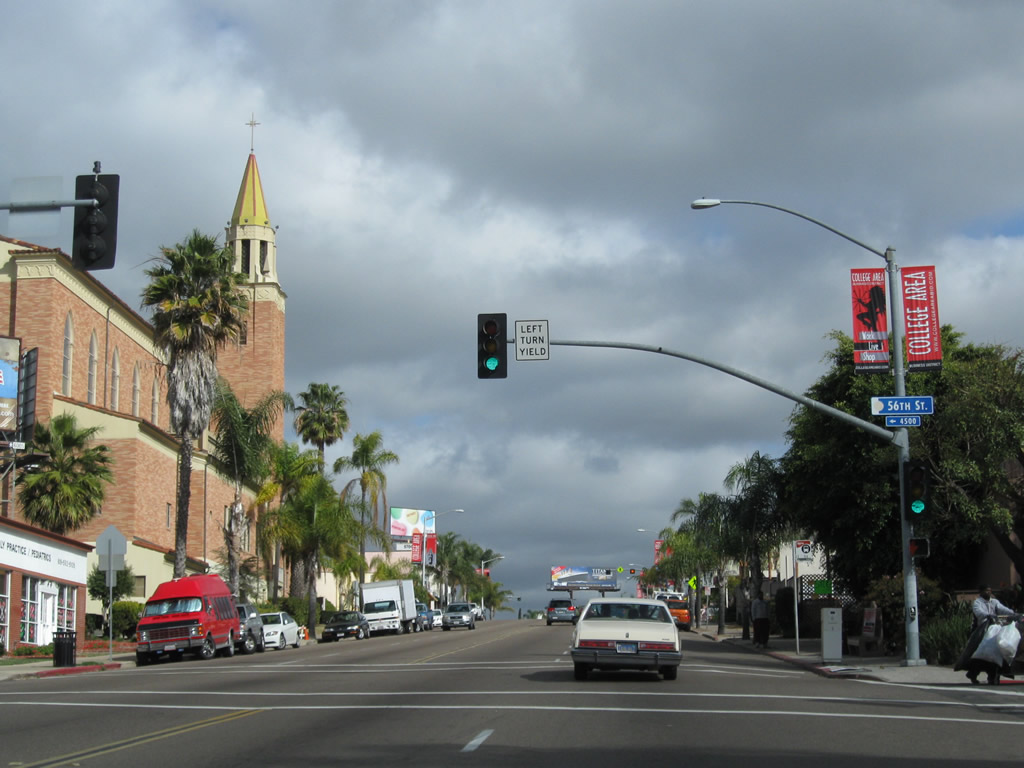
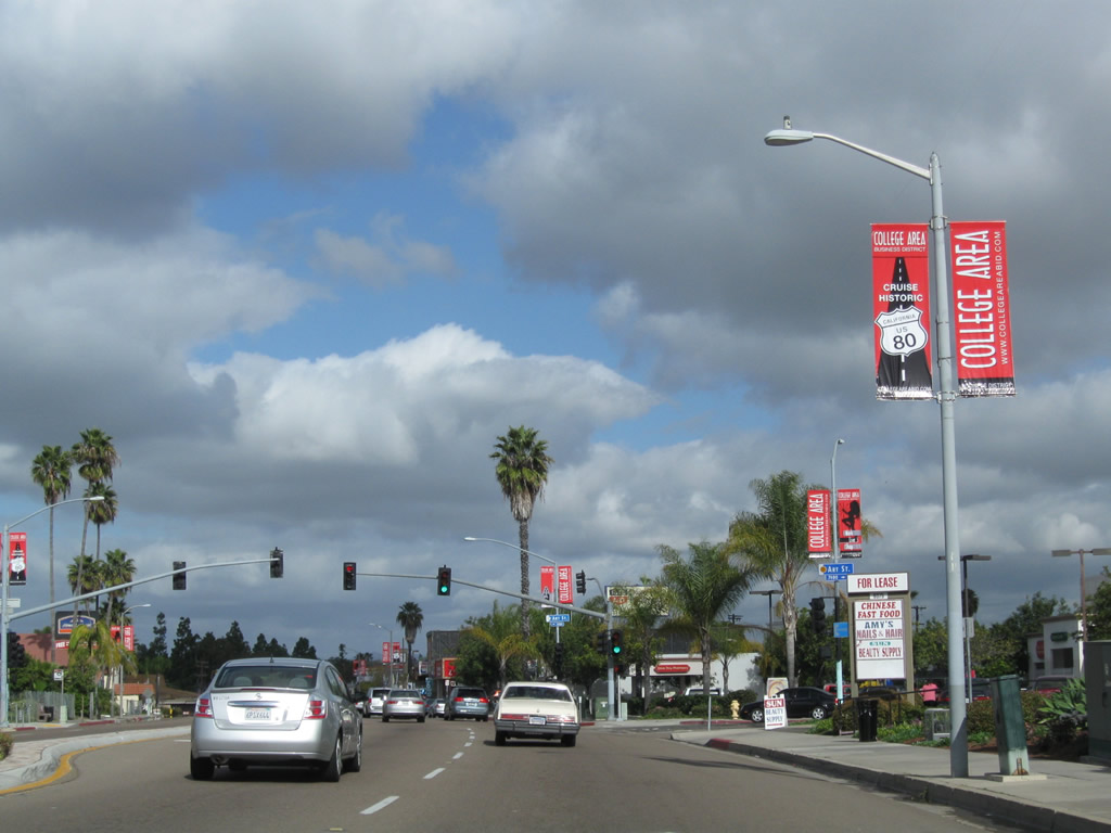
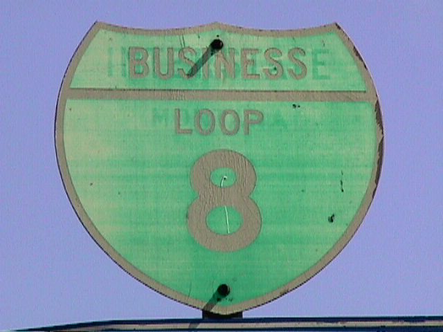
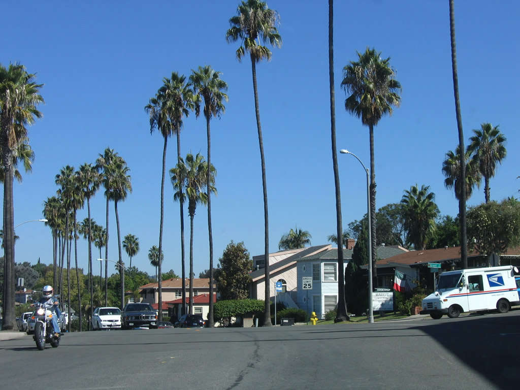
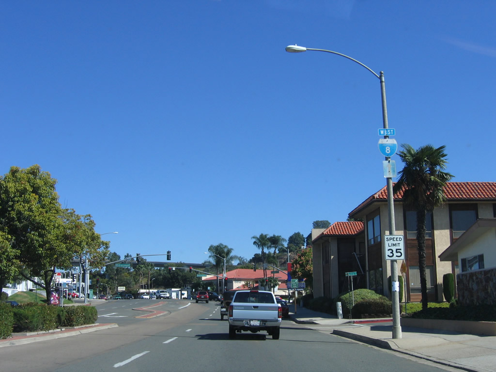
For a moment we will backtrack to see the U.S. 80 alignment between the Cabrillo Freeway and Park Boulevard along Washington Street and Normal Street. This segment of U.S. 80 became U.S. 80 Business in 1953 when U.S. 80 moved to the Mission Valley Freeway, and later became Business Loop I-8 when U.S. 80 was decommissioned and phased out in the late 1960s/early 1970s. The business loop for Interstate 8 begins at the intersection of Ninth Avenue, and the business route (and Old U.S. 80) will follow Washington Street east. Incoming traffic from southbound California 163 (Cabrillo Freeway) connects to Washington Street via an off-ramp that links directly to Ninth Avenue. Prior to 2002, this business route was well-signed through the University Heights and North Park communities of San Diego, but most of the shields were removed. A lone post (adjacent to white guardrail fence) used to carry a business loop shield, but that route marker is now gone. Photo taken 10/29/05. |
|
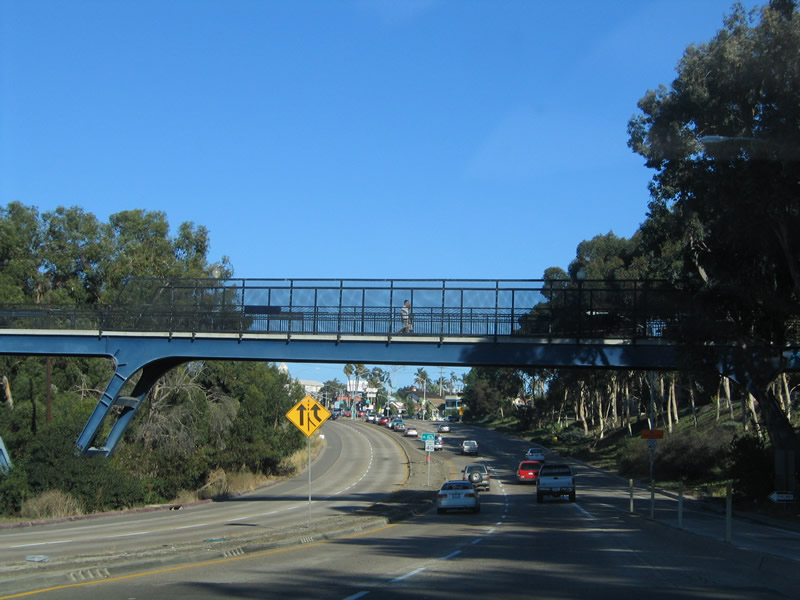
A pedestrian bridge, which serves as the continuation of north-south Vermont Street, provides access over Washington Street. Photo taken 10/29/05. |
|
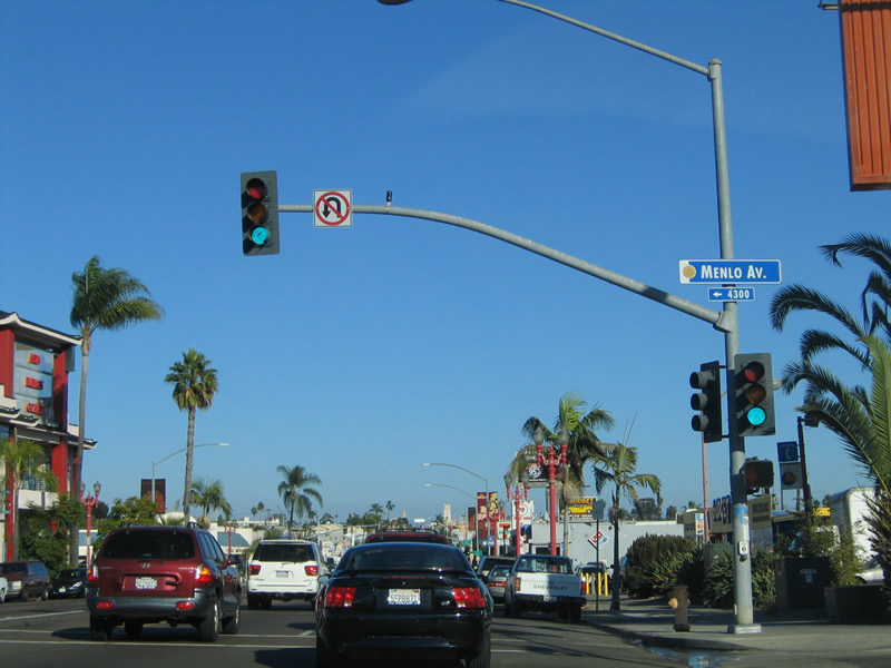
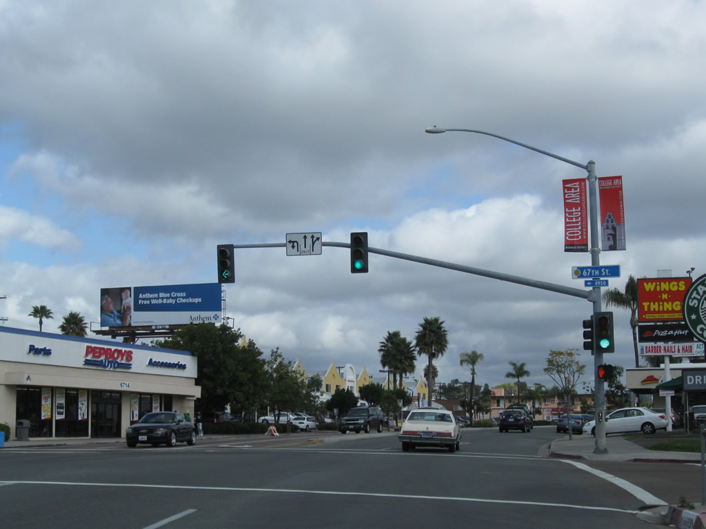
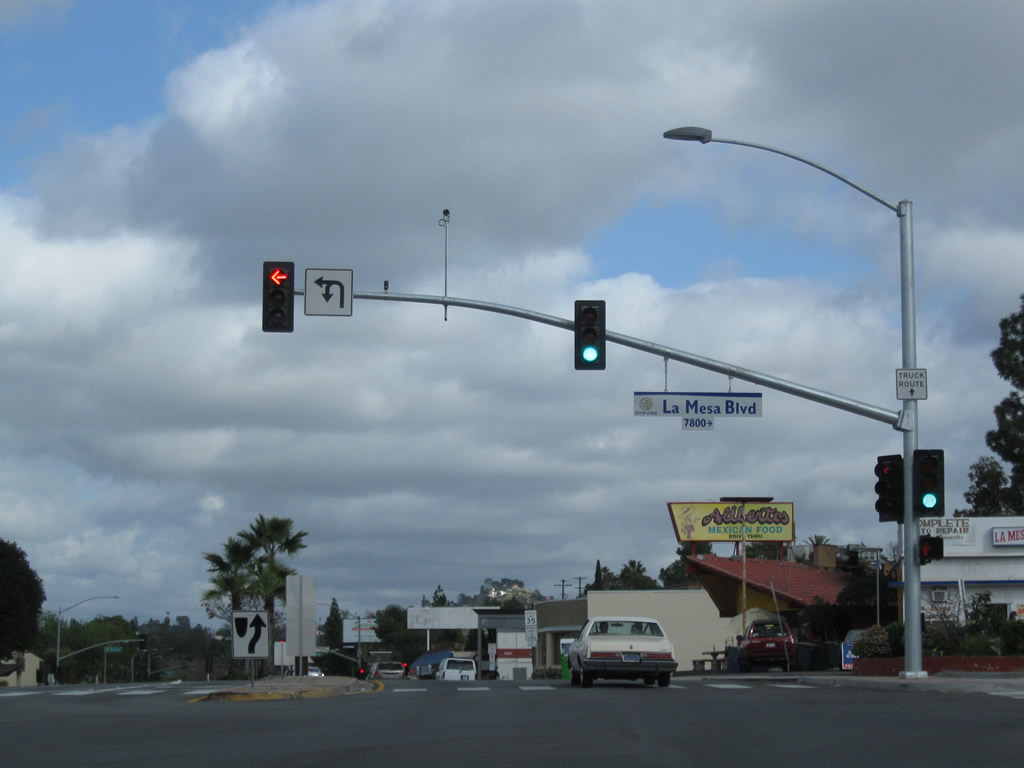
The next intersection along eastbound Washington Street is the ramp to California 163, which is former U.S. 395. This ramp provides access to both directions of California 163. From here eastward, Washington Street follows the 1947-1953 alignment of U.S. 80, which was renumbered as U.S. 80 Business after U.S. 80 was moved to the Mission Valley Freeway. In 1964, U.S. 80 Business was renumbered as Business Loop I-8. Photo taken 10/29/05. |
|
This ramp originally connected U.S. 80 with U.S. 395 when the Cabrillo Freeway was constructed in 1947. Prior to 1947, U.S. 80 followed Park Boulevard south to Market Street, then turned west on Market Street to end at U.S. 101 (Harbor Drive). From 1947 until 1953, U.S. 80 traveled further west along Washington Street, transitioned onto U.S. 395 (Cabrillo Freeway) south, then followed the 10th Avenue and 11th Avenue one-way couplet to Market Street in downtown San Diego. From 1953 to 1972, U.S. 80 followed the Mission Valley (Alvarado) Freeway, which is today known as Interstate 8. Photo taken 10/29/05. |
|
Washington Street was constructed before it became part of U.S. 80. The concrete here likely dates from the city's construction of the roadway, not state construction. This traffic signal is for Lincoln Avenue, which travels east into North Park. Photo taken 10/29/05. |
|
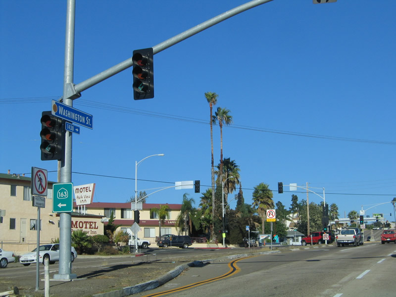
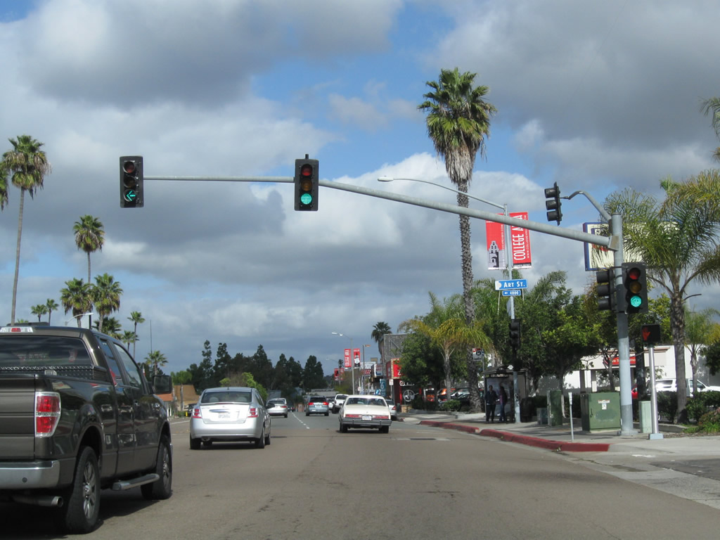
At this traffic signal, Washington Street comes to its western terminus. The business loop turns to the northeast along Normal Street for a couple of blocks. Photo taken 10/29/05. |
|
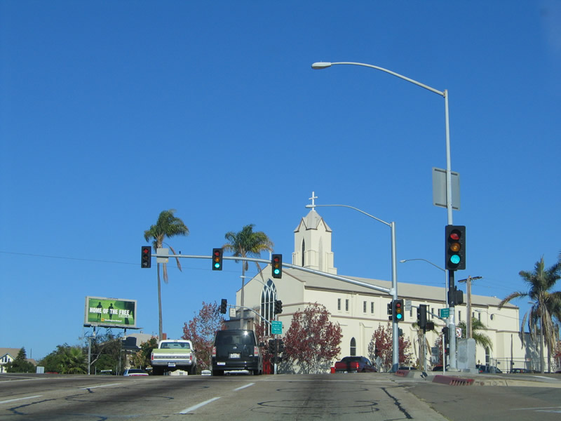
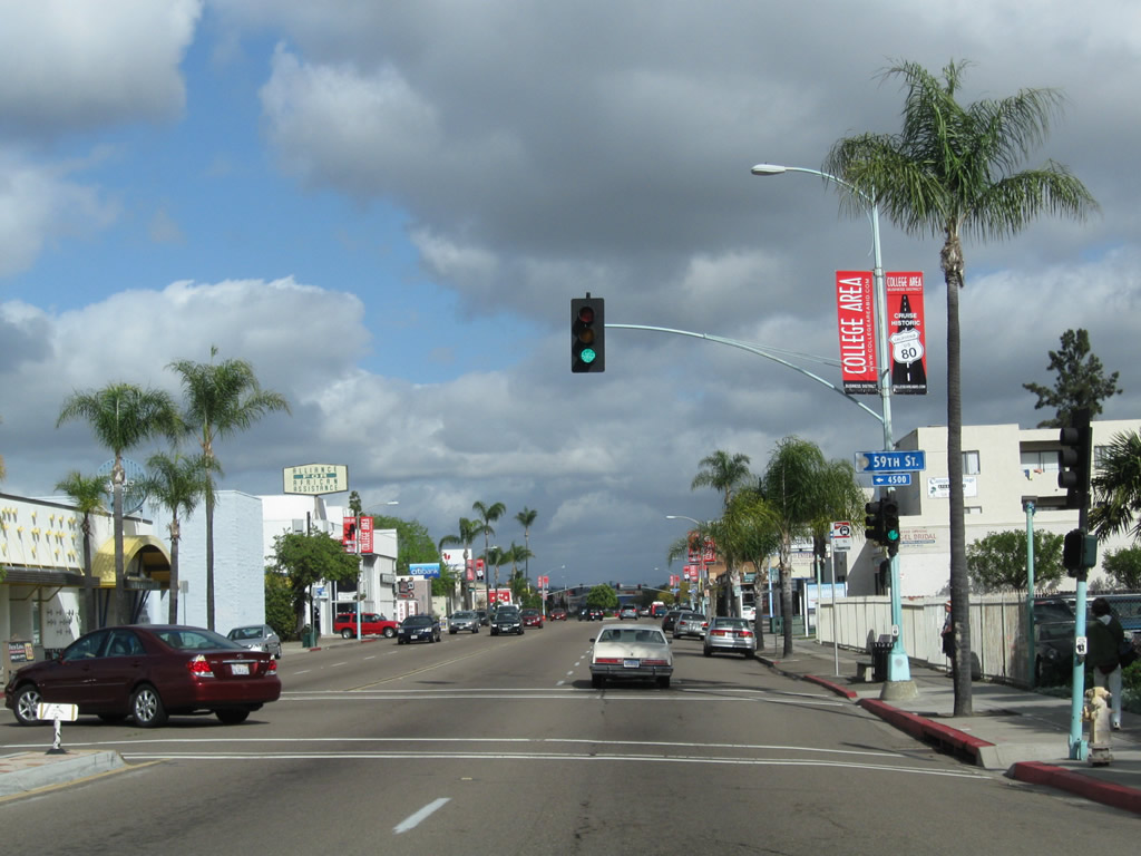
The next intersection is with Park Boulevard, which is the point where U.S. 80 and U.S. 395 used to travel south toward Balboa Park and downtown San Diego before the completion of the Cabrillo Freeway in 1947. Continue straight ahead to continue east along Business Loop I-8 to El Cajon Boulevard. Photo taken 10/29/05. |
|
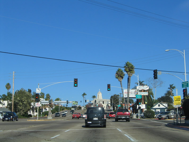
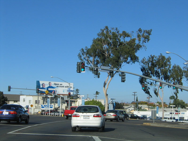
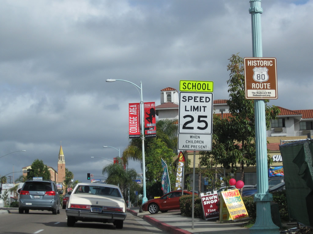
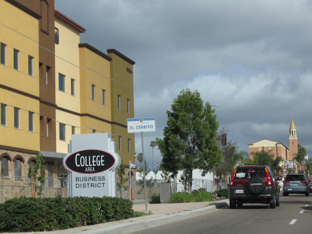
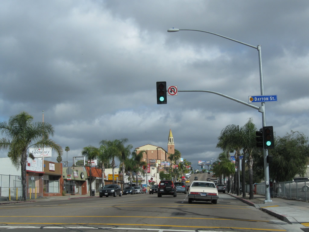
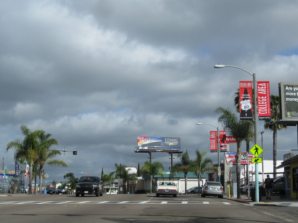
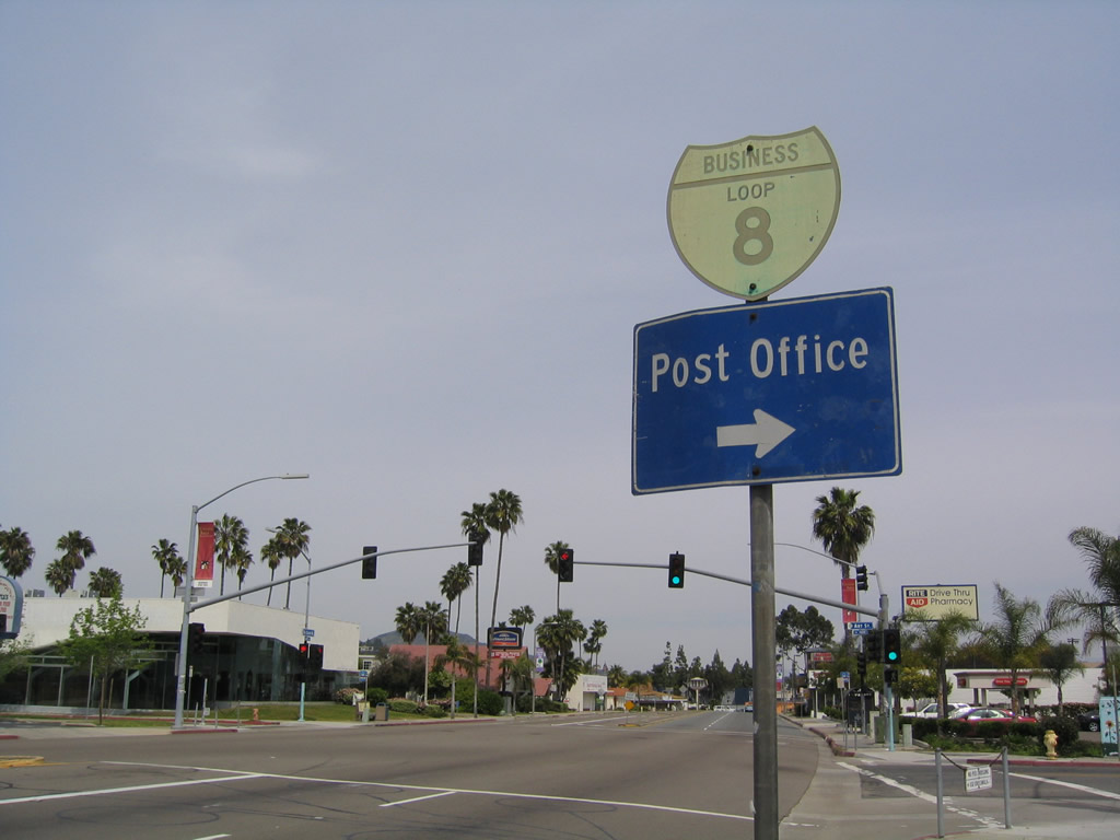
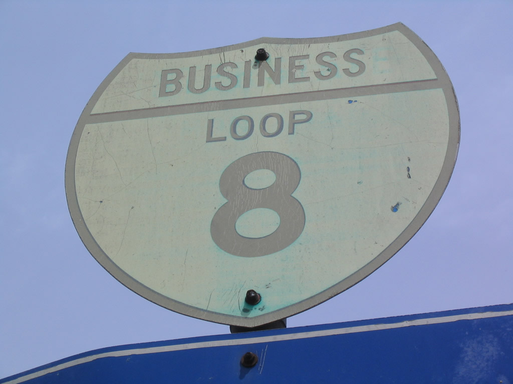
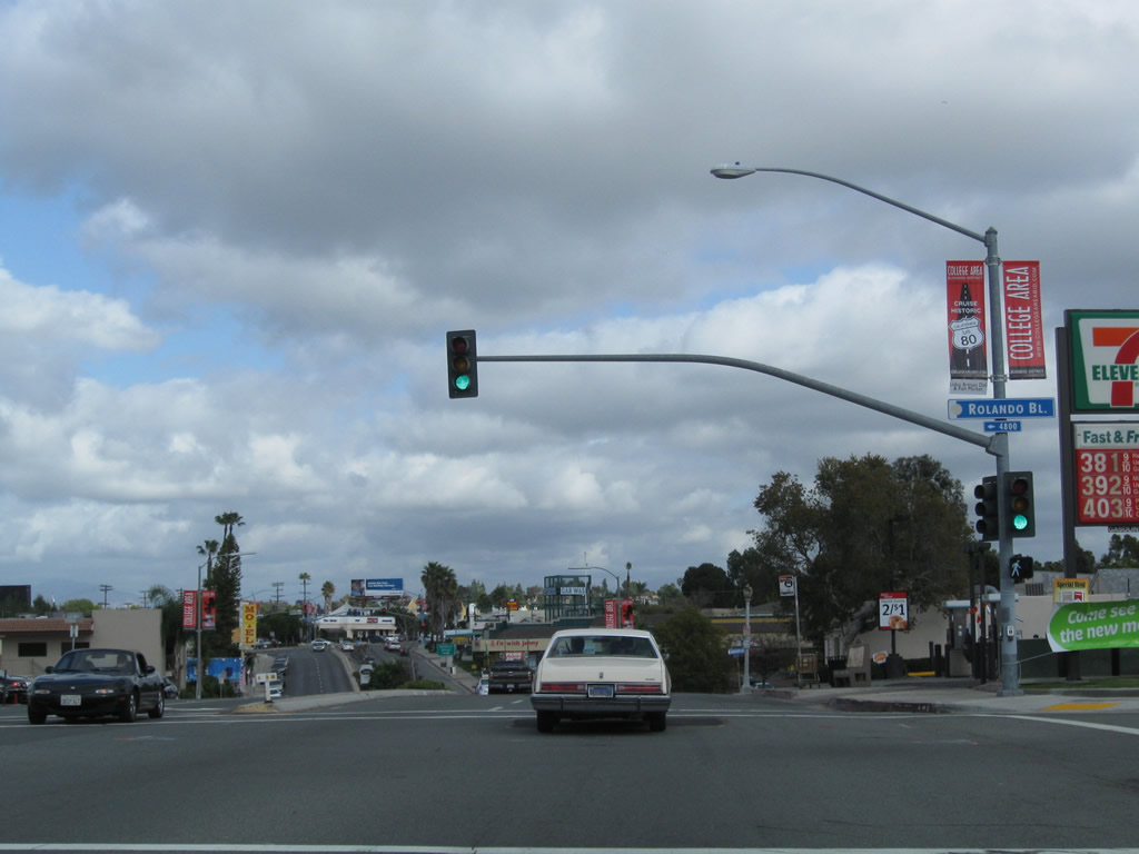
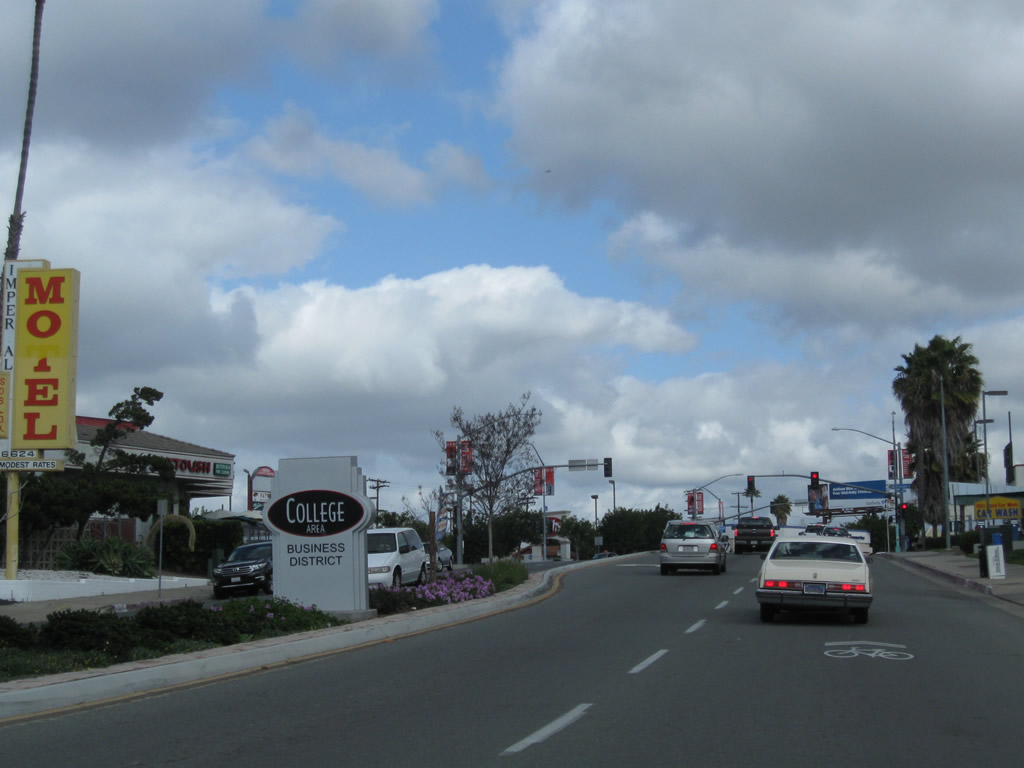
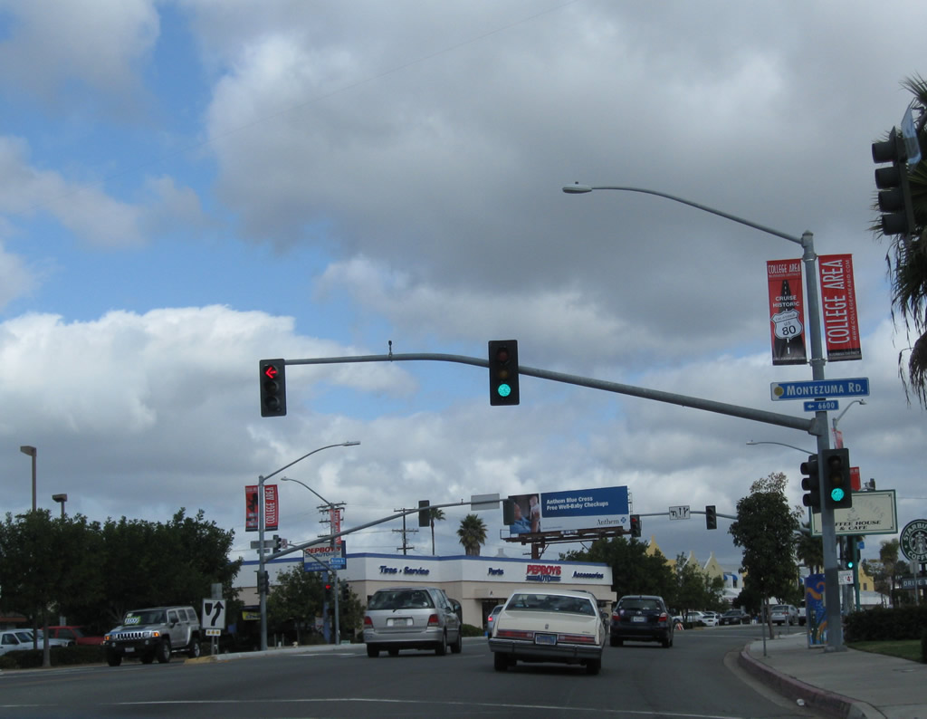
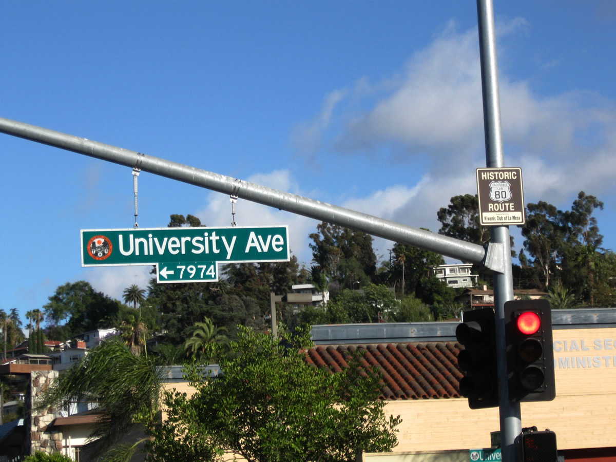
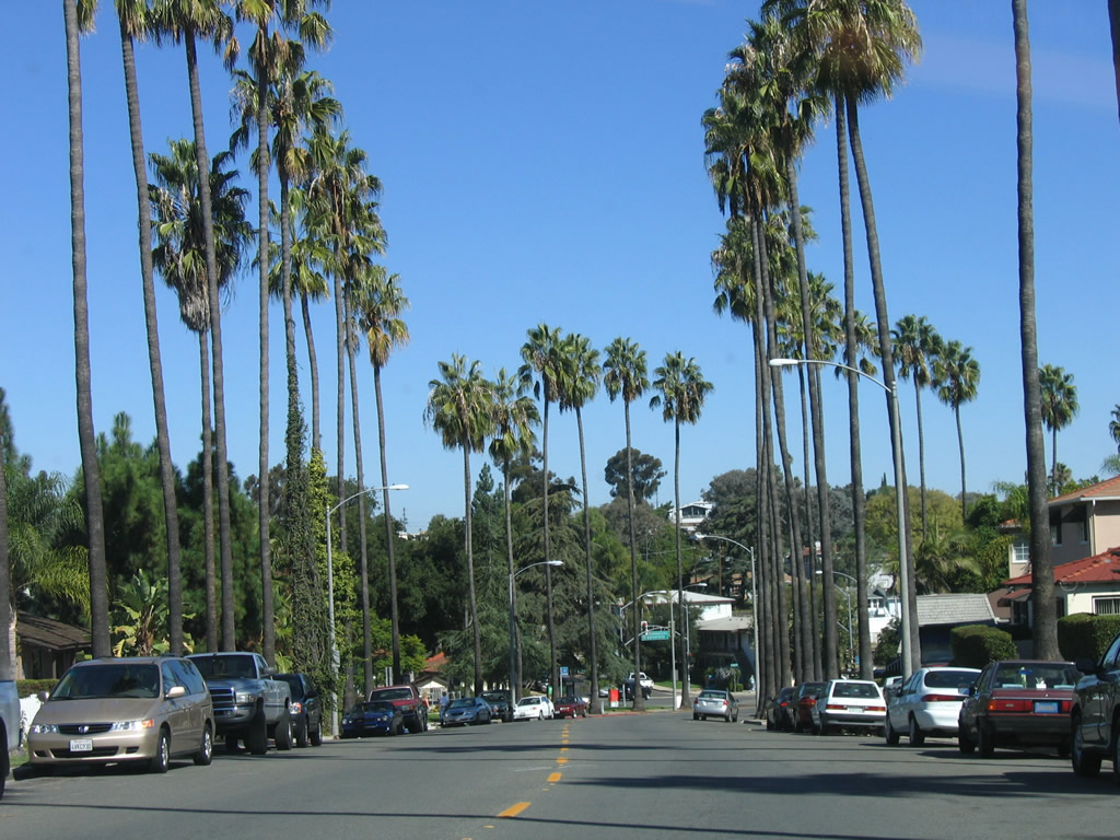
Normal Street reaches its northern terminus as it transitions directly onto El Cajon Boulevard eastbound. Park Boulevard travels north into University Heights. To the south, the original U.S. 80 and U.S. 395 alignments travel south through Balboa Park past the World Famous San Diego Zoo into downtown San Diego as seen earlier on this page. Proceeding east, El Cajon Boulevard carries the historic route into North Park and City Heights. El Cajon Boulevard was bypassed when the Mission Valley (Alvarado) Freeway (today's Interstate 8) opened in 1953. Businesses along El Cajon Boulevard suffered as traffic flowed through Mission Valley rather than North Park and City Heights, but that has changed in recent years. Redevelopment, new residential projects, and a renewed interest by many to live in urbanized neighborhoods rather than suburbs has revitalized El Cajon Boulevard and promises many positive changes still to come. Photo taken 10/29/05. |
| Business Loop I-8-Historic U.S. 80 east & Historic U.S. 395 north |
|---|
|
|
|
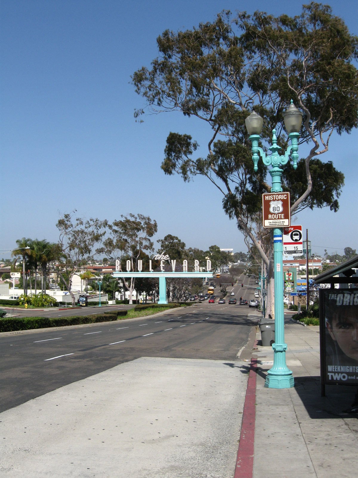
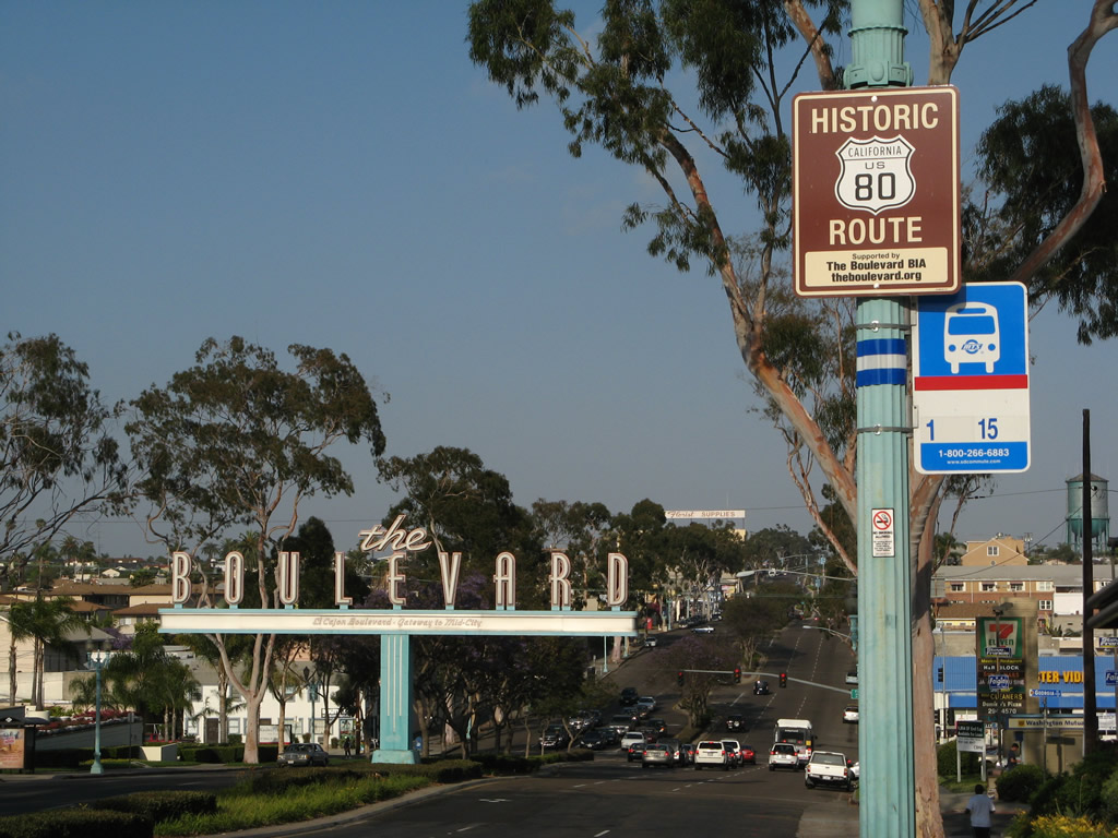
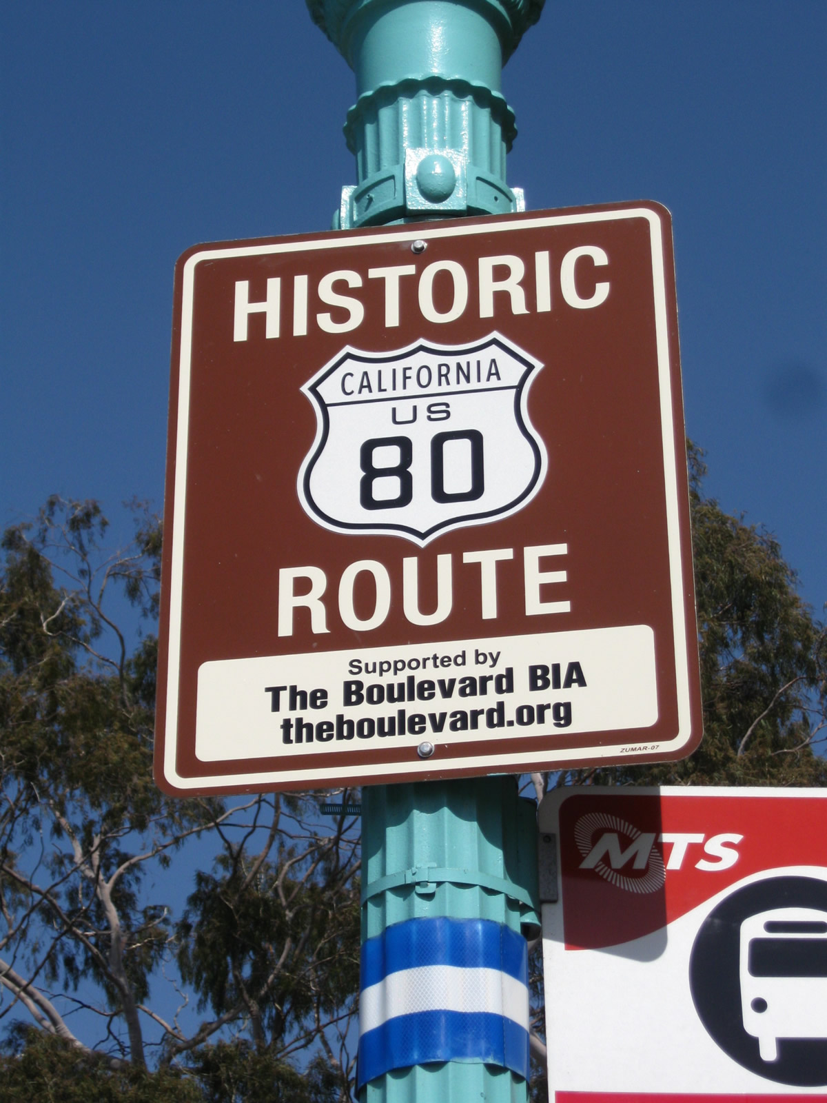
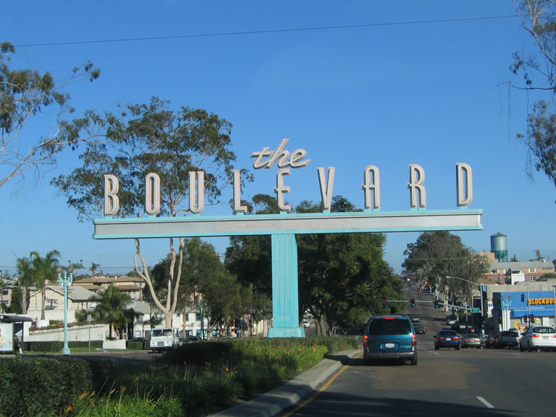
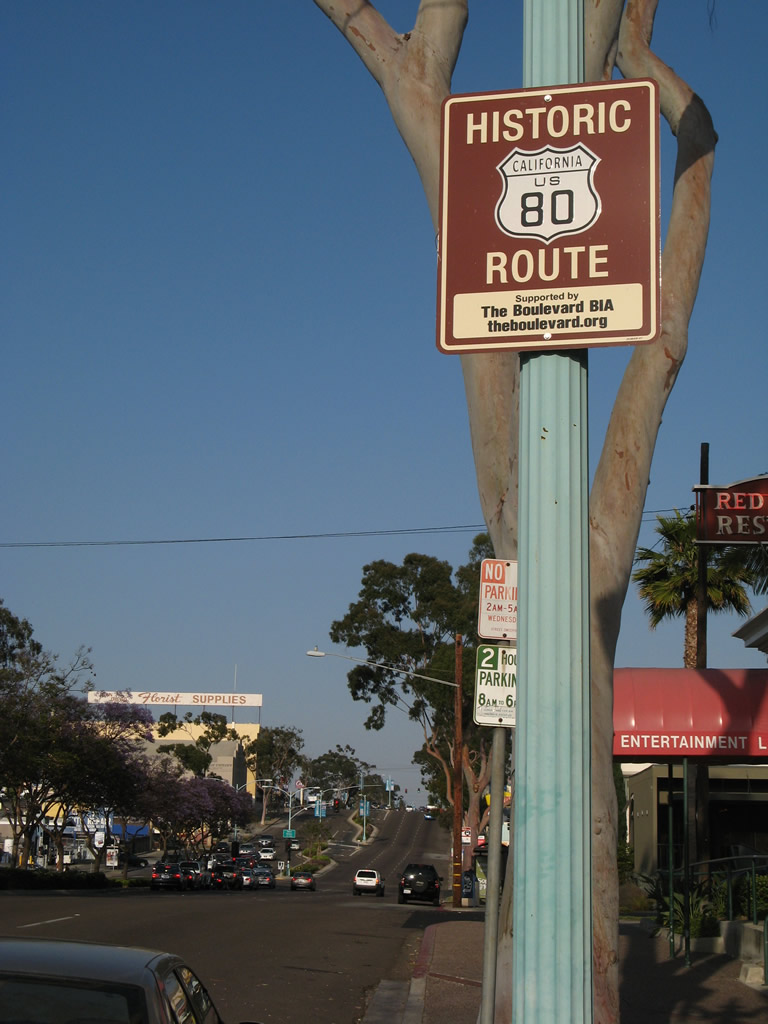
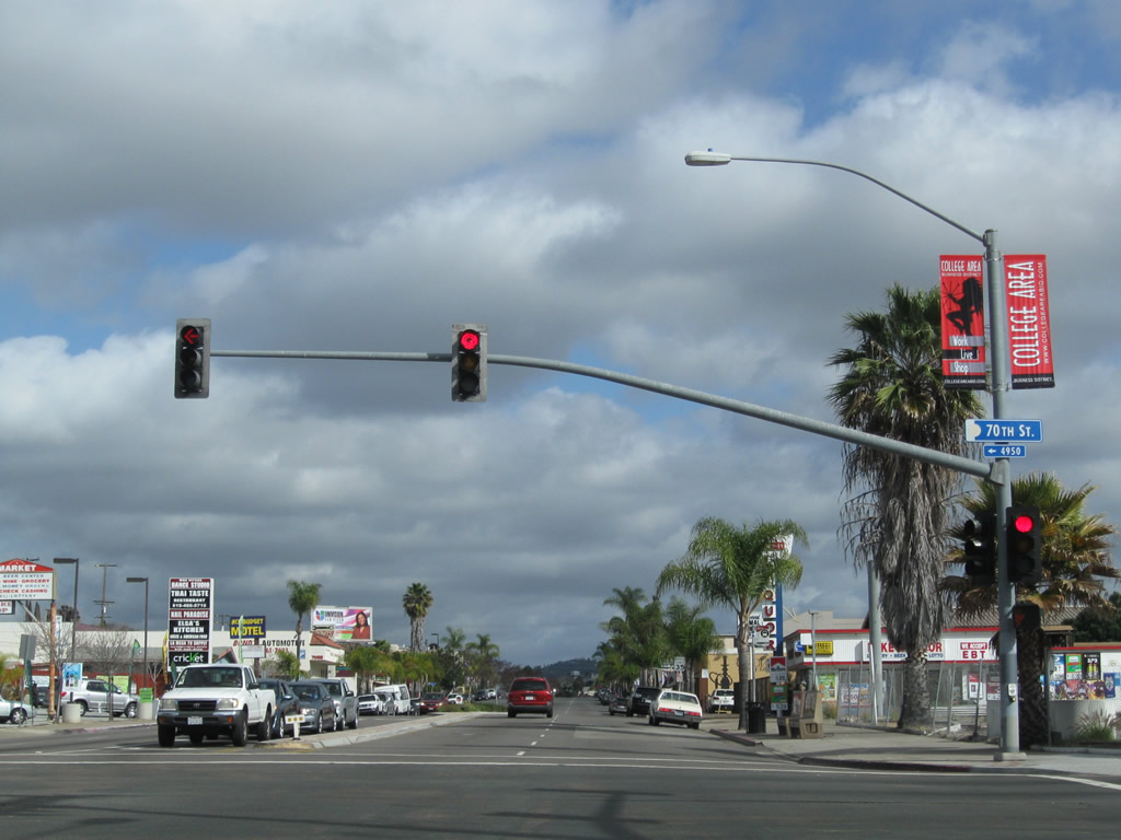
After the Park Boulevard intersection, eastbound U.S. 80-395/El Cajon Boulevard approaches the historic "The Boulevard" sign (dedicated in 1989 and designed to remind people of the Boulevard's colorful, neon past from the 1950s). The two U.S. highways shared alignment on El Cajon Boulevard between Park Boulevard in University Heights and Fairmount Avenue in City Heights. At that point, U.S. 395 turned north on Fairmount Avenue, while U.S. 80 continued east on El Cajon Boulevard toward La Mesa and El Cajon. Photos taken 05/15/08 and 05/07/12. |
|
|
|
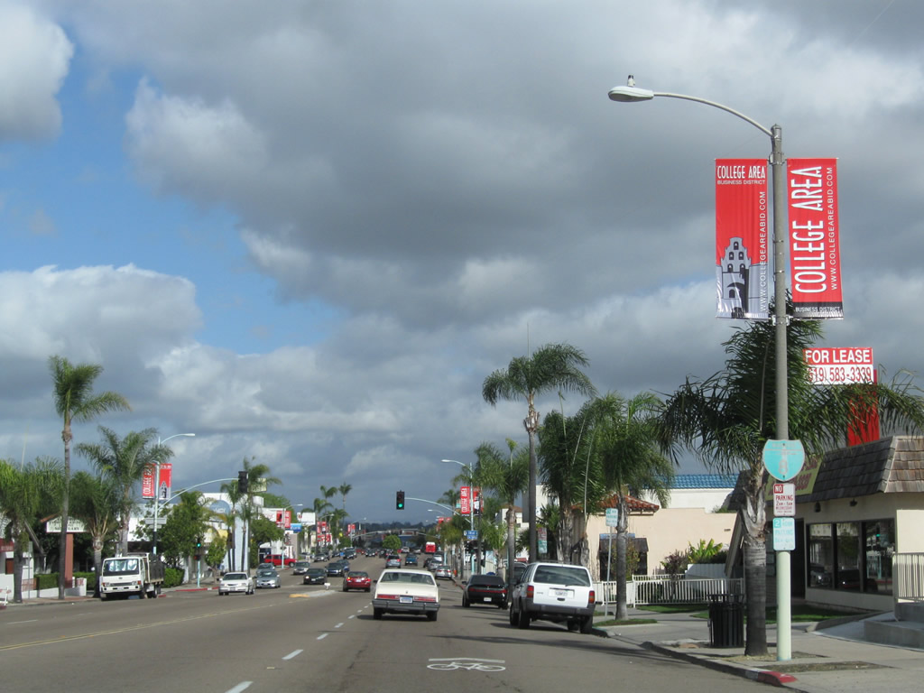
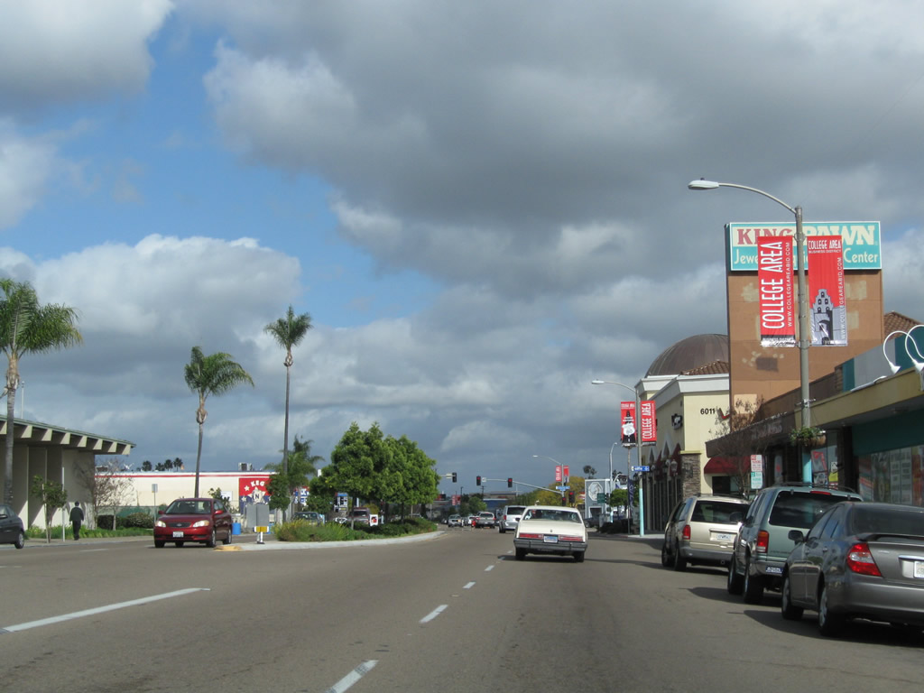
The giant, art-deco, neon, illuminated Boulevard sign greets travelers entering this long-standing commercial district. The text on the sign below the large words "The Boulevard" reads: "El Cajon Boulevard: Gateway to Mid-City." As one of the main streets of San Diego, travelers entering the city could find all sorts of shops, restaurants, and lodging along El Cajon Boulevard. From here, Business Loop I-8 (still unsigned) follows a six-lane alignment, with three lanes in each direction and a wide, landscaped median. U.S. 80 followed El Cajon Boulevard between circa 1930 and 1953, while U.S. 395 followed this alignment for a shorter period (the designation was transferred to the Cabrillo Freeway in 1947). This sign was dedicated in 1989. At this point, U.S. 80-395/El Cajon Boulevard passes through University Heights and enter North Park. Photo taken 10/29/05 and 05/15/08. |
|
|
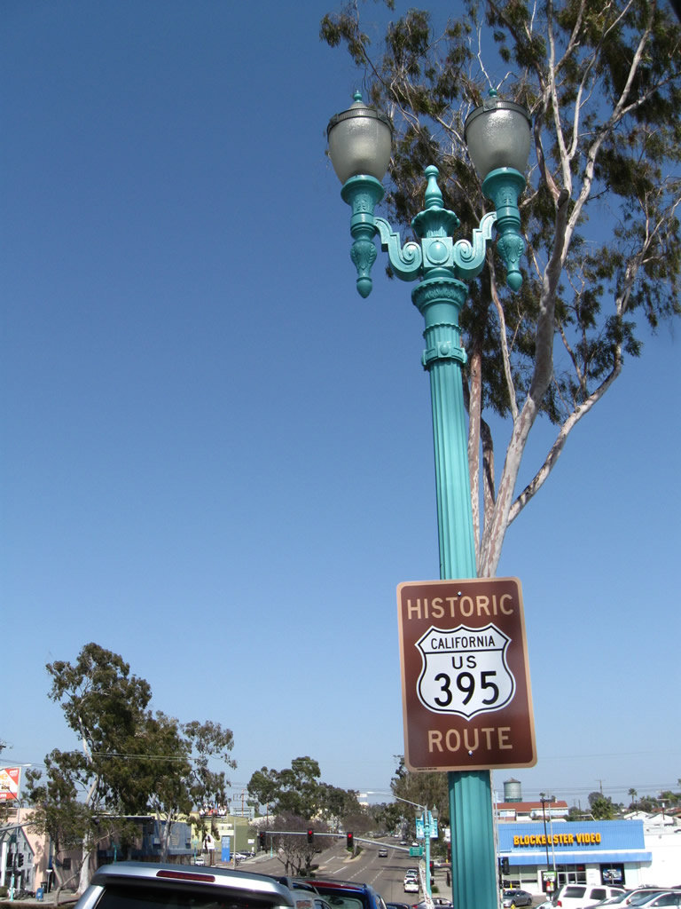
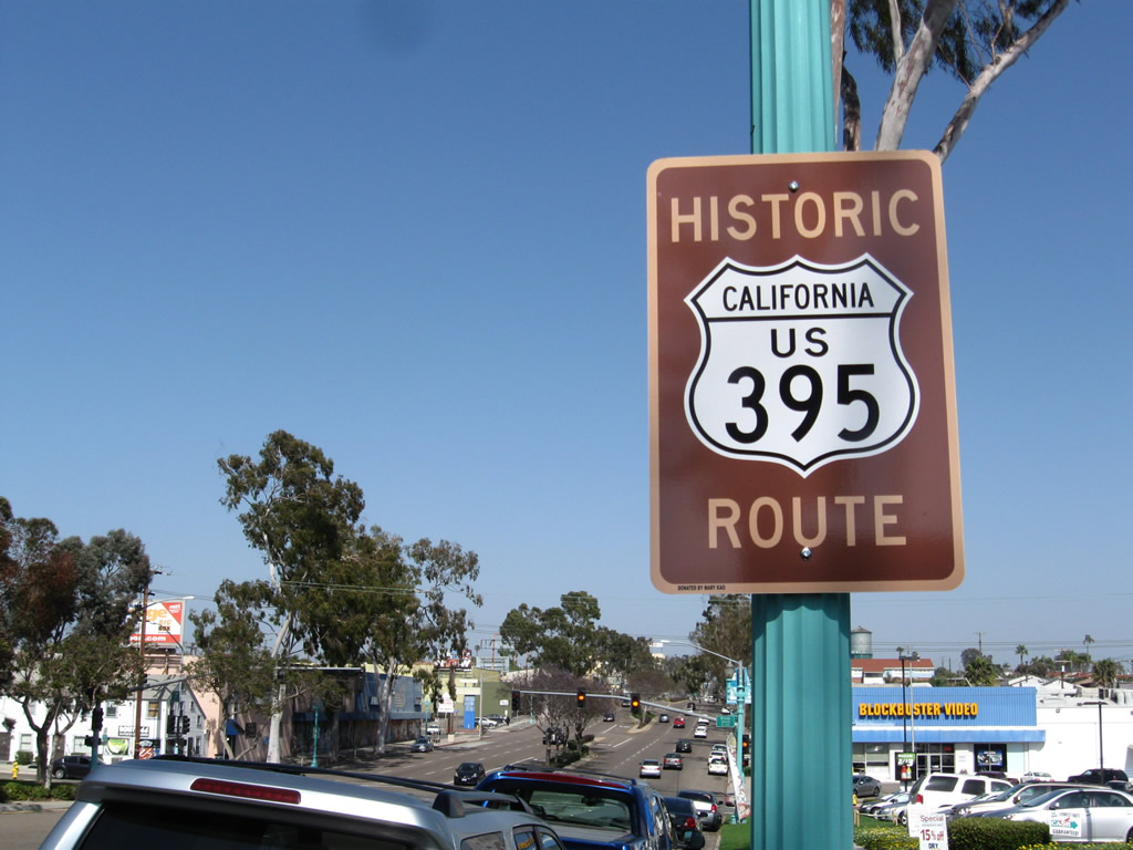
Another Historic U.S. 395 Route sign is posted between Park Boulevard and Florida Avenue along eastbound El Cajon Boulevard; this sign was added in spring 2012. The 395 historic signs are a more recent addition to the Boulevard, with most 80 historic signs in place since around 2007. Photos taken 05/07/12. |
|
|
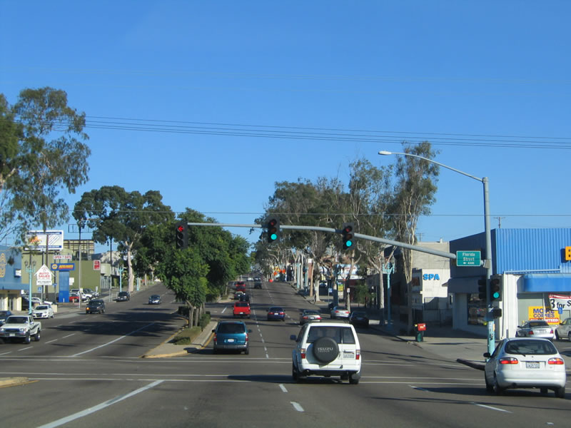
Purple blooming jacaranda trees (in the May 2008 picture) line the landscaped median strip as eastbound Historic U.S. 80 (El Cajon Boulevard) meets Florida Street at this intersection. Turn south to follow Florida Street to Balboa Park and Florida Canyon. Florida Street is a major north-south corridor that connects North Park with Balboa Park and Florida Canyon. After passing through the canyon, Florida Street ultimately connects with Pershing Drive near Golden Hill. Photos taken 10/29/05 and 05/15/08. |
|
|
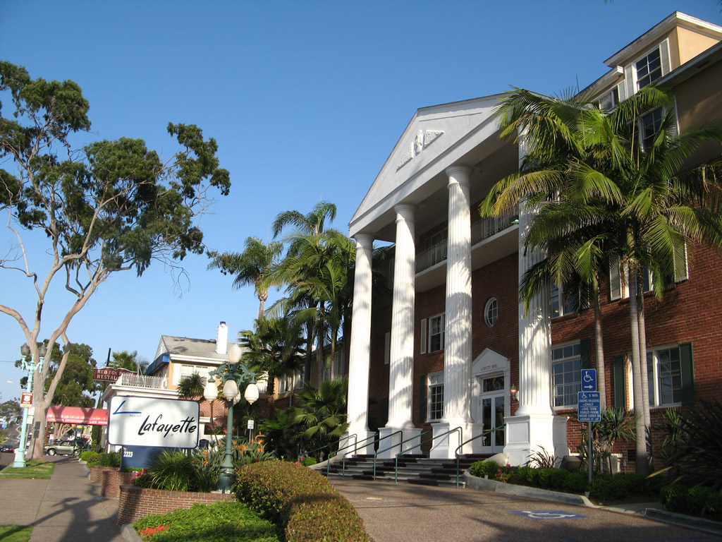
Another U.S. 80 historic sign is posted in front of the Lafayette Hotel near the Red Fox Room prior to the Texas Street intersection. Photo taken 05/15/08. |
|
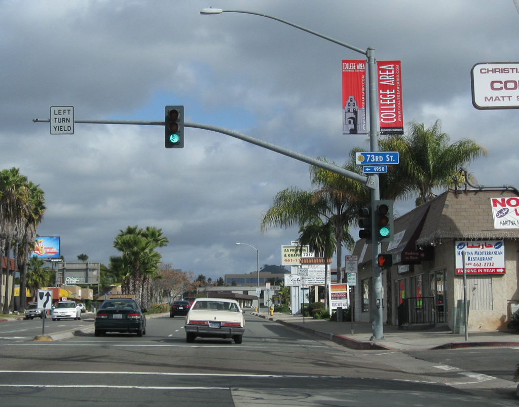
Many of the streets that intersect El Cajon Boulevard in North Park are named after states rather than being numbered. The first street after Park Boulevard (equivalent of 18th Street) was Georgia Street, followed by Florida, Alabama, Mississippi, and Louisiana Streets, in sequence. Here the boulevard approaches Texas Street, which is the equivalent of 24th Street. Texas Street offers a direct route to shopping areas in Mission Valley, and it also interchanges with Interstate 8 to the north. Texas Street changes into Qualcomm Way (formerly Stadium Way), which ends at Friars Road west of Qualcomm Stadium. Photo taken 10/29/05. |
|
Eastbound U.S. 80-395/El Cajon Boulevard meets Texas Street at this intersection. Turn north to follow Texas Street into Mission Valley; turn right to the northern edge of Balboa Park at Morley Field. The U.S. highways continue with three through lanes of traffic in each direction, plus parking and auxiliary turn lanes. Note that the landscaped median that was under construction in 2005 was completed by 2008. Photo taken 05/15/08. |
|
A tall eucalyptus tree sits at the southeastern corner of El Cajon Boulevard and Arizona Street, which is one block east of Texas Street. Photo taken 05/15/08. |
|
Eastbound U.S. 80-395/El Cajon Boulevard meets Hamilton Street at this intersection. Photo taken 05/15/08. |
|
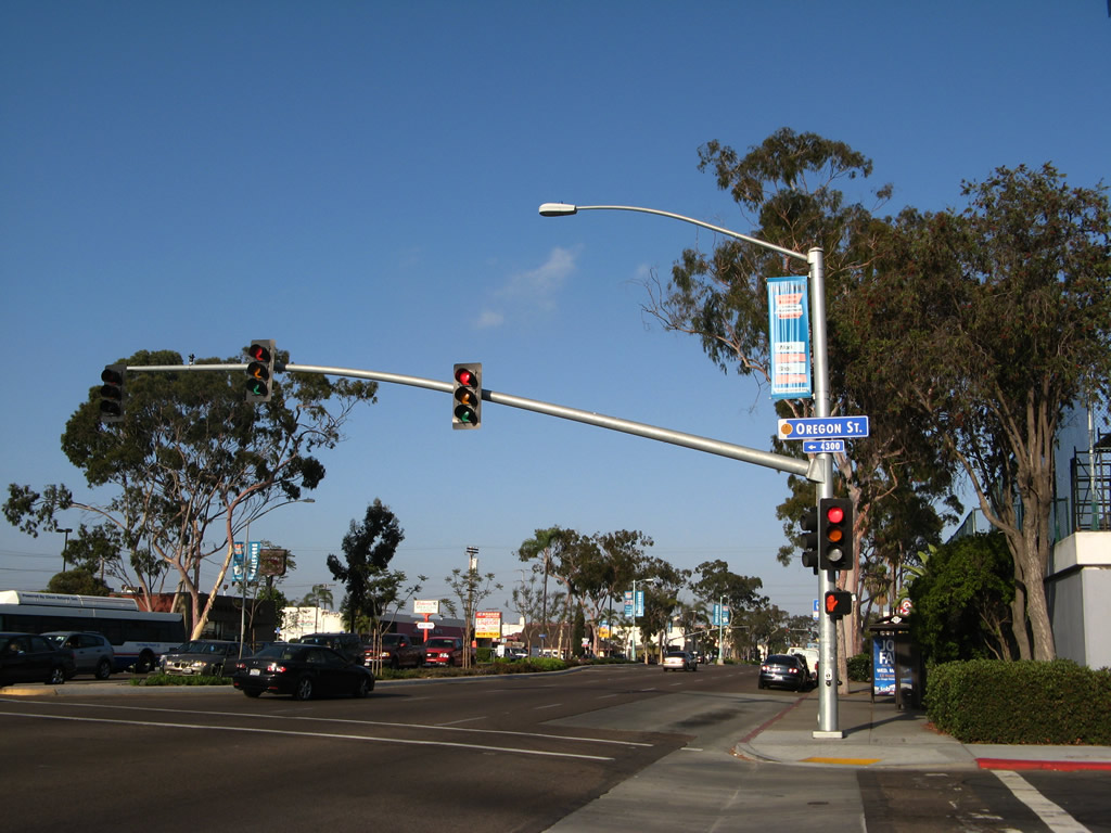
As seen in the last several pictures, the cross streets are mostly named after states. However, Hamilton is the exception (from west to east over five blocks, we pass Texas, Arizona, Hamilton, Oregon, Idaho, and Utah). This picture shows eastbound El Cajon Boulevard at Oregon Street just a couple blocks north of the North Park Community Park. Ample parking for this park is available along Oregon Street south of Howard Avenue. Photo taken 10/29/05. |
|
At this traffic signal, U.S. 80-395/El Cajon Boulevard east meets Oregon Street. Turn south here to North Park Community Park. Photo taken 05/15/08. |
|
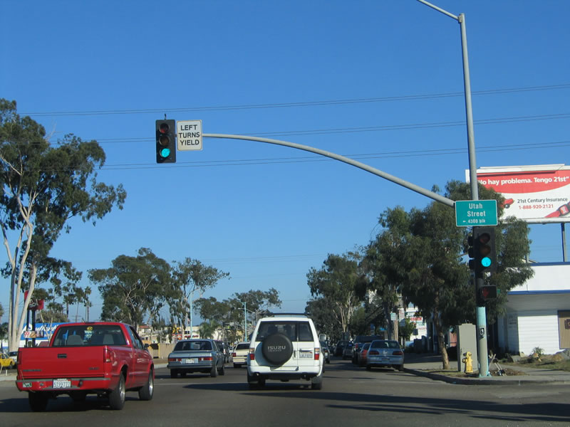
One block east, U.S. 80-395/El Cajon Boulevard next approaches Utah Street, followed by Kansas Street. Photo taken 05/15/08. |
|
Utah Street is the next major intersection, and it acts as a connector between University Avenue to the south and Adams Avenue to the north. El Cajon Boulevard continues east toward Normal Heights. Photo taken 10/29/05. |
|
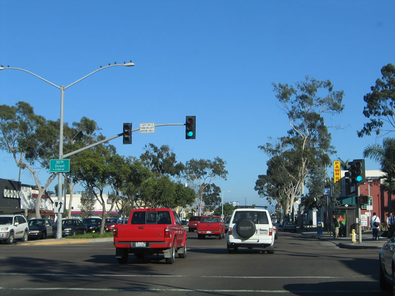
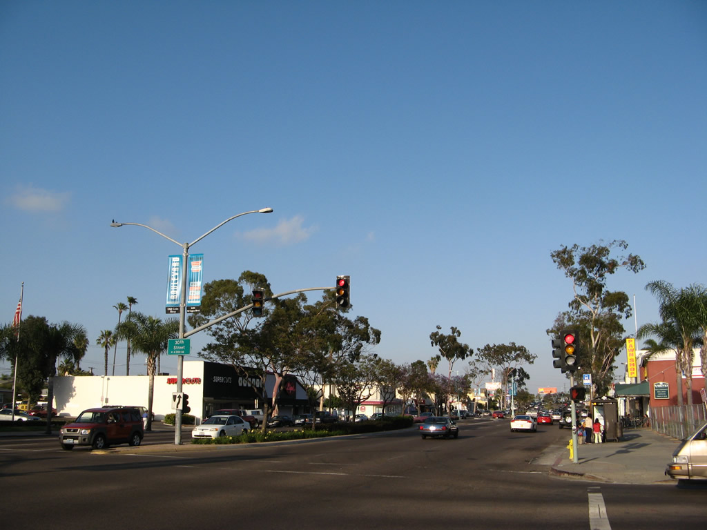
After passing Kansas Street, the next traffic signal is with 30th Street. This is the first numbered street encountered since passing Ninth Avenue near the California 163 interchange. Thirtieth Street is a major commercial corridor. Follow it south to downtown North Park and visit the historic North Park Theatre along the south side of University Avenue just west of 30th Street. Photo taken 10/29/05. |
|
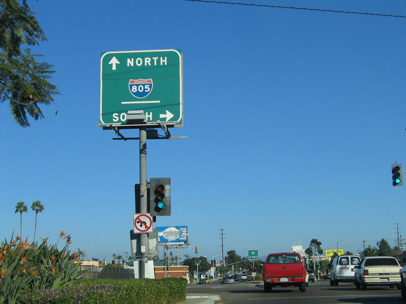
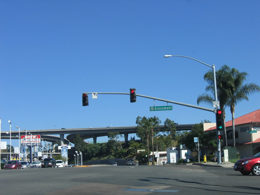
Eastbound U.S. 80-395/El Cajon Boulevard meets 30th Street at this intersection. Turn south to downtown North Park; continue straight ahead to the junction with Interstate 805. Photo taken 05/15/08. |
|
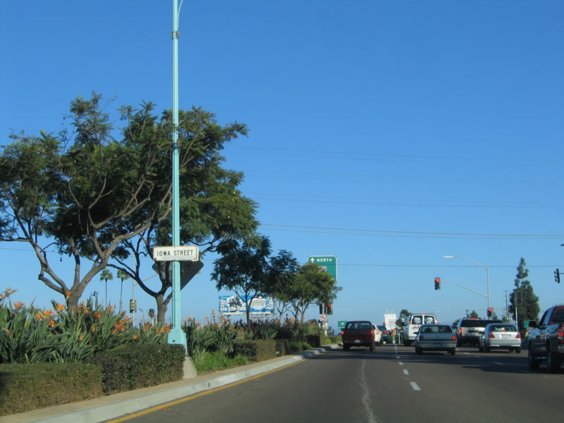
The last three state name streets intersected by El Cajon Boulevard eastbound are Ohio, Illinois, and Iowa. This small median sign advises of the pending Iowa Street intersection, even though no other intersections were labeled in that manner. The next traffic signal is for Interstate 805 (Jacob Dekema Freeway). Photo taken 10/29/05. |
|
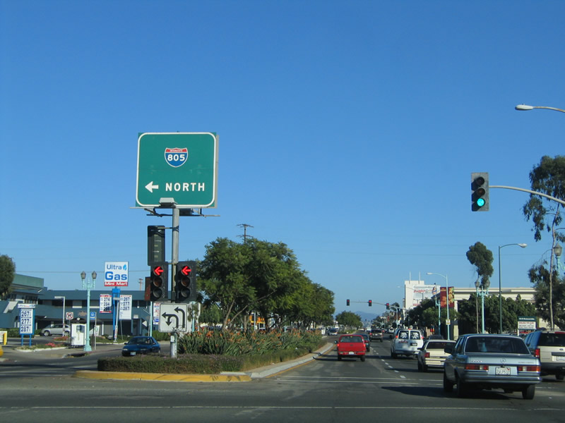
Interstate 805 is a major commuter freeway, acting as an alternative to Interstate 5 between the International Border with Mexico and Sorrento Valley. It acts as a boundary between North Park and Normal Heights. In fact, this boundary is also the historical boundary between the city of San Diego and the former city of East San Diego. East San Diego was annexed into the city of San Diego in 1923. The frontage road to Interstate 805 is named Boundary Street, which used to delineate the boundary between these two cities. This first traffic signal provides a connection to southbound Interstate 805. Photo taken 10/29/05. |
|
After crossing over Interstate 805, the next traffic signal is a double left turn onto northbound Interstate 805. Interstate 805 offers a fast connection to Mission Valley via Interstate 8. It is also the best way from North Park to points north, including Del Mar, Oceanside, and Los Angeles via Interstate 5. Photo taken 10/29/05. |
|
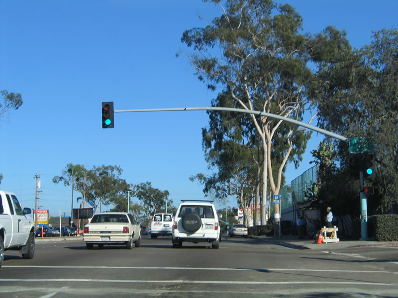
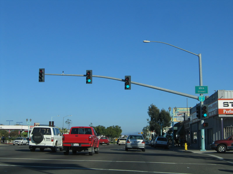
The first reassurance marker for Business Loop I-8 was posted at the intersection of El Cajon Boulevard (old U.S. 80) east at 35th Street, some 26 blocks beyond the western terminus at Ninth Avenue. It was removed in June 2014. 35th Street otherwise travels north through Normal Heights to Adams Avenue but does not descend into Mission Valley. Photo taken 10/29/05. |
|
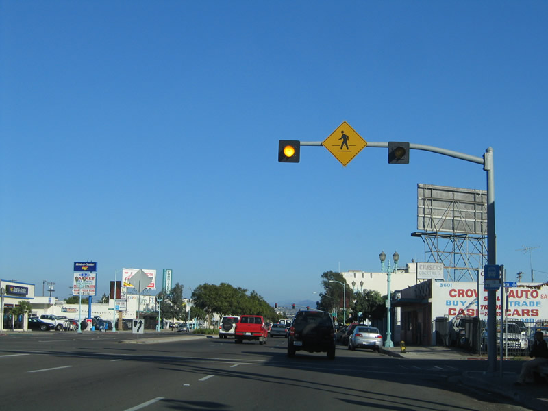
For the next several blocks, El Cajon Boulevard passes through a commercial strip with a wide variety of services. Pedestrian traffic for patrons of these establishments is common. Photo taken 10/29/05. |
|
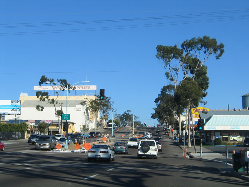
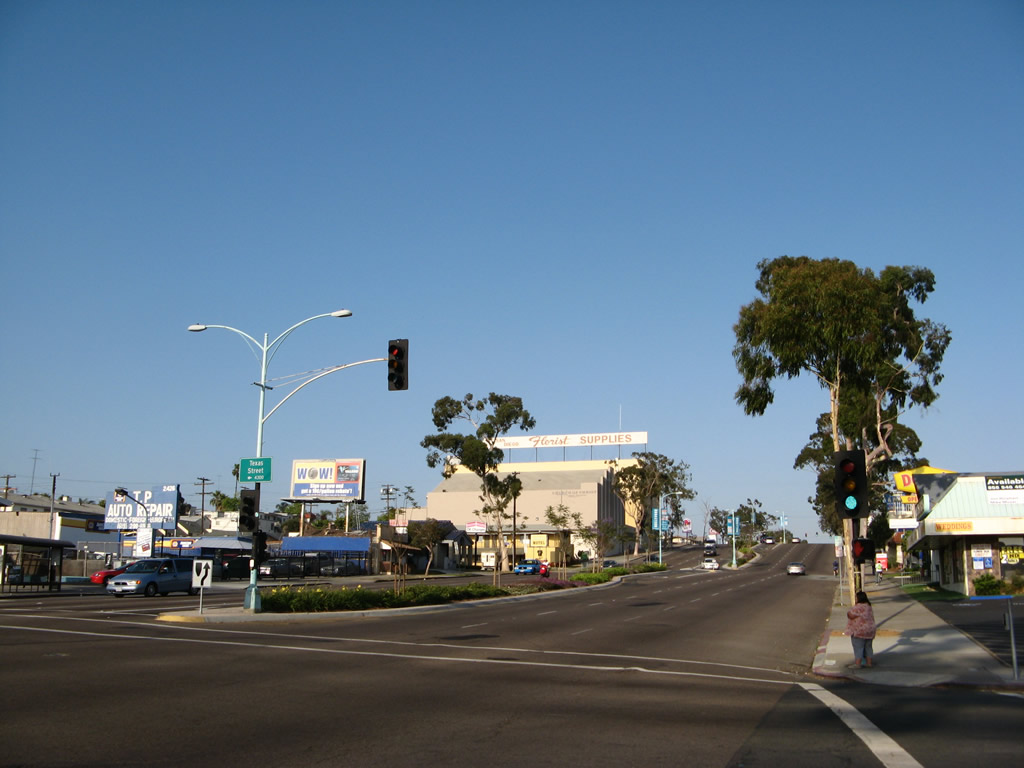
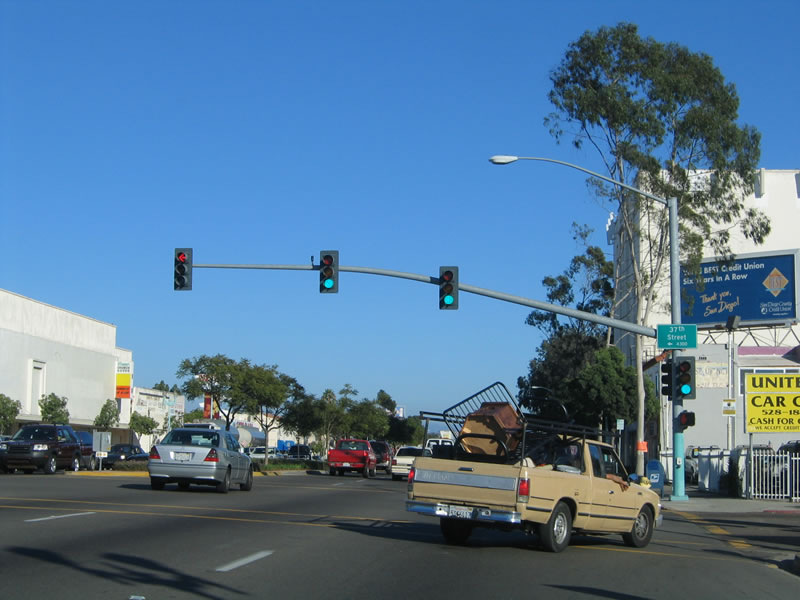
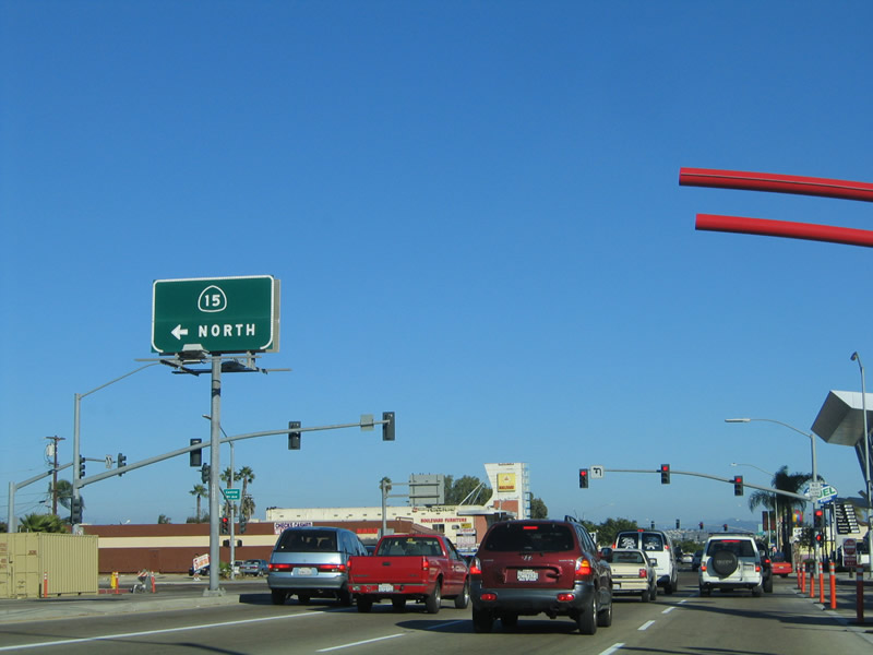
After 37th Street, Historic U.S. 80 (El Cajon Boulevard) passes by a school, then approaches California 15 (Escondido Freeway). Photo taken 10/29/05. |
|
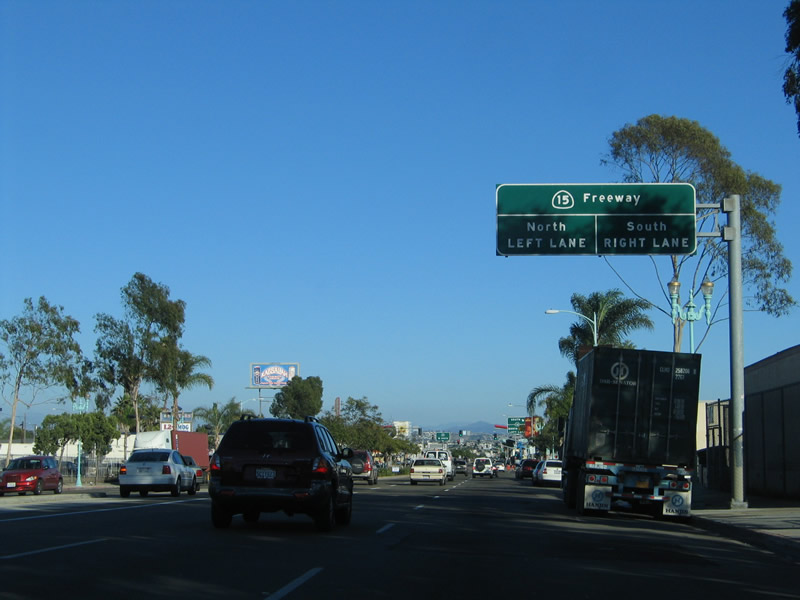
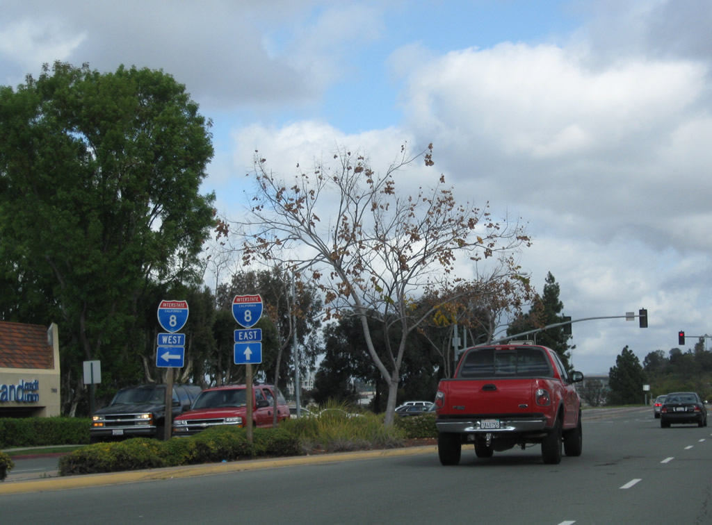
California 15 is a major north-south freeway that begins in Barrio Logan to the south and transitions into Interstate 15 in Mission Valley to the north. From there, Interstate 15 travels north and east toward the Inland Empire and Mojave Desert, passing through Corona and Ontario en route to Victorville, Barstow, Primm, and Las Vegas. The freeway continues northeast through Mesquite to Utah and points north. Photo taken 10/29/05. |
|
Use California 15 south to Interstate 805 south and to California 94 (Martin Luther King, Jr. Freeway). San Diego's only cut and cover tunnel is located along California 15 one block south of El Cajon Boulevard, between Orange Avenue and Polk Avenue. Photo taken 10/29/05. |
|
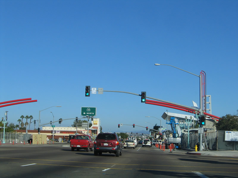
The Mid-City Transit Gateway, which includes a transit center, pedestrian walkway, and future snack shop, is located on the bridge that carries El Cajon Boulevard over California 15. The freeway is below grade in a trench, while El Cajon Boulevard remains at street level. Plans call for a trolley line to be constructed along the median of California 15 at some undefined point in the future, and the Mid-City Transit Gateway would offer connections from El Cajon Boulevard if this trolley line is ever built. Photo taken 10/29/05. |
|
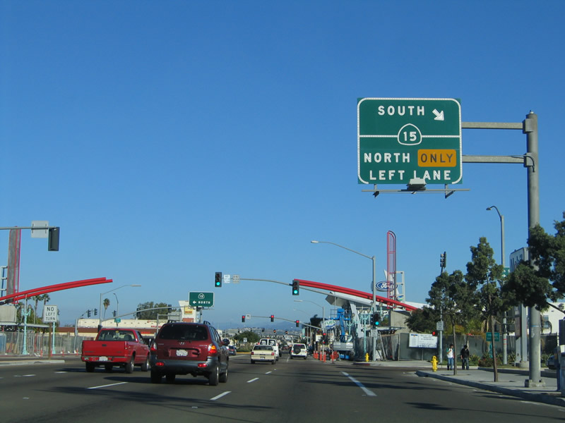
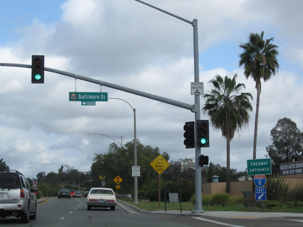
The next traffic signal is for California 15 north. Follow California 15 north past the Adams Avenue exit to connect with Interstate 8 in Mission Valley. Photo taken 10/29/05. |
|
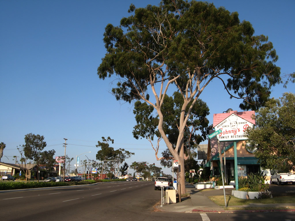
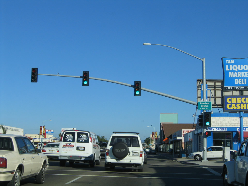
Entering the Talmadge neighborhood, Historic U.S. 80 (El Cajon Boulevard) passes Copeland Avenue. The business route continues to have commercial characteristics, and it is still six lanes wide. The boulevard will constrict to four lanes total after passing by the Fairmount Avenue/43rd Street one-way couplet. Photo taken 10/29/05. |
|
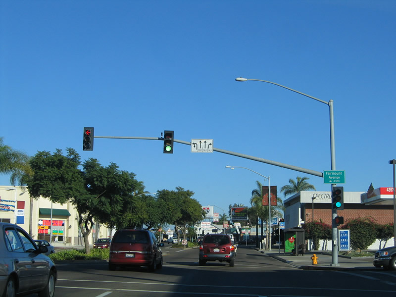
Fairmount Avenue is one of the old alignments of U.S. 395. The original routing of U.S. 395 (1935-1938) started at the intersection of U.S. 101 (Morena Boulevard) and Linda Vista Road. It then turned northeast along Linda Vista Road, joining the Interstate 15 corridor near Miramar. In 1938, U.S. 395 was rerouted again, and this alignment lasted until the opening of the Cabrillo Freeway (current California 163) in 1947. On the 1938-1947 alignment, U.S. 395 started in downtown San Diego, followed U.S. 80 along Market Street, Park Boulevard, and El Cajon Boulevard to the Fairmount Avenue intersection. From there, U.S. 395 turned north on Fairmount Avenue, crossed the San Diego River via the Ward Road bridge, and followed today's Interstate 15 (former California 103) alignment through Murphy Canyon north to Miramar. So, during that ten-year period, the El Cajon Boulevard and Fairmount Avenue intersection represented the split between two major routes: U.S. 80 east to Georgia and U.S. 395 north to Washington. Photo taken 10/29/05. |