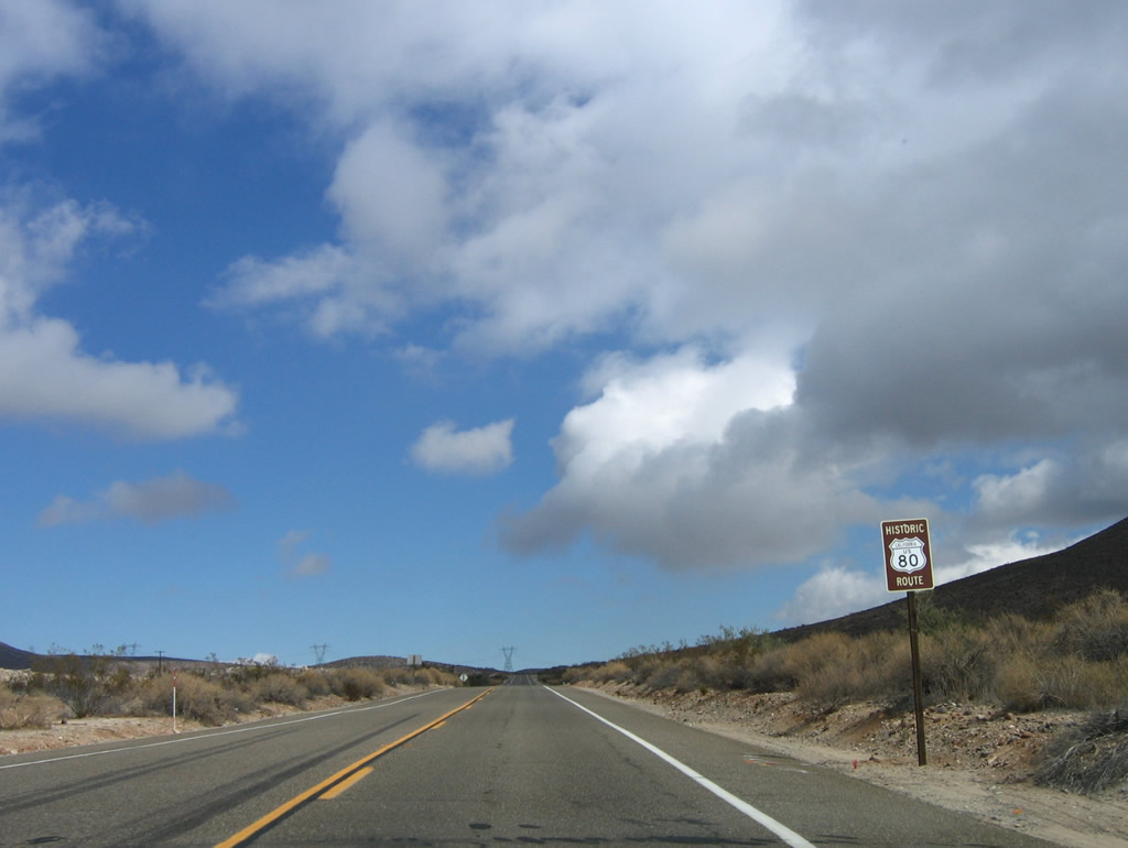
This page showcases extant segments of Historic U.S. 80 from Golden Acorn Casino near Crestwood Summit to Bankhead Springs, Jacumba Hot Springs, and In-Ko-Pah Park/Desert View Tower.
| Historic U.S. 80 east |
|---|
|
|
|
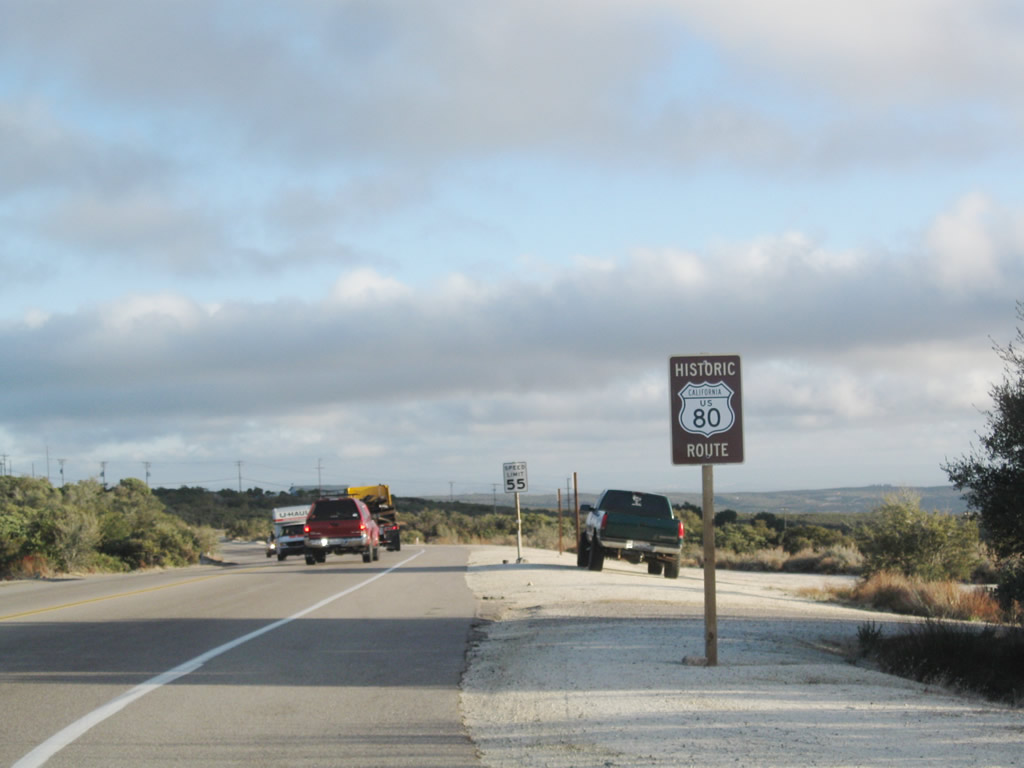
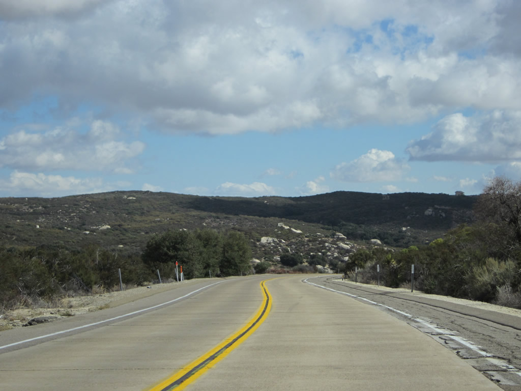
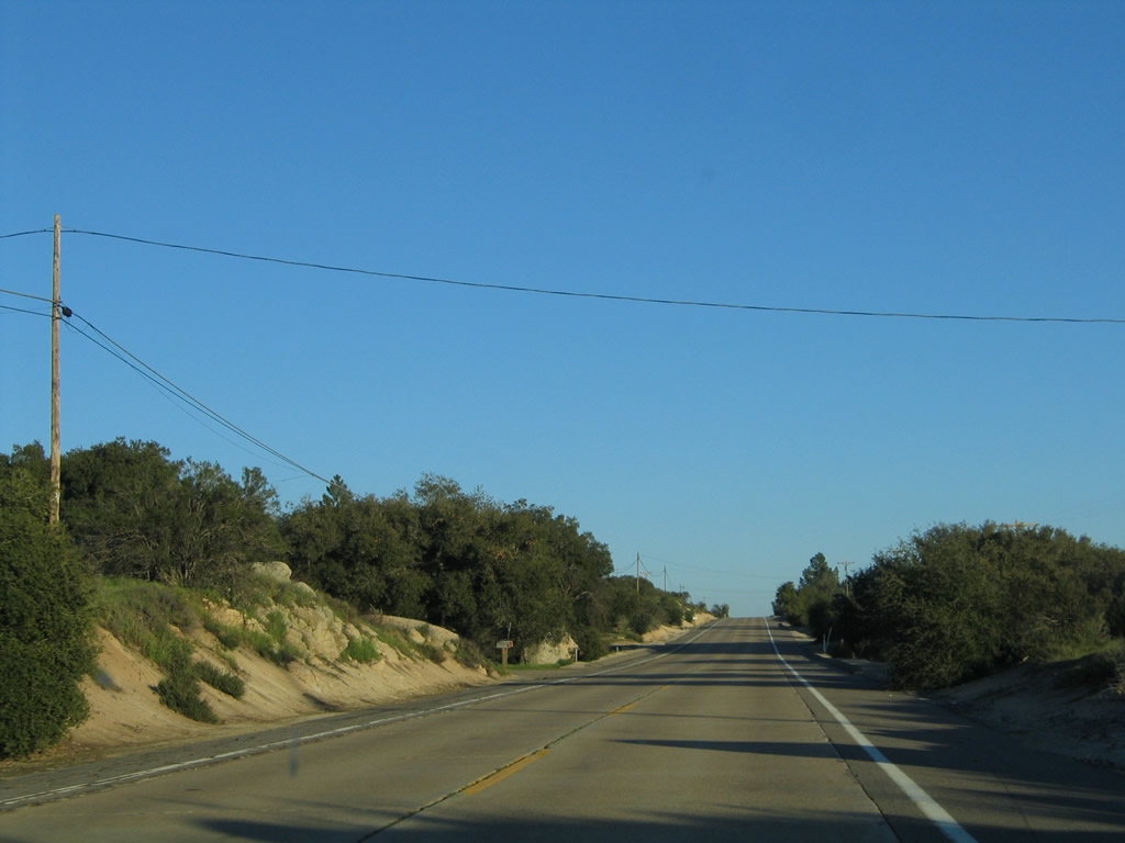
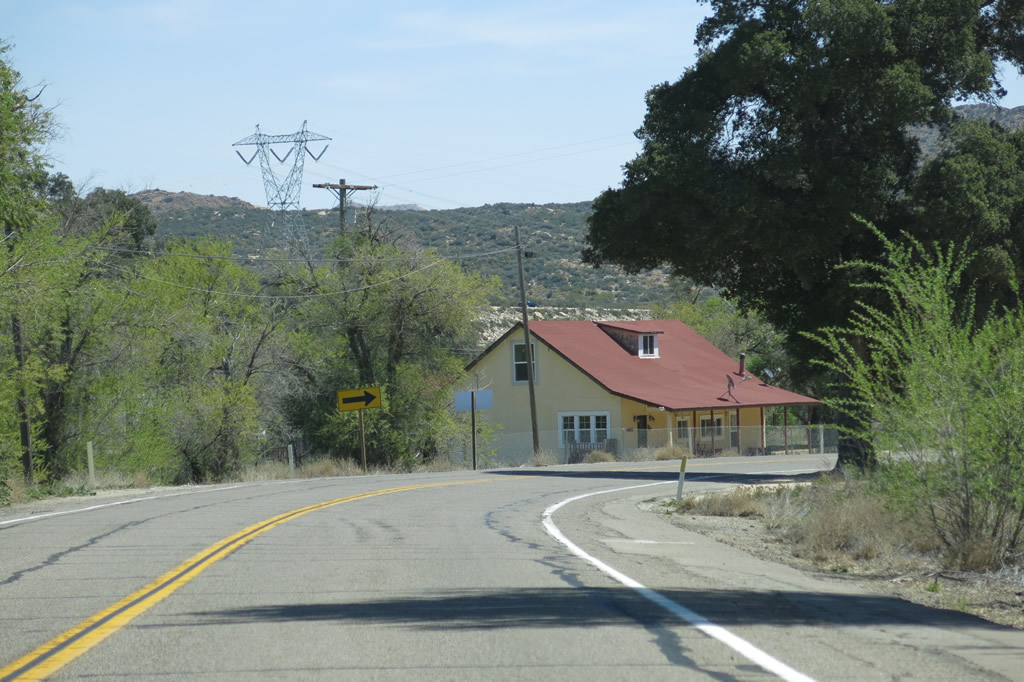
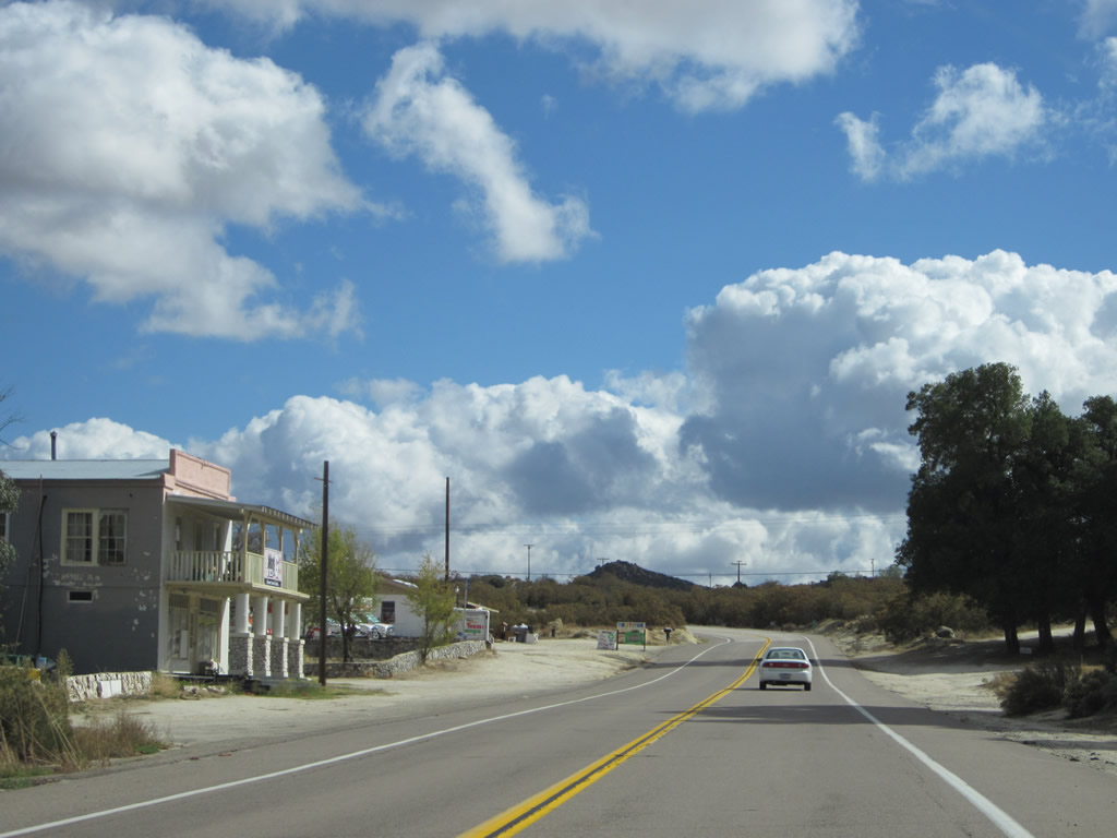
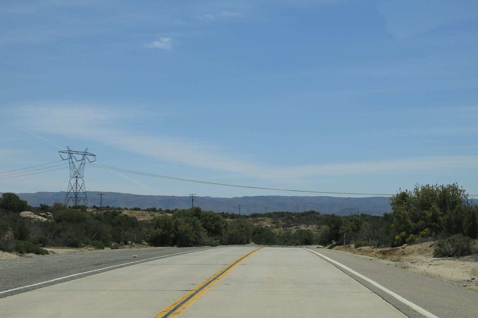
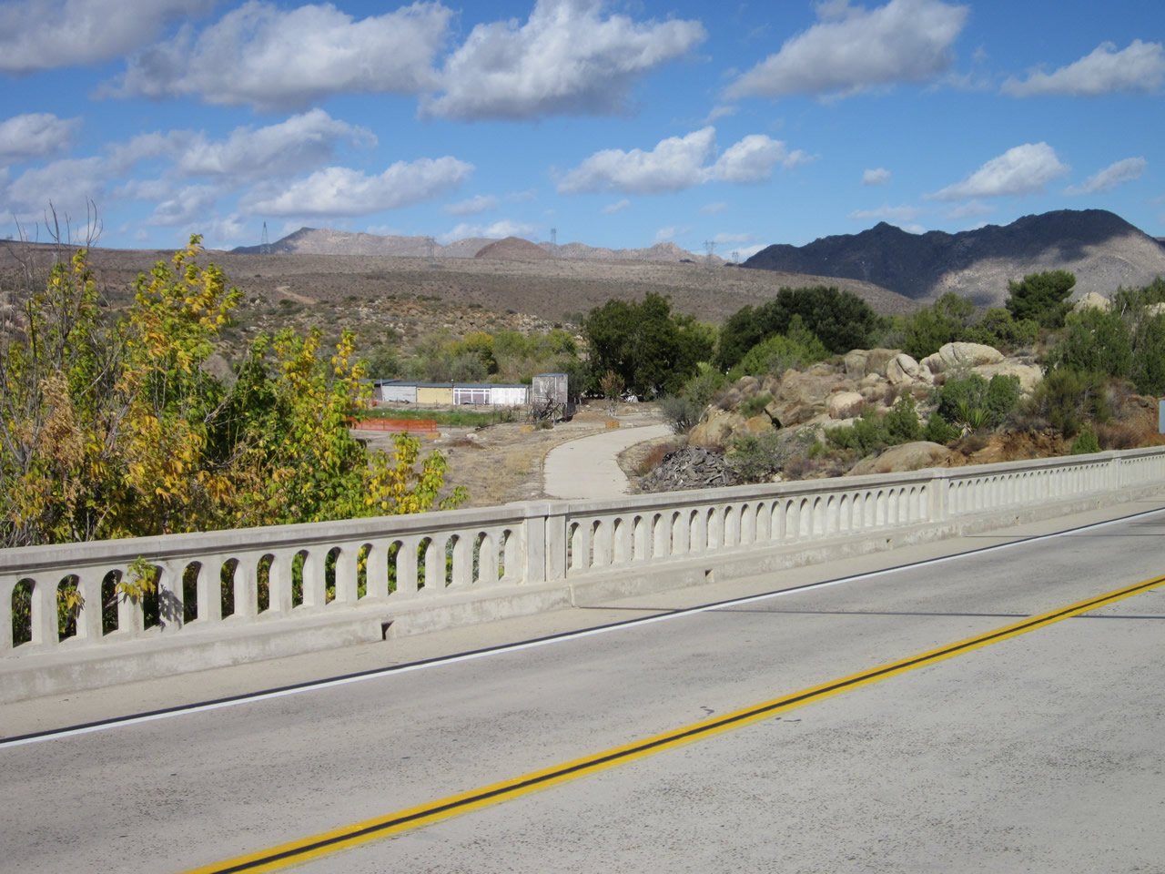
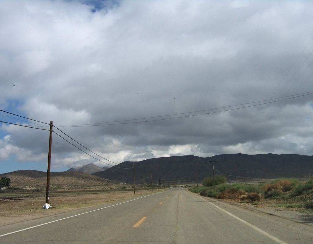
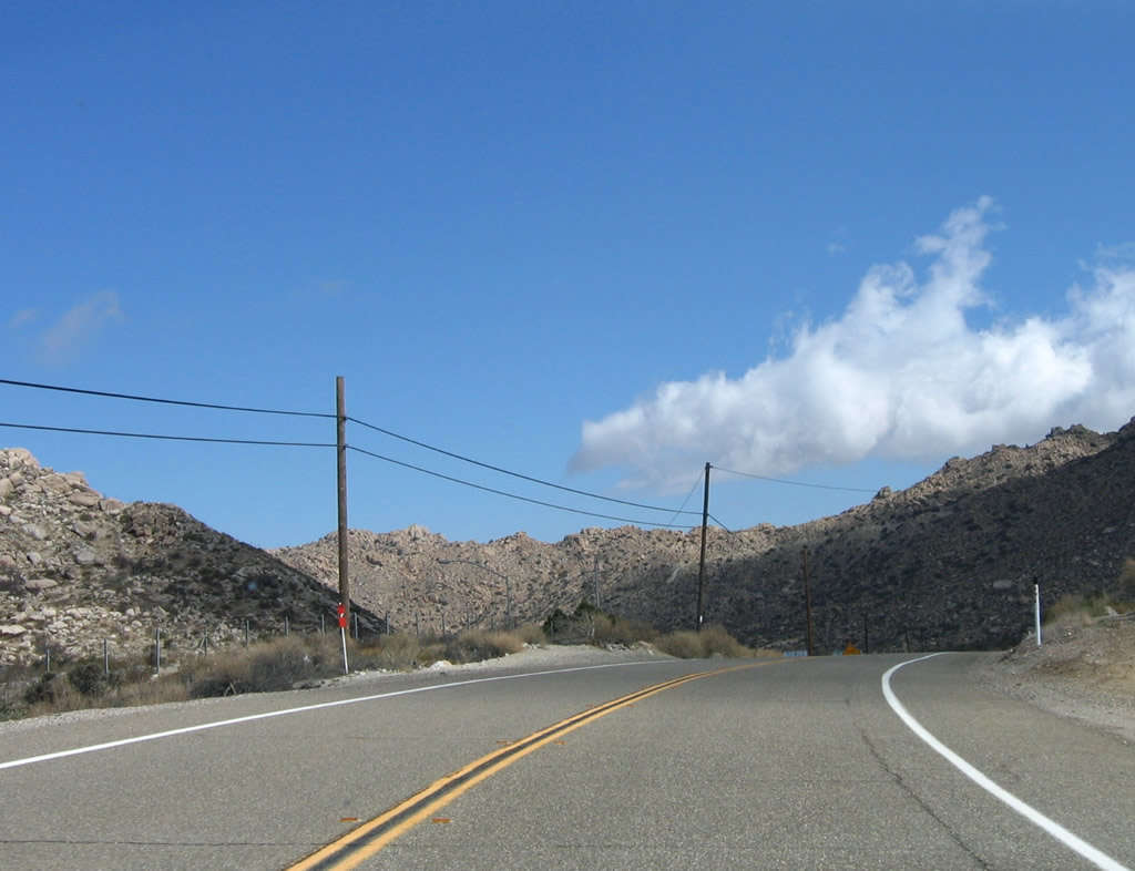
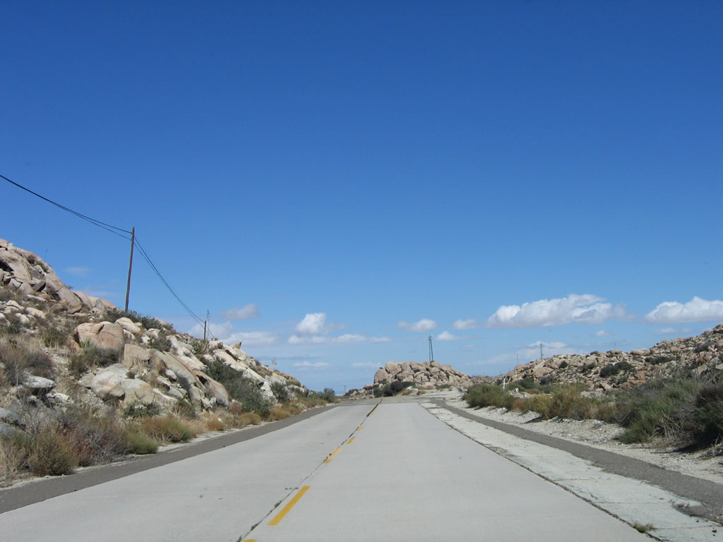
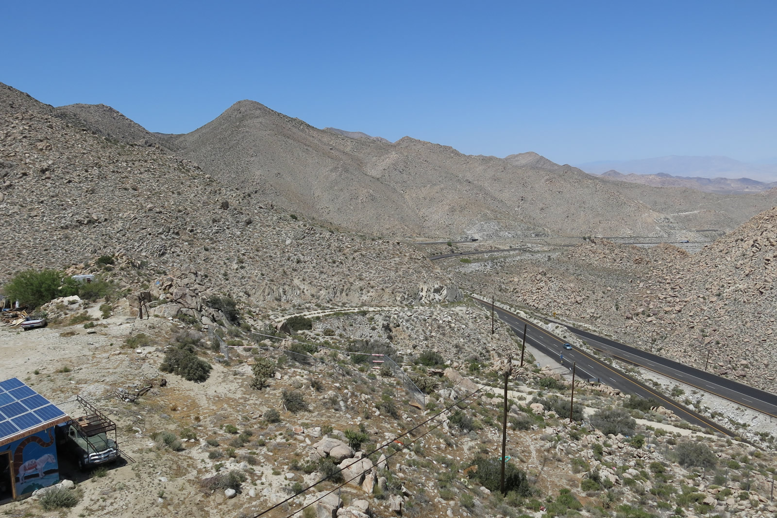
Leaving Crestwood Summit, Old Highway 80 proceeds east past the Golden Acorn Casino, which offers food, gas, and gambling. The Old Fire burned through the area starting on June 18, 2012, resulting in some damage southwest of the casino. Photos taken 03/12/05, 02/11/12, and 11/12/12. |
|
|
|
|
|
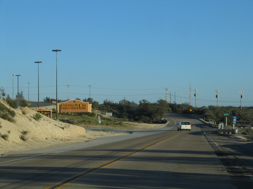
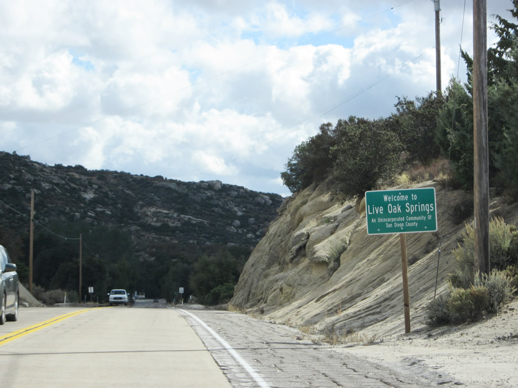
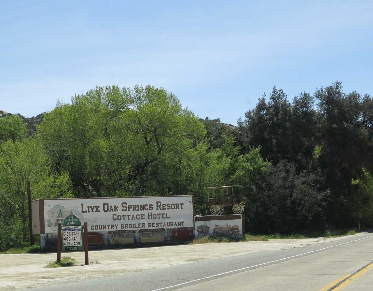
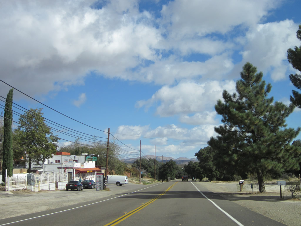
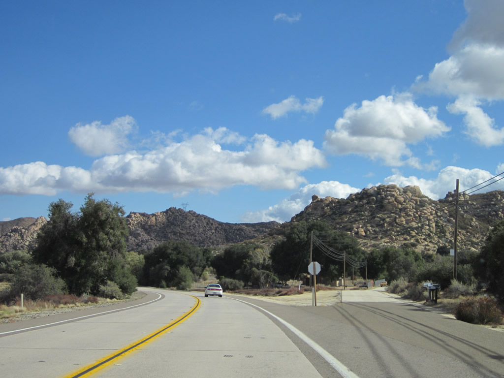
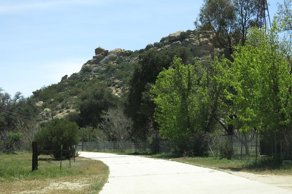
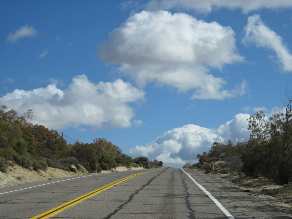
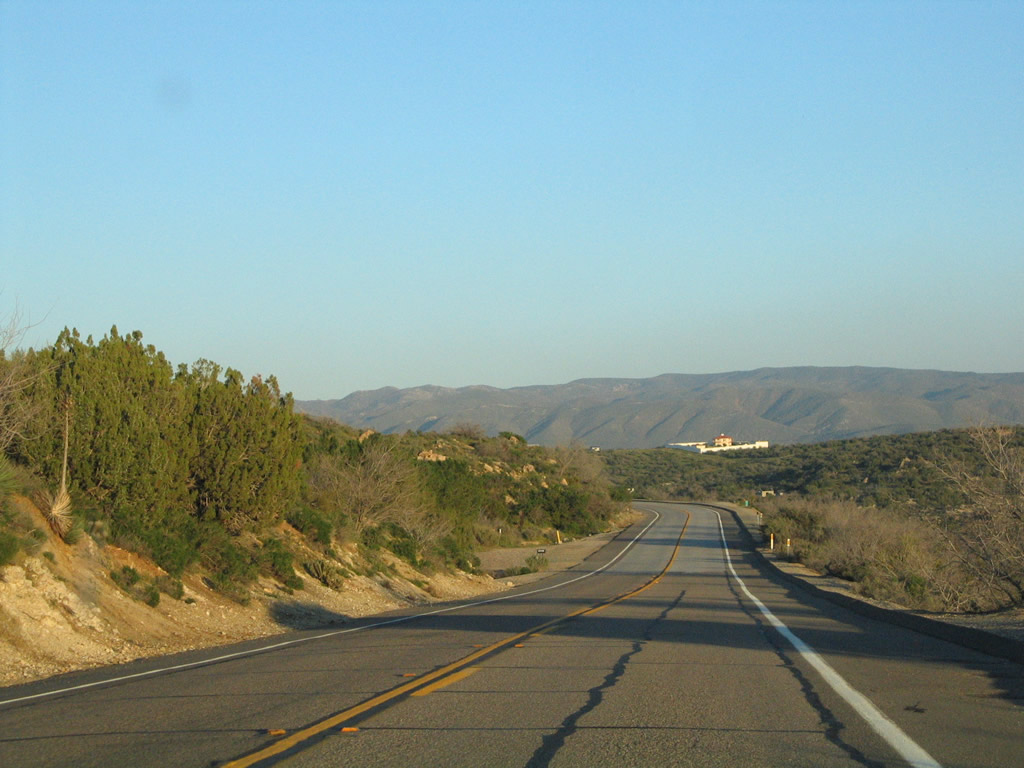
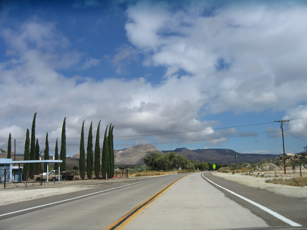
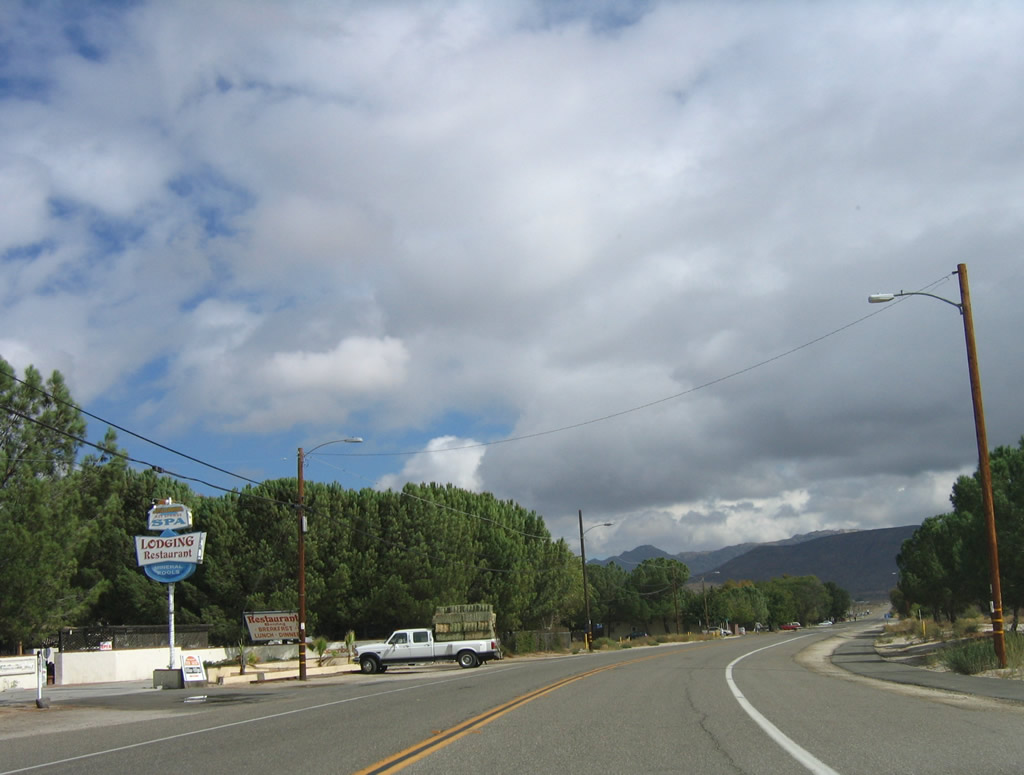
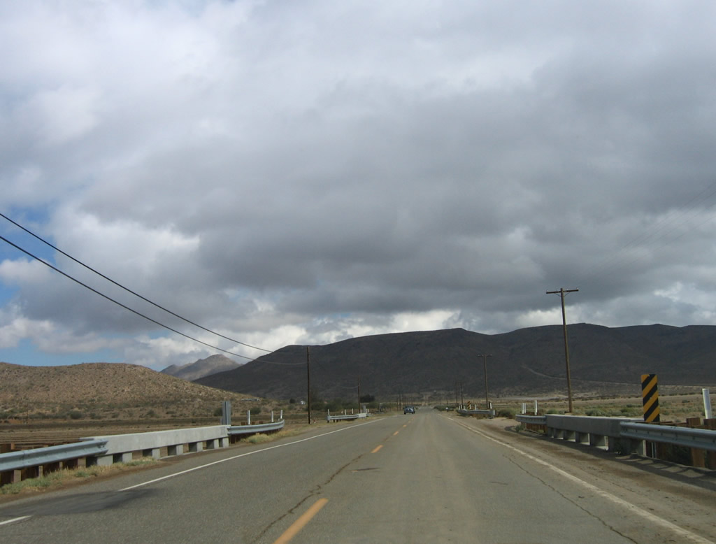
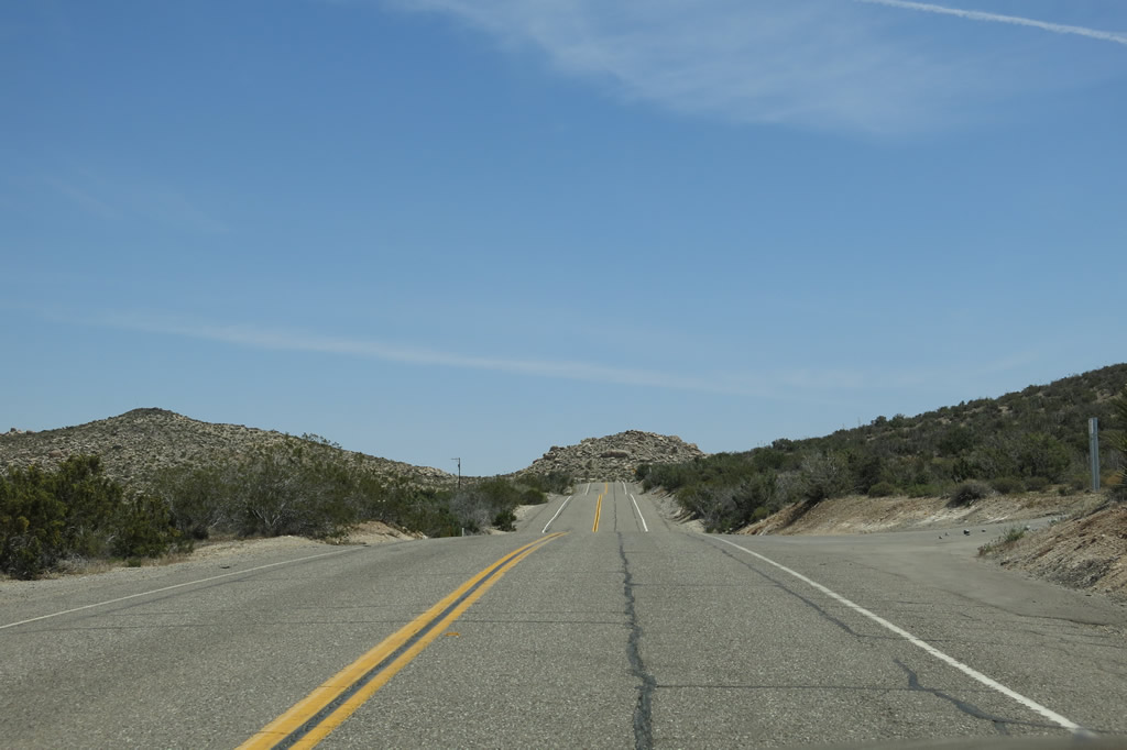
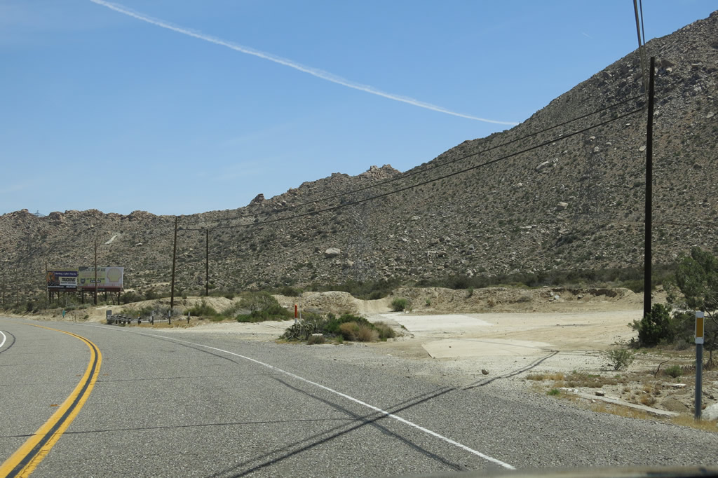
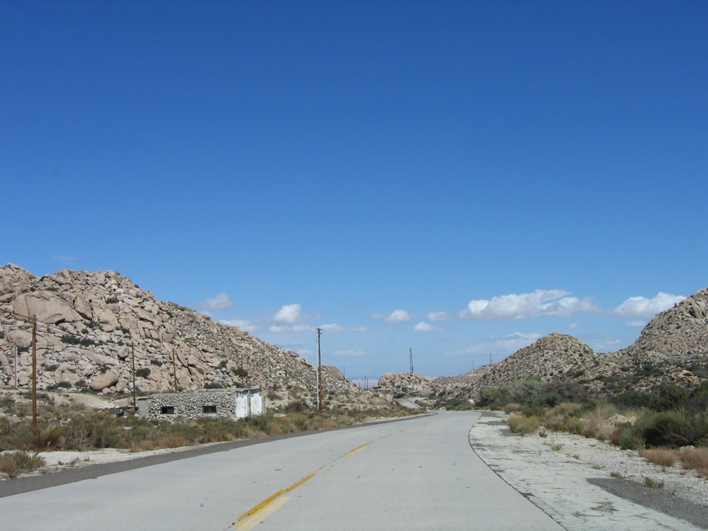
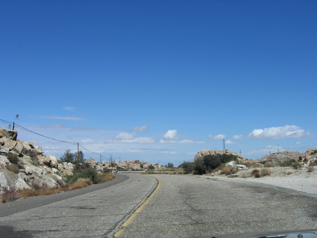
| Eastbound Old Highway 80 enters the unincorporated community of Live Oak Springs. Some motorist services are available in the community, including the Live Oak Springs Resort, which offers lodging, camping, and food. Upon leaving Live Oak Springs, Old Highway 80 again gains elevation, this time leading toward Tecate Divide, another high point along the route. Photos taken 03/12/05, 02/11/12, 11/12/12, and 04/20/13. |
|
|
|
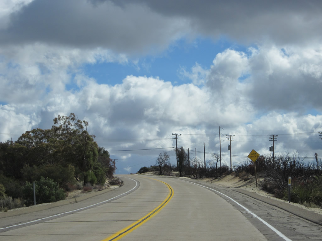
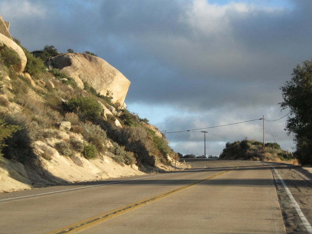
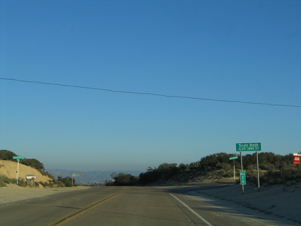
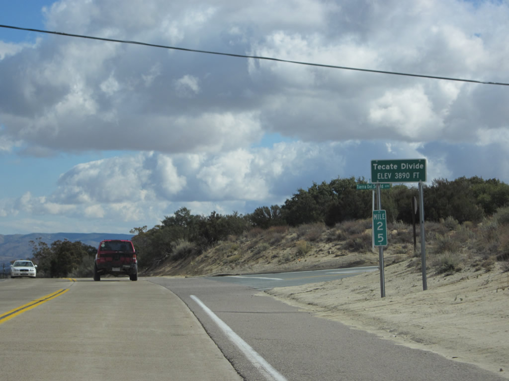
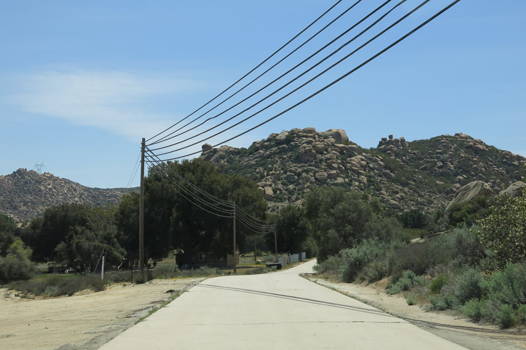
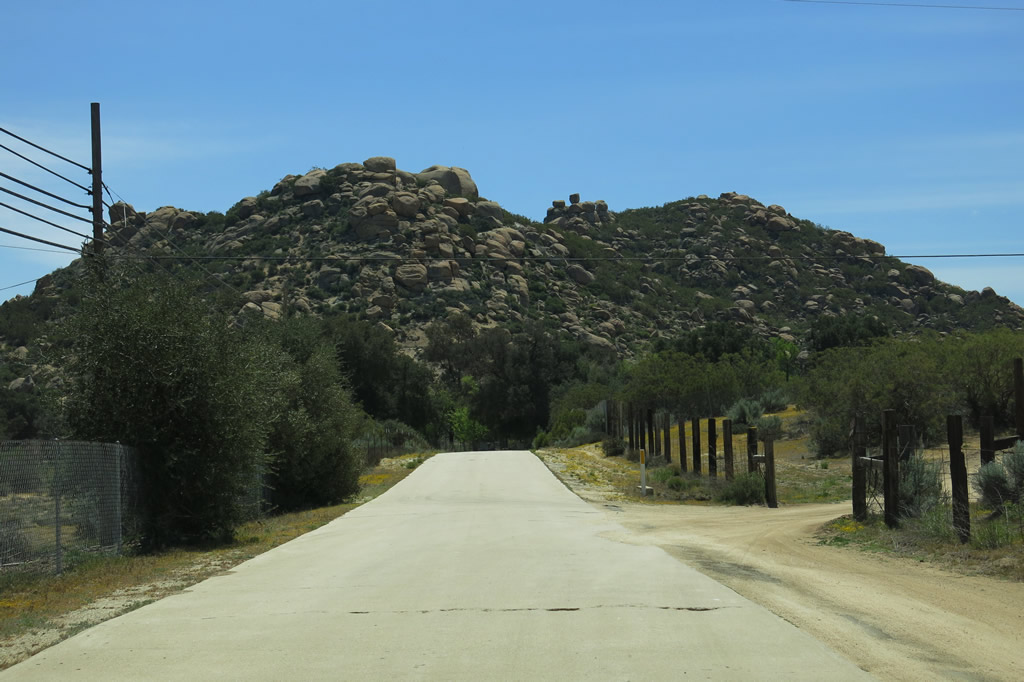
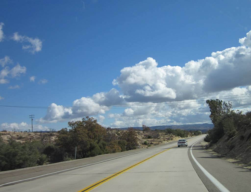
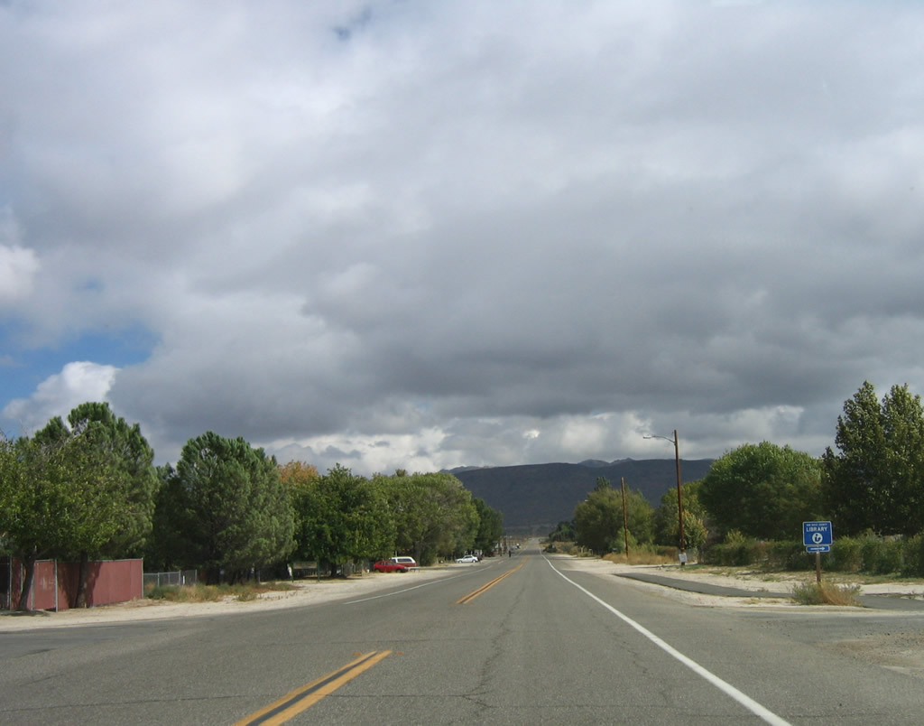
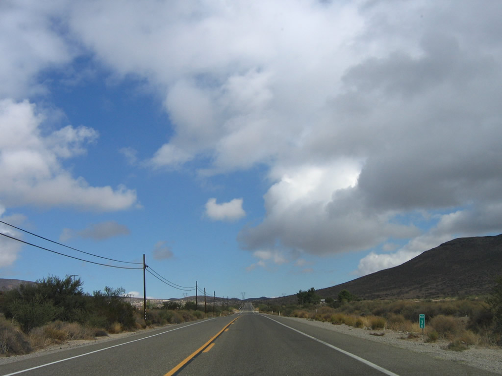
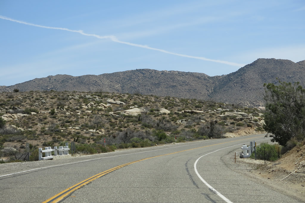
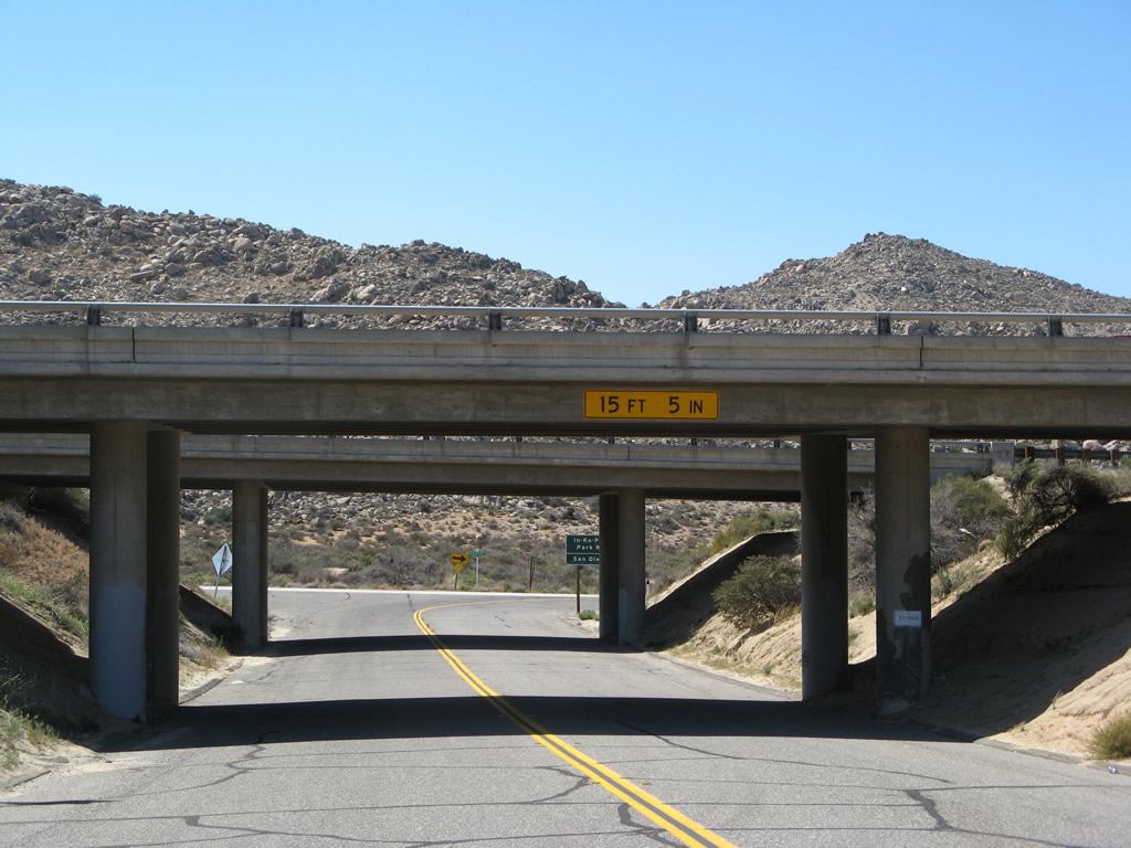
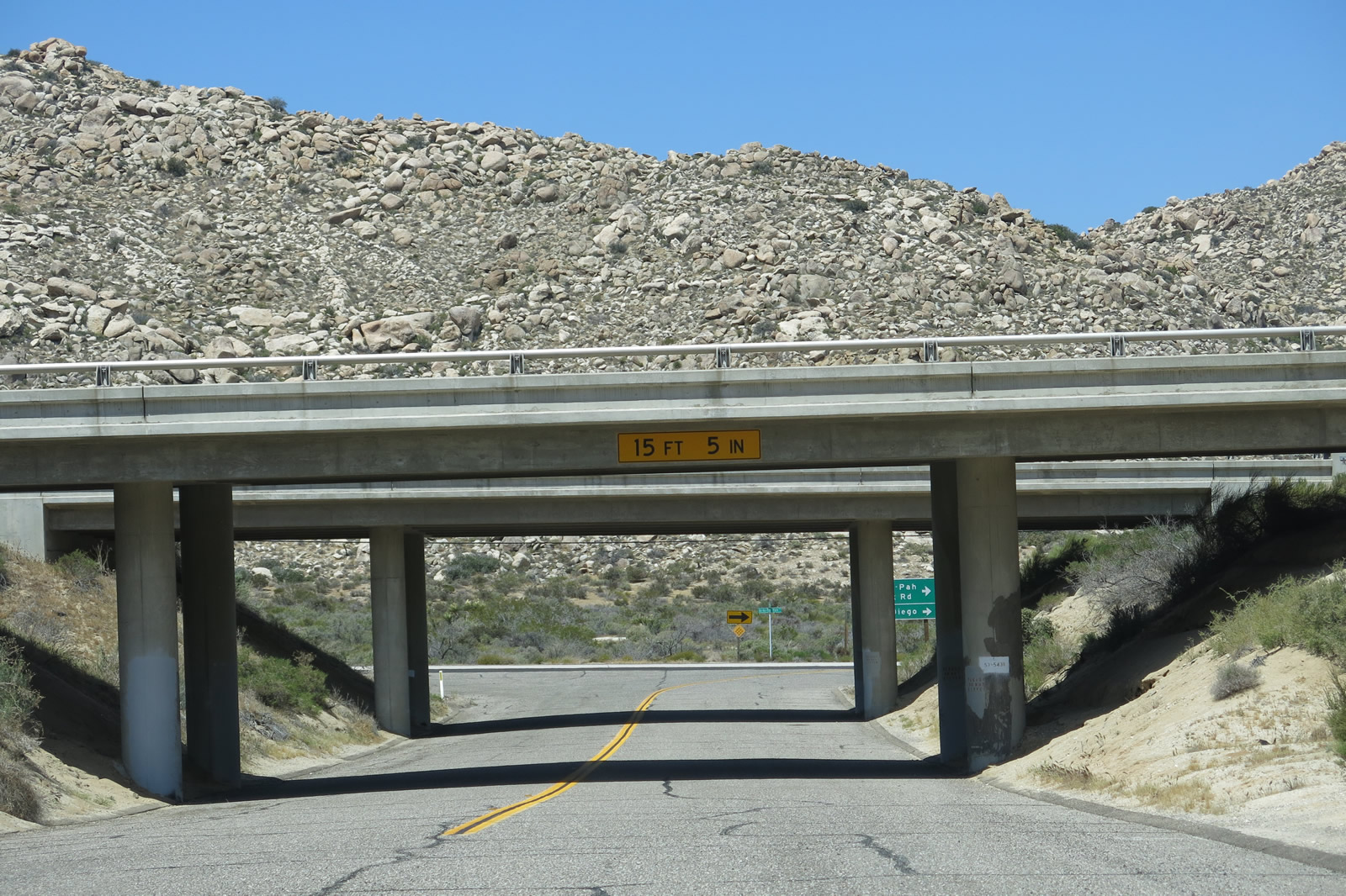
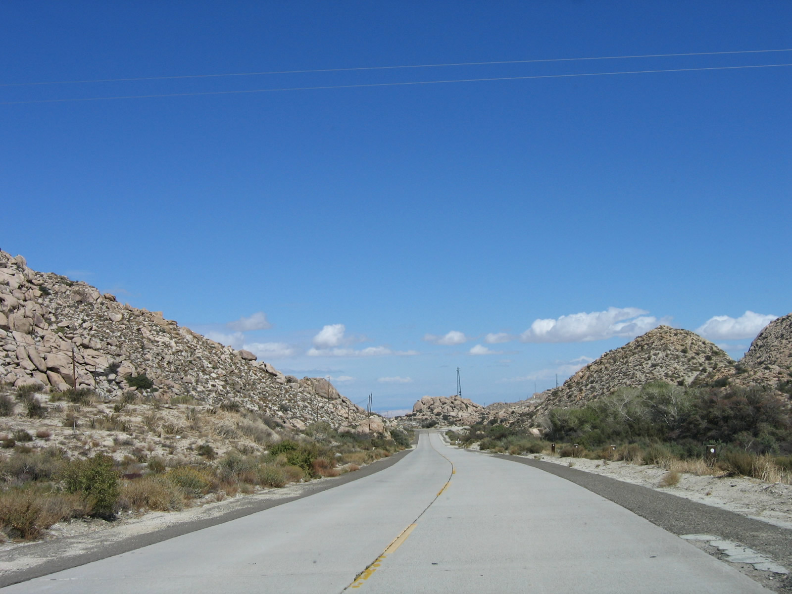
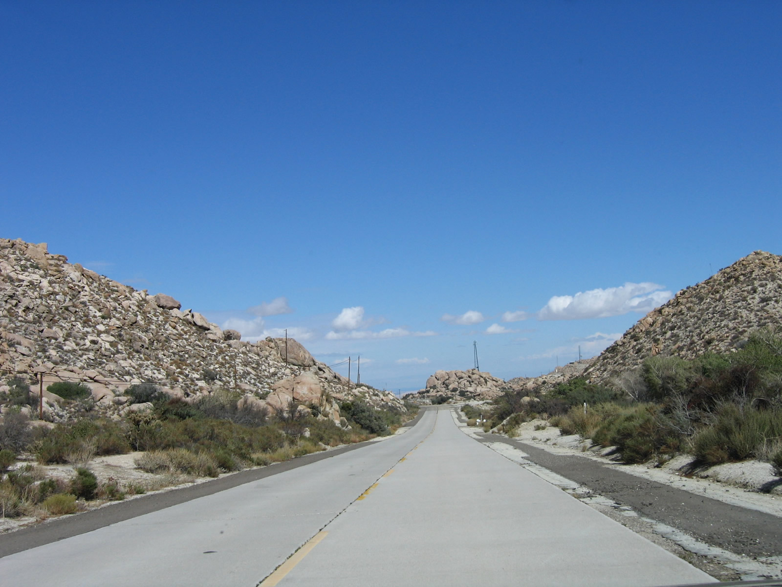
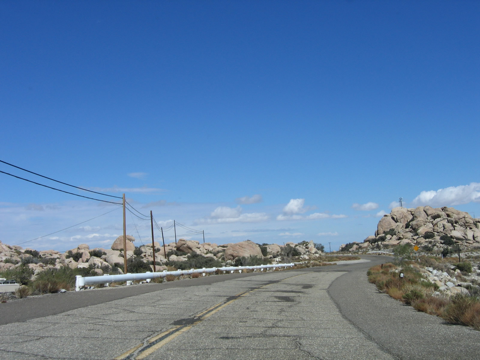
Eastbound Old Highway 80 approaches Tierra Heights Road and Tierra Del Sol Road. Tierra Heights Road provides local and ranch access to the north (but is not a through route). Tierra Del Sol Road travels south to California 94 and beyond to Tierra Del Sol, which is four miles south of here. The Tecate Divide (el. 3,890 feet) is located at the intersection between Old Highway 80 and Tierra Del Sol Road. The sign here has been replaced between 2005 and 2012. Photos taken 03/12/05 and 11/12/12. |
|
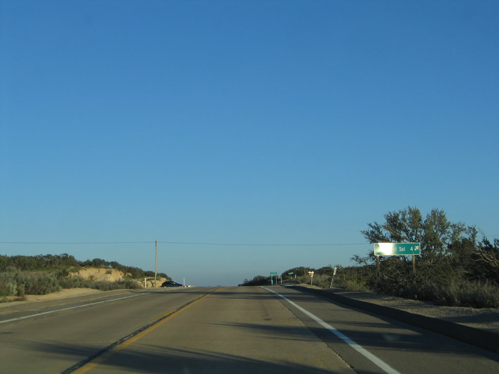
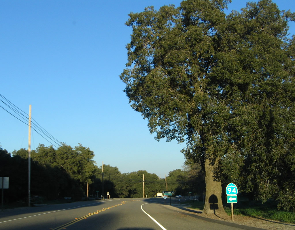
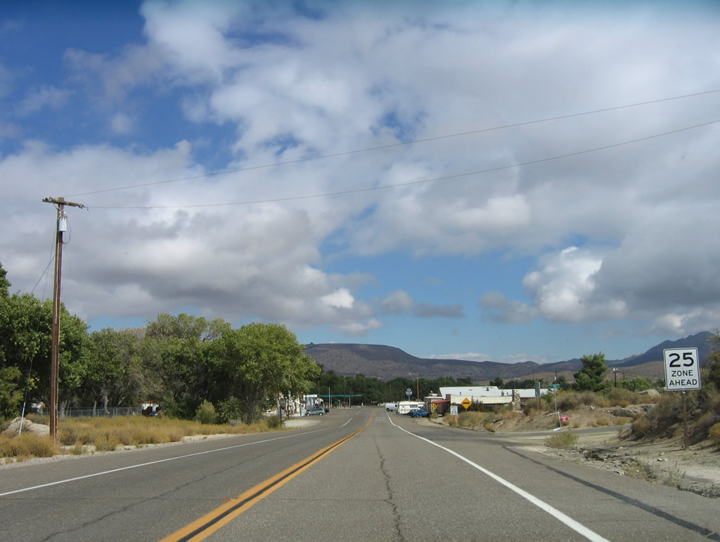
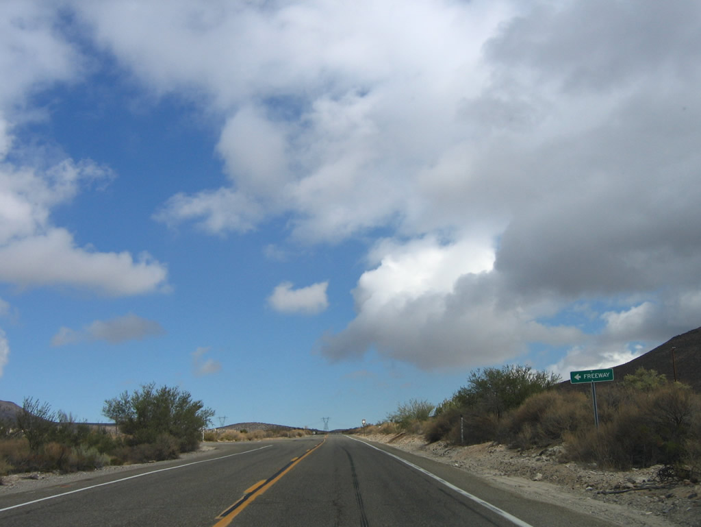
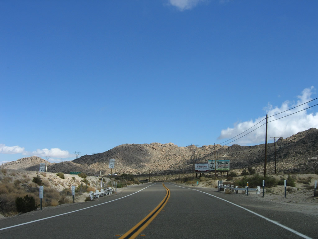
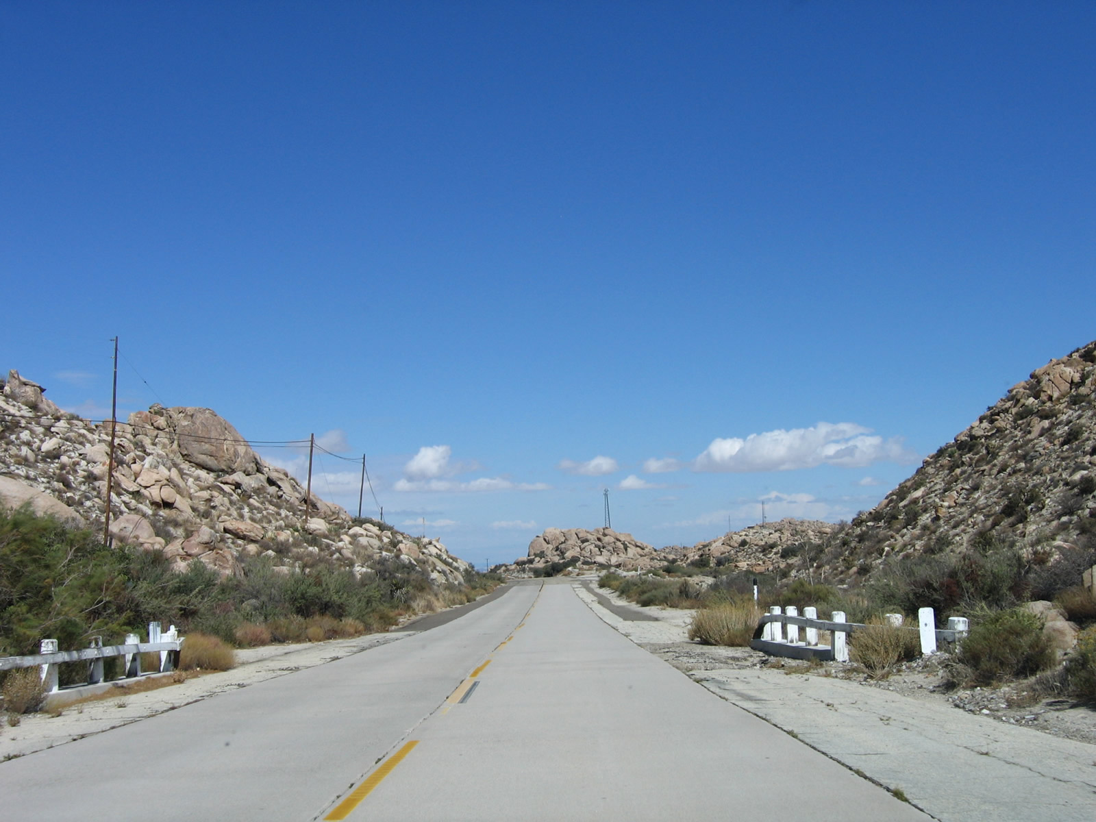
Descending from Tecate Divide into the outskirts of the unincorporated community of Boulevard, eastbound U.S. 80 (Old Highway 80) approaches California 94, which enters Boulevard from the southwest. California 94 and U.S. 80 merge together briefly, then will separate at Ribbonwood Road. This sign was replaced with a more typical California 94 junction guide sign (without the state name inside the route marker) in 2012. Photo taken 04/19/08. |
|
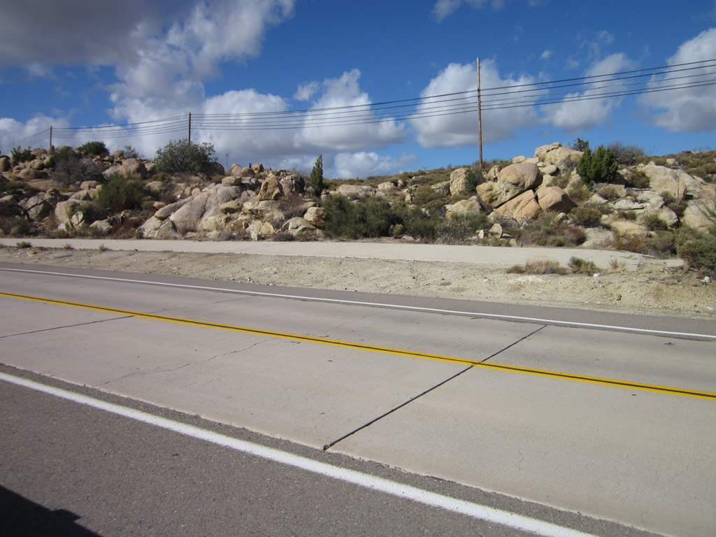
While the surface pavement here is asphalt, the tar lines on the pavement betray the presence of 1930s-era twin-slab concrete underneath it. Photo taken 04/19/08. |
|
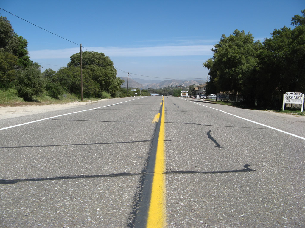
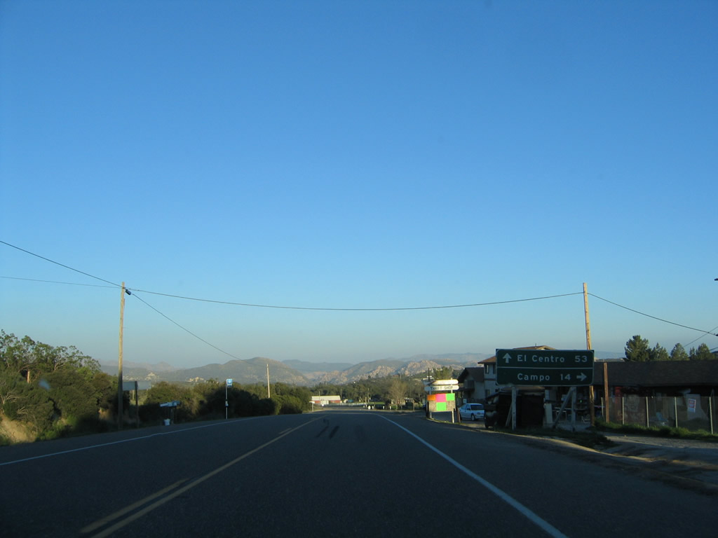
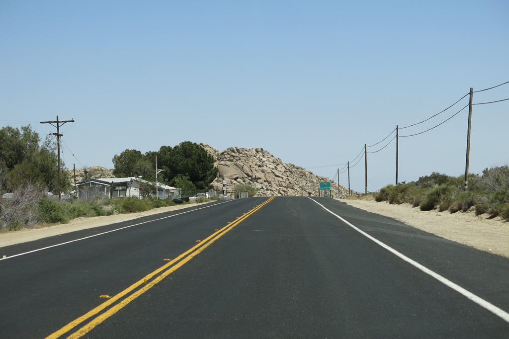
A mileage sign provides the distance to El Centro (53 miles via Old Highway 80 and Interstate 8 east) and Campo (14 miles via California 94 west). This mileage sign was removed by 2008 (and not replaced). Photo taken 03/12/05. |
|
Eastbound Old Highway 80 meets California 94. Through traffic on Historic U.S. 80 does not stop. Ahead lies the community of Boulevard. Photo taken 03/12/05. |
| Historic U.S. 80 & California 94 east |
|---|
|
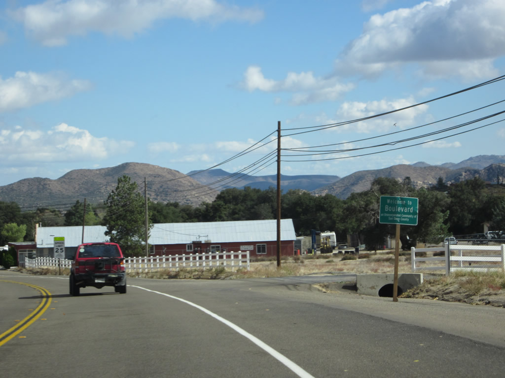
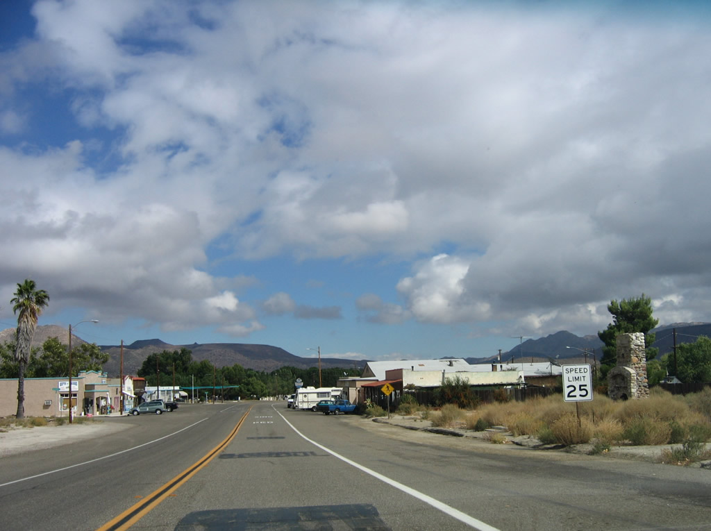
U.S. 80 and California 94 merge together and share alignment on their way into the unincorporated community of Boulevard, which was home to 315 people as of the 2010 Census and sits at an elevation of 3,638 feet. For its decennial population count, the U.S. Census Bureau incorporated Boulevard, Live Oak Springs, and Tierra Del Sol into the combined population statistics for a total of 315 people. Photo taken 11/10/12. |
|
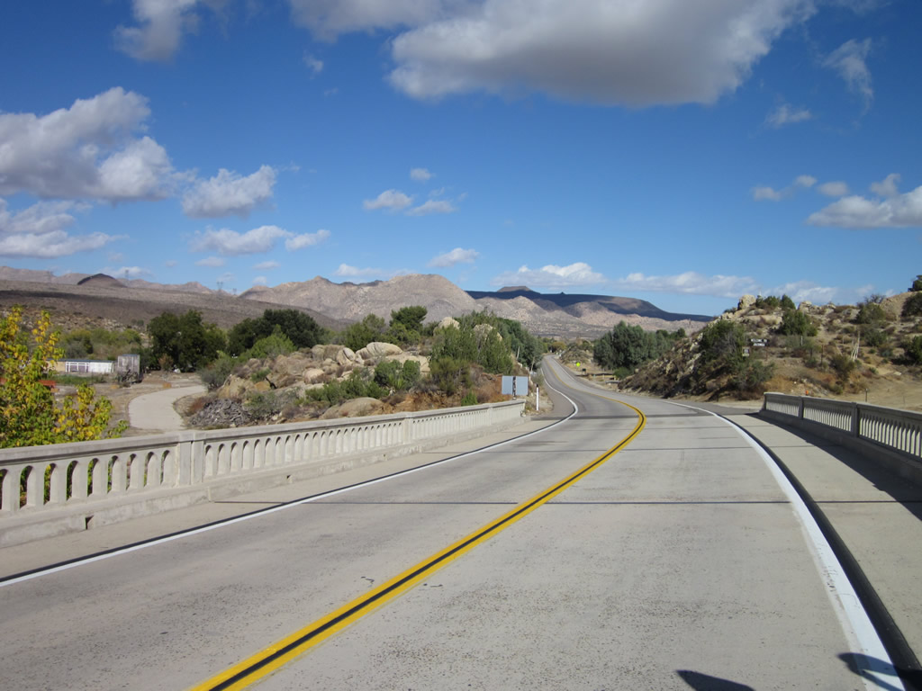
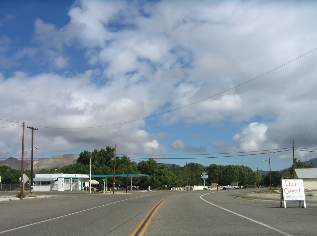
Eastbound California 94 and historic U.S. 80 proceed in tandem through rural Boulevard. Photo taken 11/10/12. |
|
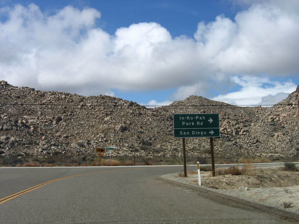
Nearing Ribbonwood Road in Boulevard, U.S. 80 and California 94 prepare to separate. A California 94 trailblazer indicates the continuation of the state route by turning north on Ribbonwood Road. Old Highway 80 will continue straight ahead toward Jacumba Hot Springs. Photo taken 03/12/05. |
|
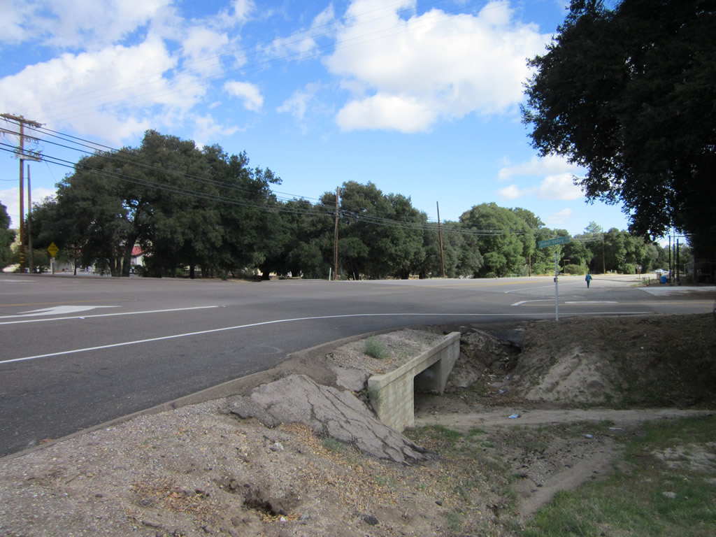
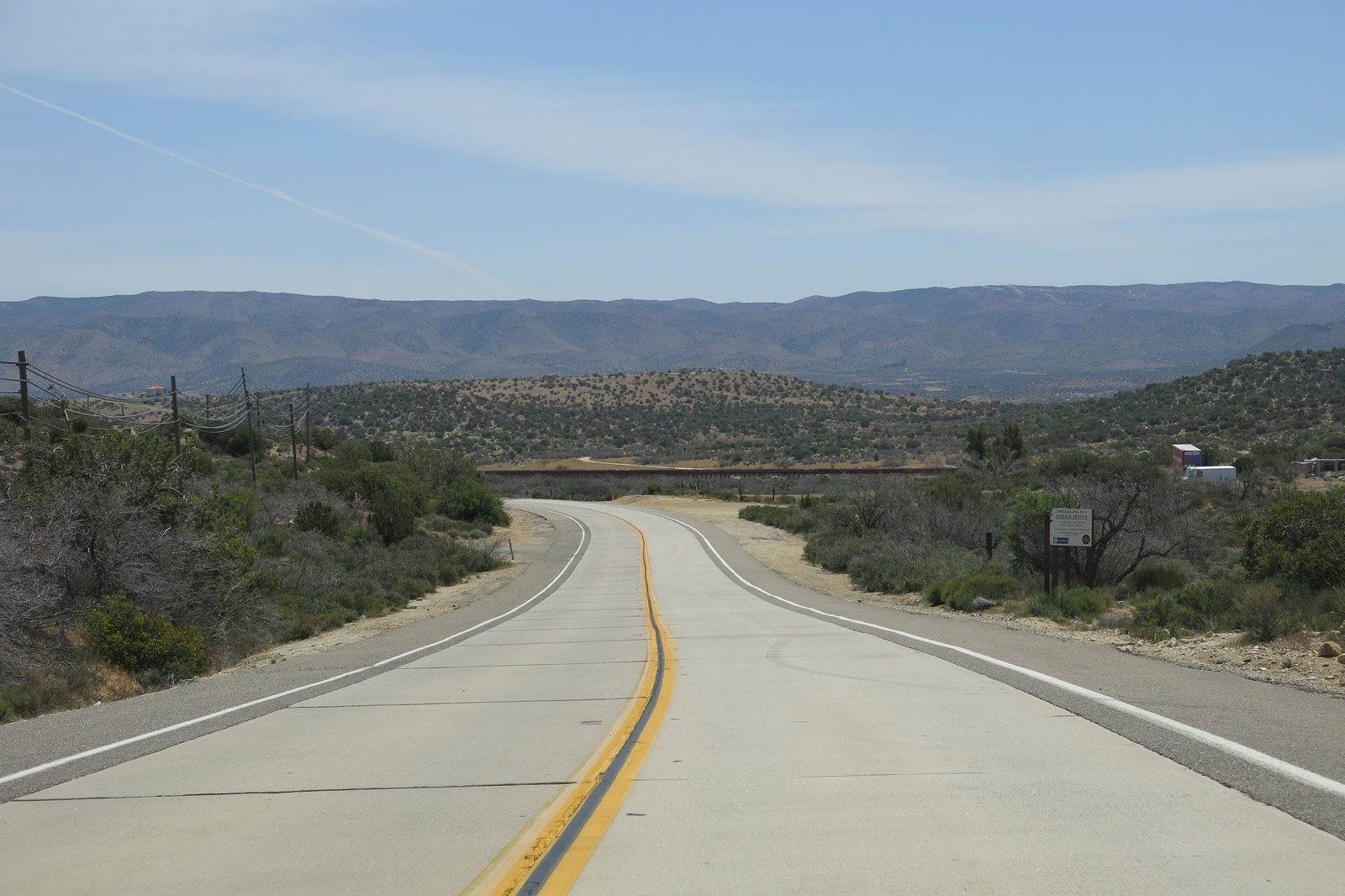
To Interstate 8, follow California 94/Ribbonwood Road north. To Jacumba Hot Springs, proceed east along Old Highway 80. A right turn connects to Jewel Valley Road south for local and ranch access. Photo taken 11/10/12. |
|
|
|
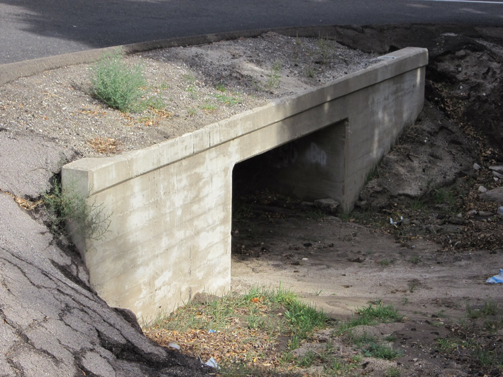
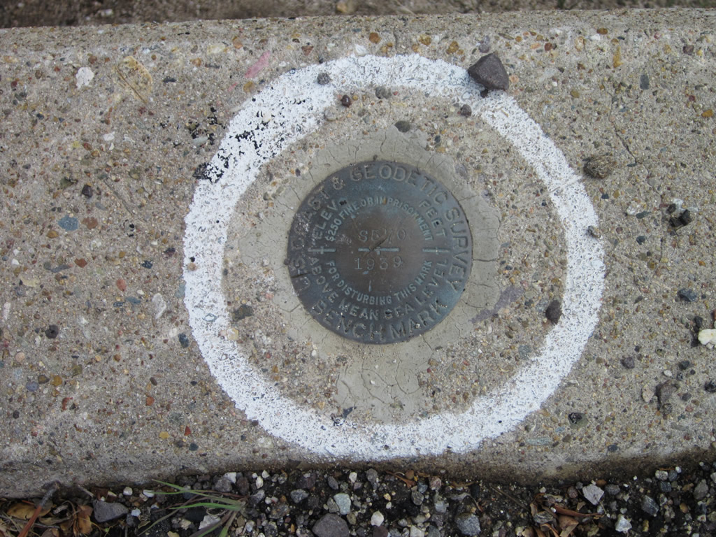
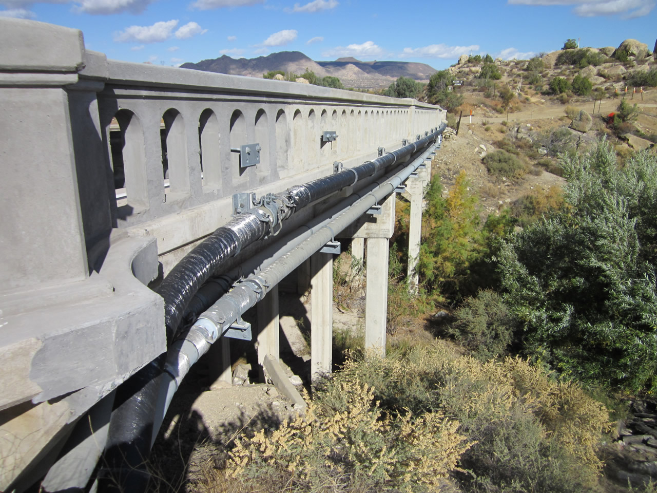
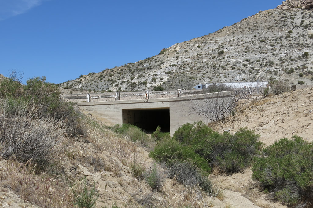
A culvert that likely dates to the 1930s allows storm water to pass under the intersection between California 94, Old Highway 80, Ribbonwood Road, and Jewel Valley Road. A 1939 geodetic marker is embedded in the concrete of this culvert. Photos taken 11/10/12. |
| Historic U.S. 80 east |
|---|
|
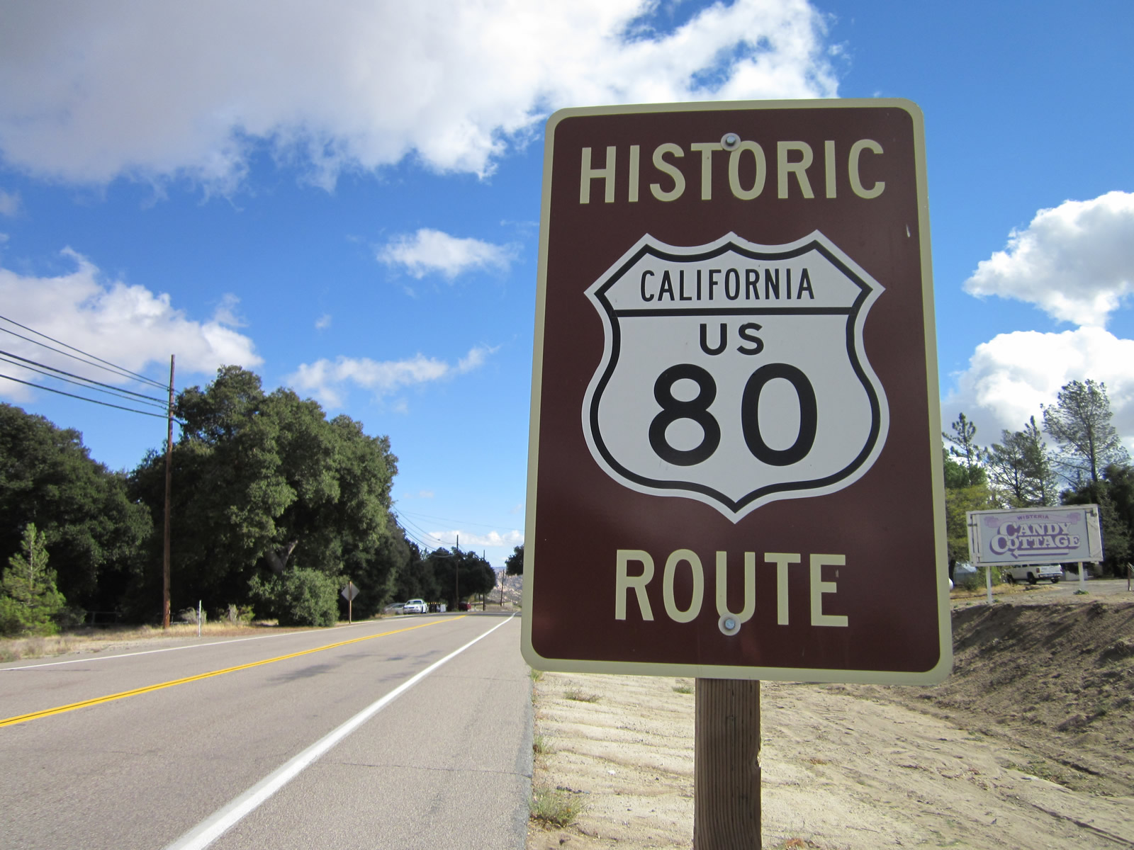
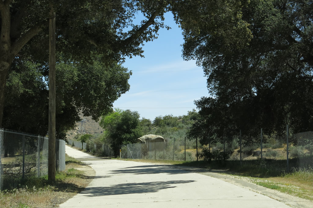
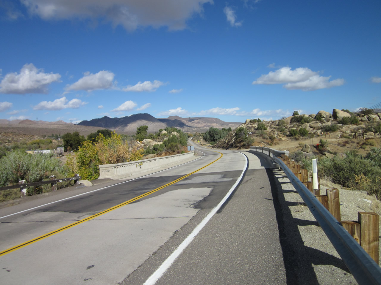
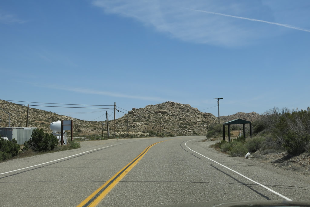
After splitting from California 94 at the Ribbonwood Road intersection in Bouelvard, eastbound Old Highway 80 will proceed toward Bankhead Springs and Jacumba Hot Springs. Another Historic U.S. 80 route marker is posted next to Wisteria Candy Cottage (in operation since 1921) after the Ribbonwood Road intersection. Photo taken 11/10/12. |
|
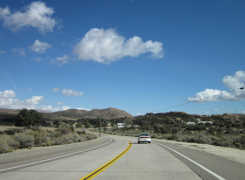
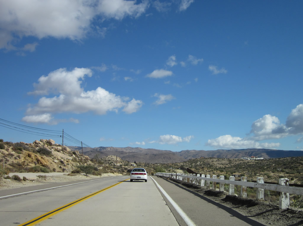
Westbound Historic U.S. 80 proceeds through rural areas between Boulevard and Bankhead Springs. Photo taken 11/10/12. |
|
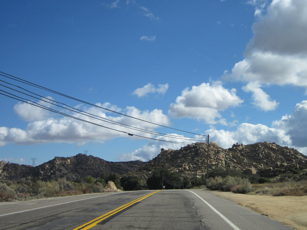
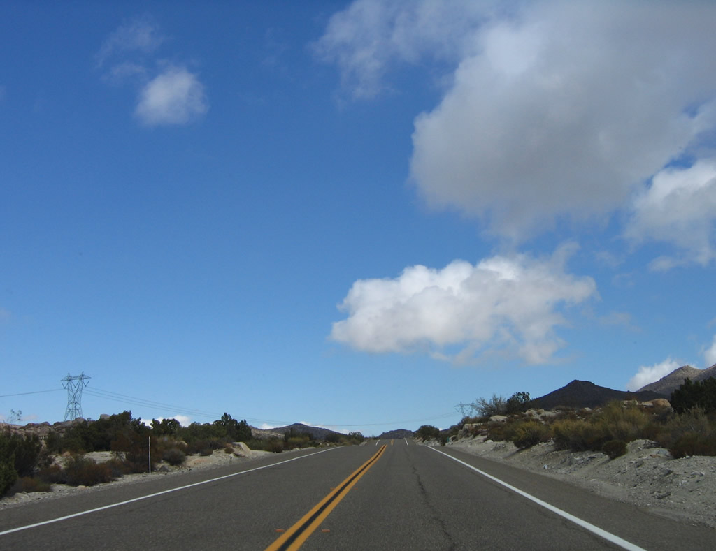
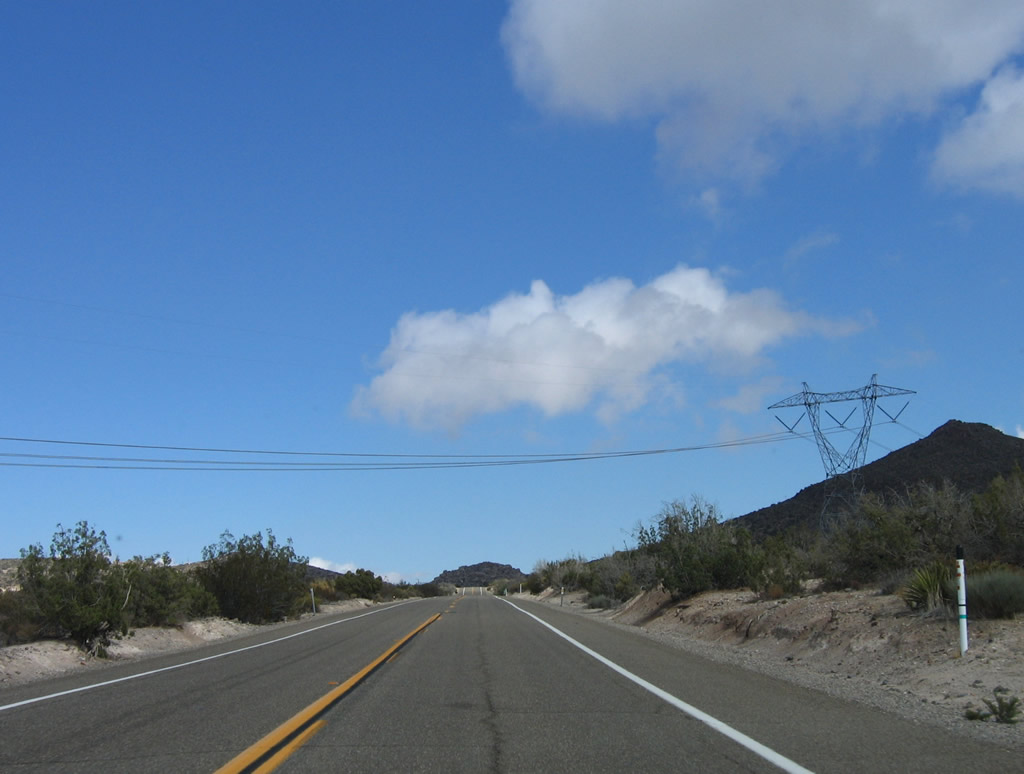
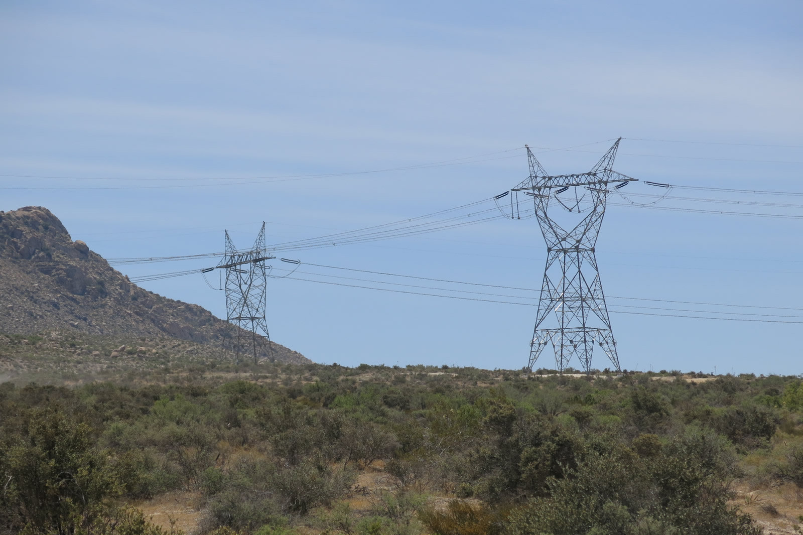
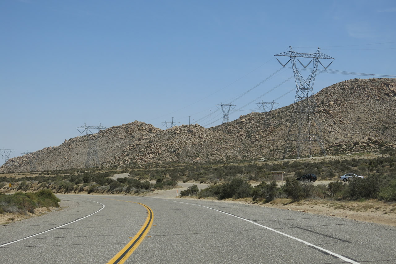
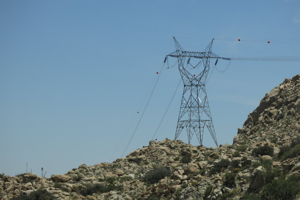
Nearing Bankhead Springs, the Sunrise Powerlink again comes into view in the distance along eastbound Old Highway 80. Photo taken 11/10/12. |
|
The Sunrise Powerlink was activated in 2012 and is now a feature along Old Highway 80. Photo taken 04/20/13. |
|
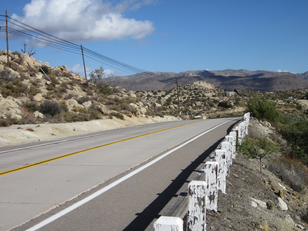
Just west of Bankhead Springs, the 1930s and 1916 alignments of U.S. 80 diverge. Turn right here for the old single-slab concrete from 1916, or stay left for the 1930s twin-slab concrete alignment. Photo taken 11/10/12. |
|
|
|
|
|
| This series of pictures follows the 1916 alignment of the Bankhead Highway, which became U.S. 80 in 1926. This section of single-slab concrete is still driveable and accessible from mainline Old Highway 80. The section is about a half mile long and connects to Old Highway 80 on either end. Photos taken 04/20/13. |
|
|
|
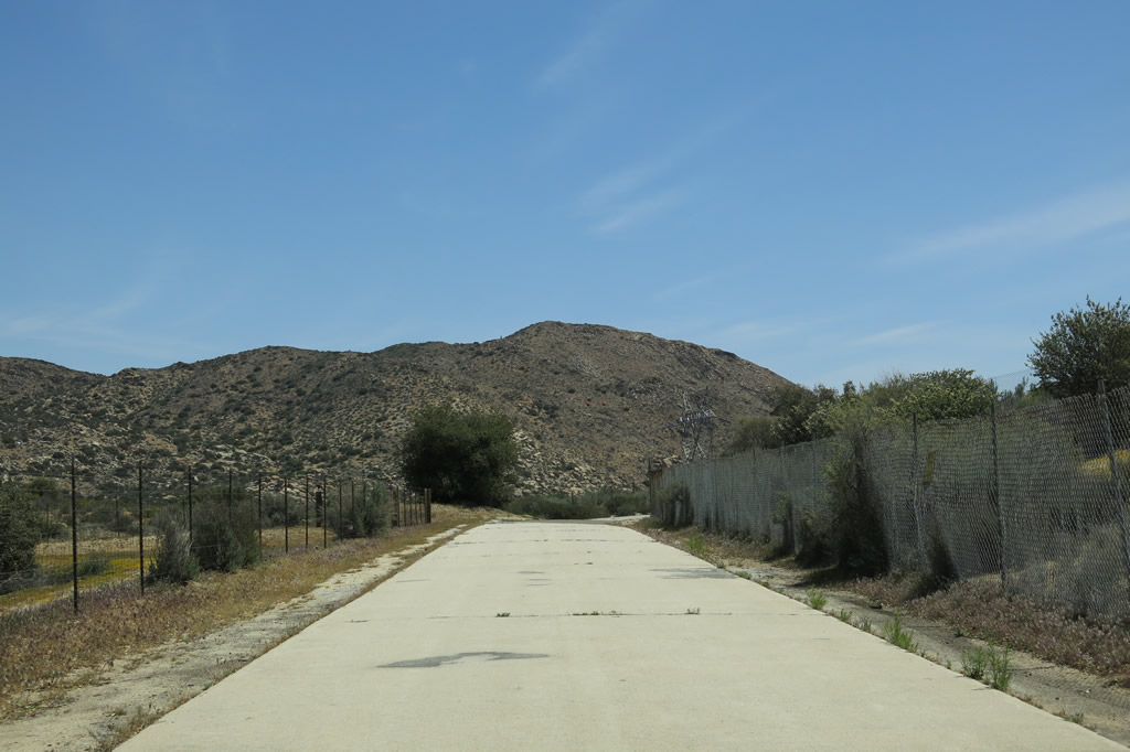
Westbound Historic U.S. 80 enters the unincorporated community of Bankhead Springs, which was named for its location along the Bankhead Highway, one of the auto trails that preceded U.S. 80. Many of the buildings appear to be closed; see Bankhead Springs - California Ghost Town. Photos taken 11/10/12. |
|
|
|
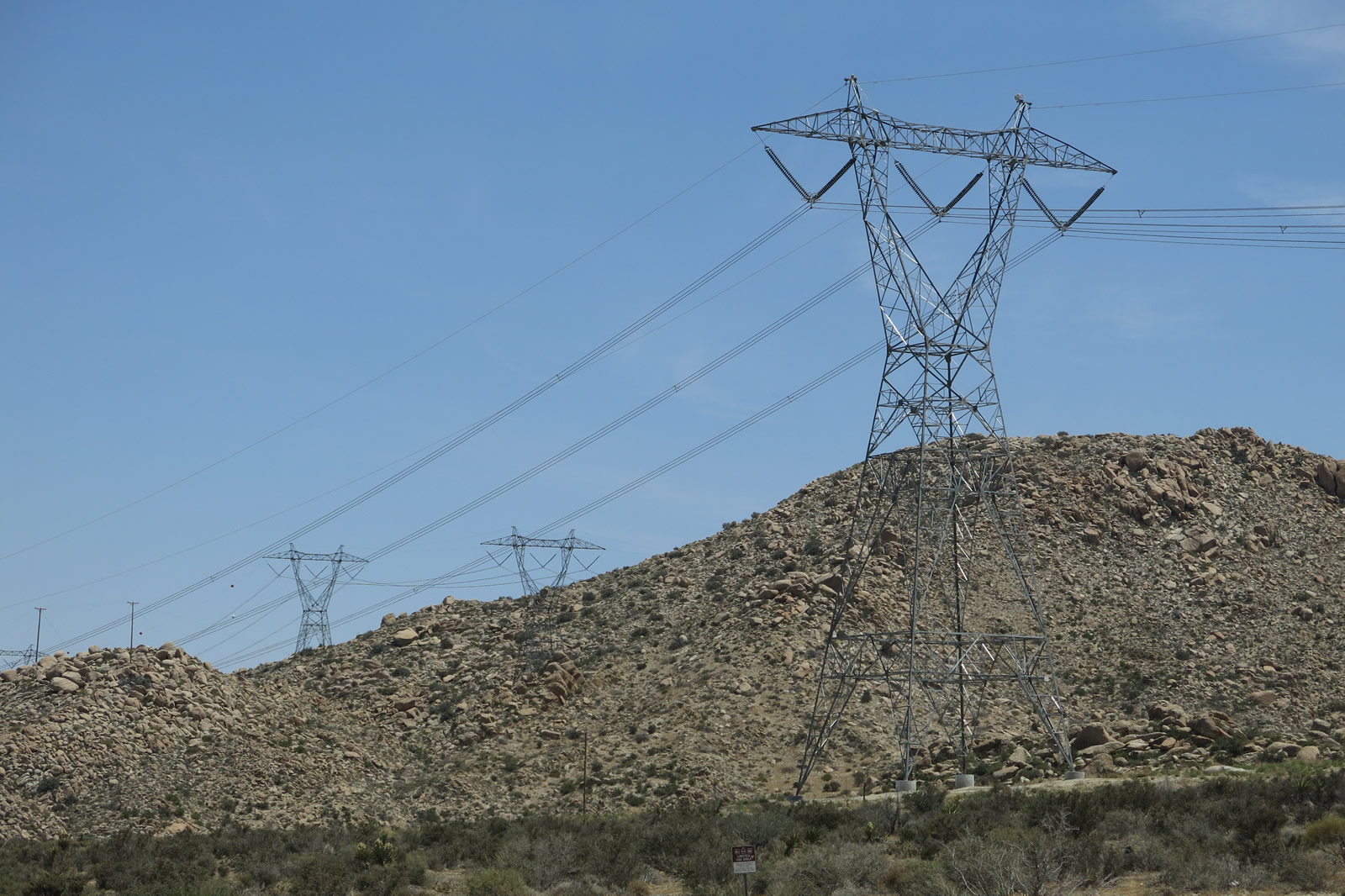
U.S. 80 passes under the 500kV Southwest Powerlink, which connects the Imperial Valley Substation with the Miguel Substation near Bonita off the California 125 (South Bay Expressway). Photos taken 04/20/13, 11/10/12, and 03/12/05. |
|
|
|
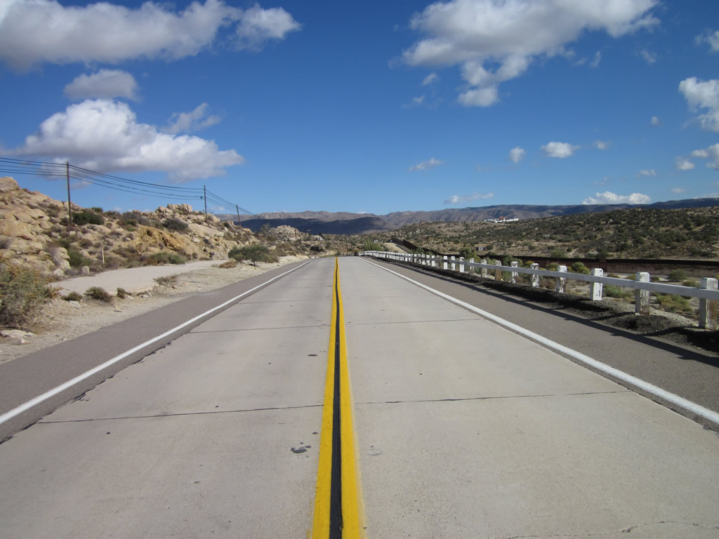
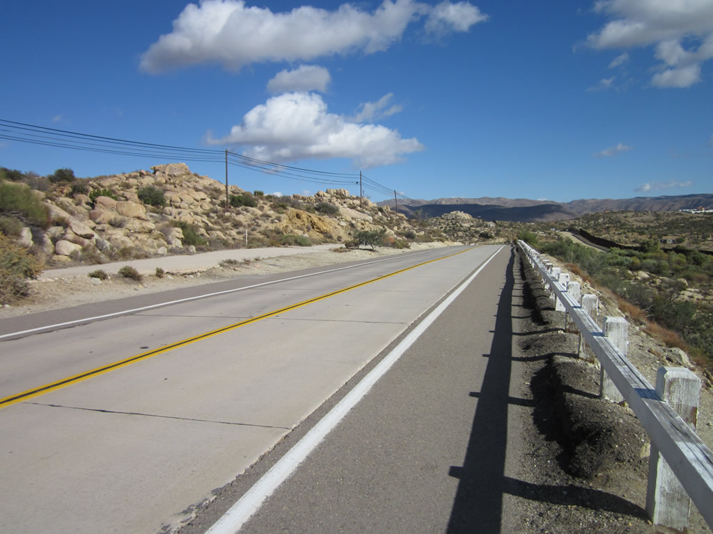
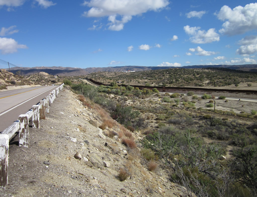
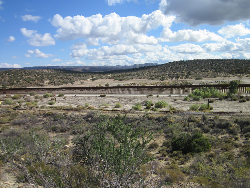
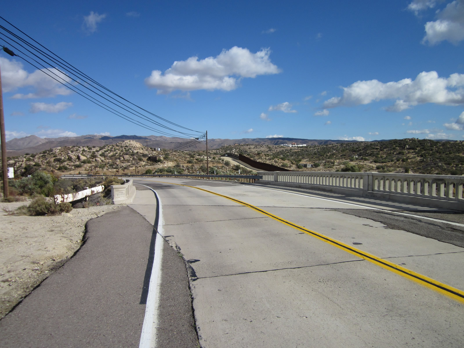
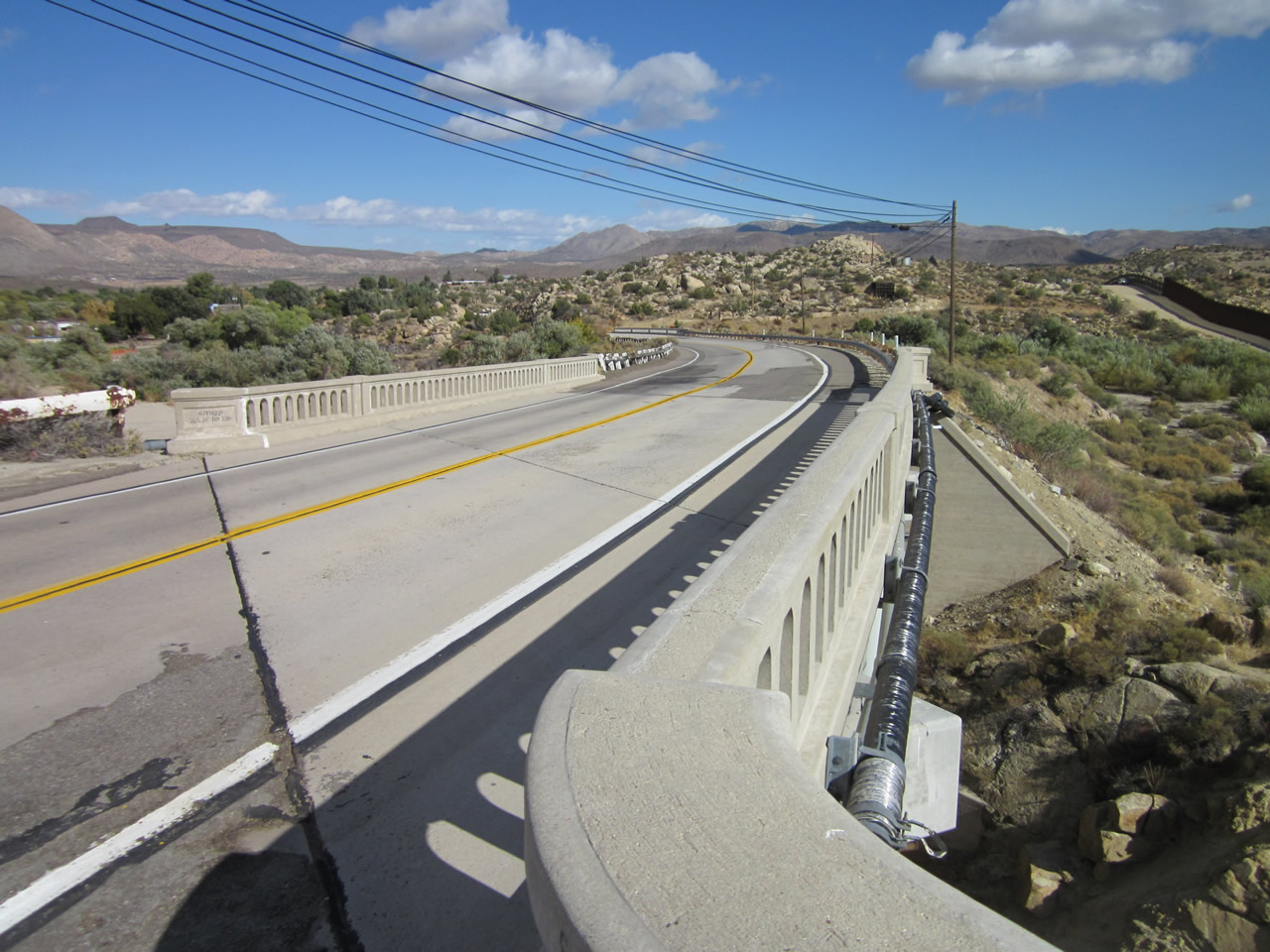
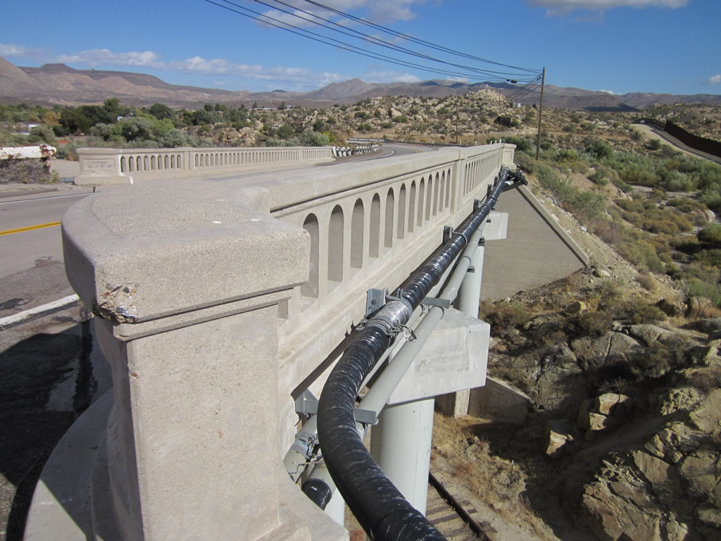
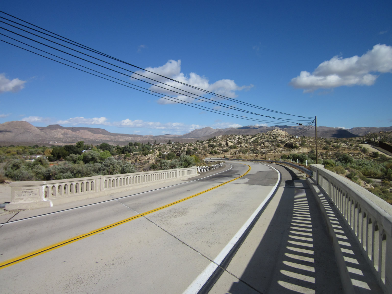
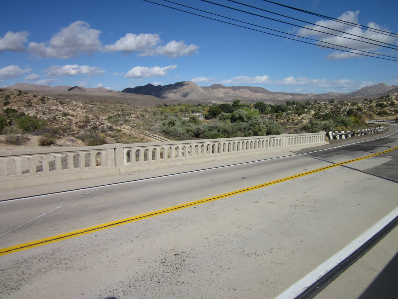
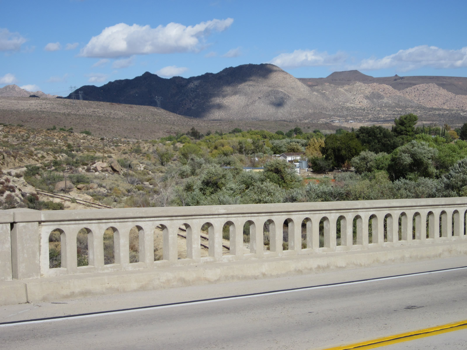
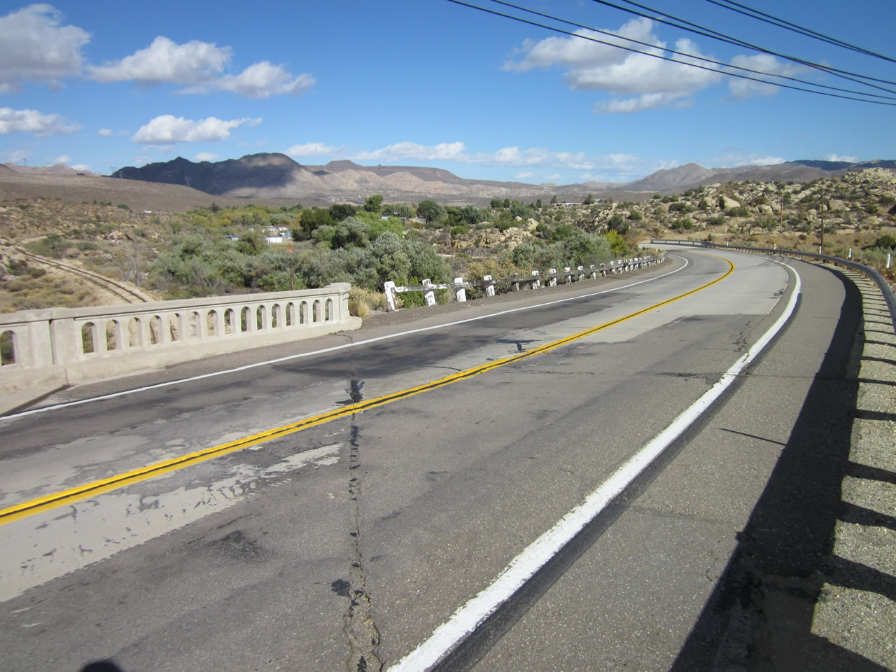
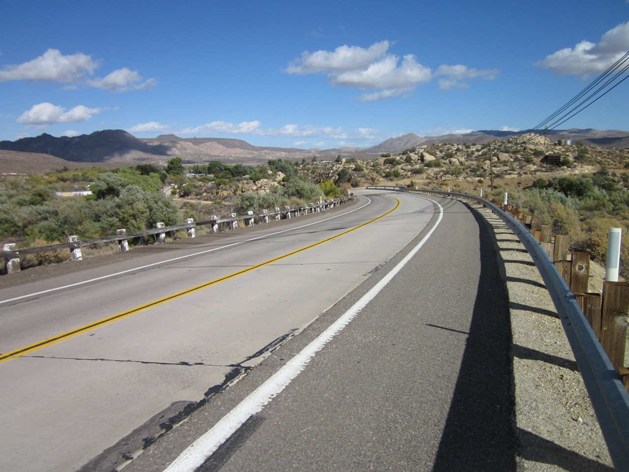
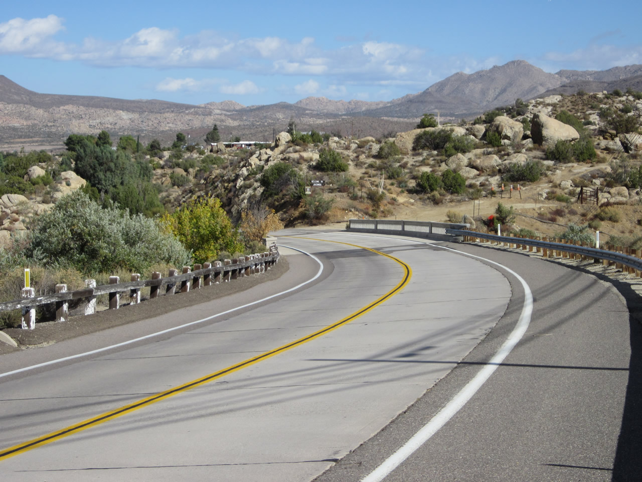
Historic U.S. 80/Old Highway 80 travels southeast between Bankhead Springs and Jacumba Hot Springs. The international boundary between the United States and Mexico comes into view as the highway swings southeast toward Jacumba Hot Springs. The brown line visible at the floor of the valley is the border fence that separates Mexico from the United States. Nearing the San Diego and Imperial Valley (San Diego & Arizona Eastern) Railroad Bridge, the historic highway will come very close (about 350 feet) to the border. As white, wooden railing begins on the south side of Old Highway 80, a few extant segments of 1916-era concrete appear from the original auto trail that predates the 1930s concrete road still in use today. Photos taken 04/20/13, 11/10/12, and 03/12/05. |
|
|
|
|
|
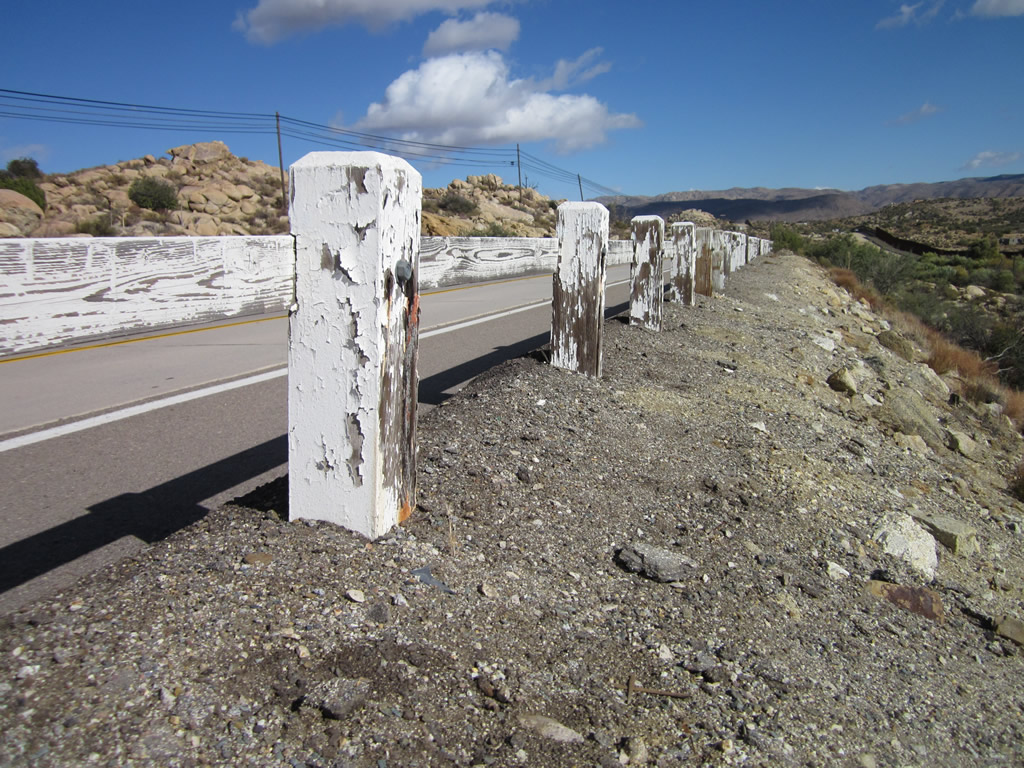
| White wooden fencing serves as a guardrail for Old Highway 80 as the historic route approaches the San Diego & Imperial Valley (San Diego & Arizona Eastern) Railroad bridge. Old auto trail segments of U.S. 80 from 1916 are side-by-side with the 1930s alignment. To the south is the international border, with its tall fence preventing pedestrian access between countries. This was a short fence in 1999, but today is much taller and sesemingly insurmountable. U.S. Border Patrol agents monitor the border along a service road that parallels the border fence. Photos taken 11/10/12. |
|
|
|
|
|
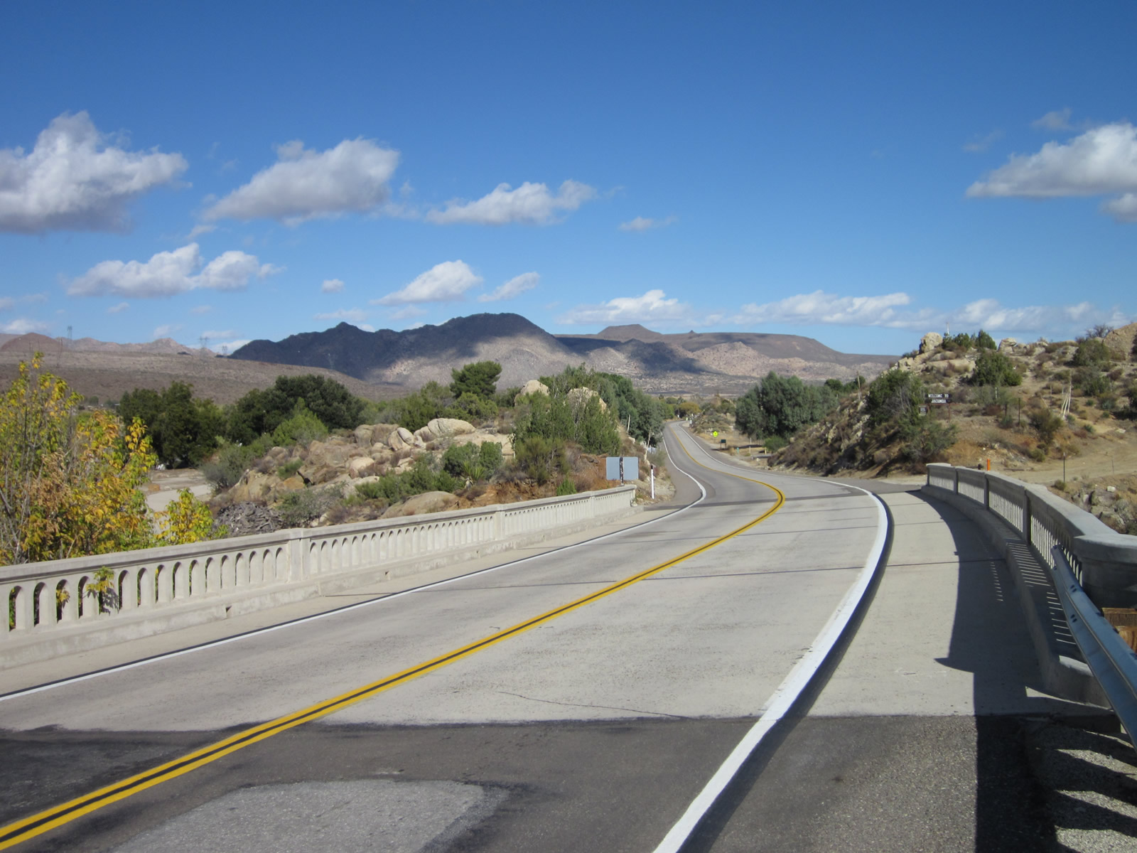
| Two historic bridges carry eastbound U.S. 80 over the next tenth of a mile. The first bridge carries U.S. 80 over the San Diego & Imperial Valley (San Diego & Arizona Eastern) Railroad, and the second crosses over Boundary Creek. Both bridges are concrete tee-beam bridges built in 1931, the first with three spans and the second with four spans. These bridges replaced the earlier auto trail alignment and bridge. Extant sections of auto trail (1916 single-slab concrete) are visible on both sides of the bridges to show where the old road used to travel. A portion of the 1916 road travels alongside Boundary Creek and leads onto private property that should not be disturbed (note the concrete road seen below the Boundary Creek bridge). On a knoll overlooking Boundary Creek, westbound travelers will see a welcome to Jacumba Hot Springs sign flanked by a Historic U.S. 80 sign. Photos taken 11/10/12, 02/11/12, 10/14/06, and 03/12/05. |
|
|
|
|
|
|
|
|
|
|
|
|
|
|
|
|
The border fence that separates the United States from Mexico used to be much lower as compared to the fence today. This picture looks southeast from the railroad and Boundary Creek bridge area into Mexico. Photo taken 03/12/05. |
|
|
|
|
|
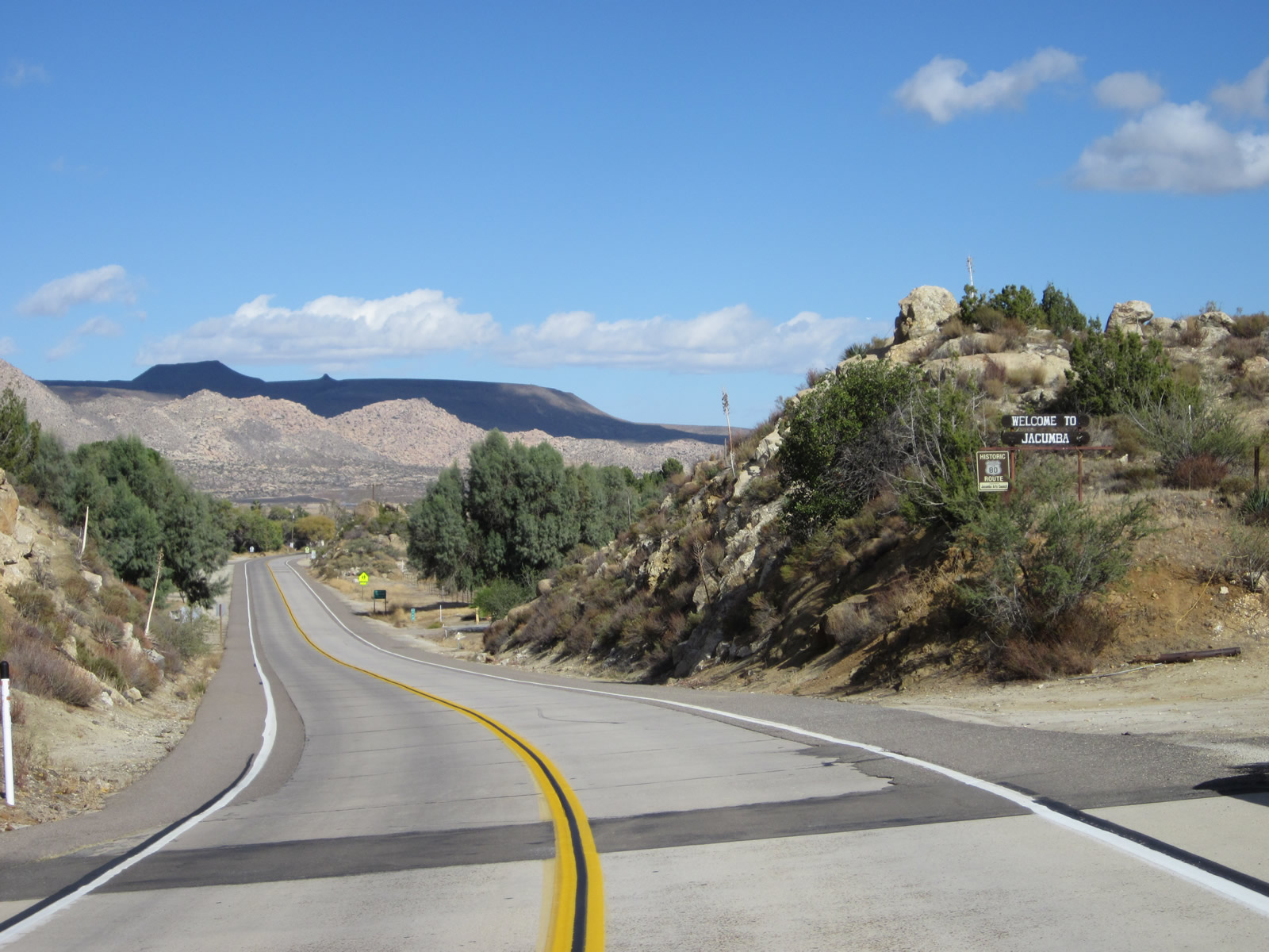
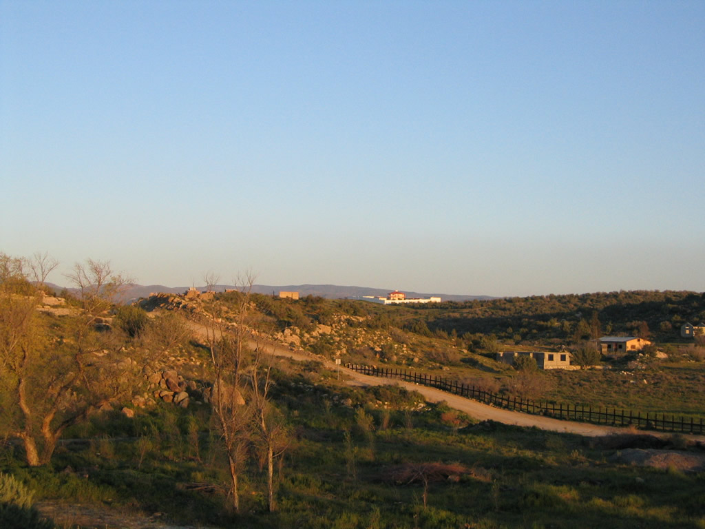
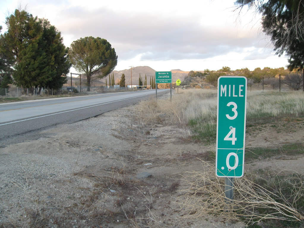
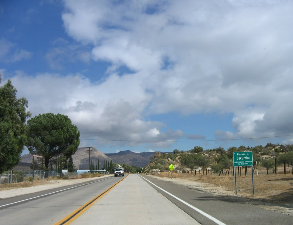
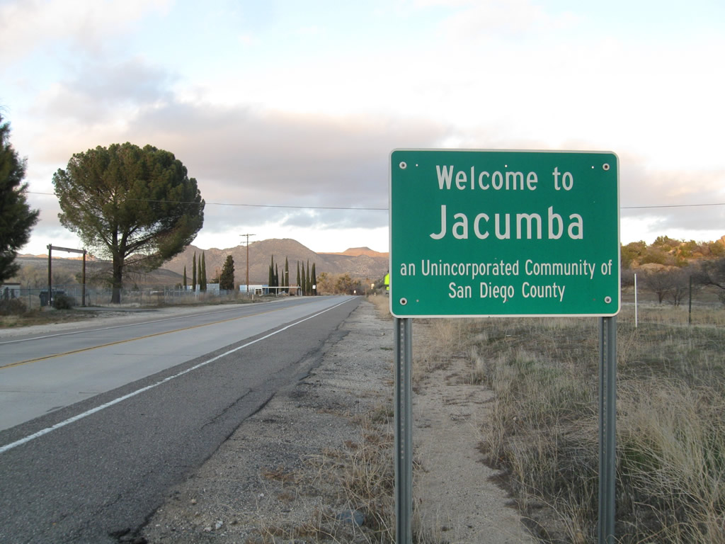
| Eastbound U.S. 80 proceeds into the unincorporated community of Jacumba Hot Springs (population 561 as of 2010 Census; elevation 2,829 feet). This community was known as Jacumba until February 26, 2013, when its name change to Jacumba Hot Springs was approved by the federal Geographic Names Commission1. Located very close to the U.S.-Mexico International Border, Jacumba Hot Springs is perhaps best known for its natural, thermal hot springs. Now part of a resort, the hot springs draw visitors from across Southern California for a soak in its thermal pools. The San Diego County planning agency SANDAG has considered the possibility of developing a border crossing in or near Jacumba Hot Springs that would allow for trans-border passage at a point between Tecate in the west and Calexico/Mexicali in the east. With the completion of Interstate 8, which bypasses Jacumba Hot Springs well to the north, traffic along Old Highway 80 is a trickle compared to its heyday in the 1930s-1960s. However, motorists still pass through Jacumba Hot Springs looking for a nice place off the trail to relax. Photos taken 11/10/12, 02/11/12, and 10/14/06. |
|
|
|
|
|
| On the right (south) side of Historic U.S. 80, we find the remains of the fireplace of the former Jacumba Hotel, which was destroyed in an arson fire in 1983. It is one of the first landmarks seen upon entering Jacumba Hot Springs from the west. On the left is the Jacumba Hot Springs and Resort. Leaving town, old U.S. 80 passes by the library and spot the Jacumba Airport in the distance. Photos taken 10/14/06. |
|
|
|
|
|
| This series of pictures follows Old Highway 80 as it turns northeast to leave the vicinity of the U.S.-Mexico border and proceed toward a rendezvous with Interstate 8. On the left (north) side of the highway is a large agricultural area, and the airport is located on the right side of the highway. The last picture of this series shows the intersection between Old Highway 80 east and Carrizo Gorge Road north to Interstate 8 Exit 71. Turn here to connect to Intestate 8 west to San Diego. For access to Interstate 8 east, continue ahead on Old Highway 80 to Exit 77. Photos taken 10/14/06. |
|
|
|
|
|
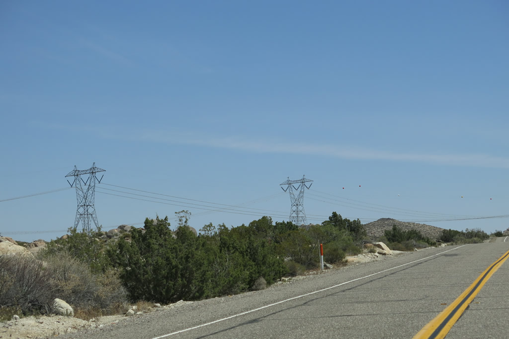
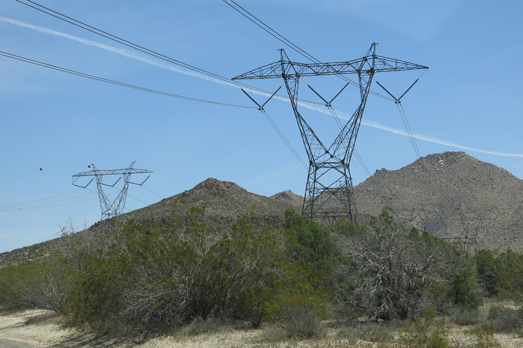
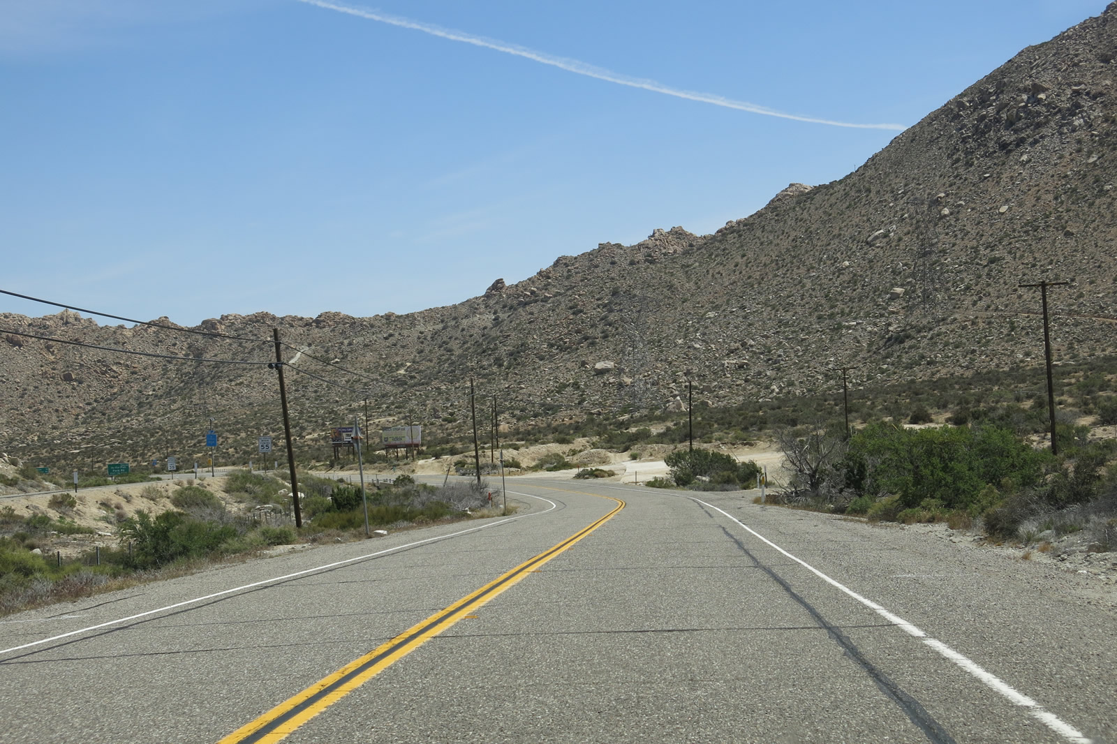
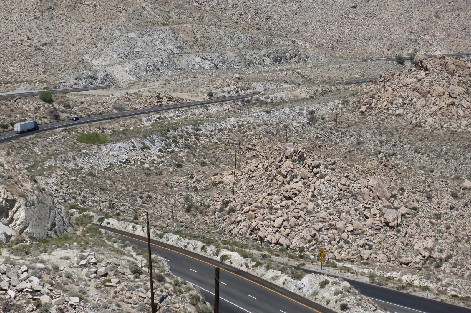
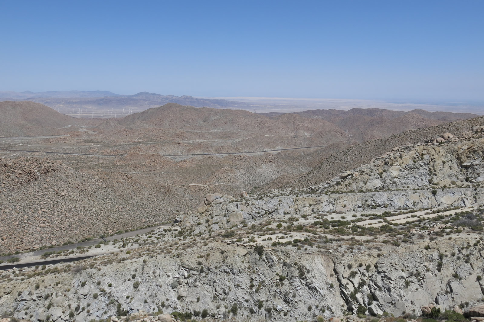
| Leaving the intersection with Carrizo Gorge Road, Old Highway 80 proceeds northeast for the final four miles to the Interstate 8 Exit 77 interchange. The terrain is again rugged with large boulders and desert scenery through the valley. The Southwest Powerlink and Sunrise Powerlink both pass over U.S. 80 along this stretch. The 2013 pictures show both power lines, while the 2006 pictures only show the Southwest Powerlink was in operation at the time these pictures were taken. Photos taken 04/20/13 and 10/14/06. |
|
|
|
|
|
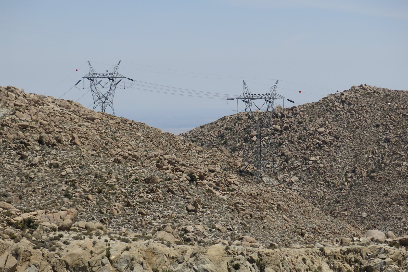
| Old Highway 80 passes alongside and under the Southwest and Sunrise Powerlinks. The highway will continue to aim northeast toward In-Ko-Pah Park and Desert View Tower. Photos taken 04/20/13 and 10/14/06. |
|
|
|
|
|
| Continuing northeast, Old Highway 80 passes a U.S. Border Patrol Checkpoint, then curves east. Photos taken 04/20/13. |
|
|
|
|
|
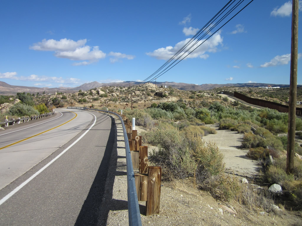
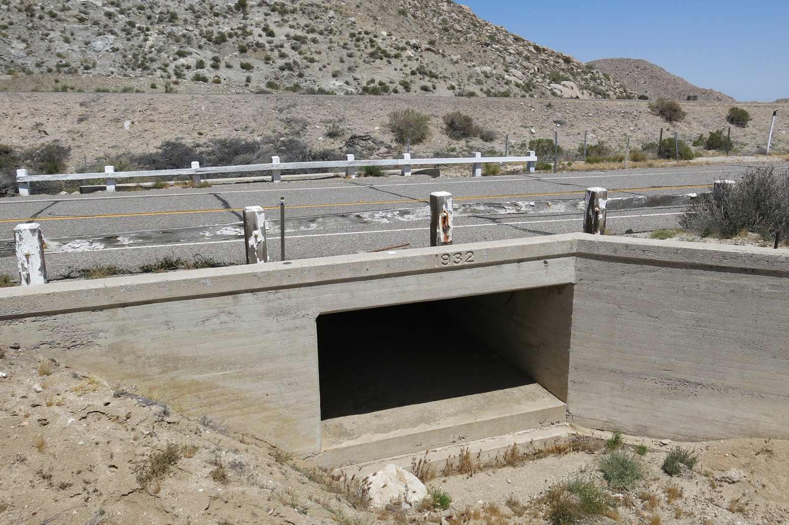
| Both the Sunrise and Southwest Powerlinks follow the south side of Old Highway 80, and the Interstate 8 freeway comes to parallel Old Highway 80 on the north side. Note the white, wooden guardrail here that protects a culvert that was built in 1932. Photos taken 04/20/13 and 10/14/06. |
|
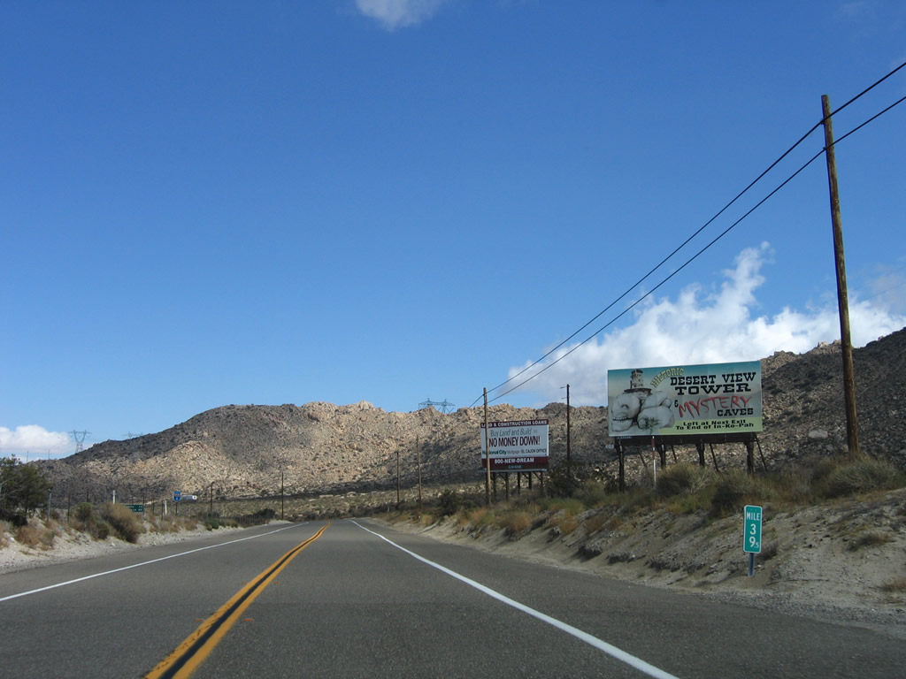
A billboard suggests a stop at the Desert View Tower, which is located at the end of In-Ko-Pah Park Road, which was part of Old U.S. Highway 80. Photo taken 10/14/06. |
|
An Interstate 8 reassurance shield is visible from Old Highway 80 as we continue east. Photo taken 10/14/06. |
|
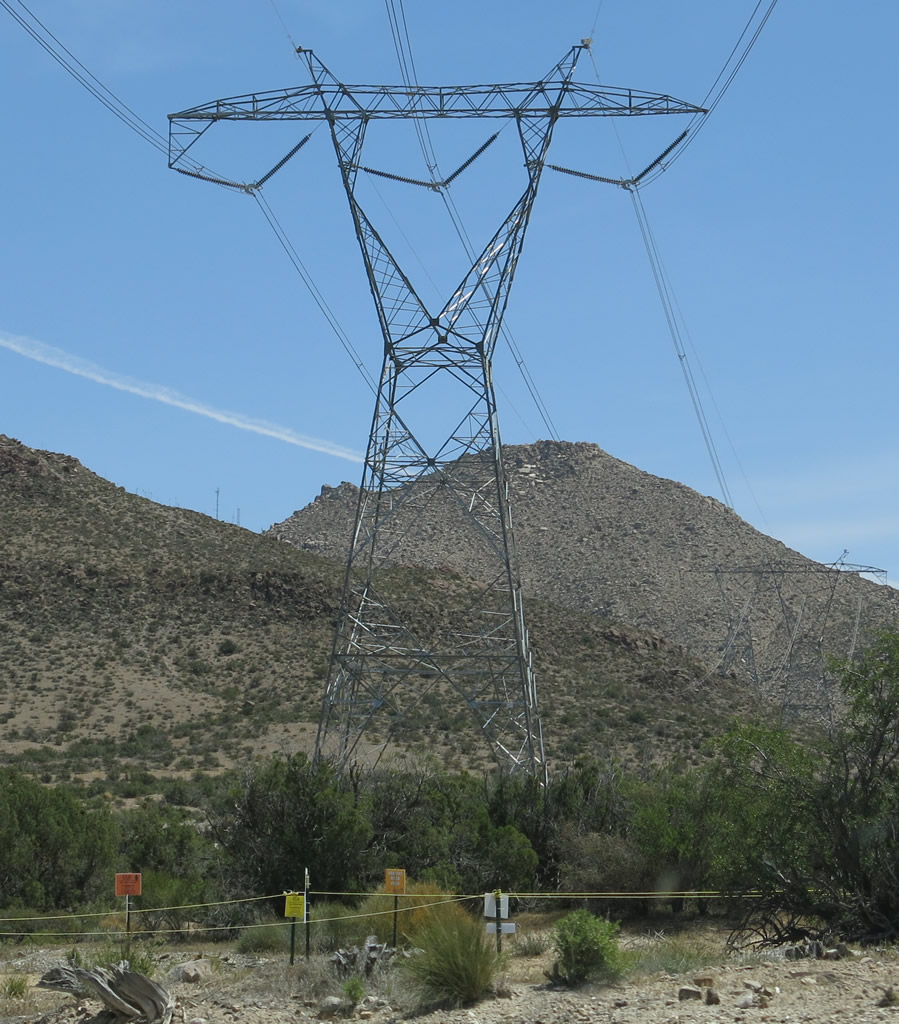
The Sunrise and Southwest Powerlinks continue to follow Old Highway 80. Photo taken 04/20/13. |
|
From here, the 500kV Sunrise and Southwest Powerlinks will follow each other all the way to the Imperial Valley substation. Photo taken 04/20/13. |
|
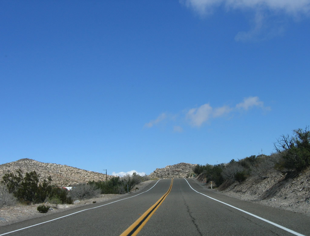
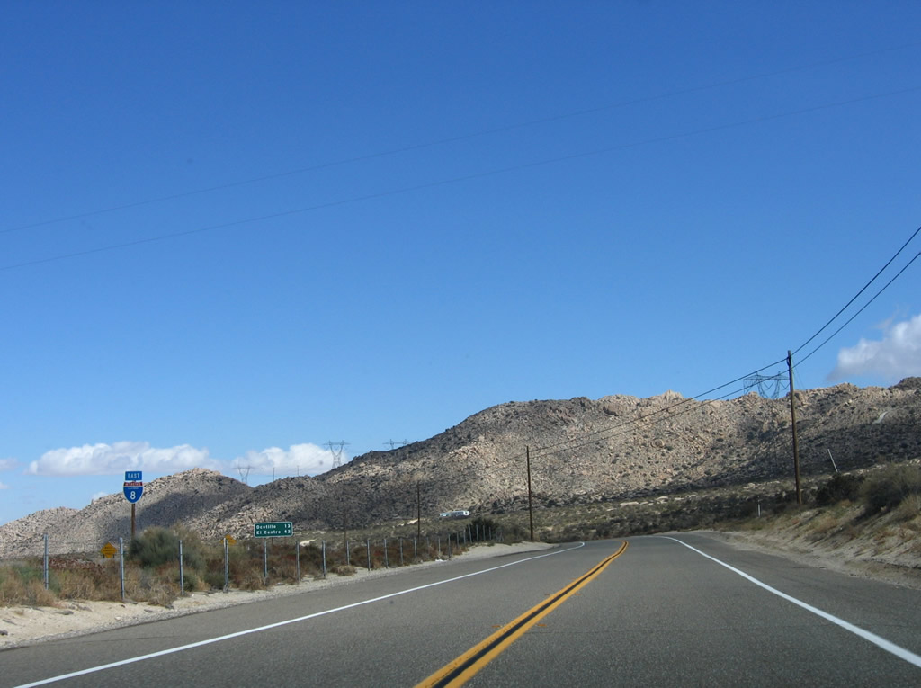
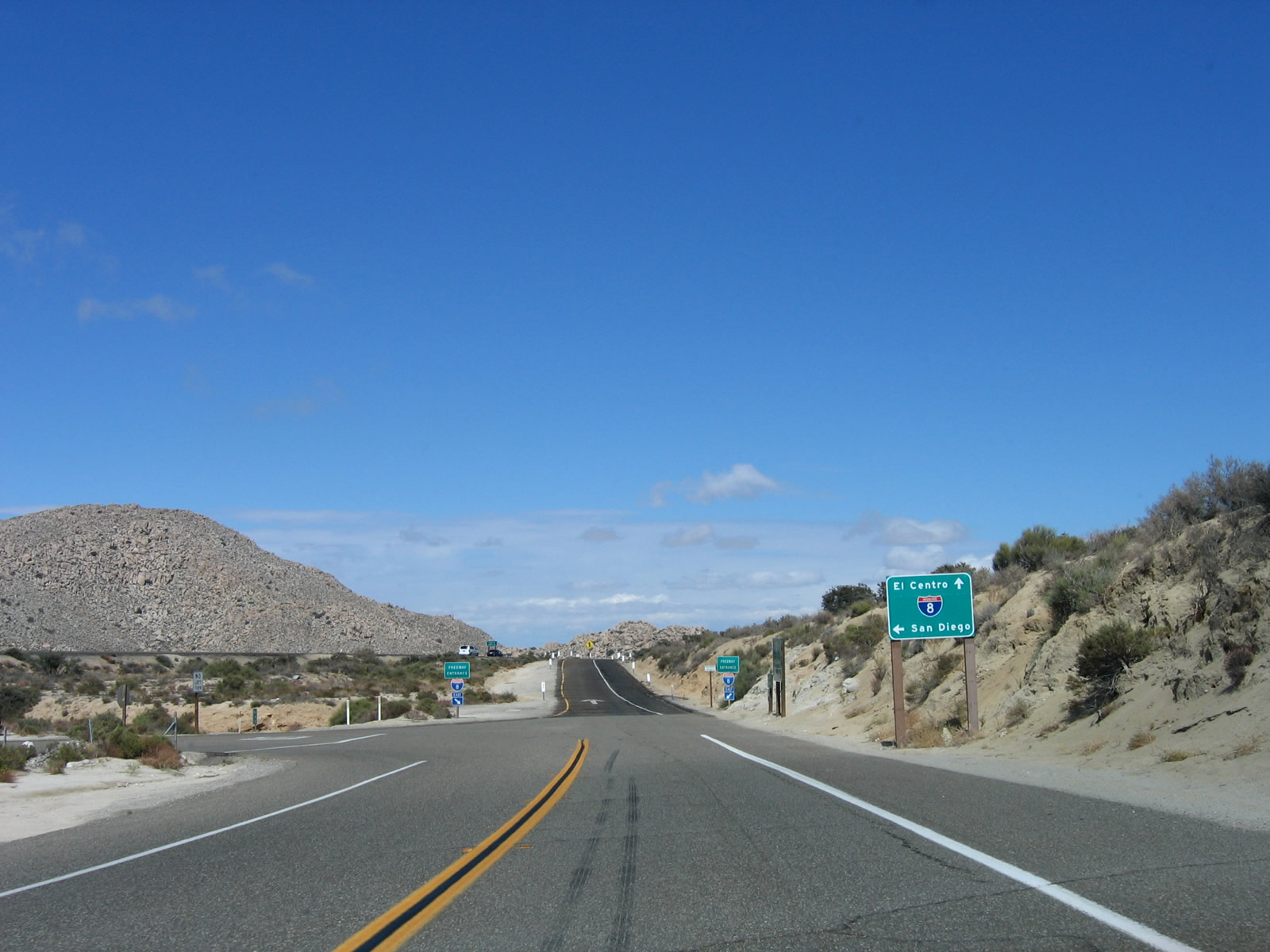
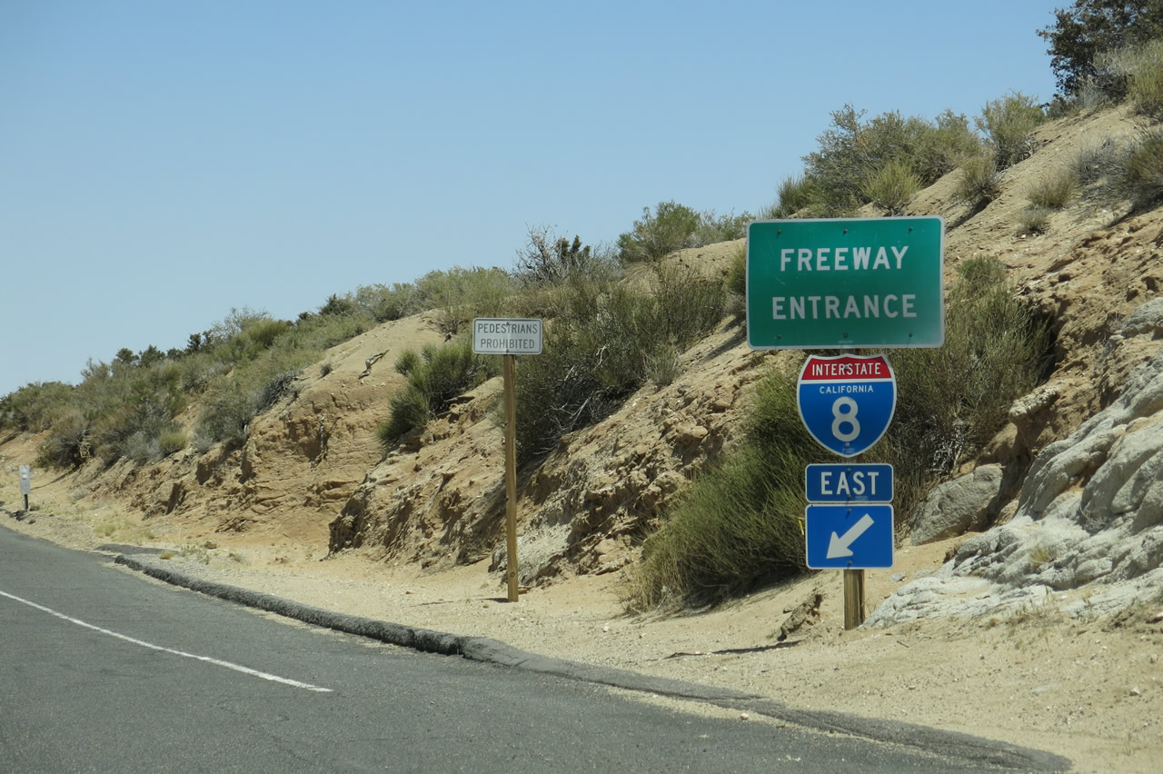
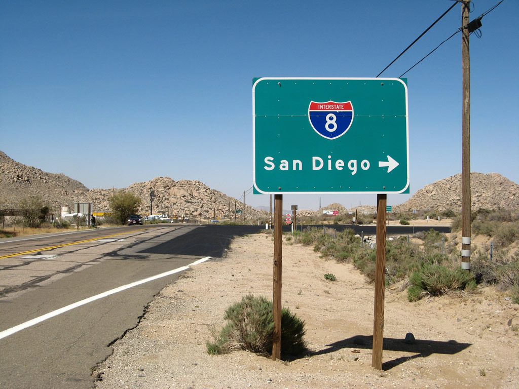
Eastbound Old Highway 80 approaches Interstate 8. Turn left for Old Highway 80 east to Desert View Tower or Interstate 8 (Kumeyaay Highway) west to San Diego. Continue ahead for Interstate 8 east to Mountain Springs (the next major extant section of U.S. 80) and El Centro. Photo taken 10/14/06. |
|
|
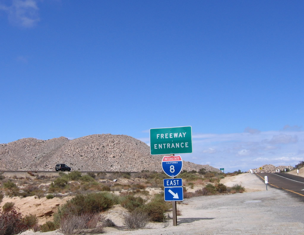
A pair of Interstate 8 freeway entrance shield assemblies flank the on-ramp from Old Highway 80 east onto Interstate 8 east. Through traffic for Historic U.S. 80 should rejoin the freeway here unless motorists wish to see the Desert View Tower. For the tower, turn left here. Photos taken 10/14/06 and 04/20/13. |
|
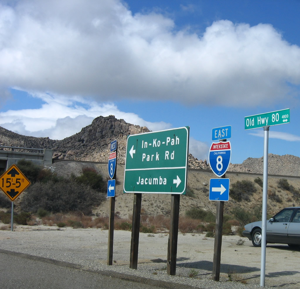
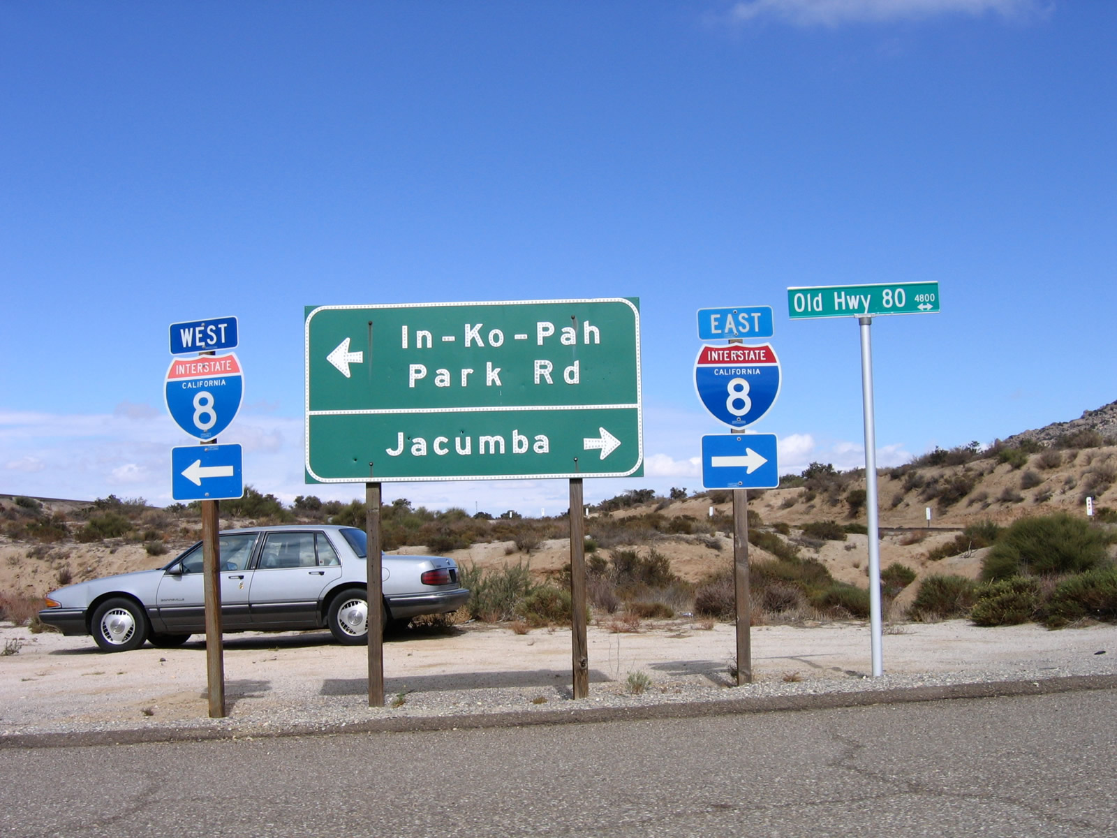
A set of Interstate 8 route markers and signs is posted alongside Old Highway 80 at the Interstate 8 interchange. Photo taken 10/14/06. |
|
Here's another view of the same set of signs on Old Highway 80 at Interstate 8 northeast of Jacumba Hot Springs near In-Ko-Pah Park Road. Photo taken 10/14/06. |
|
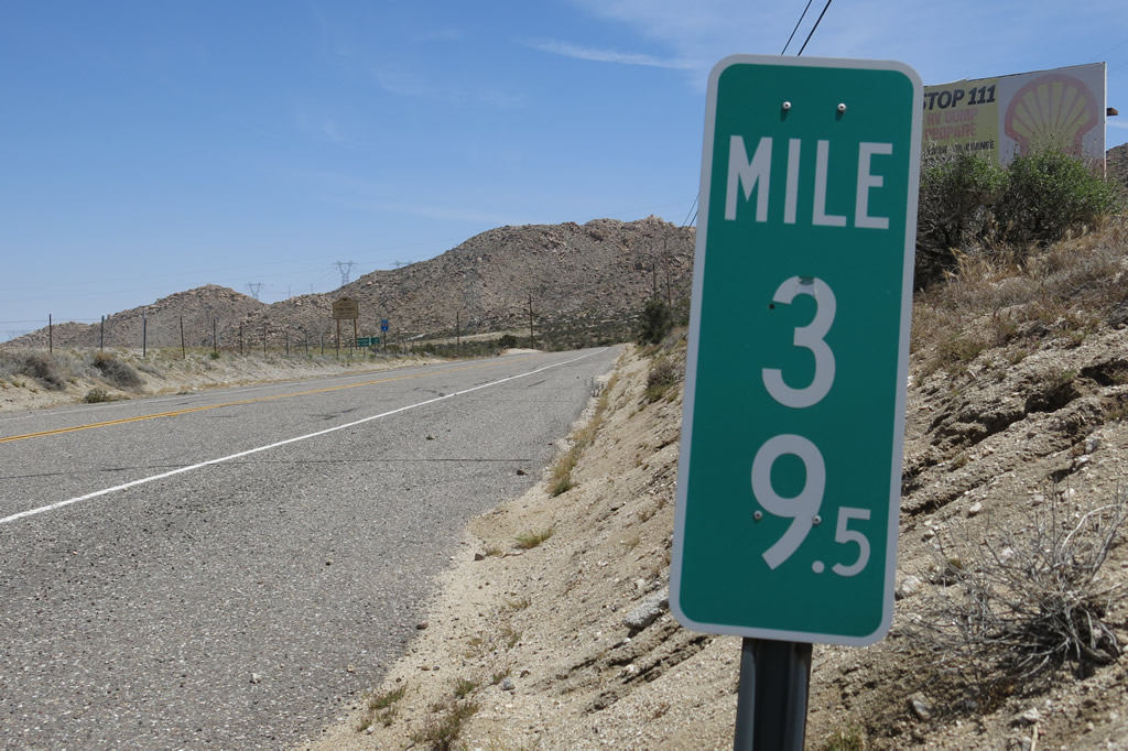
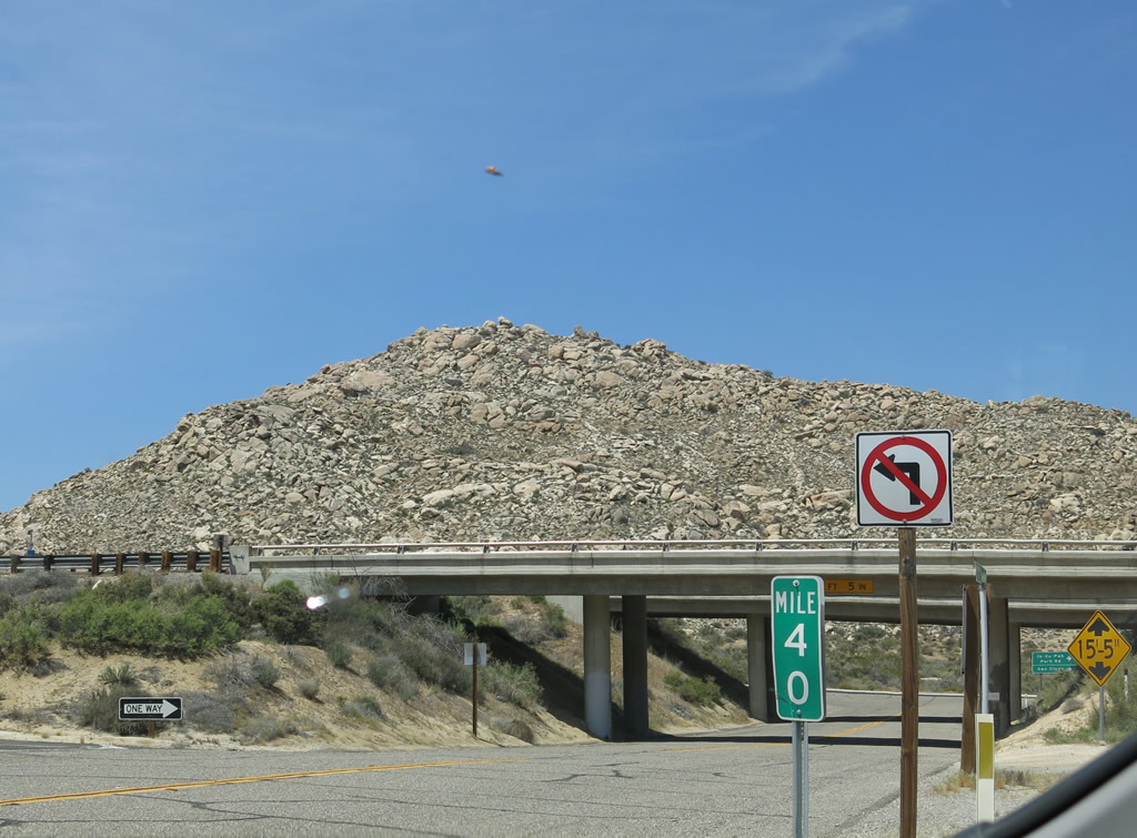
Old Highway 80 reaches its 40th mile and then transitions onto In-Ko-Pah Park Road. An extant section of Old U.S. 80 connects this interchange with the Desert View Tower, but downhill motorists must use Interstate 8 east. Photo taken 04/20/13. |
|
|
Turning north, U.S. 80 passes under Interstate 8. The next left connects to an abandoned section of U.S. 80, and the next right connects to U.S. 80 east to Desert View Tower. This section of U.S. 80 is not a through street, so through traffic should join Interstate 8 east to Imperial Valley. Photos taken 04/19/08 and 04/20/13. |
|
|
After passing under Interstate 8, Historic U.S. 80 turns right onto In-Ko-Pah Park Road toward the Desert View Tower. This is a dead-end street; it was cut off from the rest of Old U.S. 80 when Interstate 8 was constructed through here. Photos taken 04/20/13 and 10/14/06. |
|
|
Eastbound In-Ko-Pah Park Road takes Historic U.S. 80 east toward the Desert View Tower. More concrete segments alternate with asphalt pavement. The next right connects to Interstate 8 west to San Diego. Photos taken 10/14/06 and 04/20/13. |
|
After turning east, U.S. 80 approaches the on-ramp to Interstate 8 west to San Diego. Continue straight toward the Desert View Tower. Photo taken 04/19/08. |
|
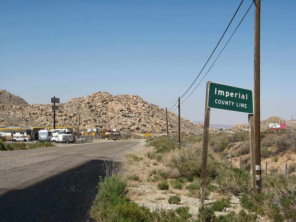
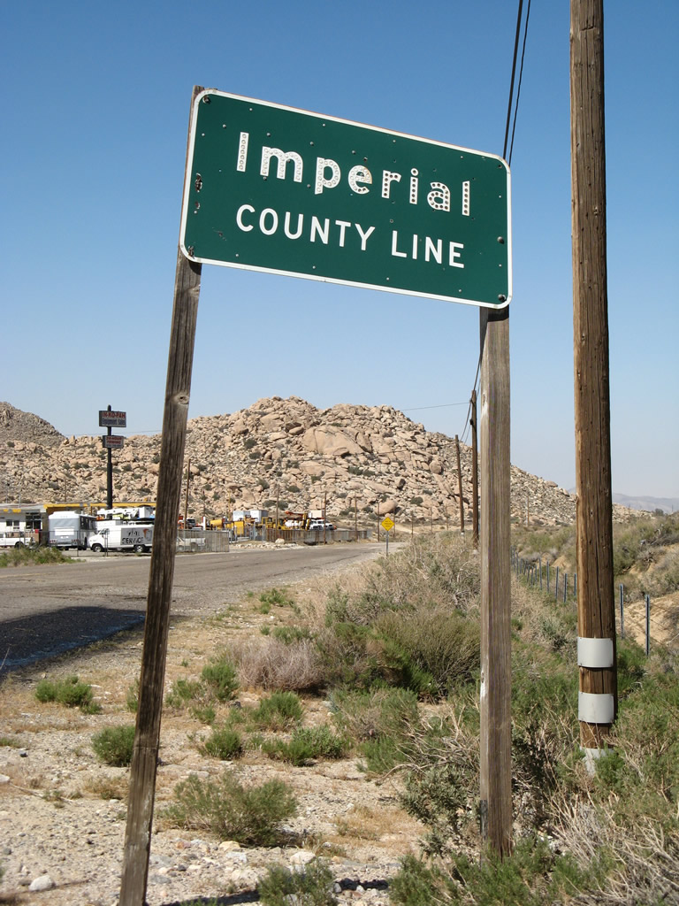
Traveling east on U.S. 80 after the Interstate 8 interchange (Exit 77), the former U.S. highway leaves San Diego County and enters Imperial County. While sections of twin-slab concrete are visible, much of the road has been paved over with asphalt that is deteriorating rapidly. The roadway used to travel through to In-Ko-Pah Gorge below, but construction of the dual alignment freeway caused the old road to be cut up into pieces and rendered impassable east of the Desert View Tower. Photo taken 04/19/08. |
|
|
|
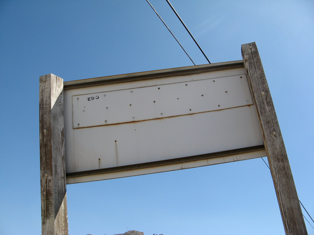
A 1963 Imperial County Line porcelain-enamel sign is still posted along former U.S. 80 east. The companion sign for San Diego County is long gone. Several of the buttons have fallen off and the lettering is not nearly as legible as it once was. Looking at the back of the porcelain enamel county line sign is a date stamp ("C-63"). Photos taken 04/19/08. |
|
|
|
|
|
| Now in Imperial County, this series of pictures follows some nice old sections of twin-slab concrete along eastbound Historic U.S. 80 (In-Ko-Pah Park Road). This is the first concrete we've seen on U.S. 80 since leaving Jacumba Hot Springs. Photos taken 10/14/06. |
|
|
|
|
|
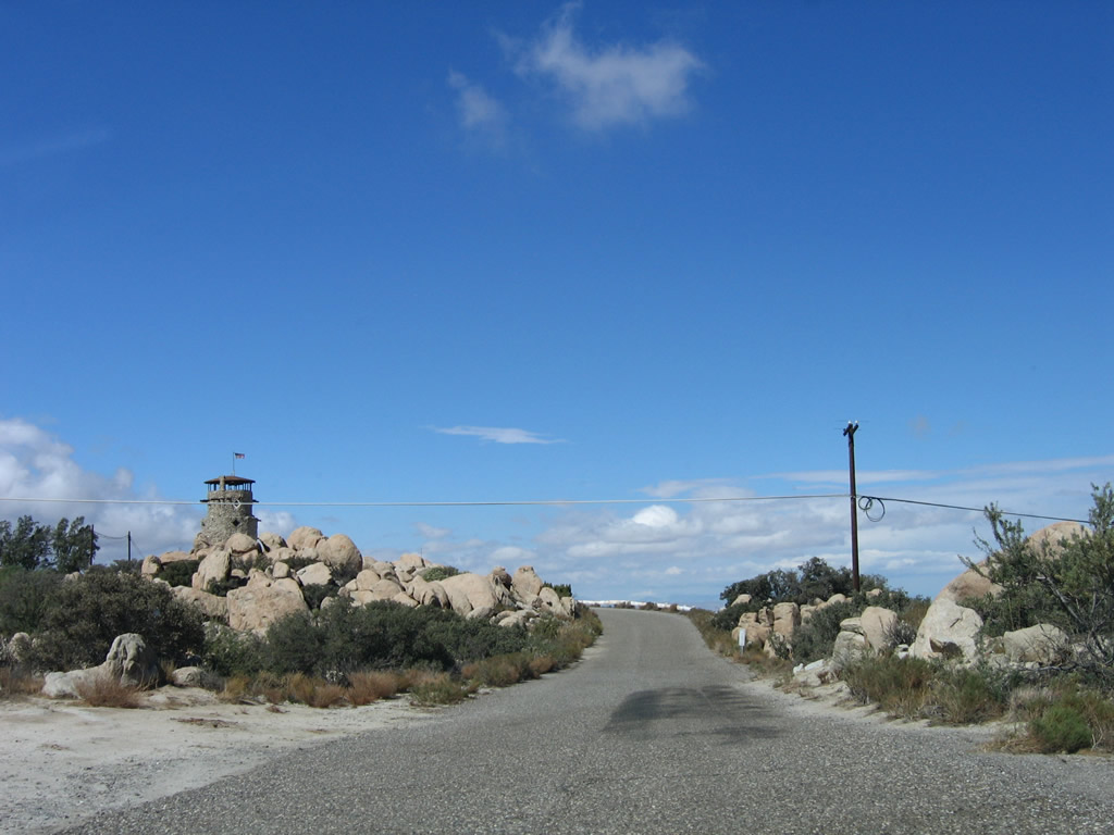
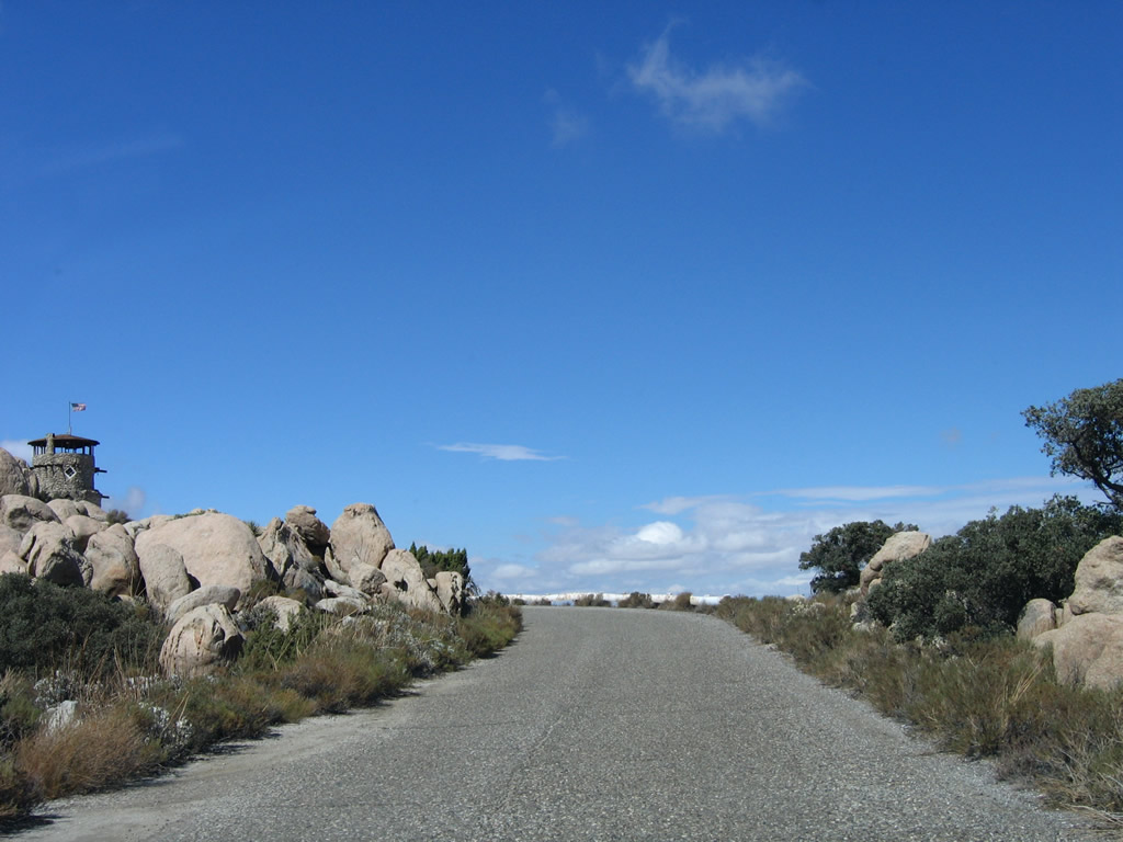
| U.S. 80 becomes essentially a driveway leading into Desert View Tower. This county highway ends at the Desert View Tower parking lot. Photos taken 10/14/06. |
|
The Sunrise Powerlink is visible from In-Ko-Pah Park Road; this tower is situated at the top of the Mountain Springs Grade. Photo taken 04/20/13. |
|
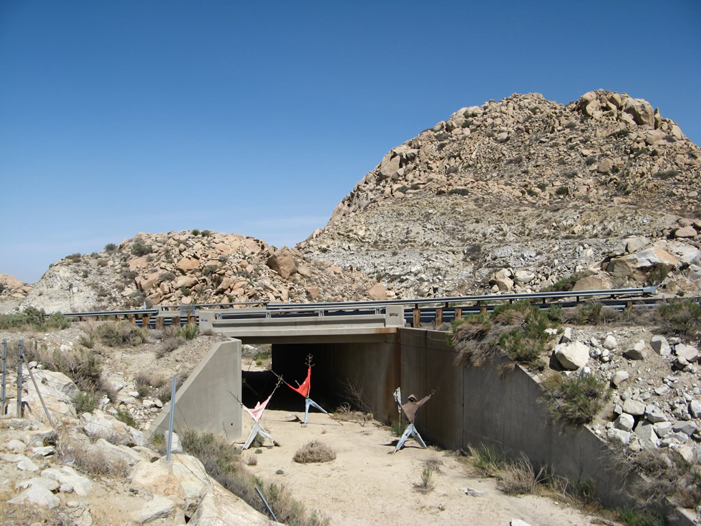
Several scarecrows were placed in a wash that passes under old U.S. 80 and Interstate 8 near Desert View Tower. Photo taken 04/19/08. |
|
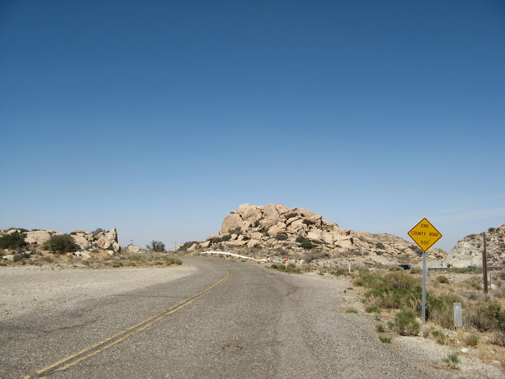
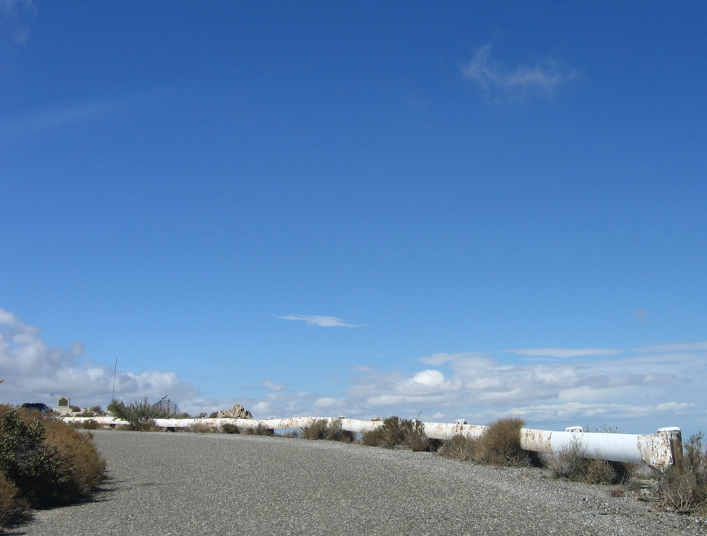
After passing the wash, a county road ends sign is posted prior to the unpaved parking lot for the Desert View Tower. In the distance, old-style, white guardrail is visible. Photo taken 04/19/08. |
|
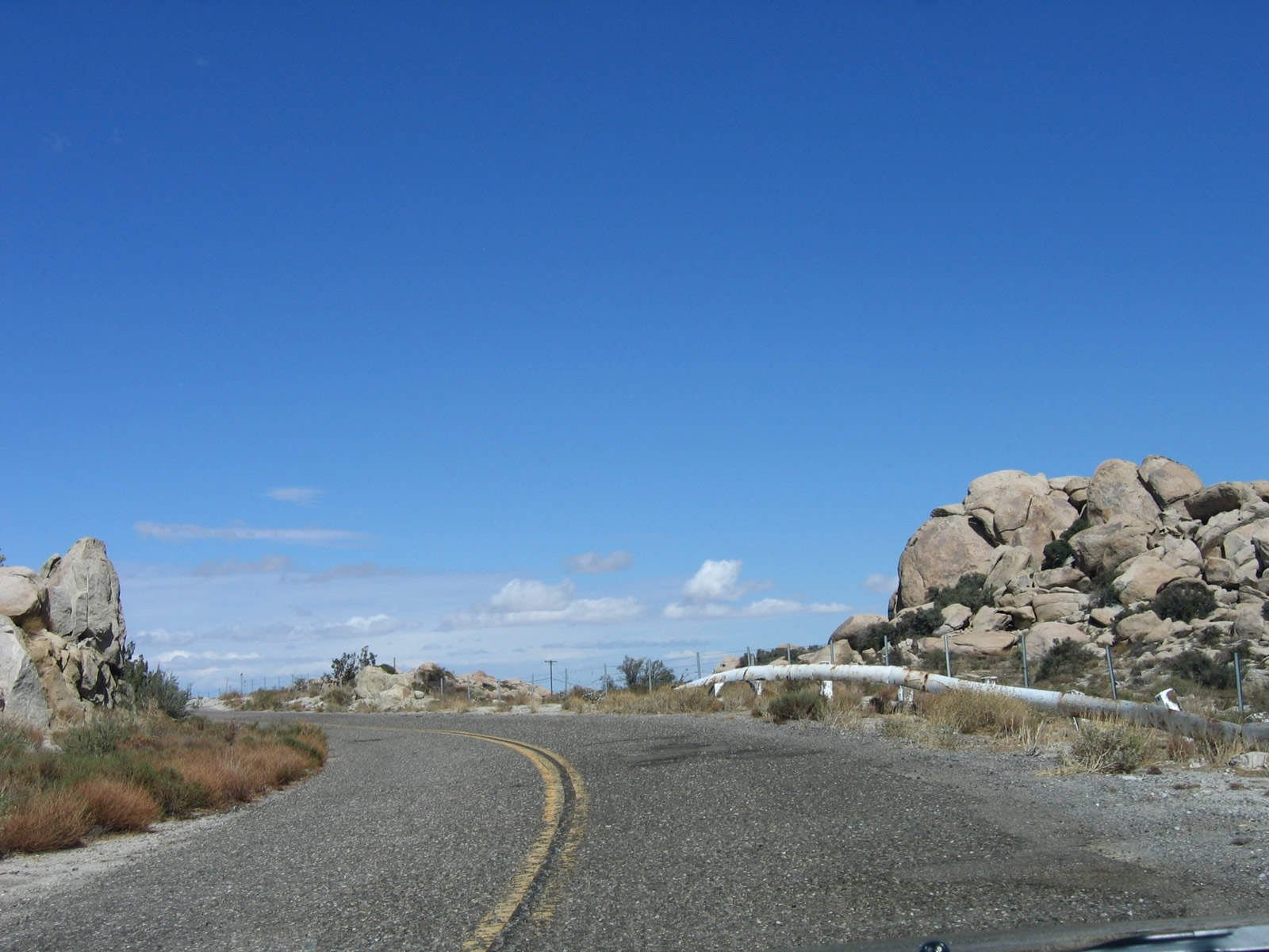
Older, white metal guardrail lines In-Ko-Pah Park Road as it leads toward Desert View Tower. Beyond the tower, the old road used to descend into In-Ko-Pah Gorge on its way to the Imperial Valley. Today, Interstate 8 takes on that role. Photo taken 10/14/06. |
|
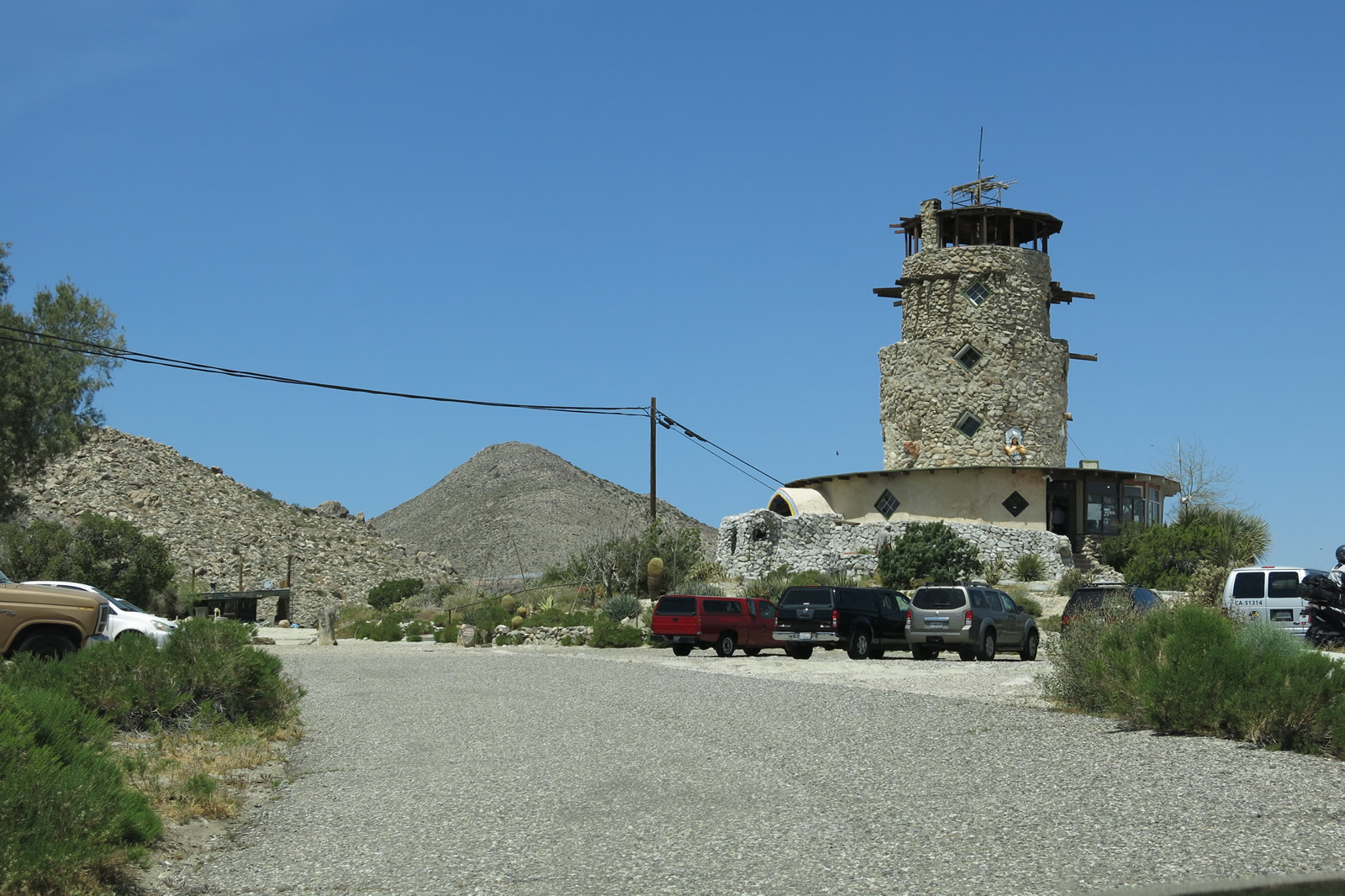
Eastbound In-Ko-Pah Park Road enters the parking lot for Desert View Tower. The tower itself also comes into view. Photo taken 10/14/06. |
|
|
|
|
|
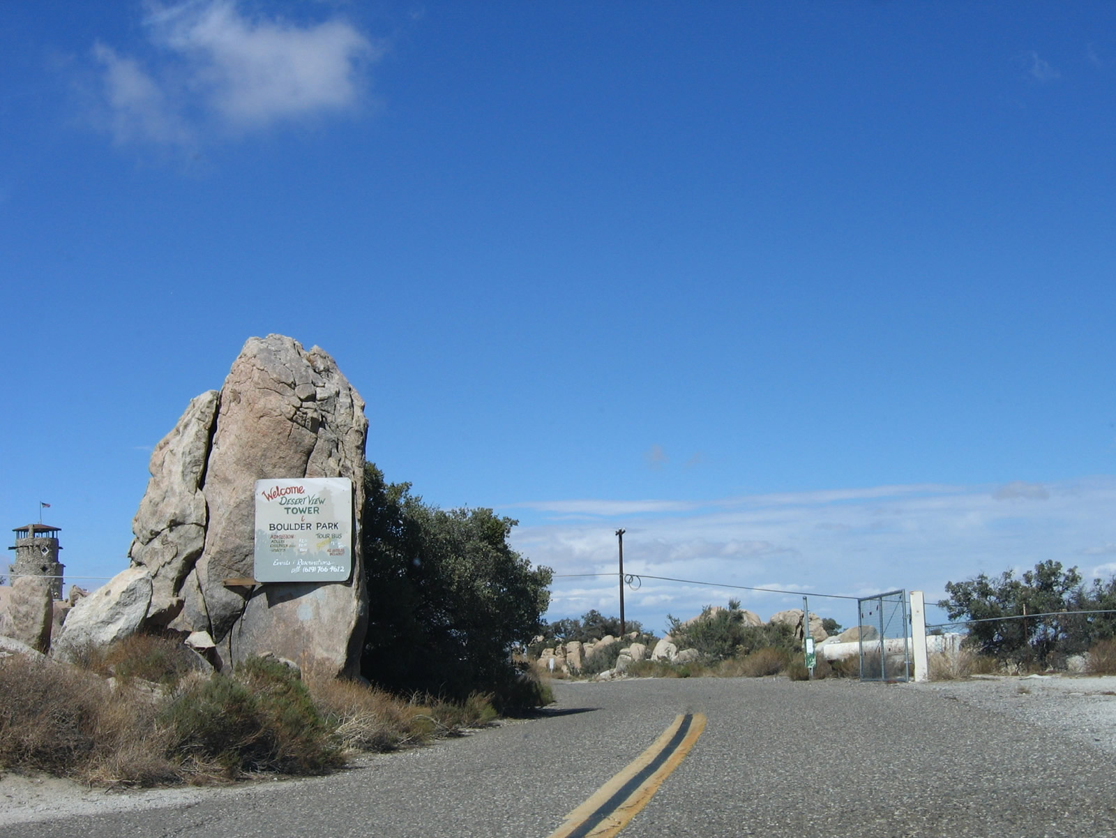
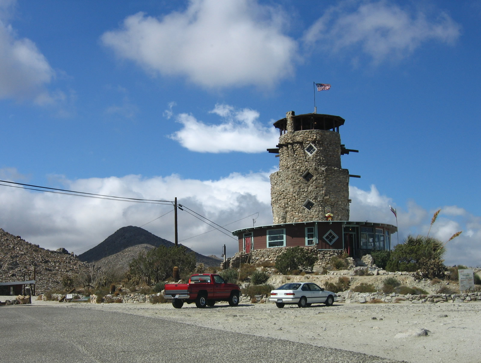
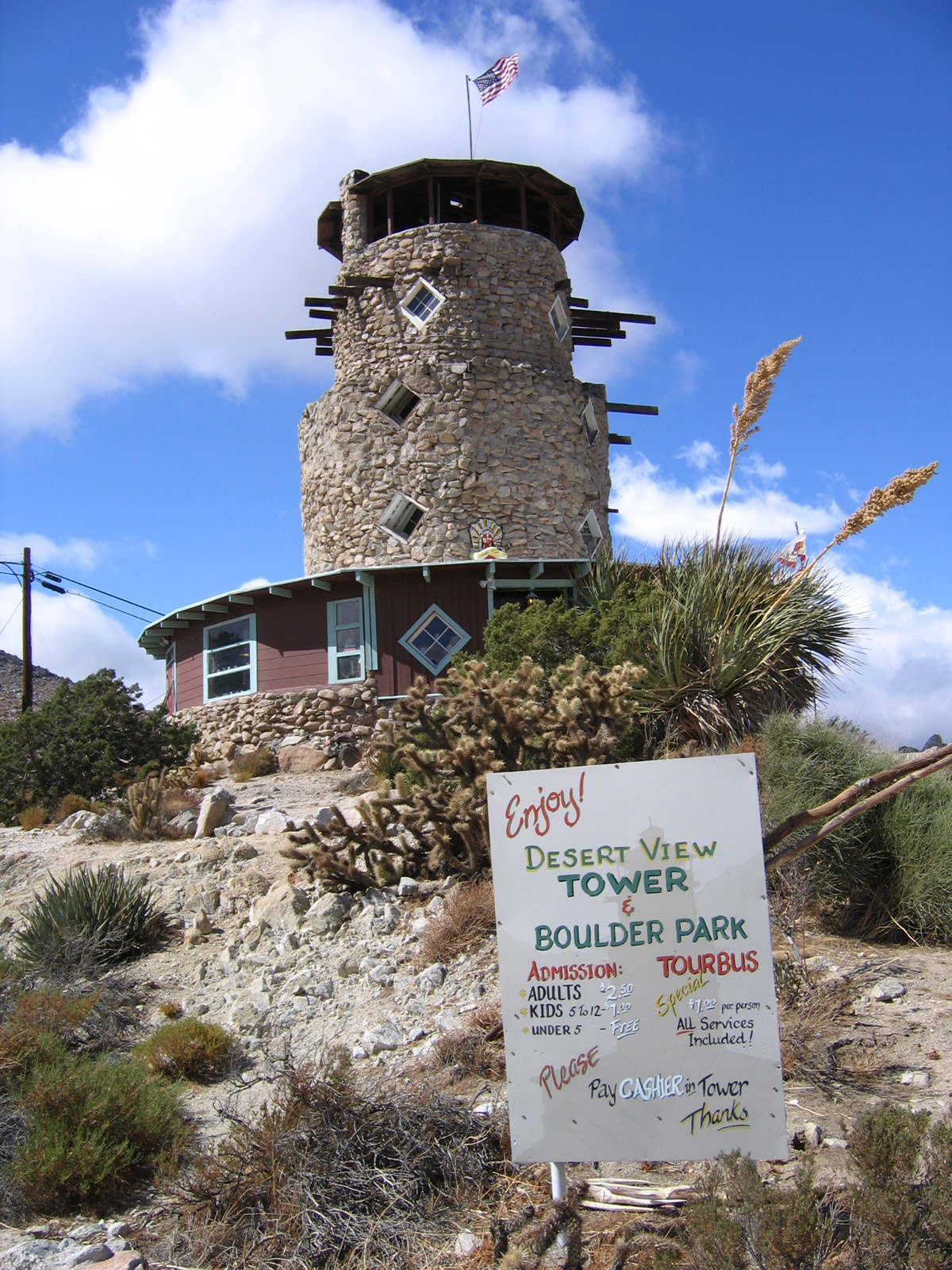
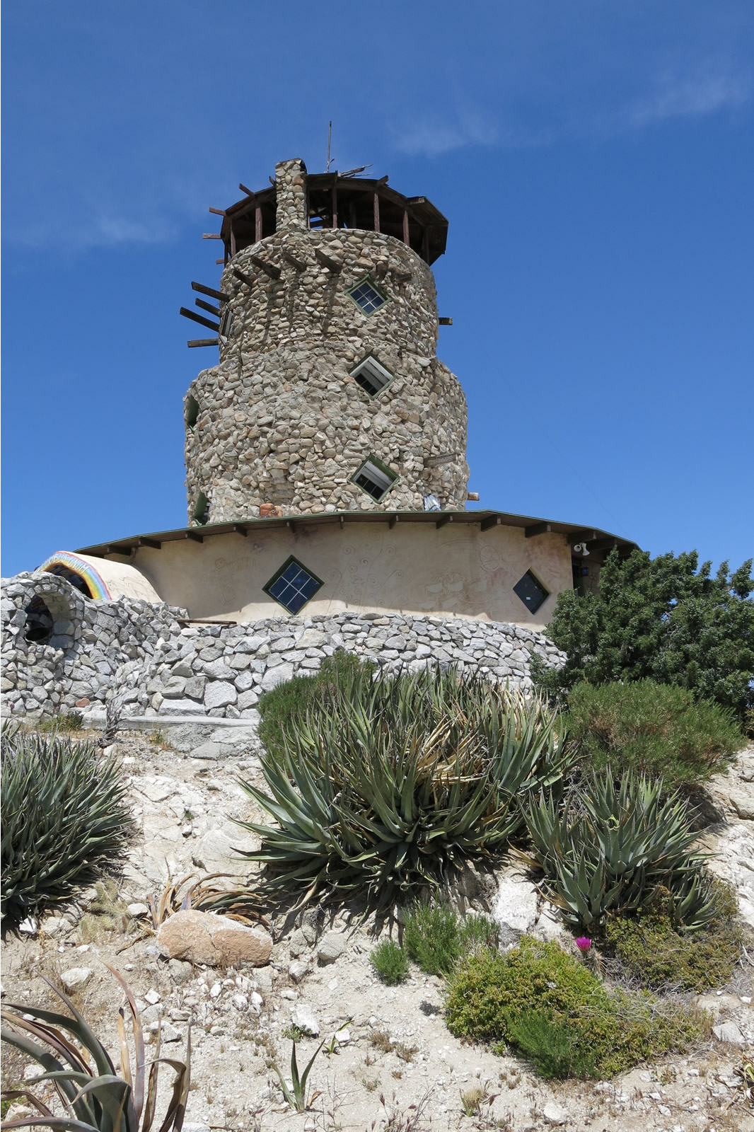
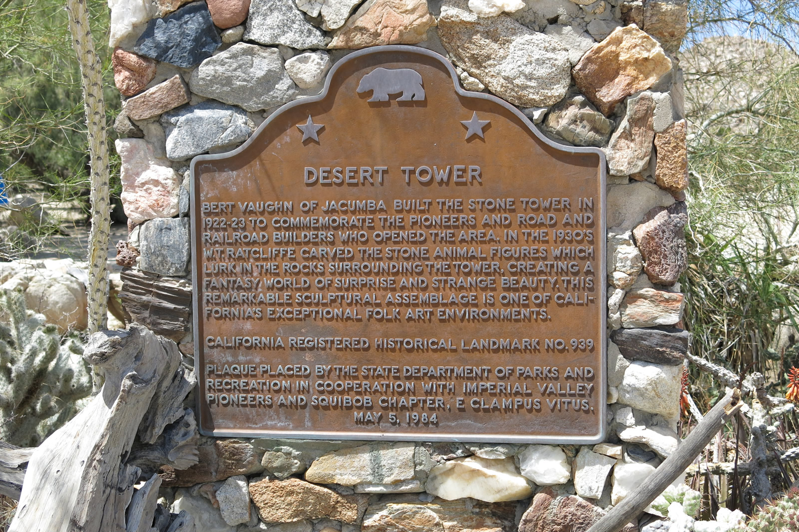
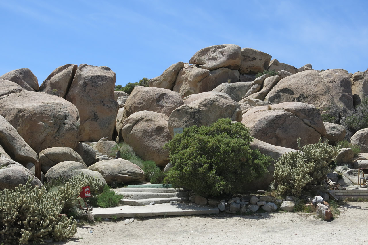
| Even the entrance road to Desert View Tower is part of Old Highway 80. Note the old highway turns and older guardrail. The Desert View Tower was built between 1922 and 1928 by Burt Vaughn to honor the pioneers who crossed the barren and often hot desert. Today, the Desert View Tower is open for visitors and includes a small gift shop/museum. Due to the construction of Interstate 8, U.S. 80 no longer connects with other segments downhill from here. Motorists must use Interstate 8 east to see the extant segments near Mountain Springs, In-Ko-Pah Gorge, and the Imperial Valley near Ocotillo. Photos taken 10/14/06 and 04/20/13. |
|
|
|
|
|
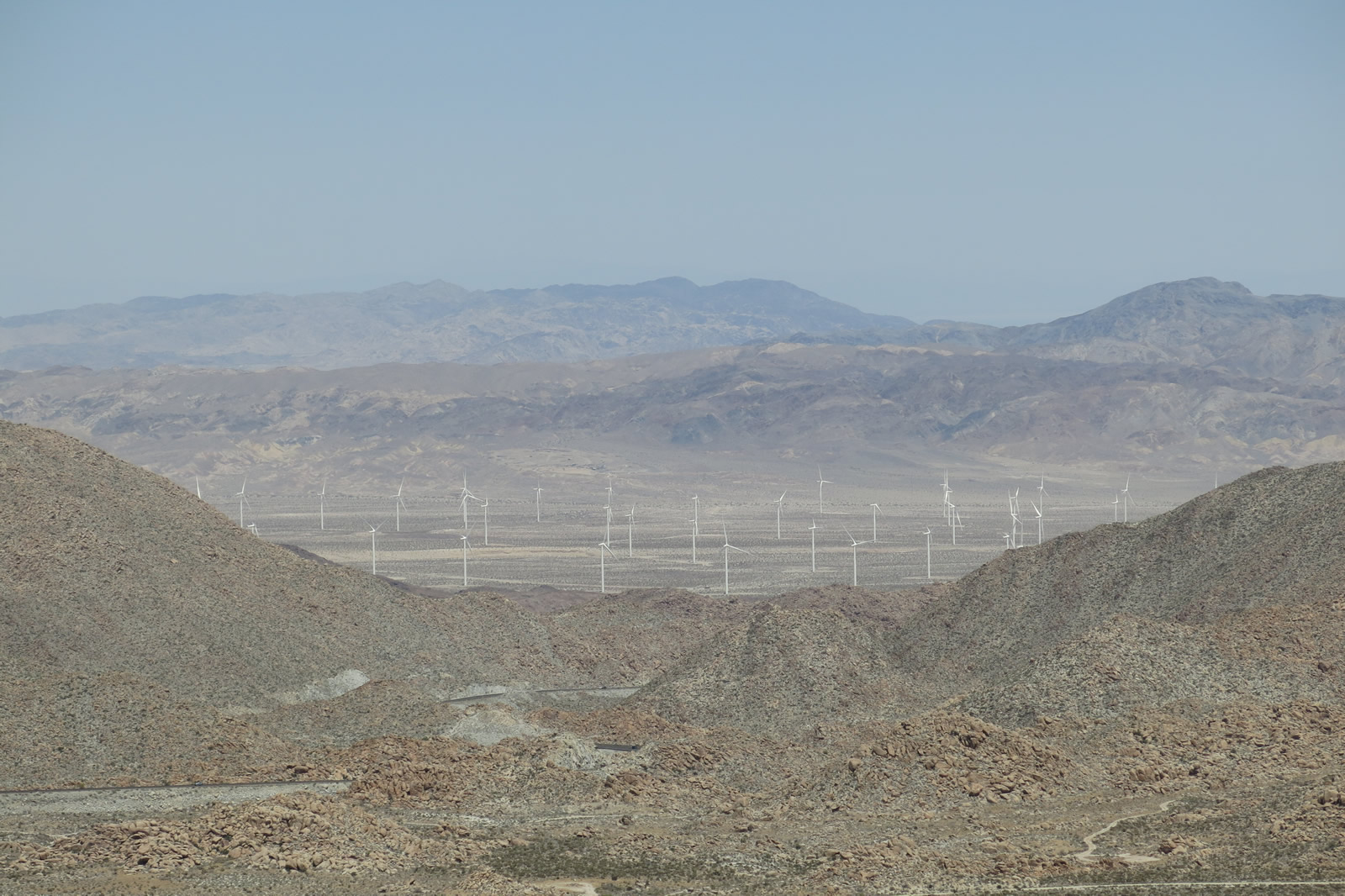
| In this series of pictures, we see more views of the Desert View Tower and the Imperial Valley. In 2013, notable changes to the area include the presence of the Sunrise Powerlink and a wind farm located in Ocotillo at the bottom of In-Ko-Pah Gorge. Photos taken 10/14/06 and 04/20/13. |
|
|
|
|
|
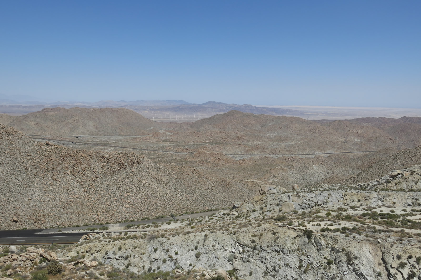
| Looking at 2013, these pictures show the view of Interstate 8, Ocotillo, Mountain Springs Grade, and In-Ko-Pah Gorge. Several abandoned sections of Historic U.S. 80 can be seen from the vicinity of the tower. Photos taken 04/20/13. |
|
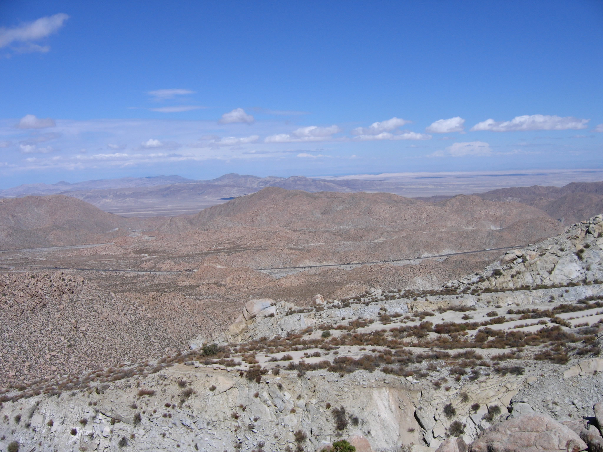
Returning to 2006, this view looks toward Mountain Springs and the Imperial Valley as seen from the Desert View Tower pre-Sunrise Powerlink and Ocotillo wind farm. Note visible segments of both Interstate 8 and Old U.S. 80. A section of the old road is visible in the foreground on the lower right side; this section had to be abandoned due to the grade taken by Interstate 8. Photo taken 10/14/06. |
Page Updated April 24, 2013.