
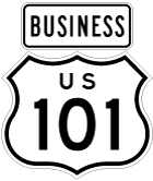
U.S. 101 Business - Petaluma
| U.S. 101 Business/Petaluma Boulevard north | |
|---|---|
 |
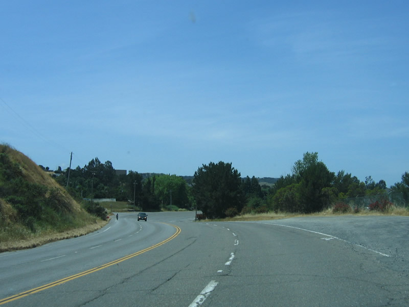
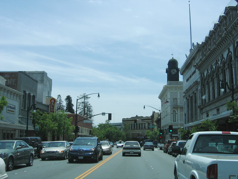
Northbound U.S. 101 Business/Petaluma Boulevard after the transition from U.S. 101 (Redwood Highway) north. The nascent business route follows old U.S. 101 through Downtown Petaluma. Photo taken 05/25/06. |
 |
Alongside the business route is the Petaluma River, which drains the hills above Petaluma. It travels southeast into San Pablo Bay. While the bridge that carries U.S. 101 over the Petaluma River is high enough to allow for navigation, the bridges over the river north of downtown Petaluma are low and do not account for navigation. Photo taken 05/25/06. |
 |
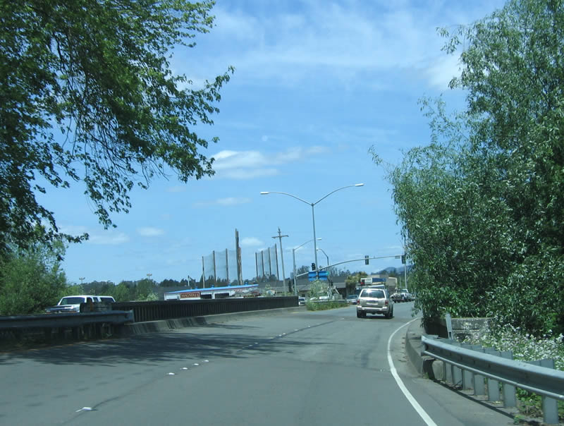
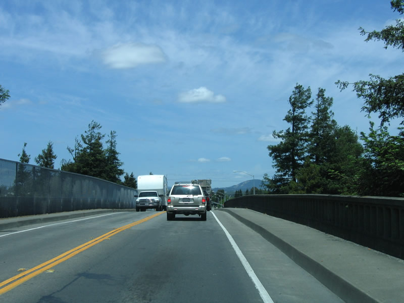
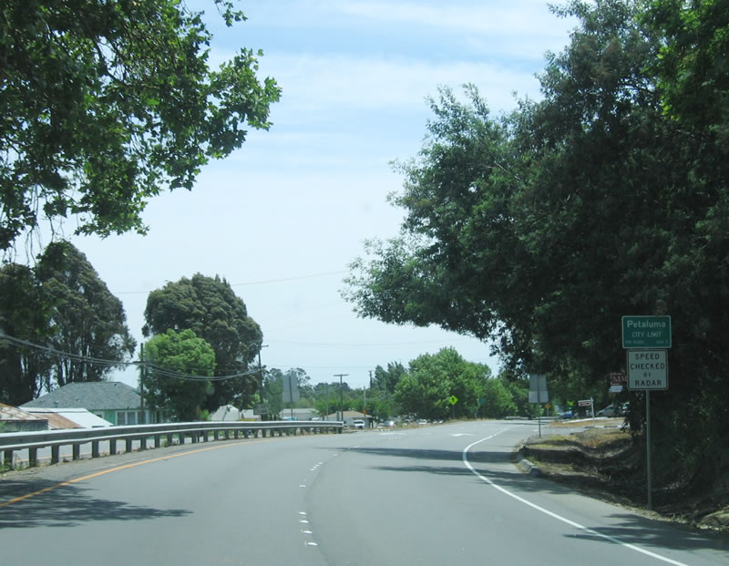
Although U.S. 101 Business is signed from both directions of U.S. 101, there are no reassurance shields anywhere along the route. U.S. 101 Business was officially approved by AASHTO in 1997, yet signs placed only nine years before this series of photos was taken appear to be gone (if they were ever there before). The Petaluma River bridge cruises high above U.S. 101 Business/Petaluma Boulevard. Photo taken 05/25/06. |
 |
The U.S. 101 bridge over the Petaluma River was constructed in 1956 along with the rest of the Petaluma freeway bypass. The guardrail and bridge have been modified since the original construction, and the original guardrail can still be seen from Petaluma Boulevard. Photo taken 05/25/06. |
 |
Superelevated turns and cracks in the old pavement belie the presence of old concrete under the asphalt. Photo taken 05/25/06. |
 |
Petaluma was founded in 1852 (incorporated in 1858) primarily due to its proximity to the navigable Petaluma River and San Francisco Bay. Known as the "World's Egg Basket," Petaluma is known for its dairies. As of 2006 (estimate), 56,727 live in Petaluma. Photo taken 05/25/06. |
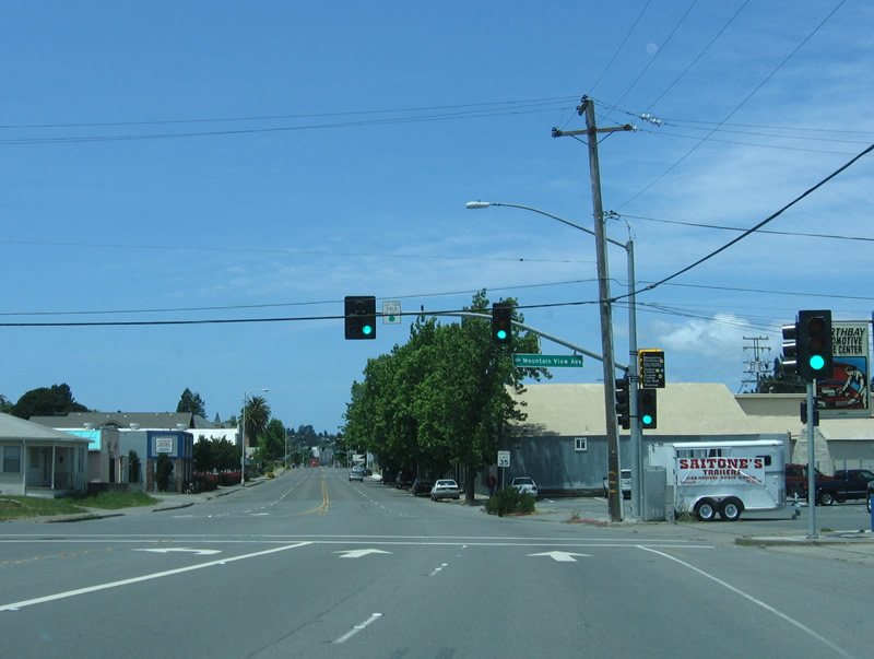 |
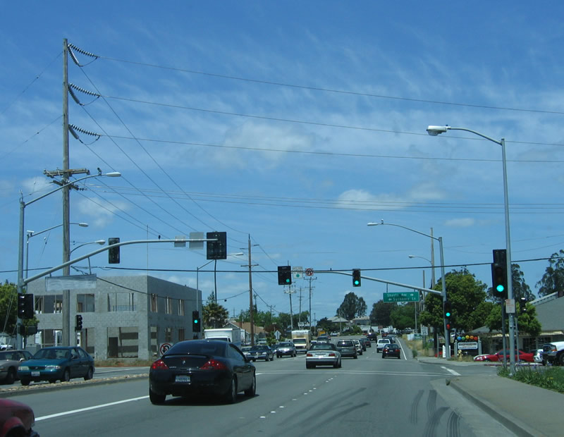
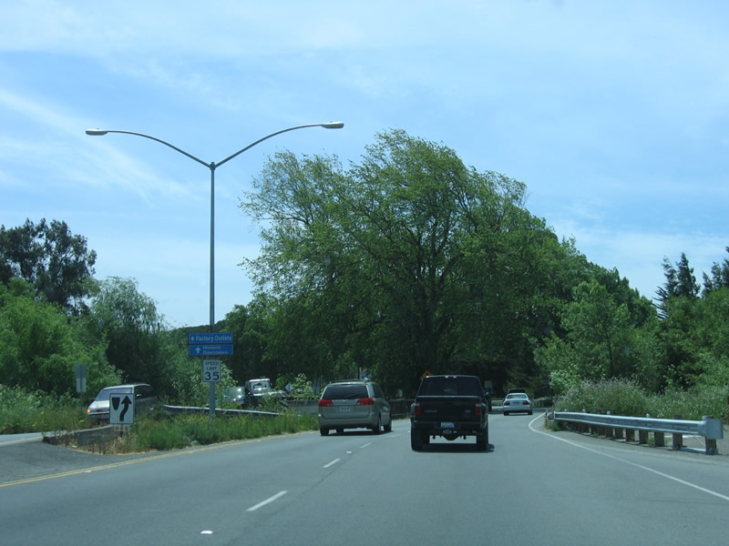
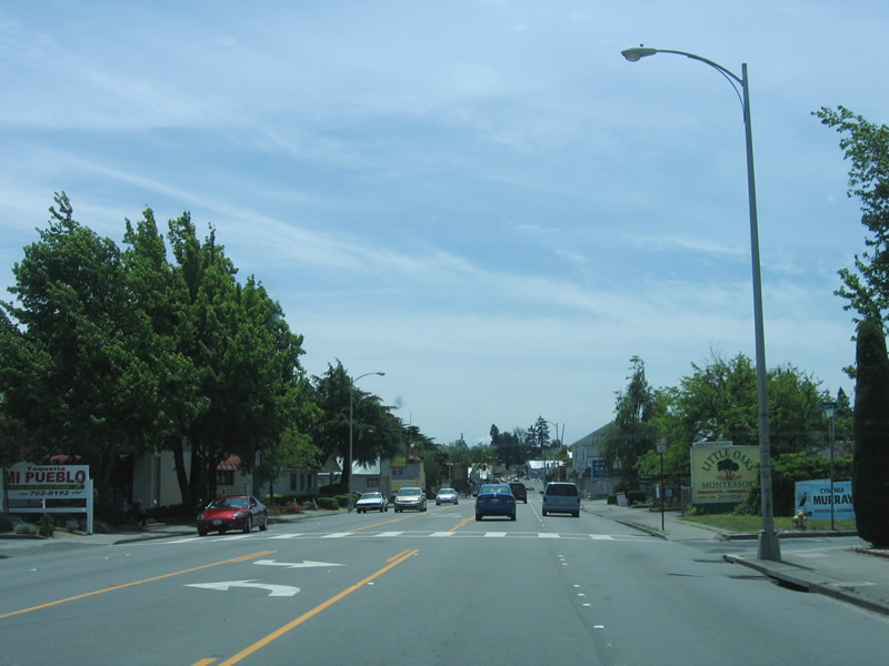
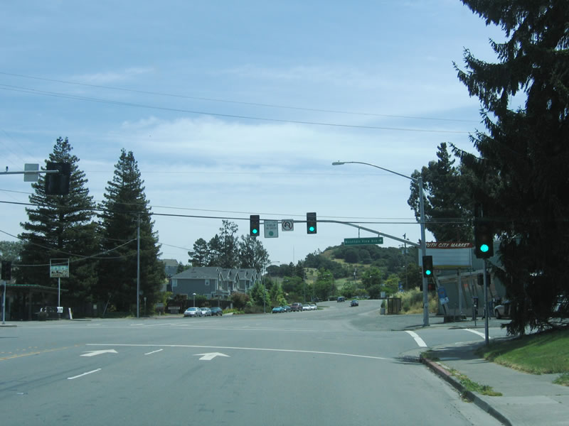
The first traffic signal on northbound U.S. 101 Business is with Mountain View Avenue, which travels south to the Petaluma Golf and Country Club. Photo taken 05/25/06. |
 |
The south end of the business loop is lined with tall poplar trees on the northeast side and has Botts dots for pavement markings. Photo taken 05/25/06. |
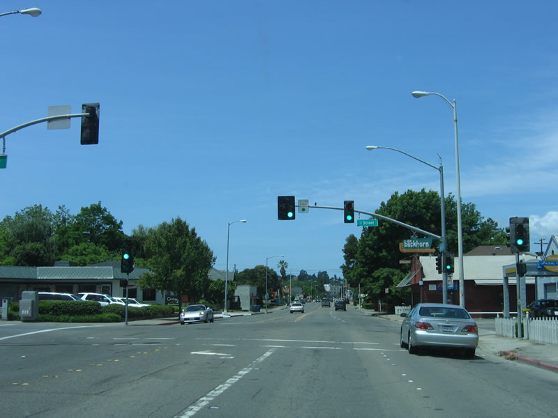 |
The next traffic signal along northbound U.S. 101 Business/Petaluma Boulevard is with I Street. This is the first of several lettered streets that Petaluma Boulevard will intersect. Photo taken 05/25/06. |
 |
Numbered streets parallel the Petaluma River, while lettered streets intersect the numbered streets at 90-degree angles. The river is just a few blocks northeast of here; U.S. 101 Business is traveling northwest (at least until it meets Western Avenue, which is where it changes directions to due north). Photo taken 05/25/06. |
 |
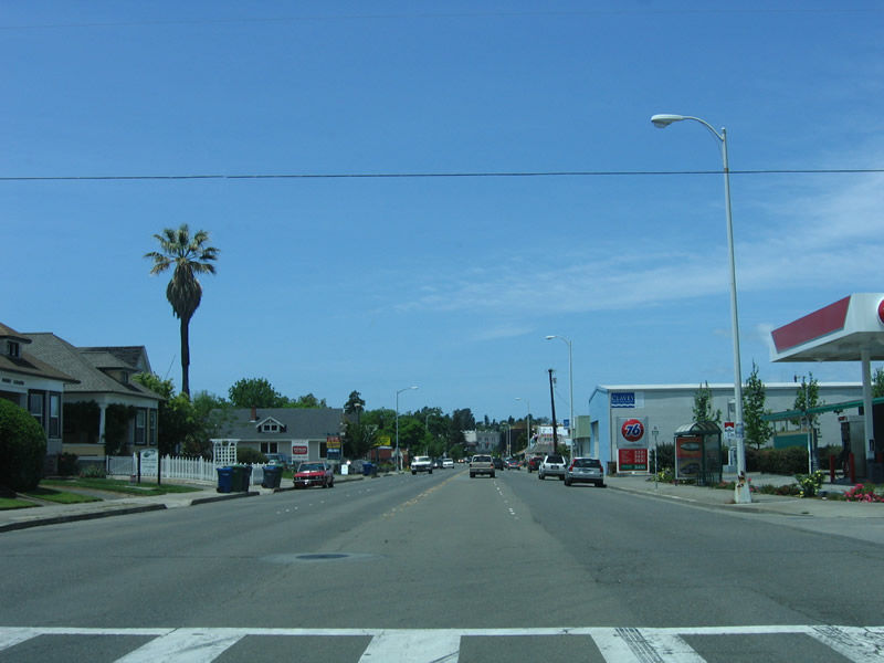
Restaurants and housing lines Petaluma Boulevard as the business loop approaches downtown Petaluma. The name "Petaluma" refers to a Coastal Miwok Indian phrase for -valley of the little hills." Photo taken 05/25/06. |
 |
Now approaching the D Street, Walnut Park rests to the left of Petaluma Boulevard, and a way finder sign for downtown attractions is posted on the street light post. Photo taken 05/25/06. |
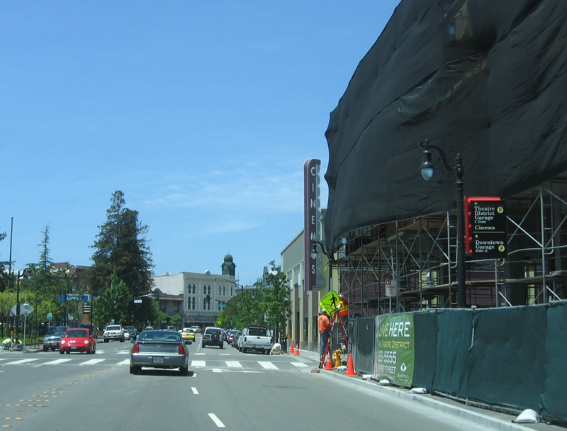 |
Another way finder sign is posted on this street light; it provides directions to the downtown theatre district and parking garage. Photo taken 05/25/06. |
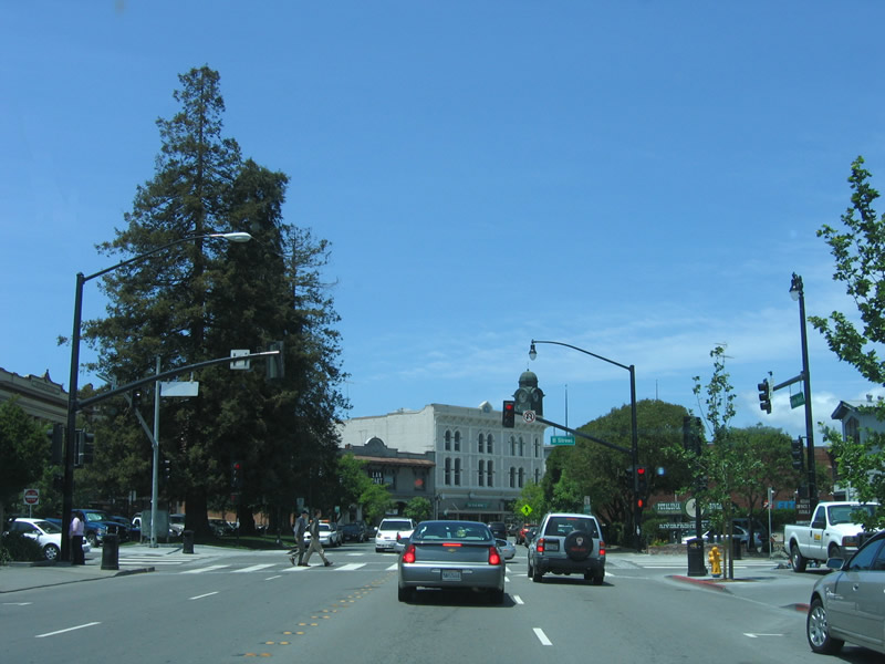 |
The next traffic signal along northbound U.S. 101 Business is with B Street. A few redwood trees are planted in the highway median to the left of the traffic signal; these signify the original naming of this road: the Redwood Highway. Photo taken 05/25/06. |
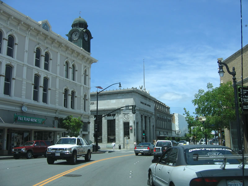 |
Passing through downtown, Petaluma Boulevard changes directions, turning from northwest to north. The next traffic signal is with Western Avenue. Photo taken 05/25/06. |
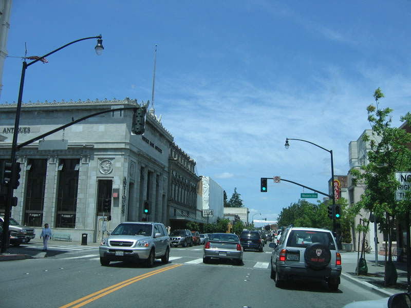 |
Now approaching Western Avenue, a large antique store sits on the northwest corner of the intersection between Petaluma Boulevard and Western Avenue. Photo taken 05/25/06. |
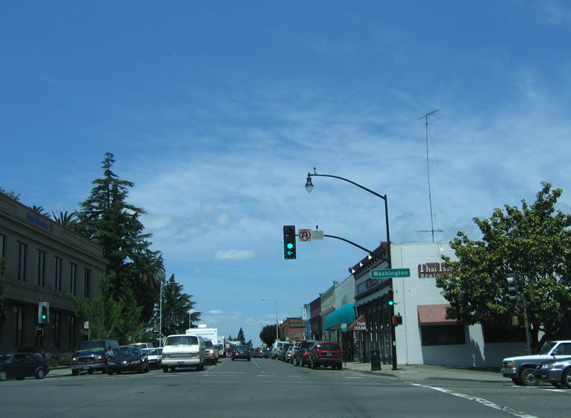 |
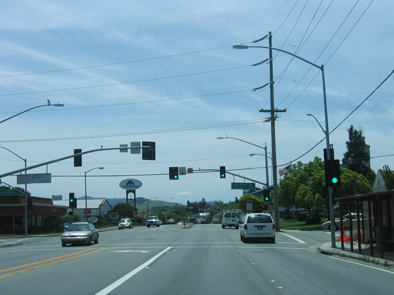
The next traffic signal is with Washington Street. Use Washington Street east to Kenilworth Park and Fairgrounds and to the U.S. 101 freeway. To the west, Washington Street changes into Bodega Avenue, and it splits in Two Rock, with Tomales Road continuing west to meet California 1 at Tomales and Valley Ford Road traveling northwest to California 1 at Valley Ford. Photo taken 05/25/06. |
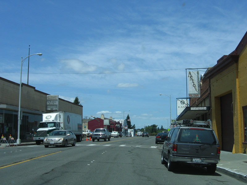 |
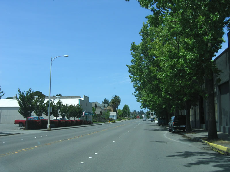
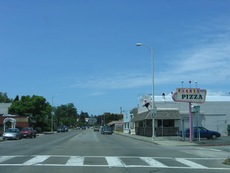
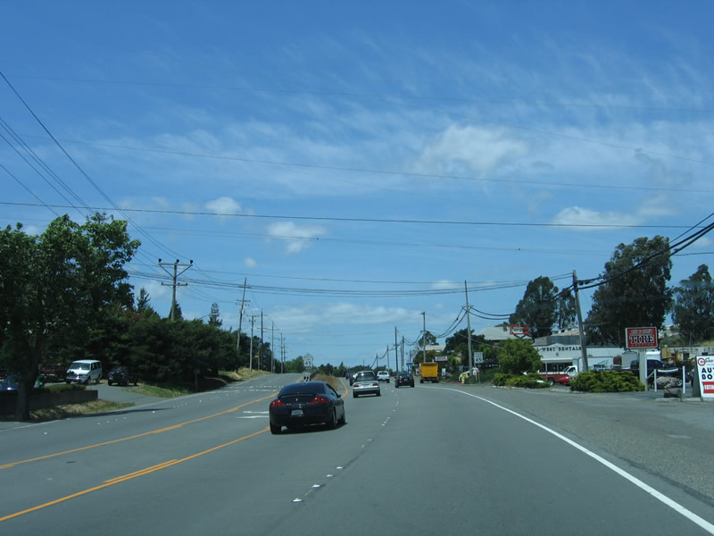
More roadside shops line Petaluma Boulevard as U.S. 101 Business leaves downtown Petaluma. Photo taken 05/25/06. |
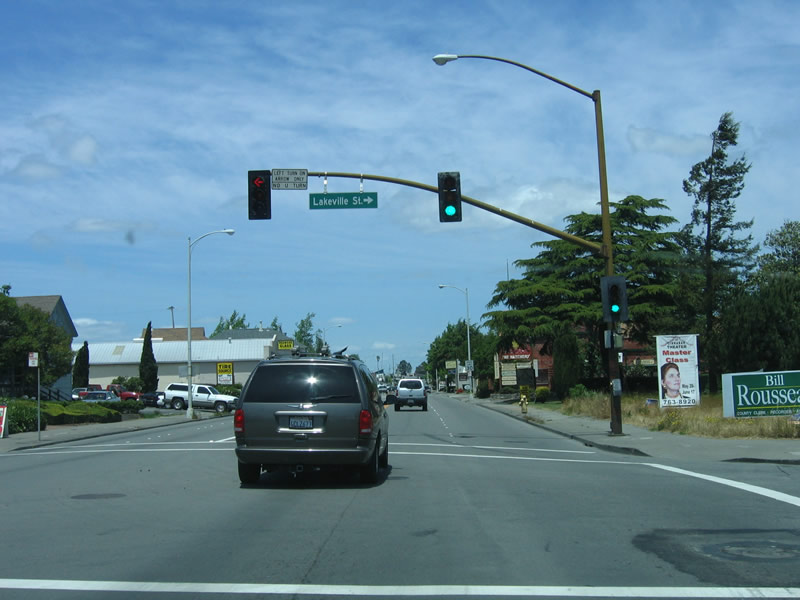 |
Northbound U.S. 101 Business/Petaluma Boulevard meets Lakeville Street, which connects to eastbound California 116/Lakeville Highway to the Sonoma Valley via California 116 and to California 37 via Lakeville Road. Lakeville Road travels generally southeast to cross the Petaluma River and connect with U.S. 101 and California 116 east of downtown. Photo taken 05/25/06. |
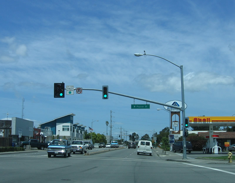 |
The next traffic signal on northbound is with Payran Street east and Magnolia Avenue west. Photo taken 05/25/06. |
 |
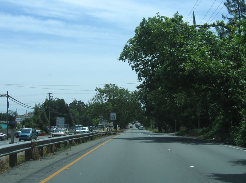
As the expressway segment comes into view, northbound U.S. 101 Business/Petaluma Boulevard approaches Shasta Avenue east and Sycamore Lane west. The four-lane boulevard changes into an expressway configuration north of Shasta Avenue and Sycamore Lane. Photo taken 05/25/06. |
 |
Continuing north, the business loop appears more like an expressway. A landscaped median appears ahead. Photo taken 05/25/06. |
 |
The landscaped median has plenty of shade trees, offering a scenic drive from north Petaluma back to U.S. 101. Photo taken 05/25/06. |
 |
An odd U.S. 101 trailblazer (white on green) is visible in the median. It is not a business route shield. Photo taken 05/25/06. |
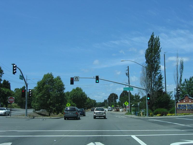 |
The next traffic signal connects U.S. 101 Business/Petaluma Boulevard with the factory outlets. Photo taken 05/25/06. |
 |
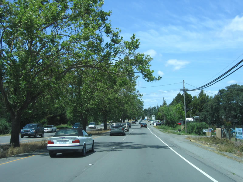
Green foliage dominates the ride on this late spring day. If the rainfall totals for the preceding winter had been lower, or if this were later in the summer, the greenery would be much browner given the lack of rainfall during the summer months in much of California. Photo taken 05/25/06. |
 |
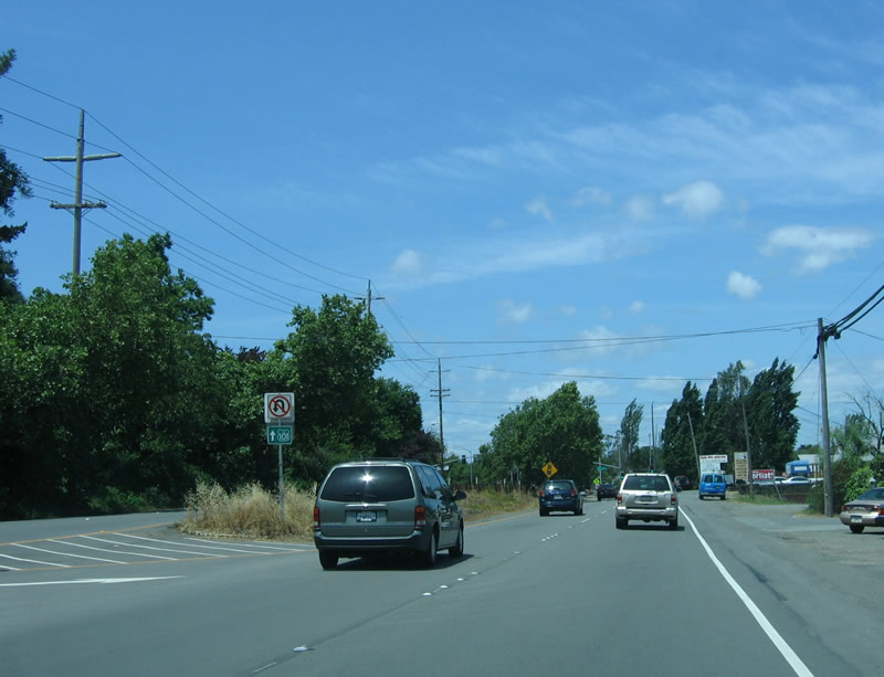
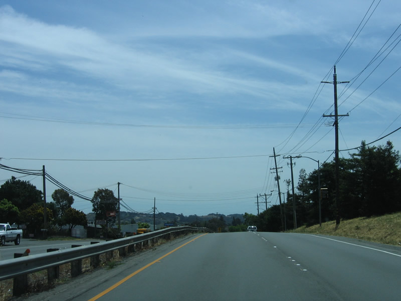
Northbound U.S. 101 Business/Petaluma Boulevard approaches Corona Road. Photo taken 05/25/06. |
 |
Curving northeast, Petaluma Boulevard prepares to cross the old bridge over the Petaluma River and meet U.S. 101. Photo taken 05/25/06. |
 |
Northbound U.S. 101 Business crosses the Petaluma River on this old bridge, complete with old style concrete guardrail. Photo taken 05/25/06. |
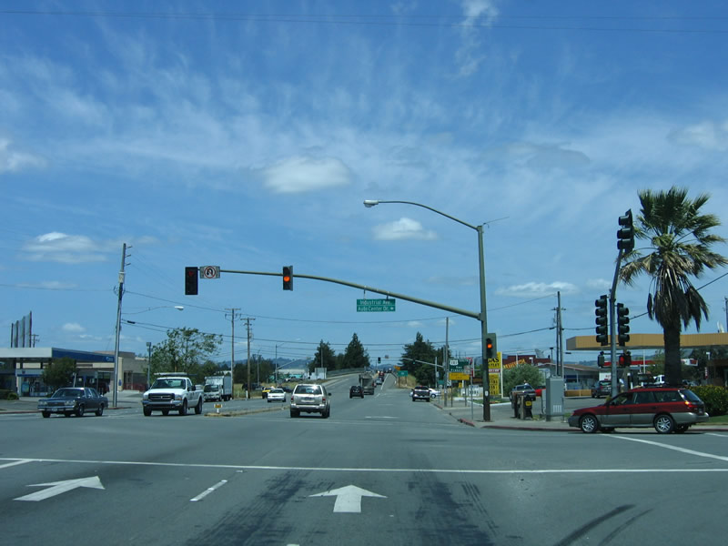 |
The next traffic signal is with Industrial Drive south to Auto Center. Photo taken 05/25/06. |
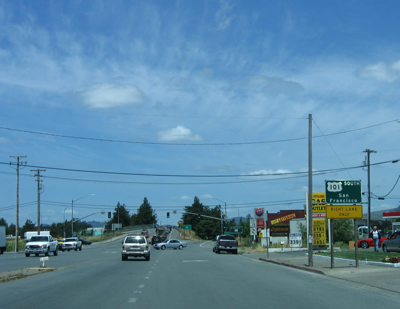 |
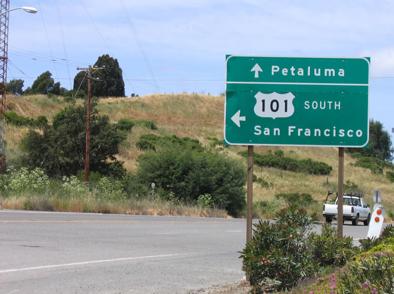
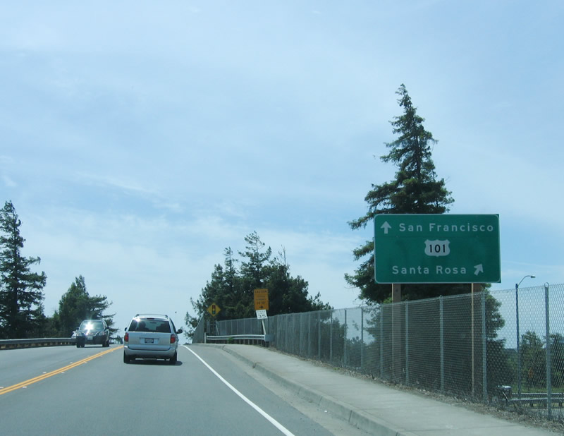
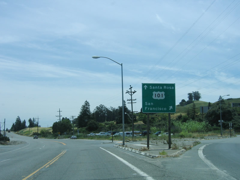
After passing Stony Point Road, northbound U.S. 101 Business approaches U.S. 101. The right lane becomes exit only for U.S. 101 south to San Rafael and San Francisco. Photo taken 05/25/06. |
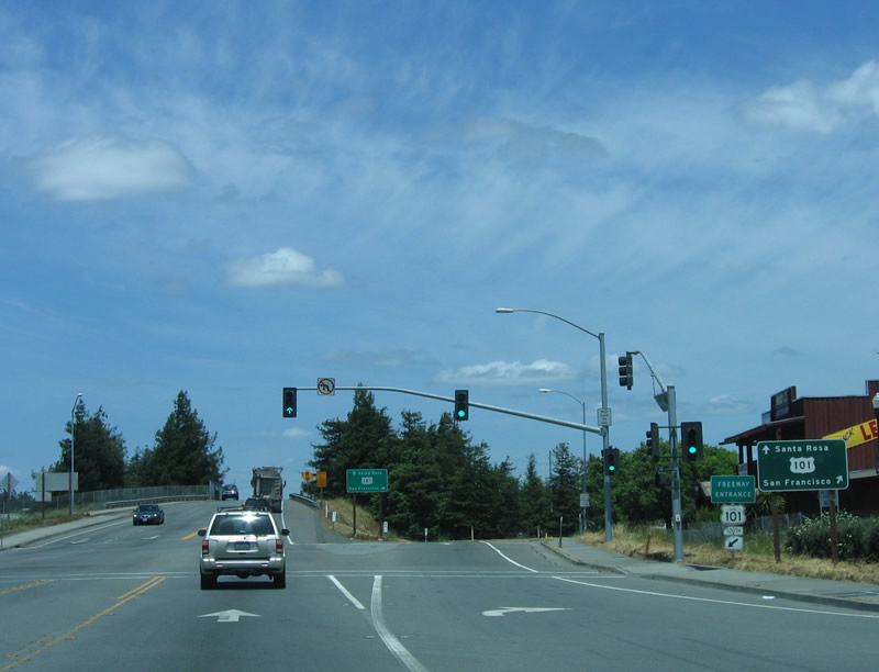 |
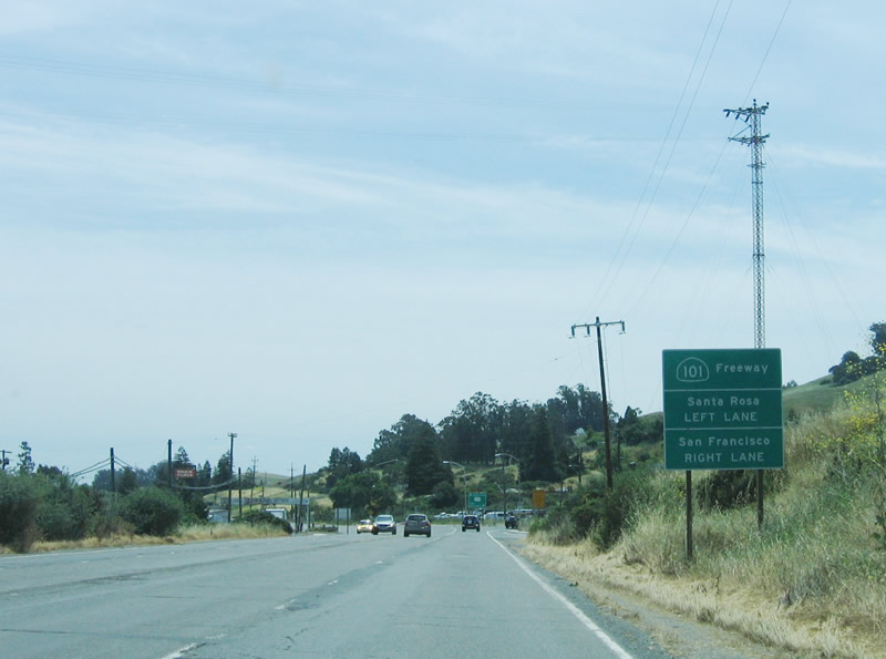
Continue straight ahead to connect to U.S. 101 north to Cotati, Rohnert Park, Santa Rosa, and Windsor. Note that there are two signs advising of the connection to U.S. 101 - one prior to the signal and another at the gore point. Photo taken 05/25/06. |
 |
This old, 1950s overpass carries Petaluma Boulevard over U.S. 101. The next ramp (right exit) connects to U.S. 101 north, while the road changes names to Old Redwood Highway en route to Penngrove. Photo taken 05/25/06. |
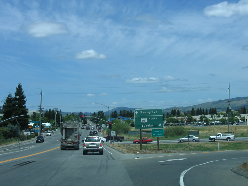 |
U.S. 101 Business comes to an end at this gore point, where traffic can turn north onto U.S. 101 freeway or continue straight ahead on Old Redwood Highway to Penngrove. Photo taken 05/25/06. |
| U.S. 101 Business/Petaluma Boulevard south | |
 |
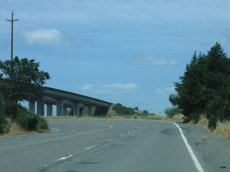
Traveling south on Old Redwood Highway (which follows Old U.S. 101 south from Penngrove to Petaluma), we approach the junction with U.S. 101 (Redwood Highway). The alignments of Old Redwood Highway (from Cotati) and Petaluma Hill Road (from Santa Rosa) come together in Penngrove. Photo taken 05/25/06. |
 |
U.S. 101 Business north begins at Old Redwood Highway crosses over U.S. 101. The name of the highway changes to Petaluma Boulevard, which is the name of the business route to the south end. Although U.S. 101 Business is signed from both directions of U.S. 101, there are no reassurance shields anywhere along the route. Photo taken 05/25/06. |
 |
After passing through the first two traffic signals (for Stony Point Road/Industrial Avenue first and Bailey Avenue second), U.S. 101 Business assumes an expressway configuration complete with landscaped median. The expressway predates the freeway alignment that currently bypasses Petaluma. Photo taken 05/25/06. |
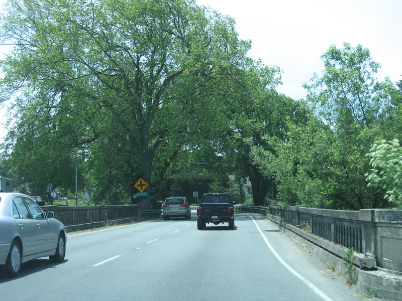 |
An old bridge complete with old-style concrete guardrail carries U.S. 101 Business over the Petaluma River. This bridge is far smaller than the one that carries the U.S. 101 freeway over the river. Photo taken 05/25/06. |
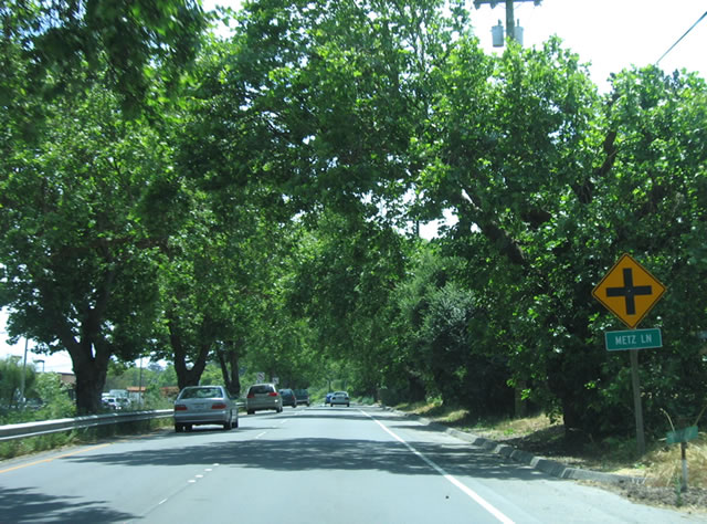 |
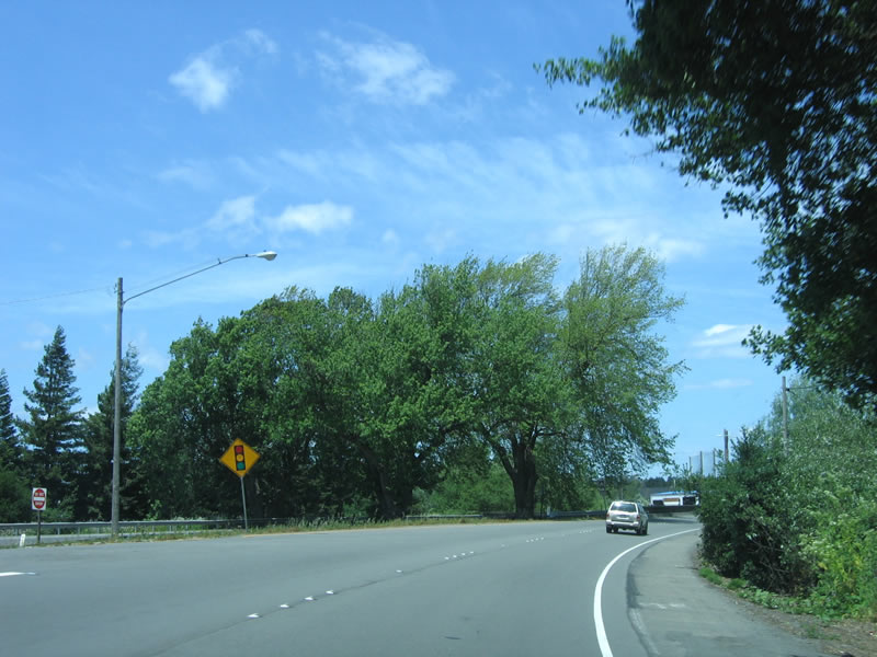
Several intersections line the expressway alignment, including this one for Metz Lane. Very few traffic signals can be found along this section of the business route. Photo taken 05/25/06. |
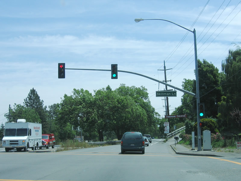 |
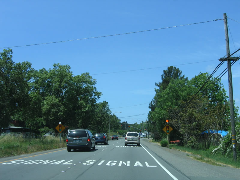
We may have spoken too soon about traffic signals. Southbound U.S. 101 Business meets Skillman Boulevard at this traffic signal. Photo taken 05/25/06. |
 |
Petaluma was founded in 1852 (incorporated in 1858) primarily due to its proximity to the navigable Petaluma River and San Francisco Bay. Known as the "World's Egg Basket," Petaluma is known for its dairies. As of 2006 (estimate), 56,727 live in Petaluma. Photo taken 05/25/06. |
 |
The next traffic signal connects U.S. 101 Business/Petaluma Boulevard with the factory outlets. Photo taken 05/25/06. |
 |
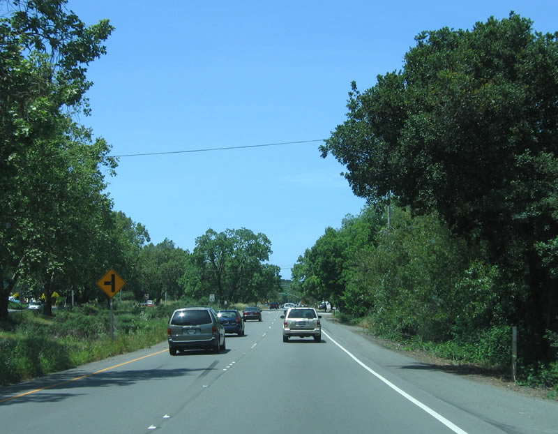
Petaluma Boulevard generally retains features of a California expressway, with limited access and evenly spaced intersections. Photo taken 05/25/06. |
 |
The older direction of the north/south is southbound. A feature that can identify the southbound lanes of Petaluma Boulevard are older including the pavement that gently undulates with the landscape, while the northbound lanes are much flatter. Photo taken 05/25/06. |
 |
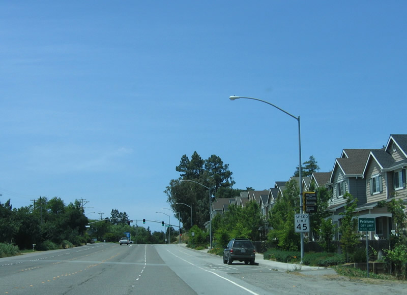
As the expressway segment ends, southbound U.S. 101 Business/Petaluma Boulevard approaches Shasta Avenue east and Sycamore Lane west. The four-lane boulevard continues into the urbanized area, with stores on both sides of the business route. Photo taken 05/25/06. |
 |
Shortly after Magnolia Avenue, this view shows southbound U.S. 101 Business/Petaluma Boulevard. The name "Petaluma" refers to a Coastal Miwok Indian phrase for -valley of the little hills." Photo taken 05/25/06. |
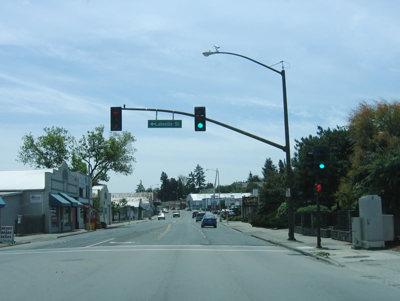 |
Southbound U.S. 101 Business/Petaluma Boulevard meets Lakeville Street, which connects to eastbound California 116/Lakeville Highway to the Sonoma Valley via California 116 and to California 37 via Lakeville Road. Lakeville Road travels generally southeast to cross the Petaluma River and connect with U.S. 101 and California 116 east of downtown. Photo taken 05/25/06. |
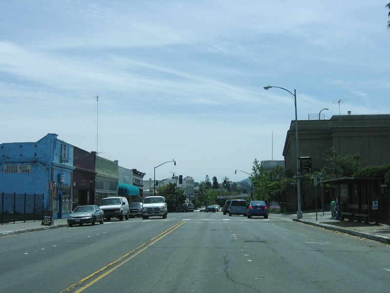 |
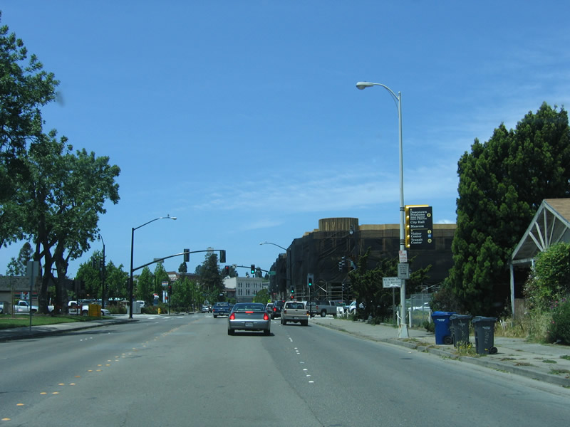
Entering downtown Petaluma, the boulevard continues with a four-lane configuration. The Washington Street traffic signal is visible in the distance. Photo taken 05/25/06. |
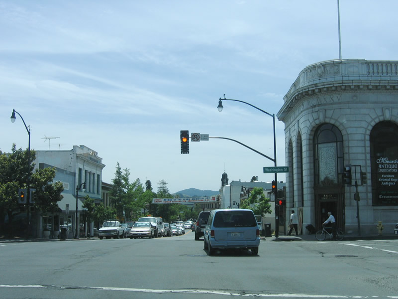 |
Older buildings line both sides of downtown Petaluma as Petaluma Boulevard continues south. This intersection is with Washington Street. Use Washington Street east to Kenilworth Park and Fairgrounds and to the U.S. 101 freeway. To the west, Washington Street changes into Bodega Avenue, and it splits in Two Rock, with Tomales Road continuing west to meet California 1 at Tomales and Valley Ford Road traveling northwest to California 1 at Valley Ford. Photo taken 05/25/06. |
 |
Stores, restaurants, and bars line both sides of Petaluma Boulevard as U.S. 101 Business winds its way through town. At Western Avenue (in the distance), Petaluma Boulevard turns southeast to pass through the remainder of downtown. Photo taken 05/25/06. |
 |
Southbound U.S. 101 Business/Petaluma Boulevard (3rd Street) meets B Street at this traffic signal. Numbered streets parallel the Petaluma River, while lettered streets intersect the numbered streets at 90-degree angles. The river is just a few blocks northeast of here; U.S. 101 Business is traveling southeast. Photo taken 05/25/06. |
 |
D Street is a major intersection. Turn left here to cross the Petaluma River and connect to Lakeville Street (To California 116). Turn right to travel southwest to Point Reyes-Petaluma Road to Nicasio and Point Reyes National Seashore (and California 1). Walnut Park is formed by the block bounded by D Street, 4th Street, E Street, and Petaluma Boulevard (3rd Street). Photo taken 05/25/06. |
 |
Southbound U.S. 101 Business/Petaluma Boulevard meets Mountain View Avenue at this intersection. Photo taken 05/25/06. |
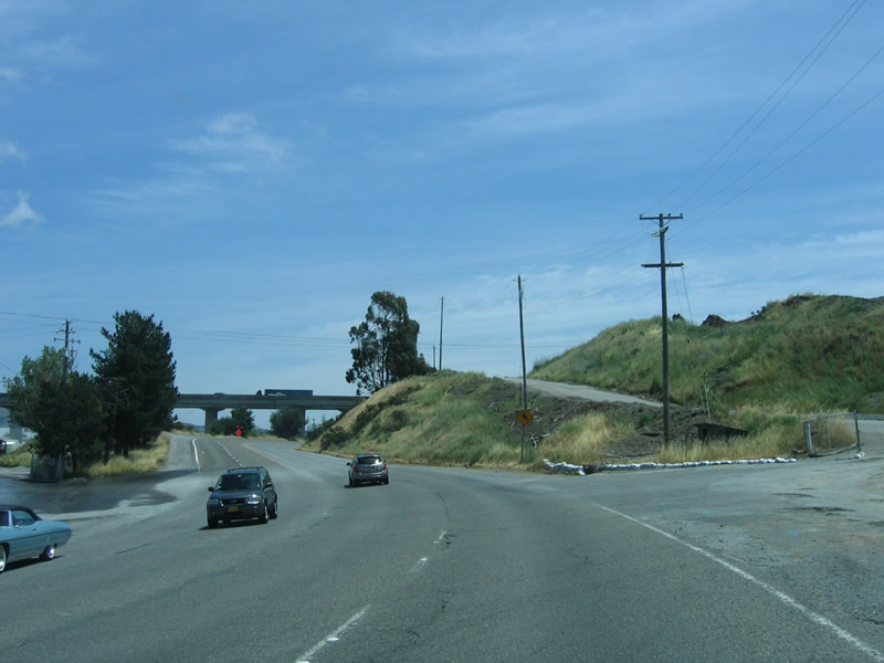 |
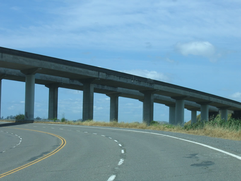
Rounding a superelevated curve, the U.S. 101 freeway and bridge over the Petaluma River come into view. Photo taken 05/25/06. |
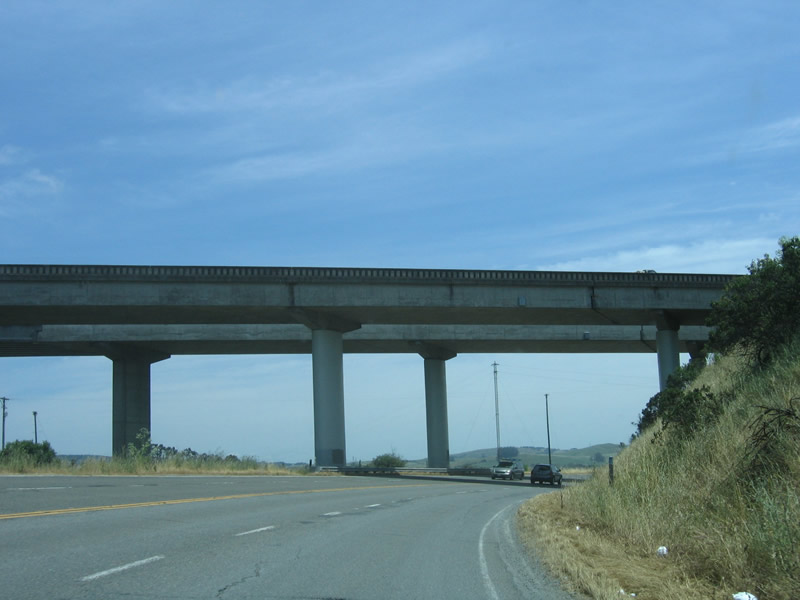 |
The U.S. 101 bridge over the Petaluma River was constructed in 1956 along with the rest of the Petaluma freeway bypass. The guardrail and bridge have been modified since the original construction, and the original guardrail can still be seen from Petaluma Boulevard. Photo taken 05/25/06. |
 |
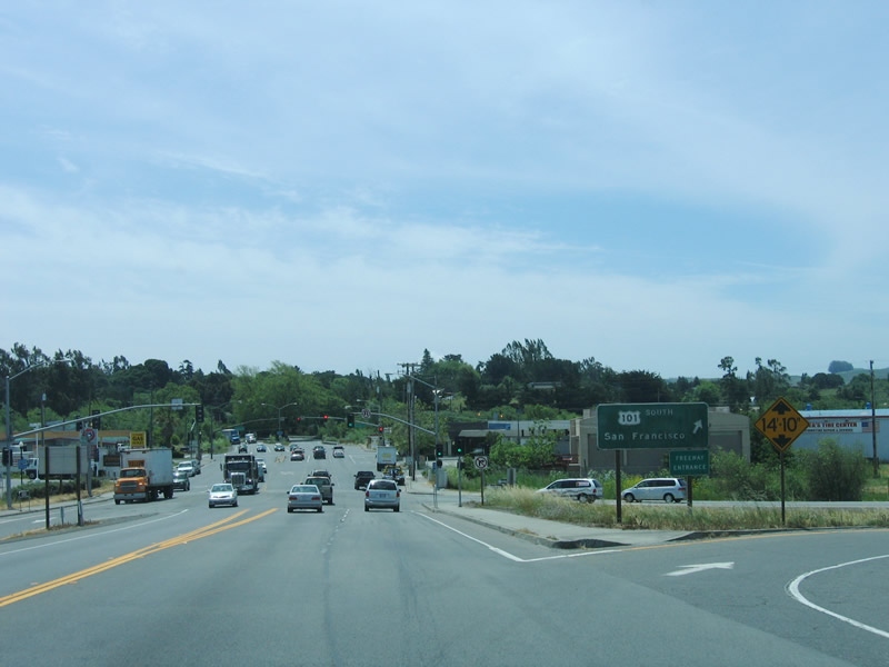
An erroneous California 101 shield is posted on this recently placed junction sign for the interchange with U.S. 101. Photo taken 05/25/06. |
 |
The first ramp passes under the freeway and connects to U.S. 101 south to San Rafael and San Francisco. The right lane makes a U-turn onto the northbound lanes of U.S. 101. Photo taken 05/25/06. |


Page Updated February 11, 2007.
|
About Contact Glossary |
In The News Interstate Guide |
Social Media:
 |
|
© 2000-25 AARoads.com | All Rights Reserved | Privacy Policy / Terms of Use
|
||