| U.S. 101/Camino Del Mar north |
|
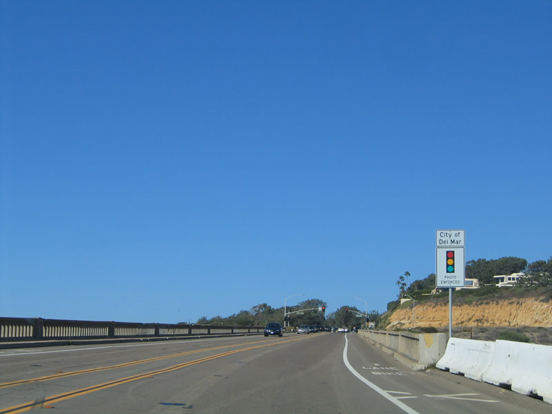
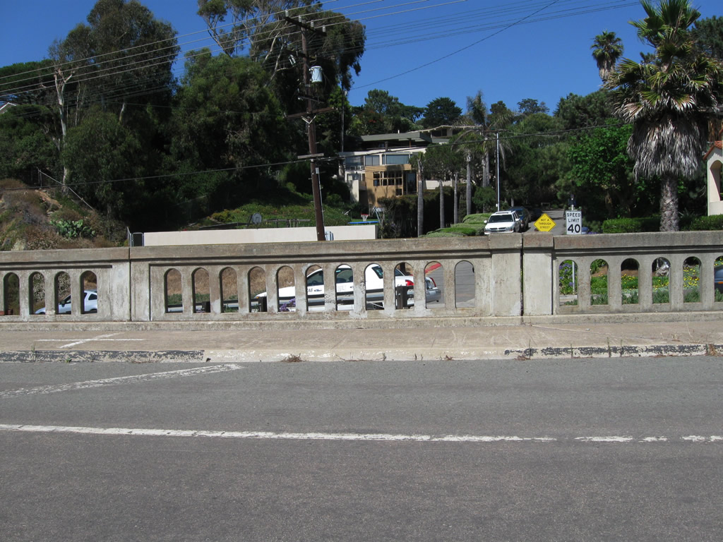
Welcome to Del Mar. Motorists are greeted by this red light traffic violation sign, followed by a 1933 bridge that crosses the railroad. Due to a disagreement on how best to maintain this historic bridge, Del Mar bought the bridge from San Diego for $1 in 2000. Photo taken 10/29/05. |
|
Old guardrail still lines the historic railroad bridge. Photo taken 10/29/05. |
|
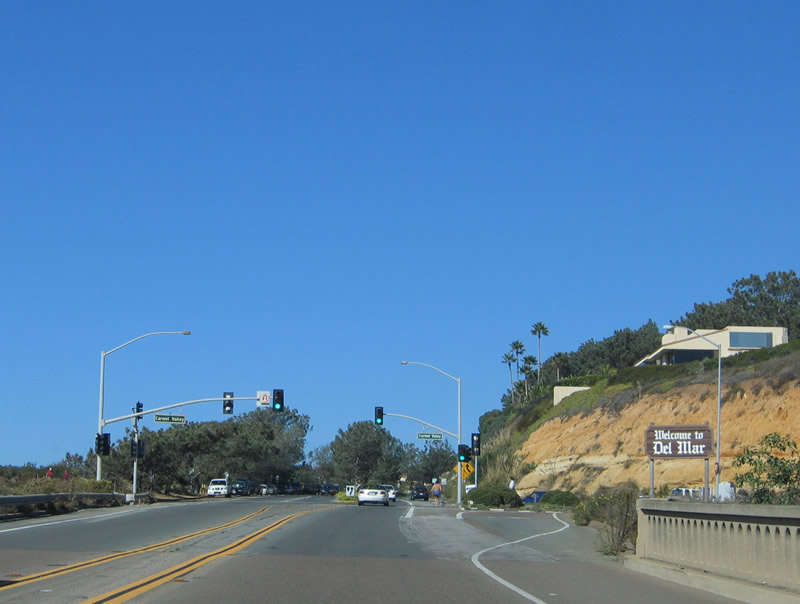
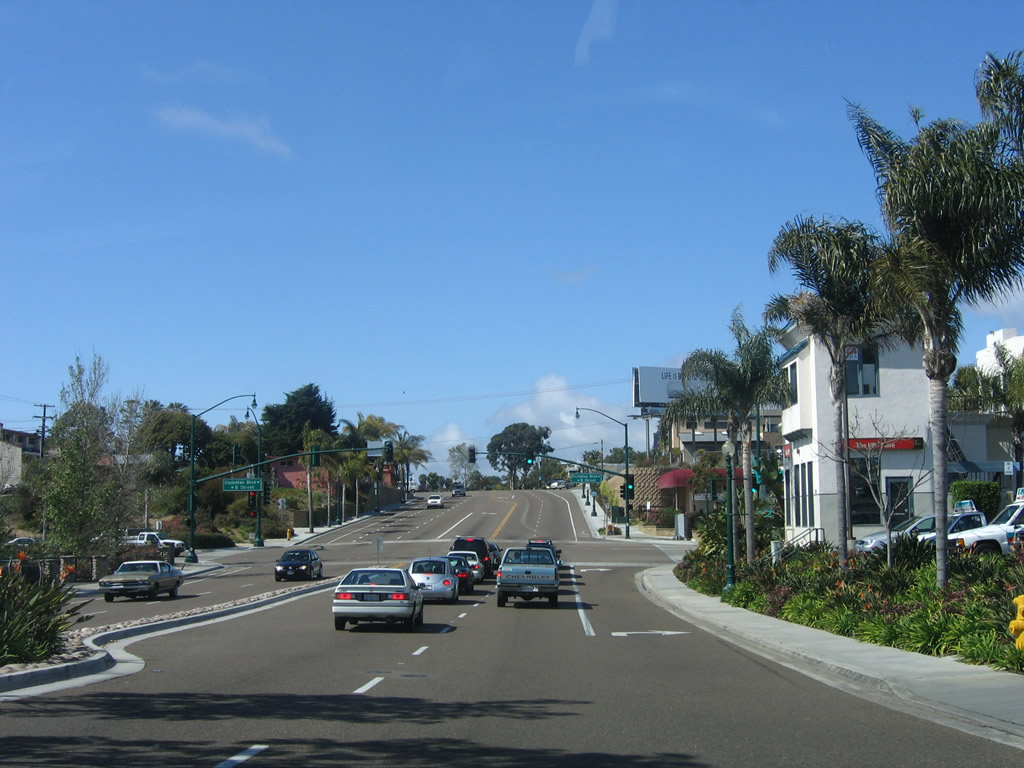
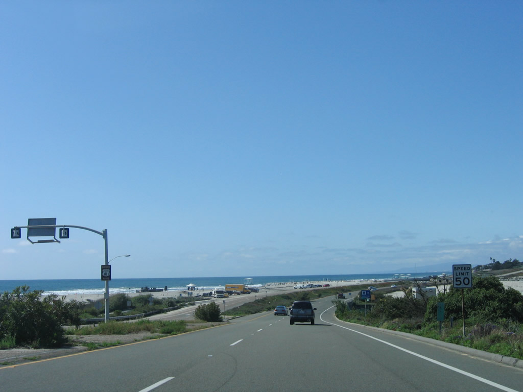
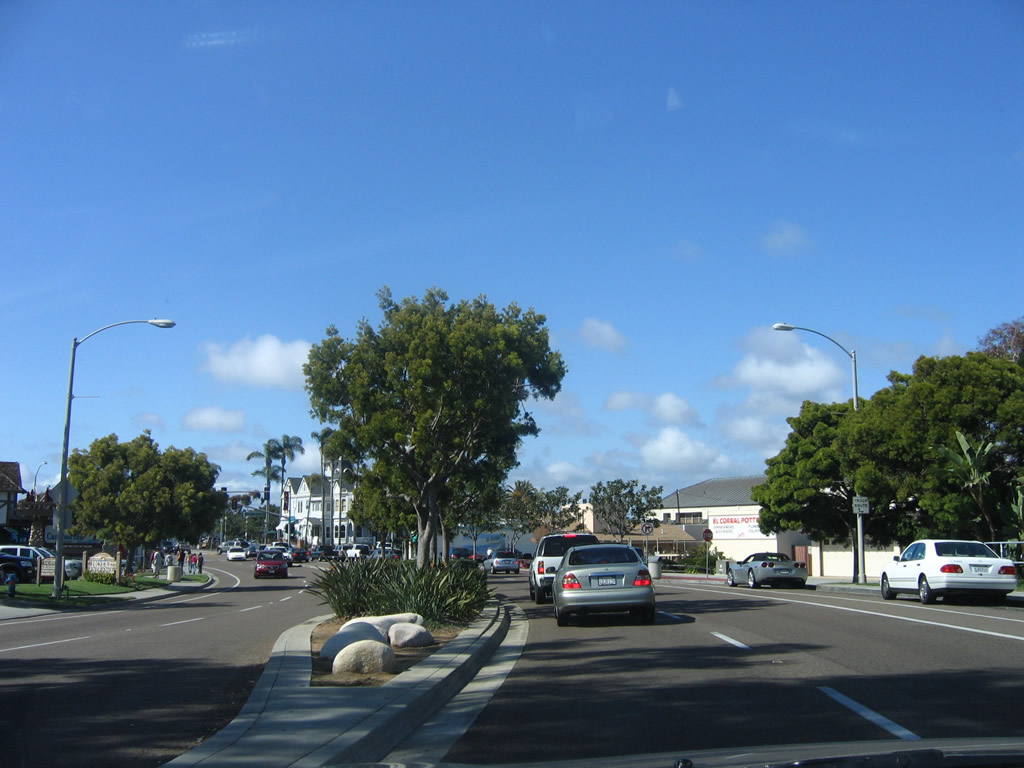
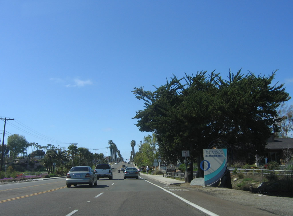
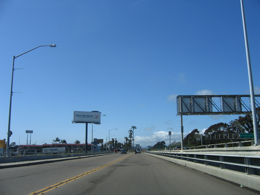
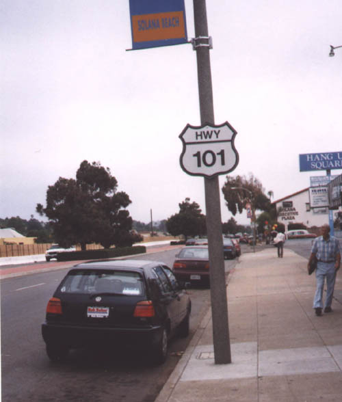
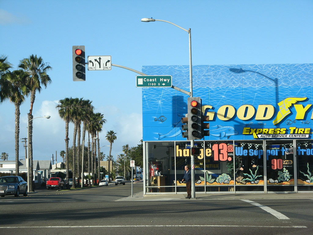
A more traditional welcome to Del Mar sign is posted on northbound U.S. 101/Camino Del Mar. The next traffic signal is with Carmel Valley Road. Photo taken 10/29/05. |
|
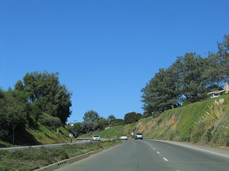
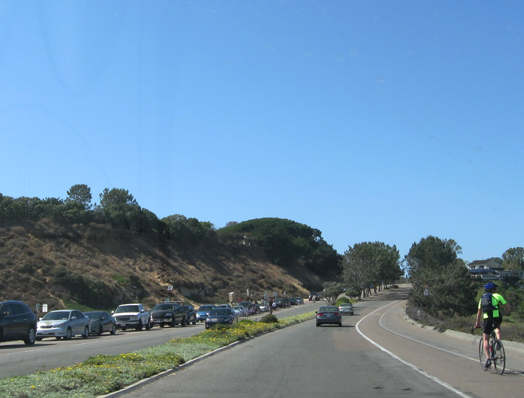
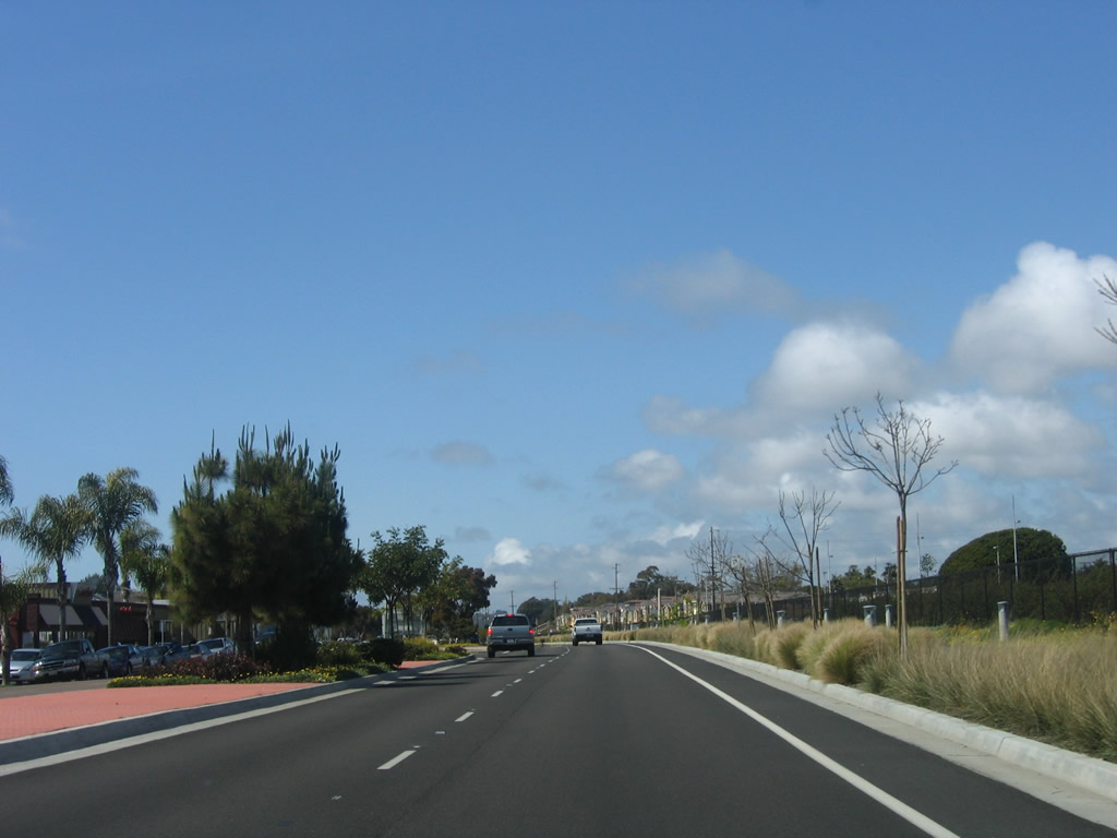
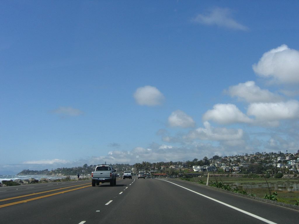
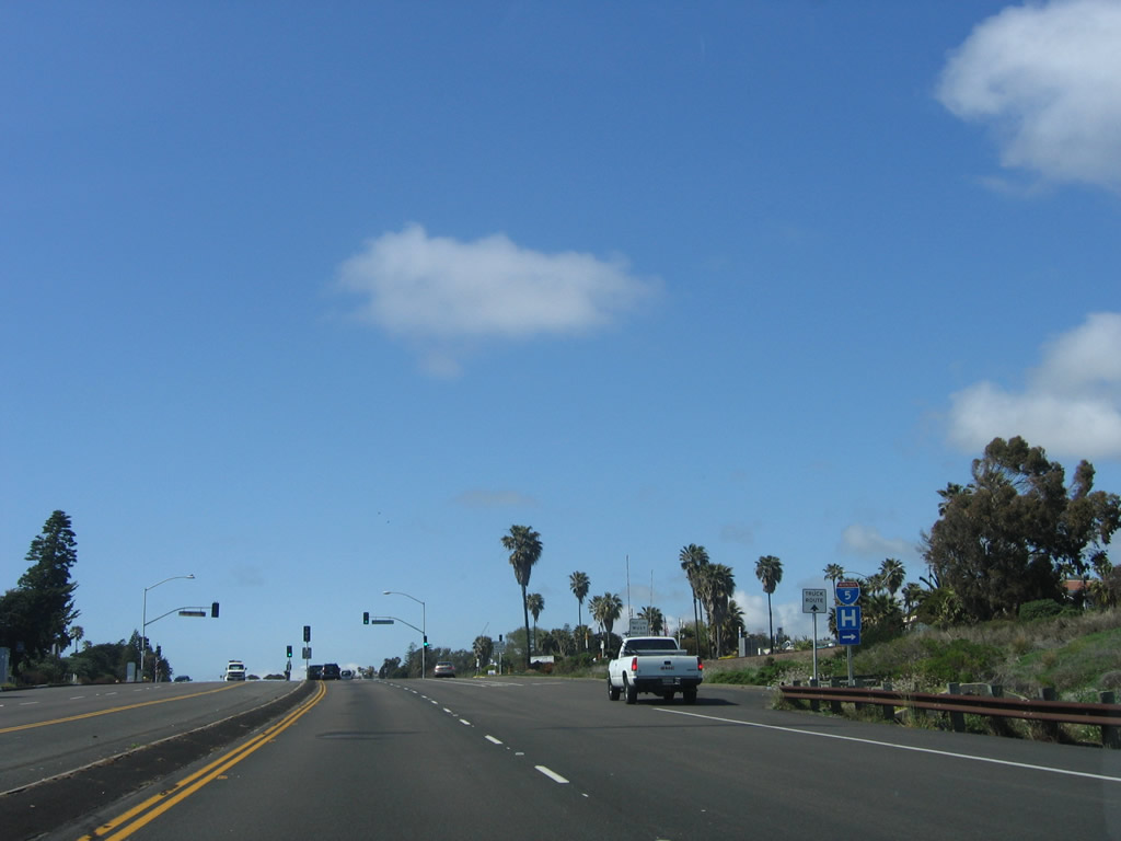
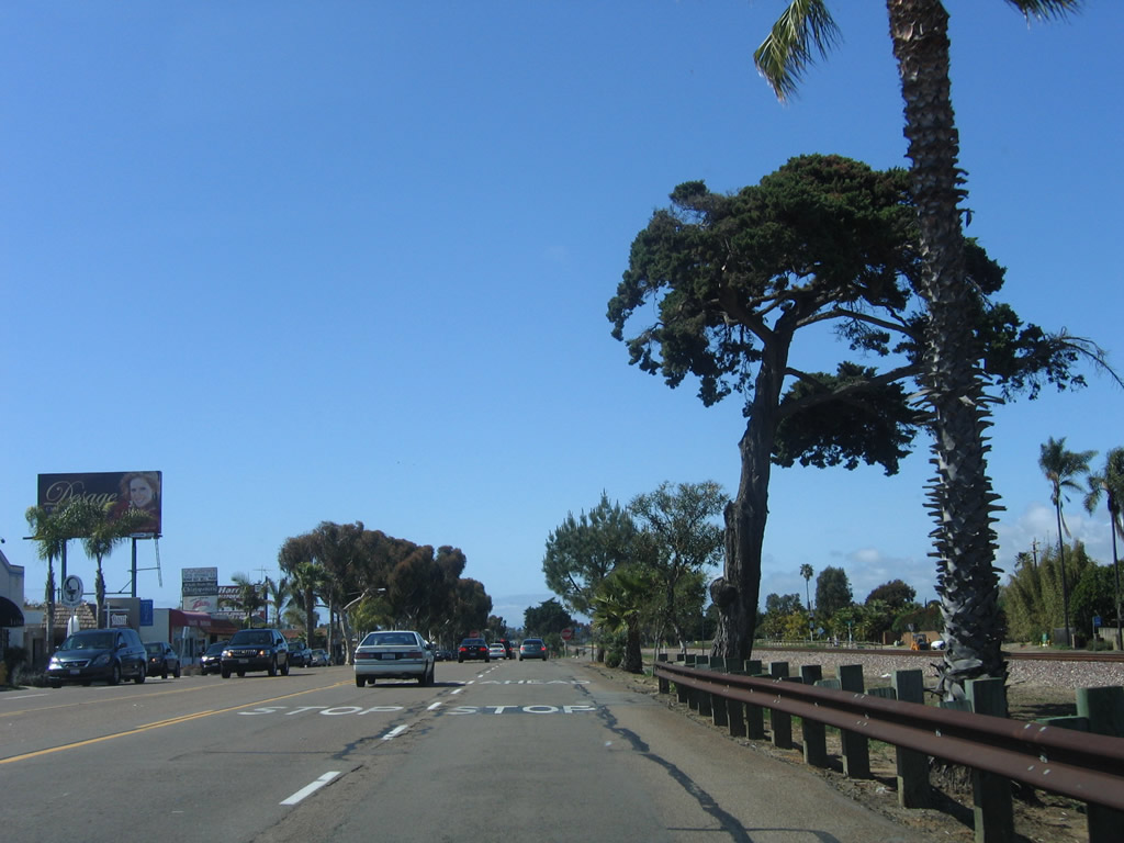
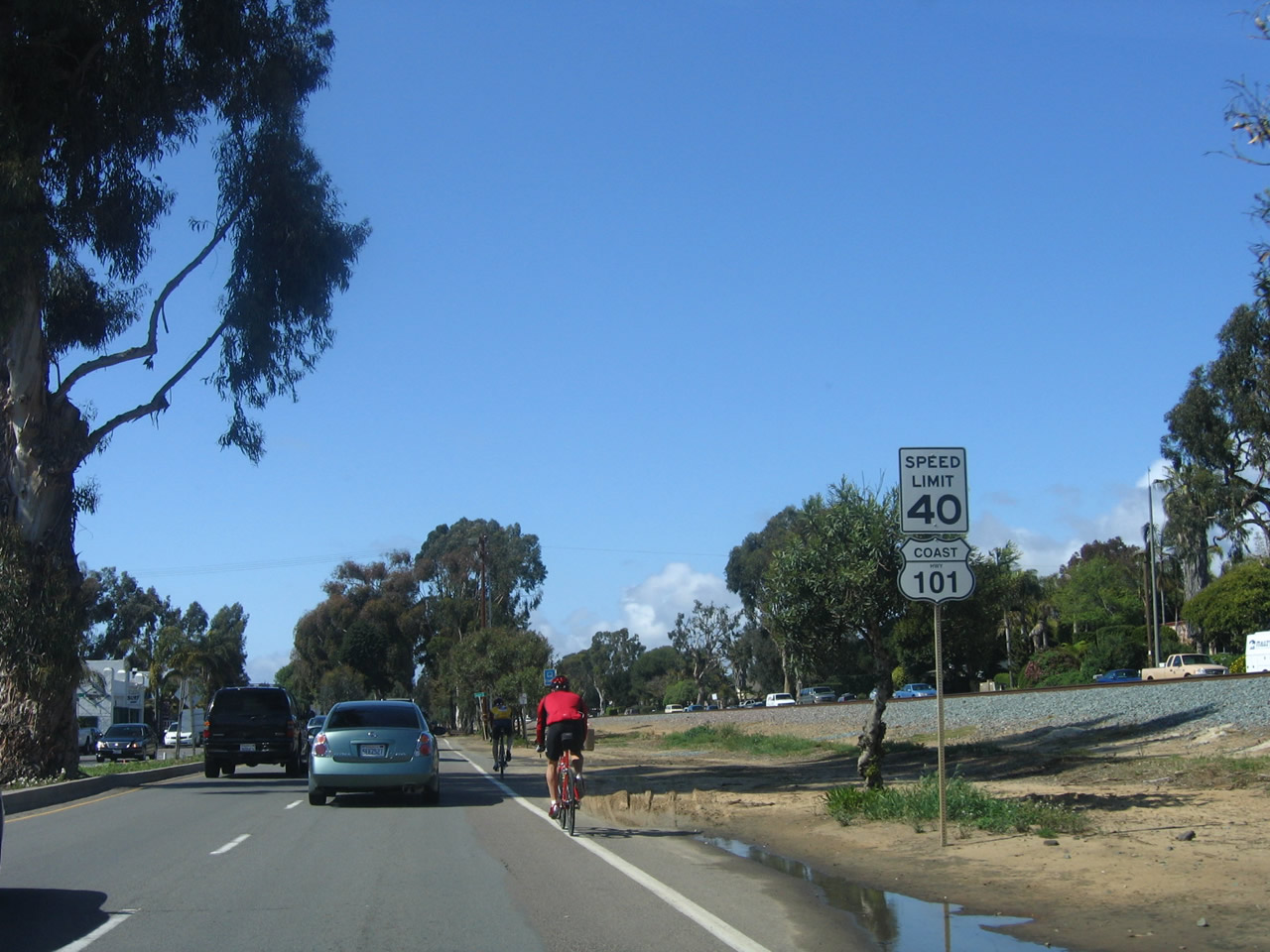
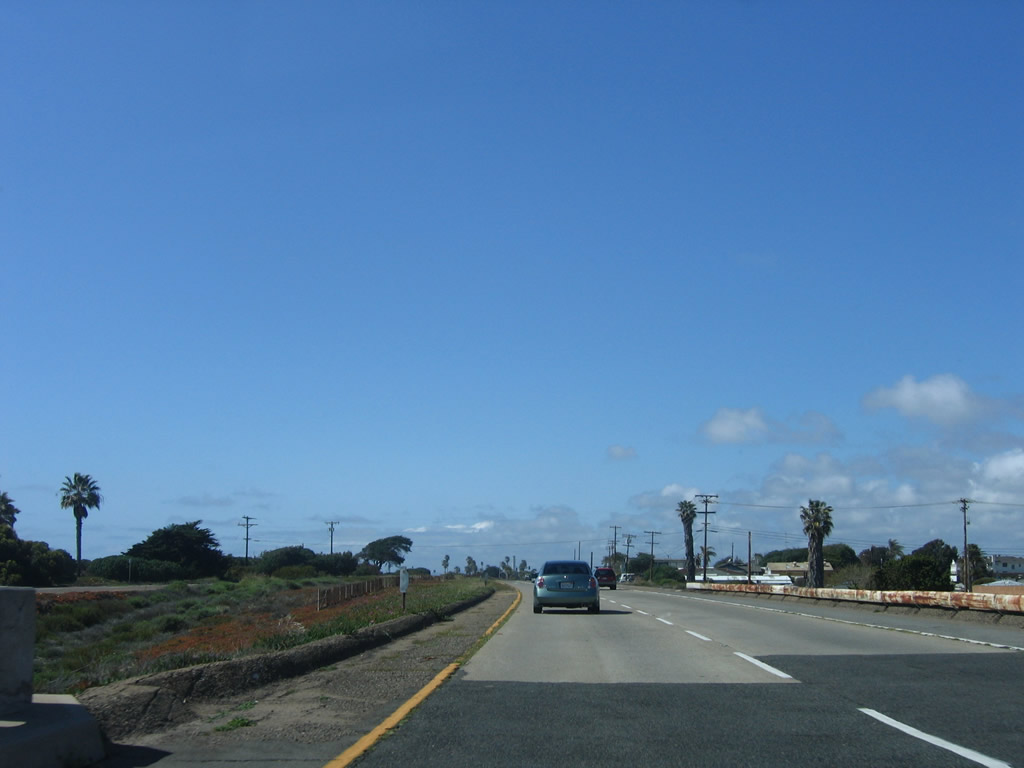
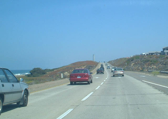
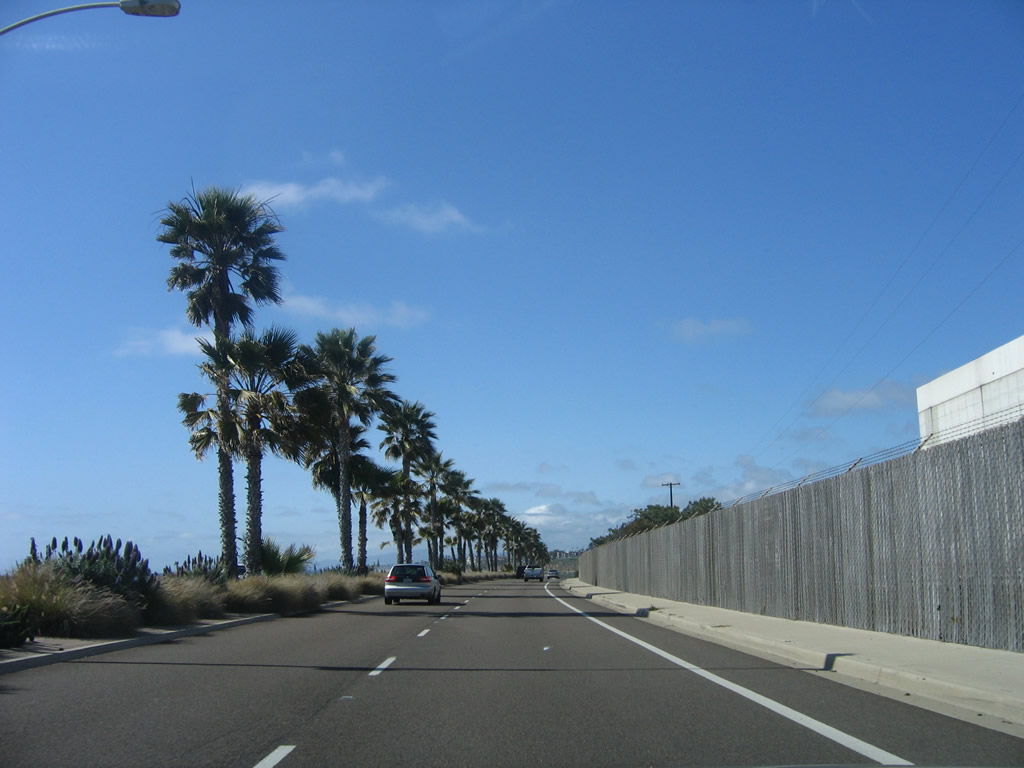
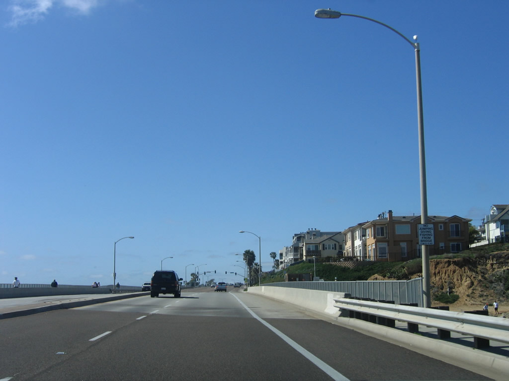
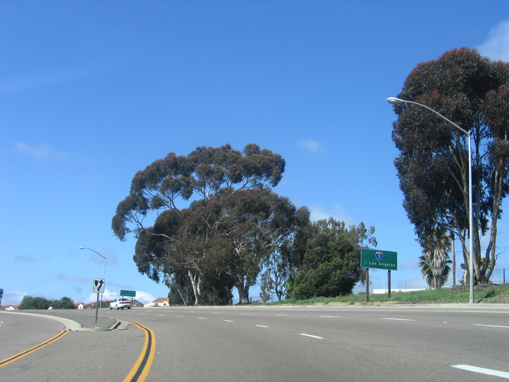
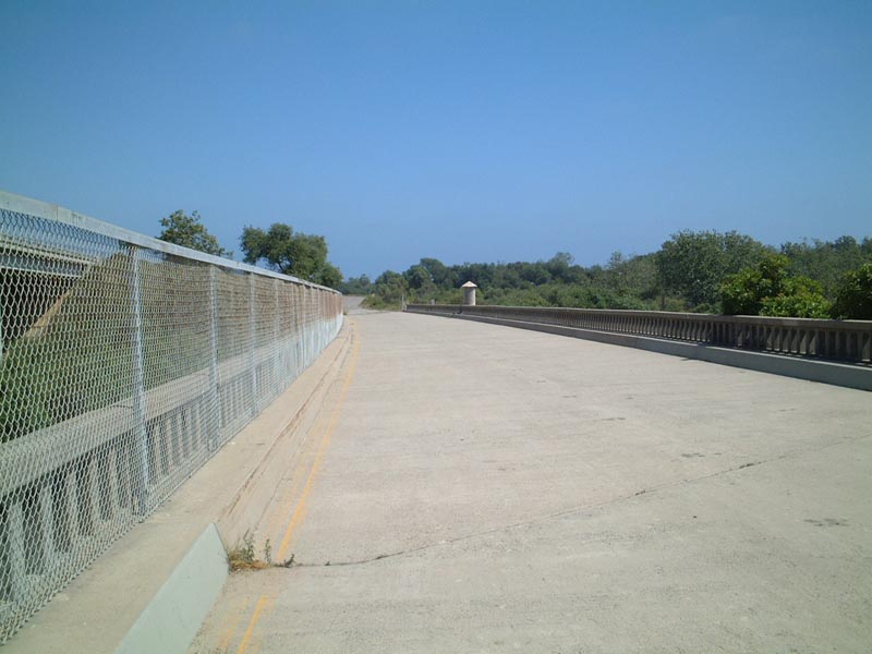
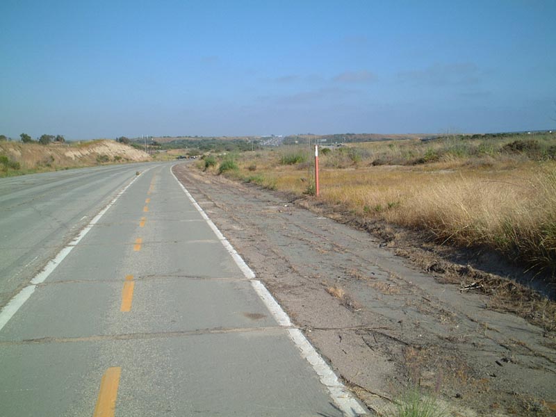
Continuing north, U.S. 101 follows an old expressway alignment. In spite of the two-lane bridges over Los Peñasquitos Creek and the railroad tracks, both approaches to the bridges are four-lane, divided expressways. Before Interstate 5 was constructed in the mid-1960s, U.S. 101 was the main route from San Diego north to Los Angeles. While the need for an expressway here may have reduced due to the freeway's construction, there is an upswing in local traffic as Del Mar, Solana Beach, Encinitas, and Carlsbad have continued to grow. Photo taken 10/29/05. |
|
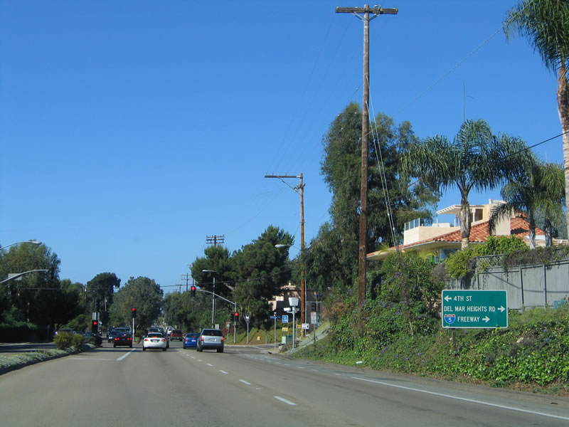
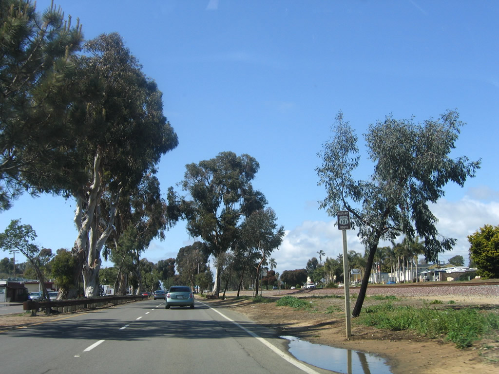
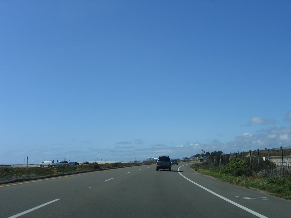
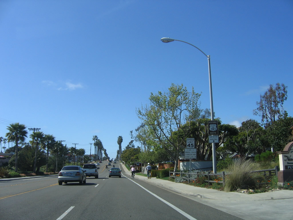
The next traffic signal along northbound U.S. 101/Camino Del Mar is with Del Mar Heights Road. Use Del Mar Heights Road east to Interstate 5 and the city of Del Mar. Photo taken 10/29/05. |
|
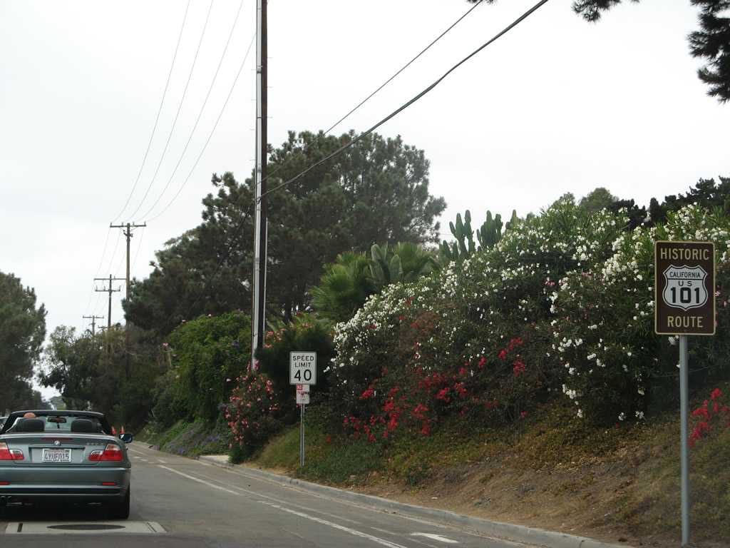
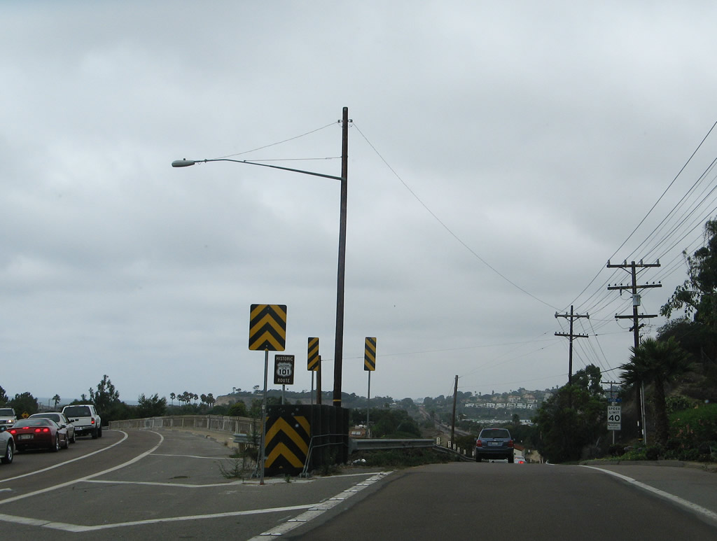
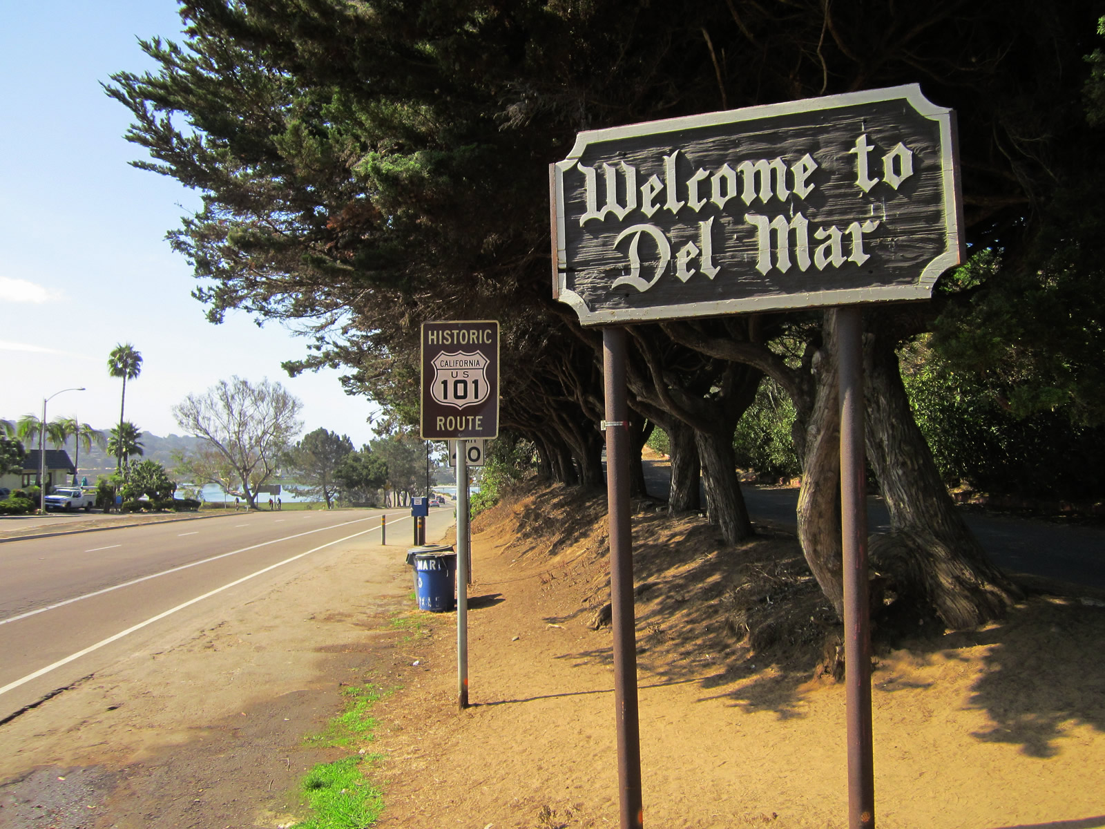
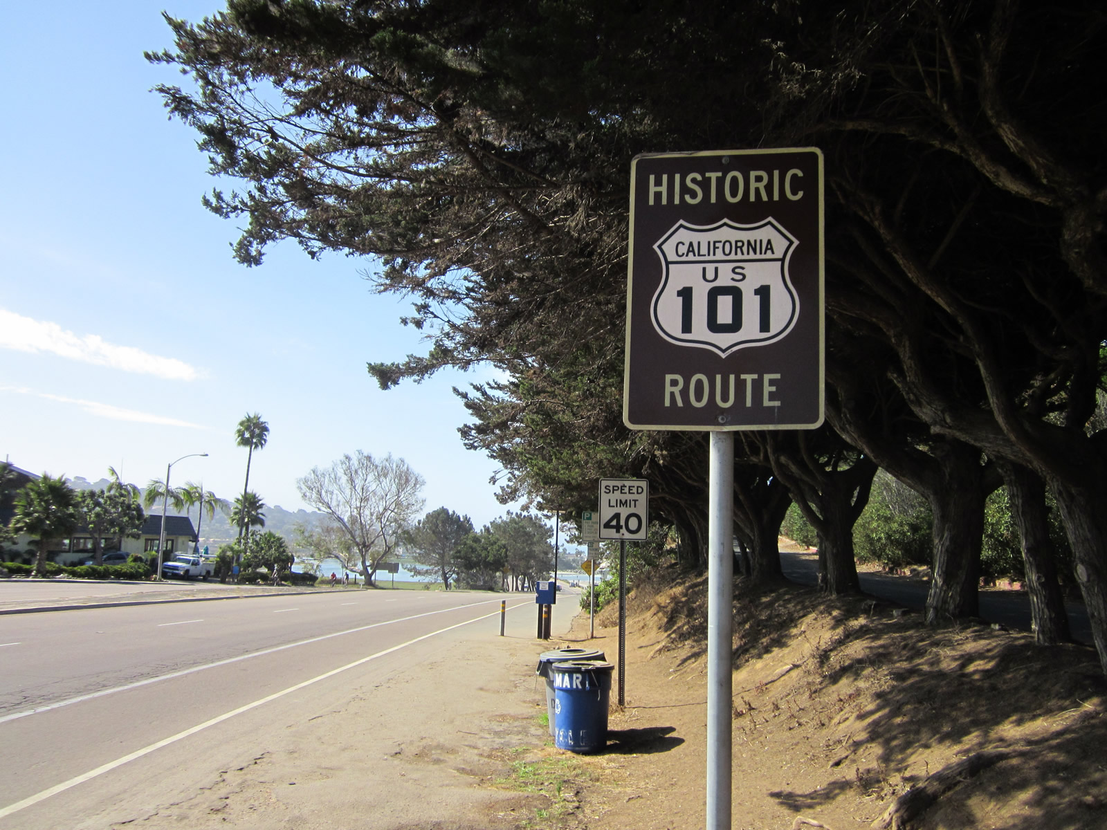
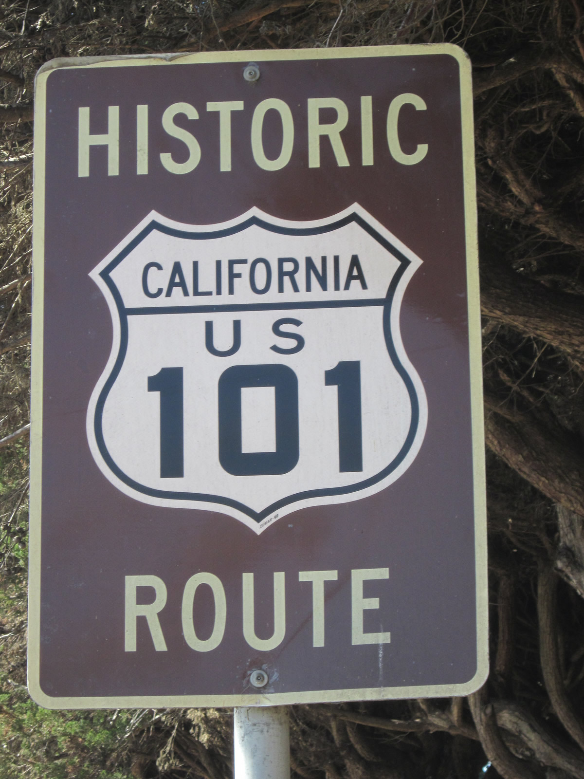
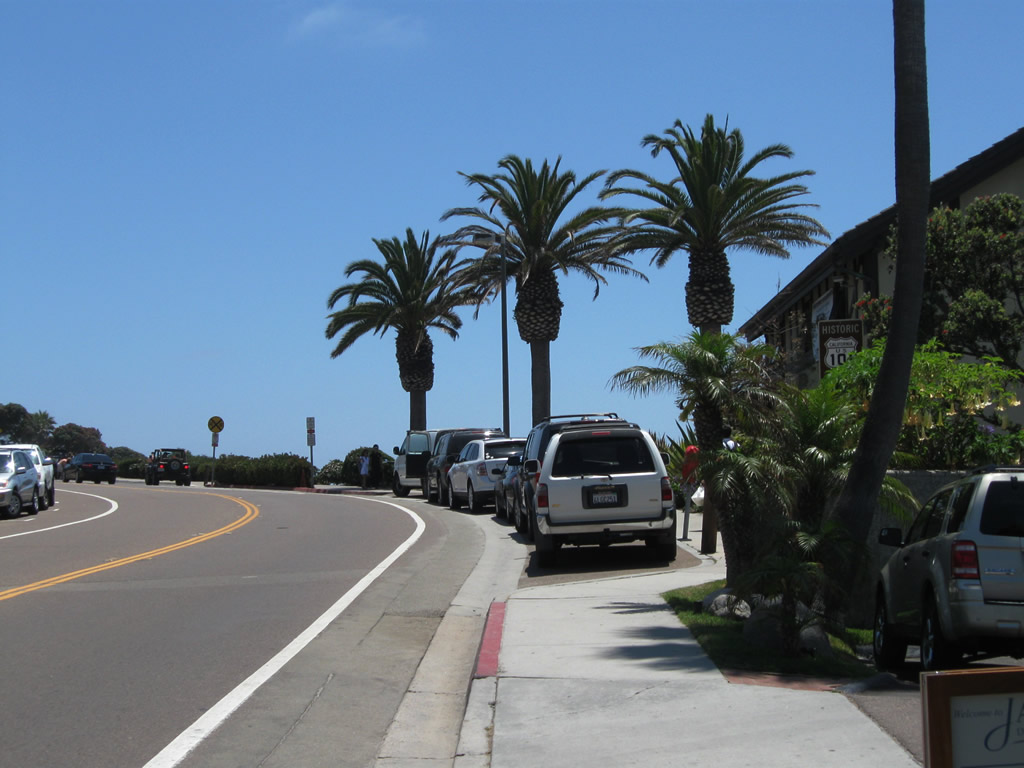
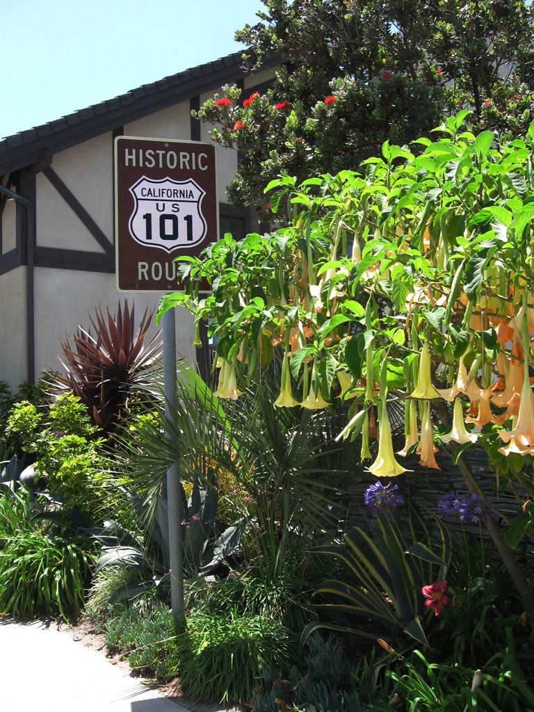
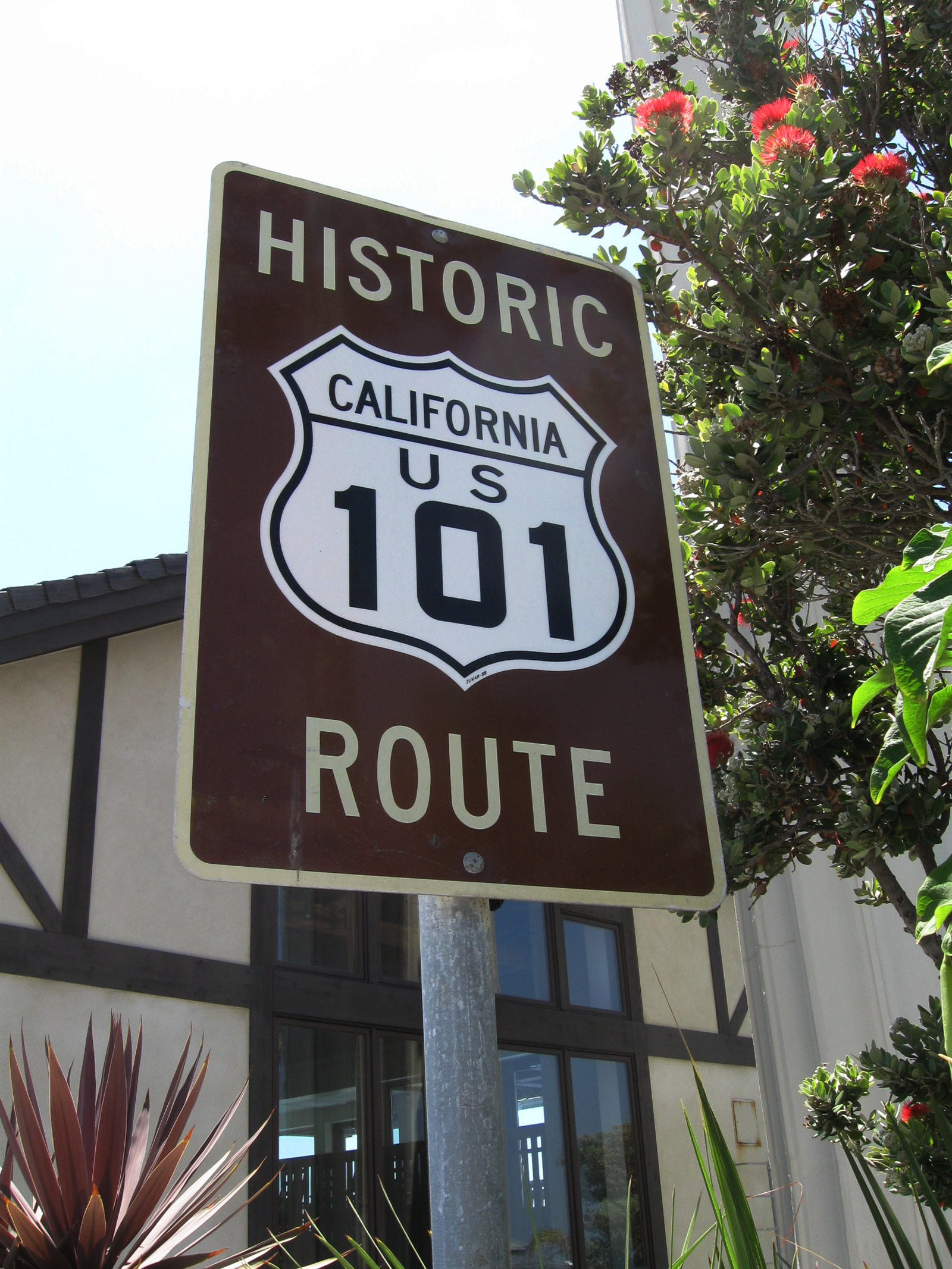
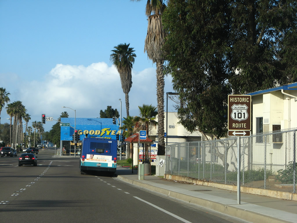
A Historic U.S. 101 route marker is posted along Camino Del Mar north after the Del Mar Heights Road intersection. Photo taken 08/24/07. |
|
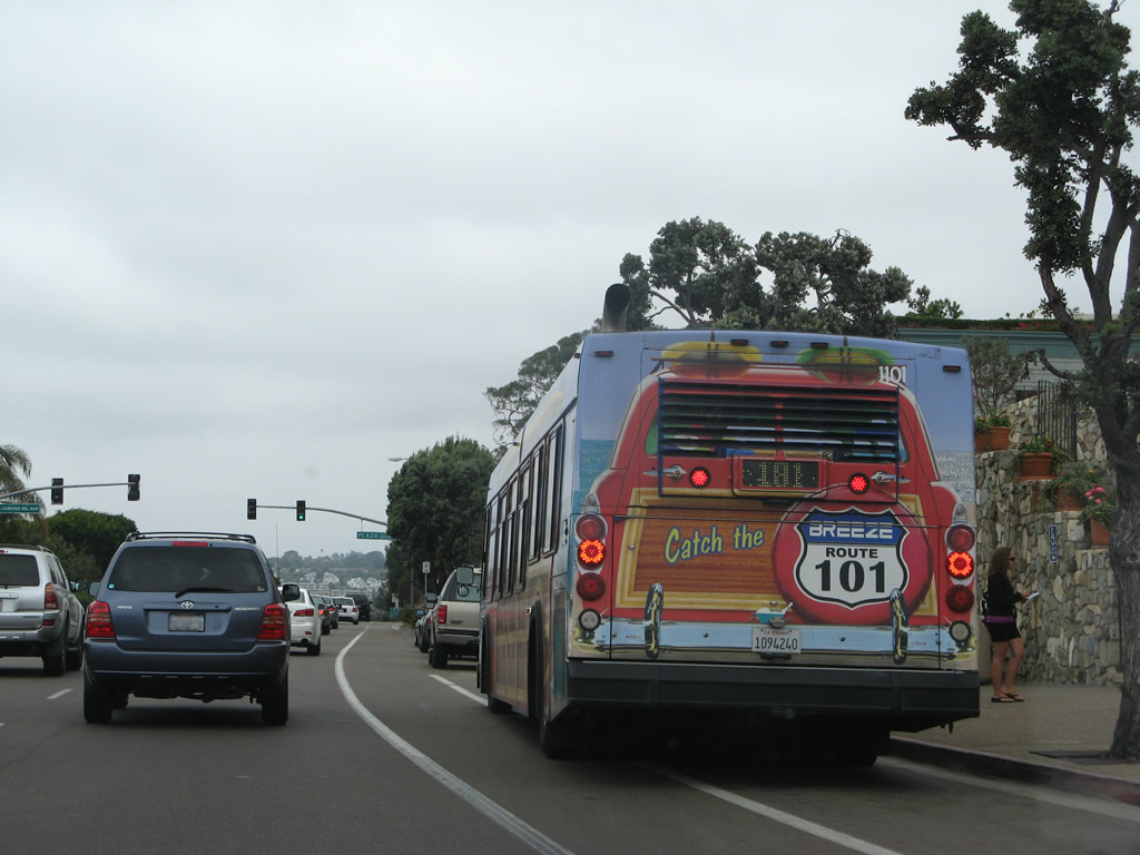
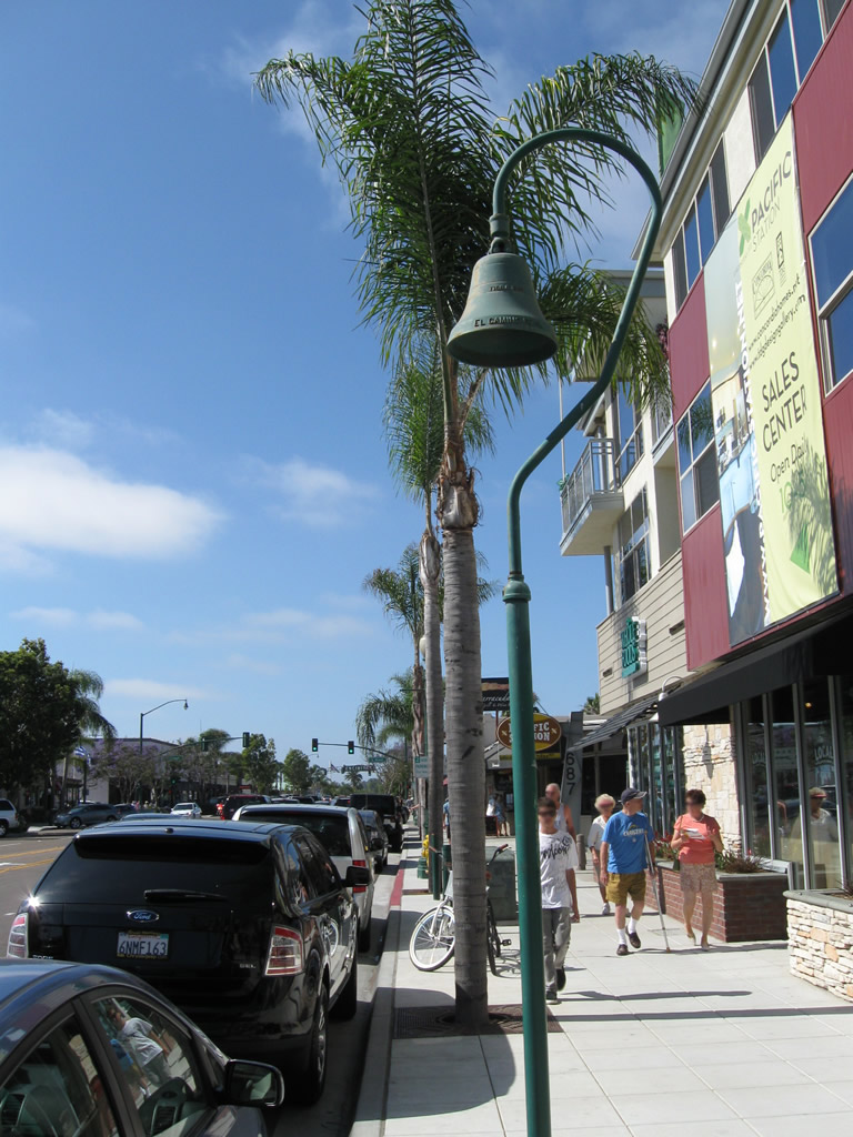
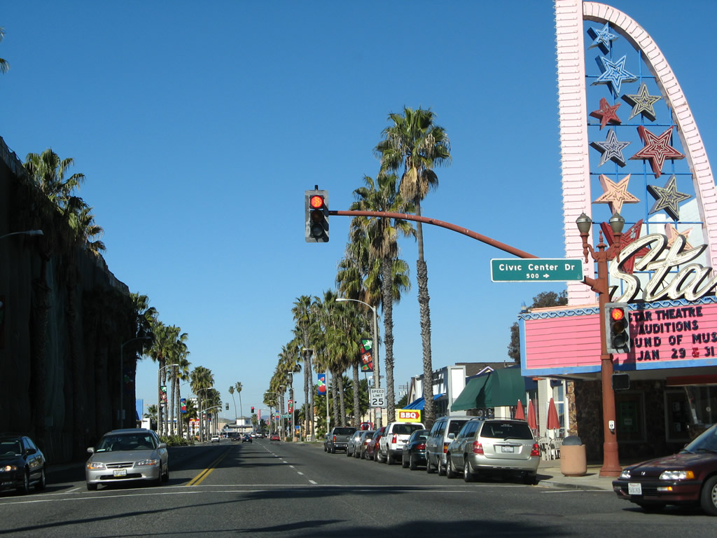
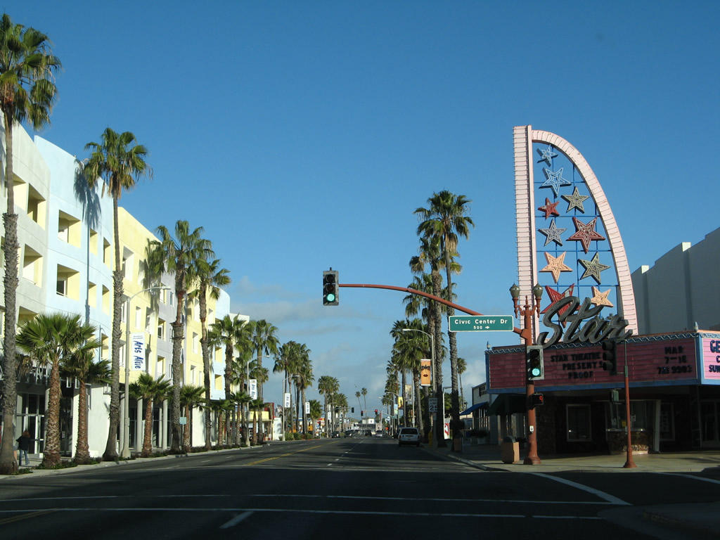
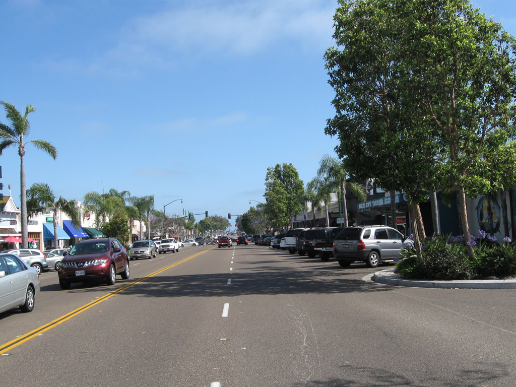
The Route 101 bus is labeled as "Catch the Breeze Route 101." This bus was stopped on Historic U.S. 101 in the village center of Del Mar. Photo taken 08/24/07. |
|
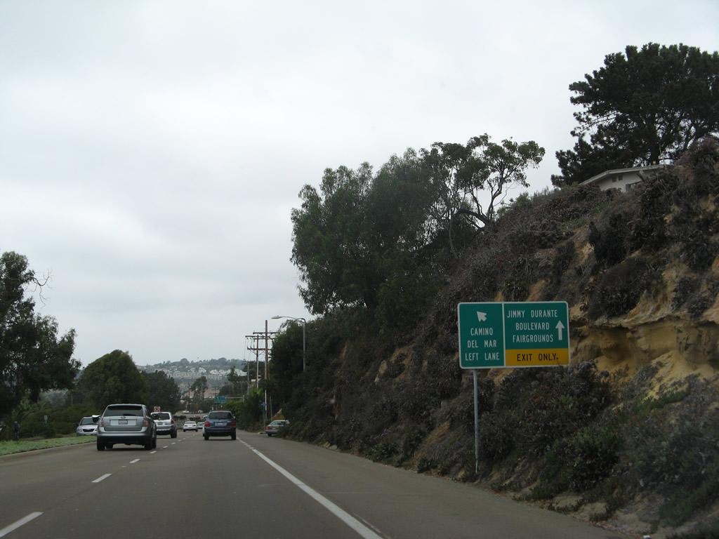
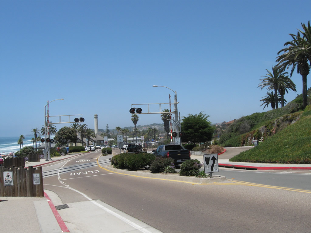
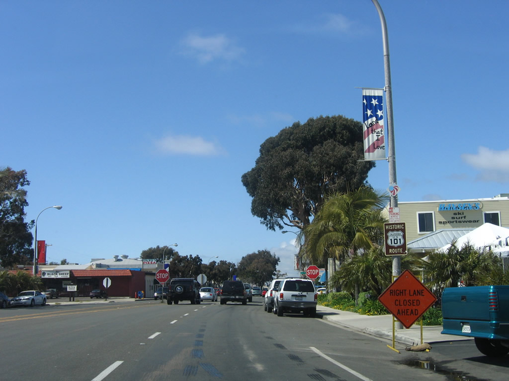
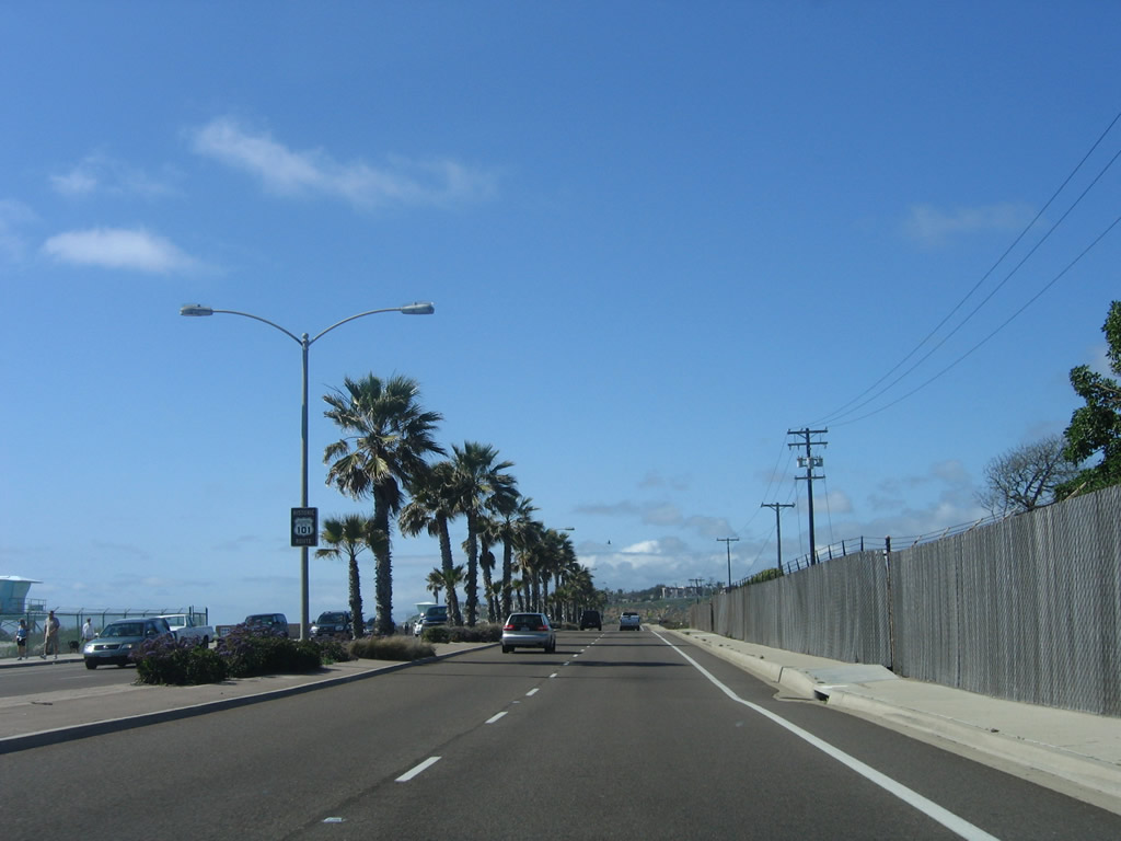
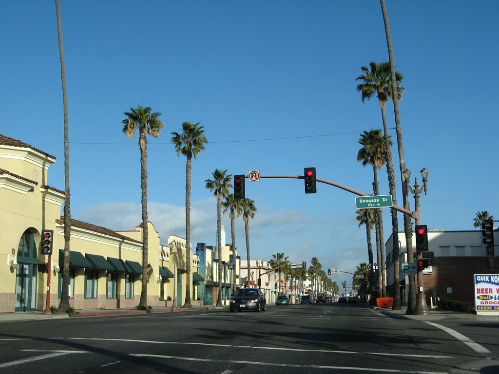
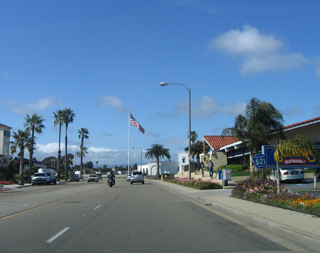
Northbound Historic U.S. 101/Camino Del Mar approaches Jimmy Durante Boulevard. Exit onto Jimmy Durante Boulevard to the Del Mar Fairgrounds, home to the San Diego County Fair. Stay left to continue north on U.S. 101/Camino Del Mar. Photo taken 08/24/07. |
|
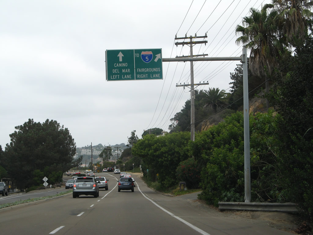
Use Jimmy Durante Boulevard northeast to Interstate 5. Ideally, a Historic U.S. 101 route marker would be posted on this overhead sign. Photo taken 08/24/07. |
|
The right lane of Camino Del Mar departs onto Jimmy Durante Boulevard. The left lane continues north through Del Mar toward Solana Beach and Encinitas. Note the Historic U.S. 101 sign posted next to the bridge that carries Camino Del Mar over Jimmy Durante Boulevard and the Atchison, Topeka and Santa Fe Railroad. Photo taken 08/24/07. |
|
After the off-ramp to Jimmy Durante Boulevard northeast, Camino Del Mar immediately passes over the ramp from Jimmy Durante Boulevard southwest onto Camino Del Mar south. Old style bridge railing shows the age of the bridge that takes Old U.S. 101 over both Jimmy Durante Boulevard and the Atchison, Topeka and Santa Fe Railroad. Photo taken 06/26/11. |
|
The endcap for the bridge railing is located after the railroad passes underneath Camino Del Mar. Photo taken 06/26/11. |
|
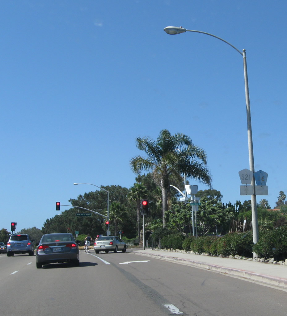
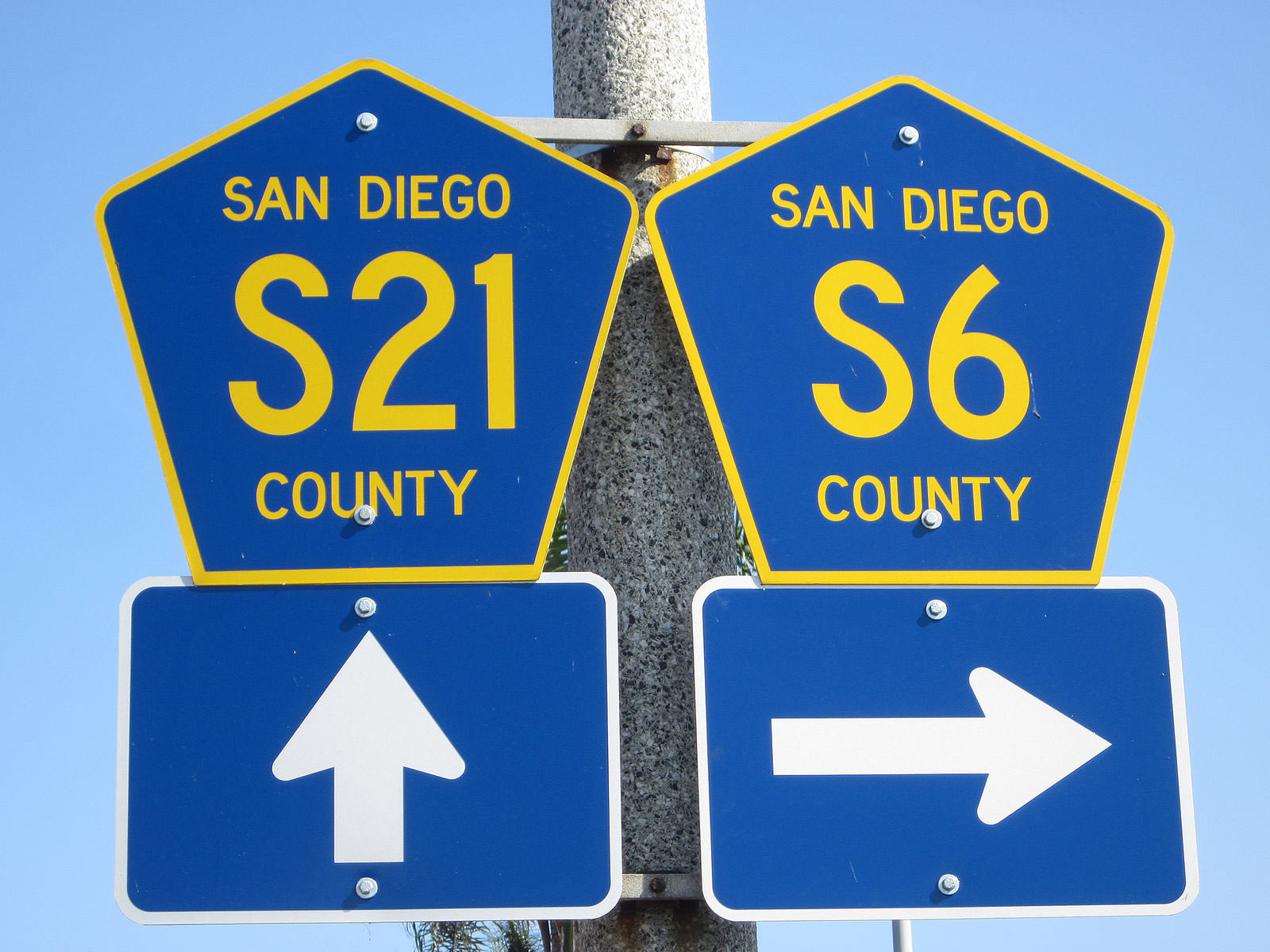
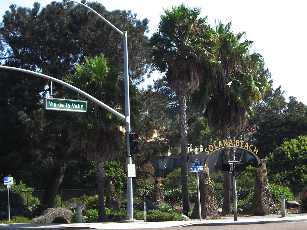
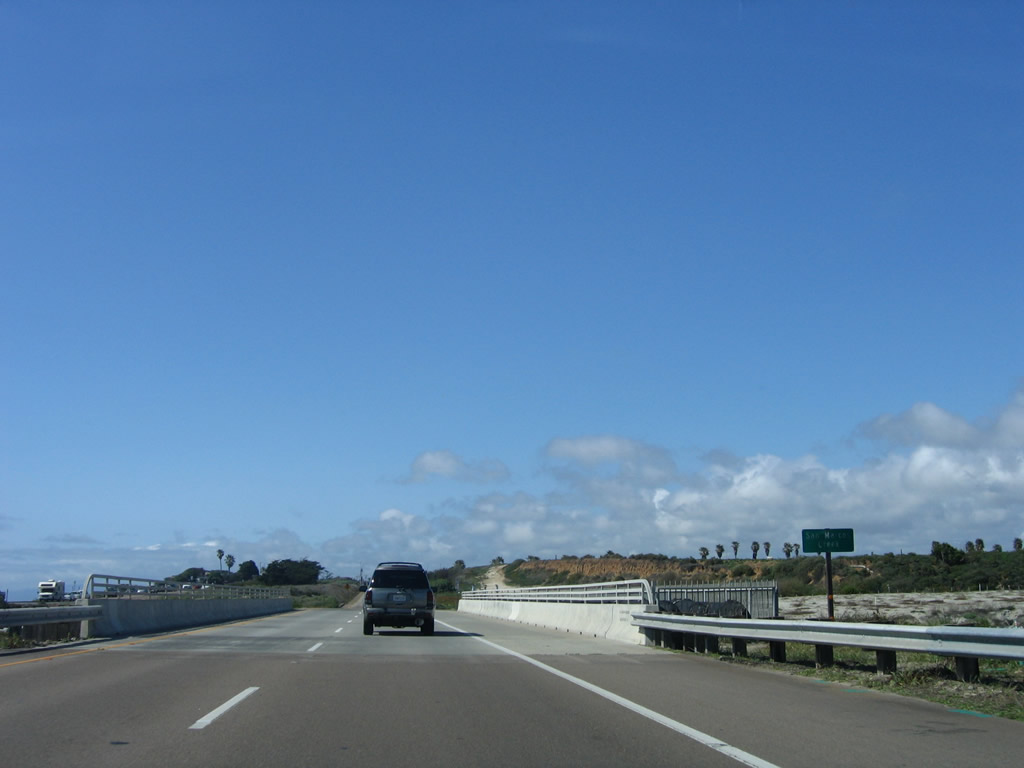
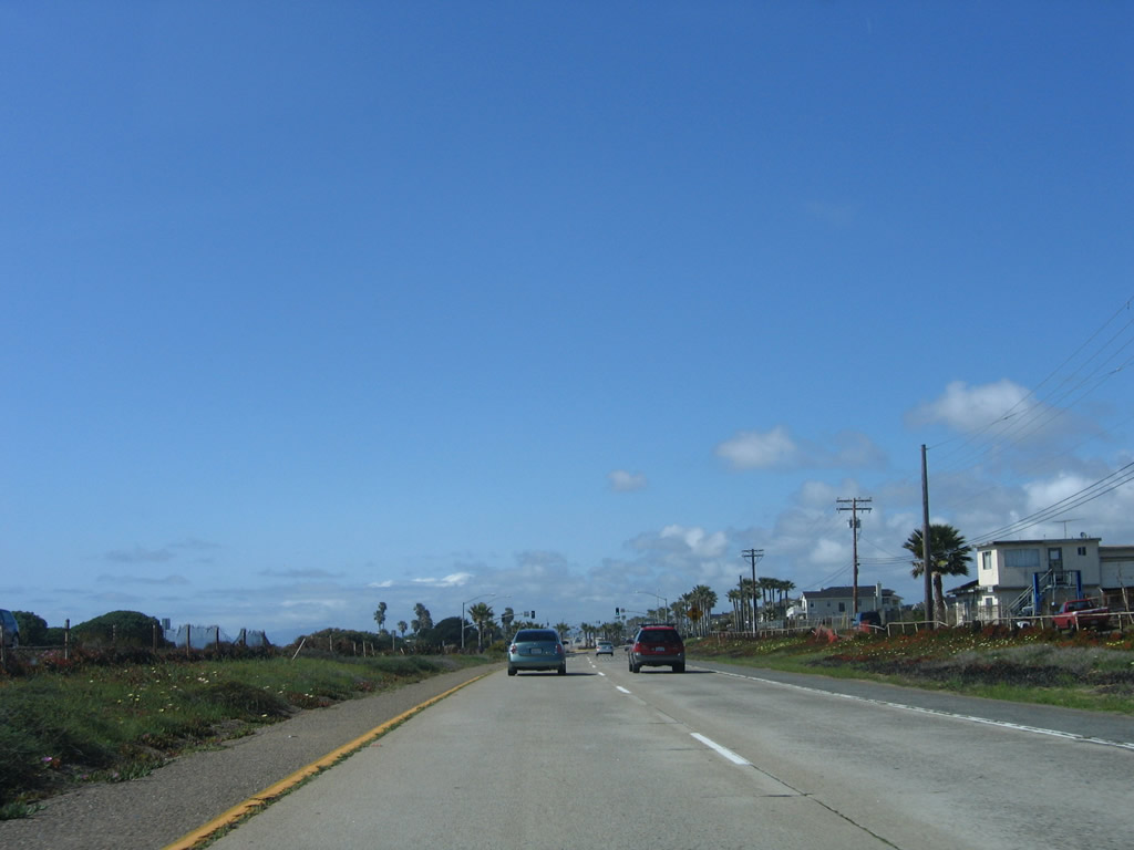
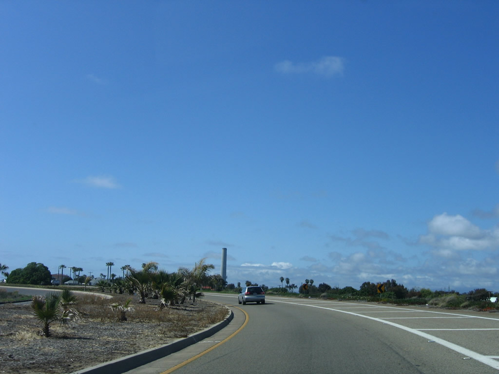
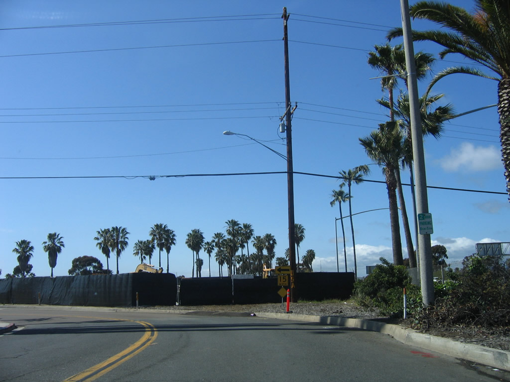
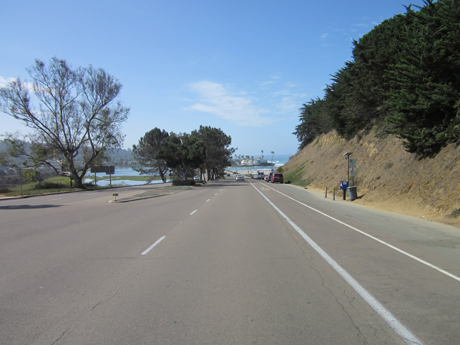
Skipping ahead again, Camino Del Mar proceeds north after the San Dieguito River bridge toward its intersection with Via de la Valle (San Diego County S-6). Photo taken 06/26/11. |
|
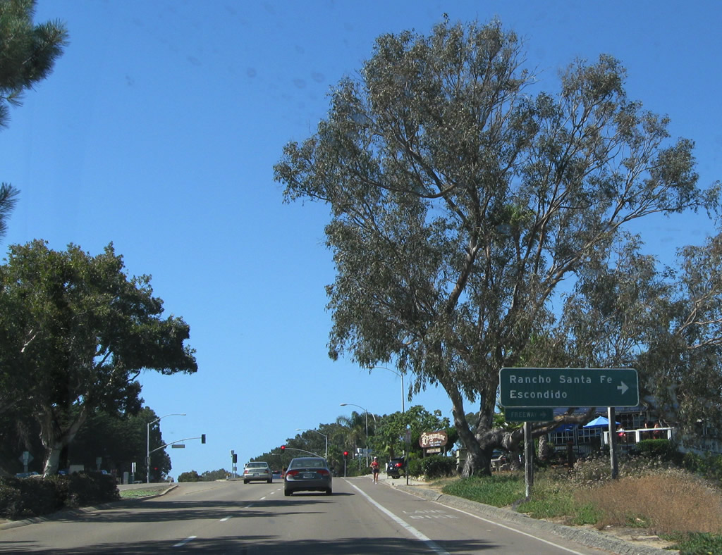
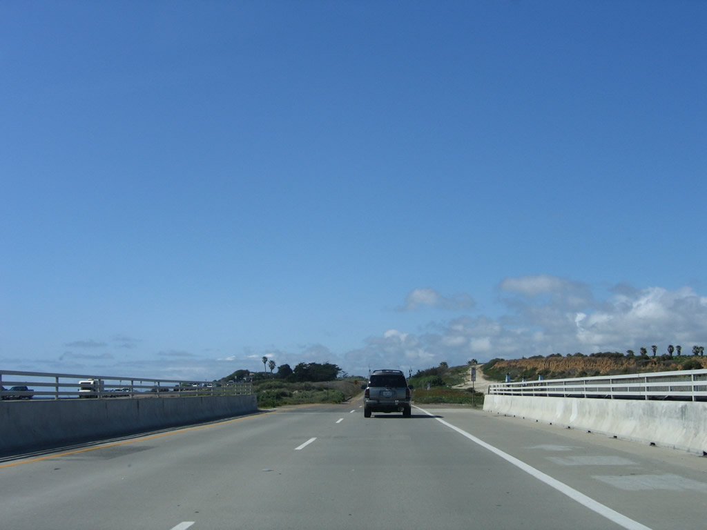
Use Via de la Valle (San Diego County S-6) northeast to Rancho Santa Fe, Lake Hodges Dam, Escondido, Valley Center, and Palomar Mountain. Photo taken 06/26/11. |
| Del Mar Side Trip: U.S. 101/Coast Boulevard north |
|
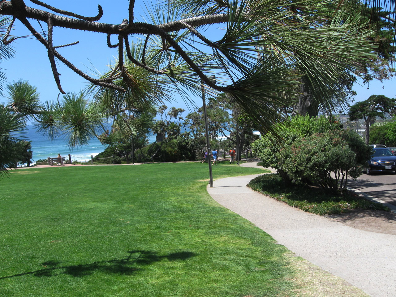
Going back to central Del Mar for a moment, the original alignment of U.S. 101 follows Ocean Boulevard, which parallels newer Camino Del Mar along the coastline. This view looks north on the west side of Ocean Boulevard near the intersection with 15th Street in Seagrove Park. Photo taken 06/26/11. |
|
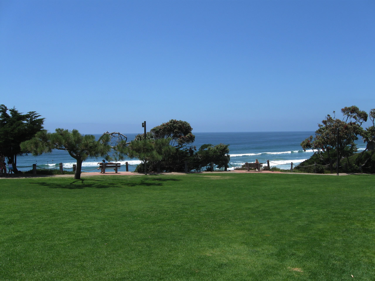
This view looks west toward the Pacific Ocean from Seagrove Park near Historic U.S. 101 in the village of Del Mar. Photo taken 06/26/11. |
|
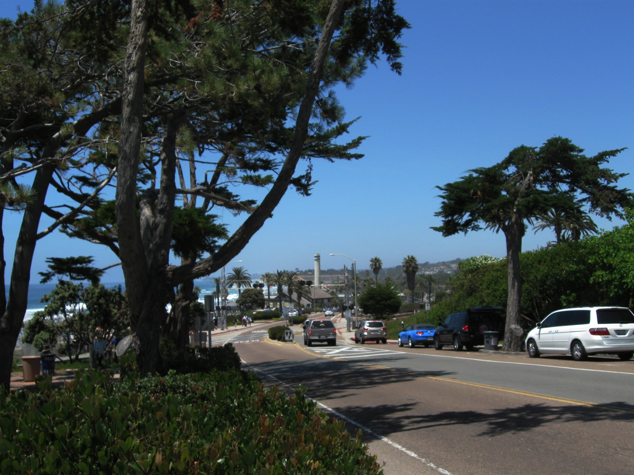
Ocean Boulevard served as the original alignment of U.S. 101 through Del Mar; it was realigned onto Camino Del Mar. This view looks north toward the Atchison, Topeka and Santa Fe Railroad crossing and the Del Mar Powerhouse Community Center. Photo taken 06/26/11. |
|
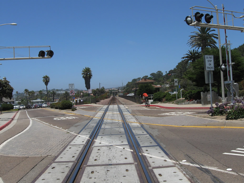
Northbound Ocean Boulevard crosses the Atchison, Topeka and Santa Fe Railroad at this crossing. Photo taken 06/26/11. |
|
In addition to freight, the Atchison, Topeka and Santa Fe Railroad also carries the Coaster (connecting downtown San Diego with Oceanside) and Amtrak. Photo taken 06/26/11. |
|
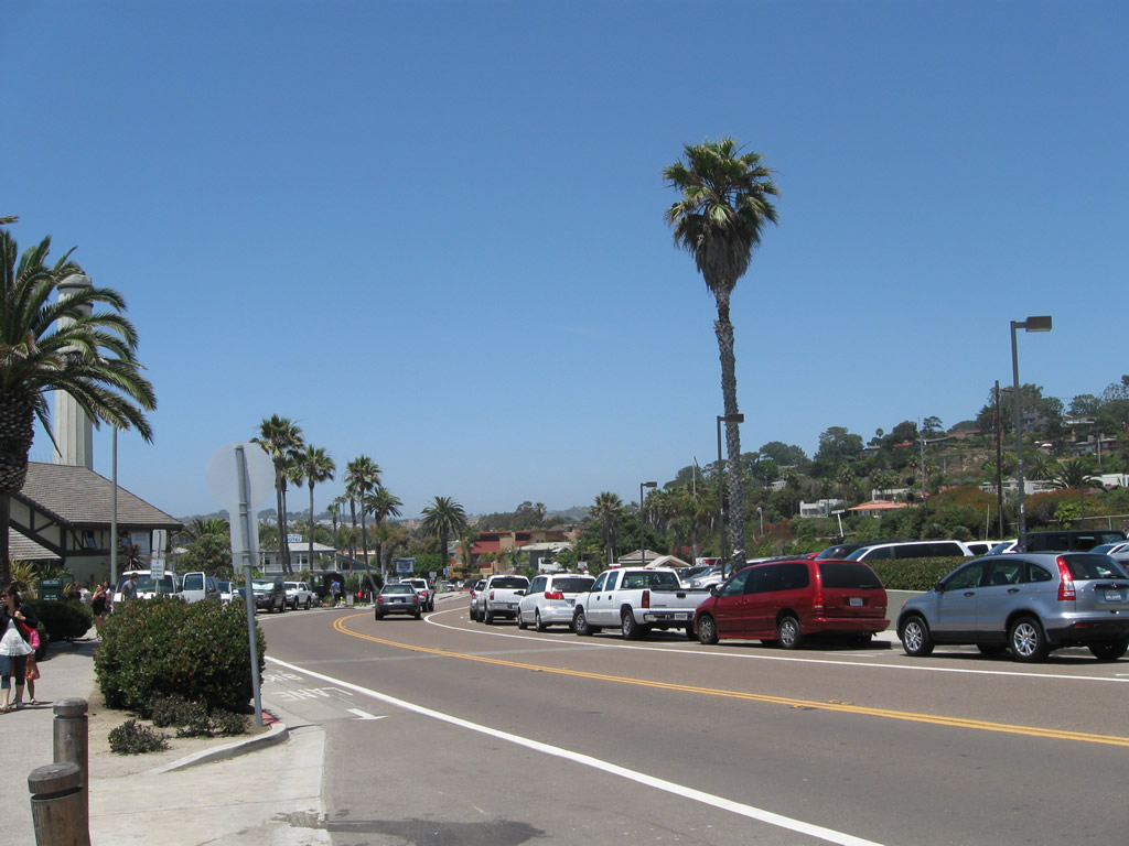
Continuing south, Coast Boulevard (Historic U.S. 101) curves southeast. On this busy summer day, plenty of visitors flocked to the beach and parked alongside Coast Boulevard. Photo taken 06/26/11. |
|
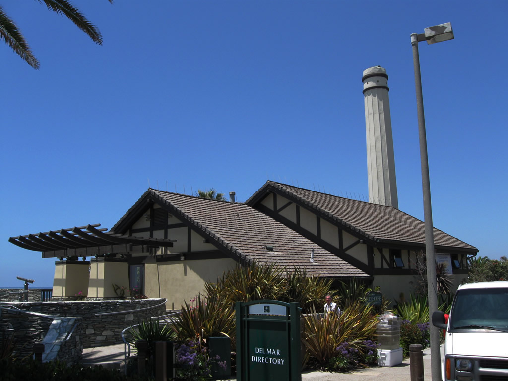
The Del Mar Powerhouse Community Center is easy to spot with its short smokestack. The building was constructed in 1928 as a power house for the Stratford Inn hotel, and it saw multiple uses until it became a community center in 1983. Photo taken 06/26/11. |
| U.S. 101/Highway 101 north |
|
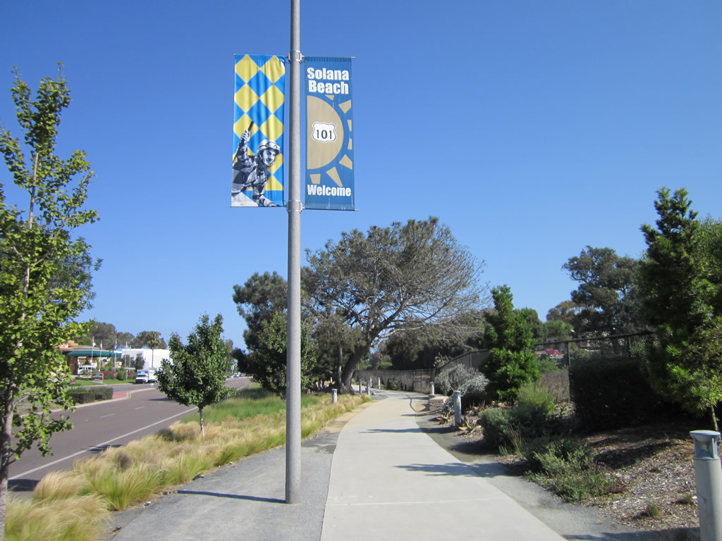
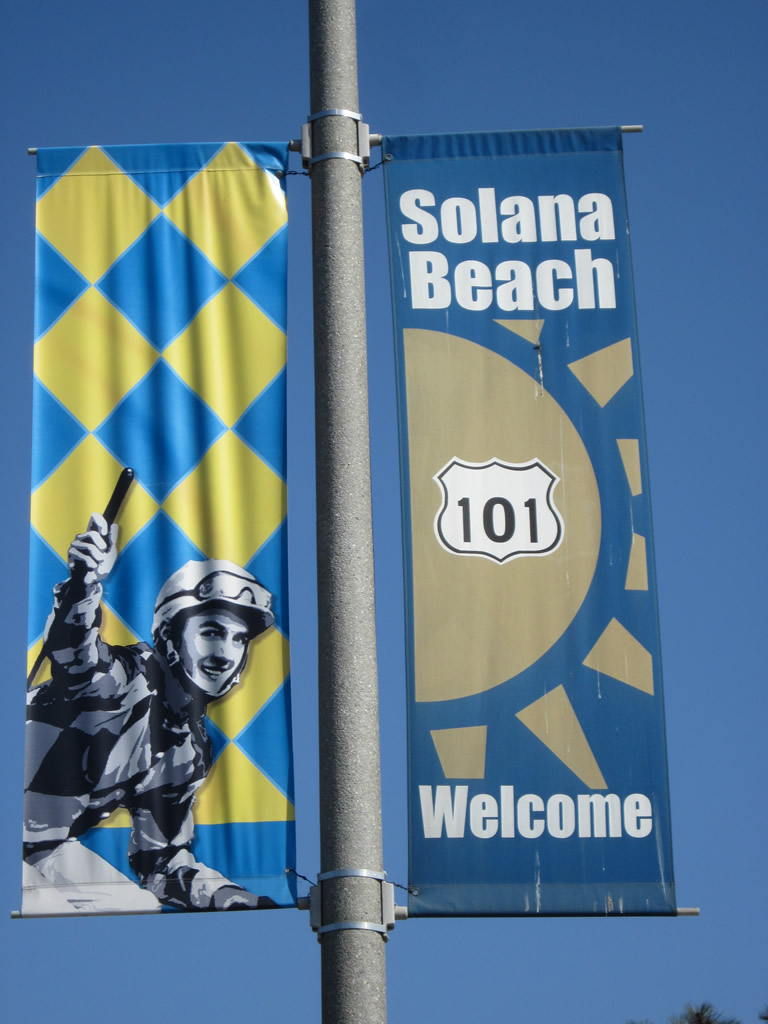
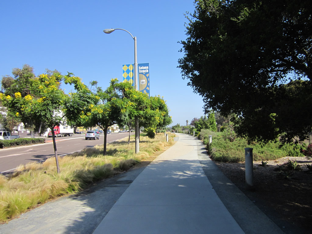
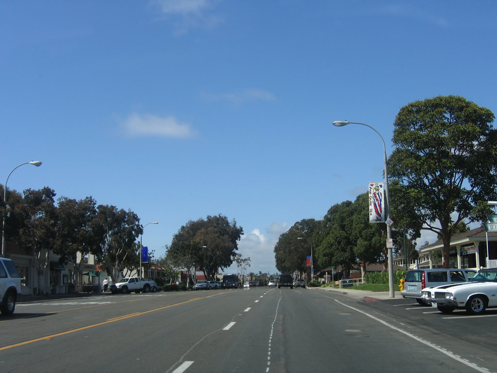
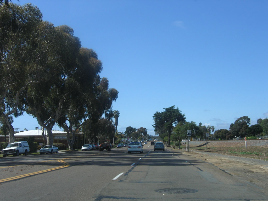
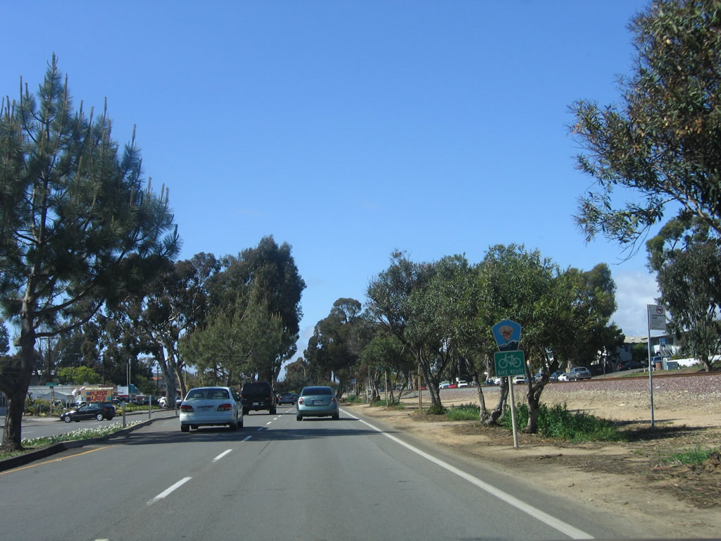
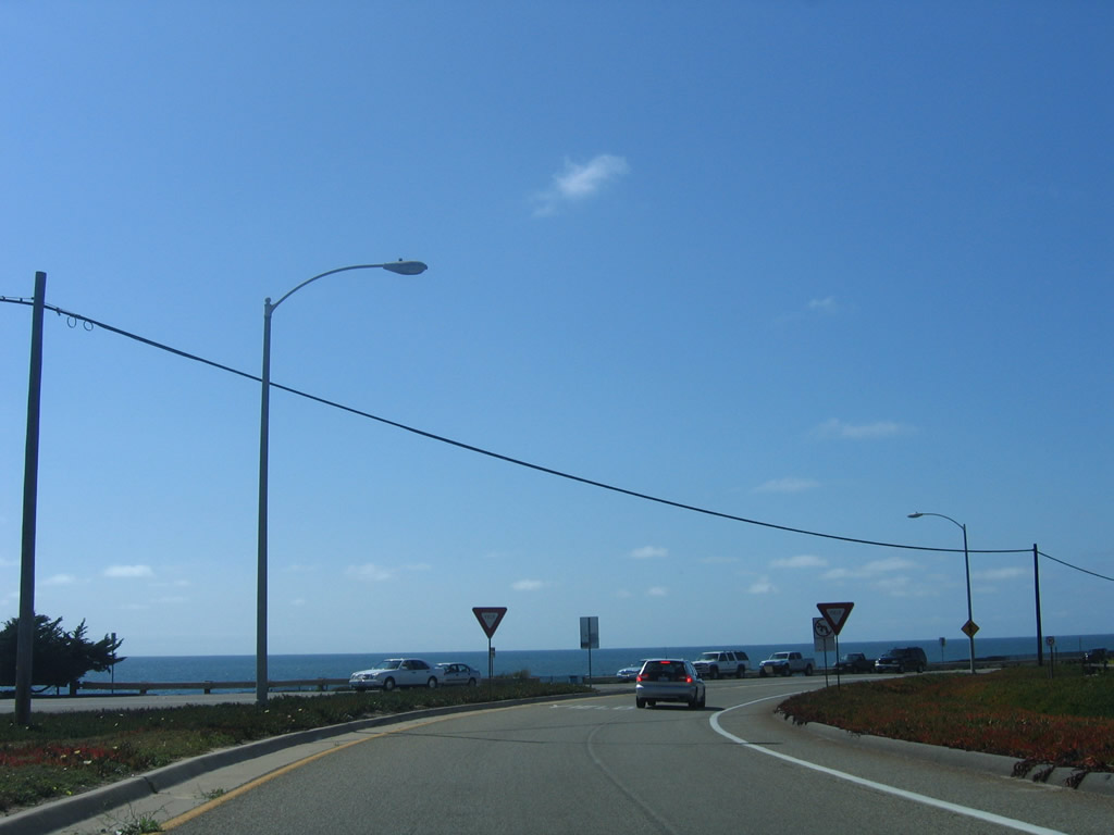
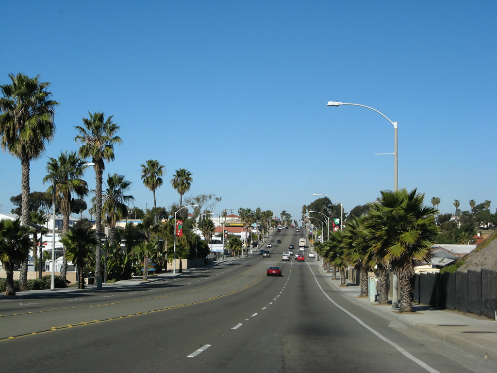
Returning to the main historic route of U.S. 101, Camino Del Mar changes into Highway 101 at the Via de la Valle intersection. This view looks north as we enter the city of Solana Beach. The railroad goes below grade and is not easily visible from the historic coastal route. Photo taken 09/01/12. |
|
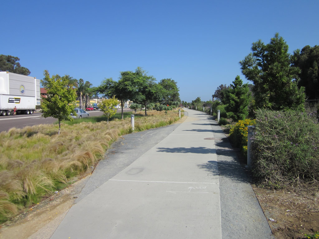
Decorative landscaping lines the east side of Highway 101 and the Coastal Rail Trail as they proceed north. Photo taken 06/26/11. |
|
|
|
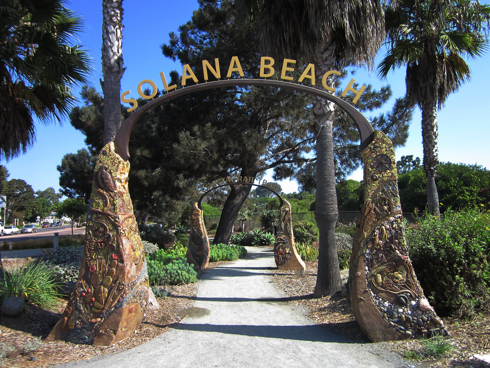
The Coastal Rail Trail is complete through the city of Solana Beach and stays on the east side of Old U.S. 101 and the west side of the railroad trench. A decorative arch welcomes pedestrians onto the trail. Photos taken 09/01/12. |
|
|
|
| We are missing some pictures of Highway 101 as it passes through Solana Beach toward Lomas Santa Fe Drive (San Diego County S-8). Check back later for updates! |
|
|
|
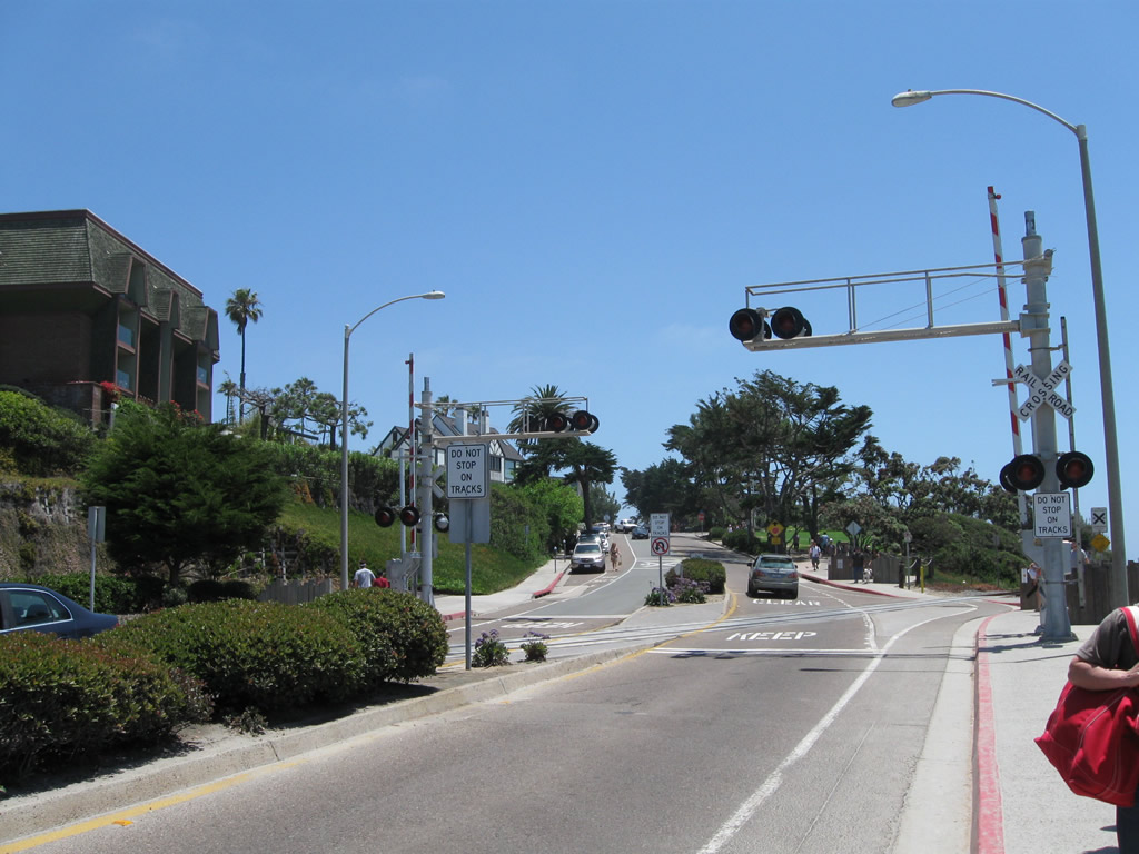
After passing by the Lomas Santa Fe Drive intersection, northbound Highway 101 passes by the Solana Beach train station and proceeds north toward Cardiff by the Sea (part of the city of Encinitas). The Atchison, Topeka and Santa Fe Railroad continues to parallel Highway 101 to the east, but it is largely out of view. The railroad will return to grade upon leaving Solana Beach and entering Cardiff by the Sea. Photos taken 10/21/06. |
|
|
|
| Historic U.S. 101 north |
|
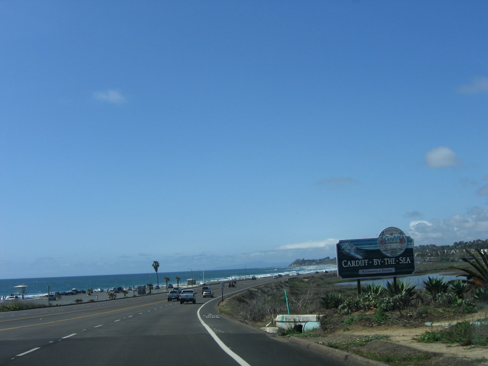
Leaving Solana Beach, the official name of Highway 101 changes into Coast Highway 101 in Encinitas. A large sign welcomes northbound motorists into Cardiff-by-the-Sea, which is the southernmost community within the city of Encinitas. Photo taken 10/21/06. |
|
|
|
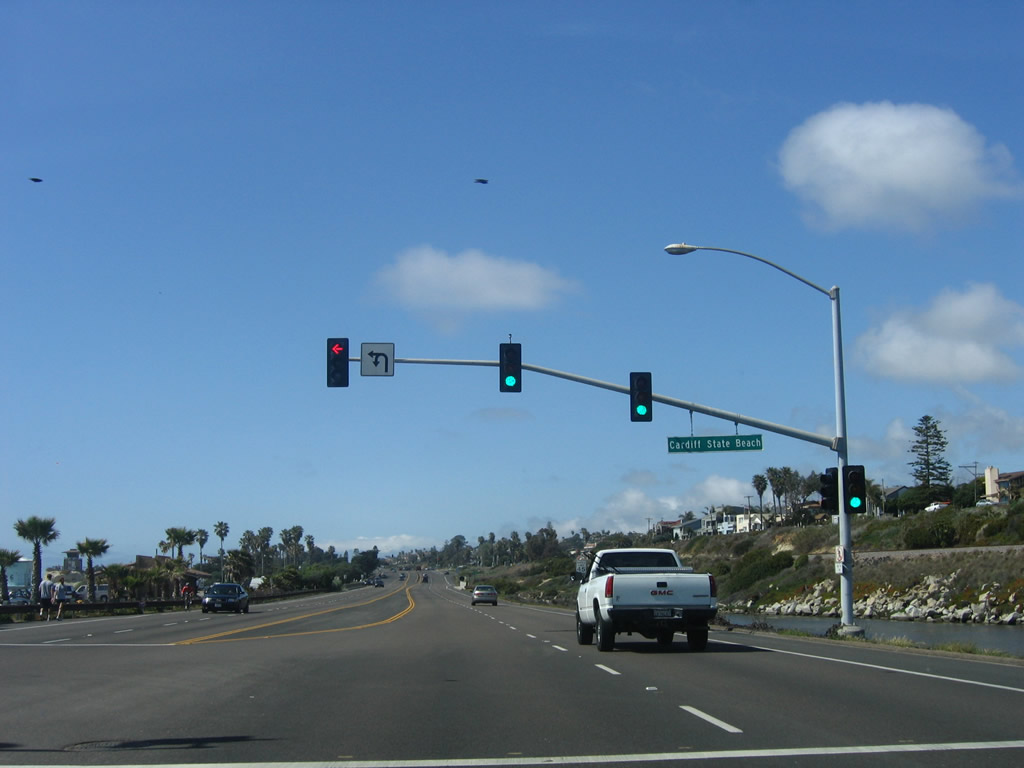
U.S. 101 proceeds into Cardiff by the Sea, following a narrow spit of land between the ocean to the west and San Elijo Lagoon to the east. A small business area with restaurants is located near the entrances to the Cardiff State Beach. Photos taken 10/21/06. |
|
|
|
|
Northbound Coast Highway 101 passes over the estuary that connects the Pacific Ocean to San Elijo Lagoon. Photo taken 10/21/06. |
|
|
|
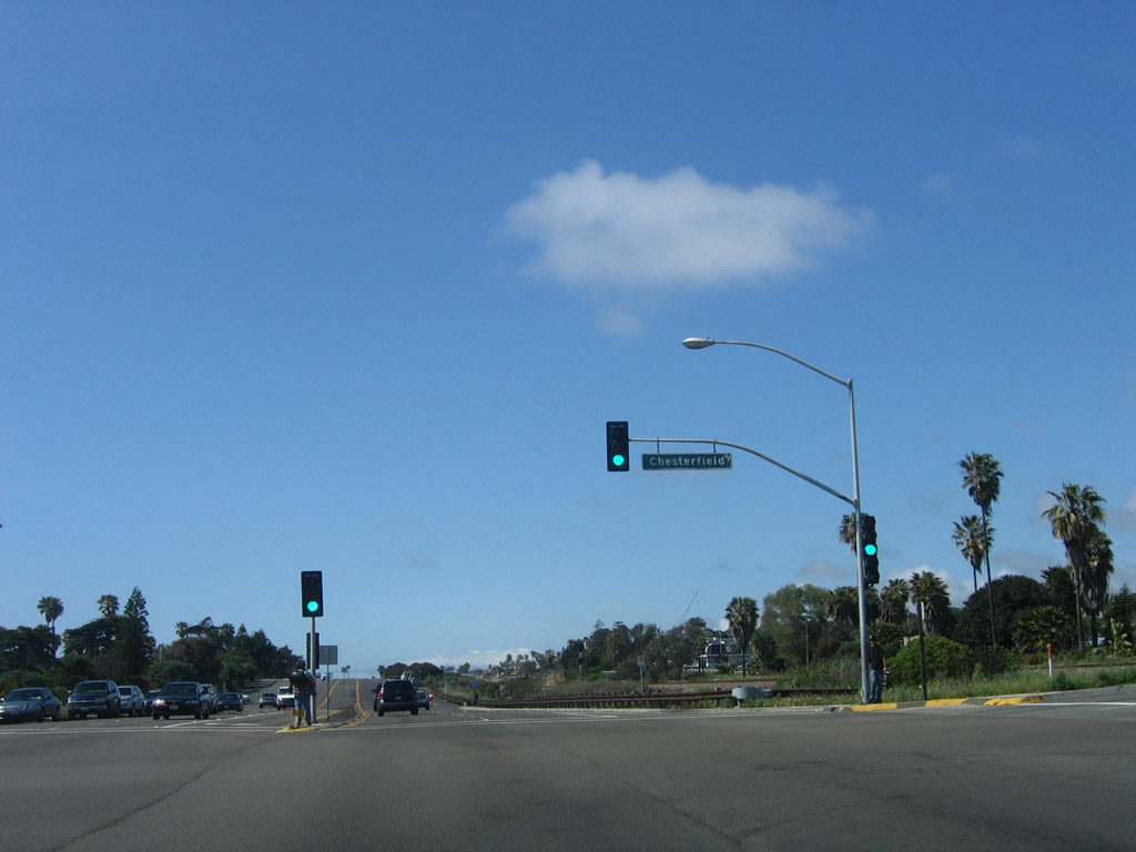
At the top of the rise leaving the lagoon, Coast Highway 101 approaches Chesterfield Drive, which can be used to travel east to the Interstate 5 and Birmingham Drive interchange as noted by this trailblazer for Interstate 5. Photos taken 10/21/06. |
|
|
|
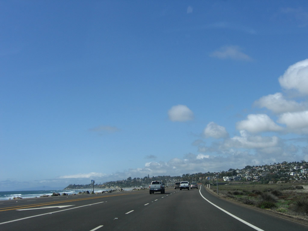
Coast Highway 101 closely parallels the railroad tracks, which have returned to grade since leaving San Elijo Lagoon. The highway stays high on a bluff until reaching the southern end of downtown Encinitas near noted surfing spot Swami's. Photos taken 10/21/06. |
|
To that end, a "surfer crossing" sign seemingly unique to Encinitas is posted near Swami's. Photo taken 10/21/06. |
|
Prior to the J Street intersection is this Historic U.S. 101 route marker. We now enter Downtown Encinitas, with its variety of shops and restaurants that line Coast Highway 101. Photo taken 10/21/06. |
|
North of J Street, Coast Highway 101 takes on the role of urban boulevard with businesses and shopping areas on both sides of the street. Plans call for conversion of several intersections into roundabouts along this busy stretch of former U.S. 101. Photo taken 10/21/06. |
|
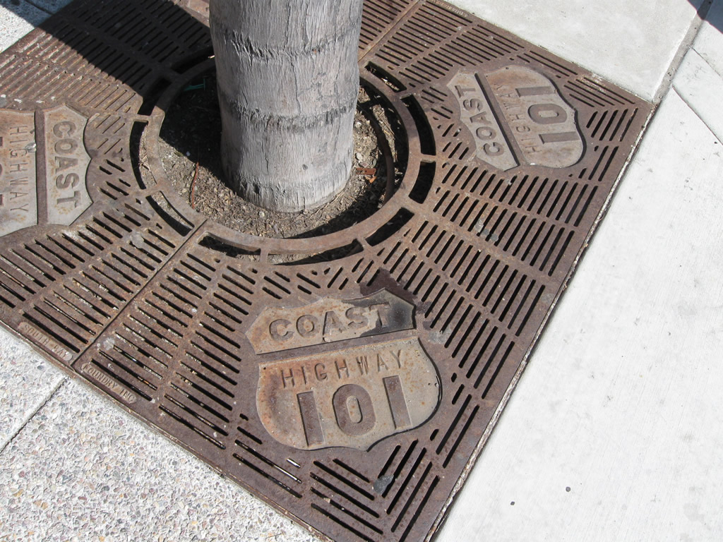
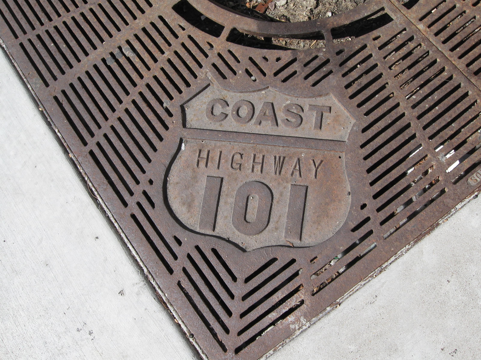
Three blocks north, northbound Coast Highway 101 approaches G Street. Streetscape improvements have incorporated the Highway 101 theme, including business logos, tree grates, and signage. Photo taken 06/26/11. |
|
|
|
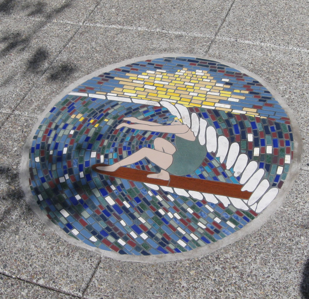
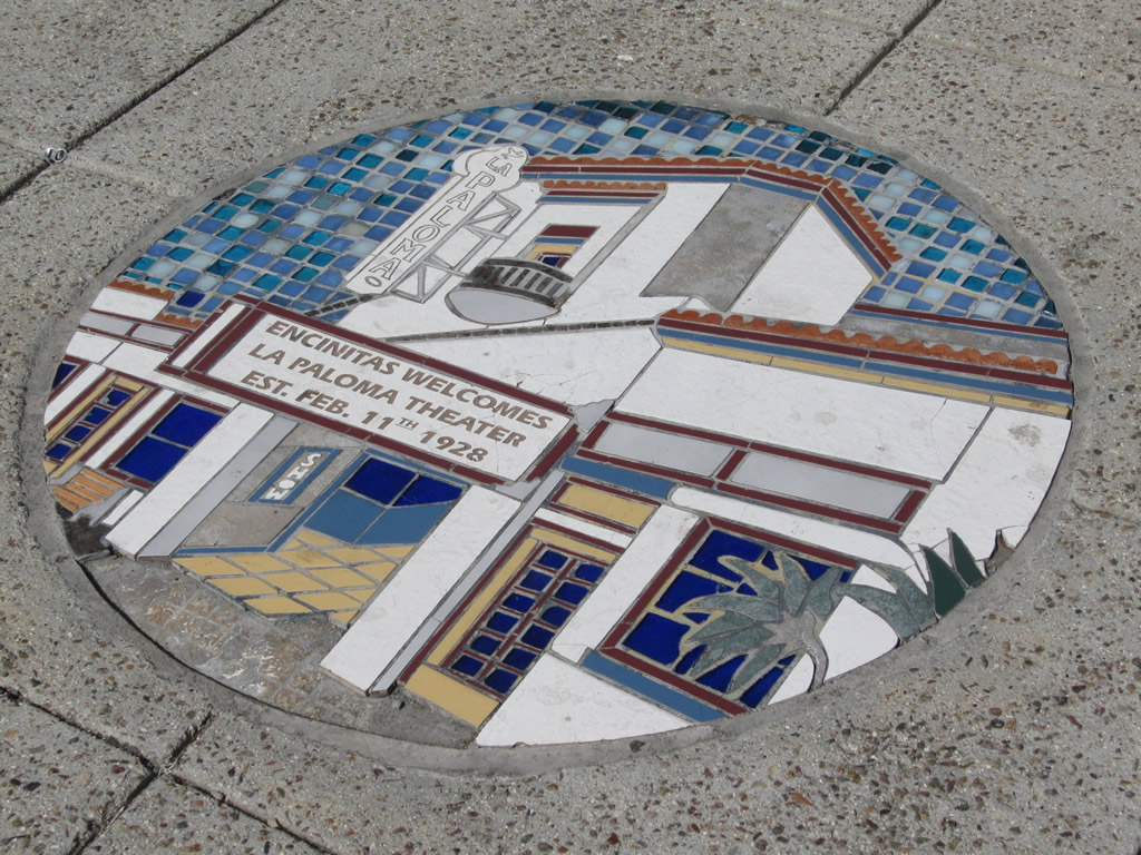
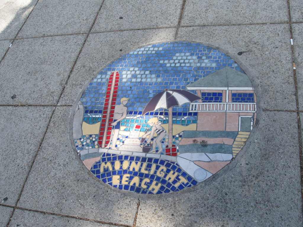
Some of the aforementioned public art along Coast Highway 101 in downtown Encinitas includes odes to surfing, El Camino Real, and Historic U.S. 101. Photos taken 06/26/11. |
|
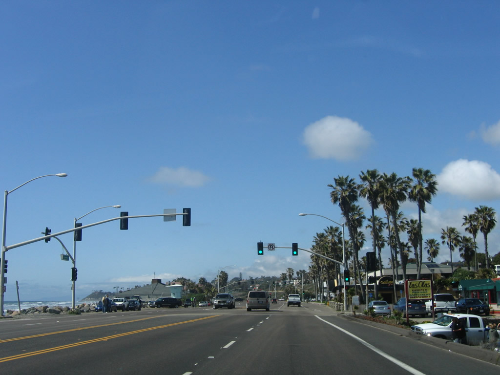
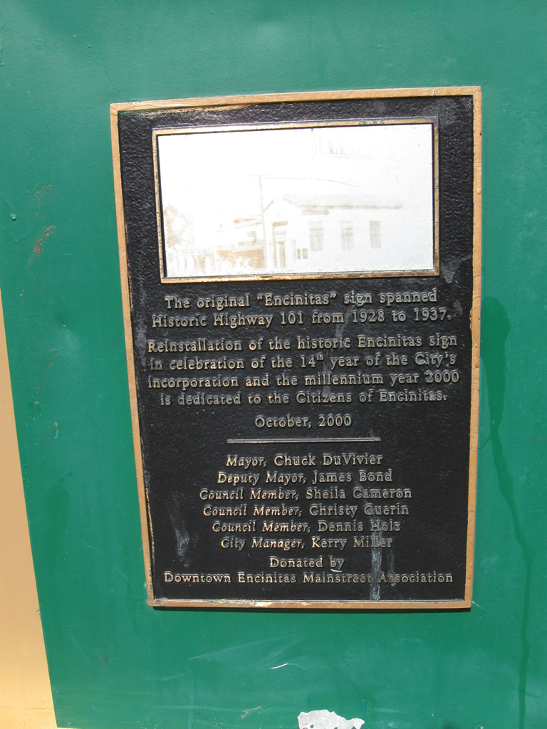
When first signed in Leucadia in 1997, Historic U.S. 101 was shown as "Coast Highway 101" or "Coast Hwy 101" within a U.S. highway shield (rather than the more commonplace brown historic route signs). This type of sign lasted until around 2001 or 2002, and it was phased out in favor of the brown signs. However, the original design lives on in the tree grates in downtown Encinitas, which replicate the Coast Highway 101 design once seen along the historic route. Photo taken 06/26/11. |
|
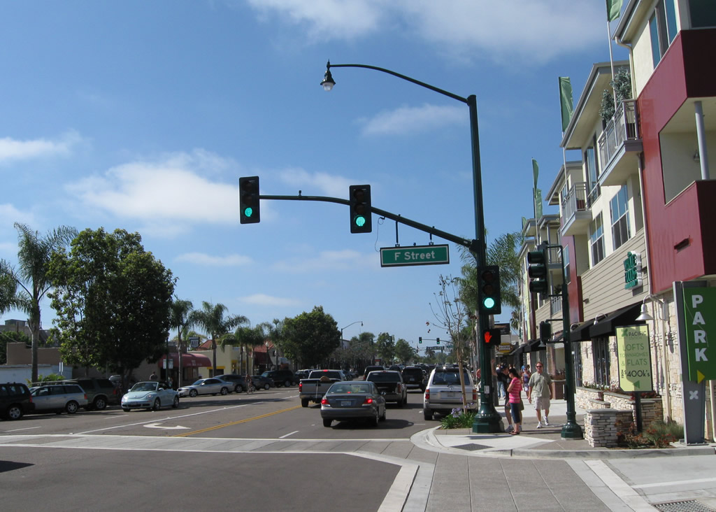
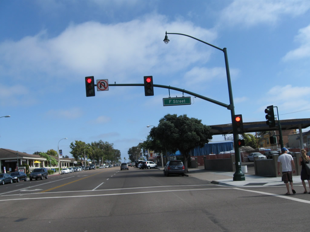
This view looks north on Coast Highway 101 from F Street. Photo taken 06/26/11. |
|
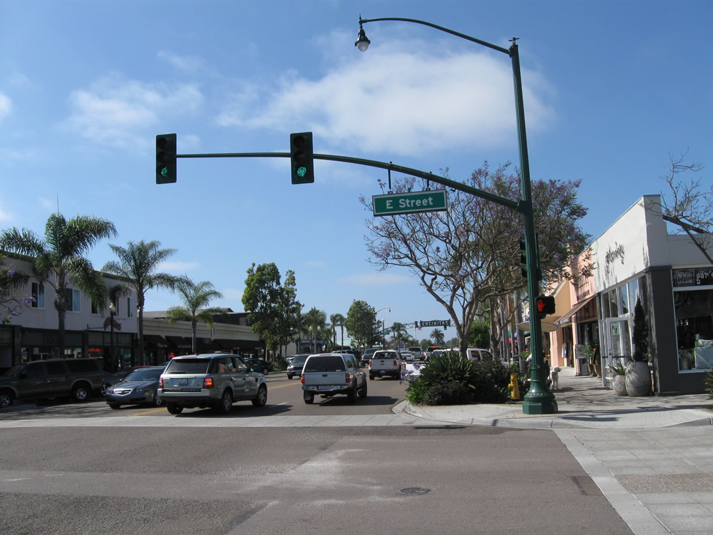
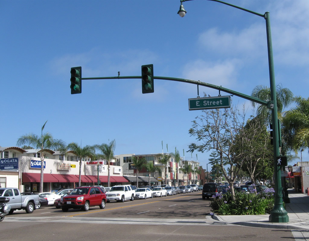
Just a bit further north, Coast Highway 101 meets E Street at this traffic signal. Photo taken 06/26/11. |
|
|
|
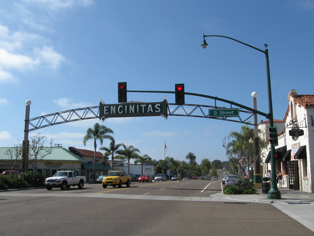
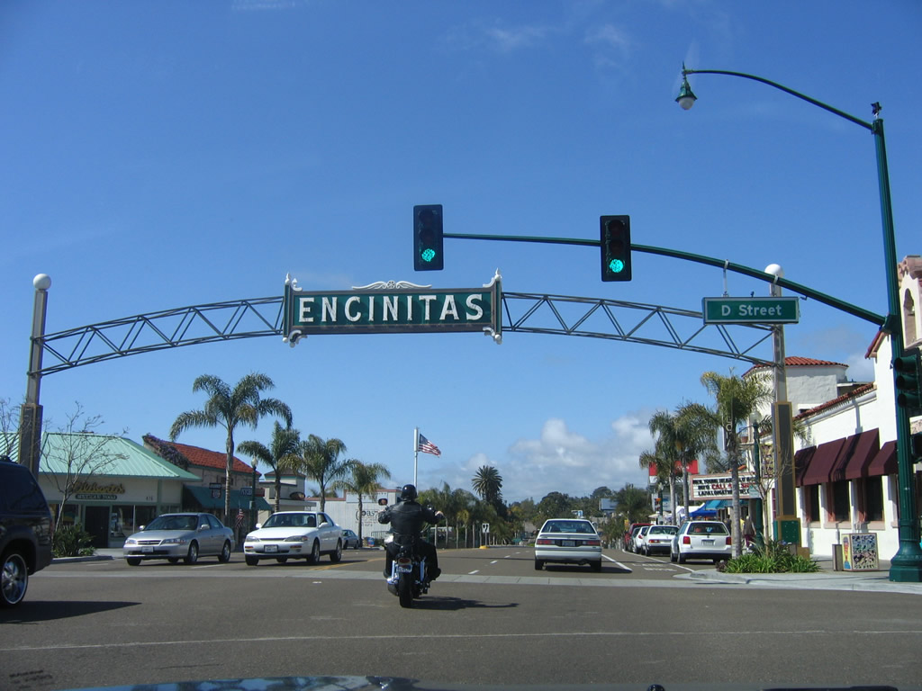
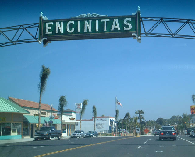
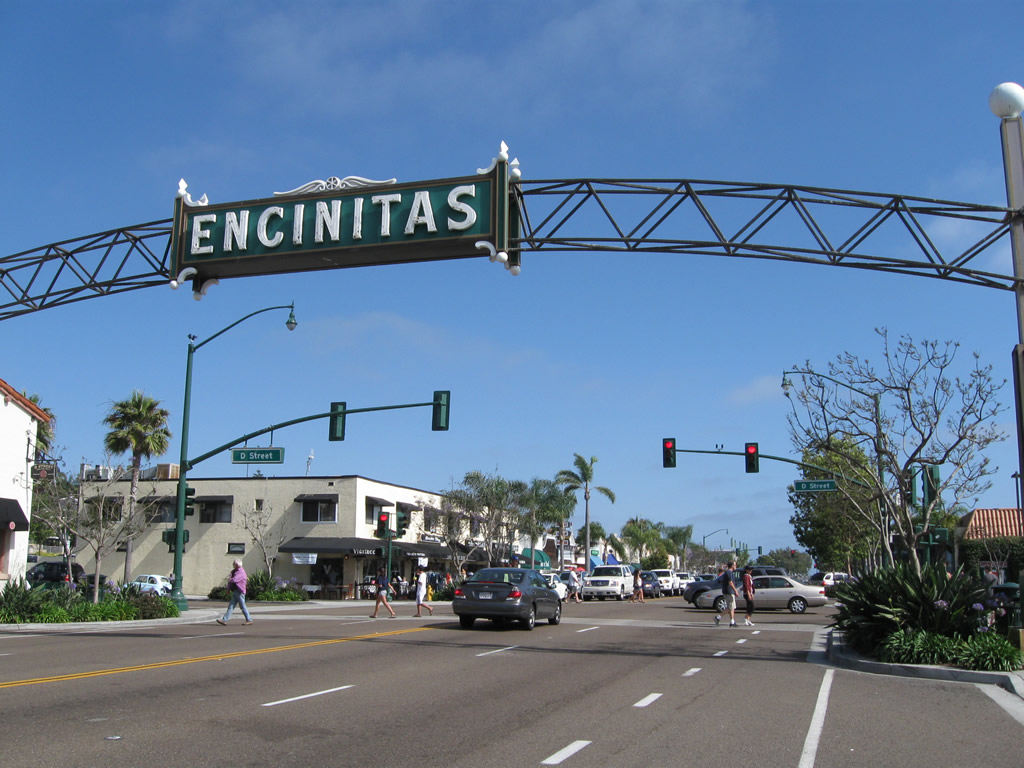
Northbound Historic U.S. 101 meets D Street in the heart of Encinitas. At this point, Coast Highway 101 passes under the Encinitas Arch in downtown Encinitas. Photos taken 06/26/11, 10/21/06, and 06/22/02. |
|
|
|
Continuing north, Coast Highway 101 descends toward its intersection with Encinitas Boulevard. Turn right at this intersection to return to Interstate 5 or left for B Street. Photos taken 04/15/06. |
|
A state scenic poppy flower marker is located just north of Encinitas Boulevard. Since this scenic route is on a county route (maintained by the city of Encinitas), the California poppy flower is posted on a pentagon cut in the shape of a typical county route marker. Ahead, U.S. 101 will enter the community of Leucadia, which is also part of the city of Encinitas. Photo taken 04/15/06. |
|
|
|
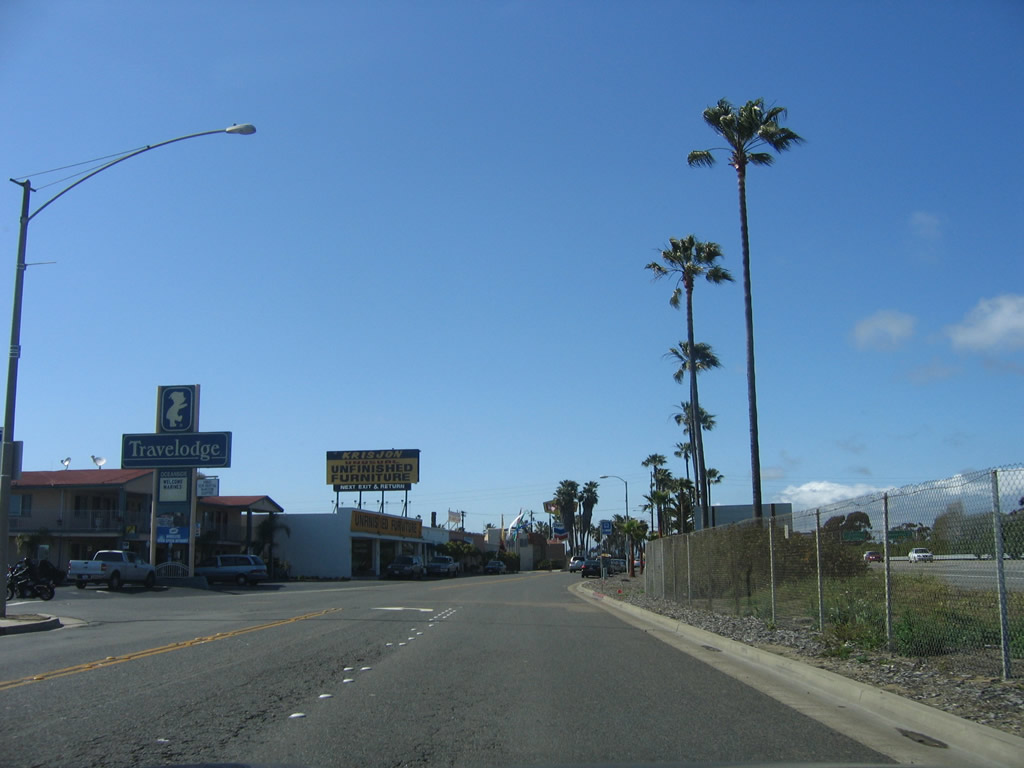
Coast Highway 101 continues north in Encinitas, entering the community of Leucadia within the city of Encinitas. Eucalyptus trees line the highway, planted alongside the highway as a beautification measure. New streetscape improvements, which are planned to incorporate the elimination of one northbound travel lane and addition of five roundabouts at existing intersections (La Costa Avenue, Bishop-s Gate Road, Grandview Street, Jupiter Street and El Portal Street). Additional improvements include sidewalks, more street trees, and related improvements to increase traffic calming.1,2 Photos taken 04/15/06. |
|
|
|
As development arrived along the Leucadia stretch of Historic U.S. 101, the highway gradually changed from an expressway configuration to a conventional highway with driveway access. Photos taken 04/15/06. |
|
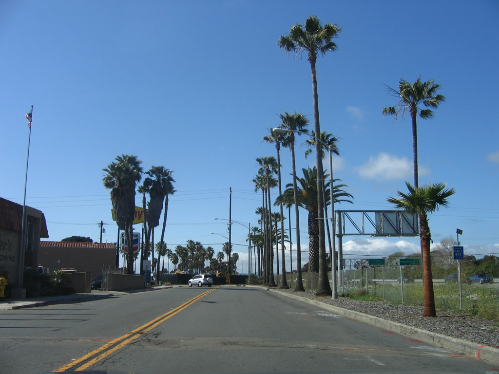
After passing the Leucadia Boulevard signalized intersection, Historic U.S. 101 proceeds north through Leucadia. After the Leucadia Boulevard intersection was a Coast Highway 101 shield. Designed by Fred Caldwell and Bob Cech and posted in August 1997, the Coast Highway 101 shield was the first in San Diego's North County to commemmorate the historic route of U.S. 101.3 Later signs are brown and designate Coast Highway 101 as a historic route. Photo taken 04/15/06. |
|
|
|
Historic U.S. 101 continues north past eucalyptus trees. Plans call for traffic calming along North Coast Highway 101 in Encinitas, including roundabouts and more street trees. Photos taken 04/15/06. |
|
A small, yet conventional, brown Historic U.S. 101 route marker is posted a bit further north. Photo taken 04/15/06. |
|
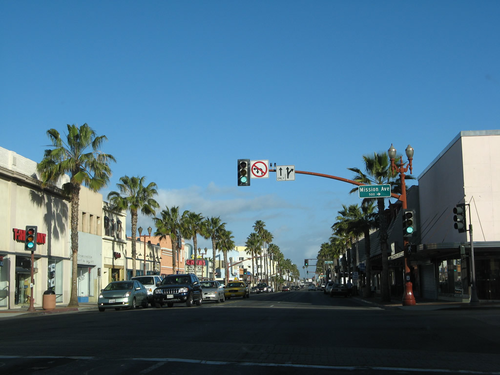
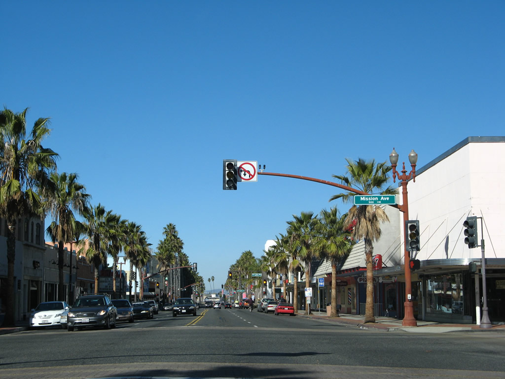
The next major, signalized intersection along U.S. 101 north is with La Costa Avenue. Use La Costa Avenue east to Interstate 5 (San Diego Freeway). This intersection is slated to be converted into a roundabout per a plan approved by the Encinitas City Council on January 13, 2010.1,2 Photo taken 04/15/06. |
|
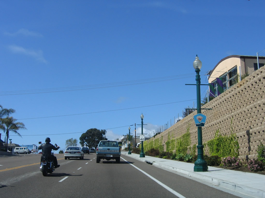
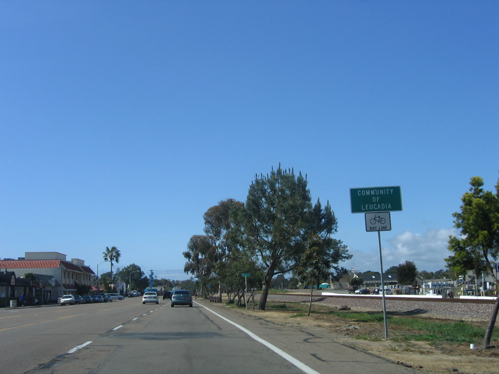
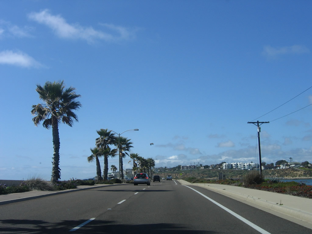
Northbound Coast Highway 101 meets La Costa Avenue. Ahead, U.S. 101 will leave Encinitas and enter the city of Carlsbad. The Pacific Ocean again comes into view as U.S. 101 enters South Carlsbad State Beach and the mouth of Batiquitos Lagoon. Photo taken 04/15/06. |
| U.S. 101/Carlsbad Boulevard north |
|---|
|
Entering the city of Carlsbad, Coast Highway 101 becomes Carlsbad Boulevard. This San Diego County S-21 reassurance shield is posted after the La Costa Boulevard intersection. Photo taken 04/15/06. |
|
A Historic U.S. 101 Route sign is posted in the median of the highway. Photo taken 04/15/06. |
|
|
|
U.S. 101/Carlsbad Boulevard crosses San Marcos Creek and Batiquitos Lagoon. Photos taken 04/15/06. |
|
Northbound U.S. 101/Carlsbad Boulevard meets Avenida Encinas at this traffic signal. Photo taken 04/15/06. |
|
|
|
U.S. 101/Carlsbad Boulevard becomes an expressway between Avenida Encinas and Poinsettia Lane. Note the concrete lanes, older bridge railing, and earlier standard guardrail. Photos taken 04/15/06. |
|
Northbound U.S. 101/Carlsbad Boulevard meets Poinsettia Lane at this traffic signal. Turn right (east) on Poinsettia Lane to Interstate 5. This section was realigned and reconfigured, possibly in conjunction with nearby residential development. Photo taken 04/15/06. |
|
Original expressway concrete resumes between Breakwater Road and Island Way. Photo taken 04/15/06. |
|
|
|
A former exit ramp from U.S. 101 to Surfside Lane has been removed from service, leaving the old ramp visible to northbound travelers. Photos taken 04/15/06. |
|
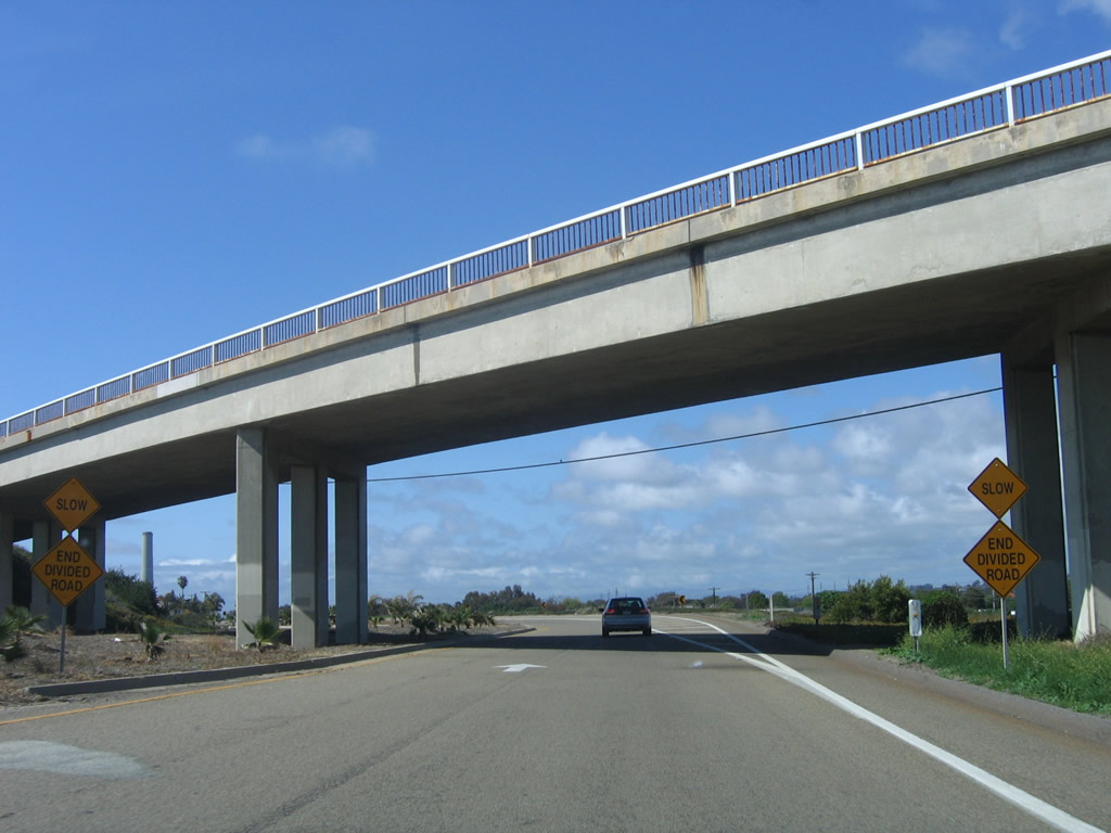
This segment of Historic U.S. 101 is perhaps the longest and most well-preserved segment of original concrete expressway in Carlsbad. Correspondent Mark Furqueron writes, "It is too bad the old South Carlsbad Freeway section of U.S. 101 south of Palomar Airport Road has been turned back into a city street. There used to be two old interchanges on this section. First the county replaced the freeway-grade signs with tiny ones in the late 1970s, then they ripped out the interchanges and put in traffic lights in the 1980s. I miss the cool old freeway, but that area has grown a lot, so I guess it had to be done." Photo taken 06/22/02. |
|
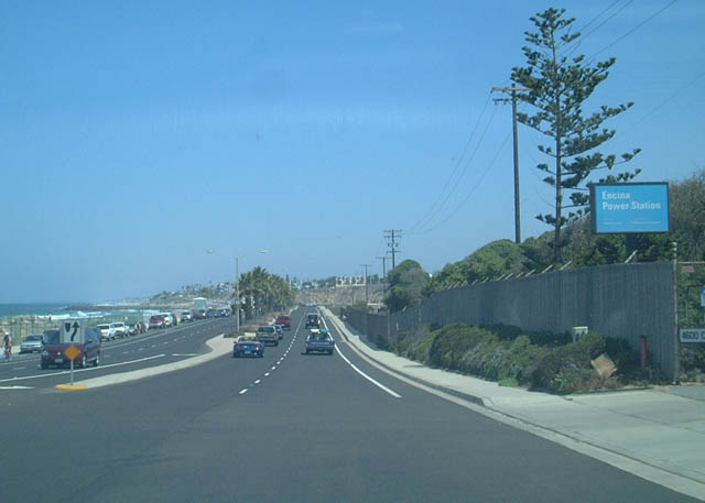
The Encina power plant's towering smokestack comes into view north along Carlsbad Boulevard. Photo taken 04/15/06. |
|
The ocean remains in close proximity, offering incredible views of the beach and water. Photo taken 04/15/06. |
|
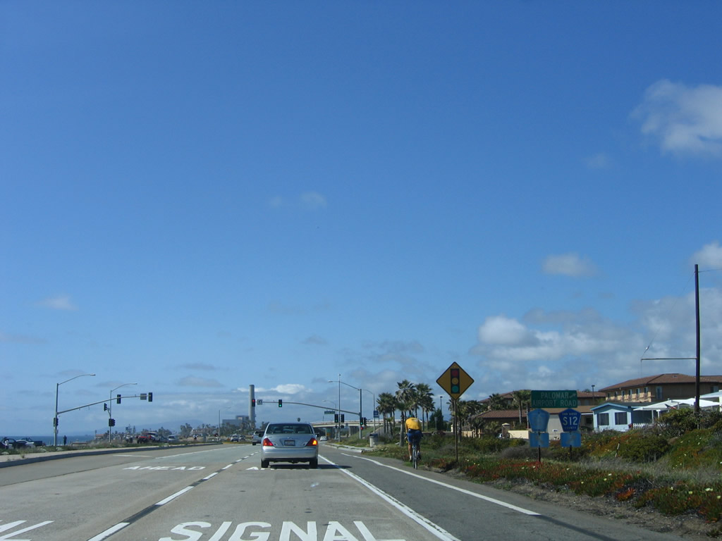
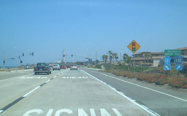
The next junction along Historic U.S. 101/Carlsbad Boulevard north is with San Diego County S-12 (Palomar Airport Road) east Interstate 5, the Carlsbad Flower Fields, McClellan-Palomar Airport, and Vista. Photo taken 04/15/06. |
|
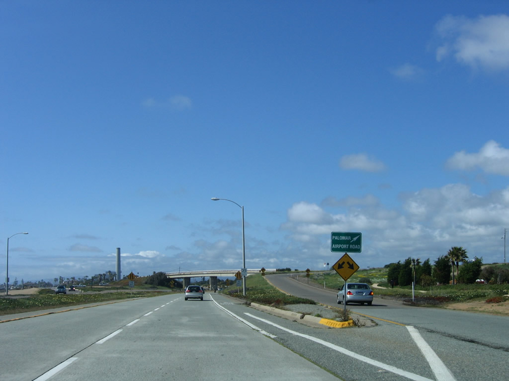
Northbound Historic U.S. 101 approaches San Diego County S-12 (Palomar Airport Road) in Carlsbad. Palomar Airport Road is a major east-west route through Carlsbad, and it meets California 78 in San Marcos (as San Marcos Boulevard). Note these shields only indicate San Diego County S-21 and S-12 but ignore the Historic U.S. 101 designation. For a time prior to the completion of Interstate 5, this interchange was the southern end of the U.S. 101 freeway bypass around Carlsbad and Oceanside. Eventually, the U.S. 101 bypass was made part of Interstate 5, and the direct connection between the bypass and Historic U.S. 101 was removed. Traffic must use County Route S-12 instead. Photo taken 06/22/02. |
|
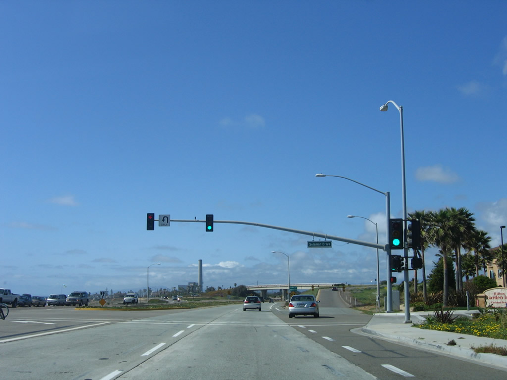
Northbound U.S. 101/Carlsbad Boulevard meets Solamar Drive at this traffic signal; this driveway leads to the nearby Hilton Garden Inn and a small gated subdivision to the southeast. Immediately after the traffic signal is the off-ramp to Palomar Airport Road (San Diego County S-12). Photo taken 04/15/06. |
|
Immediately thereafter, U.S. 101/Carlsbad Boulevard meets Palomar Airport Road. After this exit, the expressway will come to its end. Historically, this was the point where the South Carlsbad Freeway connected to the Carlsbad Bypass (which today is Palomar Airport Road and Interstate 5). Ahead, Carlsbad Boulevard will assume more urban characteristics as it approaches downtown Carlsbad. Through traffic may prefer to connect to Interstate 5 north at this point. Photo taken 04/15/06. |
|
|
|
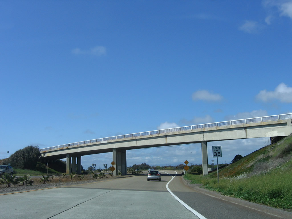
Carlsbad Boulevard narrows to one northbound lane as it passes under Palomar Airport Road. This unusual configuration (where U.S. 101 merges into County Route S-12 rather than the other way around) is a product of this interchange being the former southern terminus of the U.S. 101 bypass of Carlsbad north of here. You could imagine this as being the south end of the business route into Carlsbad. Photos taken 04/15/06. |
|
U.S. 101 prepares to merge with traffic from westbound Palomar Airport Road. Photo taken 04/15/06. |
|
After the merge, houses line the eastern side of Carlsbad Boulevard and soon will line the west side as well. Photo taken 04/15/06. |
|
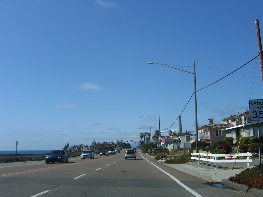
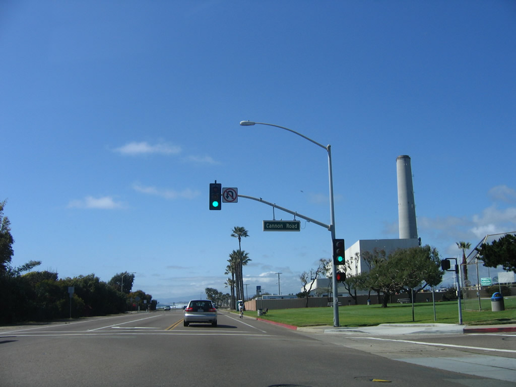
Northbound Carlsbad Boulevard meets Cannon Road. Turn right (east) here to connect to Interstate 5. Ahead on the right is the large Encina power plant. Photo taken 04/15/06. |
|
|
|
A chain link fence blocks view of the adjacent power plant. Agua Hedionda lagoon comes into view after passing the plant. Photos taken 04/15/06. |
|
Northbound Historic U.S. 101 passes by the Encina natural gas electrical generation facility in Carlsbad. The massive power plant sits on the east; the Pacific Ocean lies to the west. Coast Highway 101 squeezes between these two for a good distance. Note the brown Historic U.S. 101 shield located in the median of the first picture. Photos taken 06/22/02. |
|
Northbound Carlsbad Boulevard crosses over Agua Hedionda lagoon. Photo taken 04/15/06. |
|
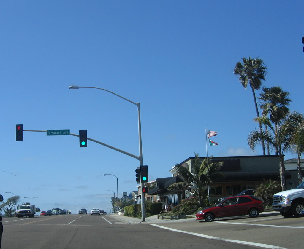
The next signalized intersection along U.S. 101/Carlsbad Boulevard north is with Tamarack Avenue. Photo taken 04/15/06. |
|
|
|
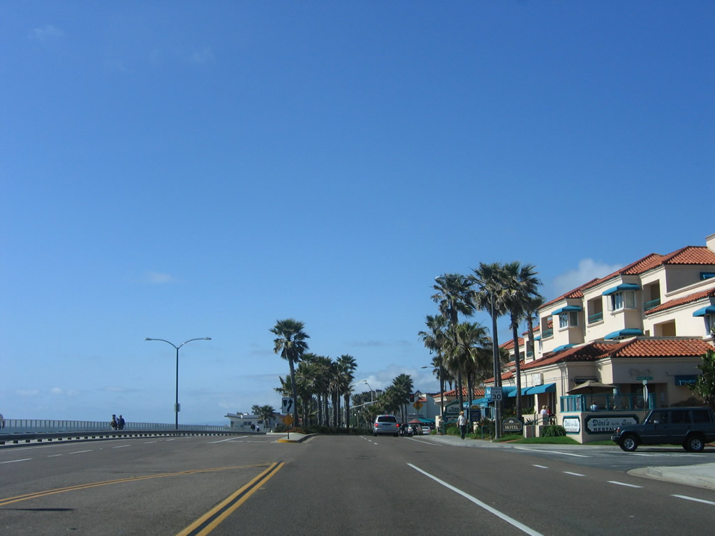
Carlsbad Boulevard enters the downtown village area of Carlsbad. Near the center of downtown, Carlsbad Boulevard will meet Carlsbad Village Road, which travels east to a Coaster rail station, the downtown shopping district, and eventually Interstate 5. Photos taken 04/15/06. |
|
Leaving downtown Carlsbad, U.S. 101/Carlsbad Boulevard passes over the railroad on this older bridge. Photo taken 04/15/06. |
|
|
|
Carlsbad Boulevard enters Buena Vista Lagoon as traffic from State Street merges onto northbound. Ahead, the highway will leave Carlsbad and enter Oceanside. Photos taken 04/15/06. |
| U.S. 101/Coast Highway north |
|
Northbound Historic U.S. 101 leaves the city of Carlsbad and enters the city of Oceanside. Photo taken 04/15/06. |
|
A Historic U.S. 101 route marker is posted right after entering the city of Oceanside. Photo taken 04/15/06. |
|
Northbound Historic U.S. 101 approaches Vista Way, which makes this intersection the historic junction with California 78 (the western terminus today is at the Interstate 5 interchange). California 78 travels east through Oceanside, Vista, and San Marcos to Escondido, all as a freeway. Photo taken 04/15/06. |
|
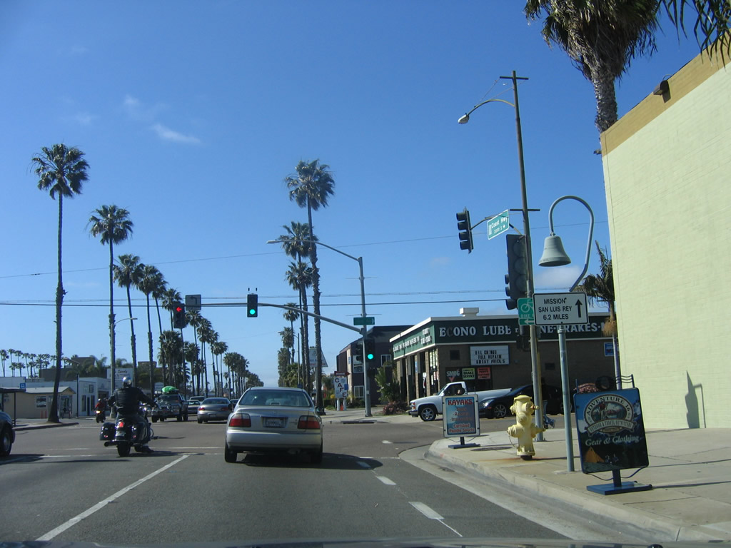
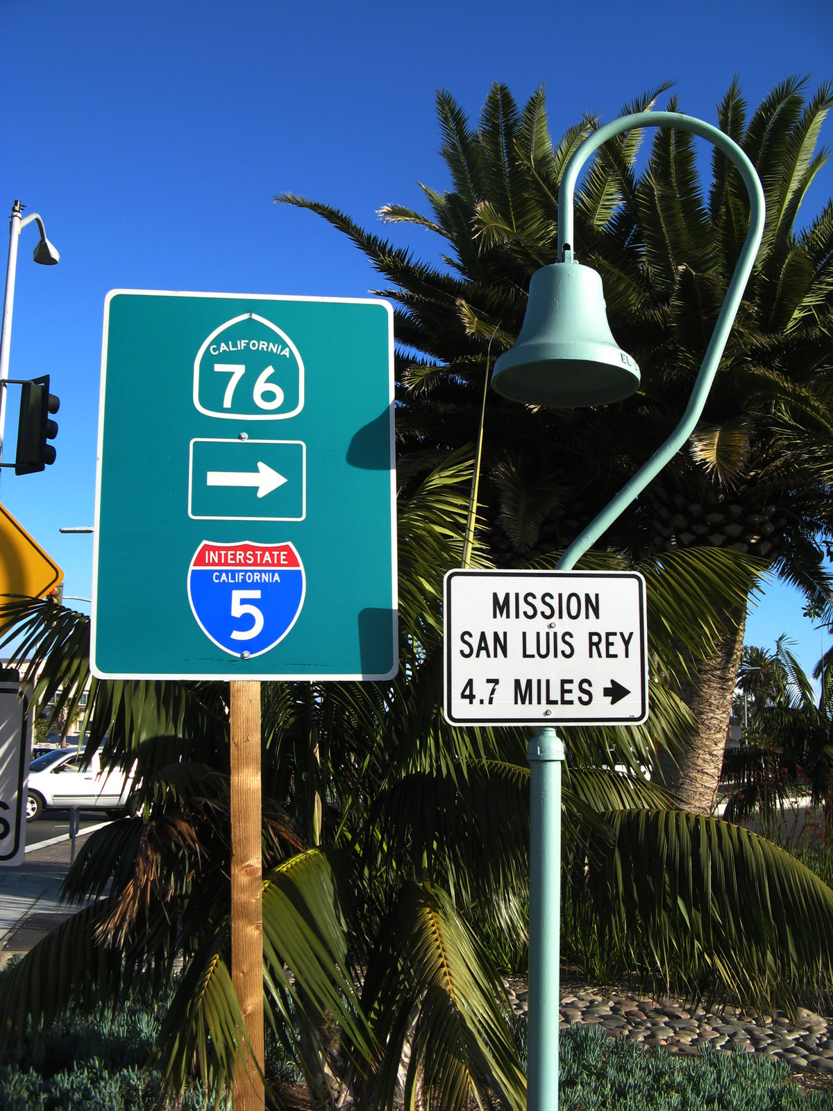
An El Camino Real mission bell and trailblazer to Mission San Luis Rey are posted just before the Vista Way intersection. Photo taken 04/15/06. |
|
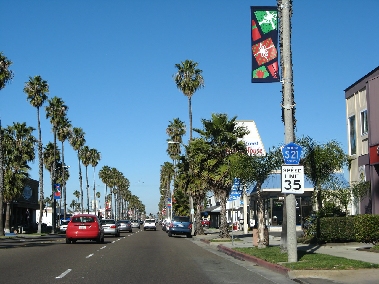
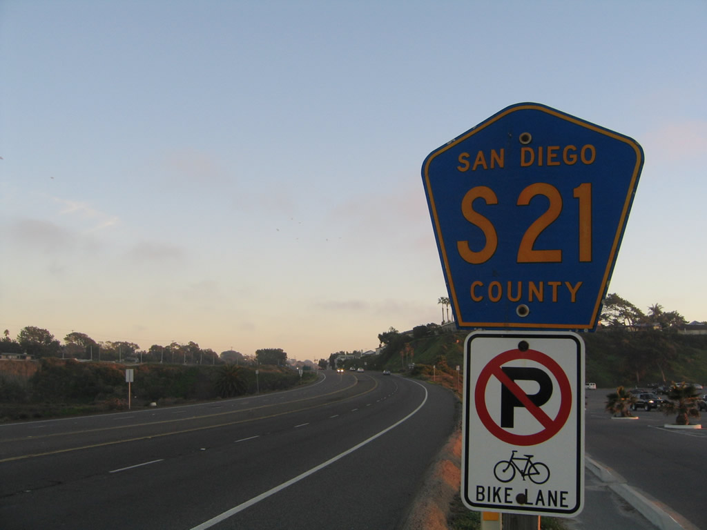
A San Diego County S-21 reassurance shield is posted after the Vista Way intersection. Photo taken 01/14/07. |
|
A neutered Interstate 5 trailblazer posted along northbound Historic U.S. 101 (Coast Highway) prior to the Cassidy Street intersection in Oceanside. Photo taken 01/14/07. |
|
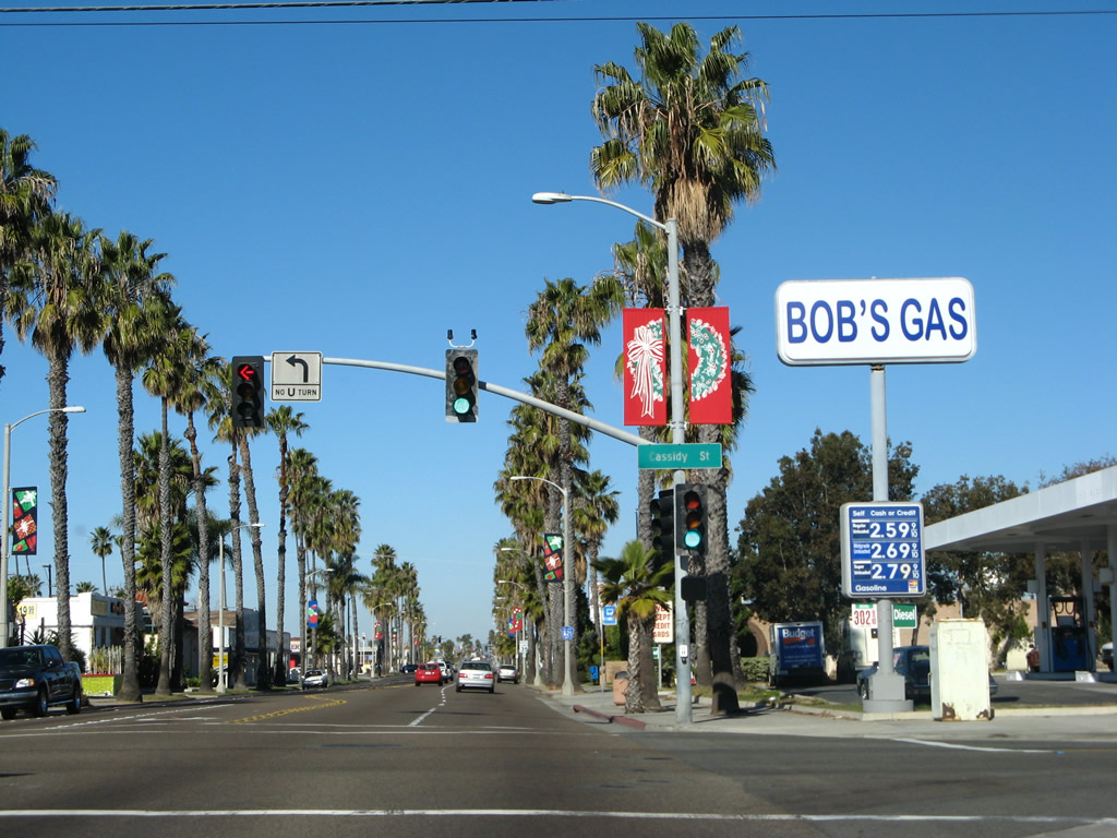
Northbound Historic U.S. 101 and S-21 meets Cassidy Street at this intersection. Turn right for a link to Interstate 5. Photo taken 01/14/07. |
|
Shortly after the Cassidy Street intersection, another San Diego County S-21 shield is posted along northbound Historic U.S. 101 (Coast Highway). Photo taken 01/14/07. |
|
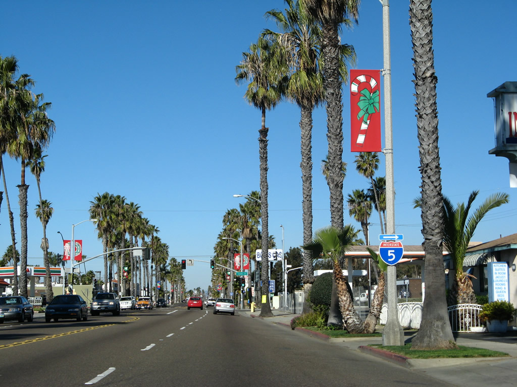
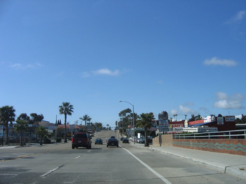
Businesses and commercial establishments line both sides of Coast Highway in Oceanside, including restaurants, motels, and businesses catering to the military community due to the proximity to Camp Pendleton to the north of here. Photo taken 01/14/07. |
|
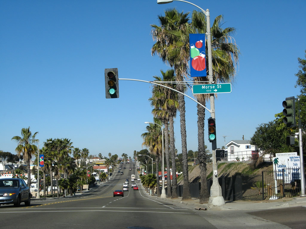
Northbound Historic U.S. 101 meets Morse Street at this traffic signal. Photo taken 01/14/07. |
|
Coast Highway (Historic Highway 101 and S-21) proceeds north after Morse Street with five lanes. Photo taken 01/14/07. |
|
Soon thereafter, Coast Highway passes over a drainage channel. Photo taken 04/15/06. |
|
An east-west railroad carries the Sprinter heavy rail between Oceanside and Escondido. Photo taken 04/15/06. |
|
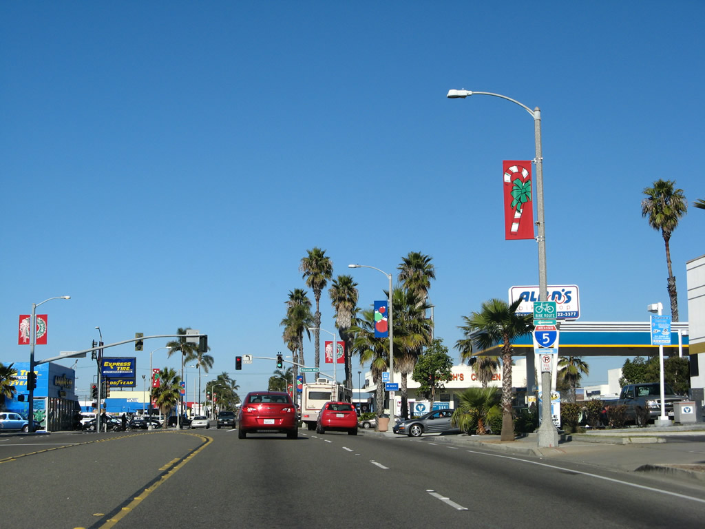
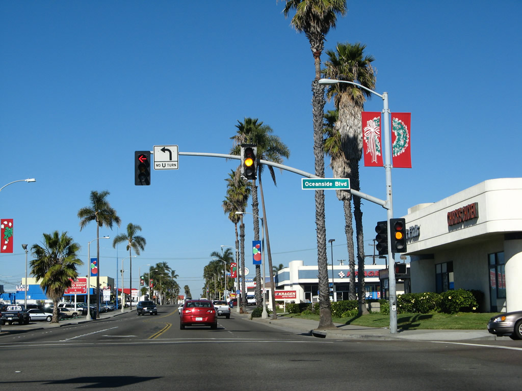
Northbound Historic U.S. 101 approaches Oceanside Boulevard, which travels east to Interstate 5. Photo taken 01/14/07. |
|
S-21/Coast Highway north meets Oceanside Boulevard. Photo taken 01/14/07. |
|
After the Oceanside Boulevard intersection on Historic U.S. 101 (Coast Highway) is another San Diego County S-21 route marker. Photo taken 01/14/07. |
|
And just a bit later is another Historic U.S. 101 route marker along Coast Highway at the intersection with Stanley Street. Photo taken 04/15/06. |
|
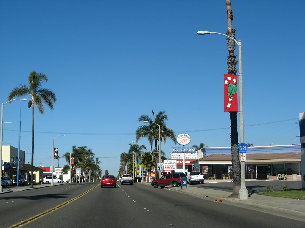
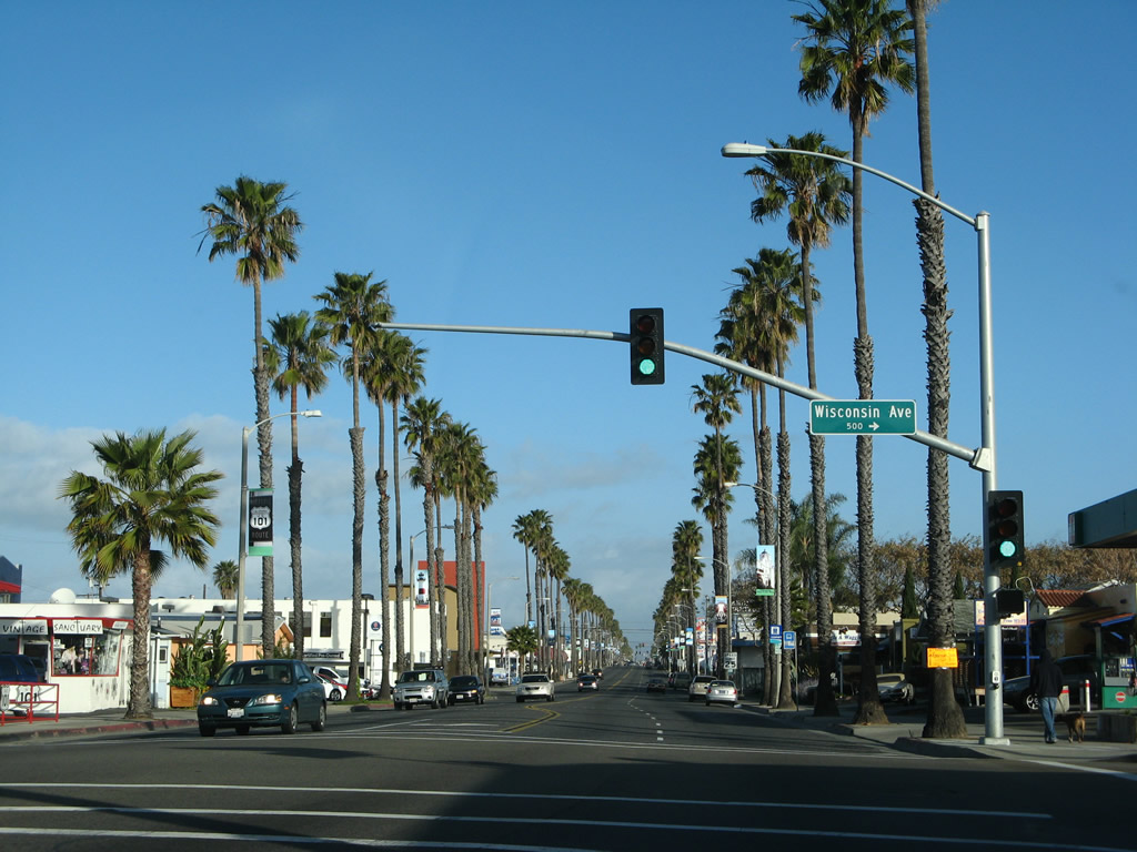
Northbound Historic U.S. 101 (Coast Highway) (San Diego County S-21) meets Wisconsin Avenue at this traffic signal in Oceanside. Photo taken 03/15/08. |
|
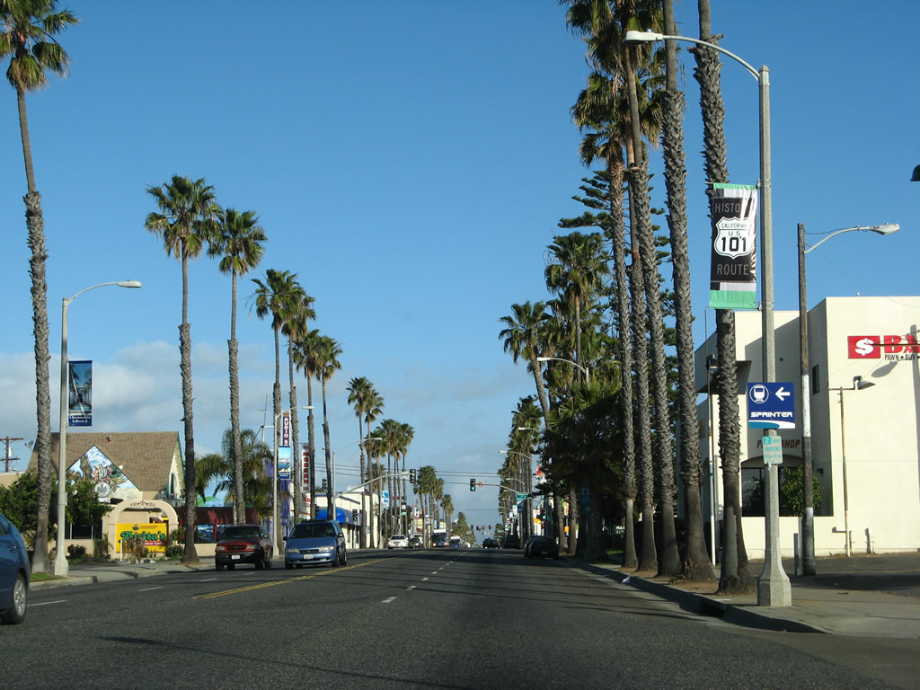
A Historic U.S. 101 route marker is posted on a roadside banner shortly after Wisconsin Avenue. Photo taken 03/15/08. |
|
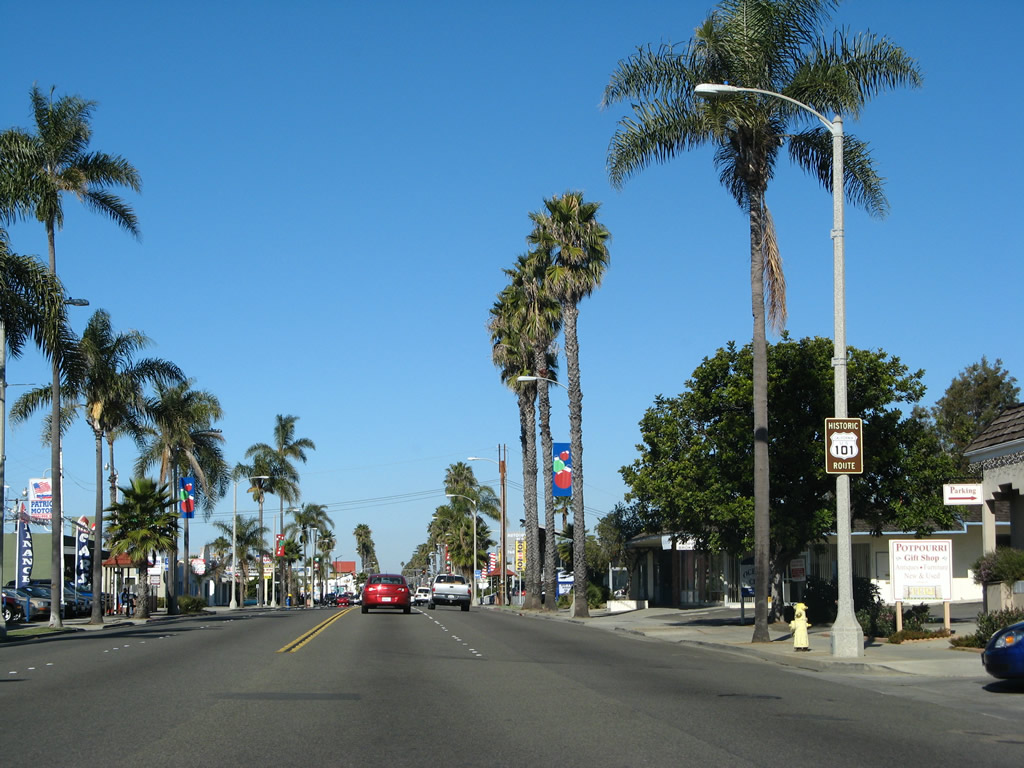
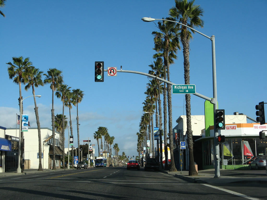
Proceeding north into downtown Oceanside, northbound Historic U.S. 101 (Coast Highway) (San Diego County S-21) approaches Michigan Avenue. Photo taken 03/15/08. |
|
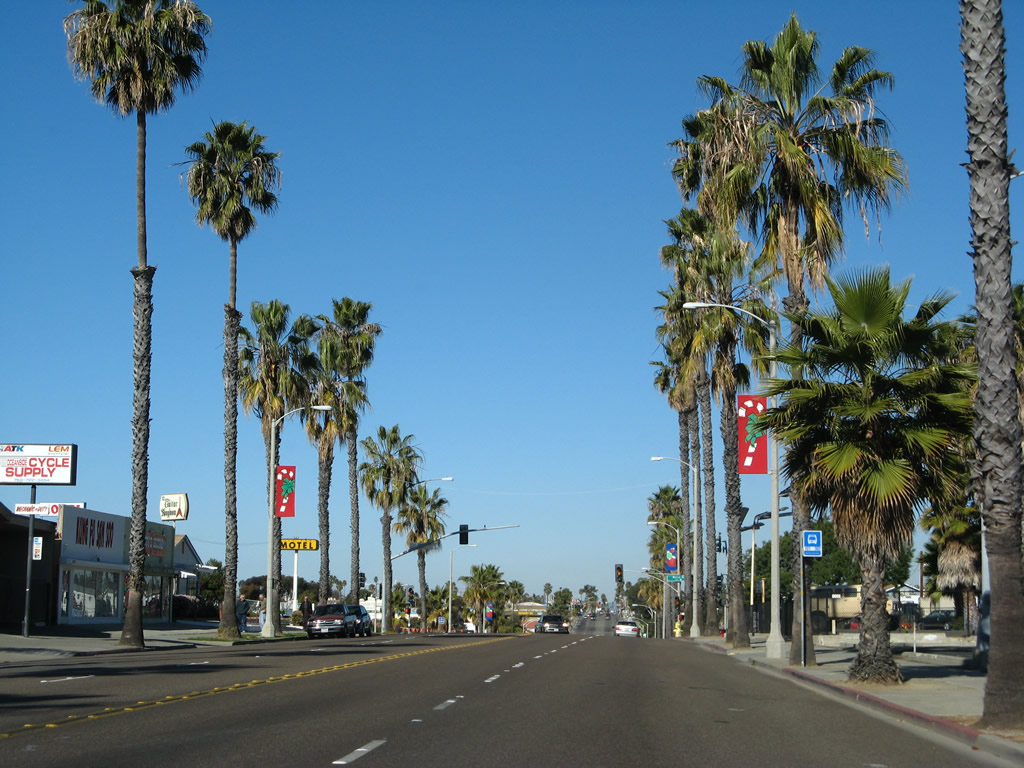
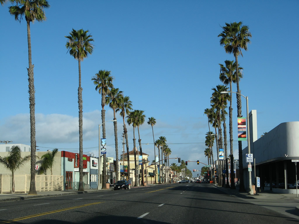
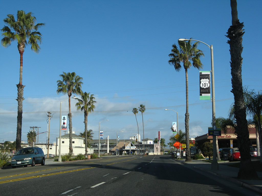
Towering palm trees line both sides of Coast Highway (Historic U.S. 101). Photo taken 03/15/08. |
|
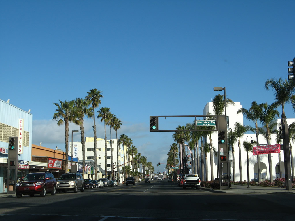
The next traffic signal along Historic U.S. 101 (Coast Highway) north is with Seagaze Avenue. Photo taken 03/15/08. |
|
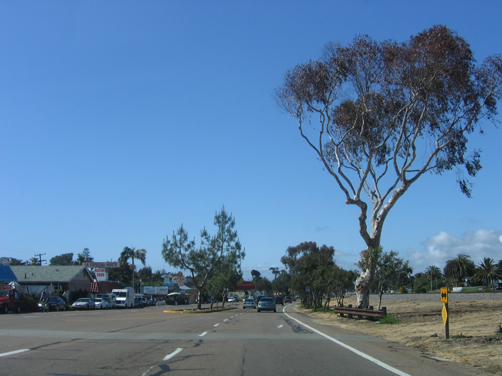
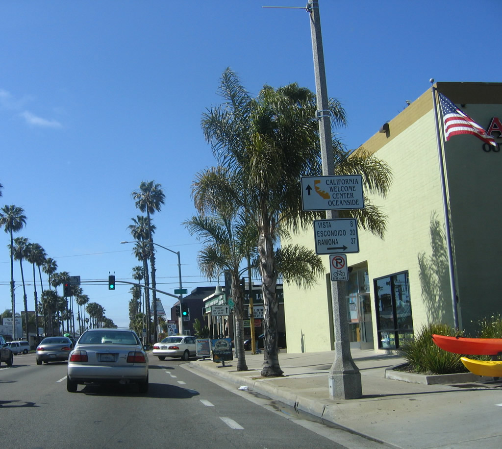
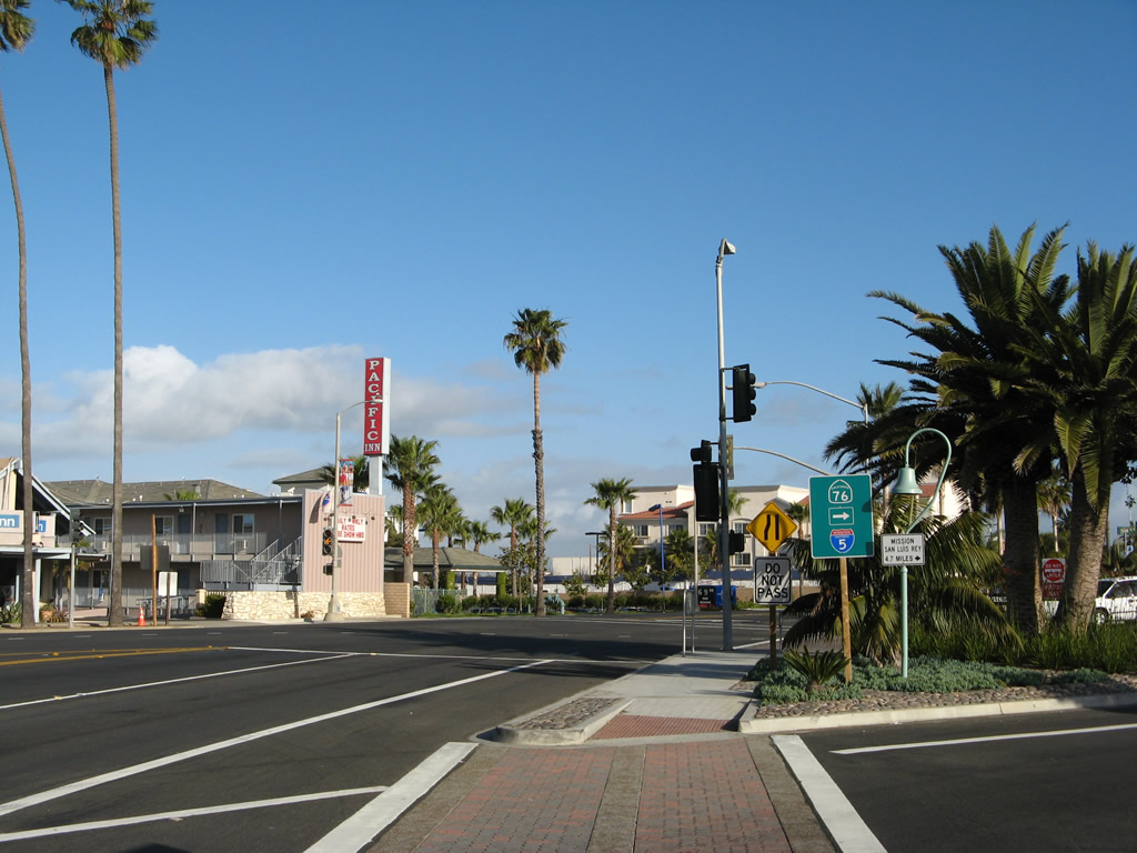
Back in 2006, the intersection between Historic U.S. 101 (Coast Highway) and California 76 looked quite a bit different, with much less vegetation. Exit right for California 76 east to Bonsall, Fallbrook, and Palomar Mountain. Stay left for the continuation of Coast Highway north. Photo taken 04/15/06. |
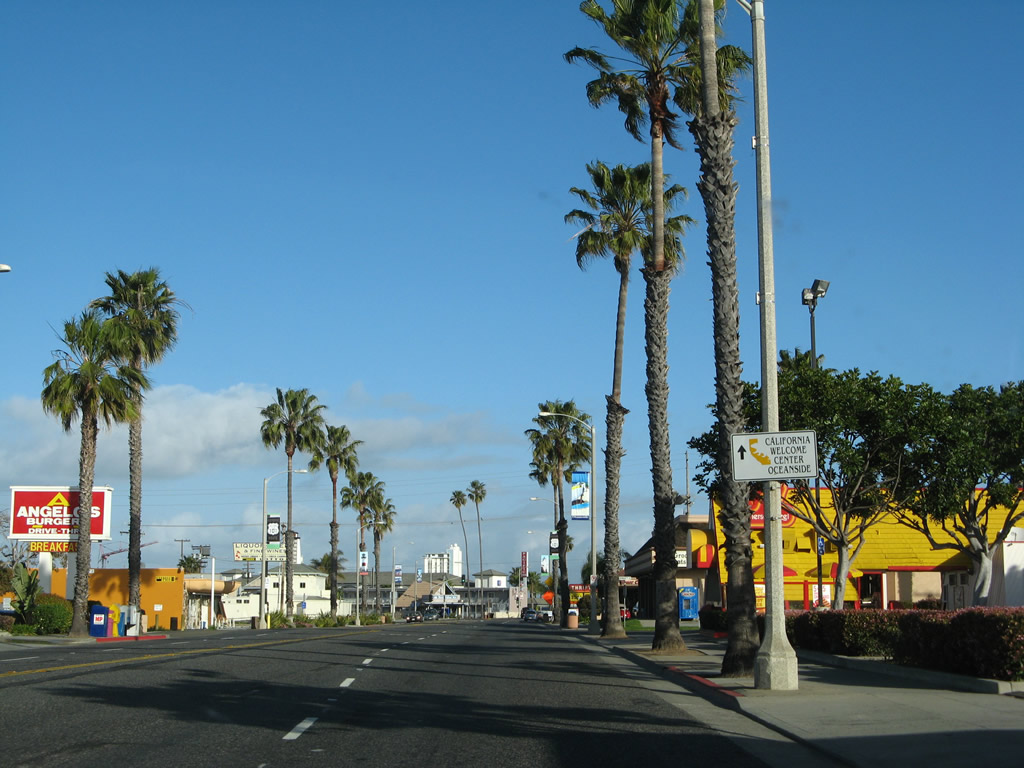
|
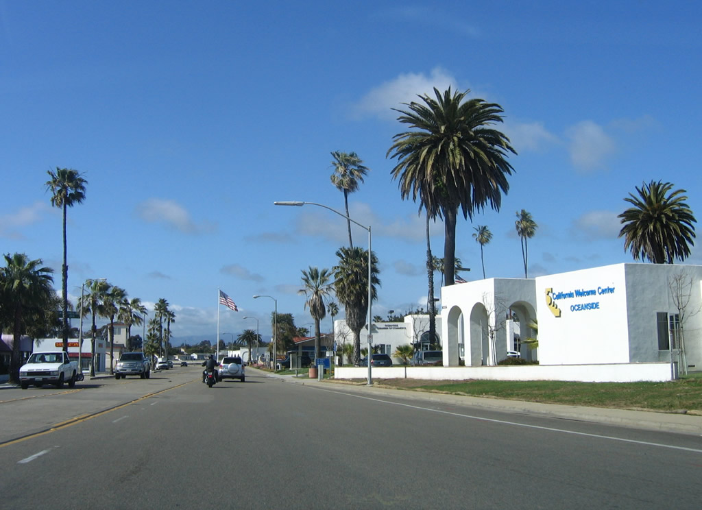
North of the California 76 intersection is the California Welcome Center; turn right off Coast Highway to find travel brochures, maps, and restrooms. Photo taken 04/15/06. |
|
Another San Diego County S-21 route marker is posted along northbound Coast Highway after the welcome center. Photo taken 04/15/06. |
|
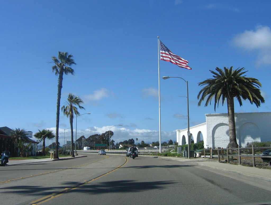
A large American flag flies prominently above Historic U.S. 101 and San Diego County S-21 (Coast Highway) just before crossing the San Luis Rey River. Photo taken 04/15/06. |
|
This is a side view of the bridge that carries Historic U.S. 101 over the San Luis Rey River. This steel structure is unlike most older bridges in San Diego County, which are generally made of concrete. Photo taken 06/22/02. |
| U.S. 101/Vandegrift Boulevard north |
|
Now on Vandegrift Boulevard, northbound Historic U.S. 101 proceeds under Interstate for the final distance to the entrance gates of Camp Pendleton. Old alignments of U.S. 101 remain on the Marine Corps base, but they are mostly inaccessible to the general public due to security considerations. This is also the last bit of former Business Loop I-5, which merges onto Interstate 5 after passing under the freeway. Photo taken 04/15/06. |
|
Traffic from Interstate 5 north merges onto Vandegrift Boulevard north. Photo taken 04/15/06. |
|
At the next traffic signal, turn left from Vandegrift Boulevard onto Interstate 5 north. Photo taken 04/15/06. |
|
Northbound Vandegrift Boulevard meets the on-ramp to northbound Interstate 5. Travelers on Historic U.S. 101 should merge onto the freeway here; the next driveable segment of Interstate 5 is in San Clemente. Photo taken 04/15/06. |
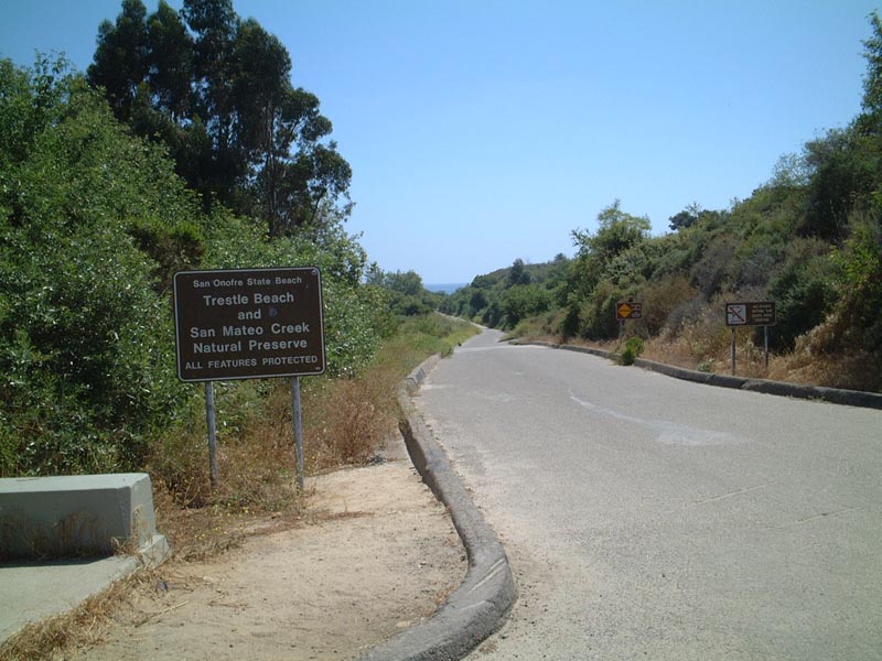
| Historic U.S. 101 north - San Onofre State Beach and Camp Pendleton |
|
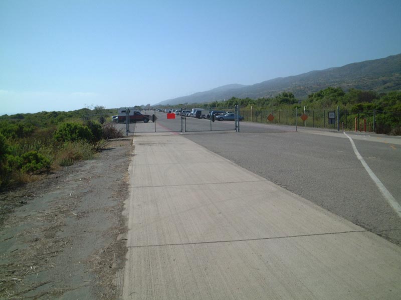
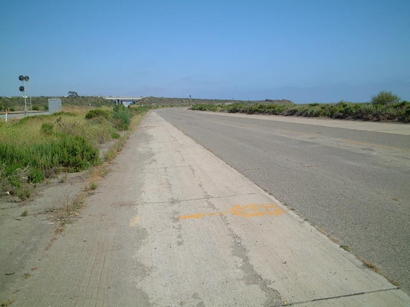
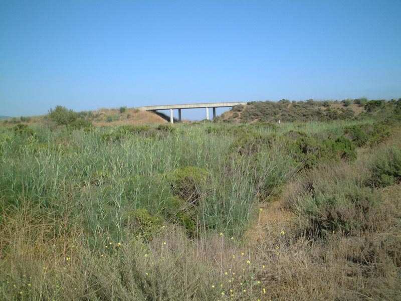
North of Oceanside, an extant section of U.S. 101 that today serves as a bicycle route in Camp Pendleton offers a glimpse into older expressway standards. The bicycle route connnects Las Pulgas Road and Cristianitos Road through Camp Pendleton and San Onofre State Beach. A small parking area is located on the base on the north side of Las Pulgas Road. This view looks north on the former U.S. 101 expressway adjacent to the modern Interstate 5 freeway. Photo taken 06/16/01. |
|
|
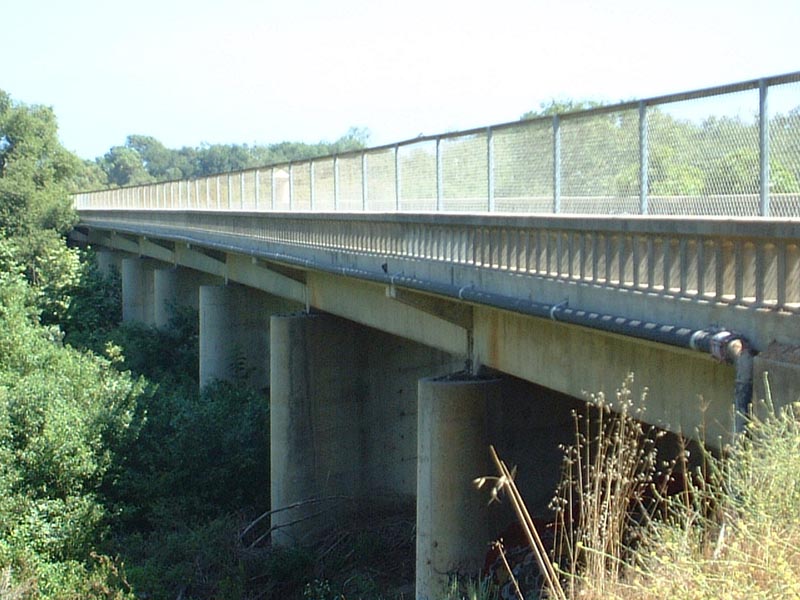
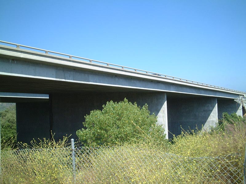
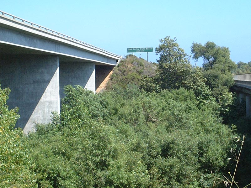
To the east of historic U.S. 101 is the modern Interstate 5 freeway bridge over San Mateo Creek. A side-by-side view shows the Interstate 5 and U.S. 101 bridges next to each other. Photos taken 06/16/01. |
|
|
|
Southbound Historic U.S. 101 (Pacific Highway) proceeds south over the San Mateo Creek bridge. The bridge today serves as part of the primary bike route between Orange County and San Diego County. Photos taken 06/16/01. |
|
After crossing San Mateo Creek, U.S. 101 proceeds south toward the Basilone Road interchange with Interstate 5. Photo taken 06/16/01. |
|
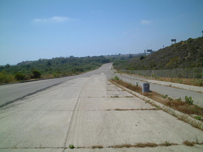
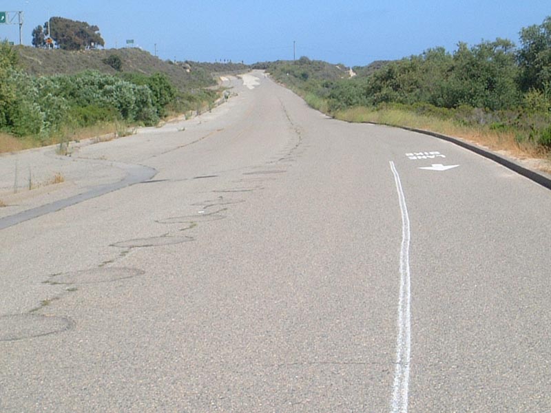
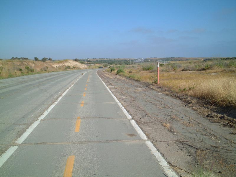
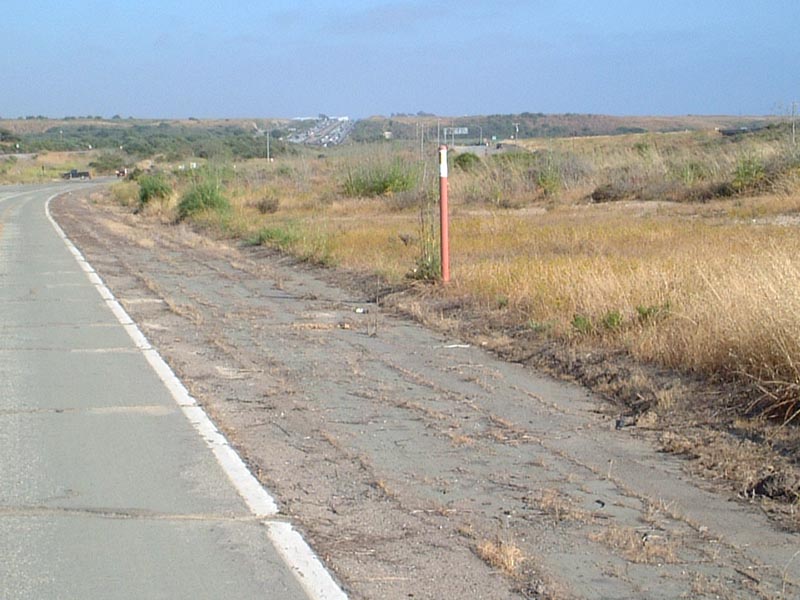
Historic U.S. 101 continues south and approaches Basilone Road. The roadway used to be a divided, four-lane highway. Now it is open only to bicyclists. This section of U.S. 101 is very close to the freeway, and it acts as a connector from some remote parking areas to the state beach for pedestrians and bicyclists. Photo taken 06/16/01. |
|
|
Looking south, the (old) exit signage for Basilone Road is posted on Interstate 5. The original concrete road is buried by the construction of the Basilone Road interchange. Photos taken 06/16/01. |
|
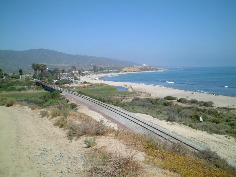
This view of San Onofre State Beach, including the San Onofre Nuclear Generating Station (SONGS) primarily owned by Southern California Edison (SCE), takes in the coast, beach, and railroad. U.S. 101 proceeds south toward the nuclear power plant. Photo taken 06/16/01. |
|
|
|
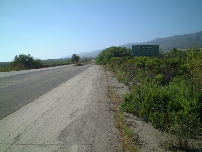
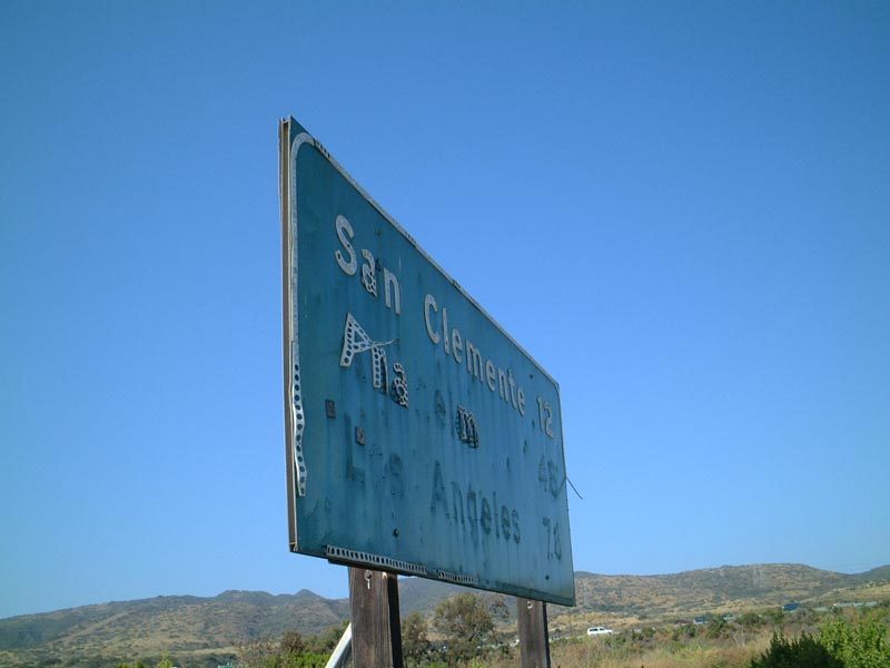
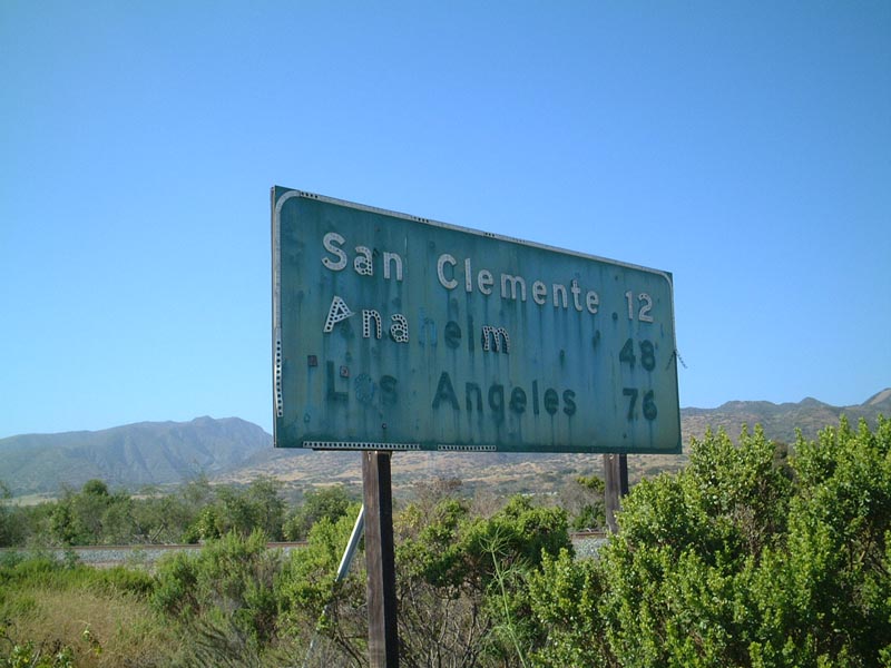
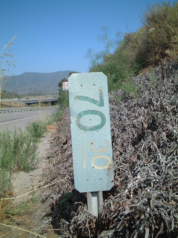
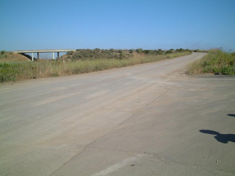
Continuing south after the Basilone Road interchange onto the frontage road, this gem of a sign harkens back to a failed first attempt to sign Interstate highway mileage statewide in California. While white postmile signs remain in use today, an earlier experiment from the early 1970s attempted to measure the length of state routes (and tested the use of exit numbers, primarily in downtown Los Angeles). This sign used to be white on green, and the number 70.30 represents the approximate distance from this point to the southern terminus of Interstate 5 (based on the mileage of U.S. 101 at that time). Only a handful of these signs from the experiment to sign Interstate mileposts in California remain, and they are rarely as accessible as this one (since most are located on mainlines of freeways). This sign is located on the frontage road that follows old U.S. 101 and also provides access to the San Onofre State Beach and to the San Onofre Nuclear Power Plant. Photos taken 06/16/01. |
|
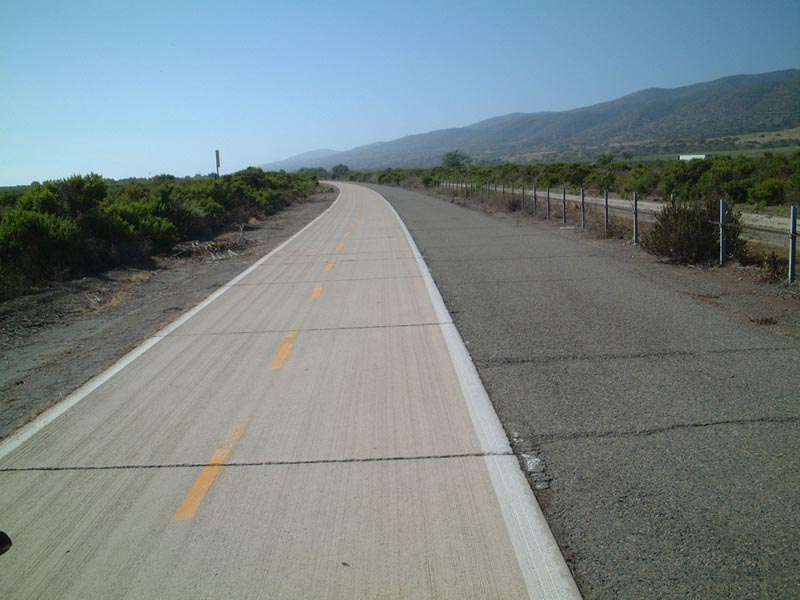
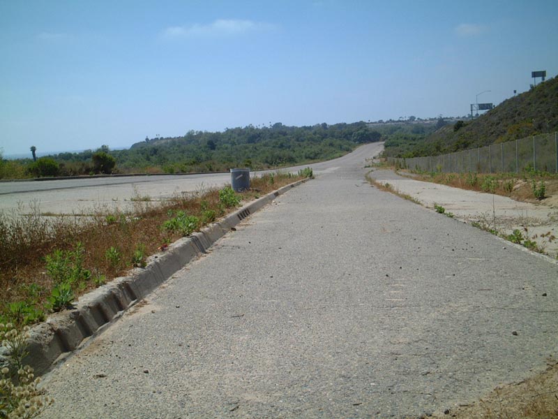
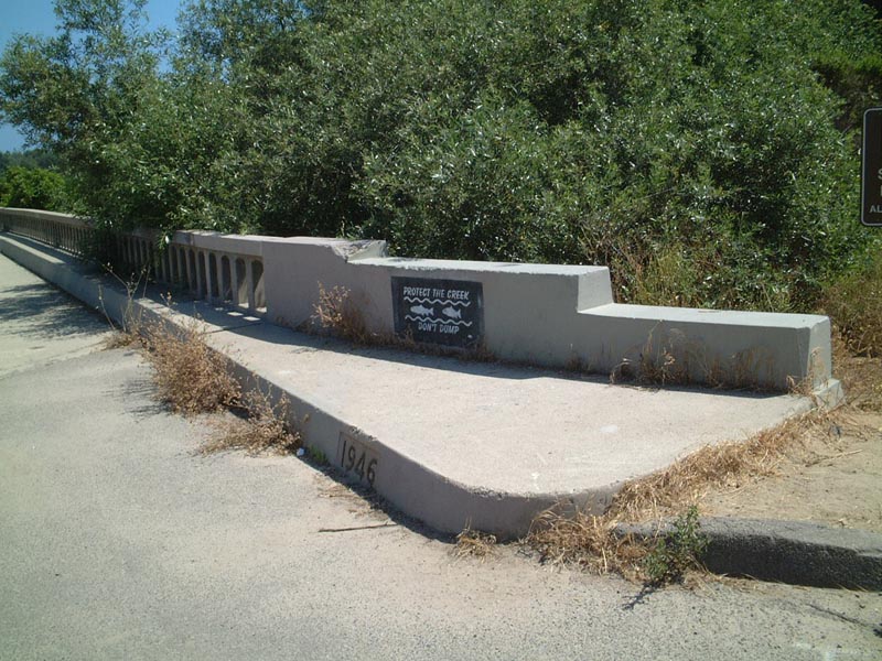
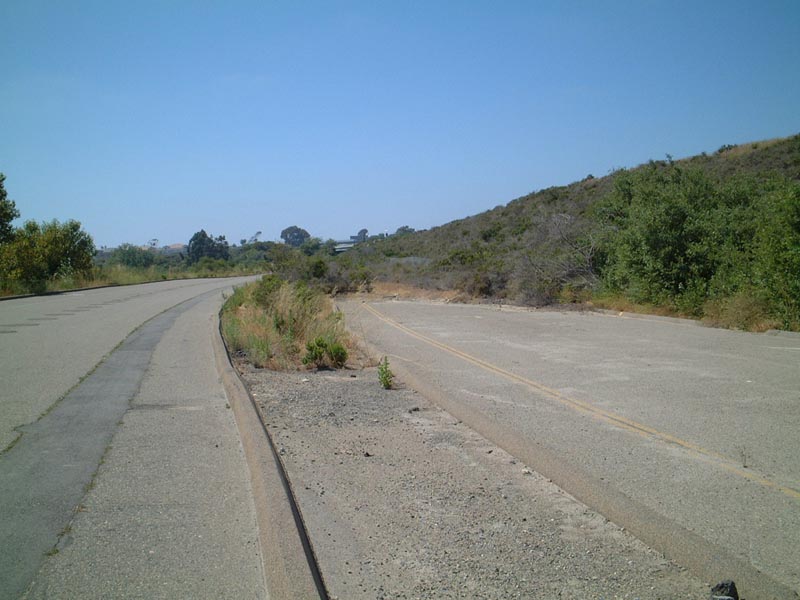
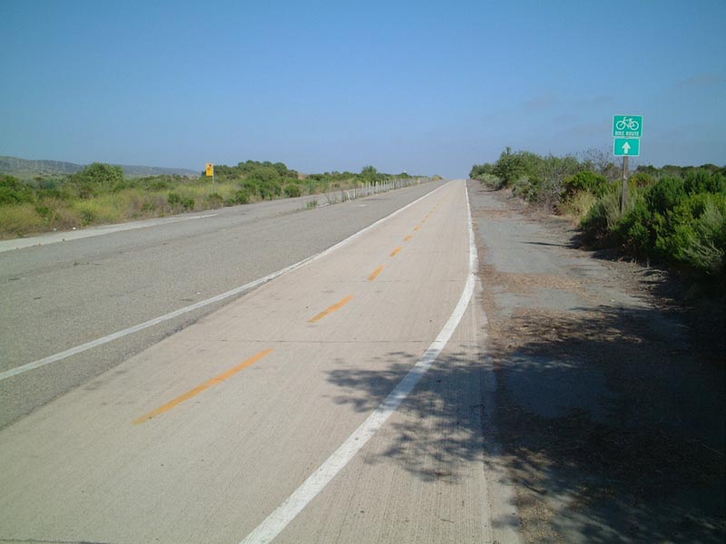
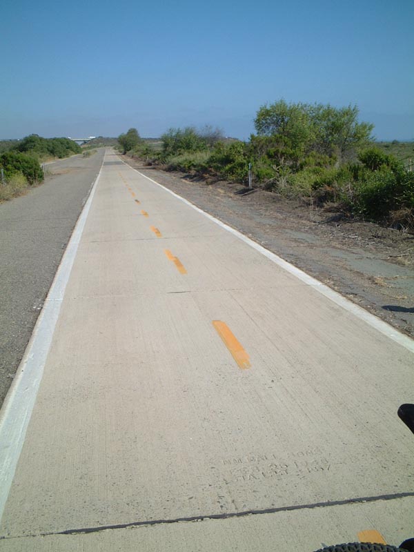
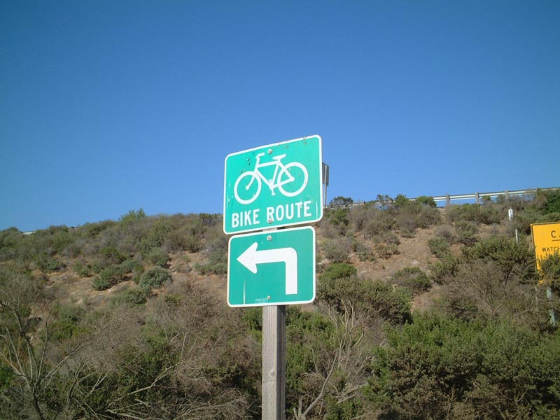
Historic U.S. 101 continues south, leaving San Onofre State Beach and entering Camp Pendleton (U.S. Marine Corps). This view is just south of the gate between the state beach and the military lands, looking southbound. The route is designated as a public bike path, and it provides bicycles the only path along today's Interstate 5 corridor between Orange and San Diego Counties. Photo taken 06/16/01. |
|
|
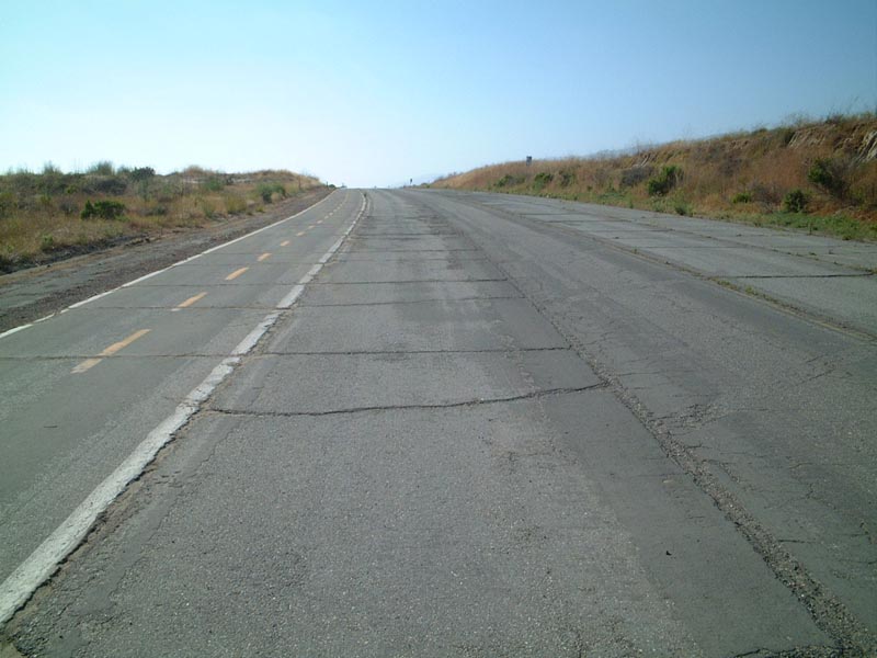
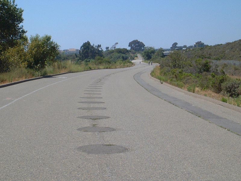
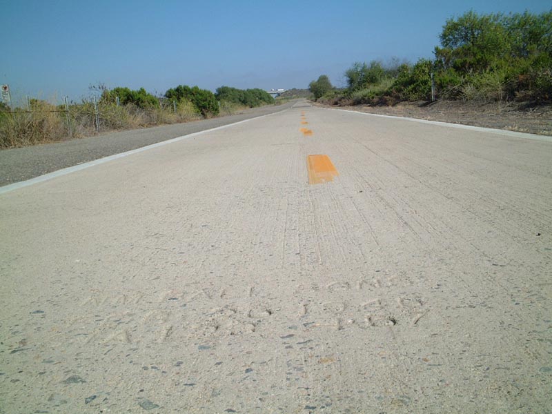
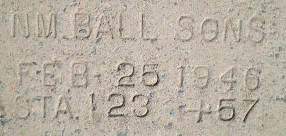
The concrete paving dates back to 1946, probably the year in which the roadway was widened from two to four lanes. While one-half of the old expressway has been left fallow, the other half is kept in good condition due to its role as the primary bicycle route between San Clemente and Oceanside. Photos taken 06/16/01. |
|
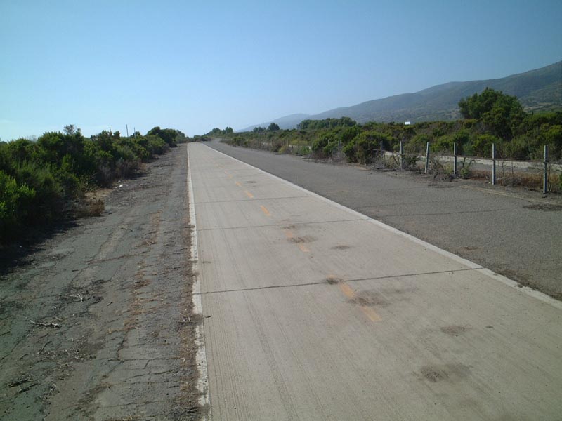
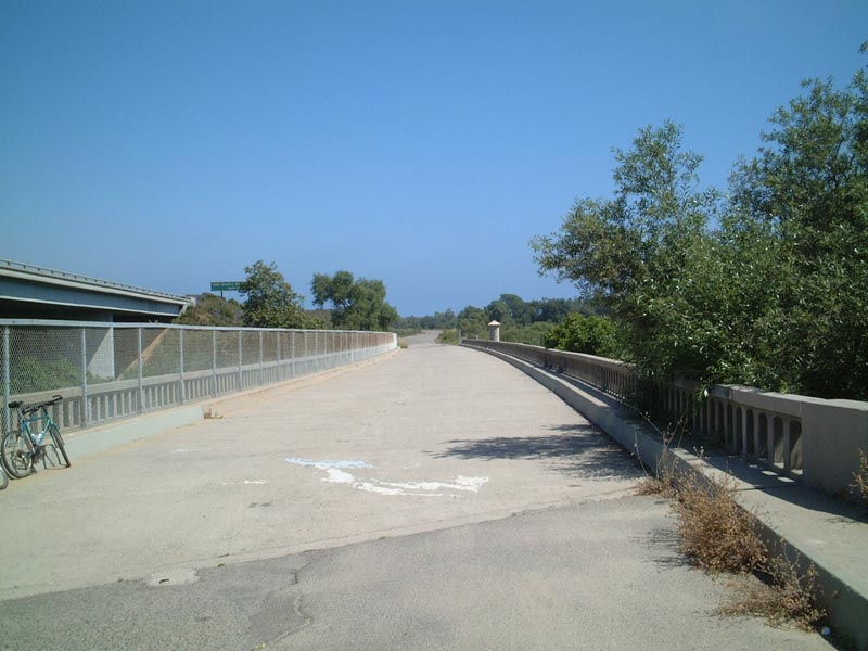
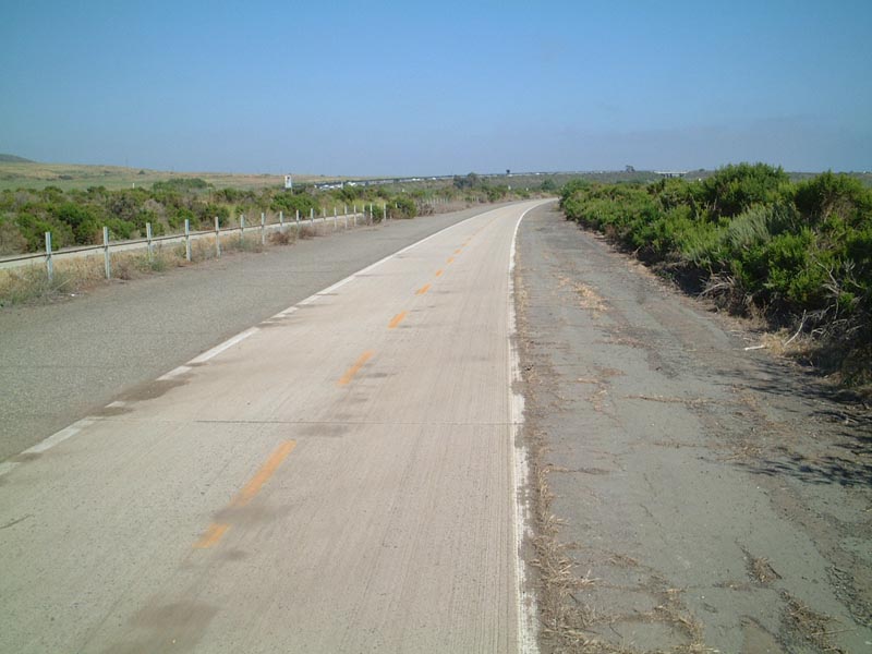
U.S. 101 proceeds south; the southbound lanes now function as the primary bike route. Before the current alignment of Interstate 5 was built and opened to traffic, this expressway served as part of Interstate 5 as well as U.S. 101. Photo taken 06/16/01. |
|
|
|
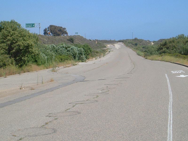
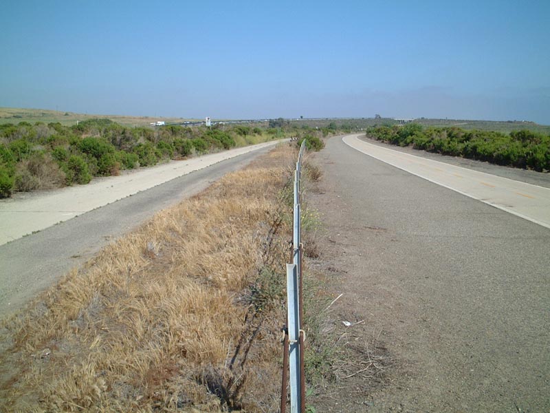
A cable barrier used to separate the two directions of U.S. 101 (former Interstate 5) in Camp Pendleton, and remains of it were still in place in 2001. This view from the median shows both directions of the old divided highway. Photos taken 06/16/01. |
|
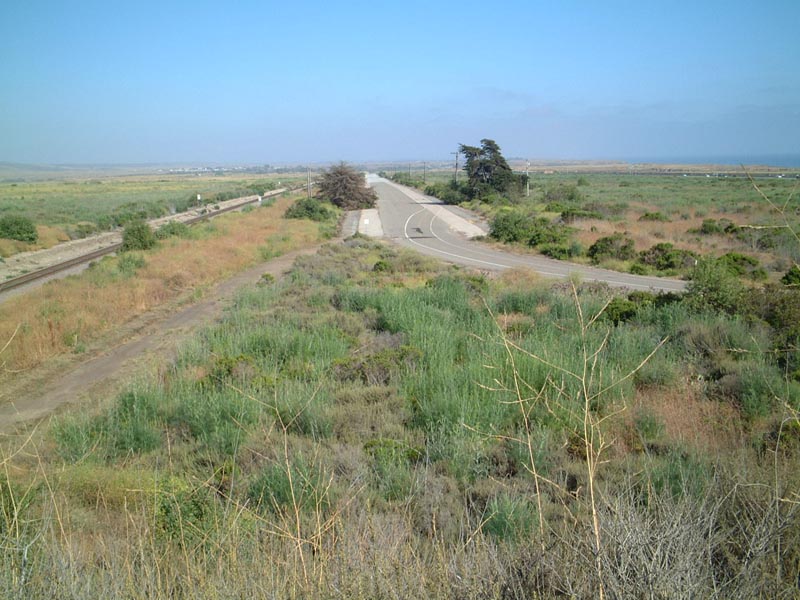
This view looks south from the spot where a former expressway mileage sign was posted until the mid-2000s. In the distance is the bridge carrying modern Interstate 5 over the railroad, which parallels this segment of Historic U.S. 101. Photo taken 06/16/01. |
|
|
|
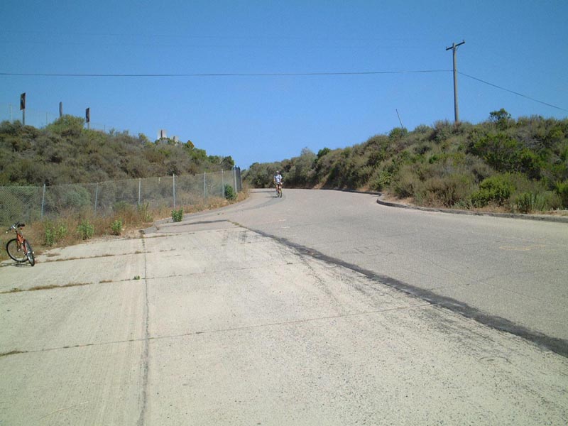
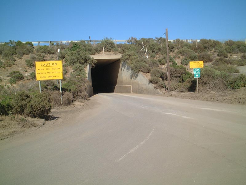
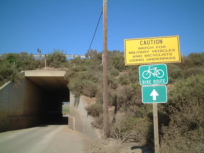
When Interstate 5 was built through this area, segments of Old U.S. 101 were forcibly destroyed. Near the point where the railroad passes under Interstate 5, bicyclists on U.S. 101 must also pass under Interstate 5 through a narrow underpass that is almost like a tunnel. While the underpass is not part of old U.S. 101, it must be used to connect to the other extant section of expressway south of Interstate 5 leading to Las Pulgas Road in Camp Pendleton. Photos taken 06/16/01. |
|
|
Emerging from under Interstate 5, bicyclists must turn right to rejoin the former Interstate 5 and U.S. 101 alignment and continue south toward Las Pulgas Road. A bridge ahead crosses the railroad and leads into Camp Pendleton. Photos taken 06/16/01. |
|
|
These views look south from the railroad bridge overpass toward the next section of old U.S. 101 in Camp Pendleton. Photos taken 06/16/01. |
|
Southbound Coast Highway 101 proceeds through downtown Encinitas between D Street and E Street. Shops and restaurants line both sides of this walkable downtown area. Photo taken 06/26/11. |
|
One block south, Coast Highway 101 meets E Street at this traffic signal. Photo taken 06/26/11. |
|
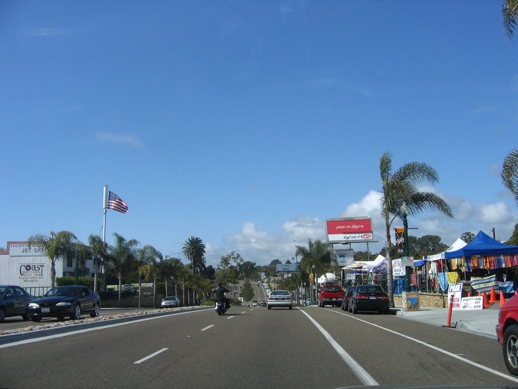
Southbound Coast Highway 101 meets F Street at this traffic signal. Historic U.S. 101 will proceed south toward Swami's and Cardiff State Beach. Photo taken 06/26/11. |
|
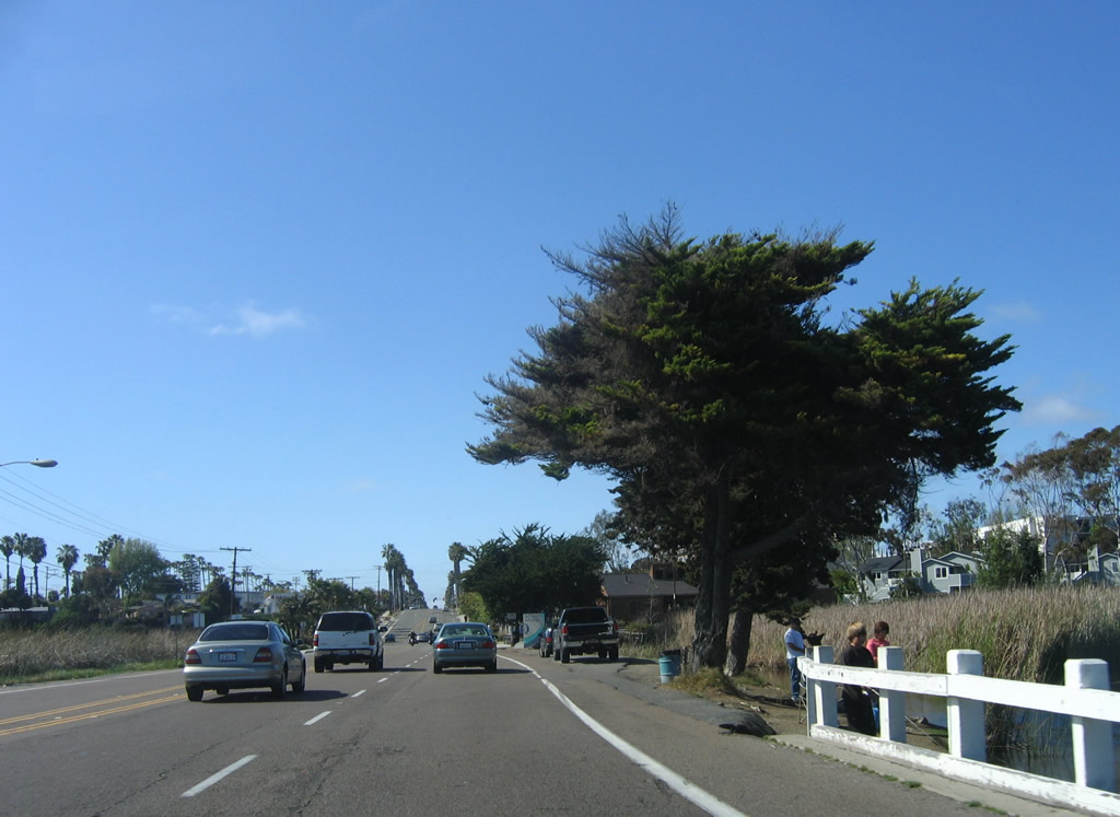
Leaving downtown Encinitas, southbound Coast Highway 101 meets J Street at this stop sign. U.S. 101 will pass through Cardiff-by-the-Sea before entering the city of Solana Beach. Photo taken 06/26/11. |
| U.S. 101/Highway 101 south |
|
For a time in the late 1990s, Historic U.S. 101 was signed with this kind of shield through Encinitas. It has since been replaced with a more standard brown and white historic shield. Photo taken 06/99. |
|
This San Diego County S-21 reassurance shield is posted on southbound U.S. 101 as it passes by Cardiff State Beach near the boundary between Encinitas and Solana Beach. Photo taken 12/11/04. |
|
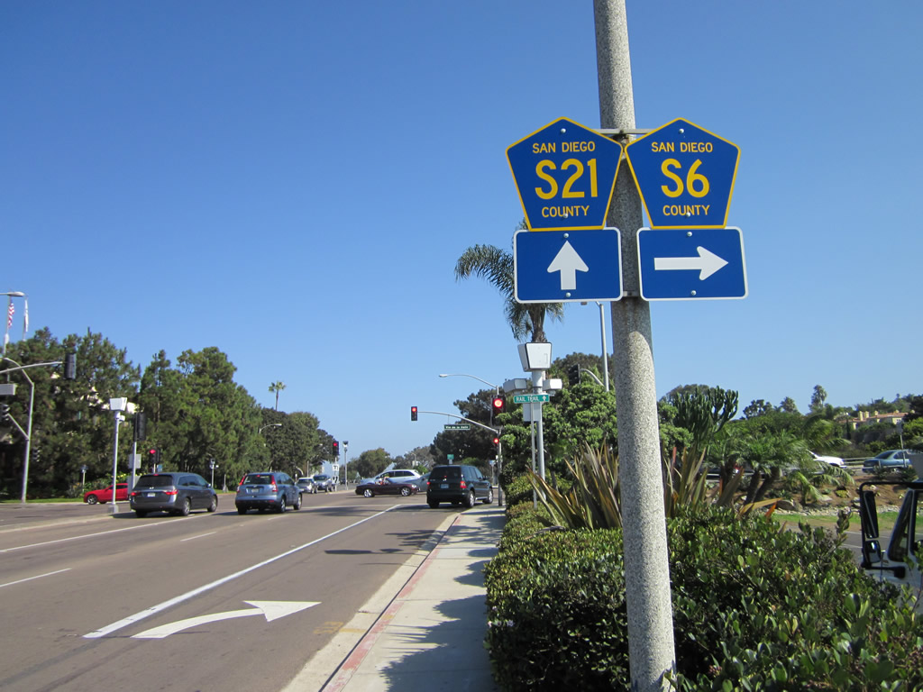
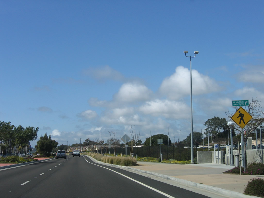
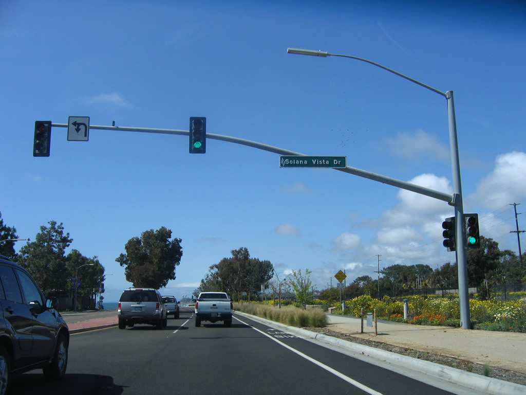
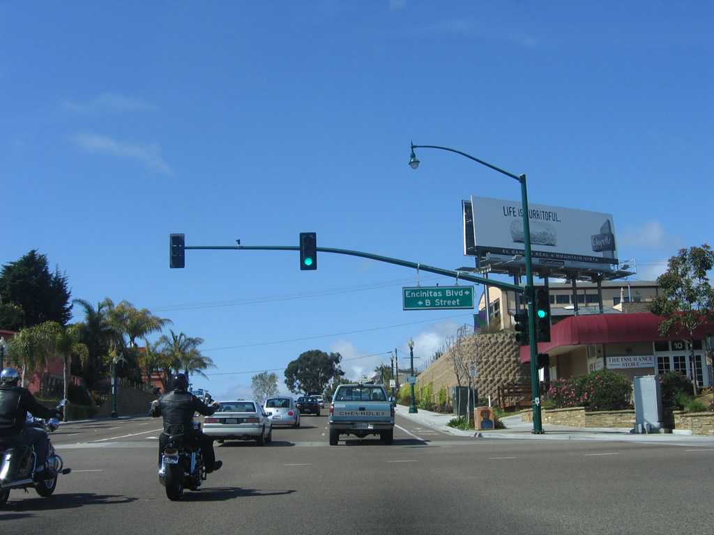
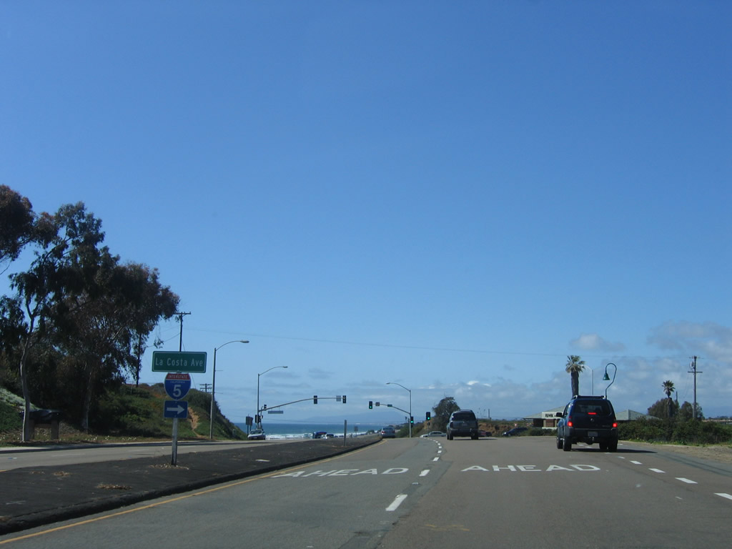
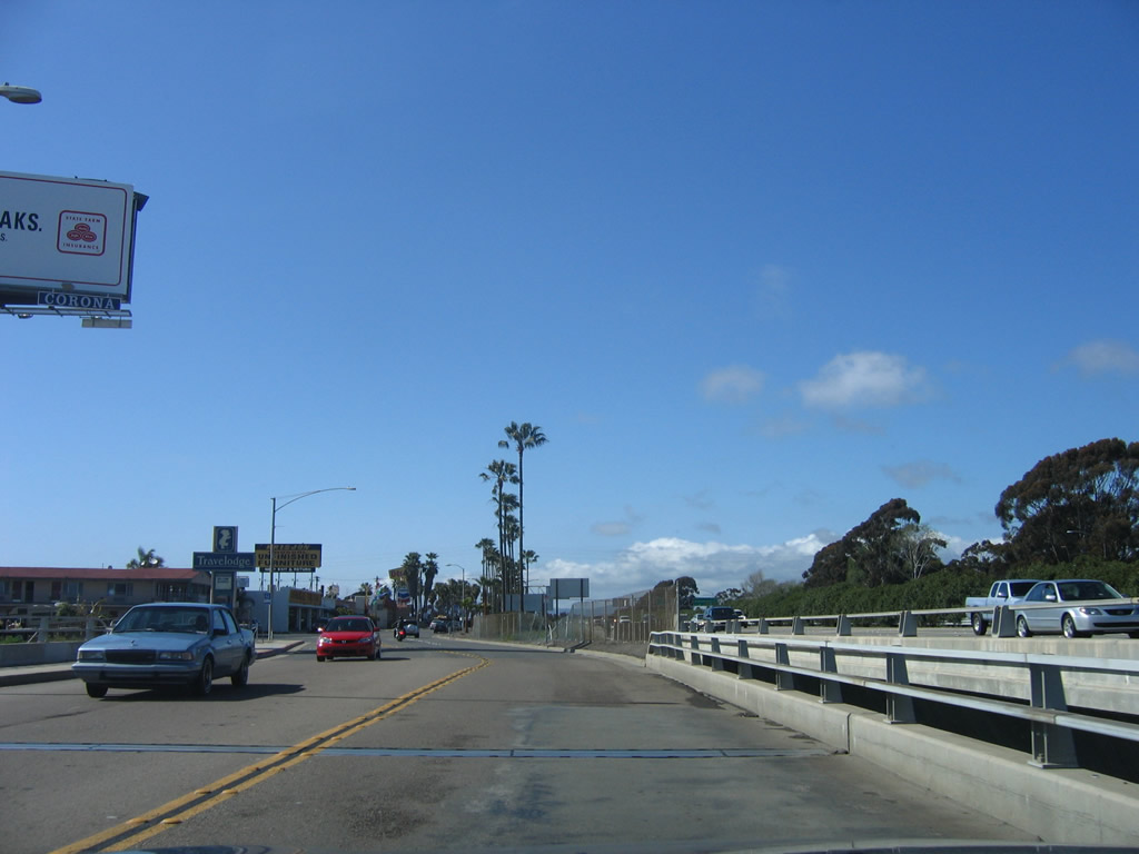
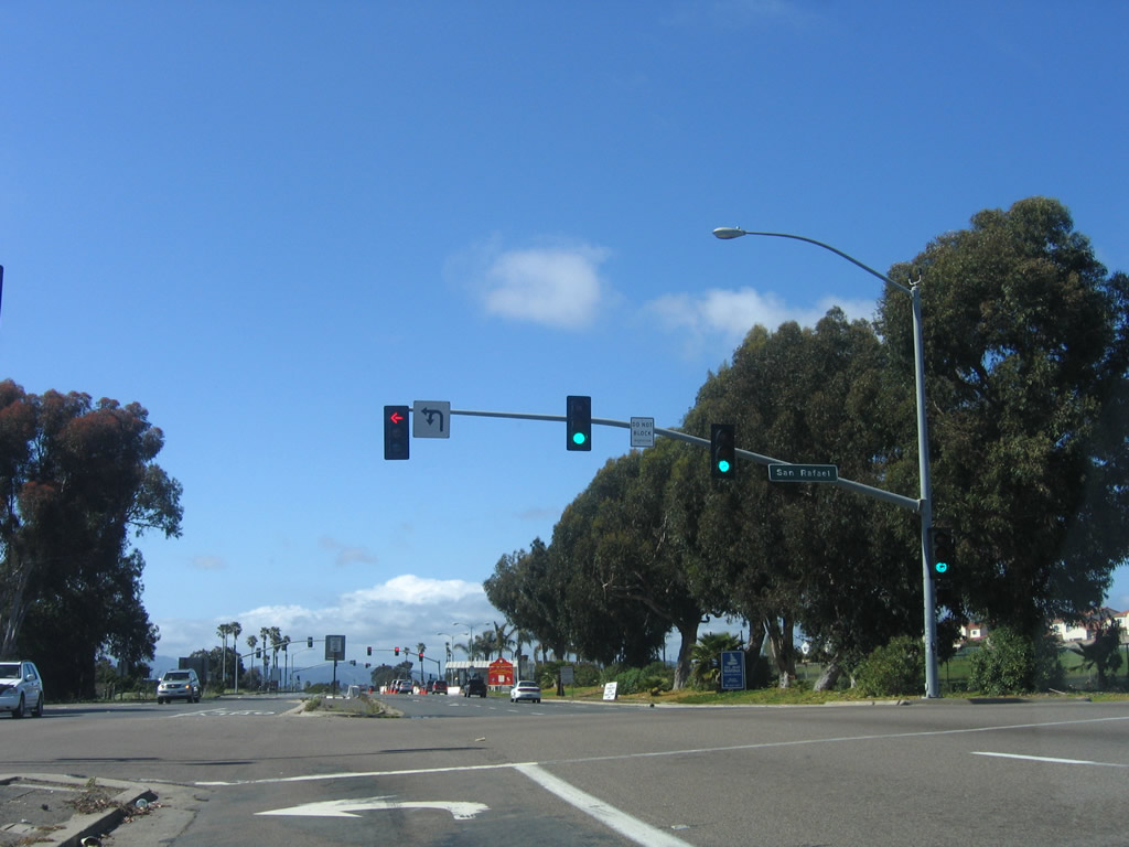
Some distance south, we find San Diego County S-21 (Highway 101) approaching the intersection between Highway 101 and Via de la Valle, which marks the city limits between Solana Beach and Del Mar. Turn left (east) Via de la Valle, which is also designated as San Diego County S-6, travels along the city limits to connect with Jimmy Durante Boulevard and Interstate 5 (the "freeway" mentioned on this all-to-brief guide sign). The posts that hold this sign are old, and it is apparent that the county pentagon shields that used to reside here were removed by the city of Solana Beach and are seemingly unlikely to return. Photo taken 12/11/04. |
|
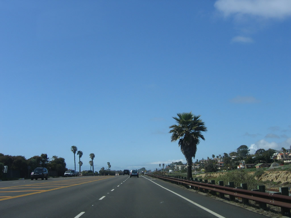
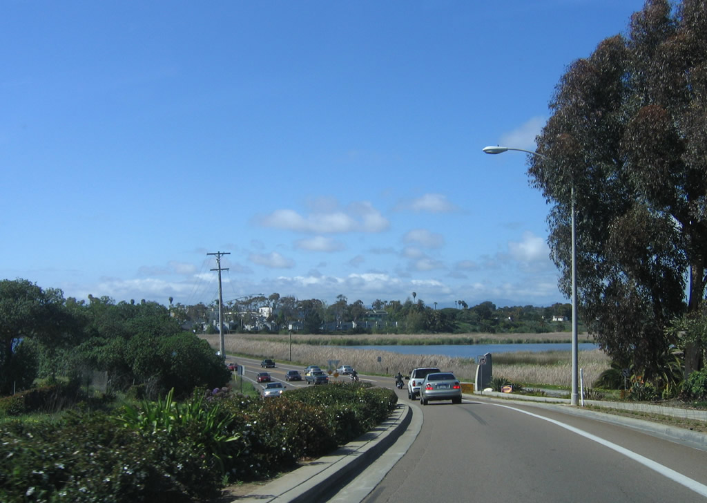
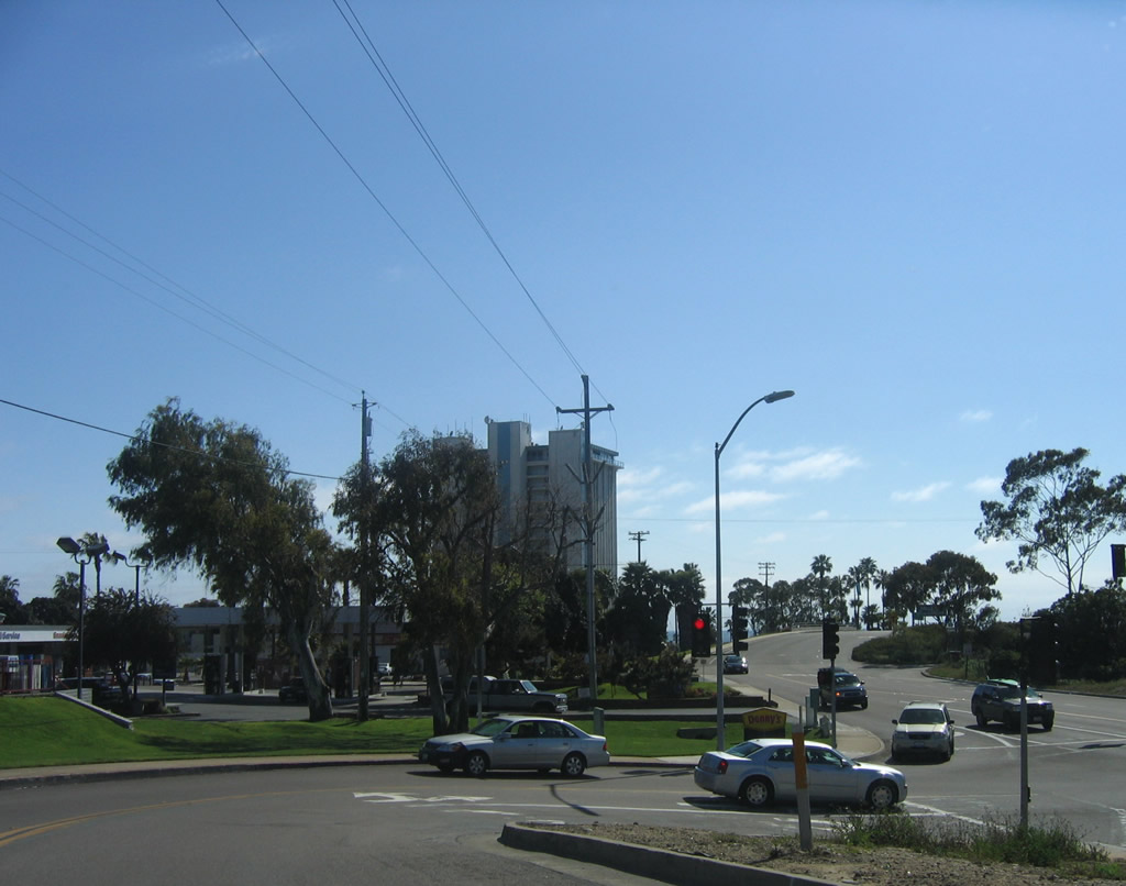
At the Via de la Valle intersection, southbound San Diego County S-21 (Camino Del Mar) leaves the city of Solana Beach, which had a population of 12,867 as of the 2010 Census, consists of 3.52 square miles, and was incorporated on July 1, 1986, and enters the city of Del Mar, which had a population of 4,161 as of the 2010 Census, was incorporated on July 15, 1959, and consists of 1.71 square miles. Photo taken 09/01/12. |
|
Ocean Boulevard served as the original alignment of U.S. 101 through Del Mar; it was realigned onto Camino Del Mar. This view looks south toward the Atchison, Topeka and Santa Fe Railroad crossing and Seagrove Park in the city of Del Mar. Photo taken 06/26/11. |
|
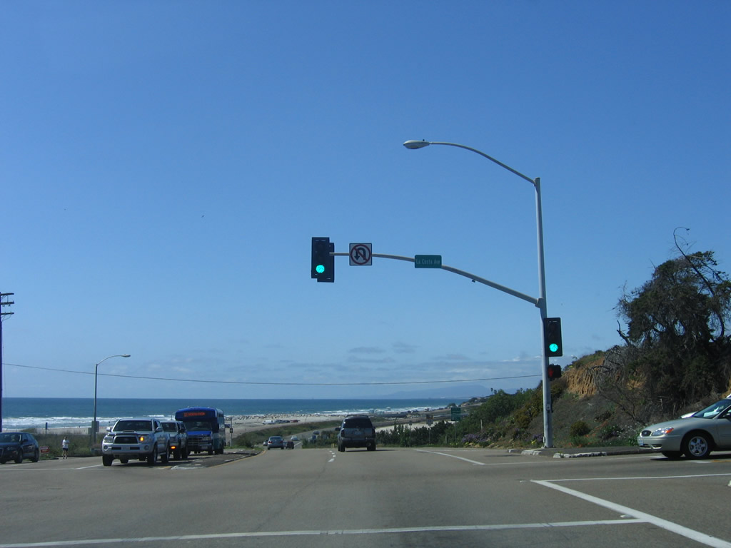
Southbound Ocean Boulevard crosses the Atchison, Topeka and Santa Fe Railroad at this crossing. The railroad swings toward the southwest, edging close to the coast. Plans call for double tracking of the railroad through Del Mar; a tunnel is planned for the double tracking rather than continuing to route the railroad through the Del Mar village. Photo taken 06/26/11. |
| U.S. 101/Camino Del Mar south |
|
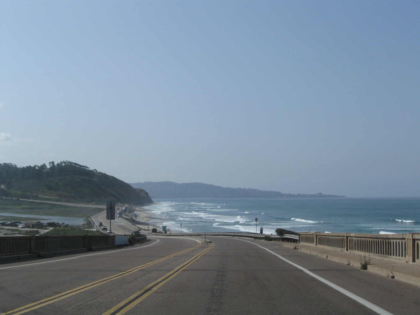
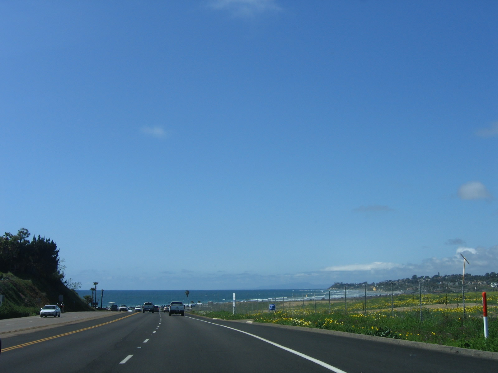
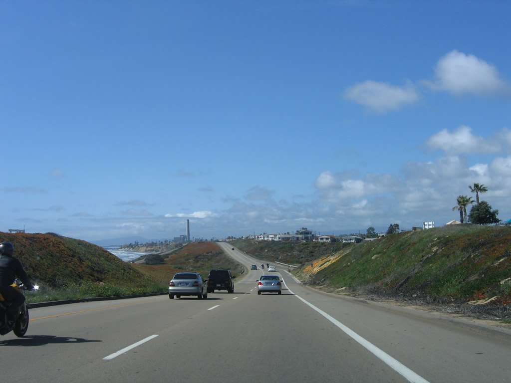
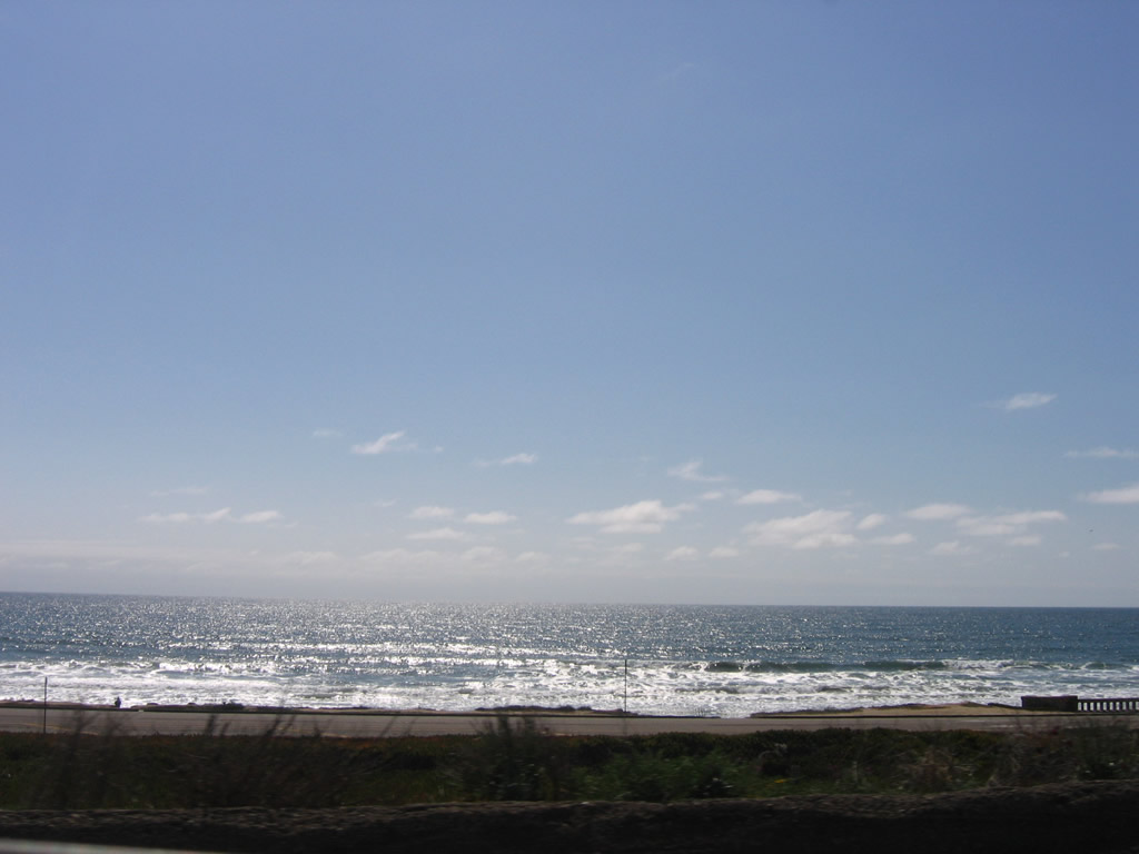
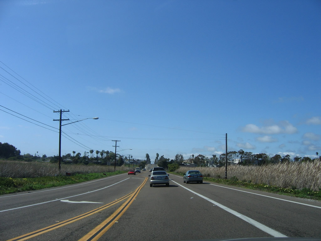
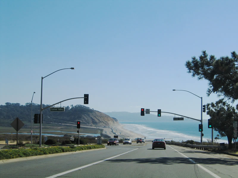
Approaching the traffic signal for Carmel Valley Road, the Pacific Ocean comes into view along southbound U.S. 101 (Camino Del Mar). Photo taken 10/29/05. |
|
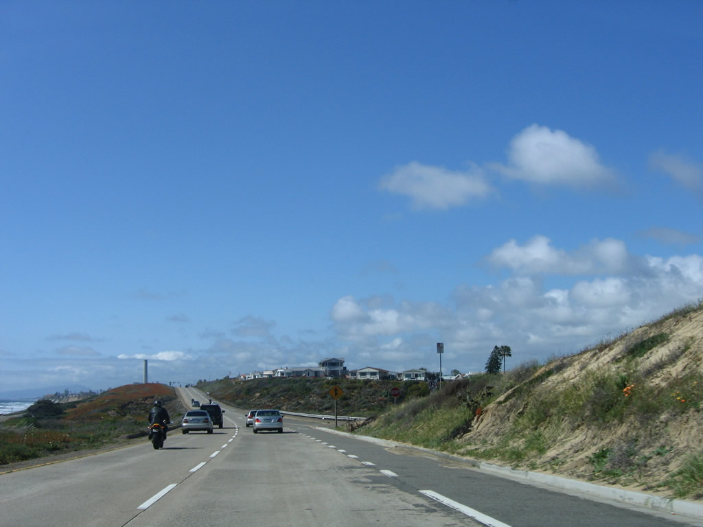
To the east, Los Peñasquitos Lagoon comes into view. This low lying salt water marsh is impacted by the tides that carry ocean water in and out of the lagoon areas. Peñasquitos Creek, which passes through Los Peñasquitos Canyon, empties into this lagoon. Cutting across the lagoon is a railroad that would probably be on a bridge had it been built recently rather than years ago. Photo taken 10/29/05. |
|
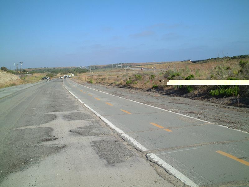
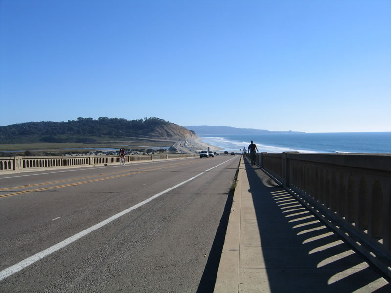
Looking south, U.S. 101 hugs the coast near Los Peñasquitos Lagoon. Plans call for this bridge to be repaired and retrofitted to meet current seismic standards. Thus far, that reconstruction has not occurred. Photo taken 10/29/05. |
|
The Peñasquitos Creek outlet into the ocean comes into view, as does the Los Peñasquitos Bridge in San Diego. Photo taken 10/29/05. |
|
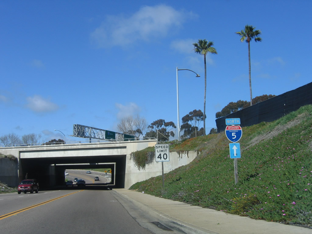
At the southern end of the railroad bridge, U.S. 101 leaves the city of Del Mar and enters the city of San Diego. The highway is still officially known as San Diego County S-21, but there is only one shield that designates the county highway between here and Interstate 5. That is still one more county shield than U.S. 101 shields, since no historical markers are placed within San Diego for Old U.S. 101. Photo taken 10/29/05. |
| U.S. 101 scenes |
| Torrey Pines Bridge (over the San Diego Northern Railway [SDNR] Tracks) |
|
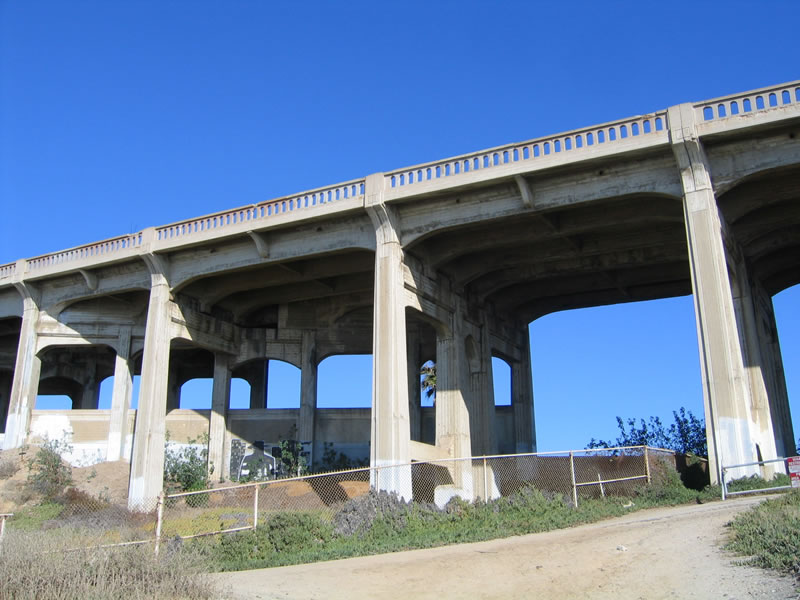
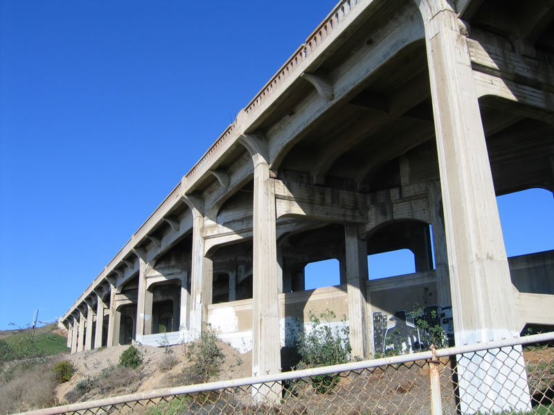
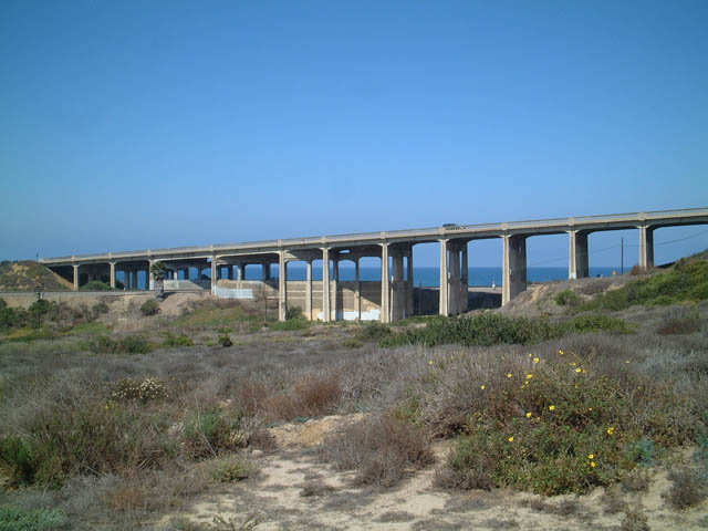
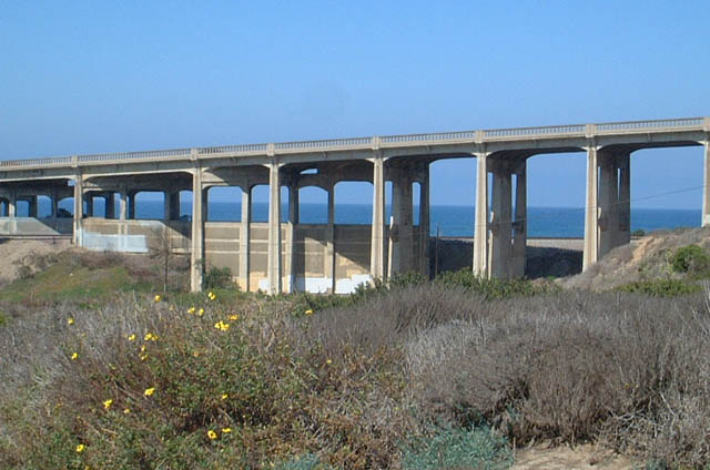
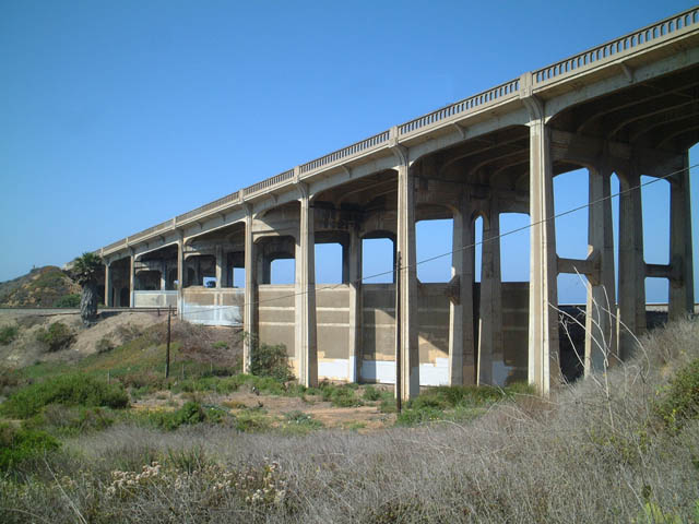
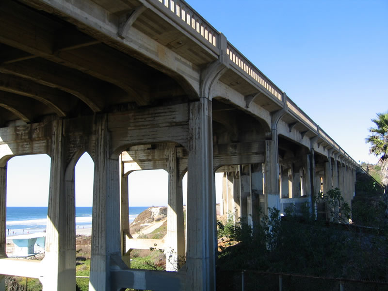
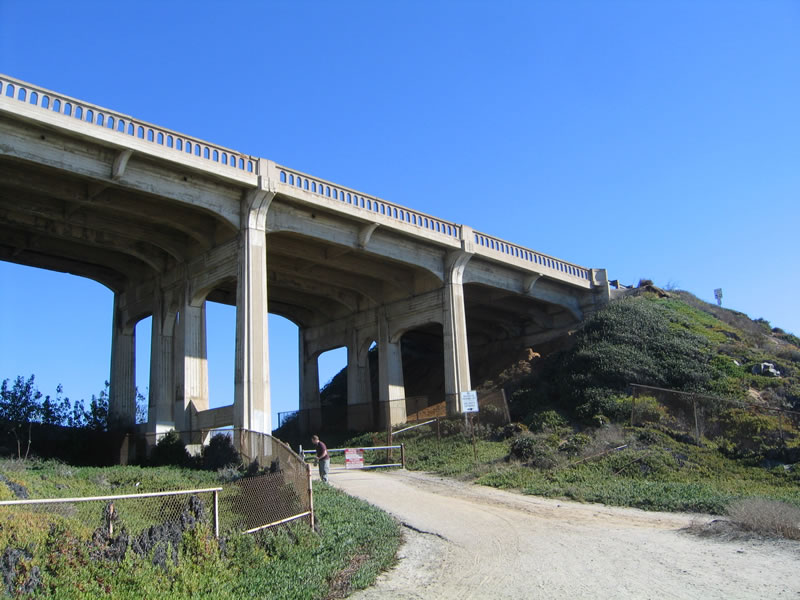
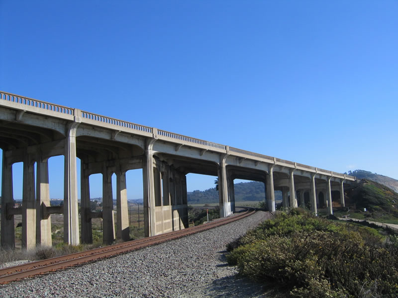
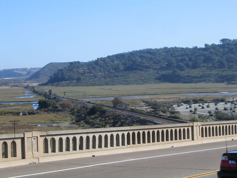
The Torrey Pines bridge, located at the border between the city of San Diego and the city of Del Mar, is owned and maintained by the city of Del Mar. It was constructed in 1933 and is also known as the "Sorrento Overhead." The bridge does not meet current seismic standards, but Del Mar plans some retrofitting upgrades to make the roadway safe. Meanwhile, the bridge is prized by old highway enthusiasts as one of the few remaining old bridges along the coast in San Diego County. Photo taken 10/29/05. |
|
When the highway was downgraded from state to local maintenance, it was maintained jointly by San Diego and Del Mar. During the 1990s, the bridge was identified as a sub-standard bridge that required substantial earthquake retrofitting. The cities of San Diego and Del Mar could not agree on whether to replace the bridge or retrofit it. In addition, they could not agree on the number of lanes on the bridge. After much discussion and public debate, on November 27, 2000, the ownership of the bridge was transferred solely to Del Mar in exchange for $1. The city of Del Mar has been pursuing a retrofit alternative to bring this bridge up to current standards since then. Photo taken 10/29/05. |
|
|
|
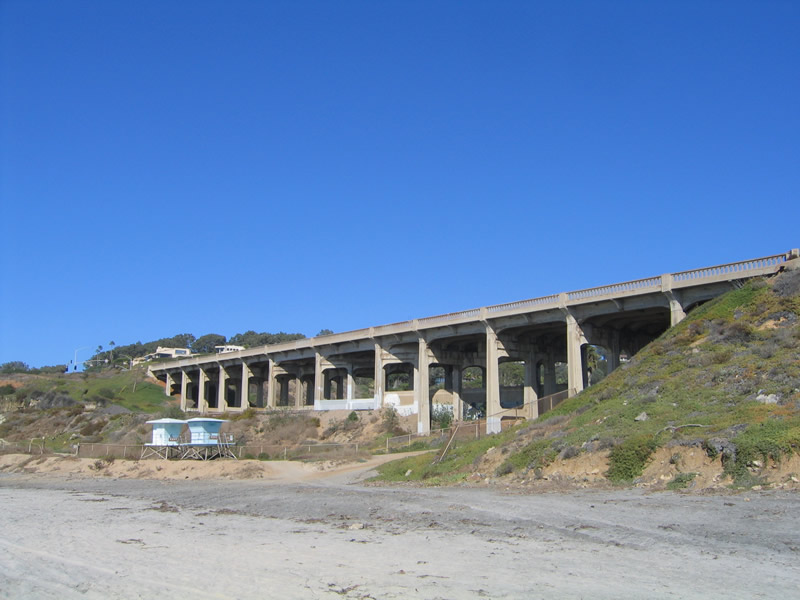
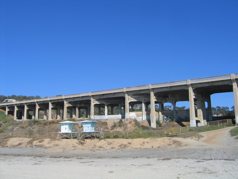
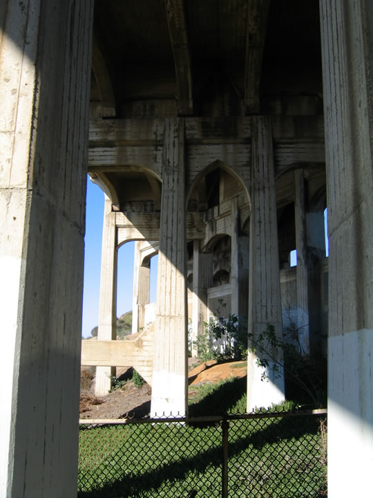
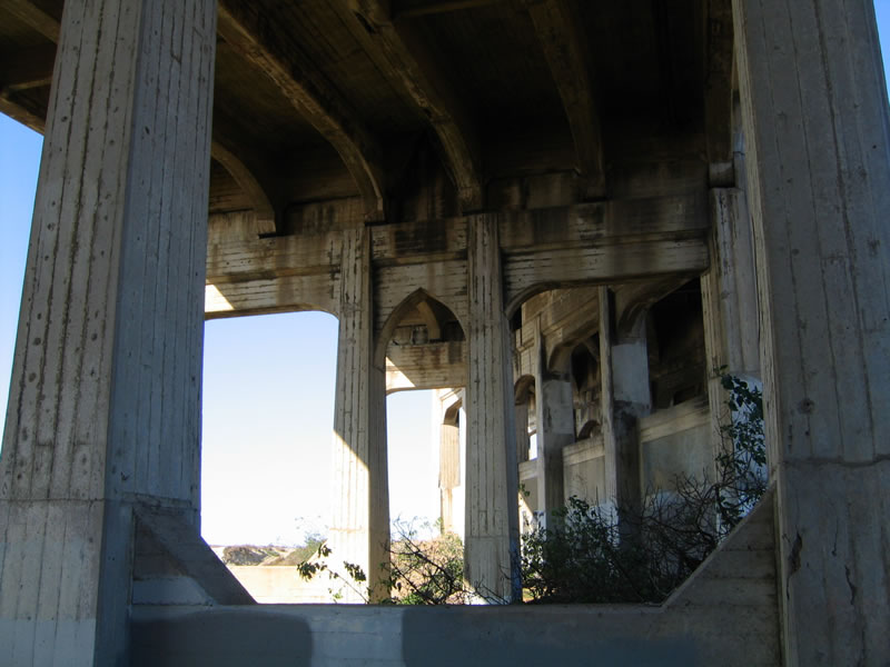
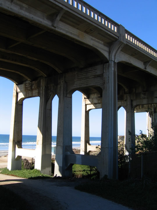
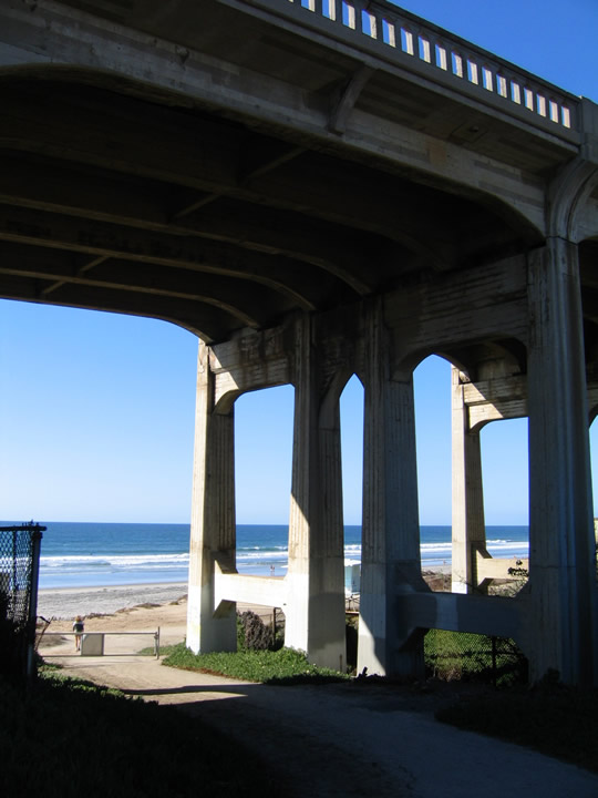
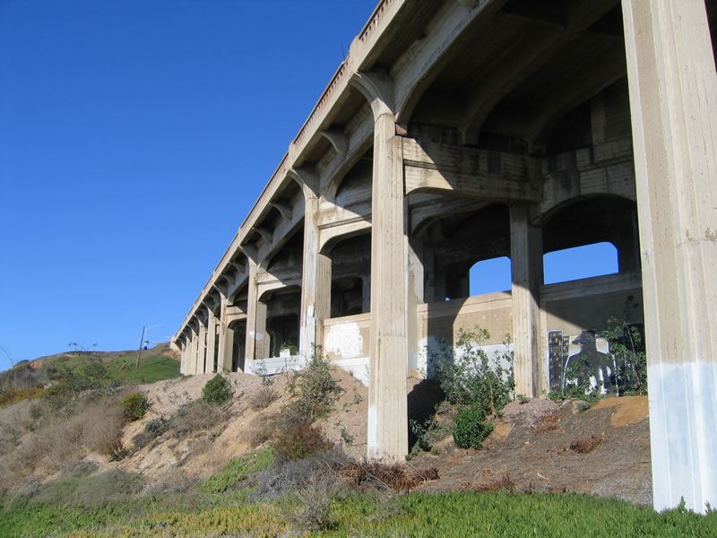
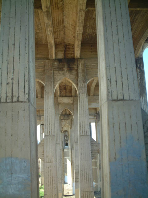
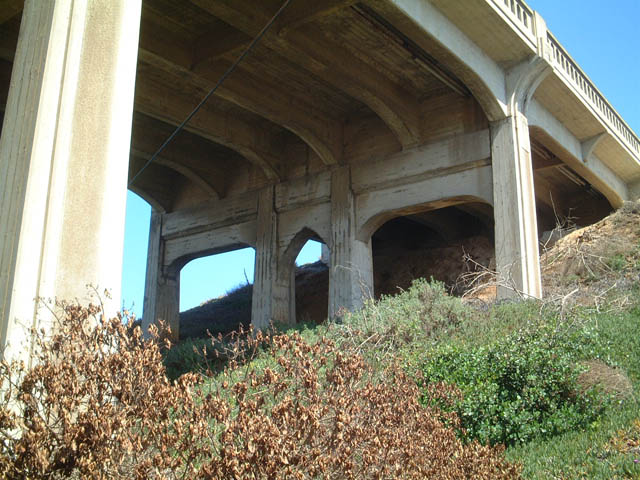
This suite of pictures shows the understructure of the Torrey Pines bridge, which was uniquely designed to accommodate the odd angles of the road grade and the railroad tracks. Notably, a service road also travels under the bridge, despite nearby warning signs that advise against traveling under the bridge due to the possibility of pieces of the bridge falling onto unsuspecting passers-by. Photos taken 10/29/05. |
|
|
|
|
|
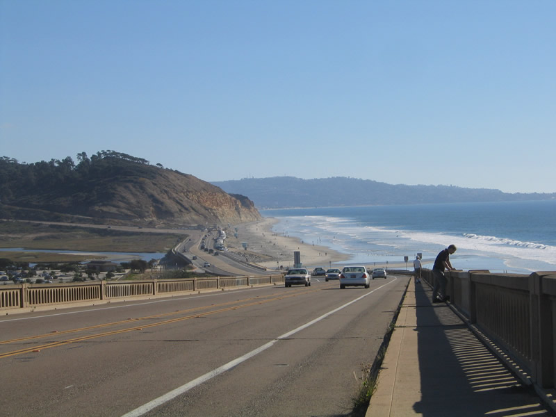
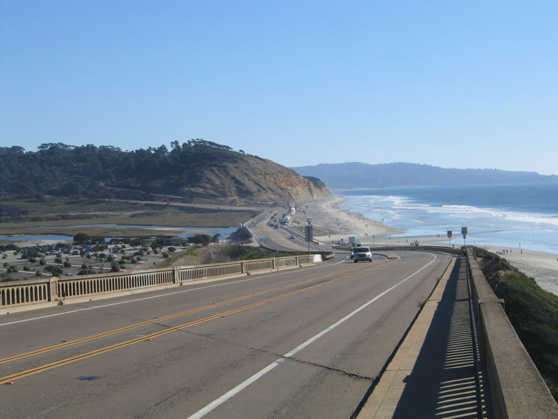
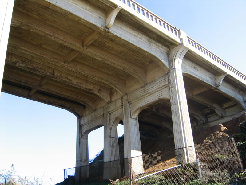
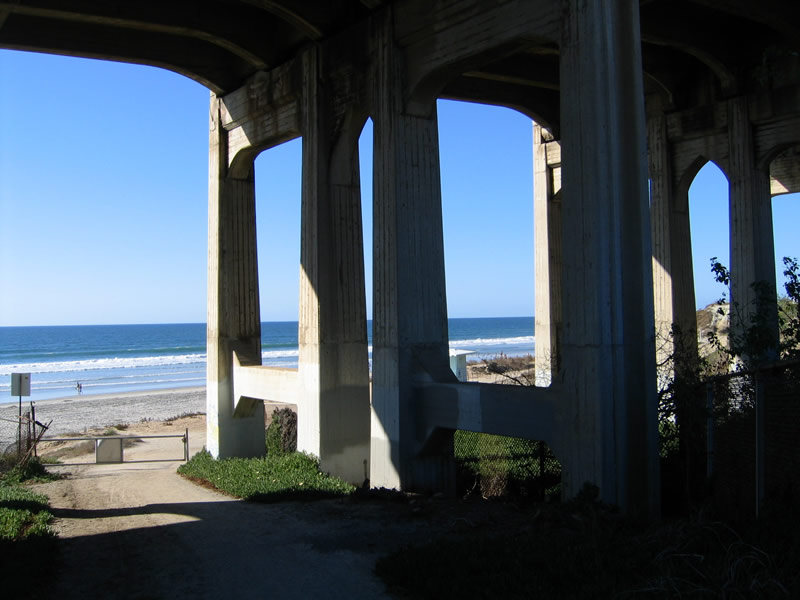
This suite of pictures shows the Torrey Pines Bridge as seen from the east looking west toward the ocean during the late morning. These pictures were featured on the PBS show, California Connected, when several California road enthusiasts (Joel Windmiller, Mike Ballard, Russ Connelly, Casey Cooper, and Andy Field) were profiled. Photos taken 06/22/02. |
|
|
|
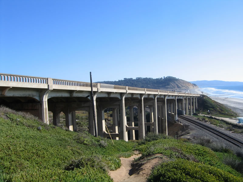
Three years and four months later, this is the view during the afternoon of the same bridge, looking east toward the ocean. Photos taken 10/29/05. |
|
|
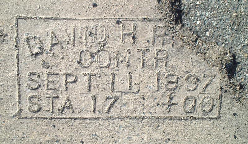
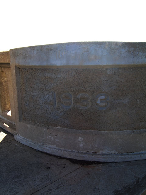
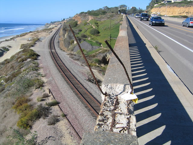
The date stamp in the guardrail indicates the railroad bridge was constructed in 1933. Photo taken 10/29/05. |
|
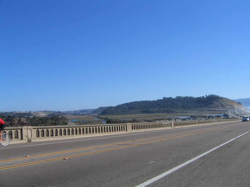
From the top of the bridge, this picture shows Los Peñasquitos Lagoon to the east. Photo taken 10/29/05. |
|
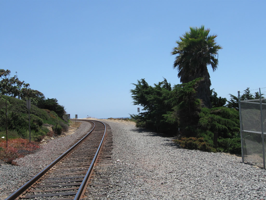
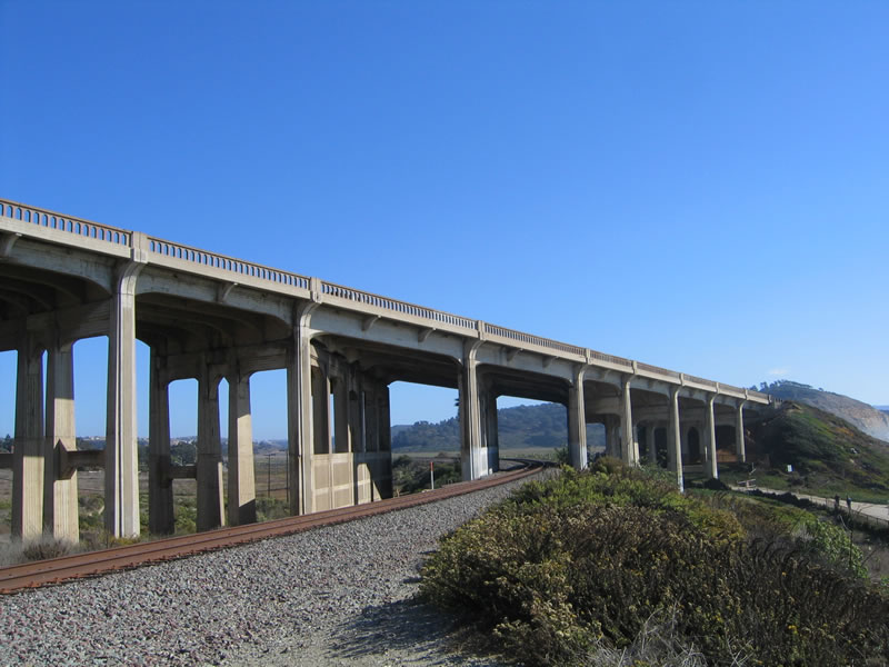
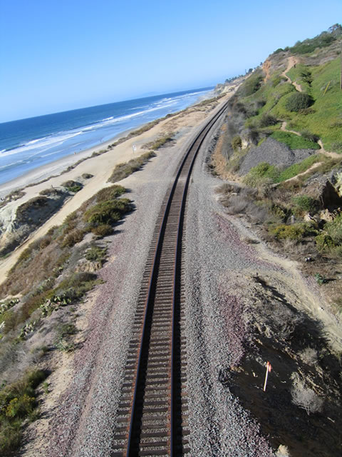
The SDNR railroad tracks carries the freight train as well as Amtrak passenger rail service and Coaster commuter rail service. The railroad tracks roughly parallel Interstate 5 between San Diego and Los Angeles. The tracks continue north toward downtown Del Mar, then parallel U.S. 101 toward Oceanside. Photo taken 10/29/05. |
|
Disrepair and deferred maintenance is visible on the bridge, including this section of guardrail that has been slowly decomposing due to the relentless assault of sea air. The city of Del Mar plans an improvement project that will fix many aspects of the bridge, including the damaged guardrail. Photo taken 10/29/05. |
|
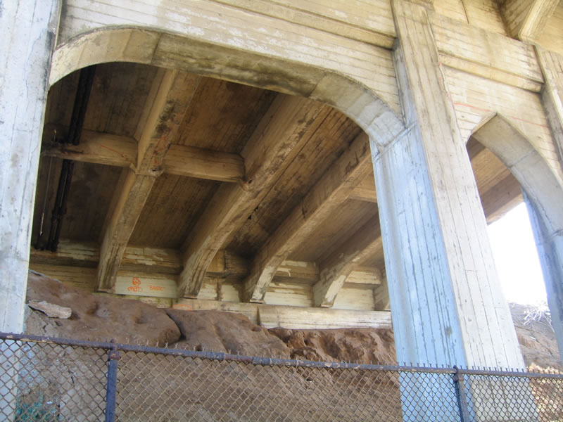
View of the underside of the U.S. 101 (North Torrey Pines Road/Camino Del Mar) railroad bridge. Note the arches that support the bridge, as well as the corrosion that comes from being so close to the ocean. The city of Del Mar, which owns the span, is currently repairing it. Photo taken 06/22/02. |
|
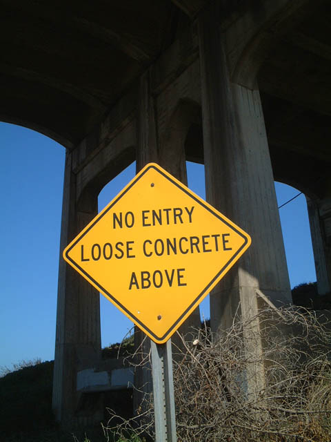
This sign warns people passing under the bridge that chunks of concrete may fall as a result of cars and trucks crossing overhead. Photo taken 06/22/02. |
|
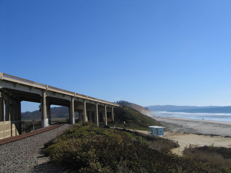
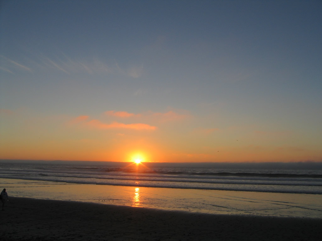
Looking south at the bridge, Torrey Pines State Reserve and its beach are visible in the background. Photo taken 06/22/02. |
|
View of the northern abutment of the U.S. 101 bridge in Del Mar. Photo taken 06/22/02. |
| Cardiff State Beach |
Page Updated November 6, 2012.