

Historic U.S. 101 - Mendocino County
| Old U.S. 101 Mountain House Road - south | |
|---|---|
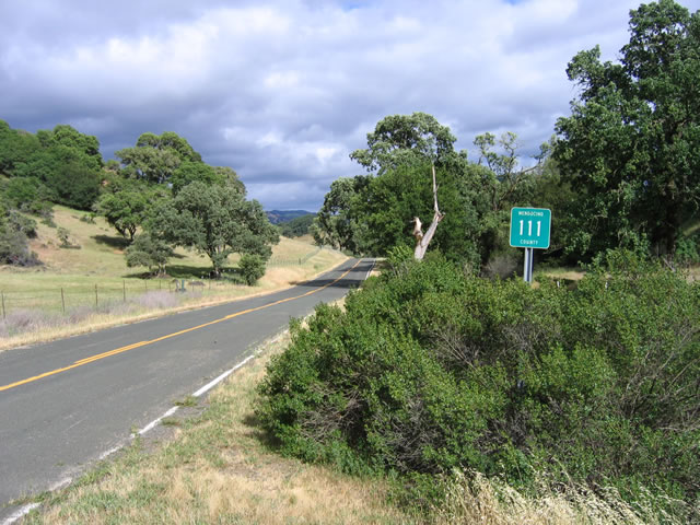 |
In Mendocino County, a former alignment of U.S. 101 avoided Lovers Leap and instead followed Mountain House Road south from Hopland to California 128 east of Yorkville and northwest of Oat Valley. Mountain House Road is signed as Mendocino County 111, and it was bypassed around 1934 (with construction of the bridge near Hopland), so it did not remain as U.S. 101 for very long after the route was commissioned. Photo taken 05/25/06. |
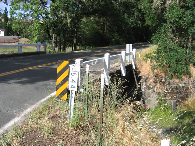 |
This small culvert with white wooden railing is located along Mendocino County 111/Mountain House Road near a farm. A small milepost (unique to Mendocino County) provides the exact location of the bridge as milepost 6.44. Photo taken 05/25/06. |
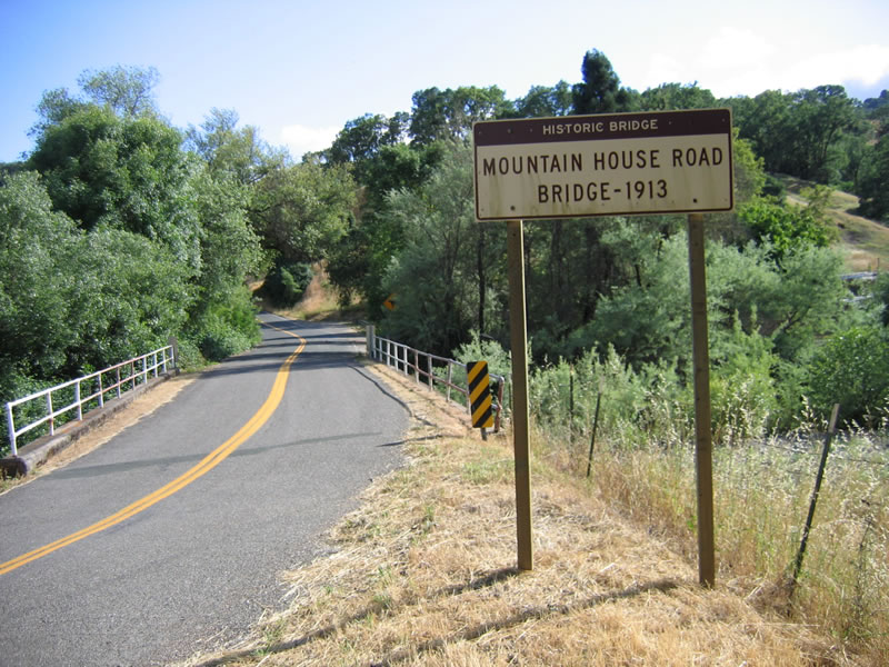 |
A bit further south along the old road is this gem: a 1913 bridge over the Cummiskey Creek. Photo taken 05/25/06. |
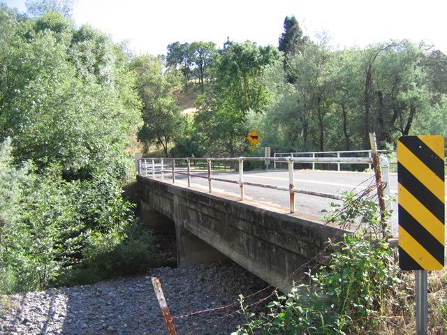 |
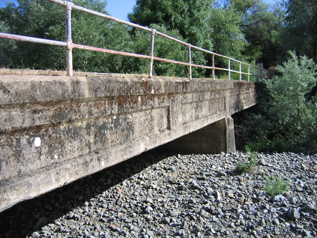
This side view of the 1913 historic bridge over Cummiskey Creek shows the amount of fill that has accumulated under the bridge since it was first built. Photo taken 05/25/06. |
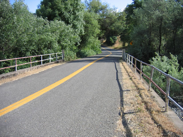 |
Looking at the centerline of the Cummiskey Creek bridge, Mendocino County 111/Mountain House Road continues south toward California 128. Photo taken 05/25/06. |
 |
An even better view of the bridge is on the west side of the road (photo taken in late afternoon). Photo taken 05/25/06. |
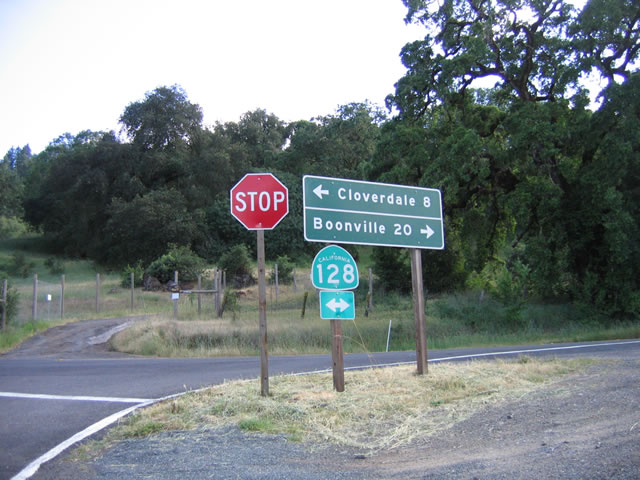 |
Reaching California 128, Mendocino County 111/Mountain House Road comes to an end. Old U.S. 101 used to follow California 128 southeast to Cloverdale (seven miles). Turn right on California 128 to Yorkville, Boonville, Anderson Valley, and Navarro. Photo taken 05/25/06. |


Page Updated February 10, 2007.
|
About Contact Glossary |
In The News Interstate Guide |
Social Media:
 |
|
© 2000-25 AARoads.com | All Rights Reserved | Privacy Policy / Terms of Use
|
||