

U.S. 101 North - San Benito County
Leaving Monterey County, U.S. 101 clips the northwestern corner of San Benito County briefly before it enters Silicon Valley and San Jose. The freeway tends to revert to expressway occasionally, but most cross-streets are slated to be removed as U.S. 101 is upgraded to freeway for its entire length through this area. U.S. 101 is securely in Santa Clara County before it enters the garlic capital, Gilroy.
| U.S. 101 (El Camino Real) north and California 156 east | |
|---|---|
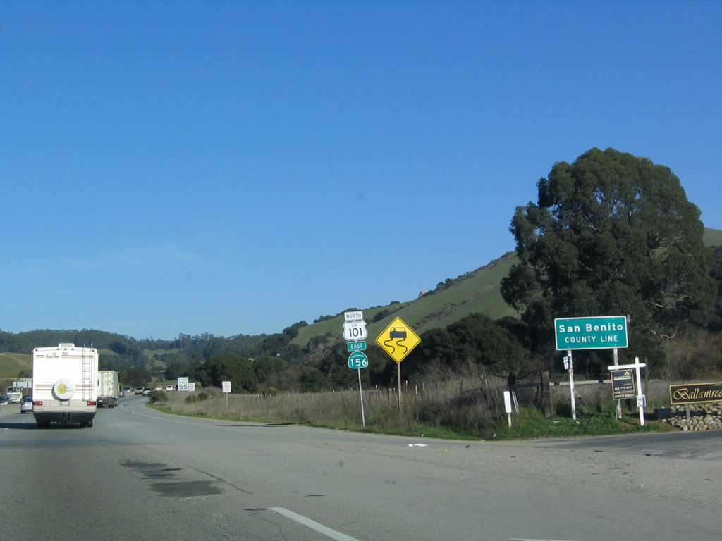 |
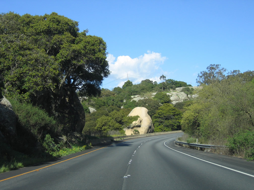
U.S. 101 and California 156 enter San Benito County. The roadway retains expressway characteristics as it enters the county; the freeway will not begin again until the two routes divide at Exit 345. Photo taken 03/18/06. |
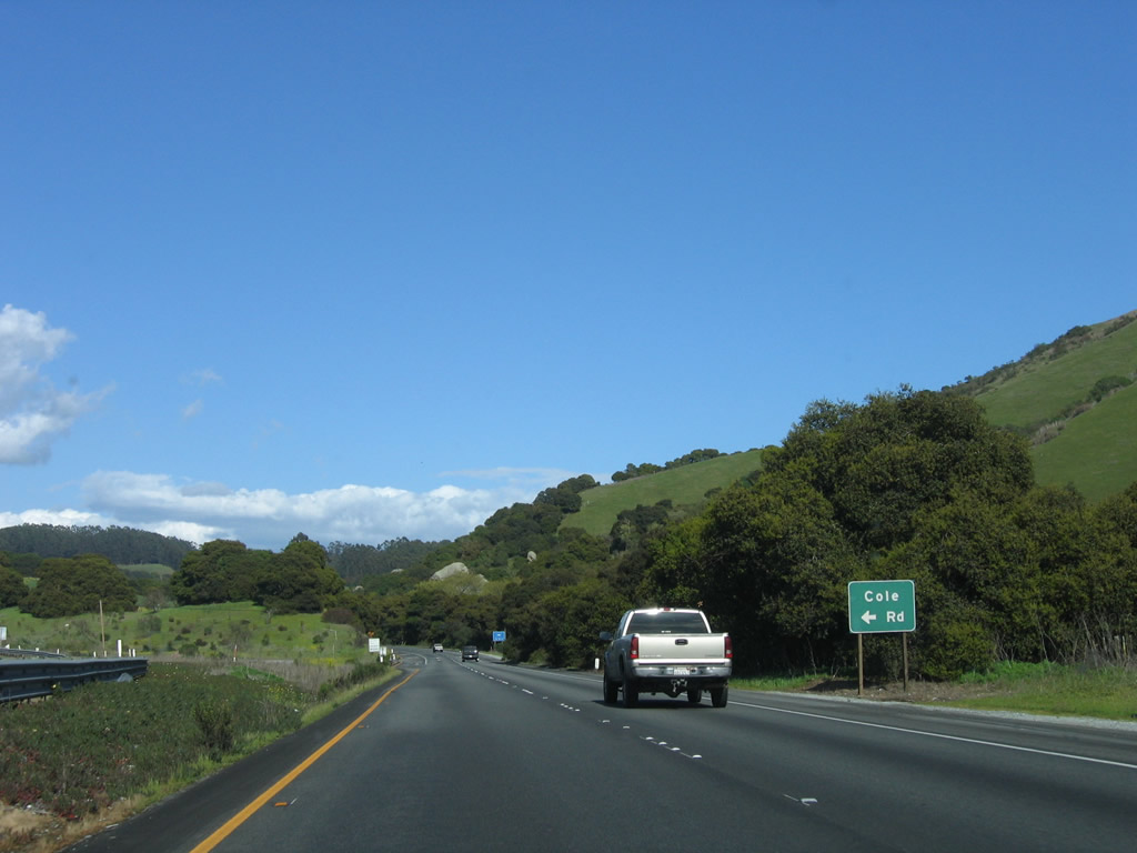 |
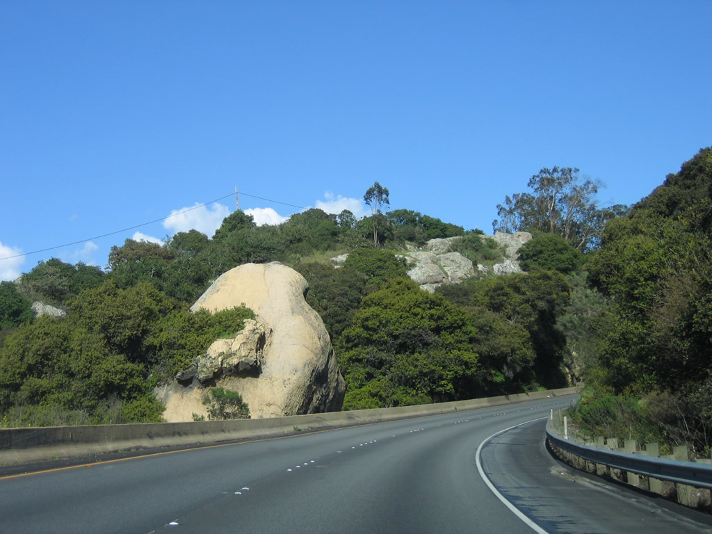
The first intersection along U.S. 101 north and California 156 east in San Benito County is with Cole Road north to Anzar Lake. Photo taken 03/18/06. |
 |
The left turn to Cole Road is sharp with a short deceleration lane. Photo taken 03/18/06. |
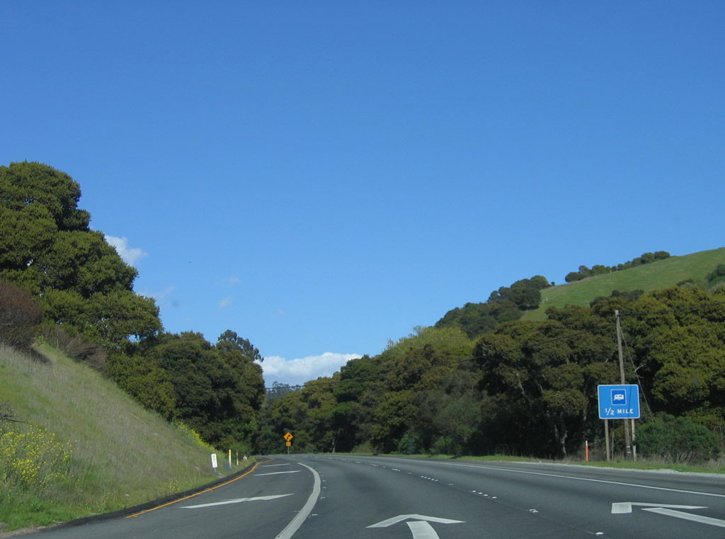 |
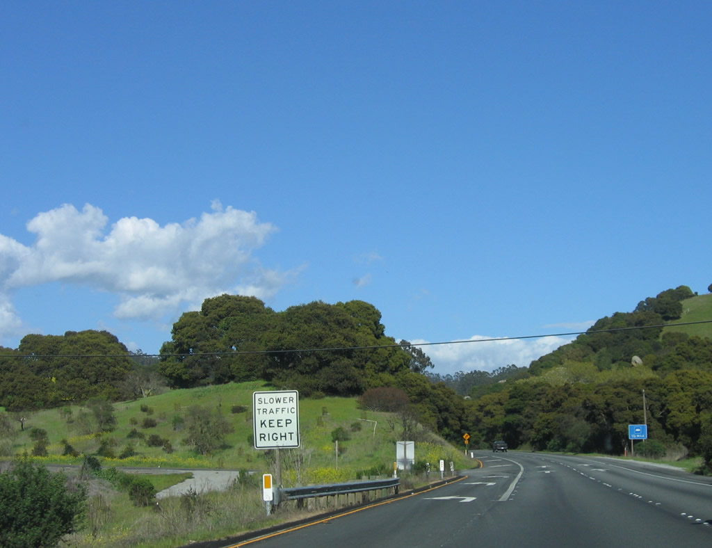
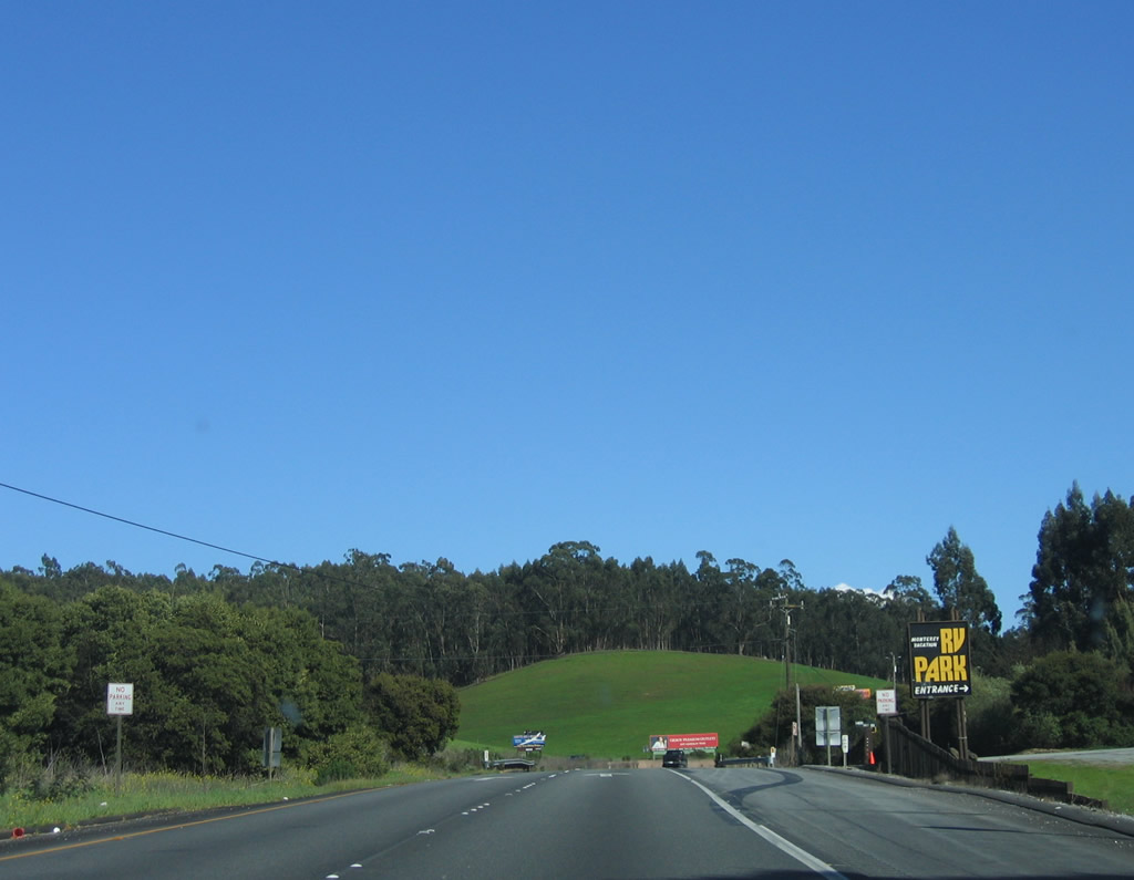
Some RV services are available one-quarter mile ahead at the RV Park on the right side of the expressway. Photo taken 03/18/06. |
 |
 |
 |
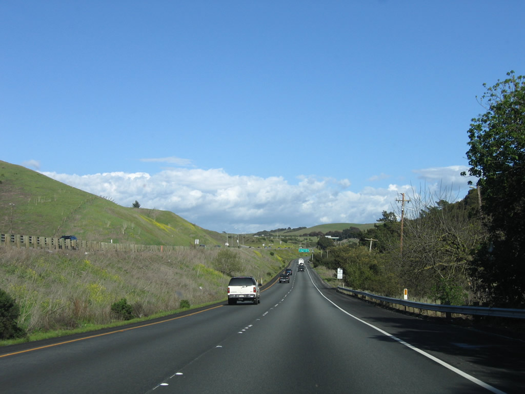
Continuing northeast, U.S. 101 and California 156 take a turn toward the east and will generally travel in this direction until the routes divide at Exit 345. Photos taken 03/18/06. |
 |
 |
Northbound U.S. 101 and eastbound California 156 approaches and reaches the turn off to the Monterey Recreational Vehicle (RV) Park. Photos taken 03/18/06. |
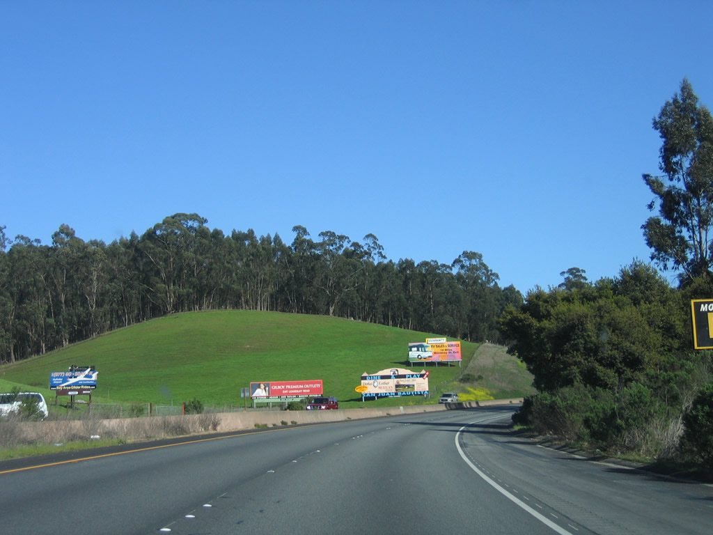 |
Despite a pretty green slope and eucalyptus forest behind it, the view of the hill from the road is obscured by billboards. Photo taken 03/18/06. |
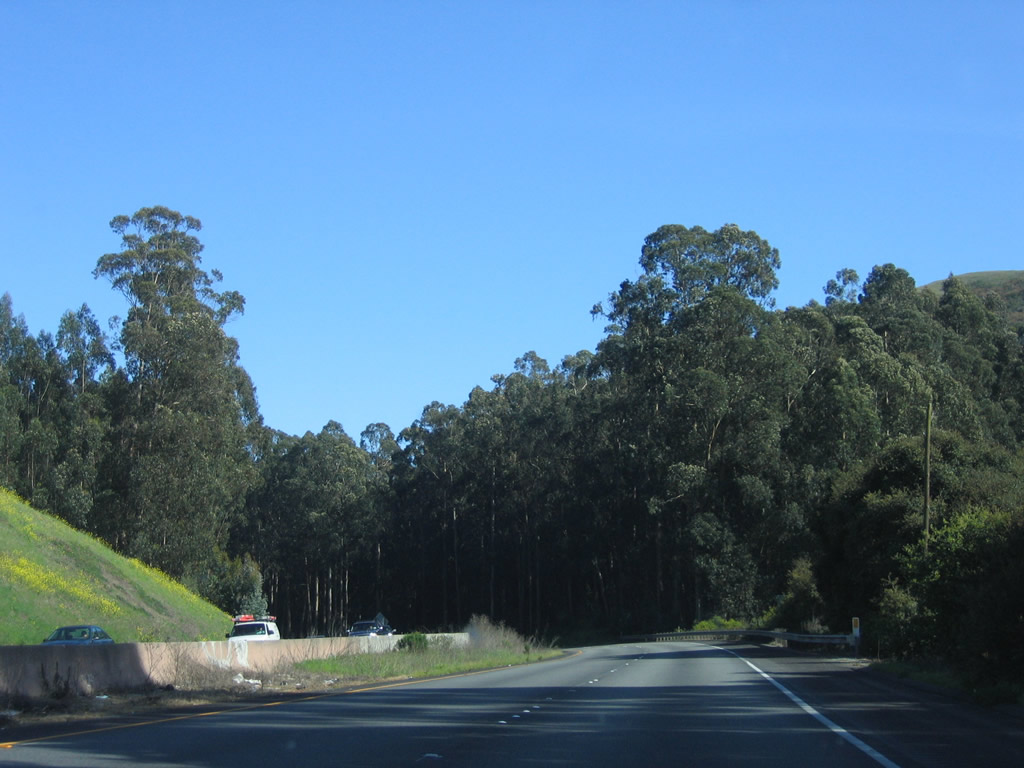 |
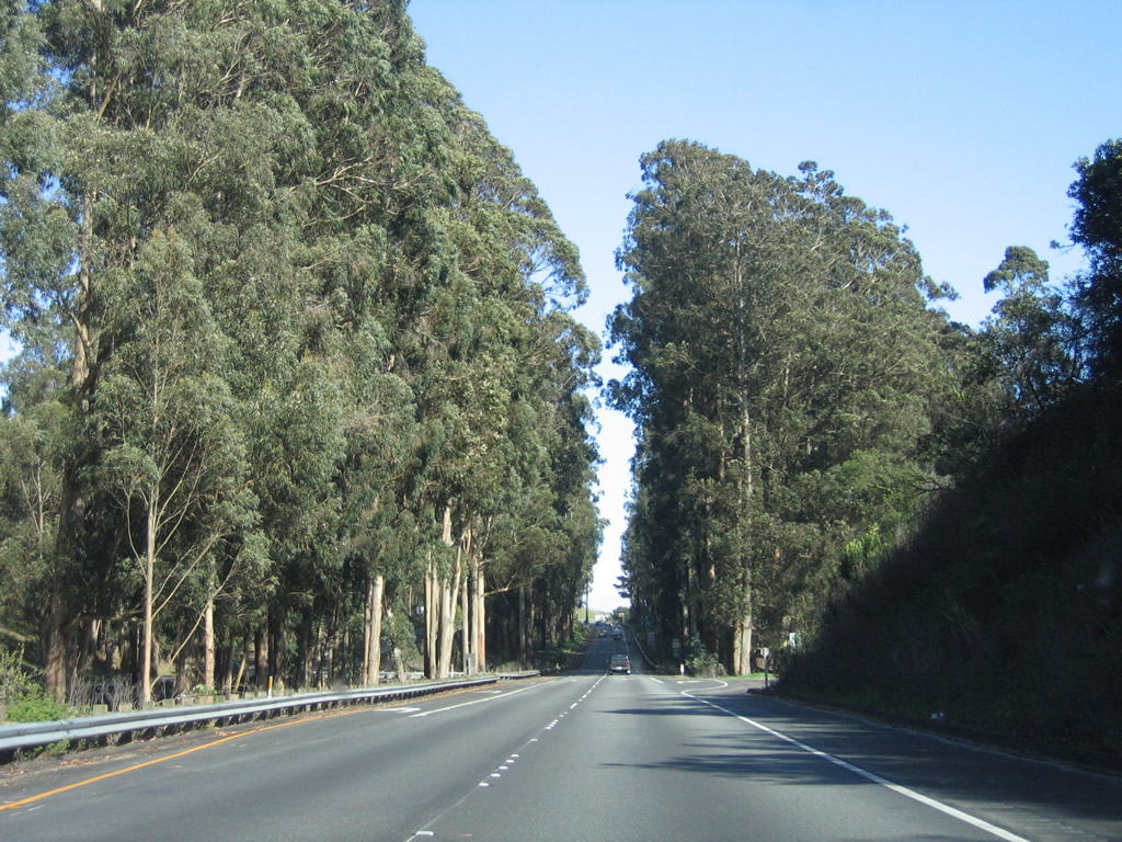
U.S. 101 and California 156 prepare to enter the eucalyptus forest. Eucalyptus trees are not a native species of California; originally from the arid climate of Australia, eucalyptus trees were first planted in California around the Gold Rush of 1848 (documented plantings of Tasmanian Blue Gum species occurred in 1851; these trees can grow as much as 20 feet a year in height and can reach a maximum height of 200 feet).1 These trees are commonly found throughout California, but nowhere have we seen more eucalyptus trees clustered in a forest environment than we have here, in San Benito County along U.S. 101 and California 156. This area was planted in the 1910s back when some saw economic fortune in the lumber produced by the Blue Gum eucalyptus trees; later it was realized that this species offers poor lumber. Photo taken 03/18/06. |
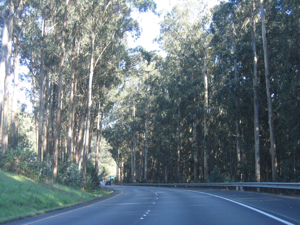 |
Entering the towering eucalyptus forest, we can see the work of a rancher's plantings that are nearly a century old. Both sides of the expressway are lined with eucalyptus trees. Imagine this place before these trees were planted! Photo taken 03/18/06. |
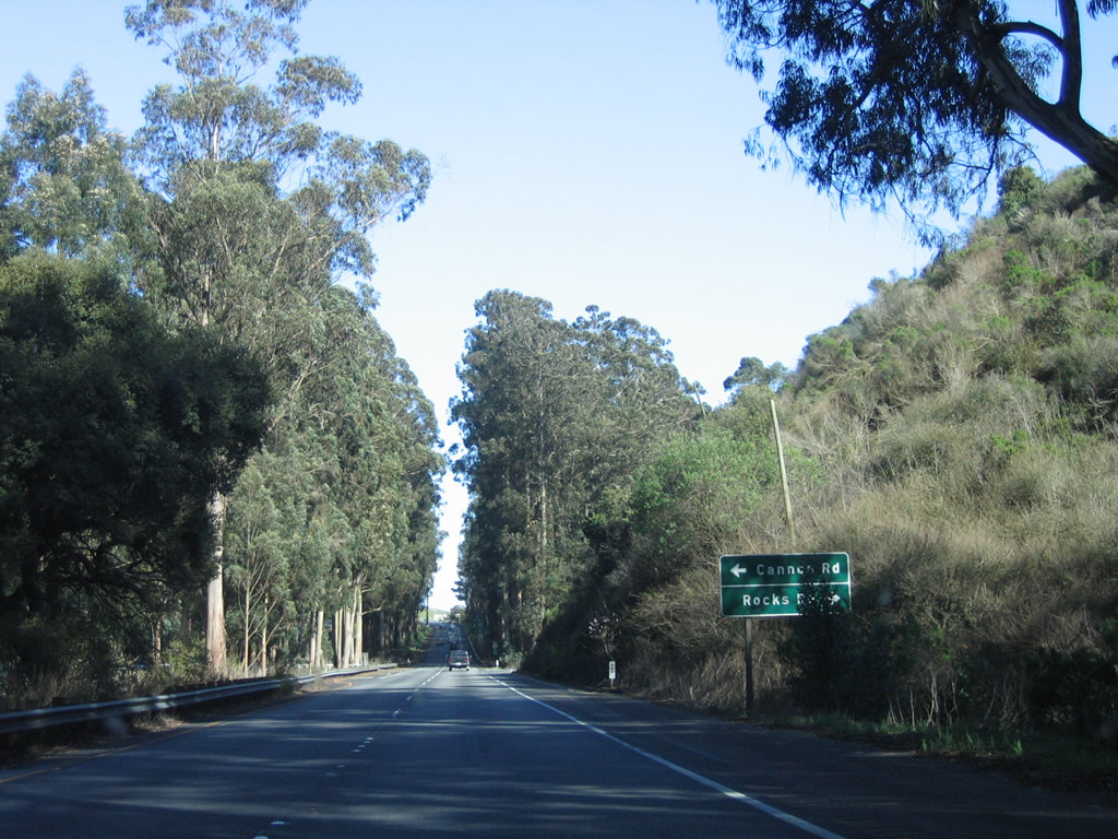 |
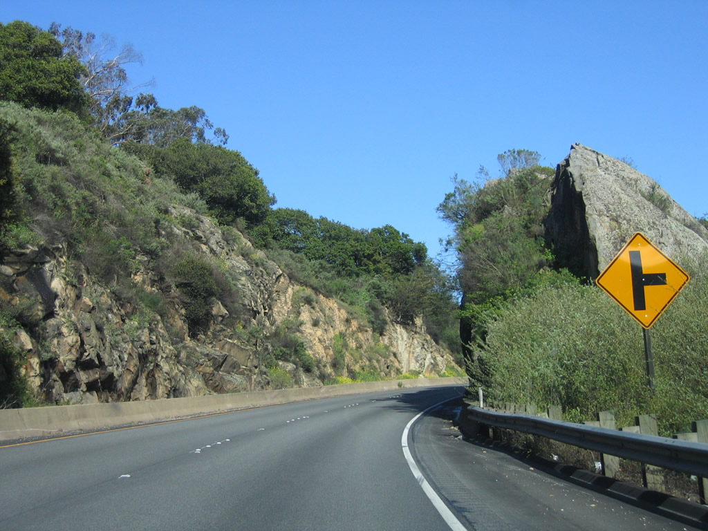
The next intersection along U.S. 101 (El Camino Real) and California 156 east is with Cannon Road north to Anzar Lake and Rocks Road east to San Juan Bautista (not a good through route; better to use California 156 east). Photo taken 03/18/06. |
 |
Tall eucalyptus (blue gum) trees guard the intersection between U.S. 101 (El Camino Real) and California 156 east and Cannon Road and Rocks Road. Photo taken 03/18/06. |
 |
A pair of reassurance shields for U.S. 101 and California 156 are posted after the Cannon Road and Rocks Road intersection. Photo taken 03/18/06. |
 |
The freeway finally begins again after the last intersection. Photo taken 03/18/06. |
 |
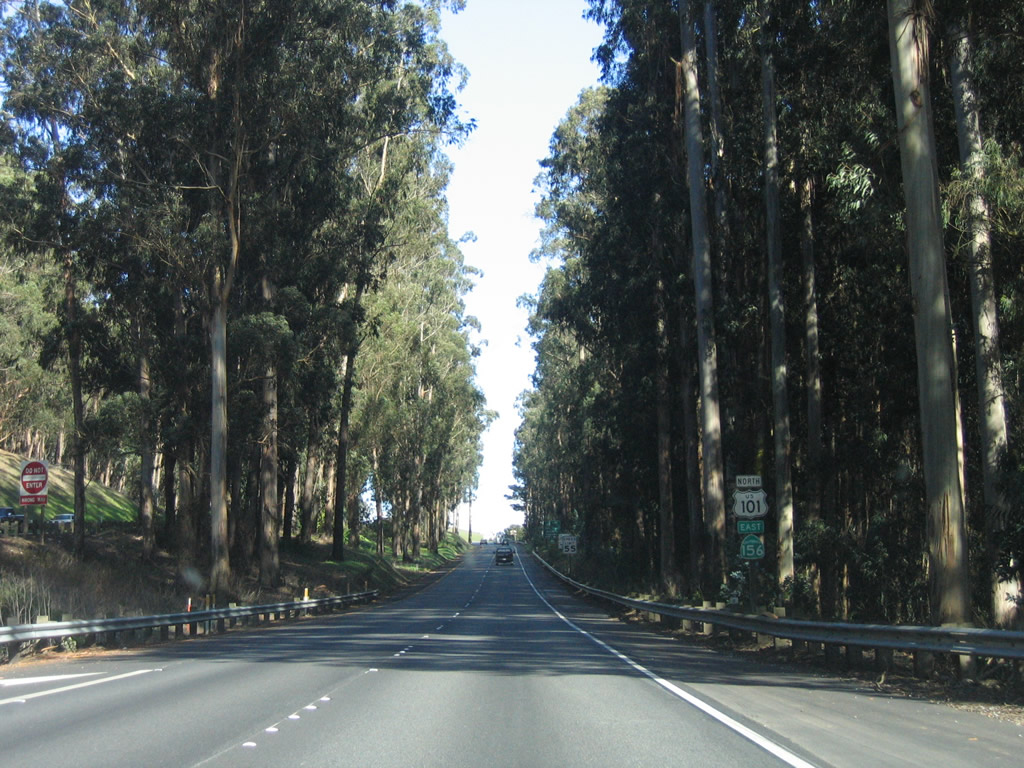
The next exit along U.S. 101 north and California 156 east is Exit 345, California 156 east to San Juan Bautista and Hollister. Photo taken 03/18/06. |
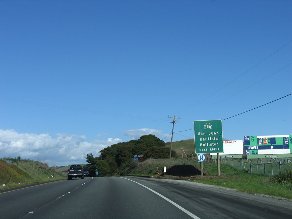 |
Routes divide ahead: U.S. 101 continues north while California 156 turns east at Exit 345. Photo taken 03/18/06. |
 |
Leaving the eucalyptus forest behind, U.S. 101 has a brief section with each carriageway following a different elevation. Photo taken 03/18/06. |
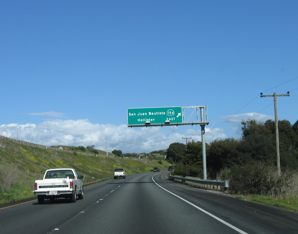 |
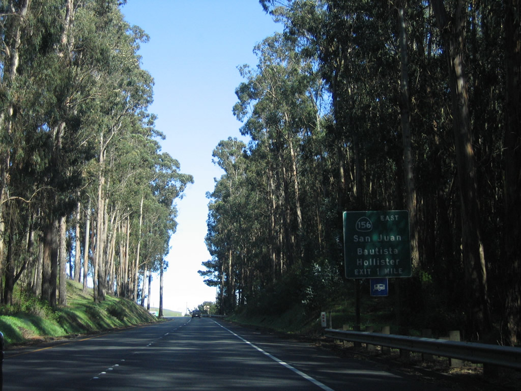
U.S. 101 north and California 156 east split at Exit 345 just west of San Juan Bautista. California 156 travels east to meet California 25 in Hollister, then ends at California 152. California 152 continues the journey east into Central Valley and to meet Interstate 5. Note the new reflective sign used here. Photo taken 03/18/06. |
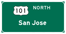
| U.S. 101 north | |
|---|---|
 |
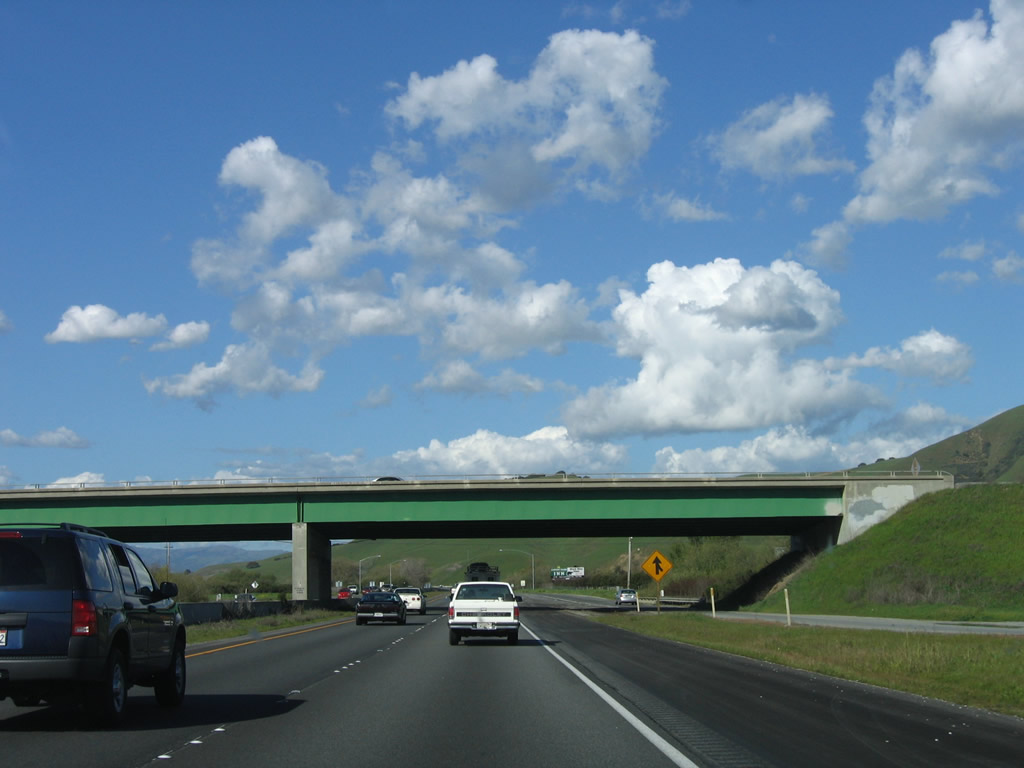
This bridge connects California 156 east with U.S. 101 south and California 156 west to U.S. 101 south. Photo taken 03/18/06. |
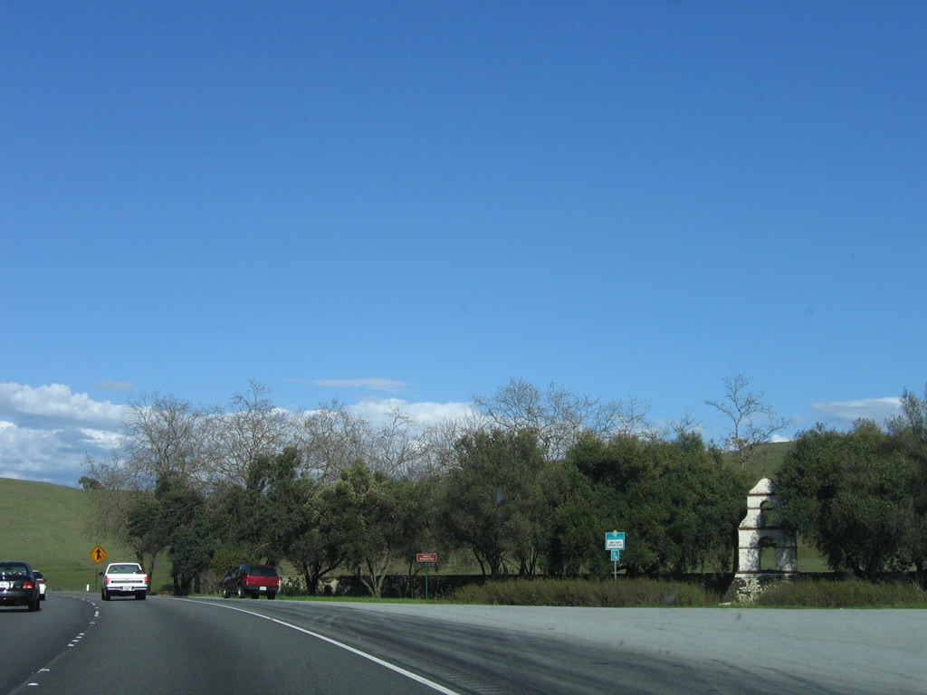 |
The remains of a mission tower are found in the middle of the highway interchange. Photo taken 03/18/06. |
 |
This mileage sign provides the distance to Gilroy, San Jose, and San Francisco. Photo taken 03/18/06. |
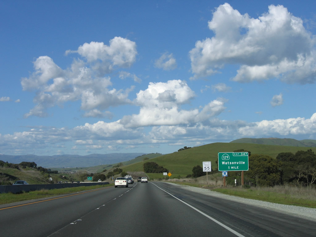 |
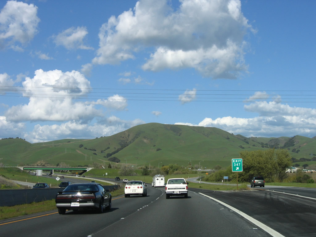
The next exit along U.S. 101 (El Camino Real) is Exit 347, California 129 west to Watsonville. California 129 is a short state route that connects U.S. 101 with California 1 in Watsonville and provides a faster alternative to California 152 by using Pajaro Gap rather than Hecker Pass. The route to Hecker Pass via California 152 west of Gilroy is winding and narrow with limited sight distances, while California 129 is much smoother with fewer curves and better grades. Photo taken 03/18/06. |
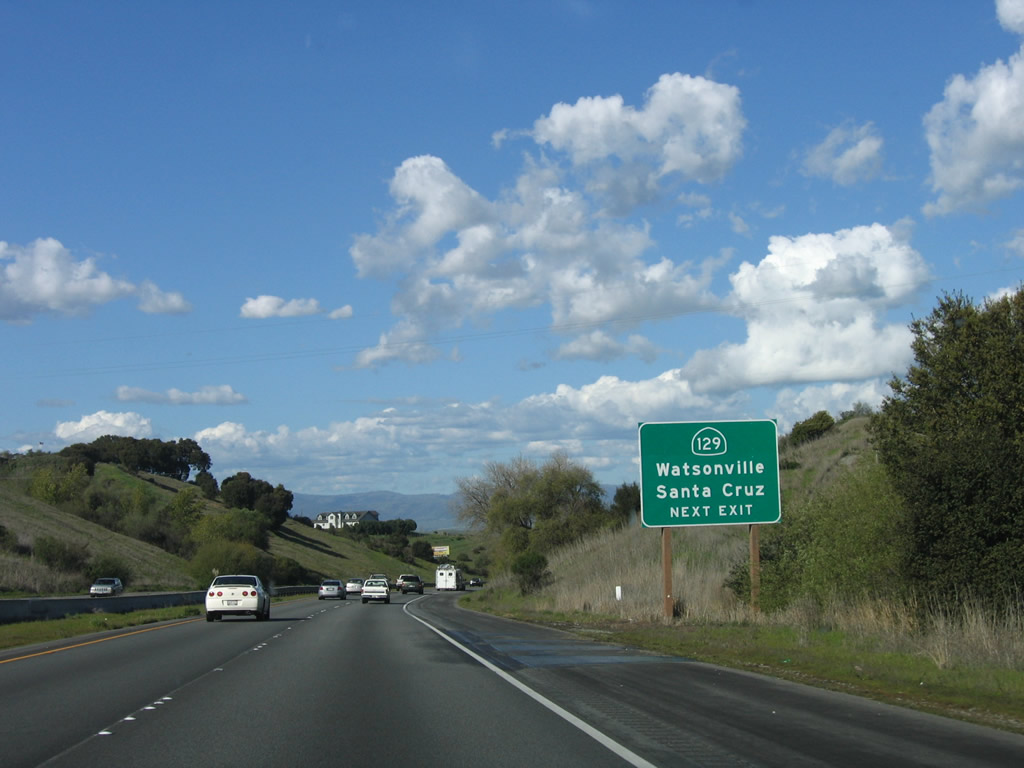 |
Descending toward the Pajaro River valley, a second approach sign for California 129 is posted on northbound U.S. 101 (El Camino Real). (U.S. 101 left the Salinas River valley at Prunedale). Photo taken 03/18/06. |
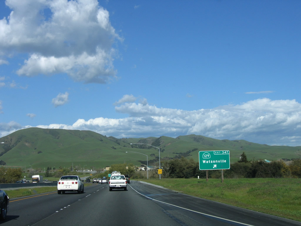 |
Northbound U.S. 101 (El Camino Real) reaches Exit 347, California 129 west to Watsonville. Photo taken 03/18/06. |
 |
The gore point signage includes the exit number. U.S. 101 turns from northeast to north as the freeway meets the California 129 interchange. Photo taken 03/18/06. |
 |
The green painted California 129 overpass contrasts well with the blue skies beyond. Photo taken 03/18/06. |
 |
This U.S. 101 north reassurance shield is posted after the on-ramp from California 129. Photo taken 03/18/06. |
 |
An old bridge carries U.S. 101 over a tributary of the Pajaro River. Photo taken 03/18/06. |
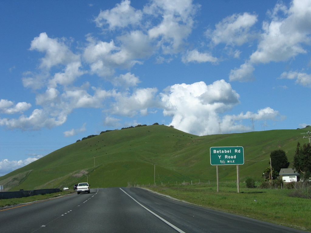 |
The next exit along U.S. 101 north is Exit 349, Betabel Road and Y Road (0.75 mile). Photo taken 03/18/06. |
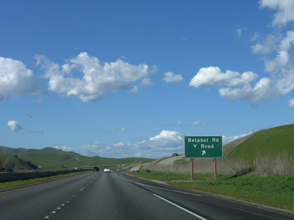 |
Northbound U.S. 101 reaches Exit 349, Betabel Road and Y Road. Photo taken 03/18/06. |
 |
No exit number is posted at the gore point ... yet. Photo taken 03/18/06. |
 |
A "narrow bridge" ahead sign is posted in the median and sat in standing water when this picture was taken. U.S. 101 will cross the Pajaro River and enter Santa Clara County shortly. Photo taken 03/18/06. |
 |
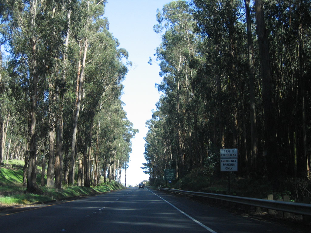
An end freeway sign is posted prior to the Pajaro River crossing; this is the last at-grade, expressway section of U.S. 101 north before entering San Francisco. Photo taken 03/18/06. |
 |
An El Camino Real replica bell and shield set is posted shortly thereafter; the bridge comes into view. Photo taken 03/18/06. |
 |
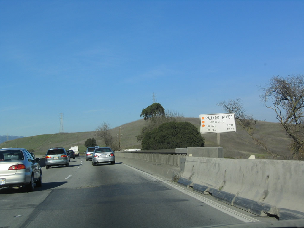 |
U.S. 101 crosses the Pajaro River. At this point, U.S. 101 leaves San Benito County and enters Santa Clara County. We are on the way to San Jose! Photos taken 03/18/06 and 12/23/04. |
Sources:
- "Thank Jack London for the eucalyptus forest." Gilroy Dispatch (CA), February 28, 2008.


Page Updated April 28, 2009.
|
About Contact Glossary |
In The News Interstate Guide |
Social Media:
 |
|
© 2000-25 AARoads.com | All Rights Reserved | Privacy Policy / Terms of Use
|
||