| U.S. 101 (Redwood Highway) north |
|
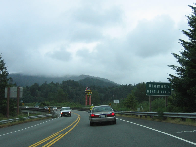
Entering Del Norte County, the first connects to Klamath Beach Road. This road leads west to the beach and connects to an old alignment that travels south to connect with the Newton B. Drury Scenic Parkway. Use this exit to see the south end of the devastated former U.S. 101 bridge over the Klamath River, which was destroyed in the 1964 floods that plagued most of the North Coast that year. The following two exits from two-lane U.S. 101 north are for the town of Klamath. Klamath has a varied and storied past and a future as a tourist destination. Situated along the massive Klamath River in southern Del Norte County, Klamath is about 20 feet, is within the Yurok Indian Reservation, is not incorporated, and is home to 651 people as of the 2000 Census. Photo taken 05/26/06. |
|
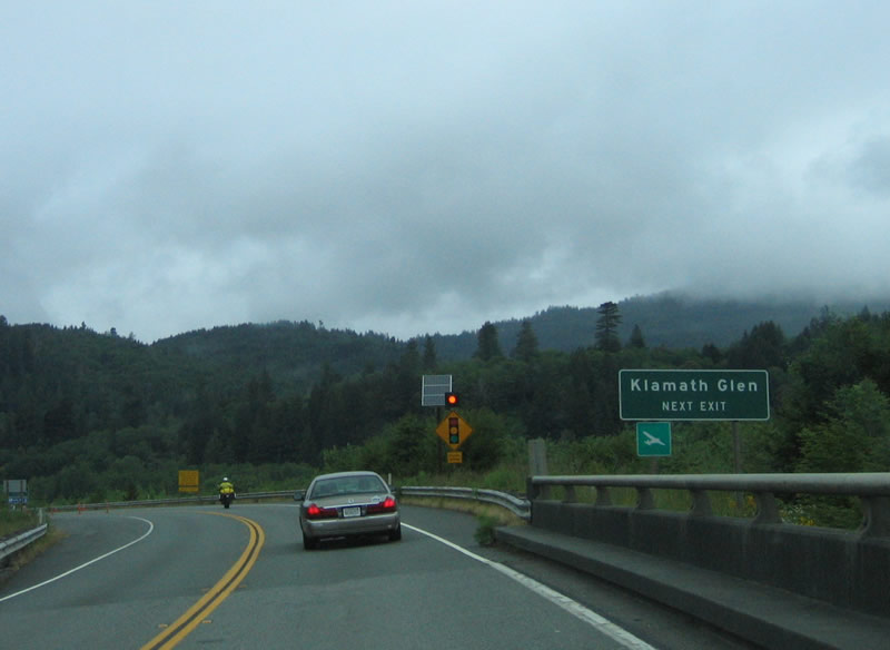
Klamath Glen, another small town, is located southeast of U.S. 101 along California 169 at the bank of the Klamath River. Both Klamath Glen and Klamath have been affected by the periodic floods of the Klamath River. This mighty Northern California river is the second largest river in the state, and it drains more than 12,000 square miles of watershed including portions of southern Oregon (near Klamath Falls, Oregon). With such a huge watershed, flooding occurs with massive rains that pass through the region from time to time. The town of Klamath specifically was affected by the 1964 floods (which was last discussed in context of Humboldt Redwoods State Park) when the entire downtown was washed away by floodwaters. The town relocated from its original location on the north bank of the Klamath River west of U.S. 101 to a new location west of U.S. 101 on higher ground. Photo taken 05/26/06. |
|
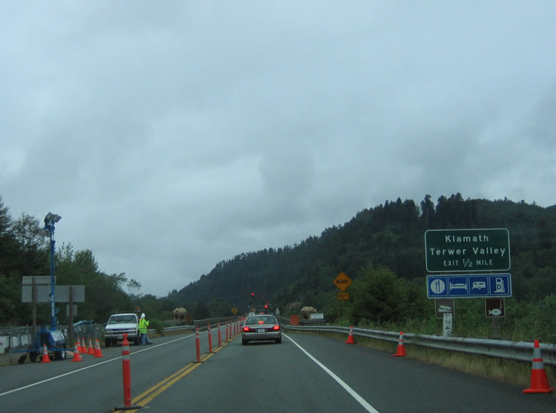
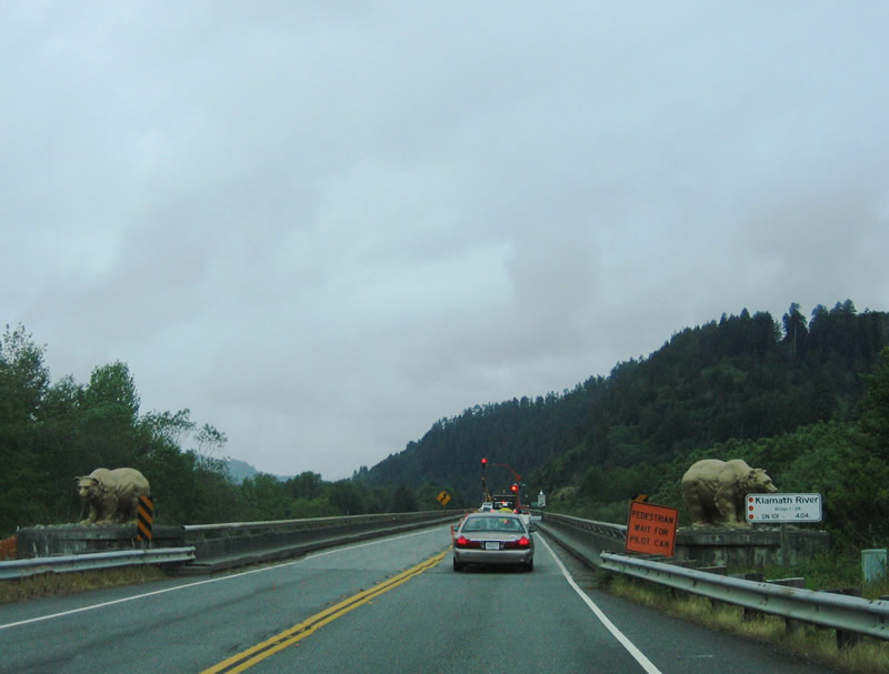
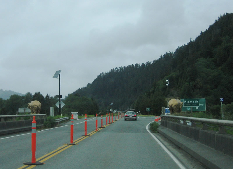
The incredible 1964 flood, which also caused havoc along the Eel River, caused the Klamath River to wipe away most of the town of Klamath as well as the bridge that carried U.S. 101 over the river. The famous gold bears that guard the 1965 bridge (opened the season after the 1964 floods) over the Klamath River come into view as the highway continues north. The 1964 brought the highest recorded level of 55.2 feet, and it carried logs and debris down river, slamming into the former U.S. 101 bridge with such force that the bridge was completely destroyed. Today, remnants of the bridge approach and the former downtown of Klamath can be seen by exiting the highway at Exit 769 (California 169 to Klamath and Terwer Valley), then turning west on Chapman Street, then turning west again on Alder Camp Road. Alder Camp Road enters a wide section of road, which was the old village of Klamath. Remnant foundations, sidewalks, and other trappings of the old downtown can still be seen, but most remnants are now gone. It is very difficult to get to the north end of the old U.S. 101 bridge that was destroyed in 1964, but it can be seen through a thicket of trees and brush. Photo taken 05/26/06. |
|
The golden bears that guard the 1965 U.S. 101 bridge over the Klamath River are located on either side of two-lane U.S. 101. These bears are made of concrete and were formerly posted sentry on the old bridge over the river. They were mysteriously painted gold starting in the late 1950s or early 1960s, but as soon as the highway department removed the paint, the bears were repainted gold again by the local Golden Bear Booster Club, made up of local businessmen. After the Flood of 1964 and the movement of the bears to the north and south approaches to the current U.S. 101 bridge, Caltrans has taken over maintenance of the bears and keeps them painted gold. These bears guard the south approach to the Klamath River bridge, which was under construction at this time. Photo taken 05/26/06. |
|
After crossing the 1965 Klamath River bridge, northbound U.S. 101 passes by the northern sentry of bears and enters the town of Klamath. The new downtown is located east of U.S. 101 along California 169. Photo taken 05/26/06. |
|
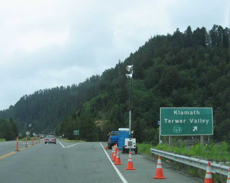
Northbound U.S. 101 (Redwood Highway) reaches Exit 769, California 169 east to Klamath and Terwer Valley. The state route follows the north bank of the Klamath River, then comes to an end in Klamath Glen. Photo taken 05/26/06. |
|
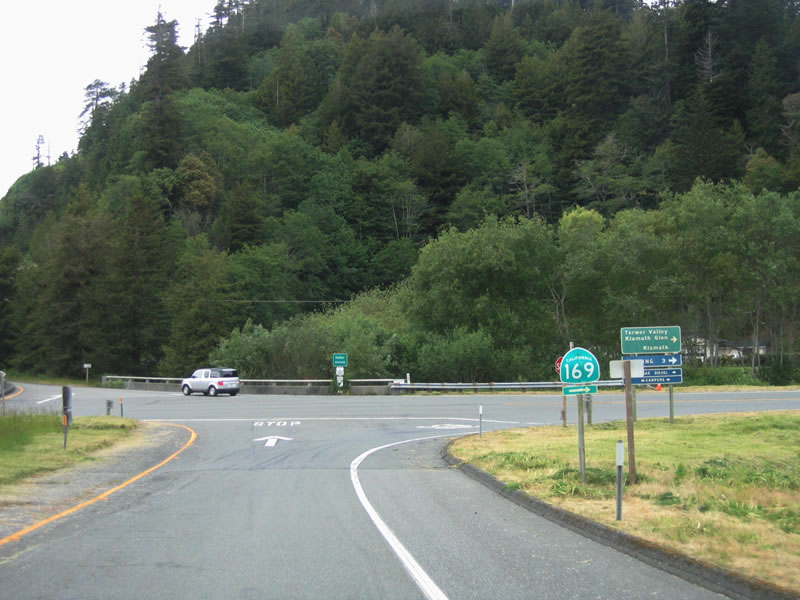
At the base of the ramp, a California 169 shield points the way to Klamath and Klamath Glen to the east. California 169 is a split route, with this section traveling only to Klamath Glen, and another section follows the river along Martins Ferry Road from California 96 (at Weitchpec) northwest to Johnsons. The missing link is unlikely to be built due to the terrain and proximity to the river. Nevertheless, both extant sections are signed as California 169, and proposed route is shown on the state official maps between Johnsons and Klamath Glen (despite the fact it is very unlikely to be built). Photo taken 05/26/06. |
|
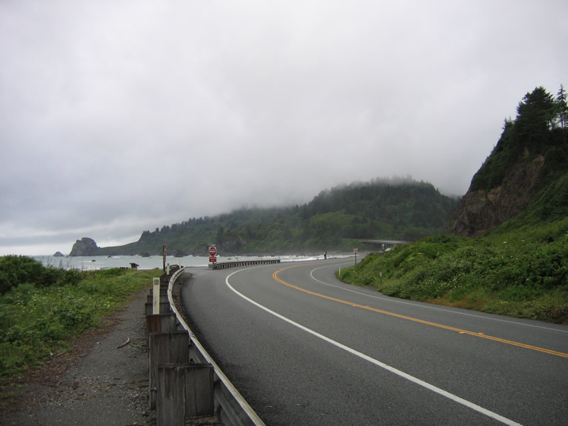
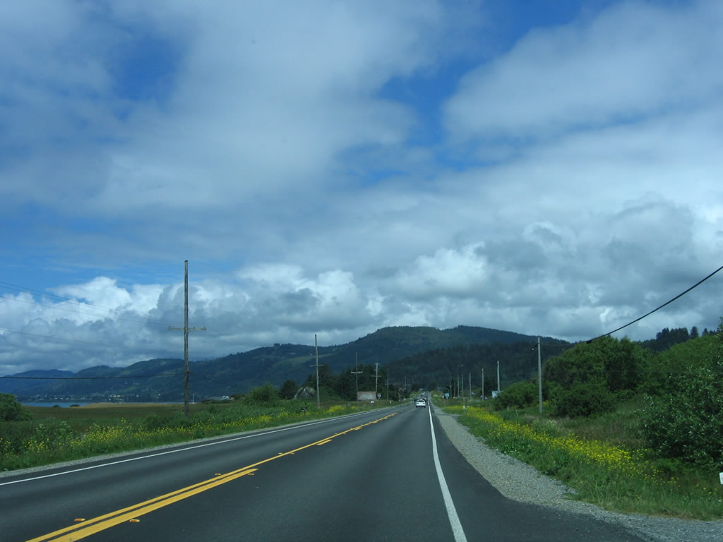
The brief Super Two freeway segment comes to an end after the California 169 interchange at Exit 769. The Redwood Highway continues through the Yurok Indian Reservation and approaches one of the most famous North Coast tourist attractions: the Trees of Mystery, which includes the huge statue of Paul Bunyan and his ox, Babe. From there, U.S. 101 swings back to the ocean, coming alongside the coast in a dramatic fashion as shown here. Photo taken 05/26/06. |
|
Waves crash on the rocks alongside U.S. 101 as the highway continues north from Klamath toward Crescent City. Mist from the surf rises as U.S. 101 travels north through Redwood National Park and Del Norte Coast Redwoods State Park. Photo taken 05/26/06. |
|
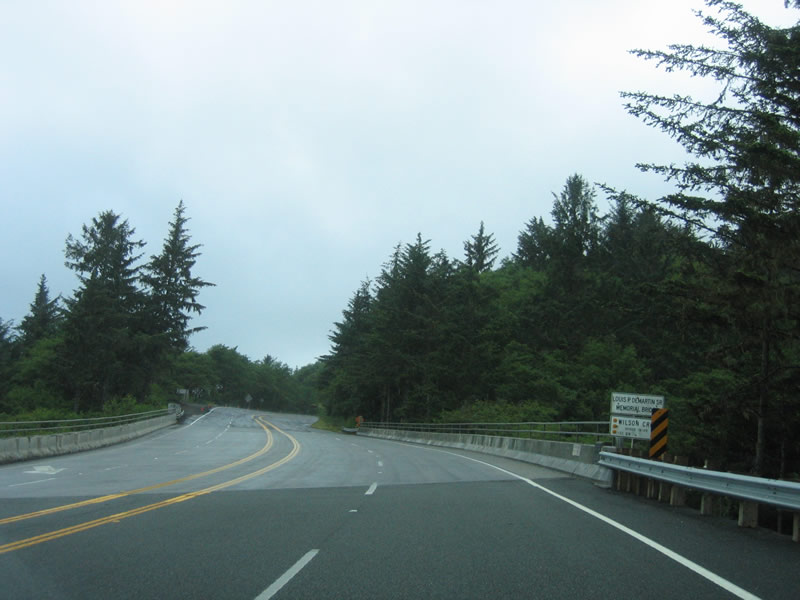
This bridge carries U.S. 101 over Wilson Creek (built in 1957). Notably, U.S. 101 widens out to four lanes briefly. Photo taken 05/26/06. |
|
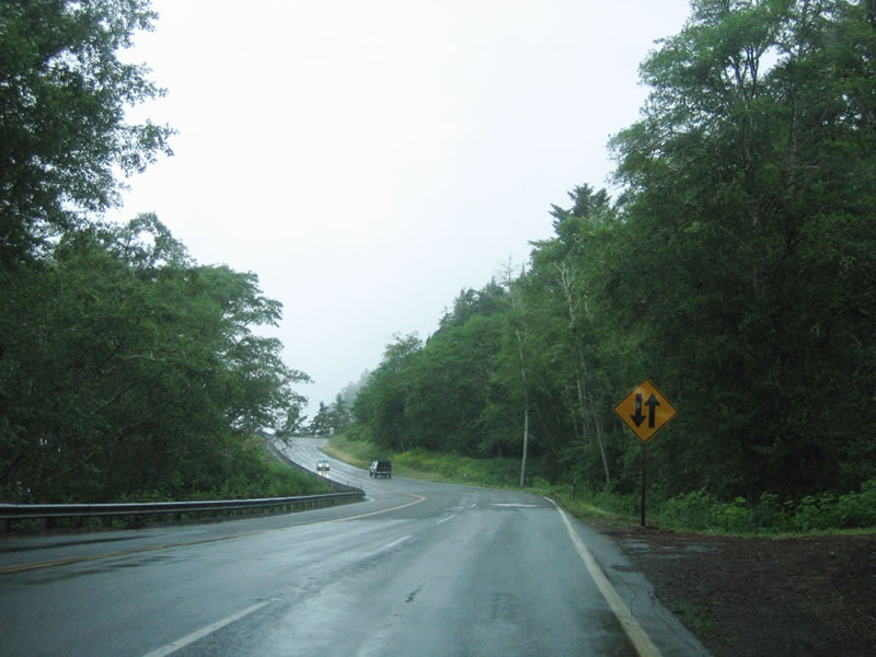
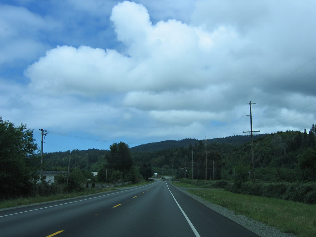
Shortly thereafter, U.S. 101 narrows again to two lanes. The North Coast is known for its overcast and moist days, and U.S. 101 looks fairly typical while wet and shrouded by a cloudy (and somewhat rainy) day. Photo taken 05/26/06. |
|
A sidehill viaduct (Cushing Creek Sidehill Viaduct) helps carry U.S. 101 north through here; the viaducts were built in 2001 and 2005. Photo taken 05/26/06. |
|
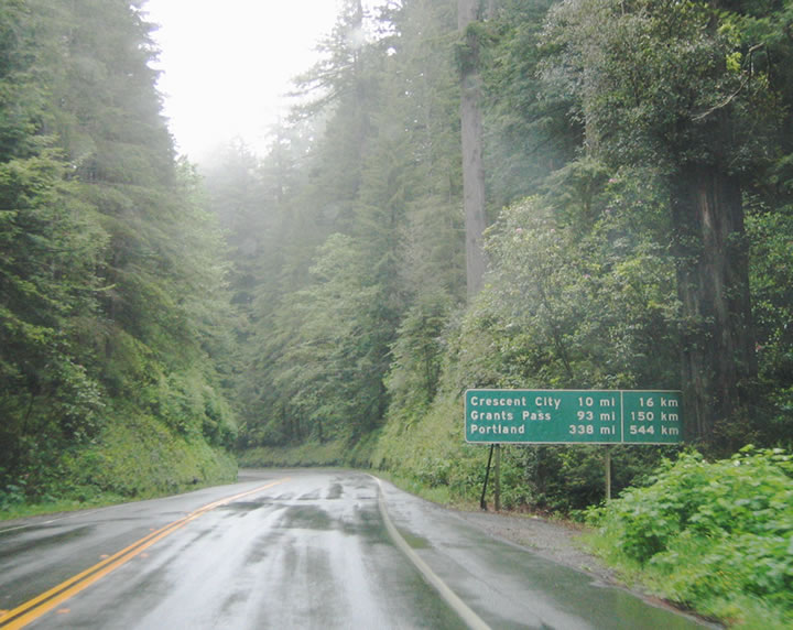
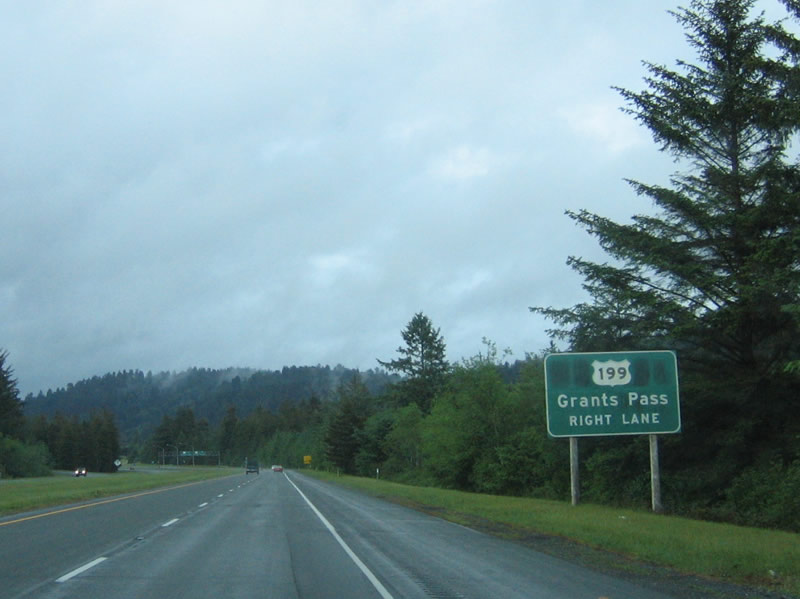
This mileage (and kilometer) sign provides the distance to Crescent City, Grants Pass, and Portland. The latter two destinations are via U.S. 199, which carries the Redwood Highway from California into Oregon and to an end at Old U.S. 99 and Interstate 5 in Grants Pass. Photo taken 05/26/06. |
|
|
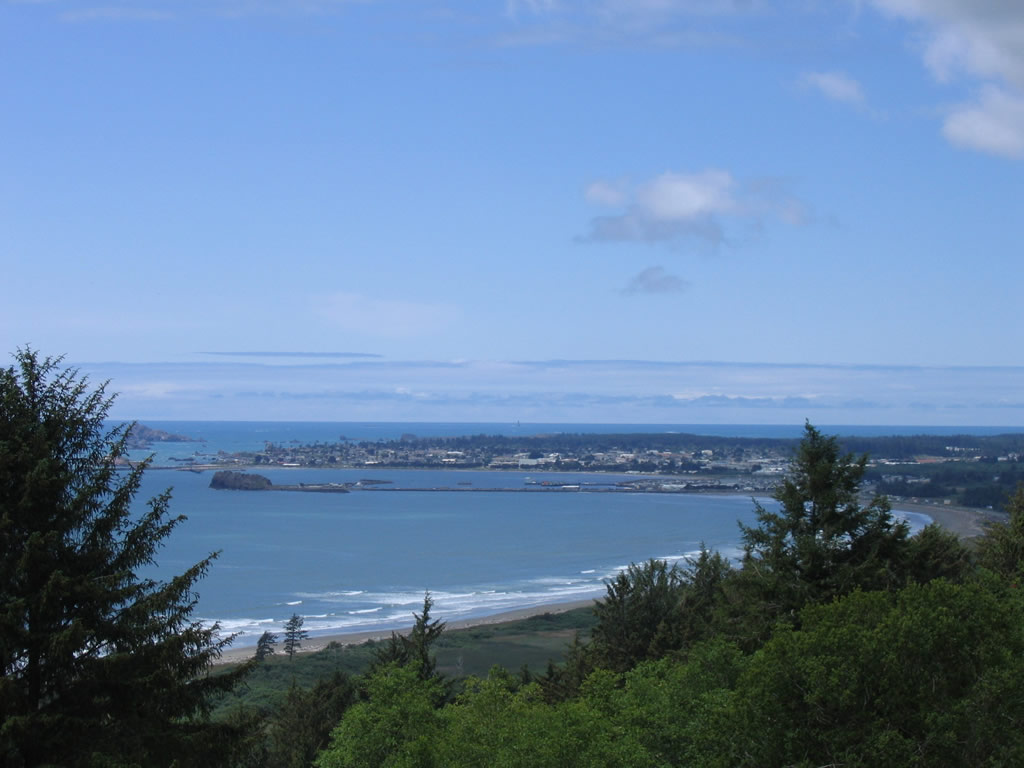
This view of northbound U.S. 101 is taken from the Vista Point above Enderts Beach south of Crescent City. A view of Crescent City can be seen from this vantage point (second photo). In this view, from left to right, is the Battery Point Lighthouse, Whaler Island, Crescent City, Cescent City Harbor, and Crescent Beach. Fishing and lumber have been two dominant industries in Crescent Bay, and they helped the port develop in starting in the 1850s. Photos taken 05/26/06. |
|
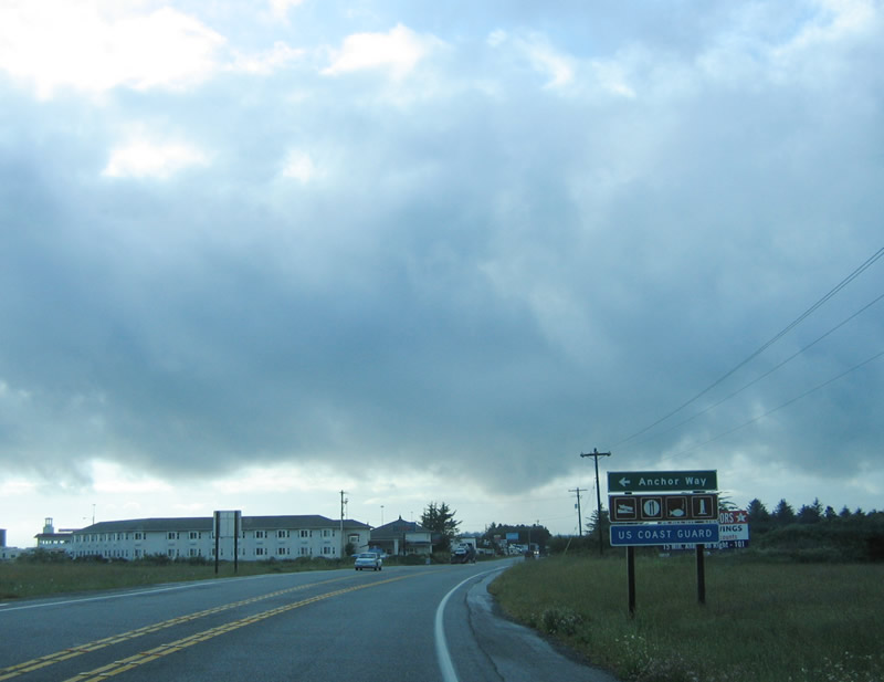
Leaving the scenic splendor of Redwood National Park and Del Norte Coastal Redwoods State Park, northbound U.S. 101 enters the outskirts of Crescent City. Like Eureka, there is no bypass of downtown Crescent City. The first intersection after the visitors center is with Humboldt Road and Sandmine Road, followed this intersection with Anchor Way. Photo taken 05/26/06. |
|
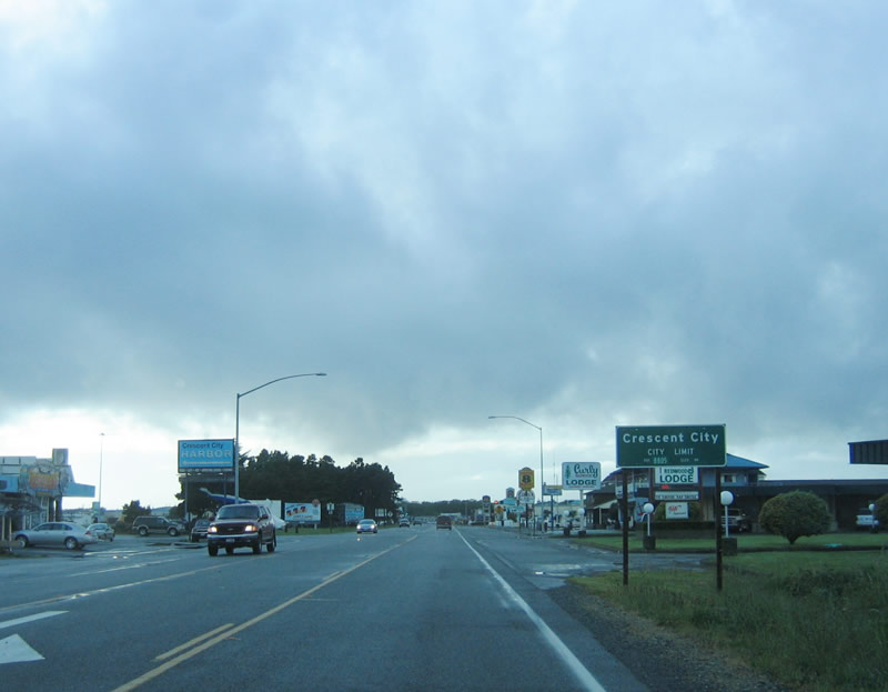
Entering the city of Crescent City, U.S. 101 assumes an urban feel for the first time since leaving Eureka. Crescent City has nearly 75 inches of rainfall annually and was struck by a tsunami in 1964 (yes, the same year of the massive river floods along the Eel River and Klamath River) caused by the Good Friday Earthquake in Alaska. Most of the city had to be rebuilt after the tsunami, which resulted in development that was common at that time and far fewer historic buildings. A tsunami in November 2006 resulting from an earthquake at Kuril Islands (located between Russia and Japan) caused damage to the harbor area. Incorporated in 1854, Crescent City is home to 4,006 people (per the 2000 Census), but that total has swelled to 7,825 people as of the 2005 census estimate. Photo taken 05/26/06. |
|
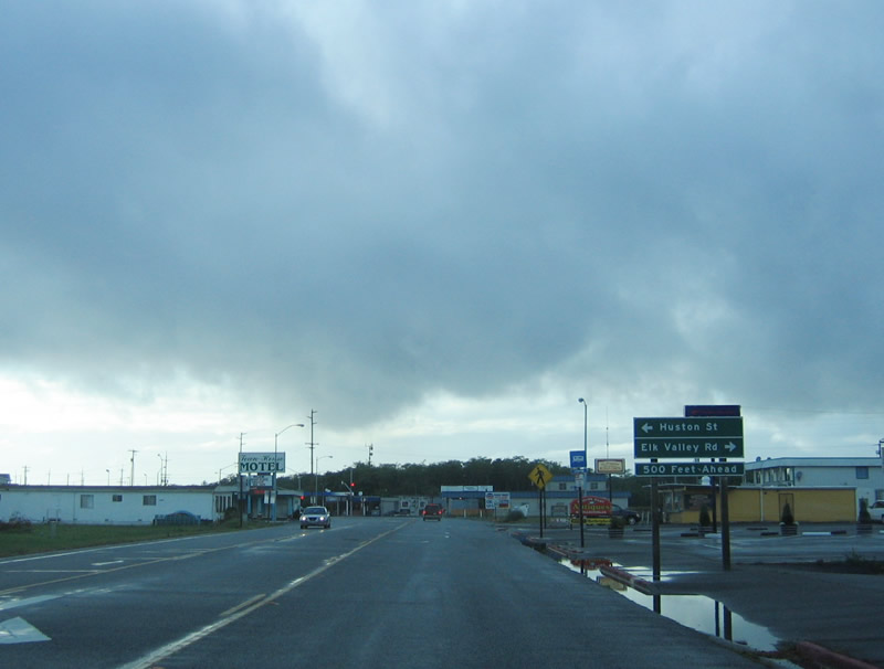
U.S. 101 (Redwood Highway) north approach Huston Street west and Del Norte County D-2 (Elk Valley Road) east to Elk Valley and north to U.S. 199. Like many signed county routes elsewhere in the state of California, signage for the county routes in Del Norte County is spotty from the state highway system and is not particularly common on the county route itself. Del Norte County D-2 provides an alternative to U.S. 101 by bypassing the city to the east, but it is not a freeway alignment and passes through the community of Elk Valley. Photo taken 05/26/06. |
|
Northbound U.S. 101 (Redwood Highway) follows M Street through downtown Crescent City, while southbound U.S. 101 follows L Street. Despite the fact that downtown Crescent City was devastated by the 1964 tsunami (tidal wave) generated by the Good Friday Earthquake, the city sits on a bluff that overlooks the scenic ocean. Even with an elevation well above sea level, the city was still impacted by a huge wave. It is shocking to look down off the bluff to the ocean below and think that a wave could have become that tall! Photo taken 05/26/06. |
|
The main visitors center for Redwood National Park is located to the northwest of U.S. 101/M Street; turn left on Second Street, which is the first block after the two directions of U.S. 101 split onto a one-way couplet of M Street and L Street. Photo taken 05/26/06. |
|
U.S. 101 is well signed through Crescent City. Most of the city was rebuilt after the 1964 tsunami, so much of the construction is like that common from that era, including strip malls and fast food restaurants. Most of the older parts of town are located west of here ... use any of the numbered streets west to that part of downtown Crescent City. The Battery Point Lighthouse is located near downtown on a bluff overlooking the ocean. Photo taken 05/26/06. |
|
|
This reassurance shield for U.S. 101 north is posted on M Street after the 9th Street intersection and just before M Street unites with L Street (U.S. 101 south). Photos taken 05/26/06. |
|
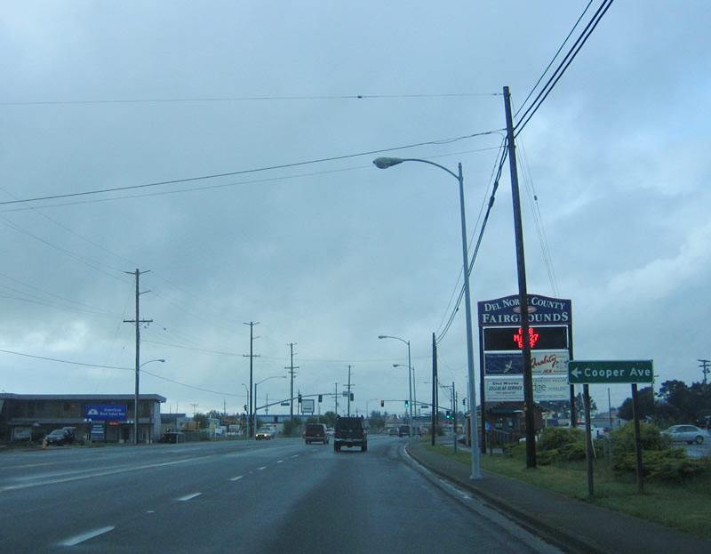
After reuniting with the southbound lanes, northbound U.S. 101 approaches Cooper Avenue near the Del Norte County fairgrounds in Crescent City. Photo taken 05/26/06. |
|
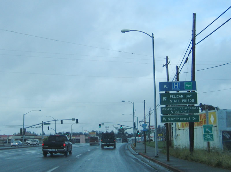
Adjacent to the fairgrounds, northbound U.S. 101 (Redwood Highway) approaches the split with Del Norte County D-3/Northcrest Drive north to Fort Dick. The county route parallels U.S. 101 north to Fort Dick, then merges back onto U.S. 101 prior to the Smith River bridge. Note the faded Del Norte County D-3 shield here. Use Del Norte County D-3 north to the Del Norte County Airport, Sutter Coast Hospital, Pelican Bay State Prison, and the Crescent City campus of the College of the Redwoods. The first two destinations require the use of Del Norte County D-3 north to Del Norte County D-1 (Washington Boulevard). This is more direct than using Exit 791 (Parkway Drive north to Washington Boulevard). Photo taken 05/26/06. |
|
Prior to the Del Norte County D-3/Northcrest Drive turnoff, this mileage sign provides the distance to U.S. 199 (three miles), Smith River (13 miles), and for the first time, Coos Bay (133 miles) appears on a mileage sign. Omitted are destinations served by the U.S. 199 corridor: Grants Pass and Portland in Oregon. Photo taken 05/26/06. |
|
Leaving Crescent City, northbound U.S. 101 changes once again into a freeway configuration as it approaches Exit 791, Parkway Drive north to Del Norte County D-1 (Washington Boulevard). This ramp connects to Parkway Drive, the eastern frontage road, and Parkway Drive connects to Washington Boulevard west to Sutter Coast Hospital and Del Norte County Airport. Photo taken 05/26/06. |
|
The final section of full freeway on U.S. 101 north in California is between Del Norte County D-1 (Washington Boulevard) and U.S. 199 (Redwood Highway) (Exit 794). This four-lane, divided freeway was constructed in 1971 and provides the last section of U.S. 101 with freeway standards. North of U.S. 199, U.S. 101 reverts to a two-lane highway all the way to Smith River and the Oregon state line. Photo taken 05/26/06. |
|
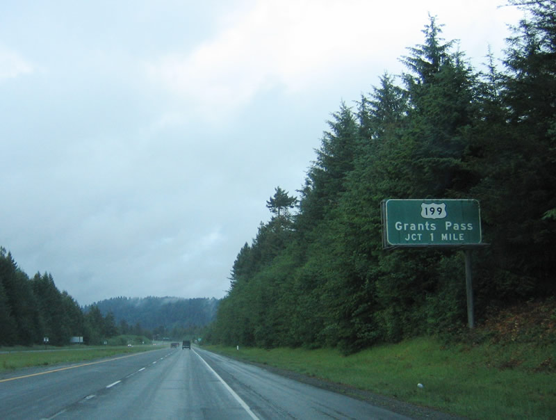
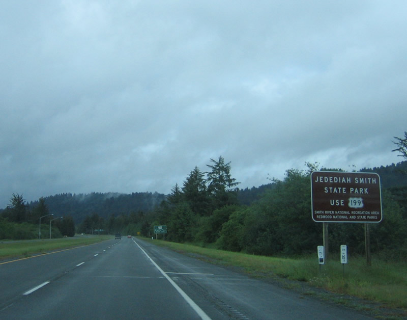
To Jedediah Smith Redwoods State Park, use U.S. 199 north (Exit 794). This is another unit of the massive Redwood National Park. U.S. 199 is a fairly short U.S. highway that connects U.S. 101 in Crescent City with Interstate 5 in Grants Pass. It is numbered as the first branch of now defunct U.S. 99 (which was replaced by Interstate 5 through Oregon) and is an original U.S. highway from 1926. Originally, U.S. 199 was signed with U.S. 101 to downtown Crescent City, but it was retracted to this point to avoid route overlap. U.S. 199 carries the Redwood Highway northeast toward Grants Pass, while U.S. 101 becomes the Oregon Coast Highway en route to Brookings, Coos Bay, Newport, and Astoria. Most of U.S. 101 in Oregon is a scenic, two-lane highway that does not have many four-lane or freeway sections (as compared to California). This is a major split for traffic, as the most direct route from the North Coast of California to Eugene, Salem, and Portland is via U.S. 199 north to Interstate 5 north. Photo taken 05/26/06. |
|
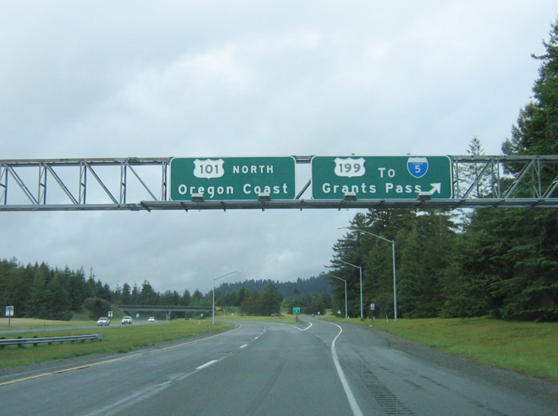
The interchange with U.S. 199 is a directional interchange, with access provided only from northbound U.S. 101 to northbound U.S. 199. There is no access from southbound U.S. 199 to northbound U.S. 101 or from southbound U.S. 101 to northbound U.S. 199 (except via Elk Valley Cross Road, which is the next cross road after the U.S. 199 exit - the freeway ends after this exit ramp). Photo taken 05/26/06. |
|
U.S. 101 departs from the Redwood Highway for the first time since leaving San Francisco. The right lane splits onto U.S. 199 (Redwood Highway) north. Note the to Interstate 5 California shield; it is inaccurate in that U.S. 199 connects to Interstate 5 in Oregon, not California. For scenery, both U.S. 101 and U.S. 199 have plenty to offer, so either is an excellent choice for driving. The freeway will end after the U.S. 199 exit. Photo taken 05/26/06. |
|
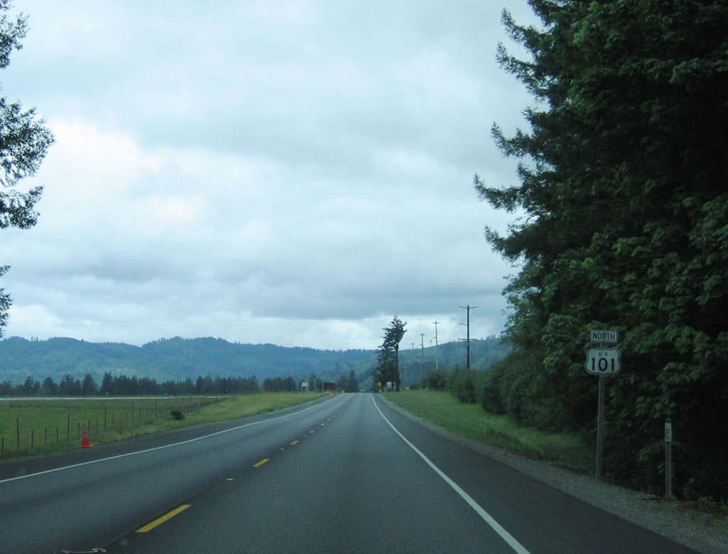
This extra-wide U.S. 199 shield (without the U.S. designation in the shield) is posted on the transition ramp from northbound U.S. 101 to northbound U.S. 199. This ramp also carries the Redwood Highway off of U.S. 101 for the first time onto another numbered route. The Oregon Coast Highway begins here and carries U.S. 101 north toward Brookings, Oregon. Photo taken 05/26/06. |
|
Looking north from the south bank of the Smith River, this photo looks north at the Dr. Ernest M. Fine Memorial Bridge, a steel deck girder bridge that carries U.S. 101 over the Smith River. At the top of the north bank of the river alongside the bridge, a California 197 trailblazer can be seen. The intersection with U.S. 101 north and California 197 is located immediately after the north approach from the Fine Bridge over the Smith River. Photo taken 05/28/06. |
|
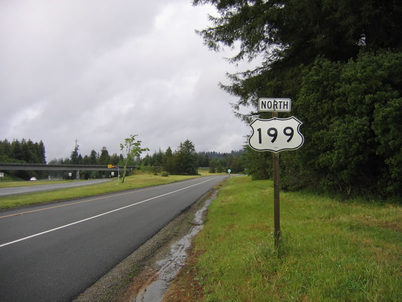
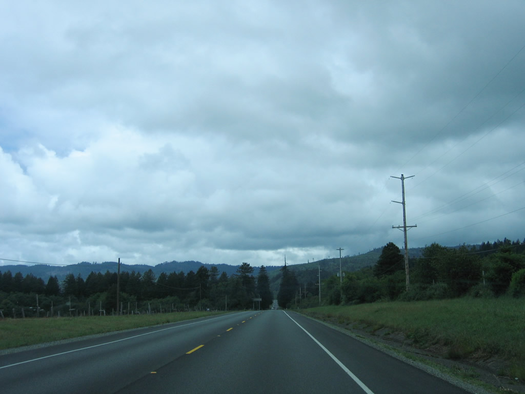
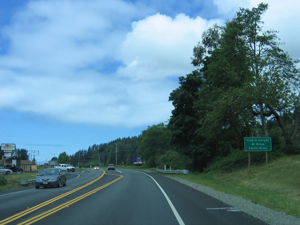
U.S. 101 continues north as a two-lane highway after U.S. 101 and U.S. 199 split. Shortly after crossing the Smith River and passing through the California 197 (North Bank Road) intersection, northbound U.S. 101 approaches Del Norte County D-4 (Fred D. Haight Drive). Del Norte County D-4 follows U.S. 101 along Fred D. Haight Drive, reconnecting with U.S. 101 at the town of Smith River. Photo taken 05/28/06. |
|
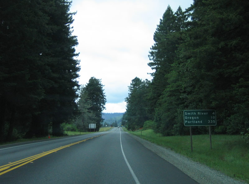
This mileage sign provides the distance to Smith River (four miles), the Oregon state line (10 miles), and Portland (335 miles via U.S. 101 north). To the west, the actual Smith River will parallel U.S. 101 from here north to the town of Smith River, then aim northeast for the ocean. Photo taken 05/28/06. |
|
A reassurance shield for U.S. 101 is posted shortly after the mileage sign. Photo taken 05/28/06. |
|
|
|
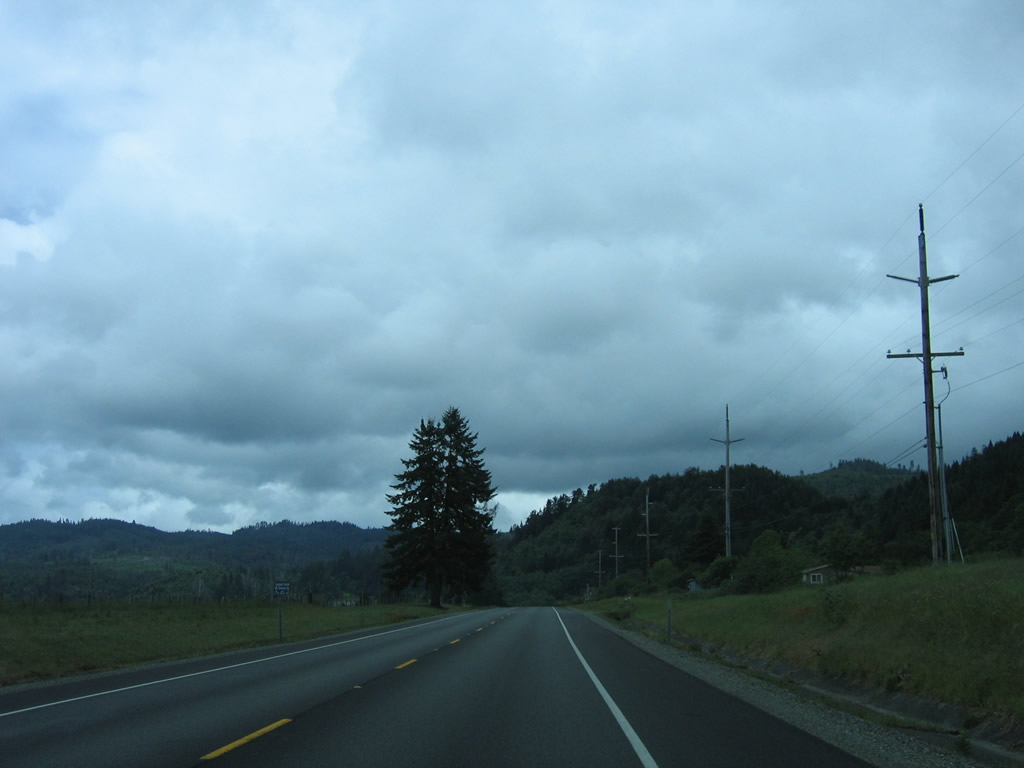
Continuing north, U.S. 101 is a two-lane, rural highway between California 197 and the town of Smith River. Photos taken 05/28/06. |
|
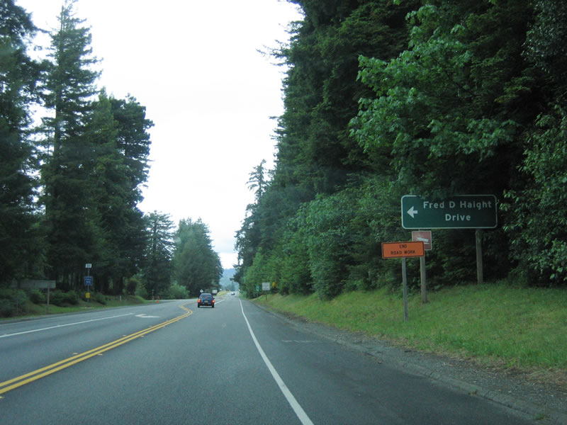
After intersecting Rowdy Creek Road, northbound U.S. 101 approaches Del Norte County D-4 (Fred D. Haight Drive), which angles south into the town of Smith River, the Easter Lily Capital of the World. A grocery store is located at this intersection, which connects U.S. 101 to Del Norte County D-4 south. Photo taken 05/28/06. |
|
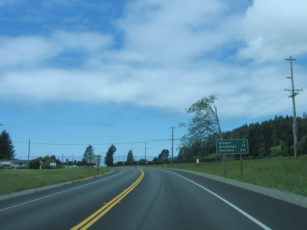
This mileage sign provides the distance to Oregon (seven miles), Brookings (13 miles), and Portland (331 miles). Photo taken 05/28/06. |
|
A northbound U.S. 101 reassurance shield is posted shortly thereafter. Photo taken 05/28/06. |
|
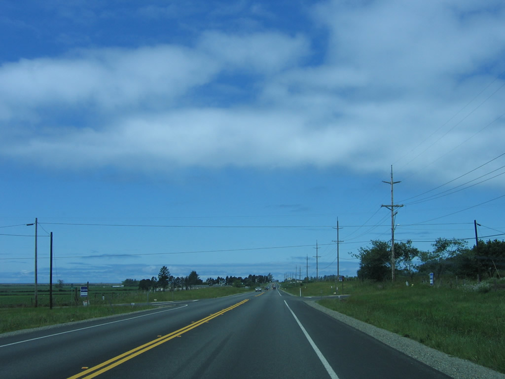
Open ranchland and agricultural areas spread out along U.S. 101 as the highway continues northwest. Photo taken 05/28/06. |
|
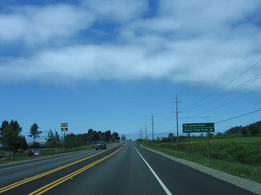
Northbound U.S. 101 approaches Sarina Road and Del Norte County D-5, Ocean View Drive north. Del Norte County D-5 (Ocean View Drive) turns north to parallel U.S. 101, rejoining U.S. 101 just prior to the state line. Photo taken 05/28/06. |
|
Wildflowers adorn U.S. 101 as the highway continues north toward Oregon. Photo taken 05/28/06. |
|
A small strip of development lines U.S. 101 near the Smith River Indian Reservation. Photo taken 05/28/06. |
|
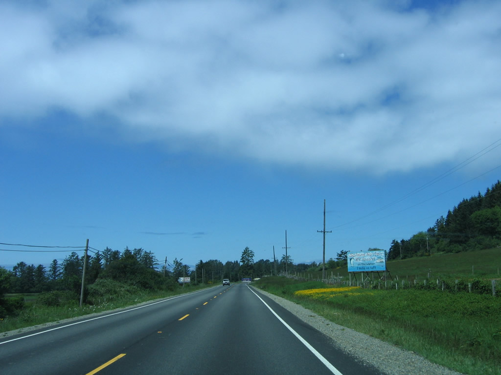
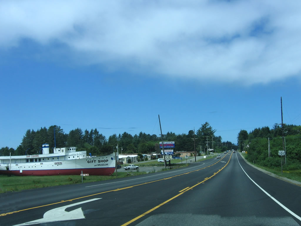
The Ship Ashore Gift Shop, Museum, and Motel is located on the west side of U.S. 101 as the highway approaches the Smith River Indian Reservation. Photo taken 05/28/06. |
|
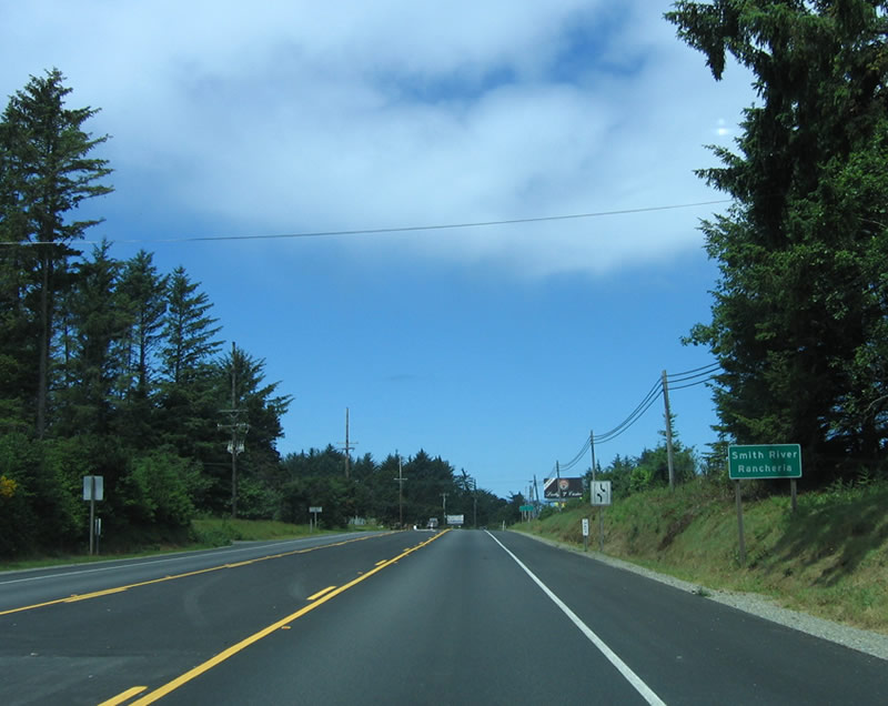
U.S. 101 enters the Smith River Indian Reservation (Rancheria). Photo taken 05/28/06. |
|
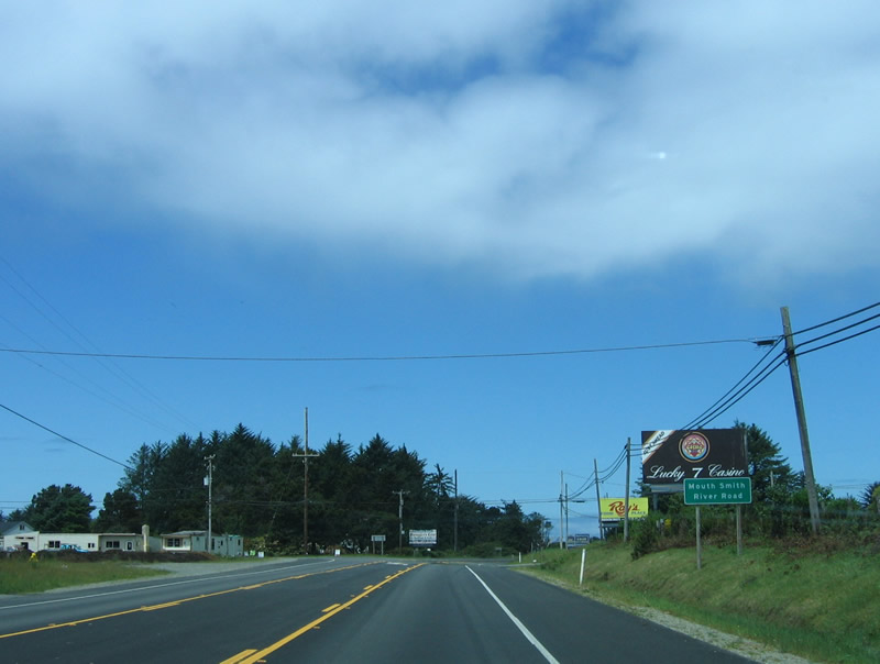
Northbound U.S. 101 approaches Mouth Smith River Road. Turn left on this road to see the mouth of the Smith River, as it empties into the Pacific Ocean. From here northward (in California), U.S. 101 remains very close to the coast, and views of the ocean can be seen. Photo taken 05/28/06. |
|
|
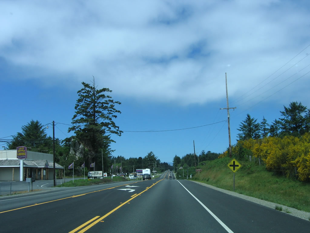
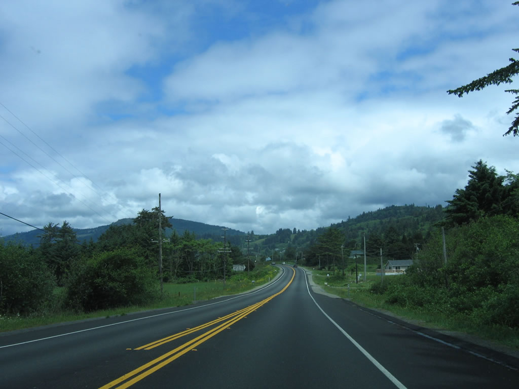
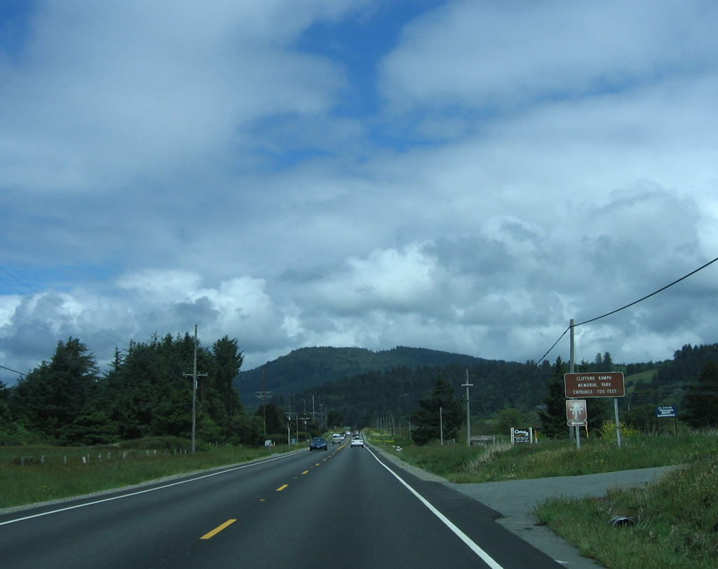
Here are more views of U.S. 101 between Mouth Smith River Road and the turnoff for Clifford Kamph Memorial Park. From time to time, the Pacific Ocean can be seen to the west. Photos taken 05/28/06. |
|
Clifford Kamph Memorial Park is operated by Del Norte County and is a small camping and beach access area located north of Smith River and south of the Oregon state line. Some picnicking, hiking, and related activities are available here. Photo taken 05/28/06. |
|
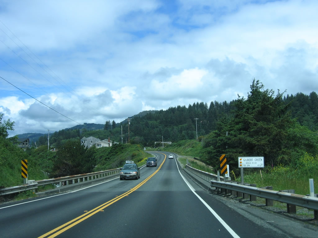
U.S. 101 crosses over Gilbert Creek on this 1953 bridge. Photo taken 05/28/06. |
|
Houses line U.S. 101 on this frontage road. We are not far from the Oregon state line. Photo taken 05/28/06. |
|
Northbound U.S. 101 approaches Del Norte County D-5 south and White Rock Loop north to beach access. This is the final major intersection within California. Photo taken 05/28/06. |
|
A cavernous inspection station is located on U.S. 101 as it nears the Oregon state line. All southbound traffic must enter Photo taken 05/28/06. |
|
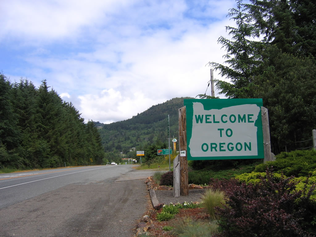
This is the final northbound U.S. 101 shield in California. The cutout shield will be exchanged for a standard white on black rectangular shield upon entering Oregon, which is used extensively in all states in the continental United States except California. The first such reassurance shield does not appear on U.S. 101 until the highway enters Brookings. Photo taken 05/28/06. |
|
Welcome to Oregon! An unpaved pull out area is located here. A companion sign for the welcome to California is posted on southbound U.S. 101. Photo taken 05/28/06. |
|
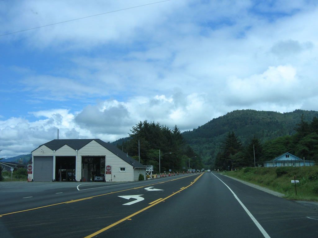
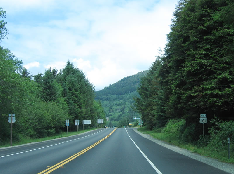
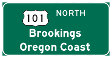
Northbound U.S. 101 immediately enters Oregon and approaches State Line Myrtlewood, a gift shop is located on the east side of U.S. 101. From here, U.S. 101 begins its journey north along the gorgeous Oregon Coast toward Brookings, Coos Bay, Newport, and Astoria. U.S. 101 will then enter Washington, where it follows the coastline around the Olympic Peninsula, then end at Interstate 5 in Olympia, Washington. Photo taken 05/28/06. |
Page Updated April 28, 2007.