

U.S. 101 South - Humboldt County #1
| U.S. 101 south | |
|---|---|
 |
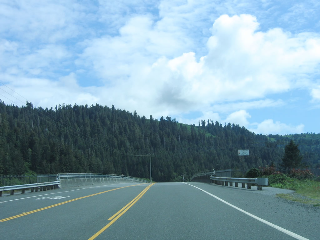
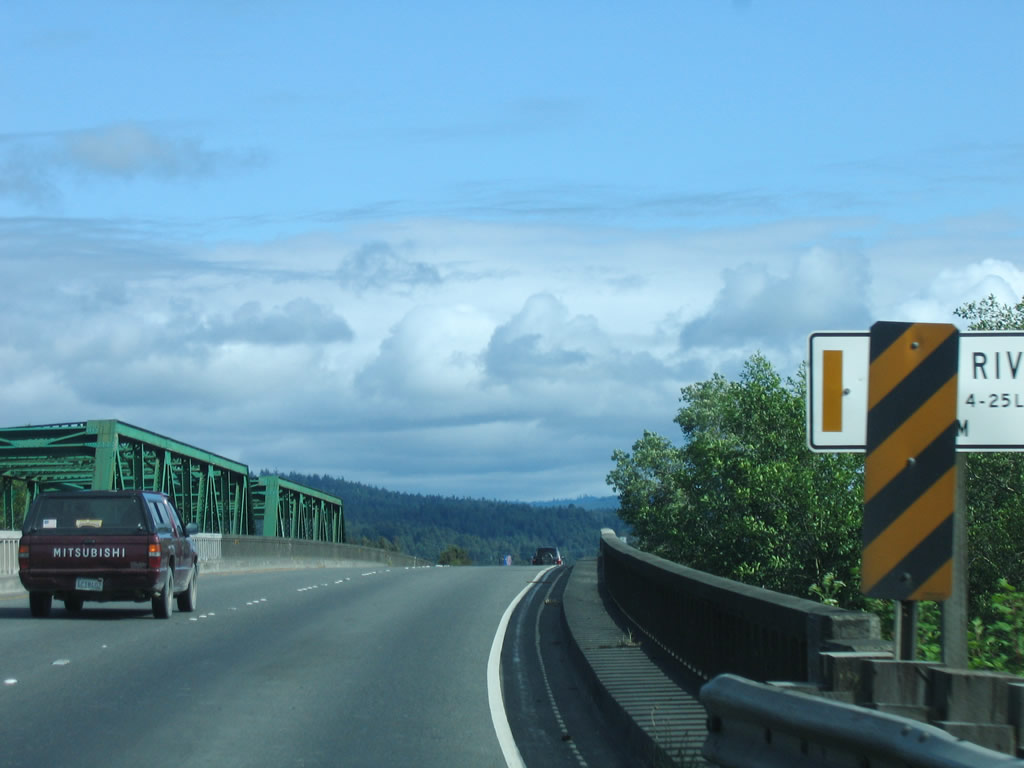
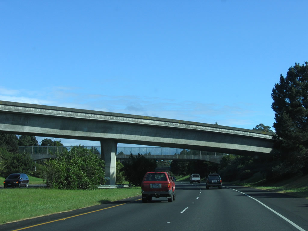
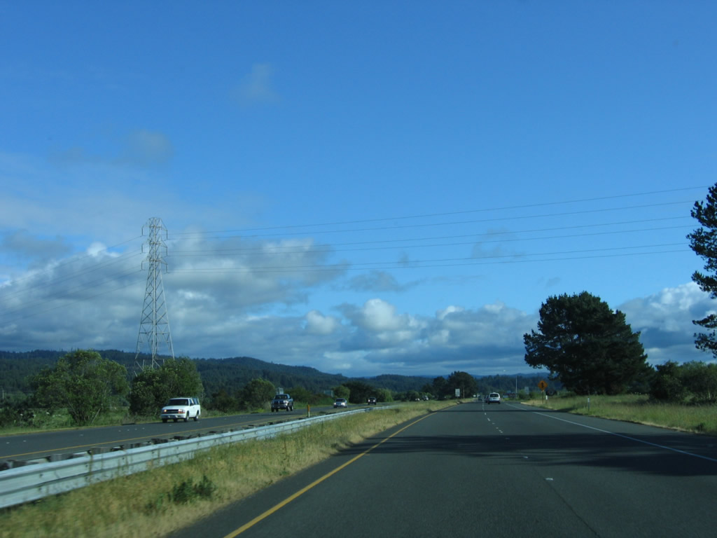
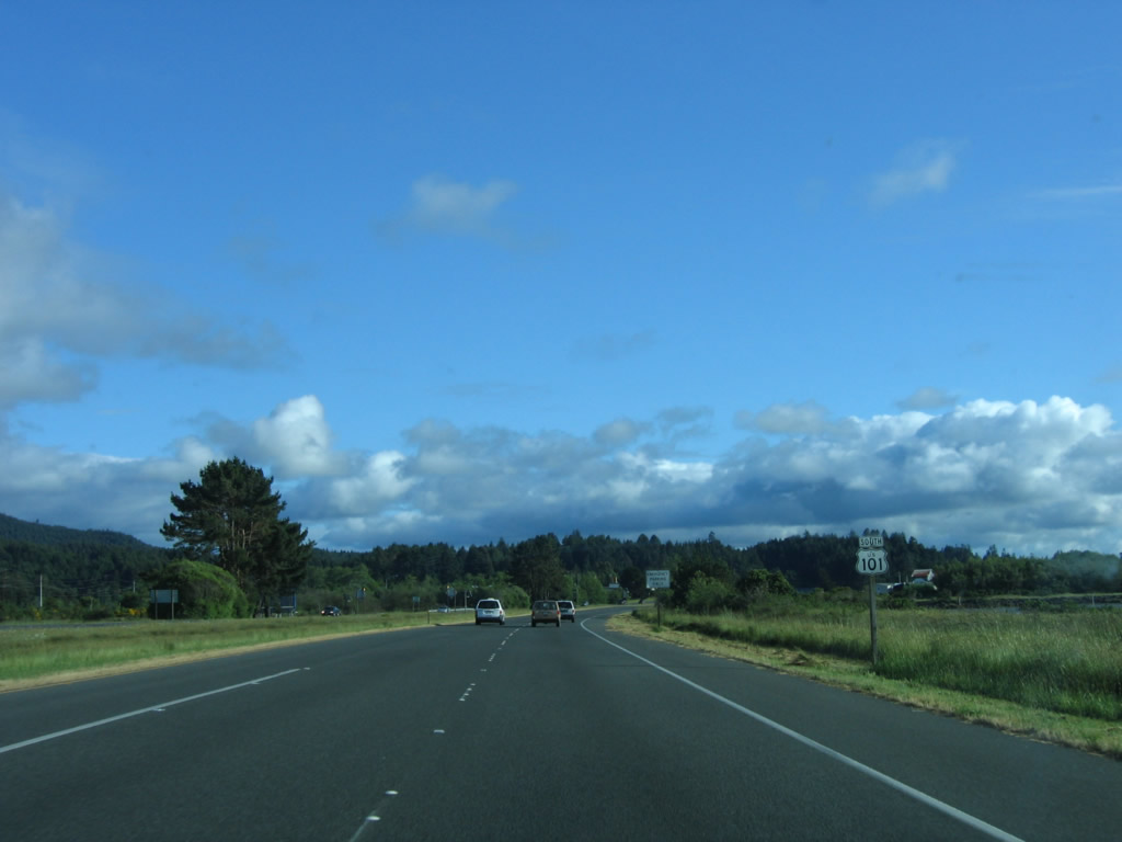
This view is afforded on southbound U.S. 101 after Exit 753, Newton B Drury Scenic Parkway in Humboldt County. The highway reduces from a four-lane freeway bypass around Prairie Creek Redwoods State Park to a two-lane highway. U.S. 101 will continue south through Redwood National Park until entering the town of Orick. Photo taken 05/28/06. |
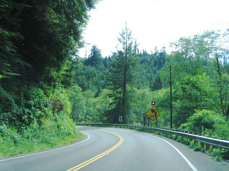 |
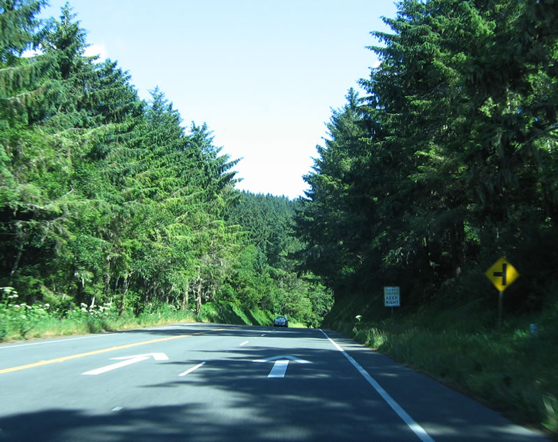
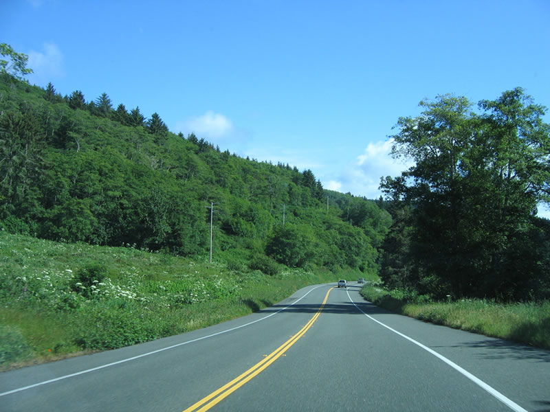
U.S. 101 remains two lanes as it passes through Redwood National Park. Established in October 1968 and expanded in 1978 and again in 2005, Redwood National Park contains several state parks within its boundaries: Prairie Creek Redwoods State Park (established August 13, 1923), Del Norte Coast Redwoods State Park (established October 26, 1925), and Jedediah Smith Redwoods State Park (established June 3, 1929). Of the nearly 132,000 acres of parkland (excluding the 2005 annexation of the Mill Creek watershed), approximately 38,982 acres are "old growth" redwood forest. Photo taken 05/28/06. |
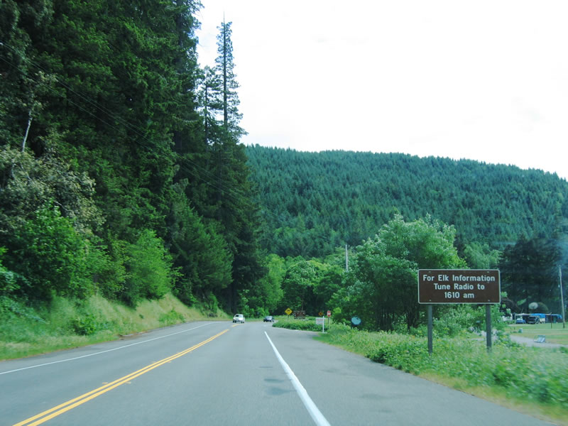 |
Herds of elk roam this area, and a radio station provides information. Photo taken 05/28/06. |
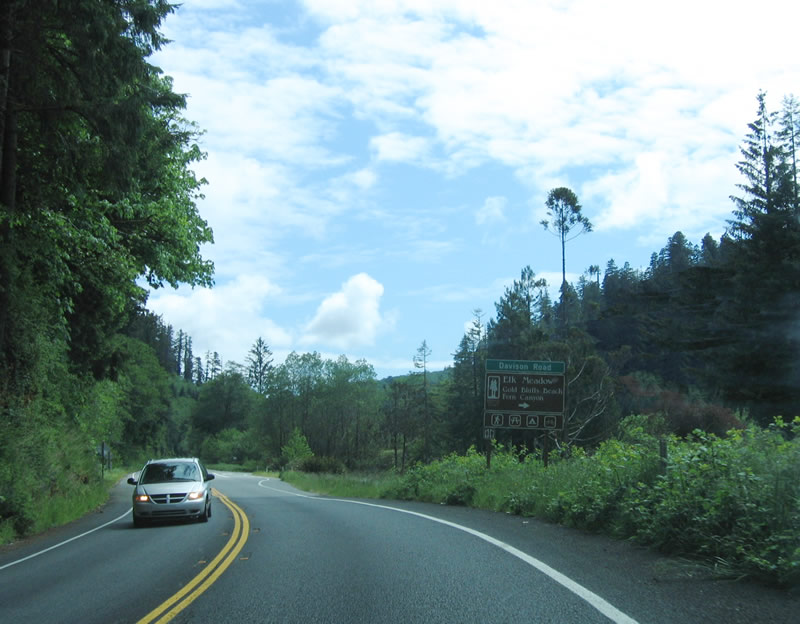 |
Continuing south, two-lane U.S. 101 (Redwood Highway) approaches Davison Road west to Elk Meadow, Gold Bluffs Beach, and Fern Canyon. Photo taken 05/28/06. |
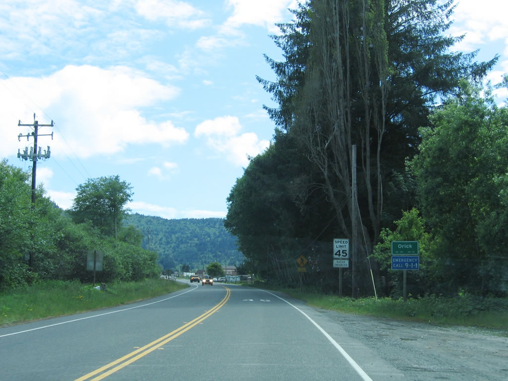 |
U.S. 101 next enters the northern Humboldt County town of Orick. Orick, an unincorporated community, used to be surrounded by redwood trees, but with the clear cutting of those redwood groves, the entire area is now more like a meadow. The zip code here is 95555. Photo taken 05/28/06. |
 |
Leaving Orick, southbound U.S. 101 crosses Redwood Creek on this 1988 bridge. An overflow bridge was built in 1950. Photo taken 05/28/06. |
 |
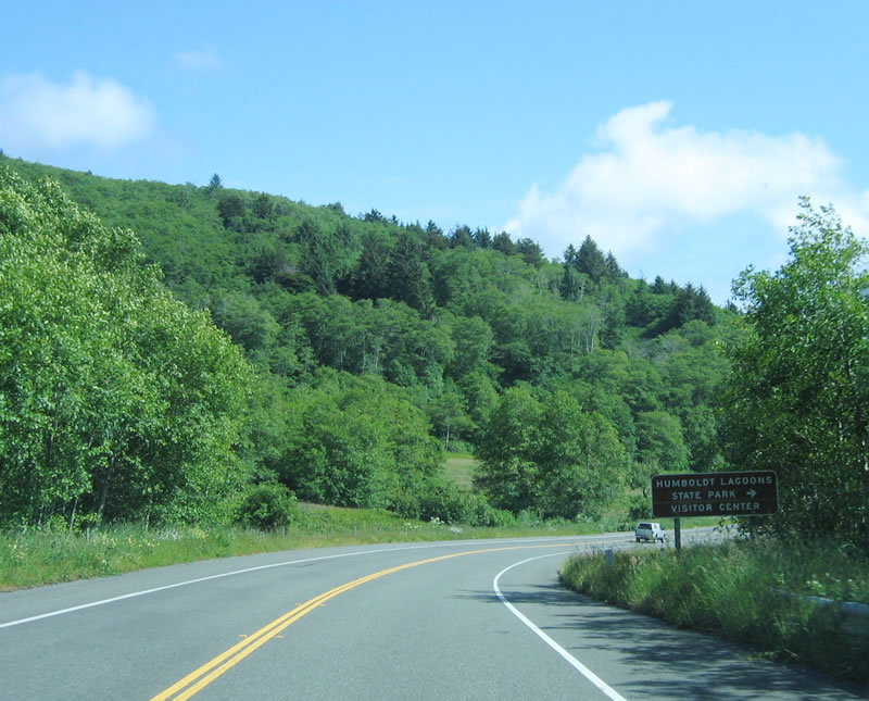
Southbound U.S. 101 approaches Old State Highway, which is the old alignment of U.S. 101 around the east side of Freshwater Lagoon. South of Orick, U.S. 101 passes through Humboldt Lagoons State Park. The four lagoons along this stretch of U.S. 101 are: Freshwater Lagoon, Stone Lagoon, Dry Lagoon, and Big Lagoon. Freshwater Lagoon is still fresh (as the ocean has not yet breached the spit of land between it and the ocean, while the remaining three lagoons have been breached and are saline. Photo taken 05/28/06. |
 |
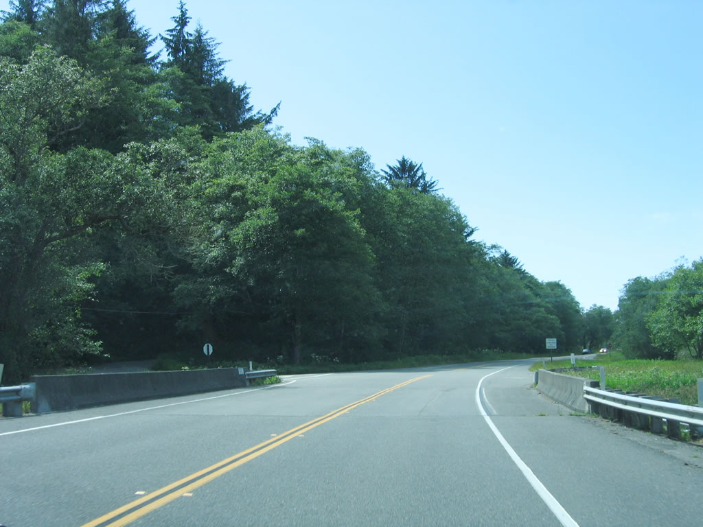
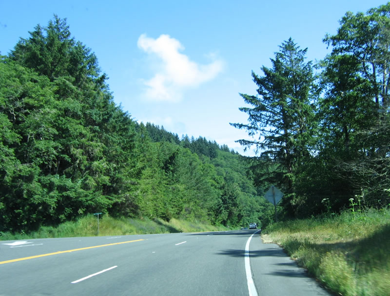
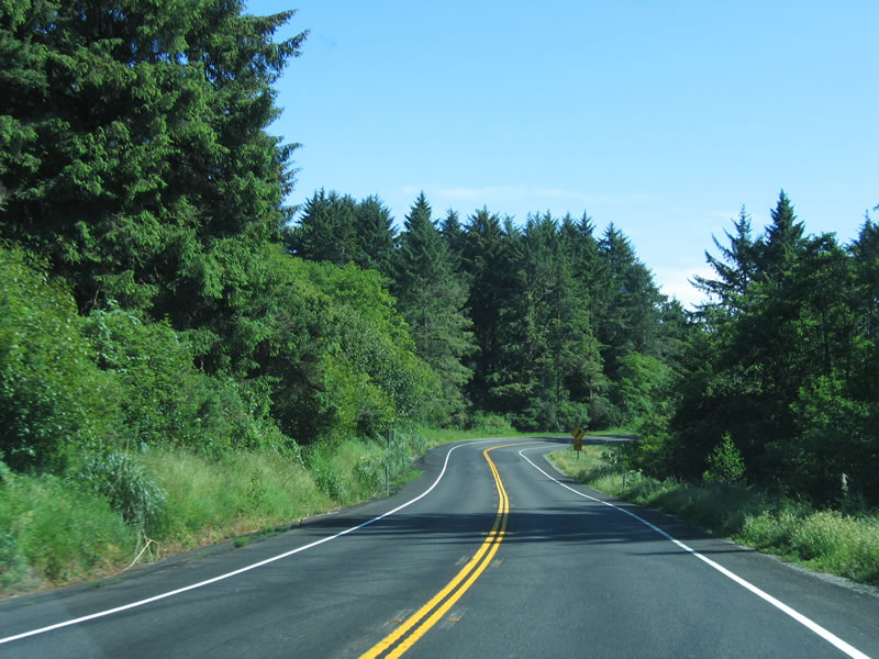
Leaving the Freshwater Lagoon area, southbound U.S. 101 continues through the Humboldt Lagoons State Park. The highway will remain two lanes for now, but a climbing lane is offered a bit further south. Photo taken 05/28/06. |
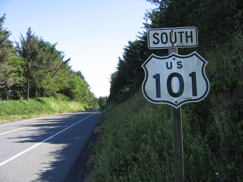 |
This U.S. 101 south reassurance shield is posted on the hill leading away from Freshwater Lagoon. Photo taken 05/28/06. |
 |
The aforementioned passing lane begins as U.S. 101 continues south. Photo taken 05/28/06. |
 |
Southbound U.S. 101 approaches the second intersection with Old State Highway; this old alignment travels north around the east side of Freshwater Lagoon, rejoining U.S. 101 south of Orick. Photo taken 05/28/06. |
 |
Briefly, U.S. 101 widens out to four lanes with two lanes in each direction (and no center divider). Photo taken 05/28/06. |
 |
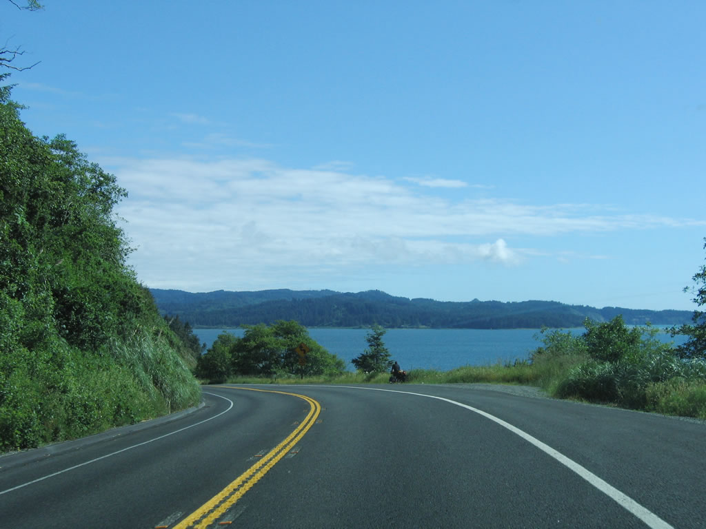
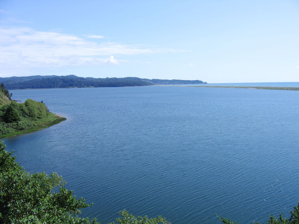
U.S. 101 turns southeast as Stone Lagoon comes into view. Unlike Freshwater Lagoon, this lagoon is connected to the ocean and has saltwater. U.S. 101 will pass around Stone Lagoon to the east. Photo taken 05/28/06. |
 |
Passing around the east side of Stone Lagoon, another Elk Crossing sign is posted (this time with flashing lights) on southbound U.S. 101 (Redwood Highway). Photo taken 05/28/06. |
 |
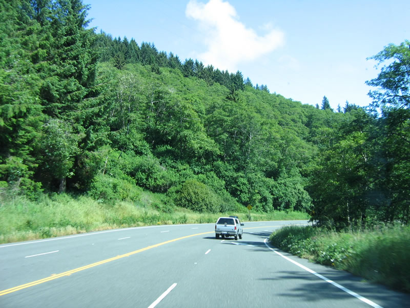
Southbound U.S. 101 continues through the Humboldt Lagoons State Park as it winds toward Eureka. Photo taken 05/28/06. |
 |
Shortly thereafter is a turnoff into the Humboldt Lagoons State Park visitors center (former site of the Little Red Hen motel-restaurant), which is situated on the southwestern corner of Stone Lagoon. The facilities at the state park visitors center provide for day use only. Photo taken 05/28/06. |
 |
The Humboldt Lagoons State Park visitors center can be seen on the west side of U.S. 101. The visitors center is the former site of the Little Red Hen motel-restaurant. Photo taken 05/28/06. |
 |
South of the visitors center, U.S. 101 follows a somewhat narrow alignment as it loops southwest again back toward the coast, following the southern edge of Stone Lagoon. Dairy ranches used to be located along the eastern shore of Stone Lagoon. Photo taken 05/28/06. |
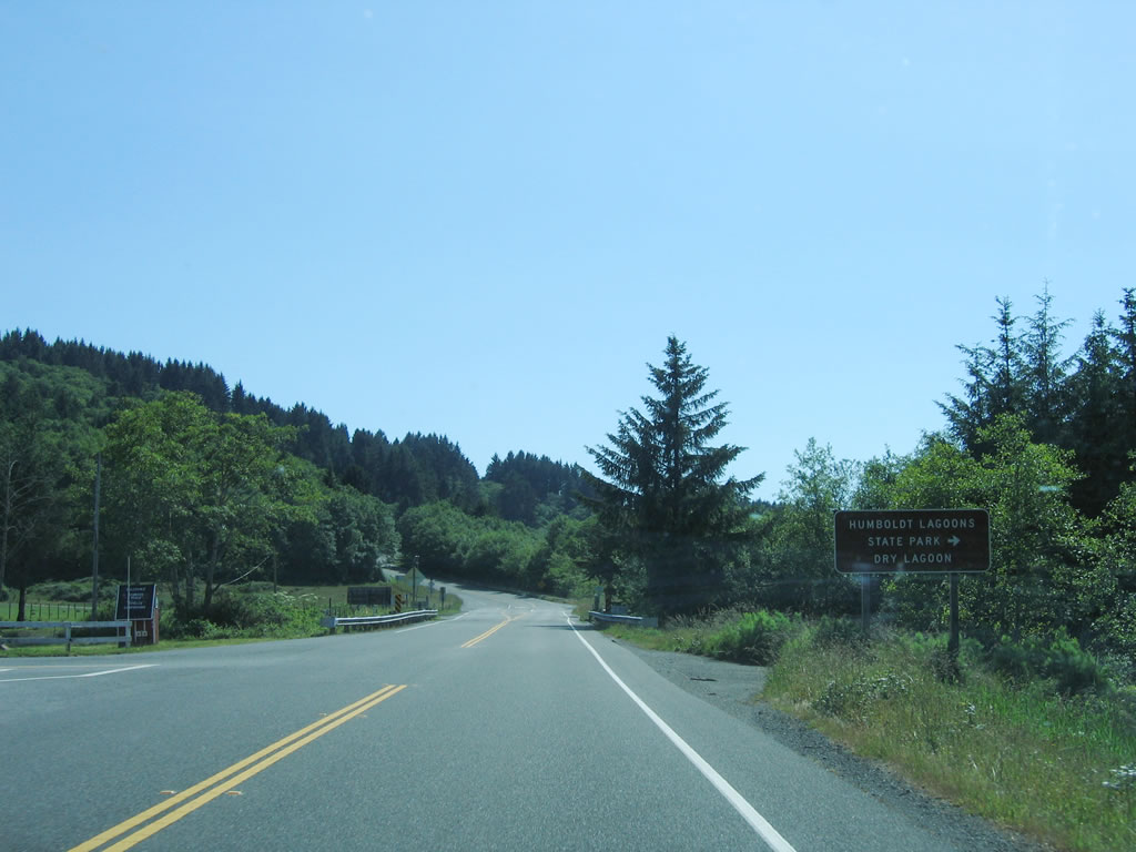 |
The next stop in Humboldt Lagoons State Park is the Dry Lagoon. This lagoon, which is located south of Stone Lagoon and north of Big Lagoon, was drained by farmers in the 1900s and used for agriculture. However, the crops did not prove feasible, and Dry Lagoon has since reverted to a more natural setting. Turn right here to Dry Lagoon. Photo taken 05/28/06. |
 |
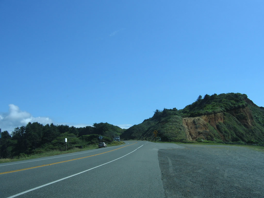
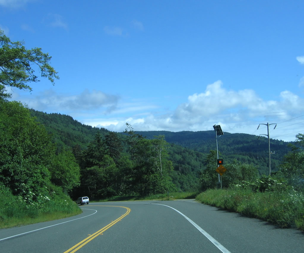
Between the Dry Lagoon turnoff and Big Lagoon, U.S. 101 ascends to a crest. On this stretch, the highway widens out to four lanes. After cresting and starting downhill again, Big Lagoon comes into view. Photo taken 05/28/06. |
 |
Southbound U.S. 101 (Redwood Highway) approaches Kane Road. Photo taken 05/28/06. |
 |
Two-lane U.S. 101 (Redwood Highway) moves with the landscape as it continues toward Big Lagoon. Photo taken 05/28/06. |
 |
 |
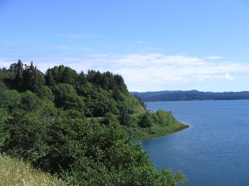 |
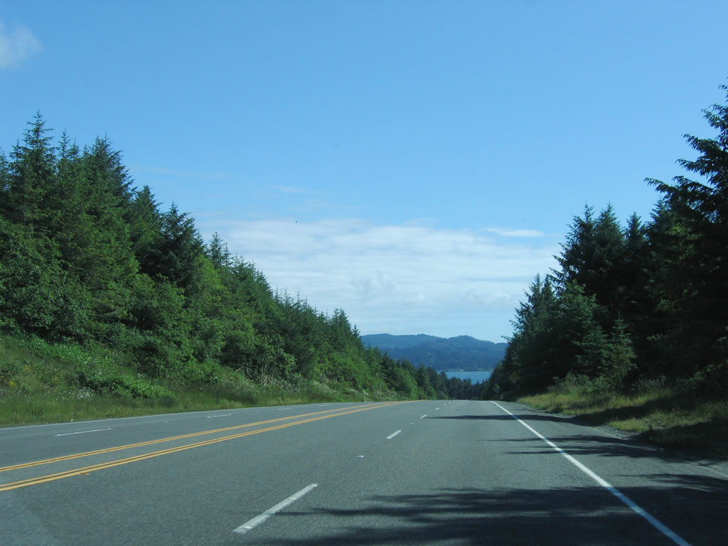
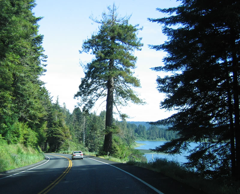
Big Lagoon comes into view as U.S. 101 (Redwood Highway) continues south toward Trinidad. Note how closely the road follows the lagoon. Photo taken 05/28/06. |
 |
Big Lagoon lies several hundred feet below U.S. 101 (Redwood Highway), which clings precariously above the large body of water. Photo taken 05/28/06. |
 |
Traveling above Big Lagoon, sections of U.S. 101 are in danger of slip out due to the steep drop-off below the roadway. This work was being performed after a fairly wet rainy season. Photo taken 05/28/06. |
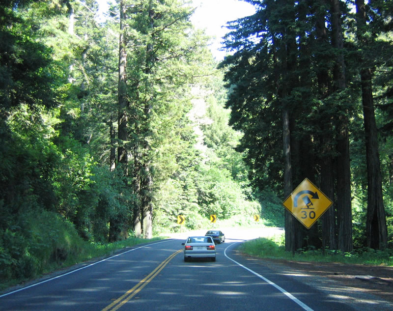 |
As the highway travels downhill from the vista point shown above, southbound U.S. 101 (Redwood Highway) approaches a particularly sharp 30 mile per hour curve. Photo taken 05/28/06. |
 |
The Big Lagoon comes into view on the right side of the Redwood Highway at the bottom of the hill. Photo taken 05/28/06. |
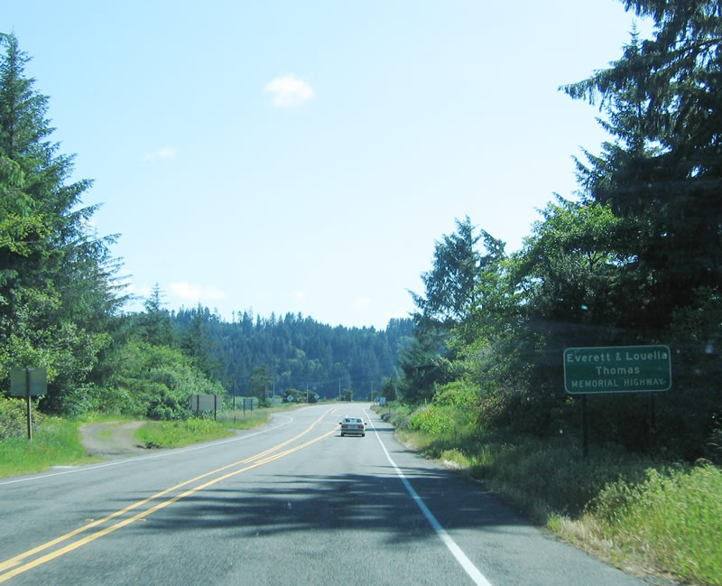 |
At the bottom of the hill, U.S. 101 flattens out as the highway approaches the Big Lagoon bridge. This section of U.S. 101 is known as the Everett and Louella Thomas Memorial Highway. Everett Thomas worked for the California Division of Highways and was the Assistant District Engineer for District 1 when the devastating floods of December 1964 destroyed many of the highway infrastructure in Humboldt and Del Norte Counties. Mr. Thomas was the emergency spokesman during those difficult times, and he was featured in numerous press pieces during that time. Louella Thomas, his wife, was a schoolteacher in the Humboldt County area during the same time. U.S. 101 from here south to Patricks Point was named in his honor and his wife's honor by Senate Concurrent Resolution SCR 69.1 Photo taken 05/28/06. |
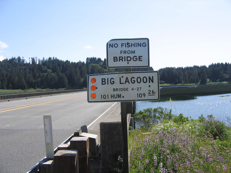 |
Southbound U.S. 101 prepares to cross the Big Lagoon on this bridge. Built in 1958, this bridge still features old-style concrete bridge railings and is four lanes wide (although with no shoulders). Humboldt is a big county, and U.S. 101 still has nearly 110 miles left to traverse in Humboldt County before entering neighboring Mendocino County to the south. Photo taken 05/28/06. |
 |
This side view of Big Lagoon bridge shows the concrete bridge railing and the length of the four-lane bridge. Photo taken 05/28/06. |
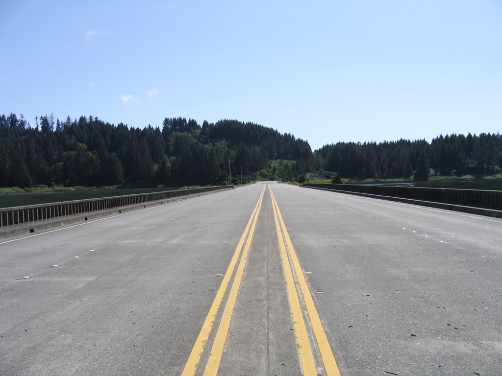 |
Centerline view of the four-lane Big Lagoon bridge looking south. Photo taken 05/28/06. |
 |
Ater the Big Lagoon bridge, U.S. 101 assumes freeway characteristics for the first time since the Newton B. Drury Scenic Parkway interchange. Photo taken 05/28/06. |
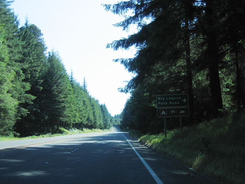 |
Still four lanes wide, U.S. 101 approaches Big Lagoon Park Road. Picnicking, camping, and boating are among the many activities at Big Lagoon. After this intersection, U.S. 101 becomes a freeway. An old alignment of U.S. 101 can be seen via Big Lagoon Park Road. Photo taken 05/28/06. |
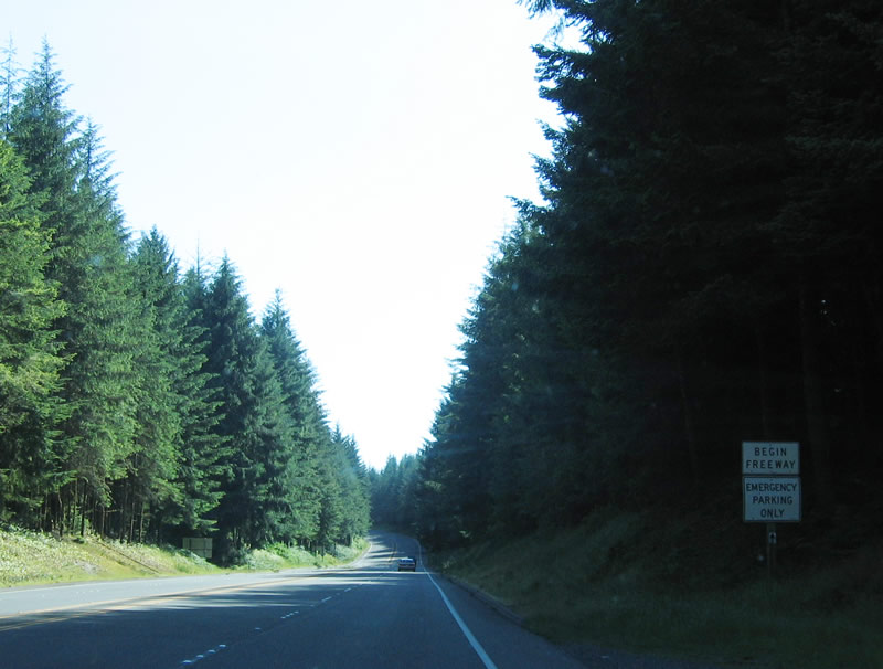 |
The U.S. 101 freeway begins near Big Lagoon just north of Trinidad. Like many sections of U.S. 101 freeway in Humboldt County, the highway is limited access but have no centerline median separation other than painted lines and/or rumble strips. Photo taken 05/28/06. |
 |
The next three interchanges serve the city of Trinidad: Exit 734, Patricks Point; Exit 731, Seawood Drive; (Exit 731A) Rest Area; and Exit 728, Main Street/Westhaven Drive to Trinidad. Photo taken 05/28/06. |
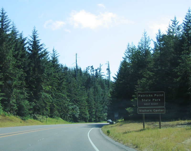 |
The next exit is Exit 734, Patricks Point Drive. Photo taken 05/28/06. |
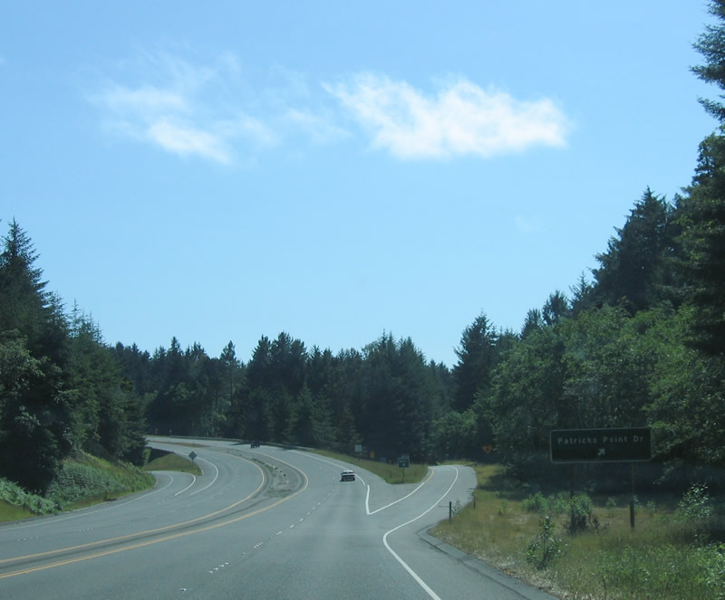 |
Southbound U.S. 101 (Redwood Highway) reaches Exit 734, Patricks Point Drive. Photo taken 05/28/06. |
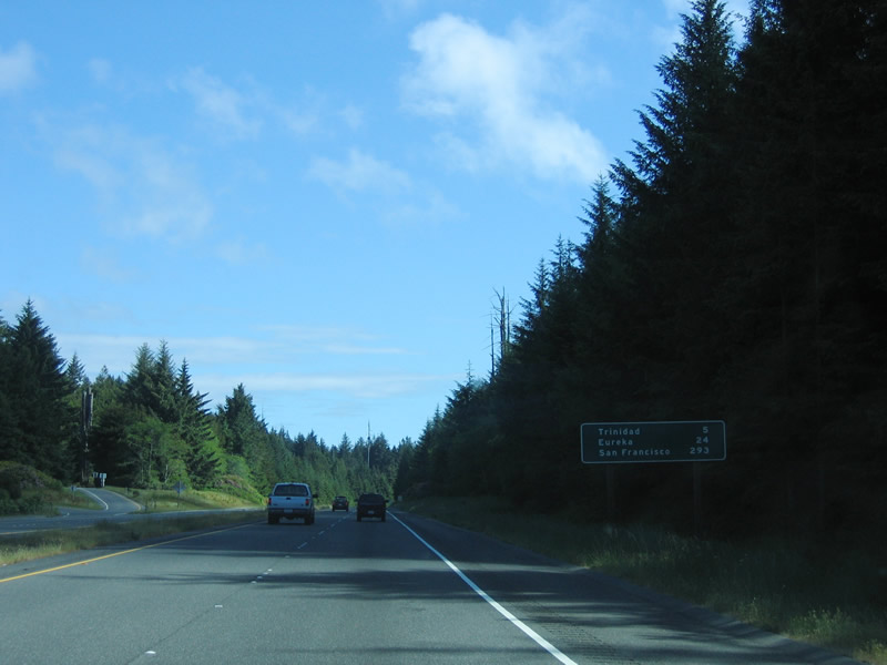 |
This mileage sign provides the distance to Trinidad (five miles), Eureka (24 miles), and San Francisco (293 miles). Photo taken 05/28/06. |
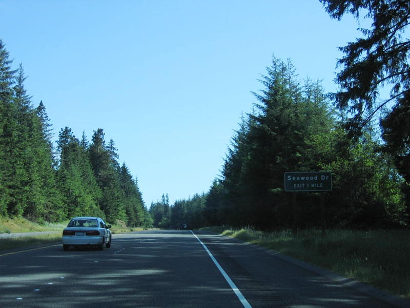 |
The next exit along southbound U.S. 101 is Exit 731, Seawood Drive. Photo taken 05/28/06. |
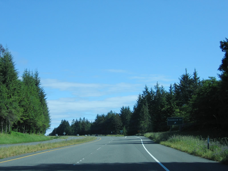 |
Southbound U.S. 101 (Redwood Highway) reaches Exit 731, Seawood Drive. Photo taken 05/28/06. |
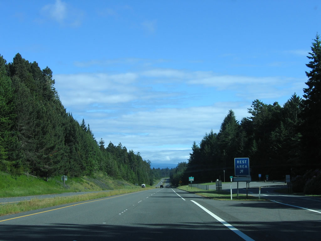 |
Shortly thereafter is the first rest area on southbound U.S. 101 in California. Photo taken 05/28/06. |
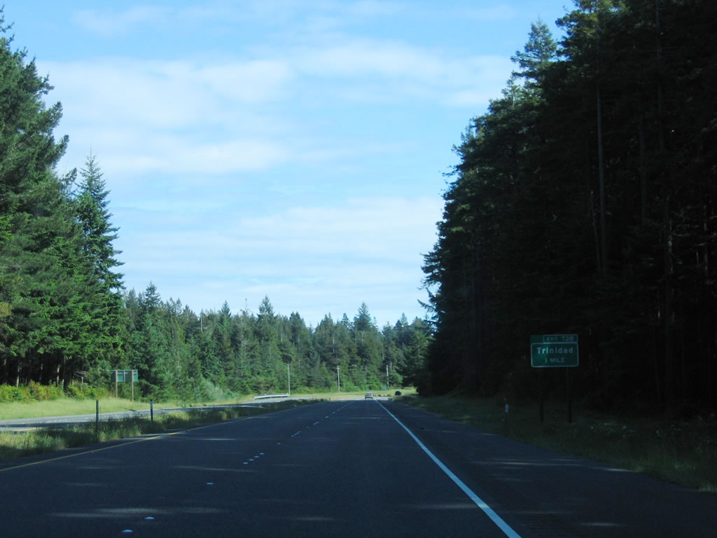 |
The next exit along southbound U.S. 101 is Exit 728, Main Street/Westhaven Drive to Trinidad. Photo taken 05/28/06. |
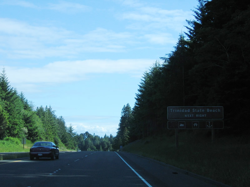 |
Use Exit 728, Main Street/Westhaven Drive to Trinidad State Beach. Photo taken 05/28/06. |
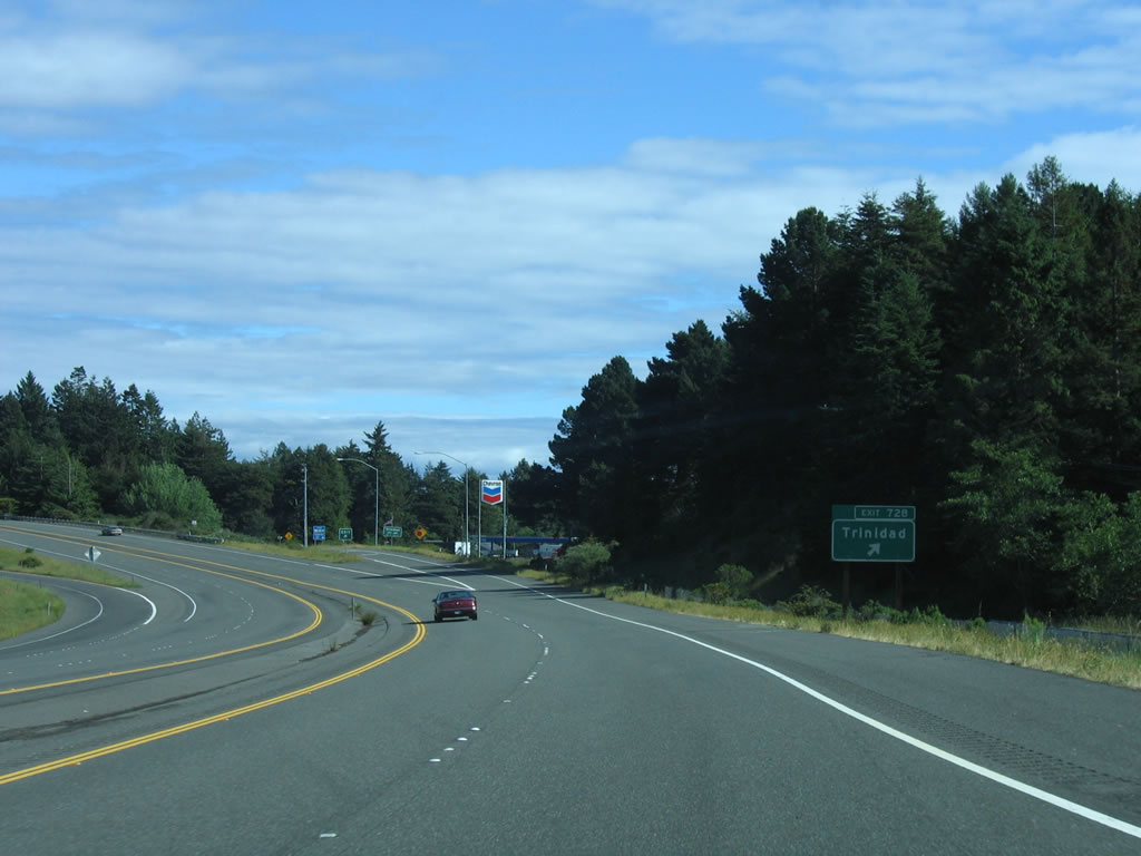 |
Southbound U.S. 101 reaches Exit 728, Main Street/Westhaven Drive to Trinidad. Photo taken 05/28/06. |
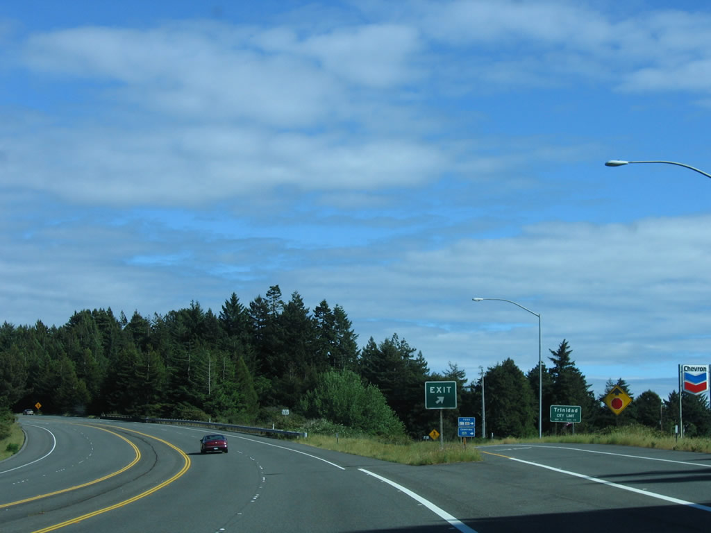 |
Trinidad is home to only 311 people as of the 2000 Census, which makes it one of the smallest incorporated cities in the entire state of California. Trinidad, which was incorporated in 1870, is also home to the well-known lighthouse and a quaint fishing village. Photo taken 05/28/06. |
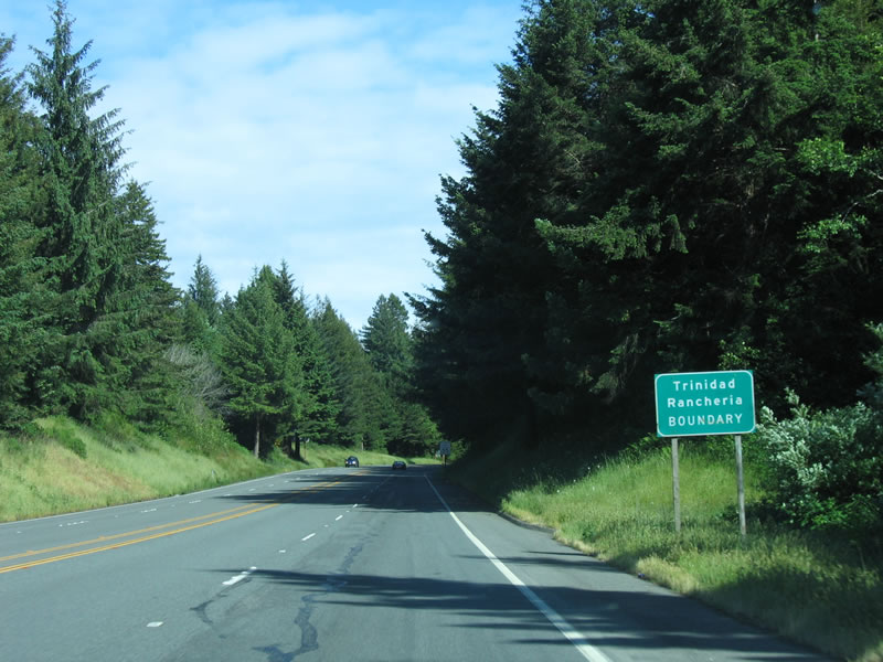 |
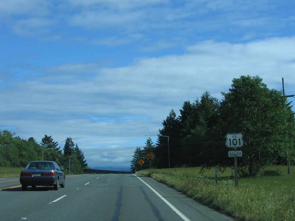
Continuing south, U.S. 101 (Redwood Highway) remains a four-lane freeway with no center divide as it enters the Trinidad Rancheria. Photo taken 05/28/06. |
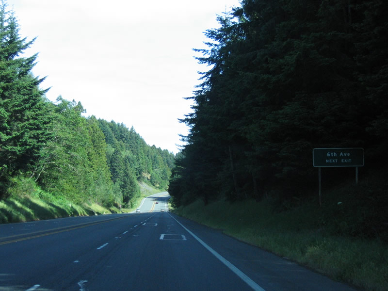 |
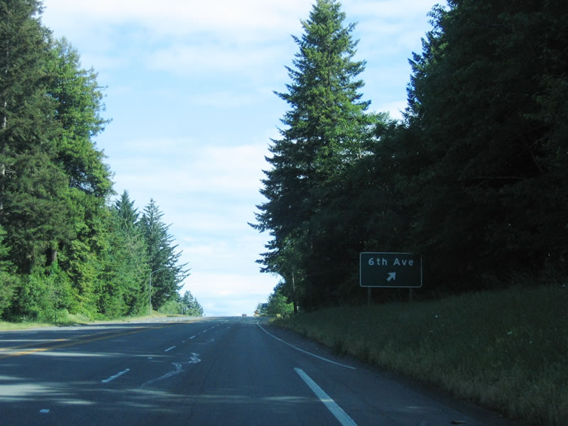
The next exit on southbound U.S. 101 (Redwood Highway) is Exit 726, Sixth Avenue. Photo taken 05/28/06. |
 |
A single exit number sign is posted on southbound U.S. 101 (Redwood Highway) prior to Exit 726, Sixth Avenue. Photo taken 05/28/06. |
 |
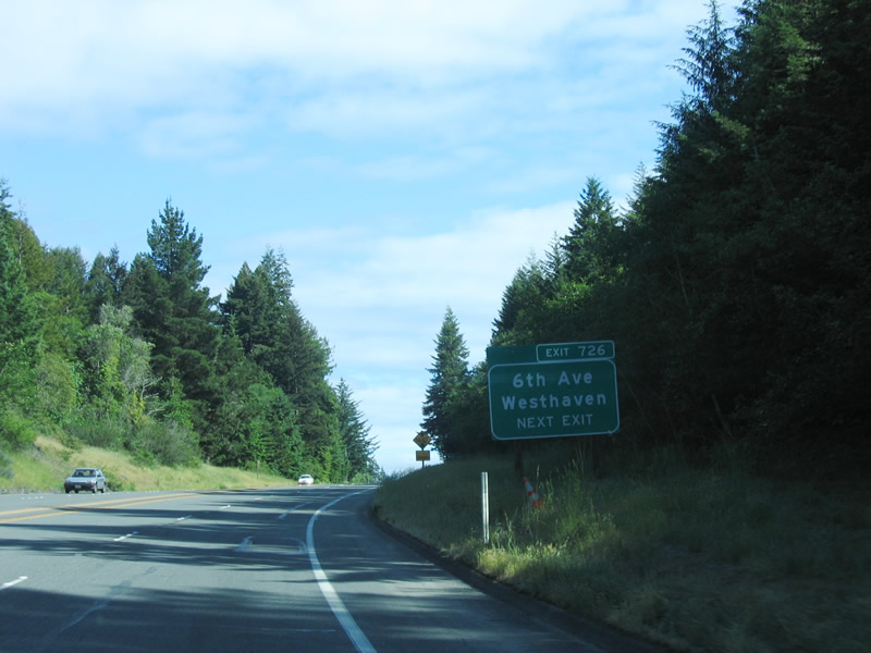
Southbound U.S. 101 (Redwood Highway) reaches Exit 726, Sixth Avenue. Photo taken 05/28/06. |
 |
This U.S. 101 south reassurance shield is posted at the interchange between U.S. 101 (Redwood Highway) and Exit 726, Sixth Avenue. Photo taken 05/28/06. |
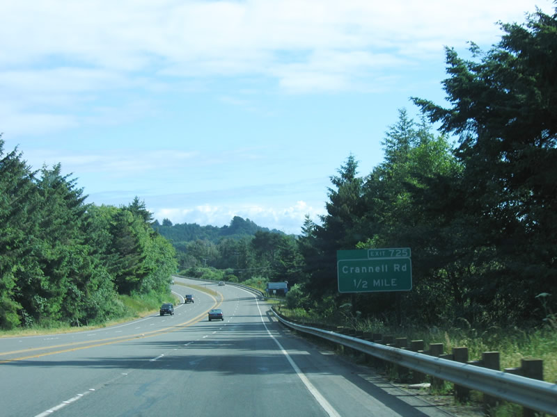 |
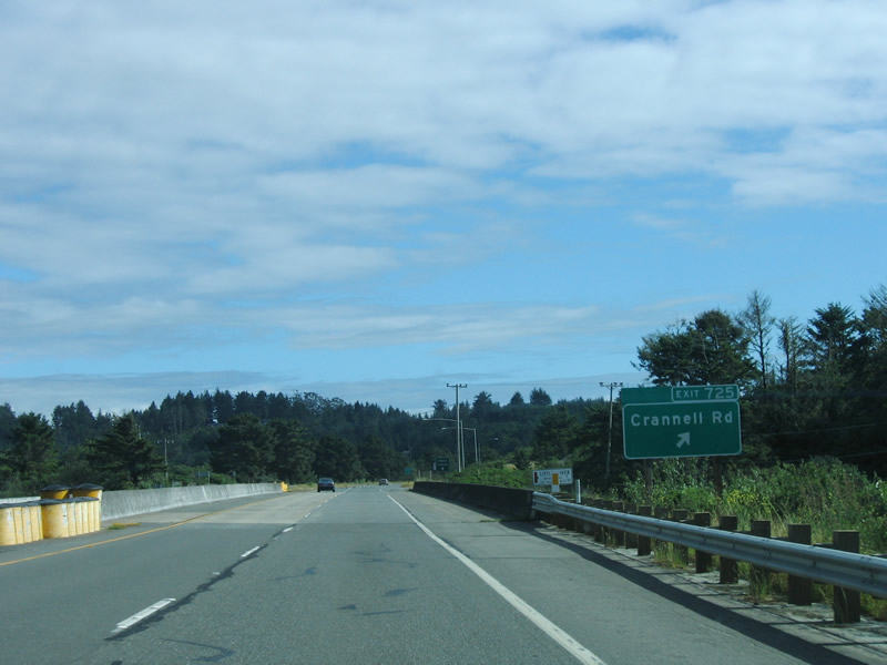
The next exit on U.S. 101 (Redwood Highway) south is Exit 725, Crannell Road, one-half mile. Photo taken 05/28/06. |
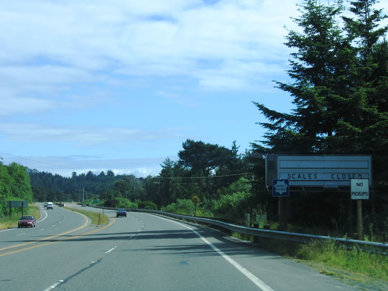 |
An advance sign for a weigh station is posted prior to the Crannell Road interchange. Photo taken 05/28/06. |
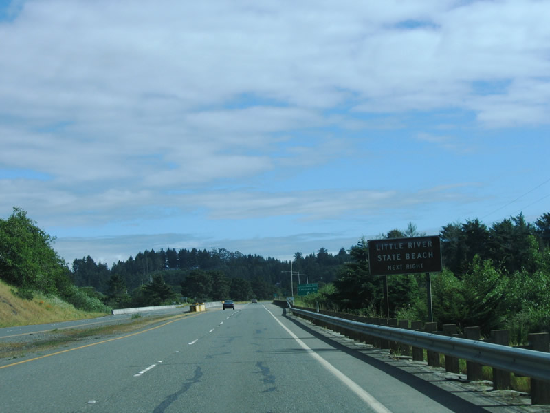 |
Use Crannell Road west to Little River State Beach, which is located between the Little River and Clam Beach County Park. The state beach features dunes and a sandy beach. Photo taken 05/28/06. |
 |
Southbound U.S. 101 (Redwood Highway) reaches Exit 725, Crannell Road. The state beach is only a short distance to the west of the U.S. 101 freeway. Photo taken 05/28/06. |
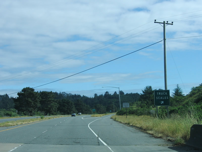 |
Shortly thereafter is the exit ramp to the weigh station, which is referred to as "Truck Scales" on this roadside sign. Note that this section of U.S. 101 is built to full freeway standards, including a median separation. Photo taken 05/28/06. |
 |
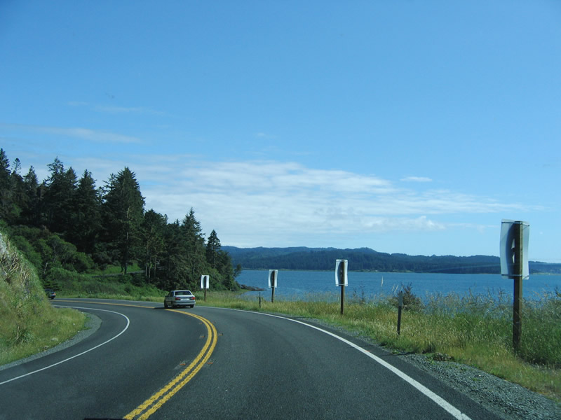
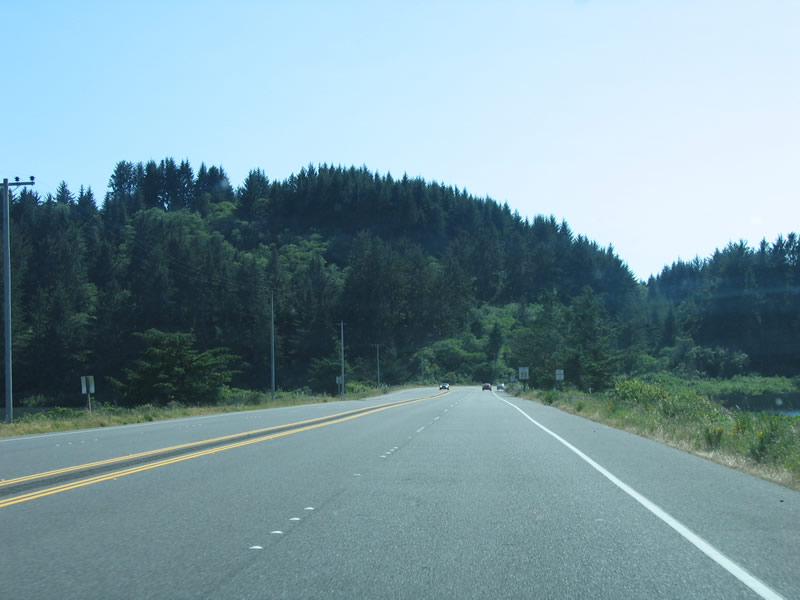
U.S. 101 again hugs the coast as the freeway leaves Trinidad and next approaches McKinleyville. Small dunes separate the freeway from the beach and ocean. Photo taken 05/28/06. |
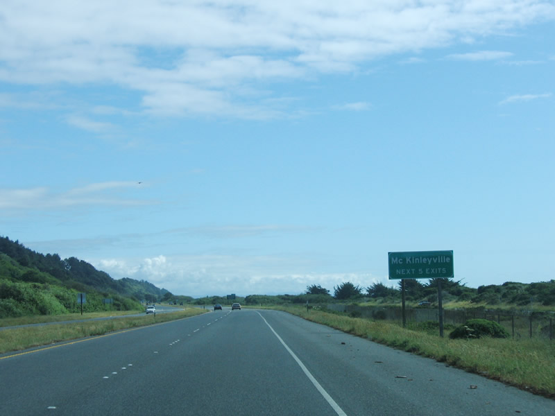 |
The next five exits all serve the town of McKinleyville: Exit 723, U.S. 101 Business/North Central Avenue to Clam Beach County Park and McKinleyville; Exit 722, Airport Road to Arcata Airport; Exit 721, Murray Road to McKinleyville; Exit 719, School Road to McKinleyville; and Exit 718, California 200/North Bank Road. Photo taken 05/28/06. |
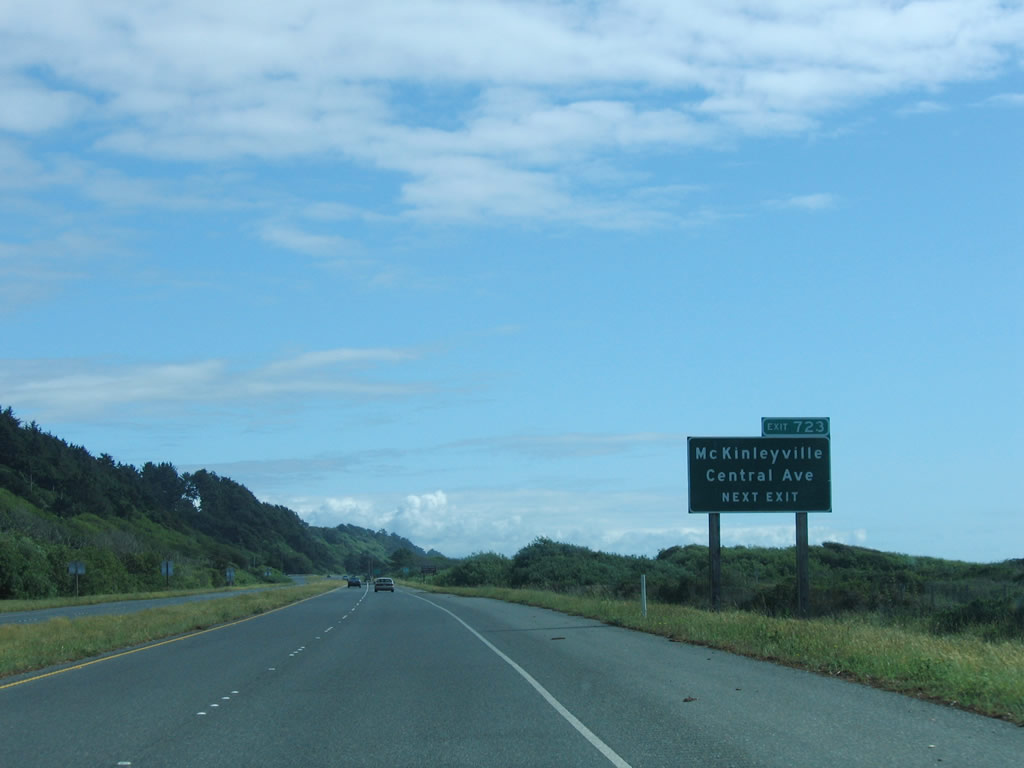 |
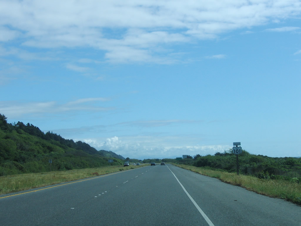
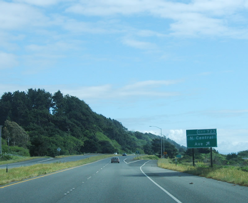
Southbound U.S. 101 approaches Exit 723, U.S. 101 Business/North Central Avenue to Clam Beach County Park and McKinleyville, one-half mile. The business route follows the old alignment of U.S. 101 through McKinleyville, while the modern route bypasses the town. Photo taken 05/28/06. |
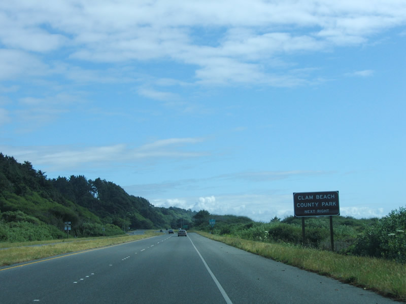 |
Clam Beach County Park is the next beachfront park south of the Little River State Beach and is the beachfront northwest of the town of McKinleyville. Camping, hiking, and walking on the beach are all available activities. Photo taken 05/28/06. |
 |
Southbound U.S. 101 reaches Exit 723, U.S. 101 Business/North Central Avenue south to McKinleyville. Named after President McKinley, this unincorporated area of Humboldt County (not a city) is home to 13,599 people as of the 2000 Census and contains 20.9 square miles of land and 1.92 square miles of water. It was briefly known as Dows Prairie and Minorville as it was settled and increased in size between 1850 and 1900; after McKinley's assassination in 1901, McKinleyville regained its named permanently in honor of the president. This exit also connects to Clam Beach Drive and the county park to the west. Photo taken 05/28/06. |
 |
This mileage sign provides the distance to Arcata (eight miles), Eureka (14 miles), and San Francisco (283 miles). Photo taken 05/28/06. |
 |
The next exit along southbound U.S. 101 is Exit 722B, Vista Point, followed by Exit 722, Airport Road. Photo taken 05/28/06. |
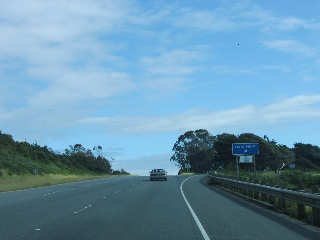 |
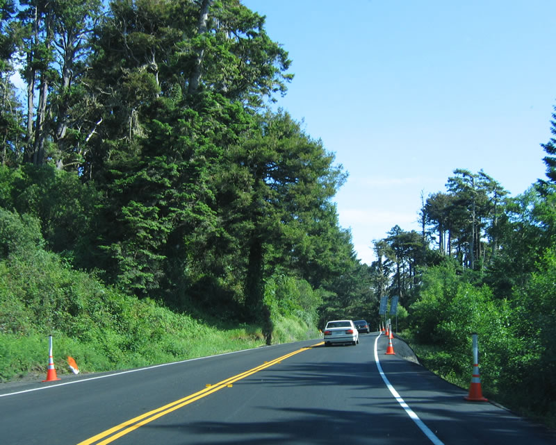
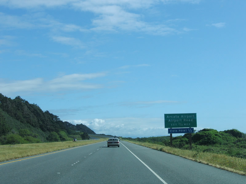
Gaining a third lane to climb uphill, U.S. 101 south has a vista point prior to the Airport Road interchange. See the scenes pertaining to section below for photos from this unimproved rest area. Photo taken 05/28/06. |
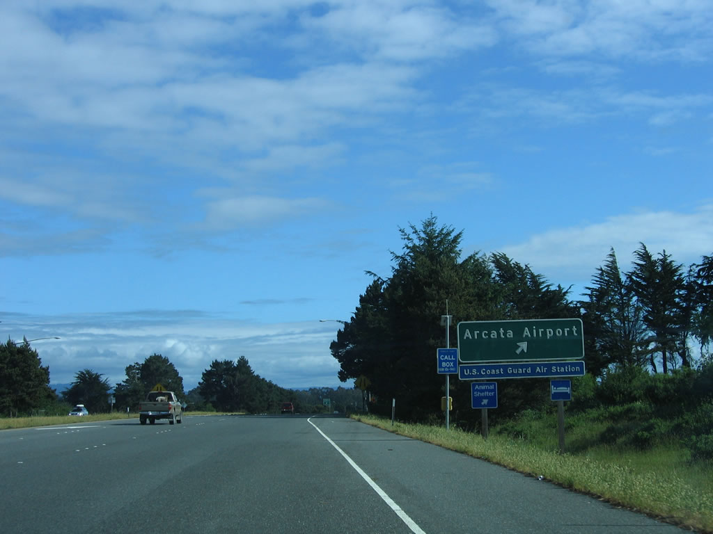 |
Southbound U.S. 101 (Redwood Highway) reaches Exit 722, Airport Road east to the Arcata Airport (and U.S. Coast Guard Air Station) and Letz Lane south (frontage road). Photo taken 05/28/06. |
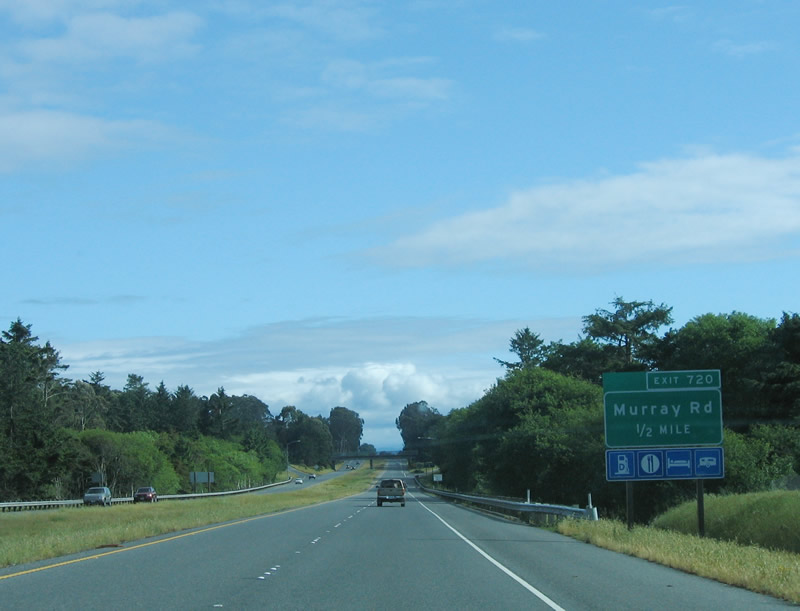 |
The next exit along southbound U.S. 101 (Redwood Highway) is Exit 720, Murray Road east to McKinleyville. Photo taken 05/28/06. |
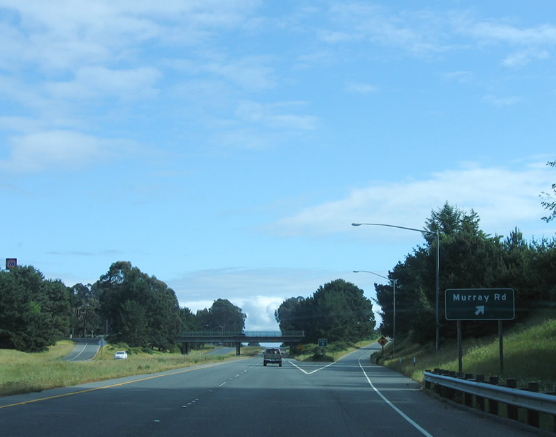 |
Southbound U.S. 101 (Redwood Highway) reaches Exit 720, Murray Road. This local street connects with U.S. 101 Business/Central Avenue in McKinleyville. Photo taken 05/28/06. |
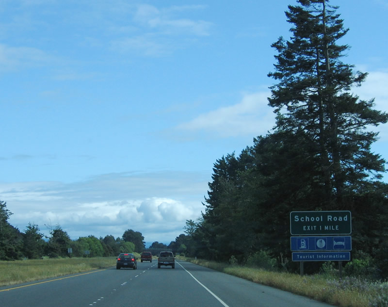 |
The next exit along southbound U.S. 101 (Redwood Highway) is Exit 719, School Road. All services are available at this interchange. Photo taken 05/28/06. |
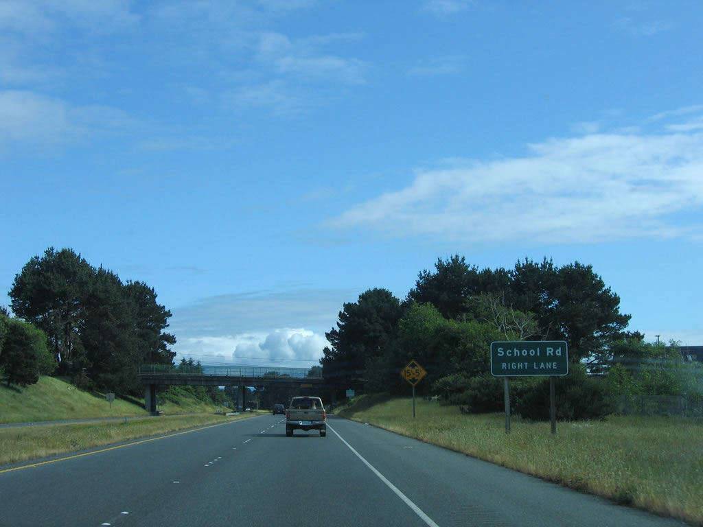 |
Southbound U.S. 101 (Redwood Highway) approaches Exit 719, School Road. Photo taken 05/28/06. |
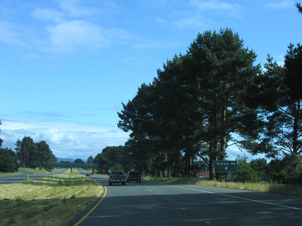 |
Shortly thereafter, U.S. 101 (Redwood Highway) south reaches Exit 719, School Road. Photo taken 05/28/06. |
 |
This reassurance shield for U.S. 101 south is posted after the School Road interchange. Photo taken 05/28/06. |
 |
Not long thereafter is this Redwood Highway reassurance marker on U.S. 101 south. Photo taken 05/28/06. |
 |
The next three exits along southbound U.S. 101 (Redwood Highway) are Exit 718, California 200, North Bank Road and U.S. 101 Business, Central Avenue north; Exit 716B, Guintoli Lane and Janes Road; and Exit 716A, California 299 east to Weaverville, Redding, Blue Lake , and Willow Creek. Based on the blue services sign posted below the interchange sequence sign, it appears that services would be available at all three upcoming exits. However, California 299 is a freeway, so there are no services available on the freeway segment. Photo taken 05/28/06. |
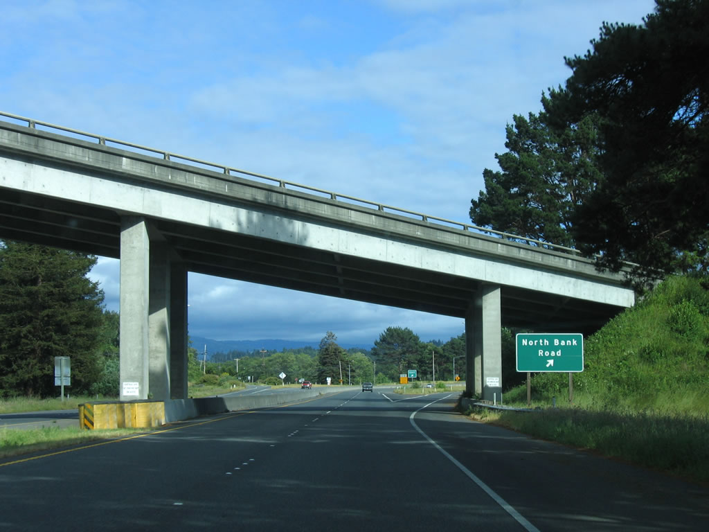 |
Southbound U.S. 101 (Redwood Highway) reaches Exit 718, California 200, North Bank Road east and U.S. 101 Business, Central Avenue north to McKinleyville. California 200 is a short route that connects U.S. 101 with California 299 via North Bank Road. Photo taken 05/28/06. |
 |
 |
 |
After the North Bank Road interchange, U.S. 101 proceeds across the Mad River, which is a steel through truss bridge on northbound (built in 1929) and a concrete deck girder bridge on southbound (built in 1958). Photos taken 05/28/06. |
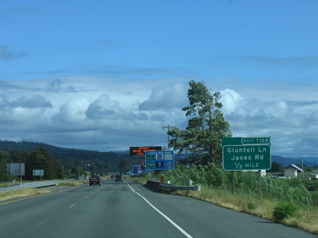 |
The next exit along southbound U.S. 101 (Redwood Highway) is Exit 716B, Giuntoli Lane and Janes Road. A host of motorist services are available at this interchange. Photo taken 05/28/06. |
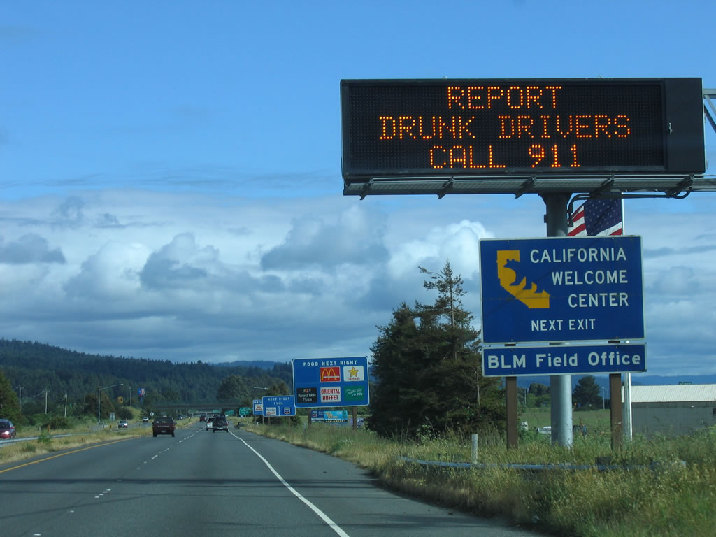 |
An official California Welcome Center is located at Exit 716B. This is the first such welcome center on southbound U.S. 101. Photo taken 05/28/06. |
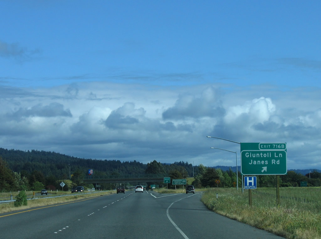 |
Southbound U.S. 101 reaches Exit 716B, Giuntoli Lane and Janes Road. The next exit is Exit 716A, California 299 east. Photo taken 05/28/06. |
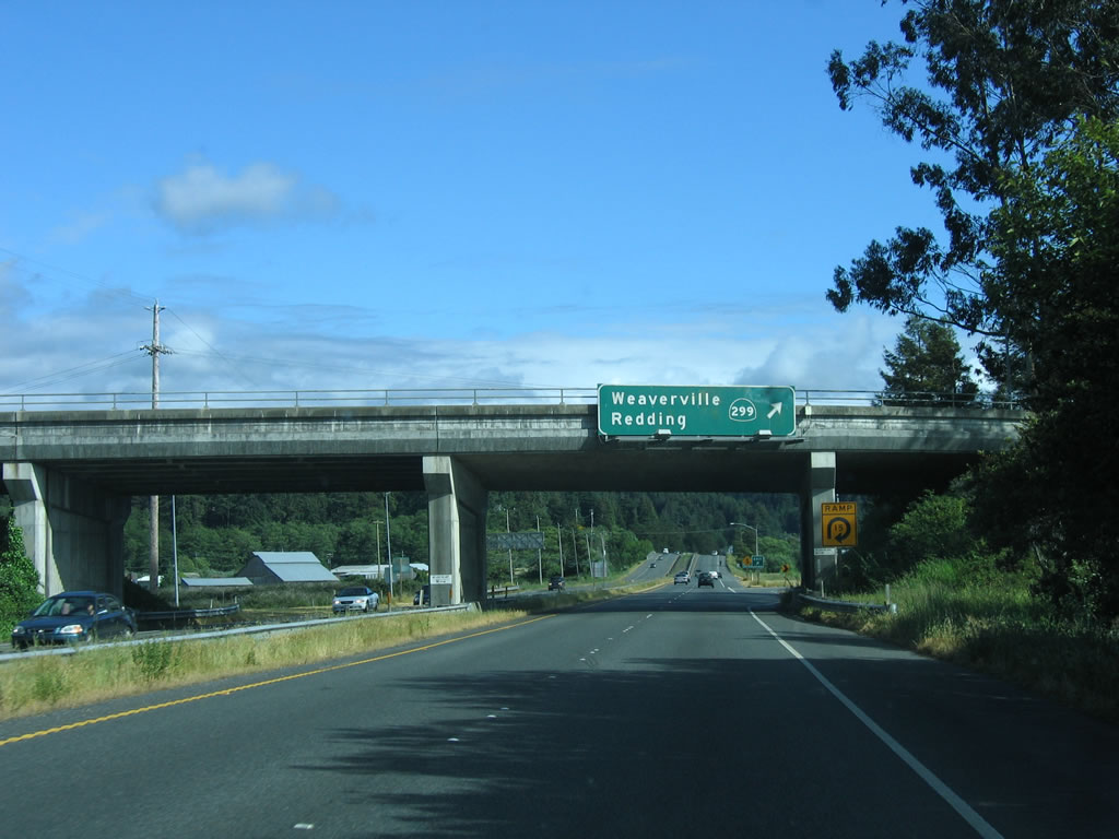 |
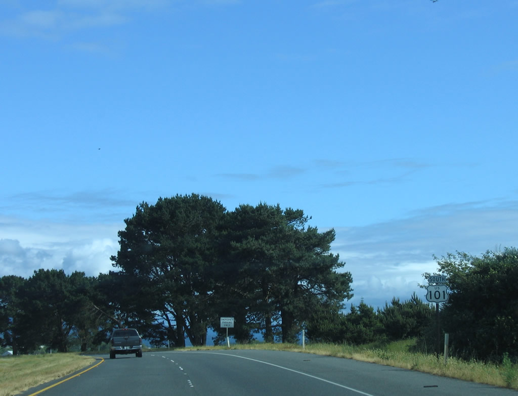
Southbound U.S. 101 reaches Exit 716A, California 299 east. This trumpet interchange (built in 1956) marks the terminus of California 299. From 1934 through 1964, this route was signed as U.S. 299 from Arcata to Redding to Alturas, ending at U.S. 395. The section of California 299 east of U.S. 395 was never part of U.S. 299. When most U.S. highways in California were eliminated, U.S. 299 was removed because it was less than 300 miles and wholly located within one state. Even today, when California 299 reaches the Nevada state line, it reverts to an unpaved road (Nevada 8A). Use California 299 east to Weaverville, Redding, Blue Lake, and Willow Creek. California 299 serves Trinity County, a remote area between the coast and the well-traveled Interstate 5/U.S. 99 corridor. It also connects to California 3, a scenic north-south route to Yreka. Photo taken 05/28/06. |
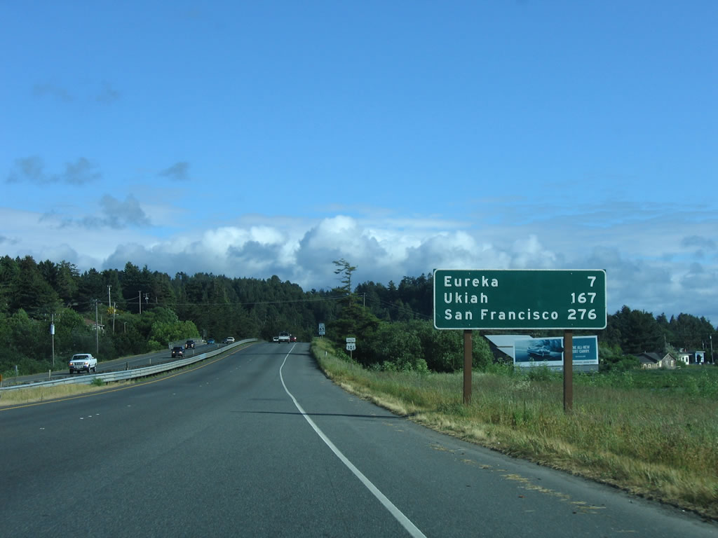 |
This mileage sign provides the distance to Eureka (7 miles), Ukiah (167 miles), and San Francisco (276 miles). Photo taken 05/28/06. |
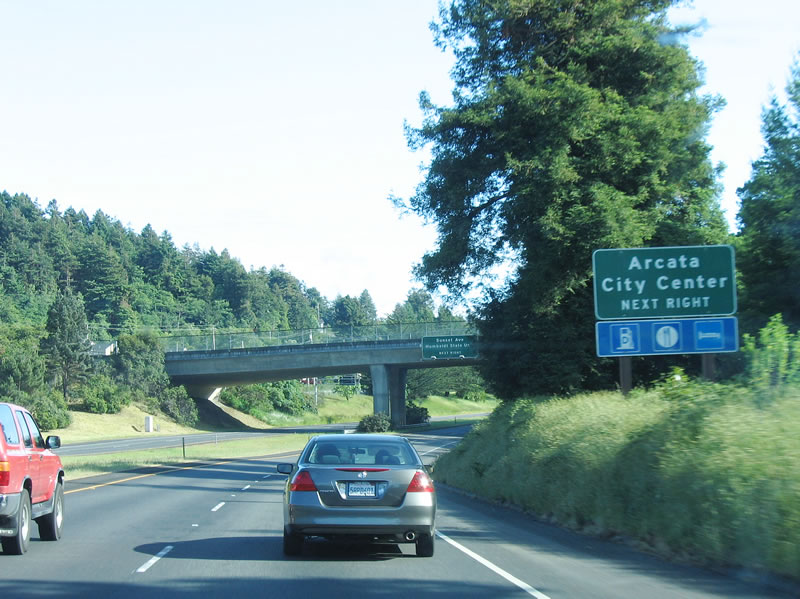 |
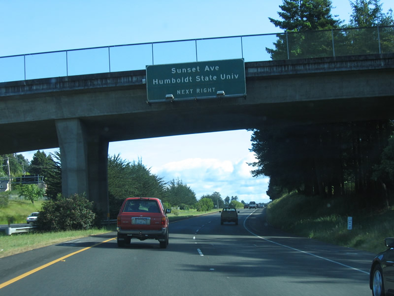
The next exit along southbound U.S. 101 (Redwood Highway) is Exit 714, Sunset Avenue to Humboldt State University (part of the California State University system) and downtown Arcata. Photo taken 05/28/06. |
 |
The city of Arcata is home to 16,651 people per the 2000 Census. Incorporated in 1858, Arcata is a college town, with Humboldt State University (a campus of the California State University system) located northeast of downtown Arcata. Other focal points in the community include Arcata Marsh and Arcata's Community Forest (over 622 acres of timberland). Approximately 7,550 students attend Humboldt State University, and it was founded in 1913. Photo taken 05/28/06. |
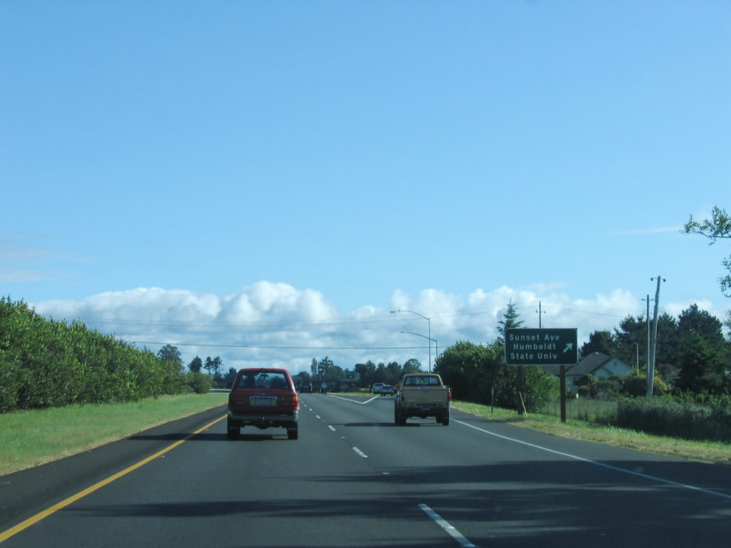 |
Southbound U.S. 101 (Redwood Highway) reaches Exit 714, Sunset Avenue to Humboldt State University (part of the California State University system) and downtown Arcata. Photo taken 05/28/06. |
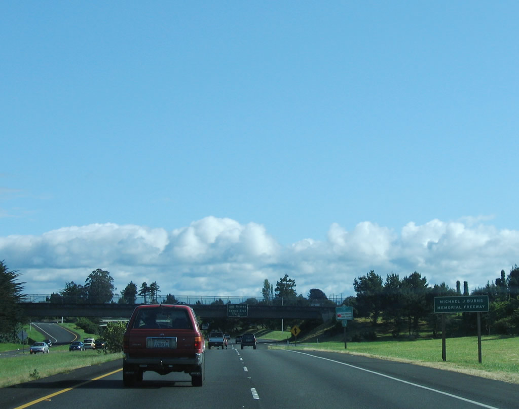 |
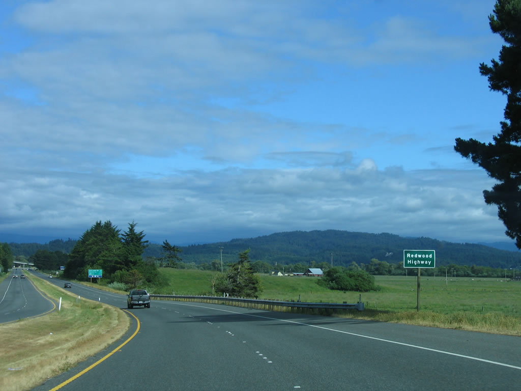
U.S. 101 now follows the Michael J. Burns Freeway, which offers a freeway bypass of Arcata and an expressway approach to Eureka. The Burns Freeway was completed in 1955. State Senator Burns was an advocate of freeways and state routes. Burns was co-author of the landmark Collier Burns Act, which was passed in 1947 by the California State Legislature to upgrade deteriorating infrastructure in the aftermath of World War II. The Collier-Burns Act is based on recommendations of the Major Highway Development Committee (MDHC),2 raised the gas tax and vehicle license fees. One of the major goals of the legislation was to alter the allocation of vehicle license fees and gas tax to cities, counties, and special districts across the state. The act "reduced the proportion of spending the north received to 45 percent and increasing the southern share to 55 percent. The legislature also altered the rationale for the division of funds, basing the revised apportionments on the population in the two parts of the state rather than on the highway mileage."3 (The geographic allocation formula was amended again in 1970 to 60 percent to the southern part of the state and 40 percent to the northern part of the state, which stands true today [2006].) Photo taken 05/28/06. |
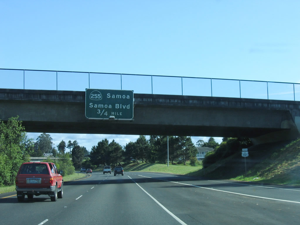 |
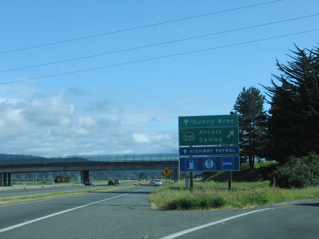
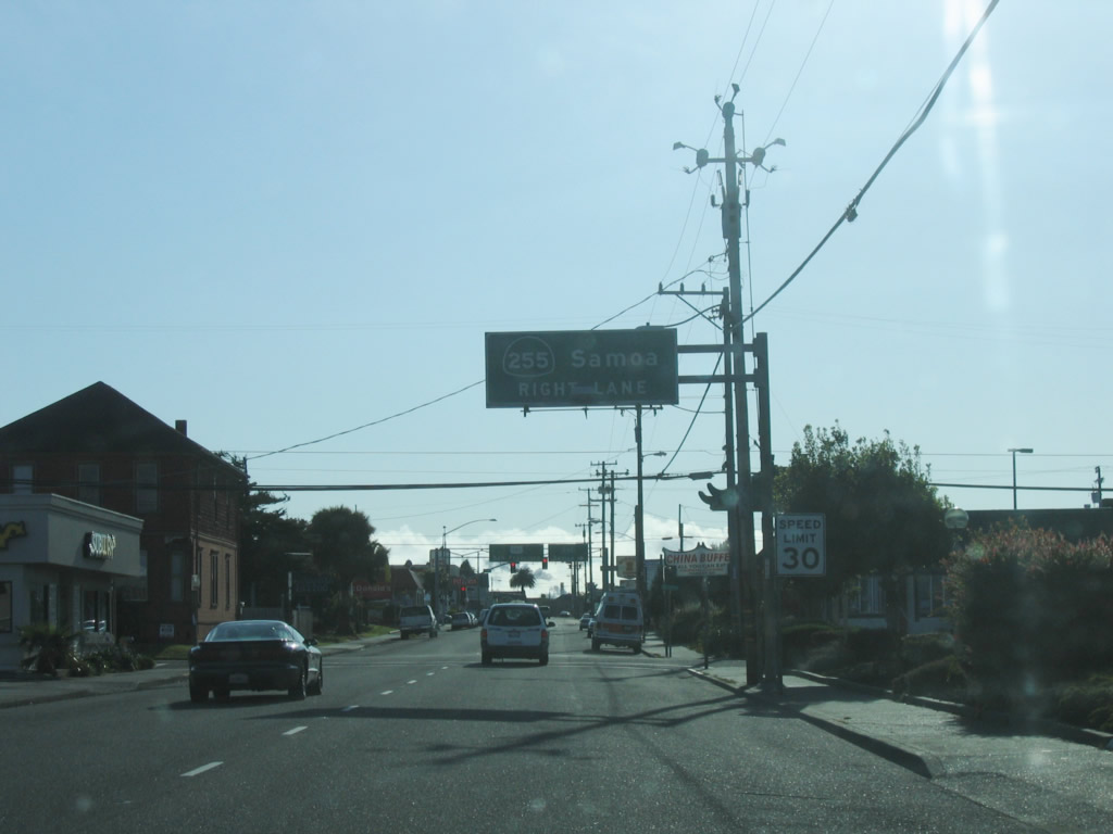
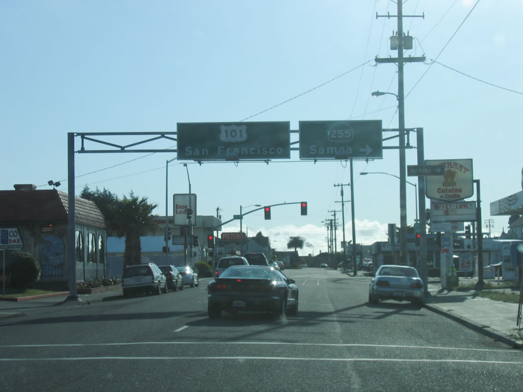
The next exit along southbound U.S. 101/Burns Freeway (Redwood Highway) is Exit 713, California 255 west to Samoa. This is the northern end of the state highway that loops across Humboldt Bay, offering a coastal alternate to U.S. 101 between Arcata and Eureka. Photo taken 05/28/06. |
 |
A series of overpasses cross over U.S. 101 prior to the junction with California 255. Photo taken 05/28/06. |
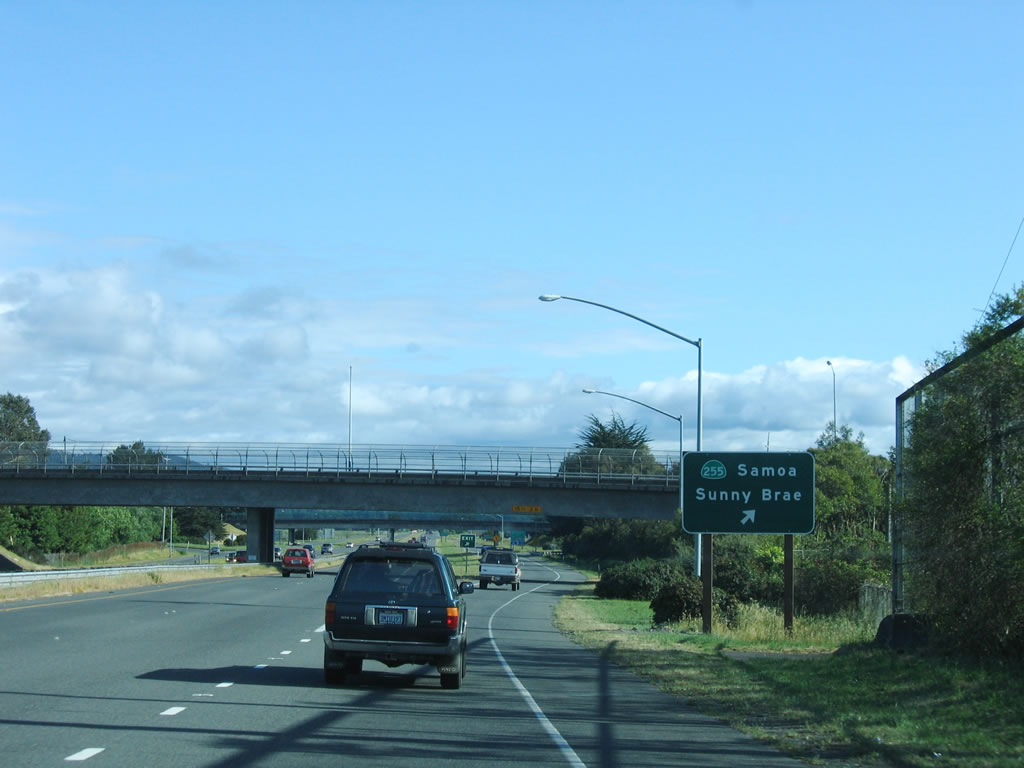 |
Southbound U.S. 101/Burns Freeway (Redwood Highway) reaches Exit 713, California 255 west to Samoa and Samoa Boulevard east to Sunny Brae. Photo taken 05/28/06. |
 |
Now on the exit ramp, the first right connects to California 255 (Samoa Boulevard) west to Samoa, while the second right connects to Samoa Boulevard east to Sunny Brae. Photo taken 05/28/06. |
 |
The next exit along southbound U.S. 101/Burns Freeway (Redwood Highway) is Exit 712, South G Street in Arcata. Photo taken 05/28/06. |
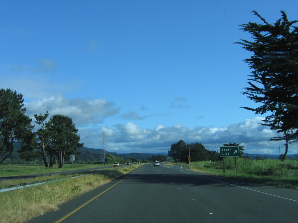 |
Southbound U.S. 101/Burns Freeway (Redwood Highway) reaches Exit 712, South G Street. This is former U.S. 101, and there is no access to G Street from U.S. 101 north. Photo taken 05/28/06. |
 |
A high voltage power line passes over U.S. 101 as the freeway downgrades to expressway standards. Photo taken 05/28/06. |
 |
The speed limit reduces as the freeway ends and the expressway begins. Photo taken 05/28/06. |
 |
The freeway section ends. There is no bypass of Eureka, so all through traffic will follow the five-mile expressway into Eureka. Photo taken 05/28/06. |
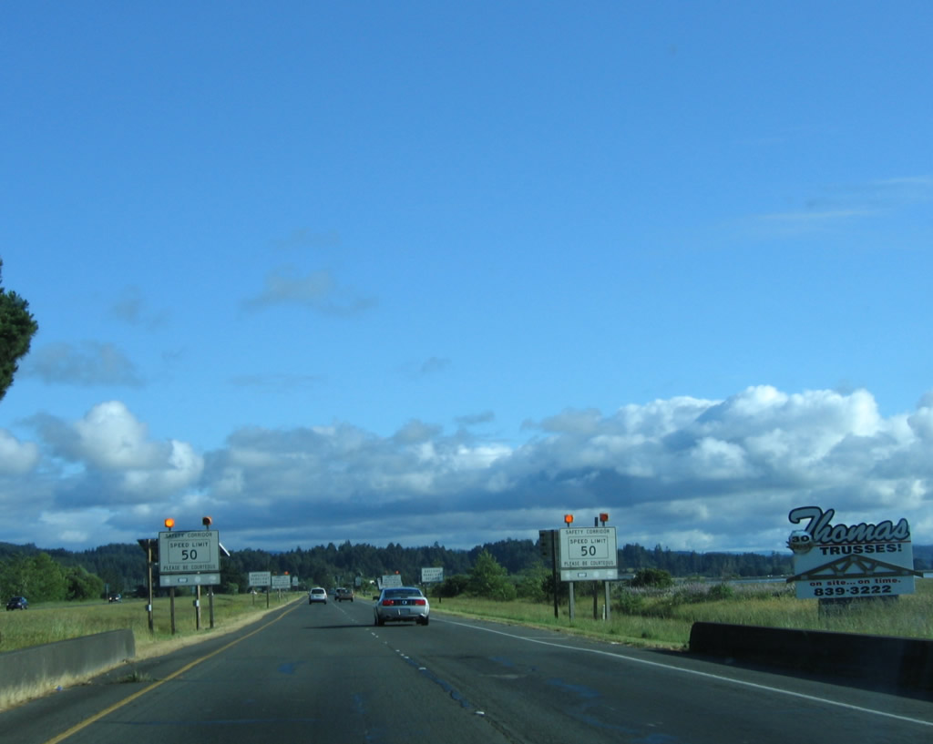 |
The Burns Freeway is a safety corridor as well as an expressway alignment. The four-lane highway features a 50 mile per hour speed limit. In addition to changing the allocation formula of gas tax, the Collier-Burns Act were an endorsement of freeway construction. Freeways that might not have been affordable under prior funding strategies were constructed under the new formula. Inventory of highway mileage is also contemplated by the Collier-Burns Act. According to the Collier Burns Act, "the Department of Public Works shall certify...the total maintained mileage of County roads in unincorporated territory..."3 This action consolidated county roads administration for unincorporated areas to a single department in each county. Finally, the Act also added more highways to the state highway system, including some urban mileage. Photo taken 05/28/06. |
 |
Headlights are required at all times of the day as southbound U.S. 101/Burns Freeway continues toward Eureka. Photo taken 05/28/06. |
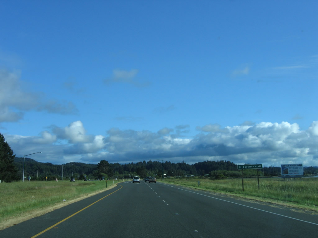 |
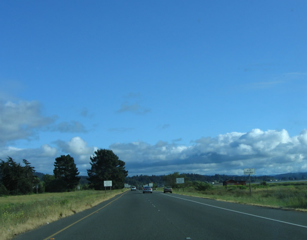
The next intersection is for the Bayside Cutoff, which connects U.S. 101 with Old Arcata Road (to the east). Photo taken 05/28/06. |
 |
A U.S. 101 south reassurance shield is posted after the Bayside Cutoff intersection. Photo taken 05/28/06. |
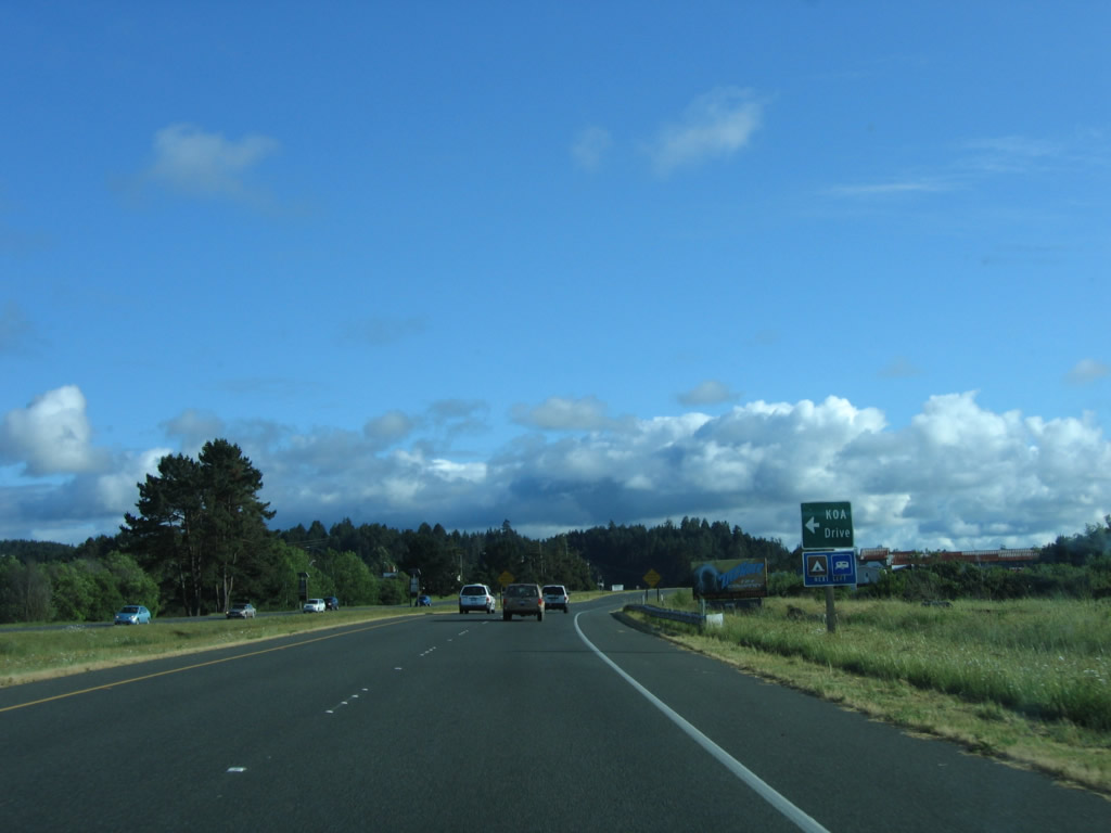 |
The next intersection along U.S. 101 is KOA Drive. U.S. 101 turns west along with the shoreline. Photo taken 05/28/06. |
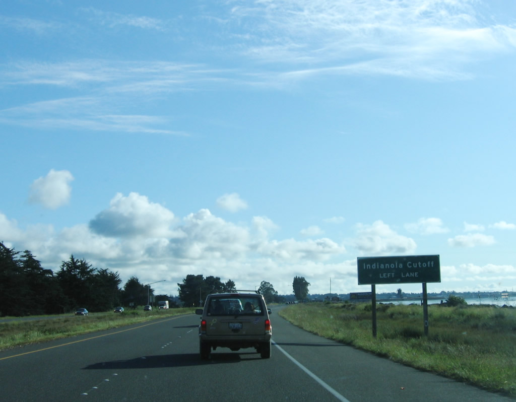 |
Southbound U.S. 101 (Redwood Highway) approaches the Indianola Cutoff. Indianola Cutoff travels southeast to Myrtle Avenue (Old Arcata Road). Photo taken 05/28/06. |
 |
U.S. 101 enters the city of Eureka. Founded on April 18, 1856, Eureka is the largest city on the North Coast and is the seat of Humboldt County. The city is home to 25,579 people as of 2005 Census estimate, which is a decrease from the population of 26,128 people at the 2000 Census. Photo taken 05/28/06. |
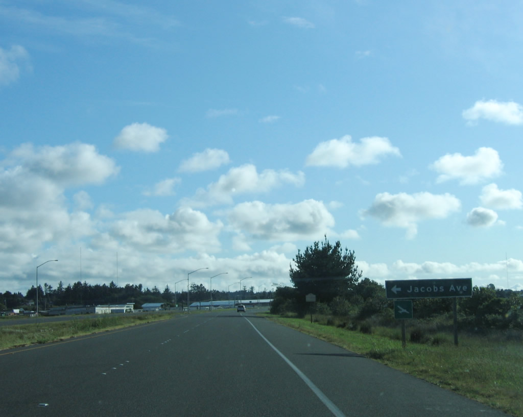 |
The next intersection along U.S. 101 south is with Jacobs Avenue to Murray Field airport. The word "Eureka" means "I have found it!"; this is also the slogan of the state of California. Eureka is the seat of Humboldt County and is a regional center of commerce from around Humboldt, Del Norte, and Trinity Counties. Photo taken 05/28/06. |
 |
A pony truss bridge serves as the connection for southbound U.S. 101 traffic over the Eureka Slough. This bridge was built in 1943, and the northbound bridge was opened to traffic in 1956. The 1956 bridge rises taller than the 1943 bridge, but it is not Interstate Standard as it has no shoulders and limited sight distance. Photo taken 05/28/06. |
 |
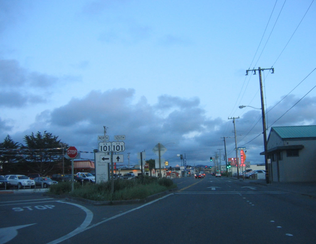
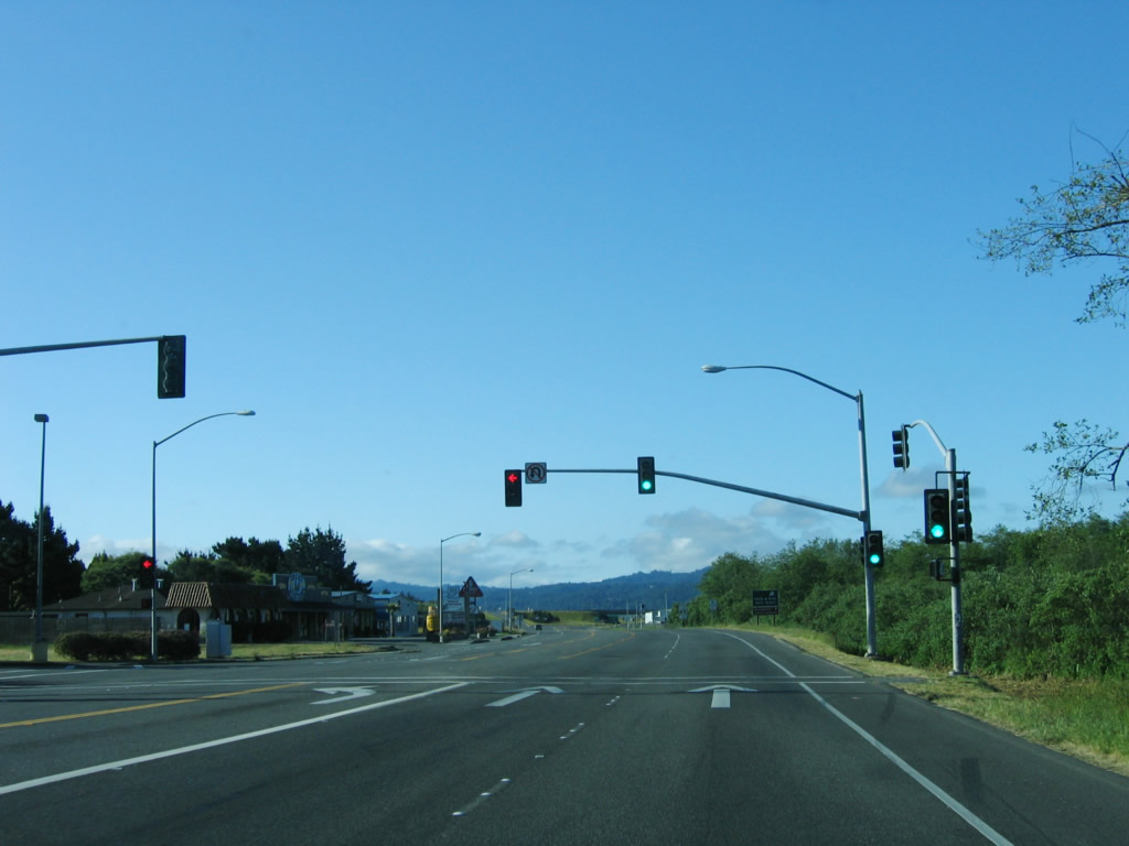
The special driving zone and daytime headlights section ends here as U.S. 101 enters Eureka. The first intersection is with Second Street. From here, U.S. 101 south follows westbound Fourth Street through Eureka. Photo taken 05/28/06. |
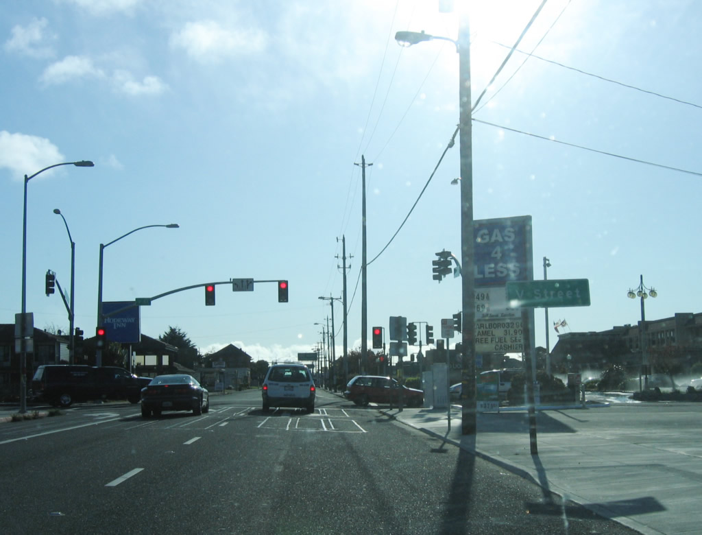 |
The first traffic signal on U.S. 101 south is with V Street, the first of several alphabetical street names. Photo taken 05/28/06. |
 |
Approaching S Street, U.S. 101 approaches California 255. California 255 travels west across Humboldt Bay to Samoa, then turns north and east to rejoin U.S. 101 north of Arcata. For a longer alternative to U.S. 101 back to Arcata and for coastal access, use California 255. Photo taken 05/28/06. |
 |
Approaching R Street, a pull-through sign for U.S. 101 south is posted. The grid pattern changes as Myrtle Avenue turns southwest and U.S. 101/Fourth Street meets California 255/R Street. Myrtle Avenue connects to Old Arcata Road, which follows the oldest route between Eureka and Arcata. It is unclear if older alignments of U.S. 101 ever traveled on Old Arcata Road. Photo taken 05/28/06. |
 |
Skipping ahead several blocks west of the California 255, the U.S. 101 one-way couplet of Fourth Street and Fifth Street comes to an end, and U.S. 101 again turns south on Broadway Street. A U-Turn is afforded at the end of the one-way couplet. Photo taken 05/28/06. |
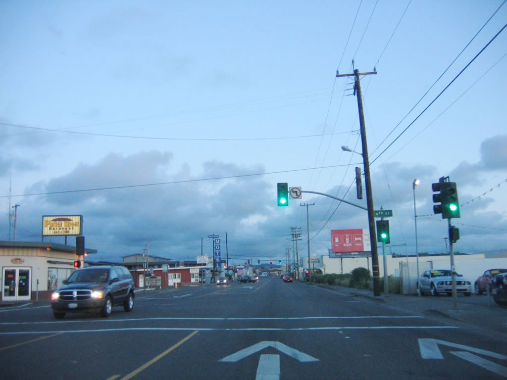 |
The next intersection on U.S. 101 south is with Sixth Street. We are now leaving downtown Eureka. Photo taken 05/28/06. |
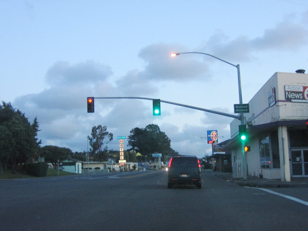 |
Southbound U.S. 101 reaches Wabash Avenue. A series of motels and restaurants line the street. Photo taken 05/28/06. |
 |
Continuing south, U.S. 101 (Broadway Street) passes by the Eureka Visitors Center. The next major intersection is with Henderson Street. Photo taken 05/29/06. |
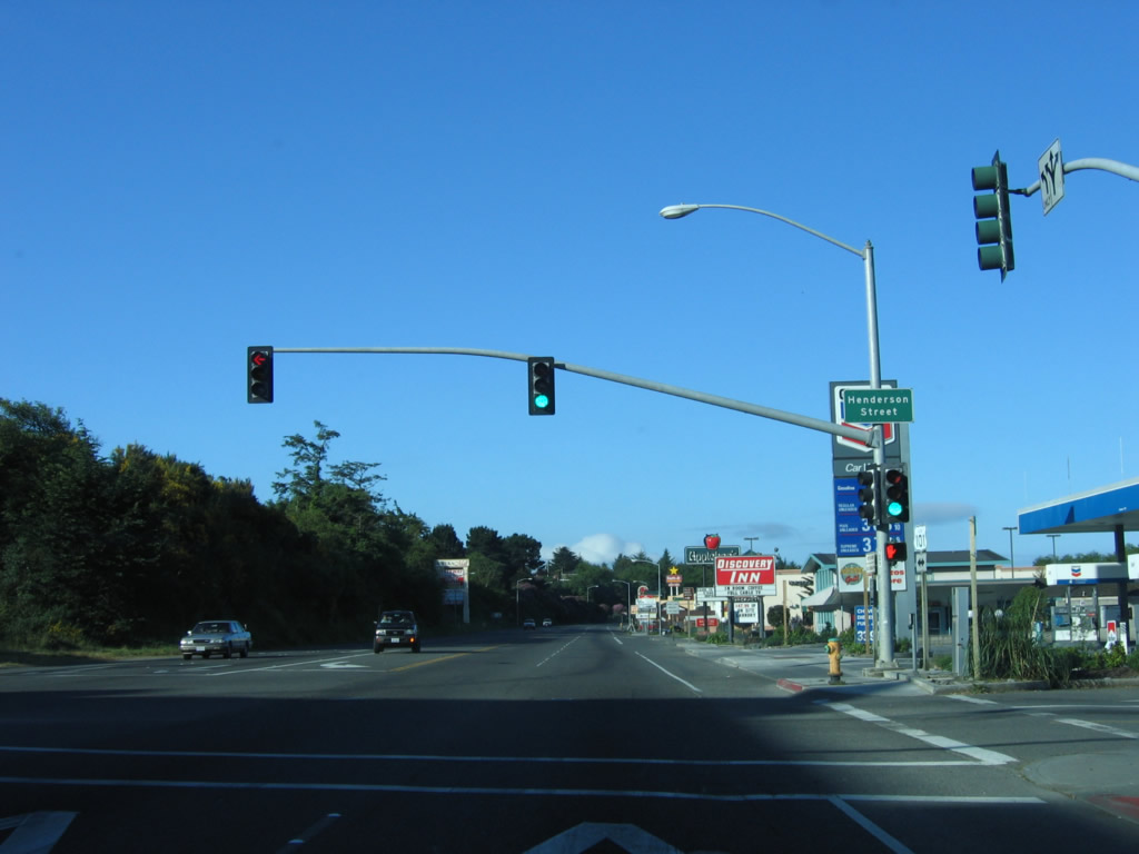 |
Southbound U.S. 101 (Broadway Street) meets Henderson Street at this signalized intersection. Photo taken 05/29/06. |
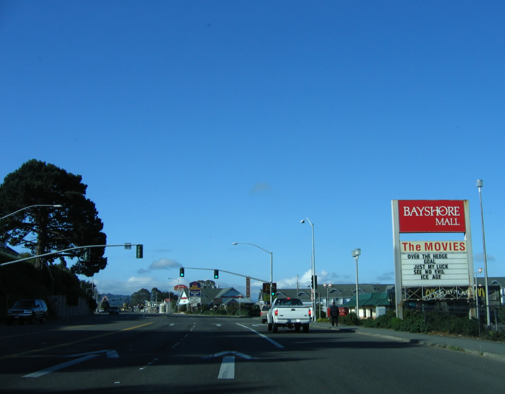 |
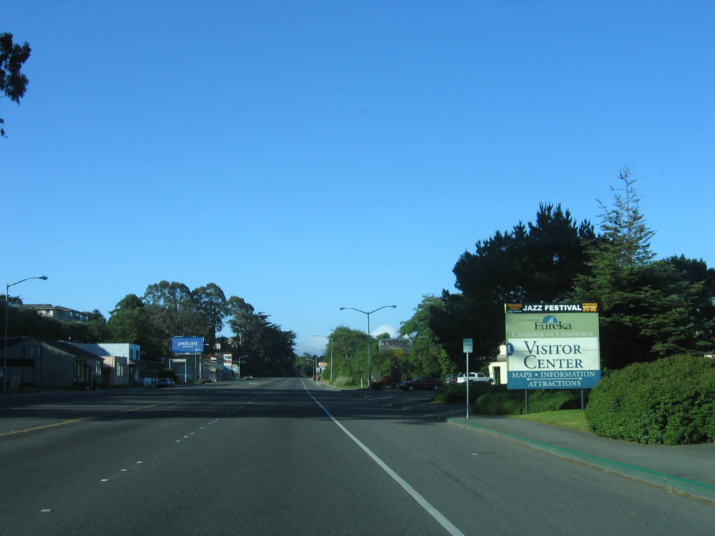
Passing by Bayshore Mall, U.S. 101 approaches the southern edge of the city limits of Eureka. Photo taken 05/29/06. |
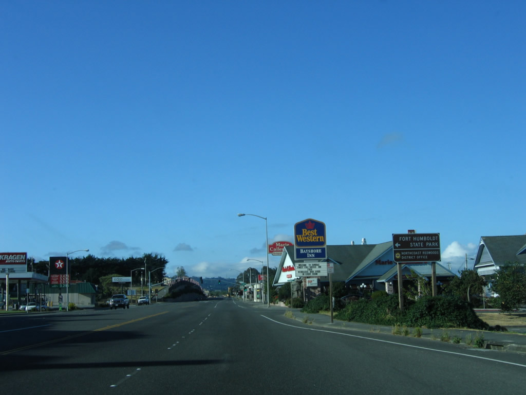 |
Turn left here (at Highland Avenue) to Fort Humboldt State Historic Park. Established in 1853, Fort Humboldt was active as a military installation until 1870; it provided frontier security during the gold rush and skirmishes with Native Americans. Today, only the hospital remains, but it has been converted into a museum. Photo taken 05/29/06. |
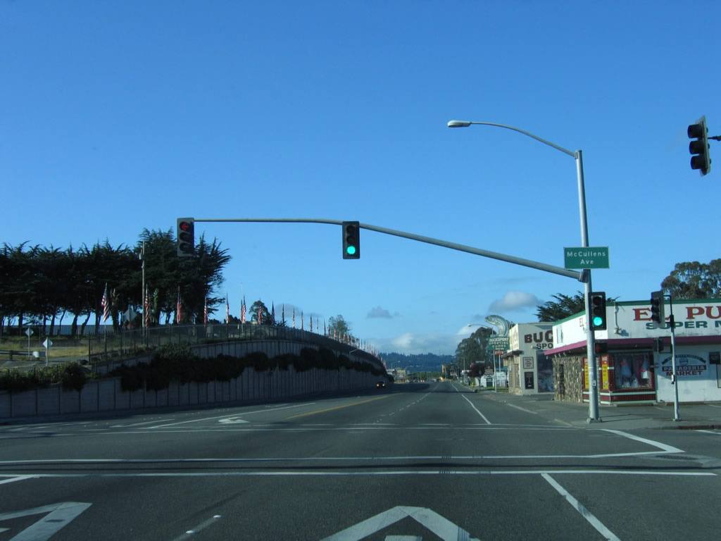 |
The next traffic signal is with McCullens Avenue. Photo taken 05/29/06. |
 |
Shortly thereafter, U.S. 101/Broadway Street intersects Allard Avenue. The Oceanview Cemetery is located on the left side of U.S. 101 as the highway continues south. Photo taken 05/29/06. |
 |
Passing by a car dealership, U.S. 101 retains two lanes in each direction with a center turn lane. The freeway section begins after the next traffic signal. Photo taken 05/29/06. |
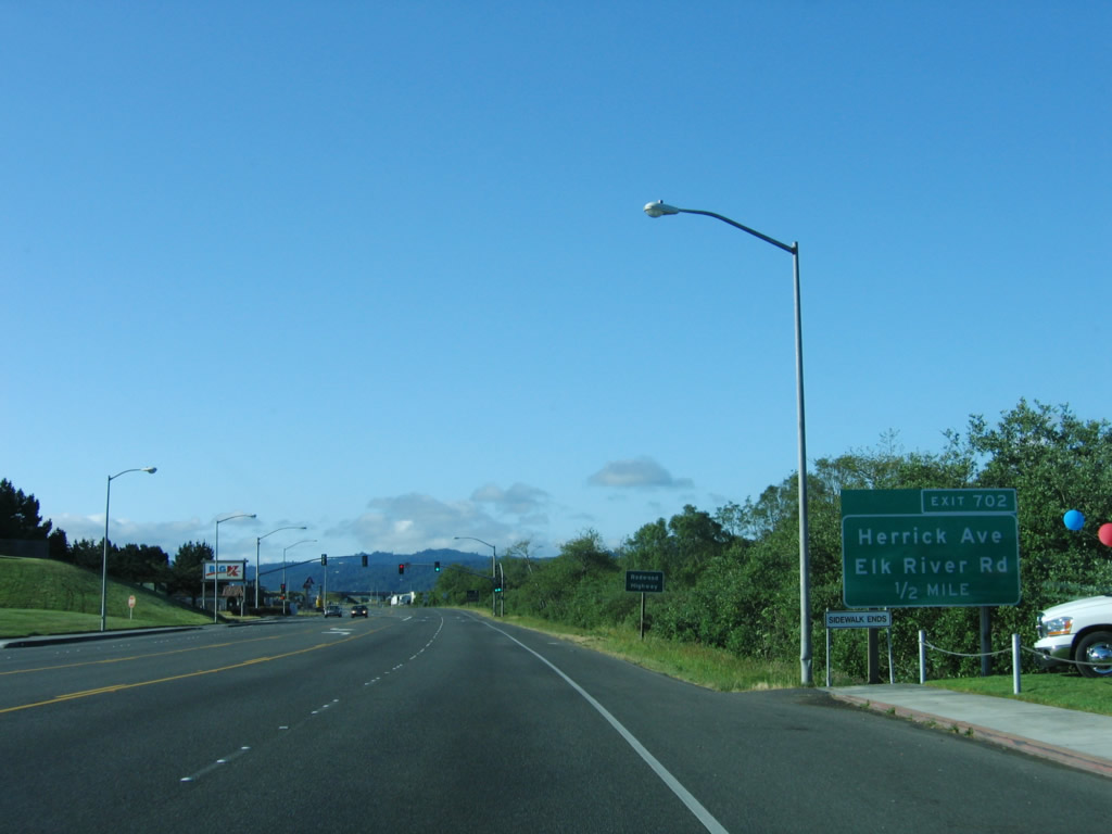 |
Prior to the traffic signal for Sunset Drive, an exit sign appears for Exit 702, Herrick Avenue and Elk River Road. Photo taken 05/29/06. |
 |
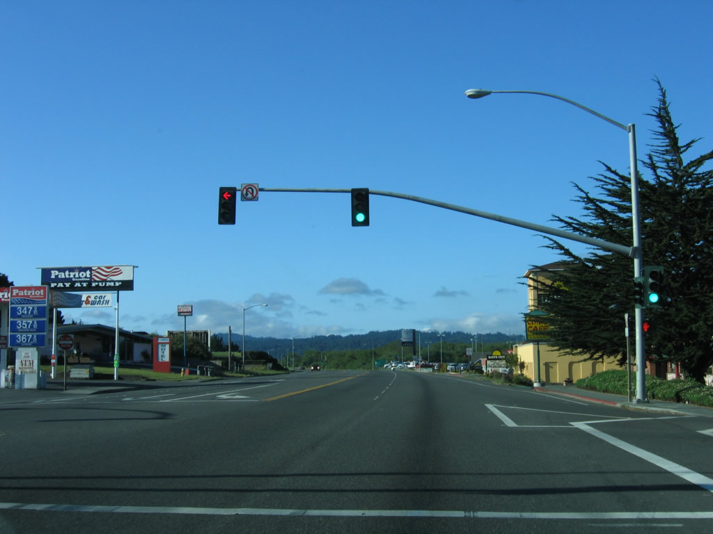
Southbound U.S. 101/Broadway Street meets Sunset Drive at this final Eureka traffic signal. After this, Broadway Street transitions onto the Redwood Highway freeway and prepares to meet Exit 702, Herrick Avenue and Elk River Road. Photo taken 05/29/06. |
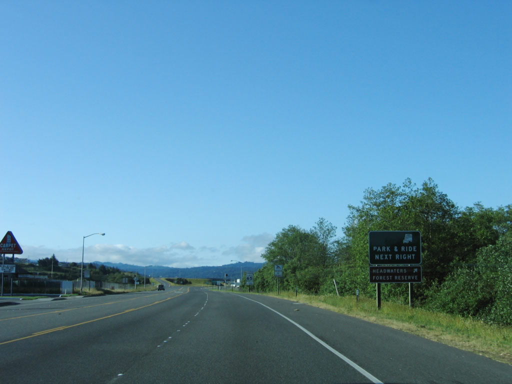 |
Use Exit 702 (Herrick Avenue and Elk River Road) to the Headwaters Forest Reserve. This reserve was formed on March 1, 1999, when the State of California and U.S. Bureau of Land Management acquired the reserve from private owners. A 5.5-mile hiking trail on an old logging road leads to the old town site of Falk and stands of old-growth redwoods. Photo taken 05/29/06. |
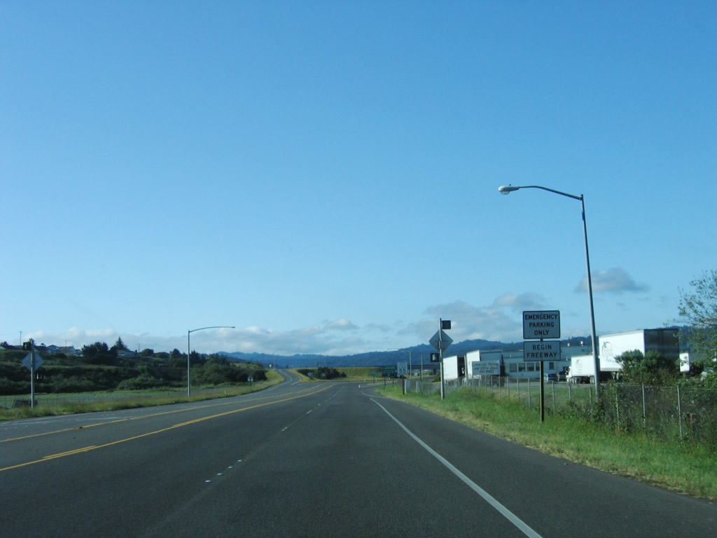 |
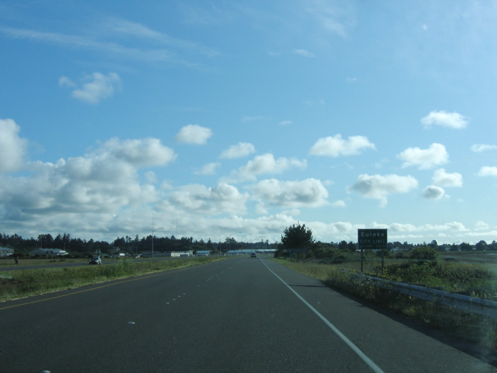
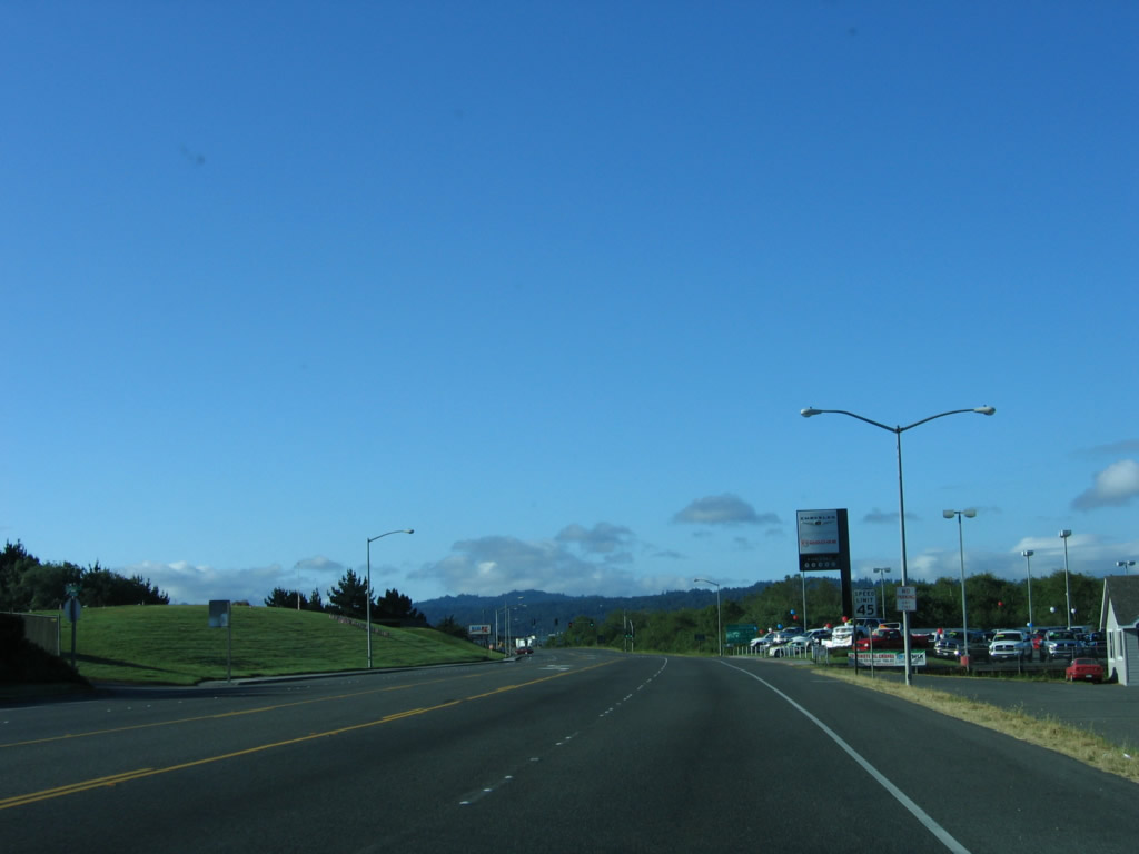
The interchange for Exit 702 comes into view on this spring morning. At this point, the U.S. 101 freeway begins after leaving the city limits of Eureka. Photo taken 05/29/06. |
| U.S. 101 scenes | |
|---|---|
 |
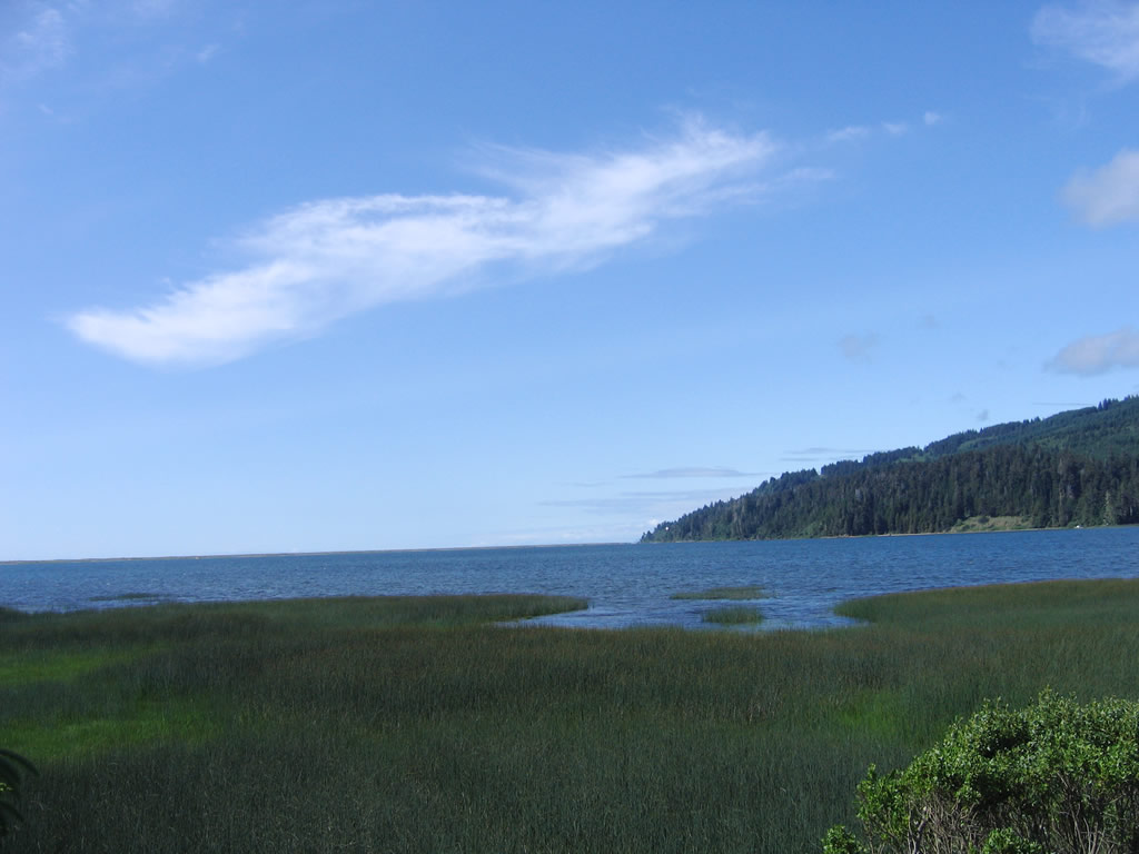
At Humboldt Lagoons State Park visitors center (former site of the Little Red Hen motel-restaurant) is this view of the Stone Lagoon looking west. Photo taken 05/28/06. |
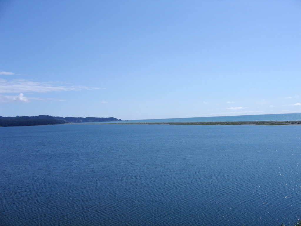 |
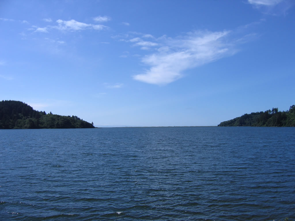
View of Big Lagoon from an overlook on U.S. 101 (Redwood Highway) north of Trinidad. Note the tiny spit of land that separates lagoon from ocean. Photo taken 05/28/06. |
 |
Near the Big Lagoon bridge off of U.S. 101, this view looks northwest over the Big Lagoon. Photo taken 05/28/06. |
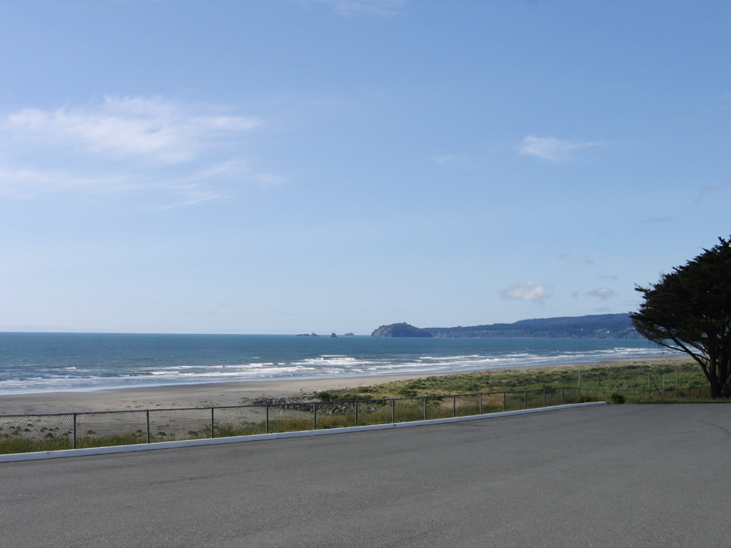 |
U.S. 101 offers outstanding views of the Pacific Ocean; this particular shot is taken from the McKinleyville Vista Point. Photo taken 05/28/06. |
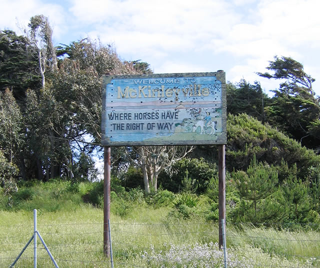 |
Still at the McKinleyville Vista Point, this sign says, "Welcome to McKinleyville, where horses have the right of way." Photo taken 05/28/06. |
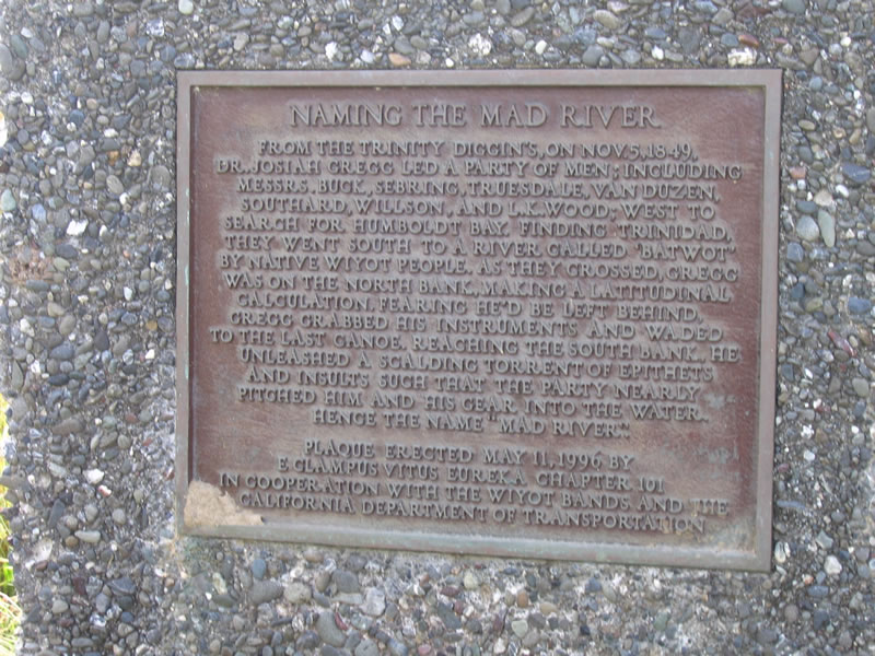 |
A plaque at the McKinleyville Vista Point explains the origin of the naming of the Mad River, which U.S. 101 passes south of the California 200 interchange. Photo taken 05/28/06. |
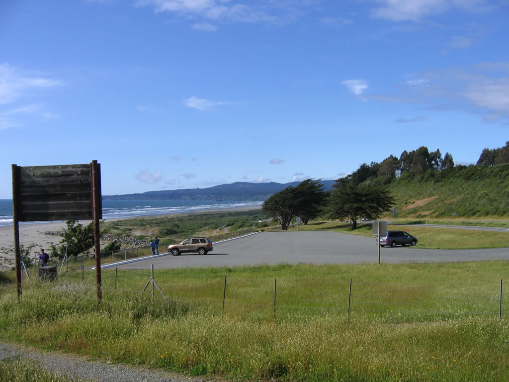 |
Looking north at the McKinleyville Vista Point is this wonderful view of the Pacific Ocean, the back of the "Welcome to McKinleyville" sign, and the small parking lot. Photo taken 05/28/06. |
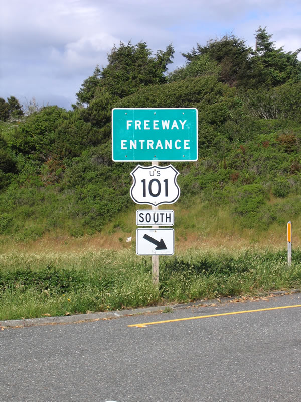 |
This freeway entrance shield assembly for U.S. 101 south is located at the McKinleyville Vista Point. Photo taken 05/28/06. |
Sources:
- SCR 69 Senate Concurrent Resolution on July 16, 2004. U.S. 101 is designated the "Everett and Louella Thomas Memorial Highway" from "Patrick's Point Undercrossing to four miles north of that undercrossing in the vicinity of Big Lagoon in Humboldt County.
http://info.sen.ca.gov/ pub/03-04/bill/sen/sb_0051-0100/scr_69_ bill_20040716_chaptered.html - Celebrating 50 Years of the Interstate Highway System: A look at AAA's long history of highway and road building advocacy, California State Automobile Association (CSAA)
- Lewis Center for Regional Policy Studies Working Paper Series: California-s Highway Funding Apportionment Formula: Geographic Redistribution Among Counties by Lewison Lee Lem Research Associate at the University of California Transportation Center, UC Berkeley, April 1997


Page Updated September 28, 2007.
|
About Contact Glossary |
In The News Interstate Guide |
Social Media:
 |
|
© 2000-25 AARoads.com | All Rights Reserved | Privacy Policy / Terms of Use
|
||