
U.S. 395 North - San Bernardino County #2
| U.S. 395 north | |
|---|---|
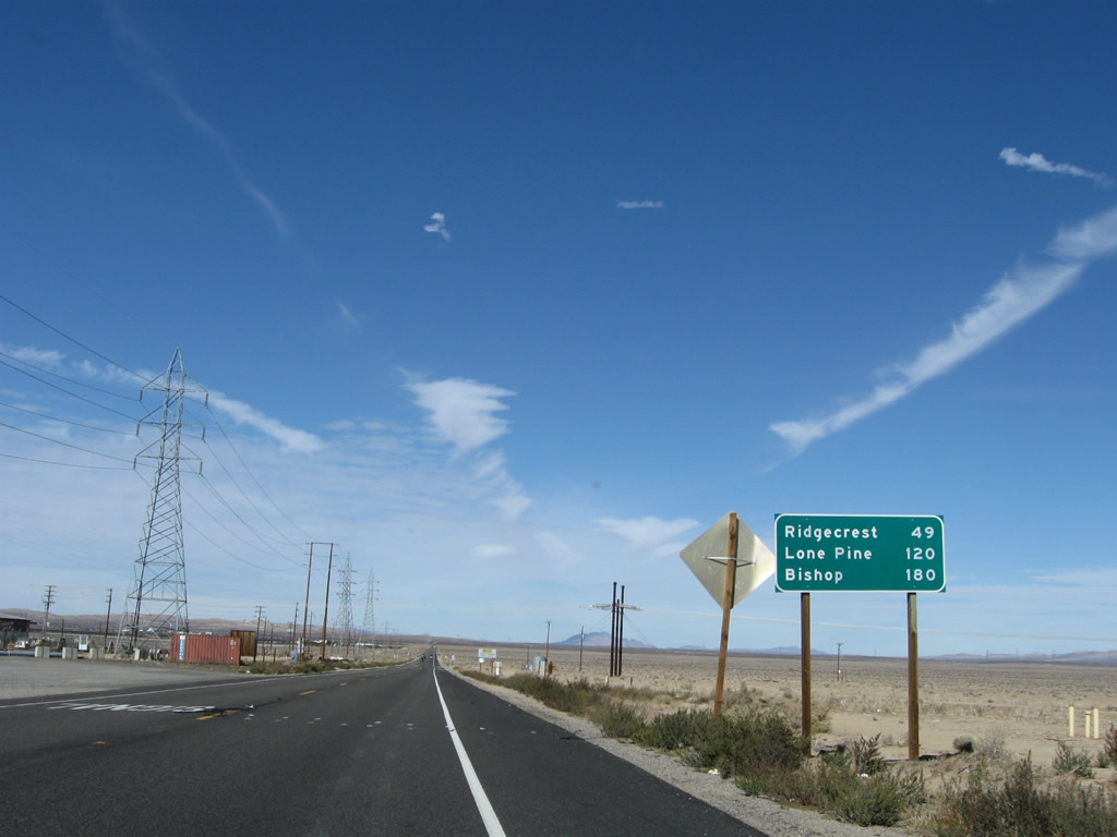 |
Leaving Kramers Junction, a mileage sign along northbound U.S. 395 provides the distance to Ridgecrest (49 miles), Lone Pine (120 miles), and Bishop (180 miles). Photo taken 11/10/08. |
 |
Another safety corridor sign is posted along U.S. 395 north after the California 58 intersection. U.S. 395 will remain mostly two lanes until U.S. 395 meets California 14 north of Inyokern. Photo taken 11/10/08. |
 |
 |
 |
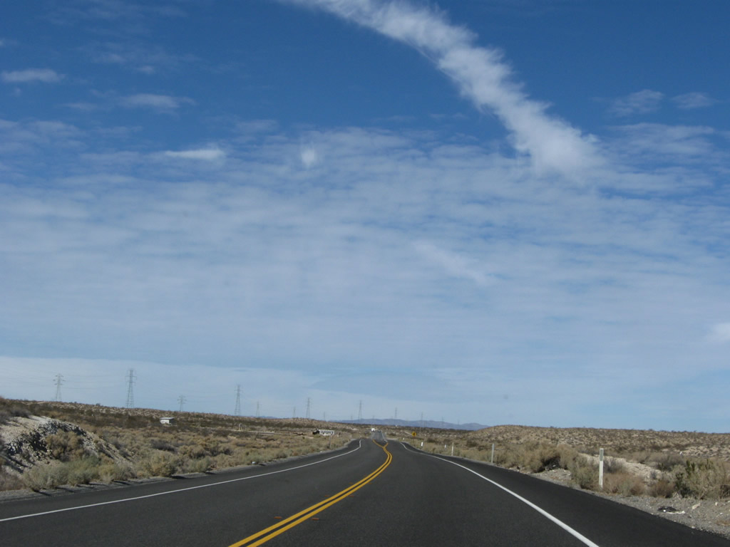 |
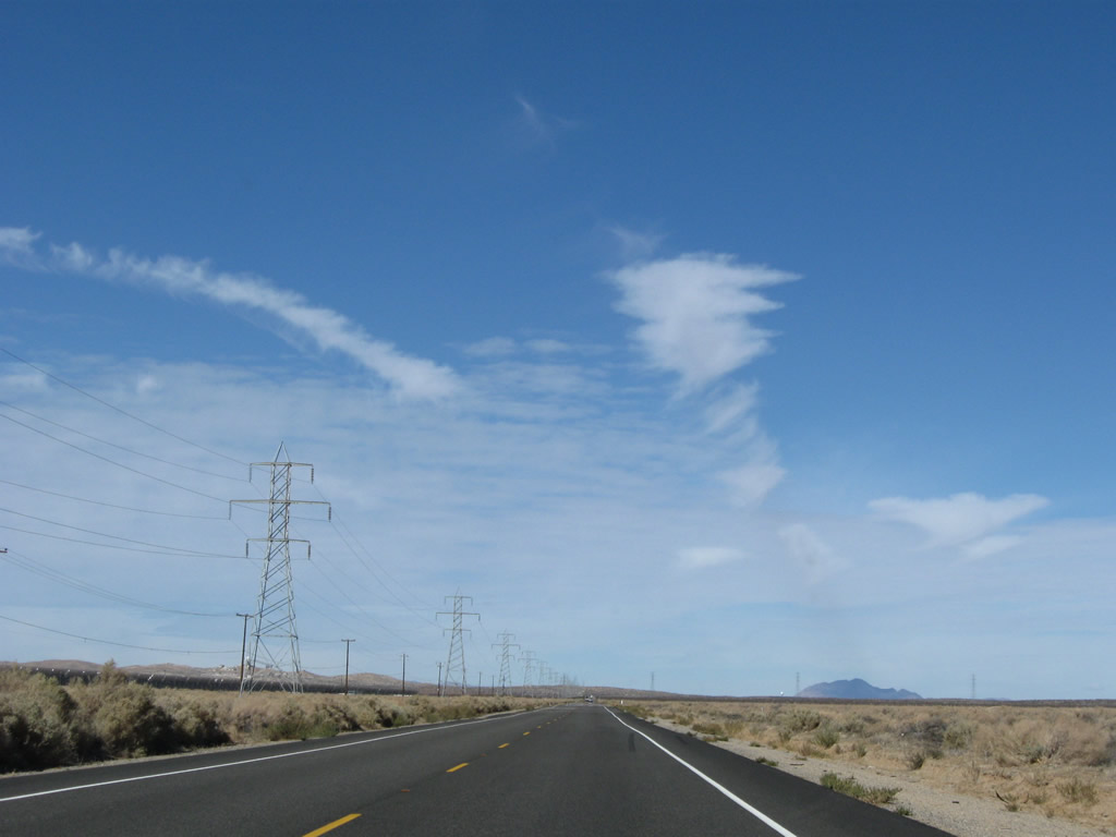
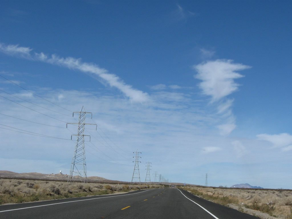
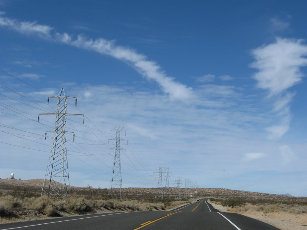
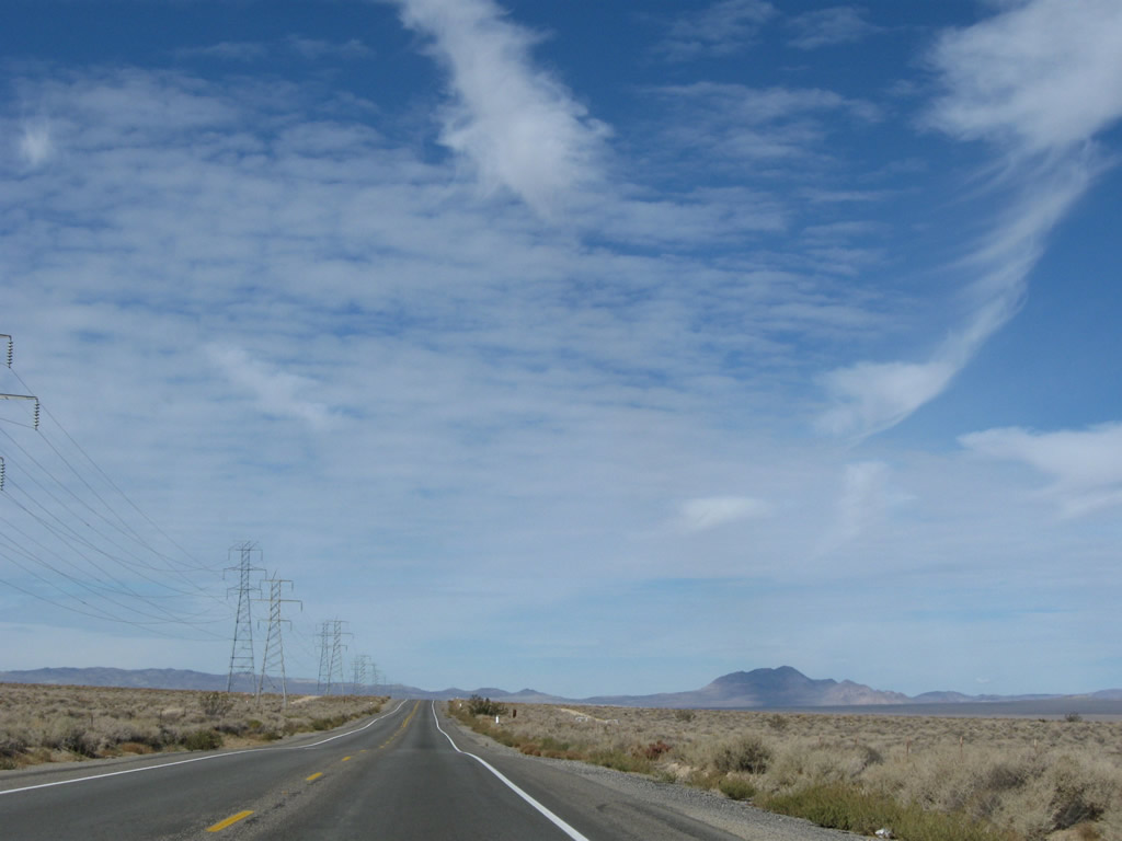
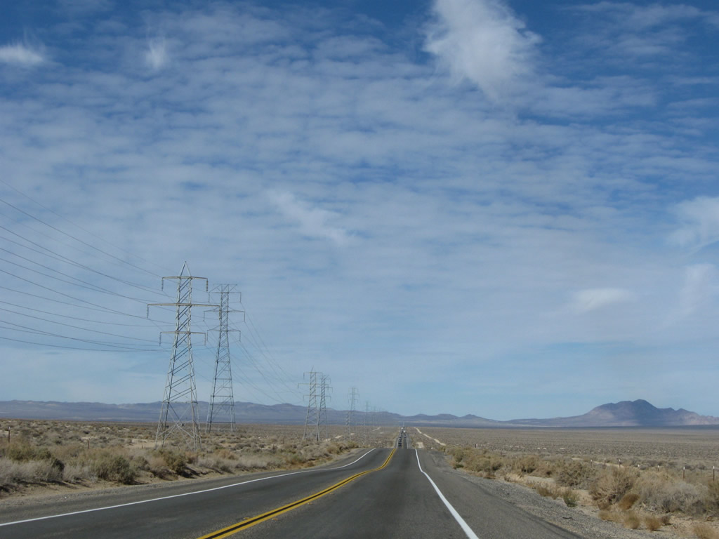
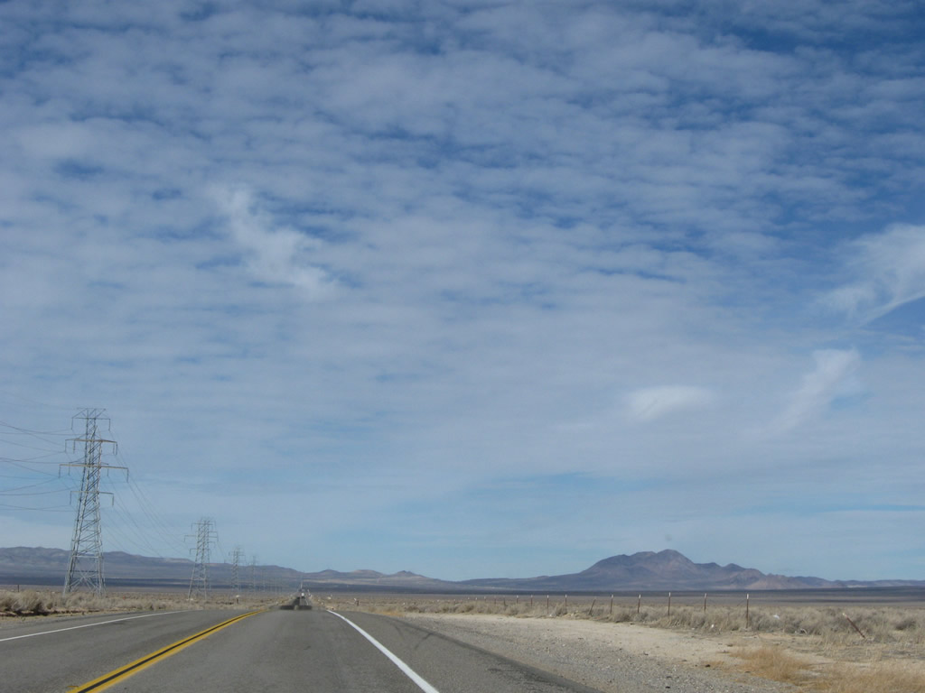
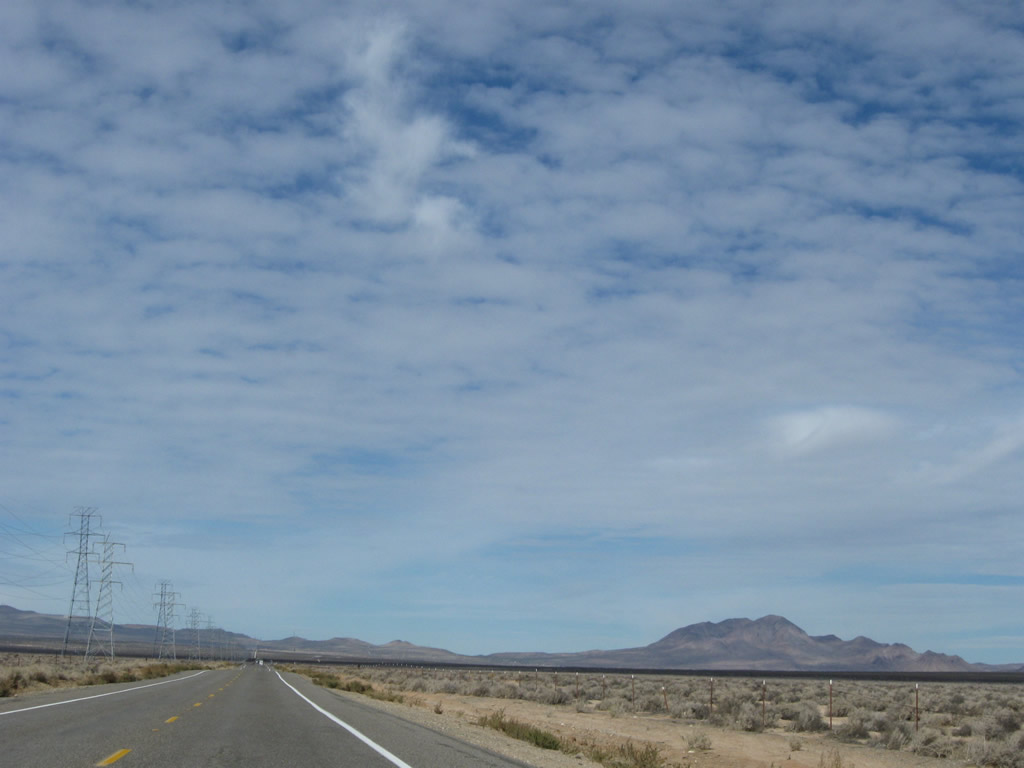
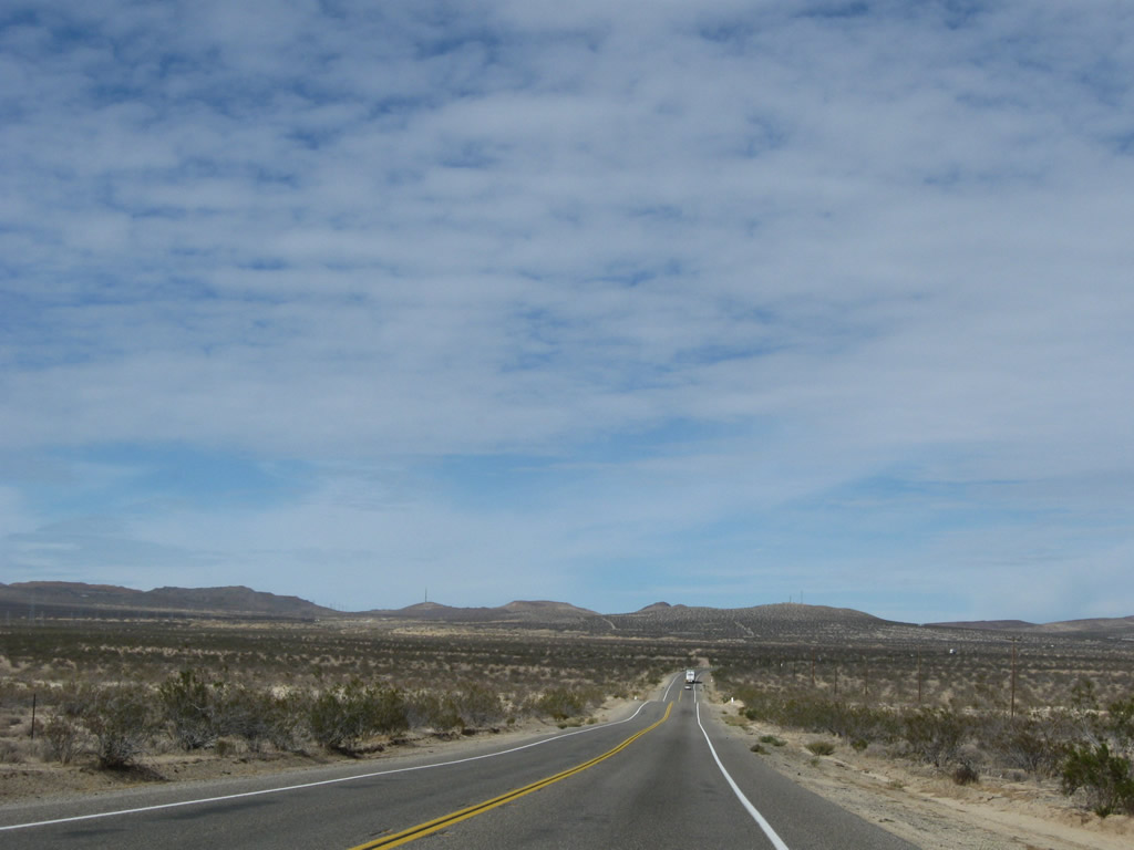
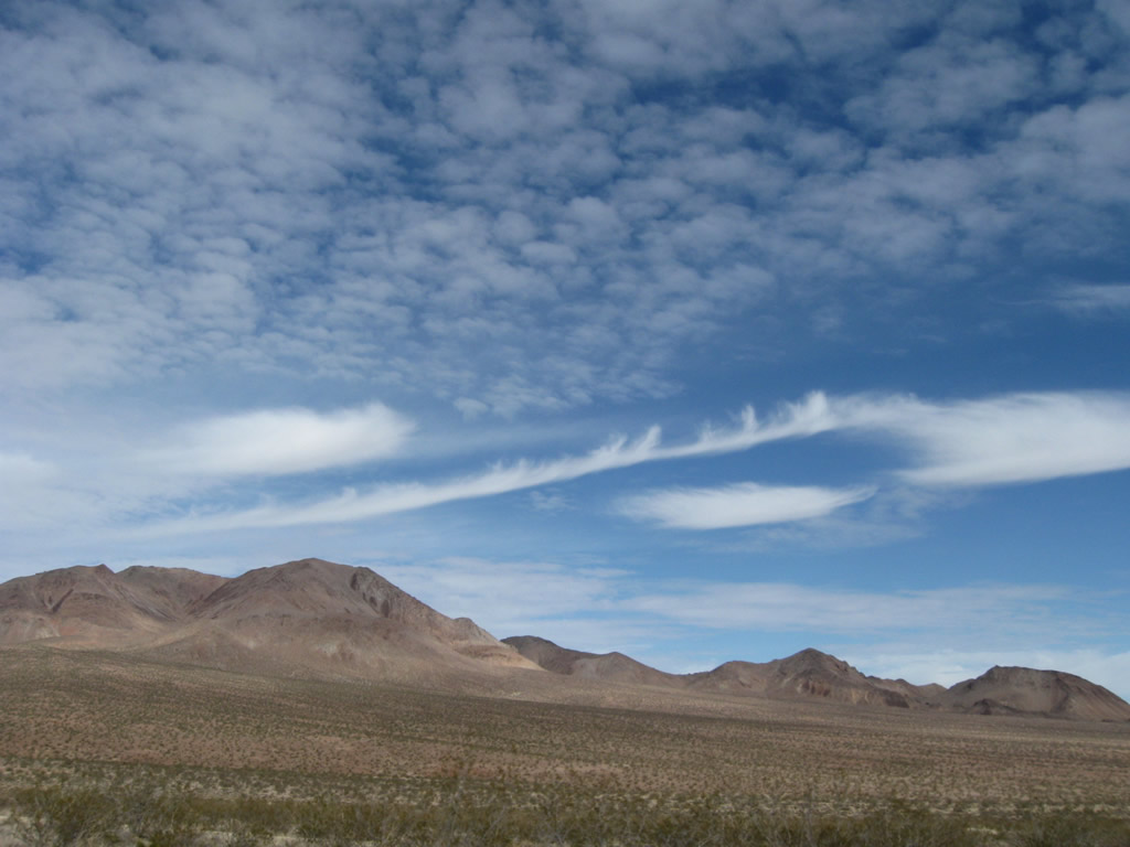
This series of photos follow U.S. 395 north as the highway leaves Kramers Junction and proceeds north toward Red Mountain and Johannesburg. Two power lines follow U.S. 395 along this long stretch of unpopulated highway; the taller of the two (230kV) leads to a substation located just west of Ridgecrest. The other line proceeds north all the way into the Owens Valley in the Eastern Sierra. Photos taken 11/10/08. |
 |
 |
 |
 |
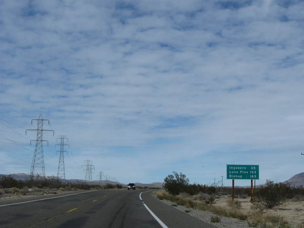 |
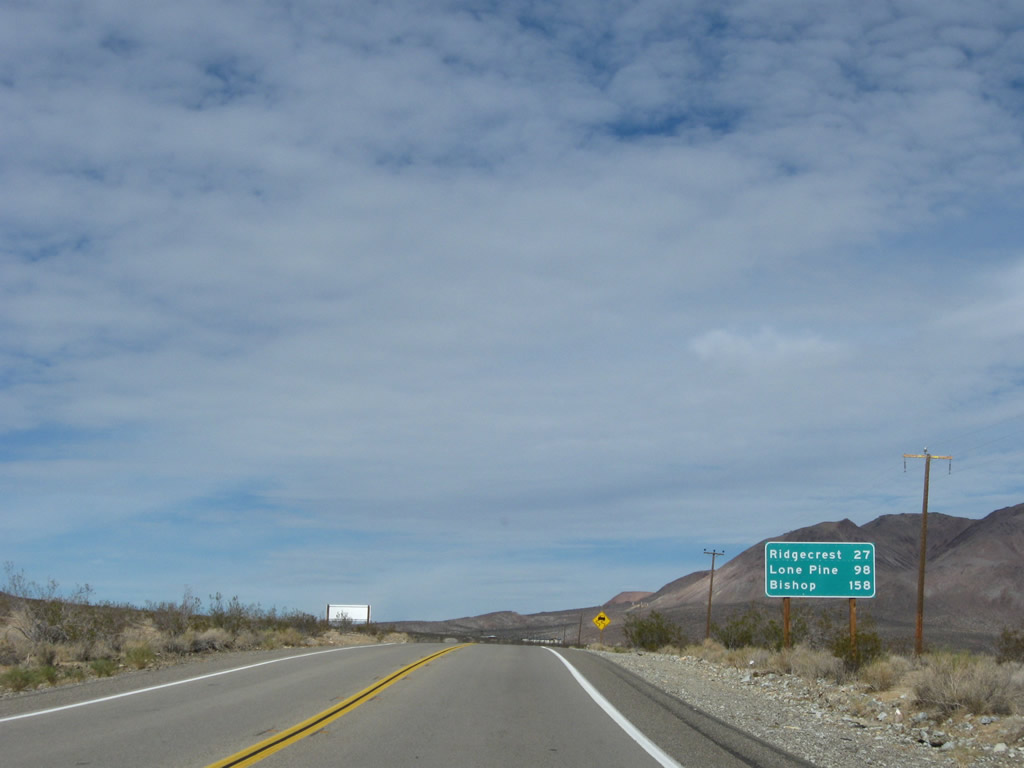
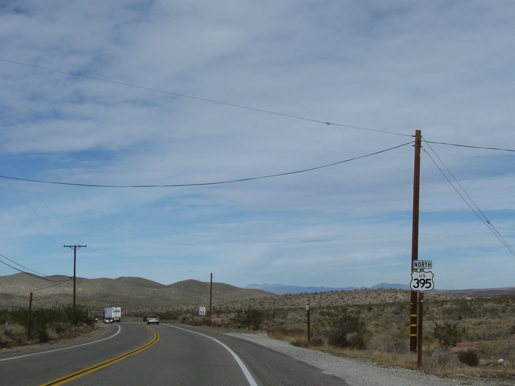
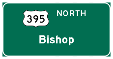
This mileage sign along northbound U.S. 395 provides the distance to Inyokern (35 miles), Lone Pine (103 miles), and Bishop (163 miles). Bishop functions as the northbound control city for U.S. 395 through the Mojave Desert and Owens Valley. Photo taken 11/10/08. |
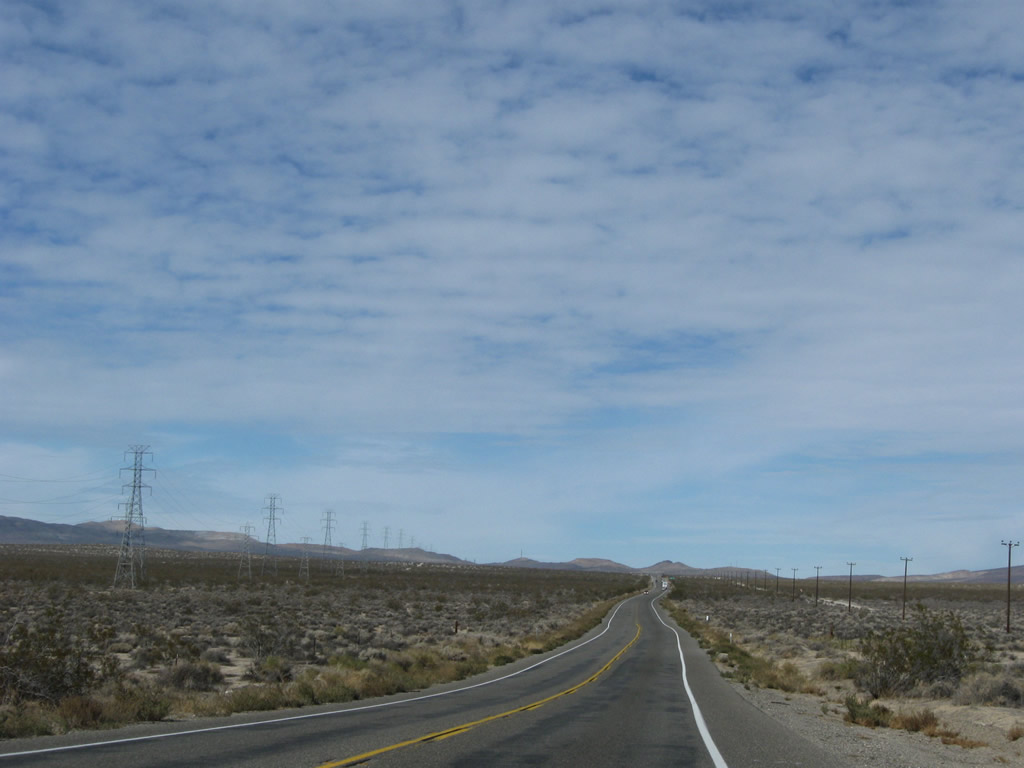 |
Although the terrain gets to be a bit more varied, the highway remains two lanes. Photo taken 11/10/08. |
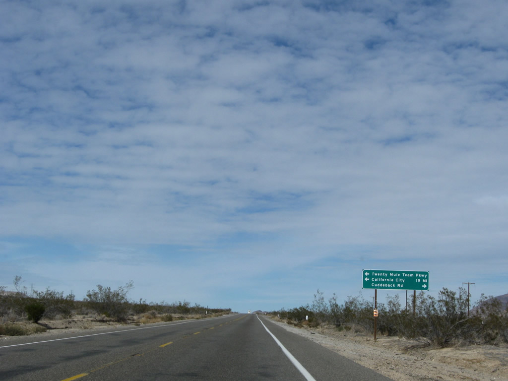 |
Northbound U.S. 395 approaches Twenty Mule Team Parkway, which travels southwest to California City (20 miles from here). Turn right to follow Cuddeback Road to Cuddeback Lake. Photo taken 11/10/08. |
 |
 |
 |
 |
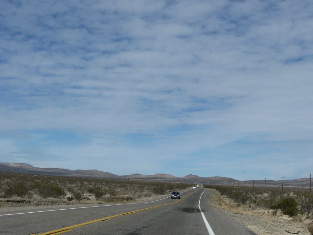
The two-lane highway continues north as the Rand Mountains come into view. Upon reaching Red Mountain, U.S. 395 will leave San Bernardino and enter Kern County. Photos taken 11/10/08. |
 |
This mileage sign along northbound U.S. 395 provides the distance to Inyokern (35 miles), Lone Pine (103 miles), and Bishop (163 miles). Photo taken 11/10/08. |
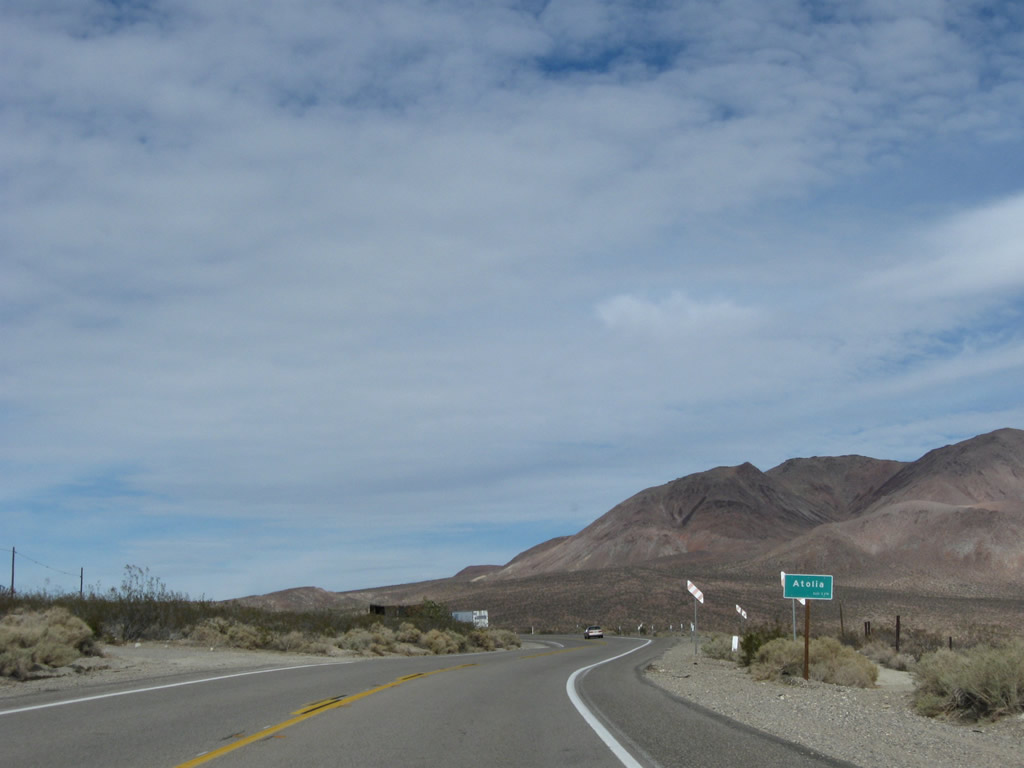 |
Northbound U.S. 395 enters the settlement of Atolia. Tungsten mining in the early 20th century brought development and a brief population spurt to Atolia, but today it is largely abandoned. Photo taken 11/10/08. |
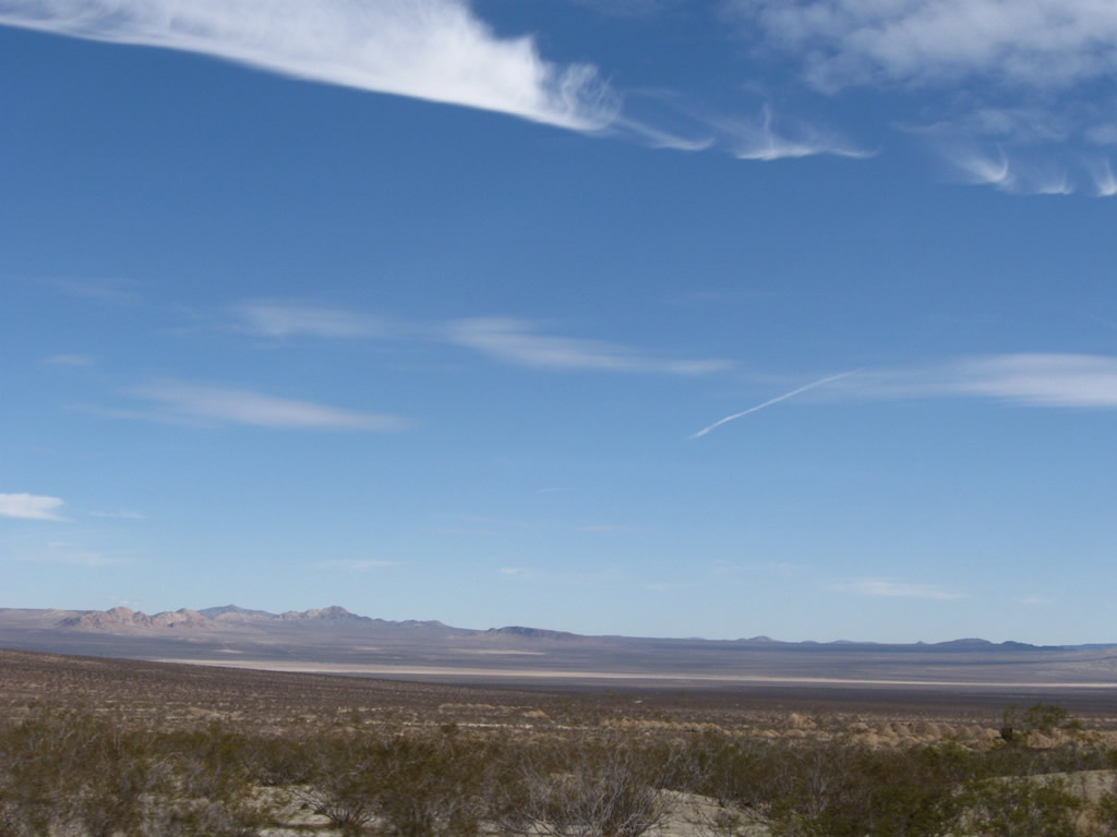 |
This view looks northwest from U.S. 395 toward Cuddeback Dry Lake and Grass Valley Wilderness in the vast Mojave Desert. Photo taken 11/10/08. |
 |
The Lava Mountains come into view toward the northeast. Photo taken 11/10/08. |
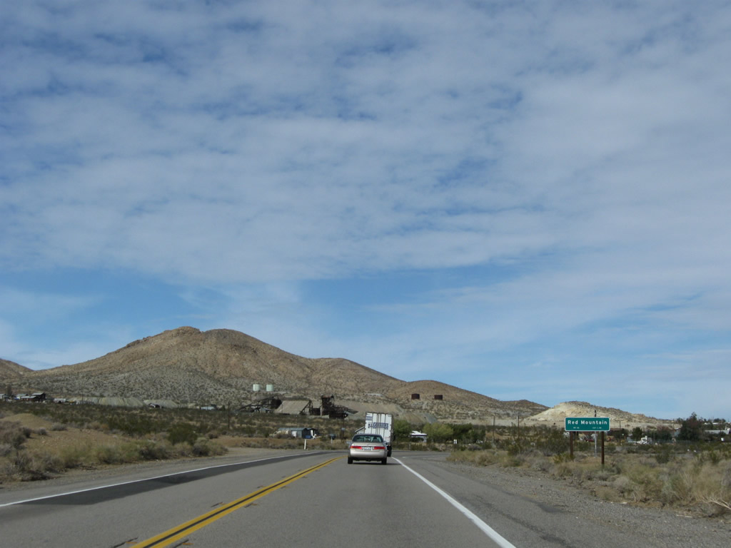 |
U.S. 395 enters the unincorporated community of Red Mountain, another former mining town. Photo taken 11/10/08. |
 |
A U.S. 395 reassurance shield is posted upon entering the largely unpopulated area of Red Mountain. Along with Johannesburg, this area is part of the mining district at the northeastern end of the Rand Mountains and southwestern end of the Lava Mountains. Photo taken 11/10/08. |
 |
Upon leaving Red Mountain, a second U.S. 395 north reassurance shield is posted. Photo taken 11/10/08. |
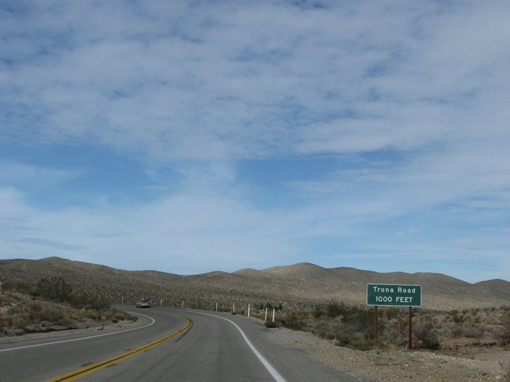 |
Between the communities of Red Mountain and Johannesburg is an intersection with Trona Road, which travels northeast to meet California 178 in Saltwells Valley east of Ridgecrest, southwest of Trona, and west of Searles Dry Lake. Photo taken 11/10/08. |
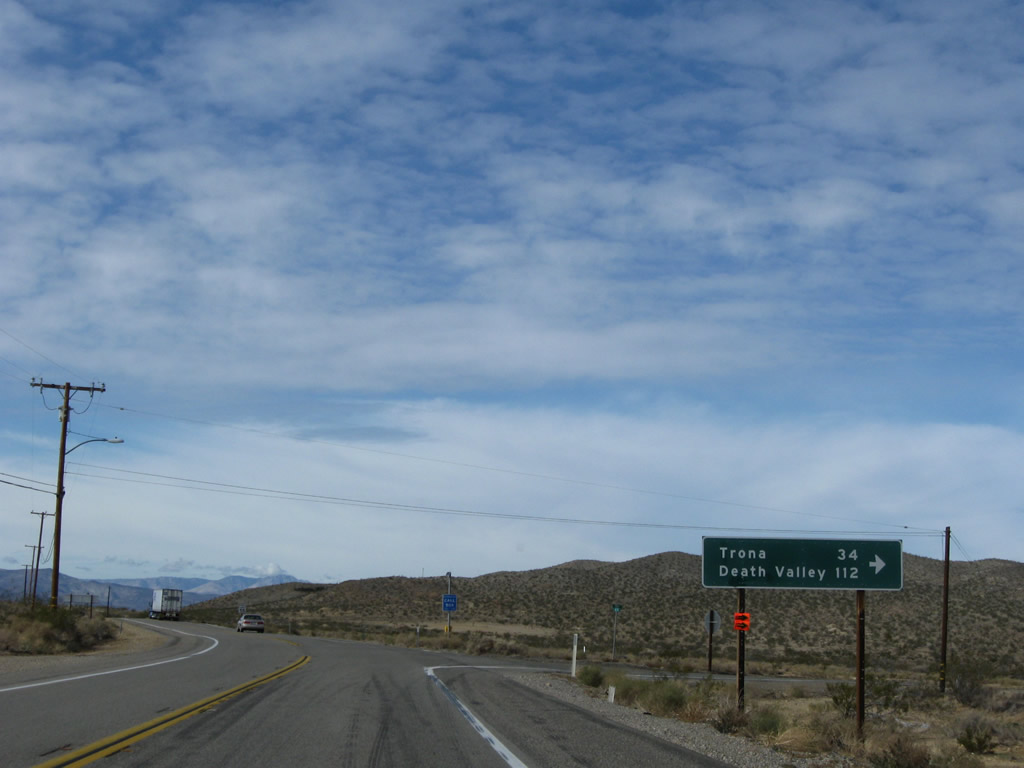 |
This mileage sign provides the distance to Trona (34 miles) and Death Valley National Park (112 miles) via Trona Road northeast. Photo taken 11/10/08. |
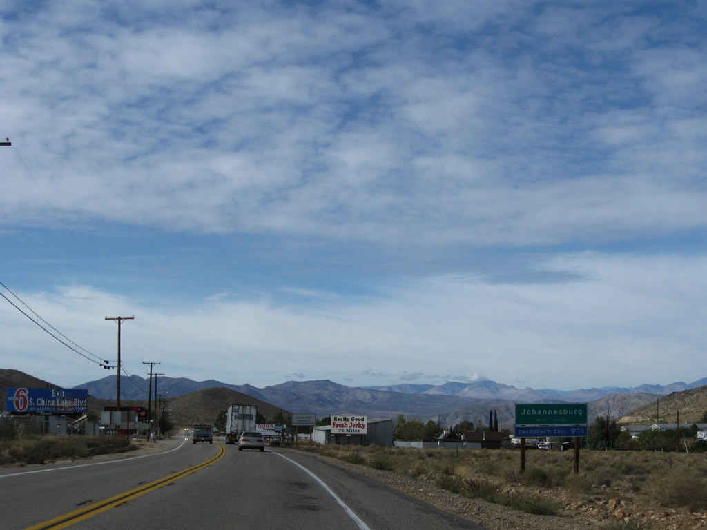 |
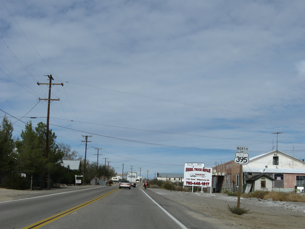
U.S. 395 enters the unincorporated community of Johannesburg, which is largely located in Kern County. Johannesburg (population 176 as of the 2000 Census) sits at an elevation of 3,510 feet and is part of the mining district situated in the Rand Mountains; silver mining was significant in the first half of the 20th century. Photo taken 11/10/08. |
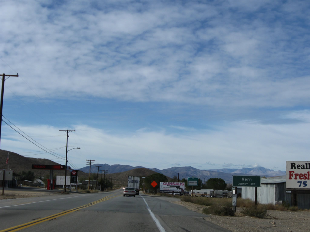 |
Immediately thereafter, U.S. 395 leaves San Bernardino County and enters Kern County. U.S. 395 will stay in Kern County from Johannesburg north to Pearsonville, passing between Inyokern to the west and Ridgecrest to the east. Some limited motorist services are available here; most motorist services are in Ridgecrest. Photo taken 11/10/08. |


Page Updated March 9, 2010.
|
About Contact Glossary |
In The News Interstate Guide |
Social Media:
 |
|
© 2000-25 AARoads.com | All Rights Reserved | Privacy Policy / Terms of Use
|
||