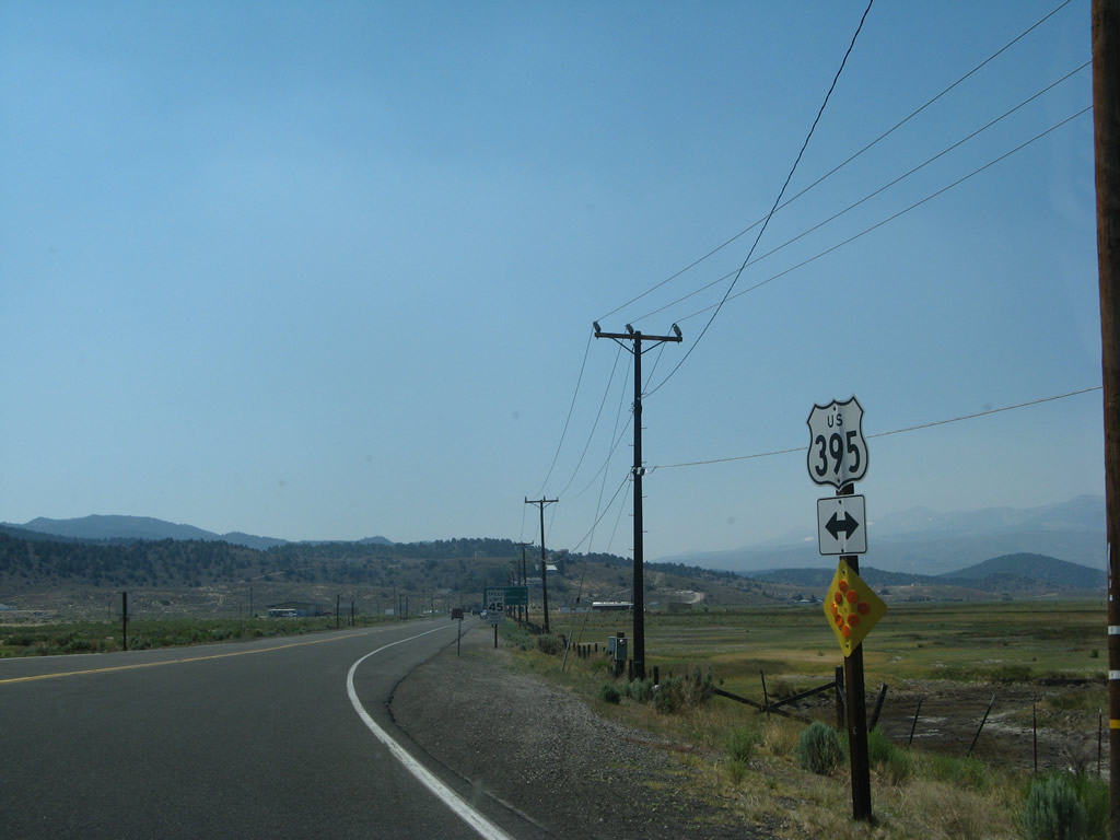
| U.S. 395 south |
|
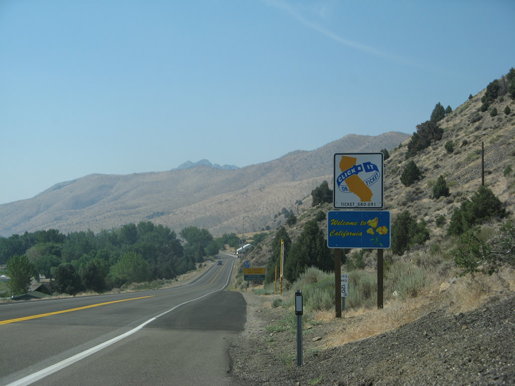
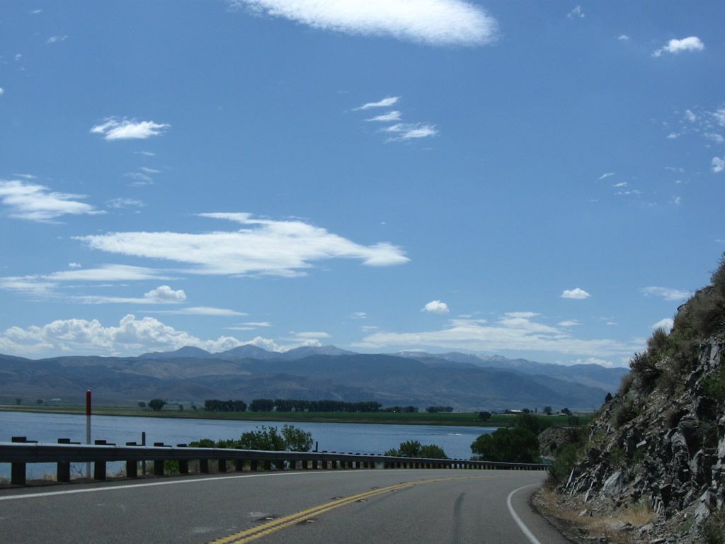
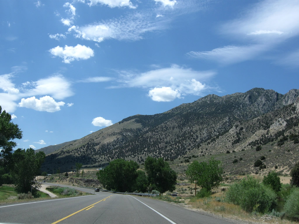
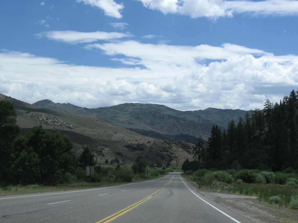
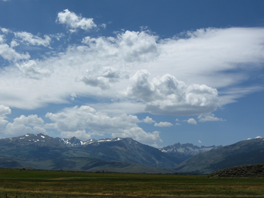
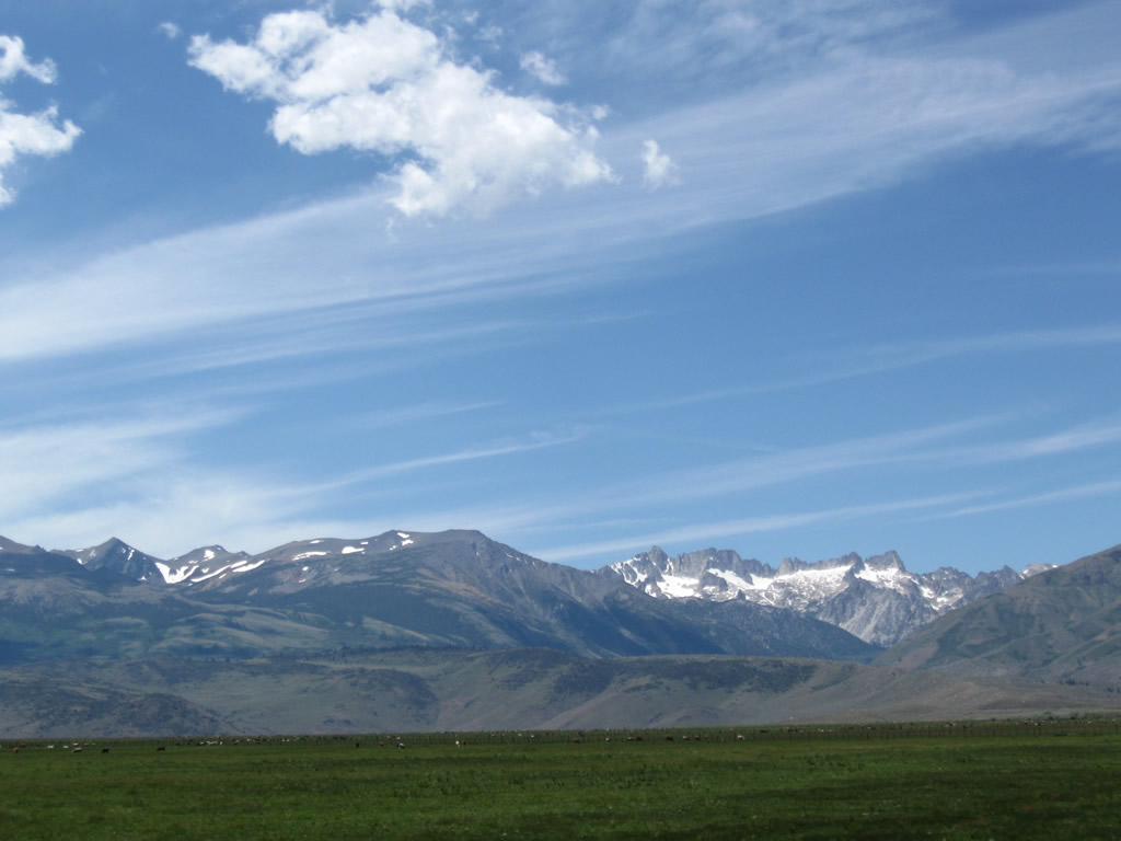
Leaving Nevada, U.S. 395 re-enters the Golden State of California along the west shore of Topaz Lake, the reservoir that holds water from the West Walker River in the Antelope Valley. From here, U.S. 395 will travel through the scenic Eastern Sierra en route to Bridgeport, Lee Vining, Bishop, and Independence. The U.S. highway then proceeds into the Mojave Desert, passing by Inyokern and Ridgecrest before uniting with Interstate 15 in Hesperia. Photo taken 07/09/07. |
|
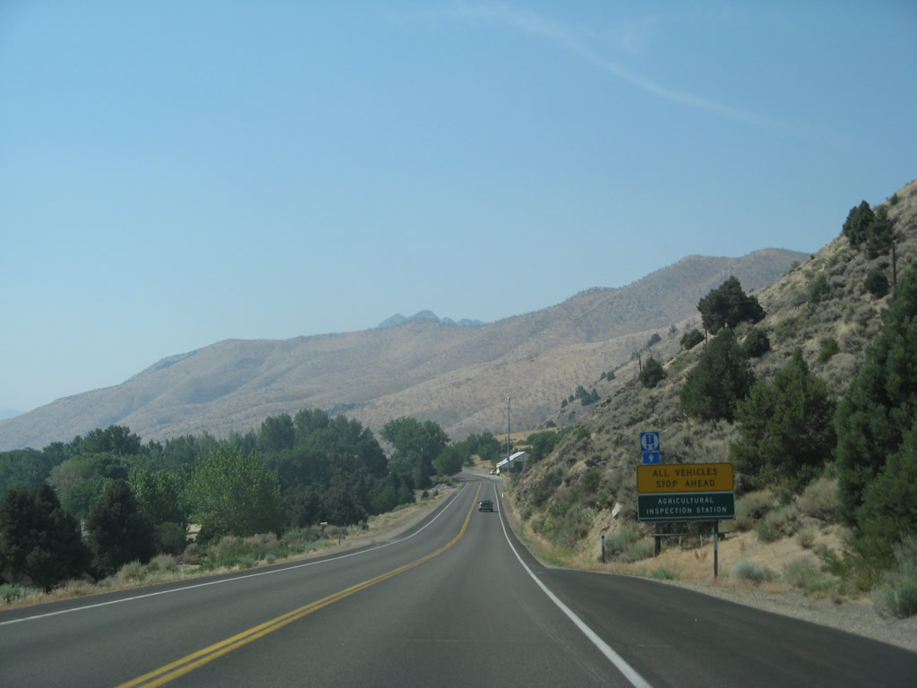
All vehicles along U.S. 395 must stop at the California Agricultural Inspection Station. This station is in place to enforce California's agricultural regulations and ensure quarantined produce and animals are not illegally brought into the state. Photo taken 07/09/07. |
|
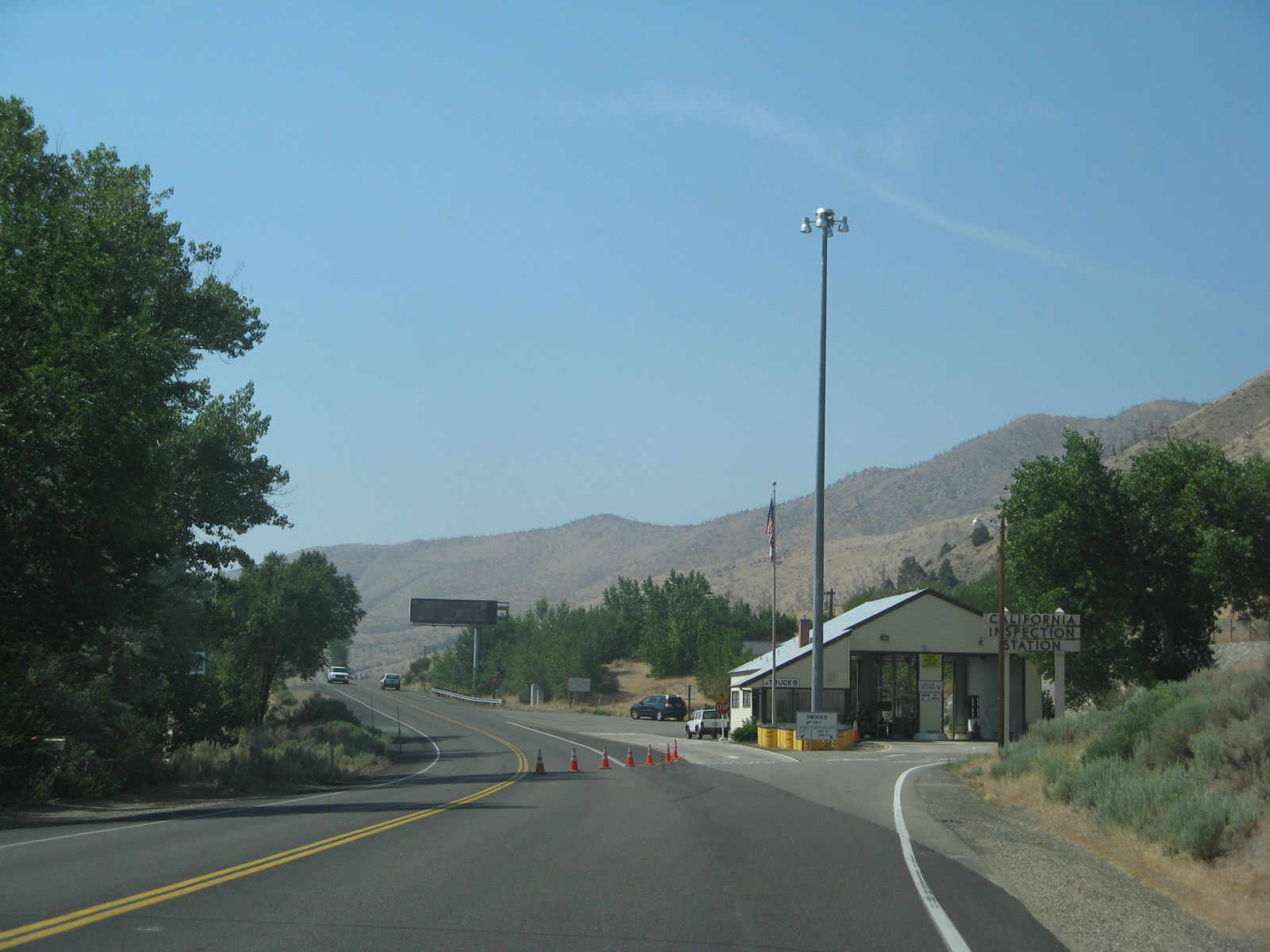
Southbound U.S. 395 approaches the agricultural inspection station. Unless there is a line, this station should only take a moment or two to pass through. Photo taken 07/09/07. |
|
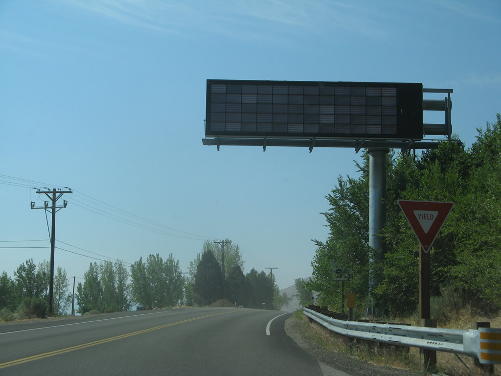
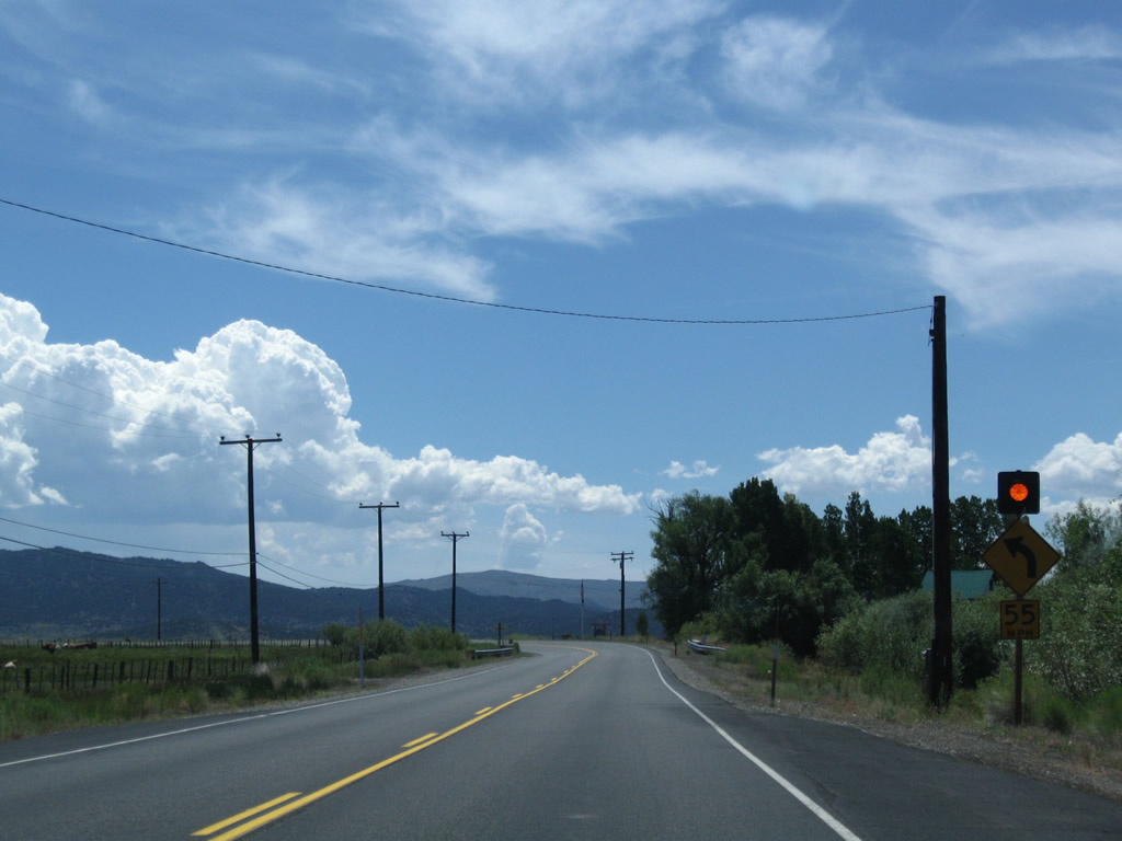
A variable message sign advises of any weather, traffic, or other warnings for vehicles traveling along U.S. 395 south. Photo taken 07/09/07. |
|
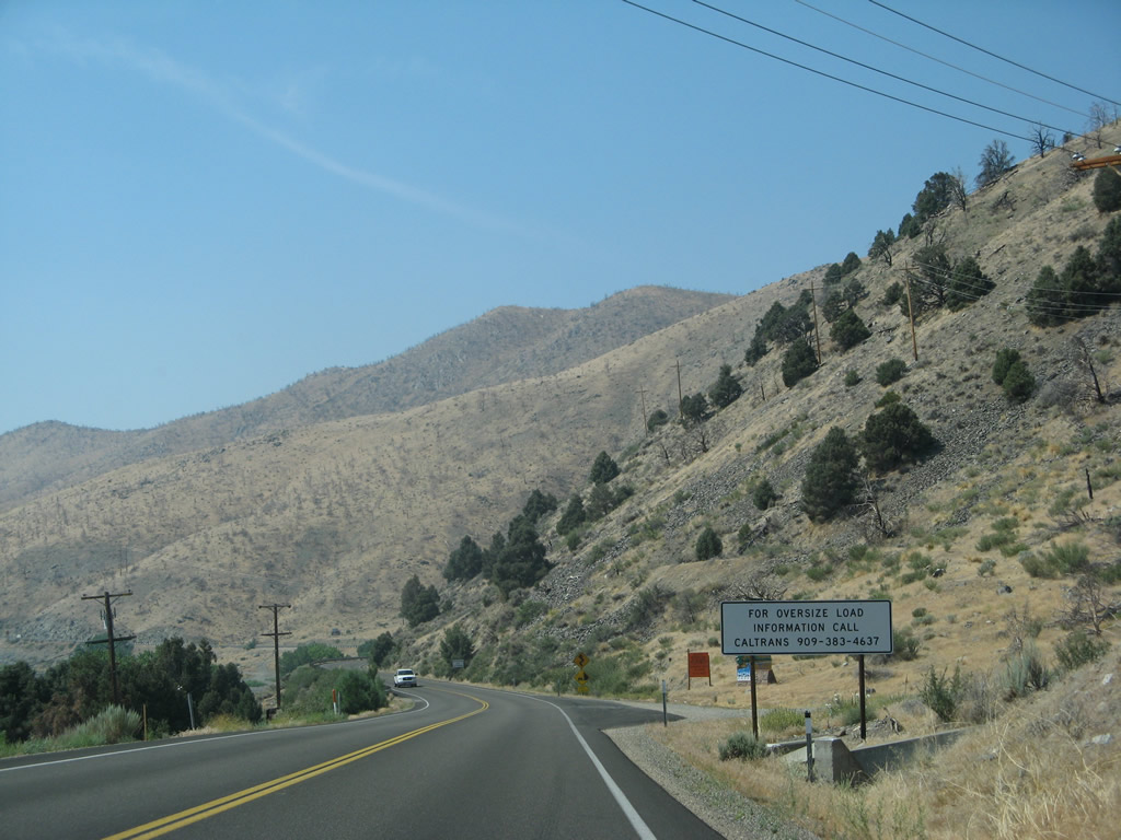
A regulatory sign advises truckers with oversize loads to contact Caltrans before proceeding south along U.S. 395. Photo taken 07/09/07. |
|
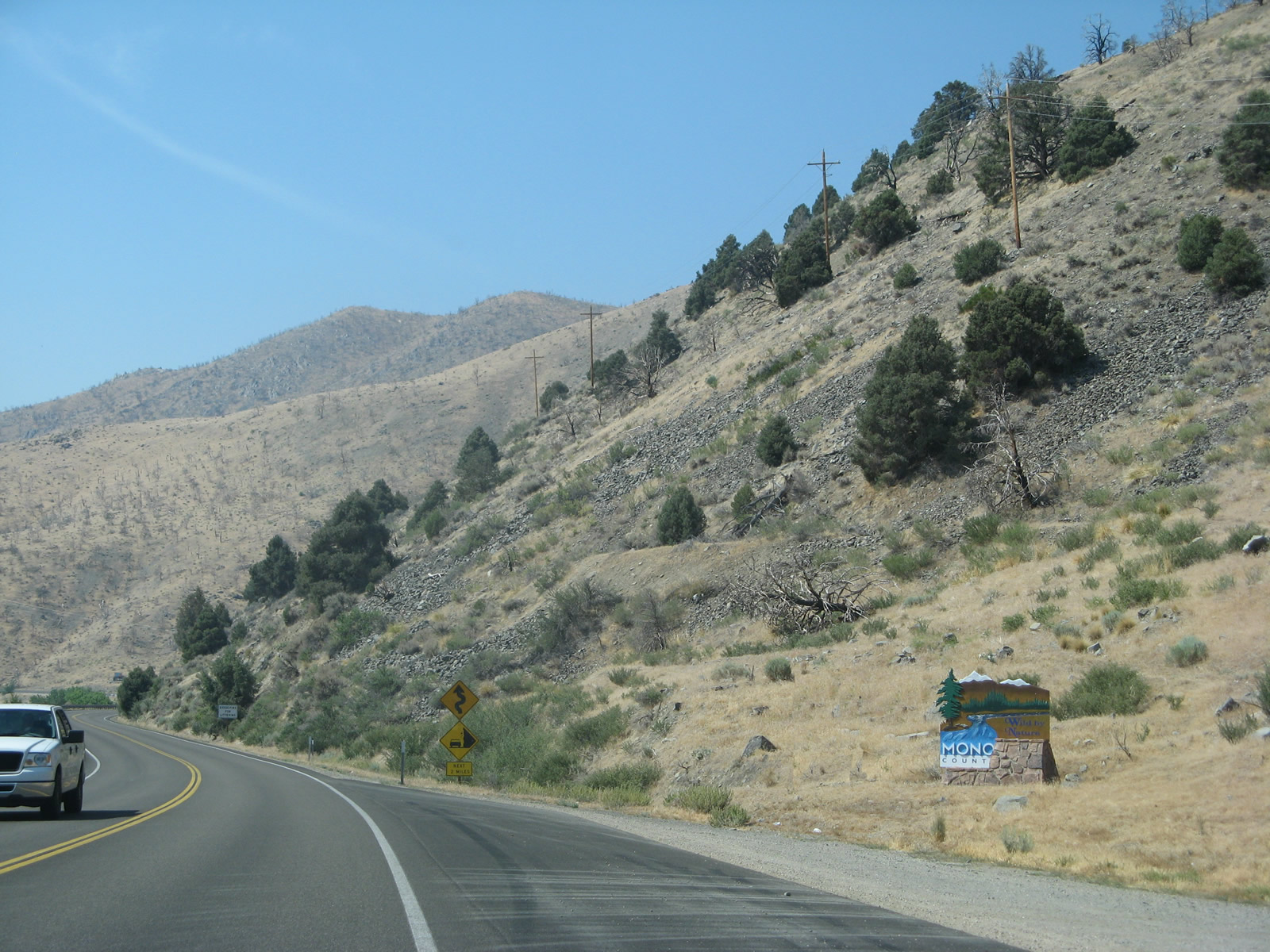
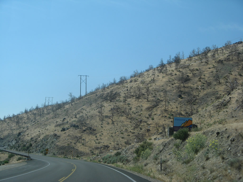
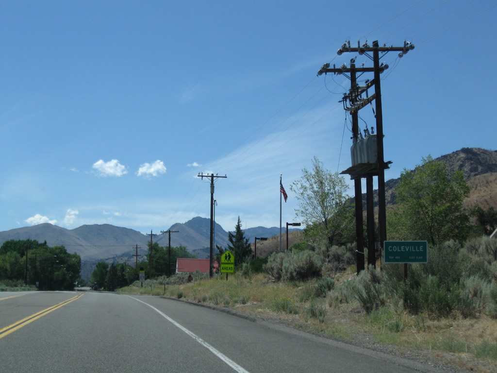
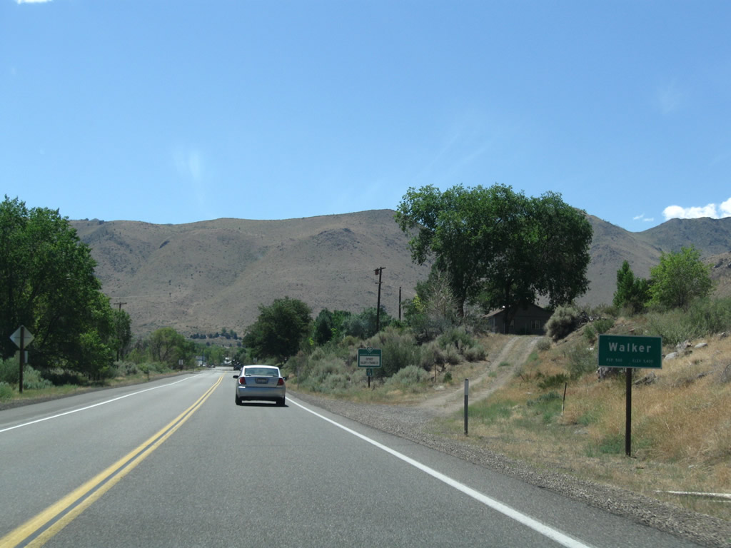
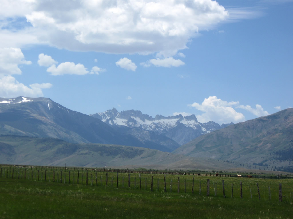
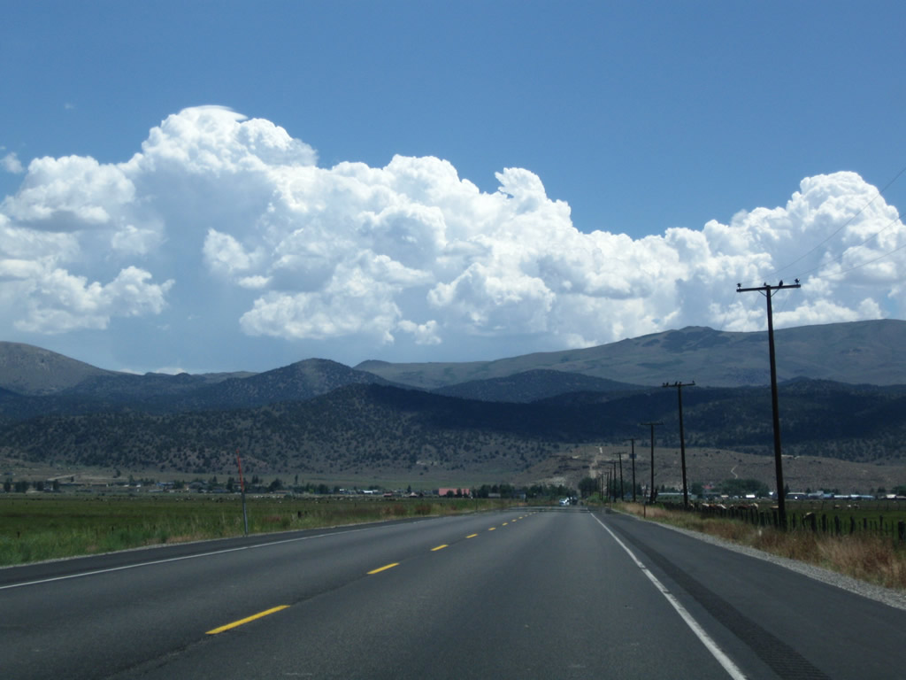
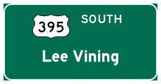
For the first 120 miles, U.S. 395 passes through scenic Mono County. This large county in the Eastern Sierra is home to 12,853 as of the 2000 Census and includes only one incorporated city (Mammoth Lakes). U.S. 395 passes through the various significant communities in Mono County, including Antelope Valley (Topaz, Coleville, Walker), Bridgeport (county seat), and Lee Vining. Photo taken 07/09/07. |
|
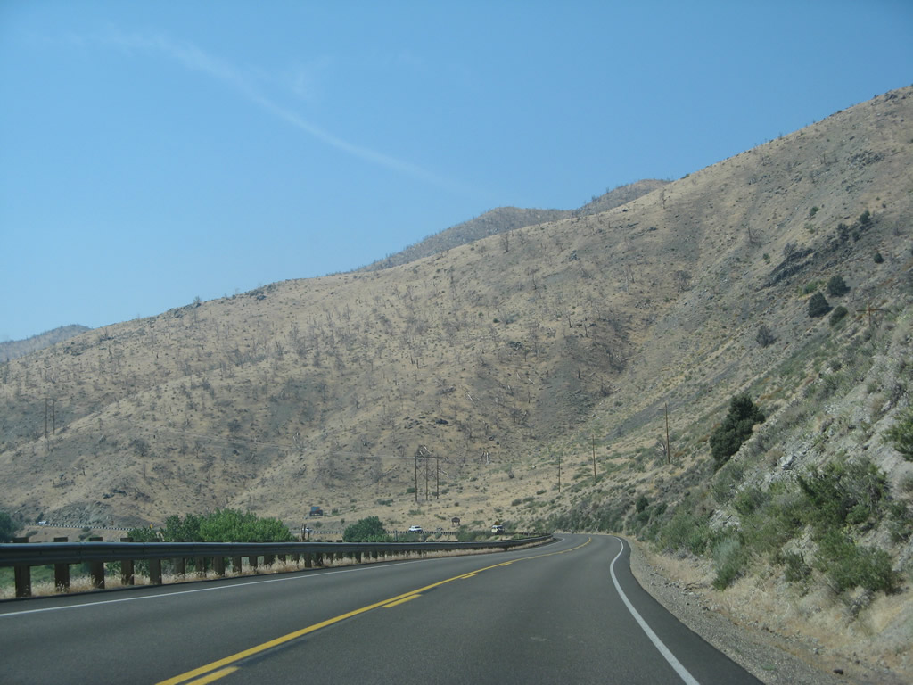
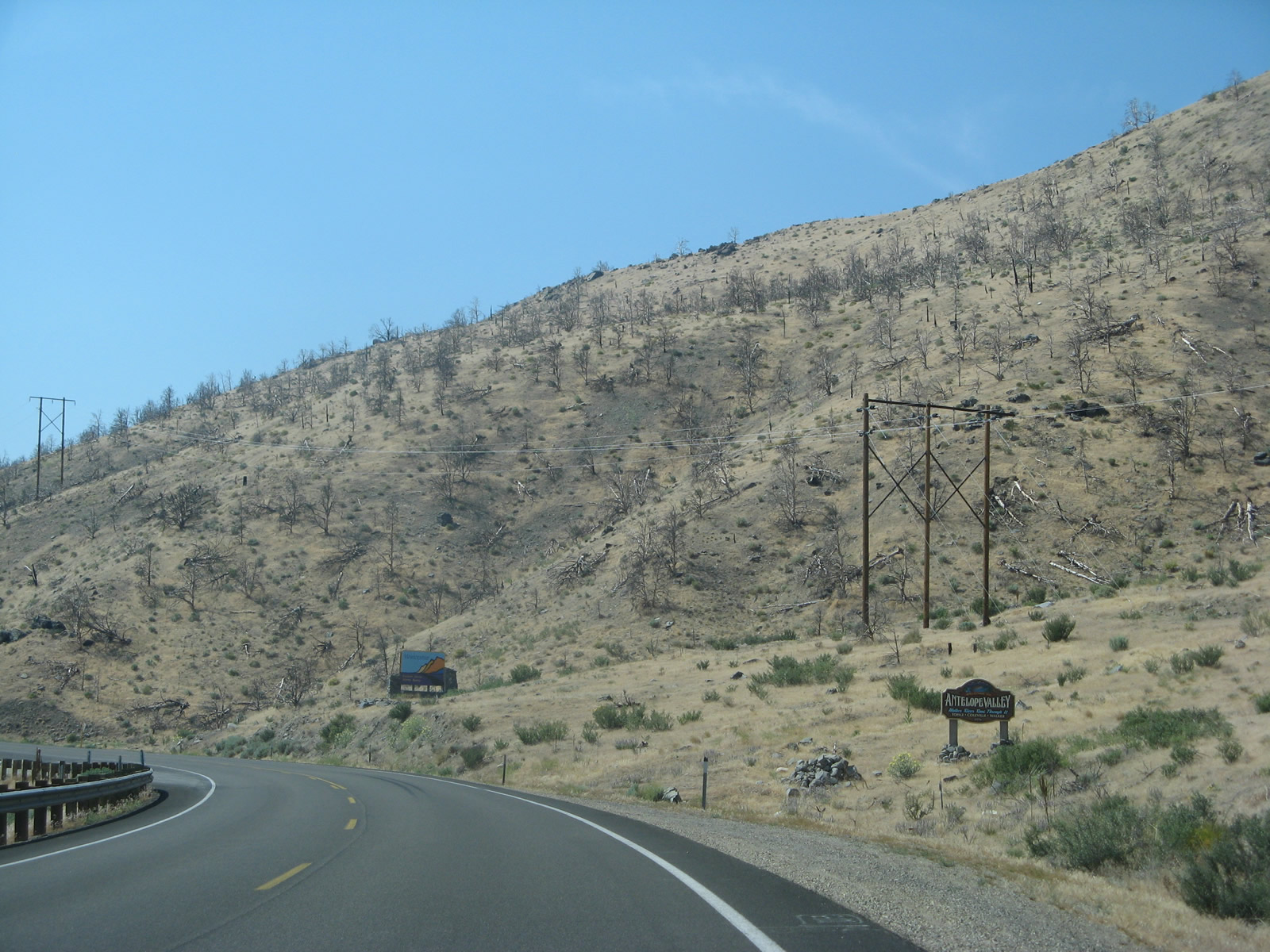
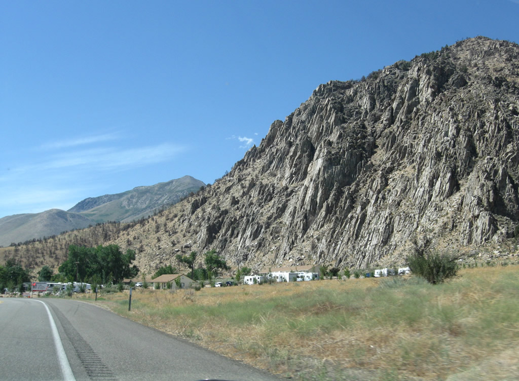
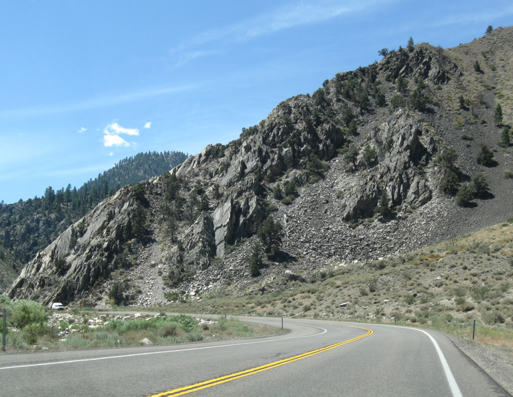
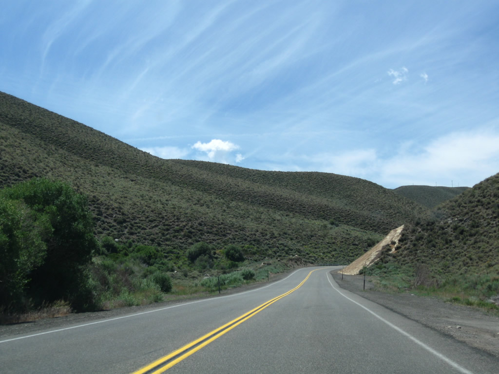
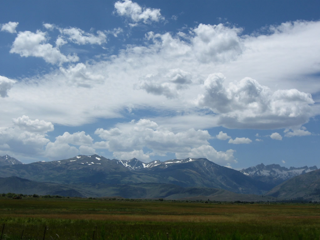
U.S. 395 continues south alongside the west side of Topaz Lake. The two-lane highway sees some damaged areas that were burned in a prior fire. Photo taken 07/09/07. |
|
The Antelope Valley, which is formed by the West Walker River, includes the communities of Topaz, Coleville, and Walker. The valley includes prime agricultural land, and several farms and ranches are located east of U.S. 395 within the river valley. Photo taken 07/09/07. |
|
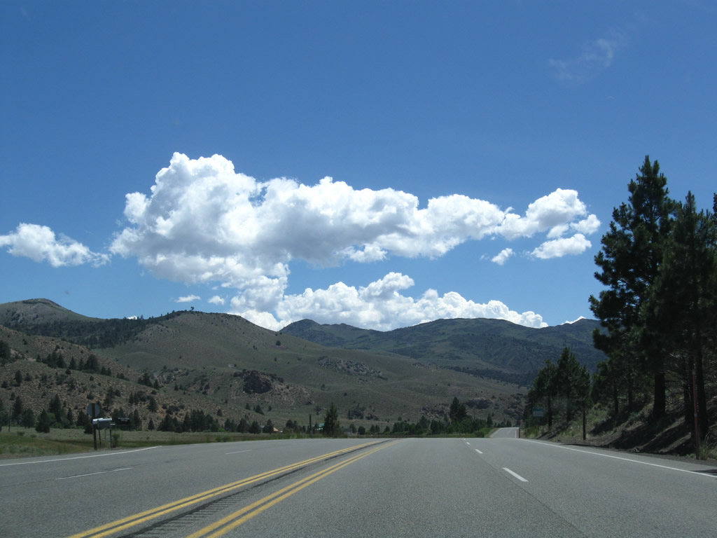
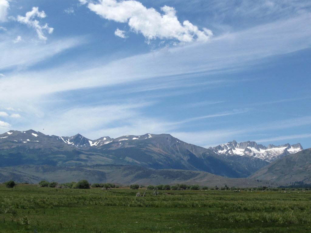
U.S. 395 is an official scenic byway as it passes through the Eastern Sierra, which extends from the Antelope Valley south to Owens Lake via Bridgeport Valley, Mono Lake, and Owens Valley. Photo taken 07/09/07. |
|
Topaz Lake comes into view again along U.S. 395 south. Photo taken 07/19/09. |
|
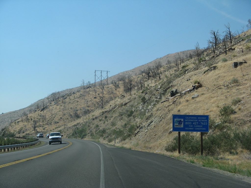
This sign advises of a toll-free phone number to call Caltrans for road and weather conditions for U.S. 395. Photo taken 07/09/07. |
|
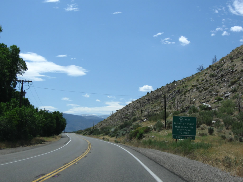
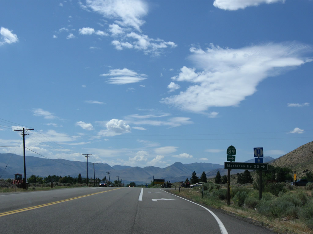
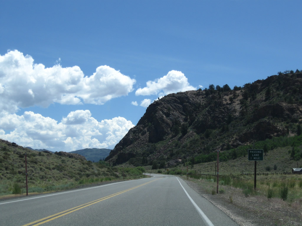
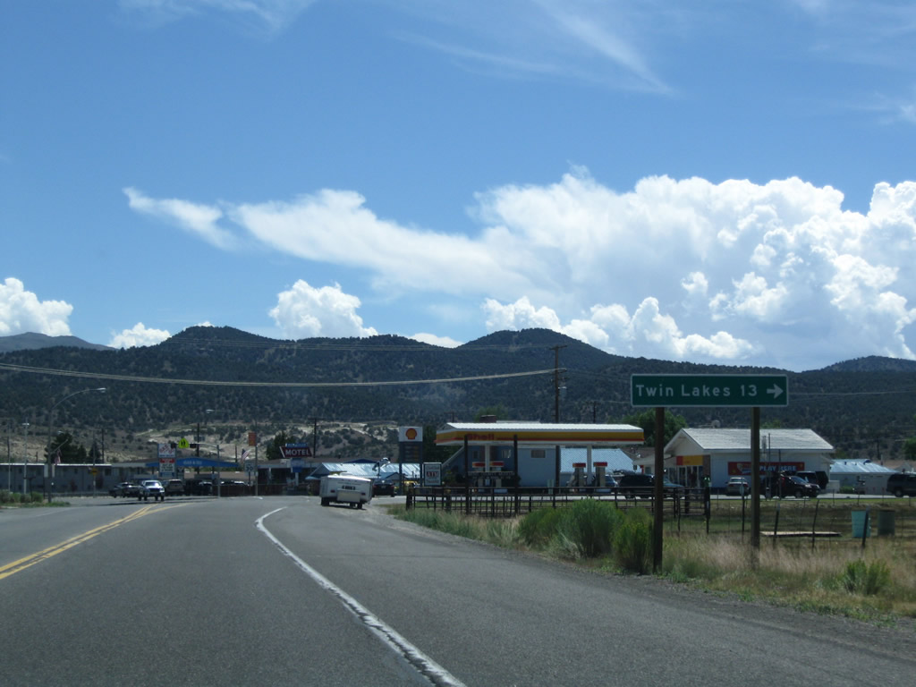
Southbound U.S. 395 approaches California 89, which travels west via Monitor Pass to Junction California 4 en route to Angels Camp via Ebbetts Pass; Markleeville (seat of Alpine County); and Junction California 88 en route to Jackson via Carson Pass. Both Monitor Pass and Ebbetts Pass are closed through the winter. California 89 is a major route in Northern California; it extends from here north to Lake Tahoe and Truckee, then proceeds northwest to Lassen National Volcanic Park and Mount Shasta, ending at Interstate 5. Known as Slinkard Junction, near this intersection are a weigh station and Caltrans maintenance station. Photo taken 07/19/09. |
|
At Slinkard Junction, a mileage sign provides the distance to Markleeville (22 miles) via California 89 north (west). Monitor Pass is closed in winter. Photo taken 07/19/09. |
|
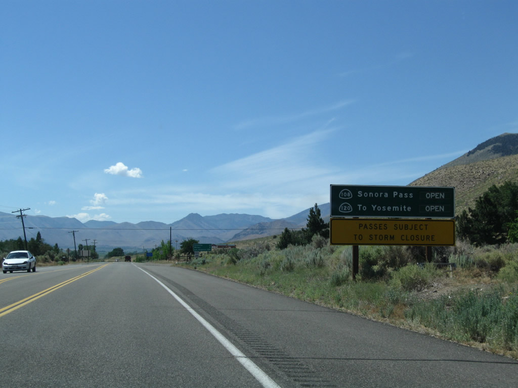
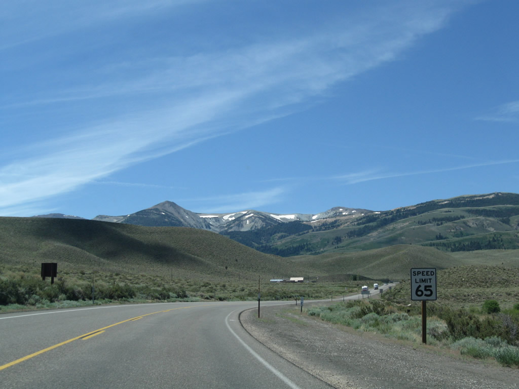
After the California 89 intersection, this sign advises whether the Sonora Pass (via California 108 west to Sonora) and Tioga Pass (via California 120 west to Yosemite) are open for travel. During winter, both passes are closed. Photo taken 07/25/09. |
|
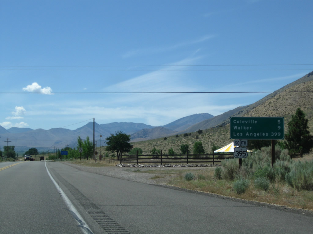
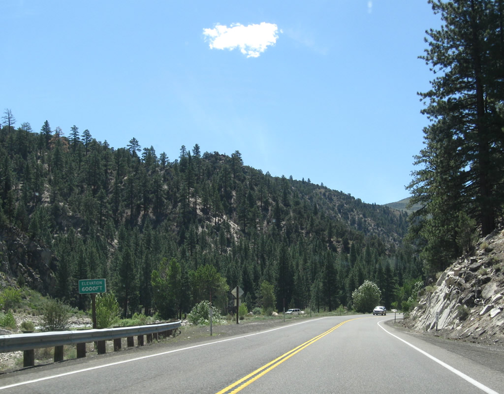
This mileage sign provides the distance to Coleville (five miles), Walker (nine miles), and the control city of Los Angeles (399 miles via California 14 south and Interstate 5 south). Originally, U.S. 395 stayed east of Los Angeles and ended in San Diego, so the control city on southbound mileage signs in the Eastern Sierra occasionally can be San Diego rather than Los Angeles. Photo taken 07/19/09. |
|
|
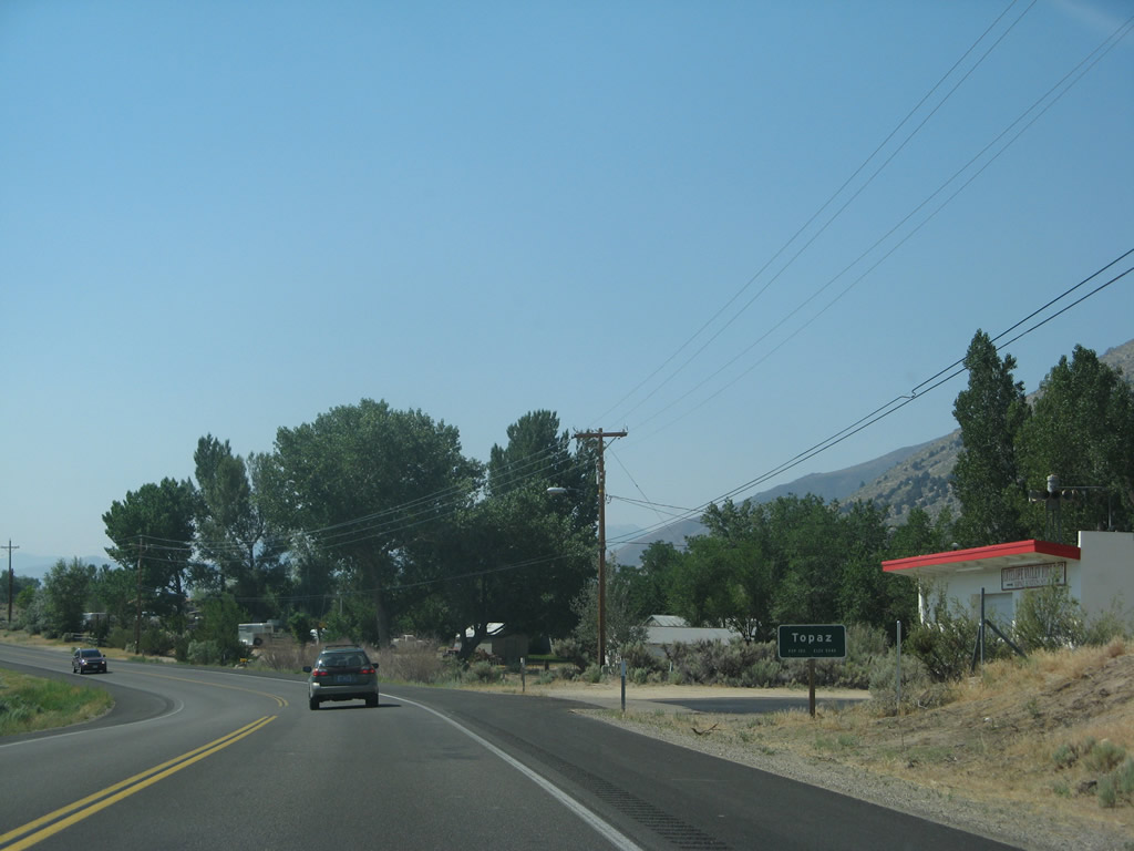
U.S. 395 enters the unincorporated community of Topaz, the first of three in the Antelope Valley. Photos taken 07/19/09. |
|
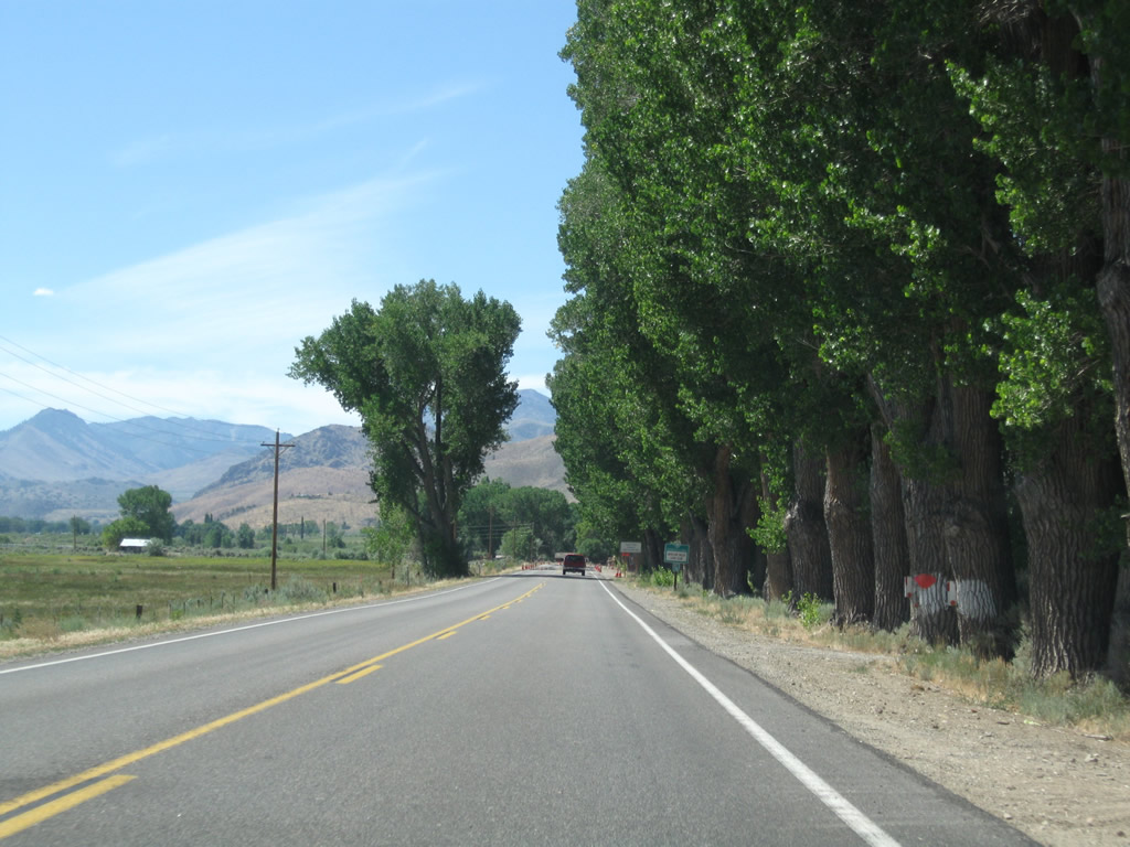
A row of cottonwood trees lines the west side of U.S. 395. Photo taken 07/19/09. |
|
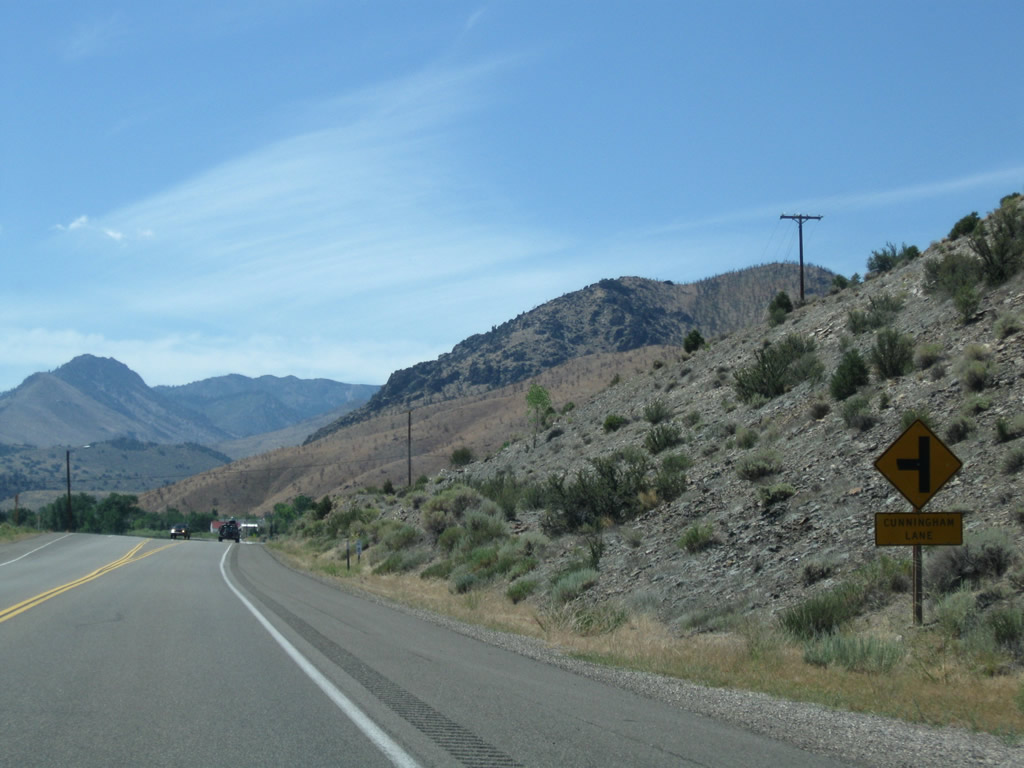
Southbound U.S. 395 (Three Flags Highway) approaches Cunningham Lane. Photo taken 07/19/09. |
|
U.S. 395 enters the unincorporated community of Coleville. Photo taken 07/19/09. |
|
|
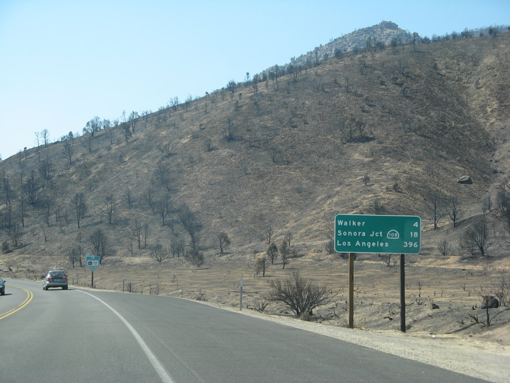
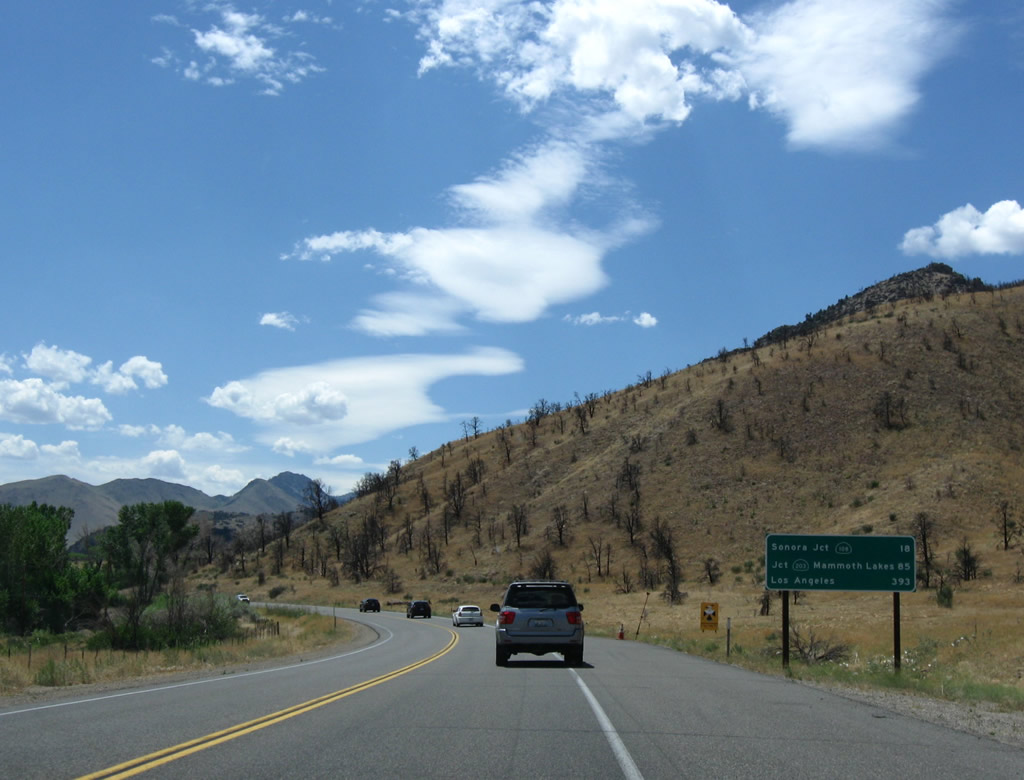
Fire burned through the hillside south of Coleville, and the burned remains of the hillside were visible during the summer of 2007. A mileage sign provided the distance to Walker (four miles), California 108/Sonora Junction (18 miles), California 203/Mammoth Lakes (85 miles), and Los Angeles (393 miles). Photos taken 07/09/07 and 07/19/09. |
|
|
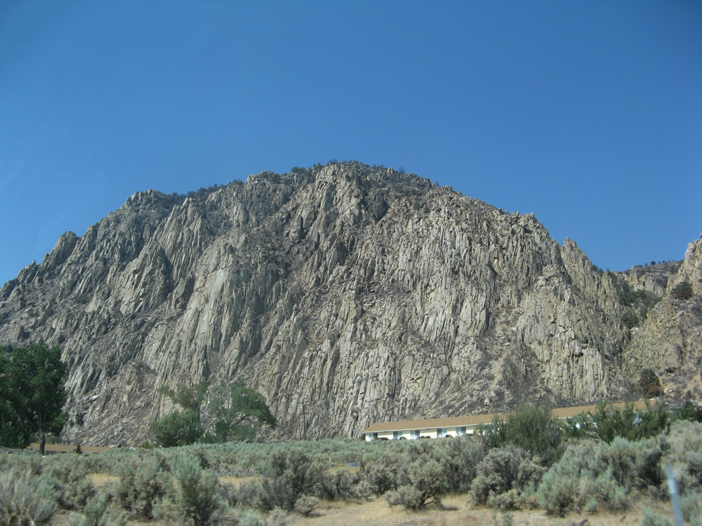
Meadowcliff comes into view on the west side of U.S. 395. Photos taken 07/09/07 and 07/19/09. |
|
|
|
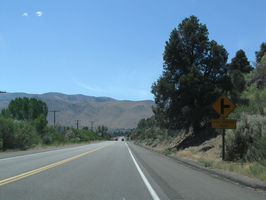
Southbound U.S. 395 approaches Mill Canyon Road. Photo taken 07/19/09. |
|
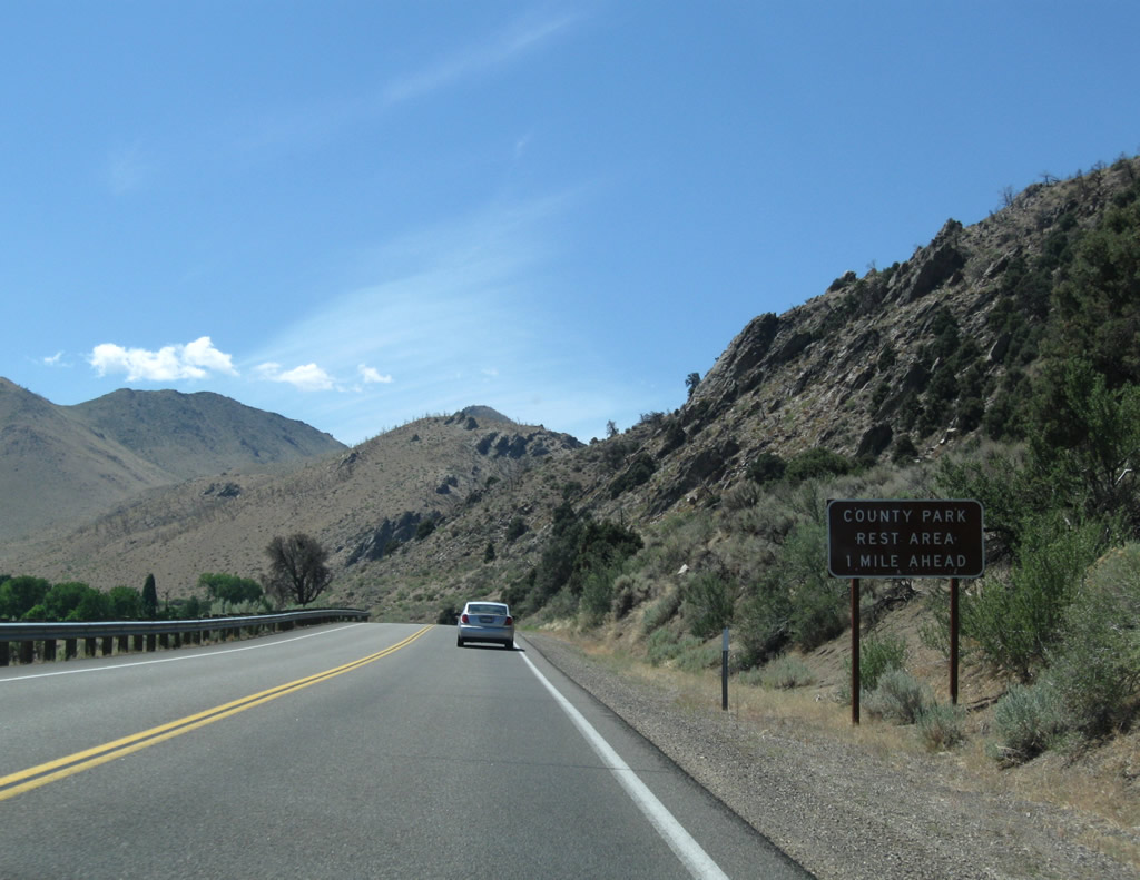
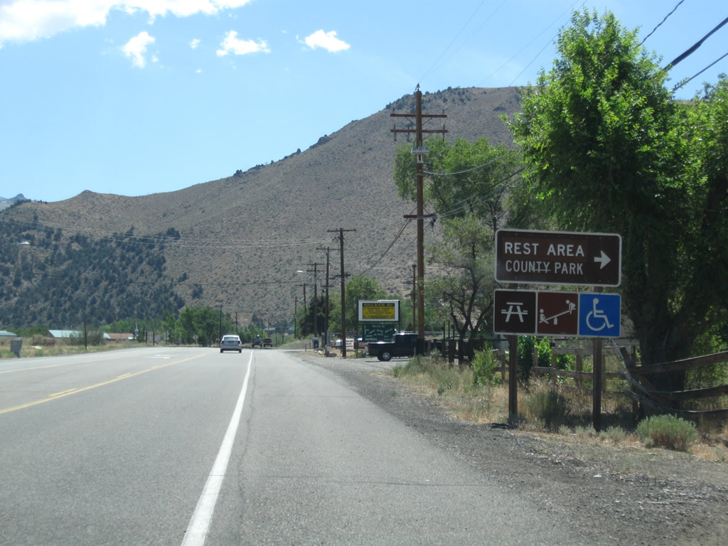
The first rest area along U.S. 395 south is in the community of Walker. An advance sign advises of the County Park Rest Area (one mile). Photo taken 07/19/09. |
|
|
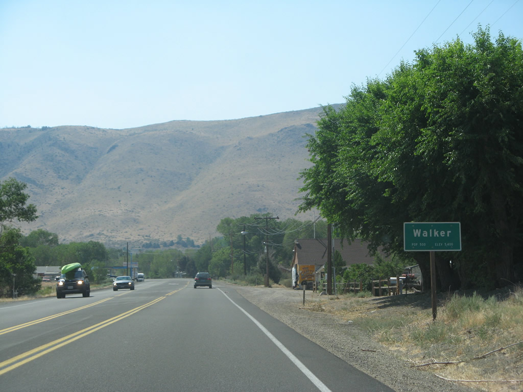
The entry sign for the unincorporated community of Walker apparently moved between 2007 and 2009 as seen in these photos. Walker is the southernmost community in the Antelope Valley. Photos taken 07/19/09 and 07/09/07. |
|
Southbound U.S. 395 meets Hackney Drive, which leads to Walker County Park, Mono County Senior Center, and a rest area with restrooms and water. Photo taken 07/25/09. |
|
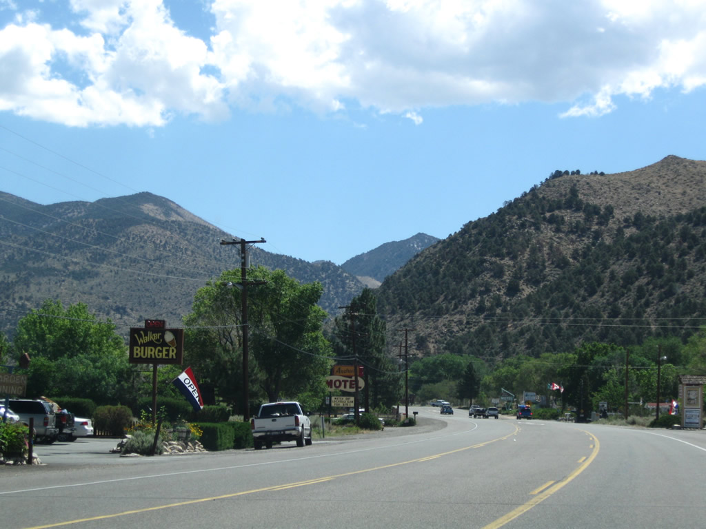
Food, gas, and lodging are all available along U.S. 395 as it passes through Walker. Photo taken 07/25/09. |
|
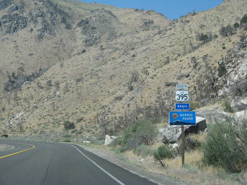
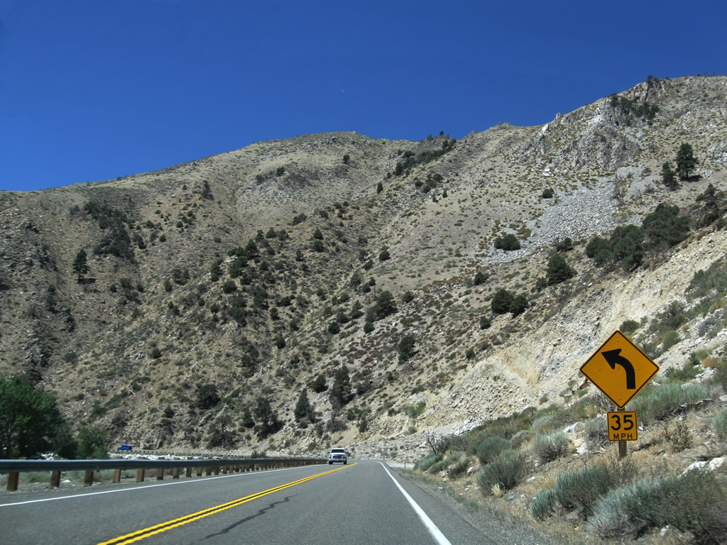
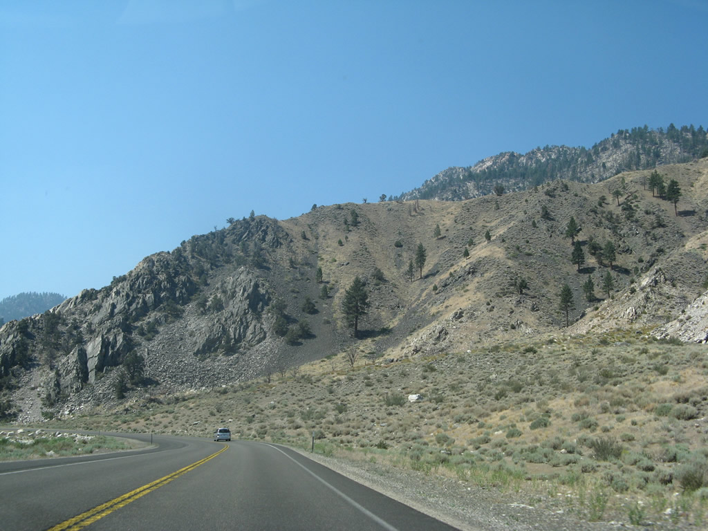
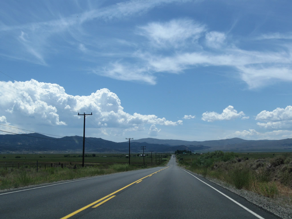
Leaving Walker, this U.S. 395 south reassurance shield and begin official scenic route sign are posted along southbound. A fire also damaged this hillside along the highway. Photo taken 07/25/09. |
|
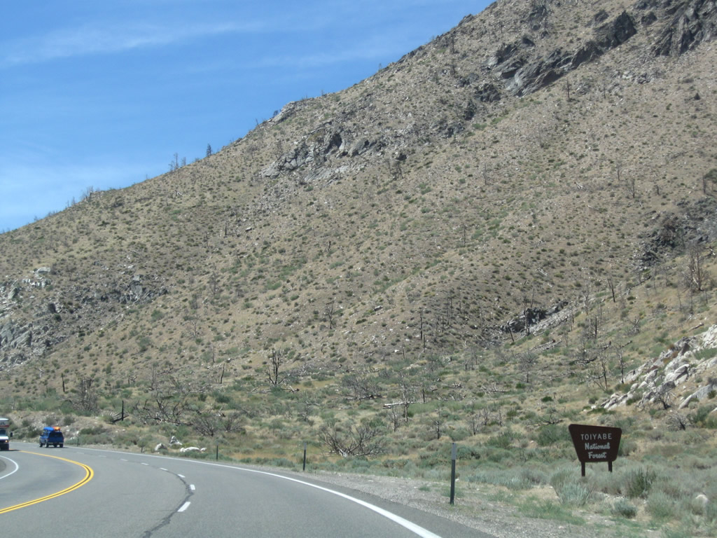
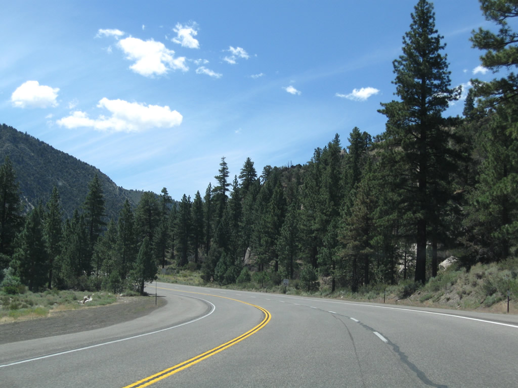
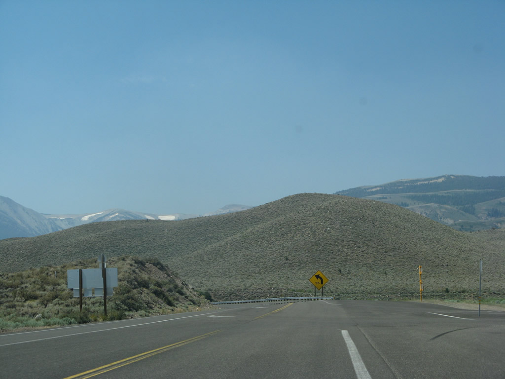
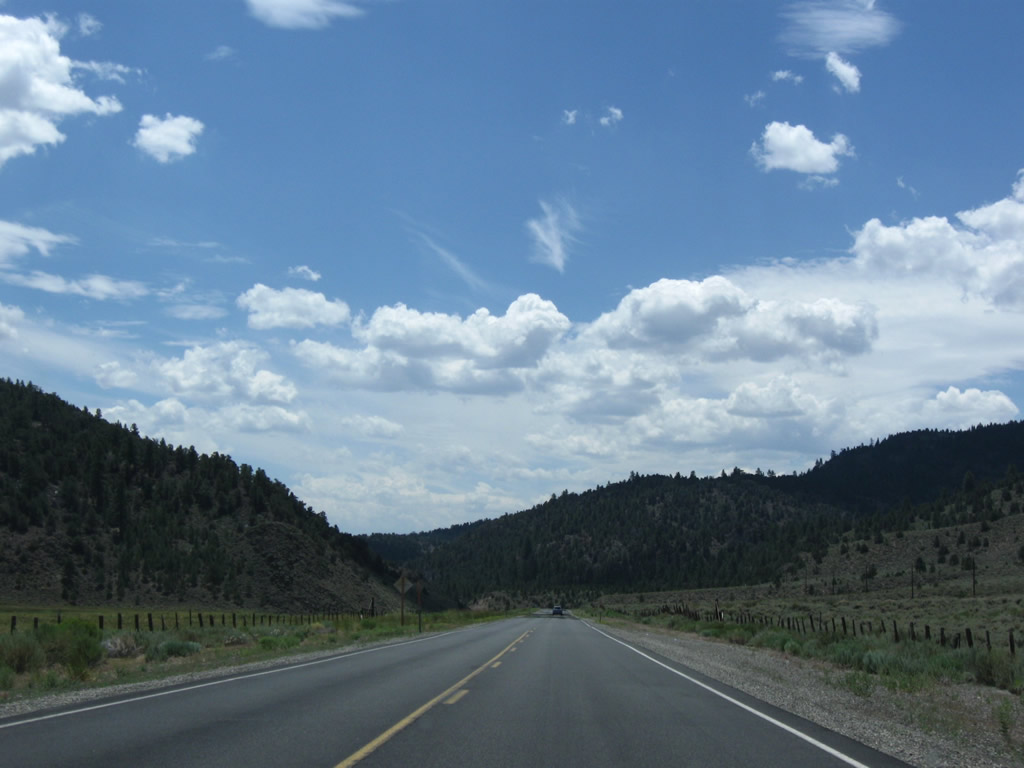
Southbound U.S. 395 enters the Humboldt-Toiyabe National Forest shortly thereafter; from here, the U.S. highway will follow the West Walker and Little Walker Rivers from here south to Sonora Junction (California 108). While scenic, a few curves make this a somewhat slower segment of U.S. 395. Photo taken 07/25/09. |
|
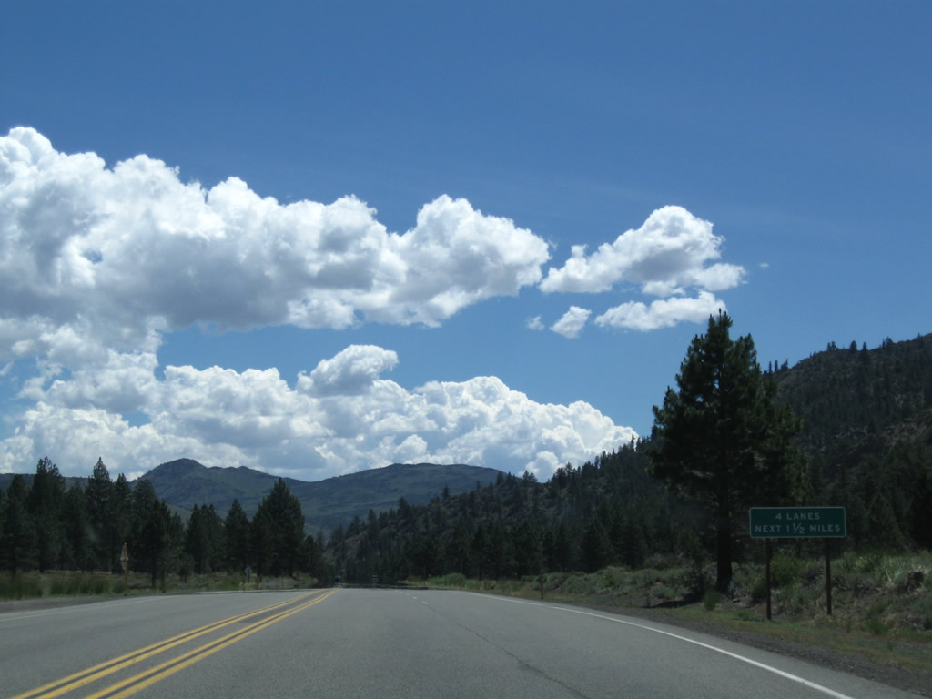
A passing lane along U.S. 395 south allows for faster vehicles to pass prior to entering the narrows ahead. Photo taken 07/19/09. |
|
|
|
|
|
|
|
|
|
|
|
|
|
|
|
|
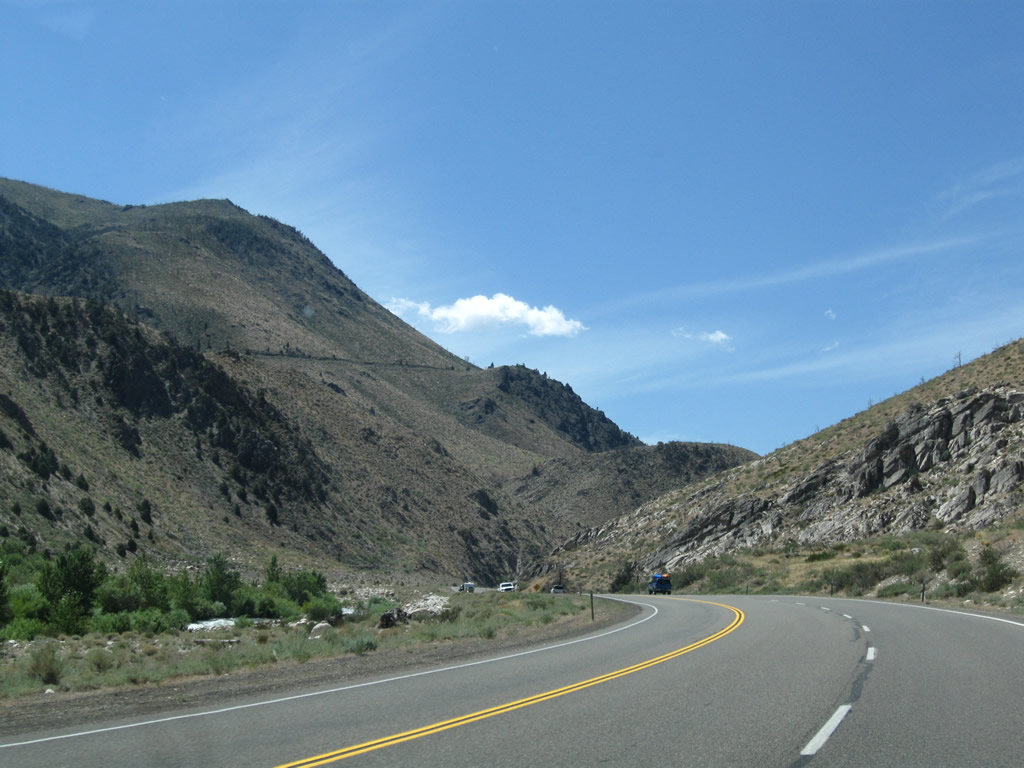
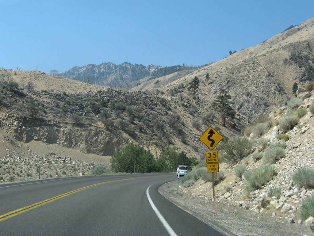
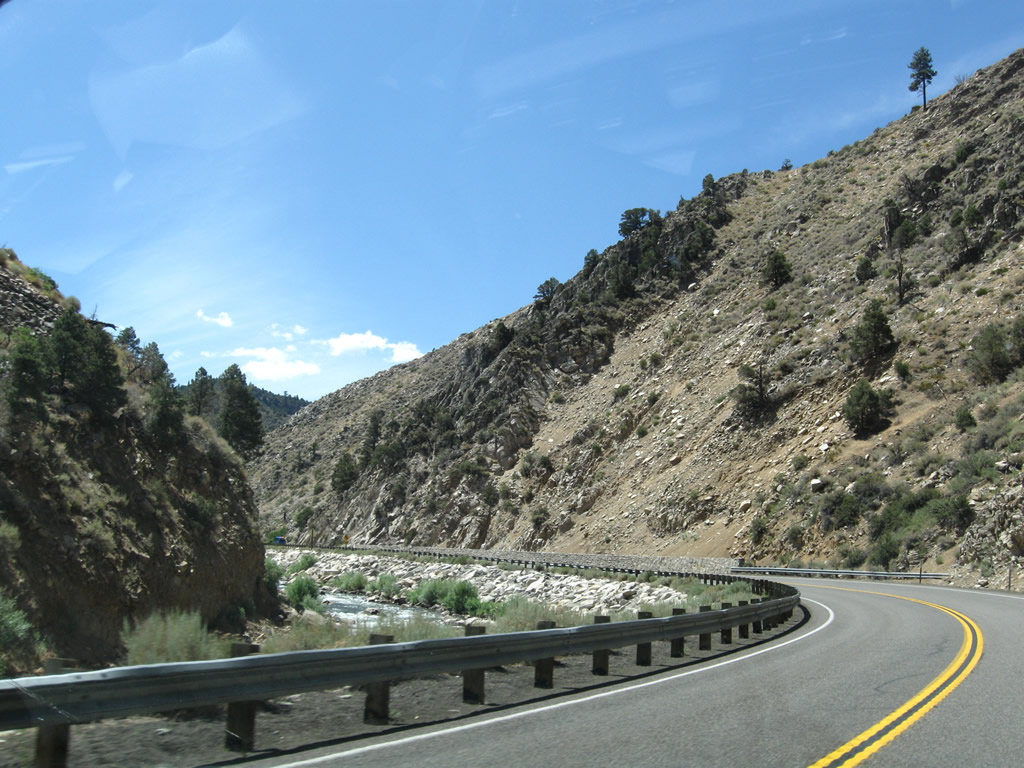
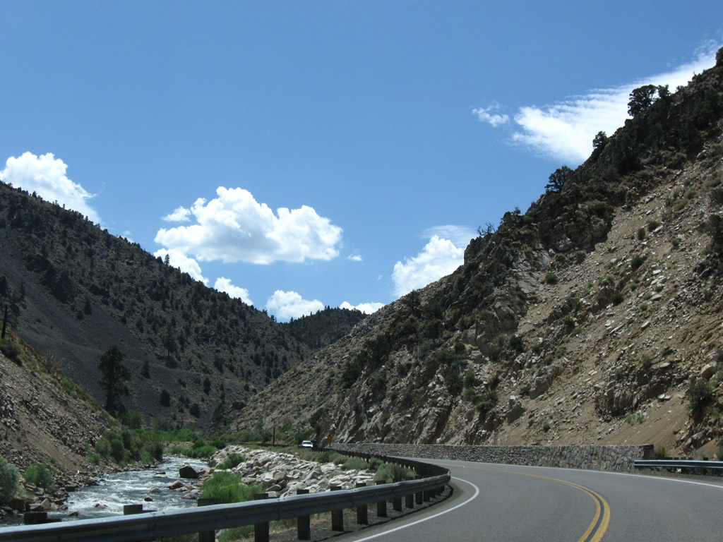
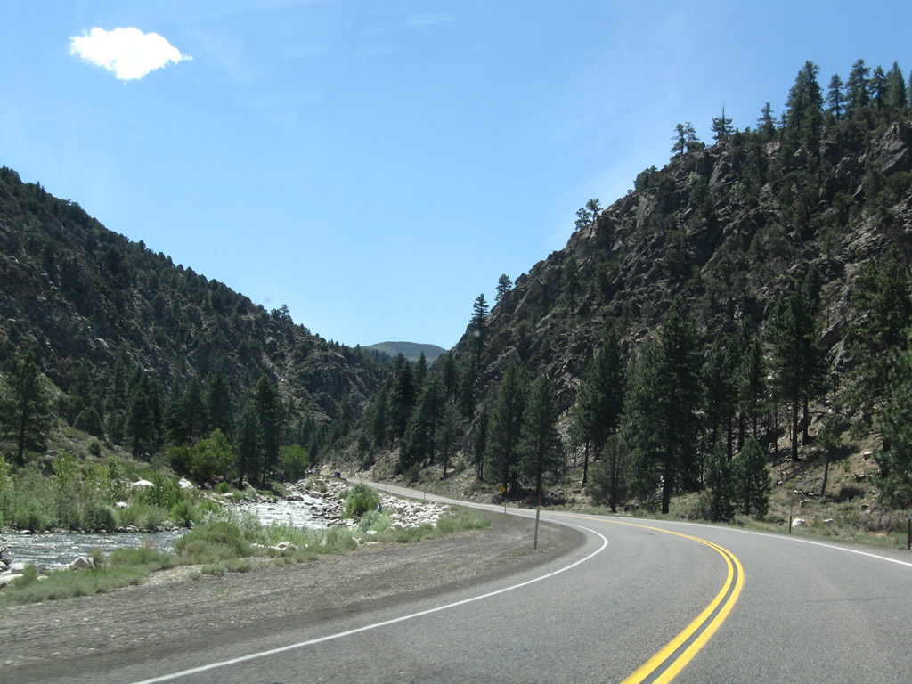
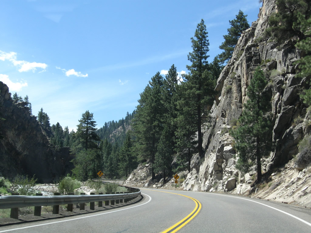
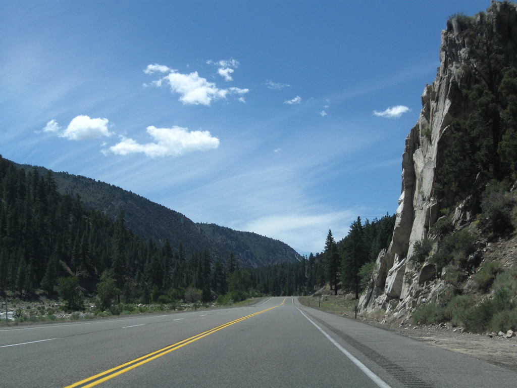
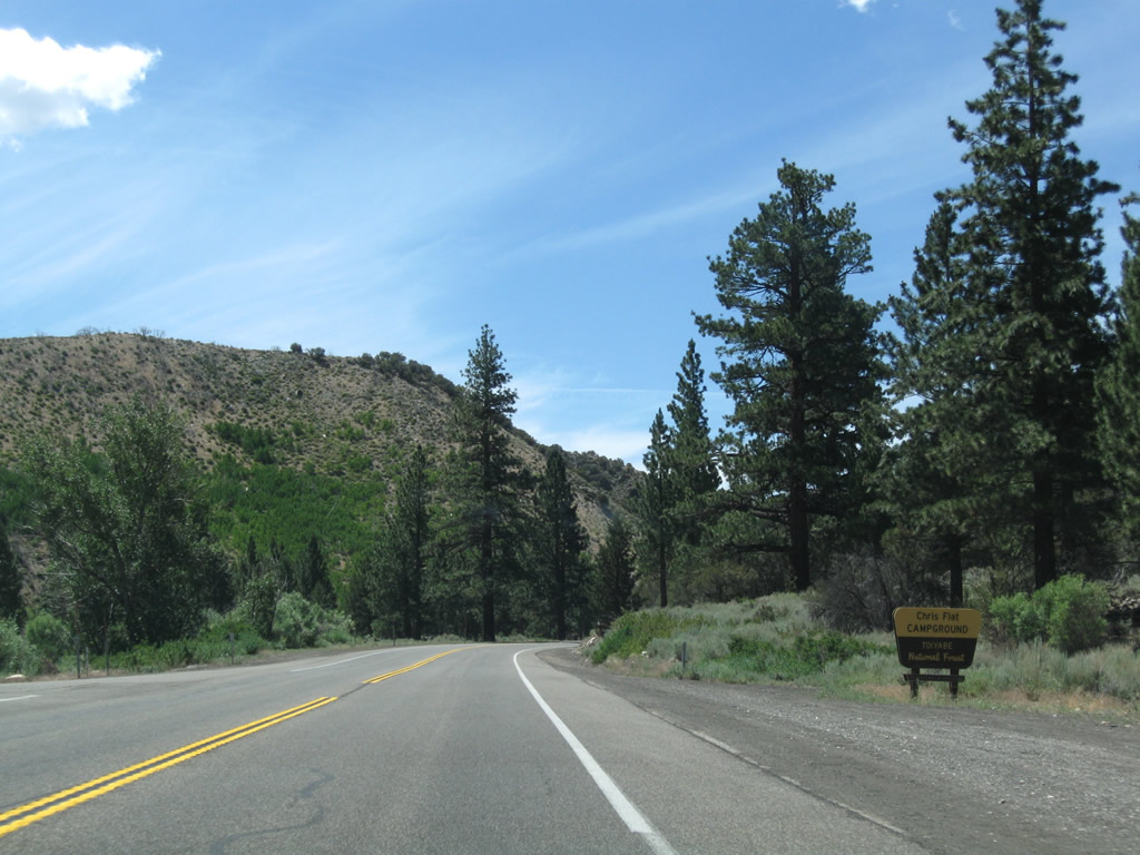
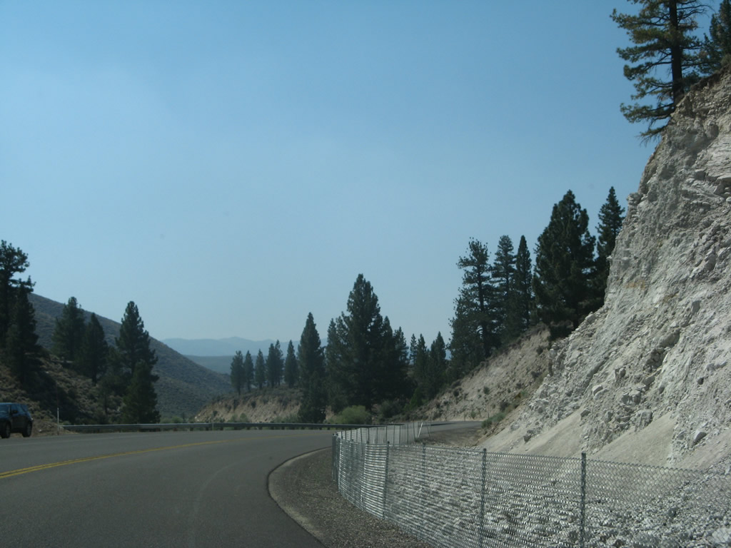
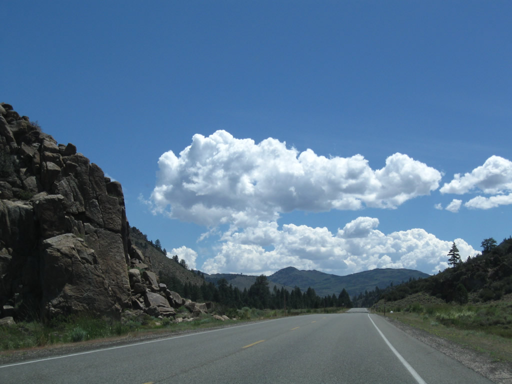
This series of photos follows U.S. 395 alongside the West Walker River through the narrows between Walker and Sonora Junction. A few turnouts allow for access to the river (including Bootleg, Shingle Mill, and Chris Flat). Photos taken 07/09/07, 07/19/09, and 07/25/09. |
|
|
|
|
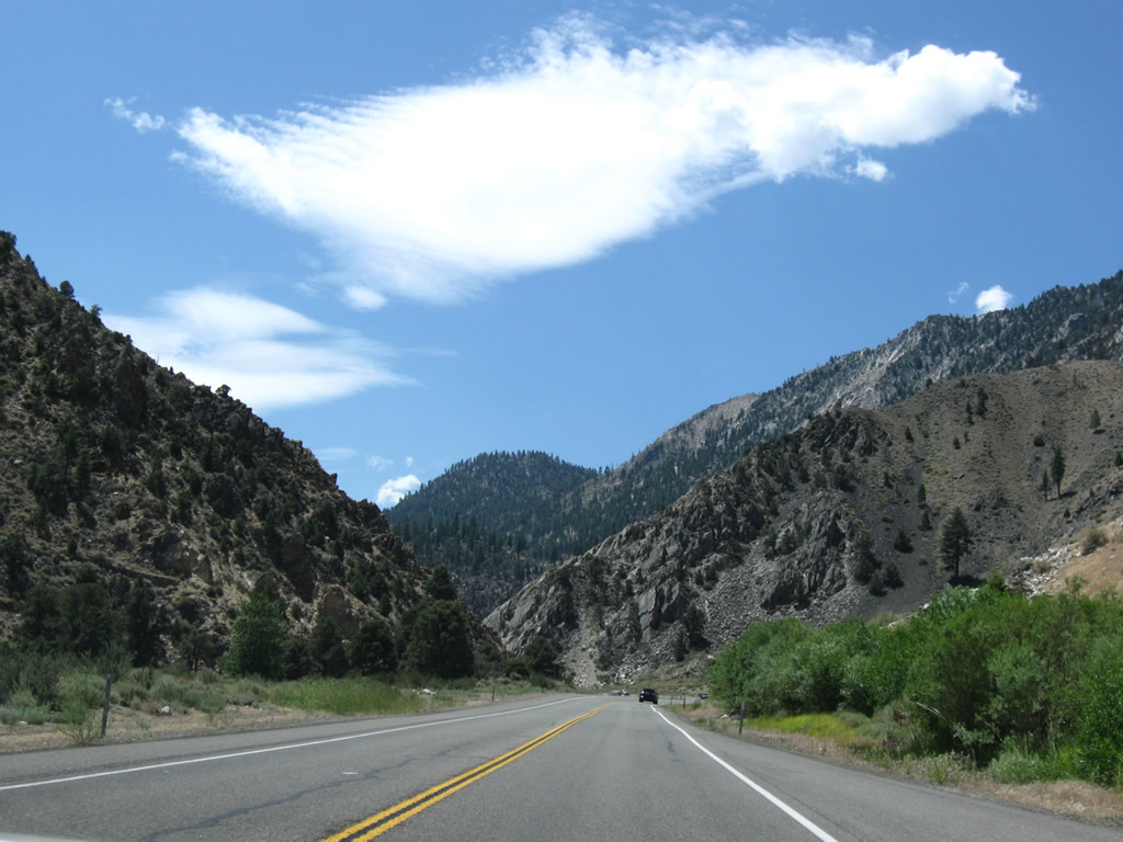
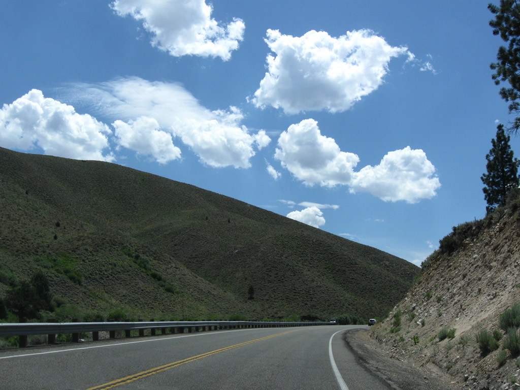
U.S. 395 crosses over the West Walker River a final time, then turns southeast toward Bridgeport. The highway leaves the scenic canyon behind and enters sagebrush-covered hills. Photos taken 07/09/07, 07/19/09, and 07/25/09. |
|
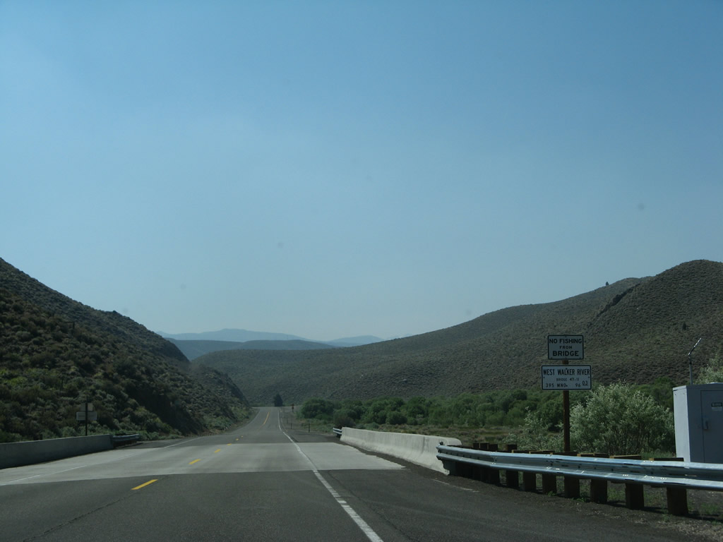
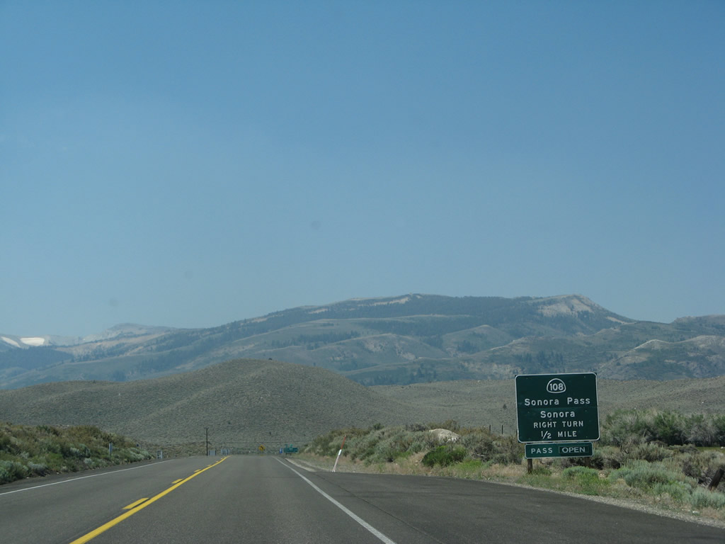
Southbound U.S. 395 approaches Sonora Junction, where it meets California 108. The road over Sonora Pass is narrow and winding; trucks are not advised on California 108 west. Instead, truck traffic should continue south on U.S. 395. Photo taken 07/09/07. |
|
California 108 (Sonora Pass Road) travels west over Sonora Pass to Kennedy Meadows, Strawberry, Pinecrest Lake, Dodge Ridge Ski Area, Twain Harte, Sonora, and Modesto. This scenic drive features spectacular mountain scenery and plenty of hiking opportunities in the national forest lands. Upon cresting, California 108 descends into the Gold Country and Sierra Foothills, with the historic mining city of Sonora along the way. California 108 then continues southwest en route to the Central Valley and city of Modesto. Portions of California 108 leading down from Strawberry are freeway and expressway, while others are two-lane highways. Photo taken 07/09/07. |
|
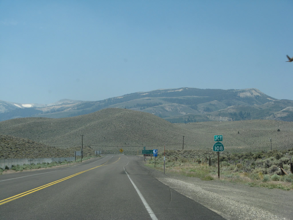
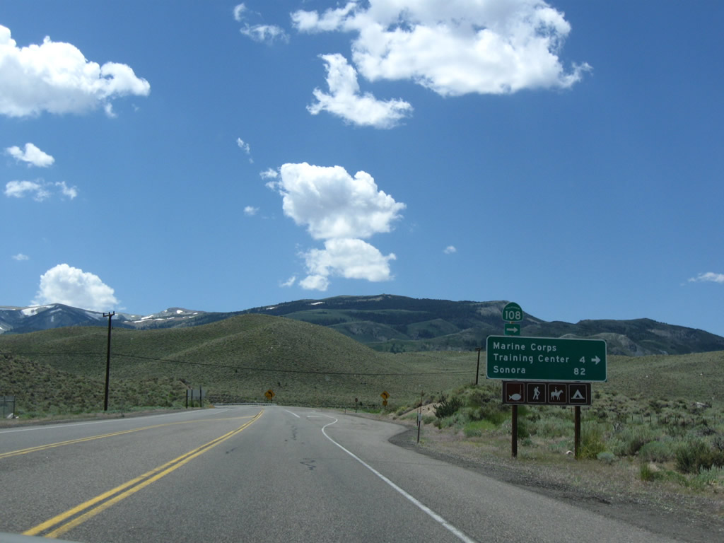
Southbound U.S. 395 approaches California 108 west to Sonora Pass and Sonora. This is the eastern terminus of California 108; its other end is at California 99 in Modesto in the heart of the Central Valley. Photo taken 07/09/07. |
|
A mileage sign provides the distance along California 108 west to the Marine Corps Training Center (four miles) and the city of Sonora (82 miles). U.S. 395 will turn southeast toward Devils Gate. Photo taken 07/19/09. |
|
Southbound U.S. 395 meets California 108 at this intersection. From here, U.S. 395 will proceed east and then southeast to Bridgeport. Photo taken 07/09/07. |
|
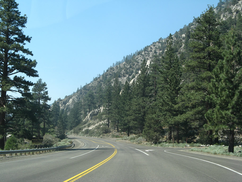
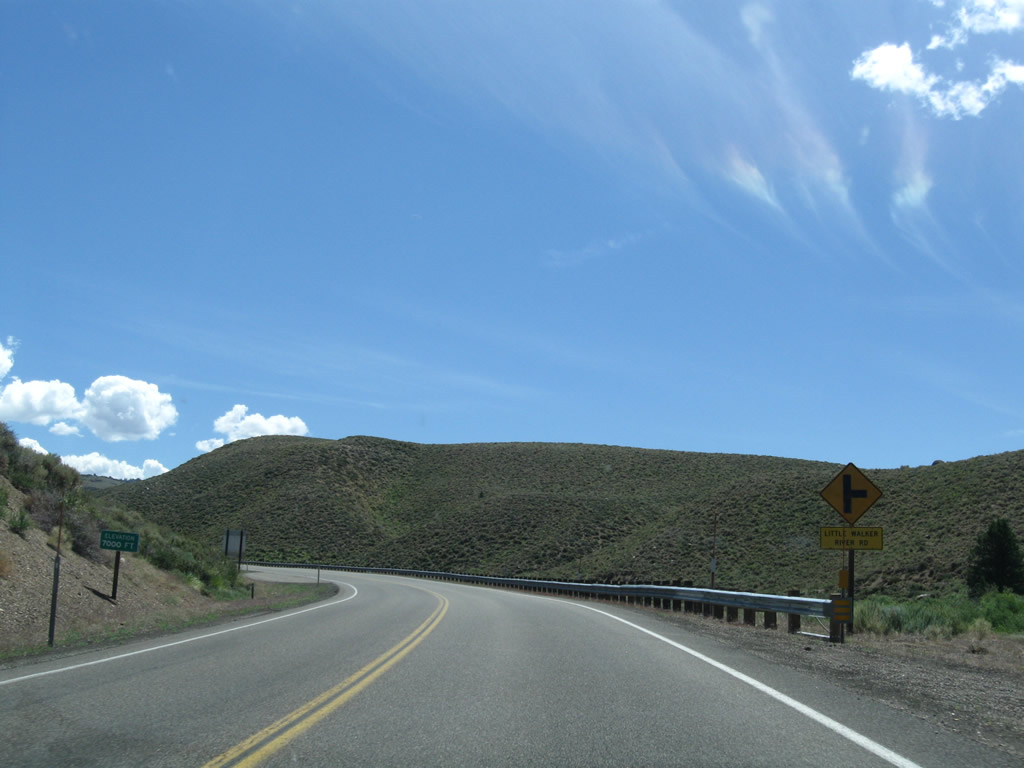
Soon after the California 108 intersection, southbound U.S. 395 approaches Little Walker River Road. We are now at an elevation of 7,000 feet and will continue to gain elevation as we ascend to pass through Devils Gate. Photo taken 07/09/07. |
|
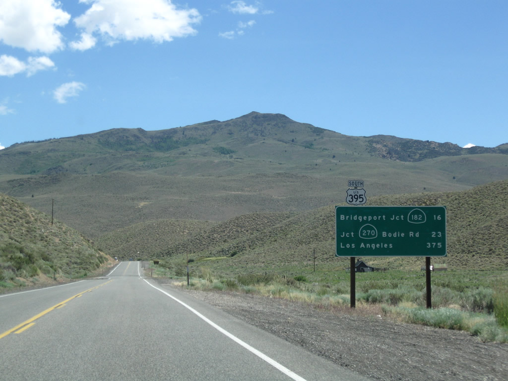
This mileage sign along U.S. 395 south provides the distance to Bridgeport (California 182), 16 miles; California 270 (Bodie Road) to Bodie State Historic Park, 23 miles; and Los Angeles, 375 miles via California 14). Photo taken 07/25/09. |
|
U.S. 395 approaches the Wheeler Guard Station (part of Toiyabe-Humboldt National Forest). Photo taken 07/19/09. |
|
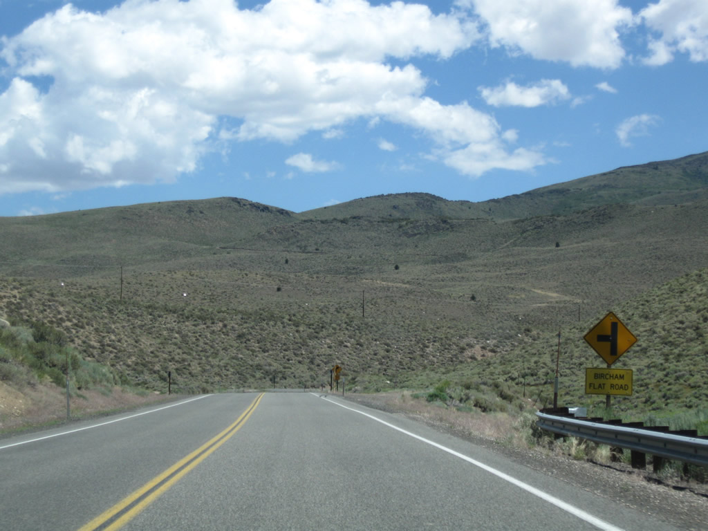
Southbound U.S. 395 approaches Bircham Flat Road. Photo taken 07/25/09. |
|
|
|
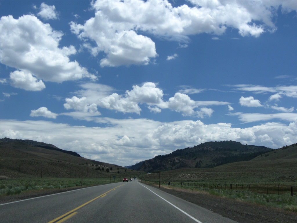
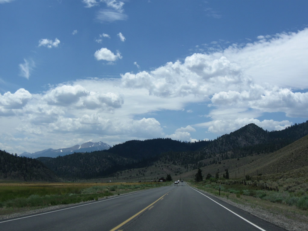
| With Mountains spreading in all directions through the high country, stellar views abound along this section of U.S. 395 south toward Devils Gate. Photos taken 07/19/09 and 07/25/09. |
|
|
|
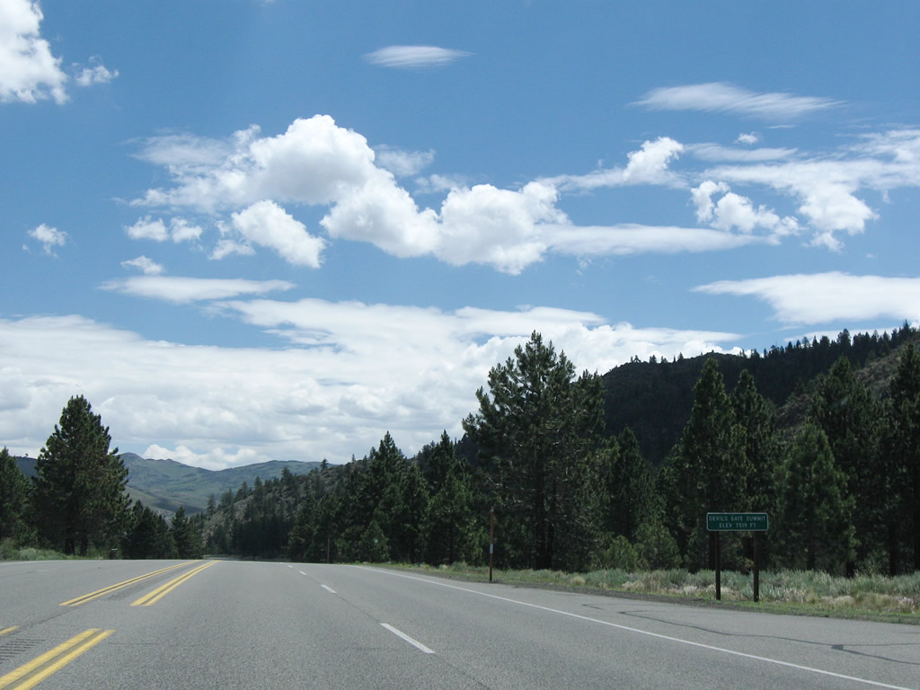
| A short section of four-lane highway allows for passing near Devils Gate Summit. Photos taken 07/19/09 and 07/25/09. |
|
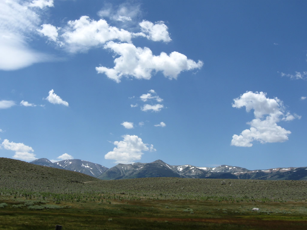
U.S. 395 reaches Devils Gate Summit (el. 7,519 feet). Behind us is Sonora Pass; ahead of us, U.S. 395 continues east toward the Sweetwater Mountains and Mount Jackson. Photo taken 07/19/09. |
|
|
|
|
|
|
|
|
|
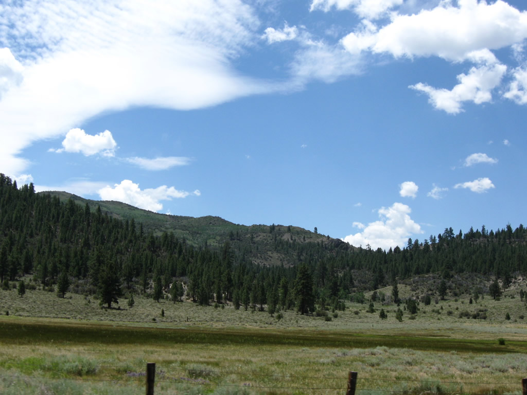
| Descending from Devils Gate Summit, U.S. 395 continues east toward the Sweetwater Mountains, then turns south into the Bridgeport Valley. Photos taken 07/19/09 and 07/25/09. |
|
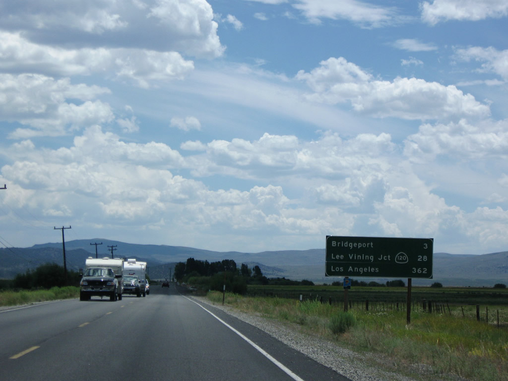
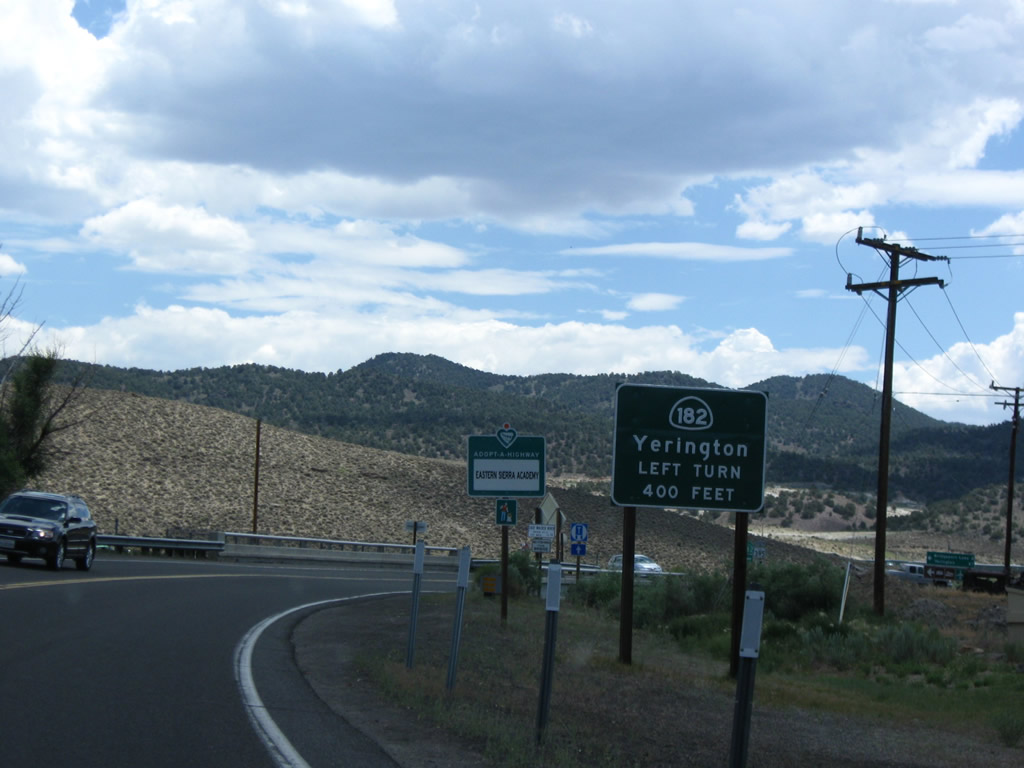
Now in Bridgeport Valley, this mileage sign along U.S. 395 south provides the distance to Bridgeport (California 182), three miles; California 120 in Lee Vining, 28 miles; and Los Angeles, 362 miles via California 14). Photo taken 07/19/09. |
|
|
|
|
|
|
| This series of photos follows U.S. 395 as it proceeds south and then east into the community of Bridgeport, which is the seat of Mono County. Dynamic views of the Sierra Nevada is visible from the highway; the valley is characterized by ranchlands and grazing livestock. Photos taken 07/19/09 and 07/25/09. |
|
|
|
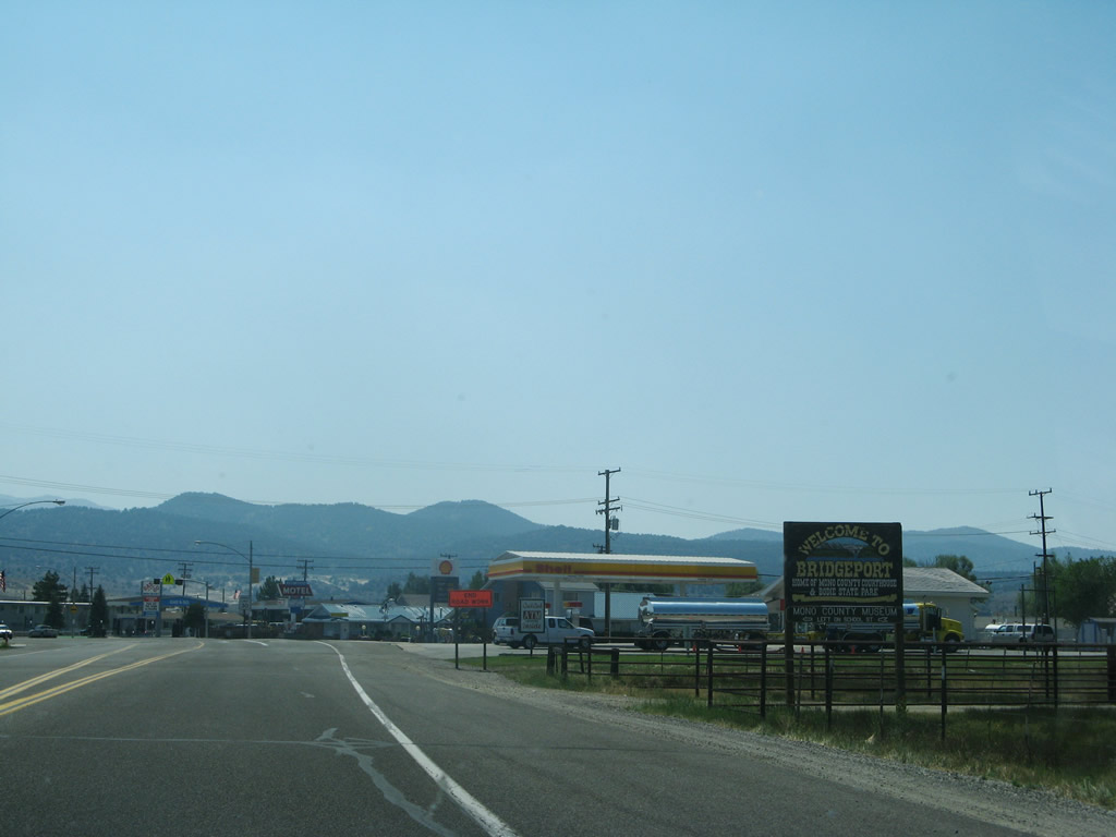
| U.S. 395 enters the unincorporated community of Bridgeport (el. 6,463 feet), which is the county seat. Mono County had a total population of 12,853 as of the 2000 Census; Bridgeport and Lee Vining are part of that total. All motorist services are available in Bridgeport. Photos taken 07/19/09 and 07/25/09. |
|
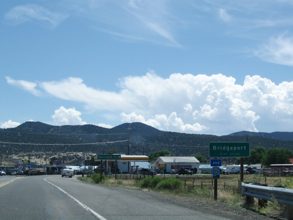
U.S. 395 approaches Twin Lakes Road , which travels southwest to Twin Lakes. A series of campgrounds are located in and around Twin Lakes, a popular spot for fishing. Photo taken 07/19/09. |
|
A second Bridgeport welcome sign was posted shortly thereafter, but this sign is now gone. Wildfires from the summer of 2007 brought smoke and haze to the Bridgeport Valley, and fires burned all along the U.S. 395 corridor on the day we drove through the Eastern Sierra. Resultant fire damage can still be seen along U.S. 395. Photo taken 07/09/07. |
|
|
|
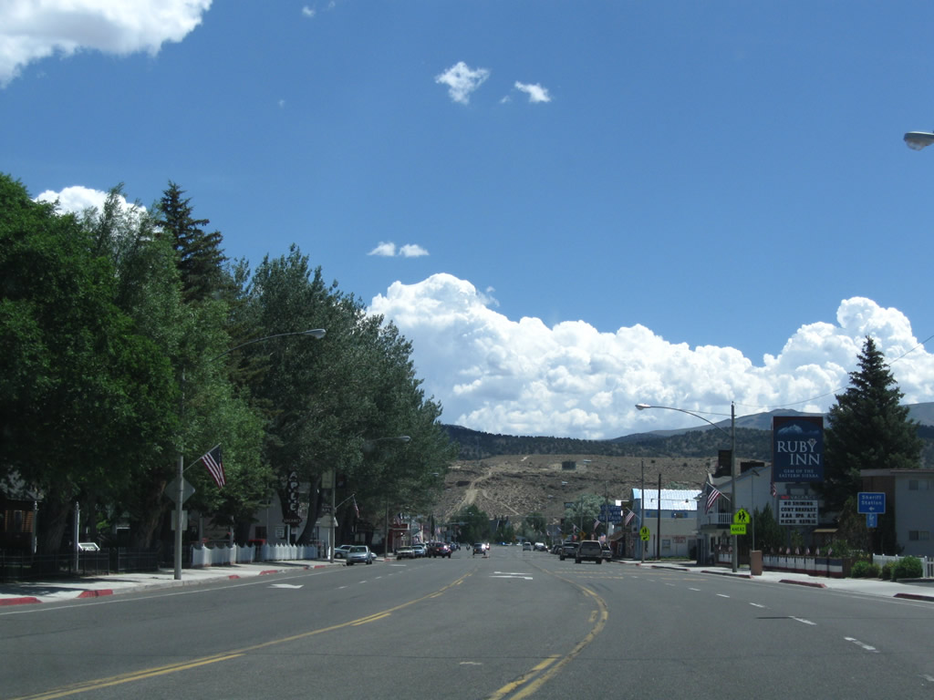
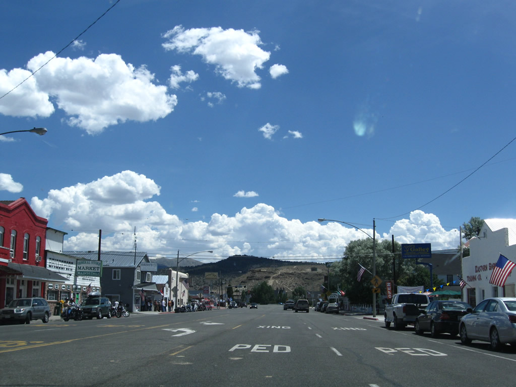
| U.S. 395 passes through downtown Bridgeport. On the left (north) side of the highway is the Mono County Courthouse. Motels, restaurants, and gas stations line the commercial strip. Photos taken 07/19/09 and 07/25/09. |
|
|
|
|
|
|
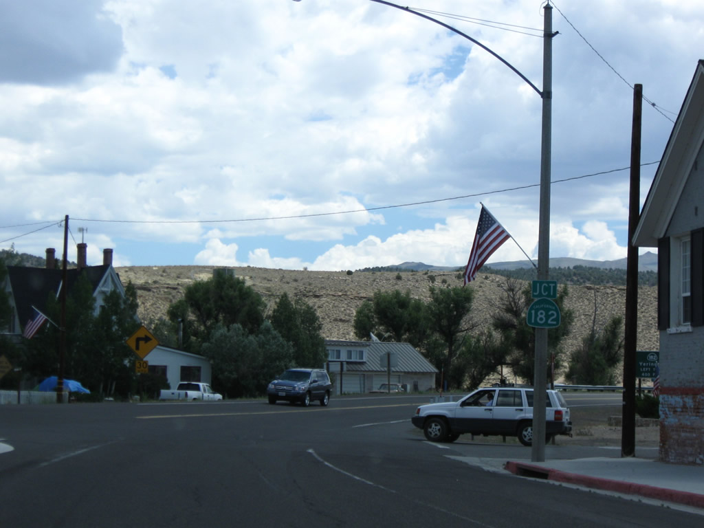
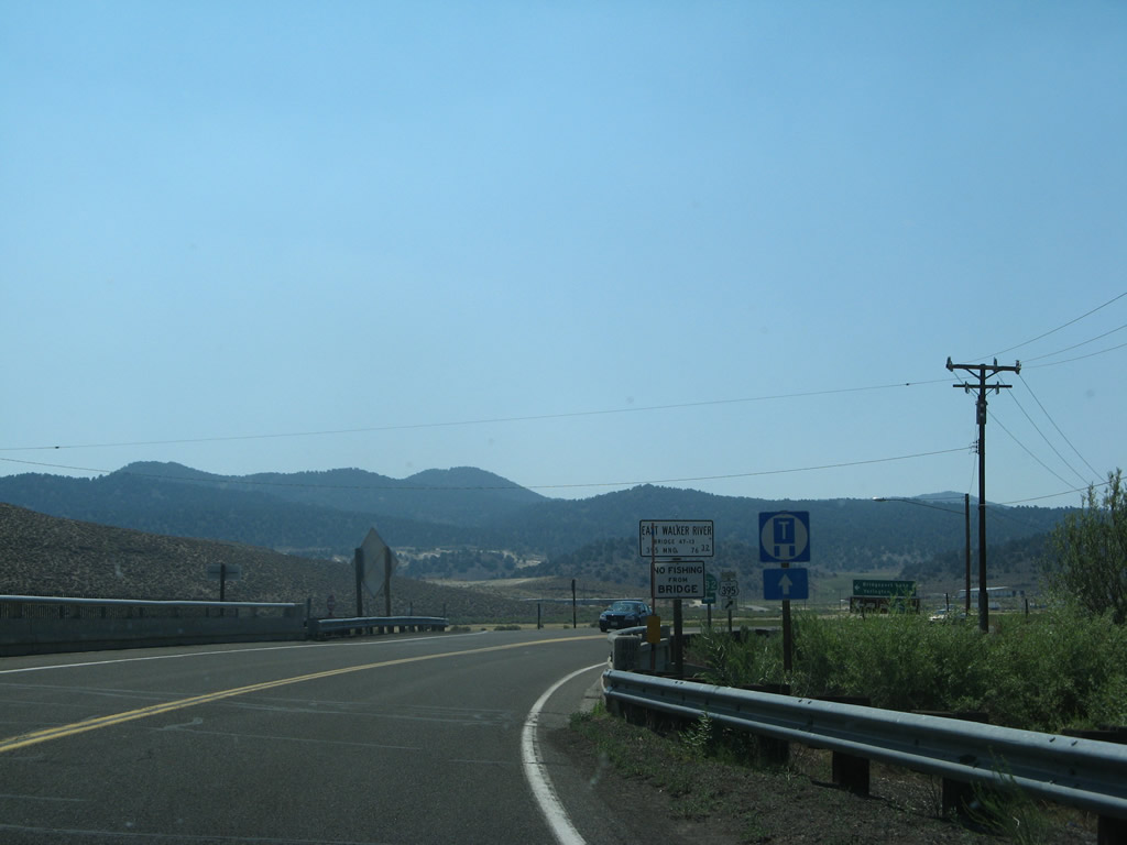
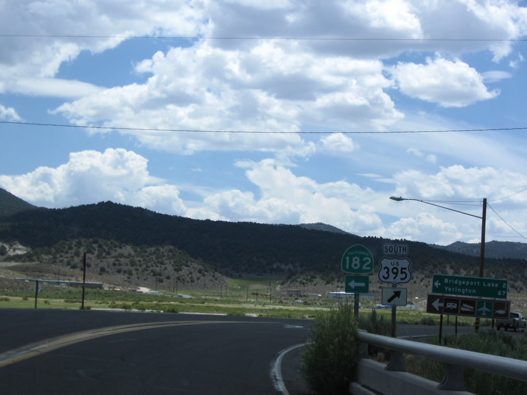
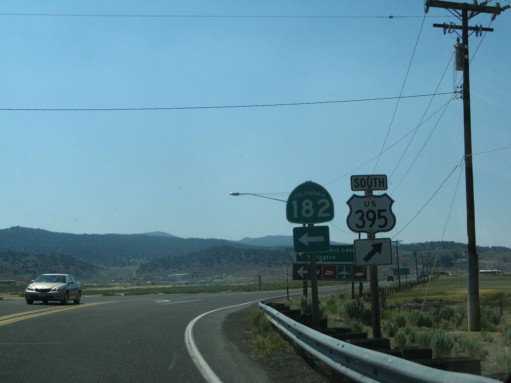
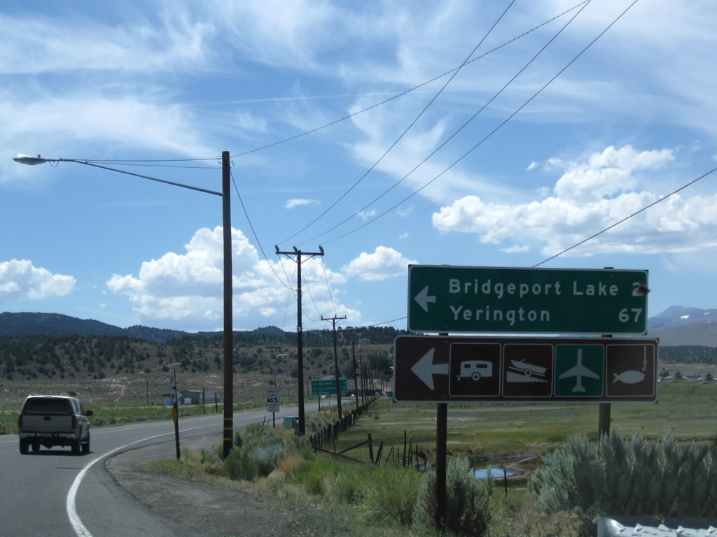
| At the end of the commercial strip, southbound U.S. 395 approaches California 182, which travels north from Bridgeport to Wellington, Smith Valley, and Yerington in Nevada. California 182 travels north along the East Walker River, passing Bridgeport Reservoir. Upon entering the state of Nevada, the route number changes to Nevada 338. This scenic state route proceeds northeast, then northwest to the small community of Sweetwater, then ascends to Sweetwater Summit (el. 6,812 feet). Descending into the Smith Valley, Nevada 338 meets with Nevada 208, which travels north to Yerington and west to Topaz Lake. Nevada 208 travels the remaining distance through the valley to Yerington, where it meets Alternate U.S. 95. Photos taken 07/09/07, 07/19/09, and 07/25/09. |
|
A U.S. 395 trailblazer is posted at the end of California 182; since the intersection is built on a curve, travelers on southbound U.S. 395 can also see this shield assembly. Photo taken 07/09/07. |
Page Updated April 17, 2010.