| U.S. 395 south |
|
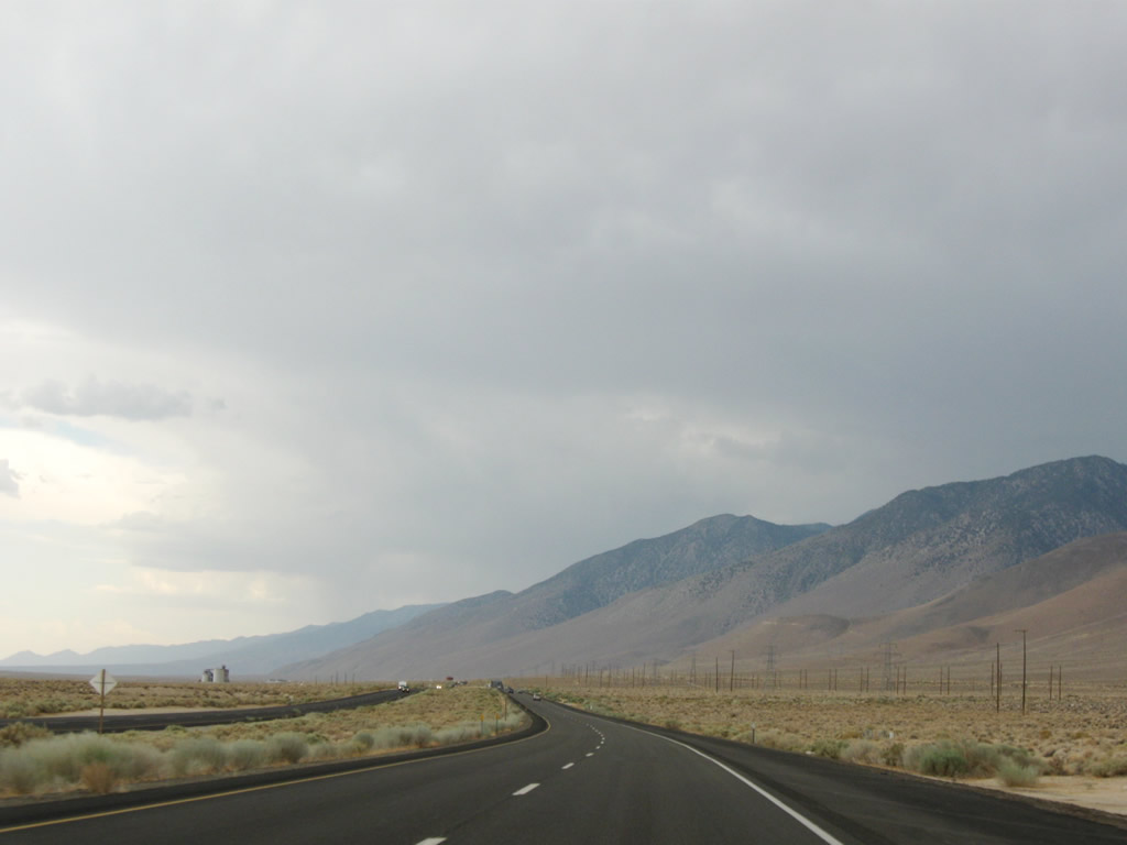
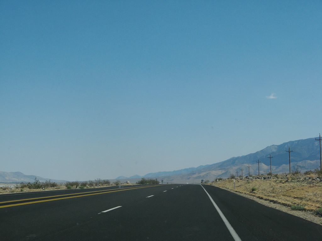
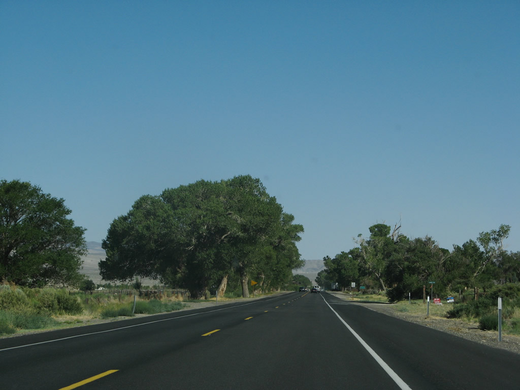
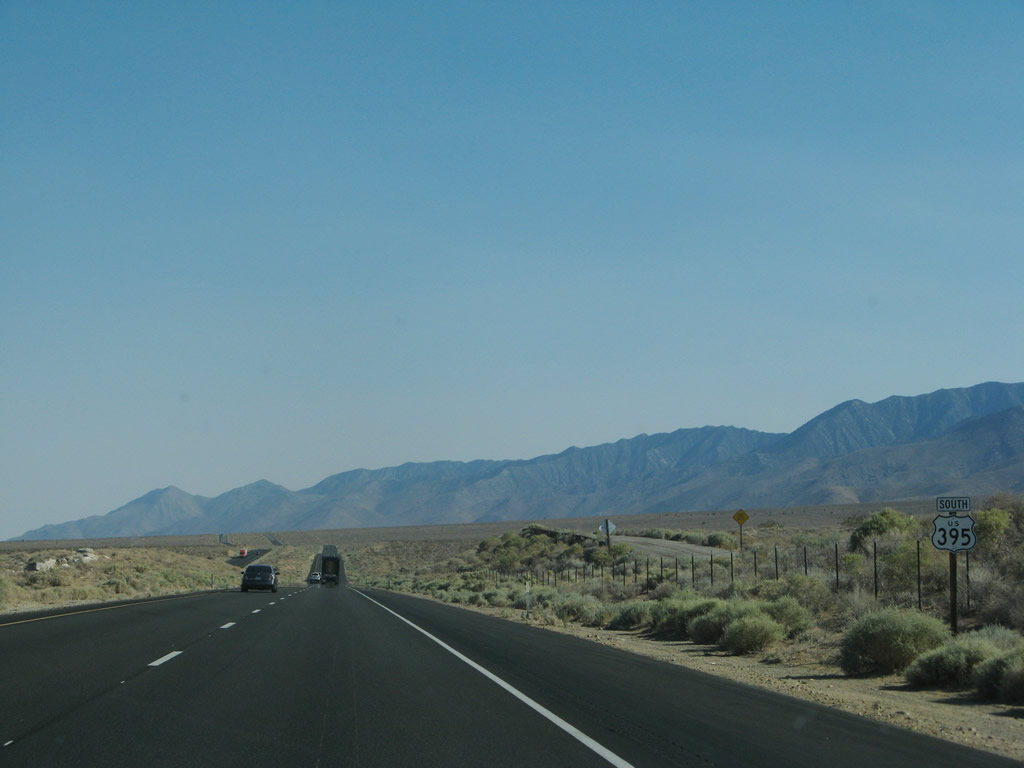
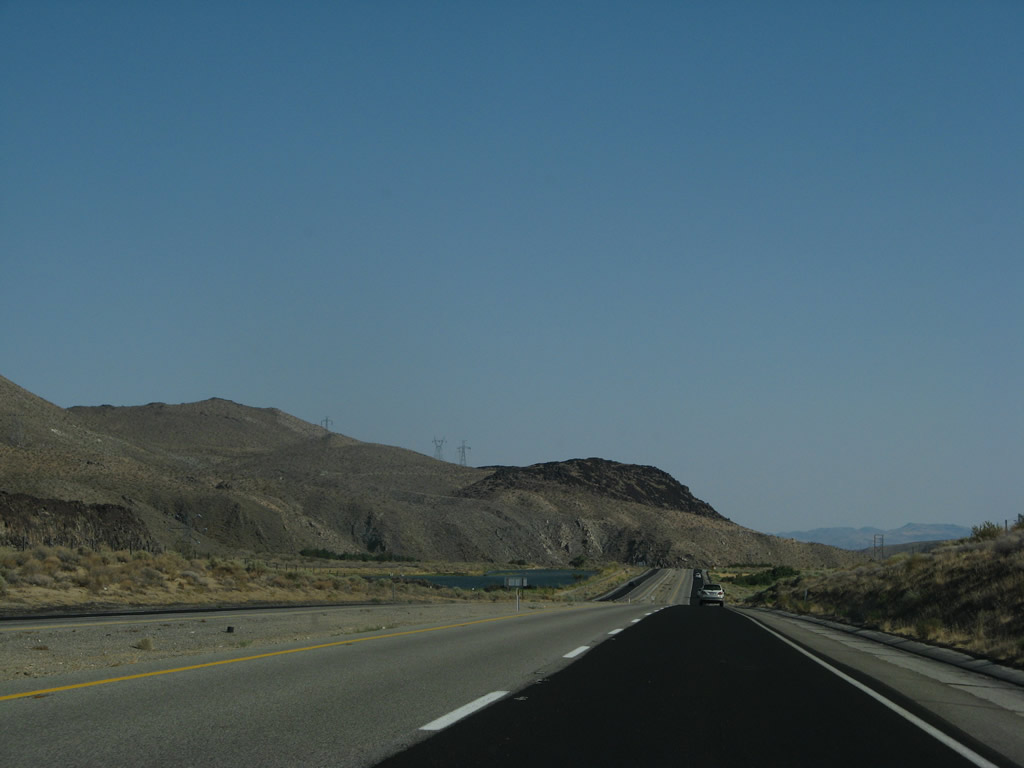
Traveling south of the California 136 intersection in Lone Pine, U.S. 395 continues south in the Owens Valley in the Eastern Sierra. The highway has a four-lane expressway alignment from the California 136 intersection south alongside Owens Lake; nearing Olancha, it reverts once again to a two-lane alignment (with plans to expand to four-lane expressway in the future). Photo taken 07/09/07. |
|
|
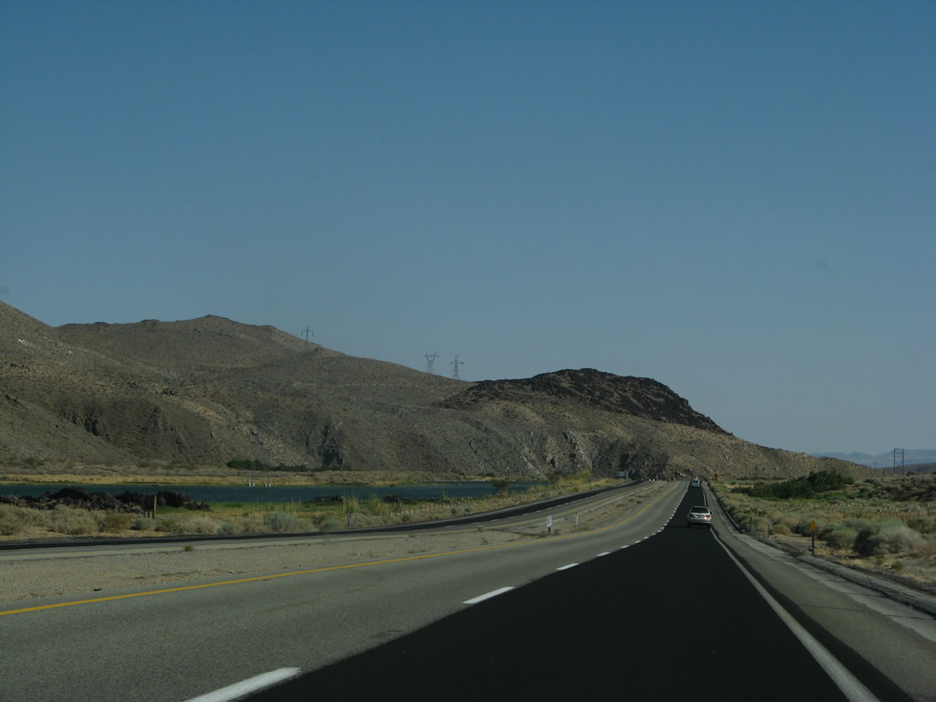
The divided highway resumes a short distance later. Photos taken 07/09/07. |
|
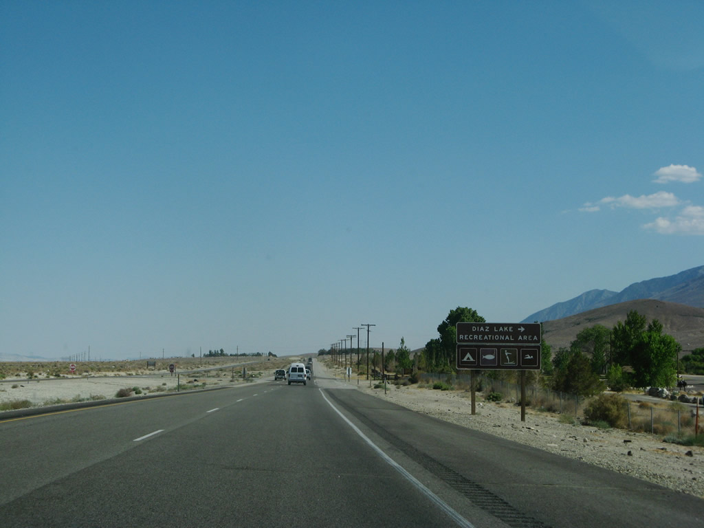
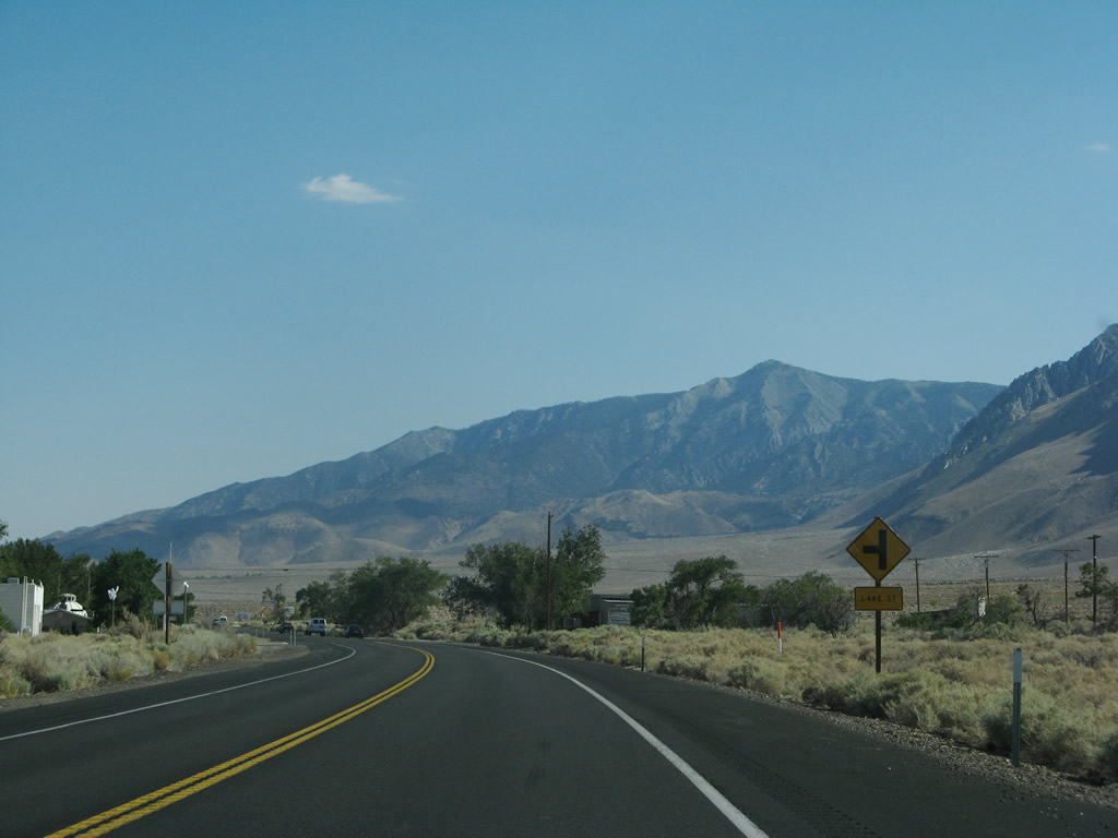
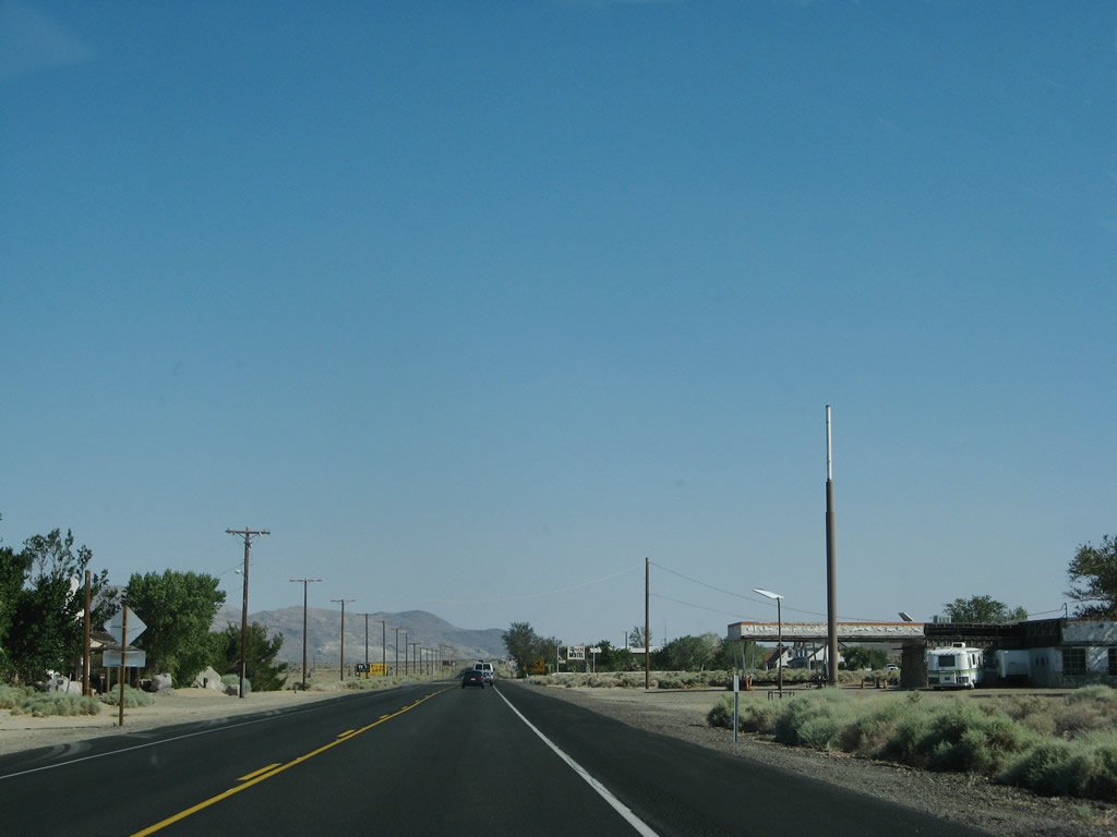
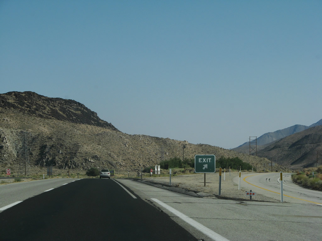
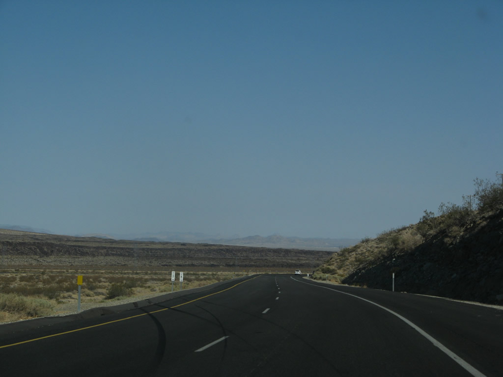
The next right turn connects to Diaz Lake Recreation Area. Camping, fishing, and swimming are available at Diaz Lake. Photo taken 07/09/07. |
|
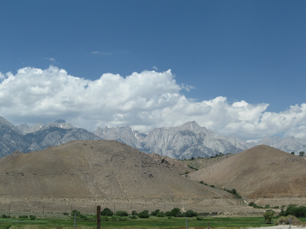
Looking to the west is a view of the Alabama Hills in the foreground and the towering peaks of the Sierra Nevada behind the hills. Photo taken 09/07/09. |
|
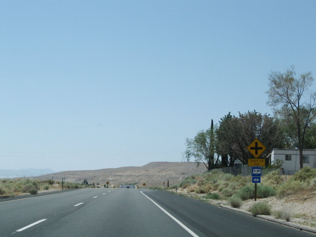
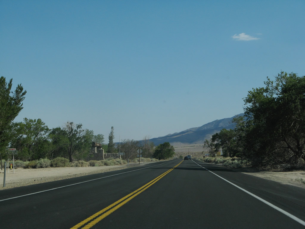
Southbound U.S. 395 approaches Lubken Canyon Road. Photo taken 09/07/09. |
|
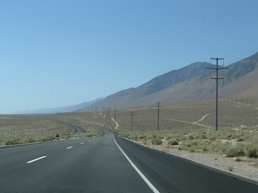
The divided highway temporarily ends, but the four-lane highway continues. Photo taken 09/07/09. |
|
|
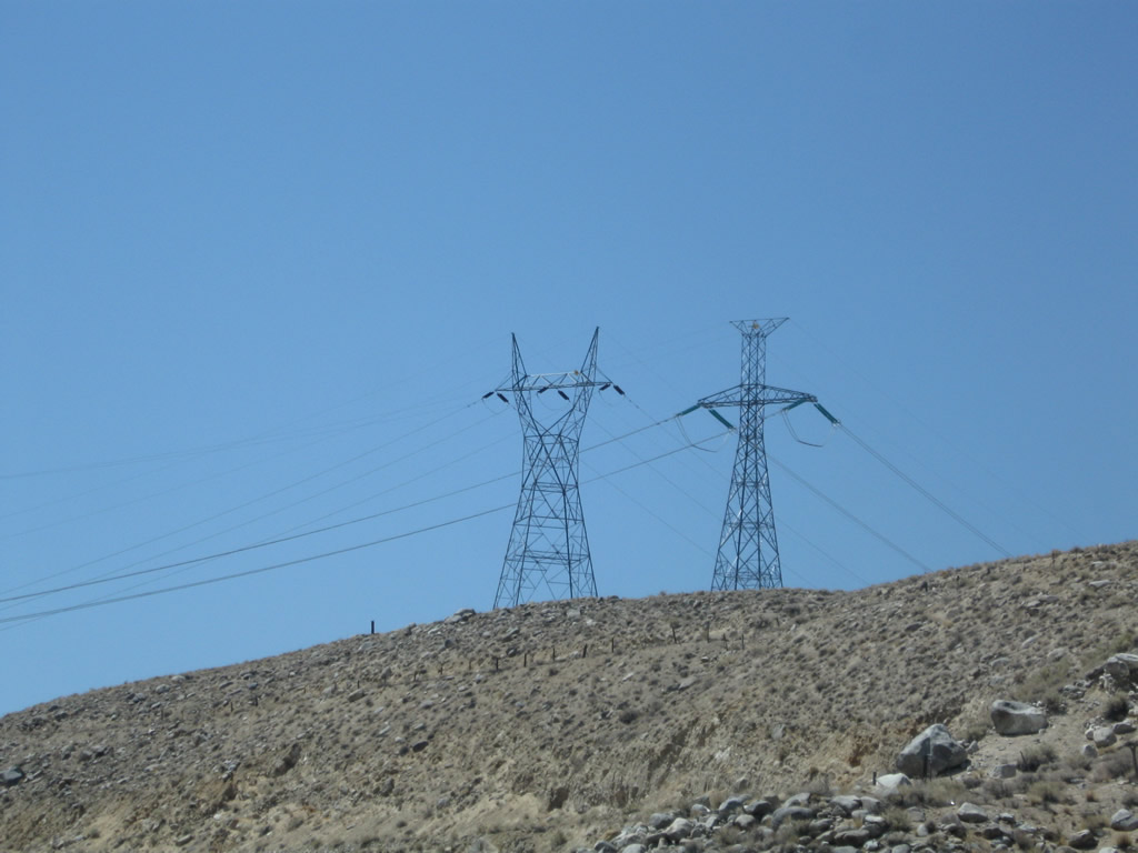
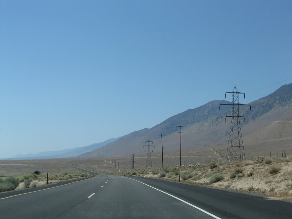
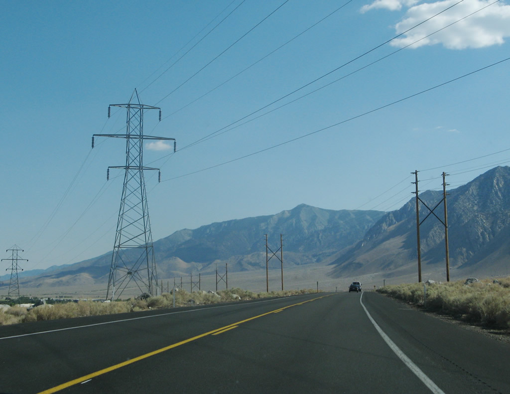
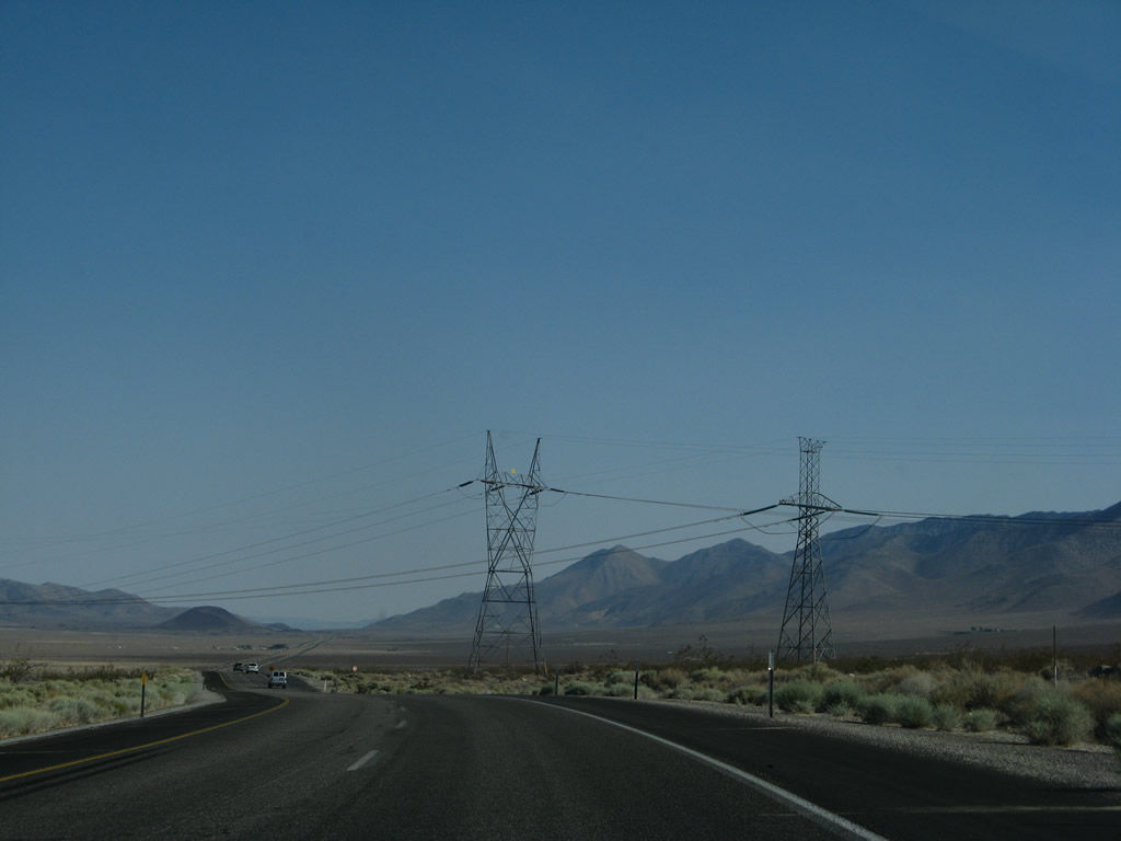
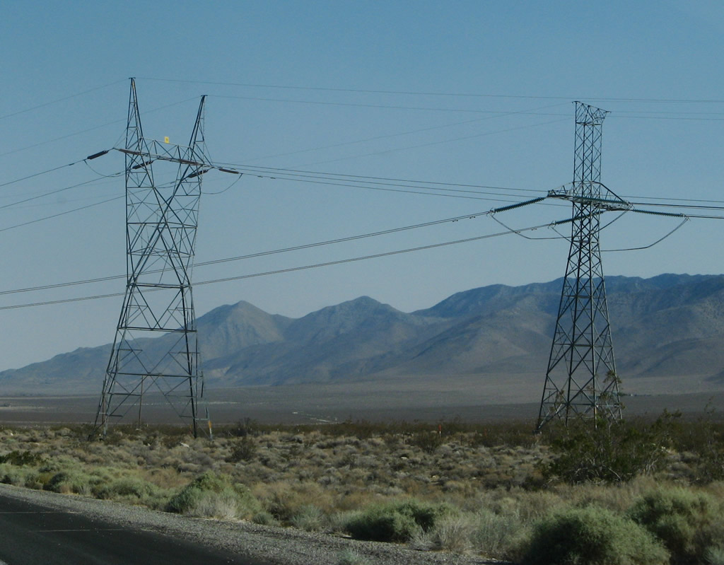
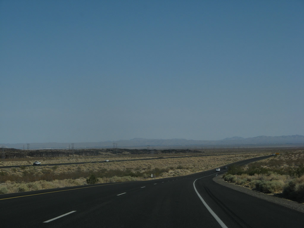
Power lines cross over U.S. 395; these lines were last seen south of Bishop. Path 65 (the 500kV Pacific Intertie) is a High Voltage Direct Current line that originates at Celilo Substation (near The Dalles, Oregon off Interstate 84 and close to the Columbia River's wealth of hydroelectric power). This portion of the Pacific Intertie is operated by the Los Angeles Department of Water and Power. The Pacific Intertie travels south from Celilo through Nevada and California to its southern terminus in Sylmar in Los Angeles. U.S. 395 will again see Path 65 at the California 14 interchange. Path 65 will parallel U.S. 395 and California 14 south toward Los Angeles. A parallel 230kV power line also carries power south to Los Angeles from local power generating facilities in the Owens Valley. Owens Lake (dry) also comes into view toward the east. Photos taken 07/26/09 and 07/09/07. |
|
|
|
|
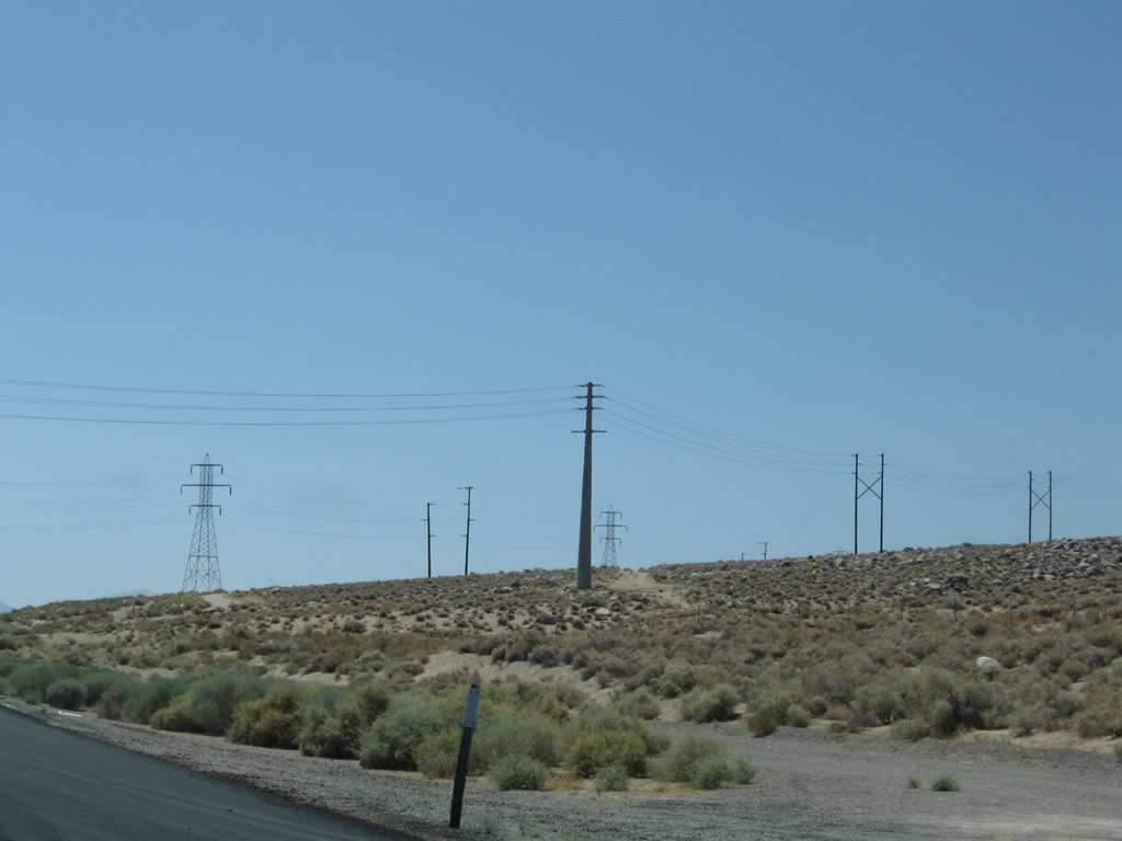
Shorter-range power transmission lines cross over U.S. 395 shortly thereafter; the dry lake dominates the view to the east. Photos taken 07/26/09 and 09/07/09. |
|
|
The divided highway resumes shortly thereafter as U.S. 395 skirts the western edge of Owens Lake. The Owens River, which has followed U.S. 395 for its journey through the Owens Valley, drains into Owens Lake, which is the southern end of the Owens River. Photos taken 07/09/07 and 07/19/09. |
|
|
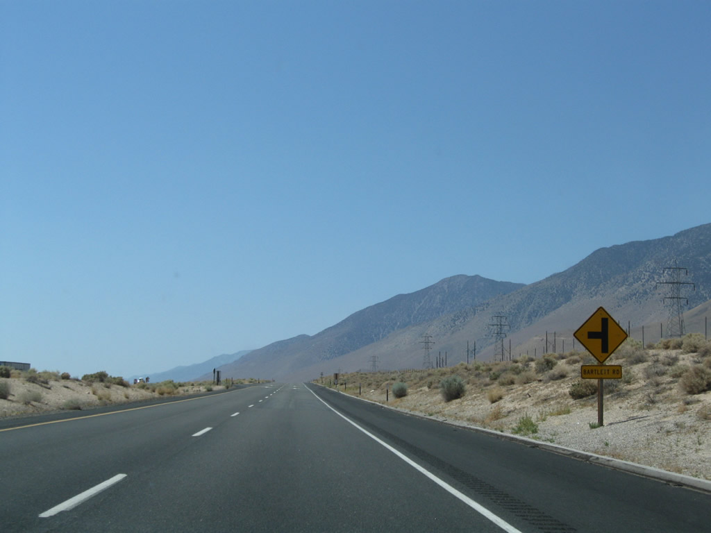
Southbound U.S. 395 approaches and reaches its intersection with Bartlett Road. Photos taken 07/26/09. |
|
|
Southbound U.S. 395 approaches and reaches its intersection with Bartlett Road. Photos taken 07/26/09. |
|
|
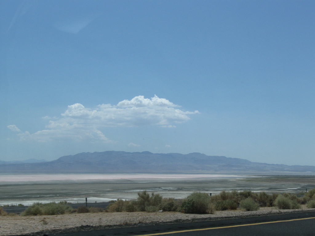
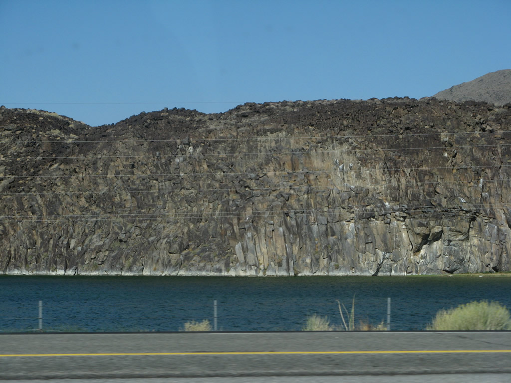
Owens Lake is mostly dry due to diversions of water from the Owens River into the Los Angeles Aqueduct, combined with drought. Air quality concerns brought on by excessive dust from the dry lake bed resulted in decisions leading to a requirement for the lake to have some water to prevent further environmental damage. Photos taken 07/09/07 and 07/26/09. |
|
|
U.S. 395 continues south along the west side of Owens Lake. The highway is mostly four-lane expressway, but it does narrow to two lanes in certain spots (such as through Olancha). Photos taken 07/26/09. |
|
|
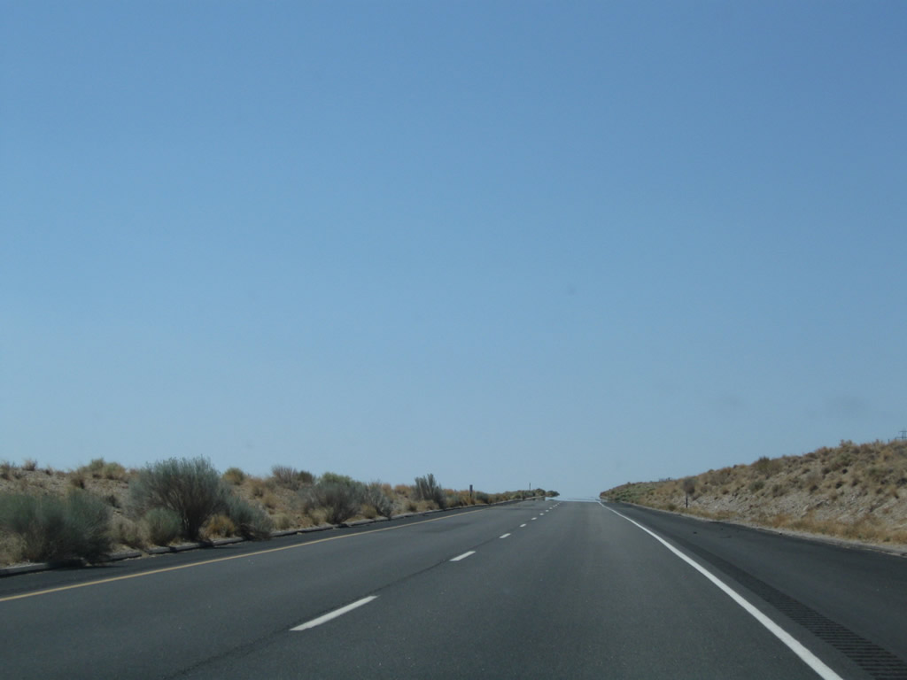
The expressway continues through the rolling hills. Photos taken 07/26/09. |
|
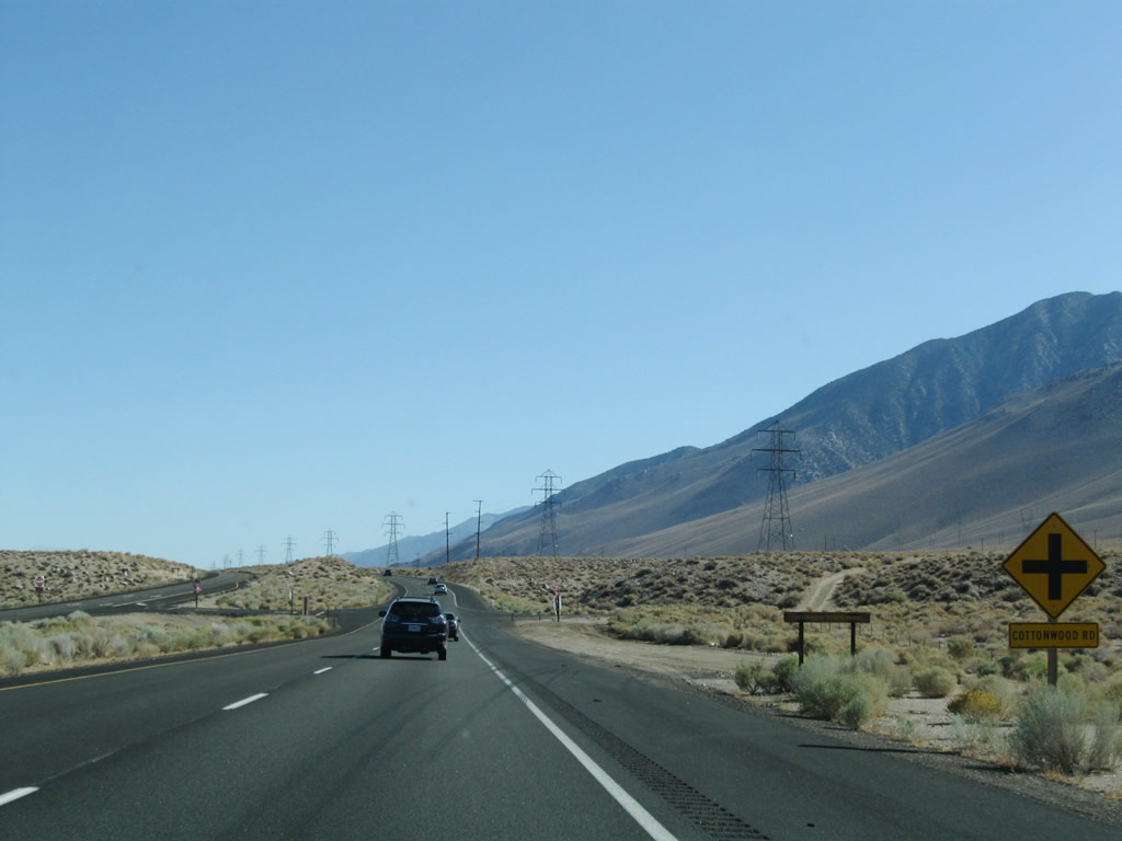
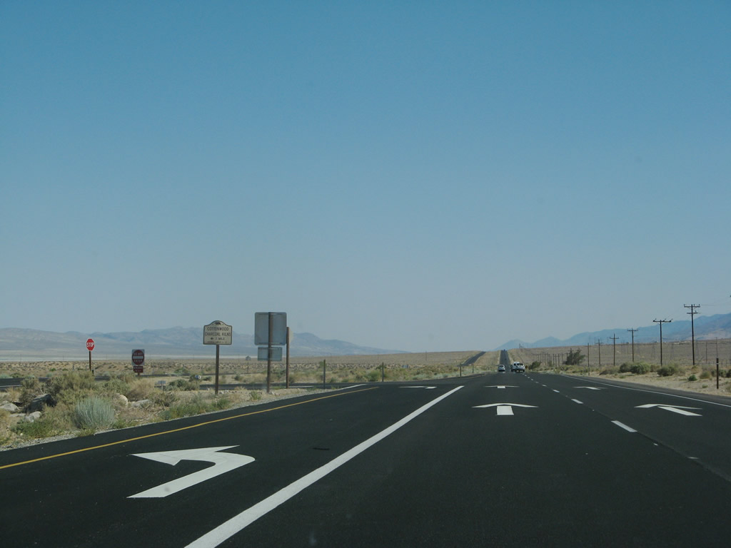
Southbound U.S. 395 approaches Cottonwood Road. Photo taken 09/07/09. |
|
Shortly thereafter, southbound U.S. 395 approaches the turnoff to the historic Cottonwood Charcoal Kilns. Photo taken 07/09/07. |
|
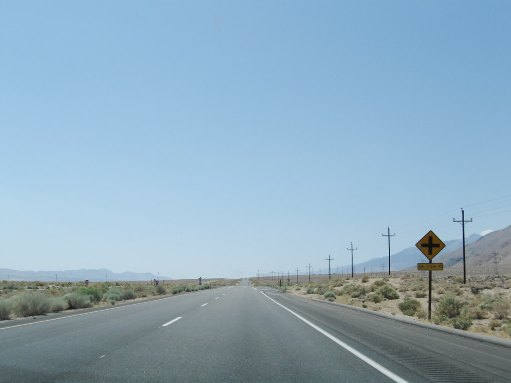
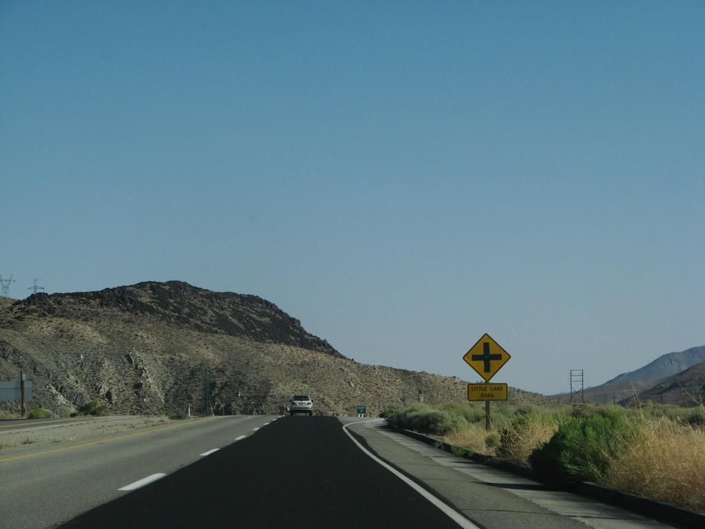
Southbound U.S. 395 next approaches Ash Creek Road. Photo taken 07/26/09. |
|
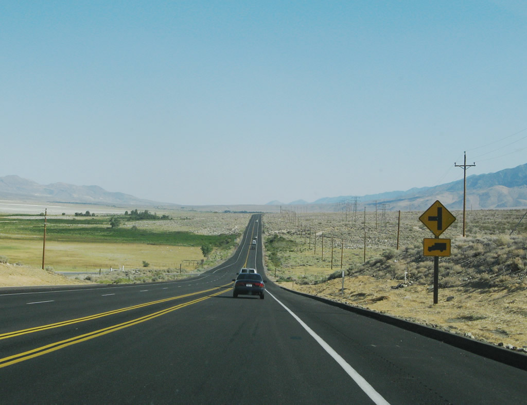
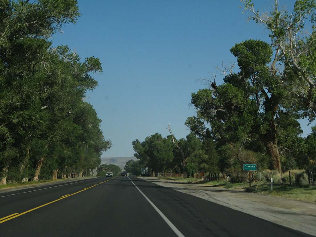
The four-lane expressway reverts to a two-lane highway for the journey from here south through Cartago to Olancha; the highway again widens to four lanes at the California 190 intersection. Plans call for this segment of U.S. 395 to be widened to expressway standards too. Dry Owens Lake is still visible to the east of the highway. Photo taken 07/09/07. |
|
Now two lanes, U.S. 395 proceeds south toward Cartago and Olancha. Photo taken 07/09/07. |
|
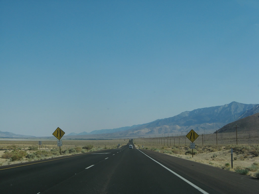
Occasional passing lanes allows for drivers to switch positions and pass. Photo taken 07/09/07. |
|
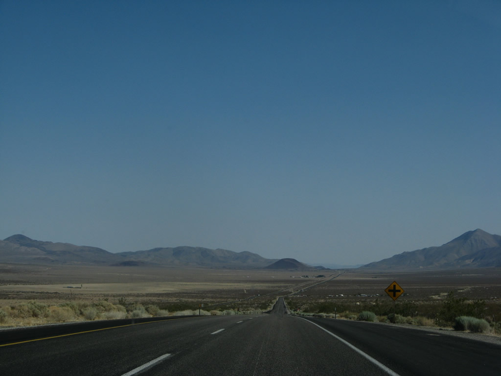
Owens Lake again comes into view in the distance ahead. Photo taken 07/09/07. |
|
A set of Los Angeles Department of Water and Power powerlines cross over U.S. 395 at this point. To the east of here is mostly dry Owens Lake, which must be kept wet to prevent dust storms but has not functioned as a lake since 1924, when the city of Los Angeles diverted water from Owens Lake into the Los Angeles Aqueduct. Today, most of the lake appears dry from a distance. Photo taken 07/09/07. |
|
|
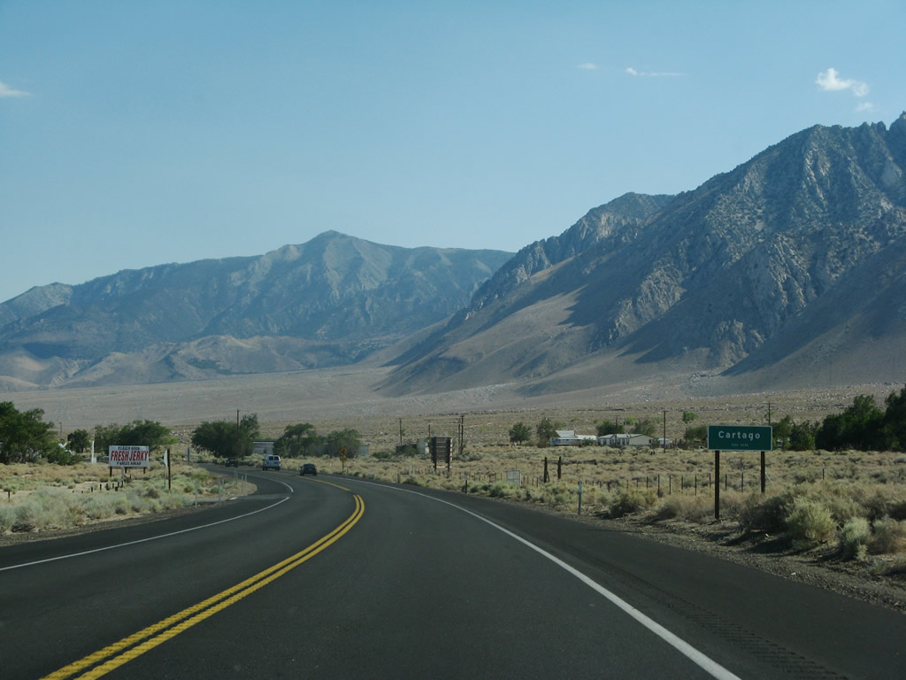
U.S. 395 approaches the unincorporated community of Cartago. Located on the west side of Owens Lake, Cartago sits at an elevation of 3,629 feet and had a population of 109 people as of the 2000 Census. Photos taken 07/09/07. |
|
|
|
U.S. 395 passes by the massive Crystal Geyser Alpine Spring Water Olancha facility. Water is trucked from this facility to the points of distribution for Crystal Geyser water (primarily in Southern California). Photo taken 07/09/07. |
|
Look west for another view of the towering Sierra Nevada. Photo taken 07/26/09. |
|
|
|
U.S. 395 approaches and enters the unincorporated community of Olancha, which had a population of 134 as of 2000 Census and sits at an elevation of 3,648 feet. Photos taken 07/09/07. |
|
|
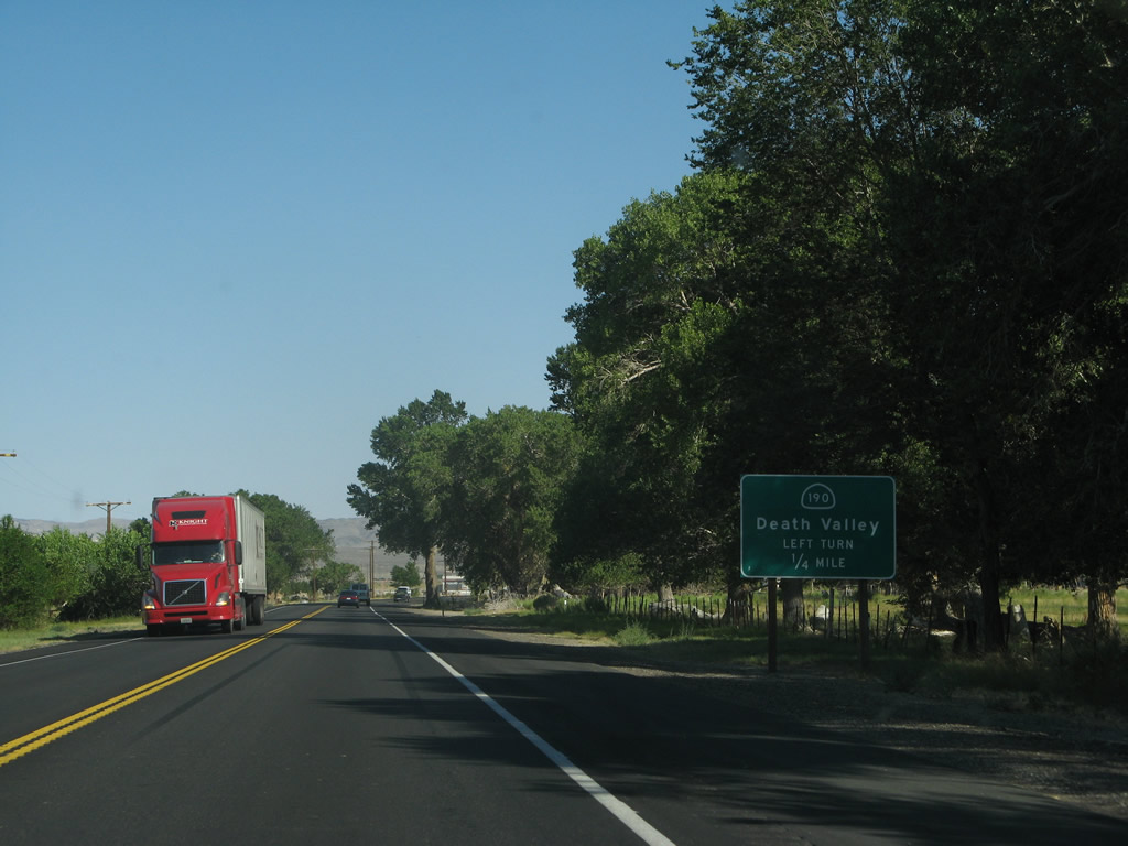
Soon after entering Olancha, southbound U.S. 395 approaches and meets California 190 at the southern end of the Owens Valley. California 190 is a major east-west highway that connects U.S. 395 with California 127 via Death Valley National Park; turn right to follow California 190 east into Death Valley. The intersection between U.S. 395 and California 190 is located at the southern end of massive Owens Lake. Photos taken 07/09/07. |
|
After the California 190 intersection, this mileage sign provides the distance to Coso Junction (17 miles), Little Lake (25 miles), and San Bernardino (168 miles via U.S. 395 and Interstate 15 south). Photo taken 07/09/07. |
|
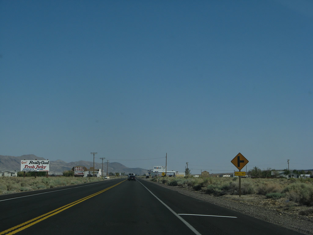
The next right connects U.S. 395 south with Fall Road. Photo taken 07/09/07. |
|
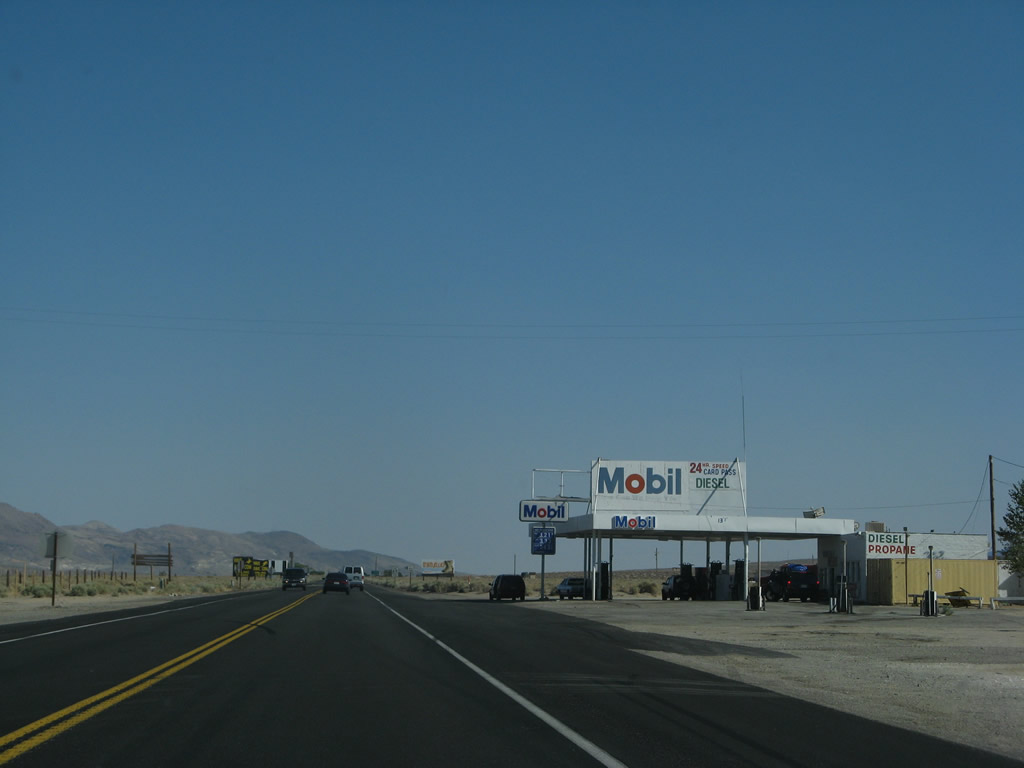
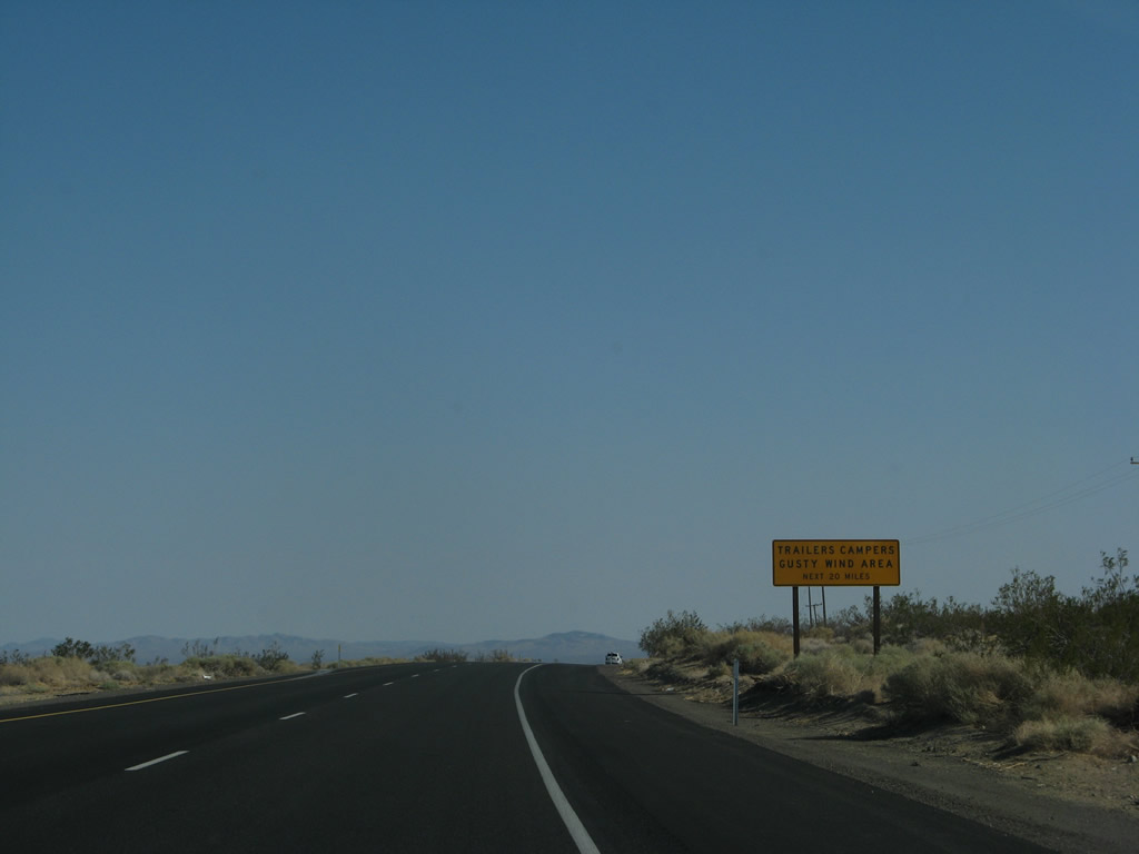
A gas station is located alongside U.S. 395, which is fairly uncommon along this lightly populated stretch of the Owens Valley. Check gas and food before traveling into the Mojave Desert, which begins shortly after leaving the Owens Valley. Photo taken 07/09/07. |
|
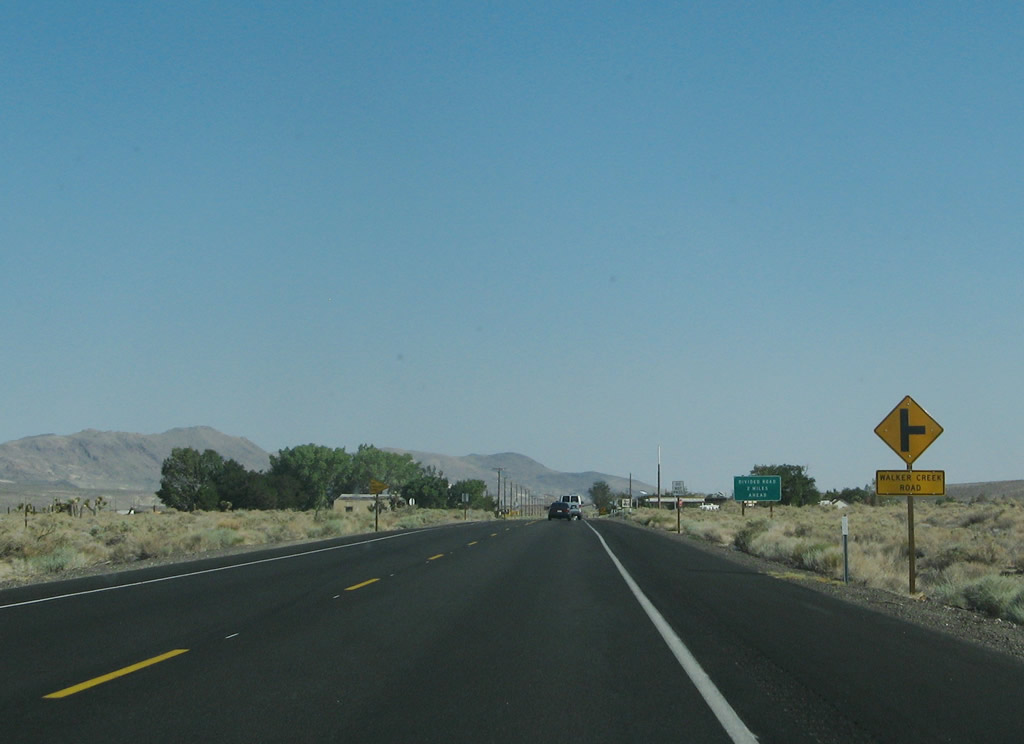
The next right connects U.S. 395 south with Walker Creek Road. Photo taken 07/09/07. |
|
The four-lane, divided expressway alignment of U.S. 395 will resume in two miles. Photo taken 07/09/07. |
|
A former gas station is located on the west side of the highway a short distance further south. Photo taken 07/09/07. |
|
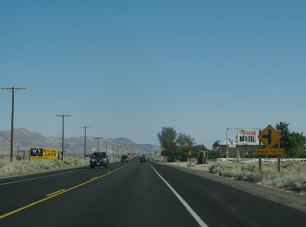
Southbound U.S. 395 approaches Cactus Flat Road. Photo taken 07/09/07. |
|
The four-lane divided highway resumes ahead with passing lanes. Photo taken 07/09/07. |
|
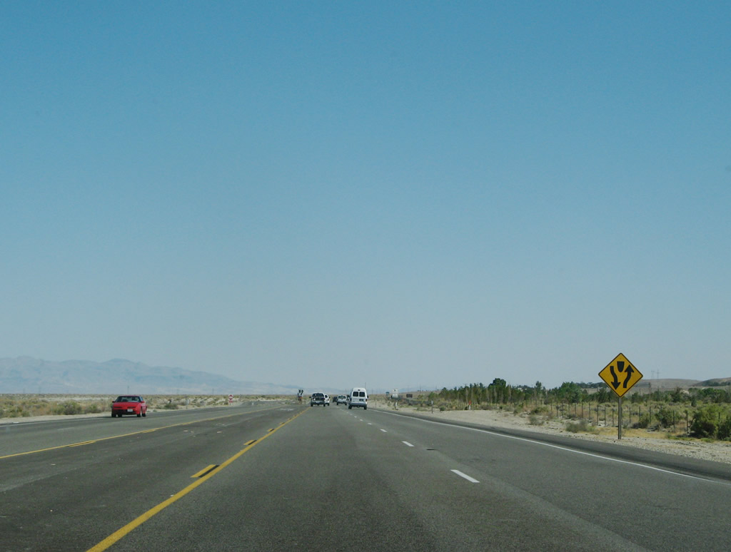
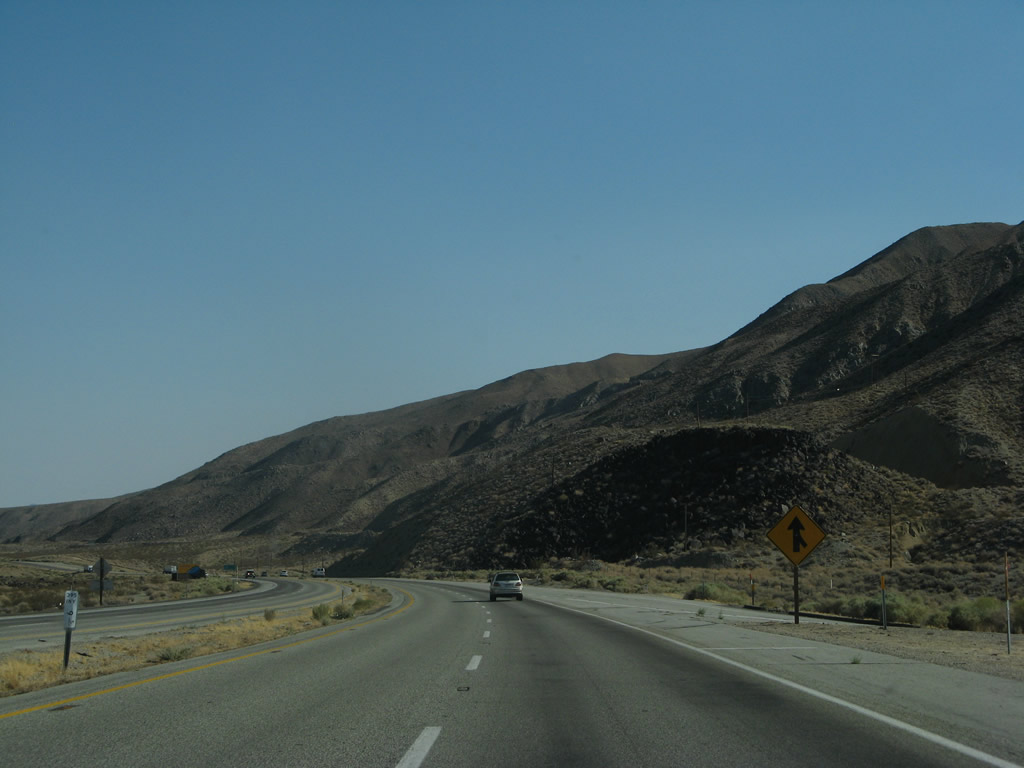
Continuing south, the divided highway begins. U.S. 395 will have four lanes from here south to the California 14 split. Photo taken 07/09/07. |
|
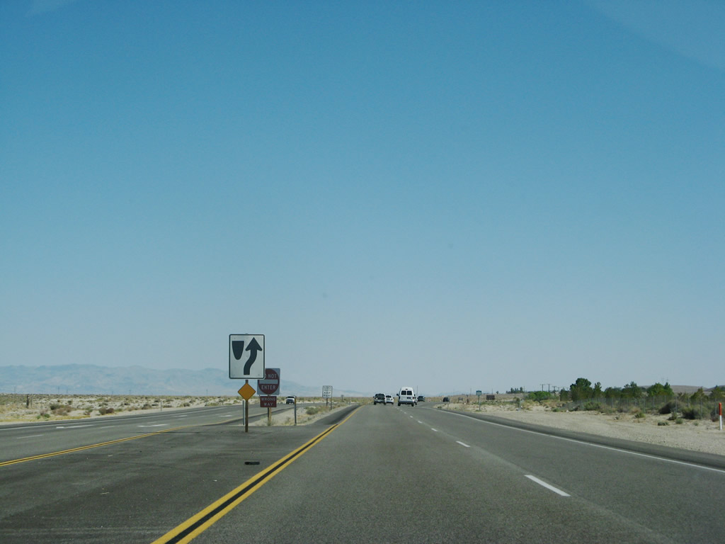
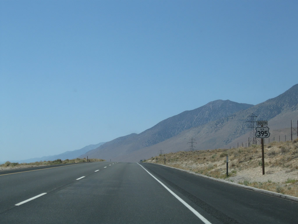
This reassurance shield for U.S. 395 south is posted after Sageflat Road and Lakeview Road. Photo taken 07/09/07. |
|
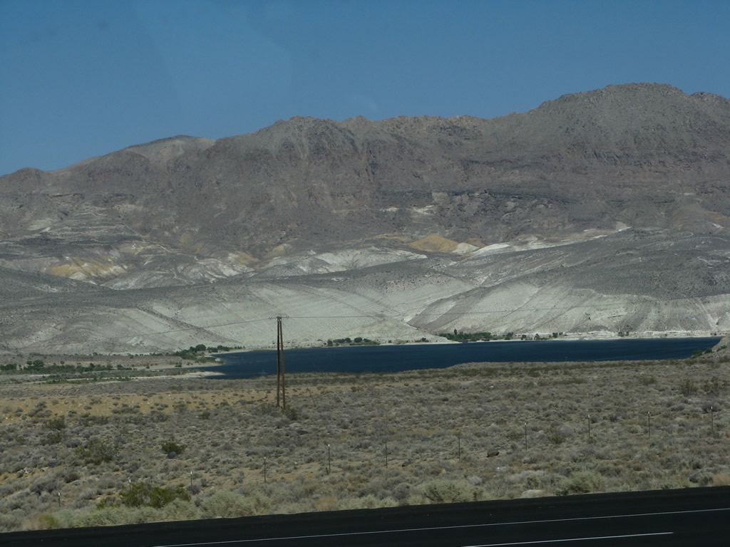
Looking to the east, North Haiwee Reservoir comes into view; the highway will come close to the water as the expressway proceeds south out of Owens Valley and into Rose Valley. The North and South Haiwee Reservoirs serve the Los Angeles Aqueduct for storage purposes as the water continues to travel south. Photo taken 07/09/07. |
|
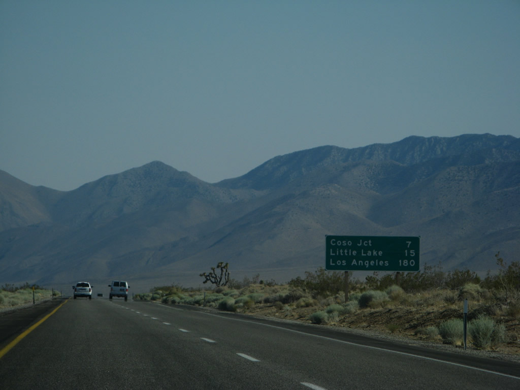
Another mileage sign provides the distance to Coso Junction (seven miles), Little Lake (15 miles), and Los Angeles (180 miles via U.S. 395, California 14, and Interstate 5 south). Photo taken 07/09/07. |
|
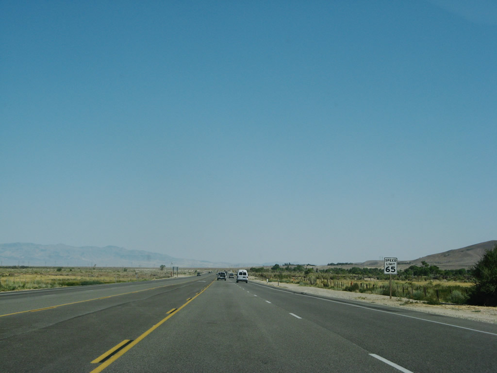
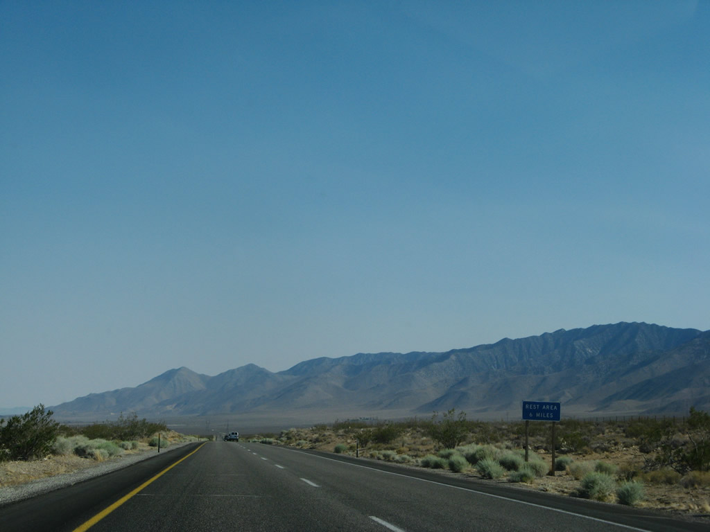
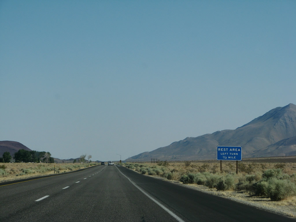
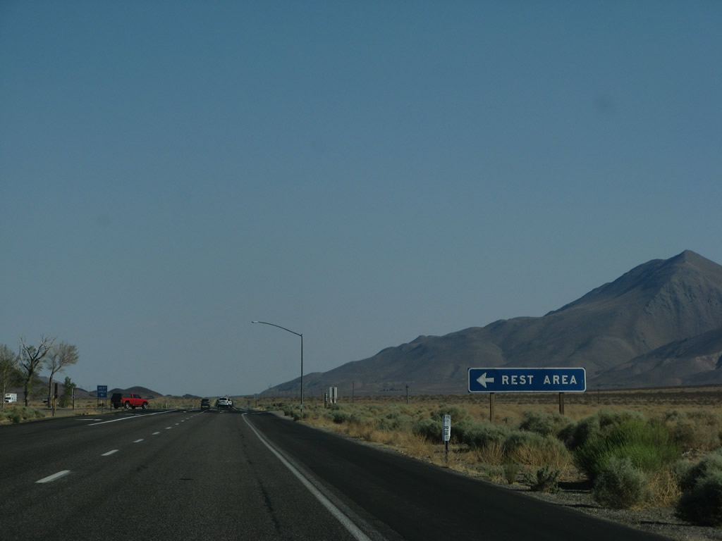
A rest area is six miles ahead at Coso Junction. Photo taken 07/09/07. |
|
|
|
U.S. 395 passes under the Path 65 high voltage direct current power line again, along with the LADWP 230kV, single-circuit power line. Photos taken 07/09/07. |
|
A beautiful view looking south is afforded as we crest into Rose Valley, leaving the Owens Valley behind. We are near the site of Dunmovin, which has an intriguing name for a sparsely populated area. Photo taken 07/09/07. |
|
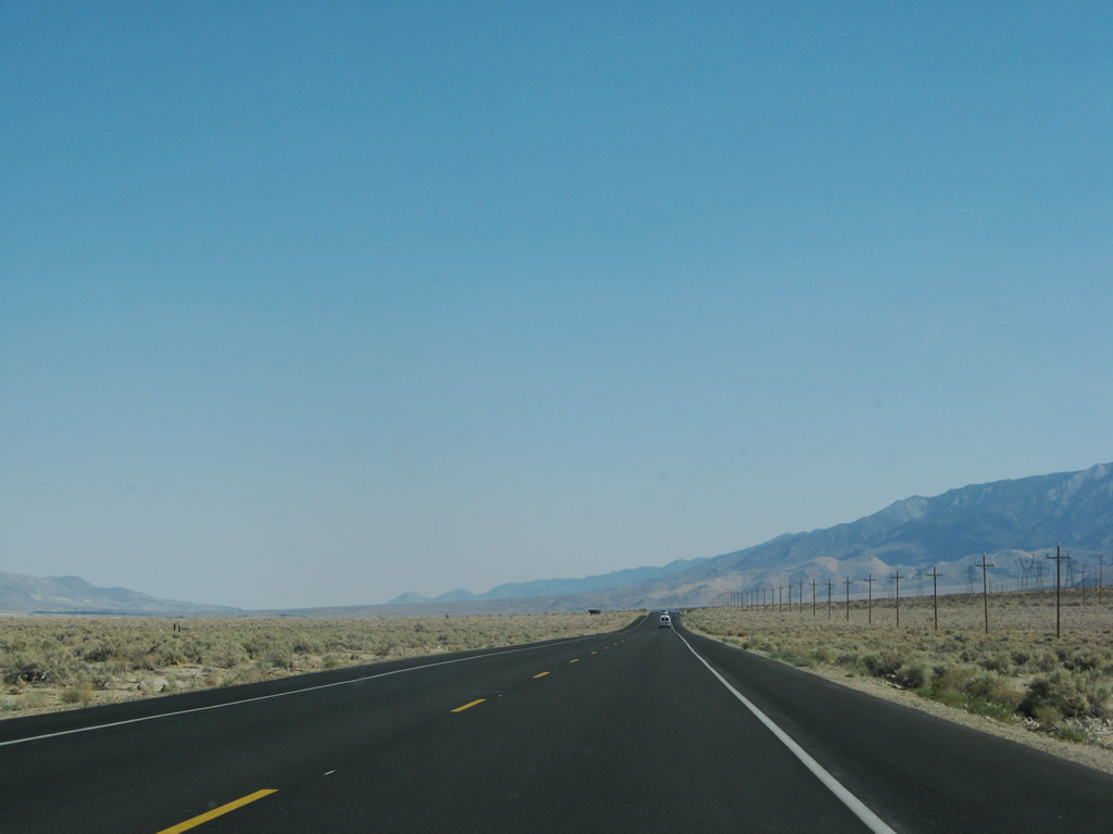
Now in the Rose Valley, U.S. 395 continues south. The Path 65 power lines parallel the highway to the east, as does the Los Angeles Aqueduct. Photo taken 07/09/07. |
|
|
The next major left turn along U.S. 395 south is with Gill Station Coso Road, which connects the highway with the Coso Junction Rest Area. The rest area includes restrooms and water. Photos taken 07/09/07. |
|
|
|
U.S. 395 continues as an expressway as the highway continues south past Coso Junction toward Fossil Falls, Little Lake, and Pearsonville. Photo taken 07/09/07. |
|
|
|
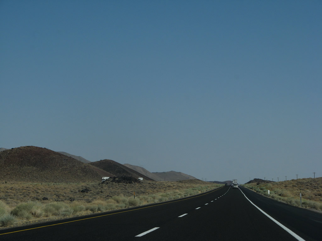
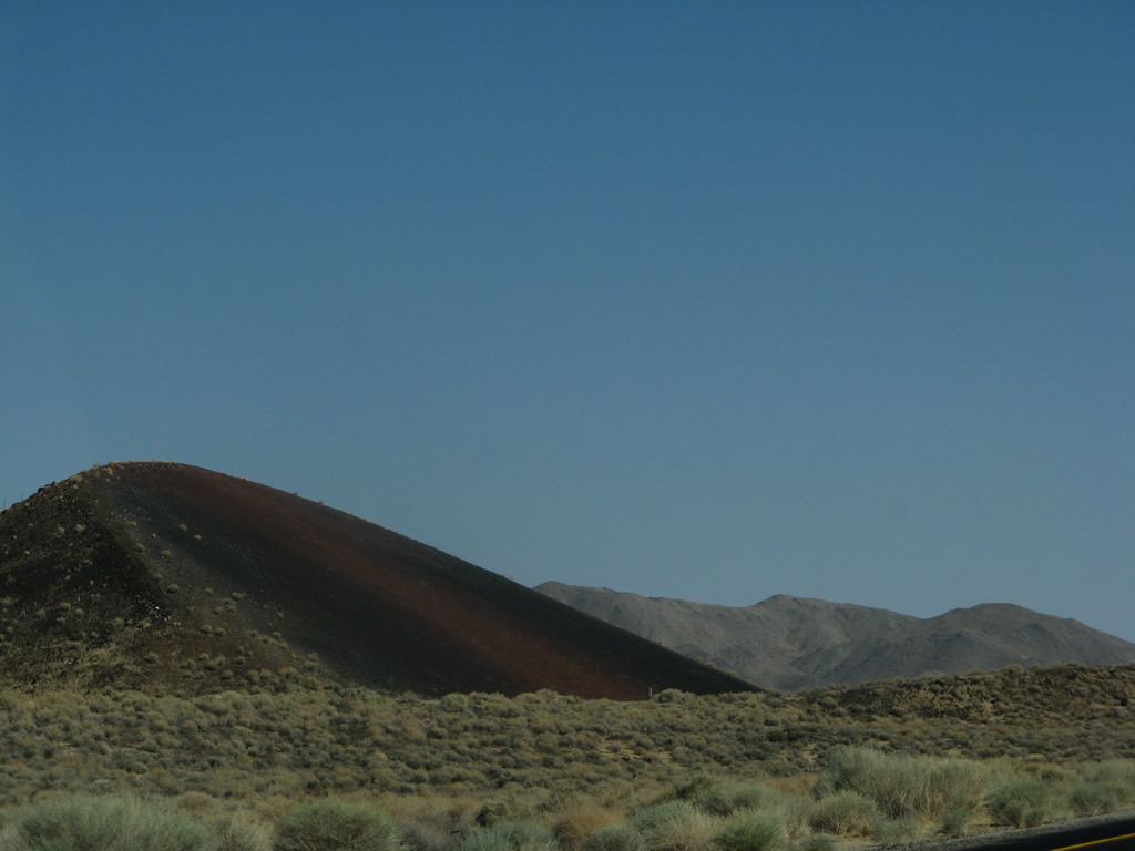
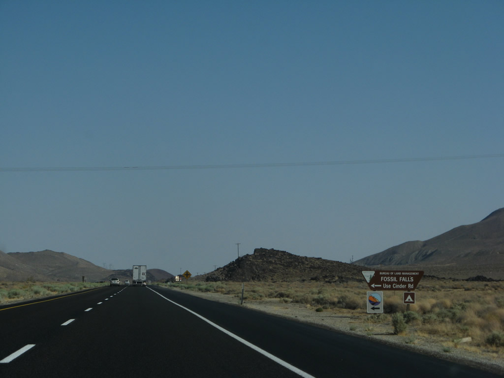
Southbound U.S. 395 approaches Cinder Road which travels east into the Fossil Falls Recreation Site. Fossil Falls was carved by an extension of the Owens River leading south during the last Ice Age; today, water passes through the falls during times of wet weather. Hiking and camping are available here. Prior to the turnoff for Fossil Falls, the highway skirts past the aptly named Red Hill (el. 3,952 feet), which is a cinder cone volcano. Photos taken 07/09/07. |
|
|
|
The freeway next approaches Little Lake, which comes into view on the east side of the expressway. This area saw greater importance before the expressway was built in the late 1950s; today Little Lake is a recreational area. The lake is a stop along the Los Angeles Aqueduct, which conveys water from the Owens Valley south to Southern California. Photos taken 07/09/07. |
|
|
|
Basalt formations lead into Little Lake; these volcanic columns are comparable to those found at Devils Postpile National Monument. The next intersection connects U.S. 395 with Little Lake Road. The old settlement of Little Lake (el. 3,140 feet) is located on the west side of the expressway on an old alignment of U.S. 395. Photos taken 07/09/07. |
|
|
Southbound U.S. 395 again approaches and meets Little Lake Road, which loops north into Little Lake along Old U.S. 395. Note the use of freeway signage (such as the green EXIT sign and the yellow ramp merge sign) even though there are standard, at-grade intersections with either end of Little Lake Road. Photos taken 07/09/07. |
|
Shortly after leaving Little Lake, U.S. 395 leaves the Eastern Sierra Scenic Byway and Rose Valley. Ahead, U.S. 395 approaches and enters the Mojave Desert, through which U.S. 395 will travel until its end in Hesperia. Photo taken 07/09/07. |
|
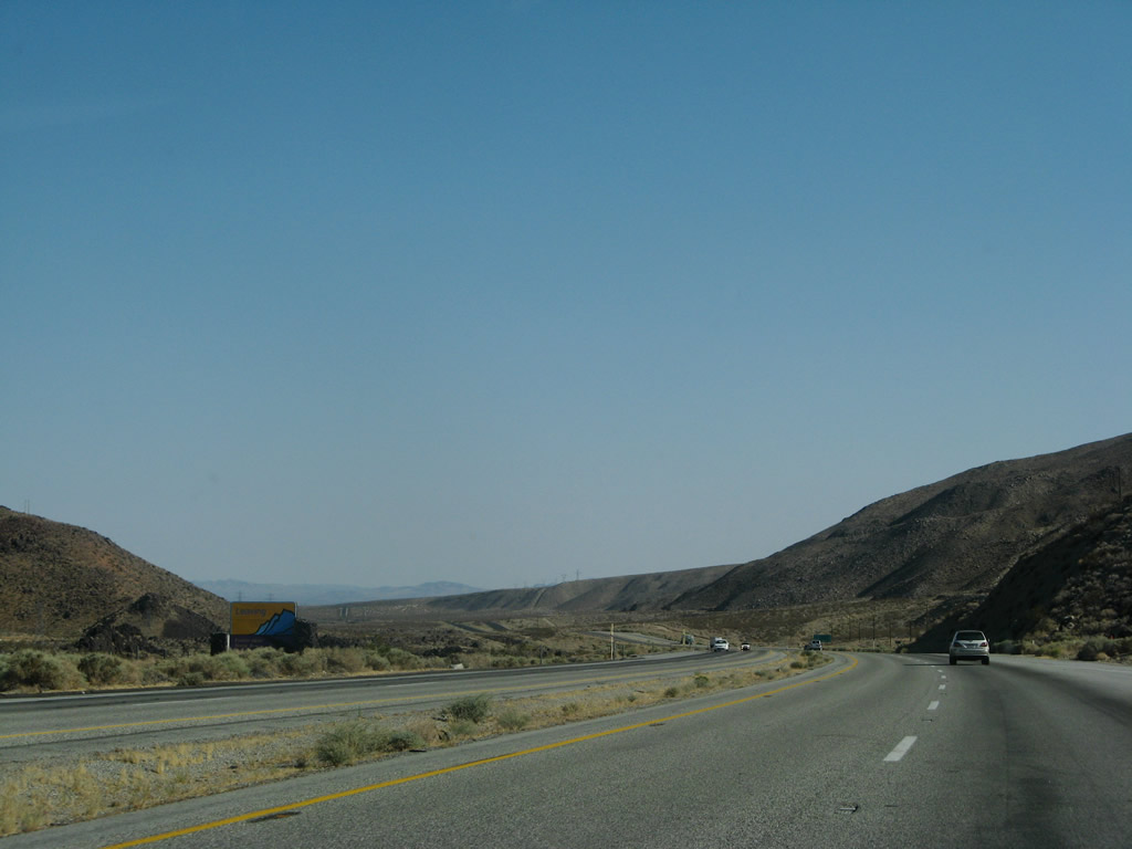
U.S. 395 drops below 3,000 feet for the first time. Much of the route through the Eastern Sierra was at elevations well above 3,000 feet, including some sections north of Bishop that exceed 8,000 feet (such as Deadman Summit and Conway Summit). The sprawling Indian Wells Valley spreads out in the distance ahead. Photo taken 07/09/07. |
|
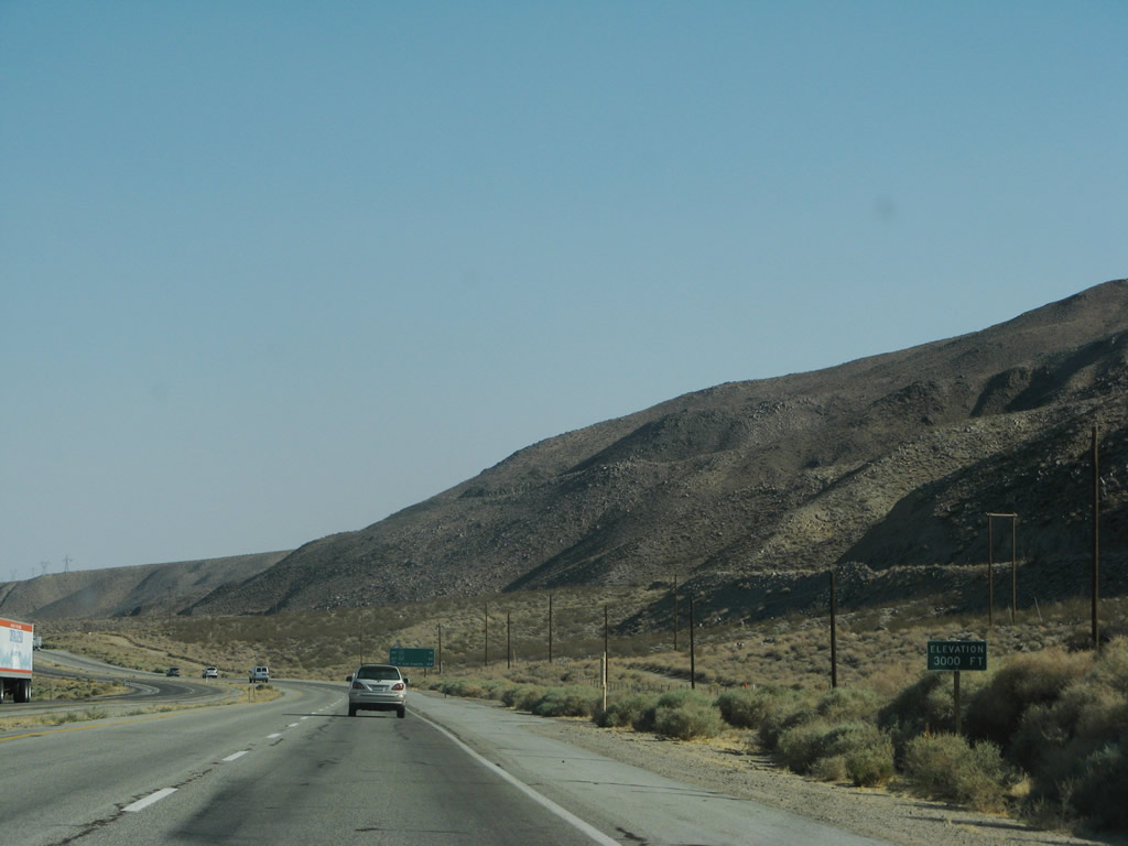
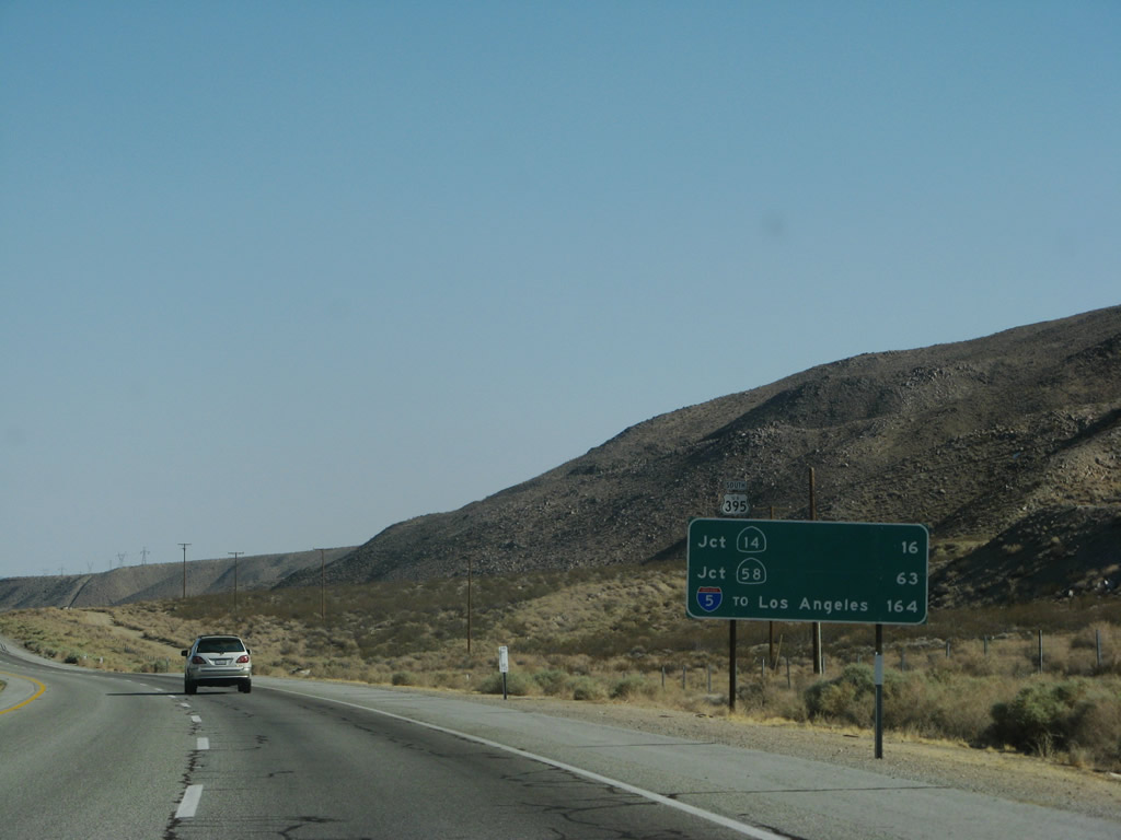
This mileage sign provides the distance to the California 14 (Historic U.S. 6) split (16 miles), California 58 in Mojave via California 14 (63 miles), and Interstate 5 south to Los Angeles via California 14 (164 miles). Photo taken 07/09/07. |
|
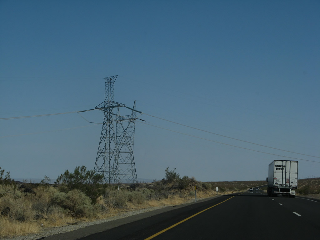
For a final time, the Path 65 500kV HVDC transmission lines and 230kV AC transmission line cross over U.S. 395. These two lines will travel along the California 14 corridor south toward Mojave, then take a rural path from there south to Los Angeles. Photo taken 07/09/07. |
|
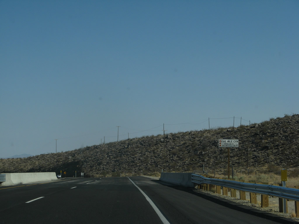
U.S. 395 crosses over Five Mile Canyon. Photo taken 07/09/07. |
|
|
|
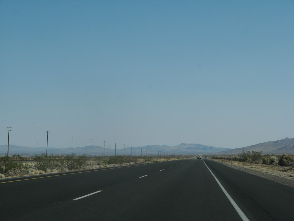
This series of photos follows U.S. 395 south between Five Mile Canyon and the turnoff for Inyo County J-41 (Nine Mile Canyon Road) to Kennedy Meadows. The Indian Wells Valley spreads out as U.S. 395 leaves the canyon area and enters a much more open area. Photos taken 07/09/07. |
|
|
|
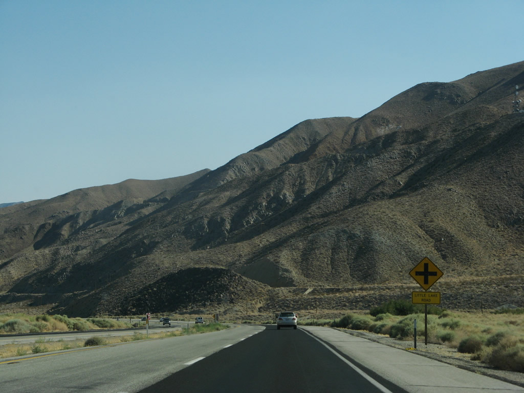
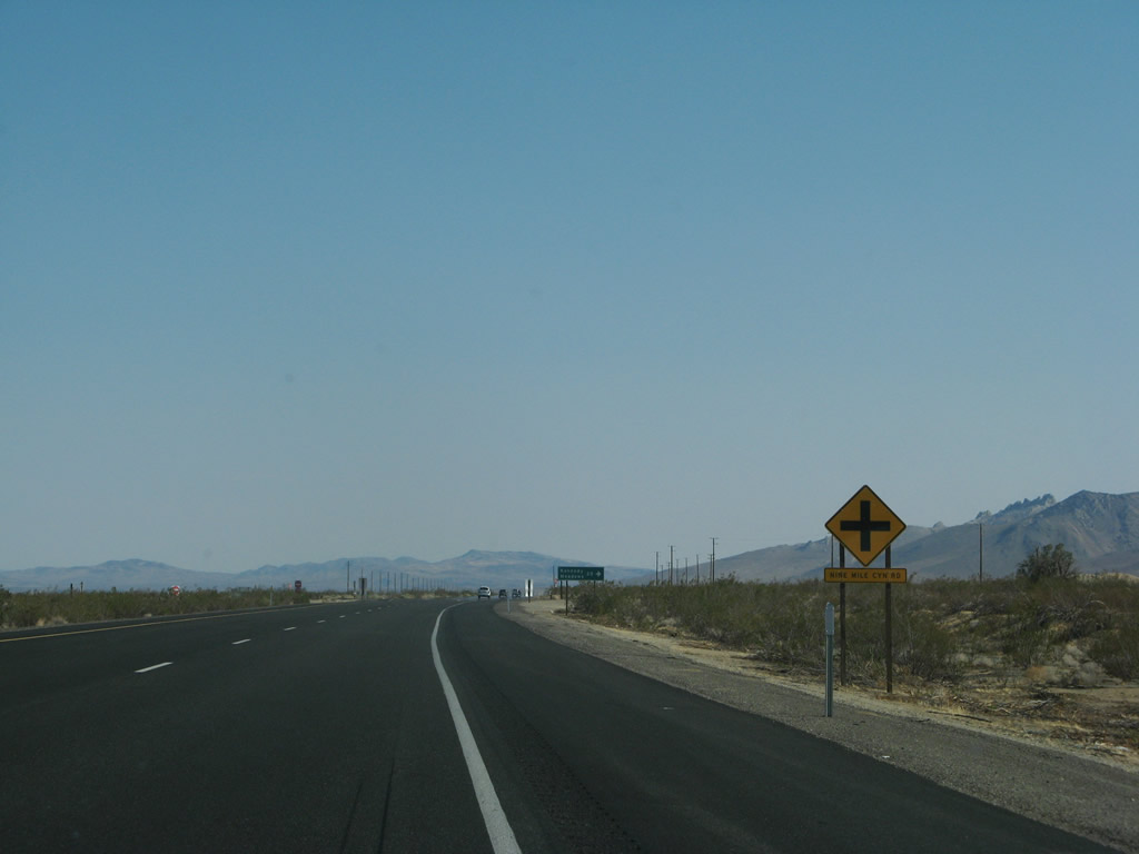
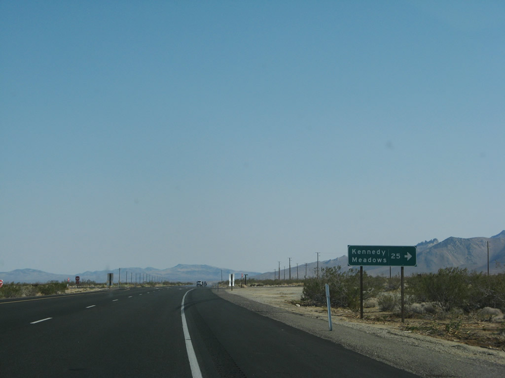
Southbound U.S. 395 approaches Inyo County J-41 (Nine Mile Canyon Road) west to Sherman Pass and Kennedy Meadows. There are no Inyo County J-41 shields posted on U.S. 395, and the county route is mostly unsigned on the route itself. This route is the first to cross the Sierra Nevada south of the California 120/Tioga Pass crossing through Yosemite National Park. California 168, California 180, and California 190 do not cross the Sierra Nevada. To California 190 west, follow Inyo County J-41 (which becomes Tulare County J-41) via Sherman Pass Road to Western Divide Highway north to California 190 near Camp Nelson. Photos taken 07/09/07. |
|
|
|
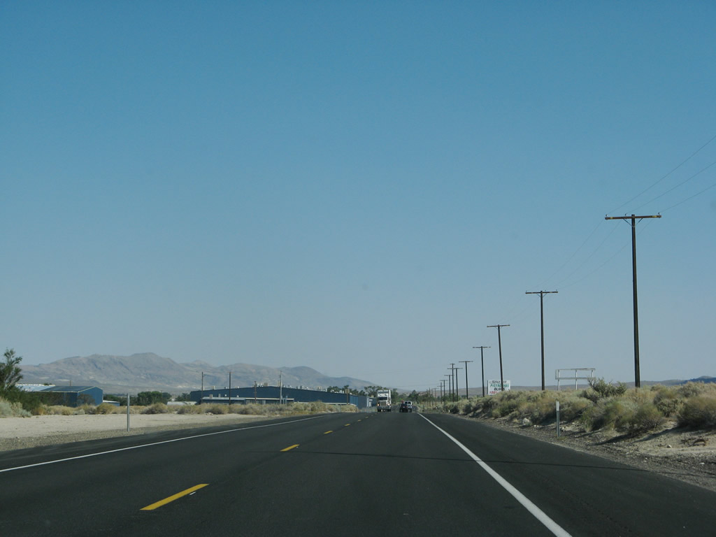
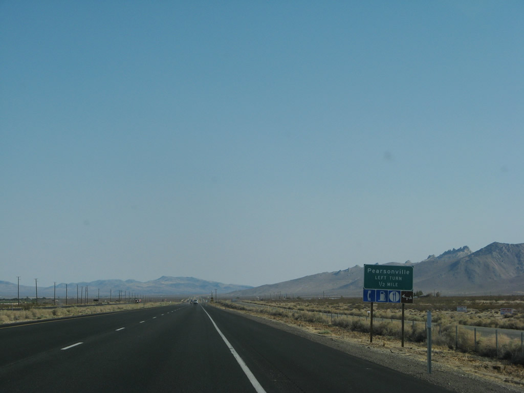
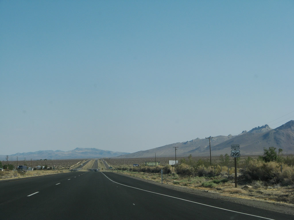
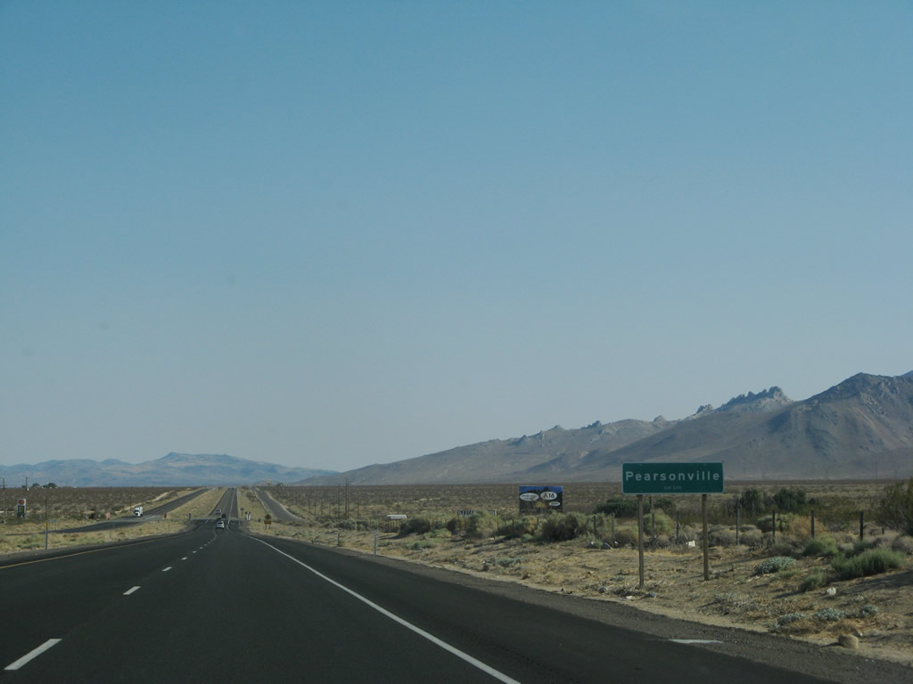
Southbound U.S. 395 approaches the unincorporated community of Pearsonville. Some motorist services (food, gas) are located here. Pearson Road is basically the frontage road on the east side of the expressway (first left turn and last left turn). Sterling Road is the west side frontage road. Photos taken 07/09/07. |
|
|
|
|
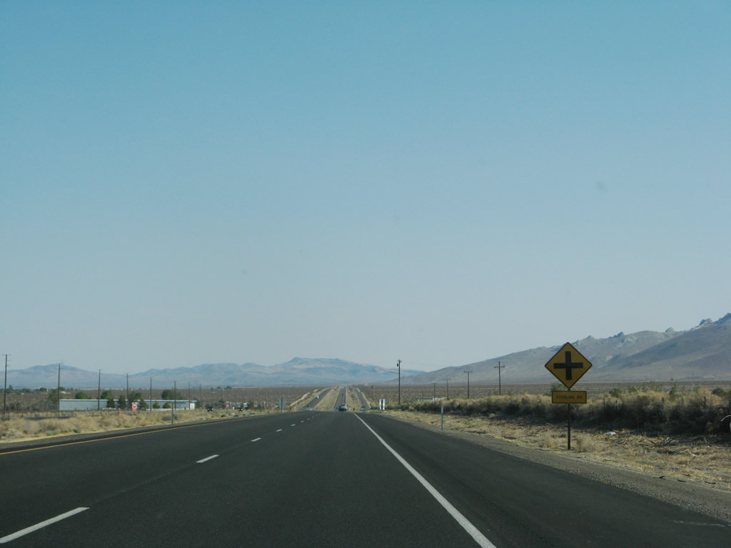
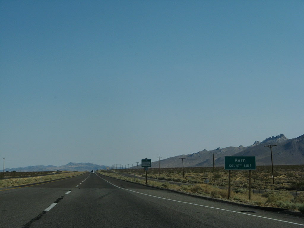
The Inyo-Kern County line passes through this intersection; U.S. 395 leaves Inyo County and enters Kern County. U.S. 395 remains a four-lane expressway for the distance from Pearsonville south to the California 14 split. Photo taken 07/09/07. |
Page Updated May 22, 2010.