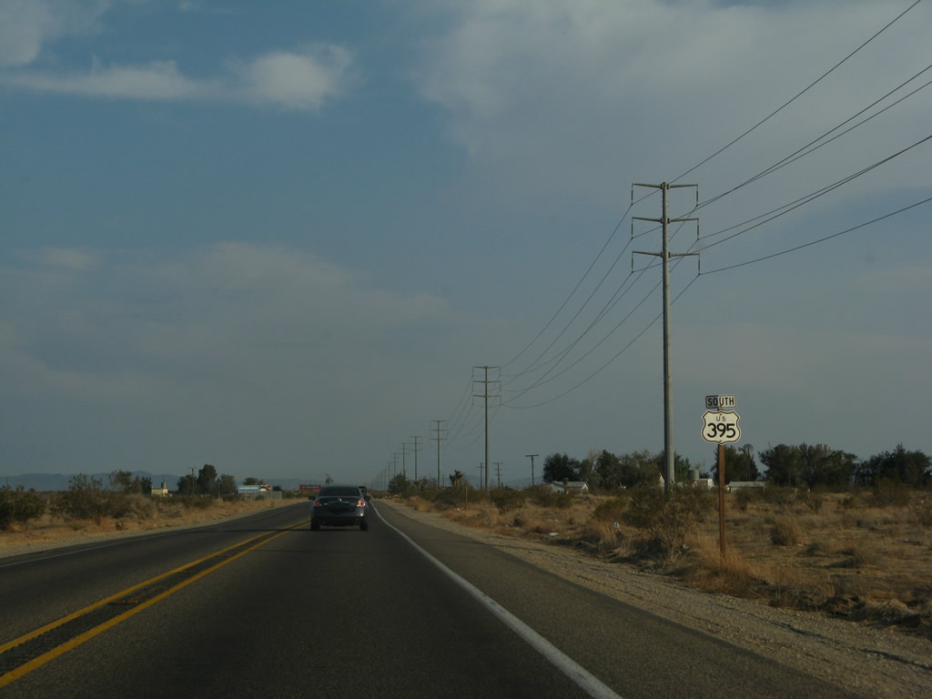
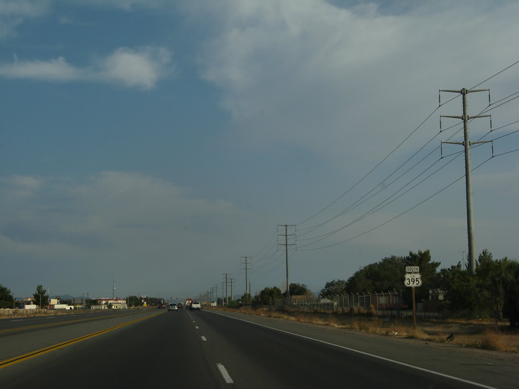
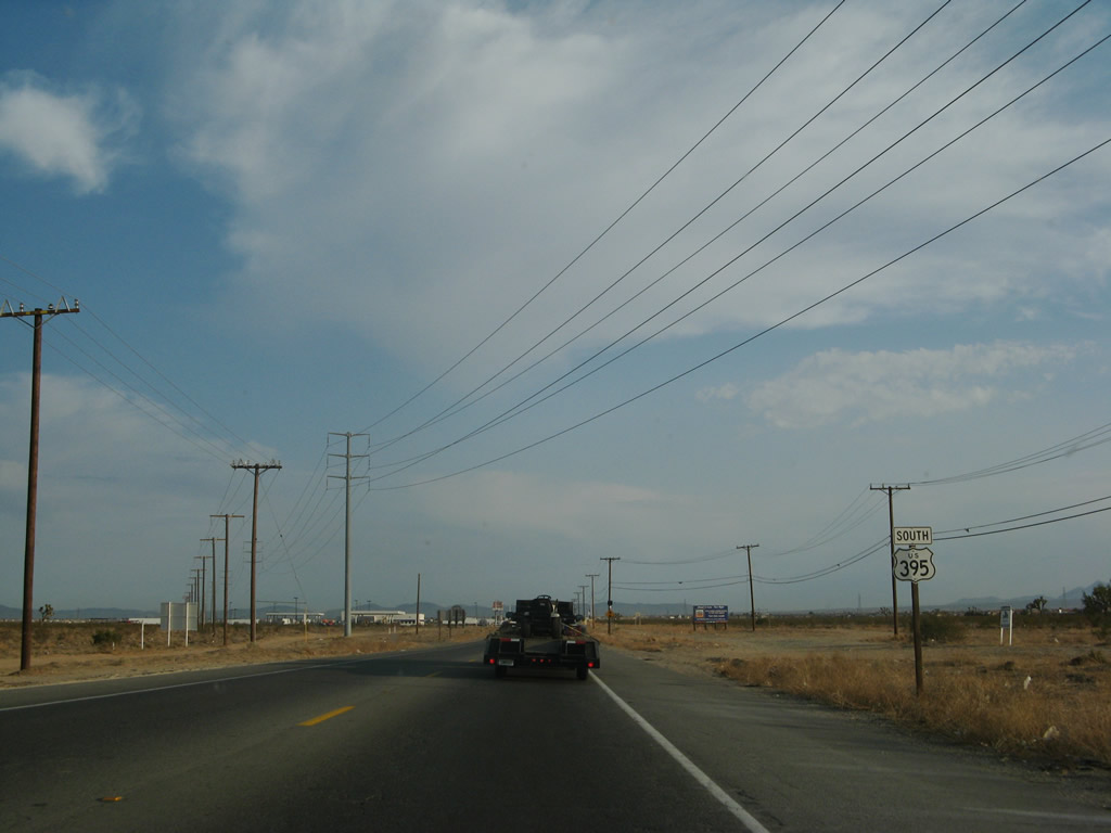
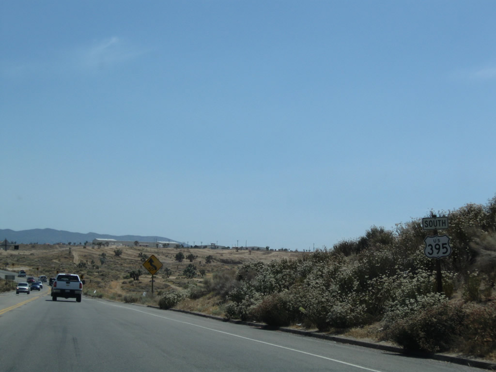
| U.S. 395 south |
|
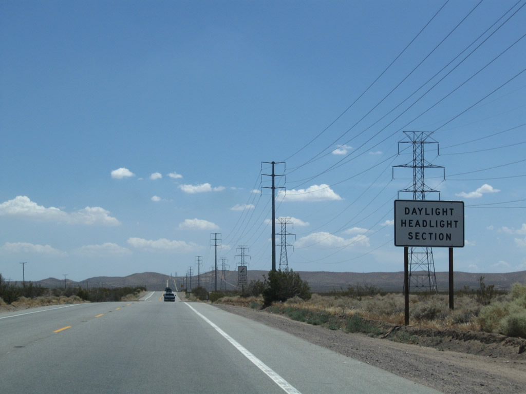
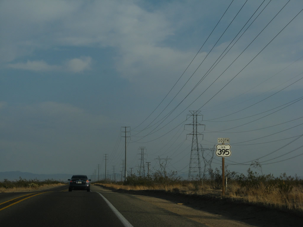
Leaving Kramers Junction and gaining elevation, motorists along U.S. 395 again must use headlights daytime and nighttime. Photo taken 07/26/09. |
|
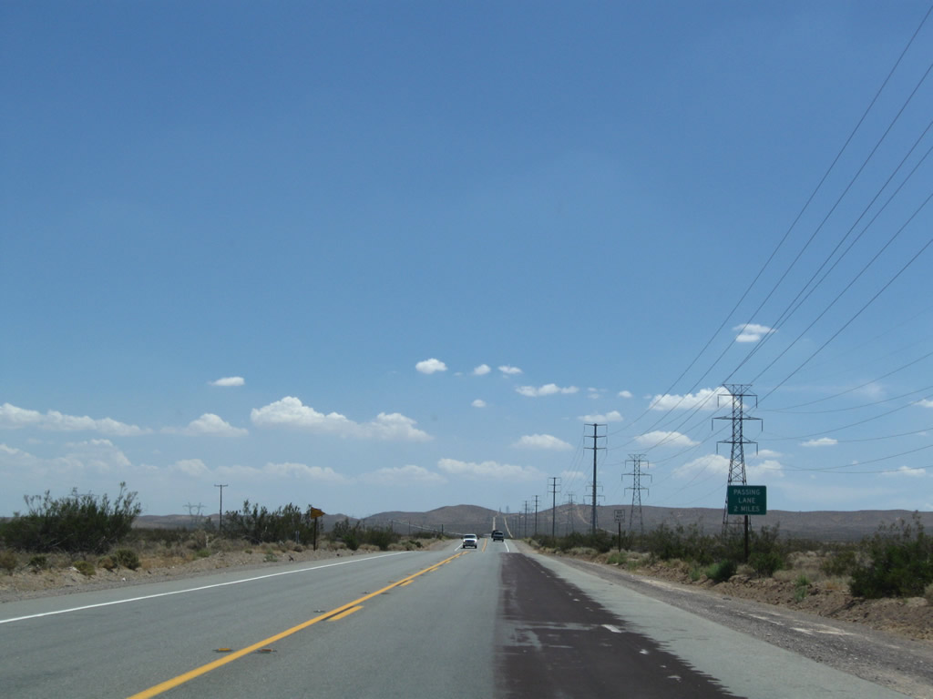
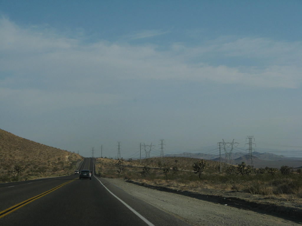
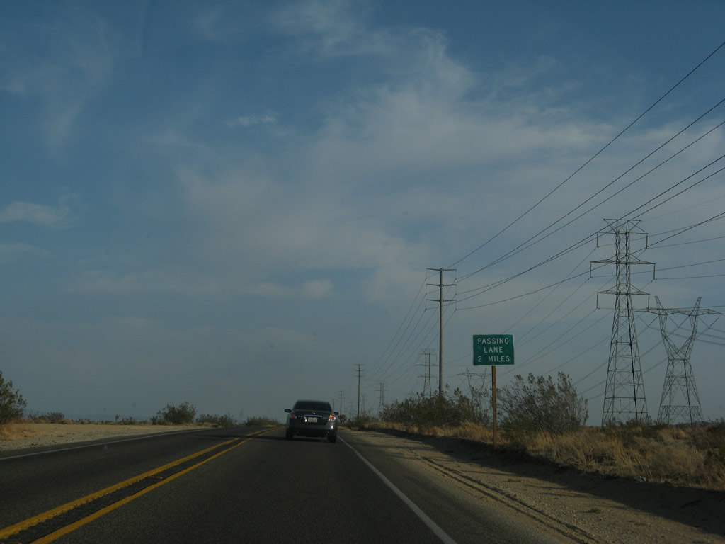
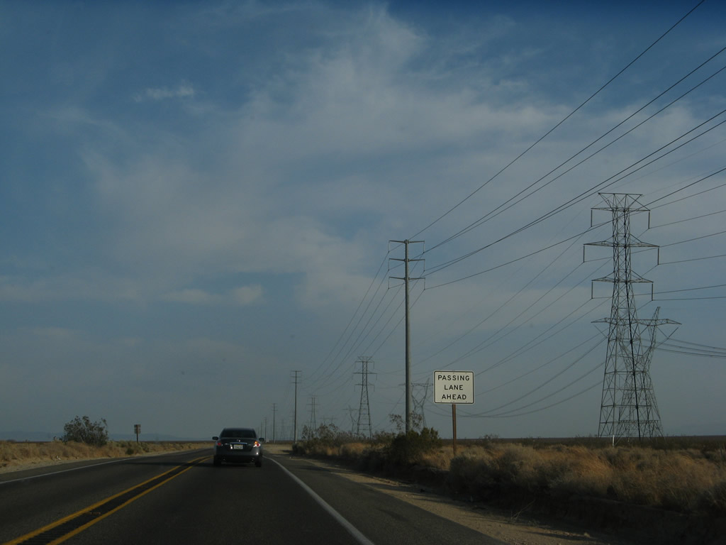
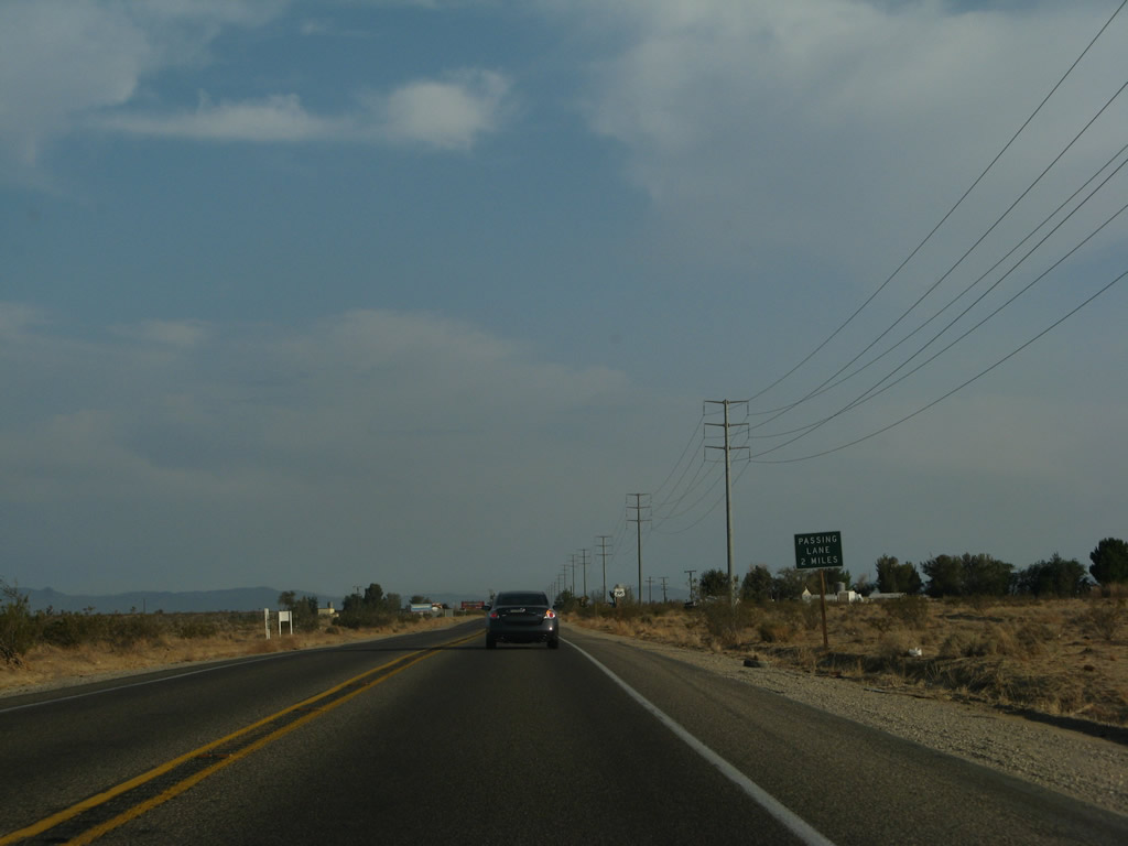
A passing lane begins in two miles. Photo taken 07/26/09. |
|
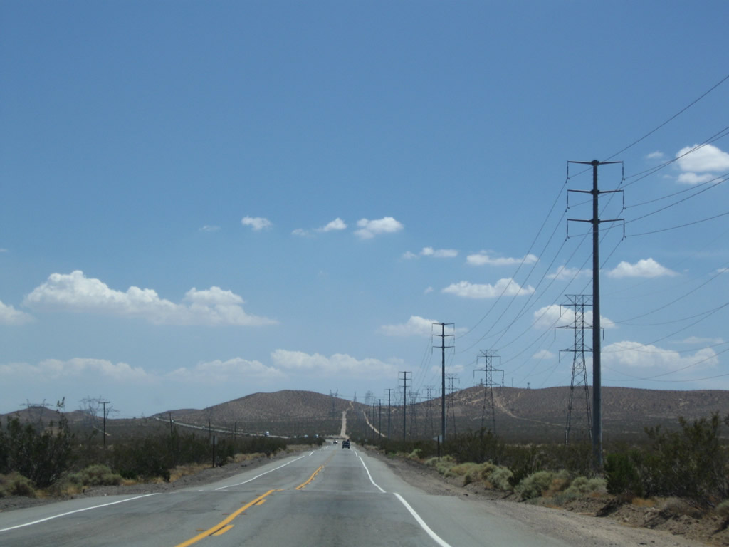
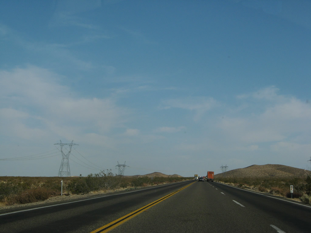
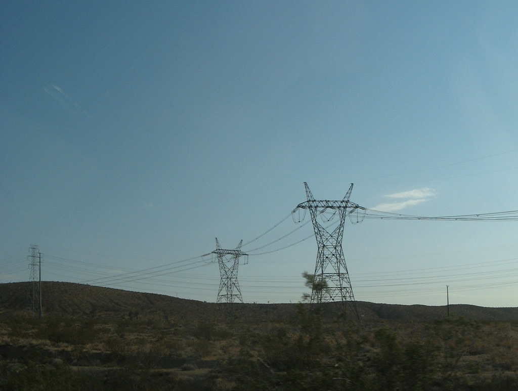
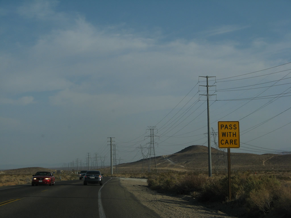
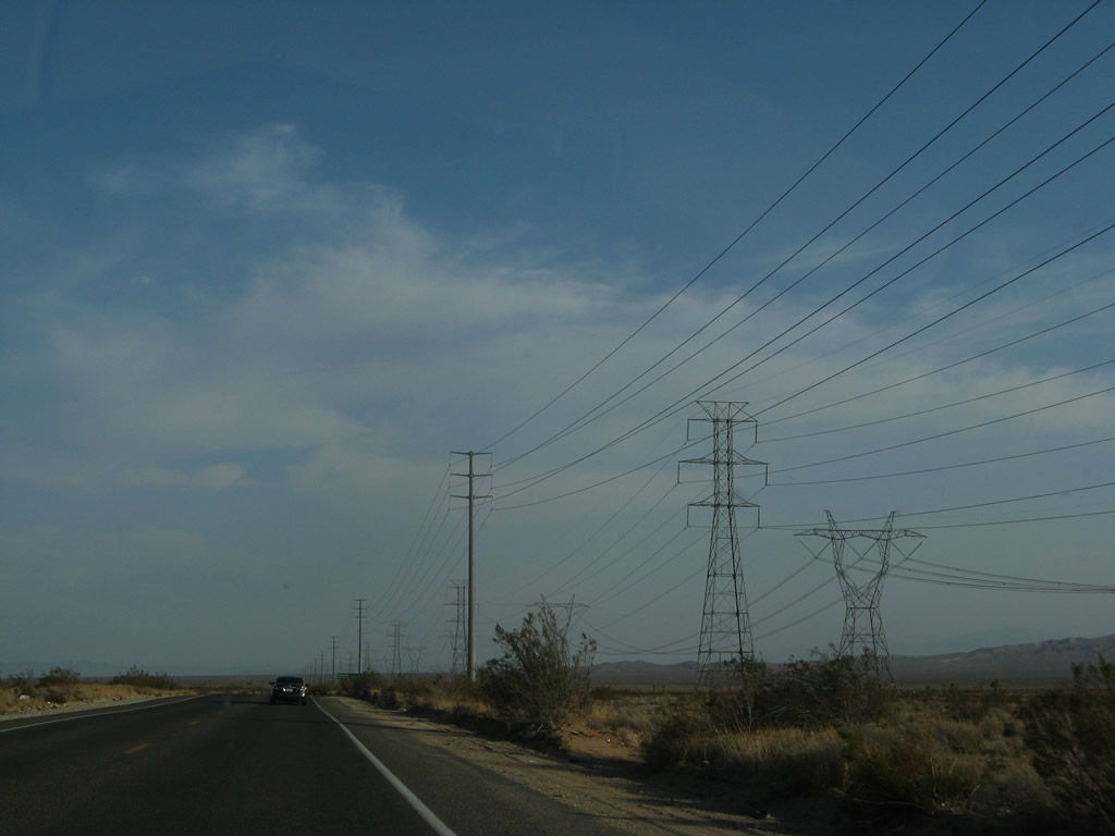
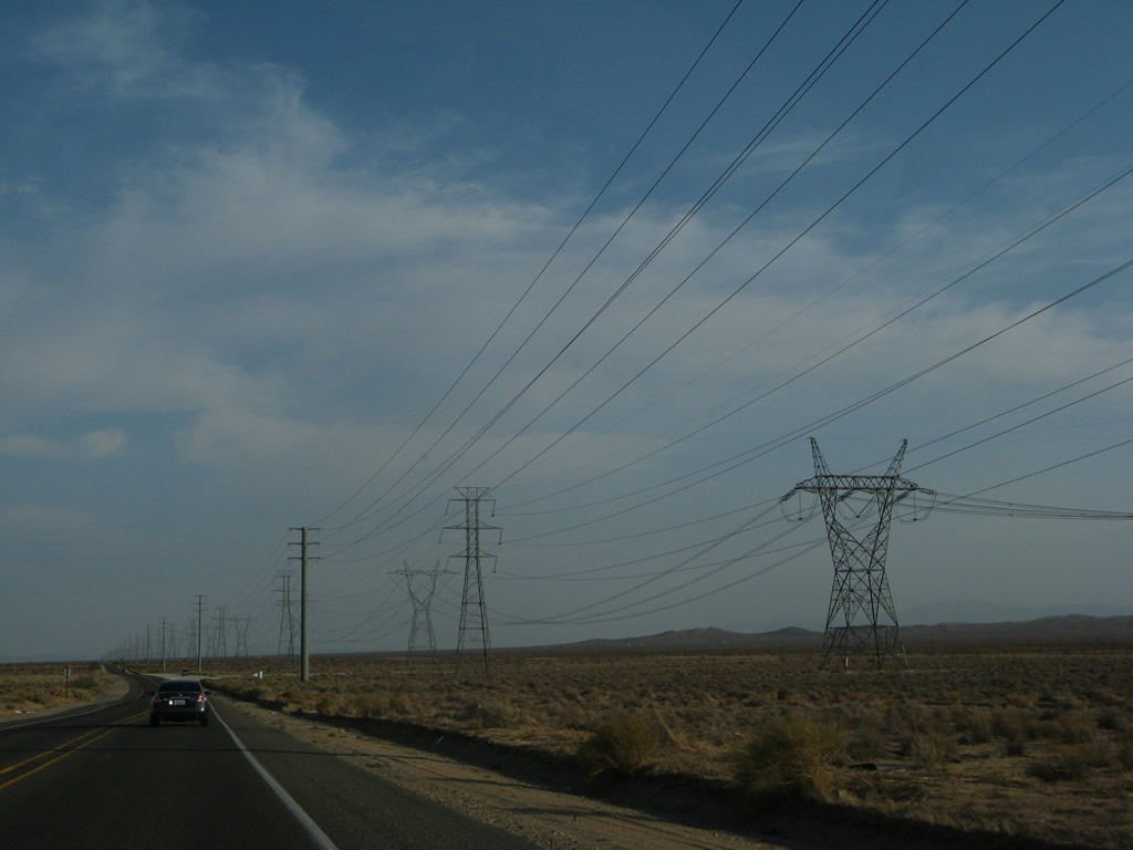
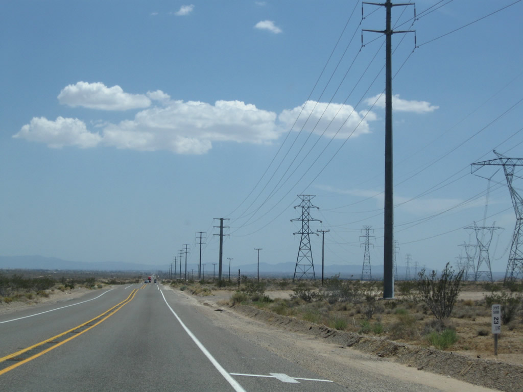
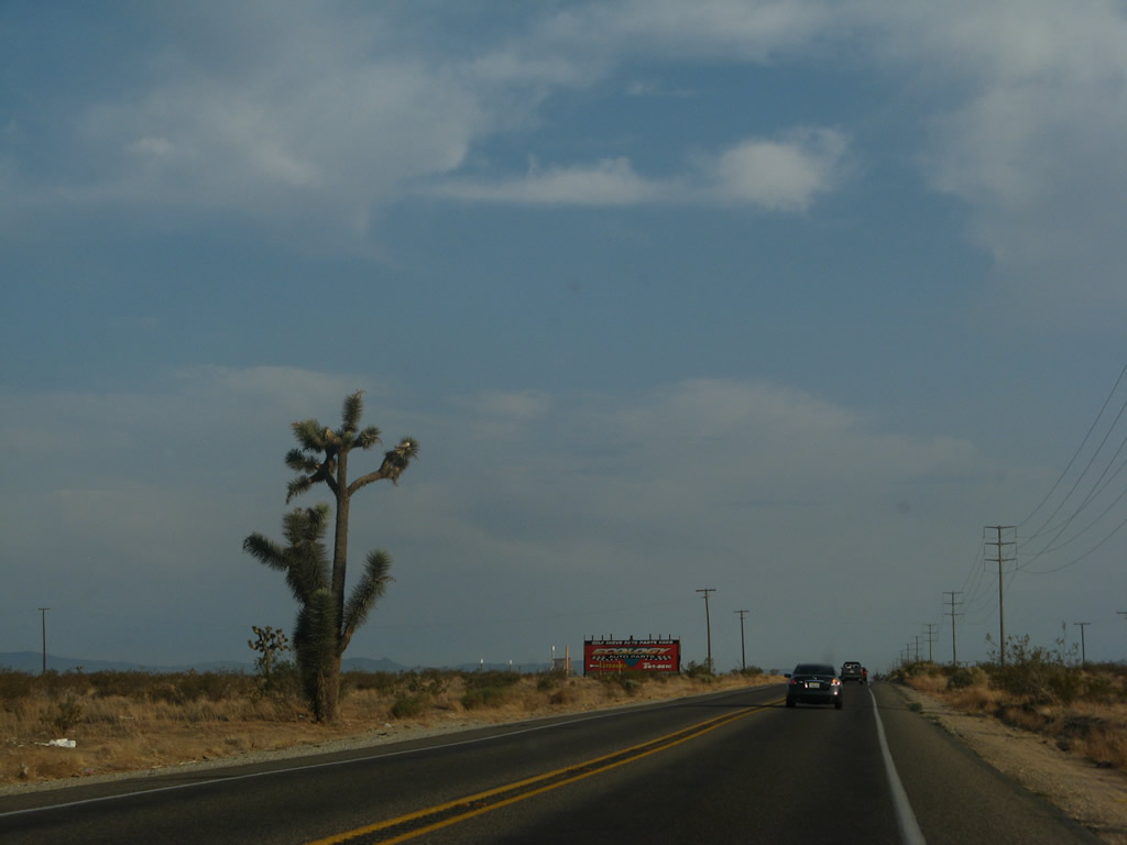
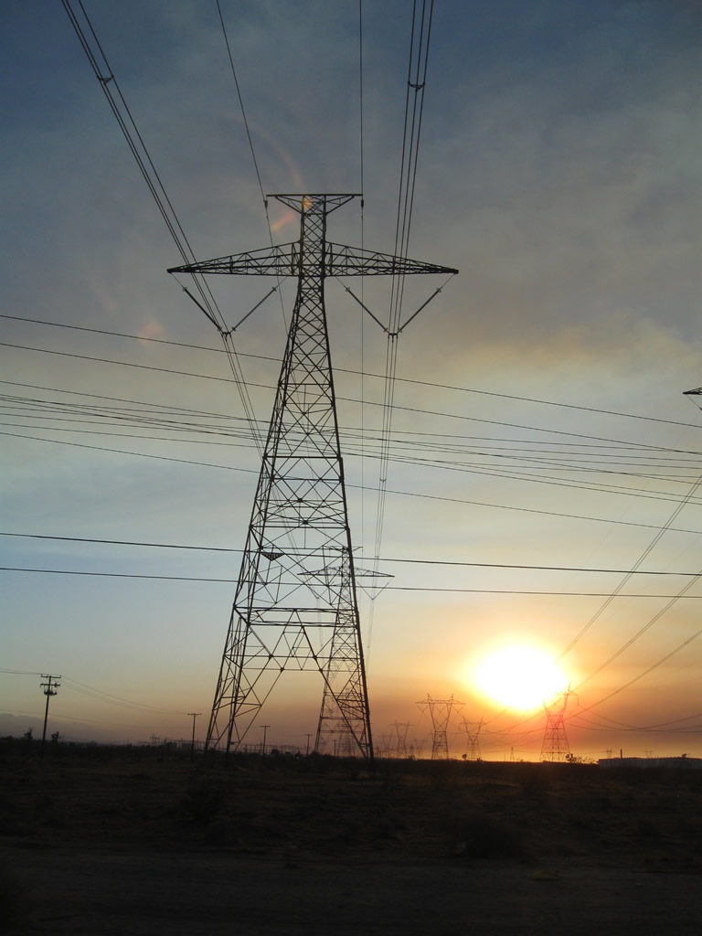
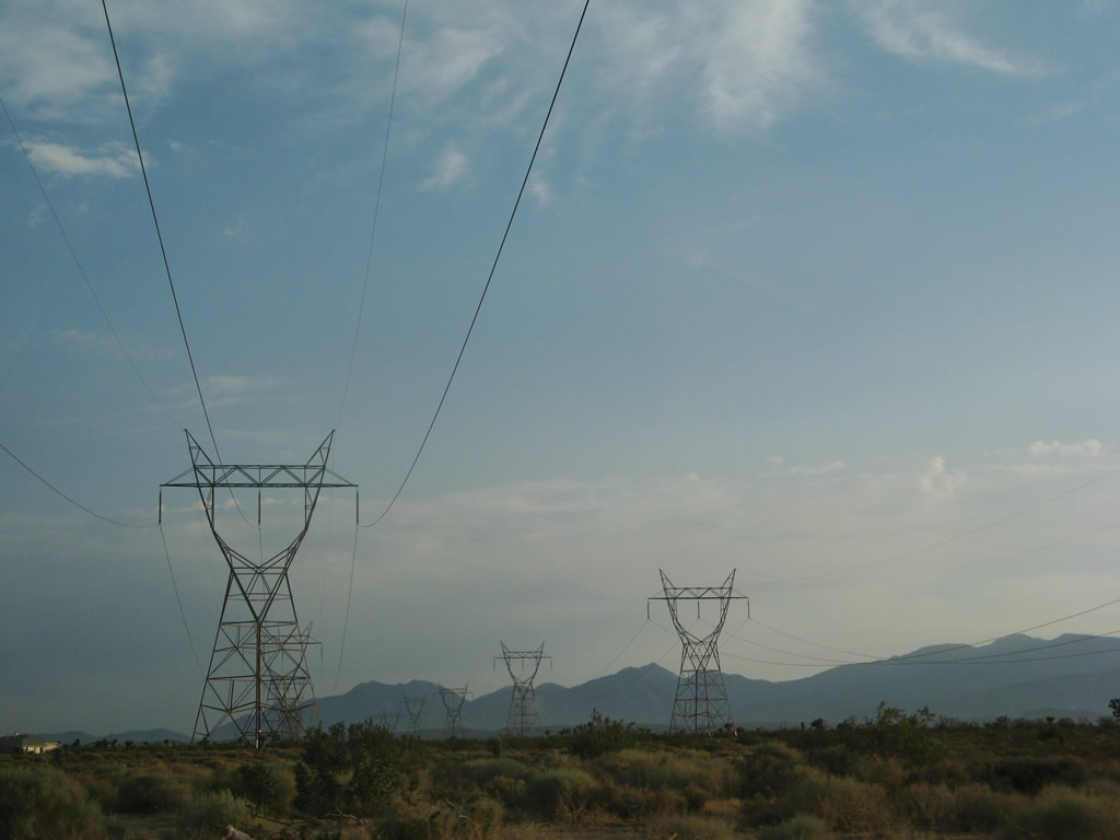
Coming into the Kramer Hills, U.S. 395 again gains elevation. While the same powerlines continue to parallel the highway on the west side, another powerline (Path 64, a 500kV power line) merges in from the east. Photo taken 07/26/09. |
|
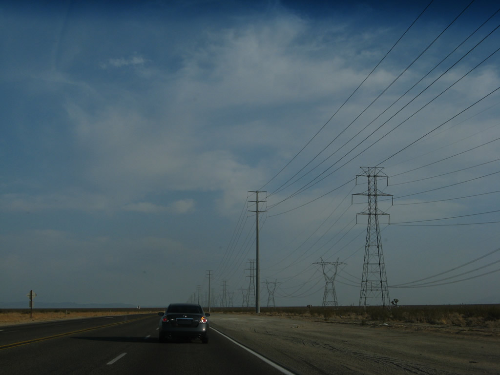
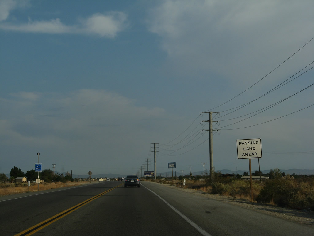
A passing lane helps carry southbound traffic into the Kramer Hills. Photo taken 07/09/07. |
|
|
|
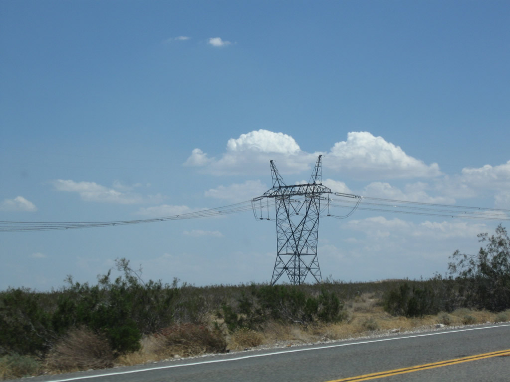
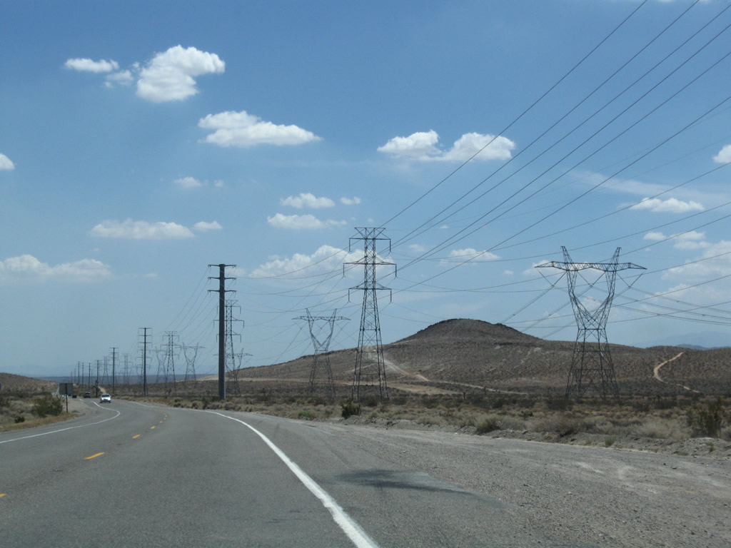
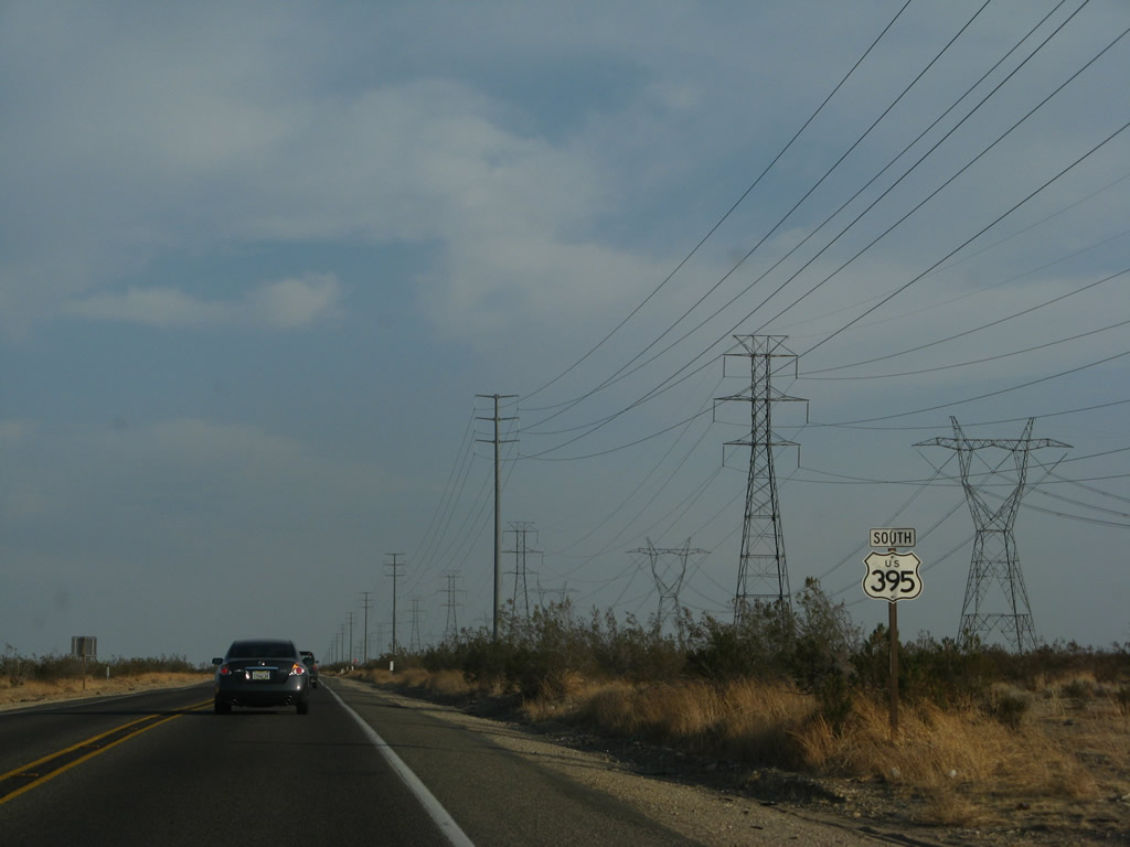
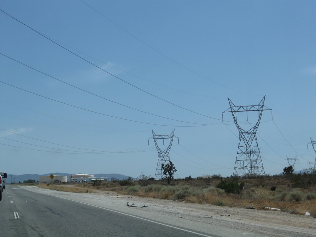
A 500kV power line owned by the Los Angeles Department of Water and Power comes alongside U.S. 395 and will parallel the highway almost from here in the Kramer Hills (south of intersection with California 58) and continue toward a massive substation in Adelanto. This 500kV power line is part of Path 64, which connects the Adelanto, Marketplace, and Mead substations. A companion 230kV double circuit power line follows the Path 64 500kV power line; it connects a substation located at the intersection of California 18 (Palmdale Road) & Vincent Drive with an electrical substation at Kramer Junction. Photo taken 07/26/09. |
|
|
|
|
Reaching the top of Kramer Hills, U.S. 395 will again lose the passing lane and revert to a two-lane highway. Photo taken 07/09/07. |
|
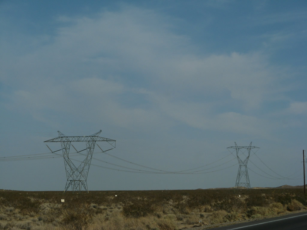
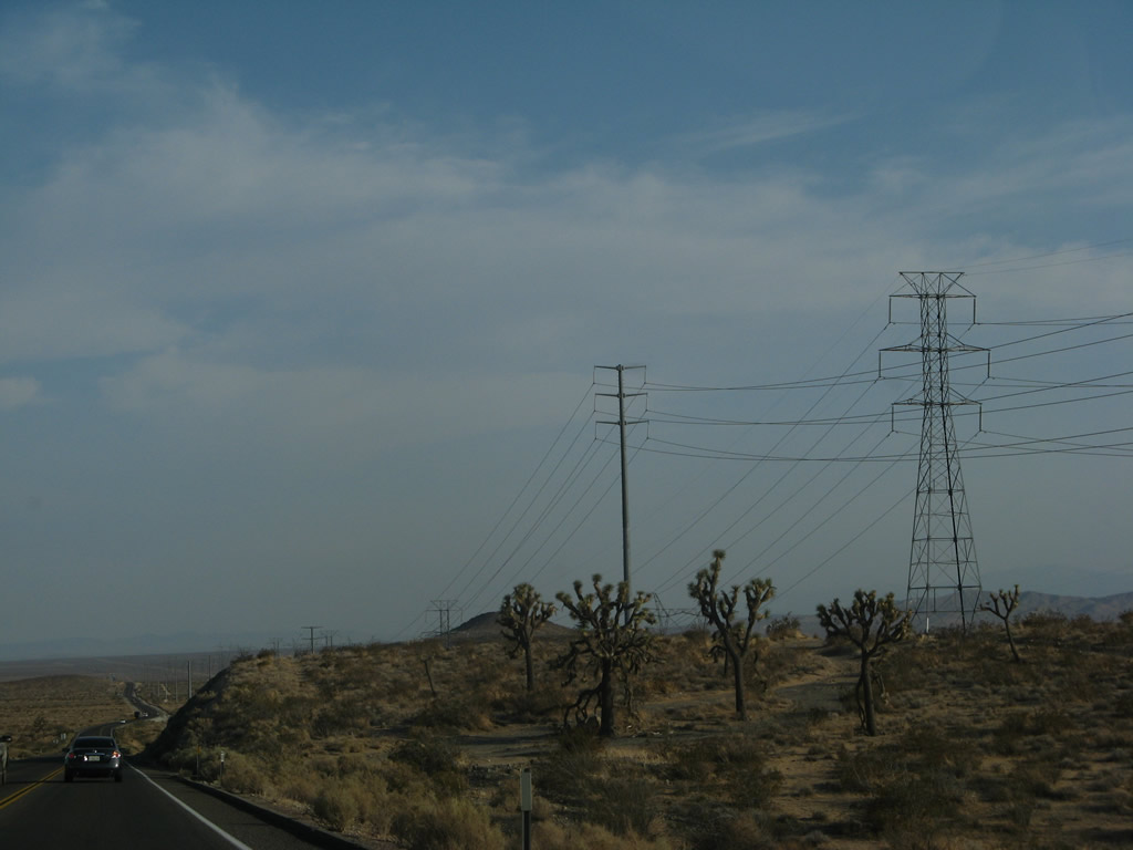
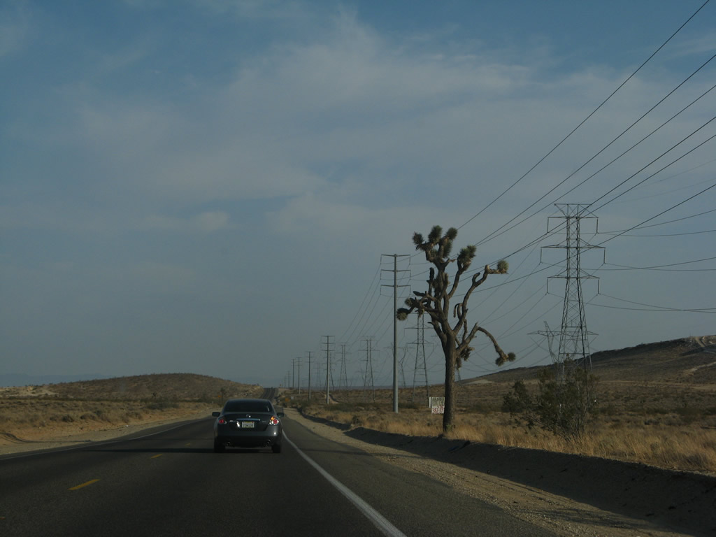
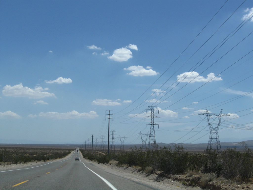
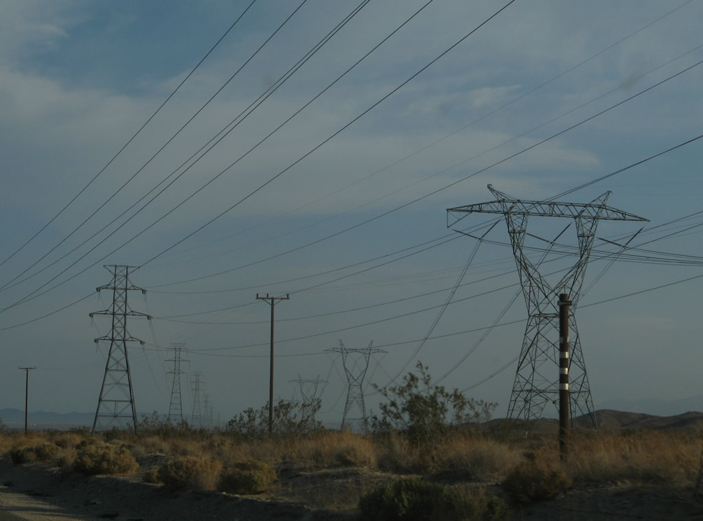
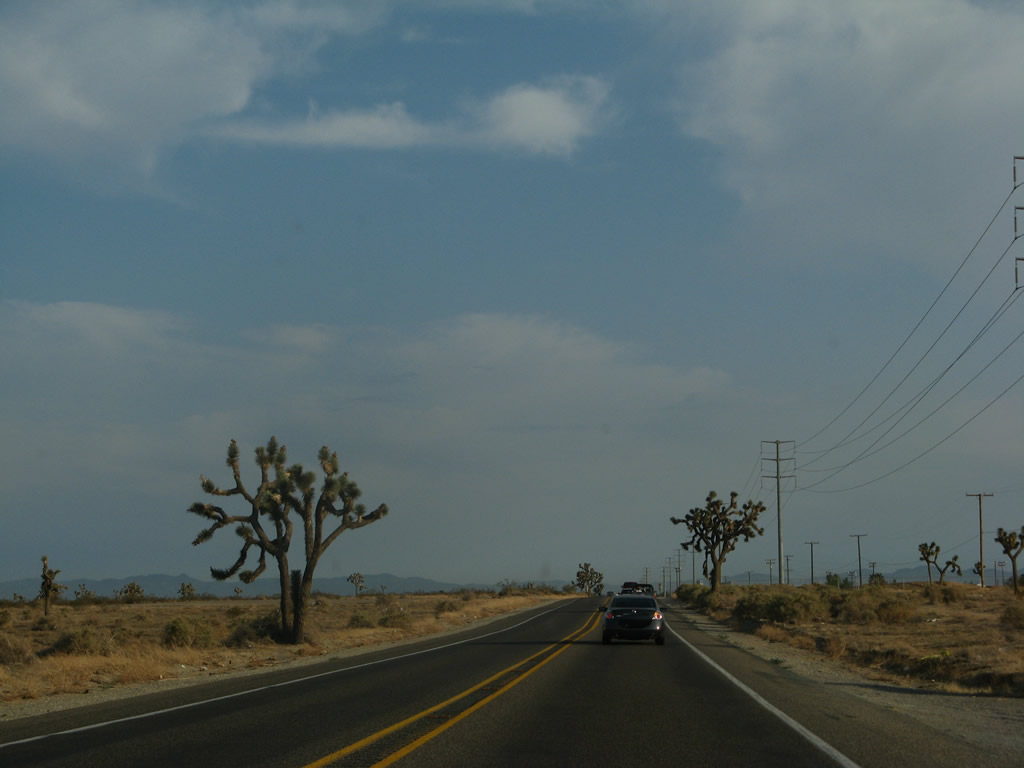
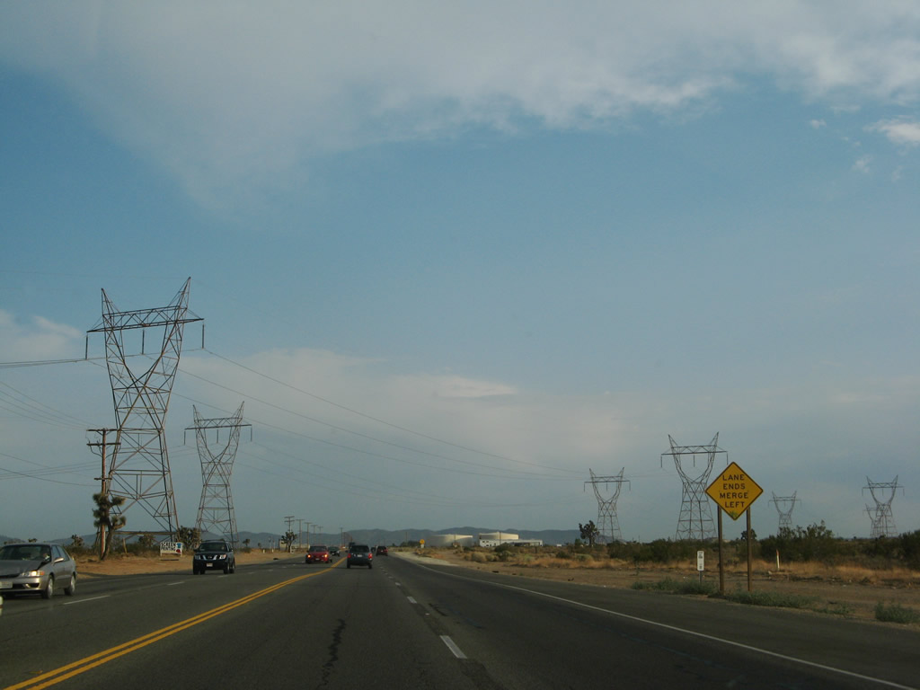
A scattering of Joshua trees are found on top of the hills. The Path 64 power lines, along with the 230kV power line from Kramers Junction, pull in alongside U.S. 395 and will stay close to U.S. 395 from here south to Adelanto. Photo taken 07/09/07. |
|
|
|
|
|
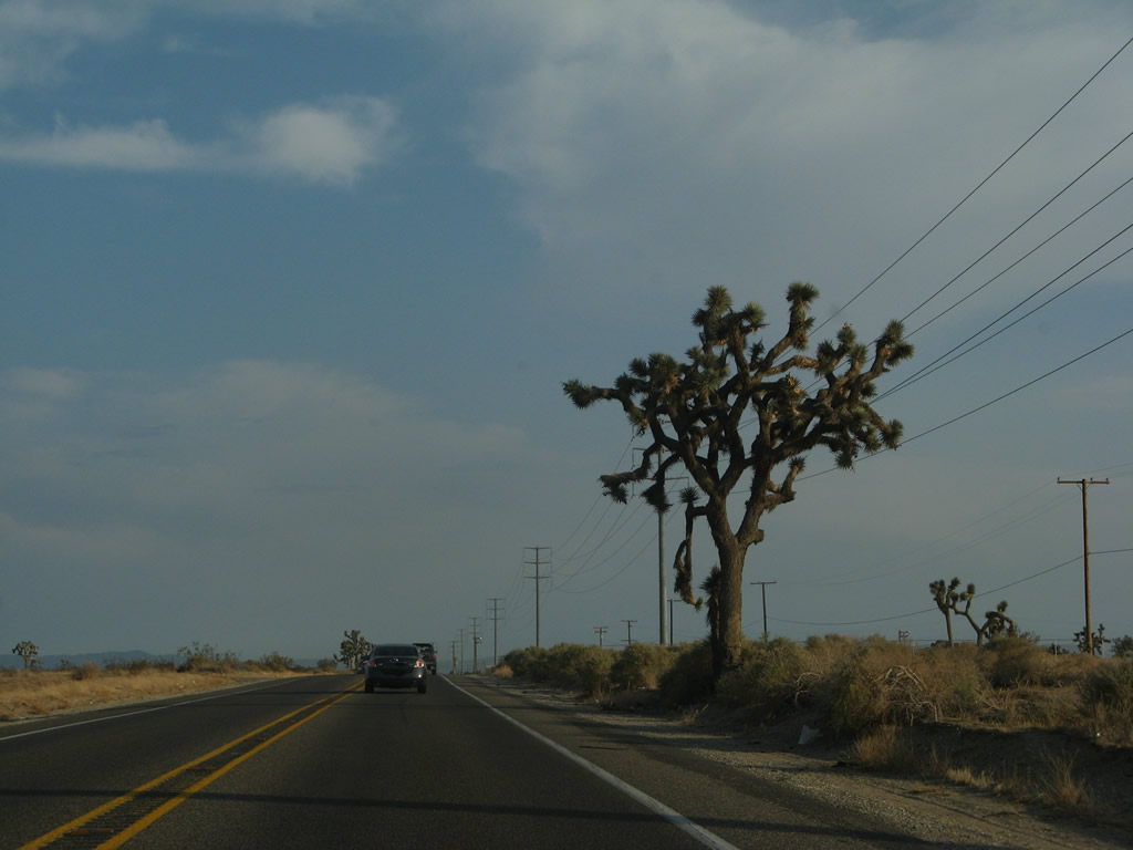
| A scattering of Joshua trees are found on top of the hills. The Path 64 power lines, along with the 230kV power line from Kramers Junction, pull in alongside U.S. 395 and will stay close to U.S. 395 from here south to Adelanto. Photos taken 07/09/07 and 07/26/09. |
|
|
|
|
|
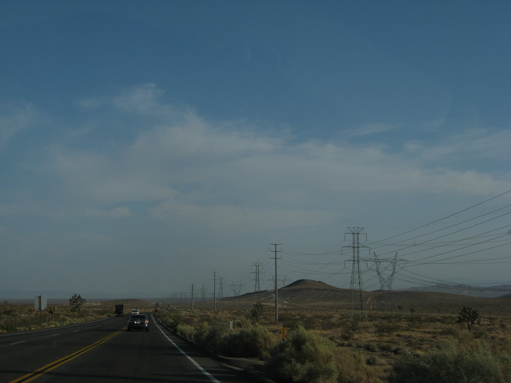
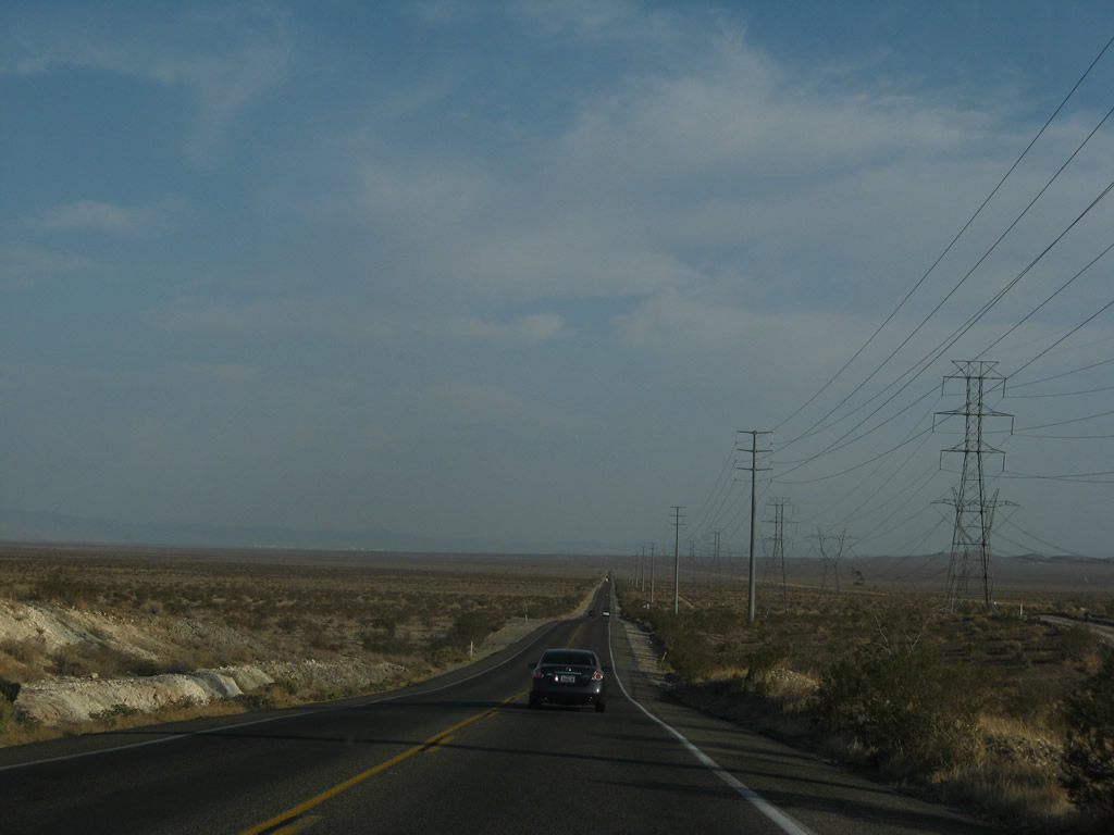
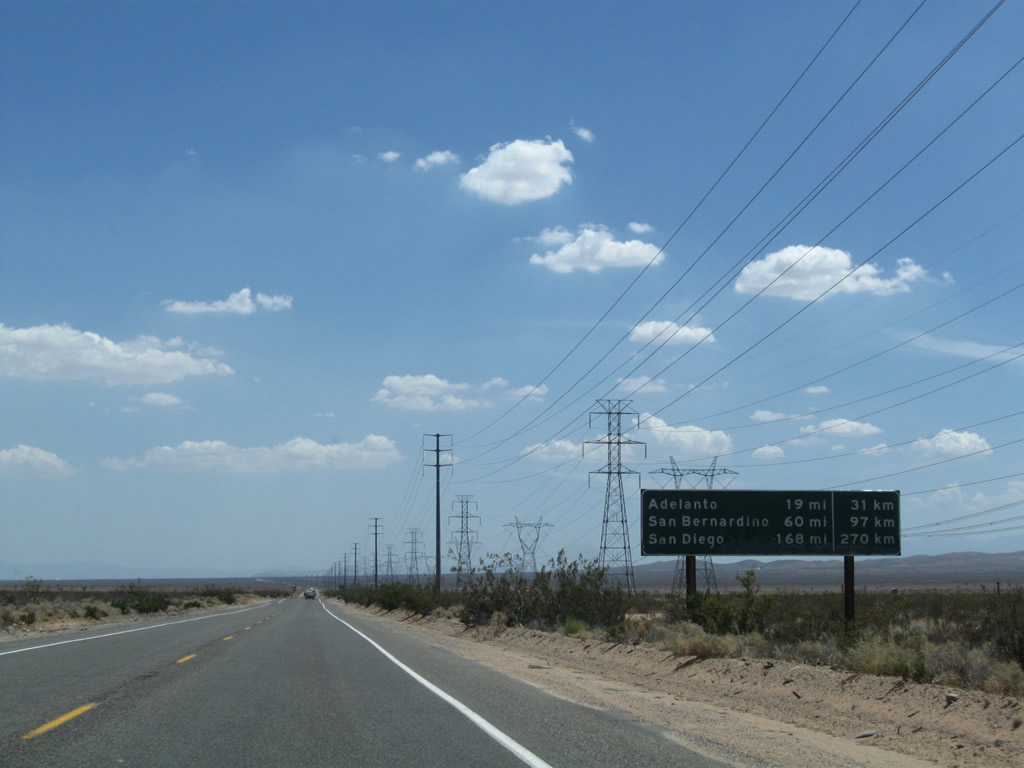
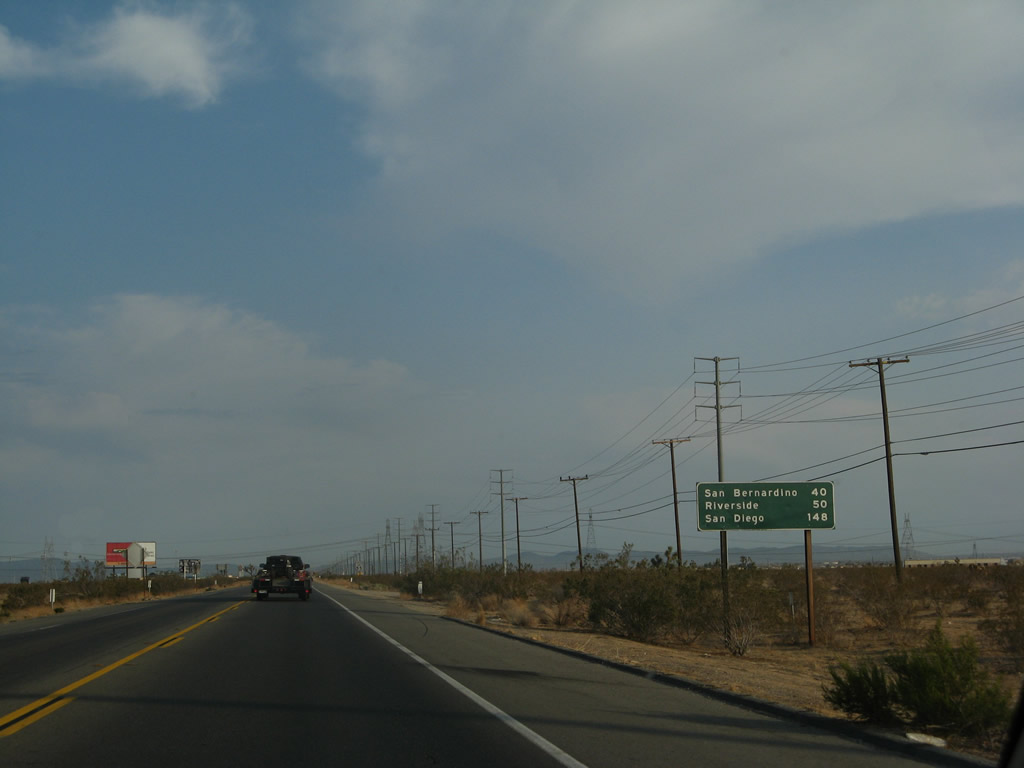
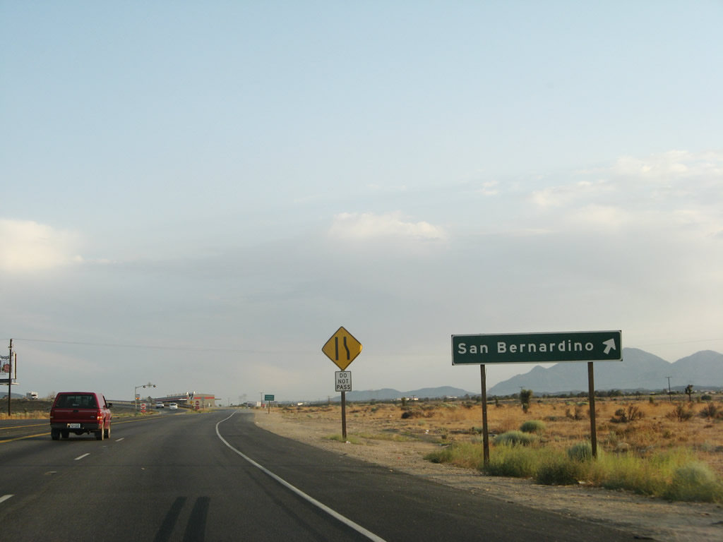
| Continuing south, U.S. 395 again enters the vast expanse of the Mojave Desert. A mileage sign provides the distance to Adelanto (18 miles), San Bernardino (60 miles), and San Diego (168 miles). Photos taken 07/09/07 and 07/26/09. |
|
|
|
|
|
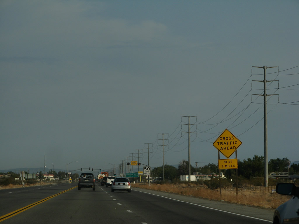
| U.S. 395 briefly widens out for a passing lane. Photos taken 07/09/07. |
|
A U.S. 395 south reassurance shield is posted after the short passing lane segment. Photo taken 07/09/07. |
|
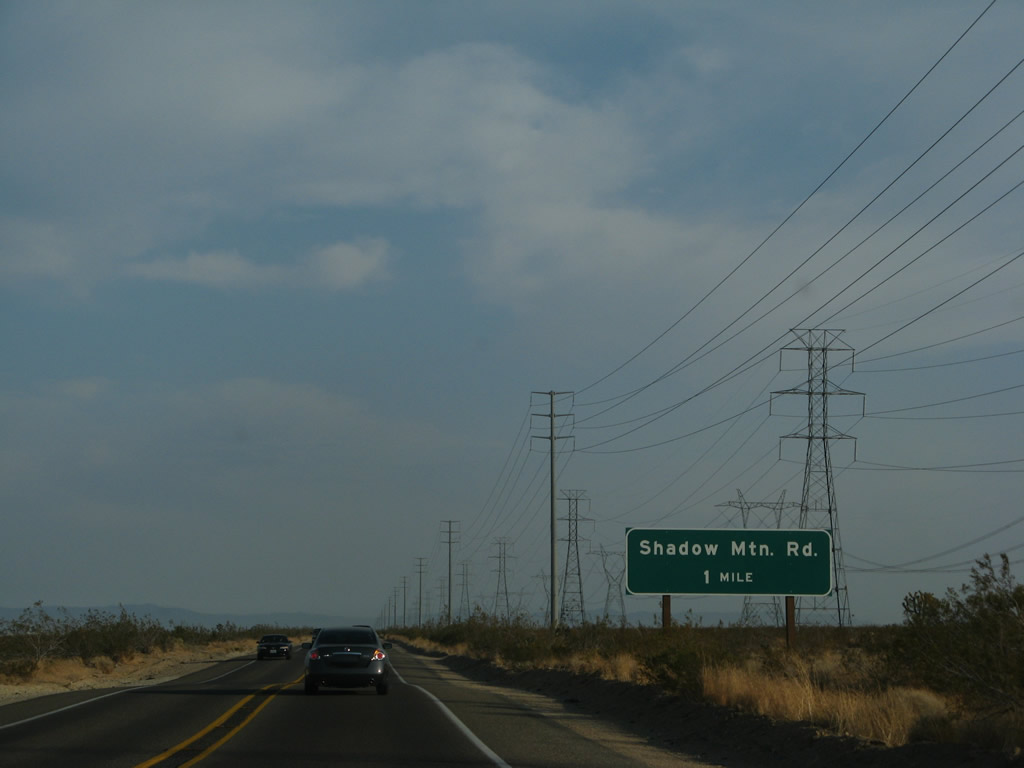
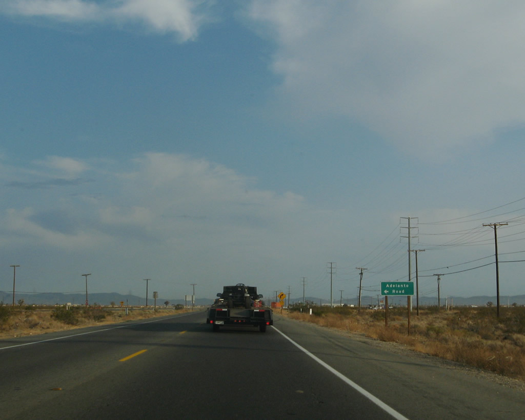
Southbound U.S. 395 approaches Shadow Mountain Road (one mile). Turn east on Shadow Mountain Road to Silver Lakes and Helendale (along the former U.S. 66-91 corridor parallel to the Mojave River). To the west, Shadow Mountain Road follows a less developed route through the Shadow Mountains to Hi Vista in Los Angeles County. Photo taken 07/09/07. |
|
Despite the large size of the approach signs for Shadow Mountain Road, it is not an interchange, just an intersection. But since there are so few intersections along this section of U.S. 395, it seems appropriate to use larger signs to warn motorists of possible cross traffic. Photo taken 07/09/07. |
|
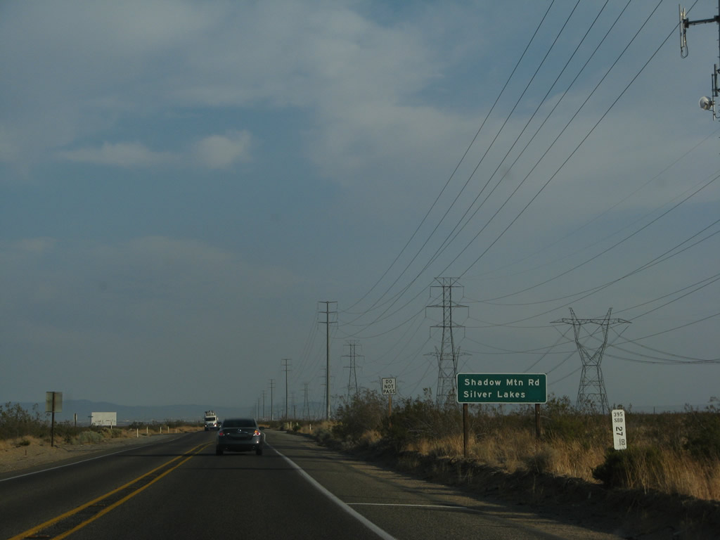
Southbound U.S. 395 meets Shadow Mountain Road at this intersection. Photo taken 07/26/09. |
|
A U.S. 395 south reassurance shield is posted shortly after the Shadow Mountain Road intersection. Photo taken 07/09/07. |
|
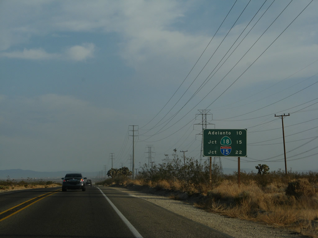
Another mileage sign provides the distance to Adelanto (10 miles), California 18 (15 miles), and Interstate 15 (22 miles). Photo taken 07/09/07. |
|
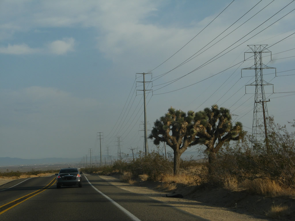
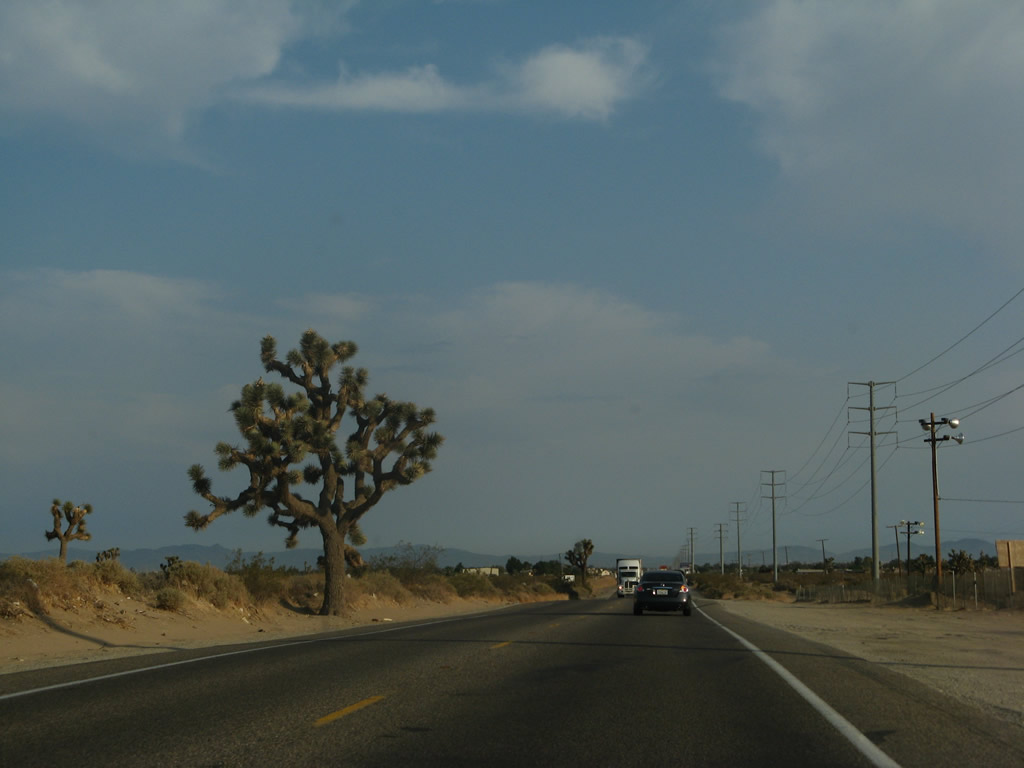
A pair of Joshua trees sits along the west side of the highway. Joshua trees are common in the Mojave Desert and are seen along this segment of U.S. 395. Photo taken 07/09/07. |
|
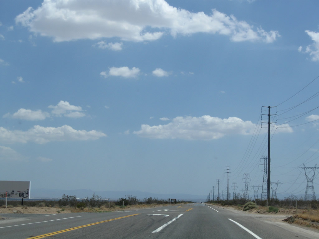
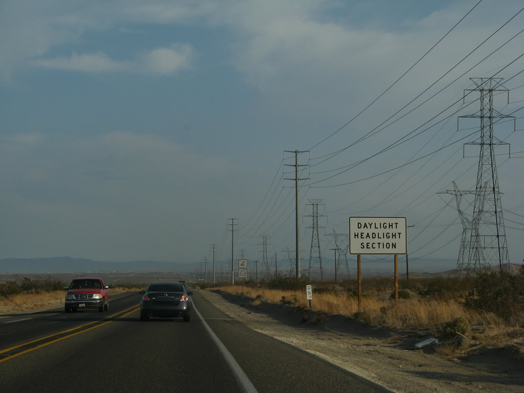
The daytime headlight section extends southward as U.S. 395 continues toward Adelanto and Hesperia. Photo taken 07/09/07. |
|
|
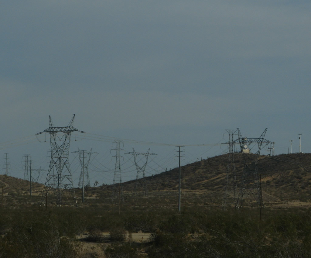
Near Mile Marker 23, the Path 64 power lines and 230kV power lines turn away from U.S. 395 and head toward the Adelanto power substation. Photos taken 07/26/09 and 07/09/07. |
|
Another short passing-lane segment comes in two miles. Photo taken 07/09/07. |
|
A U.S. 395 south reassurance shield is posted shortly thereafter. Photo taken 07/09/07. |
|
|
|
|
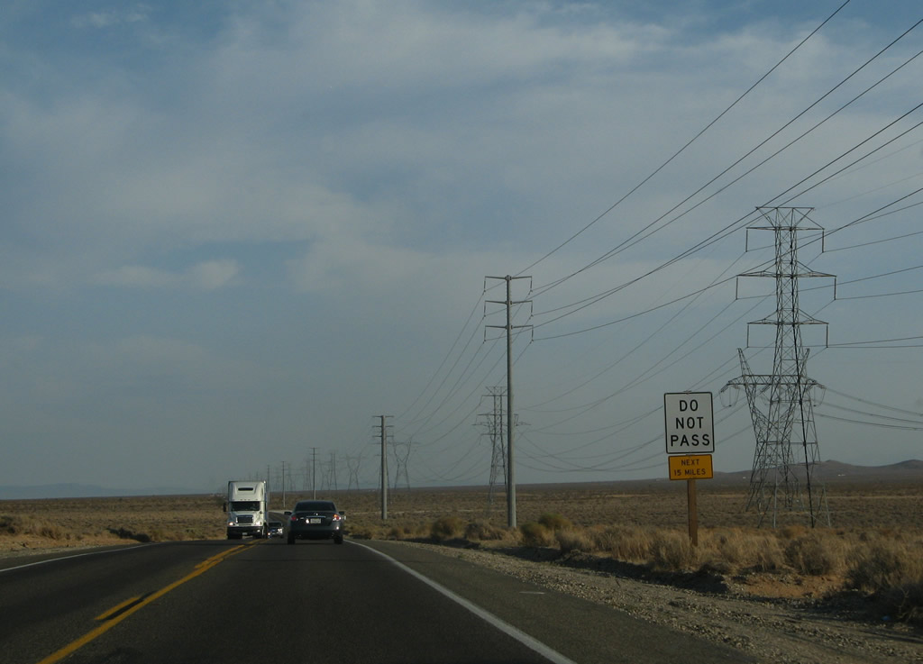
Approaching Adelanto, U.S. 395 passes by a series of Joshua trees. The passing lane is in the northern portion of Adelanto; from there south to Interstate 15, U.S. 395 will see more suburban development and less undeveloped, rural desert. Photos taken 07/09/07. |
|
The promised passing lane lies just ahead along U.S. 395 south. Photo taken 07/09/07. |
|
Widening to four overall lanes, U.S. 395 next enters the city of Adelanto, the first time entering a city since leaving Bishop in the Eastern Sierra (U.S. 395 narrowly misses the city of Ridgecrest). Almost like a billboard, a welcome sign greets northbound motorists as U.S. 395 leaves the city of Victorville and enters the city of Adelanto. Home to 18,130 people as of the 2000 Census, Adelanto has seen marked population growth as new residential subdivisions have been developed. Adelanto was incorporated on December 22, 1970. Photo taken 07/09/07. |
|
Warning signs help caution motorists of changing conditions ahead. Rather than repetitive desert and power line scenery seen for miles between Kramer Junction and Adelanto, U.S. 395 transitions into a suburban area. Photo taken 07/09/07. |
|
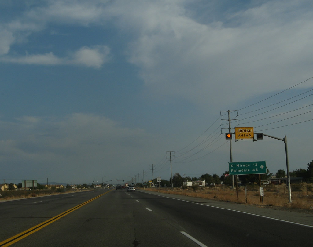
The first signalized intersection along U.S. 395 south (since leaving Kramers Junction) is with Chamberlaine Way. Use Chamberlaine Way west to Koala Road and El Mirage Road west to El Mirage (12 miles) and Palmdale (42 miles). El Mirage is an off road vehicle (ORV) area inclusive of a dry lake bed. At the San Bernardino-Los Angeles County Line, El Mirage Road changes into Avenue P. At 240th Street East, Avenue P ends, but through traffic can shift onto Palmdale Road west to Palmdale via 240th Street East south or Avenue O west to Lake Los Angeles via 240th Street East north. Photo taken 07/09/07. |
|
A U.S. 395 south reassurance shield is posted after Chamberlaine Way. Photo taken 07/09/07. |
|
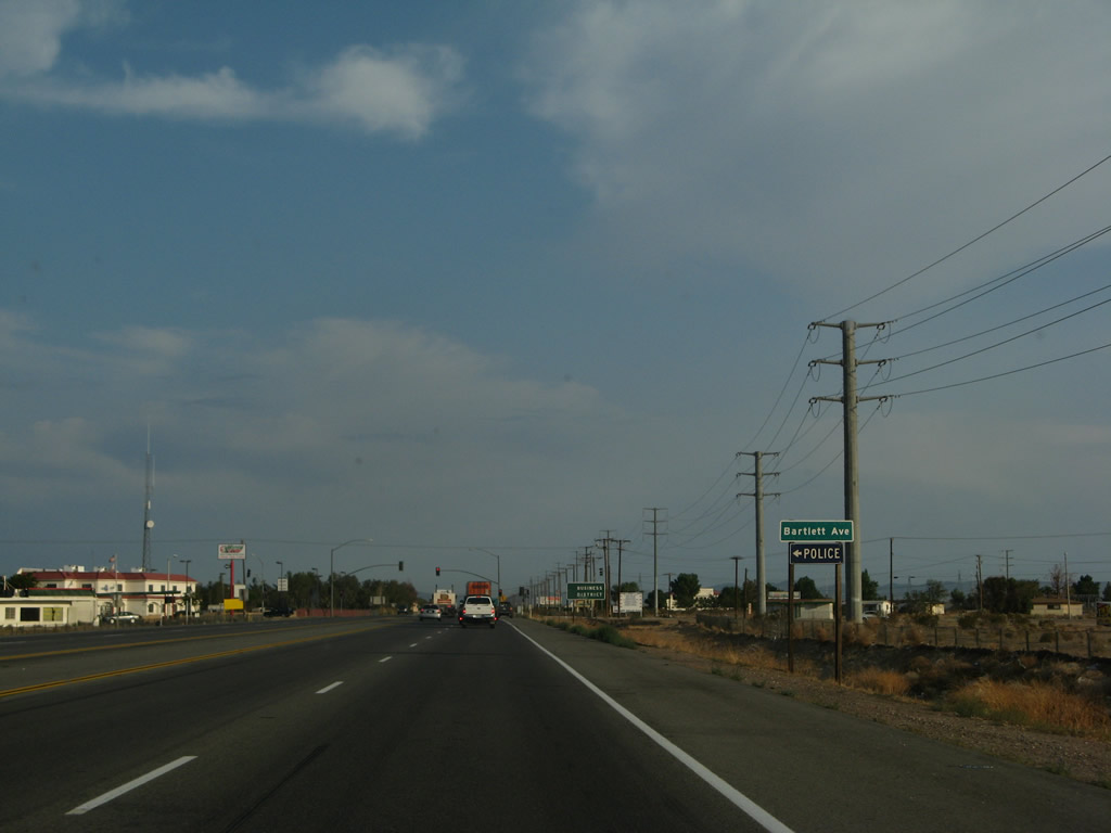
The next traffic signal along U.S. 395 south is with Bartlett Avenue. Downtown Adelanto is located east of U.S. 395 at the intersection of Bartlett Avenue and Jonathan Street. Turn left here for most motorist services, post office, police station, fire station, and library. Photo taken 07/09/07. |
|
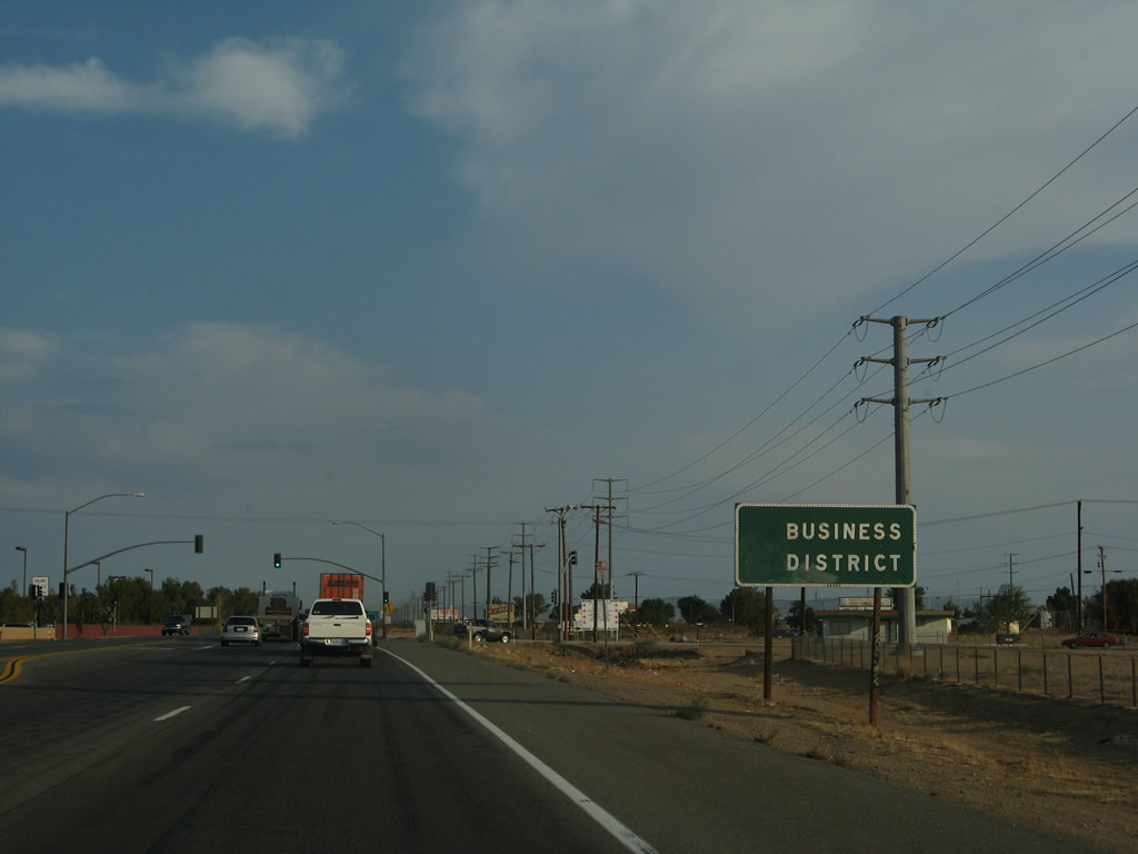
An older "Business District" sign is posted prior to the traffic signal; an arrow pointing left was scraped off as businesses now line U.S. 395 as well as the downtown area. After this intersection, the four-lane highway again narrows to two lanes. Plenty of traffic can be found along this section of U.S. 395. Photo taken 07/09/07. |
|
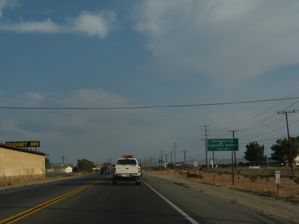
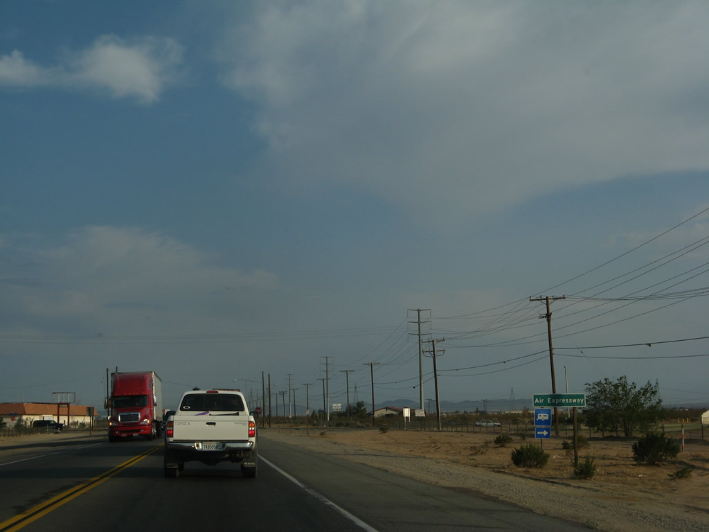
The next intersection along U.S. 395 south is with Air Expressway (Air Base Road), which travels east to the Southern California Logistics Airport. Photo taken 07/09/07. |
|
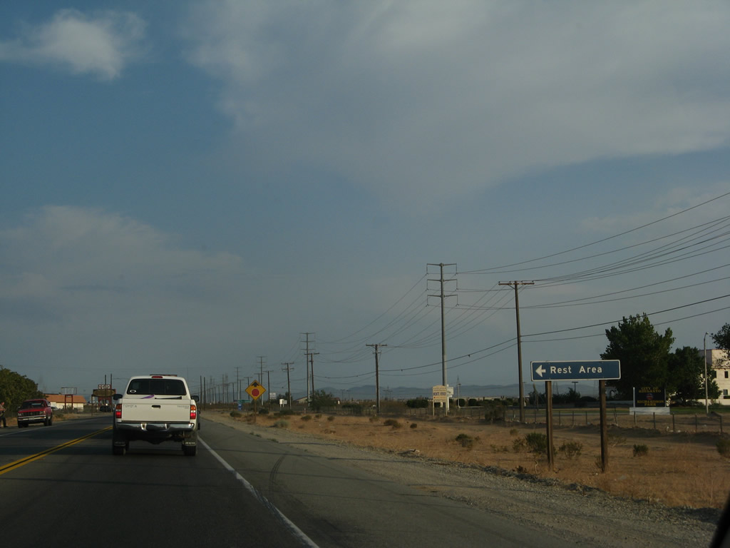
A rest area is available along the east side of U.S. 395 via Air Base Road east. Photo taken 07/09/07. |
|
Southbound U.S. 395 approaches Air Expressway (Air Base Road). Photo taken 07/09/07. |
|
A U.S. 395 south reassurance shield is posted after Air Expressway. Photo taken 07/09/07. |
|
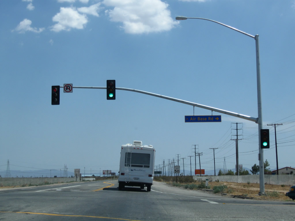
The intersection with Air Expressway (Air Base Road) changed to a traffic signal by 2009. Photo taken 07/26/09. |
|
An older "Business District" sign is posted prior to the traffic signal; an arrow pointing left was scraped off as businesses now line U.S. 395 as well as the downtown area. After this intersection, the four-lane highway again narrows to two lanes. Plenty of traffic can be found along this section of U.S. 395. Photo taken 07/09/07. |
|
This mileage sign along U.S. 395 south provides the distance to San Bernardino (40 miles), Riverside (50 miles), and San Diego (148 miles). Photo taken 07/09/07. |
|
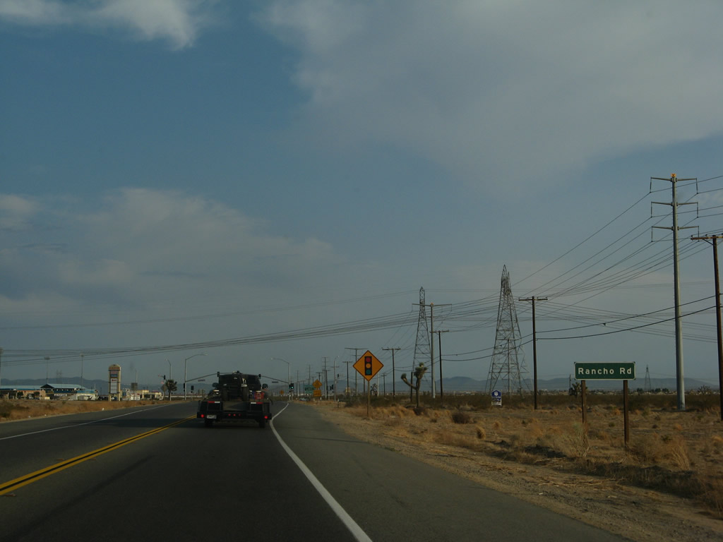
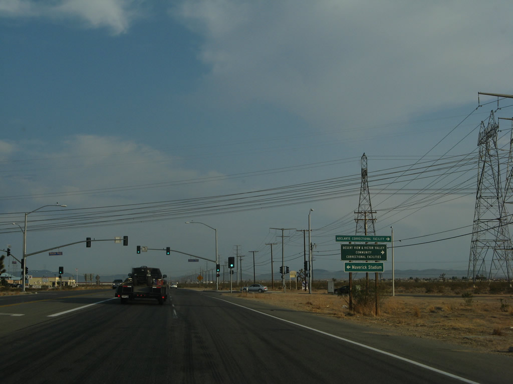
Southbound U.S. 395 approaches Rancho Road at the next traffic signal. Turn right to follow Rancho Road west to El Mirage. Use Rancho Road west to the Adelanto Correctional Facility and east to Maverick Station. Photo taken 07/09/07. |
|
At the Rancho Road intersection, several Los Angeles Department of Water and Power transmission lines cross over U.S. 395. Photo taken 07/09/07. |
|
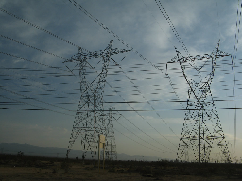
These 500kV Los Angeles Department of Water and Power transmission lines cross over U.S. 395. From left to right (or in reverse order as you pass under these lines along southbound), the left line is Path 27, which is a high voltage direct current line leading from a power plant near Delta, Utah and traveling southwest to a major substation just west of here in Adelanto. The second line is a 500kV power line that travels southwest to the Rinaldi substation, ending at the same place as the 500kV power line seen in the previous photobox (Victorville Substation). The third line (on the right in this picture) is also 500kV but is of a slightly different design than the other 500kV power line. This particular line also travels southwest into the city of Los Angeles, but it terminates at the DWP Receiving Station E substation near the intersection of Whitnall Highway and Cahuenga Boulevard. Photos taken 07/09/07 and 09/07/09. |
|
|
A fourth 500kV Los Angeles Department of Water and Power transmission lines cross over U.S. 395. This particular line begins at the Rinaldi Substation near the confluence of Interstate 5 and Interstate 405 in the city of Los Angeles, travels northeast and then east through the mountains, then travels east to meet Path 46 at the Victorville Substation. At Victorville, the Path 46 lines travel northeast toward power facilities (such as McCullough Substation) around Hoover Dam and points east. Photo taken 07/09/07. |
|
Southbound U.S. 395 approaches Adelanto Road. Turn left ahead to turn onto Adelanto Road north back toward downtown Adelanto. Adelanto Road travels north past the western edge of Southern California Logistics Airport. Photo taken 07/09/07. |
|
A U.S. 395 south reassurance shield is located shortly after the Adelanto Road intersection. Photo taken 07/09/07. |
|
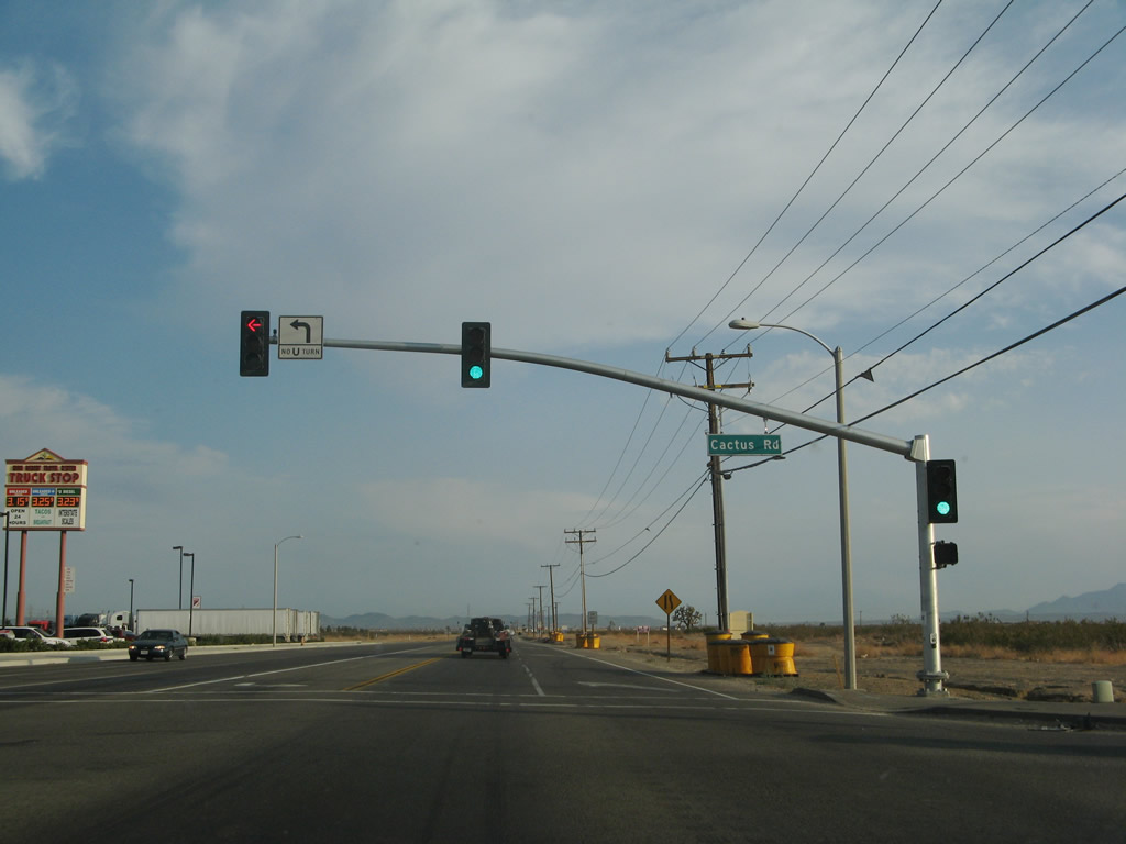
Southbound U.S. 395 approaches Cactus Road at this traffic signal. New housing development soared in this part of the Mojave Desert in the early to mid-2000s, resulting in housing subdivisions along both sides of U.S. 395. While U.S. 395 itself has not been widened and has seen an increased number of traffic signals, eventual plans call for an expressway replacement for U.S. 395 to facilitate both local and through traffic. Photo taken 07/09/07. |
|
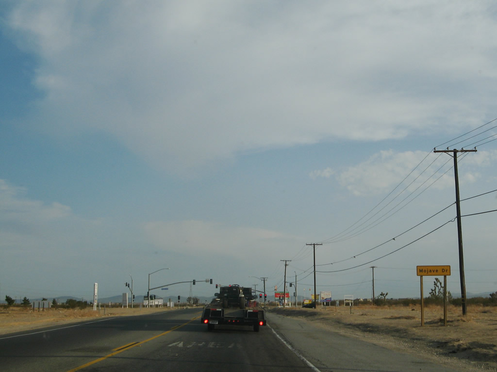
The next traffic signal along U.S. 395 south is with Mojave Drive. Photo taken 07/09/07. |
|
Another set of 230kV power lines cross over U.S. 395. Photo taken 07/09/07. |
|
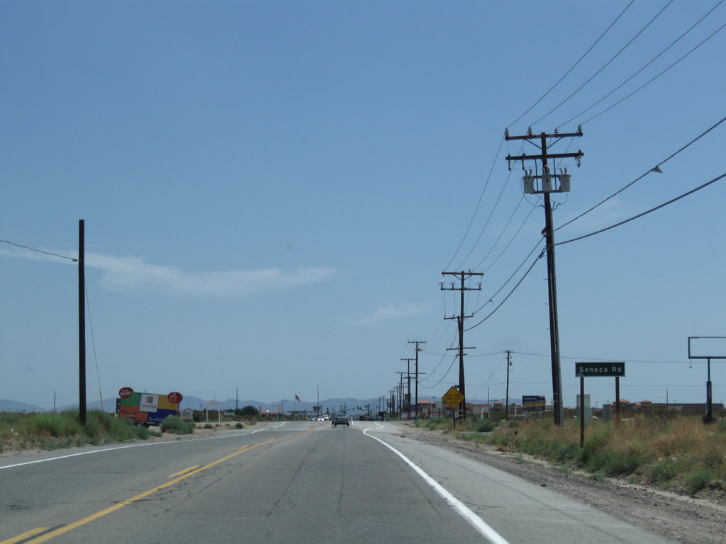
Southbound U.S. 395 approaches Seneca Drive. Photo taken 07/26/09. |
|
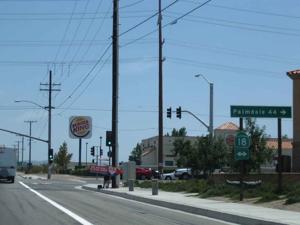
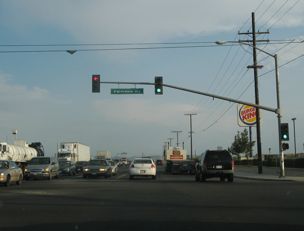
The next intersection (traffic signal) along U.S. 395 south is with California 18 (Palmdale Road). California 18 is a major east-west state route that leads west to Palmdale (via a connection with California 138) or east to downtown Victorville. Between California 18 and the Adelanto Road split, U.S. 395 serves as the city limits between Victorville to the east and Adelanto to the west. Photo taken 07/26/09. |
|
Southbound U.S. 395 meets California 18 (Palmdale Road) at this intersection. Signage is lacking. Photo taken 07/09/07. |
|
After the intersection with California 18 (Palmdale Road), U.S. 395 leaves Adelanto and enters the western portion of the city of Victorville, avoiding downtown Victorville, which is on the Interstate 15 corridor (population 64,029 as of the 2000 Census, incorporated on September 21, 1962, and elevation of 2,730 feet). Photo taken 07/09/07. |
|
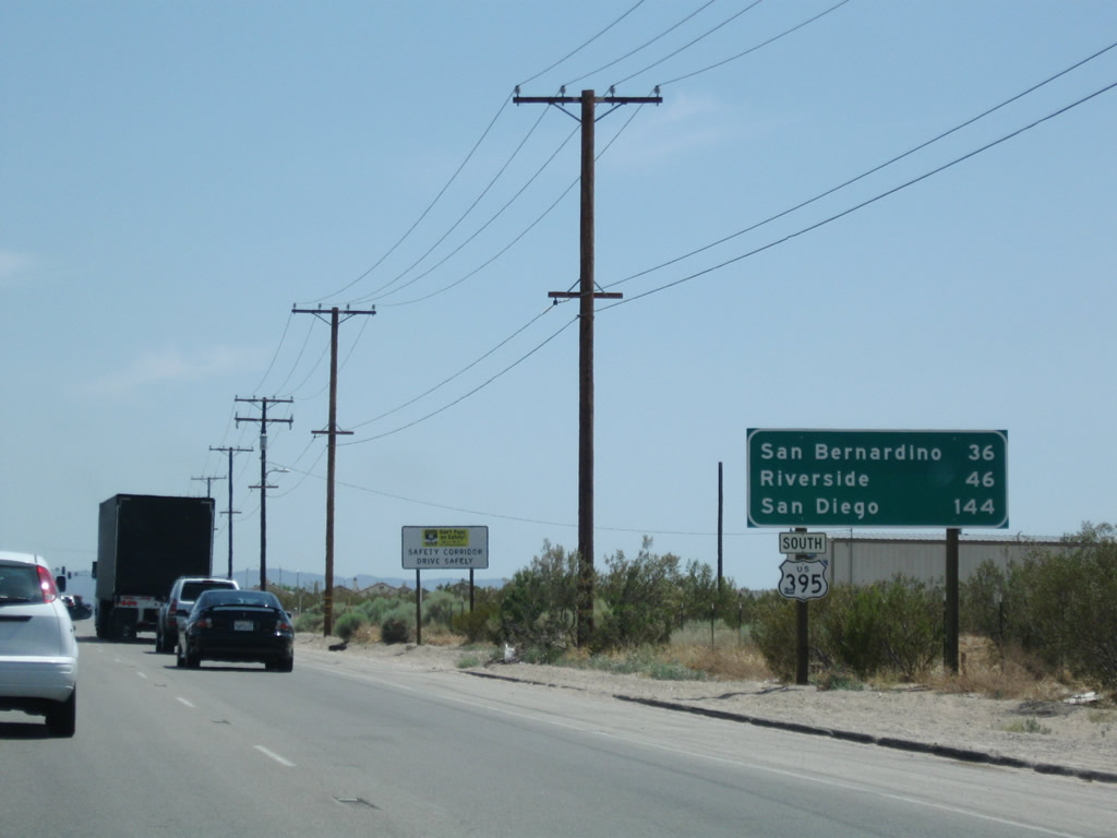
This mileage sign provides the distance to San Bernardino (36 miles), Riverside (46 miles), and San Diego (144 miles). Photo taken 07/26/09. |
|
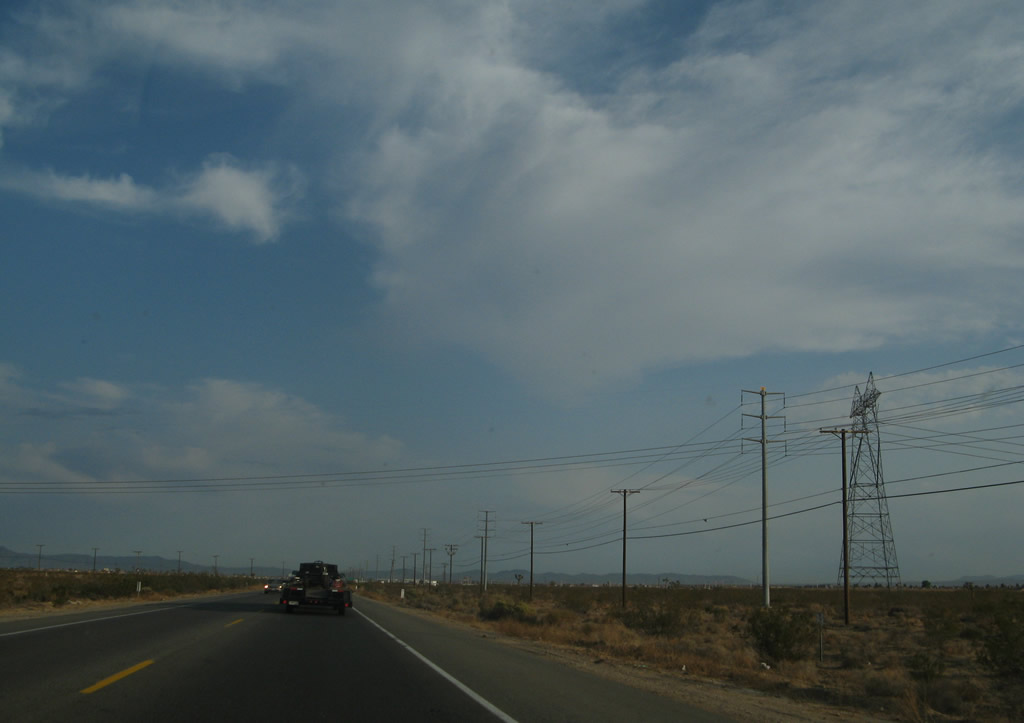
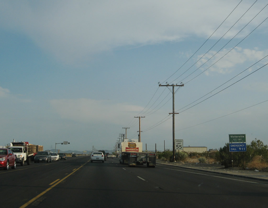
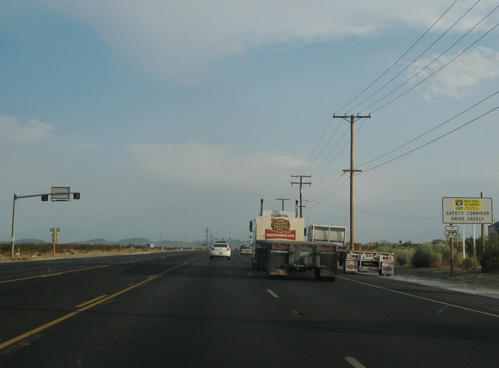
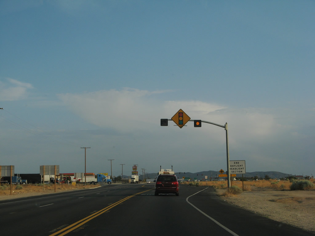
The U.S. 395 corridor through the Mojave Desert is a safety corridor, with several segments requiring daytime headlights. Photo taken 07/26/09. |
|
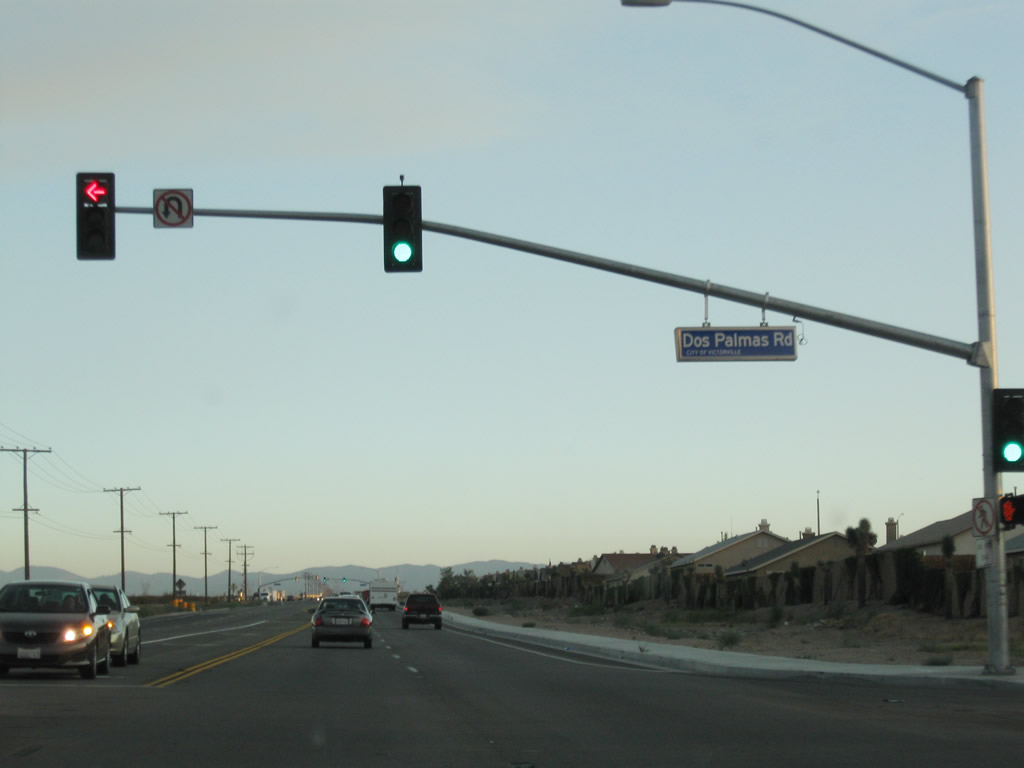
Southbound U.S. 395 meets Dos Palmas Road at this traffic signal. Dos Palmas Road provides residential access east and west of U.S. 395; this traffic signal was new since 2005. Photo taken 09/07/09. |
|
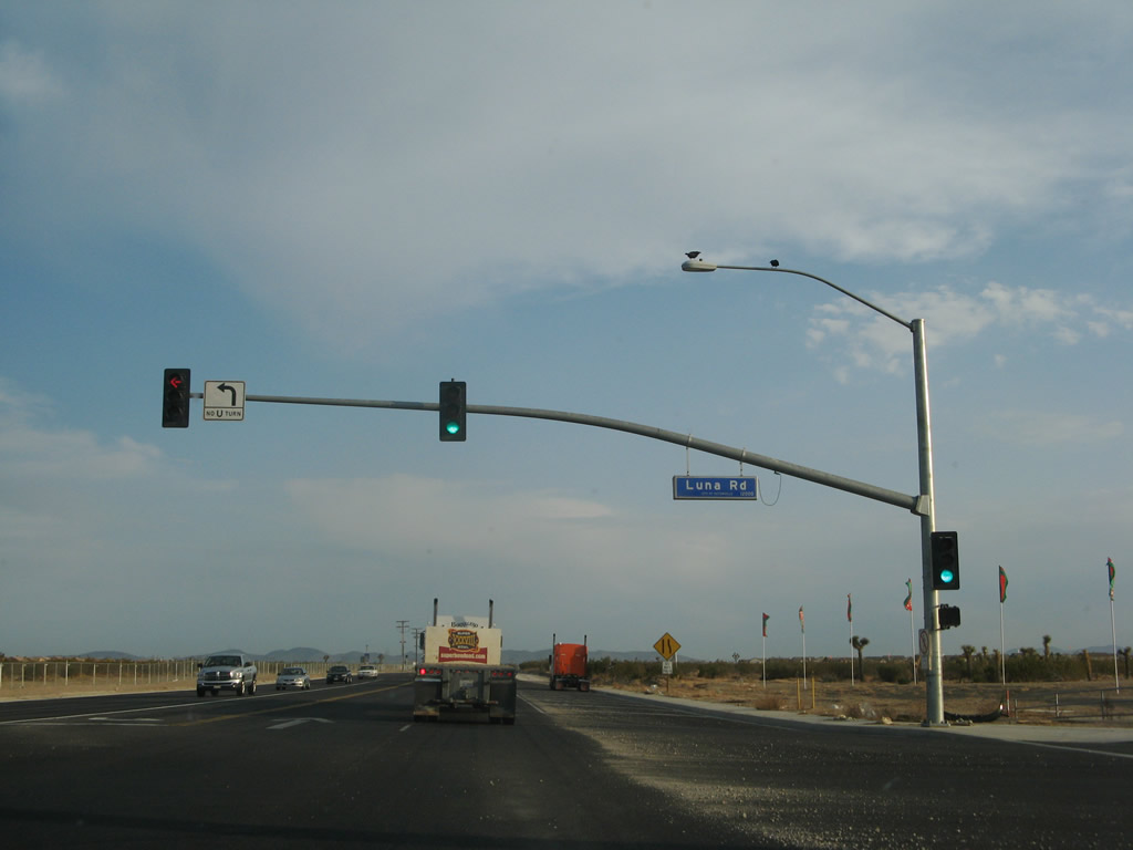
The next signalized intersection along southbound is with Luna Road. Photo taken 07/09/07. |
|
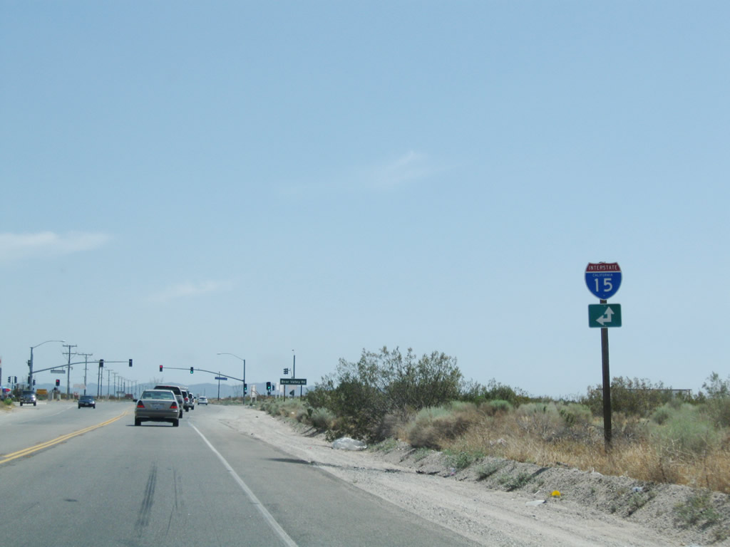
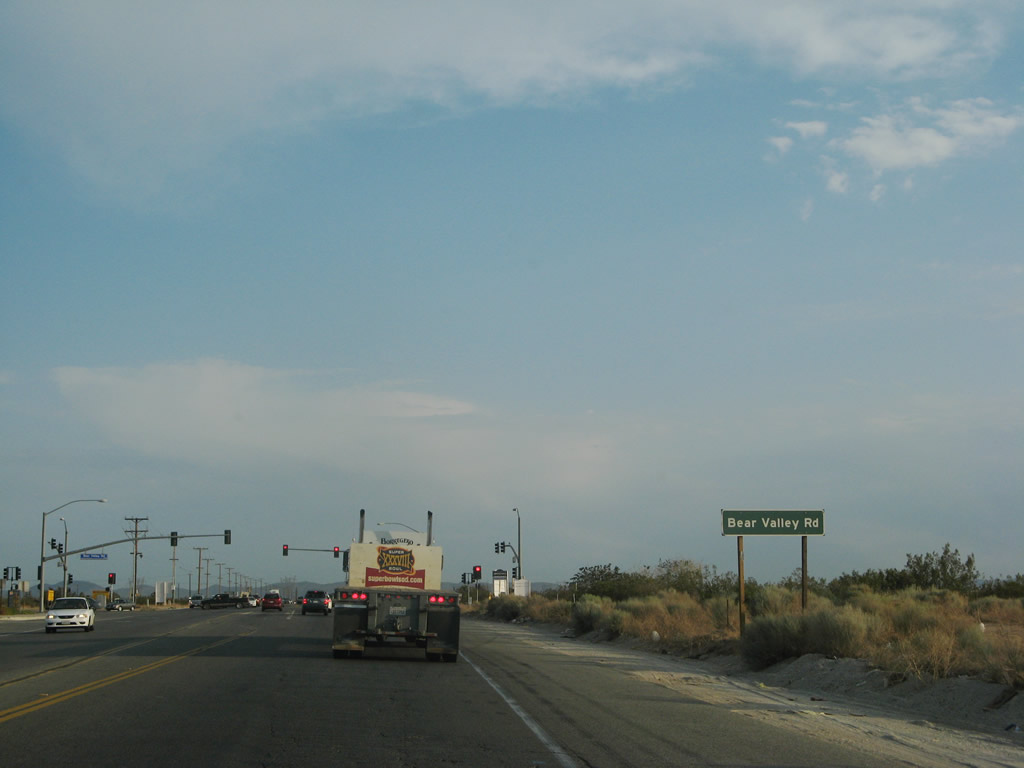
Southbound U.S. 395 approaches Bear Valley Road. To Interstate 15 north, turn left on Bear Valley Road; to Interstate 15 south, continue south on U.S. 395. Photo taken 07/09/07. |
|
Approaching Bear Valley Road, U.S. 395 always seems to have a high traffic volume through Victorville. Photo taken 07/09/07. |
|
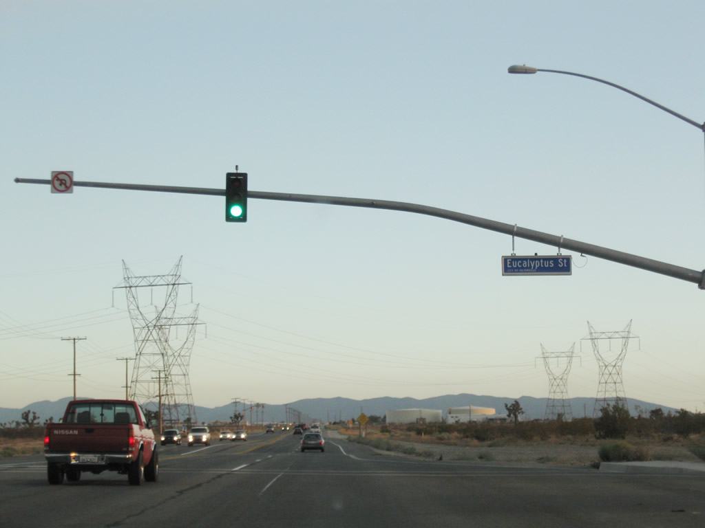
Southbound U.S. 395 meets Eucalyptus Street at this traffic signal, which was not in place as of July 2007 but was in place by 2008. Photo taken 09/07/09. |
|
|
|
A set of Los Angeles Department of Water and Power power lines cross over U.S. 395 a short distance after entering Victorville. These two single-circuit lines lead north to the Victorville substation, where they meet Path 46 and Path 61 lines. Most likely these lines are charged to 230kV, maybe 287kV similar to the line that runs along the Interstate 15 corridor en route to Southern Nevada. Photos taken 07/09/07 and 07/26/09. |
|
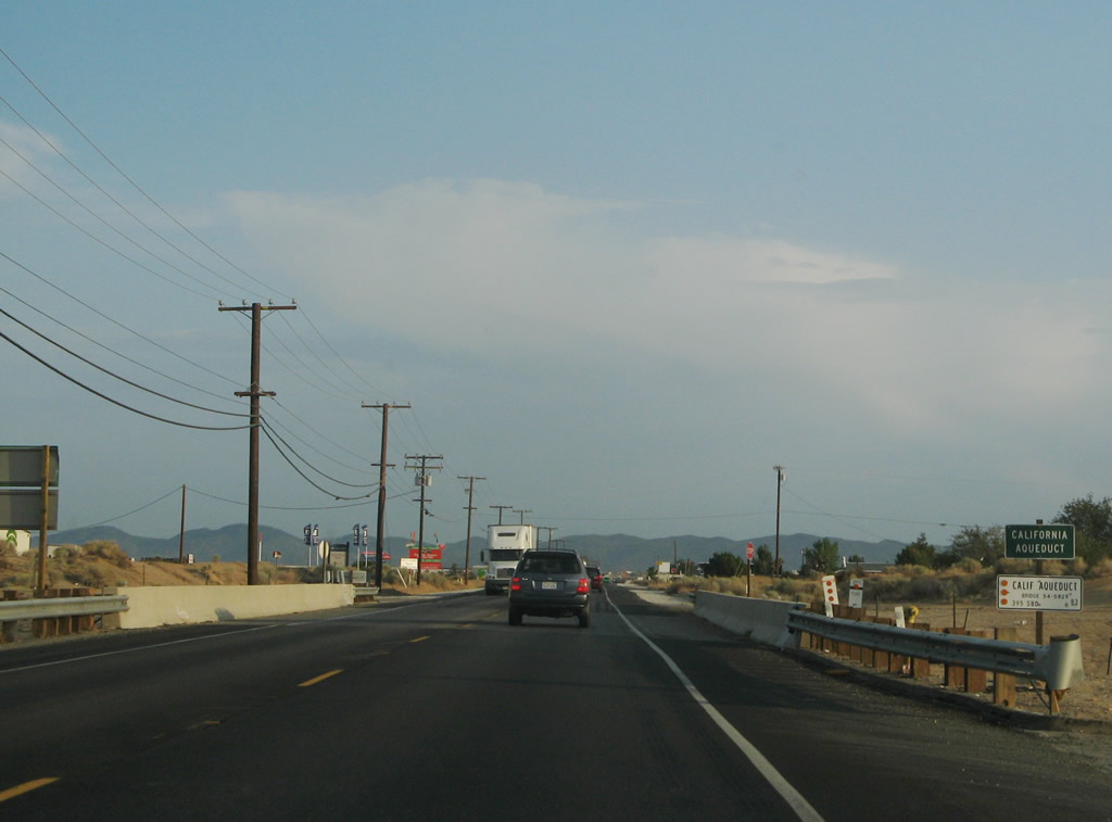
On U.S. 395, the city limits between Hesperia and Victorville is formed by the eastern branch of the California Aqueduct (part of the State Water Project). The California Aqueduct is nearing the end of its 444-mile journey from the California Delta to Southern California. This is the eastern branch of the aqueduct, which travels south toward a connection with Lake Perris and the San Gorgonio Pass. The western branch of the aqueduct stays closer to Interstate 5, connecting to Pyramid Lake and Castaic Lake north of Los Angeles. Photo taken 07/09/07. |
|
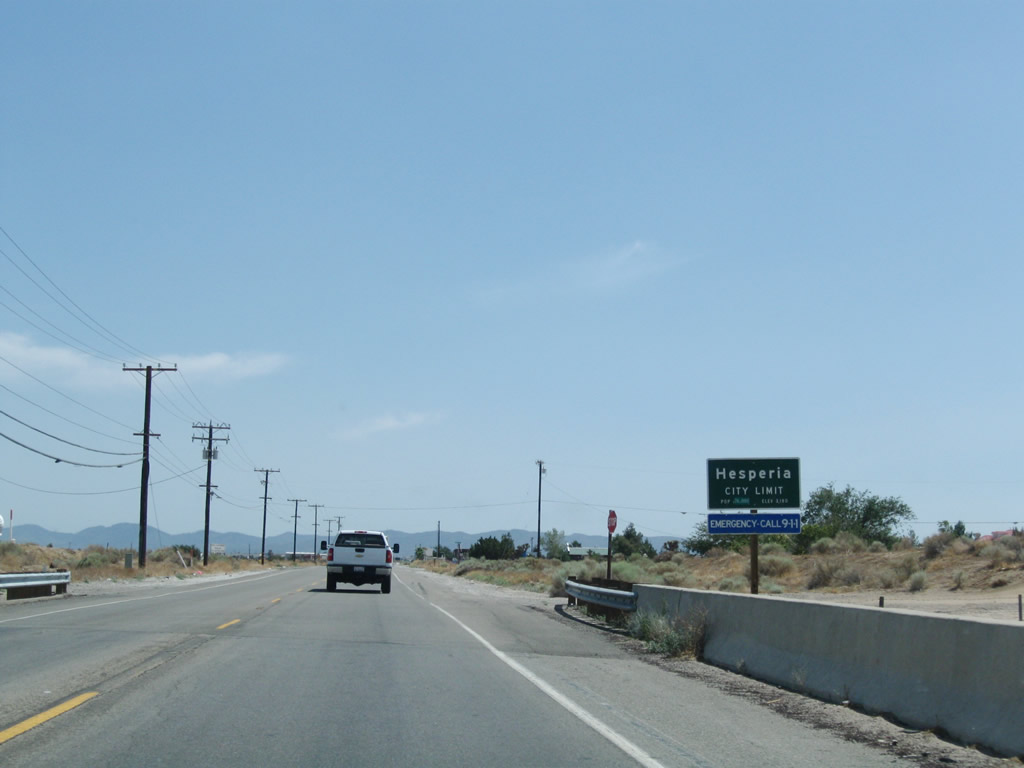
U.S. 395 leaves Victorville and enters the city of Hesperia. Incorporated in June 1988, Hesperia had 62,582 people living in the city as of the 2000 Census. Situated near Cajon Pass and Cajon Summit, Hesperia sits at an elevation of 3,186 feet in the Mojave Desert. Photo taken 07/09/07. |
|
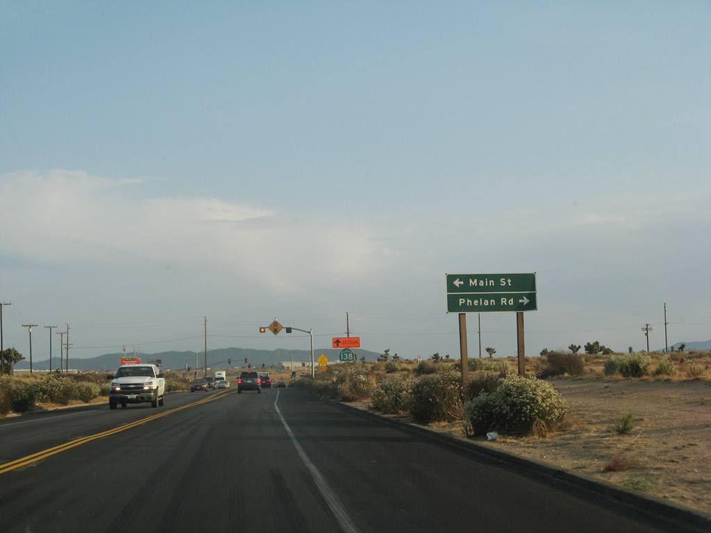
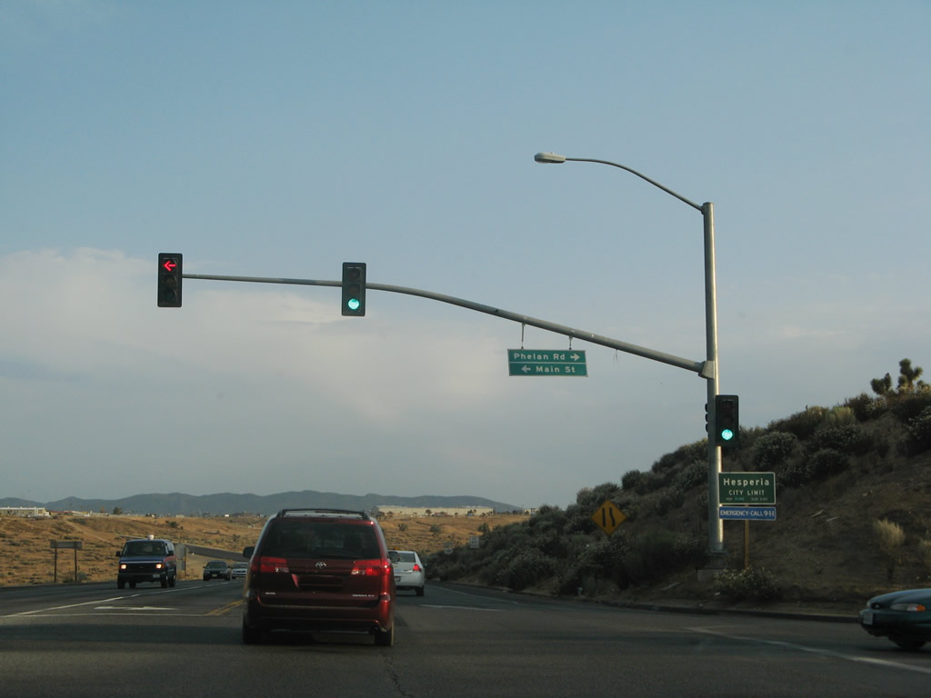
The next signalized intersection along U.S. 395 south is with Phelan Road and Main Street. Use Phelan Road west to the unincorporated community of Phelan located close to the California 138/Pearblossom Highway corridor near the San Bernardino-Los Angeles County Line. To the east, Main Street travels into downtown Hesperia. Photo taken 07/09/07. |
|
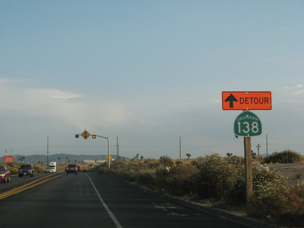
A temporary California 138 detour sign was posted along U.S. 395 south prior to Phelan Road. Photo taken 07/09/07. |
|
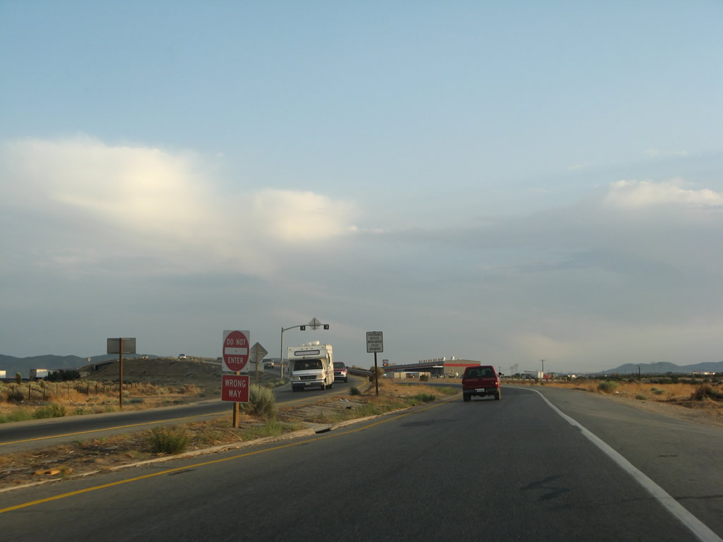
Southbound U.S. 395 (Three Flags Highway) meets Phelan Road and Main Street. In 2007, this intersection was marked as the city limits for Hesperia; by 2009 the sign was correctly located at the bridge over the California Aqueduct. Photo taken 07/09/07. |
|
A U.S. 395 south route marker is posted after the Phelan Road/Main Street intersection. This is the final southbound reassurance shield for U.S. 395. Photo taken 07/09/07. |
|
U.S. 395 takes a brief curve before approaching the final intersections before connecting to Interstate 15. Photo taken 07/09/07. |
|
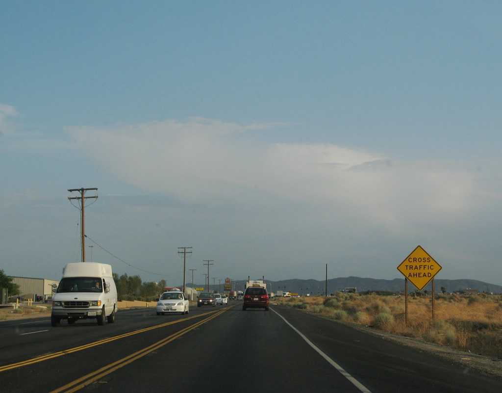
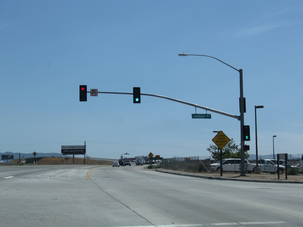
The "cross traffic" ahead refers to the intersections with Three Flags Court and Joshua Street. After those intersections, the southbound lanes of U.S. 395 will merge directly onto Interstate 15 south. Photo taken 07/09/07. |
|
The U.S. 395 safety corridor comes to an end as we approach the signalized intersections with Three Flags Court and Joshua Street. Photo taken 07/09/07. |
|
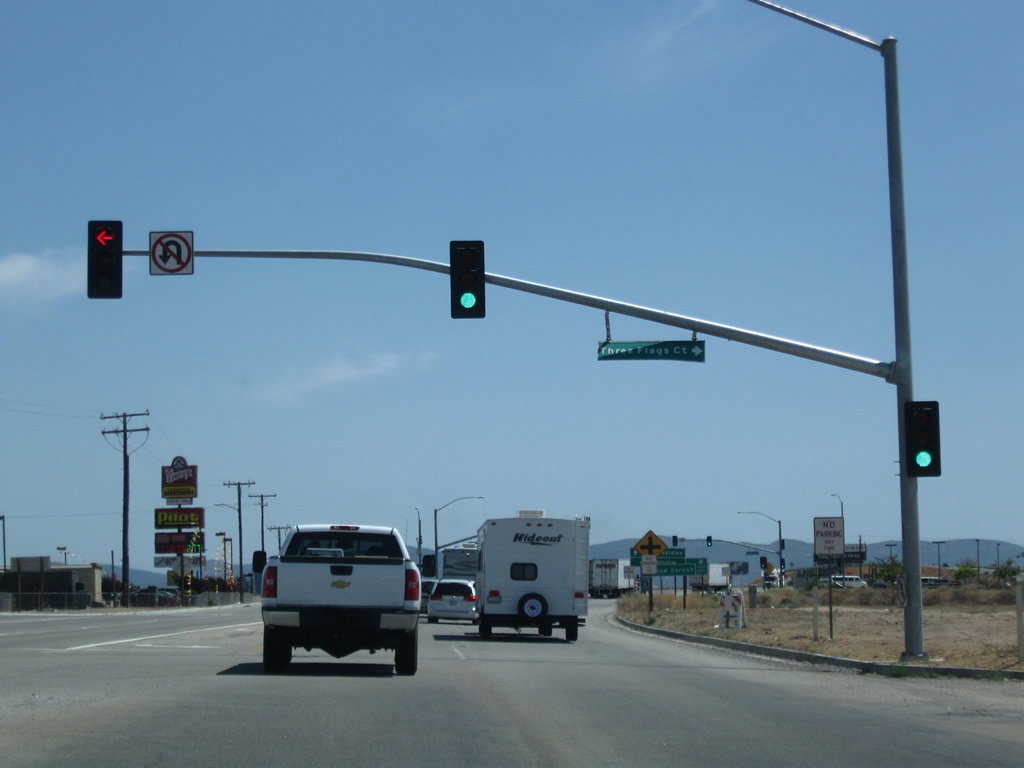
Southbound U.S. 395 meets Three Flags Court at this traffic signal. Photo taken 07/26/09. |
|
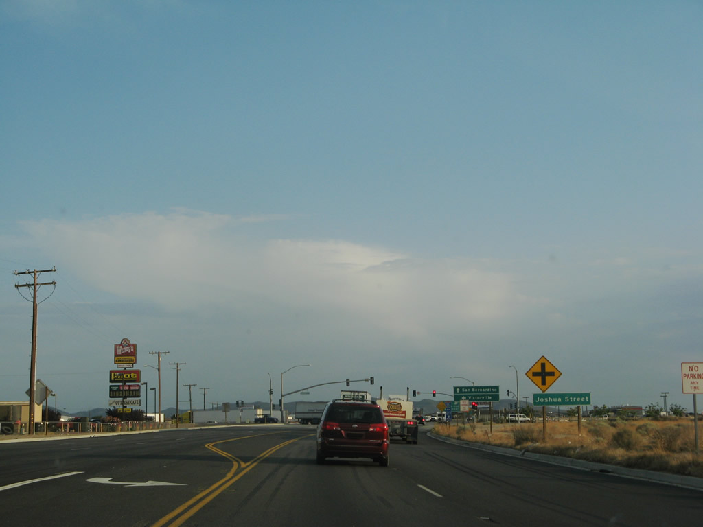
The final traffic signal along U.S. 395 south is with Joshua Street. A truck stop is located at the northeast corner of this intersection, which offers gas and food. Photo taken 07/09/07. |
|
Joshua Street helps connect U.S. 395 to Interstate 15. For traffic connecting to Interstate 15 north, turn left on Joshua Street. Continue straight ahead to follow U.S. 395 onto Interstate 15 south. Photo taken 07/09/07. |
|
U.S. 395 southbound concludes at a wye interchange with Interstate 15 south at of Joshue Street in Hesperia. Joshua Street provides access to I-15 north. Photo taken 02/20/05. |
|
|
Southbound U.S. 395 meets Joshua Street at this traffic signal (the 2005 photo was taken from the truck stop on the northeast corner of the crossing). Motorists continuing south from the traffic light default onto Interstate 15 south to San Bernardino. Joshua Street meanwhile meets Interstate 15 nearby at a half-diamond interchange to the east. Drivers bound bound for Victorville must turn east onto Joshua Street for its northbound on-ramp to Interstate 15. Photos taken 02/20/05 and 07/26/09. |
|
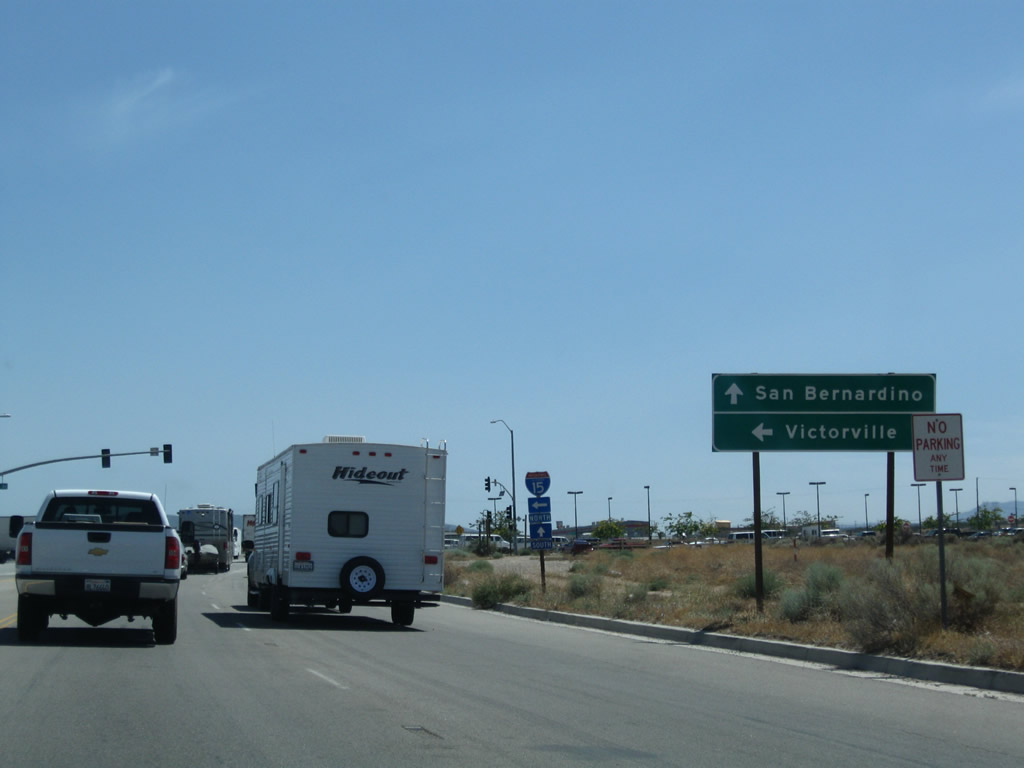
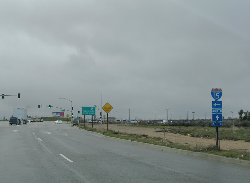
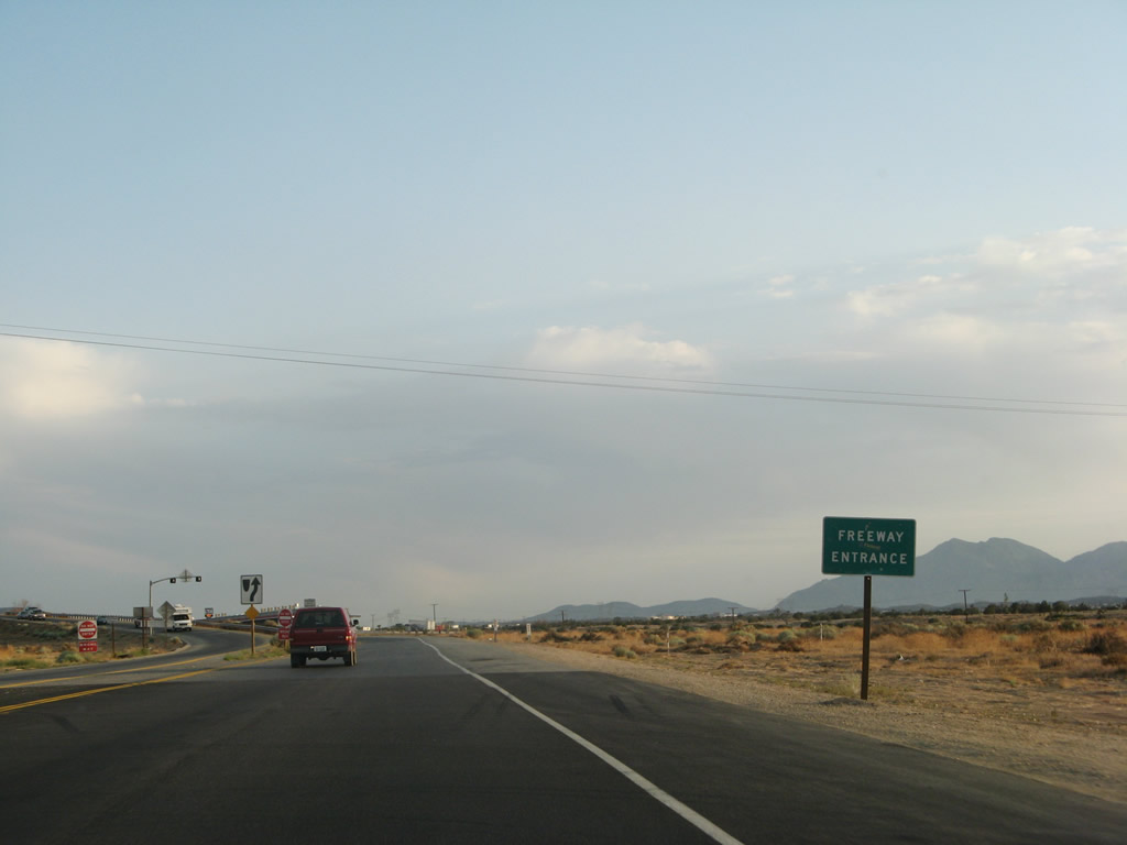
After the Joshua Street traffic signal, southbound U.S. 395 prepares to merge onto Interstate 15 south. A guide sign points to San Bernardino. Photo taken 07/09/07. |
|
A freeway entrance sign is posted as the two lanes of U.S. 395 south merge into one lane. Photo taken 07/09/07. |
|
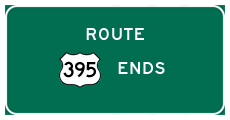
As we merge onto Interstate 15, southbound U.S. 395 comes to an end. No end shield assembly is posted. Ahead, Interstate 15 continues south to San Bernardino and Riverside (via Interstate 215) and then south to San Diego, the former southern terminus of U.S. 395. Photo taken 07/09/07. |
Page Updated May 24, 2010.