
State Route 70

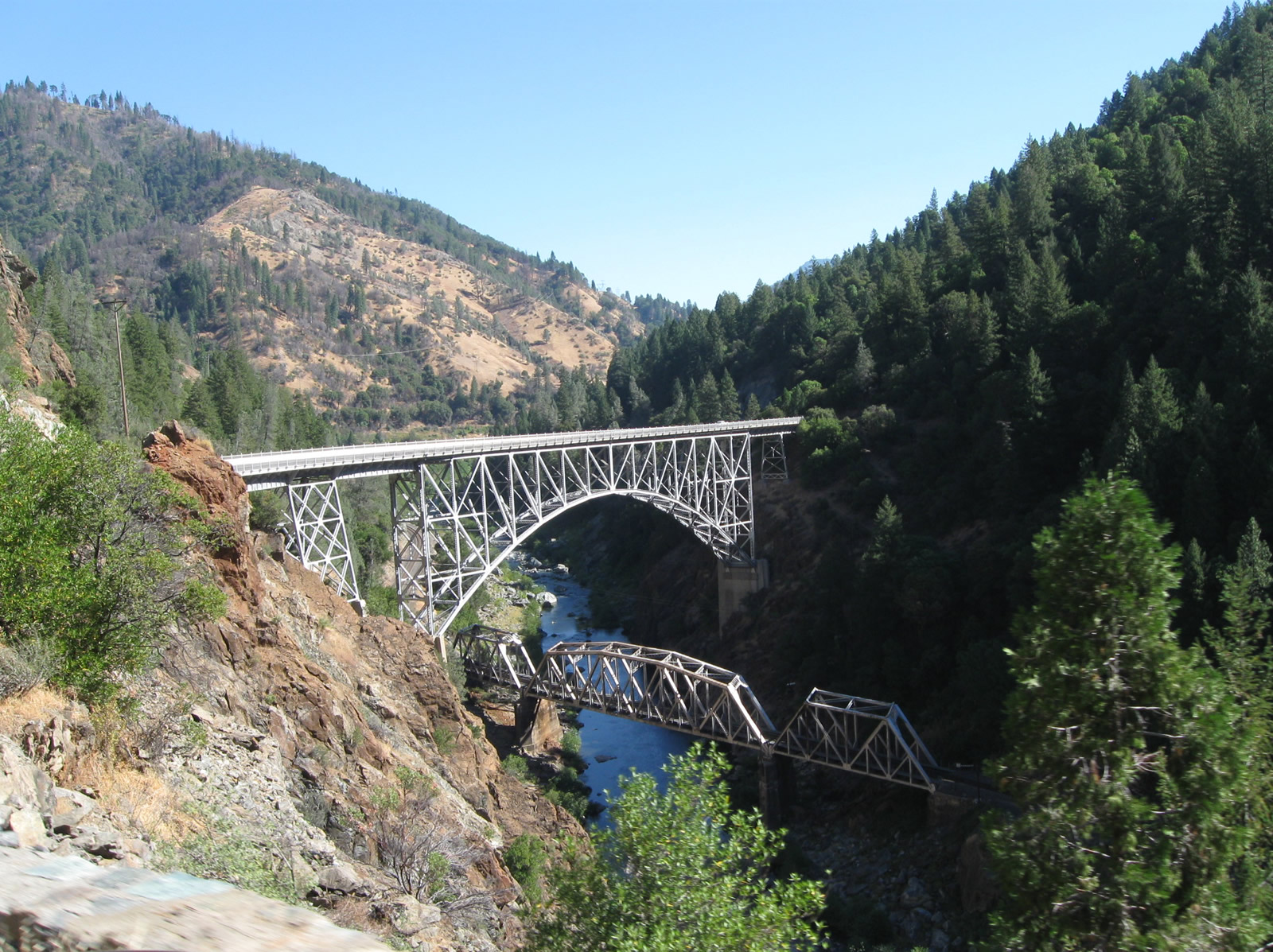
Multiple bridges and tunnels carry California State Route 70 through Feather River Canyon. Viewed here is the steel arch Pulga Bridge, which spans high above the Feather River and the railroad. - 09/04/2010
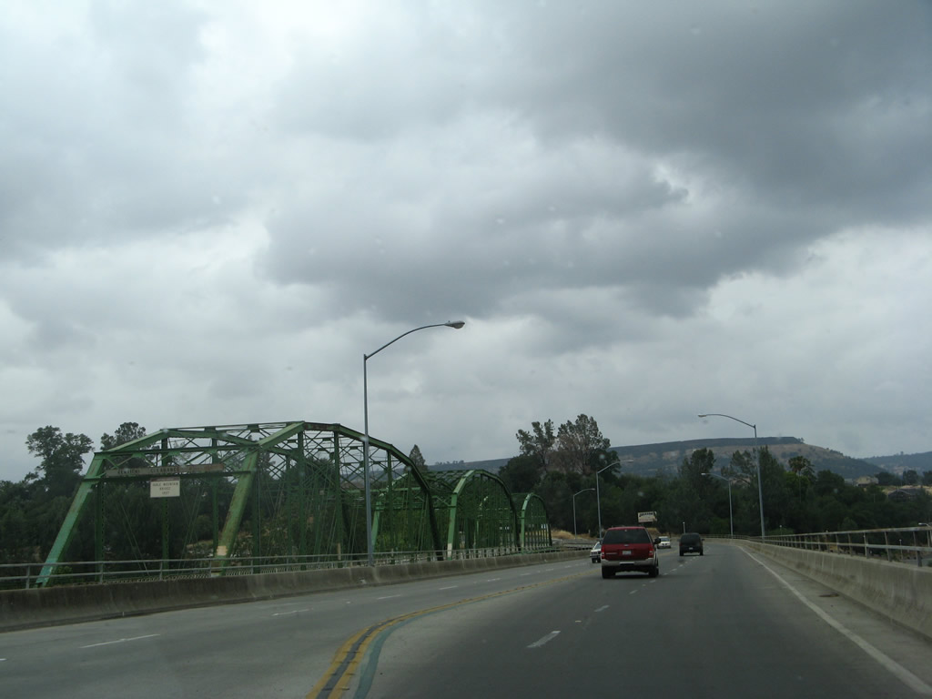
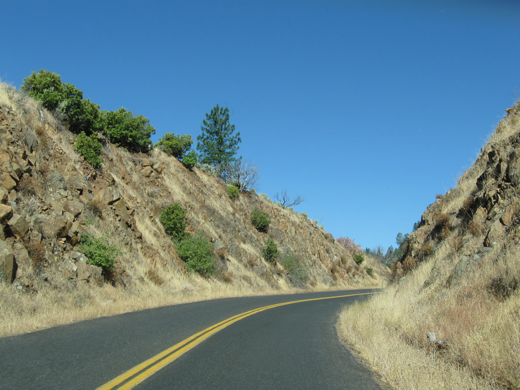
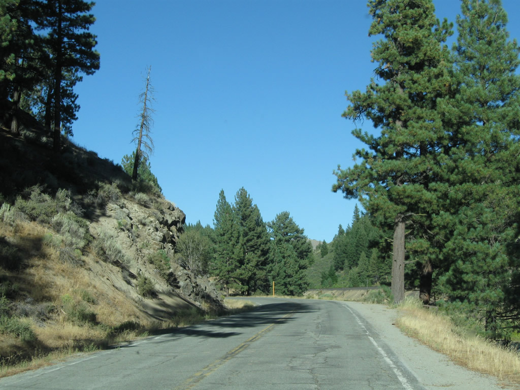
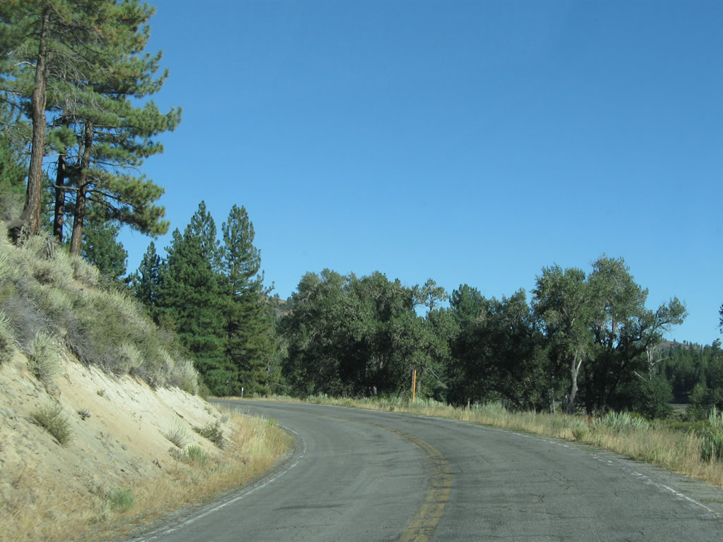
California 70 is a major state route that serves Northern California. A hook-shaped route, California 70 has two major segments: the north-south segment that parallels California 99 in the Sacramento Valley, and the primarily east-west route that passes through the Sierra Nevada via the Feather River Canyon en route to U.S. 395 at Hallelujah Junction northwest of Reno.
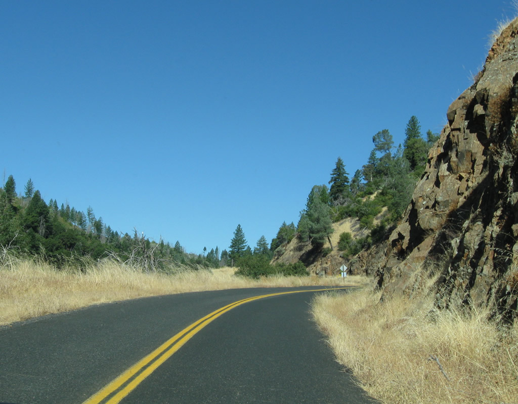
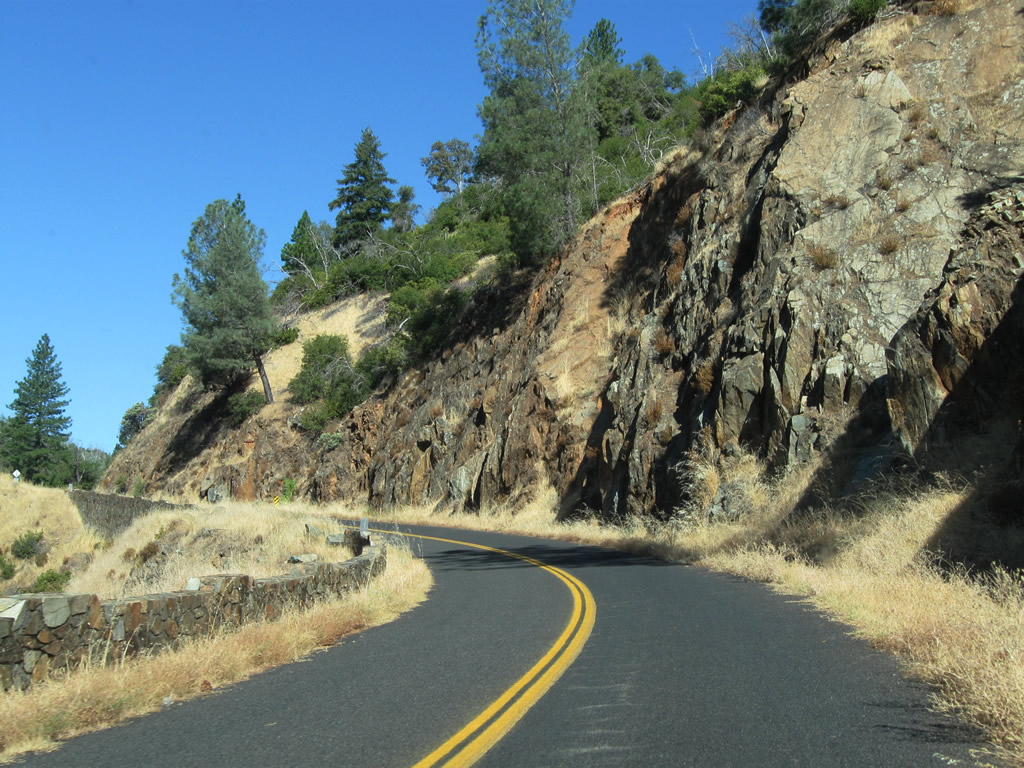
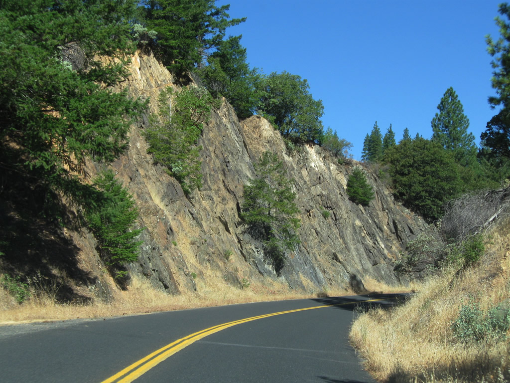
Starting at the junction with California 99 east of Woodland at Exit 319, California 70 proceeds north as an expressway to Marysville, then continues north to Oroville as a rural, two-lane highway. At Oroville, California 70 widens out to freeway standards and continues that way until the California 149 interchange. At California 149, motorists may choose to follow California 70 northeast into the Feather River Canyon, or turn northwest along California 149 to merge onto California 99 north to Chico and Red Bluff. Through the Feather River Canyon, California 70 offering a low-elevation route through the Sierra Nevada that experiences closures due to weather less frequently than Interstate 80 via Donner's Pass and Summit. Historically a part of U.S. 40 Alternate, after tracing through Feather River Canyon, California 70 eventually comes to its end at U.S. 395 and Hallelujah Junction. U.S. 40 Alternate used to continue southeast along with U.S. 395 to rejoin U.S. 40 in Reno.
California State Route 70 Guides
- North - Sacramento Valley
- East - Feather River Canyon #1
- East - Feather River Canyon #2
- SR 70 East / SR 89 South - Central Plumas County
- East - Eastern Plumas County
- West - Feather River Highway
- South - Sacramento Valley
California 70 has only been in existence since 1964, but it has several historically significant segments. The portion of California 70 between California 99 and Olivehurst was originally designated as California 232; the section between Olivehurst and Marysville was originally part of U.S. 99E; and the portion between Marysville and Hallelujah Junction was known as California 24 between 1937 and 1954 and as U.S. 40 Alternate between 1954 and 1964. The statewide renumbering of several highways in 1964 resulted in the modern designation of California 70.
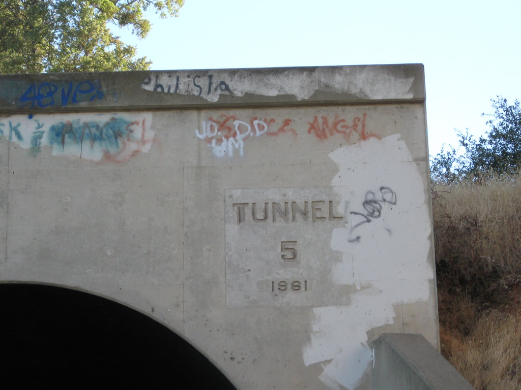
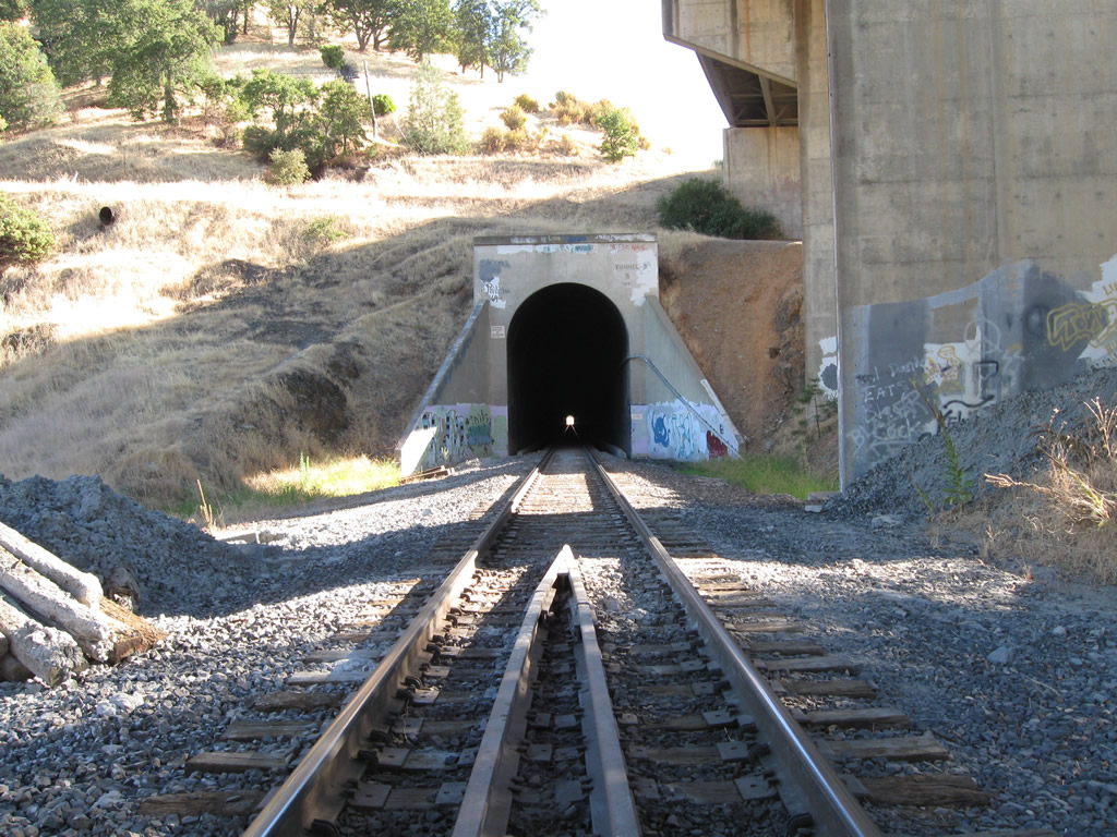
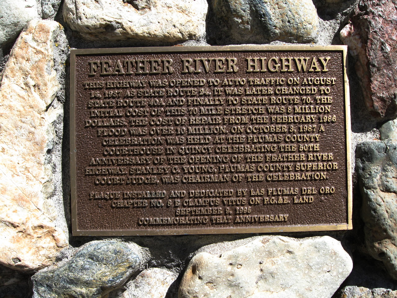
The route of the Feather River Highway could have been placed along either the Middle Fork or North Fork of the Feather River. In 1928, officials selected the North Fork route, which followed the path of what is now the Union Pacific Railroad. This alignment has relatively good weather and does not reach elevations seen on the county-maintained ridge road that lies between the North and Middle Forks. The Feather River Highway has fewer weather-related concerns due to its low elevation as compared to either Interstate 80 (U.S. 40) or U.S. 50 to the south. According to California Highways and Public Works, construction began soon thereafter and continued through 1937. Official dedication of the route, which included multiple bridges and three tunnels, was marked by ceremonies along the route on August 14, 1937.1,2,3,4,5 The Feather River Highway was originally considered to be the route from Oroville to Quincy (built at a distance of 78 miles), and the definition later expanded to include the 60-mile distance from Quincy to Hallelujah Junction.6
The highway's opening represented an end to the relative isolation of Plumas County, especially during winter months when the county-maintained ridge route (located on the ridge between the North Fork and Middle Fork between Oroville and Quincy) was closed due to snow.
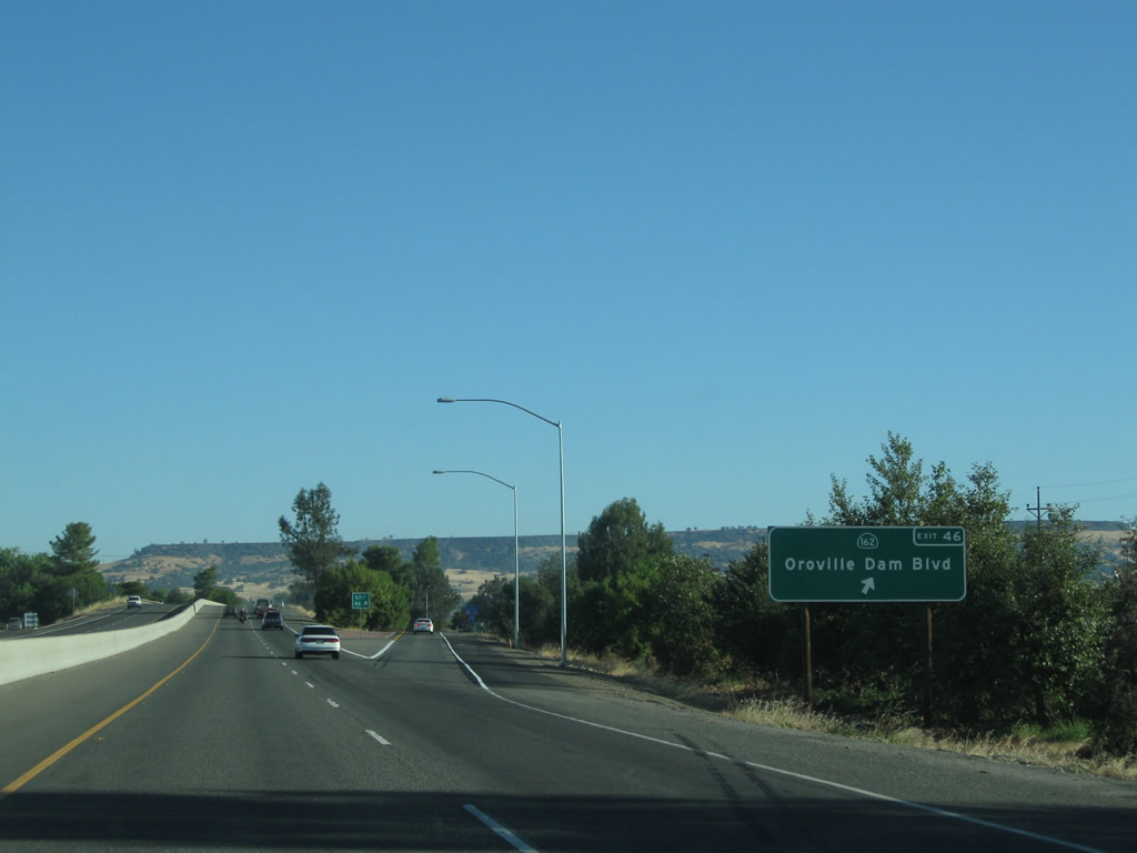
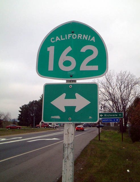
This view shows the off-ramp from northbound California 70 onto California 70 Business and California 162 at Exit 46 in Oroville.
01/20/03
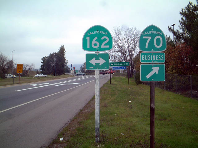
These California 70 Business and California 162 trailblazers are posted on the off-ramp from California 70 north to Exit 46 in the city of Oroville. Turn left for California 162 west or right for California 162 east and California 70 Business north.
01/20/03
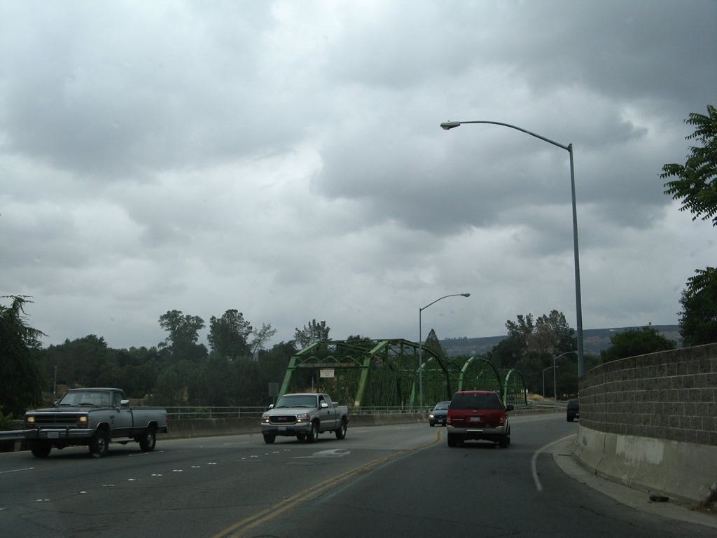
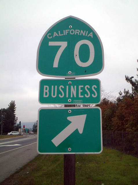
Leaving the intersection between Washington Avenue and Montgomery Street east of downtown Oroville, California 70 Business turns north onto Table Mountain Boulevard (leaving Butte County Route B-2 behind as well). A bridge immediately carries California 70 Business north over the Feather River downstream from Oroville Dam.
05/24/08
Parallel to the modern, 1980s-era California 70 Business/Table Mountain Bridge is the original steel through-truss bridge (Upper Thermalito Bridge) that was built in 1907 and served as the primary river crossing until the modern bridge opened. The original bridge remains in use as a bridge for pedestrians and bicyclists.
05/24/08
On this rainy day, California 70 Business (Table Mountain Boulevard) crosses over the Feather River. The business route will proceed north until reaching Nelson Avenue, where it will turn west to return to the freeway. An old alignment of California 24 and U.S. 40 Alternate will follow Table Mountain Boulevard north, only to merge with California 70 at the California 191 intersection.
05/24/08
Traveling west along Montgomery Street through Downtown Oroville, this shield assembly mistakenly showed California 70 Business as Business Loop I-70. According to Warren Jensen on 12/17/03, "the famous I-70 business shield in downtown Oroville was vandalized this year and the shield had to be replaced. Did they make a correct California 70 Business shield? Nope. They ordered a brand new I-70 business shield!"
01/20/03
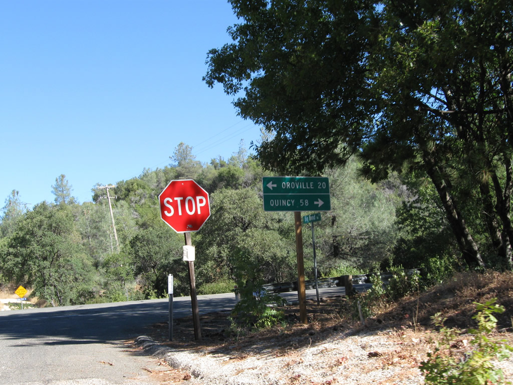
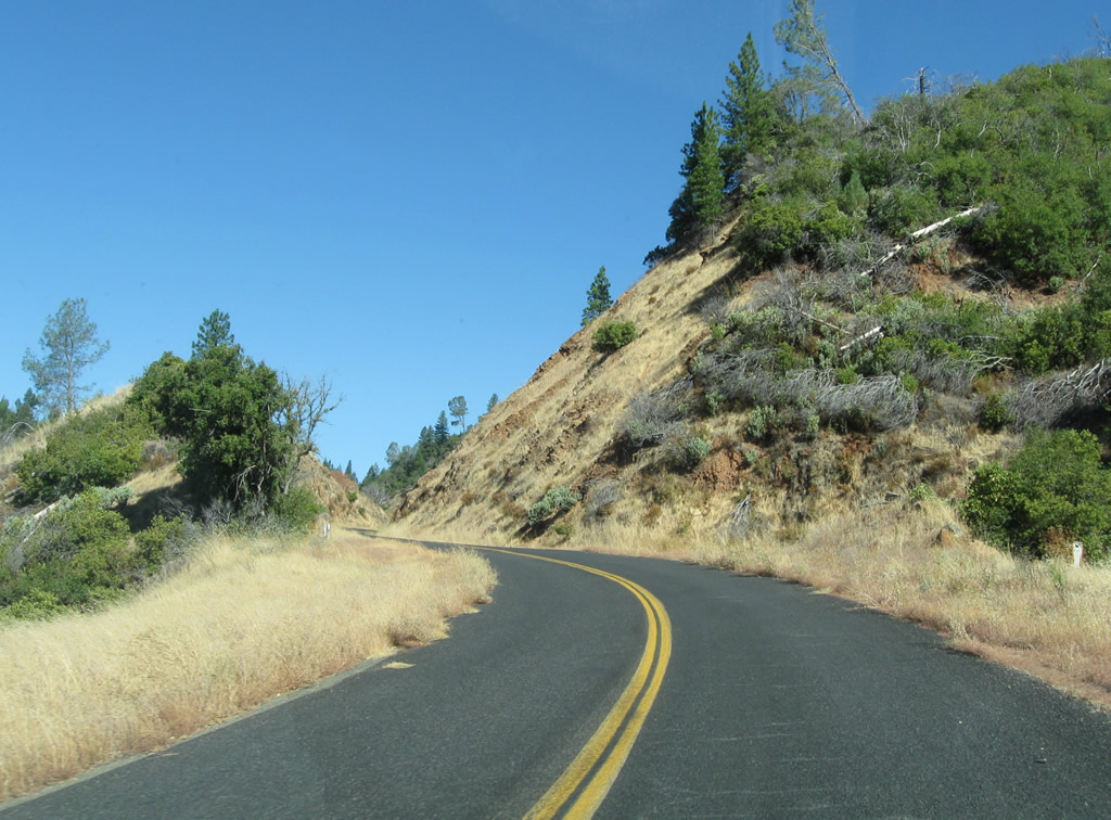
Big Bend Road, the connecting road from Dark Canyon Road to the modern Feather River Highway, meets California 70 (Feather River Highway) at this intersection. Turn left for Oroville (20 miles) or right for Quincy (58 miles).
09/04/10
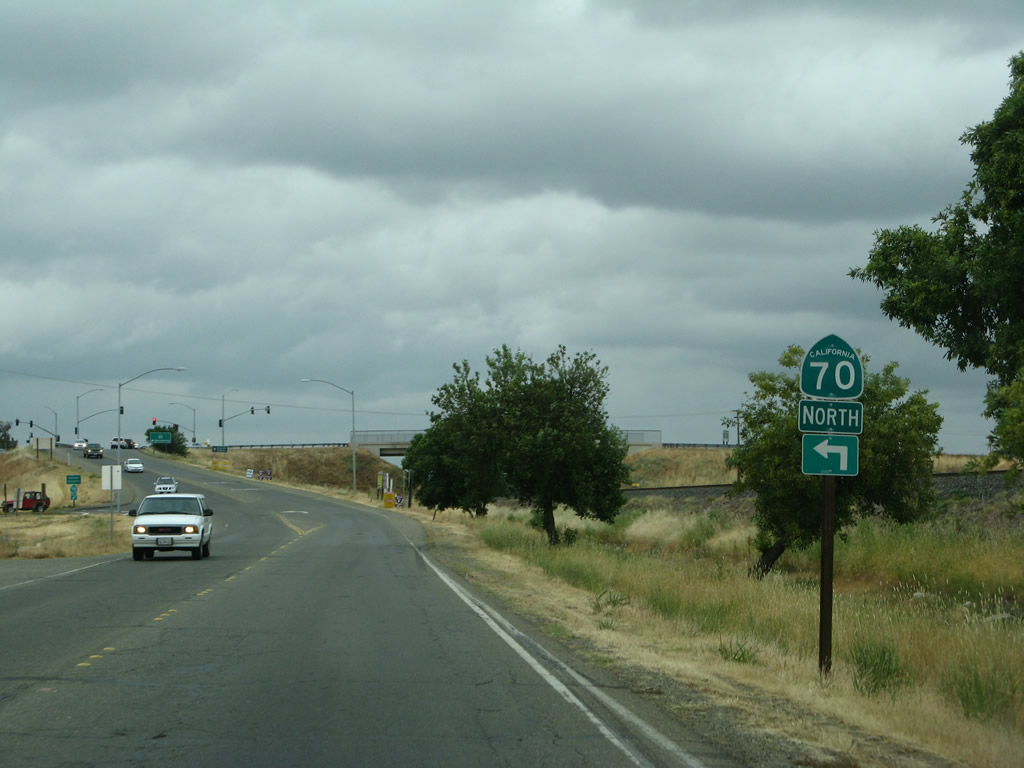
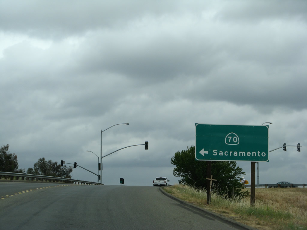
Lindhurst Avenue north in Olivehurst and Linda is an old alignment of U.S. 99E. The old alignment parallels California 70 between Exits 18A and 19 on the east side of the freeway. Traveling north, the first left connects to California 70 north to Marysville. The next intersection is with Erle Road; turn left here for the connection to California 70 south.
05/24/08
The old alignment of U.S. 99E parallels California 70 between Exits 18 A and 19 on the east side of the freeway.
05/24/08
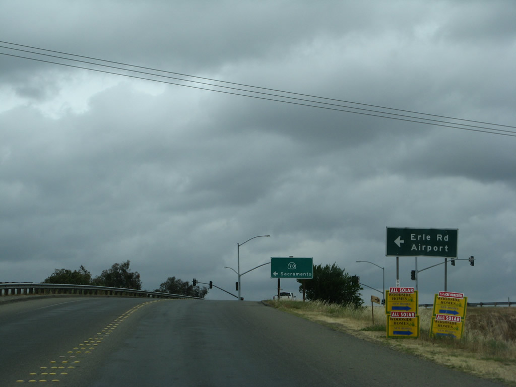
Erie Road connects Lindhurst Avenue with the southbound entrance ramp for SR 70 south to Sacramento.
05/24/08
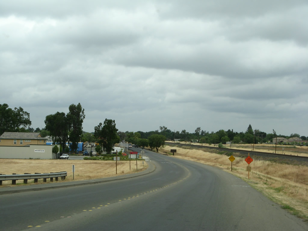
Lindhurst Avenue diverges from SR 70 northward to a retail area at Beale Road.
05/24/08
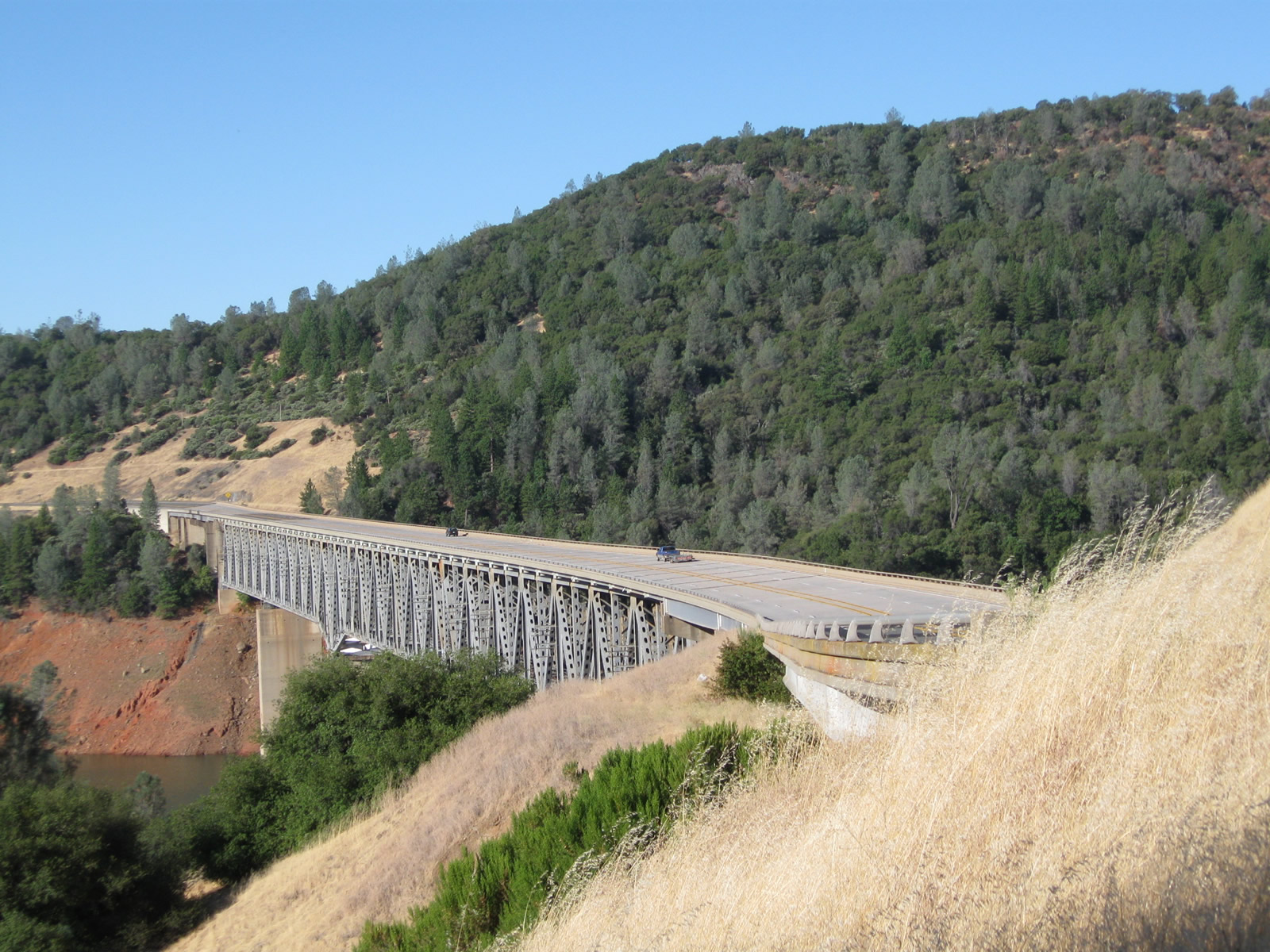
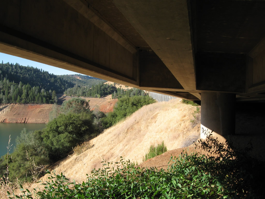
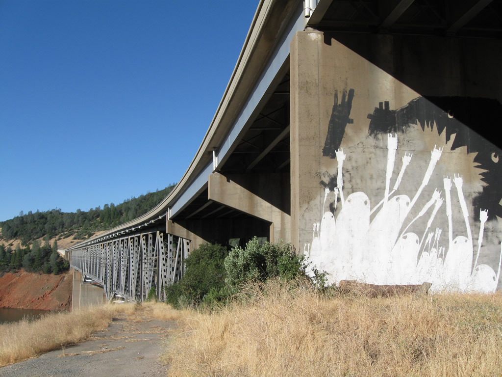
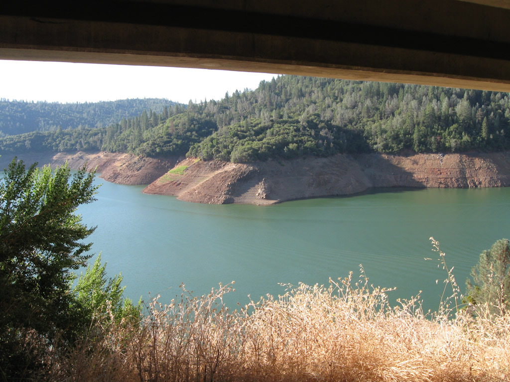
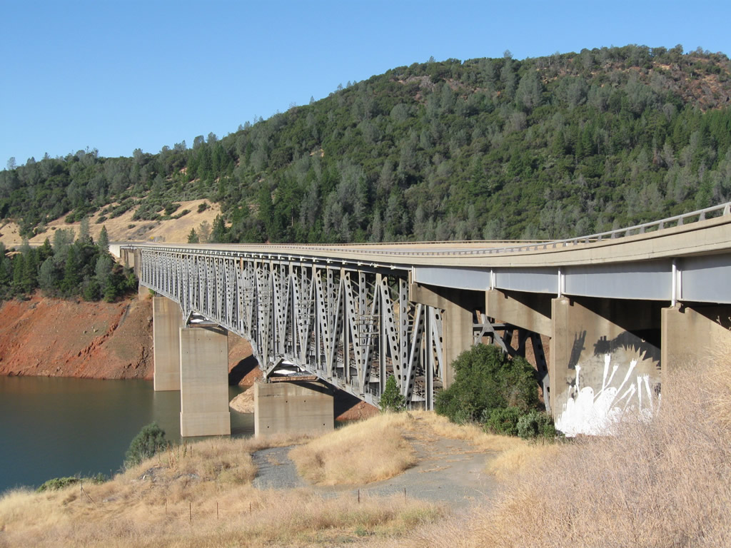
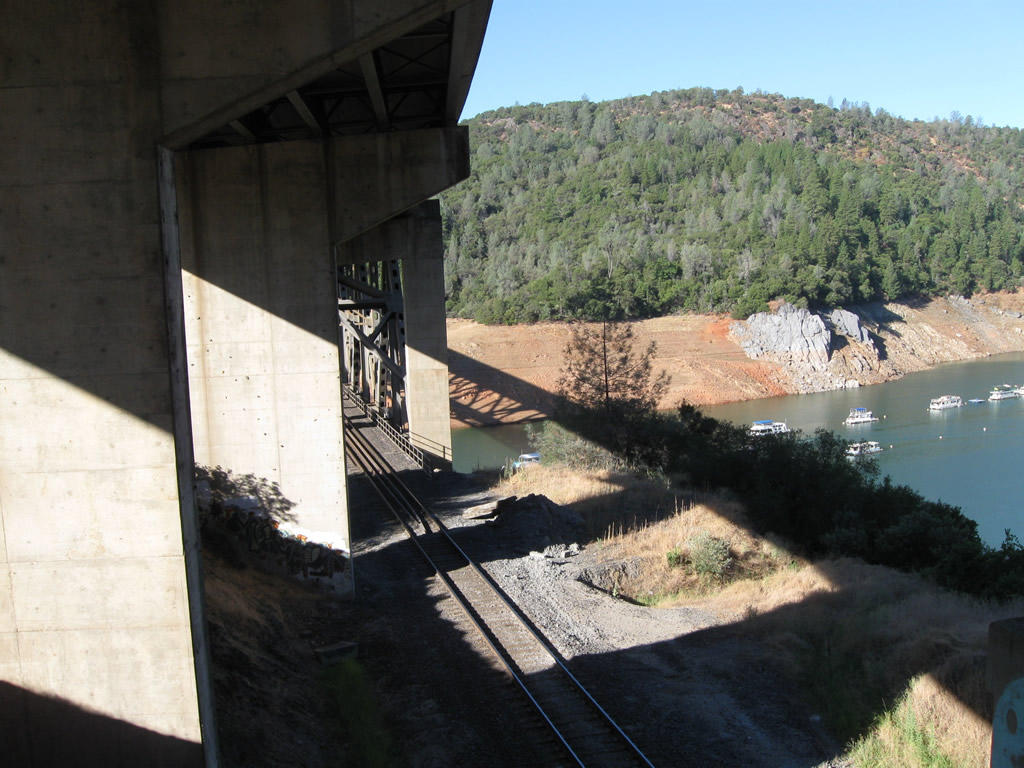
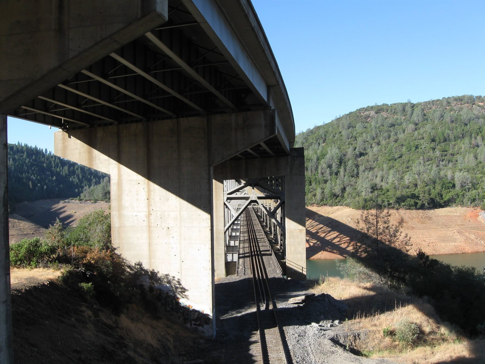
The West Branch Bridge carries California 70 over the West Branch of the Feather River and Lake Oroville.
09/04/10
Built at a cost of $8.6 million, the West Branch Bridge was built along a new alignment of the Feather River Highway (then known as U.S. 40 Alternate) to avoid the portion of the highway to be flooded by the creation of Lake Oroville.⁷⁸
09/04/10
The West Branch Bridge was built between November 1959 and completed in February 1962, with the approaches to the bridge completed and opened to traffic in August 1962.⁷⁸
09/04/10
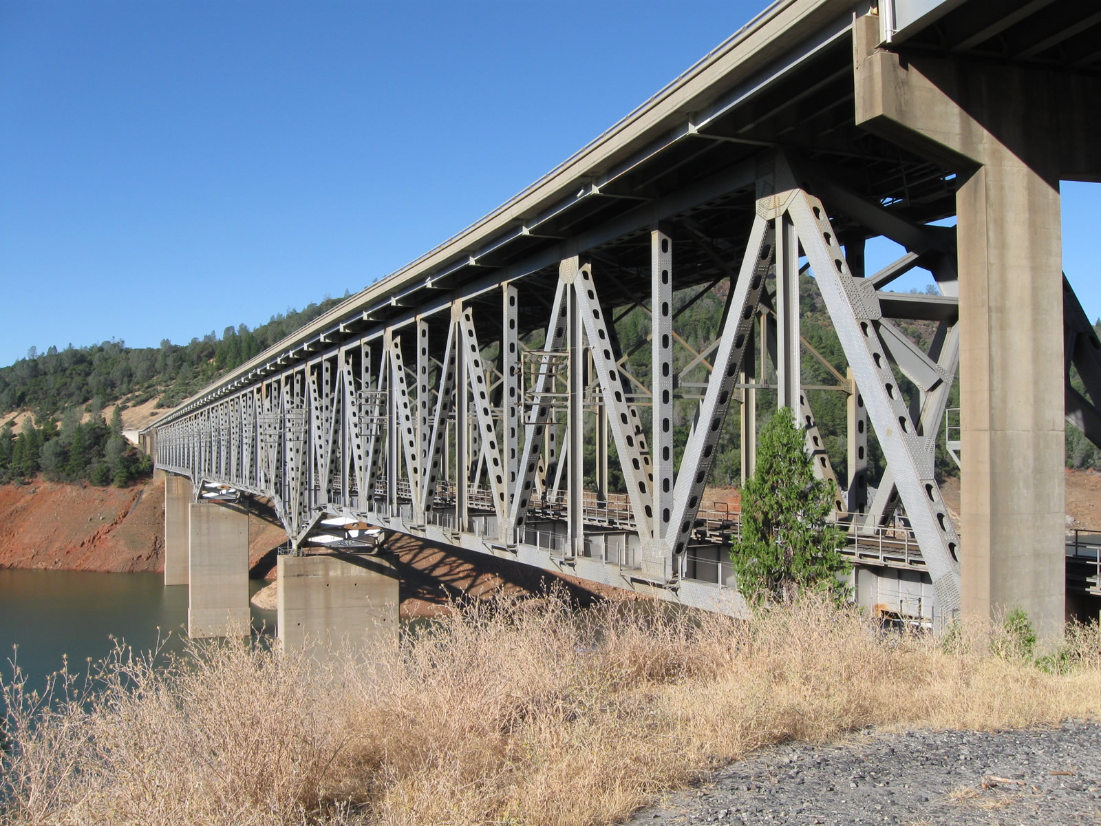
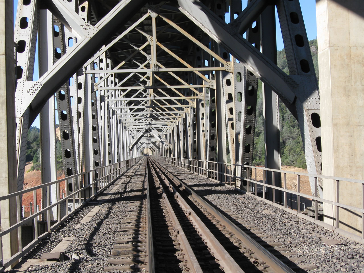
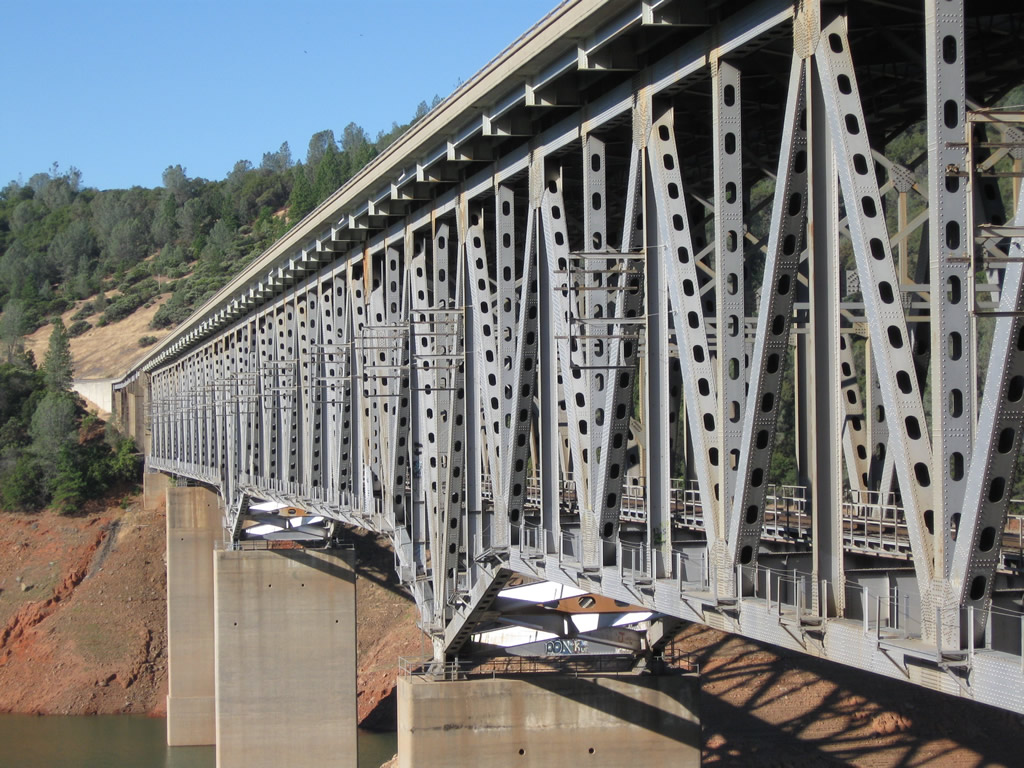
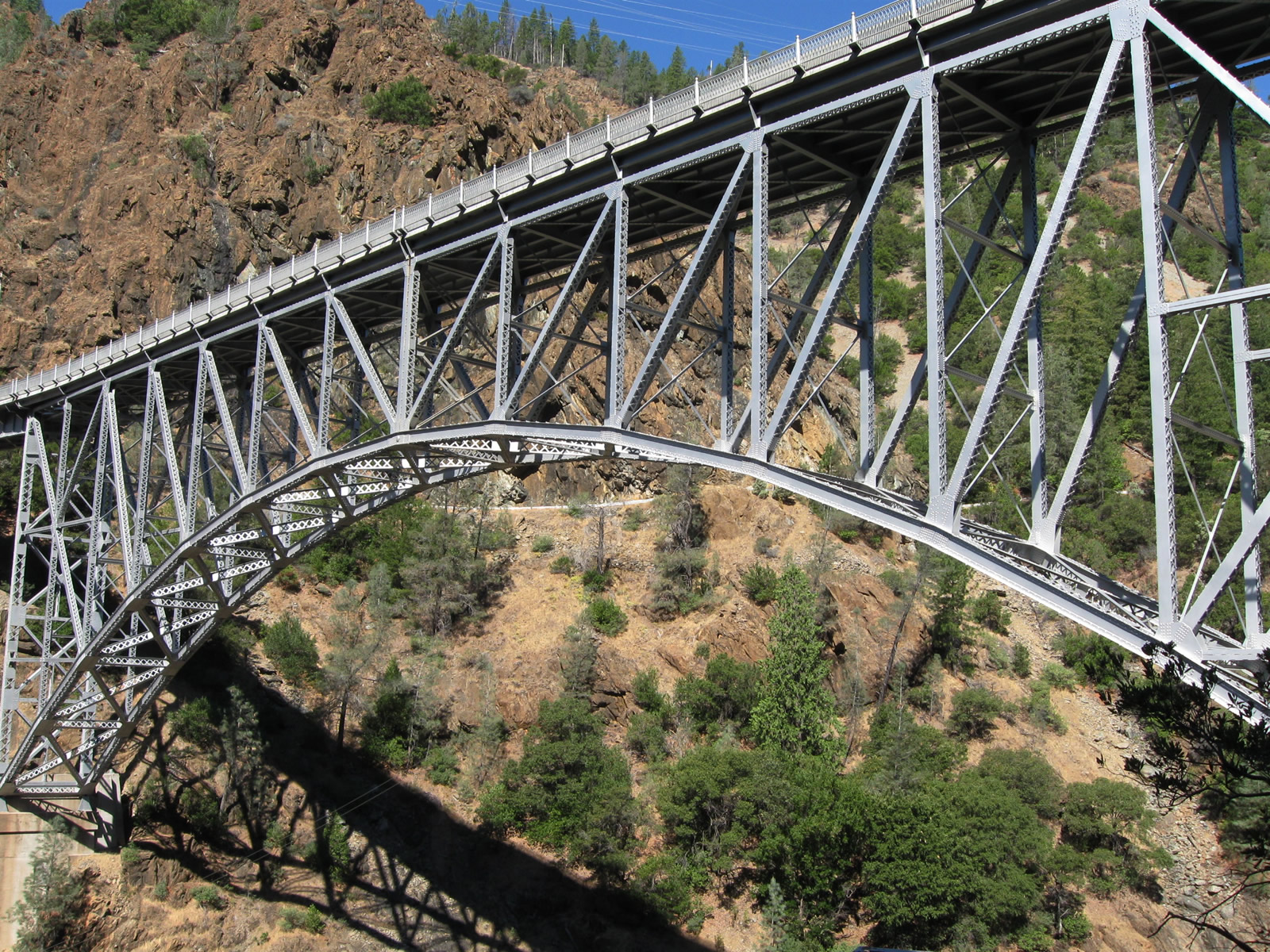
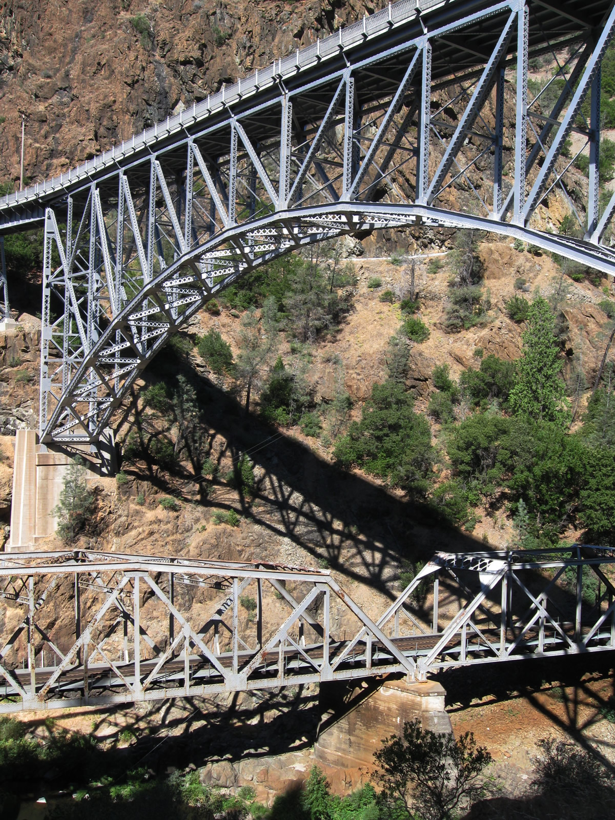
The West Branch Bridge is a deck truss bridge with two decks: California 70 on top (span of 2,731 feet) and the Union Pacific Railroad on the bottom (span of 1,882 feet).⁷⁸
09/04/10
Four steel truss segments span lengths of 360, 432, 576, and 432 feet each. Three concrete piers support the bridge above the river. A comparable bridge from the same era is the Interstate 5 (U.S. 99) Pit River bridge over Lake Shasta.⁷⁸
09/04/10
Dark Canyon Road, which extends from the shore of Lake Oroville northeast to Big Bend Road, is part of the original alignment of the Feather River Highway, which opened as California 24 on August 14, 1937. (California 24 was renumbered as U.S. 40 Alternate in 1954, and U.S. 40 Alternate was replaced with California 70 on July 1, 1964).
09/04/10
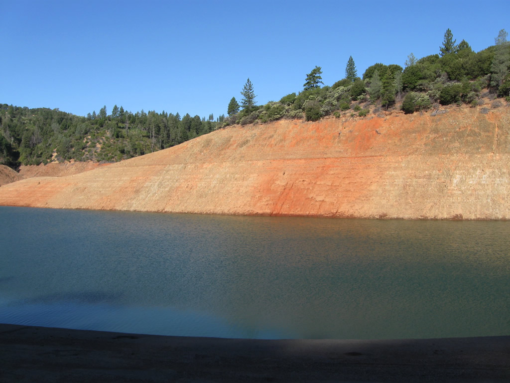
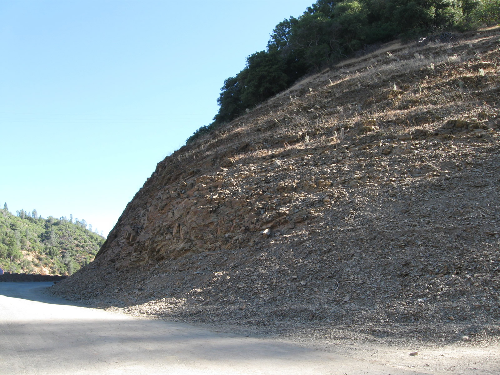
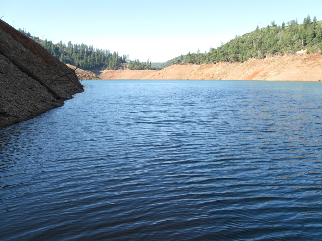
This segment of state highway along today's Dark Canyon Road had to be replaced due to the construction of Oroville Dam and the resultant reservoir. The bypass (which includes the West Branch Bridge) opened to traffic in August 1962, and the old road was closed where it lies beneath the reservoir.
09/04/10
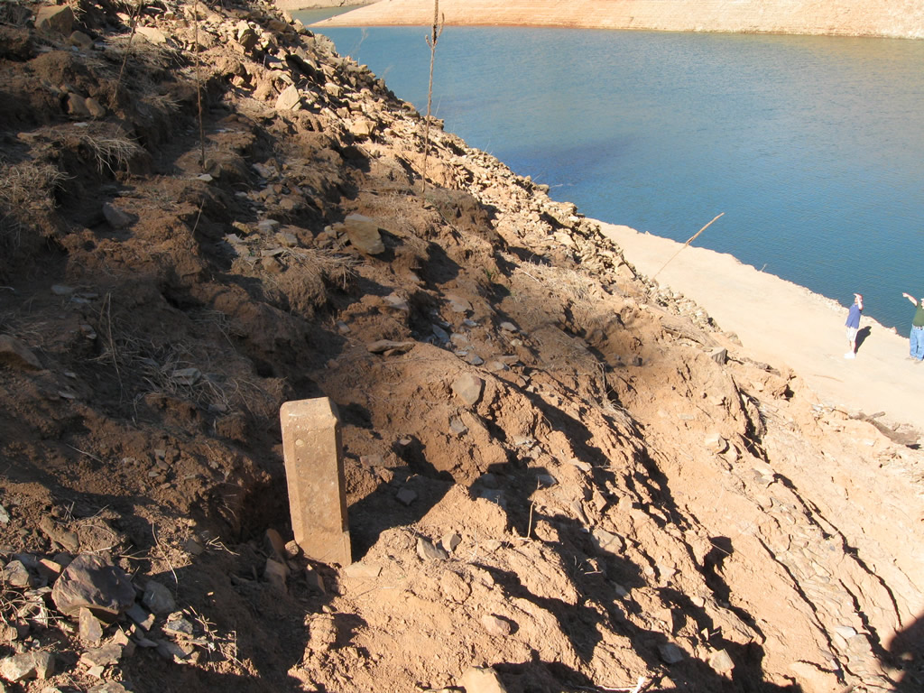
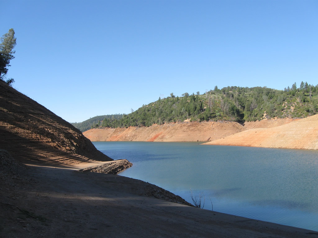
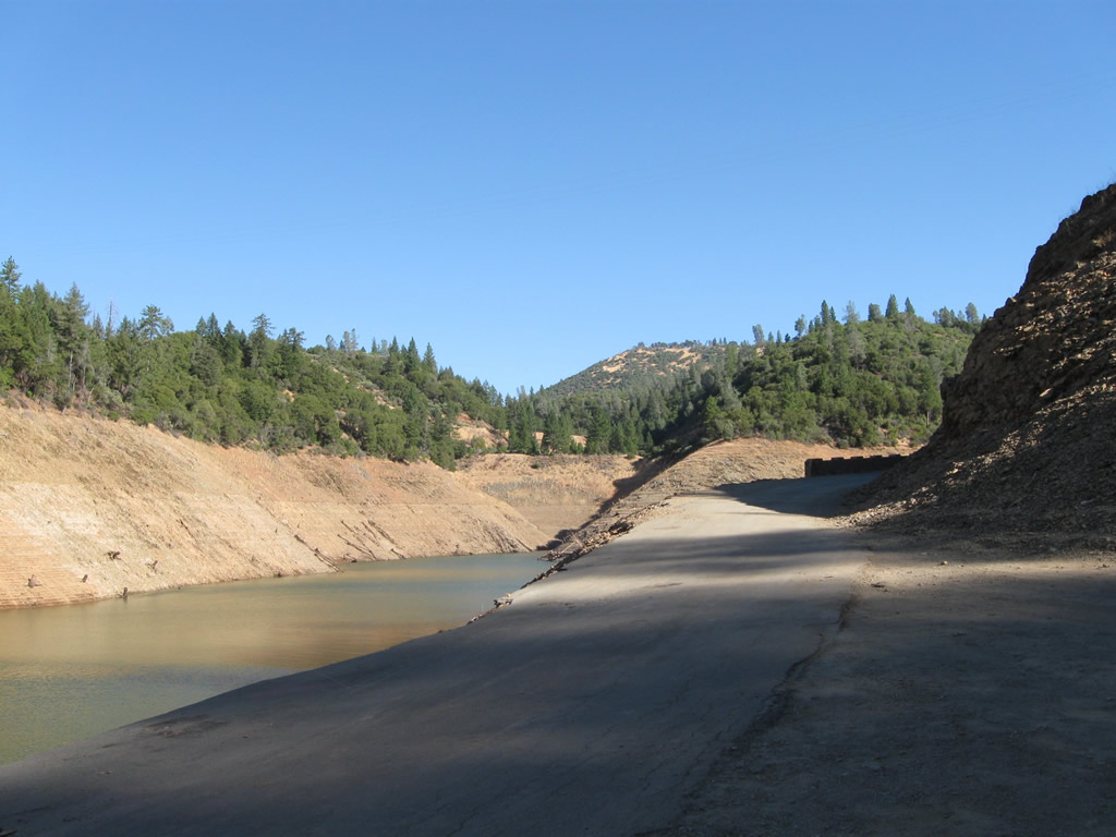
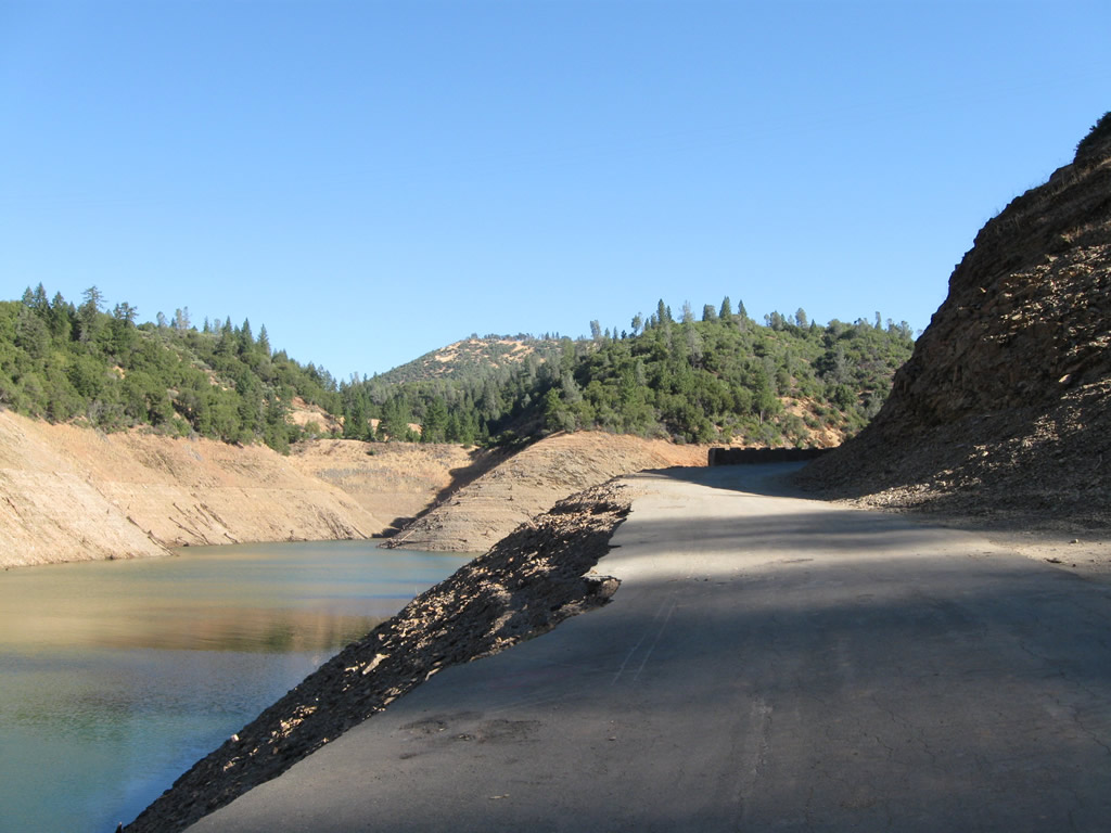
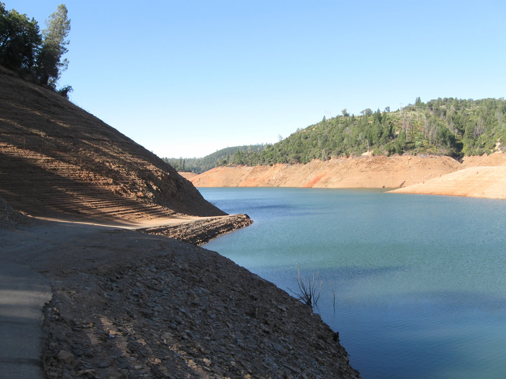
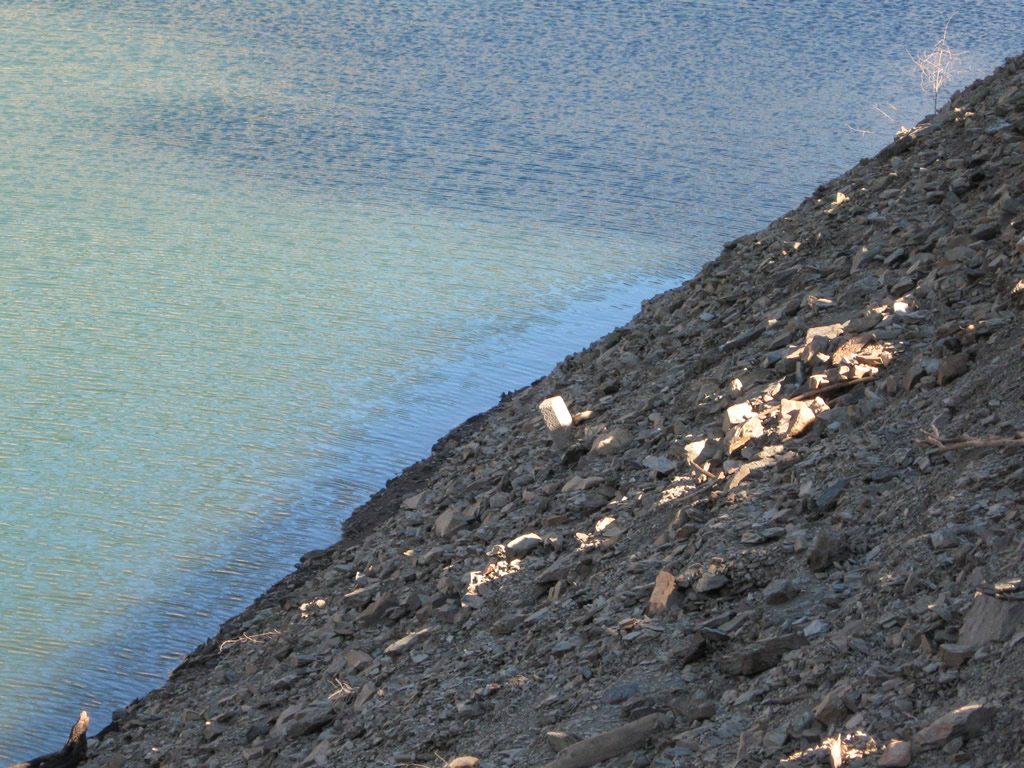
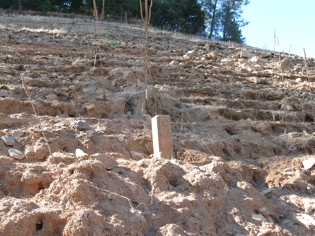
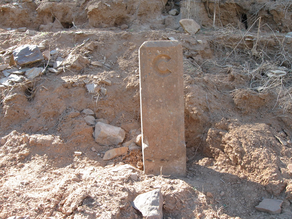
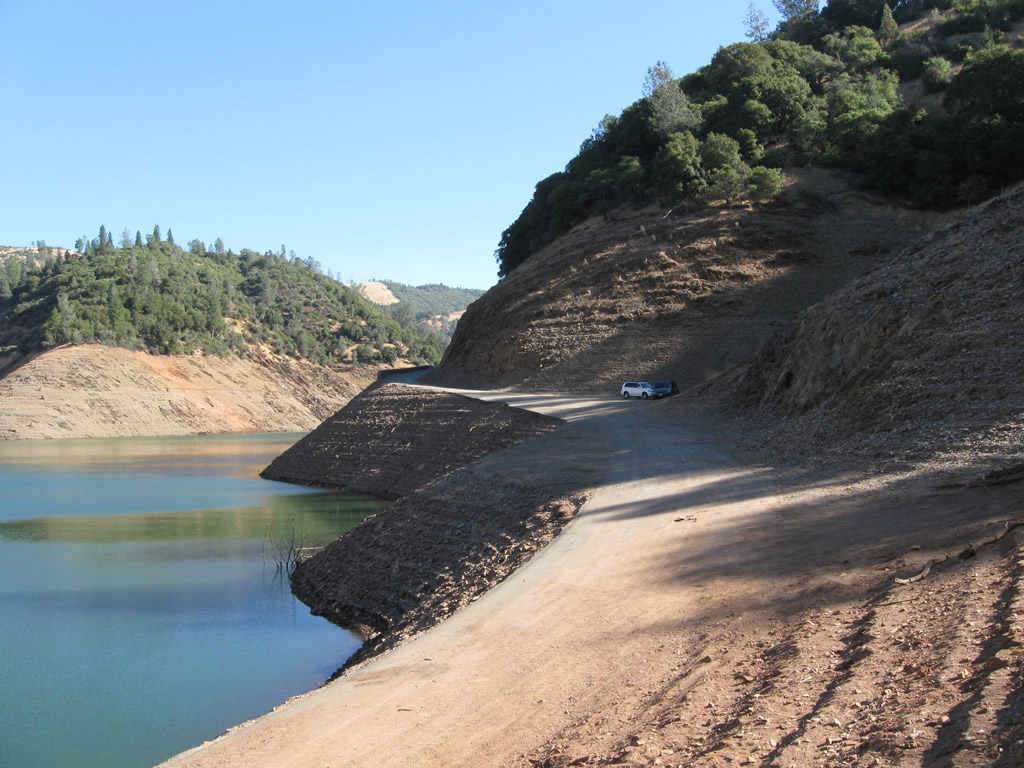
The extant segment of Dark Canyon Road comes to a dead at the water's edge. Remnant features of the old road include pavement, rock walls, and C monuments that mark the old highway's right of way. The water level of Lake Oroville varies, so some areas may be alternate between being exposed or submerged depending upon long term weather patterns.
09/04/10
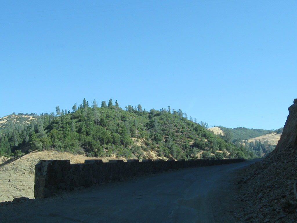
Dark Canyon Road traveling northeast away from the lake toward Big Bend Road.
09/04/10
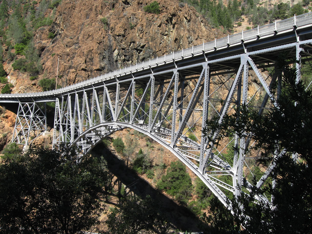
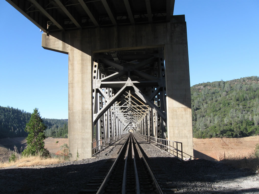
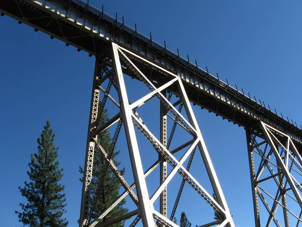
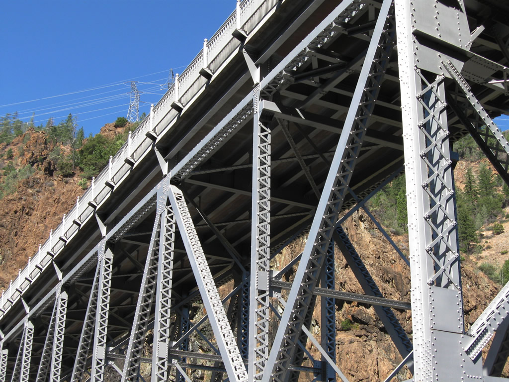
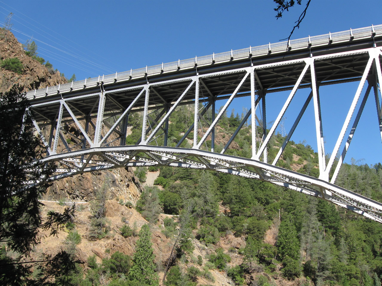
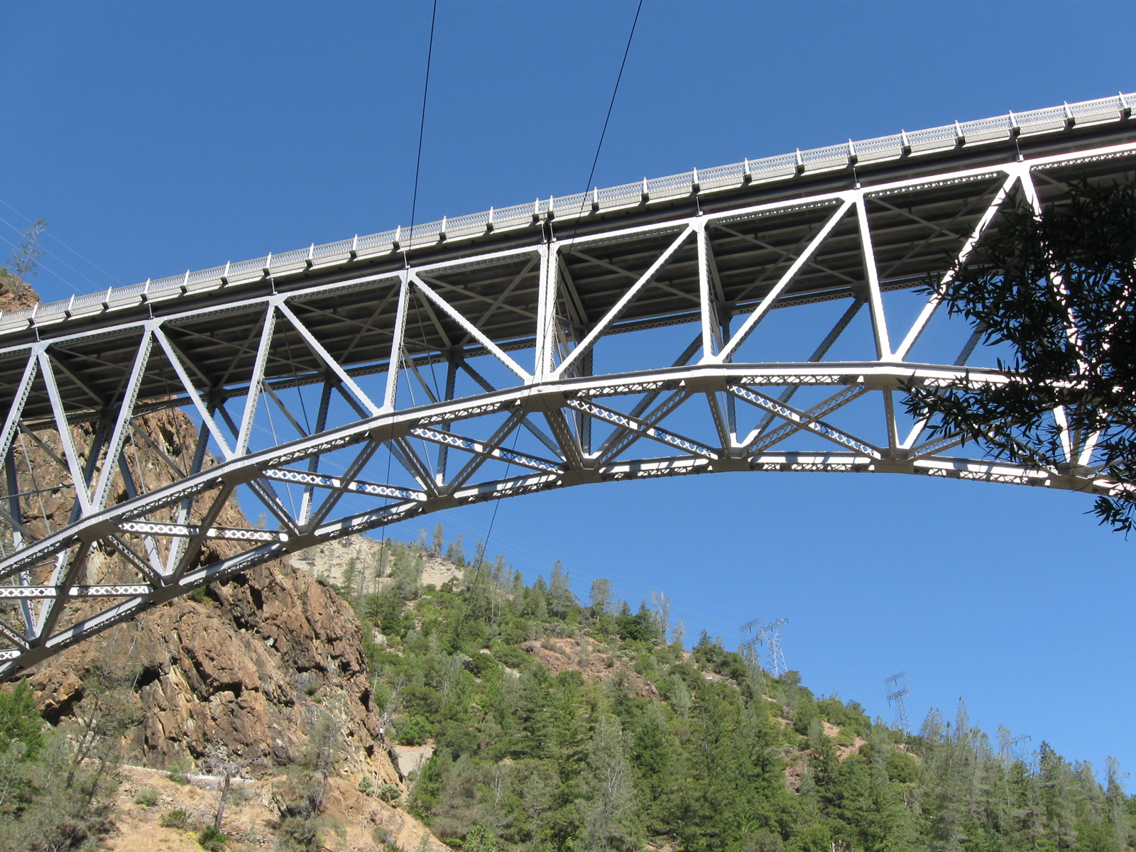
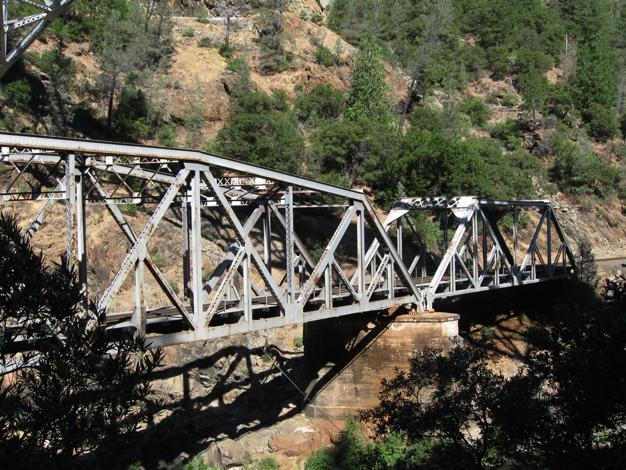
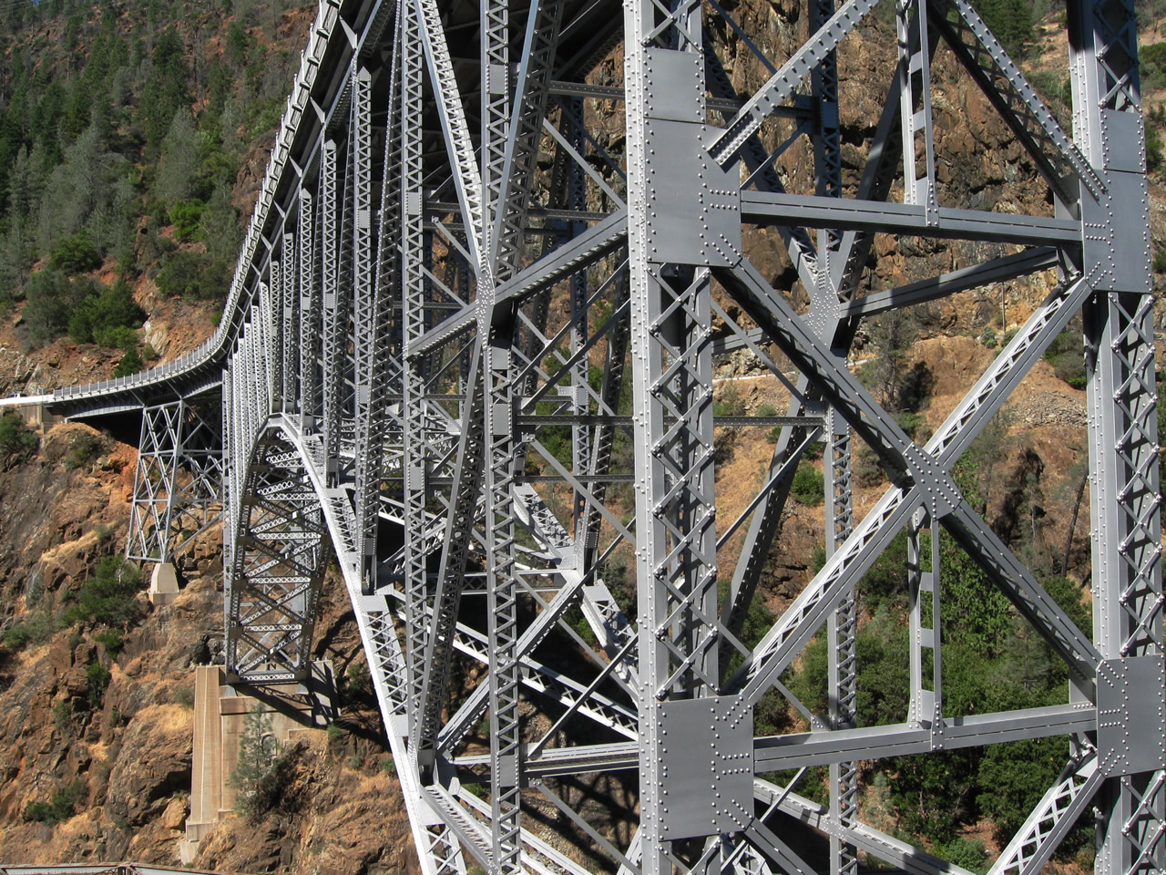
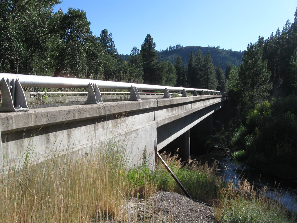
The Pulga Bridge carries California 70 over the West Branch of the Feather River near the Pulga Road intersection. This bridge was built in 1932 and is a deck arch bridge.
09/04/10
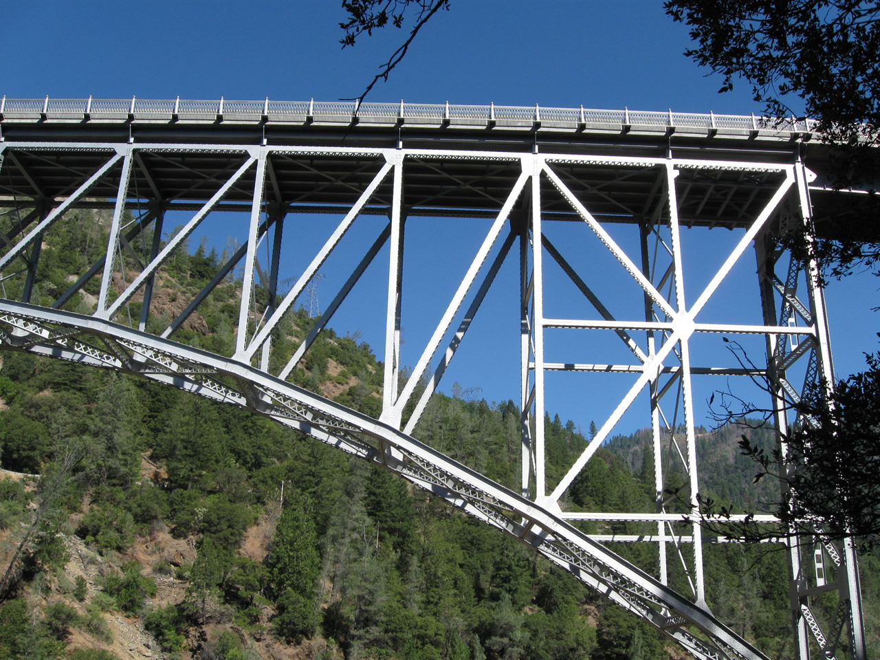
The substructure of the Pulga Bridge is only fleetingly visible from California 70's travel lanes. A railroad bridge also crosses the river at this point.
09/04/10
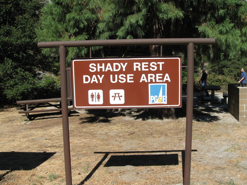
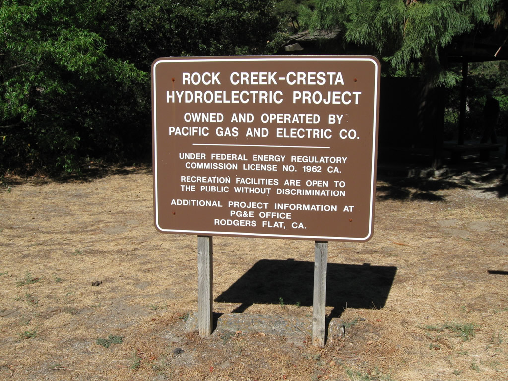
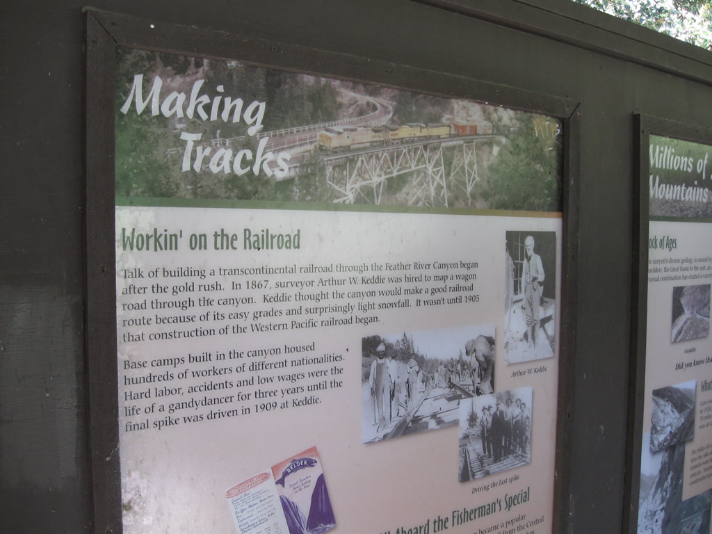
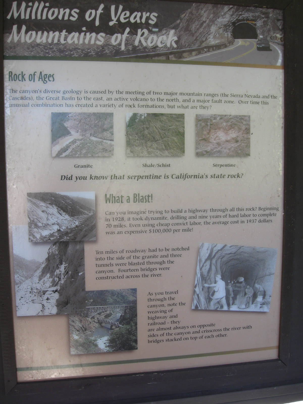
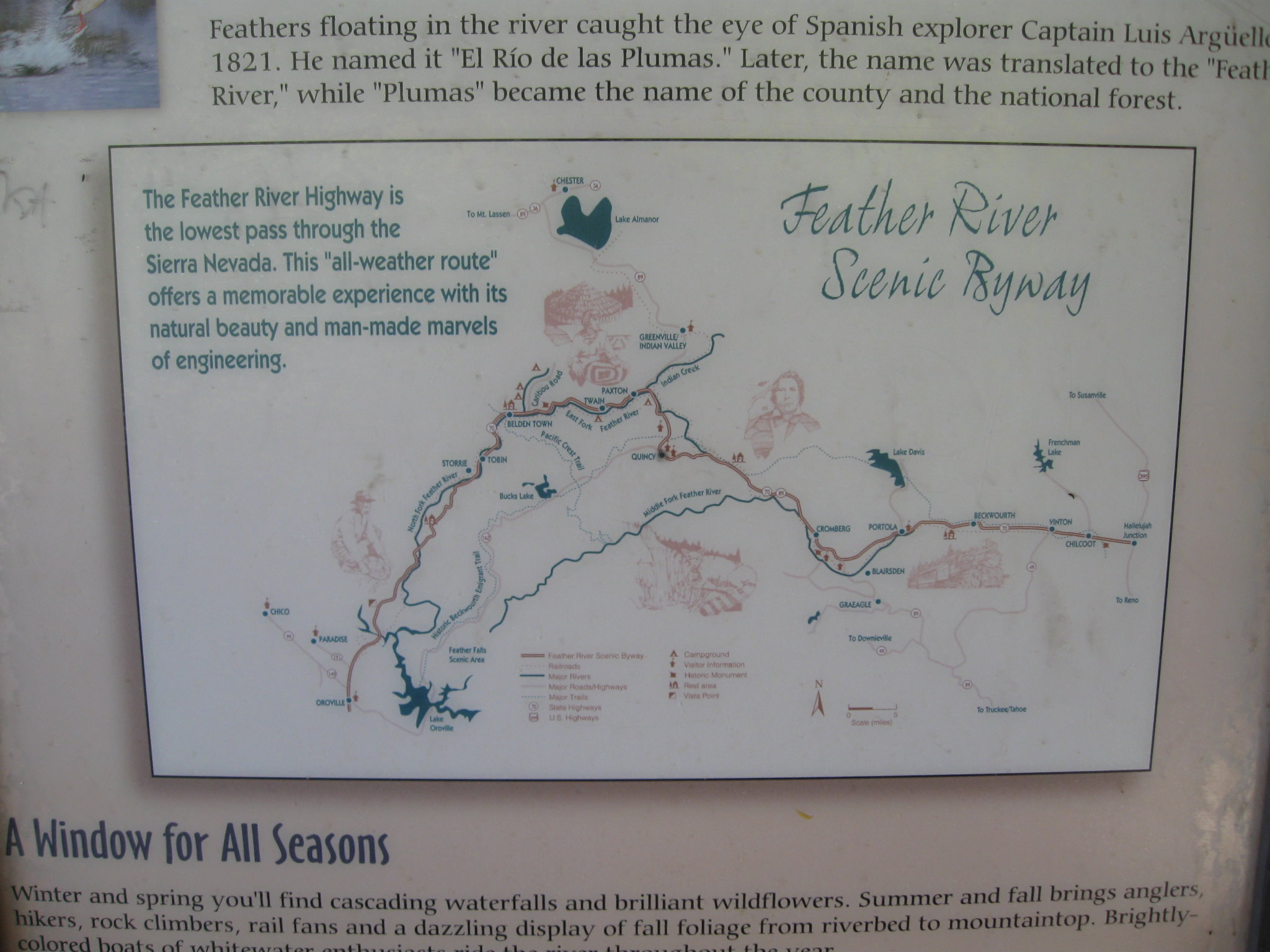
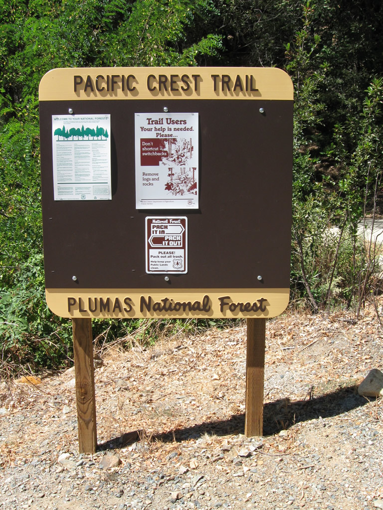
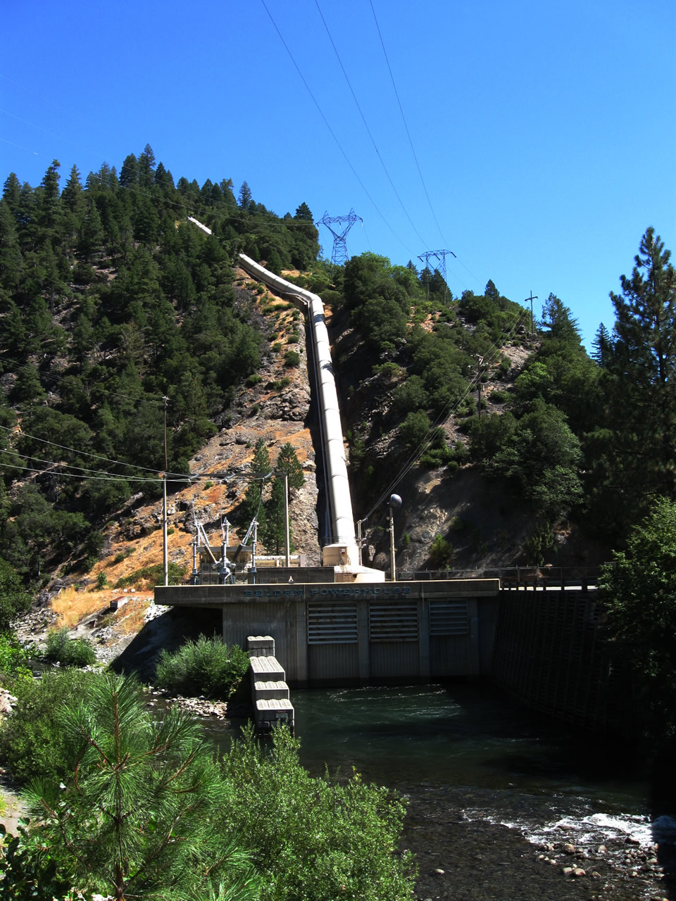
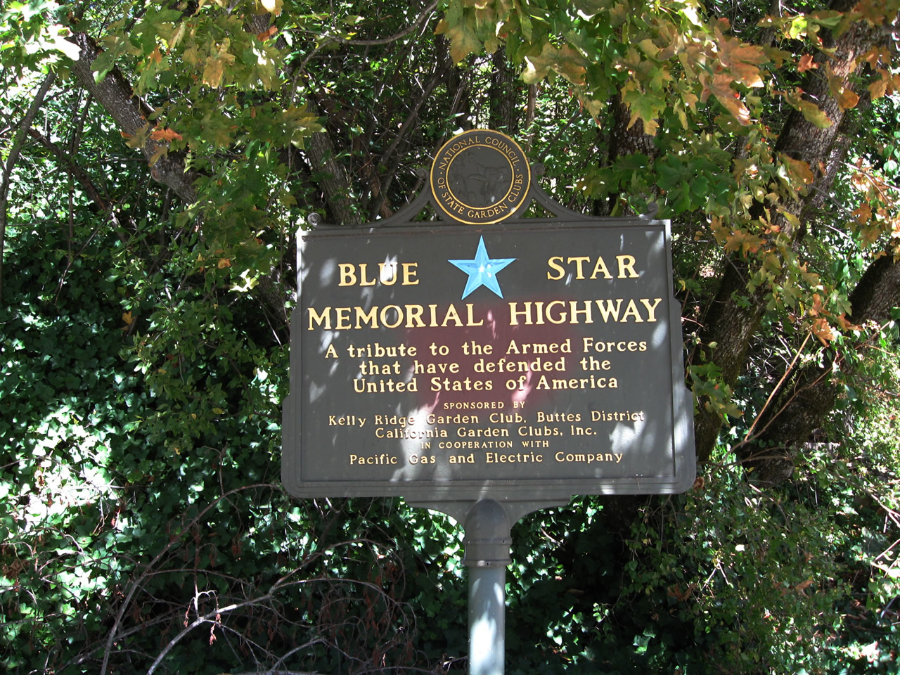
Located just west of the Butte-Pulga County Line, the Shady Rest Day Use Area has an outhouse and picnic tables for motorists passing through the Feather River Canyon. The rest area is sponsored partially by Pacific Gas & Electric, which has a presence in the canyon to generate electricity from hydroelectric turbines located at various diversion dams along the route of the river. Some interpretive panels are located at this rest area, including a few for the tunnels east of here along California 70.
09/04/10
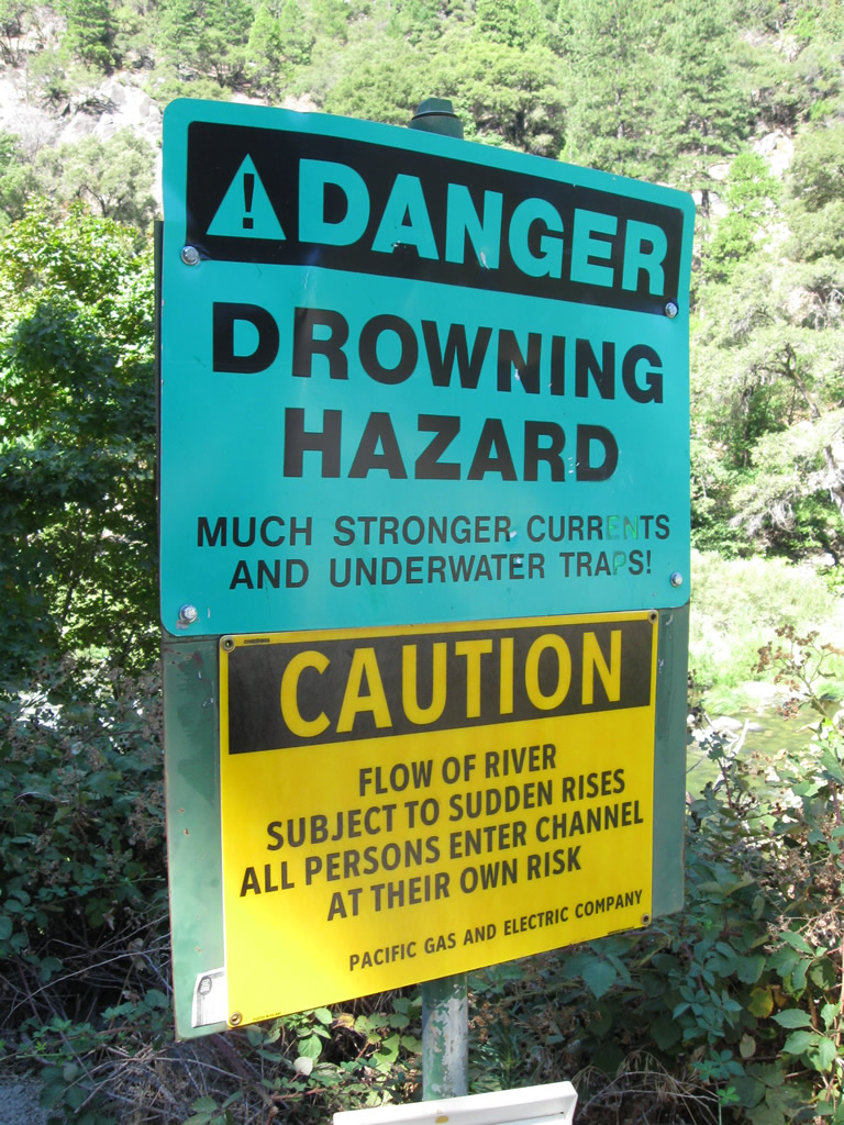
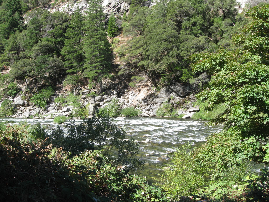
While beautiful and tempting to swim on a hot summer day, the North Fork of the Feather River flows fast between the hydroelectric facilities operated by Pacific Gas & Electric. As a result, warning signs advise people to stay out of the water. This particular sign is located at the Shady Rest Day Use Area off California 70 near the Arch Rock Tunnel.
09/04/10
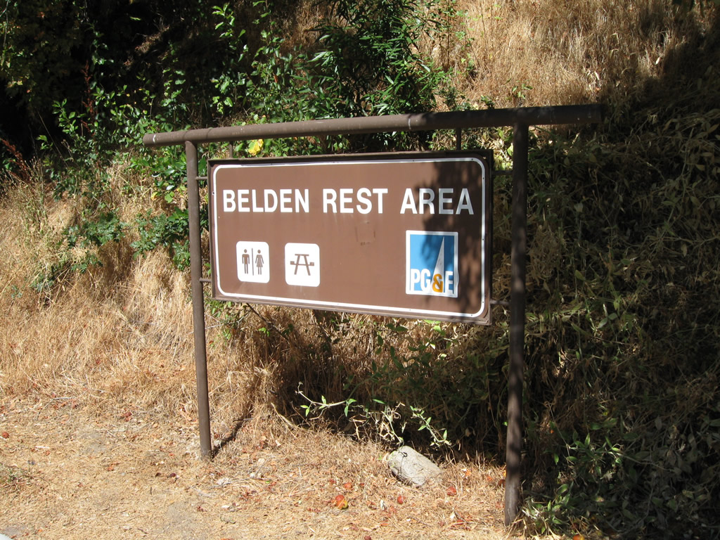
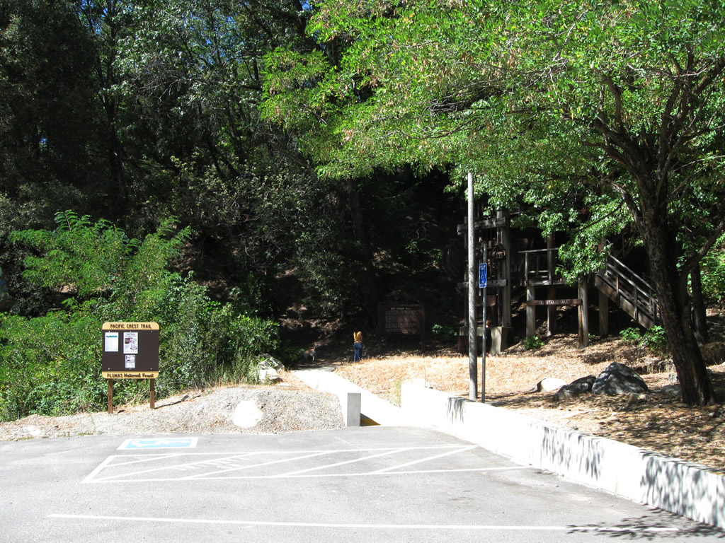
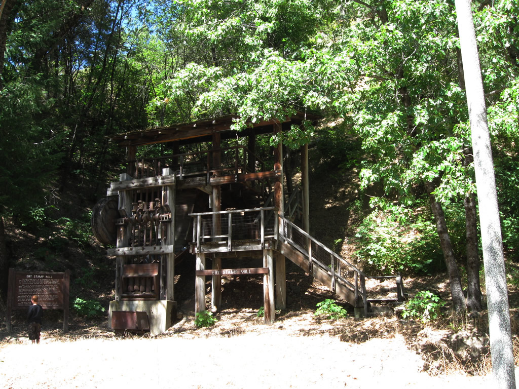
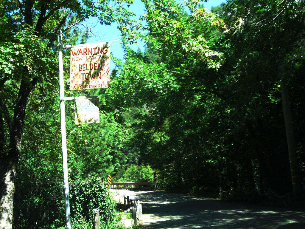
The Belden Rest Area is located along California 70 near Belden Town along the West Branch of the Feather River.
09/04/10
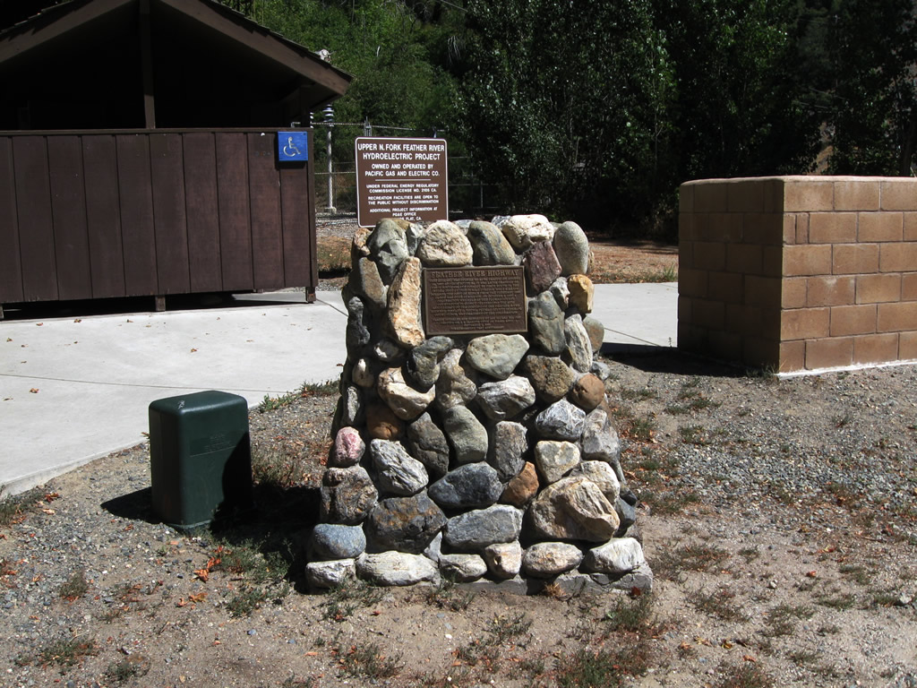
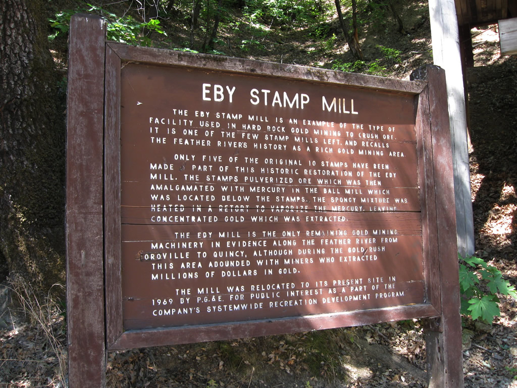
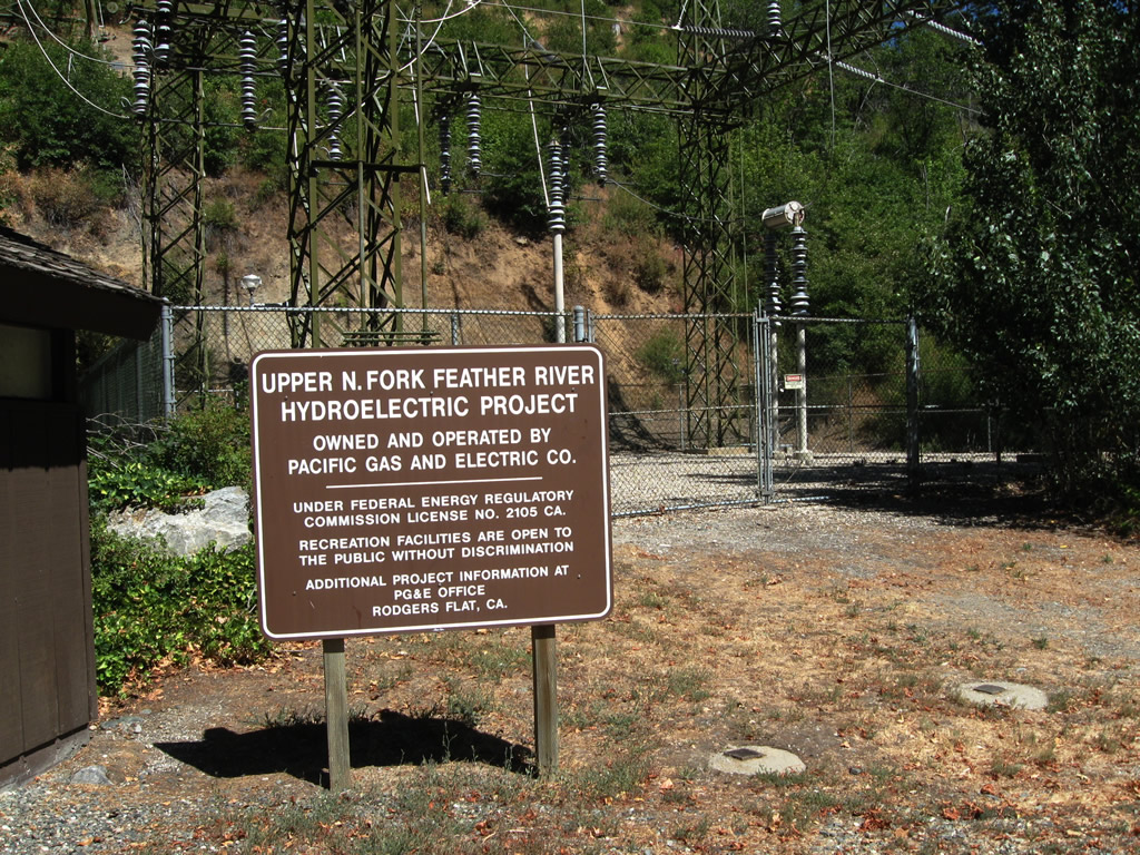
Operated by Pacific Gas & Electric, the rest area offers restrooms, picnic tables, and visitor exhibits (including the Eby Stamp Mill). The Upper North Fork Feather River Hydroelectric Project is located adjacent to the rest area.
09/04/10
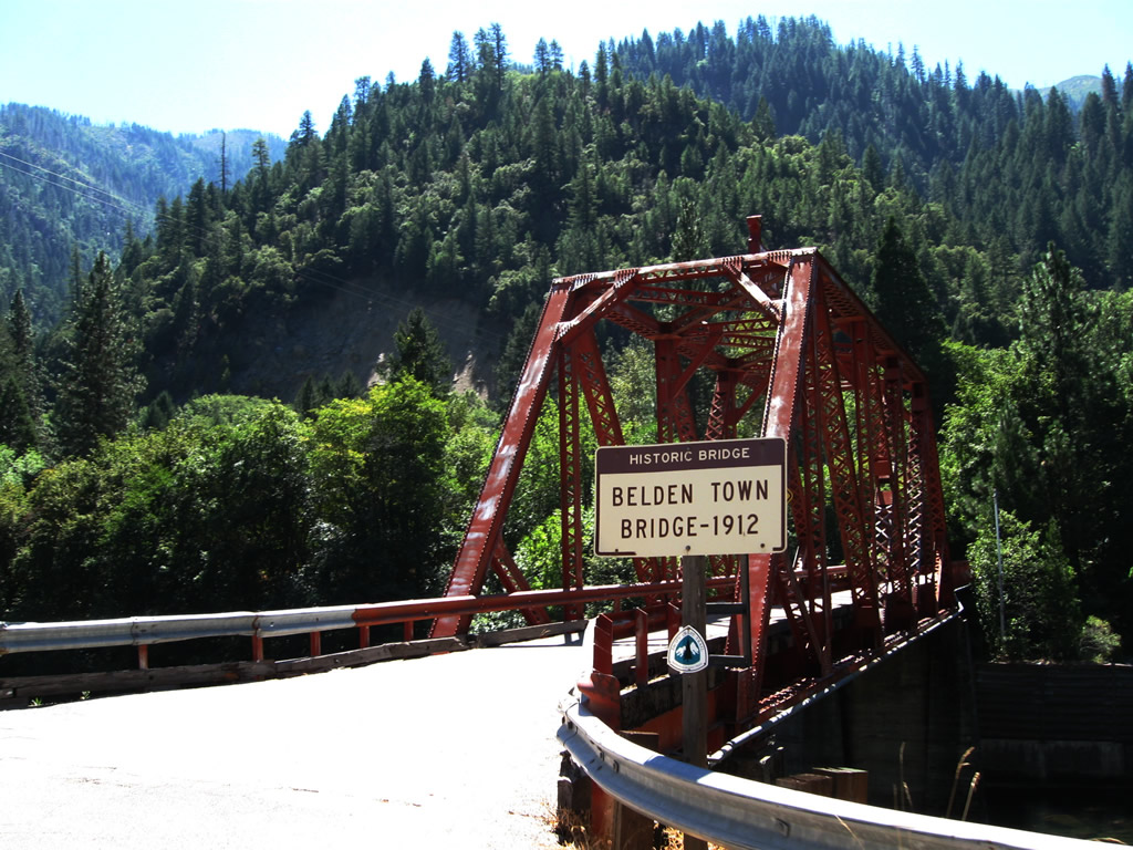
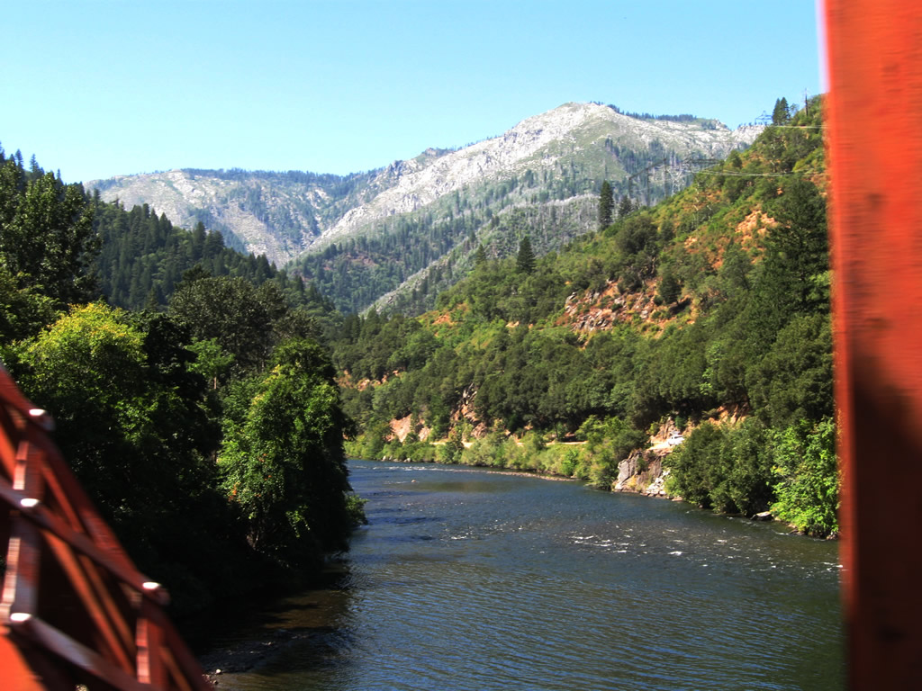
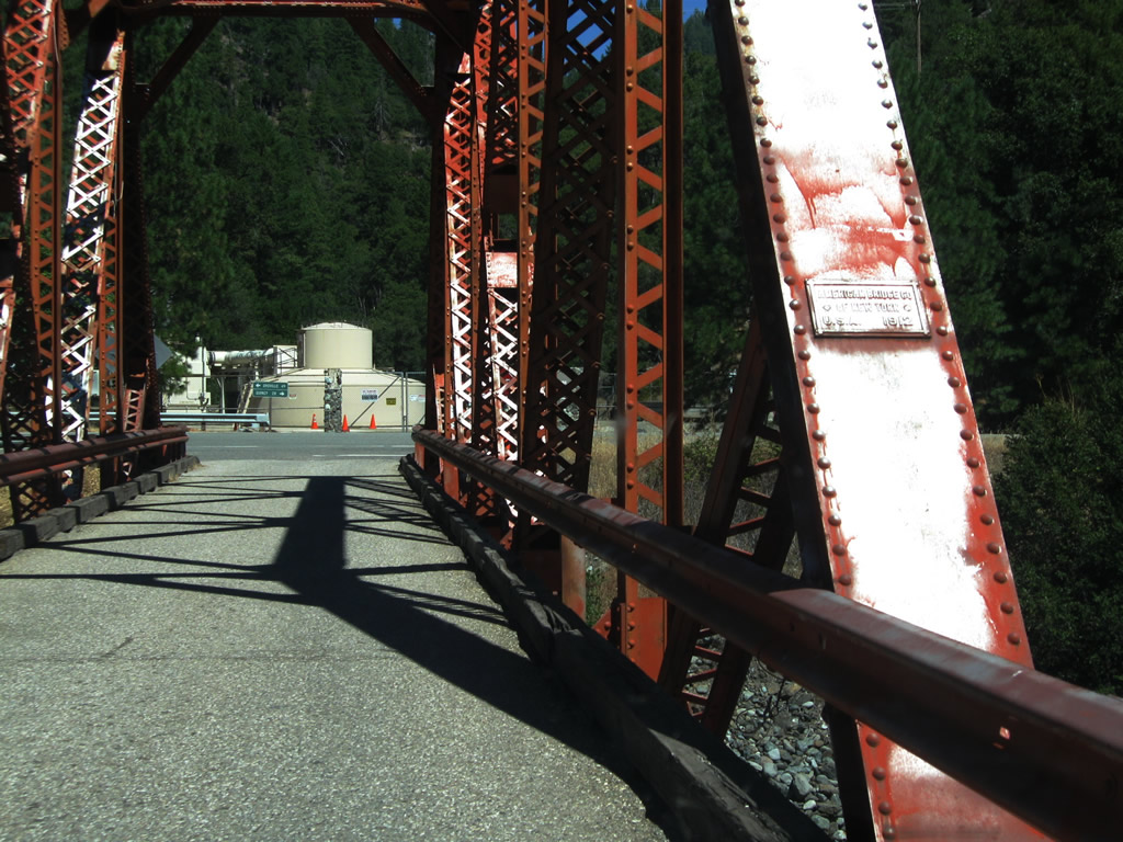
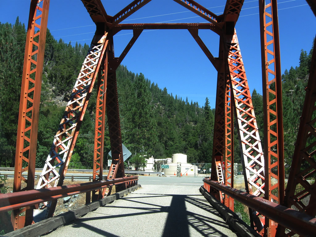
Belden Town Road crosses the North Fork of the Feather River between California 70 and Belden Town over the Belden Town Bridge.
09/04/10
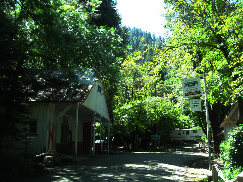
Food and lodging are among the services available in Belden Town.
09/04/10
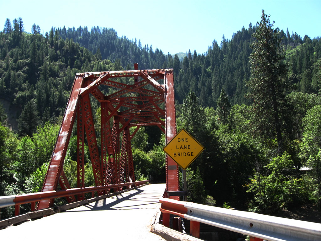
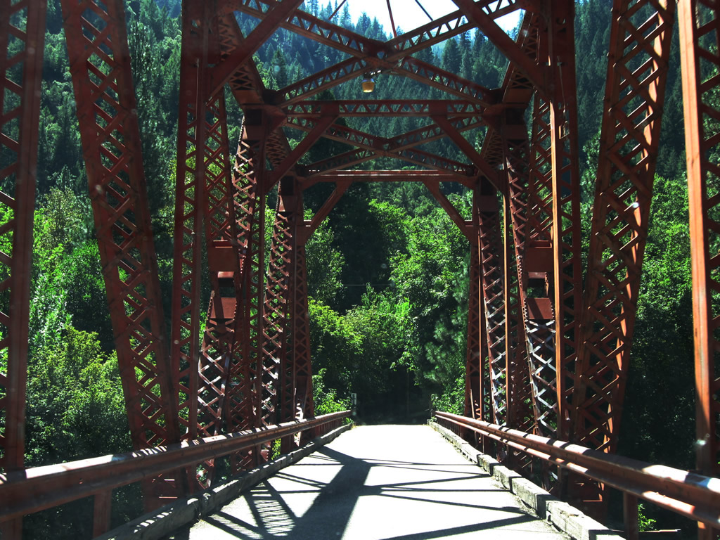
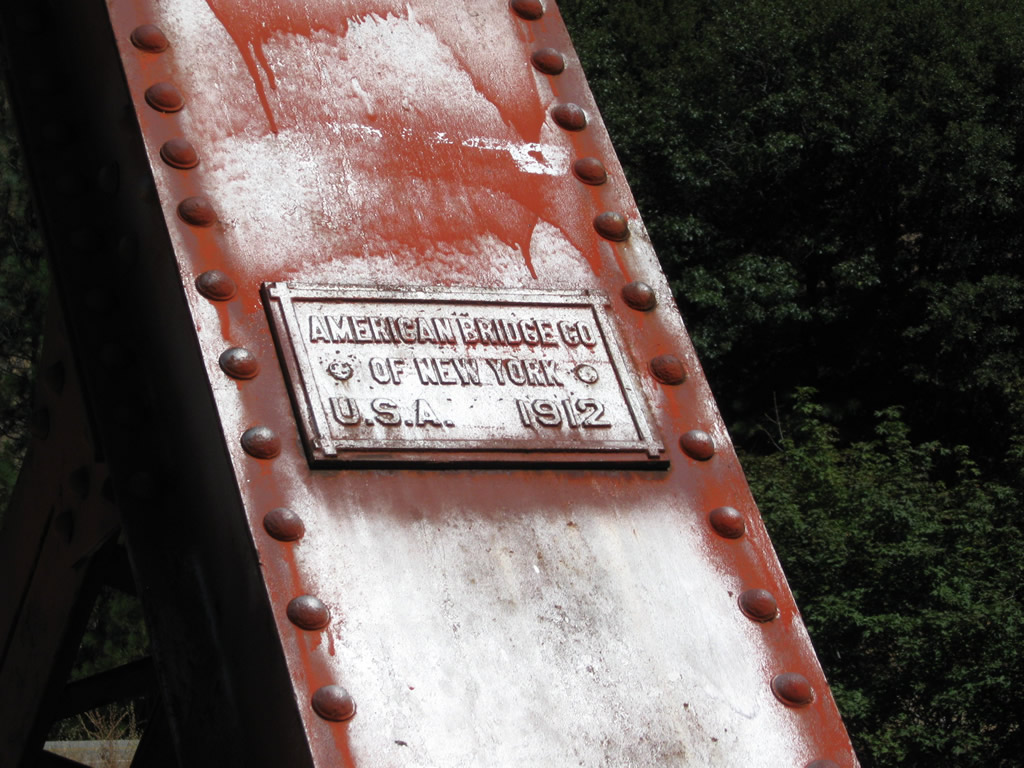
The one-lane, through-truss bridge spanning the North Fork of the Feather River was built in 1912.
09/04/10
Located southeast of the Spanish Creek Bridge, California 70/ 89 pass close by the Keddie Wye, which is where the Union Pacific Railroad (formerly the Southern Pacific Railroad) splits.
09/04/10
A branch leads north from here (Keddie) to connect with the Burlington Northern Santa Fe (BNSF) Railroad near Bieber.
09/04/10
The original Feather River railroad was built by Southern Pacific in 1909, and the connector north to Bieber (parallel to California 89 and California 147 via Lake Almanor and Westwood, then north to meet California 299 near Nubieber) was built in 1931. From there, this branch of the railroad proceeds north toward Oregon.
09/04/10
These bridges carry the railroad over Spanish Creek. At the southwestern end of the wye, the railroad enters a tunnel.
09/04/10
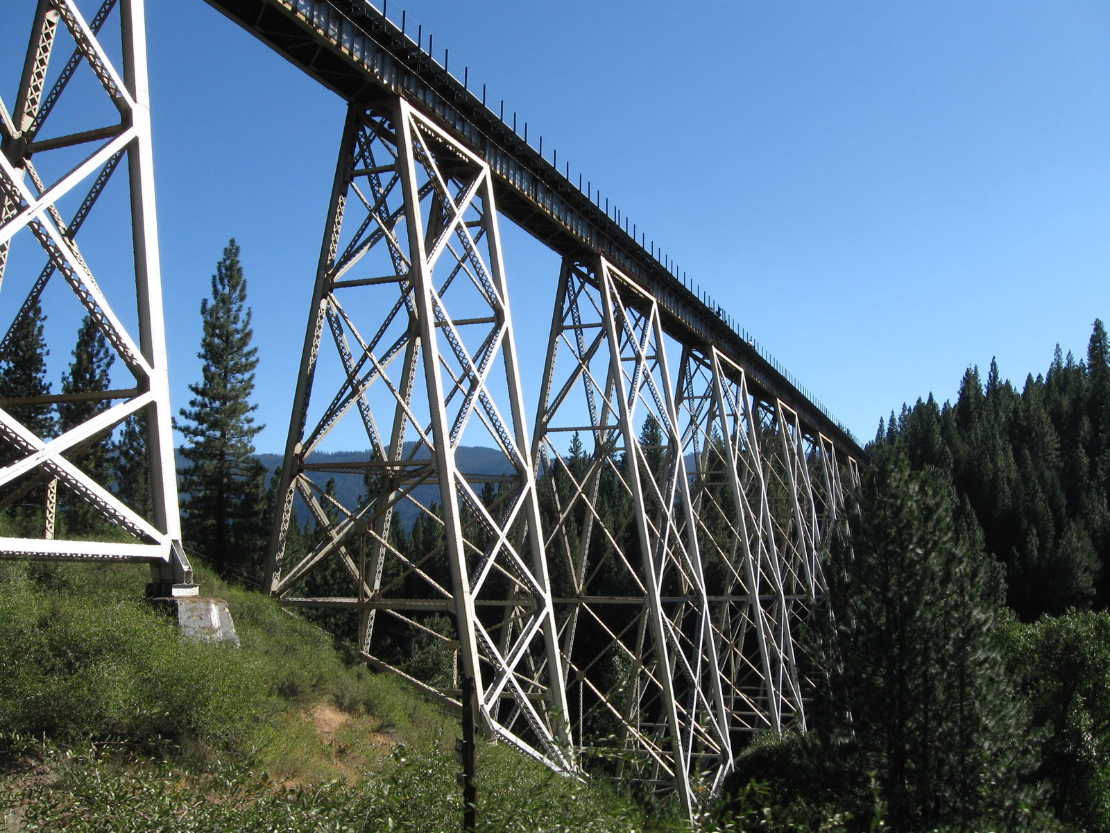
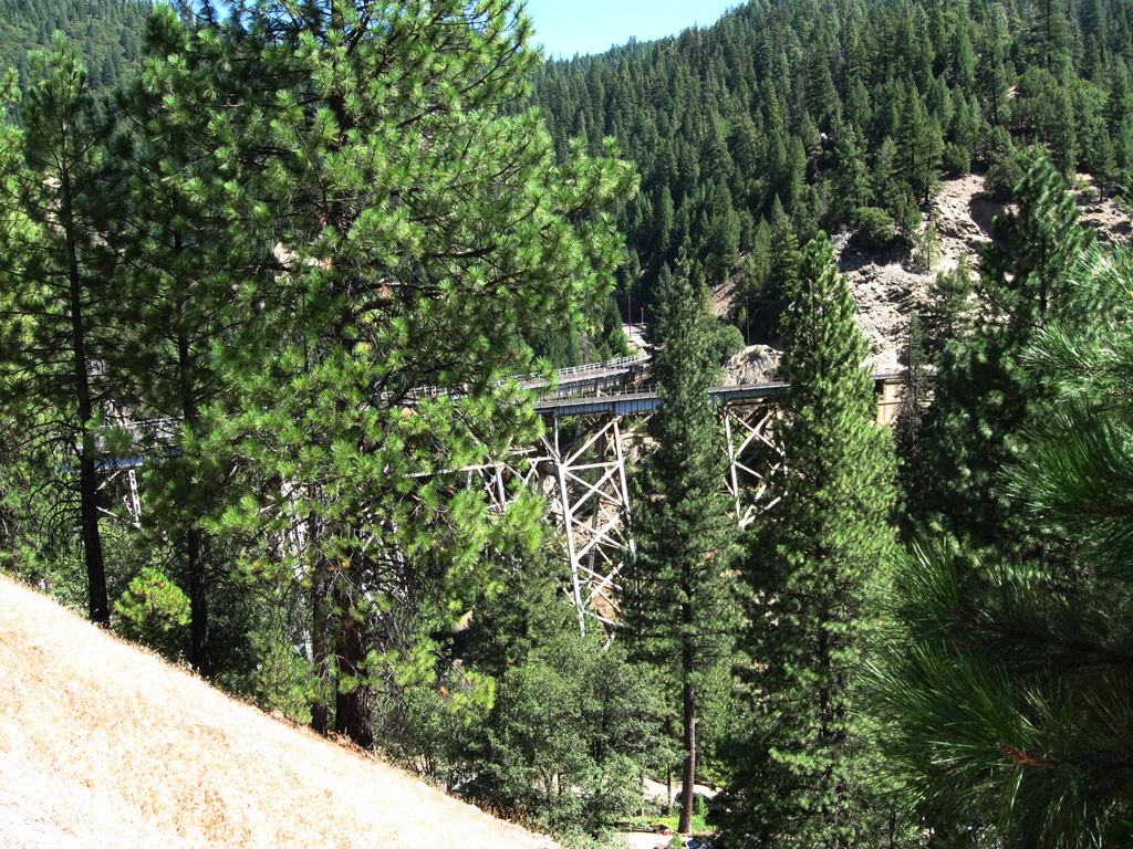
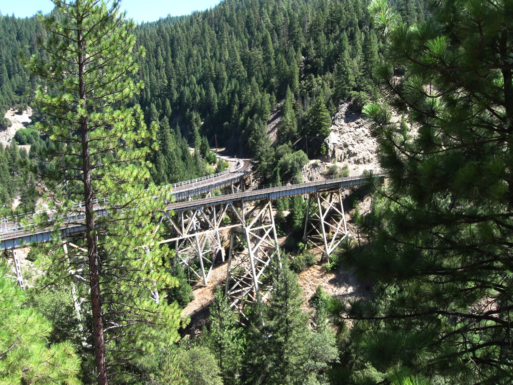
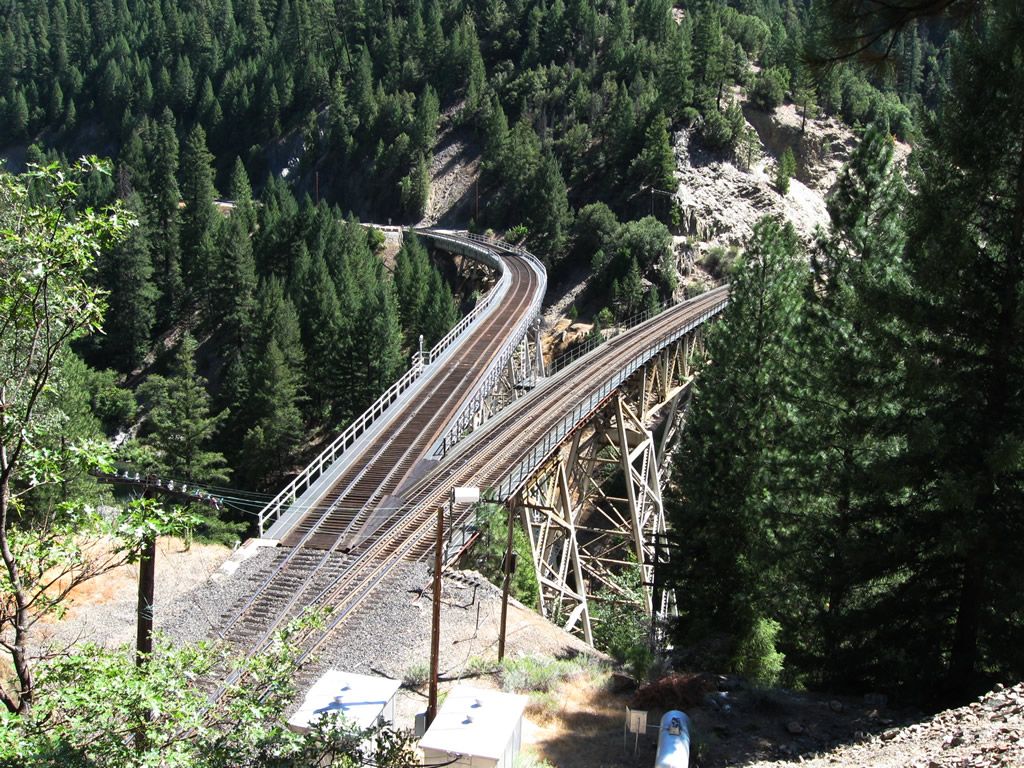
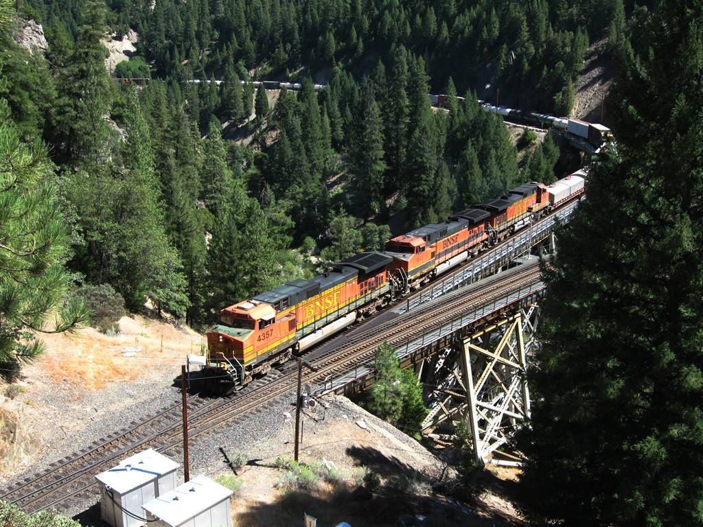
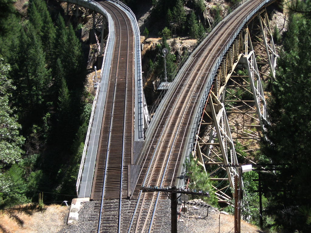
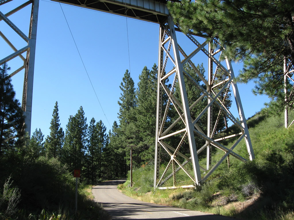
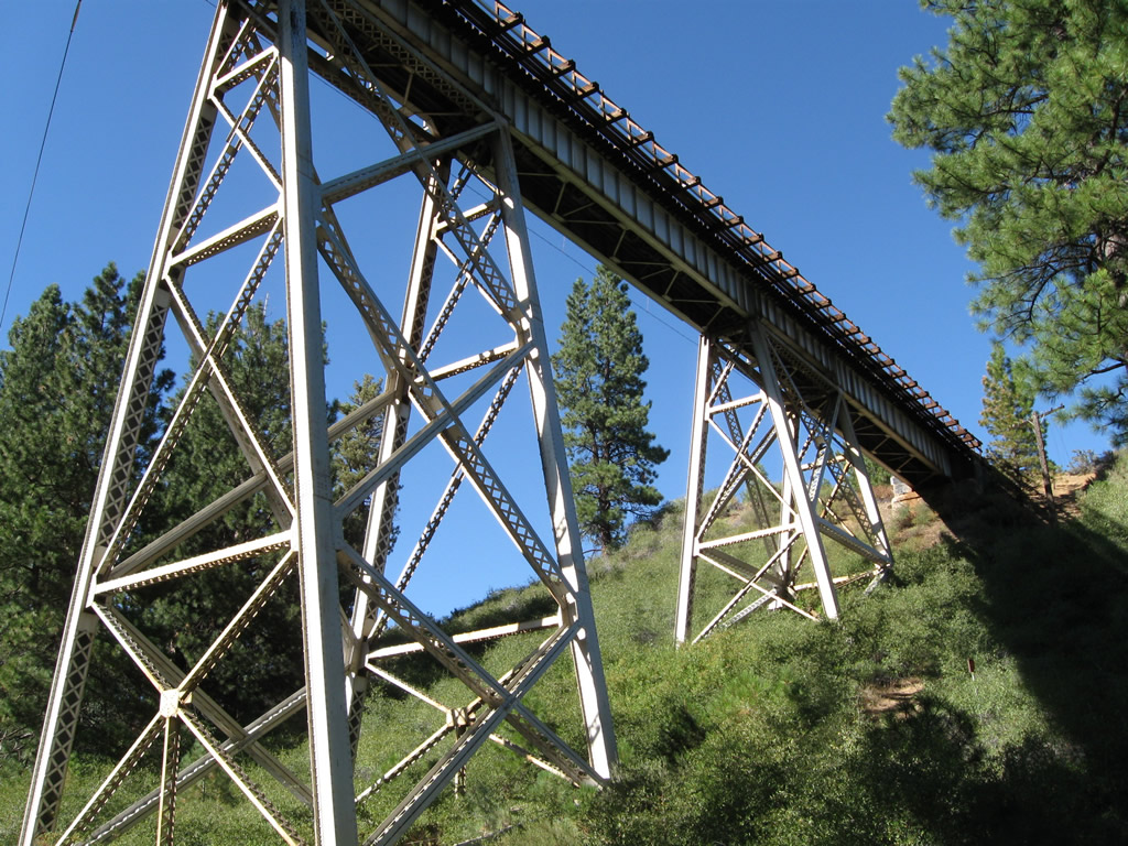
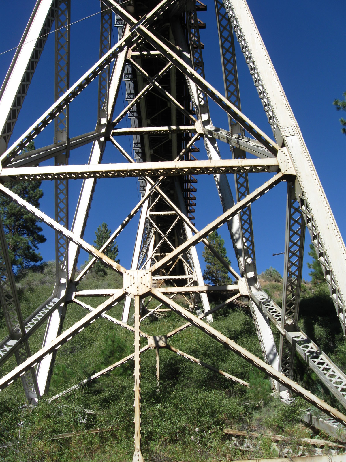
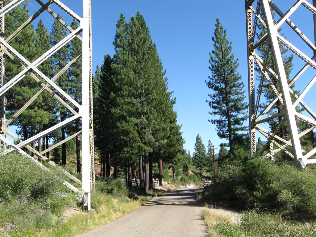
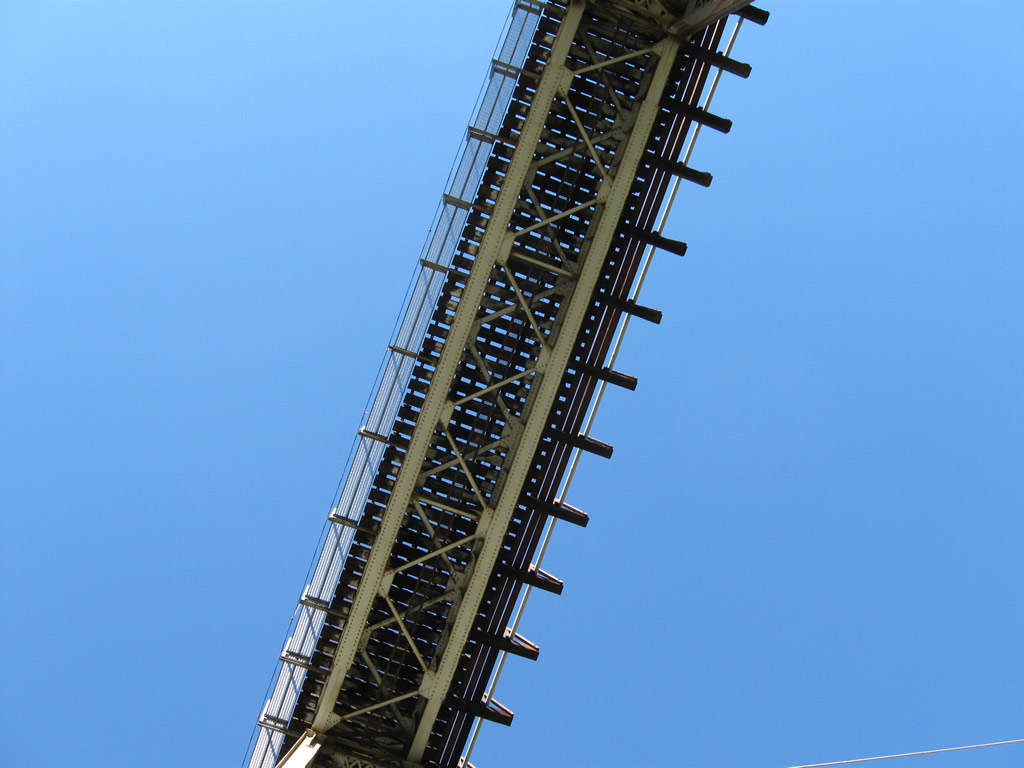
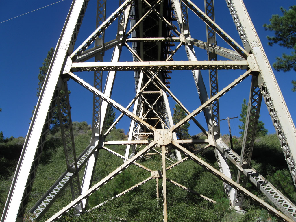
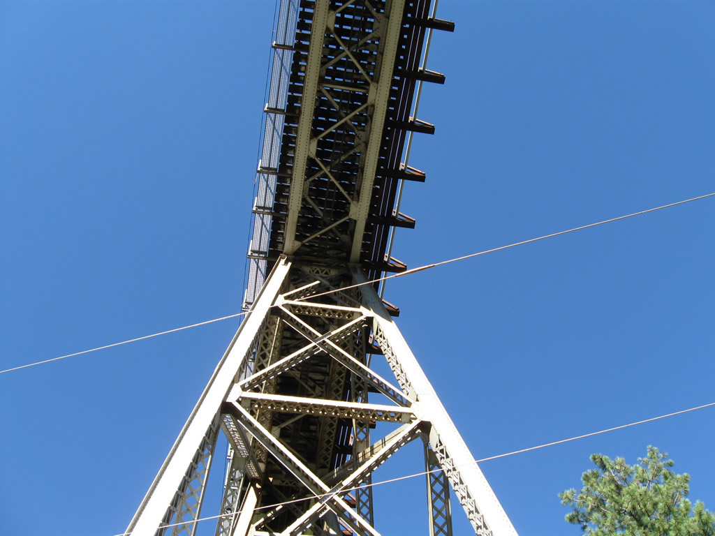
The Clio Trestle, also known as the Willow Creek Viaduct, carries the Union Pacific Railroad over Clio State 40A Road (between California 89 at Clio and California 70 near Delleker) and Willow Creek.⁹ ¹⁰
09/04/10
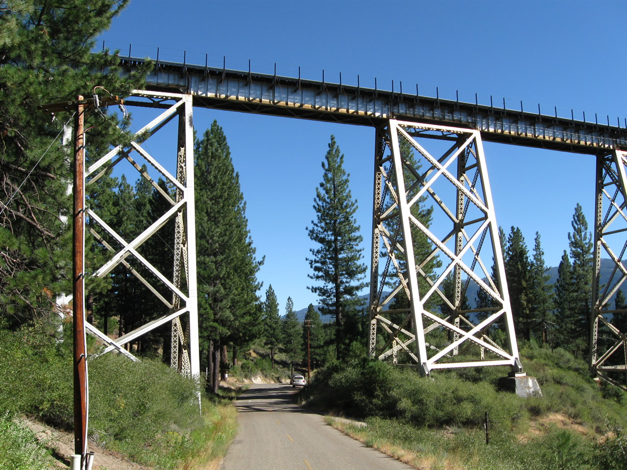
Clio State 40A Road is a likely old alignment of California 24 and later U.S. 40 Alternate before what is now California 70 was placed on its current alignment.
09/04/10
Built as part of the Western Pacific Railroad's Feather River Route, the Clio Trestle travels as high as 172 feet above the valley floor and is 1,005 feet long. The bridge was built in 1909.⁹ ¹⁰
09/04/10
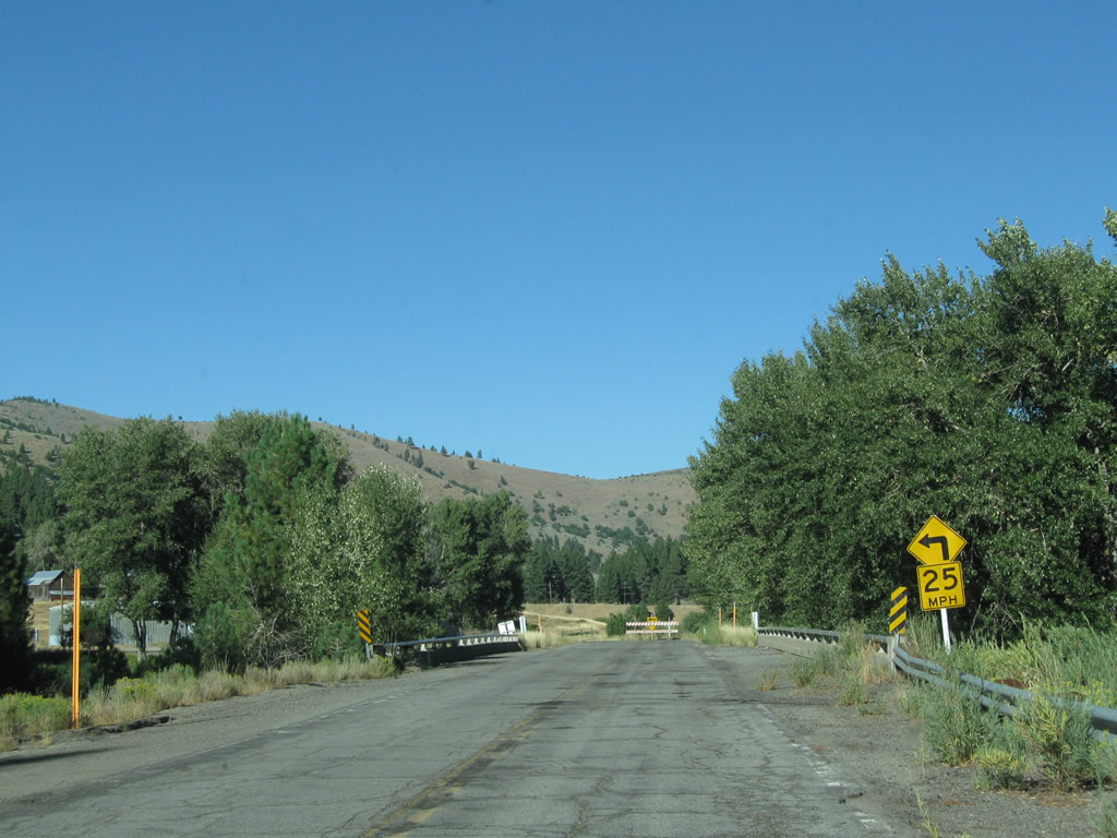
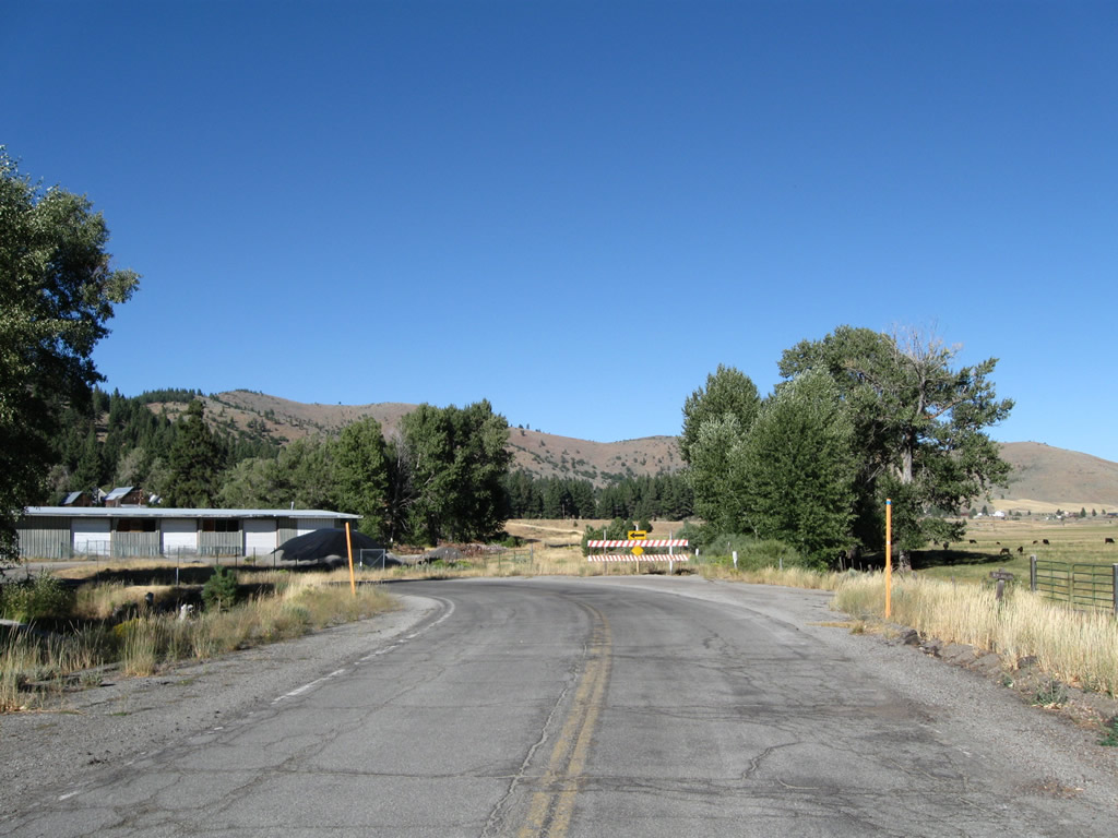
Another old alignment of California 70 follows Rocky Point Road just east of the city of Portola.
09/04/10
Rocky Point Roadclosely follows the Middle Fork of the Feather River east toward the northern end of Sierra Valley.
09/04/10
The eastern end of Rocky Point Road crosses Grizzly Creek.
09/04/10
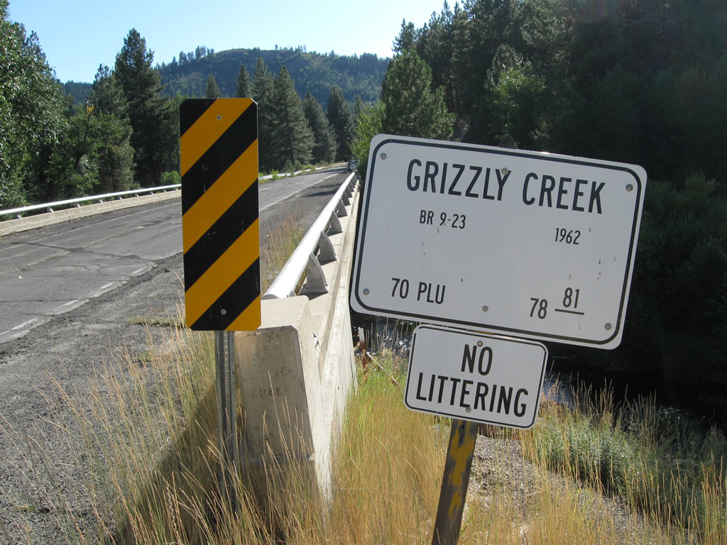
Notable along the westbound direction of Rocky Point Road is this remnant bridge identification sign for Route 70 as it crosses over Grizzly Creek.
09/04/10
The Grizzly Creek bridge is relatively unremarkable. California 70 was realigned to a straighter and faster alignment north of here.
09/04/10
References:
- "Feather River Lateral Route Decision," California Highways and Public Works, March-April 1928, pages 24-25. Relevant quote: "A North Fork highway ... will serve recreational and commercial traffic originating in California much better than a road along the Middle Fork. The chief recreational areas of the Feather River district, its larger industries and its principal settlements are situated ... to the north of the North Fork ... rather than to the Middle Fork. It was predicted that this travel would constitute the bulk of traffic using the highway. The North Fork was also declared to offer a shorter route between points in California and northern Nevada, southern Oregon, and northwestern Utah than that of the Middle Fork."
- "Progress Made on Feather River Lateral," by H.S. Comly, California Highways and Public Works, May 1930, pages 14-15. Relevant quote: "Included in the 78 miles of construction are 14 bridges from 40 to 700 feet in length ... and four railroad grade separations."
- "Blasting 100,000 Cubic Yards of Solid Rock Per Mile on Feather River Job," by Perry R. Lowden, California Highways and Public Works, March 1935, pages 2, 15, 30. Relevant quote: "Included in the work on this section are three tunnels which are to provide for a 24-foot roadway and a 2-foot walk on each side. These tunnels are to be constructed at locations where heavy cuts are impracticable due to the amount of excavation required and the difficulty of removing this mass of material without filling the river channel."
- "Feather River Route Opens: Engineers Conquer Cliffs and Deep Gorges to Construct New Scenic State Road," by F.W. Haselwood, California Highways and Public Works, August 1937, pages 1-7. Relevant quote: "Carved out of solid rock, hewn through granite cliffs, crisscrossing mountain streams, the eight million dollar Feather River Highway, State sign route No. 24, was dedicated to public service by Governor Frank F. Merriam with impressive ceremonies held in the shadow of Grizzly Dome in the canyon of Rio de las Plumas on August 14. First surveyed for a wagon road by the pioneer engineer Arthur Walter Keddie in 1867, the Feather River Highway, a dream of seventy years, built at a cost of $100,000 a mile, is a reality."
- California State Automobile Association (CSAA) 1937 Strip Map for the Feather River Highway (California State Sign Route 24): "New Feather River route Links States," which states: "California's array of scenic motor travel routes receives an important addition with the opening August 14 (1937) of the new Feather River Highway, State Route 24. Following the scenic course of the North Fork of the Feather River, the route provides an all-year interstate motoring connection between Oroville in the Sacramento Valley and Reno, Nevada, as shown on this map prepared by the California State Automobile Association. Dedication and opening of the highway is an event marked by a celebration program extending along the entire highway, with ceremonies at various points." The portion of State Route 24 along the Feather River Highway was replaced by U.S. 40 Alternate in 1954, which in turn was replaced by California 70 in 1964.
- "Recent Highway Improvements in Feather River Area Total 70 Miles," by F.W. Haselwood, California Highways and Public Works, August 1942, pages 12-15. Relevant quote: "The Feather River Highway, originally conceived as connecting Oroville and Quincy, two county seats, by way of the North Fork, has now been expanded in the public mind to include the extension of the route from Quincy to Hallelujah at the junction of U.S. 395 about 20 miles from Reno. ... The Hallelujah-Reno branch of this route is an essential extension of the Feather River Highway."
- "West Branch Bridge: Feather River Relocation," by P.C. Harris, California Highways and Public Works, May-June 1962, pages 2-6
- "Oroville Relocation" by Alan S. Hart, California Highways and Public Works, May-June 1964, pages 56-61. The work to construct the West Branch bridge was part of a larger project to construct the California 70 freeway bypass around Oroville as well as the approach to the bridge. This allowed the old alignment to be submerged under the waters of Lake Oroville.
- Plumas County's Seven Wonders of the Railroad World by Plumas County Visitors Bureau Quincy, California.
http://www.plumascounty.org/PDF/7Wonders.pdfRelevant quote: "After leaving the fringes of Mohawk Valley, the Union Pacific Railroad crosses Willow Creek on a tremendous viaduct of steel just east of Blairsden. This breathtaking structure, known as the Clio Trestle, is 172 feet high and 1,005 feetlong and the view from its deck is amazing. Looking south and west is a vast panorama of surrounding mountain peaks guarding Mohawk Valley. Under the bridge are the last vestiges of Plumas County's first railroad, the narrow gauge Sierra Valley & Mohawk R.R. right of way." - Railroads of Nevada and Eastern California: Volume 1 by David F. Myrick, Oct 1, 1992, page 321 of 472. Relevant quote, in description of pictures showing the viaduct under construction: "Heavy construction is indicated by the view of the Harris track laying machine near Clio and the tremendous Willow Creek Viaduct still in process of completion." The Willow Creek Viaduct is also known as the Clio Trestle.
Photo Credits:
- Andy Field: 01/20/03, 05/24/08, 09/04/10
Connect with:
Page Updated Sunday May 06, 2012.