|
|
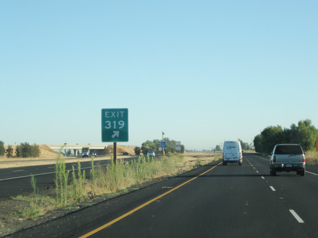
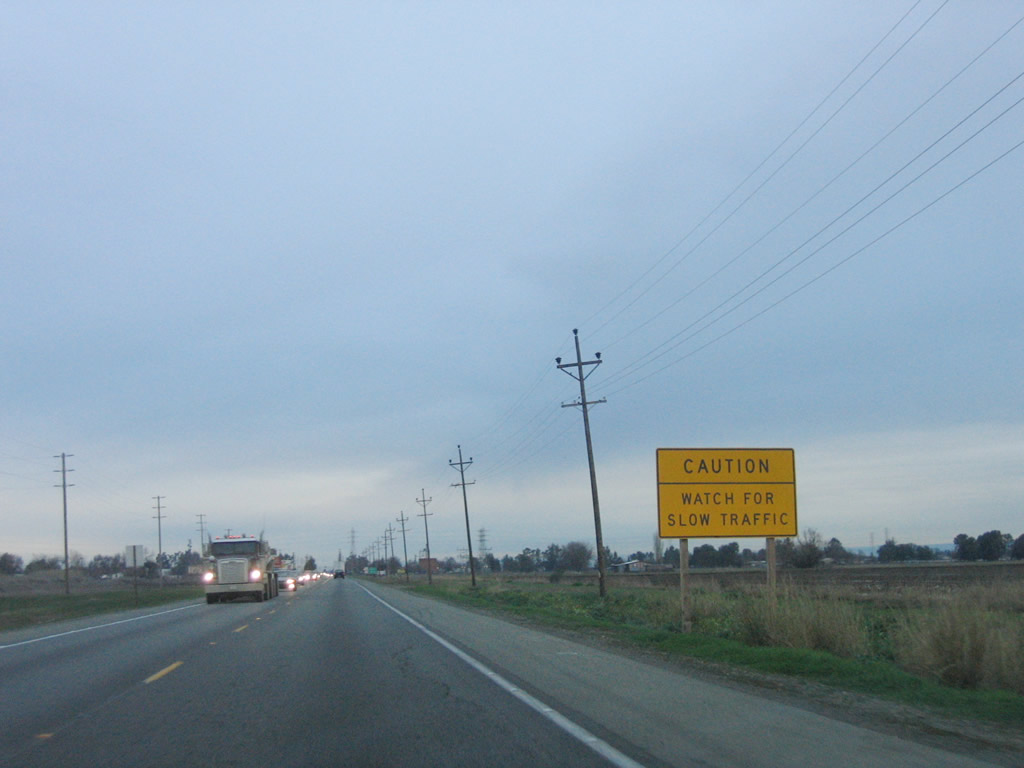
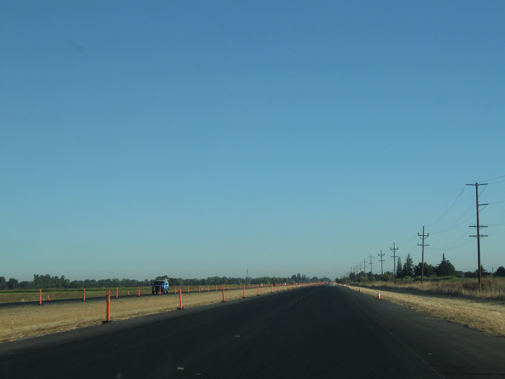
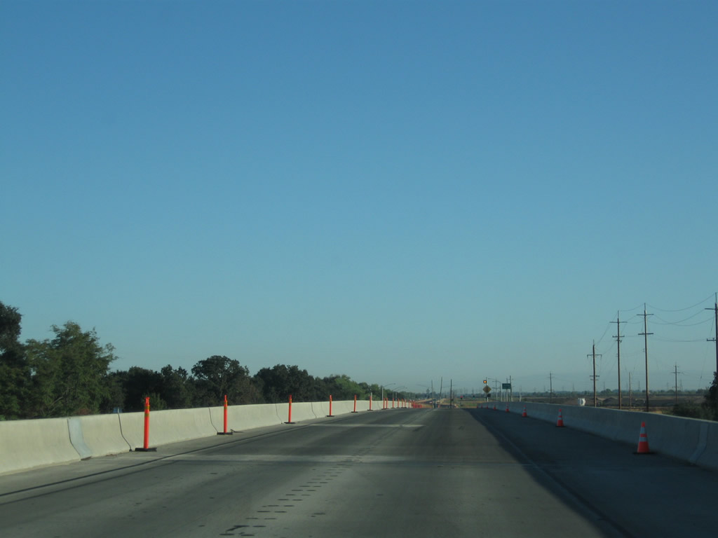
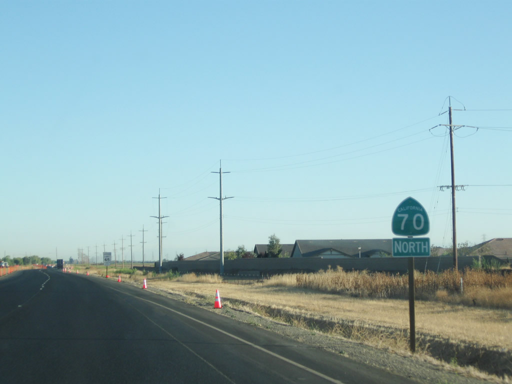
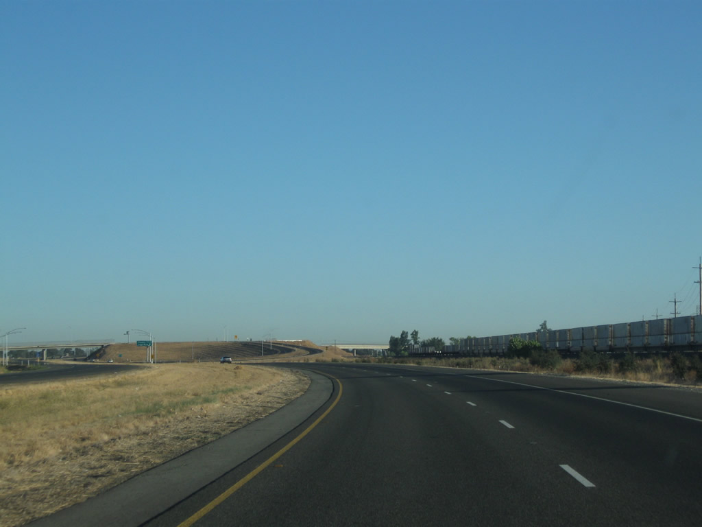
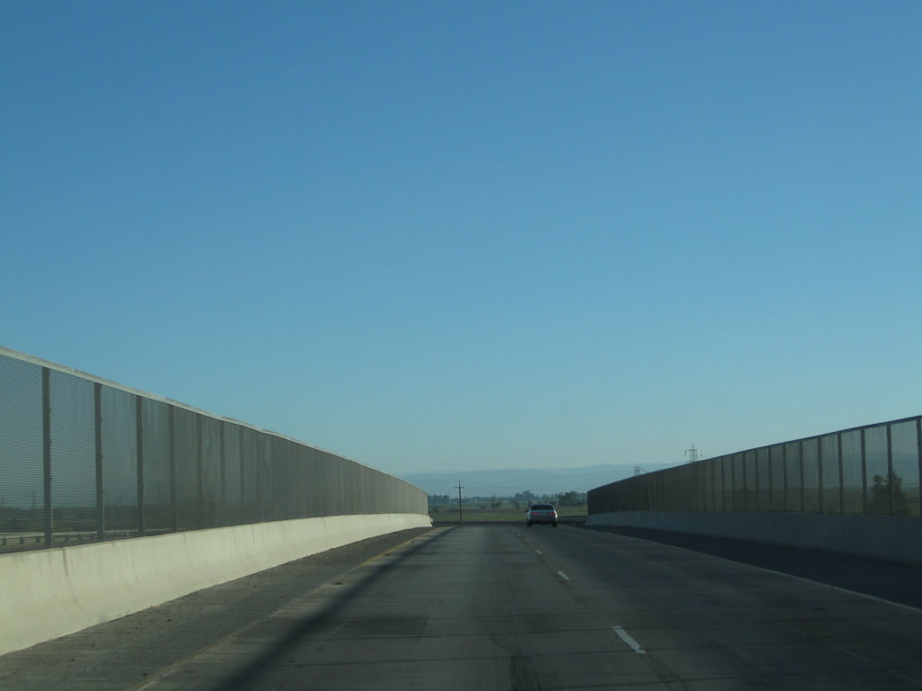
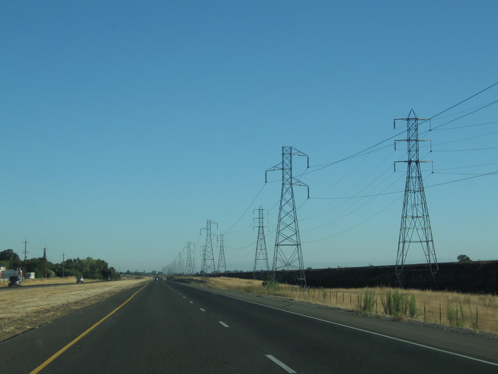
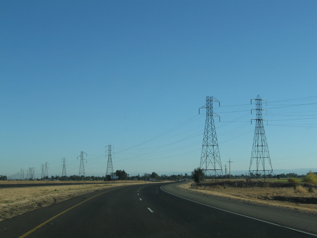
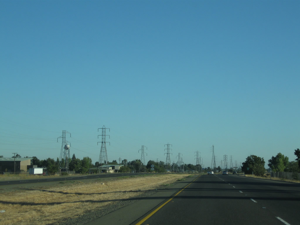
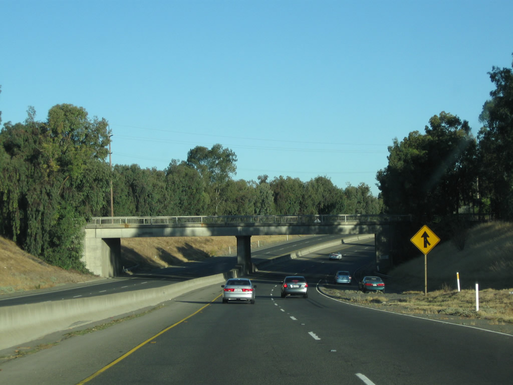
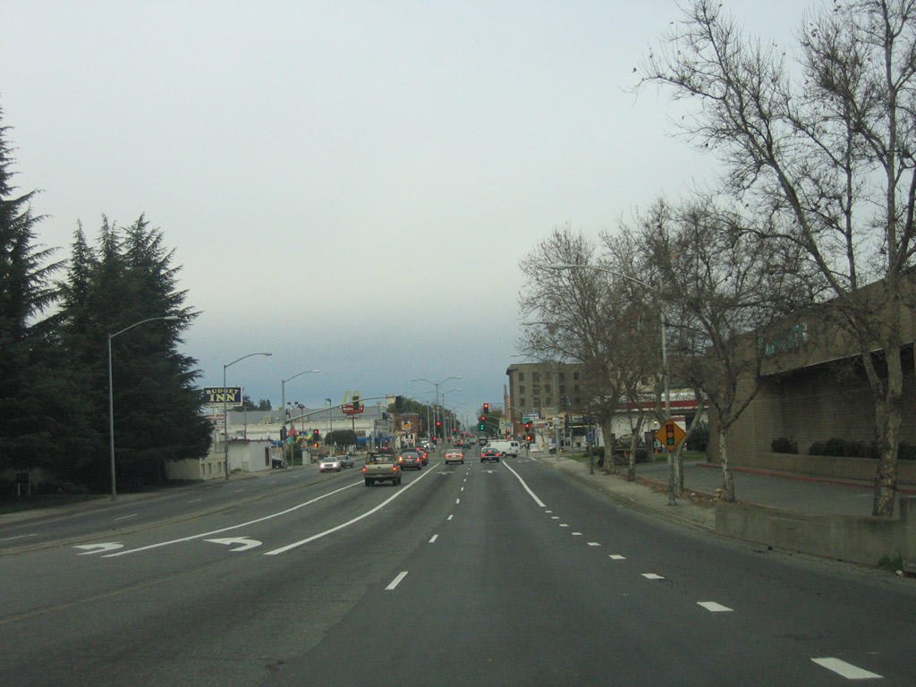
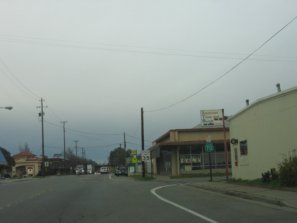
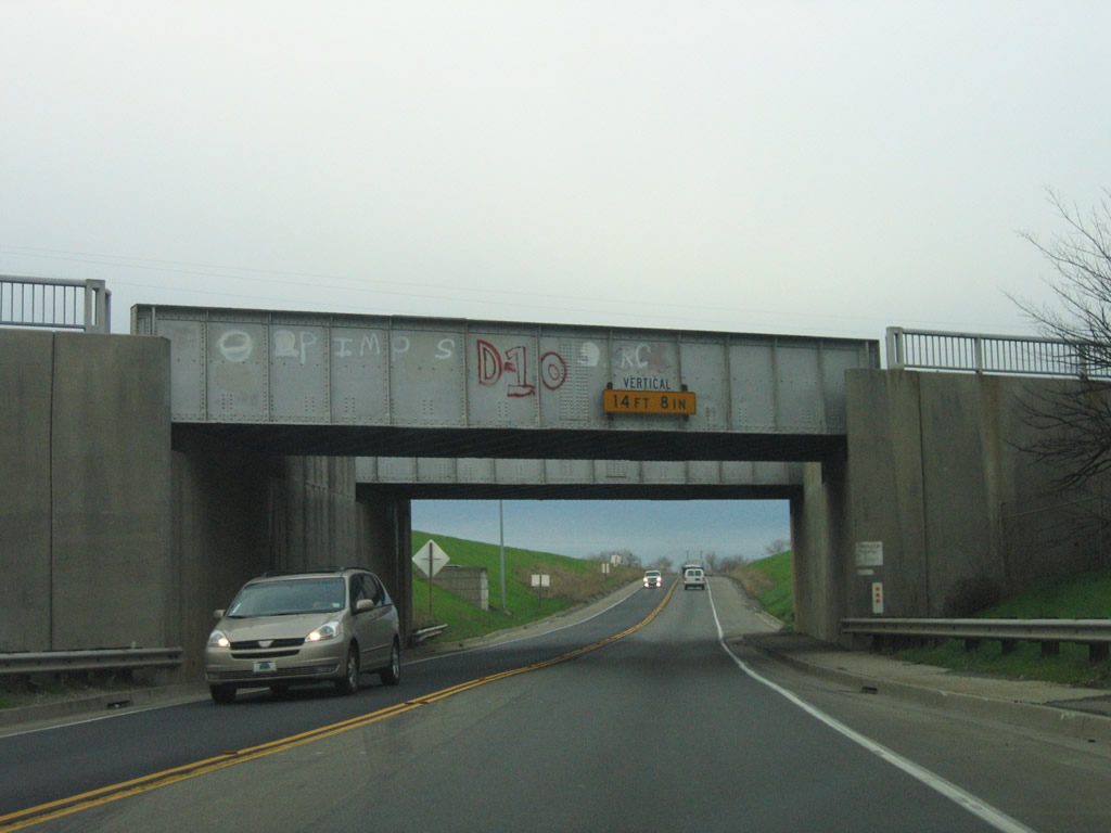
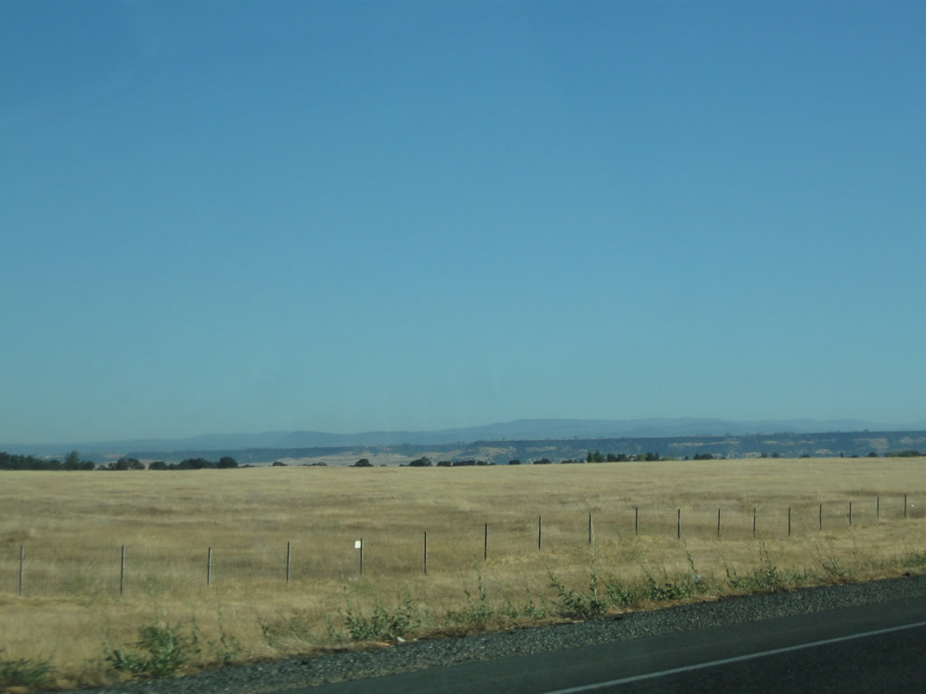
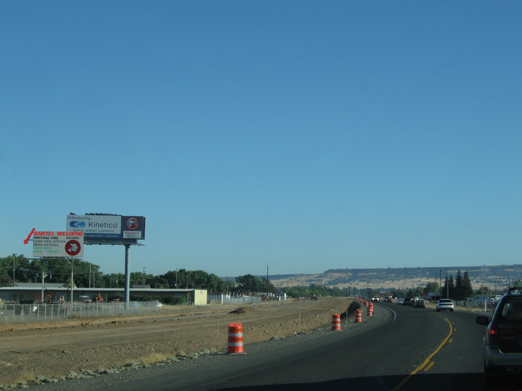
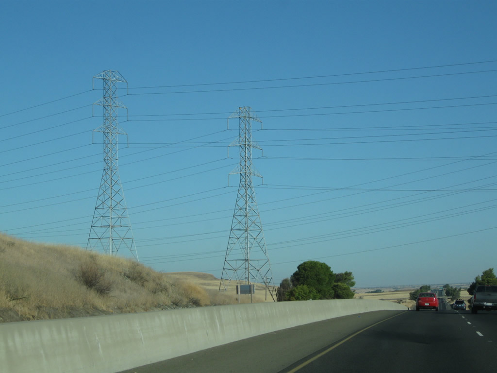
In 2006, this segment of California 70 was a busy, two-lane rural highway. By 2010, the highway had been expanded to four lanes in each direction, with at-grade intersections at the less busy roads and full freeway interchanges at the busier intersecting roadways. Here, northbound California 70 approaches Exit 1, Striplin Road. The 2006 picture shows the original intersection on the old alignment, which is now designated solely as El Centro Boulevard. Photos taken 09/04/10 and 01/15/06. |
|
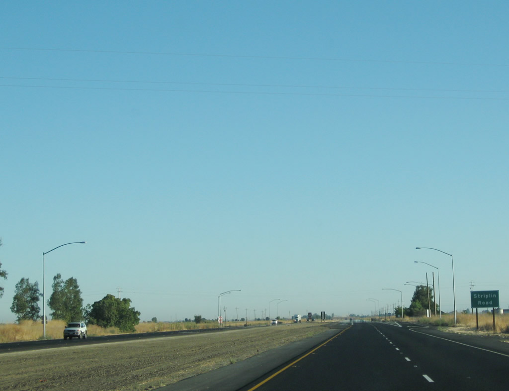
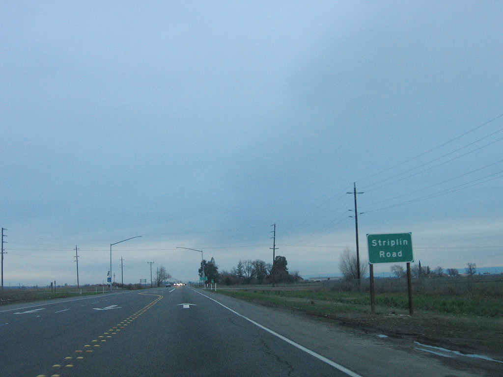
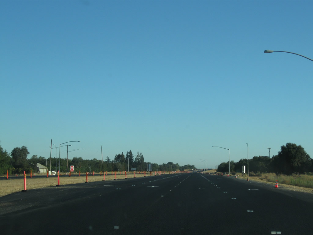
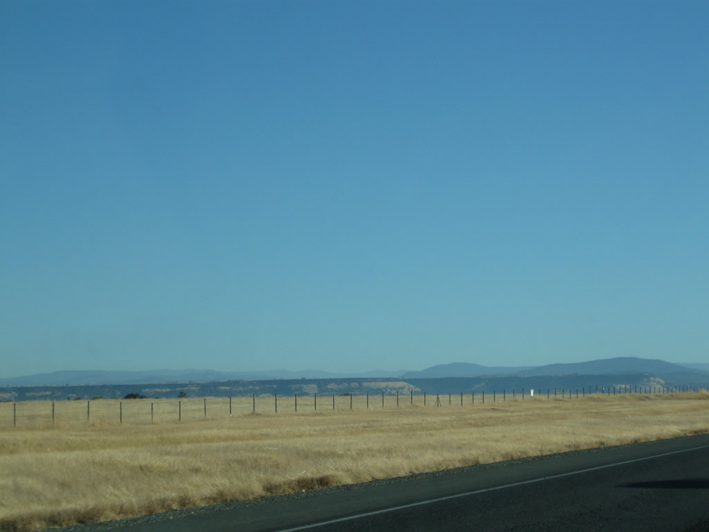
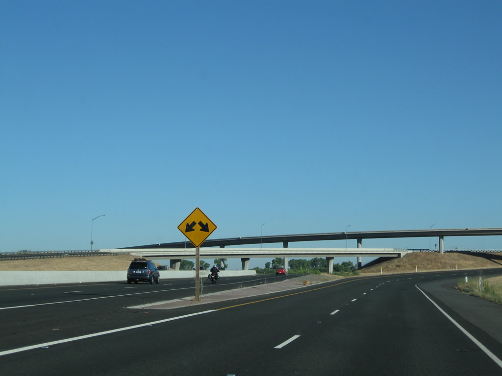
Northbound California 70 meets Exit 1, Striplin Road. This at-grade intersection is fully striped with dedicated left and right turn lanes. This is the only at-grade intersection before California 70 again ramps up to freeway standards. This section of California 70 was relocated to the west, with room to accommodate a future interchange between California 70 and Striplin Road. Photo taken 09/04/10. |
|
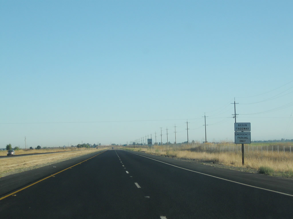
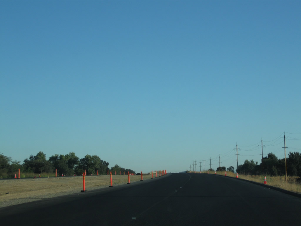
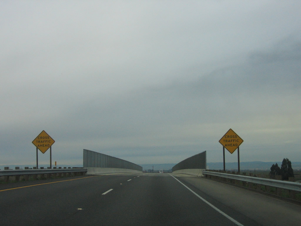
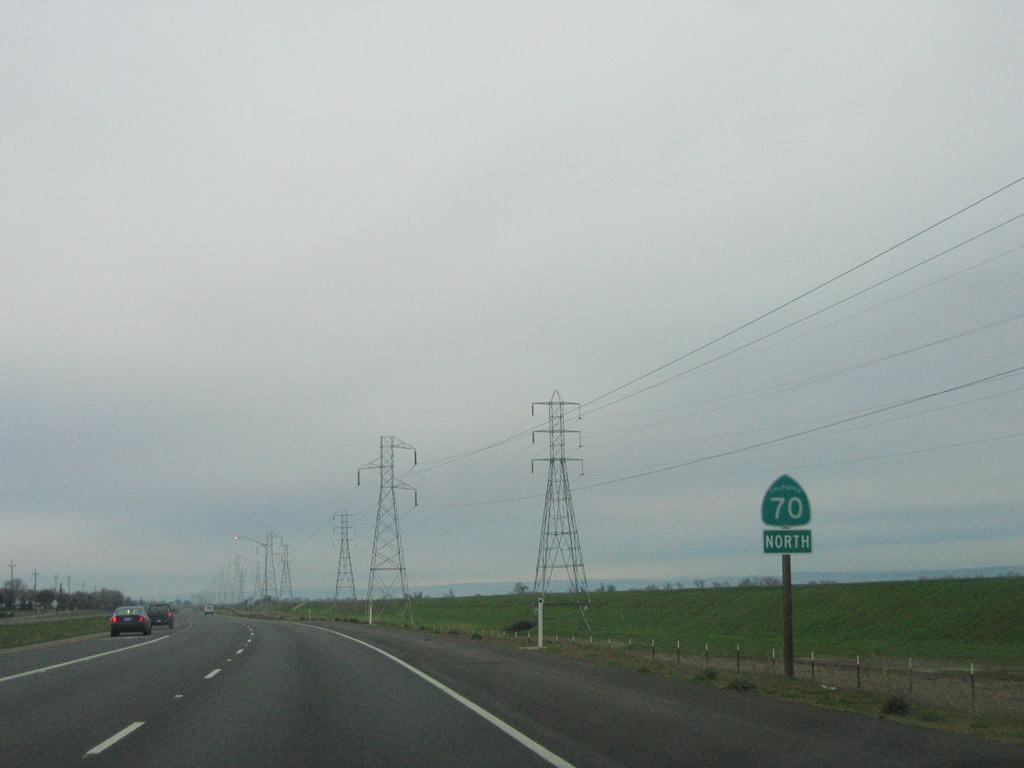
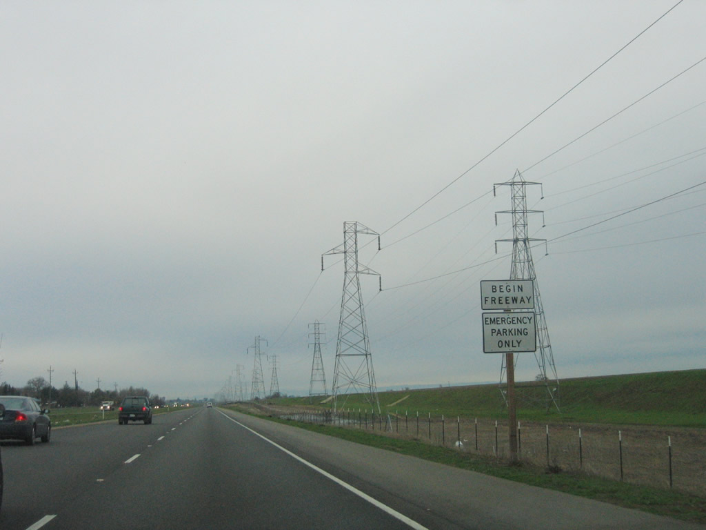
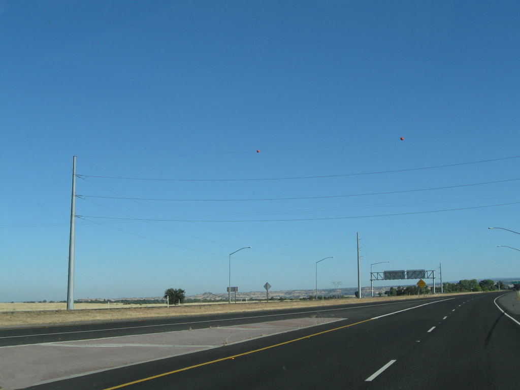
A Begin Freeway sign is posted as California 70 prepares to bypass the unincorporated community of East Nicolaus. The old alignment is El Centro Boulevard, which stays to the east of the freeway, which had opened by 2010. Photo taken 09/04/10. |
|
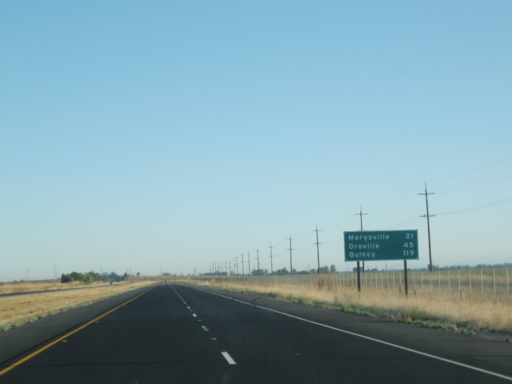
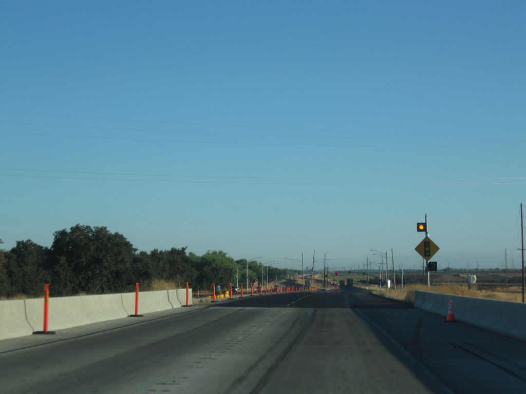
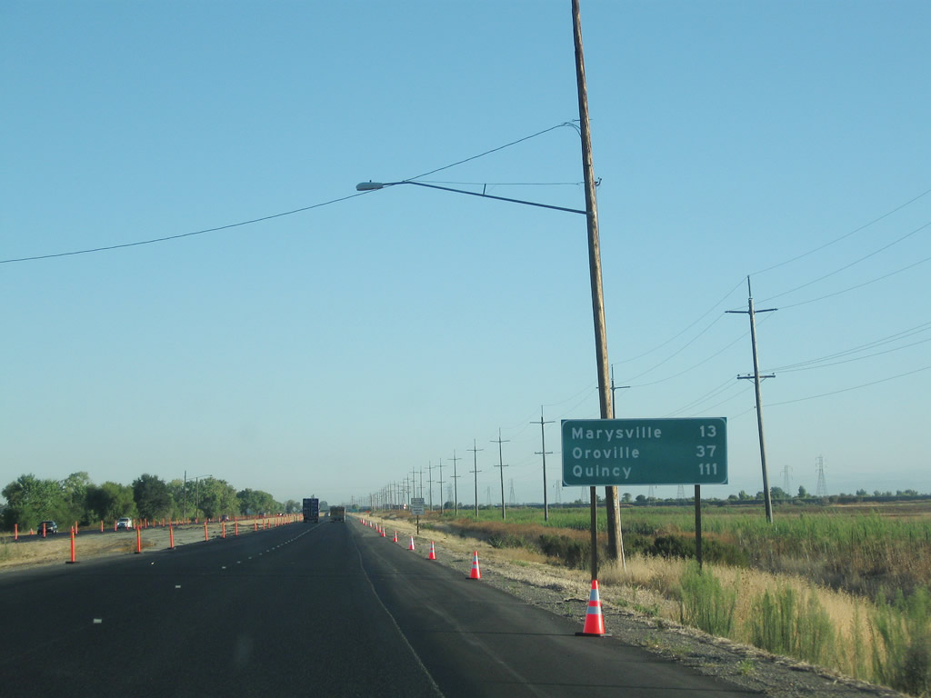
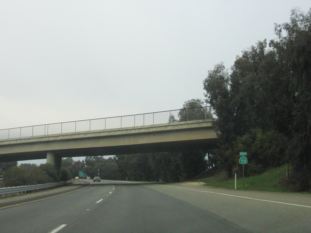
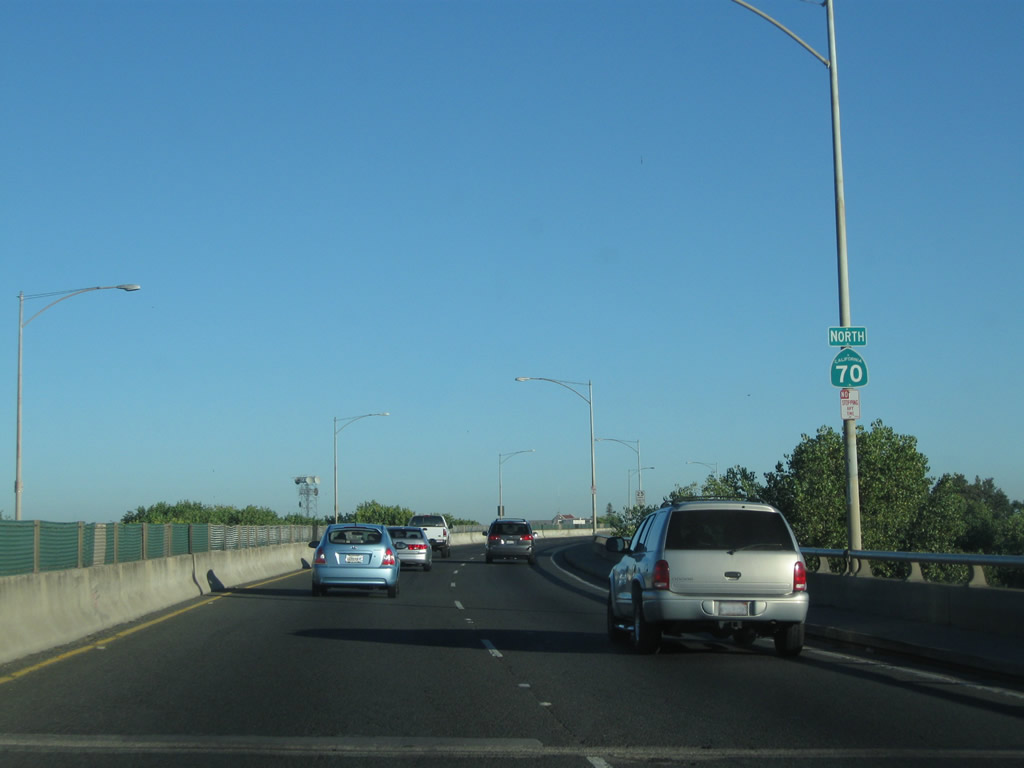
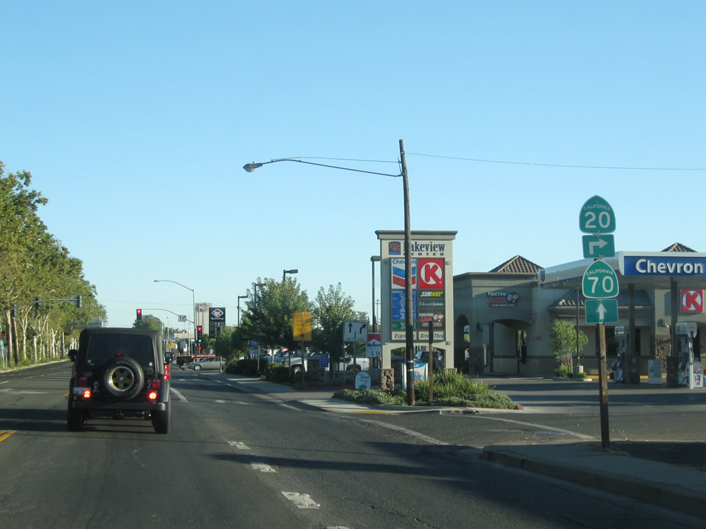
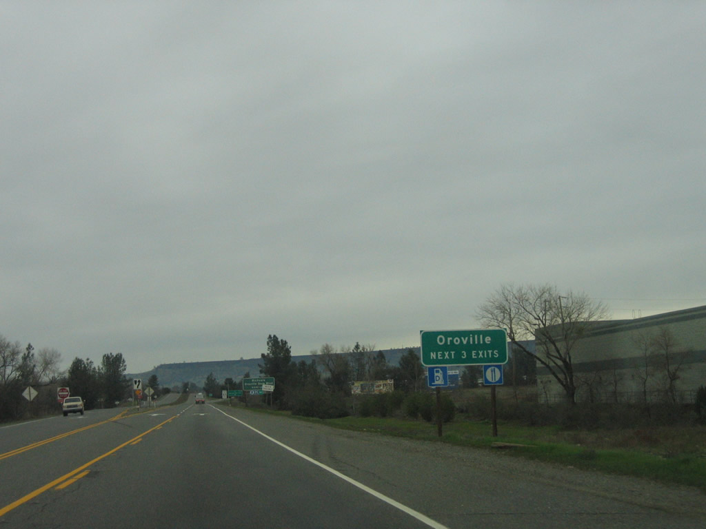
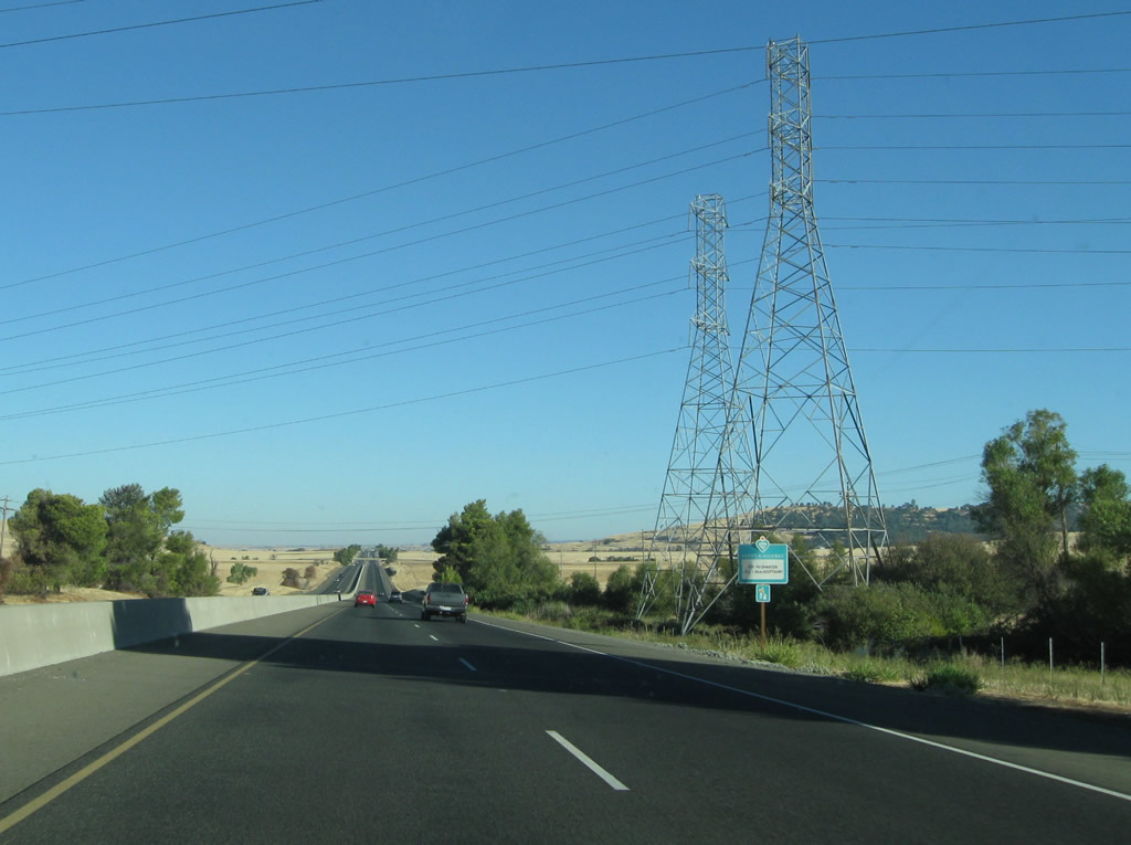
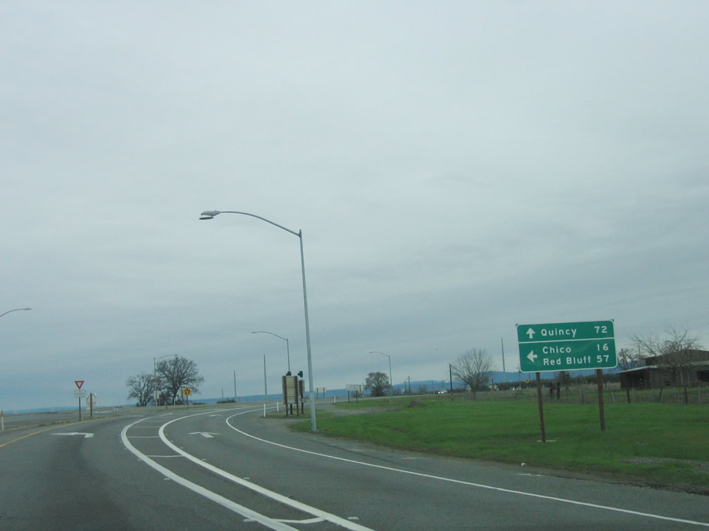
This mileage sign along California 70 north provides the distance to Marysville (21 miles), Oroville (45 miles), and Quincy (119 miles). California 70 will remain a freeway as it passes unincorporated East Nicolaus. At-grade intersections along this segment were removed, and the freeway interchange built west of East Nicolaus in order to avoid developed areas. Photo taken 09/04/10. |
|
|
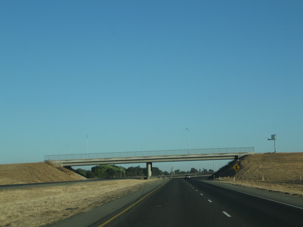
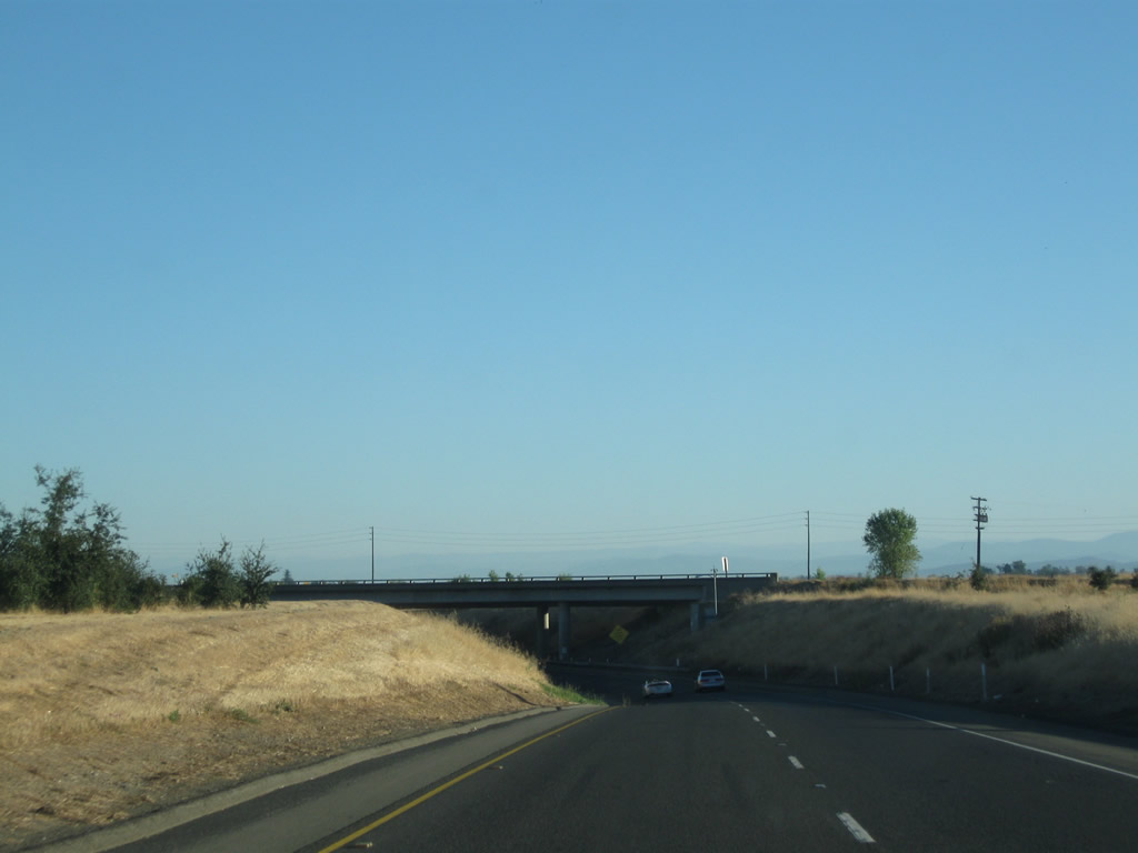
California 70 next passes under Marcum Road on its relocated freeway alignment (the new freeway is still west of the original alignment). The 2006 picture shows the original intersection with Marcum Road on the old alignment, which is now designated solely as El Centro Boulevard. Access to Marcum Road is available via the next interchange, which is Exit 4, Nicolaus Avenue. Photos taken 09/04/10 and 01/15/06. |
|
|
Back on the old alignment on the approach to East Nicolaus, former California 70/El Centro Boulevard saw a ton of traffic on this very busy two-lane highway. With the opening of the new freeway bypass in September 2010, local traffic is the predominant user of this segment of rural highway. Photos taken 01/15/06. |
|
|
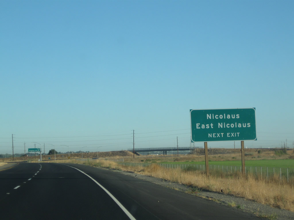
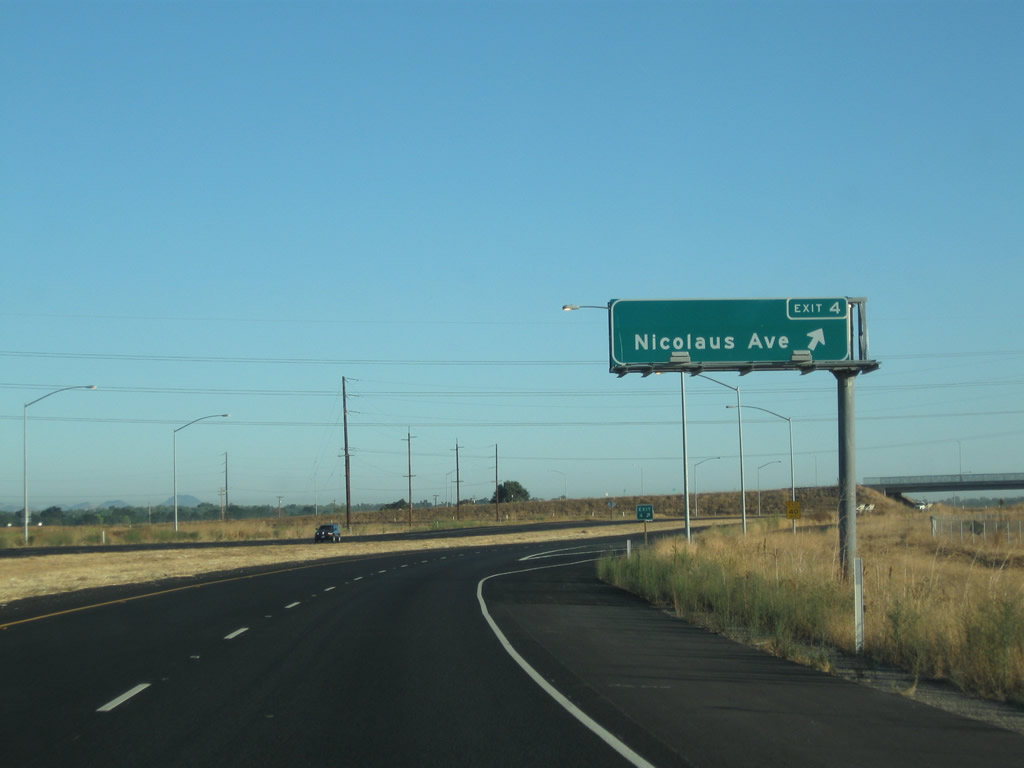
Use Exit 4 (Nicolaus Avenue) east to East Nicolaus and west to Nicolaus. The 2006 picture shows the northbound approach to East Nicolaus along El Centro Boulevard. Photos taken 09/04/10 and 01/15/06. |
|
|
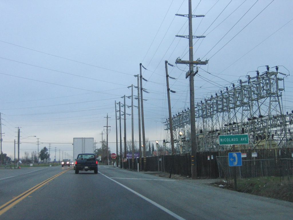
Northbound California 70 meets Exit 4 (Nicolaus Avenue) east to East Nicolaus and west to Nicolaus. The 2006 picture shows the old stop-sign controlled intersection between California 70 and Nicolaus Avenue in East Nicolaus. Photos taken 09/04/10 and 01/15/06. |
|
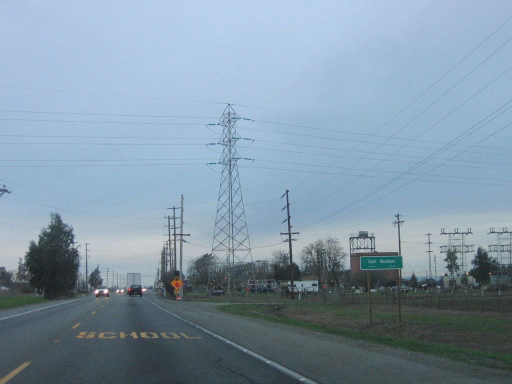
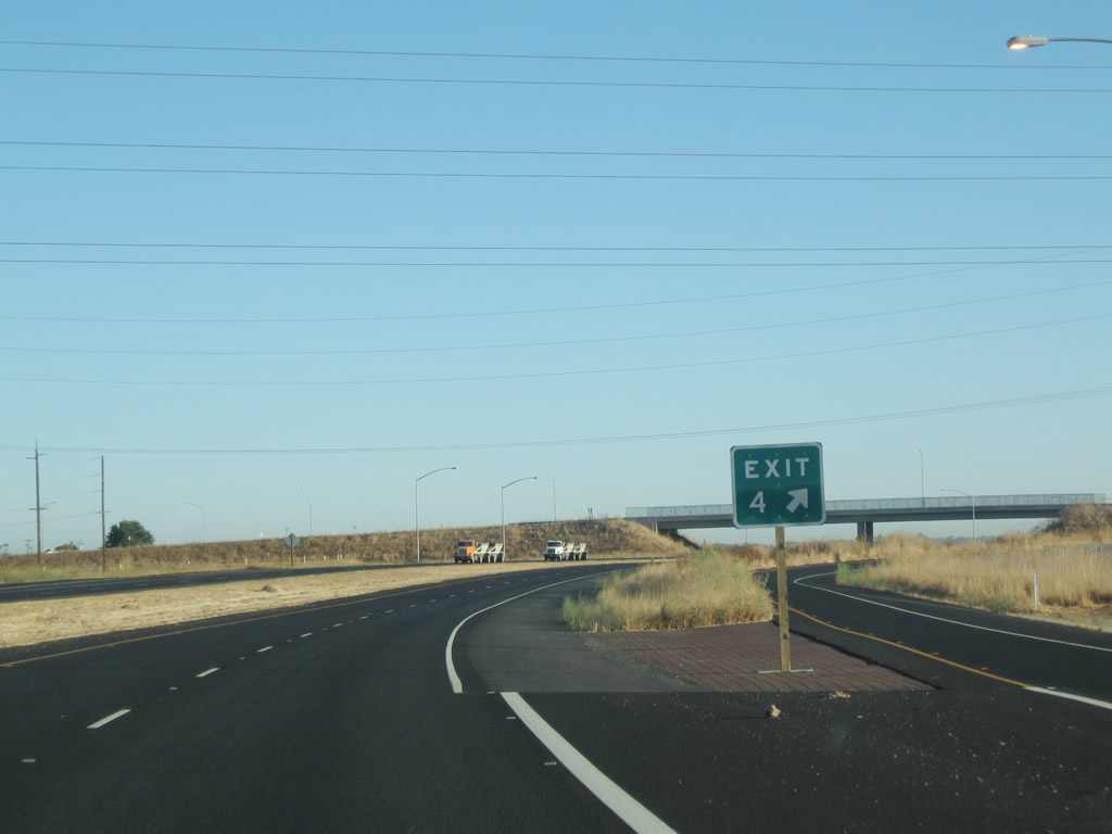
An exit number is posted along California 70 north at the gore point for Exit 4, Nicolaus Avenue. Photo taken 09/04/10. |
|
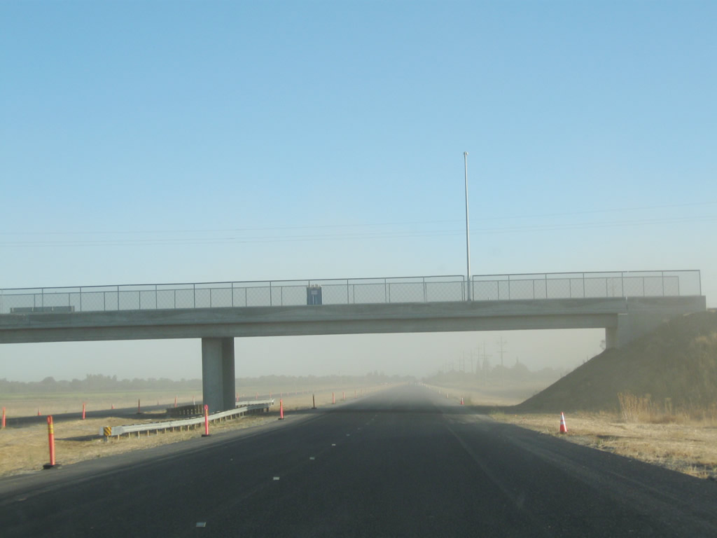
Still on the East Nicolaus Bypass, California 70 north proceeds under a newly constructed overpass carrying Cornelius Avenue. No direct access is provided (use Exit 4 to El Centro Boulevard north for access to Cornelius Avenue). Photo taken 09/04/10. |
|
California 70 carries four lanes between East Nicolaus and Rio Oso. A second bridge was added over the Bear River in 2010 to allow for four-lane capacity. Photo taken 09/04/10. |
|
Northbound California 70 next approaches Exit 8, Kempton Road east and Berry Road west at Rio Oso. Currently this is an at-grade intersection, with ultimate plans to convert this into an interchange. Photo taken 09/04/10. |
|
|
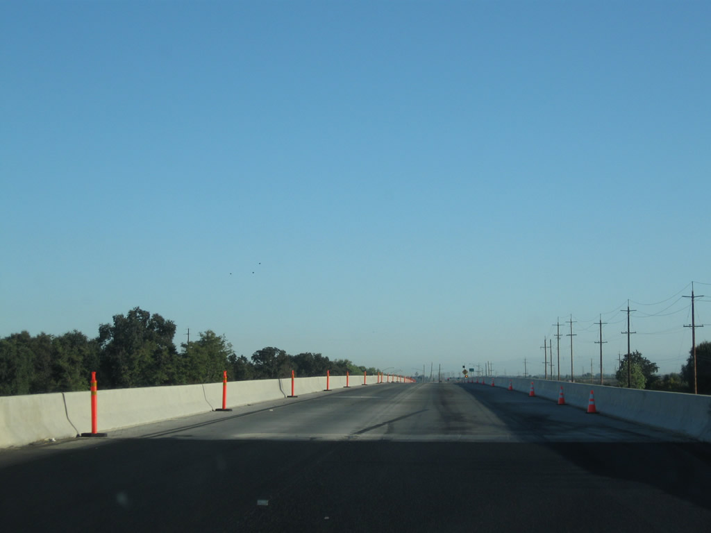
California 70 crosses over the Bear River. Originally built as a two-lane crossing in 1961, it was expanded to four lanes in 2010. Photos taken 09/04/10. |
|
|
The 2010 bridge carries northbound traffic and was built to Interstate freeway standards and has full shoulders. The 1961 bridge now carries only southbound traffic, but originally carried both directions. Photos taken 09/04/10 and 01/15/06. |
|
Midway across the Bear River bridge, California 70 leaves Sutter County and enters Yuba County. Photo taken 09/04/10. |
|
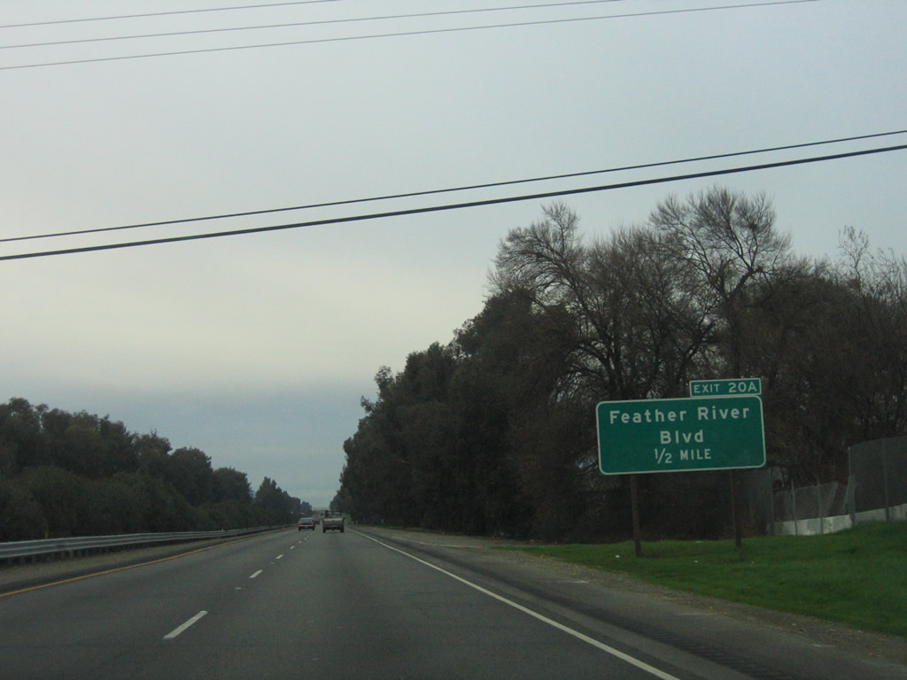
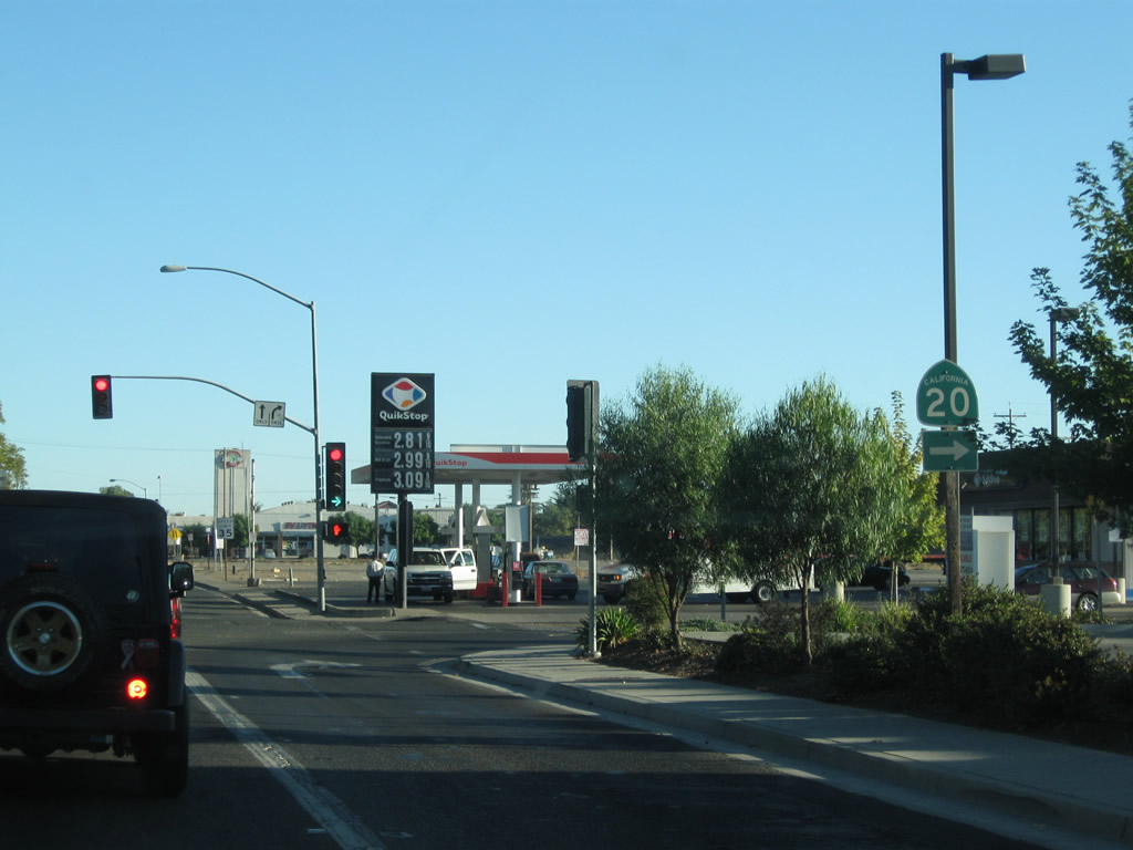
Northbound California 70 meets Feather River Boulevard at this traffic signal. Future plans call for conversion of this at-grade intersection into an interchange. Photo taken 09/04/10. |
|
After the Feather River Boulevard intersection is this California 70 north reassurance shield. Photo taken 09/04/10. |
|
This mileage sign along California 70 north provides the distance to Marysville (13 miles), Oroville (37 miles), and Quincy (111 miles). California 70 resumes as a freeway after the Feather River Boulevard intersection. Photo taken 09/04/10. |
|
|
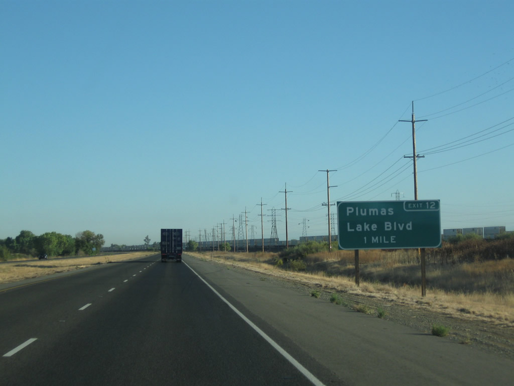
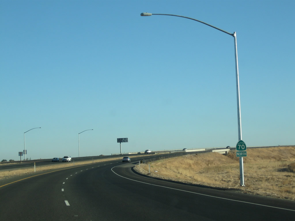
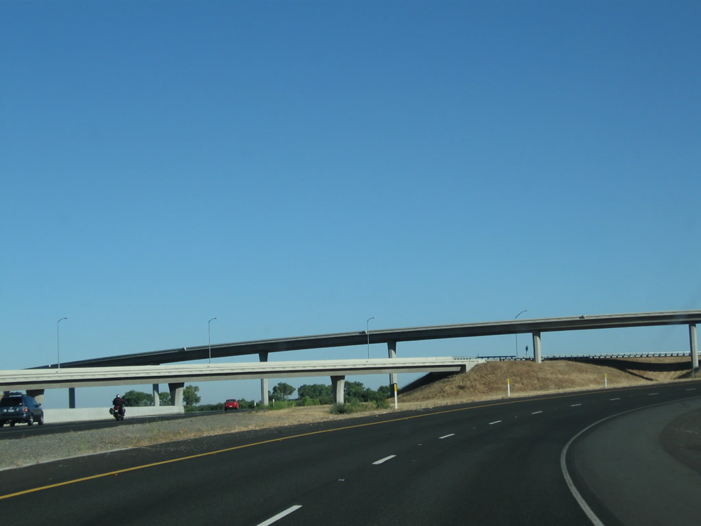
The next interchange along California 70 north is Exit 12, Plumas Lake Boulevard (one mile). This interchange was constructed in 2008. Photos taken 09/04/10 and 01/15/06. |
|
California 70 remains two lanes in each direction through Exit 12 and onward toward the merge with California 65, even back in 2006. However, the interchange with Plumas Lake Boulevard did not exist back in 2006. Photo taken 09/04/10. |
|
|
Northbound California 70 meets Exit 12, Plumas Lake Boulevard. A residential area is located just west of the freeway. Photos taken 09/04/10. |
|
A California 70 north reassurance shield is posted after the Plumas Lake Boulevard interchange. Photo taken 09/04/10. |
|
|
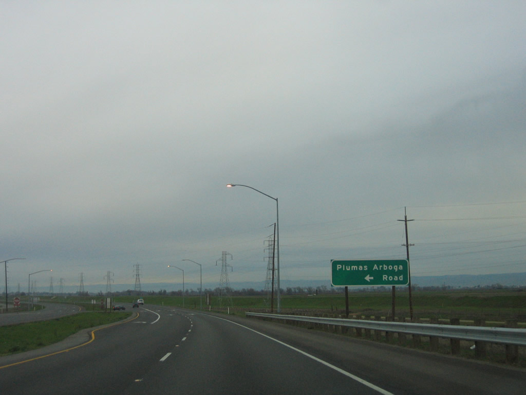
California 70 crosses over the railroad and Plumas Arboga Road. Photos taken 09/04/10. |
|
|
Prior to the completion of this freeway segment of California 70, an at-grade intersection used to offer a direct connection to Plumas Arboga Road. This intersection was gone by 2010; traffic accessing Plumas Arboga Road must use Exit 12 (Plumas Lake Boulevard west to River Oaks Boulevard north to Algodon Road east). Photos taken 01/15/06. |
|
|
A pair of Pacific Gas & Electric power lines come alongside California 70 as the freeway proceeds north. On the west is Plumas Arboga Road, which is the frontage road during this segment. Photos taken 09/04/10. |
|
|
Back in 2006, a California 70 north reassurance shield and a "begin freeway" were posted after the connection to Plumas Arboga Road. With the elimination of this at-grade, connector road, these signs were no longer necessary and were removed. Photos taken 01/15/06. |
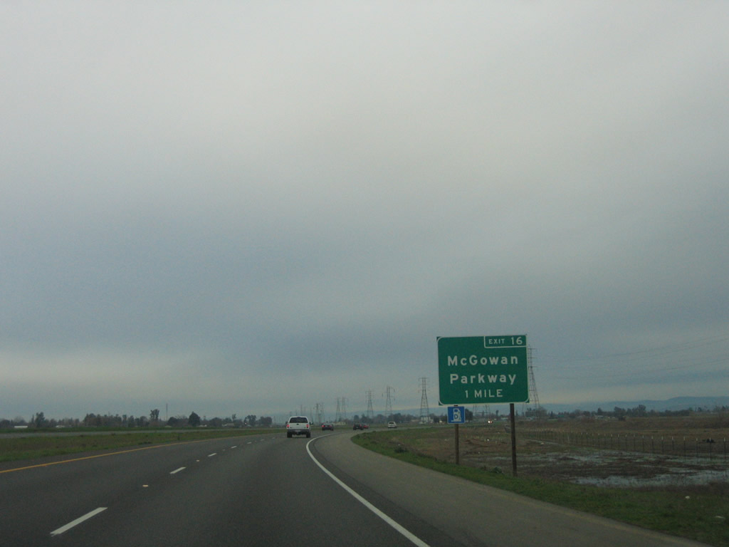
|
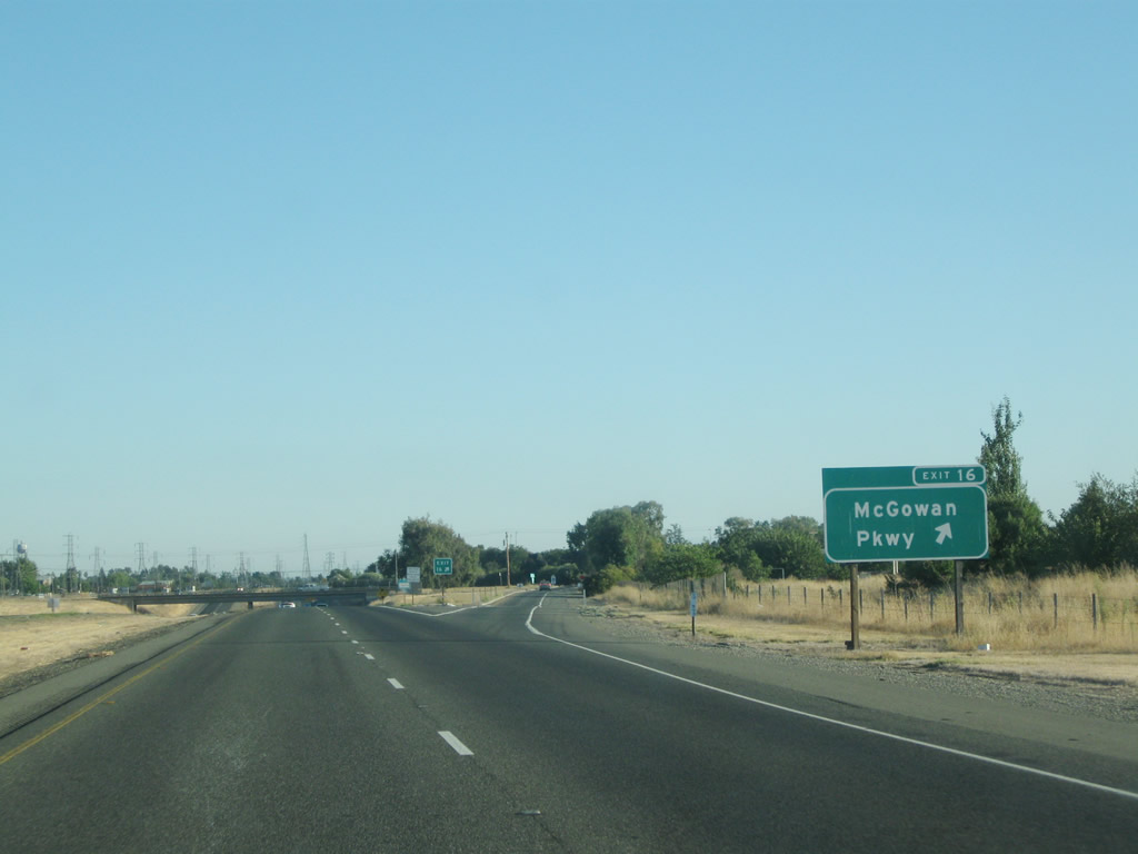
The next exit along California 70 north is Exit 16, McGowan Parkway (one mile). To California 65 south to Newcastle and Lincoln, use McGowan Parkway east, as there is no direct connection between California 70 north and California 65 south. Photo taken 01/15/06. |
|
|
Those Pacific Gas & Electric power lines, which have paralleled California 70 for the past several miles, cross over the freeway as California 70 curves a bit toward the northeast to the rendezvous with California 65. Photos taken 09/04/10. |
|
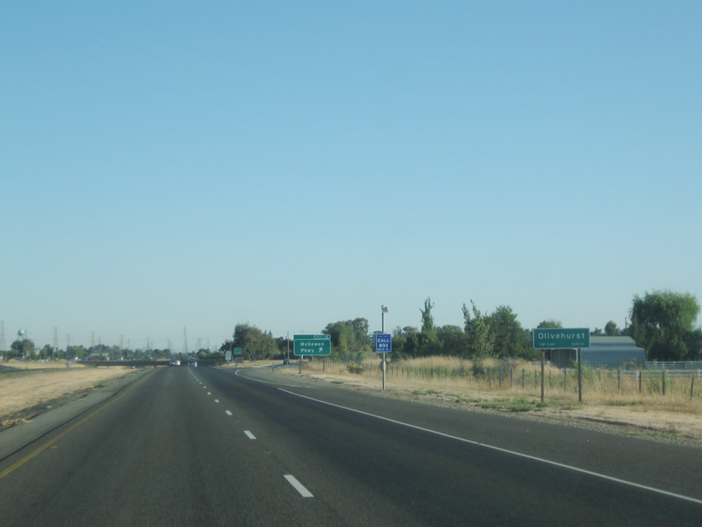
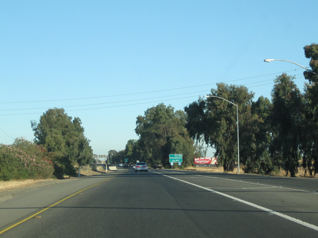
California 70 enters the unincorporated community of Olivehurst as we approach the exit for McGowan Parkway. Photo taken 09/04/10. |
|
Northbound California 70 meets Exit 16, McGowan Parkway in Olivehurst. Use Exit 16 to California 65 south to Newcastle and Lincoln. Photo taken 09/04/10. |
|
|
For the next mile after the McGowan Parkway interchange, California 70 prepares to merge with California 65. The busy Roseville-Lincoln-Marysville route (Old U.S. 99E) will merge onto California 70 from the right. This section of freeway is much older than sections south of here, having been constructed in 1967 (including the Route 65/70 separation structure). Photos taken 09/04/10. |
|
|
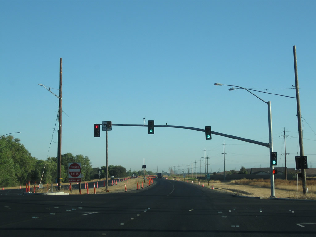
No signs advise of the merge with California 65 except for the end shield visible on the California 65 mainline. Stay left for the continuation of California 70 north to Marysville. Ahead, California 70 follows the alignment of Old U.S. 99E. At this point, California 70 meets the proposed southern end of the Yuba River Parkway, which is proposed to extend from this interchange due north to meet California 20 east of Marysville. Such a parkway, to be built to expressway standards, would reduce through traffic currently using California 70 through downtown Marysville. Photos taken 09/04/10. |
|
California 70 and California 65 (U.S. 99E) merge together. California 70 will proceed ahead with two northbound lanes and continue toward Marysville. Photo taken 09/04/10. |
|
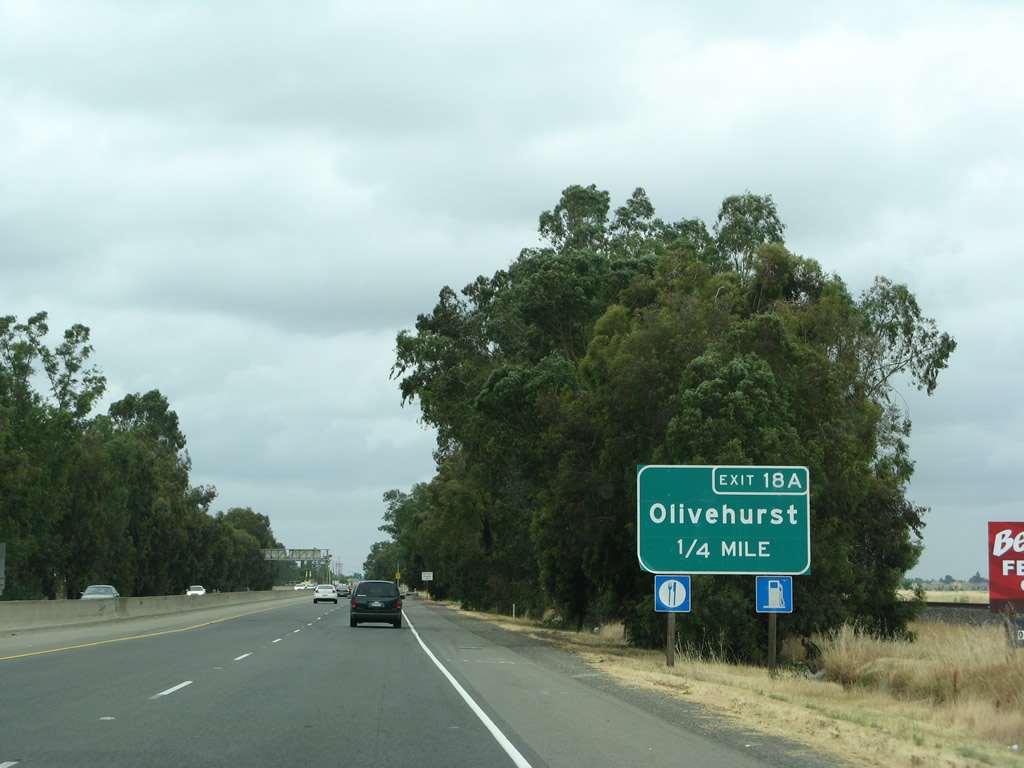
The next exit along California 70 north is Exit 18A, Olivehurst Avenue south and Lindhurst Avenue north (0.25 mile). Photo taken 05/24/08. |
|
Northbound California 70 reaches Exit 18A, Olivehurst Avenue south and Lindhurst Avenue north. The next exit along northbound is Exit 18B, Erle Road. Photo taken 01/01/05. |
|
|
A long off-ramp connects California 70 north with Lindhurst Avenue, which is the original alignment of U.S. 99E. At the end of the off-ramp, turn left for Olivehurst Avenue south. Photos taken 05/24/08. |
|
Back on the mainline and after the off-ramp to Exit 18A, mainline California 70 travels below grade to pass under Olivehurst Avenue. This is a very old bridge, dating to 1956. Photo taken 09/04/10. |
|
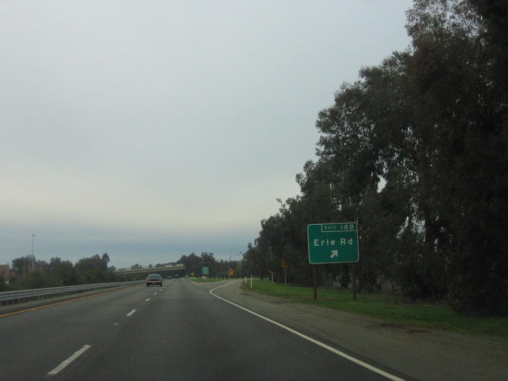
The next exit along California 70 north is Exit 18B, Erle Road (one-quarter mile). Photo taken 09/04/10. |
|
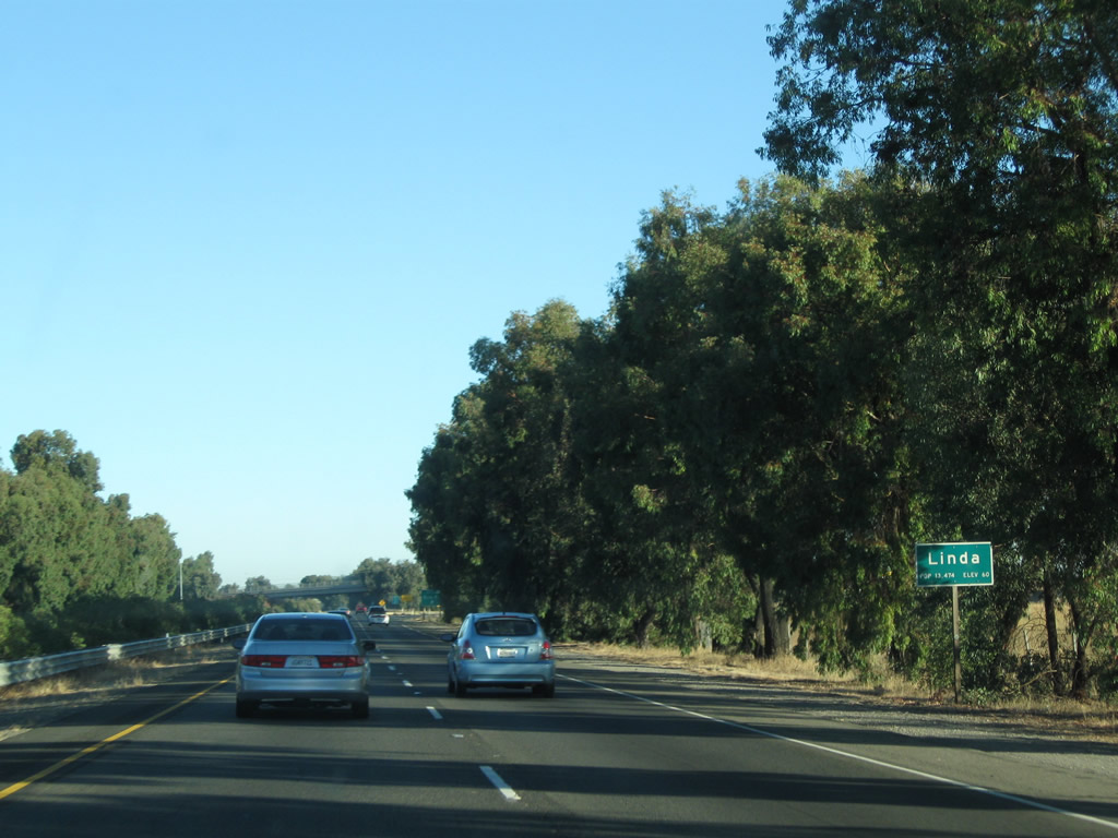
California 70 enters the unincorporated community of Linda. Photo taken 09/04/10. |
|
Northbound California 70 meets Exit 18B, Erle Road to Linda. Photo taken 09/04/10. |
|
This California 70 north reassurance shield is posted after the on-ramp from Erle Road and Lindhurst Avenue (Old U.S. 99E). The Erle Road overcrossing (visible ahead) dates to 1980. Photo taken 01/15/06. |
|
|
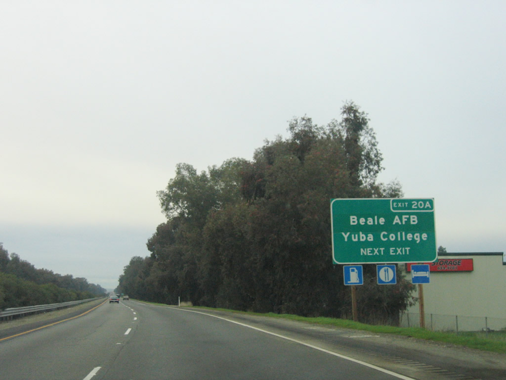
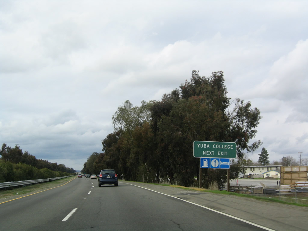
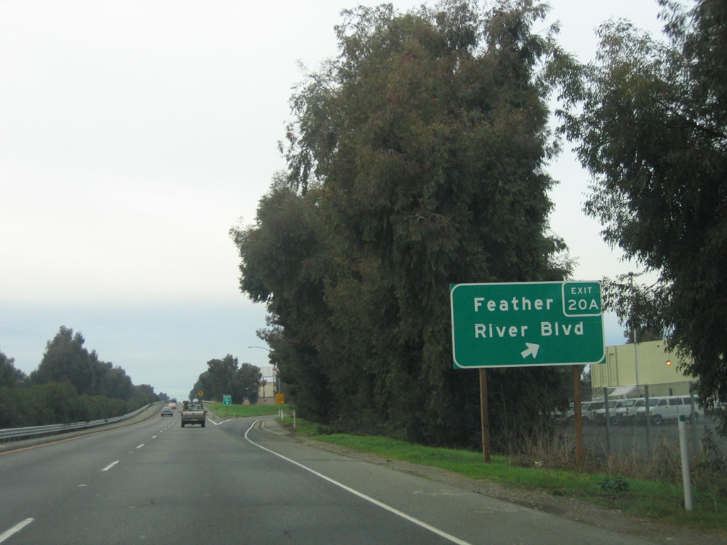
The next interchange along California 70 north is Exit 20A, Feather River Boulevard to Beale Road. Use Feather River Boulevard east to Beale Road east to Yuba Community College. Photos taken 01/15/06 and 01/01/05. |
|
|
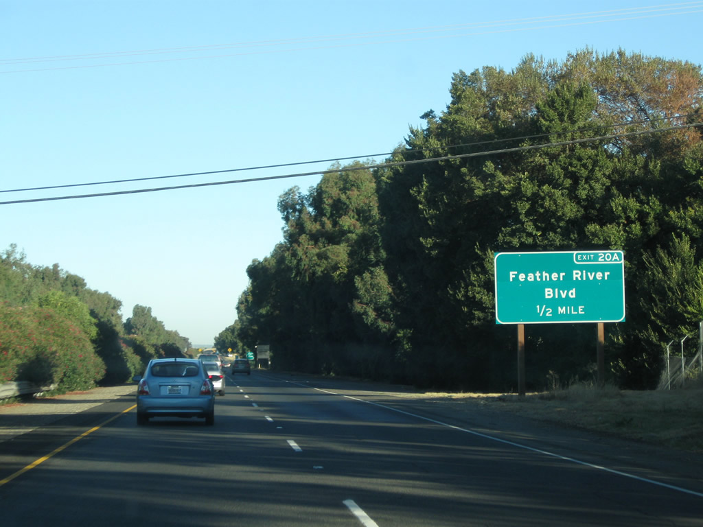
California 70 north approaches Exit 20A, Feather River Boulevard to Beale Road (one-half mile). This sign was replaced between 2006 and 2011. Photos taken 09/04/10 and 01/15/06. |
|
Northbound California 70 reaches Exit 20A, Feather River Boulevard to Beale Road. Photo taken 01/15/06. |
|
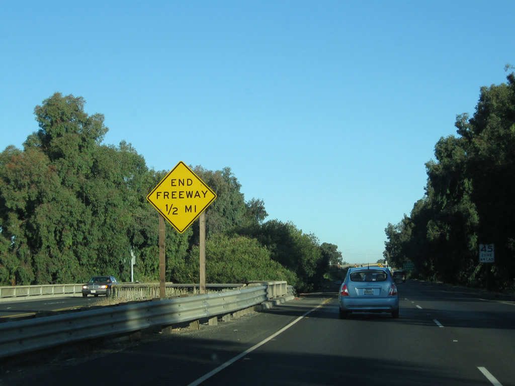
The freeway will end in one-half mile, shortly after the off-ramp to Exit 20B. While plans call for a freeway bypass of Marysville for California 70, such a bypass is not planned imminently. So, all traffic will cross the Yuba River bridge and enter downtown Marysville. Photo taken 09/04/10. |
|
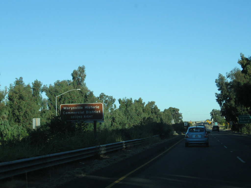
To the downtown Marysville historic district, follow California 70 north to the Third Street intersection (next traffic signal), and turn right into downtown. The historic core is located along First Street abutting a levee that separates downtown from the Yuba River floodplain. Photo taken 09/04/10. |
|
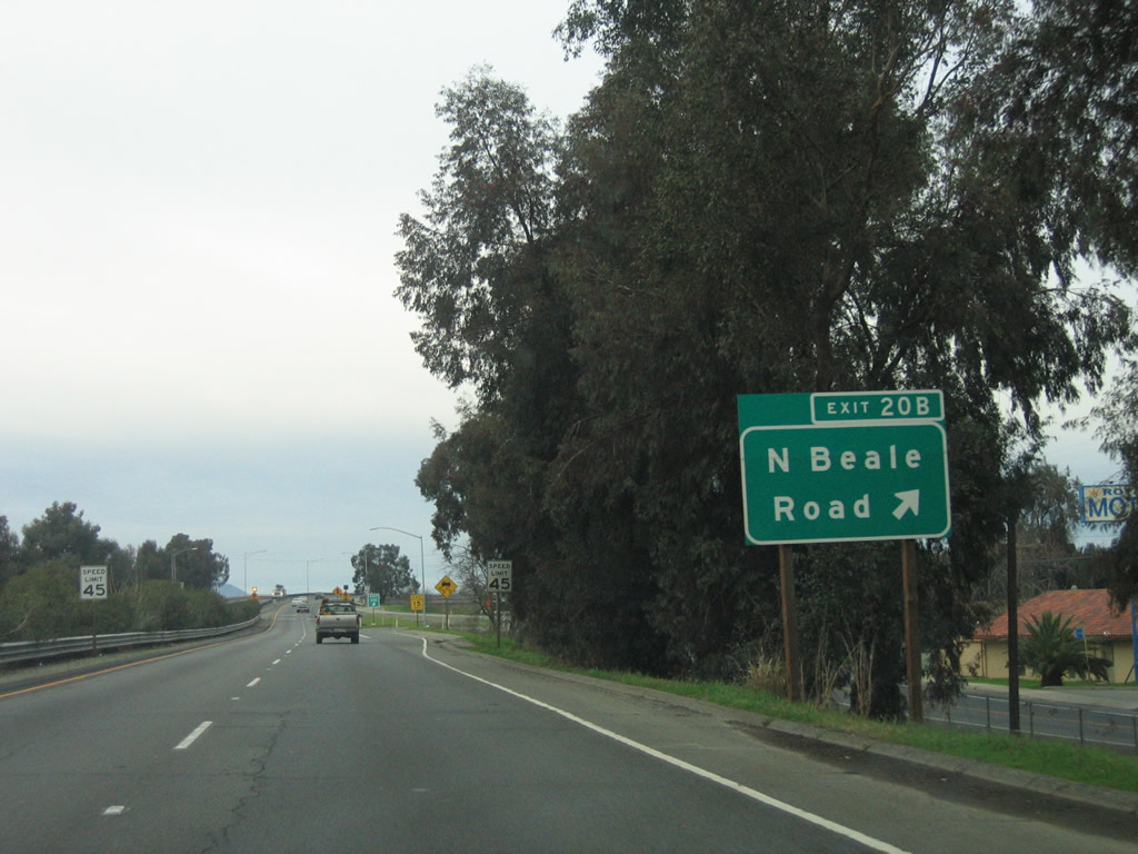
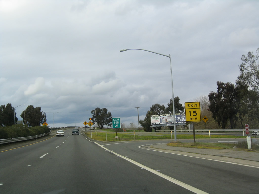
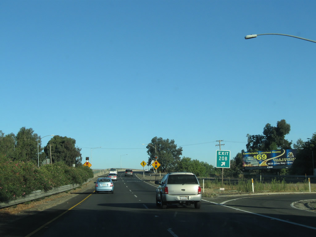
The next exit along California 70 north is Exit 20B, North Beale Street. Watch for a very sharp off-ramp, which warrants extremely reduced speed. Photo taken 01/15/06. |
|
|
Northbound California 70 reaches Exit 20B, North Beale Street. This is the last exit before crossing the Feather River and entering downtown Marysville. Prepare to slow down after this off-ramp. Photos taken 01/01/05 and 09/04/10. |
|
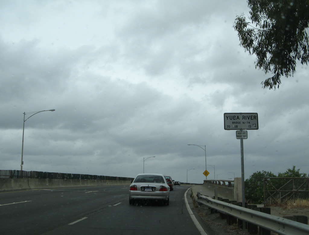
California 70 crosses over the Yuba River on this 1960 bridge, which carries two lanes in each direction but is not freeway standard. Photo taken 05/24/08. |
|
|
A California 70 north reassurance shield route marker is posted on the Yuba River bridge. Photos taken 09/04/10 and 01/15/06. |
|
|
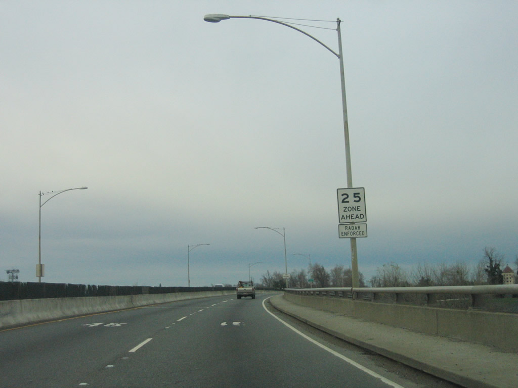
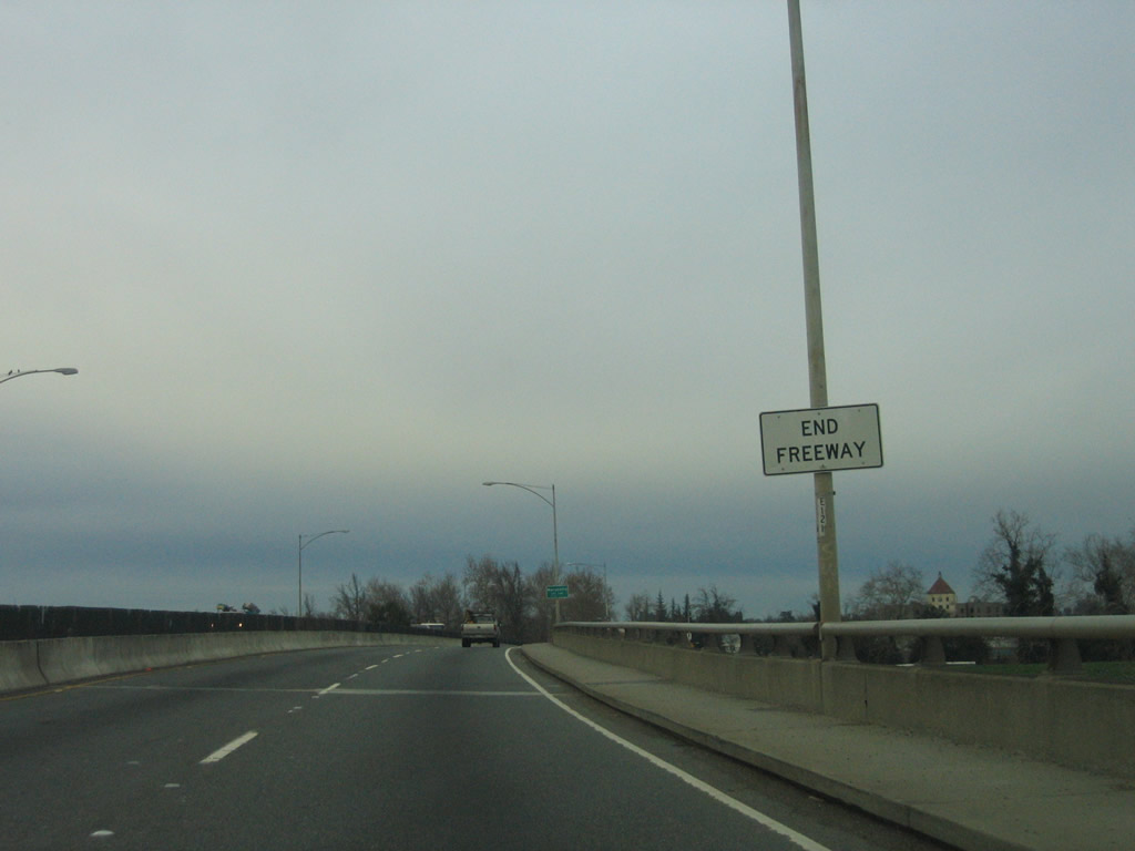
The speed limit will drop from 45 miles per hour to 25 miles per hour as California 70 descends from the Yuba River bridge and enters downtown Marysville. An End Freeway sign is posted posted about mid-span. Photos taken 01/15/06. |
|
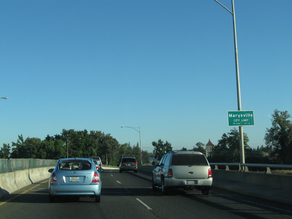
California 70 enters the city of Marysville ("Gateway to the Gold Fields"), which is the seat of Yuba County. Adjoining Yuba City (just west of here via California 20), despite its name, is the seat of Sutter County. Marysville had a population of 12,072 as of the 2010 Census and incorporated on February 5, 1851. Sitting near the confluence of the Feather River and Yuba River at an elevation of 62 feet, Marysville has a history of suffering flooding damage during winter rains. Flood control projects help protect the downtown area. Photo taken 09/04/10. |
|
Descending from the Yuba River bridge, California 70 immediately enters a street grid system and is locally designated as E Street. California 70 will follow E Street north for about nine blocks until meeting California 20 at Ninth Street. The first traffic signal along California 70 north in Marysville is with Third Street; turn right at this intersection to the historic downtown district of Marysville. Photo taken 01/15/06. |
|
Northbound California 70 (E Street) meets Third Street at this signalized intersection. Photo taken 01/15/06. |
|
After the Seventh Street intersection, overhead signage appears for the pending junction between California 70 (E Street) and California 20 (Ninth Street). Stay left for California 20 west to Yuba City, or stay right for California 70 north to Oroville and California 20 east to Grass Valley and Nevada City. Photo taken 01/15/06. |
|
In the interim, northbound California 70 (E Street) meets Eighth Street at this traffic signal. Photo taken 01/15/06. |
|
A set of shields in the median advise of the pending junction between northbound California 70 and California 20. To California 99, follow California 20 west (stay left). Photo taken 01/01/05. |
|
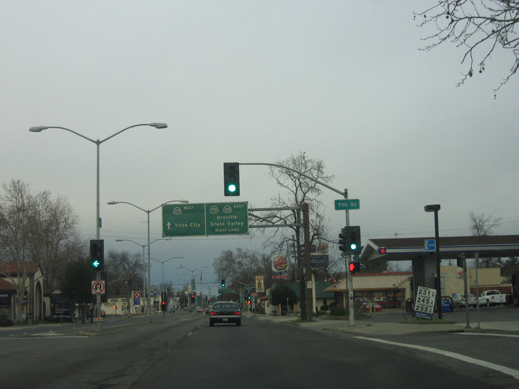
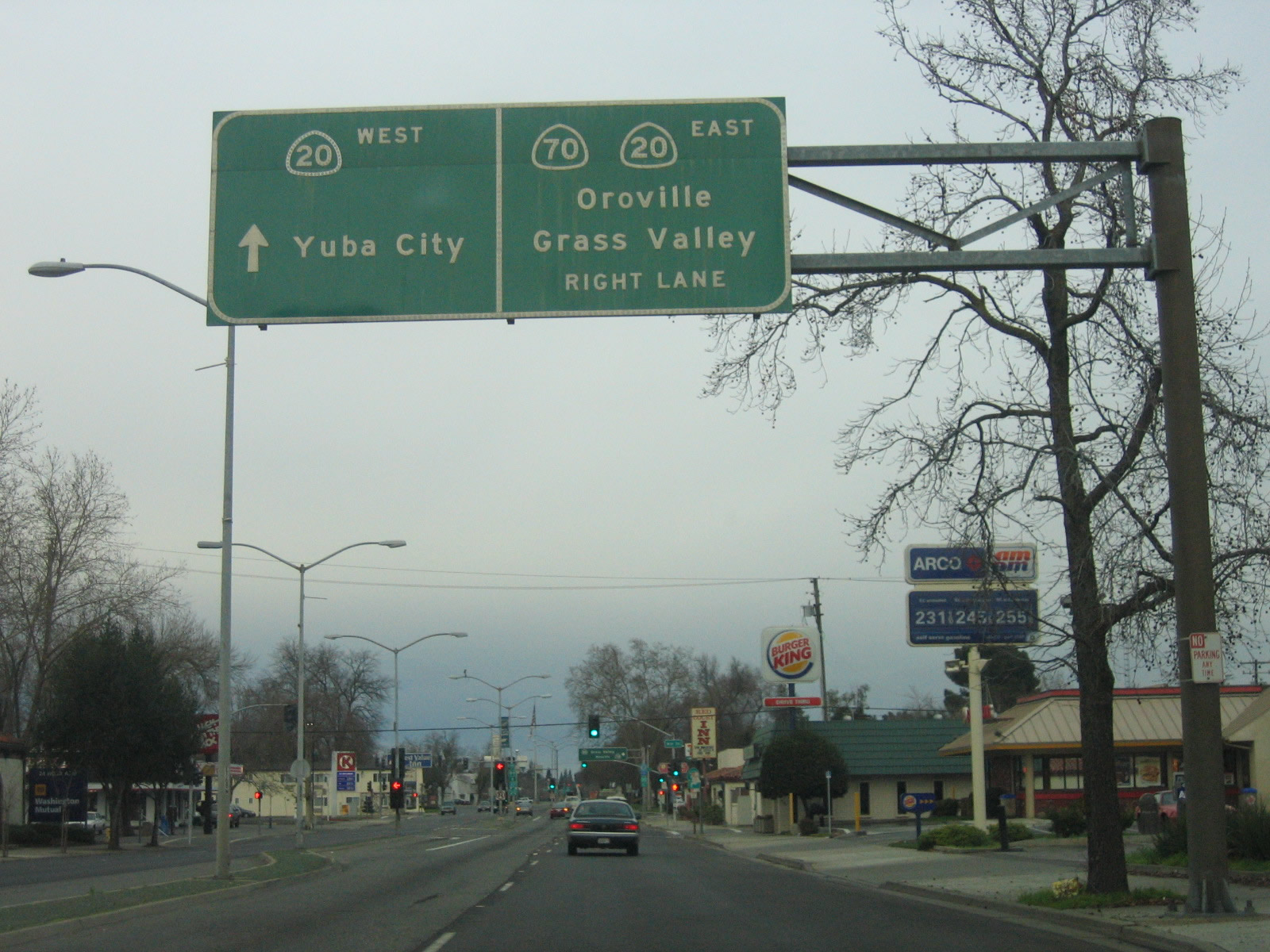
For California 20 west, continue straight ahead through the upcoming traffic signal with Ninth Street. California 20 will actually take E Street north for one block, then turn west again via Tenth Street toward the Feather River bridge en route to Yuba City. For California 20 east and California 70 north, prepare to turn east on Ninth Street (next right). Historically, Old U.S. 99E followed California 20 into Yuba City (and then took today's California 99 route from there north to Chico), and Old U.S. 40 Alternate merged onto California 70 north here. U.S. 40 Alternate will be a constant companion with California 70 from here all the way to its terminus at U.S. 395 at Hallelujah Junction. Photo taken 01/15/06. |
|
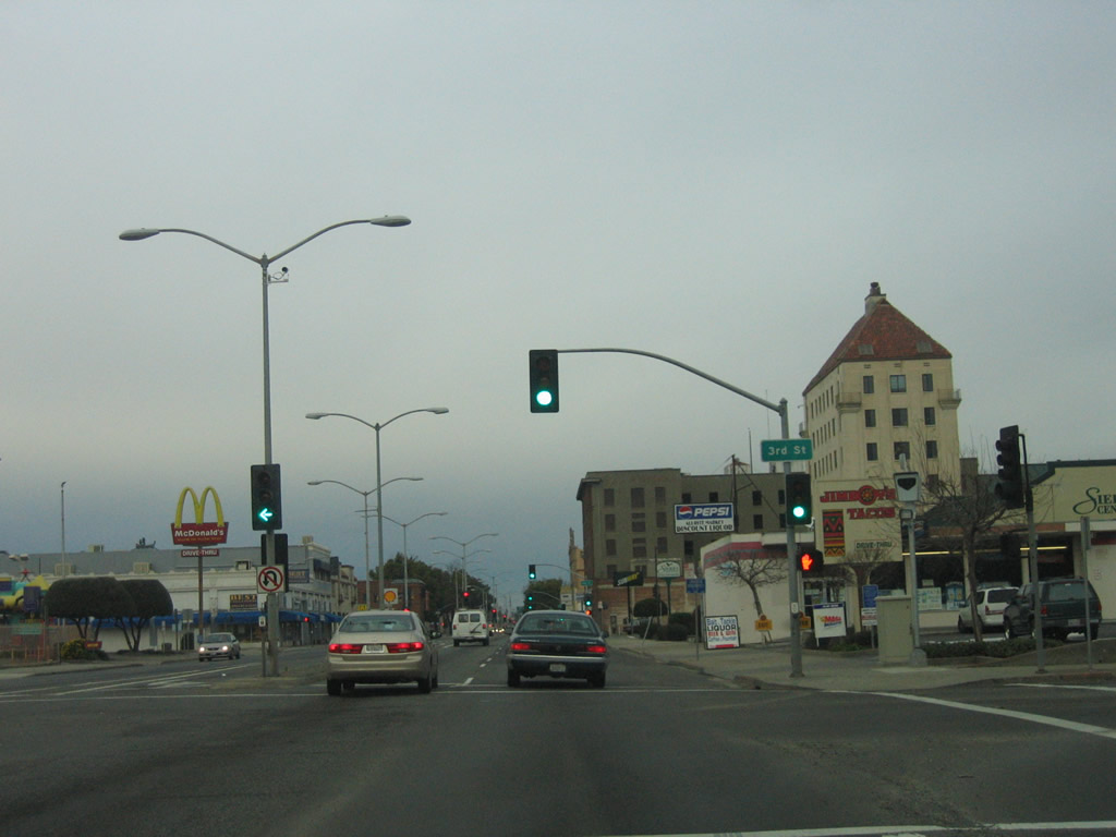
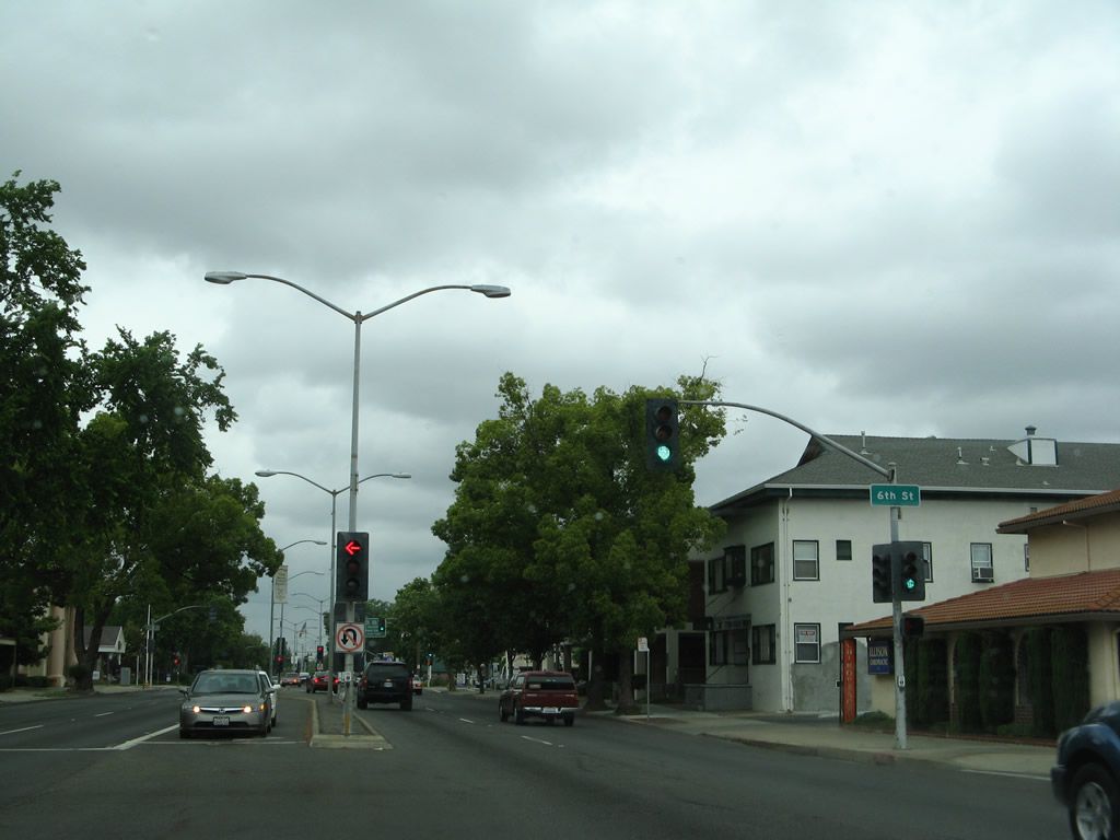
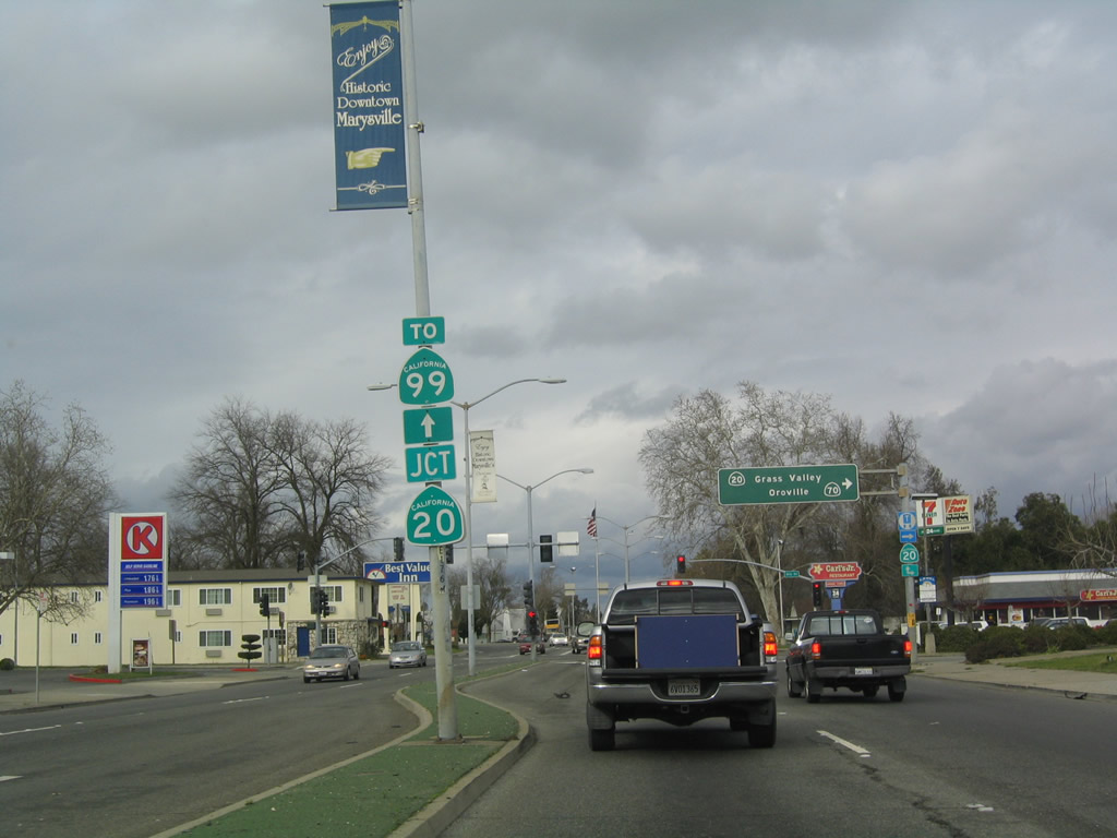
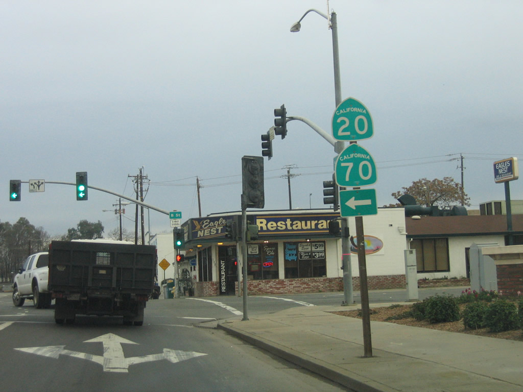
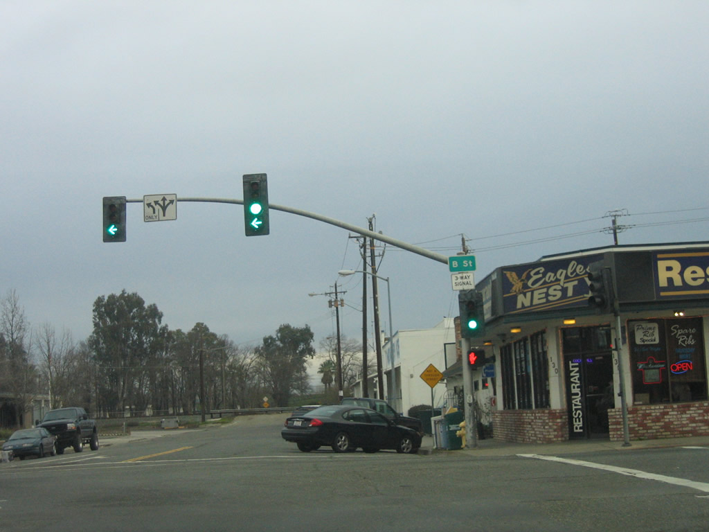
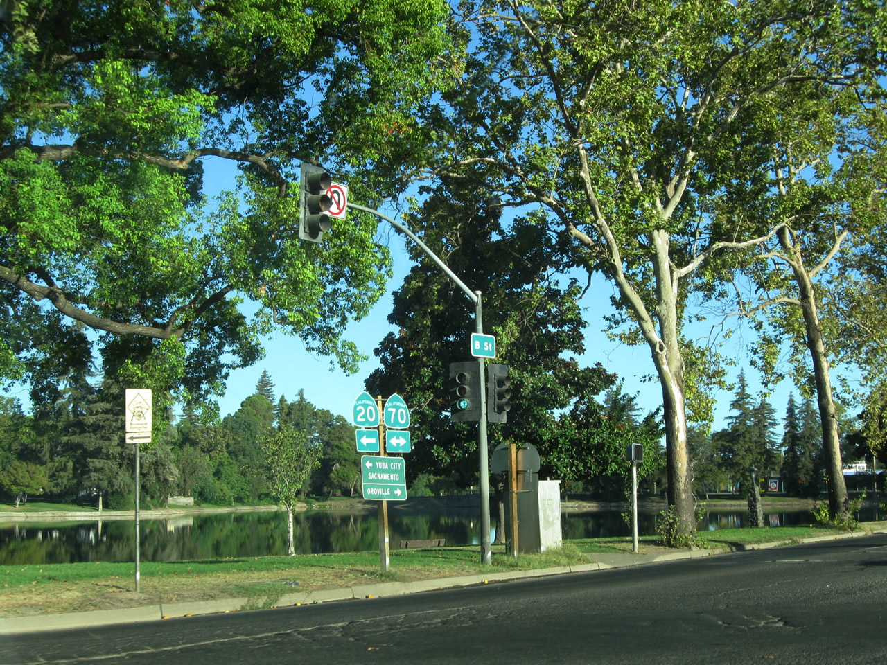
Northbound California 70 (E Street) meets California 20 (Ninth Street) at this traffic signal. Continue straight ahead for California 20 west to California 99 or turn right here for California 20 east and California 70 north. The two state routes will share alignment from this point east via Ninth Street about three blocks to B Street, then continue together north on B Street for three blocks to Twelvth Street. Part of this alignment is necessary due to the proximity of Ellis Lake, which is located north of Ninth Street, east of D Street, west of B Street, and south of 14th Street. Photo taken 09/04/10. |
| California 20 east & 70 north |
|
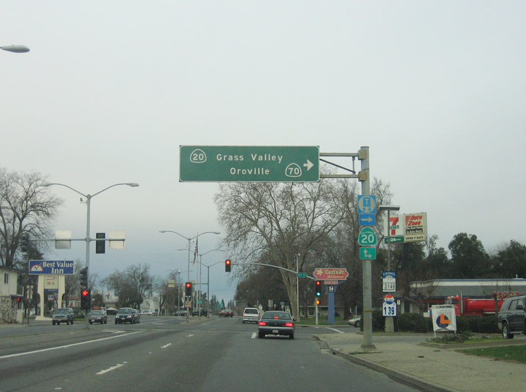
Northbound California 70 and eastbound California 20 follow Ninth Street east for three blocks between E Street and B Street in Marysville. This guide sign advises motorists of the proper lane choice for continuing north on California 70 to Oroville or east on California 20 to Grass Valley-Nevada City. Photo taken 01/15/06. |
|
|
Both California 70 and California 20 are signed at the point where the two state routes transition from Ninth Street east to B Street north. Photos taken 01/15/06. |
|
This shield assembly for California 70 north and California 20 east is located on northbound B Street after the Ninth Street intersection in Marysville. Photo taken 01/15/06. |
|
|
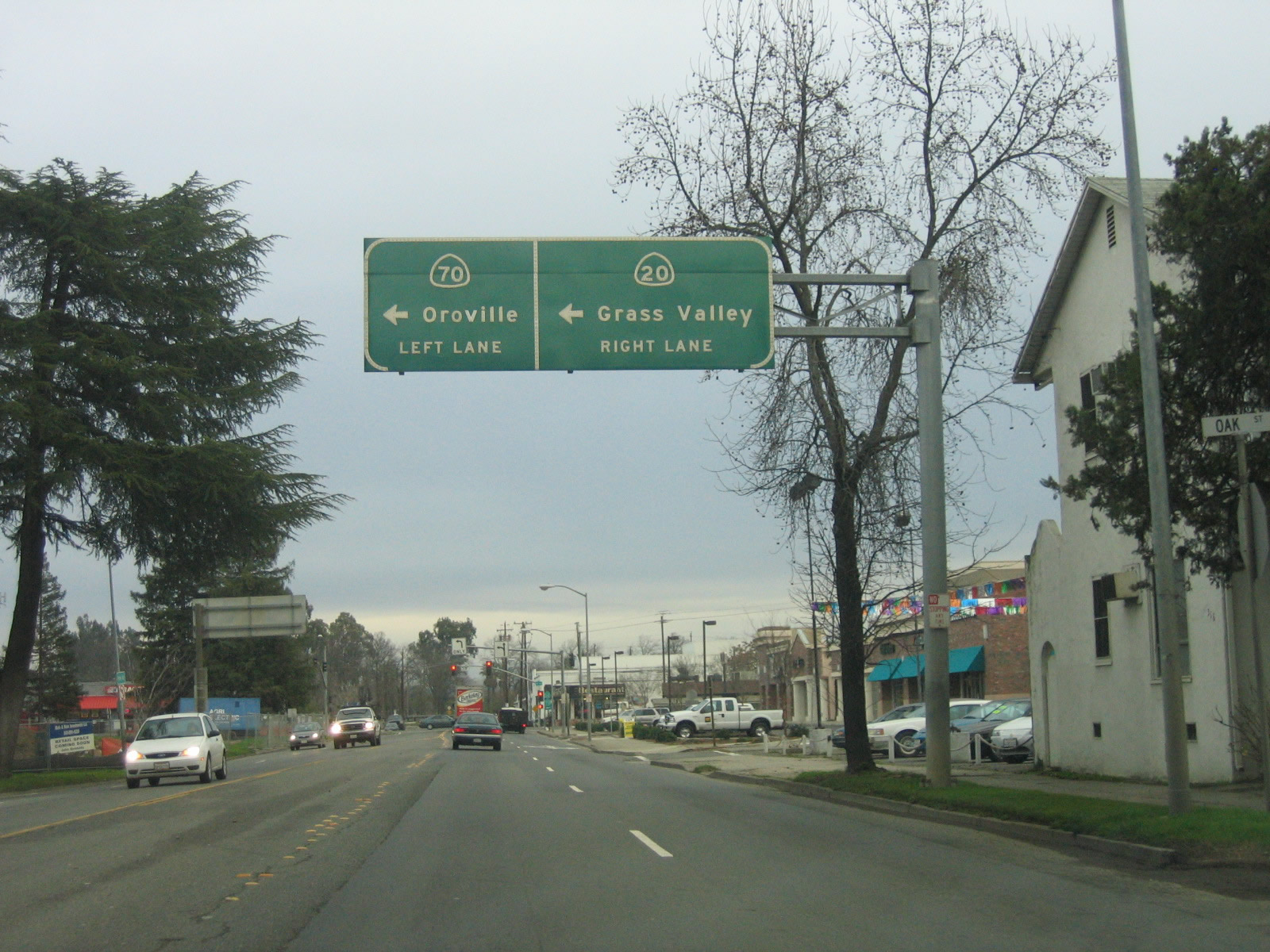
The two routes divide just a few blocks later. Stay left for California 70 north to Orovillle or stay right California 20 east to Grass Valley and Nevada City. Photos taken 01/15/06 and 09/04/10. |
|
|
Northbound California 70 and eastbound California 20 split at the Twelvth Street intersection. The second picture shows Ellis Lake and the signage for westbound traffic on California 20. Photos taken 09/04/10. |
| California 70 north |
|
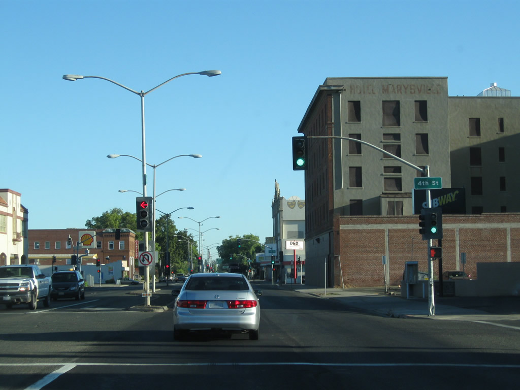
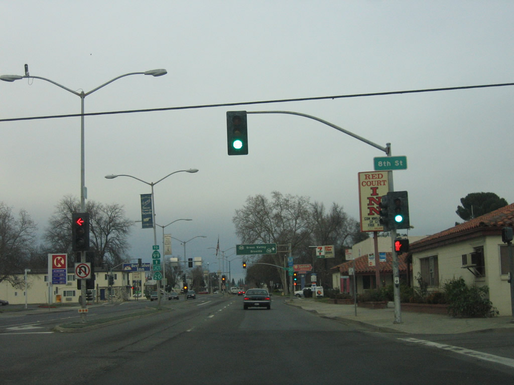
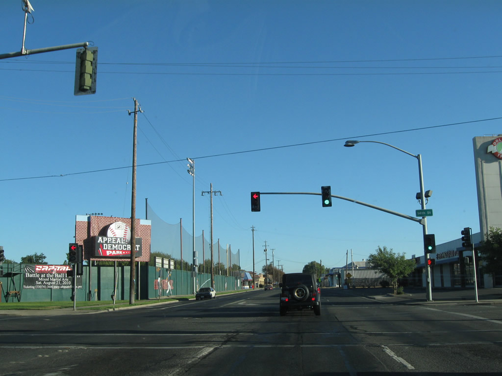
Northbound California 70 (B Street) meets Fourteenth Street at this traffic signal. On the northwestern corner of this intersection is Appeal Democrat Park, home to the Gold Sox baseball team (which is a "professional-grade community baseball team whose roster is stocked with top-quality collegiate players"). Photo taken 09/04/10. |
|
Another California 70 north reassurance shield is posted soon thereafter. Photo taken 01/15/06. |
|
|
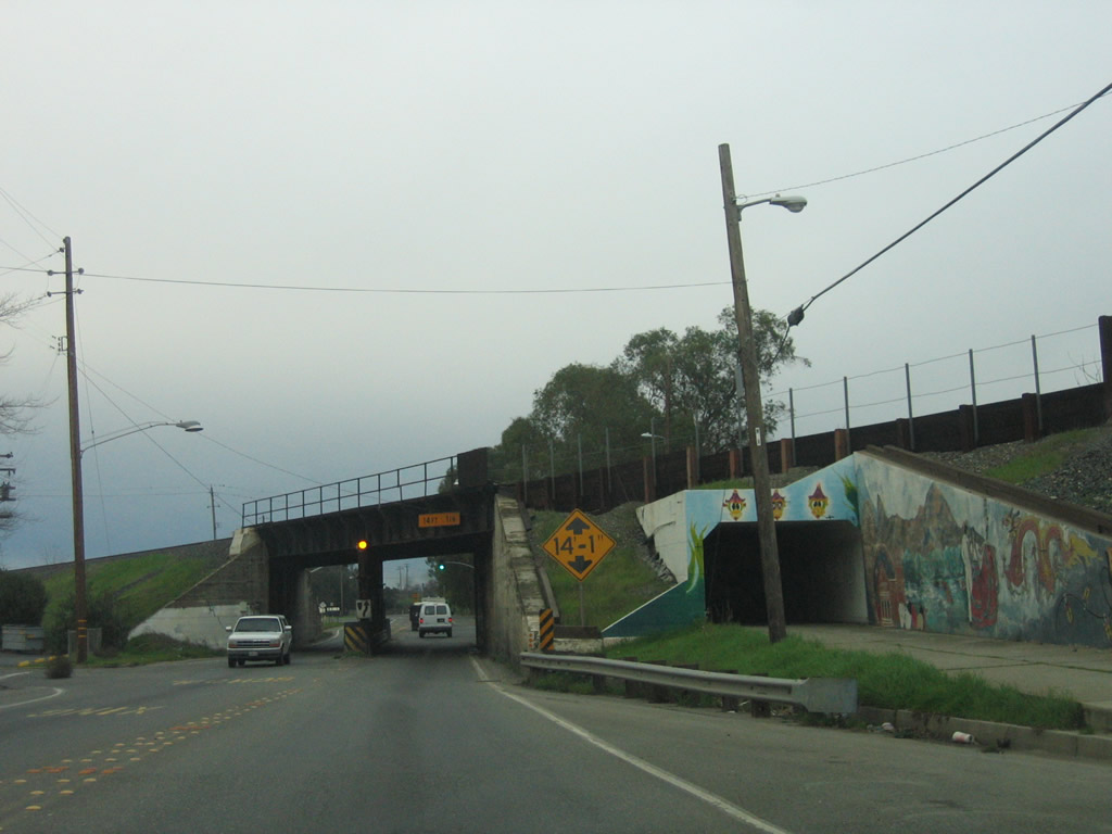
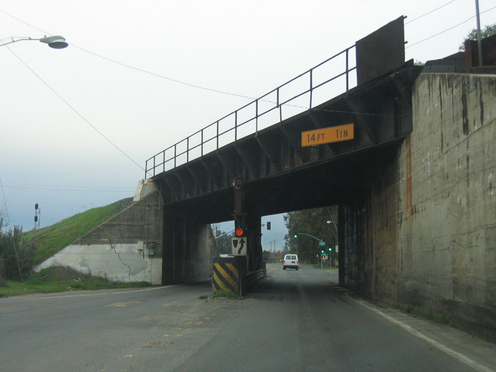
A very narrow, substandard subway carries California 70 underneath the railroad tracks. Any discussion of improving California 70 north of Marysville includes ways to improve this under crossing, which was built in 1911. Photos taken 01/15/06. |
|
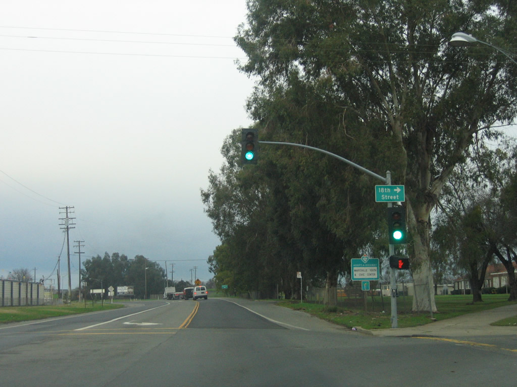
Preparing to leave Marysville, California 70 sees one more signalized intersection with 18th Street. Photo taken 01/15/06. |
|
Another railroad overpass crosses over California 70, but this one is built to more modern specifications than the last one as it was built in 1957. Photo taken 01/15/06. |
|
California 70 proceeds north as a two-lane highway leaving Marysville en route to Oroville. While this highway may someday be constructed as a freeway, Caltrans will make interim improvements to maintain decent traffic flow on this busy corridor. Photo taken 01/15/06. |
|
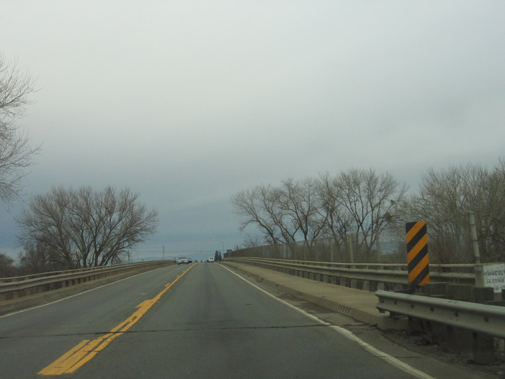
Leaving the Marysville area, California 70 crosses Simmerly Slough on this 1957 bridge. Photo taken 01/15/06. |
|
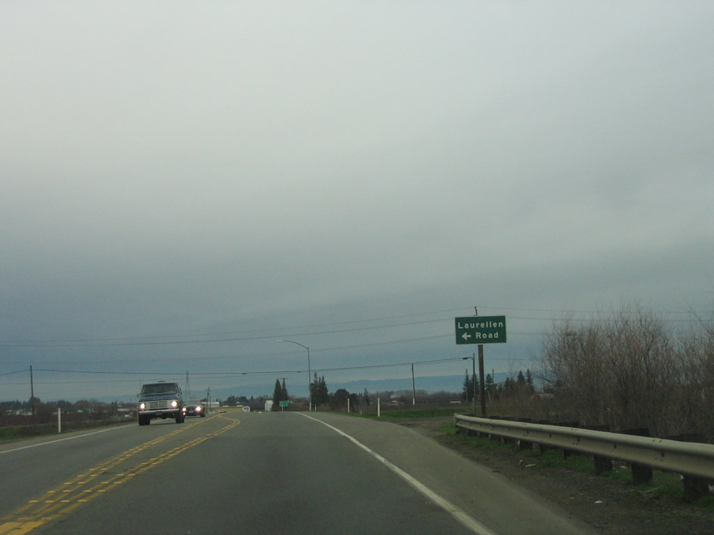
Northbound California 70 approaches Laurellen Road. Photo taken 01/15/06. |
|
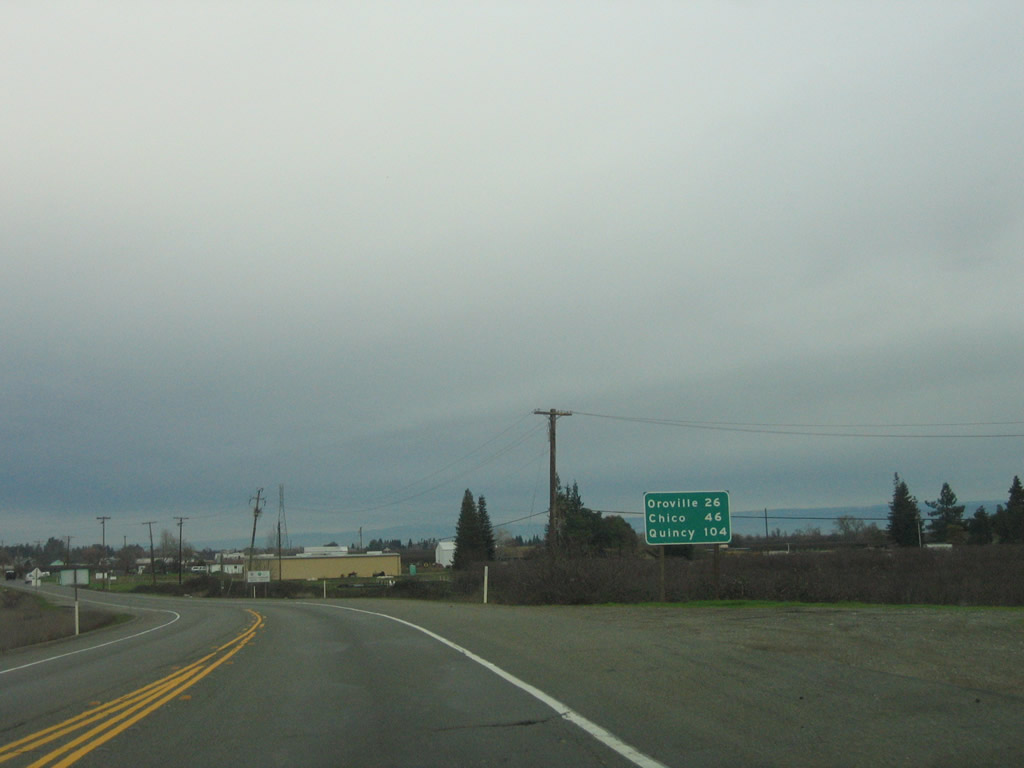
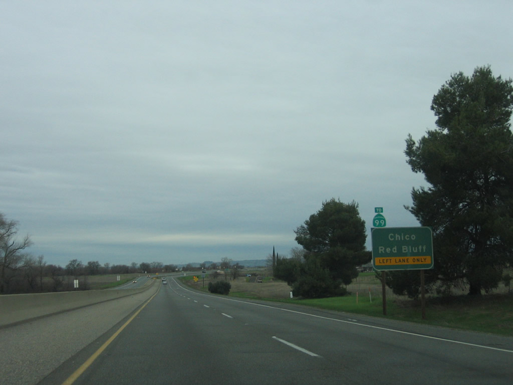
After Laurellen Road, this mileage sign provides the distance to Oroville (26 miles), Chico (46 miles via California 149 and California 99), and Quincy (104 miles). Photo taken 01/15/06. |
|
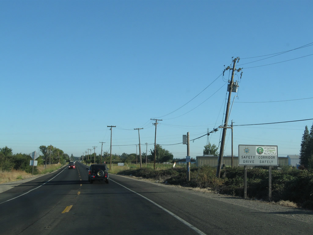
This busy segment of two-lane California 70 has been designated a safety corridor. Photo taken 09/04/10. |
|
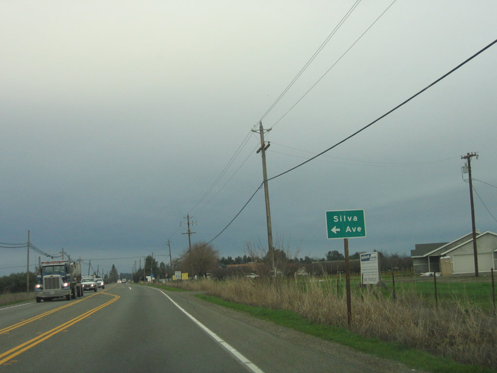
Northbound California 70 approaches Silva Avenue. Photo taken 01/15/06. |
|
Continuing through farm and agricultural lands north of Marysville, California 70 north approaches Mayer Road. Photo taken 09/04/10. |
|
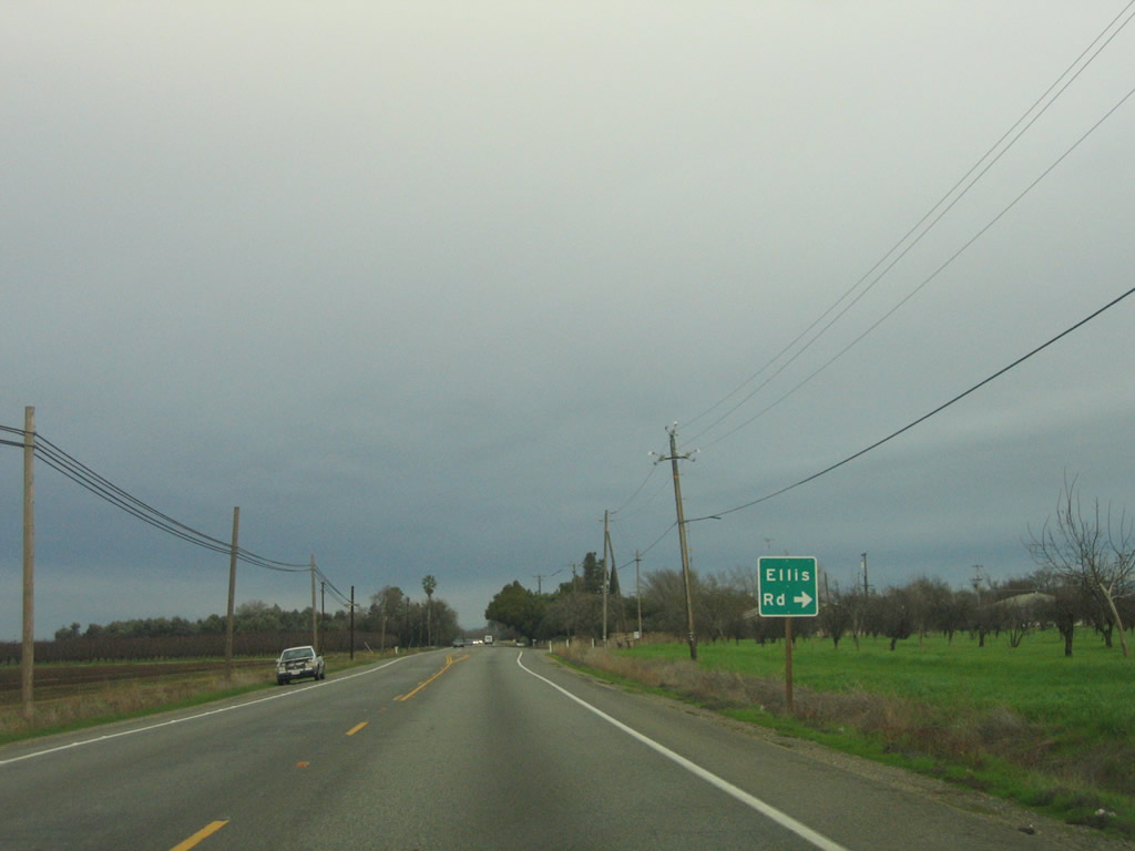
Northbound California 70 approaches Ellis Road. Photo taken 01/15/06. |
|
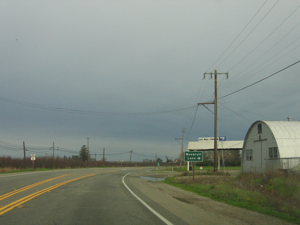
As the highway bends a bit to the north, California 70 approaches Woodruff Lane. Photo taken 01/15/06. |
|
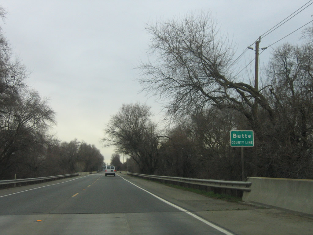
A California 70 north reassurance shield is posted shortly thereafter. Up next is a right turn to Ramirez Road (not shown), followed by the Honcut Creek bridges that represent the line between Yuba County and Butte County. Photo taken 01/15/06. |
|
Deciduous trees are dormant during the winter in the Central Valley, yet grasses grow with the annual rains (and dry up each summer). As a result, it is not uncommon to see a green carpet of grass below a canopy of brown branches during winter months. Photo taken 01/15/06. |
|
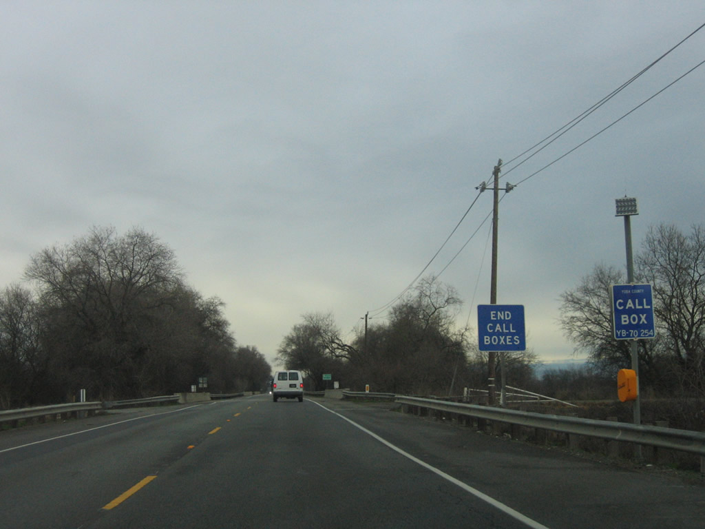
The emergency call boxes come to an end at the Yuba-Butte County Line. Just ahead is Honcut Creek, which is the county line. Photo taken 01/15/06. |
|
|
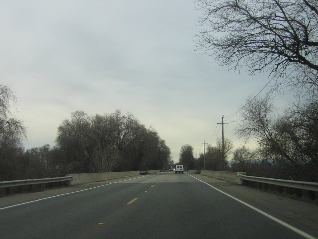
Northbound California 70 leaves Yuba County and enters Butte County (population 220,000 as of the 2010 Census) upon crossing over Honcut Creek. The southernmost bridge over Honcut Creek (there are three total) represents the county line. These bridges were built in 1941 and widened to current standards in 1987. Photos taken 01/15/06. |
|
|
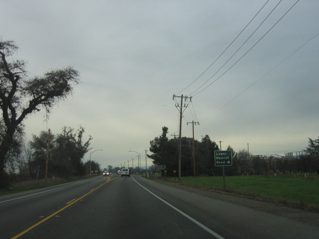
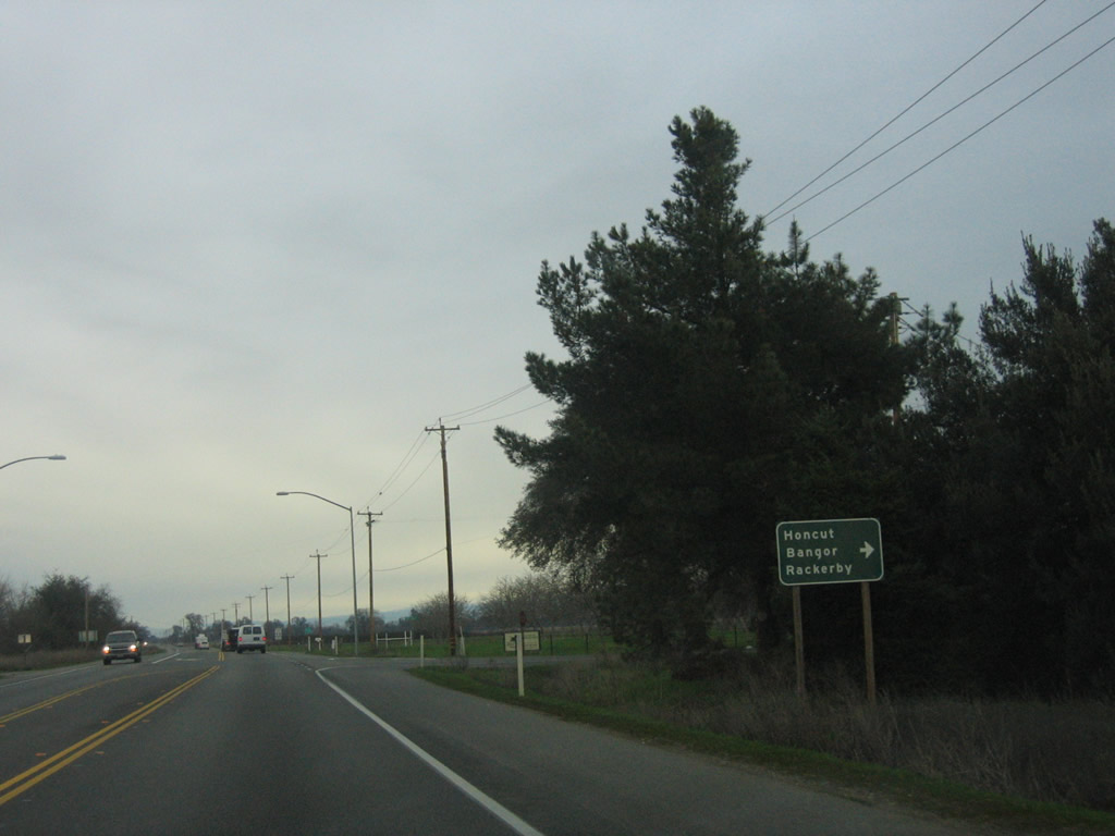
Shortly after crossing the Honcut Creek bridges, California 70 north approaches and meets Lower Honcut Road, which travels east to Honcut, Bangor, and Rackerby. Photos taken 01/15/06. |
|
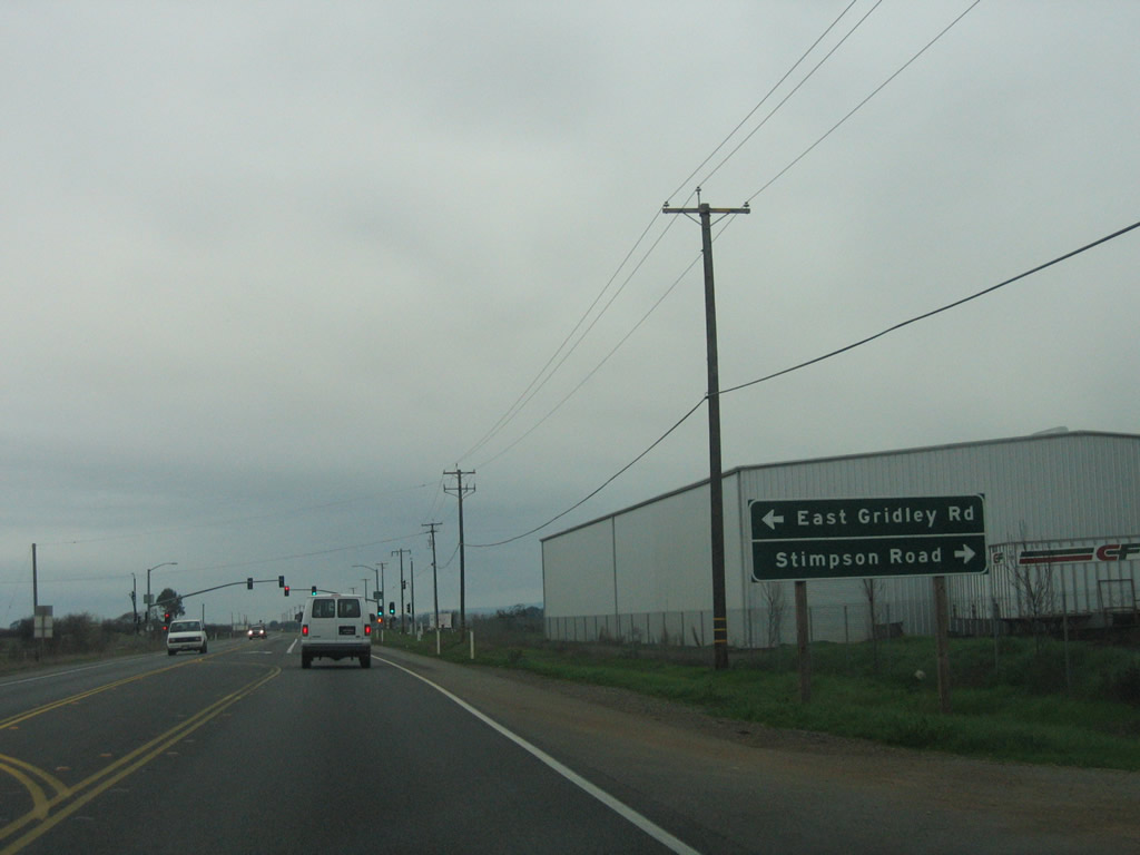
Continuing north, California 70 approaches Robinsons Corner, its first signalized intersection since leaving Marysville. This upcoming intersection is with East Gridley Road, which travels west to East Gridley and Gridley (California 99) and Stimpson Road, which travels east and then north to provide local ranch/farm access. Photo taken 01/15/06. |
|
|
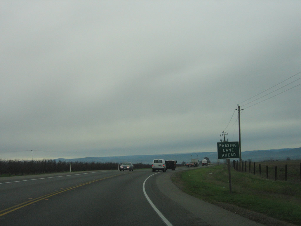
A couple miles north of the traffic signal, northbound California 70 sees a brief passing lane. Photos taken 01/15/06 and 09/04/10. |
|
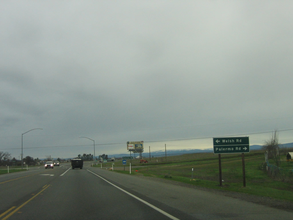
In unincorporated Oak Grove, northbound California 70 (Oroville Highway) meets the turnoff for Welsh Road and Palermo Road . Photo taken 01/15/06. |
|
|
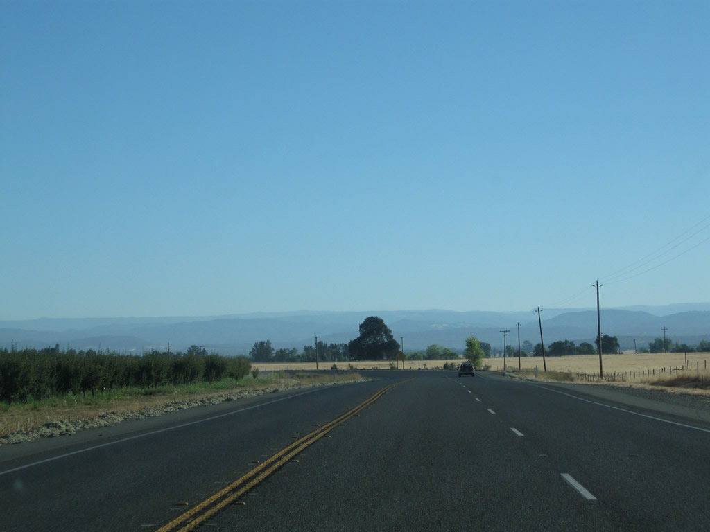
California 70 offers views of the surrounding Sierra Nevada foothills south of Oroville. Photos taken 09/04/10. |
|
|
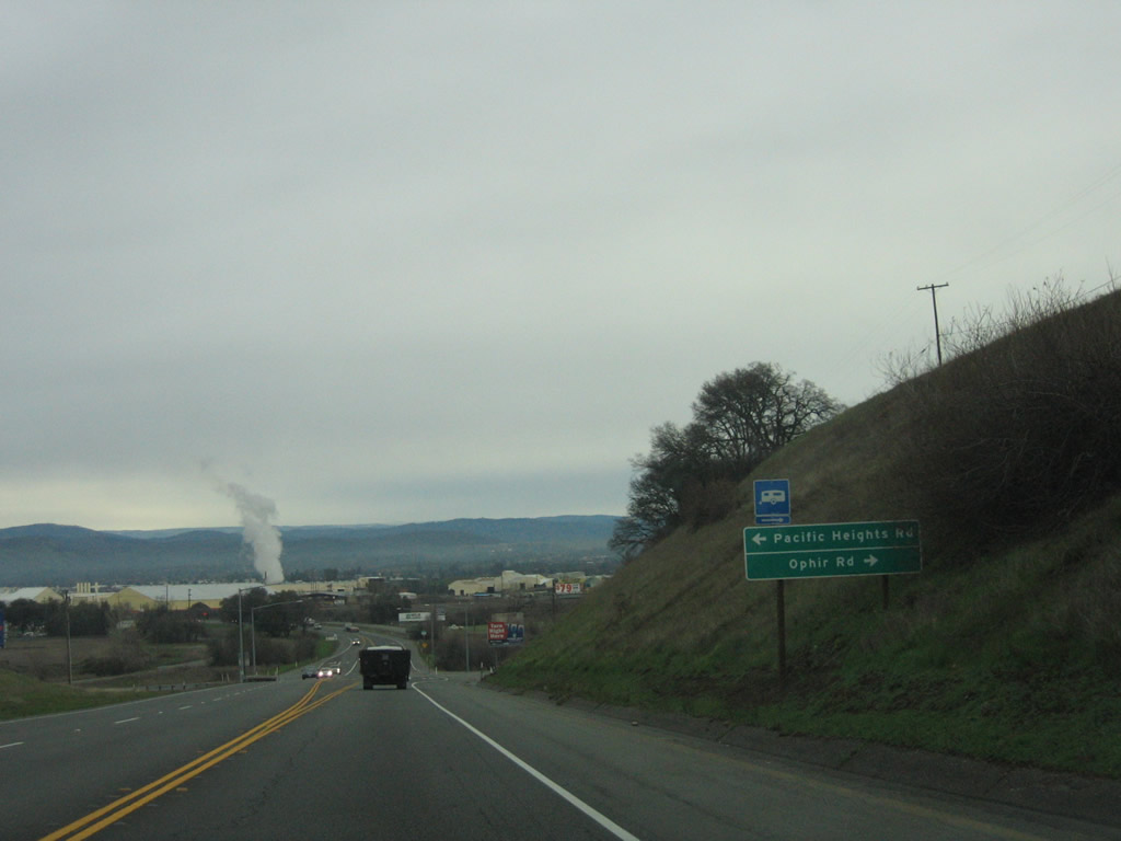
Nearing the city of Oroville, SR 70 (Oroville Highway) approaches Pacific Heights and Ophir Roads. By 2010, a traffic signal had been installed at this intersection. Photos taken 01/15/06. |
|
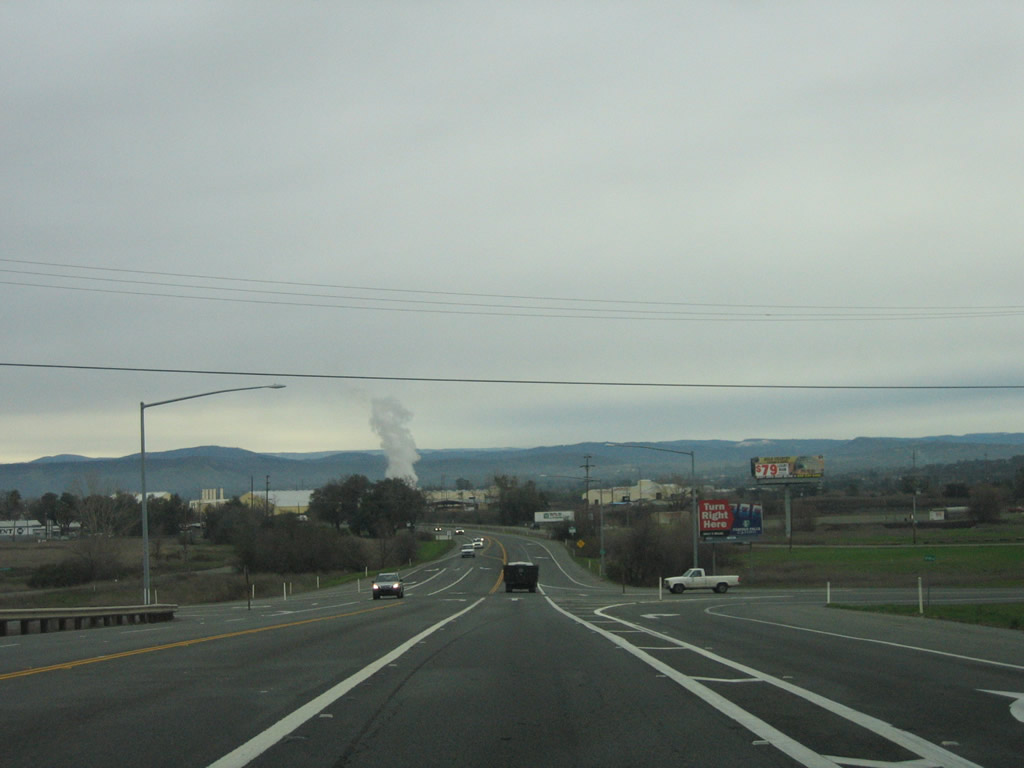
California 70 was being widened to four lanes between Pacific Heights Road and the beginning of the freeway segment in southern Oroville. Photo taken 01/15/06. |
|
|
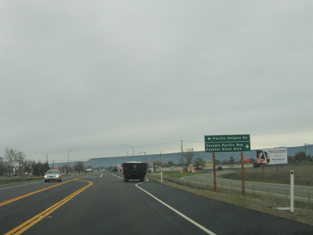
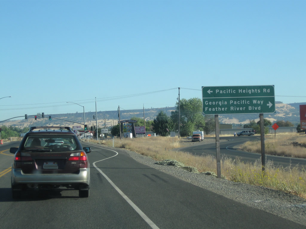
Northbound California 70 (Oroville Highway) next approaches Pacific Heights Road, Georgia Pacific Way and Feather River Boulevard. A traffic signal was installed here by 2010. Photos taken 01/15/06 and 09/04/10. |
|
|
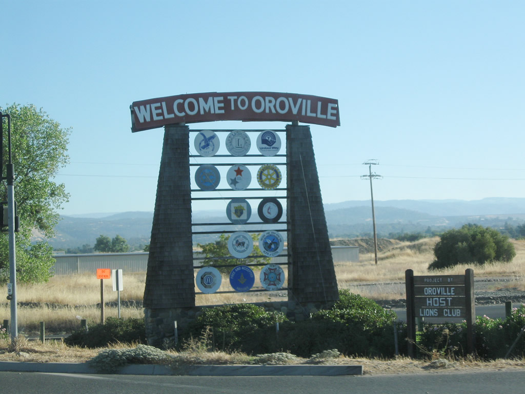
At the Pacific Heights Road and Georgia Pacific Way / Feather River Boulevard intersection, California 70 enters the city of Oroville, the seat of Butte County. Incorporated January 3, 1906, as a charter city, Oroville had a population of 15,506 as of the 2010 Census. Photos taken 01/15/06 and 09/04/10. |
|
A California 70 north reassurance shield is posted as California 70 achieves freeway status once again. Photo taken 01/15/06. |
|
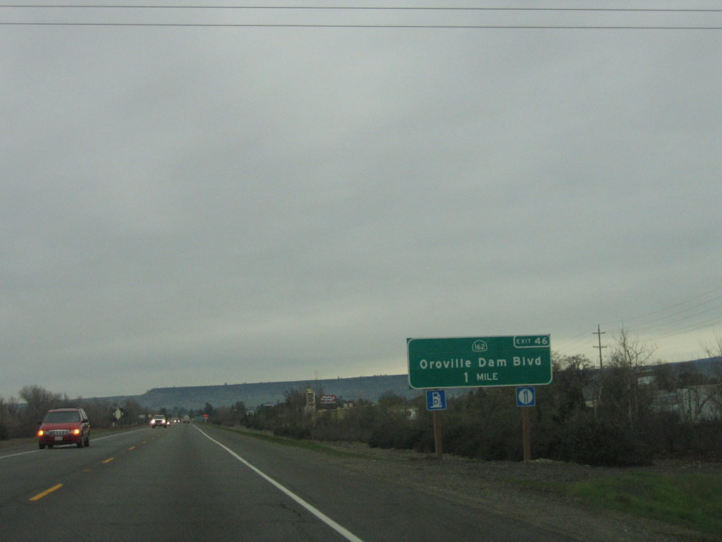
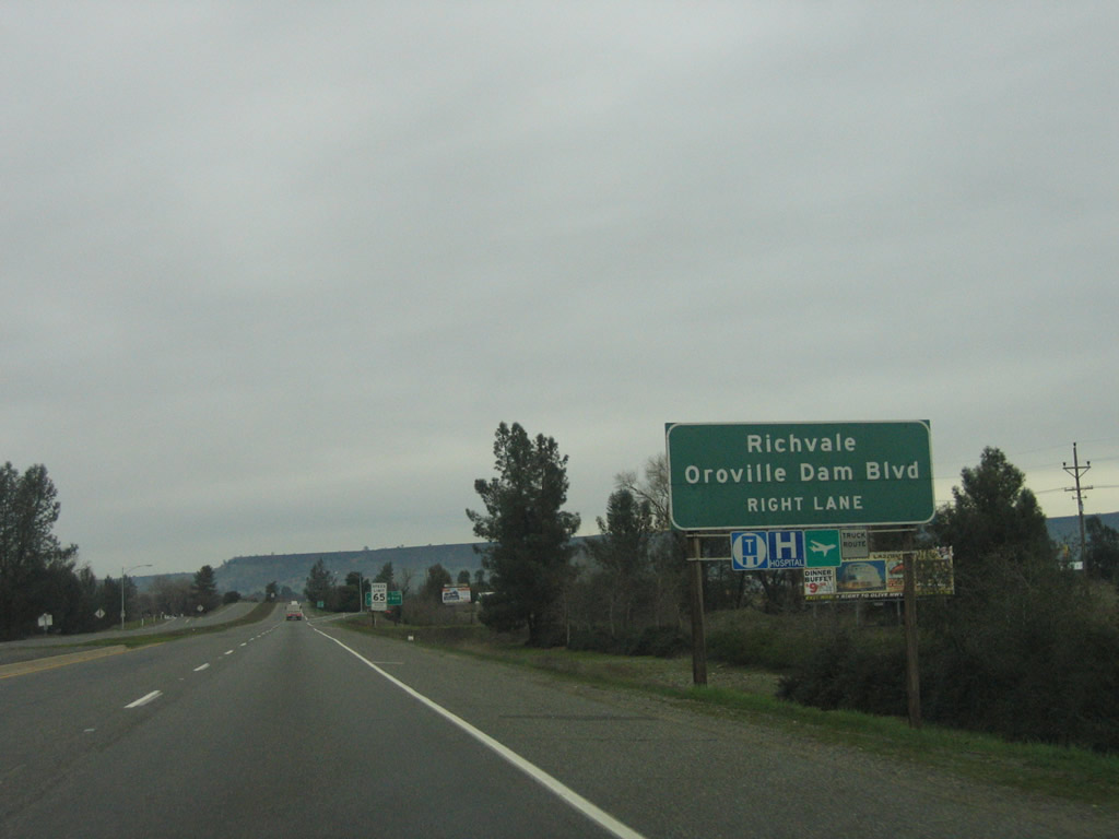
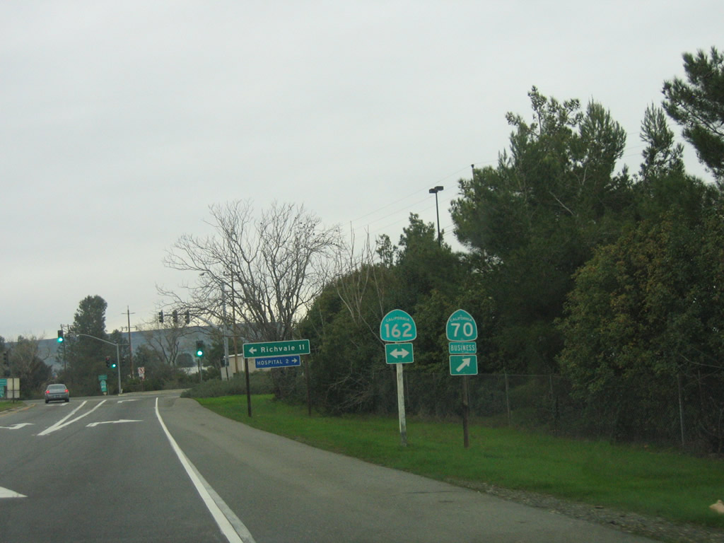
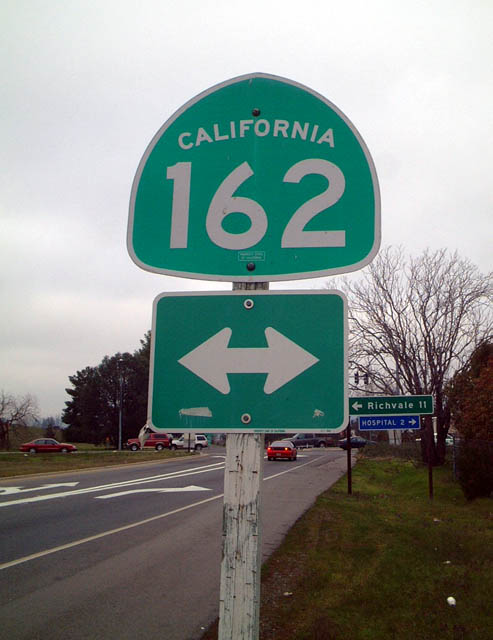
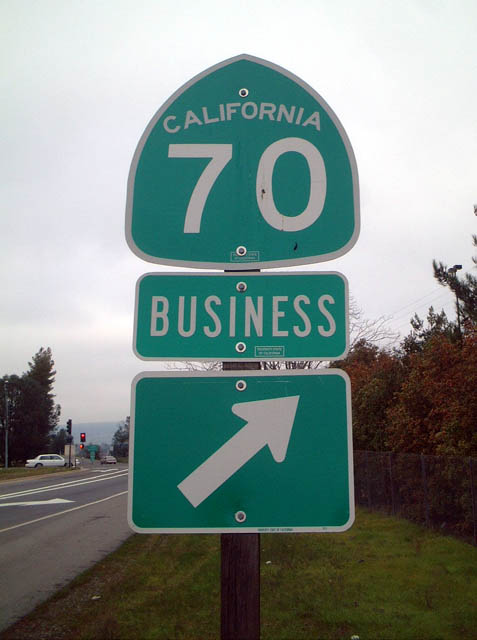
The first exit on this nascent freeway alignment of California 70 is Exit 46, California 162 (Oroville Dam Boulevard) and California 70 Business north to downtown Oroville. Photo taken 01/15/06. |
|
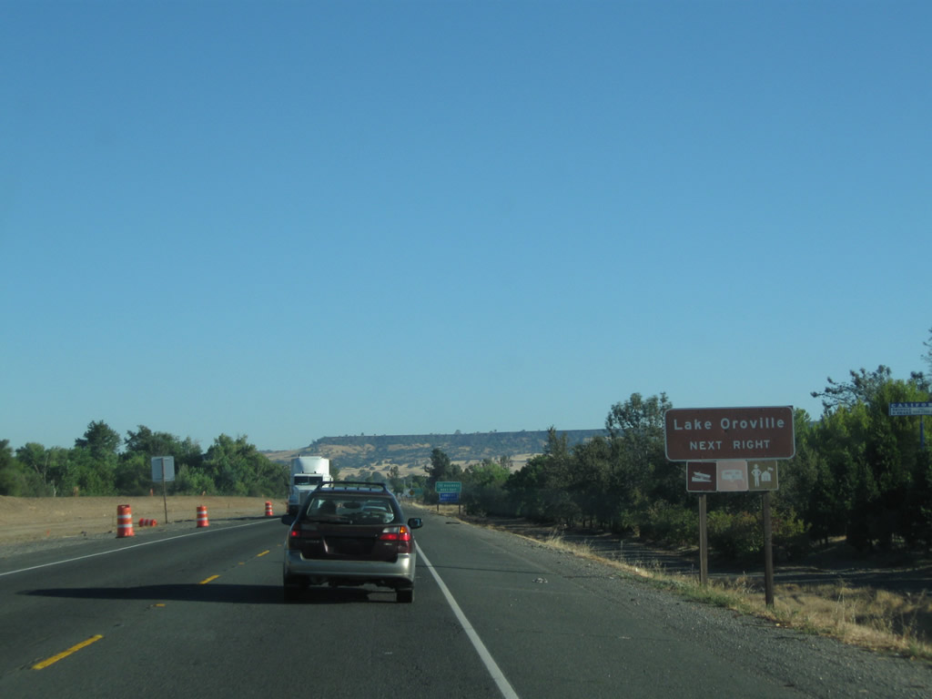
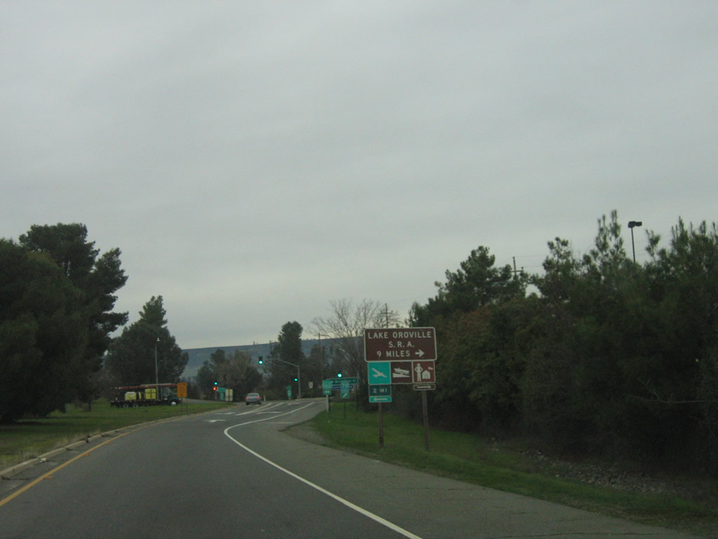
To Lake Oroville State Recreation Area, follow California 162 east. Photo taken 01/15/06. |
|
A portion of the old alignment of California 70 (old U.S. 40 Alternate and California 24) through Oroville is a designated business route. To California 70 Business, take Exit 46 and follow California 162 (Oroville Dam Boulevard) east, then turn north on Myers Street into downtown. California 70 Business returns to California 70 at Exit 48 (via Nelson Avenue). Photo taken 09/04/10. |
|
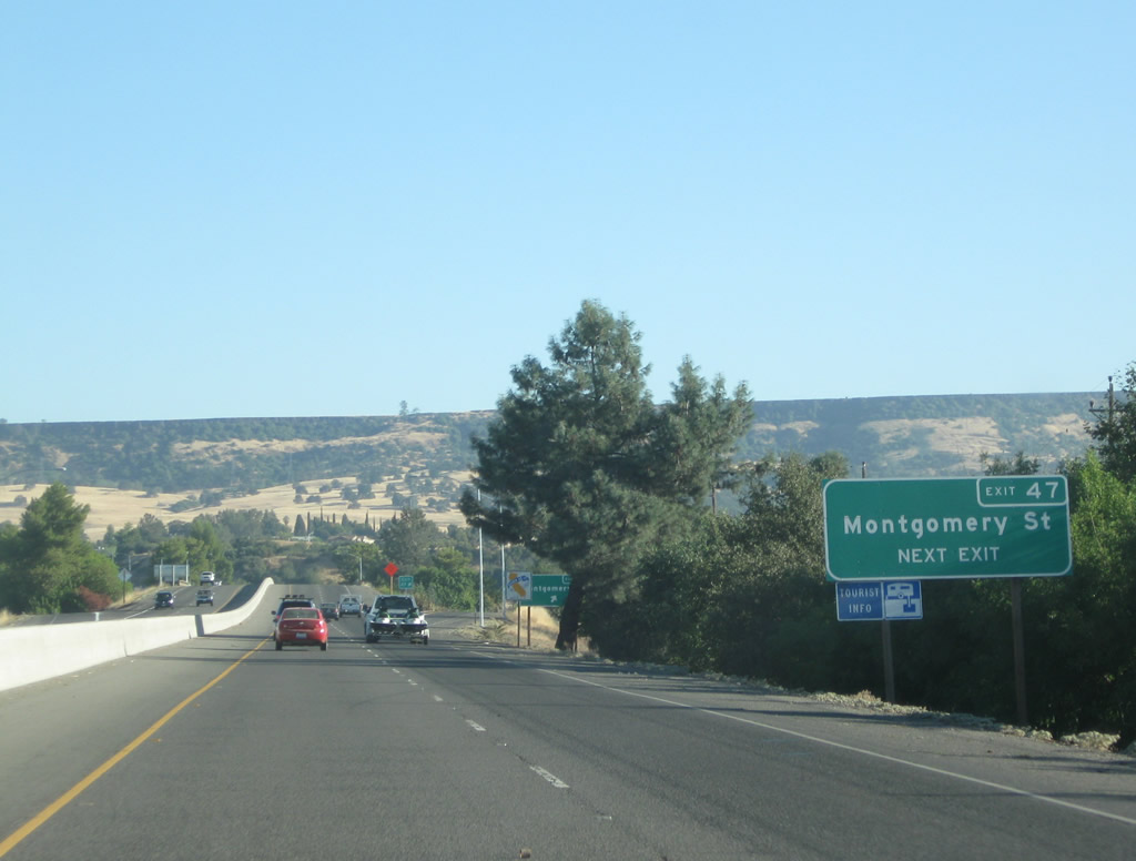
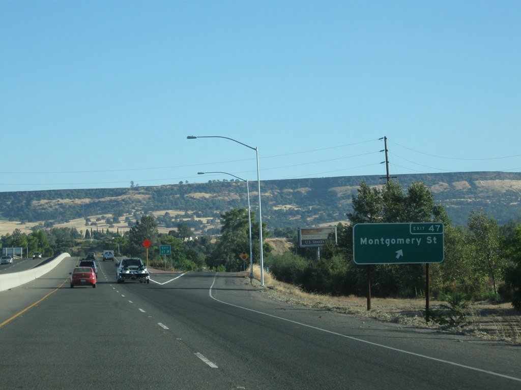
The next three exits along northbound California 70 all serve the city of Oroville: Exit 46, California 70 Business and California 162 (Oroville Dam Boulevard); Exit 47, Montgomery Street; and Exit 48, Grand Avenue to California 70 Business (Nelson Avenue). Photo taken 01/15/06. |
|
California 162 is an east-west state route that extends across the Sacramento Valley. An orphaned segment extends from U.S. 101 to Covelo and Long Valley. The Central Valley segment originates near Alder Springs in the Coast Range foothills and extends through Willows en route to Oroville. Through Oroville, California 162 follows Oroville Dam Boulevard before turning onto Olive Highway east of here. The state route ends at Foreman Creek Road in the Lake Oroville State Recreation Area. Photo taken 01/15/06. |
|
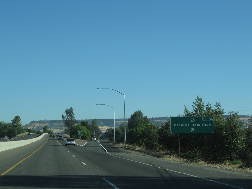
Northbound California 70 meets Exit 46, California 162 (Oroville Dam Boulevard) east to Oroville and west to Willows and California 70 Business north to downtown Oroville. Photo taken 09/04/10. |
|
Upon exiting, this sign advises motorists en route to Lake Oroville State Recreation Area to turn right onto California 70 Business and California 162 east. Photo taken 01/15/06. |
|
The next exit along California 70 north is Exit 47, Butte County B-2 (Montgomery Street) east to historic downtown Oroville. B-2 is mostly if not entirely unsigned and probably is decommissioned, although some maps still show it. B-2 travels east on Montgomery Street through downtown Oroville (with a brief overlap with California 70 Business between Myers Street and Orange Avenue), then continues east via Orange Avenue, Oroville Dam Boulevard, and Canyon Drive, ending at California 162. Photo taken 09/04/10. |
|
As traffic merges onto California 70 north after the Oroville Dam Boulevard interchange, Exit 47 for Butte County B-2 (Montgomery Street) departs in a half mile. Photo taken 09/04/10. |
|
Northbound California 70 reaches Exit 47, Butte County B-2 (Montgomery Street) east to downtown Oroville. Table Mountain, a flat plateau, comes into view in the background. Photo taken 09/04/10. |
|
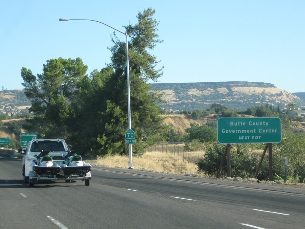
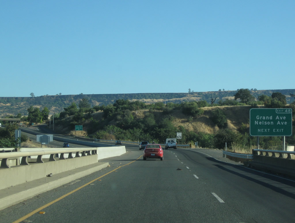
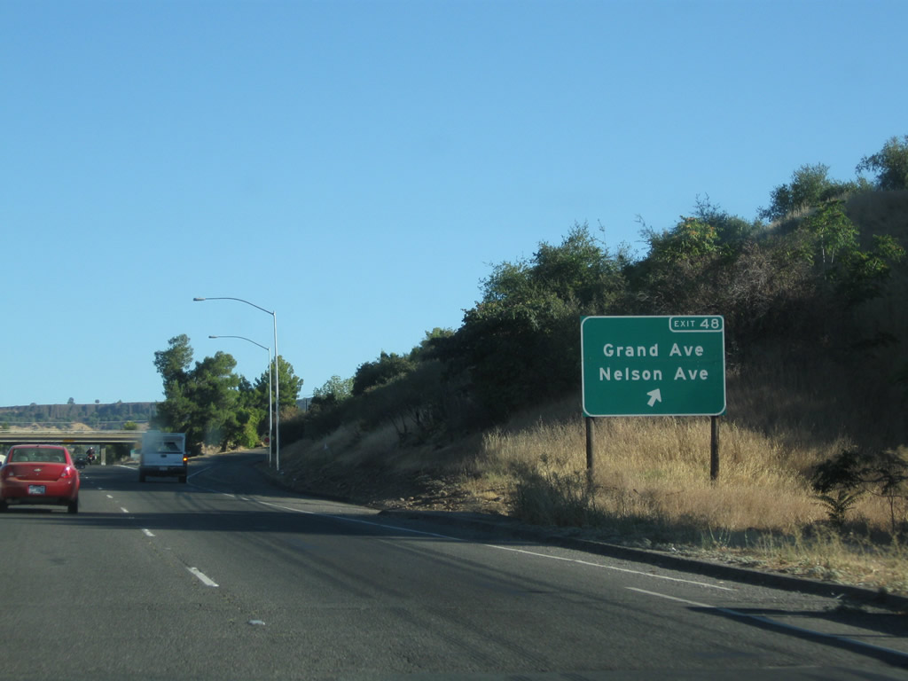
The next exit along California 70 north is Exit 48, Grand Avenue and Nelson Avenue (California 70 Business) to the Butte County Government Center. Photo taken 09/04/10. |
|
California 70 crosses over the Feather River and approaches Exit 48, Grand Avenue and Nelson Avenue (California 70 Business). Grand Avenue and Nelson Avenue parallel each other; they both travel east-west. The off-ramp for Exit 48 will connect directly to Grand Avenue; a frontage road (Third Street) travels a bit further north to connect to Nelson Avenue. This is the first of several Feather River crossings. Photo taken 09/04/10. |
|
Northbound California 70 reaches Exit 48, Grand Avenue and Nelson Avenue (California 70 Business). The business route extends east on Nelson Avenue to Table Mountain Boulevard, then turns south into downtown. Photo taken 09/04/10. |
|
California 70 passes under Grand Avenue. Much of this segment of freeway was built in 1963. Photo taken 09/04/10. |
|
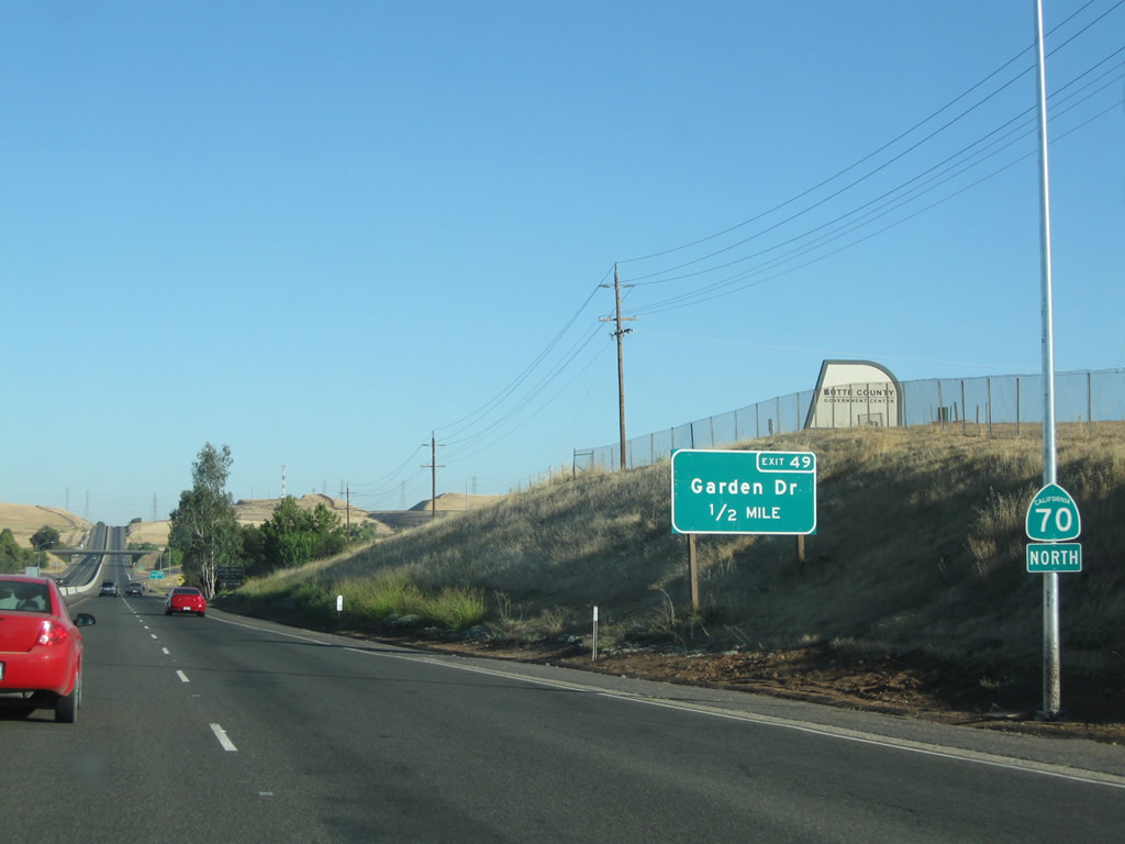
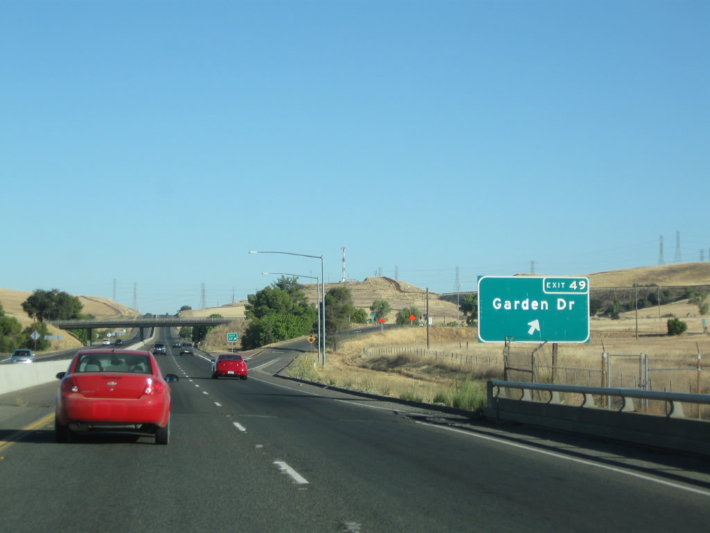
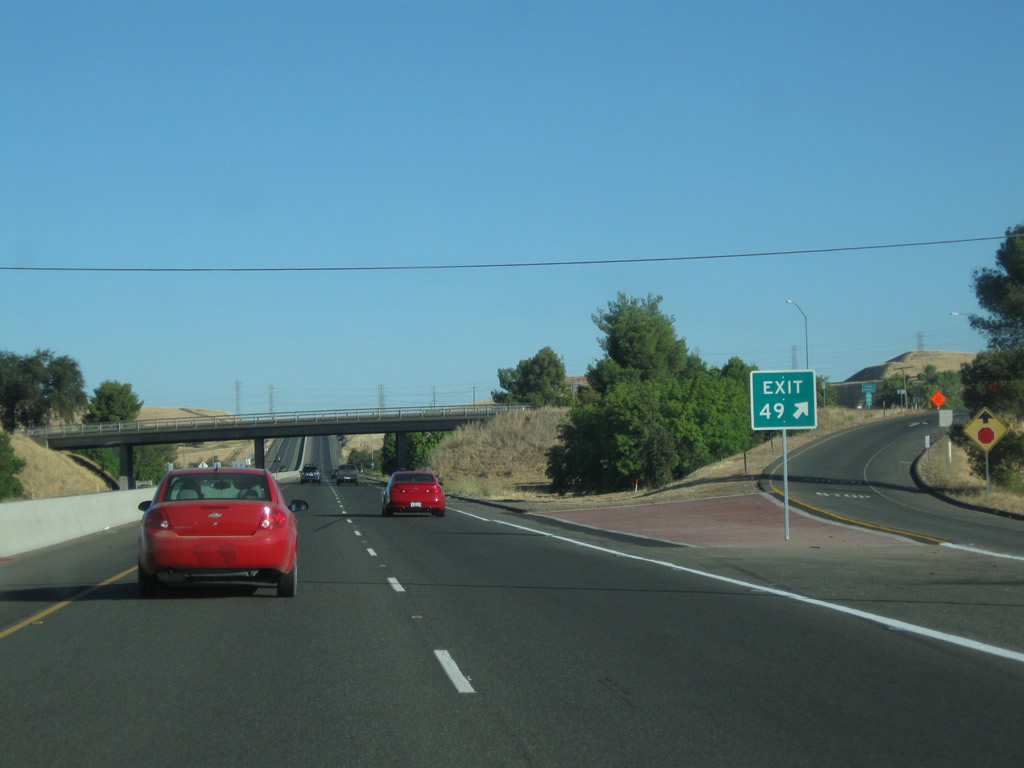
The next exit along California 70 north is Exit 49, Garden Drive (0.50 mile). Photo taken 09/04/10. |
|
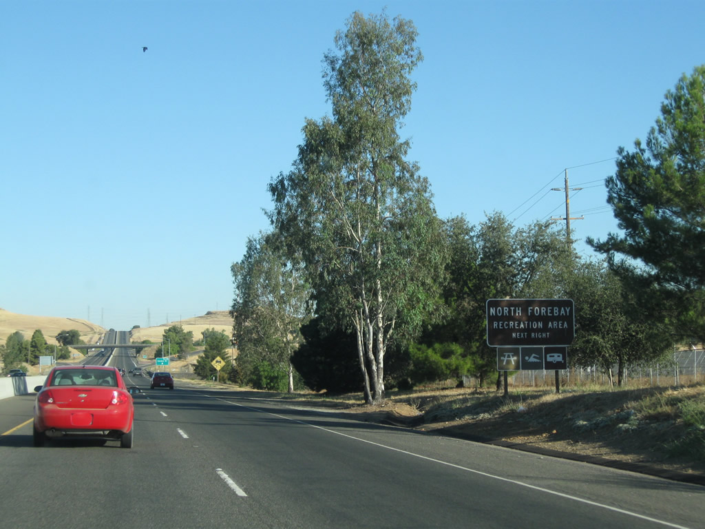
Use Exit 49 (Garden Drive) to the North Forebay Recreation Area (part of the Lake Oroville complex). Photo taken 09/04/10. |
|
Northbound California 70 meets Exit 49, Garden Drive. To Table Mountain Boulevard (old U.S. 40 Alternate), take Garden Drive east. Table Mountain Boulevard rejoins California 70 at the California 191 intersection after the California 149 (Wicks Corner) interchange (Exit 53). Photo taken 09/04/10. |
|
The Garden Drive interchange is a standard diamond. Upon exiting, turn left for the Thermalito Forebay North Picnic Area. Photo taken 09/04/10. |
|
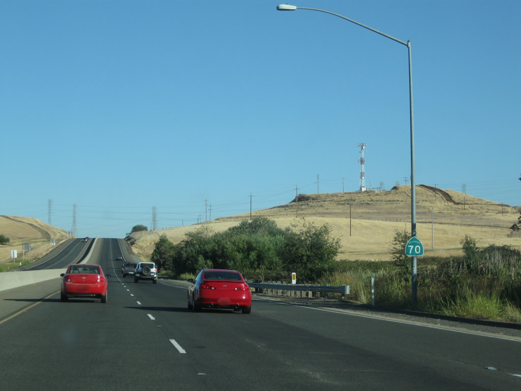
A California 70 north reassurance shield is posted after the on-ramp from Garden Drive. The next interchange is four miles ahead, at the split with California 149. Photo taken 09/04/10. |
|
|
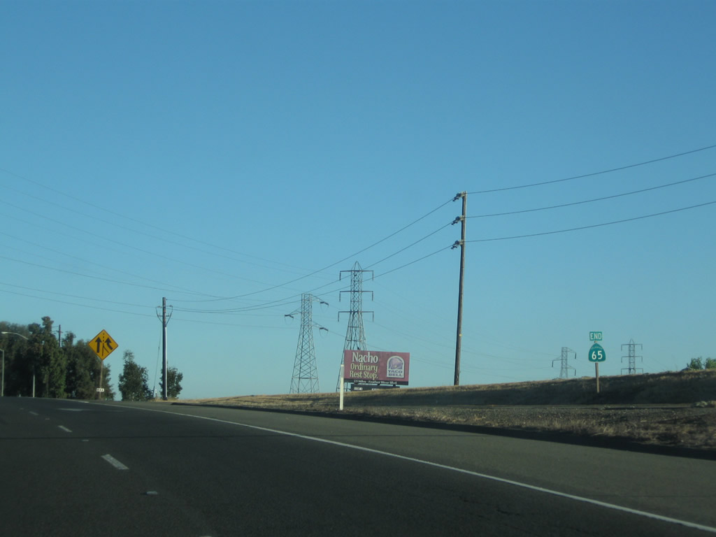
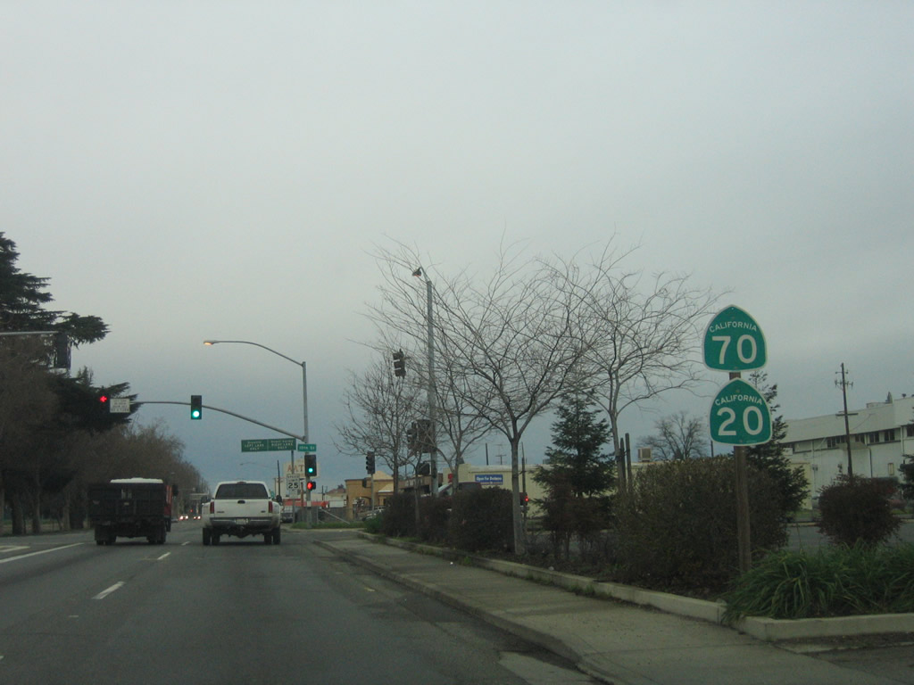
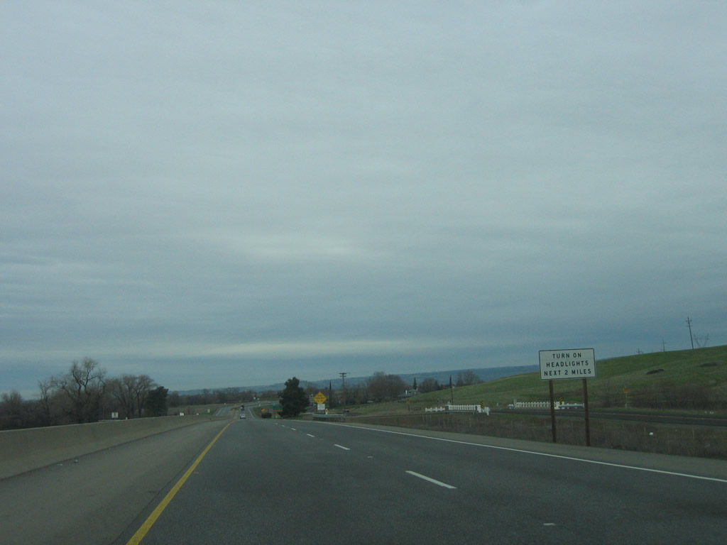
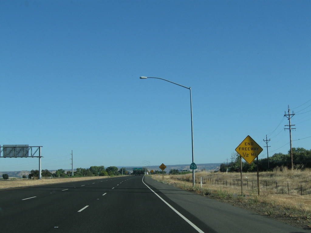
This mileage sign along California 70 north provides the distance to Quincy (75 miles) and U.S. 395 (131 miles). Note that the mileage to U.S. 395 was corrected by 2010. Photos taken 09/04/10 and 01/15/06. |
|
|
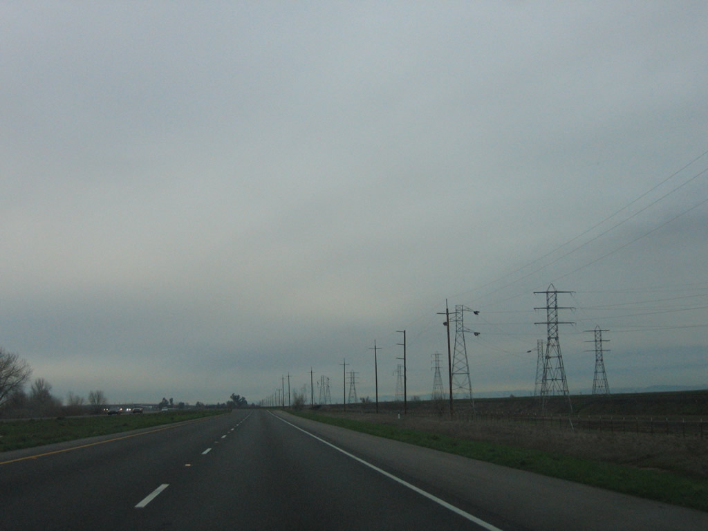
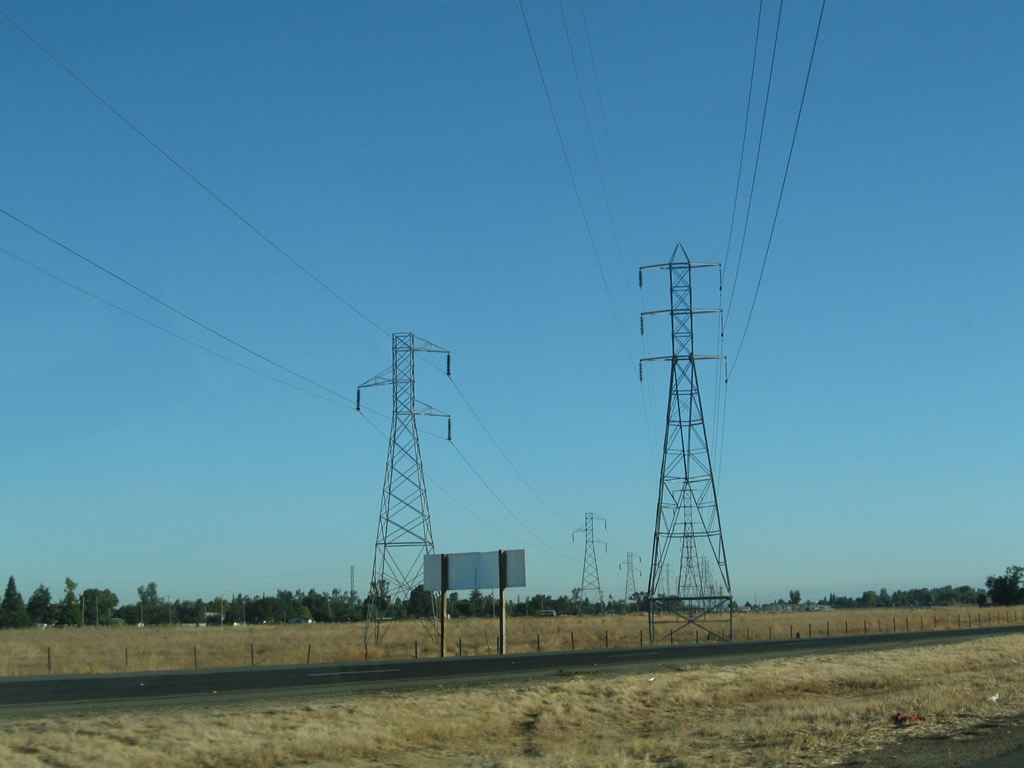
A set of Pacific Gas & Electric power lines (of varying voltage, mostly 138kV and 230kV) crosses California 70. These lines carry hydroelectric power generated by Oroville Dam to the power grid. A large power substation west of here links these lines to the 500kV powerlines that span all of California from north to south (including Path 15). Photos taken 09/04/10. |
|
California 70 passes under Cottonwood Road, an east-west road that links Table Mountain Boulevard (frontage road on east side of California 70) with California 99 west of here. Photo taken 09/04/10. |
|
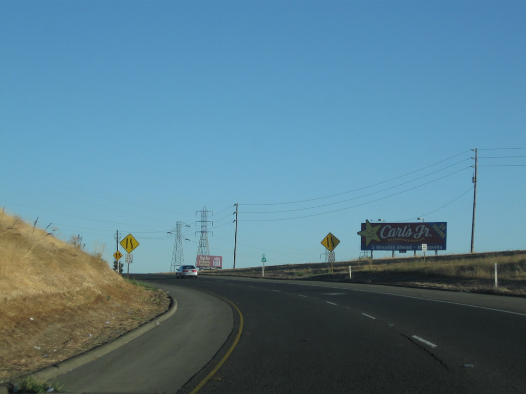
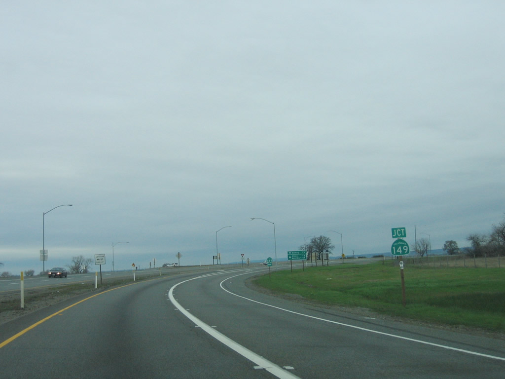
The next interchange along California 70 north is Exit 53, California 149 north to California 99, Chico, and Red Bluff. This major junction was upgraded from an at-grade intersection in 2008 with flyover ramps. California 149 was also converted from a two-lane rural highway into a four-lane expressway with interchanges at either end. Photo taken 09/04/10. |
|
|
This view shows an old bridge (note white, wooden railing) on Table Mountain Boulevard, which is the old alignment of U.S. 40 Alternate and California 24. Compare this to the 2006 picture, which shows signage in place for the safety corridor and daytime light section for the Wicks Corner area before the California 149 interchange was built. Photos taken 09/04/10 and 01/15/06. |
|
|
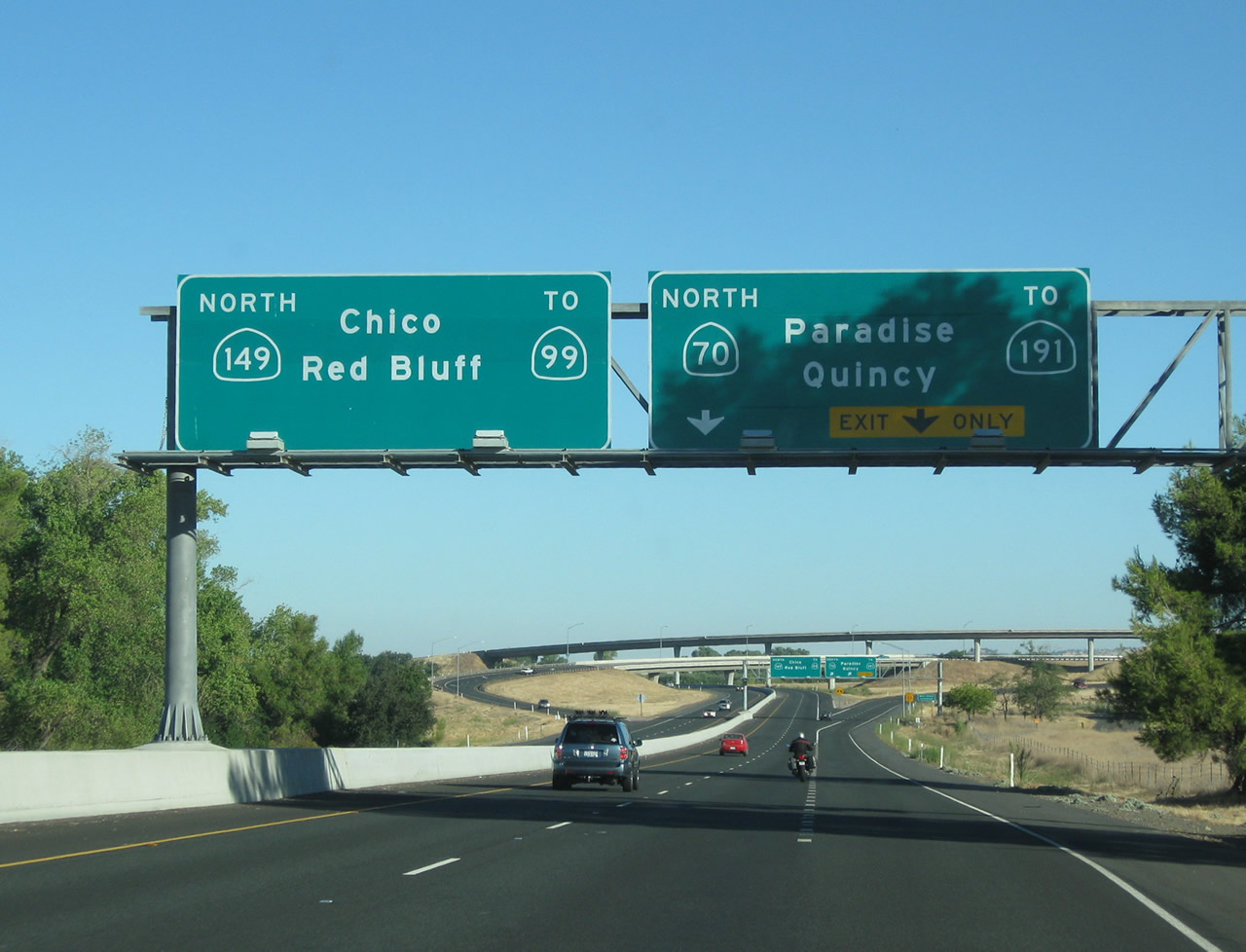
California 70 widens to three lanes as we approach Exit 53, California 149 north to California 99. This major exit takes through traffic en route to Red Bluff and Redding to northbound California 99 and ultimately Interstate 5. Motorists en route to the Feather River Canyon and Paradise (via California 191) should stay right to continue on northbound California 70. This interchange was revised to a freeway-to-freeway format in 2008. Photos taken 09/04/10 and 01/15/06. |
|
|
California 70 and California 149 split at Exit 53, which is locally known as the Wicks Corner Interchange. The left two lanes connect to California 149 north, which will travel about five miles until merging with California 99 southeast of Chico. Use California 149 and California 99 north to Chico, Red Bluff, Redding, and points north via Interstate 5 and U.S. 97. The right two lanes continue on California 70, although the cardinal direction will change from north to east. California 70 will make the directional change after the California 191 intersection, which is northeast of here. Photo taken 09/04/10. |
|
|
|
|
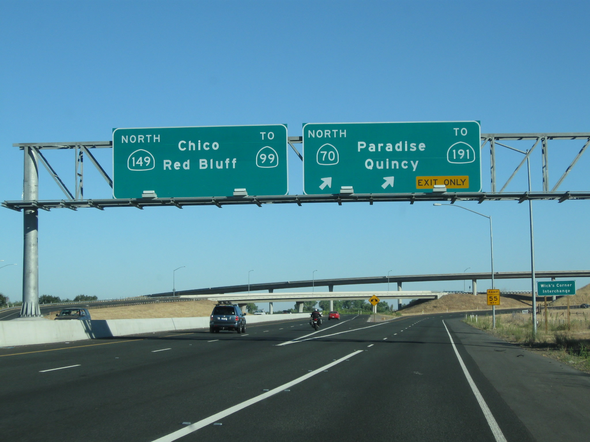
| Back in 2006, the massive flyover ramps and high-speed Wicks Corner Interchange did not exist. In the old configuration, traffic bound for California 149 north to California 99 used the left lane, and through traffic on California 70 stayed in the right lane. There was no grade separation, so long lines of vehicles would have to wait to make this left turn onto California 149 north. All of this changed, of course, with the completion of this interchange in 2008. Photos taken 01/15/06. |
|
|
|
|
| This series of pictures follows California 70 north through the Wicks Corner Interchange. The highway retains two lanes all the way through, and traffic from California 149 merges onto California 70 north from the left. Photos taken 09/04/10. |
|
After the Wicks Corner Interchange, the California 70 freeway will end, and the highway will revert to a two-lane rural highway after the California 191 intersection. Photo taken 09/04/10. |
Page Updated January 19, 2012.