
State Route 1 North - Fenwick Island to Argo Corners

 North
North
MD 528 (Coastal Highway) approaches SR 54 (Lighthouse Road) west. Although not acknowledged on Coastal Highway, SR 54 overlaps with SR 20 four miles west to Zion Church Road.
01/16/17
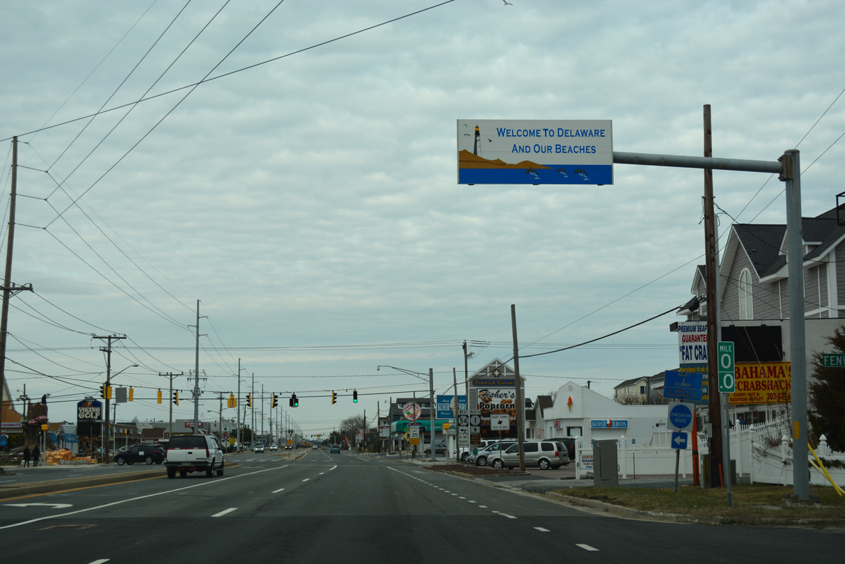
A welcome overhead at Fenwick Avenue marks the transition of MD 528 into SR 1 north.
01/16/17
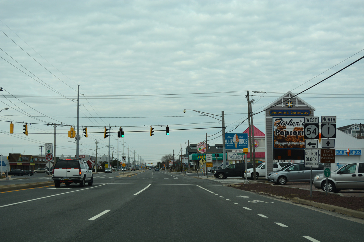
One block removed from the state line, SR 1 (Coastal Highway) intersects the east end of SR 20/54 (Lighthouse Road). Lighthouse Road leads SR 54 west to Selbyville as part of its multi-state route with MD 54 west to Gumboro, Delmar and Mardela Springs, Maryland.
01/16/17
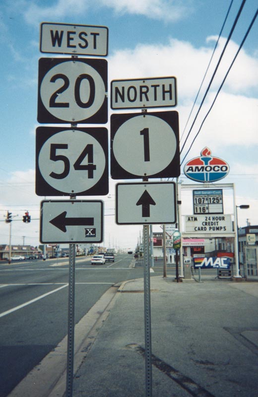
SR 20 was extended southeast from Millsboro to Dagsboro and Fenwick Island in 1991 to provide an additional signed route for beach traffic. The state route is no longer posted on Fenwick Island.
September 1999
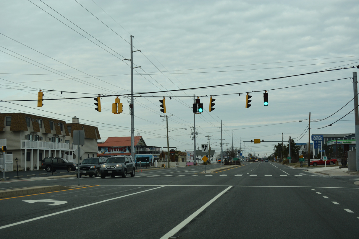
SR 1 (Coastal Highway) continues north six blocks to South Carolina Avenue.
01/16/17
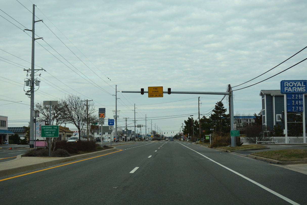
Travelers heading north along Coastal Highway formally enter the town of Fenwick Island at Atlantic Street.
01/16/17
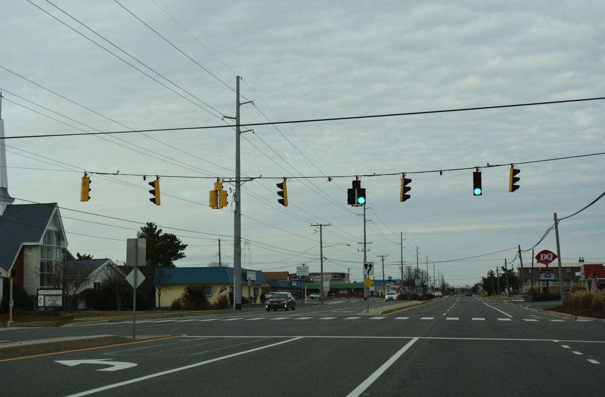
Dagsboro Street stems west from parallel Bunting Avenue to residential areas off Lighthouse Cove and south of Old Inlet Point.
01/16/17
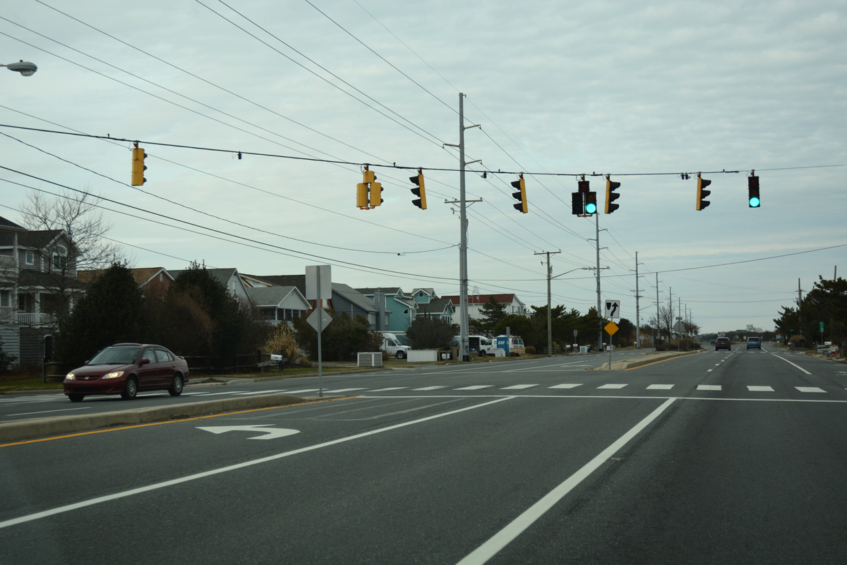
James Street is the last traffic light on SR 1 north in Fenwick Island.
01/16/17
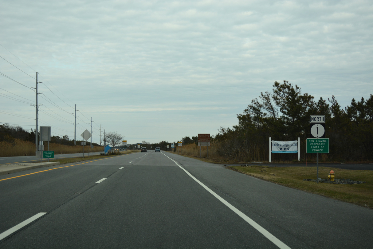
Leaving the town of Fenwick Island, SR 1 (Coastal Highway) enters Fenwick Island State Park.
01/16/17
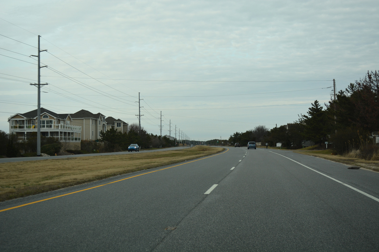
Speed limits along SR 1 increase to 55 miles per hour through Fenwick Island State Park.
01/16/17
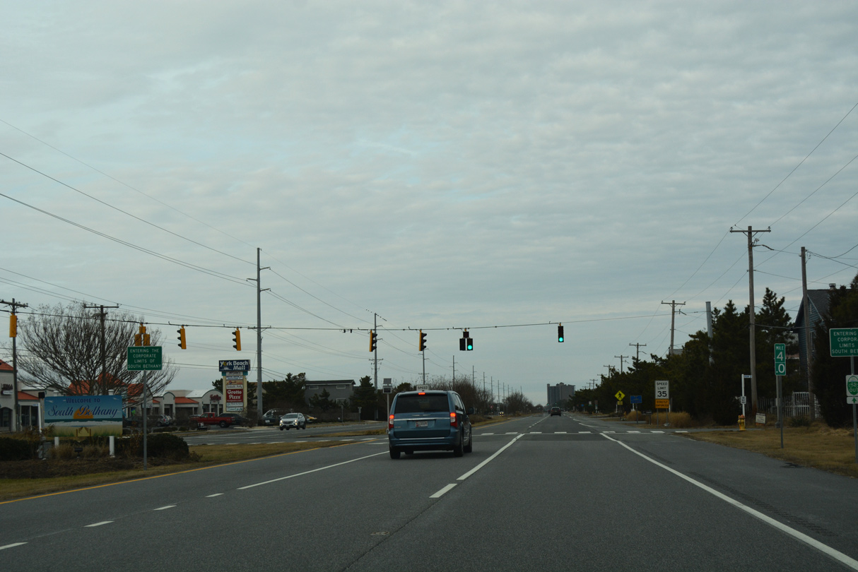
Motorists along SR 1 north next enter the town of South Bethany at York Road west and Logan Street east.
01/16/17
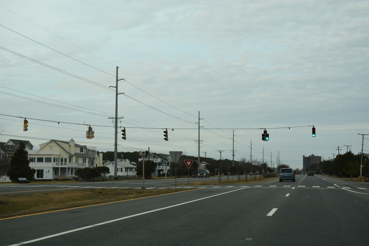
Northbound SR 1 (Coastal Highway) intersects Layton Drive at the succeeding traffic light.
01/16/17
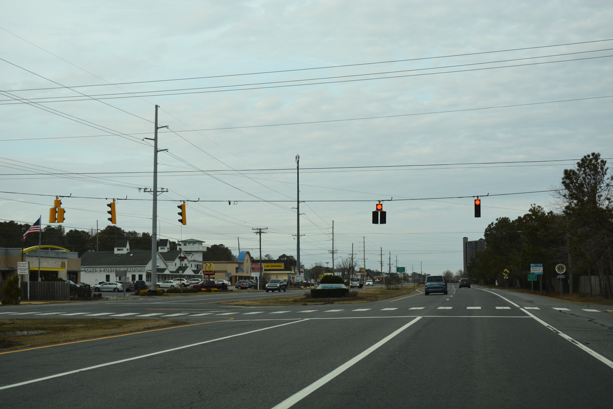
SR 1 leaves South Bethany Beach for unincorporated Middlesex Beach beyond the signal at Evergreen Road. Evergreen Road straddles the town line west to Richard Hall Memorial Park and Pine Street.
01/16/17
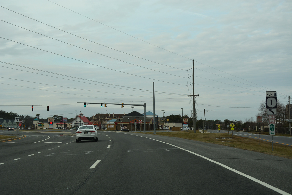
SR 1 shifts one block west onto a 1960s-bypass of Bethany Beach at Pennsylvania Avenue. Pennsylvania Avenue is the former alignment of SR 14.
01/16/17
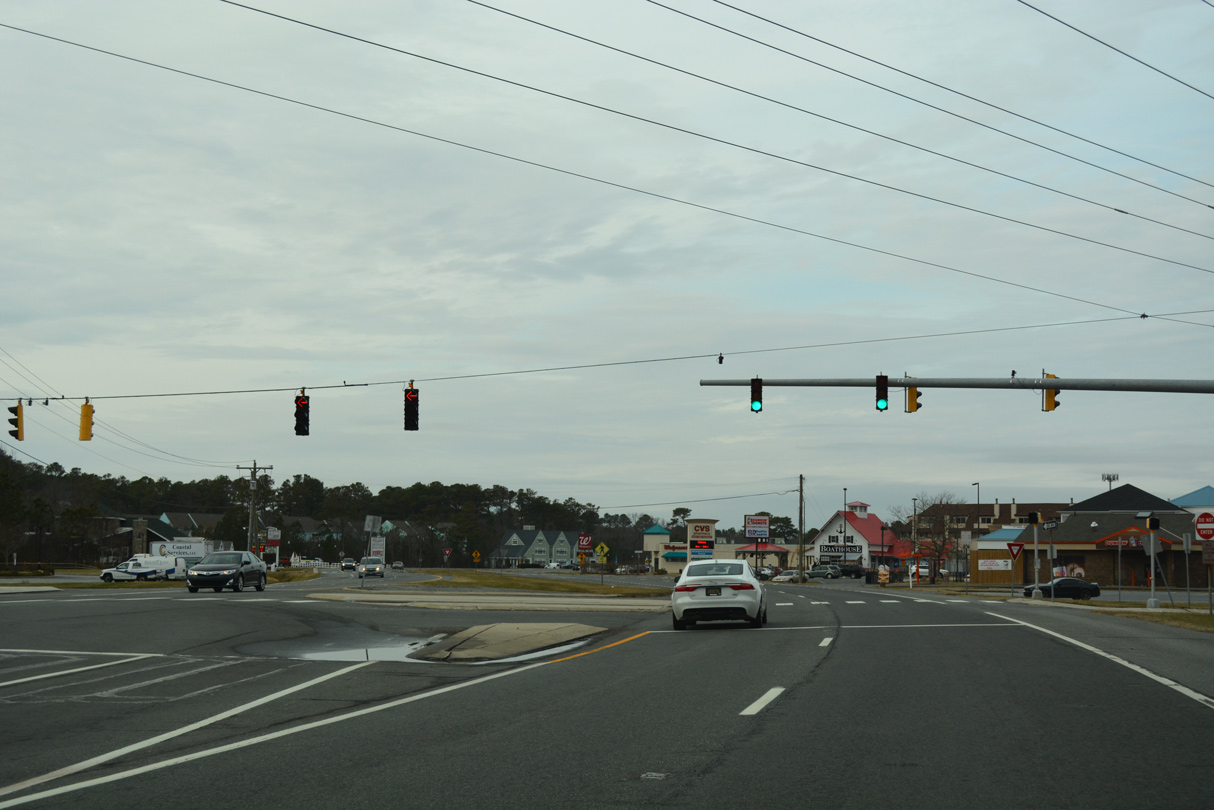
Westway Drive meanders west from SR 1 (Coastal Highway) at Pennsylvania Avenue to SR 54 Alt (Kent Avenue) and the Sea Colony community.
01/16/17
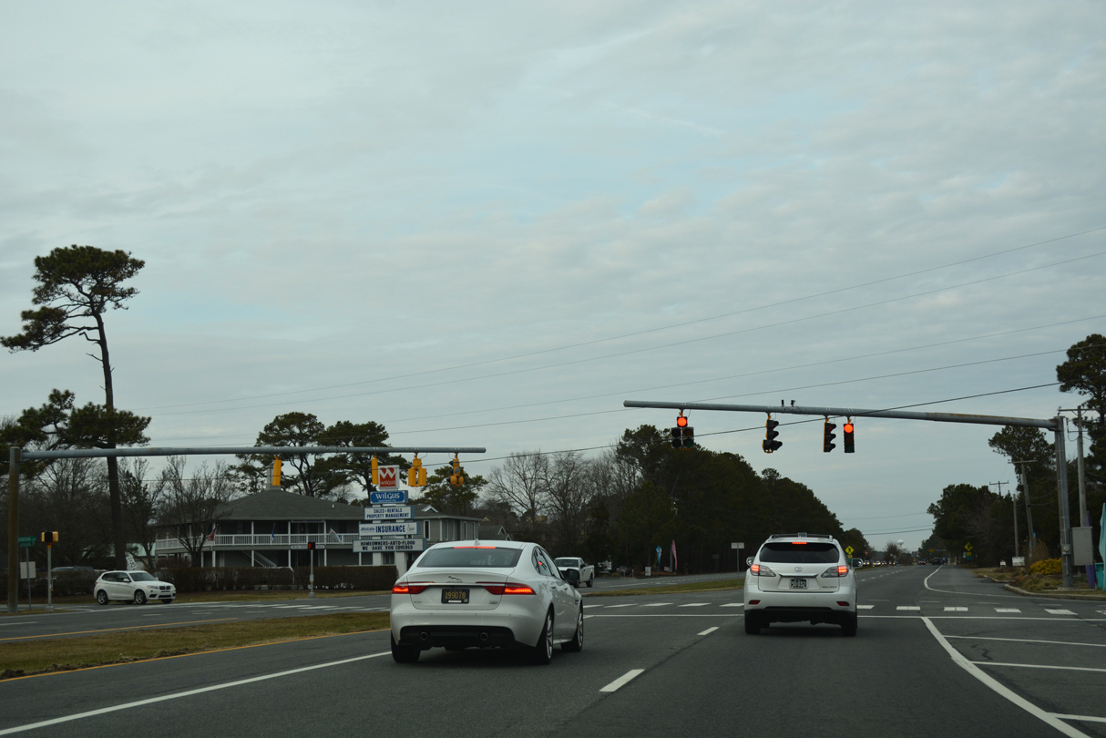
Jefferson Bridge Road follows along SR 1 north to link Coastal Highway east to Pennsylvania Avenue at the Sea Colony oceanfront condos and west to Kent Avenue.
01/16/17
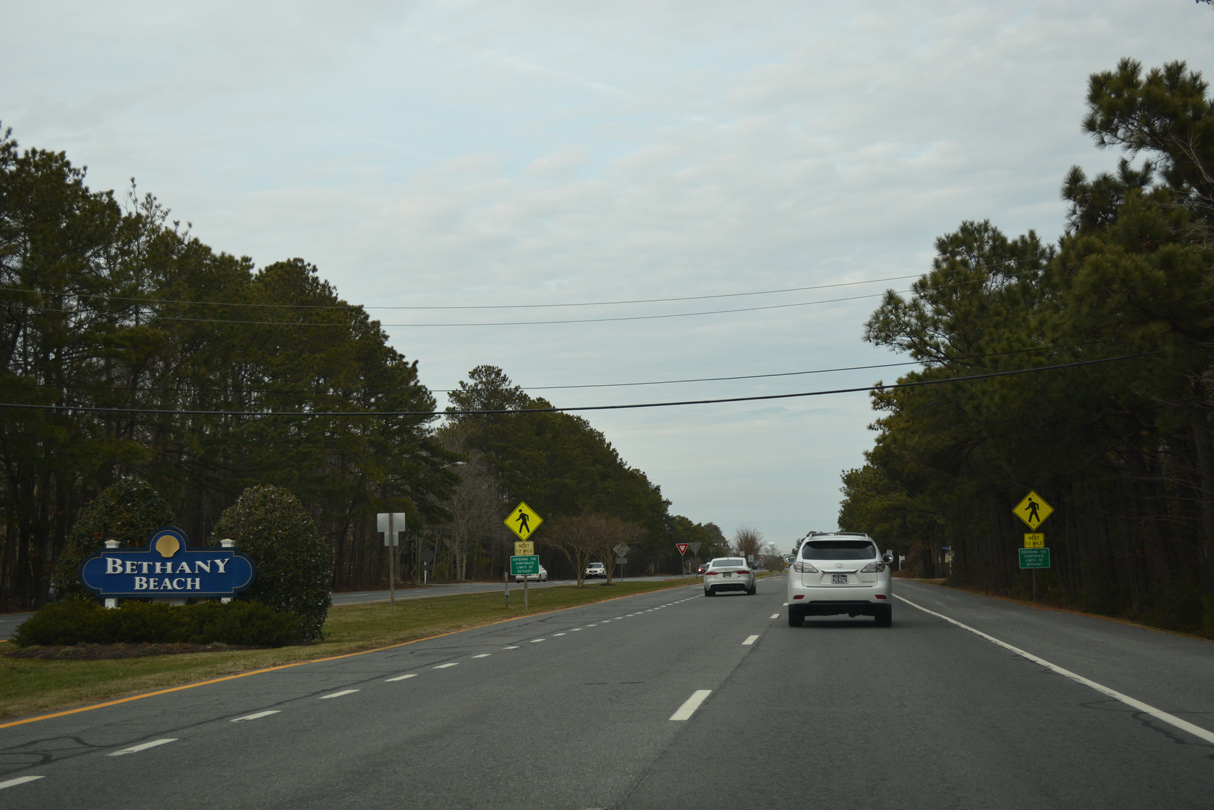
Coastal Highway enters the town of Bethany Beach just north of Jefferson Bridge Road.
01/16/17
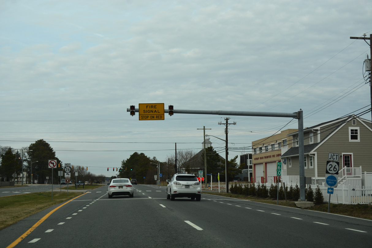
SR 26 (Garfield Parkway) connects Bethany Beach with interior Sussex County via Ocean View and Millview at the upcoming traffic light.
01/16/17
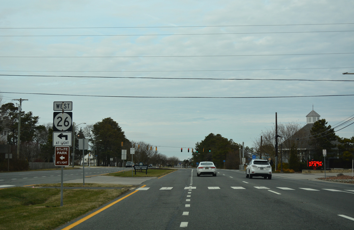
A 23.15 mile long route, SR 26 ends just east of SR 1 (Coastal Highway) at the beach. Westward, the state route meets U.S. 113 at Dagsboro and SR 30 north of Gumboro.
01/16/17
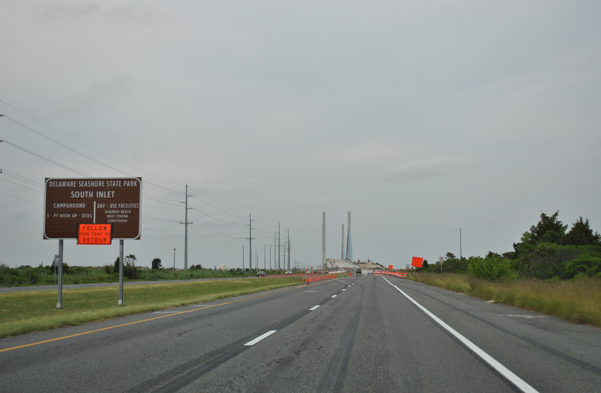
SR 1 (Coastal Highway) north at Delaware Seashore State Park and Indian River Inlet, a waterway linking Indian River Bay with the Atlantic Ocean.
06/18/12
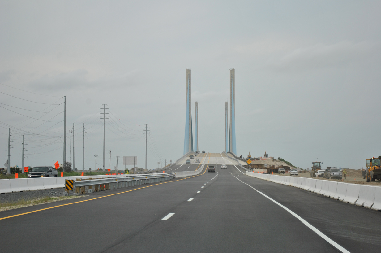
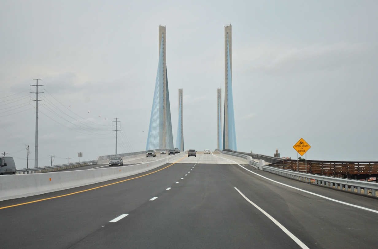
A cable-stayed bridge carries four lanes of SR 1 across Indian River Inlet. The span includes a 12 foot wide pedestrian walkway along the northbound roadway.
06/18/12
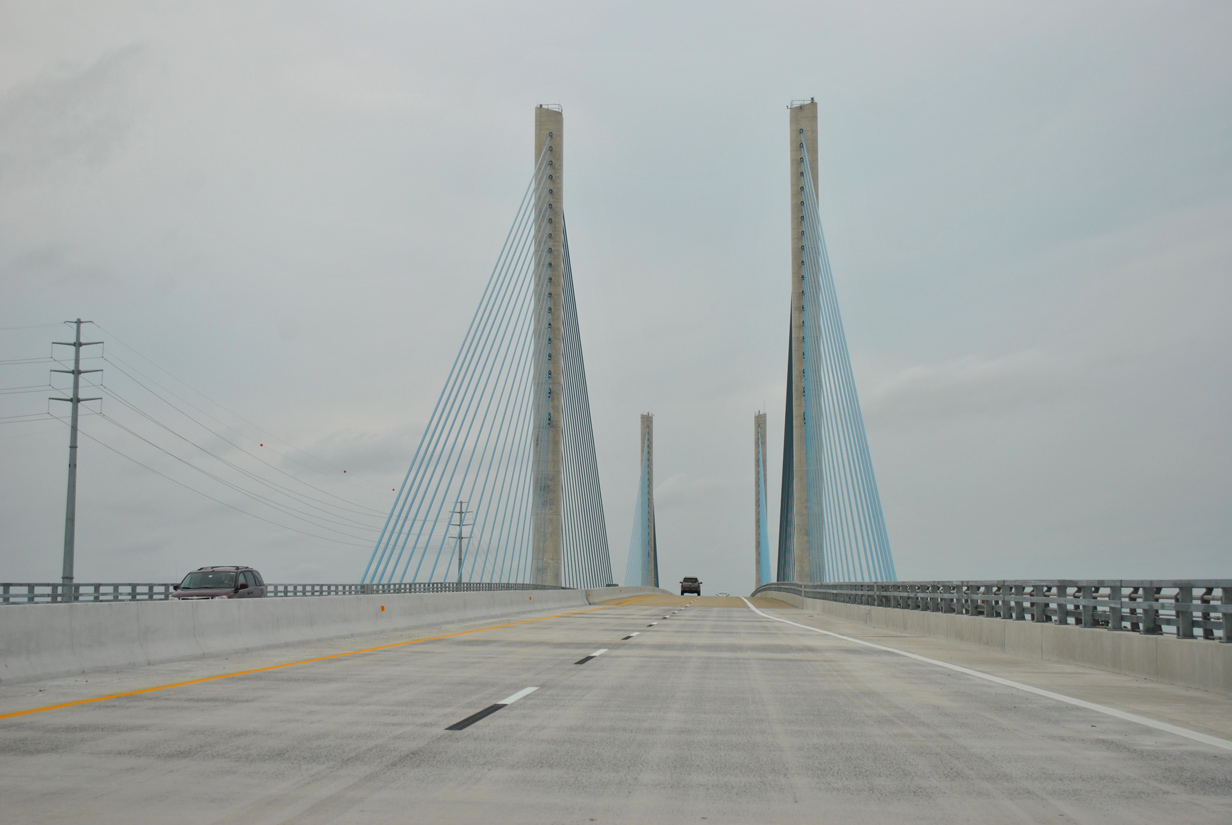
The Charles W. Cullen Bridge fully opened to traffic on May 6, 2012 after the southbound side opened to two-way traffic on January 20, 2012.1,2
06/18/12
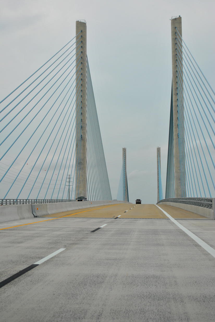
The new SR 1 bridge replaced a twin steel-girder bridge that reached its lifespan. The previous bridge included supports subjected to the extreme tidal currents of Indian River Inlet. Design of the new 2600-foot long bridge negated the need for supports in the waterway.1
06/18/12
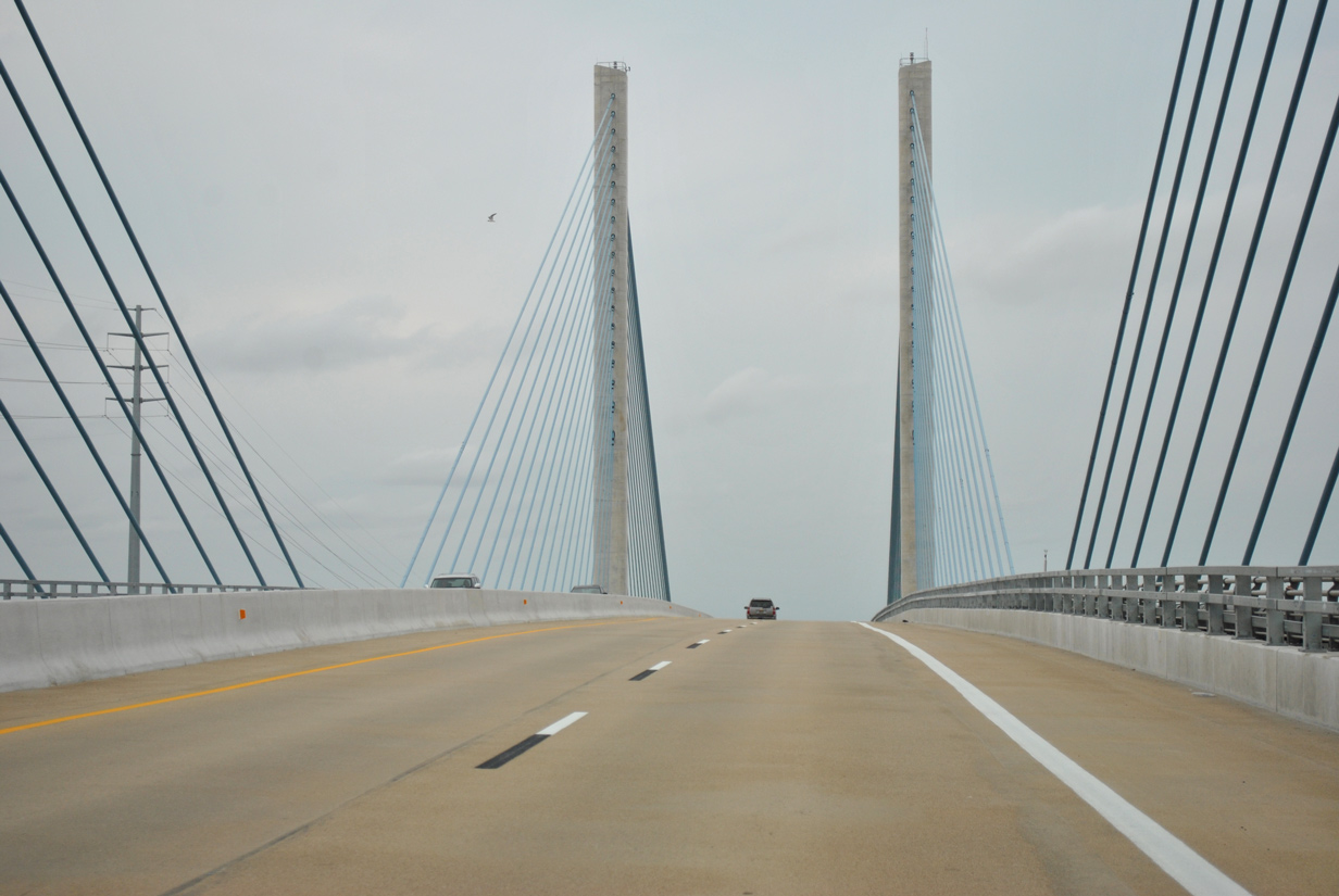
92 light fixtures illuminate the 248 foot high pylons supporting the Charles W. Cullen Bridge. Work on the span commenced in 2008 at a cost of $150 million.3
06/18/12
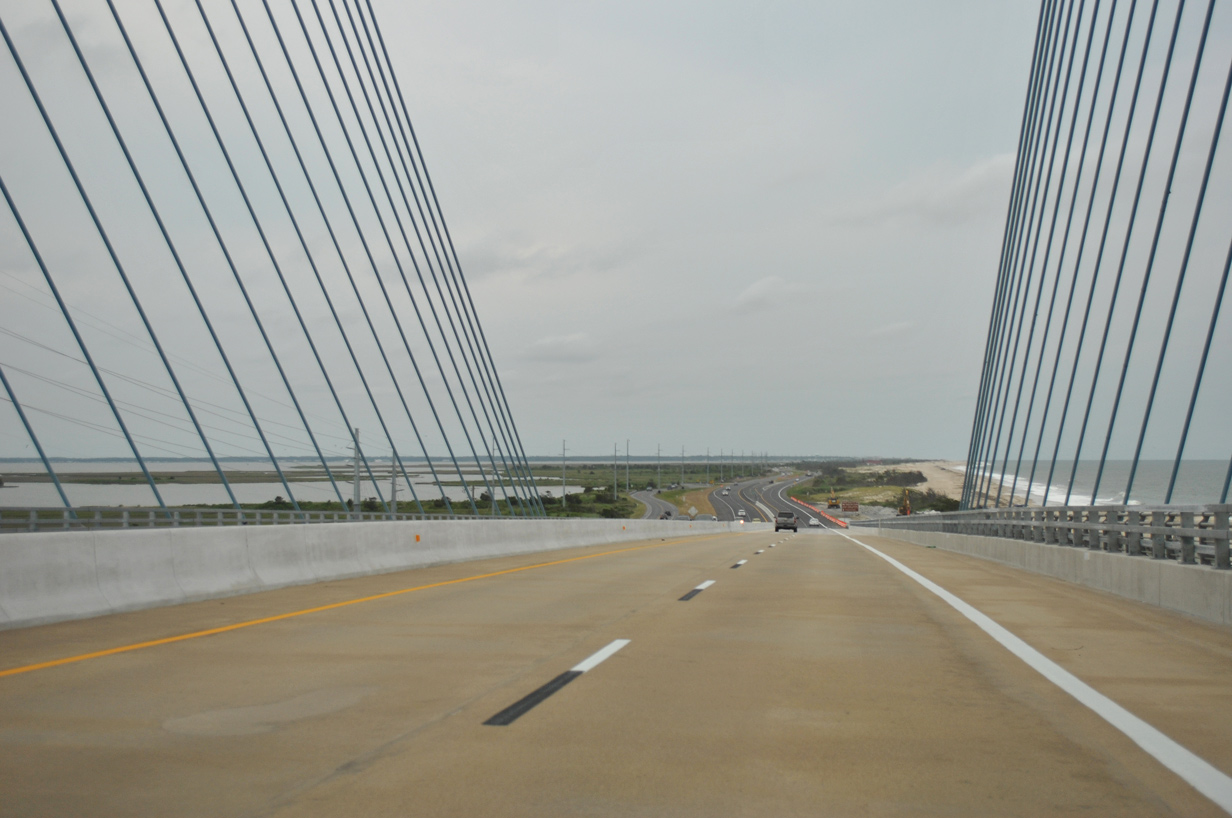
SR 1 lowers from the Charles W. Cullen Bridge onto a sandy strip of land between Bottom Hills Drain and the Atlantic Ocean.
06/18/12

Inlet Road ties into SR 1 just north of the Indian River Inlet bridge at the northern section of Delaware Seashore State Park. The road doubles back south and then west to Indian River Marina at Balders Pond while also serving a parking area just west of the bridge.
06/18/12
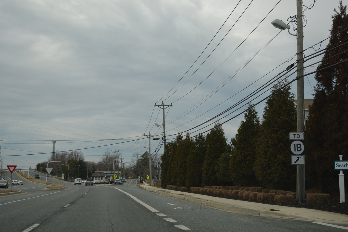
SR 1 (Coastal Highway) angles northwest from Dewey Beach along a 1940s-bypass of Rehoboth Beach. SR 1B provides a direct route to the Rehoboth Beach business district via State Road north.
01/16/17
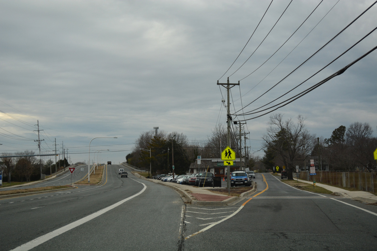
An off-ramp departs for SR 1B (State Road) north as SR 1 approaches the bridge across the Lewes and Rehoboth Canal. A left turn follows for Washington Street, which links SR 1 south with SR 1B (Roosevelt Street) north.
01/16/17
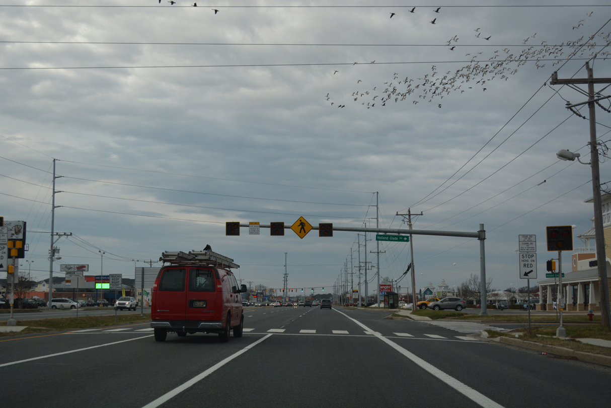
Advancing north of SR 1A (Rehoboth Boulevard), SR 1 intersects Holland Glade Road north to tracts of Cape Henlopen State Park and the Holland Glade subdivision.
01/16/17
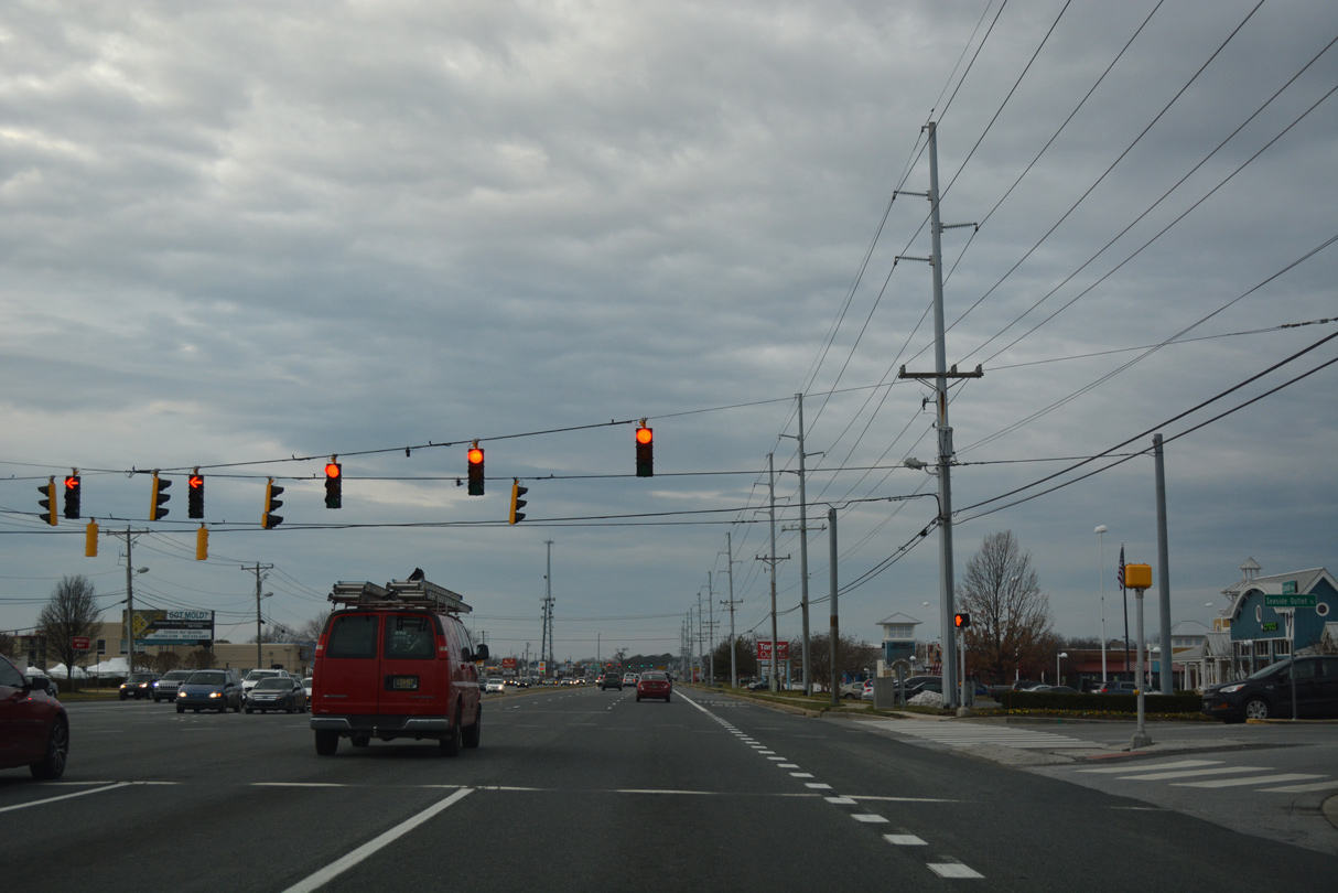
Heavy commercial development lines both sides of Coastal Highway north to Midway and Five Points. The ensuing northbound signal is located at Seaside Outlet Drive for the Tanger Outlets center.
01/16/17

Camelot Drive ties into SR 1 at the Shoppes of Camelot retail plaza as the main entrance to the Camelot manufactured home community.
01/16/17

Businesses occupy all four corners of the intersection with Miller Road south and Munchy Branch Road north. Both roads lead to subdivisions beyond the SR 1 frontage.
01/16/17
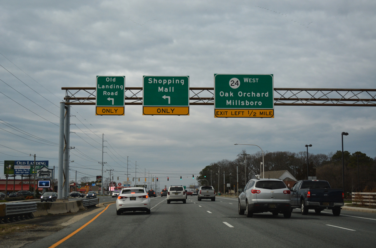
Three lanes of SR 1 (Coastal Highway) continue north to the signalized intersection with Old Landing Road. Rehoboth Mall shopping center and SR 24 follows at the subsequent traffic lights.
01/16/17
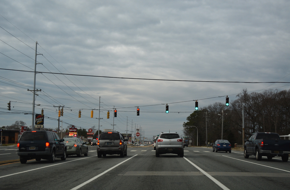
Dual turn lanes serve Old Landing Road south to Warrington Neck and the Rehoboth Bay community.
01/16/17
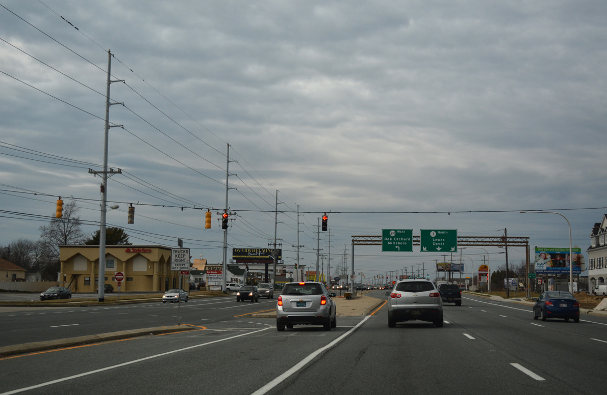
SR 1 north maintains three through lanes at Midway despite an overhead alluding to a second lane drop for Rehoboth Mall.
01/16/17
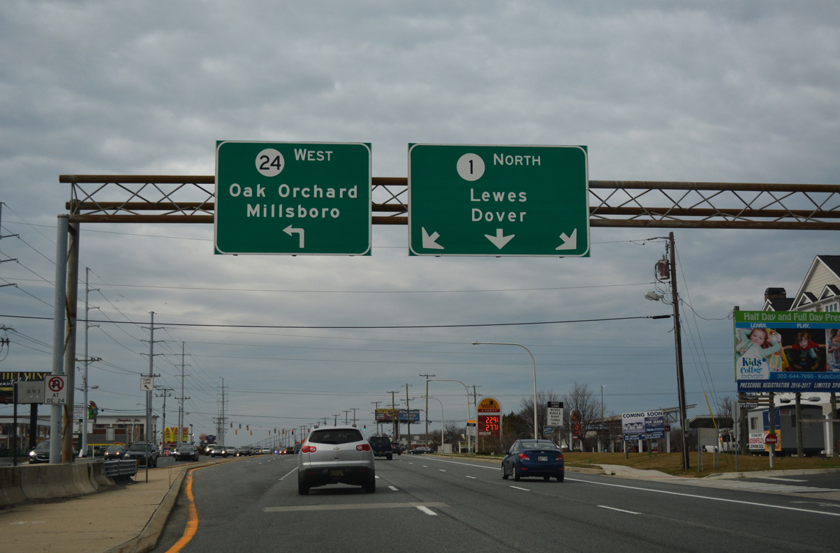
SR 24 stretches 40.61 miles across Sussex County between Midway and the Maryland state line west of Laurel. SR 24 connects the coast with Oak Orchard, a community along Indian River Bay at the south end of SR 5, and Millsboro at the crossroads with U.S. 113.
01/16/17
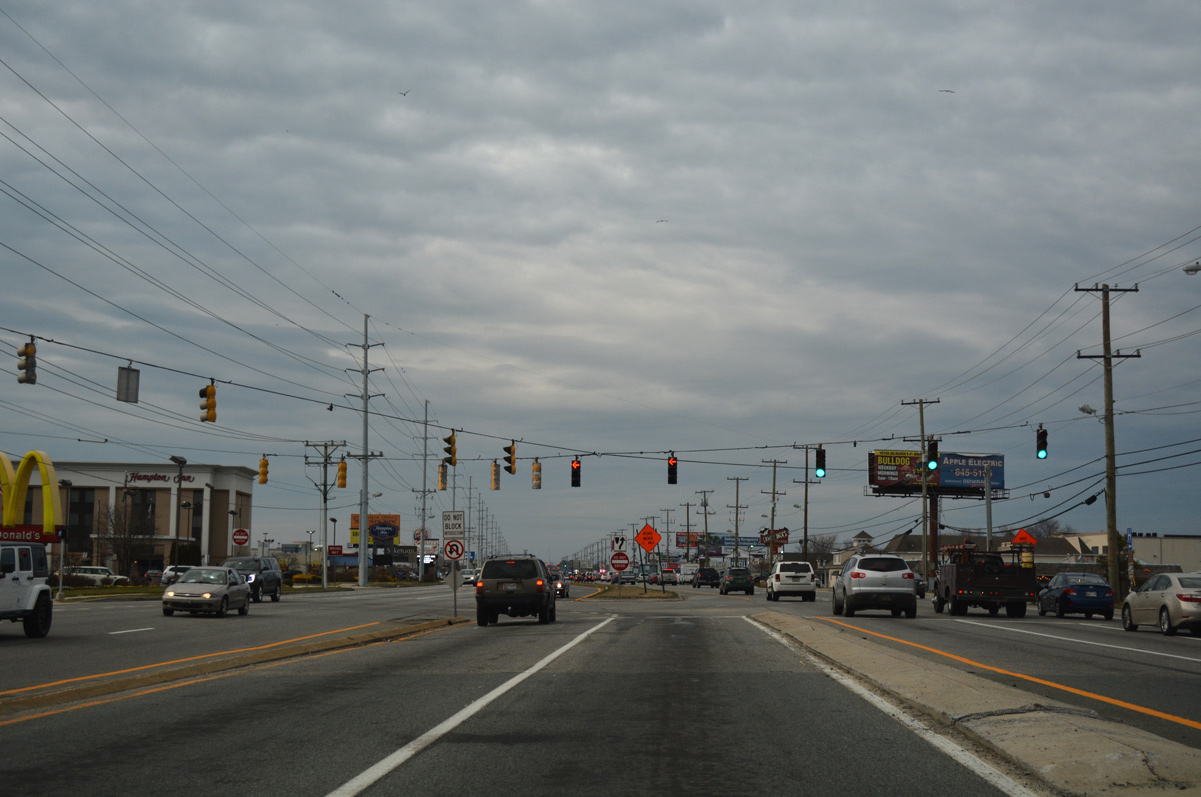
Unsigned from SR 1, John J. Williams Highway west from Coastal Highway to Plantation Road is both SR 24 and SR 1D. SR 1D forms a suburban loop northwest to SR 23 and U.S. 9 at Belltown.
01/16/17
 West North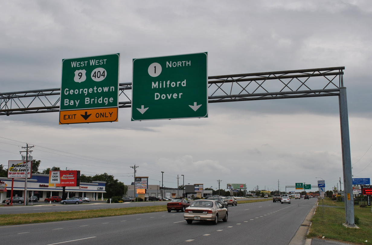
U.S. 9 combines with SR 1 (Coastal Highway) for 1.12 miles between Kings Highway and Seashore Highway at Five Points. U.S. 9 accompanies SR 404 from Five Points to the county seat of Georgetown, where the state route branches west to Bridgeville and Maryland.
06/18/12
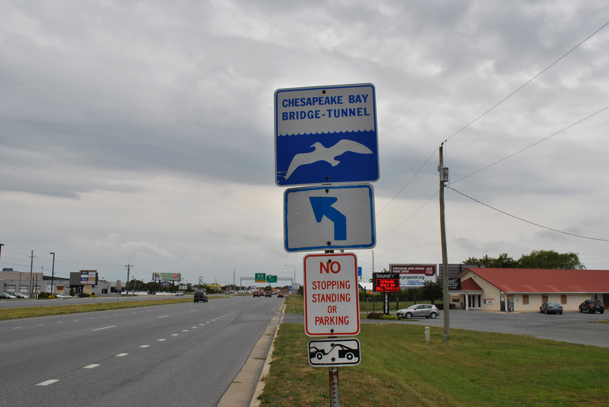
A trailblazer precedes the turn of U.S. 9 west from SR 1 directing motorists also to the Chesapeake Bay Bridge-Tunnel via either U.S. 113 or U.S. 13 south. Most other motorists taking U.S. 9 follow SR 404 west to MD 404 and U.S. 50 west to the Chesapeake Bay Bridge.
06/18/12
North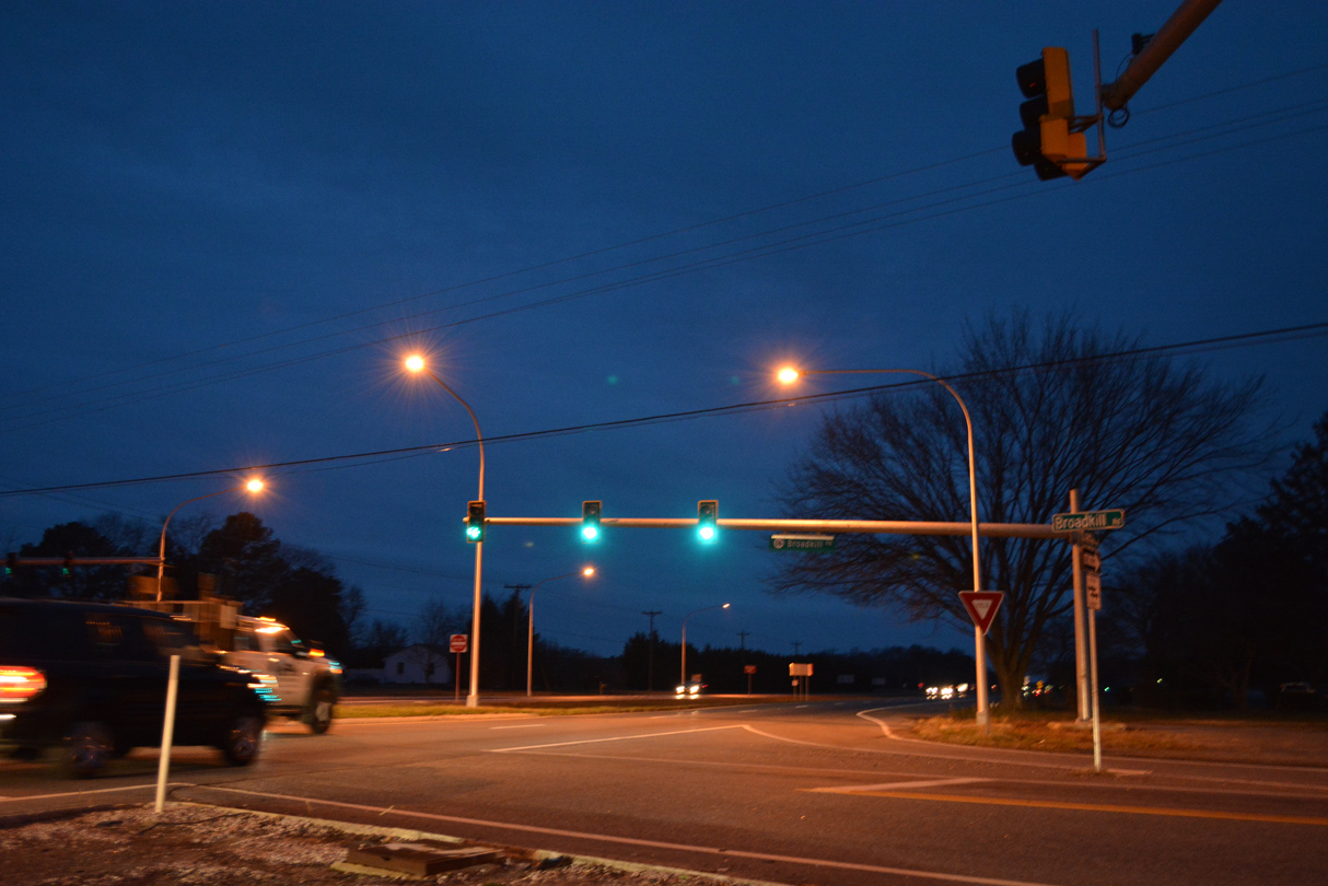
Turning more inland, SR 1 (Coastal Highway) leaves the congested stretch through Five Points and Nassau to become a rural four lane highway. SR 1 crosses the Broadkill River ahead of the signalized intersection with SR 16, where an interchange is under construction from Summer 2022 to Fall 2025. SR 16 travels west to Milton and east to Broadkill Beach.
01/16/17

References:
- Indian River Inlet Bridge.
https://www.deldot.gov/information/ projects/indian_river_bridge/whn.shtmlDelaware Department of Transportation - Projects. - "Jan. 20 opening set for Indian River Inlet Bridge." The News Journal (Wilmington, DE), January 11, 2014.
- "Transportation-Award of Merit: Delaware's Indian River Inlet Bridge." Engineering News-Record, December 11, 2012.
Photo Credits:
- Alex Nitzman: 06/18/12, 01/16/17
- Chris Jordan: September 1999
Connect with:


Page Updated Wednesday February 01, 2017.