
State Route 4 West - Wilmington to Stanton

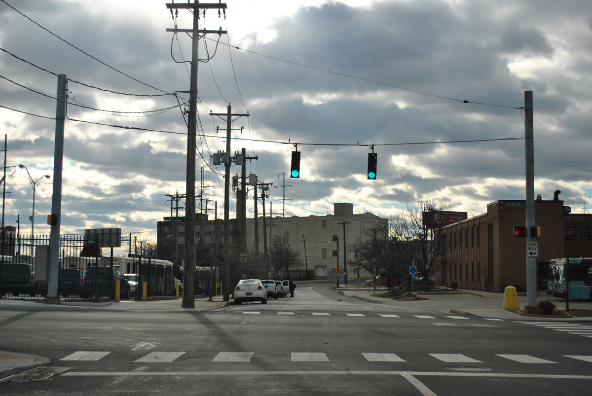
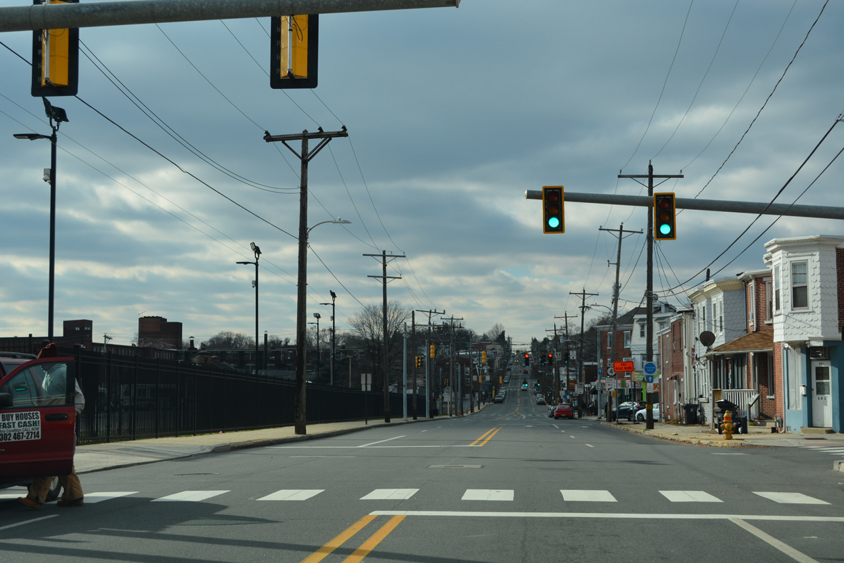
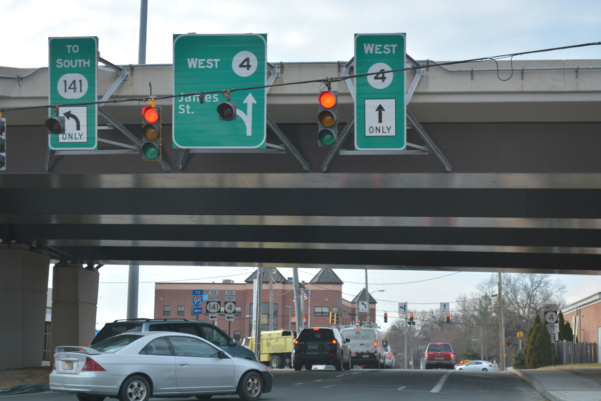
SR 4 west begins from SR 48 (2nd Street) west at Monroe Street. Monroe Street intersects the eastbound direction of SR 48 at Martin Luther King, Jr. Boulevard.
12/22/12
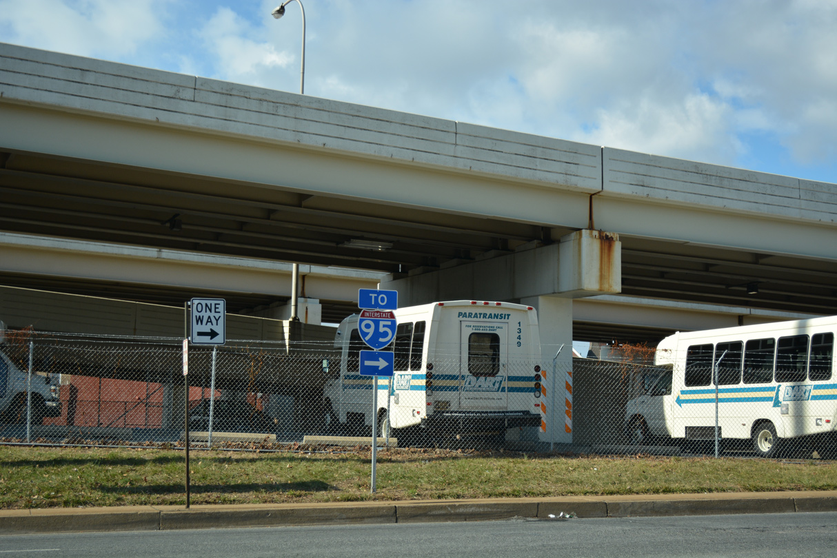
The first confirming marker for SR 4 west is this cutout posted after SR 48 (MLK Boulevard) east. Monroe Street passes by the DART bus yard to Chestnut Street and Maryland Avenue.
12/30/16
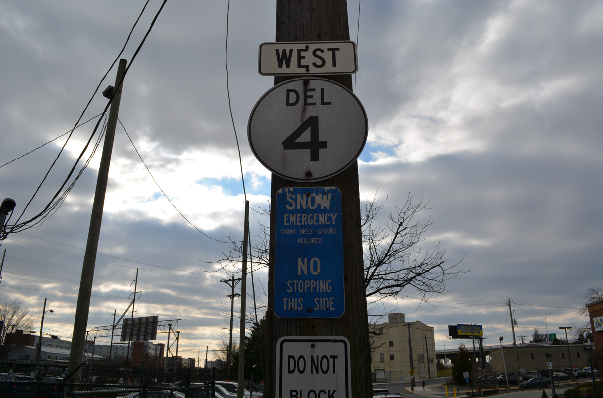
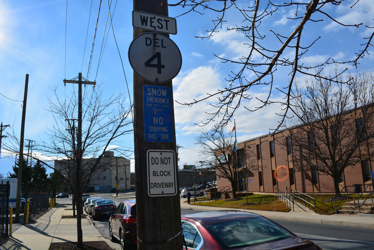
The SR 4 assembly on Monroe Street is the last known cutout shield for any state route posted in the state. A cutout for SR 2 on Union Street was replaced by 2016.
12/19/22
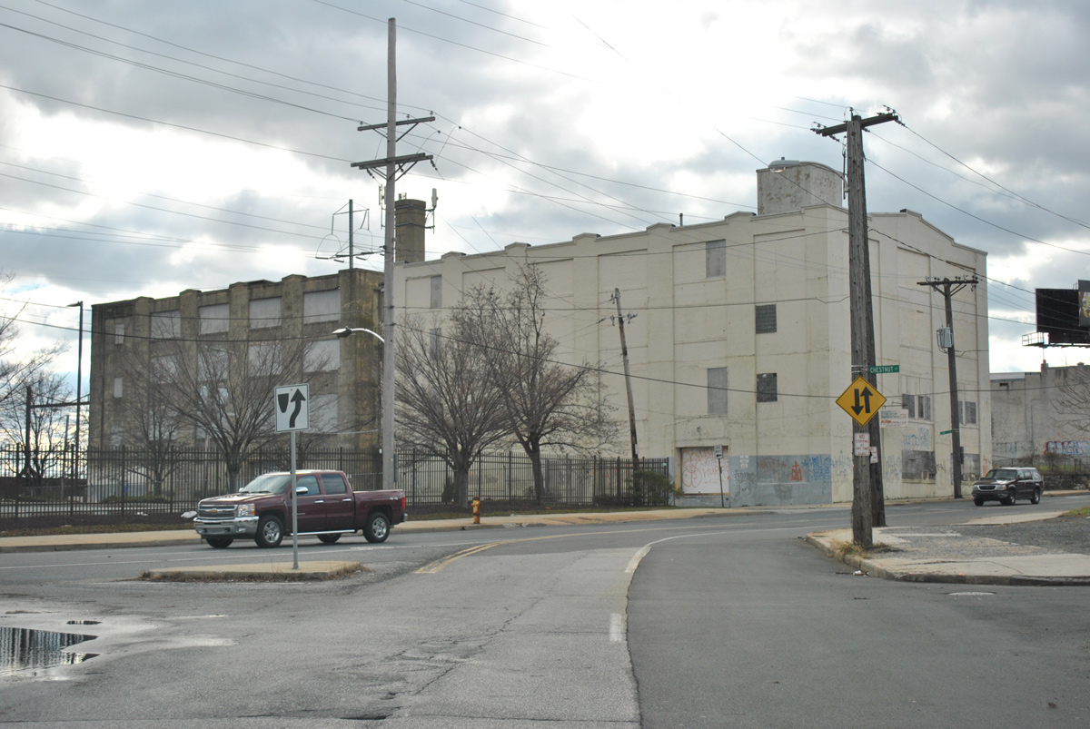
Monroe Street ends by Justison Landing as SR 4 turns west onto Maryland Avenue.
12/22/12
With the advent of SR 4 traffic, Maryland Avenue westbound quickly intersects Elm Street. Elm Street provides a connector to Adams Street north.
12/19/22
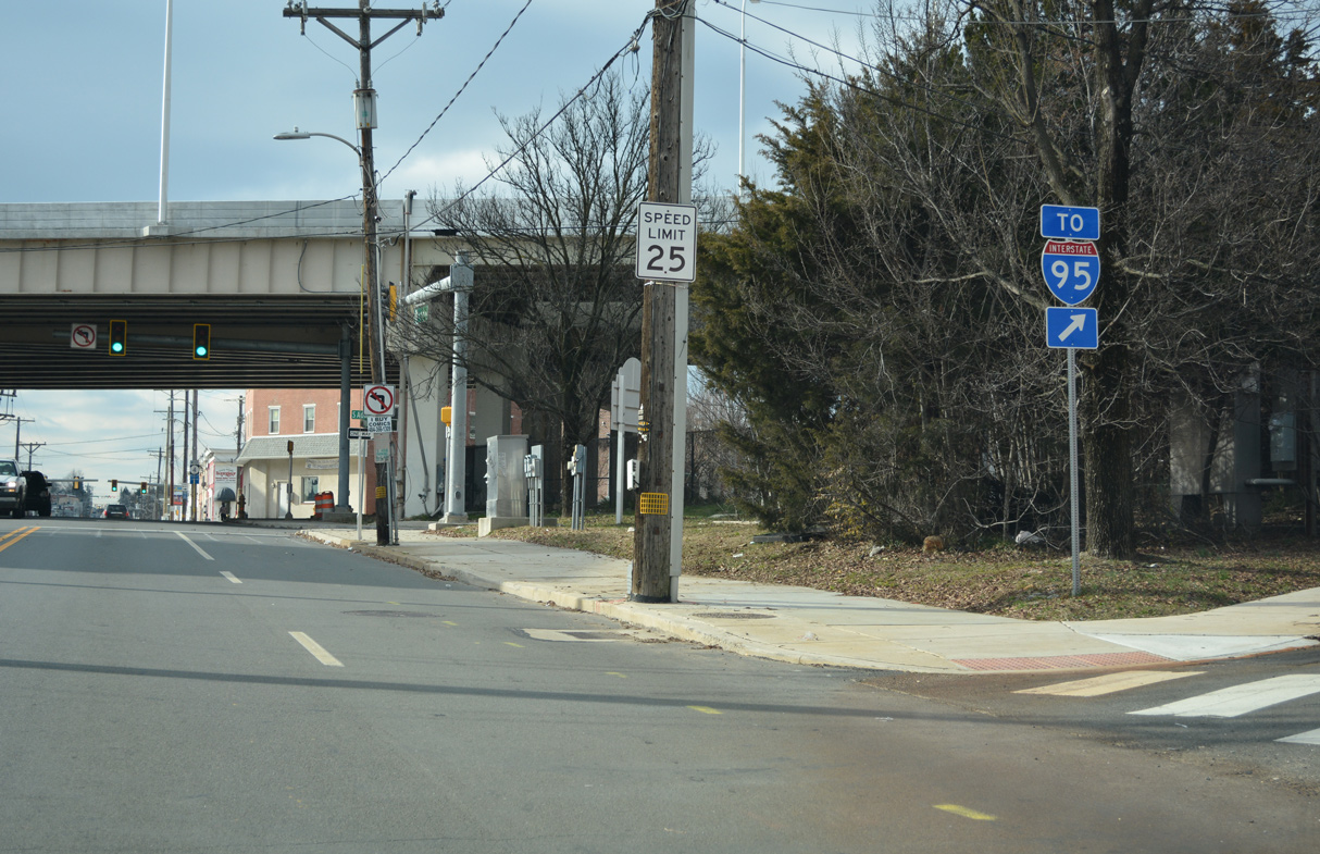
Adams Street constitutes an east side frontage street for I-95 to on-ramps at 2nd Street (SR 48 west) and 10th Street.
12/30/16
The off-ramp (Exit 6) from I-95 north descends from the Wilmington Viaduct to form the northbound beginning of Adams Street at Maryland Avenue. There are no other direct ramps between the freeway and SR 4 here.
12/19/22
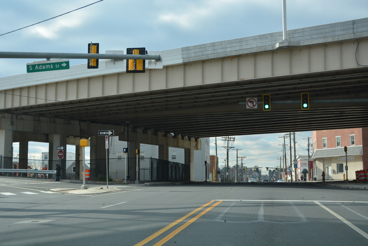
Continuing west from below Interstate 95, Adams Street enters the Hedgeville community. A confirming marker appears at Chandler Street.
12/19/22
SR 4 (Maryland Avenue) angles between the Hedgeville and Browntown street grids to the city line. Maple Street branches northwest from the signal here to Kosciuszko Park and Bayard Middle School.
12/19/22
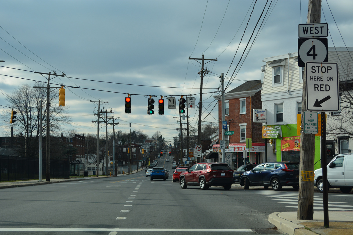
Another reassurance marker appears as Jackson Street ties into Maryland Avenue from the northeast. Jackson Street is the west side frontage street for I-95 south from Happy Valley to Lancaster Avenue (SR 48 east).
12/19/22
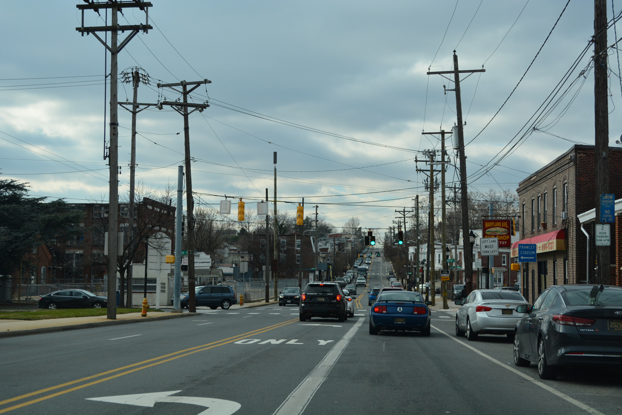
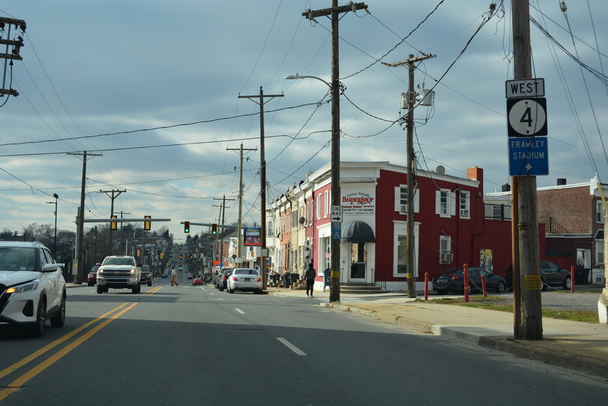
Beech Street connects SR 4 (Maryland Avenue) with the Riverfront and Daniel S. Frawley Stadium.
12/19/22
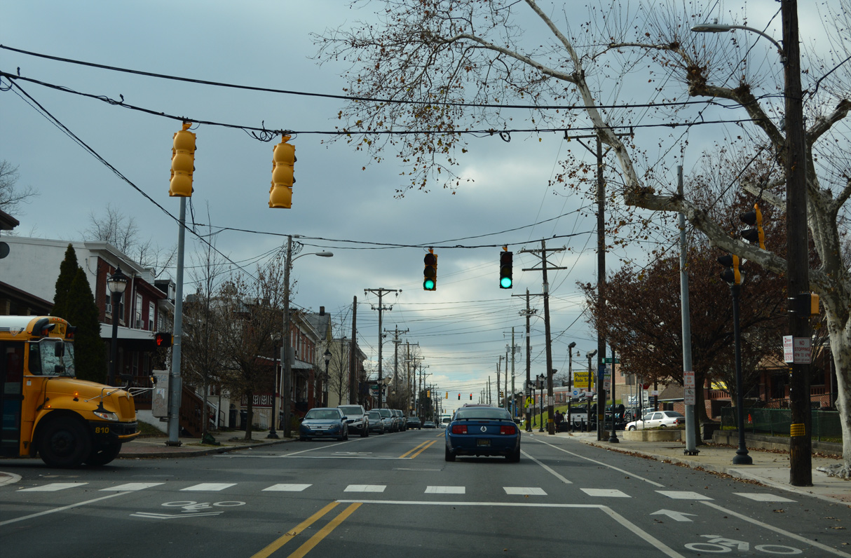
Stroud Street stems southeast from SR 4 (Maryland Avenue) at Pulaski Park to Eddie Michaels Playground in Browntown.
12/19/22

The succeeding traffic light on westbound SR 4 (Maryland Avenue) operates at Banning Street north and 5th Avenue south, just ahead of Franklin Street. Banning Street leads to St. Elizabeth High School and Canby Park.
12/19/22
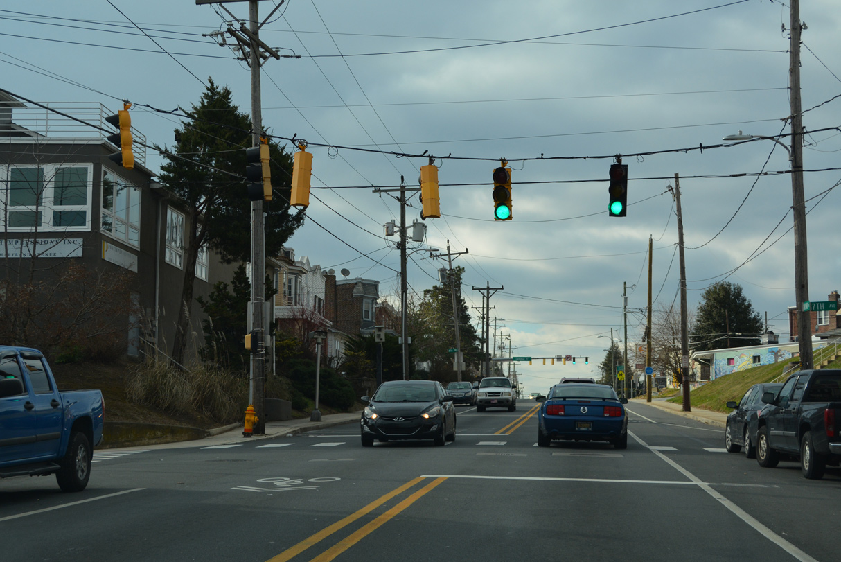
Maryland Avenue west at 7th Avenue south.
12/19/22
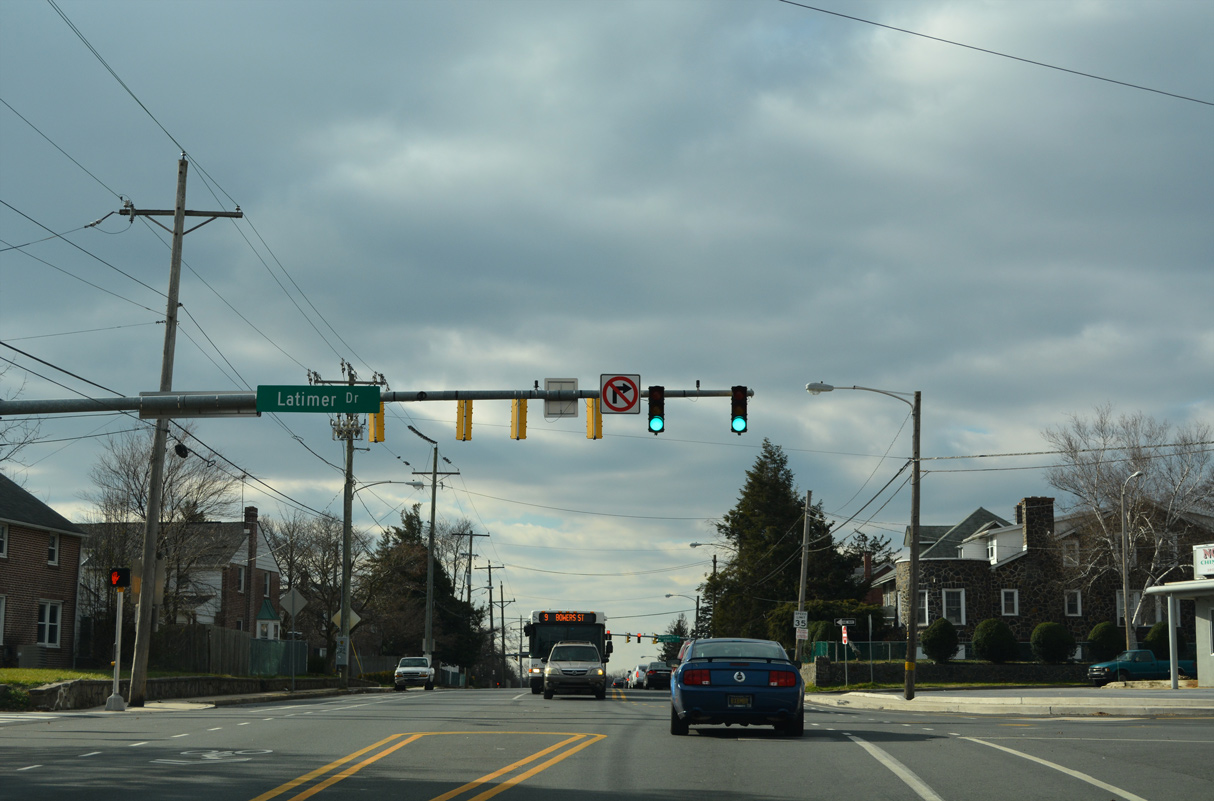
Maryland Avenue westbound leaves the city of Wilmington as it reaches the five way intersection with Broom Street north and Latimer Drive south and Latimer Place west at the Cleland Heights community.
12/19/22
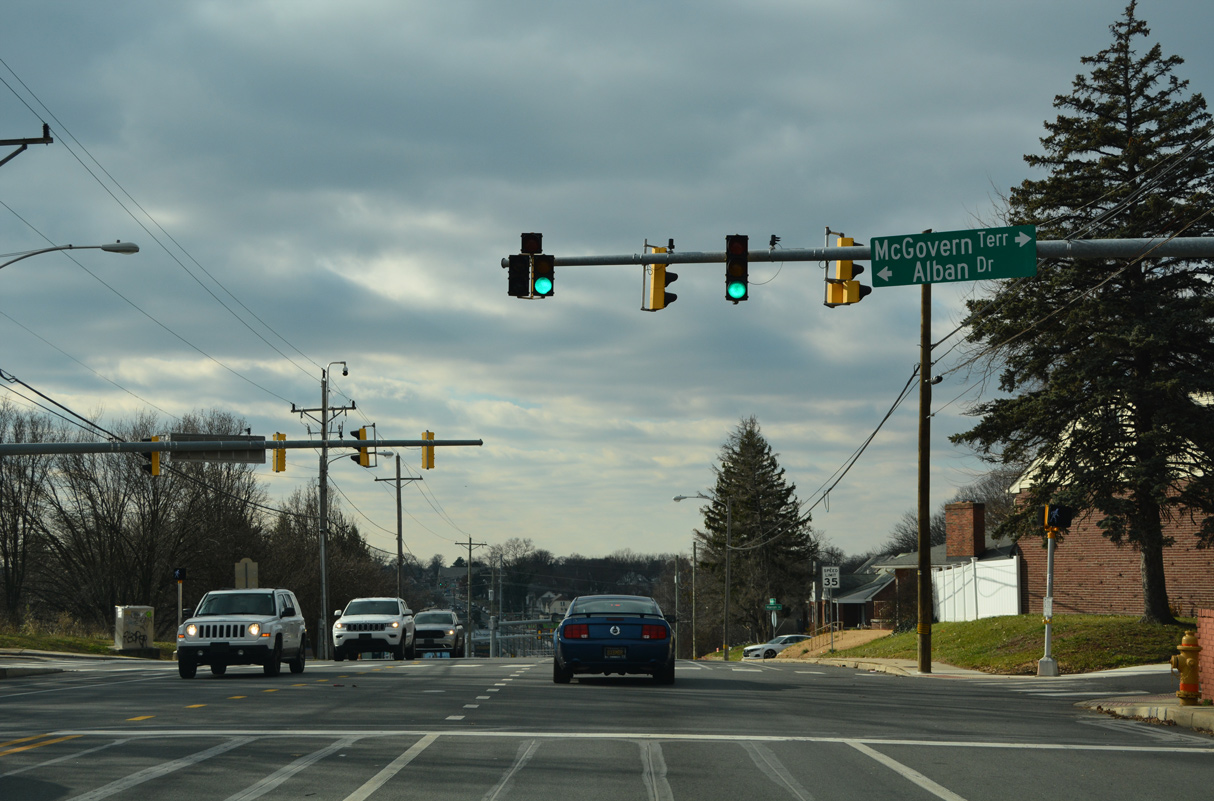
SR 4 (Maryland Avenue) leaves Wilmington where it converges with Broom Street south. Maryland Avenue next intersects Alban Drive south into the Latimer Estates community and McGovern Terrace north.
12/19/22
Clayton Road forms a local street north through Cleland Heights to Canby Park from the ensuing westbound signal.
12/19/22
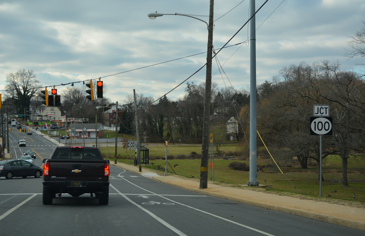
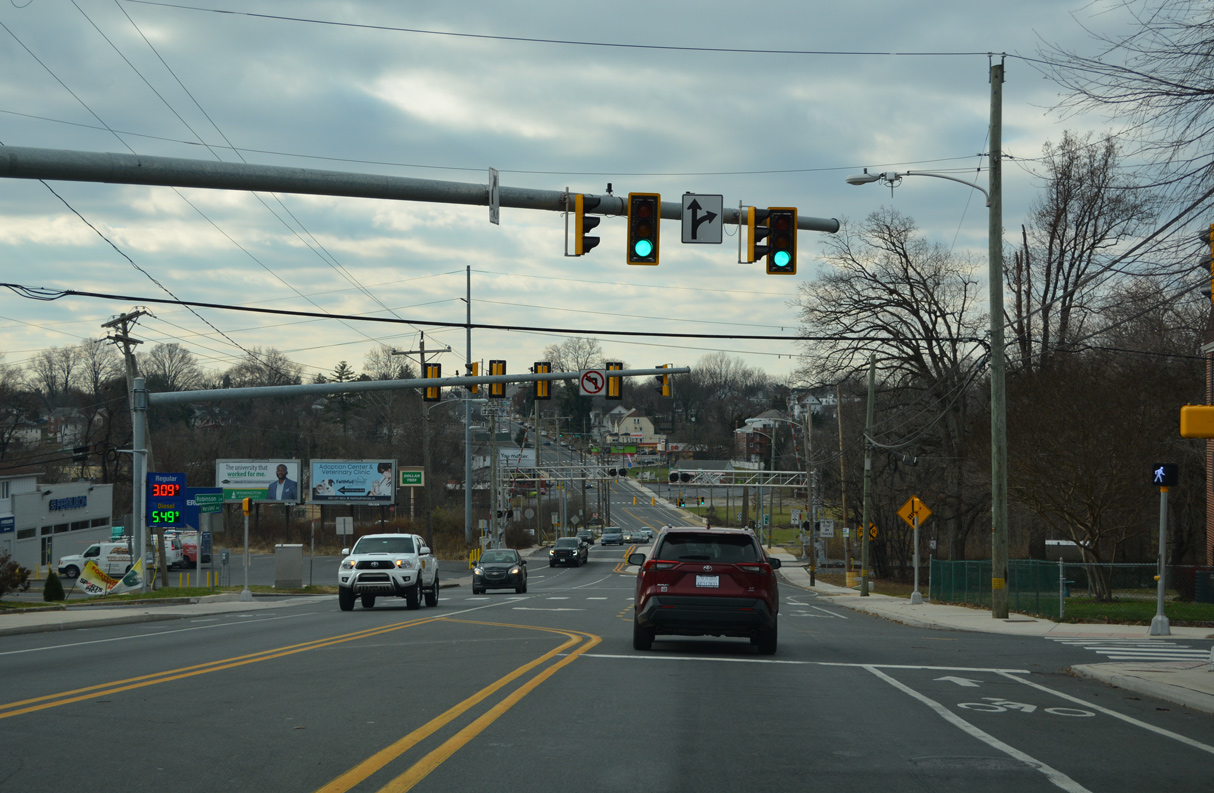
SR 4 (Maryland Avenue) lowers to cross a tributary of the Christina River by southern reaches of Canby Park West. The junction shield for SR 100 appears well ahead of the intersection with the state route north on Race Street at Germay Industrial Park.
12/19/22
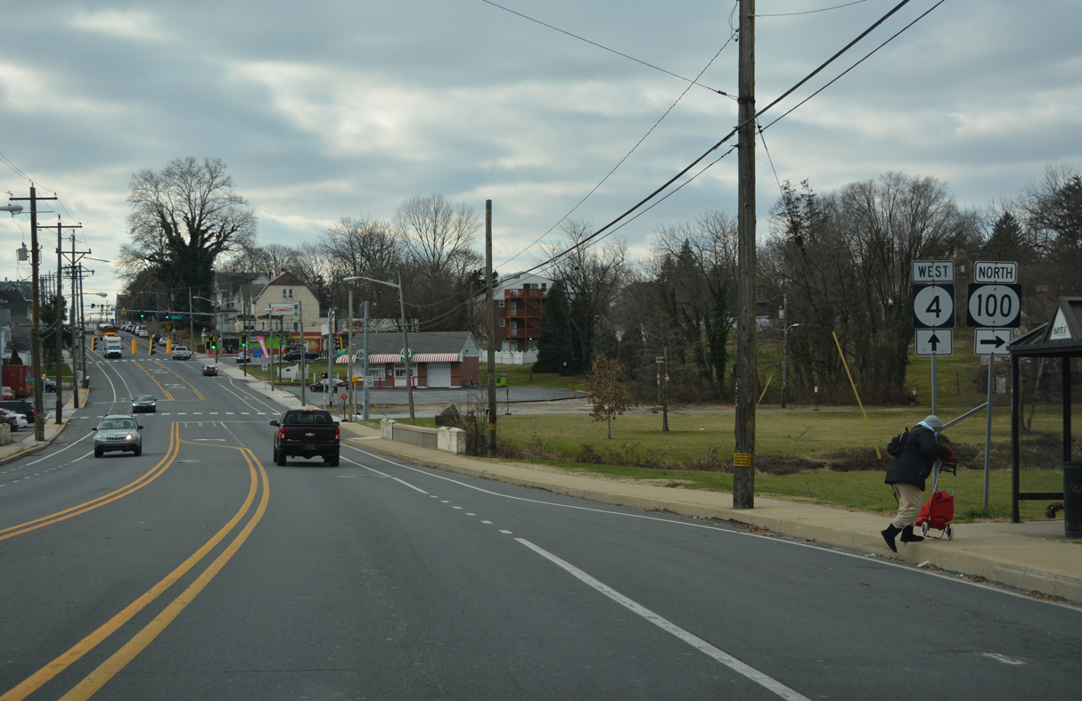
Climbing westward, SR 4 (Maryland Avenue) intersects SR 100 (Race Street) north at the second traffic light ahead. SR 100 commences a nearly nine mile route to Elsmere, north Wilmington, Greenville and Montchanin at Richardson Park. The route is unmarked in the eastbound direction of SR 4.
12/19/22
Brookside Drive stems south through an industrial park to the Ashley subdivision from the signal preceding SR 100.
12/19/22
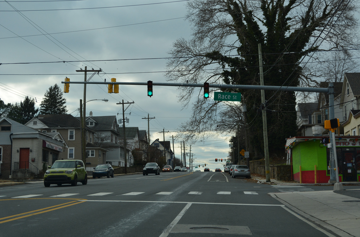
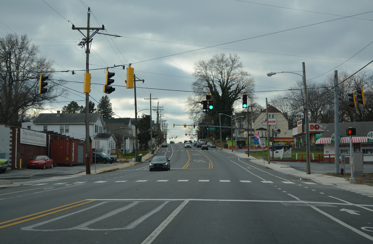
Race Street carries SR 100 north to Atlantic Avenue, where it merges with Dupont Road. Dupont Road forms a four lane arterial north to Howard Street and the viaduct over the CSX Railroad to SR 2 (Kirkwood Highway) in the town of Elsmere.
12/19/22
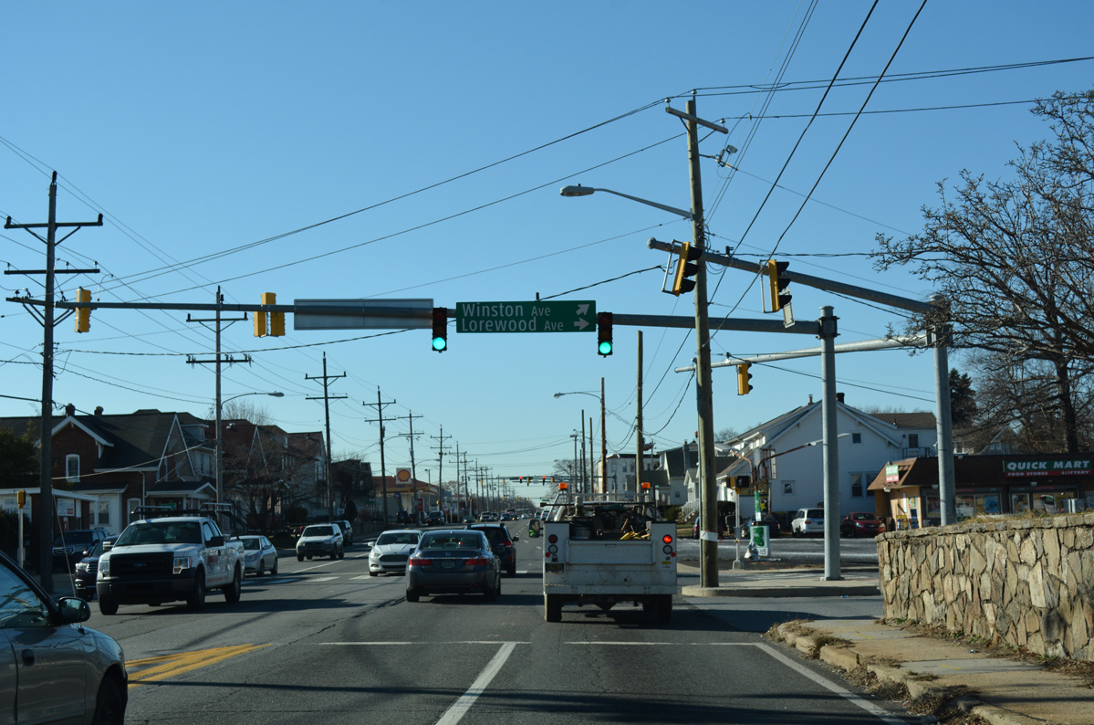
Lorewood Avenue and Winston Avenue branch west from a shared intersection with SR 4 (Maryland Avenue) into the Richardson Park / Elmhurst street grid.
12/20/16
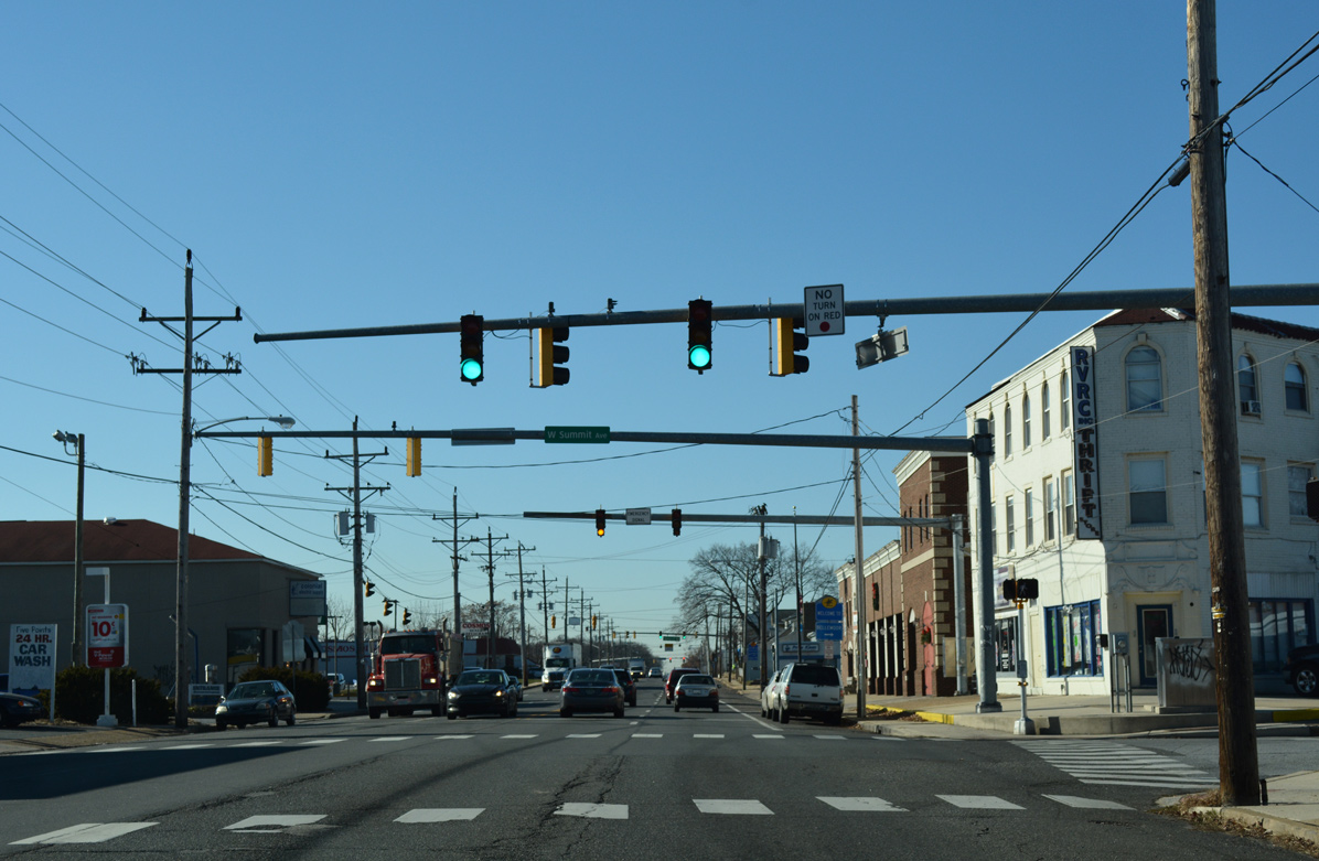
Maryland Avenue continues west through the Richardson Park commercial strip to intersect Elmhurst Place west and Summit Avenue east.
12/20/16
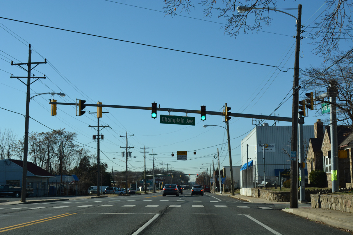
Champlain Avenue heads west through he Bellemoor and Boxwood neighborhoods west from SR 4 (Maryland Avenue) and Reamer Avenue.
12/20/16
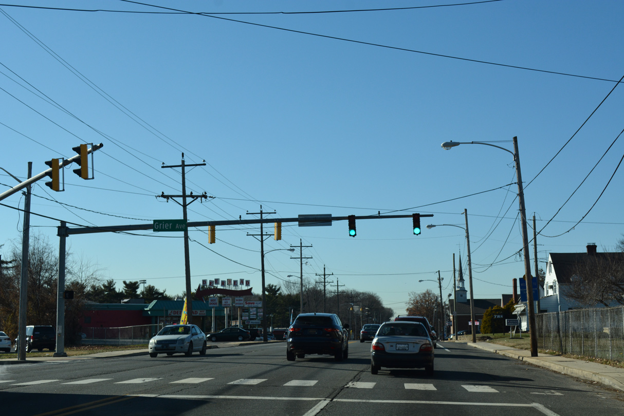
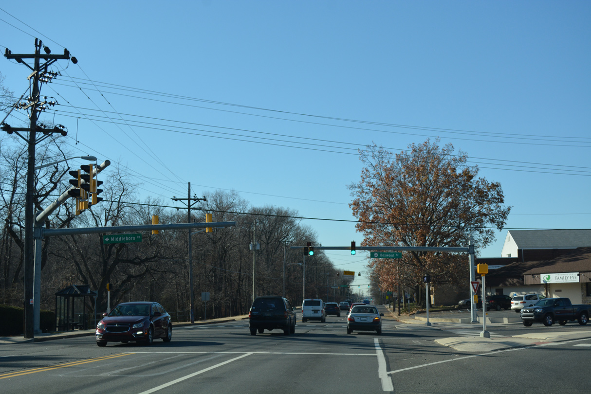
The traffic light with Grier Avenue serves Richardson Park Elementary and the Idela and Middleboro Manor subdivisions east of SR 4.
12/20/16
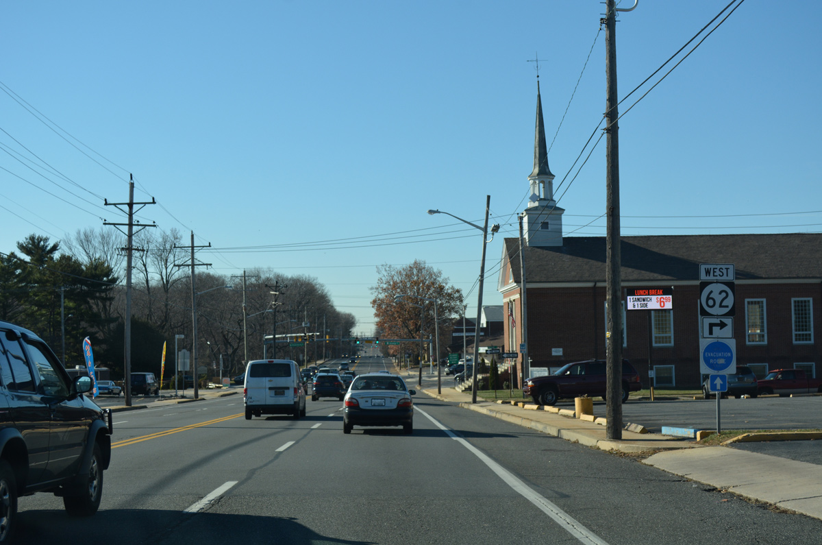
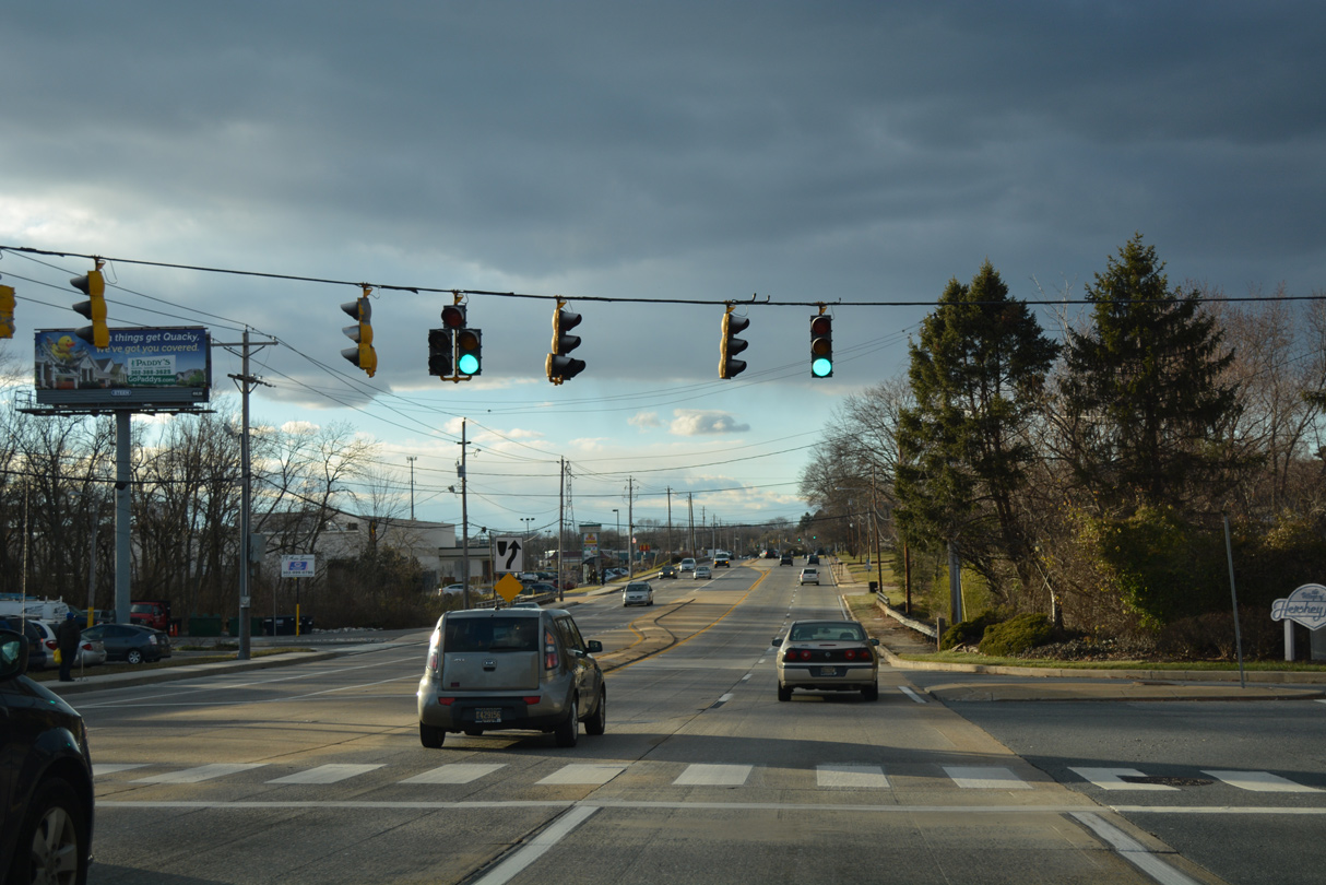
SR 62 (Boxwood Road) branches west from SR 4 (Maryland Avenue) to SR 141 (Newport Freeway) by the Amazon distribution facility built at the site of the former GM Auto Assembly Plant. The state route follows Newport Gap Pike (old SR 41) north from Belvedere to SR 2 (Kirkwood Highway) at Prices Corner.
12/20/16
Middleboro Road extends east from SR 4 and SR 62 (Boxwood Road) as an unsigned leg of SR 62 to Banning Park and Boxwood Industrial Center.
12/20/16
Newport Pike takes over for Maryland Avenue as the name of SR 4 west from SR 62 (Boxwood Road). The four lane boulevard runs between Banning Park and the Woodcrest community to Fallon Avenue.
12/30/16

Troy Avenue angles northwest from Newport Pike through the Woodcrest community toward Conrad Middle School.
12/20/17
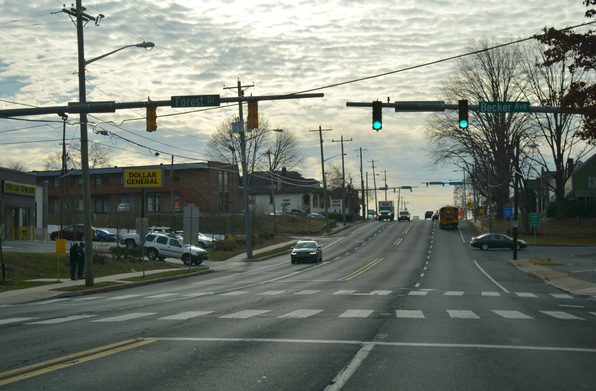
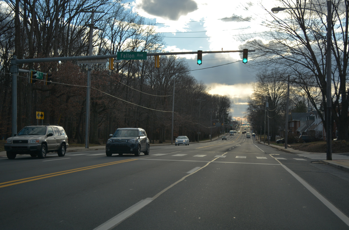
Becker Avenue south and Forest Drive north from Fore Brook Glen come together at the subsequent westbound signal along SR 4 (Newport Pike).
12/20/17
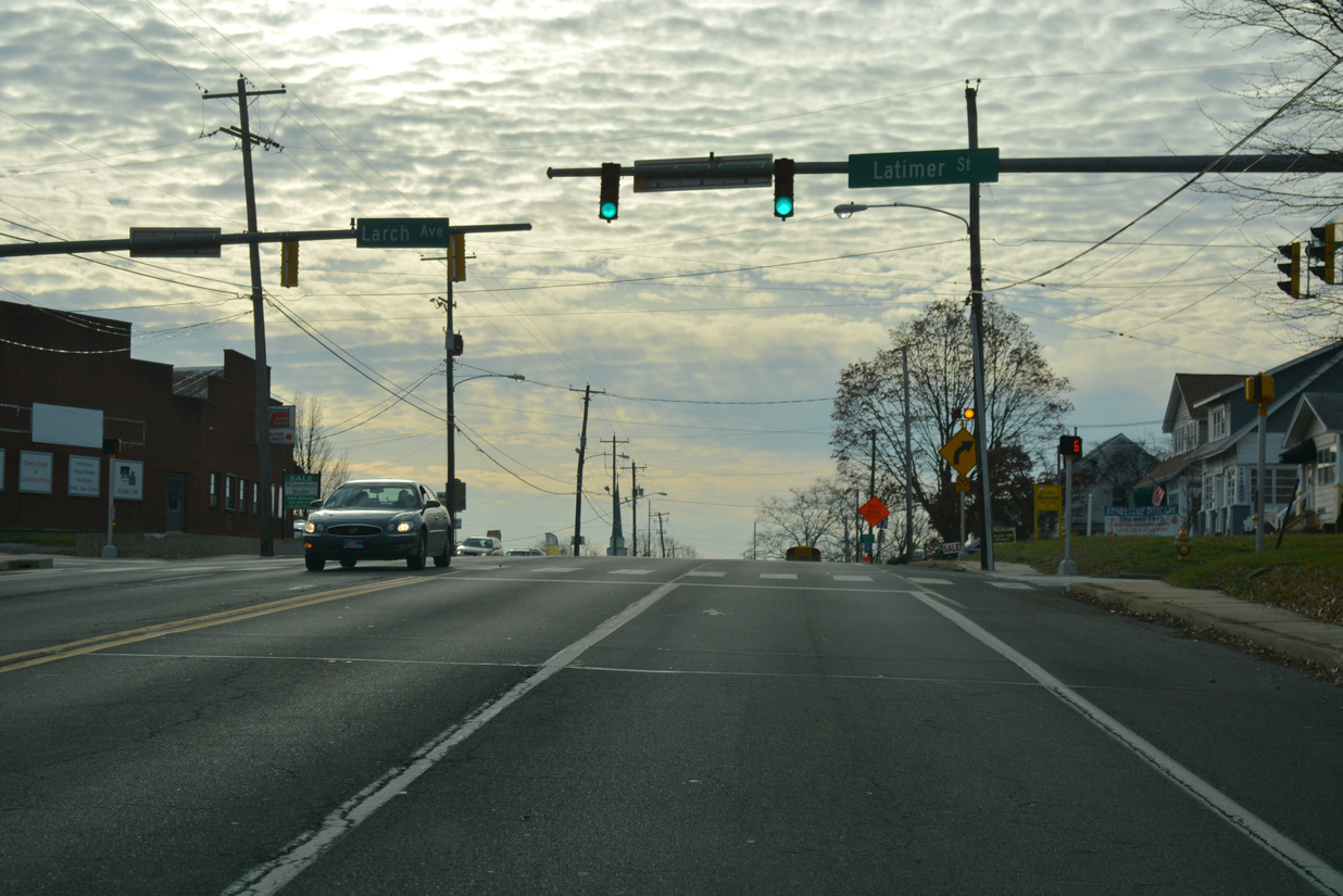
SR 4 (Newport Pike) rises along a hill to intersect Latimer Street north and Larch Avenue south at the Lyndalia and Newport Heights neighborhoods.
12/20/17
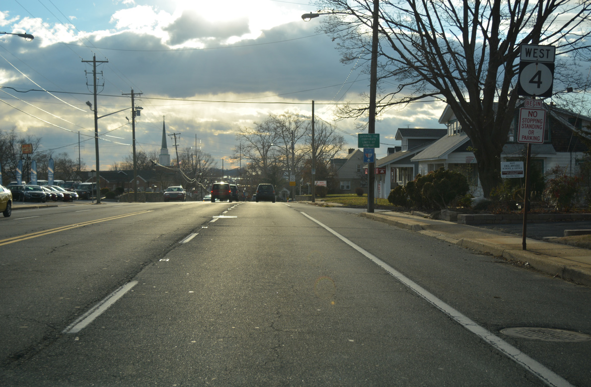
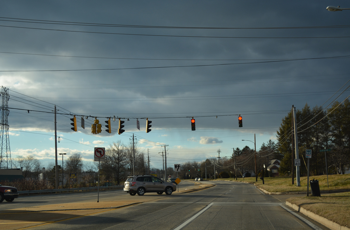
Drivers along westbound SR 4 (Newport Pike) enter the town of Newport at Cedar Street.
12/30/16
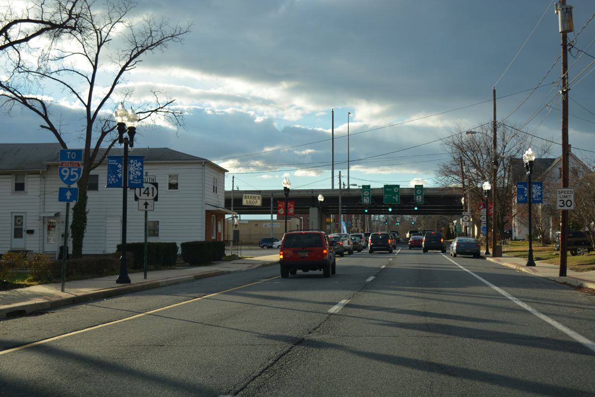
SR 4 splits between the one way couplet of Justis Street (westbound) and Main Street (eastbound) through Newport business district. The state route crosses paths with the Newport Freeway (SR 141) on the six block stretch.
12/30/16
The viaduct taking SR 141 through Newport was completed in 1979. The Newport Freeway leads north to SR 2 (Kirkwood Highway) at Prices Corner, where SR 141 down grades to a surface boulevard (Centre Road) en route to SR 34 (Faulkland Road).
12/30/16
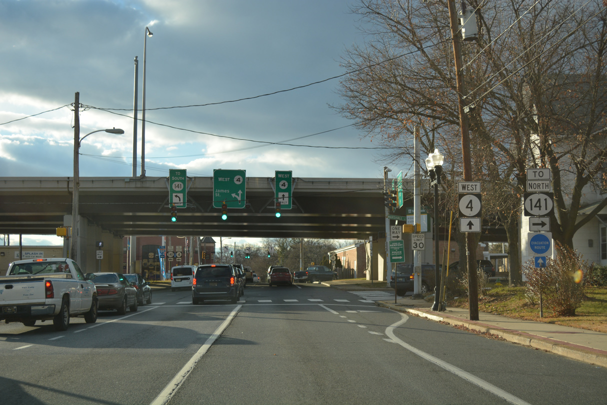
A split diamond interchange joins SR 4 (Justin / Market Streets) with SR 141 (Newport Freeway) via the frontage street system of Marshall and James Streets.
12/20/17
James Street extends Newport Gap Pike south through Newport to Old Airport Road. The southbound service road intersects SR 4 (Market Street) east in one block adjacent to the SR 141 on-ramp to I-95, I-295 and I-495.
12/30/16
SR 141 overall runs south from Newport to New Castle along Basin Road and north mostly along a varying four lane expressway or controlled access arterial to Greenville and Fairfax.
12/30/16
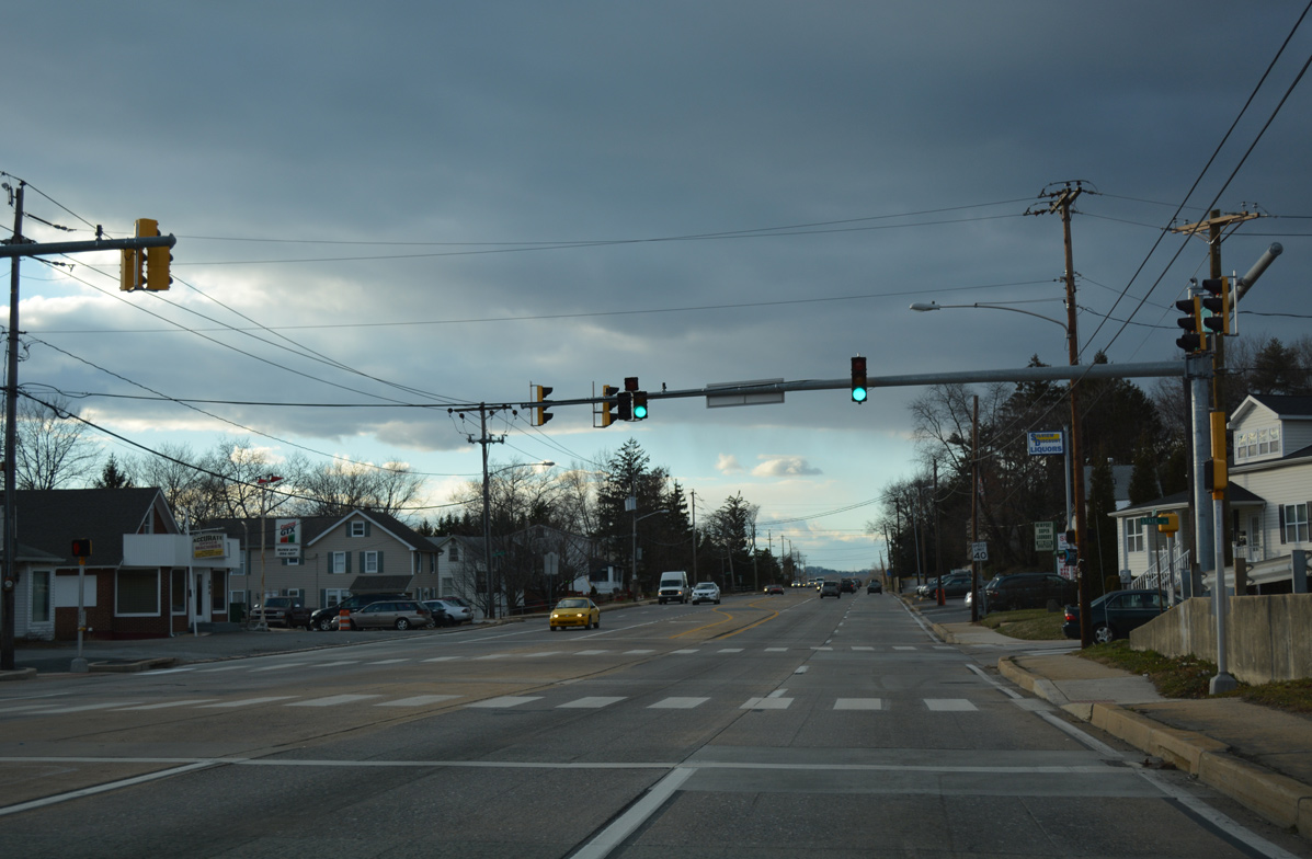
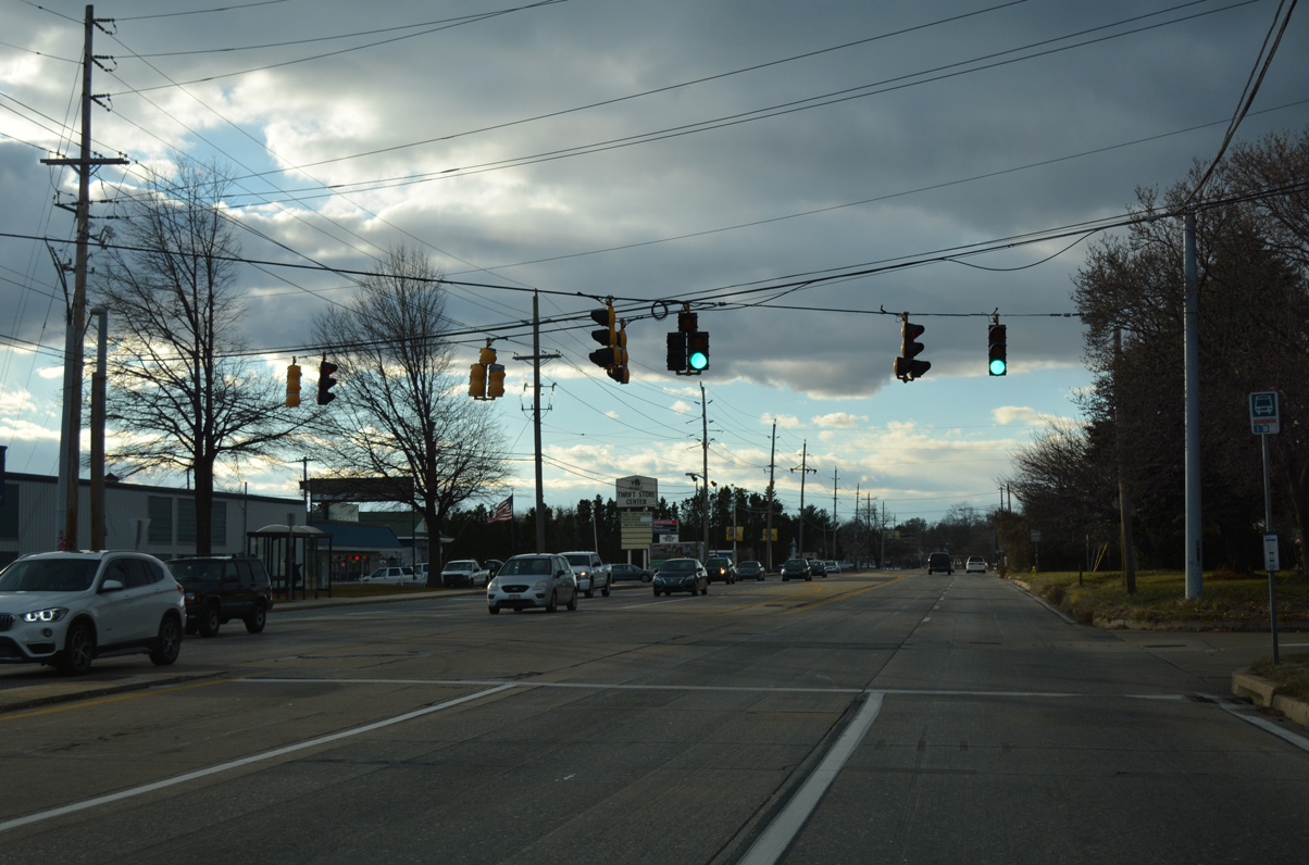
Justis Street combines with Market Street as SR 4 (Newport Pike) leaves the town limits of Newport. The succeeding westbound signal operates at Westmont Avenue south to the Silview community and State Street north to Tuxedo Park.
12/30/16
Hershey Run Drive south and MacArthur Dive north converge at the following westbound traffic light on Newport Pike.
12/30/16
Glen Bernie Drive south ties into SR 4 (Newport Pike) at the signalized entrance to First State Plaza shopping center.
12/30/16
Rothwell Drive connects with SR 4 from the Glen Bernie Estates subdivision across from First State Boulevard south into First State Industrial Park.
12/30/16
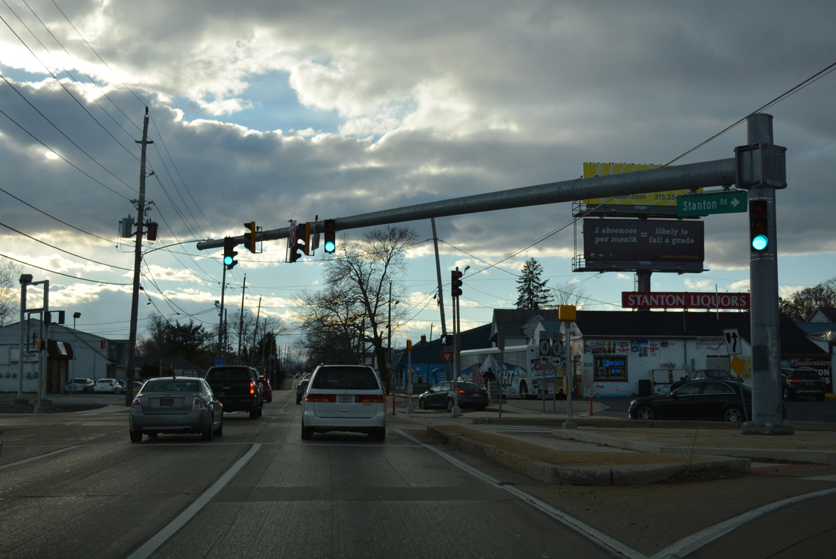
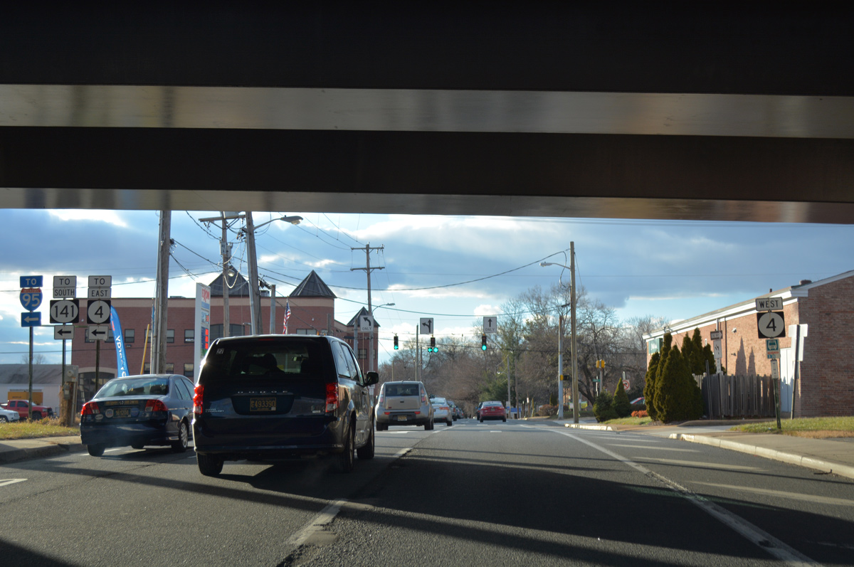
Stanton Road extends south from Greenbank Road at Marshallton to Kiamensi Road and the couplet of SR 4 (Newport Pike west / Mitch Road east) at Stanton.
12/30/16
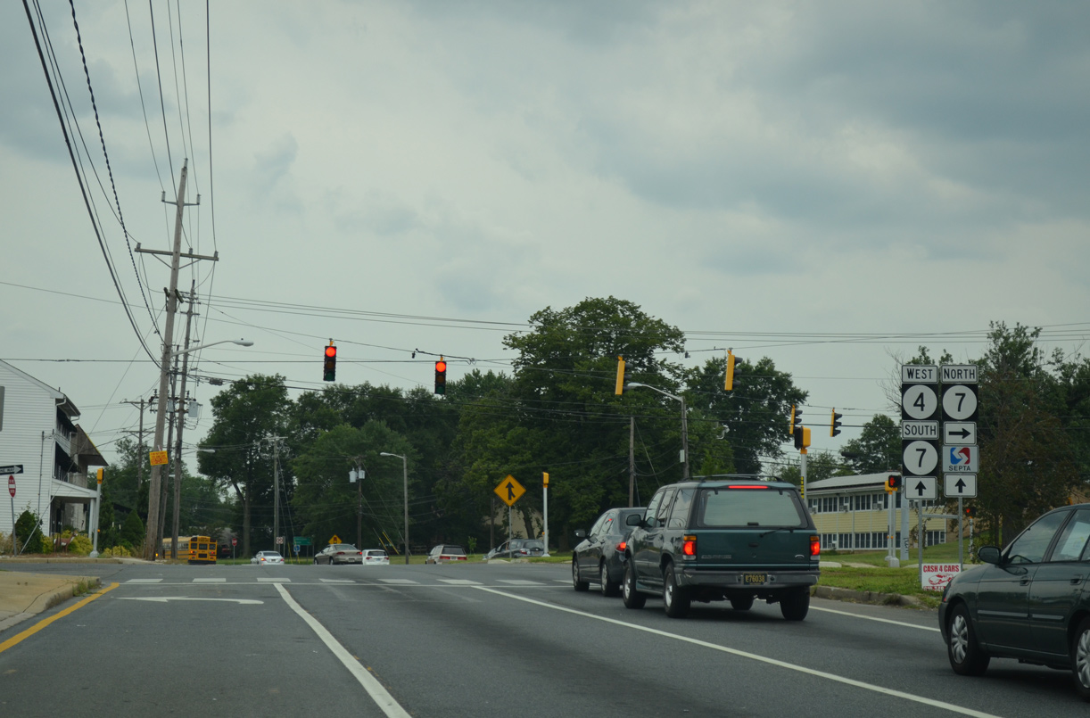
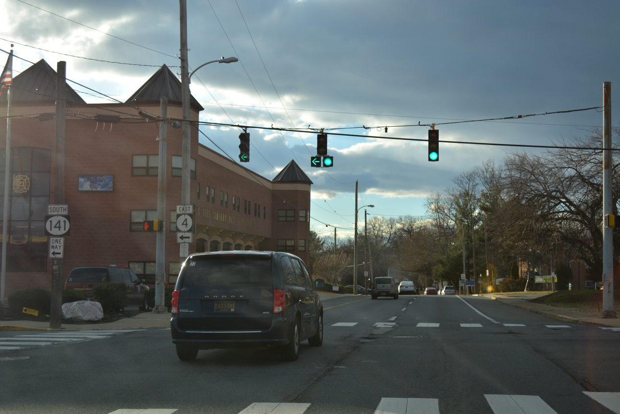
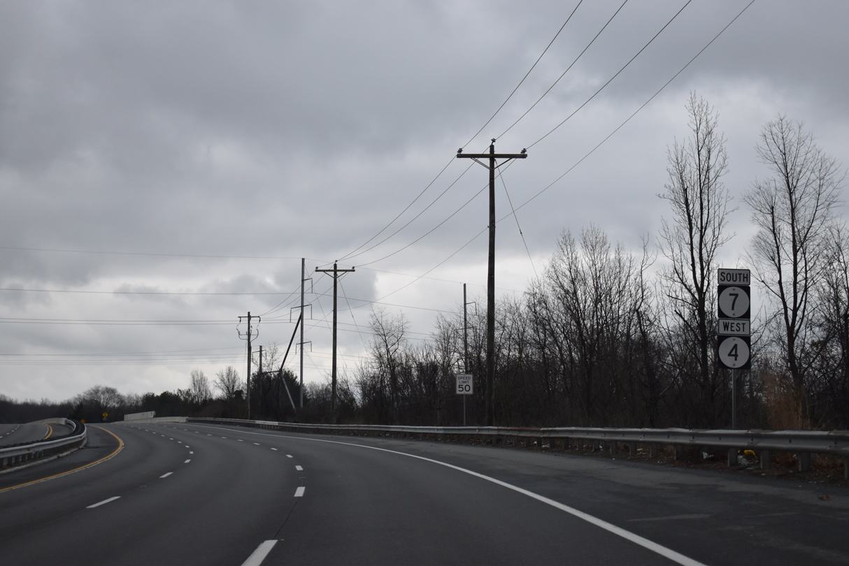
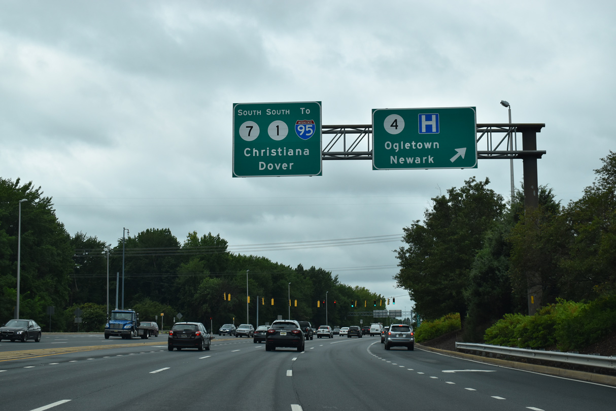
SR 4 (Newport Pike) westbound becomes Main Street to the merge with SR 7 south in Stanton. SR 7 (Limestone Road) constitutes the main arterial route north through the Pike Creek Valley to the state line near PA 41 at Kaolin.
07/31/13

Installed in 2017, this distance sign for Christiana and Dover stands along Main Street after SR 4 west and SR 7 south combine.
12/21/17

Main Street west combines with Mitch Road east ahead of the SR 4/7 intersection with Telegraph Road. Telegraph Road comprises a local through route in conjunction with Old Capitol Trail or St. James Church Road north to SR 2 (Kirkwood Highway).
12/21/17
SR 4/7 expand into a six lane, controlled access arterial south ahead of Delaware Park Boulevard.
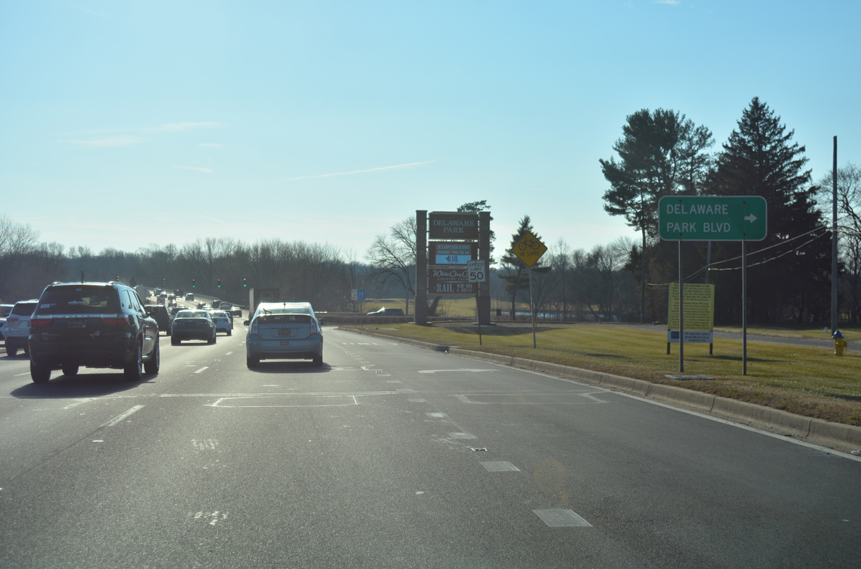
12/21/17
Delaware Park Boulevard loops west through Delaware Park to SR 4 and SR 58 near Christiana Hospital. Delaware Park is home to thoroughbred racing, a casino with slot machine gambling and an 18 hole golf course.
12/26/24

A lone confirming marker for SR 4 stands at the bridge across White Clay Creek. The Stanton bypass was constructed in the 1980s to replace a narrow and flood prone stretch of Stanton Christiana Road to the east.
12/26/24
The first of two connectors linking SR 4/7 with their old alignment along Stanton Christiana Road ties into the six lane bypass south of White Clay Creek. A concrete arch bridge remains in use for a multi use path along the old alignment nearby.
12/23/22
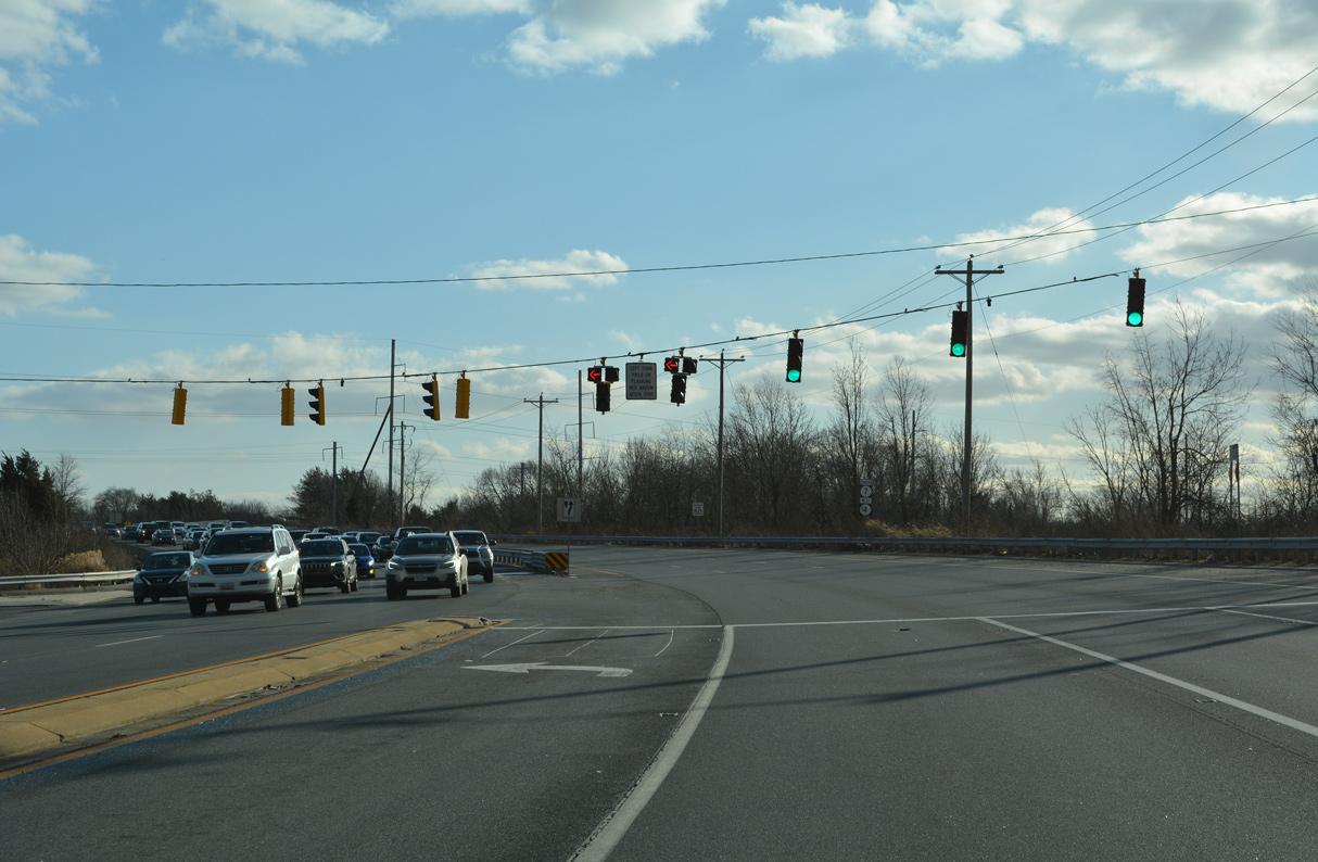
Shields for SR 7 south / SR 4 west stand ahead of the AMTRAK Northeast Corridor underpass. These were posted in 2017.
12/25/20
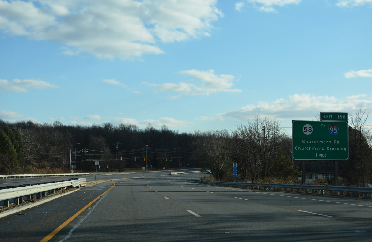
SR 7 continues south from the forthcoming split with SR 4 west to a parclo interchange with SR 58 (Churchmans Road). Exit 166 represents the north end of SR 1 leading south to Dover, Milford and the Delaware Beaches.
12/23/22
The Stanton Bypass directly overlaid the original SR 4 alignment along Ogletown Stanton Road (Road 358B) just west of the separation with SR 7 south. The six lane arterial overtakes Stanton Christiana Road south from Stanton Industrial Park through Churchmans Crossing.
12/23/22
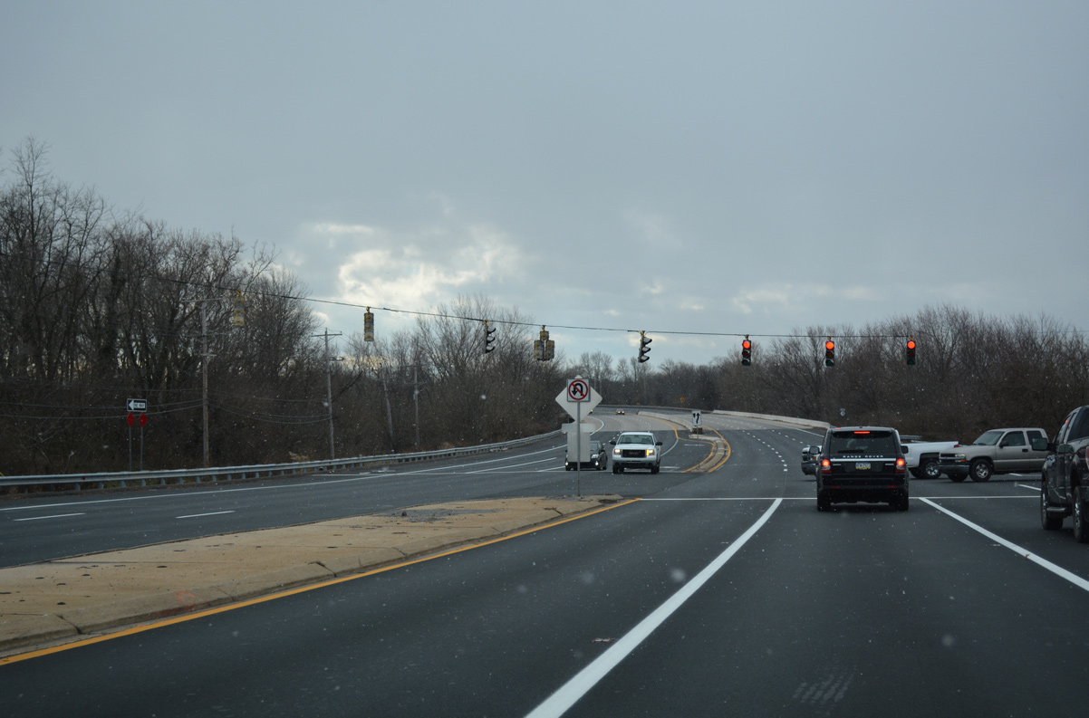
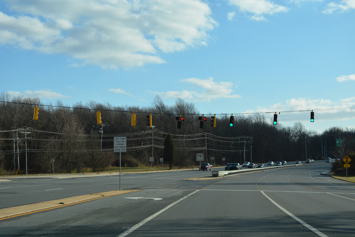
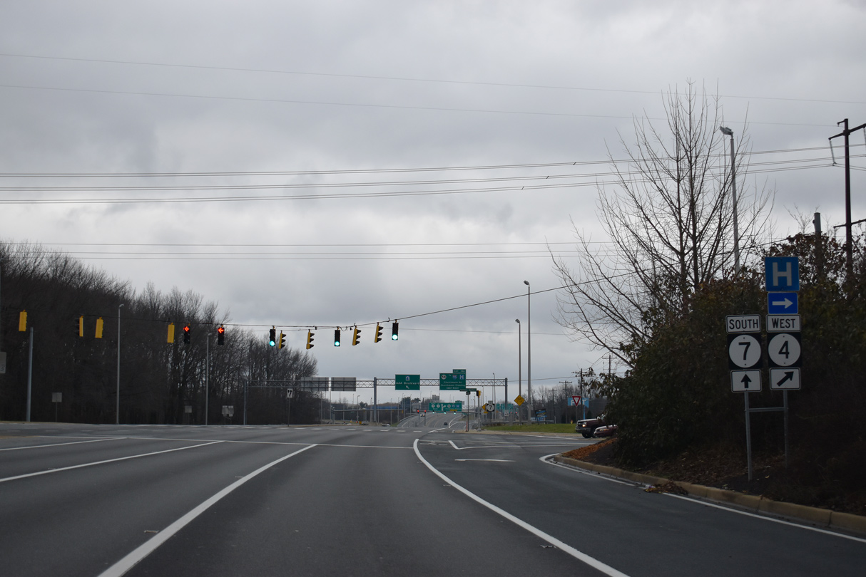
SR 4/7 separate at the ensuing intersection with Stanton Ogletown Road west and the entrance to Morgan Christiana Center
09/27/14
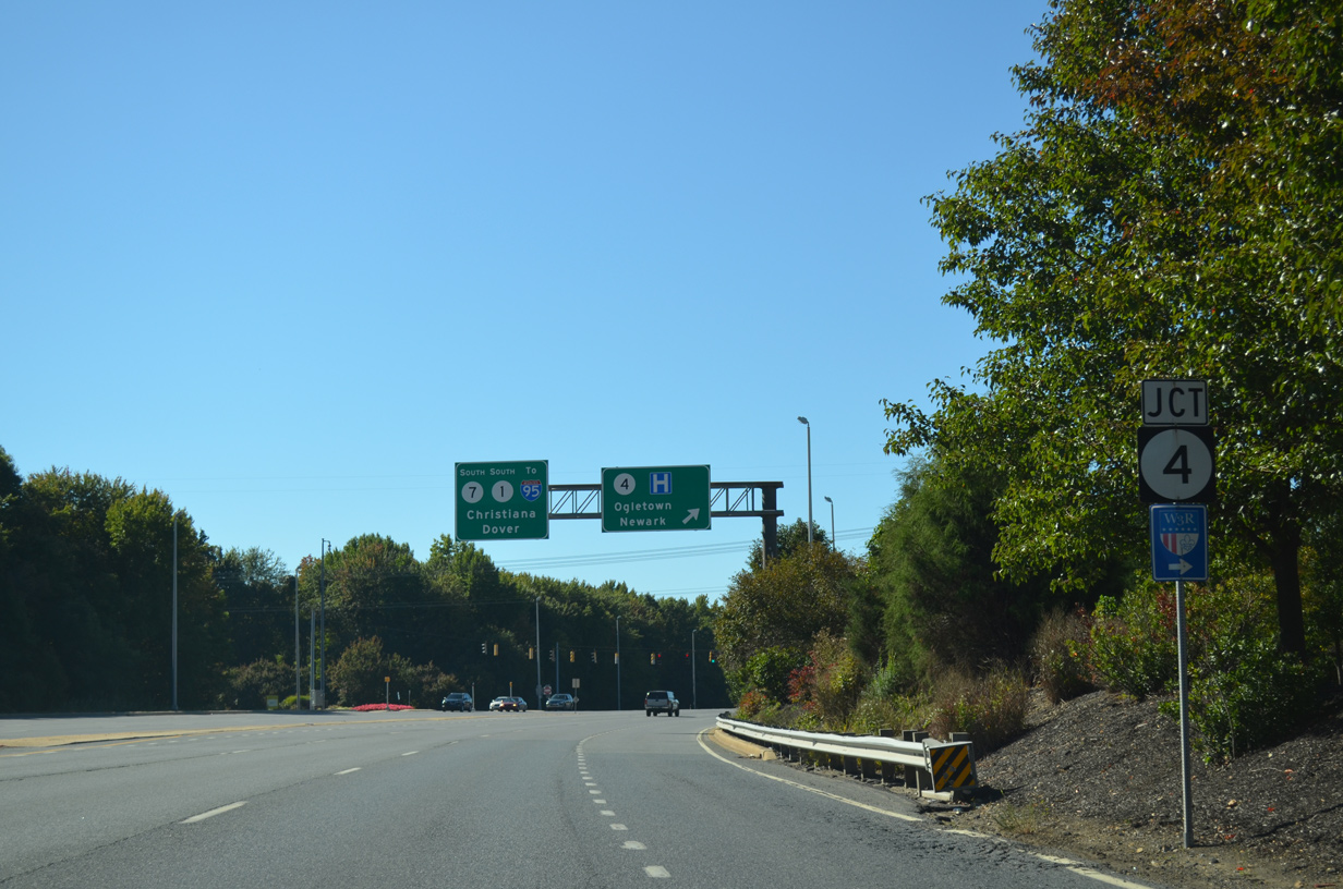
SR 4 resumes a westward course along a four lane arterial to Christiana Hospital, Ogletown and south Newark. SR 7 combines with SR 1 in 0.93 miles at the exchange with Interstate 95 and Christiana.
12/26/24


Photo Credits:
- Alex Nitzman: 12/22/12, 07/31/13, 09/27/14, 12/20/16, 12/30/16, 12/20/17, 12/21/17, 12/25/20, 12/19/22, 12/23/22, 12/26/24
Connect with:
Page Updated Sunday December 07, 2025.