
State Route 15 North - New Castle County

 North
North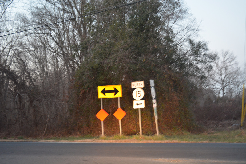
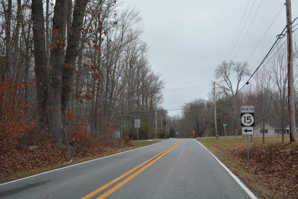
North from Providence Creek, SR 15 lines Clayton Greenspring Road to Vandyke Greenspring Road west.
12/28/16
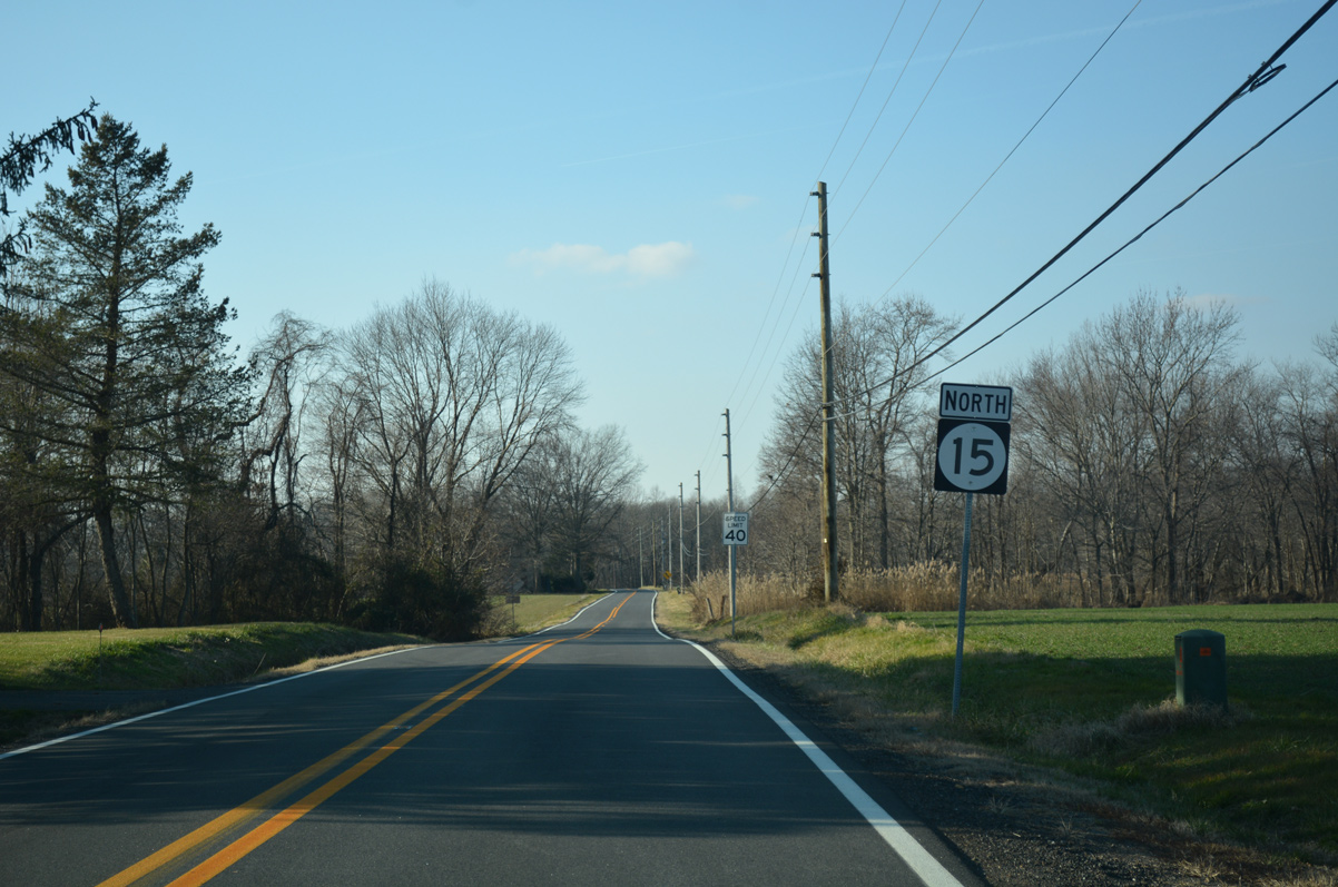
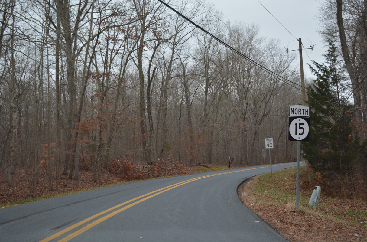
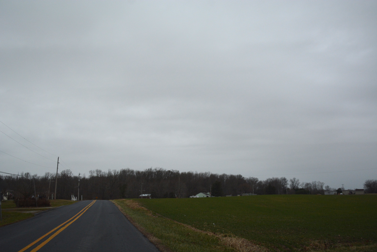
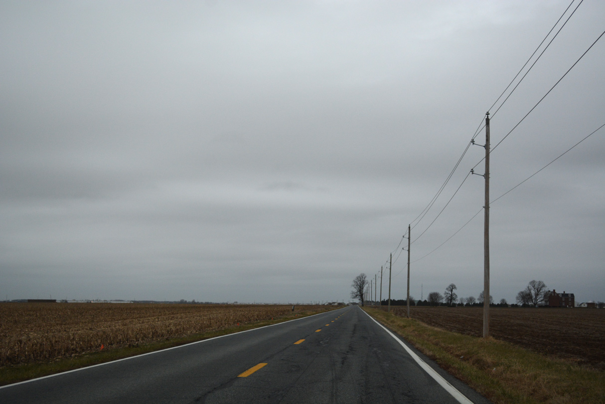
Vandyke Greenspring Road traverses agricultural areas west from Greenspring to Prices Corners. A SR 15 north reassurance marker stands after the intersection with Blackbird Forest Road.
12/28/16
SR 15 turns north from Vandyke Greenspring Road at Dexter Corners. Vandyke Greenspring Road continues west through tracts of Blackbird State Forest to Coldwell Corners on the Maryland state line.
12/26/16

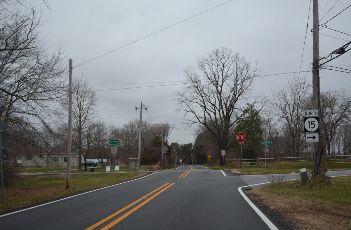
Reassurance marker posted as Dexter Corner Road leads SR 15 north from Vandyke Greenspring Road.
12/26/16
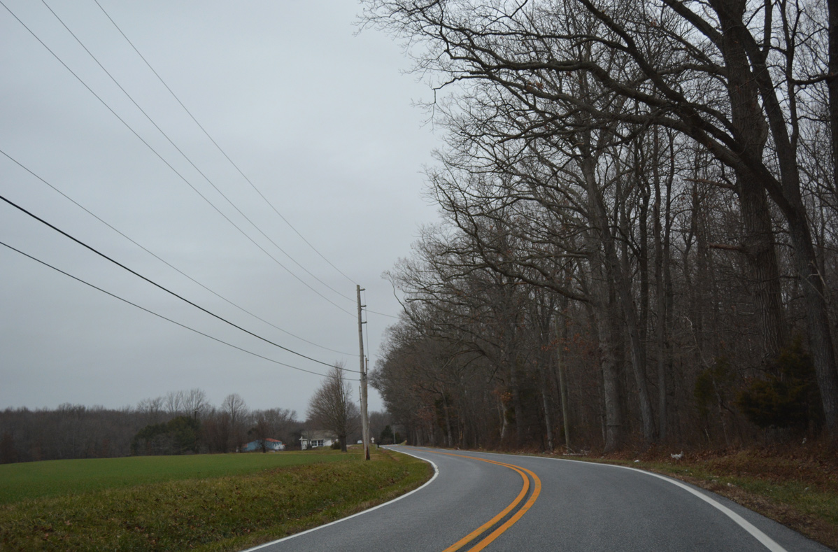
Farm and forest land line SR 15 north in this scene preceding Oliver Guessford Road east.
12/26/16
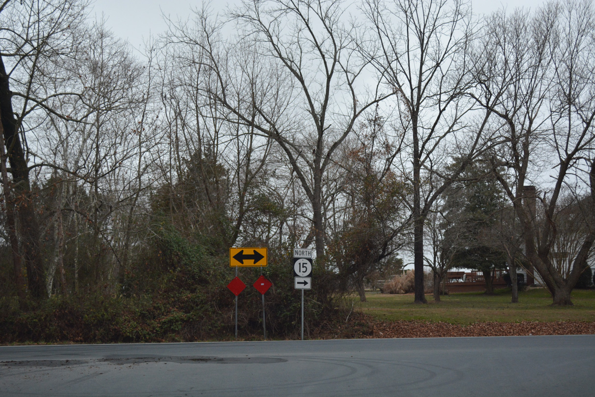
Blackbird Station Road takes SR 15 northwest toward Middletown while Dexter Corner Road remains northward toward Townsend.
12/26/16
Blackbird Station Road arcs west along a forested route from the Ash Spring subdivision.
12/26/16
SR 15 (Blackbird Station Road) overtakes the end of Ebenezer Church Road at this turn.
12/26/16
A number of homes line Blackbird Station North from Ebenezer Church Road to the Green Knoll subdivision.
12/26/16
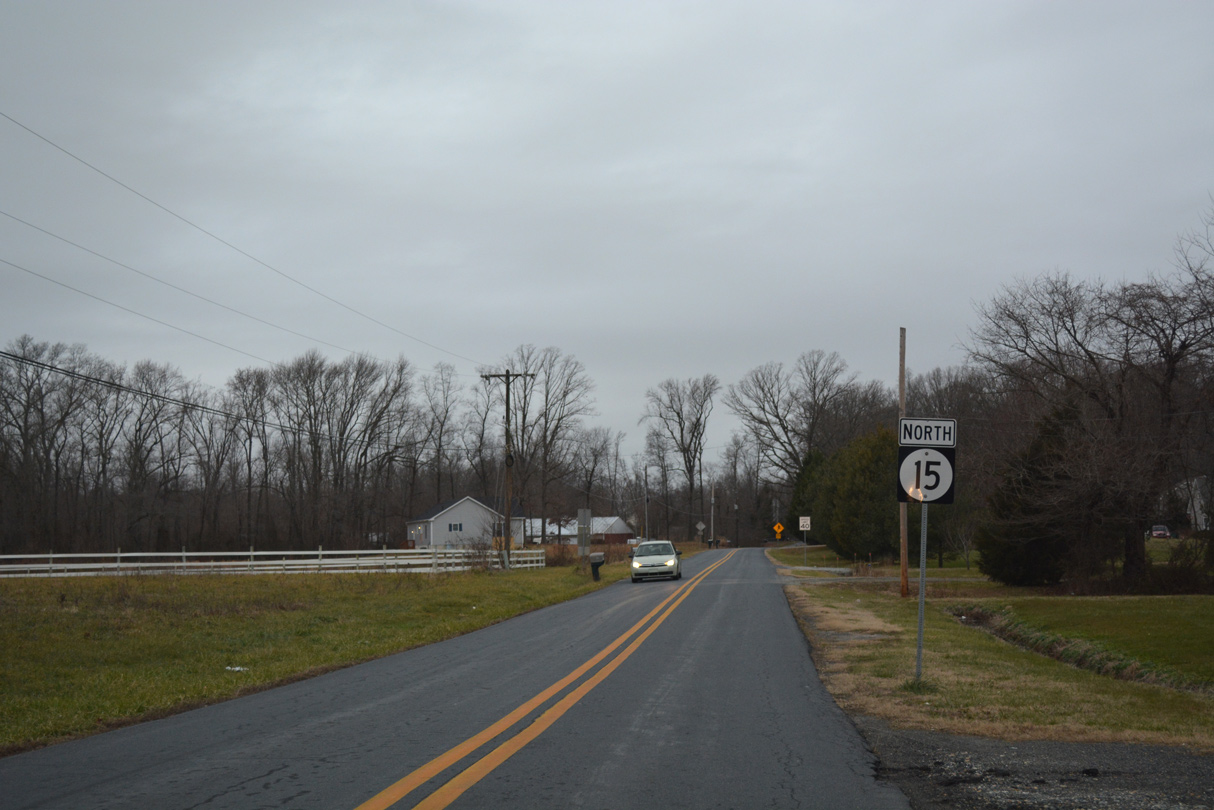
Dogtown Road continues SR 15 north from Caldwell Corner Road across agricultural areas to Levels Road.
12/26/16
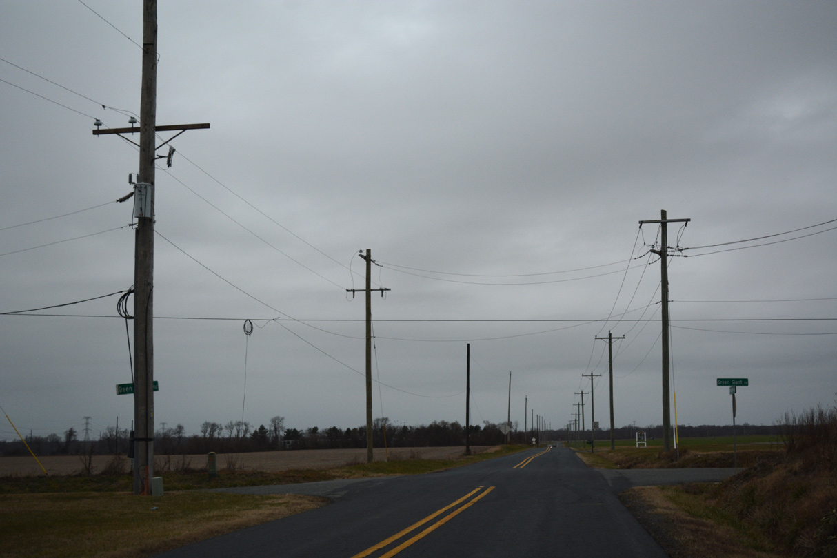
Green Giant Road stems east from Maryland Line Road to intersect SR 15 (Dogtown Road) en route to southern reaches of Middletown and SR 71.
12/26/16
Edgar Price Road east from MD 299 becomes Levels Road across the state line to SR 15 (Dogtown Road).
12/26/16
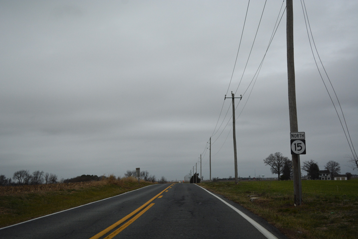
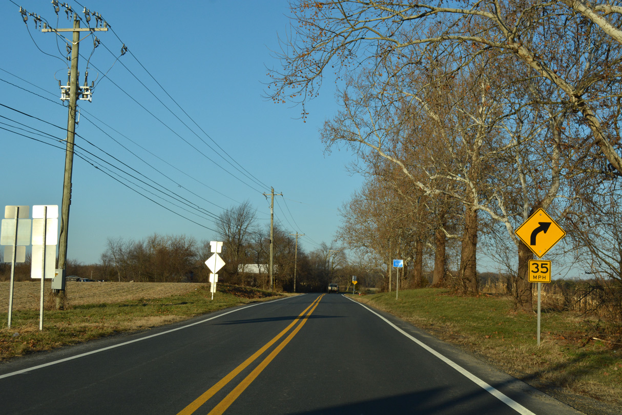
SR 15 (Levels Road) advances northeast to Strawberry Lane and the rural outskirts of Middletown.
12/26/16
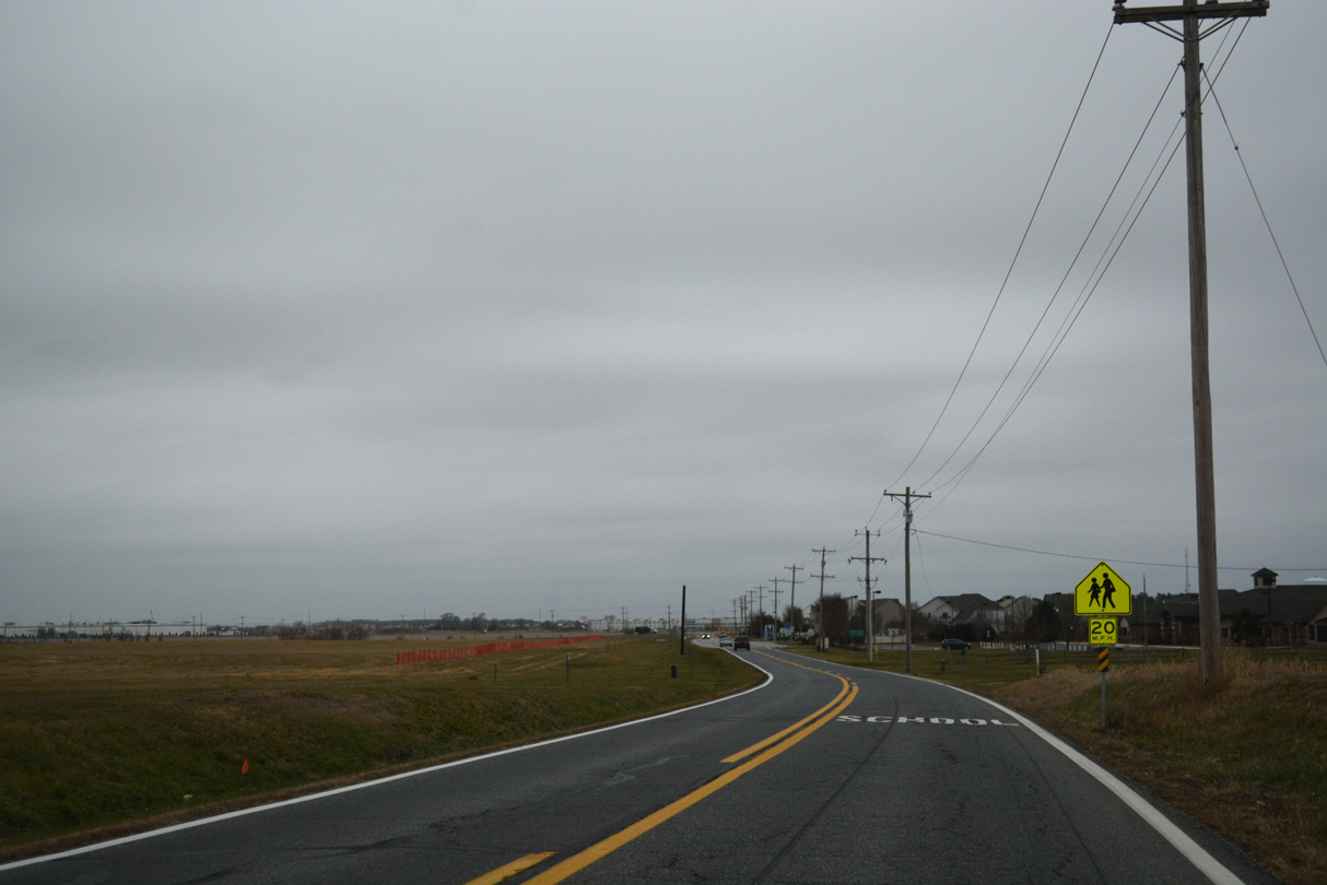
Entering Middletown, agricultural land gives way to development as SR 15 (Levels Road) approaches the Estates at St. Annes golf course community.
12/26/16
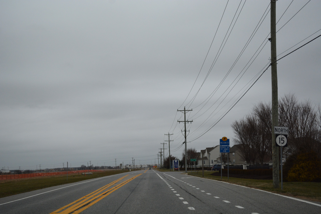
A reassurance marker for SR 15 precedes St. Annes Boulevard on Levels Road.
12/26/16

SR 15 (Levels Road) meets St. Annes Church Road west at the ensuing junction. St. Annes Church Road lines the south side of the Preserve at Deep Creek east to connect with SR 71 north toward Downtown Middletown.
12/26/16
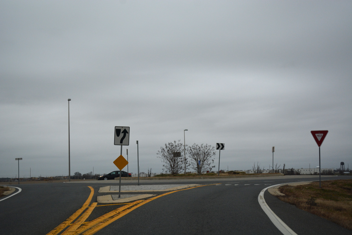
A roundabout joins the turn of SR 15 along Levels Road with St. Annes Church Road east and Wallasey Drive north. Construction of the roundabout realigned both Levels and St. Annes Church Roads from their intersection to the south.
12/26/16
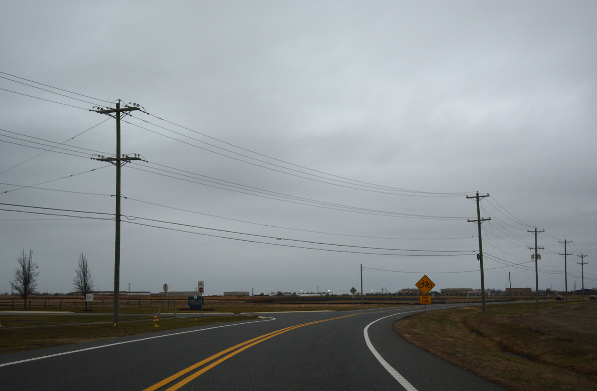
Levels Road runs alongside Charles E. Price Memorial Park to Levels Business Park.
12/26/16
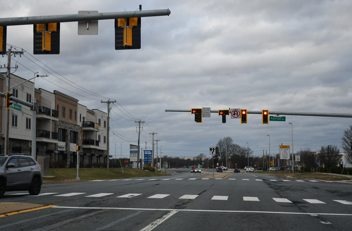
Traffic lights were added along SR 15 (Levels Road) at Patriot Drive and Westown Business Park in 2024.
12/29/24
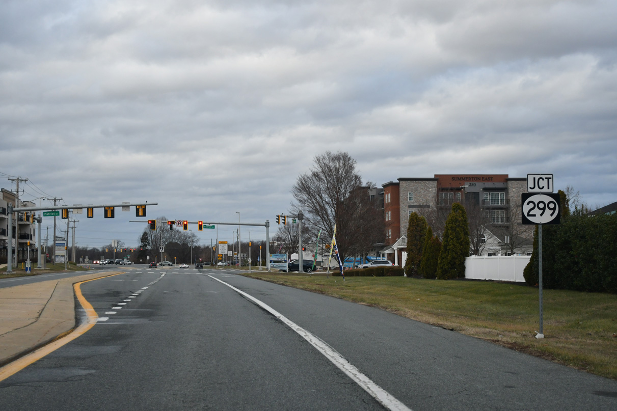
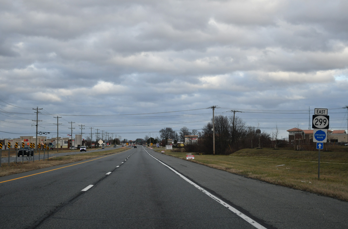
SR 15 turns north alongside SR 299 (Middletown Warwick Road) toward Downtown Middletown. U.S. 301 shifted away from Middletown Warwick Road onto First Responders Memorial Highway bypassing Middletown in January 2019.
12/29/24
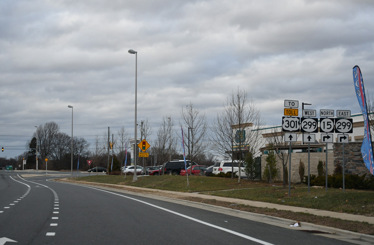
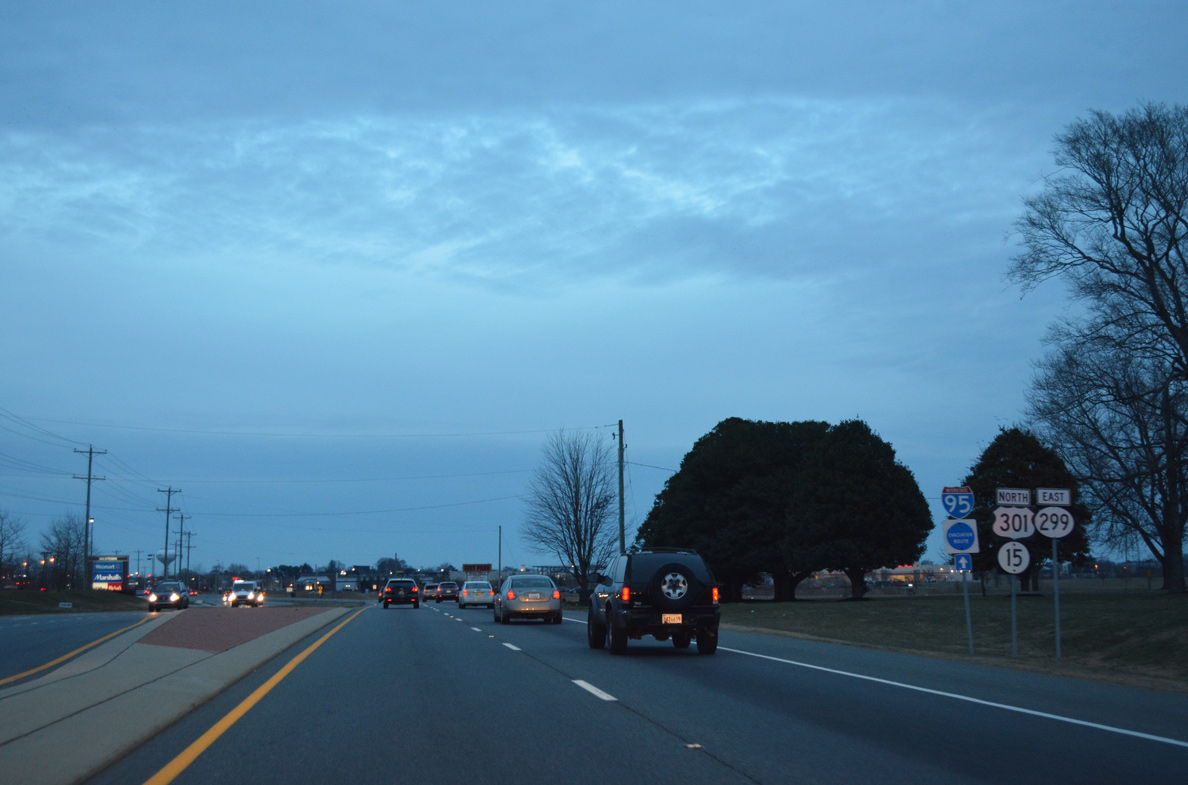
SR 299 (Warwick Road) was realigned in 2017 to connect with SR 15 at Levels Road and a newly built diamond interchange with the U.S. 301 (First Responders Memorial Highway). U.S. 301 leads southwest from Middletown to Queenstown, where it combines with U.S. 50 west to Annapolis and Bowie, Maryland.
12/29/24
SR 15 is omitted from the confirming marker for SR 299 posted along Middletown Warwick Road north of Levels Road. Levels Road was relocated 850 feet to the west in 2007 to eliminate the acute angle of the previous intersection joining SR 15 with then-U.S. 301.
12/29/24
Merrimac Avenue arcs north from Industrial Drive by the Amazon Fulfillment Center to a signalized intersection with SR 15/299, adjacent retail areas, the Arbor at South Ridge community and the continuation of SR 15 along Bunker Hill Road.
12/29/24
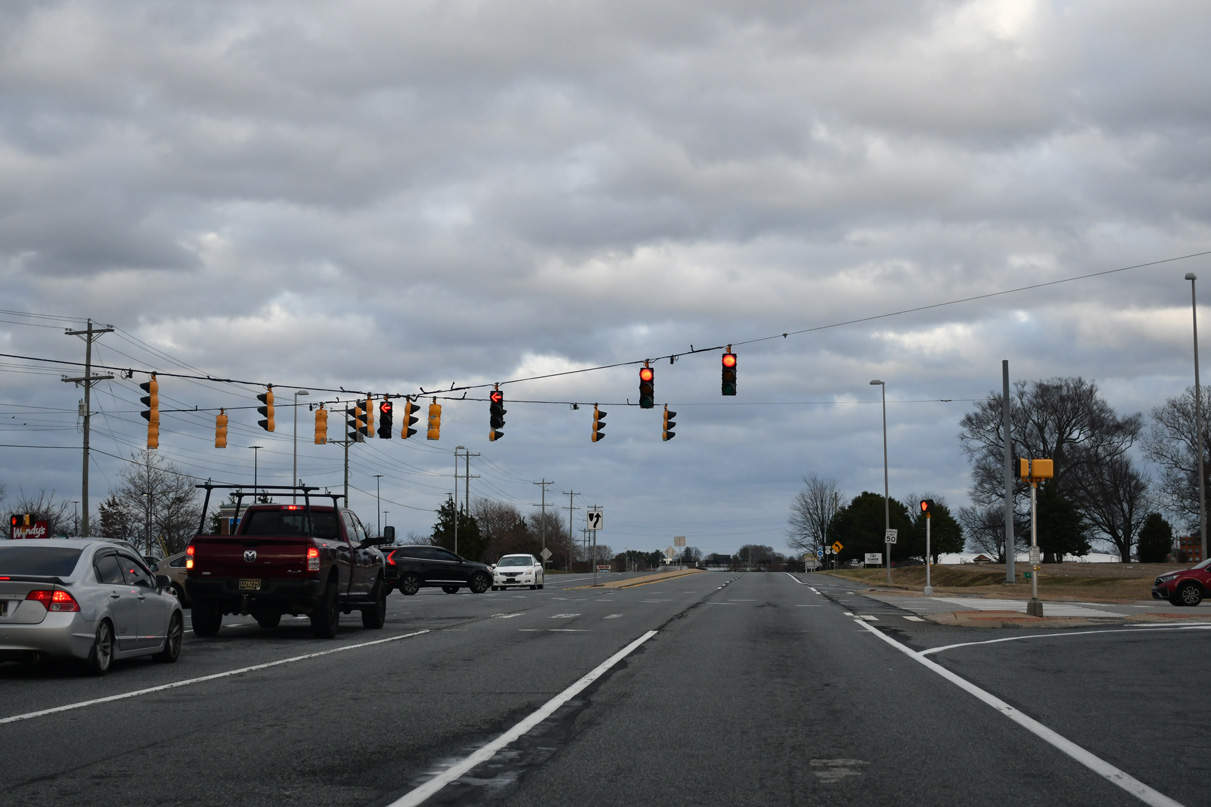
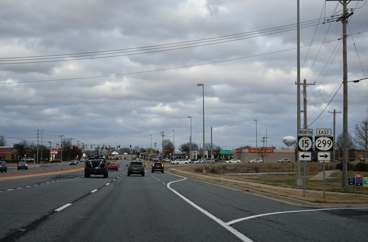
SR 15/299 (Middletown Warwick Road) advance eastward along a commercialized stretch to partition at Bunker Hill Road west and Main Street east.
12/29/24
Diamond State Boulevard west and South Ridge Avenue east come together at the succeeding traffic light along SR 15/299 north. The local roads connect Middletown Warwick Road with adjacent big box retail and the Parkway at South Ridge town home community.
12/29/24

Bunker Hill Road leads SR 15 west from SR 299 and Middletown Warrwick Road between the Bunker Hill Center business park and the South Ridge communities to Appoquinimink High School and Choptank Road.
12/29/24
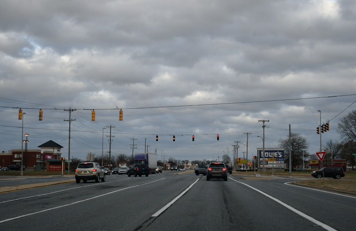
SR 299 resumes east along Main Street to Downtown Middletown.
12/29/24
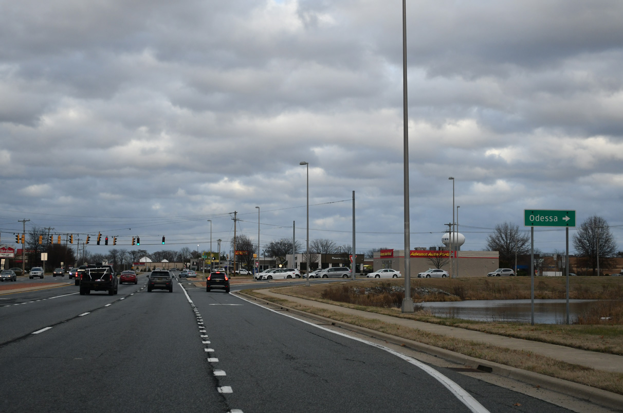
SR 299 comprises a suburban arterial beyond the Middletown street grid east to the town of Odessa.
12/29/24
North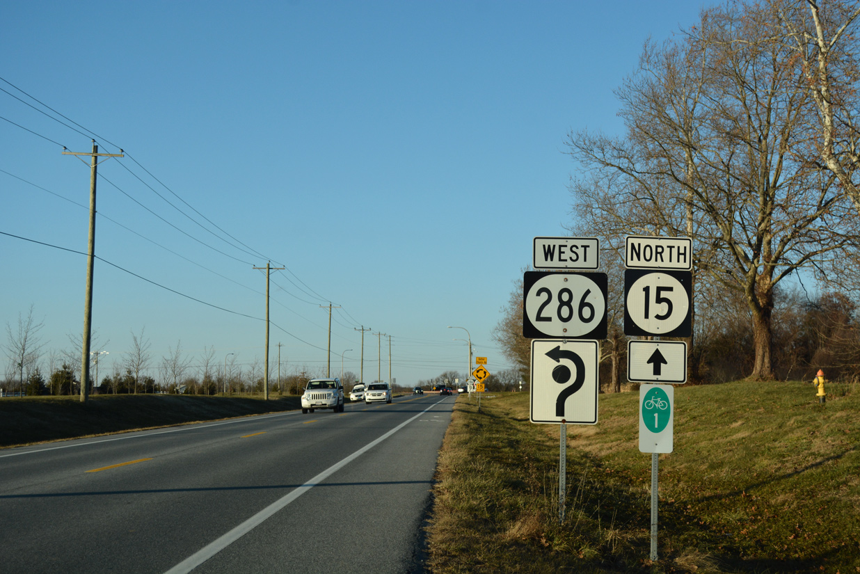
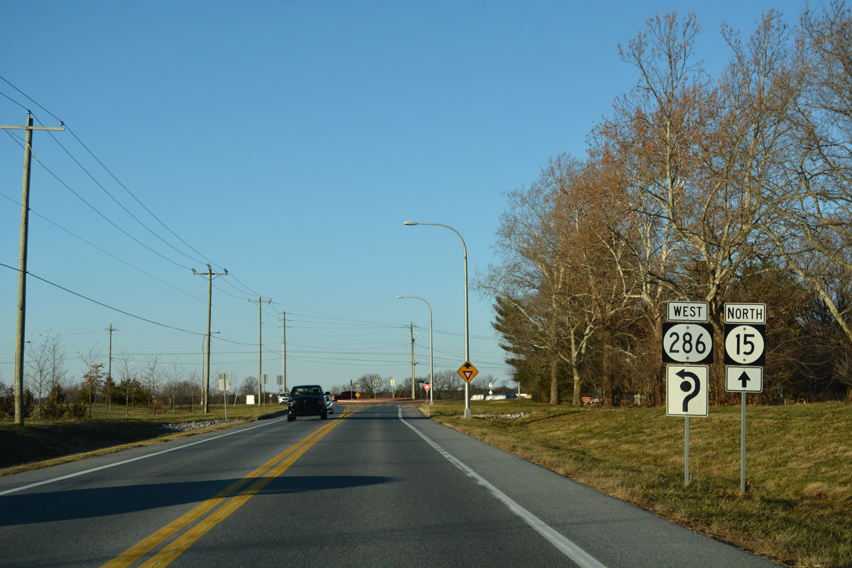
SR 15 (Choptank Road) meets the east end of SR 286 (Bethel Church Road) at a roundabout in semi rural areas southwest of Summit Bridge.
12/26/17
Forming a multi state route with MD 286 to Chesapeake City, SR 286 comprises a minor collector measuring 1.73 miles west from SR 15 along Bethel Church Road.
12/26/17
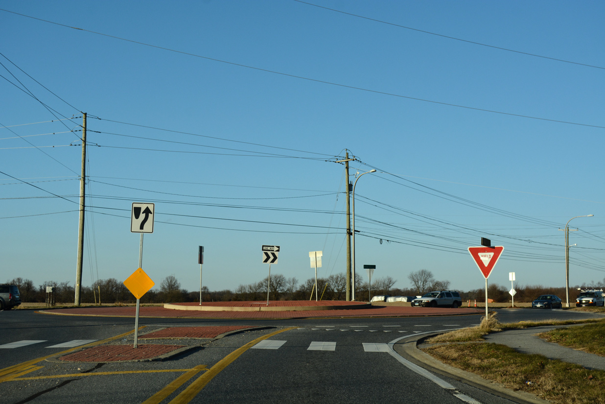
The roundabout at SR 15 and SR 286 (Bethel Church Road) was constructed during a three-year, $11.3 million project to reconstruct Choptank Road. 4.9 miles of Choptank Road were expanded with two 11-foot wide travel lanes and five-foot shoulders. Work wrapped up on May 30, 2010.1
12/26/17
The final 0.84 mile segment of SR 15 follows Bethel Church Road east.
12/26/17
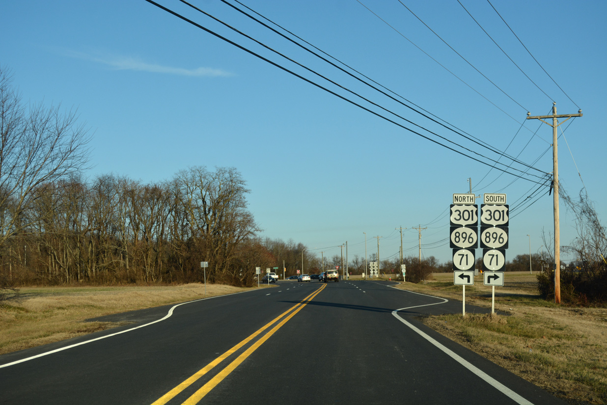
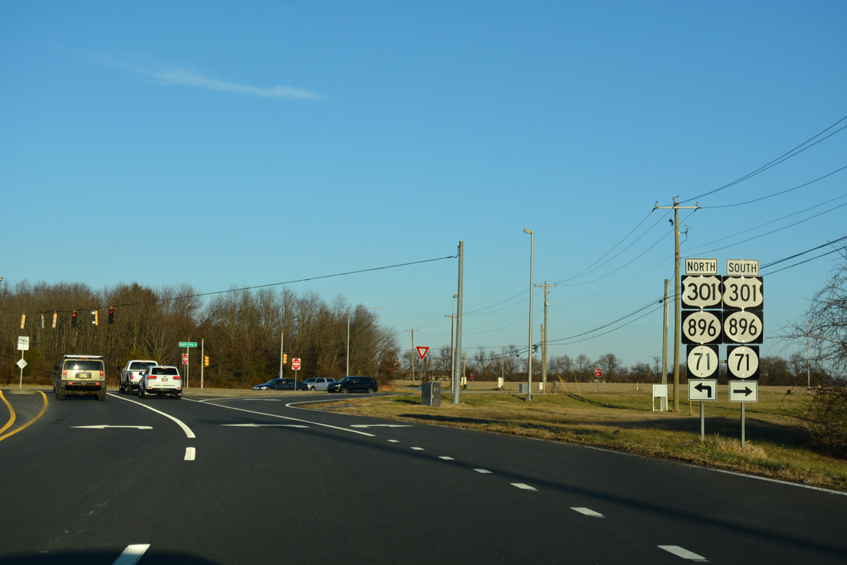
SR 15 concludes at SR 71/896 at the south end of Summit Bridge. U.S. 301 was realigned from Summit Bridge Road by January 2019 to the toll road bypassing Middletown.
12/26/17
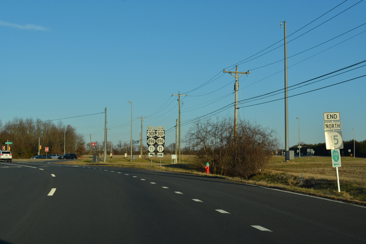
An end SR 15 shield precedes the intersection with SR 71/896 at Summit Bridge.
12/26/17
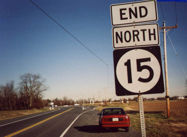
The original end sign for SR 15 on Bethel Church Road. Prior to January 2, 2003, the signals at Bethel Church and Summit Bridge Roads were set to flash only.2 The eastern extent of the state route was also expanded to four lanes to accommodate increased traffic.
12/10/99
Future work to construct the U.S. 301 Spur from the toll road at Middletown to Summit Bridge includes plans to build a wye interchange linking SR 15 with SR 71/896 north.
12/26/17


References:
- "Three-year-long Choptank Road project completed." Newark Post (DE), May 31, 2010.
- "New Traffic Signal To Be Activated South of Summit Bridge at Route 896 & Bethel Church Road." Delaware Department of Transportation, press release. December 24, 2002.
Photo Credits:
- Alex Nitzman: 12/10/99, 12/26/16, 12/28/16, 12/26/17, 12/29/24
Connect with:
Page Updated Thursday November 29, 2018.