
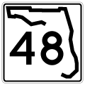
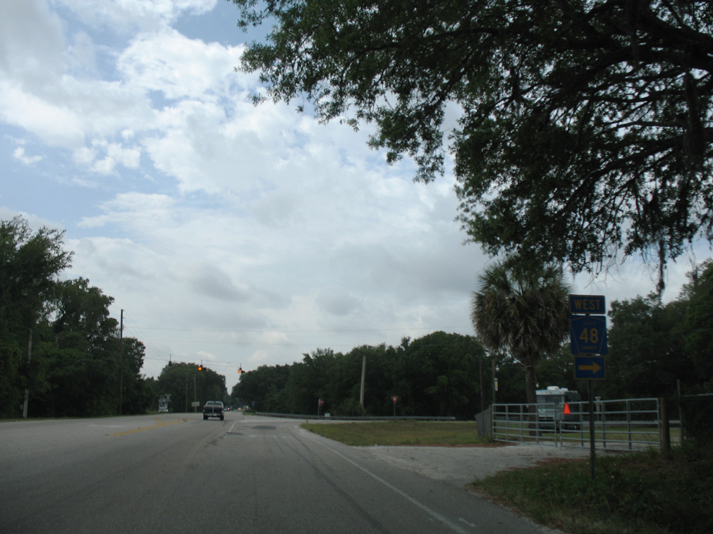
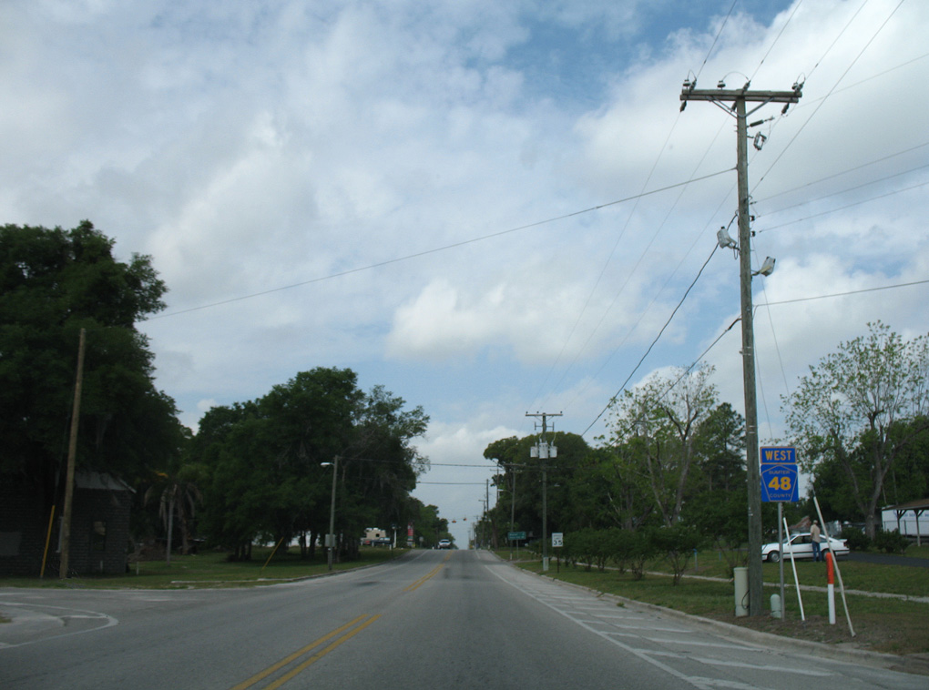
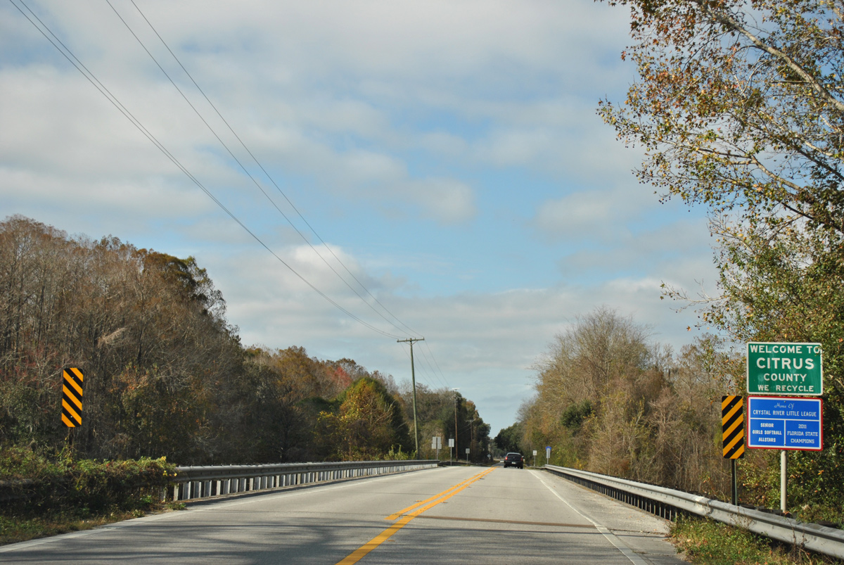
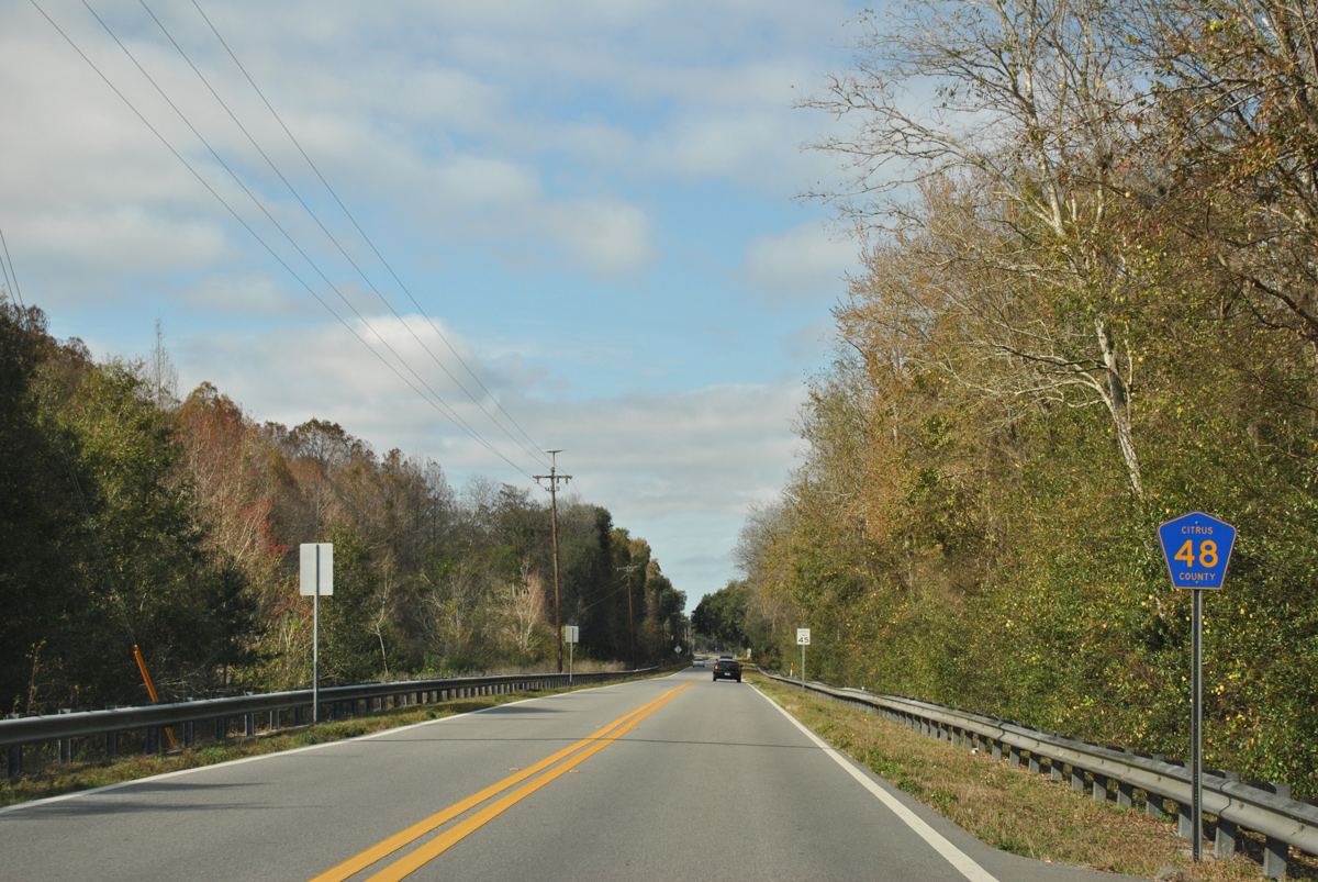
State Road 48 / County Road 48 - West

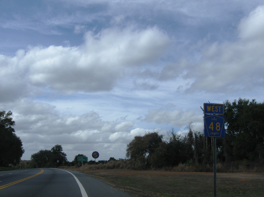
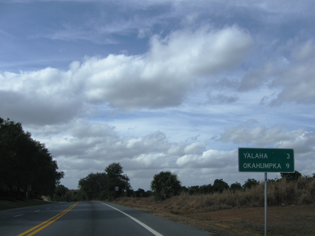
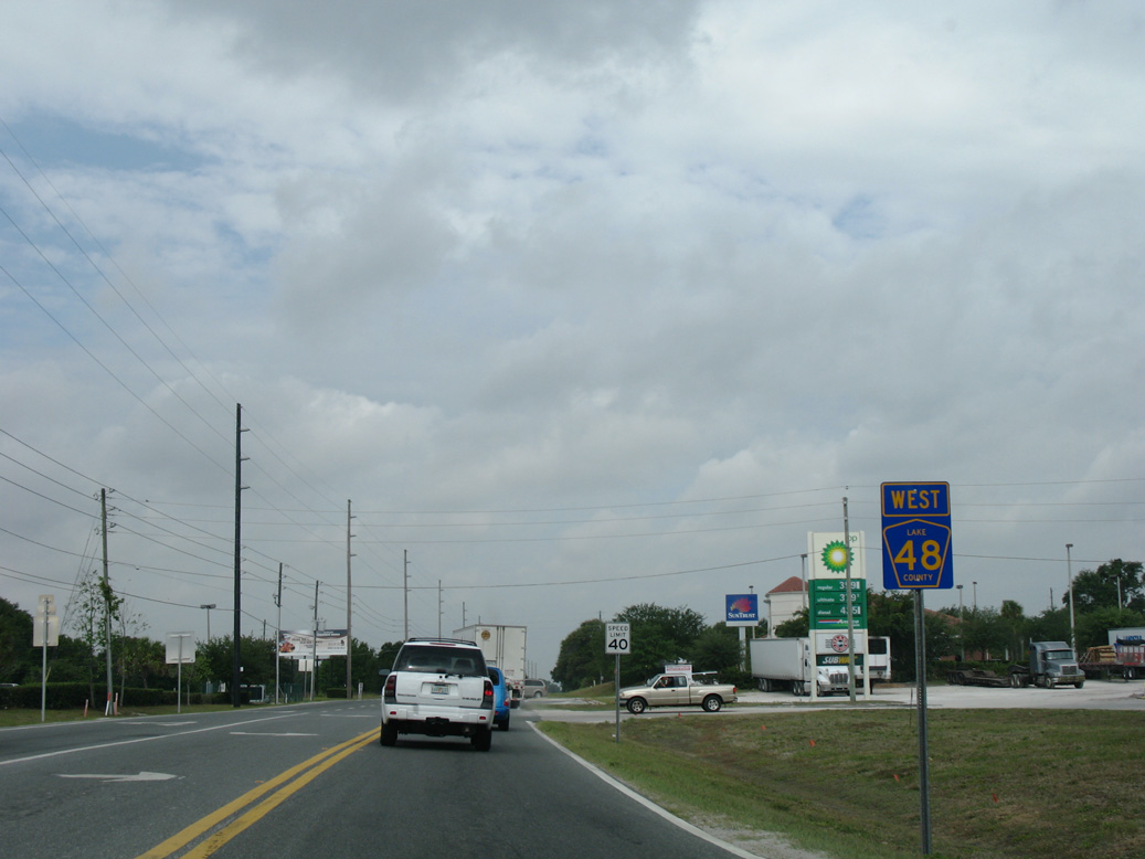
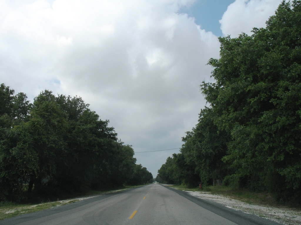
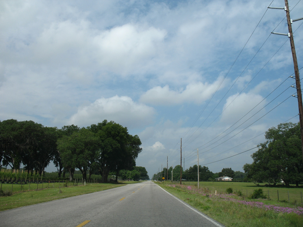
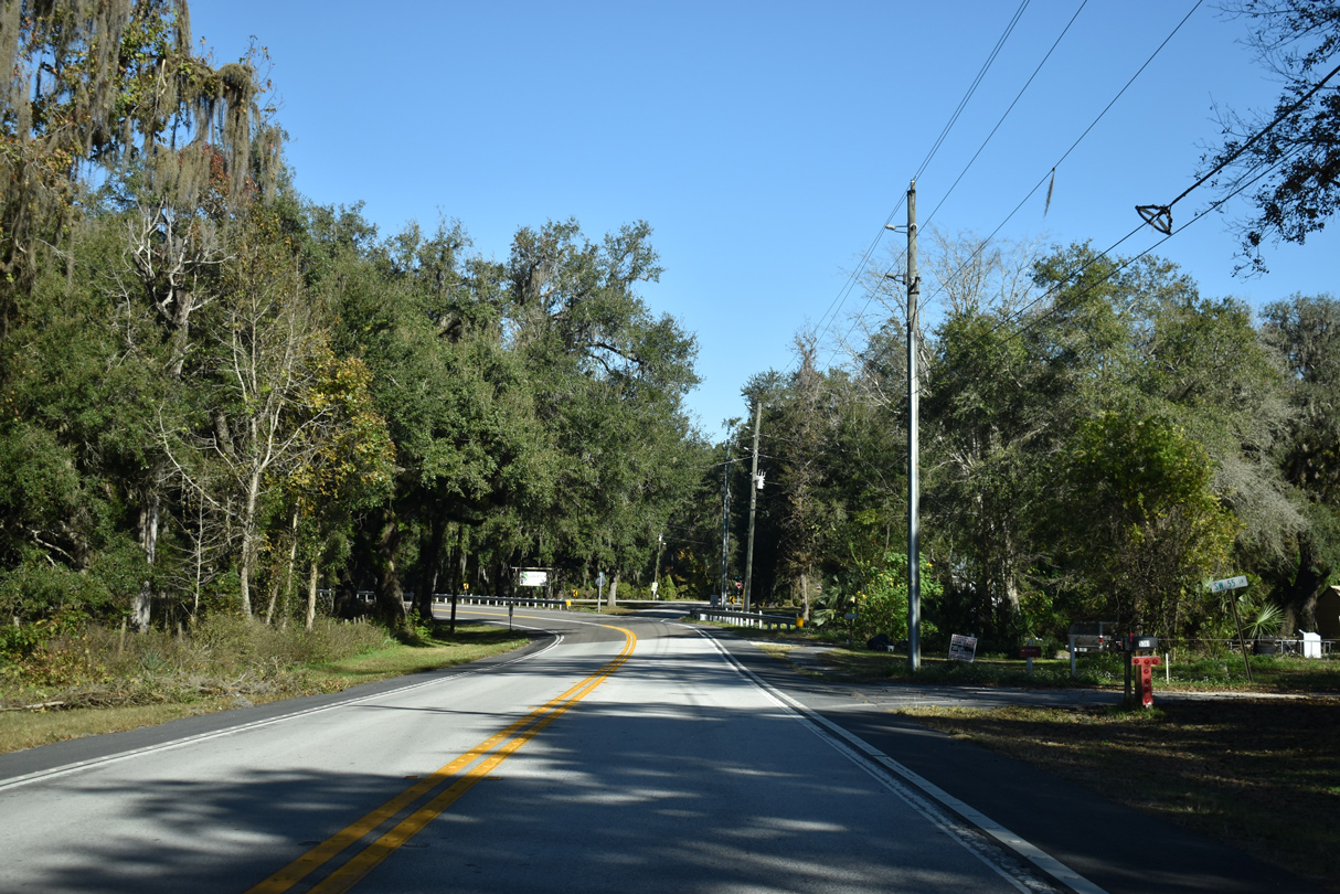
The first confirming marker for Lake County Road 48 stands west of SR 19.
01/17/10
01/17/10
01/17/10
01/17/10
01/17/10
01/17/10
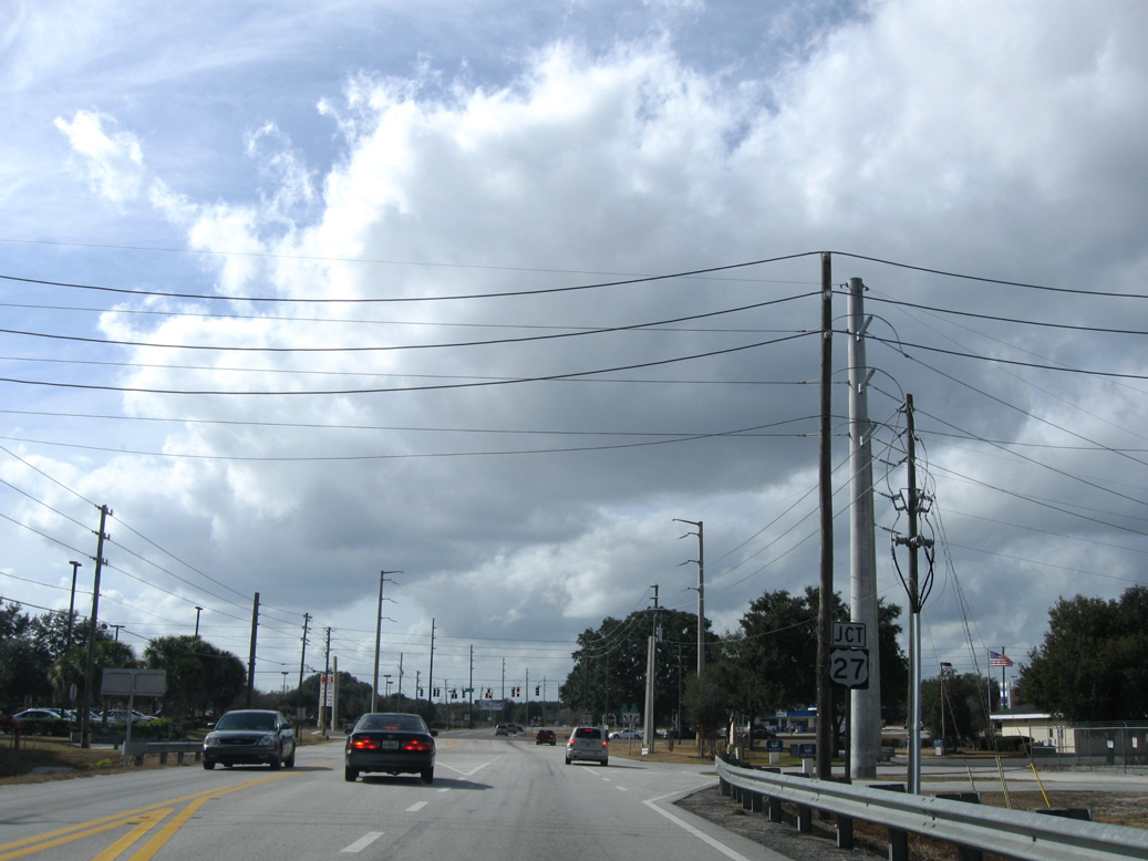
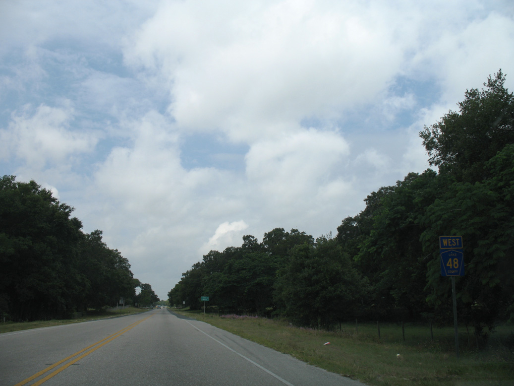
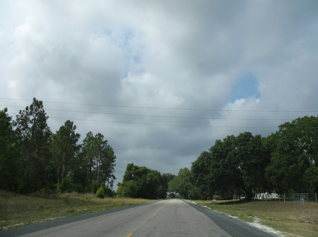
Confirming marker posted west of U.S. 27.
04/28/08
04/28/08
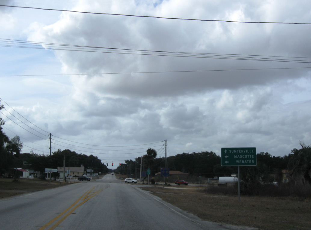
CR 48 combines with CR 33 south at the community of Okahumpka.
01/17/10
01/17/10
CR 470 stems 10.35 miles west from CR 33/48 at Okahumpka to U.S. 301 at Sumterville.
01/17/10
01/17/10
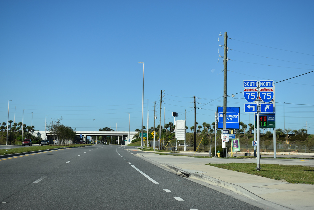
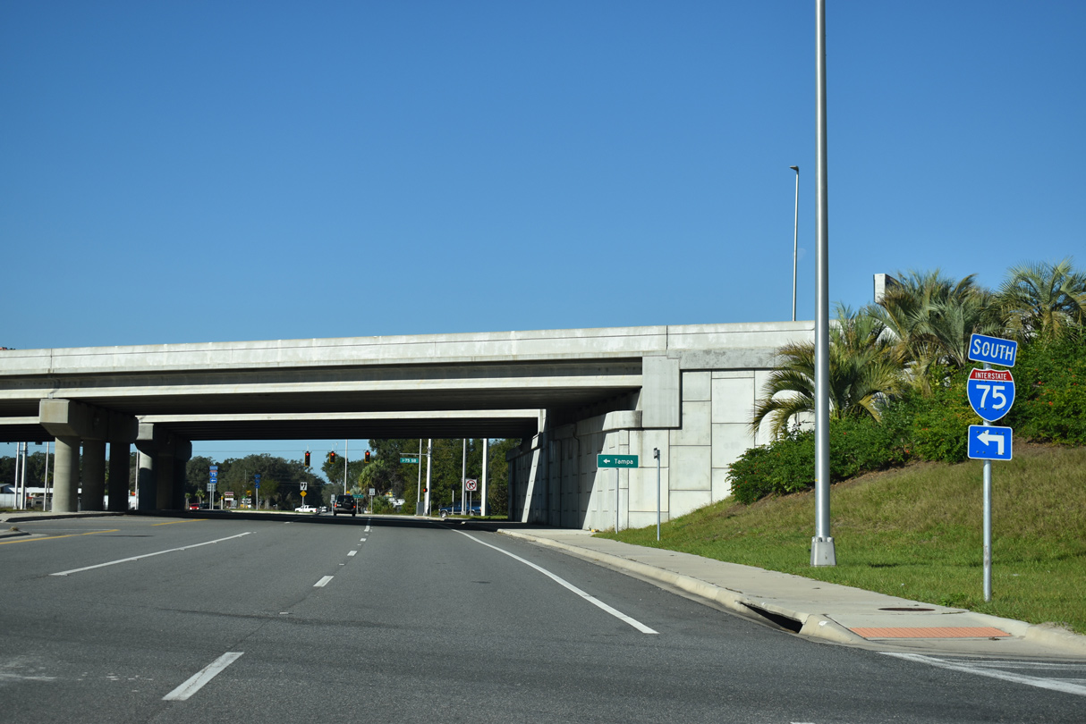
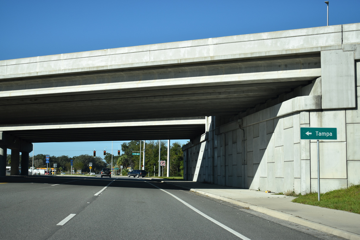
CR 470 west becomes SR 470 west from U.S. 301 to Interstate 75 by Lake Panasoffkee.
01/17/10
01/17/10
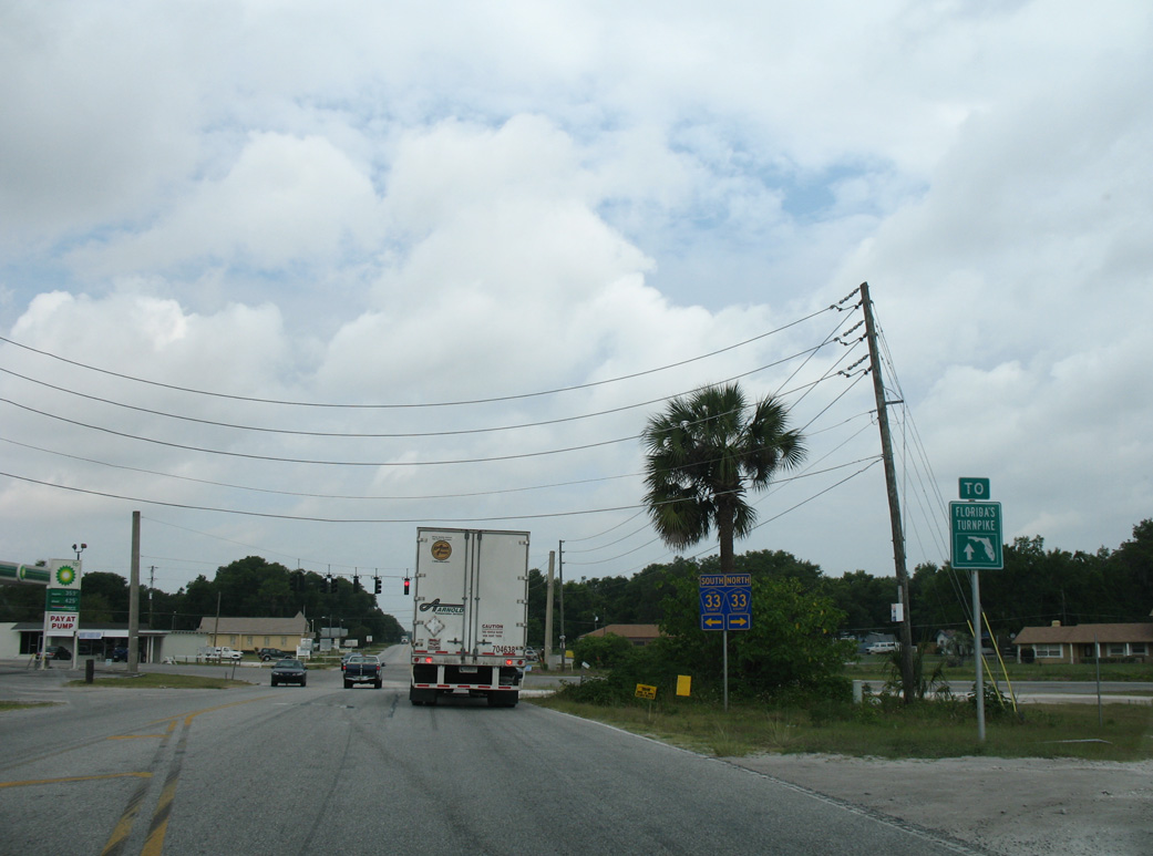
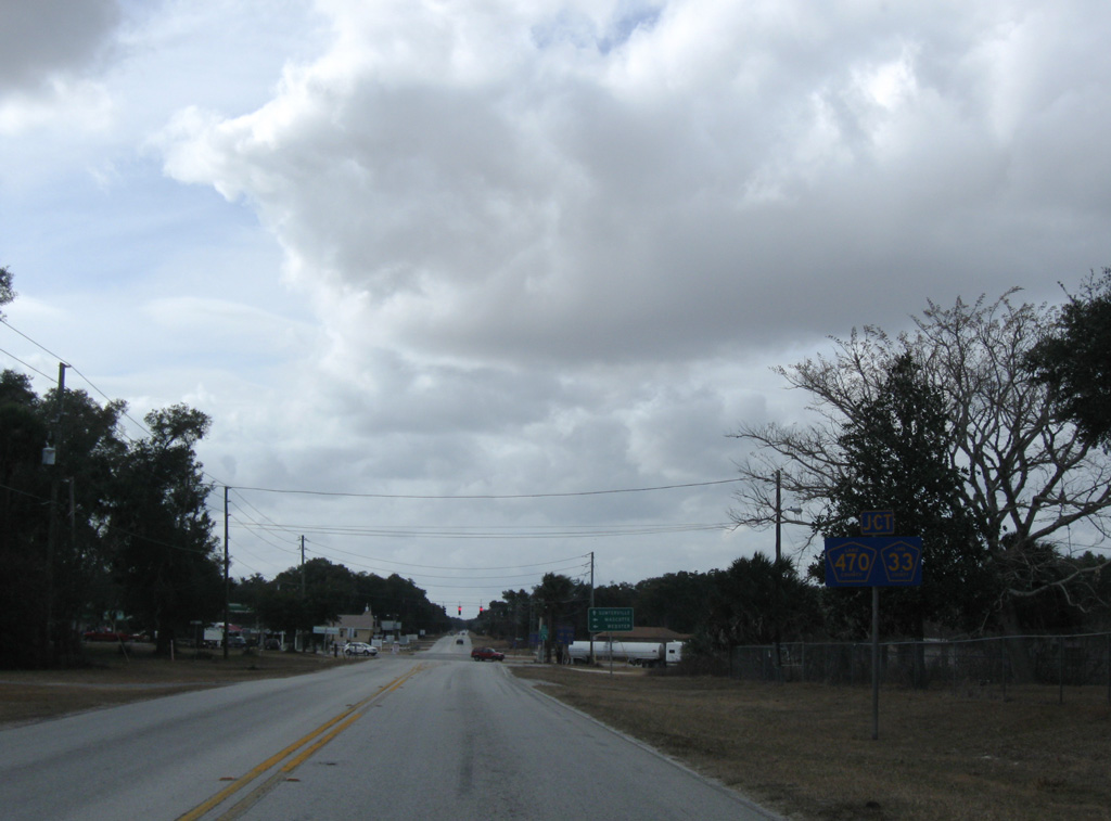
CR 470 west meets Florida's Turnpike at Exit 296 in 2.9 miles.
04/28/08
04/28/08
CR 33 angles 1.4 miles northeast to U.S. 27 near Lake Denham.
01/17/10
01/17/10
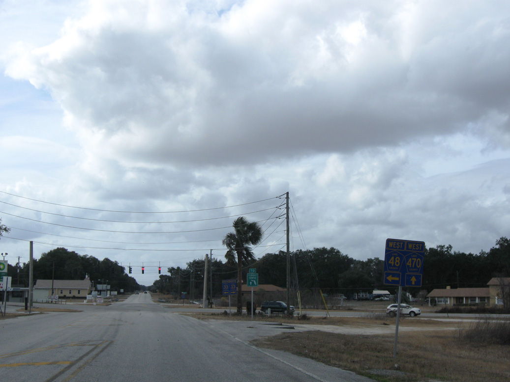
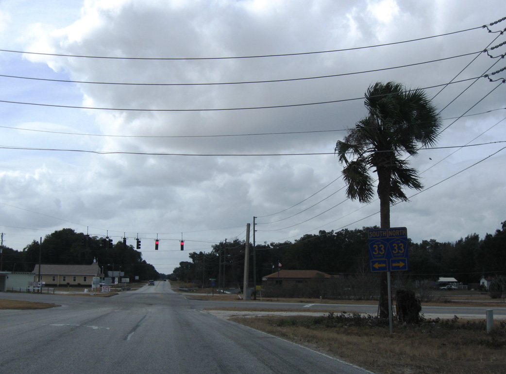
CR 33/48 combine for a half mile south from CR 470 at Okahumpka.
04/28/08
04/28/08
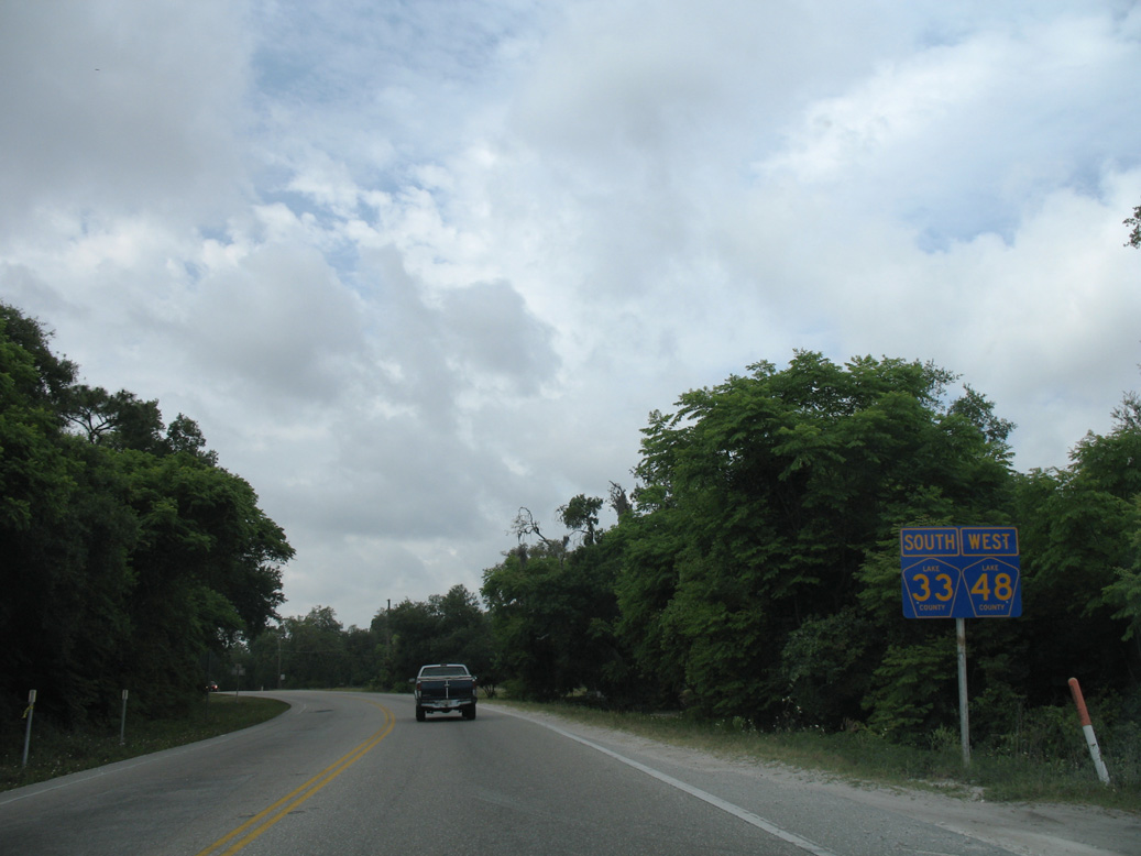
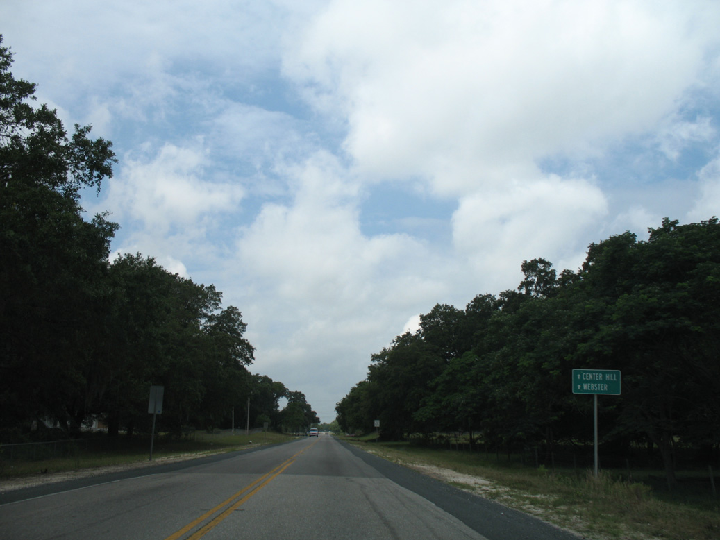
CR 48 branches southwest from CR 33 toward Center Hill.
04/28/08
04/28/08

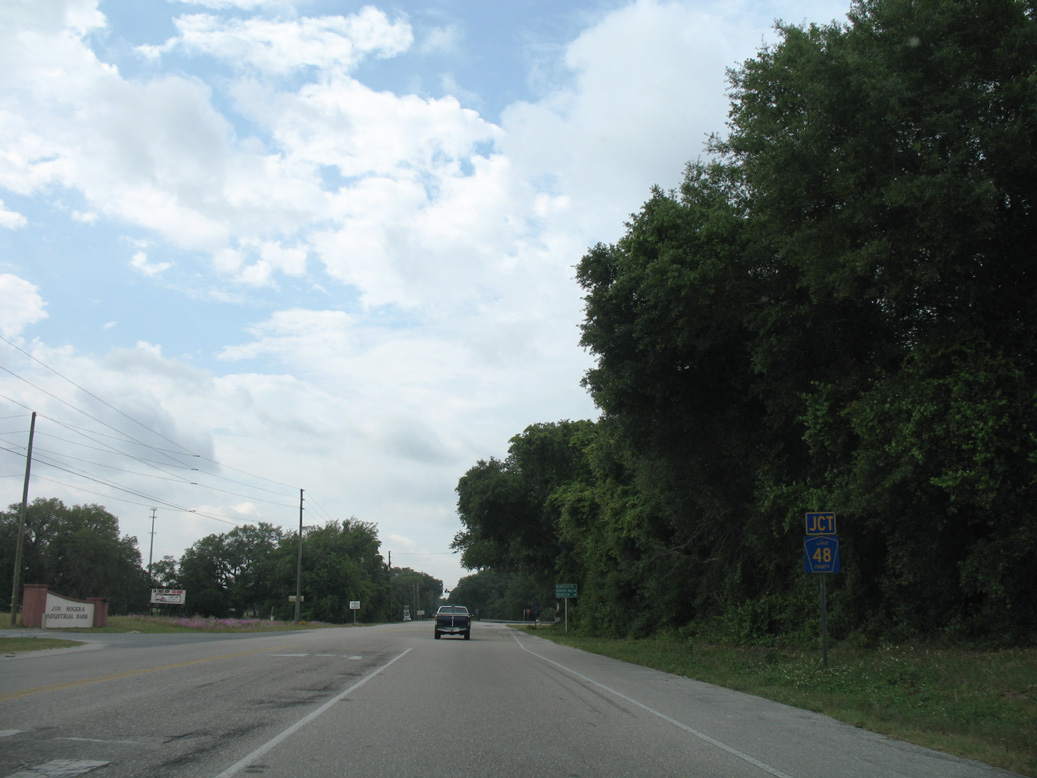
CR 33 continues 11.4 miles south from CR 48 at Okahumpka to SR 50 in the city of Mascotte.
04/28/08
04/28/08
04/28/08
04/28/08
04/28/08
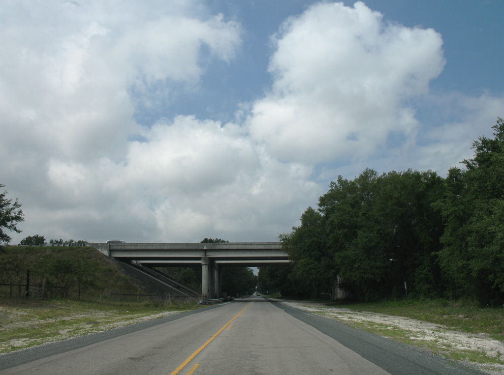
CR 48 passes under Florida's Turnpike between Wallet Pond and Clearwater Lake.
04/28/08
04/28/08
CR 48 plies across wetland areas between Reed Hammock Pond and Wilson Marsh southwest toward the Sumter County line.
04/28/08
04/28/08
04/28/08
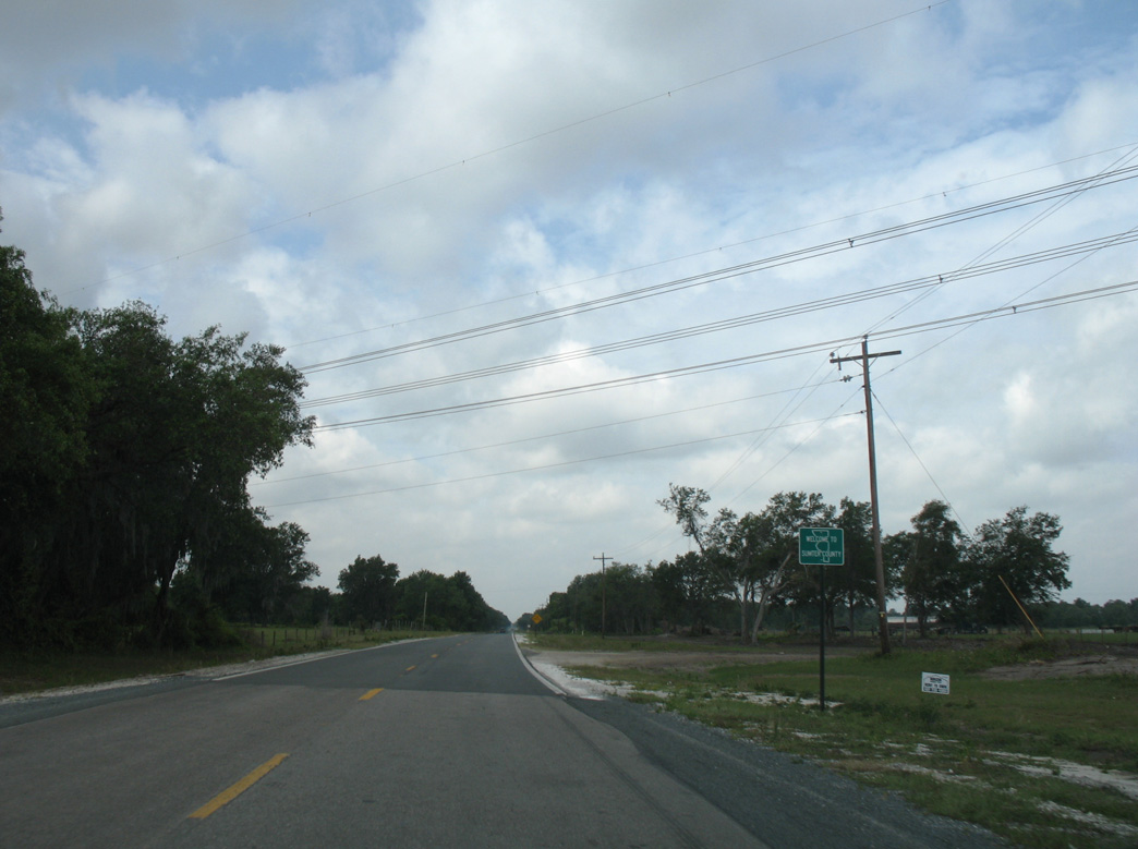
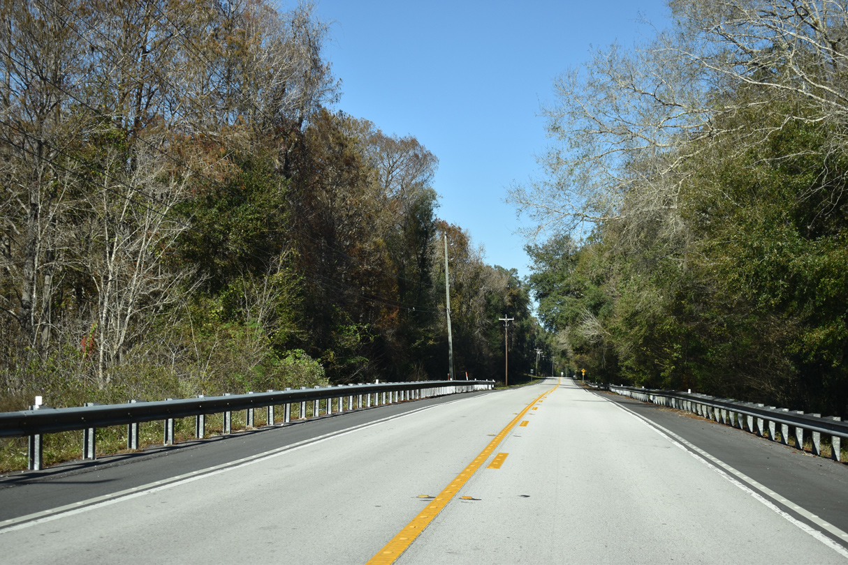
Crossing the Sumter County line, 5.55 miles southwest of CR 33 at Okahumpka.
04/28/08
04/28/08
04/28/08
04/28/08
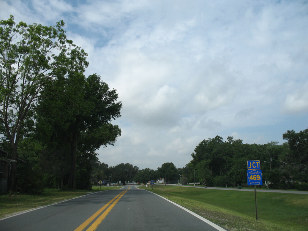
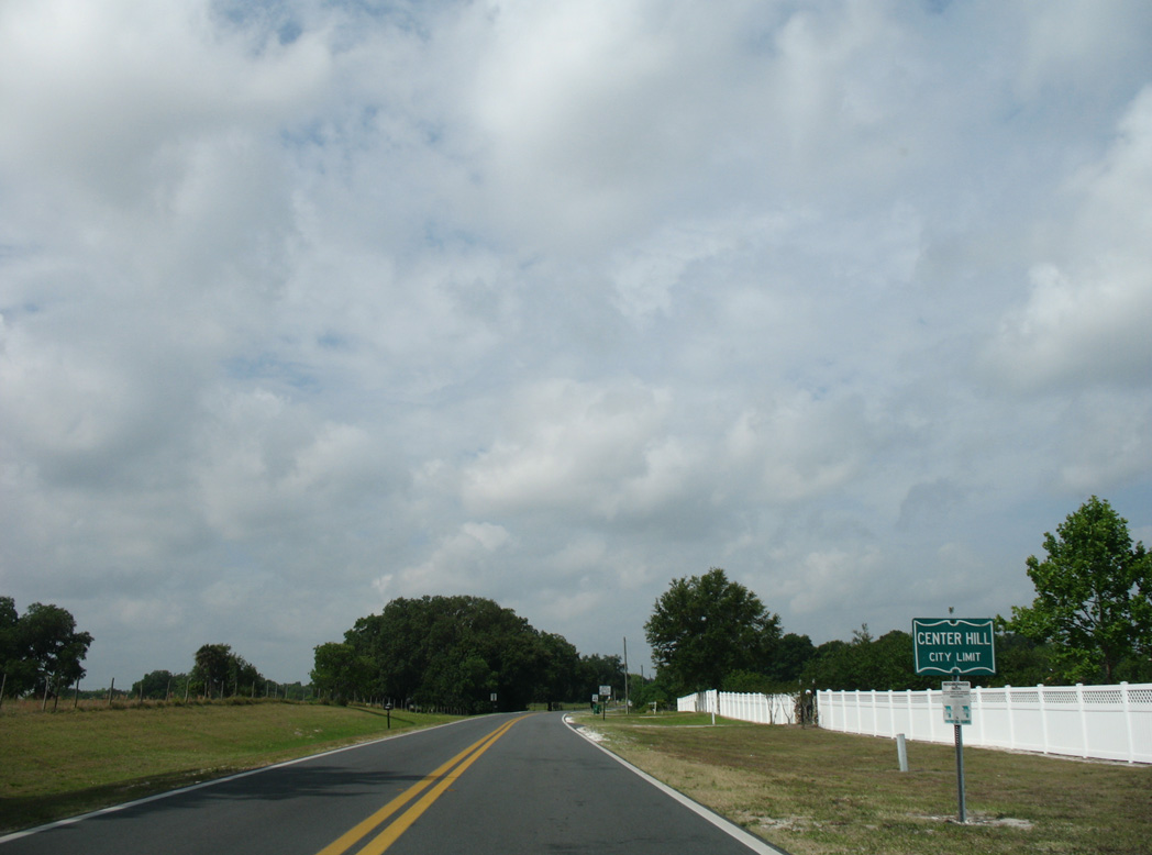
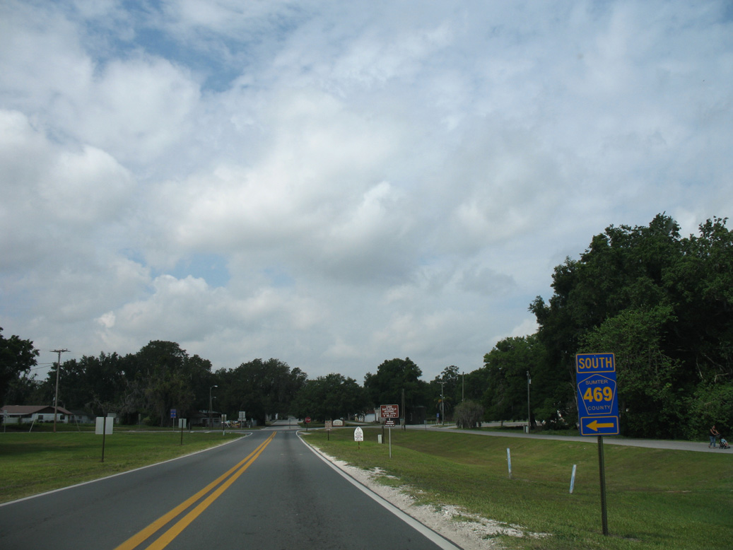
CR 48 (Kings Highway) converges with the north end of CR 469 at Market Street in Center Hill.
04/28/08
04/28/08
04/28/08
04/28/08
04/28/08
Removed by 2014, this set of flashers operated at CR 48 (Kings Highway) and Magnolia Avenue in Center Hill.
04/28/08
04/28/08
04/28/08
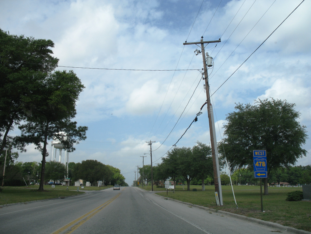
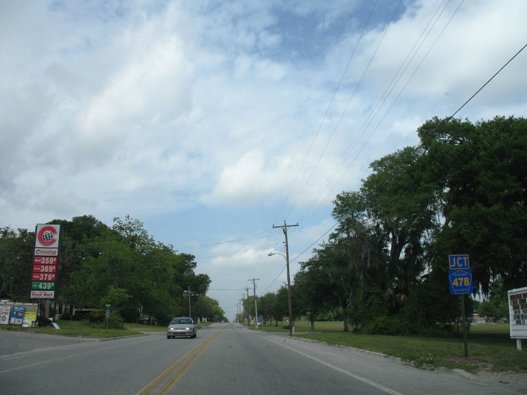
CR 478 constitutes an 11.35 mile long loop south from Center Hill to Webster and west to U.S. 301 near St. Catherine.
04/28/08
04/28/08
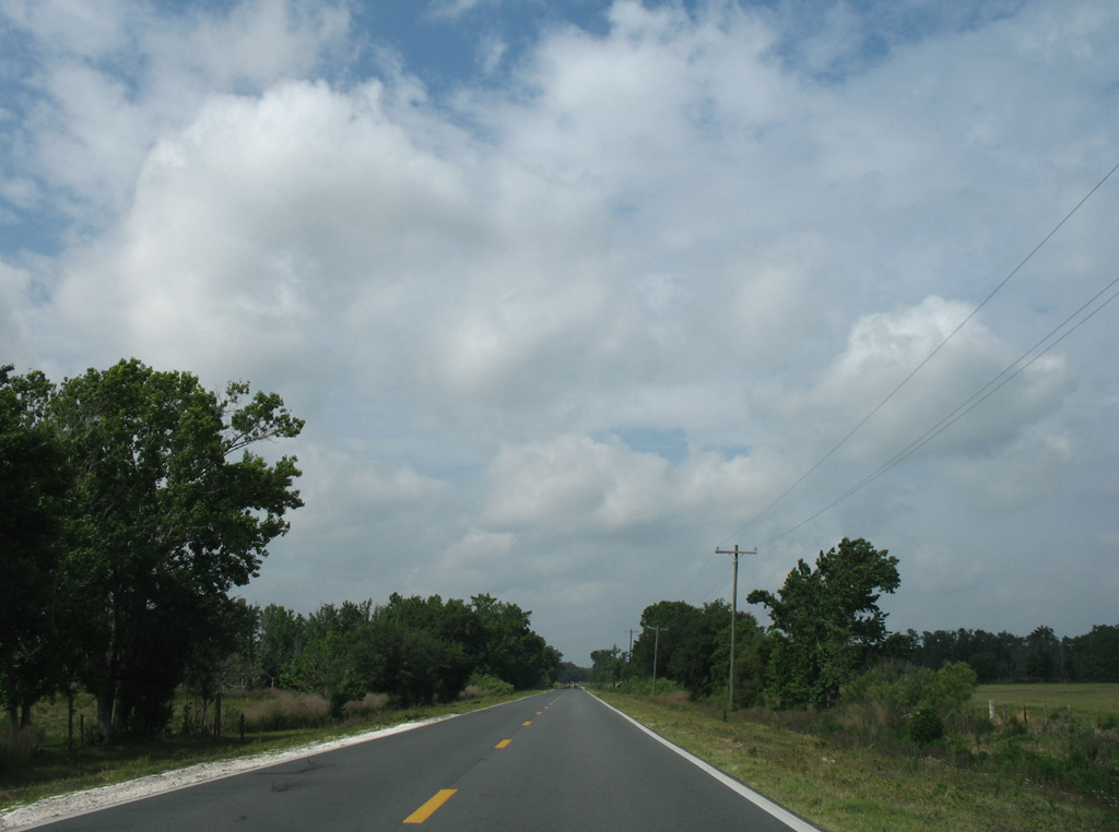
Passing north of Mobley Pond and Chandler Pond along CR 48 west near SE 41st Terrace.
04/28/08
04/28/08

CR 48 crosses paths with SR 471 at Bevilles Corner.
04/28/08
04/28/08
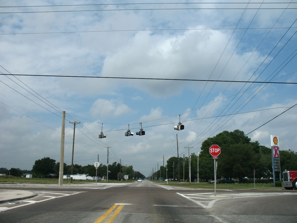
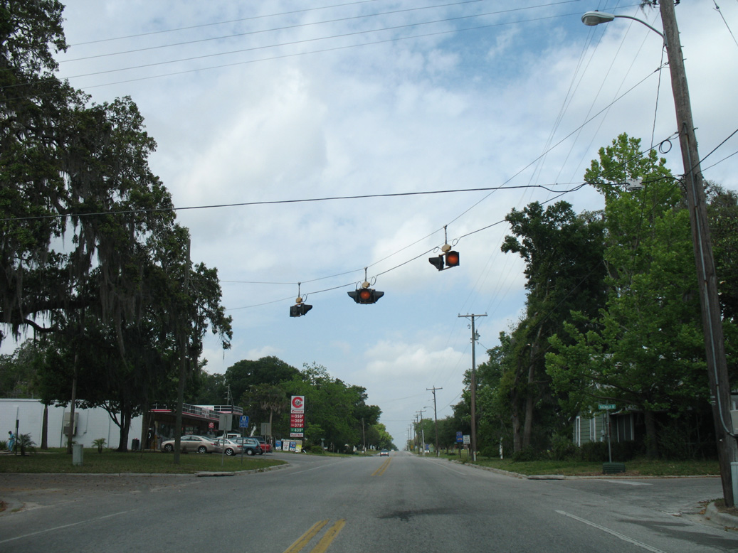
The four way stop sign at SR 471 was signalized in 2011.
04/28/08
04/28/08
05/29/17
05/29/17
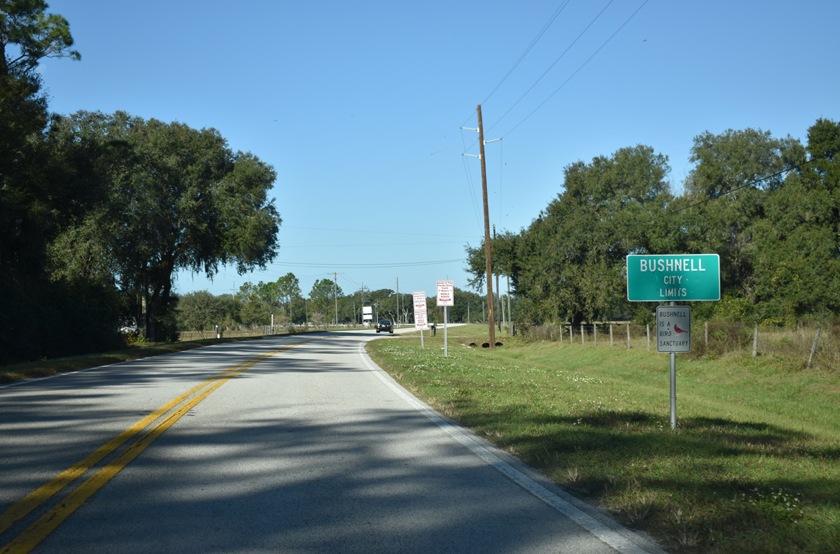
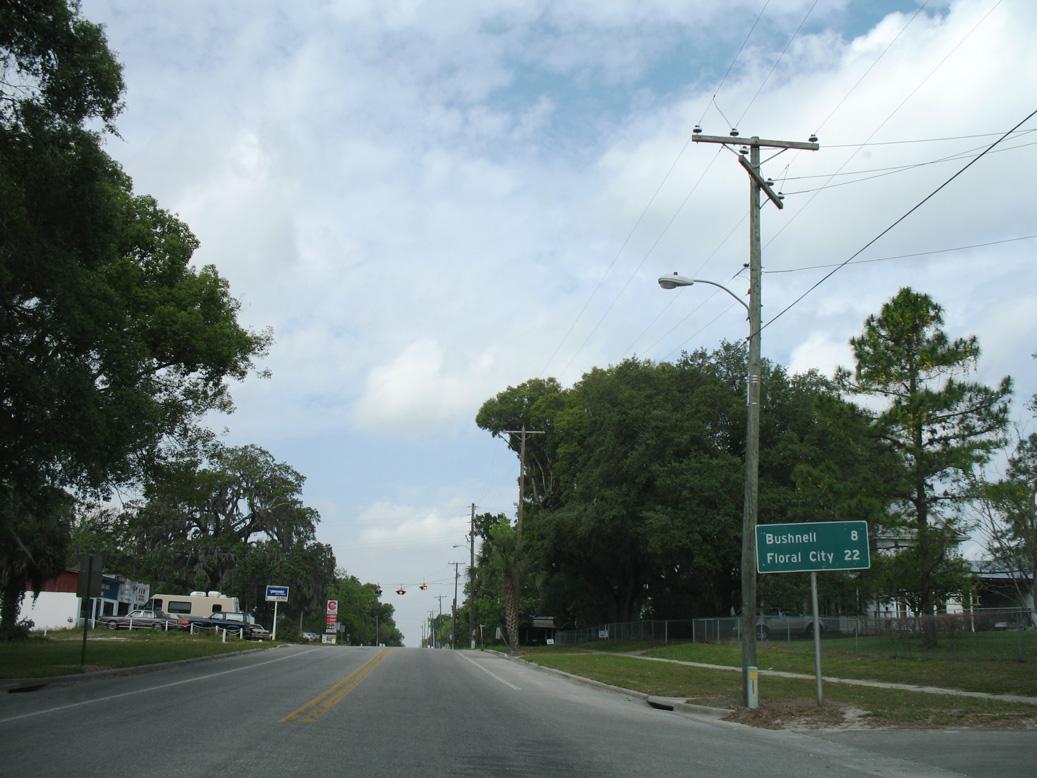
CR 48 enters the city of Bushnell along Southland Avenue at the Lincoln Park community.
12/16/19
12/16/19

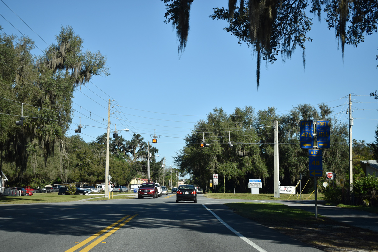
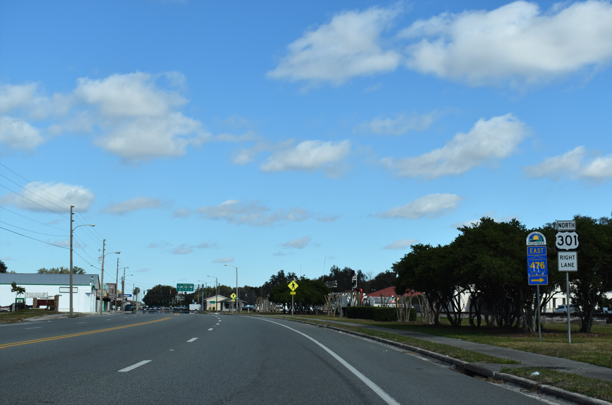
Curving northward, CR 48 intersects CR 476 west and CR 476A east at Seminole Avenue and Florida Street.
12/16/19
12/16/19
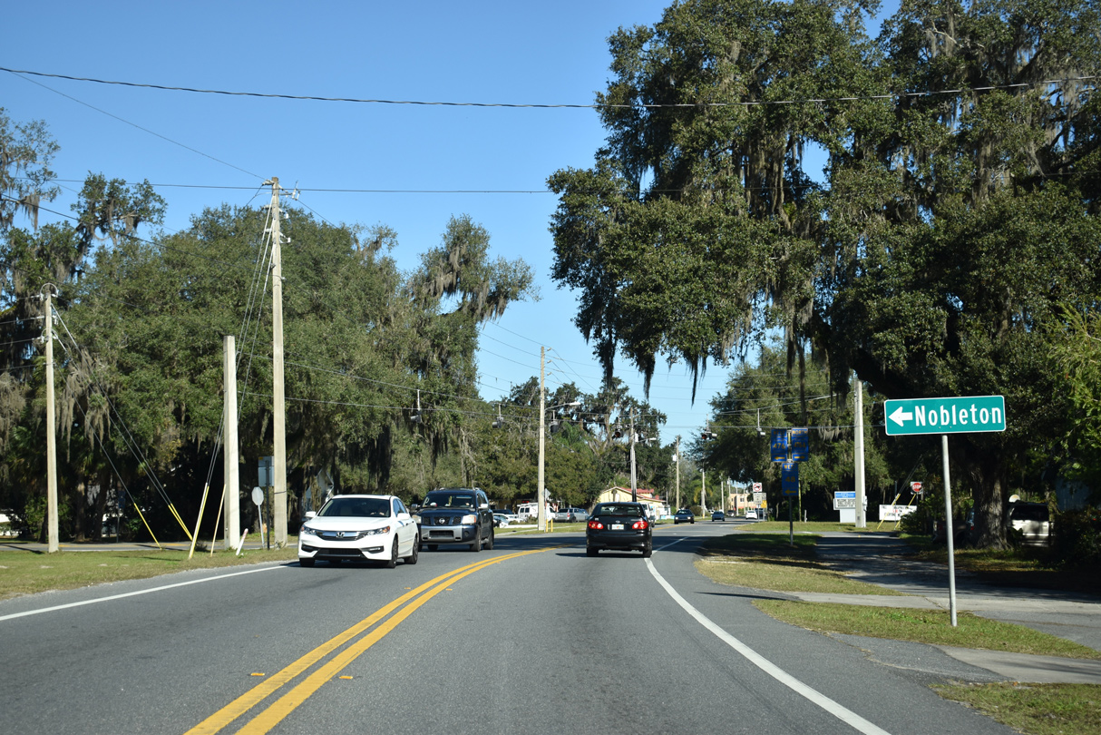
CR 476 runs 9.32 miles west from CR 48 on Southland Avenue in Bushnell to the Hernando County line at Nobleton.
12/16/19
12/16/19
CR 476A comprises a 1.14 mile long loop east from CR 48/476 along Seminole Avenue and Jasper Street to the continuation of CR 476 on Noble Avenue.
12/16/19
12/16/19
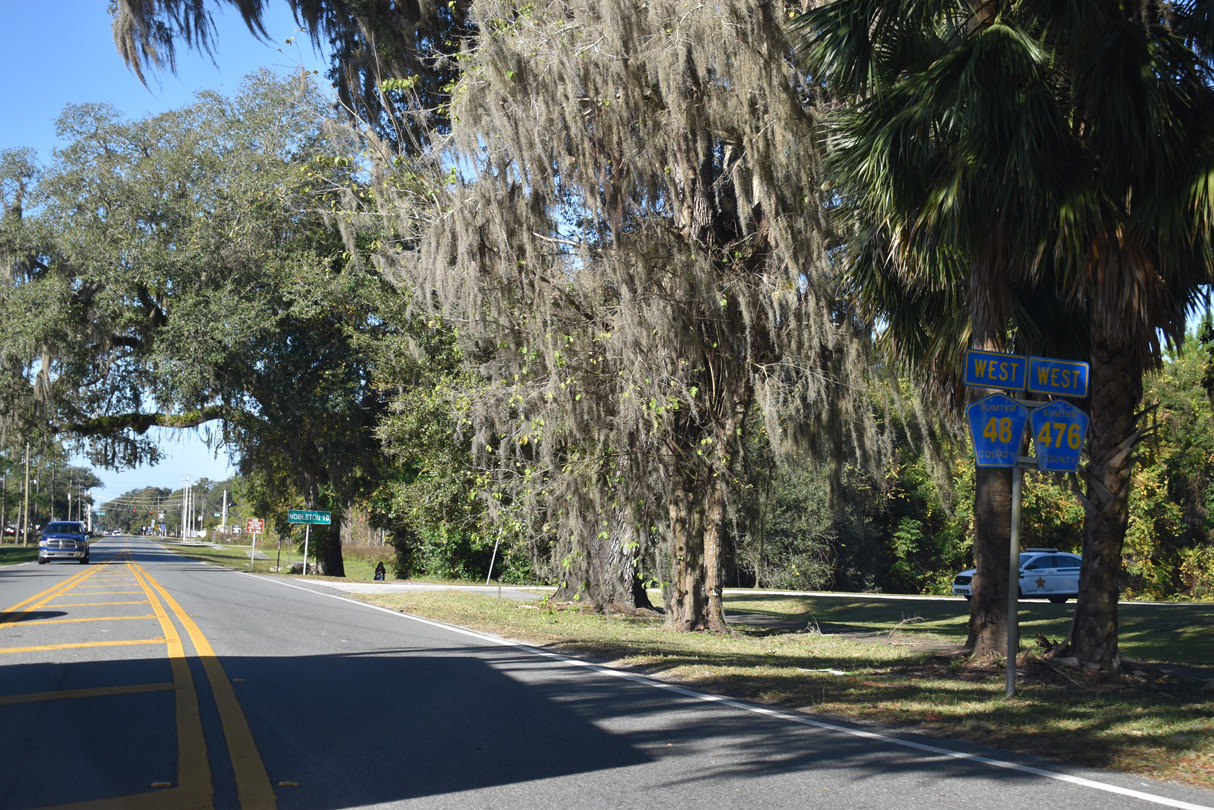
CR 48/476 overlap 0.3 miles west along Seminole Avenue.
12/16/19
12/16/19
12/16/19
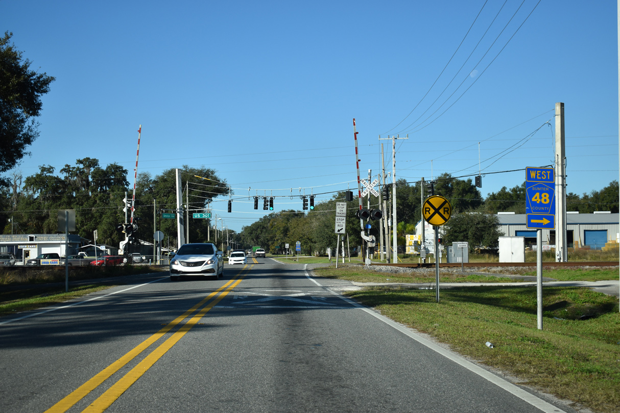
CR 48 splits with CR 476 (Seminole Avenue) west to join U.S. 301 (Main Street) north to Downtown Bushnell.
12/16/19
12/16/19
 North
North 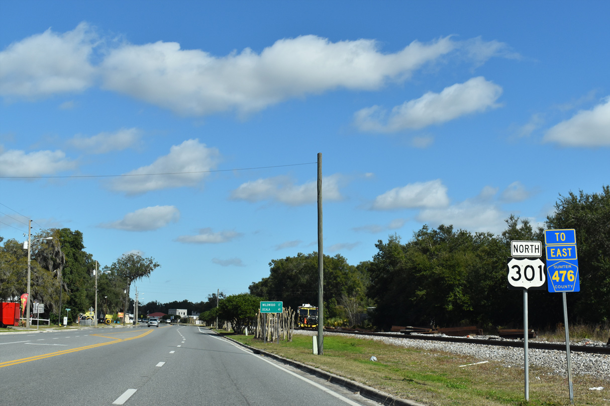
01/17/22
01/17/22
01/17/22
01/17/22
 West
West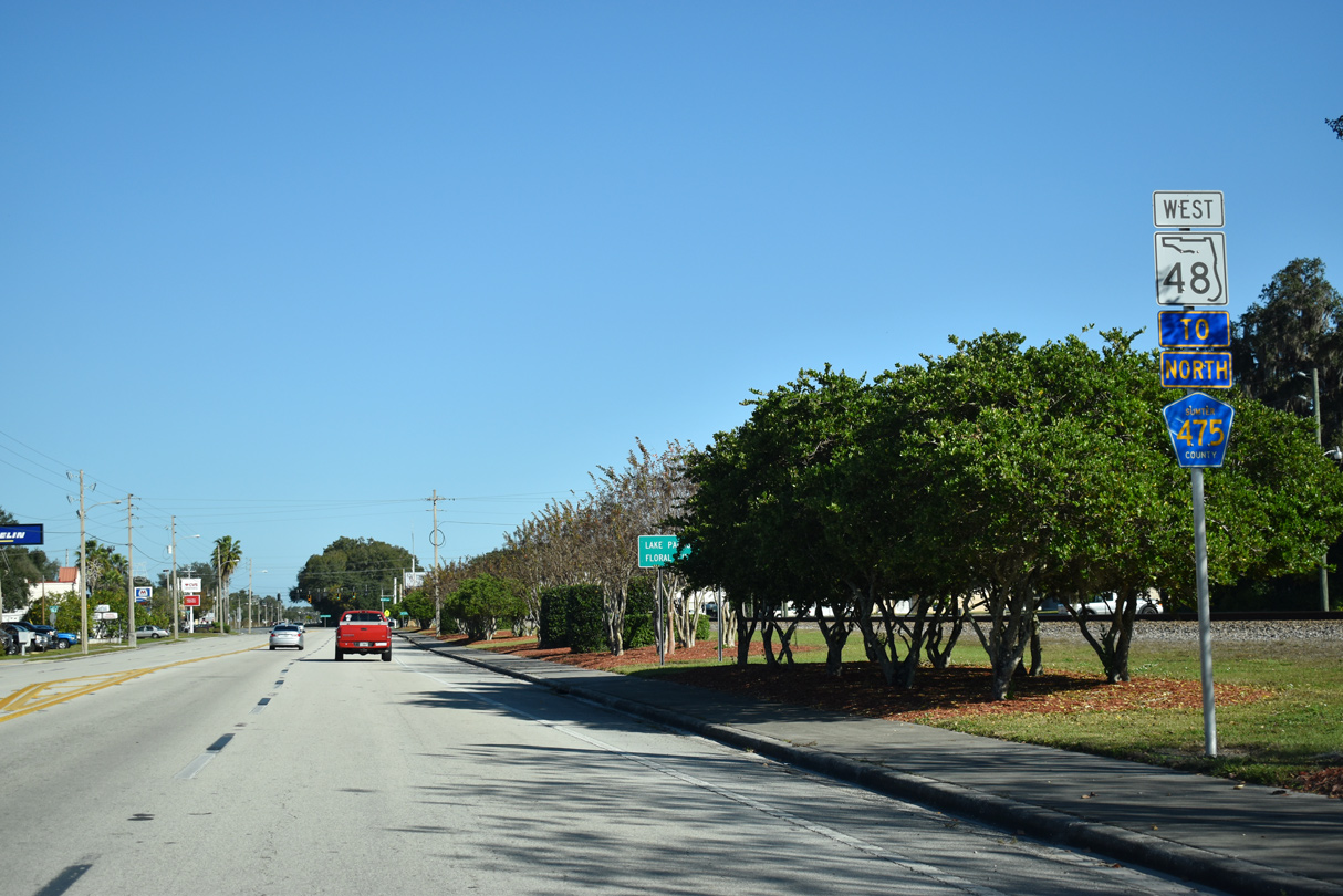
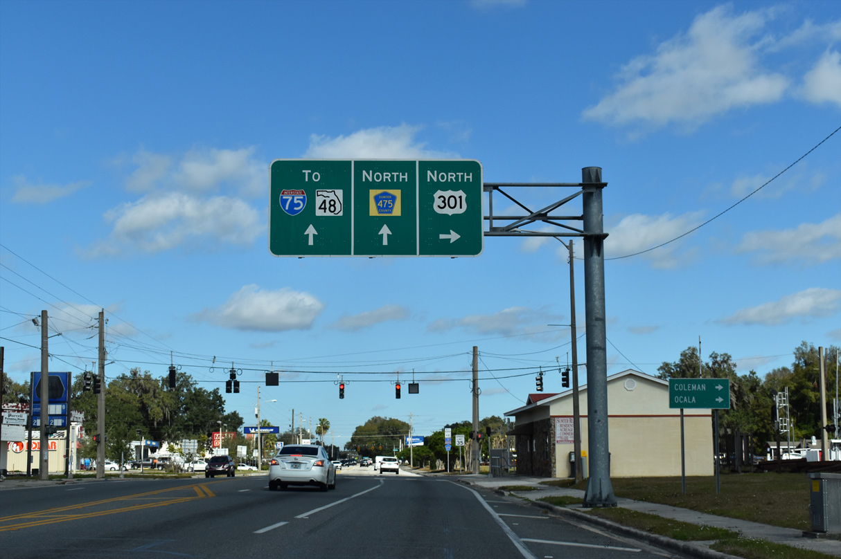
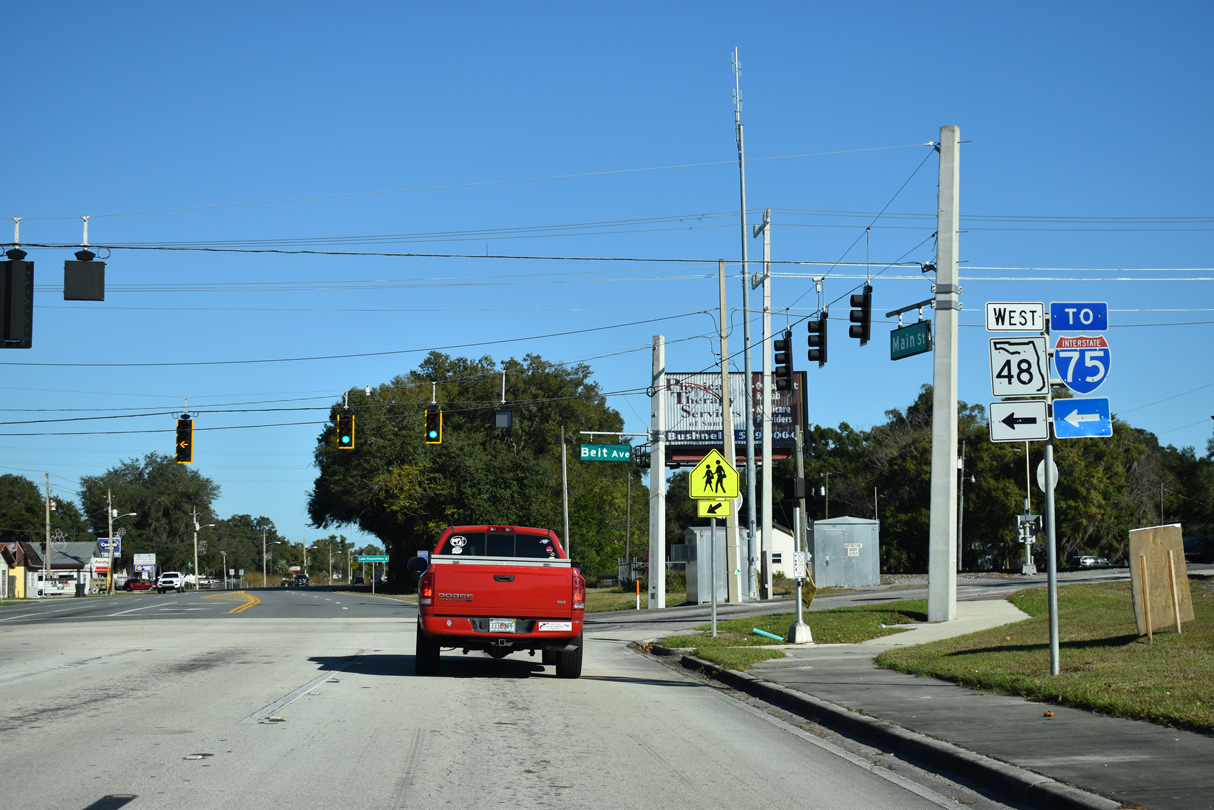
State Road 48 extends Main Street north 0.25 miles from U.S. 301 (Noble Avenue) to CR 476 at Belt Avenue.
12/16/19
12/16/19
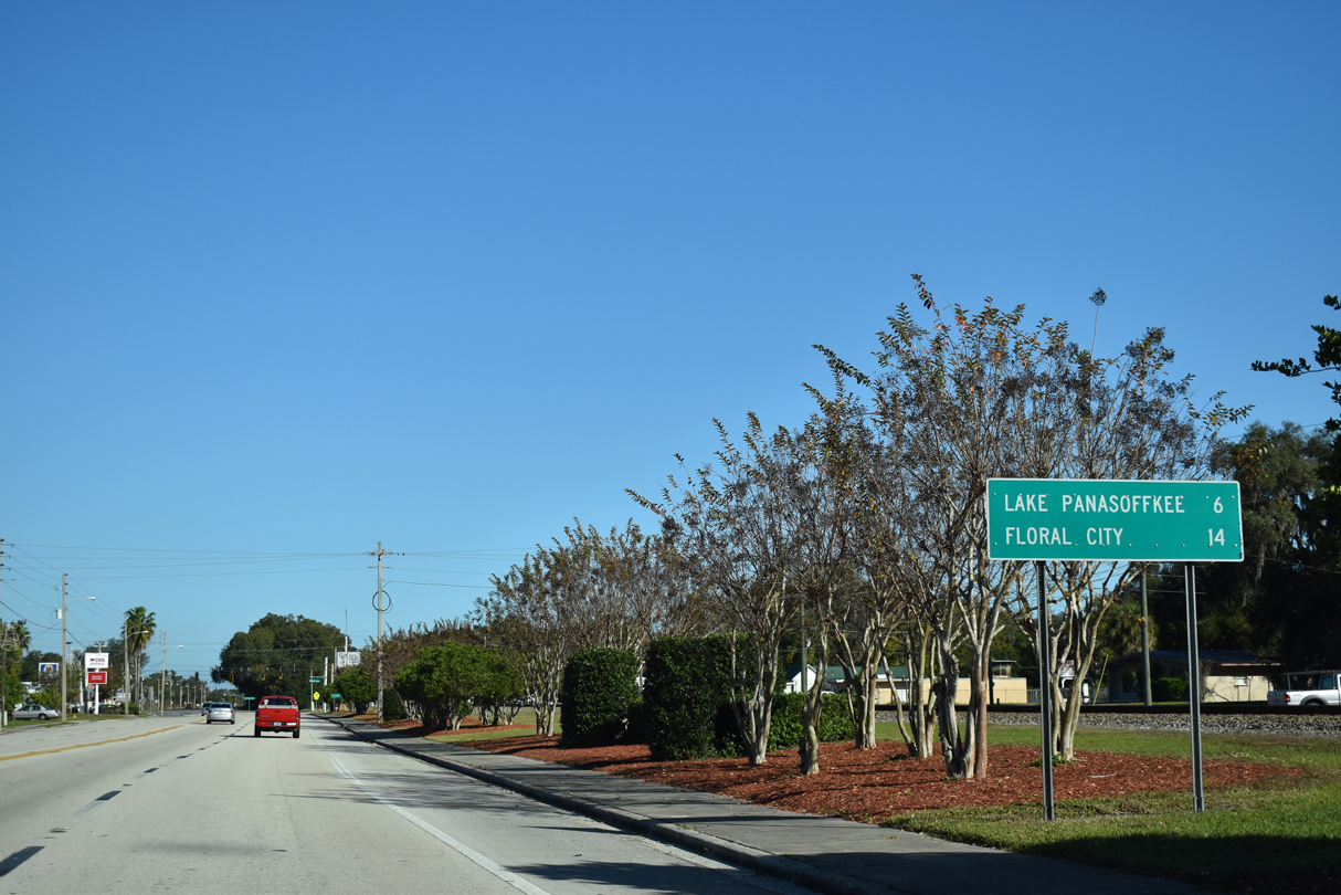
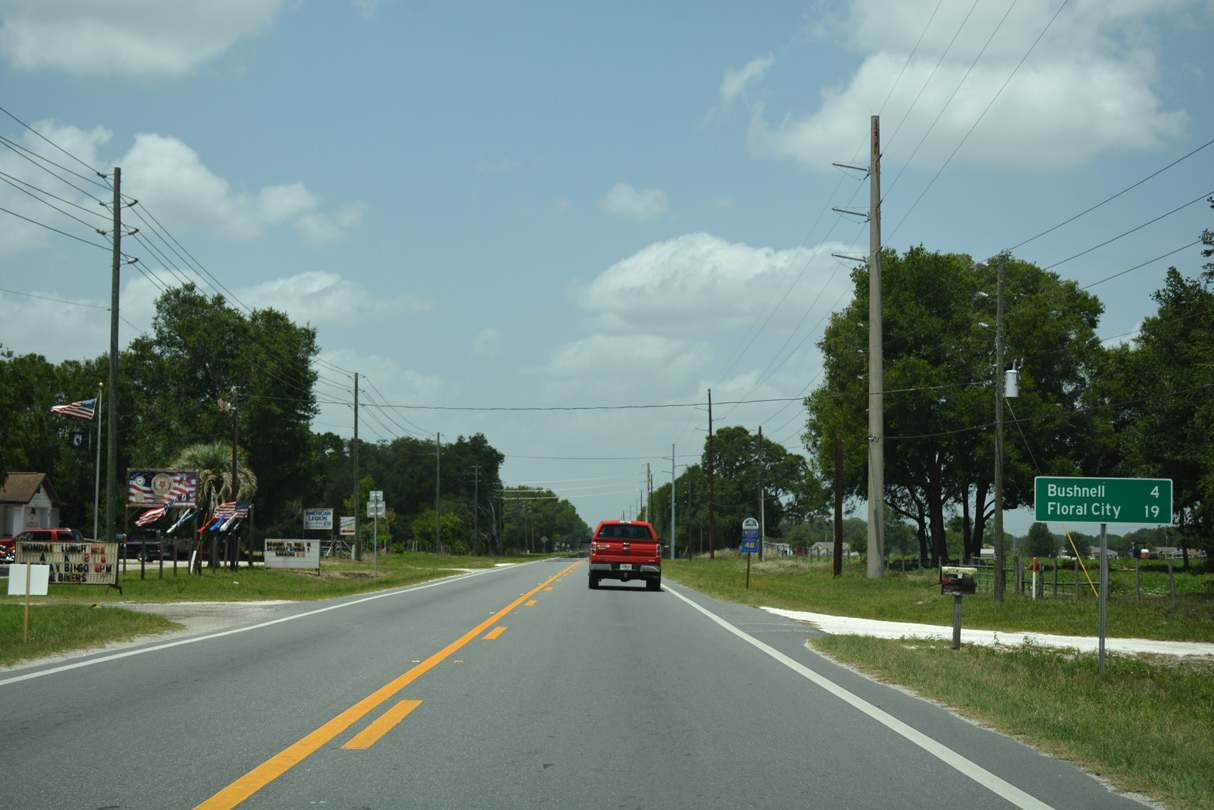
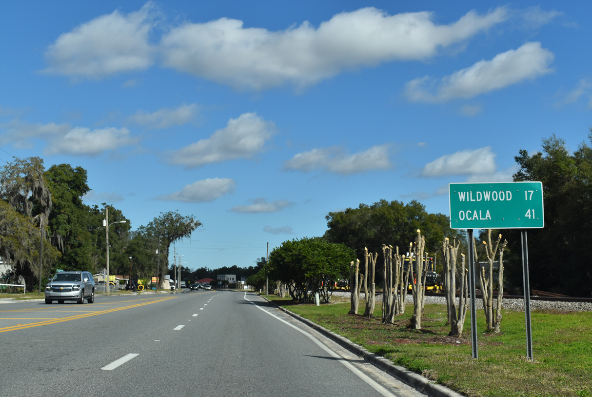
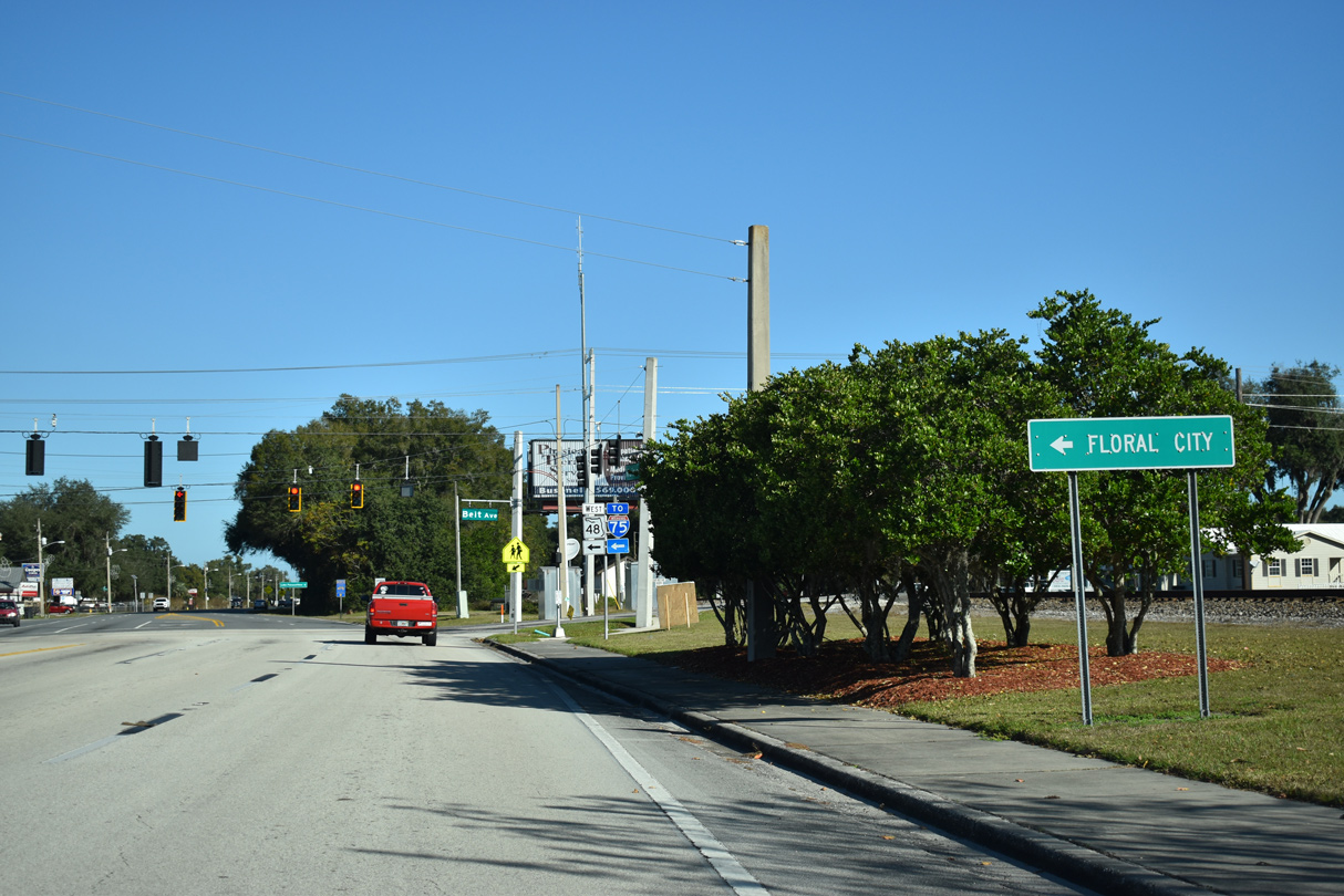
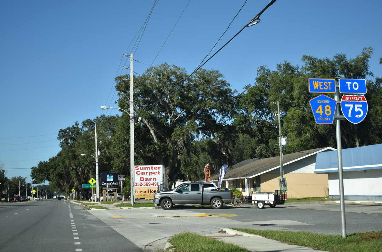
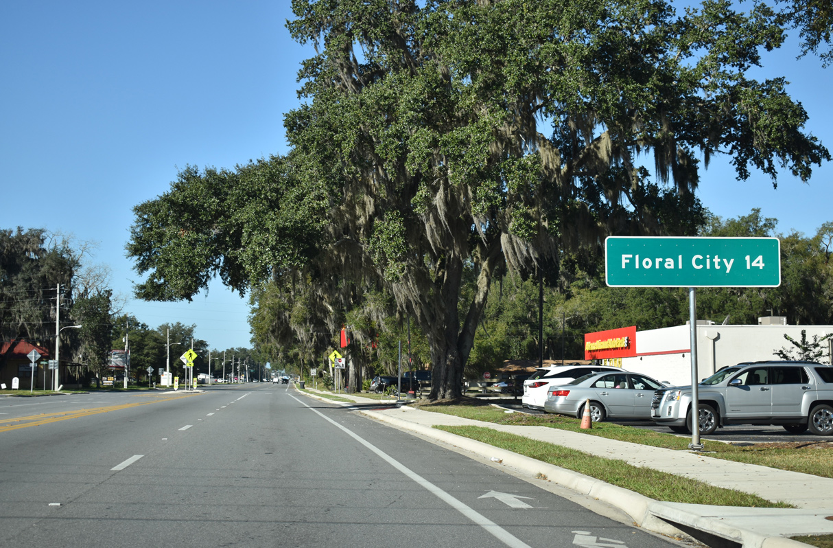
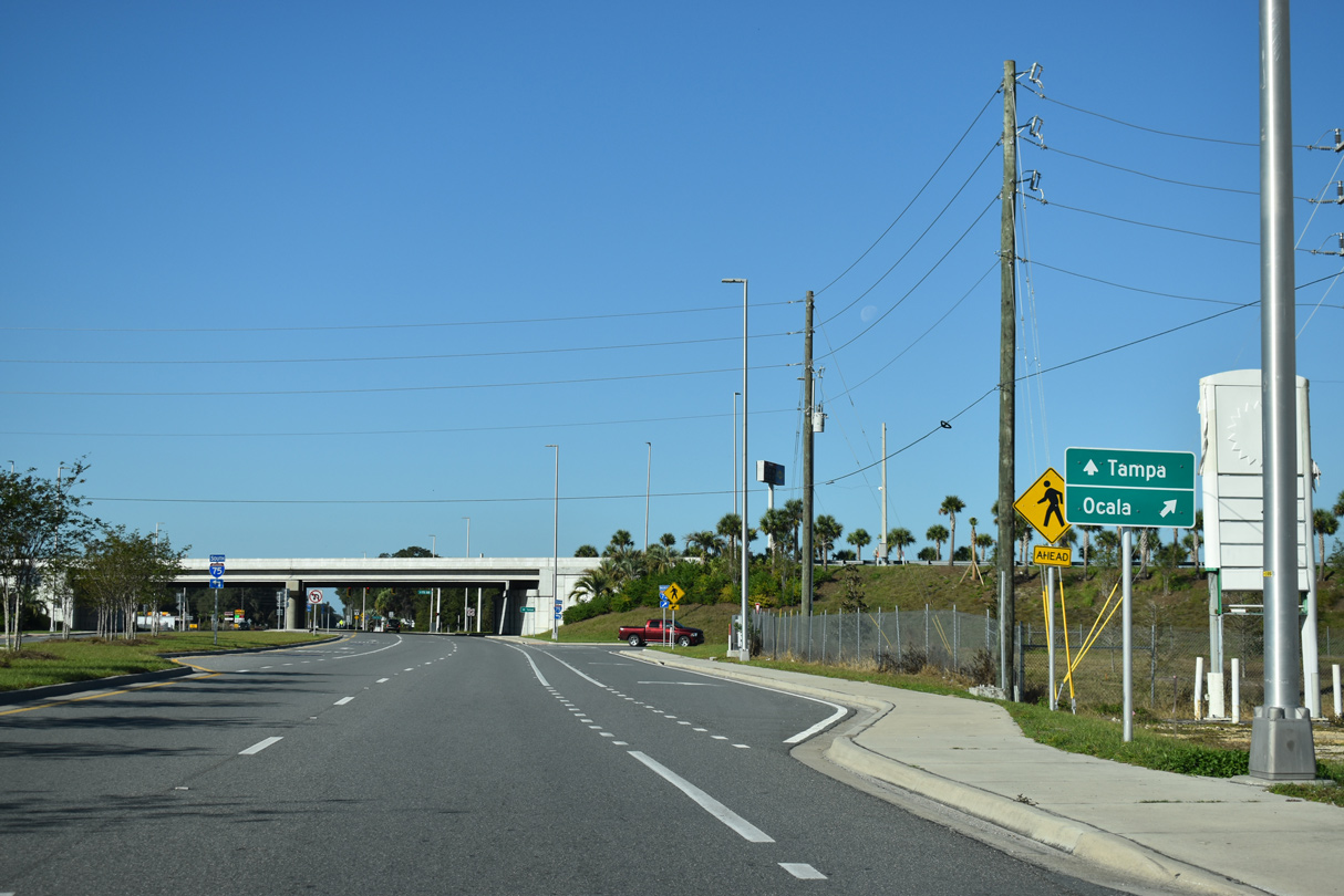
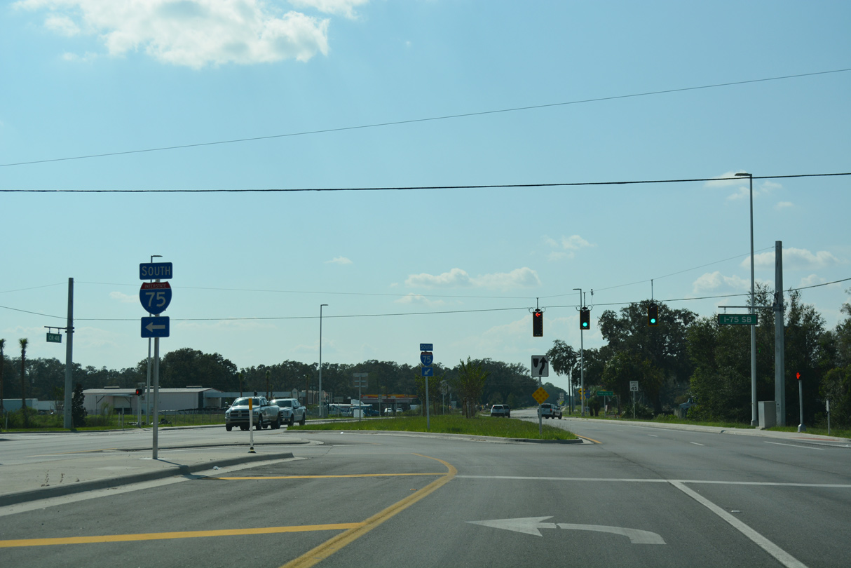
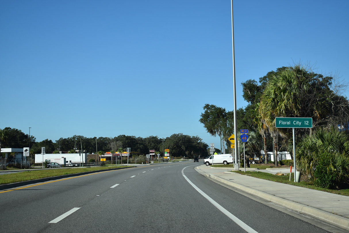
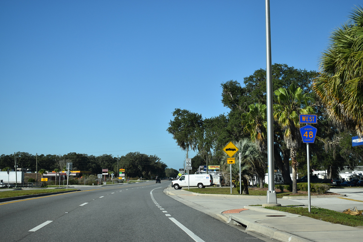
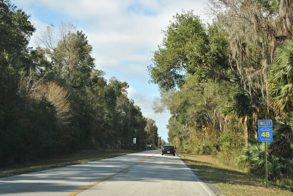
CR 475 travels six miles north to SR 470 and I-75 by the community of Lake Panasoffkee. SR 48/CR 48 travel 14 miles west out of Bushnell to Floral City.
12/16/19
12/16/19
12/16/19
Paralleling the CSX Railroad north out of Bushnell, CR 475 runs 5.98 miles to SR 470.
12/16/19
12/16/19
12/16/19
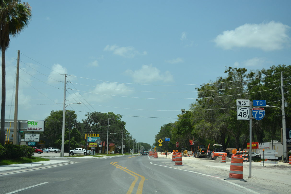
SR 48 west along Belt Avenue during widening.
05/29/17
05/29/17
12/16/19

CR 48 (Belt Avenue) west at West Street in Bushnell.
12/16/19
12/16/19
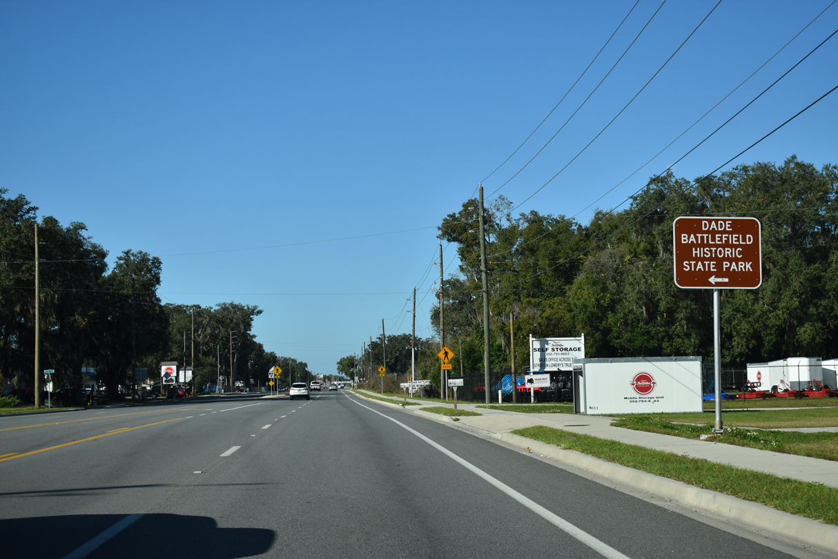
Battlefield Parkway stems south from CR 48 (Belt Avenue) to Dade Battlefield Historic State Park.
12/16/19
12/16/19

12/16/19
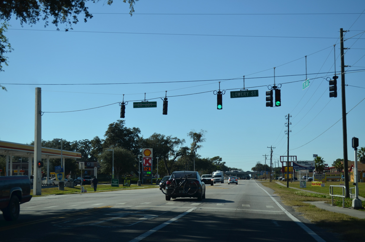
Then SR 48 west at Lower Street / CR 609.
11/25/12
11/25/12
12/16/19
12/16/19
12/16/19
12/16/19
12/16/19
09/20/17
12/16/19
12/16/19
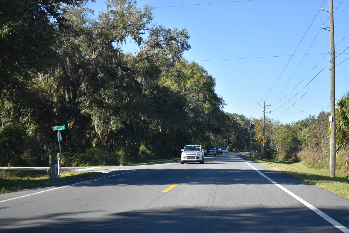
County Road 625 leads south from CR 48 to CR 476.
12/16/19
12/16/19
CR 48 curves west from 55th Lane at Wahoo.
12/16/19
12/16/19
Angling northwest, CR 48 crosses Battle Slough.
12/16/19
12/16/19
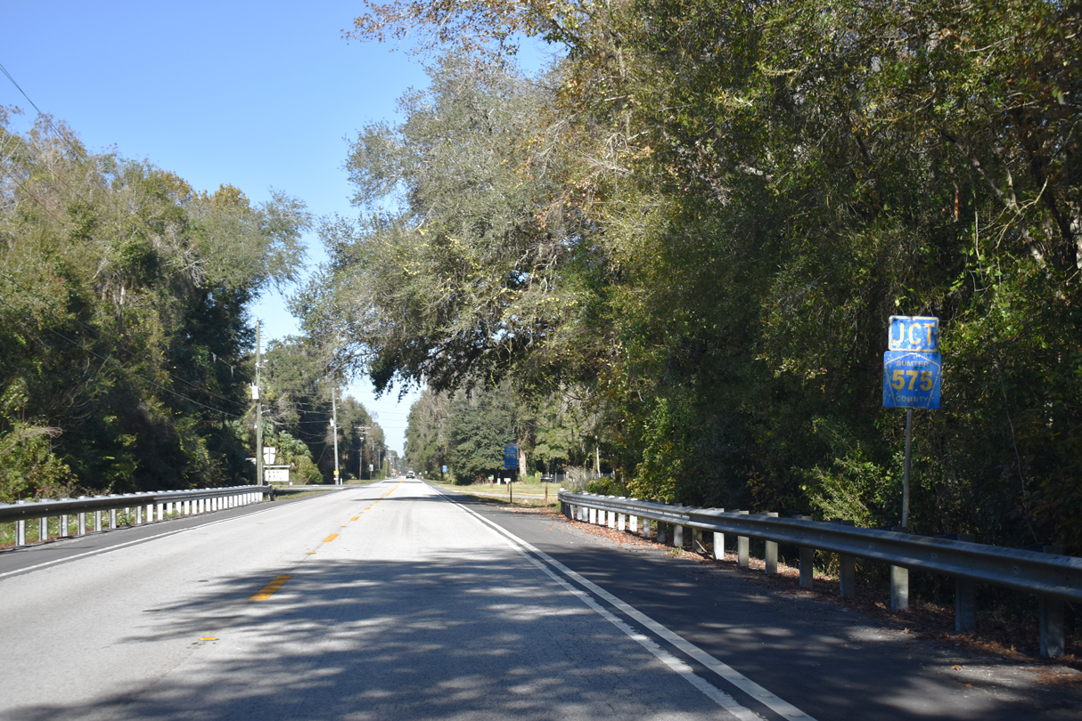
Sumter County Road 575 stems south from CR 48 near Bay Hill.
12/16/19
12/16/19

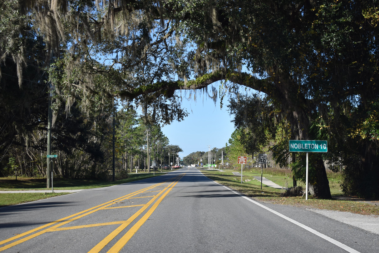
Sumter County Road 575 constitutes a rural route south 6.31 miles to CR 476 east of Nobleton.
12/16/19
12/16/19
12/26/11
12/26/11
12/26/11
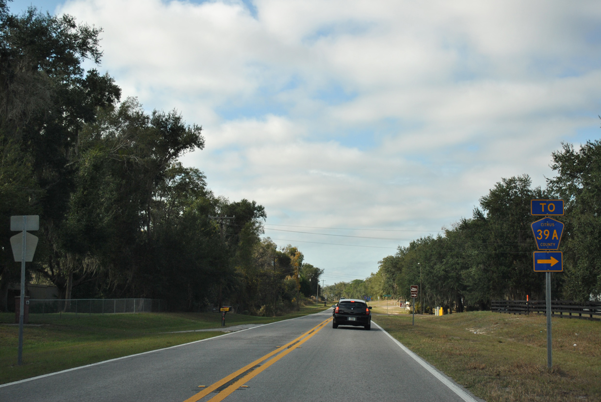
E Trails End Road links CR 48 (Bushnell Road) with CR 39A at Tsala Apopka Lake.
12/26/11
12/26/11
12/16/19
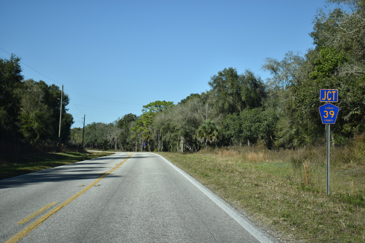
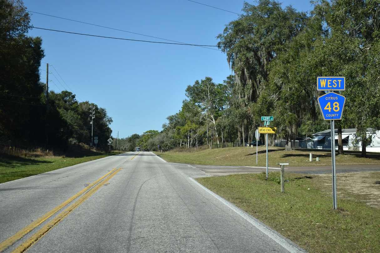
CR 48 continues west from E Trails End Road to intersect the north end of CR 39 (Istachatta Road).
12/16/19
12/16/19
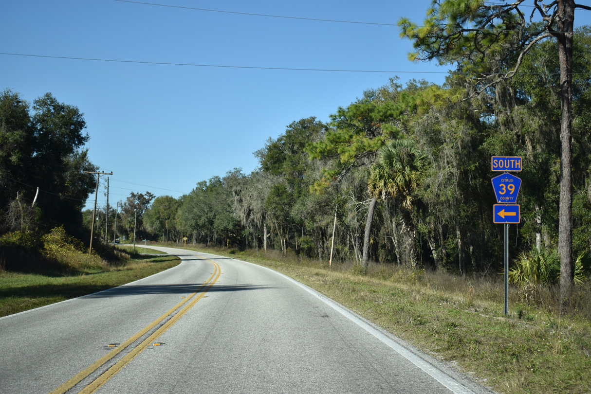
CR 39 crosses Bradley Lake south to Pineola, Istachatta and CR 476 west of Nobleton in Hernando County.
12/16/19
12/16/19
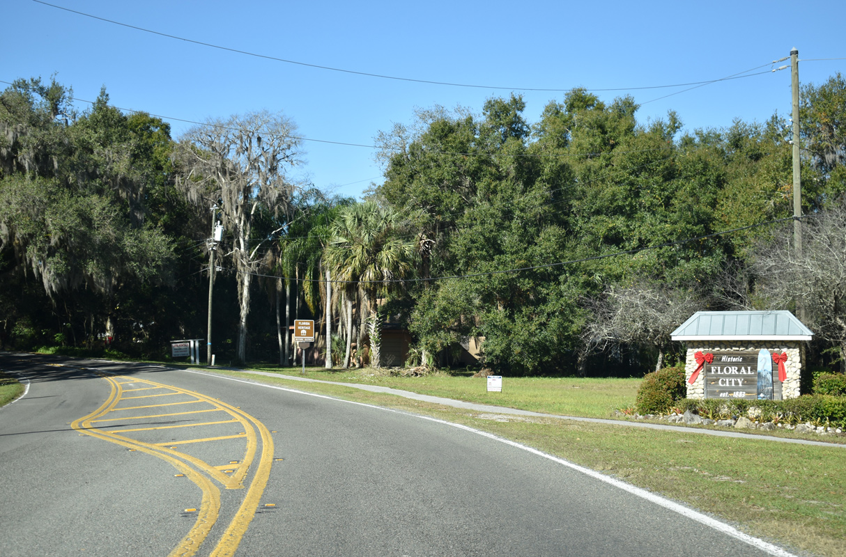
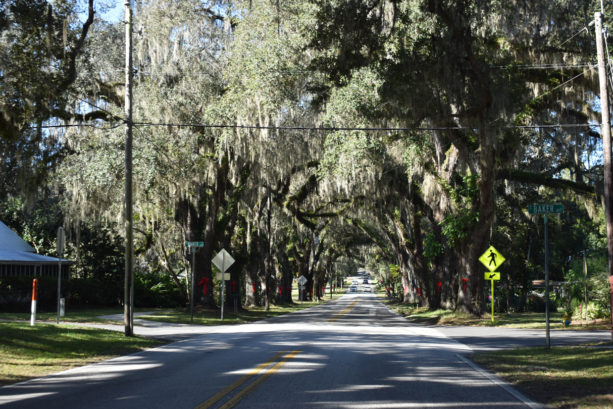
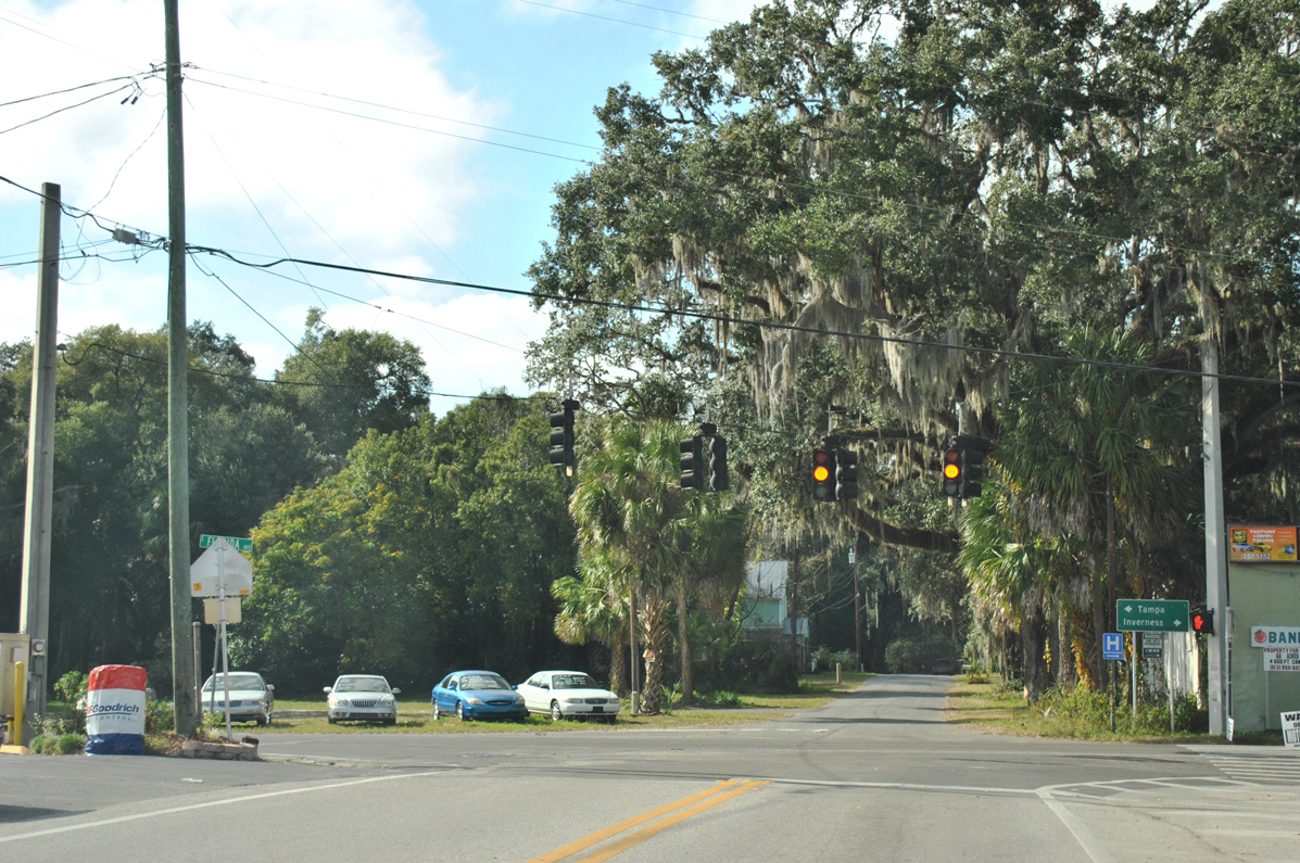
Passing east of Little Lake, CR 48 reaches the unincorporated community of Floral City.
12/16/19
12/16/19
Orange Avenue leads CR 48 west to U.S. 41 in Floral City.
12/16/19
12/16/19
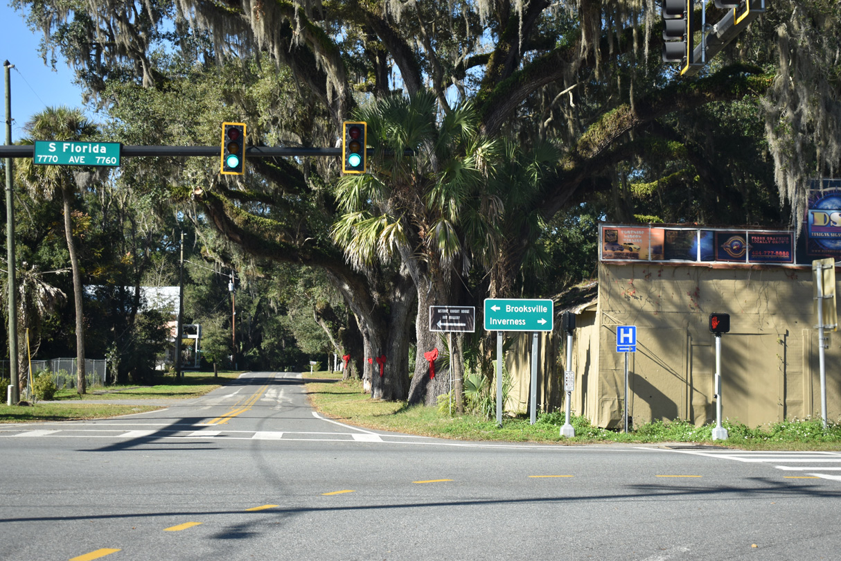
CR 48 (Orange Avenue) concludes at U.S. 41 (Florida Avenue). Unmarked here, U.S. 41 travels north to Inverness and Dunellon and south to Brooksville.
12/16/19
12/16/19
The previous guide sign at the west end of CR 48 referenced Tampa for U.S. 41 south.
12/26/11
12/26/11
Photo Credits:
- ABRoads: 01/17/10, 12/26/11, 11/25/12, 05/29/17, 09/20/17, 01/17/22
- Alex Nitzman: 04/28/08, 05/29/17, 12/16/19
Connect with:
Page Updated Tuesday March 01, 2022.