
State Road 50 West - Clermont to Groveland
 West
West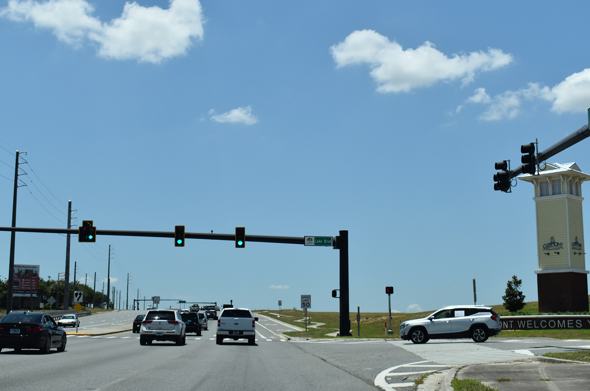
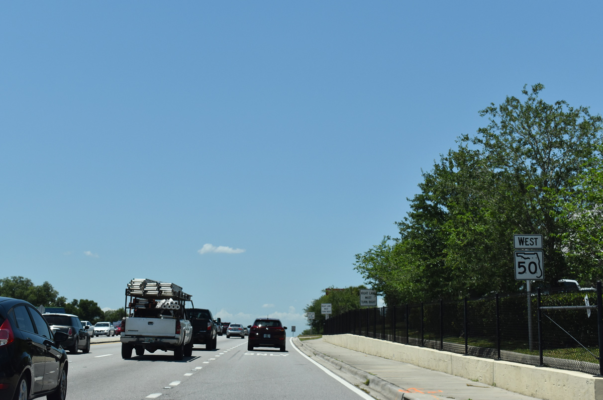
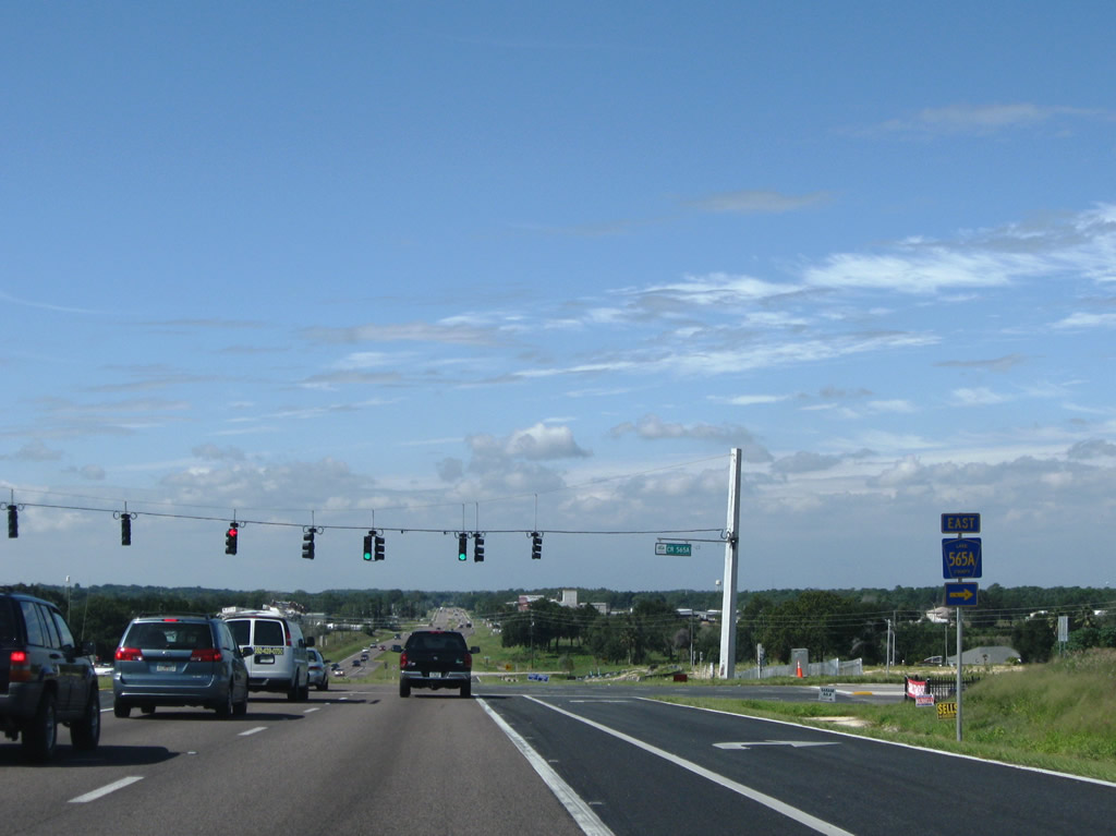
Lake Boulevard links the state road with Old County Road 50 (Old Highway 50) west to Montverde Junction and the Edgewater Beach neighborhood off adjacent Johns Lake.
05/22/20
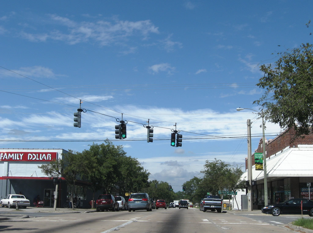
The first confirming marker for SR 50 in Lake County stands just west of Lake Boulevard.
10/20/18
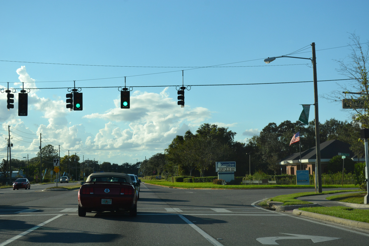
An array of car dealerships line the north side of the previously rural stretch of SR 50 just across the Lake County line.
10/20/18

Magnolia Point Boulevard spurs south to the Sweetwater Ridge condominium complex and Magnolia Pointe development along Johns Lake.
10/20/18
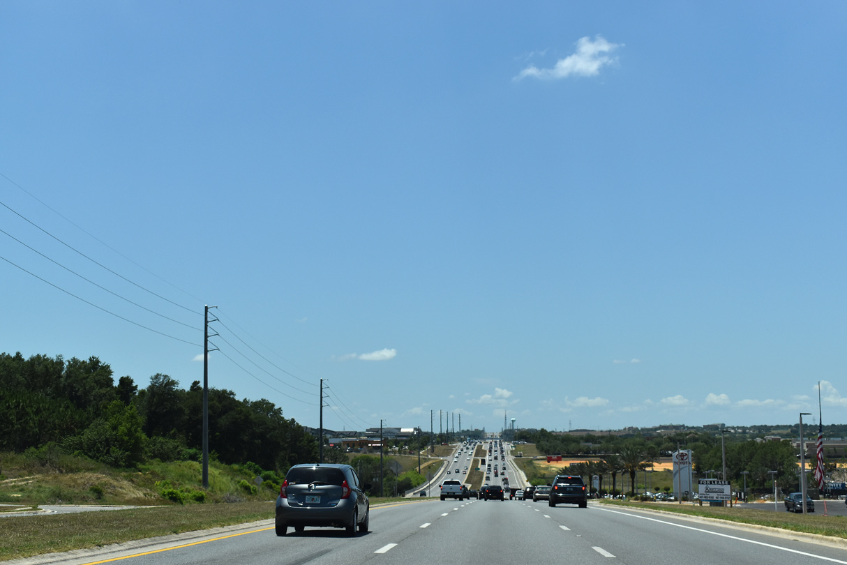
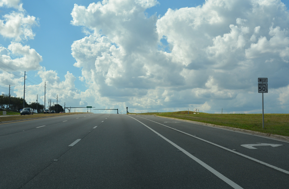
SR 50 undulates westward into Clermont.
05/22/20

What was a rural T intersection between SR 50 and Lake County Road 455 was expanded in mid-2008 with the addition of development on the south side.
05/22/20
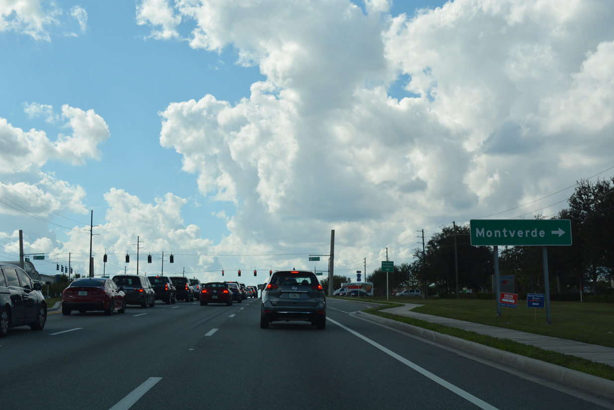
Lake County Road 455 leads north to Montverde and the Sugarloaf Mountain area west of Lake Apopka.
10/20/18
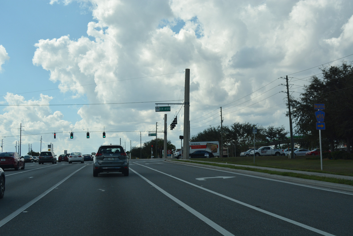
Hartle Road spurs south from SR 50 and CR 455 to the Johns Lake Landing, Waterbrooke and Johns Lake Estates neighborhoods.
10/20/18
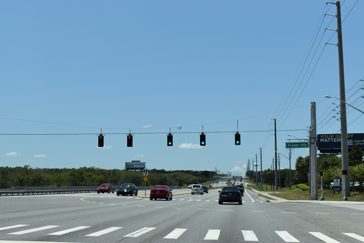
Greater Hills Boulevard connects SR 50 with the Hidden Hills development north to Old CR 50. Connecting from the south is Emil Jahna Road from the WaterBrooke development. Mattamy Homes acquired the former sand mine in June 2015 at the cost of $16.9 million. The city of Clermont subsequently annexed the 540 acre site to accommodate an increase in the number of housing units from 894 to 950.1
05/22/20
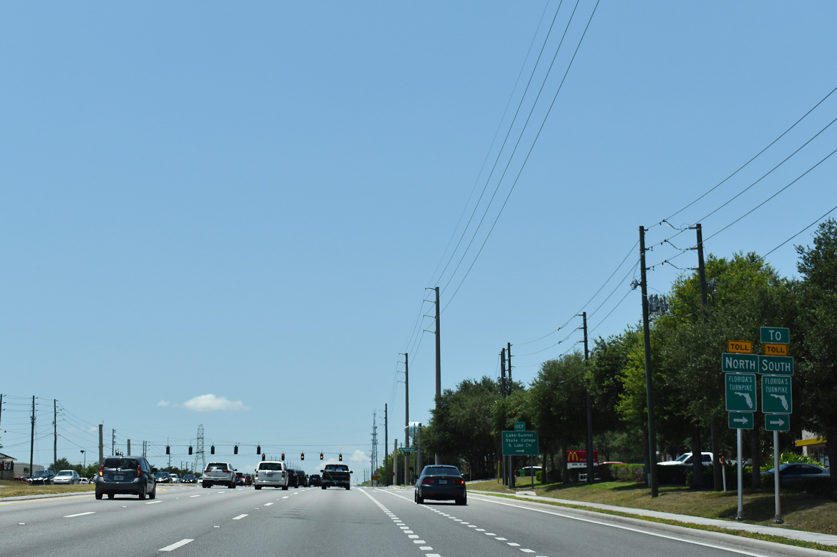
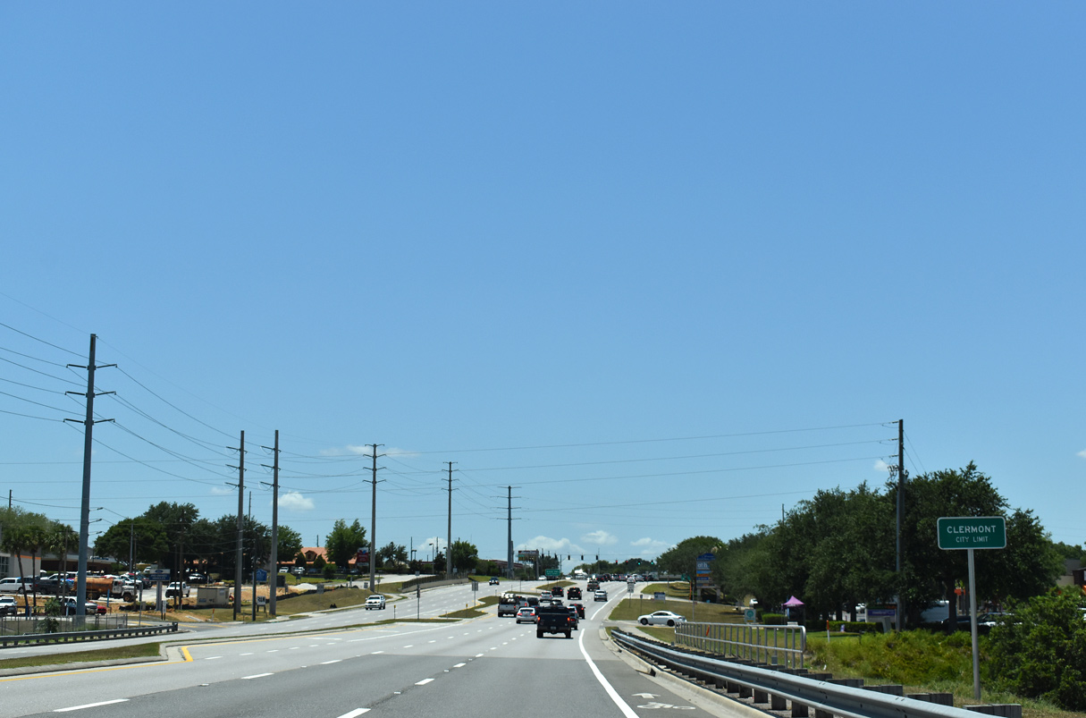
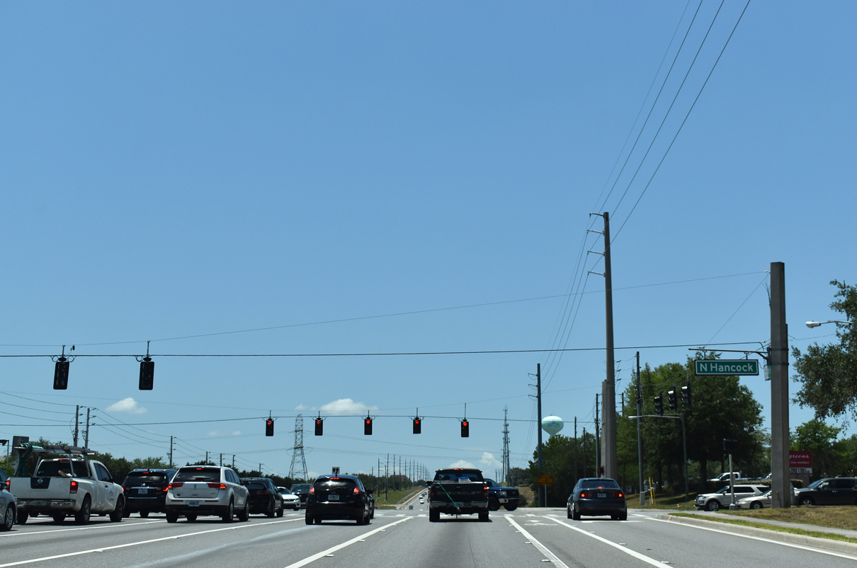
Hancock Road serves a bevy of suburban development both south and north of SR 50 through east Clermont. An extension of the road north connects with Florida's Turnpike at an interchange opened in June 2017.
05/22/20

A trailblazer for Florida's Turnpike north directs motorists remaining along SR 50 west from Hancock Road to U.S. 27.
10/20/18
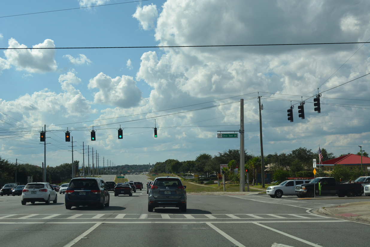
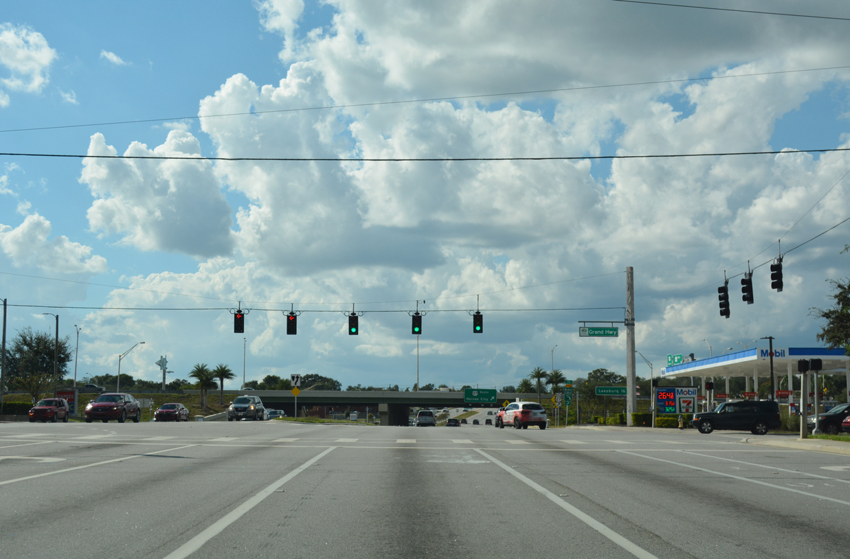
Citrus Tower Boulevard is an arterial looping east from U.S. 27 between Lake Felter and Florida Citrus Tower across from Grand Highway
10/20/18
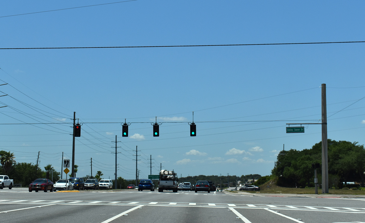
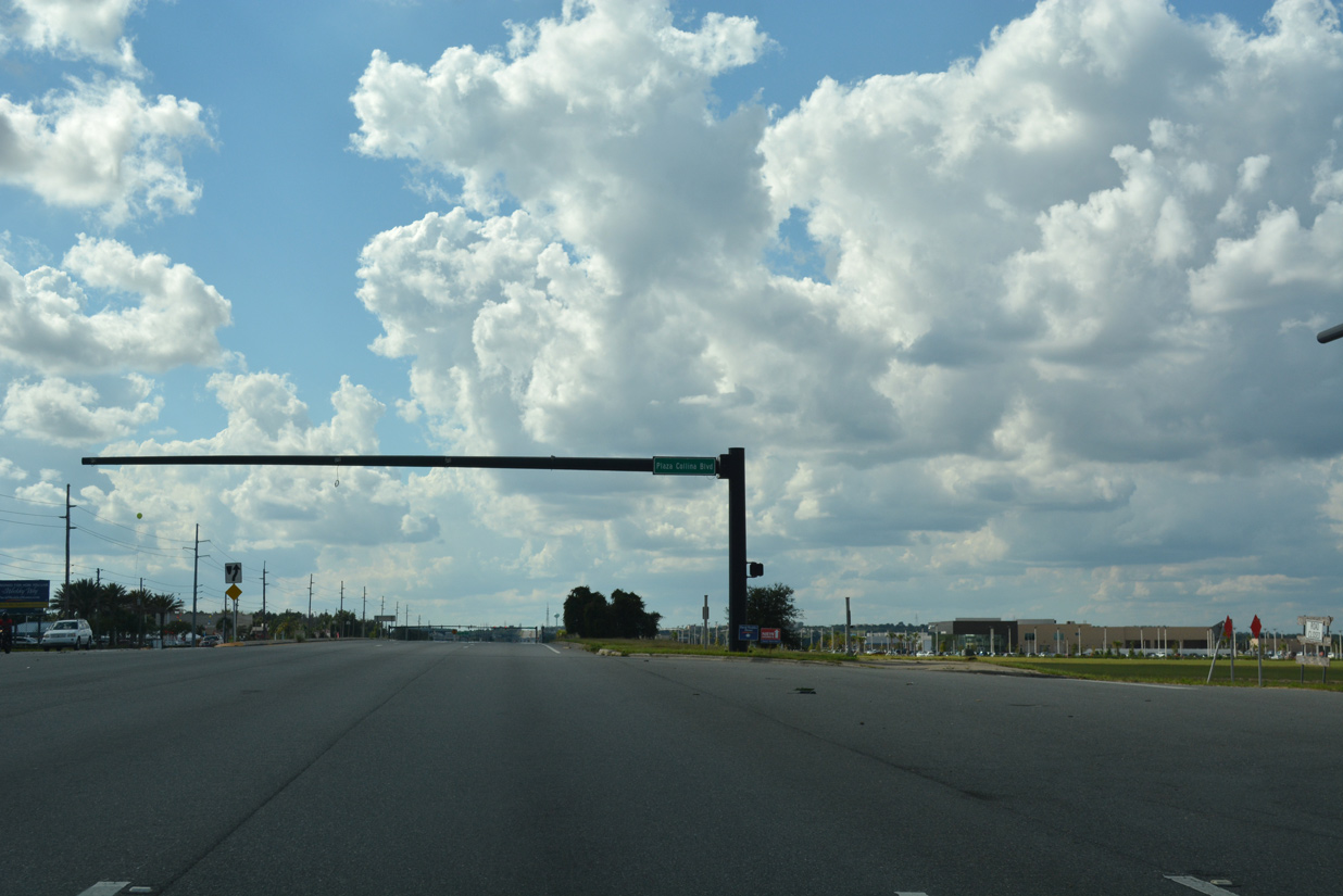
Oakley Seaver Road links SR 50 with adjacent big box retail at the ensuing westbound traffic light.
05/22/20
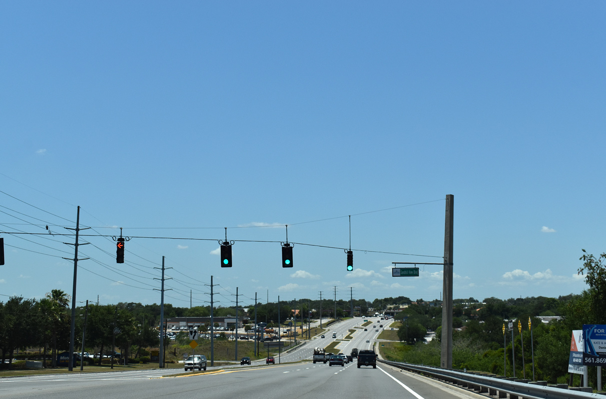
SR 50 west at Sandhill View Boulevard south. The area of Clermont is marked by several hills that are a part of larger sand bar that extends along the peninsula of Florida. With explosive development from the mid 2000s onward, most of Clermont is suburban.
05/22/20
The Clermont city limits extend east along SR 50 in portions to the Orange County line. A city limits sign however stands just ahead of Grand Highway and U.S. 27.
05/22/20

SR 50 intersects Grand Highway just ahead of the cloverleaf interchange with U.S. 27.
10/20/18

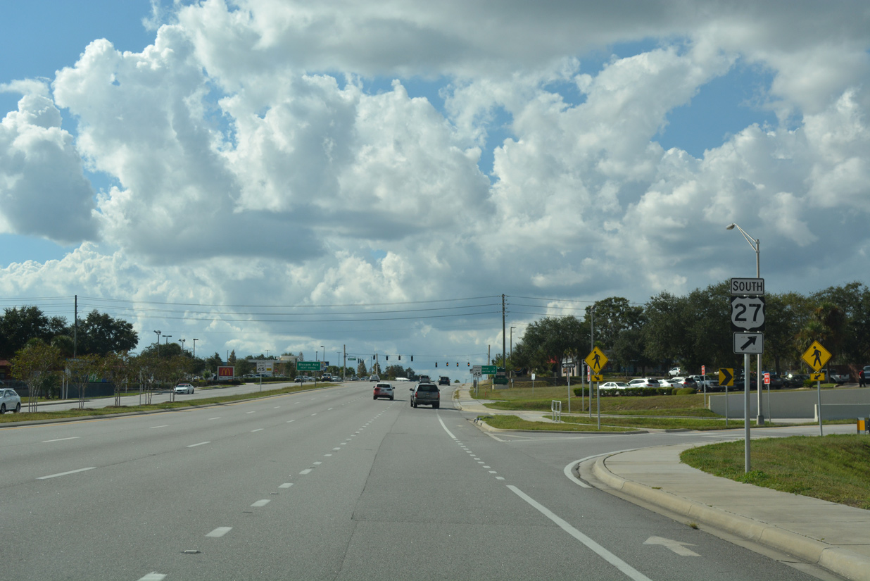
U.S. 27 represents a suburbanized corridor with four to six lanes leading south to Haines City in Polk County and northward to Leesburg and Ocala.
05/22/20
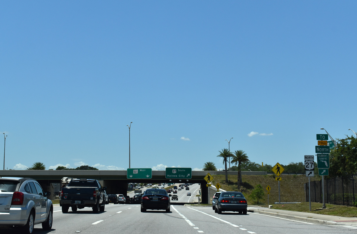
Traffic bound for U.S. 27 north to Minneola and Leesburg departs SR 50 west. A multi phase project completed in Fall 2013 reconstructed the exchange at U.S. 27 from a diamond into a four-leaf cloverleaf interchange. The $20.8 million project included expansion of SR 50 to six lanes and realignment of U.S. 27 slightly east.1
05/22/20
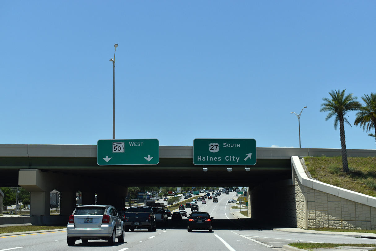
SR 50 passes under U.S. 27 ahead of the southbound entrance ramp to the Four Corners area. Development lines significant portions of U.S. 27 south from Clermont to Interstate 4 in northeast Polk County.
05/22/20
Westbound SR 50 at the loop ramp for U.S. 27 south. U.S. 27 extends southward to Miami and northwest to Tallahassee.
10/20/18

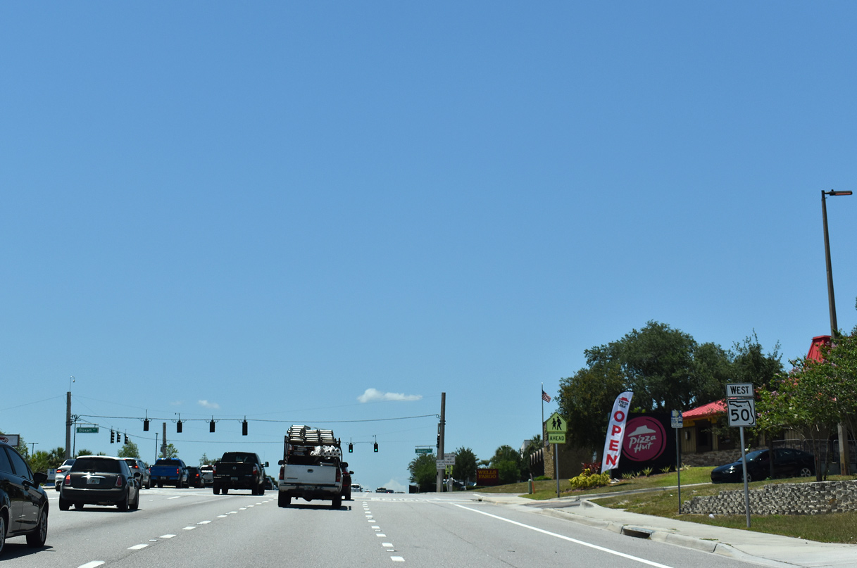
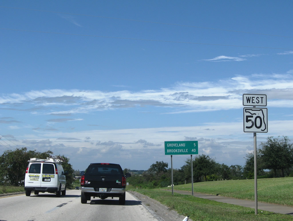
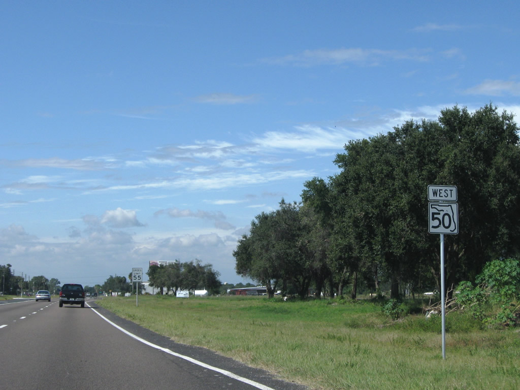
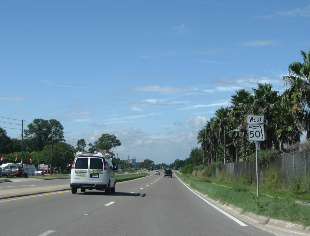
West from U.S. 27 and Clermont, SR 50 travels to Groveland. Brooksville, seat of Hernando County, is 42 miles away.
05/22/20
Confirming marker posted on the westward climb to Bloxam Avenue.
05/22/20
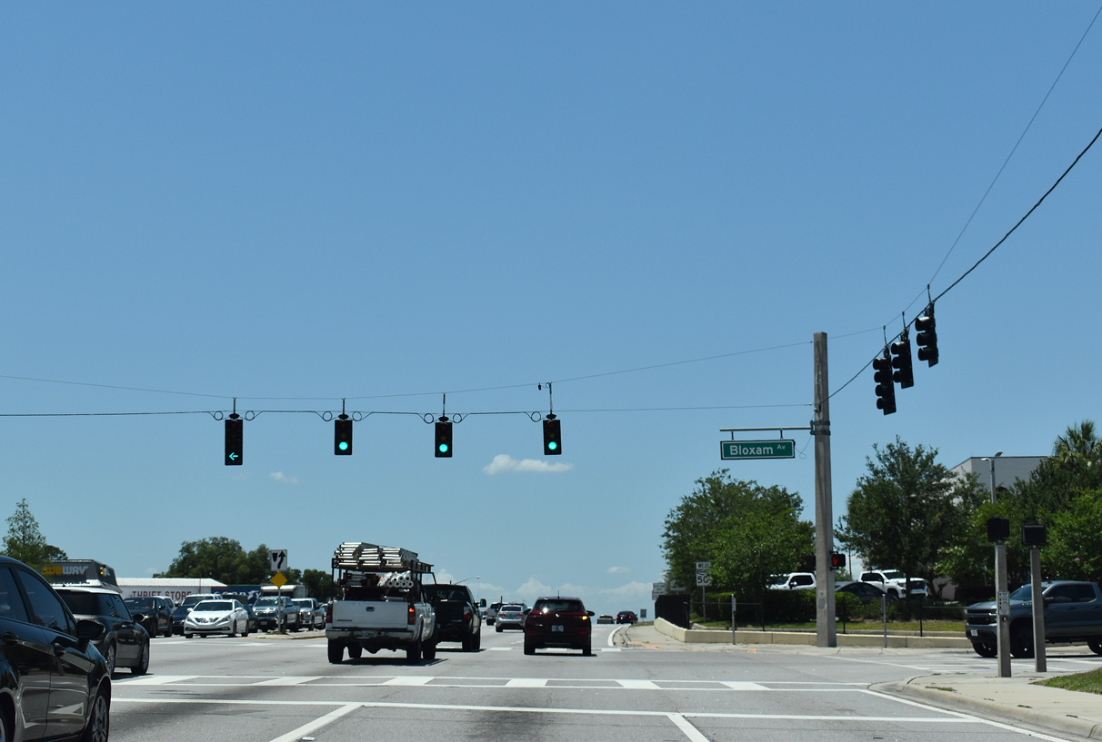
Bloxam Avenue parallels U.S. 27 north to Grand Highway and south to Hooks Street off Lake Minnehaha.
05/22/20
The third westbound lane through Clermont drops from SR 50 beyond Bloxham Avenue.
05/22/20
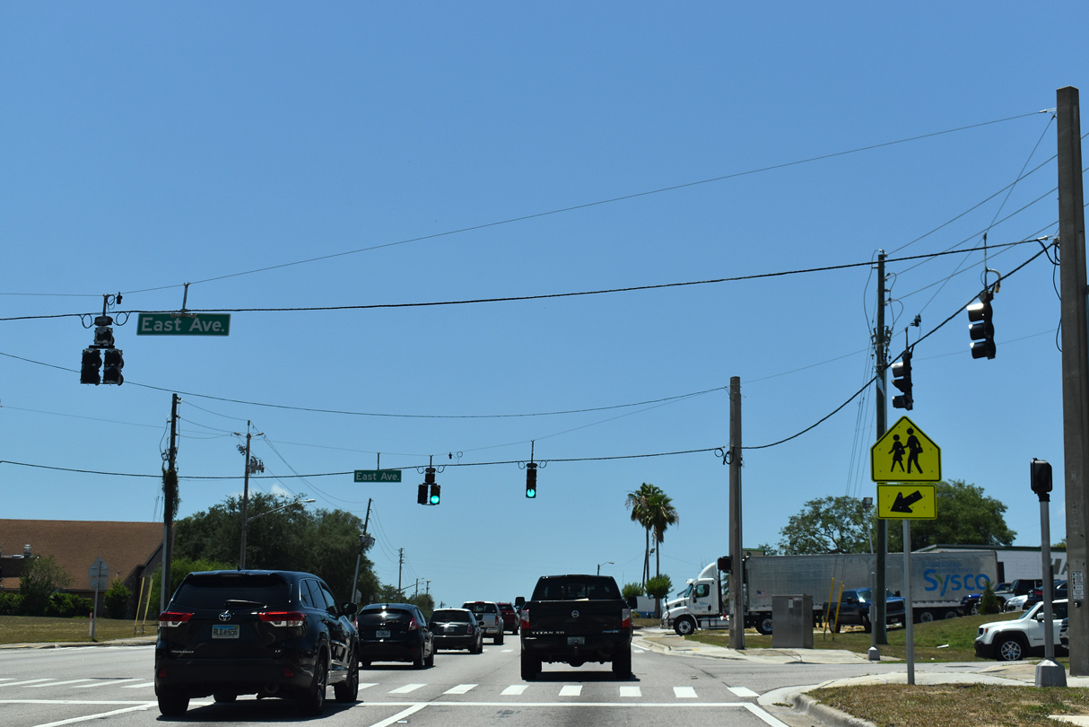
East Avenue stems north from Lake Minnehaha to Lake Minneola, intersecting SR 50 southeast of Downtown Clermont.
05/22/20
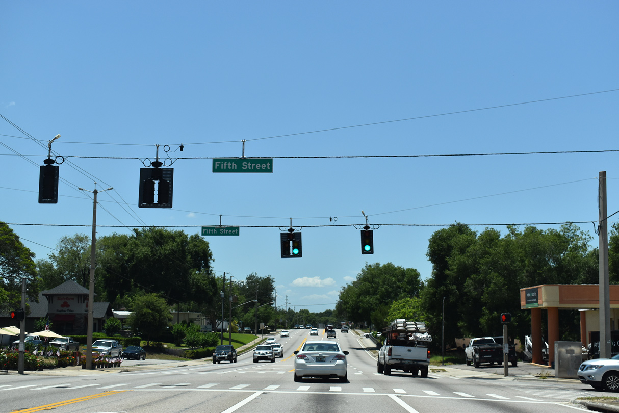
SR 50 advances west through the Clermont numbered street grid to the south of Historic Downtown Clermont. Pictured here is the signalized intersection with 5th Street near Crystal Lake.
05/22/20
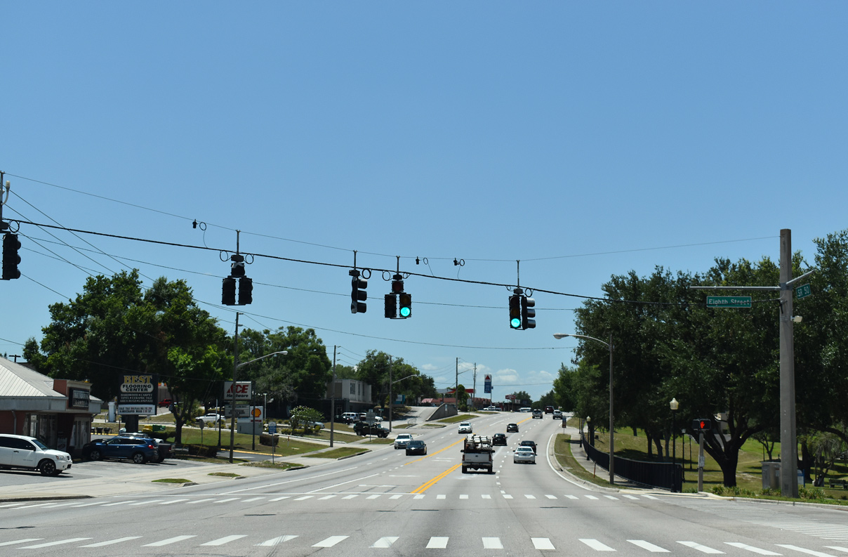
8th Street heads north from parallel Chestnut Street to cross SR 50 ahead of Center Lake and the heart of the Clermont business district.
05/22/20
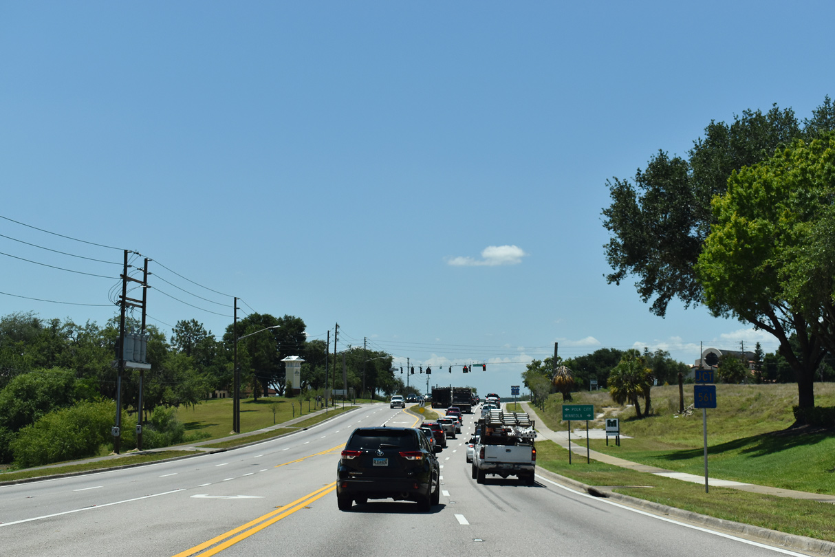
Connecting Clermont with SR 33 to Polk City, forthcoming CR 561 (12th Street) straddles the western reaches of Lake Minneola southward from SR 50.
05/22/20
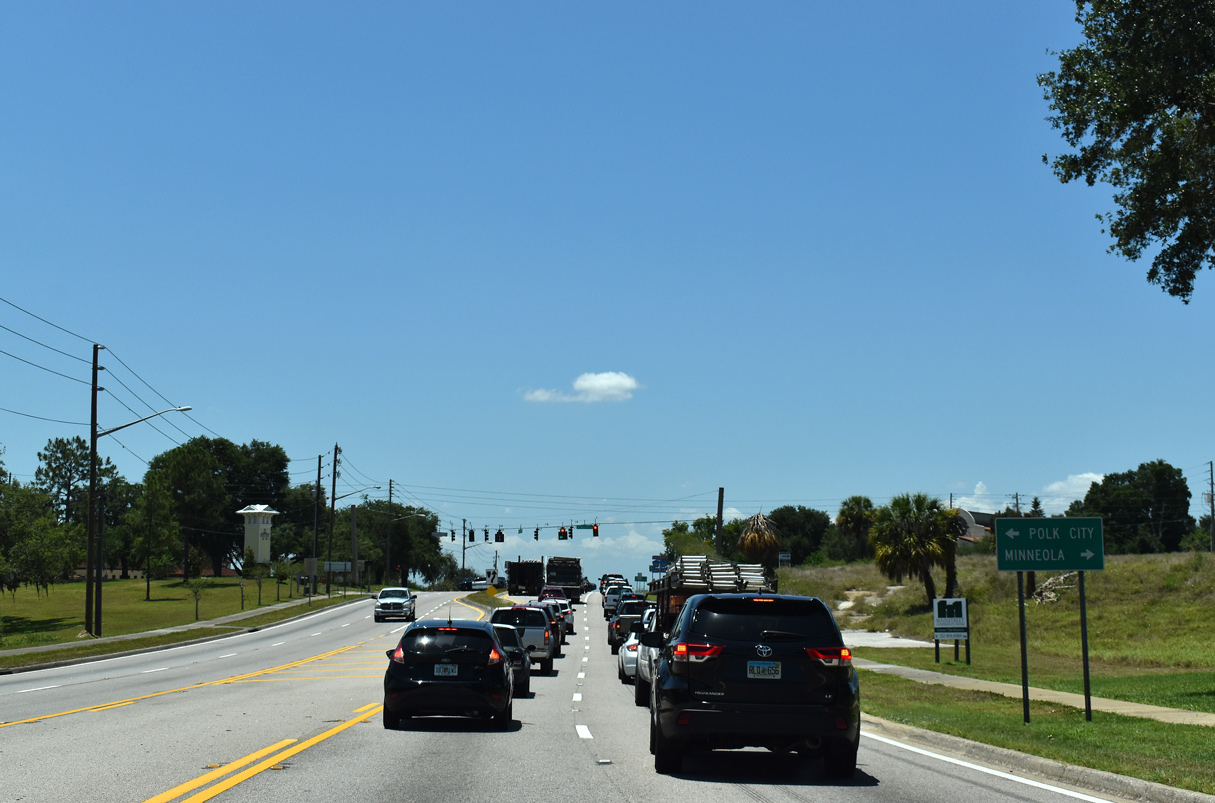
12th Street north from Minneola Avenue (CR 561) is CR 561A, a circuitous route encircling the west and north sides of Lake Minneola.
05/22/20

CR 561 (12th Street) extends north from 12th Street along Lake Minneola Shores encircling Lake Minneola to U.S. 27 in Minneola. The route formerly turned east through Historic Downtown Clermont and north along Lake Minneola Drive to U.S. 27.
05/22/20
SR 50 progresses west from CR 561 (12th Street) to leave the Clermont city limits over an inlet flowing from Lake Palatlakaha. Central Groveland lies five miles to the west.
10/18/08
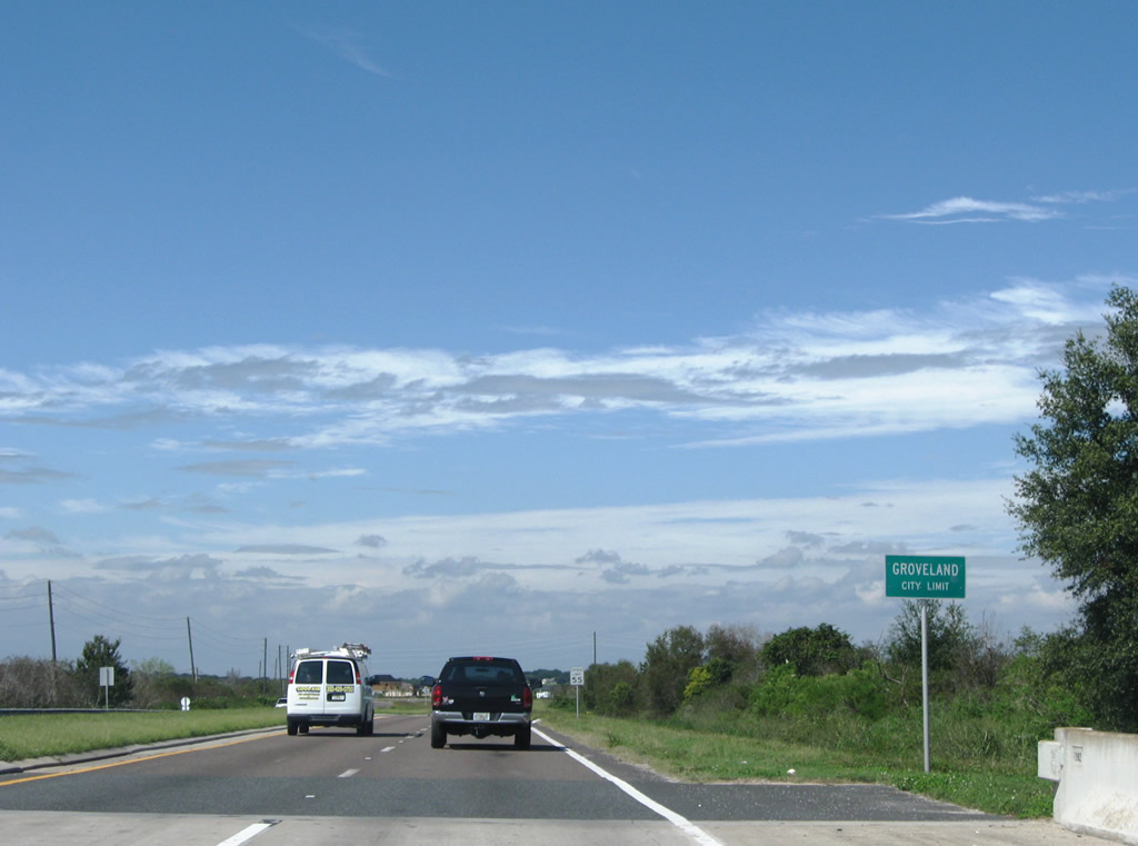
Entering the city limits of Groveland along SR 50 west.
10/18/08
CR 565A loops 2.67 miles northeast from SR 50 through suburban areas of east Groveland to CR 561A near Lake Minneola.
10/18/08
SR 50 westbound reassurance shield posted after Eagles Crossing. An implied overlap connects the east and south segments of CR 565A along this stretch of Broad Street.
10/18/08

The southern branch of CR 565A follows Montevista Road for 4.595 miles to CR 565B (Pine Island Road). The rural route navigates east between Sumner Lake and Lake Walsh.
10/18/08
Continuing through Groveland from CR 565A (Montevista Road) south on SR 50 (Broad Street) west.
10/18/08
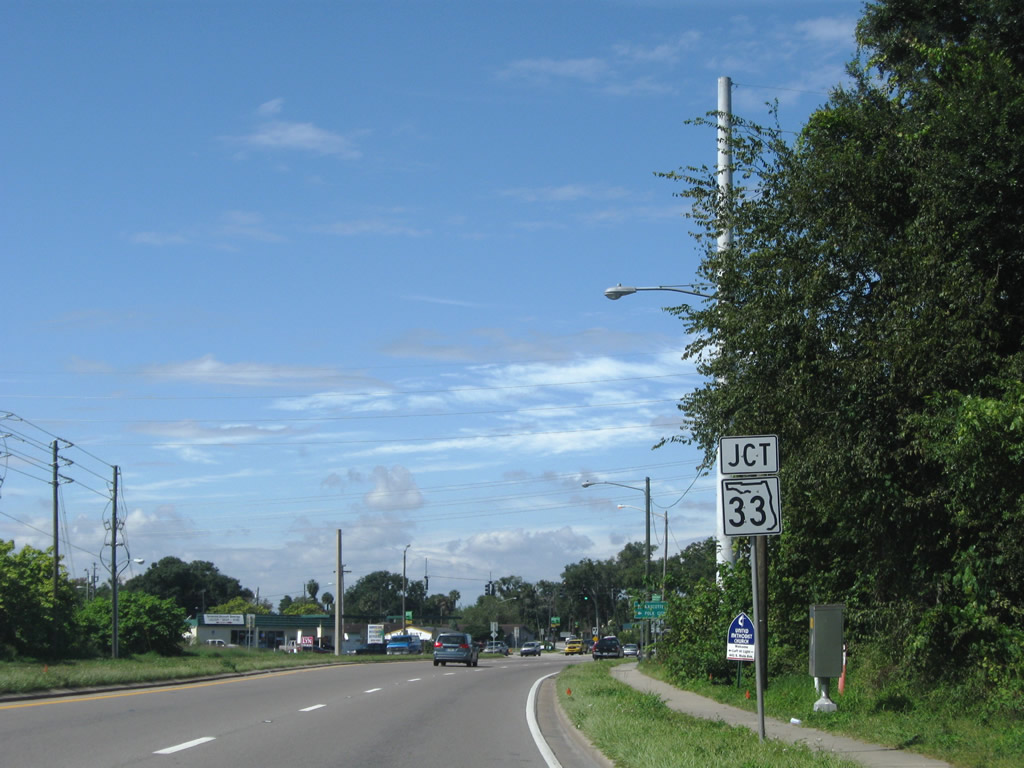
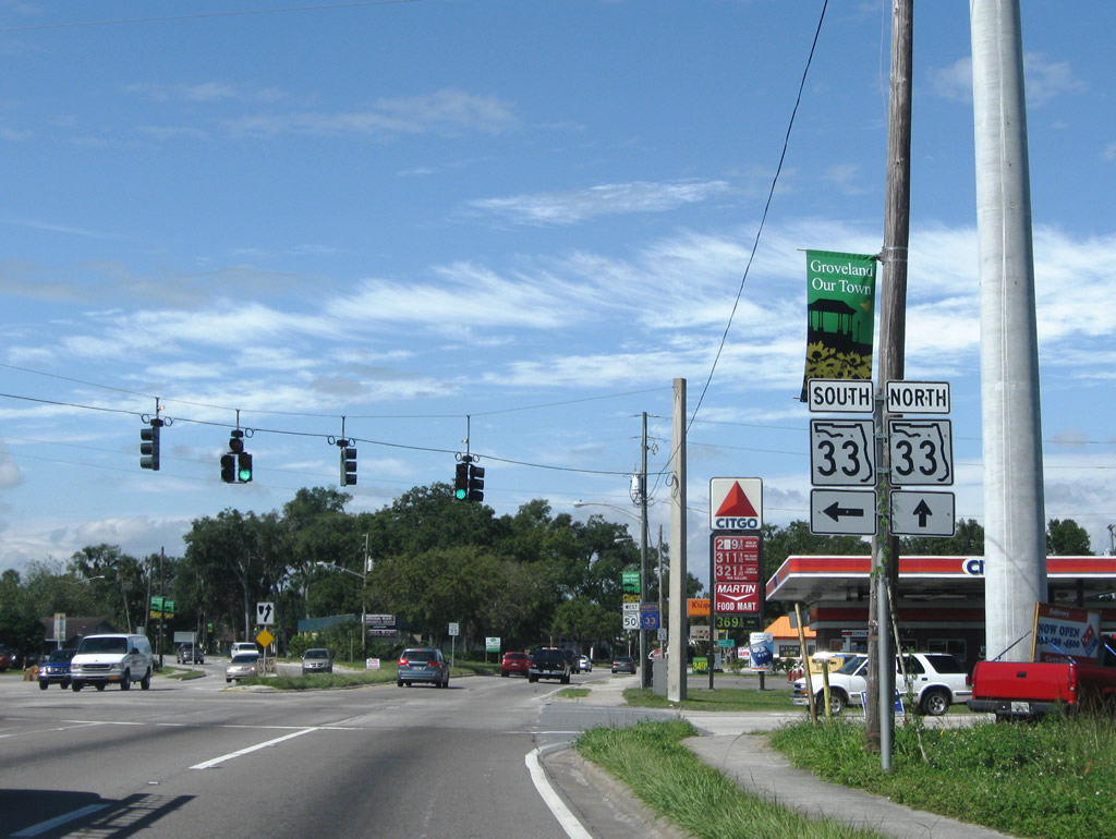
SR 33 meets SR 50 (Broad Street) on the outskirts of Downtown Groveland
10/18/08
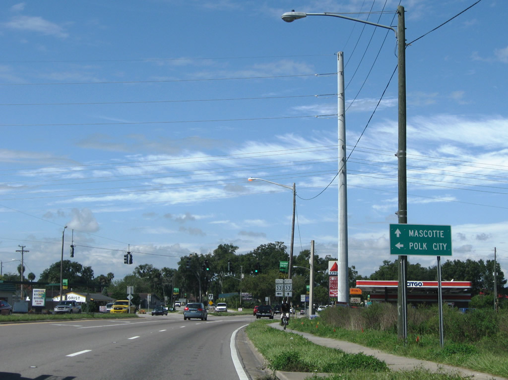
SR 33 travels a rural route 26 miles south from Groveland to Polk City and 32.5 miles to the first of two interchanges with Interstate 4 in Lakeland.
10/18/08
SR 33 downgrades to CR 33 and combines with SR 50 west along Broad Street through Groveland. SR 50 partitions into a one way couplet with Orange Street along the ensuing stretch.
10/18/08
West  North
North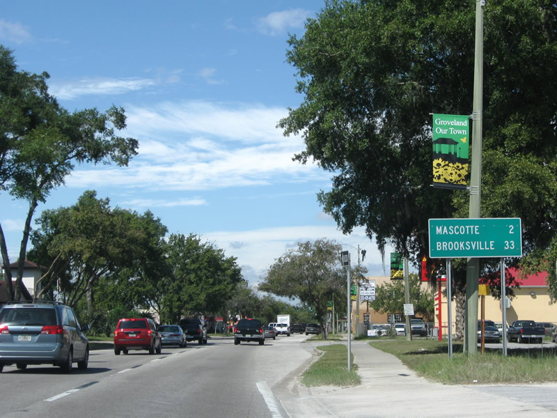
Westbound distance sign for the adjacent city of Mascotte and the Hernando County seat of Brooksville.
10/18/08
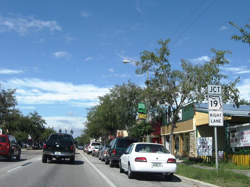
SR 19 begins in Downtown Groveland from SR 50/CR 33 (Broad Street) at the forthcoming intersection with Howey Road and Lake Avenue.
10/18/08
Main Avenue intersects West Broad Street one block ahead of SR 19 (Howey Road).
10/18/08
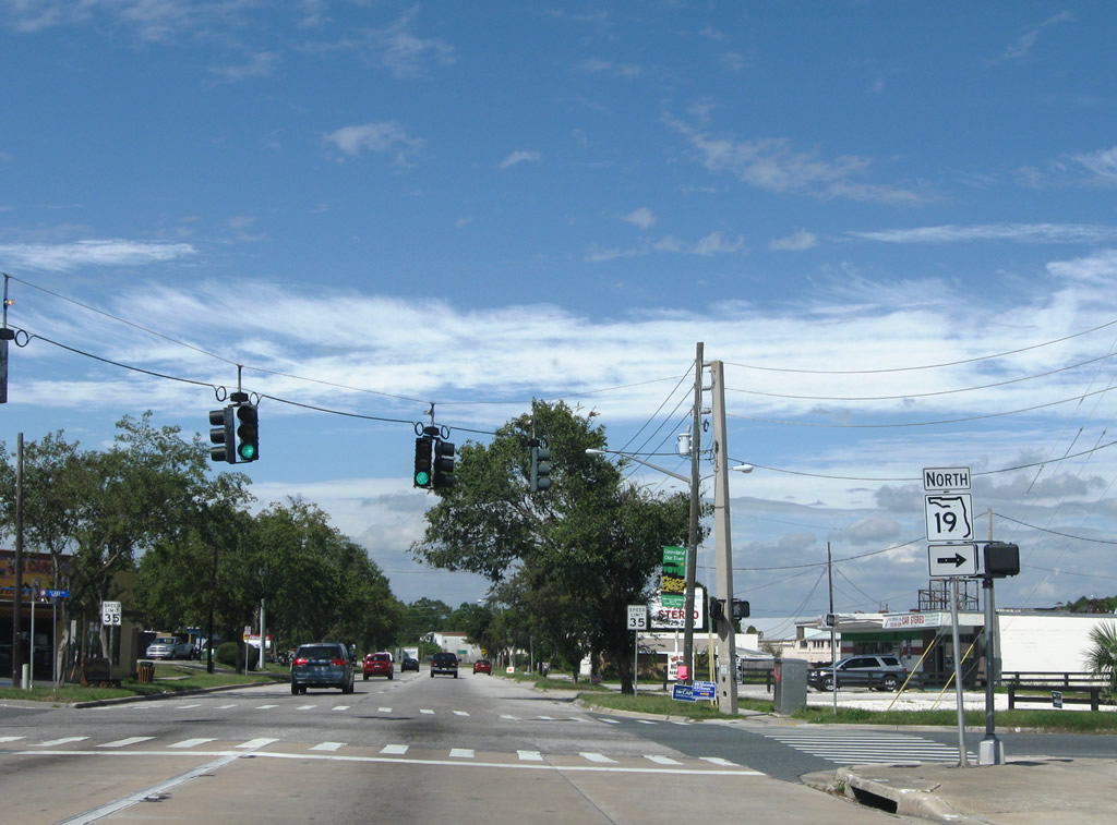
SR 19 leads north from Groveland to U.S. 27 at Florida's Turnpike, Howey-in-the-Hills and Tavares. Groveland city hall lies on the southwest corner of adjacent Orange Street and Lake Avenue.
10/18/08
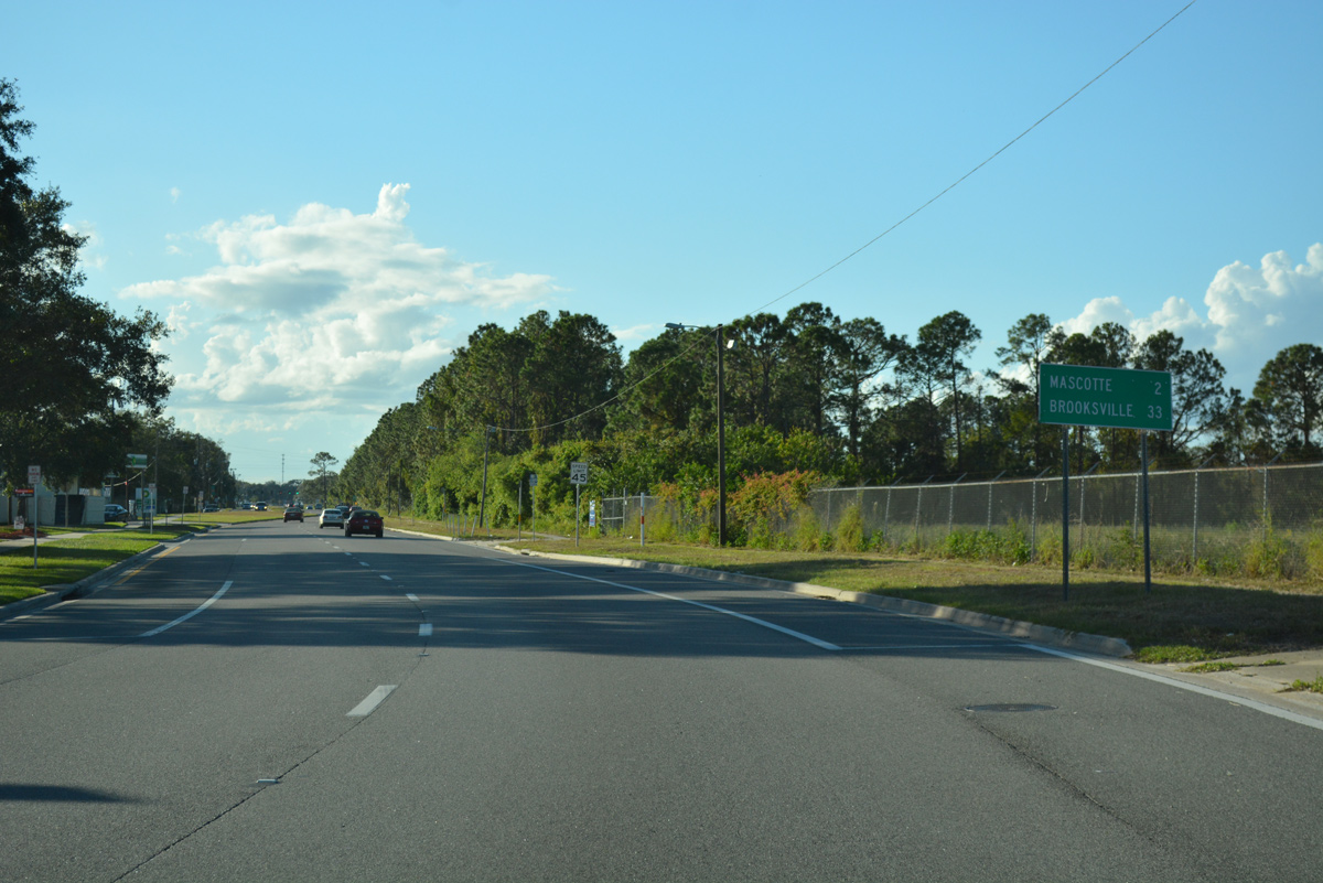
Continuing west along West Broad Street, two miles out from Mascotte.
10/15/17
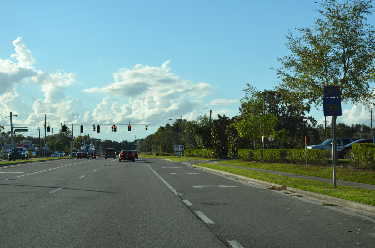
Broad and Orange Streets combine into a four lane arterial, 0.4 miles ahead of County Road 565 (Villa City Road) north. Villa City Road navigates 7.4 miles northward from Groveland to U.S. 27.
10/15/17
Mt. Pleasant Road ties into SR 50 (Broad Street) and the north branch of CR 565 (Villa City Road) from the south. The rural road loops west to Mascotte Empire Road.
10/15/17


References:
- "New housing development approved in Clermont." Growth Spotter, November 1, 2015.
- 238429-3 SR 50 and US 27 Interchange. Florida Department of Transportation, project web site.
Photo Credits:
- ABRoads: 10/18/08, 05/22/20
- Alex Nitzman: 10/15/17, 10/20/18
Connect with:
Page Updated Saturday May 30, 2020.