
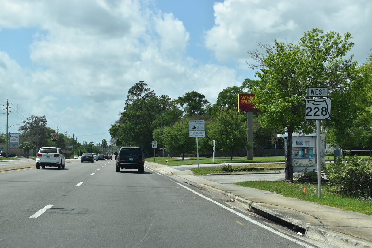
State Road 228 West - Jacksonville

 West
West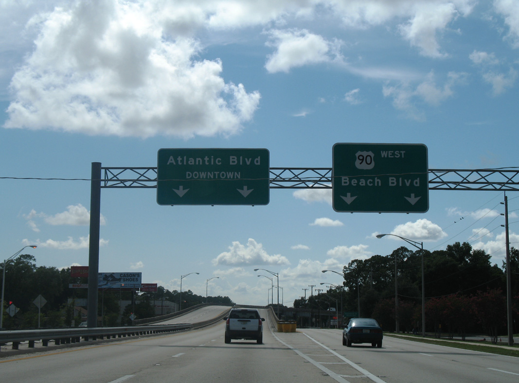
SR 228 separates from U.S. 90 (Beach Boulevard) at a wye interchange located at the Hogan neighborhood in Jacksonville. A replacement sign bridge added for the split in 2020 still omits SR 228 for the Commodore Point Expressway.
07/04/06
A four lane viaduct takes the Commodore Point Expressway northwest over the westbound lanes of Beach Boulevard and East Road ahead of the Love Grove / Riviera Manor community.
12/04/20
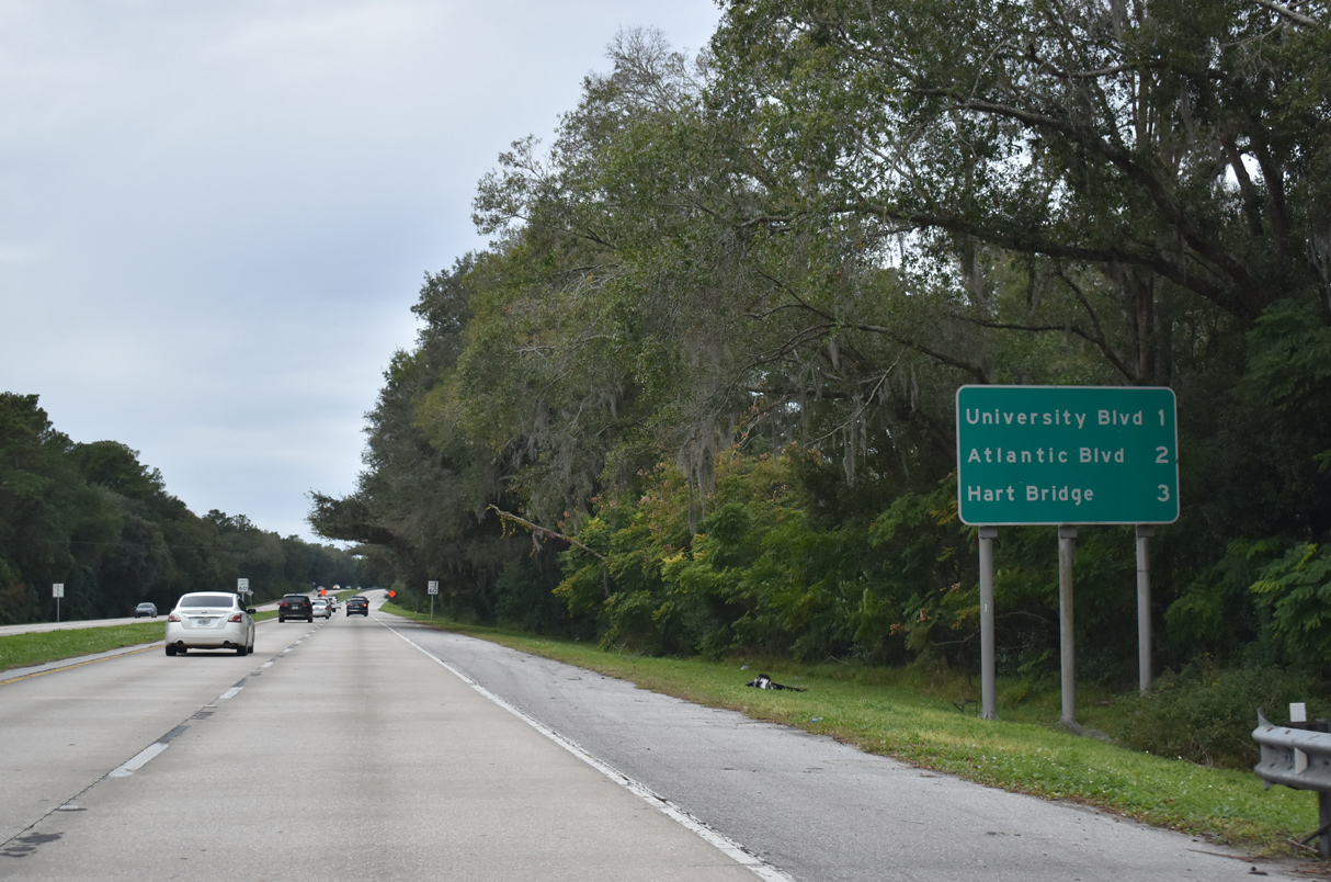
Two exits connect SR 228 (Commodore Point Expressway) with Spring Glen, St. Nicholas and Empire Point before the freeway reaches the Hart Bridge across the St. Johns River.
12/04/20
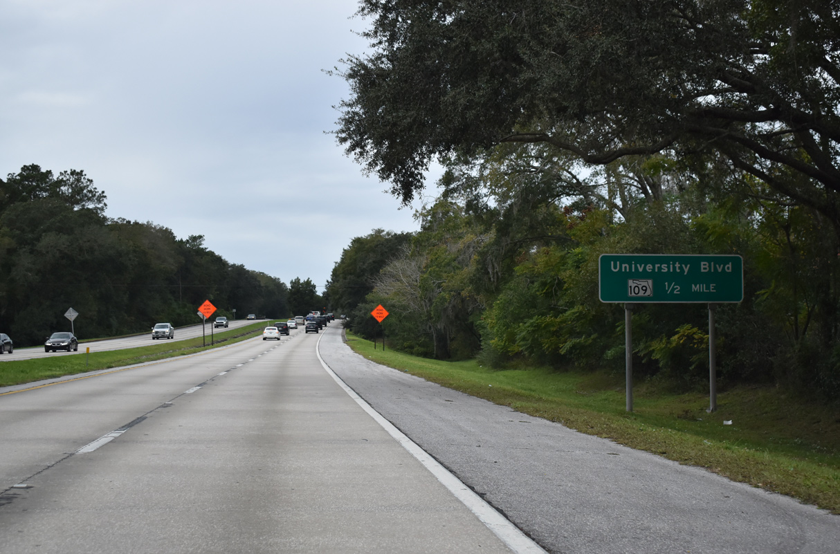
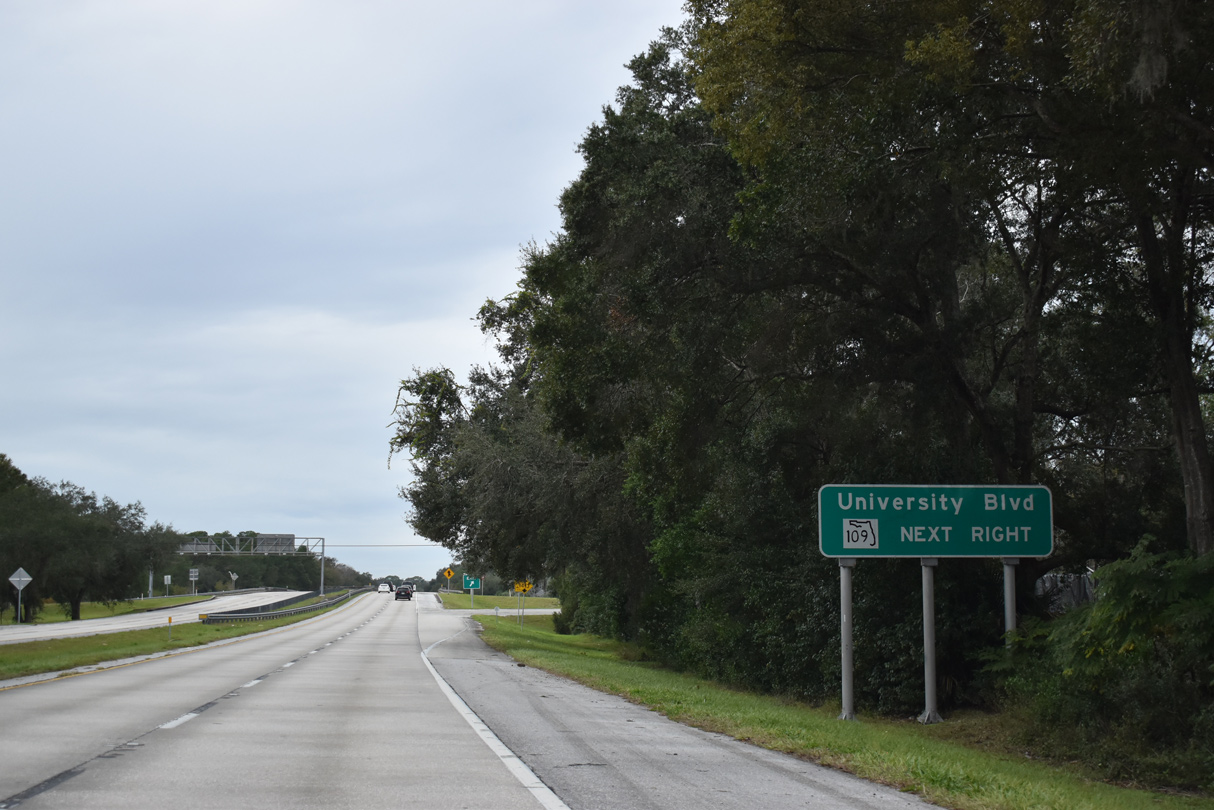
A six-ramp parclo interchange joins SR 228 with SR 109 (University Boulevard) in one half mile. SR 109 constitutes a commercial boulevard south between the Englewood and Sans Souci communities en route to U.S. 1 at Bowden. SR 109 follows University Boulevard west to Lakewood and SR 13 (San Jose Boulevard).
12/04/20
North from SR 228 and Spring Glen, University Boulevard heads to Oak Haven and a bridge west across the Arlington River. SR 109 follows Cesery Boulevard to the east. The state maintained portion of University Boulevard resumes north from SR 115 (Arlington Expressway) to Jacksonville University.
12/04/20
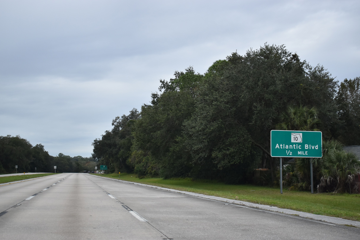
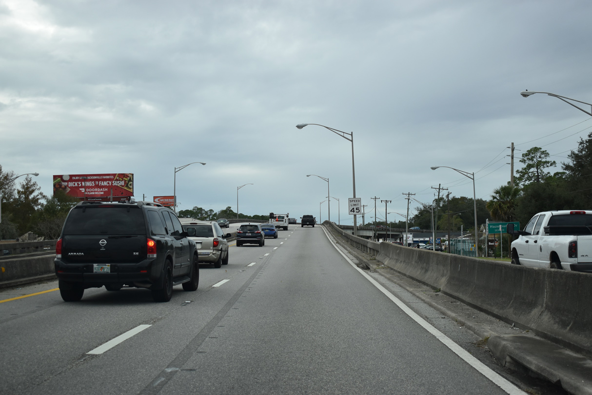
The Commodore Point Expressway advances west across passive parkland ahead of Little Pottsburg Creek to the exit for U.S. 90 ALT/SR 10 (Atlantic Boulevard).
12/04/20
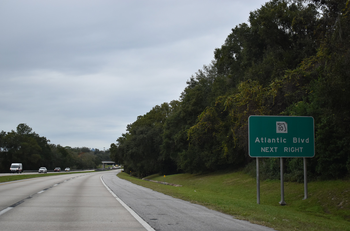
Atlantic Boulevard branches east from U.S. 90 (Beach Boulevard) at St. Nicholas to carry both U.S. 90 Alternate (not signed here) and SR 10 to Woodland Acres and Southside Boulevard (SR 115). SR 10 extends east to Atlantic and Neptune Beaches.
12/04/20
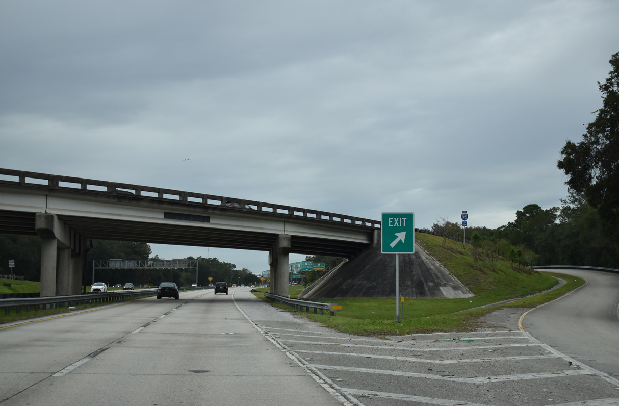
SR 228 (Commodore Point Expressway) merges with U.S. 1 ALT from the Emerson Expressway at a wye interchange preceding Atlantic Boulevard.
12/04/20

A slip ramp joins U.S. 1 ALT/SR 126 (Emerson Expressway) north with the exit for U.S. 90 ALT/SR 10 (Atlantic Boulevard) at Empire Point.
12/04/20
 North West
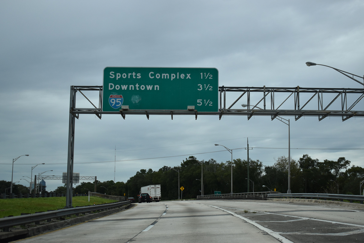
Succeeding entrance ramps join U.S. 1 Alternate north (Hart Bridge Expressway) at the parclo interchange with Atlantic Boulevard (SR 10). U.S. 1 Alternate north to U.S. 1 (MLK, Jr. Parkway) links with I-95 in 5.5 miles.
12/04/20
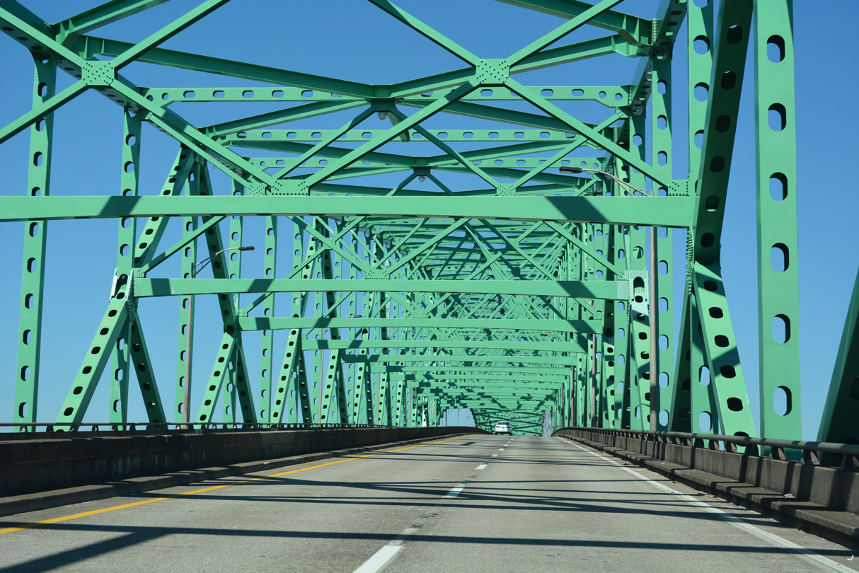
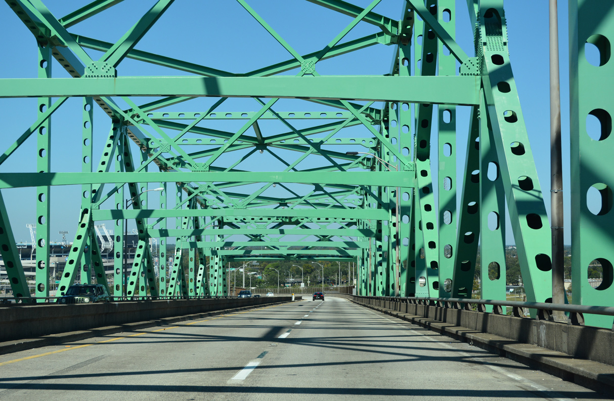
U.S. 1 ALT/SR 228 ascend onto the Isaiah D. Hart Bridge north from Empire Point to the Jacksonville sports complex at Midtown.
12/04/20
SR 228 previously separated with U.S. 1 ALT at the north end of the Hart Bridge. SR 228 continued west on the elevated Hart Bridge Expressway spur to Downtown Jacksonville.
12/04/20
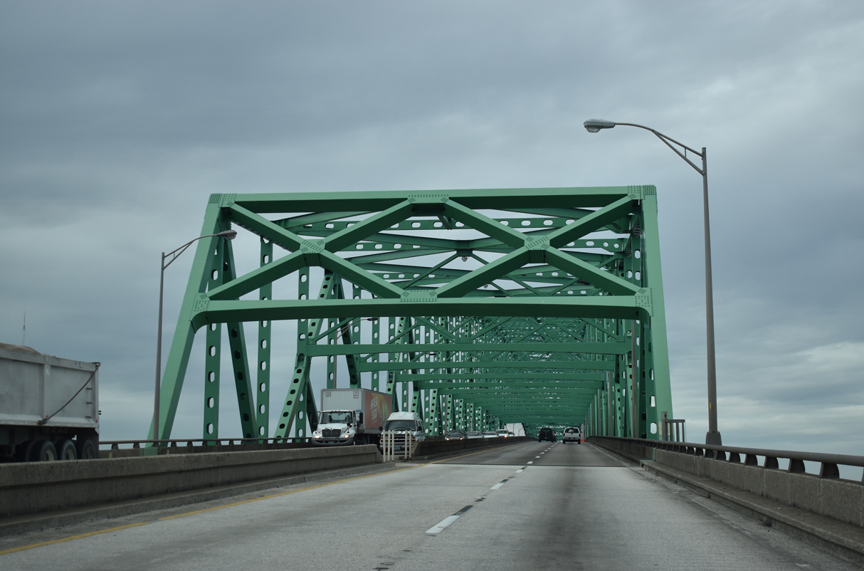
A continuous steel through truss bridge, the Hart Bridge is 3,844 feet long.1
12/04/20
The Hart Bridge opened to traffic on November 2, 1967.
10/16/22
The Hart Bridge tops out at 141 feet above the St. Johns River.
12/04/20
Tolls were charged to cross the Hart Bridge until 1989.
12/04/20
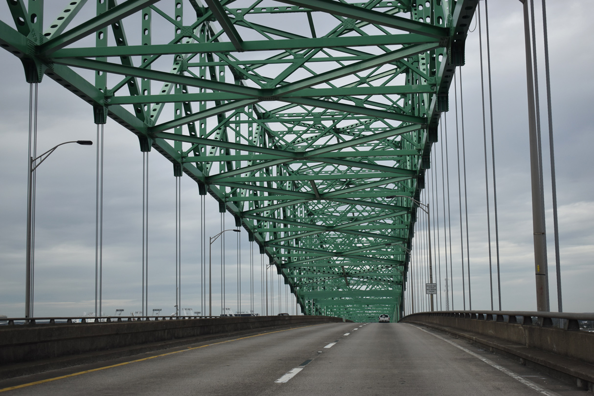
The Hart Bridge is one of five spans across the St. Johns River within the vicinity of Downtown Jacksonville.
12/04/20
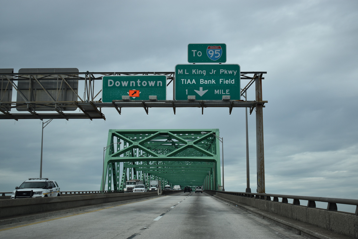
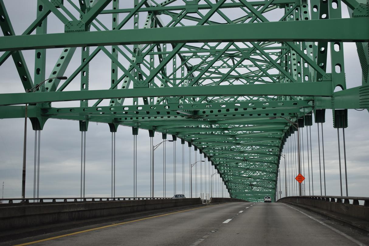
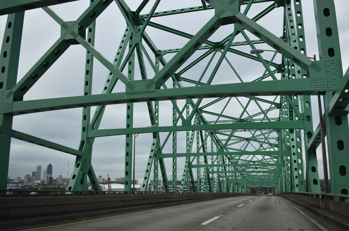
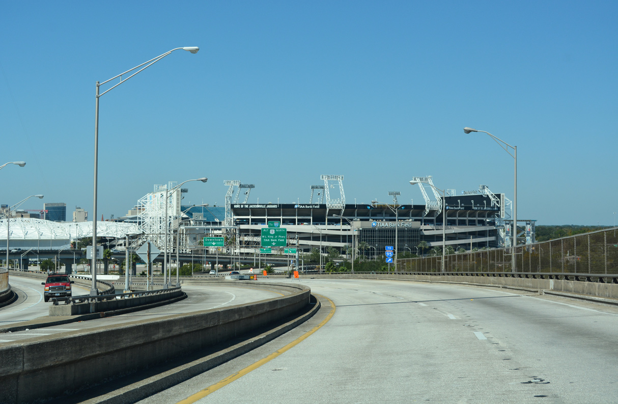
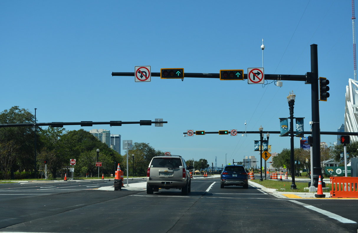
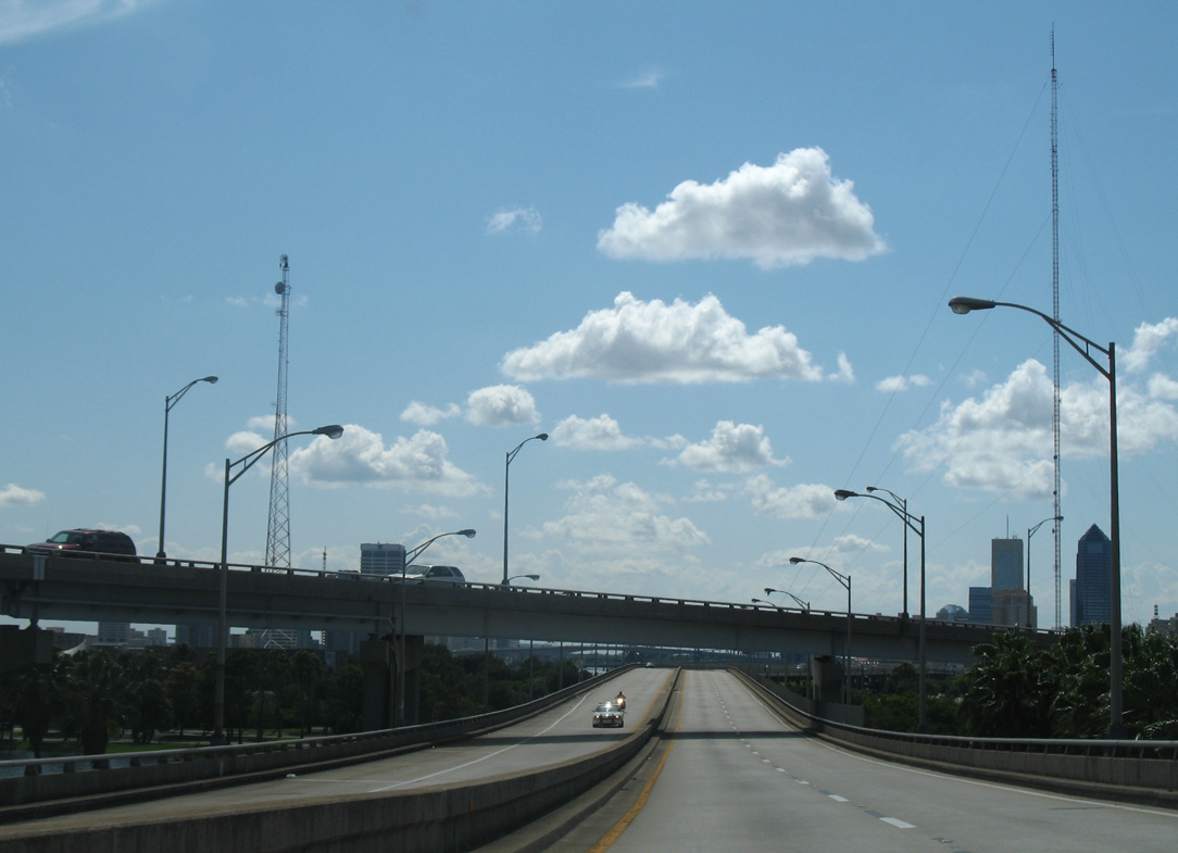
U.S. 1 ALT/SR 228 lower into Midtown Jacksonville from Commodore Point ahead of TIAA Bank Field (home of the Jacksonville Jaguars NFL franchise).
10/16/22
The elevated roadway taking SR 228 west by TIAA Bank Field was demolished in Spring 2020. The expressway spur was replaced by Gator Bowl Boulevard, a four lane at-grade arterial.
10/16/22
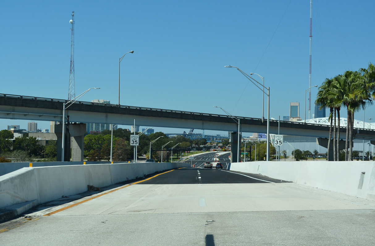
Two lanes lower at the left exit from U.S. 1 ALT on the Hart Bridge to Gator Bowl Boulevard.
10/16/22
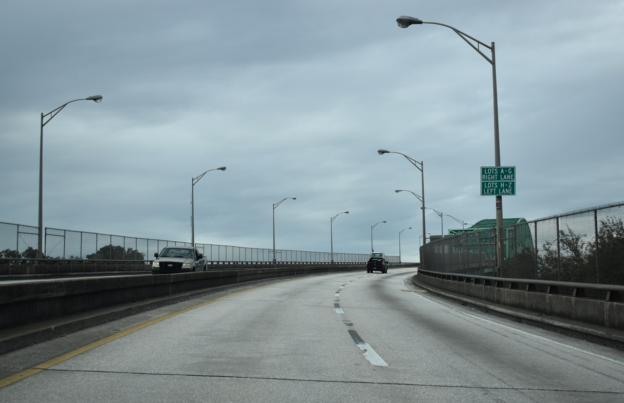
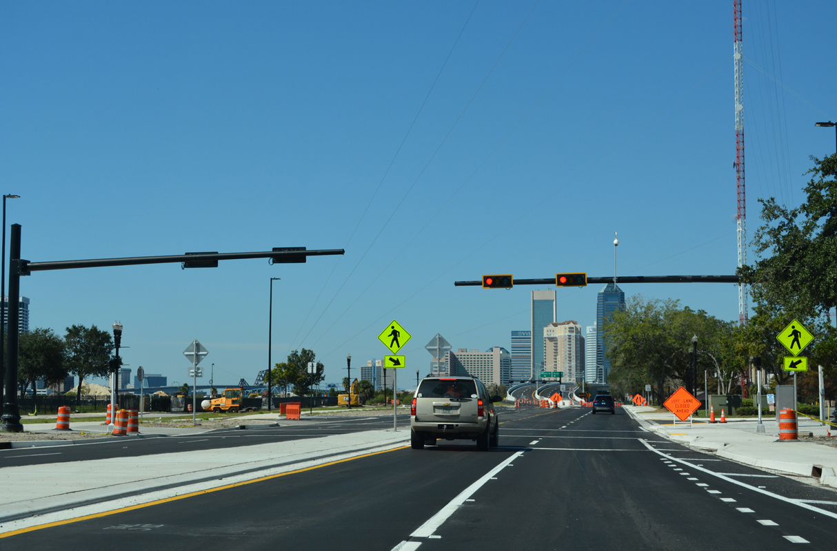
Gator Bowl Boulevard encircles the Jacksonville sports complex north to Martin Luther King, Jr. Parkway (SR 115) at the Mathews Bridge.
10/16/22
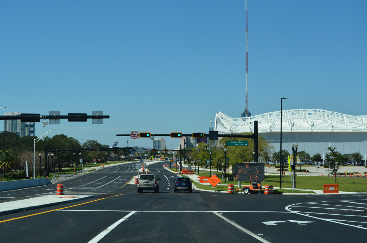
Continuing west from SR 228 by TIAA Bank Field and Daily's Place, Gator Bowl Boulevard is locally maintained west from the flyover ramps with the Hart Bridge.
10/16/22
Pedestrian signals along Gator Bowl Boulevard at Metropolitan Park and Daily's Place.
10/16/22
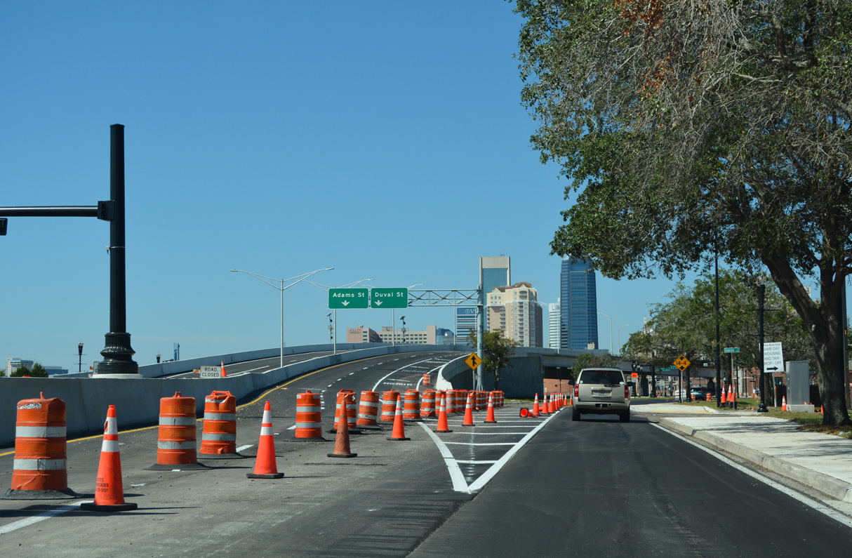
The flyovers taking SR 228 west across Hogans Creek to Adams Street with a ramp to Duval Street were rebuilt to connect Gator Bowl Boulevard with Downtown Jacksonville.
10/16/22
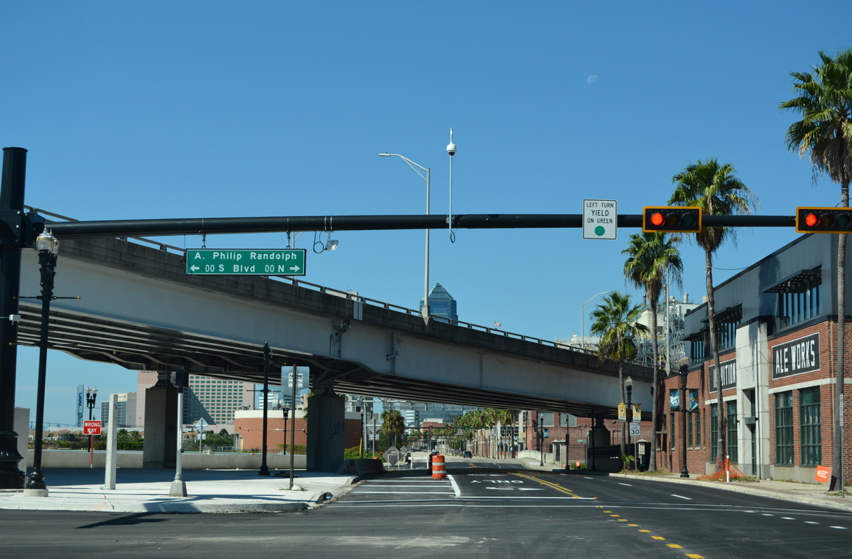
Gator Bowl Boulevard west becomes Bay Street at A. Philip Randolph Boulevard south of 121 Financial Ballpark and VyStar Veterans Memorial Arena.
10/16/22
/ Former Hart Bridge Expressway - West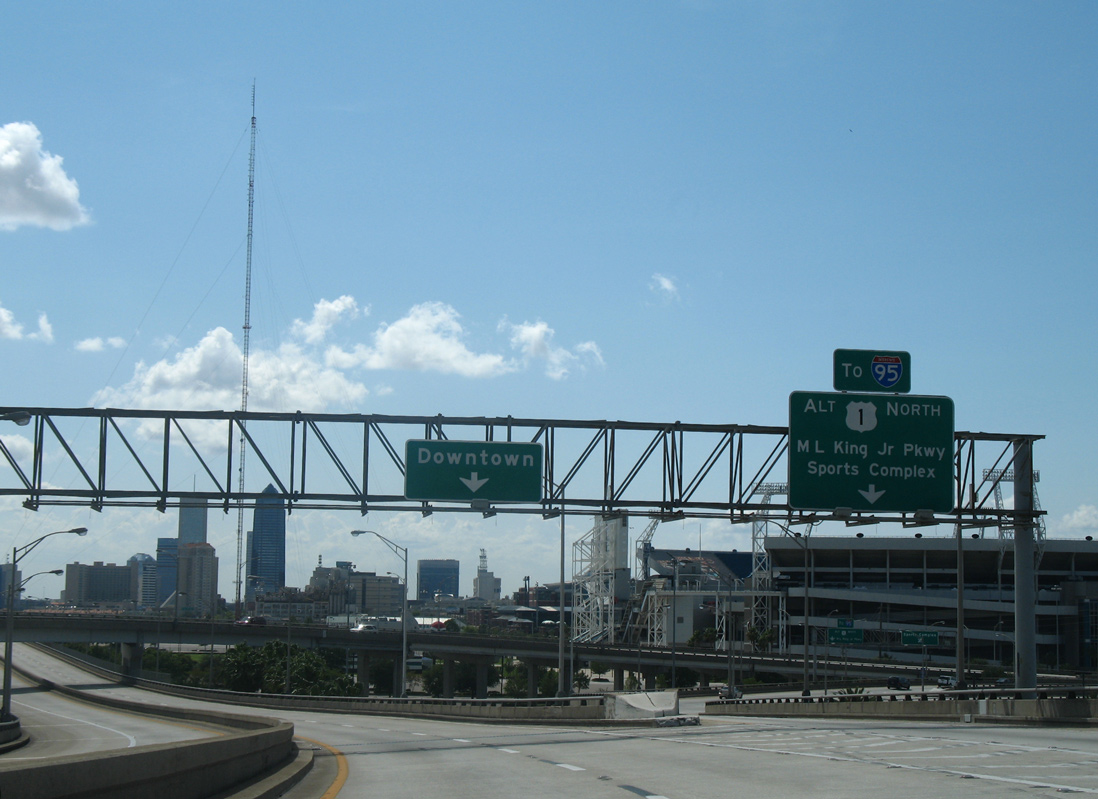
SR 228 formerly split with U.S. 1 ALT (Hart Bridge) for an elevated roadway running along Gator Bowl Boulevard to Bay Street.
07/04/06
Ramps from U.S. 1 Alternate south and Duval Street merged onto a flyover passing overhead as SR 228 turned west alongside Metropolitan Park.
07/04/06
The Hart Bridge Expressway west closed on April 4, 2020 as work got underway to demolish the portion of the elevated roadway passing south of TIAA Bank Field, the 121 Financial Ballpark and VyStar Veterans Memorial Arena.
07/04/06
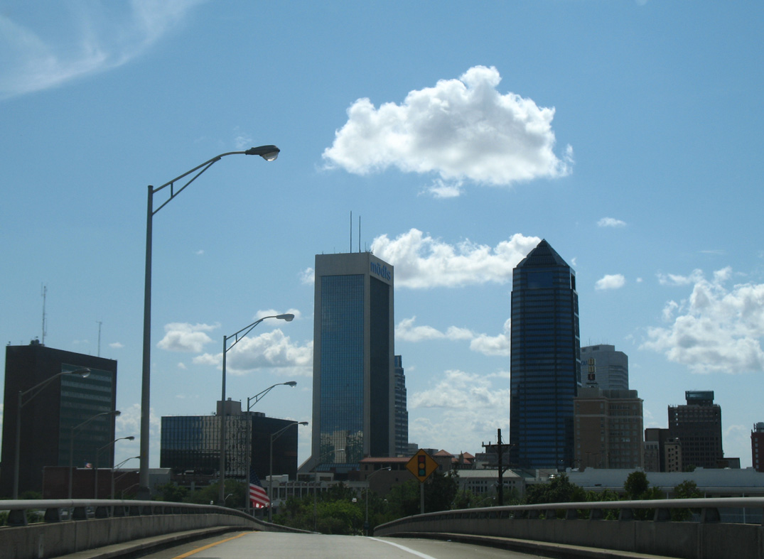
Curving northwest, the Hart Bridge Expressway passed over Bay Street and Hogans Creek as high rises along the St. Johns River and Downtown appear.
07/04/06
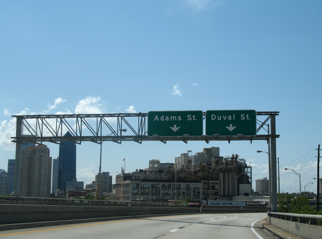
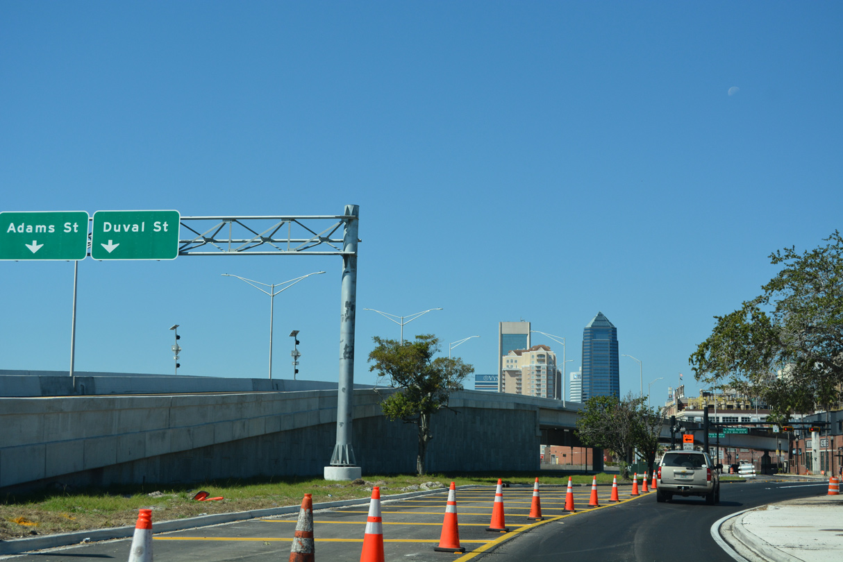
Passing by the Maxwell House coffee plant, the Hart Bridge Expressway separates into single lane ramps for Adams and Duval Streets.
07/04/06
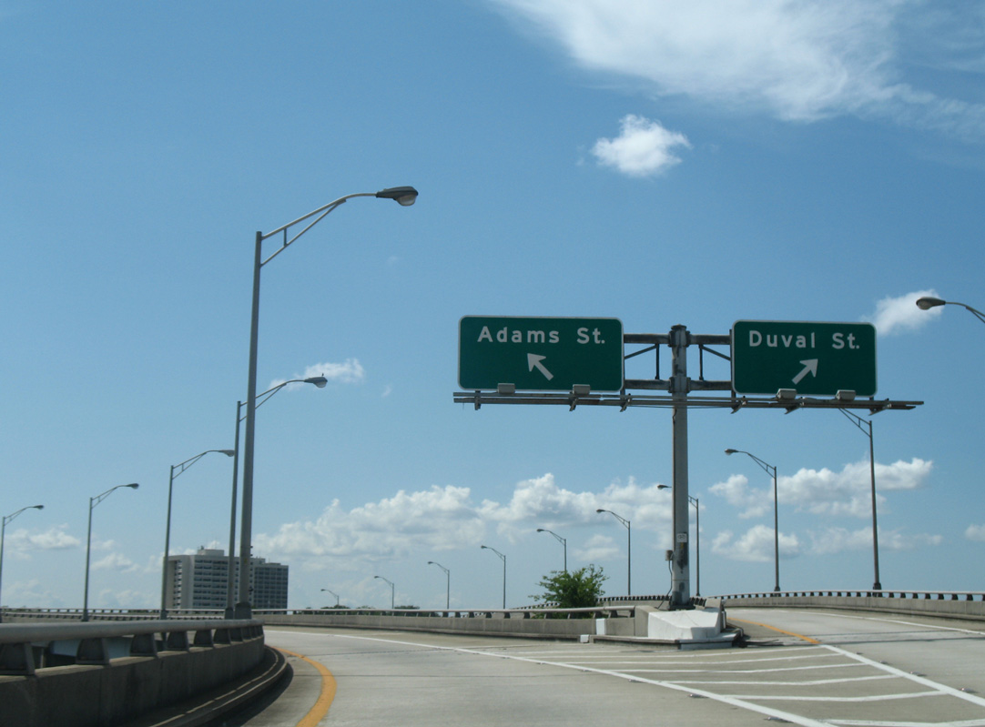
Duval Street parallels Adams Street two blocks to the north to St. John's Cathedral and Jacksonville City Hall. SR 228 lined Adams Street west for 0.317 miles to U.S. 1/90 (Ocean Street).
07/04/06
The Adams Street flyover passes over eastbound entrance ramps from Forsyth and Monroe Streets ahead of the Liberty Street.
07/04/06
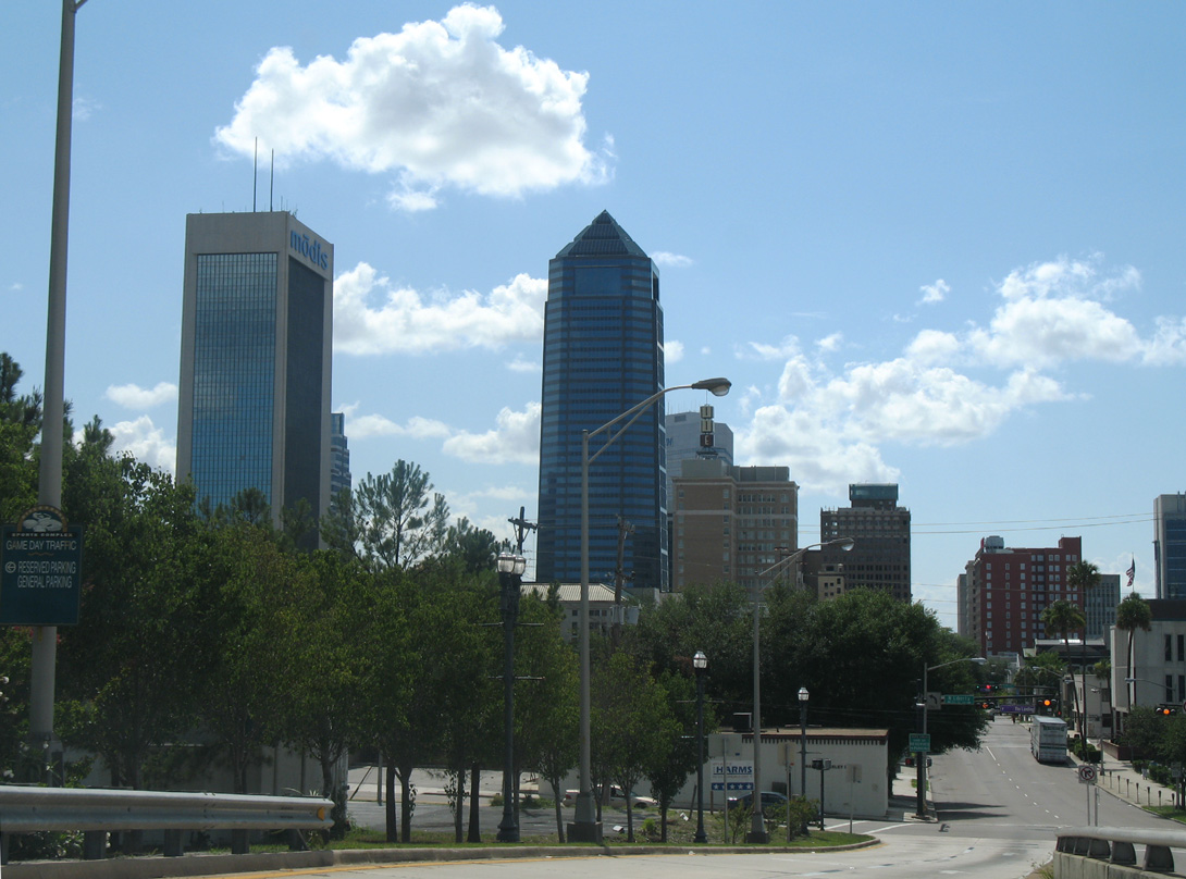
Bank of America Tower anchors the Jacksonville skyline at 617 feet in height. The 42 floor building was completed in 1990.
07/04/06
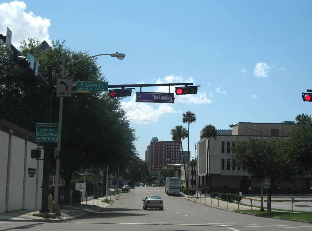
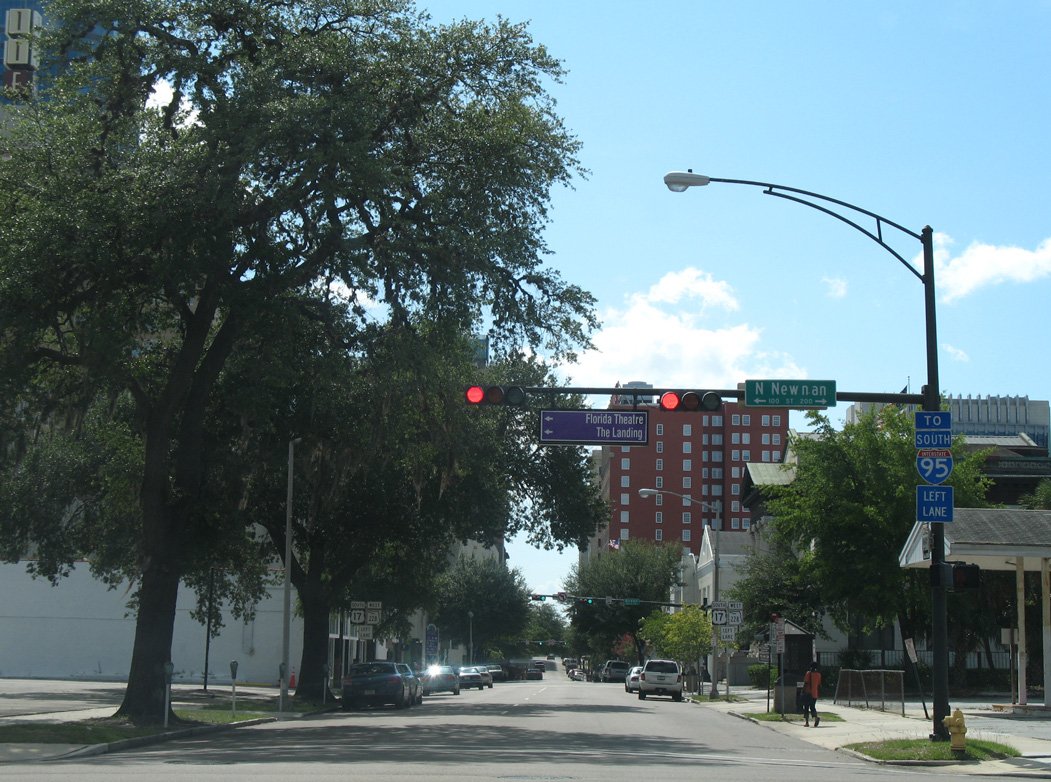
Liberty Street linked SR 228 with Bay Street west to Jacksonville Landing retail complex on the St. Johns Riverfront. Northward the street travels four blocks to the Arlington Expressway west end.
07/04/06
U.S. 17 shield assembly posted ahead of Newnan Street on SR 228 (Adams Street) west. U.S. 17 was relocated away from Downtown in 2006, but this sign was still in place in 2016.
07/04/06
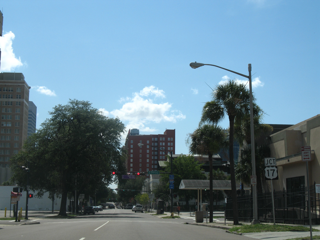
A trailblazer directs motorists headed for I-95 south to use the left lane for the forthcoming intersection with Main Street. Main Street carries U.S. 1 south / U.S. 90 east to the Main Street Bridge across the St. Johns River.
07/04/06
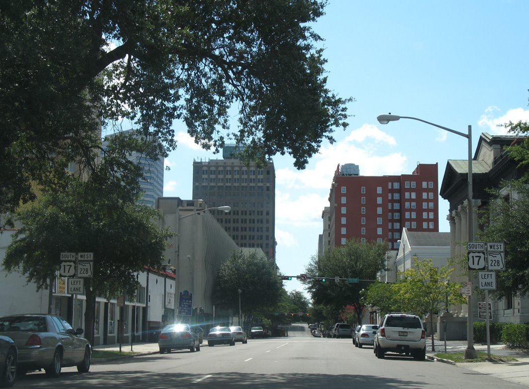
Prior to the 2006 relocation onto I-10 and I-95, SR 228 west joined U.S. 17 south at Main Street. The pair then turned west onto Bay Street. This assembly was changed by Fall 2007 to omit U.S. 17 and reference the turn of SR 228 north onto Ocean Street (U.S. 1 north / U.S. 90 west).
07/04/06
West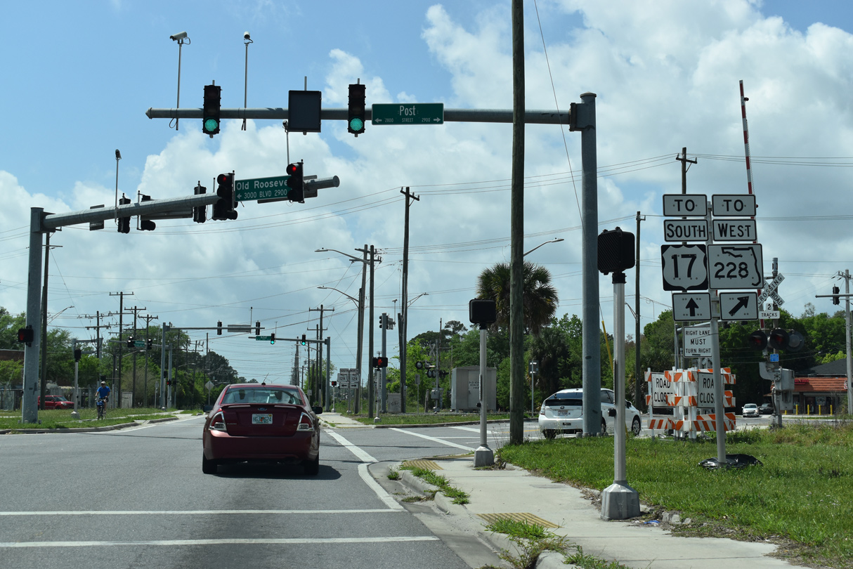
State maintenance commences along Post Street west from Old Roosevelt Boulevard below the Roosevelt Expressway taking U.S. 17/SR 228 south from I-10.
03/26/20
Old Roosevelt Boulevard continues southwest from SR 228 (Post Street) across SR 129 (McDuff Avenue) to U.S. 17 beyond Day Avenue.
03/26/20
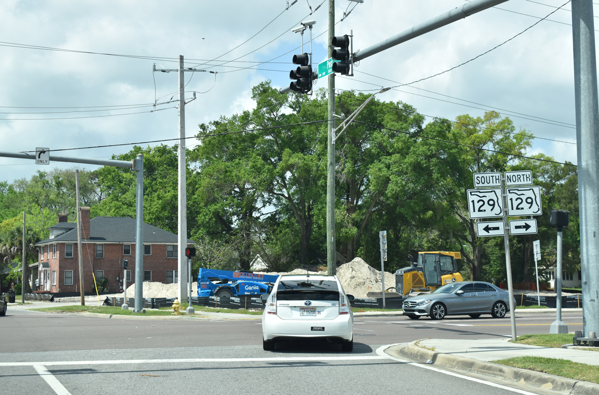
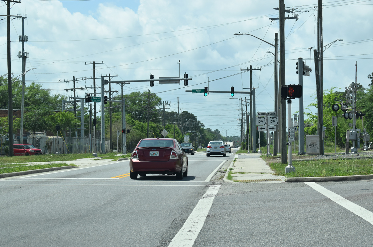
SR 228 dog legs north along SR 129 (McDuff Avenue) from U.S. 17 (Roosevelt Expressway) southbound. SR 129 lines NcDuff Avenue for 0.73 miles between Roosevelt Boulevard and I-10 at Waller Street.
03/26/20
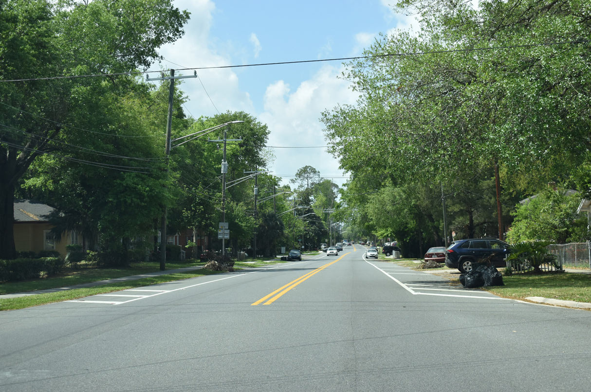
SR 228 continues west from SR 129 (McDuff Avenue) into the Murray Hill neighborhood of Jacksonville. No confirming marker is posted.
03/26/20
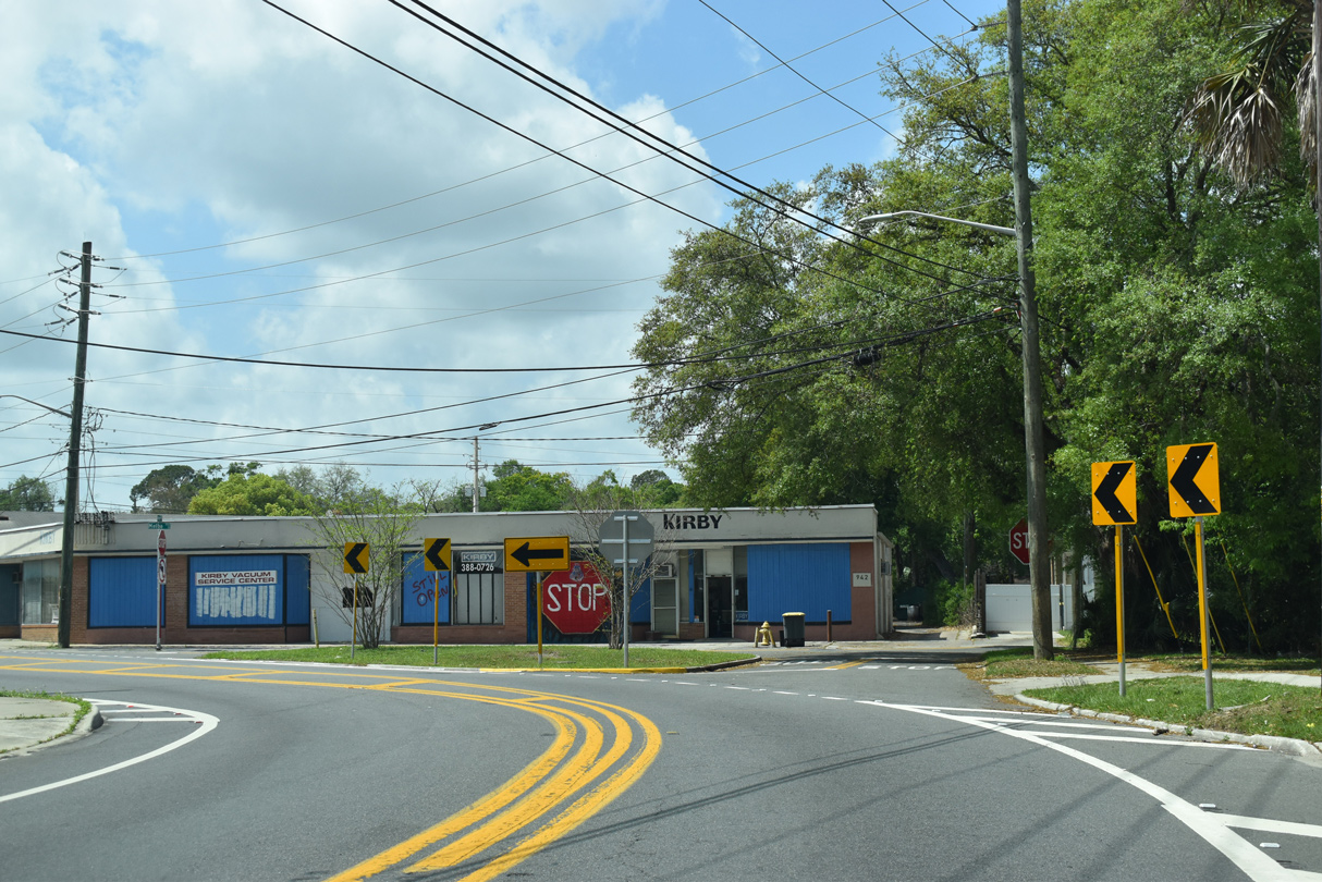
SR 228 (Post Street) turns southwest at Melba Street.
03/26/20
Edgewood Avenue angles southeast from SR 111 (Casat Avenue) at the Lackawanna neighborhood to SR 211 (St. Johns Avenue) in the Avondale community.
03/26/20
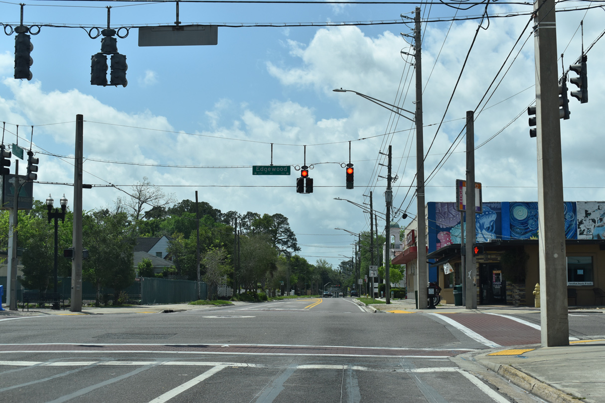
Confirming marker posted southwest of Edgewood Avenue along Post Street in the Murray Hill business district.
03/26/20
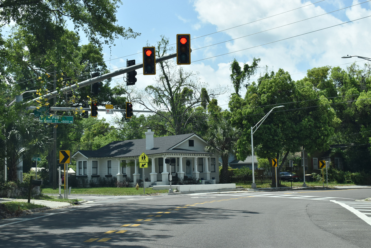
Post Street turns west again at Hamilton Street.
03/26/20
SR 228 (Post Street) west at Murray Drive.
03/26/20
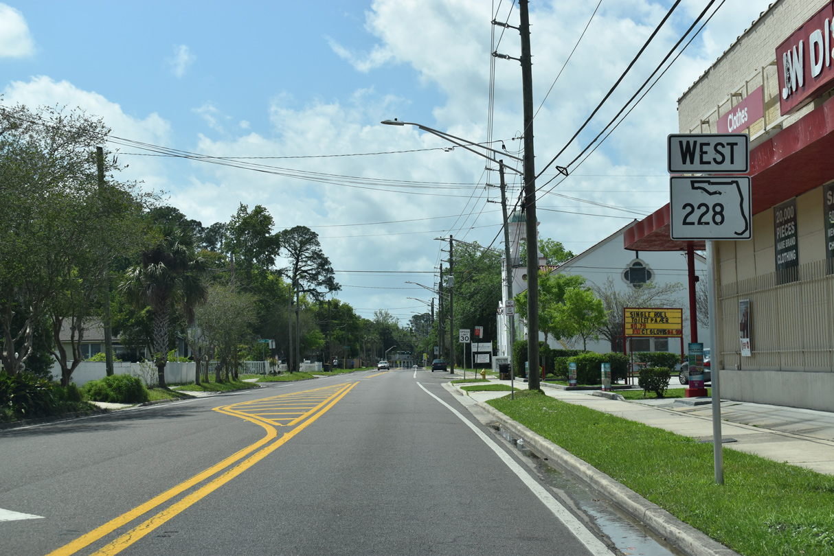
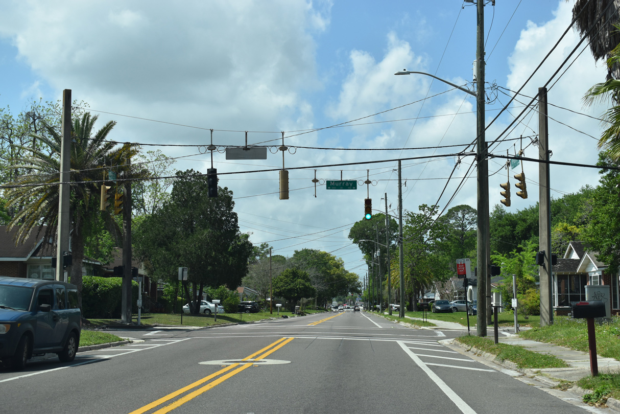
Westbound SR 228 (Post Street) transitions to Normandy Boulevard at SR 111 (Cassat Avenue).
03/26/20
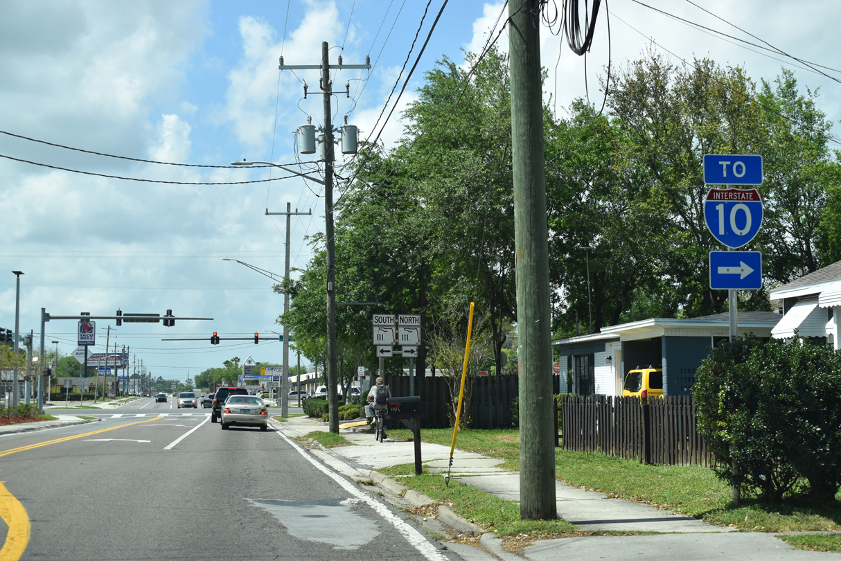
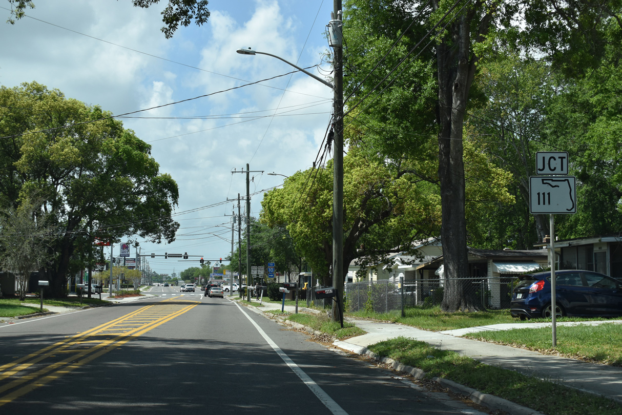
SR 111 (Cassat Avenue) separates the Normandy and Murray Hill neighborhoods north from SR 228 to Interstate 10.
03/26/20
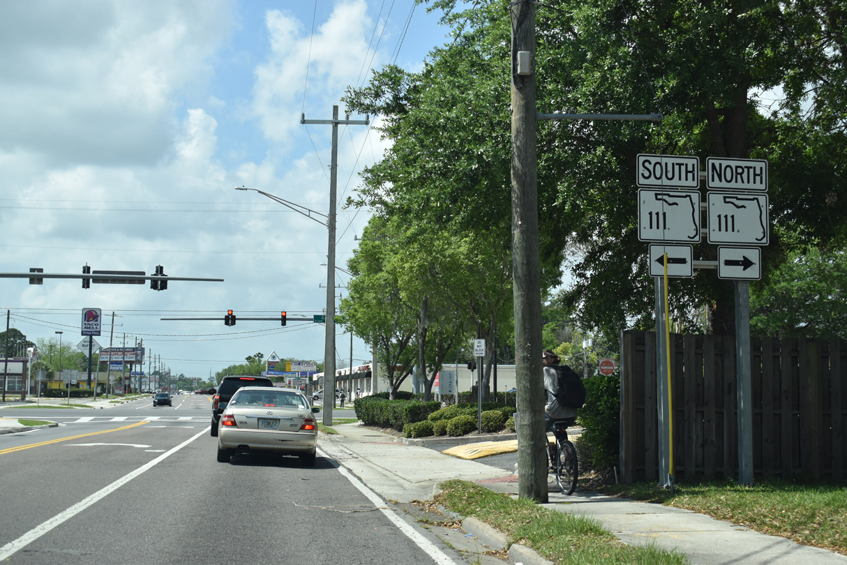
SR 111 is an urban arterial follow Cassat Avenue south to SR 21 (Blanding Boulevard) at Lakeshore and north to Edgewood Avenue and Woodstock.
03/26/20

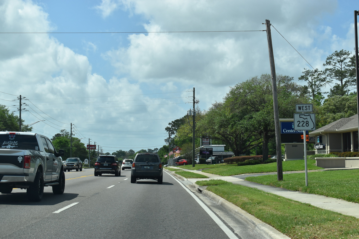
Normandy Boulevard comprises a five lane commercial boulevard west from SR 111 between the Normandy and Hillcrest neighborhoods.
03/26/20
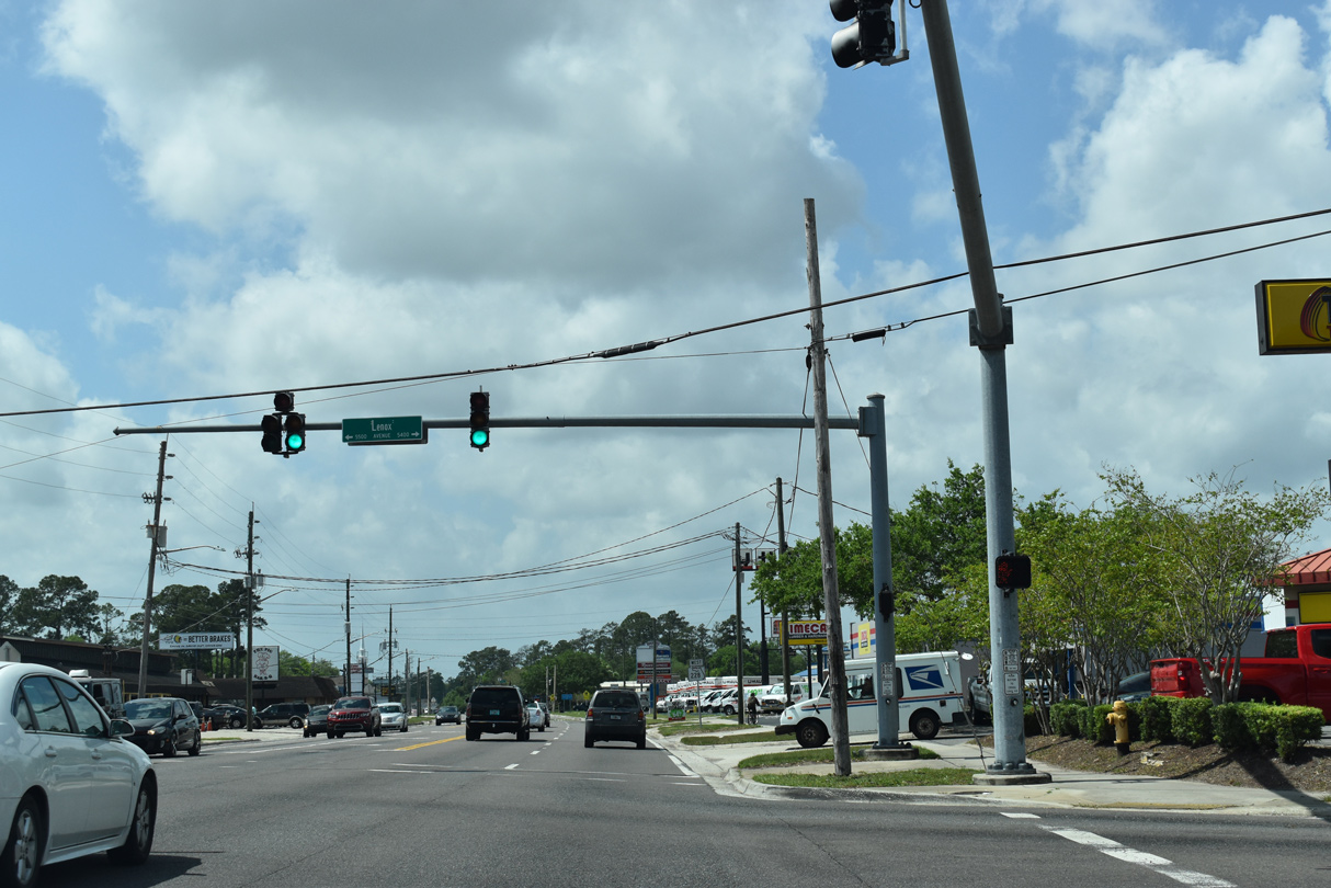
Lenox Avenue meets SR 228 (Normandy Boulevard) at a five point intersection with Lake Shore Boulevard. Lenox Avenue is unsigned CR 213 northeast to I-10 at Luna Street and southwest to Old Middleburg Road.
03/26/20
SR 228 reassurance marker posted west of Lenox Avenue (CR 213).
03/26/20
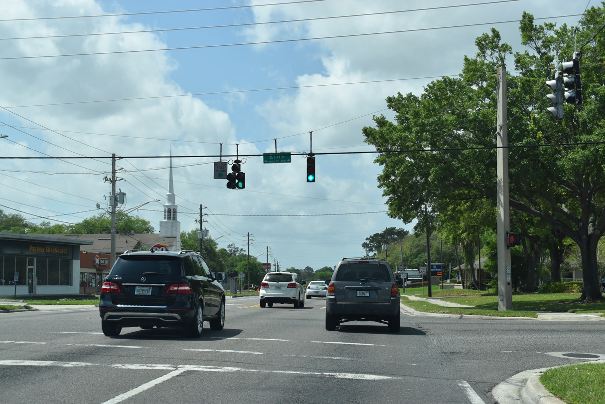
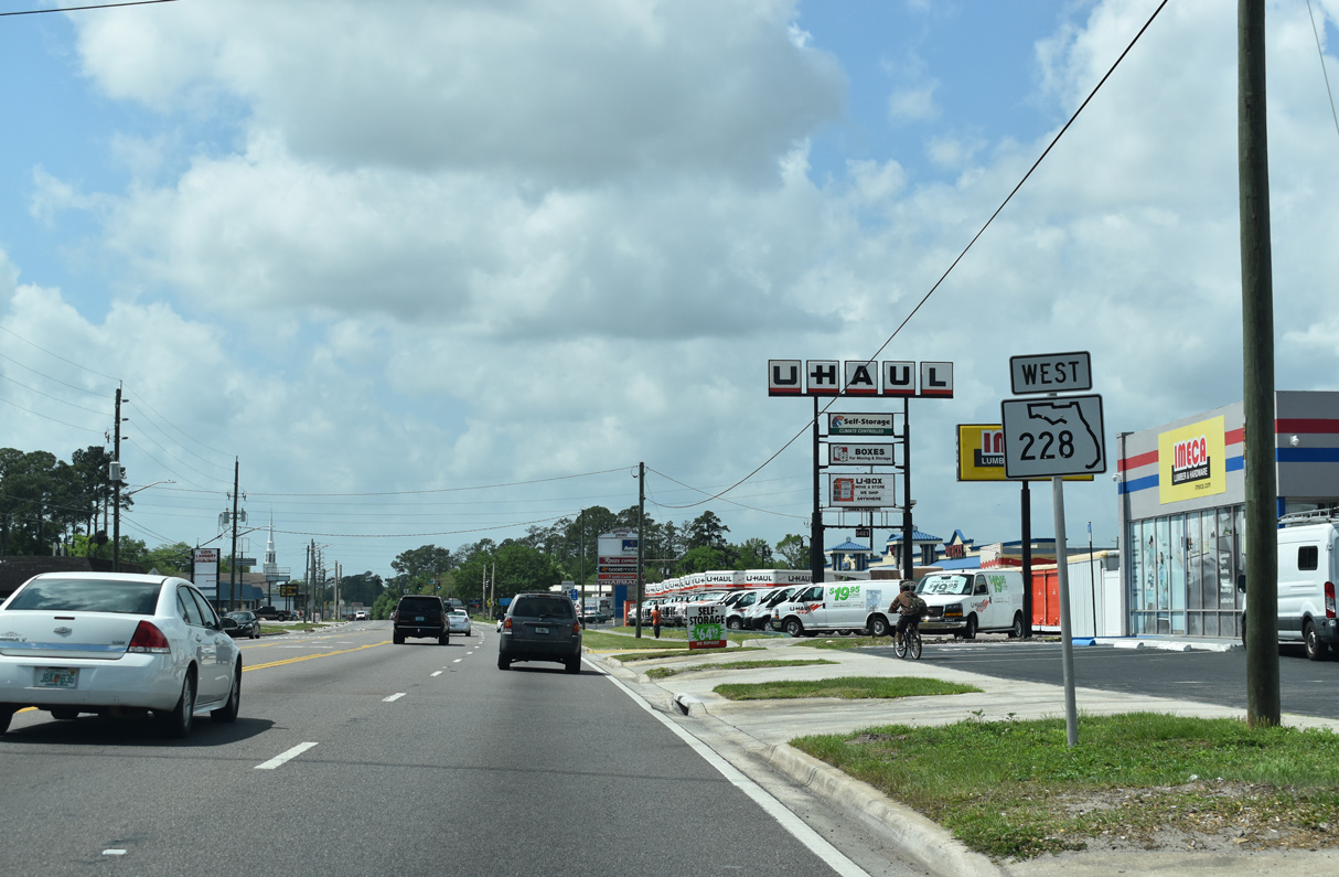
SR 228 (Normandy Boulevard) west makes a gradual arc south from Lenox Avenue, next intersecting Ellis Road.
03/26/20
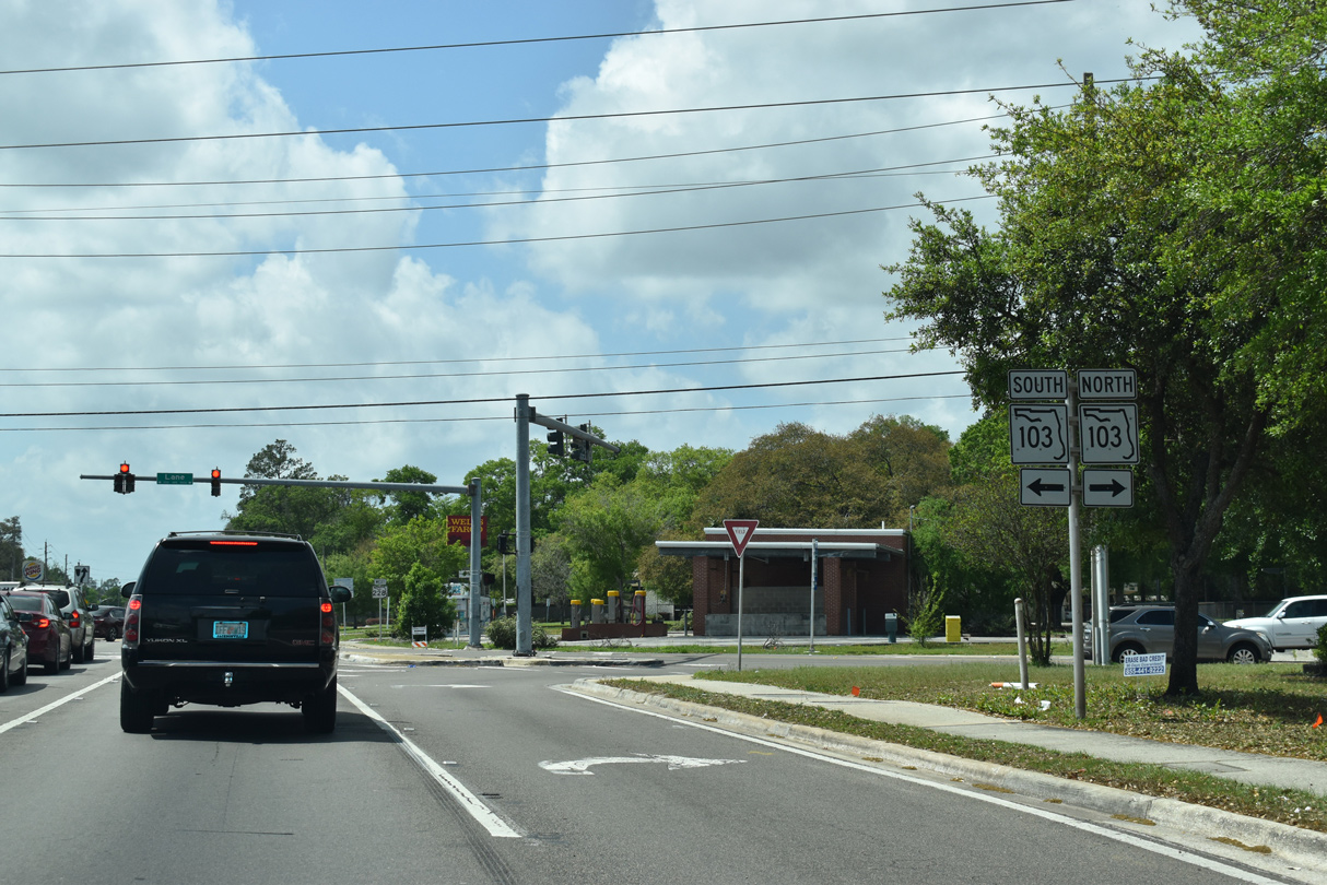
SR 103 (Lane Avenue) intersects SR 228 (Normandy Boulevard) south from U.S. 90 (Beaver Street) at Commonwealth and north from SR 208 (Wilson Boulevard) at Hyde Park.
03/26/20
SR 228 (Normandy Boulevard) continues west from SR 103 (Lane Avenue S) across the Cedar River.
03/26/20
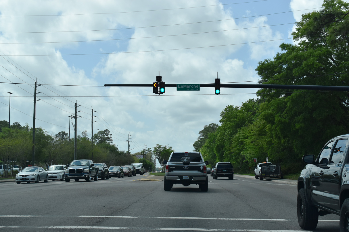
LaMarche Drive stems north from Normandy Boulevard into the Normandy Village neighborhood.
03/26/20
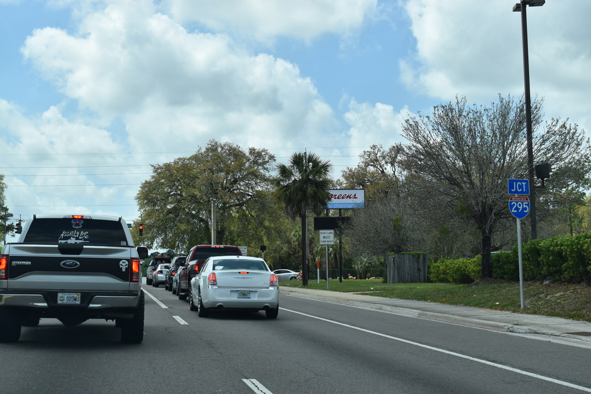
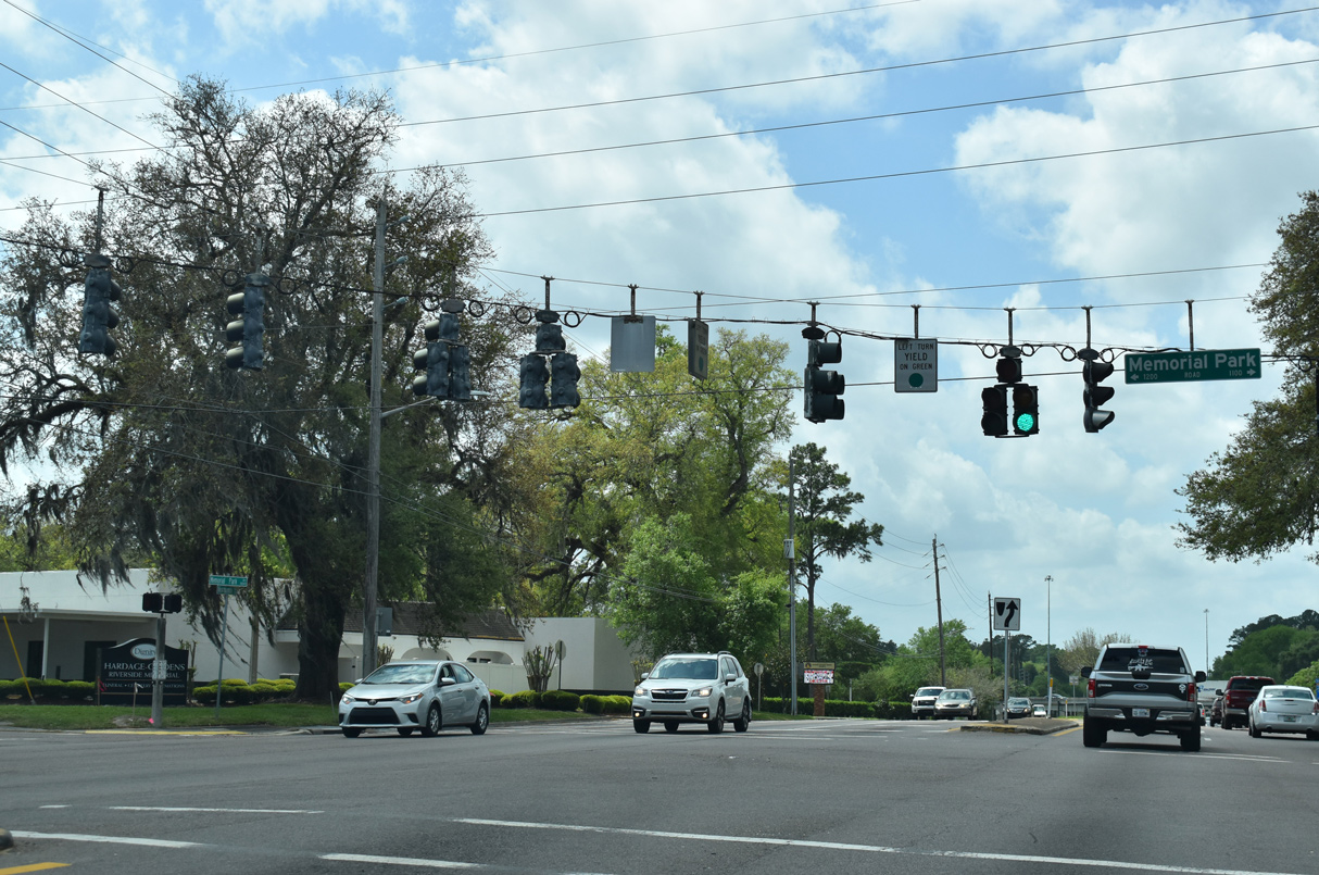
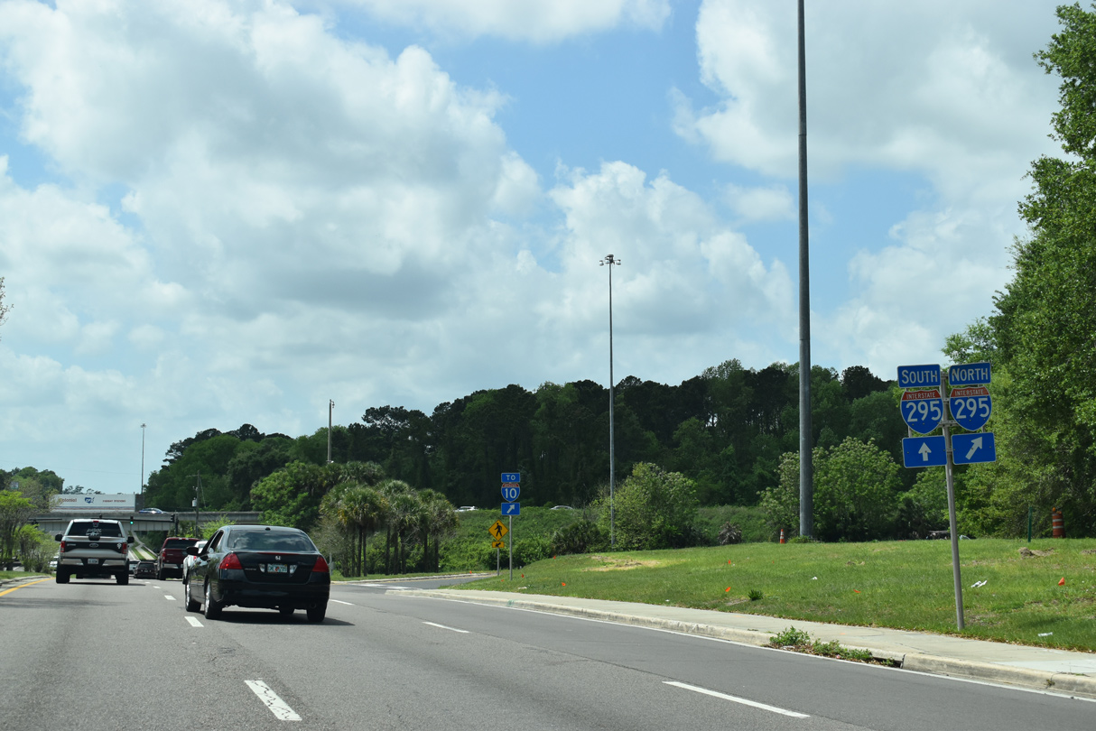
A parclo interchange joins I-295 west of Memorial Park Road.
03/26/20
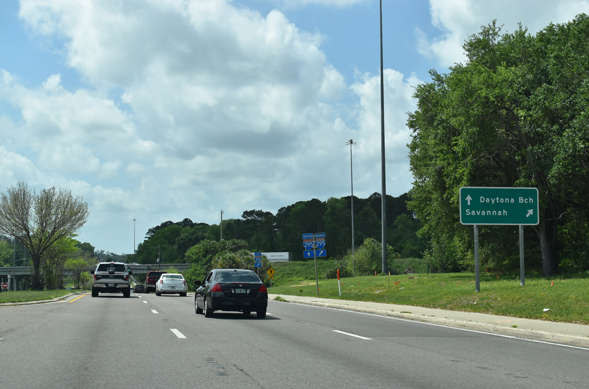
Interstate 295 encircles Jacksonville between I-95 at Greenland to the south and I-95 at Turtle Creek to the north.
03/26/20
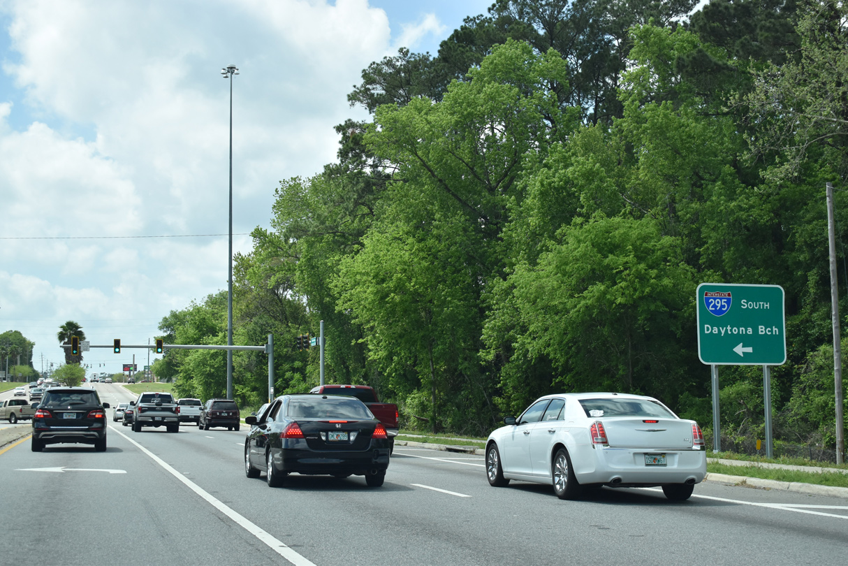
Interstate 295 travels south from SR 228 to Orange Park and east across the Buckman Bridge to Mandarin in Jacksonville.
03/26/20
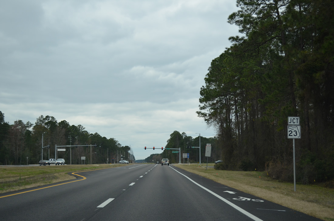
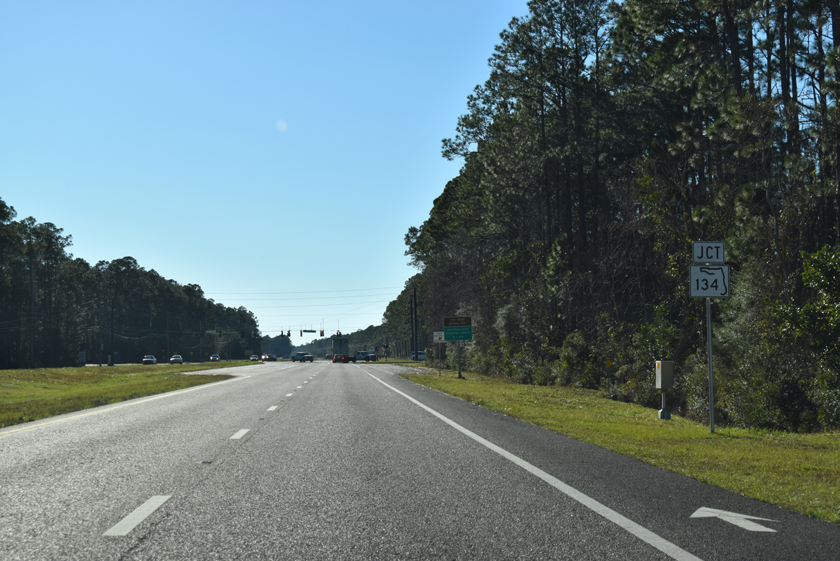
SR 228 (Normandy Boulevard) continues beyond the Adams Lake subdivision to intersect SR 23 (Cecil Commerce Center Parkway). SR 23 is the First Coast Expressway, a toll road linking Middleburg with Interstate 10 near Whitehouse.
03/03/13

SR 23 (Cecil Commerce Center Parkway) north heads 3.5 miles to Interstate 10 west of Chaffee Road. SR 23 continues southeast from SR 228 another 1.4 miles to SR 134 (103rd Street) before turning south toward Clay County and SR 21 (Blanding Boulevard).
03/03/13
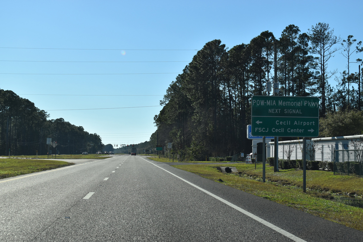
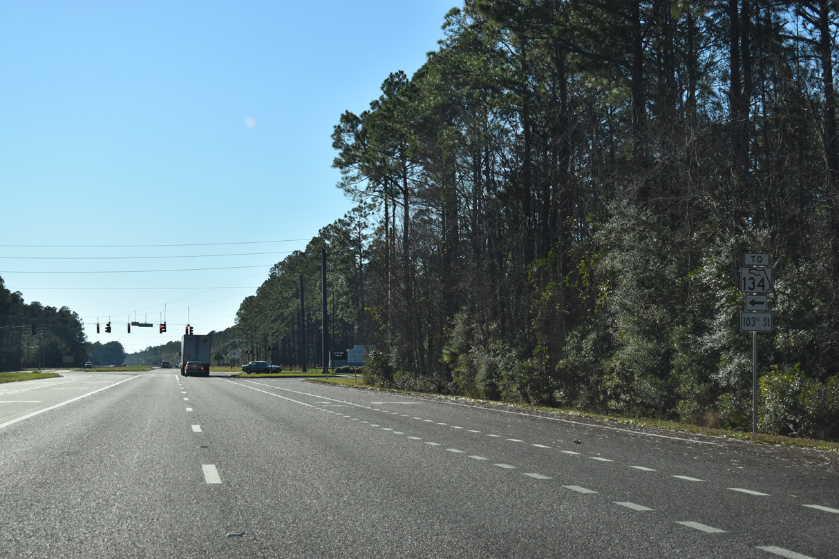
POW-MIA Memorial Parkway arcs south from SR 23 to SR 228 (Normandy Boulevard) across from SR 134 and Cecil Airport.
01/05/19
SR 134 formerly ran due west to SR 228 (Normandy Boulevard) from POW-MIA Memorial Parkway. The route was realigned northward with the abandoning of the westernmost section.
01/05/19
SR 134 follows 103rd Street east from POW-MIA Memorial Parkway to Jacksonsville Heights, Cedar Hills and Oak Hill.
01/05/19
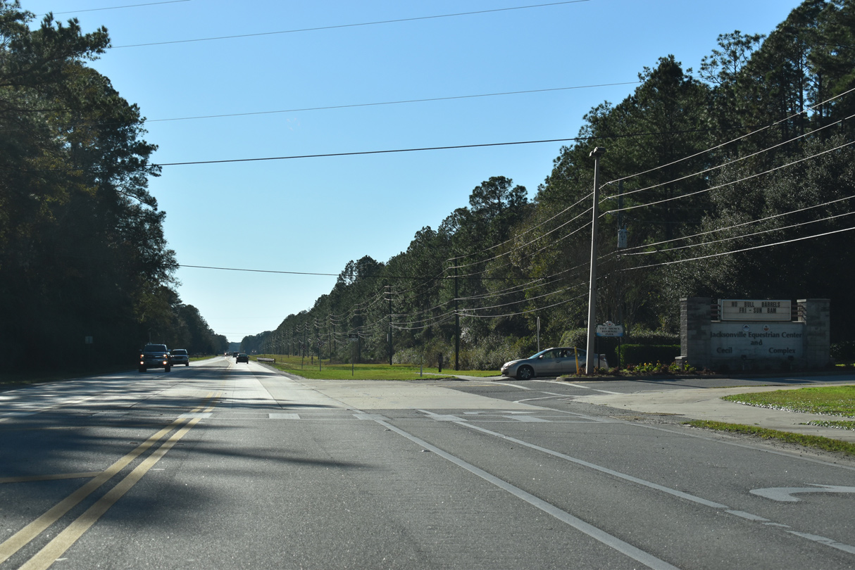
SR 228 (Normandy Boulevard) reduces to two lanes west from the entrance to the Jacksonville Equestrian Center at Taye's Brown Regional Park.
01/05/19
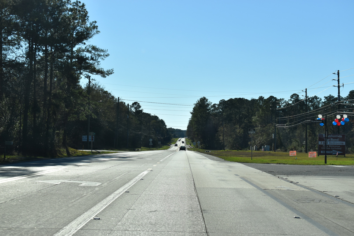
Normandy Boulevard west at Bicentennial Drive.
01/05/19
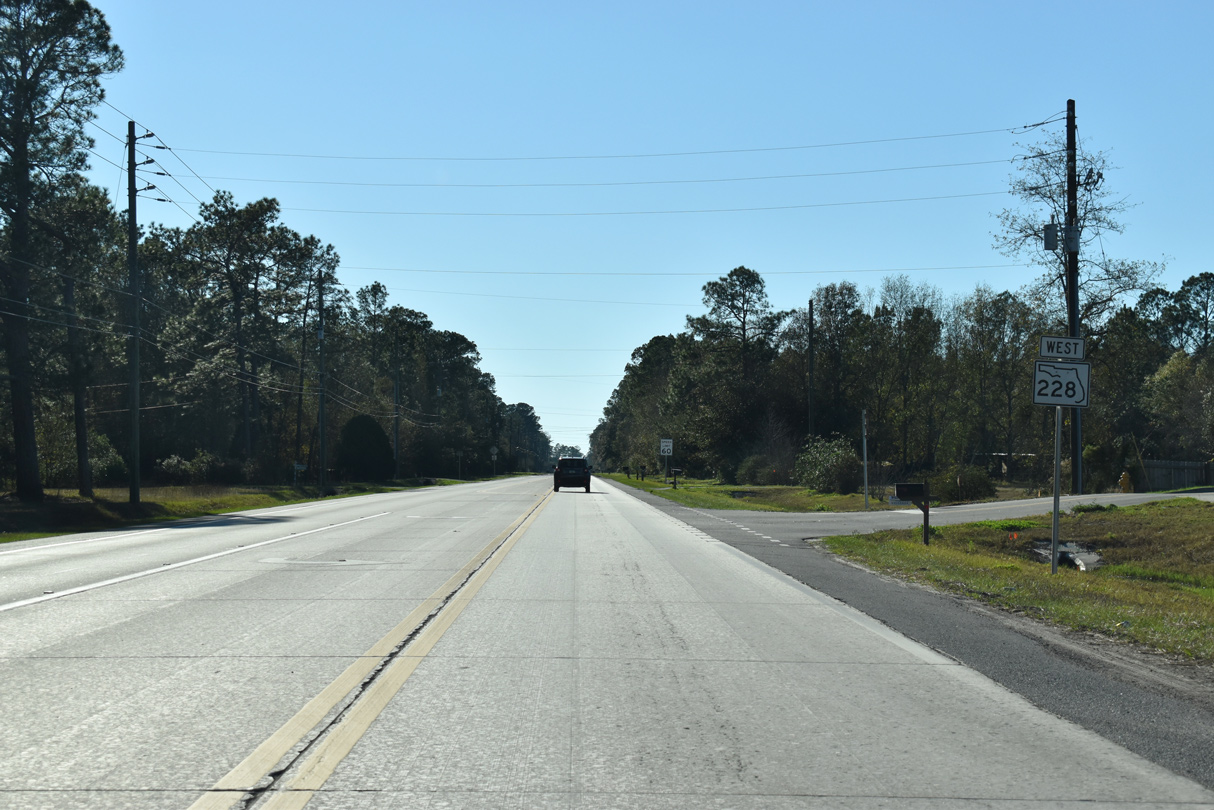
Confirming marker posted west of Yellow Water Road (CR 217) north to U.S. 90 at Baldwin.
01/05/19

The southern leg of CR 217 runs 4.29 miles south from SR 228 to Clay County Road 218.
01/05/19
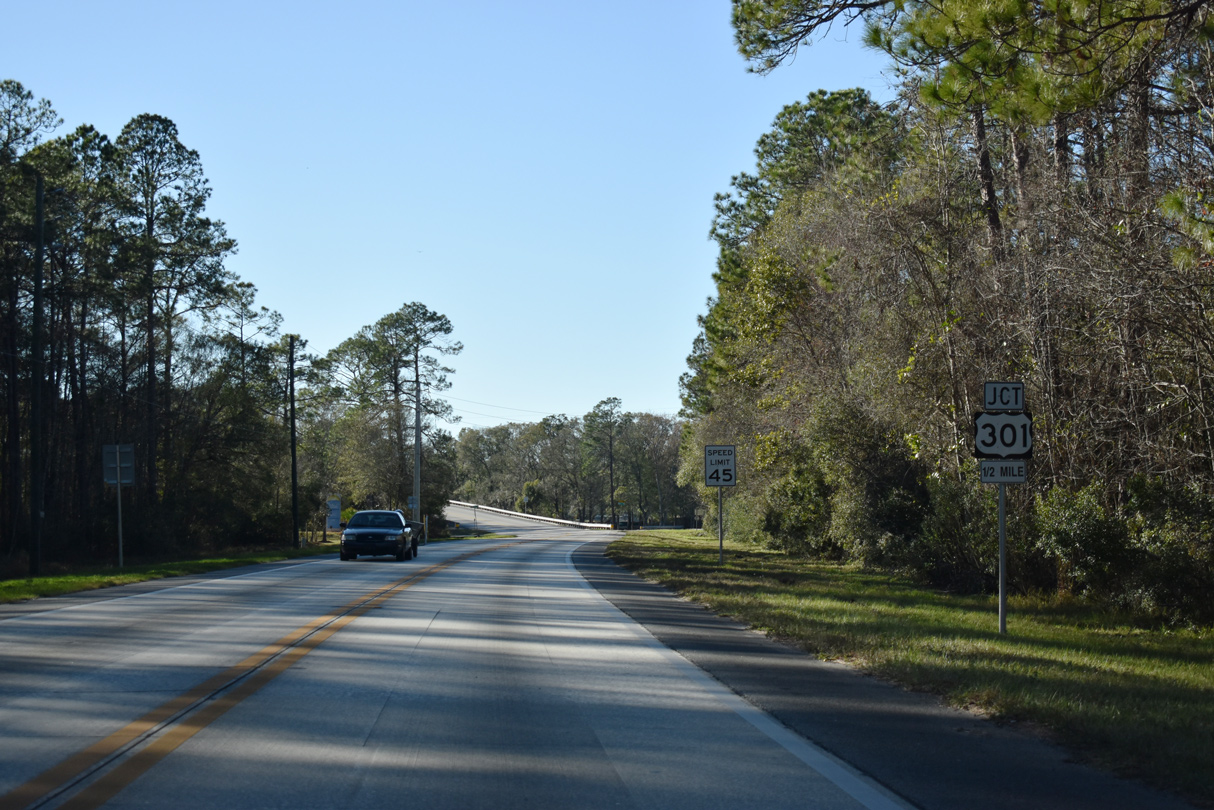
SR 228 (Normandy Boulevard) spans a CSX Railroad line ahead of U.S. 301 at Maxville.
01/05/19
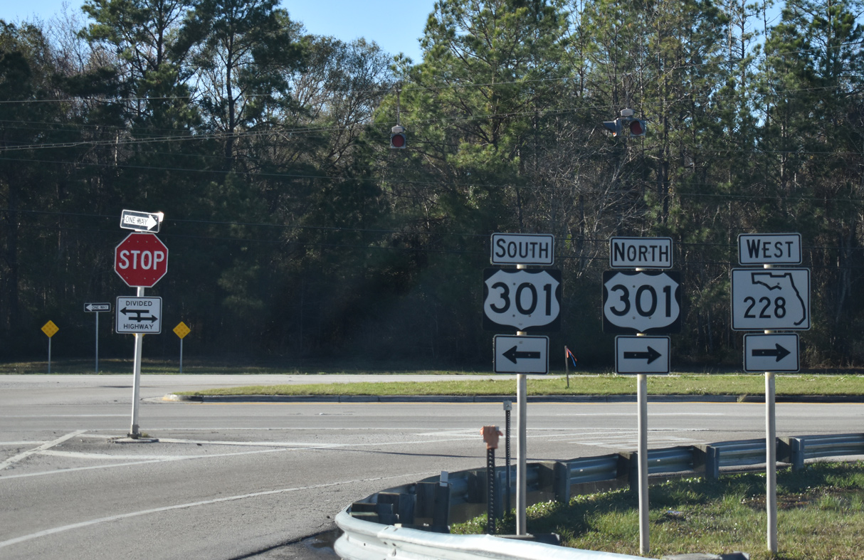
SR 228 ties into U.S. 301 just south of CR 228 (Maxville Macclenny Highway) west to the city of Maccclenny. U.S. 301 is a four lane highway joining Jacksonville with Starke, Gainesville and Ocala to the southwest.
01/05/19
References:
- Hart Bridge. https://bridgehunter.com/fl/duval/720107/ Bridgehunter.com.
Photo Credits:
- Alex Nitzman, Justin Cozart: 07/04/06
- ABRoads: 03/26/20, 12/04/20
- Alex Nitzman: 01/05/19, 10/16/22
- Brent Ivy: 03/03/13
Connect with:
Page Updated Thursday October 20, 2022.