
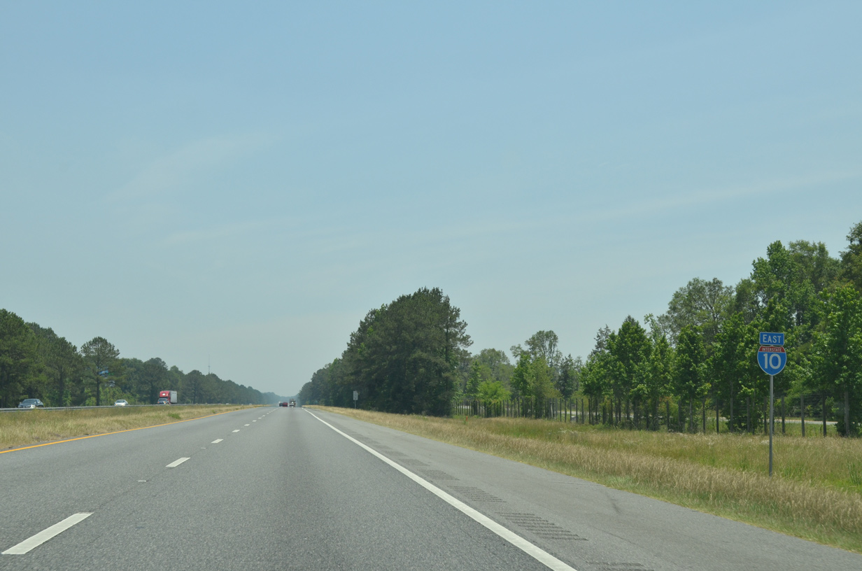
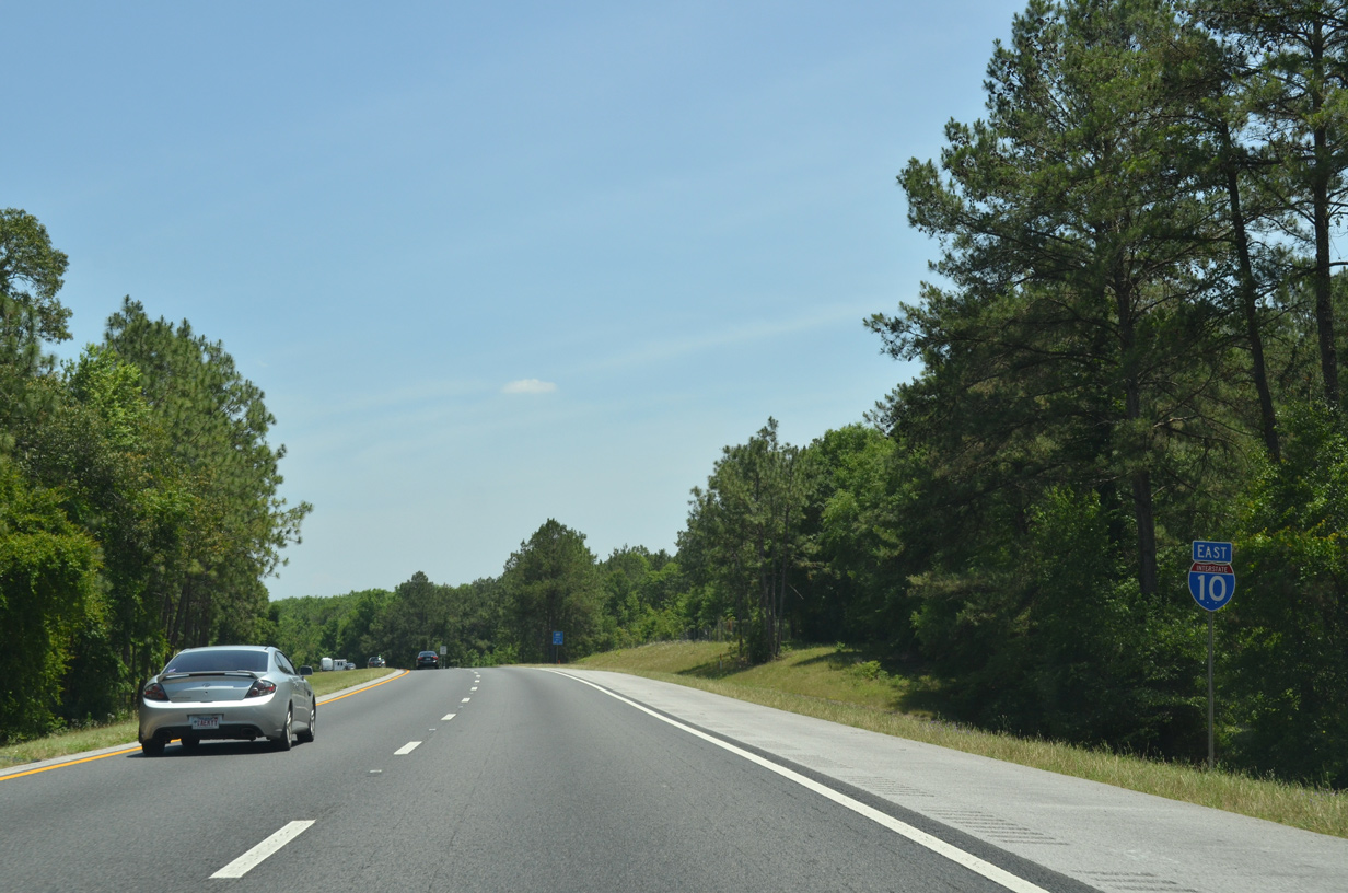
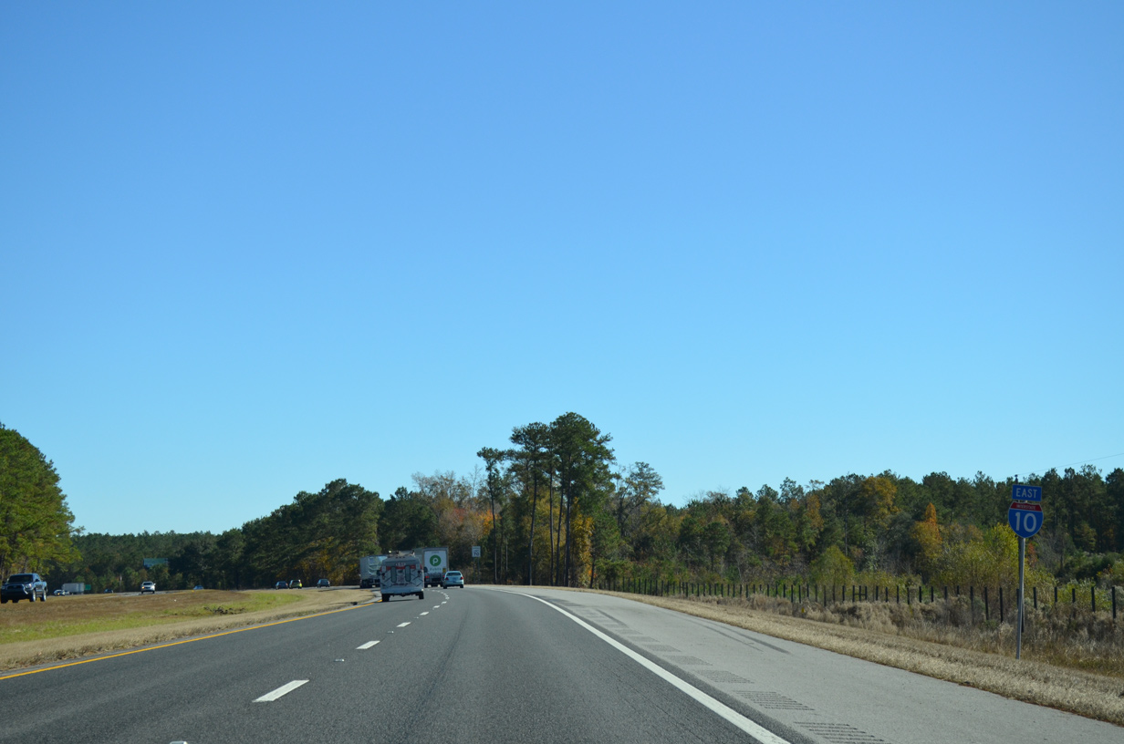
Interstate 10 East - Jackson / Gadsden Counties
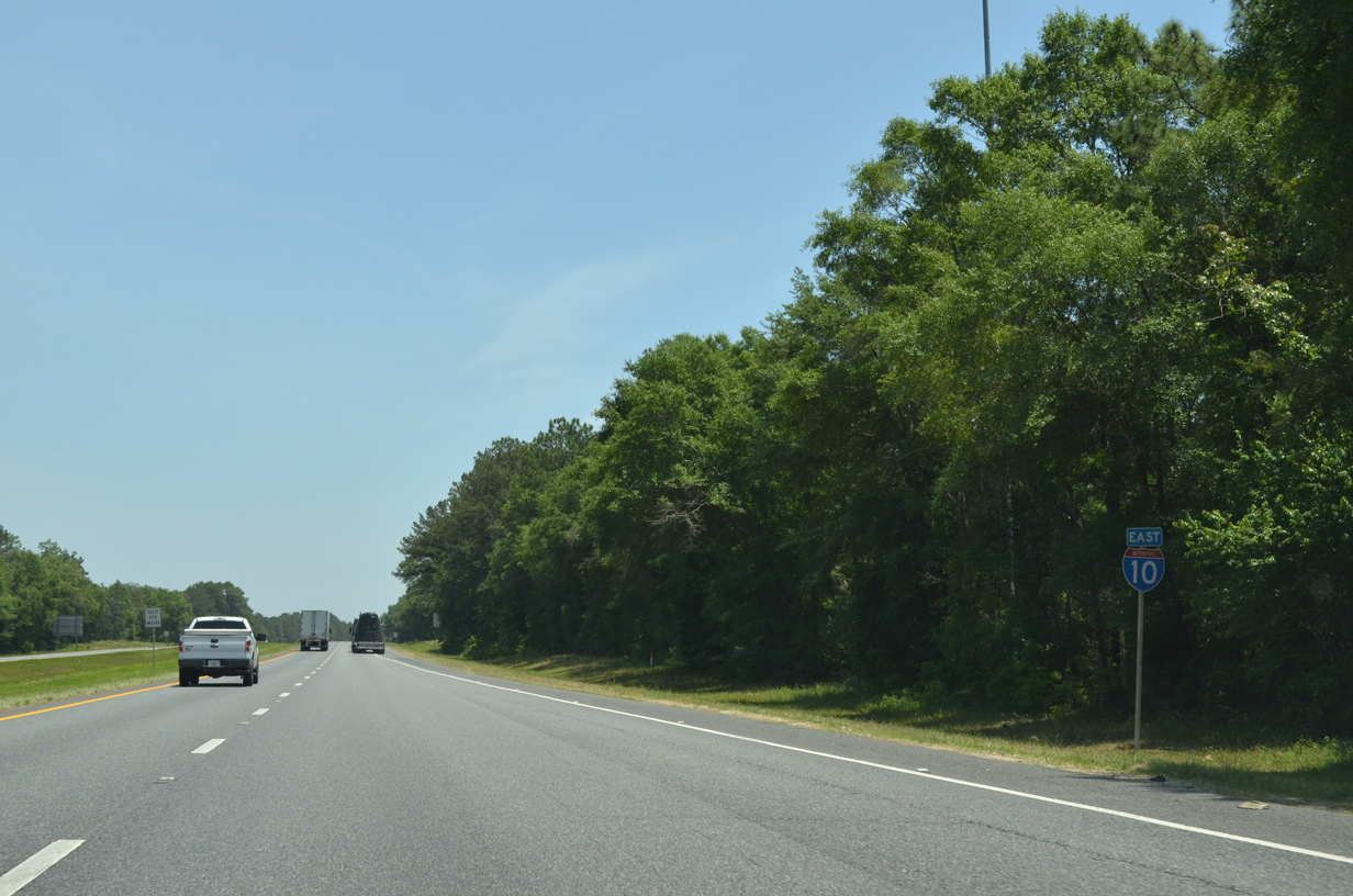
 East
East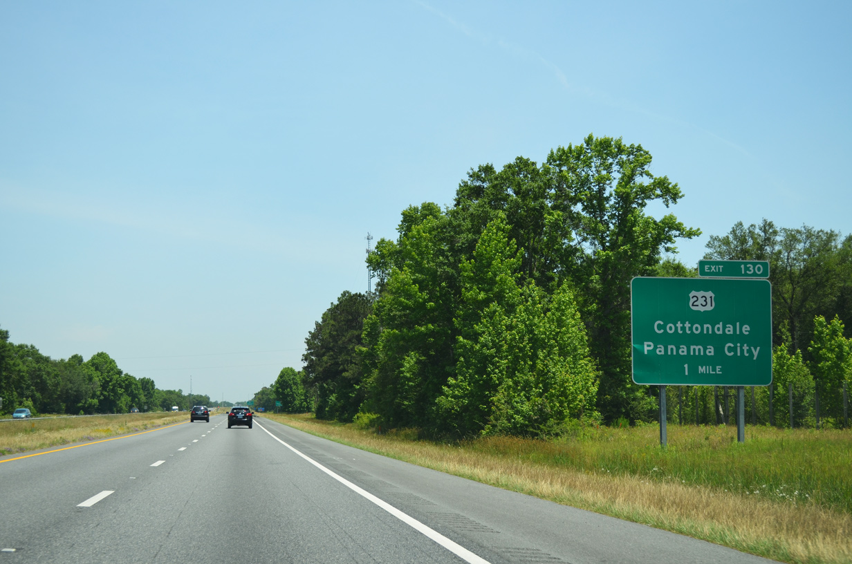
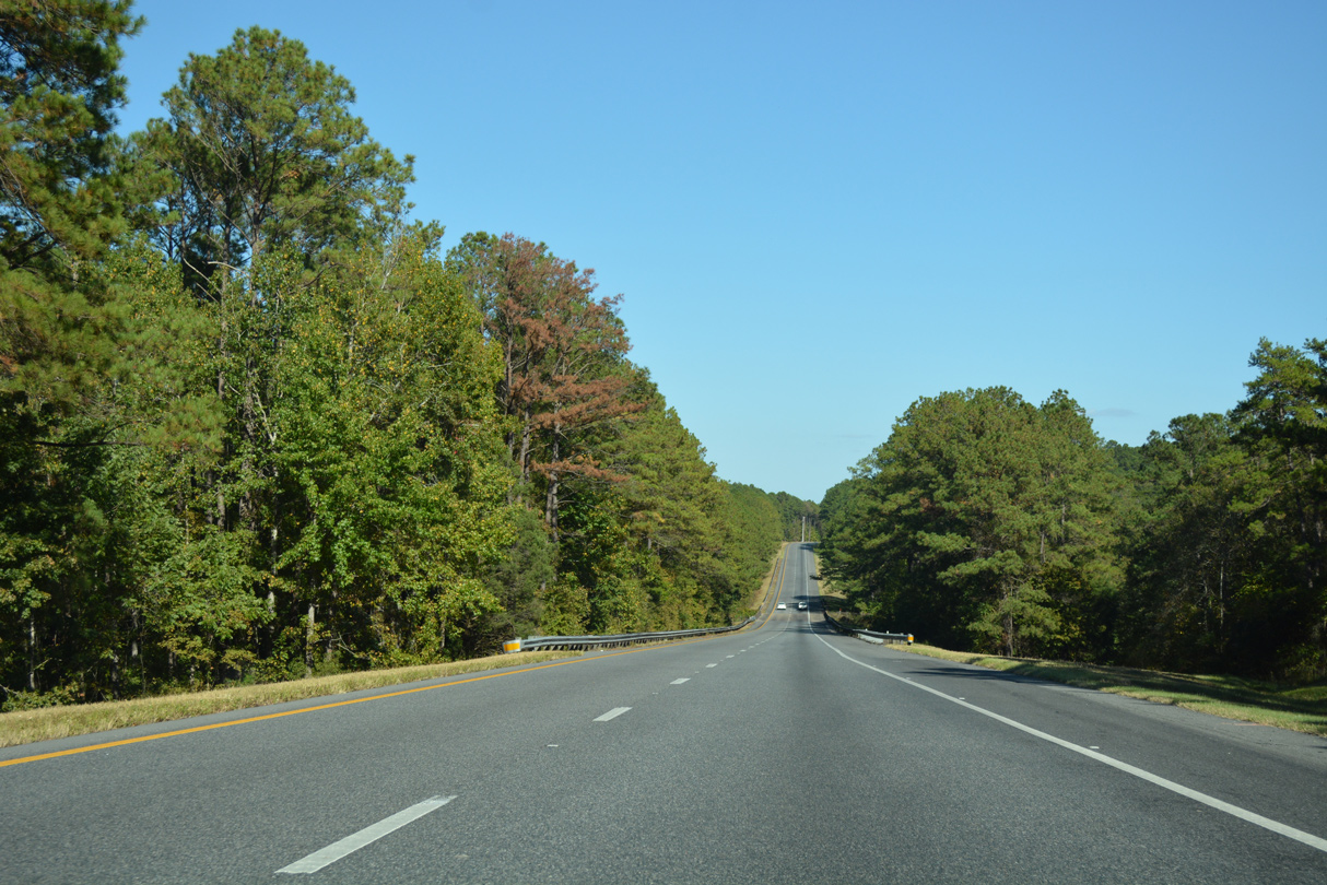
Traveling 66.59 miles in Florida, U.S. 231 constitutes a four lane, divided highway between Panama City and the Alabama state line near Campbellton.
05/16/16
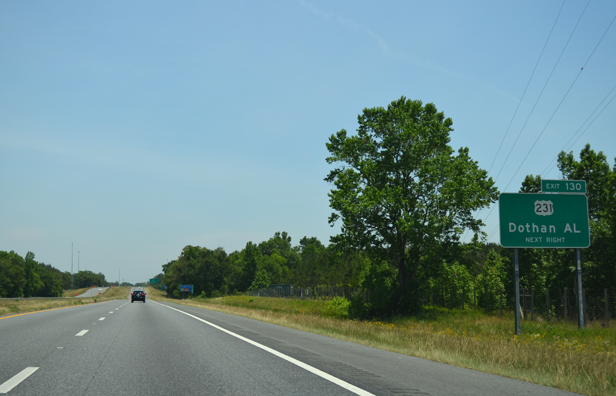
Located 32 miles to the north of Exit 130, Dothan is one of the larger cities in the southeastern United States without Interstate access. Dothan city officials lobbied unsuccessfully for years for a limited access route to I-10.
05/16/16
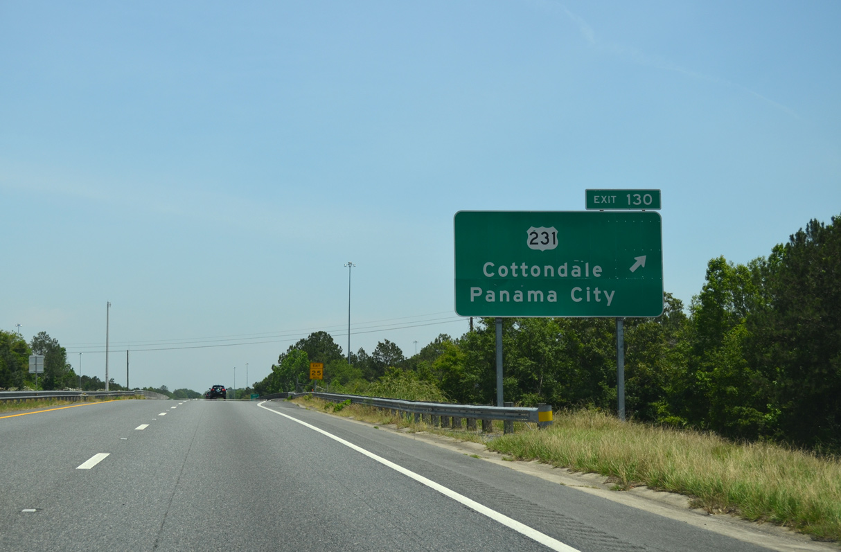
A folded diamond interchange (Exit 130) joins U.S. 231 with I-10 adjacent to the Bay Lines Railroad. U.S. 231 heads two miles north to U.S. 90 (Levy Street) at Cottondale.
05/16/16
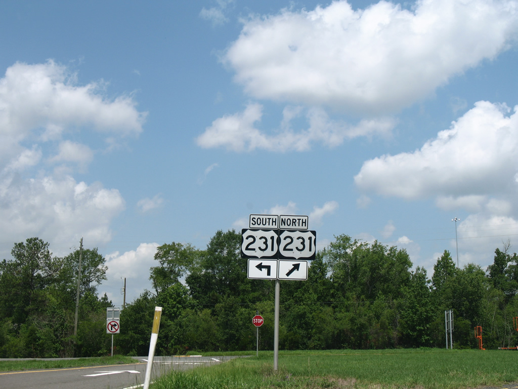
South from Exit 130, U.S. 231 travels four miles to the town of Alford and 49 miles to U.S. 98 in Panama City.
07/19/07

Interstate 10 eastbound continues another six miles through Jackson County to SR 276 (Kynesville Road) near the county seat of Marianna.
05/16/16
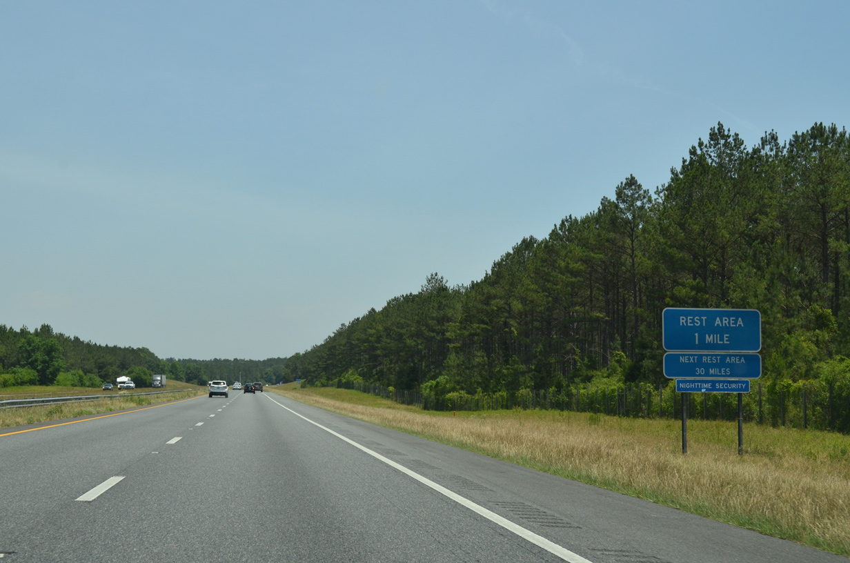
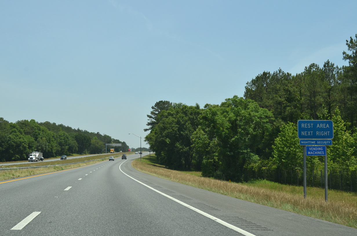
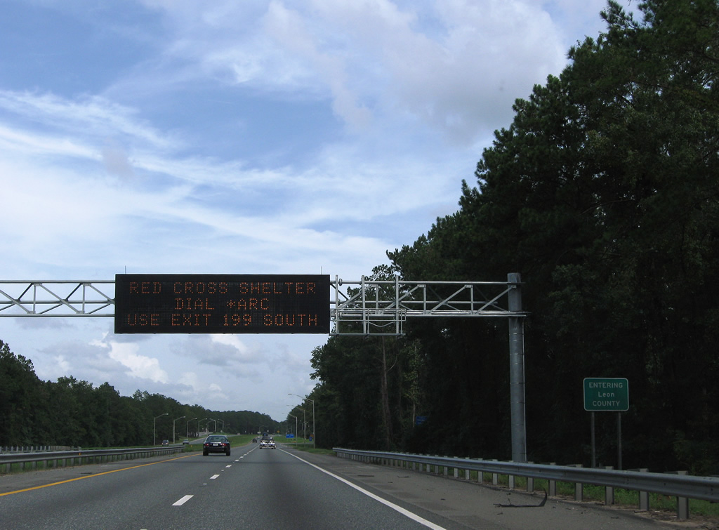
Rest areas line both sides of Interstate 10 in a forested area midway between Exits 130 and 136.
05/16/16

Trailblazer posted at the fifth eastbound rest area in the Sunshine State along Interstate 10.
07/29/11
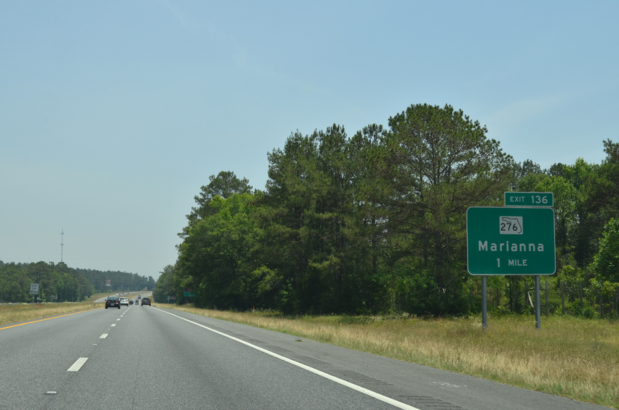
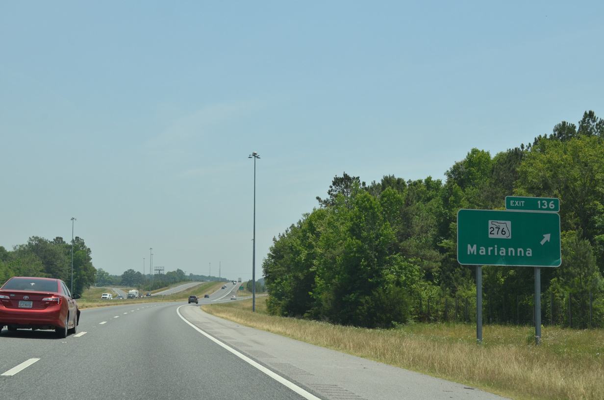
A diamond interchange (Exit 136) joins I-10 with SR 276 (Kynesville Road) just outside the city of Marianna and 4.6 miles east of Kynesville. This sign is no longer posted.
05/16/16
SR 276 extends 3.39 miles northeast from CR 176 (Fairview Road) and CR 276 to U.S. 90 (Lafayette Street) via Penn Avenue in Marianna.
05/16/16
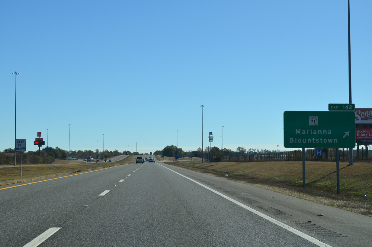
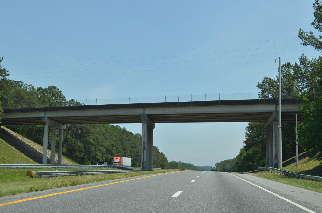
Interstate 10 bypasses Marianna to the south between Exits 136 and 142. SR 71 provides access into the eastern reaches of the city at Exit 142.
05/16/16

Interstate 10 advances east beyond the SR 73 overpass to a diamond interchange (Exit 142) with SR 71. Tallahassee is 64 miles away.
05/16/16

SR 71 combines with U.S. 90 two miles to the north en route to Marianna. Beyond the 1.64 mile overlap with U.S. 90, SR 71 turns northeasterly 17.89 miles to Greenwood, Malone and the Alabama state line.
05/16/16
SR 71 enters Oakdale just south of Exit 142 at CR 280 (Rocky Creek Road). Beyond there SR 71 continues 22 miles south to Blountstown, 50 miles to Wewahitchka and 74 miles to Port St. Joe at U.S. 98 opposite St. Josephs Bay.
11/26/14
Interstate 10 parallels CR 280 to the north on the ensuing stretch southeast to CR 275 near the unincorporated community of Cypress. This shield is no longer posted.
05/16/16
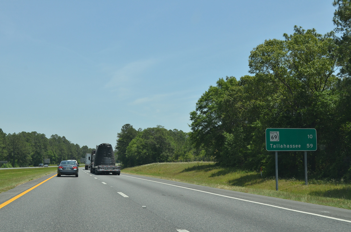
The succeeding exit along I-10 east is with SR 69 in ten miles. The bulk of the 59 mile drive to Tallahassee remains rural.
05/16/16

Interstate 10 eastbound near Williams Slough.
05/16/16
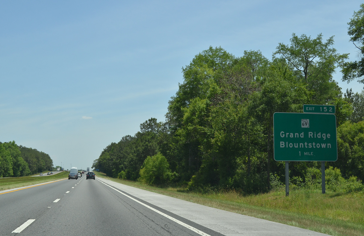
SR 69 travels 15 miles north from SR 71 along Pear Street in Blountstown to Selman and Interstate 10 at Exit 152.
05/16/16
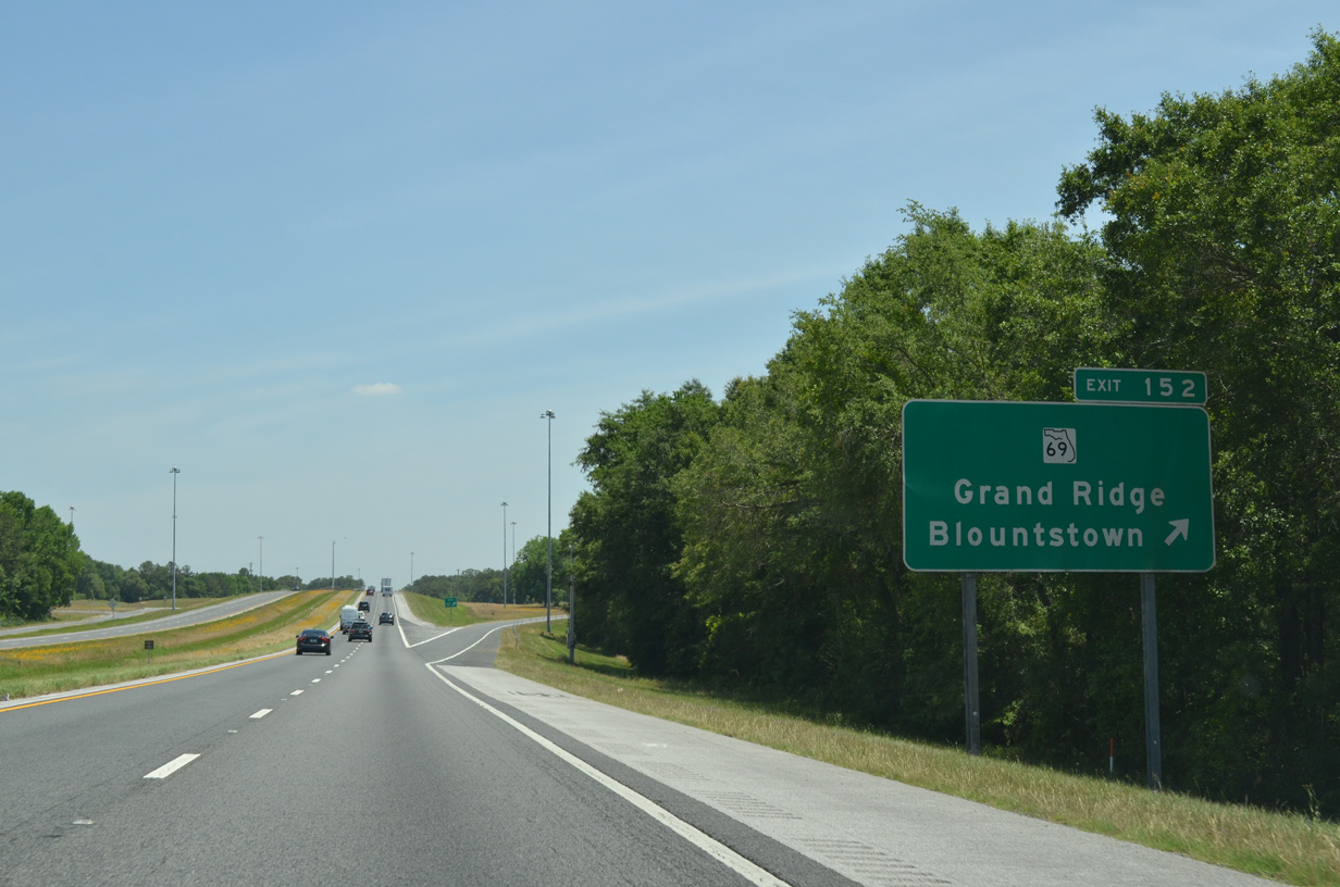
SR 69 continues four miles north from the diamond interchange at Exit 152 to U.S. 90 at Grand Ridge. SR 69 then turns northwest through Dellwood, Two Egg and Greenwood, concluding a 35.23 mile route at SR 71.
05/16/16
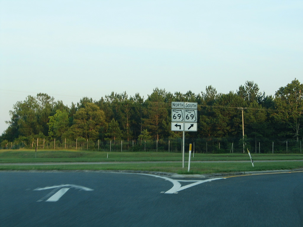
SR 69 shield assembly posted at Exit 152 by Edenfield Bay.
05/26/05
The roadways for Interstate 10 separate east of SR 69 as the freeway traverses wetland areas associated with Dickson Bay.
05/16/16

The last exit in Jackson County lies five miles ahead along Interstate 10.
05/16/16
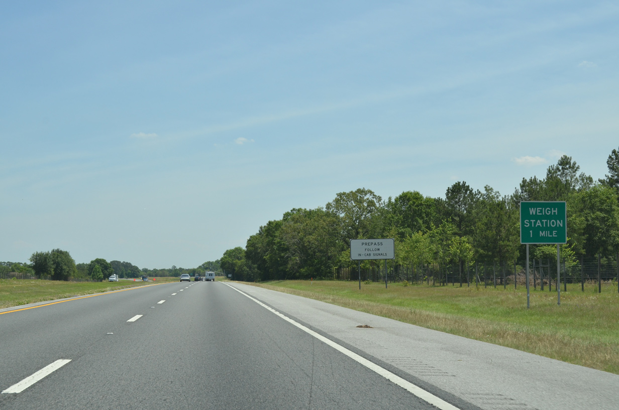
Weigh stations operate in both directions of Interstate 10 at a site just west of the Ocheesee Landing Road overpass.
05/16/16
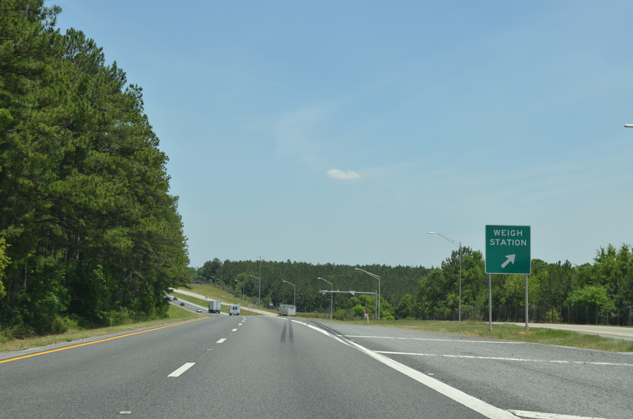
Truckers depart for the second of three weigh stations on I-10 east in Florida.
05/16/16

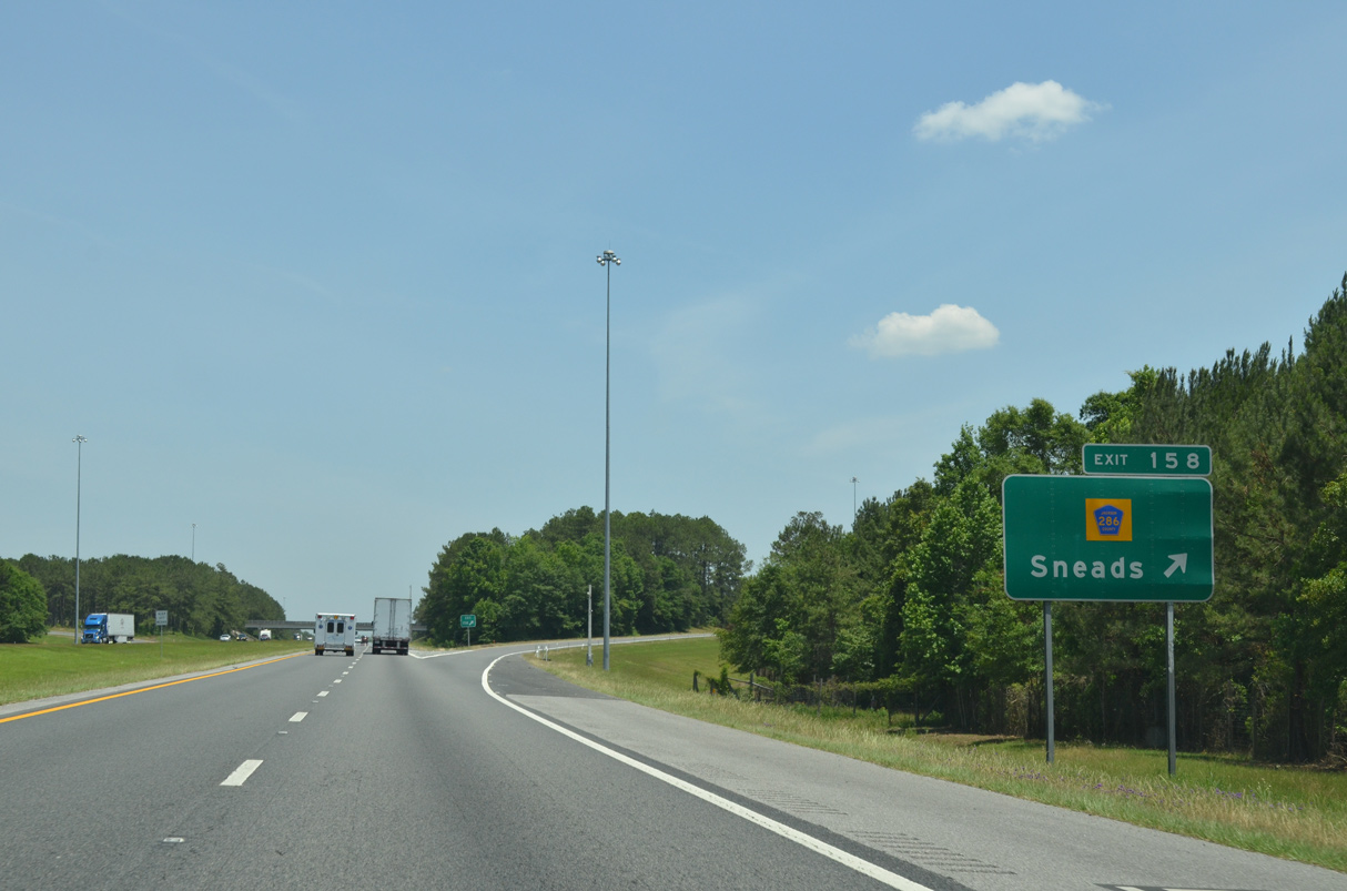
CR 286 (Blueberry Drive) navigates four miles south from Sneads along a winding course to Interstate 10 at Exit 158. The county road continues southwest through undeveloped areas to Ocheesee and SR 69.
05/16/16
Interstate 10 enters the diamond interchange with CR 286 (Exit 158). CR 286 stretches 13.10 miles overall through northern Calhoun and eastern Jackson Counties.
05/16/16
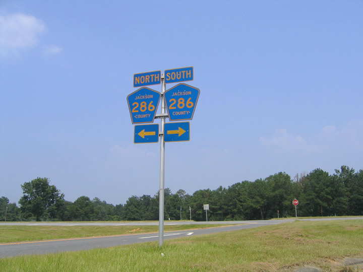
CR 286 (Blueberry Drive) becomes Gloster Avenue north of Exit 158 to U.S. 90 in Sneads. CR 271 stems north from Sneads to Three Rivers State Park.
07/22/04
Interstate 10 travels through an S-curve eastward along a bluff preceding the Apalachicola River valley.
11/26/14
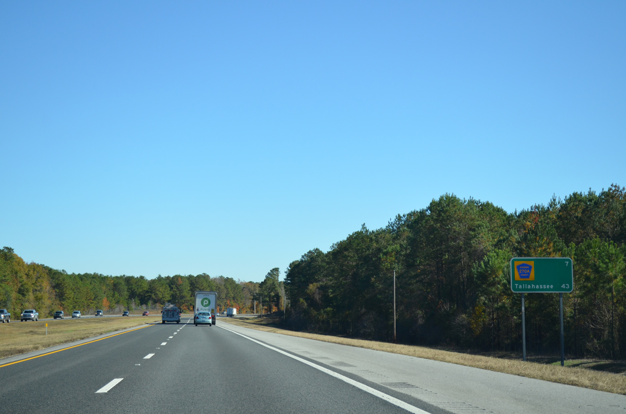
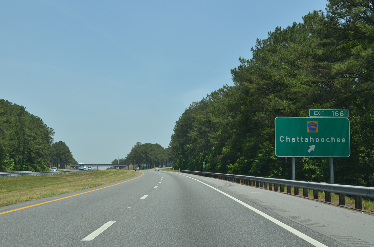
Interstate 10 rises to nearly 300 feet above sea level on the seven mile stretch leading east to CR 270A at Exit 166. Tallahassee is 43 miles away.
11/26/14
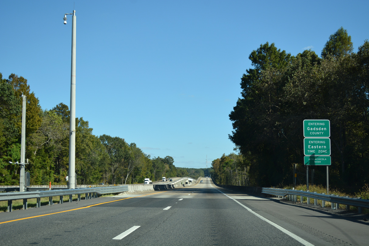
Crossing the Apalachicola River, eastbound Interstate 10 enters both Gadsden County and Eastern Time Zone. The Apalachicola River flows south from Lake Seminole and the confluence of the Chattahoochee and Flint Rivers.
10/13/16
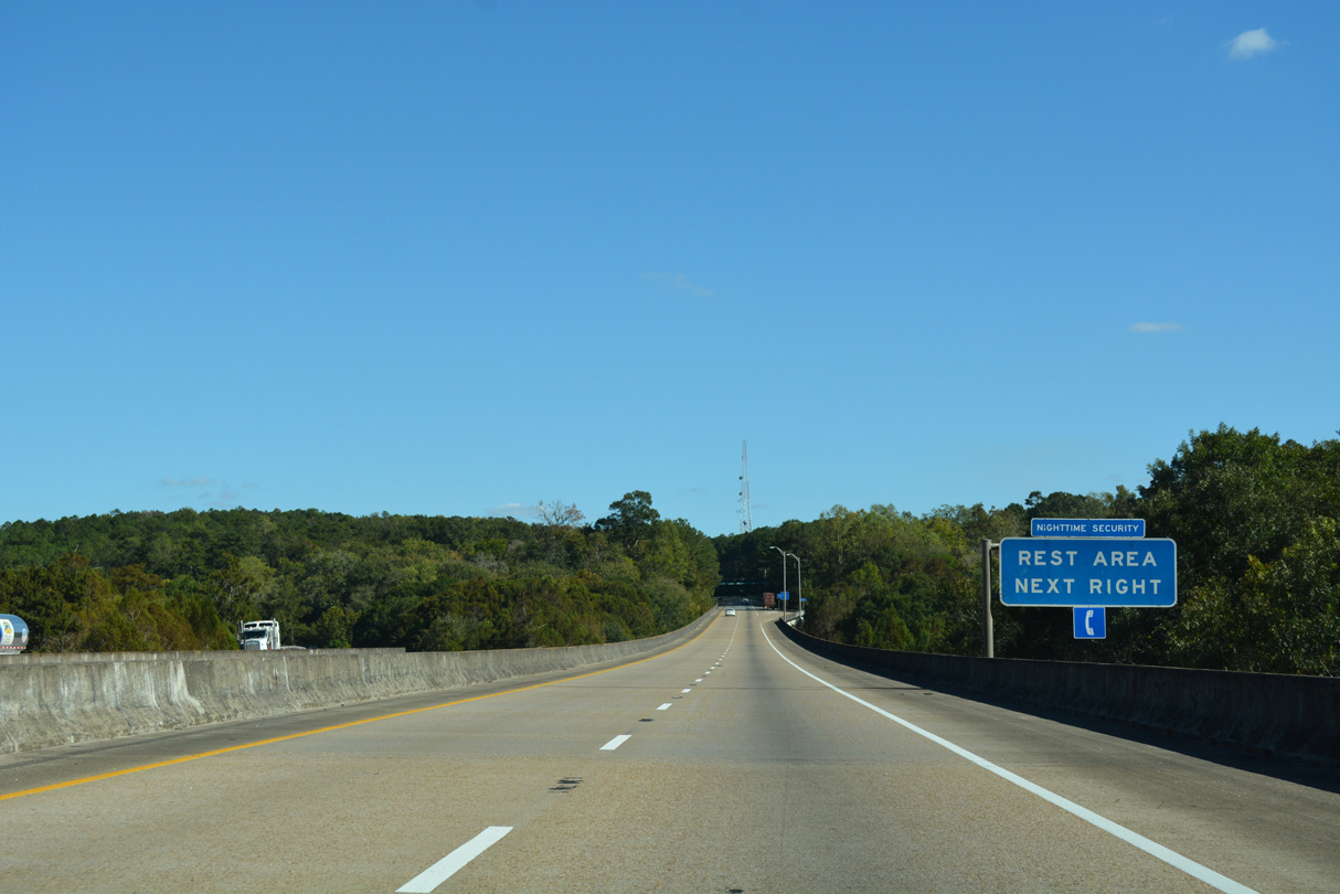
Opened in 1978 along with Interstate 10, a rest area lines a bluff just east of the Apalachicola River. The facility serves both directions of I-10 via a trumpet interchange and connector.
10/13/16
A wide median separates the roadways of I-10 by the rest area in western Gadsden County. The eastbound roadway drops below 100 feet above sea level at Crooked Creek before rising again to near 200 feet in elevation.
10/13/16
CR 269 (Little Sycamore Church Road) spans Interstate 10 north from CR 270 near Sycamore across one of the highest overpasses on the Florida Interstate system.
05/16/16

Interstate 10 converges with CR 270A (Flat Creek Road) ar a diamond interchange (Exit 166) in one mile.
05/16/16
CR 270A (Flat Creek Road) runs 10.88 miles between CR 269 (Bonnie Hill Road) and SR 12 (Greensboro Highway).
05/16/16
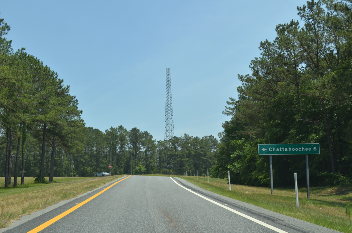
CR 270A (Flat Creek Road) connects with CR 269 (Bonnie Hill Road) 1.4 miles north of Exit 166. CR 269 heads 4.6 miles from there into the city of Chattahoochee.
05/16/16
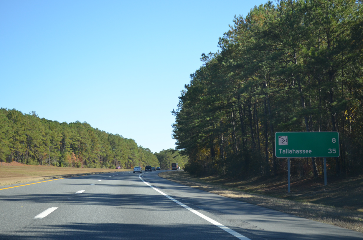
Eight miles to the east, SR 12 provides the first of two routes from I-10 to the Gadsden County seat of Quincy. Tallahassee is a half hour away.
11/26/14
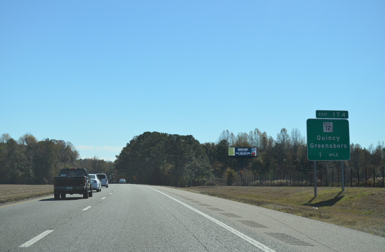
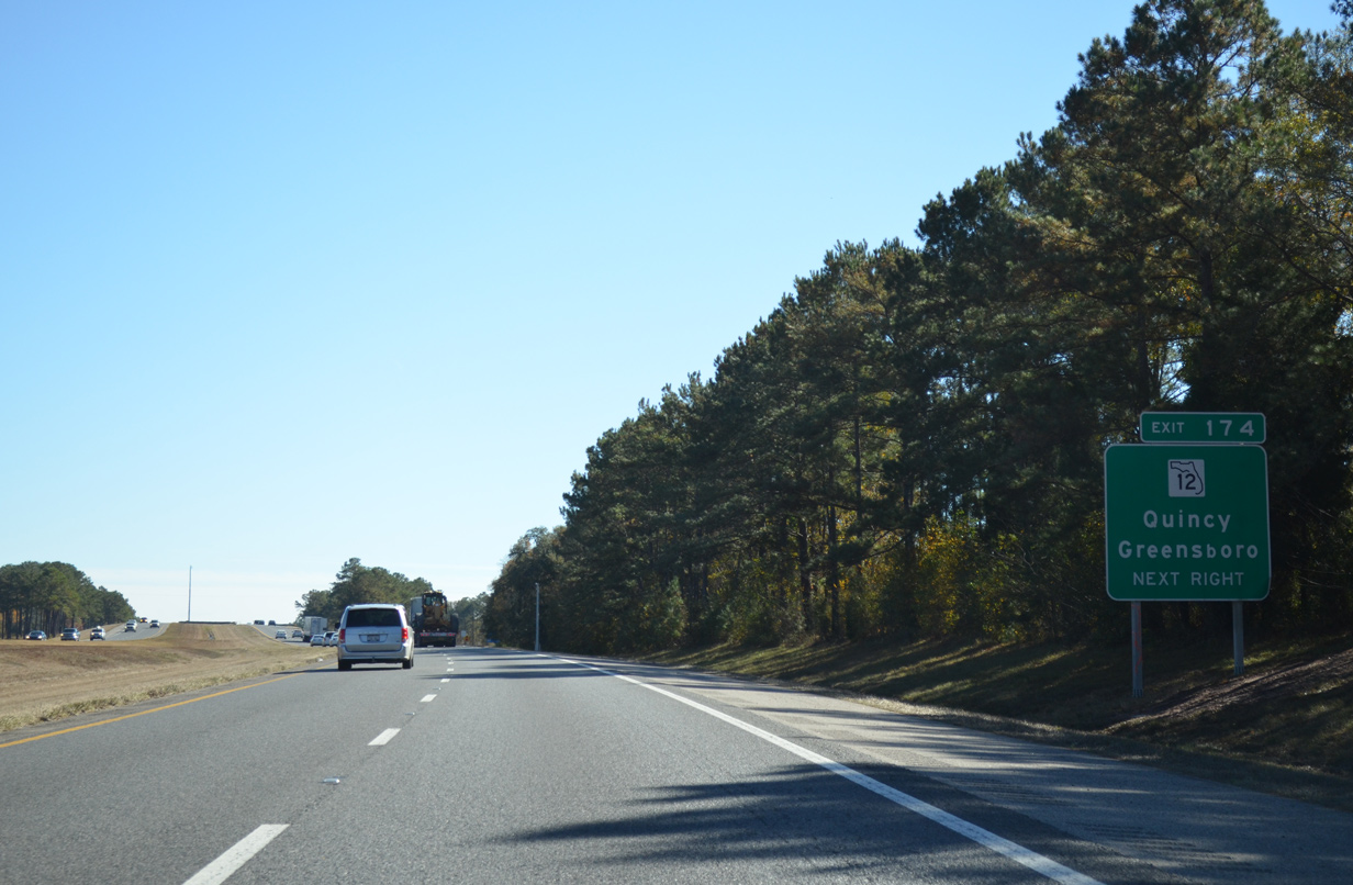
SR 12 (Greensboro Highway) leads 2.5 miles east from the town of Greensboro to Interstate 10. SR 12 proceeds another 3.75 miles from Exit 174 to combine with U.S. 90 at Douglas City.
11/26/14
SR 12 runs 40.11 miles between SR 20 in Bristol and U.S. 27 in Havana. CR 12 extends the route east from Havana to U.S. 319 through northern Leon County.
11/26/14
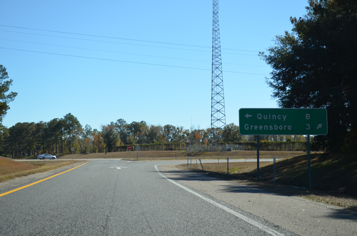
U.S. 90/SR 12 overlap along Jefferson Street through Downtown Quincy, eight miles east of the diamond interchange at Exit 174.
11/26/14
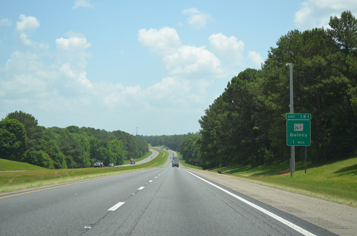
SR 267 (Pat Thomas Parkway) stems 3.4 miles south from U.S. 90/SR 12 (Jefferson Street) in Quincy to Interstate 10 at Exit 181.
05/12/15
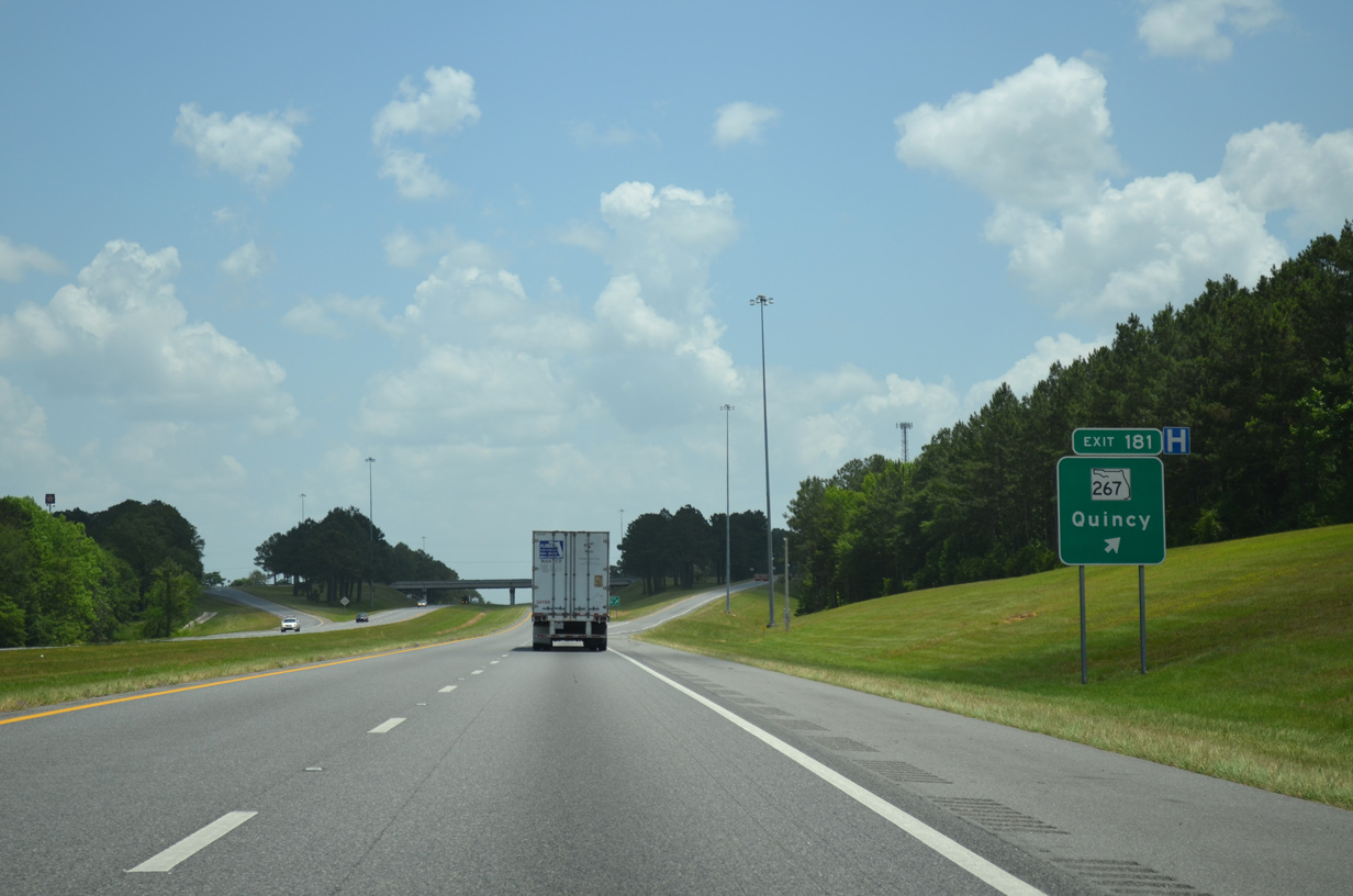
The diamond interchange (Exit 181) with SR 267 lies 0.75 miles south of the Quincy city line. SR 267 continues 4.5 miles south from I-10 to Wetumpka.
05/12/15
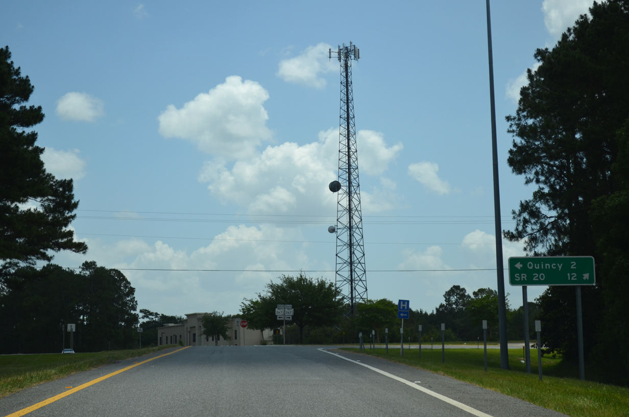
SR 267 combines with SR 20 east, 12.5 miles to the south near Bloxham. SR 20/267 overlap into Apalachicola National Forest south of Lake Talquin. SR 20 continues into Tallahassee while SR 267 angles southeast to U.S. 98 at Newport.
05/12/15
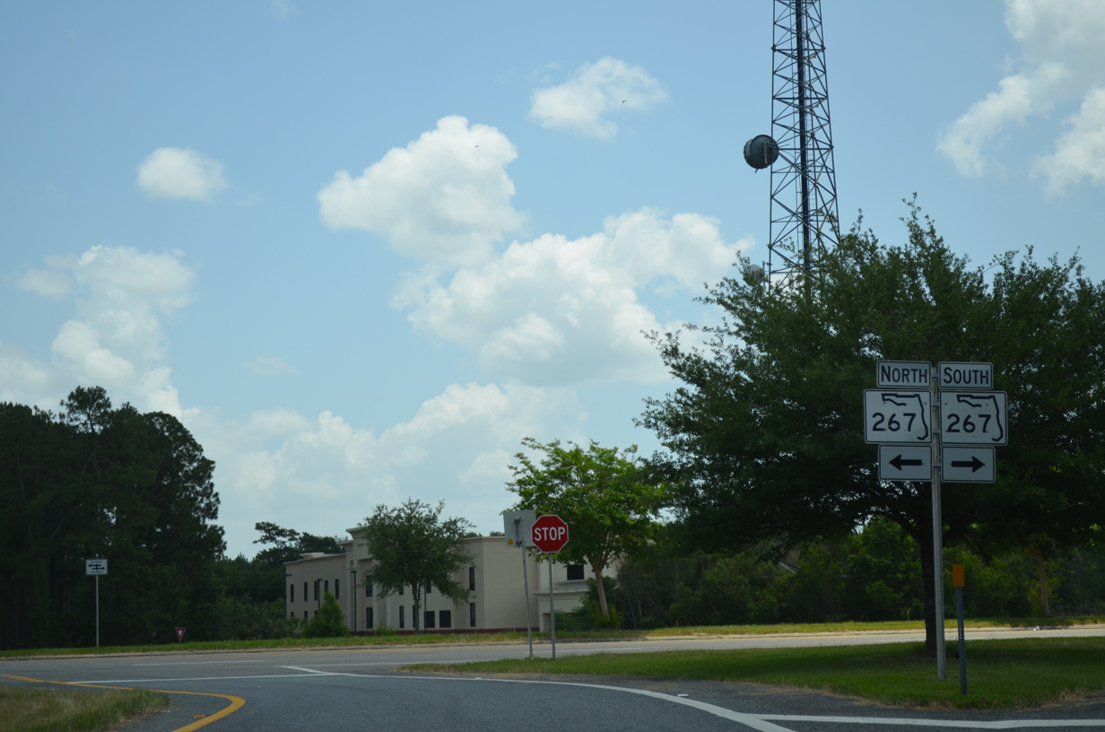
State Road 267 extends north from Quincy to Cool Springs Road at the Georgia state line.
05/12/15
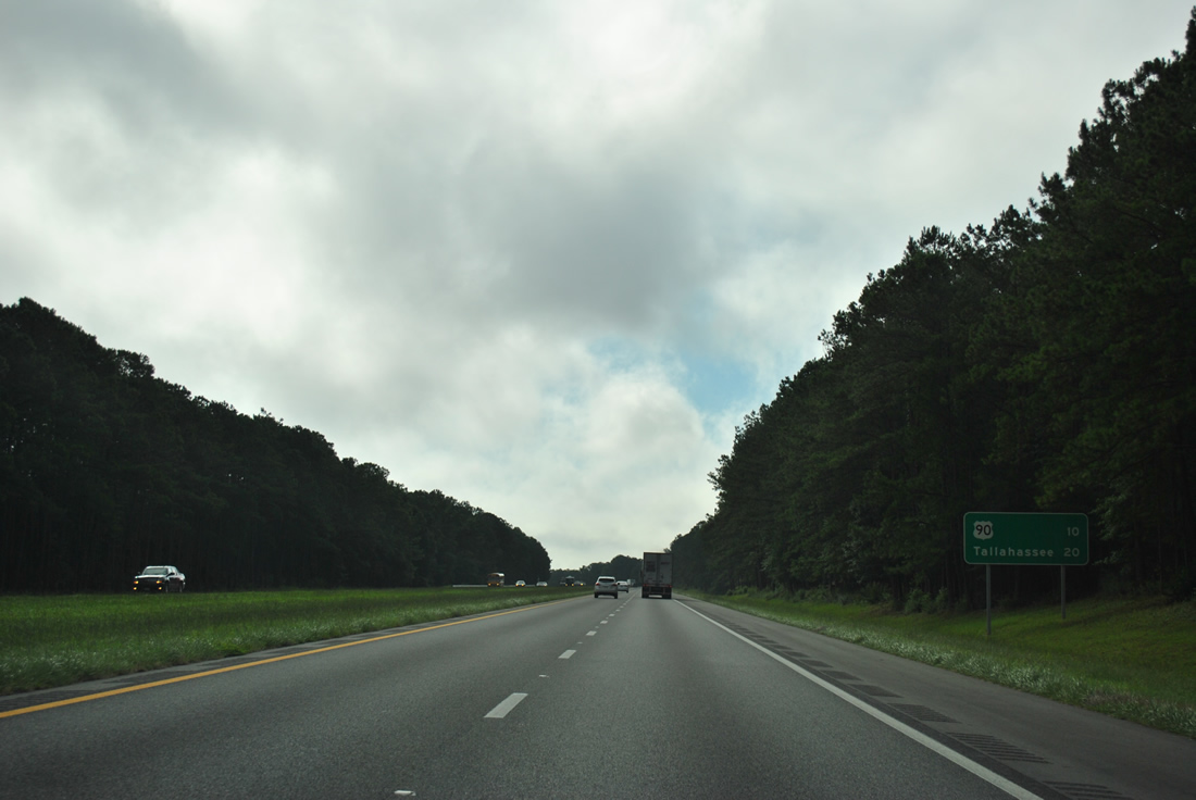
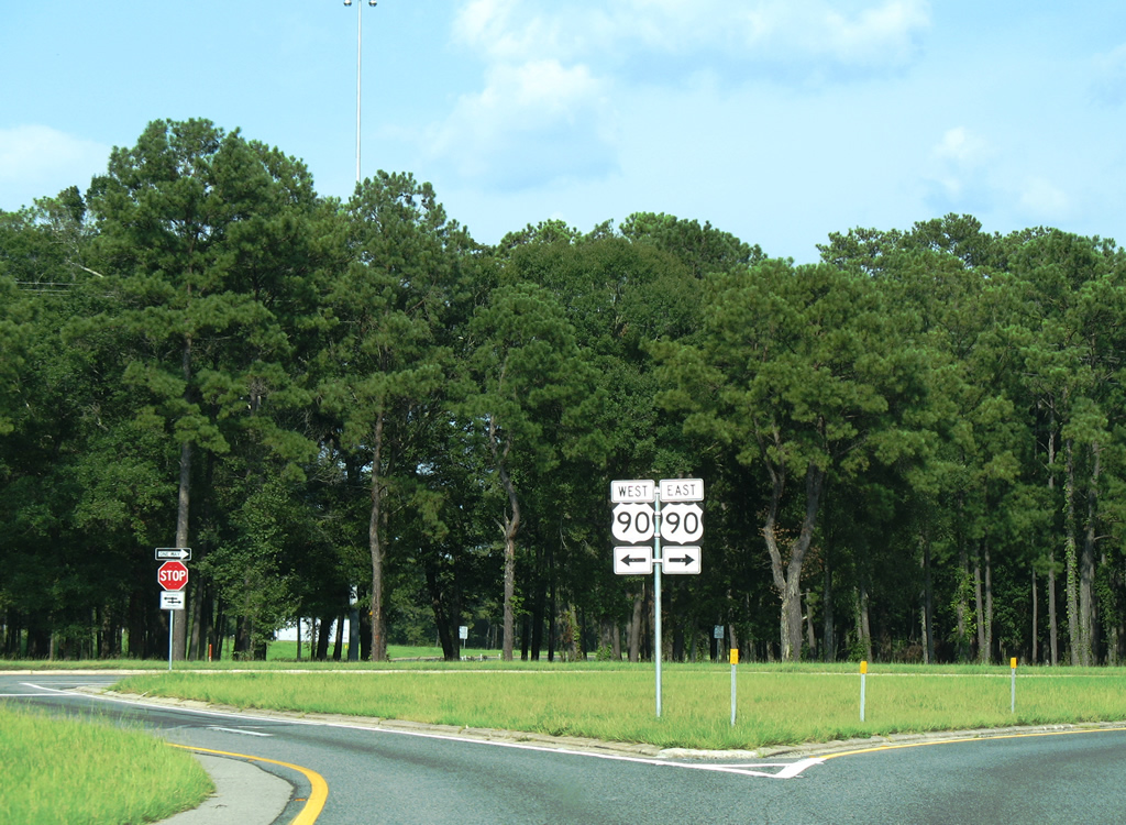
U.S. 90 and Interstate 10 come together for the first time since Exit 17 at Pensacola at Exit 192 in the city of Midway.
07/13/12
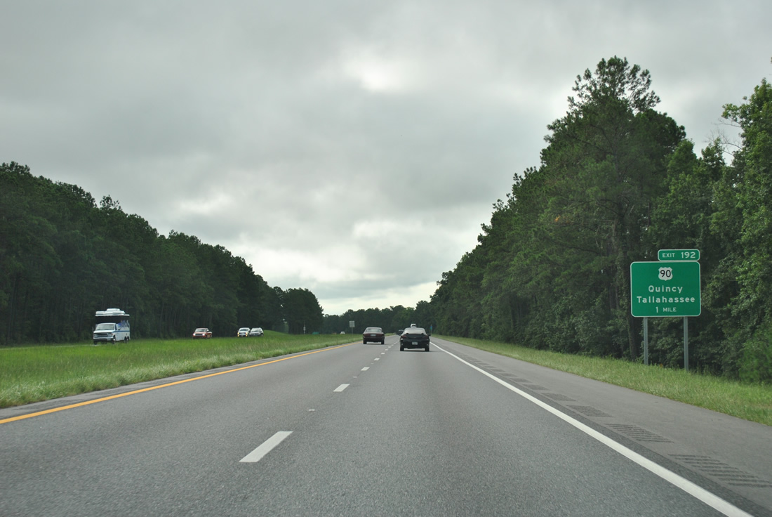
U.S. 90 trends southward along a four lane highway 11 miles from Quincy to Exit 192 at Midway.
07/13/12
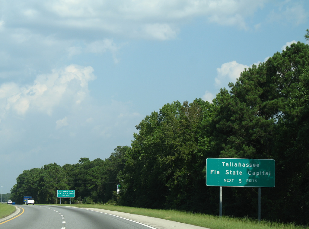
U.S. 90 represents the first of five exits joining I-10 with the Florida capital city of Tallahassee. Crossing the Ochlockonee River, U.S. 90 follows Tennessee Street to Florida State University and Downtown Tallahassee. Florida A & M University lies south of Downtown.
08/07/06
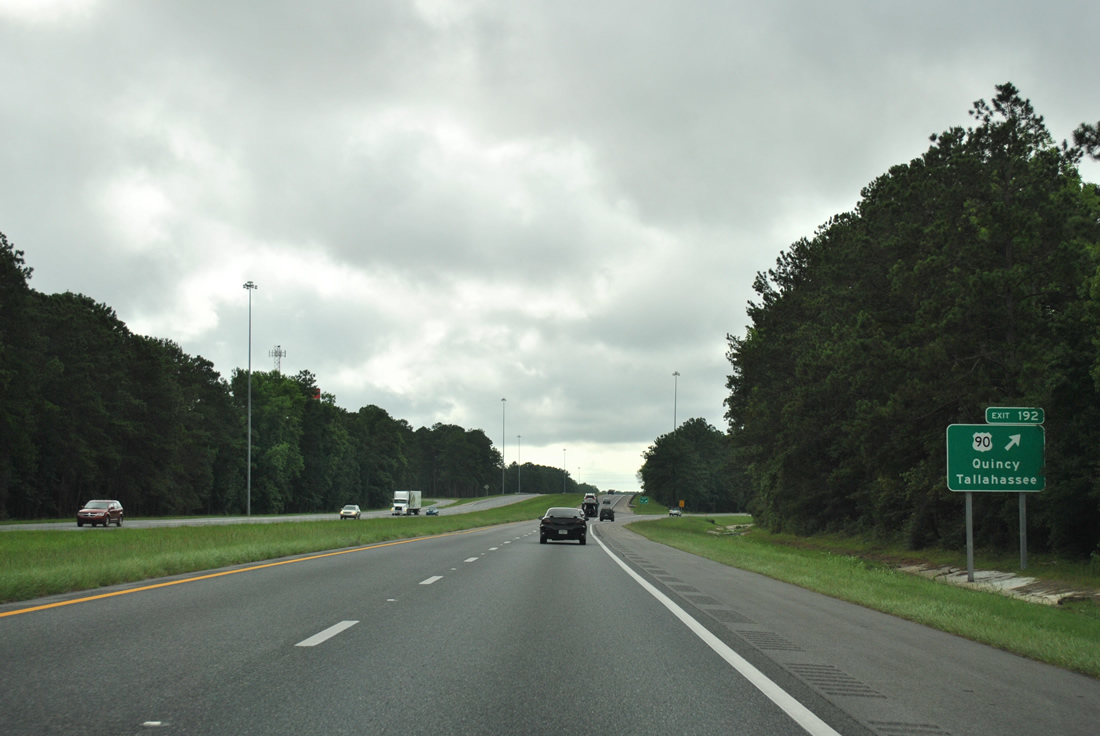
A six-ramp parclo interchange (Exit 192) joins I-10 with Interstate 10 between a set of truck stops. The arterial meets SR 263 (Capital Circle) 4.6 miles to the east at a commercialized intersection.
07/13/12

Midway City Hall lies 2.3 miles to the west along U.S. 90 at CR 268 (Martin Luther King Boulevard). U.S. 90 continues 1.5 miles east to Ochlockonee in Leon County.
08/07/06
Confirming marker preceding the bridges across Midway Branch. A PD&E Study from June 2019 to August 2021 evaluates widening I-10 to six lanes along a 4.2 miles stretch from west of Exit 192 to SR 263.
11/24/15

Interstate 10 continues two miles east between areas of Lake Talquin State Forest to Exit 196 with SR 263 (Capital Circle NW).
11/25/14
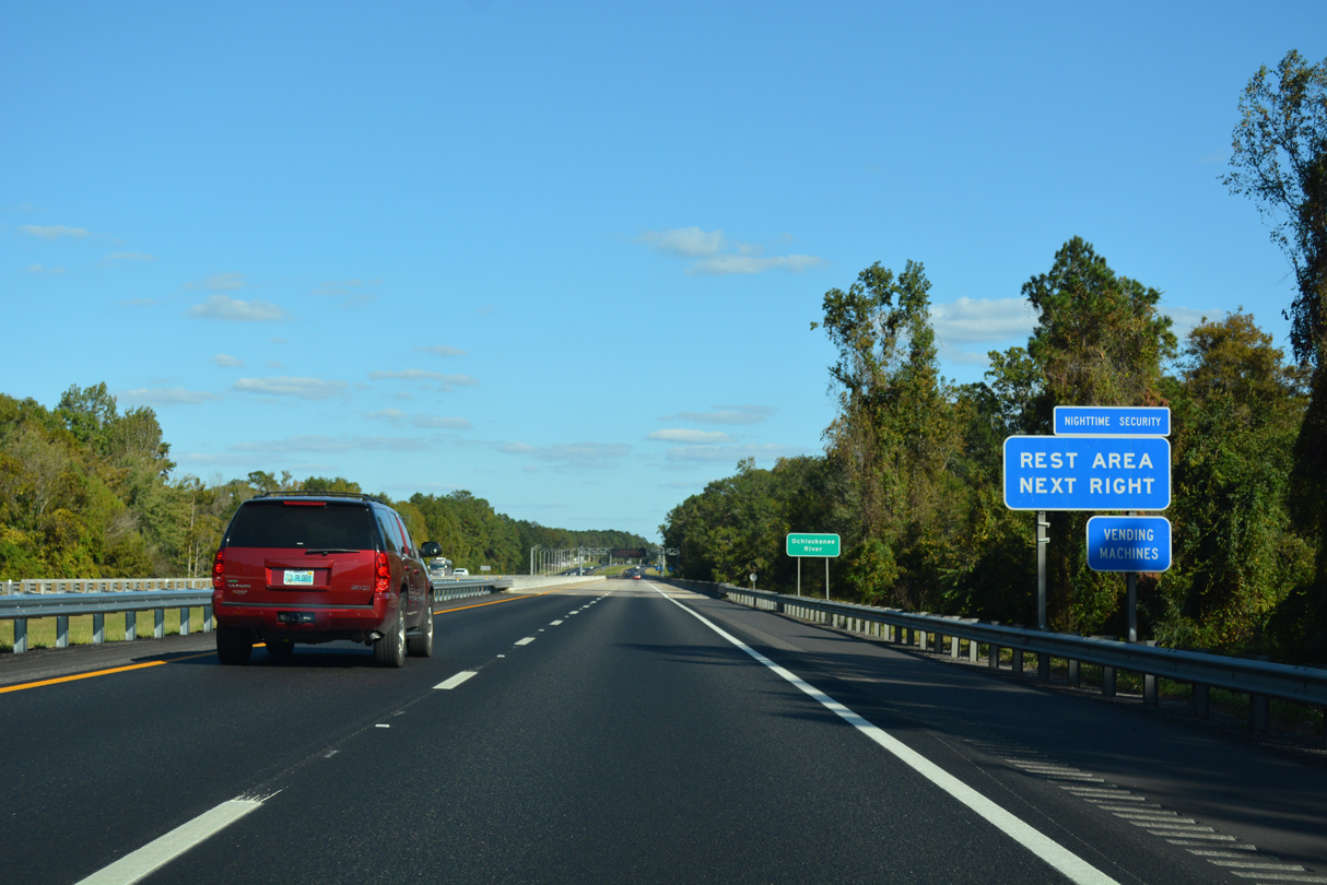
A pair of rest areas lie opposite the Ochlocknee River in western Leon County.
10/13/16
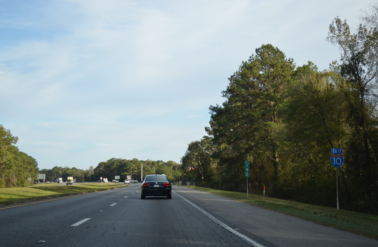
Interstate 10 travels 33.51 miles across Gadsden County to Leon County at the Ochlocknee River.
09/01/08

Photo Credits:
- Alex Nitzman: 07/22/04, 05/26/05, 08/07/06, 07/19/07, 09/01/08, 11/25/14, 11/26/14, 05/12/15, 11/24/15, 05/16/16, 10/13/16
- Brent Ivy: 07/29/11, 07/13/12
Connect with:
Page Updated Saturday November 28, 2020.