
Interstate 17 South - Flagstaff to Munds Park

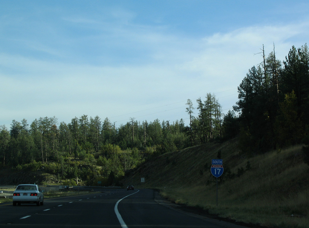
 South
South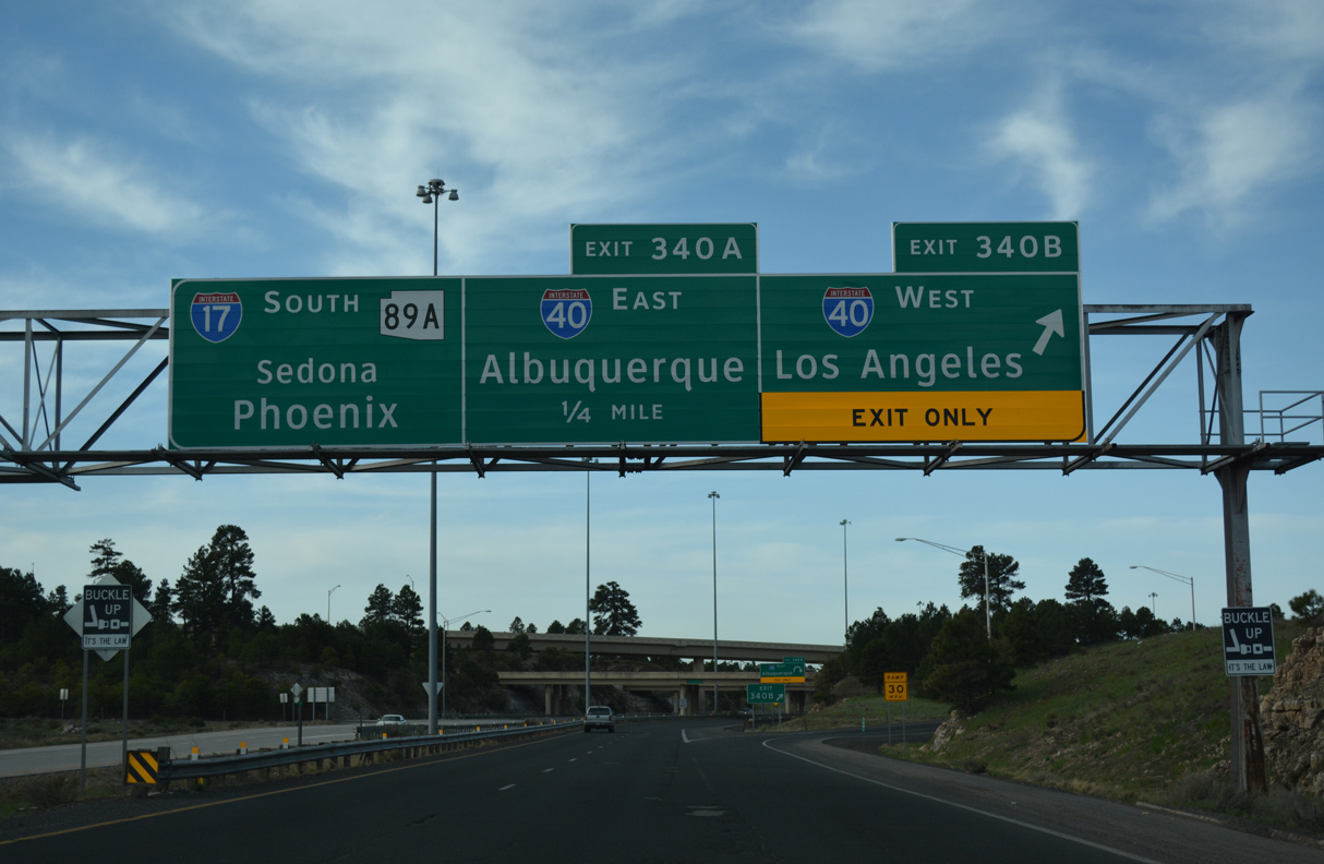
I-17 commences south alongside SR 89A into the cloverstack interchange (Exit 340) with Interstate 40 in Flagstaff.
04/27/17
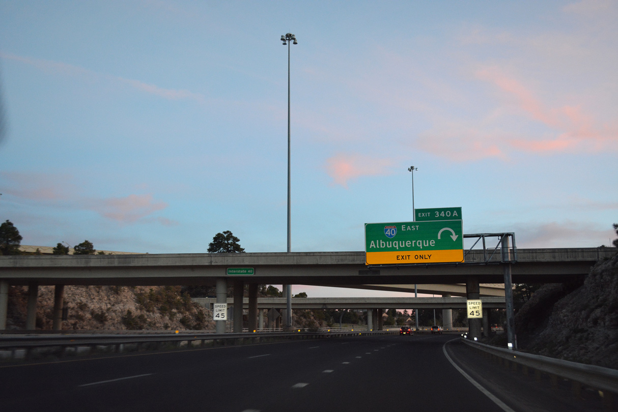
Exit 340A loops onto Interstate 40 east to Winslow, Holbrook and Albuquerque, New Mexico.
04/26/17
The flyover from I-40 west to I-17/SR 89A south was added to the cloverleaf interchange during late 90s/early 2000s.
10/27/03
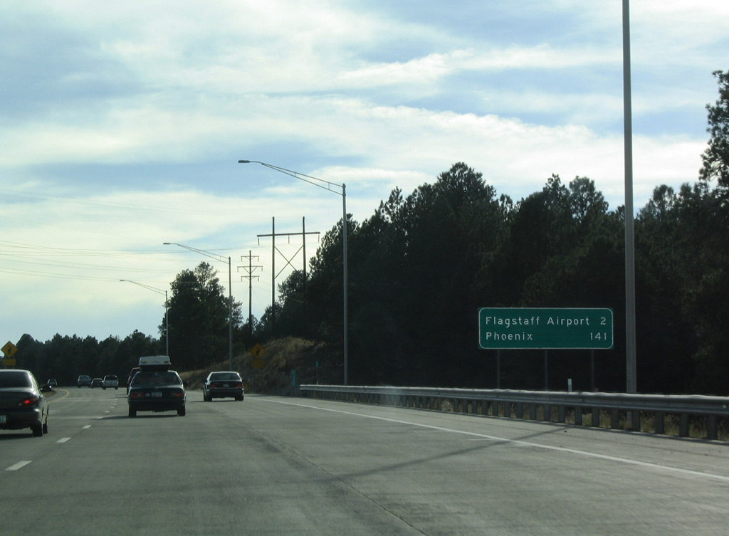
Through south Flagstaff, I-17/SR 89A arcs southwest by the Ponderosa Trails development and Flagstaff Pulliam Airport (FLG).
10/27/03
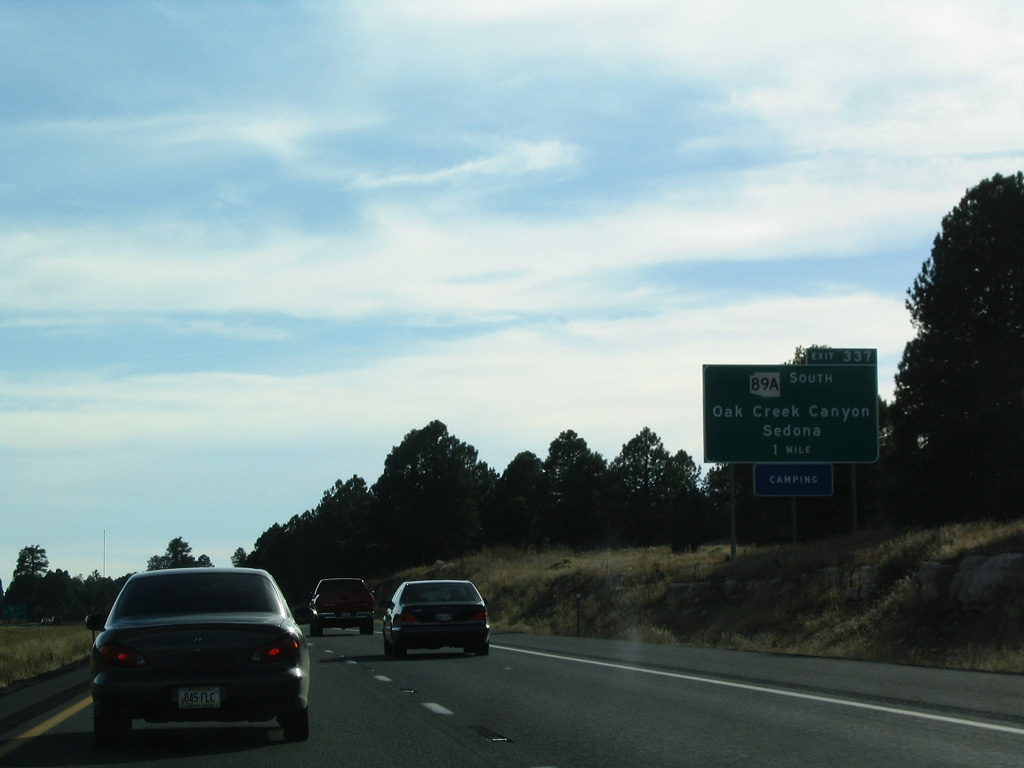
SR 89A separates from I-17 at a dumbbell interchange (Exit 337) with John Wesley Powell Boulevard east to FLG Airport. SR 89A continues southwest to Oak Creek Canyon, Sedona and ultimately Prescott.
10/27/03
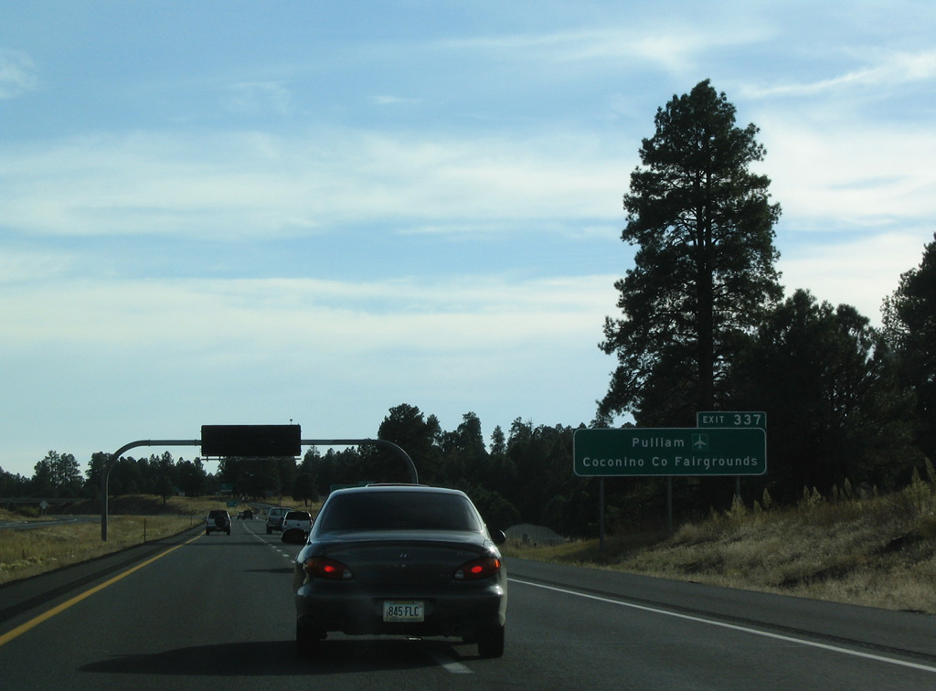
John Wesley Powell Boulevard heads east to Pulliam Drive for the passenger terminal at Flagstaff Pulliam Airport (FLG). The Coconino Fairgrounds lie west of SR 89A at Fort Tuthill County Park.
10/27/03
South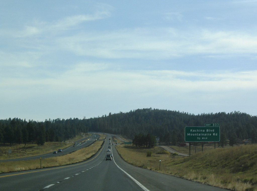
Interstate 17 continues south from Flagstaff along Pumphouse Wash to a diamond interchange (Exit 333) with Kachina Boulevard west and Mountainaire Road east.
10/26/03
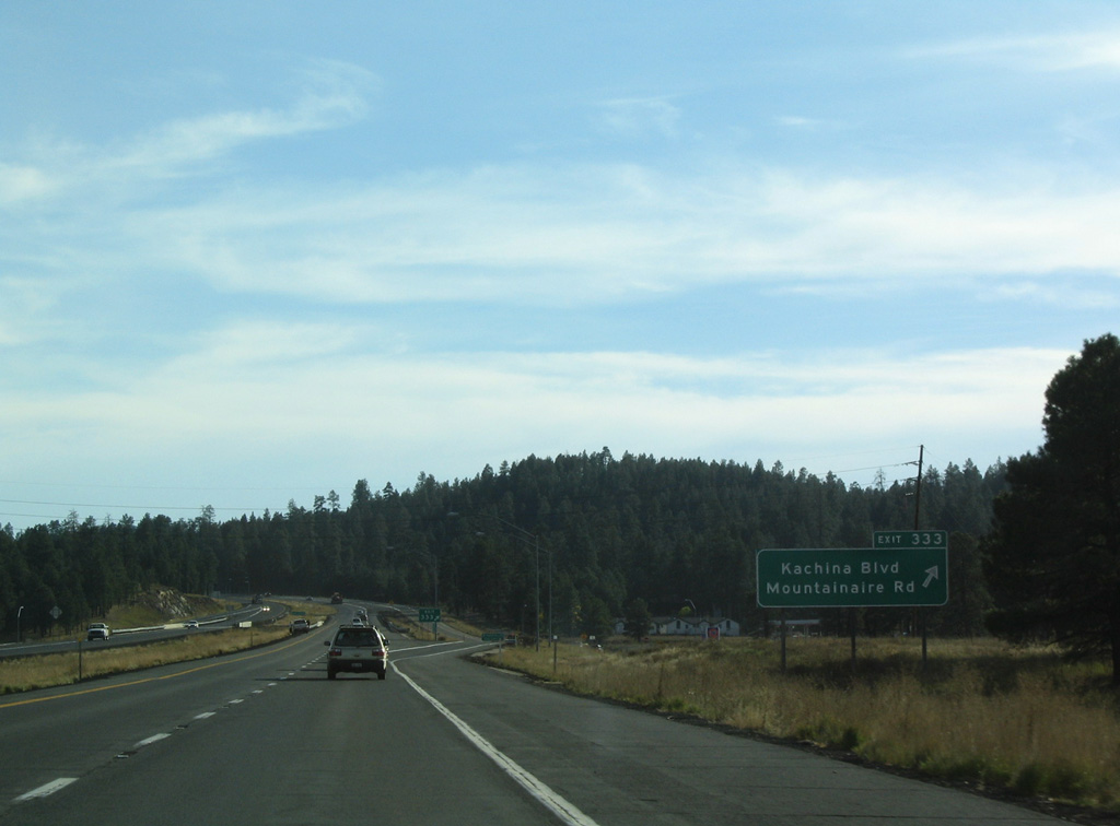
Exit 333 departs Interstate 17 south for the Kachina Village and Mountainaire communities.
10/26/03
Confirming marker posted south of Exit 331 for Kelly Canyon Road. Interstate 17 crosses James Canyon.
10/27/03
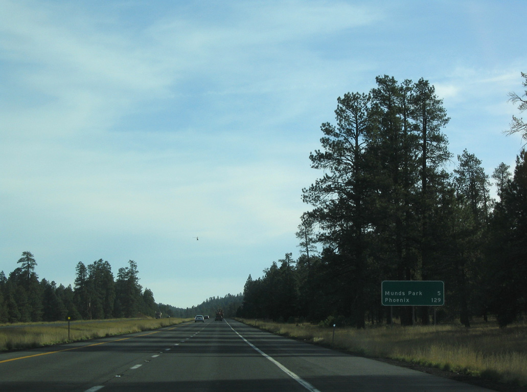
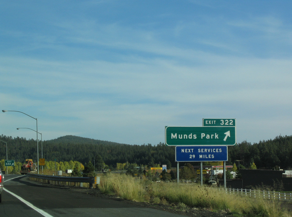
This distance sign formerly referenced the Munds Park Rest Area, which preceded Exit 322.
10/27/03

Southbound Interstate 17 at the diamond interchange (Exit 326) for Willard Springs Road.
10/26/03
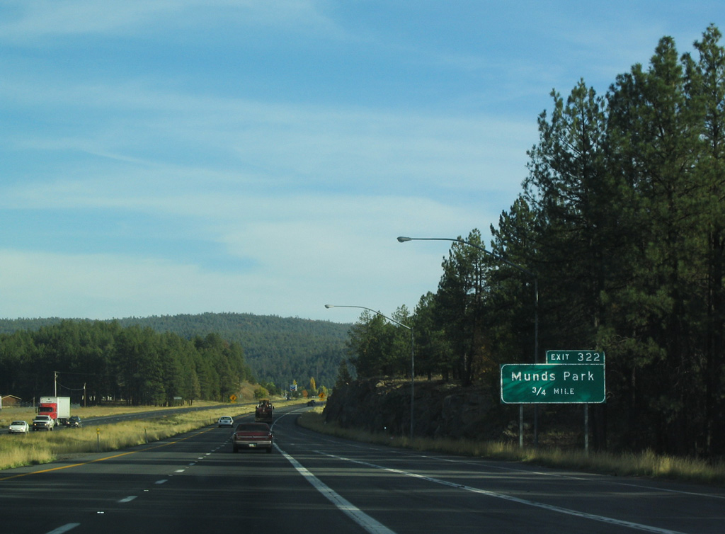
Interstate 17 curves southeast into the unincorporated community of Munds Park ahead of Exit 322.
10/26/03
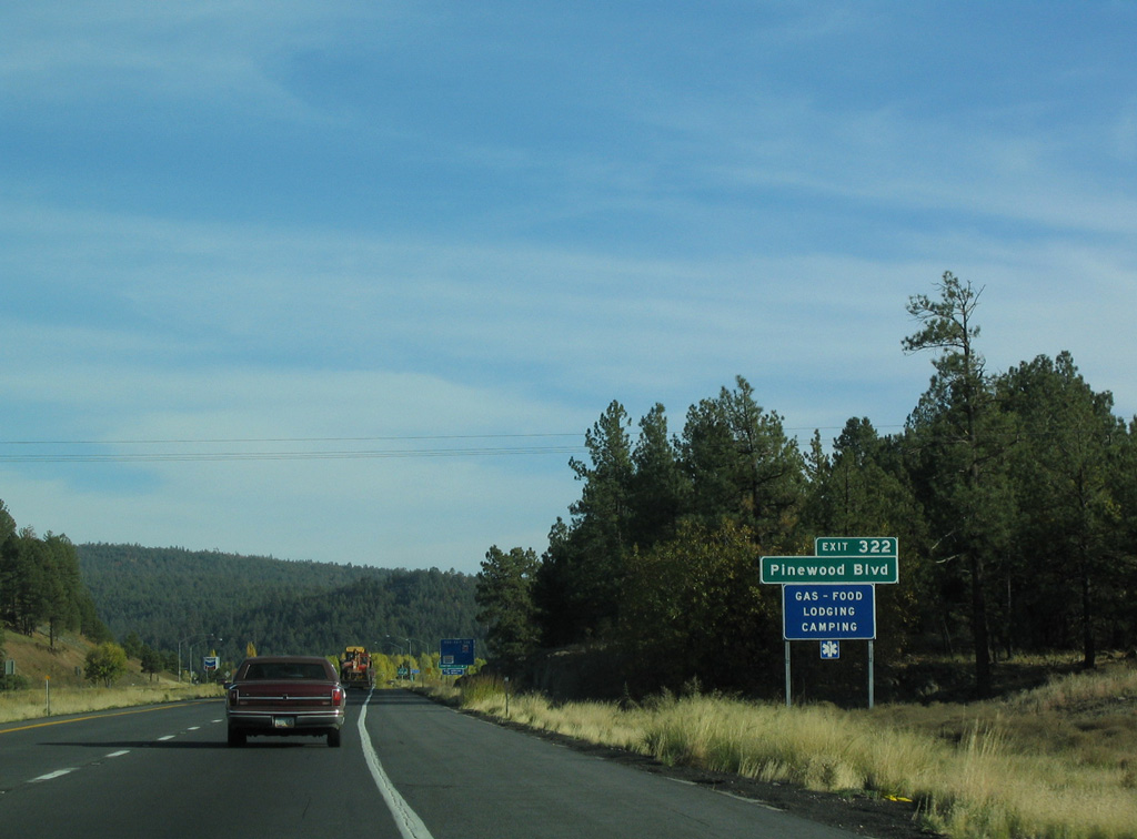
Pinewood Boulevard extends east from the diamond interchange (Exit 322) with Munds Ranch Road to Pinewood Country Club and residential areas of Munds Park.
10/26/03
The services at Exit 322 are the last along Interstate 17 south until Camp Verde.
10/26/03
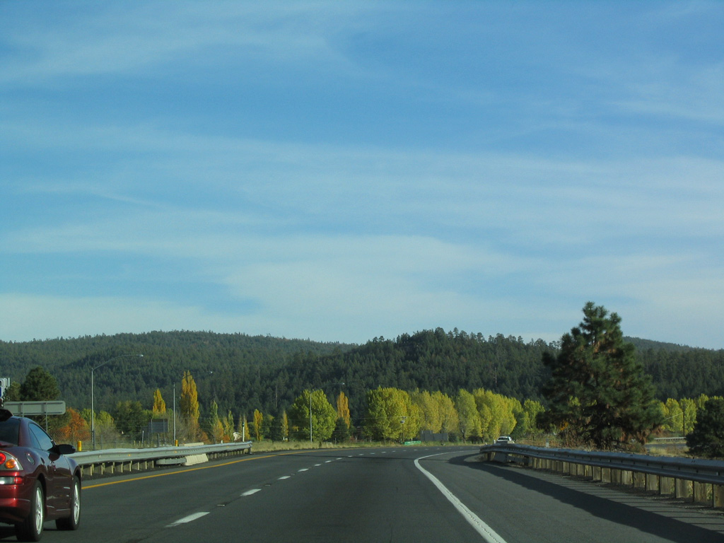
Continuing south from Munds Park, Interstate 17 enters Coconino National Forest.
10/26/03
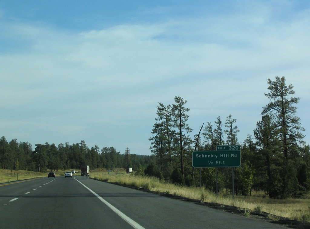
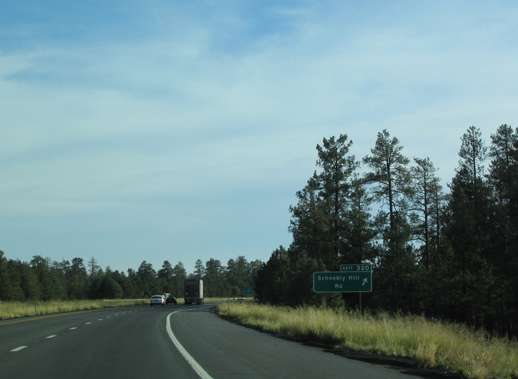
Schnebly Hill Road ties into Interstate 17 at forthcoming Exit 320 west of T-Six Mountain.
10/26/03
Schnebly Hill Road meanders southwest from Exit 320 to Foxboro Lake, Schnebly Hill and the Schnebly Hill Vista overlooking Casner Canyon.
10/26/03
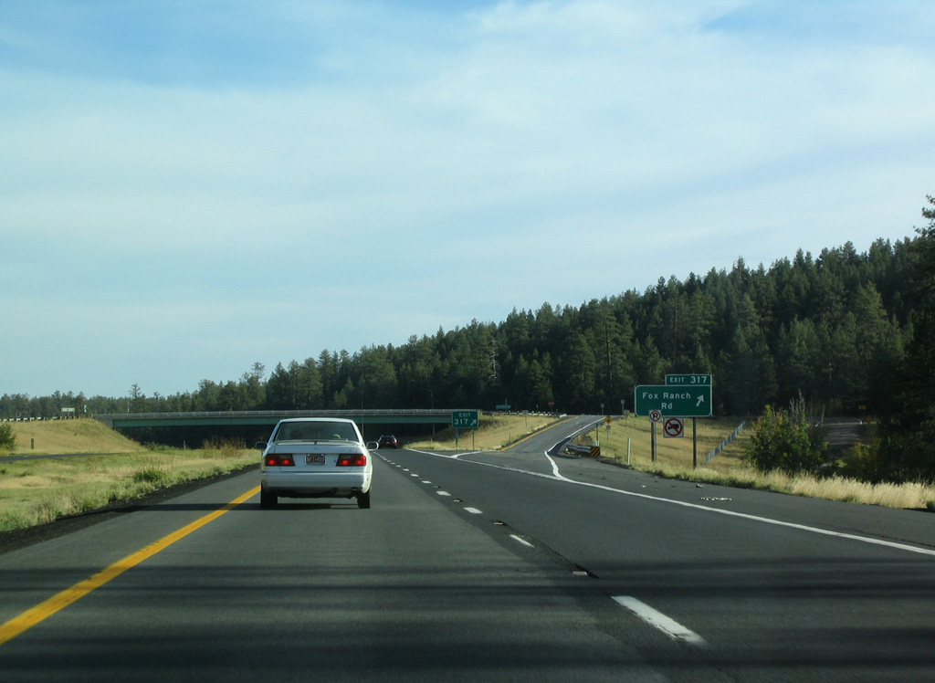
The succeeding exit along Interstate 17 south is for Fox Ranch Road east of Clay Park.
10/26/03
Interstate 17 advances southeast by Woods Spring and T-Six Canyon.
10/26/03
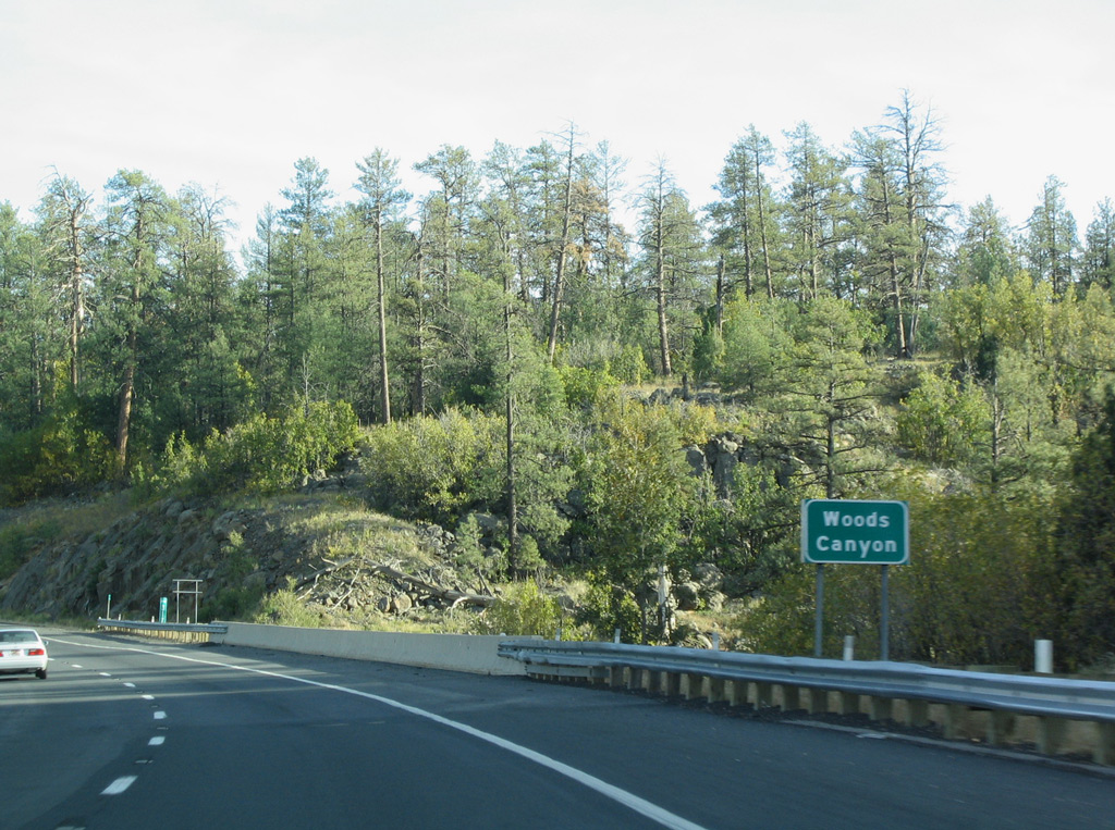
Interstate 17 south next crosses Woods Canyon.
10/27/03
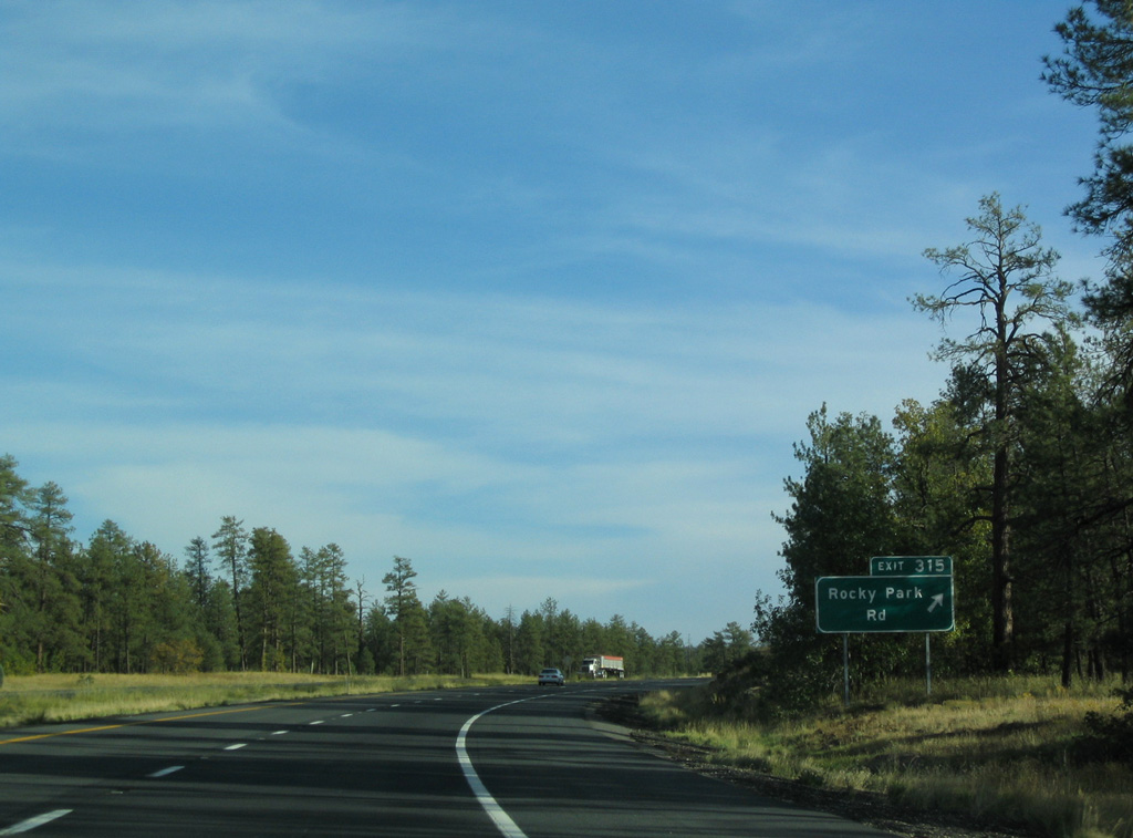
Rocky Park Road connects I-17 with various service roads in Coconino National Forest.
10/27/03
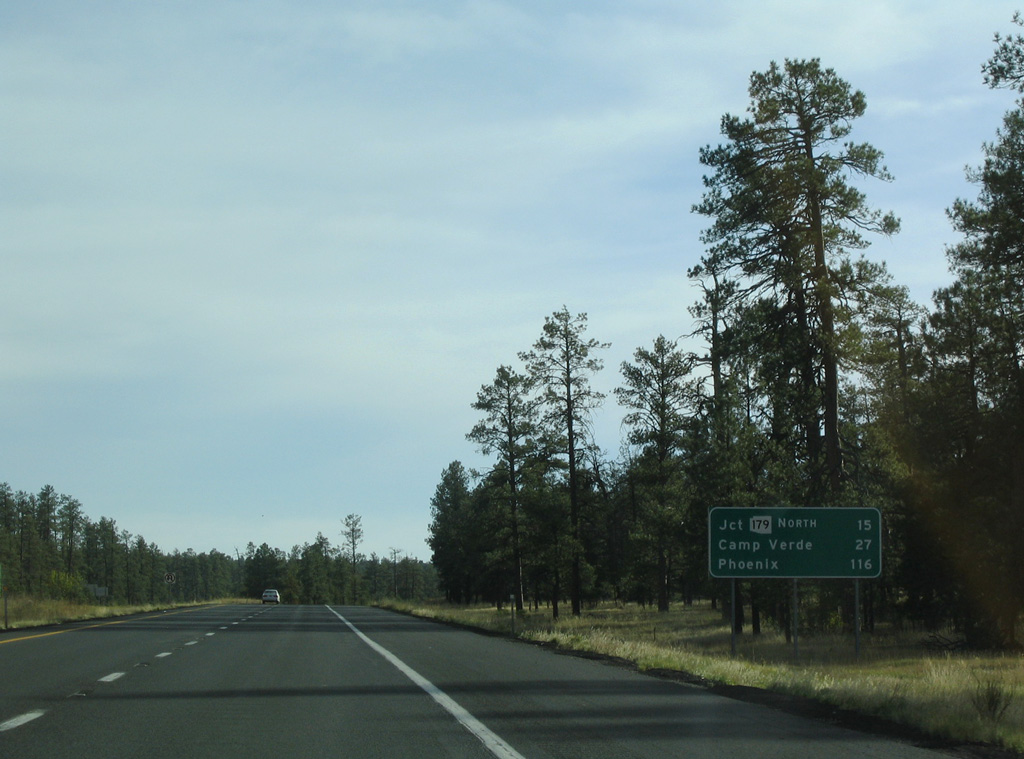
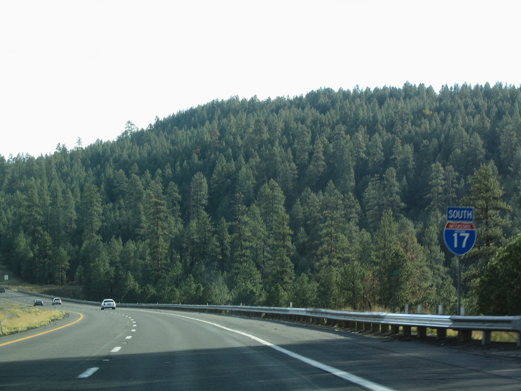
Paralleling Woods Canyon, Interstate 17 arcs southward through Coconino National Forest. Continuing into Yavapai County, I-17 meets SR 179 north to Sedona in 15 miles.
10/27/03
Interstate 17 lowers 1,000 feet in elevation southward from Rocky Park Road to Rattlesnake Canyon and Exit 306.
10/27/03
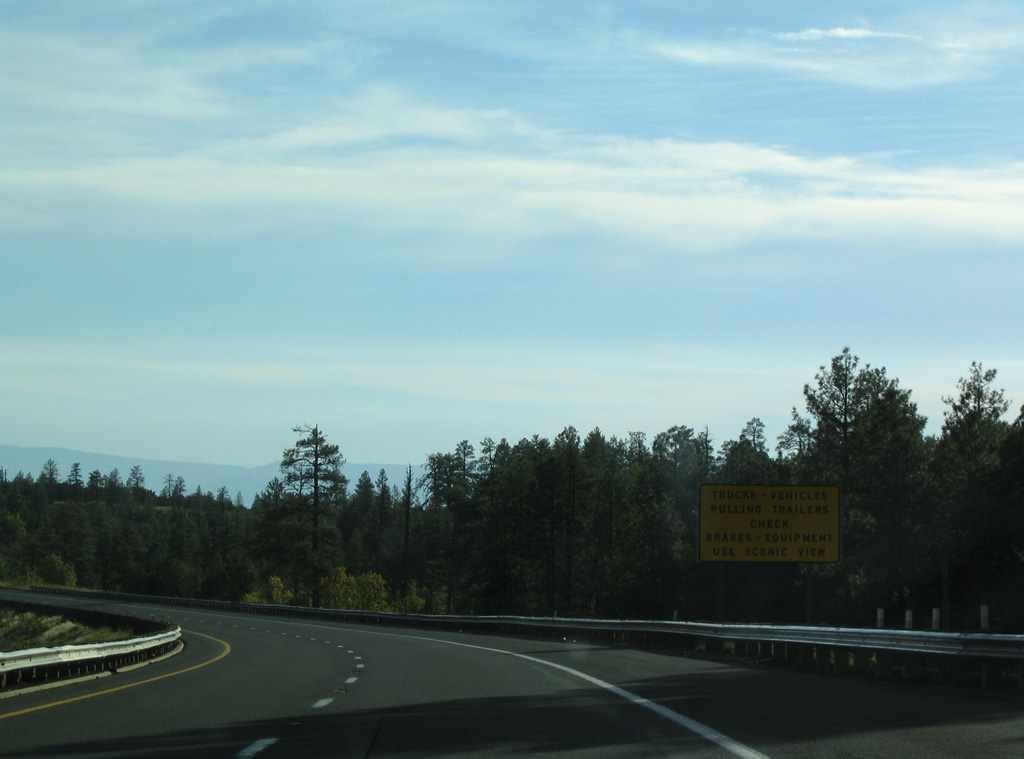
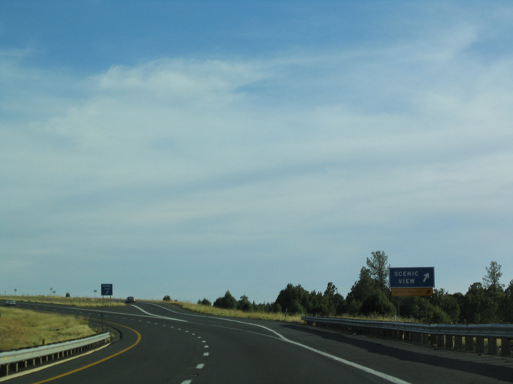
A brake check station for trucks and vehicles pulling trailers is located at the scenic view area south of mile marker 313.
10/26/03
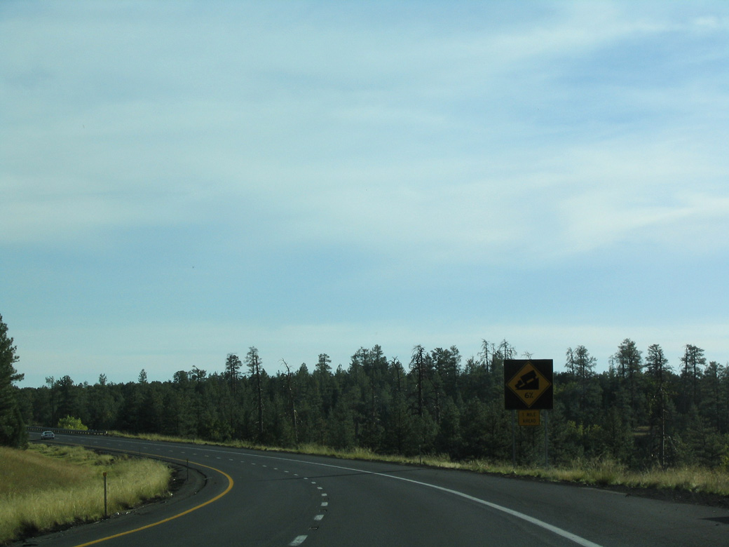
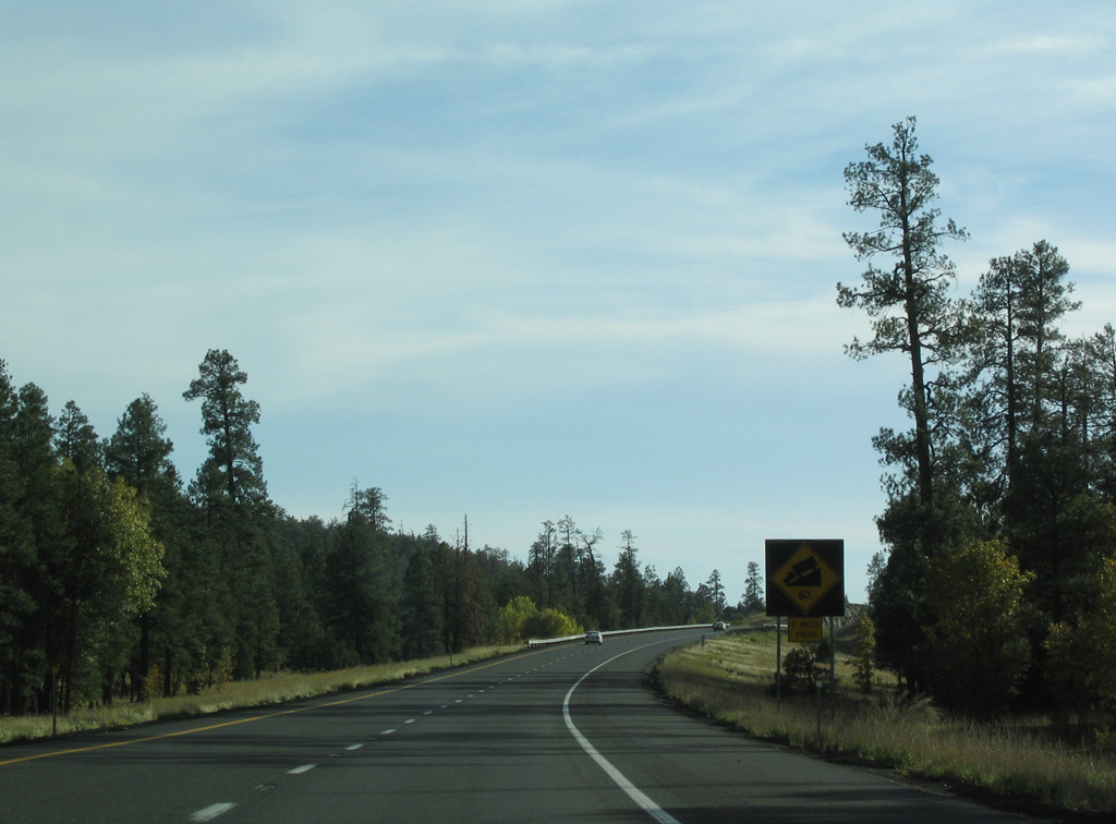
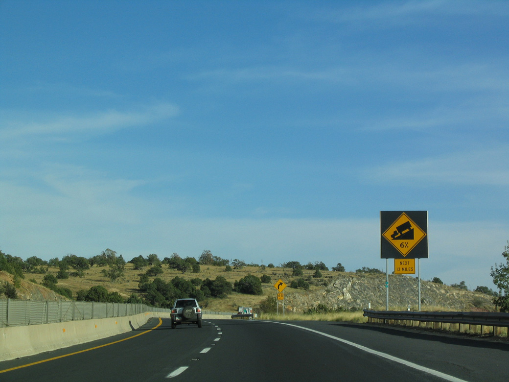
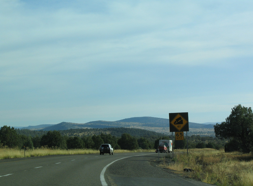
Interstate 17 crests around 6,500 feet above sea level before descending along a 6% grade toward Pine Tank Canyon.
10/26/03
The scenic vista point overlooks Pine Tank Canyon and Cedar Tank Canyon west of Interstate 17 in Coconino National Forest.
10/27/03
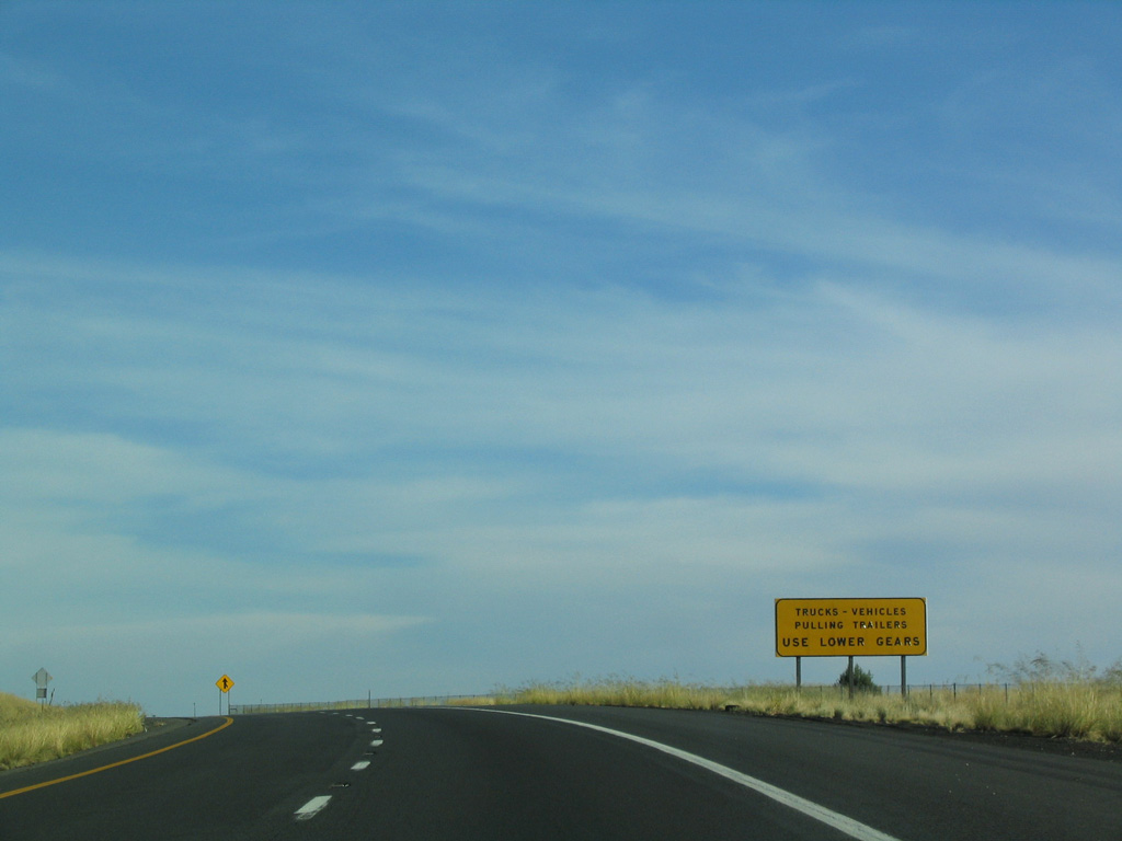
Due to the upcoming sharp grade, truckers are advised to use a lower gear than normal for Interstate travel.
10/27/03
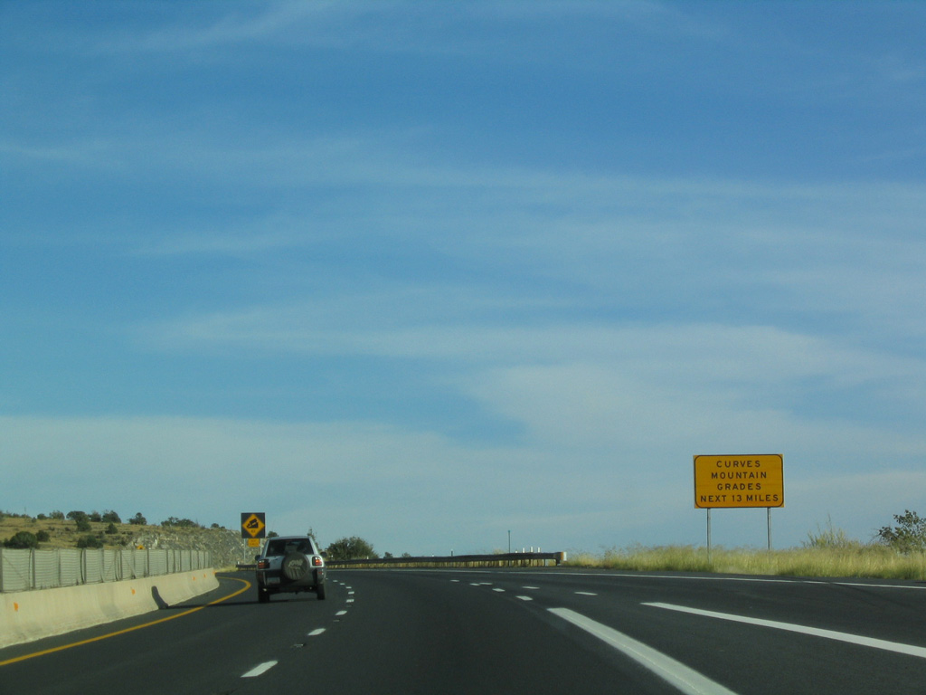
A number of S-curves and steep grades line the ensuing 13 mile stretch leading Interstate 17 southwest toward Camp Verde and the Verde Valley.
10/27/03
Leaving the forested high country, Interstate 17 gradually descends to the desert, some 5,500 feet lower than here.
10/27/03
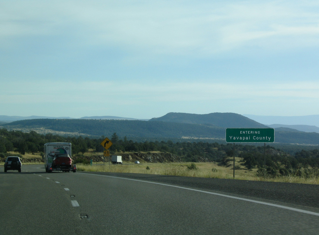
Apache Maid Mountain rises along the southern horizon as Interstate 17 crosses the Yavapai County line southbound.
10/27/03
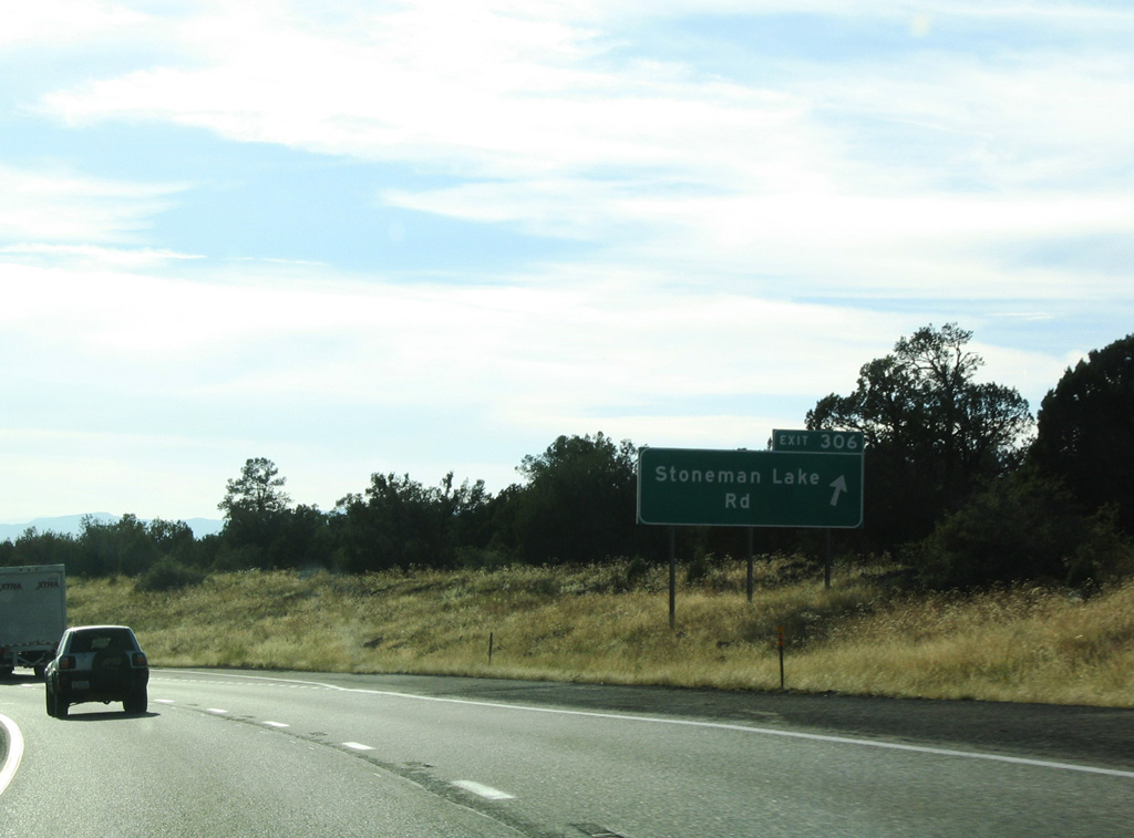
The roadways of Interstate 17 come together just beyond Rattlesnake Canyon at Exit 306 for Stoneman Lake Road.
10/27/03
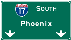

Photo Credits:
- ABRoads: 04/26/17, 04/27/17
- Andy Field: 10/26/03, 10/27/03
Connect with:
Page Updated Monday April 25, 2022.