
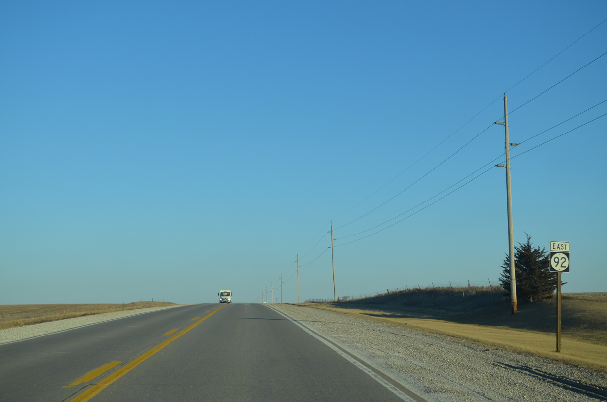
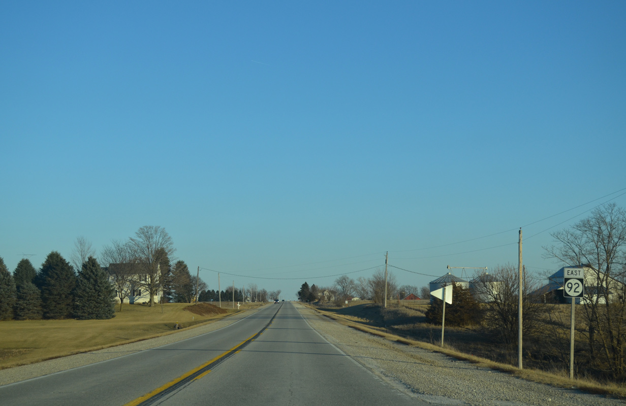
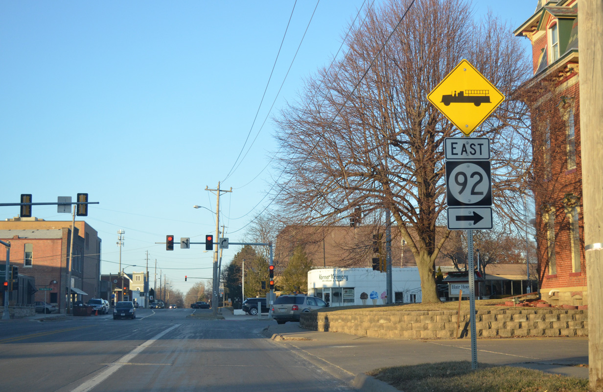
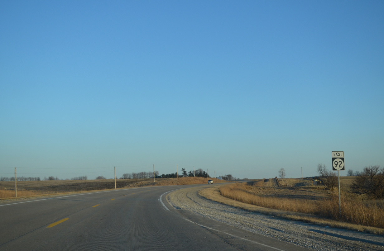
Highway 92 East
 East
East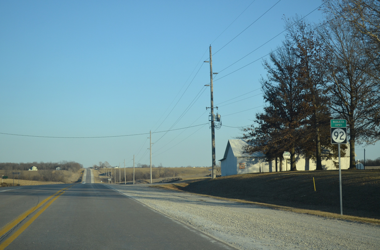
Iowa 92 enters Washington County beyond the intersection with County Road V15 north to Keota.
12/31/14
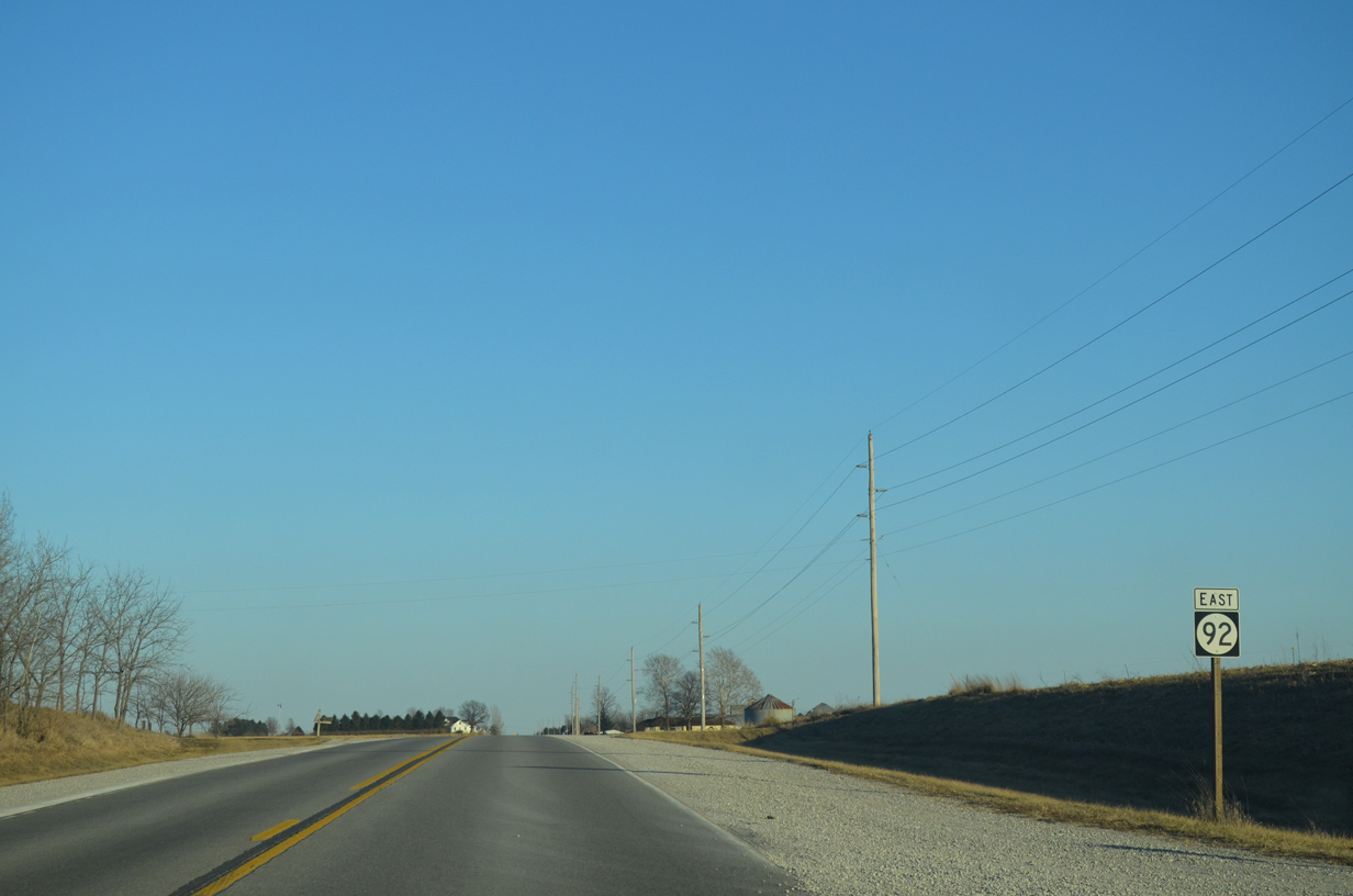
Birch Avenue north ties into Iowa 92 from the community of Valley ahead of this shield assembly.
12/31/14
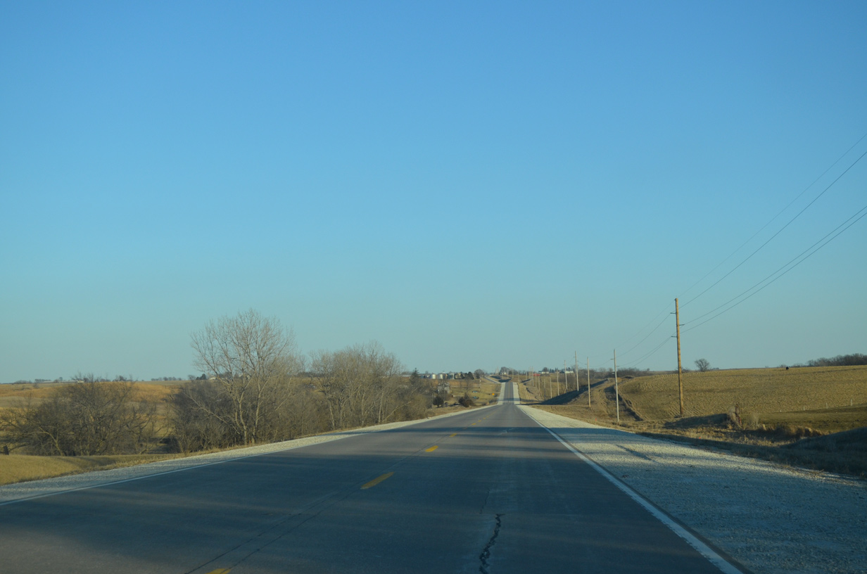
Iowa 92 lowers into a valley fed by a tributary of Dutch Creek while along the Seventy Six and Dutch Creek township line.
12/31/14
County Road W21 runs south from Iowa 92 along Elm Avenue ahead of the next eastbound shield.
12/31/14
Eastbound Iowa 92 after Fir Avenue.
12/31/14
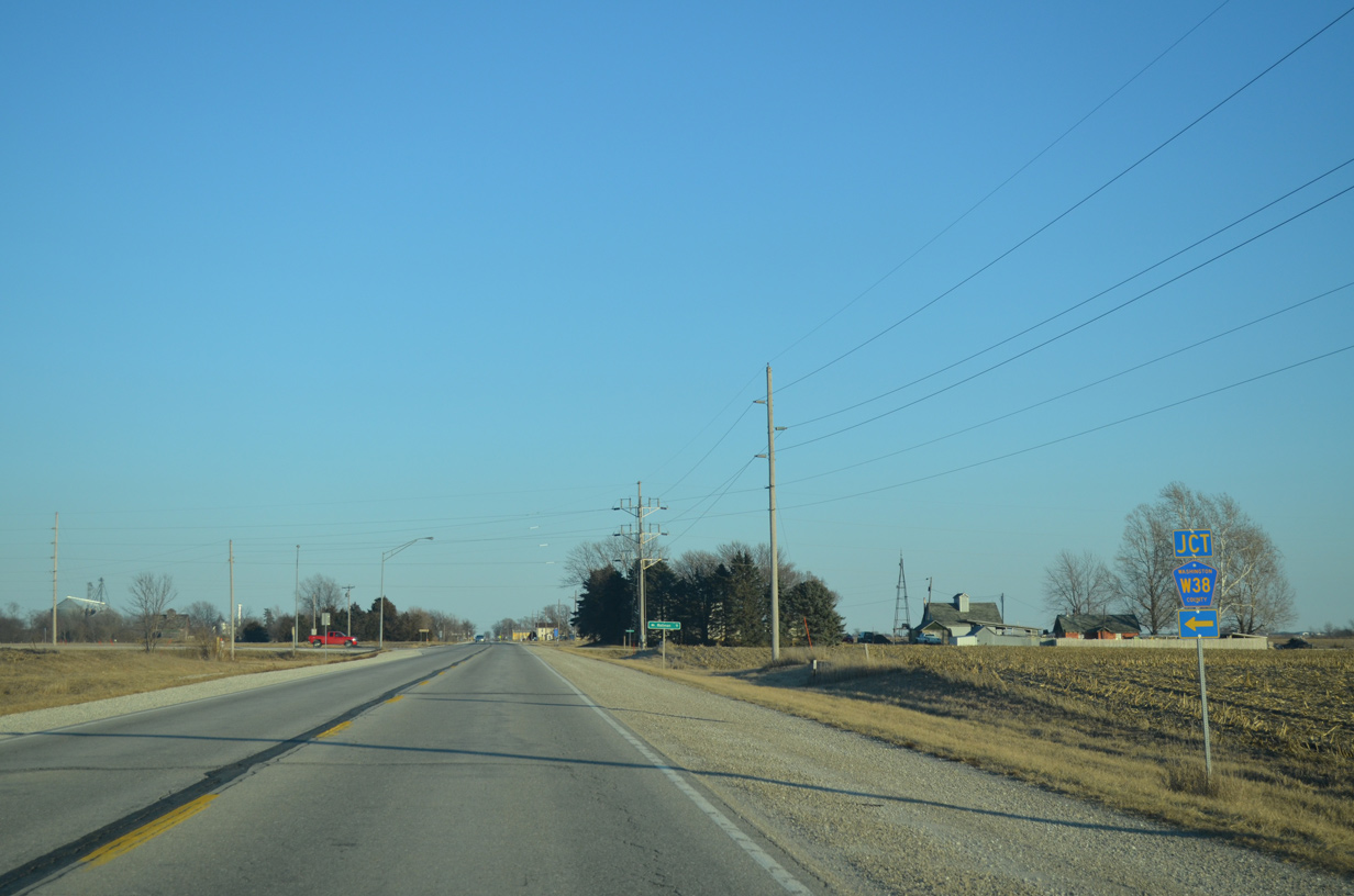
One mile further east, Iowa 92 intersects Washington County W38 (Ginkgo Avenue) north. CR W38 replaced Iowa 114 north to Iowa 22 in 1980.
12/31/14
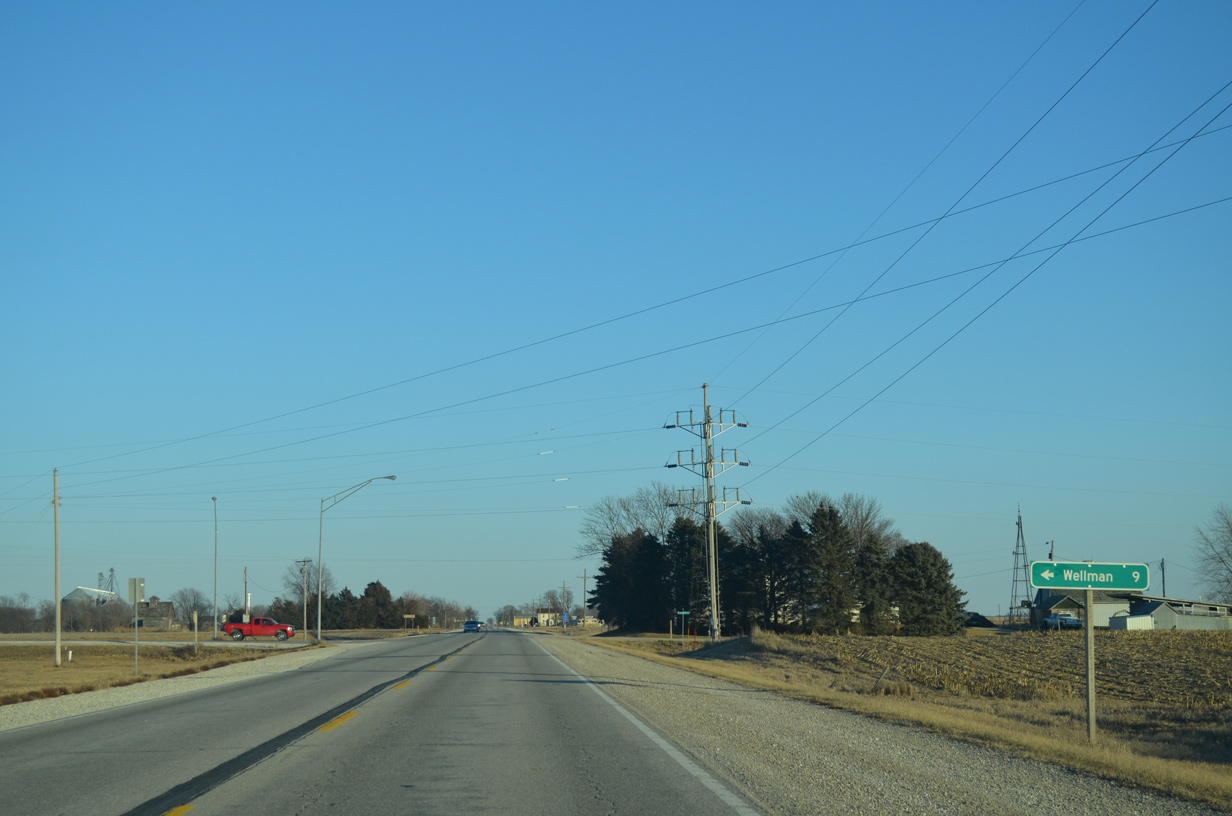
County Road W38 runs nine miles north to Wellman. The county road continues north from Wellman to Oxford and U.S. 6 in Johnson County.
12/31/14
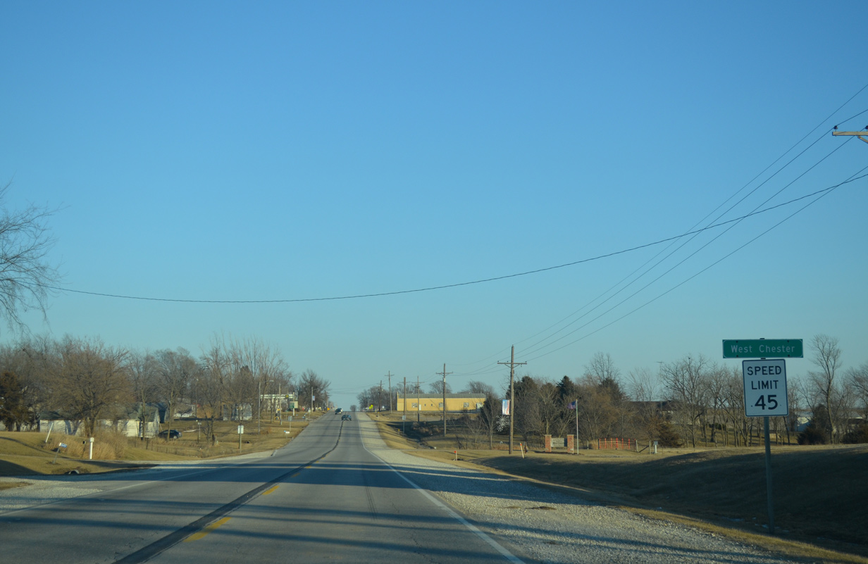
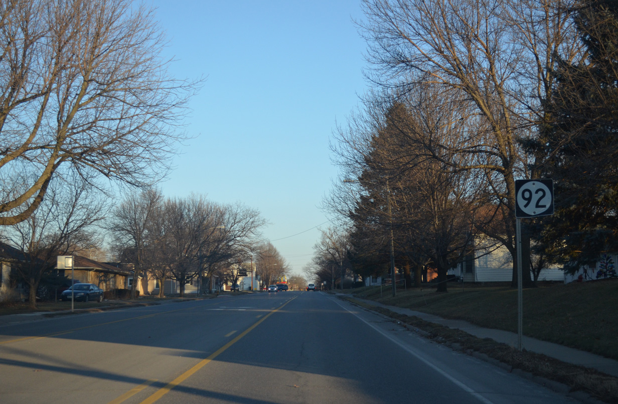
Iowa 92 next enters the small city of West Chester. County Road W38 extends south from here three miles to County Road G38.
12/31/14
Leading away from West Chester, Iowa 92 advances six miles to the city of Washington.
12/31/14
A tree line appears east of Juniper Avenue as Iowa 92 approaches the West Fork of Crooked Creek.
12/31/14
Lexington Boulevard angles southeast across Iowa 92 to Washington ahead of this Iowa 92 marker.
12/31/14
Larch Avenue stems north from Lexington Avenue to intersect Iowa 92 at this shield.
12/31/14
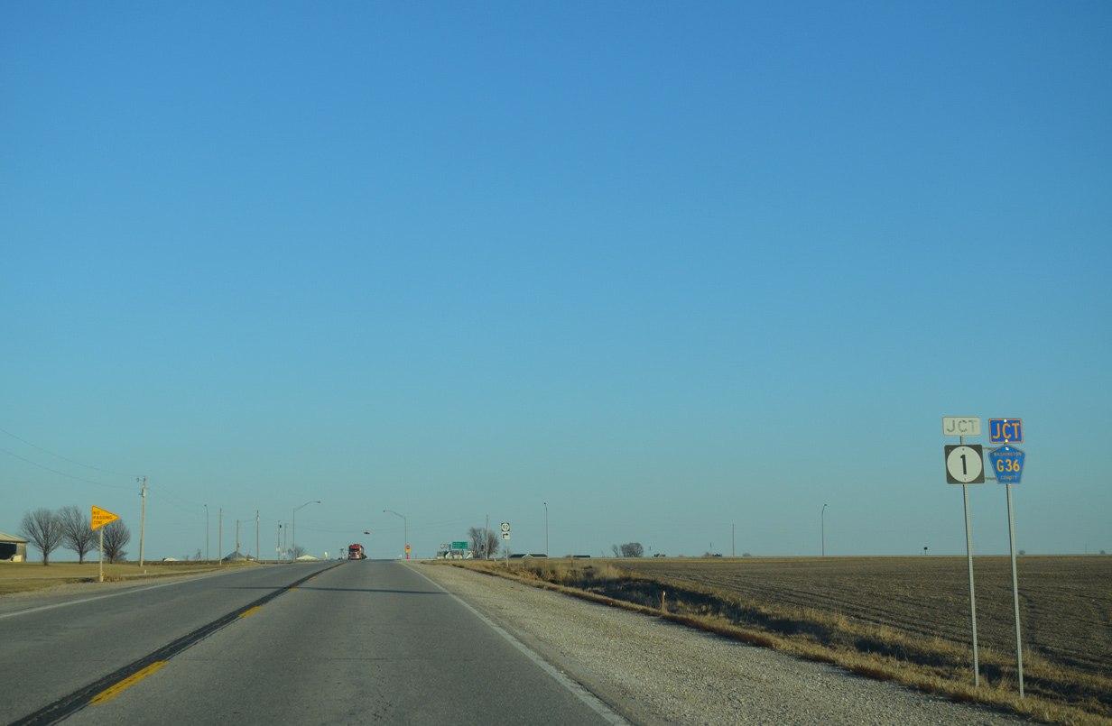
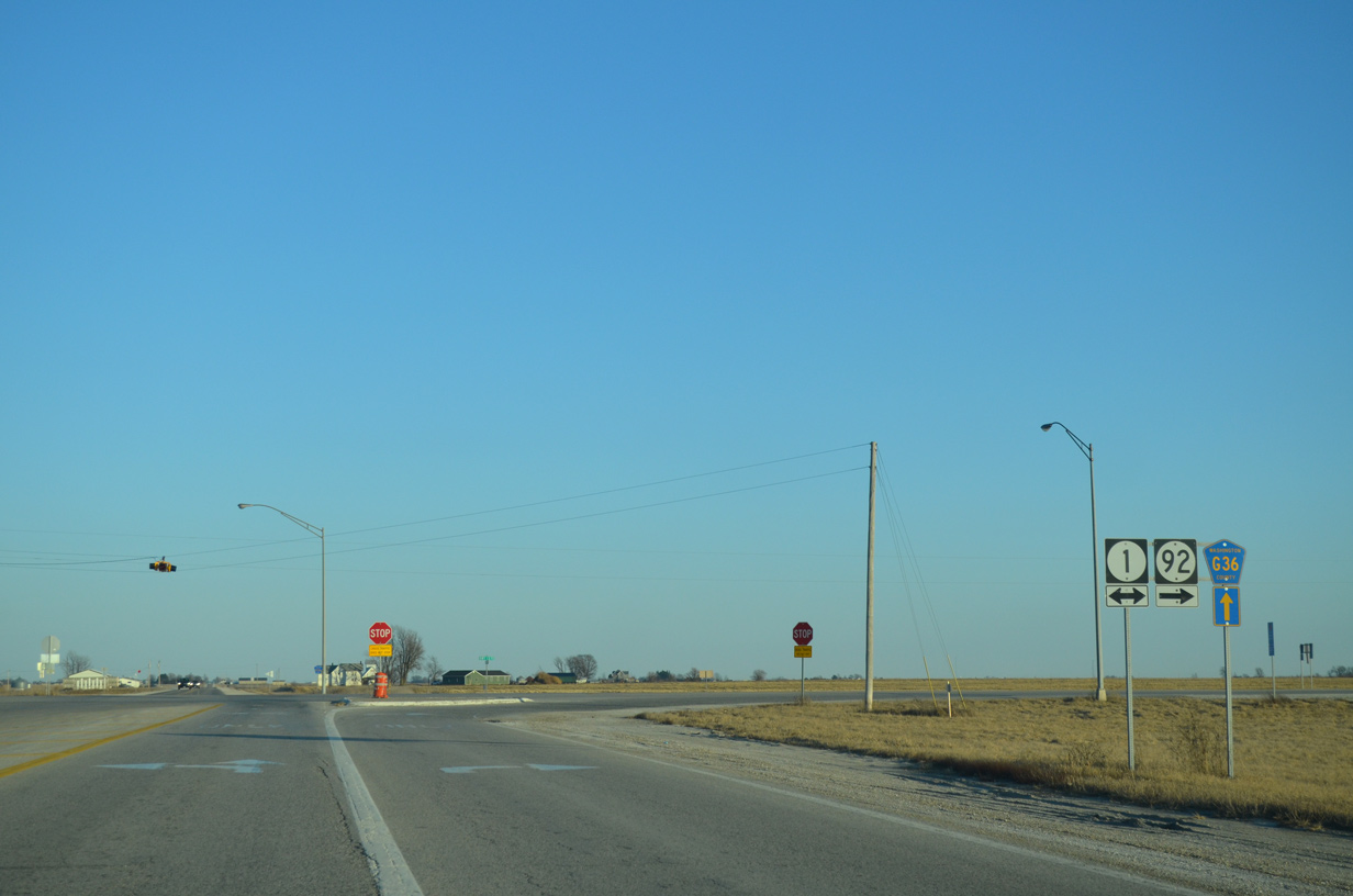
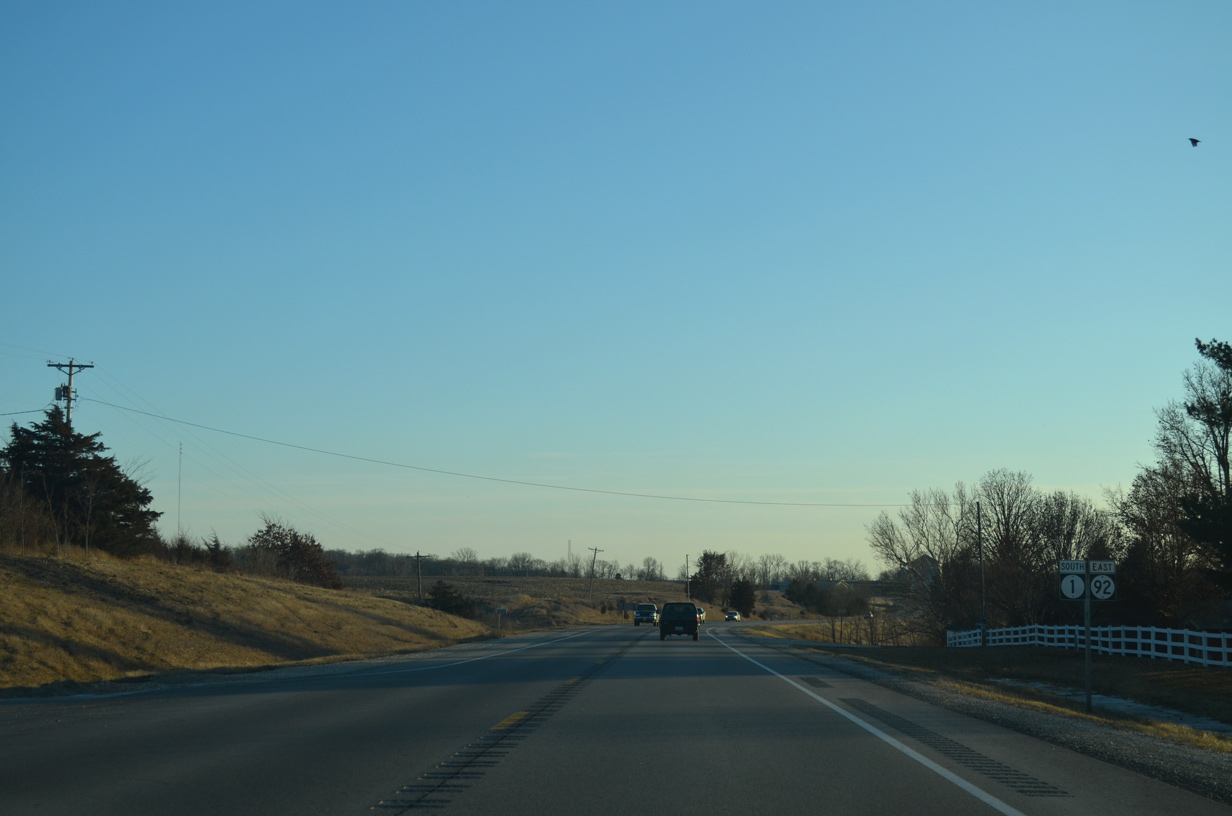
Iowa 92 heads another mile to merge with Iowa 1 south opposite Washington County G36 (220th Street) west.
12/31/14
Iowa 92 turns southward alongside Iowa 1 to the Washington County seat.
12/31/14
North from IA 92 and CR G36, IA 1 travels ten miles to Kalona and 30 miles to Iowa City.
12/31/14
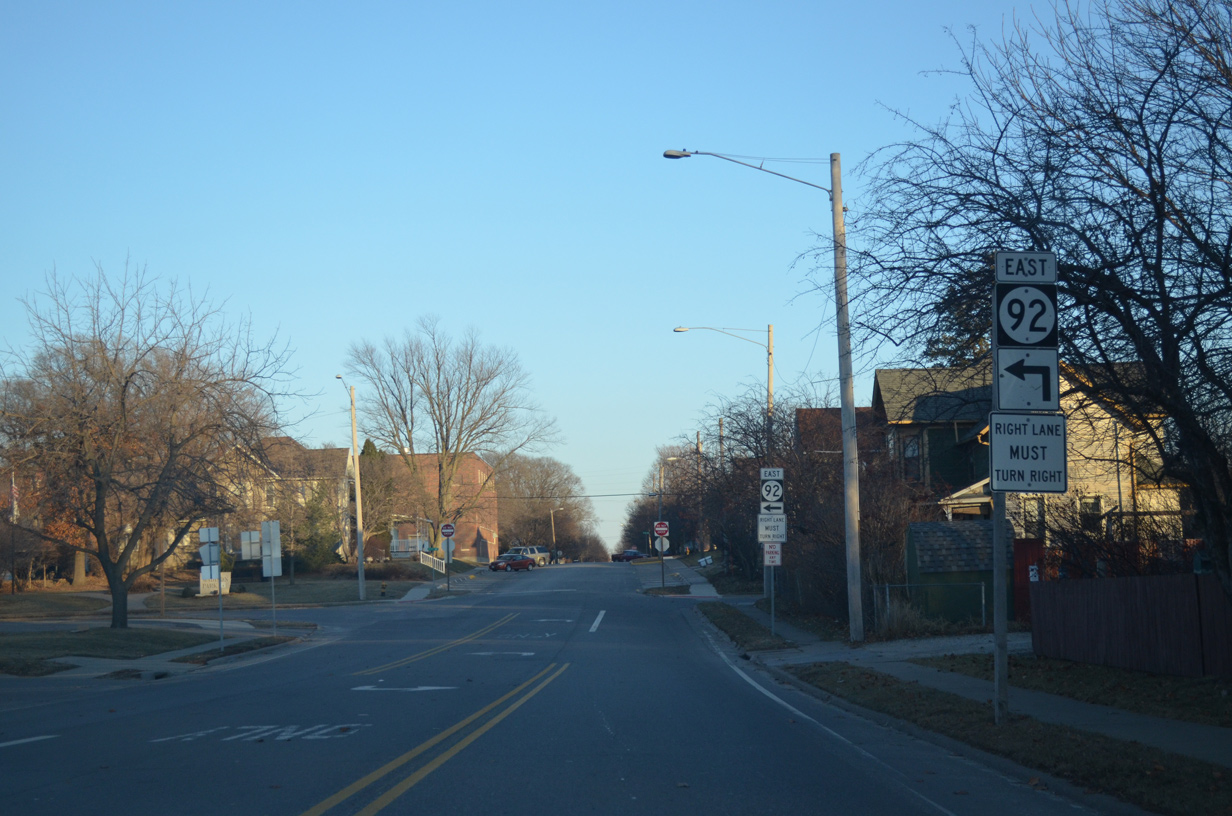
County Road G36 stems east from Iowa 1 and 92 along 220th Street to a diamond interchange with U.S. 218/Iowa 27 (Avenue of the Saints). The route ends at Louisa County X17 near Gladwin.
12/31/14
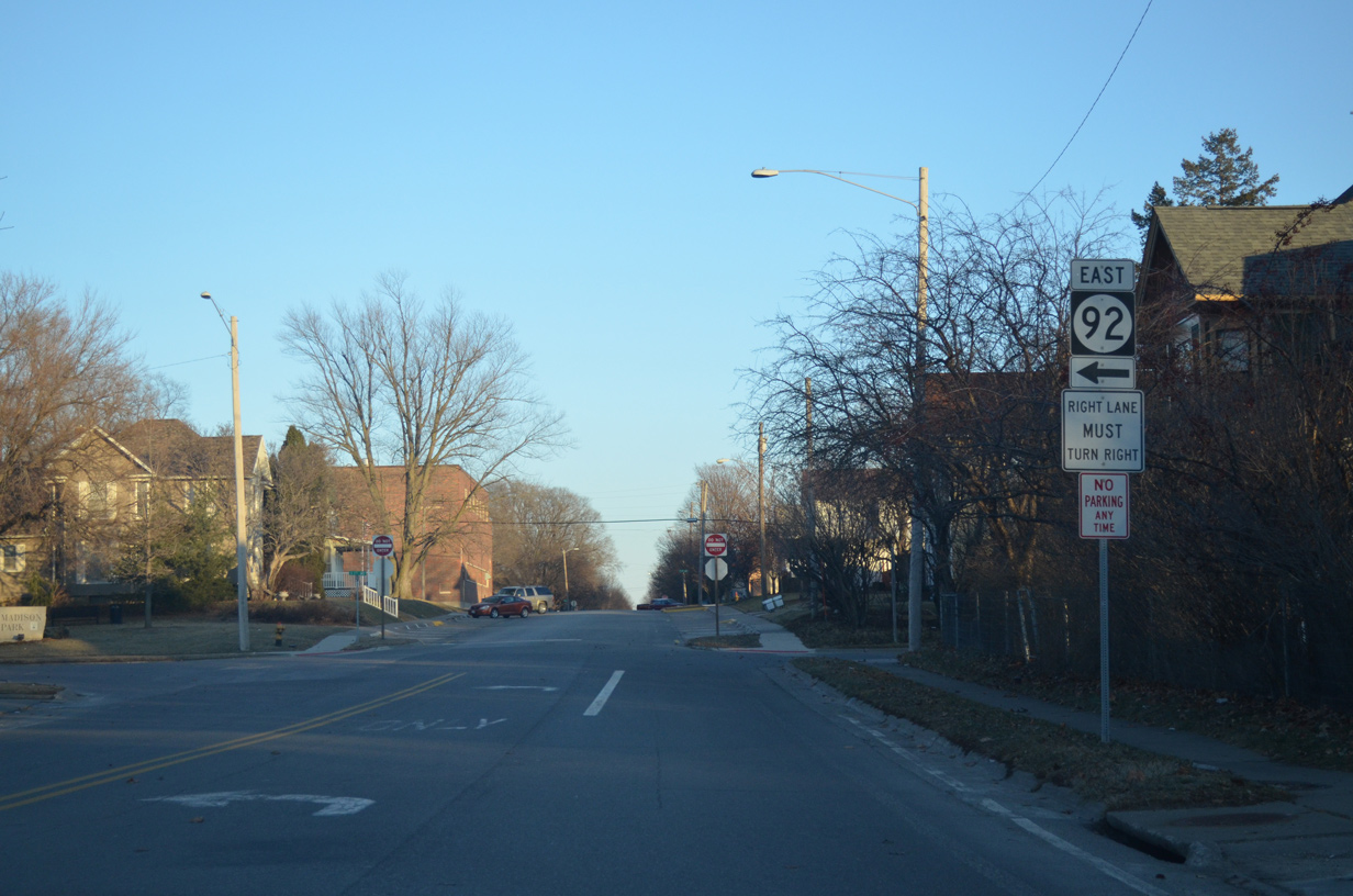
County Road G37 (18th Street) stems east from Iowa 1/92 along the north Washington city line at this shield assembly.
12/31/14
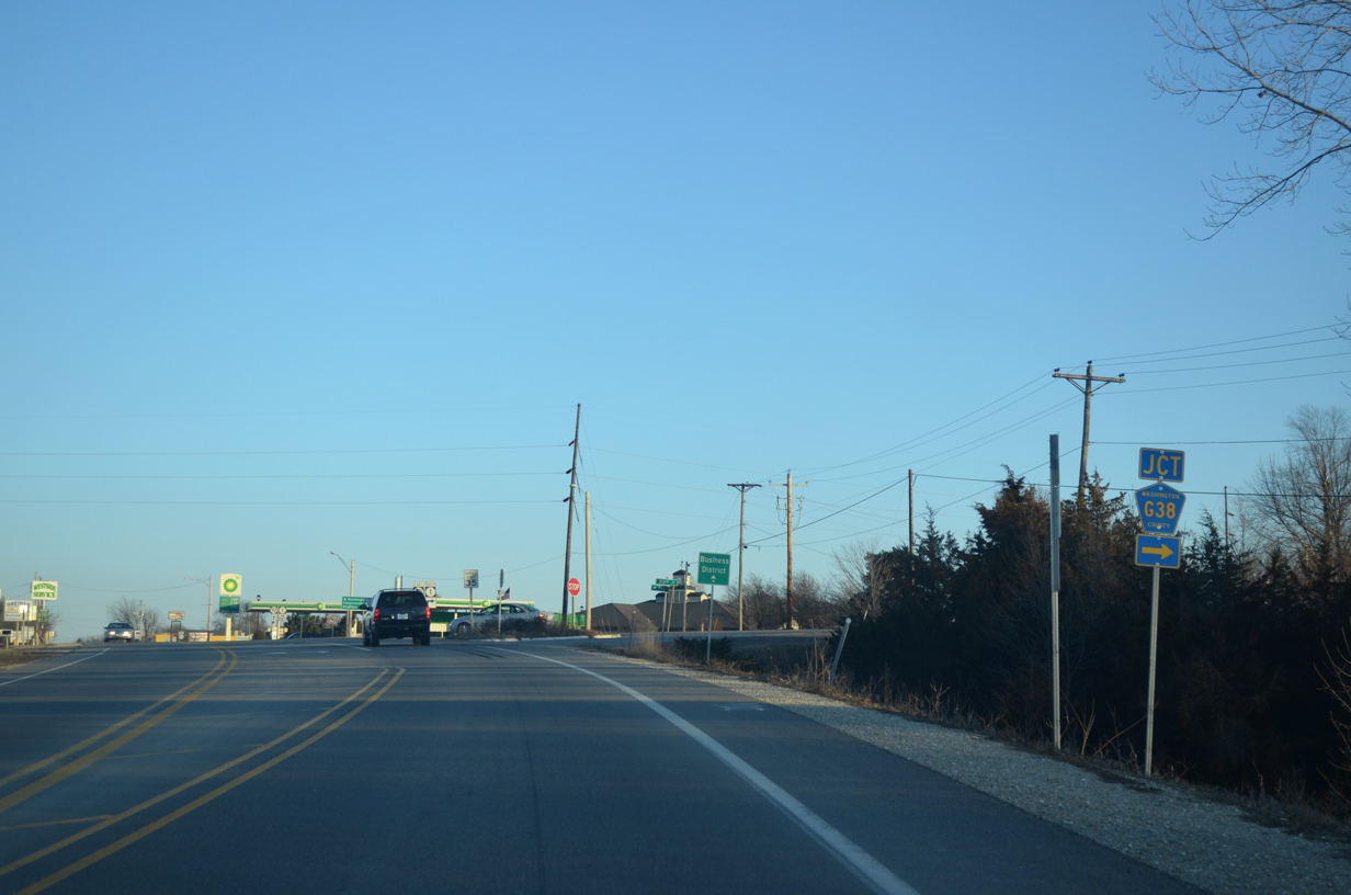
CR G38 runs 13.4 miles east from Keokuk County Route W15 and Talleyrand to Iowa 1/92 in Washington.
12/31/14
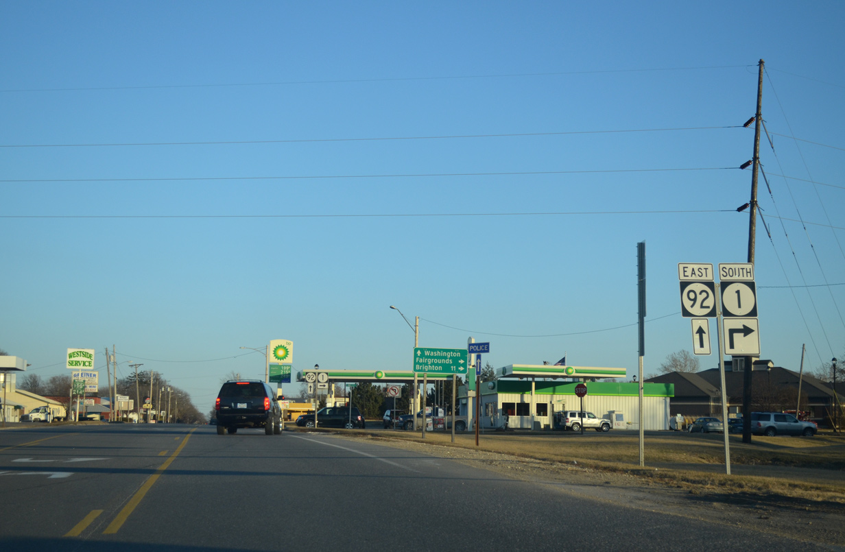
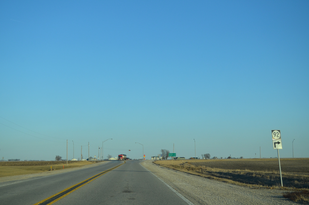
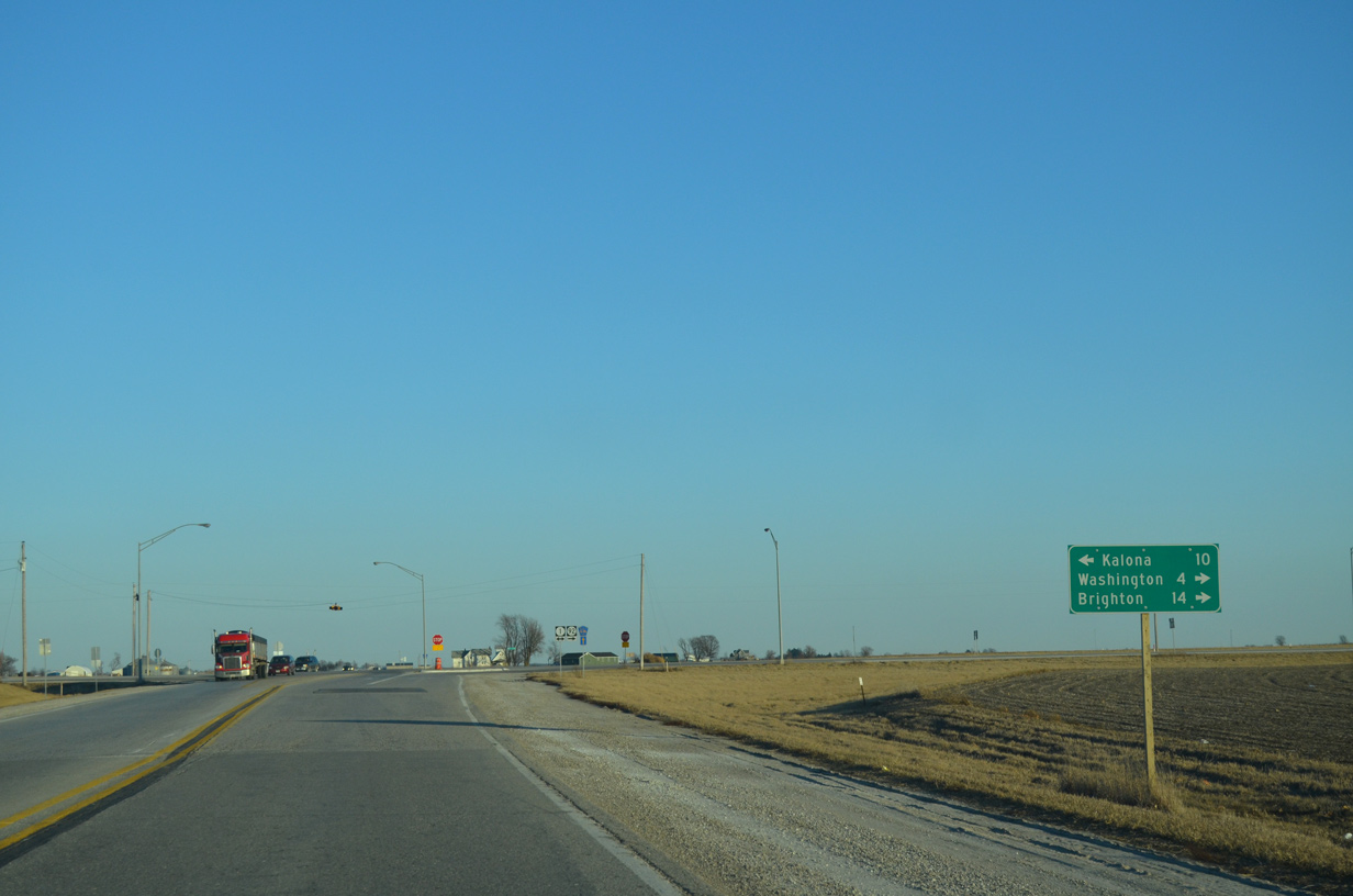
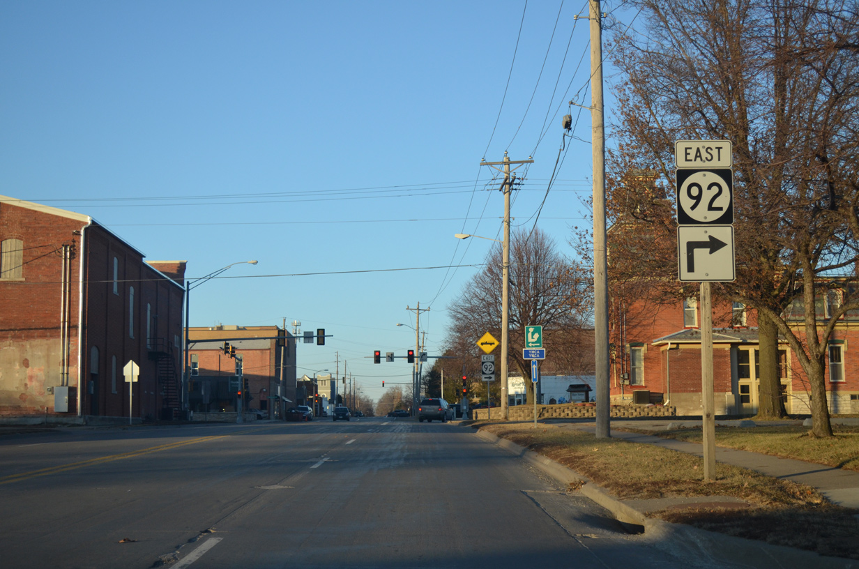
Iowa 1 branches south from Iowa 92 (Madison Street) at the subsequent intersection.
12/31/14
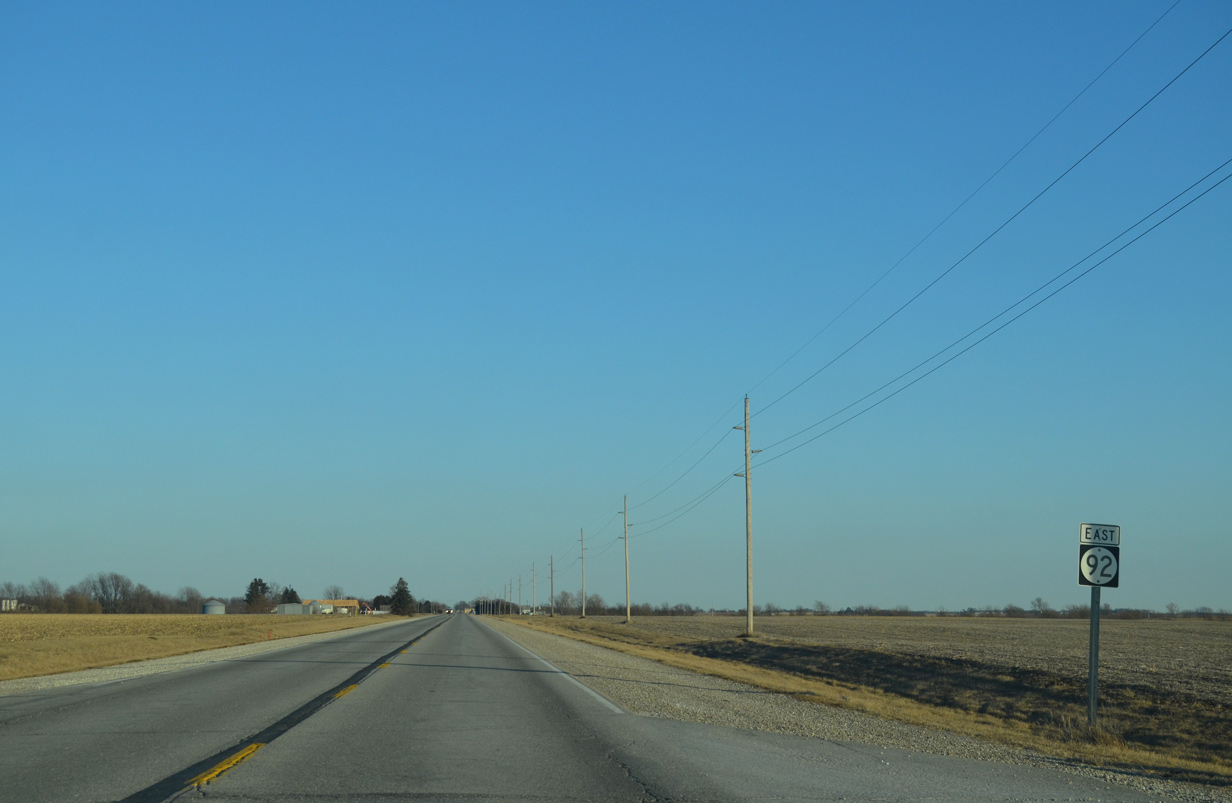
East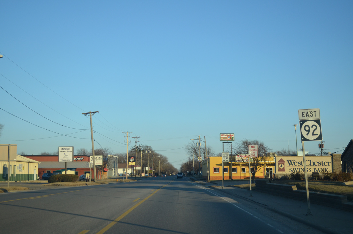
Madison Street expands to a three-lane boulevard between Iowa 1 south and 2nd Street. Businesses line the street both at IA 1 and south of the city center.
12/31/14
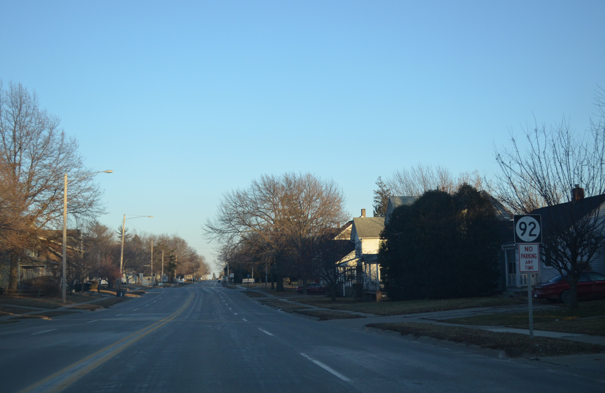
Iowa 92 (Madison Street) bisects a residential area from Avenue G to Avenue B. This shield stands at Avenue F.
12/31/14
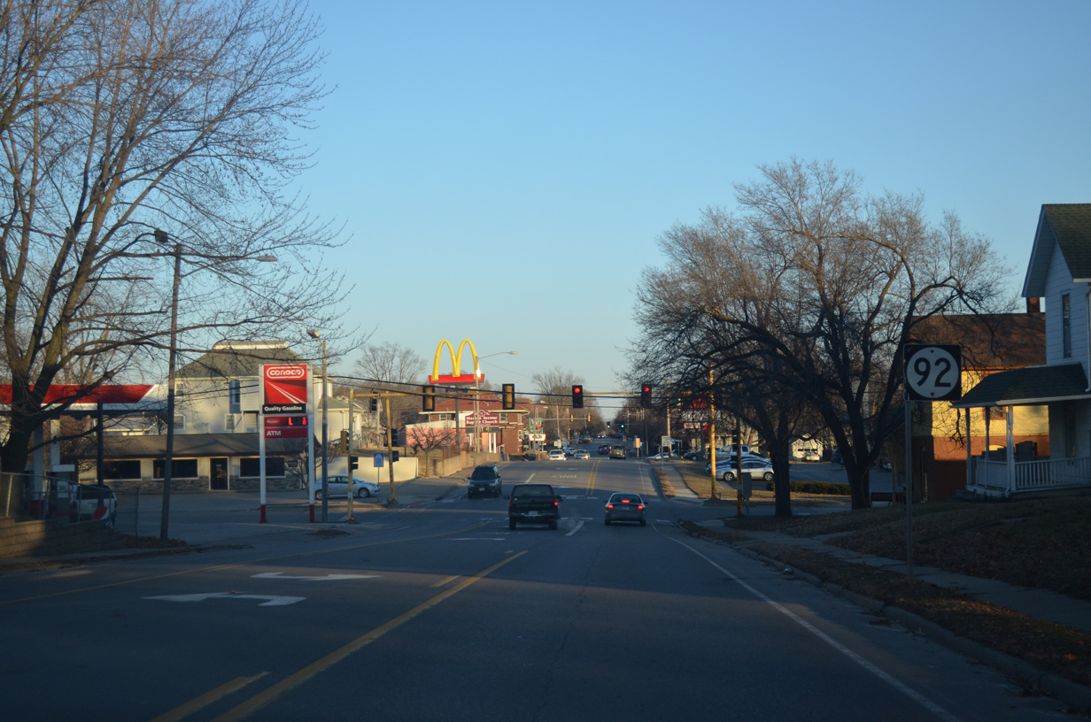
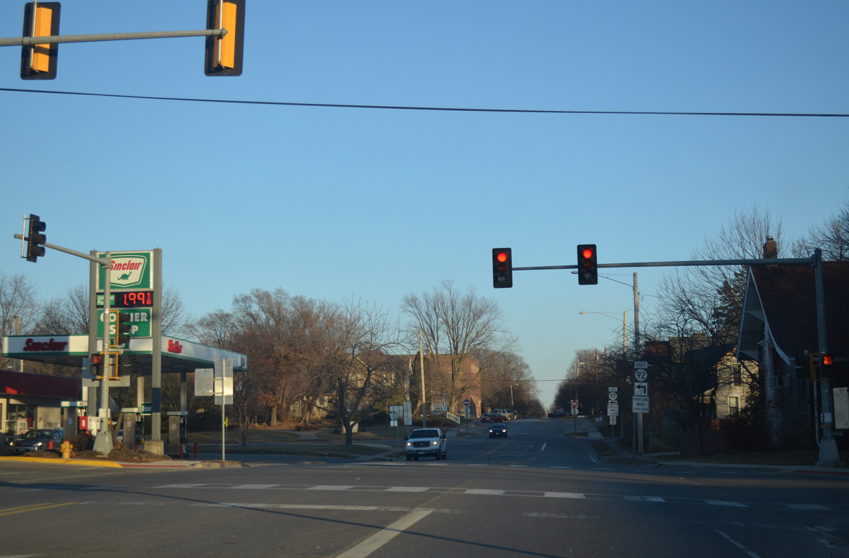
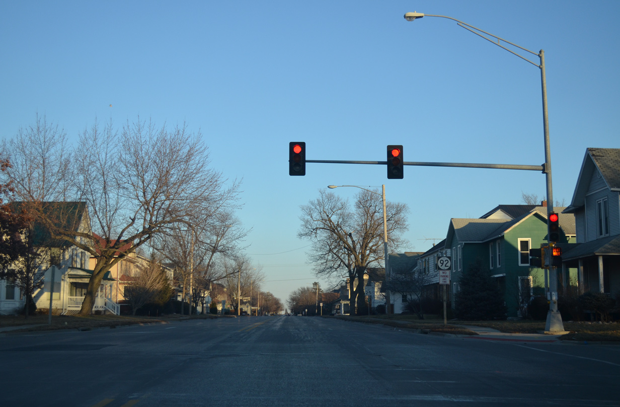
The traffic light at Avenue B in Washington is the first signal along Iowa 92 east in 51.4 miles since Oskaloosa. Avenue Blines the west side of Downtown northward.
12/31/14
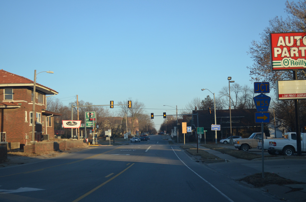
County Road W55 south from Iowa Avenue and Washington leads drivers to Wayland, Trenton and U.S. 34 west of Mount Pleasant.
12/31/14
Marion Avenue continues north from Iowa 92 through the heart of Downtown Washington.
12/31/14
Iowa 92 turns north from Madison Street onto 2nd Avenue in one block.
12/31/14
Madison Street becomes a one way street west from 4th to 2nd Avenues by a middle school as Iowa 92 turns north for two blocks.
12/31/14
Approaching Washington Street along Iowa 92 (2nd Avenue) north.
12/31/14
Washington Street provides on-street parking on the three blocks west through Downtown. East of 2nd Avenue, the street carries four lanes as Iowa 92 to the east city line.
12/31/14
Eastbound Iowa 92 (Washington Street) intersects 4th Avenue at this traffic light.
12/31/14
A five block residential stretch takes Iowa 92 east to 11th Avenue. This shield appears along Washington Street after 7th Avenue.
12/31/14
A lane drop occurs along Iowa 92 east after Airport Road. Airport Road (County Road W61) heads south from Washington Street to Washington Municipal Airport (AWG).
12/31/14
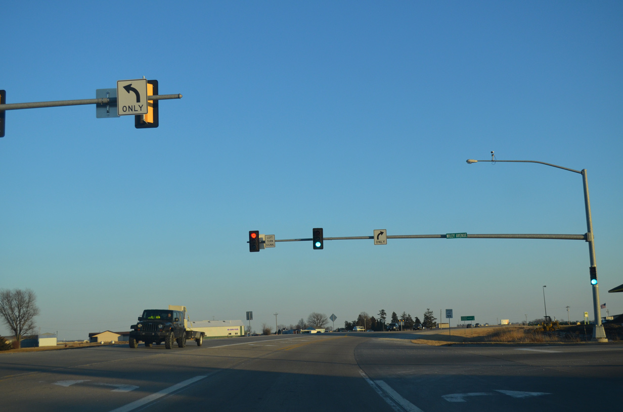
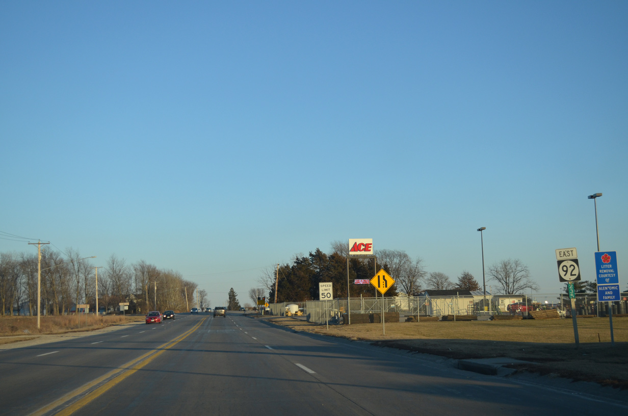
Wiley Avenue and 247th Street come together at Iowa 92 by a Wal-mart.
12/31/14
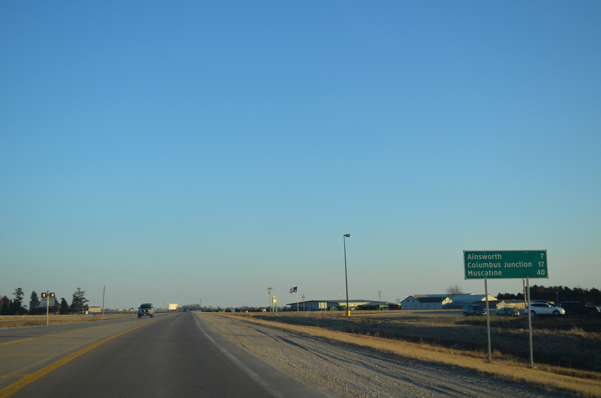
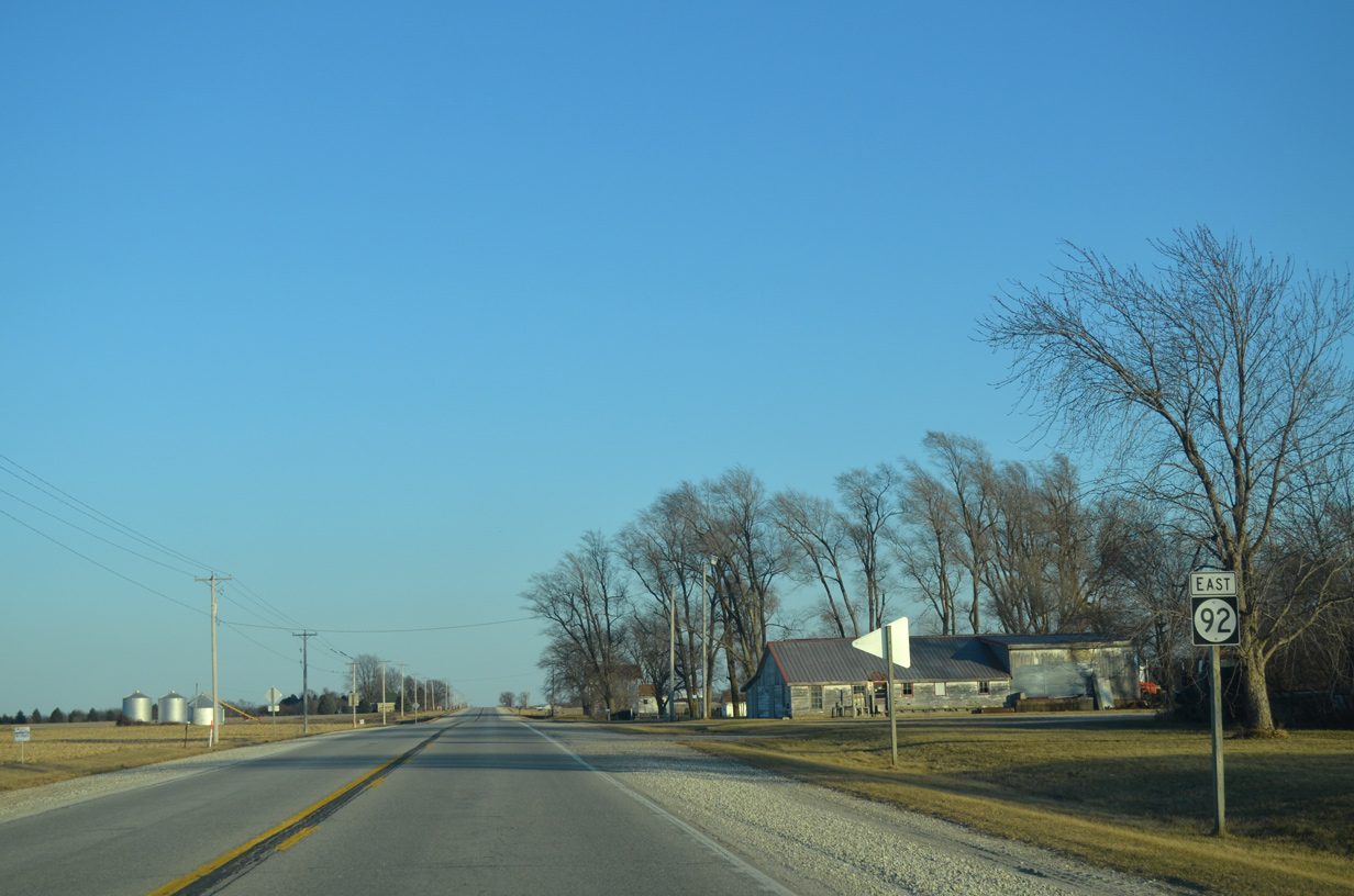
Traveling east beyond Washington, Iowa 92 progresses seven miles to Ainsworth and 40 miles to Muscatine.
12/31/14
County Road G6W follows Spruce Avenue south to 305th Street east to Crawfordville from Iowa 92 by this reassurance marker.
12/31/14
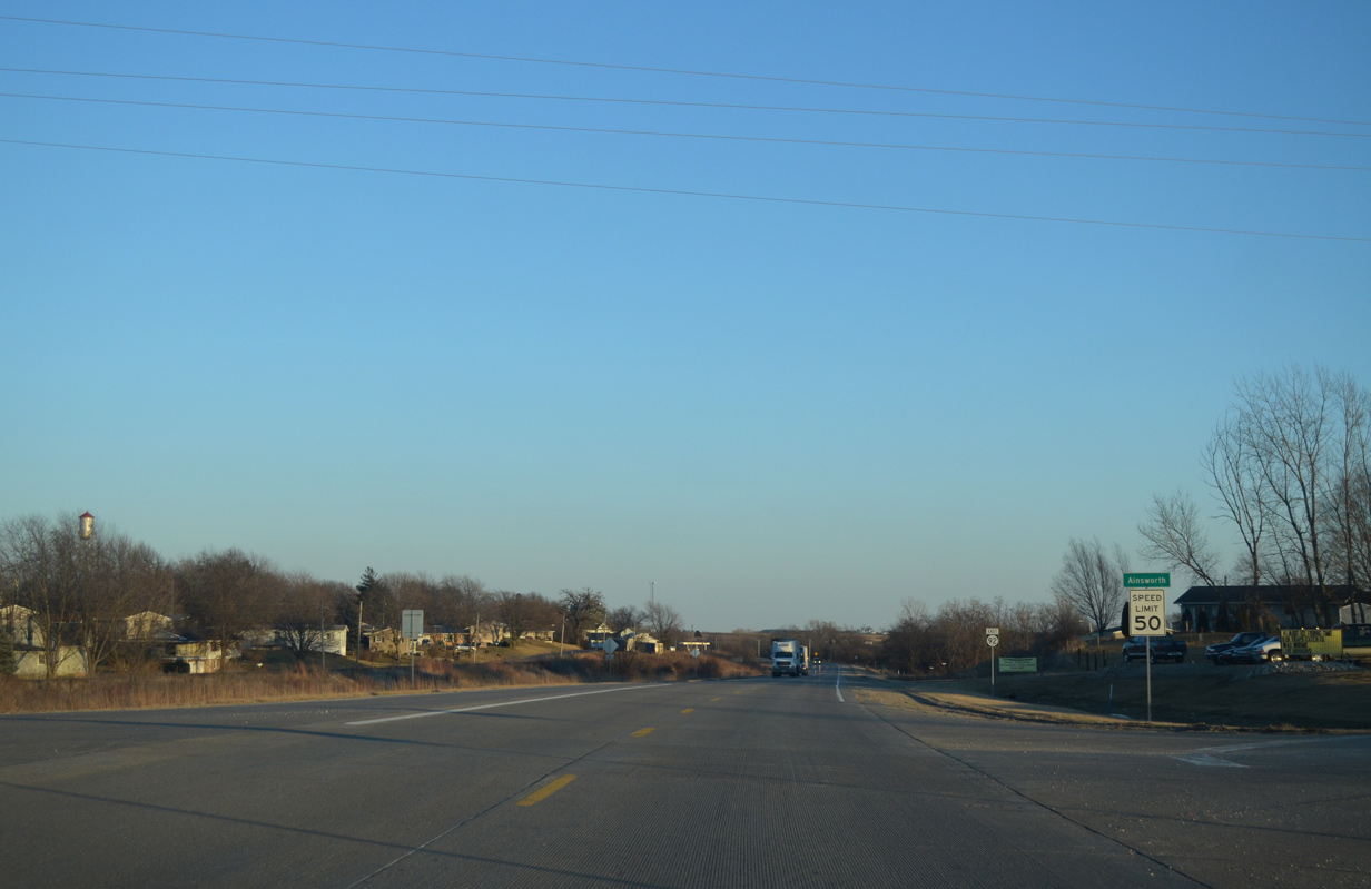
Iowa 92 enters the city of Ainsworth at Underwood Avenue / Old Military Road.
12/31/14
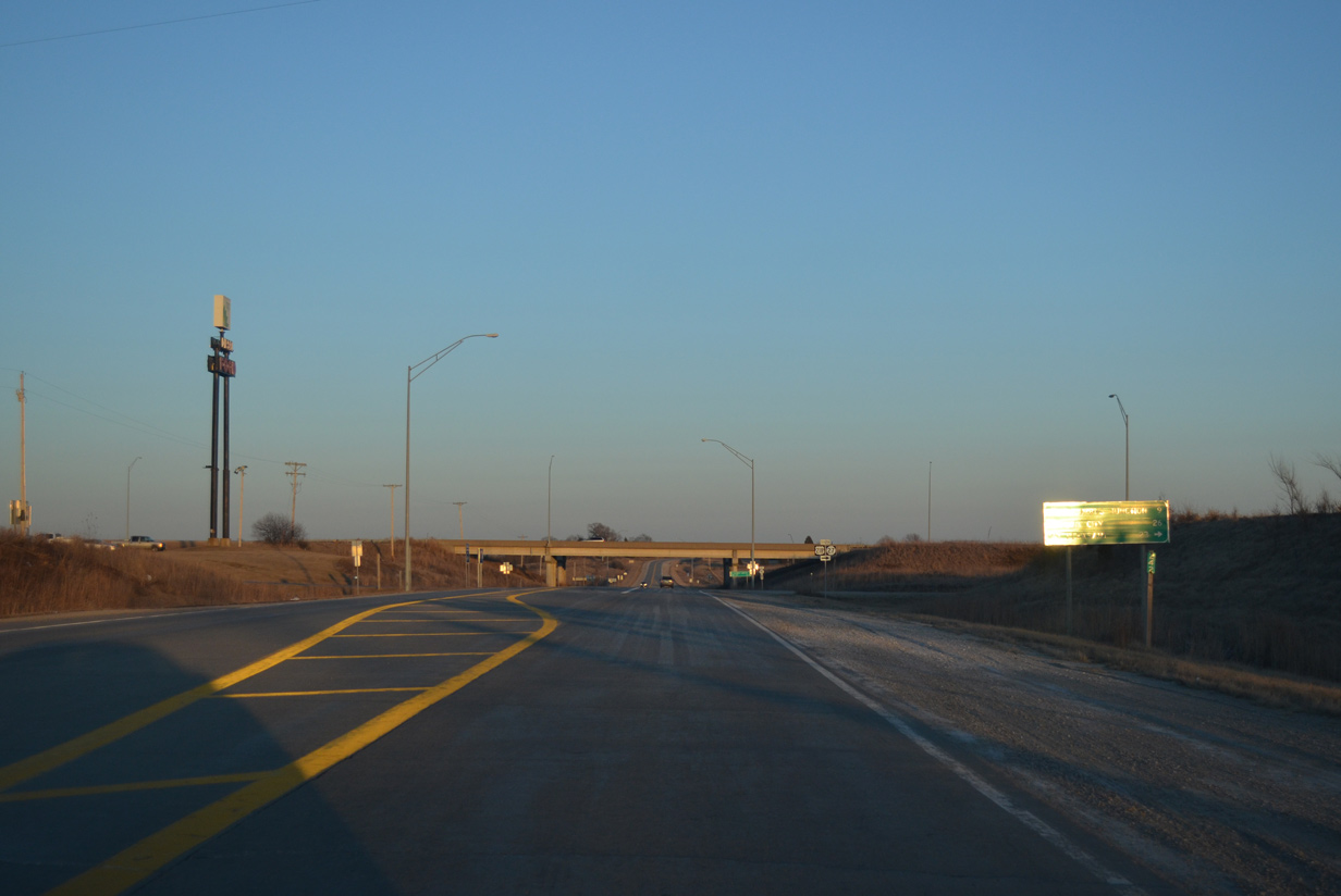
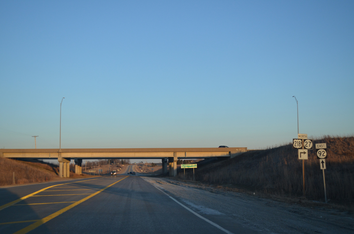
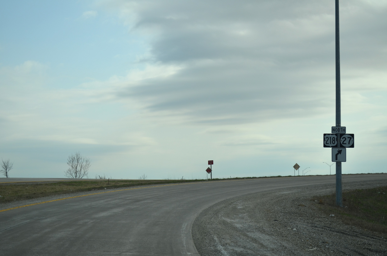
East of Ainsworth, Iowa 92 crosses paths with U.S. 218/Iowa 27 (Avenue of the Saints) at a folded diamond interchange.
12/31/14
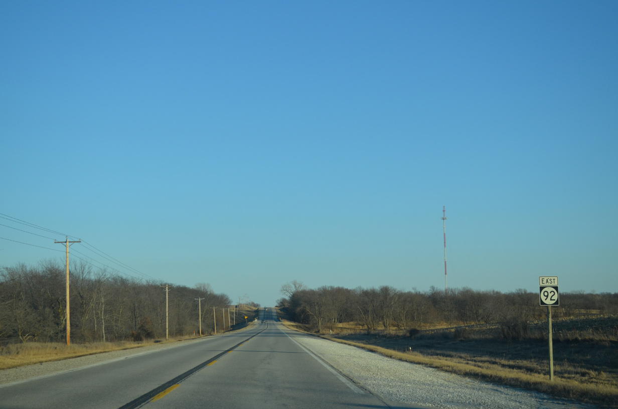
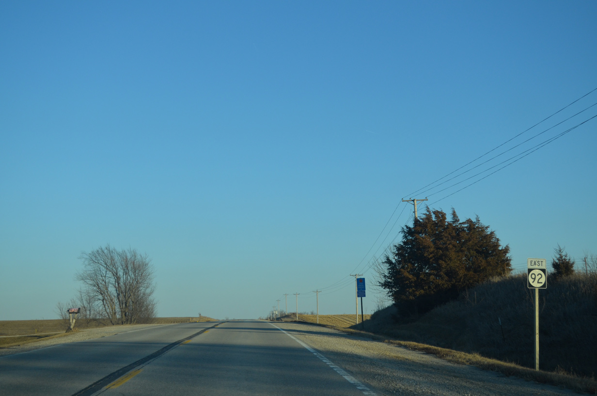
Iowa 92 proceeds nine miles east from U.S. 218/Iowa 27 to Columbus Junction.
12/31/14
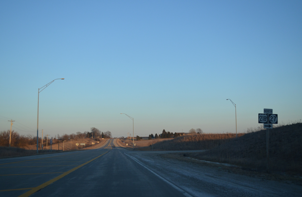
A loop ramp takes drivers from Iowa 92 east onto U.S. 218/Iowa 27 north for the 26 mile drive to Iowa City.
12/31/14
03/30/16

 South
South  East
East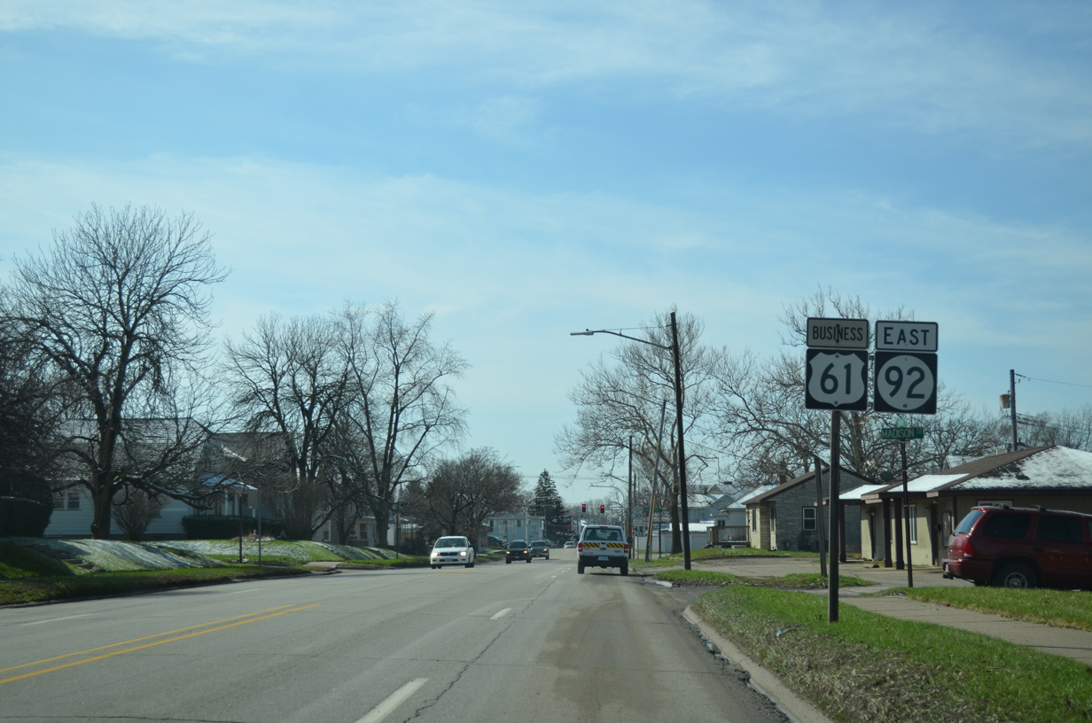
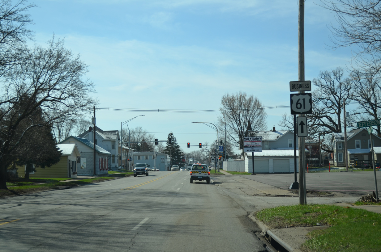
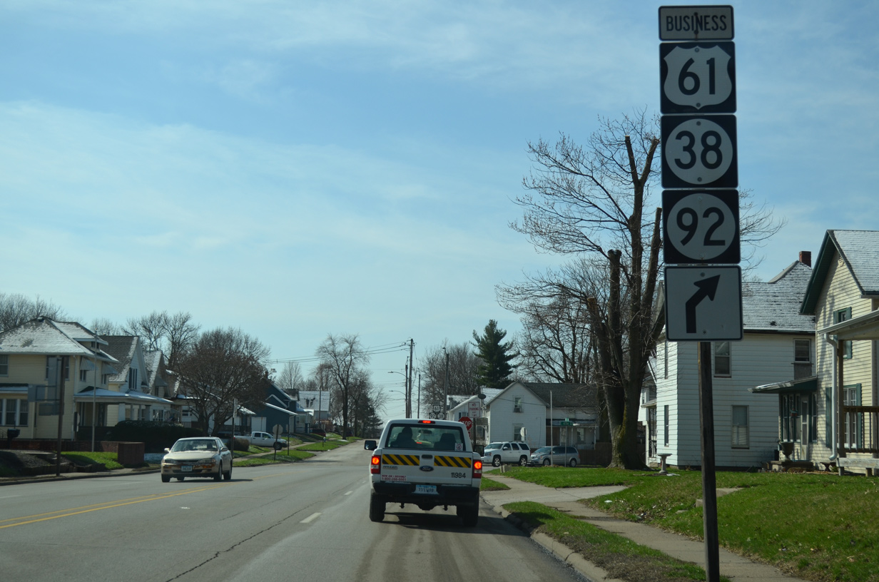
U.S. 61 Business/Iowa 22-38-92 (Park Avenue) south at Madison Street in Muscatine. The four routes overlap 1.3 miles south from U.S. 61 to Washington Street.
03/25/16
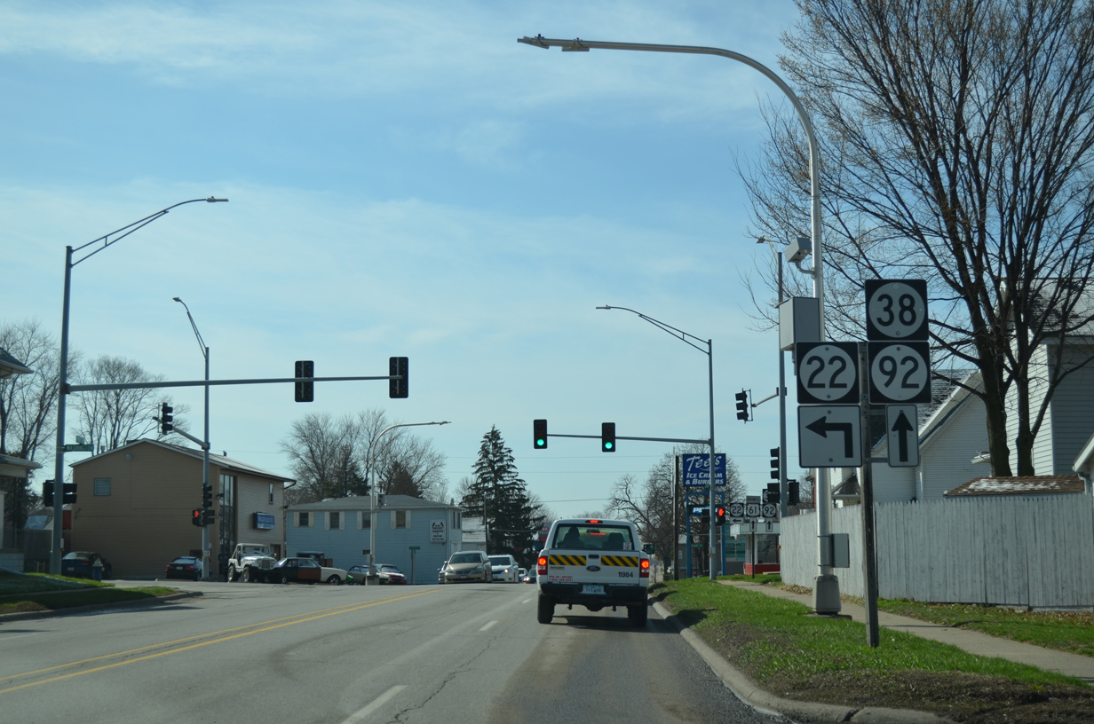
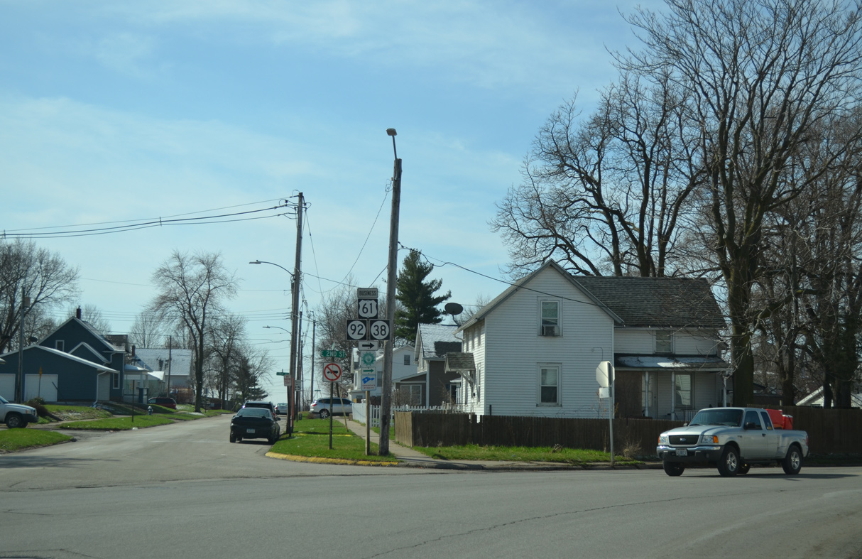
One block ahead of the eastbound split of Iowa 22 from U.S. 61 Business/Iowa 38-92 (Park Avenue) south.
03/25/16
Iowa 22 resumes an eastward course along Washington Street, continuing from Muscatine along the Mississippi River to Fairport, Montpeliere and Buffalo in Scott County.
03/25/16
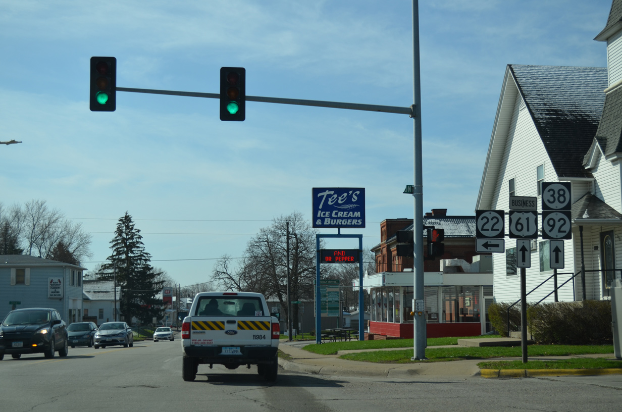
U.S. 61 Business/Iowa 38-92 remain south on Park Avenue to E 2nd Street. Iowa 22 ends 23 miles to the east at Davenport while Iowa 38 ends in 0.75 miles at the Beckey Bridge approach taking MSR 92 into Illinois.
03/25/16
South East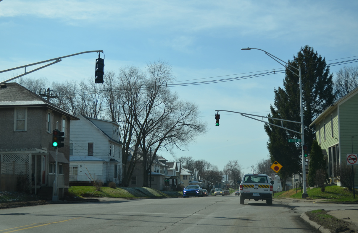
Truss arm traffic lights operate at a residential area of Park Avenue south at E 5th Street.
03/25/16
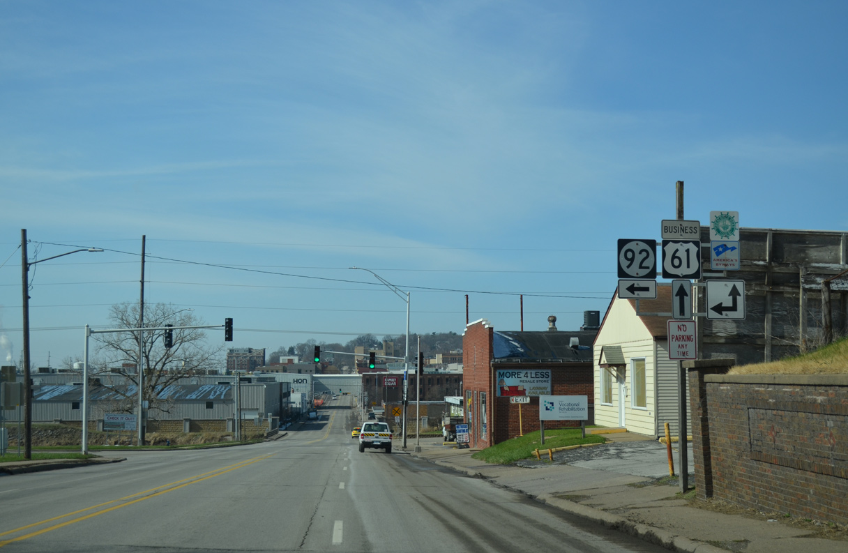
U.S. 61 Business/Iowa 38-92 angle southwest from Park Avenue along E 2nd Street toward the Beckey Bridge and Downtown Muscatine.
03/25/16
Park Avenue extends a short distance south to Mississippi Drive as U.S. 61 Business/Iowa 38-92 make a seamless curve onto East 2nd Street.
03/25/16

The last southbound Iowa 38 reassurance marker appears on this assembly between Park Avenue and Parmalee Street.
03/25/16
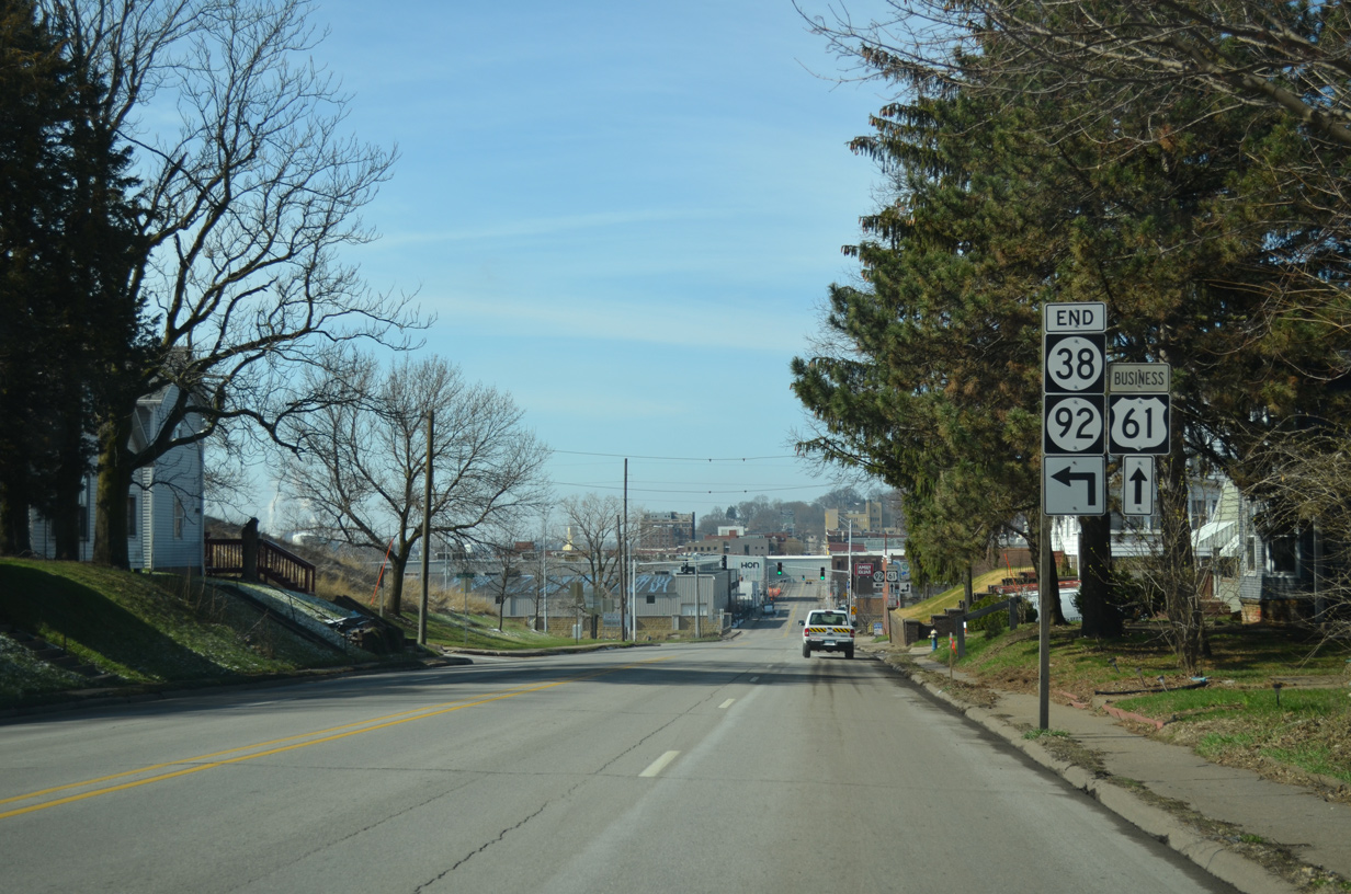
Iowa 38 ends as Iowa 92 branches away from U.S. 61 Business (E 2nd Street) onto the Norbert F. Beckey Bridge approach.
03/25/16
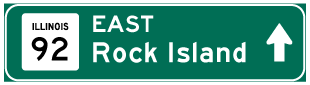
U.S. 61 Business continues along E 2nd Street across Mad Creek to Mulberry Avenue and Downtown Muscatine. Iowa 92 spans the Mississippi River east en route to Illinois City and Andalusia, Illinois.
03/25/16
East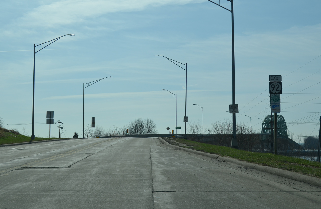
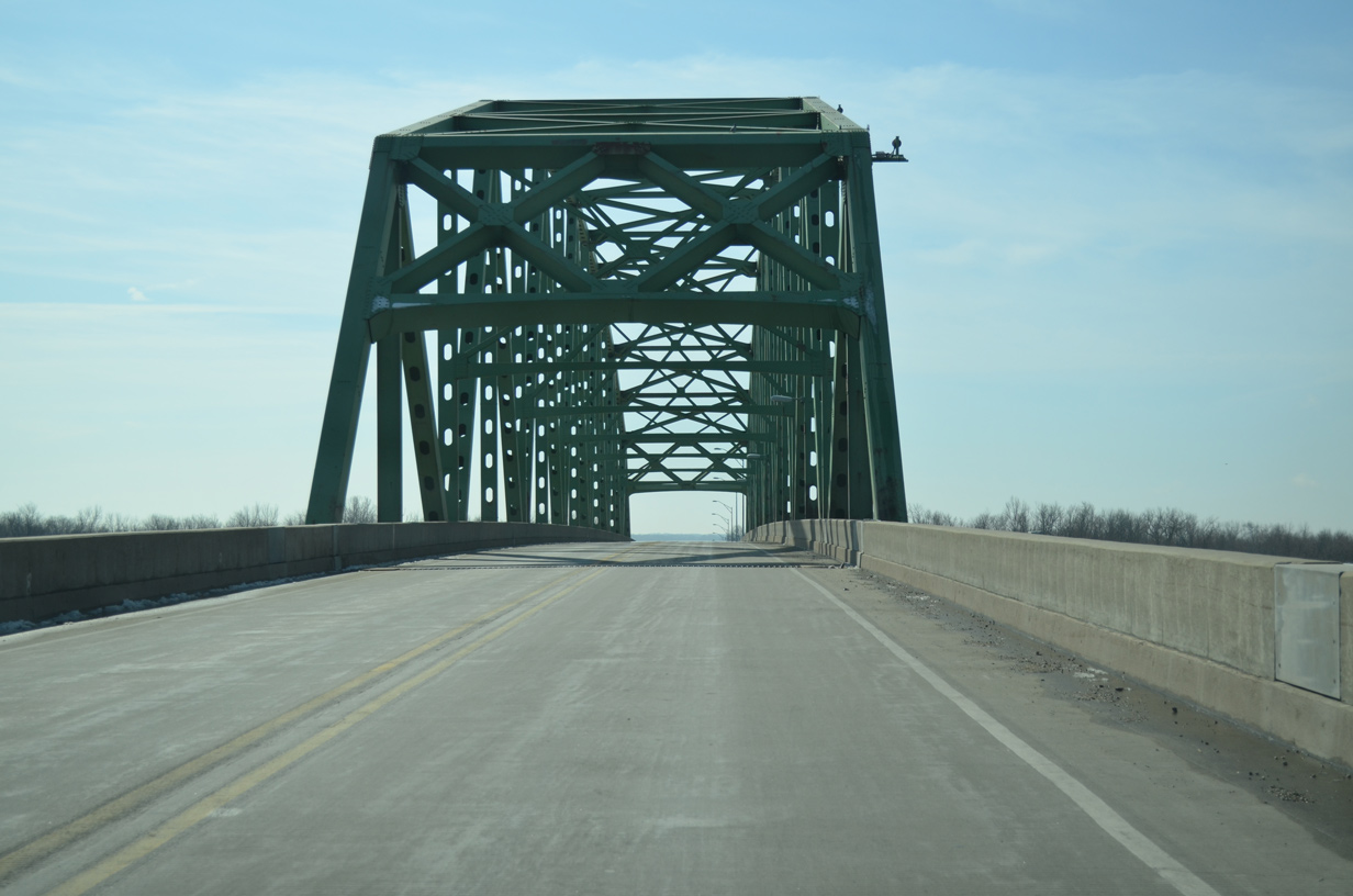
The Beckey Bridge comes into view beyond the final confirming marker for Iowa 92 east.
03/25/16
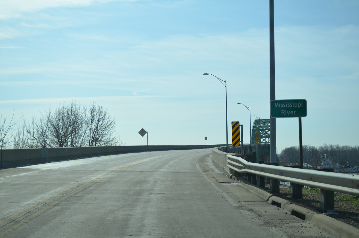
Norbert F. Beckey Bridge across the Mississippi River was tolled until 1987, when the state finished paying off construction costs for the span.1
03/25/16
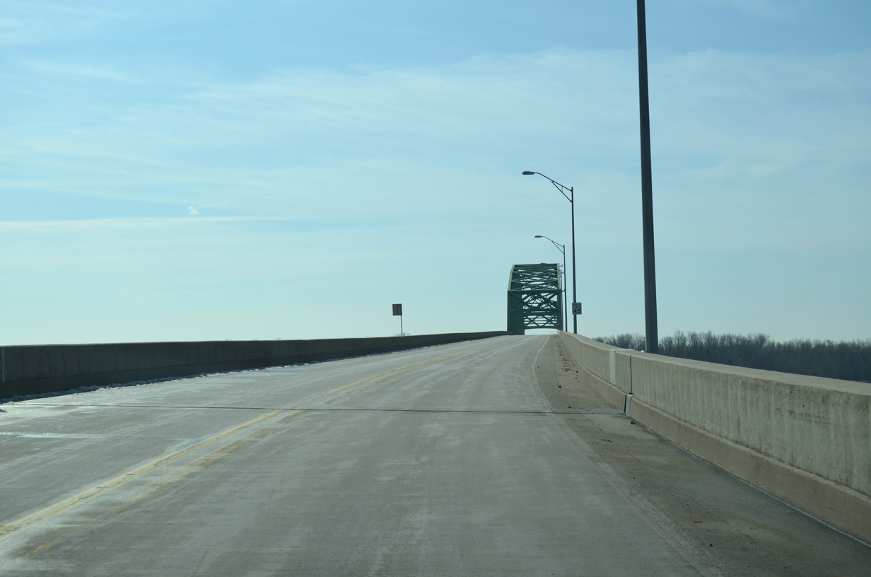
Opened to traffic on December 8, 1972, the Beckey Bridge replaced the narrow Muscatine High Bridge, a span built in 1891 as a privately owned toll bridge.1
03/25/16
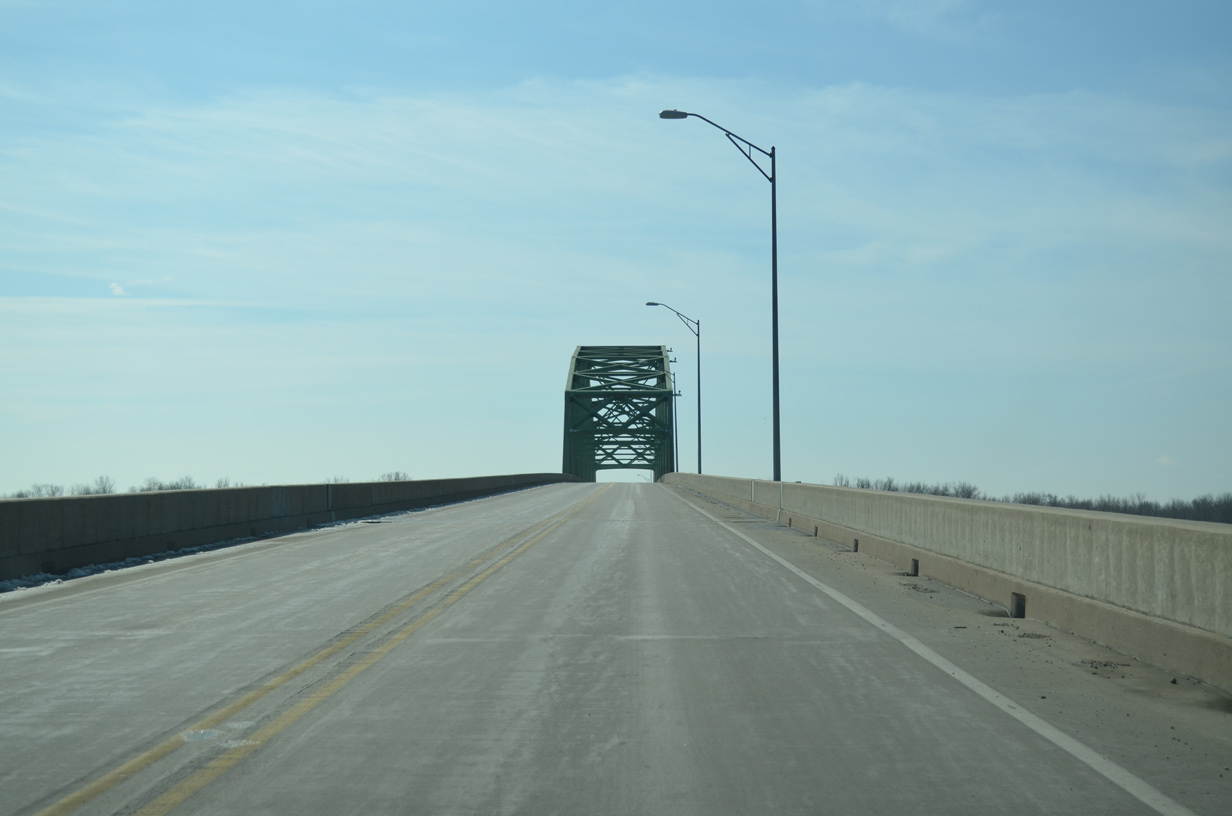
Iowa 92 ascends to a height of 64 feet above the Mississippi River on the 3,018 feet long steel truss through deck bridge.2
03/25/16
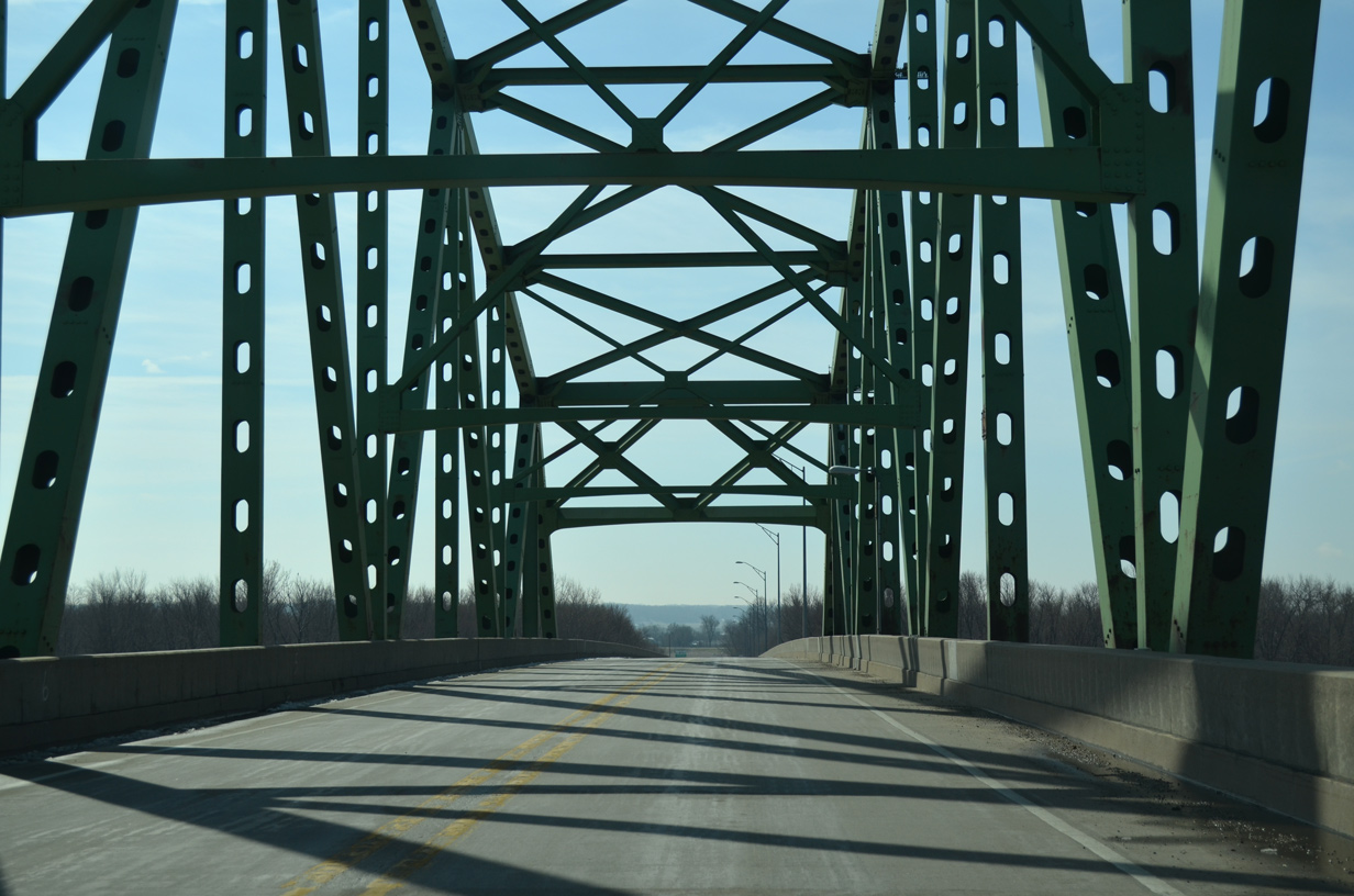
The Illinois state line lies just beyond the superstructure of the Beckey Bridge. The span honors Norbert Beckey (1921-81), a chairman of the Muscatine Bridge Commission that oversaw repair of the previous High Bridge and advanced efforts for its replacement.1
03/25/16

References:
- "Spanning the decades: The Norbert F. Beckey bridge has brought 2 states together for over 40 years." Muscatine Journal (IA), September 9, 2014.
- Norbert F. Beckey Bridge. John A. Weeks III.
Photo Credits:
- Alex Nitzman, Bill Gatchel, Scott Onson: 12/31/14
- Alex Nitzman: 03/30/16
- Alex Nitzman, Bill Gatchel: 03/25/16
Connect with:
Page Updated Friday May 18, 2018.