
Route 9
Missouri Route 9 follows a winding course 14.275 miles north from Downtown Kansas City to Platte Ridge in northwest Kansas City. The state highway extends north from Locust Street and Admiral Boulevard and an exchange with I-35/70-U.S. 24/40 between the River Market and Columbus Park neighborhoods. Spanning the Missouri River across the Heart of America Bridge, Route 9 enters North Kansas City beyond the Harlem neighborhood in Kansas City.
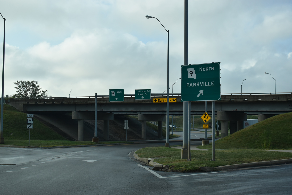
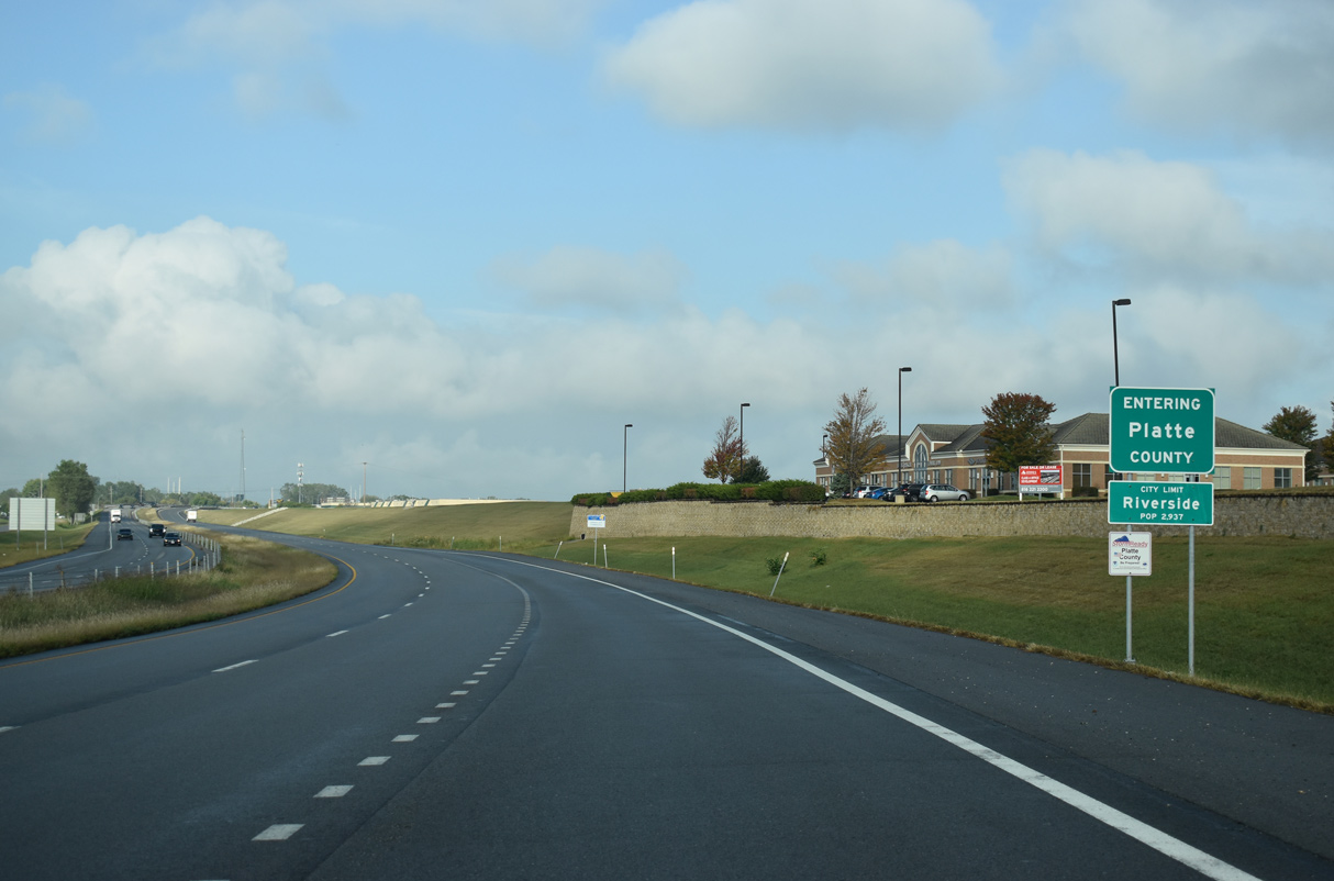
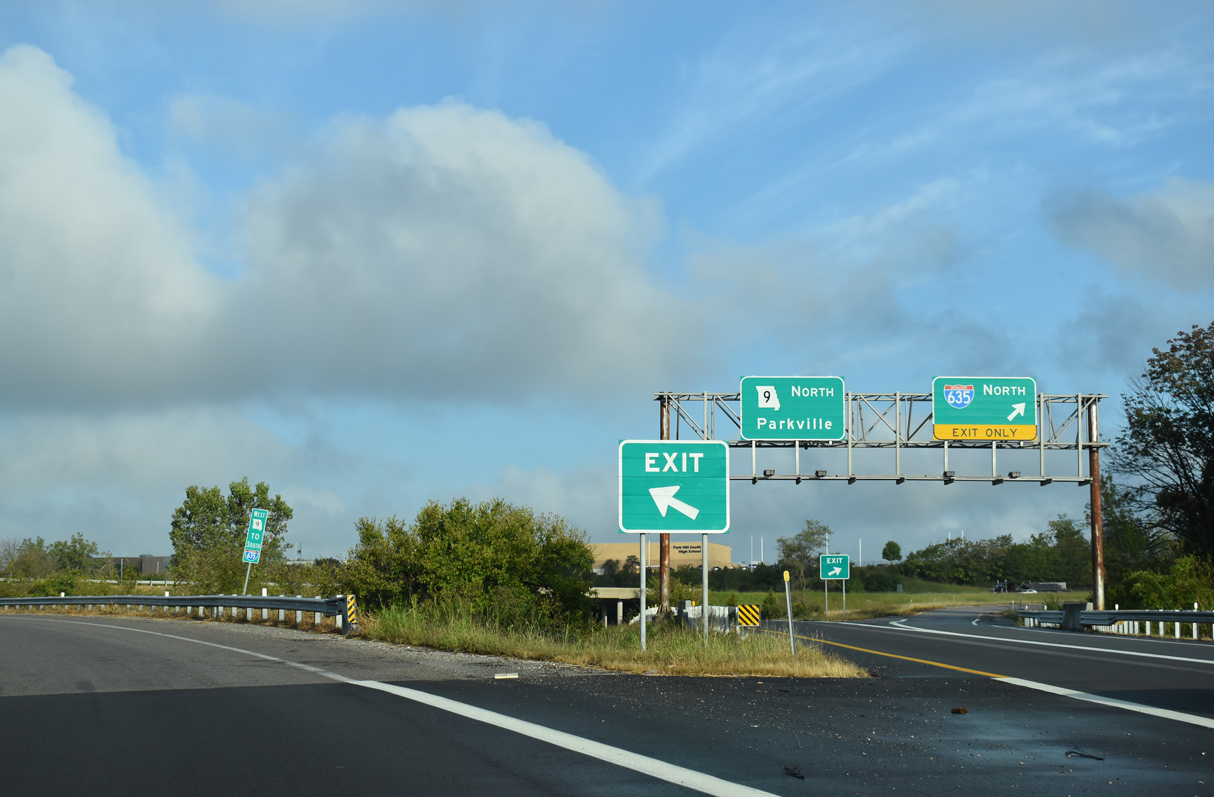
Lining Burlington Street, Route 9 passes through an area of warehouses and industrial businesses in North Kansas City. Turning west at N Oak Traffic Way (former Route 283), Route 9 upgrades to an expressway between the parallel Missouri River and Briarcliff and Claymont neighborhood. A short freeway takes Route 9 west from U.S. 169 to U.S. 69/I-635 in the city of Riverside.
The exchange joining Route 9 with Briarcliff Parkway was reconfigured into a dumbbell interchange as part of $9.5 million in construction partially funded by the American Recovery and Reinvestment Act (ARRA). The notice to proceed for the project was granted in December 2009 and construction continued throughout 2010.1
Beyond I-635 and a 0.43 mile long overlap with U.S. 69, Route 9 transitions to an at-grade arterial along NW River Park Drive. Continuing west from the Platte Valley Industrial Center, Route 9 parallels a BNSF Railroad to East Street in the city of Parkville. The state highway advances north to a commercial area at Route 45 (NW 64th Street) and northeast along the Kansas City line at the Royal Oaks North neighborhood to the city of Platte Woods at NW 72nd Street. Route 9 concludes at the diamond interchange (Exit 8) joining Barry Road with I-29/U.S. 71.
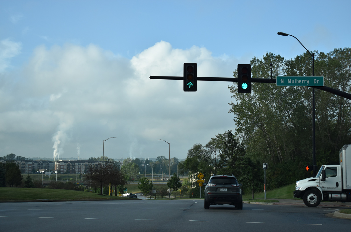
Briarcliff Parkway connects the freeway along U.S. 169 southbound with Route 9 north in Riverside. Briarcliff Parkway intersects Mulberry Drive between the two exchanges.
10/07/21
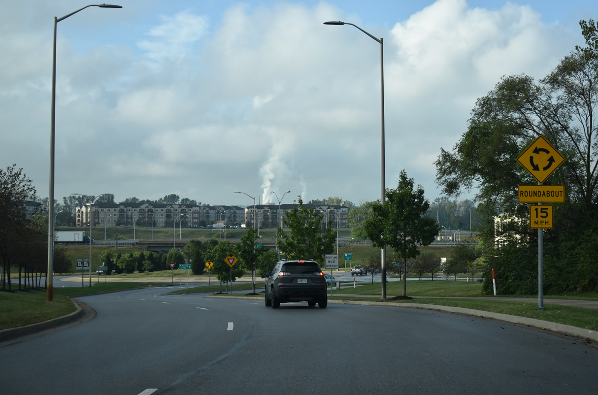
A roundabout joins Briarcliff Parkway south with NW Platte Drive and the northbound entrance ramp to Route 9.
10/07/21

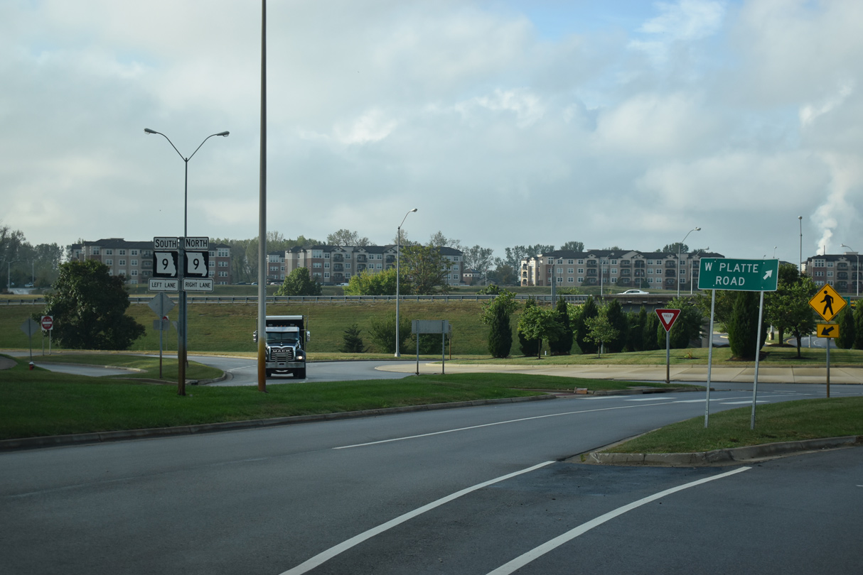
Platte Drive parallels the freeway along Route 9 to the north from NW Gateway Avenue east to the dumbbell interchange with Briarcliff Parkway.
10/07/21
Route 9 follows a freeway west from U.S. 169 to I-635 in Riverside. The state highway continues along the Missouri River to Parkville.
10/07/21
Route 9 curves west from Briarcliff Parkway into Platte County and the city of Riverside.
10/07/21
 South
South 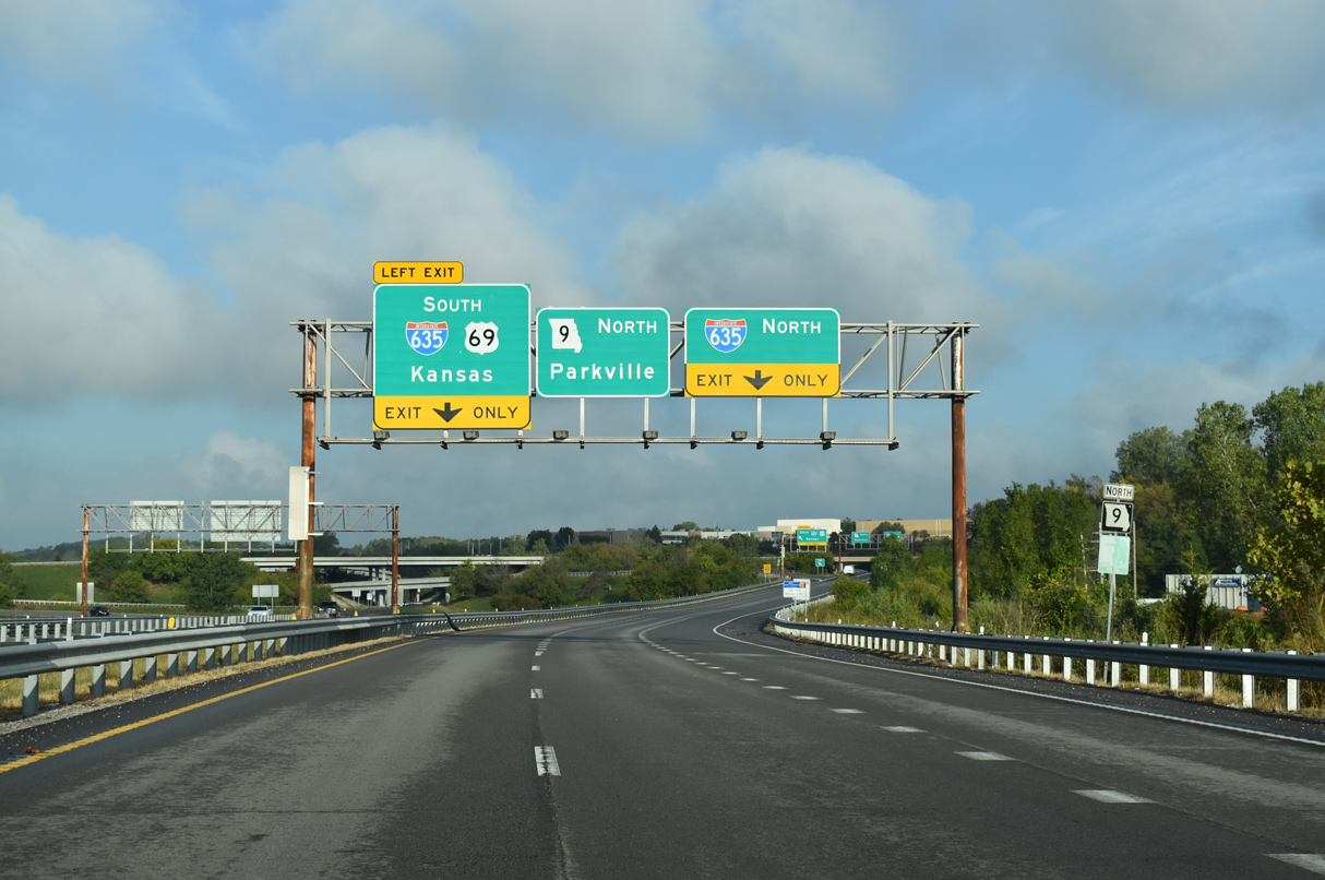
U.S. 69 southbound combines with Route 9 north from Riverway Boulevard just ahead of the cloverstack interchange with Interstate 635.
10/07/21
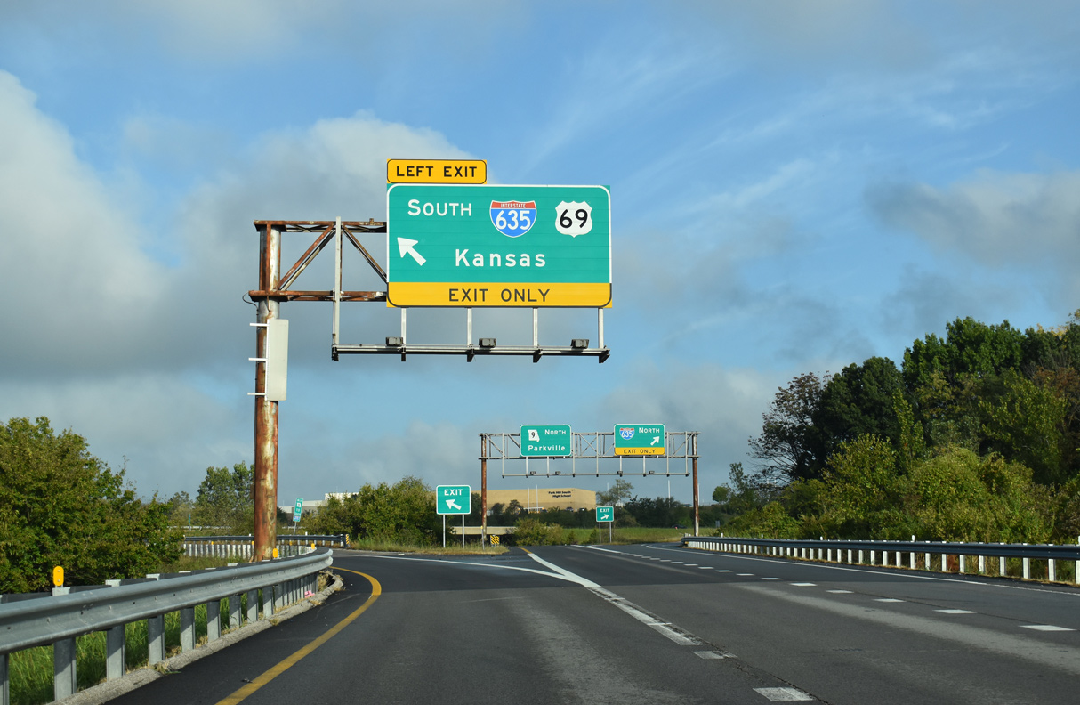
U.S. 69 briefly overlaps with I-635 before branching south into Kansas City, Kansas. I-635 continues west to Horizons Parkway before curving south into the Sunflower State.
10/07/21
I-635 concludes 1.24 miles north of the entrance ramp from Route 9 northbound at I-29/U.S. 71 by Houston Lake.
10/07/21
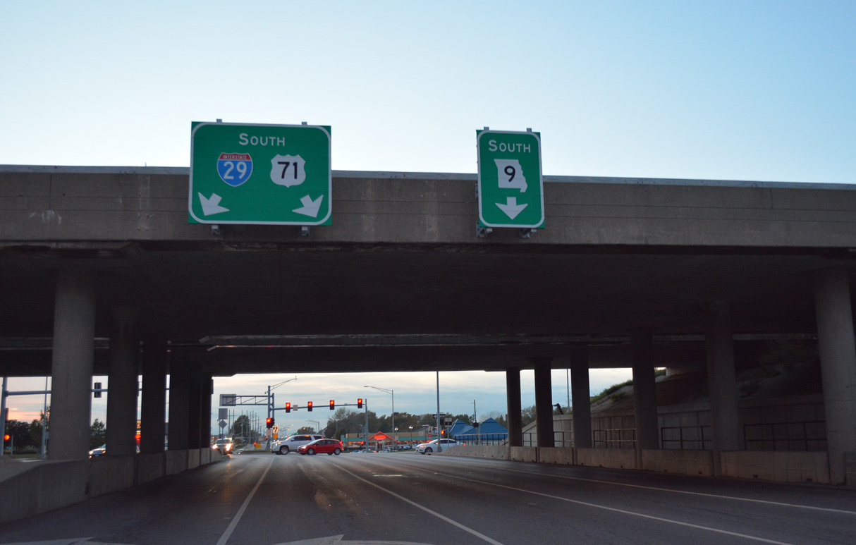
Route 9 commences south from Barry Road by the diamond interchange (Exit 8) joining the commercial arterial with I-29/U.S. 71.
10/30/16
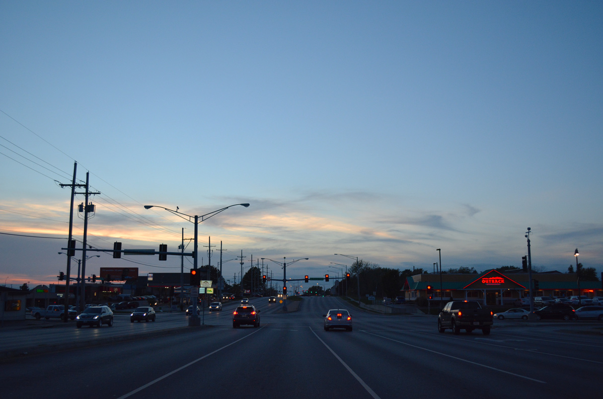
Route 9 curves southeast from Barry Road along Prairie View Road and parallels I-29/U.S. 71 to Platte Woods.
10/30/16
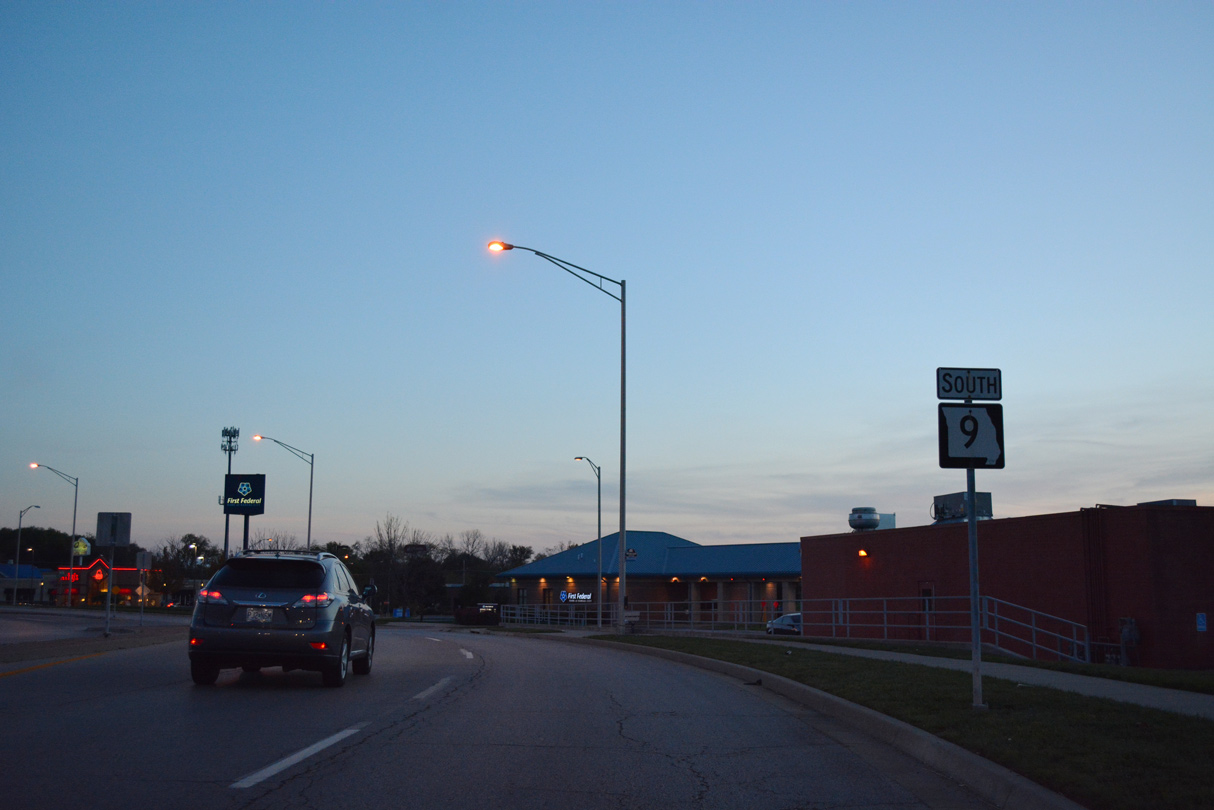
The first confirming marker for Route 9 stands along Prairie View Road south at NW 83rd Terrace.
10/30/16
References:
- "Improvements for Route 9 and Briarcliff Parkway." Missouri Department of Transportation (MoDOT), project hand out.
Photo Credits:
- ABRoads: 10/07/21
- Alex Nitzman, Richie Kennedy: 10/30/16
Connect with:
Page Updated Tuesday October 19, 2021.