
U.S. 69
Generally paralleling the Interstate 35 corridor north from Kansas City, U.S. 69 measures 121.72 miles in length within Missouri. U.S. 69 crosses the Missouri River from Kansas City, Kansas along the Fairfax Bridge. The 3.18 mile section through Platte County includes overlaps with I-635 and the Route 9 expressway through Riverside. Running alongside Interstate 29, U.S. 69 enters Clay County through Northmoor and Gladstone.
Proceeding east into Kansas City, U.S. 69 meets I-35 at Exit 11. The two converge again at Exit 13 in Pleasant Valley, where U.S. 69 combines with the freeway northward into Liberty. U.S. 69 branches east from I-35 at Exit 20 to Mosby and Excelsior Springs. Continuing north to Lawson and into Clinton County, U.S. 69 connects with I-35 again at Exit 48.
U.S. 69 travels through Cameron while I-35 runs through eastern reaches of the city. Business Loop I-35 combines with U.S. 69 through Downtown. Heading northeast into Daviess County, U.S. 69 crosses paths with I-35 east to Winston and again north en route to Pattonsburg. The two parallel each other northward from Bethany to Eagleville and the Iowa state line.
 scenes
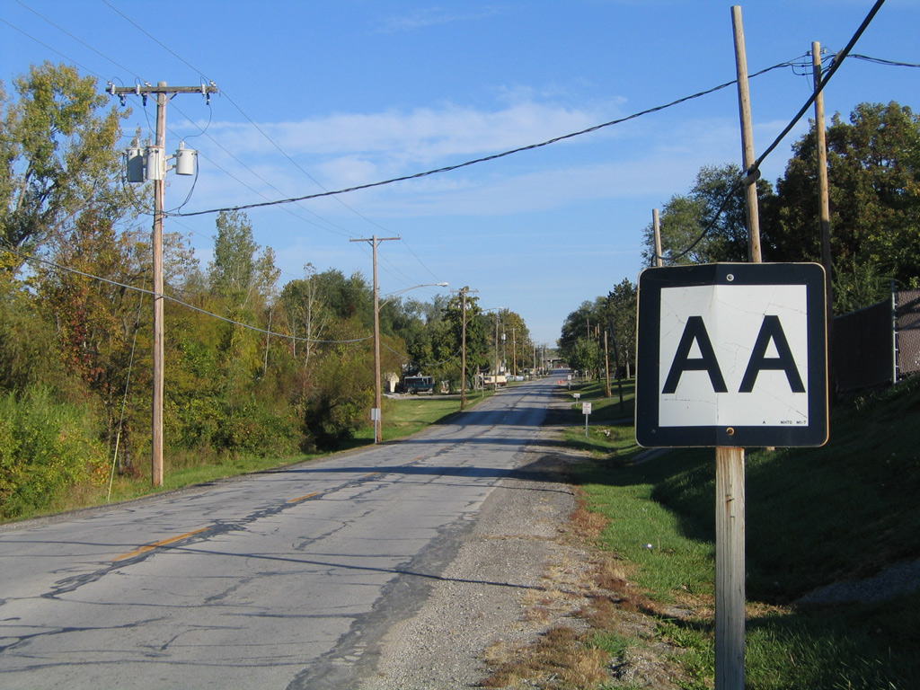
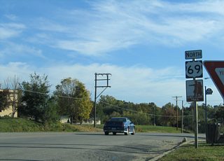
Confirming marker for Route AA posted north of U.S. 69 (Vivion Road) in Northmoor.
10/17/04
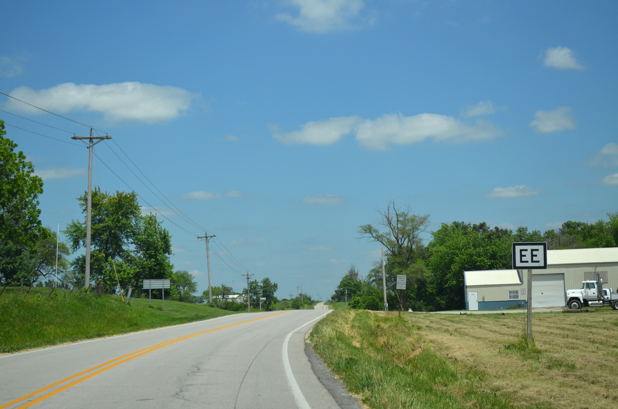
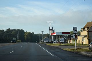
Route EE branches north from U.S. 69 outside the city of Cameron through eastern Dekalb County. This is the first confirming marker for the 10.69 mile long highway.
06/19/15
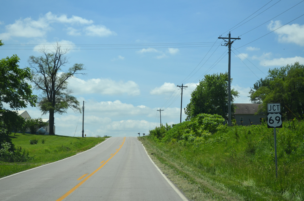
Approaching the south end of Route EE with U.S. 69 in Dekalb County.
06/19/15
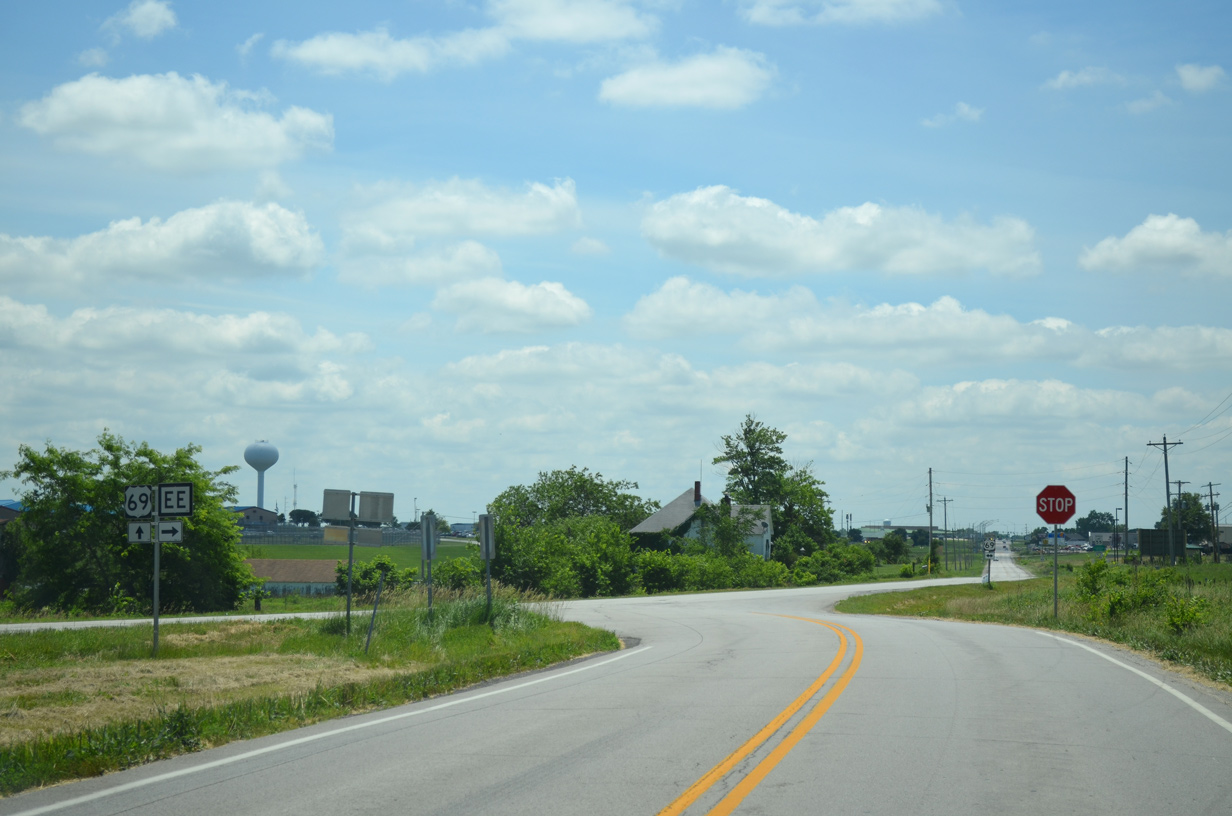
Shield assembly on U.S. 69 south for Route EE north.
06/19/15
Photo Credits:
- AARoads: 10/17/04
- ABRoads: 06/19/15
Connect with:
Page Updated Wednesday October 20, 2021.