
State Route 2

Ohio State Route 2 is a 227 mile long highway from Indiana State Road 37 west of Hicksville to U.S. 20 in Painesville Township. SR 2 joins the Williams County seat of Bryan and the Fulton County seat of Wauseon along a stair stepped course from U.S. 127 to U.S. 20A. Leading into the Toledo area, SR 2 joins Eugene F. Kranz-Toledo-Swanton International Airport (TOL) with Downtown along Airport Highway.
Continuing east from Toledo, SR 2 runs through Oregon to Lake Erie. Shifting south into Ottawa County, SR 2 upgrades to a limited access highway around Port Clinton and across Sandusky Bay. Bypassing the city of Sandusky to the south, the freeway meets U.S. 6 twice en route to Huron. The parallel routes advance east to Vermillion and Lorain.
SR 2 overlaps with Interstate 90 from Elyria east 18.10 miles to SR 254 (Detroit Road) at Rocky River. SR 2/254 combine 1.55 miles northeast to U.S. 6 (Clifton Boulevard). U.S. 6/SR 2 proceed east through the city of Lakewood, joining U.S. 20 to the Edgewater neighborhood in Cleveland.
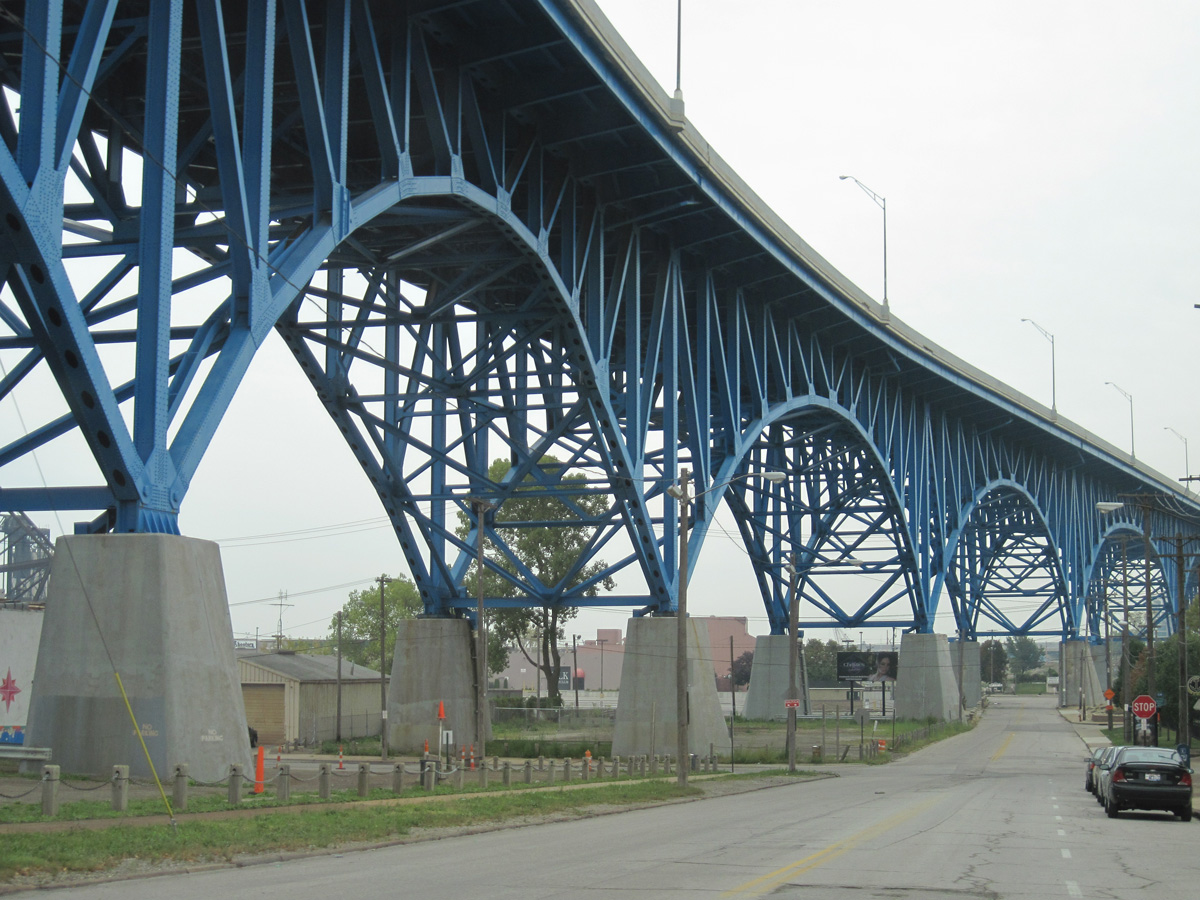
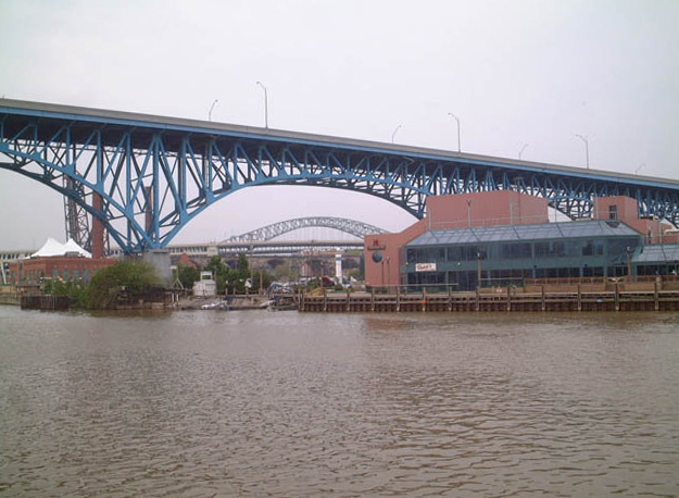
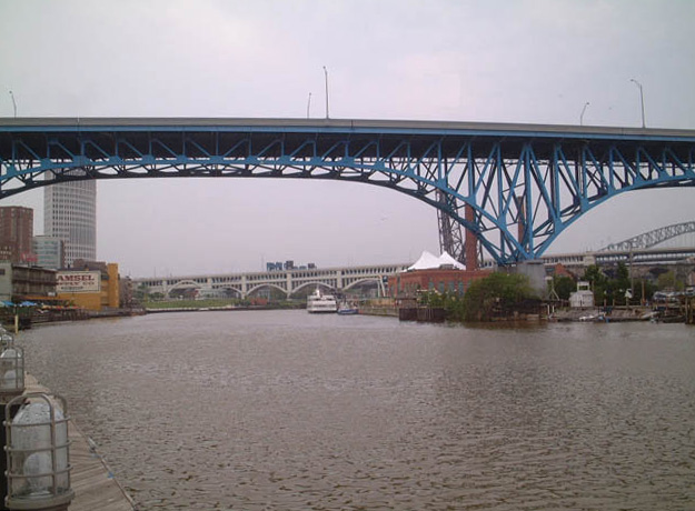
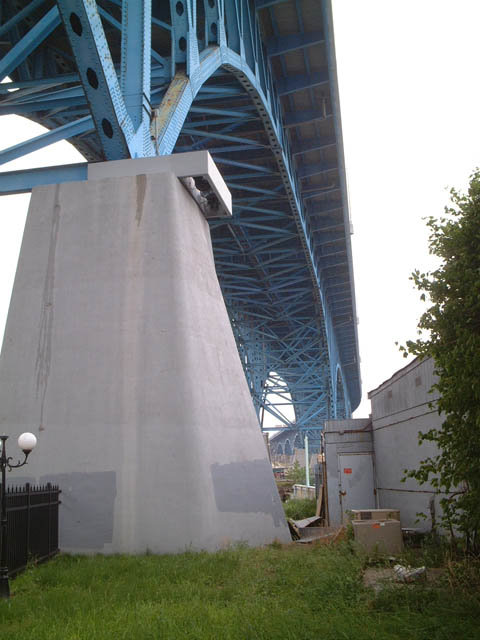
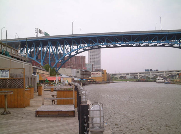
The Cleveland Memorial Shoreway leads SR 2 north of Downtown from Edgewater Park to West Flats, The Flats and Cleveland Burke Lakefront Airport (BKL). U.S. 6/20 accompany the freeway east to W 25th Street. The Cleveland Memorial Shoreway was originally planned as the route for Interstate 90. The western portion however was never constructed.
I-90/SR 2 combine again from the Goodrich/Kirtland Park neighborhood in Cleveland northeast to Euclid. SR 2 separates from Interstate 90 along the Lakeland Freeway from Wickliffe to Painesville in Lake County.
Ohio State Route 2 Guides
Cleveland Memorial Shoreway - East - 31 photos
Cleveland Memorial Shoreway - West - 26 photos
 scenes
Removed by 2018, this city-installed sign for SR 2 was posted along Winslow Avenue south at Elm Street in Ohio City, Cleveland.
09/30/10
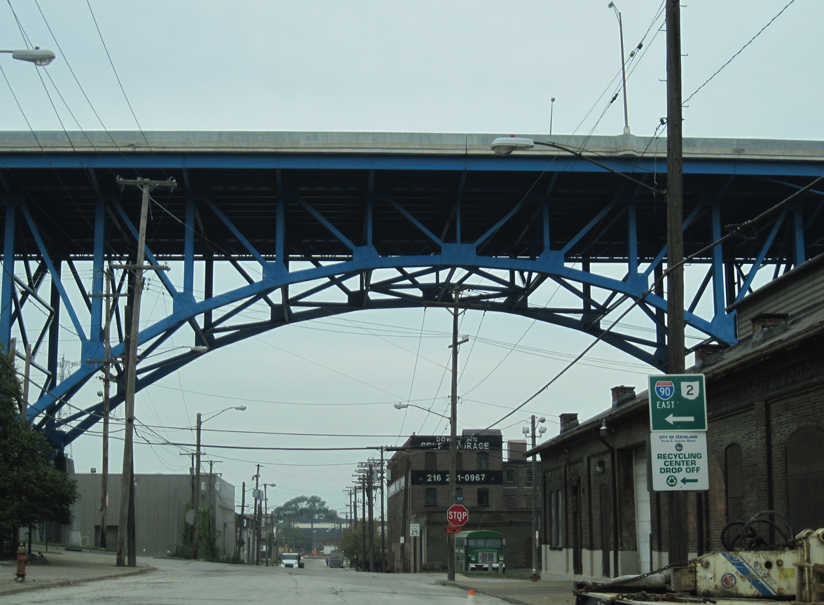
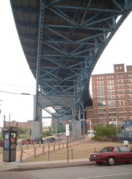
Center Street at Main Avenue below the Cleveland Memorial Shoreway.
09/30/10
Main Avenue parallels SR 2 (Cleveland Memorial Shoreway) south from the Cuyahoga River in Ohio City. The addition of a multi use trail in 2018/19 removed this sign assembly for SR 2 by Mulberry Avenue.
09/30/10

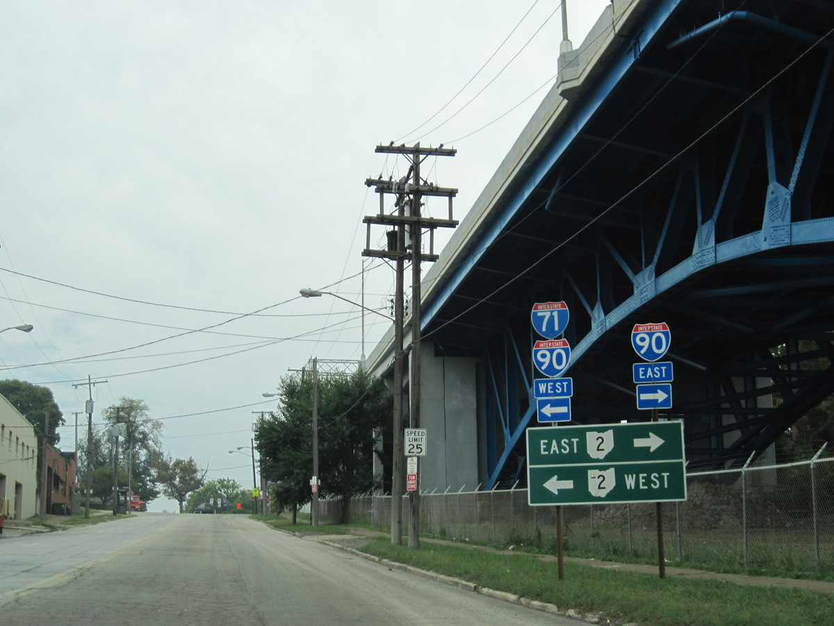
Main Avenue intersects W 25th Street one block north of the entrance ramp taking U.S. 6/20 westbound onto SR 2 (Cleveland Memorial Shoreway).
09/30/10
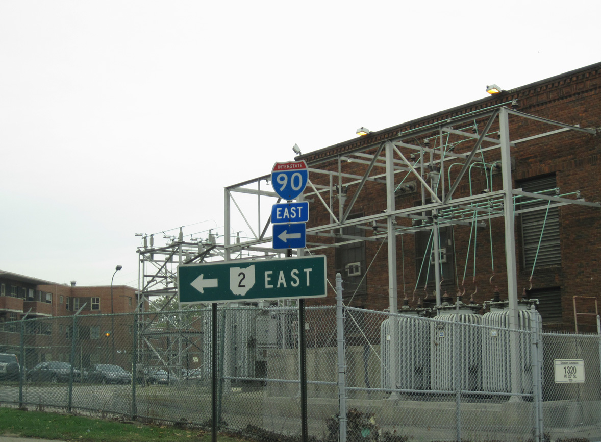
Washington Avenue parallels the north side of Cleveland Memorial Shoreway from W 25th Street to W 28th Street and the entrance ramp for SR 2 westbound.
09/30/10
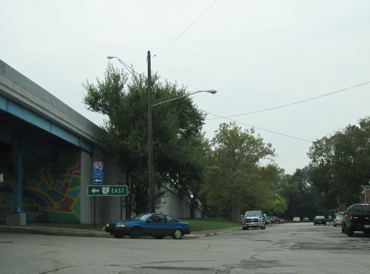
Washington Avenue west at W 28th Street. Signs referencing the adjacent entrance ramp were removed during construction of the Lakefront Bikeway.
09/30/10
Photo Credits:
- ABRoads: 09/30/10
Connect with:


Page Updated Monday March 25, 2024.