
Interstate 75

Interstate 75 runs across western Ohio from the Brent Spence Bridge spanning the Ohio River at Cincinnati to the Michigan state line just west of Maumee Bay and Lake Erie. 212 miles long in the Buckeye State, I-75 joins the Queen City with Dayton, Lima, Findlay and Toledo.
Interstate 75 Ohio Guides
North

Cincinnati to Sharonville - 67 photos
West Chester Township to Miamisburg - 28 photos
Miamisburg to Dayton - 43 photos
Vandalia to Piqua - 27 photos
Sidney - 11 photos
Lima to Bluffton - 6 photos
Findlay - 3 photos
Bowling Green to Perrysburg - 9 photos
Rossford to Toledo - 46 photos
South
Toledo to Rossford - 53 photos
Perrysburg to Bowling Green - 42 photos
Findlay to Bluffton - 43 photos
Beaverdam to Lima - 37 photos

Wapakoneta to Sidney - 40 photos
Piqua to Vandalia - 44 photos
Dayton to Miamisburg - 51 photos
Miamisburg to West Chester Township - 41 photos

Sharonville to Cincinnati - 52 photos
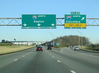
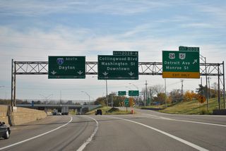
Within the Cincinnati area, I-75 enters Ohio overlapping with I-71 north from Covington, Kentucky. The two part ways at the north end of the Brent Spence Bridge, with I-71 turning east through Downtown and I-75 staying north through the West End and Camp Washington neighborhoods. I-75 continues through urban areas northeast to Sharonville, where it meets Interstate 275, the beltway encircling the Cincinnati area.
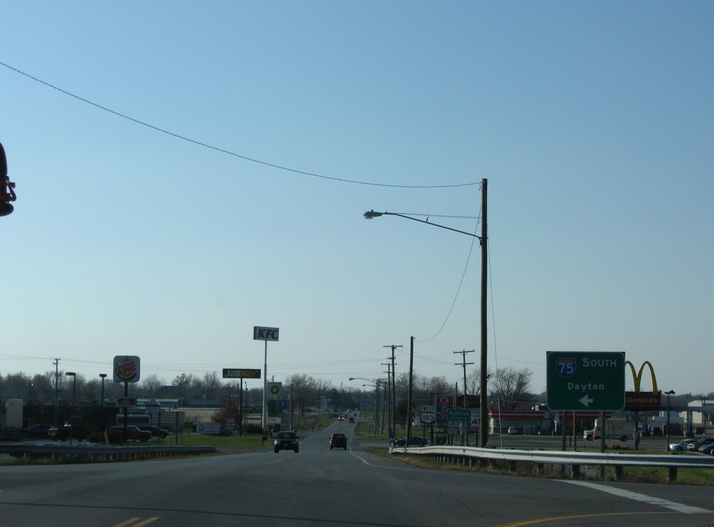
Continuing into Butler County and the north Cincinnati suburbs, very little of I-75 is rural en route to Dayton. I-75 leads directly to Downtown Dayton while I-675 bypasses the city and Kettering to the east. I-675 provides a more direct route to Wright Patterson Air Force base and I-70 east to Columbus. I-75 meets I-70 at Vandalia.
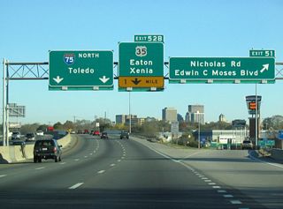
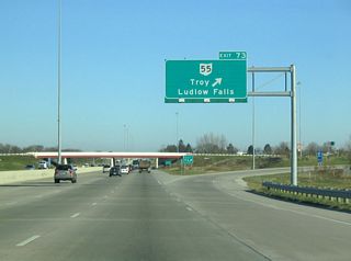
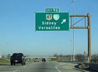
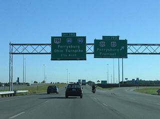
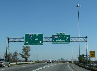
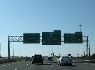
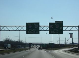
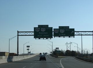
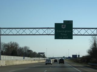
Leaving the Dayton area, Interstate 75 heads north to Troy, Piqua and Sidney, where Business Loops were once designated. I-75 shifts east around Lima and then northeast to Findlay. Directly overlaying portions of former U.S. 25, the freeway continues north to Bowling Green and into Perrysburg where I-475 branches west. I-475 encircles Toledo from Maumee north to U.S. 23 near Sylvania and east back to I-75 by Downtown. I-75 passes Downtown to the east before curving northeast to meet I-280 and cross the Michigan state line at Shoreland.
 scenes
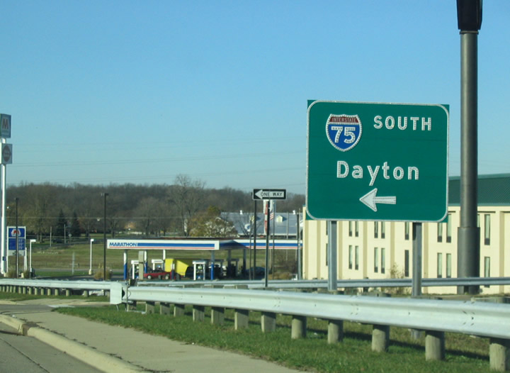
Fair Road west at Interstate 75 in the city of Sidney. The diamond interchange at Exit 90 was originally a parclo with a loop ramp from Fair Road west to I-75 south.
11/13/04
SR 696 (Lincoln Highway) links the expressway along U.S. 30 with I-75 at Beaverdam. SR 696 proceeds west from the diamond interchange at Exit 135 along Main Street into the village of Beaverdam.
11/13/04
SR 103 runs east along Jefferson Street from Main Street in Downtown Bluffton to the diamond interchange along Interstate 75 at Exit 142.
11/07/09
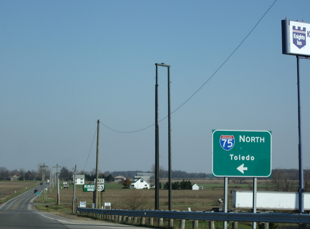
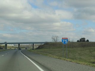
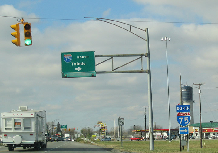
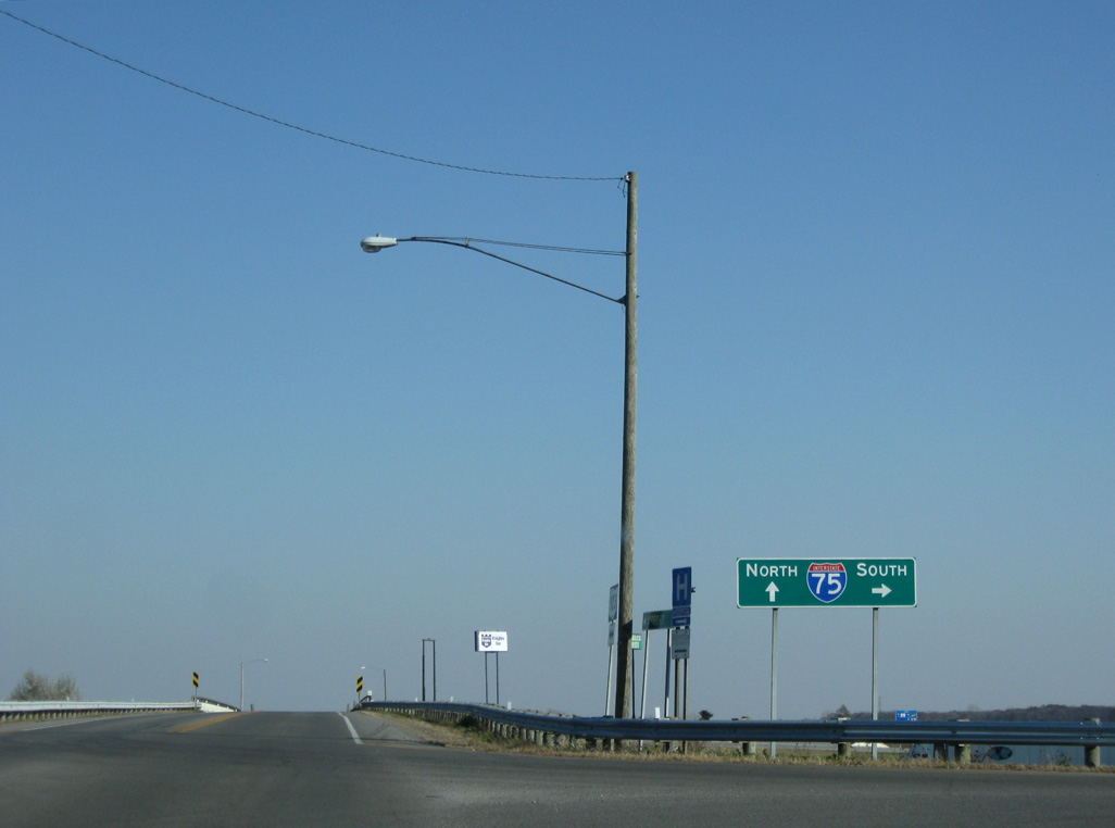
Interstate 75 travels north from SR 103 and Bluffton to Findlay, Bowling Green and Toledo.
11/07/09
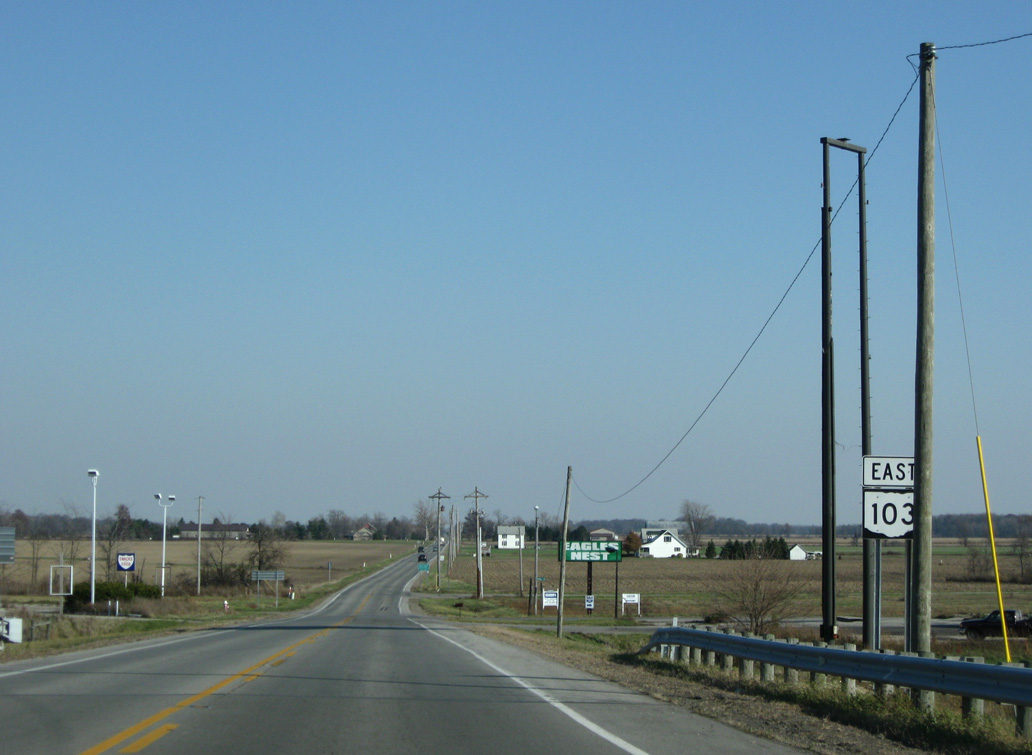
SR 103 bee lines east from I-75 and Bluffton to U.S. 68 at the village of Arlington and SR 37 at the village of Mount Blanchard.
11/07/09
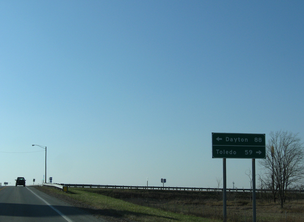
SR 103 converges with Interstate 75 on the east side of Bluffton, 88 miles north of Dayton.
11/07/09

Interstate 75 angles northeast from Bluffton 15 miles into the city of Findlay.
11/07/09
Interstate 75 spans an abandoned Akron Canton and Youngstown Railroad line and County Road 33 north of the diamond interchange (Exit 142) with SR 103.
11/07/09
Interstate 75 arcs southwest across Bluffton to Bentley Road before paralleling a Norfolk Southern Railroad line to Beaverdam.
11/07/09

SR 103 continues west from I-75 at Exit 142 along Jefferson Street to Main Street at the Bluffton village center. The state route connects with I-75 again at Exit 140 and Bentley Road.
11/07/09
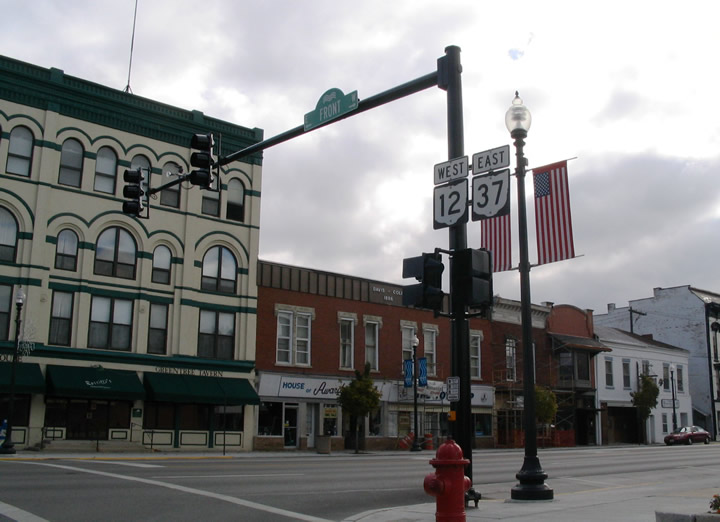
Business Loop I-75 through Findlay overlapped with U.S. 224 (Trenton Avenue) east to Main Street south. SR 12/37 combine along Main Street south from U.S. 224 (Center Street) east into Downtown. Business Loop I-75 returned to I-75 via Lime Avenue and U.S. 68 north.
11/13/04
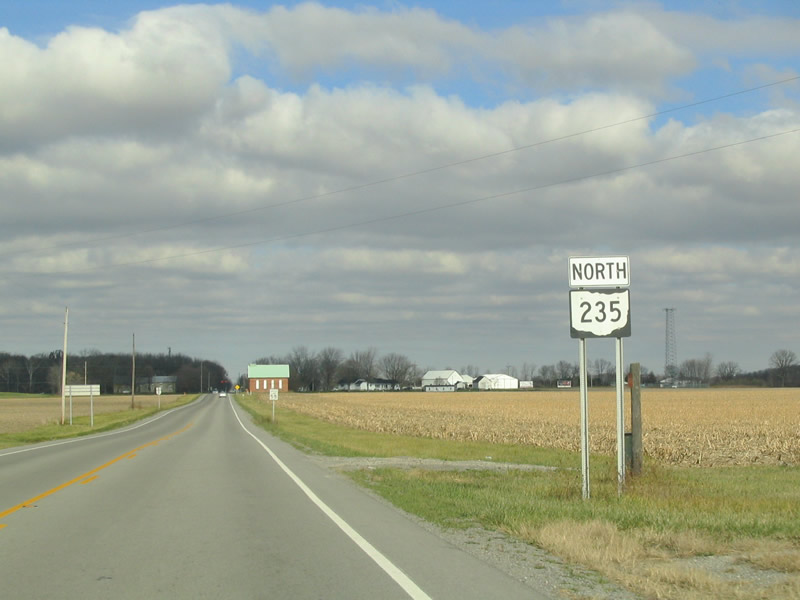
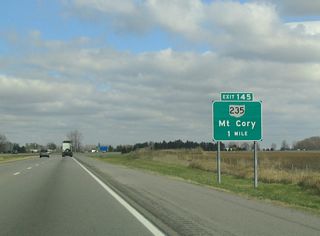
SR 235 meets Interstate 75 at a rural diamond interchange (Exit 145) south in Hancock County. SR 235 runs one mile north to the village of Mt. Cory.
11/13/04
Photo Credits:
- Carter Buchanan: 11/13/04
- ABRoads: 11/07/09
Connect with:
Page Updated Friday March 22, 2024.