
Highway 183
S.C. 183 originates from U.S. 76/123 (Windsor Street) in the city of Westminster in the Upstate of South Carolina. The state highway heads 7.44 miles north to S.C. 28 (Main Street) within the Oconee County seat of Walhalla. The two overlap one block east to Catherine Street, where S.C. 183 resumes a northward heading to S.C. 11.
S.C. 183 turns east from S.C. 11 along Pickens Highway to Lake Keowee. S.C. 183 combines with S.C. 130 (Rochester Highway) south 1.60 miles past the Oconee Nuclear Station. S.C. 130 continues south to Clemson while S.C. 183 (Pickens Highway) curves by Old Pickens to the Pickens County line.
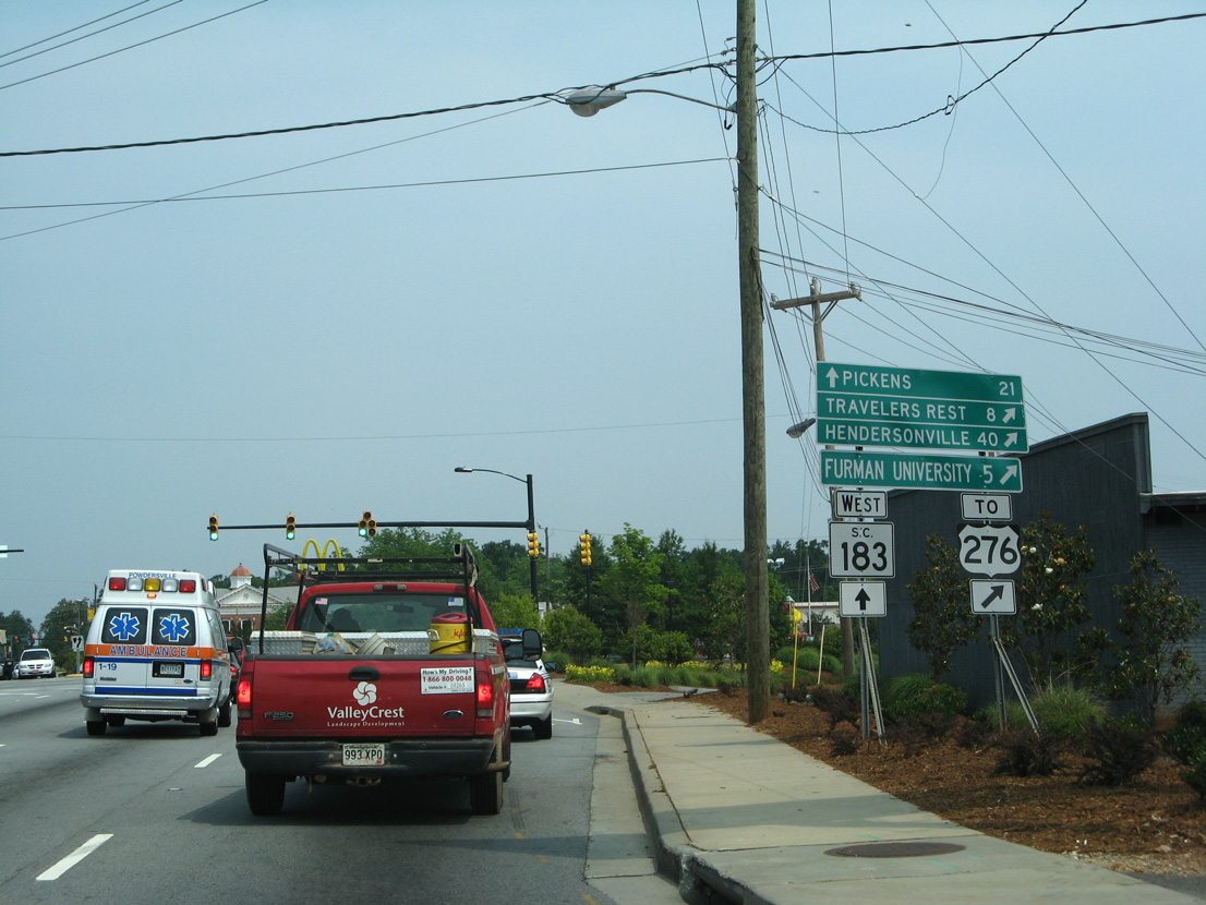
Following Walhalla Highway, S.C. 183 runs northeast to Main Street in Pickens. U.S. 178 briefly dog legs alongside Main Street through Downtown, two blocks from S.C. 8, which accompanies S.C. 183 northeast 0.48 miles to Farrs Bridge Road. Leading away from Pickens, S.C. 183 runs between Cannon and Glassy Mountains en route to the Greenville County line at the Saluda River.
Farrs Bridge Road arcs eastward to U.S. 25 (White Horse Road) at the Greenville suburb of Berea. S.C. 183 continues along Farrs Bridge Road to Hunts Bridge Road (Road 104), where it transitions onto Cedar Lane Road. Elevating across a Norfolk Southern Railroad yard, S.C. 183 enters the city of Greenville along Pete Hollis Boulevard.
Through Downtown Greenville, S.C. 183 partitions into the couplet of Buncombe and North Streets east 0.54 miles to U.S. 29 (Church Street) at Business Spur I-385 and along Beattie Place and College Street west 0.70 miles from Business Spur I-385. S.C. 183 overtook what was U.S. 25 Business south from Rutherford Street to U.S. 123 (N Academy Street). U.S. 25 Business overlapped with U.S. 276 north to Travelers Rest and U.S. 123 west to S.C. 20 (Augusta Street).

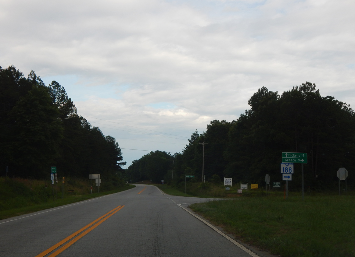
S.C. 183 (Pickens Highway) meets the north end of S.C. 188 (Keowee School Road) just beyond Stamp Creek Landing Road (Road 92) northeast of Walhalla.
06/04/17
S.C. 188 (Keowee School Road) runs 8.25 miles south from S.C. 183 (Pickens Highway) to S.C. 28 (Blue Ridge Boulevard) near the city of Seneca.
06/04/17
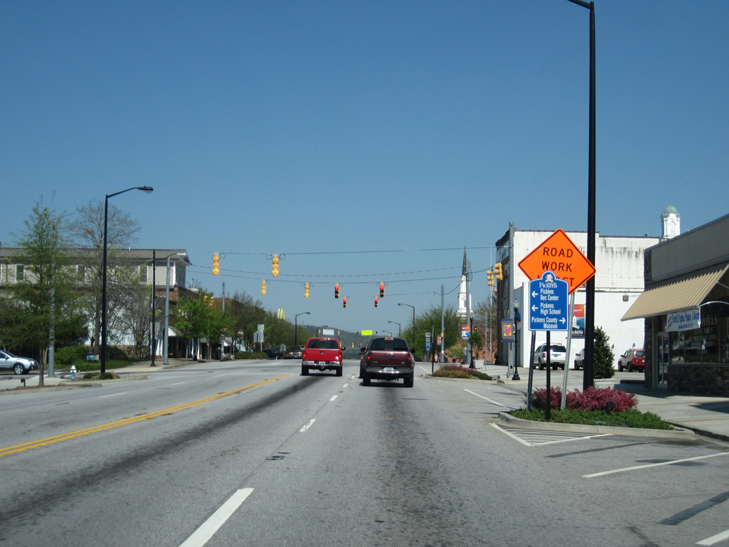
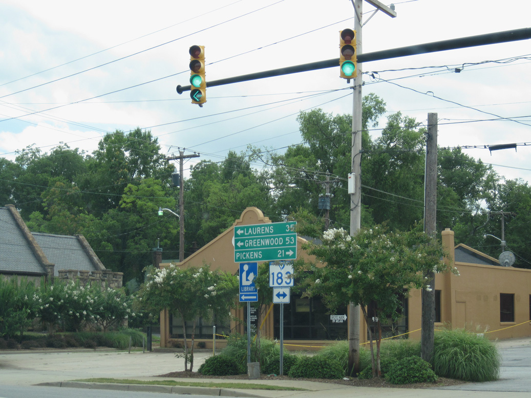
S.C. 183 (W Main Street) meets U.S. 178 north at Ann Street in Downtown Pickens.
06/04/17

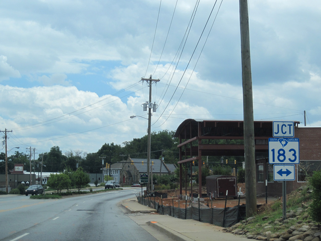
U.S. 178 dog legs 0.02 miles east along S.C. 183 (Main Street) to Pendleton Street south toward Liberty.
06/04/17
Rutherford Street (Road 200) extends 0.25 miles south from U.S. 276 at W Stone Avenue to S.C. 183 at Pete Hollis Boulevard west and Buncombe Street east.
07/10/10
S.C. 183 heads northwest to Berea and west from the Greenville area to Pickens. S.C. 183 (Bumcombe Street) east leads into Downtown Greenville.
07/10/10
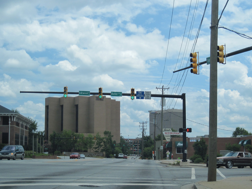
S.C. 183 (Buncombe Street) advances south from Rutherford Street (SR 200) to a traffic light with Atwood Street north and Butler Avenue south.
07/10/10
S.C. 183 partitions into a couple along Buncombe Street east and College Street west at the five point intersection with Whitner Street and Heritage Green Place.
05/31/07
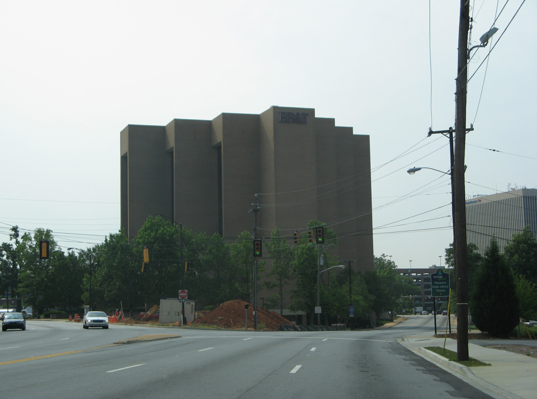
Forthcoming U.S. 123 along N Academy Street provides a bypass of the Greenville central business from Buncombe Street to Interstate 385 south.
05/31/07
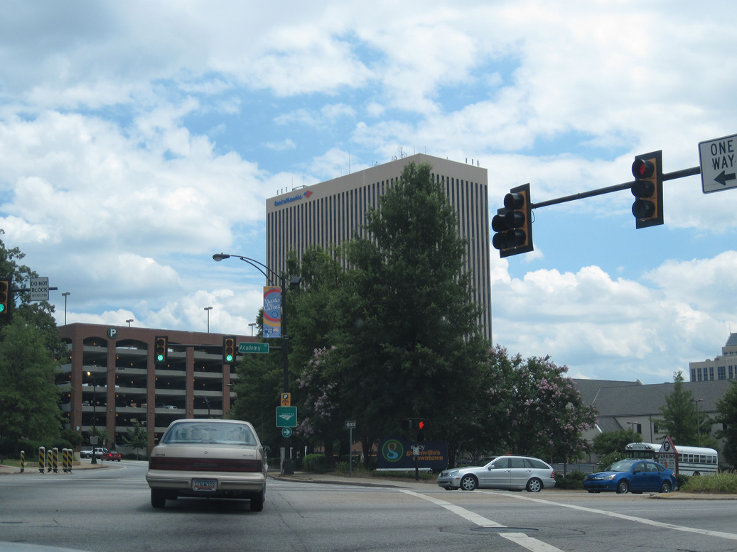
Sparsely signed along Academy Street at Downtown Greenville, U.S. 123 concludes 0.87 miles to the east at North Street (Business Spur I-385).
07/10/10
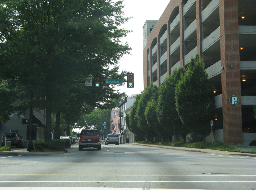
Buncombe Street east at Richardson Street.
05/31/07
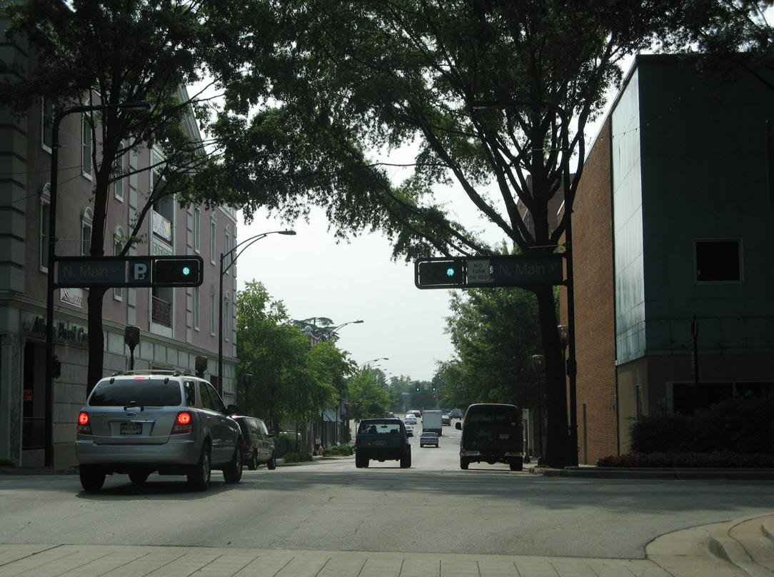
The succeeding signal along Buncombe Street east is at Main Street in Downtown Greenville.
05/31/07
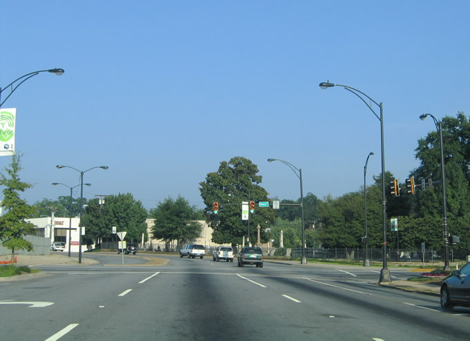
The east end of S.C. 183 is at the unmarked intersection with U.S. 29 along N Church Street and Business Spur I-385 south along E North Street.
07/23/04
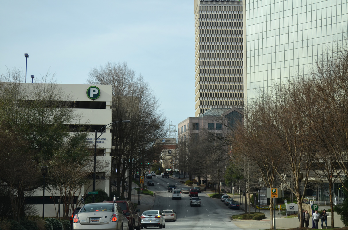
S.C. 183 (Beattie Place) west at N Spring Street in Downtown Greenville.
12/31/13
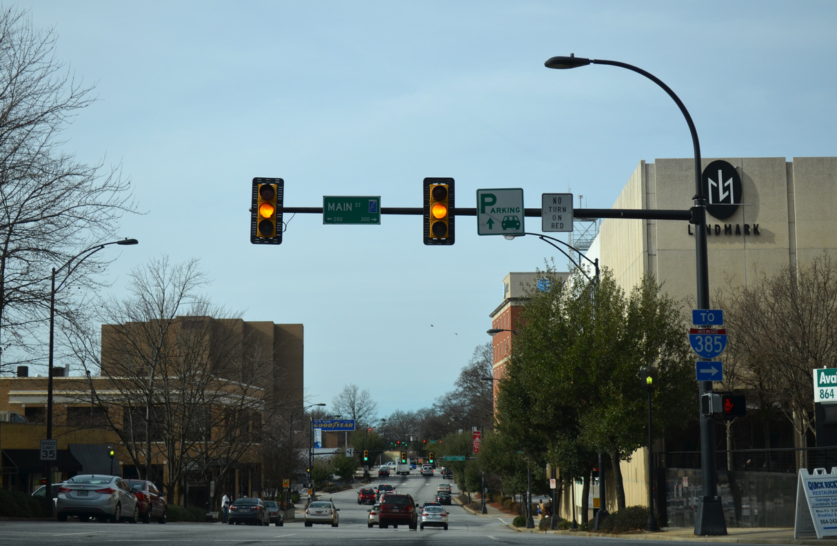
Main Street north to U.S. 123 (Academy Street) east leads to Business Spur I-385 (North Street) two blocks from Interstate 385.
12/31/13
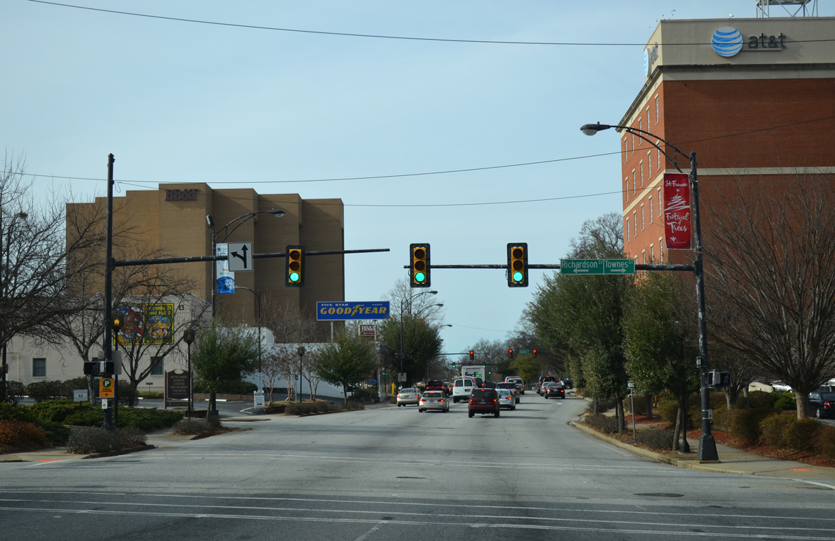
S.C. 183 becomes College Street west of Main Street, one block ahead of the signal at Richardson Street south and Townes Street north.
12/31/13
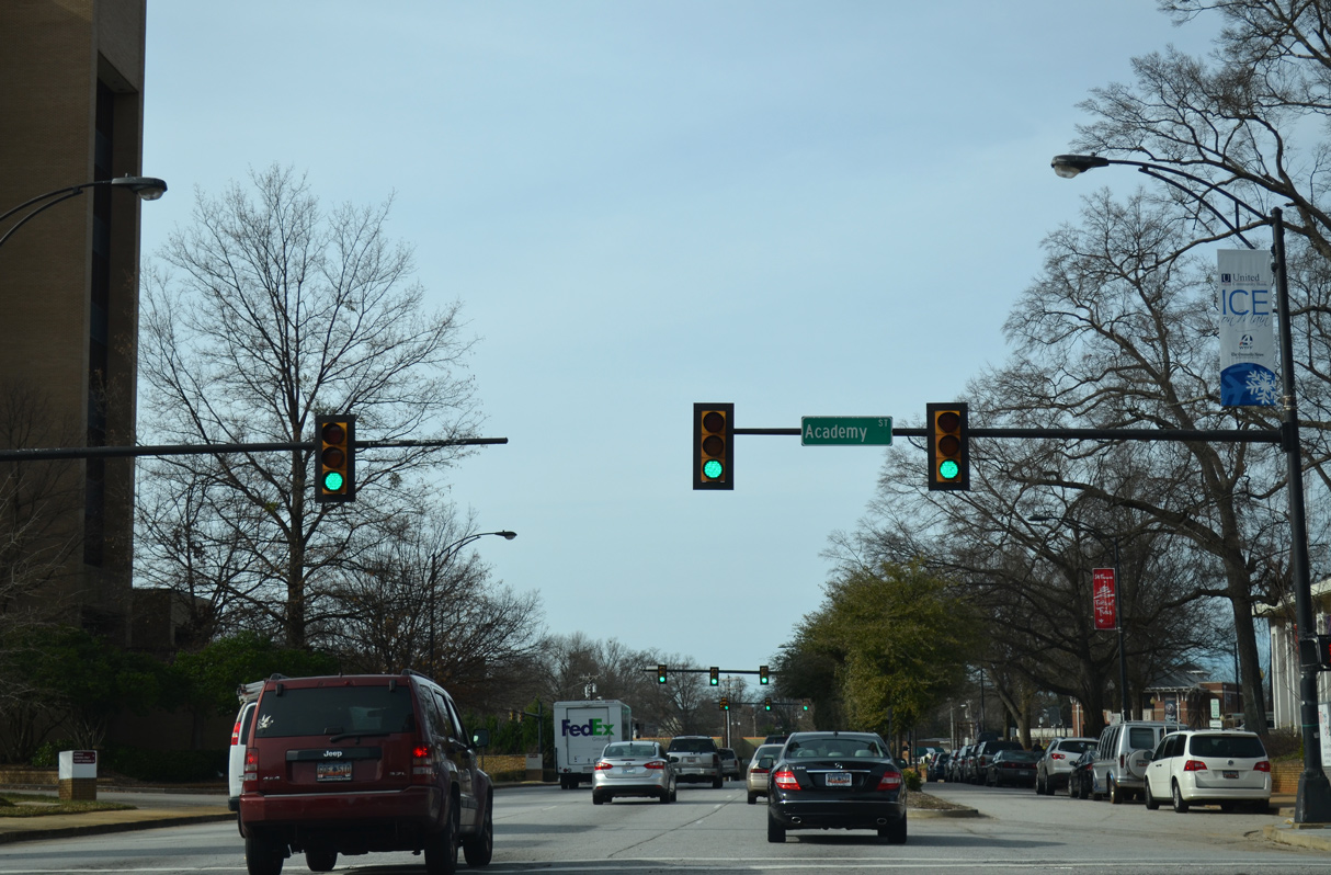
U.S. 123 is unmarked along S.C. 183 (College Street) west at N Academy Street. U.S. 123 encircles Downtown Greenville southwest from North Street.
12/31/13
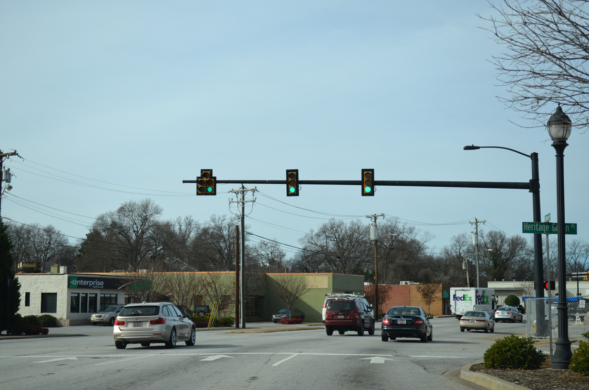
S.C. 183 (College Street) west combines with S.C. 183 east along Buncombe Street at a five way intersection with Heritage Green Place north and Whitner Street south.
12/31/13

Buncombe Street continues north from College Street as a six lane boulevard to next intersect Atwood Street north and Butler Avenue south.
12/31/13
The first sign acknowledging S.C. 183 west was posted at Rutherford Street (Road 200) north. It was removed in 2013.
05/31/07
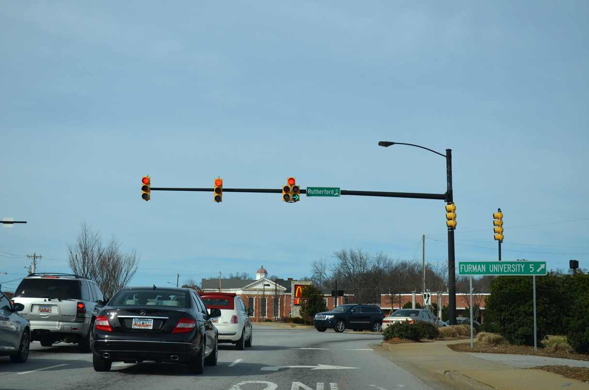
Rutherford Street (Road 200) stems north from S.C. 183 (Buncombe Street) 0.25 miles to become U.S. 276 at W Stone Avenue. U.S. 276 travels north from Greenvilel to Furman University and Travelers Rest.
12/31/13
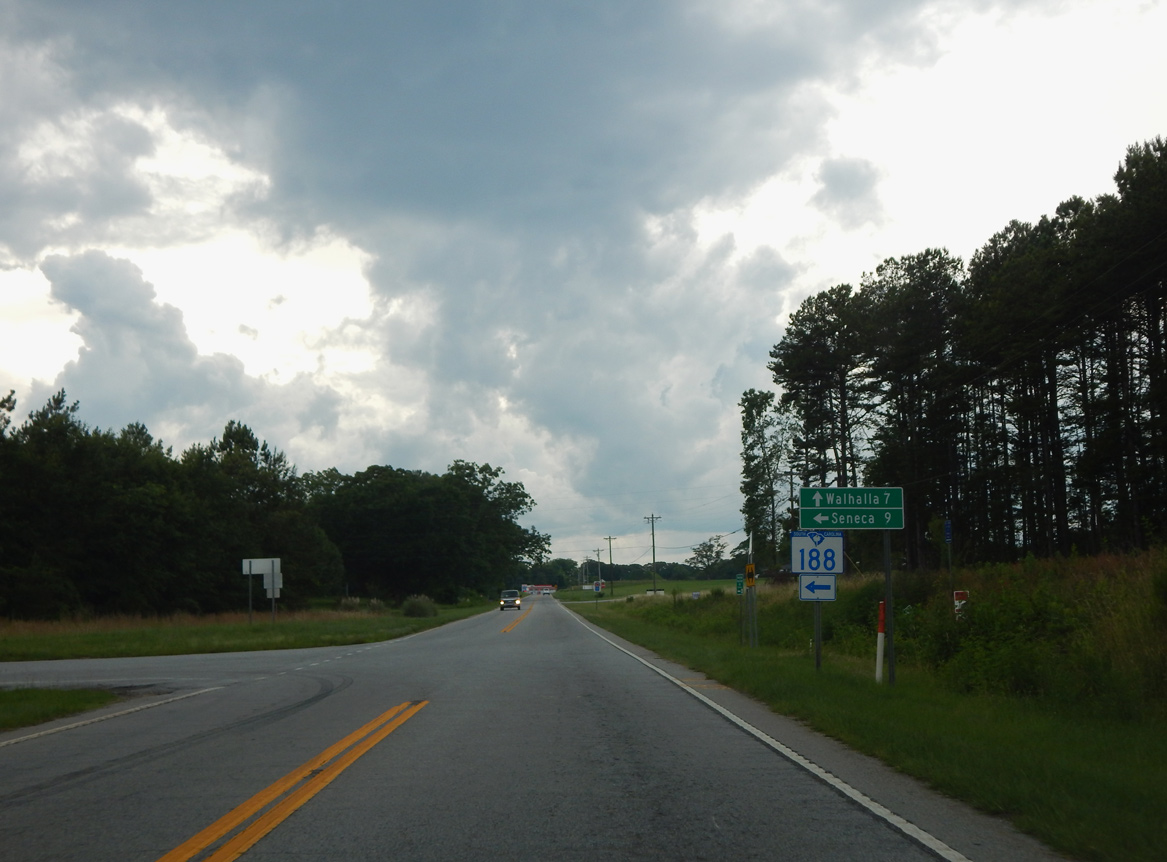
Continuing west from Lake Keowee, S.C. 183 (Pickens Highway) converges with the north end of S.C. 188 (Keowee School Road).
06/04/17
Photo Credits:
- Carter Buchanan: 06/04/17
- Alex Nitzman: 07/23/04, 07/10/10, 12/31/13
- Andy Field: 05/31/07
Connect with:
Page Updated Tuesday September 21, 2021.