
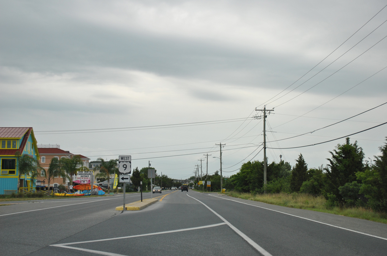
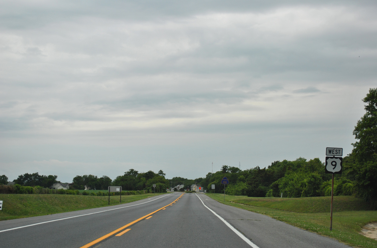
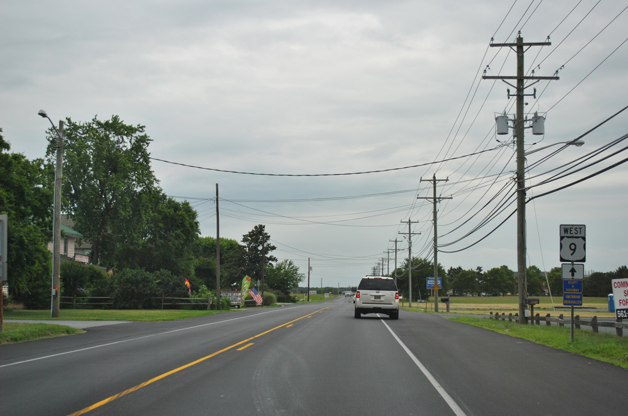
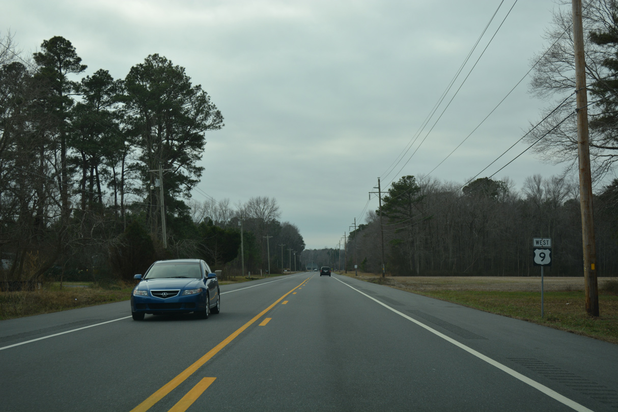
U.S. 9 West

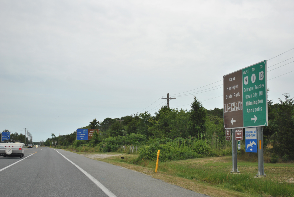
This sign directs motorists exiting the Lewes Terminal of the ferry onto Cape Henlopen Drive east to the state park and west toward Five Points, where SR 1 and SR 404 lead to long distance destinations.
06/18/12
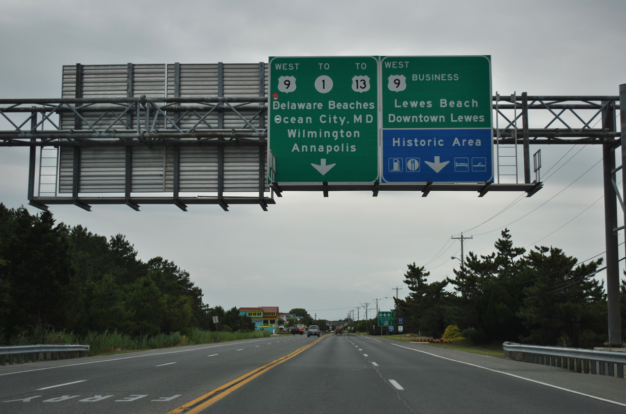
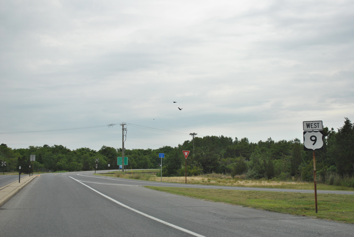
Facing west on Cape Henlopen Drive, U.S. 9 leaves the ferry area ahead of the separation with U.S. 9 Business. U.S. 9 Business extends Cape Henlopen Drive west to Savannah Road and the Lewes historic area.
06/18/12
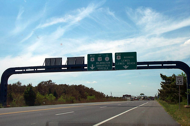
Older signage formerly posted along U.S. 9 west ahead of U.S. 9 Business included the control point of Norfolk, Virginia. Norfolk was also routinely referenced for U.S. 13 leading south from Interstate 295.
April 2000
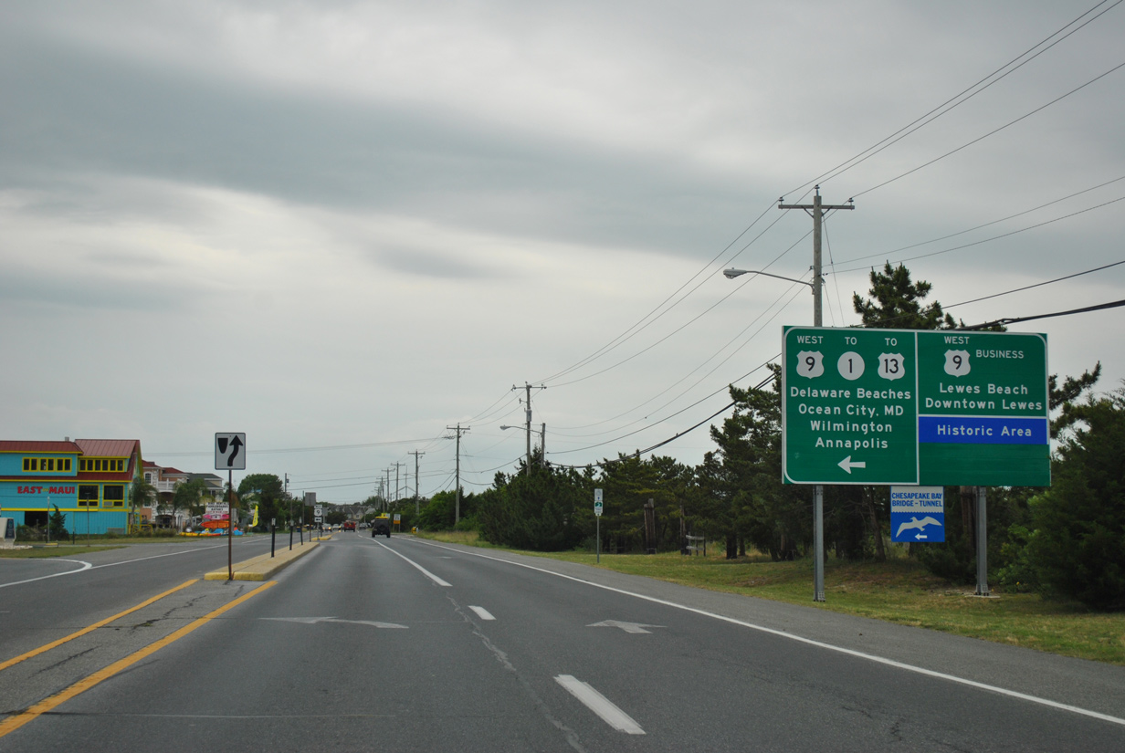
U.S. 9 Business extends Cape Henlopen Drive west to Lewes Beach, where it turns southwest on Savannah Road.
06/18/12
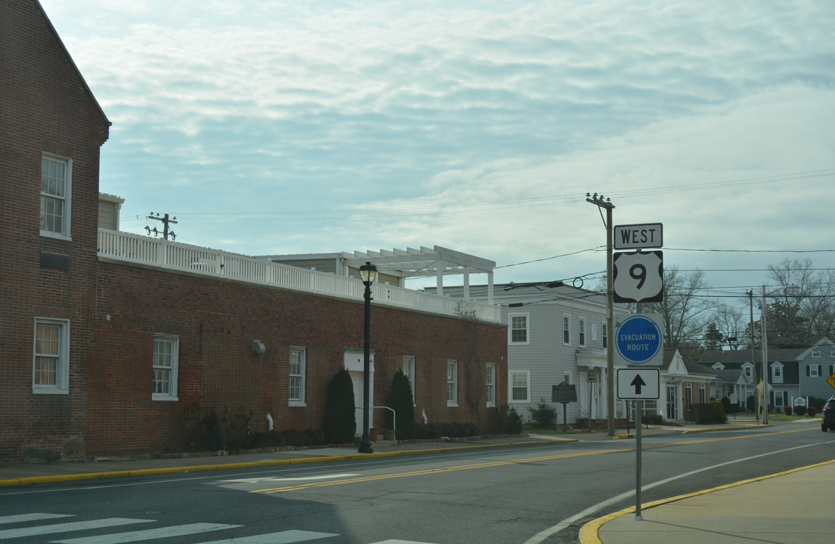
U.S. 9 turns southwest along Theo C. Freeman Memorial Highway to bypass Downtown Lewes to Kings Highway.
06/18/12
Reassurance marker posted for U.S. 9 west between Cape Henlopen Drive and a railroad crossing north of the Lewes and Rehoboth Canal.
06/18/12
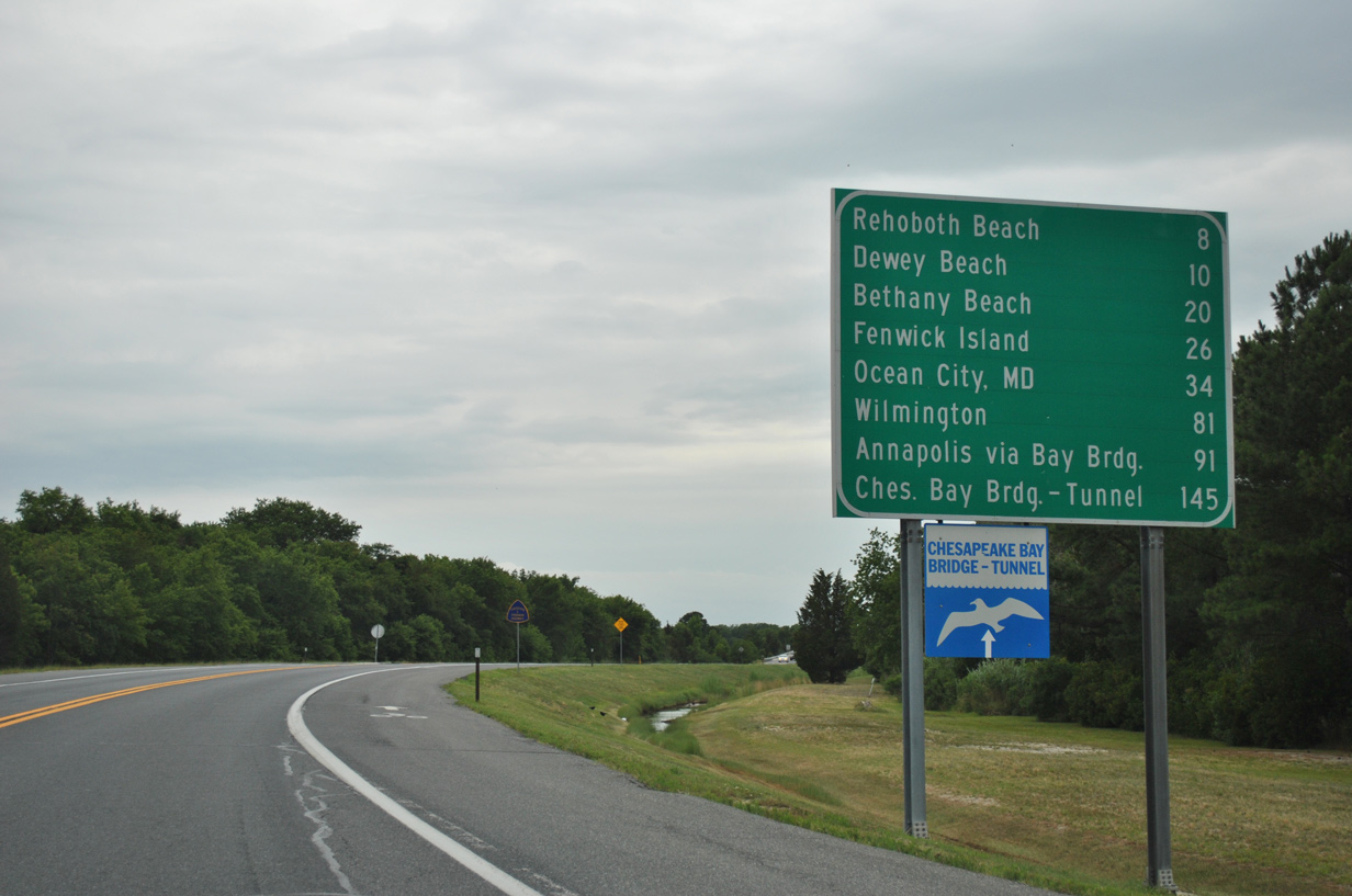
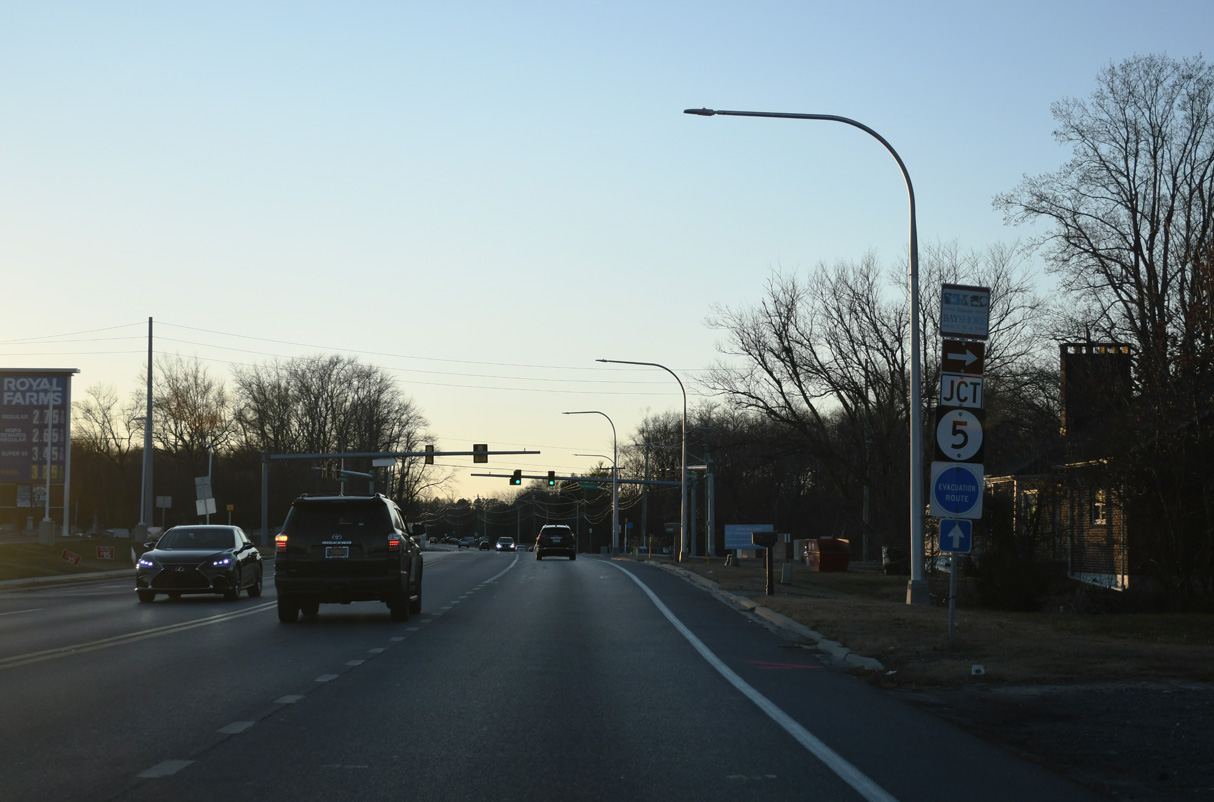
A multitude of control points appear on this distance sign along with a Chesapeake Bay Bridge-Tunnel trailblazer. The Cape May-Lewes Ferry provides an alternate route from the Northeast to the Delaware Beaches, the Eastern Shore of Maryland and Hampton Roads, Virginia.
06/18/12
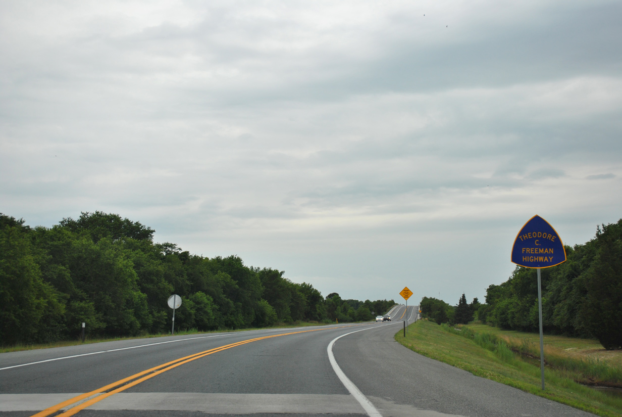
Theo. C. Freeman was a NASA Astronaut who attended the University of Delaware. He died during a training flight on October 31, 1964 ("Theodore Freeman", 2018).
06/18/12
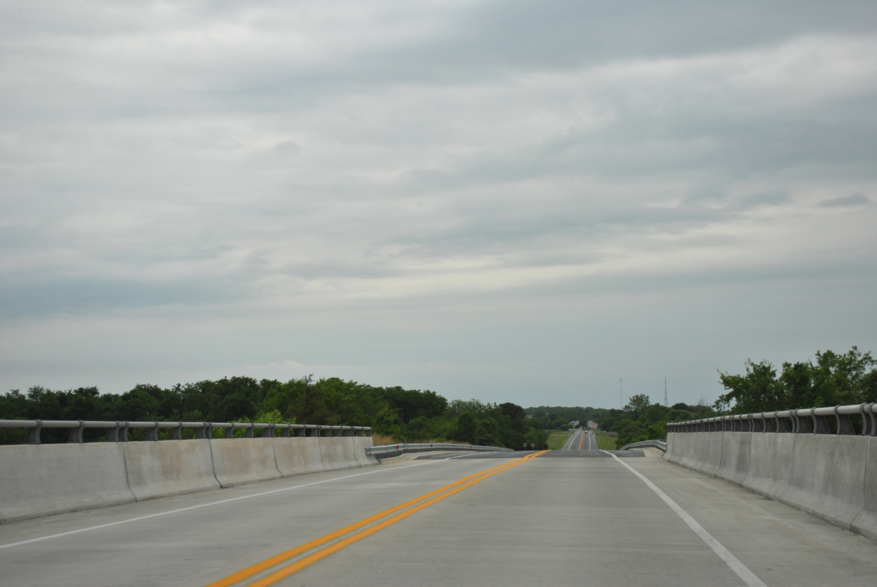
Crossing the Lewes and Rehoboth Canal along U.S. 9 (Theo. C. Freeman Memorial Highway) west.
06/18/12
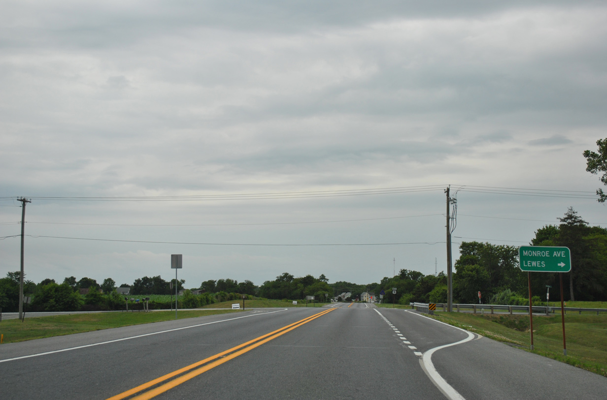
Monroe Avenue provides a second route into Lewes from U.S. 9 west.
06/18/12
U.S. 9 converges with Kings Highway south of Monroe Avenue.
06/18/12
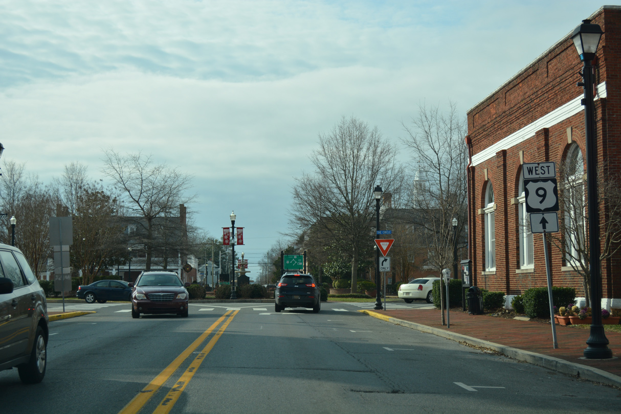
Kings Highway branches south from U.S. 9 Business (Savannah Road) and Downtown Lewes to become part of U.S. 9 west.
06/18/12
U.S. 9 follows Kings Highway south to Dartmouth Drive.
06/18/12
Gills Neck Road ties into U.S. 9 (Kings Highway) opposite the entrance to Cape Henlopen High School at this signal.
06/18/12
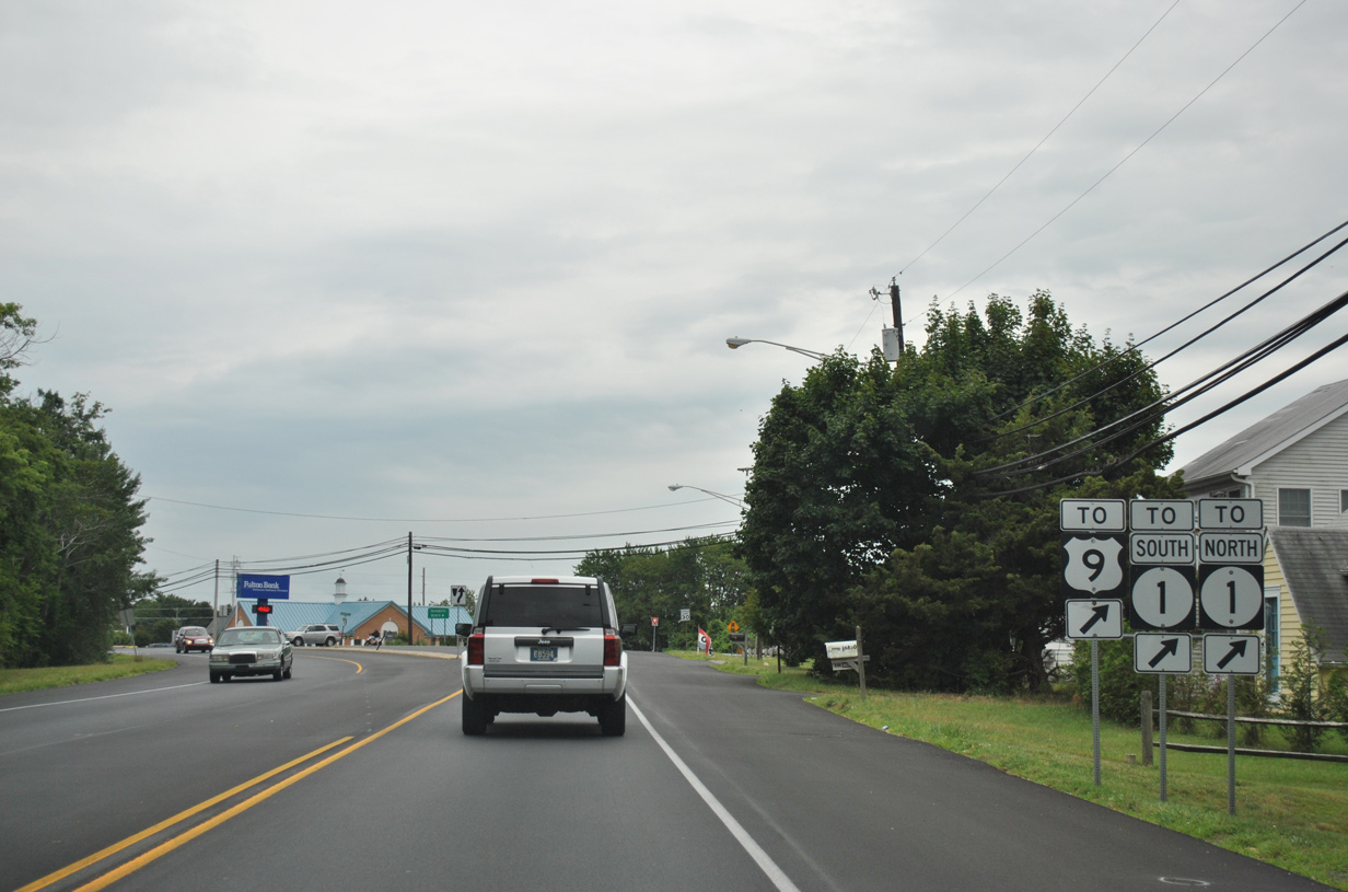
U.S. 9 diverges with Kings Highway onto Dartmouth Drive to make the connection with SR 1 (Coastal Highway). Kings Highway concludes at SR 1 nearby.
06/18/12
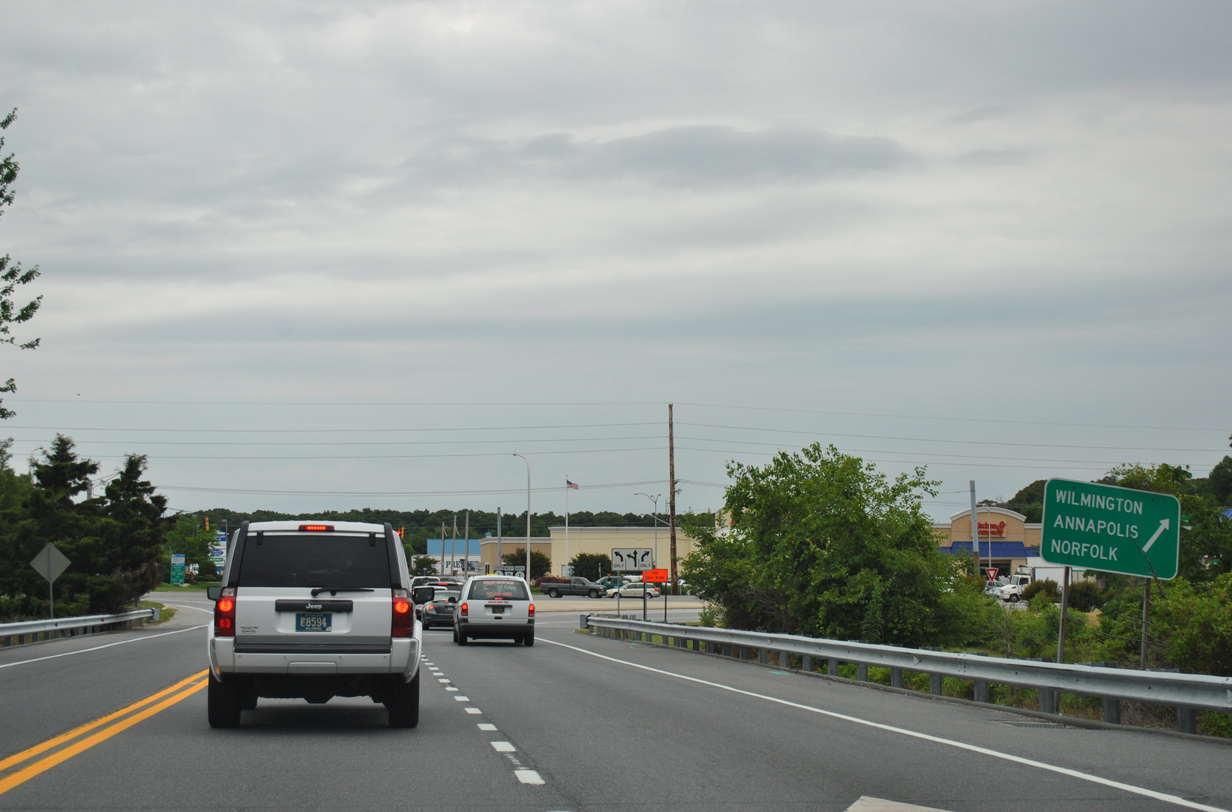
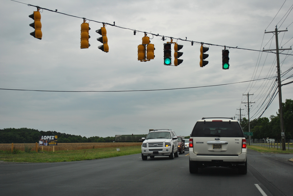
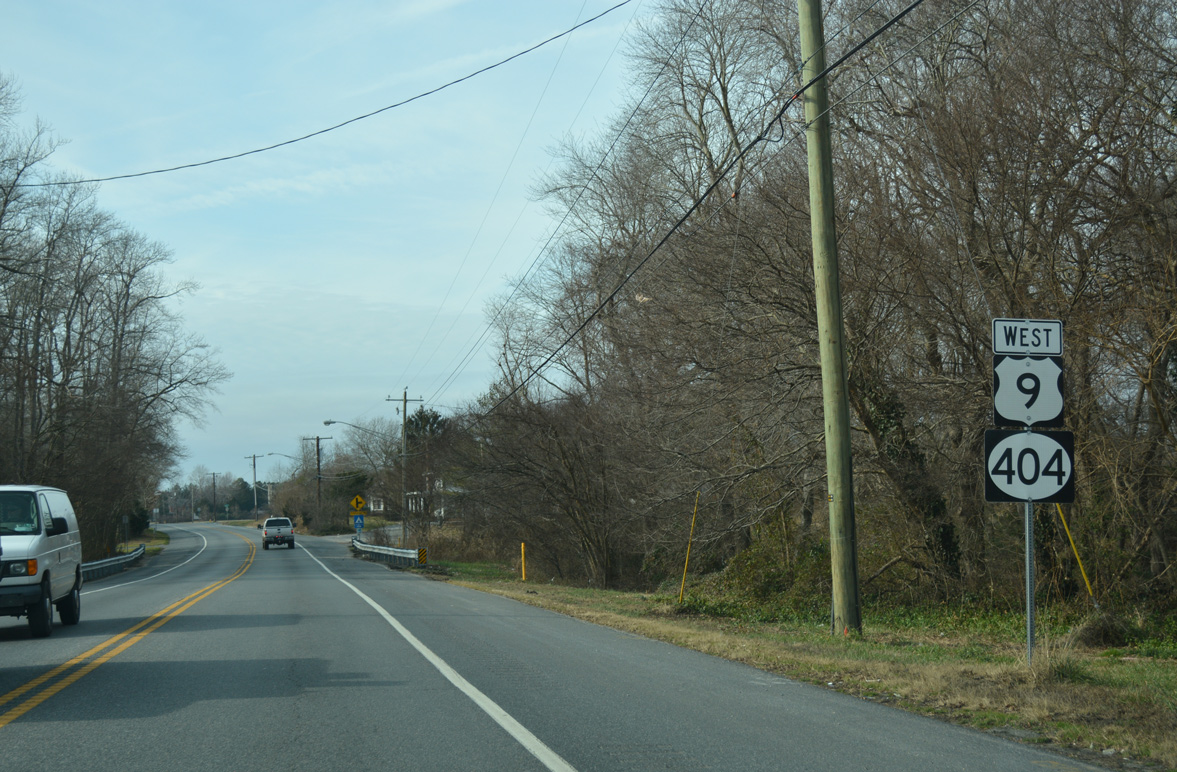
U.S. 9 west combines with SR 1 north for a 1.1 mile overlap to Five Points. SR 1 travels north from the Atlantic beaches to Milford, Dover and the Wilmington area while connections with SR 404 lead motorists west toward Annapolis.
06/18/12
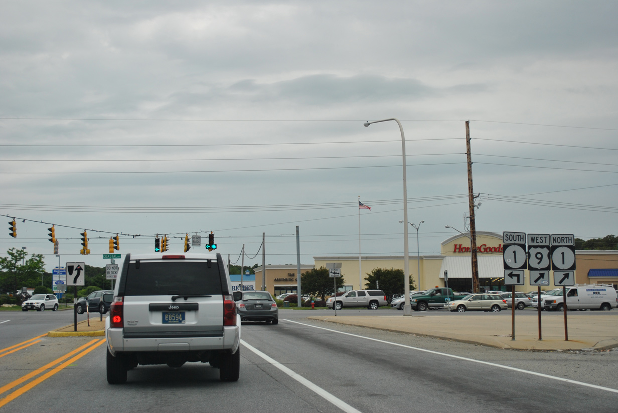
SR 1 constitutes a congested commercial arterial route from Five Points southeast to Rehoboth Beach. The state route straddles the Atlantic Coast south from Dewey Beach to Ocean City, Maryland.
06/18/12
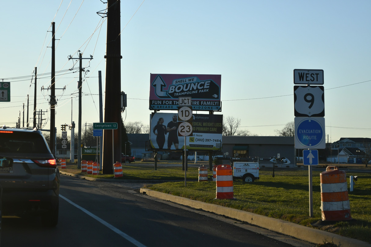
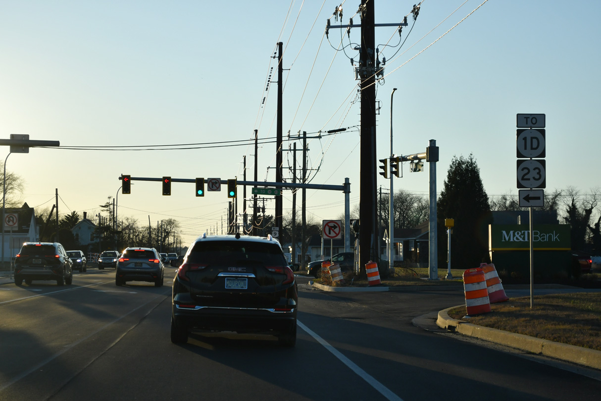
Completed in Spring 2025, the Plantation Road Improvements, Robinsonville Road to US 9 (Phase 1) project realigned adjacent SR 1D (Plantation Road) and SR 23 (Beaver Dam Road) away from U.S. 9 to a new roundabout with an extended Belltown Road.
12/22/24
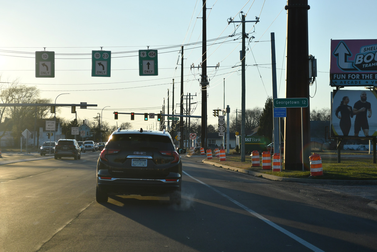
SR 1D/23 separate at the roundabout joining Belltown Road with Beaver Dam Road, Salt Marsh Boulevard and Plantation Road. SR 1D runs southeast to SR 24 (John J. Williams Highway) at Midway.
12/22/24
SR 23 (Beaver Dam Road) heads 6.61 miles southwest from SR 1D and Belltown Road to combine with SR 5 (Indian Mission Road) beyond Hollymount.
12/22/24
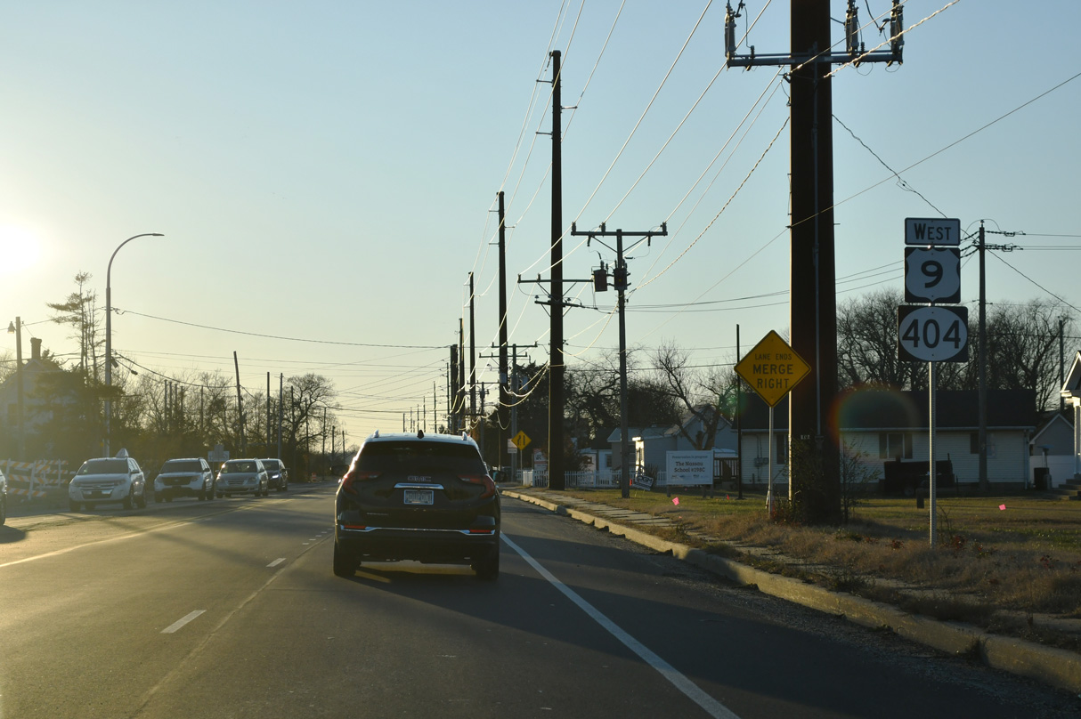
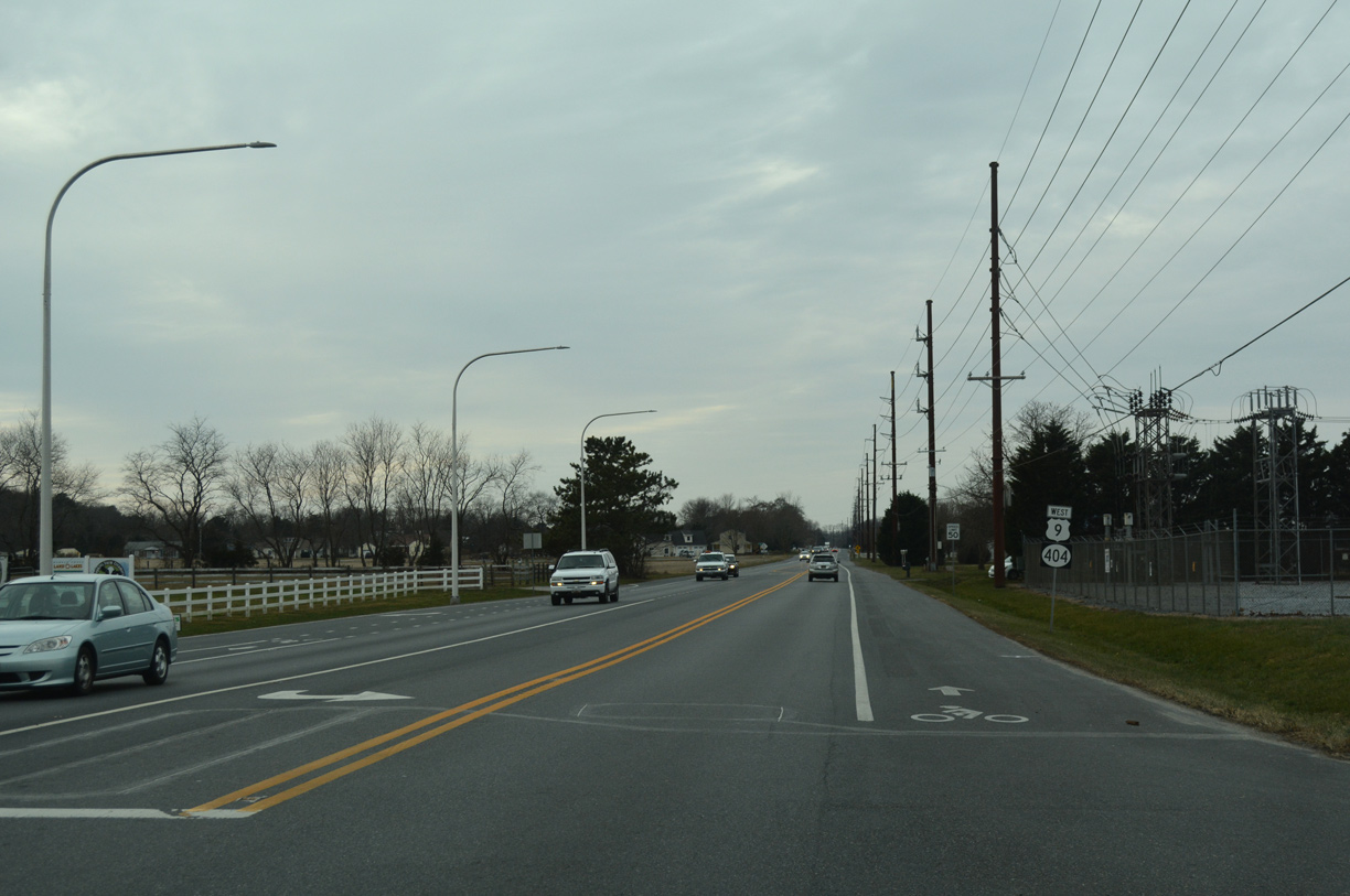
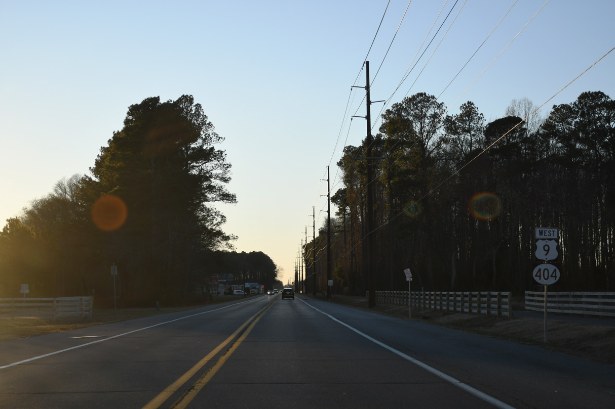
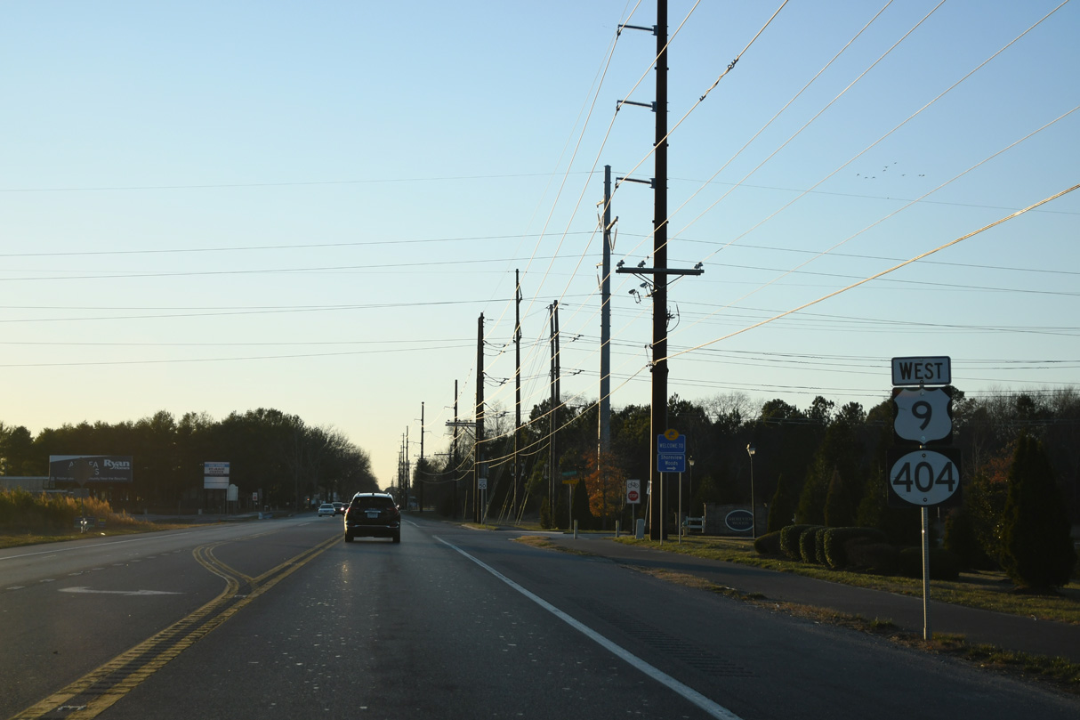
SR 404 commences west along U.S. 9 (Lewes Georgetown Highway) from SR 1 (Coastal Highway) at Five Points. The first reassurance shield appears after SR 1D/23 (Belltown Road).
12/22/24
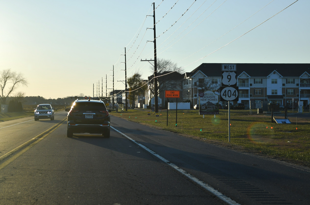
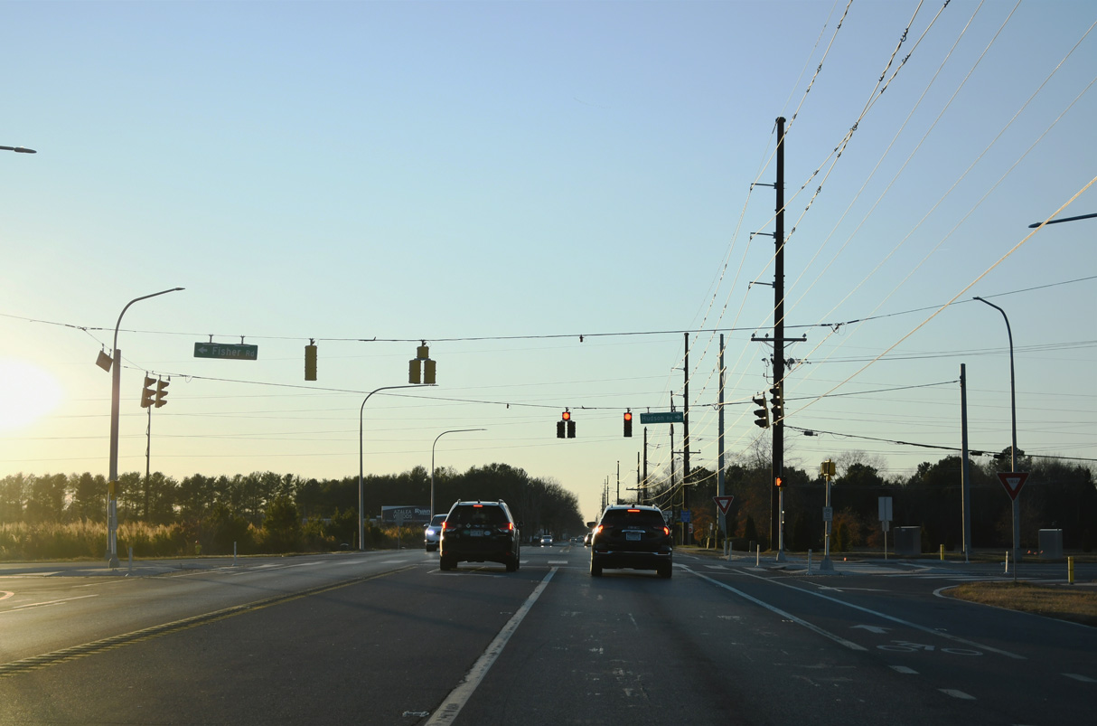
U.S. 9/SR 404 shields posted west of Nassau Commons Boulevard. Work preceding the expansion of U.S. 9 to a four lane boulevard between SR 1 and Old Vine Boulevard included adding traffic lights at Nassau Commons Boulevard (Roth, 2025a). Those signals were activated on November 21, 2025 (Roth, 2025b).
12/22/24
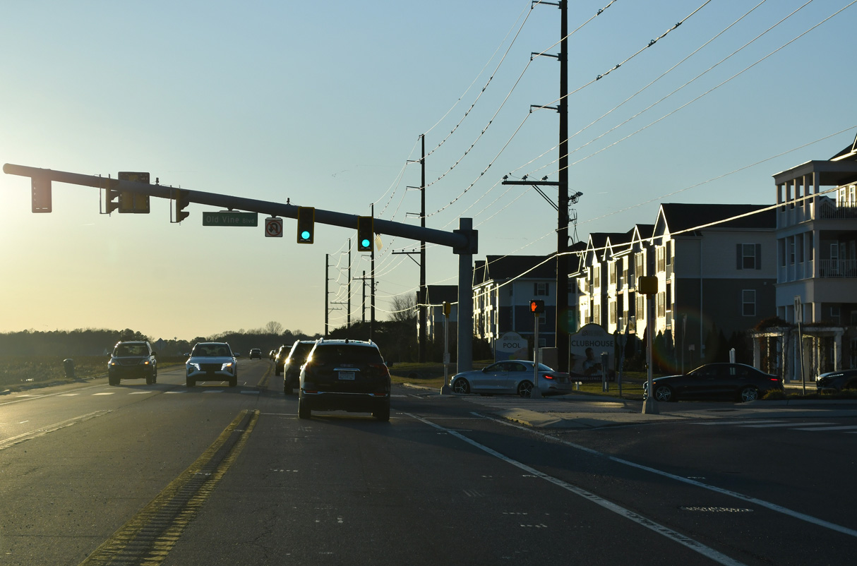
Traffic lights were added at Old Vine Boulevard and the Vineyards development by 2023.
12/22/24
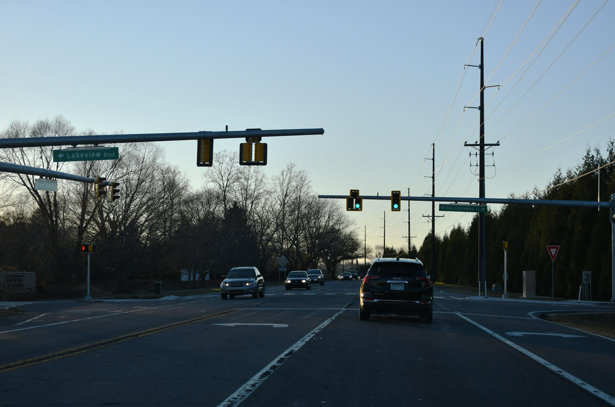
Minos Conaway Road (Rd 265) arcs 1.49 miles southwest from SR 1 (Coastal Highway) at Nassau to U.S. 9/SR 404 across from Lakeview Road into The Reserves at Lewes Landing subdivision.
12/22/24

Suburban development lines U.S. 9/SR 404 (Lewes Georgetown Highway) west to Sweetbriar and Dairy Farm Roads (Rd 261).
12/22/24
The intersection joining U.S. 9/SR 404 (Lewes Georgetown Highway) with Dairy Farm Road south and Sweetbriar Road north was upgraded during an HSIP project between March 2014 and November 2015.
12/22/24
U.S. 9/SR 404 (Lewes Georgetown Highway) west of Cool Spring Road (Rd 290) at Cool Spring.
12/22/24
Hudson Road (Rd 258) runs 4.13 miles northeast from U.S. 9/SR 404 (Lewes Georgetown Highway) to SR 1 (Coastal Highway). Fisher Road (Rd 262) leads 3.25 miles southeast to SR 23 (Beaver Dam Road).
12/22/24
U.S. 9/SR 404 reassurance markers posted west between Hudson Road and the Shoreview Woods subdivision.
12/22/24
SR 5 (Harbeson Road) meets U.S. 9/SR 404 at Harbeson. Measuring 19.34 miles overall, SR 5 heads north to the town of Milton and SR 1 and south to Oak Orchard along Indian River Bay.
12/22/24
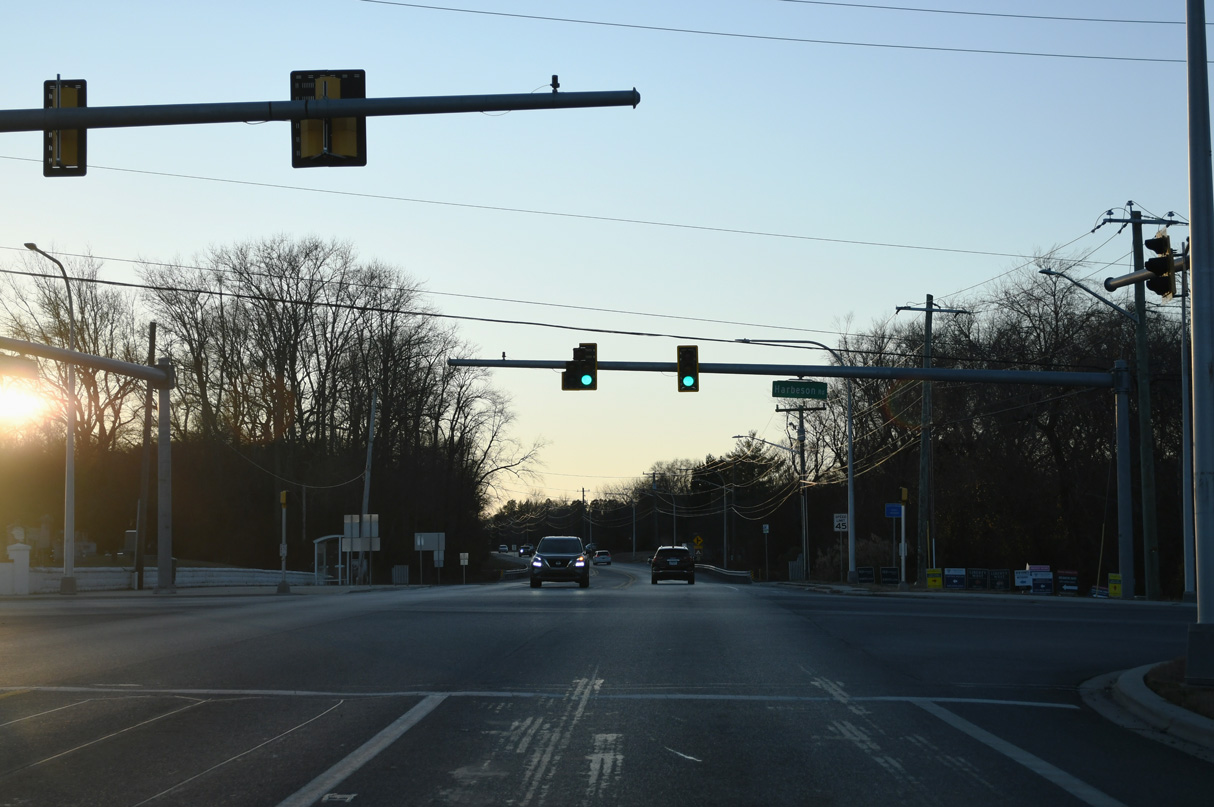
An HSIP project underway in 2017/18 at the intersection of U.S. 9/SR 404 and SR 5 added turn lanes in all directions and made geometric shifts to both accommodate truck traffic and improve safety.
12/22/24
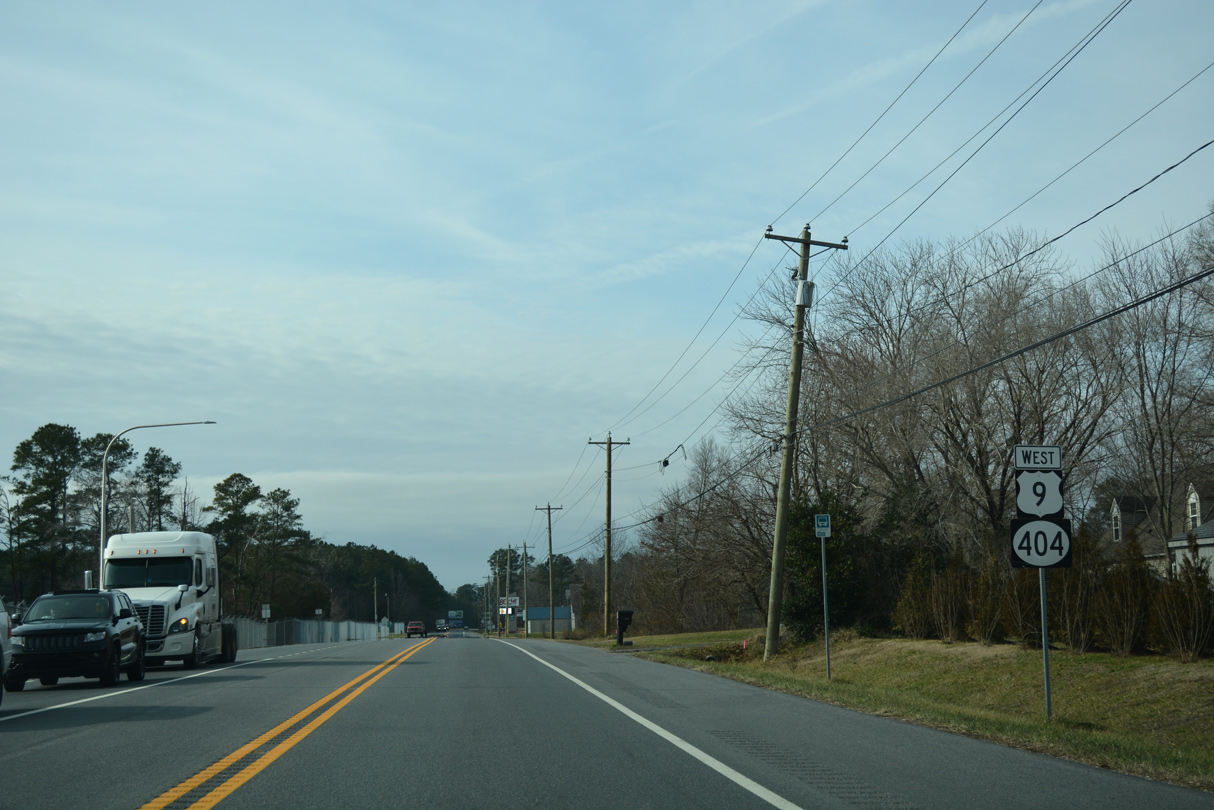
The confirming markers for U.S. 9/SR 404 west of SR 5 (Harbeson Road) were removed due to road work in 2018.
01/16/17
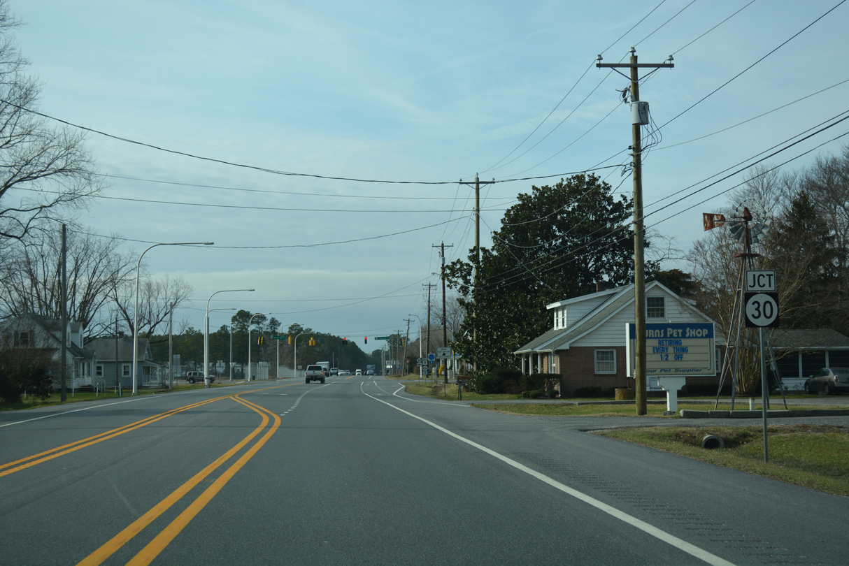
Entering the community of Gravel Hill, U.S. 9/SR 404 (Lewes Georgetown Highway) meet SR 30 (Gravel Hill Road). Including SR 30, Construction between March 2014 and November 2015 improved three intersections along U.S. 9 to add bicycle and turn lanes and make geometry shifts.
12/22/24
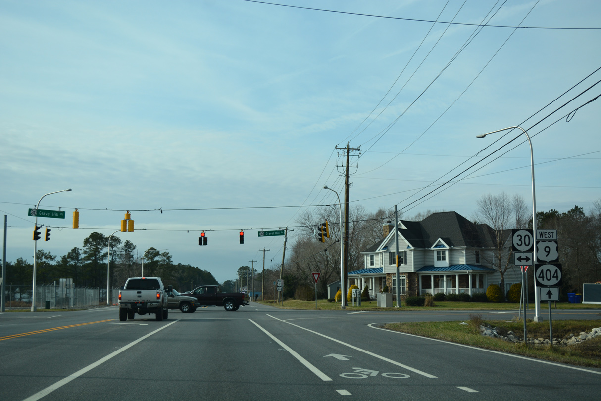
SR 30 constitutes a rural route from Gravel Hill north toward Milton and Milford and south to Zoar and Millsboro.
12/22/24
U.S. 9/SR 404 (Lewes Georgetown Highway) westbound pass by a number of industrial businesses and forest stands over the ensuing 1.5 miles.
12/22/24
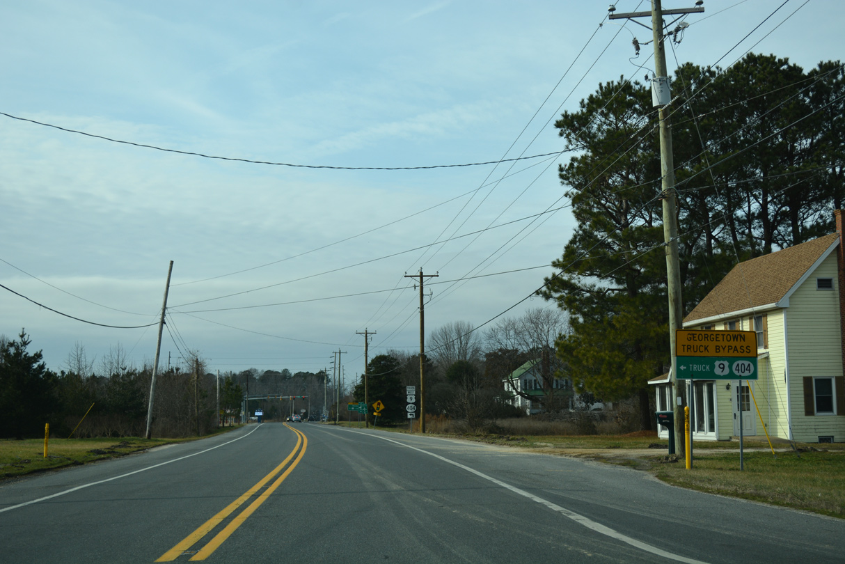
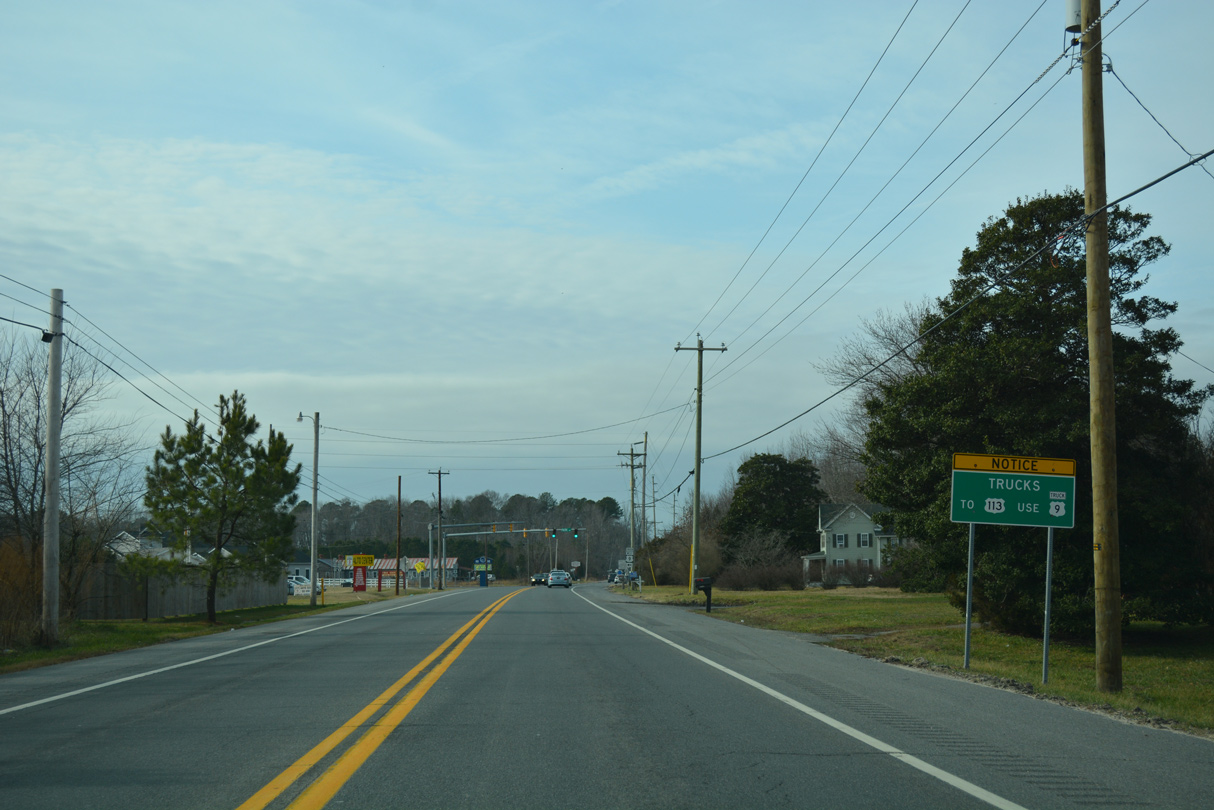
Trucks bound for U.S. 9 west or SR 404 west beyond Georgetown are directed onto U.S. 9 Truck as it bypasses the east and south sides of the Sussex County seat to U.S. 113.
12/22/24
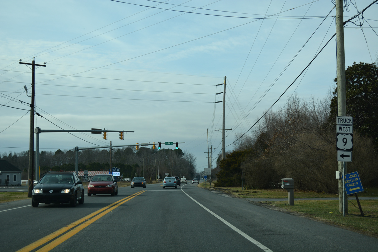
Shown here as overlapped with SR 404, U.S. 9 Truck travels solo along Park Avenue and Arrow Safety Road southwest to U.S. 113 (Dupont Boulevard).
12/22/24
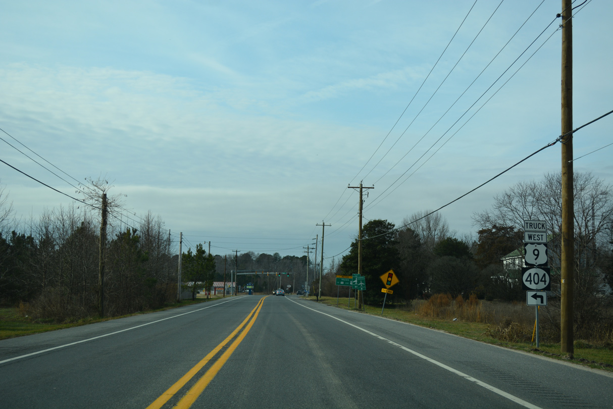
U.S. 9 Truck loops south from Lewes Georgetown Highway to return to U.S. 9 alongside U.S. 113 (Dupont Boulevard) north in 4.19 miles.
12/22/24
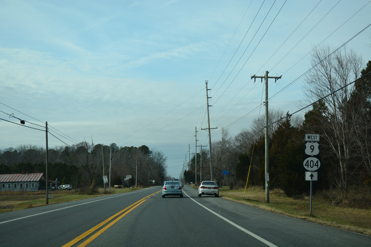
U.S. 9/SR 404 west at U.S. 9 Truck (Park Avenue) west. Park Avenue comprises a rural route southwest around Delaware Coastal Airport (GED) to a roundabout with Arrow Safety Road and Bedford Street (Rd 431).
12/22/24

Leading west from U.S. 9 Truck and Saulsbury Switch, U.S. 9/SR 404 continue 1.3 miles to join Market Street through Georgetown.
01/16/17
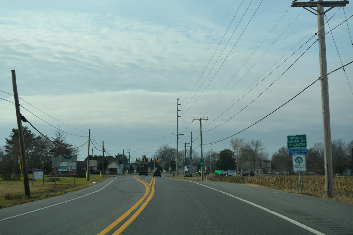
U.S. 9/SR 404 westbound make an S-curve across the Georgetown corporate limits ahead of Airport Road.
01/16/17
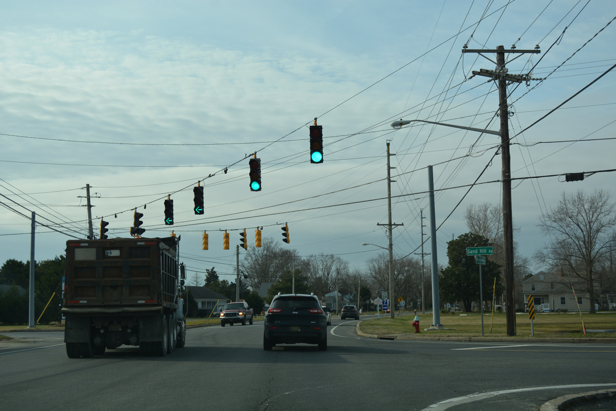
Airport Road angles southeast to Delaware Coastal Airport (GED). Sand Hill Road ties into the intersection with U.S. 9/SR 404 (Market Street) from rural Sand Hill to the north.
01/16/17
The speed limit reduces to 25 miles per hour where Market Street curves into the Georgetown street grid ahead of Albury Avenue.
01/16/17
U.S. 9/SR 404 (Market Street) west at King Street in Georgetown.
01/16/17
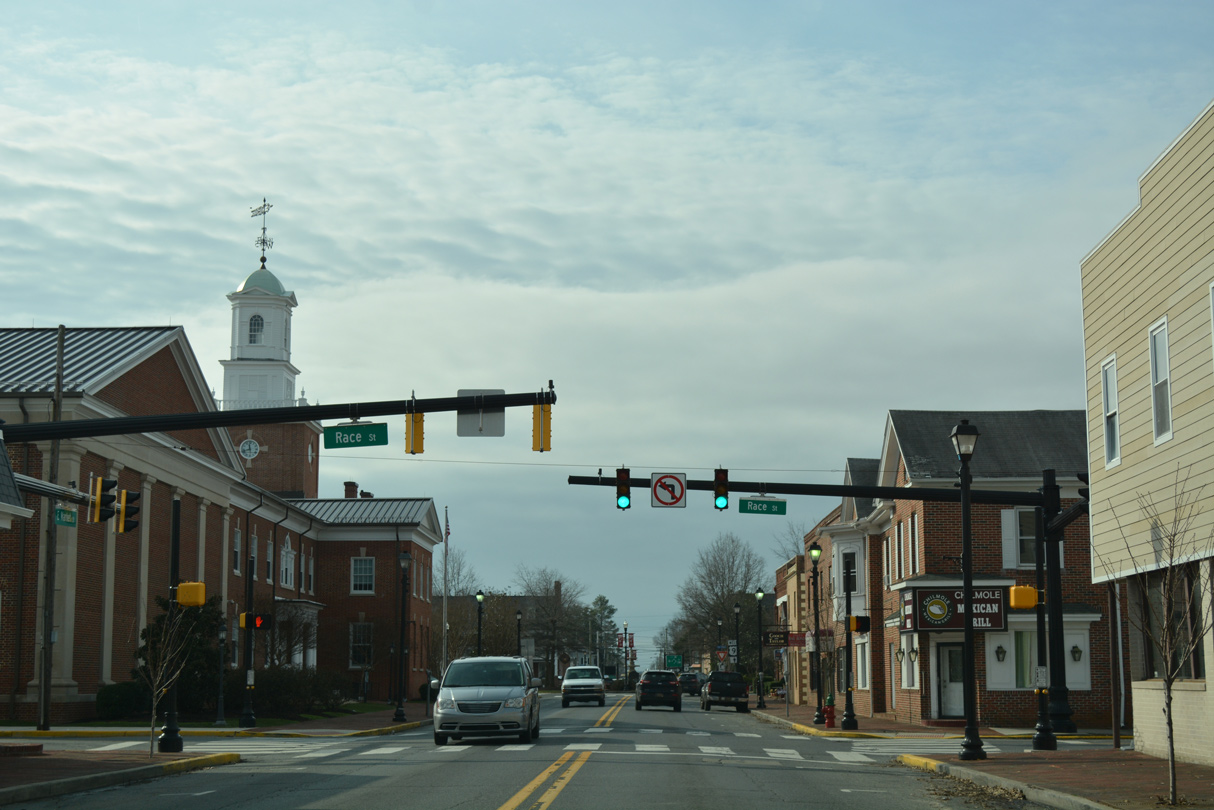
The Sussex County Courthouse lies on the southwest corner of Market and Race Streets in Downtown Georgetown.
01/16/17
A roundabout joins U.S. 9 (Market Street) with the continuation of SR 404 (Bedford Street) north and Bedford Street south to U.S. 9 Truck in Downtown Georgetown.
01/16/17
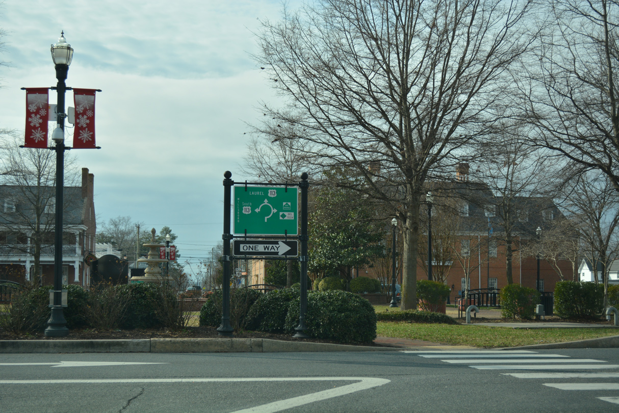
Posted within The Circle, a small guide sign references connections with U.S. 113 via Bedford Street south and the continuation of U.S. 9 (Market Street) west. A Bay Bridge trailblazer directs motorists onto SR 404 west, as it combines with SR 18 along Bedford Street north to Seashore Highway.
01/16/17
U.S. 9 continues solo from The Circle and SR 404 to Laurel.
01/16/17
Traffic lights along U.S. 9 (Market Street) at the staggered intersection with Margaret Street north and Sussex Central South operate during school hours only.
01/16/17
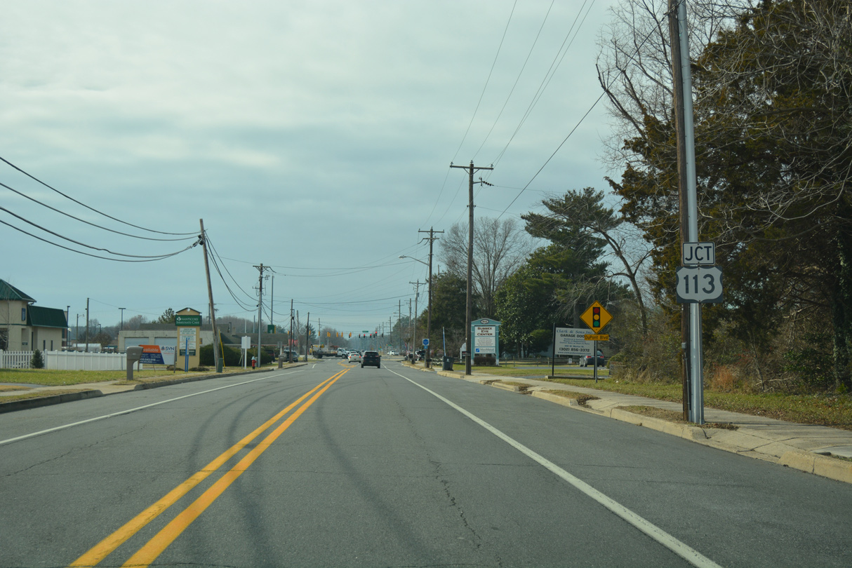
U.S. 9 (Market Street) emerges from the Georgetown street grid at the commercialized intersection with U.S. 113 (Dupont Boulevard).
01/16/17
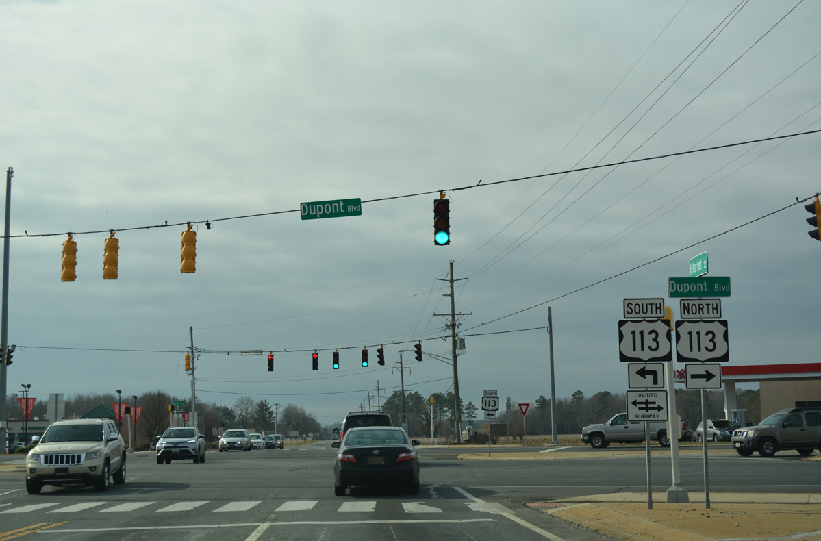
Dupont Boulevard comprises a busy arterial route across the west side of Georgetown as U.S. 113 leads north toward Milford and south to Millsboro.
01/16/17
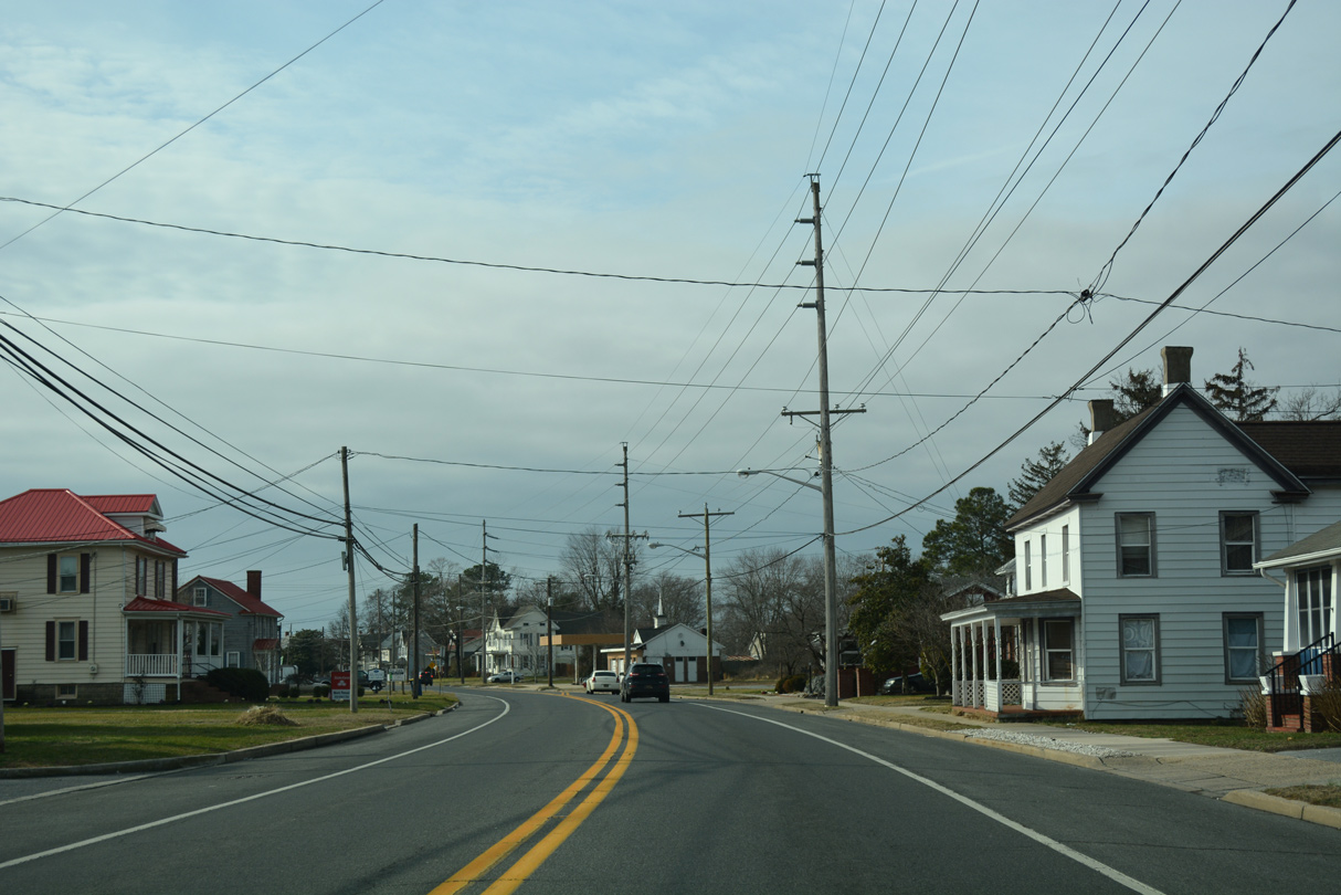
Leaving the Georgetown limits, U.S. 9 (County Seat Highway) bee lines southwest to Laurel.
01/16/17
U.S. 9 (County Seat Highway) meets Substation Road east and Warrington Road west at a staggered intersection in an agricultural area southwest of Georgetown.
01/16/17
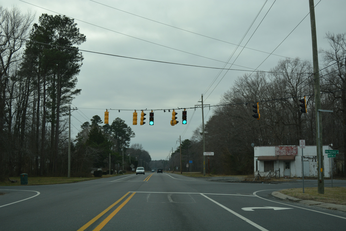
A traffic light operates at Whaleys Corners where U.S. 9 (County Seat Highway) meets Old Furnace Road north and Whaleys Corner Road south. Old Furnace Road runs west to Middleford and the northern outskirts of Seaford.
01/16/17
9.24 miles of U.S. 9 west remain after Old Furnace Road.
01/16/17
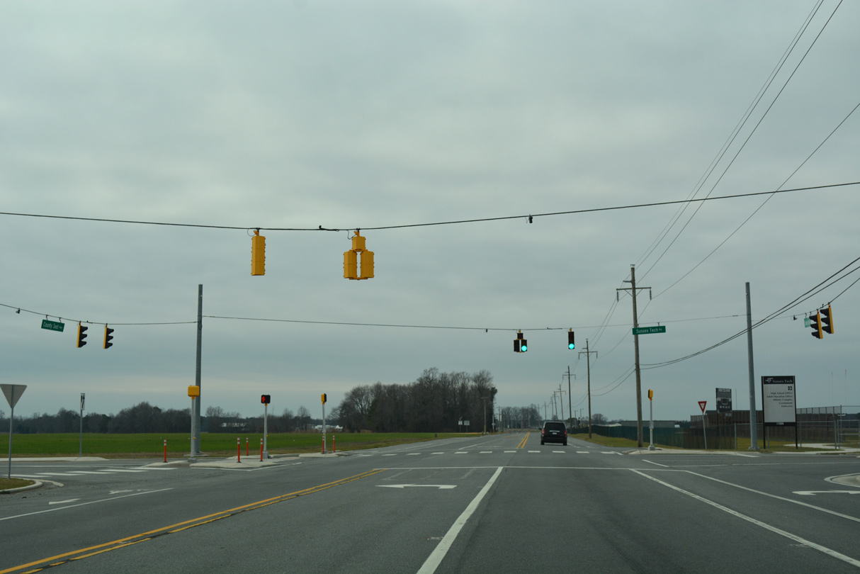
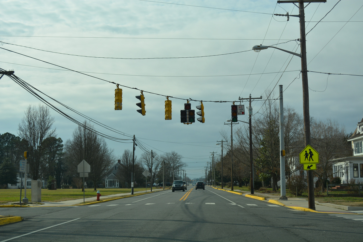
The succeeding traffic light on County Seat Highway west serves Sussex Tech High School in an otherwise rural area.
01/16/17
Westbound U.S. 9 beyond the University of Delaware Carvel Research and Education Center and Tyndall Road.
01/16/17
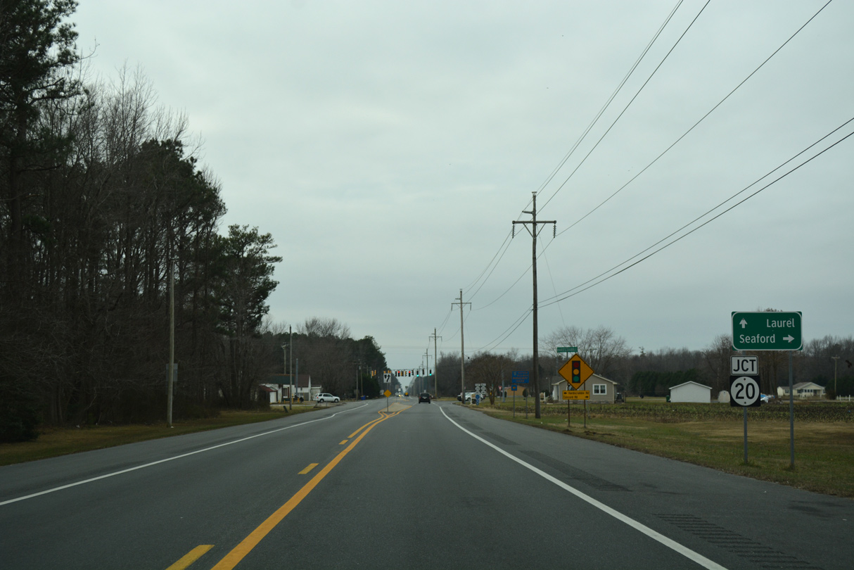
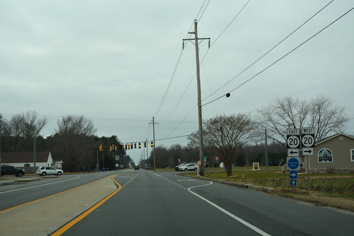
SR 20 and U.S. 9 cross paths at the rural community of Hardscrabble. The state route follows Concord Road west to Concord and Seaford and Hardscrabble Road southeast to Jones Crossroads and Millsboro.
01/16/17
42.75 miles in length between Reliance on the Maryland state line and Fenwick Island just off the Atlantic Ocean, the rural mid-section of SR 20 connects U.S. 13 at Blades with U.S. 113 at north Millsboro.
01/16/17

Posted after SR 20 in Hardscrabble, this is the last confirming marker for U.S. 9 west.
01/16/17
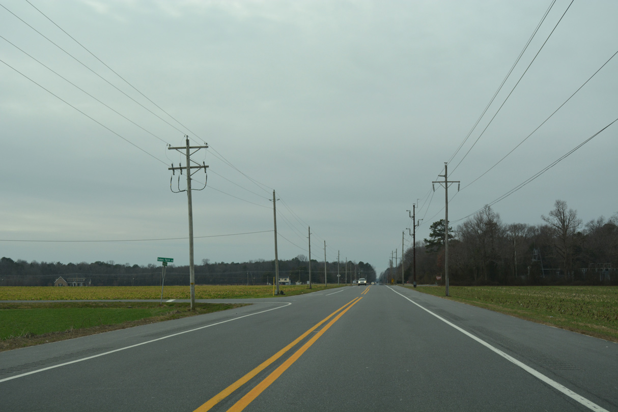
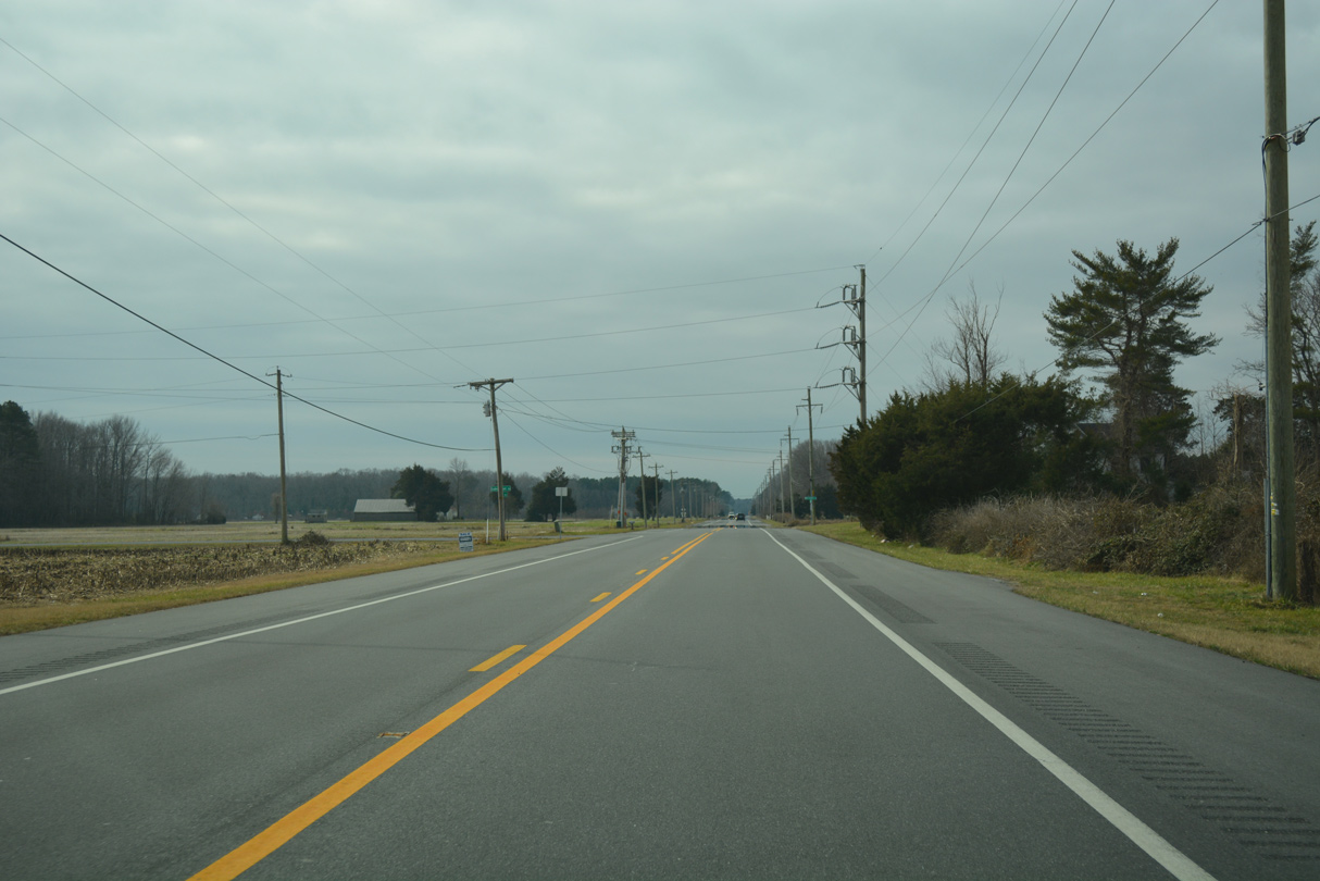
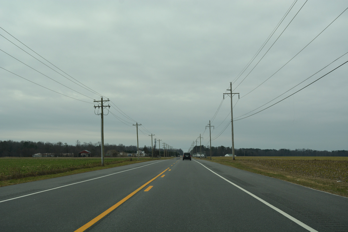
U.S. 9 traverses a mix of farm and forest land west from Hardscrabble to Laurel. Dukes Farm Road intersects County Seat Highway from the south in this scene.
01/16/17
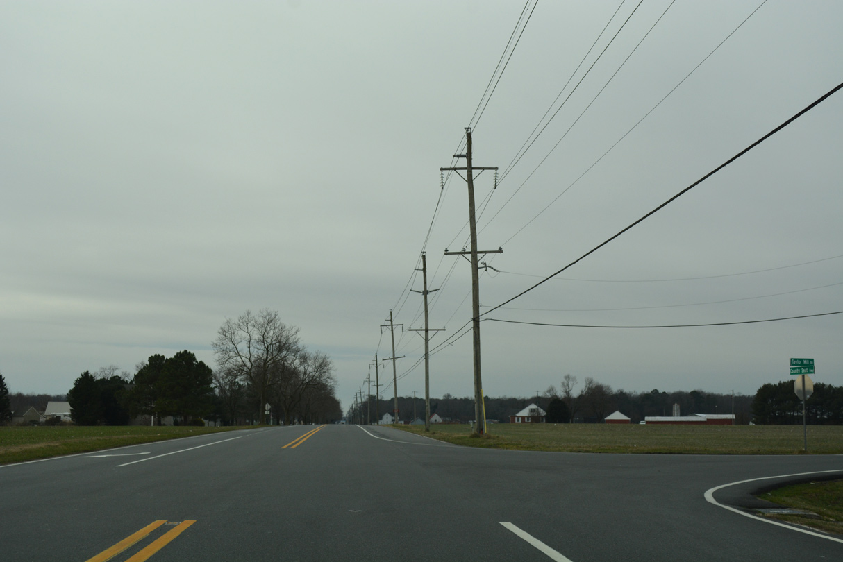
Taylor Mill Road west links U.S. 9 (County Seat Highway) with Discount Land Road at northern reaches of the Laurel town limits.
01/16/17
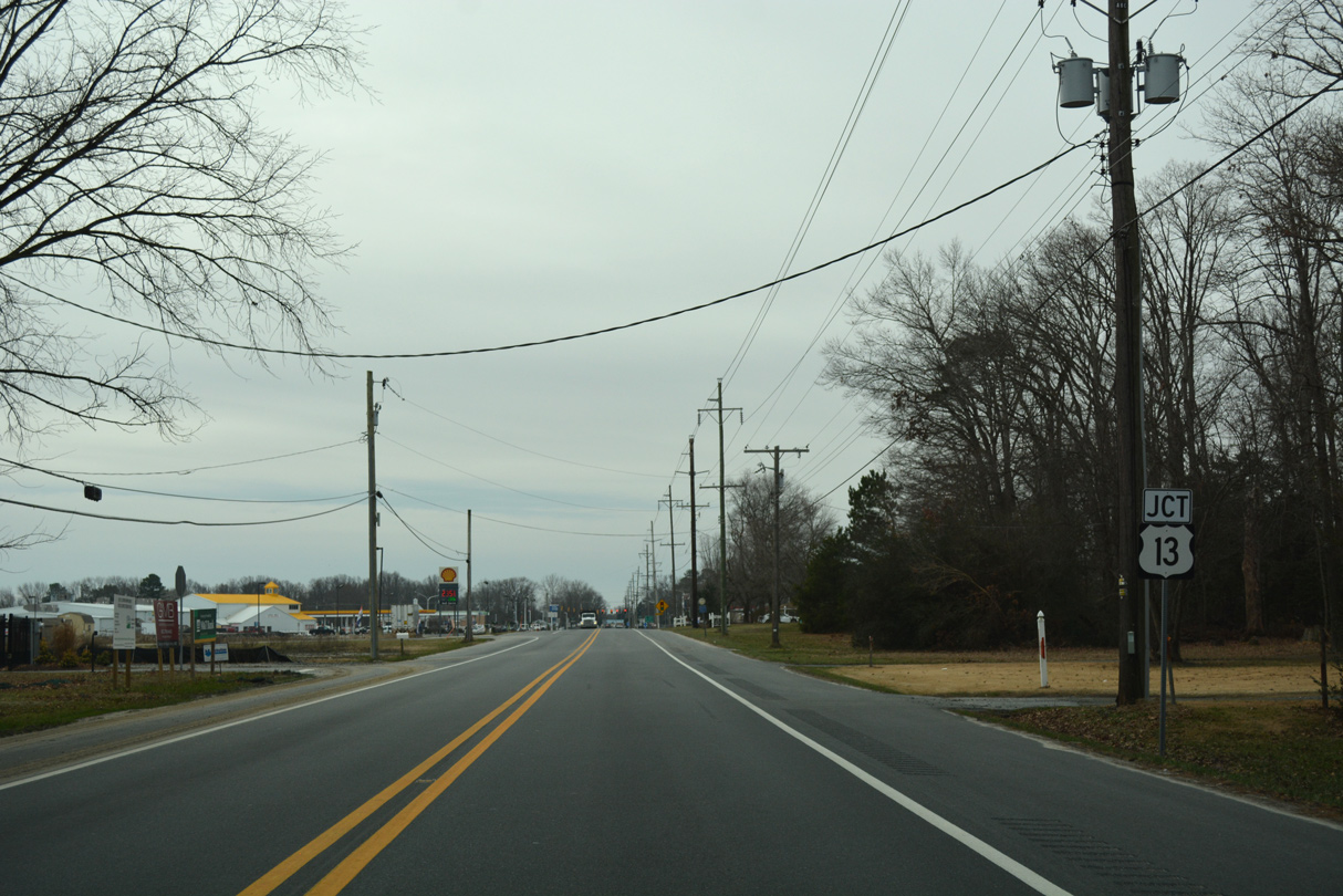
U.S. 9 concludes at the forthcoming intersection with U.S. 13 (Sussex Highway) in Laurel.
01/16/17
U.S. 13 constitutes a major north to south route through most of Delaware. Within Sussex County, the four lane divided highway connects Laurel with Delmar to the south and Seaford, Bridgeville and Greenwood to the north.
01/16/17
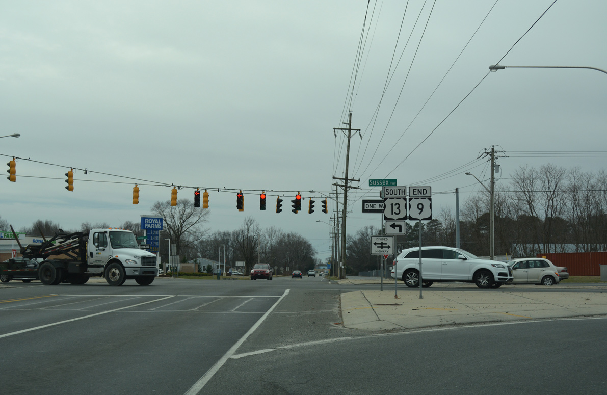
An end shield marks the western terminus of U.S. 9 across from Georgetown Road at U.S. 13 (Sussex Highway). Georgetown Road extends southwest to Central Avenue (historic U.S. 13 Alternate) north of Downtown Laurel.
01/16/17
References:
Theodore Freeman. (2018, October 14) In Wikipedia. https://en.wikipedia.org/w/index.php?title=Theodore_Freeman&oldid=864037523
Roth, N. (2025, September 5). Work continues to add new Route 9 traffic signal. Cape Gazette. https://www.capegazette.com/article/work-continues-add-new-route-9-traffic-signal/295819
Roth, N. (2025, November 19). New Route 9 traffic signal goes online Friday, Nov. 21. Cape Gazette. https://www.capegazette.com/article/new-route-9-traffic-signal-goes-online-nov-21/298512
Photo Credits:
- Alex Nitzman: 06/18/12, 01/16/17, 12/22/24
- Rahul: April 2000
Connect with:
Page Updated Tuesday December 02, 2025.