
U.S. 17 North - Bartow to Winter Haven

 North
North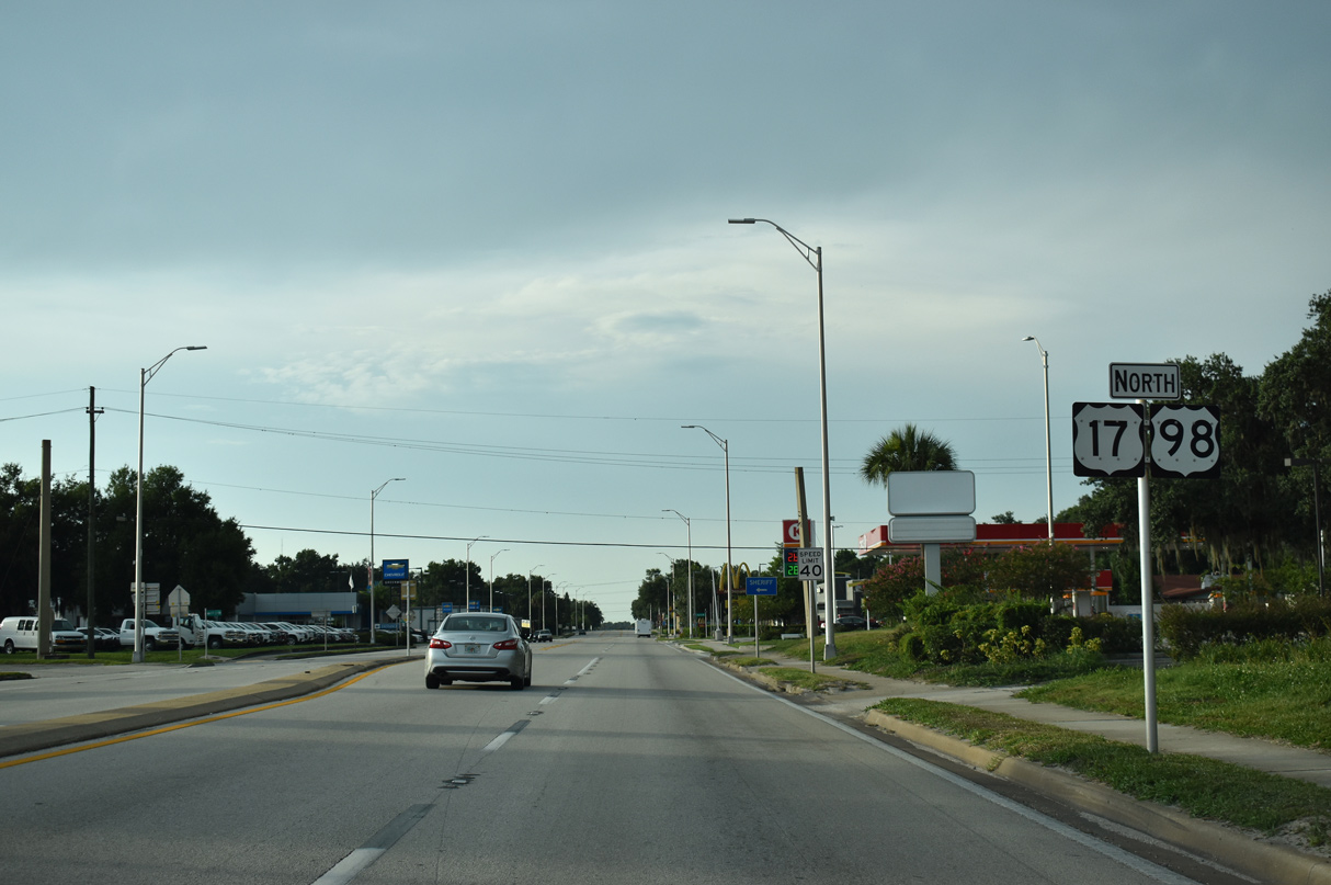
U.S. 98 combines with U.S. 17 (Charleston Avenue) north 10.9 miles from Broadway Avenue in Fort Meade to SR 60 in Bartow.
07/02/19
07/02/19
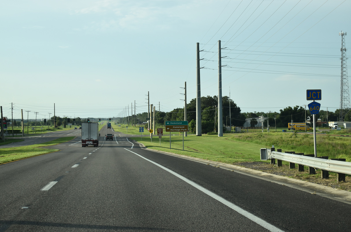
Spanning the parallel CSX Railroad line, U.S. 17/98 north continue to CR 640 (Homeland Garfield Road) at the unincorporated community of Homeland.
07/02/19
07/02/19
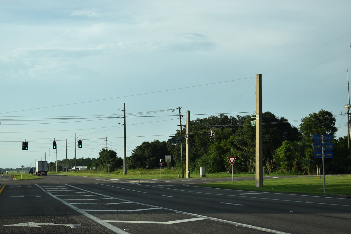
CR 640 (Homeland Garfield Road) takes a stair stepped route 18.0 miles east from U.S. 17/92 to SR 17 near Highland Park and Hillcrest Heights. Heading west from Homeland, CR 640 trends northward to Green Bay, SR 37 at Pine Dale and Lithia in Hillsborough County.
07/02/19
07/02/19
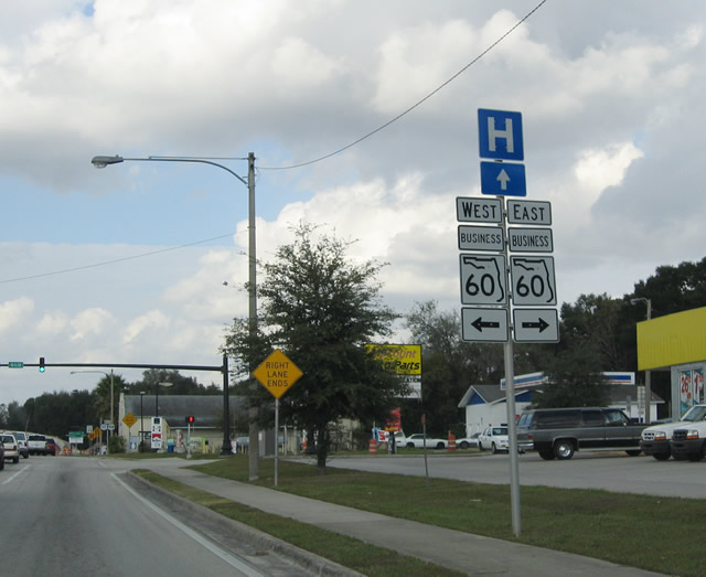
Continuing north into the Polk County seat of Bartow, U.S. 17/98 (Holland Parkway) intersect Main Street (former SR 60 Business) east of Downtown. SR 60 Business was established following the relocation of SR 60 to the north along an arterial bypass (Van Fleet Drive).
11/18/03
11/18/03
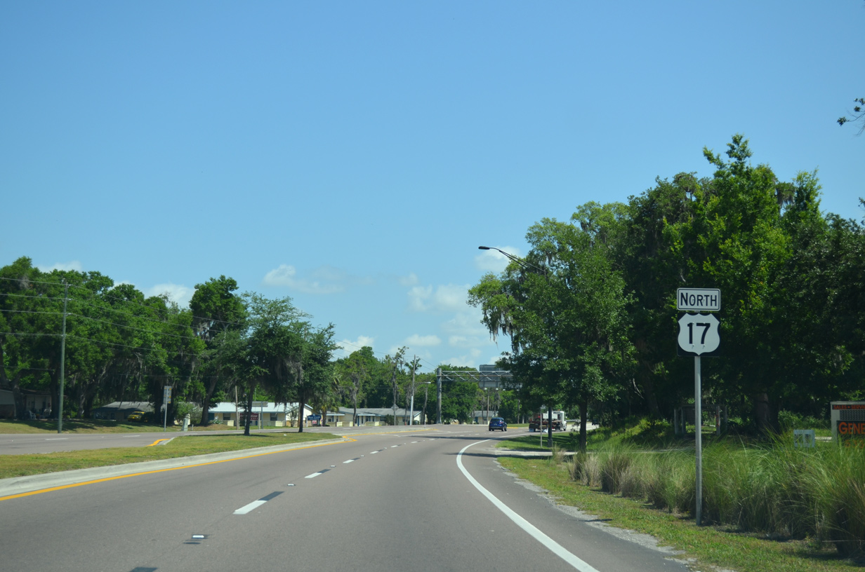
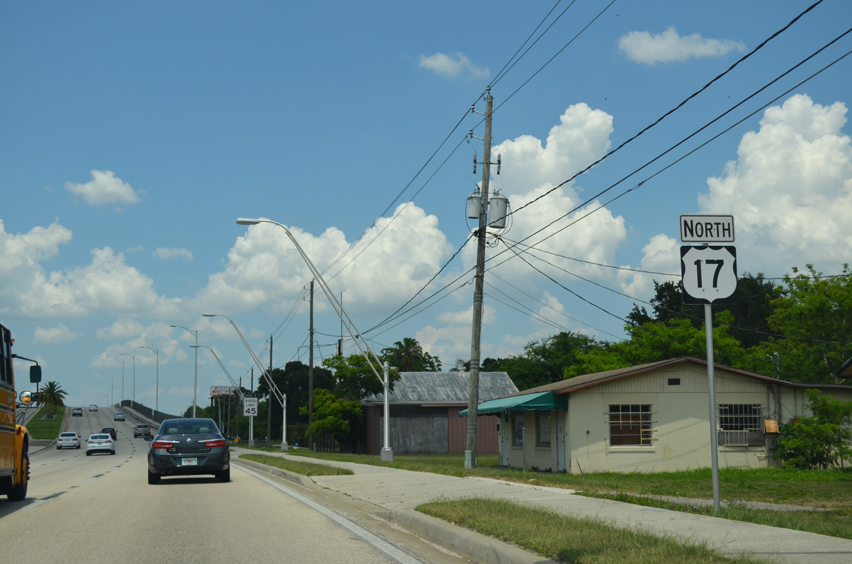
U.S. 17 commences a gradual easterly turn beyond the separation with U.S. 98 toward Eagle Lake and Winter Haven.
04/26/14
04/26/14
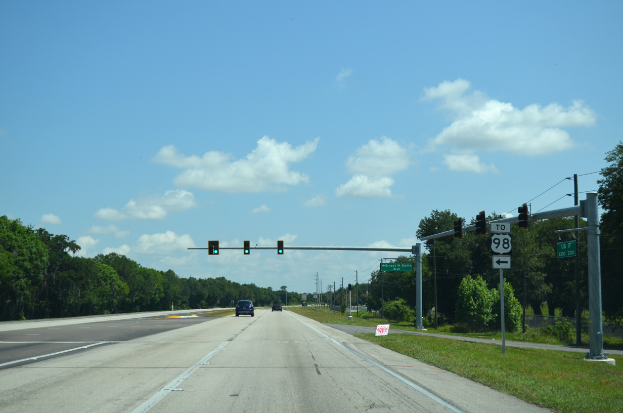
Ernest M. Smith Boulevard, a 2.1 mile long arterial bypass north of Bartow, opened to traffic on April 17, 2013. Connecting U.S. 17 with U.S. 98, the $13.2 million roadway took a year to build.1
04/26/14
04/26/14
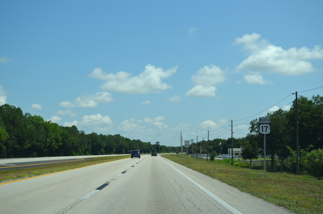
Reassurance marker posted after Ernest M. Smith Boulevard west in Bartow.
04/26/14
04/26/14
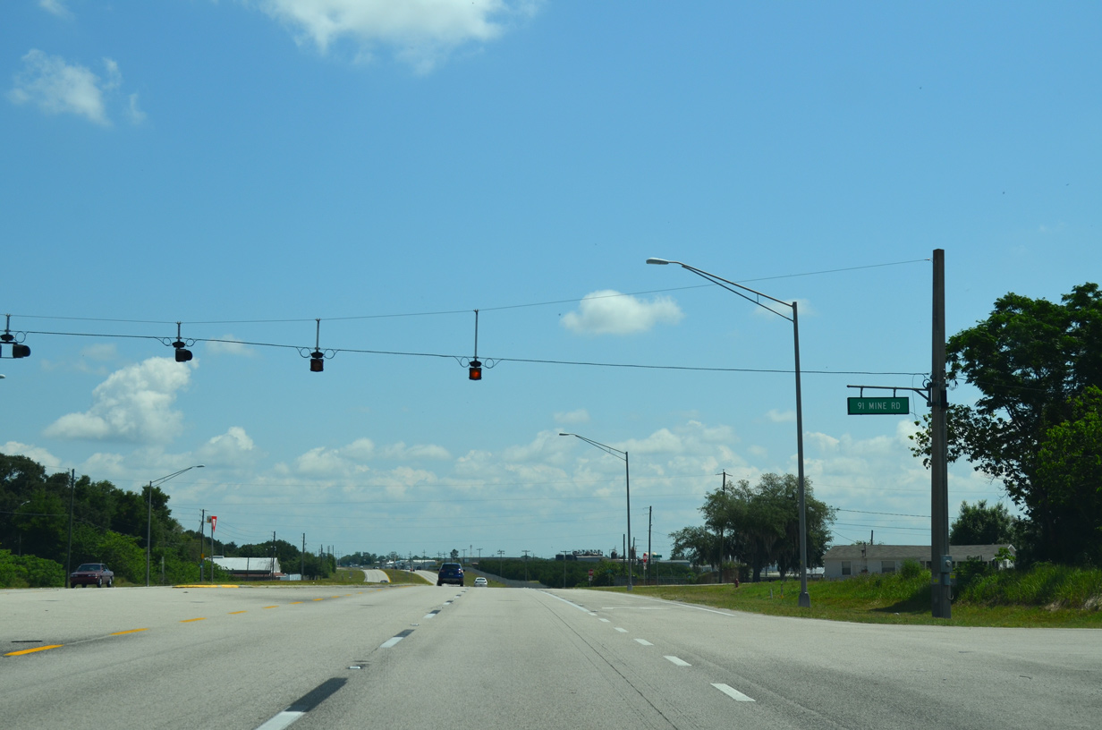
91 Mine Road leads 2.7 miles north along a winding course from SR 60 to U.S. 17 west of Bartow Municipal Airport (BOW).
04/26/14
04/26/14
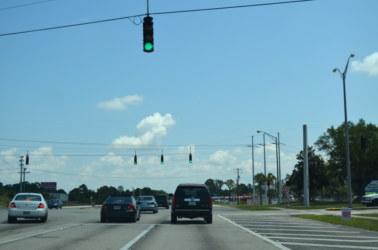
Airport Boulevard north and Spirit Lake Road south come together at the succeeding traffic light along U.S. 17 northbound.
04/26/14
04/26/14
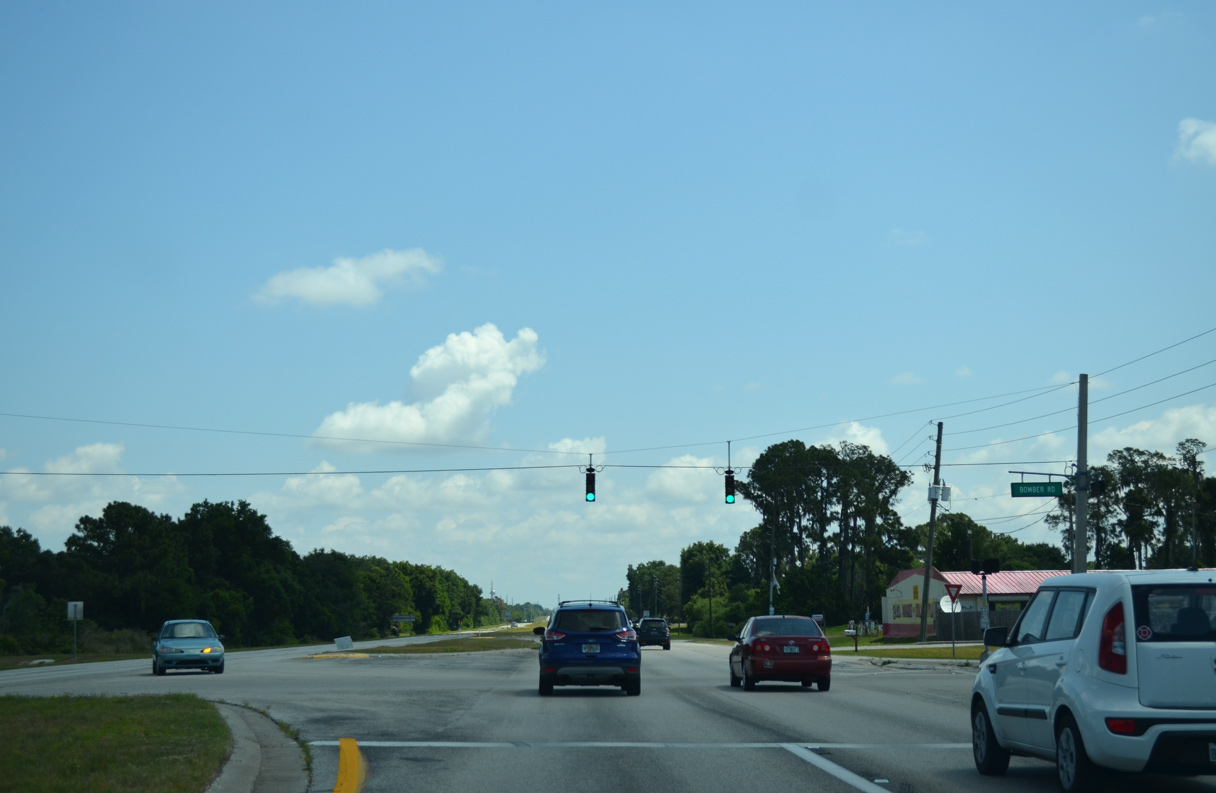
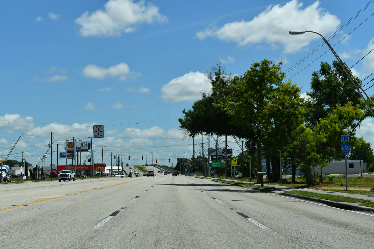
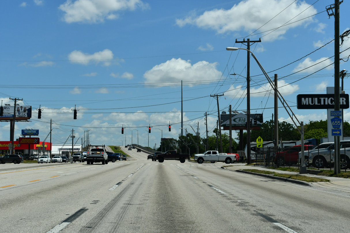
Bomber Road (unsigned CR 559) stems 3.3 miles east from U.S. 17 to CR 655 (Rifle Range Road) at the community of Wahneta.
06/24/25
06/24/25
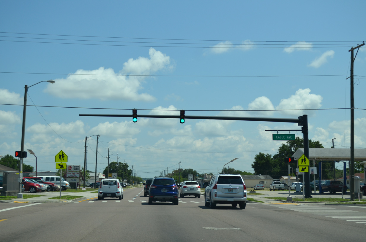
Through the city of Eagle Lake, U.S. 17 partitions into a one way couplet along 5th Street north and 4th Street south. Eagle Avenue leads southeast from the business district to become Eagle Lake Loop Road en route to CR 655 (Rifle Range Road) at CR 540A.
04/26/14
04/26/14
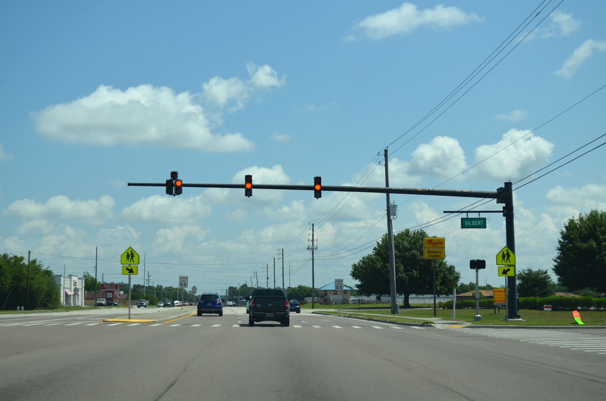
The separate roadways for U.S. 17 through Eagle Lake converge at the intersection with Gilbert Street.
04/26/14
04/26/14
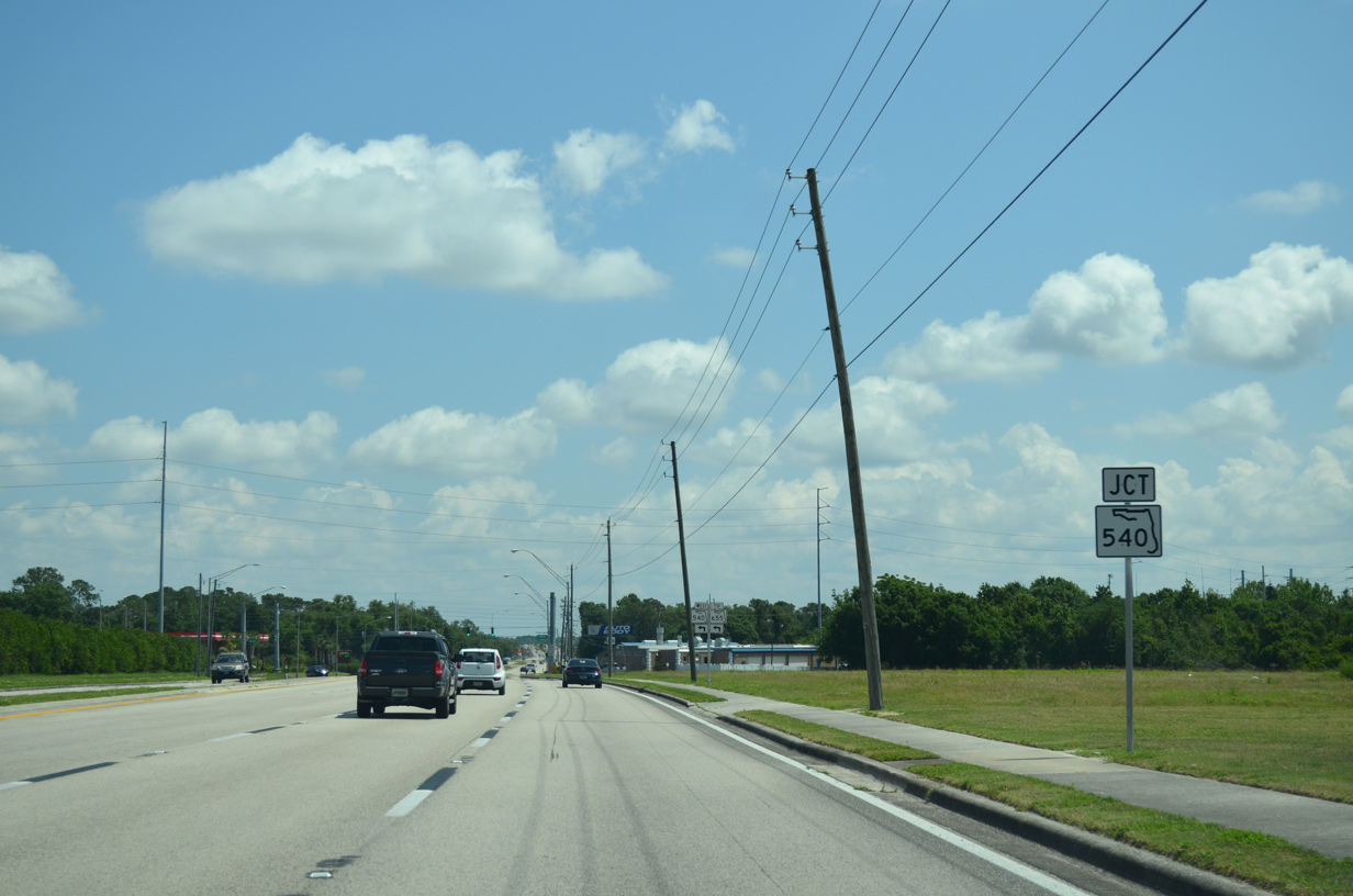
Leaving Eagle Lake, U.S. 17 advances to the western branch of SR 540 and the city of Winter Haven.
04/26/14
04/26/14
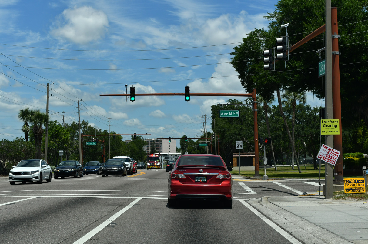
State Road 540 constitutes a four lane highway 6.6 miles west from Winter Haven to Polk Parkway (SR 570). The route extends 10.4 miles to U.S. 98 at Lakeland.
04/26/14
04/26/14
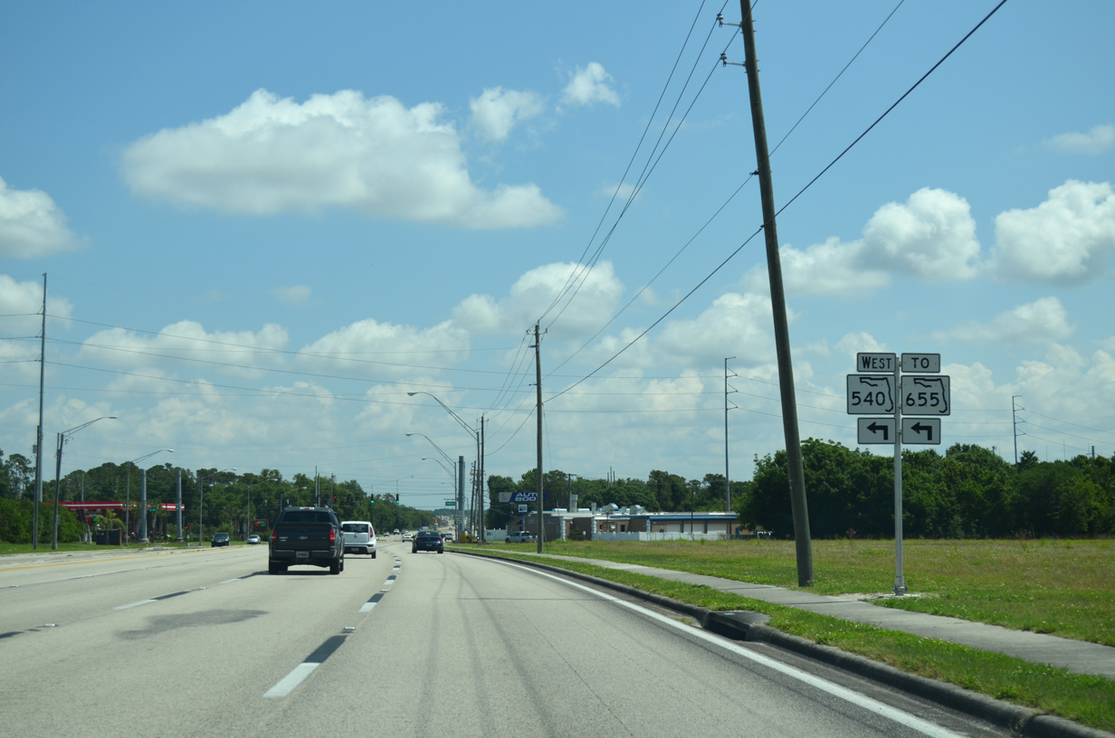
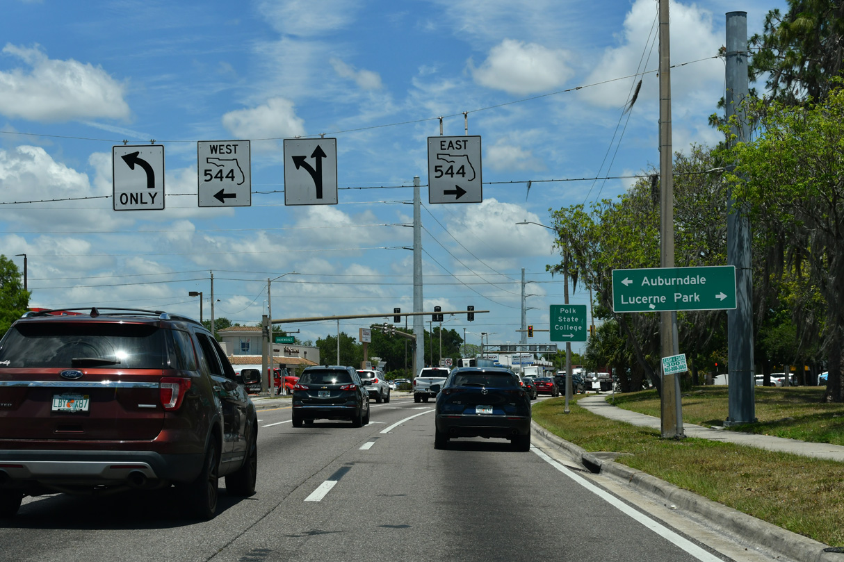
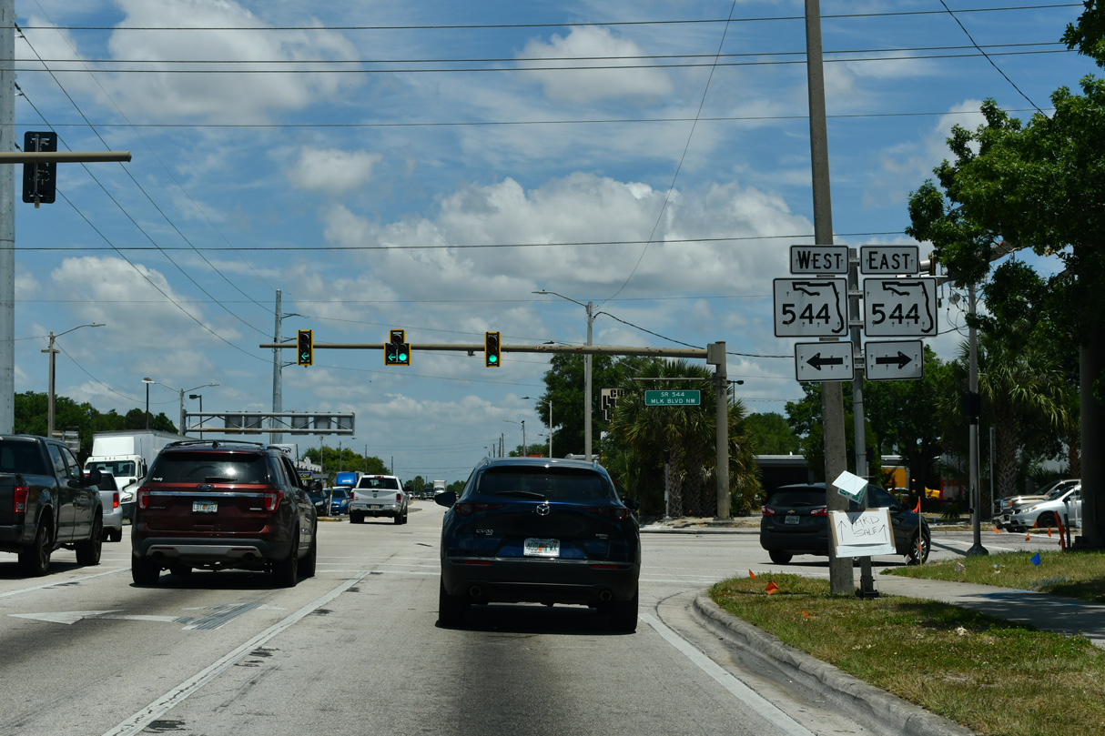
SR 540 west connects with SR 620, a short link to SR 655 leading northwest from Winter Haven to Auburndale.
04/26/14
04/26/14
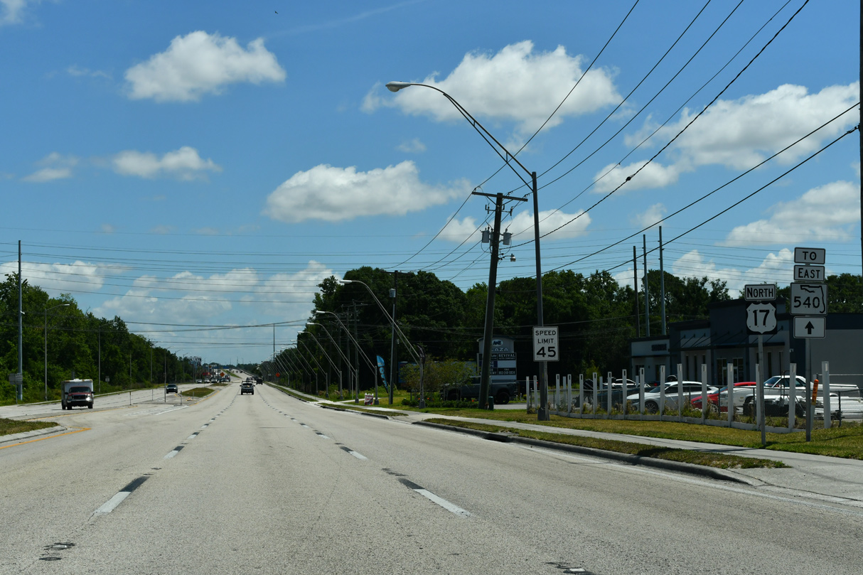
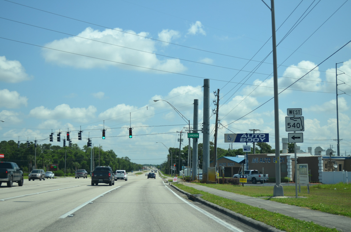
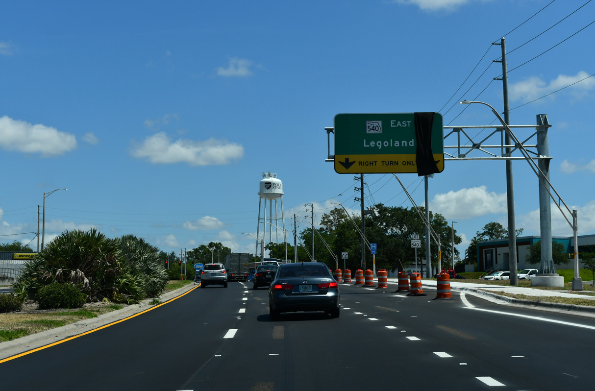
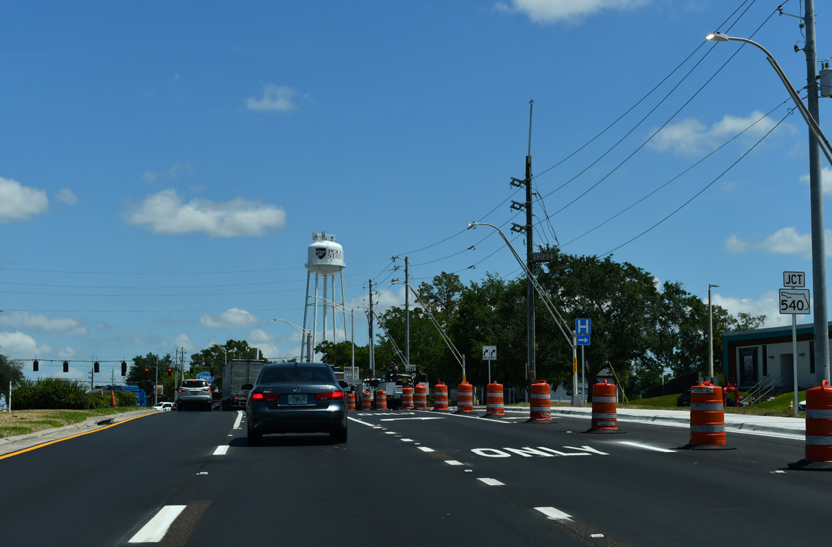
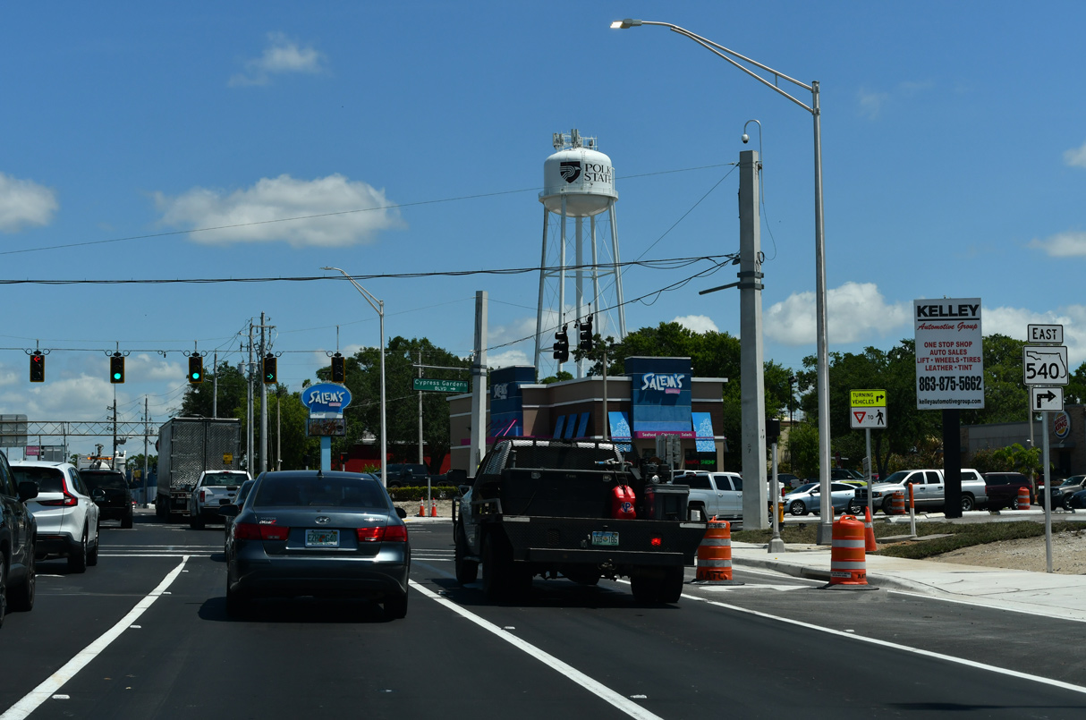
An implied 1.6 mile long overlap with U.S. 17 joins the west branch of SR 540 with the continuation of the state road east along Cypress Gardens in Winter Haven.
05/03/24
05/03/24
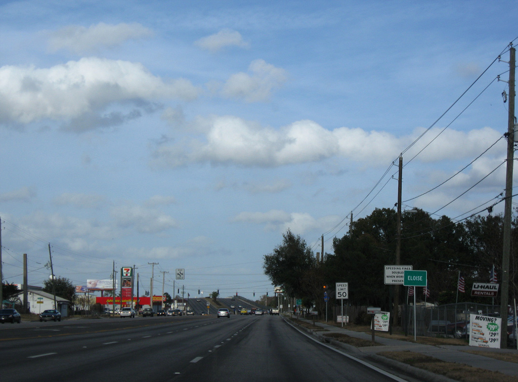
Eloise lies at the crossroads of U.S. 17 and Lake Shipp Drive / Snively Avenue (CR 655). The sign for the location along U.S. 17 north was removed by 2011.
01/17/10
01/17/10
05/03/24

05/03/24
05/03/24
The confirming marker for U.S. 17 posted north of CR 655 (Snively Avenue) was removed by 2021.
05/31/16
05/31/16

Ascending across both the CSX Railroad and the inlet connecting Lake Shipp and Lake Lulu, U.S. 17 north enters the Winter Haven city limits.
05/03/24
05/03/24
05/03/24
The eastern leg of SR 540 lines Cypress Gardens Boulevard for 7.18 miles from U.S. 17 (3rd Street SW) to U.S. 17 at CR 540 (Waverly Road).
05/03/24
05/03/24
05/03/24
05/03/24
05/03/24
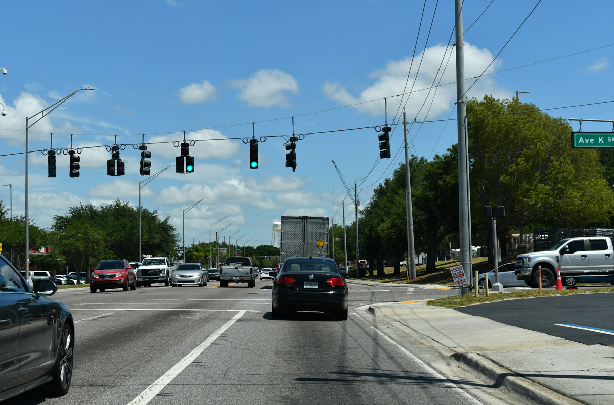
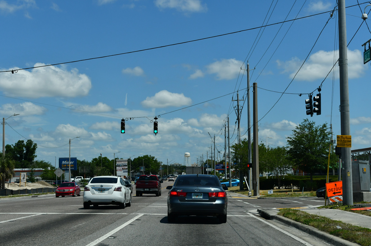
Historically U.S. 17 through Winter Haven partitioned into a couplet with northbound following 3rd Street W to Magnolia Avenue and Avenue A SW to 6th Street SW and southbound lining 6th Street SW to Avenue K SW. East from U.S. 17, Avenue K S was also once part of SR 540 to 6th Street SE.
05/03/24
05/03/24
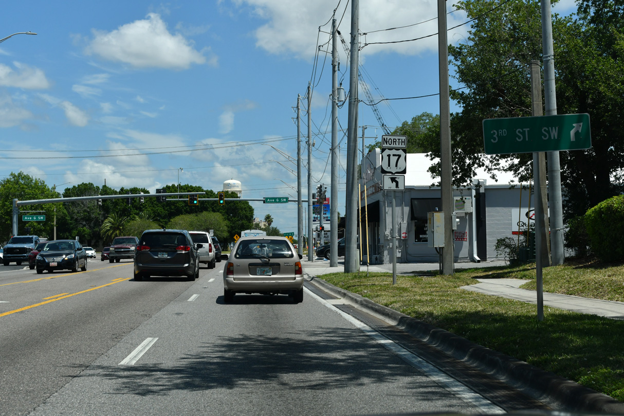
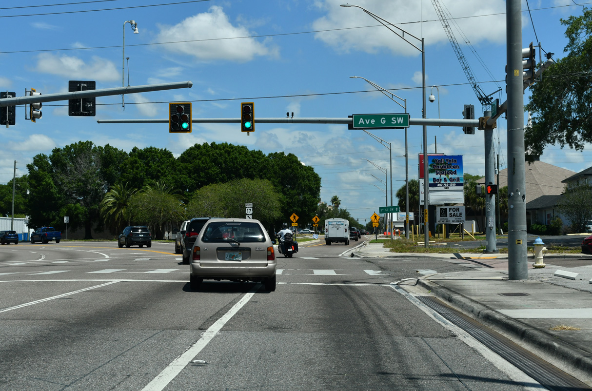
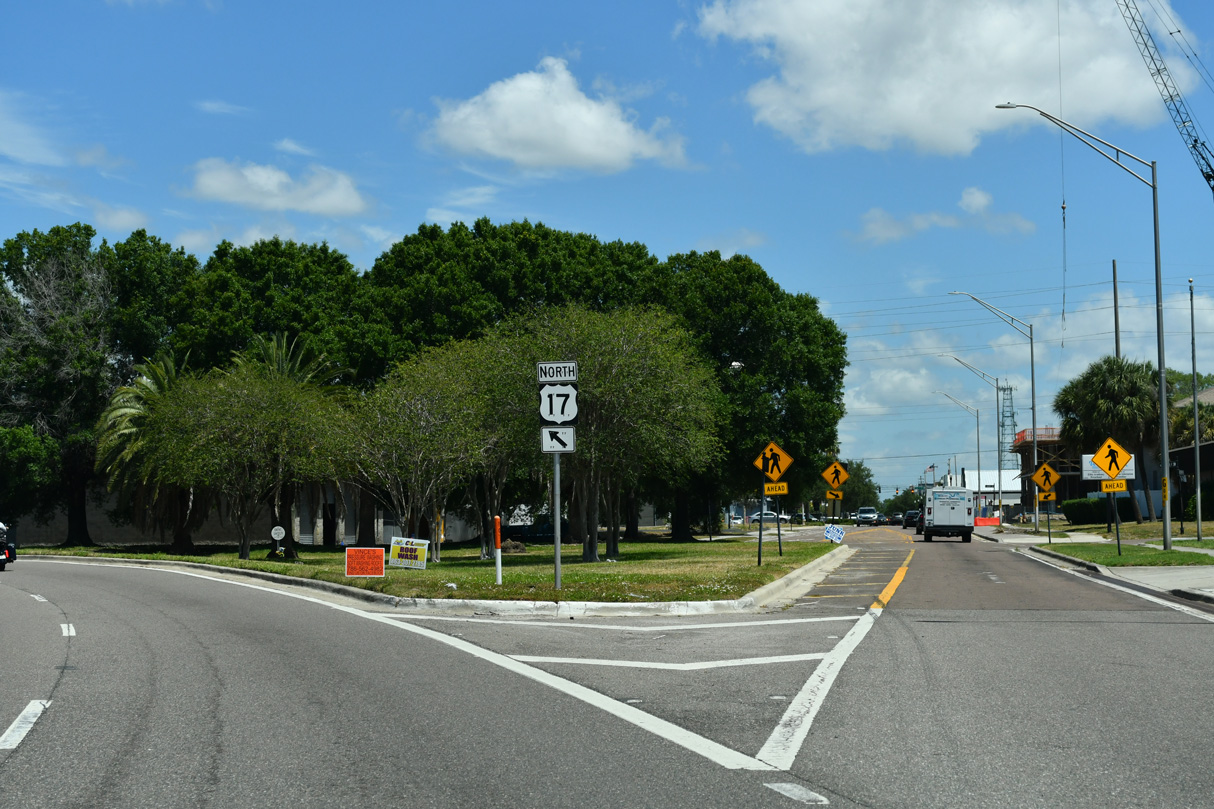
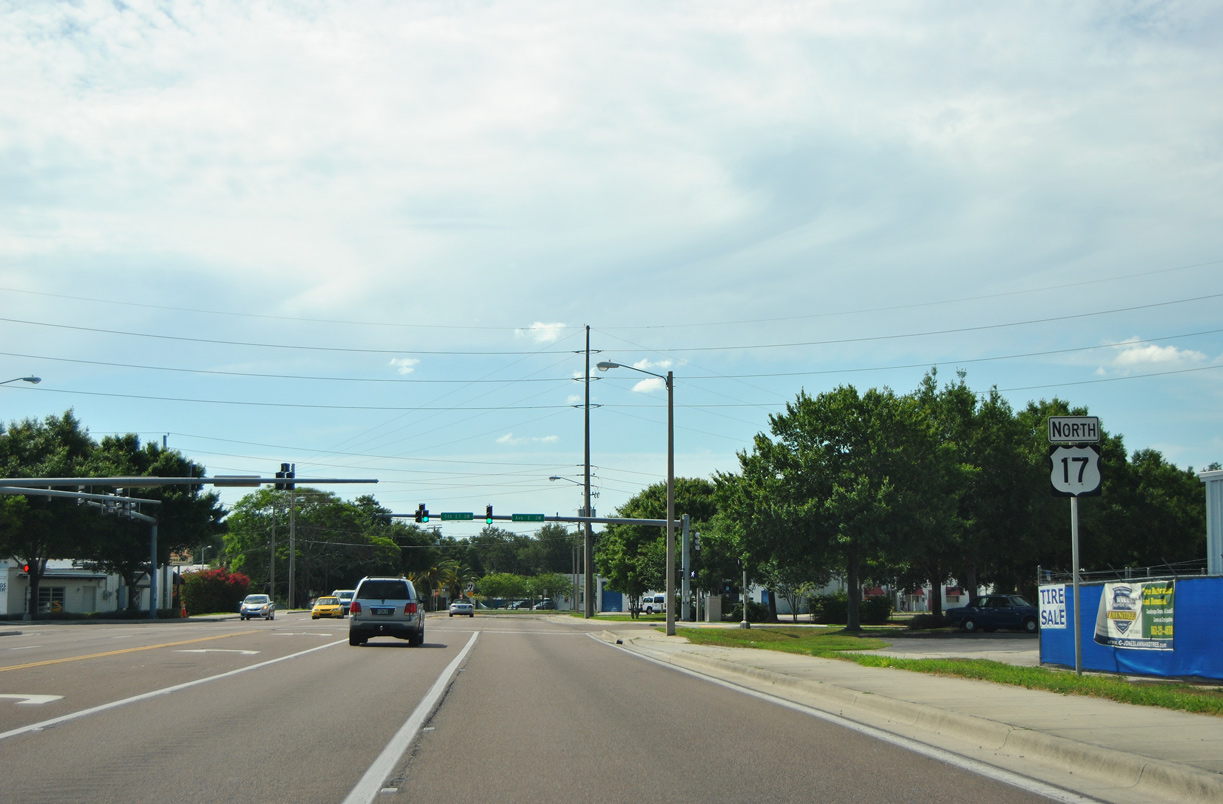
U.S. 17 shifts northwest off 3rd Street SW onto 6th Street SW from Avenue G Swa.
05/03/24
05/03/24
05/03/24
05/03/24
05/16/16
05/03/24
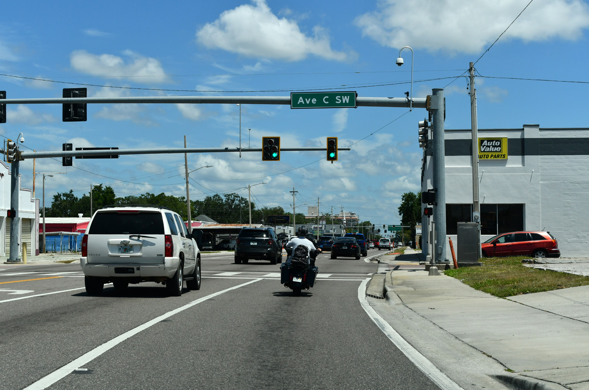
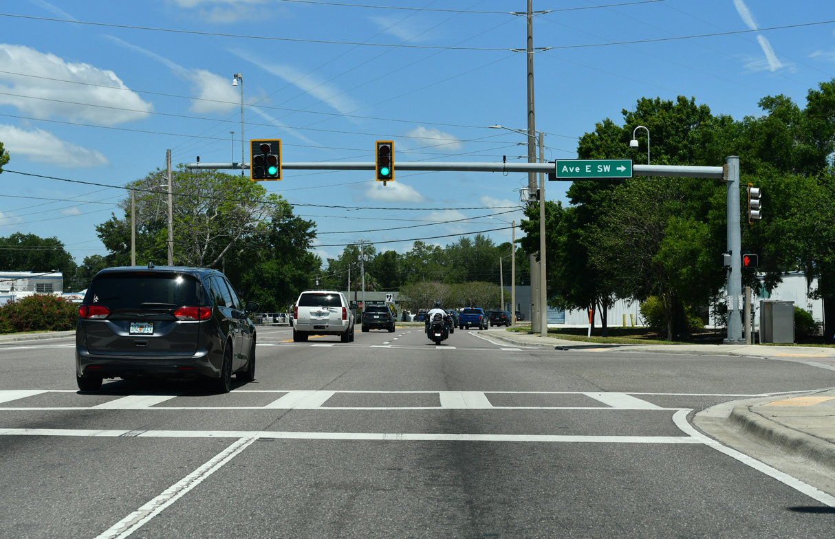
U.S. 17 overtakes 6th Street SW north at Avenue C SW.
05/03/24
05/03/24
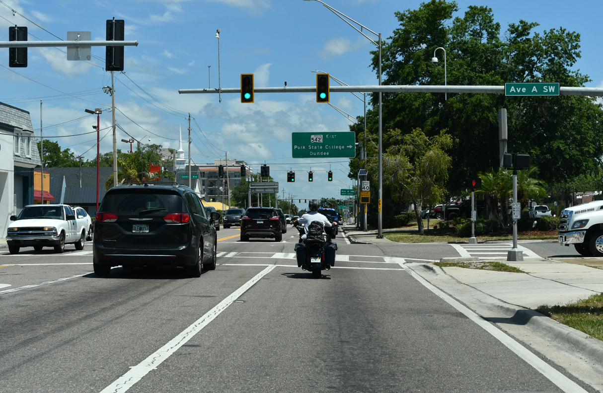
U.S. 17 north at Avenue A SW, which formerly was the route northbound from Magnolia Avenue at Central Park.
05/03/24
05/03/24
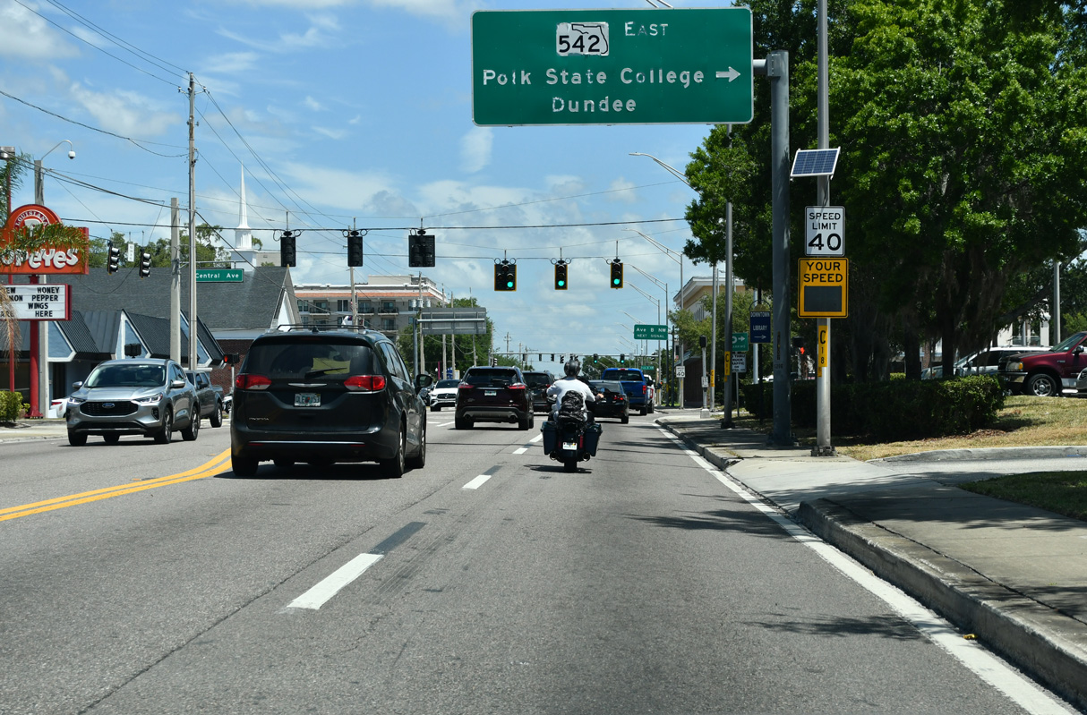
Central Avenue east from U.S. 17 (6th Street W) to 1st Street was formerly the westernmost extent of SR 542. It is unsigned CR 542 east 0.38 miles to SR 549 (1st Street N) where SR 542 begins along Central Avenue.
05/03/24
05/03/24
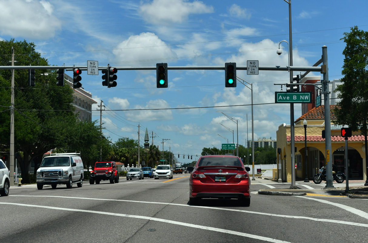
U.S. 17 north meets Avenue B (NW) and Pope Avenue (CR 542) at a six point intersection.
05/03/24
05/03/24
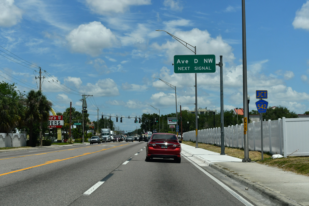
Signage for CR 542 references Avenue D NW west from U.S. 17. CR 542 encircles Lake Howard west to Inwood.
05/03/24
05/03/24
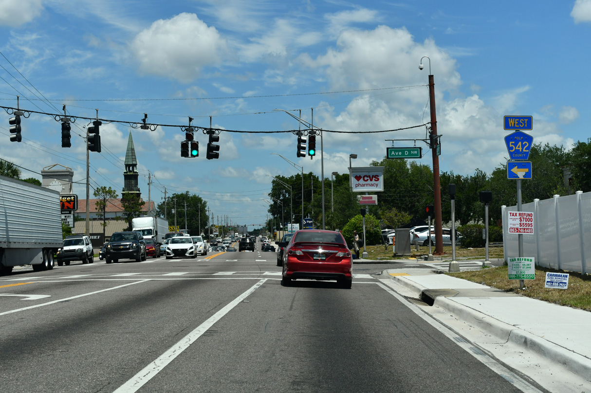
CR 542 passes through residential areas west along a 3.22 mile long course to SR 655 (Recker Highway).
05/03/24
05/03/24
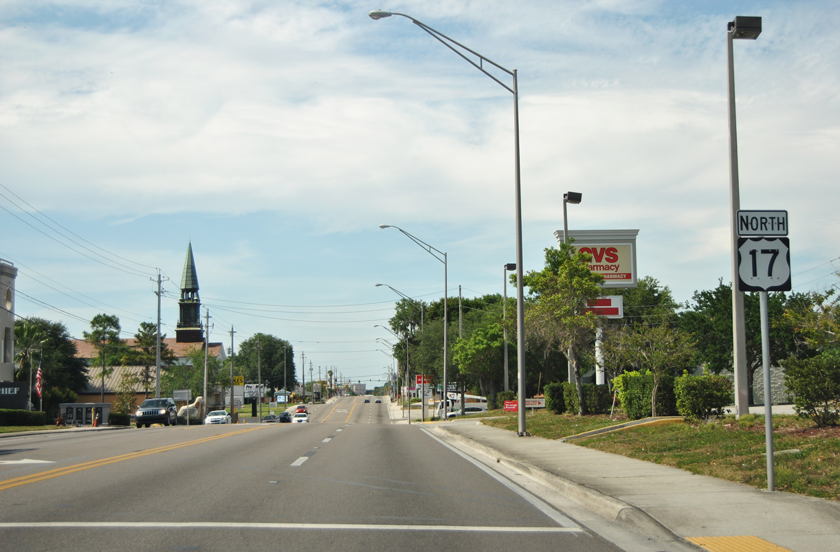
The U.S. 17 confirming marker posted north of CR 542 (Avenue NW) was removed by 2021.
05/15/16
05/15/16
05/03/24
05/03/24
05/03/24
05/03/24
05/03/24
05/03/24
05/03/24
05/03/24
04/26/14
05/22/20
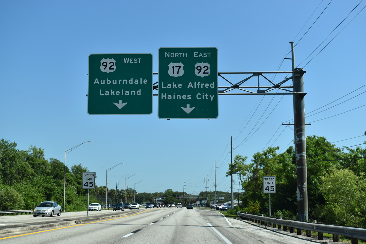
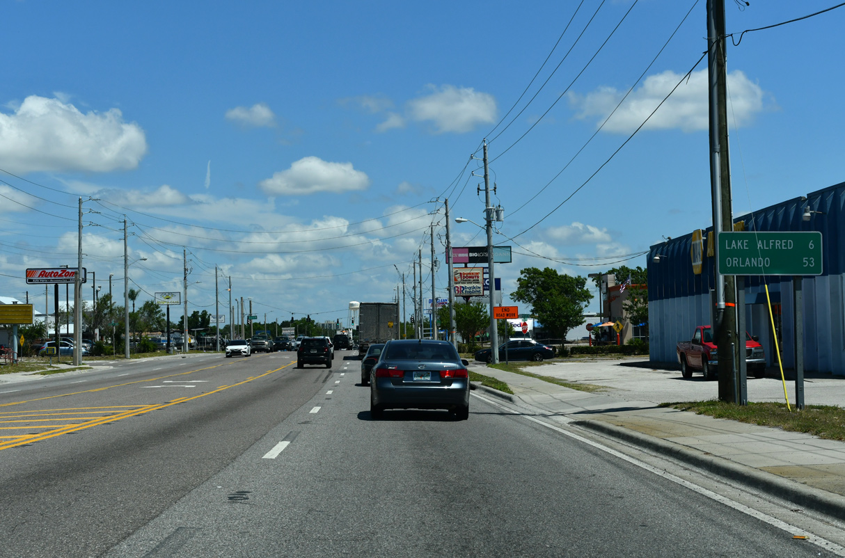
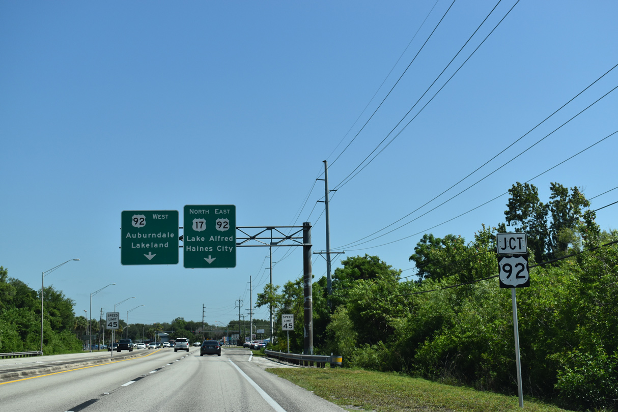
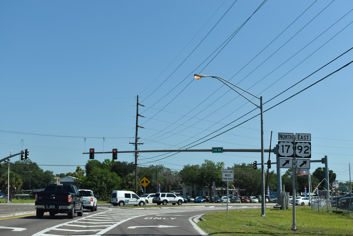
U.S. 17 joins U.S. 92 east from Winter Haven to Lake Alfred, Haines City and Kissimmee.
05/22/20
05/22/20
05/22/20
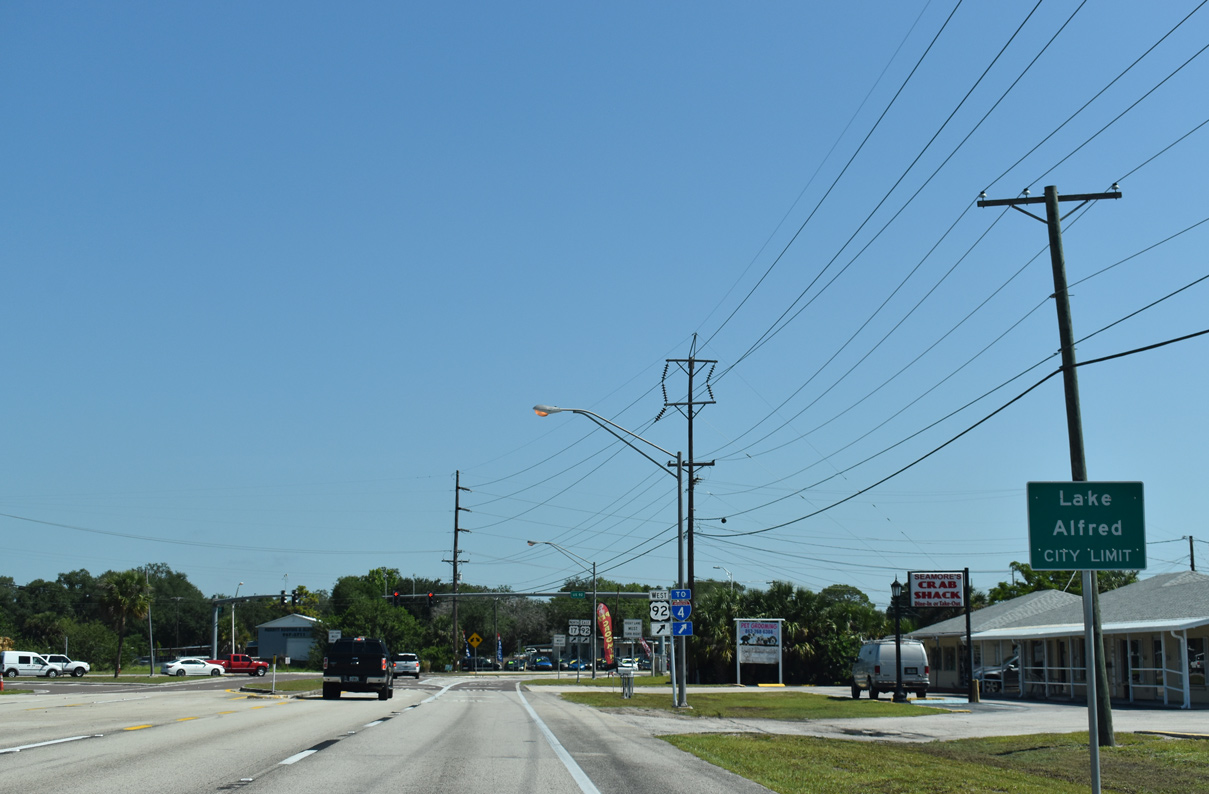
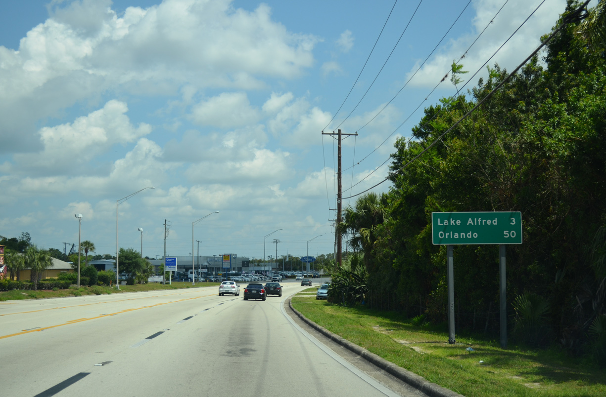
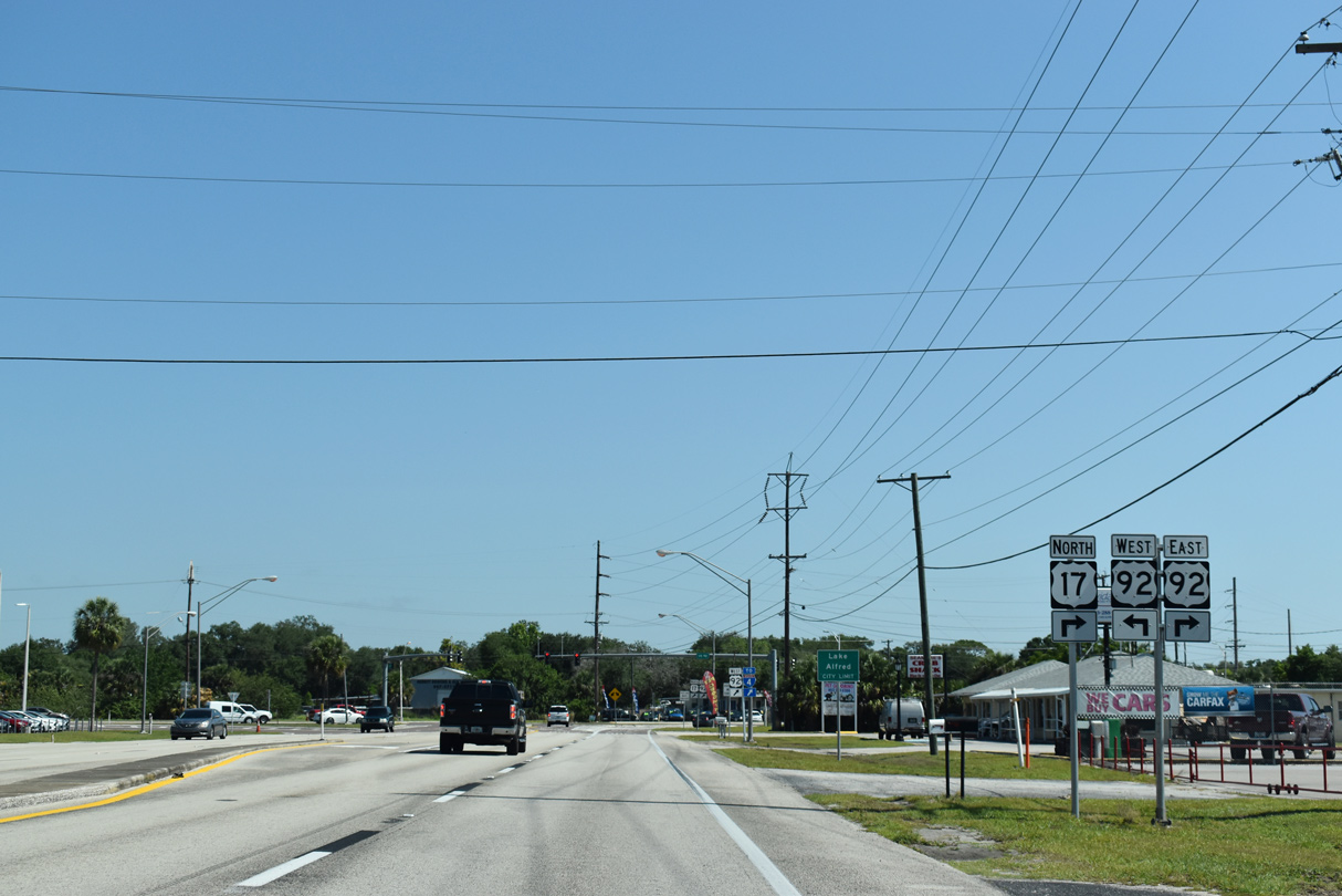
U.S. 17/92 enter the city of Lake Alfred where they combine.
05/22/20
05/22/20
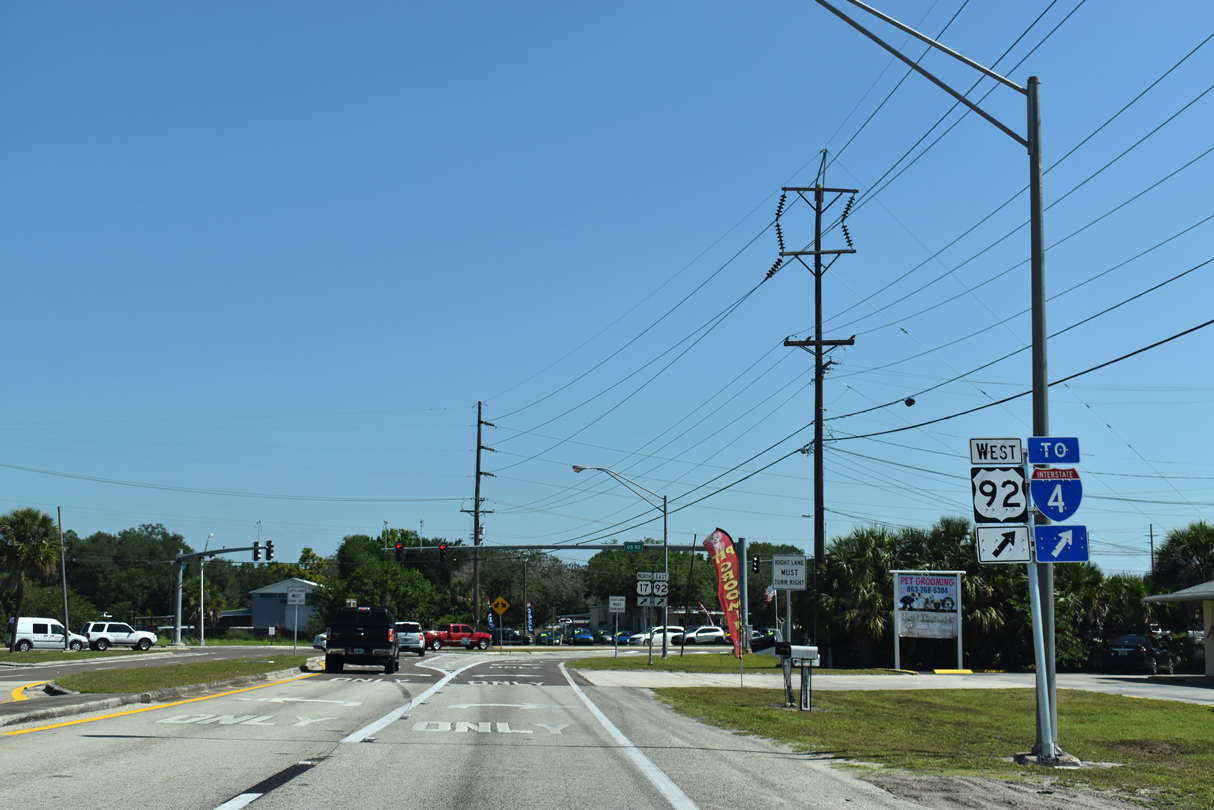
Corrected by 2021, an erroneous shield for U.S. 92 referenced west instead of east for the connection to I-4 via CR 557 north from Lake Alfred.
05/22/20
05/22/20
U.S. 92 enters Lake Alfred from Auburndale.
05/22/20
05/22/20

References:
- "Ernest M. Smith Blvd. To Open Wednesday in Bartow." The Ledger (Lakeland, FL), April 13, 2013.
Photo Credits:
- Alex Nitzman, JP Nasiatka: 07/02/19, 06/24/25
- Justin Cozart: 11/18/03
- Brent Ivy: 04/26/14, 05/15/16, 05/16/16, 05/03/24
- ABRoads: 01/17/10, 05/22/20
- Alex Nitzman: 05/31/16
Connect with:
Page Updated Saturday May 11, 2024.