
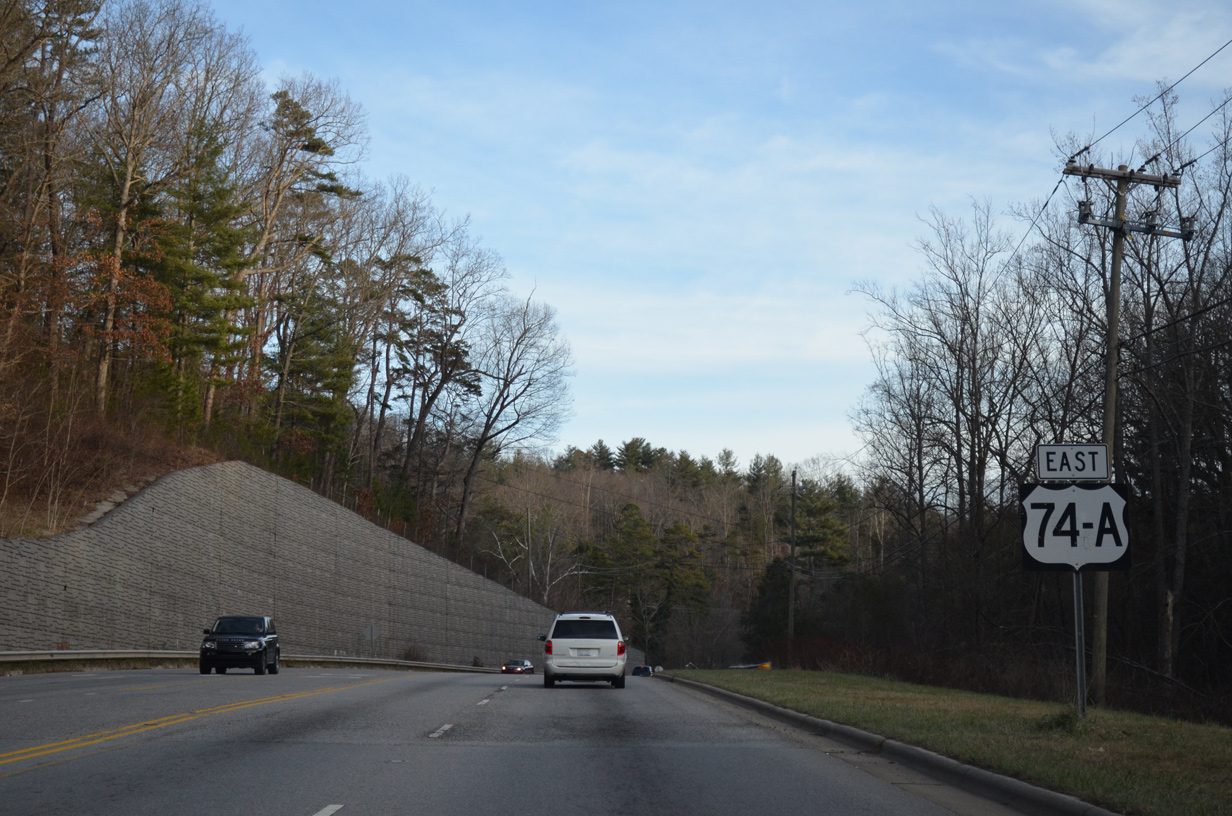
U.S. 74A East
 East
East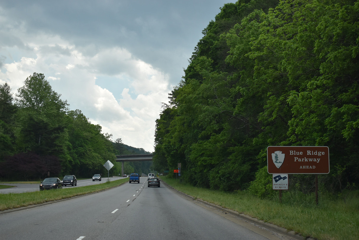
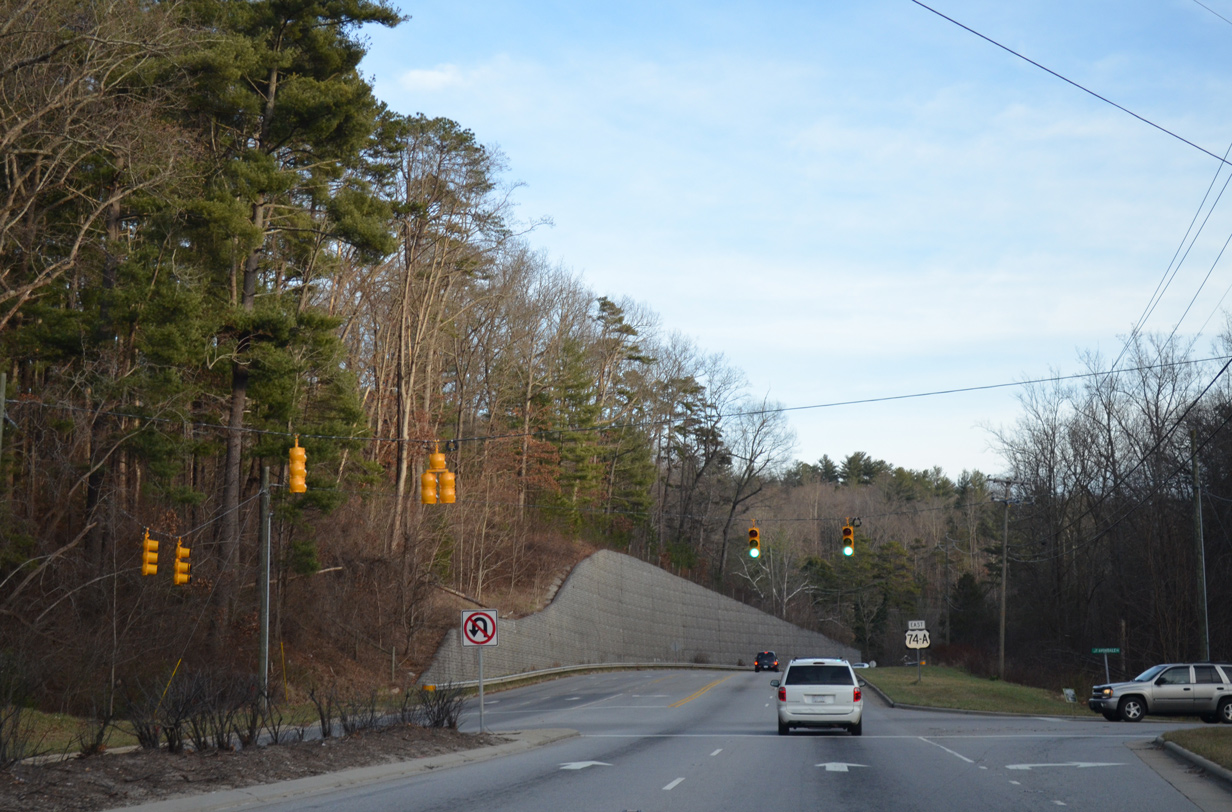
Rising east from Interstate 240 and Gashes Creek, U.S. 74A (Charlotte Highway) converges with Blue Ridge Parkway at a parclo B2 interchange.
05/26/21
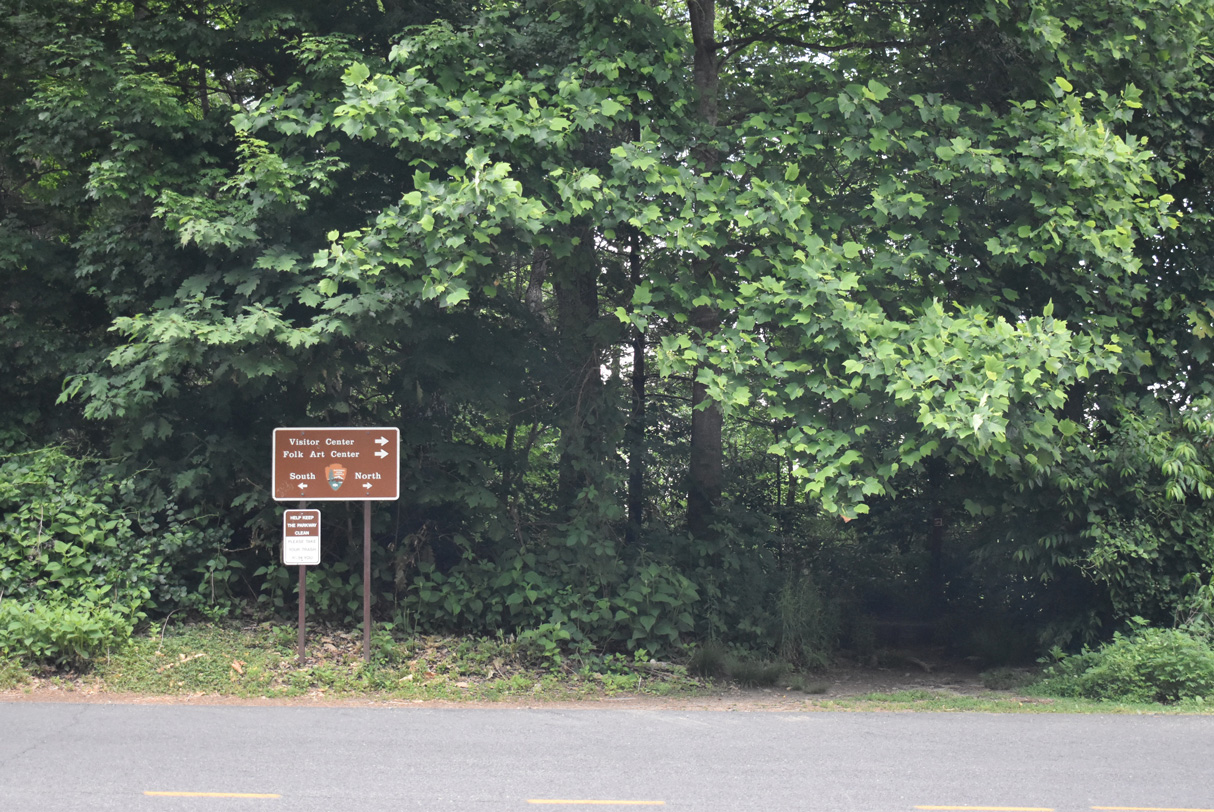
The Blue Ridge Parkway Visitors Center and Headquarters building lie just north of U.S. 74A.
05/26/21
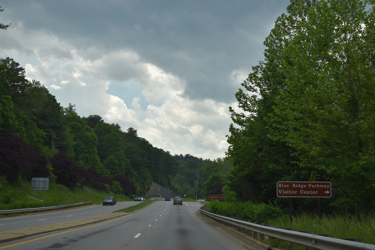
Maintained by the National Park Service, Blue Ridge Parkway is open only to passenger vehicles.
05/26/21
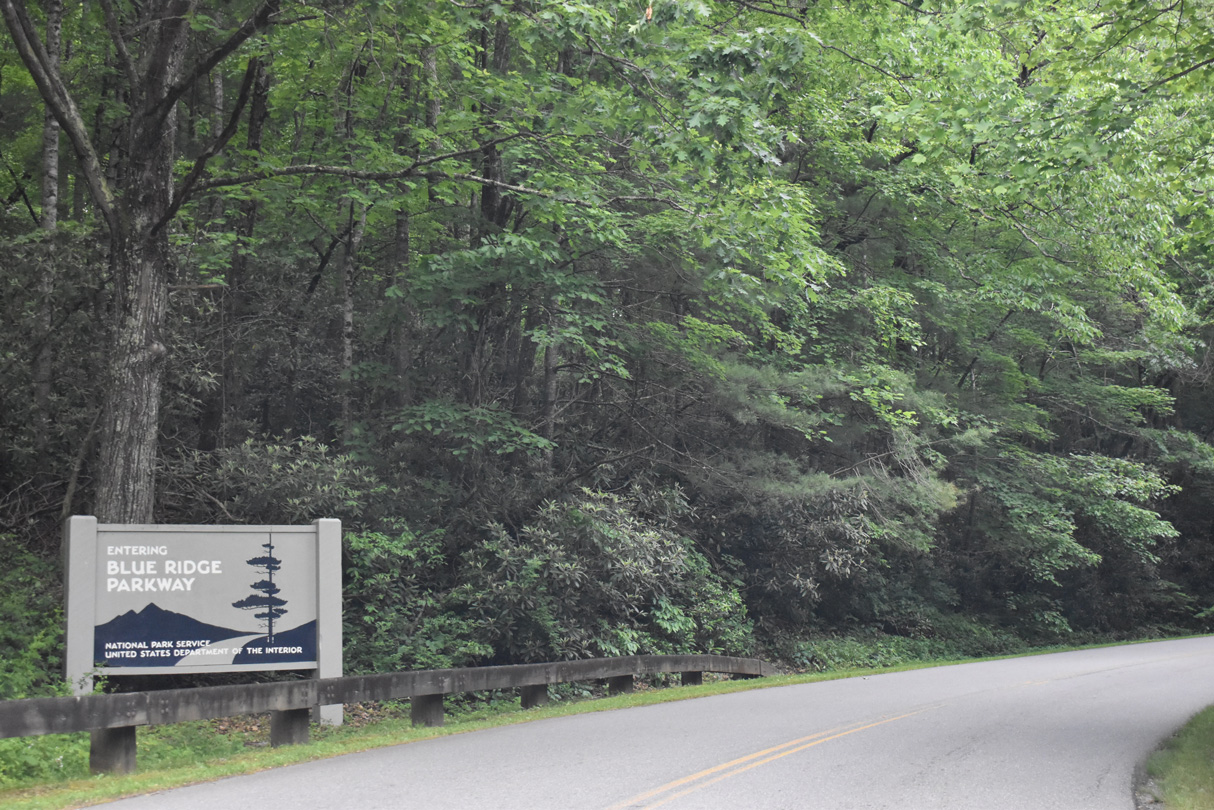
Blue Ridge Parkway is a controlled access roadway, though a number of turnoffs and parking areas provide travelers the opportunity to stop and sight see.
05/26/21
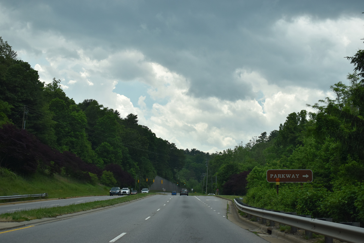
Blue Ridge Parkway passes east of Asheville northward en route to Mount Mitchell and south of Biltmore Forest.
05/26/21
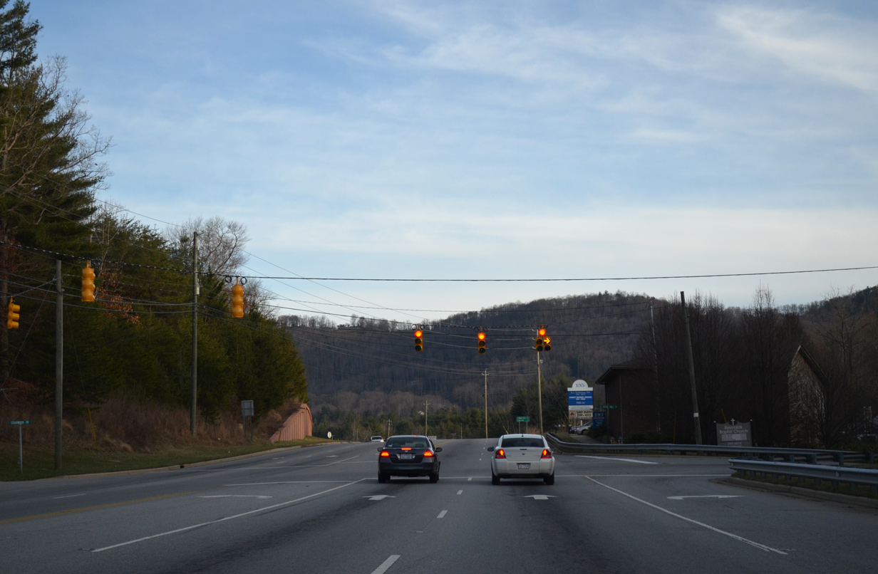
The signalized intersection with Avondale Road follows as U.S. 74A climbs into a valley south of the Swannanoa Mountains. Avondale Road (SR 3071) spurs 1.17 miles south to a handful of residential streets at Penly Cove.
12/31/13
U.S. 74-A reassurance marker posted after Avondale Road.
12/31/13
Rose Hill Road (SR 3121) meanders 5.99 miles south from U.S. 74A (Charlotte Highway) to Baldwin Cove and Baldwin Gap on the west side of Butler Mountain.
12/31/13
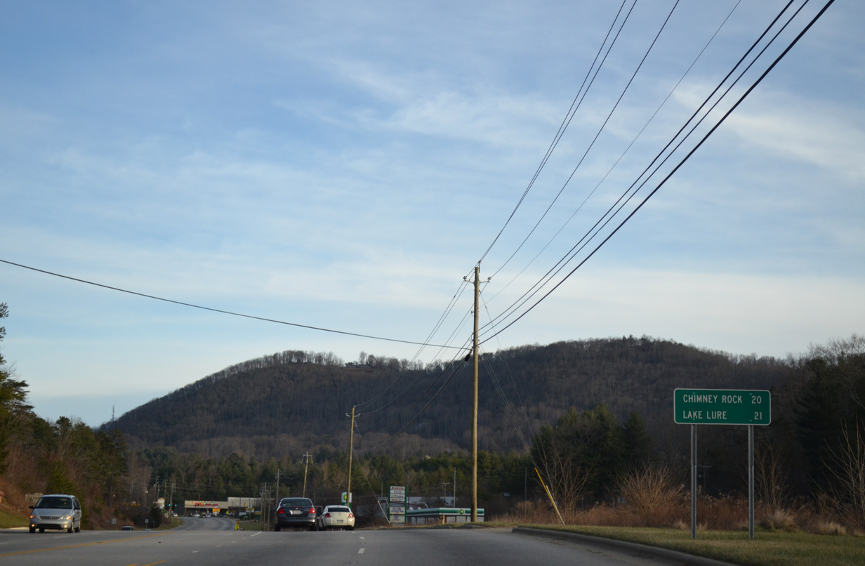
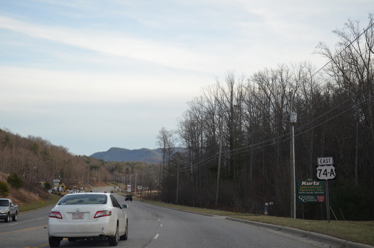
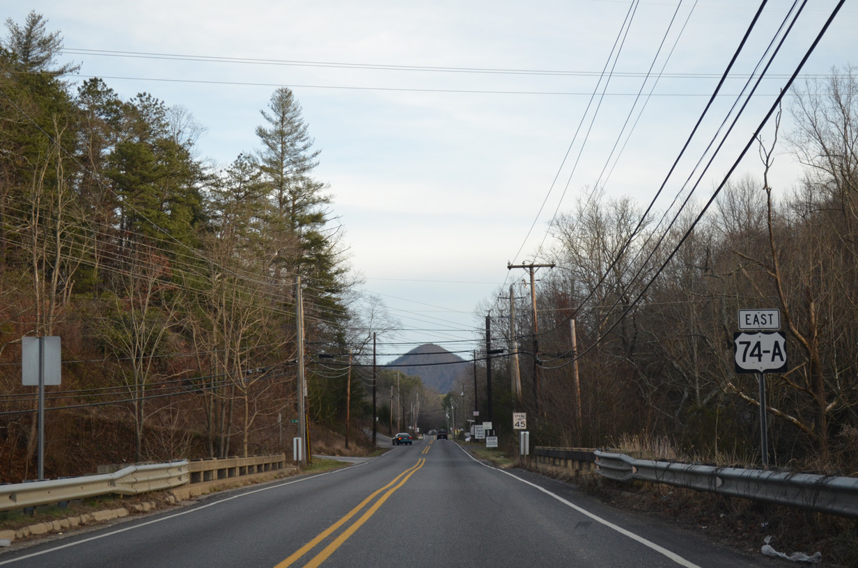
Chestnut Mountain appears to the east beyond this sign posted 21 miles ahead of Lake Lure.
12/31/13
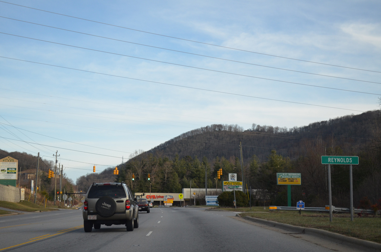
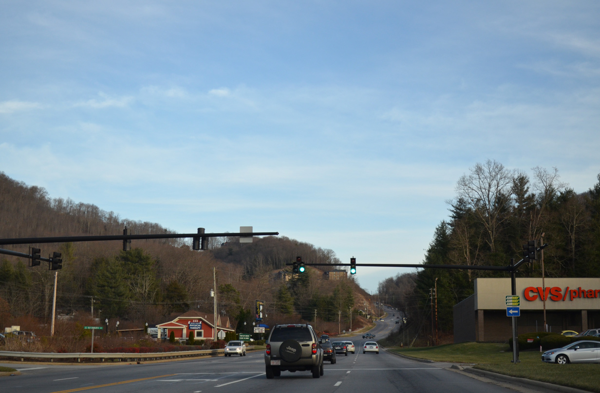
Entering the community of Reynolds along U.S. 74A (Charlotte Highway), which includes a small commercial district.
12/31/13
A short segment of Old Charlotte Highway (SR 2771) loops to the north of U.S. 74A to connect with Olde Eastwood Village Boulevard.
12/31/13
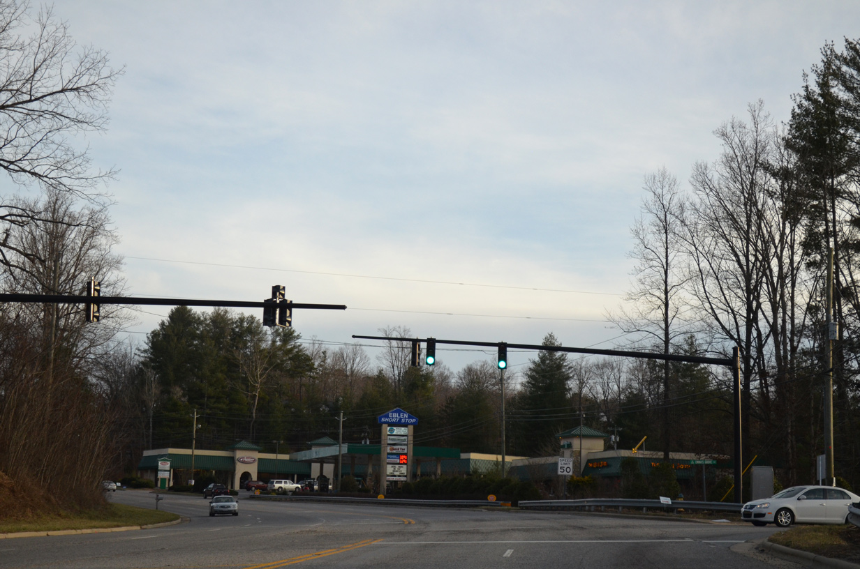
U.S. 74A (Charlotte Highway) remains a five lane arterial east to Fairview.
12/31/13
Emmas Grove Road (SR 3127) runs southwest from U.S. 74A to Concord Road, east of Fairview Gap.
12/31/13
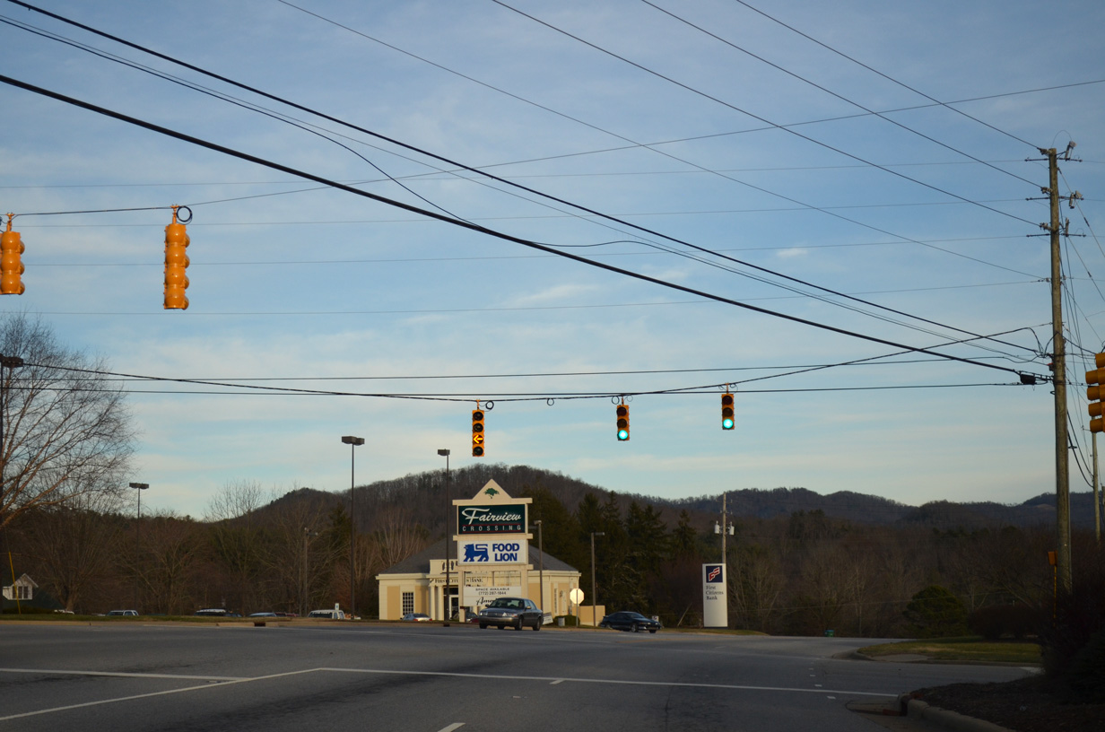
Advancing into Fairview, U.S. 74A bypasses a stretch of Old US 74 Highway (SR 2703) to a traffic light with Laure Jackson Road (SR 2860) north and Oak Hill Drive south.
12/31/13
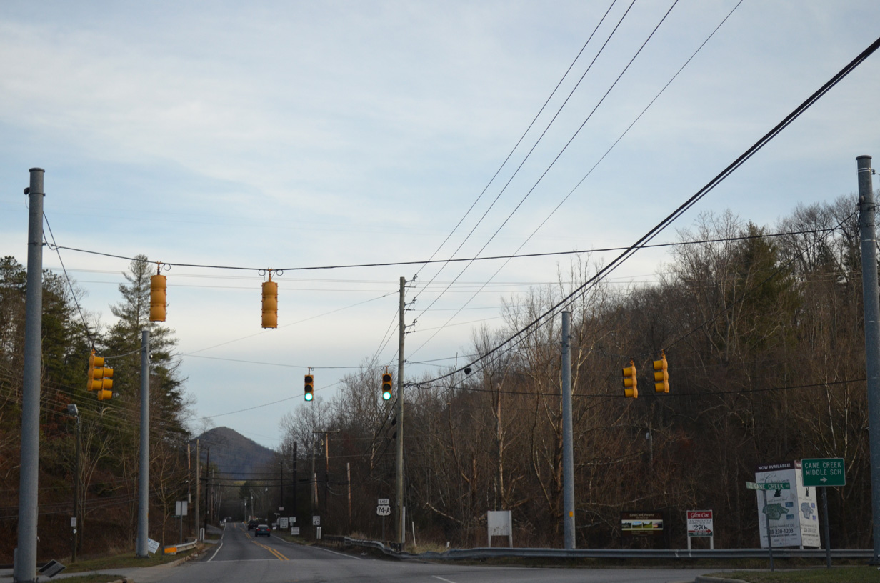
Cane Creek Road (SR 3136) runs southwest through an agrarian valley fed by Cane Creek to the north of Burney Mountain.
12/31/13
A reassurance marker for U.S. 74A stands along Charlotte Highway at Cane Creek.
12/31/13
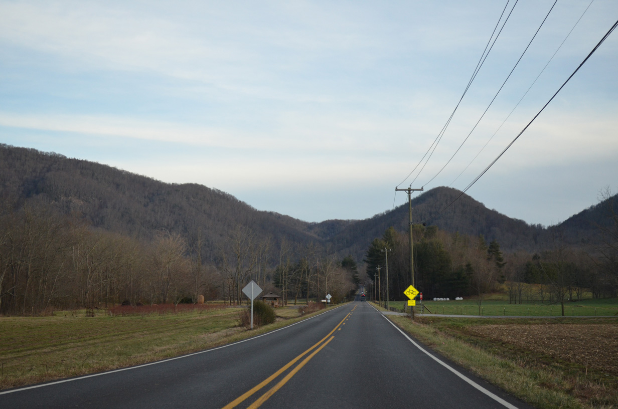
U.S. 74A (Charlotte Highway) progresses toward the Blue Ridge Mountains across a flat agricultural area. U.S. 74A climbs to Hickorynut Gap between Tater Knob and Ferguson Peak on the ensuing stretch.
12/31/13
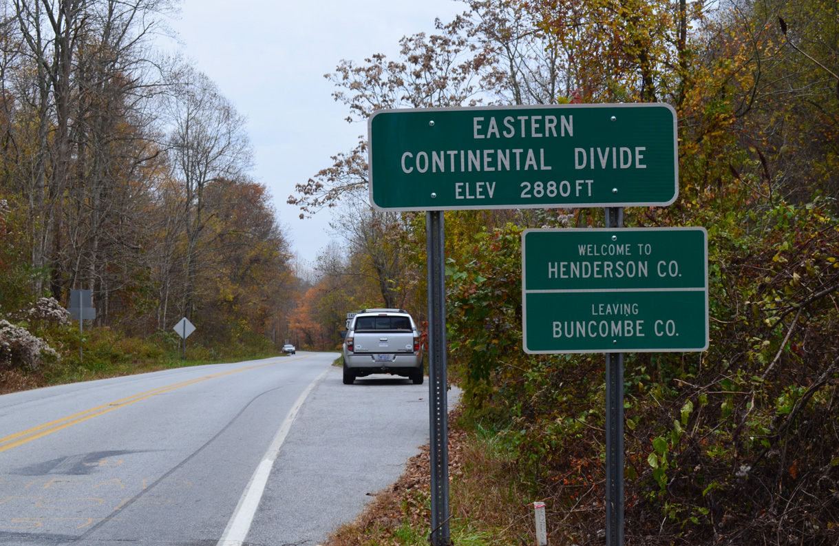
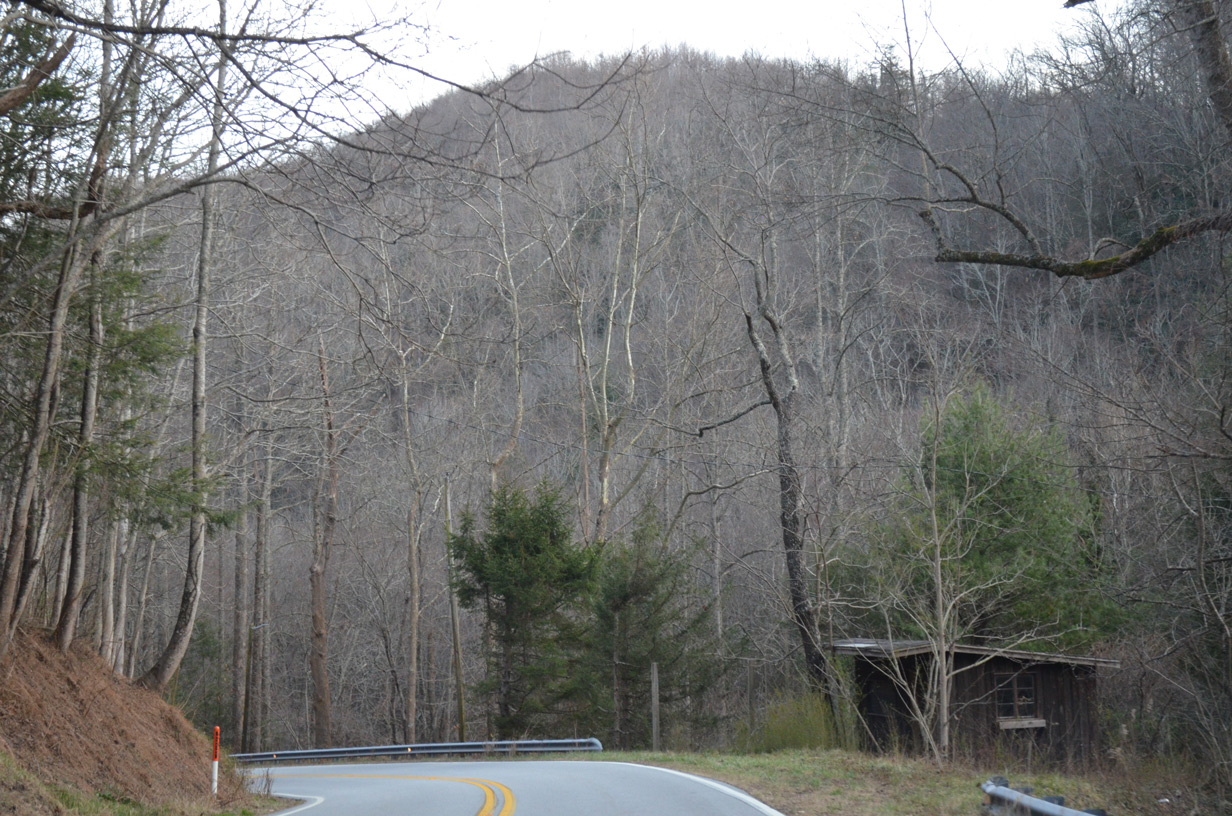
U.S. 74A navigates through a series of switch backs on the ascent east to Hickorynut Gap, where Charlotte Highway crosses the Henderson County line and Eastern Continental Divide at an elevation of 2,880 feet above sea level.
10/24/15
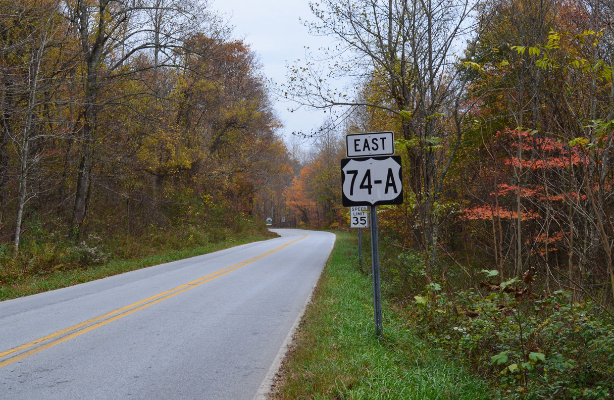
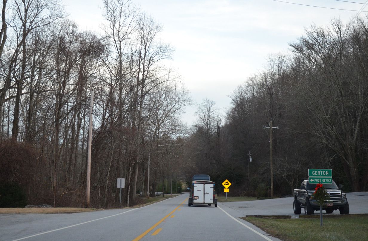
U.S. 74A lowers to Gerton and Chestnut Hill from Hickorynut Gap.
10/24/15
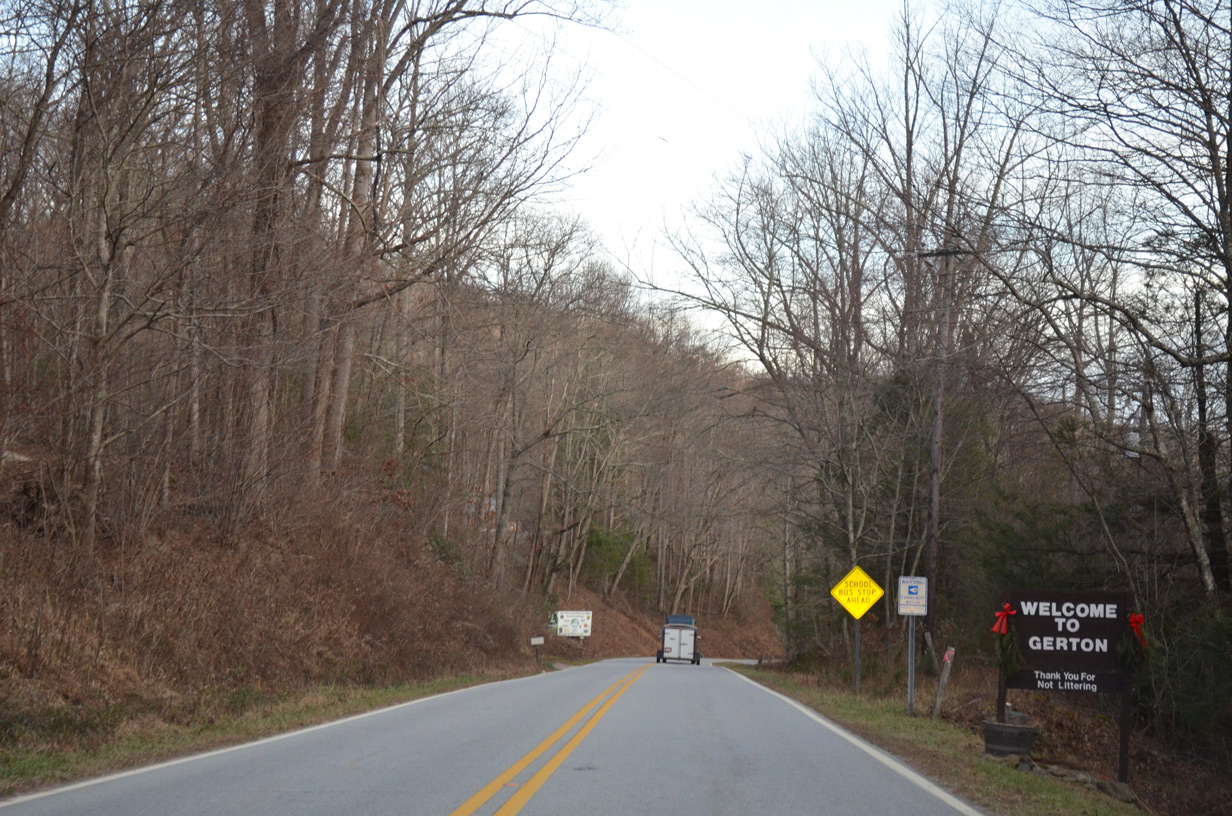
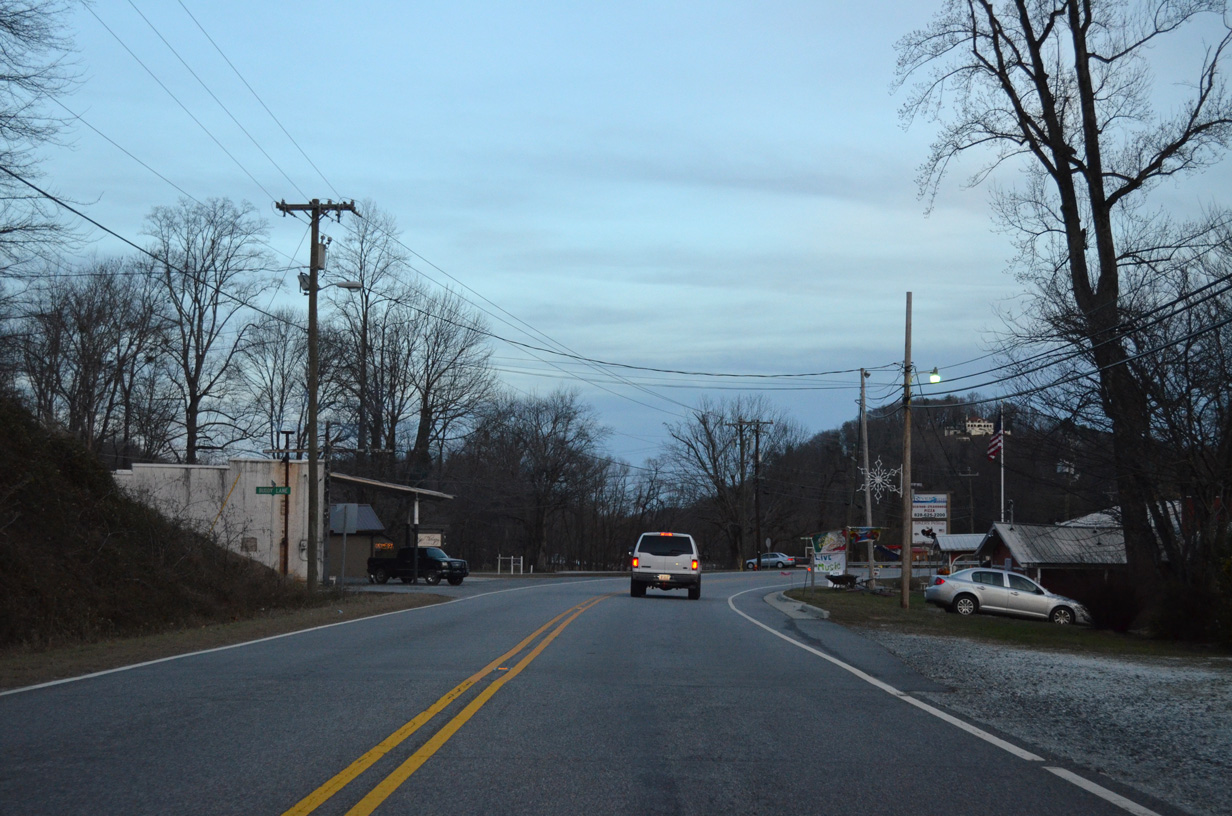
Passing through the unincorporated settlement of Gerton along U.S. 74A east.
12/31/13
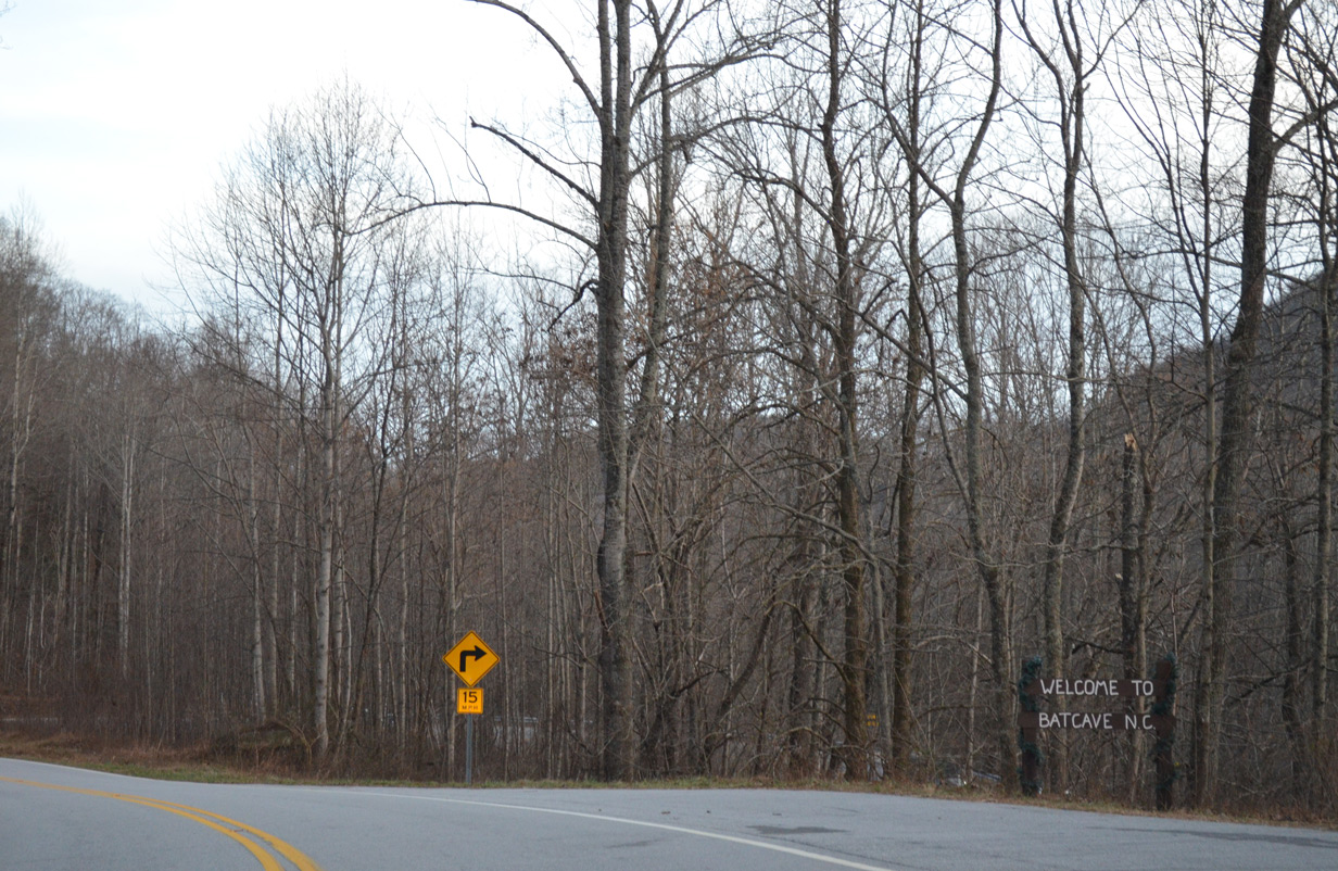
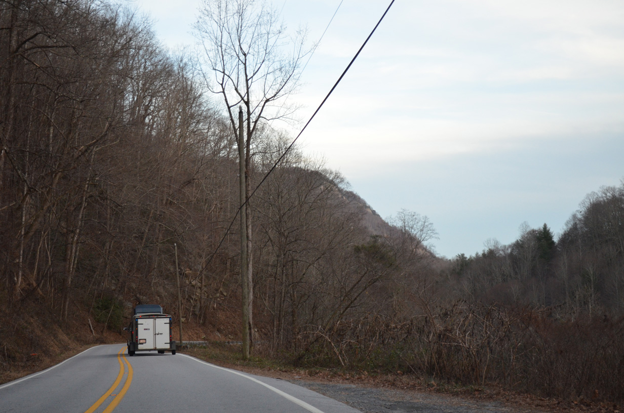
U.S. 74A proceeds southeast alongside Hickory Creek through a narrow valley between Little Bearwallow, Grant and Burntshirt Mountains to reach the community of Bat Cave.
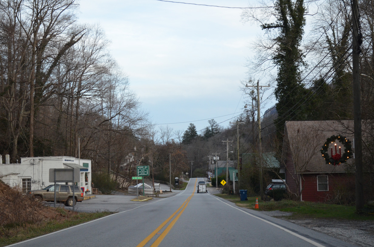
12/31/13
Winding east through the vicinity of Bat Cave south of Allen Hill Mountain and north of Raven Rock.
12/31/13
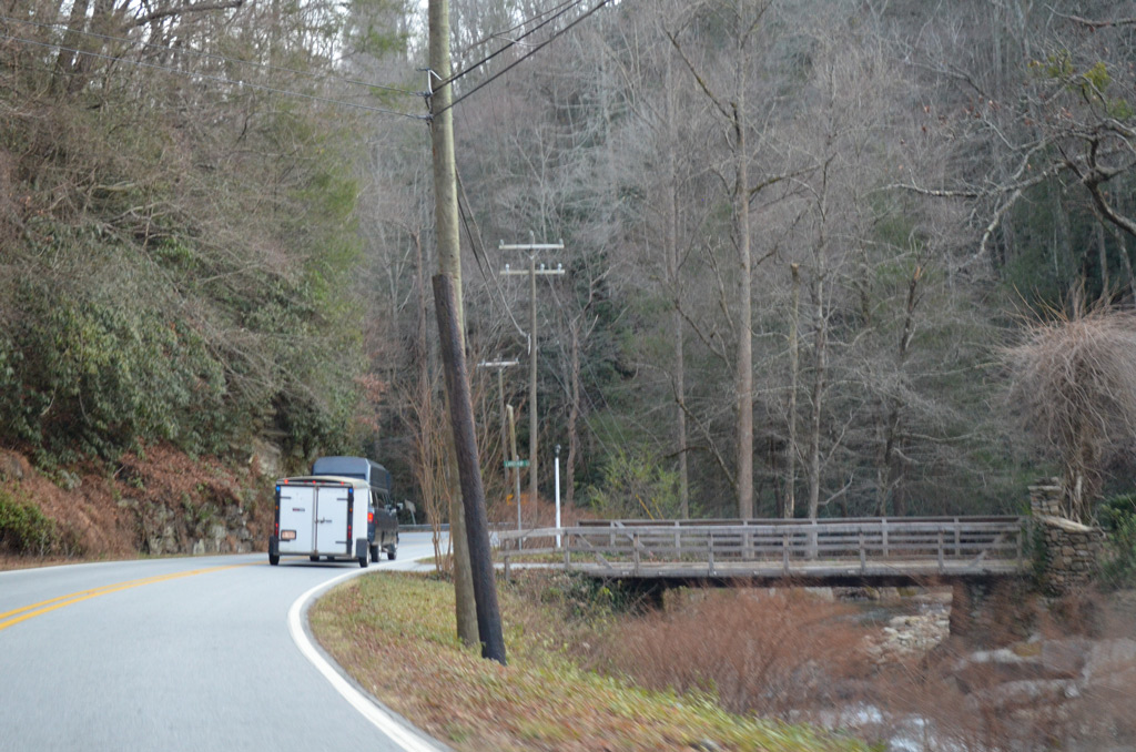
U.S. 74A (Gerton Highway) east at Landfair Lane, a local street spanning adjacent Hickory Creek to a pair of residences.
12/31/13
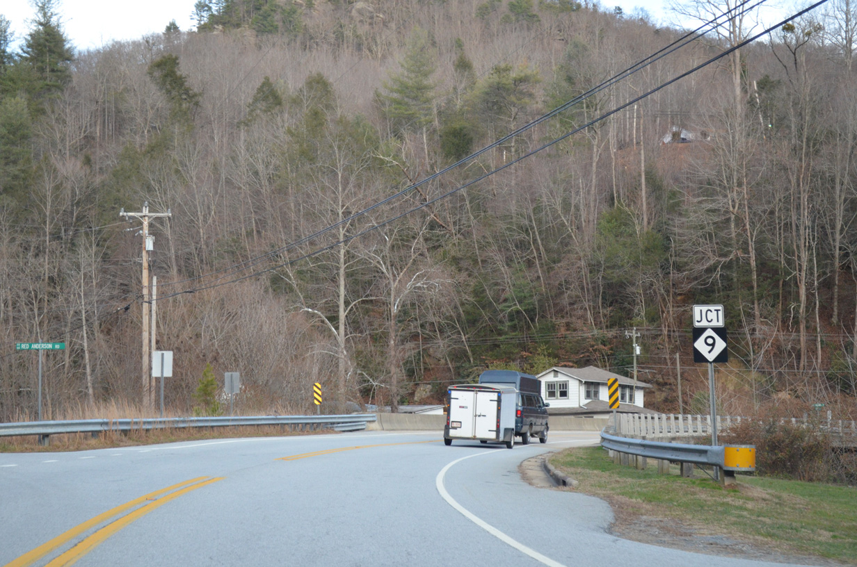
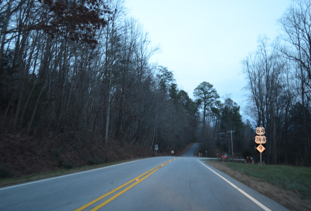
NC 9 traverses the Blue Ridge Mountains south from I-40 and Black Mountain alongside the Broad River to U.S. 74A in Bat Cave.
12/31/13
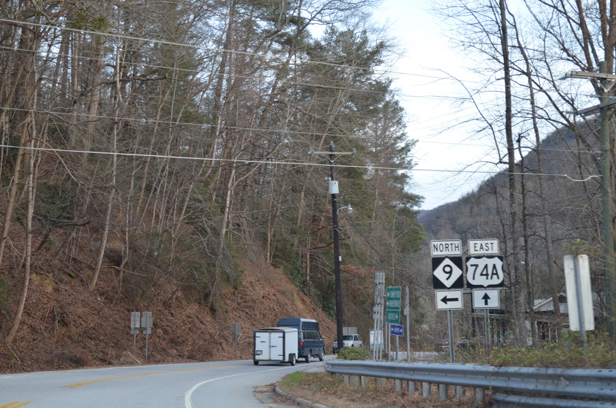
NC 9 south combines with U.S. 74A east through Bat Cave. Part of a multi state route with S.C. 9 south to Spartanburg, NC 9 runs 46.5 miles from Montreat to the South Carolina state line south of Green Creek.
12/31/13
East 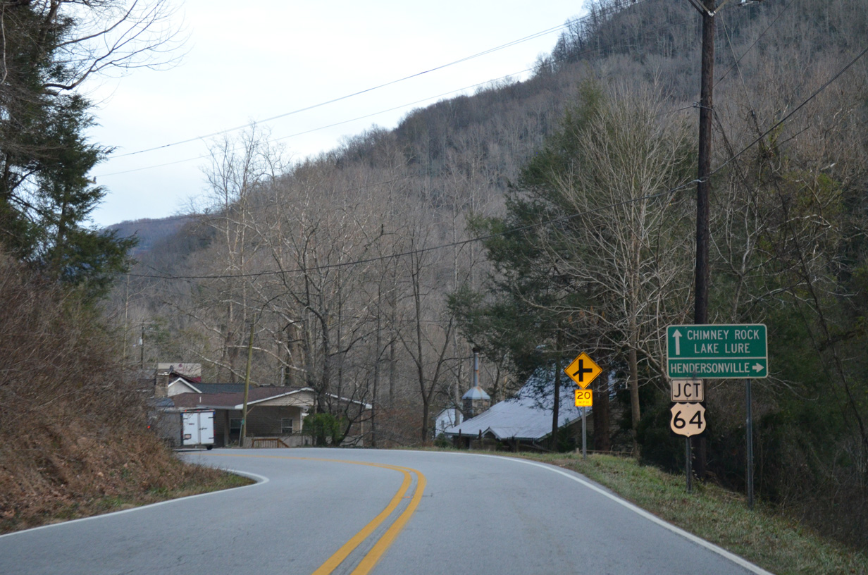
U.S. 74A/NC 9 advance 0.19 miles east to meet U.S. 64 in Bat Cave.
12/31/13
U.S. 64 branches southwest from U.S. 74A/NC 9 to Edneyville and Hendersonville.
12/31/13
 East
East 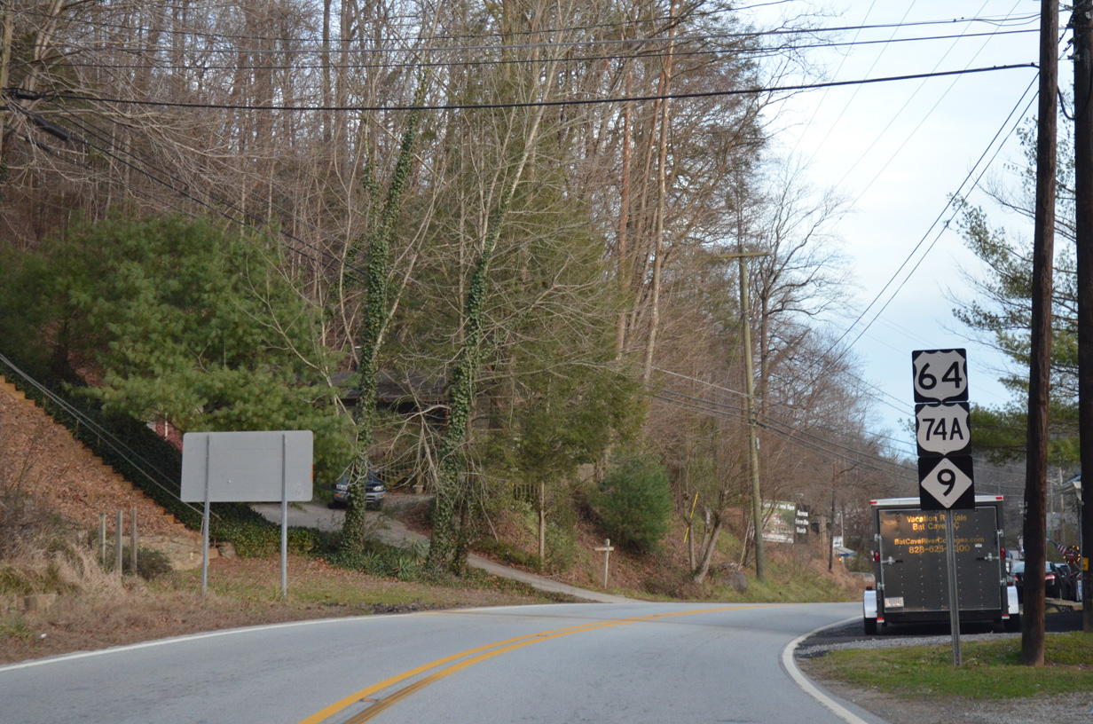
U.S. 64 combines with U.S. 74A/NC 9 east 7.24 miles to Lake Lure.
12/31/13
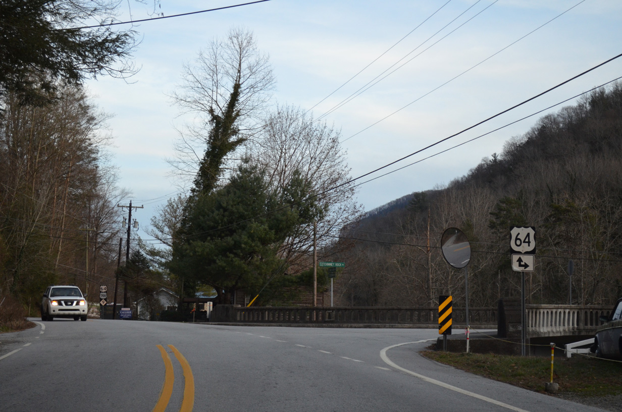
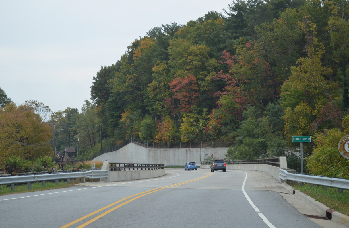
The Broad River flows on the south side of U.S. 64-74A/NC 9 through the remainder of Bat Cave.
12/31/13
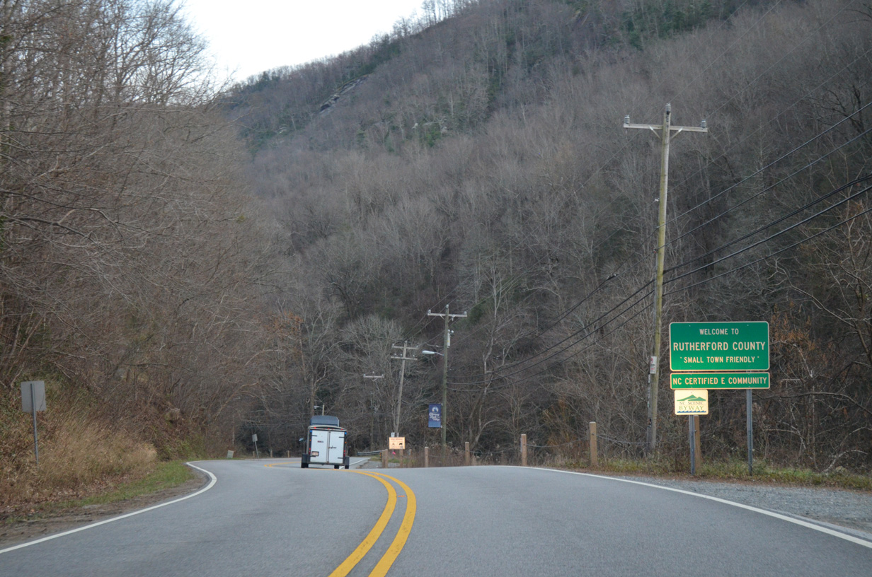
U.S. 64-74A/NC 9 south enter Rutherford County across Paris Gap between Bald and Bluerock Mountains.
12/31/13
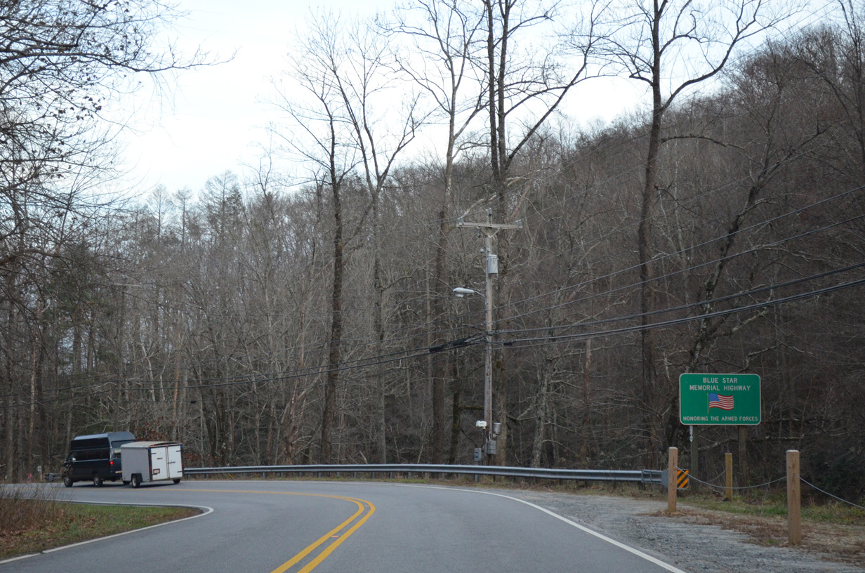
Blue Star Memorial Highway sign posted east of the Henderson County line along U.S. 64-74A/NC 9.
12/31/13
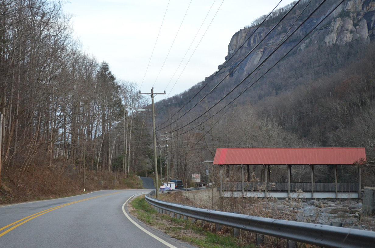
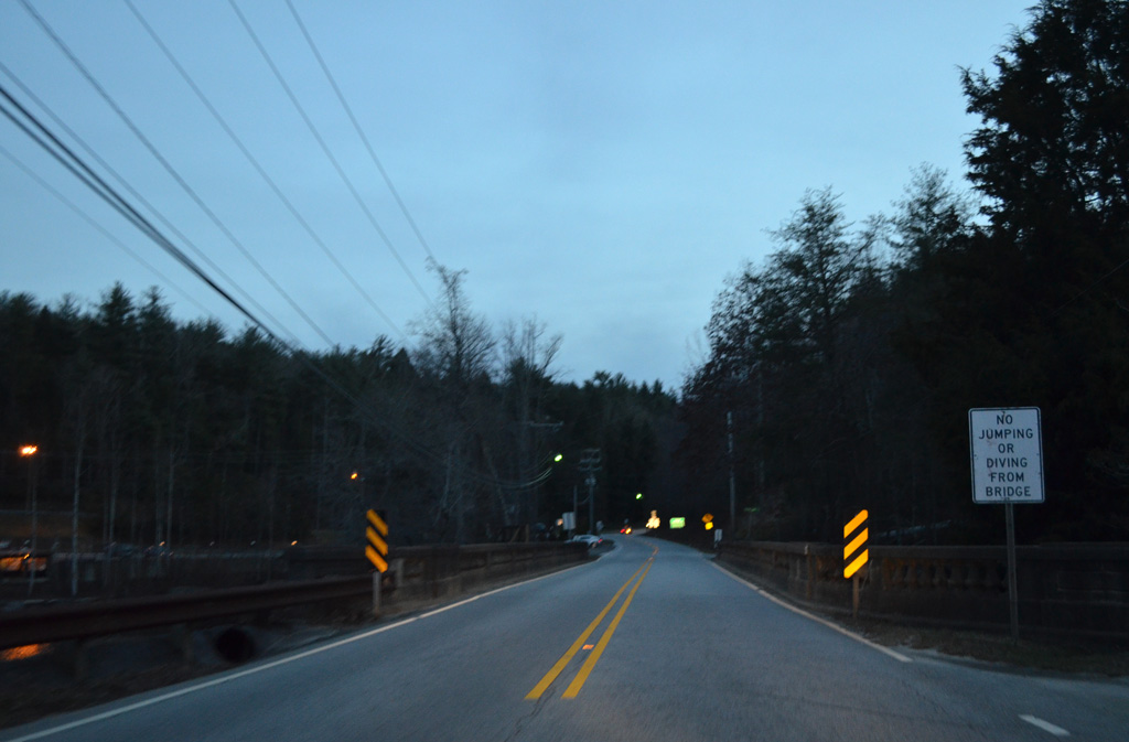
Built in 2007, a covered bridge spans the Broad River along Rocky View Drive north of Chimney Rock Mountain.
12/31/13
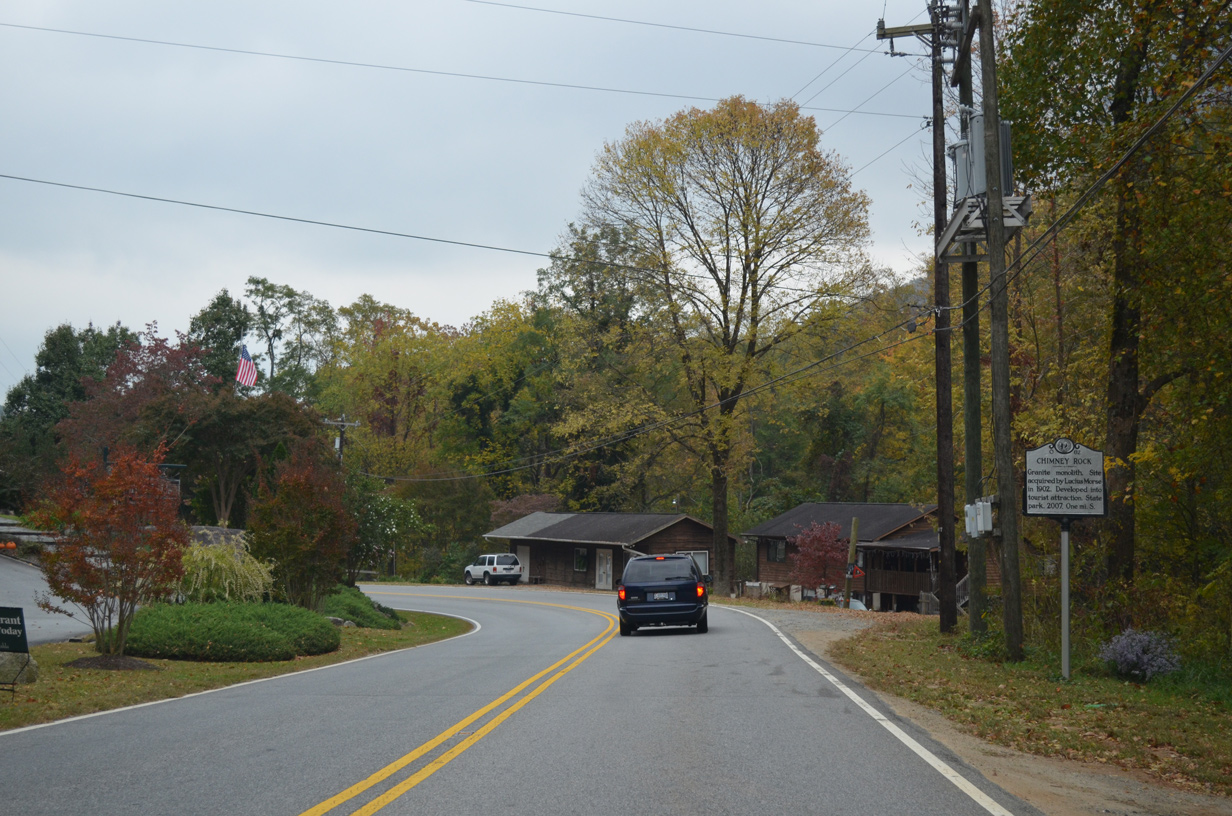
One mile ahead of Chimney Rock, this sign reads: Granite monolith. Site acquired by Lucius Morse in 1902. Developed into tourist attraction. State Park. 2007.
10/24/15
U.S. 64/74A-NC 9 advance east into the village of Chimney Rock south of Round Top Mountain.
12/31/13
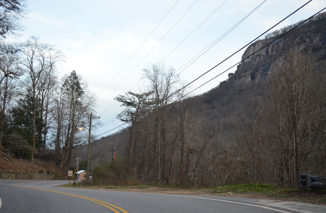
Round Top Mountain comes into view from U.S. 64/74A-NC 9 east at Wildflower Hill.
10/24/15
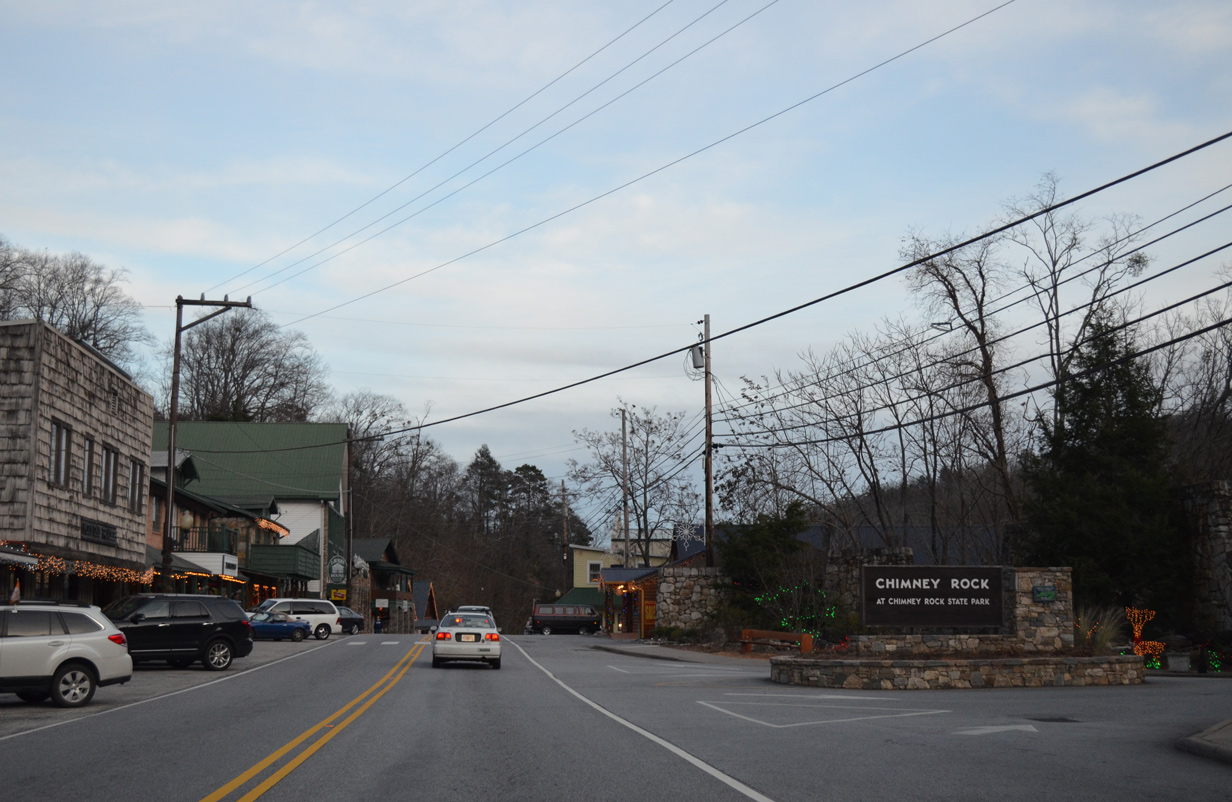
Chimney Rock Park Road winds 2.96 miles south from U.S. 64-74A/NC 9 to Chimney Rock State Park on Chimney Rock Mountain.
12/31/13
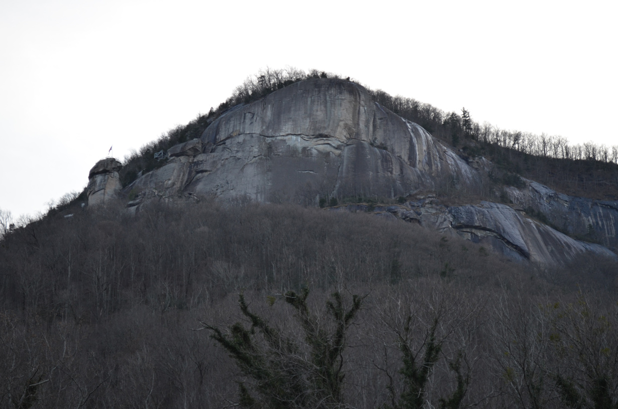
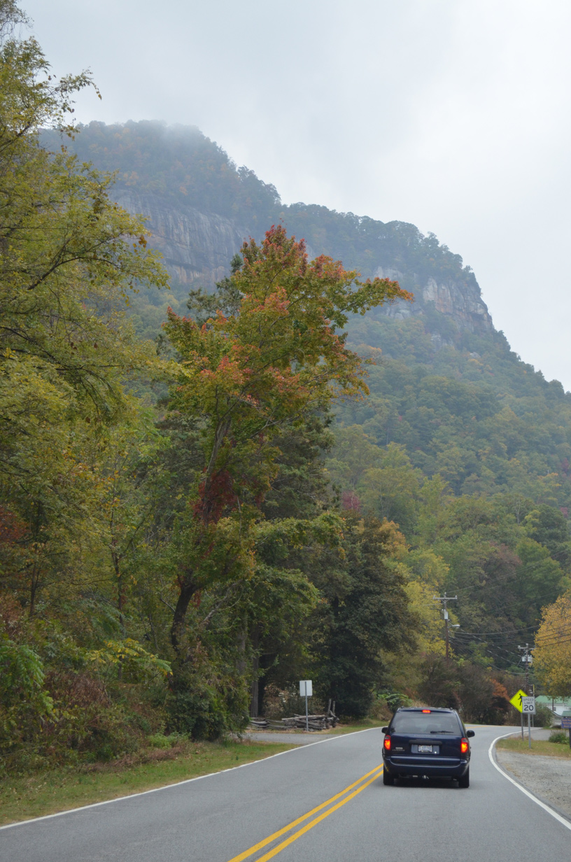
A 315 foot high granite outcrop, Chimney Rock appears on Chimney Rock Mountain overlooking U.S. 64-74A/NC 9 in the Broad River valley.
12/31/13
Southside Drive (SR 1190) intersects U.S. 64/74A-NC 9 (Main Street) at the 5th crosswalk Chimney Rock.
10/24/15
Formed by a dam completed in 1927, Lake Lure is a man-made reservoir along the Broad River east of Chimney Rock.
12/31/13
10/24/15
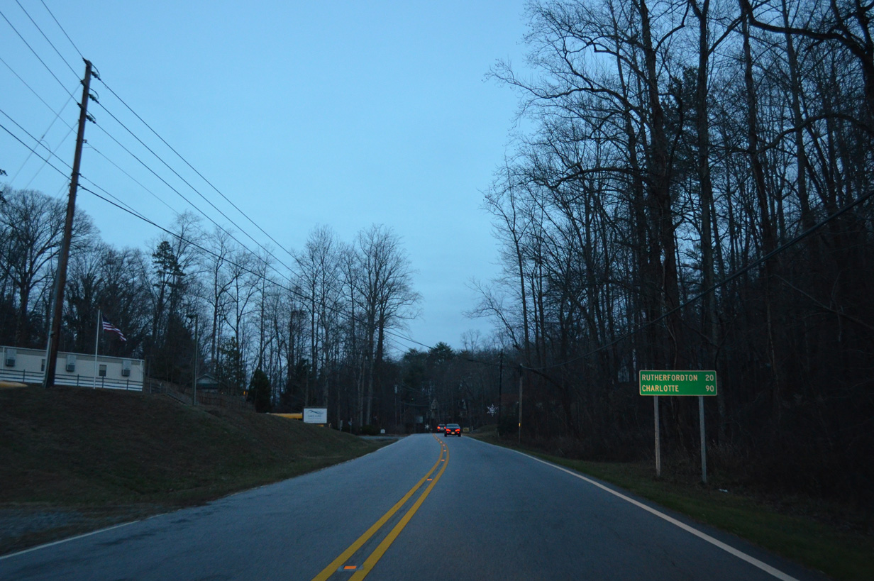
Continuing east, U.S. 64-74A/NC 9 advance another 20 miles to Rutherfordton, where they split, while Charlotte (90 miles), remains referenced from when U.S. 74A was still a part of the U.S. 74 mainline.
12/31/13
U.S. 64/74A-NC 9 encircles the northern slopes of Cane Creek Mountain through the town of Lake Lure. These shields precede Seton Road.
12/31/13
U.S. 64/74A (Memorial Highway) span a cove fed by Cane Creek ahead of the split with NC 9 south.
12/31/13
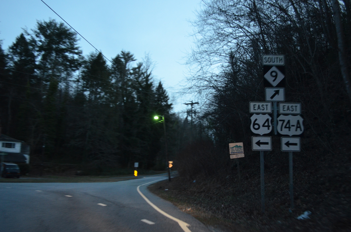
U.S. 64/74A (Memorial Highway) meander northeast along the eastern periphery of Lake Lure to Uree. NC 9 south ultimately becomes S.C. 9, a lengthy route stretching across the Palmetto State to Cherry Grove Beach.
12/31/13
Photo Credits:
- Brent Ivy: 05/26/21
- Alex Nitzman, Carter Buchanan: 12/31/13
- Alex Nitzman: 10/24/15
Connect with:
Page Updated Monday August 09, 2021.