
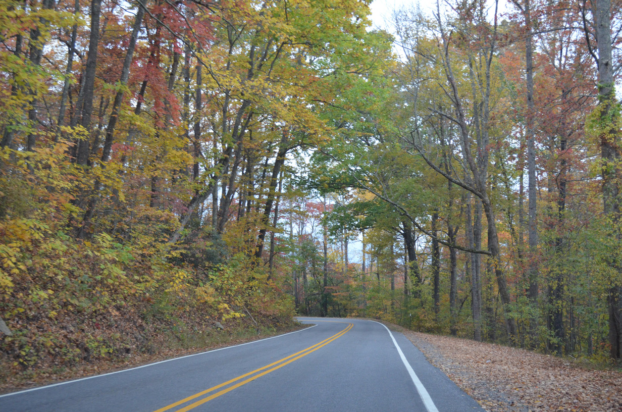
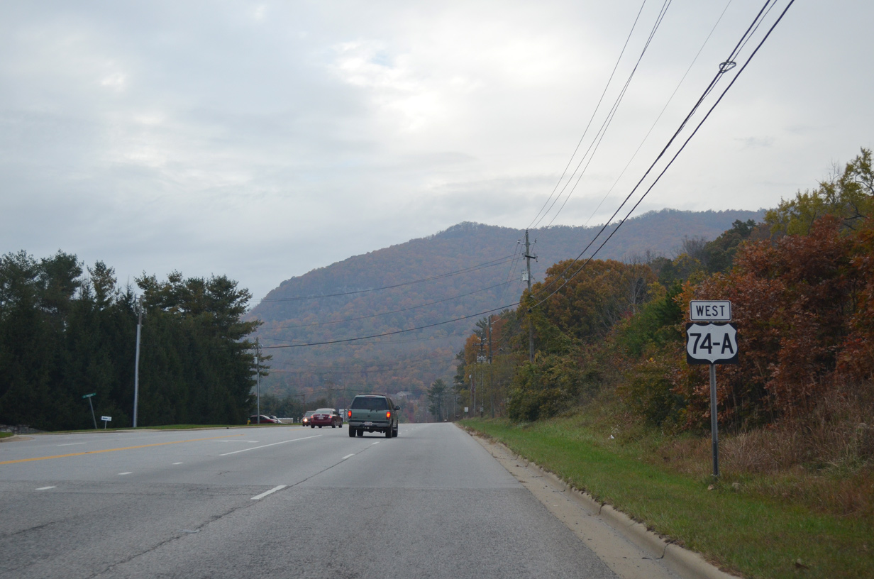
U.S. 74A West

 West
West 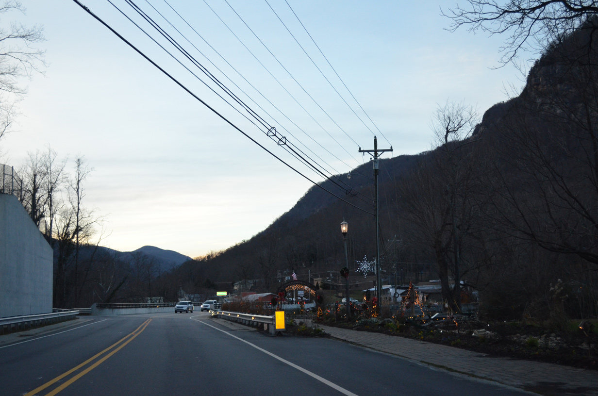
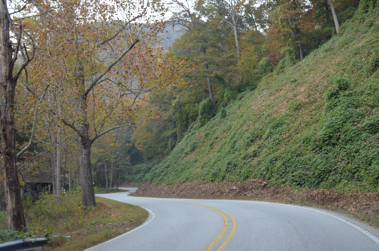
U.S. 64-74A/NC 9 follow a circuitous route around Lake Lure west to the Broad River adjacent to the Lake Lure Flowering Bridge. Built in 1925 and formerly apart of U.S. 64/74-A, the old span was repurposed as a pedestrian walkway covered with gardens and native plants.
12/31/13
12/31/13

U.S. 64/74A-NC 9 cross the Broad River at the westernmost reaches of Lake Lure on a bridge completed in 2010.
12/31/13
12/31/13

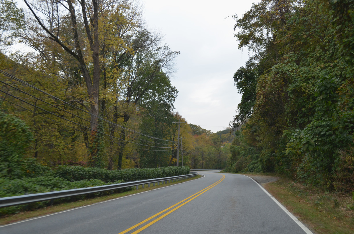
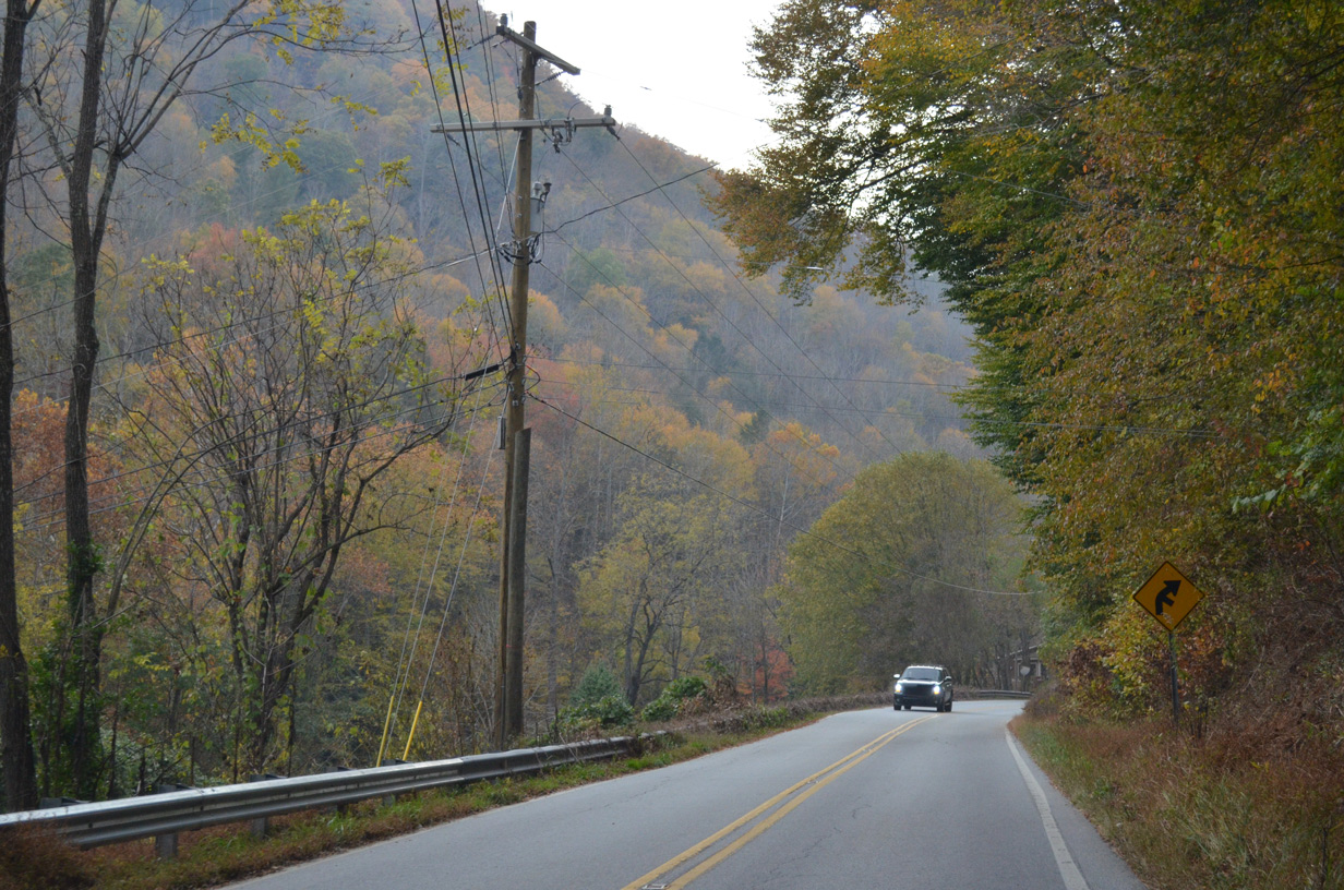
U.S. 64/74A-NC 9 (Memorial Highway) leave the town of Lake Lure west of Buddy Lane (SR 1304).
10/24/15
10/24/15
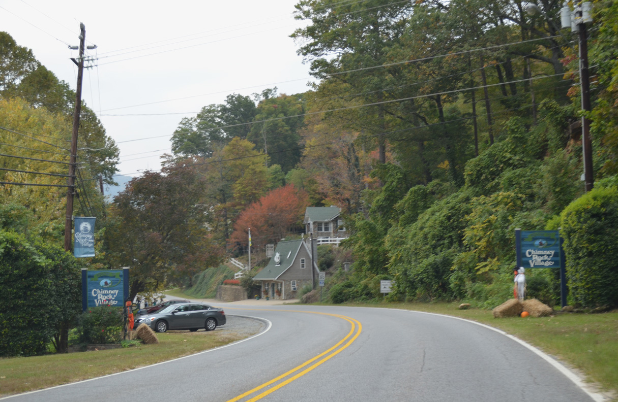
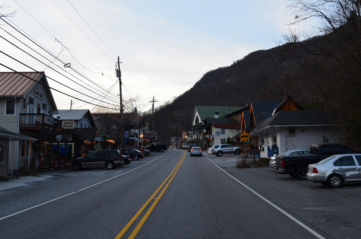
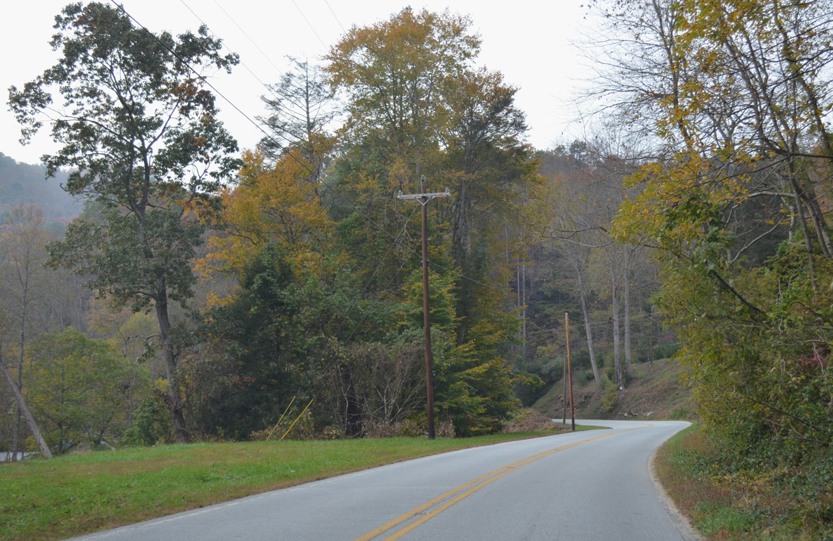
Entering the village of Chimney Rock, U.S. 64/74A-NC 9 continue along Main Street west.
10/24/15
10/24/15
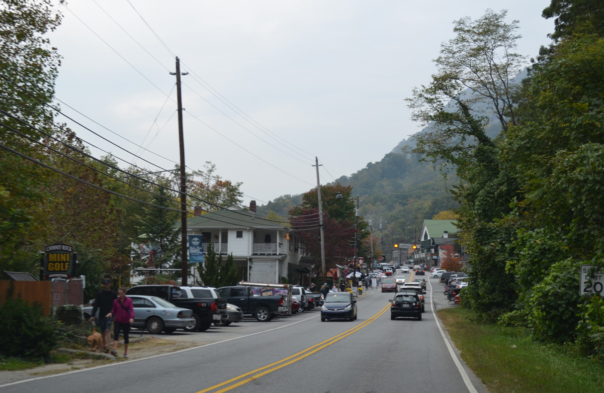
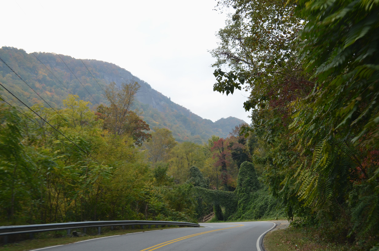
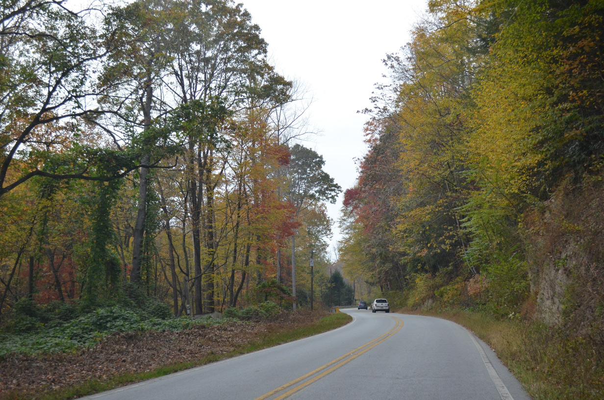
The village of Chimney Rock lines the Broad River valley between Chimney Rock and Round Top Mountains.
10/24/15
10/24/15
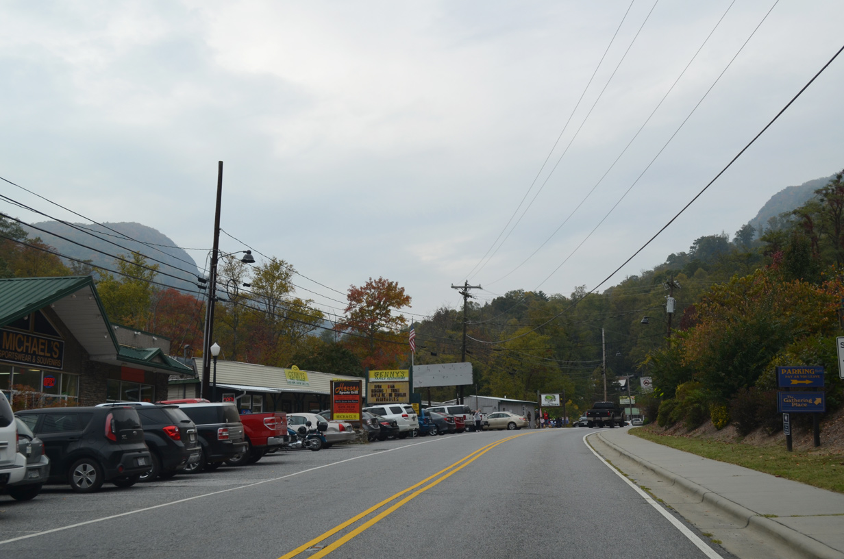
U.S. 64-74A/NC 9 (Main Street) west at Southside Drive (SR 1190) in Chimney Rock.
12/31/13
12/31/13
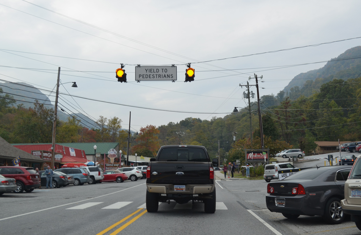
Chimney Rock Park Road ties into Main Street from Chimney Rock State Park just ahead of this pedestrian signal.
10/24/15
10/24/15
10/24/15
10/24/15
10/24/15
10/24/15
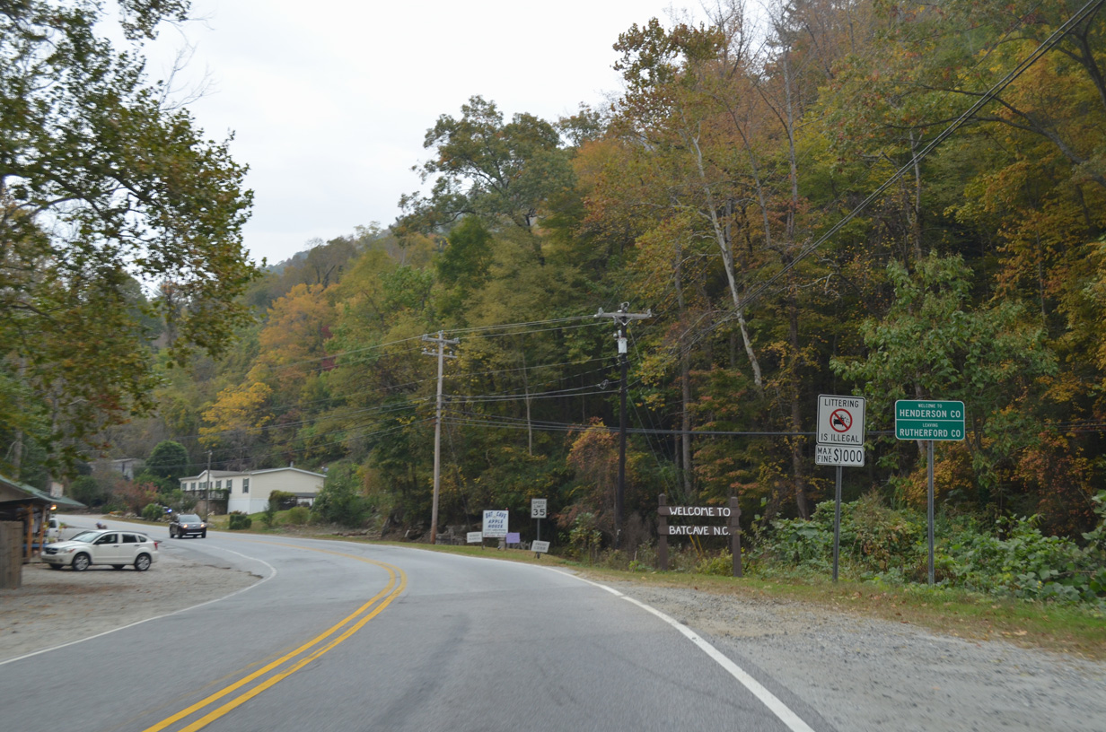
U.S. 64/74A-NC 9 enter Henderson County and the community of Bat Gave through Paris Gap.
10/24/15
10/24/15

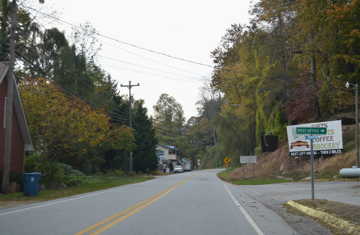
U.S. 64/74A-NC 9 (Lake Lure Highway) west at Rockwood Inn Drive in Bat Cave.
10/24/15
10/24/15
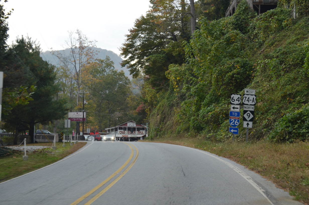
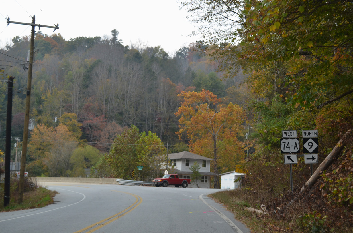
U.S. 64 splits with U.S. 74A/NC 9 for Chimney Rock Road south at the forthcoming intersection with Bat Cave Drive (SR 1610).
10/24/15
10/24/15
U.S. 64 travels 12.51 miles southwest from U.S. 74A/NC 9 in Bat Cave to Interstate 26 in the city of Hendersonville.
10/24/15
10/24/15
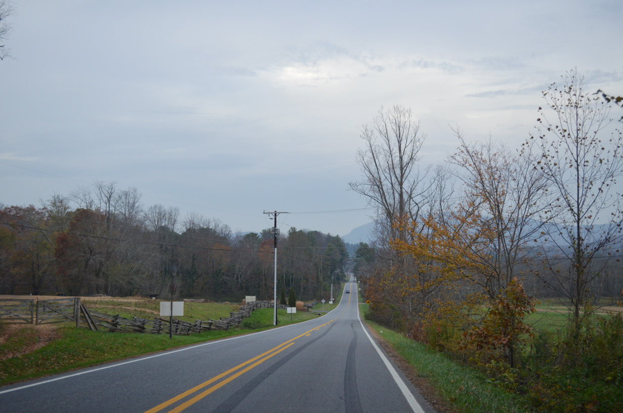
West 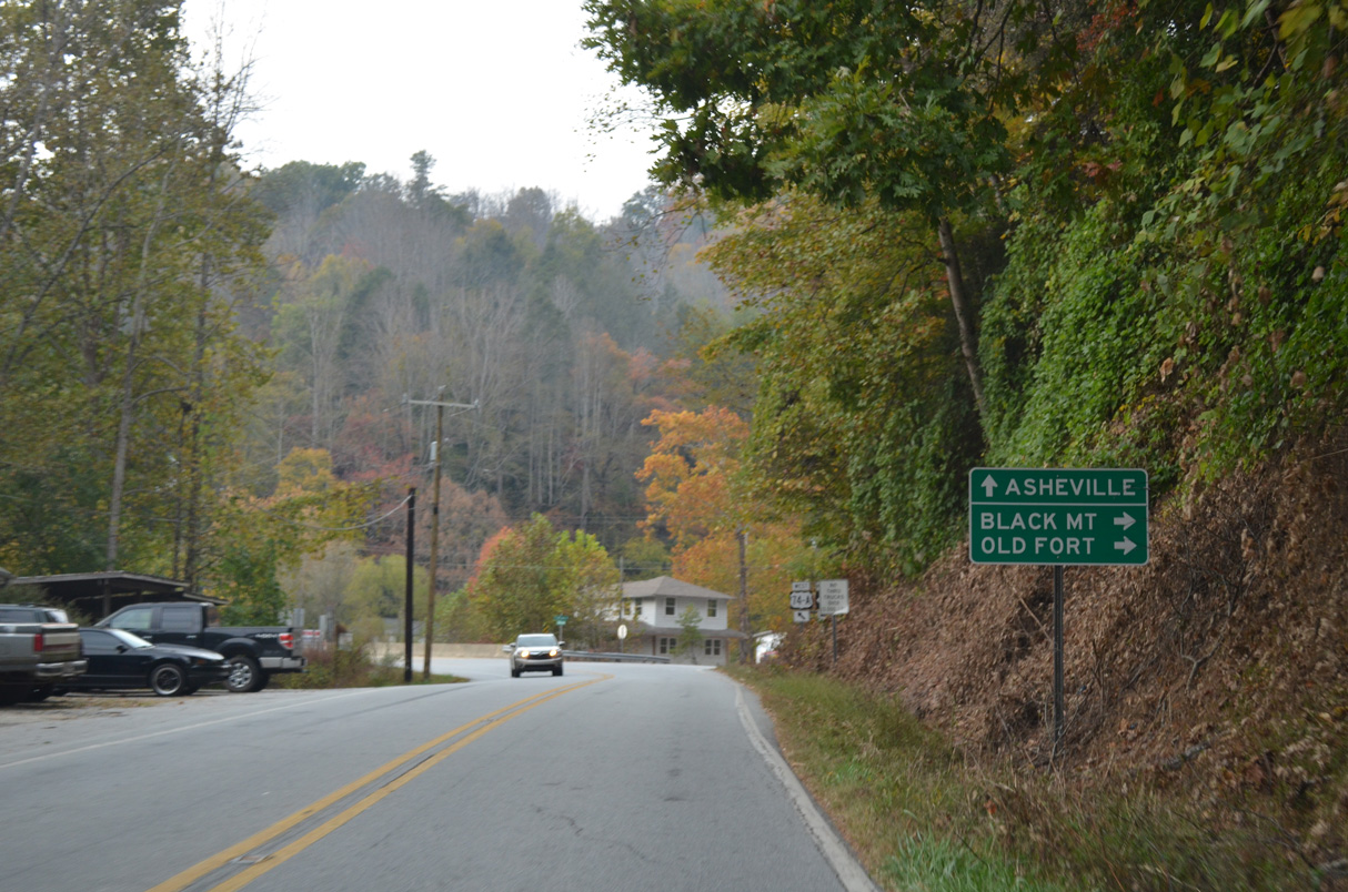
NC 9 turns north from U.S. 74A west toward the town of Black Mountain at the succeeding intersection west of U.S. 64 in Bat Cave.
10/24/15
10/24/15
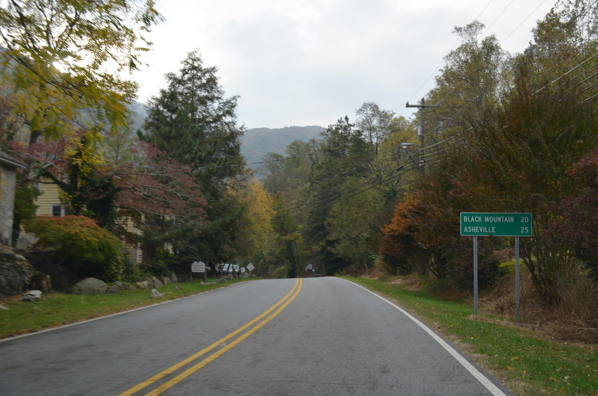
NC 9 parallels the Broad River north into the Blue Ridge Mountains 6.8 miles to Old Fort Road (SR 2791). Old Fort Road becomes Bat Cave Road (SR 1103) northeast to the town of Old Fort.
10/24/15
10/24/15
West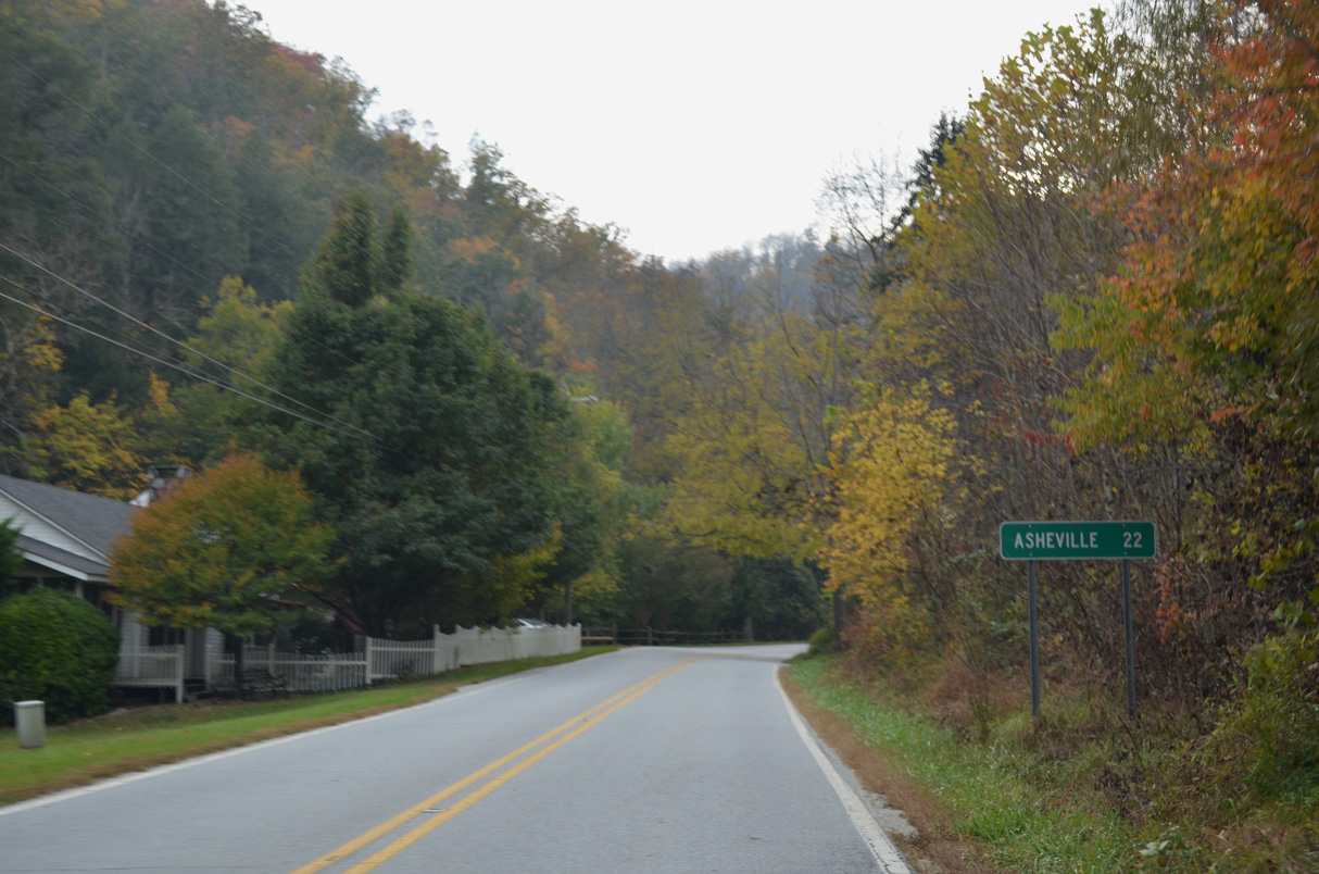
10/24/15
10/24/15
10/24/15
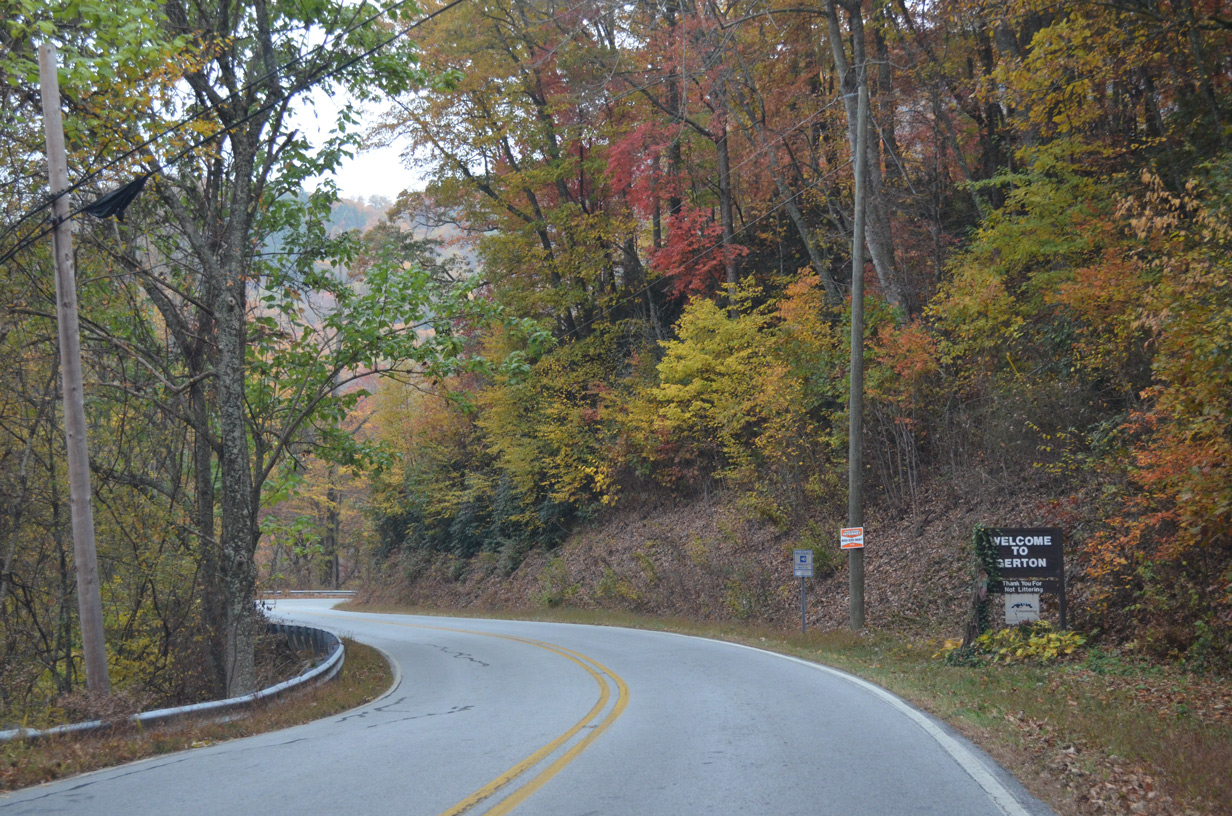
U.S. 74A (Gerton Highway) west ahead of Cave Inn Drive by Allen Hill Mountain.
10/24/15
10/24/15
10/24/15
10/24/15
10/24/15
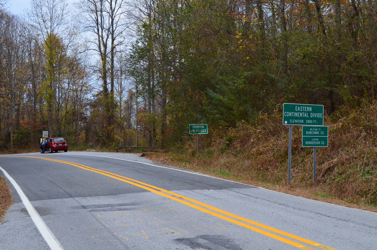
Crossing Hickorynut Gap and the Eastern Continental Divide (el. 2,880 feet) over the Blue Ridge Mountains, U.S. 74A west enters Buncombe County.
10/24/15
10/24/15
10/24/15

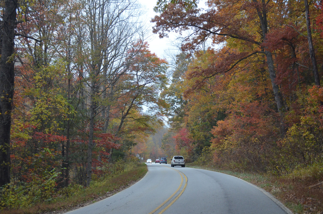
Dropping over 350 in elevation, U.S. 74A (Charlotte Highway) navigates through three switchbacks along the ensuing 1.5 miles north from Hickorynut Gap.
10/24/15
10/24/15
10/24/15
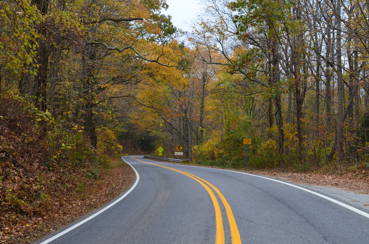
U.S. 74 straightens out west of Sugar Hollow Road (SR 2813) and a final switchback in the Blue Ridge Mountains.
10/24/15
10/24/15
10/24/15

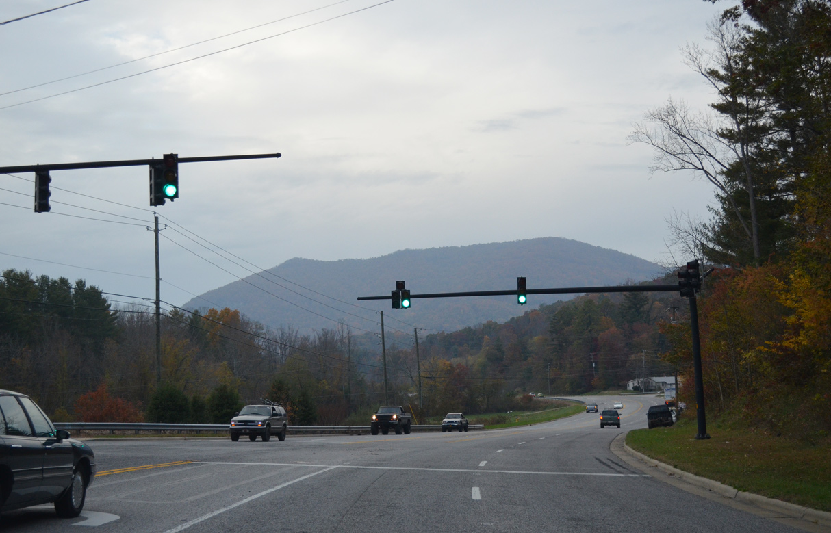
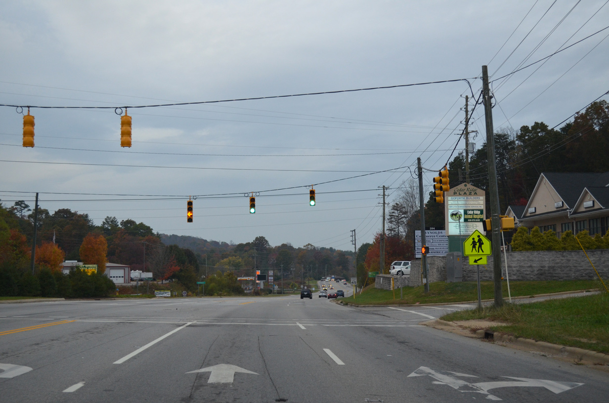
Continuing northwest into the community of Fairview, U.S. 74A (Charlotte Highway) intersects Cane Creek Road (SR 3136) southwest to Fletcher at this traffic light.
10/24/15
10/24/15

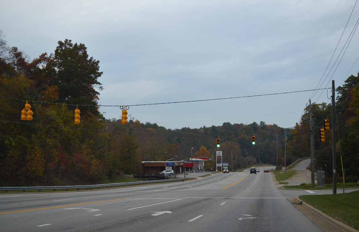
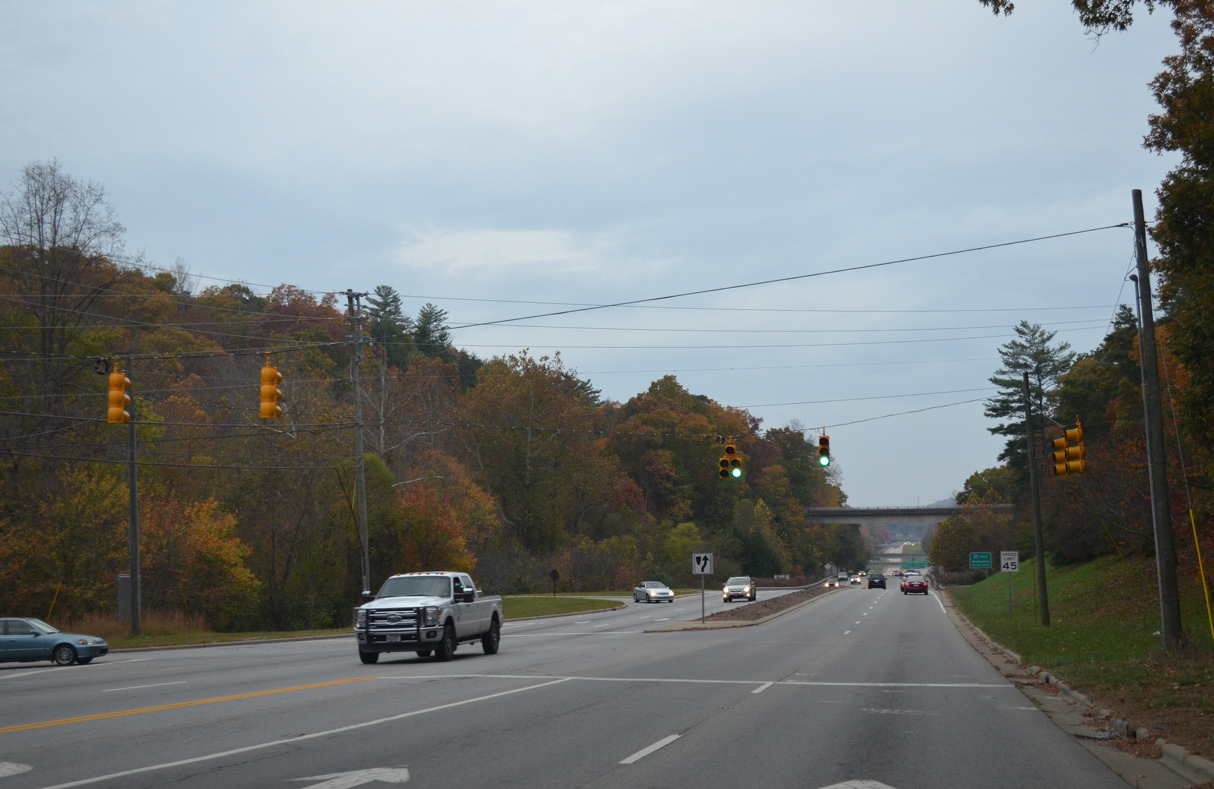
U.S. 74A expands to a five lane boulevard ahead of the signal with Laura Jackson Road (SR 2860) and Oak Hill Lane.
10/24/15
10/24/15
Emmas Grove Road (SR 3127) stems west from U.S. 74A around Butler Mountain.
10/24/15
10/24/15
Old Fort Road (SR 2776) extends Chestnut Hill Road west from NC 9 and the Blue Ridge Mountains 10.13 miles to U.S. 74A ahead of this reassurance marker.
10/24/15
10/24/15

10/24/15
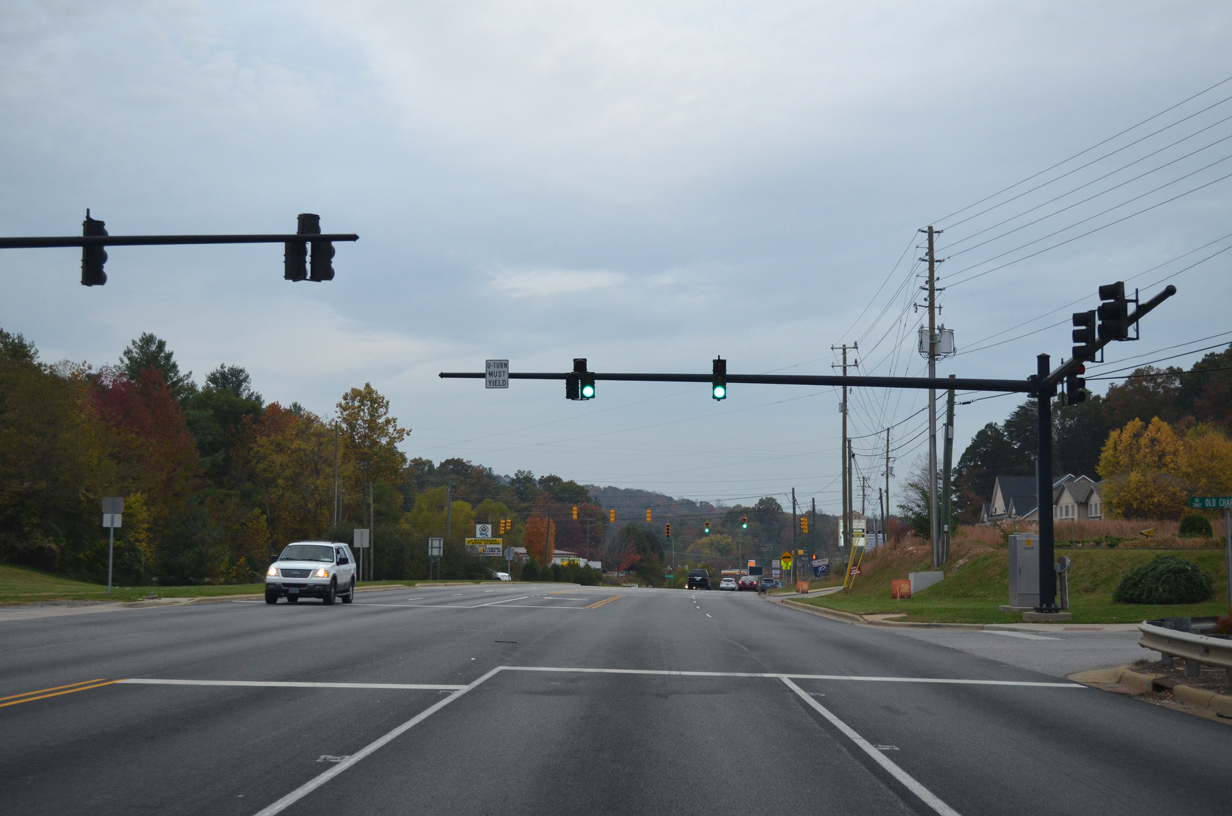
U.S. 74A west at Old Charlotte Highway (SR 2771).
10/24/15
10/24/15
10/24/15
Rose Hill Road (SR 3121) leads south from U.S. 74A through Baldwin Cove toward Baldwin Gap on Butler Mountain.
10/24/15
10/24/15
Avondale Road (SR 3071) serves residential areas south of U.S. 74A in Penley Cove.
10/24/15
10/24/15

10/24/15

10/24/15

10/24/15
Photo Credits:
- Alex Nitzman, Carter Buchanan: 12/31/13
- Alex Nitzman: 10/24/15
Connect with:
Page Updated Monday May 17, 2021.