
U.S. 123 South - Greenville to Clemson

 South
South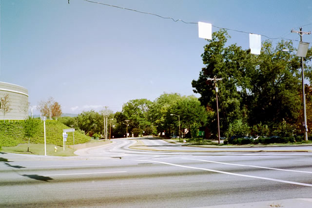
The southbound beginning of U.S. 123 (Academy Way) as seen from Business Spur 385 (North Street) by the Bon Secours Wellness Center in Greenville. A reassurance marker for U.S. 123 was posted here by 2008.
10/15/01
U.S. 123 southbound at the diamond interchange with U.S. 25 (White Horse Road) near Welcome. U.S. 25 meets Interstate 185 two miles to the south at Gantt and merges with U.S. 276 north near Travelers Rest.
10/15/01
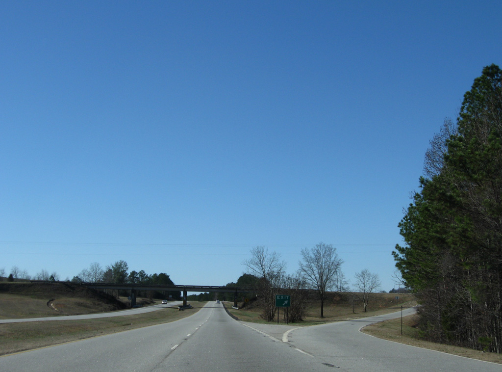
Leading away from U.S. 25, U.S. 123 (New Easley Highway) expands into a four lane divided highway with a grassy median.
12/31/08
U.S. 123 exits Greenville County across the Saluda River.
12/31/08
Entering Pickens County, U.S. 123 follows Calhoun Memorial Highway as a five lane arterial to the city of Easley.
12/31/08
Climbing from the Saluda River, U.S. 125 enters a signalized intersection with Fishtrap Road. Fishtrap Road meanders from Old Easley Bridge Road across the Saluda to Crosswell.
12/31/08
U.S. 123 dips to cross over Georges Creek just west of Fishtrap Road.
12/31/08
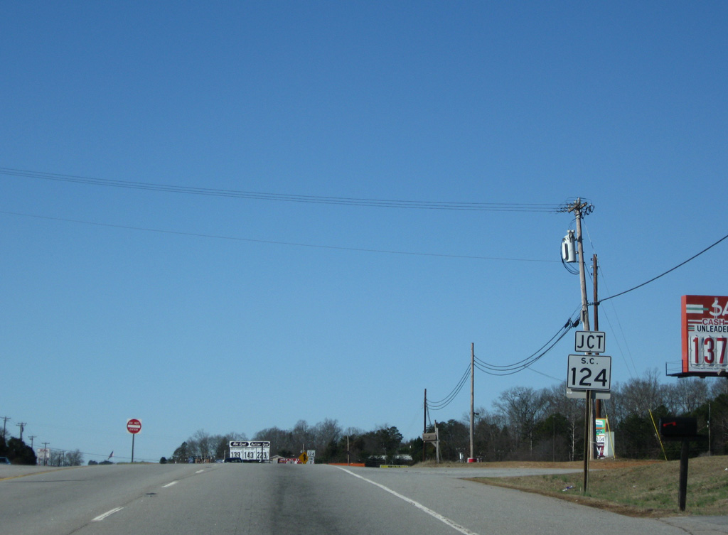
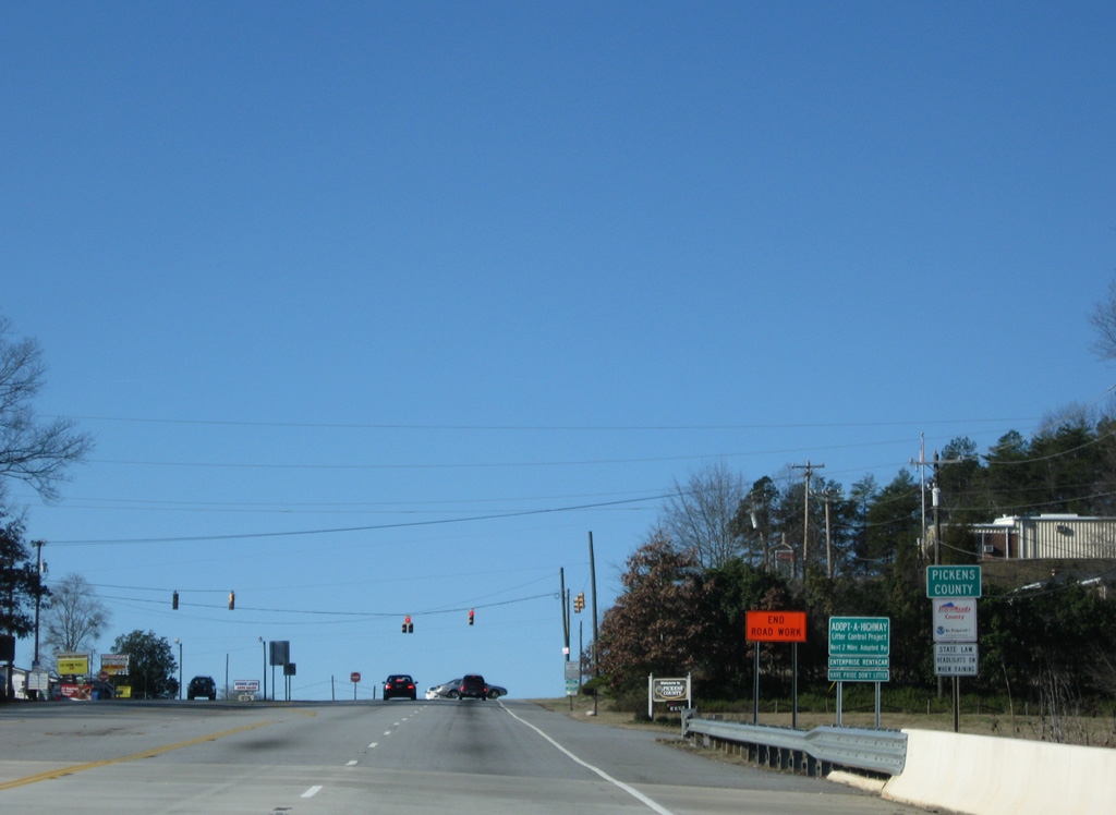
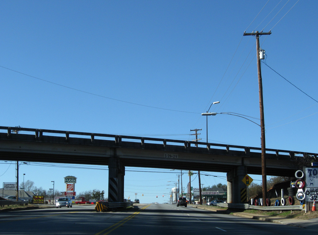
S.C. 124 (Old Easley Highway) concludes a 5.5 mile route from Greenville at U.S. 123 adjacent to Greenville Pickens Speedway.
12/31/08
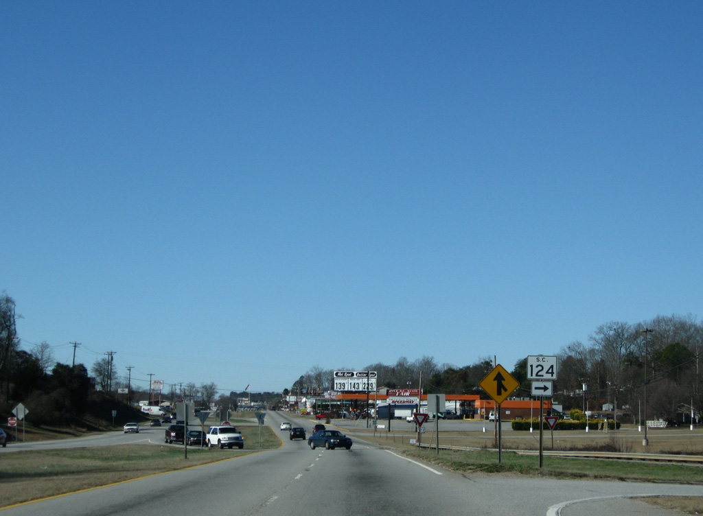
S.C. 124 represents the original alignment of U.S. 123 before the four lane highway was constructed to the south. It was later signed as U.S. 123 Alternate.
12/31/08
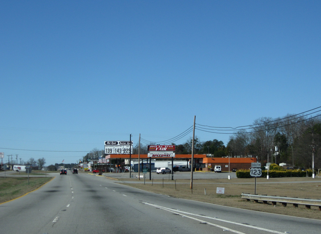
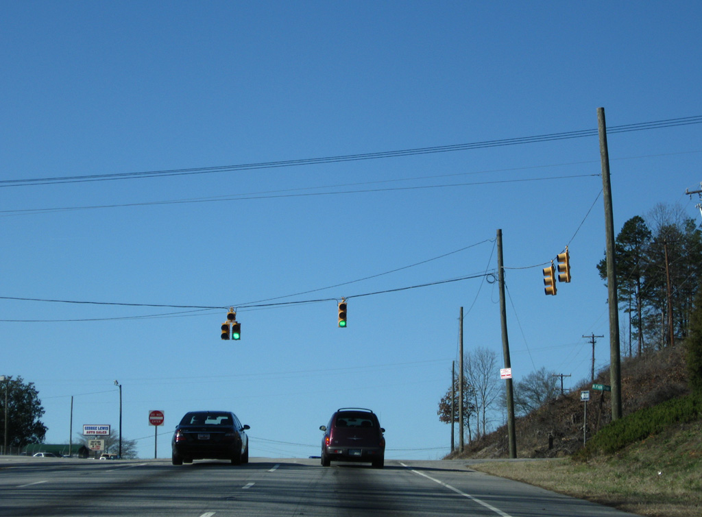
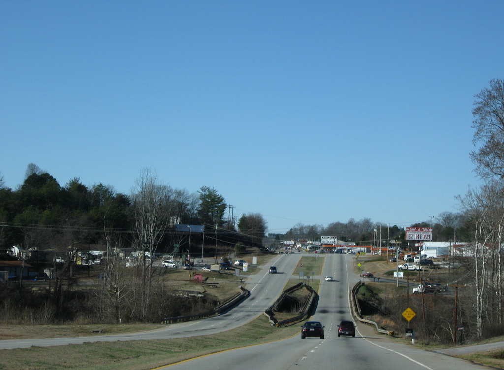
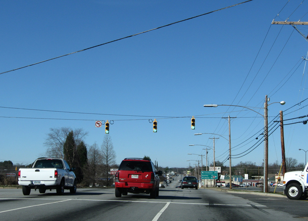
Continuing beyond S.C. 124, U.S. 123 remains a commercial route with a mixture of industrial businesses, retail and service stations.
12/31/08
Turner Hill Road winds north from Old Pendleton Road in Anderson County to become Kay Drive at U.S. 123. Kay Drive extends the road north to a handful of residential streets and an elementary school before ending at Saluda Dam Road.
12/31/08
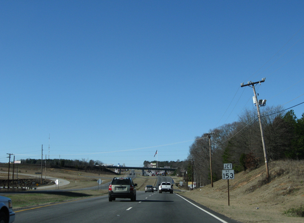
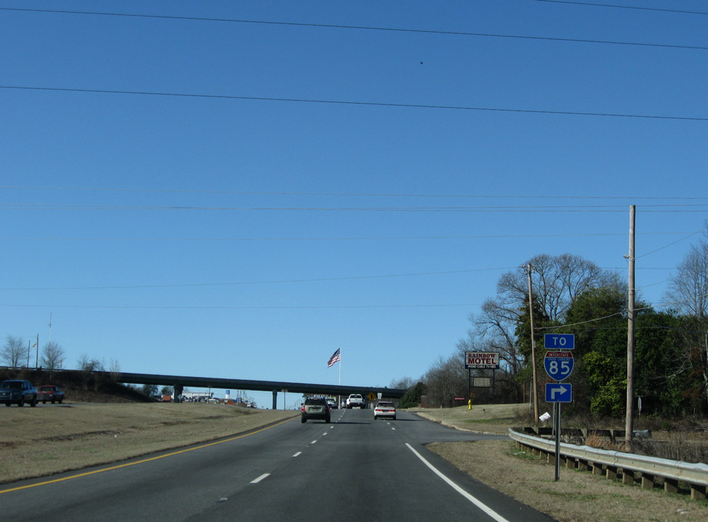
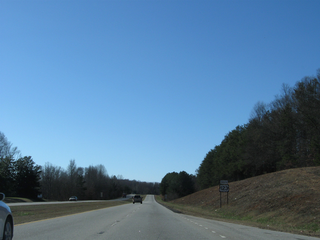
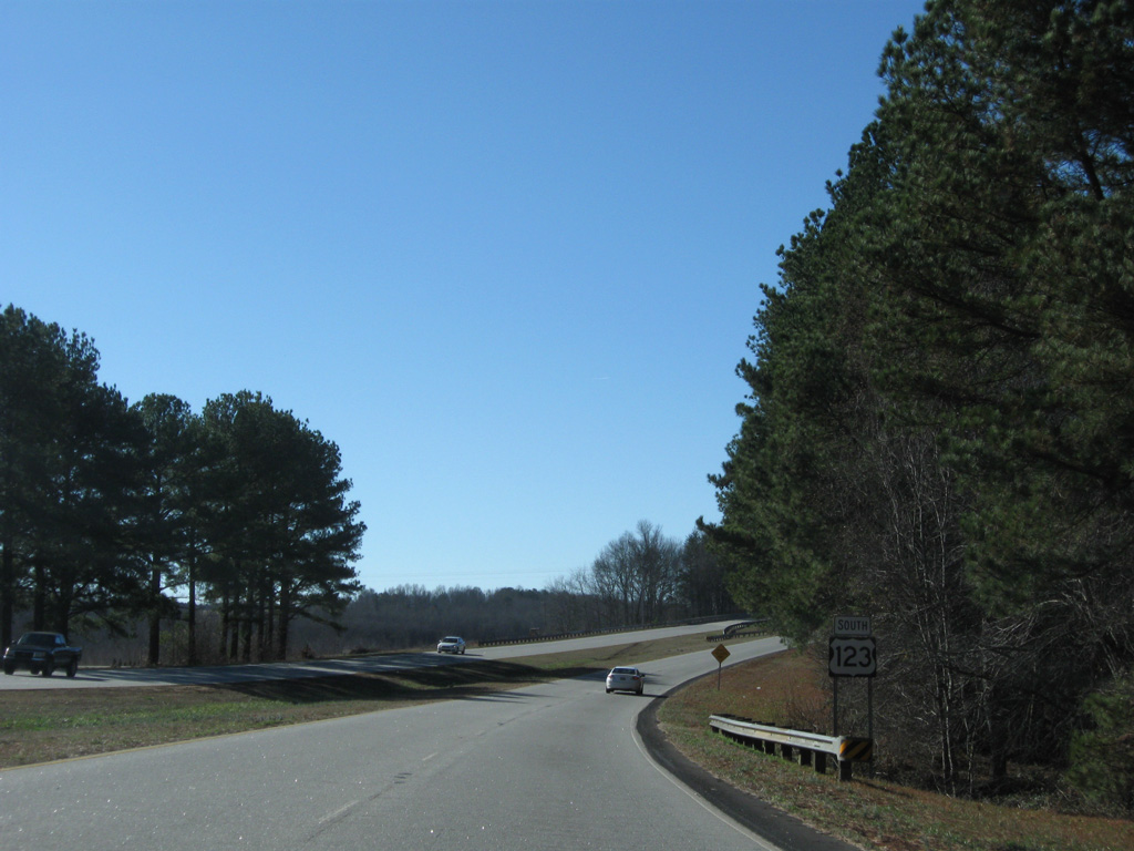
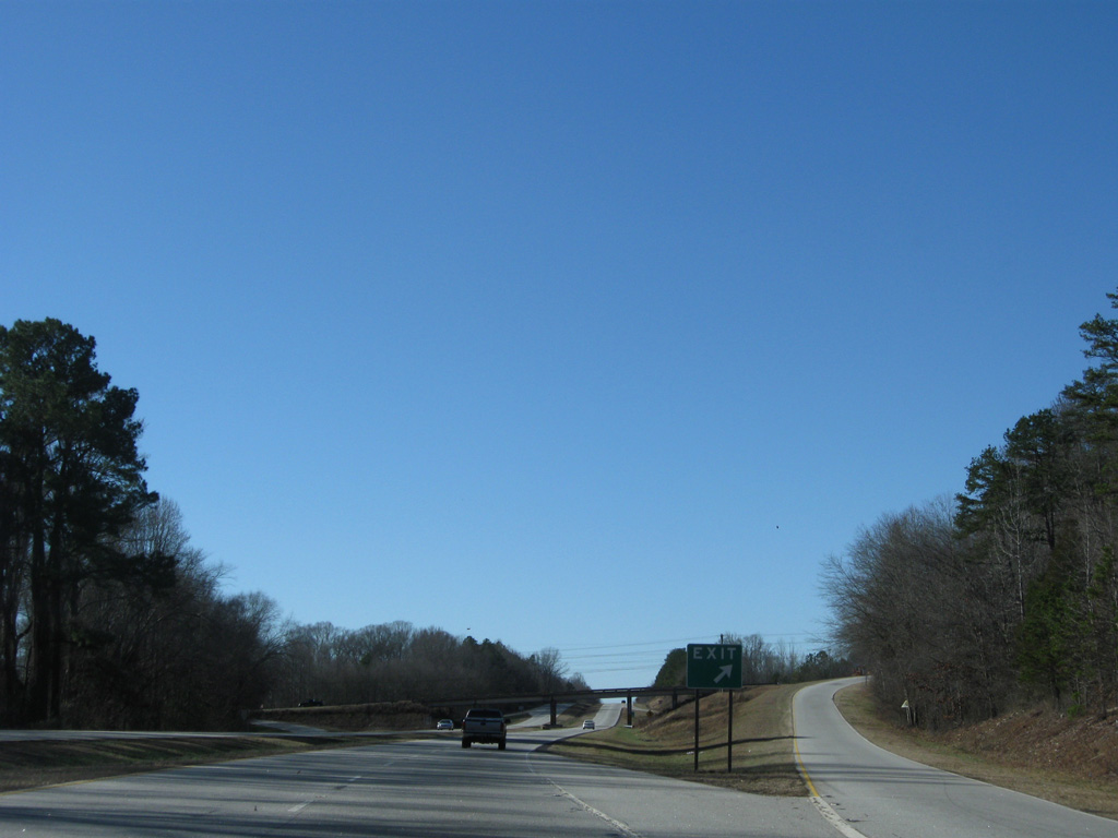
U.S. 123 quickly approaches the trumpet interchange with S.C. 153 west of Kay Drive.
12/31/08
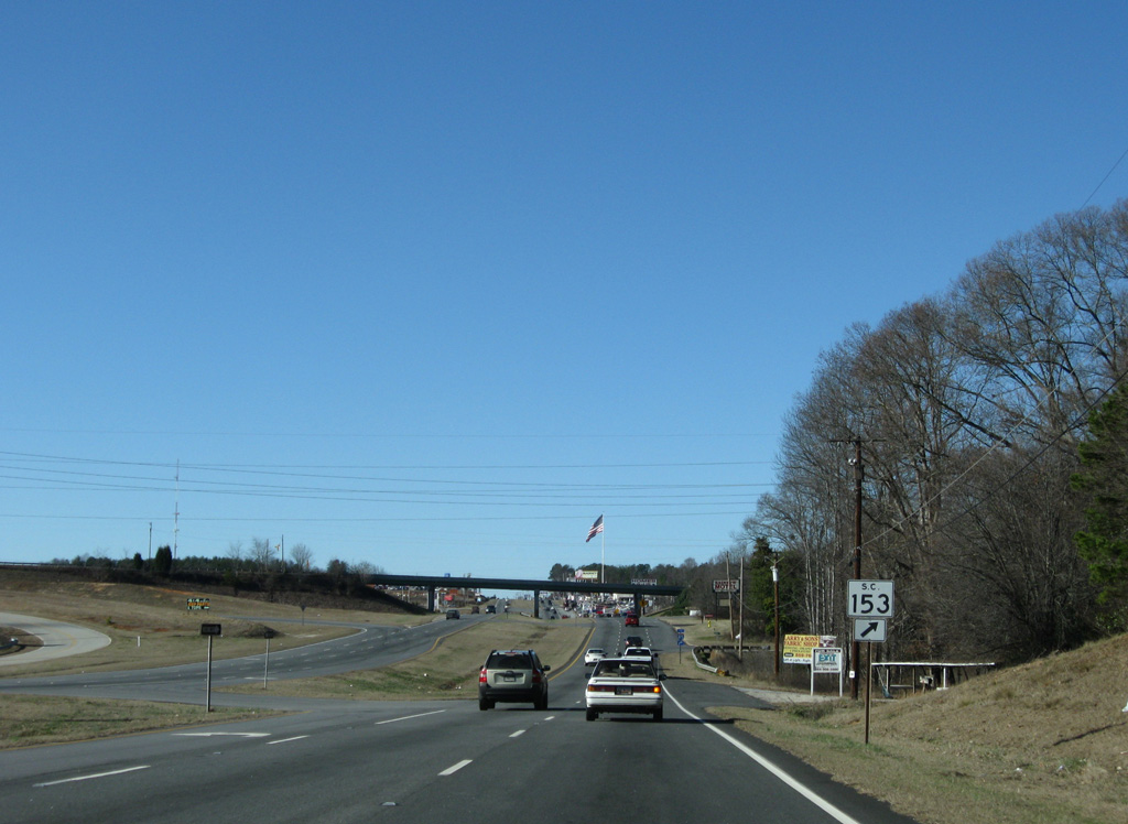
S.C. 153 south provides a direct route to Interstate 85 as a four lane divided highway. The route was extended south to Interstate 185 as part of the Southern Connector toll road project completed in 2001.
12/31/08
A $20 million extension of S.C. 153 will lengthen the route by another 3.4 miles. S.C. 153 will parallel U.S. 123 west to Prince Perry Road before turning north to Saluda Dam Road. With origins in the 1980s, the planned two lane roadway with a paved median and bike paths will provide an alternate to U.S. 123 for motorists traveling between Powdersville and Easley. Work may commence on the project by late 2016, following the issuing of wetland permits by the U.S. Army Corps of Engineers.1
12/31/08
Currently S.C. 153 runs 7.1 miles south from U.S. 123 to Interstate 185.
12/31/08
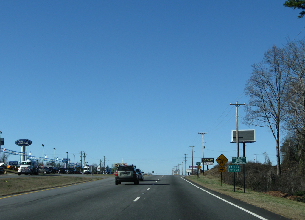
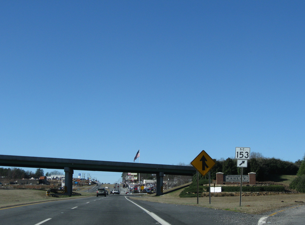
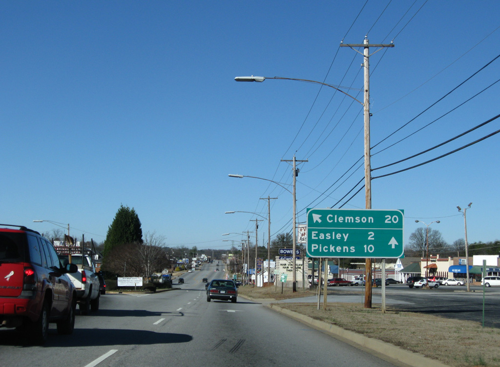
Crossing the Easley city line, U.S. 123 becomes increasingly busy with businesses lining both sides of the route.
12/31/08
A Norfolk Southern Railroad line parallels the north side of U.S. 123, separating the arterial from an adjacent shopping center. Prince Perry Road provides access to the retail area as it leads north to Saluda Dam Road.
12/31/08
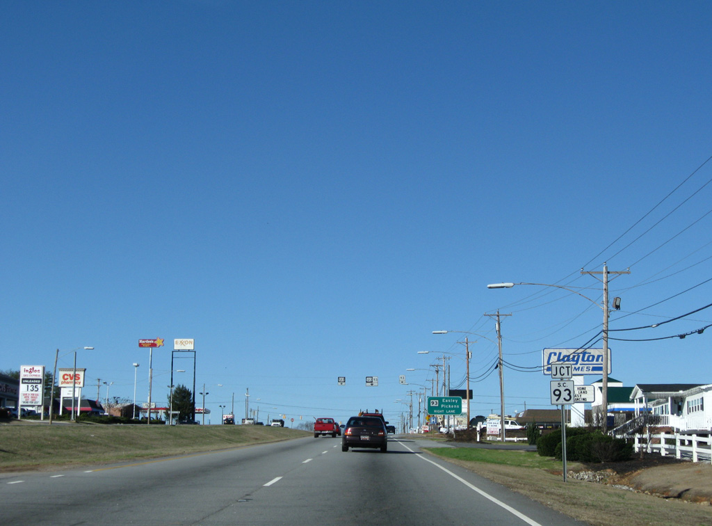
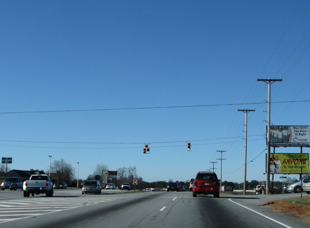
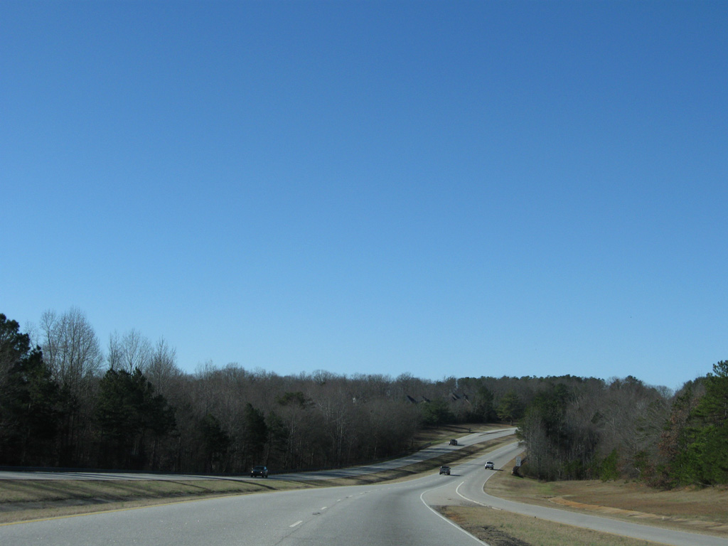
U.S. 123 curves northwest to the split with S.C. 93 (E Main Street). S.C. 93 follows an older alignment of U.S. 123 through Easley to Liberty, Norris and Central.
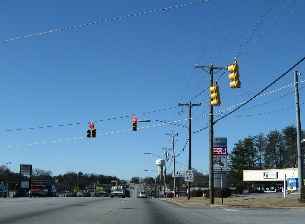
Low pressure sodium lights in Easley were replaced with LED-based light fixtures. Lighting here changed in 2015.
12/31/08
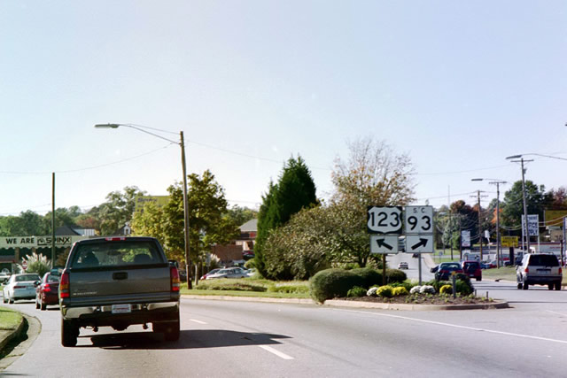
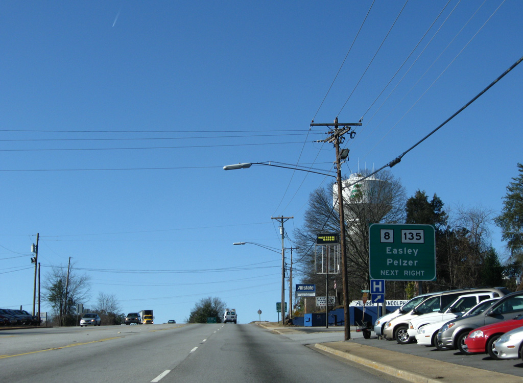
Connections from S.C. 93 (Main Street) west to S.C. 8 provide motorists with a direct route to the county seat of Pickens. S.C. 8 crosses paths otherwise with U.S. 123 just west of the interchange with S.C. 135 (Pendleton Street).
12/31/08
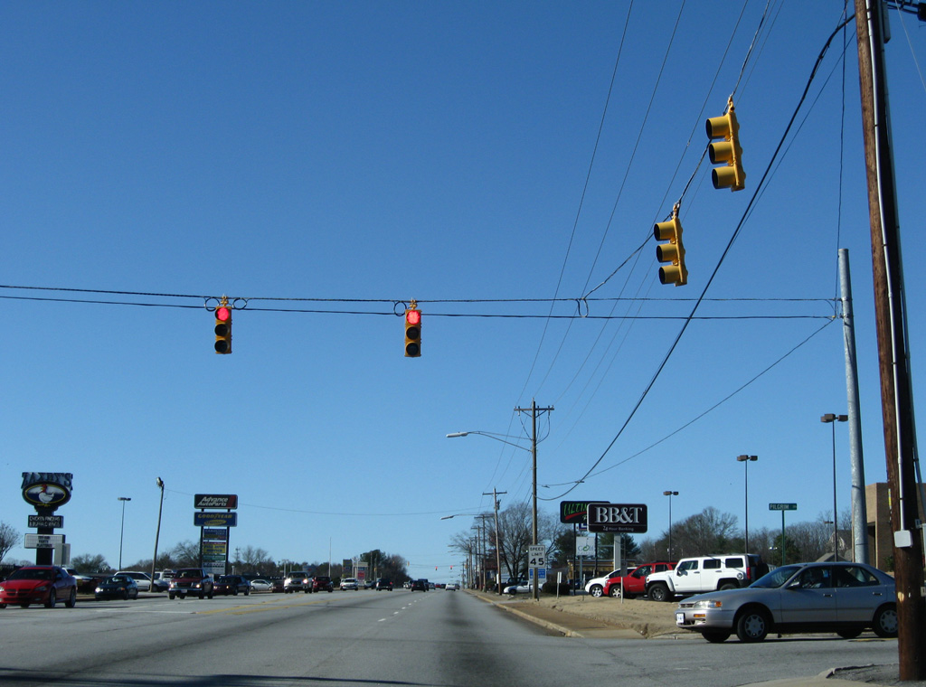
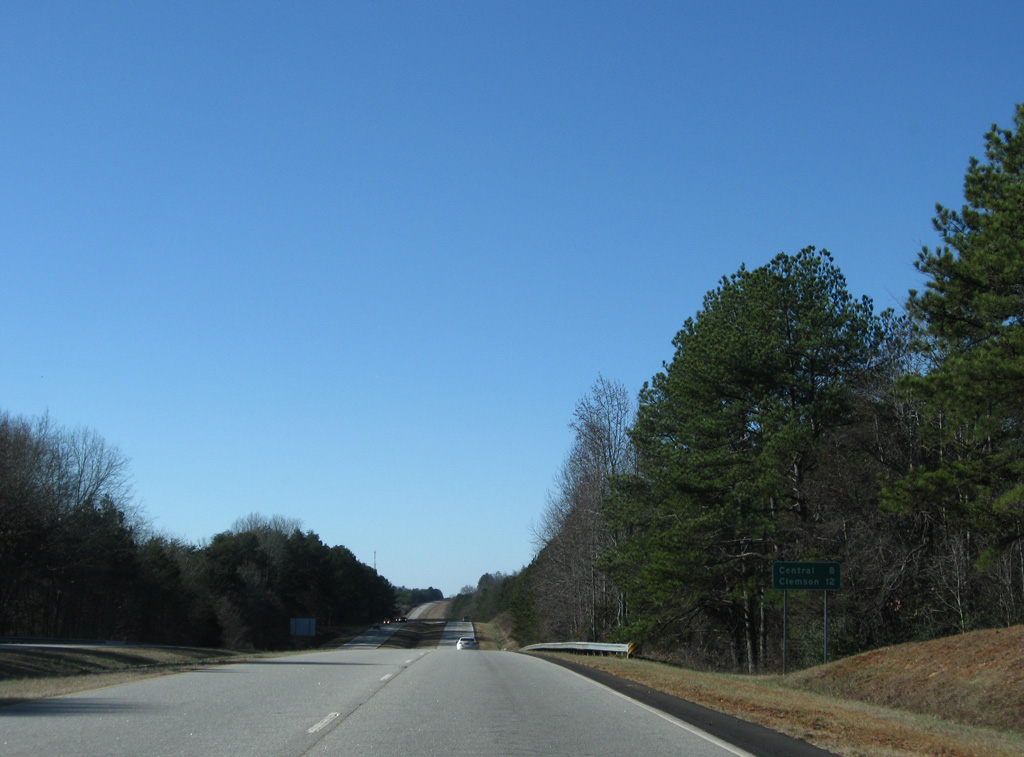
This set of span wire shields was replaced by 2015. S.C. 93 travels 23.6 miles overall between Easley and Clemson. U.S. 123 meets the state highway again in 18 miles.
12/31/08
Powdersville Road ties into U.S. 123 (Calhoun Memorial Highway) just prior to the southbound split with S.C. 93 (Main Street).
12/31/08
Two lanes split for both U.S. 123 south to Clemson and S.C. 93 (Main Street) west to Downtown Easley.
12/31/08
A historical look at the U.S. 123 and S.C. 93 split. Main Street through Easley was renumbered as U.S. 123 Business in 1958 when U.S. 123 was realigned to the south. S.C. 93 was numbered in 1964 following the completion of the U.S. 123 freeway to Clemson.2
10/15/01
Pilgrim Drive intersects U.S. 123 amid heavy retail development just west of S.C. 93.
12/31/08
An overpass links Brushy Creek Road south and B Street north across U.S. 123 by Centerpoint shopping center. Brushy Creek Road serves a number of subdivisions in the southern reaches of the city.
12/31/08
Williams Avenue angles southwest from B Street to intersect U.S. 123 opposite Centerpoint shopping center.
12/31/08
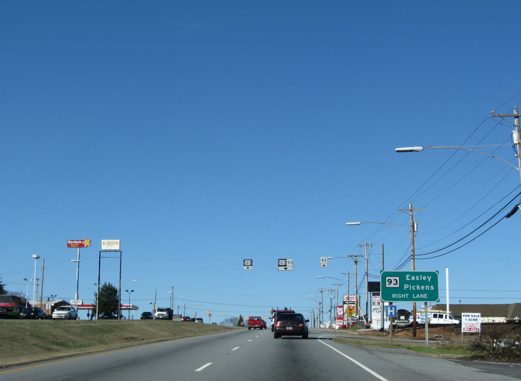
U.S. 123 transitions into a freeway at the diamond interchange with S.C. 135 (Pendleton Street). S.C. 135 leads south from S.C. 93 in Downtown Easley to combine with S.C. 8 just south of U.S. 123.
12/31/08
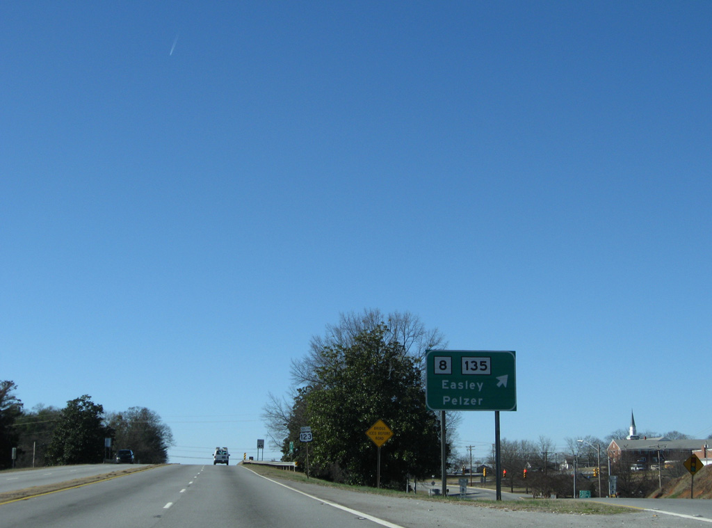
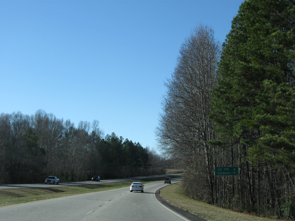
S.C. 135 (Pendleton Street) angles southwest beyond the split with S.C. 8 to parallel U.S. 123 to U.S. 178. S.C. 8 comprises a 44.6 mile route north to Pickens and Pumpkintown and south to Pelzer and Ware Place.
12/31/08
U.S. 123 passes over S.C. 135 (Pendleton Street) before lowering below S.C. 8 (5th Street).
12/31/08
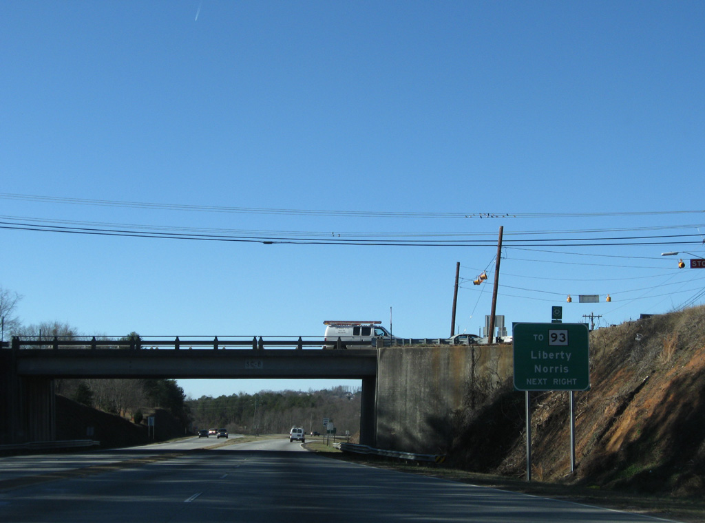
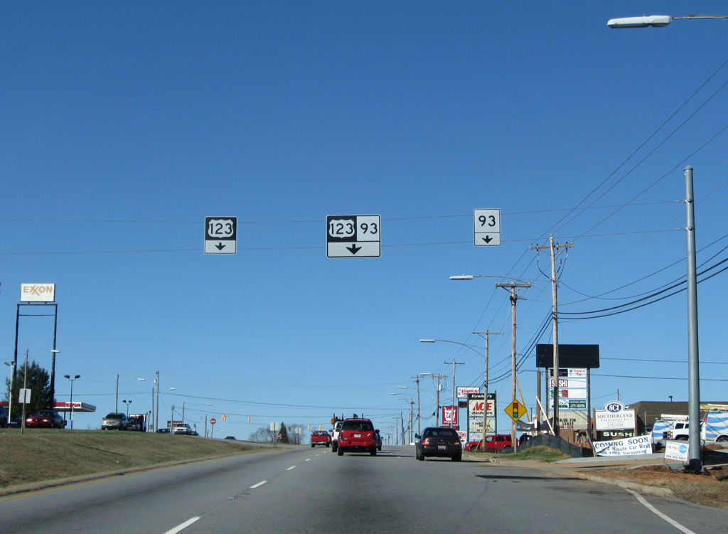
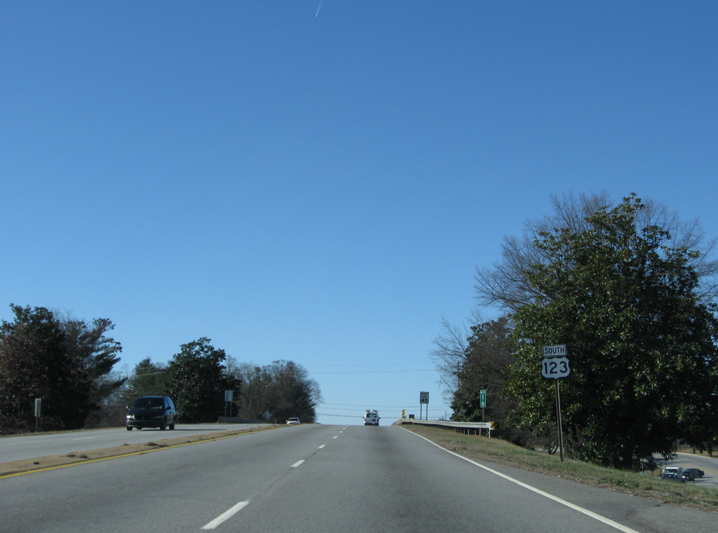
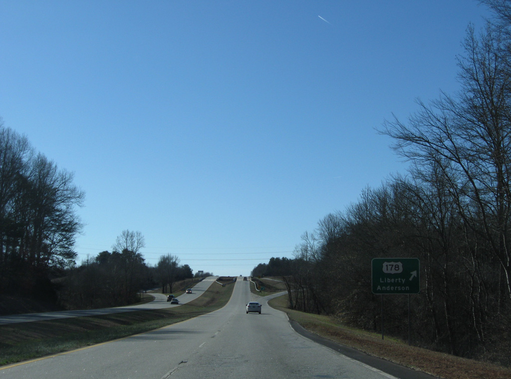
Ross Avenue angles west from S.C. 135/8 to connect U.S. 123 with S.C. 93 (Liberty Drive) as it leads west to the cities of Liberty and Norris.
12/31/08
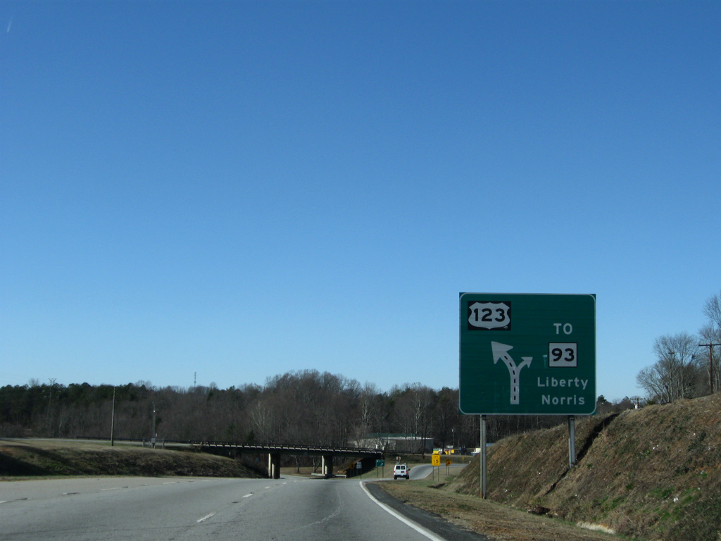
A diagrammatic sign outlines the wye interchange with Ross Avenue as U.S. 123 turns southward to bypass Liberty, Norris and Central.
12/31/08
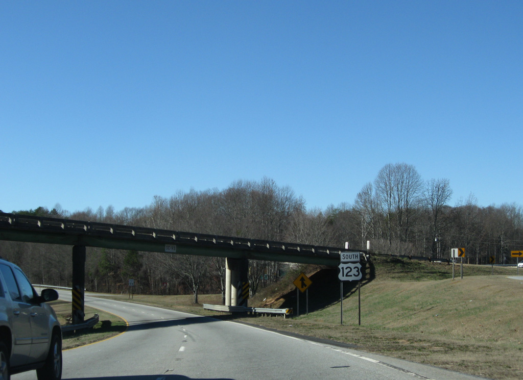
Speed limits increase to 55 then 65 miles per hour as U.S. 123 leaves the city of Easley.
12/31/08
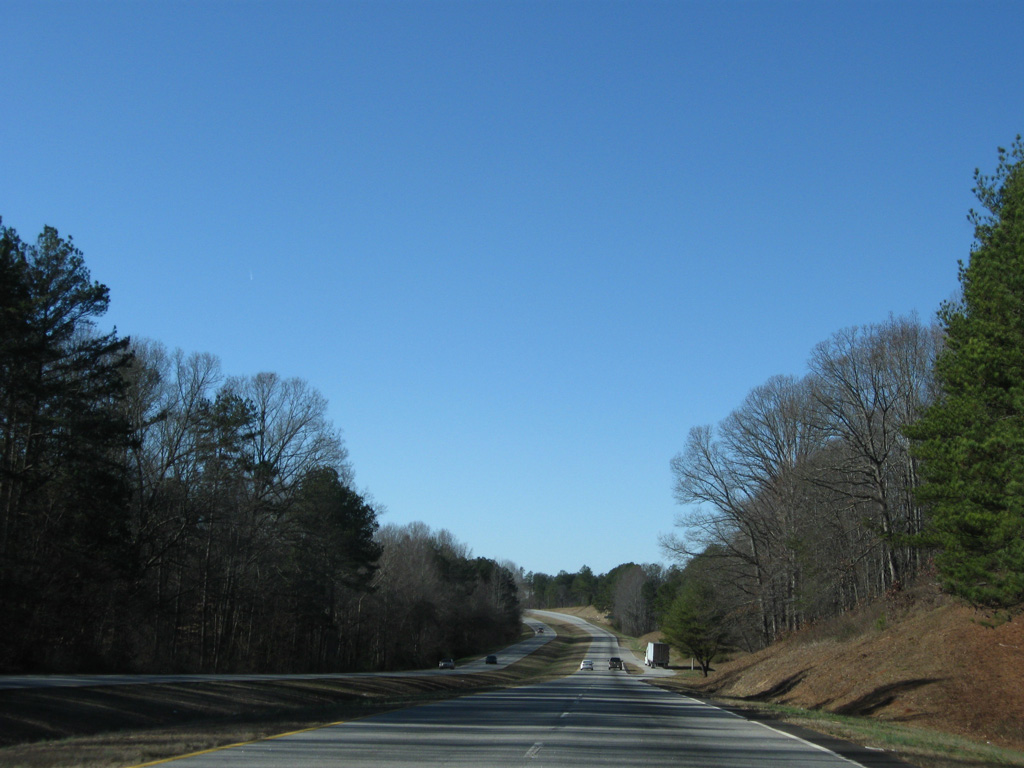
U.S. 123 traverses a wooded area alongside Eighteenmile Creek. Several subdivisions are located near the freeway on this stretch.
12/31/08
Travelers continuing west meet U.S. 178 in four miles. The city of Clemson is 17 miles ahead at the freeway end.
12/31/08
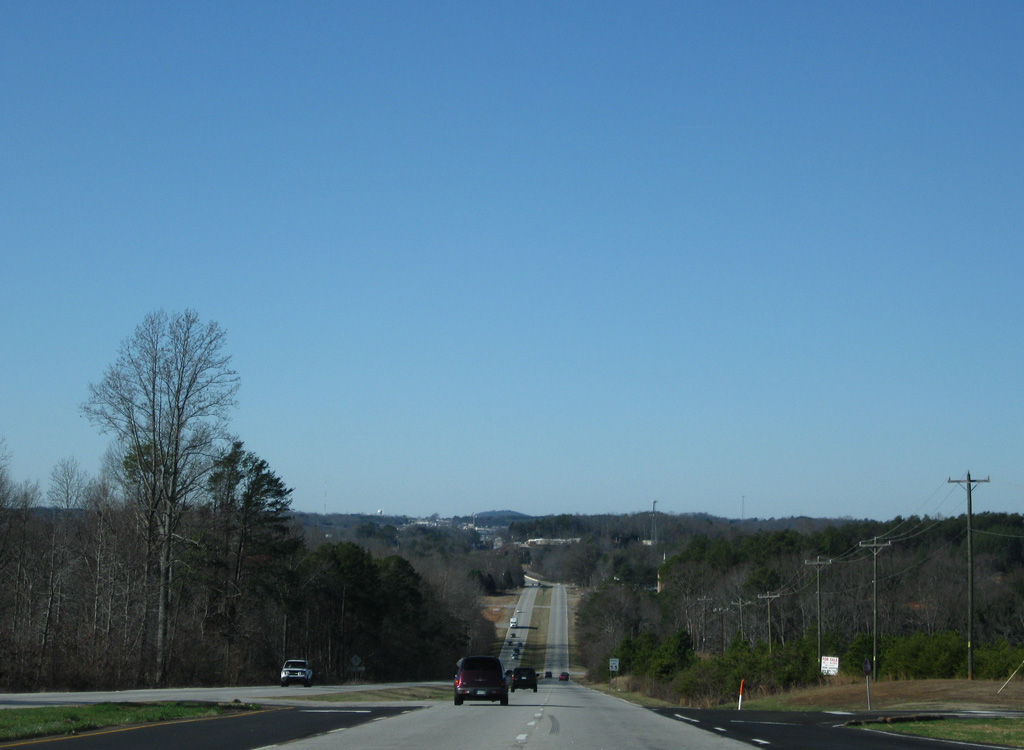
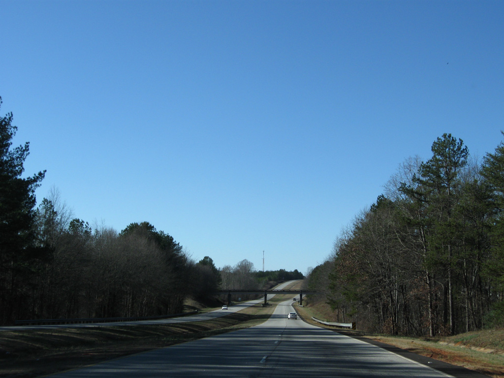
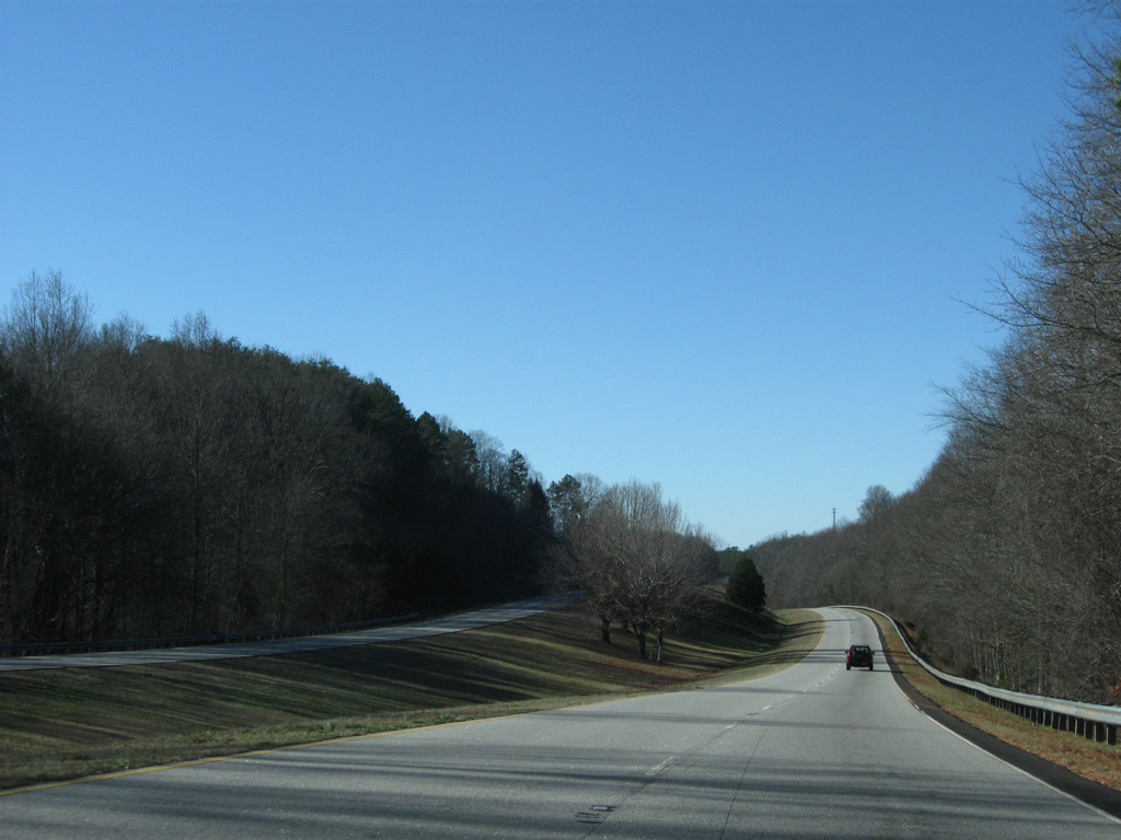
U.S. 123 resembles a rural four lane freeway for most of the drive southward to Clemson. This scene looks at the road near the Whispering Pines community.
12/31/08
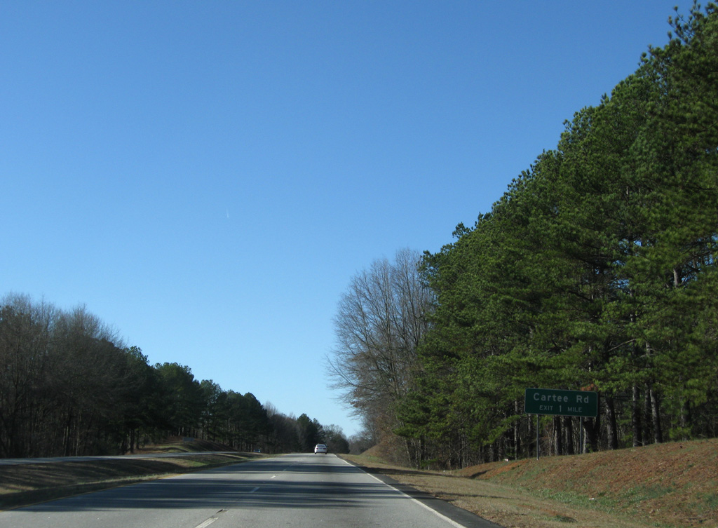
A diamond interchange joins U.S. 123 with Cartee Road in one mile.
12/31/08
A pull off along the southbound lanes of U.S. 123 provides access to a stone monument for the John C. Calhoun Memorial Highway. Calhoun, a native of Clemson, served in political office from 1808 to 1850 including two terms as Vice President of the United States.
12/31/08

Cartee Road stems south from S.C. 93 (Greenville Highway) as a local road to U.S. 123. The road concludes at U.S. 178.
12/31/08

The exit at Cartee Road was added later to the U.S. 123 freeway. It serves the adjacent Pickens County Commerce Park.
12/31/08
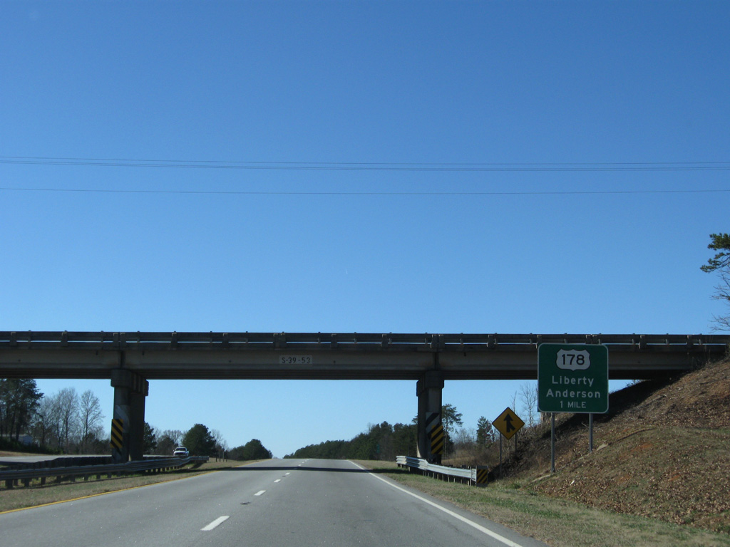
U.S. 178 and U.S. 123 come together at a diamond interchange just outside the city of Liberty in one mile. U.S. 178 travels a scenic route north from Pickens to Rocky Bottom and U.S. 64 at Rossman, North Carolina.
12/31/08
Turning more southward, U.S. 123 travels away from Bogg Mountain to bypass the south side of Liberty.
12/31/08
U.S. 178 curves east through Five Forks before turning southward en route to Anderson. There the route combines with U.S. 76 to Honea Path.
12/31/08
The U.S. 123 freeway again parallels Eighteenmile Creek as it leads west from U.S. 178.
12/31/08
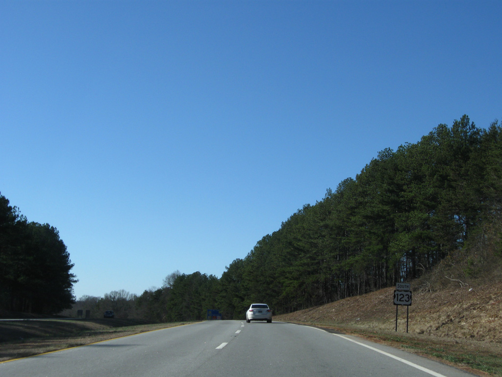
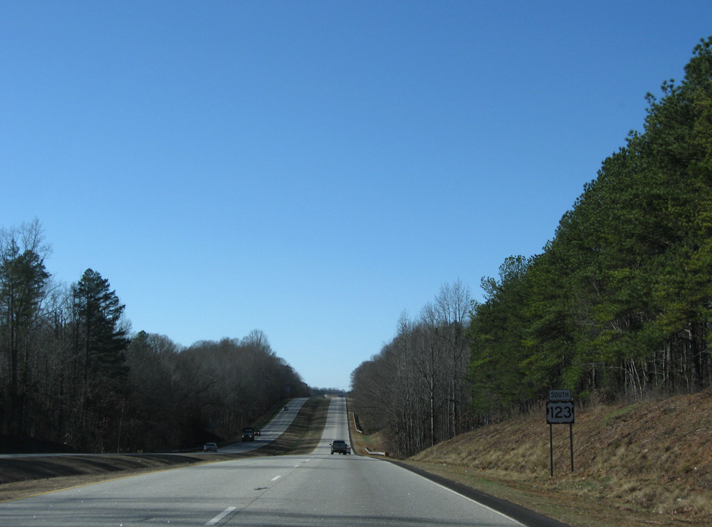
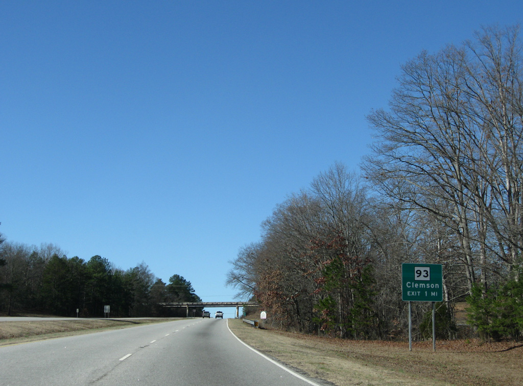
Central lies eight miles to the west followed by Clemson in 12 miles.
12/31/08
Southbound scene ahead of the Road 44 overpass on U.S. 123.
12/31/08
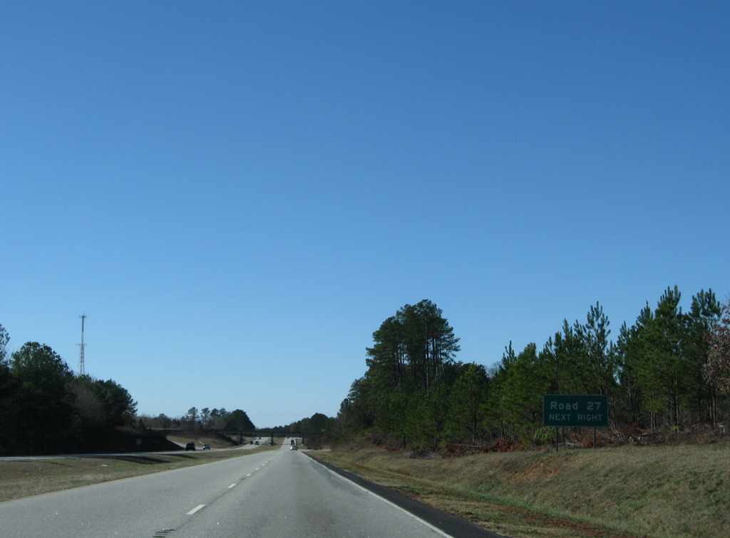
A lone guide sign precedes the diamond interchange with Road 27 on U.S. 123 south.
12/31/08
Road 27 (Ruhamah Road) leads north from U.S. 123 to Calhoun Street in the city of Liberty and south to U.S. 178 just across the Anderson County line.
12/31/08
U.S. 123 curves south by a pair of schools along parallel Chastain Road beyond this reassurance shield.
12/31/08
The hilly terrain results in a brief roadway split as U.S. 123 runs along Fifteenmile Creek.
12/31/08
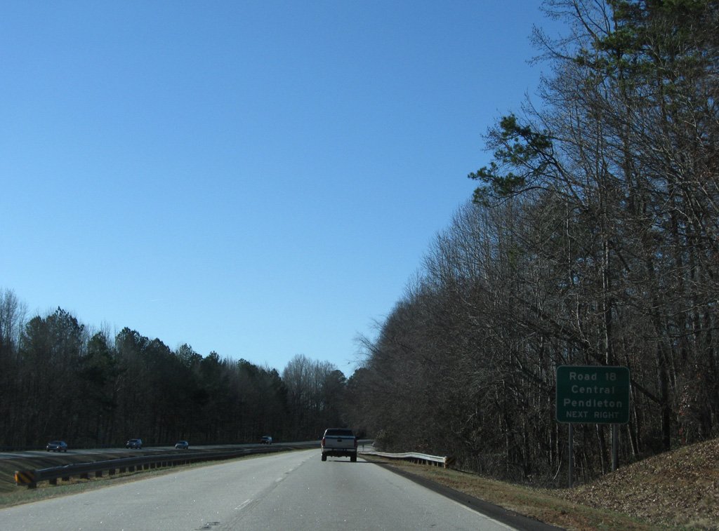
U.S. 123 next meets Road 18 (Church Road north / Eighteenmile Road) south at the south end of the Central city limits.
12/31/08
Church Street joins U.S. 123 with the Central city center and Southern Wesleyan University. Eighteenmile Road south links the freeway with S.C. 88 (Old Greenville Highway) southwest to the city of Pendleton and Tri-County Technical College.
12/31/08
U.S. 123 approaches the city of Clemson beyond Road 18.
12/31/08
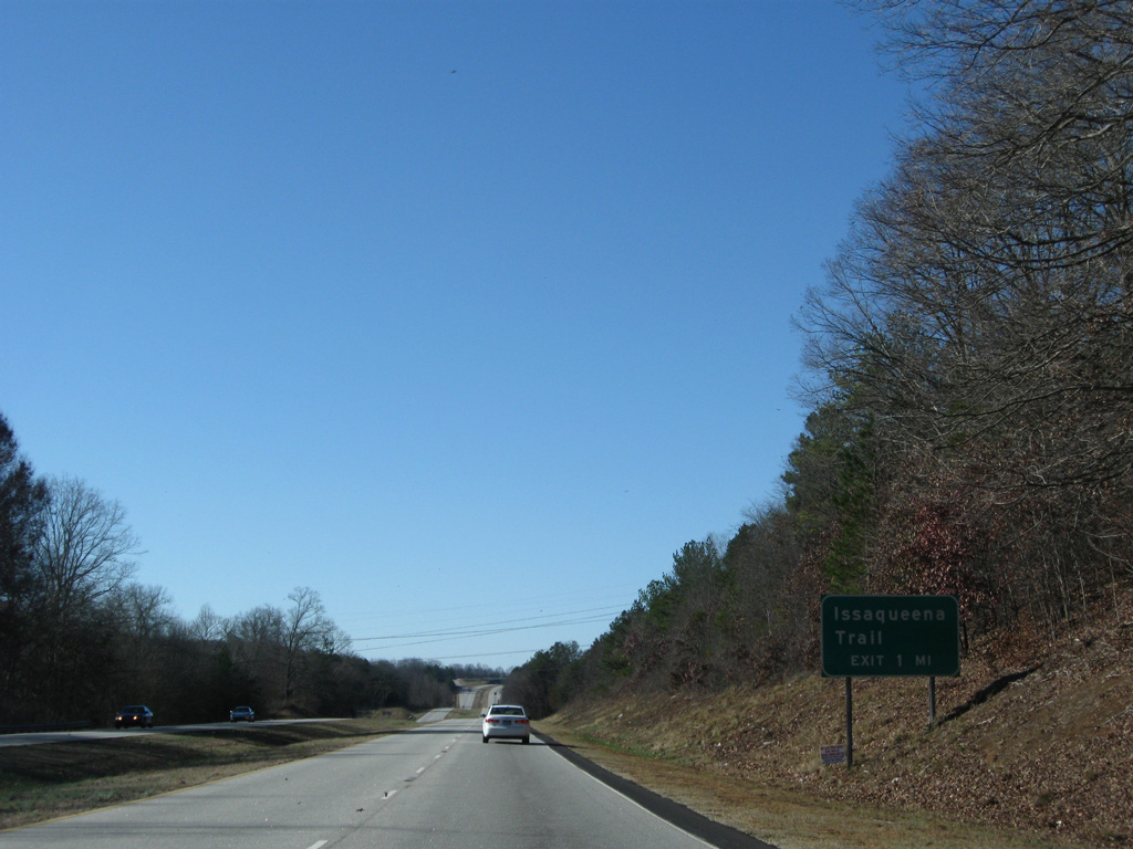
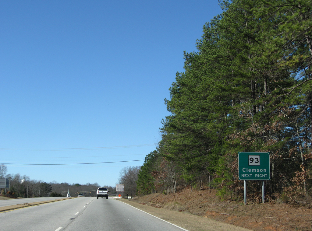
The first of two exits in Clemson joins U.S. 123 with Issaqueena Trail in one mile.
12/31/08
Issaqueena Trail loops south from S.C. 93 at Central to S.C. 288 (Pendleton Road) around east Clemson.
12/31/08
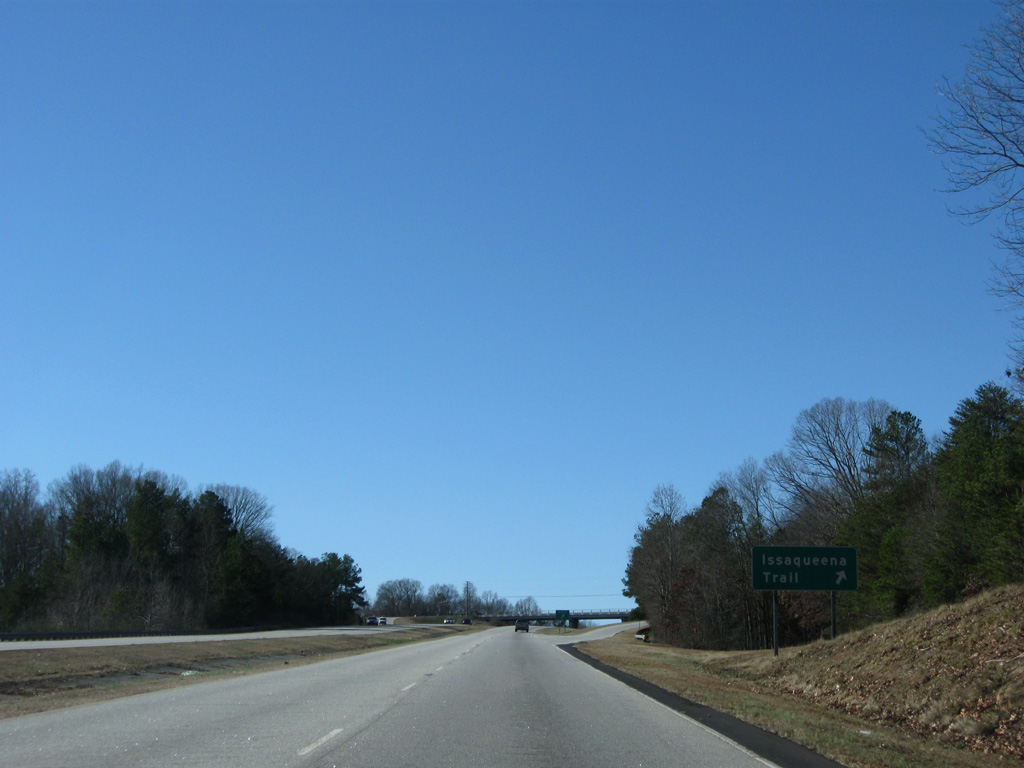
U.S. 123 turns west from the diamond interchange with Issaqueena Trail to pass between residential areas.
12/31/08
S.C. 93 returns to U.S. 123 via Old Greenville Highway through northeast Clemson.
12/31/08
South from U.S. 123, S.C. 93 (Old Greenville Highway) provides a cutoff to U.S. 76/S.C. 28 east for Pendleton. S.C. 93 used to extend west to the campus of Clemson University and the Clemson city center.
12/31/08
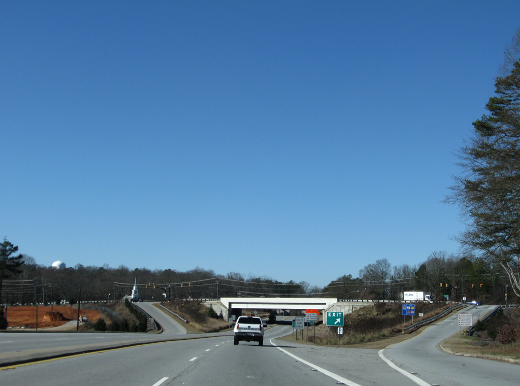
The diamond interchange with S.C. 93 concludes the U.S. 123 freeway southbound.
12/31/08
Speed limits reduce to 45 miles per hour beyond S.C. 93 as U.S. 123 transitions into a five lane arterial (Tiger Boulevard).
12/31/08
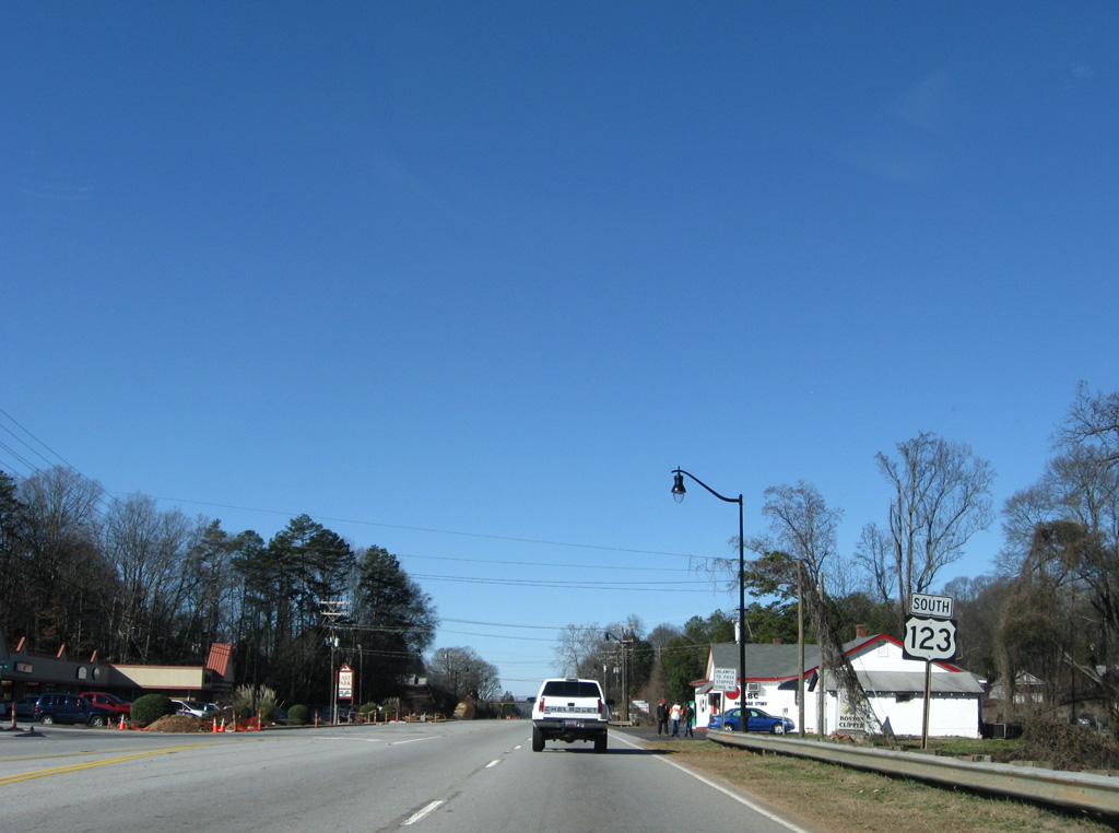
Tiger Boulevard bypasses Clemson to the north as a commercial boulevard. Joining the arterial from the south is U.S. 76 and S.C. 28 from Anderson Highway.
12/31/08
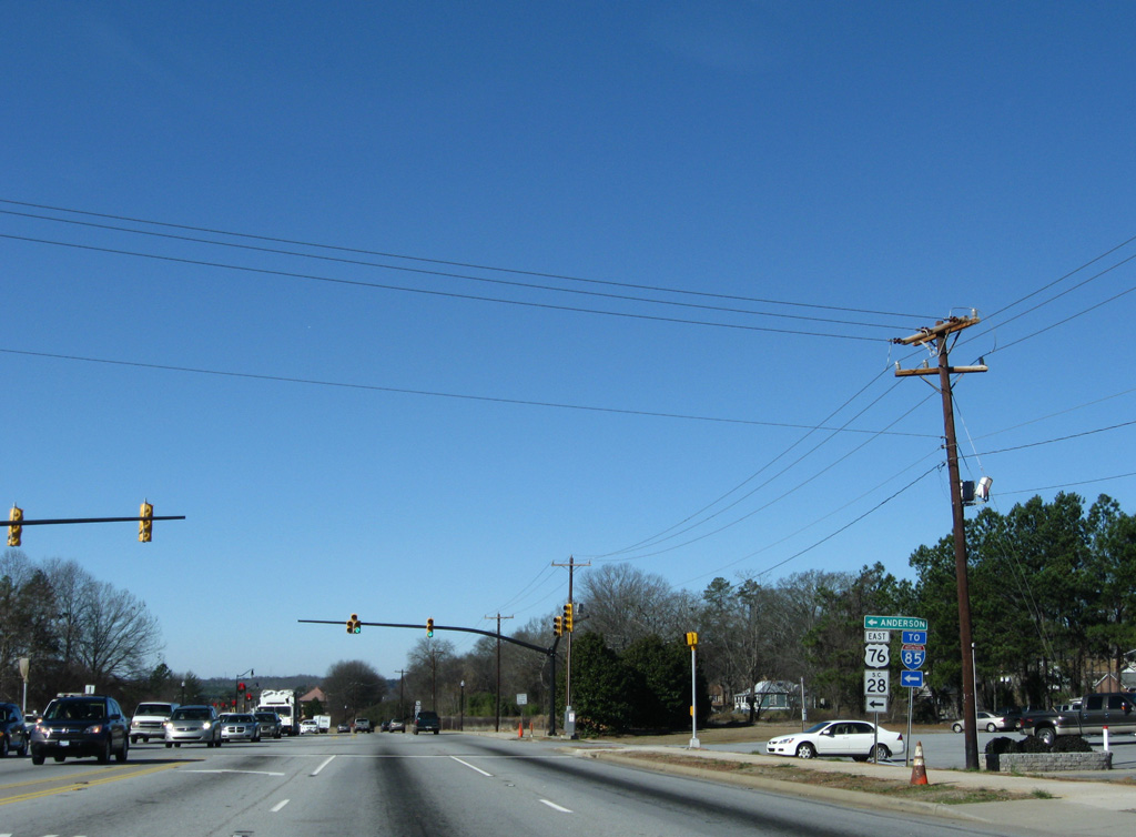
U.S. 76 and S.C. 28 combine from Anderson northwest to Pendleton and Clemson. U.S. 76 crosses the Palmetto State through Florence, Sumter, Columbia and Laurens while S.C. 28 forms part of a multi-state route between Augusta, Georgia and Highlands, North Carolina.
04/12/14
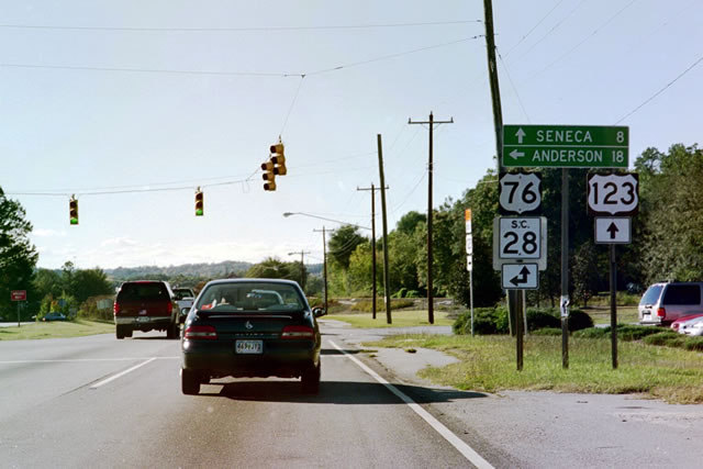
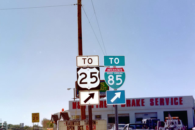
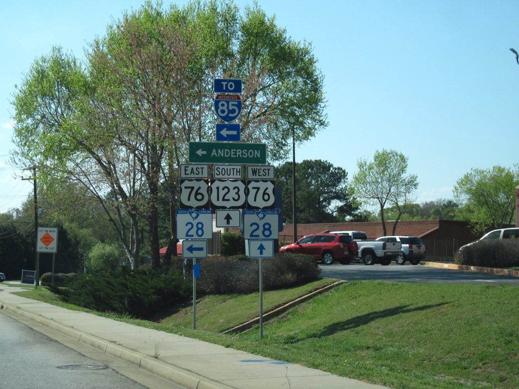
This shield assembly and distance sign was replaced by 2008 to accommodate sidewalks along Tiger Boulevard. The span wire signal here was also replaced with mast-arm based signals as well.
10/15/01
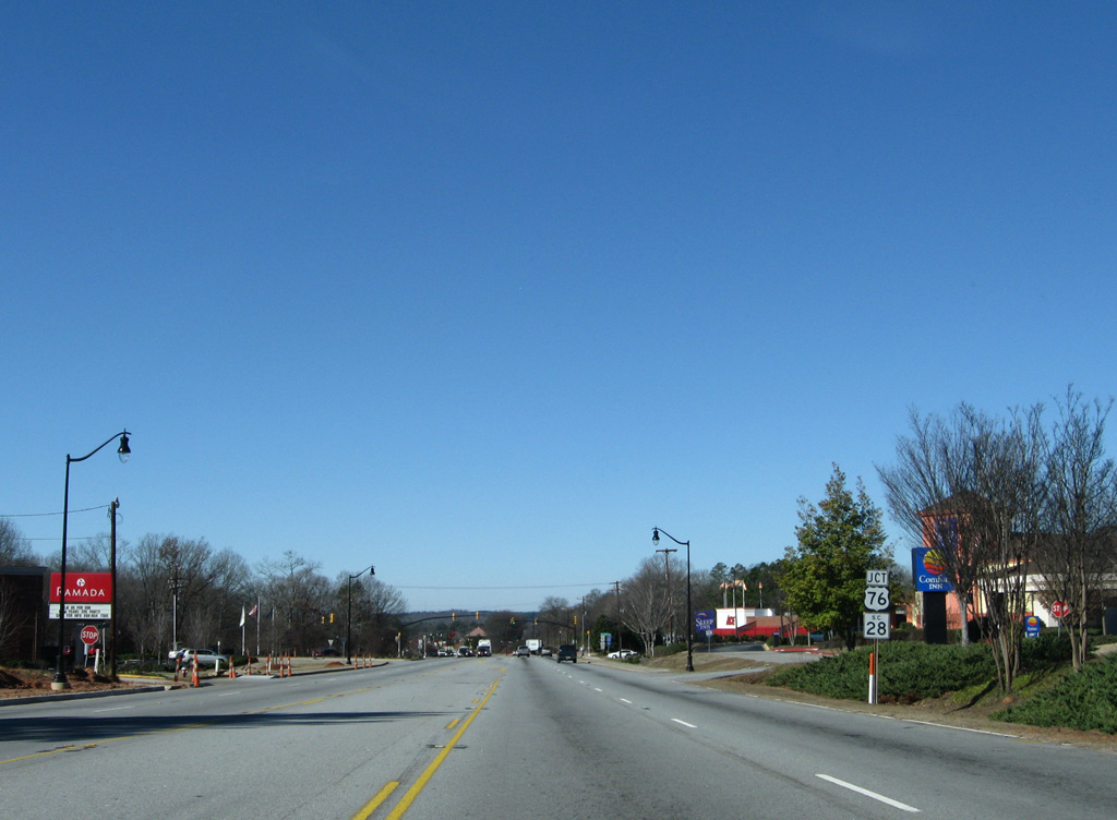
This shield assembly was replaced with a new assembly further east by 2013. That was later changed again to add two additional shields. U.S. 76 east meets I-85 at a cloverleaf interchange in 11 miles.
12/31/08
References:
- "Plan to relieve U.S. 123 traffic moving forward." GreenvilleOnline, December 3, 2015.
- South Carolina Highway 93 @ Wikipedia.org.
Photo Credits:
- AARoads: 10/15/01
- ABRoads: 12/31/08
- Carter Buchanan: 04/12/14
Connect with:
Page Updated Thursday February 04, 2016.