
U.S. 192/441 West - Holopaw to Kissimmee

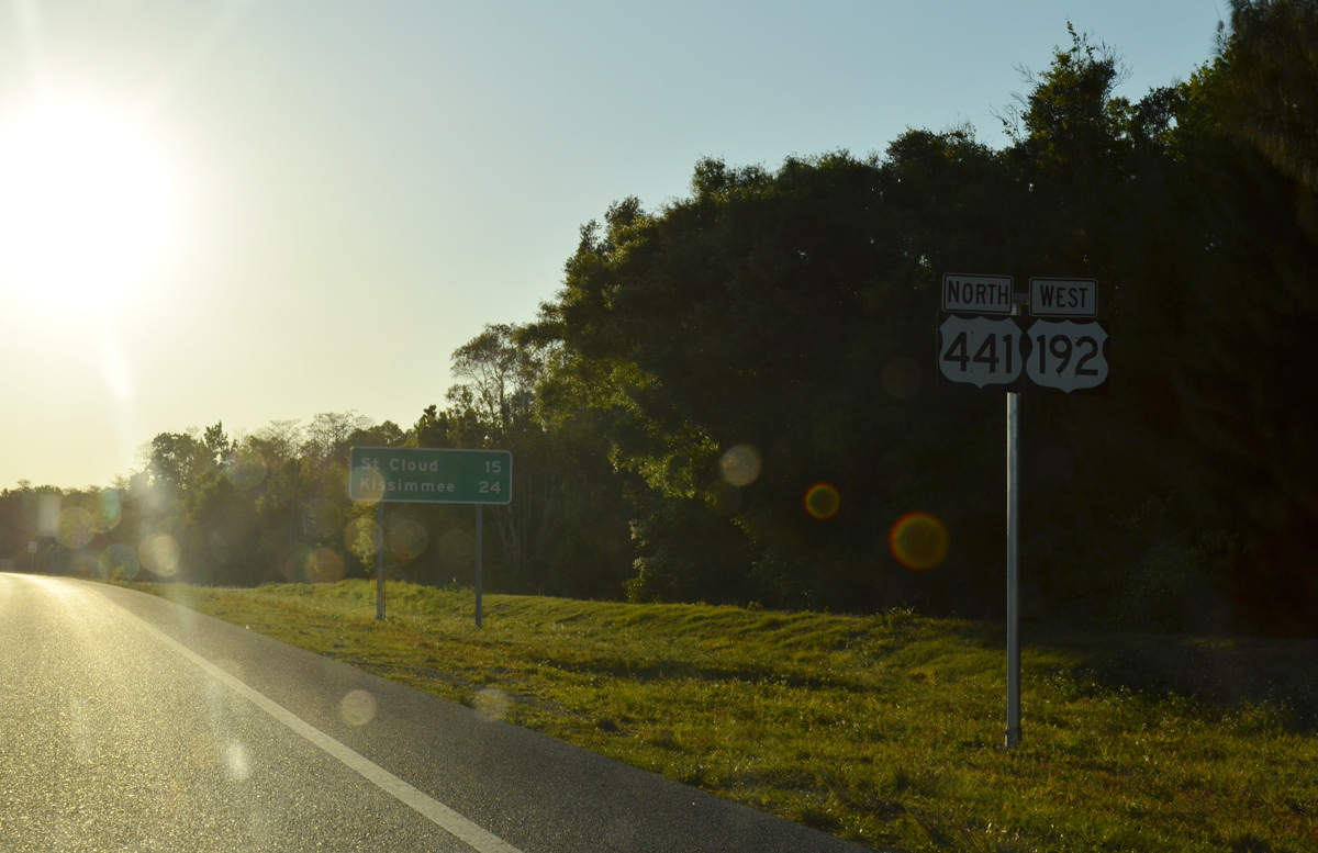
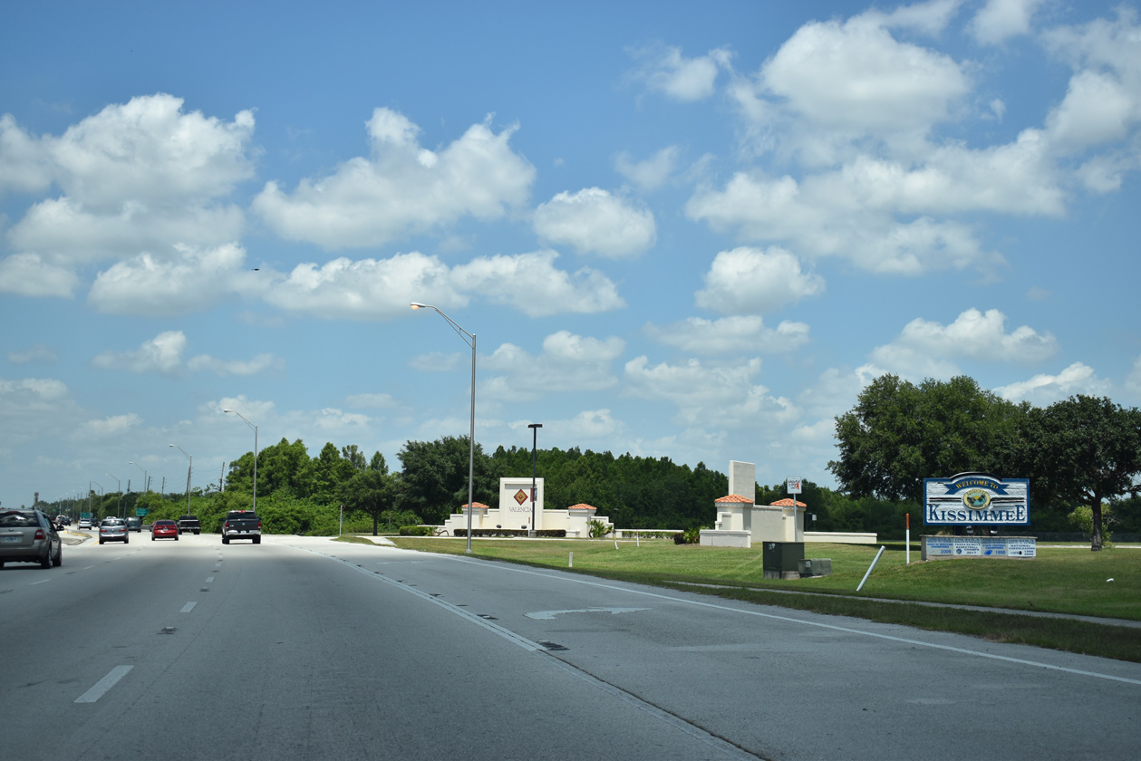
U.S. 192/441 commence the 24.5 mile long overlap west to Kissimmee.
04/01/14
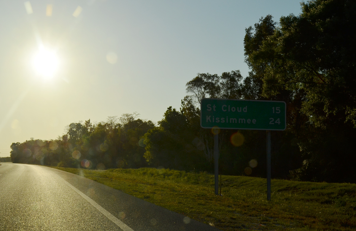
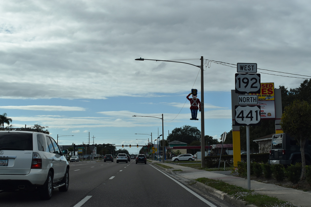
U.S. 192/441 head 15 miles northwest to St. Cloud.
04/01/14
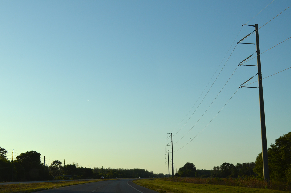
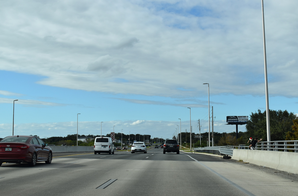
A powerline corridor accompanies U.S. 192-441 northwest from a substation near Major Slough.
04/01/14
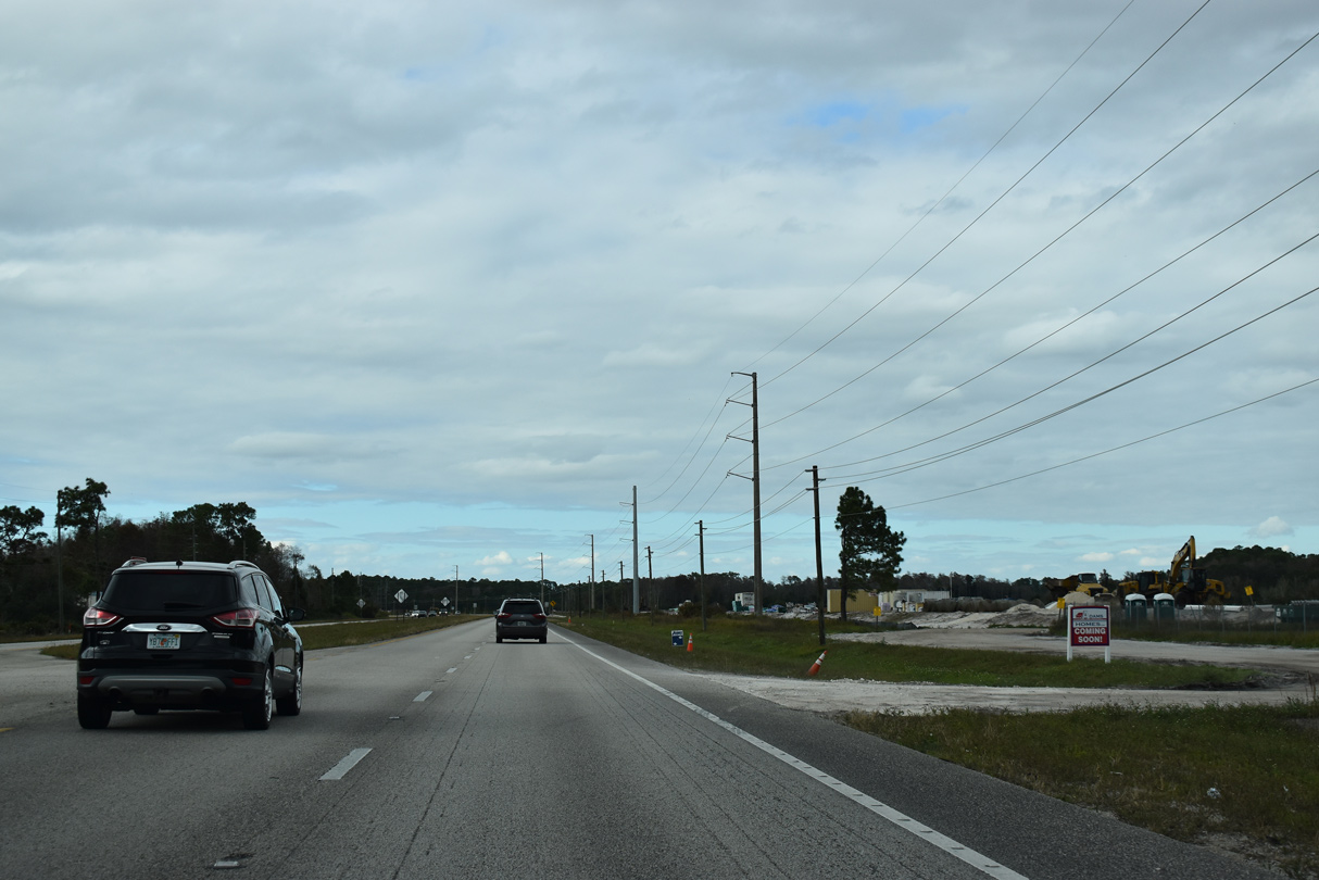
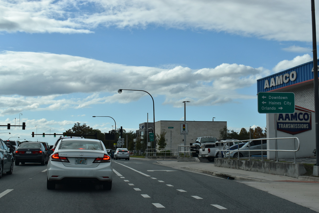
The Osceola County growth boundary lines U.S. 192/441 (Irlo Bronson Memorial Highway) northwest from Holopaw. As such, suburban development at a 249 acre tract near Jug Creek Swamp got underway in 2021.
12/05/21
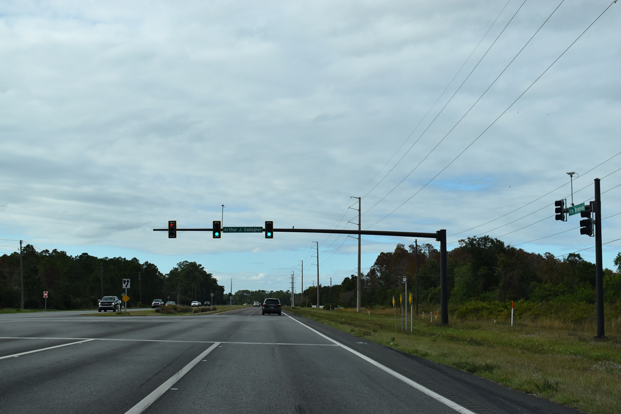
Continuing northwest between Big Bend and Jug Creek Swamps, U.S. 192-441 reach the master planned community of Harmony. A traffic signal operates at Arthur J. Gallagher Boulevard, a spur south to Harmony High School.
12/05/21
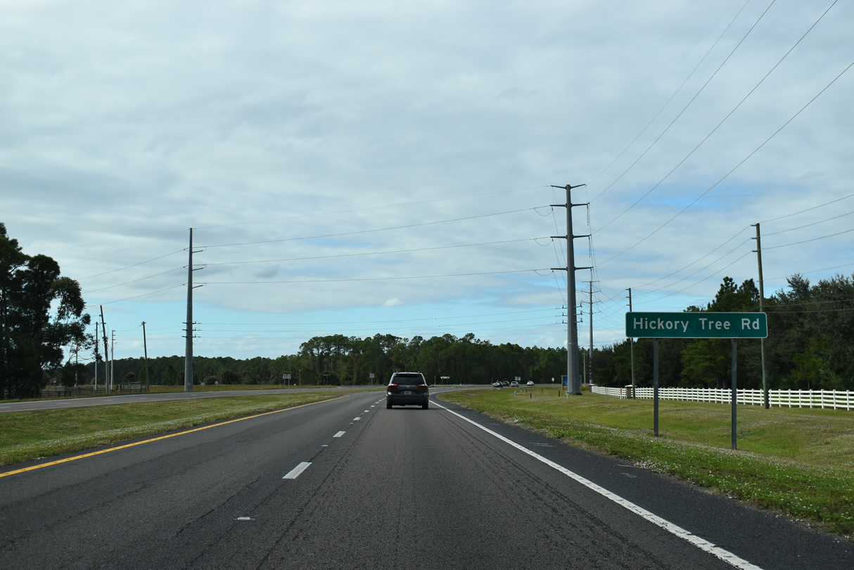
Hickory Tree Road (CR 534) branches west from U.S. 192-441 to encircle Alligator Lake. Hickory Tree Road returns to U.S. 192-441 opposite CR 15 (Narcoossee Road) outside St. Cloud.
12/05/21
Turning more northerly from Hickory Tree Road, U.S. 192-441 advance west to the Harmony West development off of Buck Lake.
12/05/21
Building at Harmony West got underway in 2018. Botantic Boulevard represents the main entrance from U.S. 192/441 to the development. Signal mast arms were installed at this intersection by May 2025 and traffic lights were scheduled to become fully operational on August 21, 2025 (Osceola County, 2025).
12/05/21
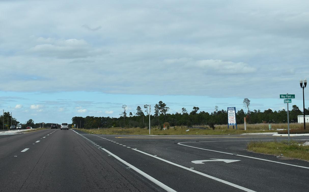
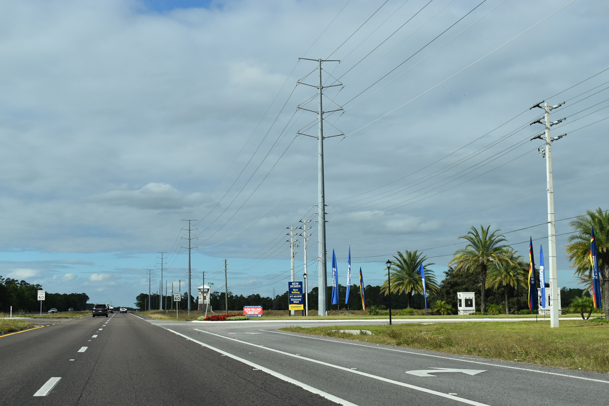
AmeraTrail purchased 55.3 acres of vacant land along U.S. 192/441 and Old Melbourne Highway for $1.8 million on October 30, 2018.<sup>1</sup> Development of AmeraCenter Park followed in 2020/21 and traffic lights were added at Way Point Boulevard north and Cedarpine Road south by 2025.
12/05/21
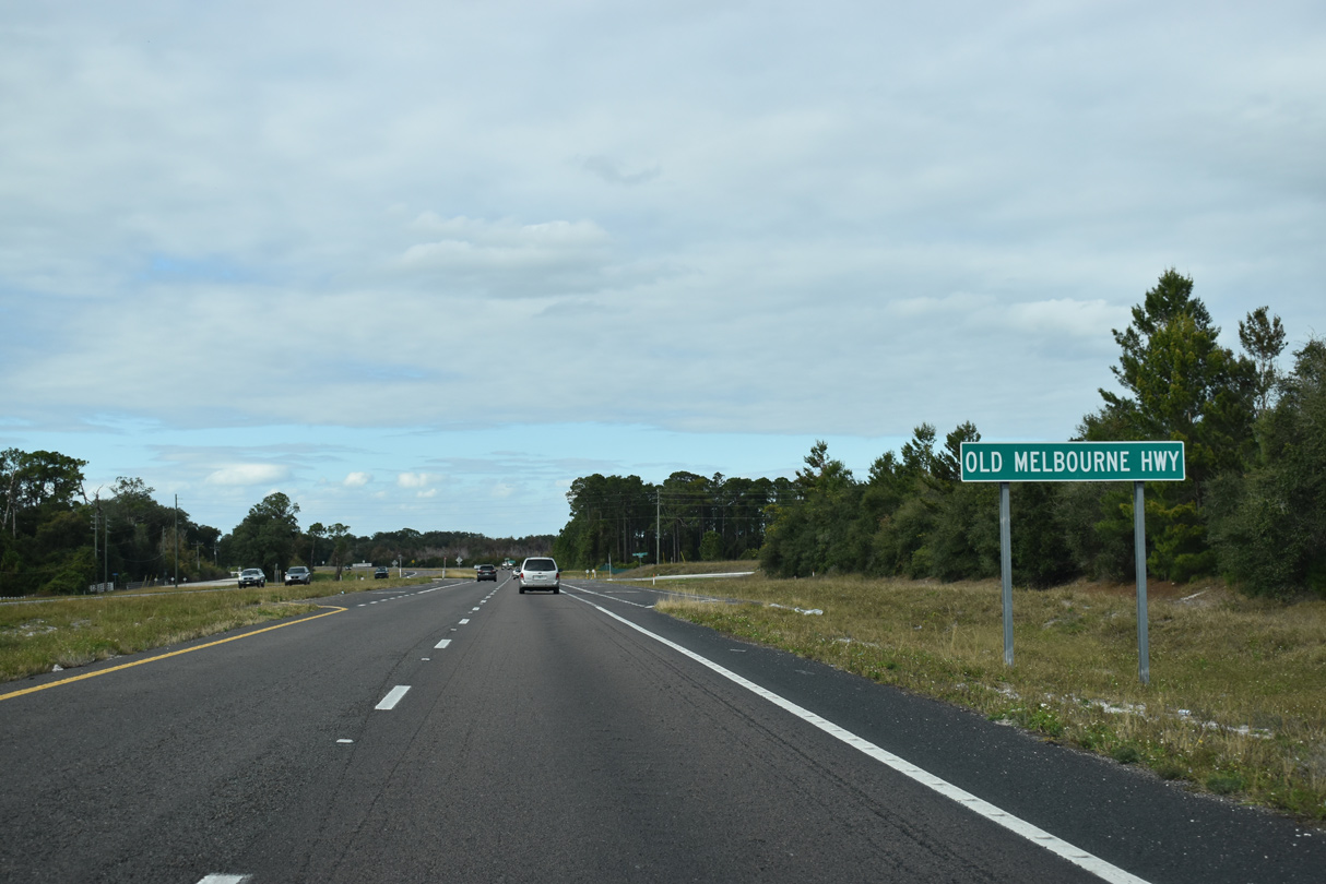
Old Melbourne Highway (unsigned CR 500A) arcs 4.22 miles west from Lake X Airport off Lake Conlin to U.S. 192-441 near Alligator Lake. Traffic signals were added here by April 2025.
12/05/21
U.S. 192/441 crosses an isthmus between Alligator Lake and Lake Lizzie. C-32G Canal links the two lakes.
12/05/21
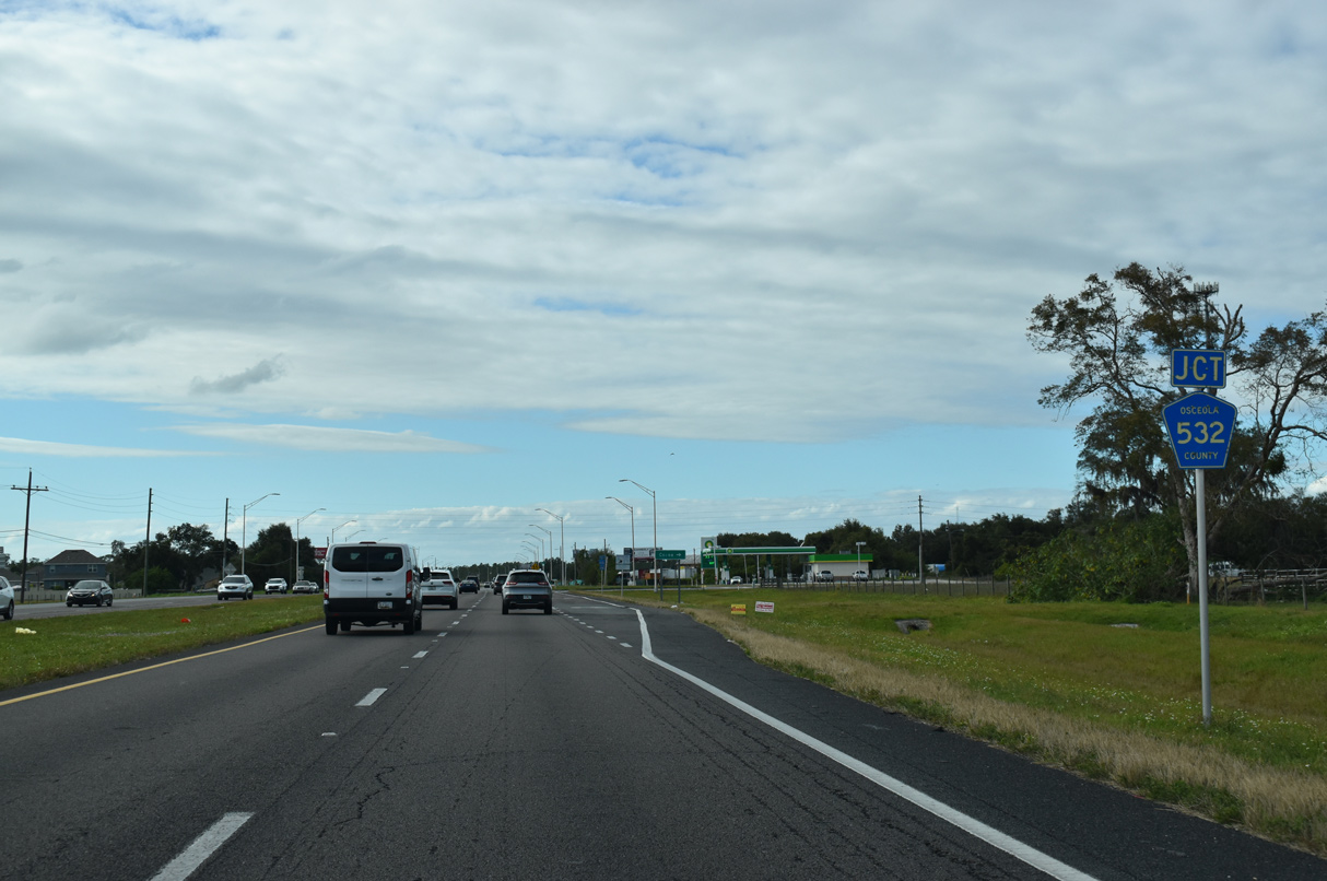
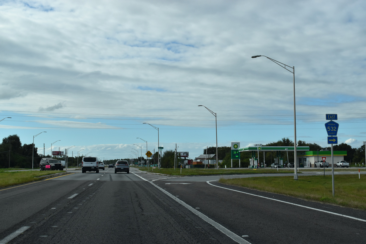
West from Lake Lizzie from Alligator Lake, U.S. 192-441 proceed to intersect County Road 532 (Nova Road), where traffic lights were added in 2023.
12/05/21
The eastern branch of CR 532 navigates 26.52 miles along Nova Road to Deseret Ranch and SR 520 in southeastern Orange County.
12/05/21
CR 532 (Nova Road) curves northeast from U.S. 192-441 to Pine Grove and New Eden before bee lining east across Econlockhatchee River Swamp and Fourmile Swamp to CR 419 at Deseret Ranch.
12/05/21
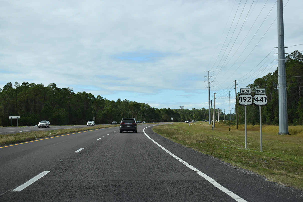
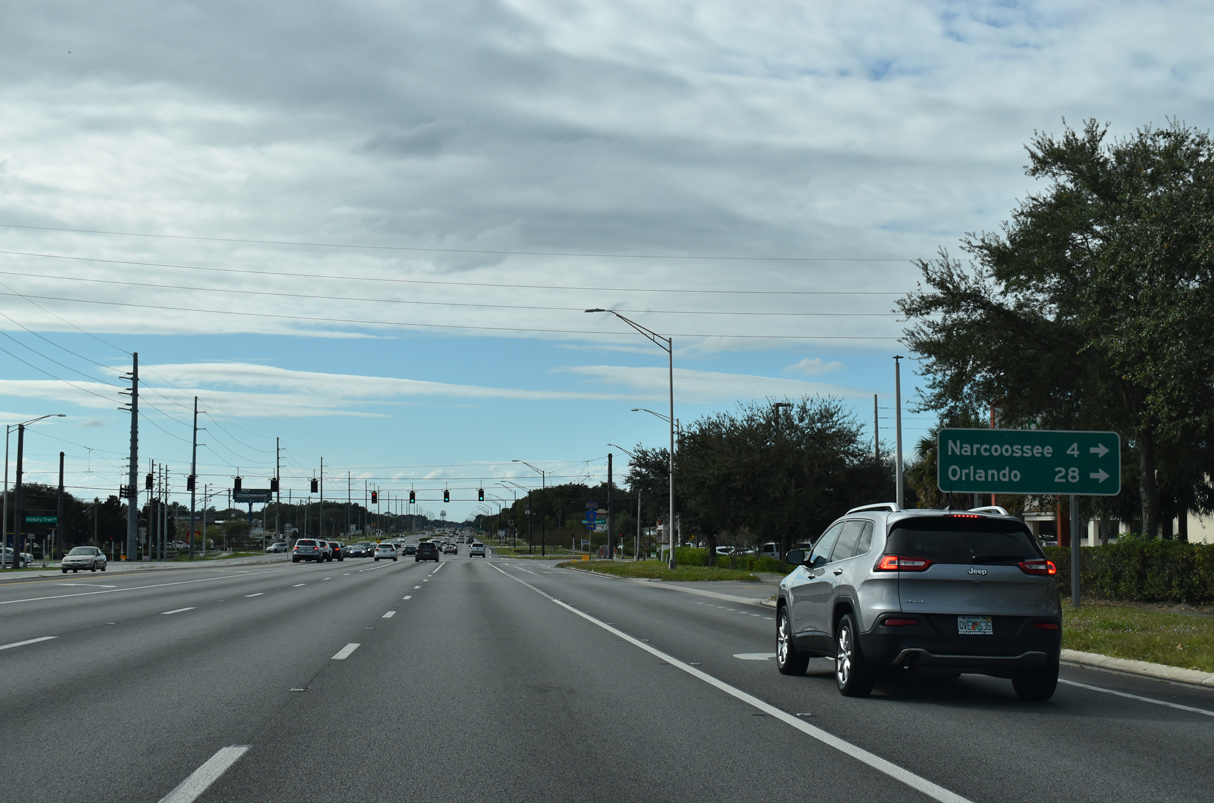
Beyond Nova Road, U.S. 192-441 expands into a six lane suburban arterial toward St. Cloud.
12/05/21

Six lane expansion along U.S. 192/441 west from CR 532 to St. Cloud was completed in 2016.
12/05/21
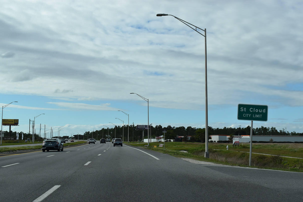
U.S. 192/441 straddle the St. Cloud line west from Nora Tyson Road and fully enter the city just ahead of CR 15 (Narcoossee Road).
12/05/21
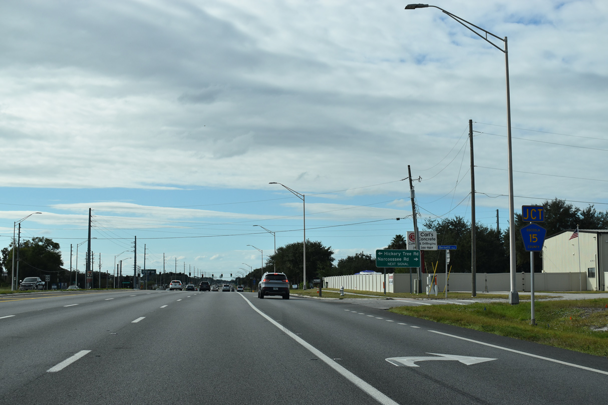
CR 15 (Narcoossee Road) south and Hickory Tree Road north come together at the ensuing traffic light along U.S. 192/441 (Irlo Bronson Memorial Highway).
12/05/21
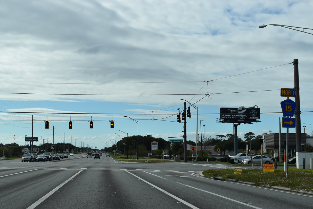
A four to six lane arterial, CR 15 is a sparsely signed route looping northwest along Narcoosee Road to Narcoosee and Lake Nona in southeast Orlando.
12/05/21
CR 15 becomes SR 15 along Narcoosee Road north from Lee Vista Boulevard beyond SR 528 (Beachline Expressway). Hickory Tree Road was realigned to tie into U.S. 192-441 from Nolte Road and Live Oak Lake to the south.
12/05/21

Confirming markers for U.S. 192/441 posted west of CR 15 (Narcoossee Road) and north of Osceola Industrial Park.
12/05/21

Unsigned CR 534 returns to U.S. 192/441 along Old Hickory Tree Road north from Nolte Road in St. Cloud. Old Hickory Tree north ties into parallel 10th Street, another unmarked branch of CR 534.
12/05/21

U.S. 192-441 (13th Street) enters the St. Cloud street grid beyond Eastern Avenue. The six lane boulevard intersects a series of streets named after states, including Delaware Avenue.
12/05/21

Michigan Avenue is a collector leading south to St. Cloud High School, the Indian Lakes development and Creek Woods Drive west through the Canoe Creek Woods neighborhood. The collector road extends further south to Royal St. Cloud Golf Links.
12/05/21
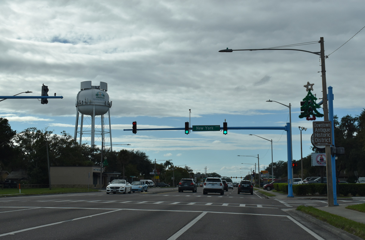
New York Avenue heads 0.25 miles north from 13th Street to St. Cloud City Hall through Downtown St. Cloud.
12/05/21
Reassurance markers for U.S. 192/441 stand along 13th Street west at Massachusetts Avenue outside Downtown St. Cloud.
12/05/21
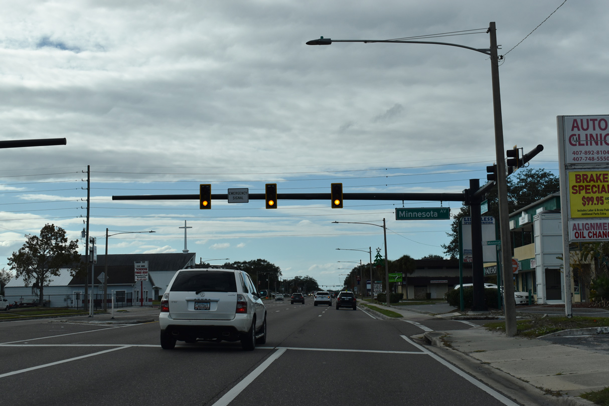
Emergency signals operate at 13th Street and Minnesota Avenue, three blocks south of St. Cloud/Fire Rescue Station 1.
12/05/21
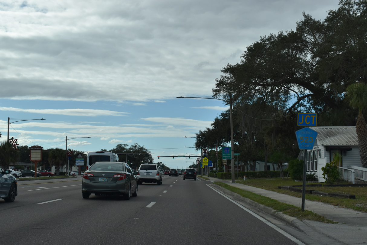
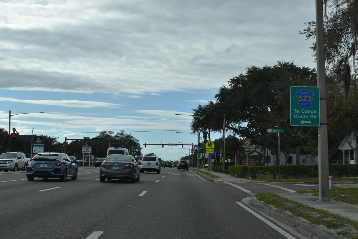
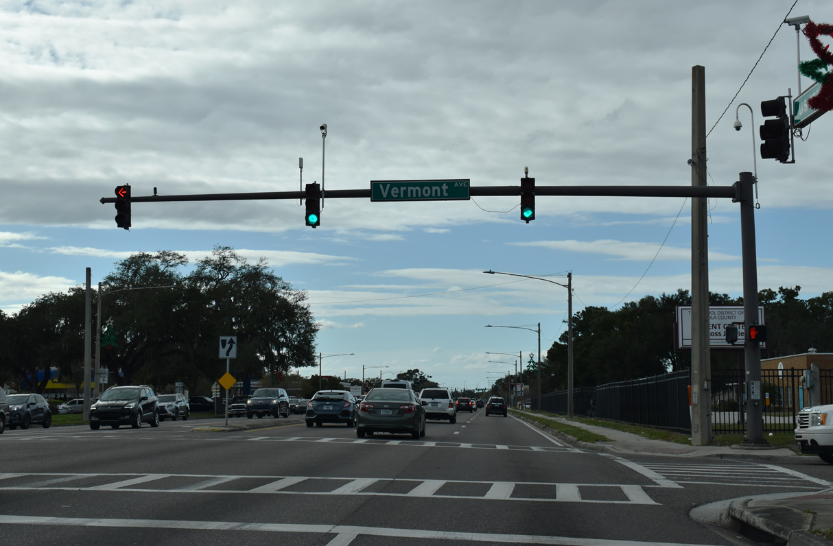
Forthcoming CR 523 leads south from the St. Cloud street grid on Vermont Avenue to become Canoe Creek Road at 17th Street.
12/05/21
Canoe Creek Road continues by an array of subdivisions through annexed areas of St. Cloud, to leave the city 4.7 miles south of U.S. 192-441 at Deer Run Road. The remainder of CR 532 is rural, extending 30.4 miles across wetland areas and ranch land to U.S. 441 at Kenansville.
12/05/21
Vermont Avenue continues north as unsigned CR 523 to E Lakeshore Boulevard along East Lake Tohopekaliga.
12/05/21
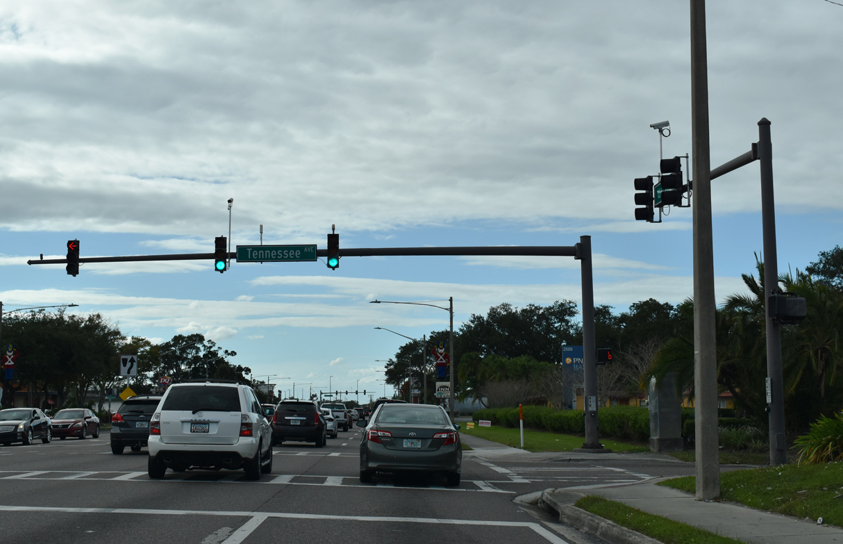
The succeeding traffic light along U.S. 192/441 (13th Street) west in St. Cloud is at Tennessee Avenue.
12/05/21
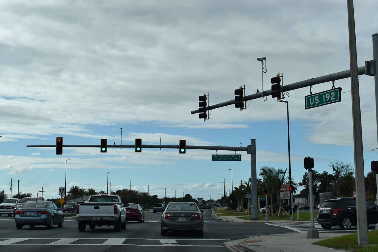
Budinger Avenue north and Columbia Avenue south come together at U.S. 192/441 near Orlando Health St. Cloud Hospital.
12/05/21
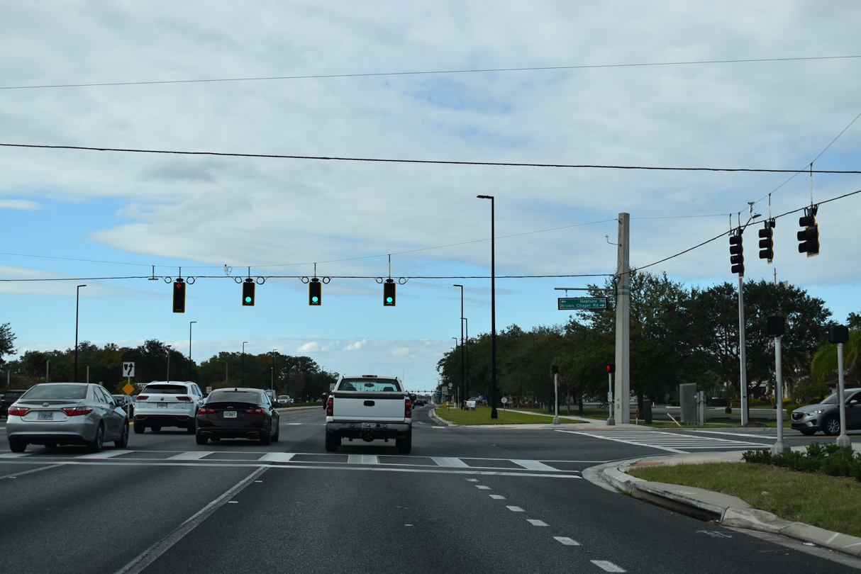
Brown Chapel Road runs south from E Lakeshore Boulevard (CR 523) to meet U.S. 192/441 across from Neptune Road (unsigned CR 534) west.
12/05/21
Reassurance markers for U.S. 192/441 posted beyond Brown Chapel Road north and Neptune Road west. Neptune Road (unsigned CR 534 and 525), is the historic alignment of U.S. 192 west to Kissimmee.
12/05/21
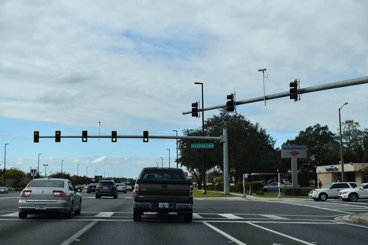
South of Neptune Road (CR 534), Old Canoe Creek Road is a part of unsigned CR 525 to Kissimmee Park Road at Florida's Turnpike and Canoe Creek Road in south St. Cloud.
12/05/21
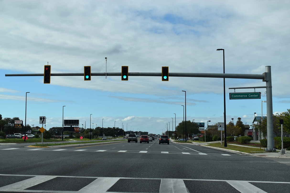
A commercialized intersection next joins U.S. 192/441 westbound with Commerce Center Drive north and Sergeant Graham Drive south to Neptune Road (CR 525).
12/05/21
Crossing St. Cloud Canal, U.S. 192/441 (Irlo Bronson Memorial Highway) leave the St. Cloud city limits for unincorporated Osceola County.
12/05/21
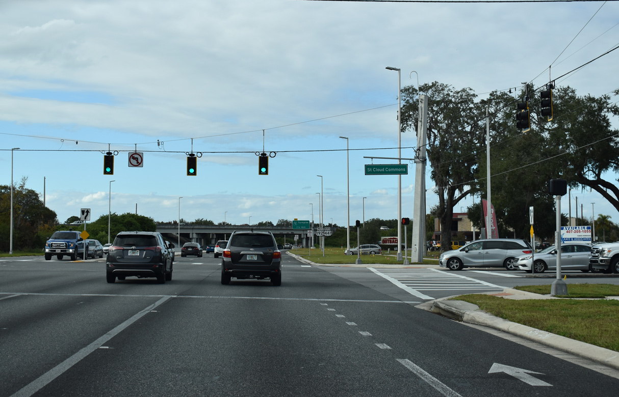
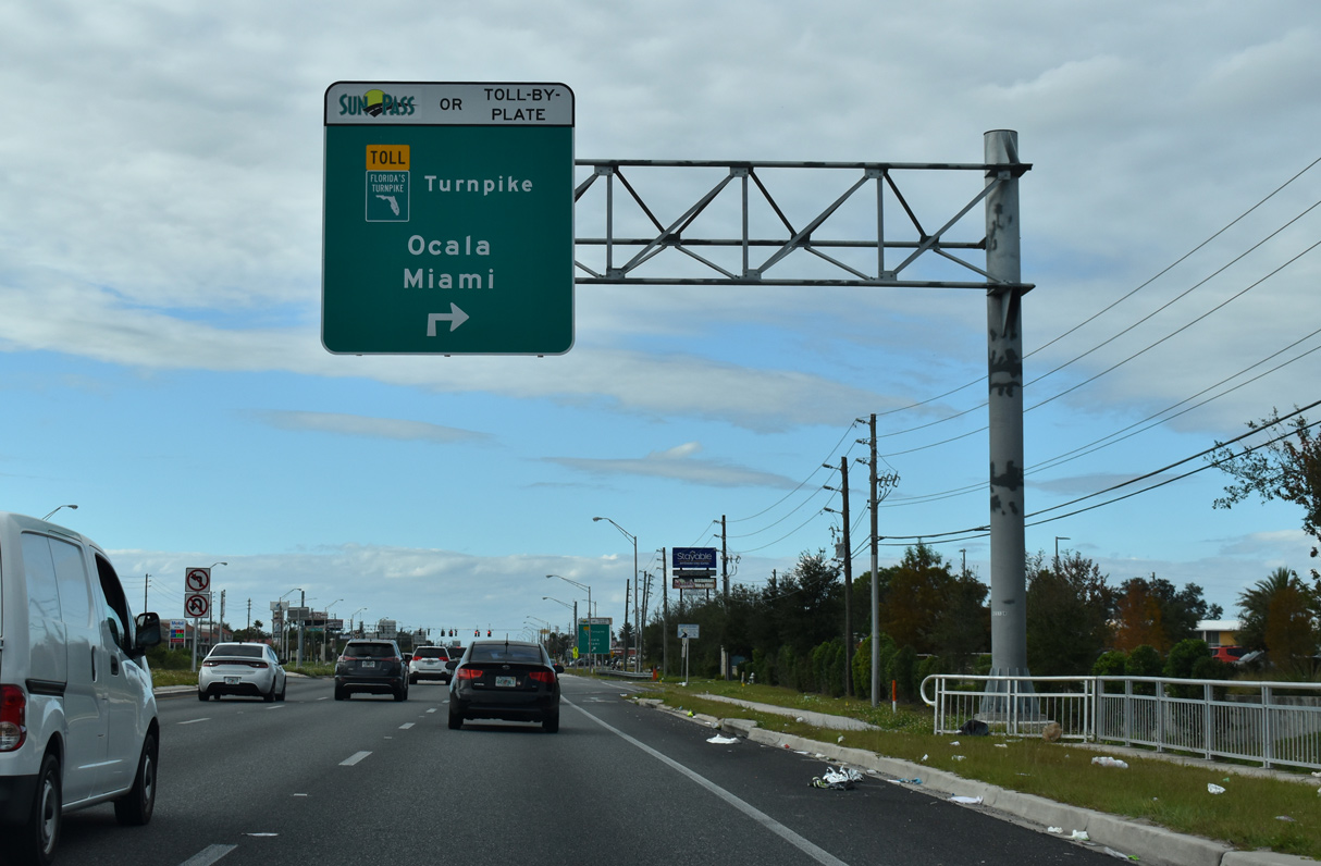
Exit 242 connects Florida's Turnpike north with U.S. 192-441 across from St. Cloud Commons shopping center.
12/05/21

U.S. 192/441 pass under the Florida's Turnpike mainline and continue north 1.25 miles to the Turnpike access road at Cross Prairie Parkway.
12/05/21
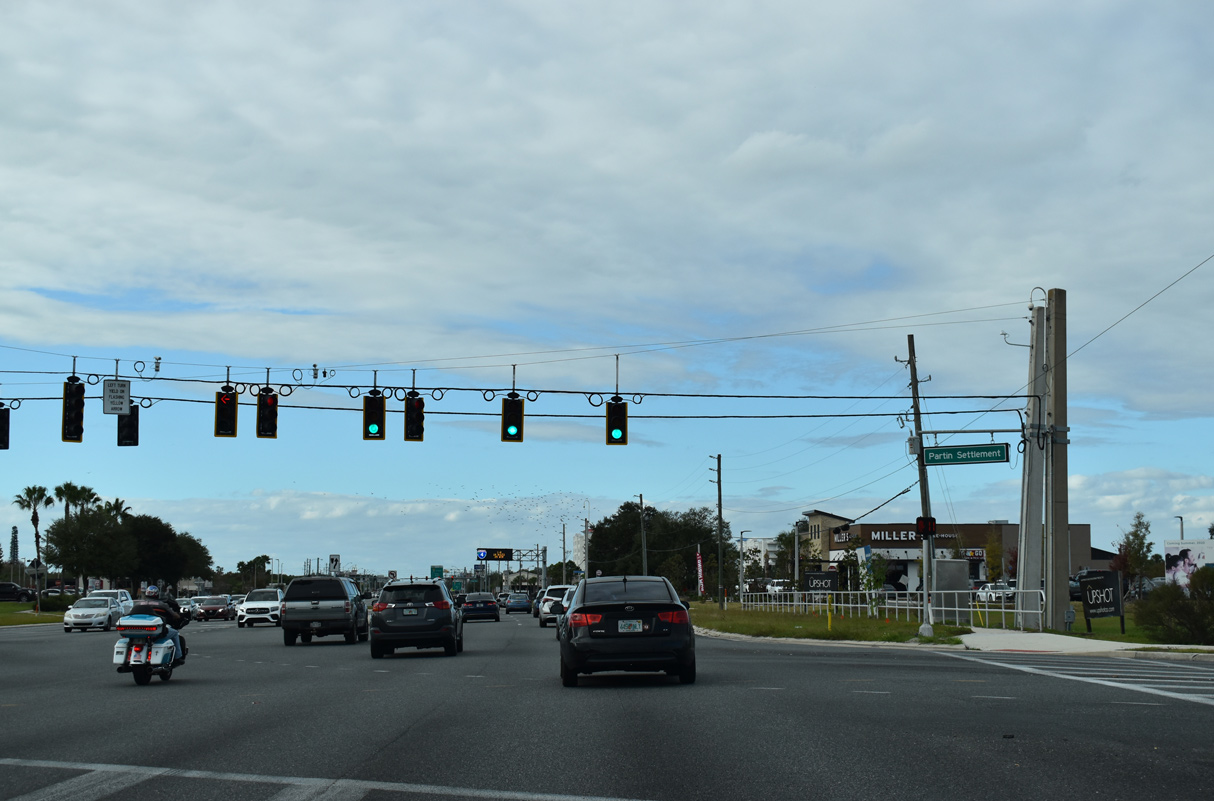
Unsigned CR 523 shifts west from Lakeshore Boulevard and East Lake Tohopekaliga along Partin Settlement Road to U.S. 192/441 and Neptune Road (CR 525).
12/05/21
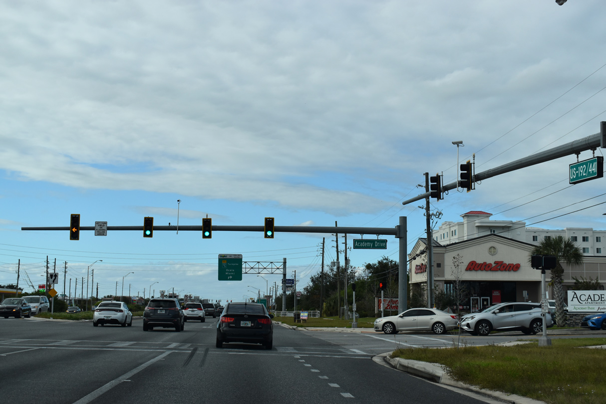
Academy Drive ties into U.S. 192/441 from three apartment complexes across from Partin Village Shopping Center.
12/05/21
The Florida's Turnpike access road extends northeast from U.S. 192-441 and Cross Prairie Parkway to a trumpet interchange with the toll road.
12/05/21

Cross Prairie Parkway was built in place of Shady Lane southwest from the Turnpike access road to Partin Settlement Road. Opened to traffic on February 5, 2021, the four lane arterial weaves southward to Neptune Road and the Kindred development.
12/05/21
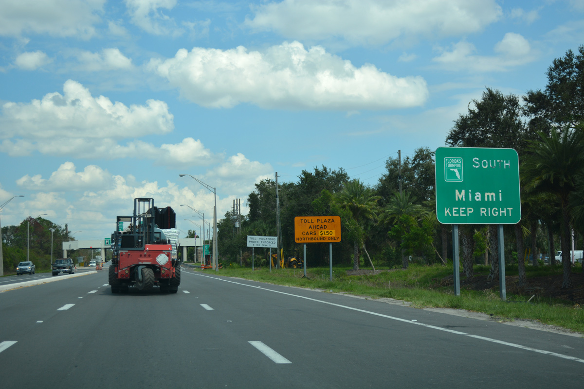
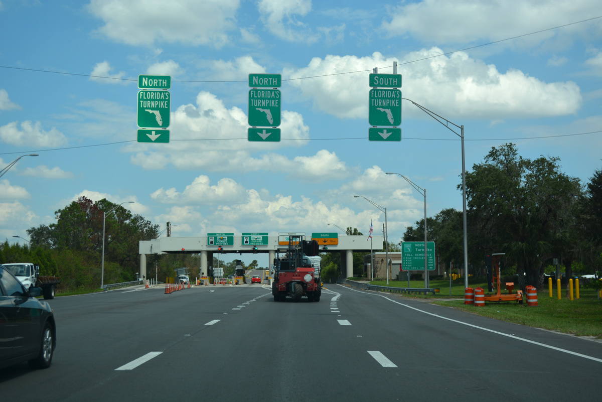
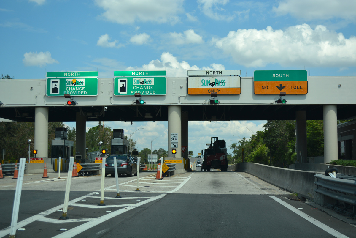
Heading south from the exchange with U.S. 192/441 at Exit 244, Florida's Turnpike travels to Fort Pierce, West Palm Beach and Miami.
09/20/17
Entering the toll plaza with Florida's Turnpike from U.S. 192-441. The northbound exit was relocated from here to U.S. 192-441 further south in 2002.
09/20/17
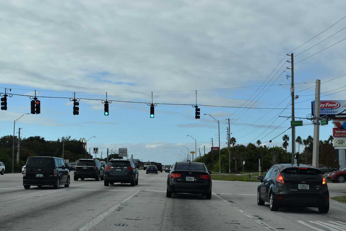
Simpson Road stems 1.28 miles north from U.S. 192/441 to become part of CR 530 at Fortune Road. CR 530 underlays Simpson Road northeast to the Buenaventura Lakes community and Boggy Creek Road south of Orlando International Airport (MCO).
12/05/21
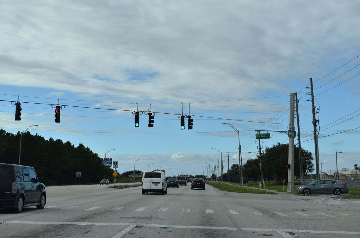
Bill Beck Boulevard encircles Osceola Heritage Park 0.96 miles northwest from U.S. 192/441 to Fortune Road (CR 530). The park is home to Silver Spurs Arena and Osceola County Stadium, the host of Houston Astros Spring Training.
12/05/21
Fortune Road angles northeast from U.S. 192-441 to become part of unsigned CR 530 from Old Boggy Creek Road east to Simpson Road. CR 530 runs 11.89 miles northeast from Denn John Lane to Buena Ventura Lakes and CR 15 (Narcoossee Road) along the Orange County line.
12/05/21
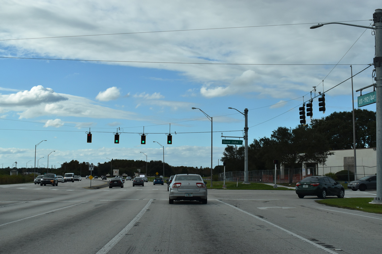
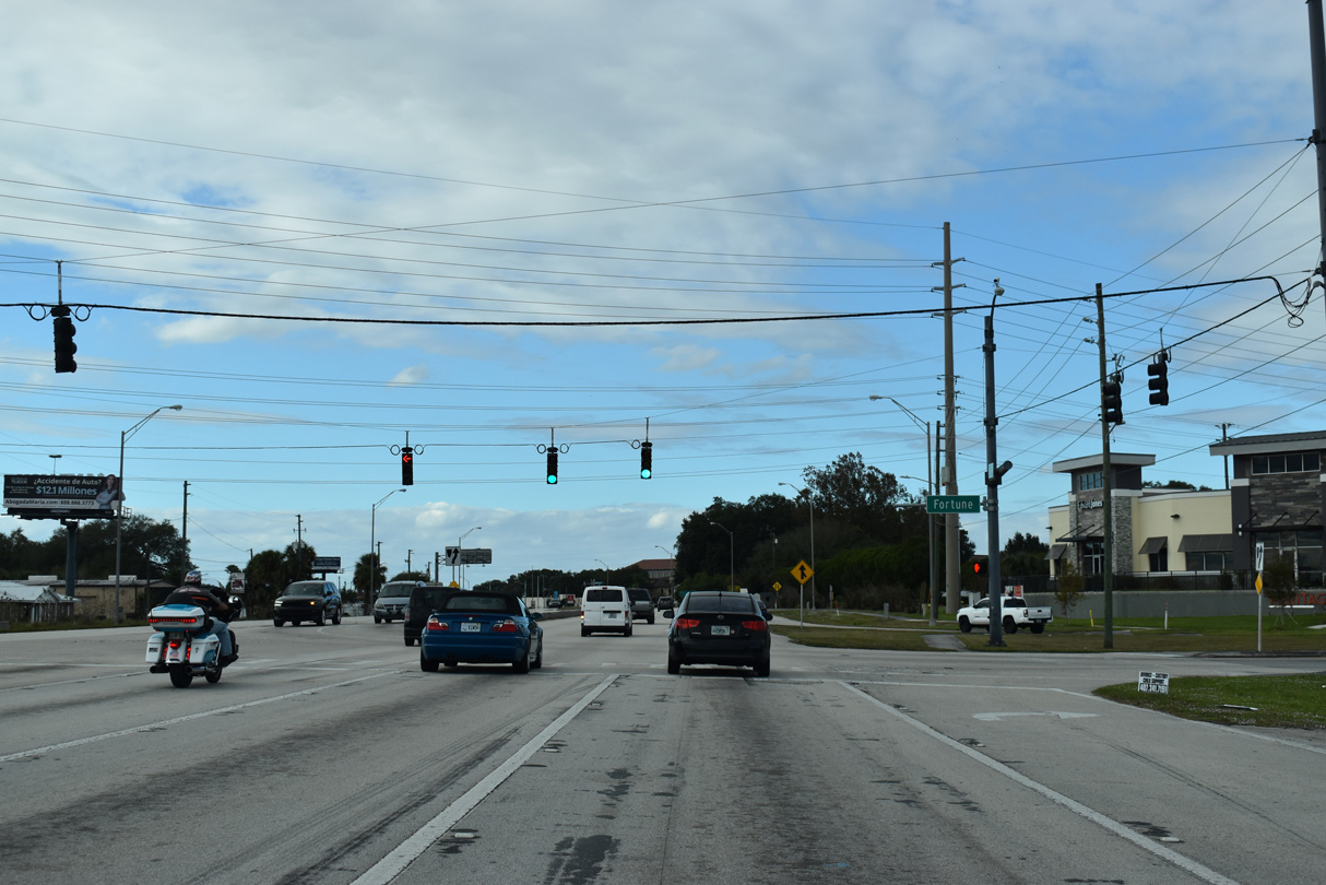
Denn John Lane heads south from residential areas along Mill Slough Road to the Osceola Campus of Valencia College and U.S. 192/441 just south of Old Boggy Creek Road (CR 530). 2019 development of NeoCity, a 500 acre technology district, included the addition of NewCity Way tying into U.S. 192/441 at Denn John Lane.
12/05/21
Westbound U.S. 192/441 formally enters the Kissimmee city limits at Denn John Lane.
05/30/19
Michigan Avenue (old CR 531) south ties into U.S. 192/441 across from Oak Street. Widened to four lanes in 2016, Oak Street loops southwest to Main Street (old U.S. 17/92) in Downtown Kissimmee.
05/30/19
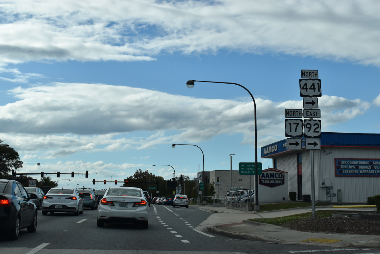
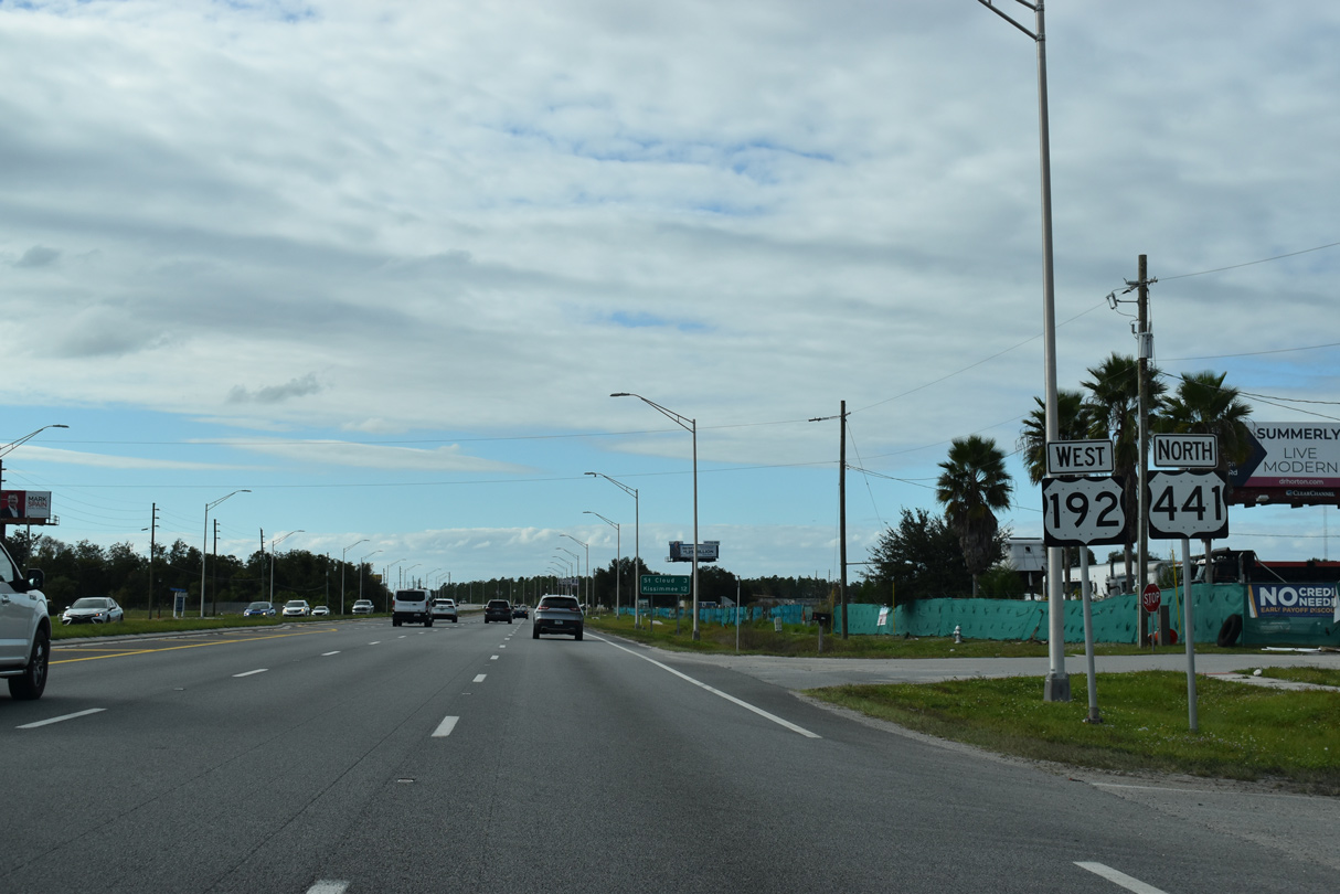
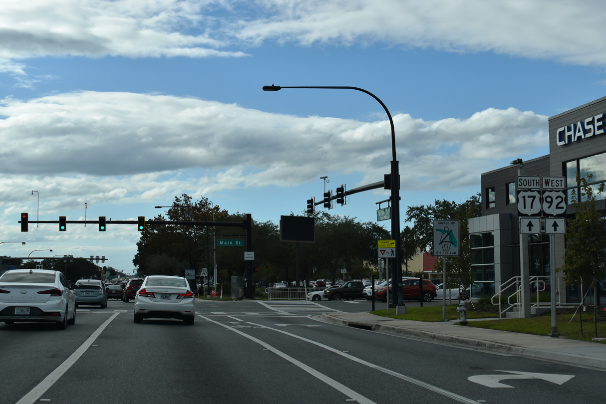
U.S. 192/441 separate at Main Street (U.S. 17/92) north of Downtown Kissimmee. U.S. 17-92-441 follow Main Street north to Orange Blossom Trail ahead of Osceola Parkway (CR 522) and Hunters Creek in southern Orange County.
12/05/21
U.S. 441 joins U.S. 17/92 north between Kissimmee and central Orlando while U.S. 17/92 combine with U.S. 192 (Vine Street) west to John Young Parkway. Haines City references the former alignment of U.S. 17/92 south along Main Street through Downtown Kissimmee.
12/05/21
Main Street (old U.S. 17/92) south forms part of a loop through Downtown Kissimmee via Broadway and Emmett Street west.
12/05/21


References:
- "Boat trailer maker to add jobs, ramp up $30M expansion in metro Orlando." Orlando Business Journal, November 5, 2019.
Osceola County. (2013, April 17). Traffic Update for Harmony Drivers: A new traffic signal has been installed at the intersection of U.S. 192/U.S. 441 (East Irlo Bronson Memorial Highway) and Botanic Boulevard in Harmony. [Image attached] [Status update]. Facebook. https://www.facebook.com/OsceolaCountyFL/posts/pfbid02ijpQfrHaeBBU8MGBogCRDrVTmCD3jV4VhnBBvxjC9MRKSqrKTXoUk8AkWoRCJt92l
Photo Credits:
- Alex Nitzman, Carter Buchanan: 04/01/14
- Alex Nitzman: 05/30/19, 12/05/21
- ABRoads: 09/20/17
Connect with:
Page Updated Tuesday December 14, 2021.