
U.S. 301 South - Florence to Turbeville
 South
South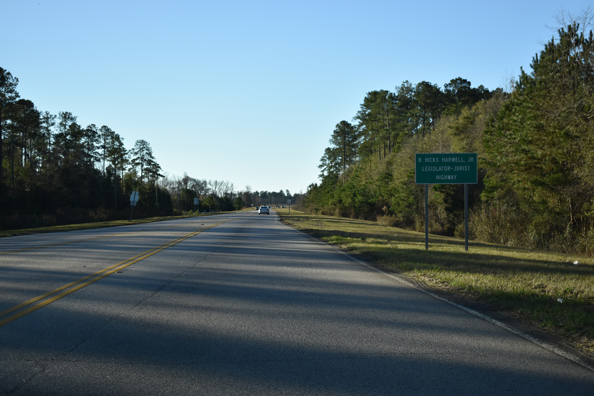
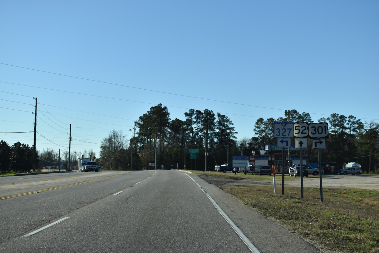
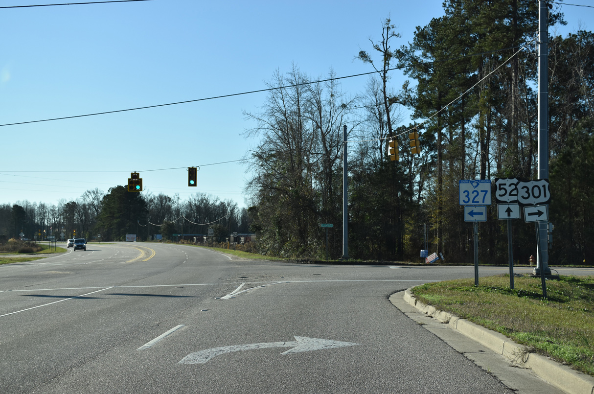
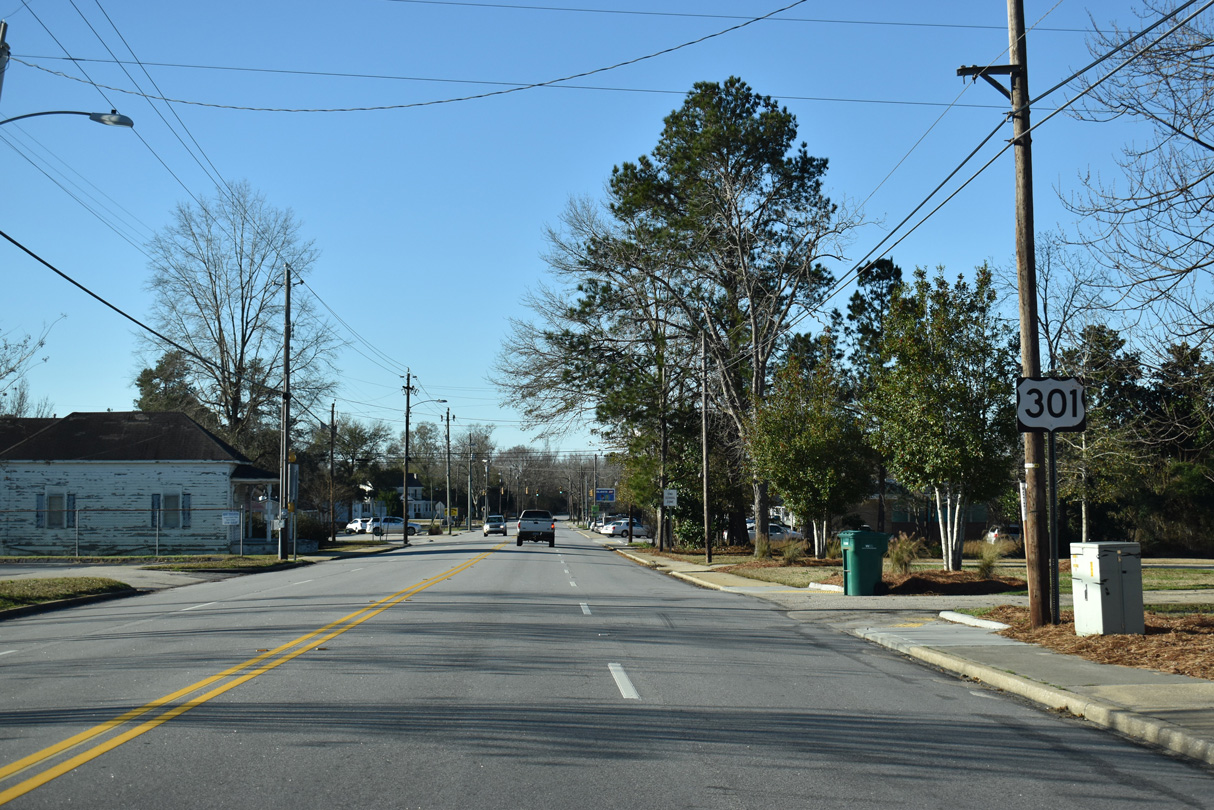
U.S. 301 parts ways with U.S. 76 (E Palmetto Street) at S.C. 327. U.S. 301 follows Freedom Boulevard, an arterial bypass of Florence completed by 2007.
01/05/19
01/05/19
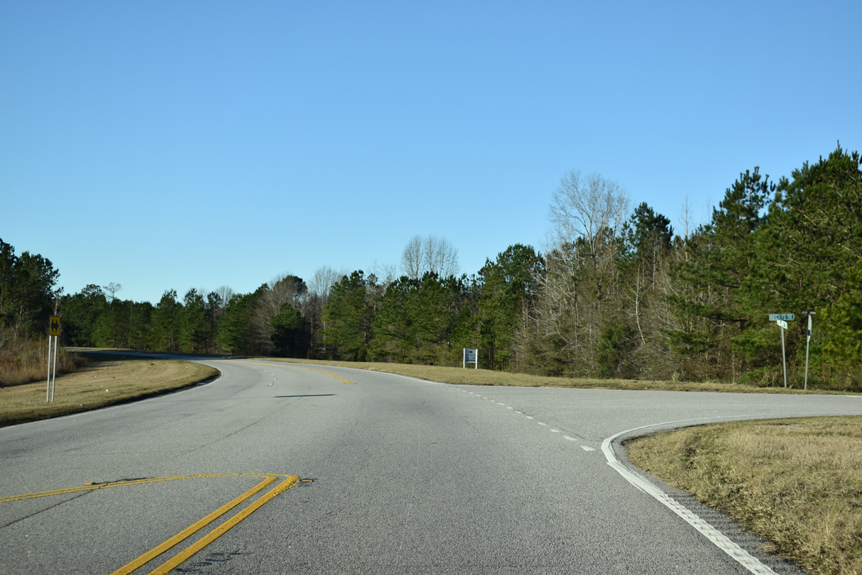
U.S. 301 (Freedom Boulevard) curves southwest beyond Canal Branch.
01/05/19
01/05/19
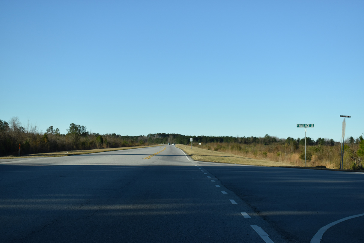
Wallace Road (Road 681) runs 0.66 miles south to Old Wallace Gregg Road (Road 918) at Kenwood Acres and north 1.10 miles to U.S. 76 (Palmetto Street).
01/05/19
01/05/19
01/05/19
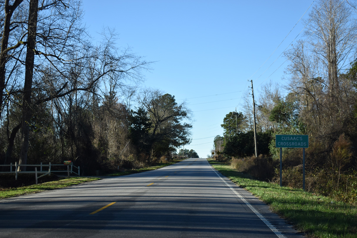
National Cemetery Road (Road 13) crosses U.S. 301 (Freedom Boulevard) west from Price Crossroads to Florence.
01/05/19
01/05/19

01/05/19
01/05/19
01/05/19
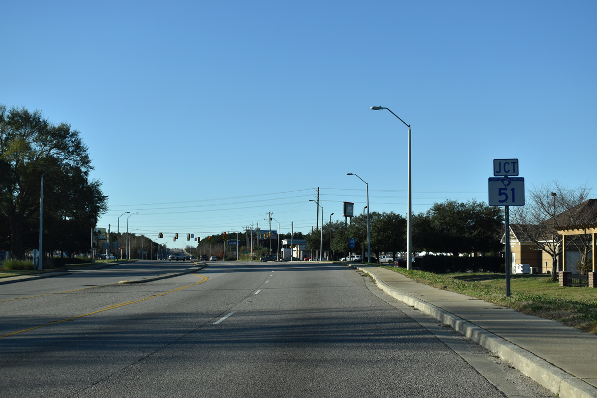
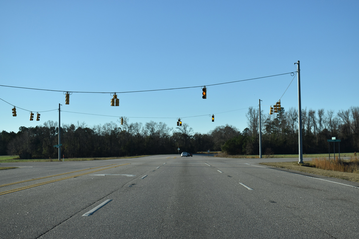
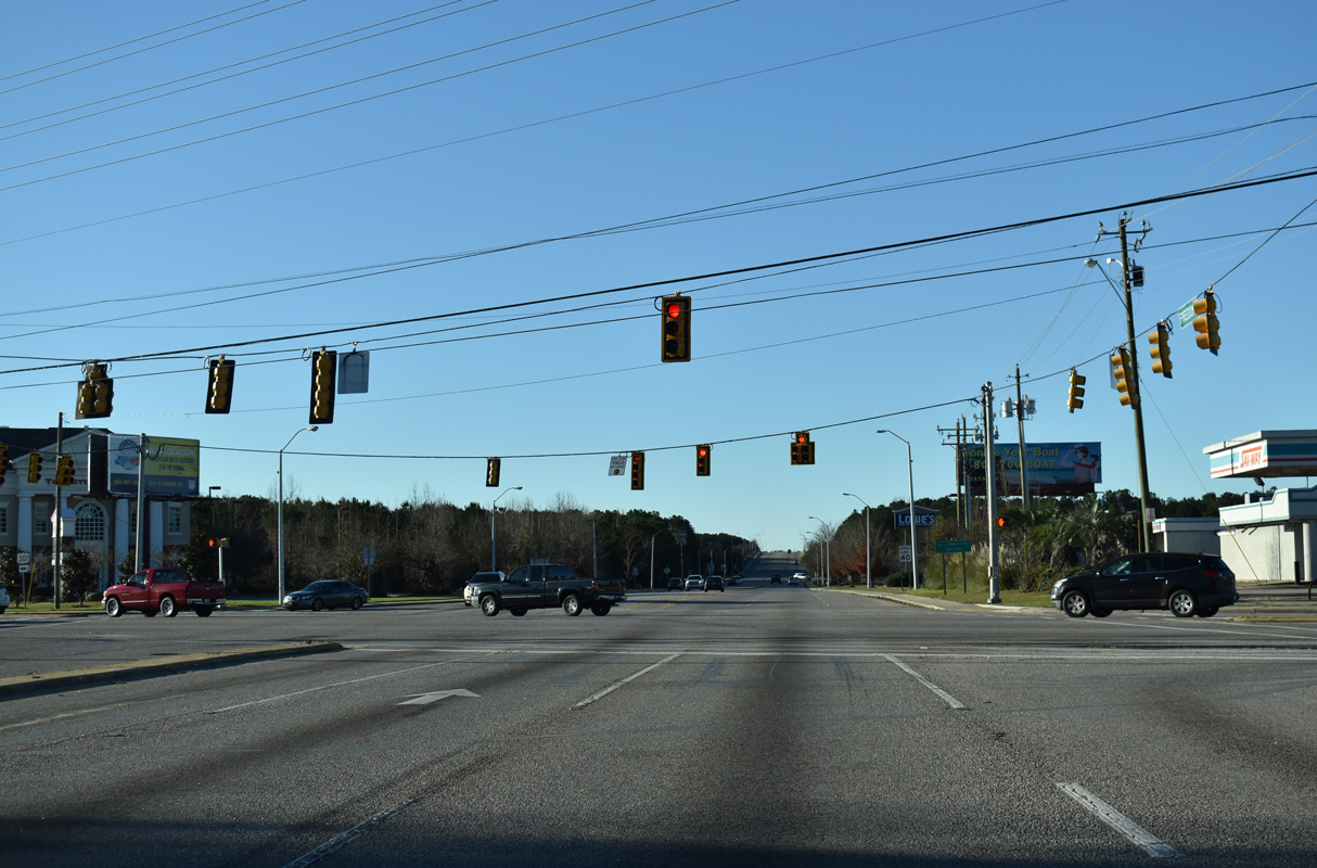
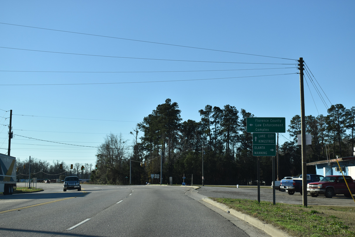
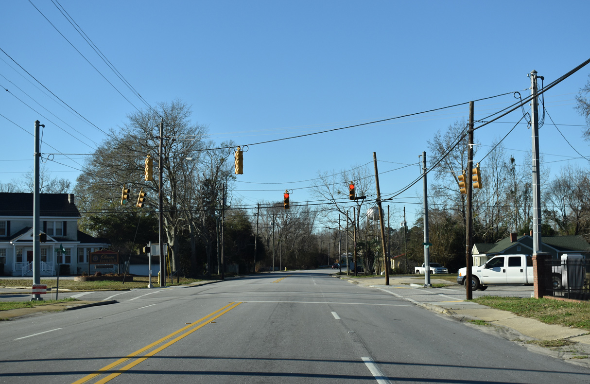
U.S. 301 converges with S.C. 51 (Pamplico Highway) between Florence Medical Center and Independence Center retail plaza.
01/05/19
01/05/19
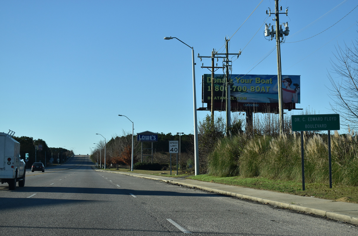
Joining Florence with Georgetown, S.C. 51 travels southeast to Pamplico and U.S. 378 at Salem.
01/05/19
01/05/19
01/05/19
01/05/19
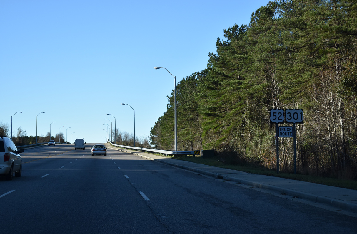
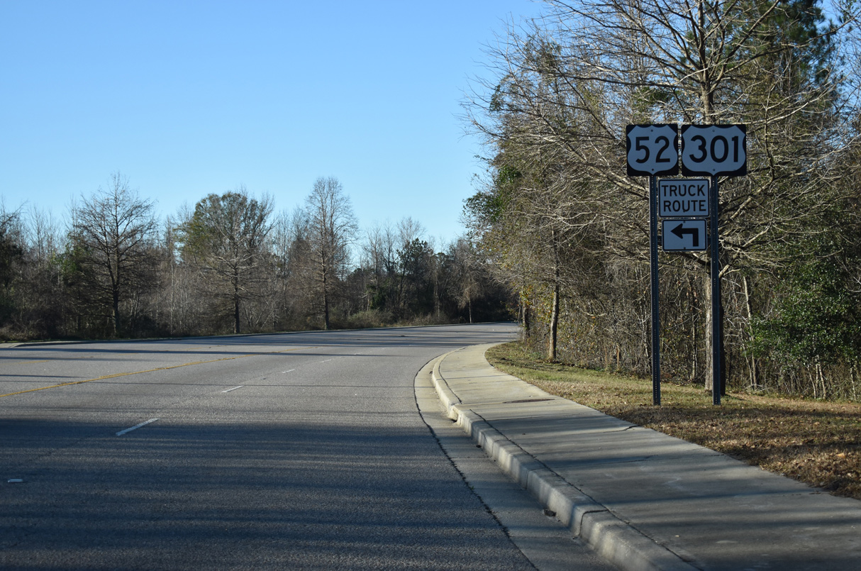
U.S. 301 (Freedom Boulevard) and the truck route for U.S. 52 span a CSX Railroad line south of Church Street (Road 12).
01/05/19
01/05/19
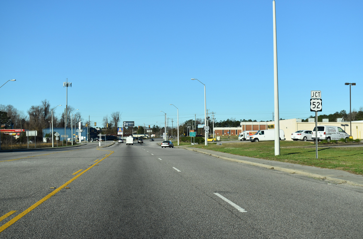
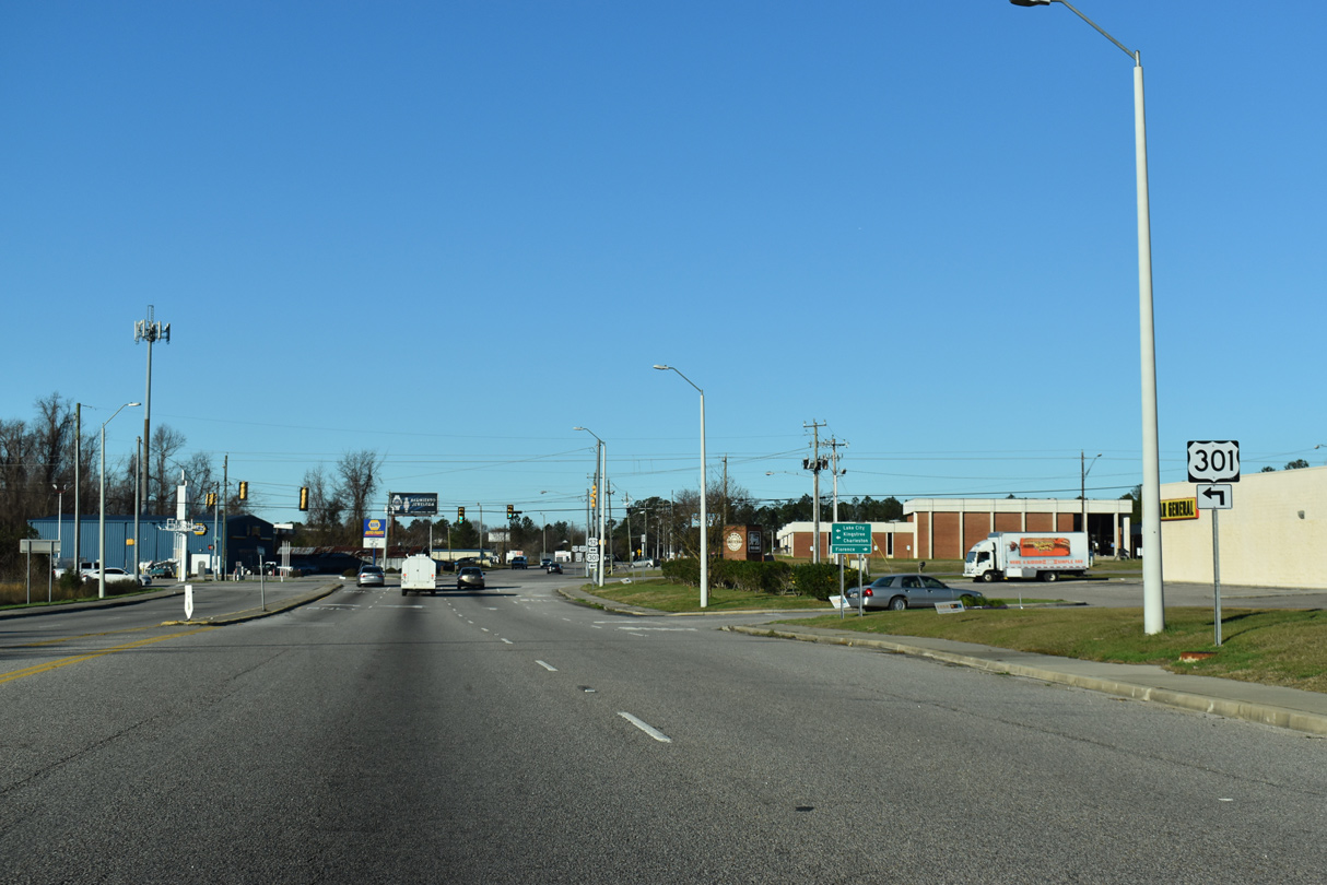
Curving west toward Third Loop Road (Road 588), U.S. 301 next meets U.S. 52 (Irby Street).
01/05/19
01/05/19
Third Loop Road extends northwest from U.S. 52 and U.S. 301 (Freedom Boulevard) across residential areas of southwest Florence.
01/05/19
01/05/19
U.S. 301 turns south alongside U.S. 52 (Irby Street) for 5.85 miles to Pine Grove, Danwood and Effingham.
01/05/19
01/05/19
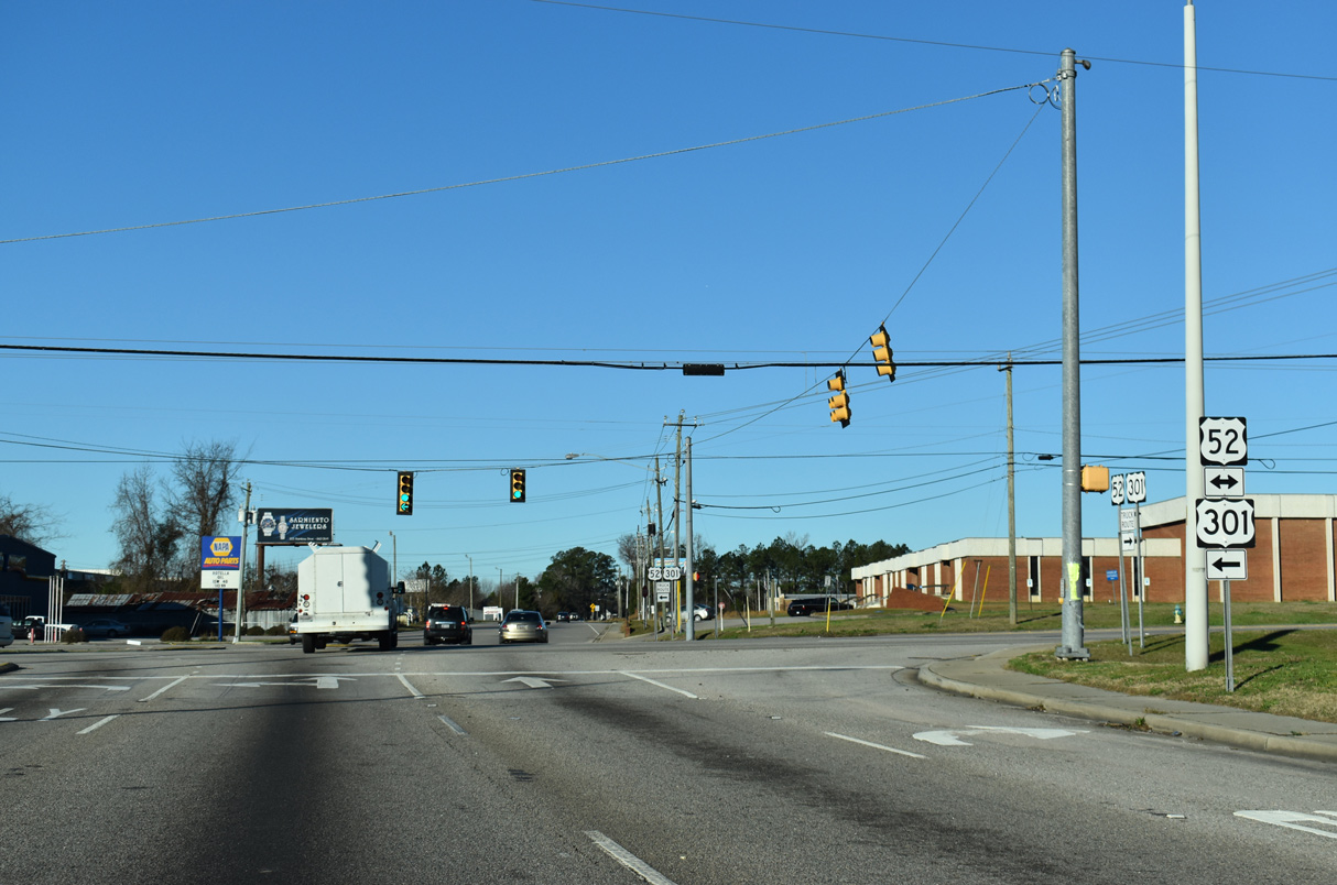
U.S. 52 (Irby Street) heads 3.64 miles north to U.S. 76 (Palmetto Street) at Downtown Florence.
01/05/19
01/05/19
 South
South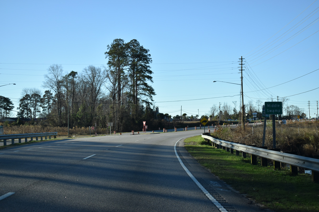
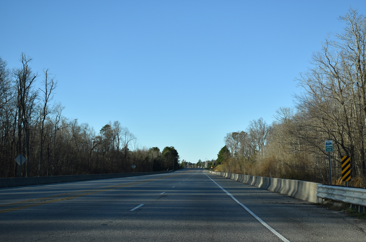
U.S. 52/301 (Irby Street) combine south ahead of Middle Swamp.
01/05/19
01/05/19
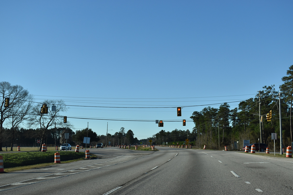
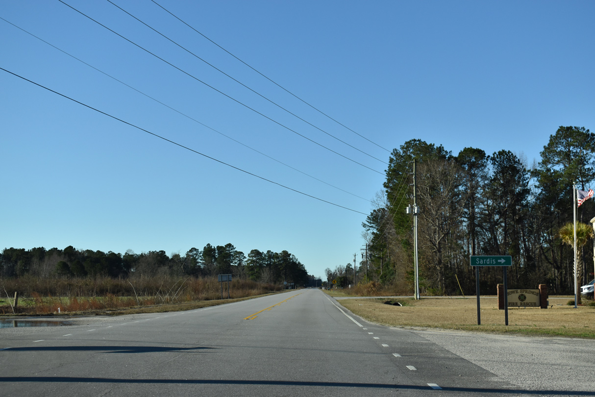
Alligator Road (Road 107) east and E Howe Springs Road (Road 57) come together at U.S. 52/301 in Pine Grove.
01/05/19
01/05/19
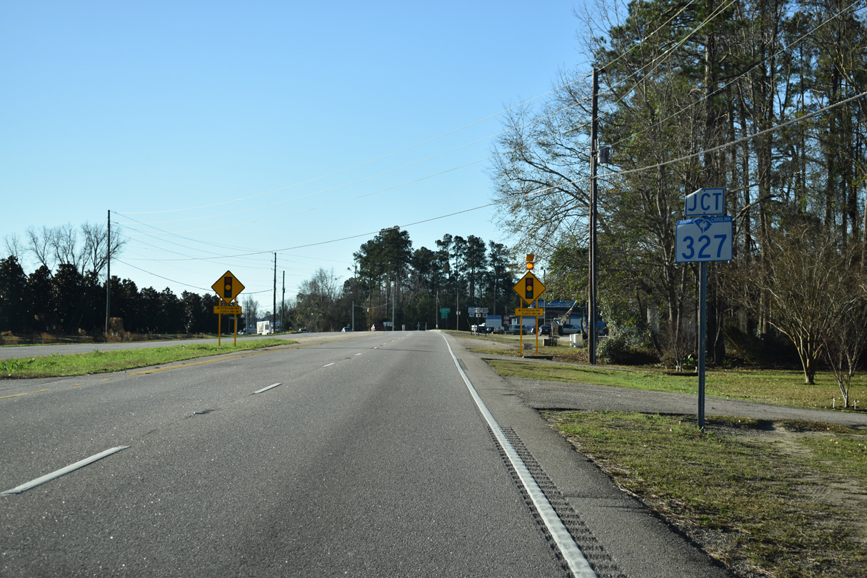
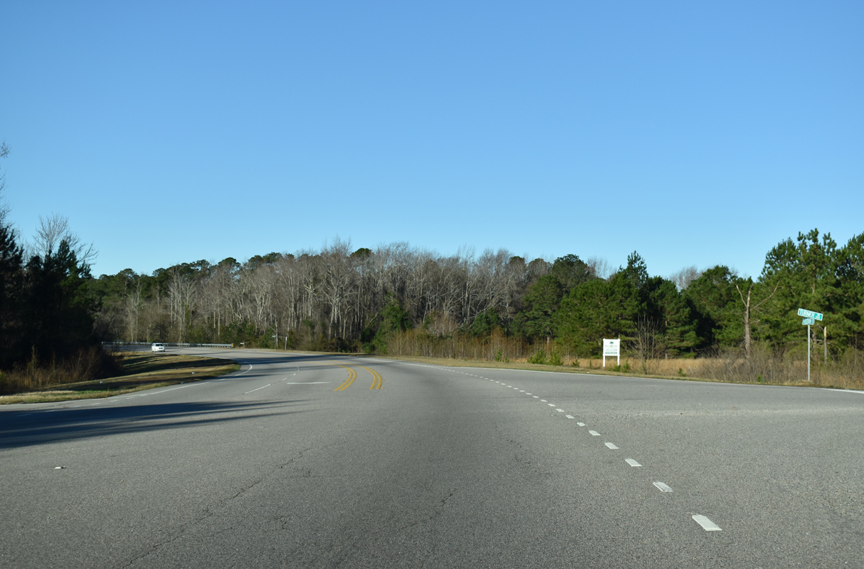
U.S. 301 separates from U.S. 52 (S Irby Street) at the south end of S.C. 327 (Effingham Highway).
01/05/19
01/05/19
S.C. 327 comprises a 22.62 mile long loop to the east of Florence between Effingham and Interstate 95 at Exit 170.
01/05/19
01/05/19
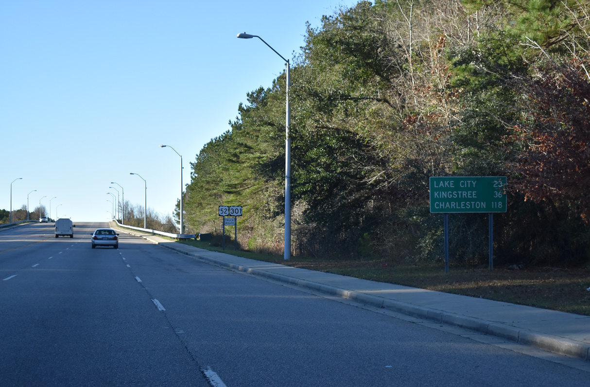
U.S. 52 continues south from Effingham to Coward. U.S. 378 at Lake City and Kingstree en route to Charleston.
01/05/19
01/05/19
01/05/19
South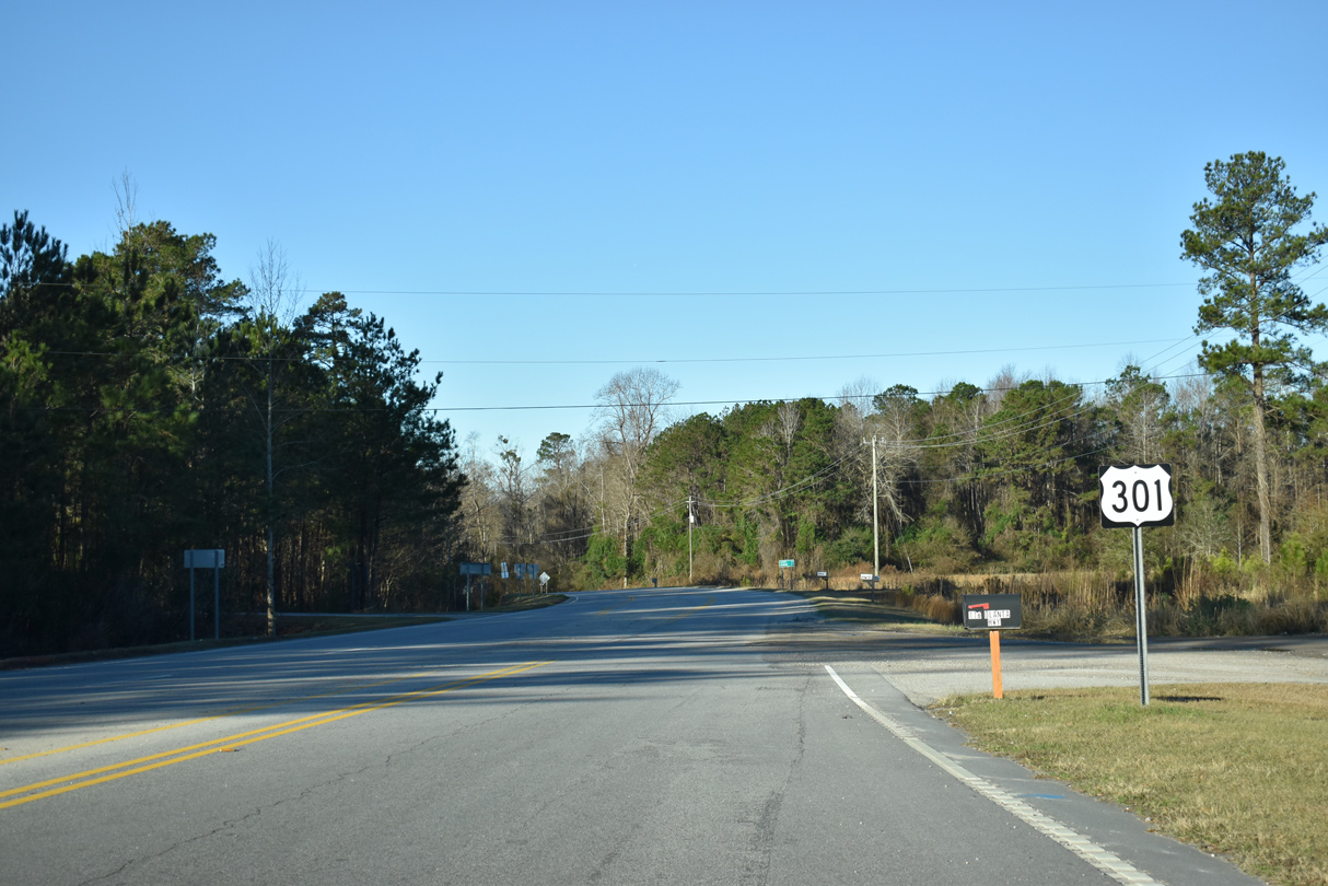
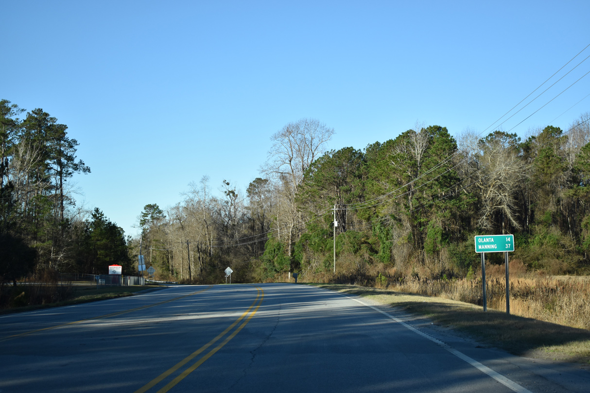
U.S. 301 advances west along Olanta Highway from U.S. 52 to Elim.
01/05/19
01/05/19
01/05/19
01/05/19
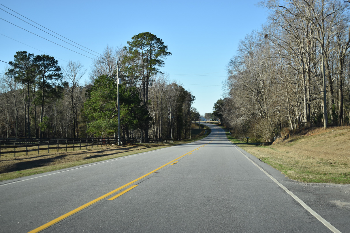
Reassurance marker posted south of Stagecoach Road (Road 136) at Elim.
01/05/19
01/05/19
S Hill Road (Road 38) is part of a route with Center Road (Road 83) and Honda Way north 11.79 miles to U.S. 76 (E Smith Street) in the town of Timmonsville.
01/05/19
01/05/19
01/05/19
01/05/19
01/05/19
01/05/19
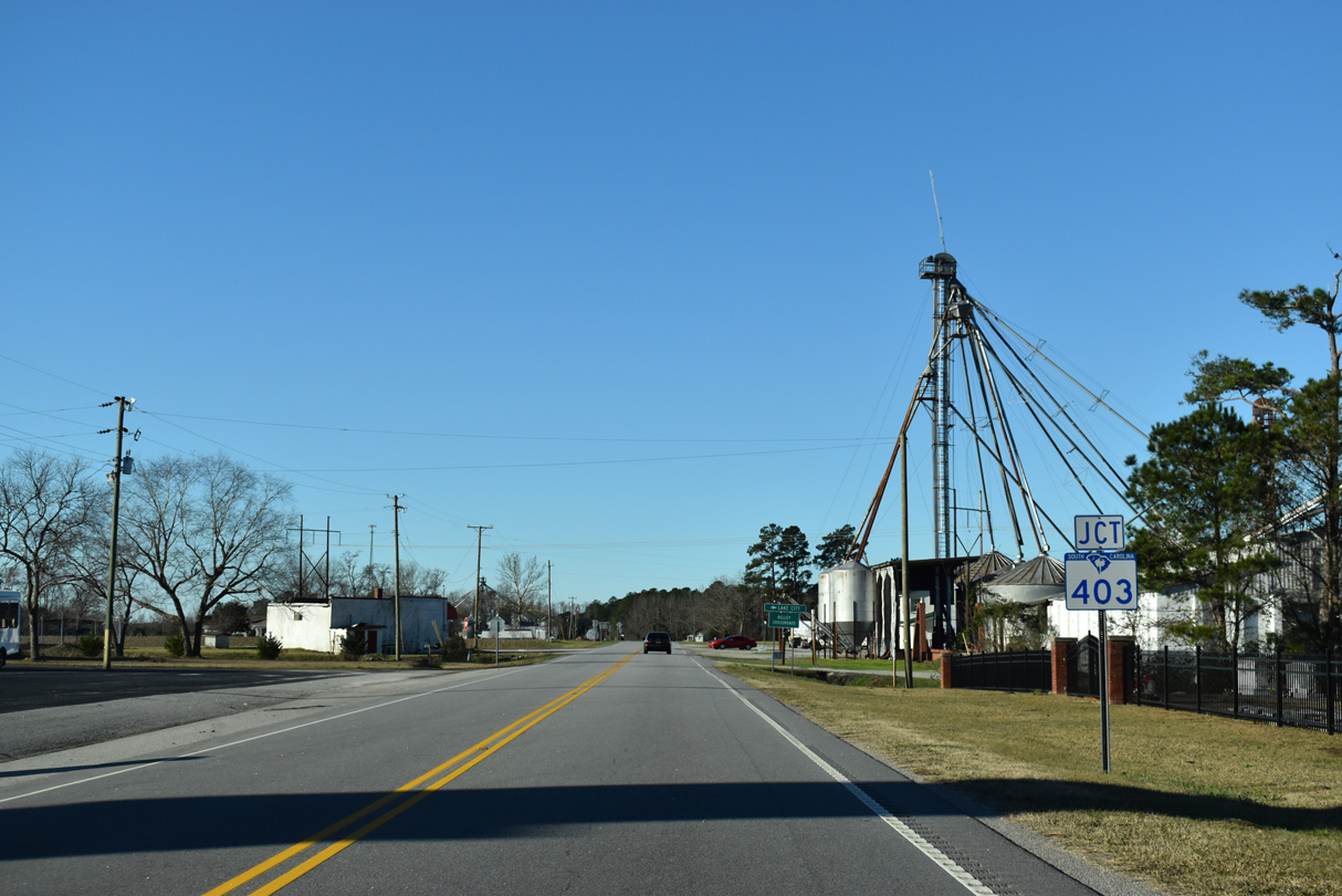
S.C. 403 (N Bethel Road) south toward Lake City crosses U.S. 301 (N Jones Road) at Kelley Crossroads.
01/05/19
01/05/19
01/05/19
01/05/19
01/05/19
01/05/19
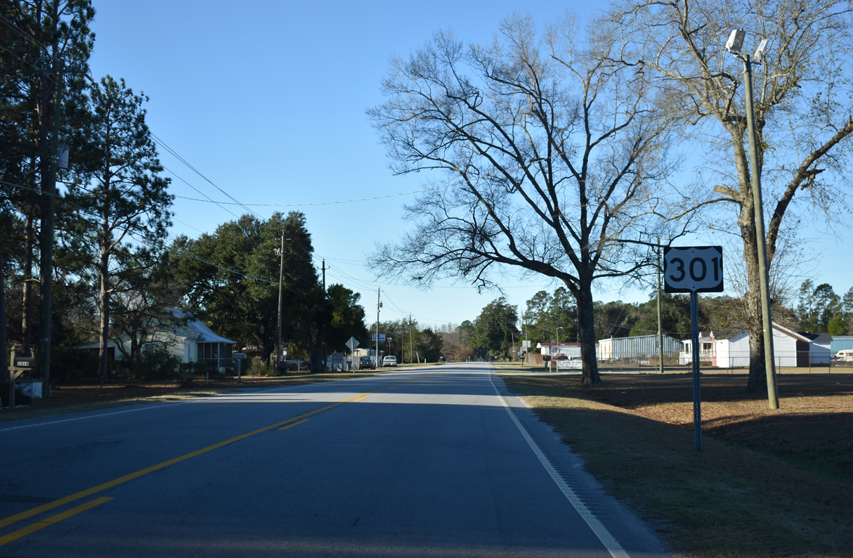
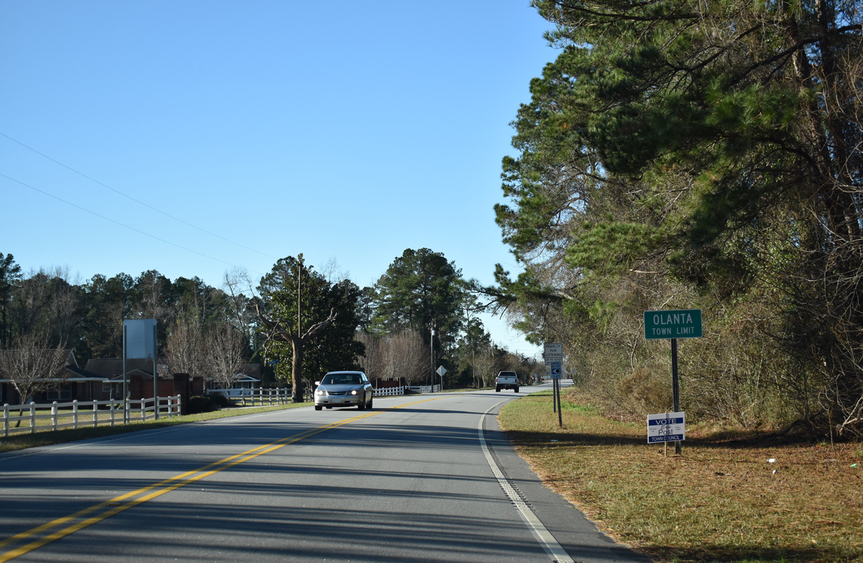
U.S. 301 (N Jones Road) at Main Street (Road 73) in the town of Olanta.
01/05/19
01/05/19
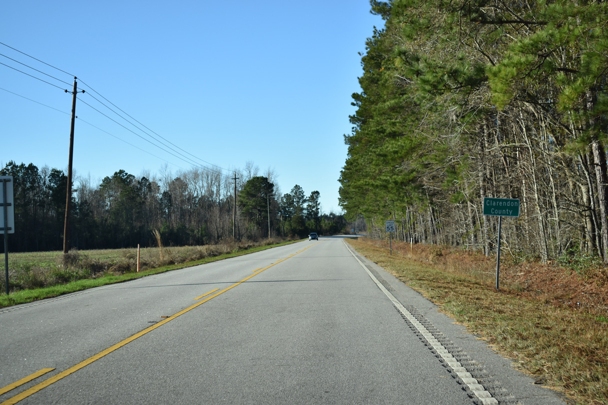
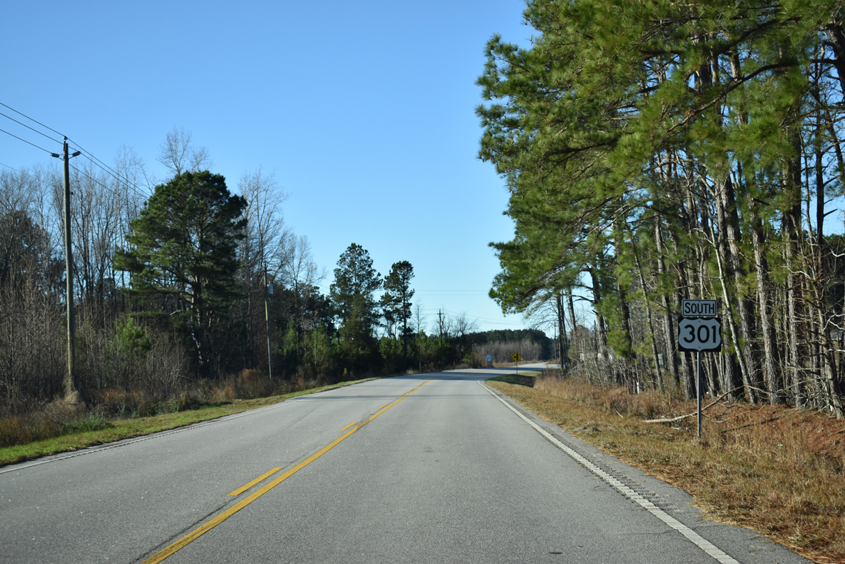
Entering Clarendon County, U.S. 301 south is again named Olanta Highway.
01/05/19
01/05/19
01/05/19
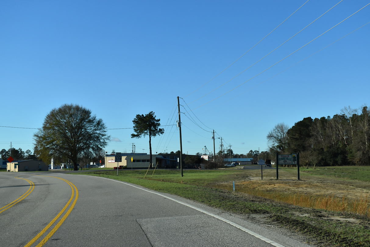
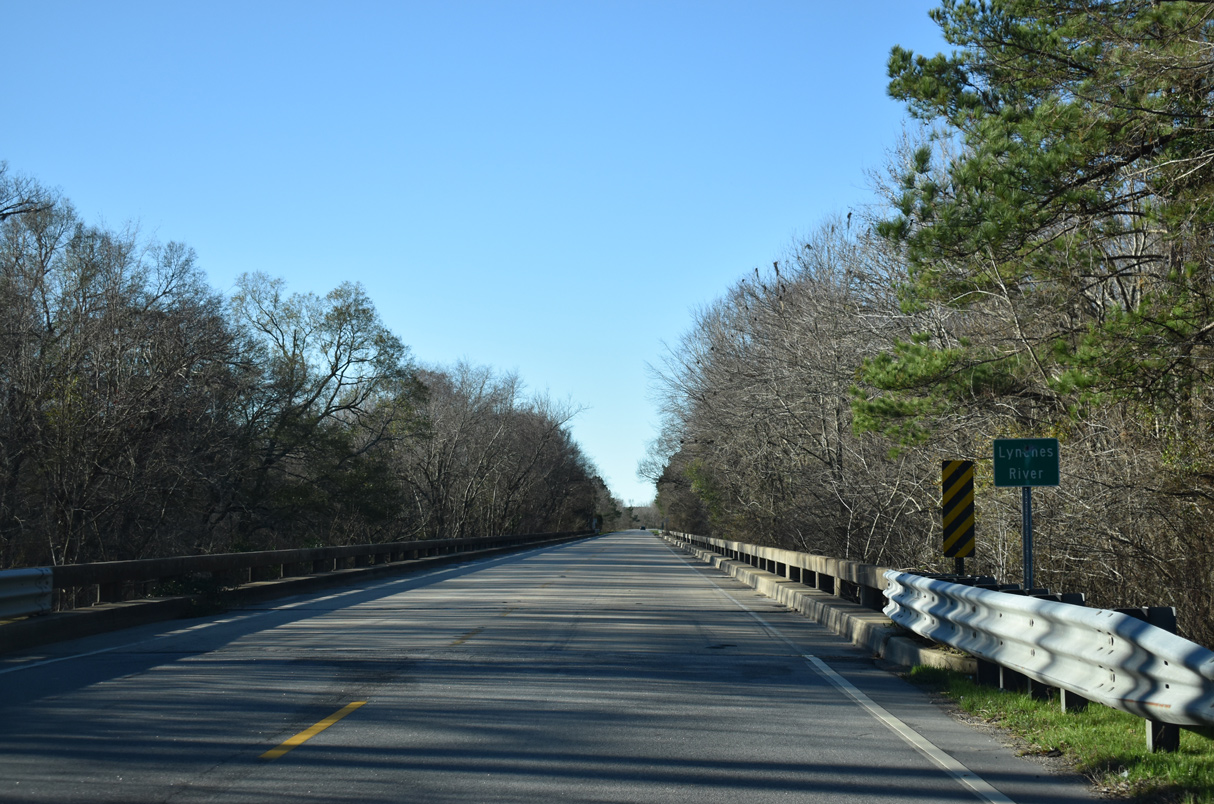
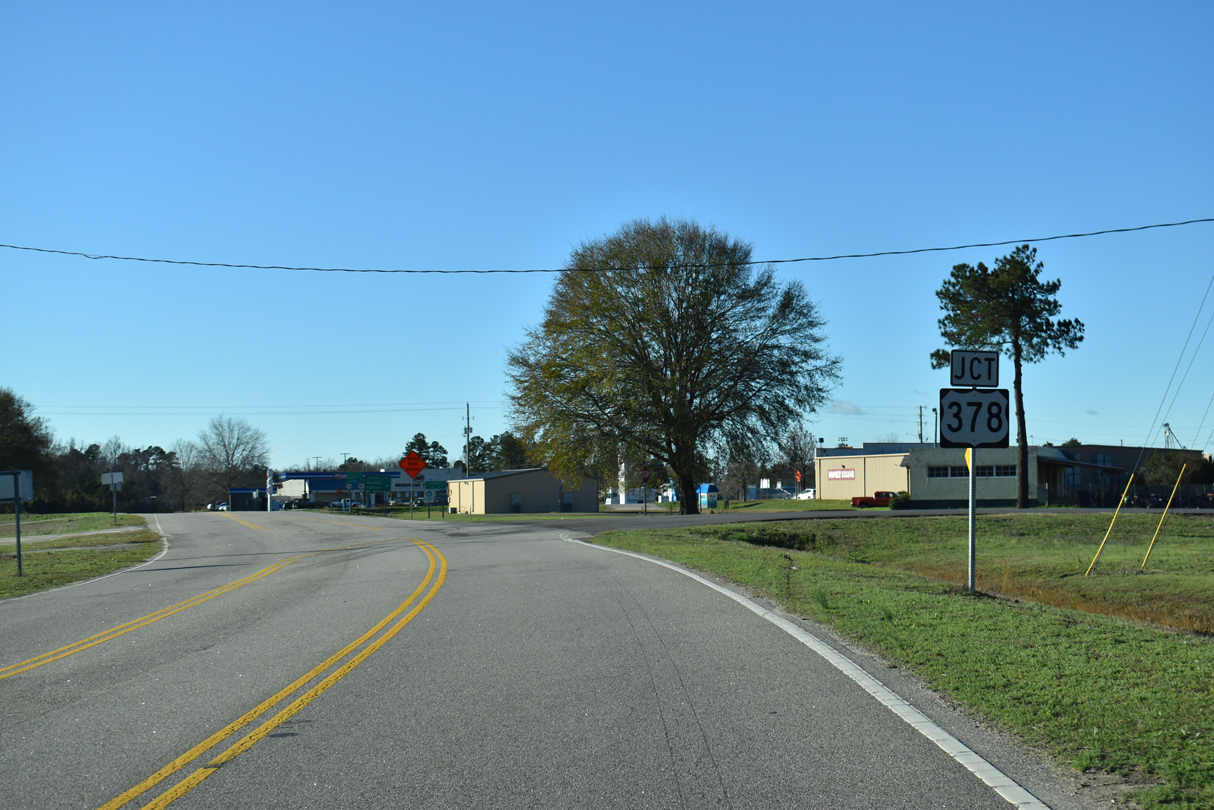
U.S. 301 (Olanta Highway) enters the town of Turbeville just ahead of U.S. 378 (Turbeville Highway).
01/05/19
01/05/19
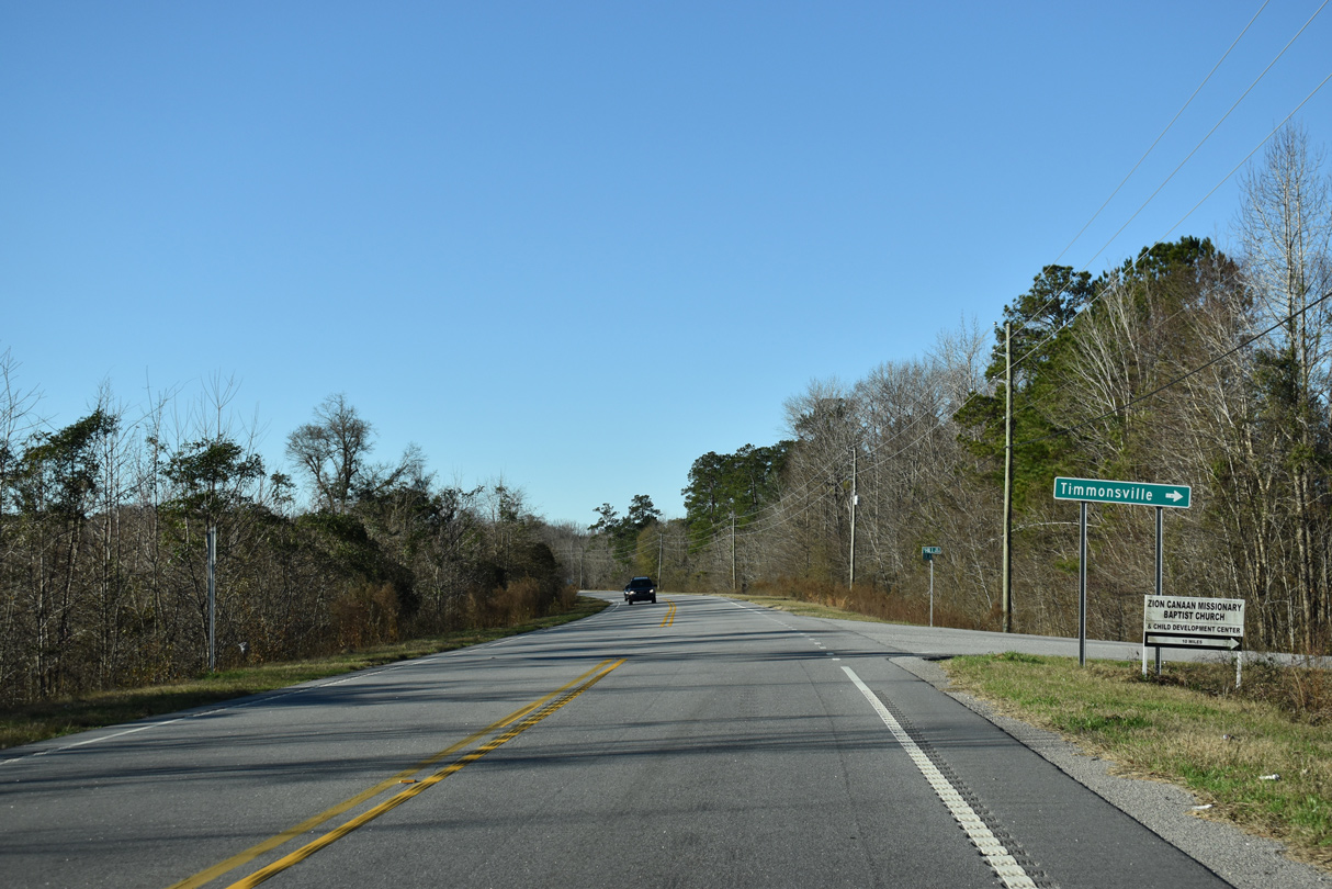
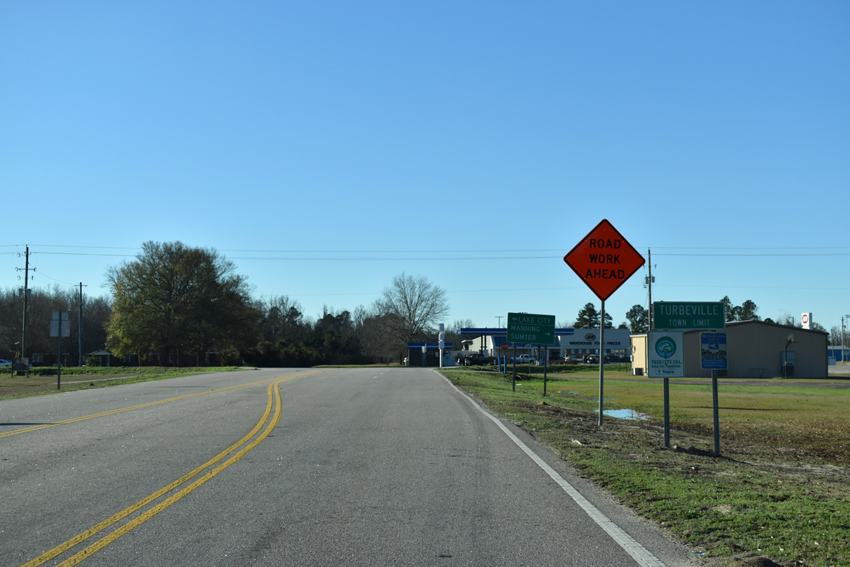
U.S. 378 enters Turbeville west from Lake City.
01/05/19
01/05/19
01/05/19
01/05/19
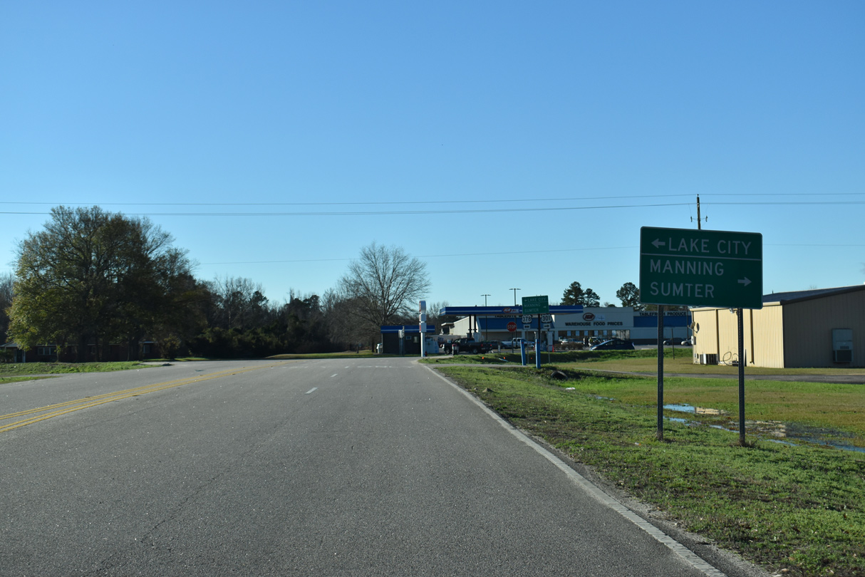
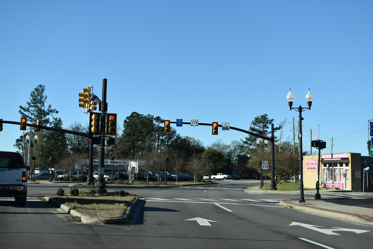
U.S. 301 joins U.S. 378 west onto Main Street 0.72 miles through Turbeville.
01/05/19
01/05/19
South  West
West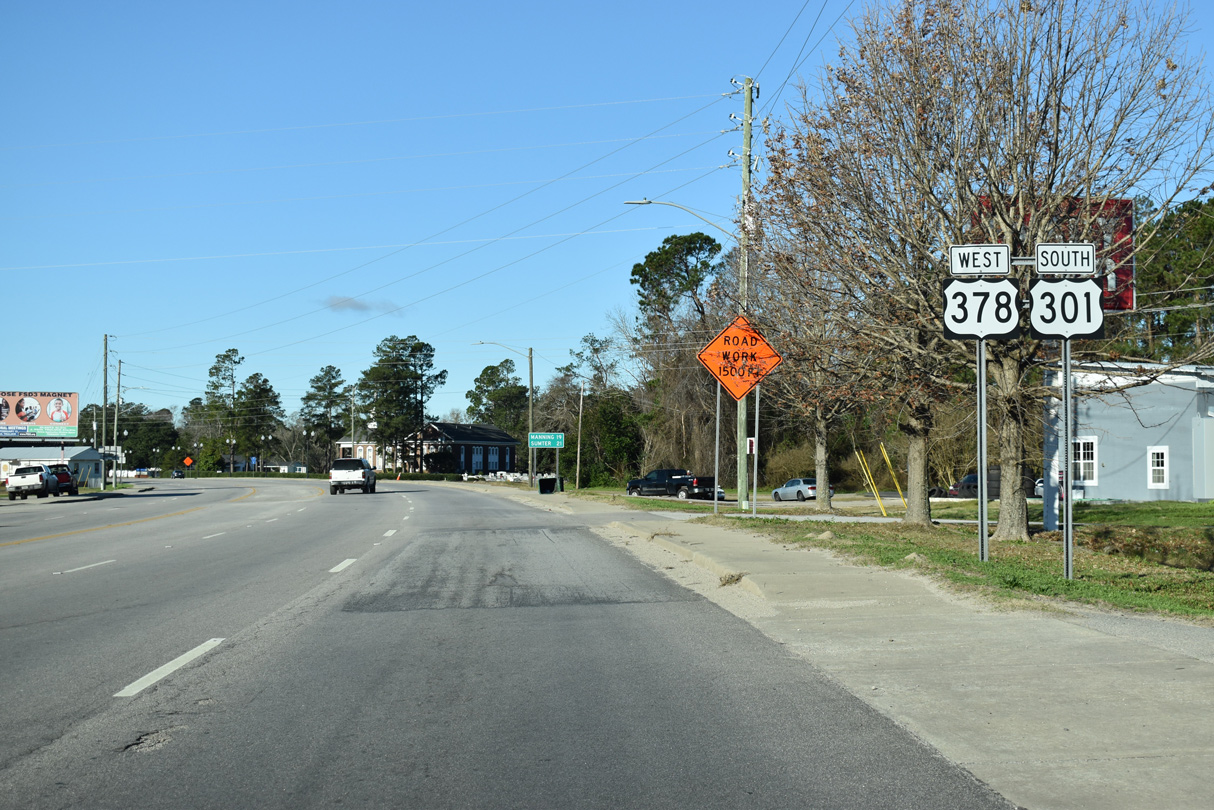
01/05/19
01/05/19
01/05/19
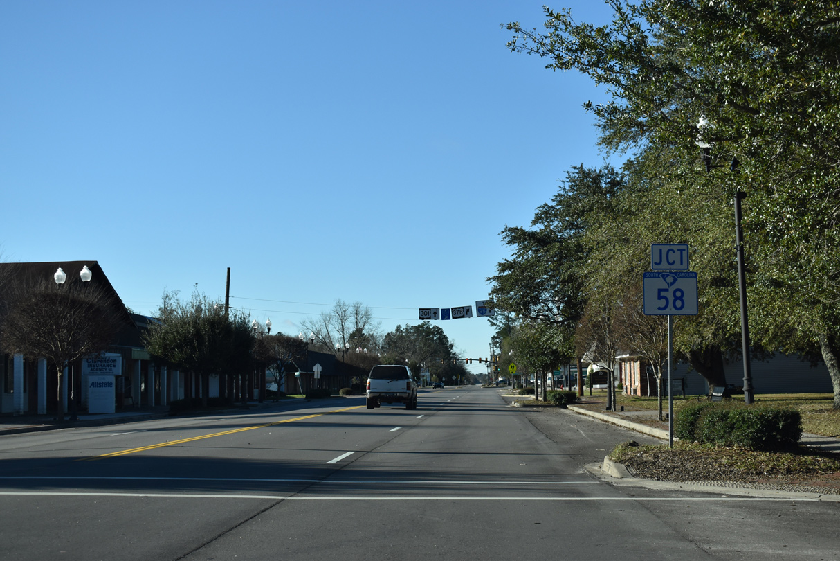
S.C. 58 stems northwest from U.S. 301/378 (Main Street) along Gamble Street in Turbeville.
01/05/19
01/05/19
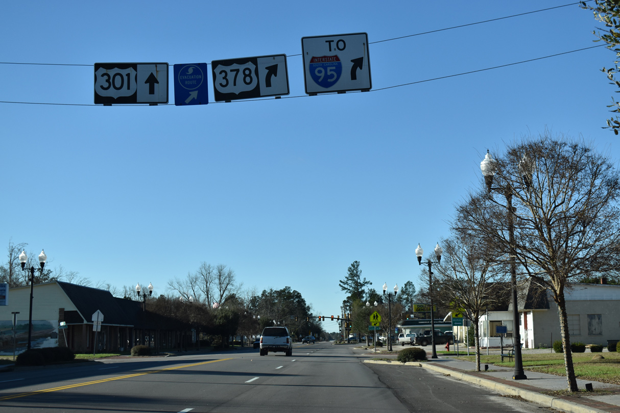
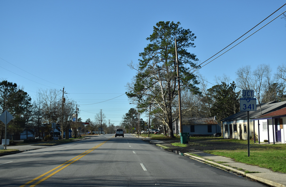
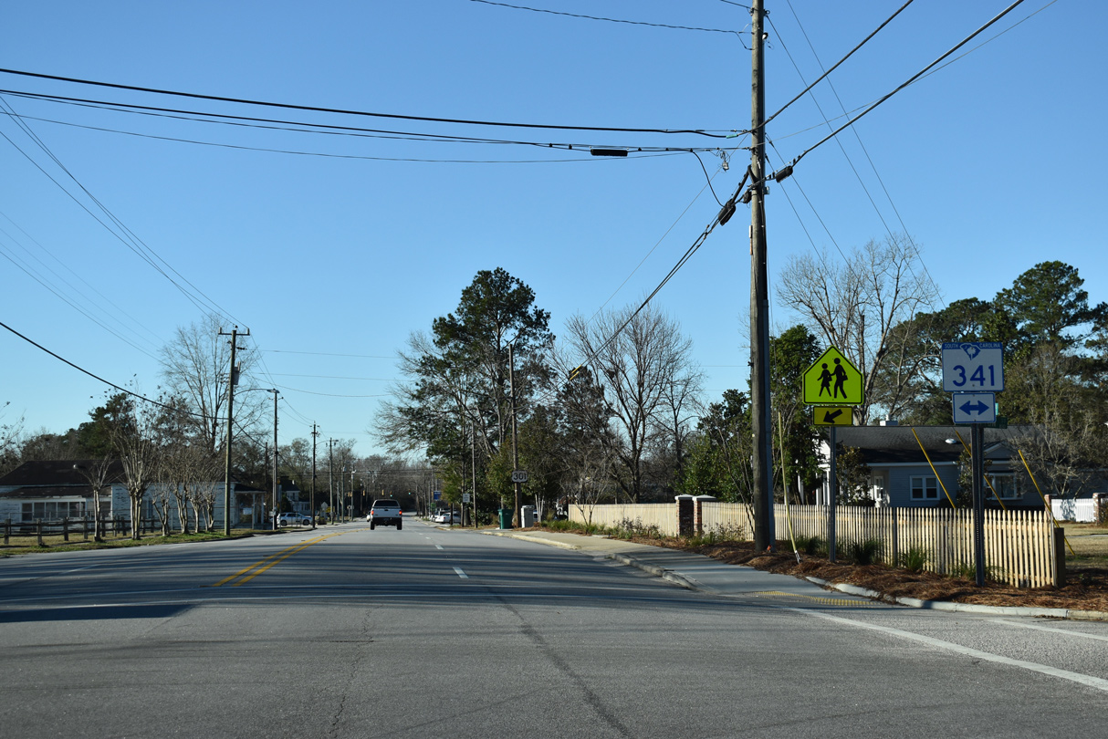
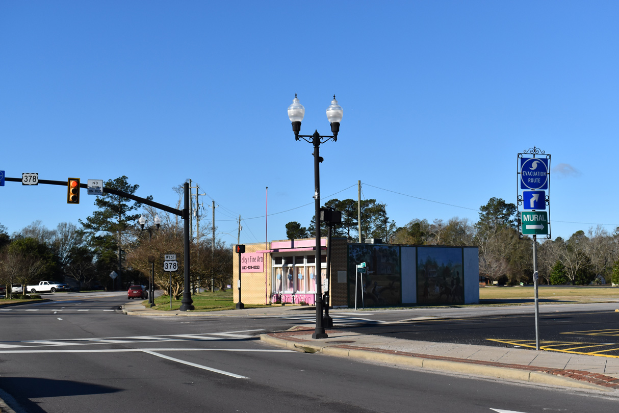
U.S. 378 separates from U.S. 301 south just beyond S.C. 58 (Gamble Street). S.C. 58 runs 10.47 miles north to S.C. 341 outside Lynchburg.
01/05/19
01/05/19
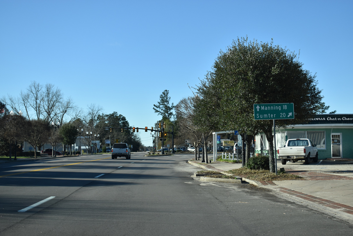
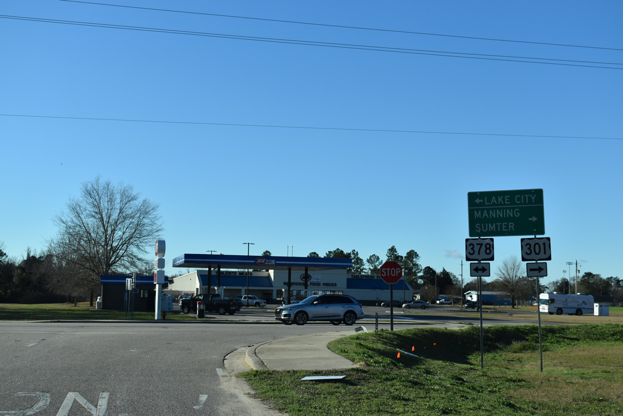
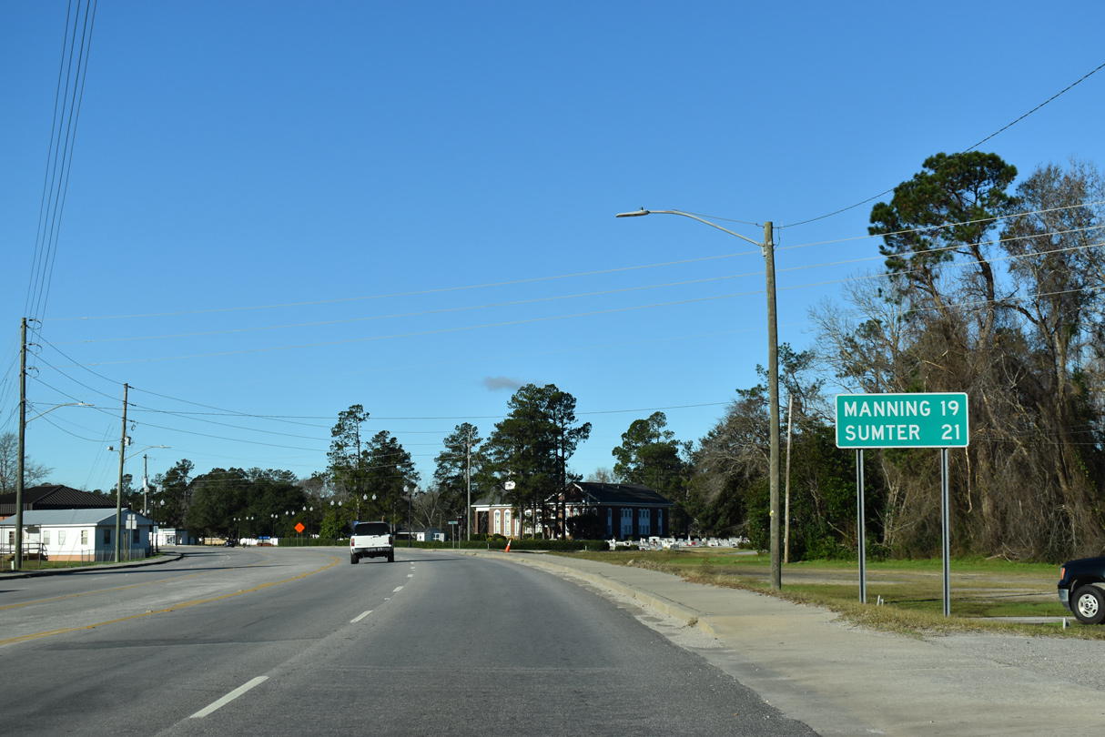
U.S. 378 (Clarence Coker Highway) branches west from U.S. 301 to the city of Sumter. U.S. 301 remins southwest to the Clarendon County seat of Manning.
01/05/19
01/05/19
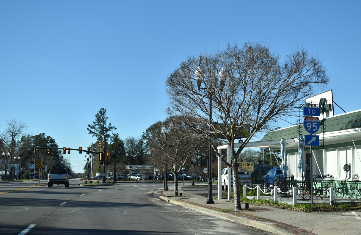
U.S. 378 connects with Interstate 95 at Exit 135, 4.3 miles to the west.
01/05/19
01/05/19
Calvert Street south and Park Street north from Turbeville Town Hall tie into a five point intersection where U.S. 301 and U.S. 378 split.
01/05/19
01/05/19
01/05/19
Photo Credits:
- Alex Nitzman: 01/05/19
Connect with:
Page Updated Tuesday December 06, 2022.