
Virginia Route 3 West

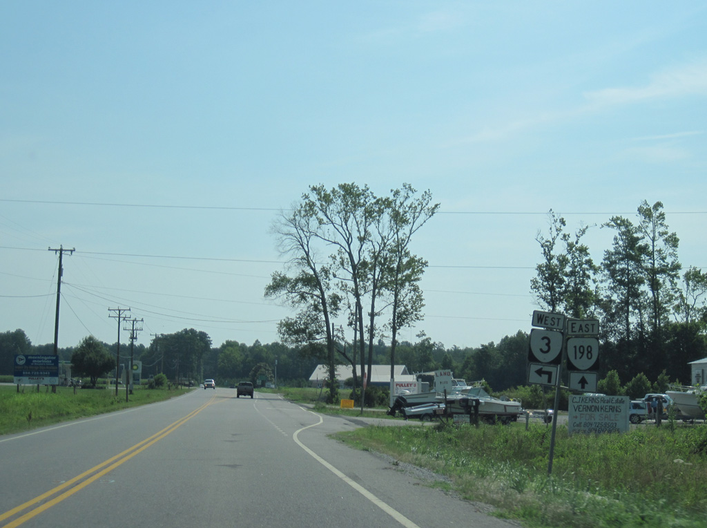
SR 3 west and SR 198 east combine for 1.55 miles along Buckley Hall Road between Soles and Twiggs Ferry Road near Dixie.
06/25/10
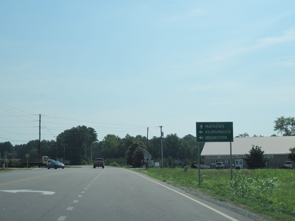
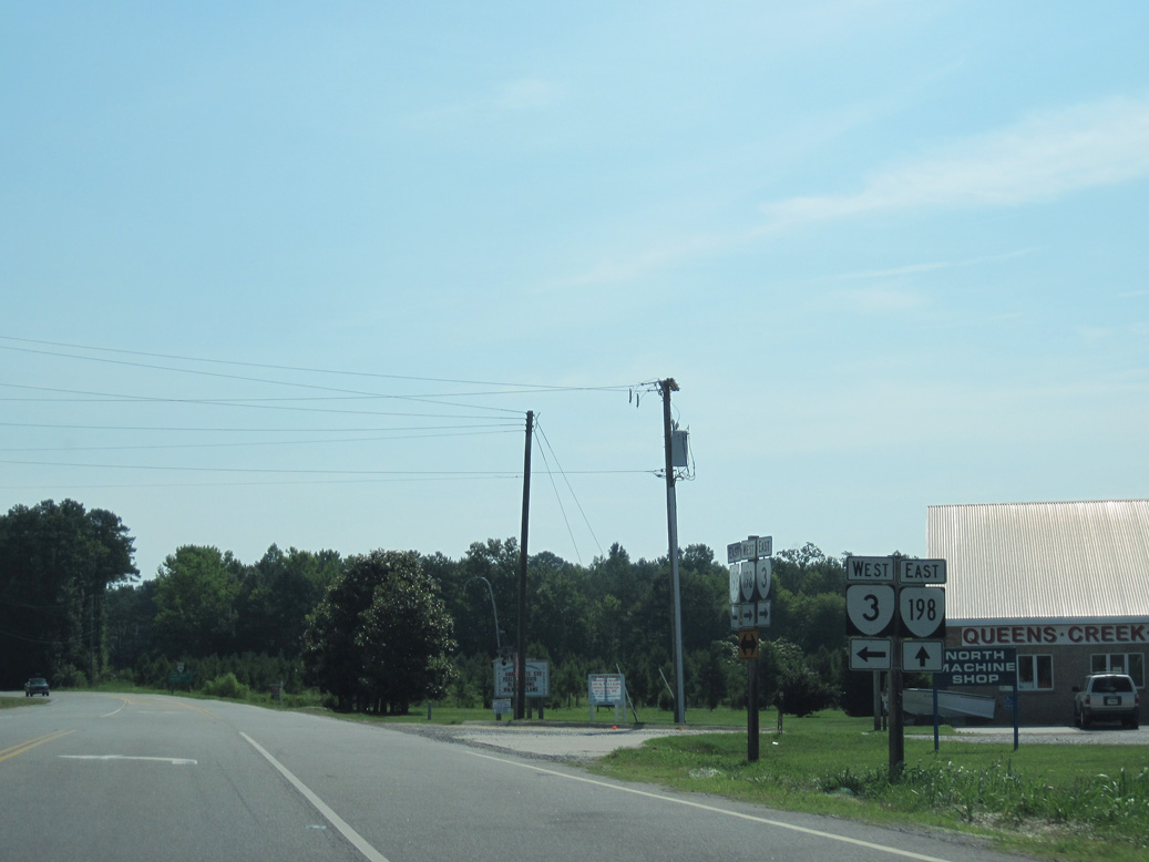
SR 198 continues along Buckley Hall Road east from SR 3 to Cobbs Creek and Blakes.
06/25/10
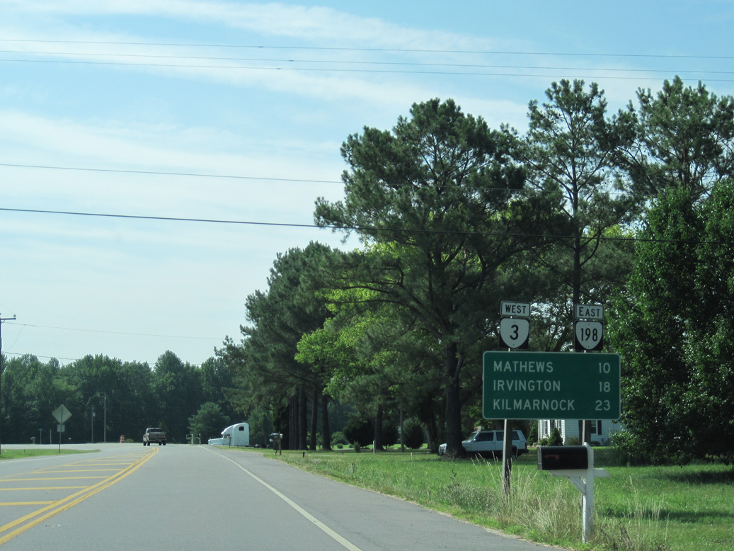
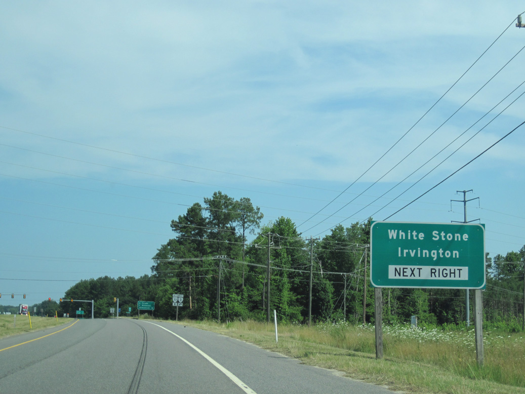
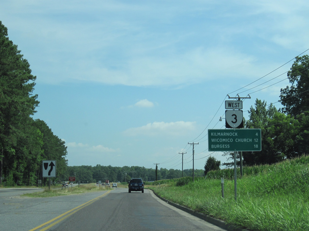
SR 198 loops 7.17 miles southeast to meet SR 14 north of Mathews. SR 3 angles northwest and than northeast 15.41 miles to White Stone, where SR 200 branches west to Irvington.
06/25/10
06/25/10
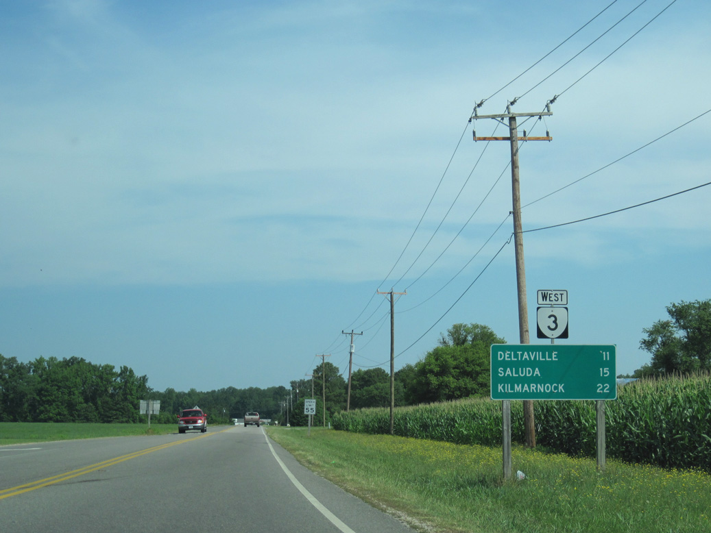
SR 3 (Twiggs Ferry Road) continues northwest 1.37 miles from SR 198 to the Middlesex County line. Located 11 miles away, Deltaville lies near the east end of SR 33.
06/25/10
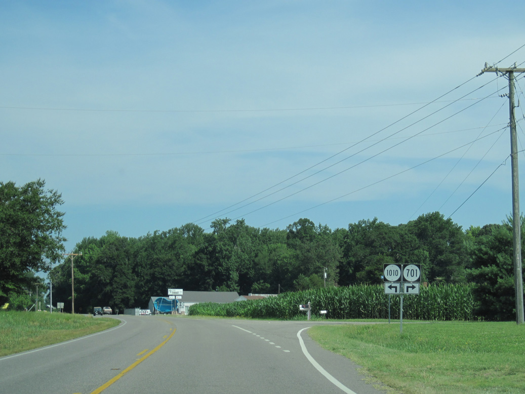
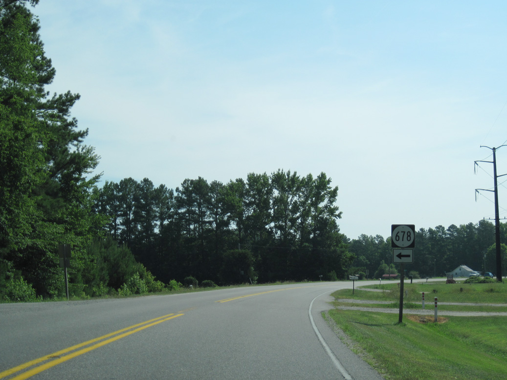
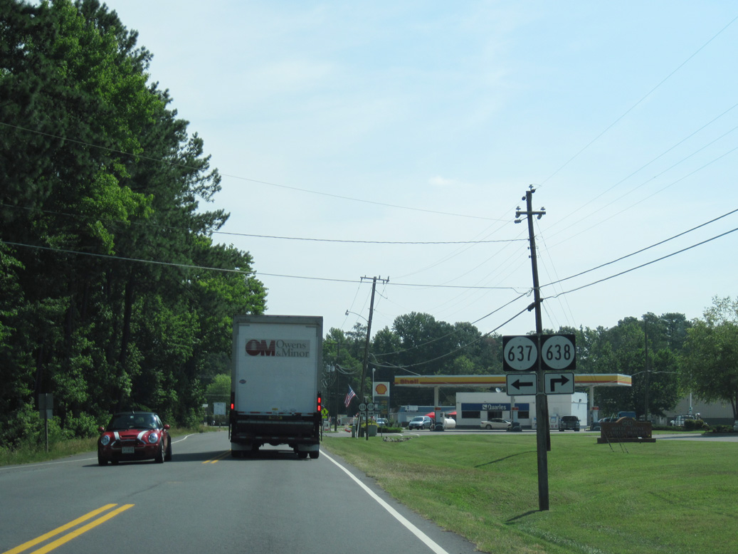
SR 701 (Green Point Lane) spurs north from SR 3 at Dixie to the Piankatank River.
06/25/10
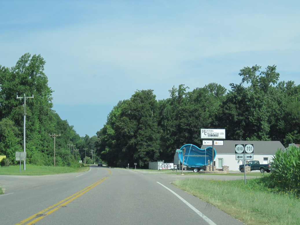
SR 1010 is Dixie Drive west into the Dixie subdivision.
06/25/10
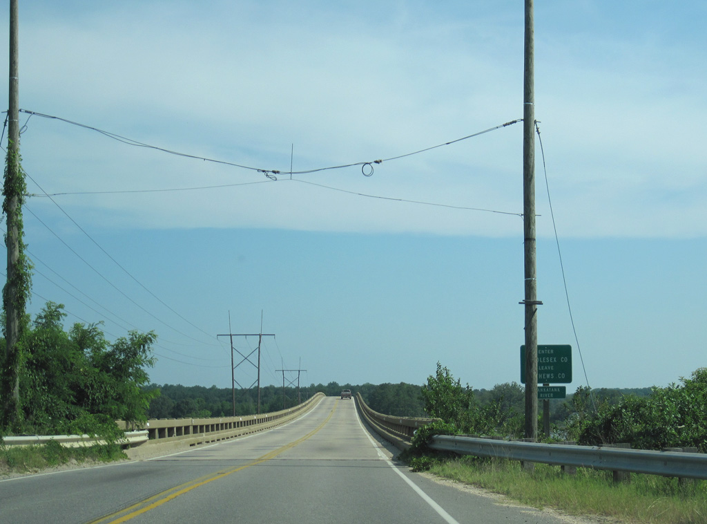
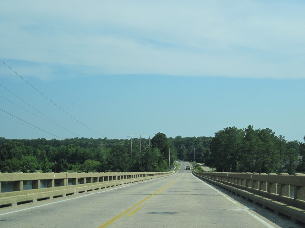
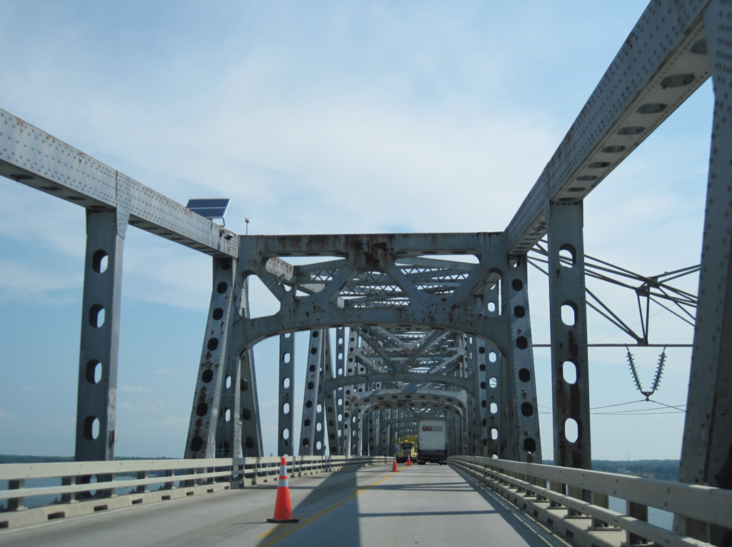
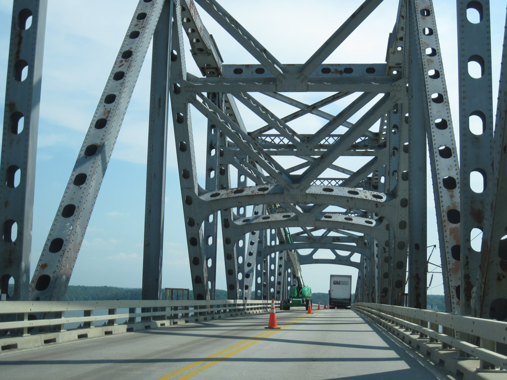
SR 3 (Twiggs Ferry Road) spans the Piankatank River north to Wilton Point in Middlesex County.
06/25/10
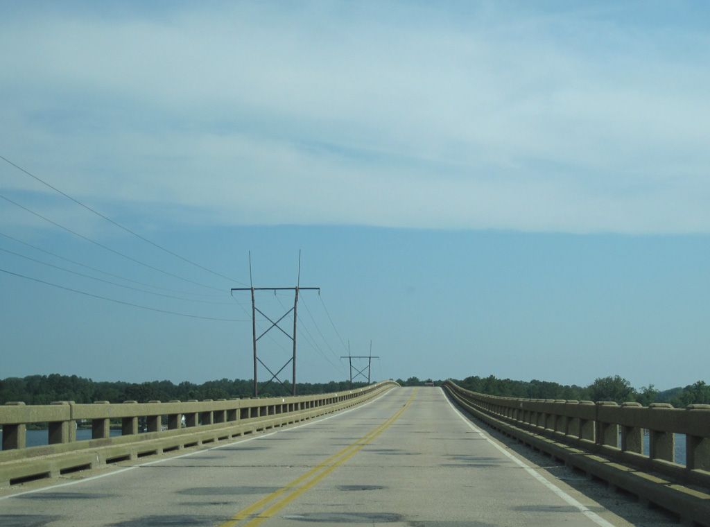
The Twiggs Bridge across the Piankatank River was originally built in 1957 and reconstructed in 2014.1
06/25/10
The bridge taking SR 3 over the Piankatank River measures 2,092 feet in length. It ascends 42.7 feet above the navigation channel.1
06/25/10
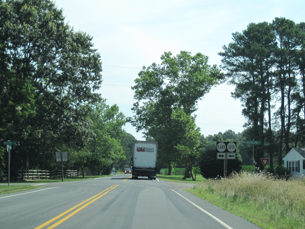
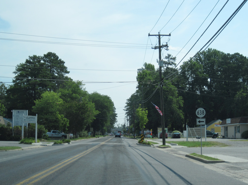
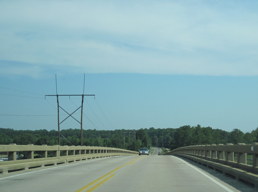
SR 655 is Ferry Road at the south end of Wilton Point. The Twiggs Ferry was originally a part of SR 225.
06/25/10

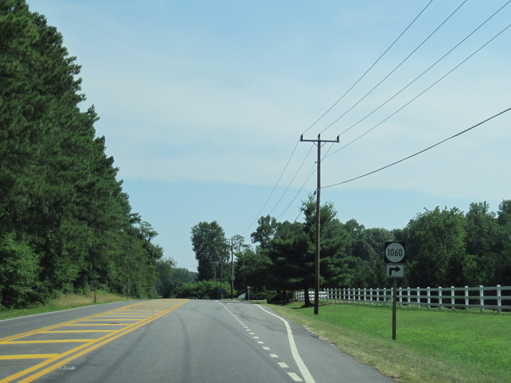
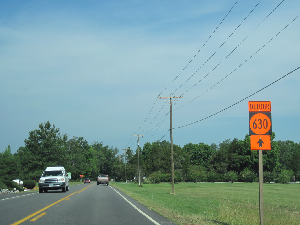
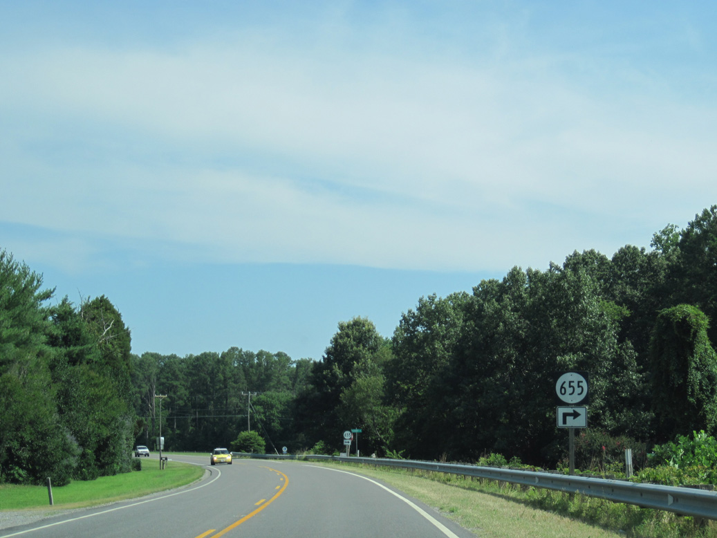
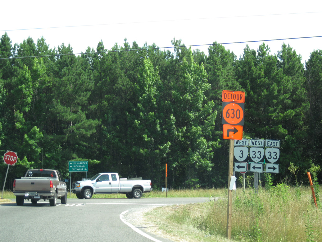
SR 630 (Stampers Bay Road) provides 1.00 mile long a cut off northeast to SR 33 (General Puller Highway) east to Wilton, Hardyville and Deltaville.
06/25/10
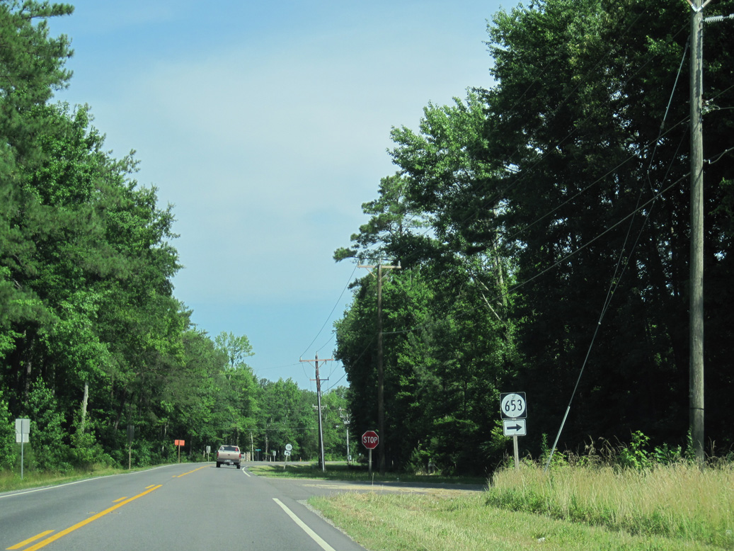
SR 653 comprises a local loop along the east side of SR 3 (Twiggs Ferry Road) through Stampers.
06/25/10
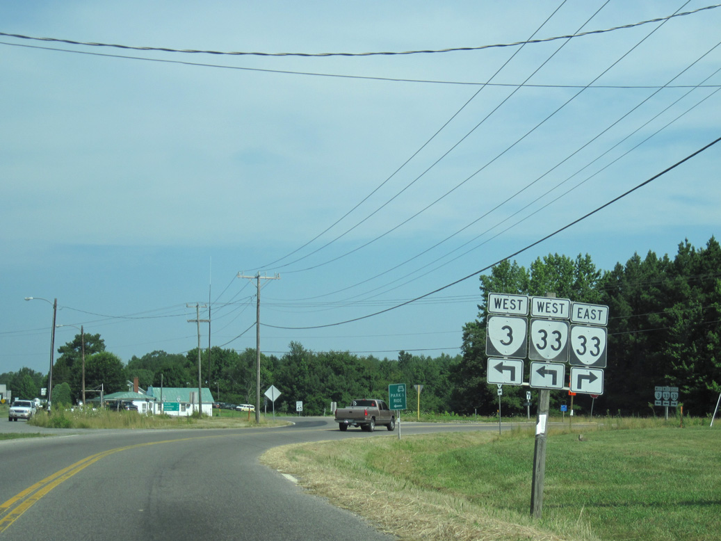
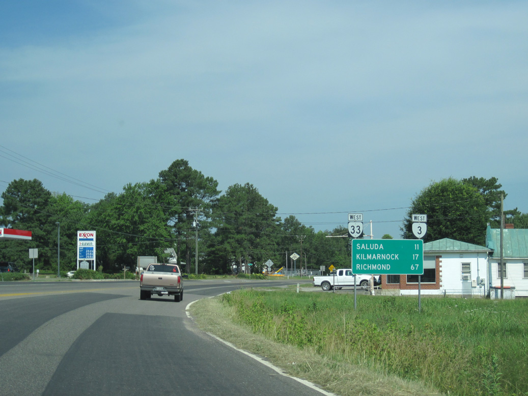
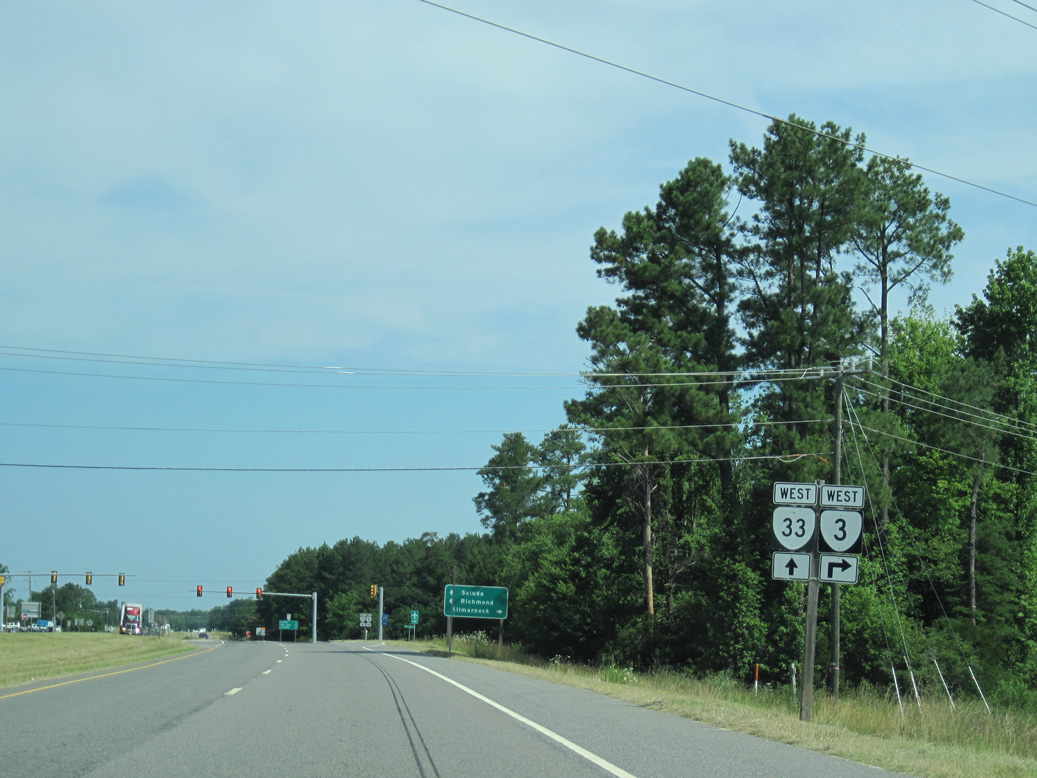
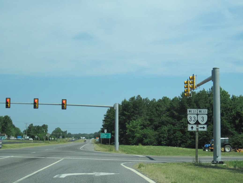
SR 3 west converges with SR 33 (General Puller Highway) at Hartfield.
06/25/10
SR 33 (General Puller Highway) spurs 8.41 miles east to Deltaville and Stingray Point on Chesapeake Bay.
06/25/10
SR 3/33 (General Puller Highway) overlap 3.45 miles northwest to Grafton and Harmony Village.
06/25/10
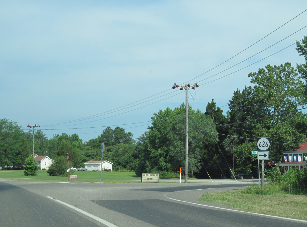
SR 626 (Regent Road) heads 0.43 miles north to Free Shade Corner, where it splits with SR 624 north to Syringa an route to Wake.
06/25/10
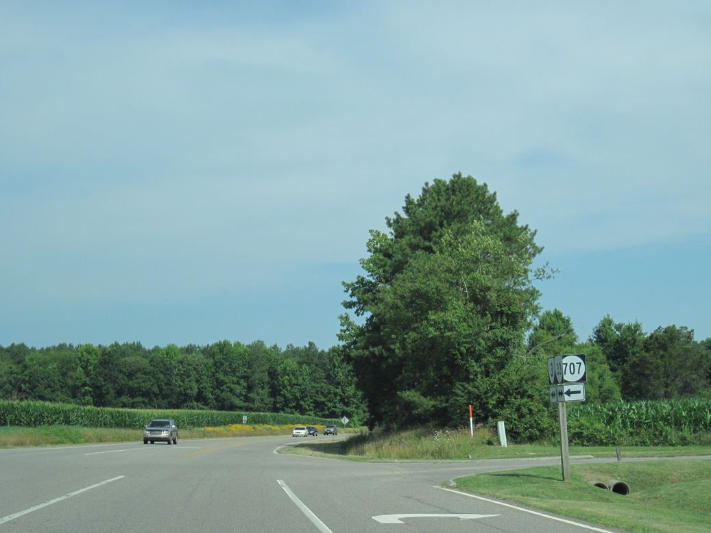
SR 707 (Grafton Church Road) loops west from SR 3/33 along the original alignment of SR 33 through Grafton.
06/25/10
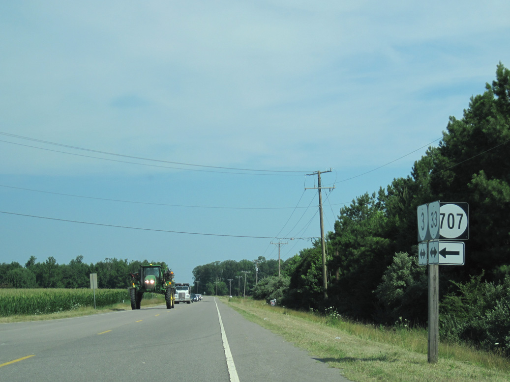
SR 707 returns to SR 3/33 north from SR 629 (Stormont Road) west to Healys.
06/25/10
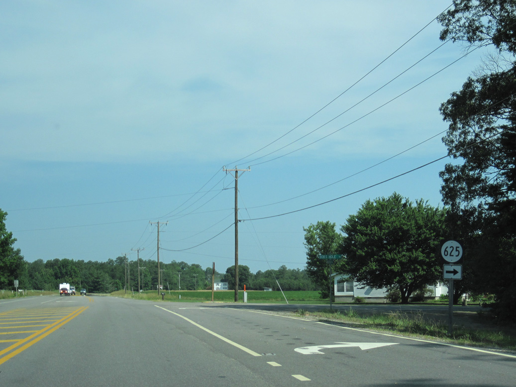
SR 625 (Bobs Hole Road) stems east from SR 3/33 to SR 624 (Syringa Road) near Syringa.
06/25/10
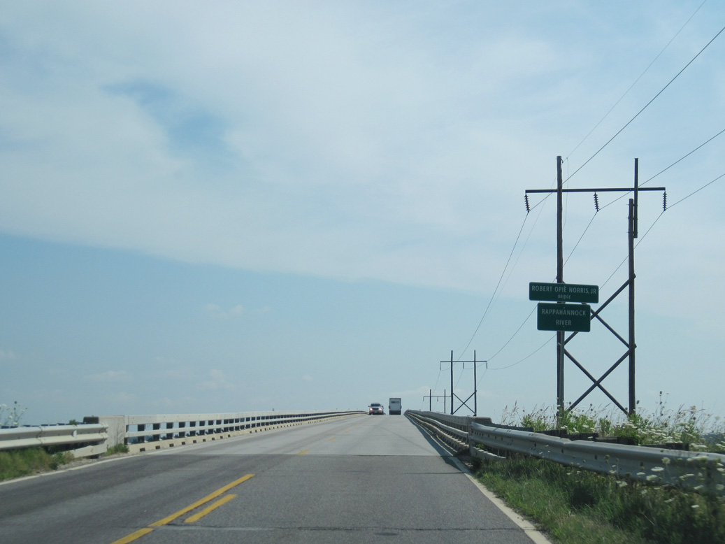
SR 3 branches northeast from SR 33 (General Puller Highway) along Greys Point Road to the Robert Opie Norris Bridge and White Stone.
06/25/10
SR 33 expands into a four lane highway ahead of the split with SR 3 west at Harmony Village.
06/25/10
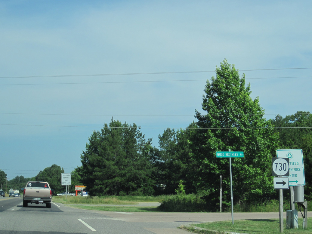
SR 33 (General Puller Highway) continues 6.89 miles west to U.S. 17 Business (Gloucester Road) in the Middlesex County seat of Saluda.
06/25/10
SR 3 replaced SR 200 along Greys Point Road northeast from SR 33 to the former Grey Point - Whitestone Ferry across the Rappahannock River.
06/25/10
The Robert O. Norris, Jr. Bridge lies four miles northeast of SR 657 (Kates Neck Road) along SR 3.
06/25/10
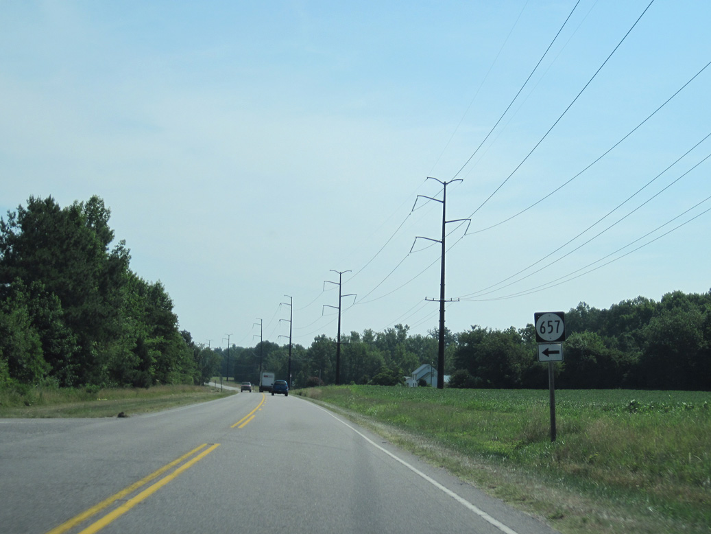
SR 657 (Kates Neck Road) spurs north to a handful of homesteads adjacent to Whiting Creek.
06/25/10
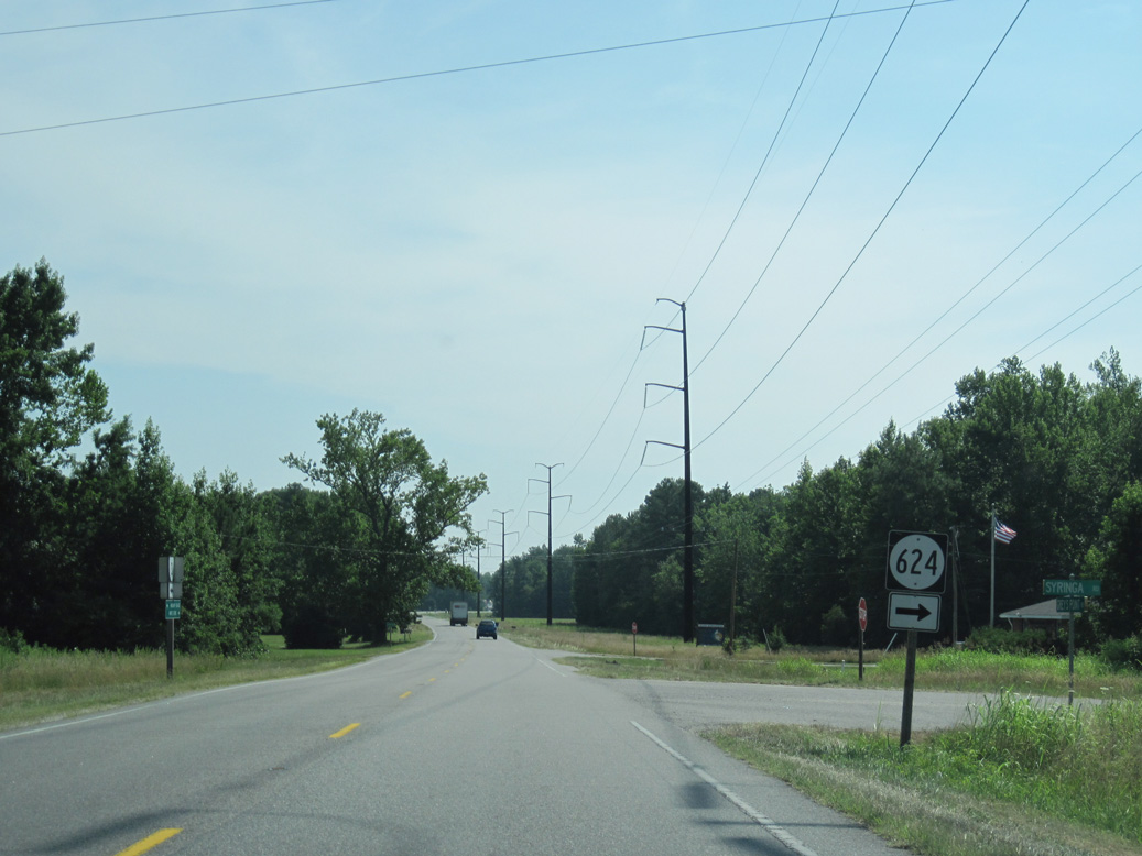
SR 624 (Syringa Road) angles southeast to Syringa.
06/25/10
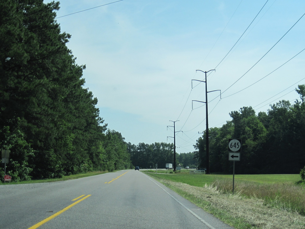
SR 645 (Locust Grove Road) heads north and than east to residential areas along Meachim Creek.
06/25/10
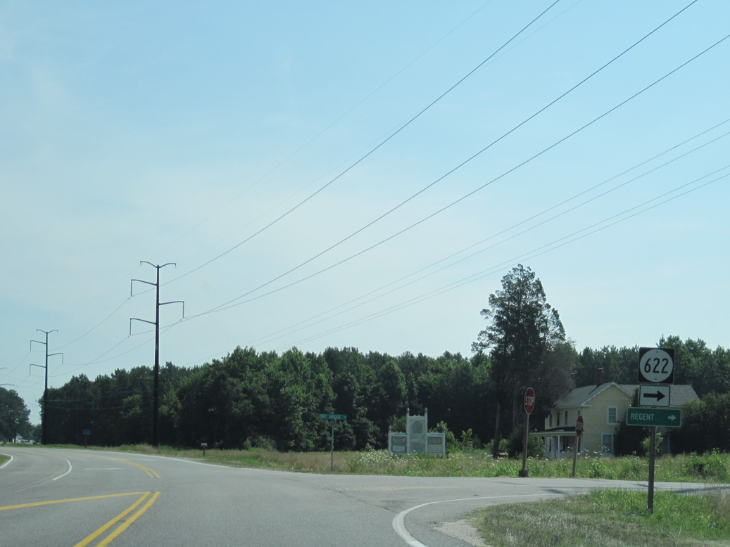
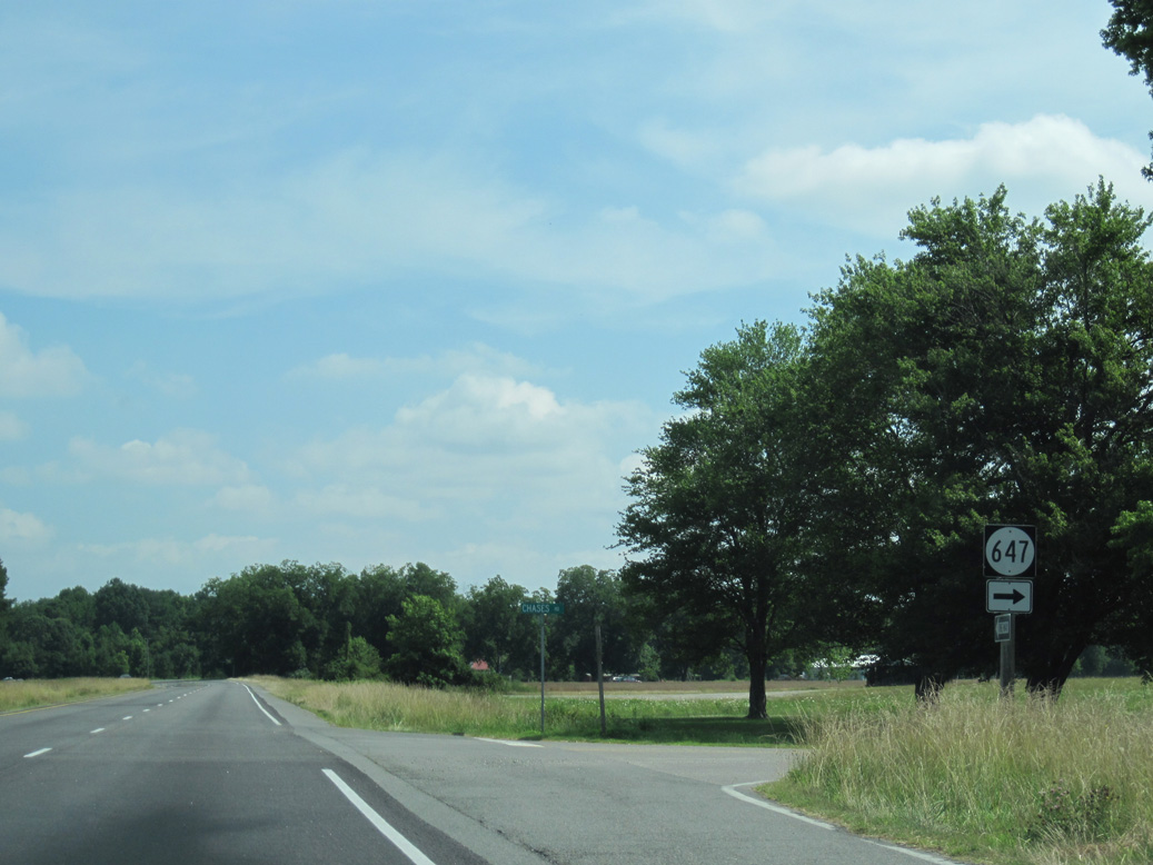
SR 622 (Dirt Bridge Road) leads 0.77 miles south to SR 623 (Regent Road) west of Regent.
06/25/10
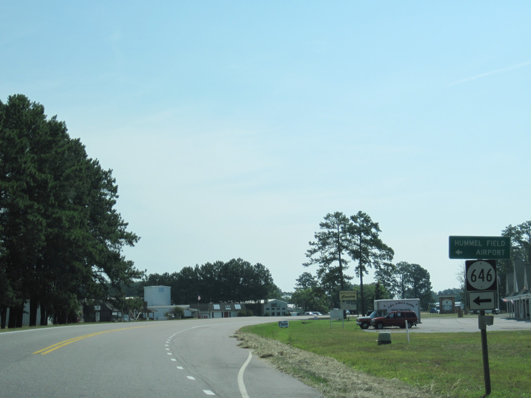
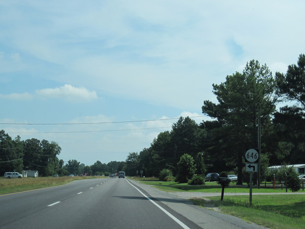
SR 646 (Long Point Lane) connects SR 3 with SR 663 (Planview Road) north to Hummel Field Airport (W75).
06/25/10
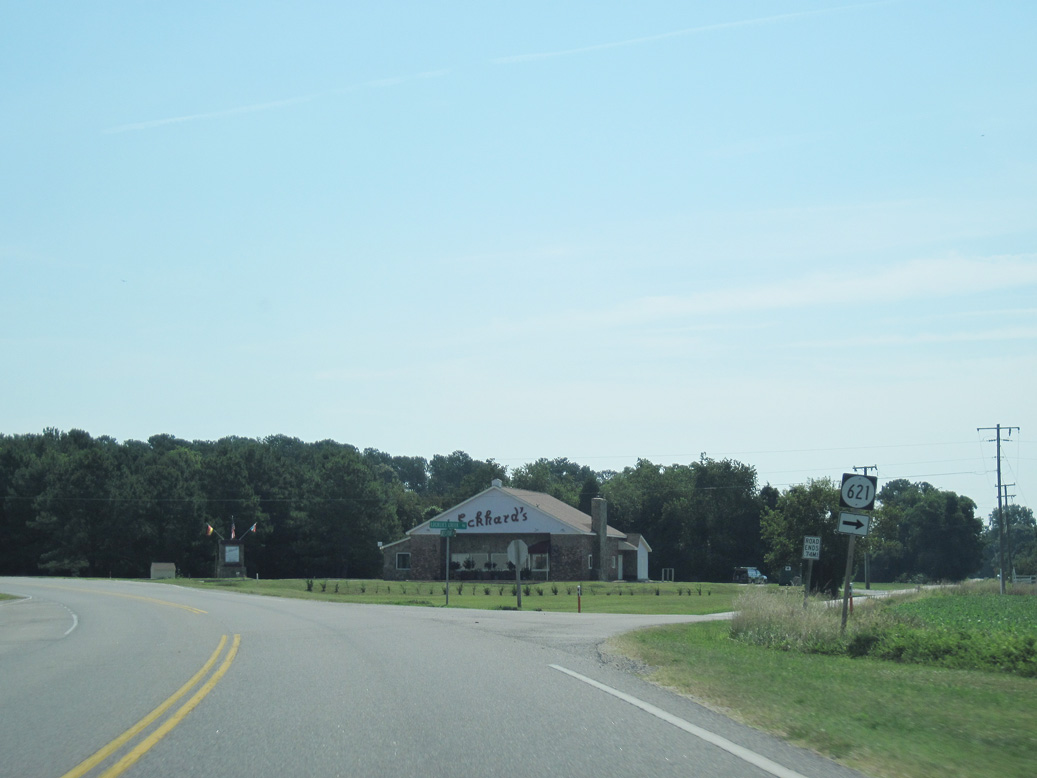
SR 621 (Locklies Creek Road) branches east from SR 3 (Greys Point Road) to Locklies along the Rappahannock River.
06/25/10
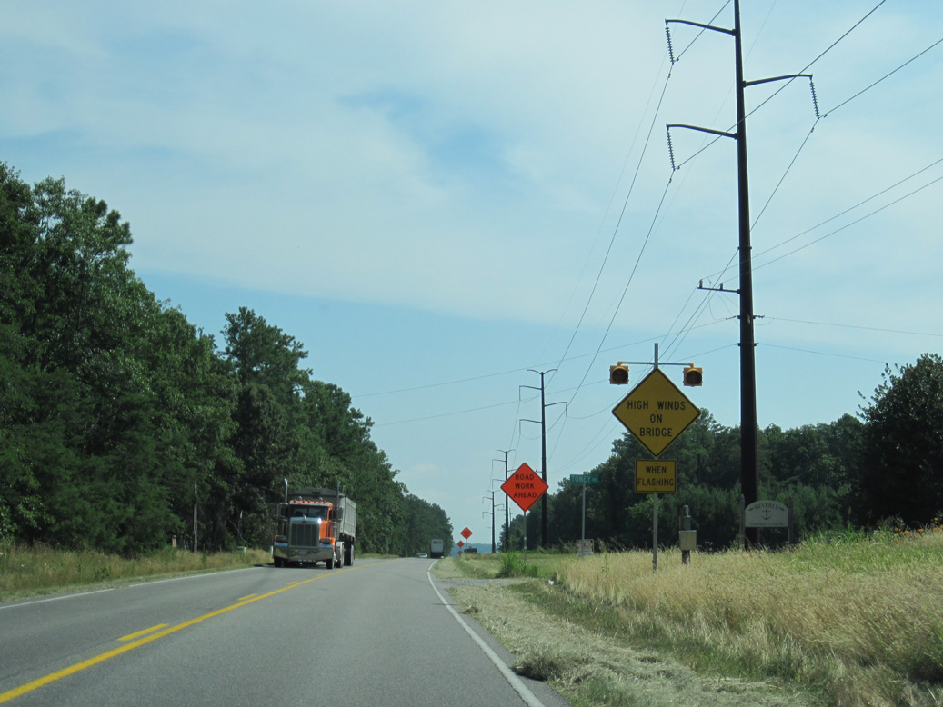
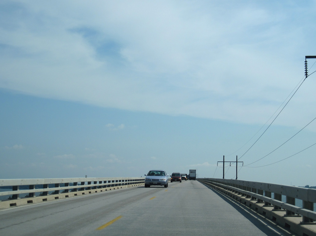
The 9,989 foot long
06/25/10
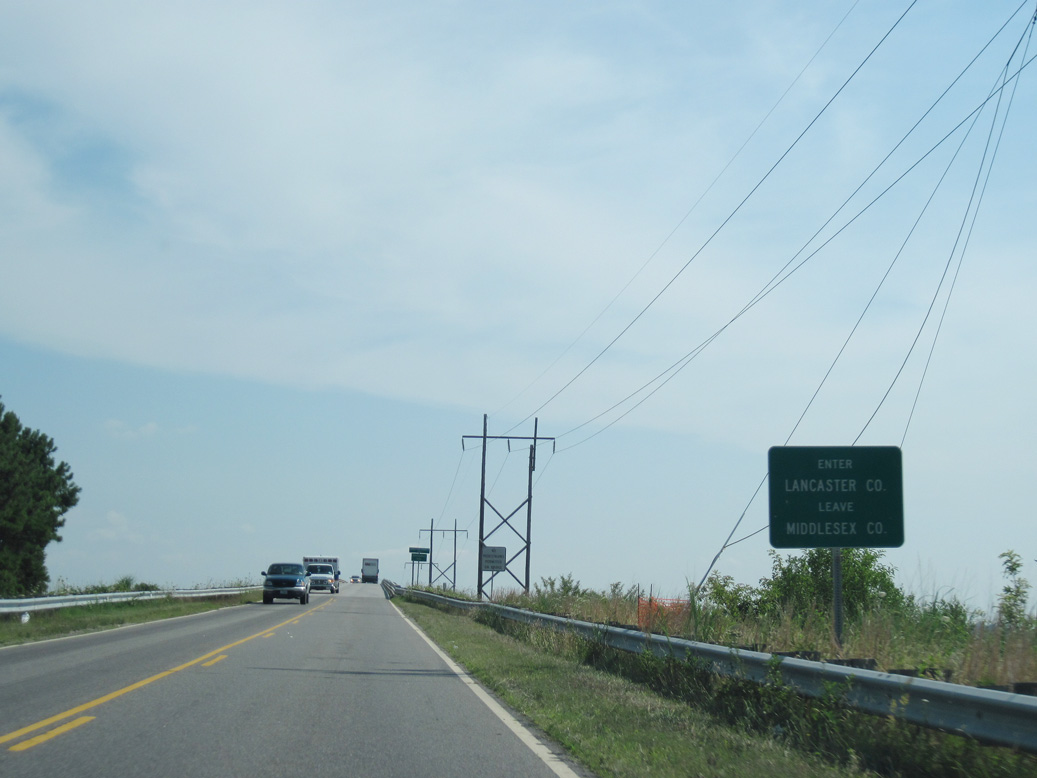
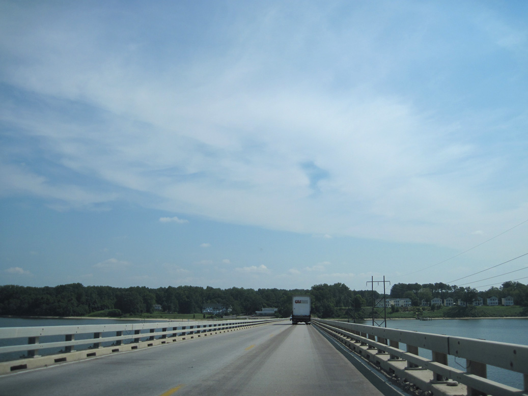
Westbound SR 3 crosses into Lancaster County midway over the Rappahannock River.
06/25/10
The Robert Opie Norris, Jr. Bridge was built in 1957 and reconstructed in 1996.2
06/25/10
The roadway deck across the Robert O. Norris, Jr. Bridge is just 23.0 feet wide.2
06/25/10
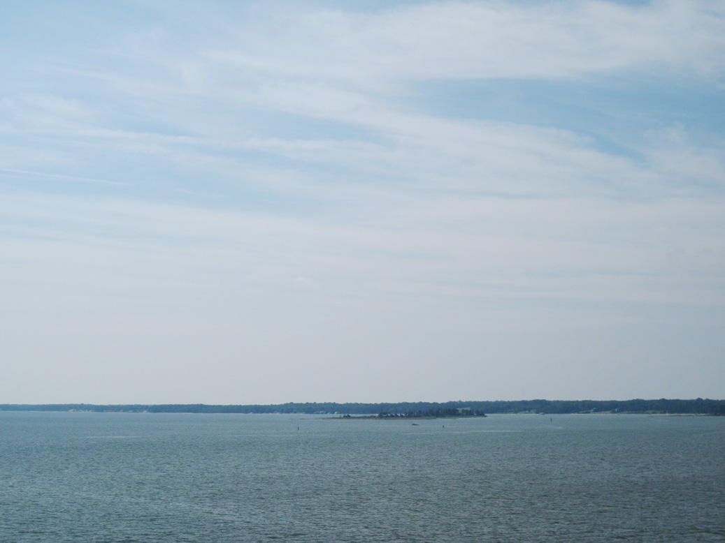
Looking south from SR 3 at Parrott Island on the Rappahannock River.
06/25/10

The Rappahannock River empties into Chesapeake Bay beyond the distant Mosquito Point and Stingray Point east of the Robert O. Norris, Jr. bridge.
06/25/10
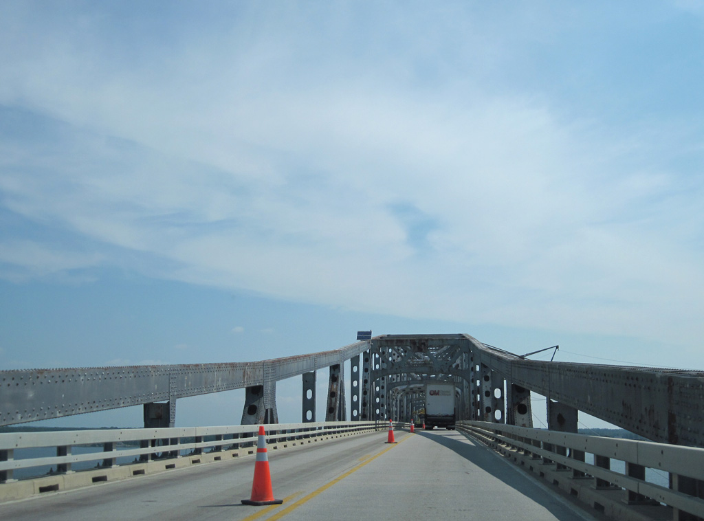
The Robert Opie Norris, Jr. Bridge is a cantilever through truss bridge.
06/25/10
Tolls were previously collected for the Norris Bridge just beyond the north end of the span.
06/25/10
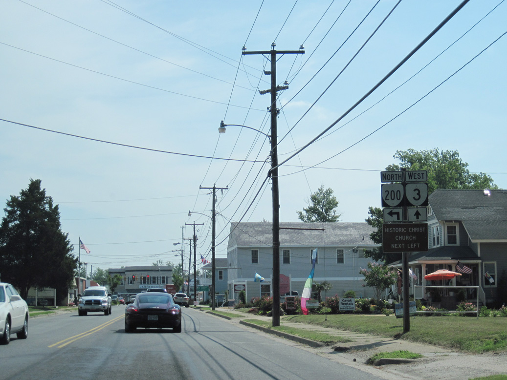
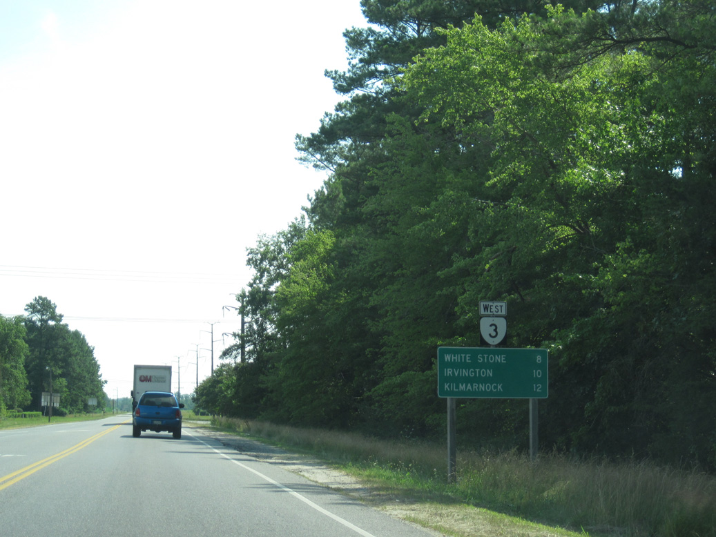
SR 3 (Rappahannock Drive) advances northeast into the town of White Stone where it meets the south end of SR 200 (Chesapeake Drive).
06/25/10
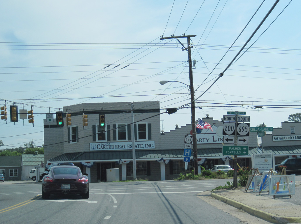
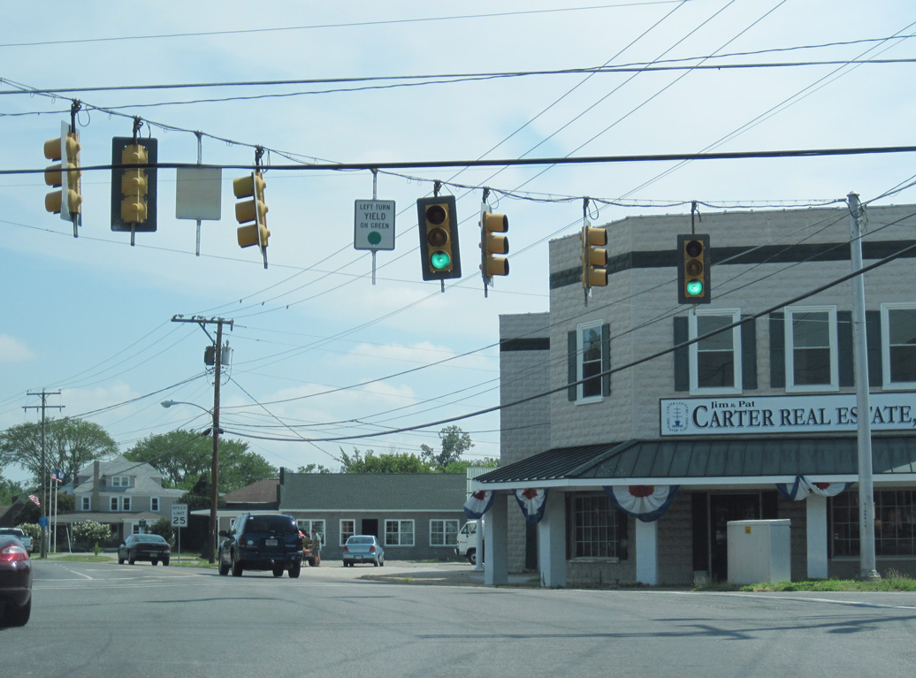
SR 695 spurs 7.69 miles southeast from SR 3/200 in White Stone Palmer and Westland on Fleets Island. SR 200 loops west to Irvington and north back to SR 3 at Kilmarnock.
06/25/10
SR 200 west to Irvington and Christ Church was formerly the route of SR 3. SR 3 north along Mary Ball Road to Kilmarnock Road was the original alignment of SR 200.
06/25/10
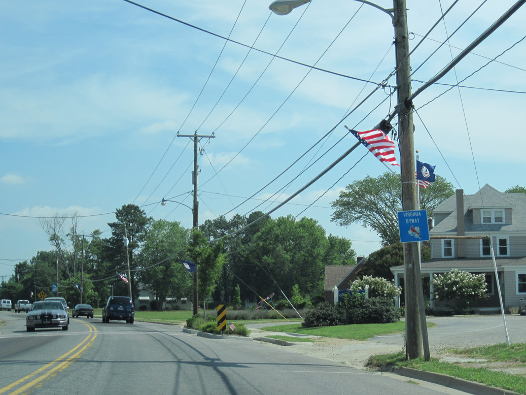
SR 3 north from White Stone is a Virginia Byway.
06/25/10
SR 3 expands to a four lane, divided highway between White Stone and the town of Kilmarnock.
06/25/10
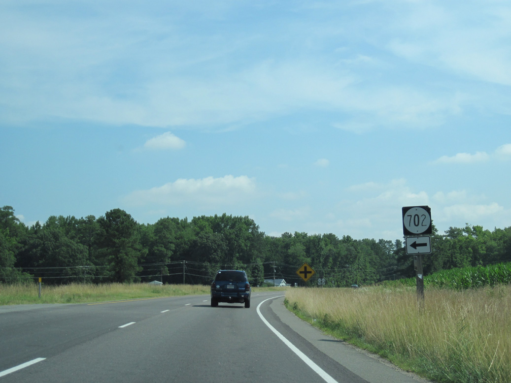
The short loop along SR 702 (Methodist Church Road) north to SR 646 (Ocran Road) is the original alignment of SR 200.
06/25/10
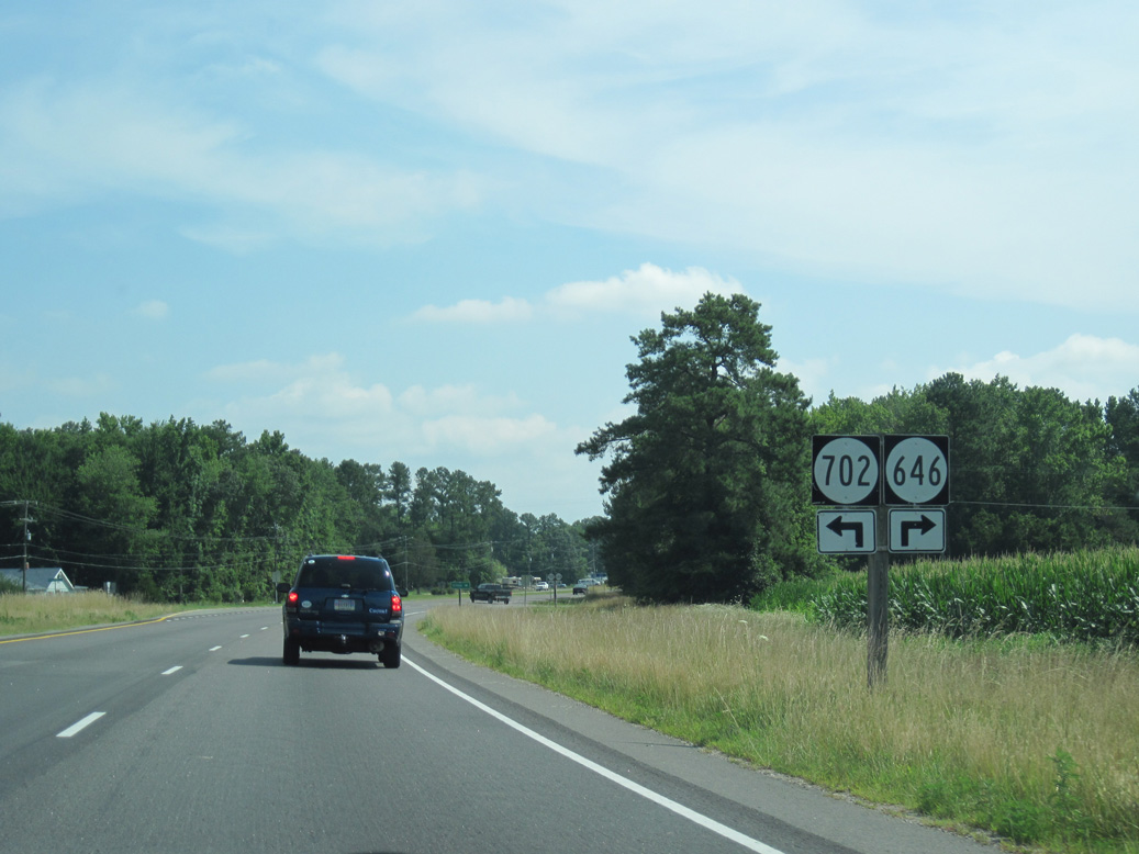
SR 646 (Ocran Road) spurs east to Ocran on Poplar Neck.
06/25/10
SR 646 (Old Salem Road) meanders 3.16 miles northwest to SR 200 (Irvington Road) at Pitmans Corner and SR 222 (Weems Road) north of Christ Church.
06/25/10
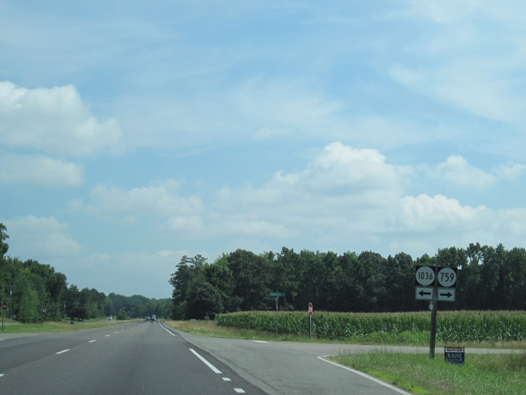
SR 1036 (Harris Road) loops 1.82 miles northwest from SR 3 at SR 759 (Simmons Lane) to SR 200 (Irvington Road) at SR 688 (James B. Jones Memorial Highway).
06/25/10
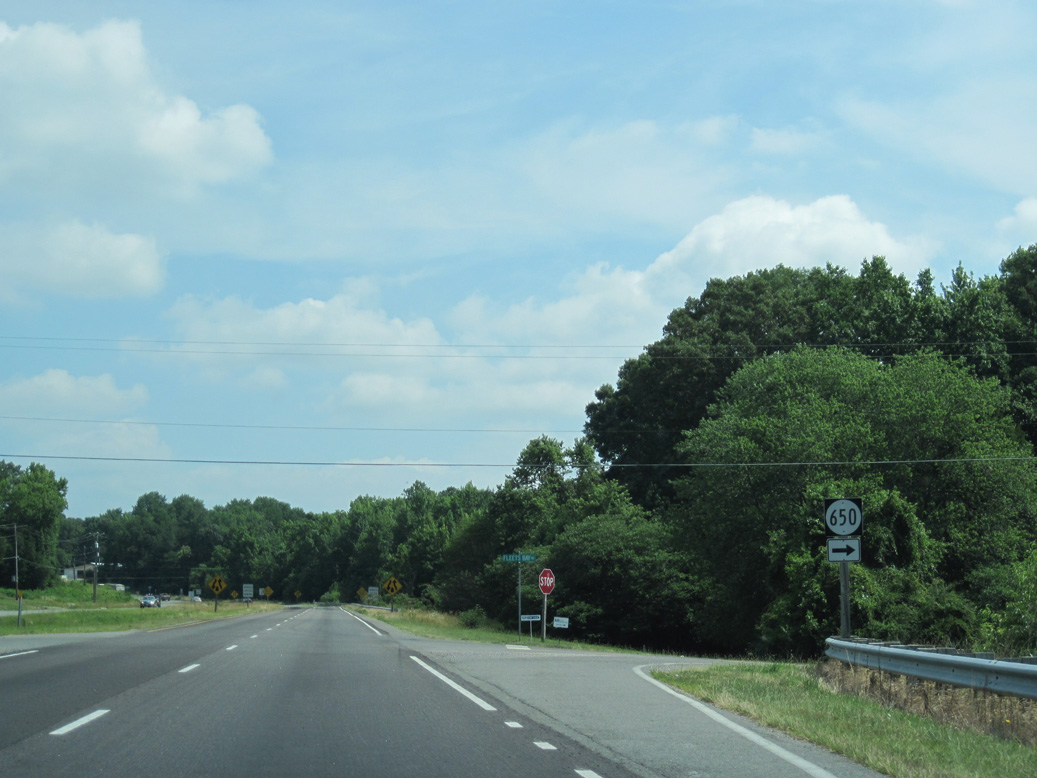
SR 650 (Fleets Bay Road) spurs 3.01 miles east from SR 3 (Mary Ball Road) along Fleets Back Neck.
06/25/10
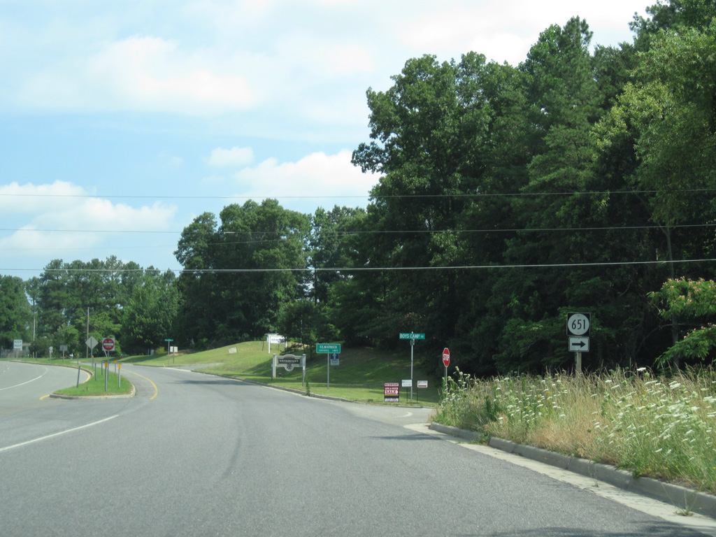
SR 3 (Mary Ball Road) westbound enters the town of Kilmarnock at SR 651 (Boys Camp Road).
06/25/10
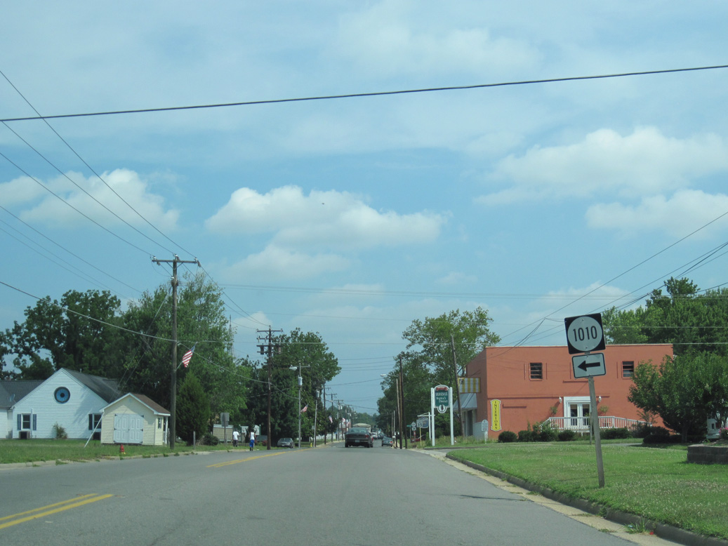
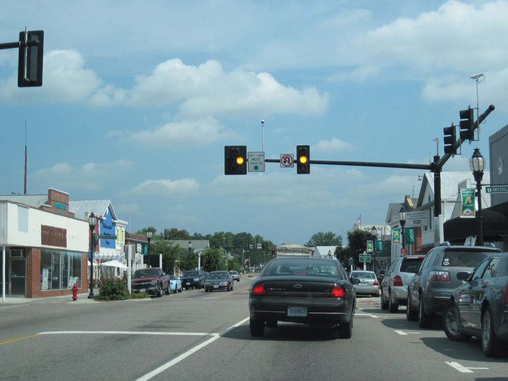
SR 3 continues along Main Street north to Wiggins Avenue (SR 1010) in Kilmarnock.
06/25/10
SR 200 returns to SR 3 (Main Street) along Irvington Avenue east in Downtown Kilmarnock.
06/25/10
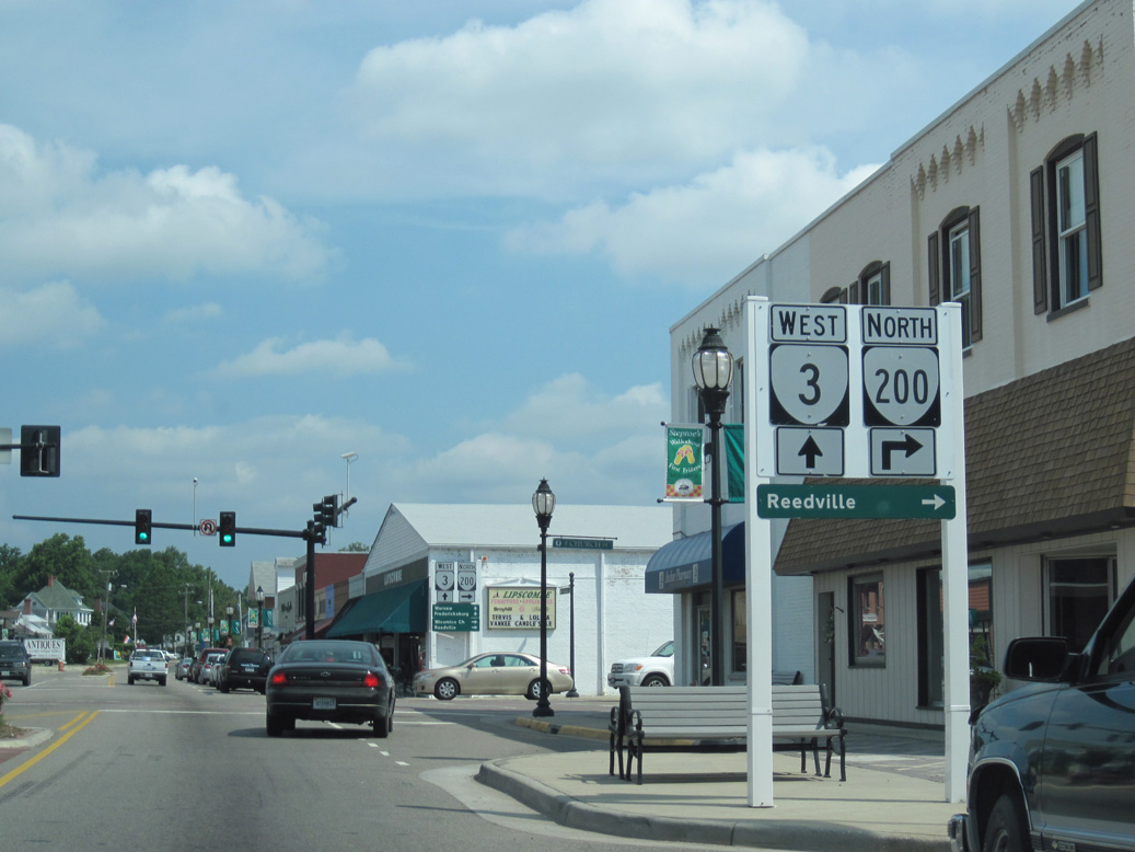
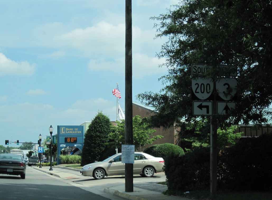
SR 200 north combines with SR 3 west along Main Street for 0.09 miles in Downtown Kilmarnock.
06/25/10
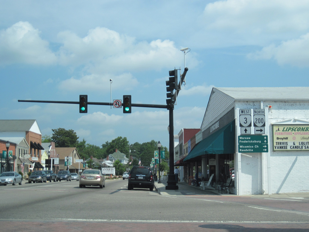
SR 3 (Main Street) curves seven miles northwest from SR 200 (Church Street) in Kilmarnock to the Lancaster County Course House. SR 200 runs 7.6 miles north to Wicomico Church.
06/25/10
Photo Credits:
- ABRoads: 06/25/10
Connect with:
Page Updated Saturday May 08, 2021.